|
Proper Municipality Name |
Photo Description |
Photo |
|
Photos taken
from driver's perspective appear offset from centre-line Photos: |
North-
Bound |
South-
Bound |
|
Click here for Highway 400 images between
Toronto and Highway 9. |
|
Highway 9 extends west from Highway
400 to Orangeville and beyond.
Click
here for Highway 9 images. |
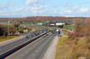
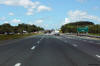
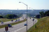
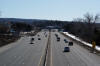
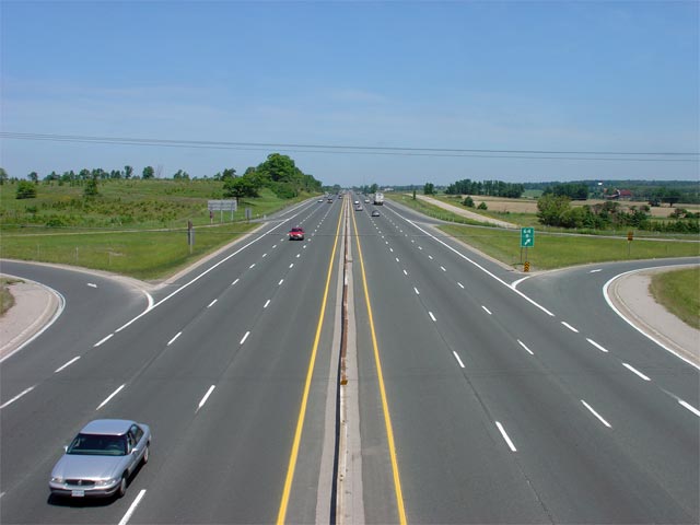
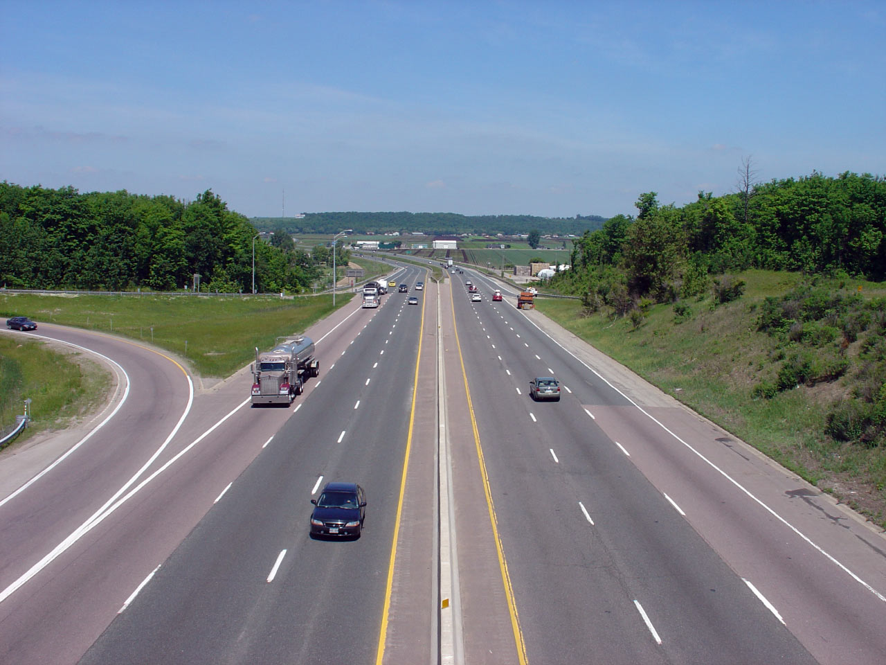
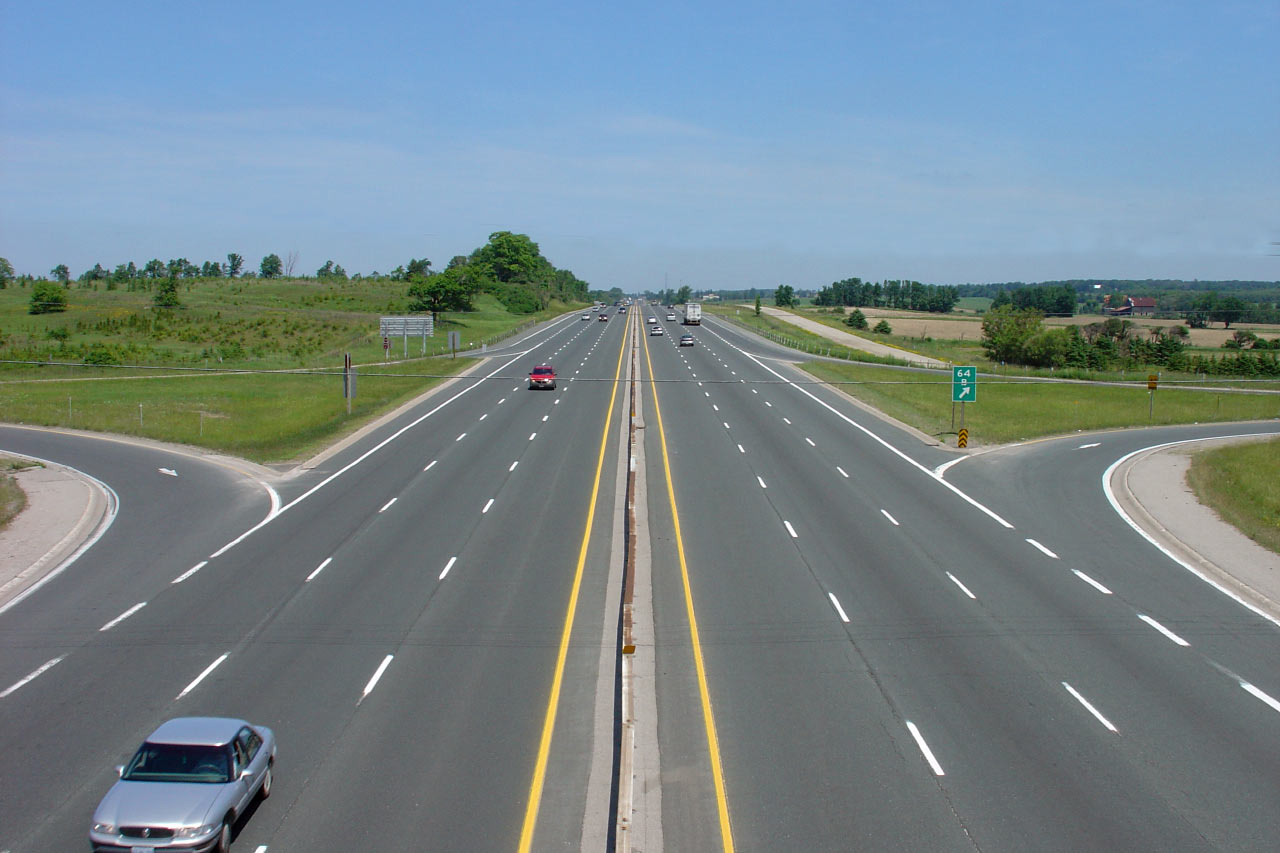
| Township of King Regional
Municipality of York |
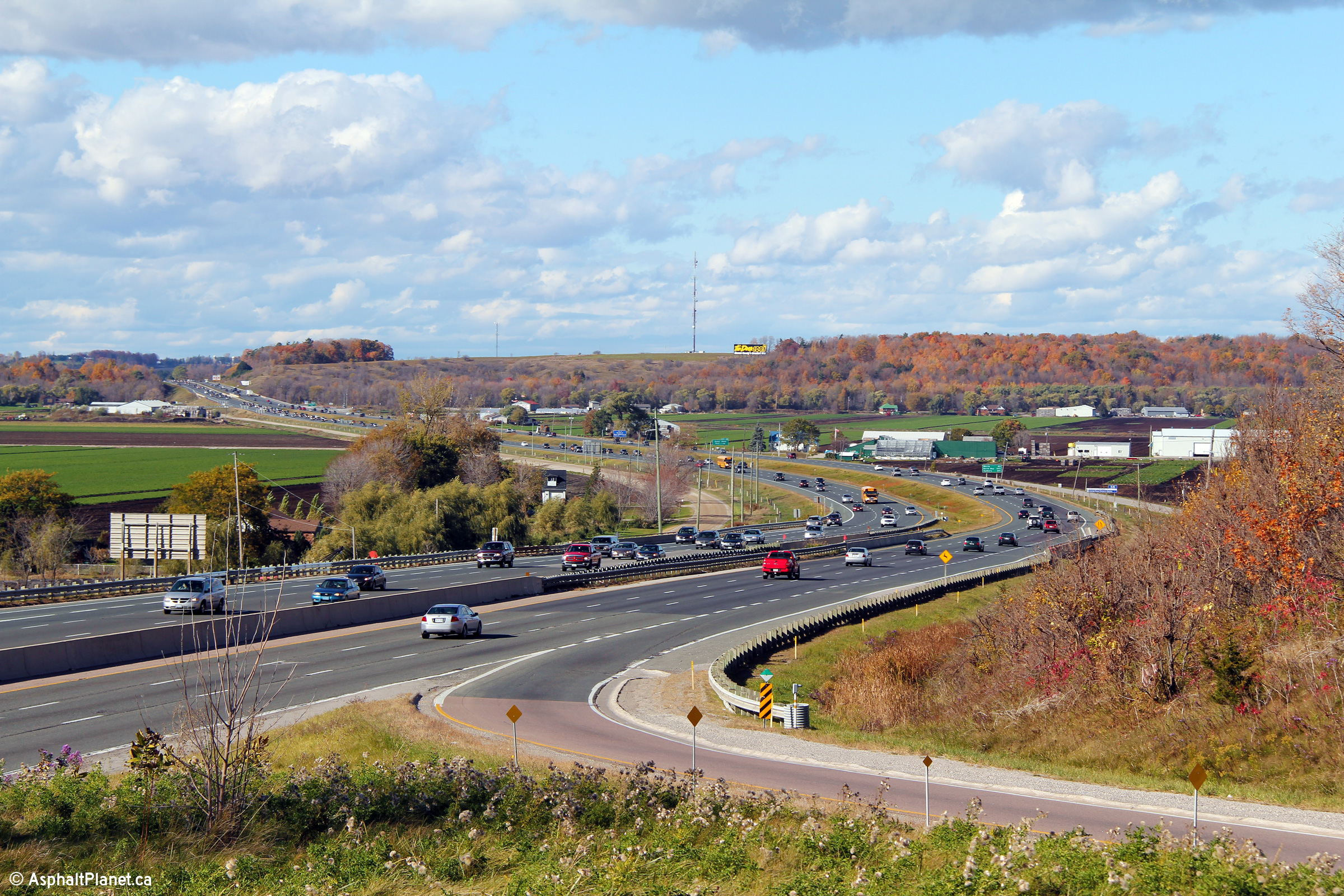
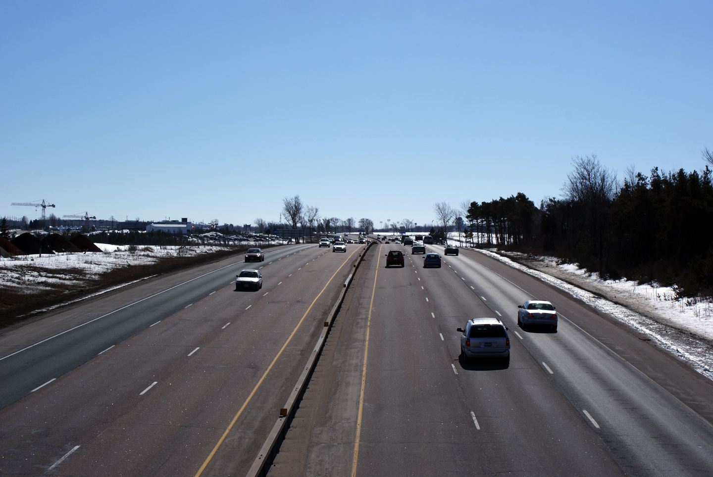
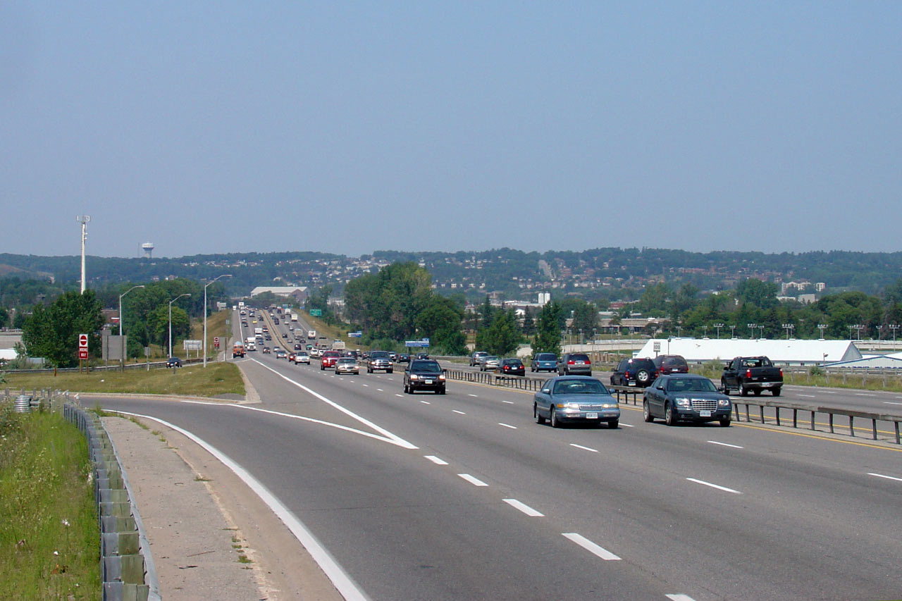
Two views looking north from Highway 9
towards the Holland Marsh. Click
here for a centralized view, and here
for a northbound view of Highway 400 taken from the Highway 9 overpass in
June, 2005. Photos taken: October 17th, 2010. |

(720x480)
(1440x960)
(2400x1600)
(720x480)
(1440x960)
(2400x1600) |
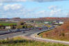
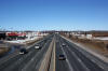
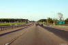
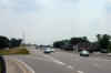
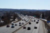
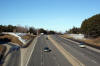
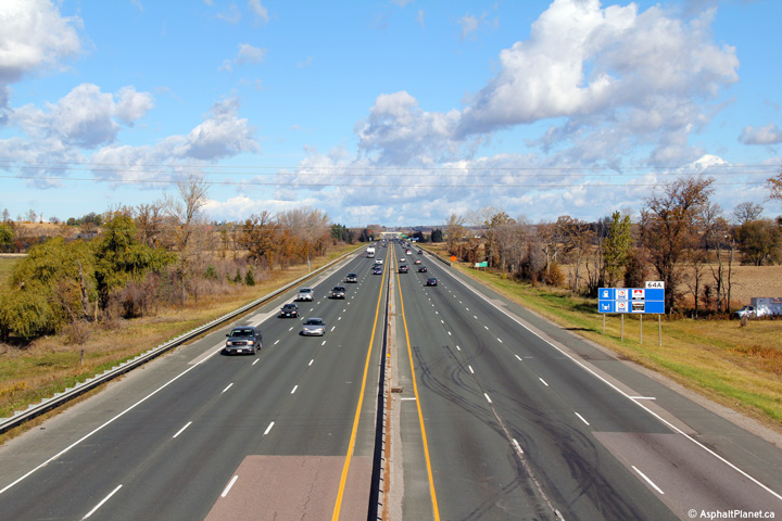
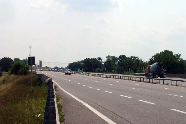
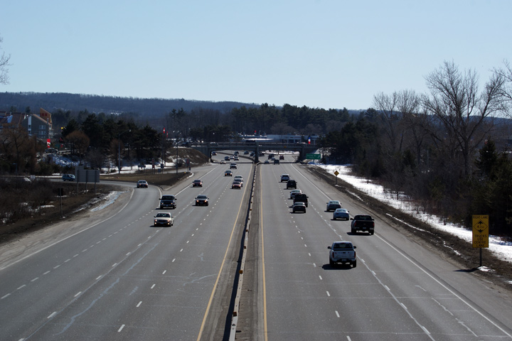
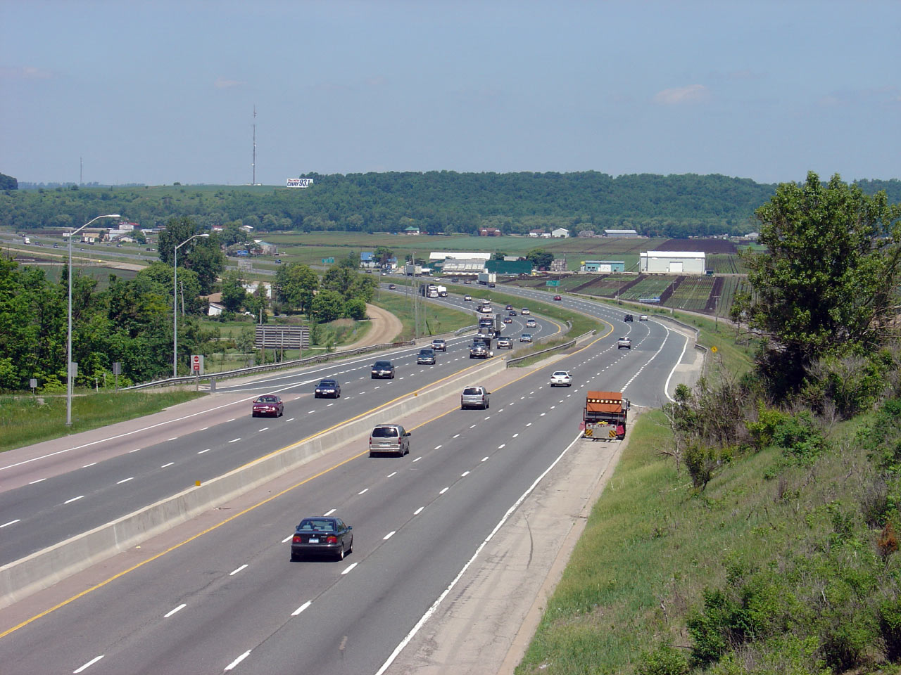
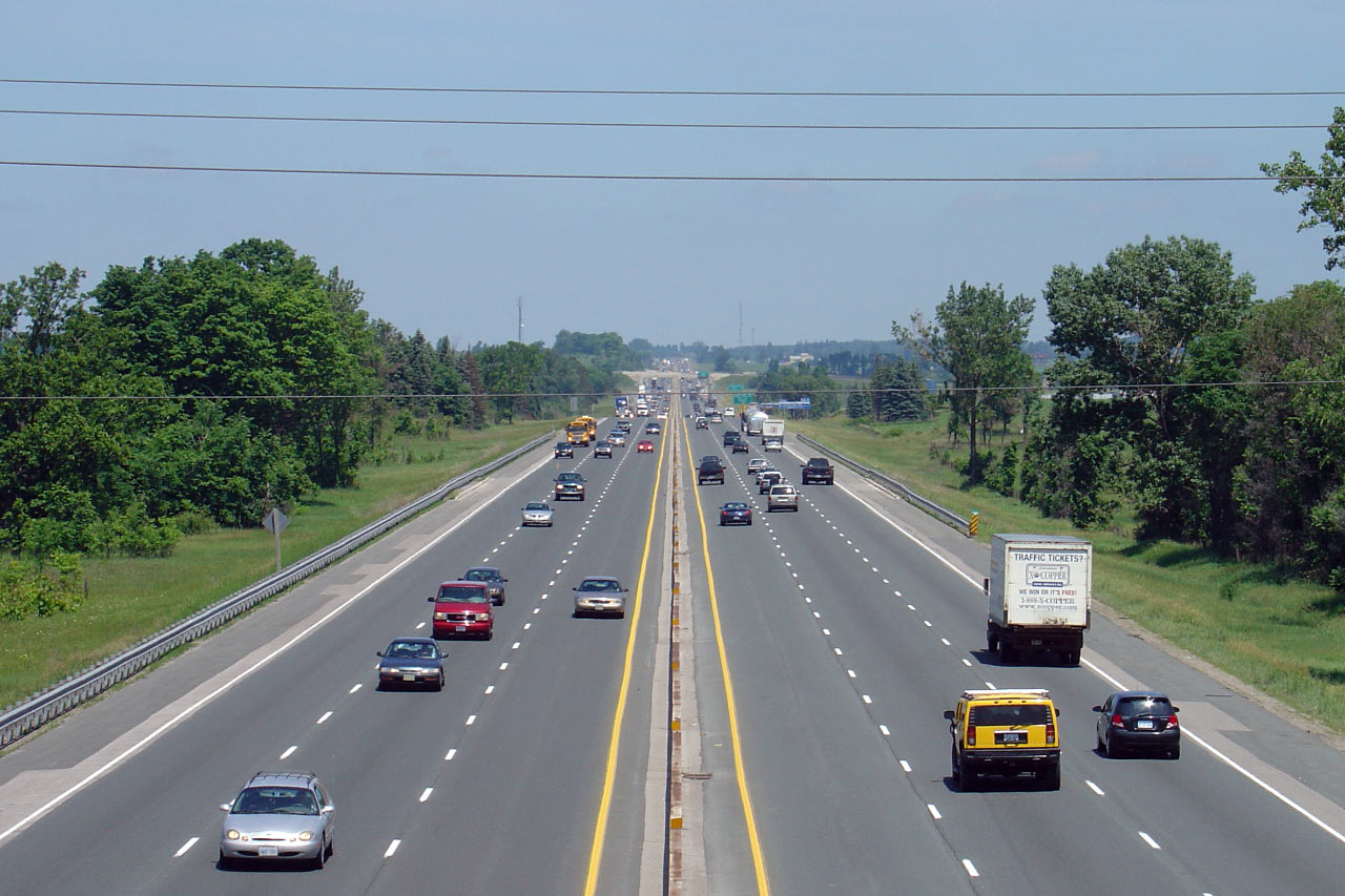
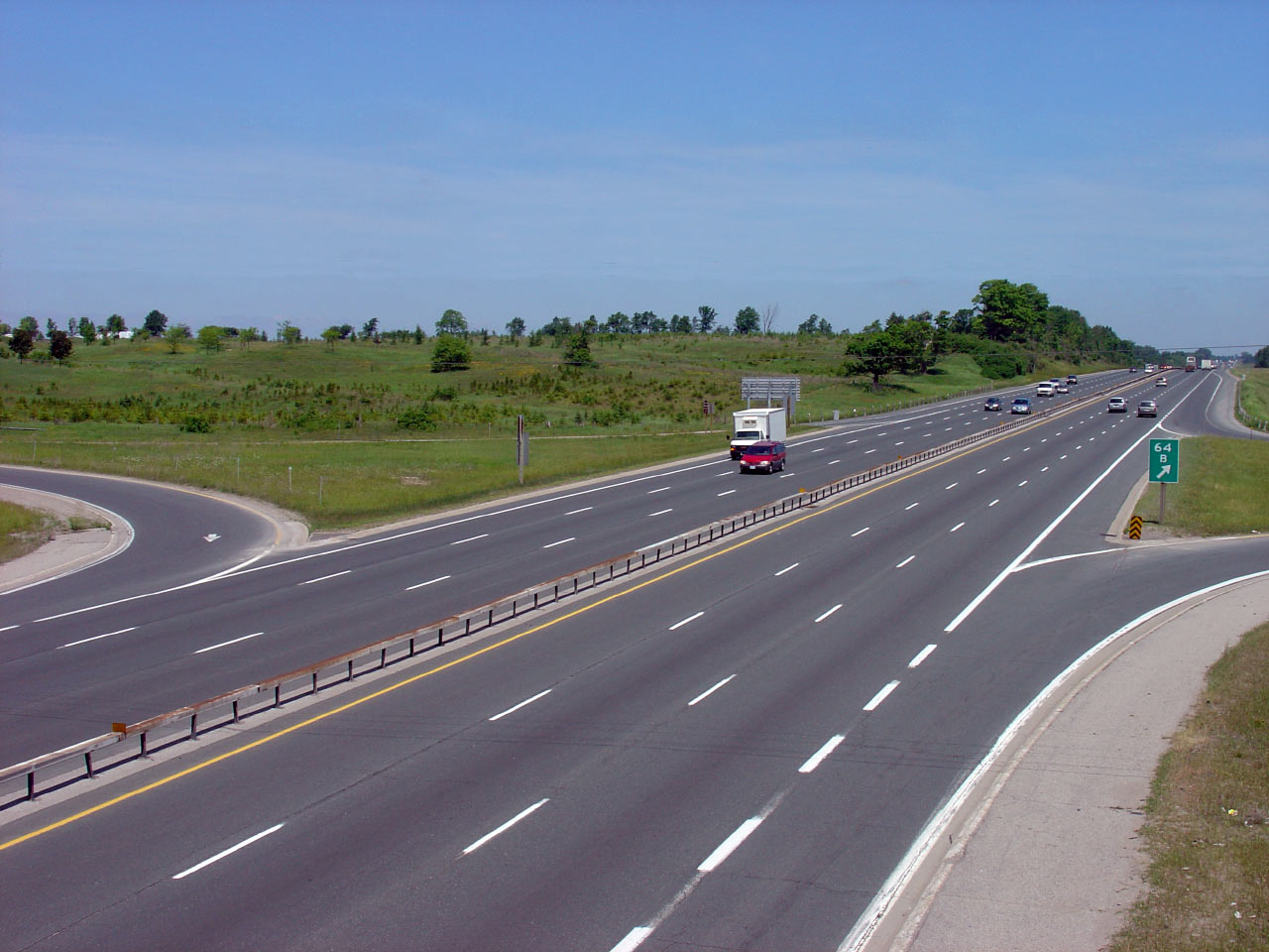
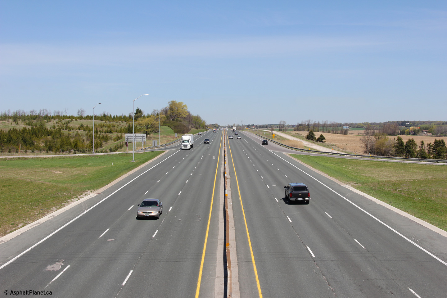
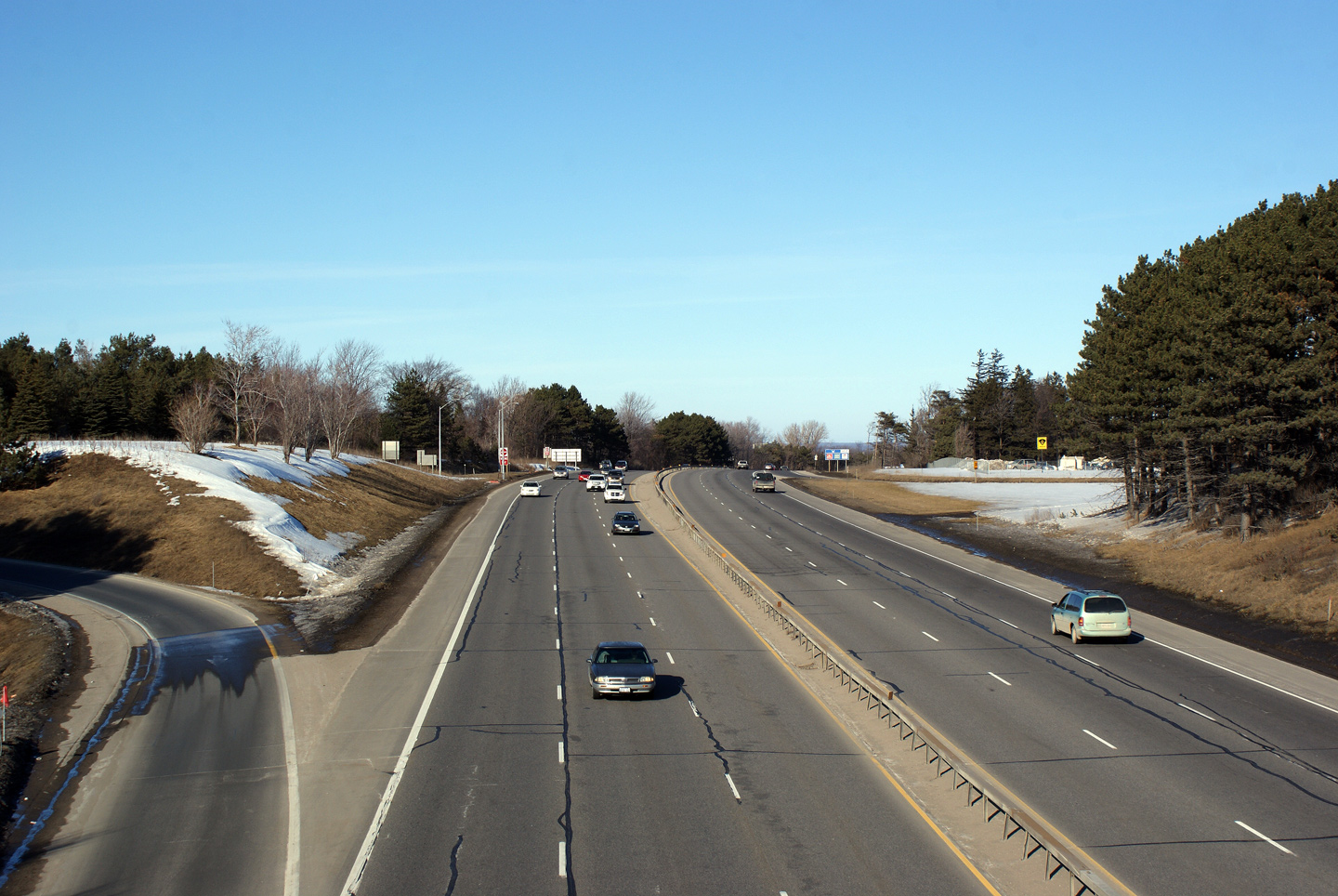
| Township of King Regional
Municipality of York |
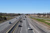
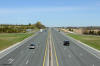
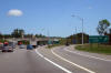
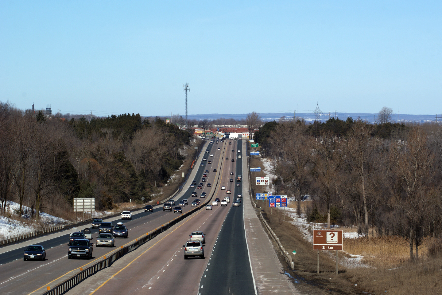
This view looks northerly through the Holland Marsh. Highway 400 has a
wide grassy median where it passes through the Holland Marsh -- the only
time it has such a median between Toronto and Barrie.
Photo taken: October 17th, 2010. |
(720x480)
(1440x960)
(2400x1600) |
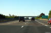
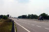
| Township of King Regional
Municipality of York |
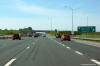
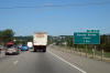
Southerly view at the off-ramp to Highway 9.
Photo taken: June 1st, 2014. |
 (720x480) (720x480)
(1440x960)
(2400x1600) |
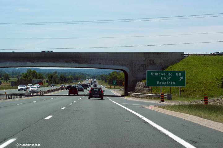
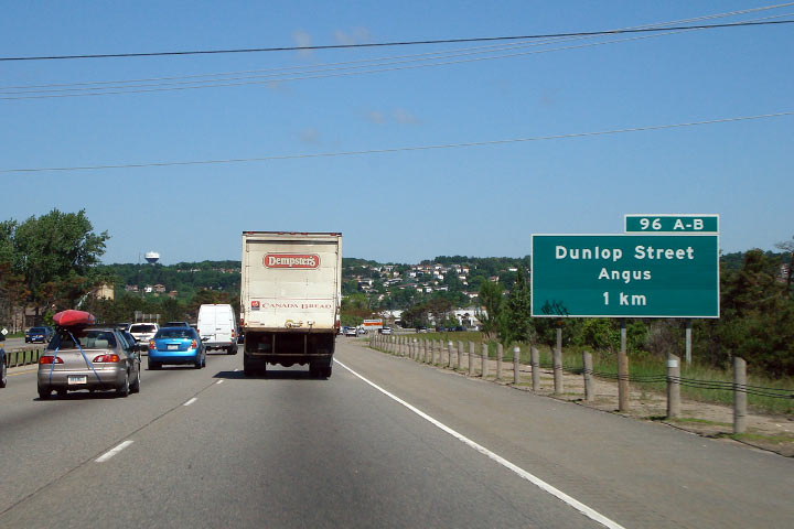
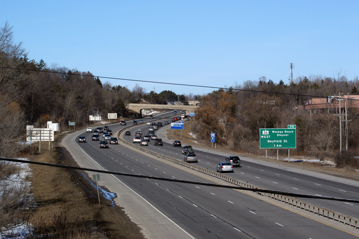
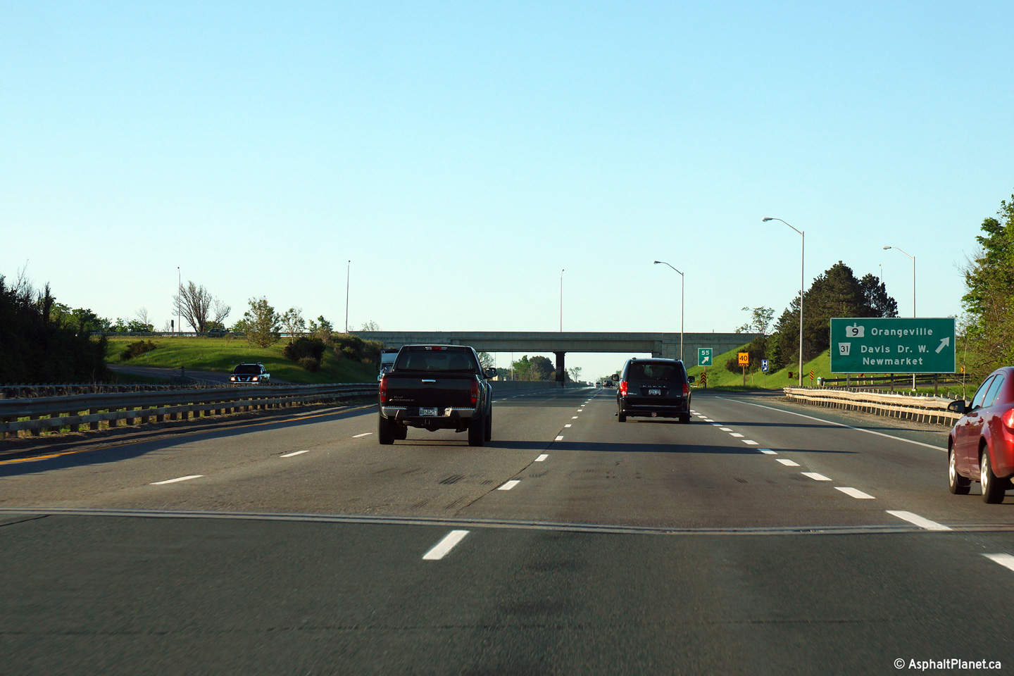
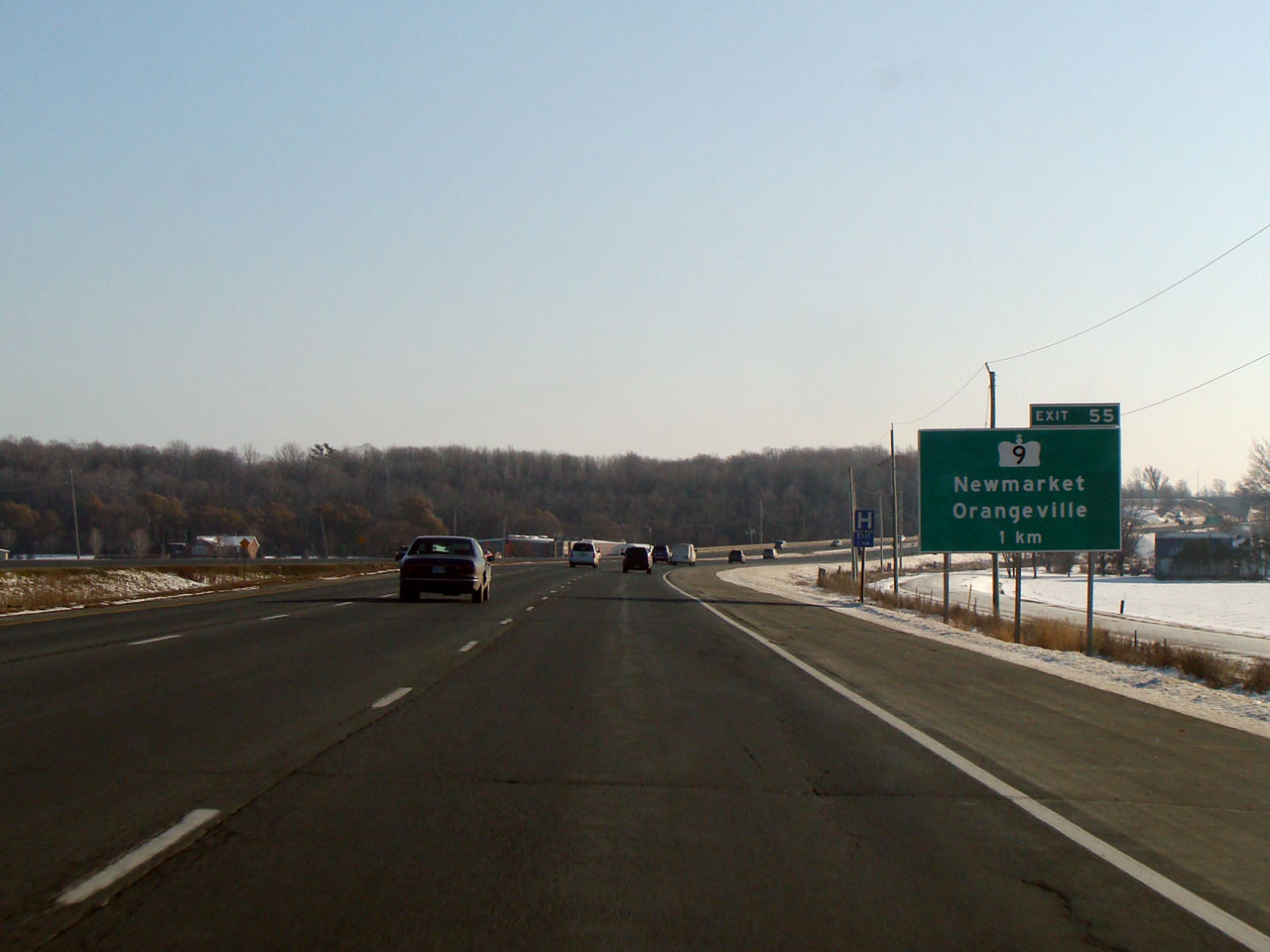
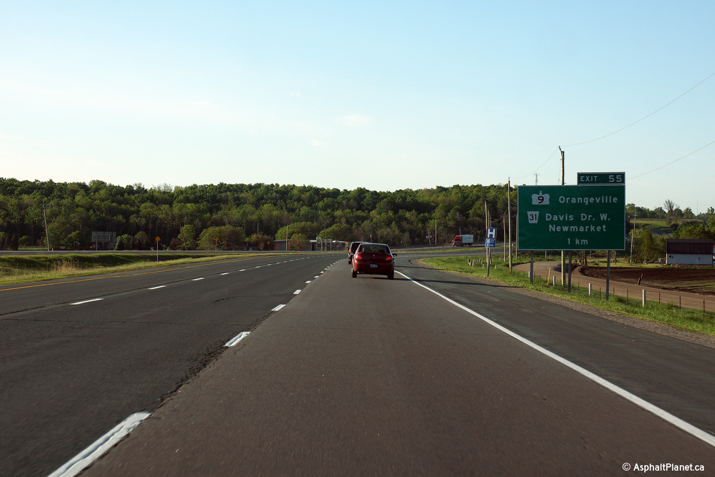
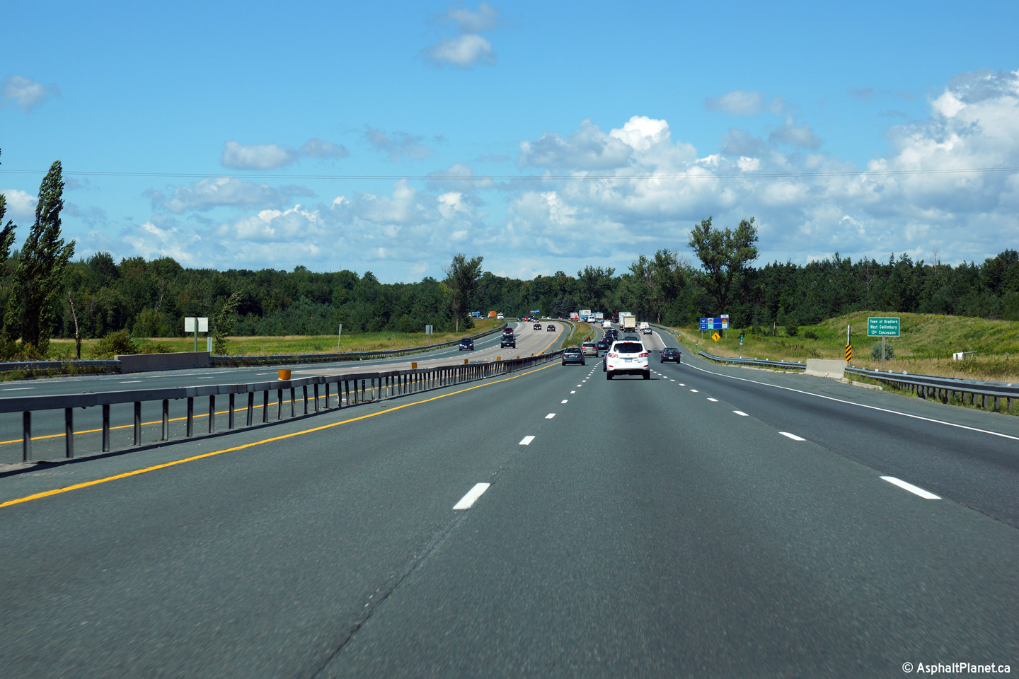
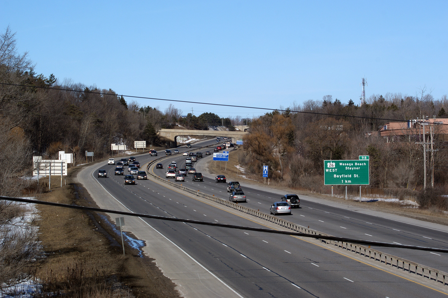
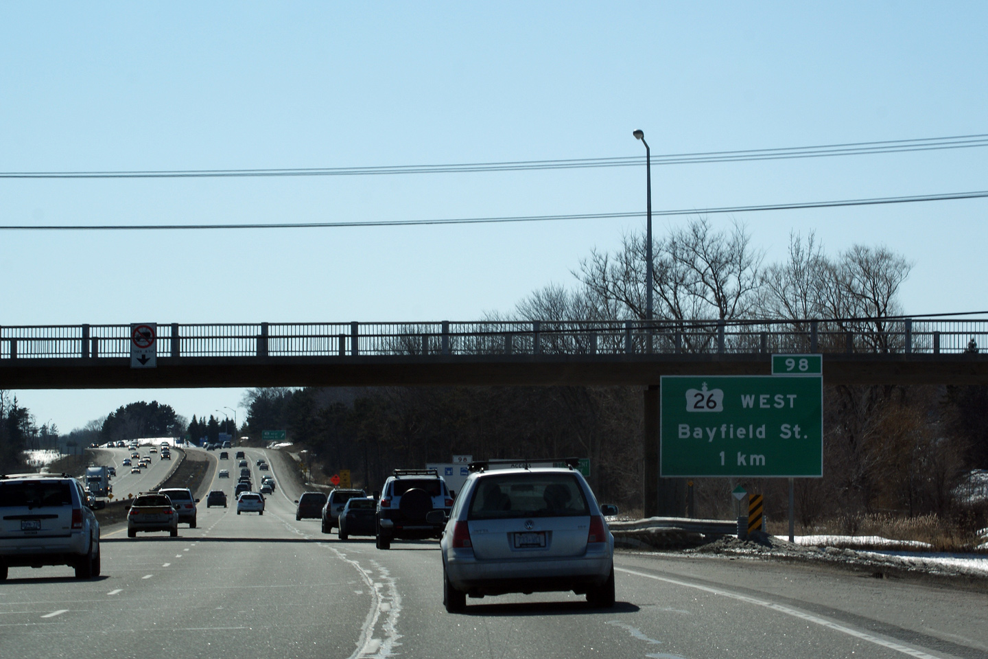
| Town of Bradford West Gwillimbury
County of Simcoe |
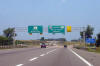
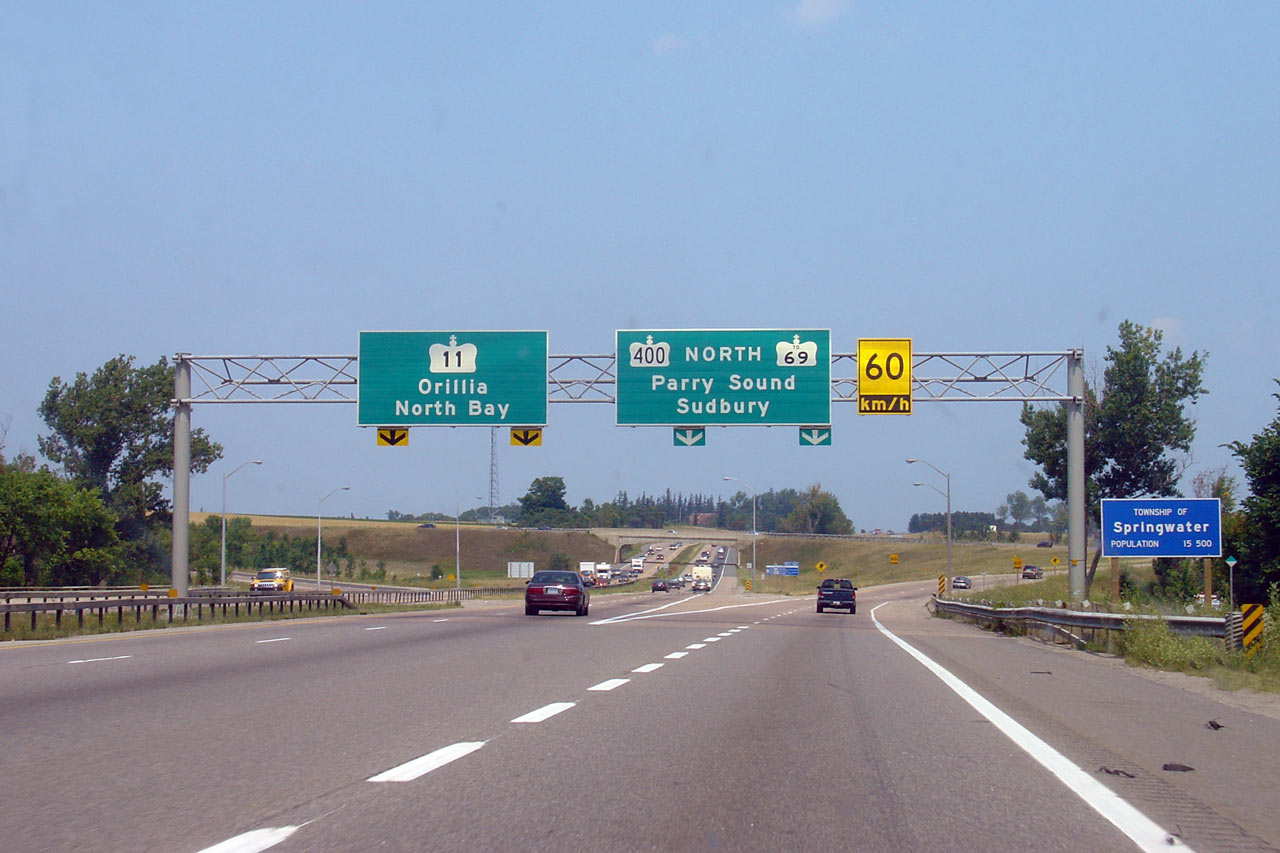
Green advanced sign for Highway 9. Click
here for an older version of this
signage, taken November, 2007. Photo taken: June 1st, 2014. |
 (720x480) (720x480)
(1440x960)
(2400x1600) |
| Town of Bradford West Gwillimbury
County of Simcoe |
Northbound advanced signage for the Canal Road interchange.
Photo taken: August 14th, 2013. |
 (720x480) (720x480)
(1440x960)
(2400x1600) |
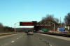
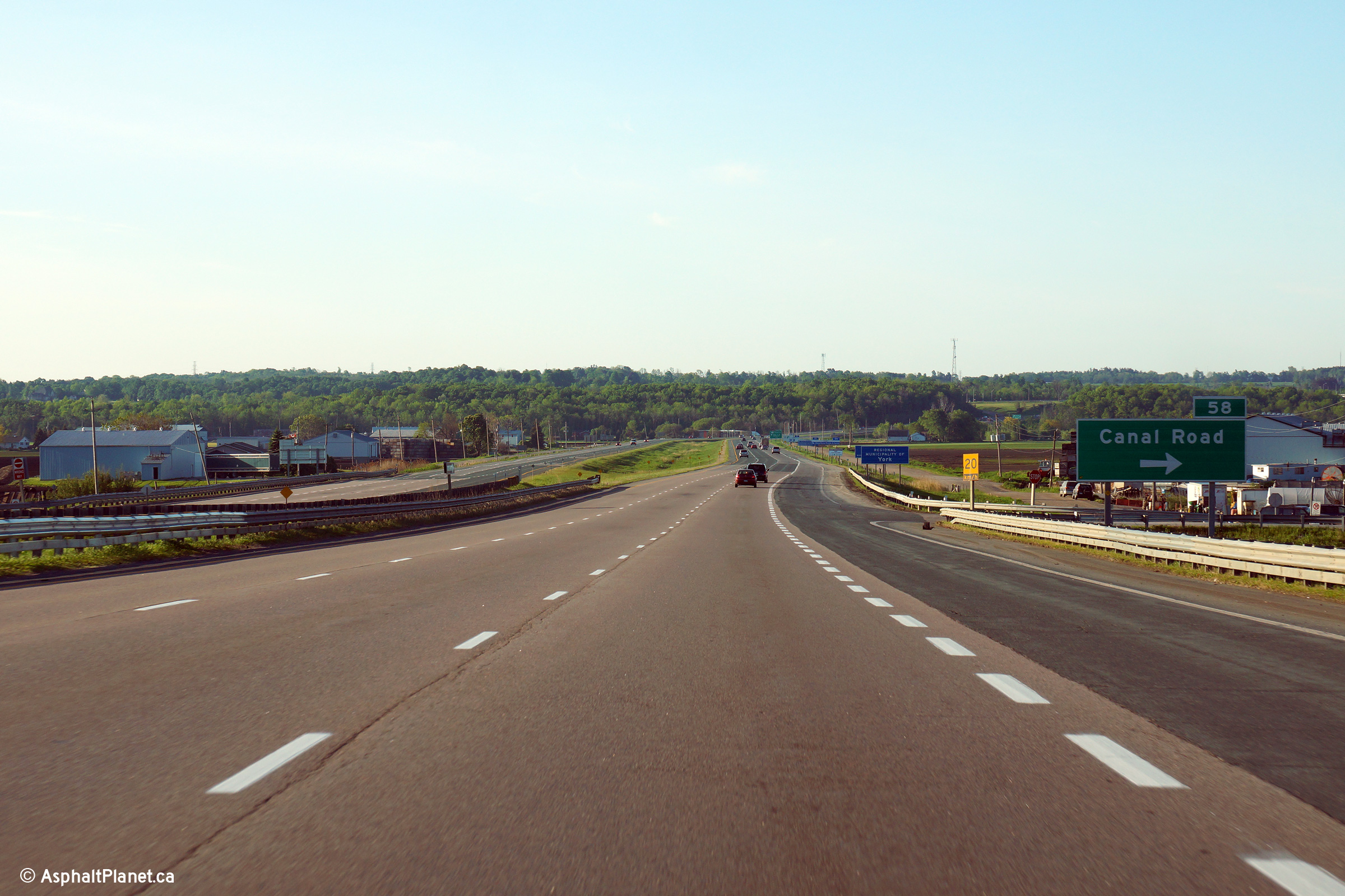
| Town of Bradford West Gwillimbury
County of Simcoe |
Signage at the off-ramp to the Canal Road interchange. The off-ramp to
Canal Road requires a right turn from the freeway. The on-ramp to Highway
400 is stop controlled.
Photo taken: August 14th, 2013. |
 (720x480) (720x480)
(1440x960)
(2400x1600) |
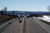
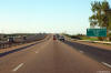
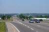
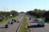
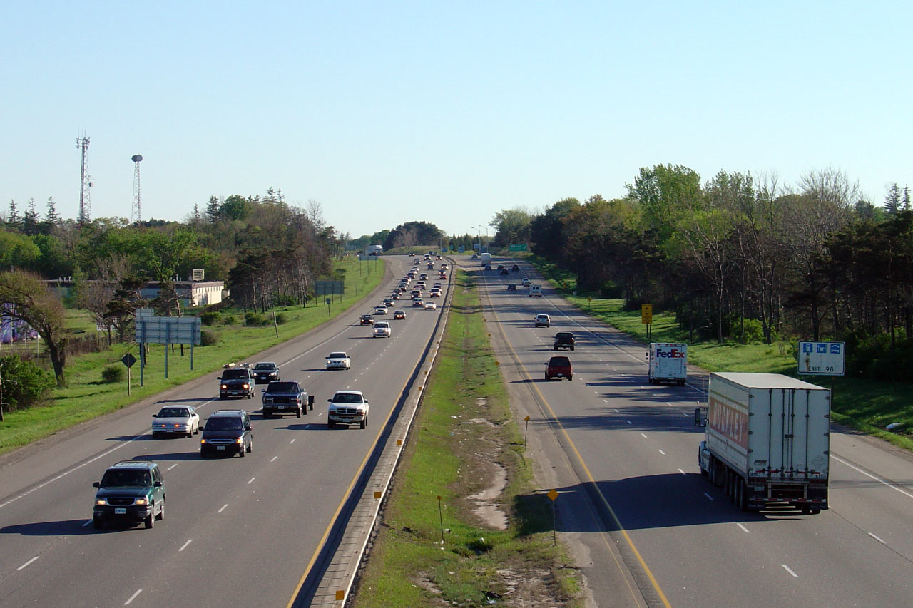
| Town of Bradford West Gwillimbury
County of Simcoe |
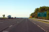
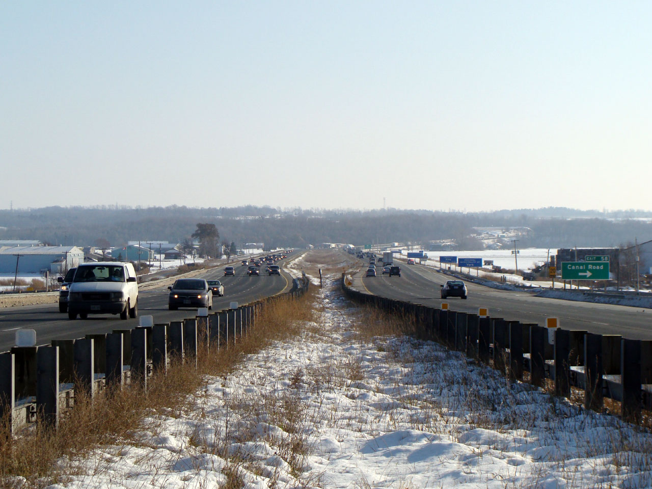
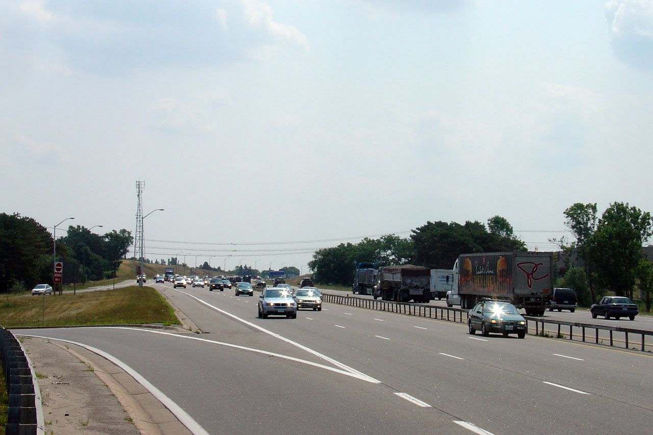
Southerly view from the Canal Road underpass along Highway 400.
Highway 400 has a grassed median where it passes through the Holland Marsh.
This is the only break in the median between Toronto and Barrie.
Photo taken: November 25th, 2007. Low-res: 95kb. High-res:
245kb. |
Low-res
High-res |
| Town of Bradford West Gwillimbury
County of Simcoe |
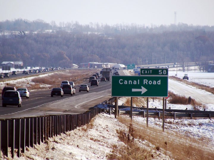
Signage for the Canal Road 'interchange' along Highway 400 southbound.
Vehicles bound for Canal Road must directly turn off and on to Highway 400.
Click here for an additional version of
this signage, taken November, 2007.
Photo taken: June 1st, 2014. |
 (720x480) (720x480)
(1440x960)
(2400x1600) |
| Town of Bradford West Gwillimbury
County of Simcoe |
Southbound advanced signage for the Canal Road interchange.
Photo taken: June 1st, 2014. |
 (720x480) (720x480)
(1440x960)
(2400x1600) |
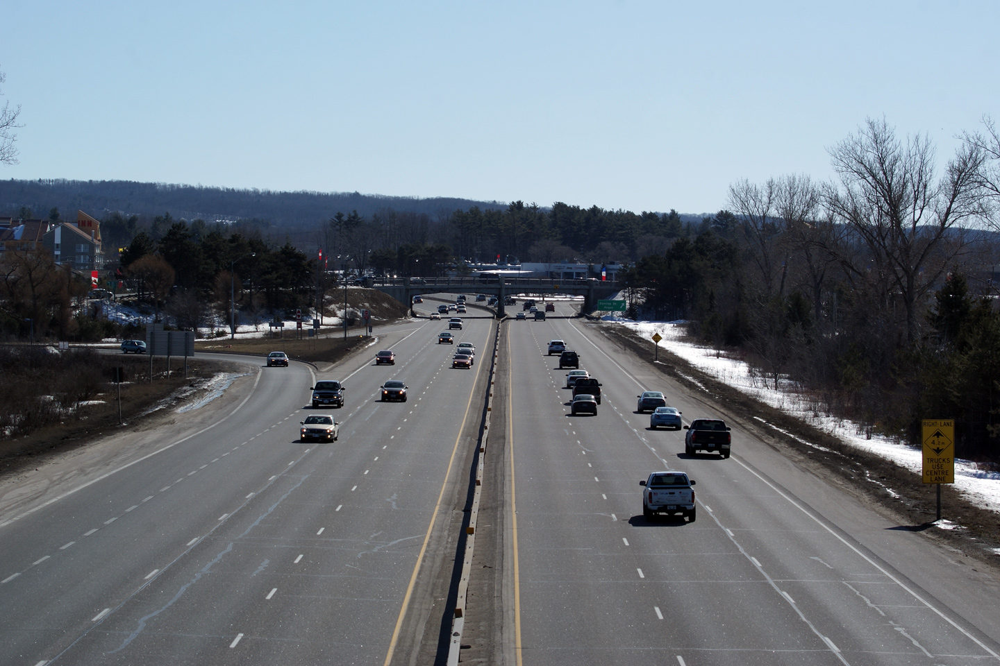
| Town of Bradford West Gwillimbury
County of Simcoe |
Signage warning over-height trucks to use the centre lane due to low-bridge
clearances over the right lane. It was a tight squeeze to widen
Highway 400 to six lanes through the existing 1940/50s era structures. Photo
courtesy: Dan Garnell. Taken: June 9th, 2007. |
 |
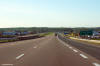
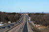
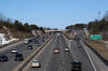
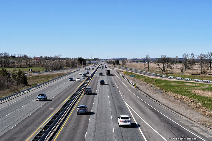
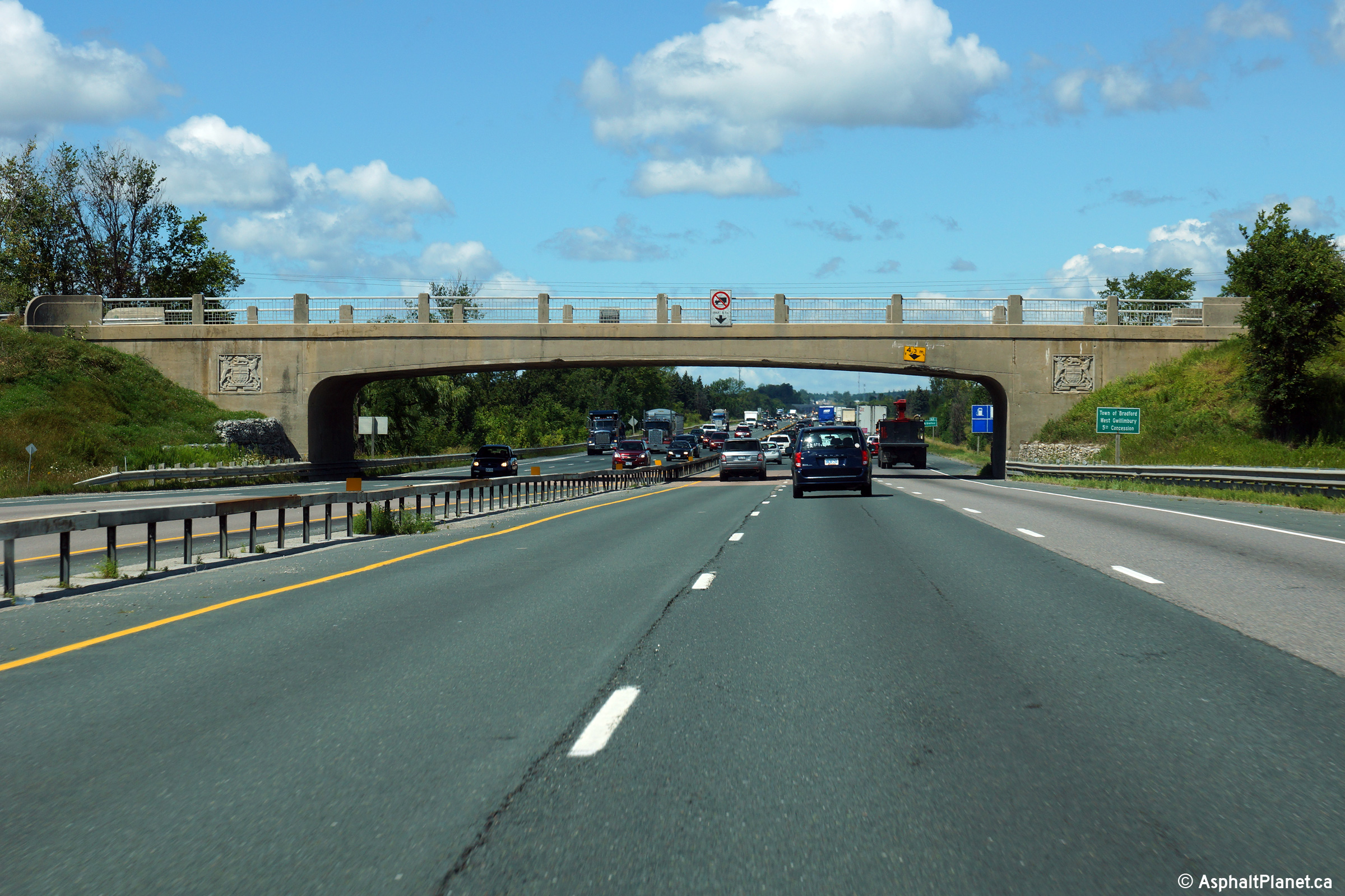
| Town of Bradford West Gwillimbury
County of Simcoe |
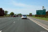
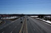
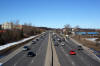
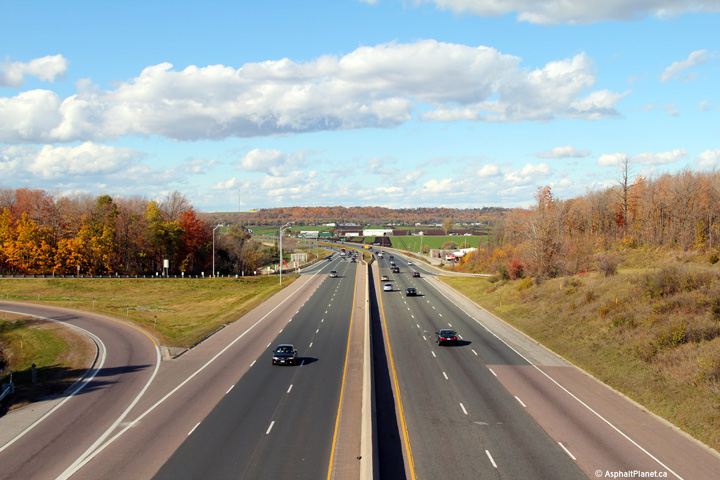
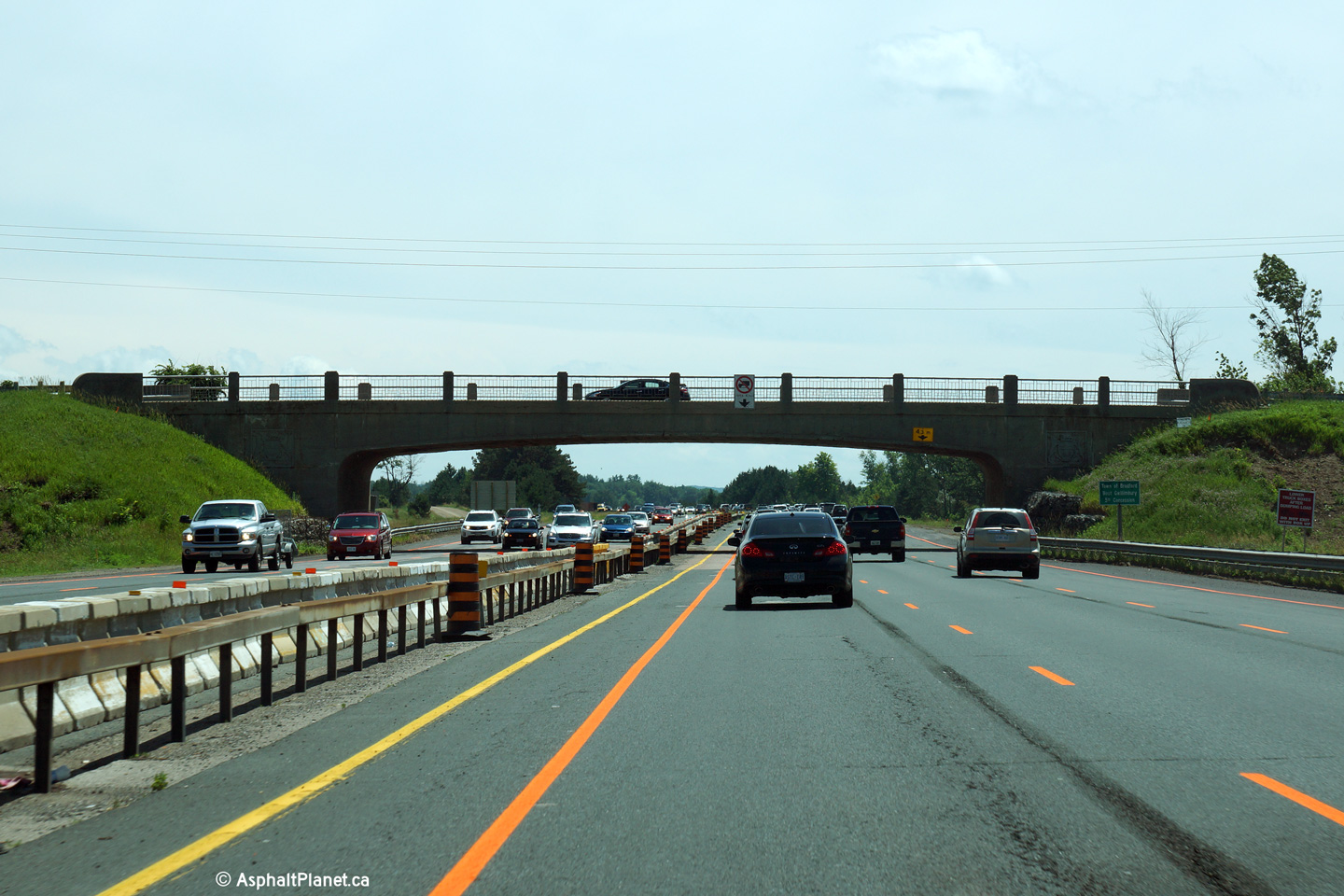
This view looks northerly as Highway 400 passes beneath the Bradford 5th
Concession grade separation. An interchange will be constructed at this
location in order to improve access to the growing community of Bradford,
and to replace the antiquated interchange at Canal Road.
Photo taken: August 14th, 2013 |
 (720x480) (720x480)
(1440x960)
(2400x1600) |
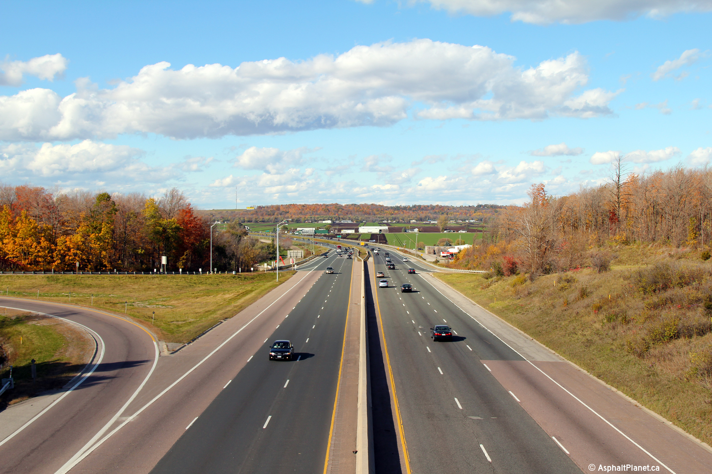
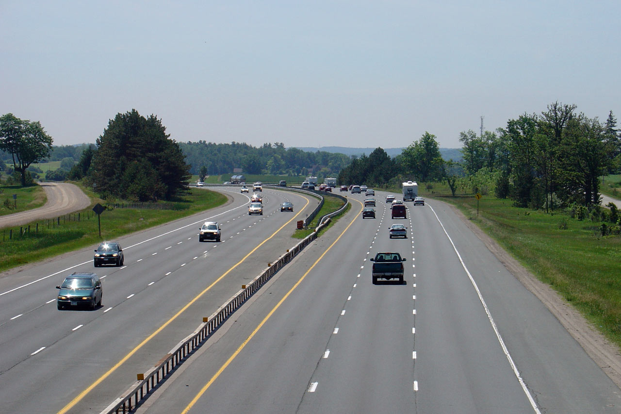
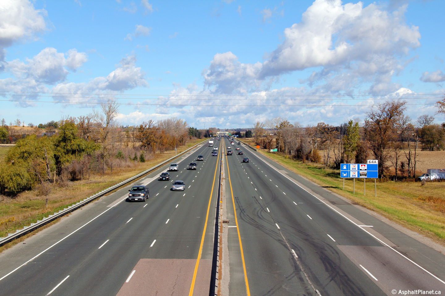
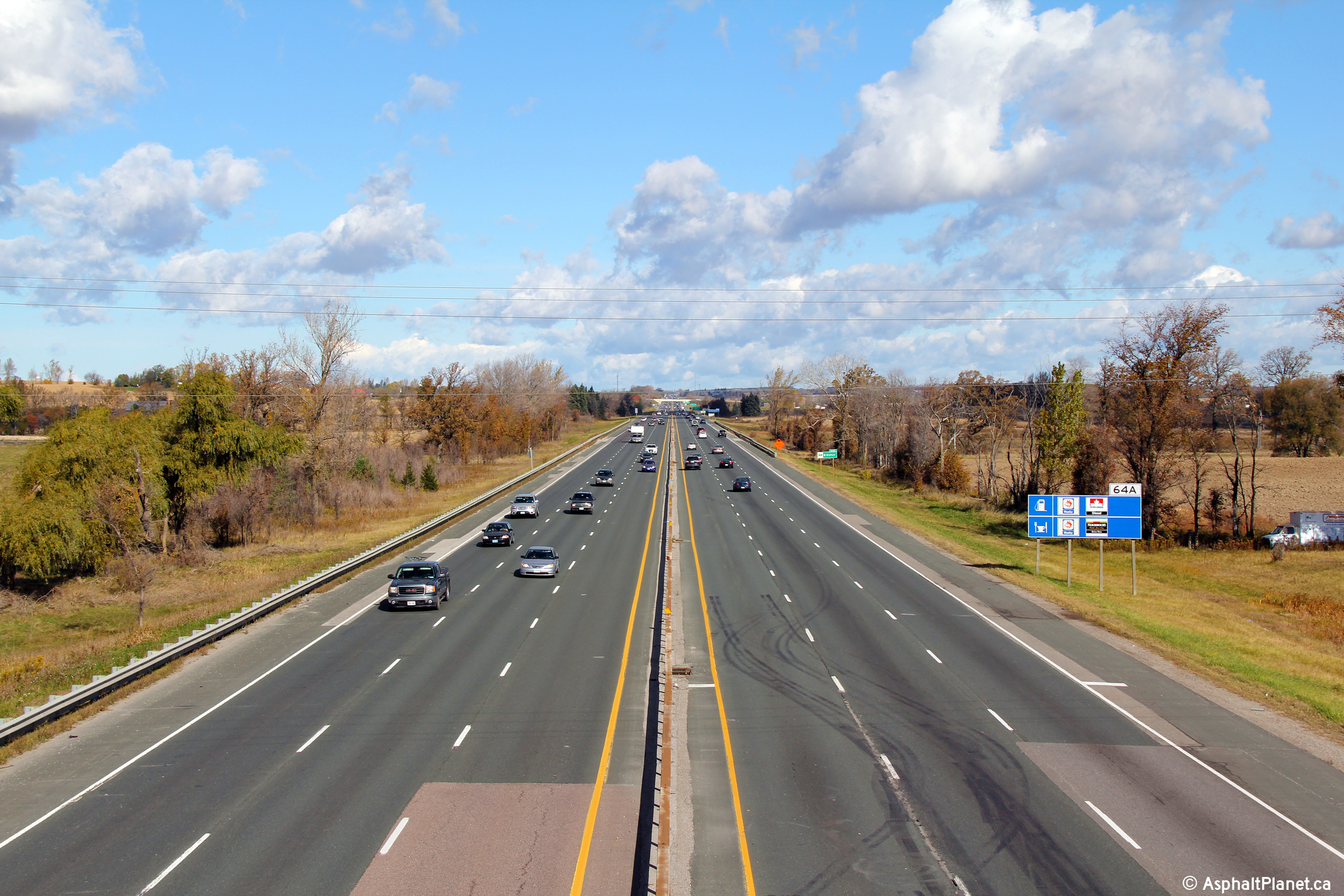
| Town of Bradford West Gwillimbury
County of Simcoe |
A series of southerly views from Bradford Concession 5 overpass. A new
interchange was constructed at this location during 2017 and 2018, opening
on Decmeber 19, 2018 Click
here for an additional photo taken
June, 2005.
Upper photo taken: October 17th, 2010.
Lower photos taken: April, 2019.
|
(720x480)
(1440x960)
(2400x1600)

(720x480)
(1440x960)
(2400x1600) |
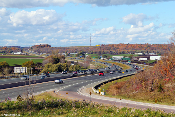
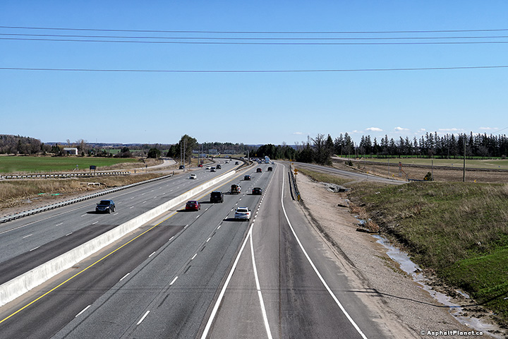
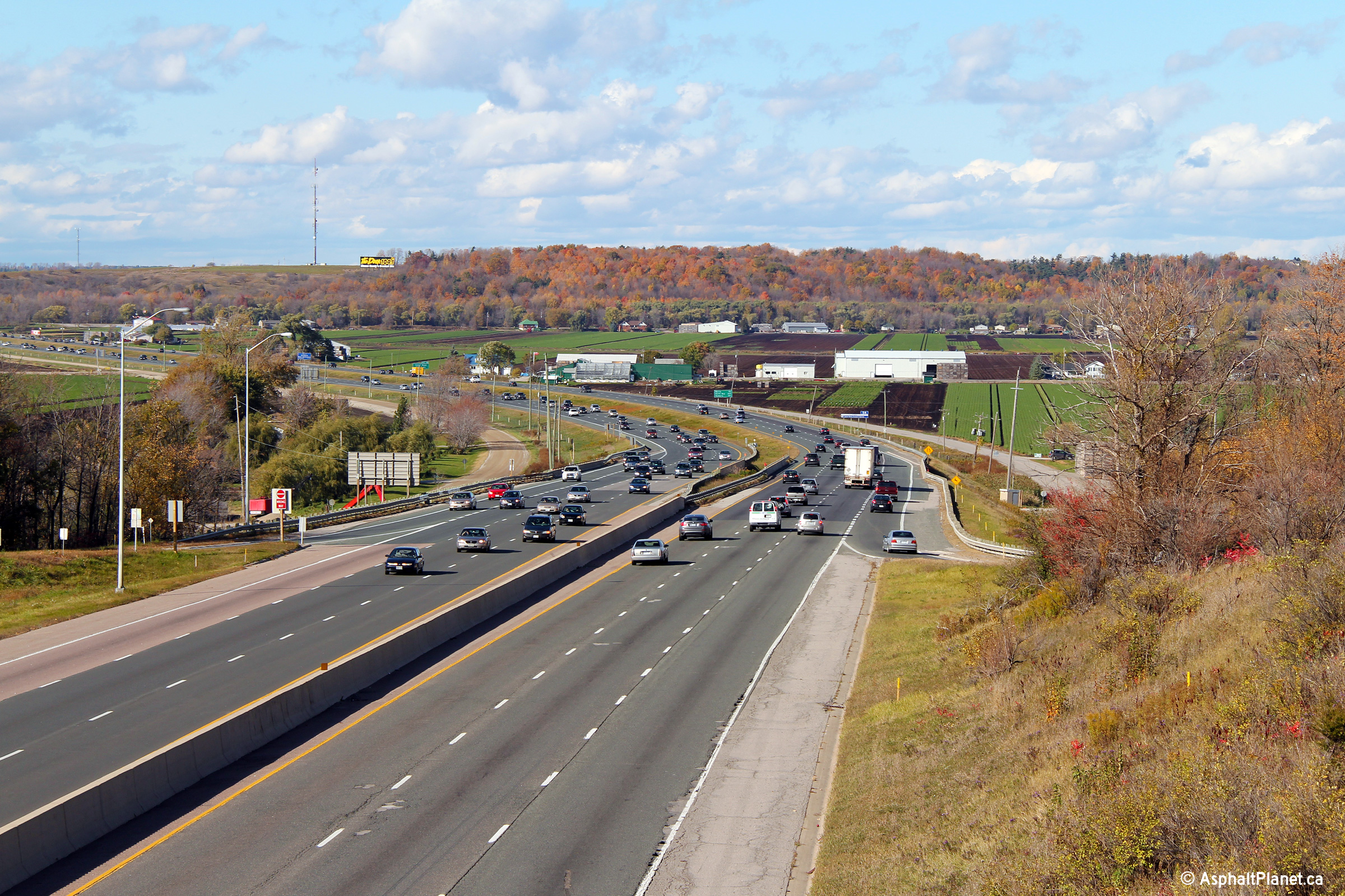
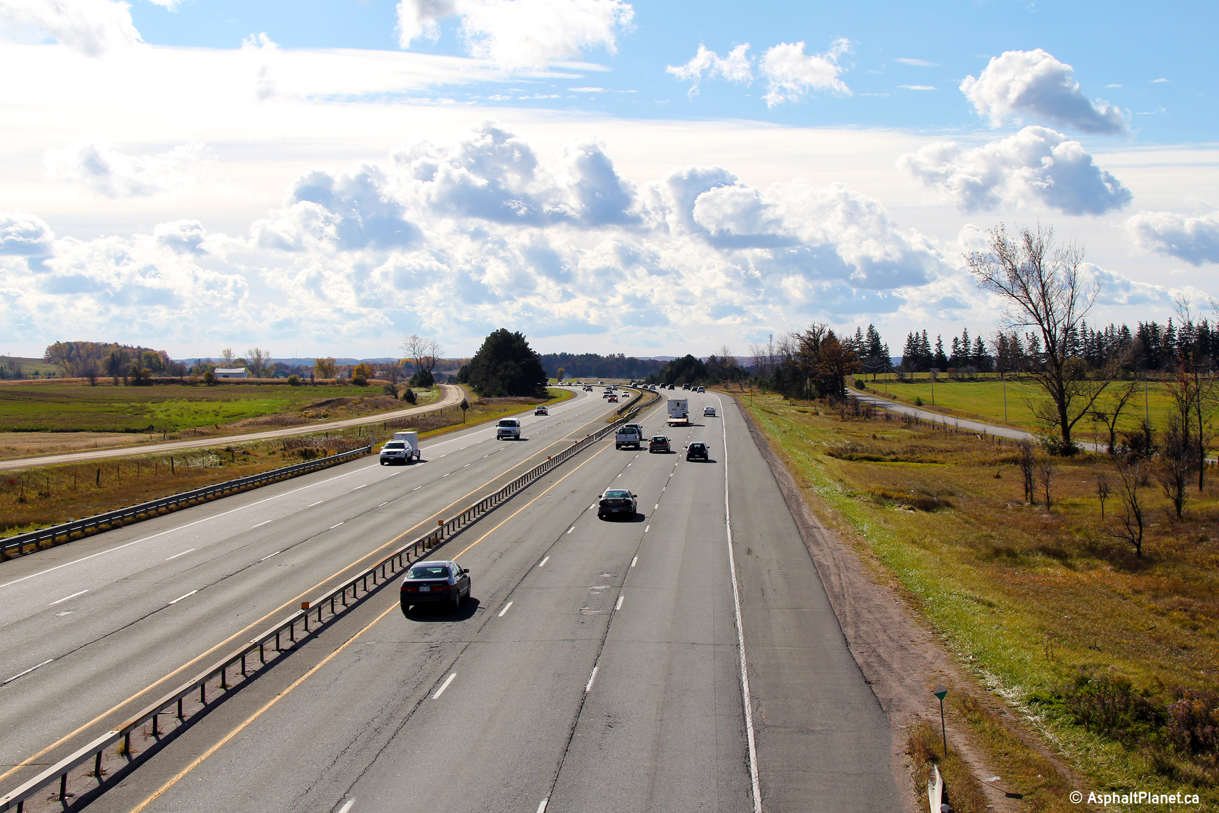
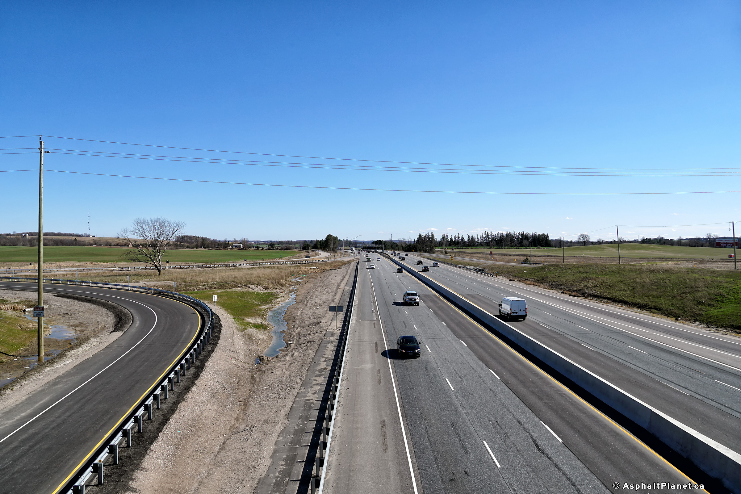
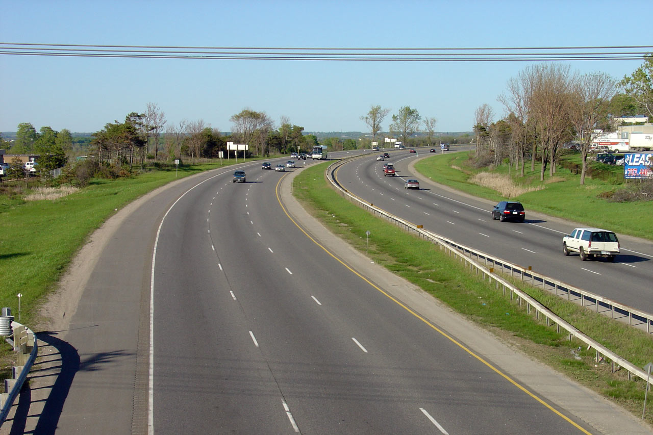
| Town of Bradford West Gwillimbury
County of Simcoe |
These views look northerly from Bradford Concession 5 towards Barrie. Click
here for an additional photo taken
June, 2005. Upper photo taken: October 17th, 2010.
Lower photo taken: April, 2019.
|
(720x480)
(1440x960)
(2400x1600) |
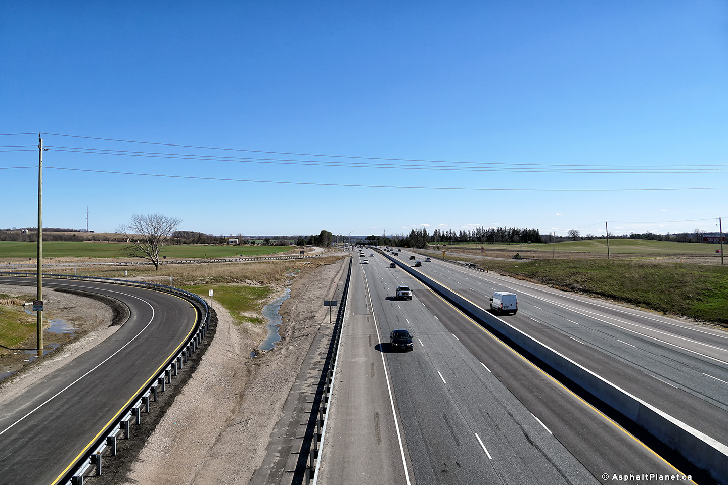
| Town of Bradford West Gwillimbury
County of Simcoe |
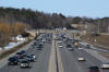
View looking southerly through the Bradford Concession 5 overpass. When this
photo was taken, construction was underway to replace the central steel
box-beam median with a new tallwall concrete barrier. Within this
contract, all of the central box-beam median will be replaced between Canal
Road and Innisfil Beach Road. The highway will also be resurfaced within
the limits of this construction project.
Photo taken: July 13th, 2014. |
 (720x480) (720x480)
(1440x960)
(2400x1600) |
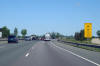
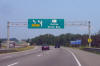
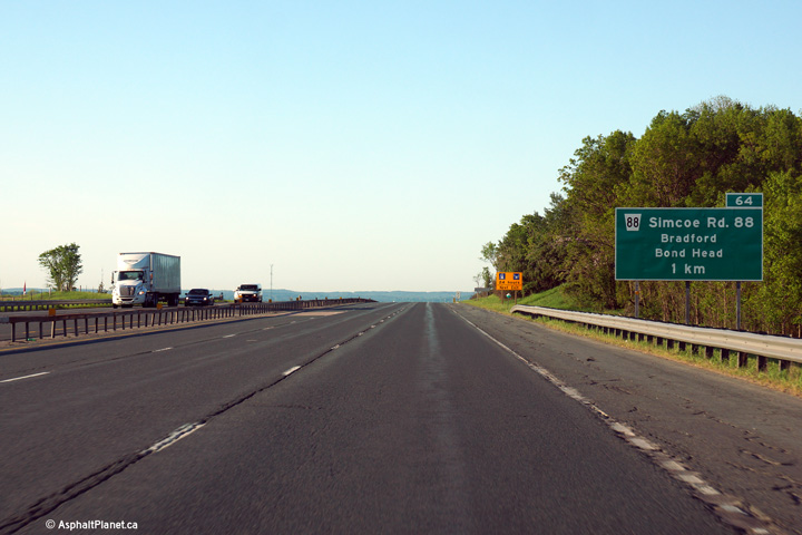
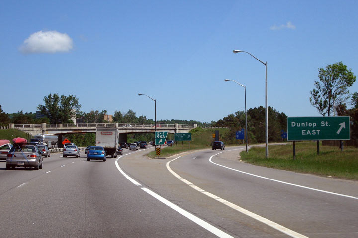
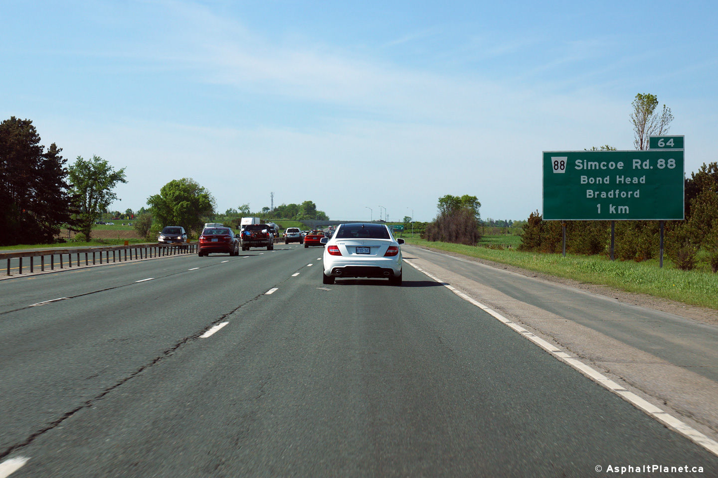
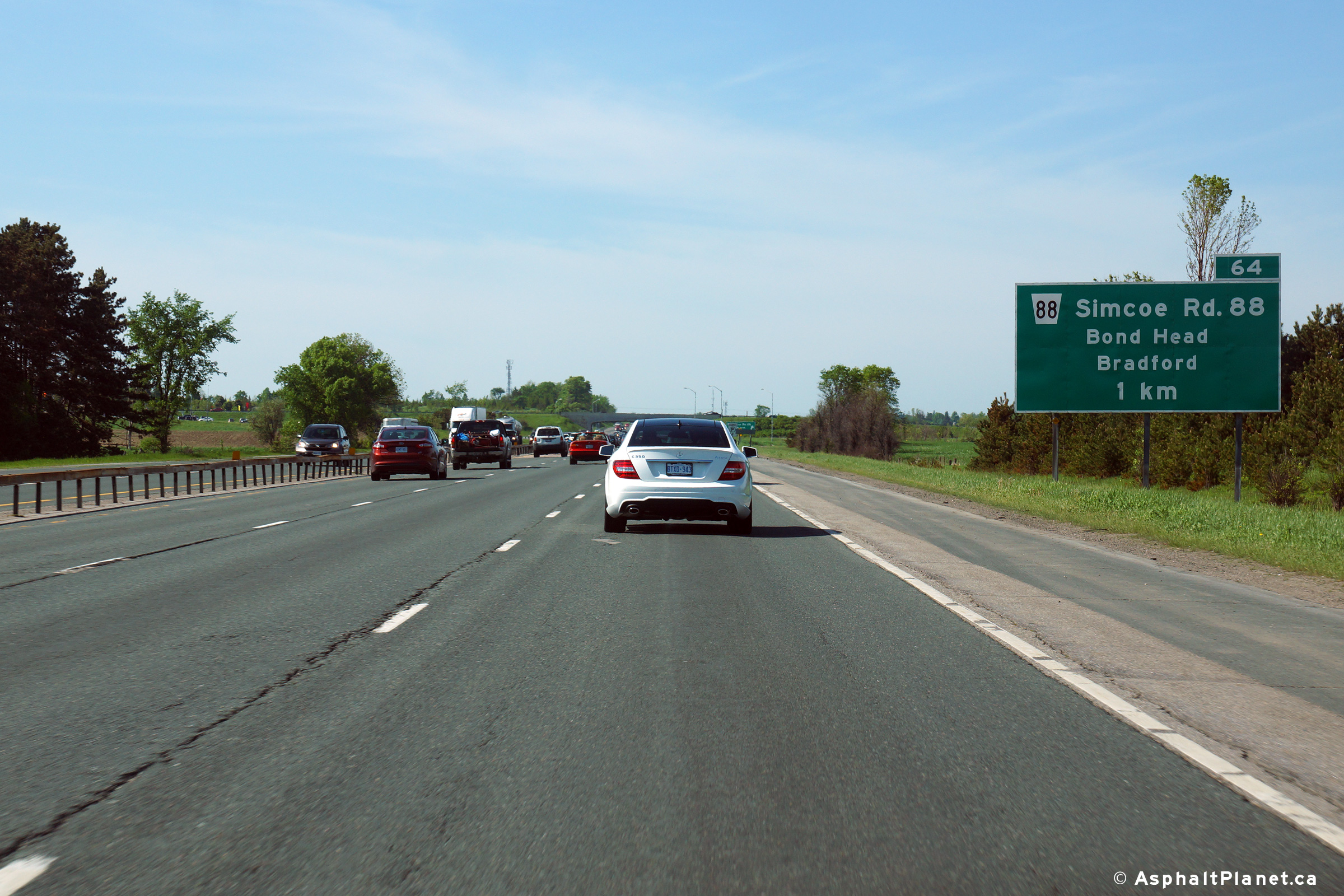
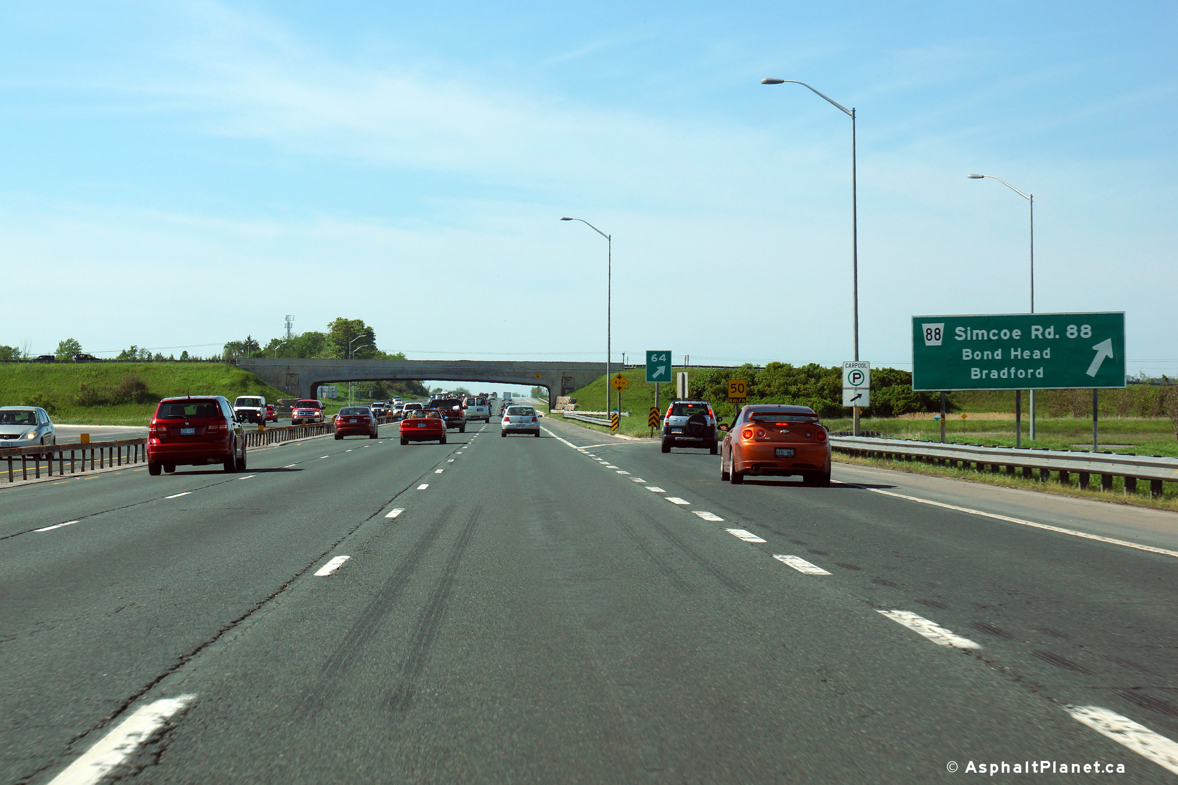
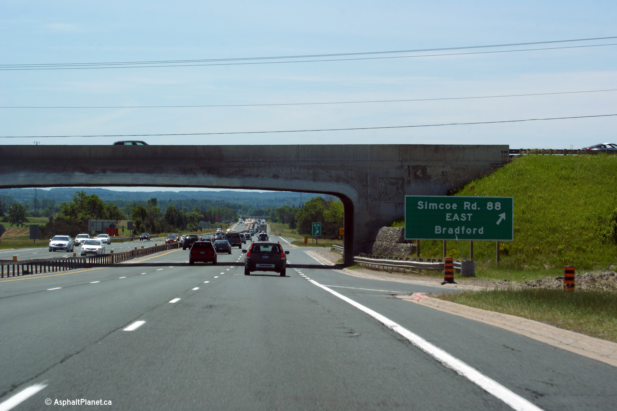
| Town of Bradford West Gwillimbury
County of Simcoe |
Northbound signage approaching the Highway 88 interchange.
Photo taken: May 31st, 2014. |
 (720x480) (720x480)
(1440x960)
(2400x1600) |
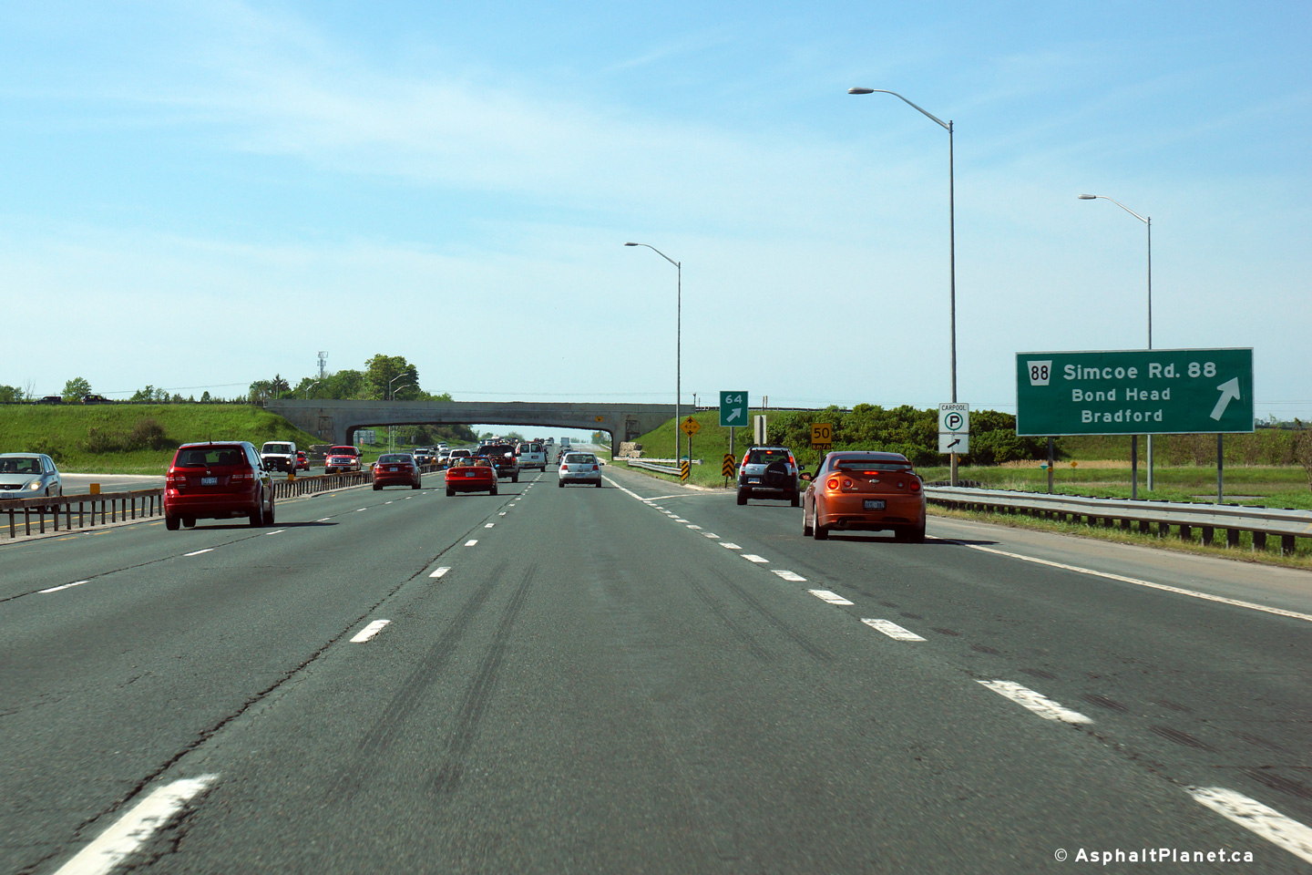
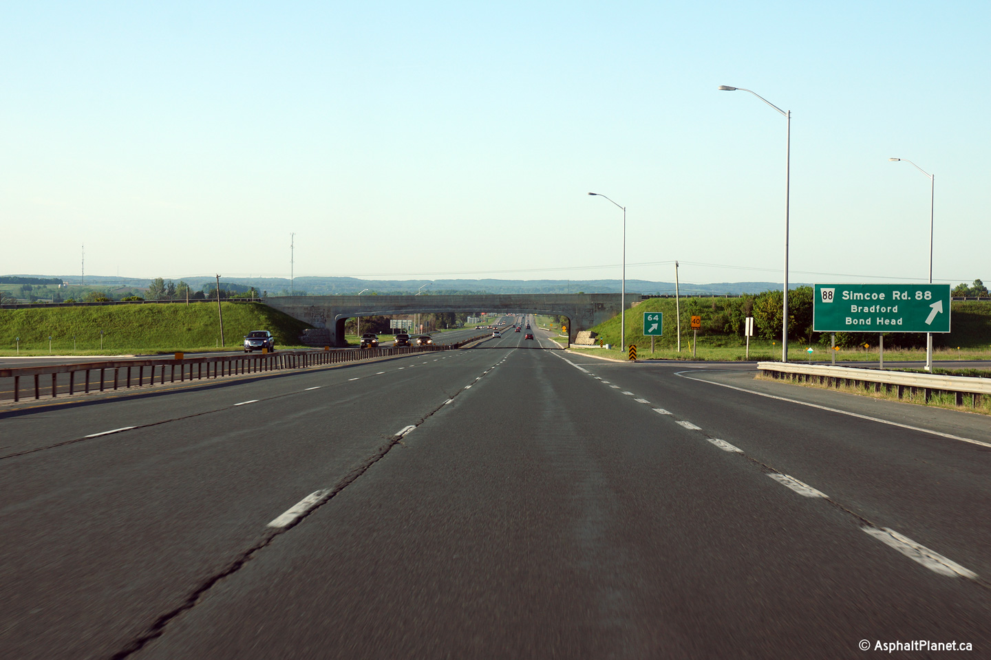
| Town of Bradford West Gwillimbury
County of Simcoe |
Signage at the northbound off-ramp to Highway 88.
Photo taken: May 31st, 2014. |
 (720x480) (720x480)
(1440x960)
(2400x1600) |
| Town of Bradford West Gwillimbury
County of Simcoe |
Looking south from the Highway 88 overpass. The upper photo looks at Highway 400
when it met Highway
88 at a very tight, and outdated cloverleaf interchange. That
interchange was replaced with a diamond interchange during the 2012
construction season. Upper photo taken: June 20th, 2005.
Lower photo taken: May 6th, 2013.
|

(720x480)
(1440x960)
(2400x1600) |
|
Before 1998, Highway 88 led the
short distance between Highway 27 at Bond Head and Highway 11 at Bradford.
Click here for Highway 88 images. |
| Town of Bradford West Gwillimbury
County of Simcoe |
A series of views of Highway 400 north of Highway 88. These photos
show both the cloverleaf and diamond configurations of the Highway 400
interchange. Upper photos taken: June
20th, 2005.
Lower photo taken: May 6th, 2013.
|
(720x480)
(1440x960)
(2400x1600) |
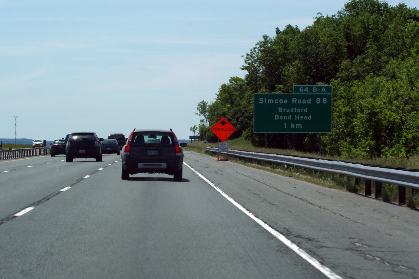
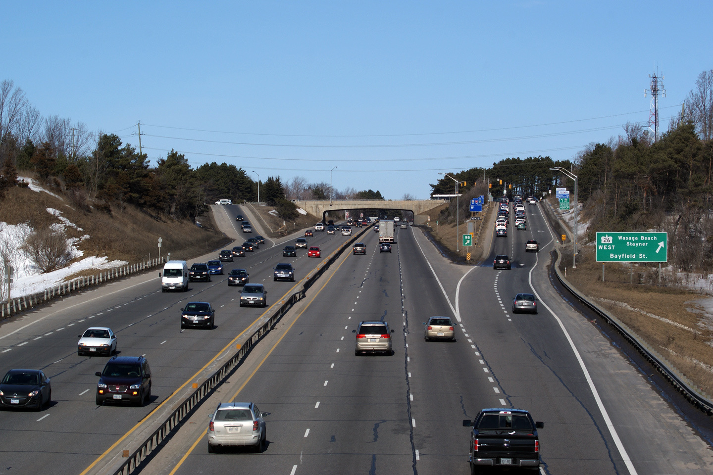
| Town of Bradford West Gwillimbury
County of Simcoe |
A series of views looking southerly approaching the Highway 88 interchange.
The upper photos were taken before the former cloverleaf interchange at
Highway 88 was converted to a diamond, while the lower photo shows the
current configuration.
Upper photos taken: June 19th, 2011.
Lower photo taken: June 1st, 2014. |
|
| Town of Bradford West Gwillimbury
County of Simcoe |
Southerly view at the advanced signage for the Highway 88 interchange.
Click here for an older version of
this signage, from when Highway 88 met Highway 400 at a cloverleaf
interchange, taken in June, 2011.
Photo taken: June 1st, 2014. |
 (720x480) (720x480)
(1440x960)
(2400x1600) |
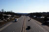
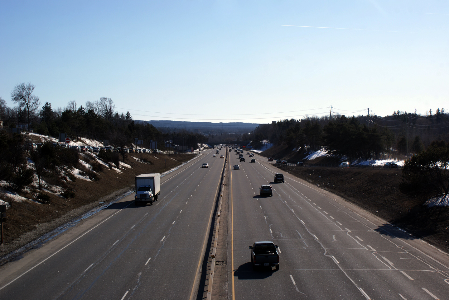
| Town of Bradford West Gwillimbury
County of Simcoe |
Looking south from Bradford's 11th Concession. Photo taken: May 25th, 2005.
Low-res: 60kb. High-res: 185kb. |

Low-res
High-res |
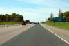
| Town of Bradford West Gwillimbury
County of Simcoe |
Looking north down the long hill from Bradford's 11th Concession. Photo taken:
May 25th, 2005. Low-res: 60kb. High-res: 210kb. |

Low-res
High-res |
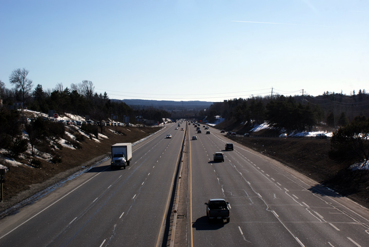
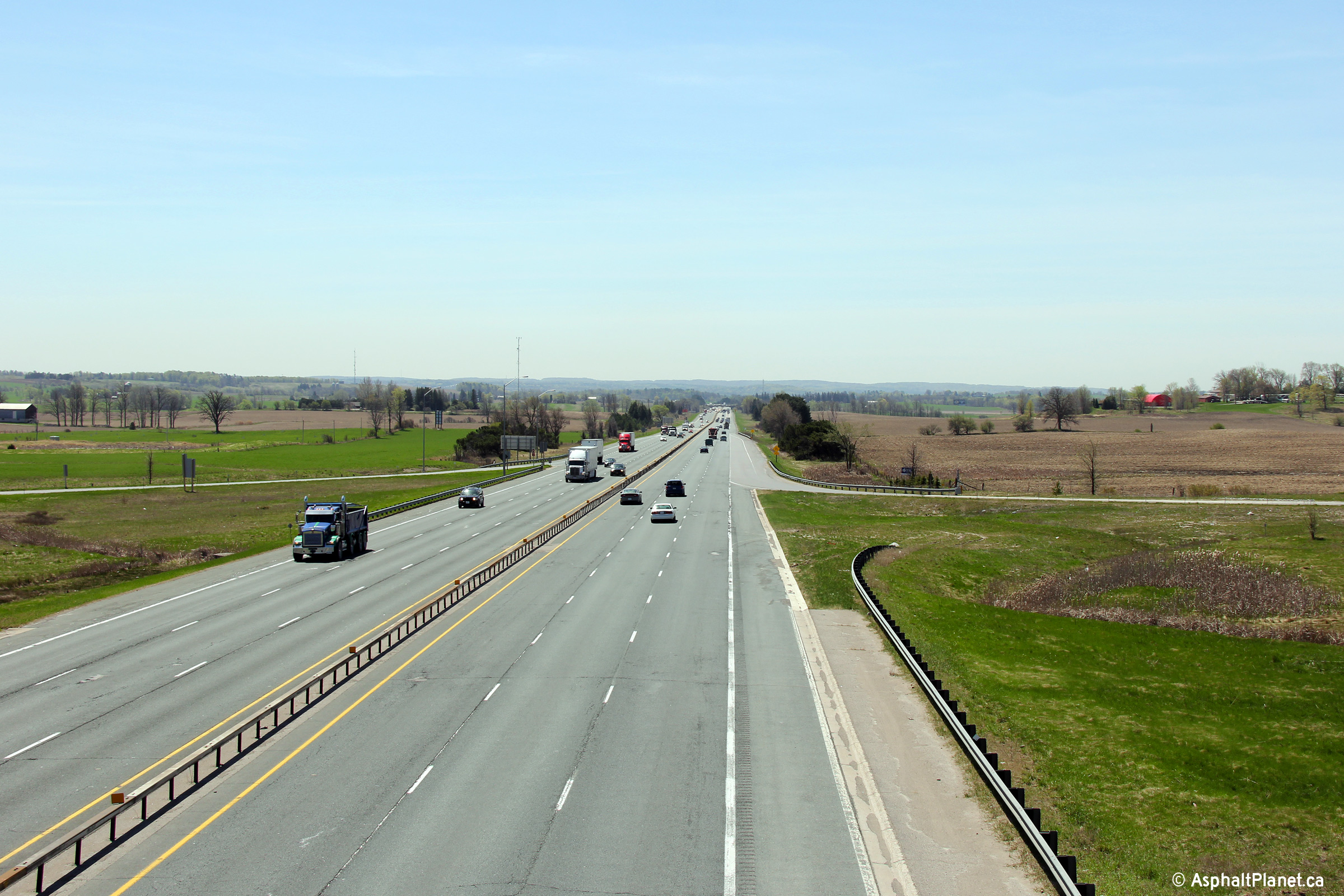
| Town of Bradford West Gwillimbury
County of Simcoe |
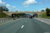
Northerly view at the Bradford 13th Concession underpass. The Bradford
13th Concession underpass has a considerably wider deck than the road
platform for the remainder of Highway 400 through the area.
Photo taken: August 14th, 2013. |
 (720x480) (720x480)
(1440x960)
(2400x1600) |
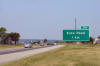
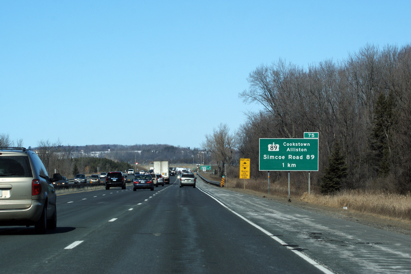
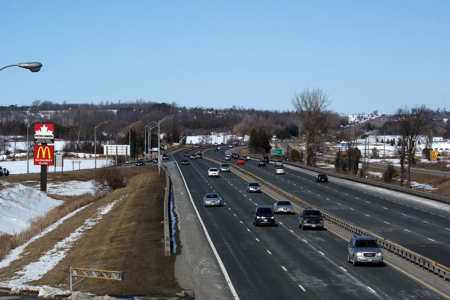
| Town of Innisfil County of
Simcoe |
Advanced signage for Highway 89. Highway 89 leads west from Highway
400. Before 1997, Highway 89 also continued east of Highway 400 the
short distance to Highway 11.
Photo taken: March 7th, 2010. |
 Low
Res Low
Res
High Res |
| Town of Innisfil County of
Simcoe |
Guide signage directing northbound traffic off at Highway 89. Take notice
of the Highway 89 overpass that is also visible in this photograph. The
Highway 89 overpass was constructed in 1949.
Photo taken: March 7th, 2010 |
 Low
Res Low
Res
High Res |
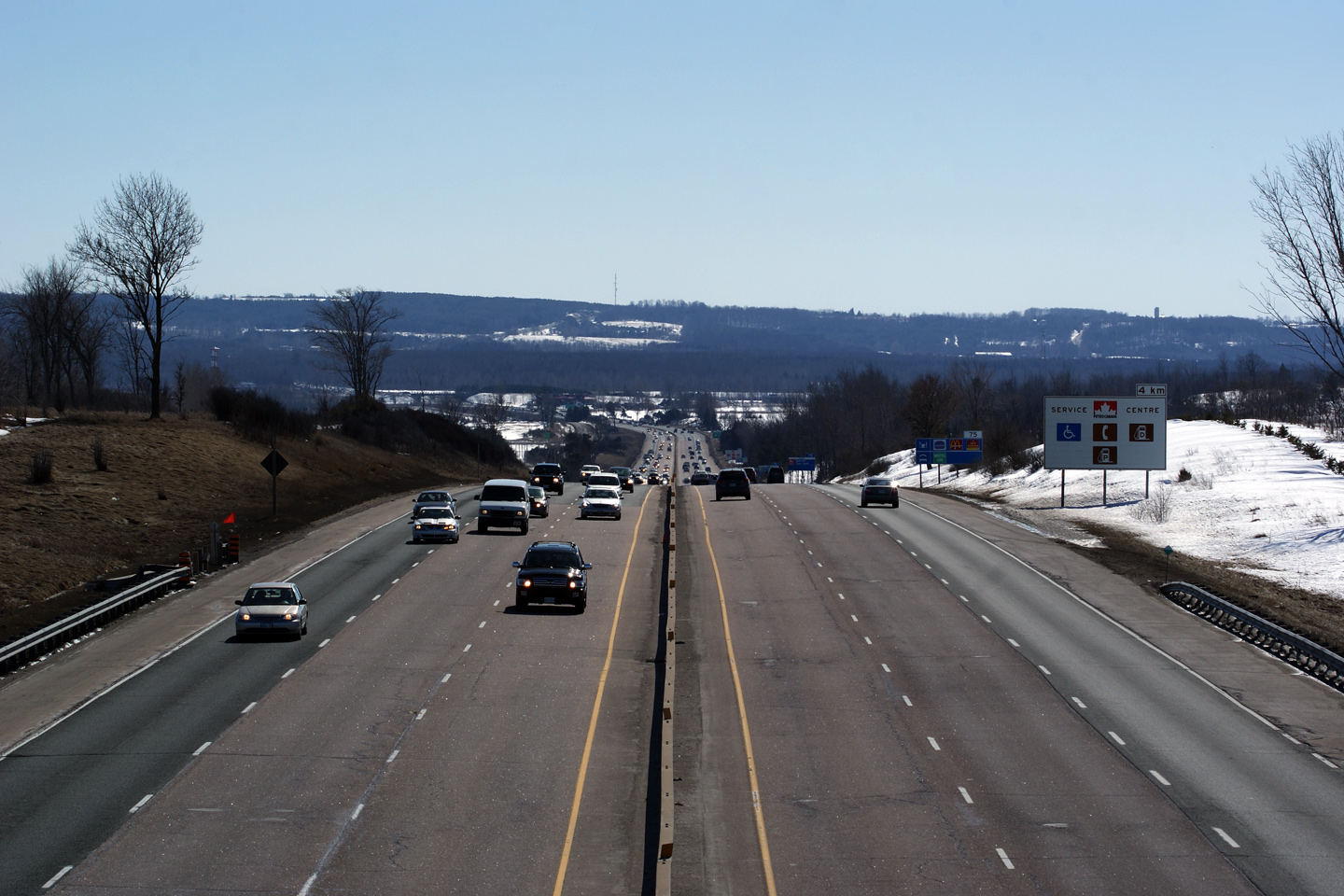
| Town of Innisfil County of
Simcoe |
This view looks southerly from the Highway 89 overpass. The Highway 89
interchange is located in a deep valley. Simcoe County has a rather
pronounced landscape of tall hills with deep flat valleys.
Photo taken: March 7th, 2010. |
Low-res
High-res |
|
Highway 89 heads west from Highway
400, through Cookstown, Alliston, to Highway 9 and 23 in Harriston.
Click here for Highway 89 images. |
| Town of Innisfil County of
Simcoe |
Two views looking northerly from the Highway 89 overpass. Note the
southbound service centre located within the Highway 89 interchange.
Because of the proximity to the the Highway 89 interchange, the southbound
service centre is directly accessible from Highway 89.
Photos taken: March 7th, 2010. |
Low-res
High-res

Low-res
High-res |
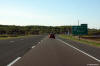
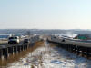
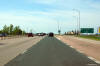
| Town of Innisfil County of
Simcoe |
Looking south from Innisfil's 5th Line. Photo taken: July 16th, 2006. Low-res:
55kb.
High-res: 145kb. |
(720x480)
(1440x960)
(2400x1600) |
| Town of Innisfil County of
Simcoe |
Opposing view from Innisfil Line 5. Photo taken: July 16th, 2006. Low-res:
55kb.
High-res: 160kb. |

Low-res
High-res |
| Town of Innisfil County of
Simcoe |
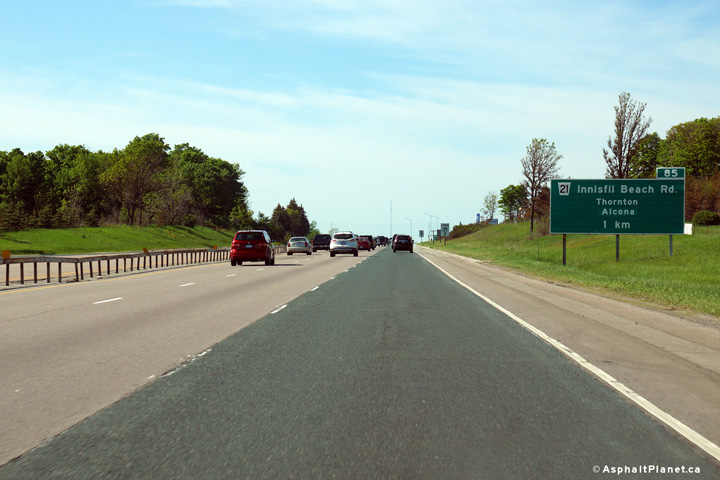
Northbound advanced signage approaching the Innisfil Beach Road off-ramp.
Photo taken: May 31st, 2014. |
 (720x480) (720x480)
(1440x960)
(2400x1600) |
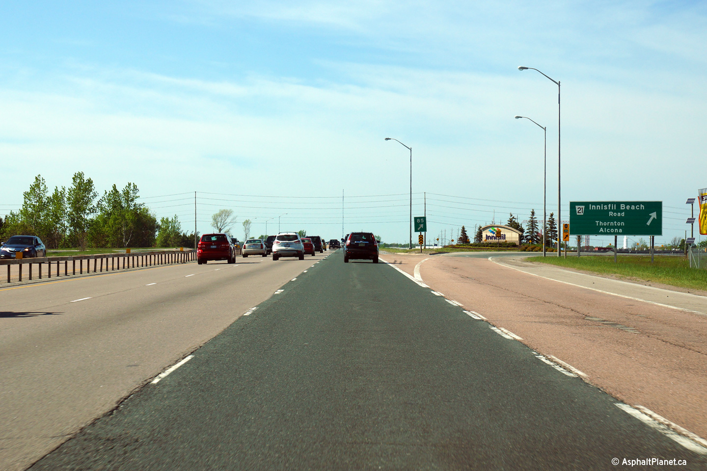
| Town of Innisfil County of
Simcoe |
This view looks northerly as the off-ramp to Innisfil Beach Road departs the
freeway mainline.
Photo taken: May 31st, 2014. |
 (720x480) (720x480)
(1440x960)
(2400x1600) |
| Town of Innisfil County of
Simcoe |
Southerly view at the off-ramp to Innisfil Beach Road.
Photo taken: June 1st, 2014. |
 (720x480) (720x480)
(1440x960)
(2400x1600) |
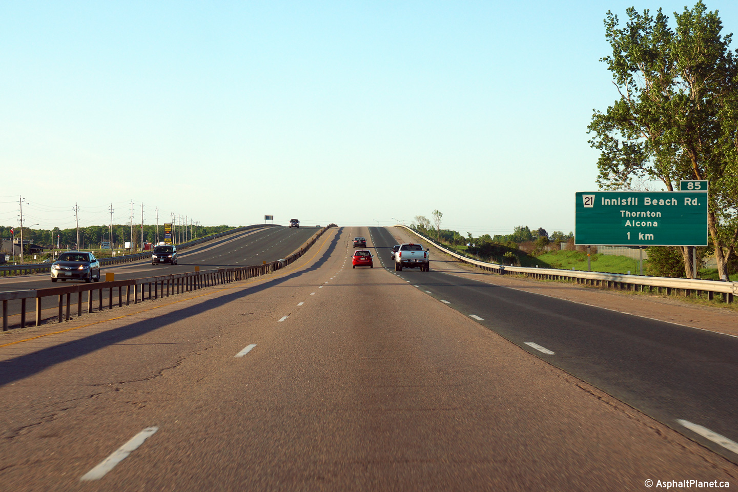
| Town of Innisfil County of
Simcoe |
Advanced signage for the southbound off-ramp to Innisfil Beach Road.
Highway 400 rises over a former railway alignment just beyond the advanced
structure.
Photo taken: June 1st, 2014. |
 (720x480) (720x480)
(1440x960)
(2400x1600) |
| Town of Innisfil County of
Simcoe |
Southerly view from the Innisfil 10th Line overpass. Photo taken: July 16th, 2006. Low-res:
50kb.
High-res: 185kb. |

Low-res
High-res |
| Town of Innisfil County of
Simcoe |
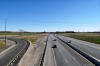
Looking north from Innisfil 10th Line. Barrie's South City Limit is
found about mid-way up the ascent out of the valley. Photo taken: July 16th, 2006. Low-res:
65kb.
High-res: 175kb. |
Low-res
High-res |
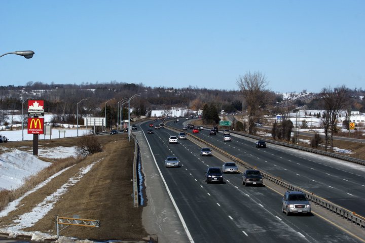
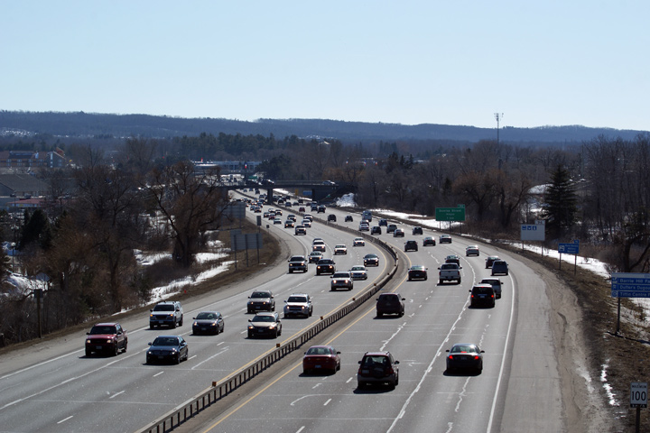
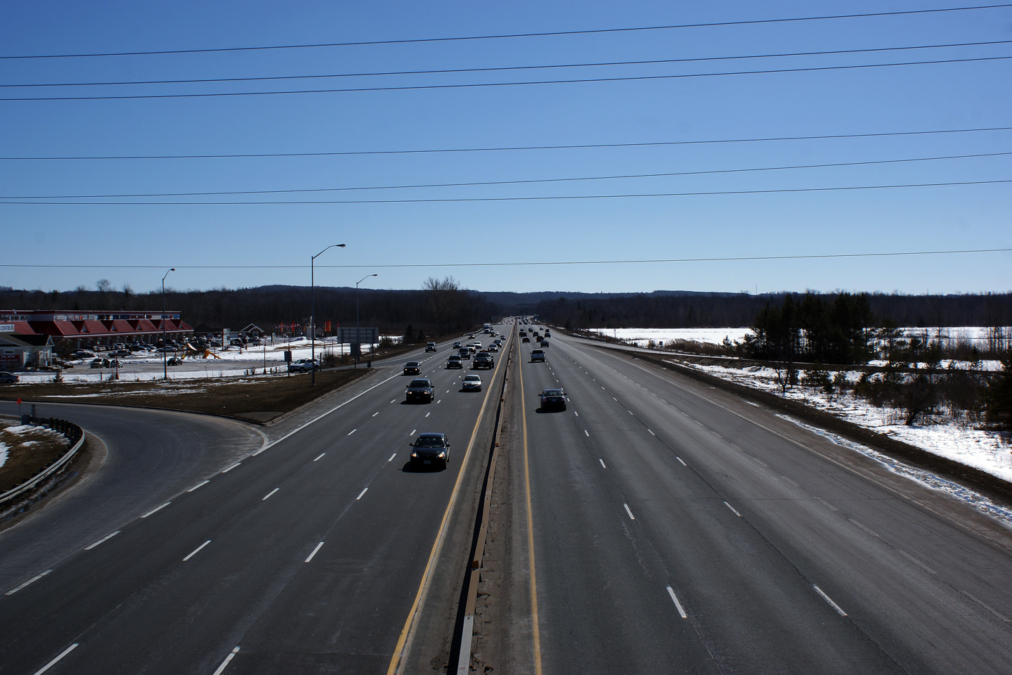
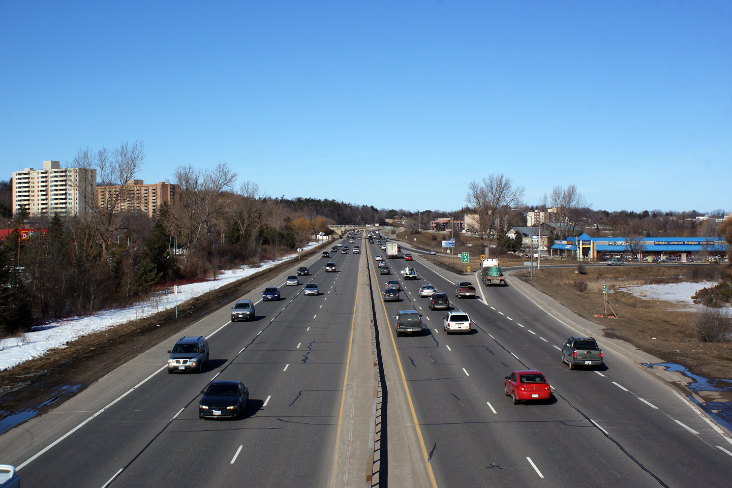
| City of Barrie |
Advanced signage for Essa Road. No reference is made to the former
highway numbers through the City of Barrie. Photo taken: August 2nd, 2007.
Low-res: 50kb |
 |
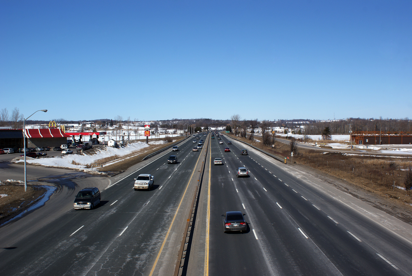
| City of Barrie |
Highway 400, looking north from the Barrie Service Centre. Photo taken: July 15th, 2006. Low-res:
65kb.
High-res: 185kb. |
Low-res
High-res |
| City of Barrie |
Looking south from Essa Road. Photo taken: August 2nd, 2007.
Low-res: 55kb. High-res: 140kb. |
Low-res
High-res |
| City of Barrie |
Southerly view across the Essa Road underpass. Note how narrow the
northbound acceleration lane from Essa Road is. Photo taken: August 2nd,
2007. Low-res: 50kb. High-res: 160kb. |
Low-res
High-res |
|
Highway 27 entered Barrie on Essa
Road before the highway was downloaded in 1998.
Click here for Highway 27 images. |
| City of Barrie |
Looking north from the Essa Road underpass towards Downtown Barrie. Photo
taken: August 2nd, 2007. Low-res: 55kb. High-res: 160kb. |
Low-res
High-res |
| City of Barrie |
Advanced signage for Dunlop Street. Photo courtesy: Dan Garnell. Taken:
June 9th, 2007. Low-res: 60kb. |
 |
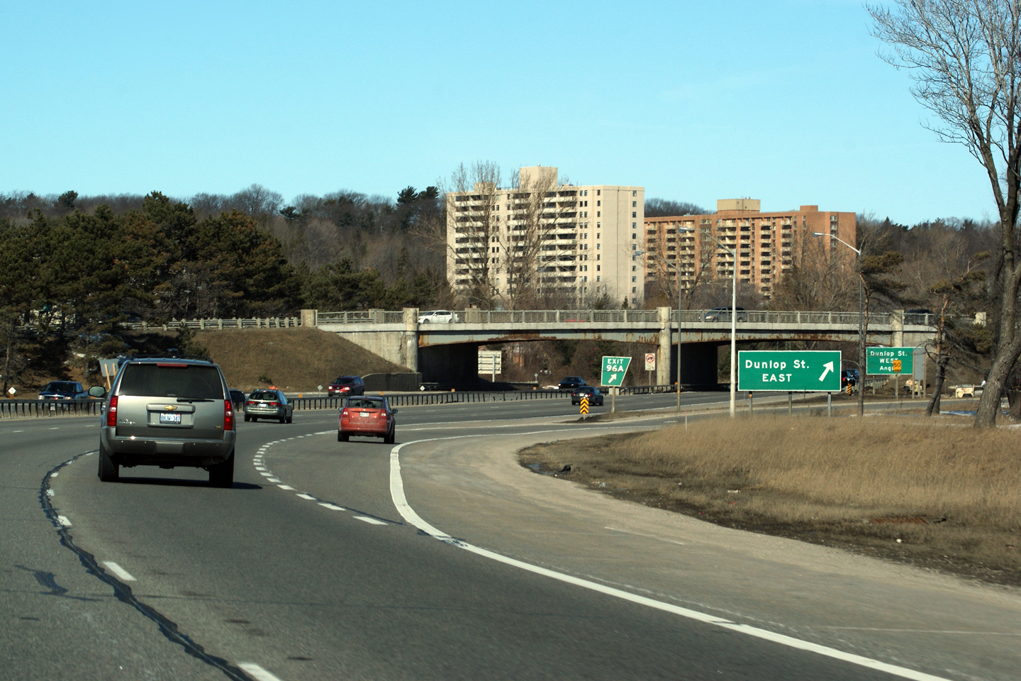
| City of Barrie |
The Dunlop Street overpass and signage. Photo courtesy: Dan
Garnell. Taken: June 9th, 2007. Low-res: 60kb. High-res:
155kb. |
Low
Res
High Res |
| City of Barrie |
Looking south from the Dunlop Street overpass.
Photo taken: March 7th, 2010. |

Low-res
High-res |
|
Dunlop Street was part of Highway
90 before it was downloaded in 1998.
Click here for Highway 90 images. |
| City of Barrie |
View looking north Dunlop Street. Notice that aside for some minor
concrete repairs, the Anne Street overpass has never been rehabilitated.
That is impressive longevity for a structure that is 60 years old.
Photos taken: March 7th, 2010. |
Low-res
High-res
Low-res
High-res |
| City of Barrie |
Looking south towards Dunlop Street from the Anne Street overpass.
Photo taken: March 7th, 2010. |
Low-res
High-res |
| City of Barrie |
Looking north from Anne Street. Photo taken: March 7th, 2010. |

Low-res
High-res |
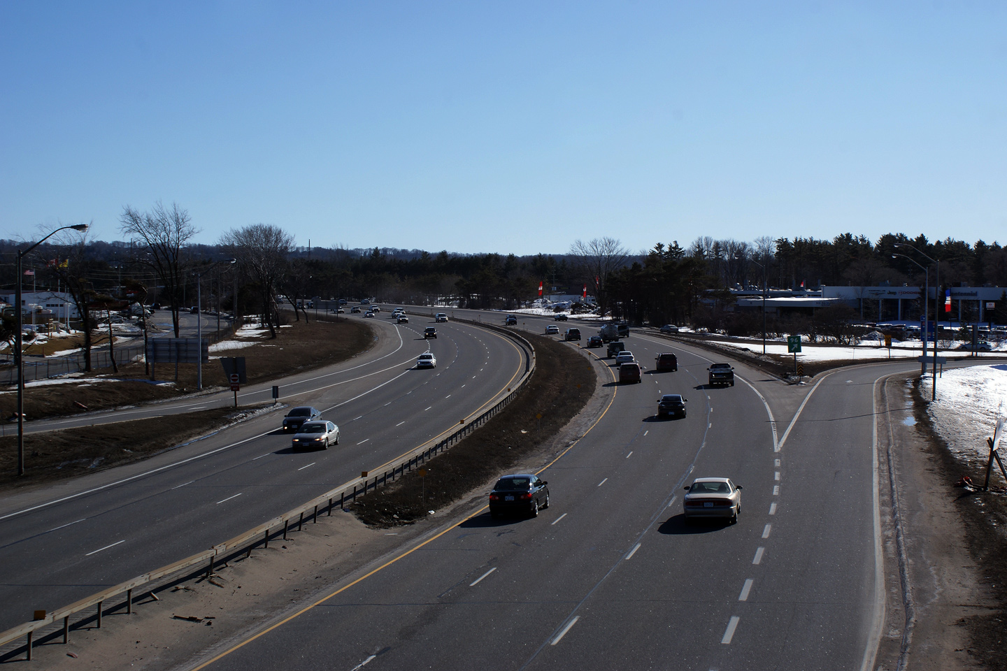
| City of Barrie |
View looking south from the Sunnidale Road overpass. Photo taken: March
7th, 2010. |
(720x480)
(1440x960)
(2400x1600) |
| City of Barrie |
View northerly from the Sunnidale Road overpass towards Bayfield Street.
The northbound off-ramp to Bayfield Street was widened during the summer of
2007.
Photo taken: March 7th, 2010. |
Low-res
High-res |
| City of Barrie |
Looking south from Bayfield Street. On a personal note, this was the
final centre-line photo that I needed to take to have completed taking
photos from every overpass along the length of the highway.
Photo taken: March 7th, 2010. |
Low-res
High-res |
| City of Barrie |
This photo looks northerly from the Bayfield Street (Highway 26/27)
overpass. Traffic volumes are noticeably lighter along the 400 to the
north of Bayfield Street.
Photo taken: March 7th, 2010. |
Low-res
High-res |
| City of Barrie |
Southerly view from the St. Vincent Street overpass. Photo taken: May
25th, 2005. Low-res: 65kb. High-res: 190kb. |
Low-res
High-res |
| City of Barrie |
Looking north from St. Vincent Street in Barrie. Photo taken: May 25th,
2005. Low-res: 65kb. High-res: 190kb. |

Low-res
High-res |
| City of Barrie |
Southbound advanced signage for the Highway 26 interchange. This sign
stands just before the St. Vincent Street overpass. The St. Vincent
Street overpass is to be rehabilitated during the summer of 2010.
Photo taken: March 7th, 2010. |
 Low
Res Low
Res
High Res |
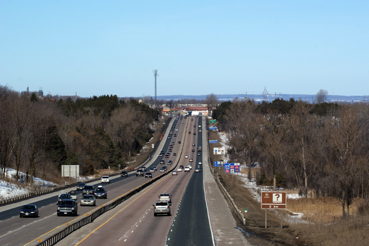
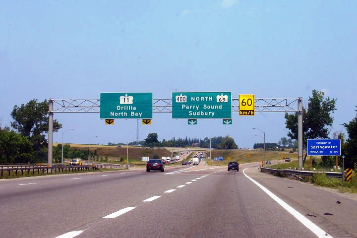
| City of Barrie |
Overhead electronic COMPASS sign found before the Highway 11/400 split.
Photo taken: March 7th, 2010. |
 Low
Res Low
Res
High Res |
| City of Barrie |
Diagram sign for the Highway 11/400 interchange. At this interchange,
Highway 11 is in effect the through route, while Highway 400 traffic must
exit from the mainline highway.
Photo taken: March 7th, 2010. |
 Low
Res Low
Res
High Res |
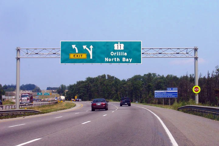
| City of Barrie |
Notice the new signage adorning the side of the overhead gantry. This
sign had previously shown Highway 400 exiting itself. Photo taken: August
2nd, 2007. Low-res: 50kb |
 |
| City of Barrie |
Highway 11 departing from Highway 400. Photo taken: August 2nd, 2007.
Low-res: 60kb. High-res: 160kb. |
Low
Res
High Res |
|
Highway 11 extends north of the
400 to Orillia and eventually west to Rainy River.
Click
here for Highway 11 images. |
|
Click here for Highway 400 images between
Crown Hill and Waubaushene. |

 (720x480)
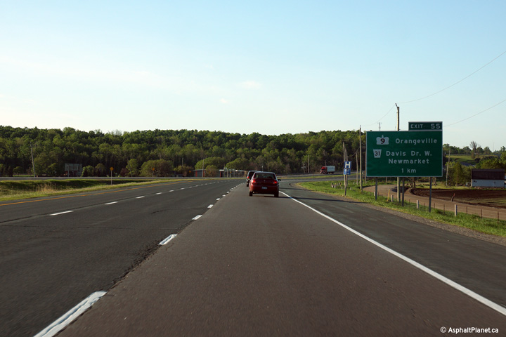 (720x480)
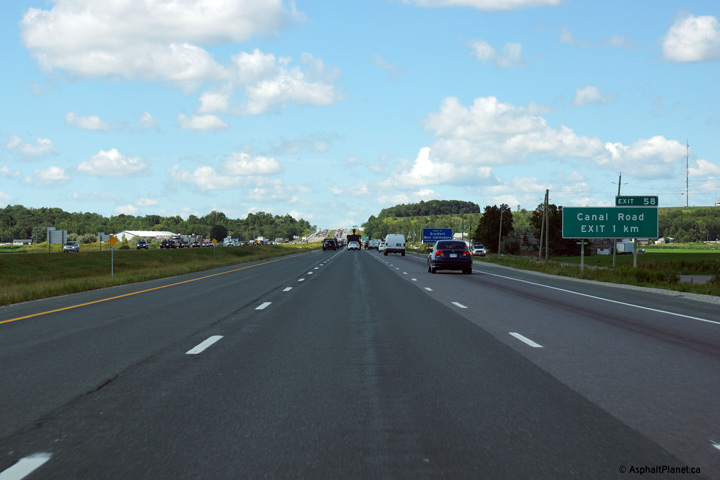 (720x480)
 (720x480)
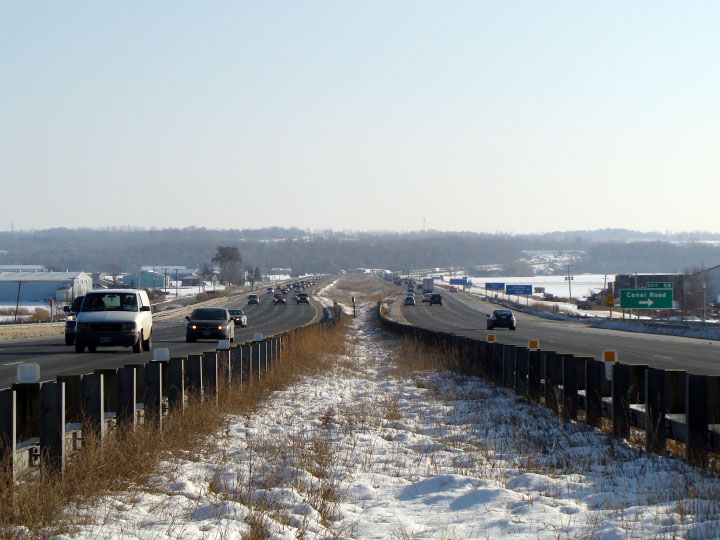
 (720x480)
 (720x480)
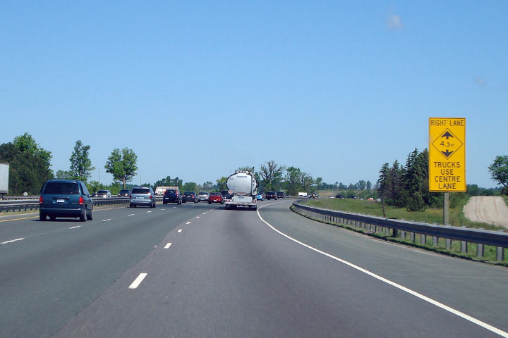
 (720x480)

 (720x480)
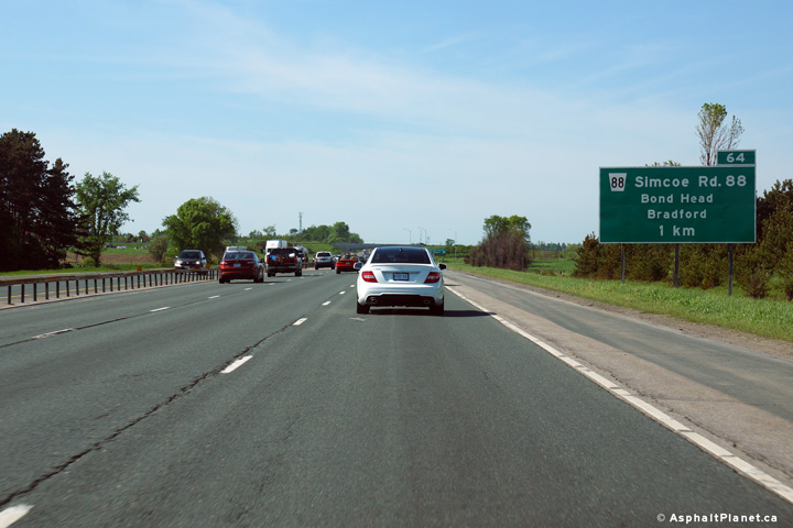 (720x480)
 (720x480)
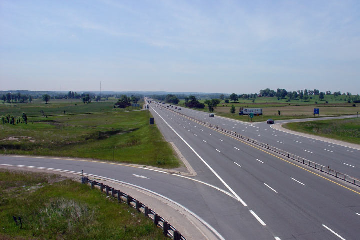


 (720x480)
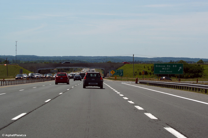 (720x480)
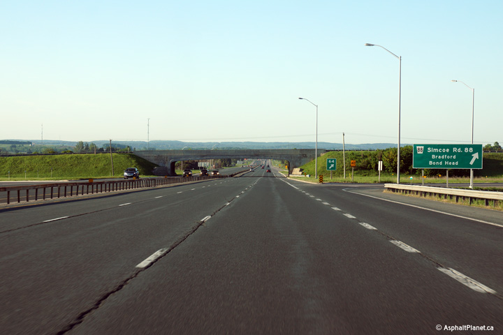
 (720x480)
 (720x480)
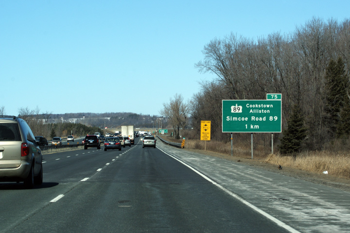 Low
Res
Low
Res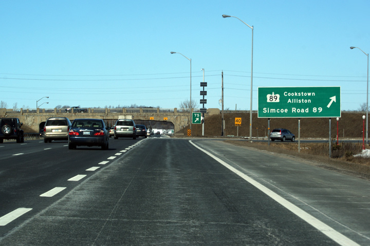 Low
Res
Low
Res


 (720x480)
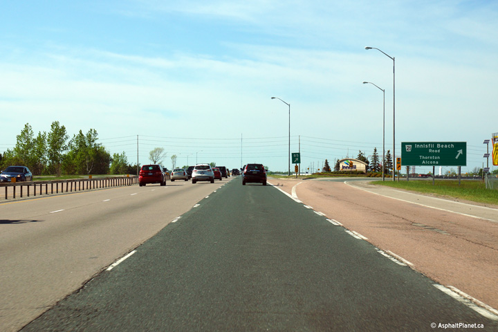 (720x480)
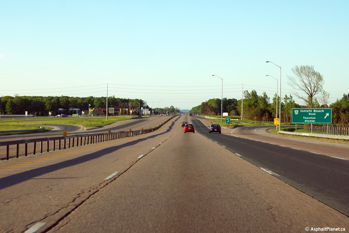 (720x480)
 (720x480)
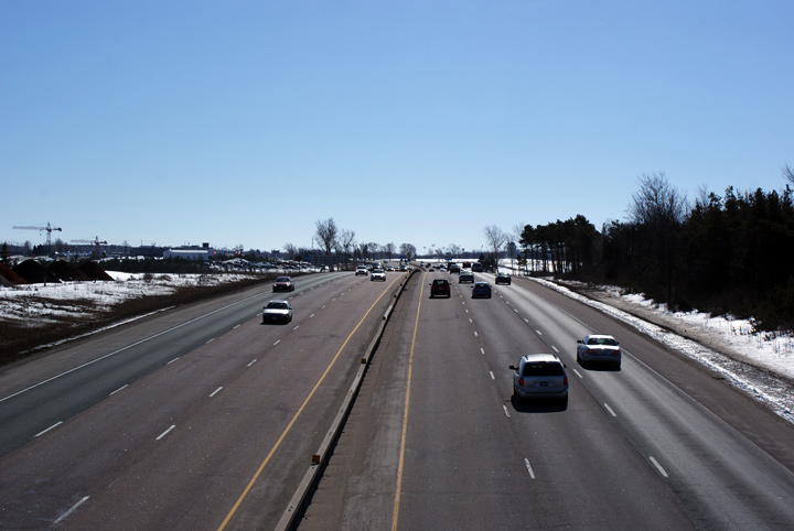


 Low
Res
Low
Res
 Low
Res
Low
Res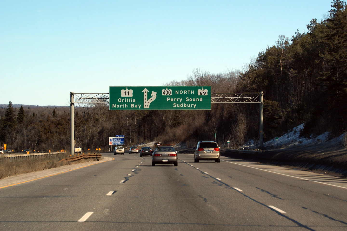