AsphaltPlanet.ca > OntHighways >
Highway 11 > Images
> Page 2A
King's Highway 11 - Images
<- Page 1B Page 2A - Crown Hill to Orillia Page 2B ->
Photos shown in this table are arranged from South to North:
| Proper Municipality Name | Photo Description | Photo | |
|
Photos taken from driver's perspective appear offset from centre-line Photos: |
North- bound |
South- bound |
|
| Since 1997, Highway 11 has begun its trek northerly from Highway 400. Click here for Highway 400 images. | |||
| Township of Oro-Medonte County of Simcoe |
View looking southerly at the southern end of Highway 11. The flyover
pictured carries Highway 400 northbound overtop of Highway 11. When Highway
400 first opened to traffic it defaulted directly onto Highway 11. The
extension of Highway 400 paralleling Highway 93 didn't open to traffic until
1956. Photo taken: June 27th, 2009. |
|
|
| Township of Oro-Medonte County of Simcoe |
This view rounds the curve approaching the Highway 93 interchange. This was
the northernmost interchange along Highway 400 when it was first opened to
traffic in 1952. This photo also highlights just what Highway 400 would have looked like
between Toronto and Barrie before it was widened to six
lanes. Photo taken: June 27th, 2009. |
|
|
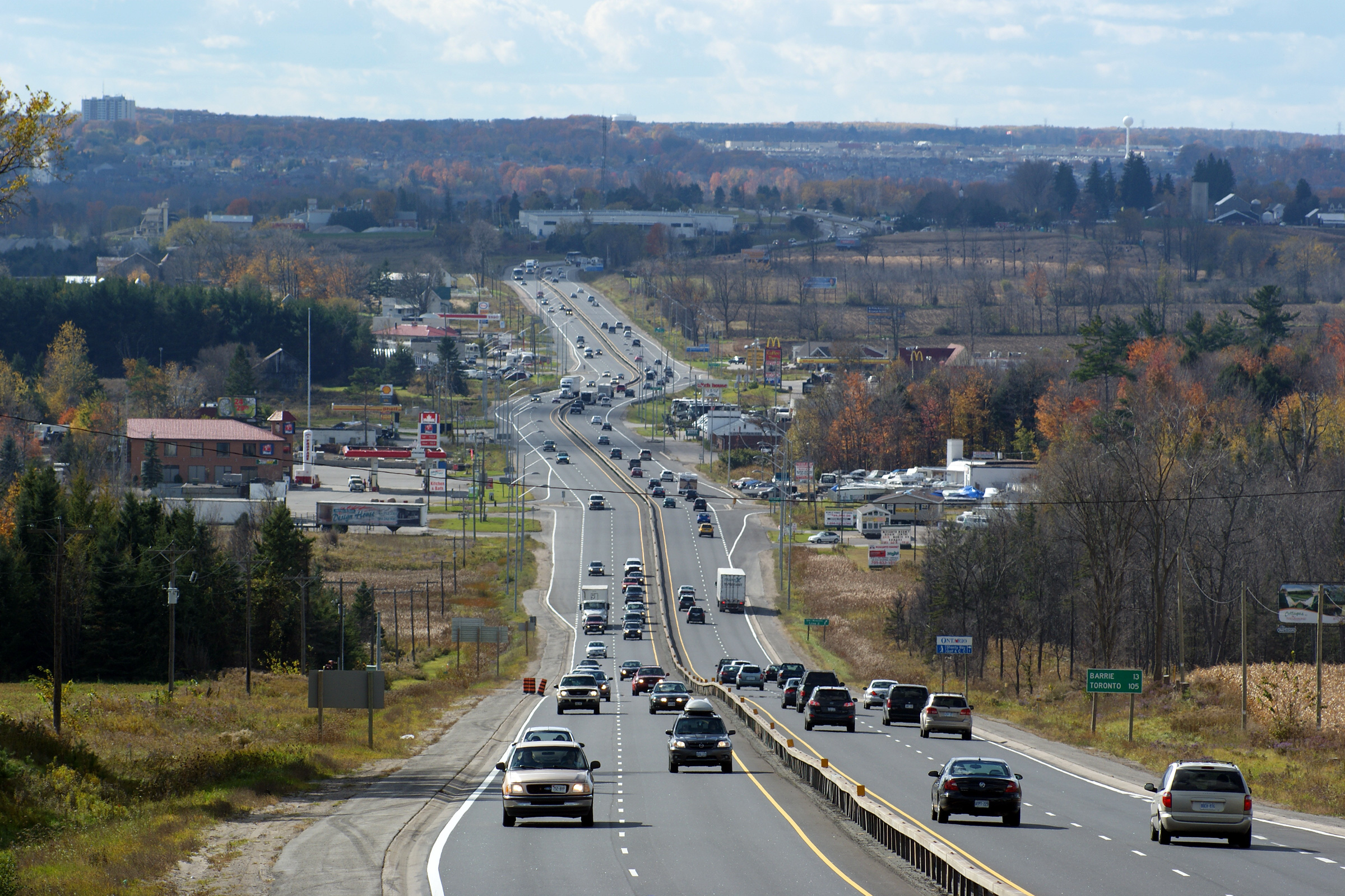
| Township of Oro-Medonte County of Simcoe |
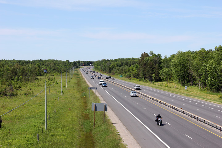
View looking northerly as Highway 11 passes through Gasoline Alley. Gas
stations and restaurants popped up along along Highway 11 in the 1950s as a
result of Highway 400's terminus at Crown Hill. Setting up a gas
station here in the 1950s and 1960s was a very lucrative business; the
landscape surrounding Highway 400 between Toronto and Barrie was far more
rural and devoid of services at that time then it is today. Photo taken: June 27th, 2009. |
|
|
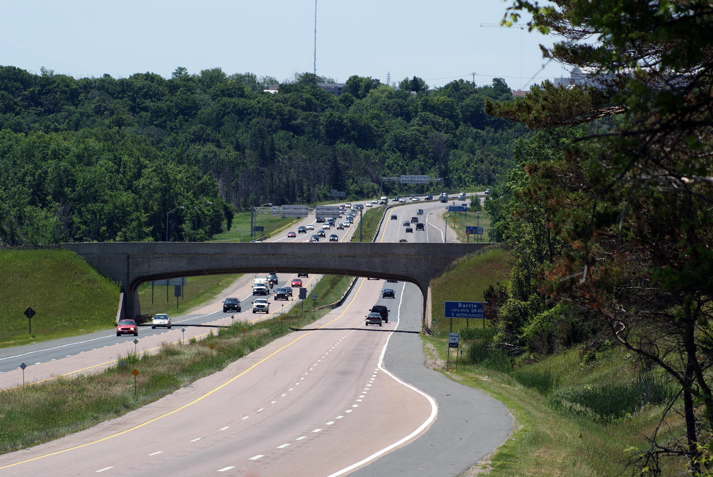
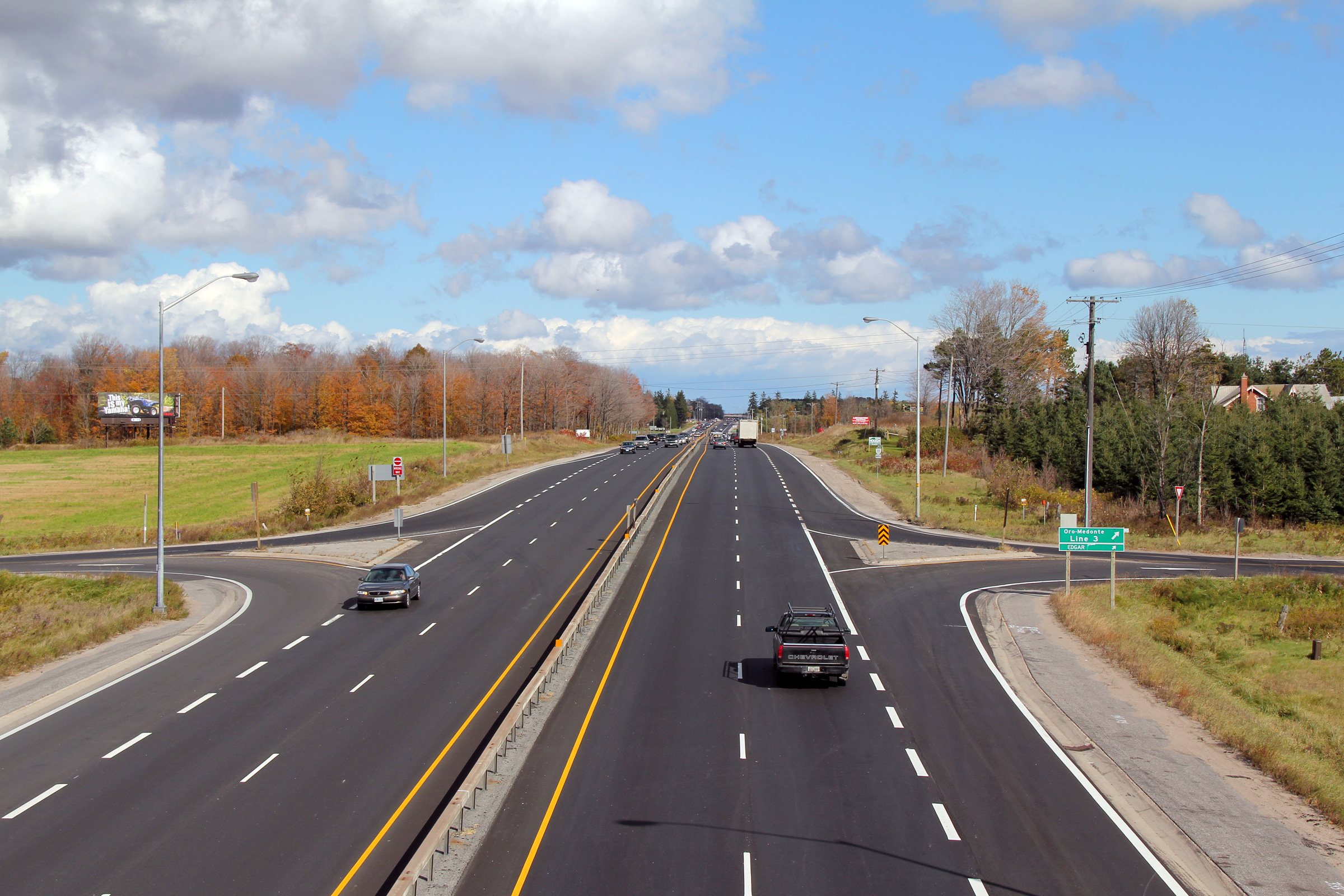
| Township of Oro-Medonte County of Simcoe |
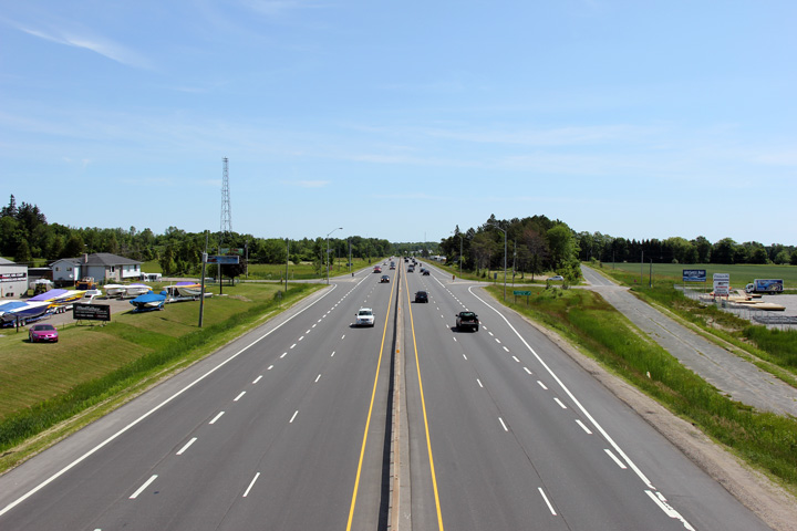
View along Highway 11 looking southerly from the Oro-Medonte Line 3
overpass. South of this overpass Highway 11 passes through Gasoline Alley. Upper photo taken: October 17th, 2010. Lower photos taken: May 18th, 2011. |
 (720x480) (1440x960) (2400x1600) 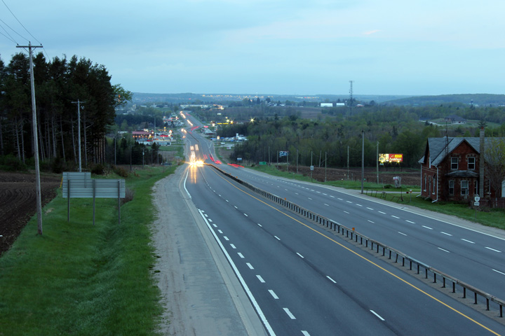 (720x480) (1440x960) (2400x1600) 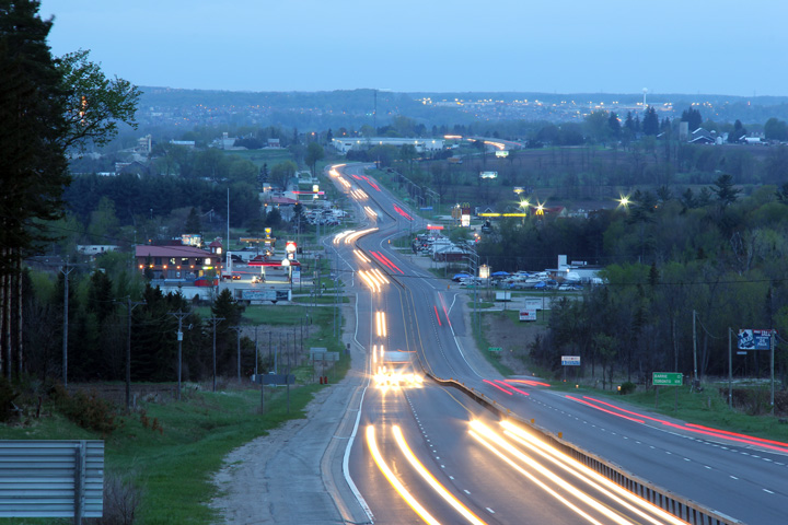 |
|
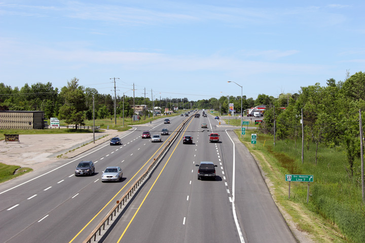
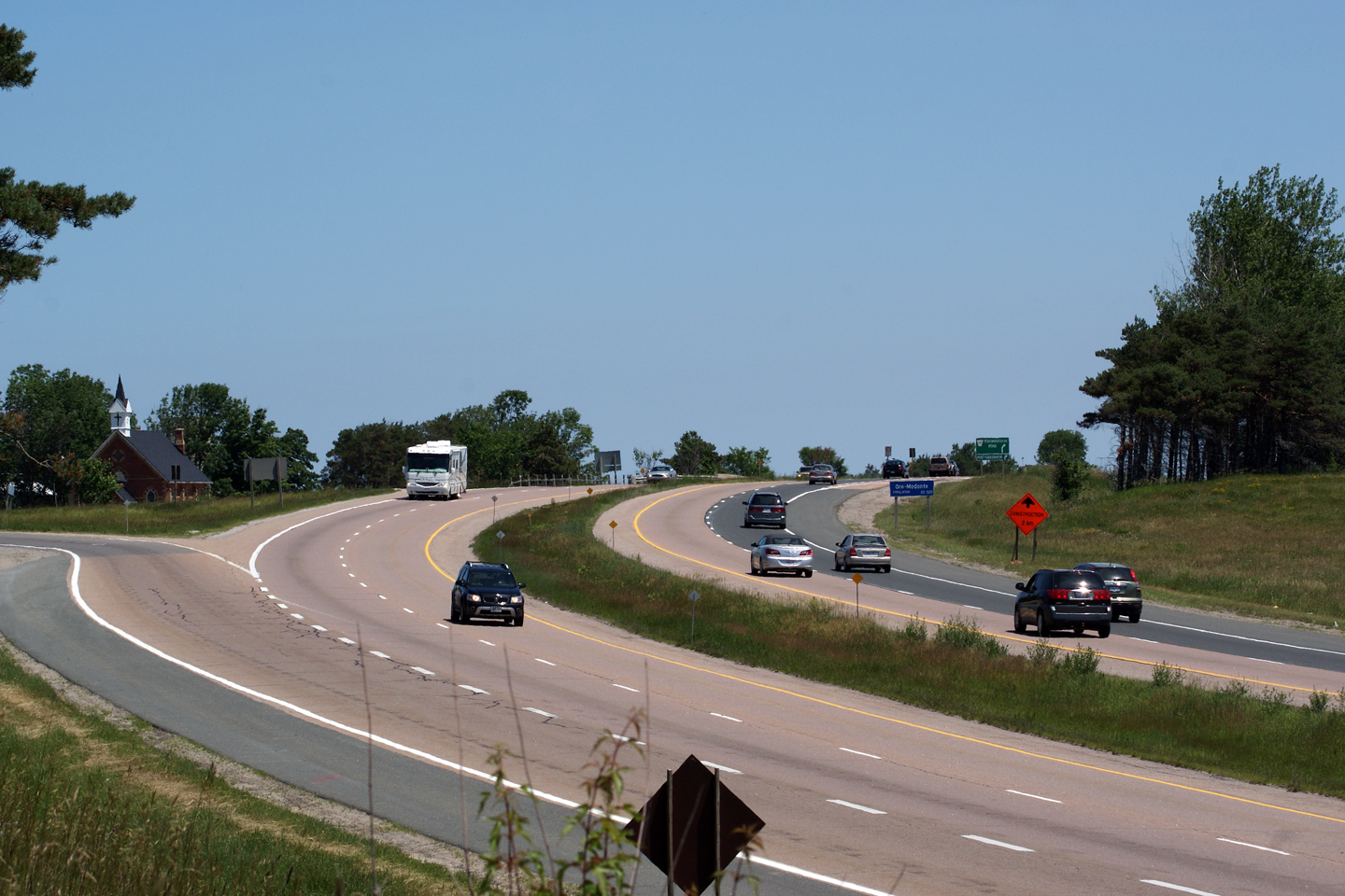
| Township of Oro-Medonte County of Simcoe |
Looking northerly along Highway 11 from the Oro-Medonte Line 3 overpass.
This is the first full RIRO interchange along Highway 11 north from Highway
400. Photo taken: October 17th, 2010. |
 |
|
| Township of Oro-Medonte County of Simcoe |
Southerly view from the Oro-Medone Line 5 overpass. Photo taken: June 19th, 2011. |
 |
|
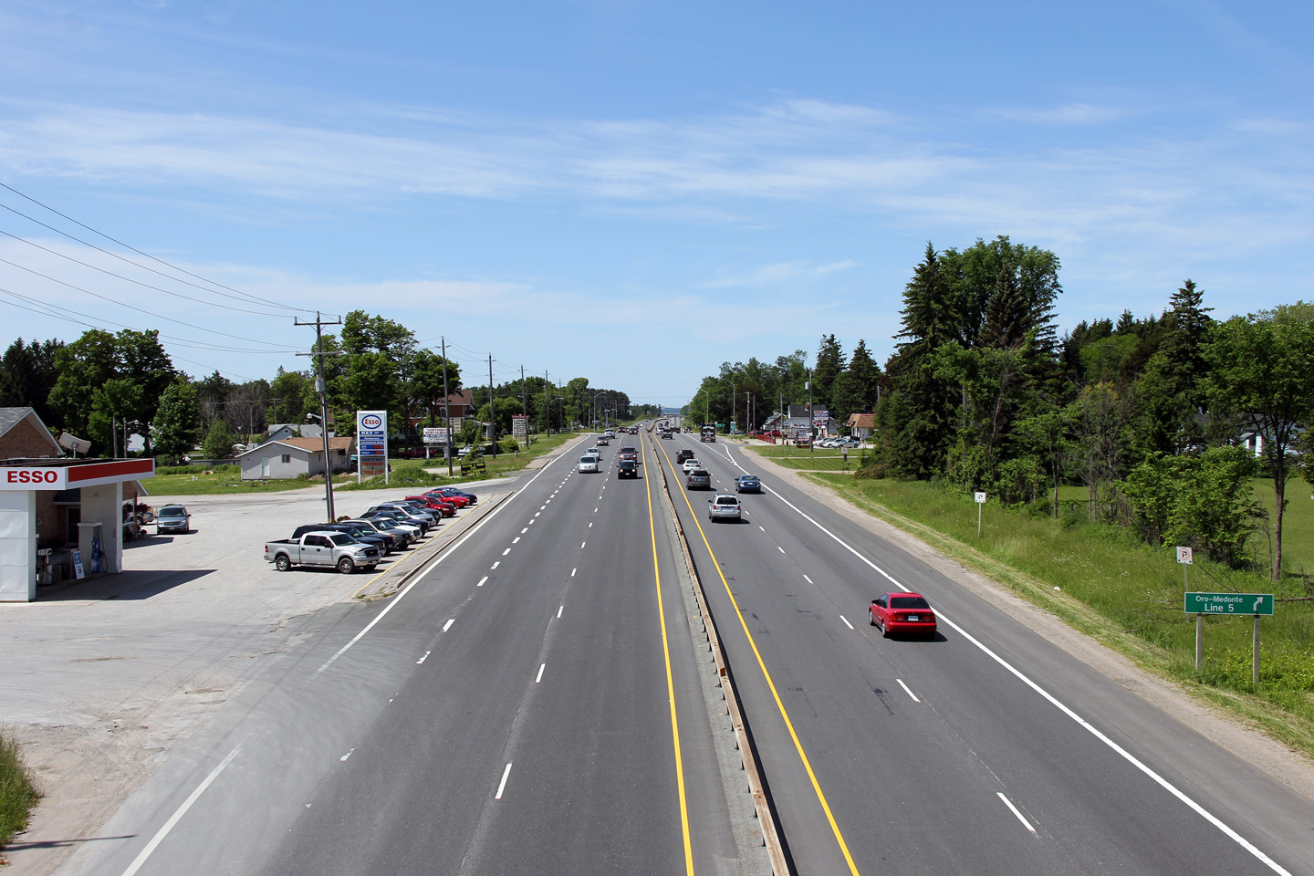
| Township of Oro-Medonte County of Simcoe |
This view looks northerly from the Oro-Medonte Line 5 overpass. Photo taken: June 19th, 2011. |
 |
|
| Township of Oro-Medonte County of Simcoe |
View looking southerly from the Oro-Medonte Line 7 overpass. A RIRO
expressway is best described as a "poor-mans freeway". The road
operates as a high-speed free-flowing highway, however both residential and
commercial driveways have been grandfathered in from the time before the
highway was converted to an expressway. Photo taken: June 19th, 2011. |
 |
|
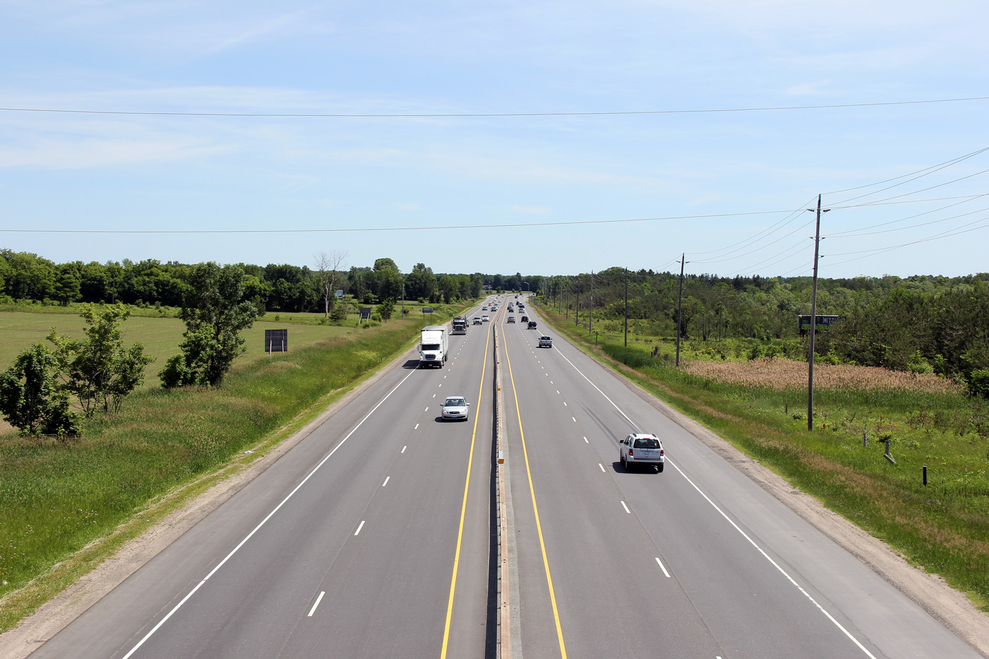
| Township of Oro-Medonte County of Simcoe |
Northerly view along Highway 11 from the Oro-Medonte Line 7 overpass. Photo taken: June 19th, 2011. |
 |
|
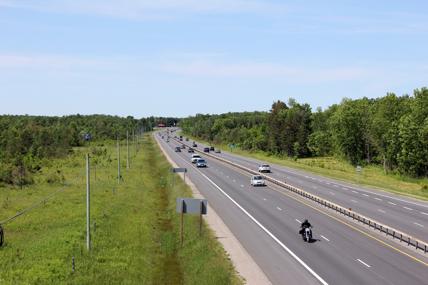
| Township of Oro-Medonte County of Simcoe |
Southerly view along Highway 11 from the Oro-Medonte Line 9 overpass. Photo taken: June 19th, 2011. |
 |
|
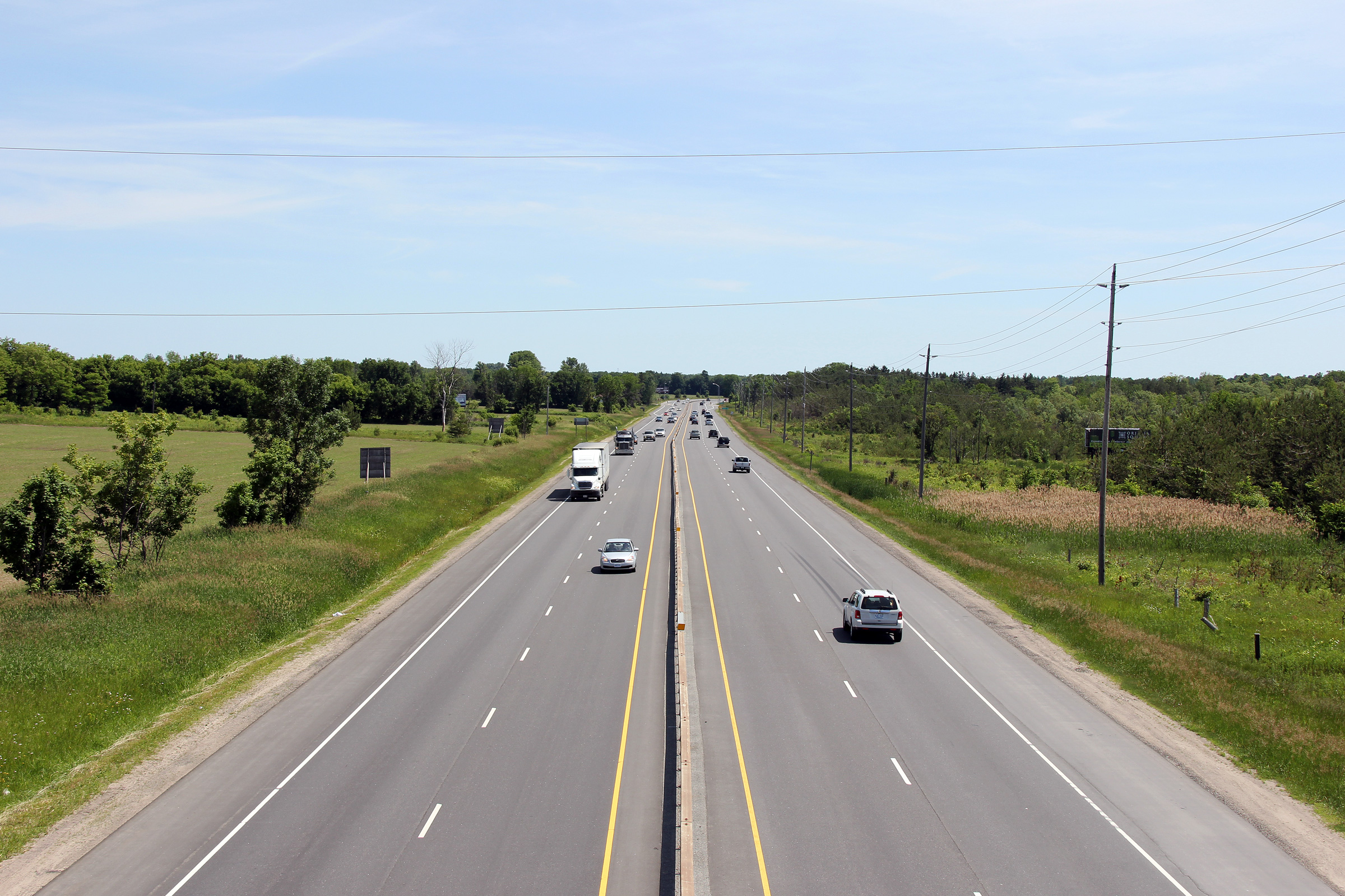
| Township of Oro-Medonte County of Simcoe |
Northerly view along Highway 11 from the Oro-Medonte Line 9 cross-over.
Notice the former alignment of Highway 11 to the east of the four-lane. The
pictured abandoned alignment was by-passed due to a sharp reversing curve
just beyond the stand of trees in the photo. Photo taken: June 19th, 2011. |
 |
|
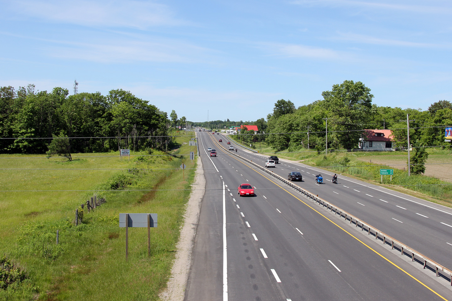
| Township of Oro-Medonte County of Simcoe |
Southerly view from the Oro-Medonte Line 11 overpass. Photo taken: June 19th, 2001. |
 |
|
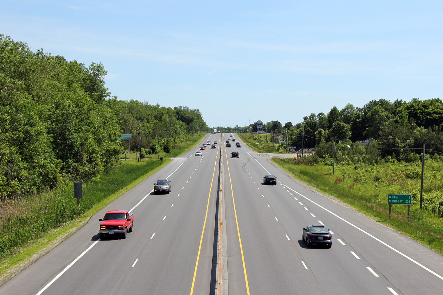
| Township of Oro-Medonte County of Simcoe |
Looking northerly from the Oro-Medonte Line 11 overpass. The pictured
curve along Highway 11 is known locally as the Hawkstone Curve. Photo taken: June 19th, 2011. |
 |
|
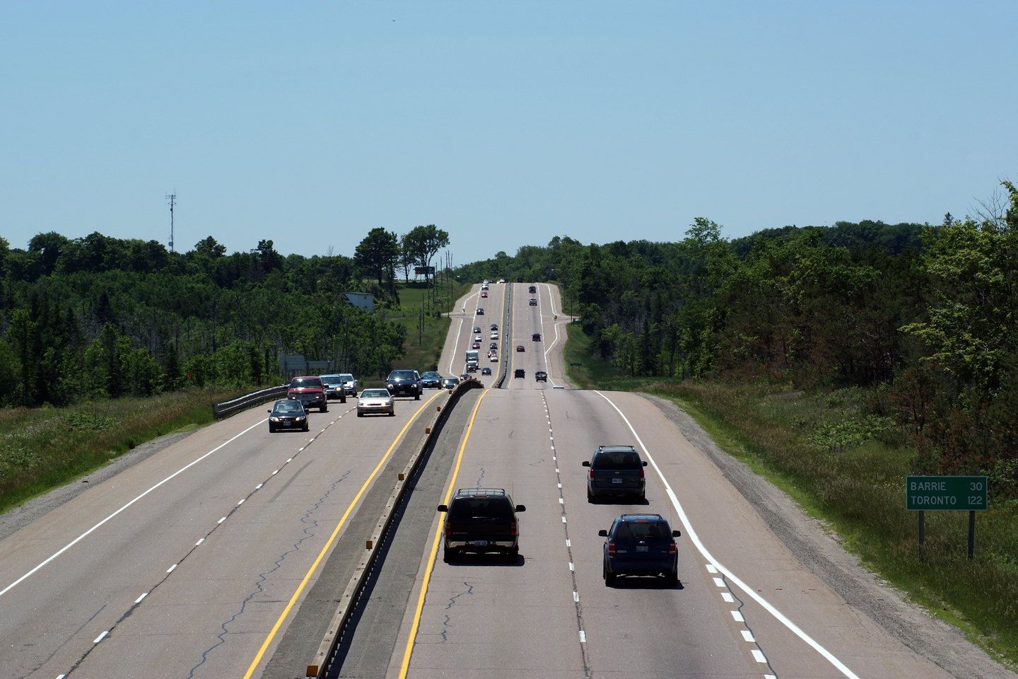
| Township of Oro-Medonte County of Simcoe |
View looking south from the Oro-Medonte Line 14 overpass. Photo taken: June 27th, 2009. |
|
|
| Township of Oro-Medonte County of Simcoe |
Opposing view from the Oro-Medonte Line 14 overpass; this view looking north
towards the southern start of the Orillia By-pass. Photo taken: June 27th, 2009. |
|
|
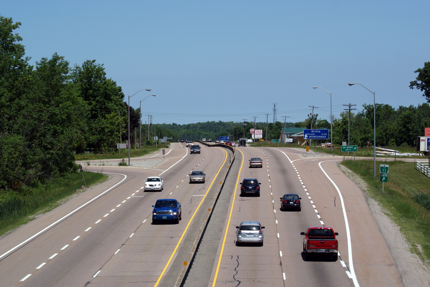
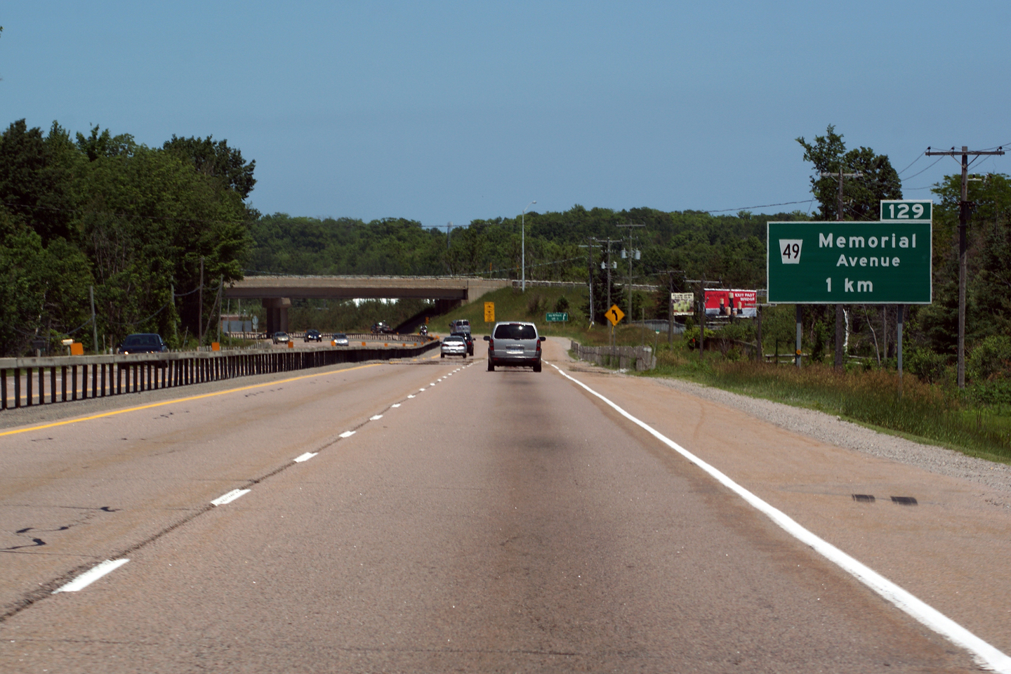
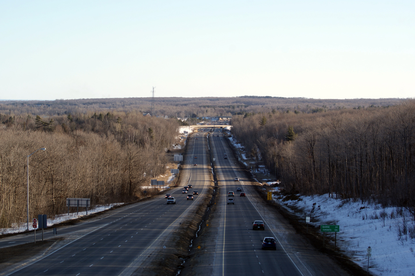
| Township of Oro-Medonte County of Simcoe |
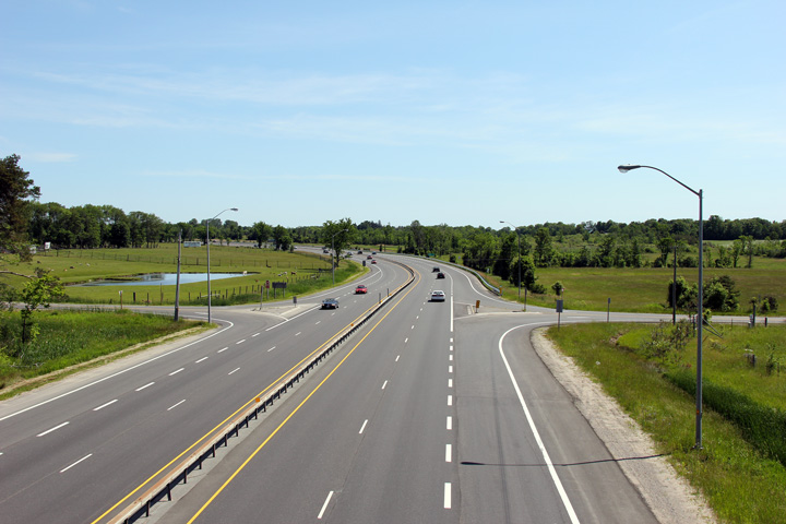
View looking northerly
approaching the Oro-Medonte Line 15 and Memorial Drive interchanges.
Memorial Drive was the original alignment of Highway 11 entering Orillia,
and carried a Highway 11B designation for many years. Photo taken: June 27th, 2009. |
||
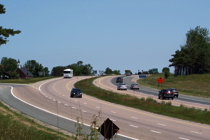
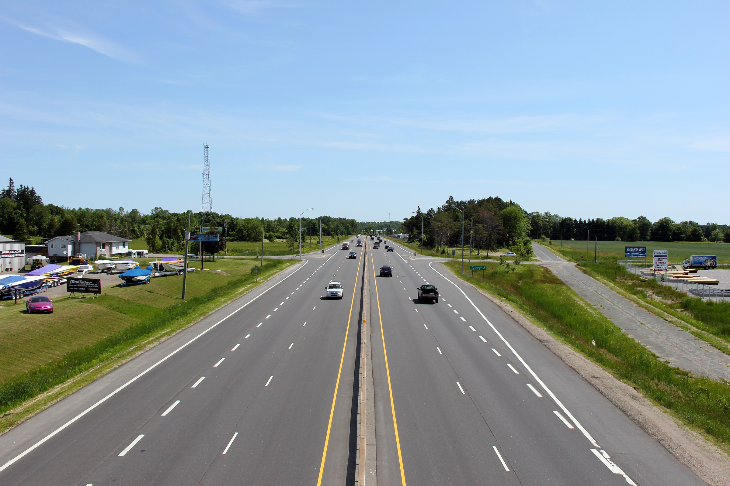
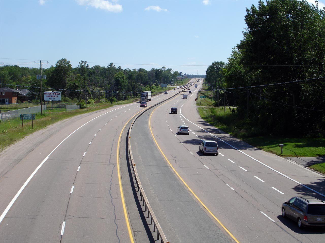
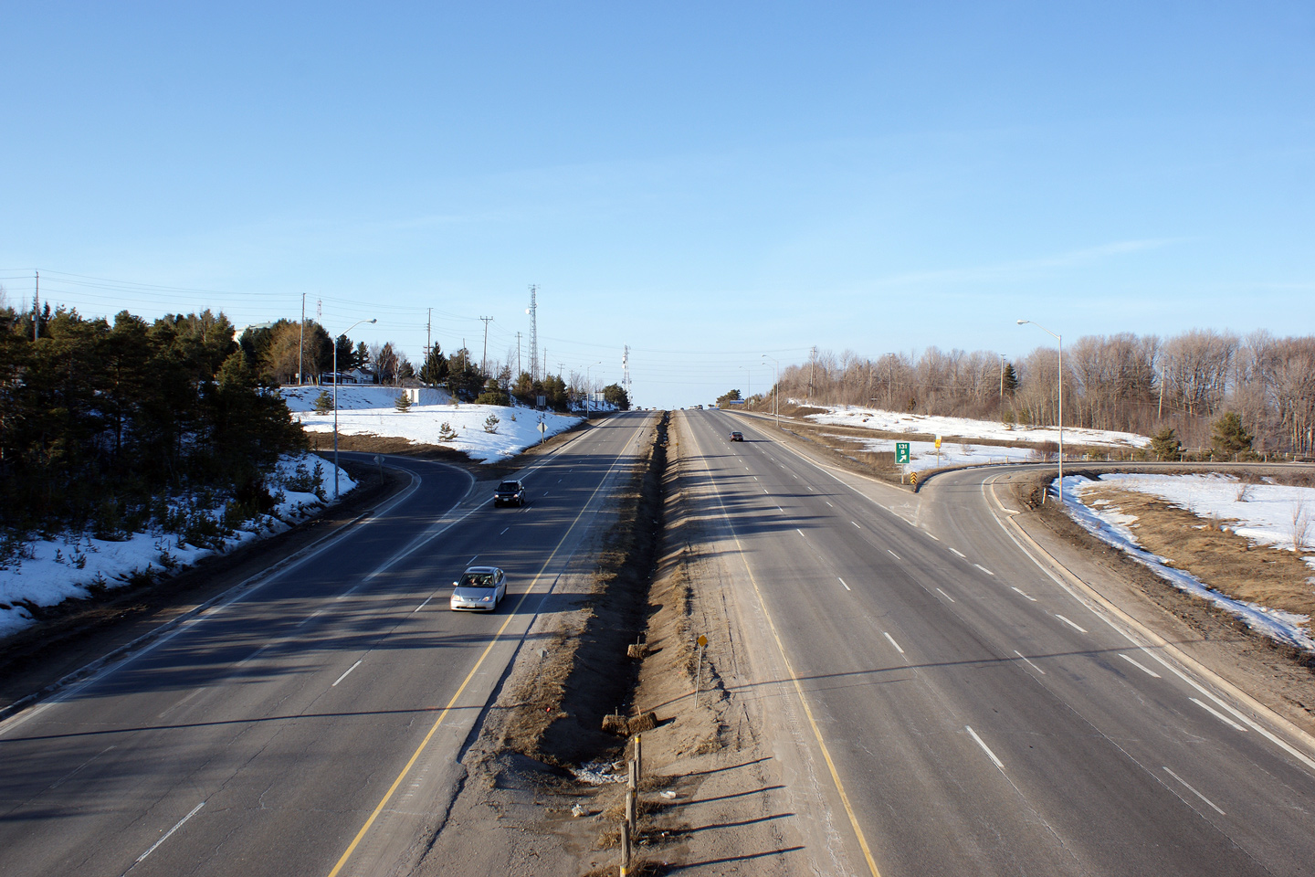
| Township of Oro-Medonte County of Simcoe |
View looking south from the Oro-Medonte Line 15 overpass at the southern end
of Orillia. Photo taken: July 15th, 2006. |
 |
|
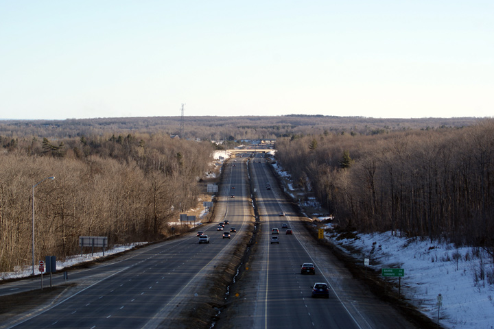
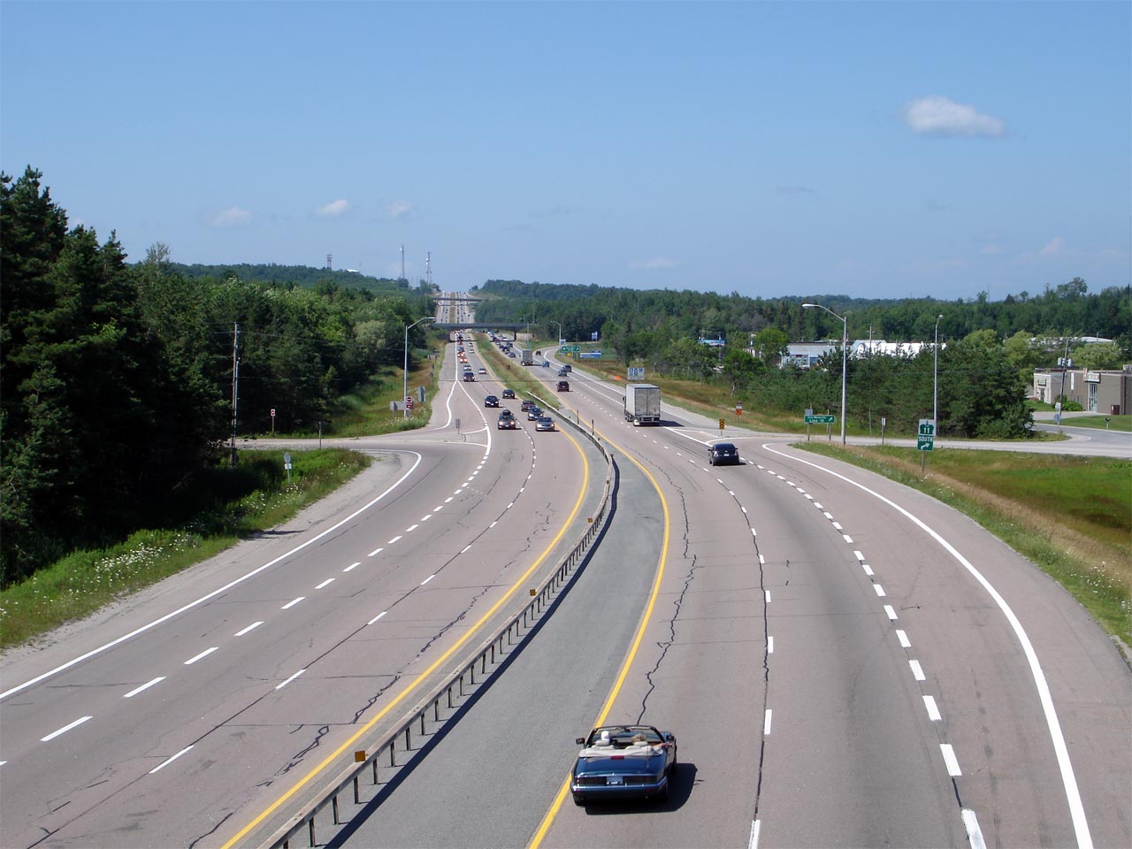
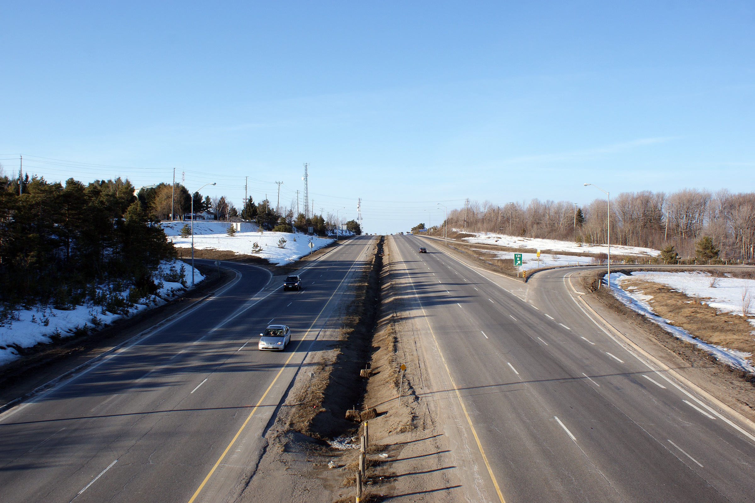
| Township of Oro-Medonte County of Simcoe |
Looking north from the Oro-Medonte Line 15 overpass. From this
overpass north to Laclie Street Highway 11 traverses the Orillia By-pass.
Along this full freeway by-pass Highway 11 has a 100km/h speed limit. Photo taken: July 15th, 2006. |
 |
|
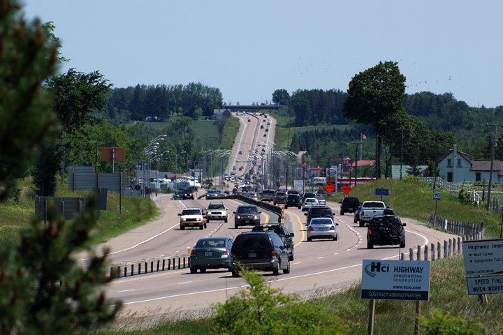
| City of Orillia |
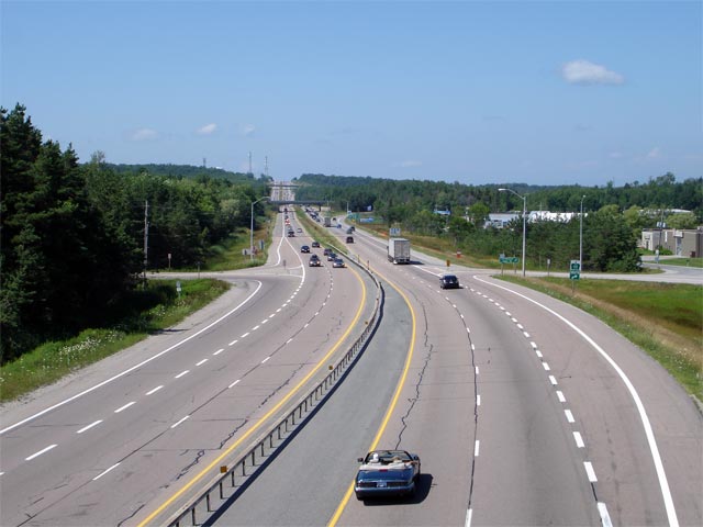
Looking south along Highway 11 down the long hill in Orillia from the
Highway 12 overpass. Not long after this photograph was taken, a steel
beam barrier was installed along the median of the freeway to reduce the
likelihood of a cross-over incident. Photo taken: March 7th, 2010. |
|
|
| City of Orillia |
Northerly view along Highway 11 from the Highway 12-South overpass.
Note the northbound passing lane that is to be utilized by slow vehicles up
the long grade. This is one of very few incidents on Ontario Freeways
where a passing lane has been constructed along a freeway. Photo taken: March 7th, 2010. |
 |
|
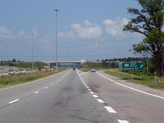
| City of Orillia |
Green signage in advance of the northbound off-ramp to
Highway 12-West,
Coldwater Road. Photo taken: July 13th, 2006. |
 |
|
| Highway 12 continues west of Orillia heading northwesterly towards Coldwater and Midland. Click here for Highway 12-West images. | |||
| Continue north on Highway 11 via Orillia to Gravenhurst Images | |||
<- Page 1B Images Highway 11 Images Index Page 2B Images ->
<- Highway 10 Images Back to Highway 11 Highway 11A Images ->
Copyright (c) 2004-2011, AsphaltPlanet.ca AsphaltPlanet@asphaltplanet.ca


