|
Proper Municipality Name |
Photo Description |
Photo |
|
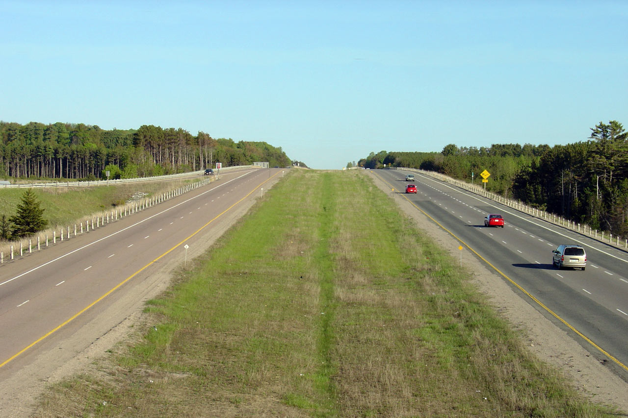
Photos taken
from driver's perspective appear offset from centre-line Photos: |
North-
Bound |
South-
Bound |
|
Click here for Highway 400 images between
Highway 9 and Crown Hill. |
| Township of Springwater County
of Simcoe |
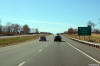
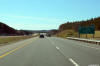
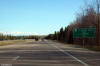
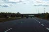
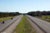
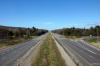
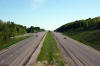
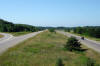
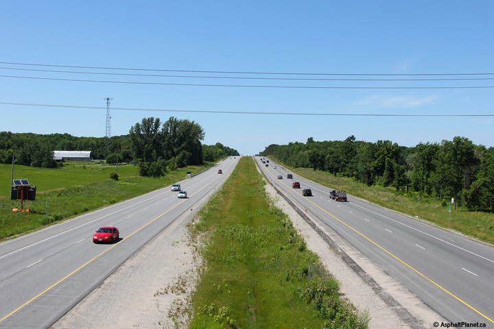
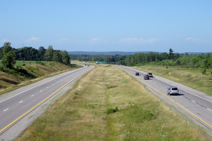
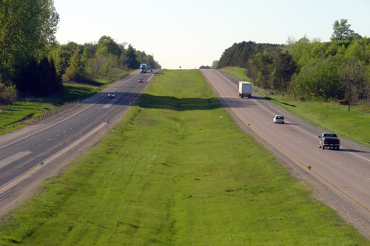
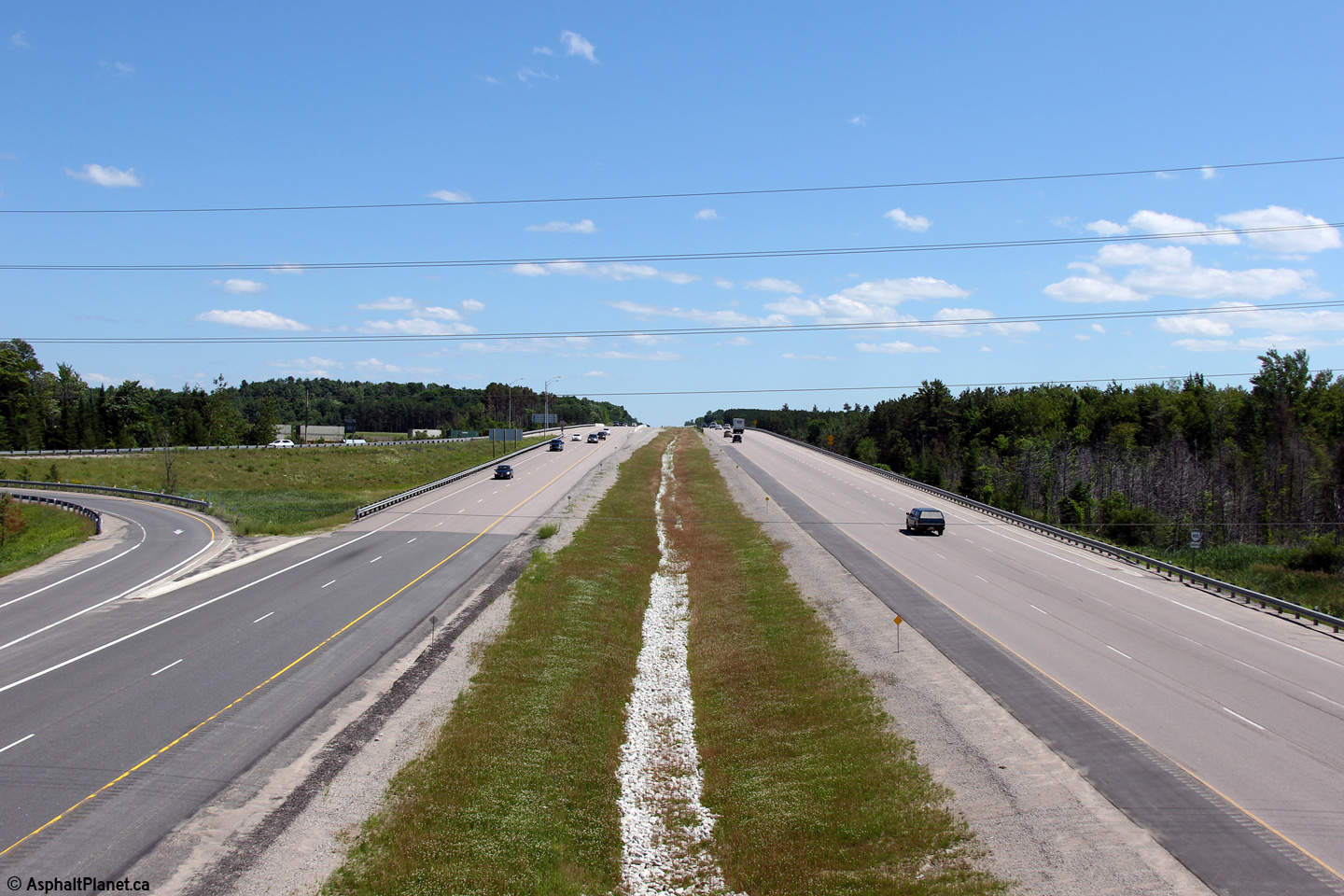
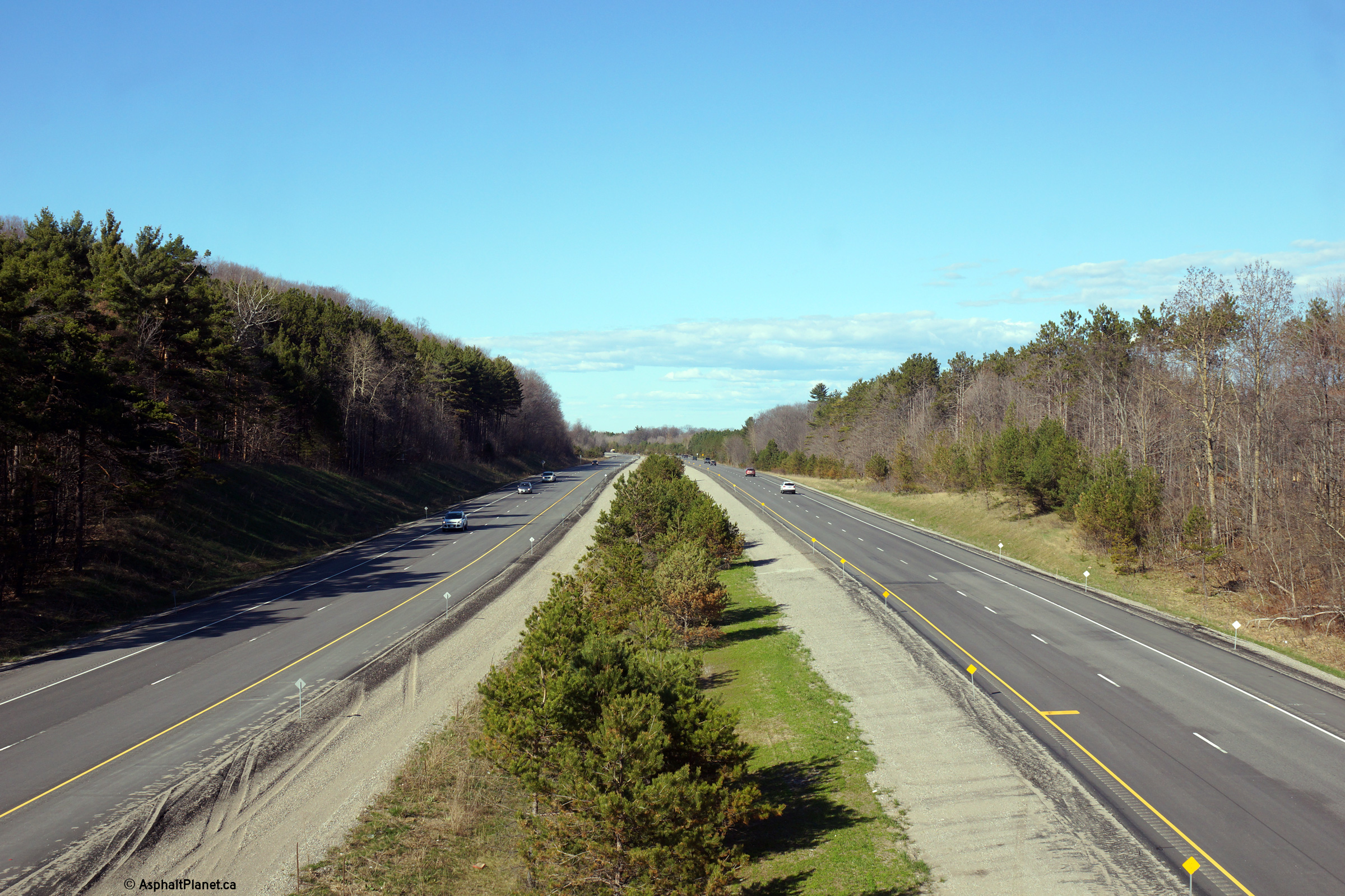
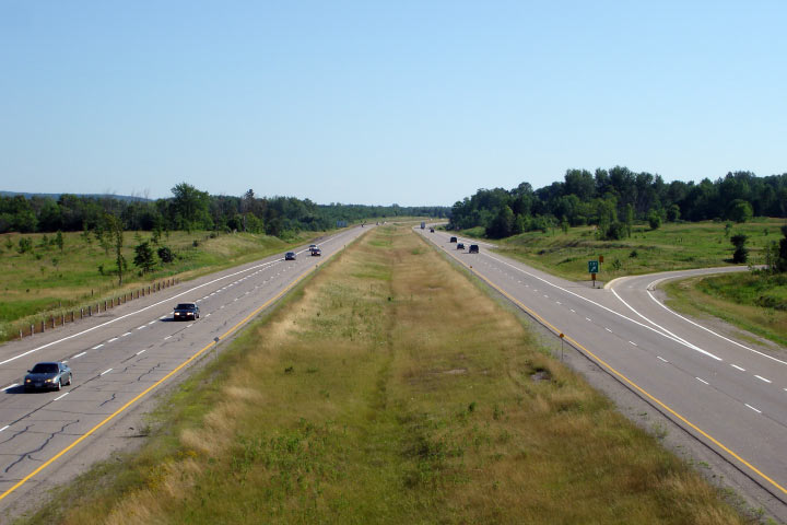
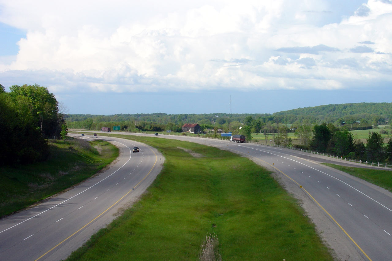
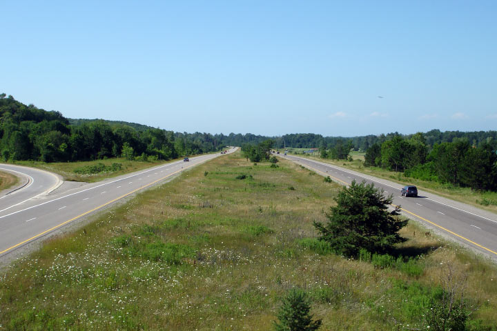
This view looks southerly from the Partridge Road overpass. North of
Barrie, Highway 400 has a very different cross-section than it does to the
south. Upper photo taken: May 25th, 2005. Lower photo taken: July 5th,
2014. |

(720x480)
(1440x960)
(2400x1600) |
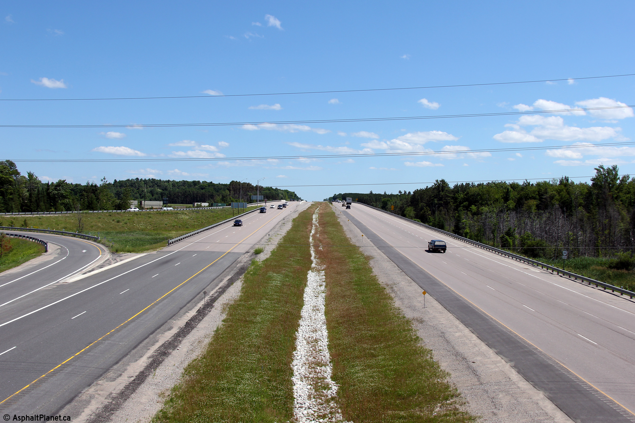
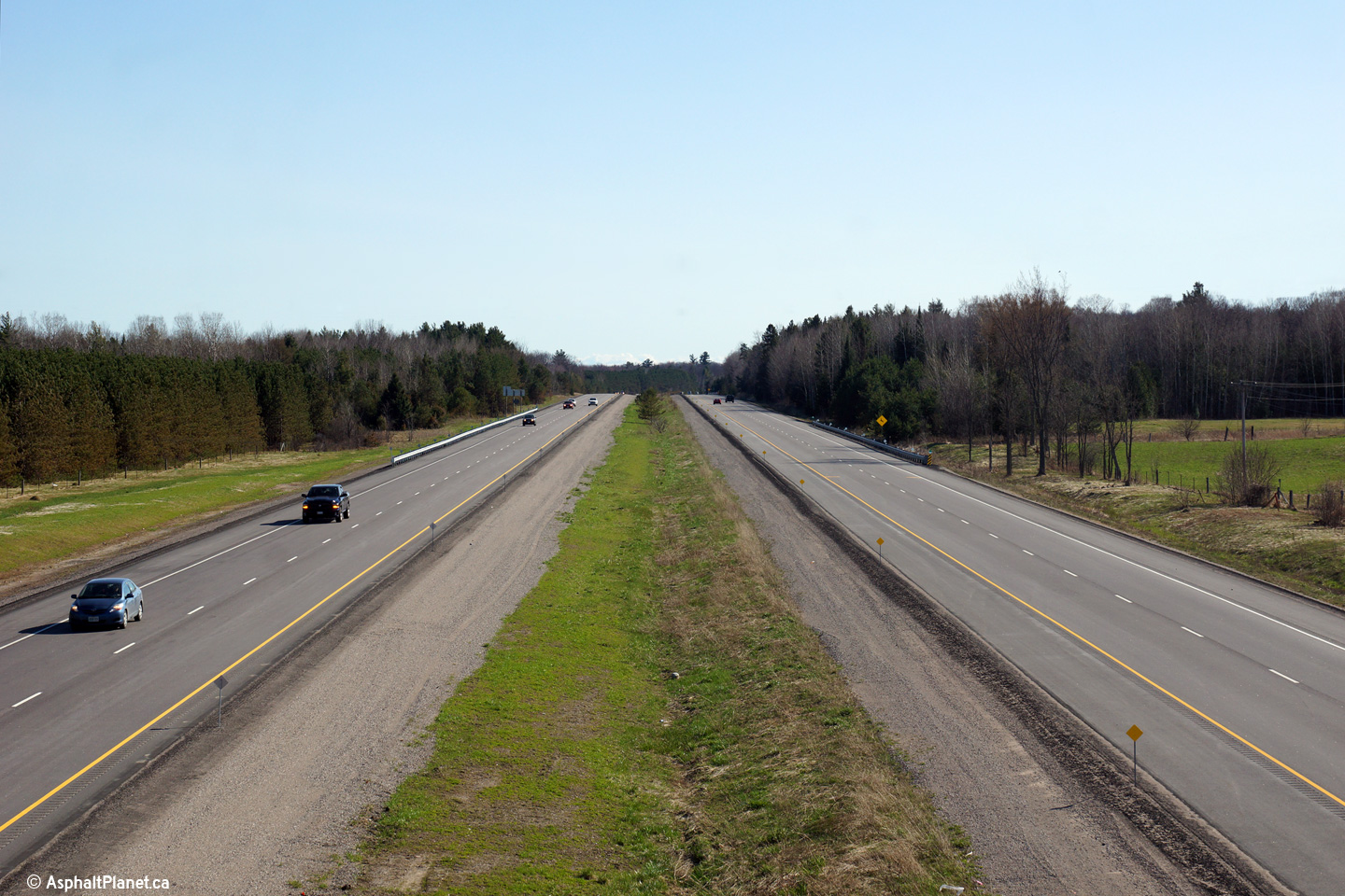
| Township of Springwater County
of Simcoe |
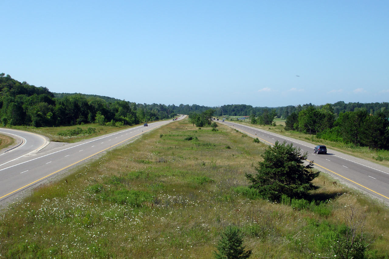
Opposing view looking north. Upper photo taken: May 25th, 2005. Lower
photo taken: July 5th, 2014. |

(720x480)
(1440x960)
(2400x1600) |
| Township of Springwater County
of Simcoe |
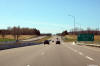
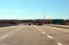
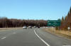
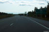
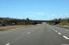
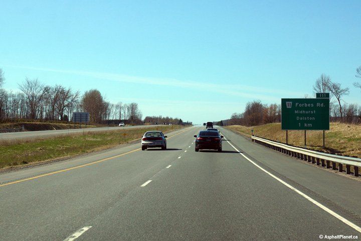
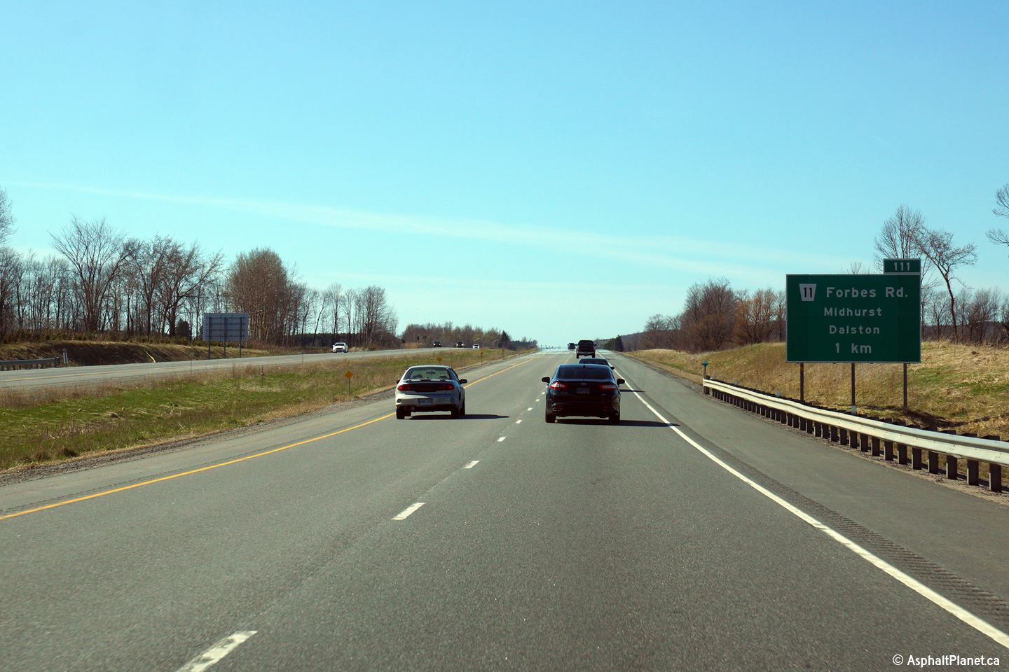
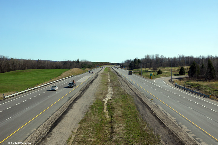
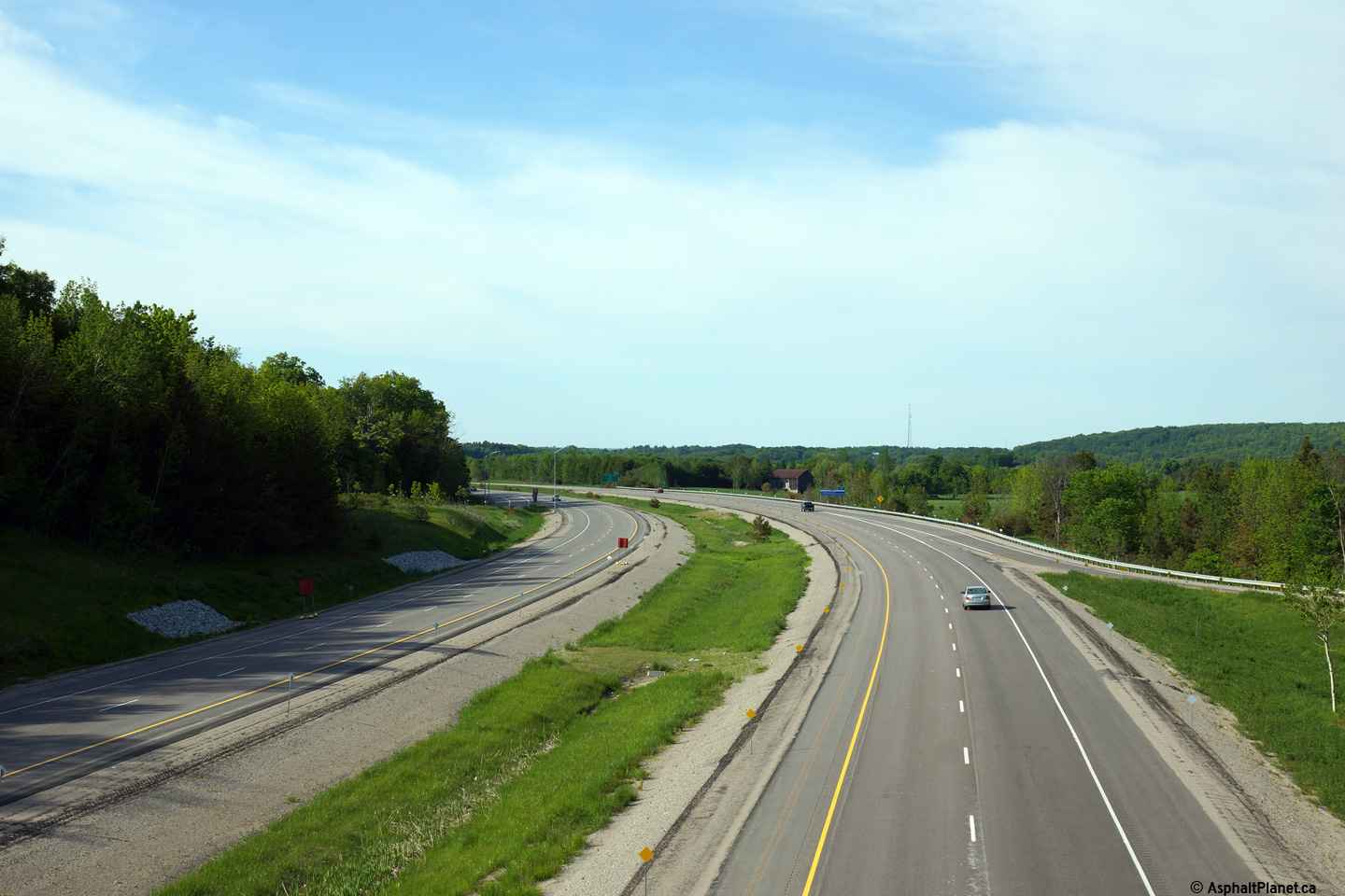
View looking northerly along Highway 400 approaching the Forbes Road
interchange.
Photo taken: May 1st, 2015. |
 (720x480) (720x480)
(1440x960)
(2400x1600) |
| Township of Springwater County
of Simcoe |
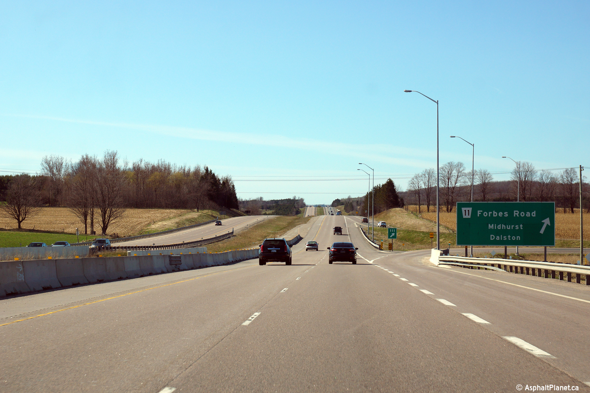
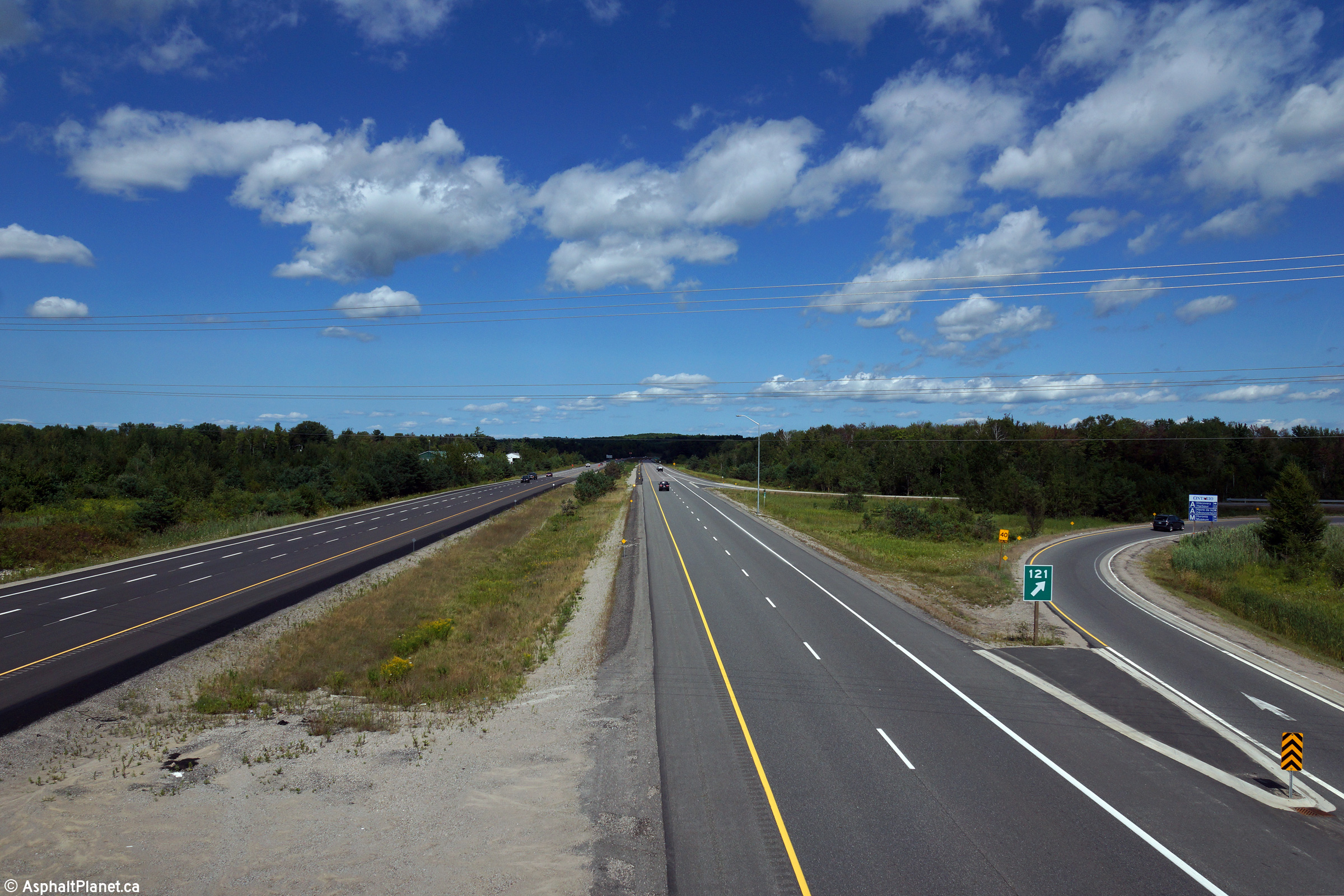
Highway 400 meets Forbes Road at a parclo B2 style interchange.
Photo taken: May 1st, 2015. |
 (720x480) (720x480)
(1440x960)
(2400x1600) |
| Township of Springwater County
of Simcoe |
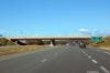
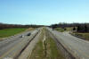
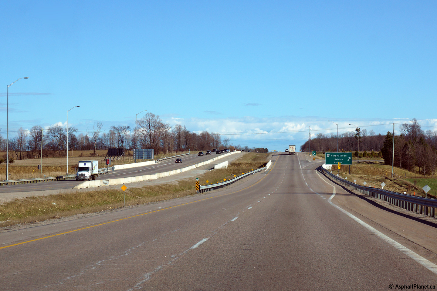
Southerly view at the off-ramp to the Forbes Road interchange. Notice
that the northbound Highway 400 structure over Forbes Road has an extra wide
inner-shoulder. Several years ago, the northbound structure was widened to carry
southbound traffic while the existing southbound structure was replaced.
Photo taken: May 1st, 2015. |
 (720x480) (720x480)
(1440x960)
(2400x1600) |
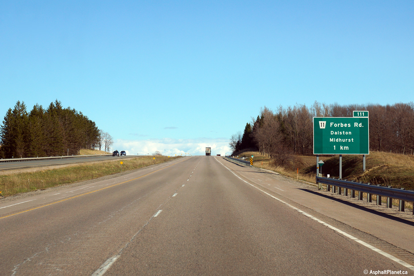
| Township of Springwater County
of Simcoe |
Southbound advanced signage for the Forbes Road interchange.
Photo taken: May 1st, 2015. |
 (720x480) (720x480)
(1440x960)
(2400x1600) |
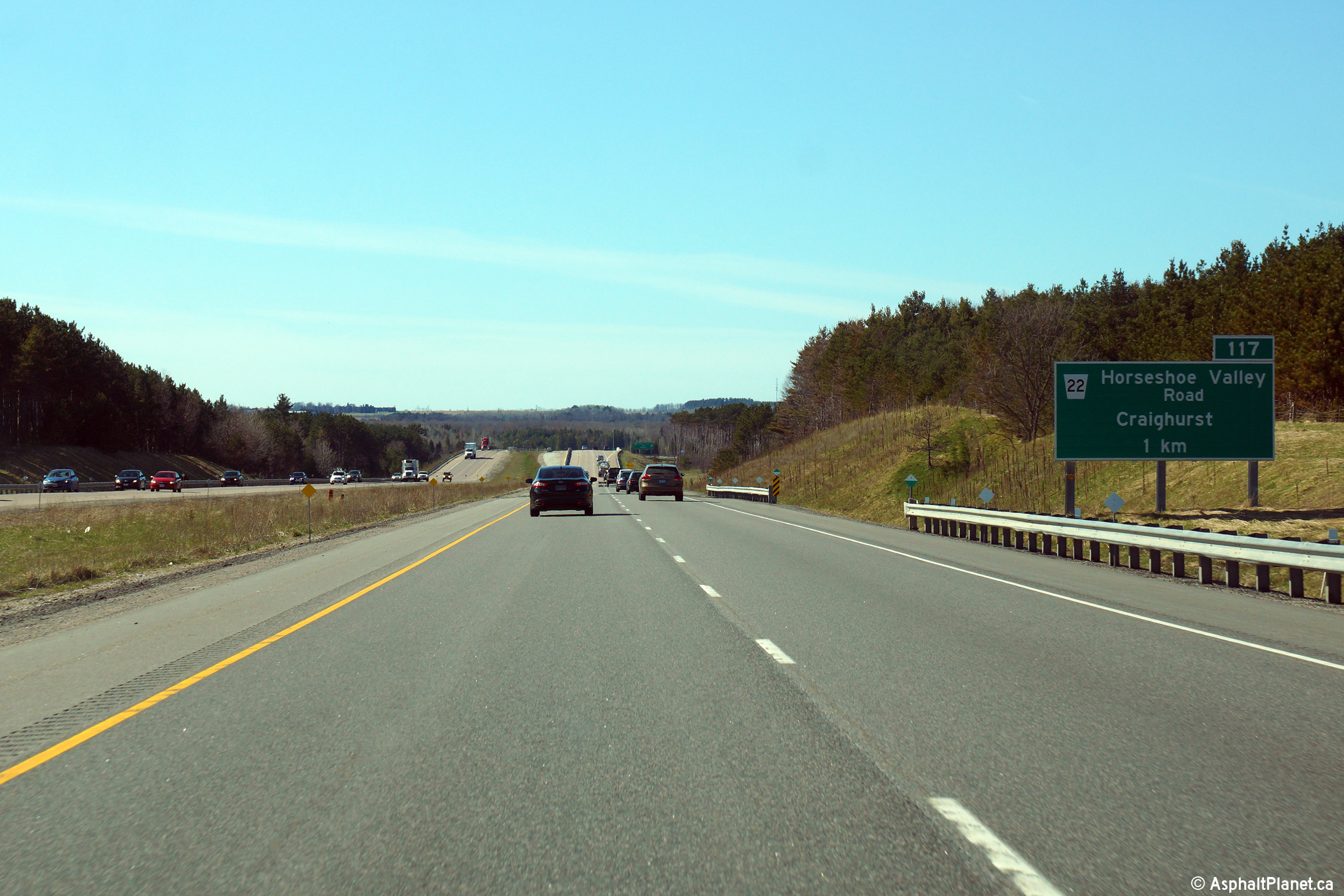
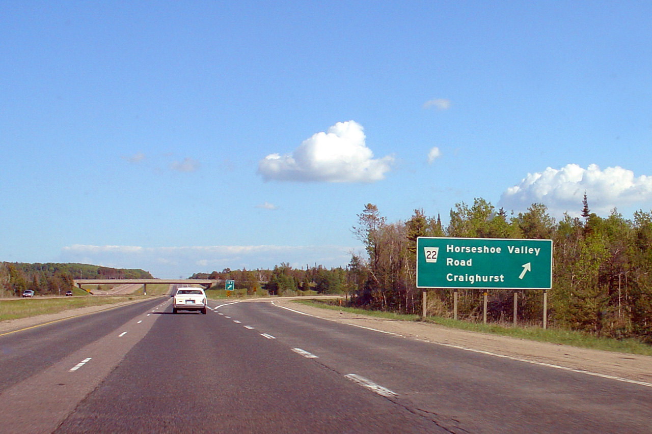
| Township of Springwater County
of Simcoe |
Northbound advanced signage for the Horseshoe Valley Road interchange.
Photo taken: May 1st, 2015. |
 (720x480) (720x480)
(1440x960)
(2400x1600) |
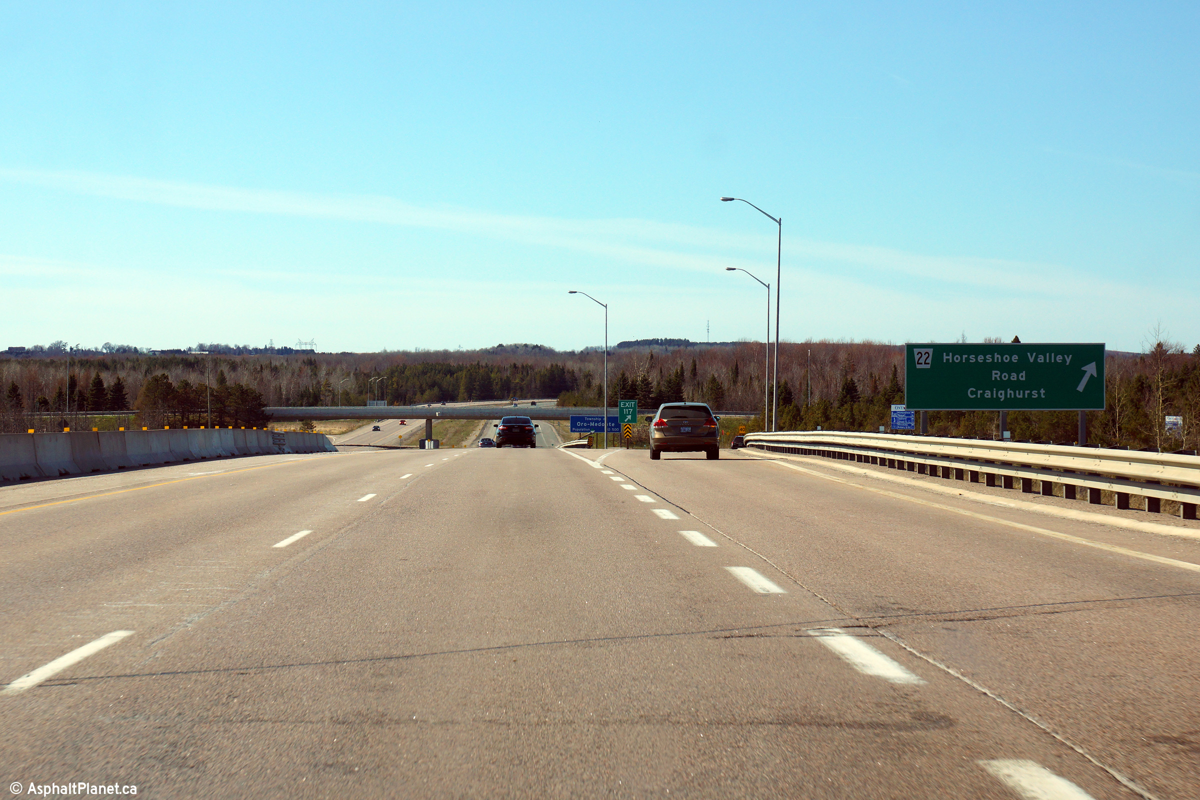
| Township of Springwater County
of Simcoe |
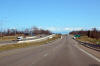
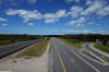
Northerly view along Highway 400 as the ramp to Horseshoe Valley Road
departs from the expressway.
Photo taken: May 1st, 2015. |
 (720x480) (720x480)
(1440x960)
(2400x1600) |
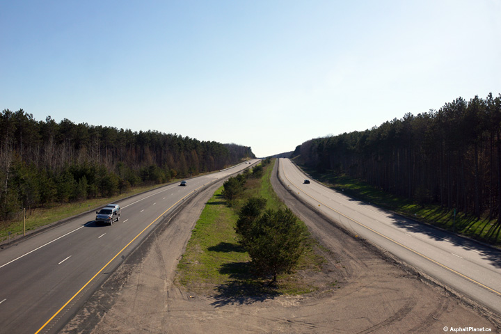
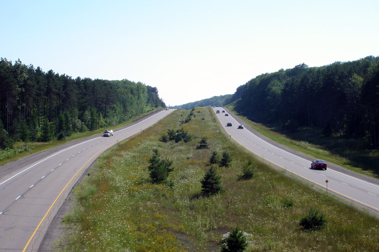
| Township of Springwater County
of Simcoe |
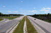
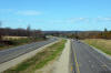
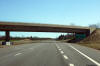
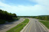
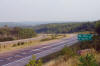
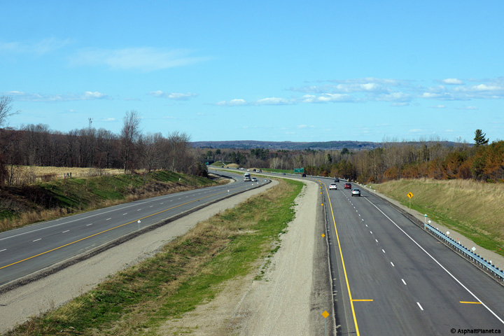
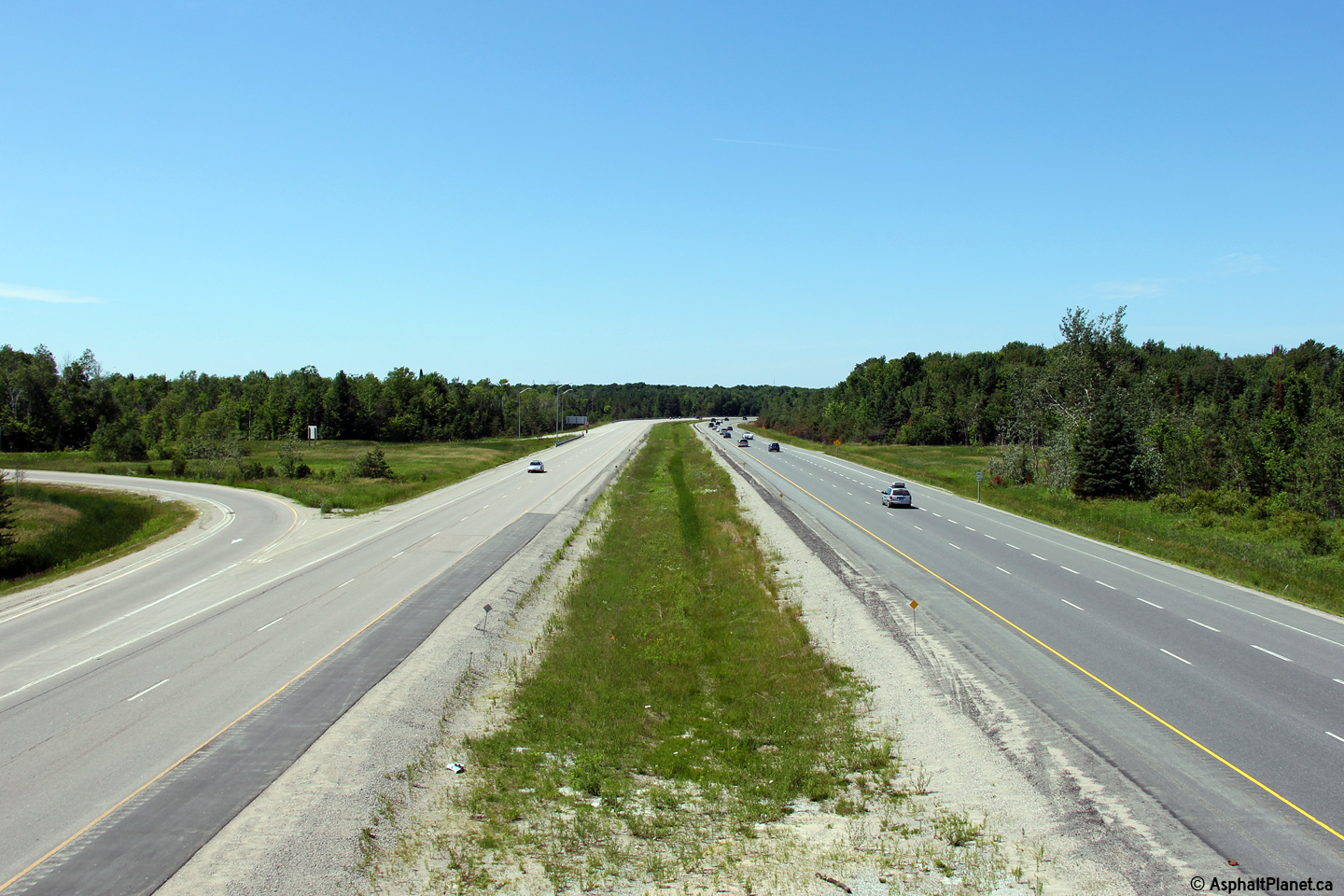
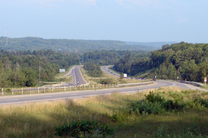
Southern view of Highway 400, this time from the Horseshoe Valley Road
overpass. The twin structures that carry Highway 400 traffic overtop
of CP's MacTier Subdivision were extensively rehabilitated between the
occasions that the 2005 and 2014 photos were taken.
Upper photo taken: May 25th, 2005. Lower photo taken: July 5th, 2014. |
(720x480)
(1440x960)
(2400x1600) |
| Township or Oro-Medonte County
of Simcoe |
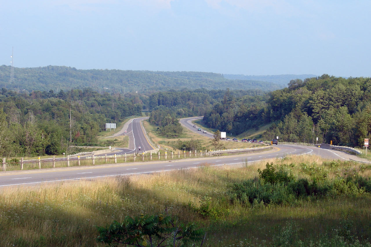
Northerly view from Horseshoe Valley Road. Upper photo taken: May 25th,
2005. Lower photo taken: July 5th, 2014. |

(720x480)
(1440x960)
(2400x1600) |
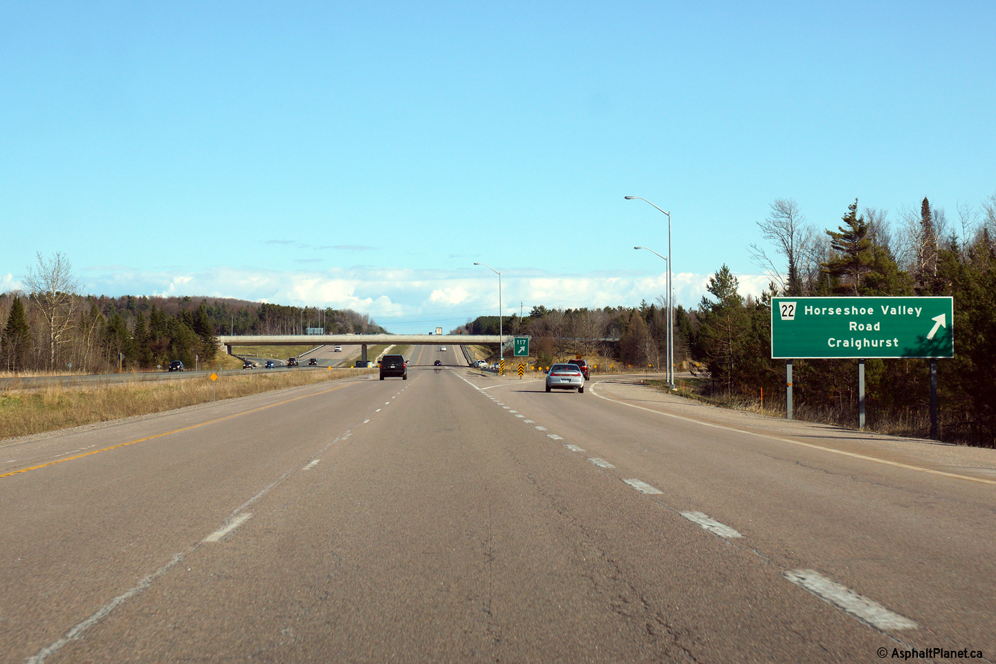
| Township or Oro-Medonte County
of Simcoe |
Southbound signage for Horseshoe Valley Road. Click
here for the former signage that
stood at this location, taken in June, 2005. Photo taken: May 1st, 2015. |
 (720x480) (720x480)
(1440x960)
(2400x1600) |
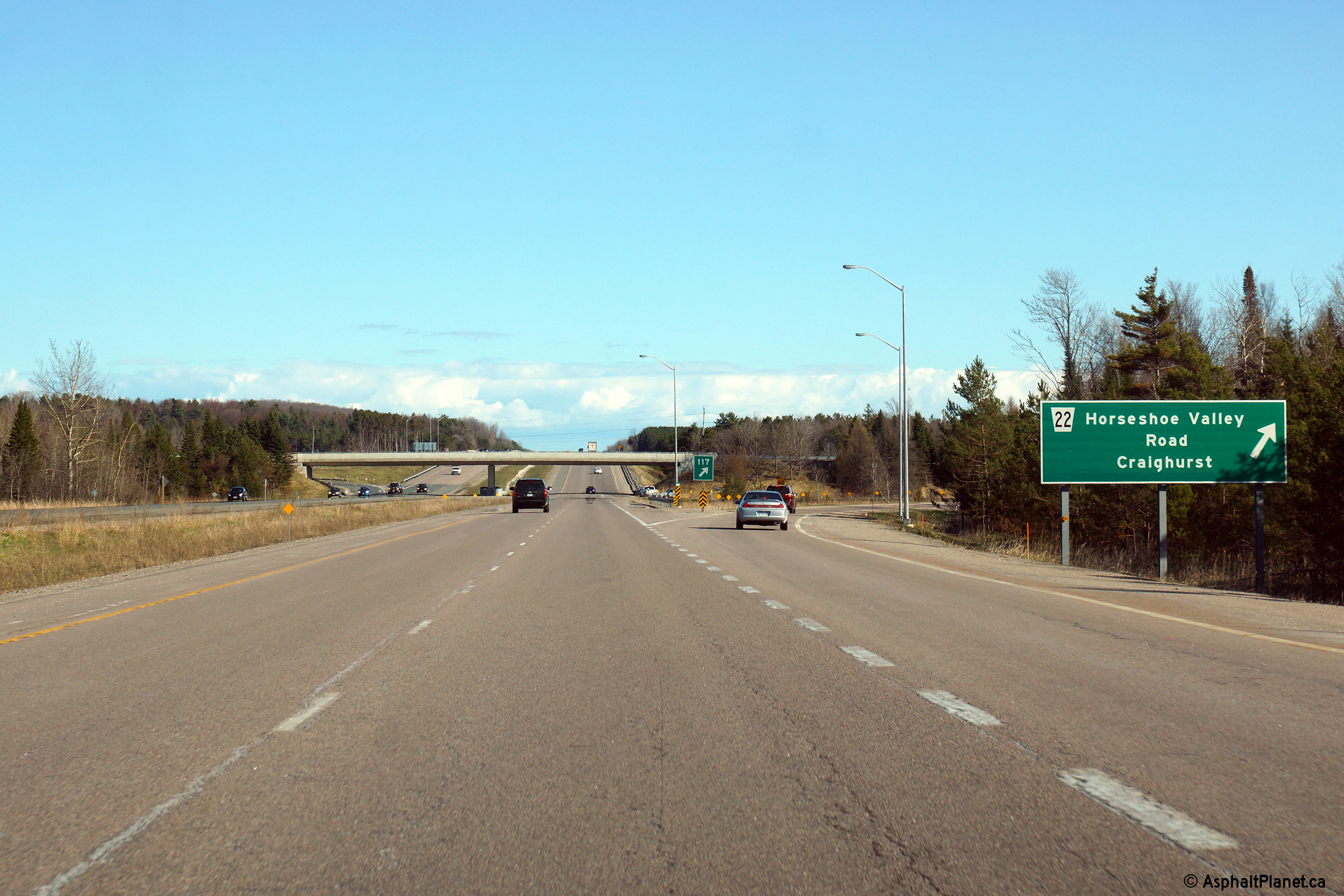
| Township or Oro-Medonte County
of Simcoe |
Southbound signage in advance of the Horseshoe Valley Road interchange.
Photo taken: May 1st, 2015. |
 (720x480) (720x480)
(1440x960)
(2400x1600) |
| Township or Oro-Medonte County
of Simcoe |
Northbound advanced signage in advance of the ramp to
Highway 93.
Photo taken: May 1st, 2015. |
 (720x480) (720x480)
(1440x960)
(2400x1600) |
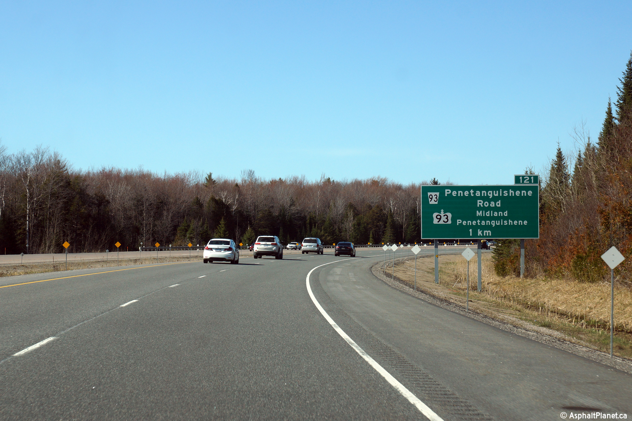
| Township or Oro-Medonte County
of Simcoe |
Northerly view at the off-ramp to Highway 93.
Photo taken: May 1st, 2015. |
 (720x480) (720x480)
(1440x960)
(2400x1600) |
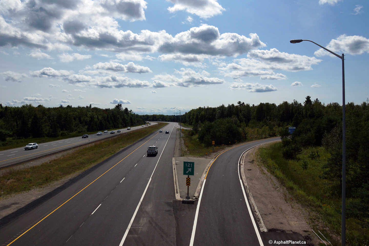
| Township or Oro-Medonte County
of Simcoe |
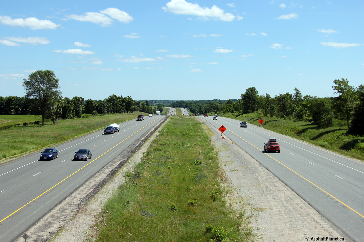
Looking south towards the long curve between Horseshoe Valley Road and
Highway 93 from the Highway 93 overpass.
Click here for an alternate view from
this location taken in August, 2004. Photo taken: August 22nd, 2015 |

(720x480)
(1440x960)
(2400x1600) |
|
Highway 93 extends north of the
400 to Penetanguishene. Click
here for Highway 93 images. |
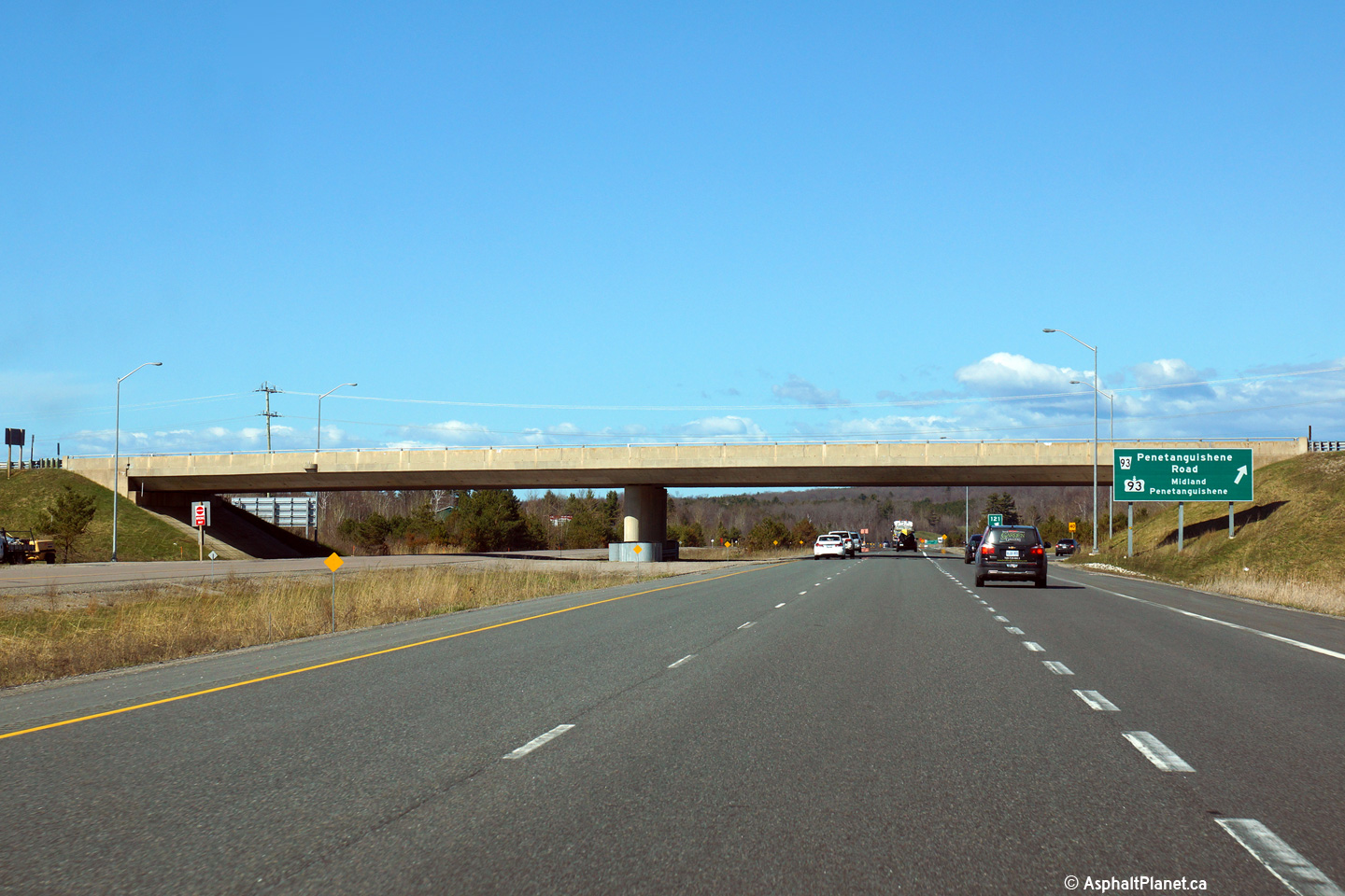
| Township or Oro-Medonte County
of Simcoe |
View looking north from the Highway 93 overpass.
Click here for an alternate view from
this location taken in August, 2004. Photo taken: August 22nd, 2015. |
(720x480)
(1440x960)
(2400x1600) |
| Township or Oro-Medonte County
of Simcoe |
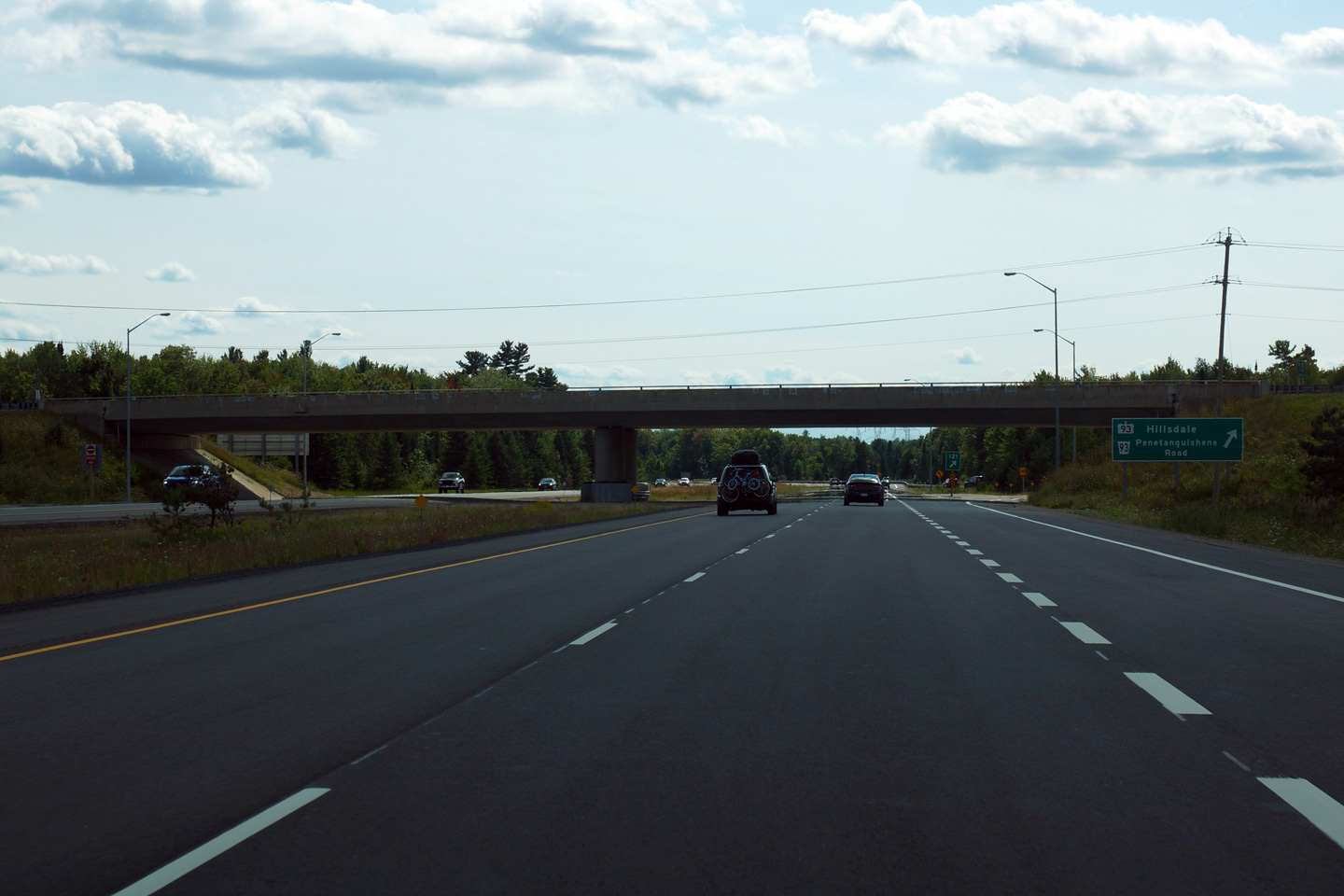
View looking southerly at the southbound off-ramp to Highway 93.
Photo taken: August 22nd, 2015. |
 (720x480) (720x480)
(1440x960)
(2400x1600) |
| Township or Oro-Medonte County
of Simcoe |
Southbound advanced signage for the Highway 93 interchange.
Photo taken: August 22nd, 2015. |
 (720x480) (720x480)
(1440x960)
(2400x1600) |
| Township or Oro-Medonte County
of Simcoe |
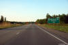
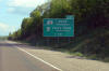
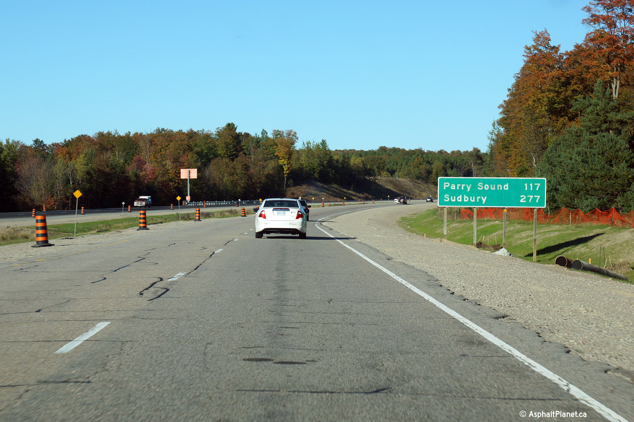
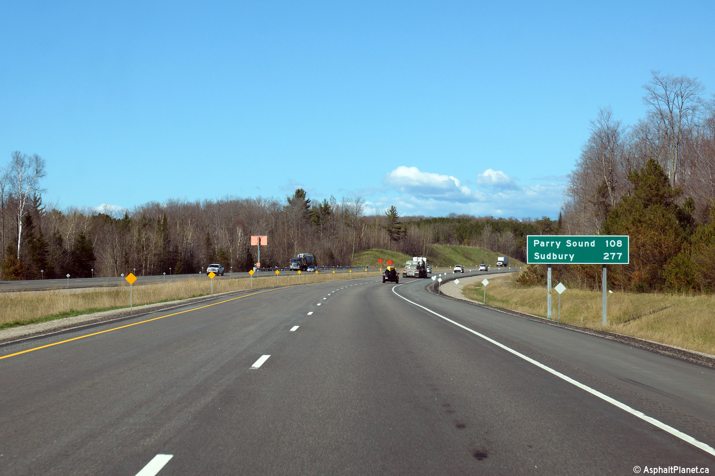
Distance signage for Parry Sound and Sudbury location north of the Highway
93 interchange. This sign was installed as part of the recent road
reconstruction and replaced a much more dated sign, as seen
here, taken in September
2013.
Photo taken: May 1st, 2015. |
 (720x480) (720x480)
(1440x960)
(2400x1600) |
| Township or Oro-Medonte County
of Simcoe |
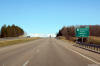
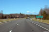
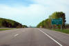
View looking northerly approaching the 4th Line overpass. Through
northern Simcoe County, Highway 400 runs along the lower edge of a tall
ridge.
Photo taken: May 1st, 2015. |
 (720x480) (720x480)
(1440x960)
(2400x1600) |
| Township or Oro-Medonte County
of Simcoe |
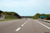
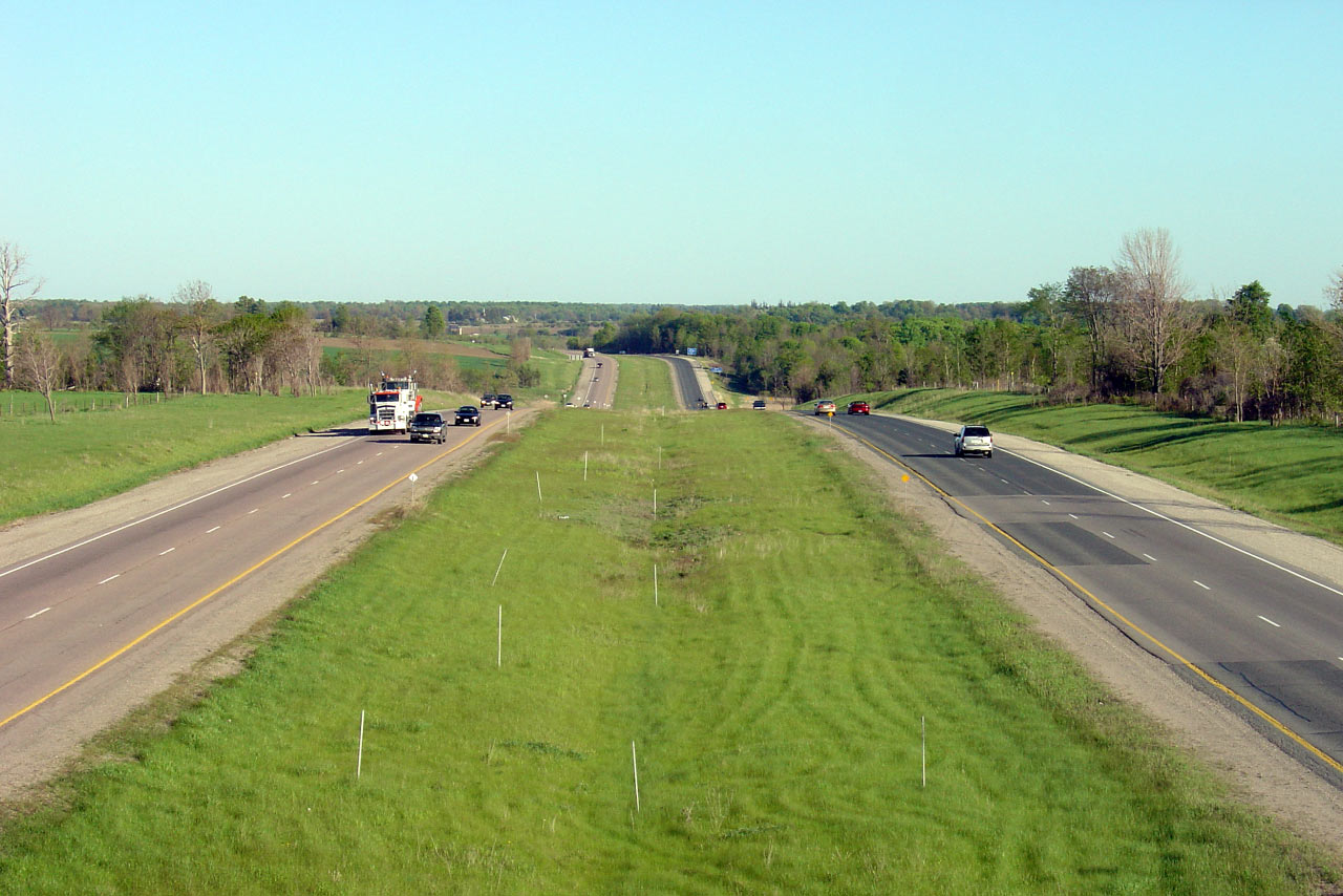
Southbound view of the 400 from the 4th Line overpass. Upper photo taken:
July 15th, 2006. Lower photo taken: May 1st, 2015. |

(720x480)
(1440x960)
(2400x1600) |
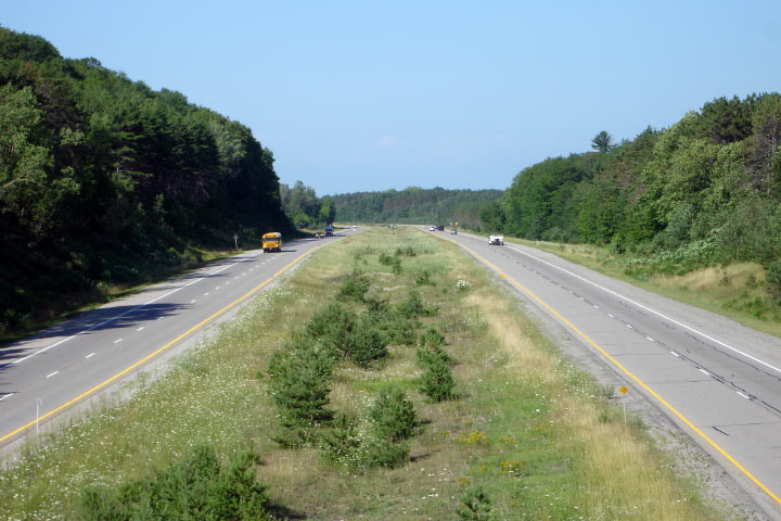
| Township or Oro-Medonte County
of Simcoe |
Large stands of trees begin to surround Highway 400 as it progresses further
north into Simcoe County. Upper photo taken: July 15th, 2006. Lower
photo taken: May 1st, 2015. |

(720x480)
(1440x960)
(2400x1600) |
| Township or Oro-Medonte County
of Simcoe |
View from the 6th Line overpass, southerly. Upper photo taken: July 15th,
2006. Lower photo taken: May 1st, 2015. |
(720x480)
(1440x960)
(2400x1600) |
| Township or Oro-Medonte County
of Simcoe |
Opposing view from the 6th Line overpass. Upper photo taken: July 15th,
2006. Lower photo taken: May 1st, 2015. |
(720x480)
(1440x960)
(2400x1600) |
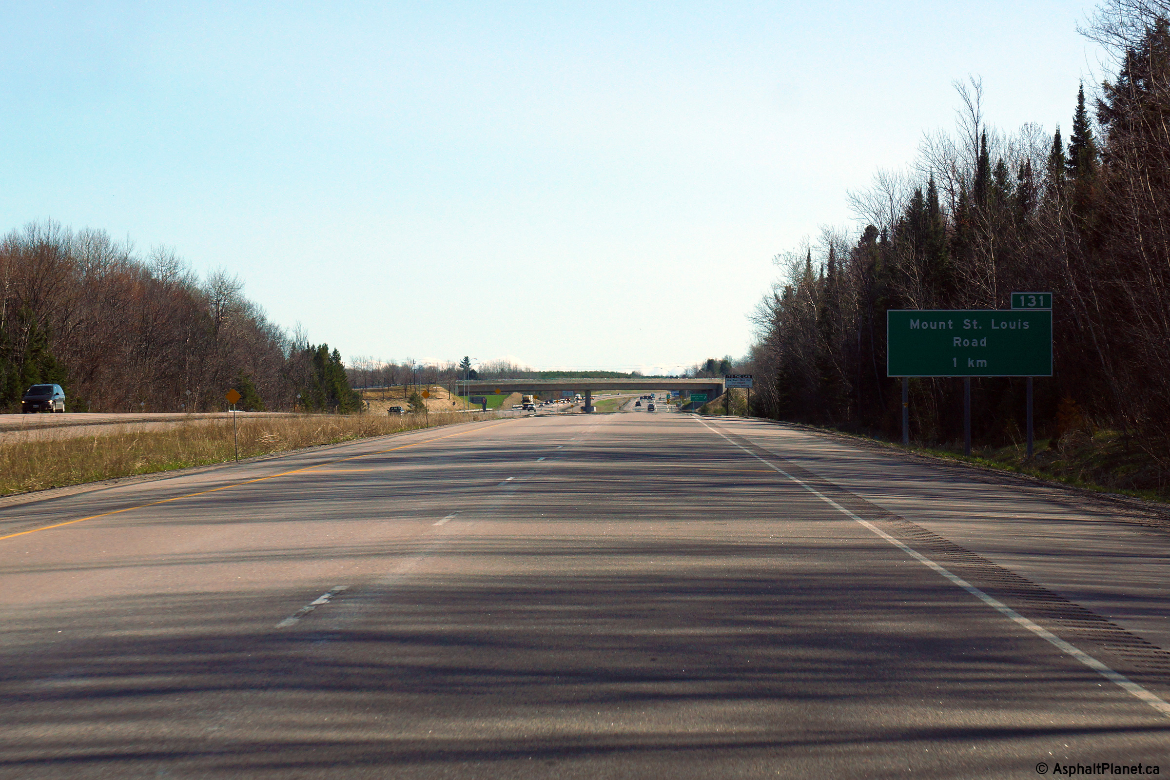
| Township or Oro-Medonte County
of Simcoe |
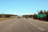
Northbound view approaching the Mount St. Louis Road interchange.
Photo taken: May 1st, 2015. |
 (720x480) (720x480)
(1440x960)
(2400x1600) |
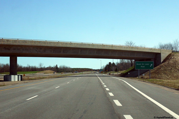
| Township or Oro-Medonte County
of Simcoe |
View at the northbound off-ramp to the Mount St. Louis Road interchange
Photo taken: May 1st, 2015. |
 (720x480) (720x480)
(1440x960)
(2400x1600) |
| Township or Oro-Medonte County
of Simcoe |
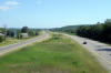
View looking south from Mount St. Louis Road. Mount St. Louis is a
large ski resort situated beside the freeway. Upper photo taken: July
15th, 2006. Lower photo taken: May 1st, 2015. |
(720x480)
(1440x960)
(2400x1600) |
| Township or Oro-Medonte County
of Simcoe |
Highway 400 progressing north from Mount St. Louis Road. Upper photo
taken: July 15th, 2006. Lower photo taken: May 1st, 2015. |
(720x480)
(1440x960)
(2400x1600) |
| Township or Oro-Medonte County
of Simcoe |
Southerly view at the off-ramp to Mount St. Louis Road interchange.
Photo taken: May 1st, 2015. |
 (720x480) (720x480)
(1440x960)
(2400x1600) |
| Township or Oro-Medonte County
of Simcoe |
Southbound advanced signage for the Mount St. Louis Road interchange.
Photo taken: May 1st, 2015. |
 (720x480) (720x480)
(1440x960)
(2400x1600) |
| Township or Oro-Medonte County
of Simcoe |
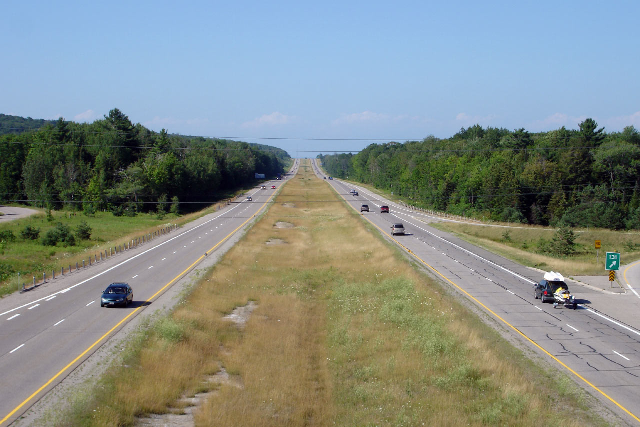
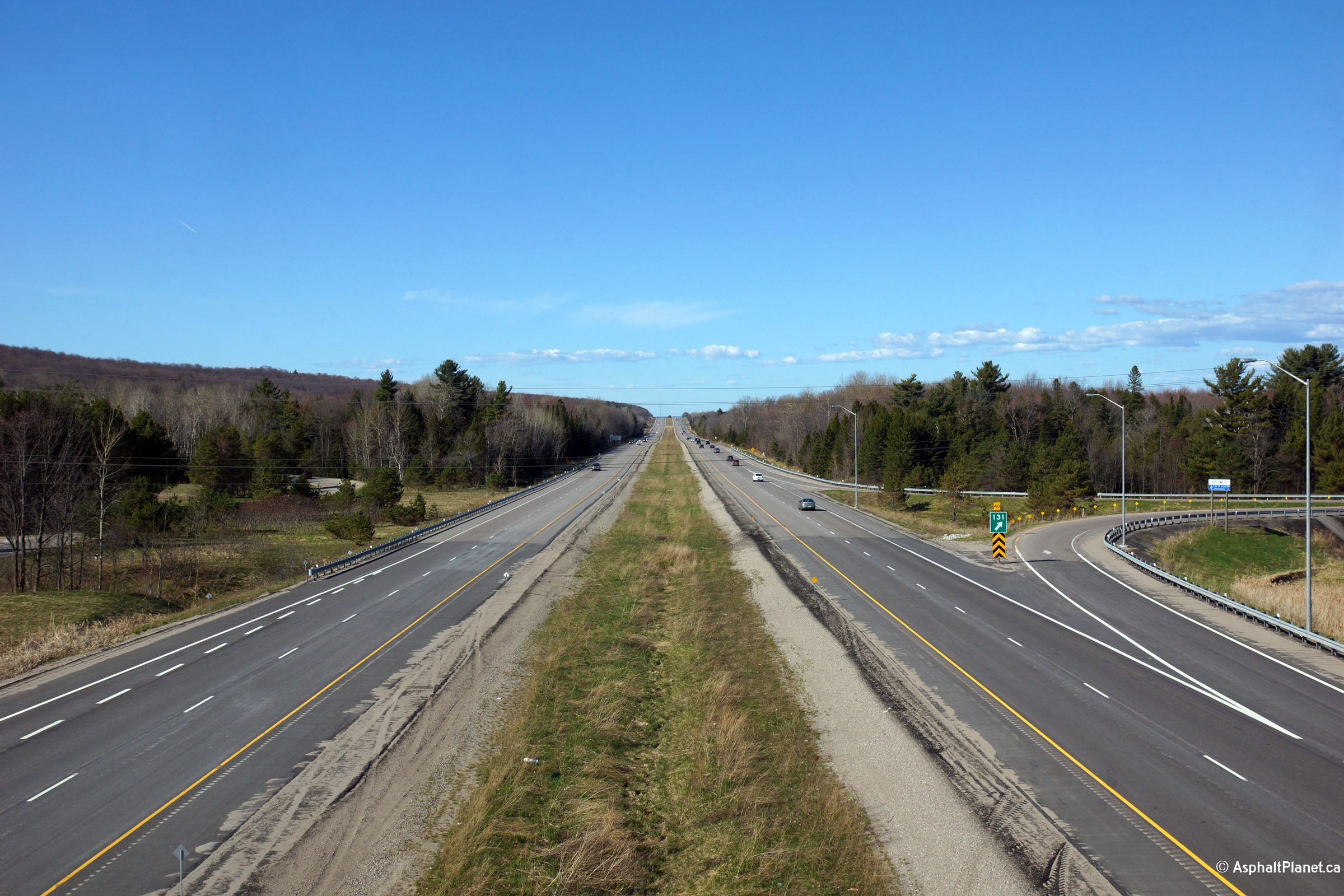
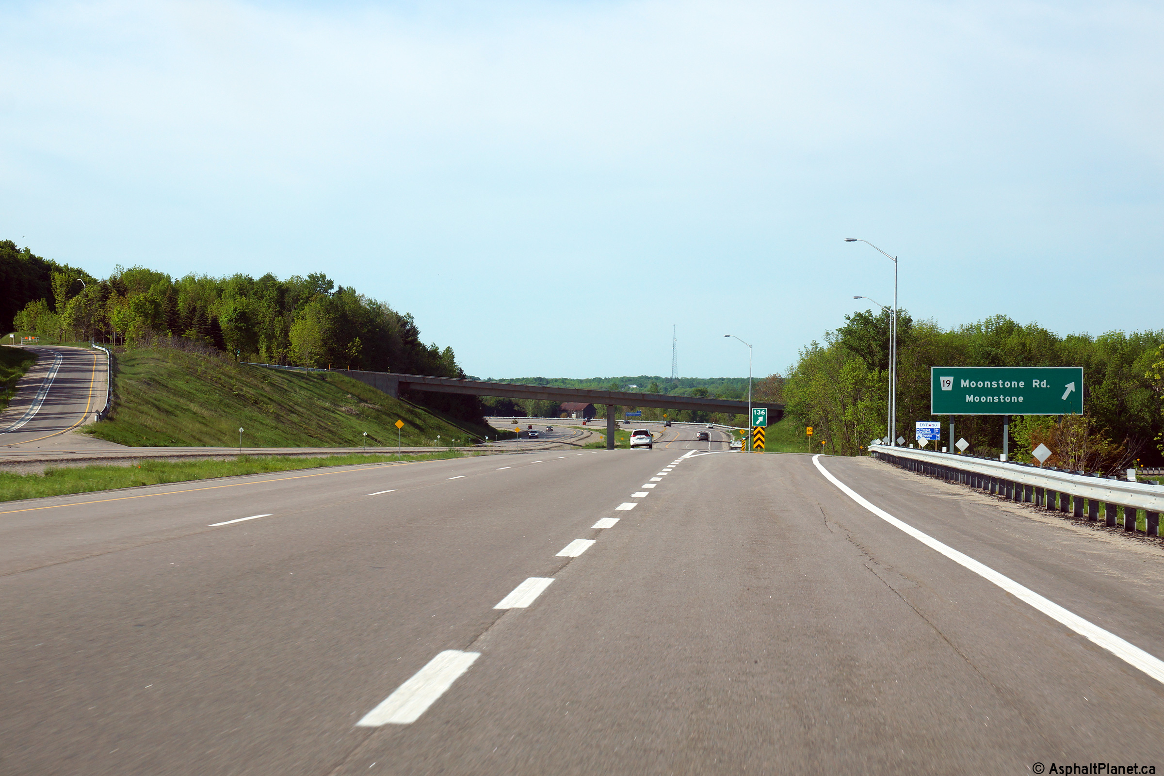
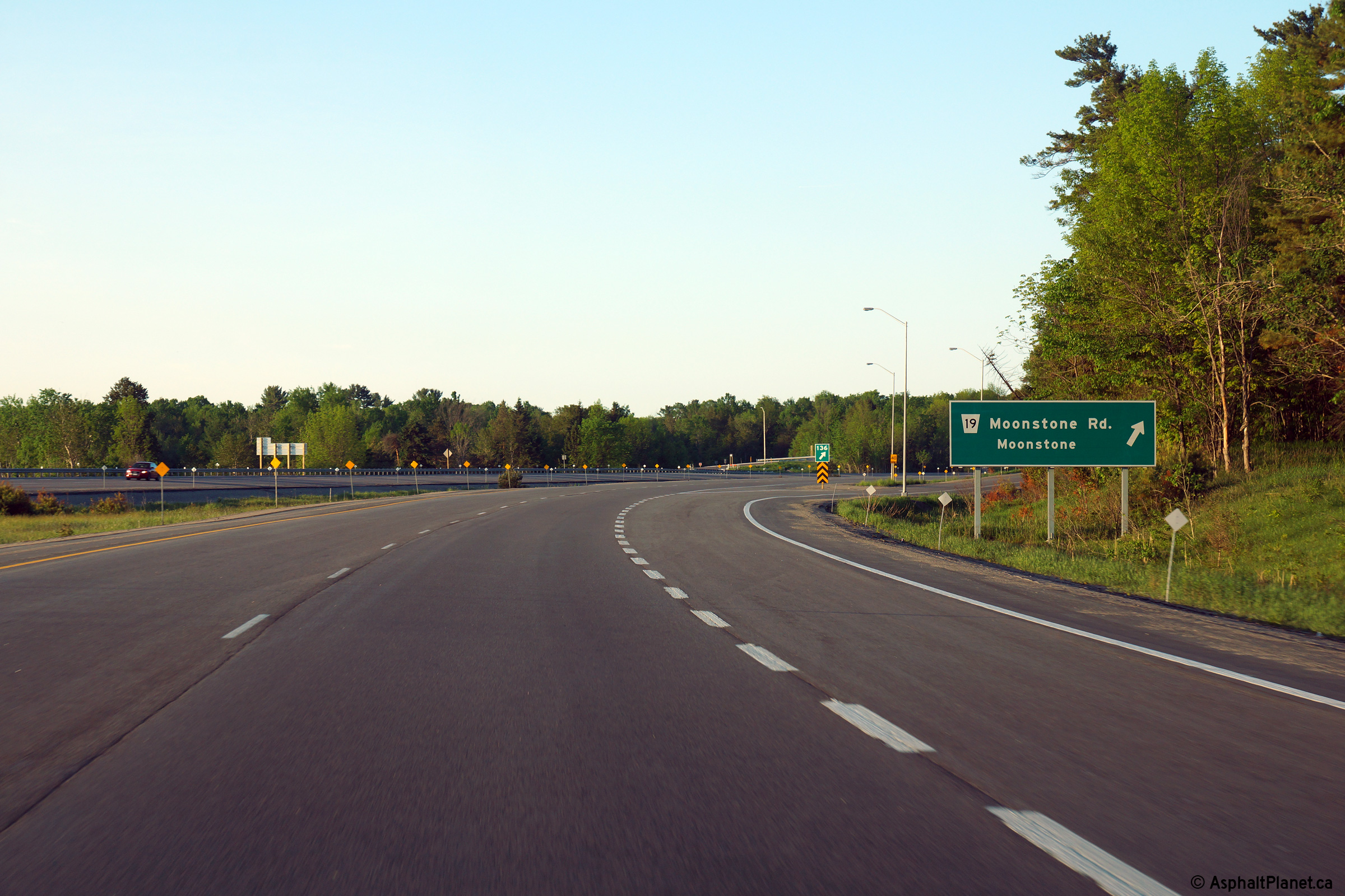
Northerly view approaching the Moonstone Road interchange.
Photo taken: May 31st, 2014. |
 (720x480) (720x480)
(1440x960)
(2400x1600) |
| Township or Oro-Medonte County
of Simcoe |
View looking northerly at the Moonstone Road off-ramp.
Photo taken: May 31st, 2014. |
 (720x480) (720x480)
(1440x960)
(2400x1600) |
| Township or Oro-Medonte County
of Simcoe |
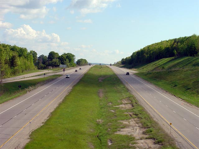
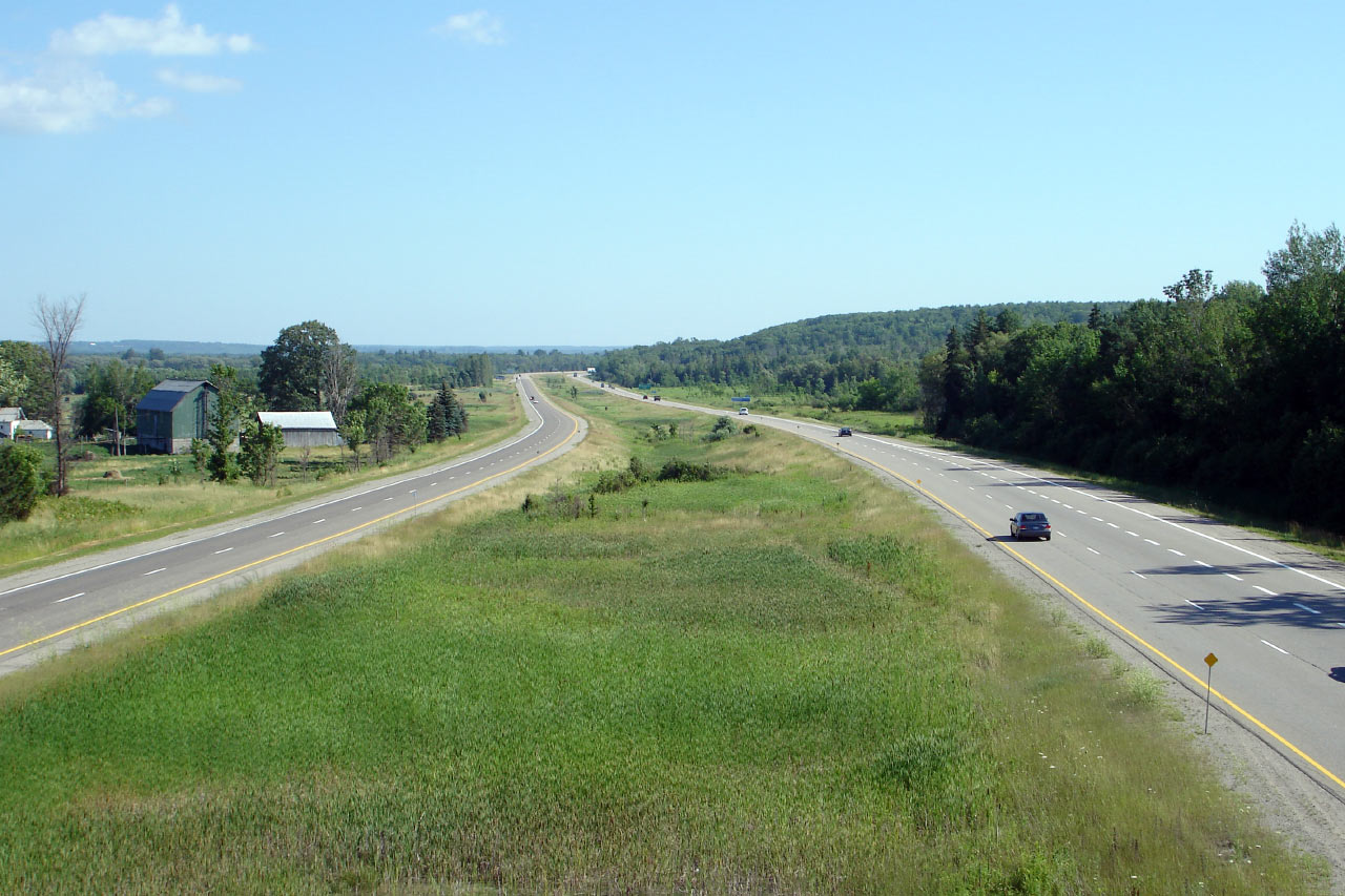
View looking south from the Moonstone Road overpass. Upper photo taken:
June 1st, 2005. Lower photo taken: May 31st, 2014. |
(720x480)
(1440x960)
(2400x1600) |
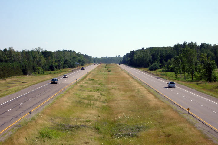
| Township or Oro-Medonte County
of Simcoe |
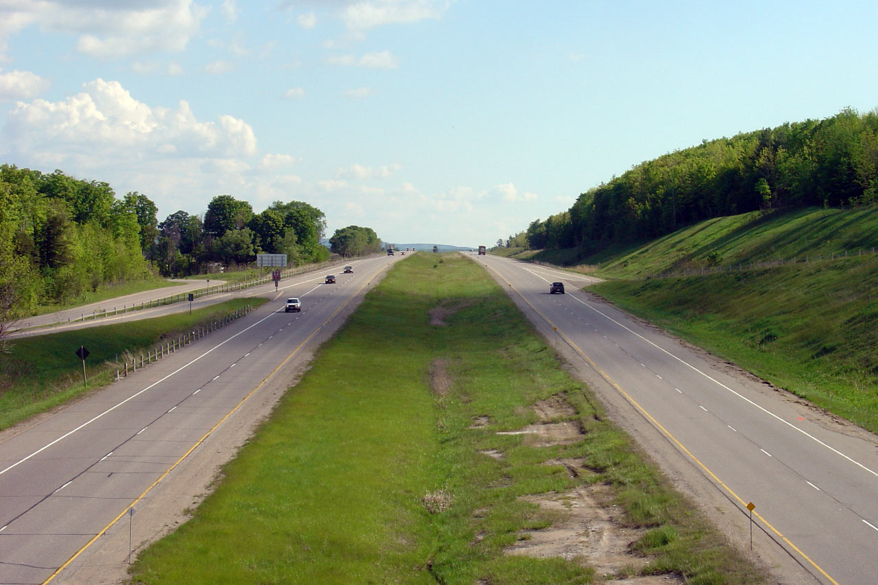
Highway 400 sits at the foot of a steep valley wall in the vicinity of
the Moonstone Road overpass. Upper photo taken: June 1st, 2005. Lower
photo taken: May 31st, 2014. |
(720x480)
(1440x960)
(2400x1600) |
| Township of Tay County of
Simcoe |
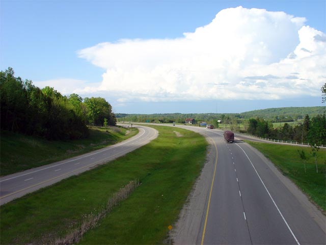
Southerly view approaching the Moonstone Road interchange.
Photo taken: June 1st, 2014. |
 (720x480) (720x480)
(1440x960)
(2400x1600) |
| Township of Tay County of
Simcoe |
Southbound advanced signage approaching the Moonstone Road interchange.
Photo taken: June 1st, 2014. |
 (720x480) (720x480)
(1440x960)
(2400x1600) |
| Township of Tay County of
Simcoe |
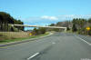
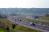
Highway 400 from the Lower Big Chute Road overpass. Lower Big Chute
Road is a former alignment of Highway 400 that leads to Highway 12; It is
still a provincial highway, albeit unmarked. Photo taken: July 15th, 2006. |
(720x480)
(1440x960) |
| Township of Tay County of
Simcoe |
Looking north from the Lower Big Chute Road overpass. Photo taken: July
15th, 2006. |
(720x480)
(1440x960) |
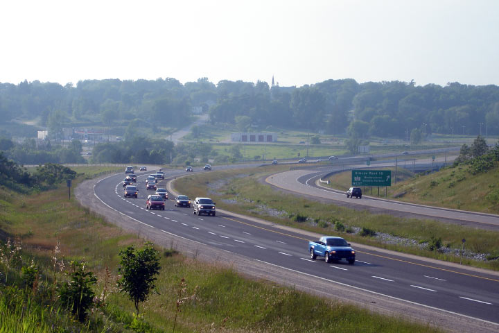
| Severn - Tay Boundary County of
Simcoe |
The Vasey Road interchange on a long sweeping 'S' bend. Photo courtesy:
Josh Anderchek. Taken: July 3rd, 2006. |

(720x480)
(1440x960) |
| Severn - Tay Boundary County of
Simcoe |
Ground mounted signage for Vasey Road signs indicating Highway 12 East.
Photo taken: August 2nd, 2007. |
(720x480)
(1440x960) |
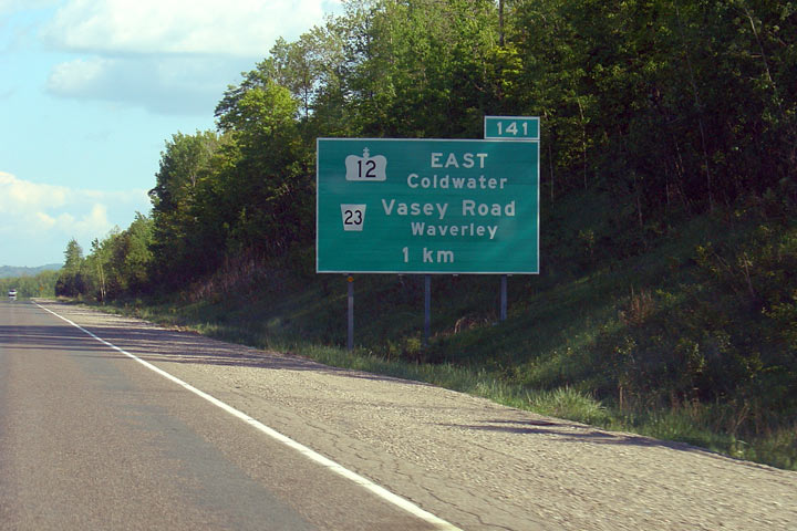
| Severn - Tay Boundary County of
Simcoe |
Advanced signage for Vasey Road and Highway 12 East. Photo taken: June
1st, 2005. |
 |
| Severn - Tay Boundary County of
Simcoe |
Looking north along the long curve at the Highway 12 interchange. Photo
taken: July 3rd, 2006. |
(720x480)
(1440x960) |
|
Highway 12 extends east and west
of Highway 400. Click
here for Highway 12 images. |
|
Click here for Highway 400 images between
Waubaushene
and Parry Sound. |


 (720x480)
 (720x480)
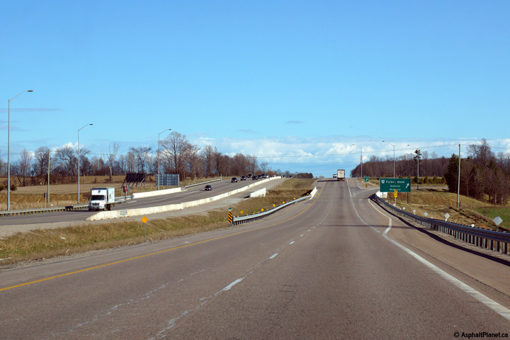 (720x480)
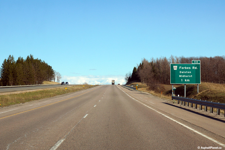 (720x480)
 (720x480)
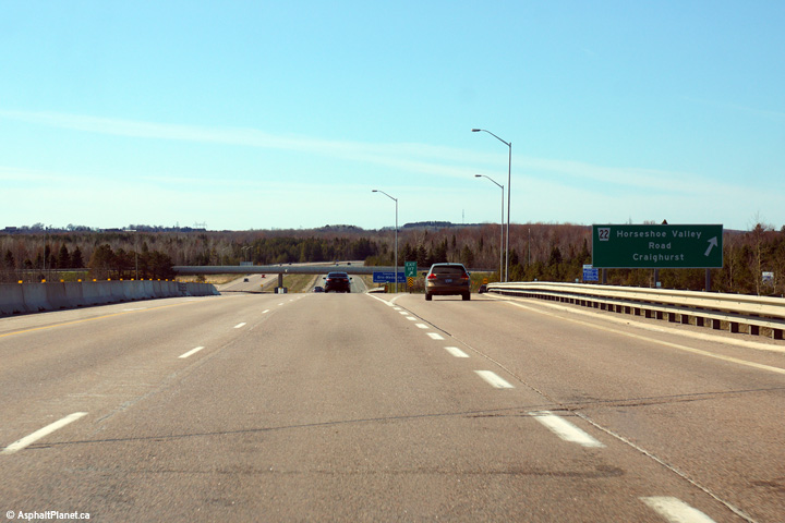 (720x480)
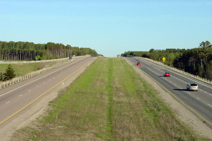


 (720x480)
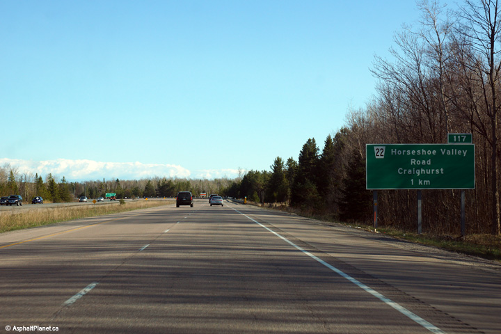 (720x480)
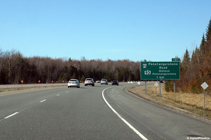 (720x480)
 (720x480)

 (720x480)
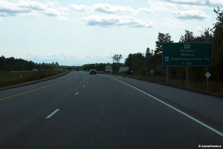 (720x480)
 (720x480)
 (720x480)


 (720x480)
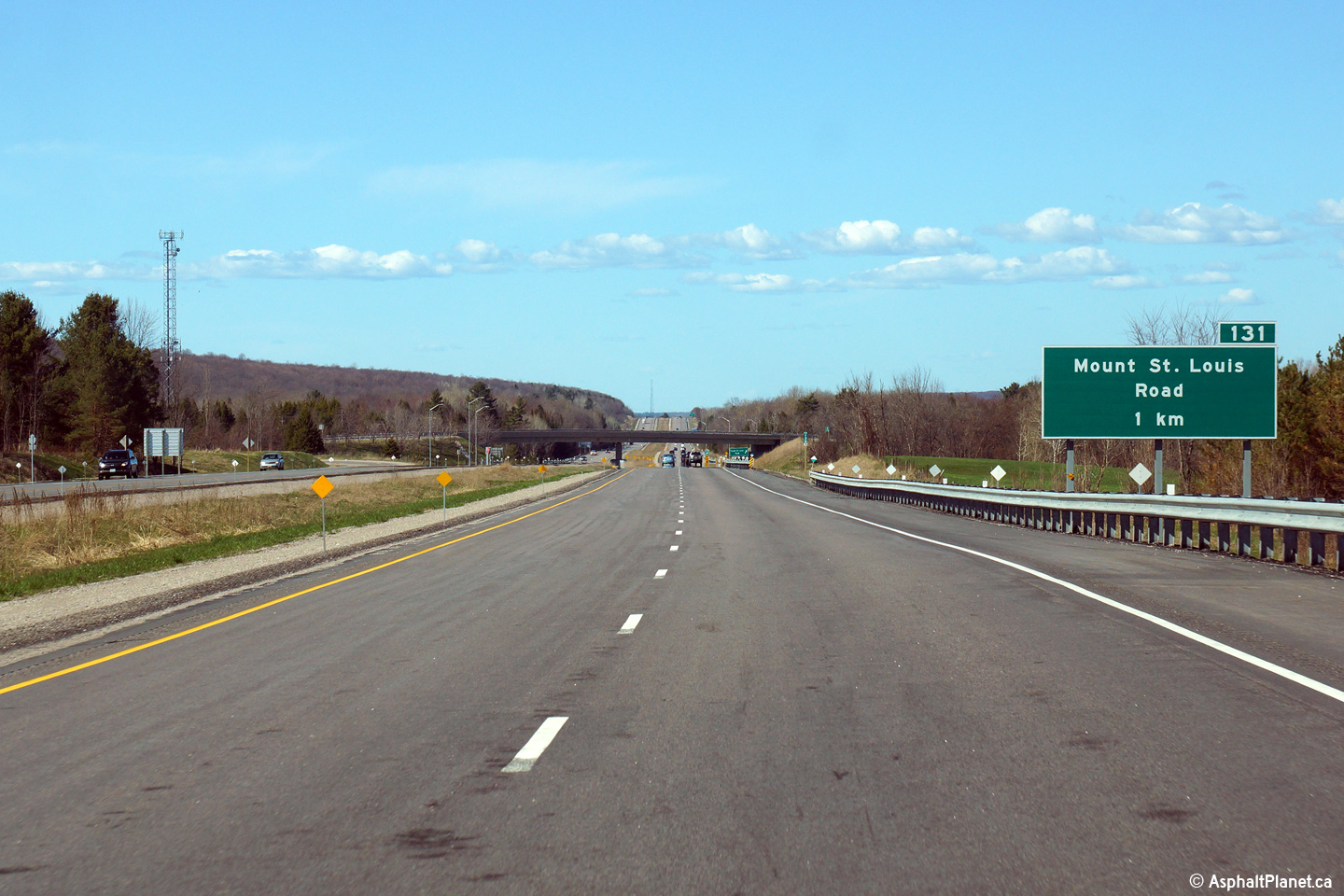
 (720x480)


 (720x480)
 (720x480)
 (720x480)
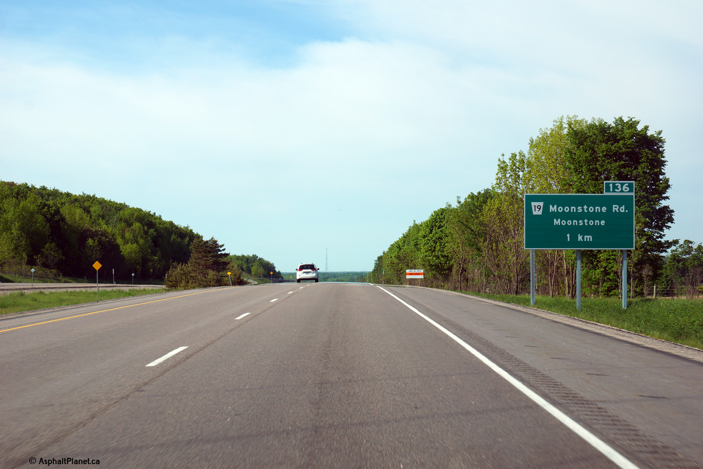
 (720x480)
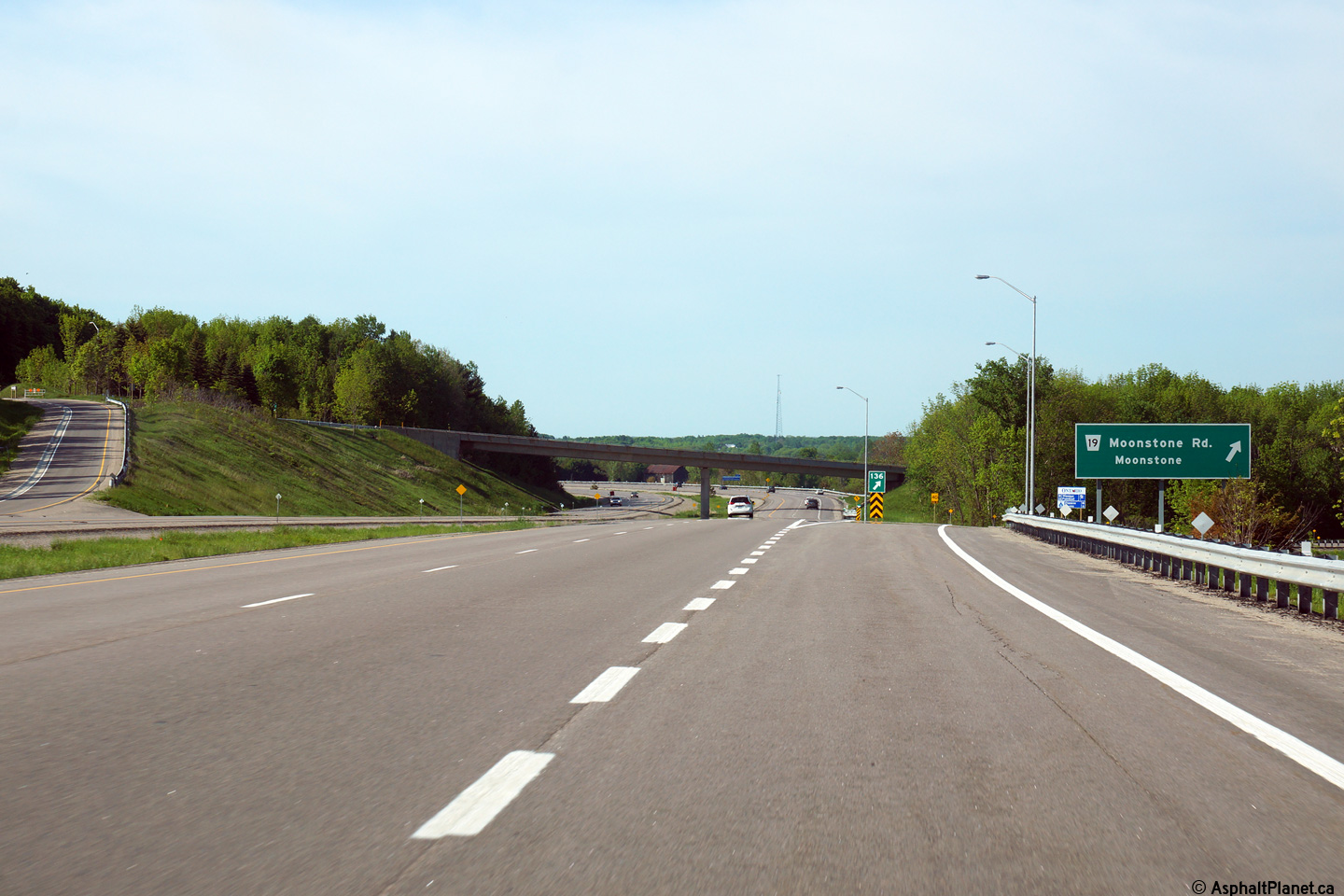


 (720x480)
 (720x480)

