King's Highway 401 - Images
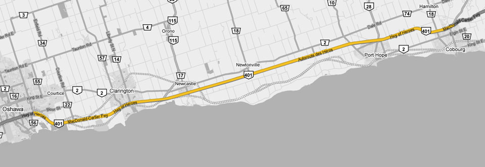
<- Page 11 Page 12 - Oshawa to Cobourg Page 13 ->
Photos shown in this table are arranged from West to East:
| Proper Municipality Name | Photo Description | Photo | ||
|
Photos taken from driver's perspective appear offset from centre-line Photos: |
East- |
west- |
||
| Continued from North York to Scarborough to Oshawa Images | ||||
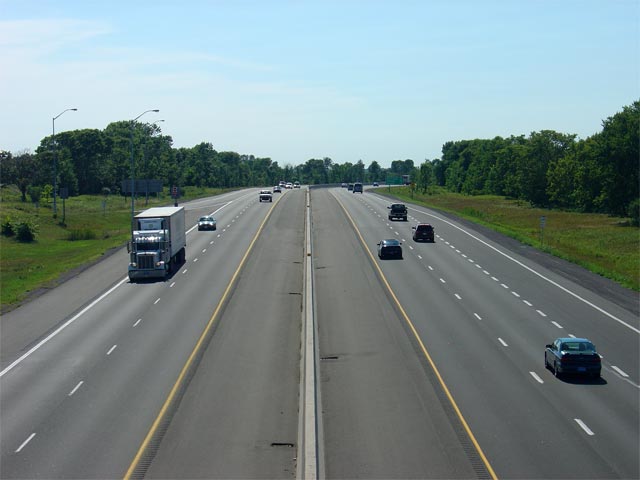
| City of Oshawa Regional Municipality of Durham |
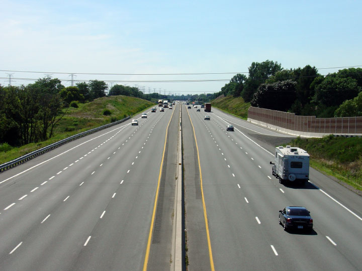
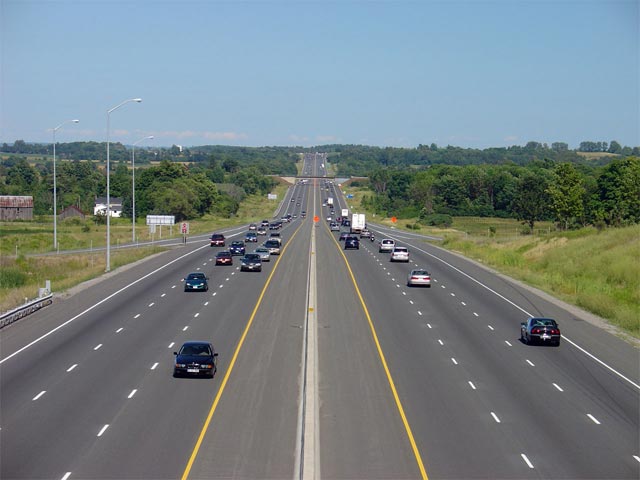
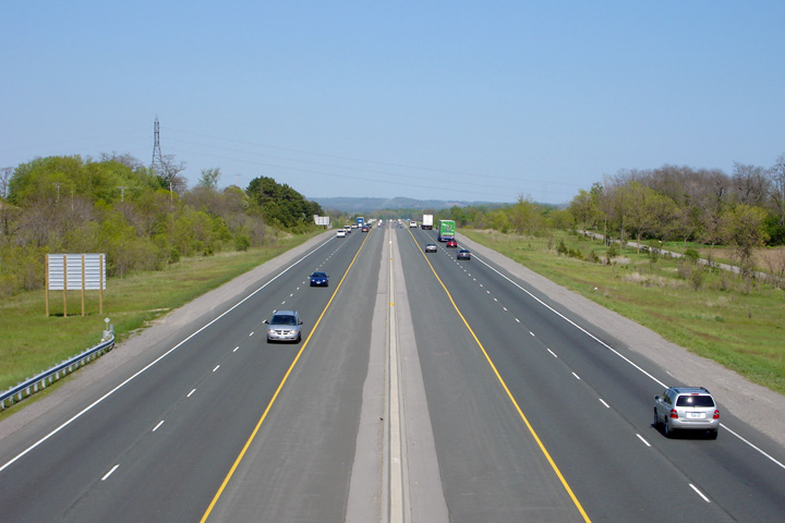
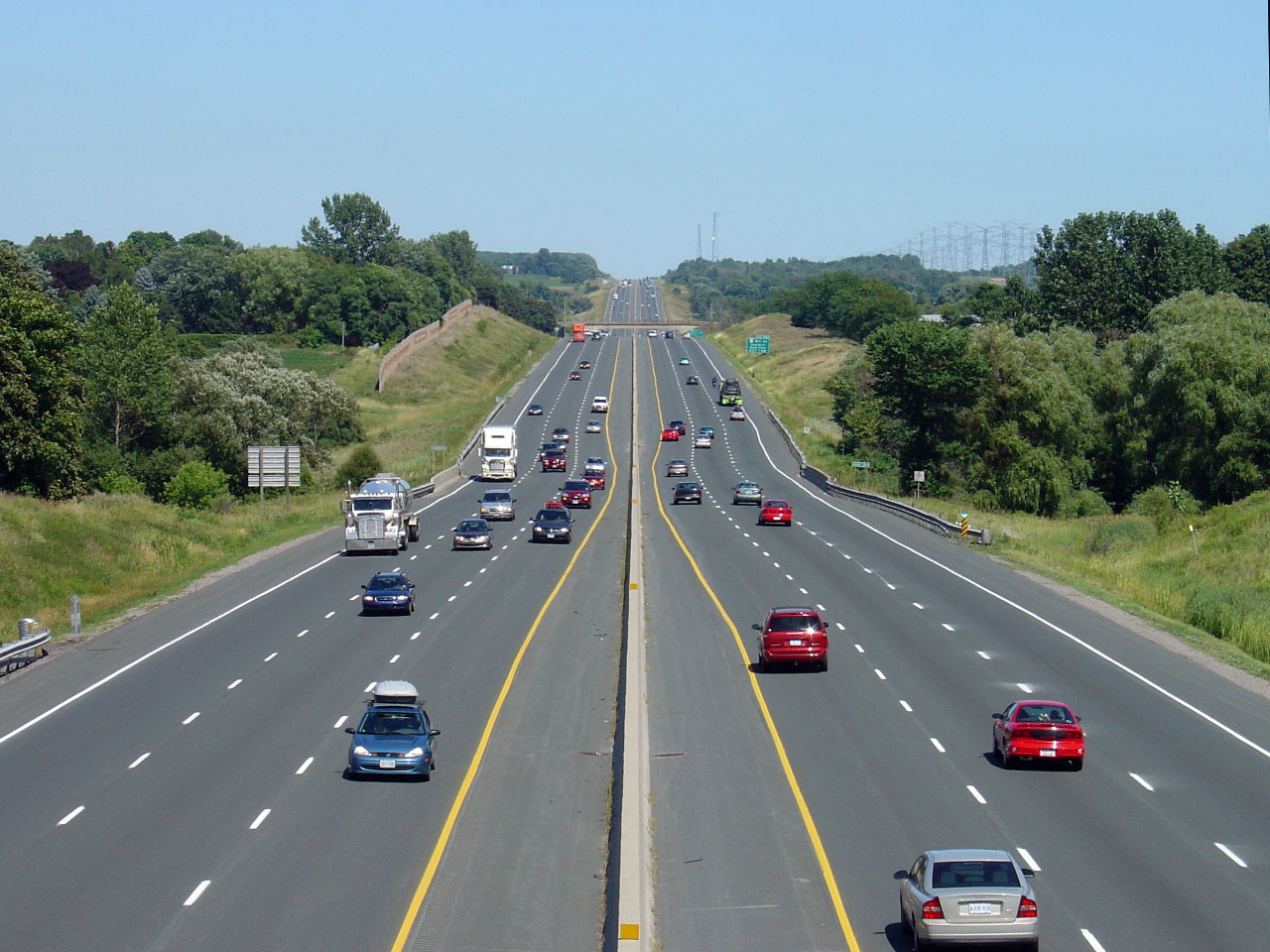
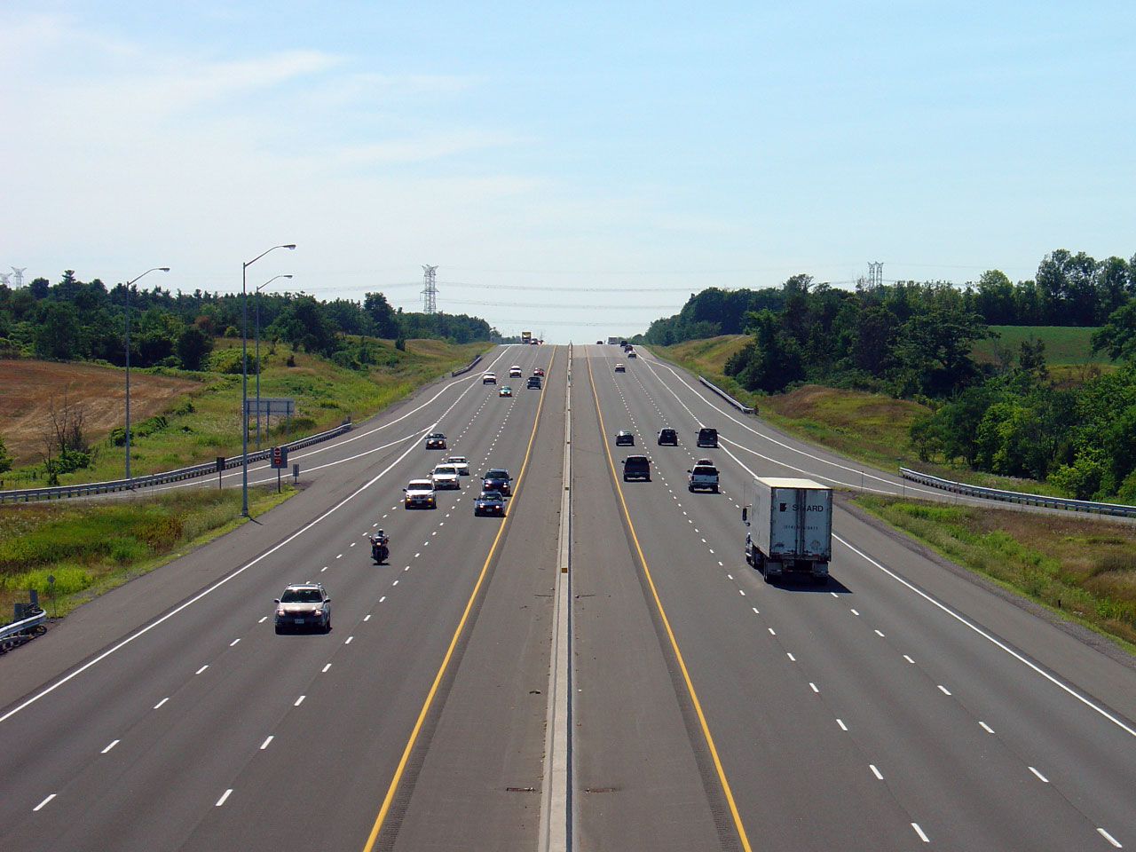
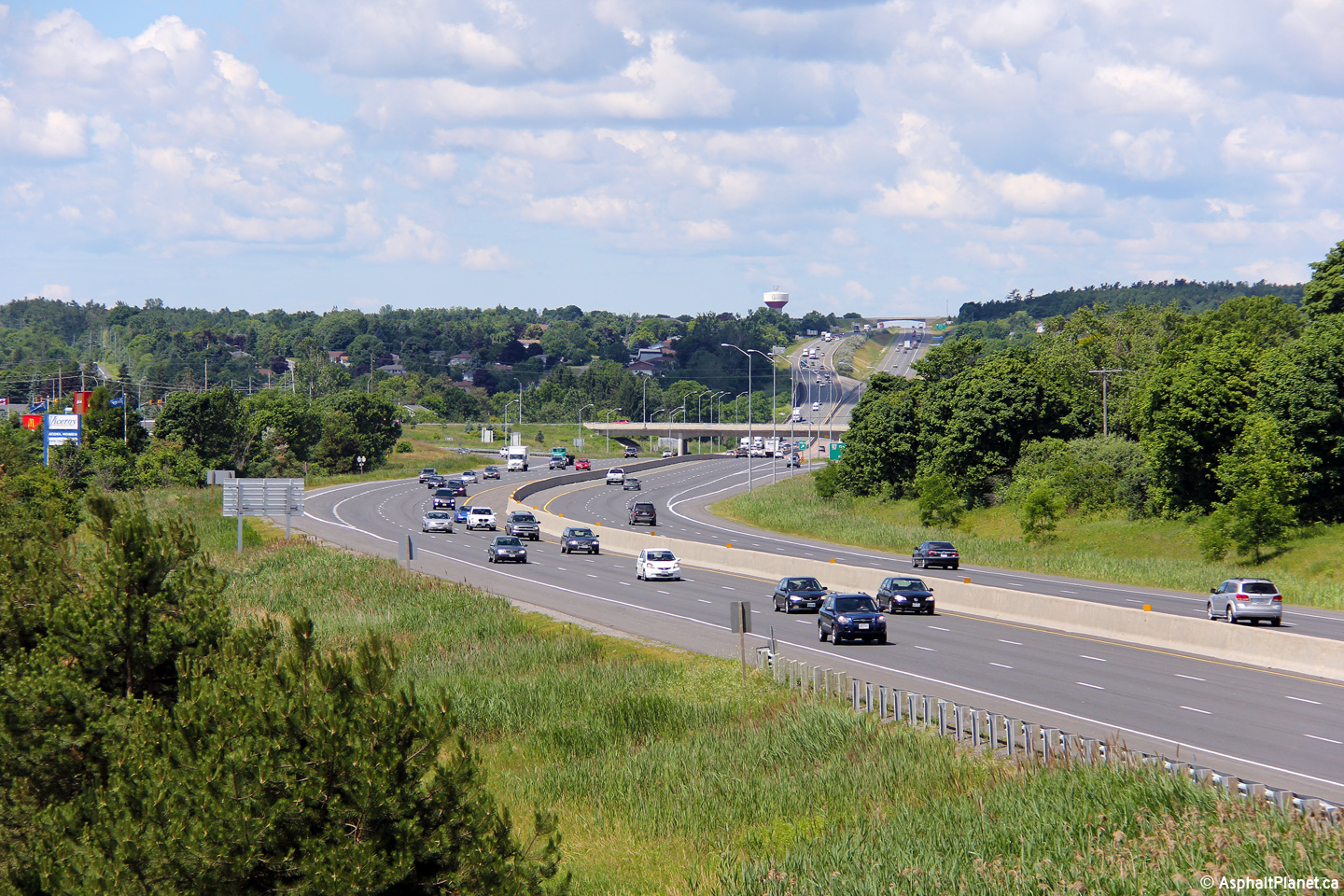
View looking east from the Bloor Street overpass in Oshawa. The
continuous lighting ceases just beyond this curve. Until high-mast
lighting became popular in the 1990s, Oshawa was the only city along
Highway 401 outside of Toronto to be lit with continuous overhead
lighting. Photo taken: May 30th, 2007. Low-res: 55kb. High-res: 185kb. |
 |
||
| City of Oshawa Regional Municipality of Durham |
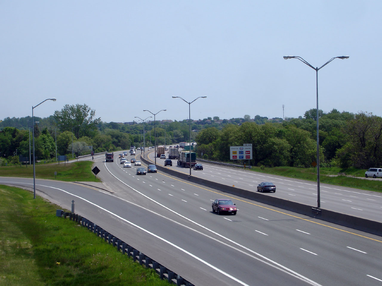
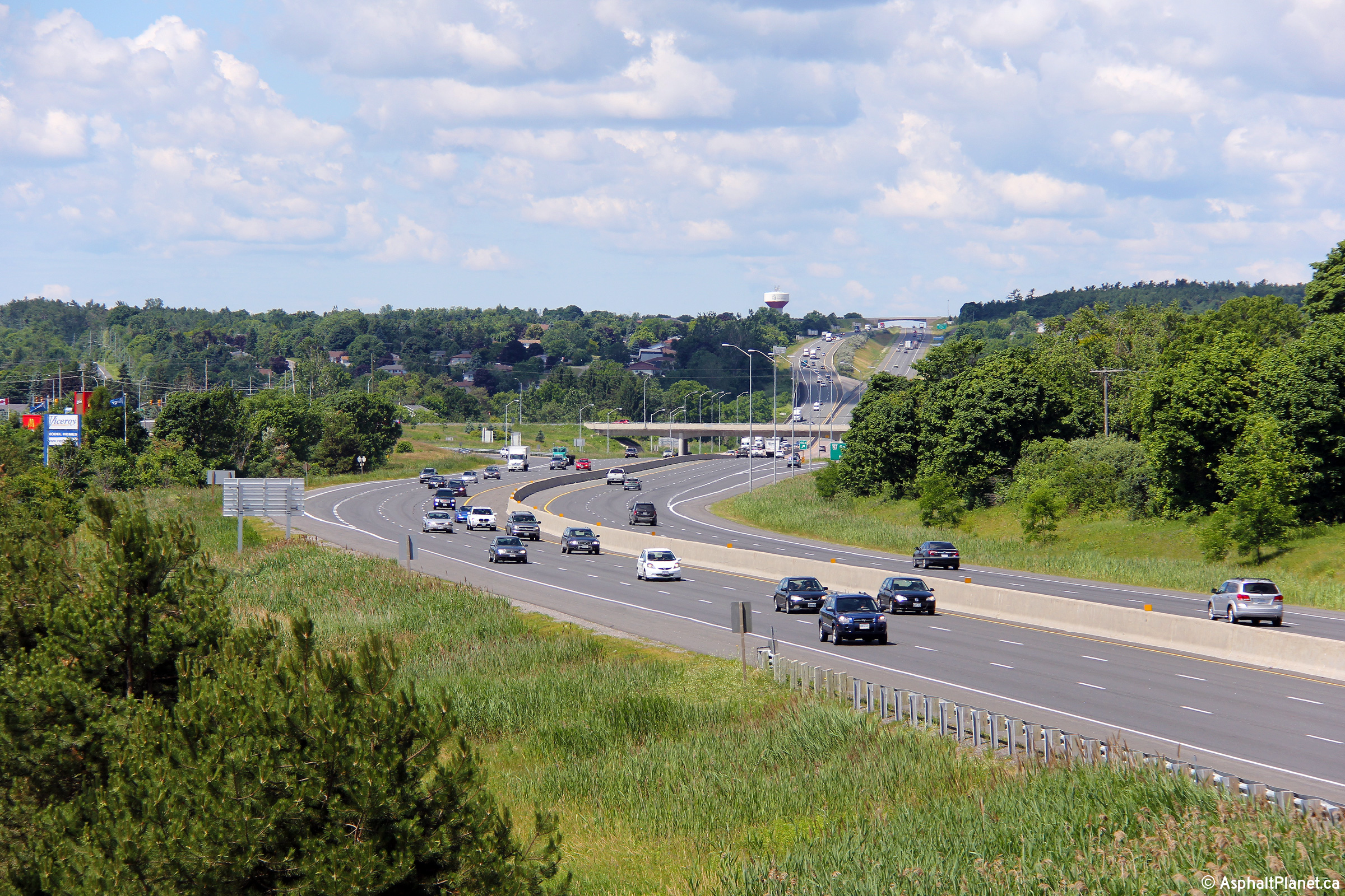
View looking west through the Bloor Street overpass along Highway 401.
The ornate Bloor Street overpass has long served to mark the eastern
entrance to Oshawa. Photo taken: May 30th, 2007. Low-res: 50kb. High-res: 190kb. |
 |
||
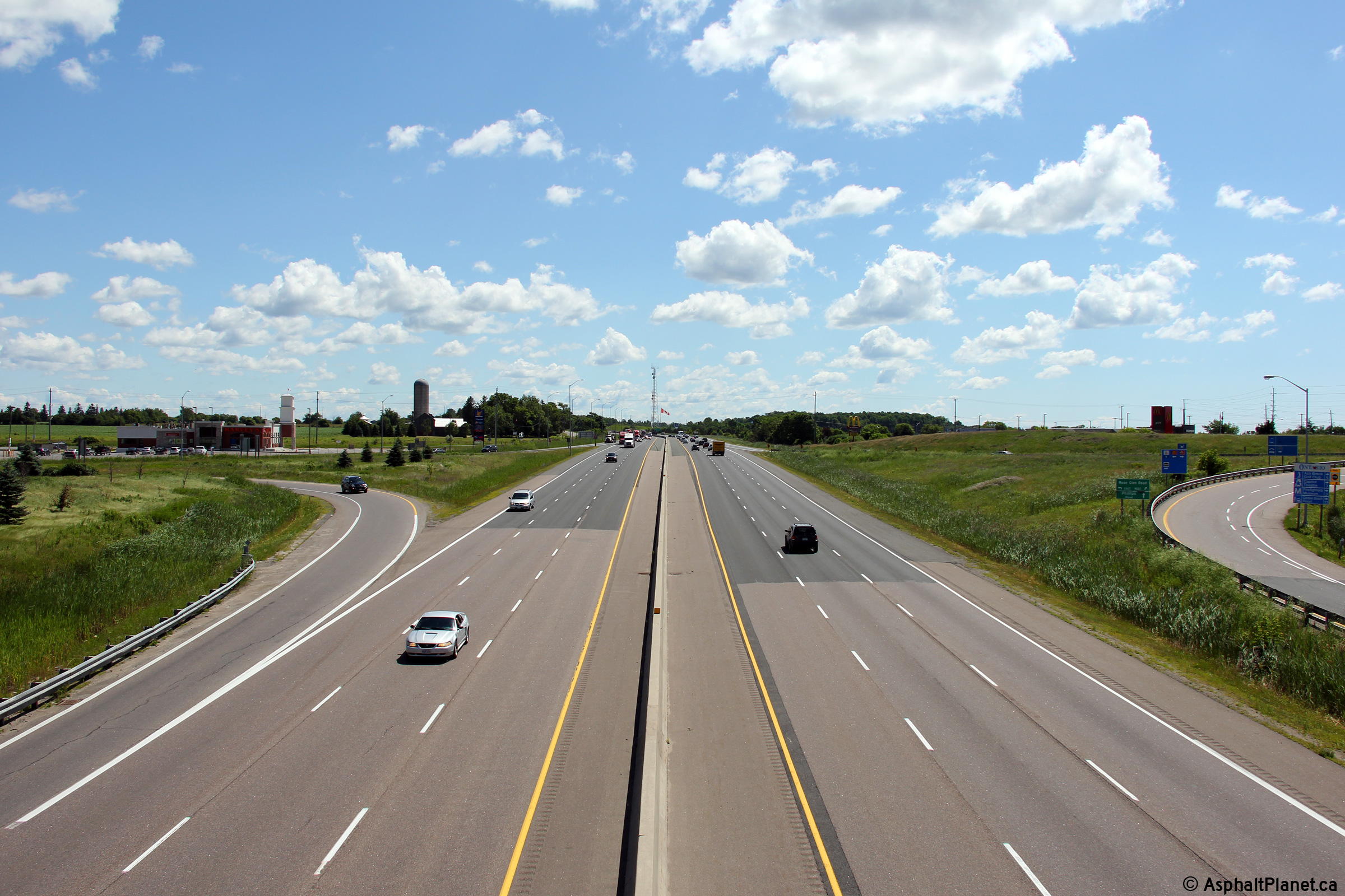
| City of Oshawa Regional Municipality of Durham |
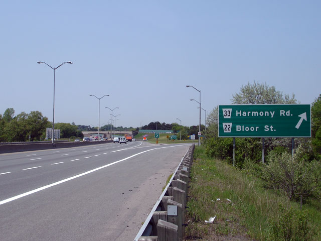
Another view of the Bloor Street overpass -- this time it is
overshadowed by the large green sign denoting Harmony Road interchange. Photo taken: May 30th, 2007. Low-res: 55kb. High-res: 210kb. |
 |
||
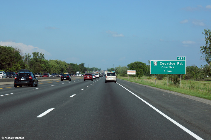
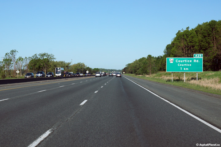
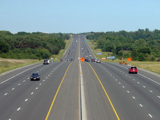
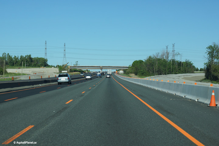
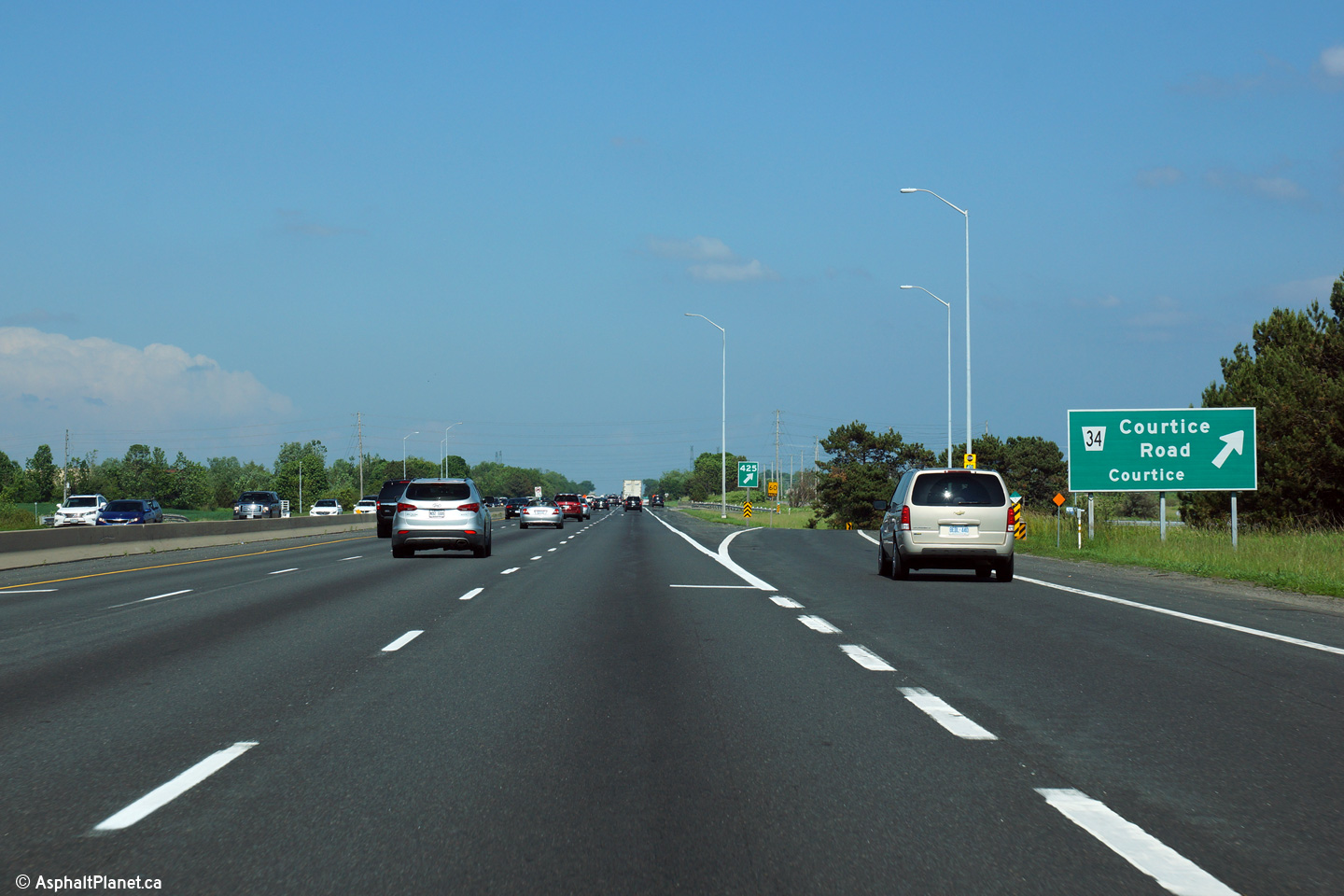
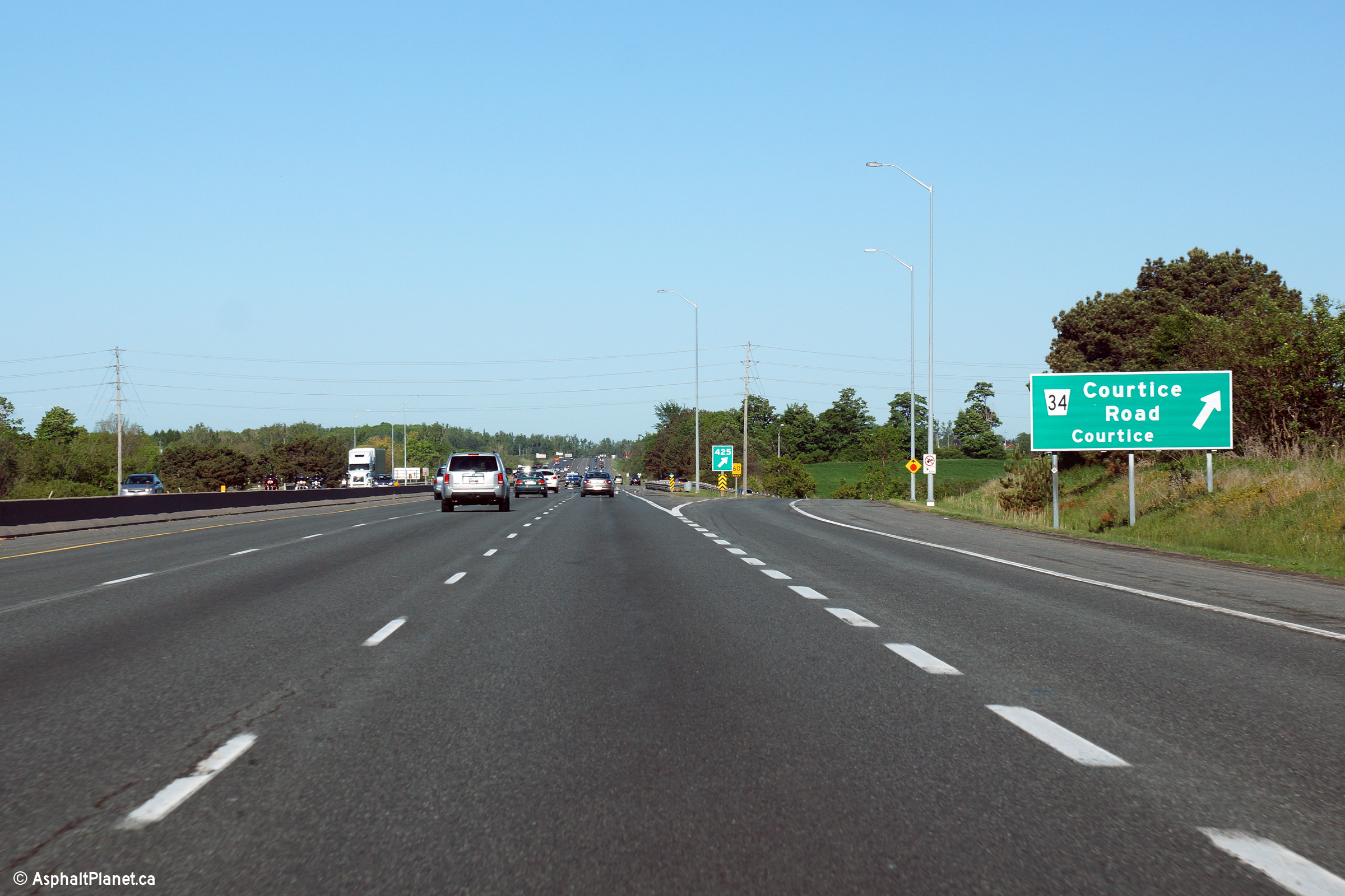
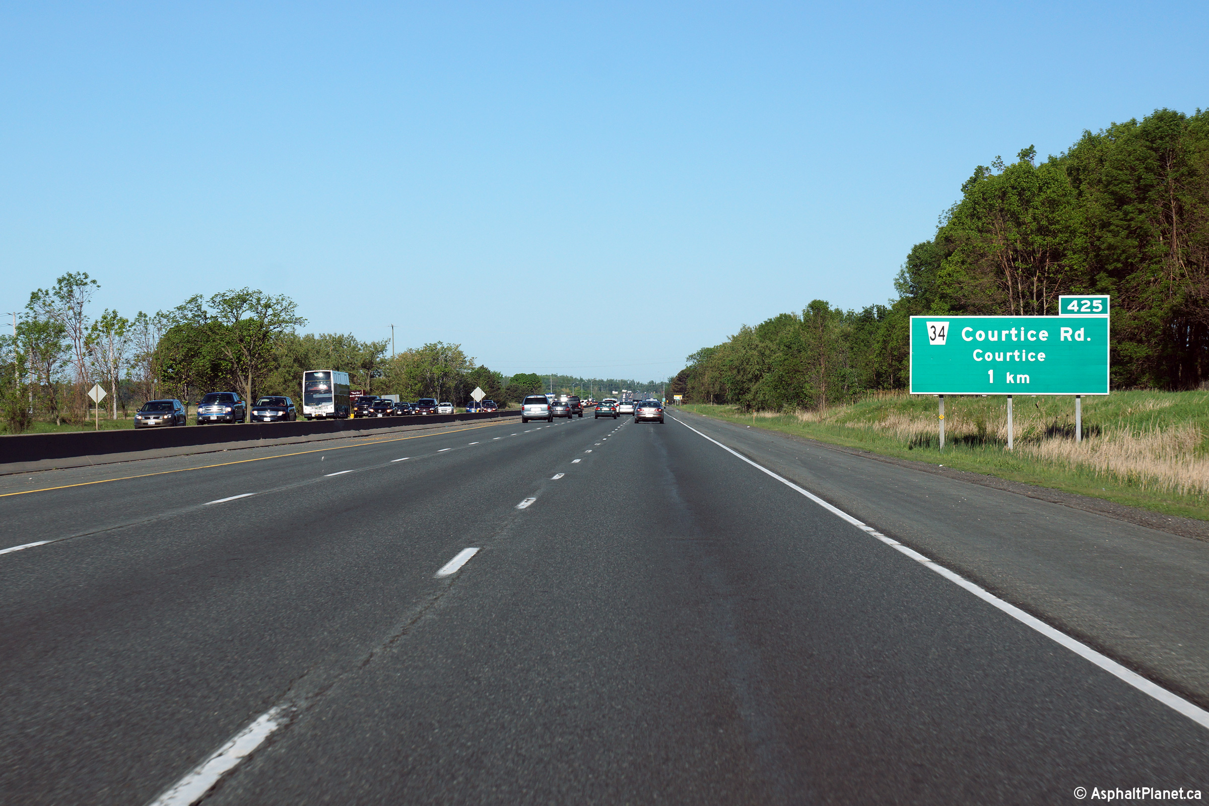
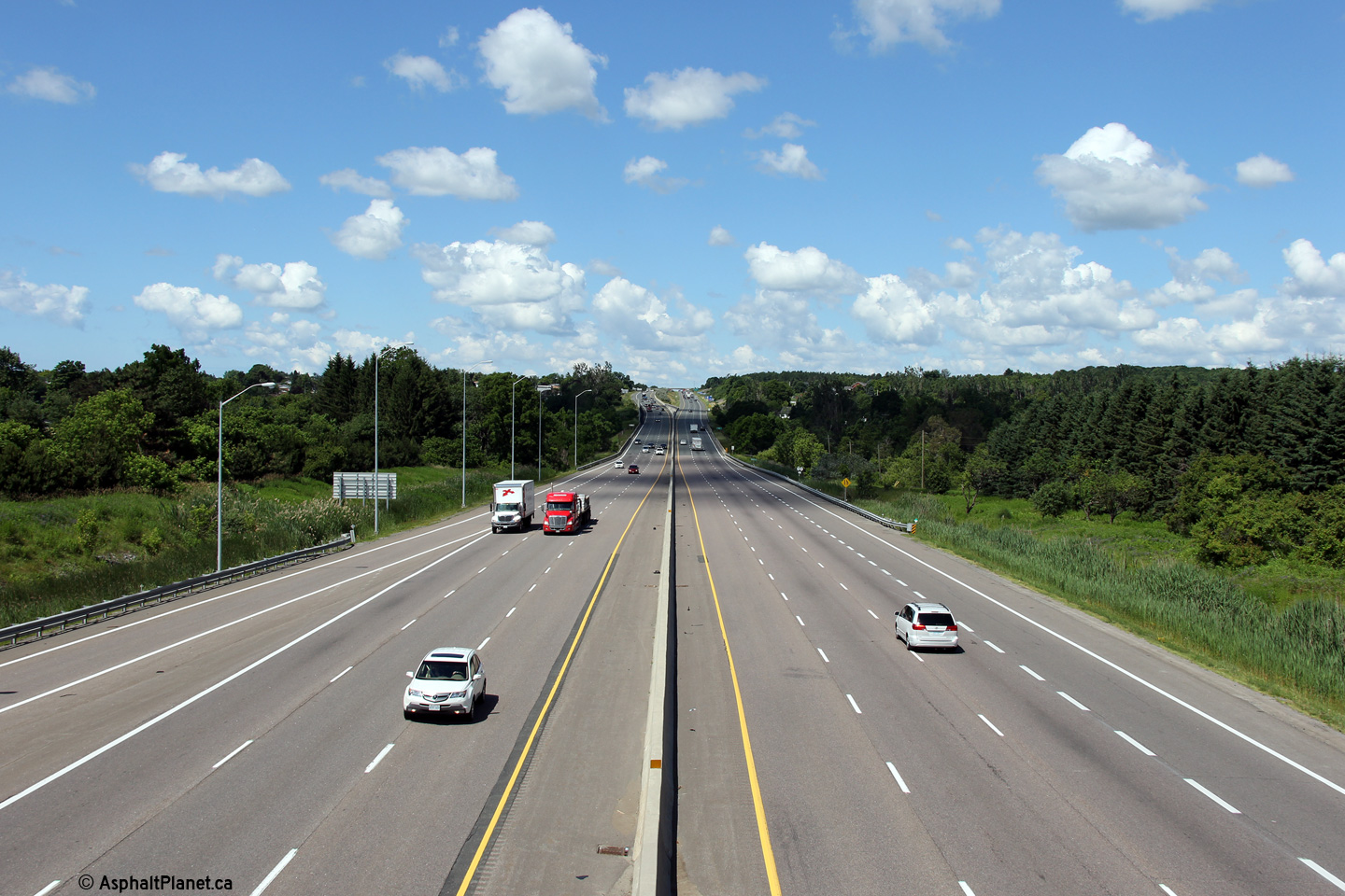
| Municipality of Clarington Regional Municipality of Durham |
Eastbound advanced signage approaching the Courtice Road interchange. Photo taken: June 21st, 2015. |
 (720x480) (720x480)(1440x960) (2400x1600) |
||
| Municipality of Clarington Regional Municipality of Durham |
View at the off-ramp to Courtice Road from the eastbound lanes of the
401. Highway 401 was first opened to traffic between Oshawa and
Newcastle in 1952. The eastbound off-ramp to Courtice Road still
retains its 1950s era ramp geometry. Photo taken: June 21st, 2015. |
 (720x480) (720x480)(1440x960) (2400x1600) |
||
| Municipality of Clarington Regional Municipality of Durham |
Westerly view at the westbound off-ramp to Courtice Road. Photo taken: June 6th, 2015. |
 (720x480) (720x480)(1440x960) (2400x1600) |
||
| Municipality of Clarington Regional Municipality of Durham |
Westbound advanced signage for the Courtice Road interchange. Photo taken: June 6th, 2015. |
 (720x480) (720x480)(1440x960) (2400x1600) |
||
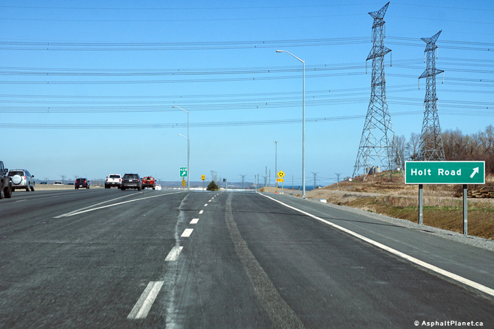
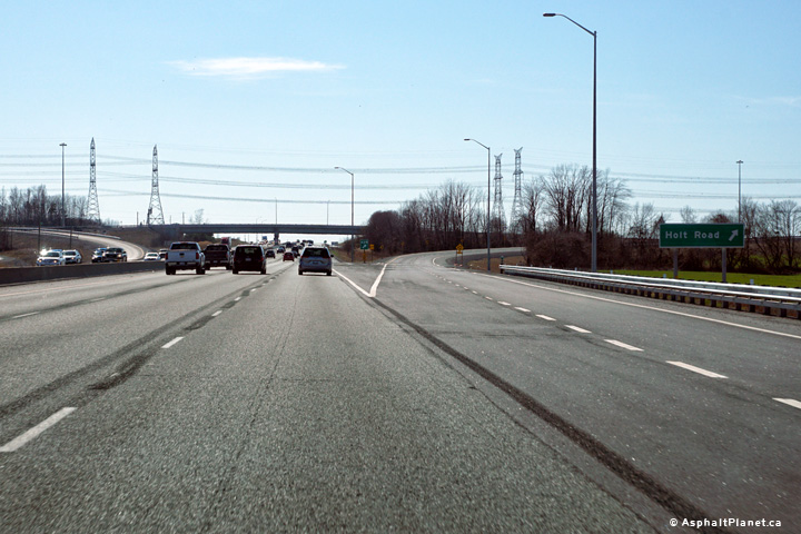
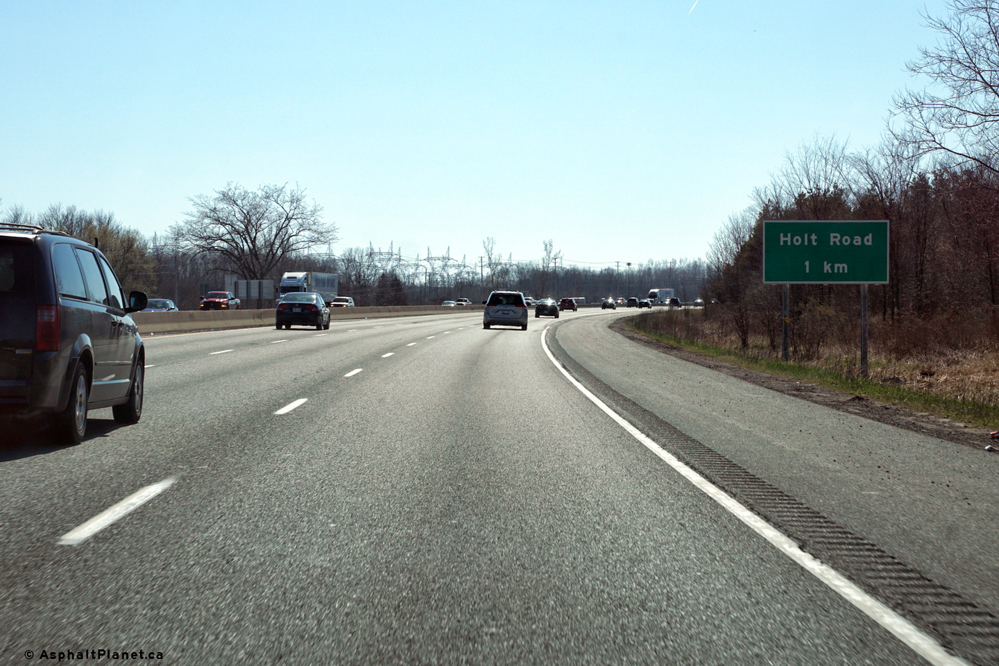
| Municipality of Clarington Regional Municipality of Durham |
Eastbound advanced signage for the Holt Road interchange. Photo taken: April 23rd, 2016. |
 (720x480) (720x480)(1440x960) (2400x1600) |
||
| Municipality of Clarington Regional Municipality of Durham |
Easterly view at the off-ramp to Holt Road. Photo taken: April 23rd, 2016. |
 (720x480) (720x480)(1440x960) (2400x1600) |
||
| Municipality of Clarington Regional Municipality of Durham |
These photos look west from the Holt Road overpass. The upper
photo shows the former partial
interchange that existed between Highway 401 and Holt Road. The
lower photos were taken after construction to construct a full
interchange between Holt Road and Highway 401 had been completed.
The full interchange was fully opened late in 2015, however some final
construction work stretched into the 2016 construction season. Upper photo taken: September 23rd, 2007. Lower photo taken: August 8th, 2016. |
 (720x480) (1440x960) (2400x1600) 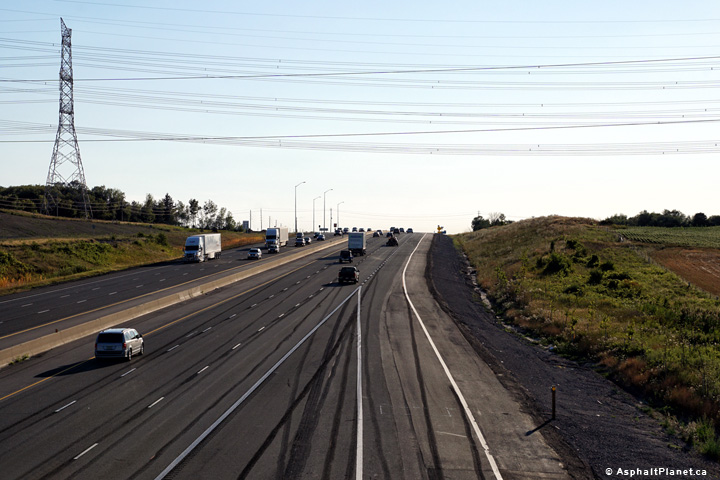 (720x480) (1440x960) (2400x1600) |
||
| Municipality of Clarington Regional Municipality of Durham |
This view looks easterly down the long grade into Bowmanville.
Eastbound motorists are treated to a brief view of Lake Ontario as the
descend the long hill into Bomanville. Upper photo taken: September 23rd, 2007. Lower photos taken: August 8th, 2016. |
 (720x480) (1440x960) (2400x1600)  (720x480) (1440x960) (2400x1600) |
||
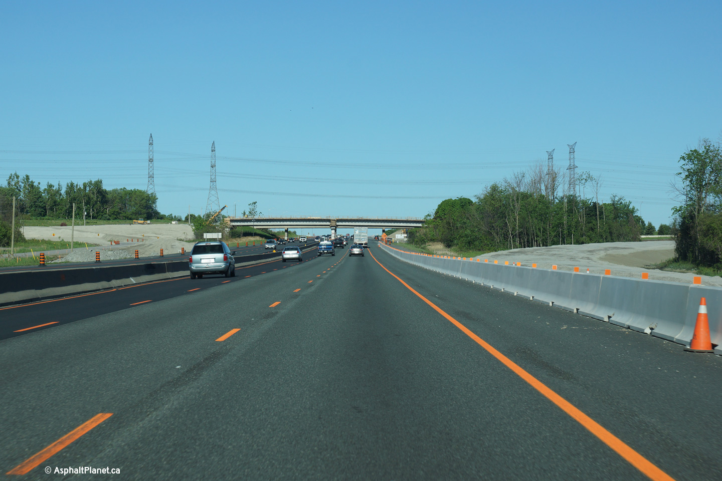
| Municipality of Clarington Regional Municipality of Durham |
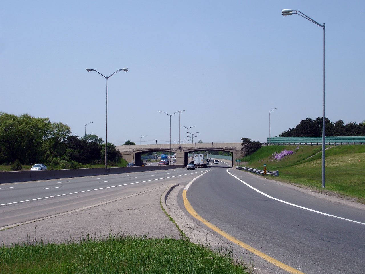
View looking westerly approaching the Hold Road overpass. A new
grade separation carrying Holt Road over the 401 was in the process of
being constructed when this photo was taken. Photo taken: June 6th, 2015. |
|||
| Municipality of Clarington Regional Municipality of Durham |
View looking westerly approaching the Holt Road interchange. When the
upper photo was taken, grading operations were underway to add ramps to
and from Highway 401 to the east of Holt Road. The lower photo was
taken once the new ramp had opened to traffic. Upper photo taken: June 6th, 2015. Lower photo taken: April 23rd, 2016. |
 (720x480) (720x480)(1440x960) (2400x1600) |
||
| Municipality of Clarington Regional Municipality of Durham |
Westbound advanced signage for the Holt Road interchange. Photo taken: April 23rd, 2016. |
 (720x480) (720x480)(1440x960) (2400x1600) |
||
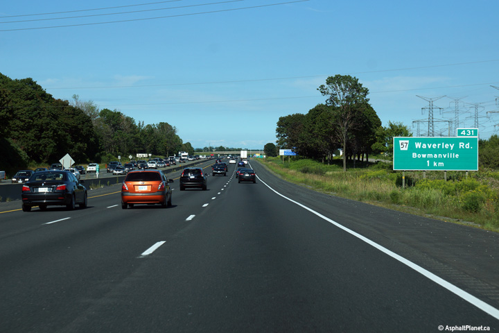
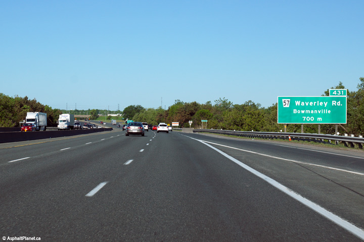
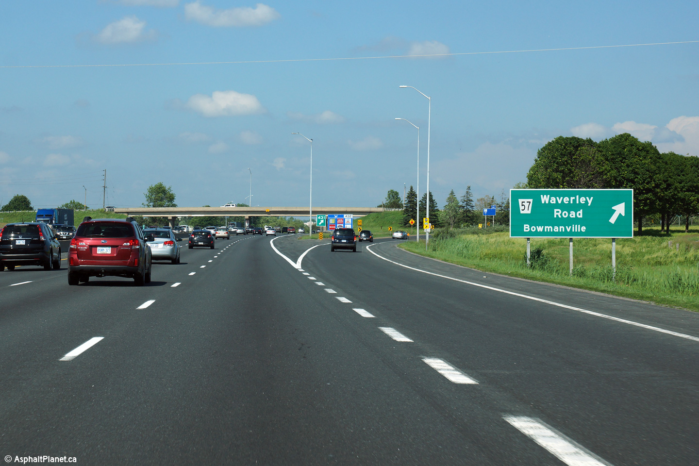
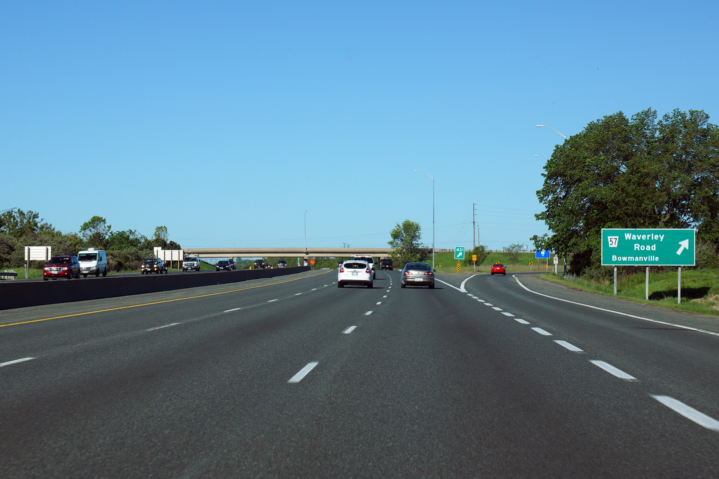
| Municipality of Clarington Regional Municipality of Durham |
Eastbound advanced signage for the Waverly Road interchange. Photo taken: August 23rd, 2015. |
 (720x480) (720x480)(1440x960) (2400x1600) |
||
| Municipality of Clarington Regional Municipality of Durham |
Signage at the eastbound off-ramp to Waverly Road. Photo taken: June 21st, 2015. |
 (720x480) (720x480)(1440x960) (2400x1600) |
||
| Municipality of Clarington Regional Municipality of Durham |
View looking westerly form the Waverly Road (Regional Road 57) overpass. Photo taken: September 23rd. Low-res: 55kb. High-res: 210kb. |
 |
||
| Municipality of Clarington Regional Municipality of Durham |
Looking east from the Waverly Road overpass towards the abandoned CN
railway spur overpass. This railway spur crossed Highway 401
at-grade for many years, until the present overpass was constructed in
the early 1980s. The railway line was abandoned and ripped up in
that same decade. Photo taken: September 23rd, 2007. Low-res: 60kb. High-res: 210kb. |
 |
||
| Municipality of Clarington Regional Municipality of Durham |
View as the westbound off-ramp departs from the freeway mainline for
Waverly Road. Photo taken: June 6th, 2015. |
 (720x480) (720x480)(1440x960) (2400x1600) |
||
| Municipality of Clarington Regional Municipality of Durham |
Westbound advanced signage for the Waverly Road interchange. Photo taken: June 6th, 2015. |
 (720x480) (720x480)(1440x960) (2400x1600) |
||
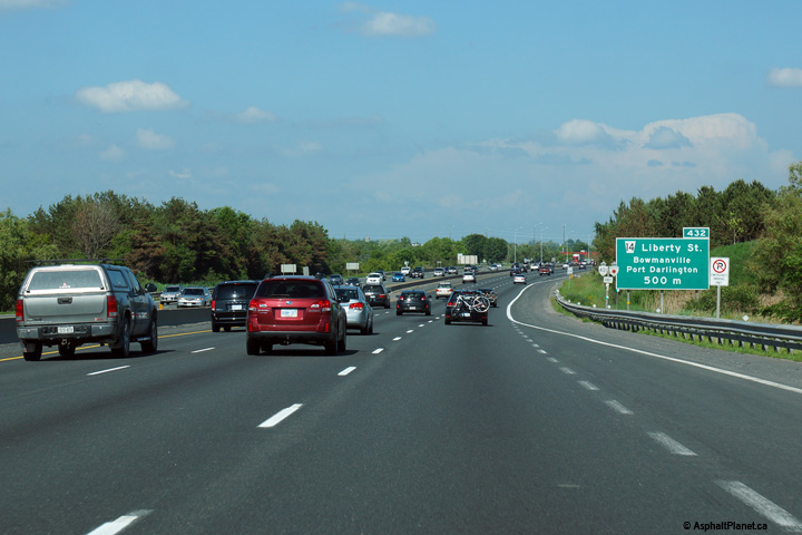
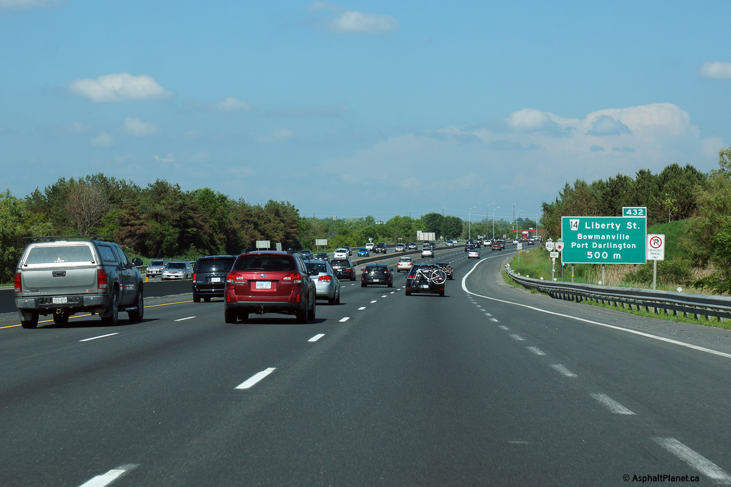
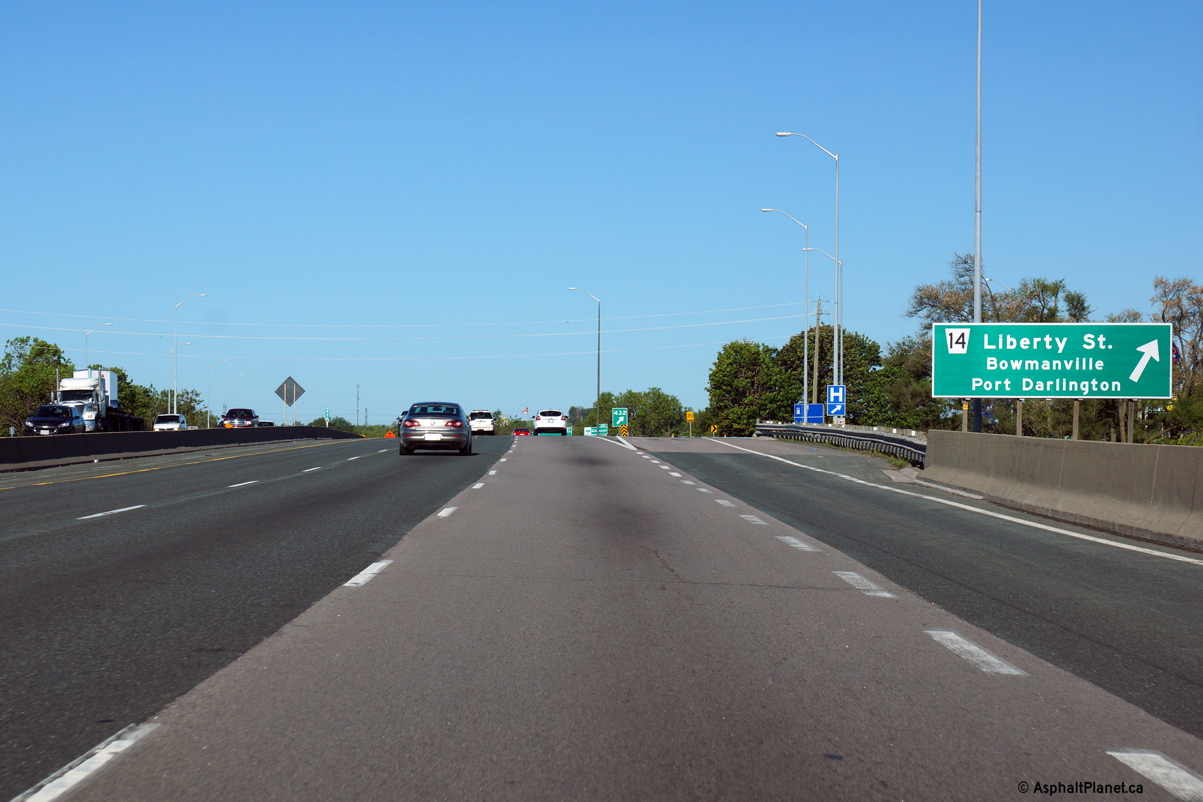
| Municipality of Clarington Regional Municipality of Durham |
Eastbound advanced signage for the off-ramp to Liberty Street. The
Waverly Road and Liberty Street interchanges are located in very close
proximity to one another. |
 (720x480) (720x480)(1440x960) (2400x1600) |
||
| Municipality of Clarington Regional Municipality of Durham |
Liberty Street meets Highway 401 at a very tight button-hook style
interchange. The button-hook ramps between Liberty Street and
Highway 401 remain relatively unmodified since the highway was
constructed in the early 1950s. Photo taken: June 21st, 2015. |
 (720x480) (720x480)(1440x960) (2400x1600) |
||
| Municipality of Clarington Regional Municipality of Durham |
View looking westerly at the off-ramp to Liberty Street in Bowmanville. Photo taken: June 6th, 2015. |
 (720x480) (720x480)(1440x960) (2400x1600) |
||
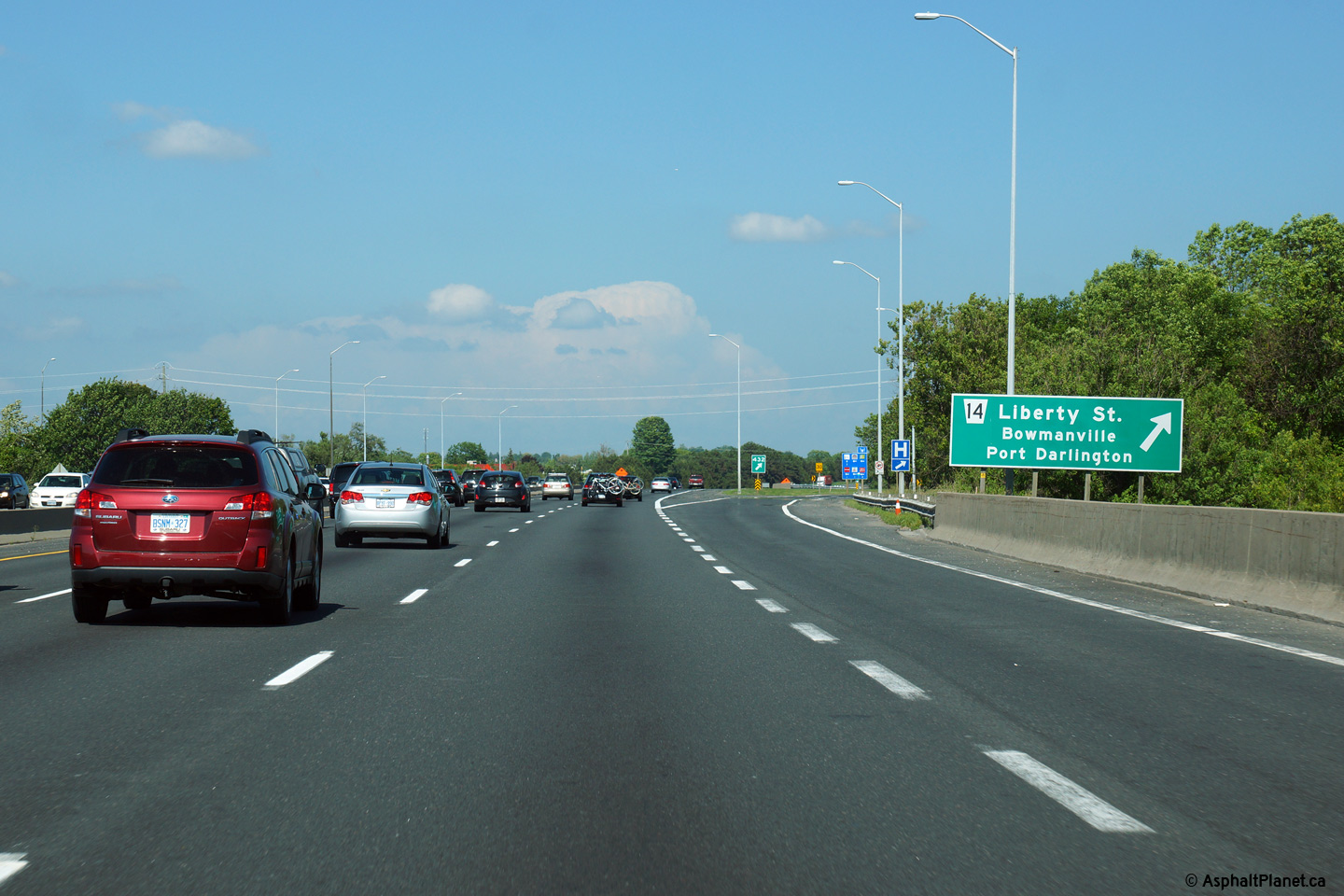
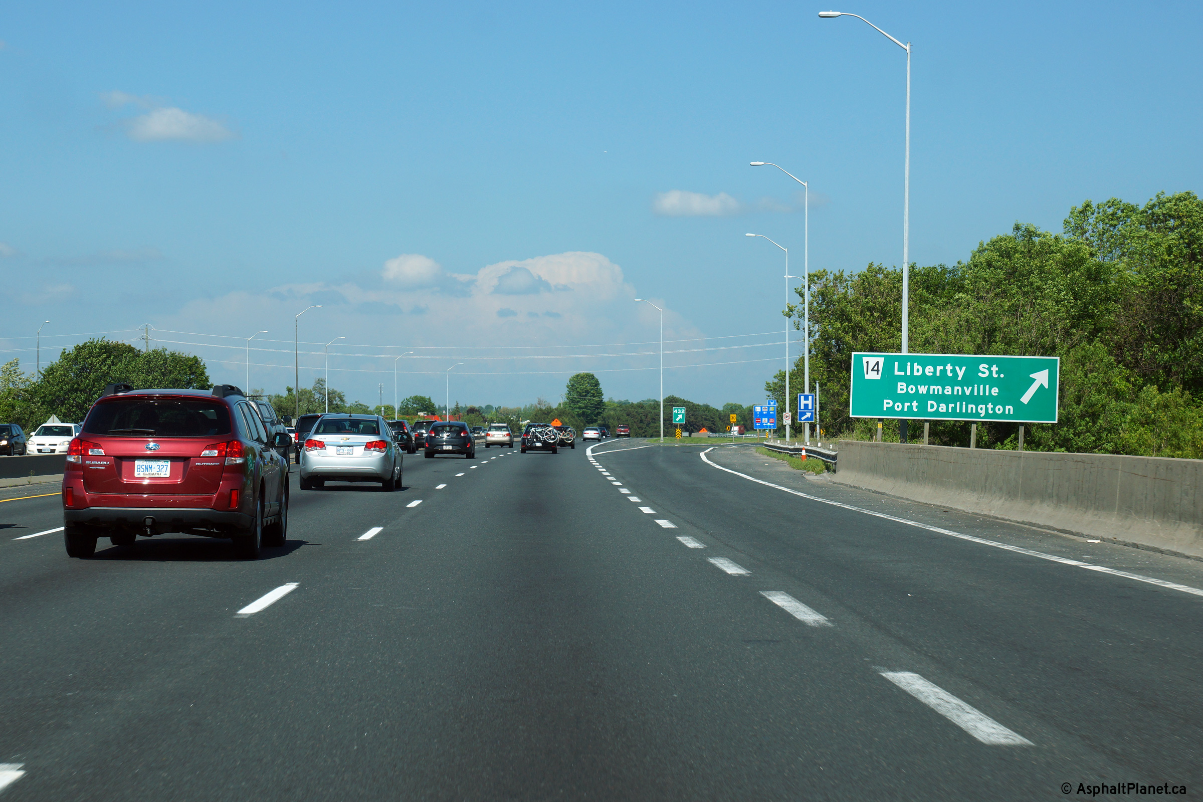
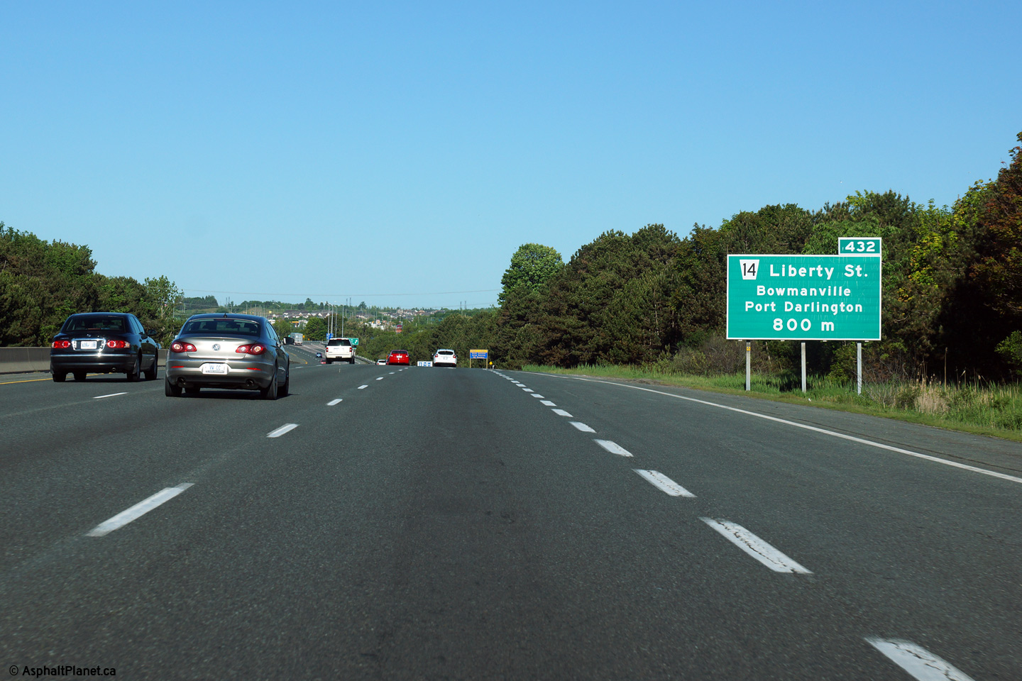
| Municipality of Clarington Regional Municipality of Durham |
Westbound advanced signage for the Liberty Street interchange in
Bowmanville. Photo taken: June 6th, 2015. |
 (720x480) (720x480)(1440x960) (2400x1600) |
||
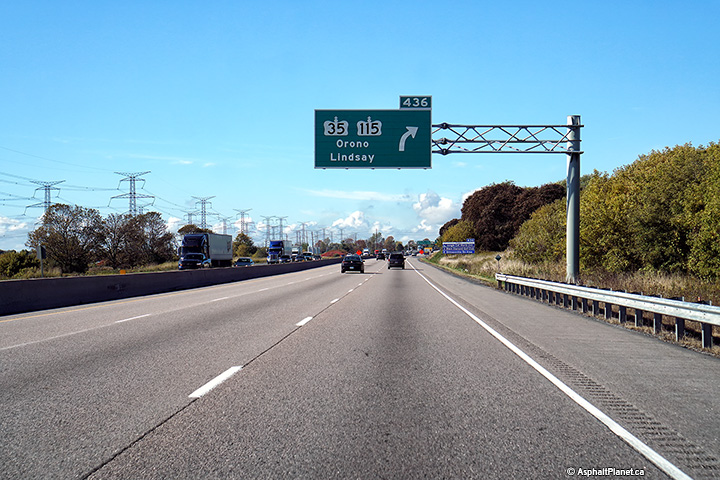
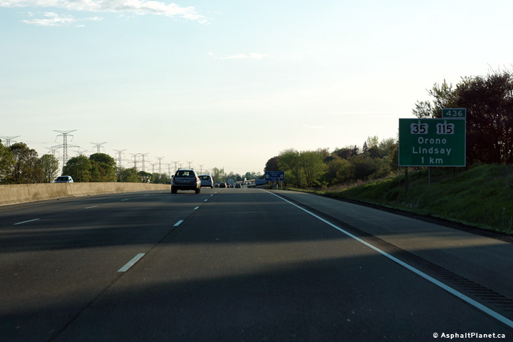
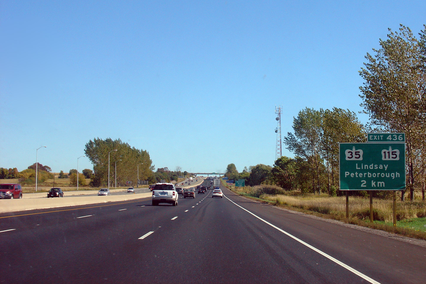
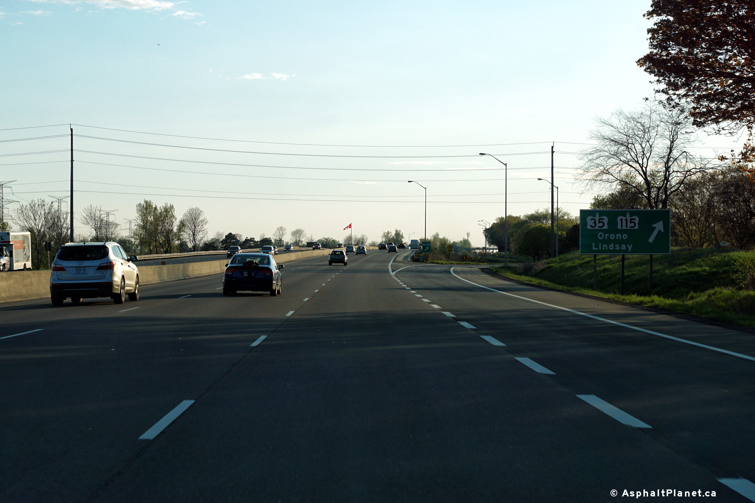
| Municipality of Clarington Regional Municipality of Durham |
The first advanced sign for the Highway 35/115 interchange is situated
2km upstream of the interchange. Click
here for an earlier version
of this signage, taken September, 2007. Photo taken: June 21st, 2015. |
 (720x480) (720x480)(1440x960) (2400x1600) |
||
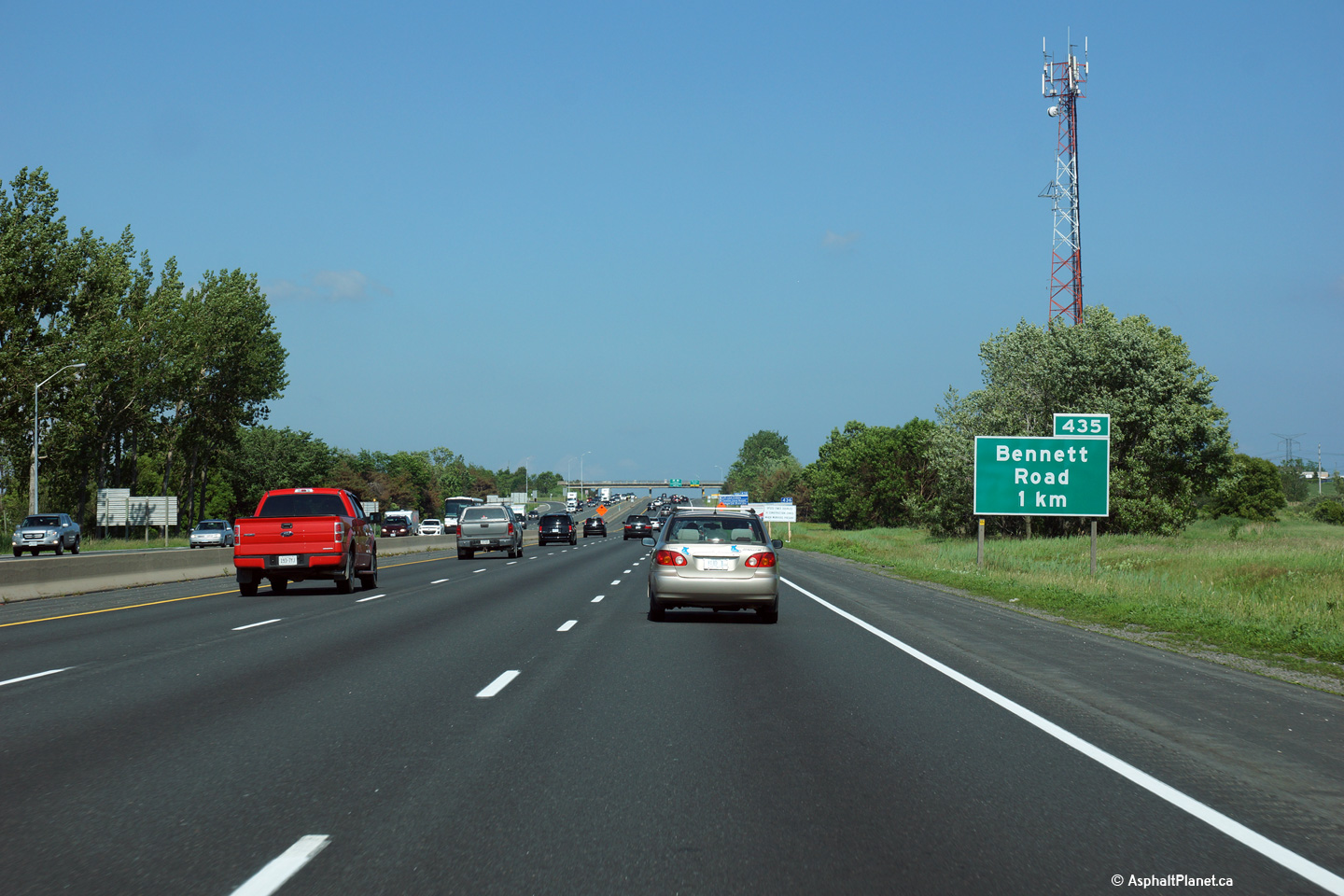
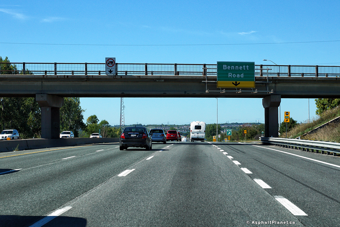
| Municipality of Clarington Regional Municipality of Durham |
Eastbound advanced signage for the Bennett Road interchange. Photo taken: June 21st, 2015. |
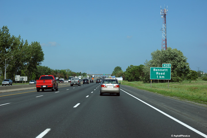 (720x480) (720x480)(1440x960) (2400x1600) |
||
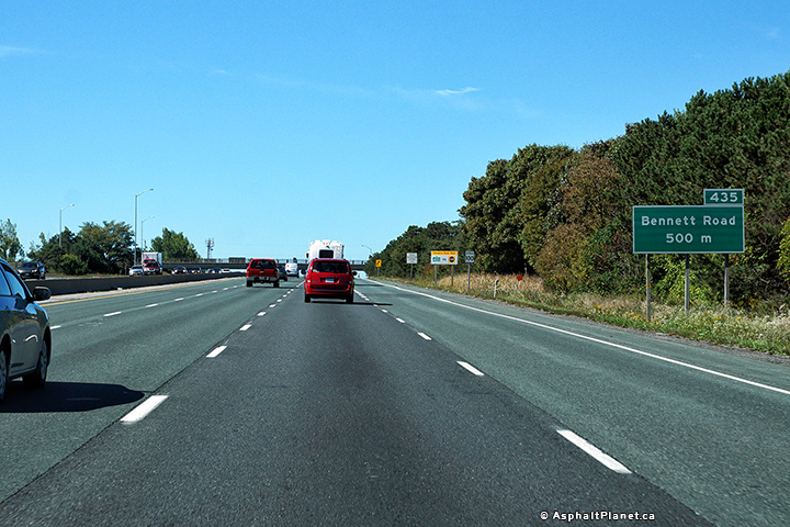
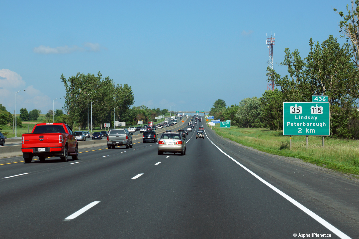
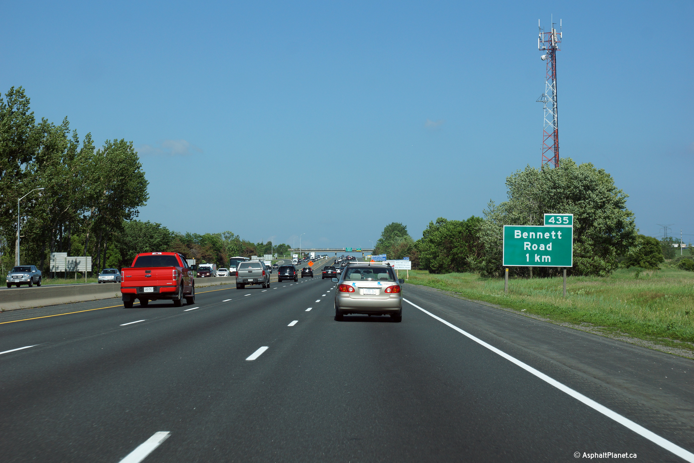
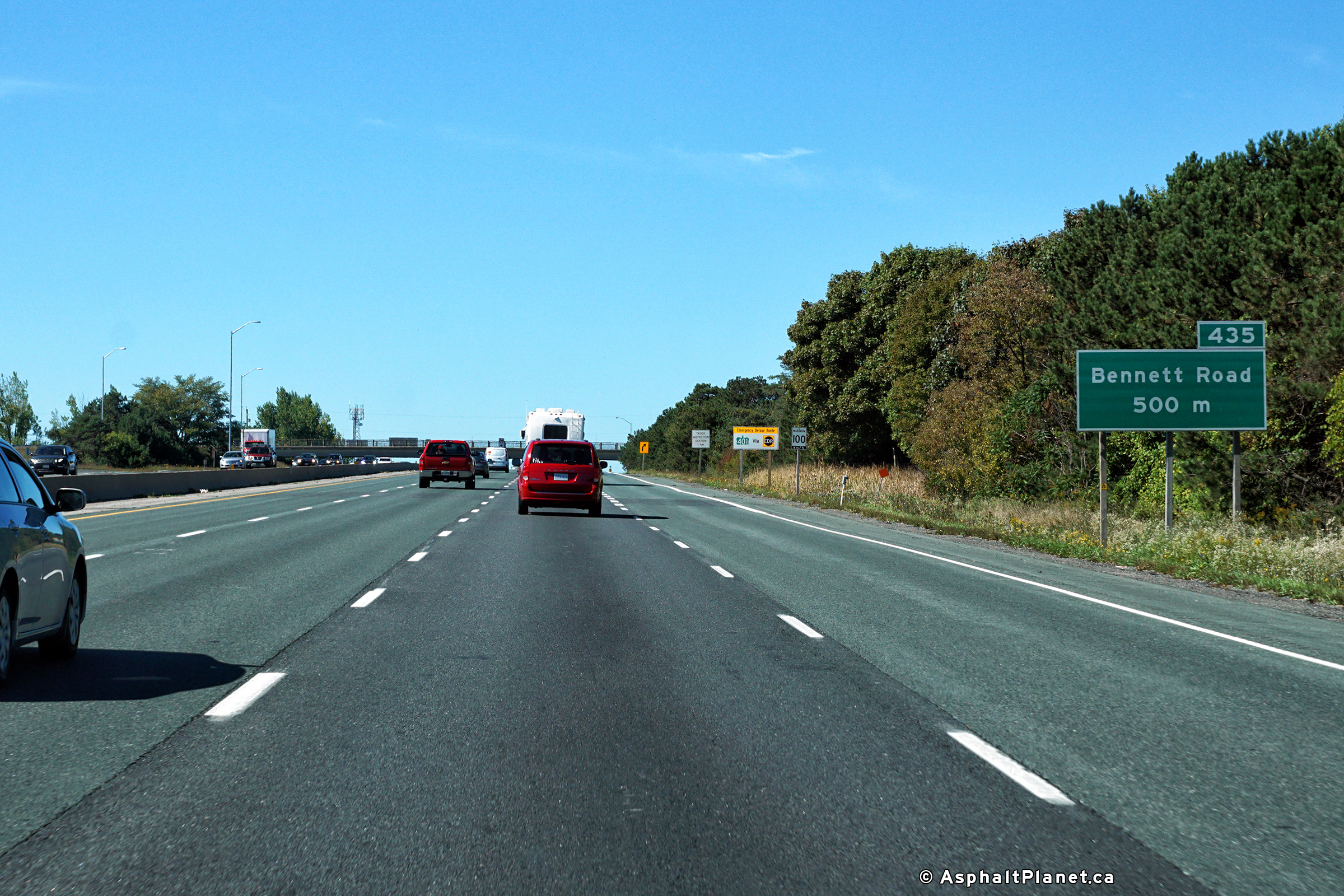
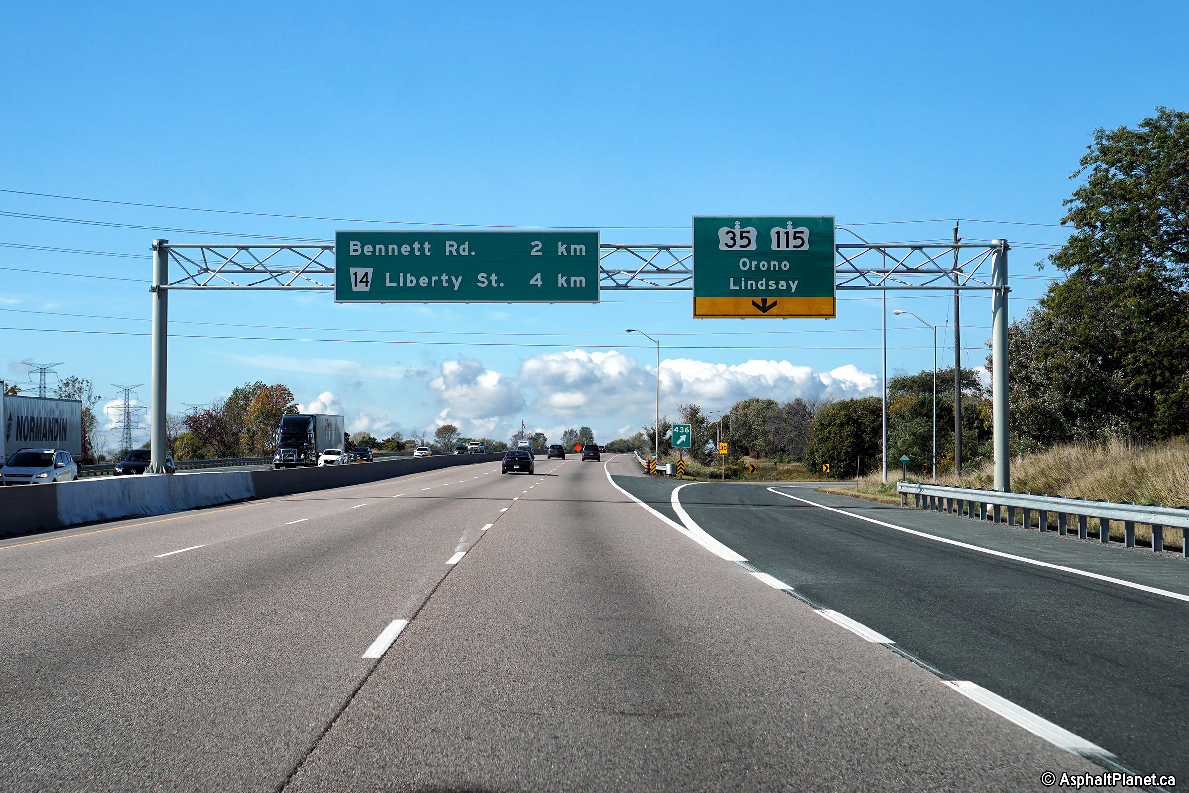
| Municipality of Clarington Regional Municipality of Durham |
A second advanced sign for Highway 35/115 is situated at the Bennett
Road overpass. Click here
for an older version of this signage, taken May, 2006. Photo taken: June 21st, 2015. |
 (720x480) (720x480)(1440x960) (2400x1600) |
||
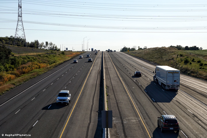
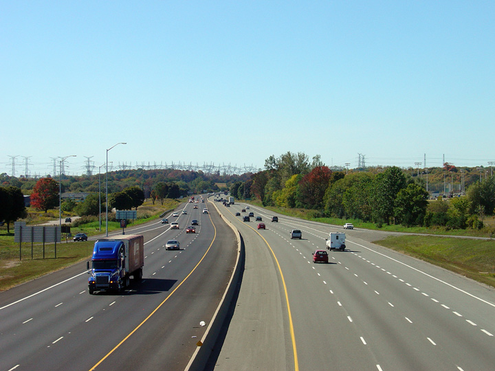
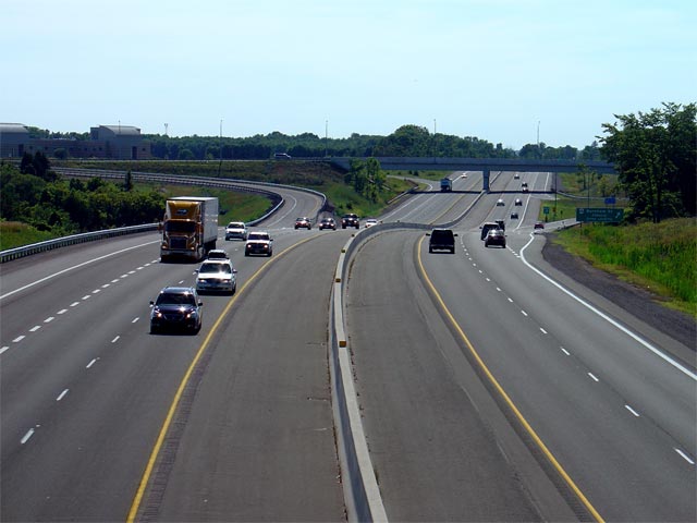
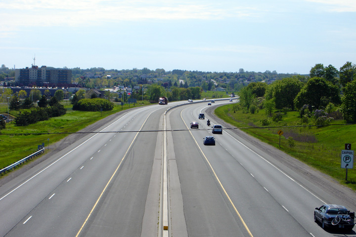
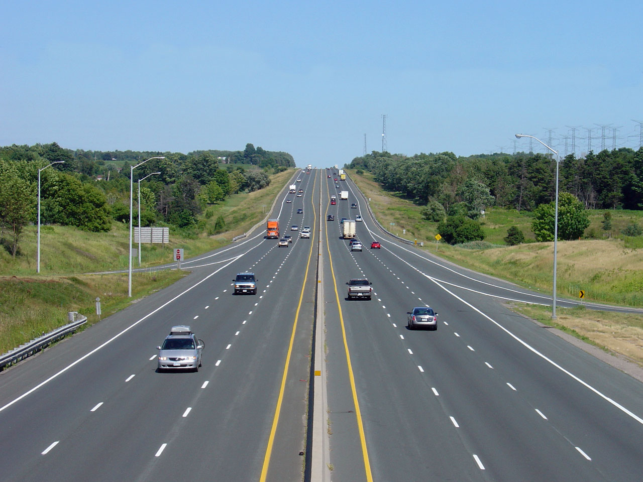
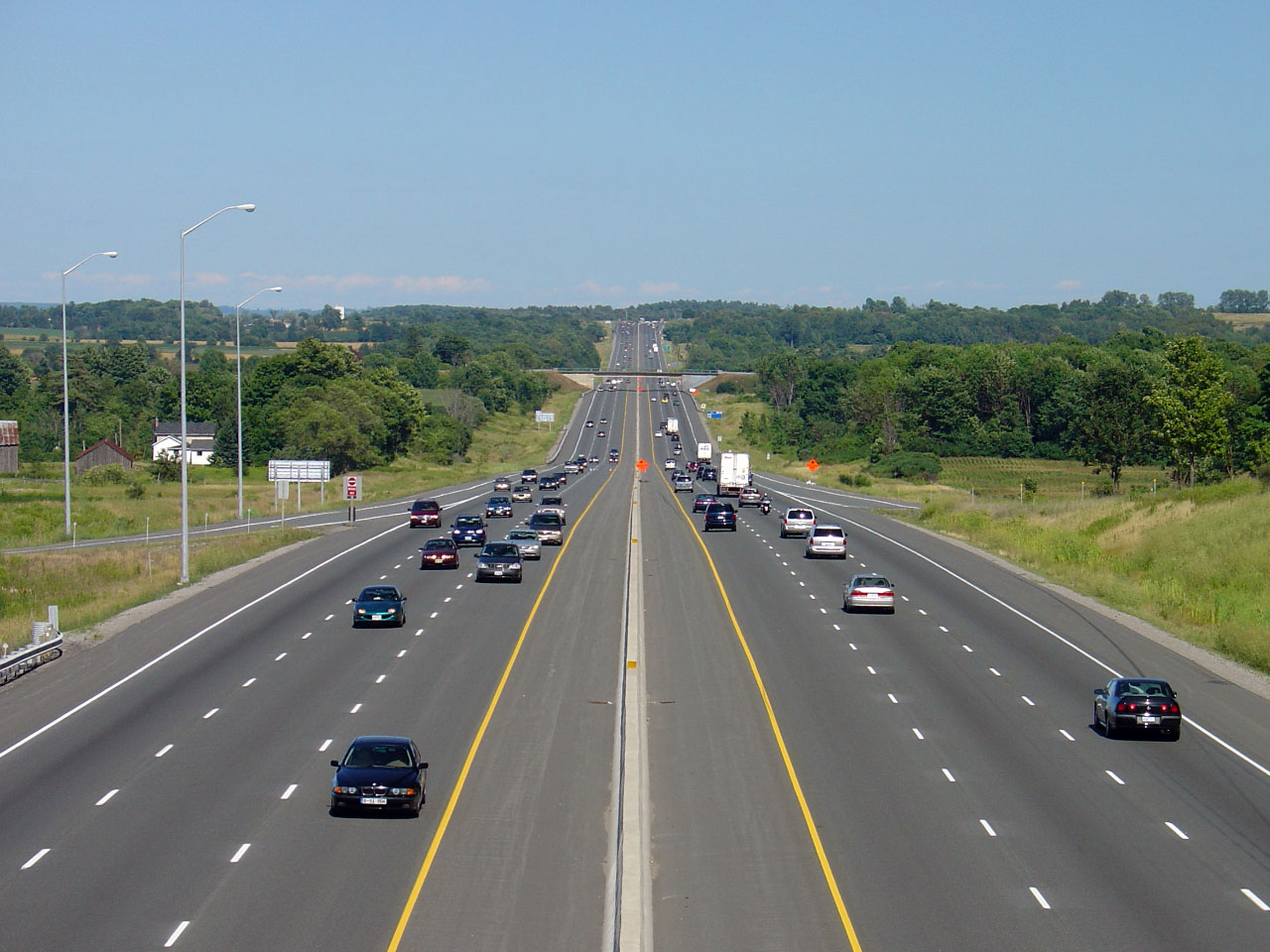
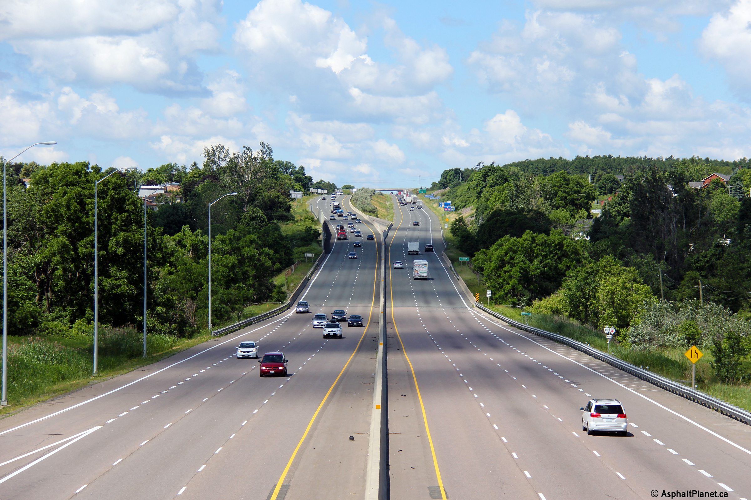
| Municipality of Clarington Regional Municipality of Durham |
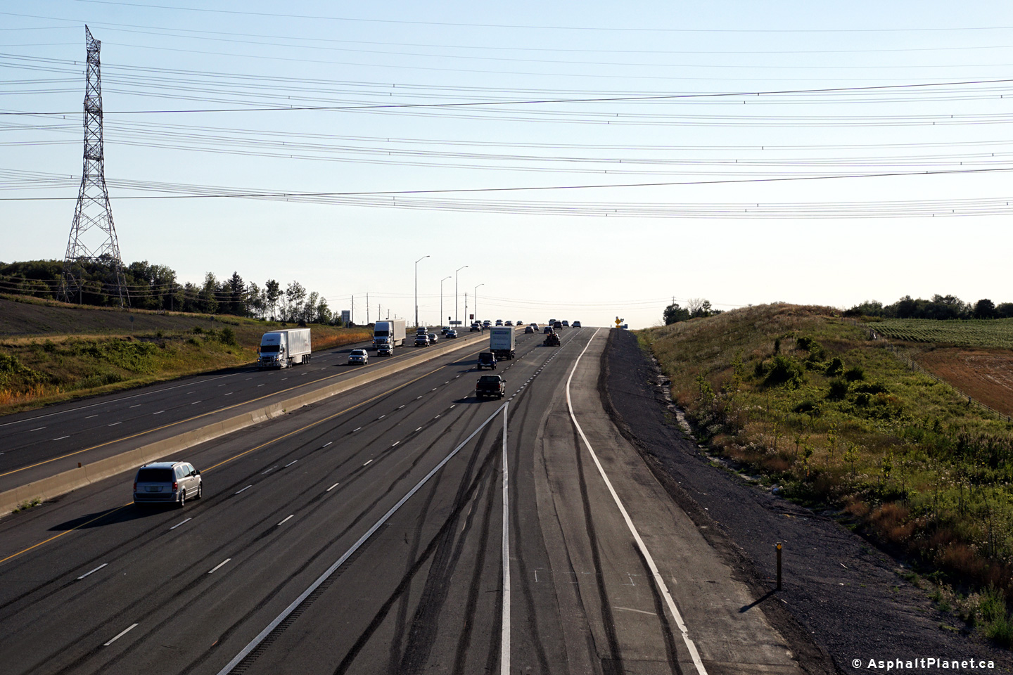
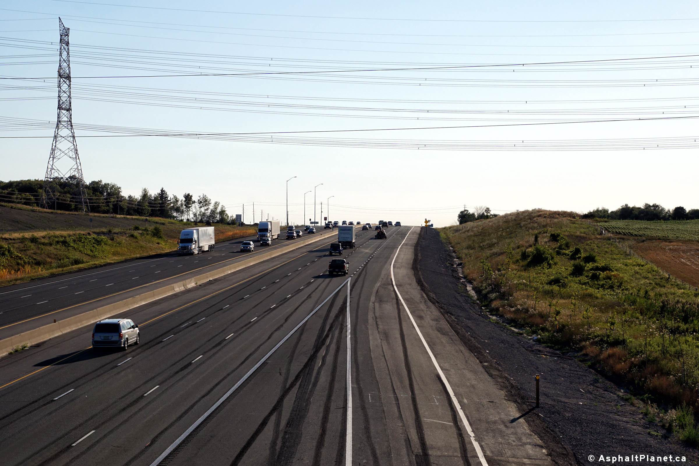
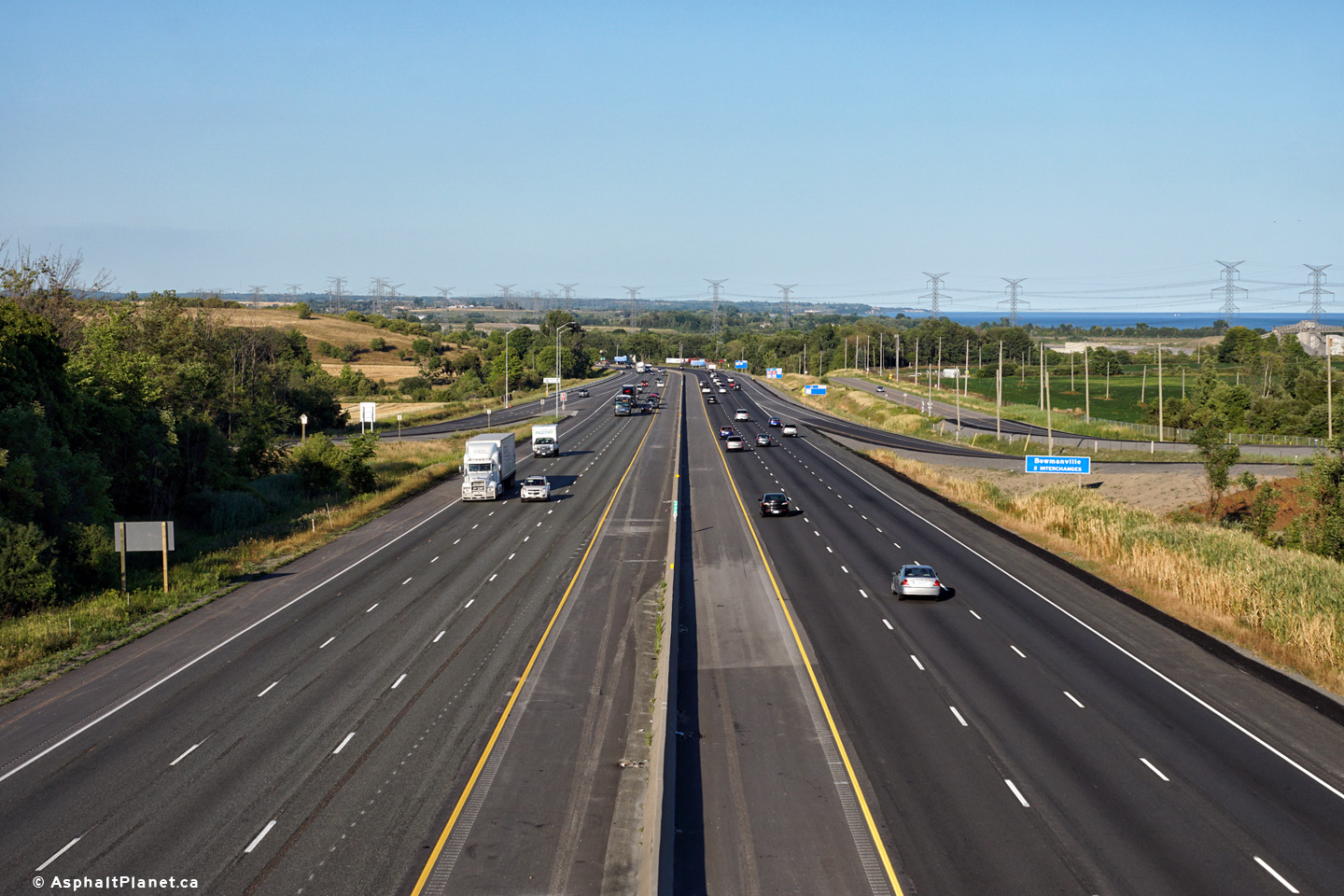
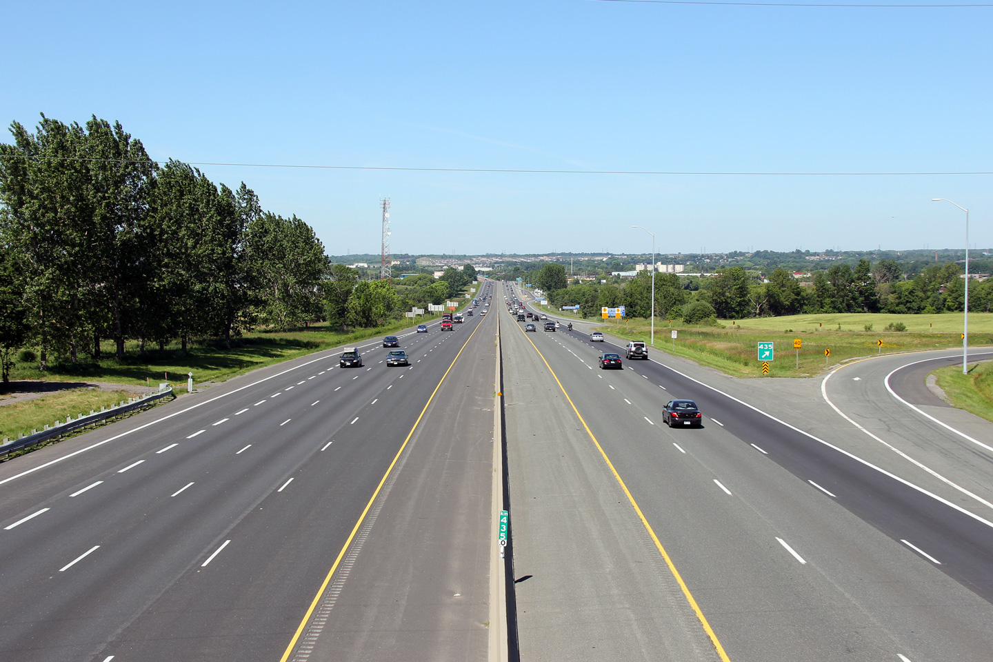
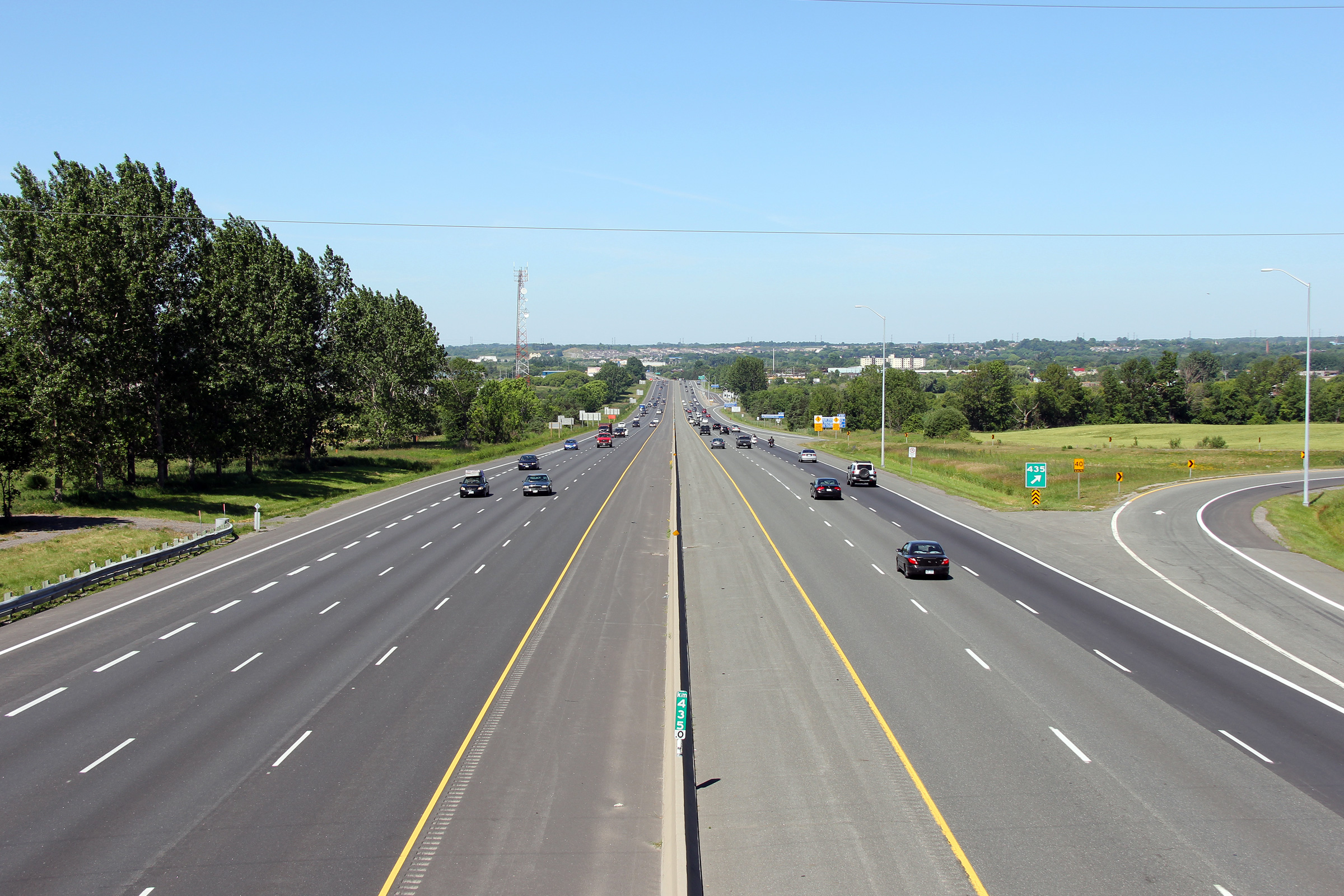
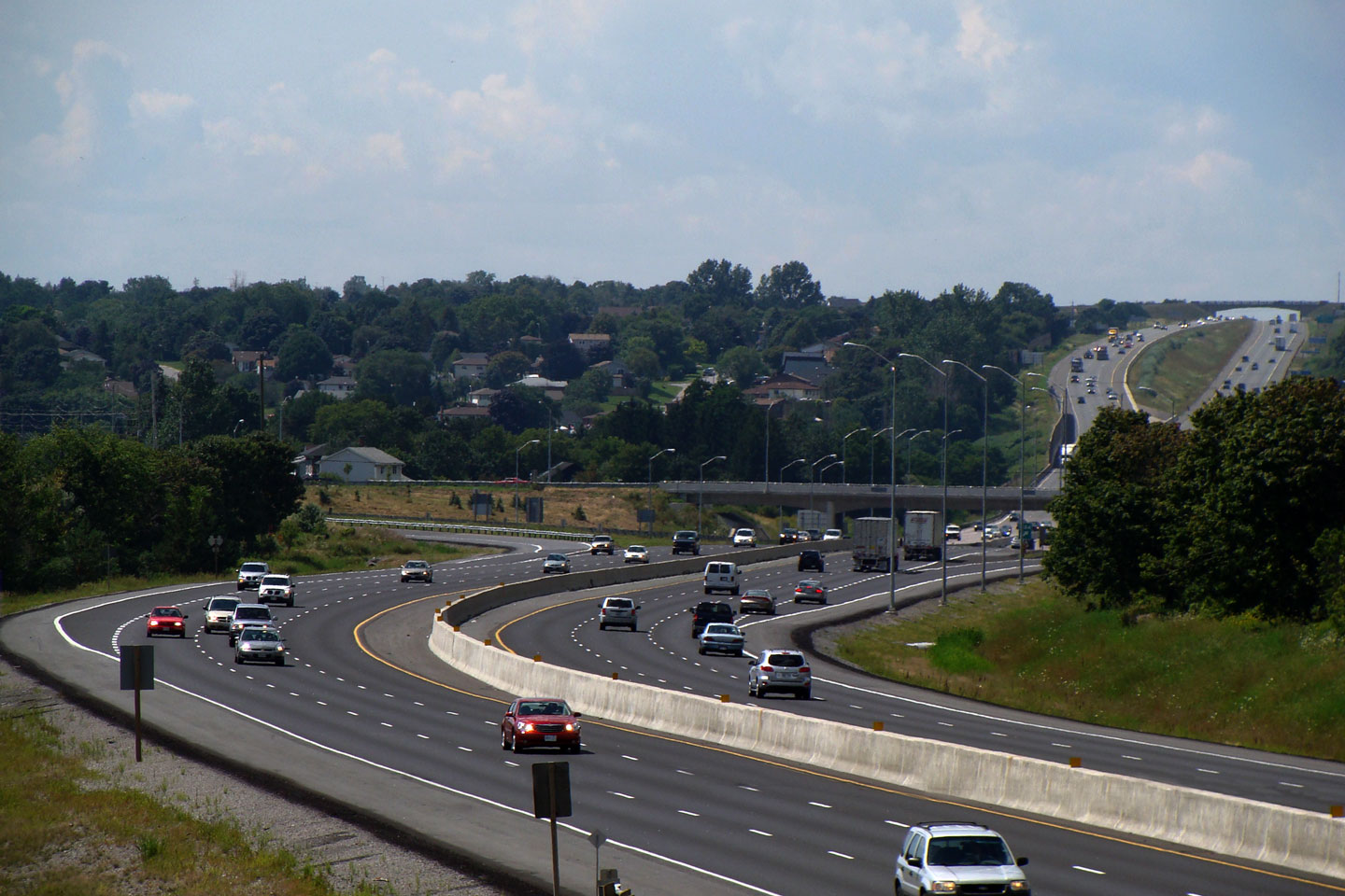
Two views of
Highway 401 looking west towards Bowmanville from the Bennett Road
overpass. Bennett Road is located at kilometre marker 435. Photos taken: July 3rd, 2011 |
 (720x480) (1440x960) (2400x1600)
|
||
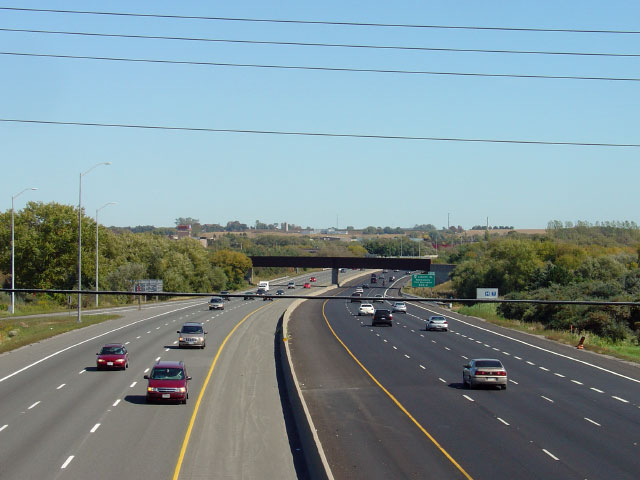
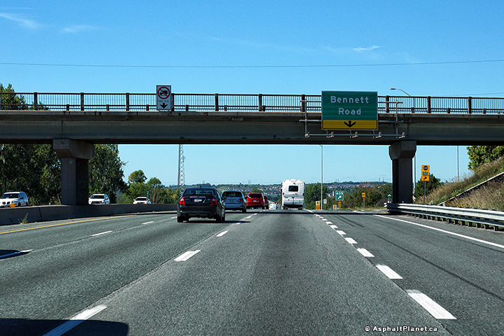
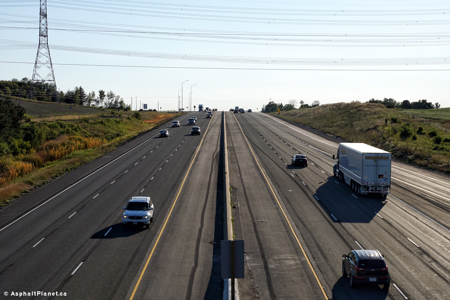
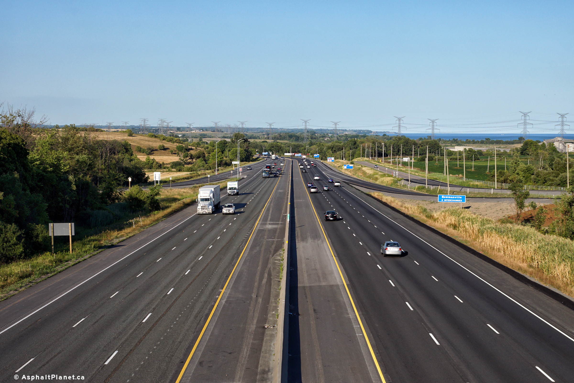
| Municipality of Clarington Regional Municipality of Durham |
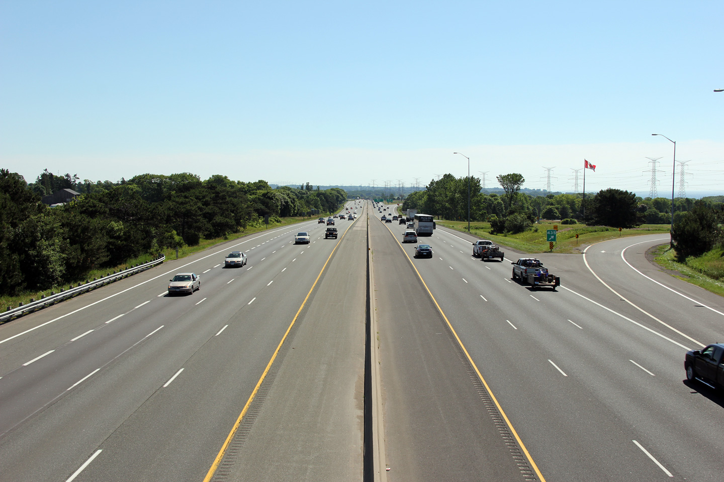
Highway 401 looking east from the Bennett Road overpass. Bennett Road is located very close to the Highway 35/115 trumpet interchange that is visible in the background. Because of the the close proximity between the two interchanges, there is an extremely short auxiliary lane in both directions. Photo taken: July 3rd, 2011 |
 |
||
| Municipality of Clarington Regional Municipality of Durham |
View looking westerly at the westbound off-ramp to Bennett Road. The
fourth westbound lane that joined the 401 from the Highway 35/115
interchange exits at Bennett Road. Photo taken: September 24th, 2016. |
 (720x480) (720x480)(1440x960) (2400x1600) |
||
| Municipality of Clarington Regional Municipality of Durham |
Westbound advanced signage for the Bennett Road interchange. Photo taken: September 24th, 2016. |
 (720x480) (720x480)(1440x960) (2400x1600) |
||
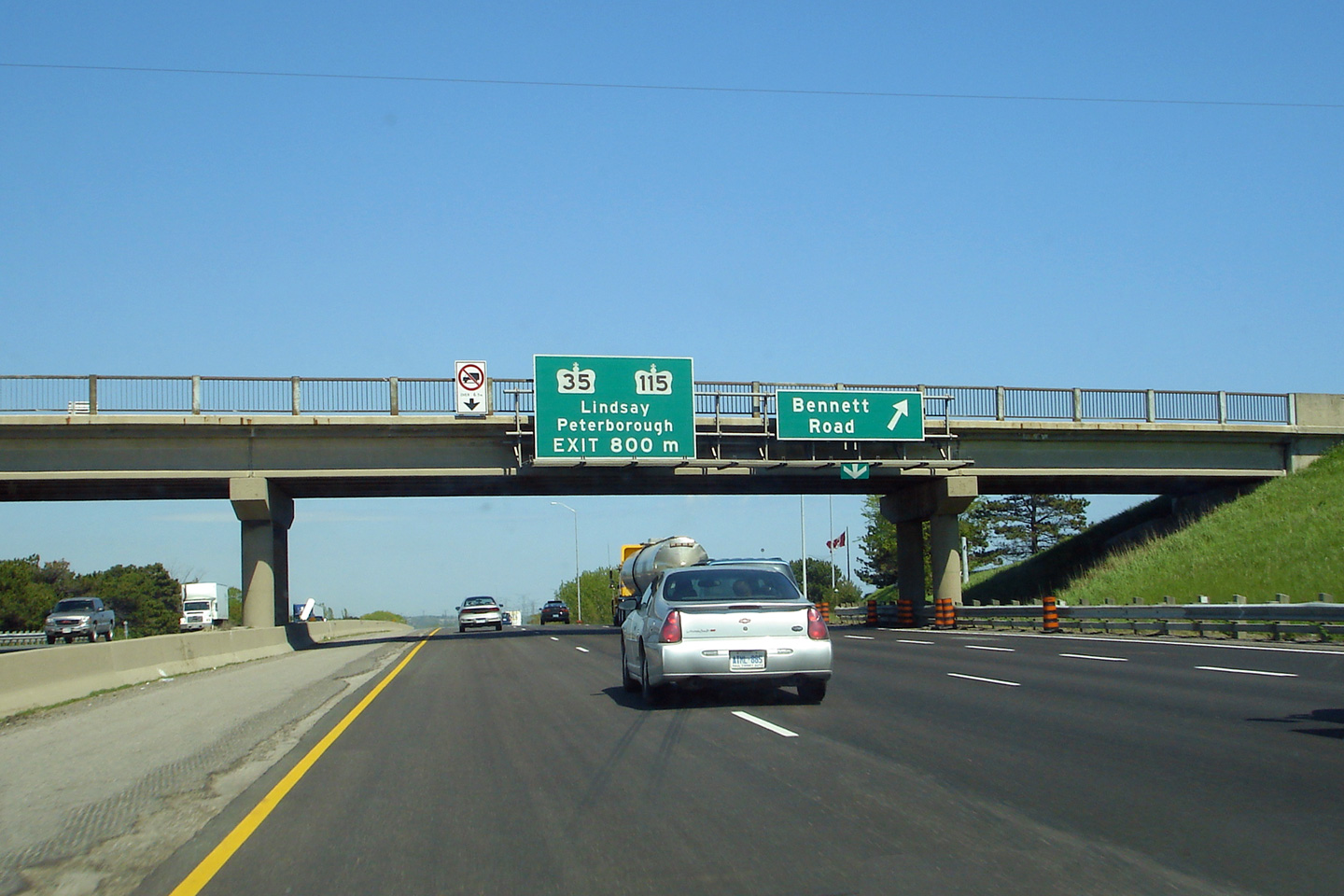
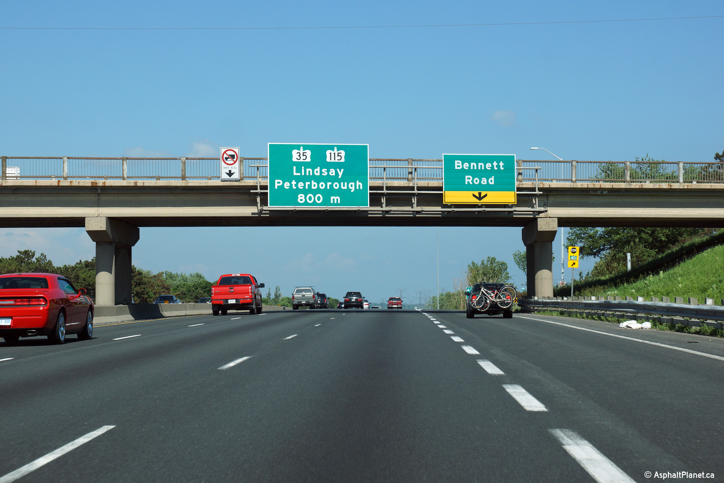
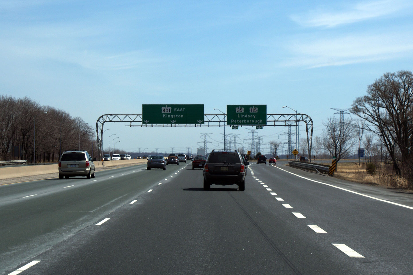
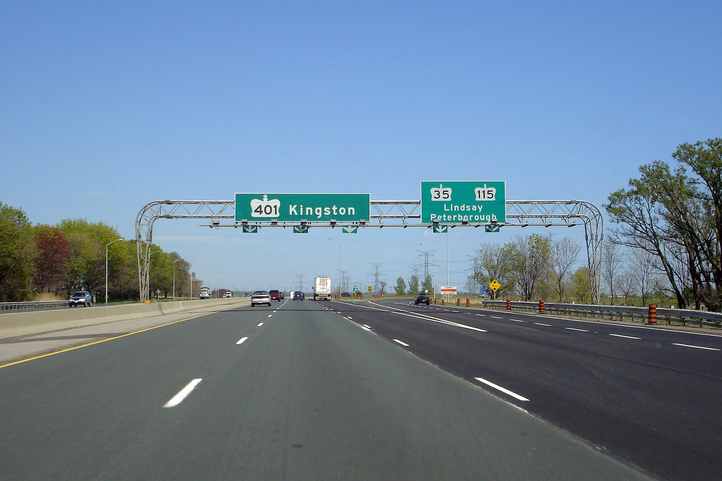
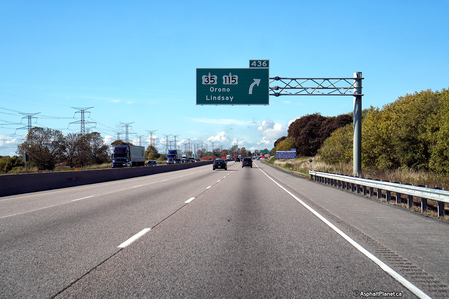
| Municipality of Clarington Regional Municipality of Durham |
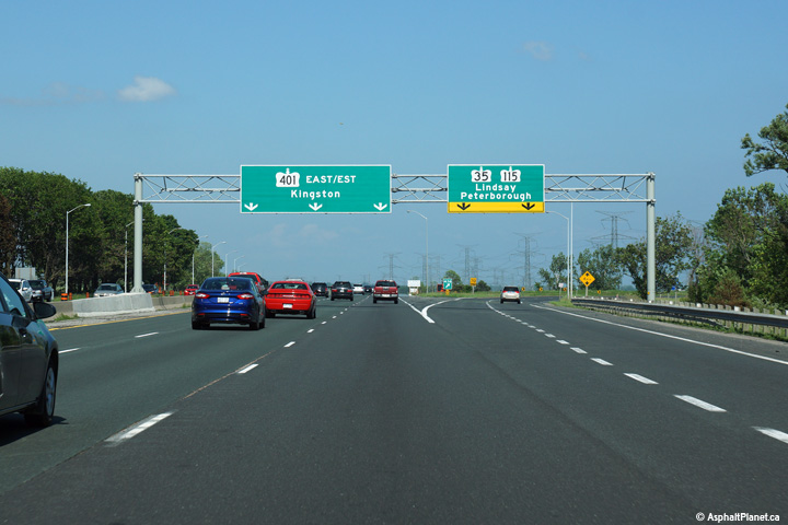
Overhead signage for the eastbound off-ramp to Highway 35/115. Not
pictured at right is an interim
signage configuration that stood for several years during the late
2000s. Upper photo taken: May 24th, 2006. Lower photo taken: June 21st, 2015. |
 (720x480) (720x480)(1440x960) (2400x1600) |
||
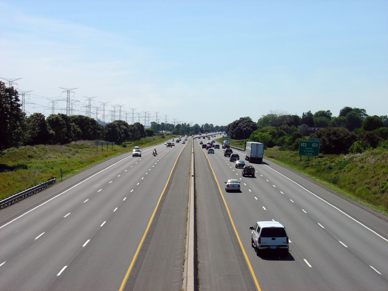
| Highway's 35 and 115 lead to Lindsay and Peterborough respectively. Click here for Highway 35 images and here for Highway 115 images. | ||||
| Municipality of Clarington Regional Municipality of Durham |
View at the westbound off-ramp to the 35/115. Photo taken: May 22nd, 2016. |
 (720x480) (720x480)(1440x960) (2400x1600) |
||
| Municipality of Clarington Regional Municipality of Durham |
Westbound advanced signage for the Highway 35/115 interchange. Photo taken: May 22nd, 2016. |
 (720x480) (720x480)(1440x960) (2400x1600) |
||
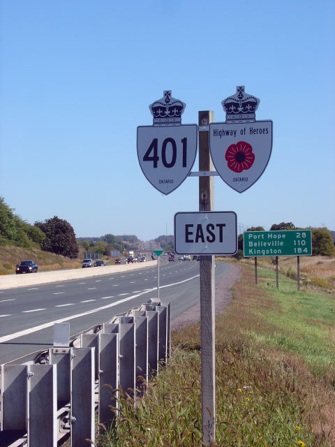
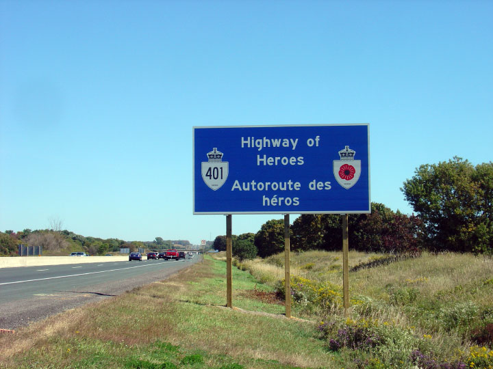
| Municipality of Clarington Regional Municipality of Durham |
This assembly is located just east of the Highway 35/115 interchange.
All reassurance markers between Toronto's Don Valley Parkway and Glen
Miller Road in Trenton are co-signed with the unique Highway of Hero's
marker. The signs commemorate the lives of Canadian Soldier's lost
in the war in Afghanistan. Photo taken: September 23rd, 2007. Low-res: 70kb. |
 |
||
| Municipality of Clarington Regional Municipality of Durham |
Large blue sign just east of Highway 35/115. Signs similar to this
once reminded Drivers of Highway 401's official designation as the
MacDonald-Cartier Freeway. Aside from a few sparse signs, the M-C
designation has been all but forgotten. Photo taken: September 23rd, 2007. Low-res: 85kb. |
 |
||
| Municipality of Clarington Regional Municipality of Durham |
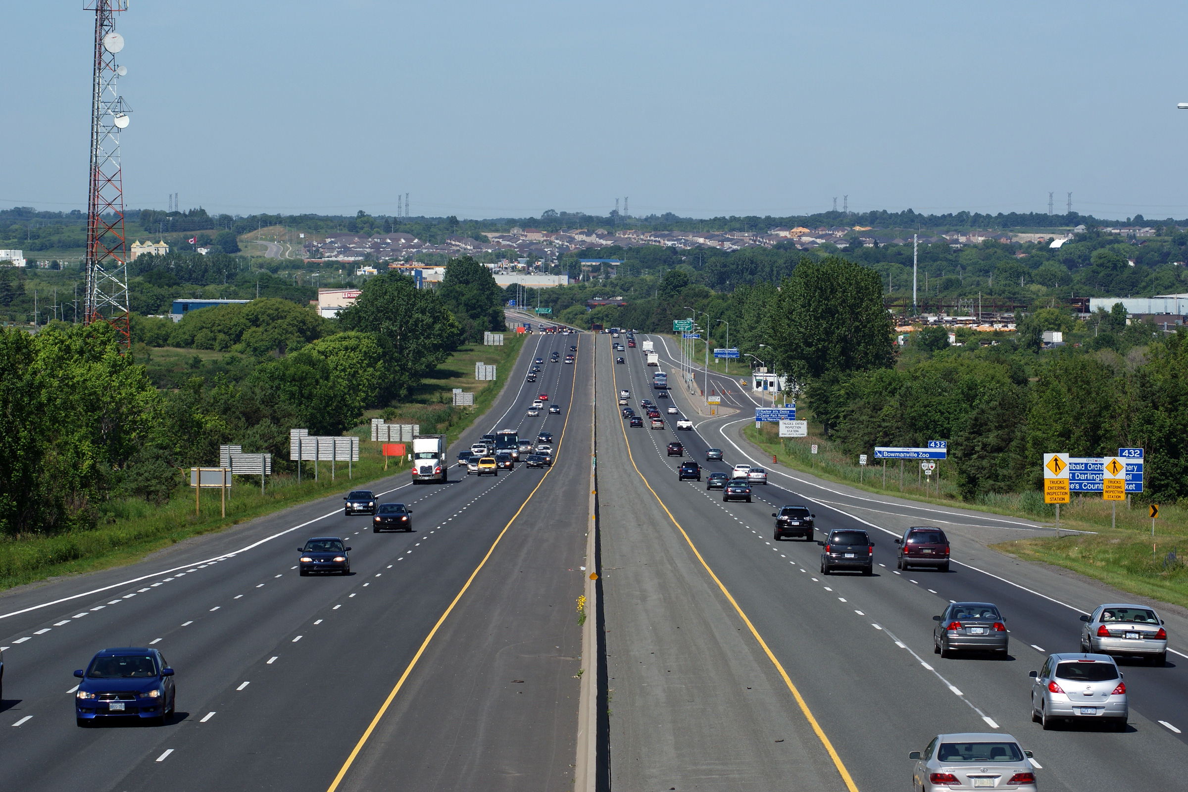
This Photo shows Highway 401 looking west from the Cobbledick Road
overpass just southeast of Newcastle. Just west of this photo, and
just out of view, Highway 401 meets Highway 35/115
at trumpet interchange. Photo taken: August 6th, 2005. Low-res: 40kb. High-res: 190kb. |
 |
||
| Municipality of Clarington Regional Municipality of Durham |
Highway 401 looking east from the Cobbledick Road overpass.
Cobbledick Road is located roughly at kilometre marker 438. Photo taken: August 6th, 2005. Low-res: 50kb. High-res: 255kb. |
 |
||
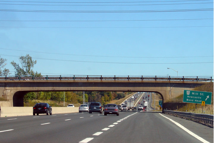
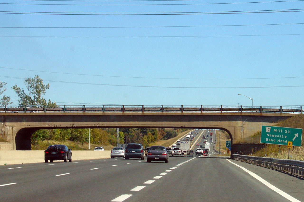
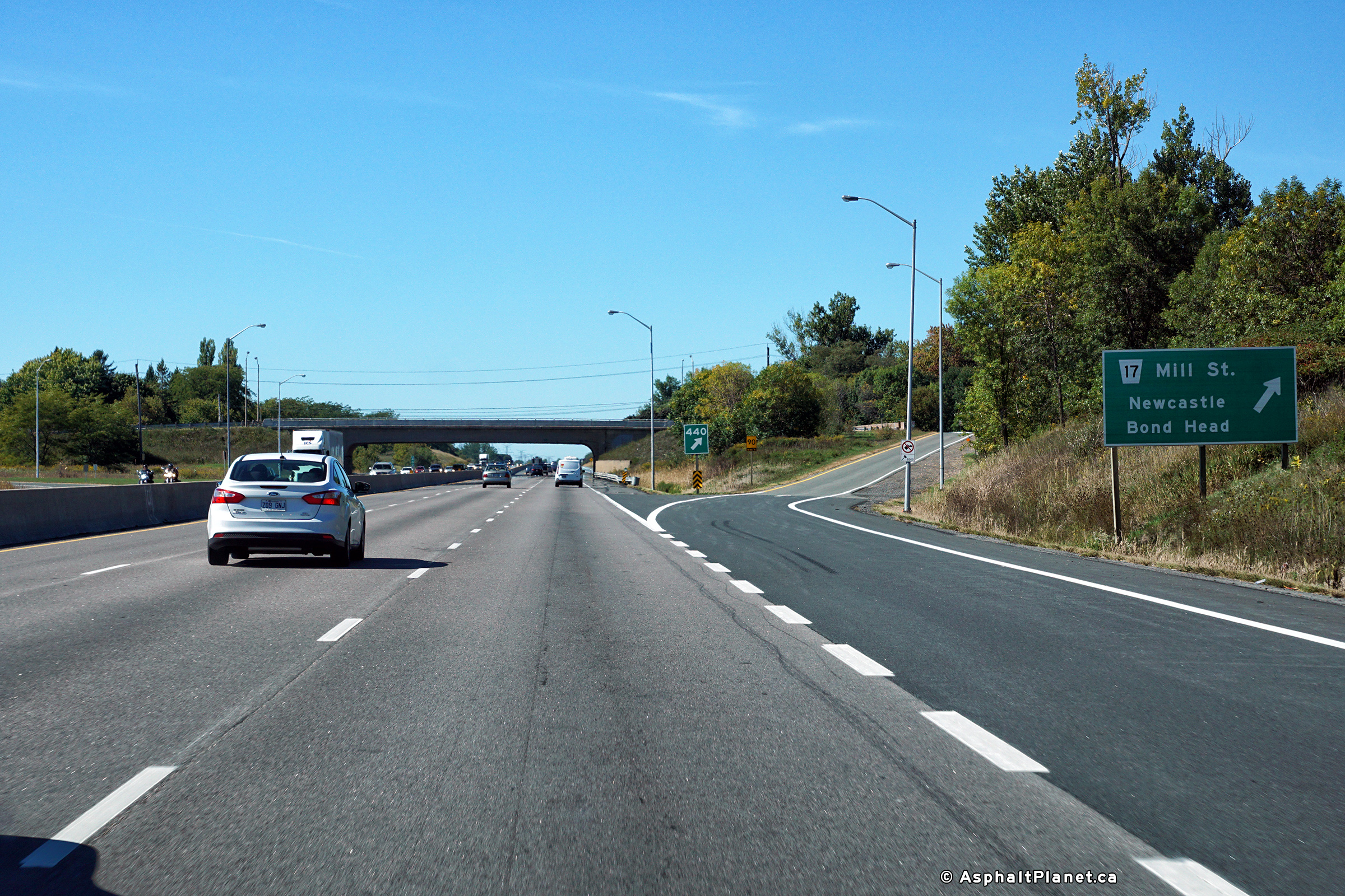
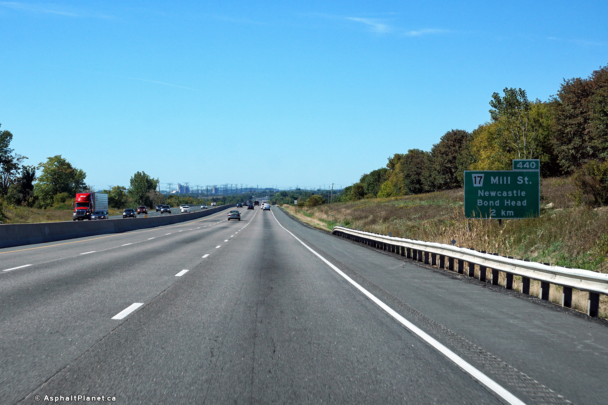
| Municipality of Clarington Regional Municipality of Durham |
View of the exit signage and structure for the Mill Street interchange
in Newcastle. This is one of very few bridges along the 401 in
Eastern Ontario to feature this unique design. Photo taken: September 23rd, 2007. Low-res: 65kb. High-res: 195kb. |
 |
||
| Municipality of Clarington Regional Municipality of Durham |
View looking west from the Mill Street overpass. Photo taken: August 6th, 2005. Low-res: 65kb. High-res: 200kb. |
 |
||
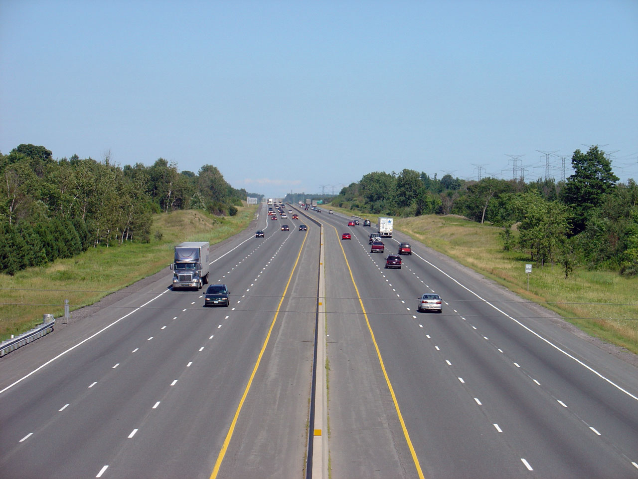
| Municipality of Clarington Regional Municipality of Durham |
View looking up the long grade east of Newcastle. Highway 401
passes overtop several tall ridges between Newcastle and Port Hope. Photo taken: August 6th, 2005. Low-res: 75kb. High-res: 220kb. |
 |
||
| Municipality of Clarington Regional Municipality of Durham |
Westerly view at the off-ramp to Mill Street. Photo taken: September 24th, 2016. |
 (720x480) (720x480)(1440x960) (2400x1600) |
||
| Municipality of Clarington Regional Municipality of Durham |
Westbound advanced signage for the off-ramp to Mill Street. Photo taken: September 24th, 2016. |
 (720x480) (720x480)(1440x960) (2400x1600) |
||
| Municipality of Clarington Regional Municipality of Durham |
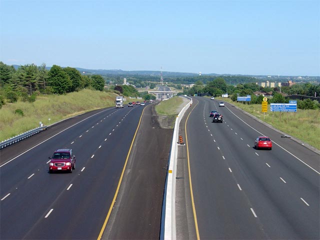
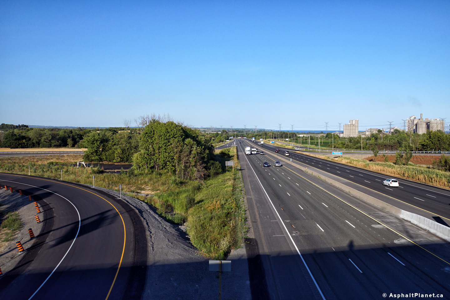
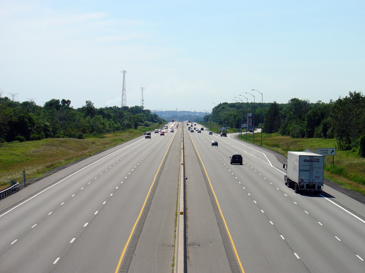
Looking west along Highway 401 from the Morgans Road overpass.
This photo showcases Newcastle's westbound Service Centre. At this
Service Centre gasoline is provided by Esso, while food is available
from Wendys, Tim Horton's and Mr. Sub. There is also a Nicolby's
convenience store. Photo taken: August 6th, 2005. Low-res: 35kb. High-res: 190kb. |
 |
||
| Municipality of Clarington Regional Municipality of Durham |
Looking east from the Morgans Road overpass. Morgans Road is
located roughly at kilometre marker 444. Photo taken: August 6th, 2005. Low-res: 45kb. High-res: 200kb. |
 |
||
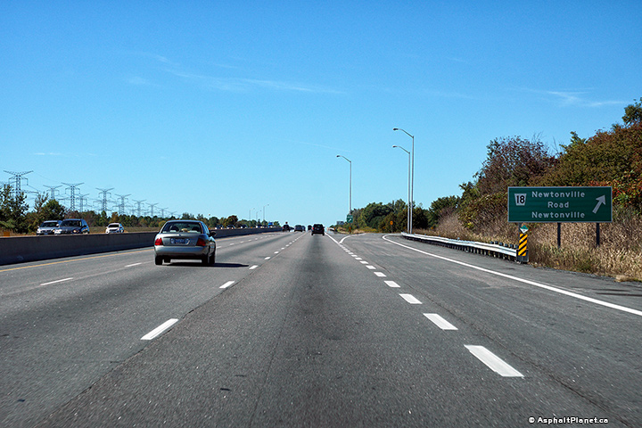
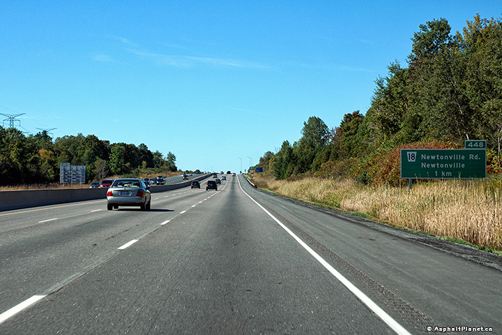
| Municipality of Clarington Regional Municipality of Durham |
Signage at the westbound off-ramp to Newtonville Road. Photo taken: September 24th, 2016. |
 (720x480) (720x480)(1440x960) (2400x1600) |
||
| Municipality of Clarington Regional Municipality of Durham |
Westbound advanced signage at the off-ramp to Newtonville Road. Photo taken: September 24th, 2016. |
 (720x480) (720x480)(1440x960) (2400x1600) |
||
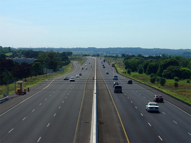
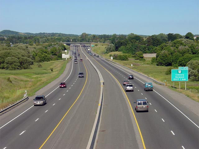
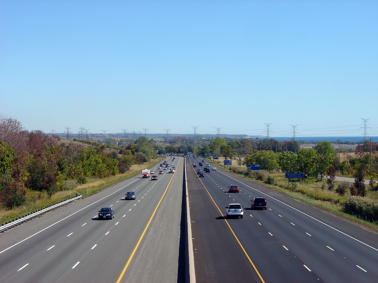
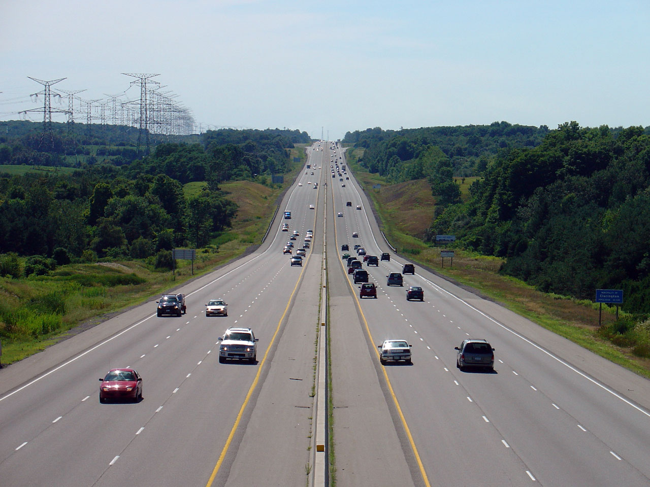
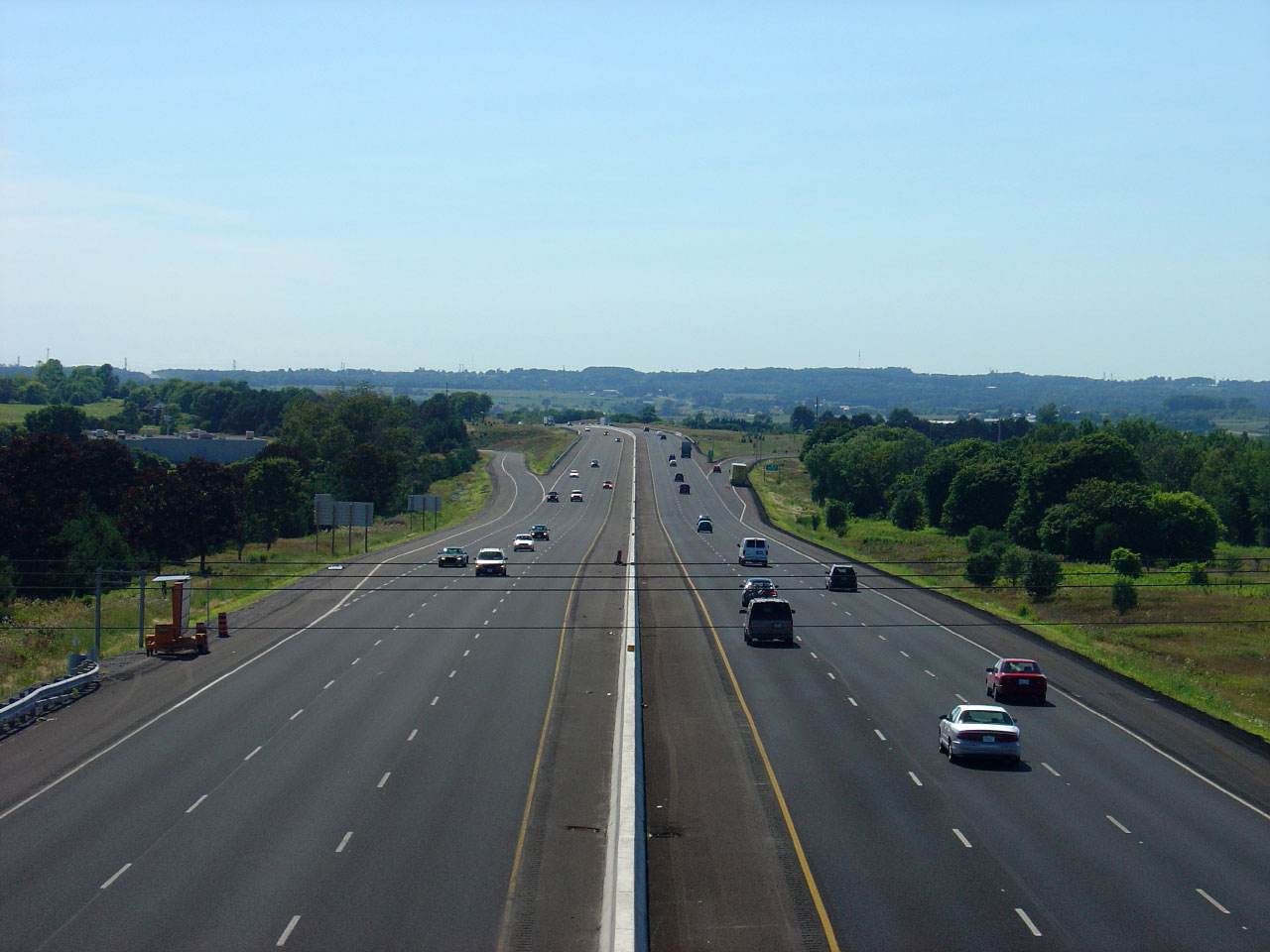
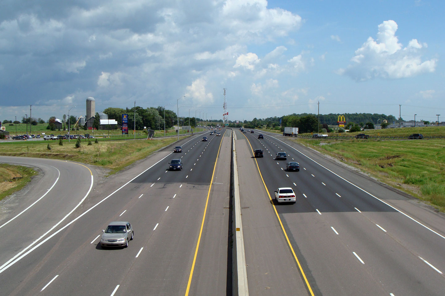
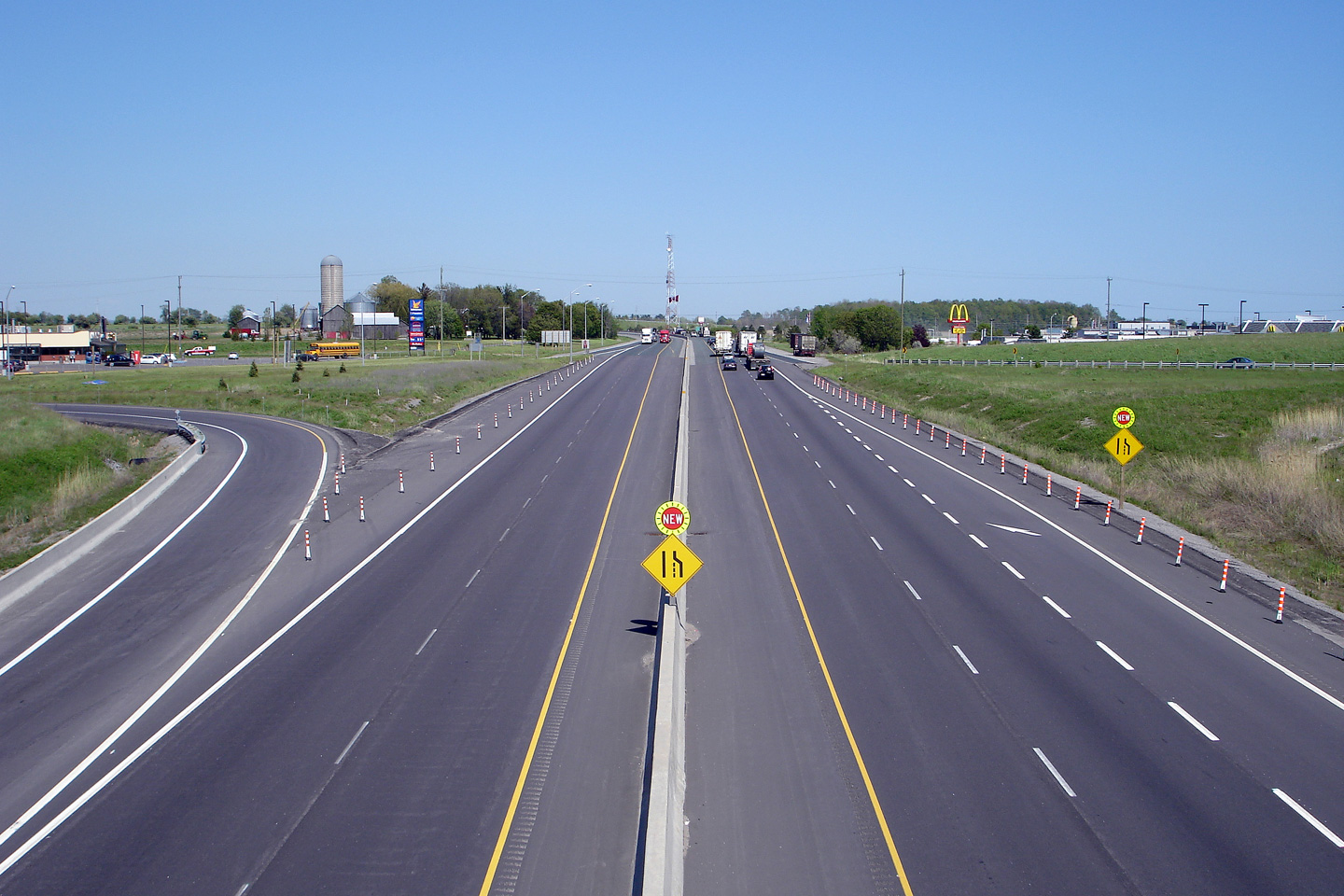
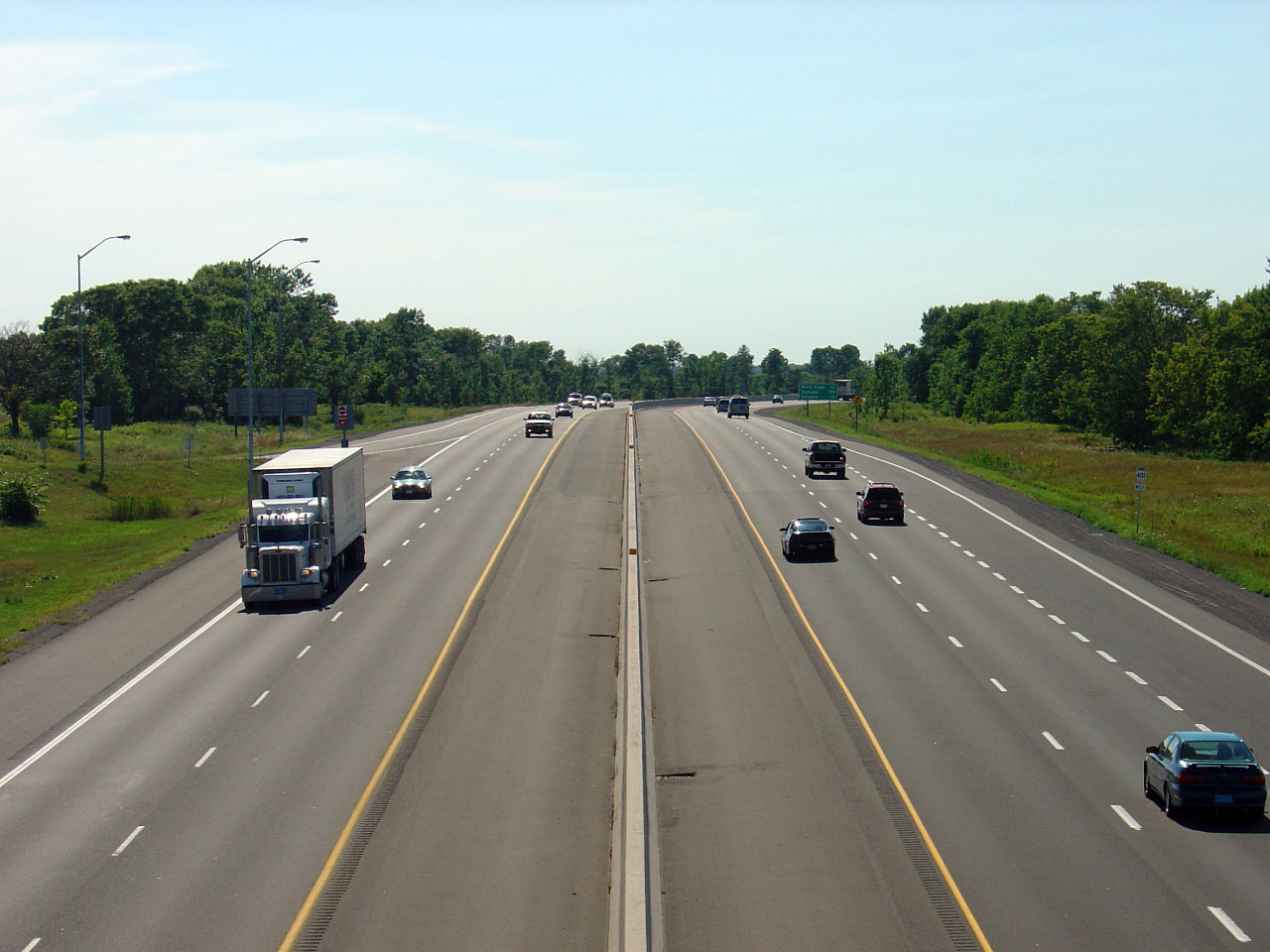
| Clarington - Port Hope Boundary Durham - Northumberland Boundary |
Looking west along Highway 401 from the East Townline Road Bridge.
East Townline Road is located roughly at kilometre marker 452, at the
boundary between Durham Region and the County of Northumberland.
In the distance of this photo, the Newtonville Road interchange is
visible. Photo taken: August 6th, 2005. Low-res: 60kb. High-res: 235kb. |
 |
||
| Clarington - Port Hope Boundary Durham - Northumberland Boundary |
Looking east from the East Townline Road overpass. Just out of
view in this photo is the first eastbound Service Centre east of
Toronto. This Service Centre features an Esso gas station, and
Tim Horton's, Wendy's and Mr. Sub outlets. Photo taken: August 6th, 2005. Low-res: 40kb. |
 |
||
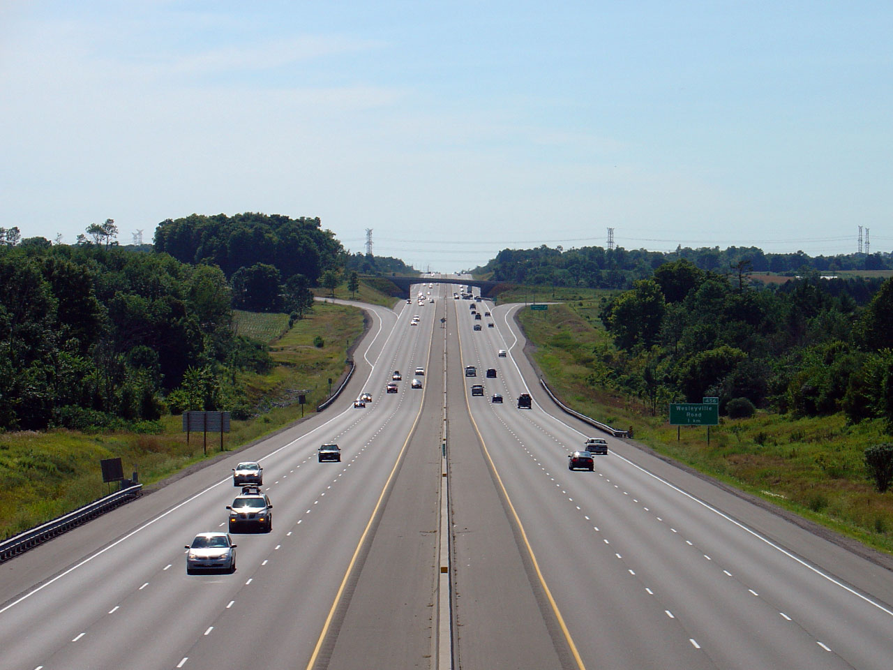
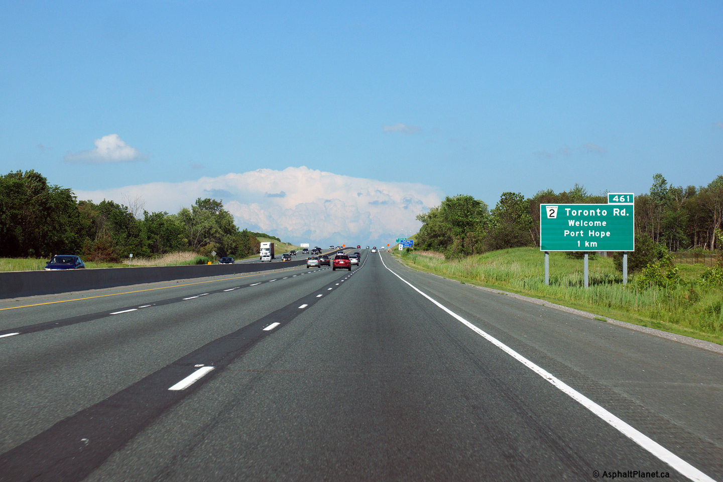
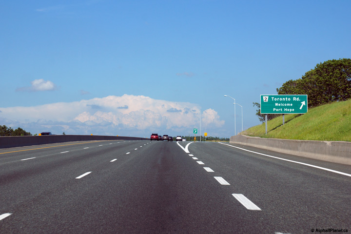
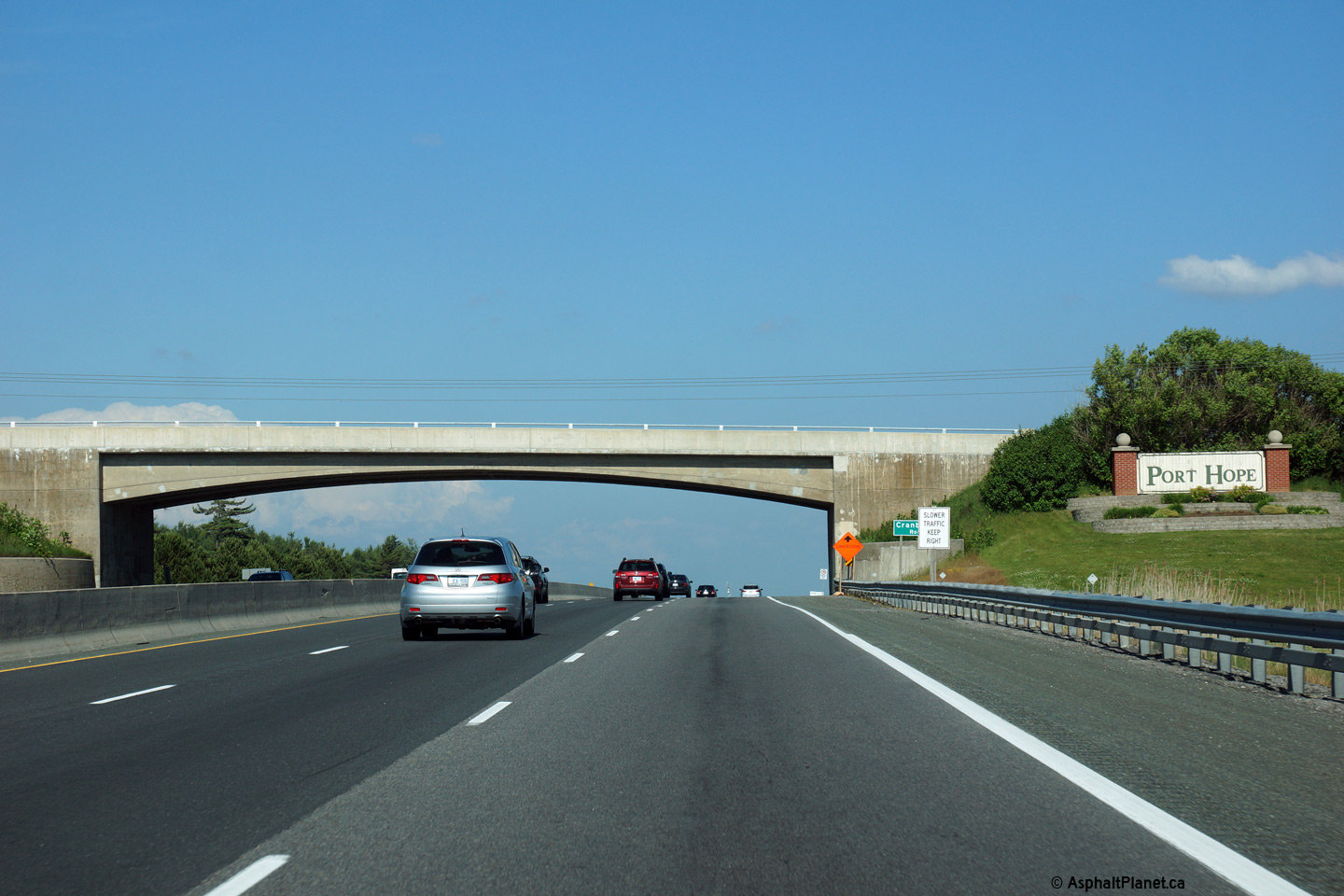
| Town of Port Hope County of Northumberland |
View looking westerly from the Wesleyville Road overpass. An
interchange was constructed at Wesleyville Road for the now dormant
Wesleyville Thermal Generating Station. Photo taken: August 6th, 2005. Low-res: 70kb. High-res: 210kb. |
 |
||
| Town of Port Hope County of Northumberland |
Highway 401 looking east from the Wesleyville Road overpass.
Wesleyville Road is located roughly at kilometre marker 456. Photo taken: August 6th, 2005. Low-res: 40kb. High-res: 220kb. |
 |
||
| Town of Port Hope County of Northumberland |
Looking west towards Wesleyville Road from the Deer Park Road overpass. Photo taken: August 6th, 2005. Low-res: 55kb. High-res: 210kb. |
 |
||
| Town of Port Hope County of Northumberland |
This view looks east towards Port Hope from Deer Park Road. Photo taken: August 6th, 2005. Low-res: 60kb. High-res: 215kb. |
 |
||
| Town of Port Hope County of Northumberland |
Advanced signage for the Highway 2 interchange. Photo taken: June 21st, 2015. |
 (720x480) (720x480)(1440x960) (2400x1600) |
||
| Town of Port Hope County of Northumberland |
Signage at the eastbound off-ramp to Highway 2 in Port Hope. Photo taken: June 21st, 2015. |
 (720x480) (720x480)(1440x960) (2400x1600) |
||
| Town of Port Hope County of Northumberland |
View looking easterly as Highway 401 passes beneath the Cranberry Road
overpass. The width of the central median has been compromised in
order to squeeze the highway beneath the 1950s era overpass. Photo taken: June 21st, 2015. |
 (720x480) (720x480)(1440x960) (2400x1600) |
||
| Town of Port Hope County of Northumberland |
Highway 401 looking west towards the Highway 2 interchange from the
Cranberry Road overpass in Port Hope. The
Highway 2 interchange
(visible in this photo) was reconstructed in 2004 as part of the 6-laning from a parclo A4 into
a diamond interchange. Many parclo and cloverleaf images have been
converted to diamonds as the 401 has been 6-laned. Photo taken: August 6th, 2005. Low-res: 40kb. High-res: 175kb. |
 |
||
| Town of Port Hope County of Northumberland |
Highway 401 looking east from the Cranberry Road overpass. This
Photo shows Highway 401's descent into the Ganaraska River Valley.
The eastbound lanes descent into the valley at a much higher grade then
the westbound lanes. Photo taken: August 6th, 2005. Low-res: 45kb. High-res: 195kb. |
 |
||
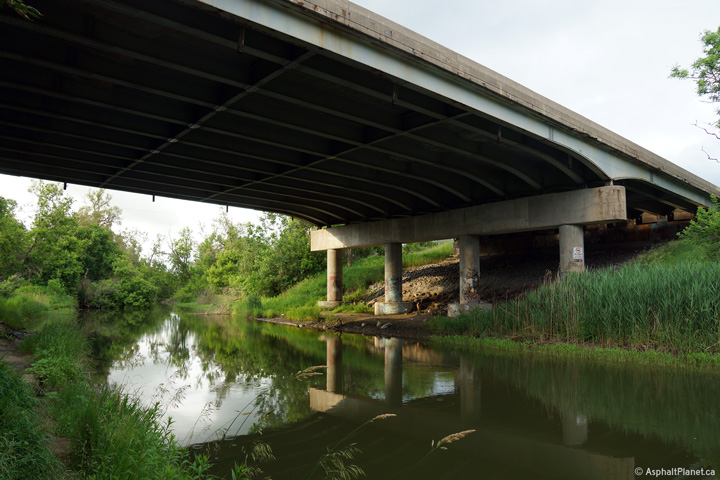
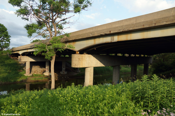
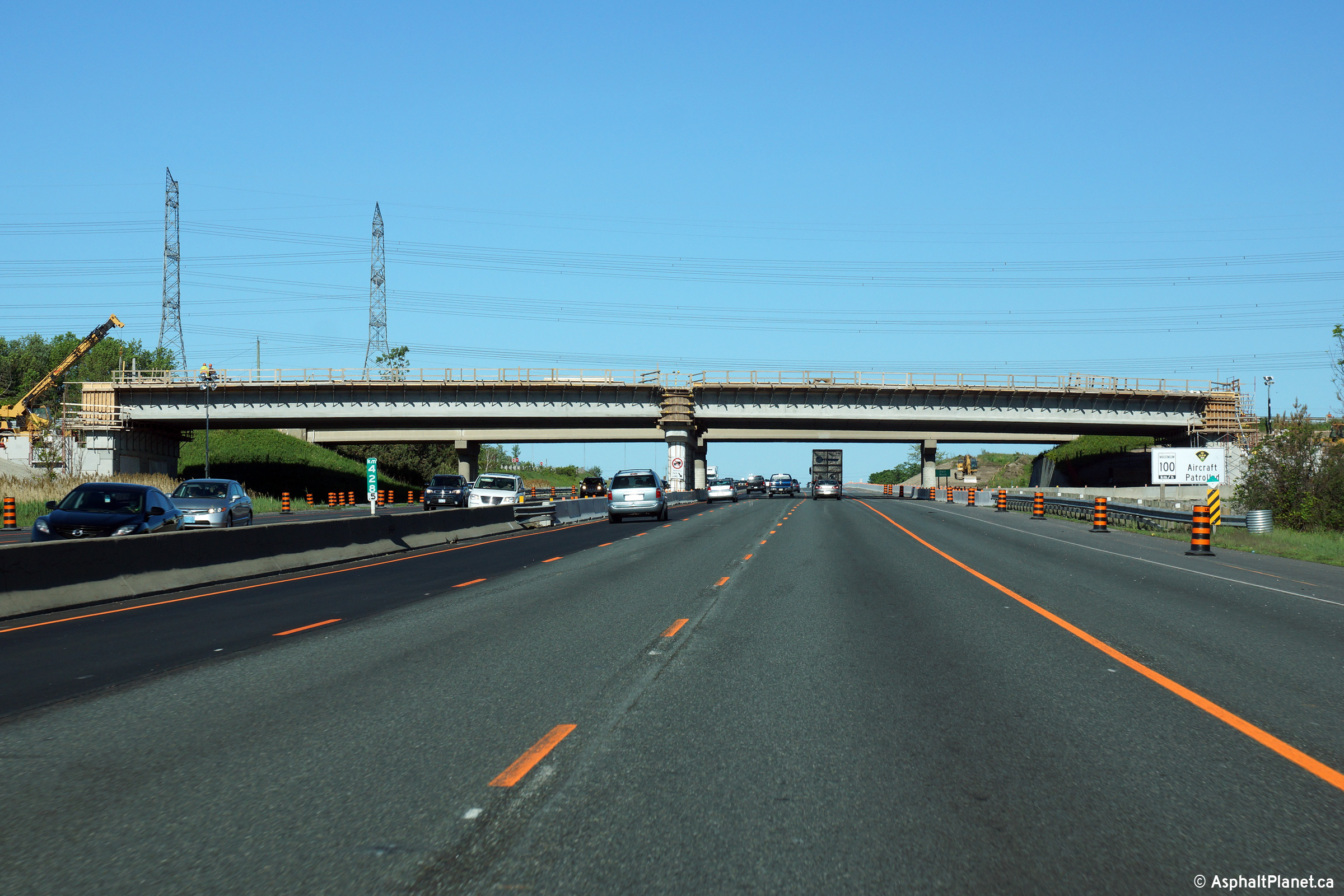
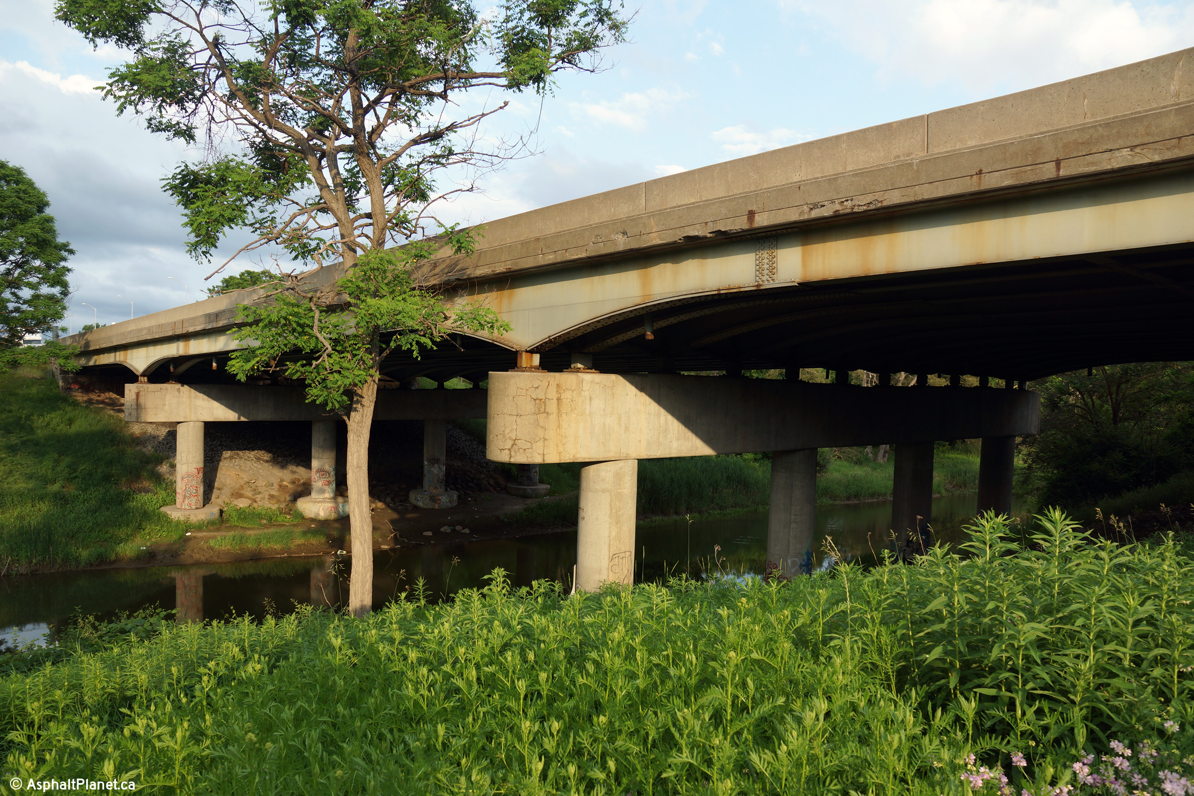
| Town of Port Hope County of Northumberland |
Two views looking at both sides of the structure that carries Highway
401 overtop of the Ganaraska River. This structure was not
significantly altered when Highway 401 was widened from four to six
lanes during the early 2000s. Photos taken: July 3rd, 2014. |
 |
||
| Town of Port Hope County of Northumberland |
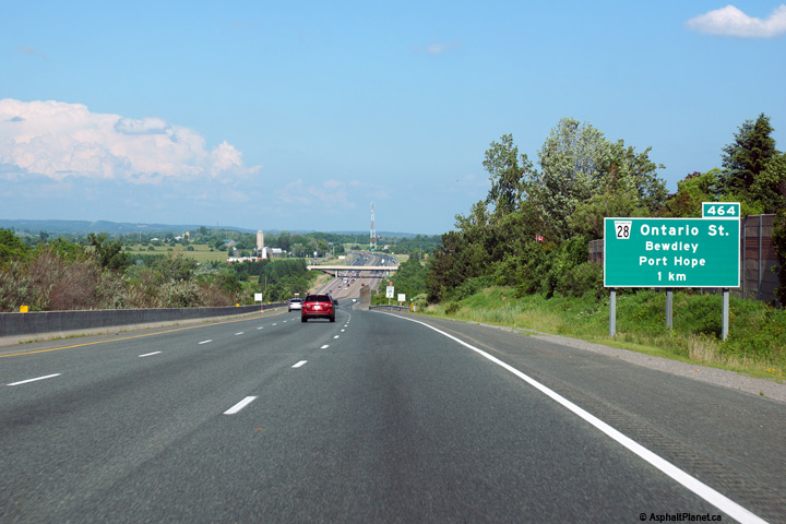
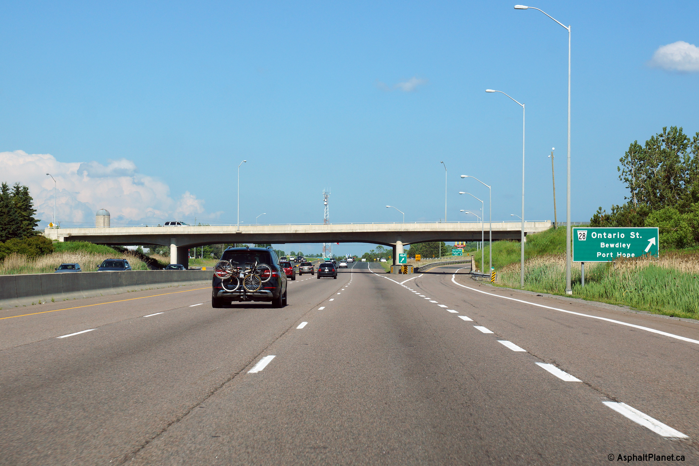
The eastbound advnaced signage for the Highway 28 interchange is
situated atop the long hill that carries the 401 into the Ganaraska
River Valley. Photo taken: June 21st, 2015. |
 (720x480) (720x480)(1440x960) (2400x1600) |
||
| Town of Port Hope County of Northumberland |
Signage at the eastbound off-ramp to Highway 28 in Port Hope. Photo taken: June 21st, 2015. |
 (720x480) (720x480)(1440x960) (2400x1600) |
||
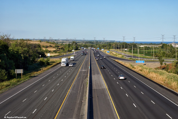
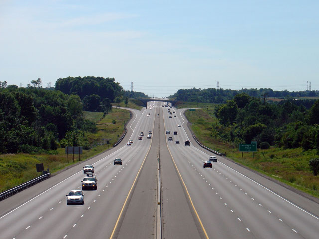
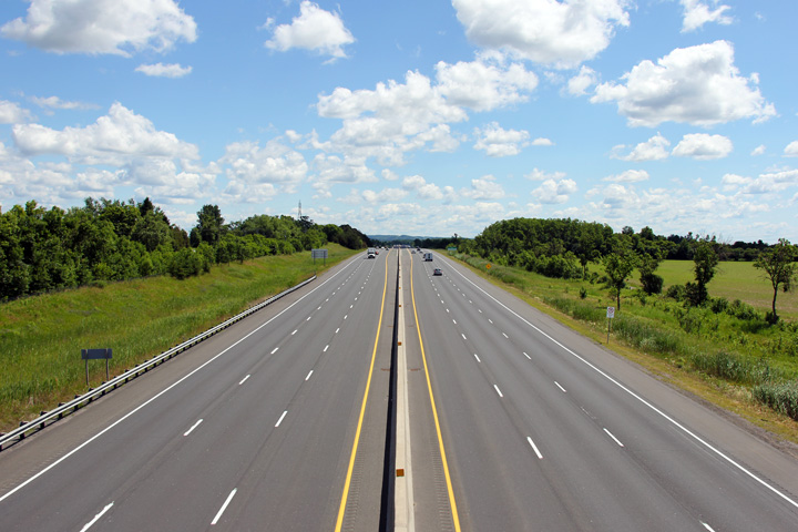
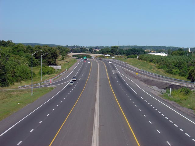
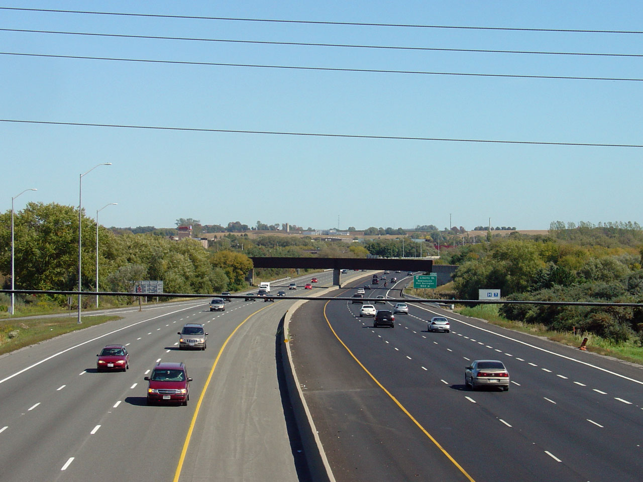
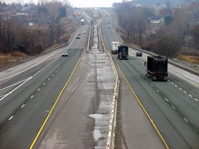
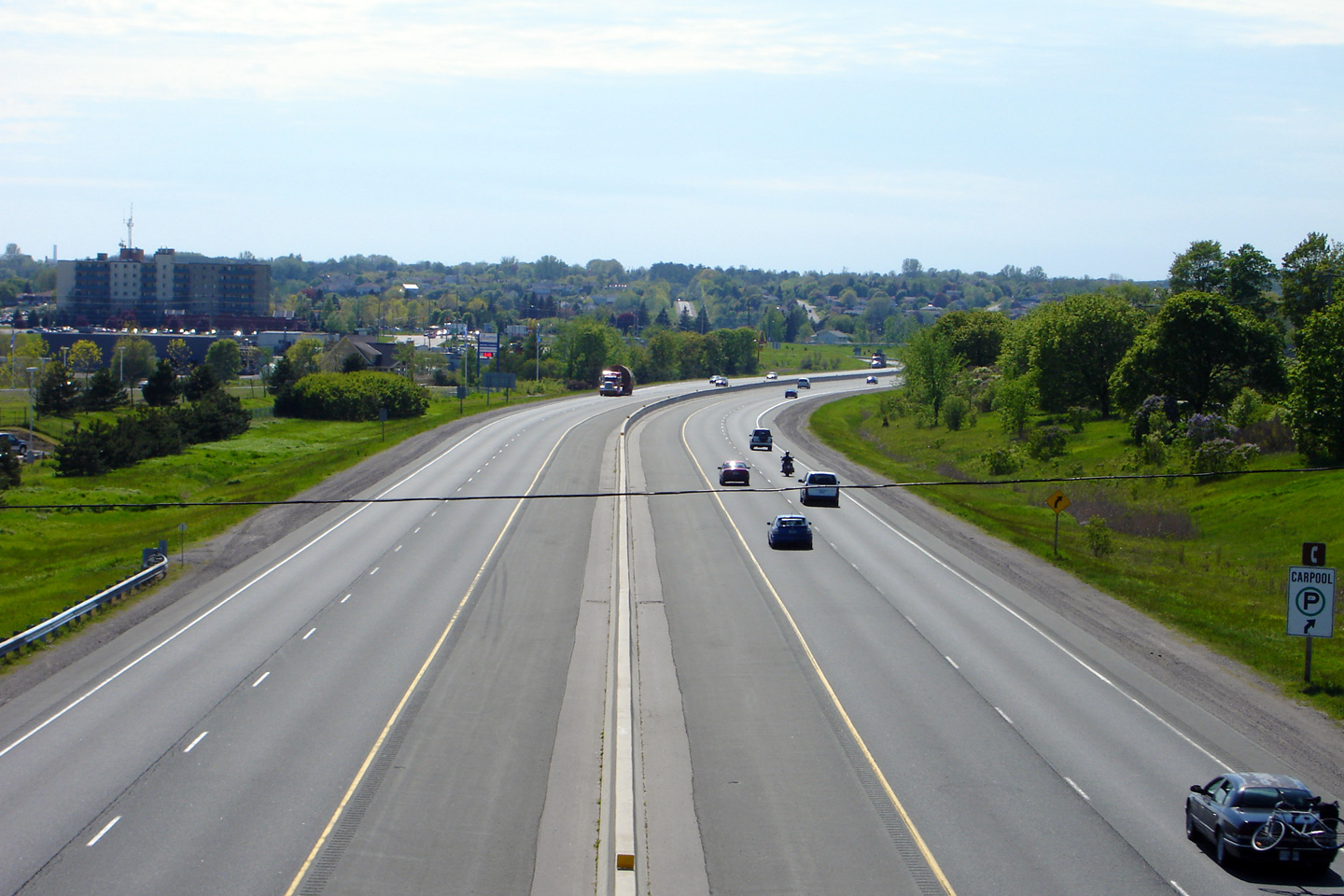
| Town of Port Hope County of Northumberland |
Looking west from the Highway 28 overpass in Port Hope. This photo showcases the recently six-laned section of Highway 401 through Port Hope. Unfortunately, the Ganaraska River bridge was not widened during the construction project, which has made for tight squeeze overtop the bridge. Click here for a photo from the same vantage point taken during construction in March 2004, and here for an additional view of the six lane highway taken in August, 2008.
Photos taken: July 4th, 2014. |
|||
| Before being (surprisingly) downloaded between Port Hope and Peterborough, Highway 28 stretched north of this interchange to Bancroft. Click here for Highway 28 images. | ||||
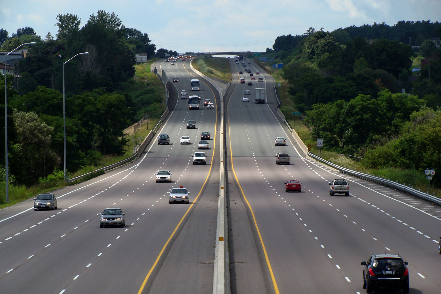
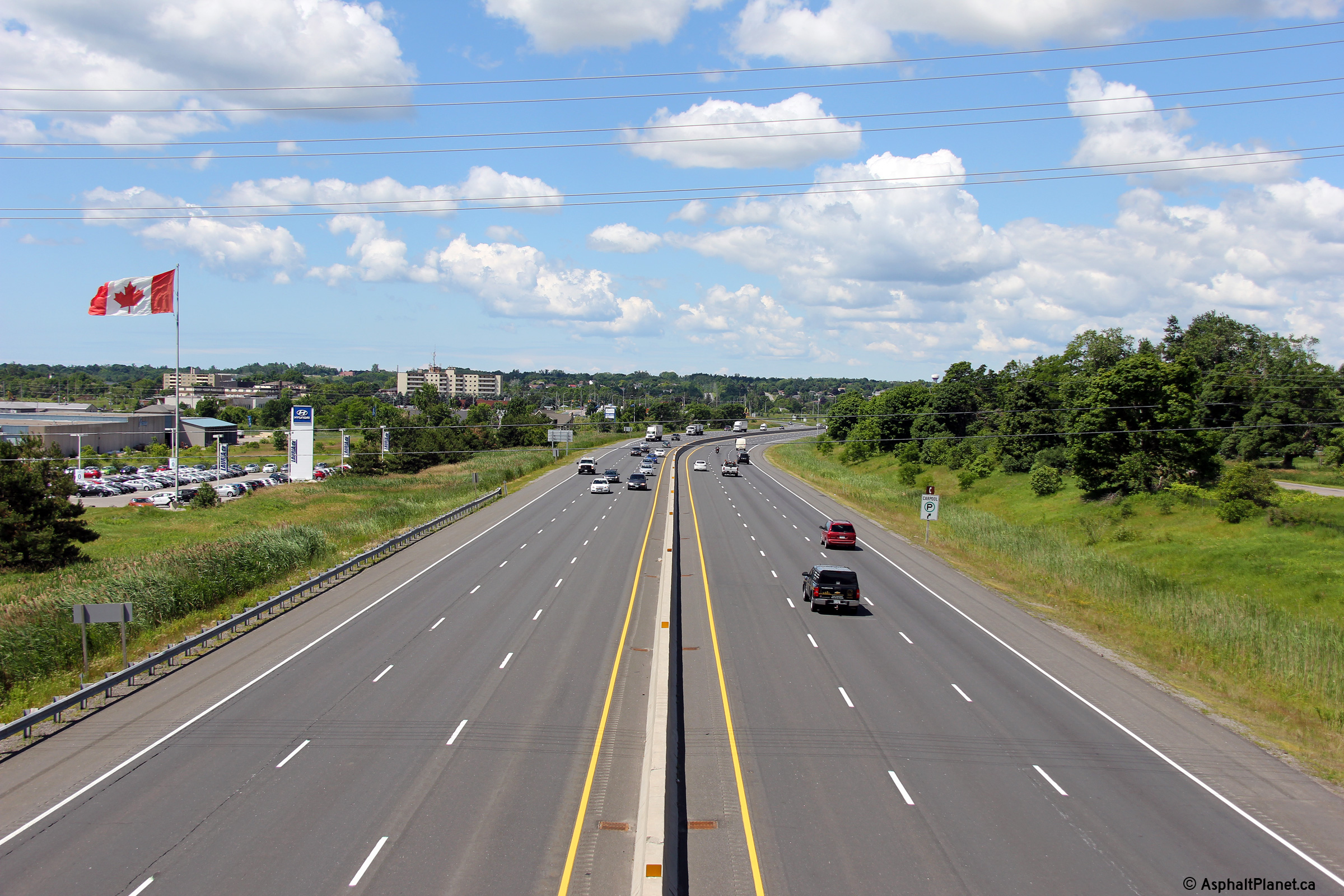
| Town of Port Hope County of Northumberland |
Looking east from the Highway 28 overpass in Port Hope. Highway 401 was widened from four- to six-lanes at the Highway 28 overpass. Highway 401 has been gradually widened to six lanes from Newcastle first to Port Hope, and then to Cobourg since the early 2000s. Click here for an additional view taken from this overpass in August, 2008. Upper photo taken: May 24th, 2006. Lower photo taken: July 4th, 2014. |
|
||
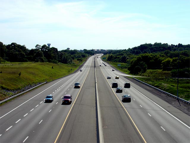
| Port Hope - Hamilton Boundary County of Northumberland |
Two views looking west from the Hamilton Road
overpass just east of Port Hope. Hamilton Road is located near to kilometer
marker 465. The Ganaraska River is situated in a substantial valley.
Click here for an additional view
taken from this overpass in August, 2008. Upper photo taken: May 24th, 2006. Lower photos taken: July 4th, 2014. |
|
||
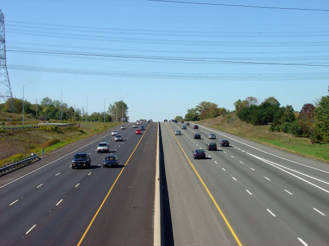
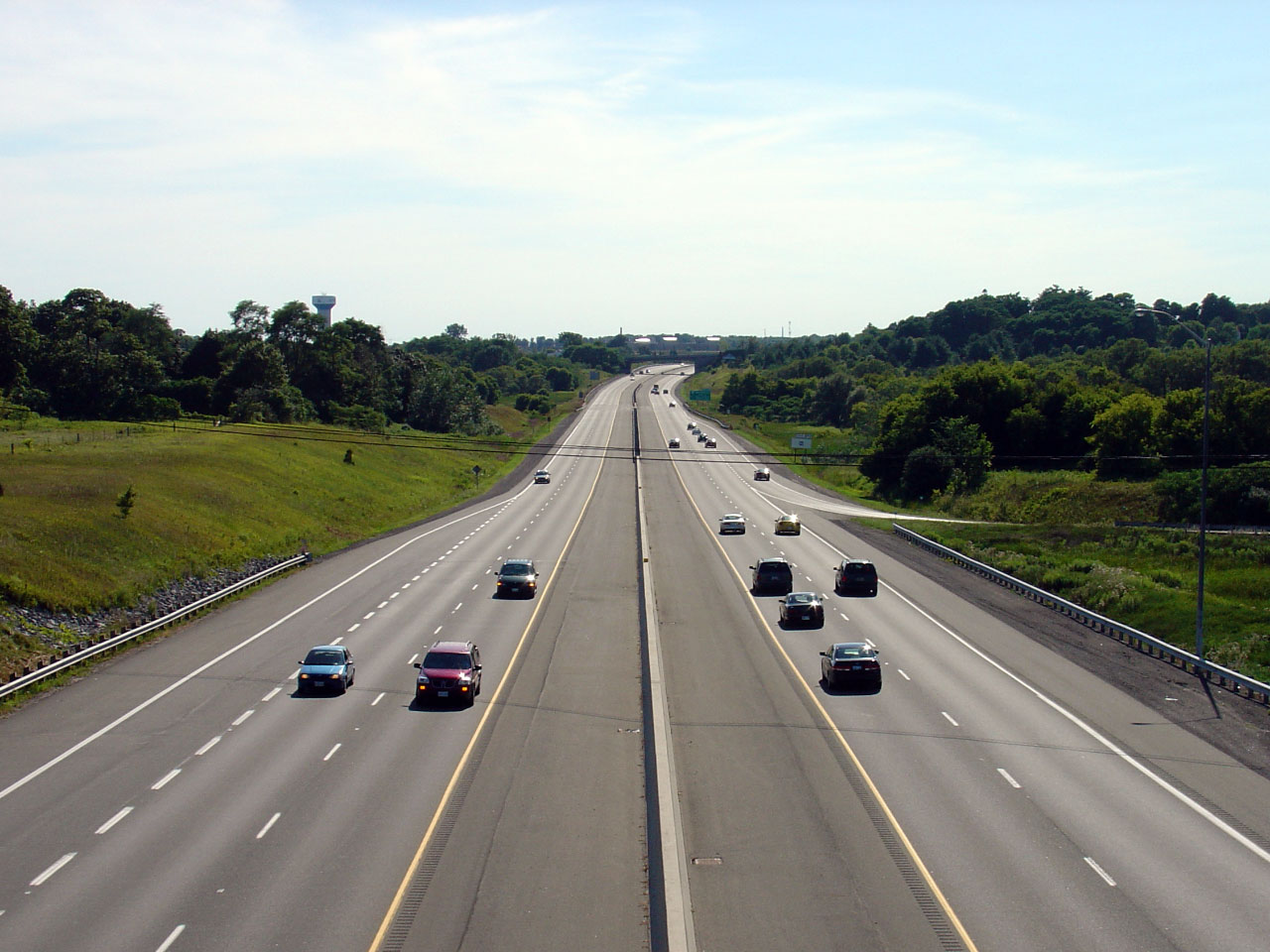
| Port Hope - Hamilton Boundary County of Northumberland |
Looking east from the Hamilton Road overpass.
This is a fairly typical view of Highway 401 between Port Hope and Cobourg,
aside from a short section with a grassed median just west of Burnham Street
in Cobourg. Click here for an
additional view taken from this vantage point in August, 2008. Upper photo taken: August 6th, 2005. Lower photo taken: July 4th, 2014. |
 |
||
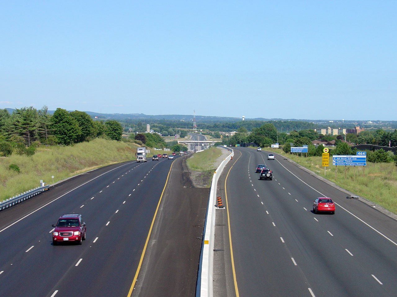
| Township of Hamilton County of Northumberland |
Eastbound advanced signage for the Burnham
Street interchange. Photo taken: October, 2017. |
 (720x480) (720x480)(1440x960) (2400x1600) |
||
| Township of Hamilton County of Northumberland |
Signage at the off-ramp to Burham Street in
Cobourg. Photo taken: October, 2017. |
 (720x480) (720x480)(1440x960) (2400x1600) |
||
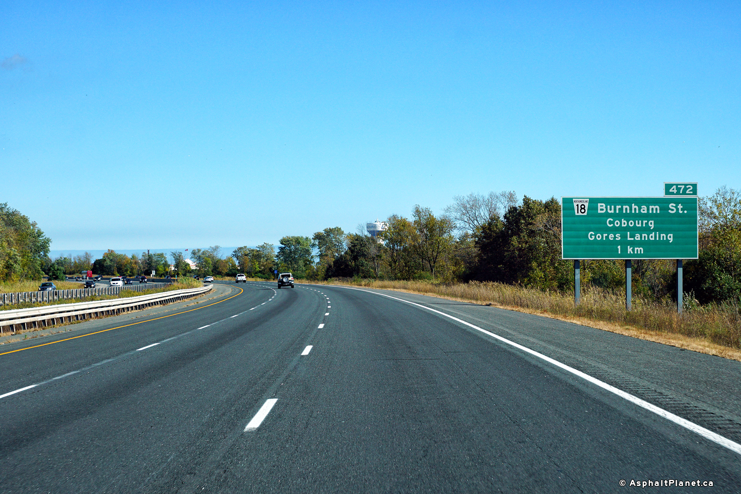
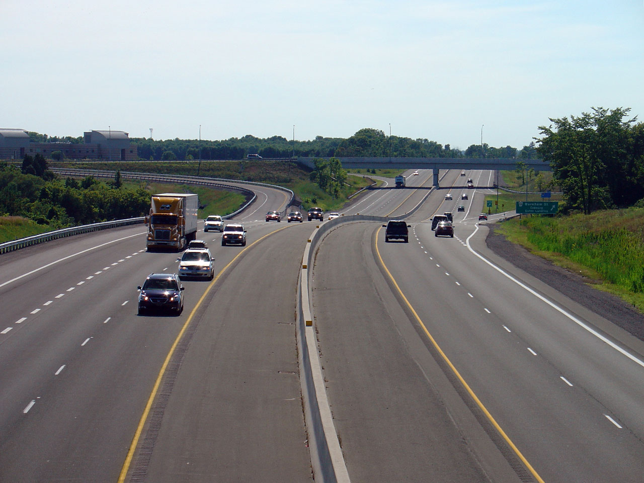
| Hamilton - Cobourg Boundary County of Northumberland |
Looking west from the Burnham Street overpass.
Burnham Street is located roughly at kilometre marker 472. Photo taken: August 6th, 2005. Low-res: 40kb. High-res: 195kb. |
 |
||
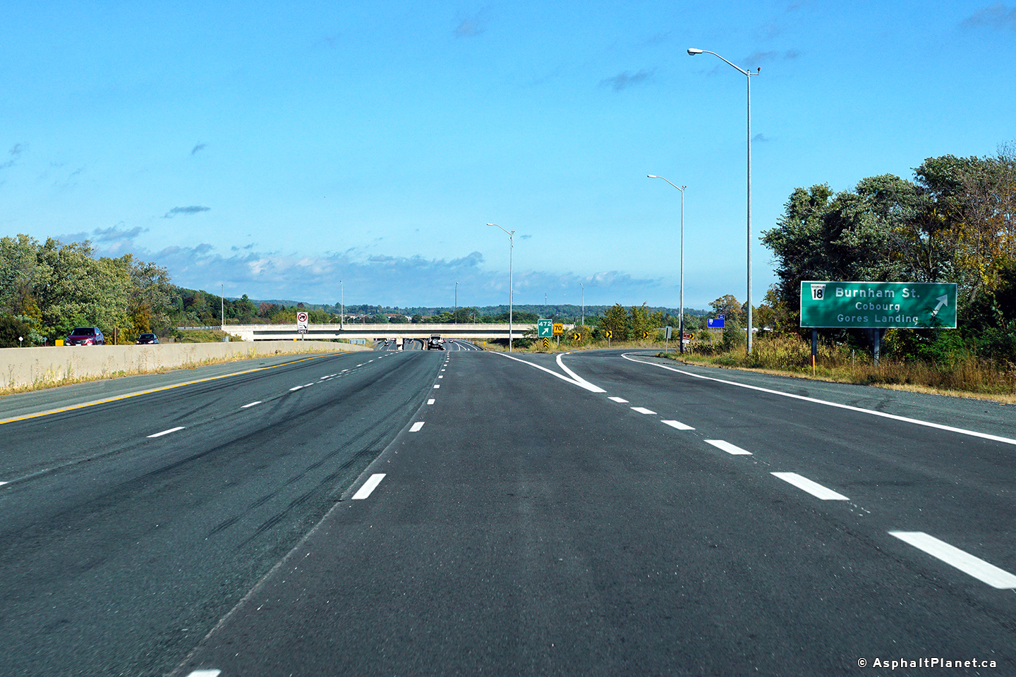
| Hamilton - Cobourg Boundary County of Northumberland |
Looking east from the Burnham Street overpass.
The eastern limits for the upcoming Highway 401 widening contract are
located 700m east of the Burnham Street structure. A further widening
contract is currently in the preliminary design stage to 6-lane Highway 401
further easterly to Nagle Road. Photo taken: August 6th, 2005. Low-res: 45kb. High-res: 225kb. |
 |
||
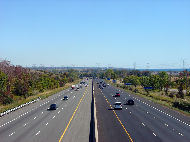
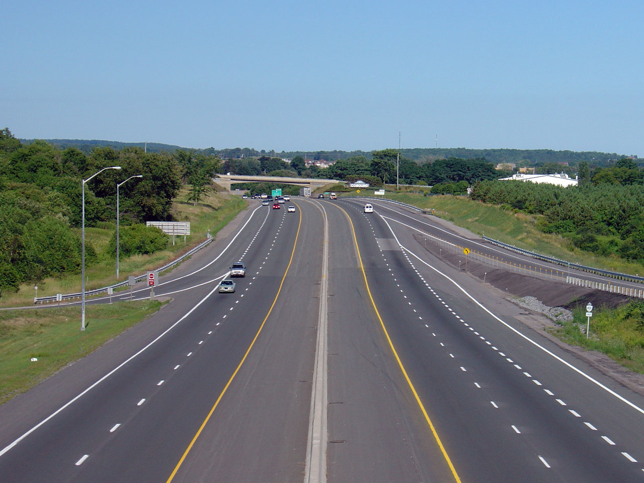
| Town of Cobourg County of Northumberland |
Looking westerly along Highway 401 from the
Ontario Street overpass in Cobourg. Notice the intersection with
Burnham Street shown in the Photo. The Burnham Street structure and
interchange was recently reconstructed with a larger new overpass. Photo taken: August 6th, 2005. Low-res: 40kb. High-res: 205kb. |
 |
||
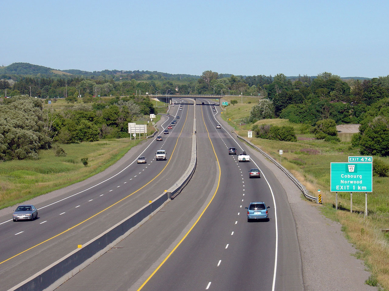
| Town of Cobourg County of Northumberland |
Looking east towards the Highway 45 overpass
from the Ontario Street overpass in Cobourg. Ontario Street is located
roughly at kilometre marker 473, in between the Burnham Street and Highway
45 overpasses. Photo taken: August 6th, 2005. Low-res: 50kb. High-res: 260kb. |
 |
||
| Cobourg - Hamilton (twp) Boundary County of Northumberland |
Green signage in advance of the Highway 45
interchange in Cobourg. Photo taken: March 14th, 2009. |
 Low
Res Low
ResHigh Res |
||
| Cobourg - Hamilton (twp) Boundary County of Northumberland |
Signage at the exit to Highway 45 from the
eastbound lanes of the Highway of Hero's. Structures with these
elegant vintage steel railings are becoming more and more rare along the
highway. Photo taken: March 14th, 2009. |
 Low
Res Low
ResHigh Res |
||
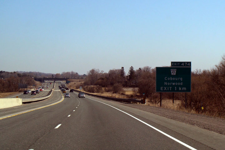
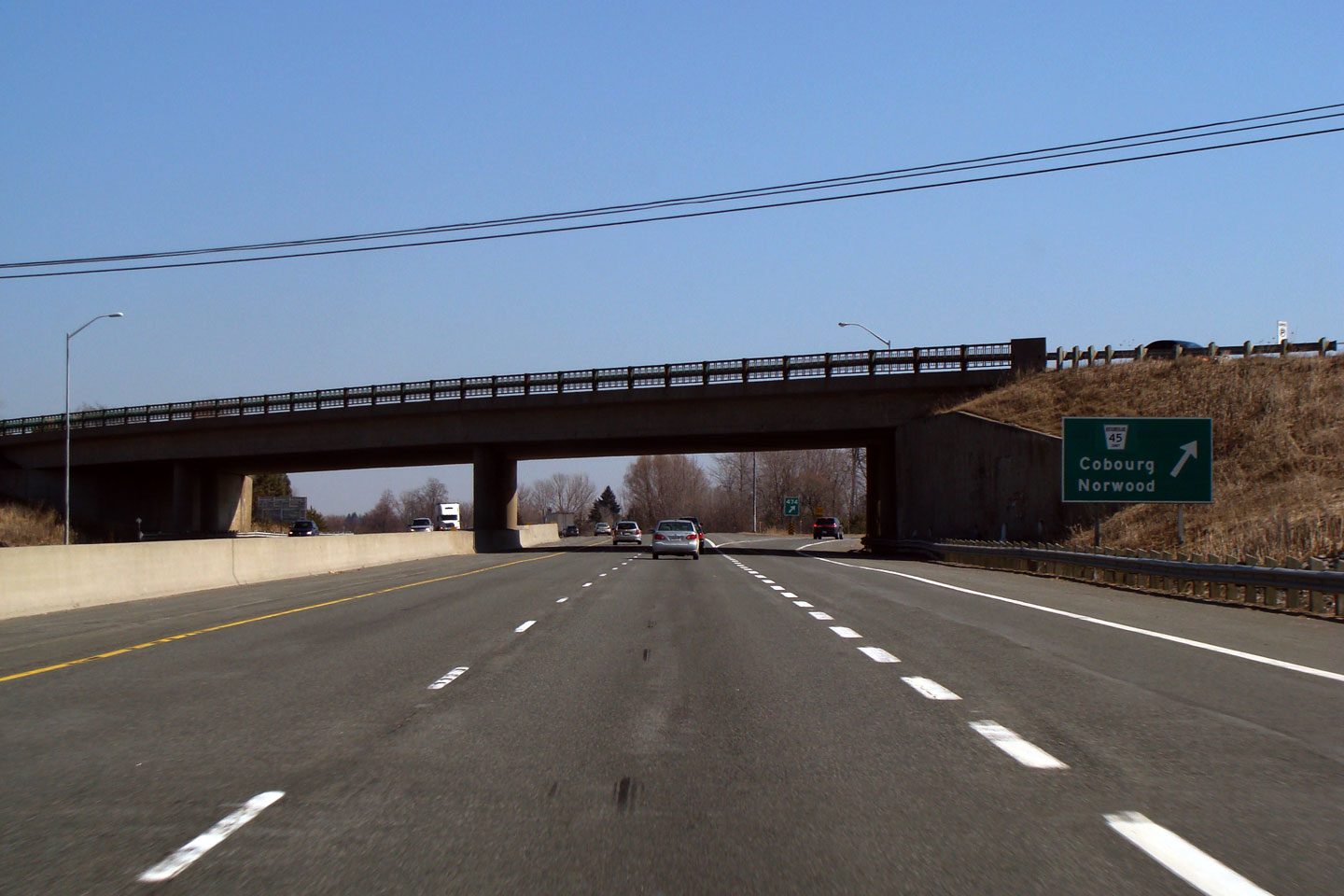
| Cobourg - Hamilton (twp) Boundary County of Northumberland |
Looking West from the Highway 45 overpass in Cobourg. Photo taken: August 6th, 2004. Low-res: 50kb. High-res: 205kb. |
 |
||
| Highway 45 stretched (before being downloaded) between Cobourg and Norwood. Click here for Highway 45 images. | ||||
| Continue east via Cobourg to Trenton Images | ||||
<- Page 11 Images Highway 401 Images Index Page 13 Images ->
<- Highway 400 Images Back to Highway 401 Highway 402 Images ->
Copyright (c) 2004-2022, Scott Steeves (Webmaster) AsphaltPlanet@asphaltplanet.ca


