|
Proper Municipality Name |
Photo Description |
Photo |
|
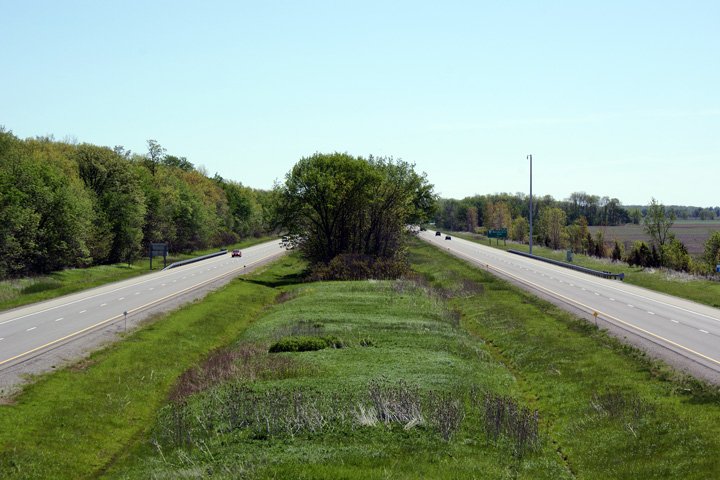
Pictures taken
from driver's perspective appear offset from centre-line pictures: |
East-
Bound |
West-
Bound |
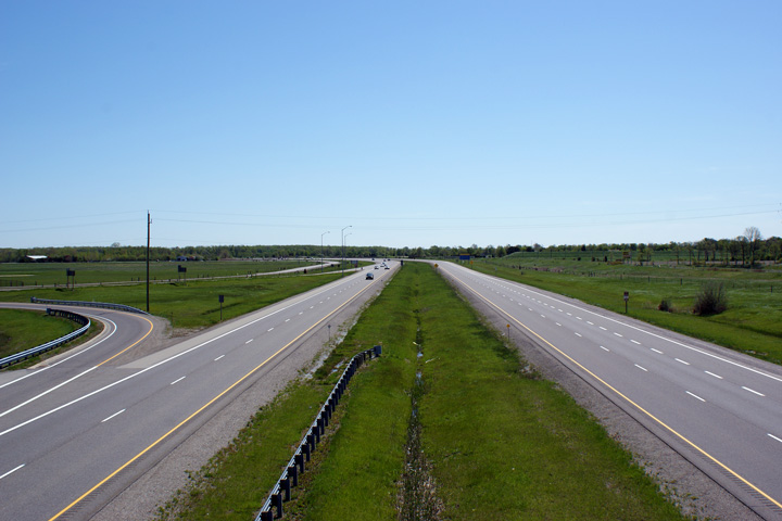
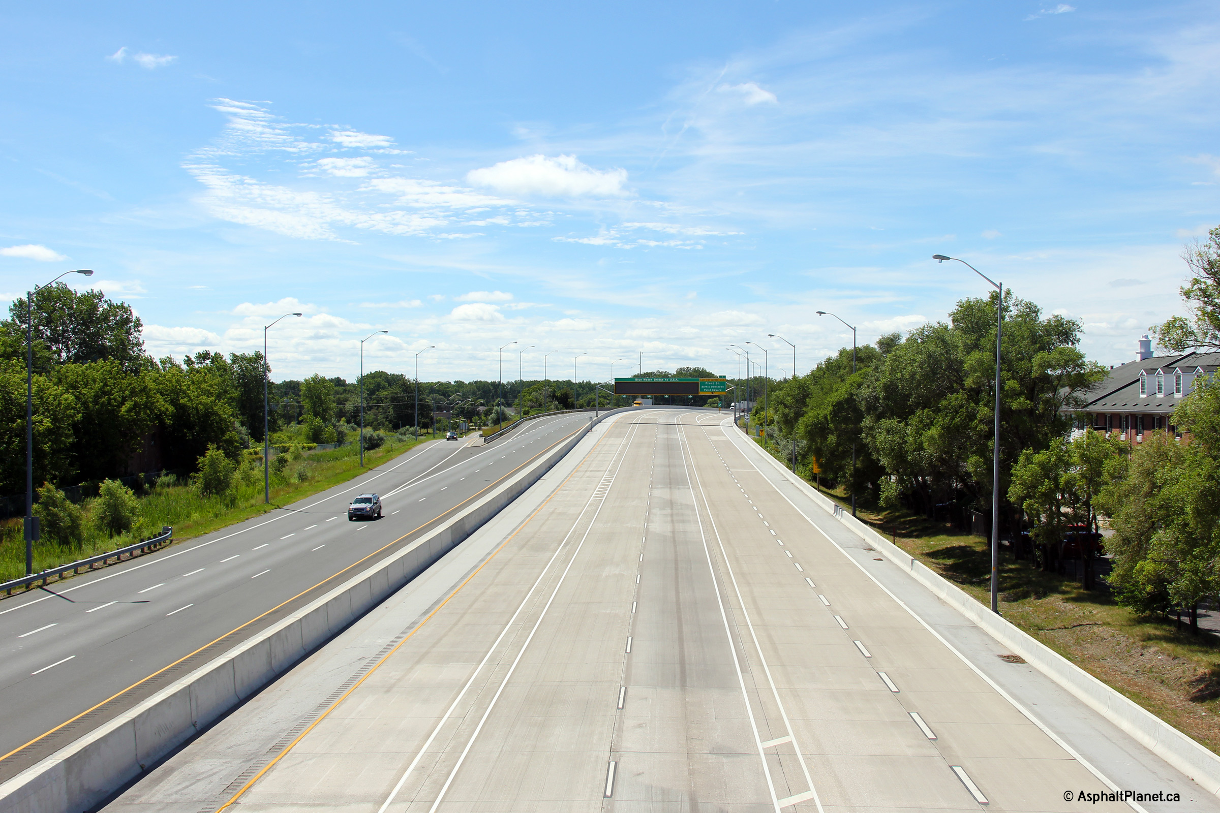
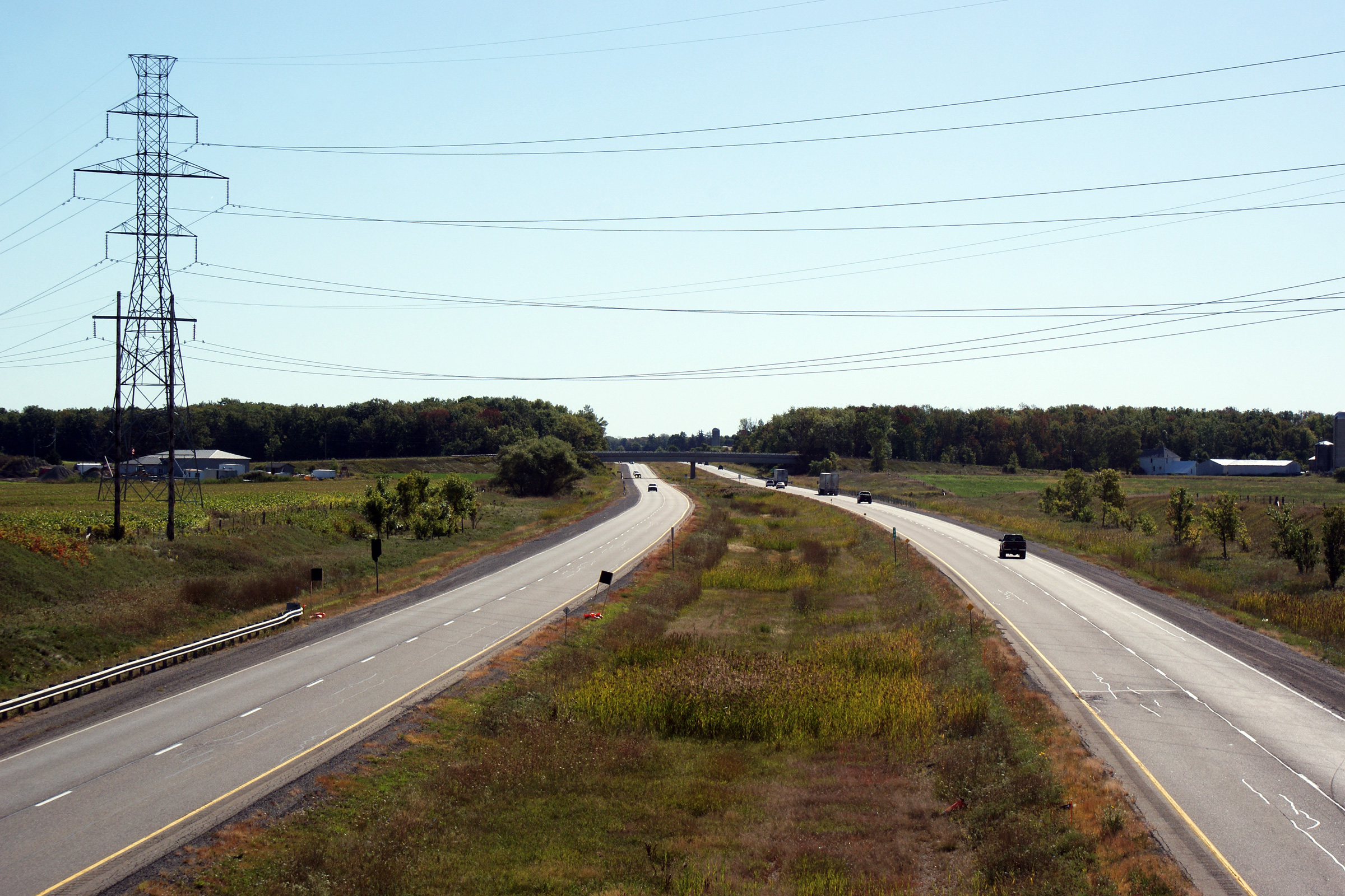
| Village of Point Edward County
of Lambton |
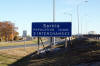
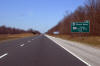
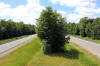
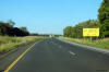
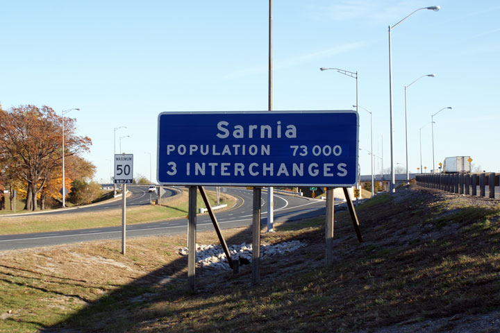
Sign welcoming Michigander's to Sarnia. This sign
is quite a relic, probably dating back to the completion of the Front Street
interchange.
Photo taken: November 1st, 2008. |
 |
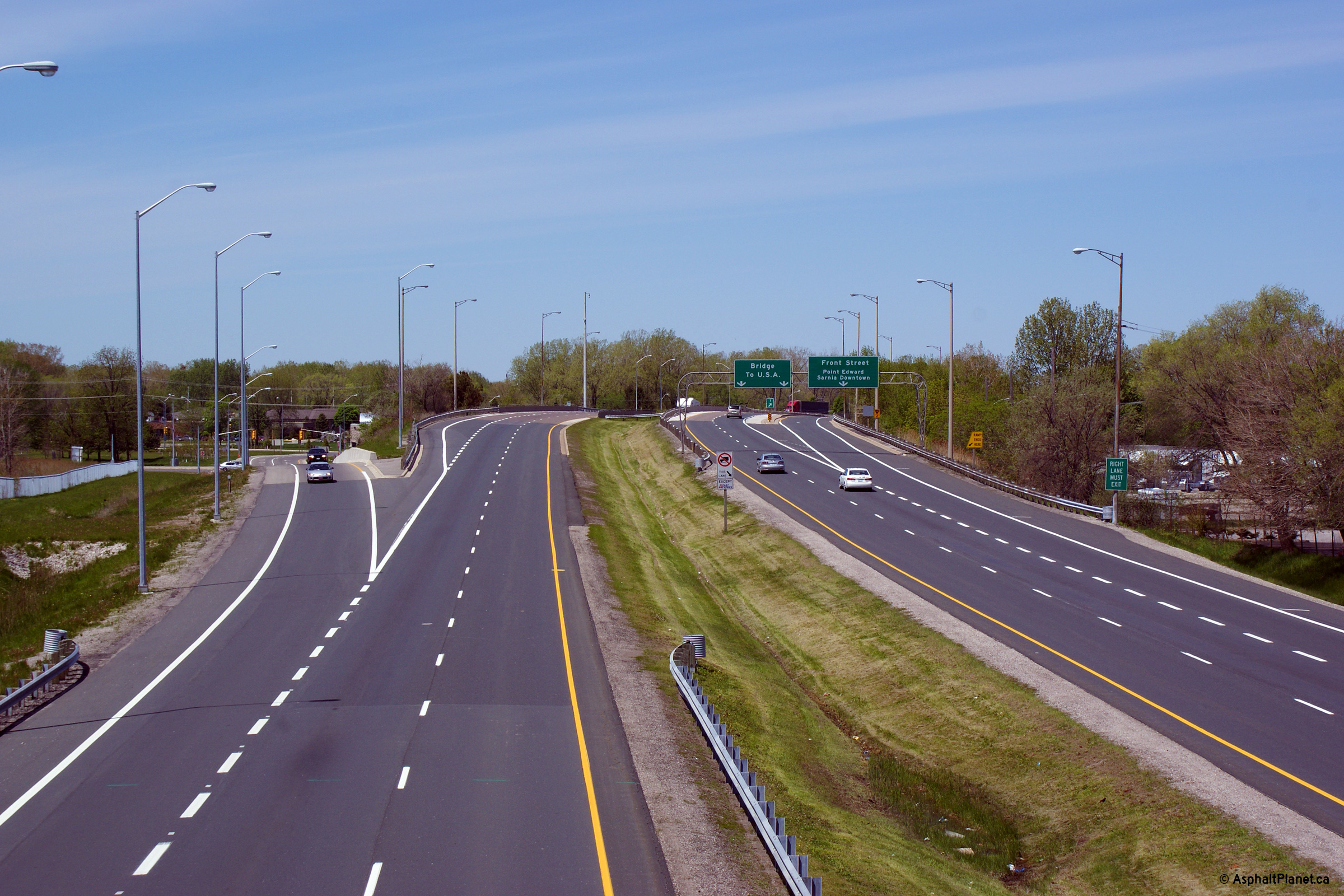
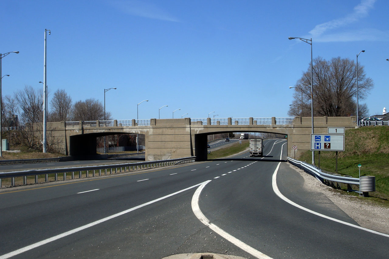
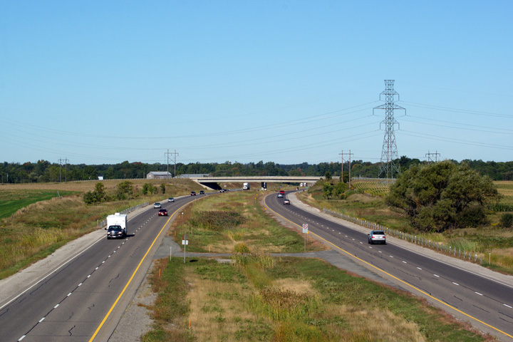
| Village of Point Edward County
of Lambton |
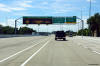
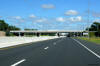
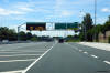
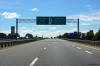
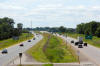
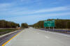
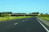
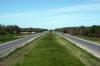
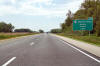
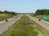
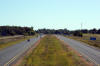
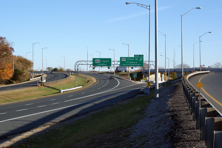
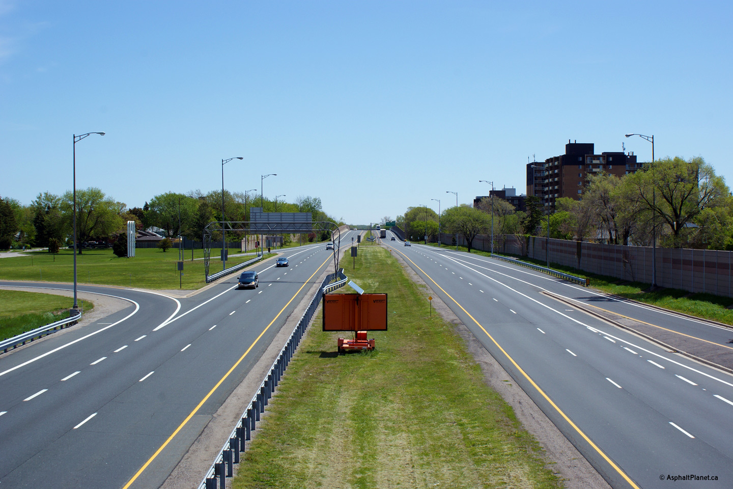
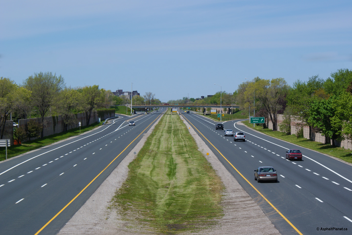
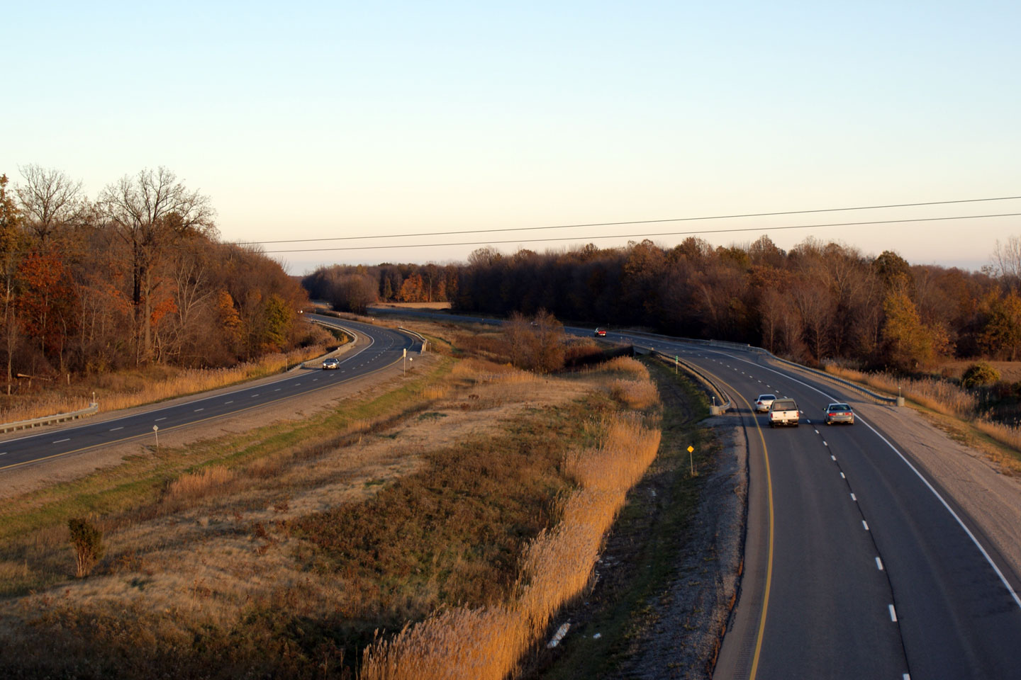
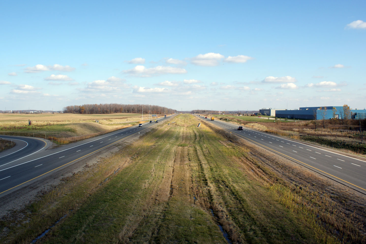
Highway 402 driving eastbound at the Front Street interchange. Front
Street is the first full interchange east of the Blue Water Bridge, and is
the main access route into both Downtown Sarnia and Point Edward. Front
Street was the last interchange to be constructed on Highway 402.
Before 1982, Front Street met Highway 402 at an at-grade intersection.
Photo taken: November 1st, 2008. |
|
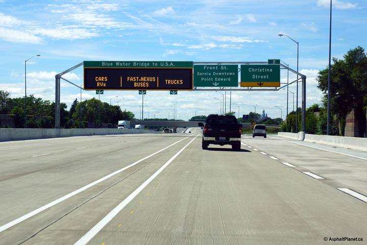
Village of Point Edward
County of Lambton |
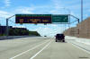
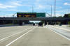
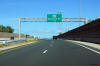
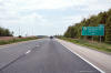
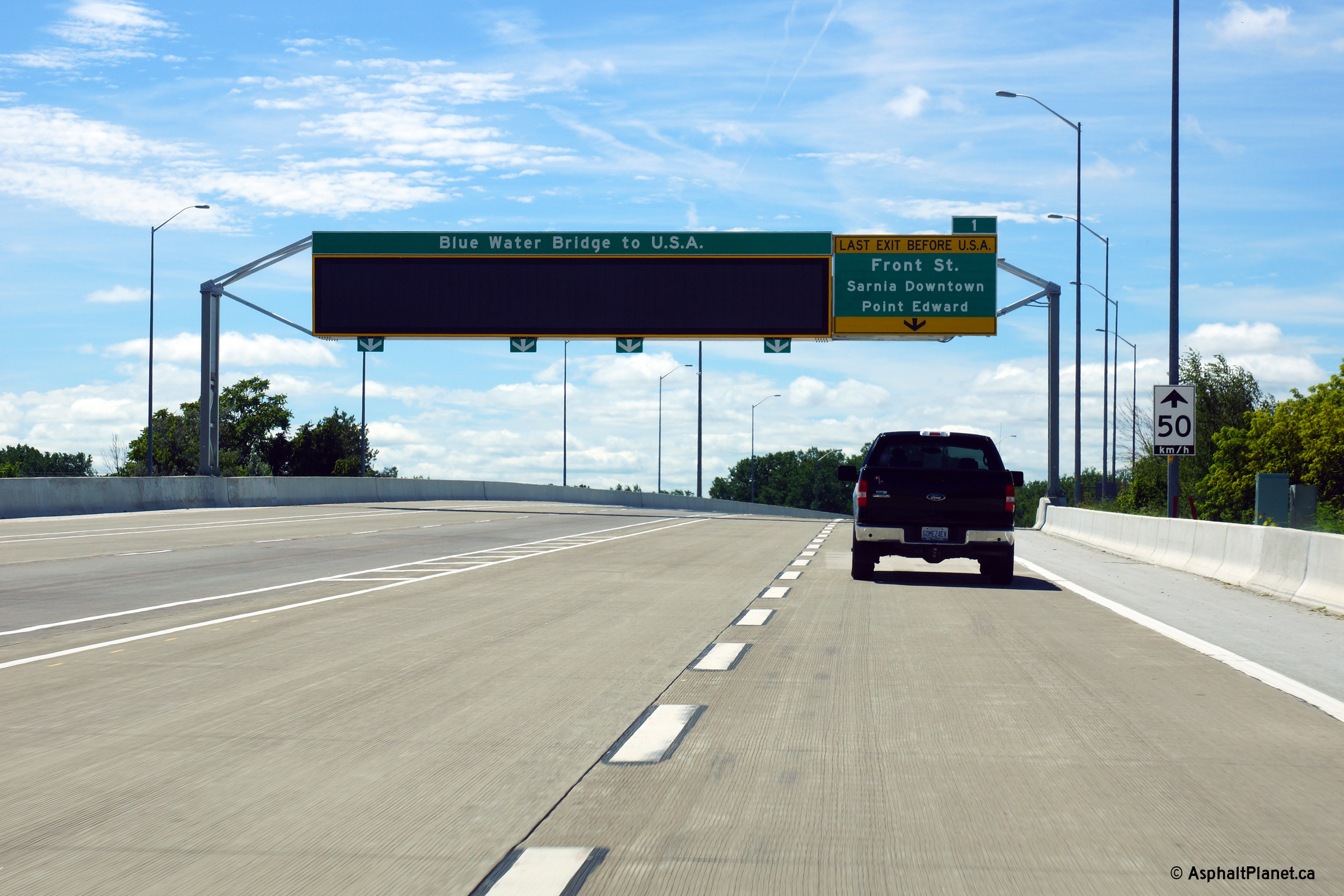
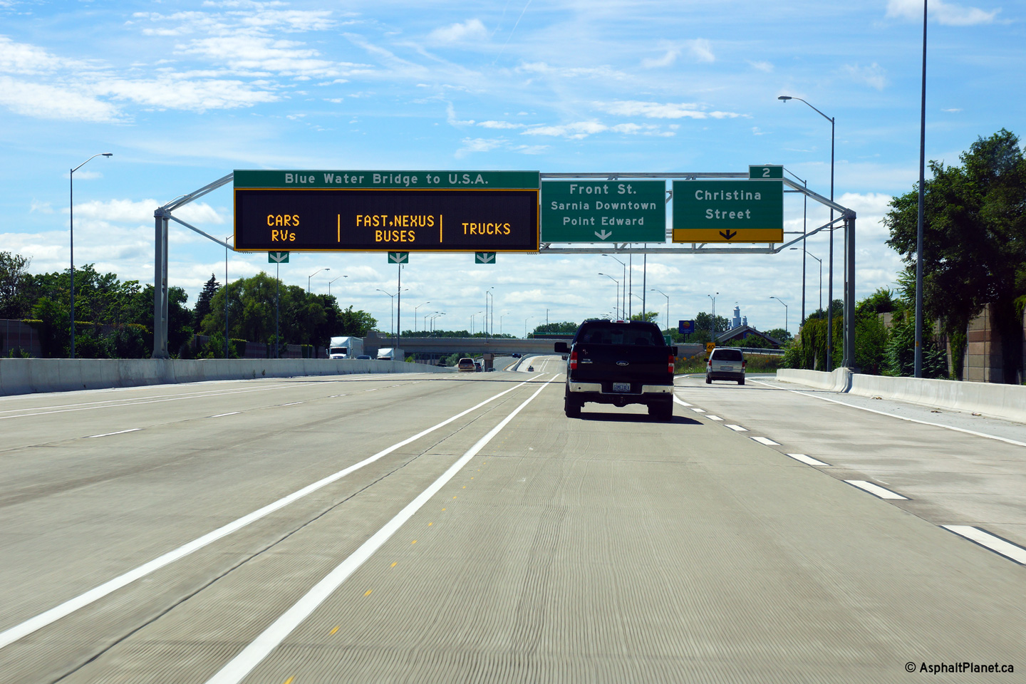
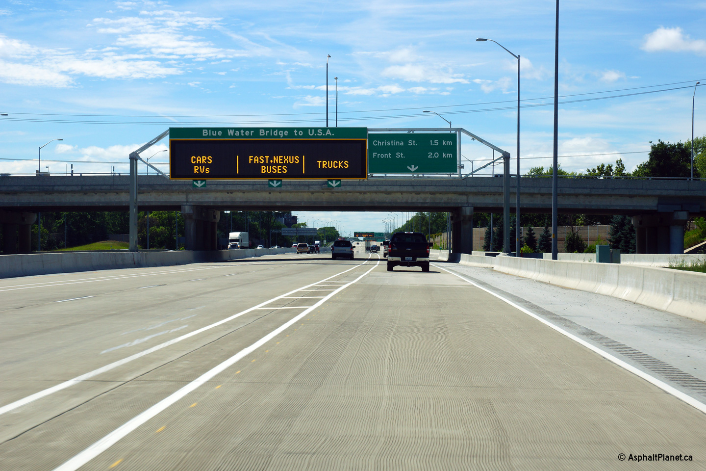
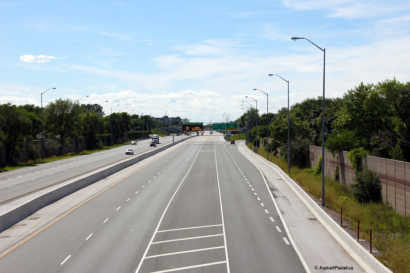
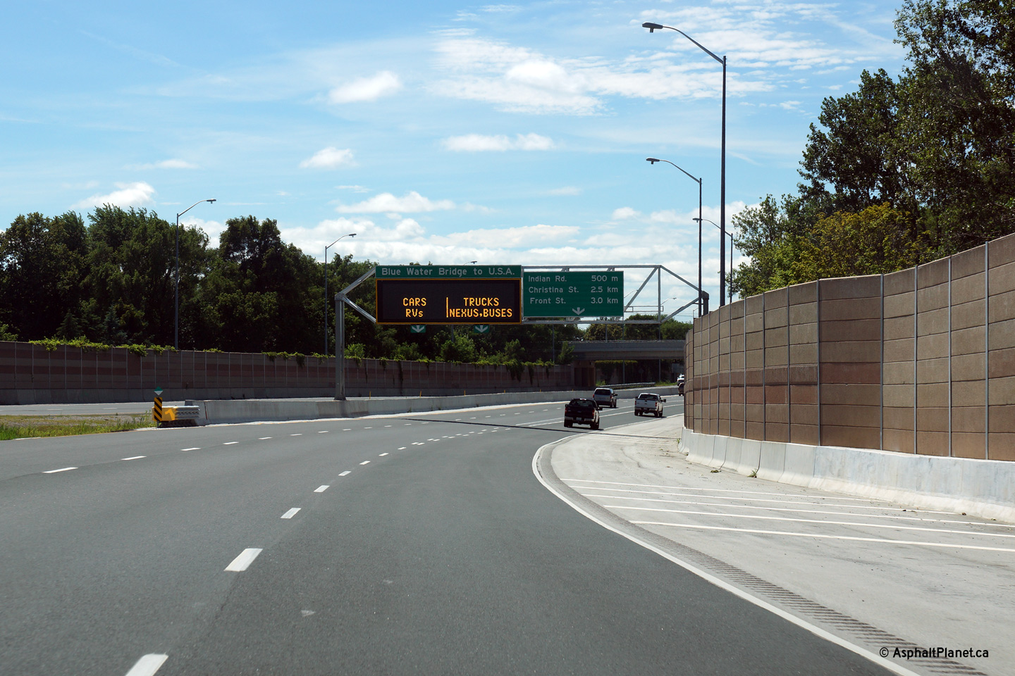
Westbound signage for the off-ramp to Front Street. Front Street is
the final westbound exit in Canada. As such, beyond this interchange
all four westbound lanes lead to the Bluewater Bridge.
Photo taken: Jul 24th, 2013. |
 (720x480) (720x480)
(1440x960)
(2400x1600) |
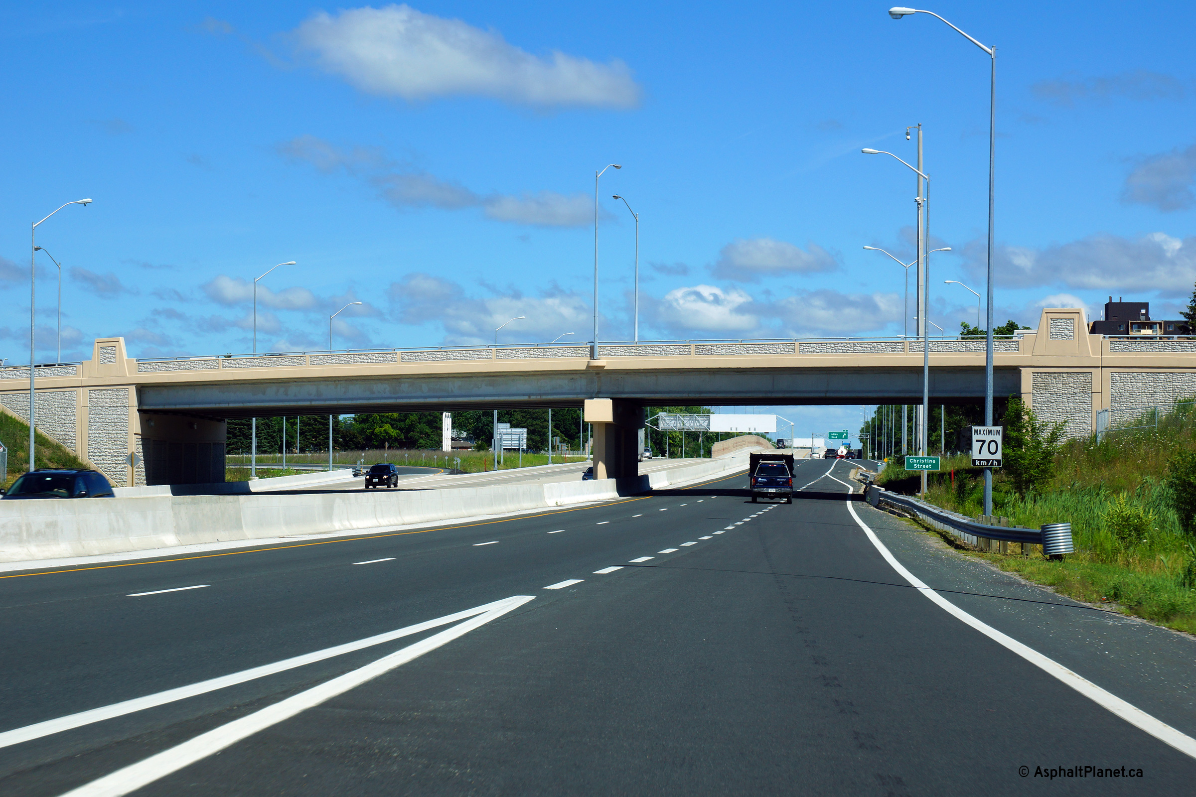
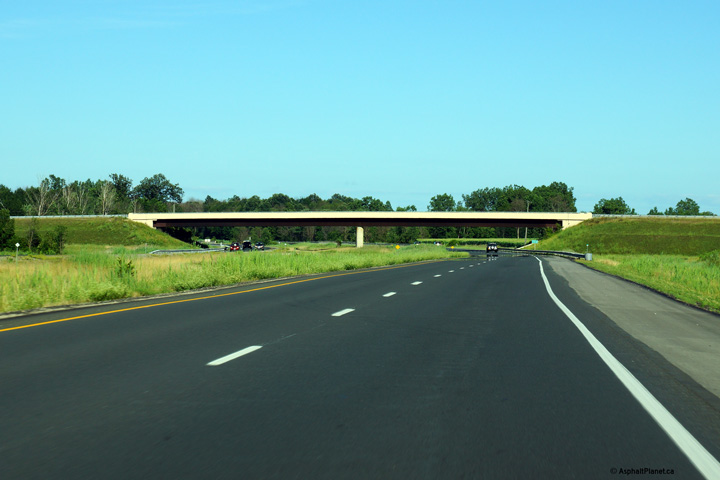
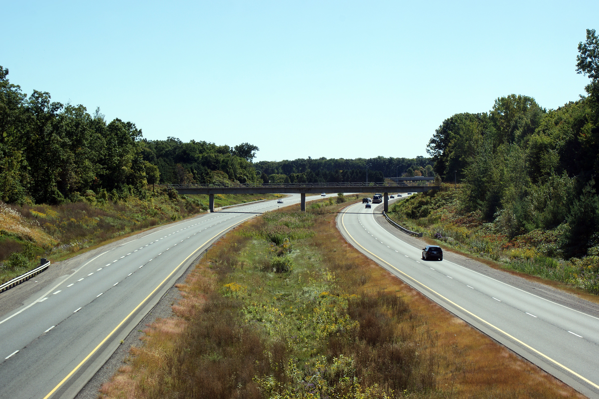
Village of Point Edward
County of Lambton |
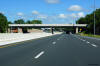
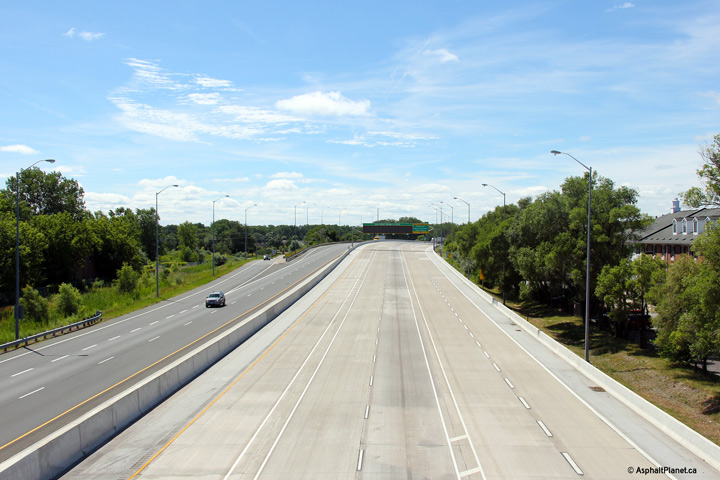
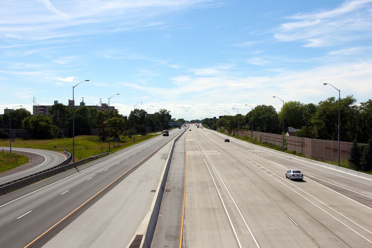
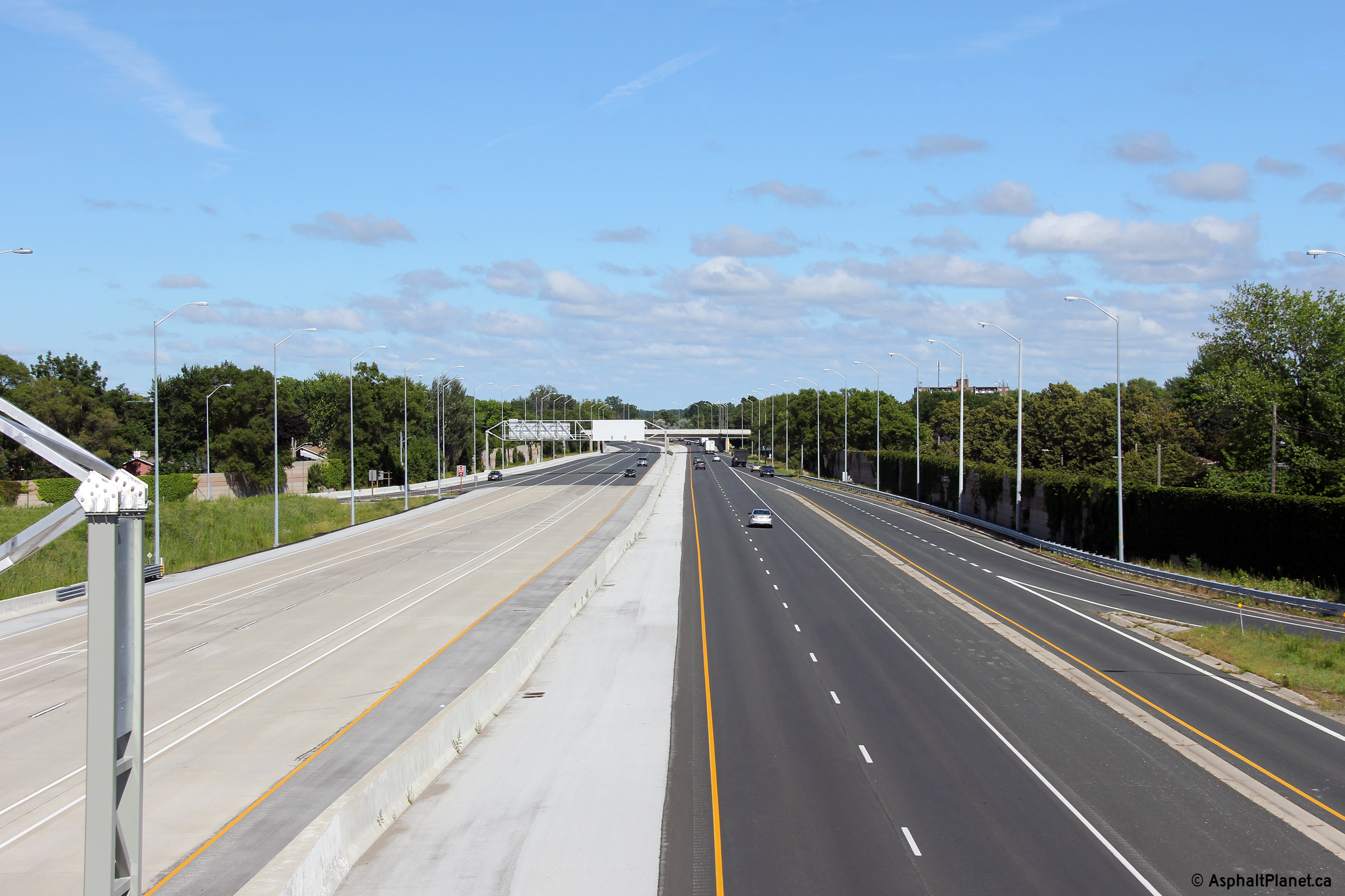
Two views looking easterly at the Christina Street overpass in Sarnia.
The upper photo shows the 1952 structure that was demolished in two phases
in 2009. The structure was demolished during the multiyear construction project that saw the
westbound lanes of Highway 402 widened to four lanes through Sarnia.
Several aesthetically pleasing elements were included in the modern
Christina Street overpass including the embossed parapet walls and coloured
concrete sealant. The Christina Street overpass is the first overpass
drivers entering Ontario from the United States encounter.
Upper photo taken: April 20th, 2007.
Lower photo taken: July 24th, 2013. |
 (720x480) (720x480)
(1440x960)
(2400x1600) |
| Point Edward - Sarnia Boundary
County of Lambton |
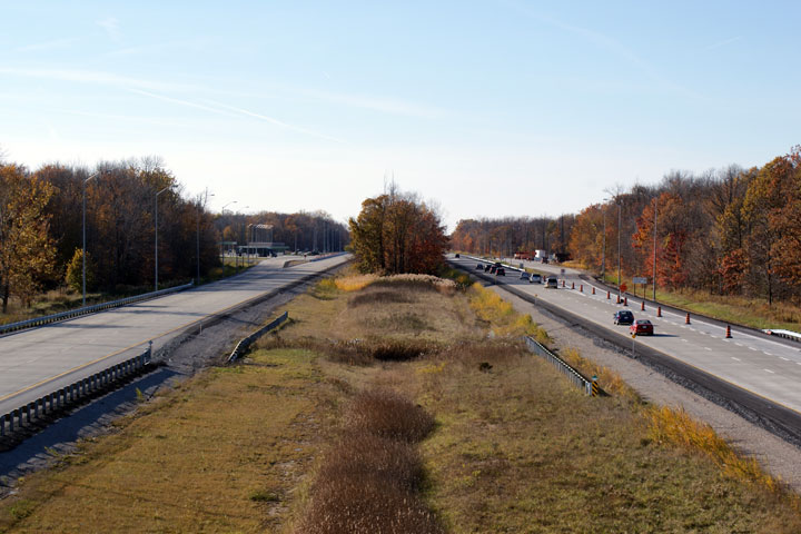
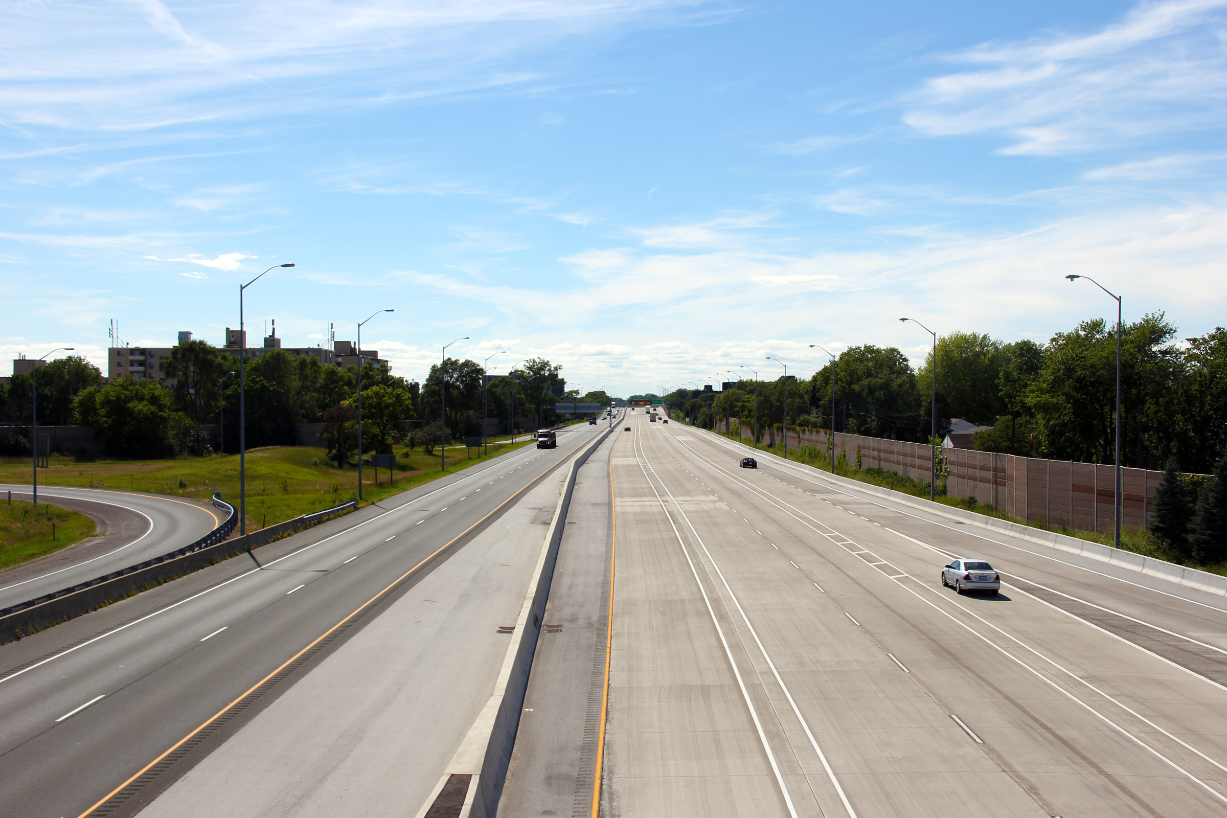
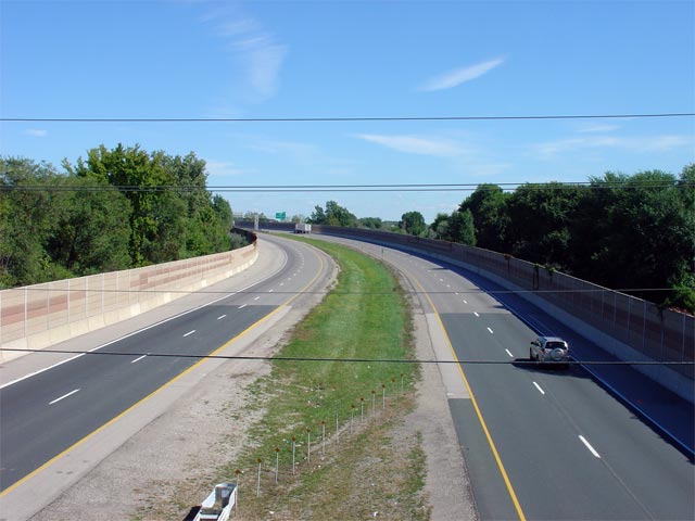
A series of views looking west towards the Bluewater Bridge from the
Christina Street overpass in Sarnia.
Upper photos taken: May 17th, 2009.
Lower photo taken: July 24th, 2013. |
(720x480)
(1440x960)
(2400x1600) |
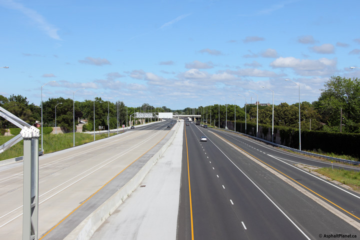
| Point Edward - Sarnia Boundary
County of Lambton |
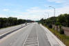
Looking east from Christina Street along Highway 402. The Christina
Street overpass was the first grade-separation constructed on Highway 402.
The overpass was completed in 1952; prior to that Highway 402 had been
entirely an at-grade highway (though at that time it only ran between the
bridge and what has become Highway 40).
Upper photos taken: May 17th, 2009.
Lower photo taken: July 24th, 2013. |
(720x480)
(1440x960)
(2400x1600) |
| City of Sarnia County of
Lambton |
View looking westerly towards both the vintage and modern Christina Street overpass.
This rather attractive 1950s vintage overpass was demolished in 2009 as part of
the highway widening project through Sarnia. Photo
taken: April 20th, 2007. |
|
City of Sarnia
County of Lambton |
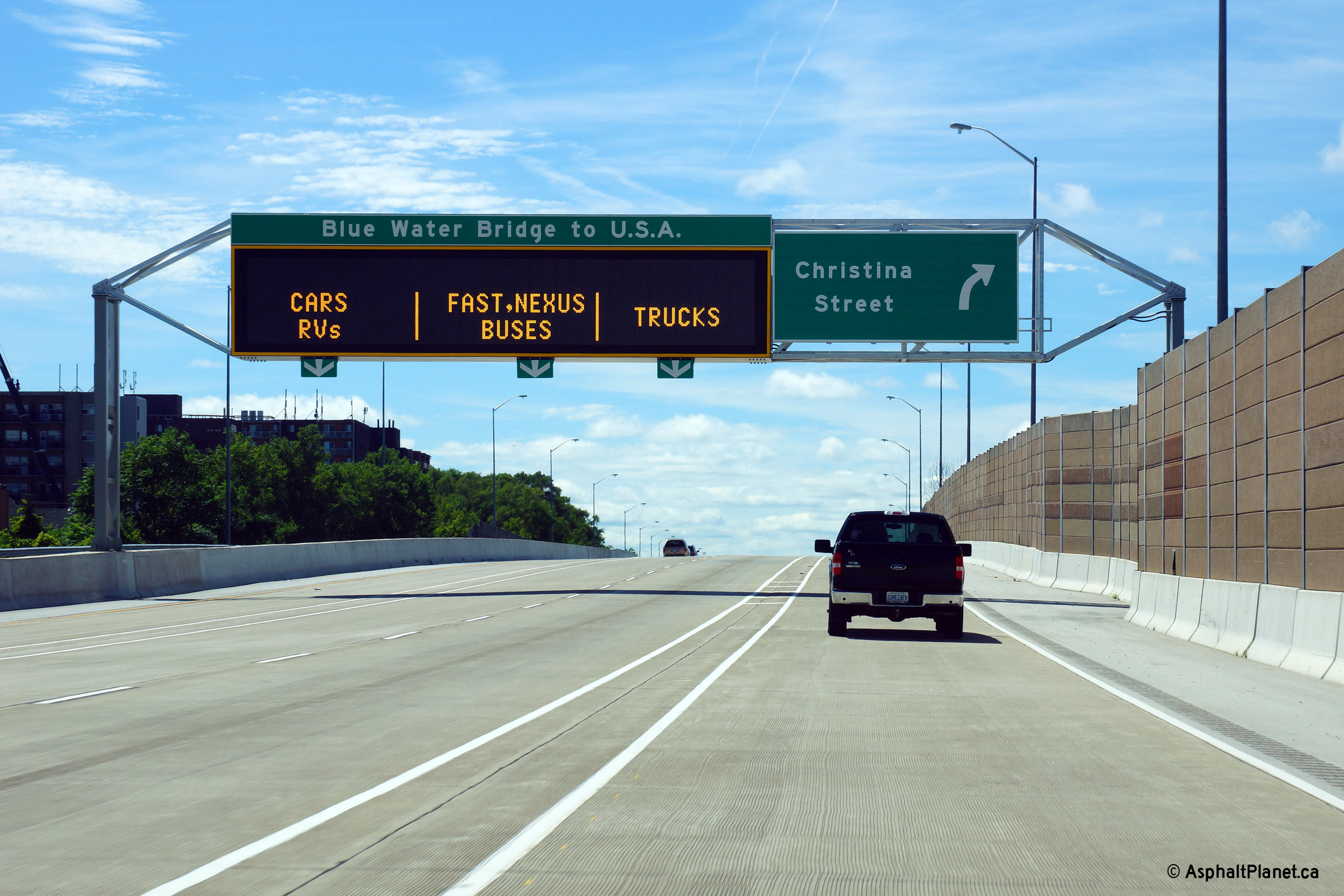
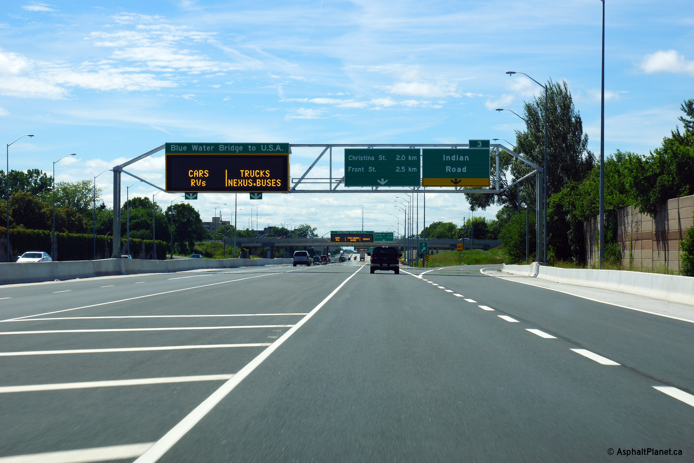
Westbound overhead signage at the off-ramp to Christina Street.
Photo taken: July 24th, 2013. |
 (720x480) (720x480)
(1440x960)
(2400x1600) |
| City of Sarnia County of
Lambton |
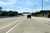
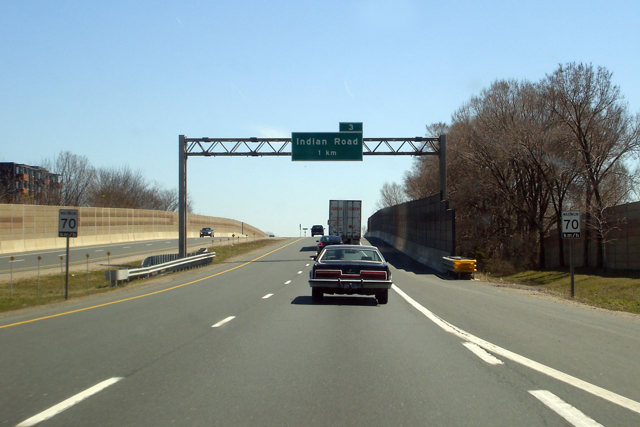
Eastbound advanced signage for the ramp to Indian Road. Click
here to see a previous version of the
sign that stood at this location, taken before Highway 402 was reconstructed
in April, 2007. Photo taken: July 24th, 2013. |
 (720x480) (720x480)
(1440x960)
(2400x1600) |
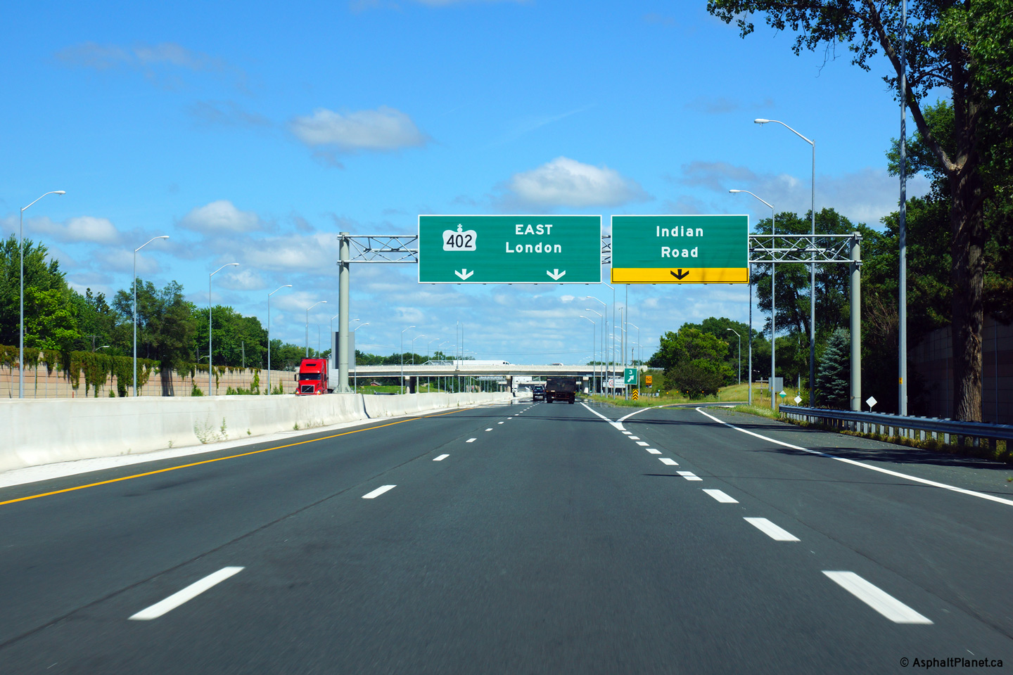
| City of Sarnia County of
Lambton |
The Westbound advanced signage for the Christina Street overpass is located
immediately east of the Colborne Street underpass. The Colborne Street
underpass was completed in 1957 and was the second grade separation to be
constructed on the Bluewater Bridge approach.
Photo taken: July 24th, 2013. |
 (720x480) (720x480)
(1440x960)
(2400x1600) |
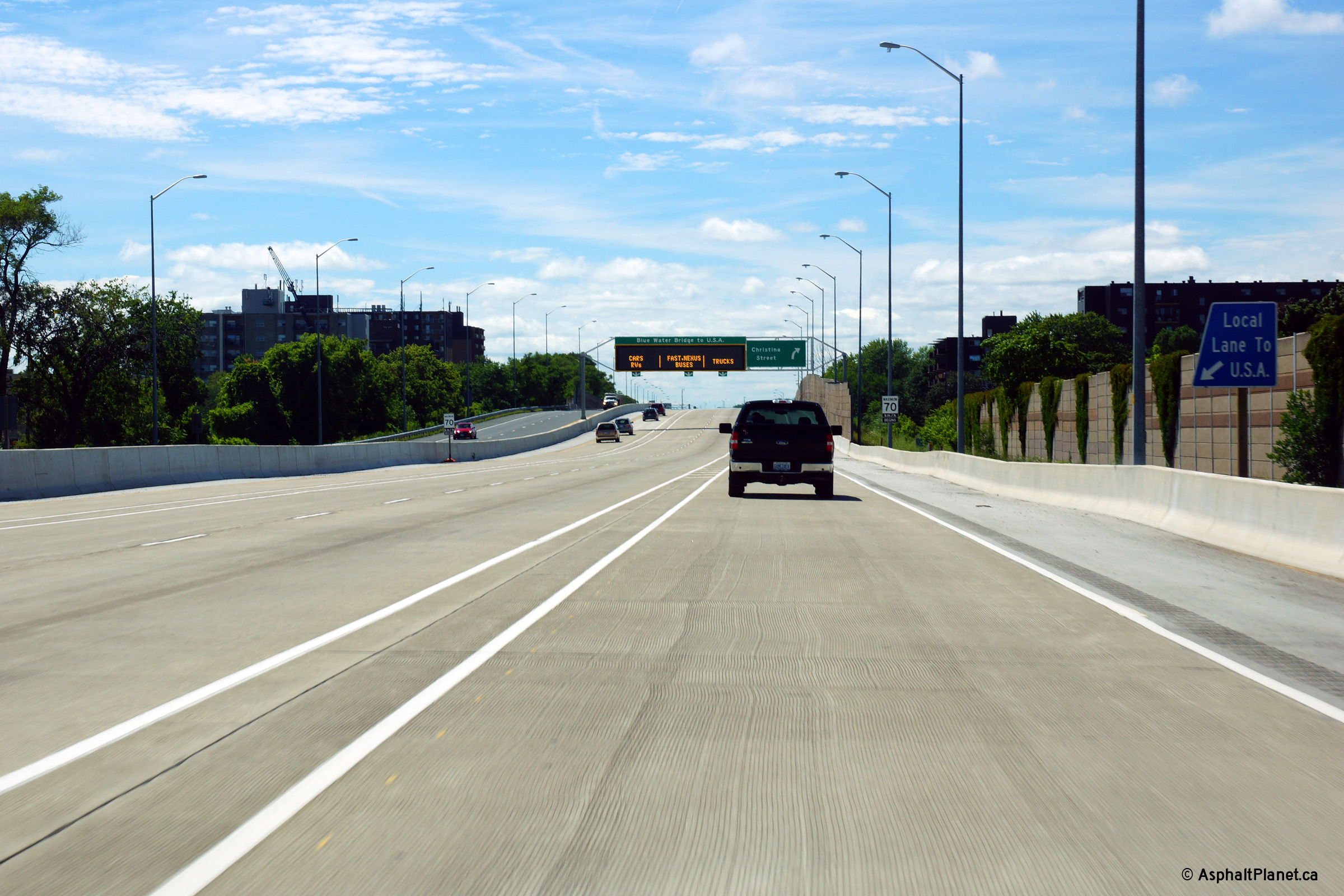
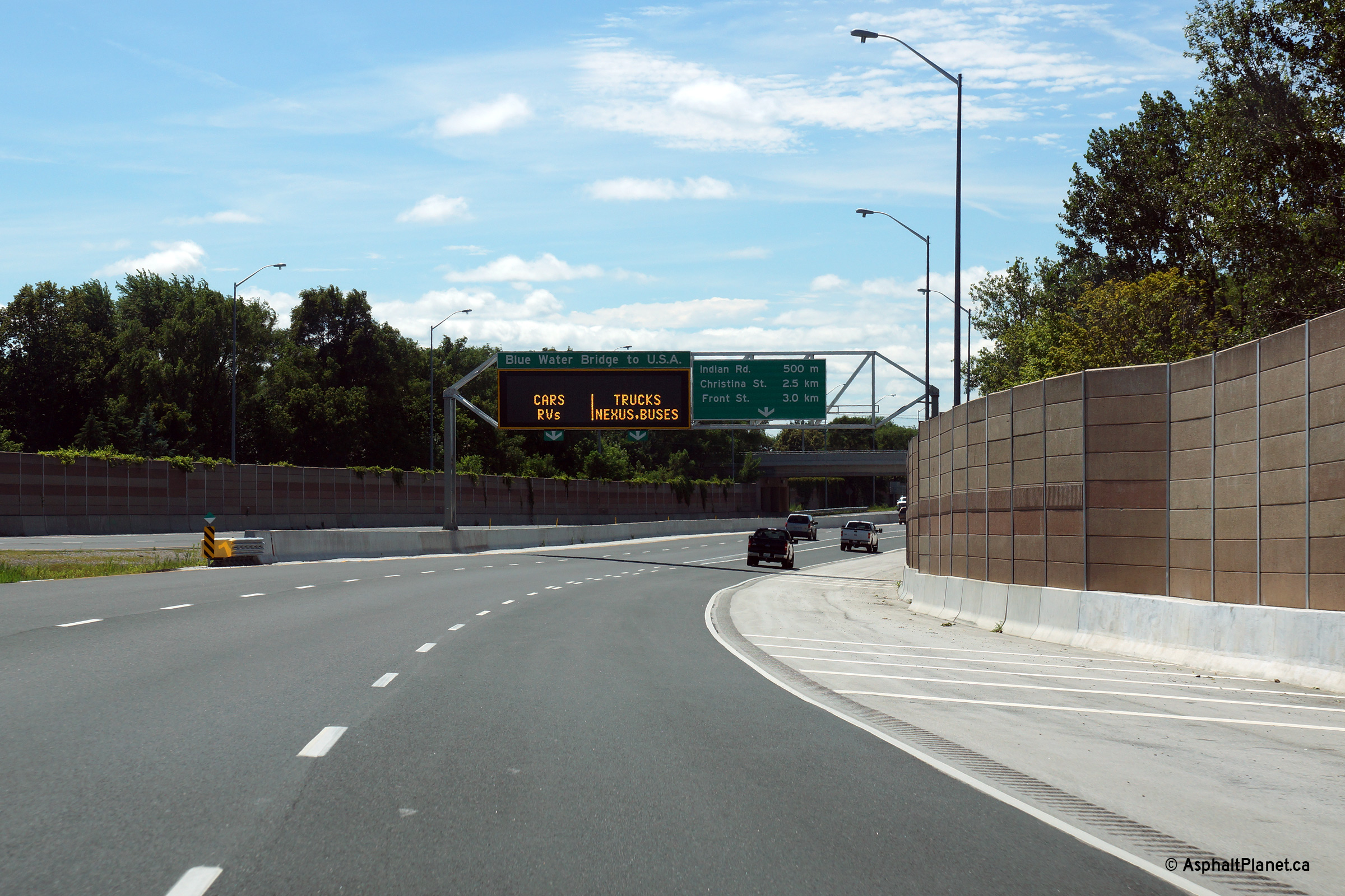
| City of Sarnia County of
Lambton |
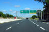
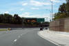
View looking westerly beyond the Indian Road interchange. Note the
blue trapezoidal sign to the right of the freeway indicating that traffic in
the local lane can also access the Bridge to USA. Early design
drawings had the local lane fully signed with
blue signage, however sometime
before signs were erected the MTO elected to sign the local lane with green
signage.
Photo taken: July 24th, 2013. |
 (720x480) (720x480)
(1440x960)
(2400x1600) |
| City of Sarnia County of
Lambton |
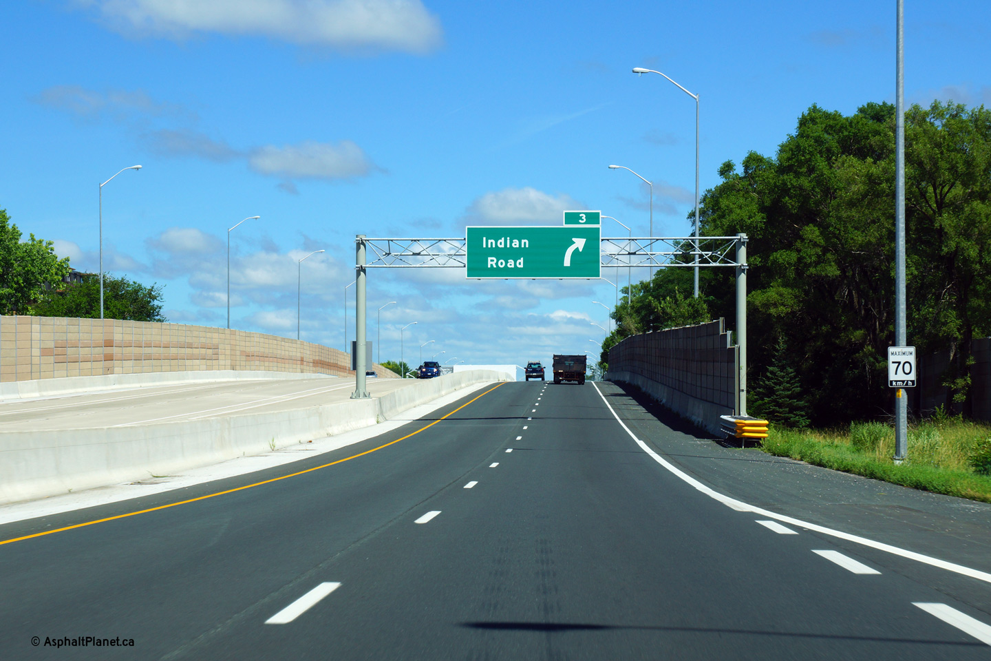
Eastbound signage for the off-ramp to Indian Road.
Photo taken: July 24th, 2013. |
 (720x480) (720x480)
(1440x960)
(2400x1600) |
| City of Sarnia County of
Lambton |
View looking easterly as Highway 402 passes beneath the Indian Road
overpass. Both the Indian Road and Murphy Road structures were
rehabilitated during the construction that saw Highway 402's westbound
carriageway widened to four lanes.
Photo taken: July 24th, 2013. |
 (720x480) (720x480)
(1440x960)
(2400x1600) |
| City of Sarnia County of
Lambton |
Looking west from the Indian Road overpass towards the Bluewater Bridge.
Despite being of a fairly standard parclo-A configuration, Indian Road is
somewhat of an odd design. In the early 90s, the directional ramp from
southbound Indian Road to
the westbound 402 was removed, converting the 6-ramp full parclo into a
5-ramp interchange.
Upper photo taken: May 17th, 2009.
Lower photo taken: July 24th, 2013. |
(720x480)
(1440x960)
(2400x1600) |
| City of Sarnia County of
Lambton |
Looking east along Highway 402 from the Indian Road overpass. The
interchange at Indian Road was constructed in 1970 It was constructed as part of a larger
project to build grade separations throughout the City of Sarnia. This
project was a precursor to the extension of Highway 402 towards London.
Click here for an additional
pre-construction view taken in September, 2005.
Upper photo taken: May 17th, 2009.
Lower photo taken: July 24th, 2013. |
(720x480)
(1440x960)
(2400x1600) |
City of Sarnia
County of Lambton |
Overhead signage immediately east of the Indian Road overpass. At
Indian Road, the westbound lanes have widened to their final four lane
configuration. At one point, the MTO was considering widening the
westbound lanes of Highway 402 to four lanes as far west as Mandaumin Road,
however the border queues that prompted this widening project following
September 11, 2001 have generally subsided making a further widening
unlikely.
Photo taken: July 24th, 2013. |
 (720x480) (720x480)
(1440x960)
(2400x1600) |
City of Sarnia
County of Lambton |
Westbound signage at the ramp to Indian Road.
Photo taken: July 24th, 2013. |
 (720x480) (720x480)
(1440x960)
(2400x1600) |
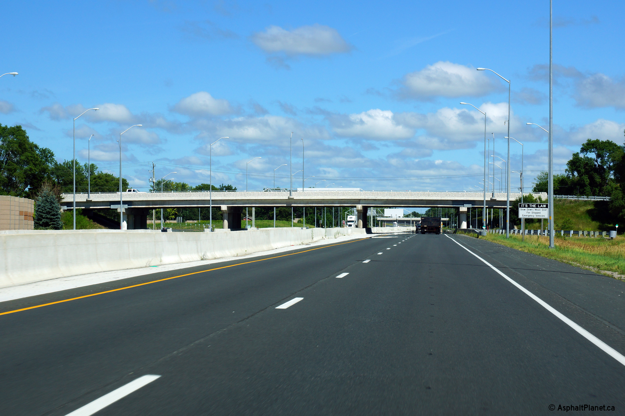
| City of Sarnia County of
Lambton |
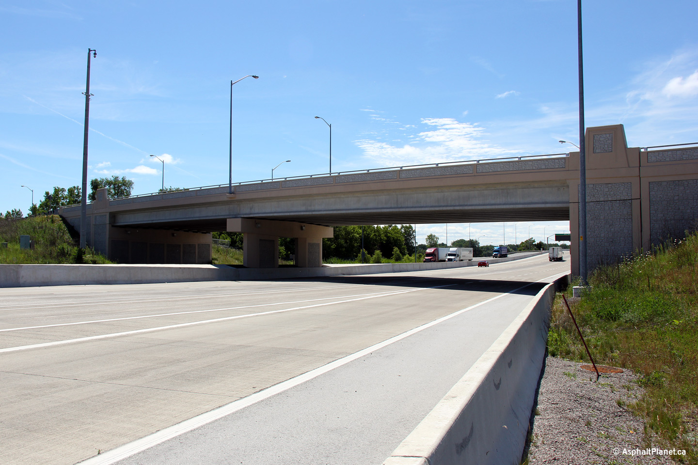
Easterly view approaching the Murphy Road overpass. The Murphy Road
overpass also crosses overtop of a residential street (Guthrie Drive)
immediately to the north of Highway 402.
Photo taken: July 24th, 2013 |
 (720x480) (720x480)
(1440x960)
(2400x1600) |
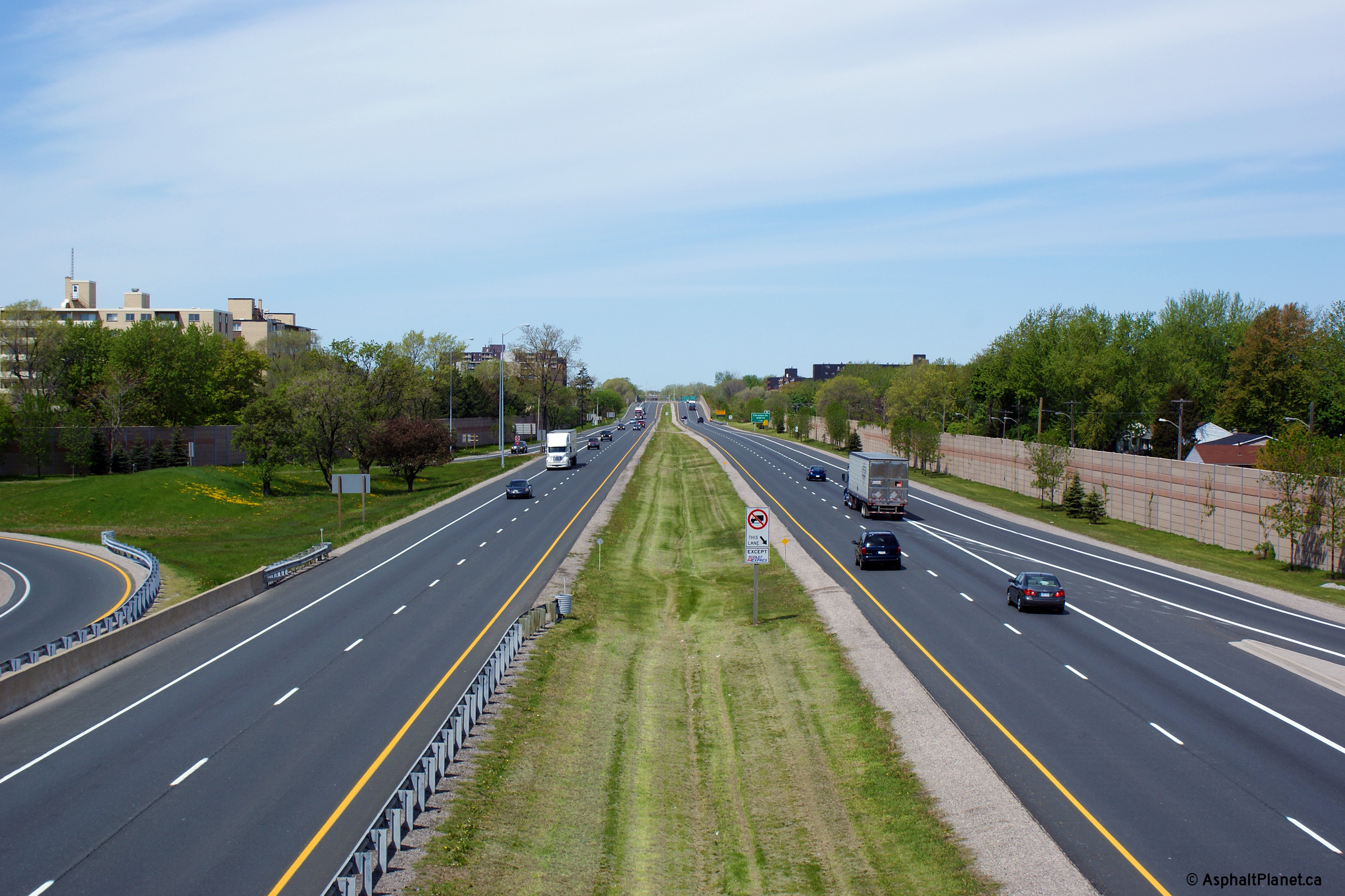
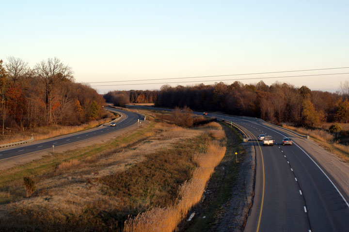
| City of Sarnia County of
Lambton |
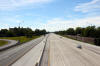
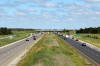
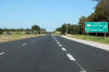
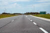
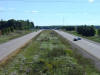
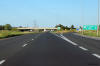
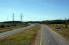
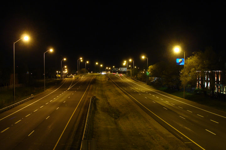
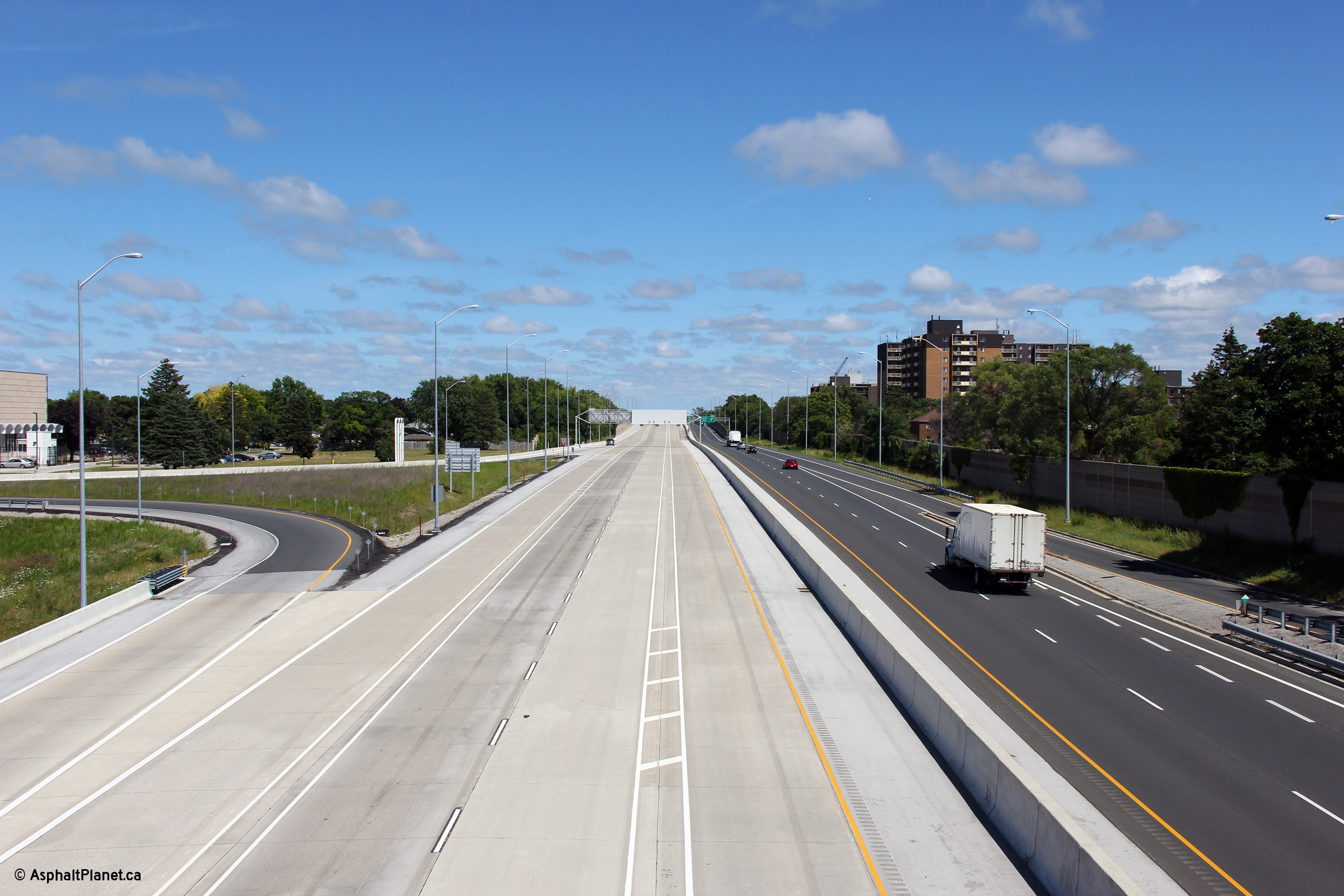
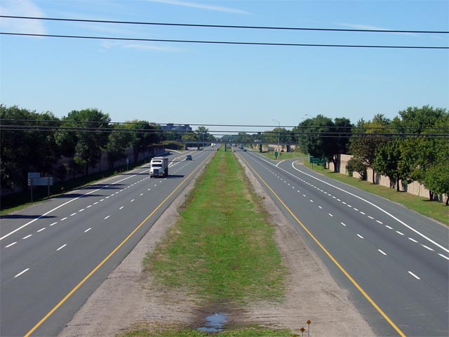
Highway 402 looking west from the Murphy Road overpass in Sarnia. Note,
that since being widened Highway 402 is now continuously lit through Sarnia.
Unlike most modern highways in Ontario, the highway is lit with conventional mast lighting and not with high mast.
According to the Design and Construction Report that was prepared by Stantec
in January, 2009, conventional mast lighting was preferred to minimize light
trespass on the built up area surrounding the freeway. Click
here for an additional pre-construction view
taken in September, 2005.
Upper photo taken: May 17th, 2009.
Lower photo taken: July 24th, 2013. |
(720x480)
(1440x960)
(2400x1600) |
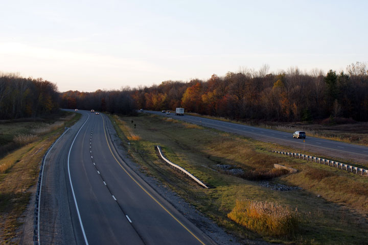
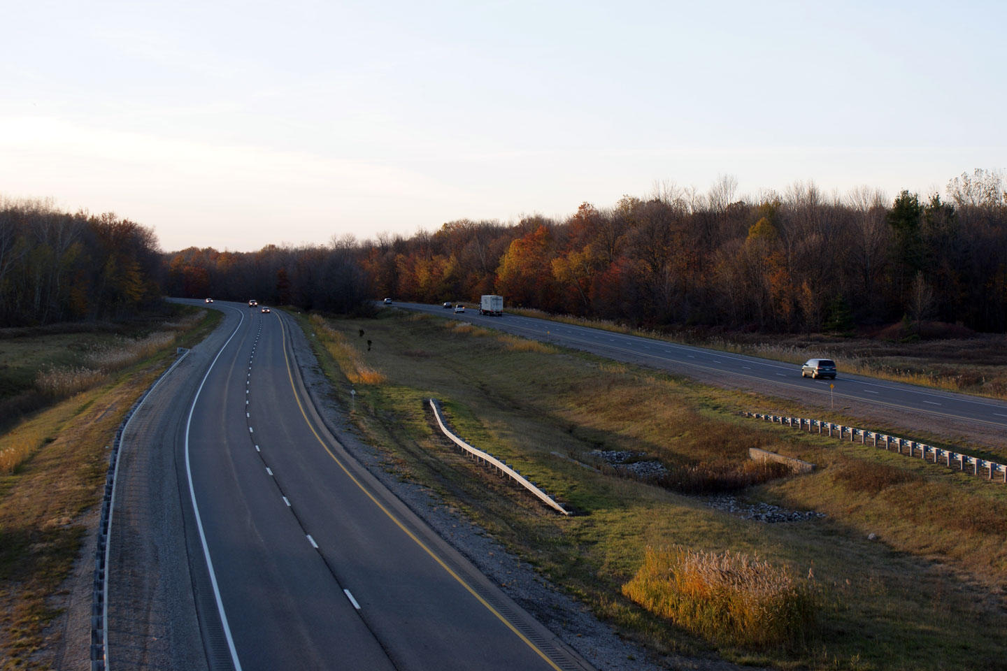
| City of Sarnia County of
Lambton |
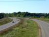
Looking east from the Murphy Road overpass in Sarnia. In these photos,
the start of the by-pass that was constructed in the early-1970s as
a precursor to Highway 402 being extended easterly to London is visible. Before
the curve was constructed and the highway was shifted to the north, Highway 402 continued straight towards Highway 7 (now Lambton Road 22),
before narrowing to a conventional 2-lane highway. Click
here for an additional pre-construction view
taken in September, 2005.
Upper photo taken: May 17th, 2009.
Lower photo taken: July 24th, 2013. |

(720x480)
(1440x960)
(2400x1600) |
City of Sarnia
County of Lambton |
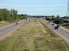
View looking westerly as Highway 402 rounds the curve immediately west of
the Howard Watson Trail underpass as the westbound lanes begin to diverge
into their specialized arrangements.
Photo taken: July 24th, 2013. |
 (720x480) (720x480)
(1440x960)
(2400x1600) |
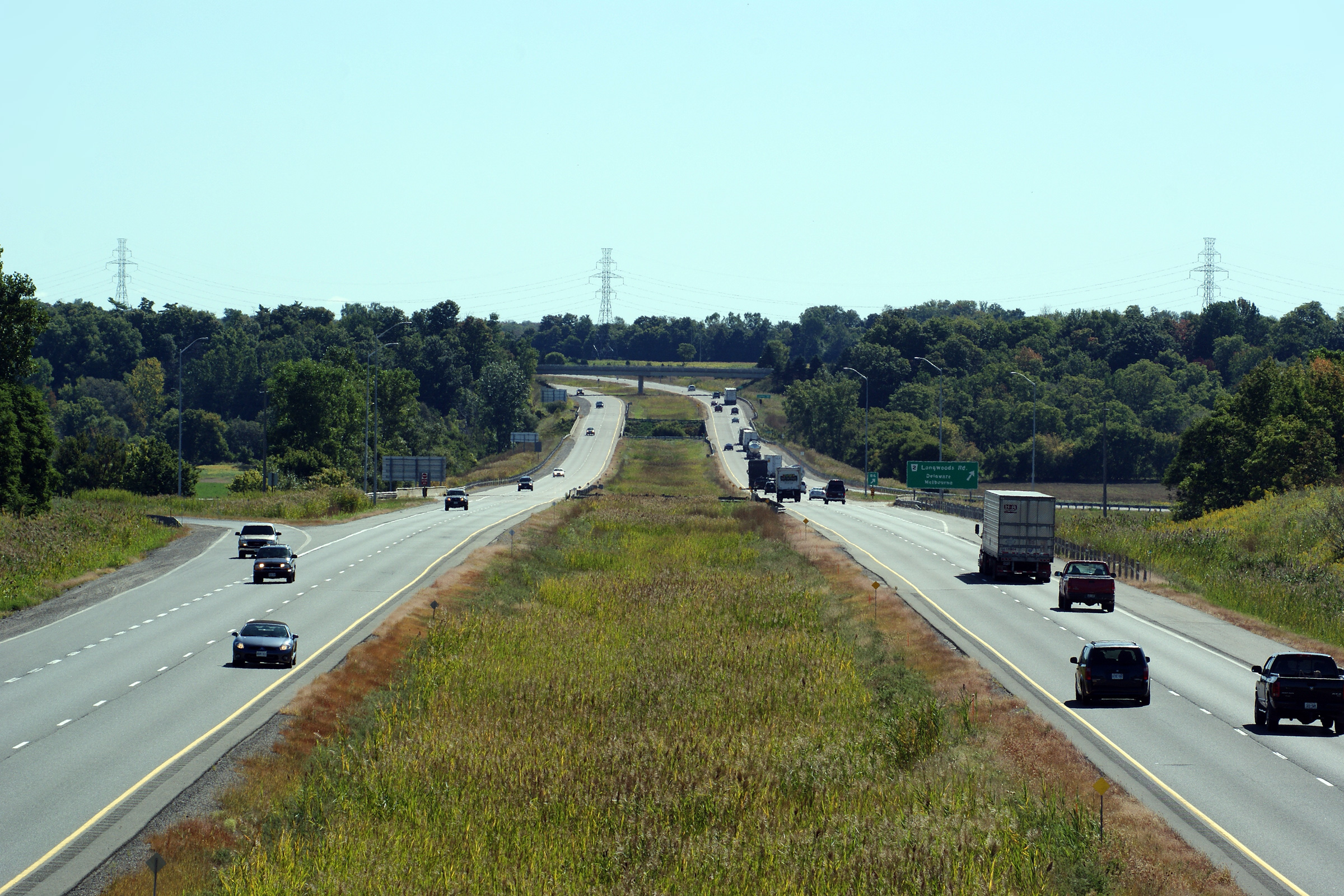
| City of Sarnia County of
Lambton |
Diagram signage directing bridge bound traffic to keep left and local
traffic to keep to the right. Photo taken: July 24th, 2013. |
 (720x480) (720x480)
(1440x960)
(2400x1600) |
| City of Sarnia County of
Lambton |
Eastbound advanced signage for the off-ramp to Highway 40. This was one of
the few overhead signs that stood prior to the reconstruction of the
westbound lanes through Sarnia.
Photo taken: July 24th, 2013. |
 (720x480) (720x480)
(1440x960)
(2400x1600) |
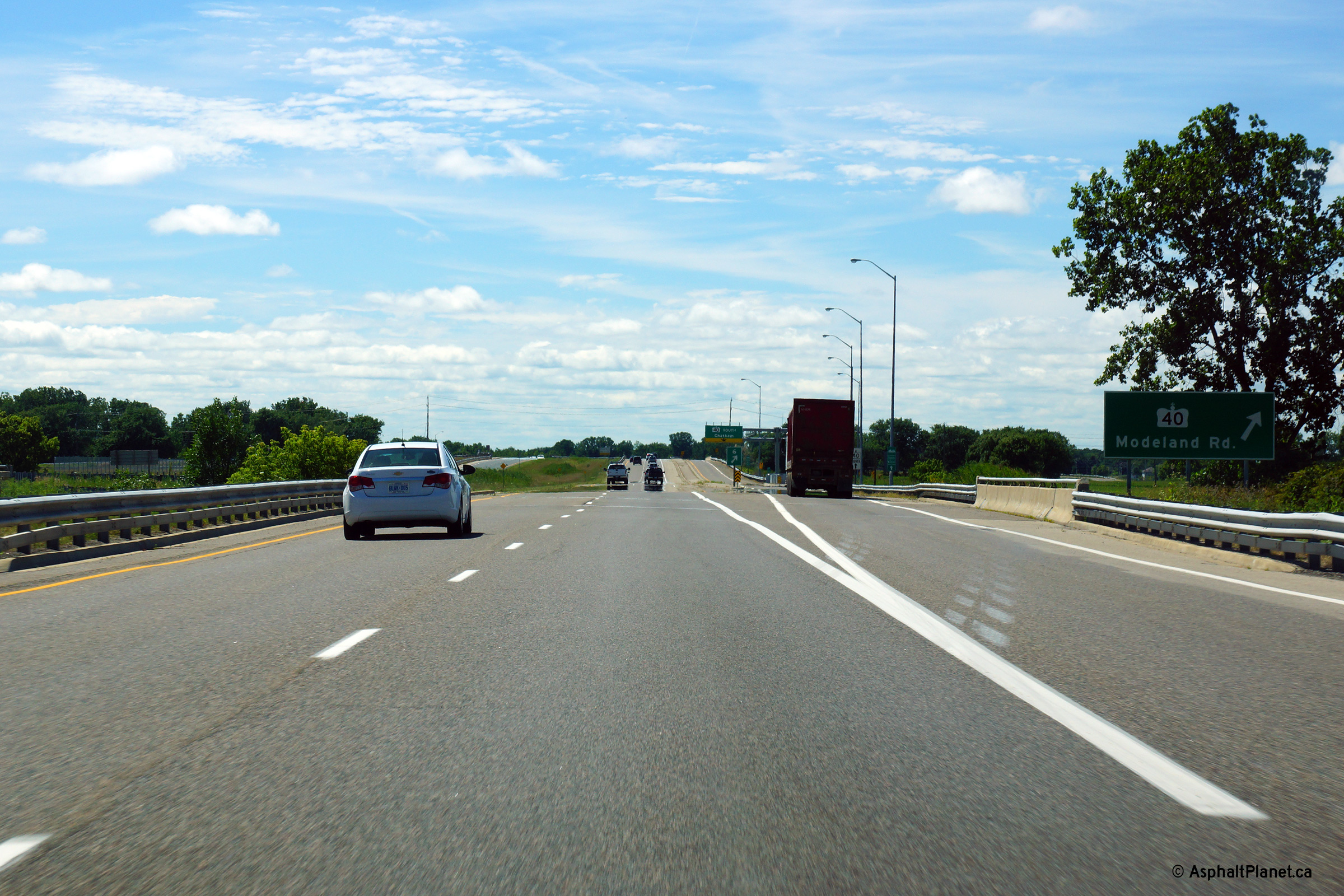
| City of Sarnia County of
Lambton |
Easterly view at the Highway 40 interchange. Highway 40 meets Highway
402 at a six ramp Parclo B style interchange.
Picture taken: July 24th, 2013. |
 (720x480) (720x480)
(1440x960)
(2400x1600) |
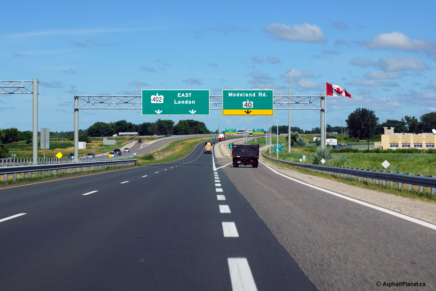
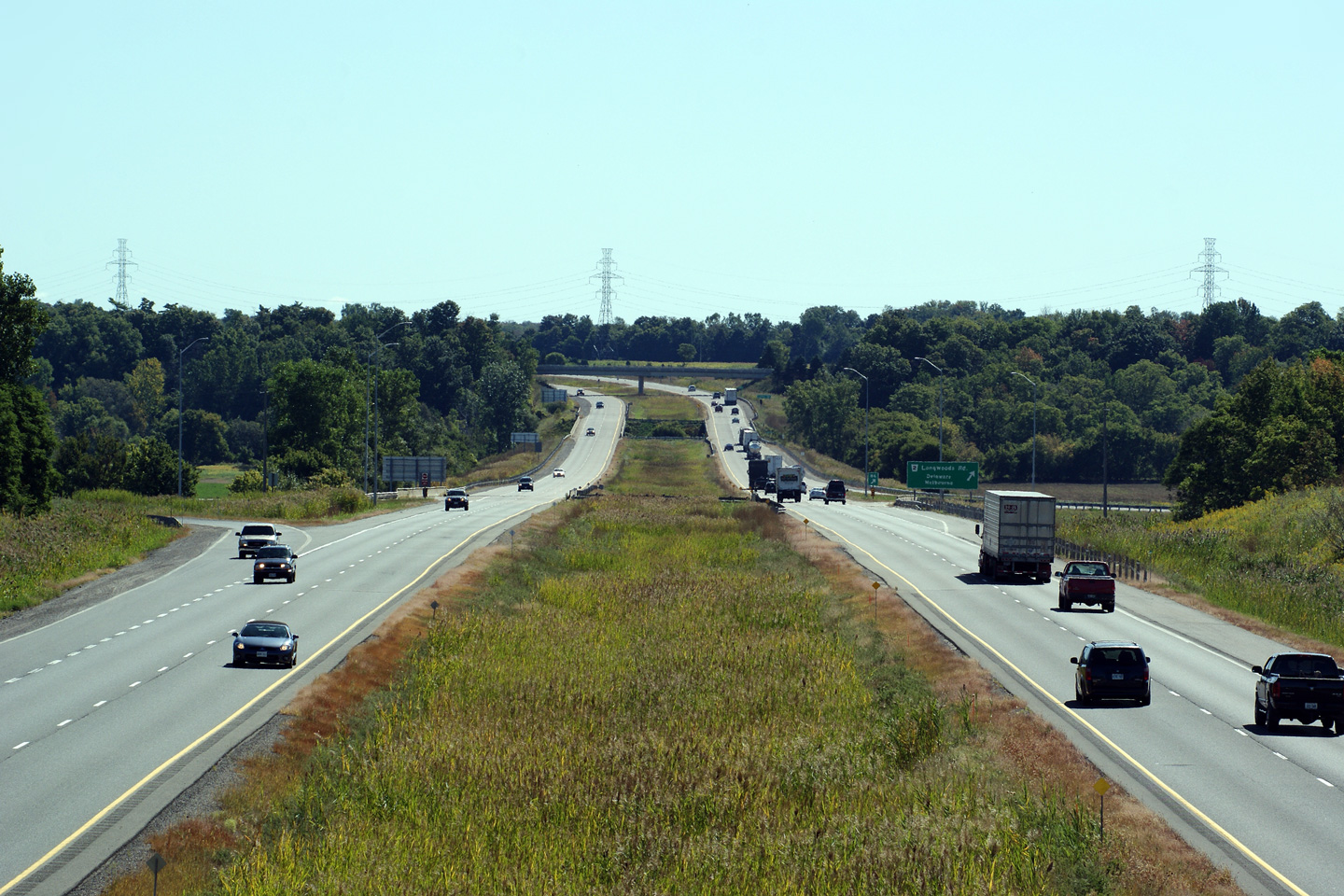
|
Highway 40 leads southerly from
Sarnia through Wallaceburg to Chatham.
Click here for Highway 40 images. |
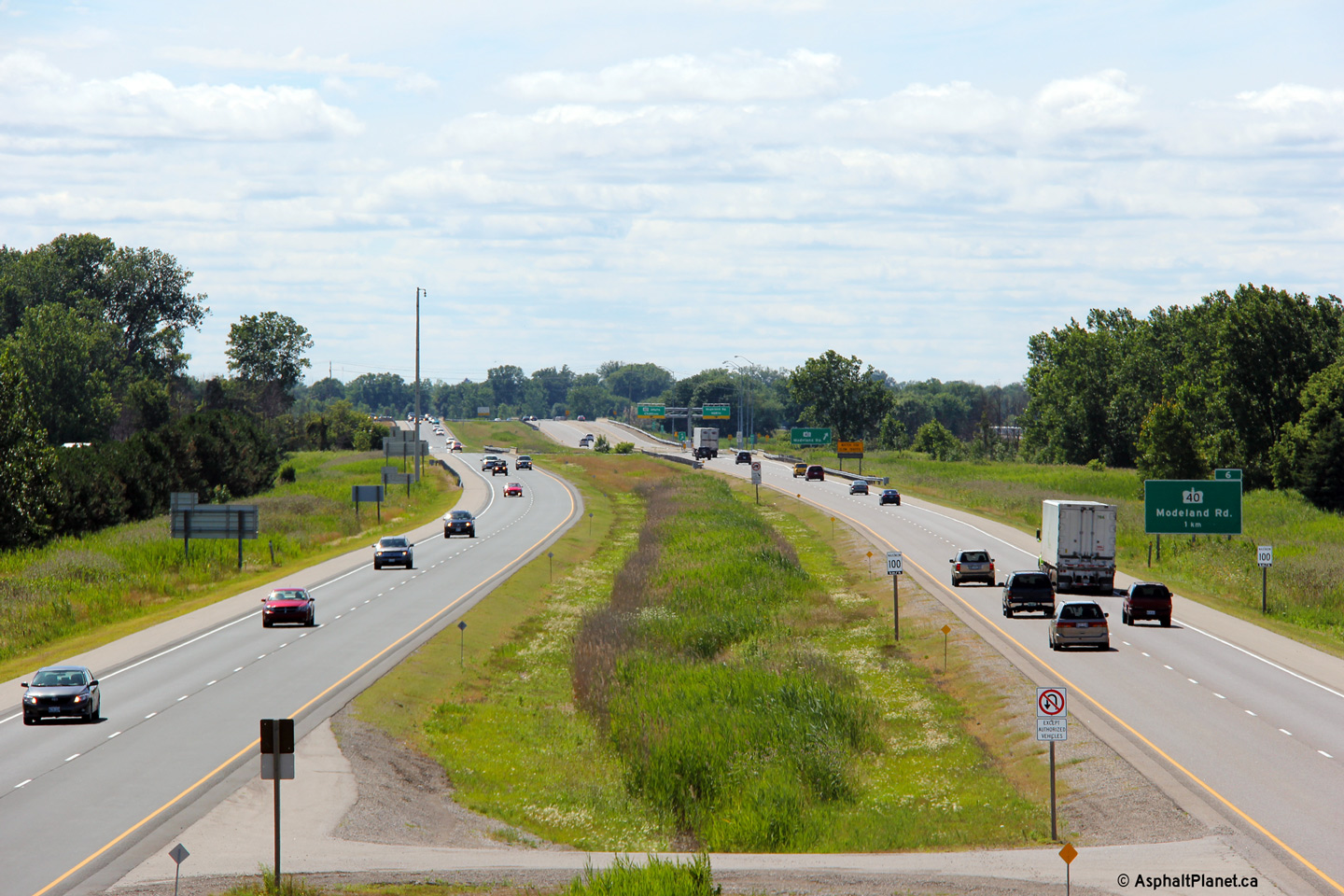
| City of Sarnia County of
Lambton |
Westerly view at the Highway 40 / Modeland Road interchange.
Photo taken: July 24th, 2013. |
 (720x480) (720x480)
(1440x960)
(2400x1600) |
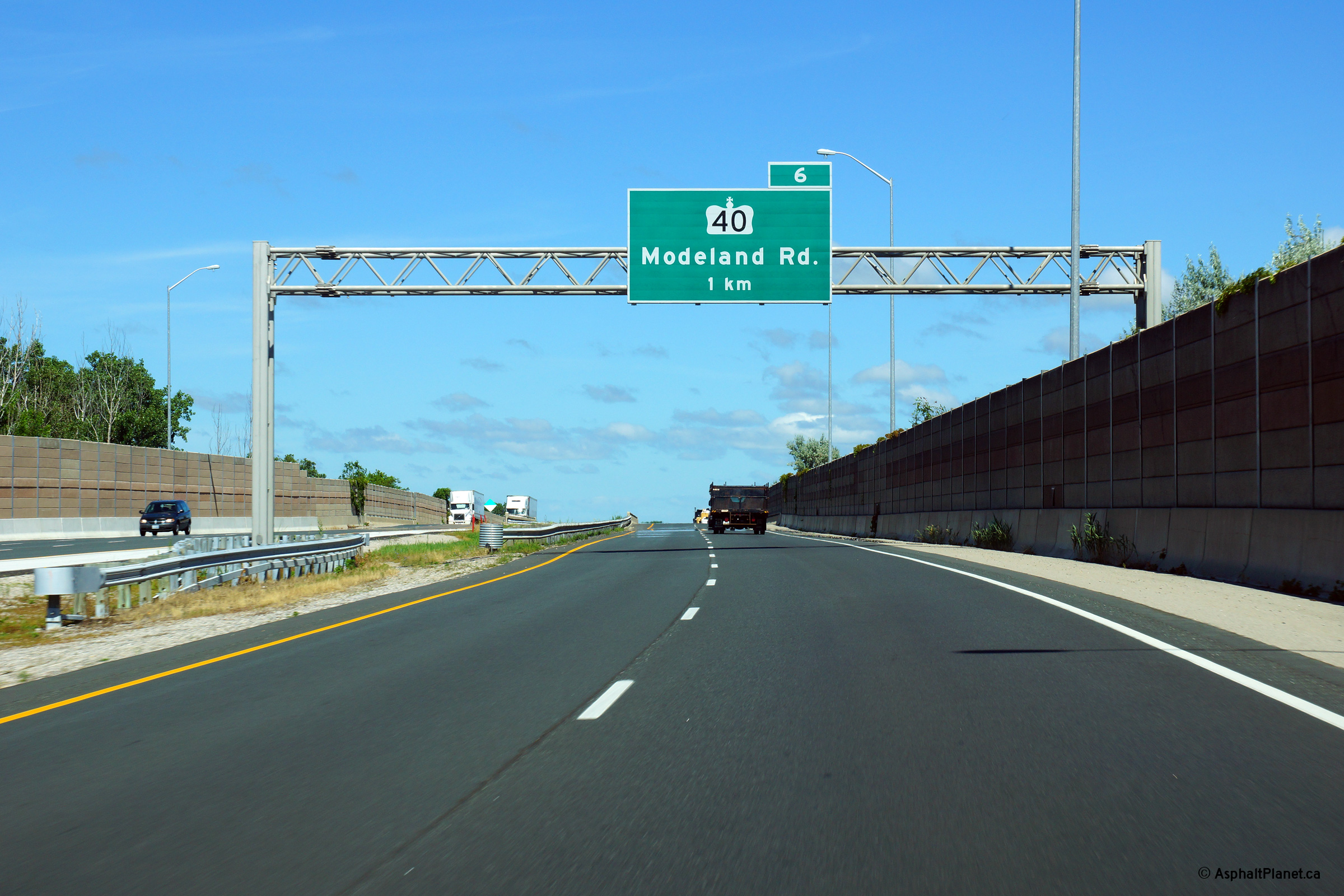
| City of Sarnia County of
Lambton |
Westbound advanced signage for the Highway 40 / Modeland Road interchange.
Photo taken: July 24th, 2013. |
 (720x480) (720x480)
(1440x960)
(2400x1600) |
| City of Sarnia County of
Lambton |
This view looks westerly from the Blackwell Road overpass.
Photo taken: July 24th, 2013. |
(720x480)
(1440x960)
(2400x1600) |
| City of Sarnia County of
Lambton |
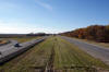
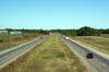
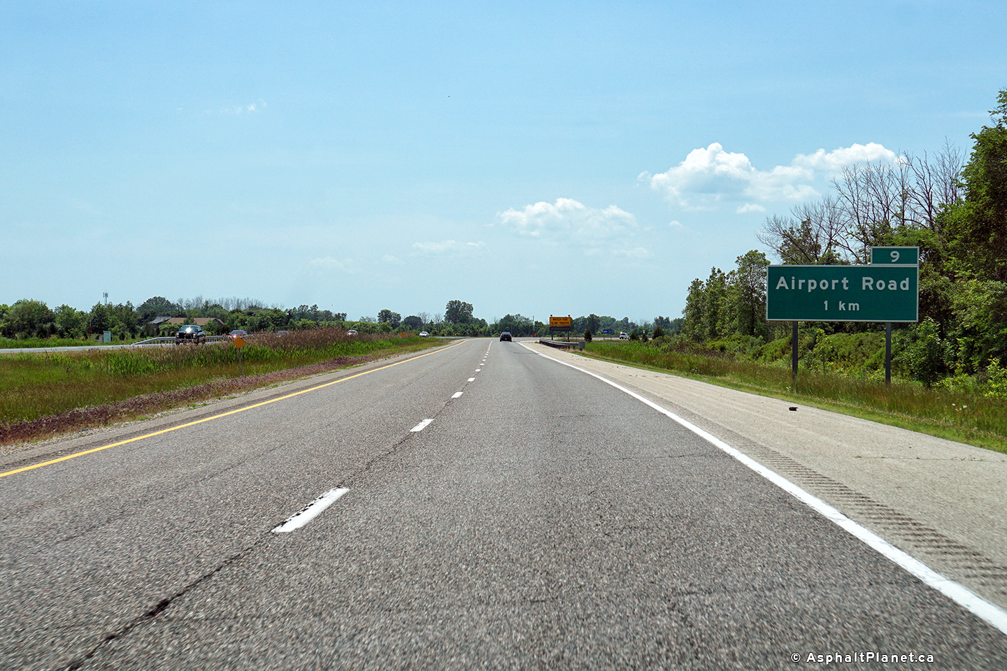
Highway 402 looking east from the Blackwell Road overpass near Sarnia.
Blackwell Road is located roughly at kilometre marker 8. This picture
showcases the Airport Road interchange. As one would suspect by the name,
Airport Road is the primary route from Highway 402 to Sarnia's Airport.
Click here for an additional view
taken in April, 2005.
Photo taken: July 24th, 2013. |
(720x480)
(1440x960)
(2400x1600) |
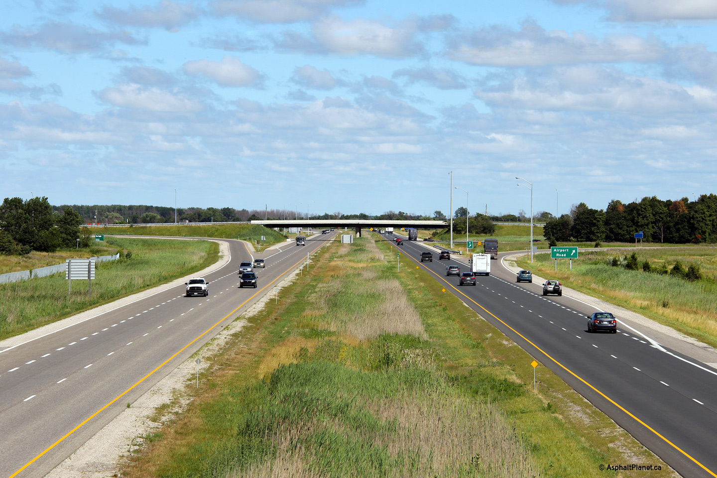
| City of Sarnia County of
Lambton |
Westerly view from the Airport Road overpass.
Photo taken: May 17th, 2009. |

(720x480)
(1440x960)
(2400x1600) |
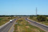
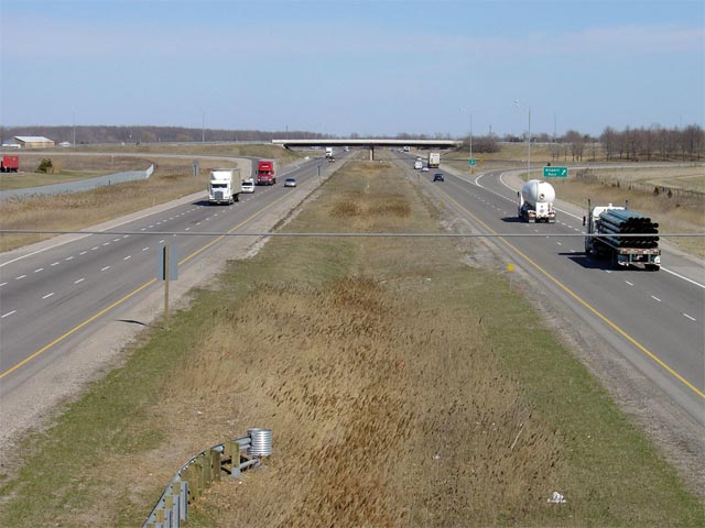
| City of Sarnia County of
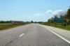
Lambton |
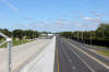
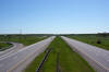
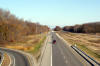
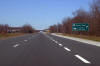
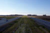
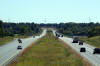
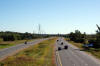
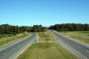
Highway 402 looking east from the Airport Road overpass near Sarnia.
East of Airport Road, Highway 402 drivers must negotiate a fairly sharp
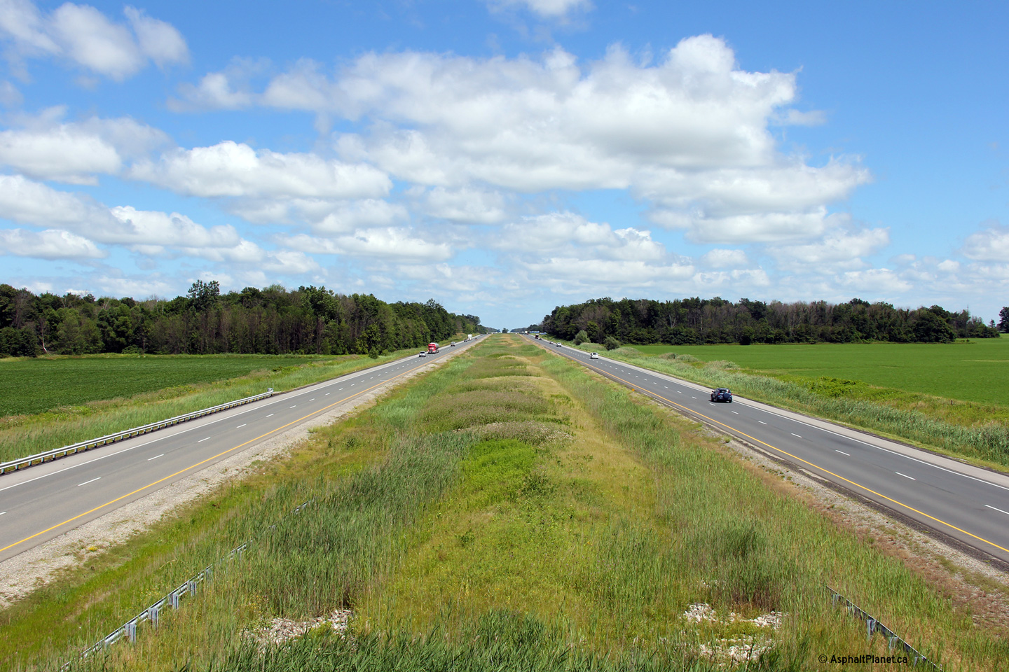
S-curve. East of this curve, Highway 402 has a much larger grassed
median, and is virtually perfectly straight all of the way to Strathroy.
Photo taken: May 17th, 2009. |
(720x480)
(1440x960)
(2400x1600) |
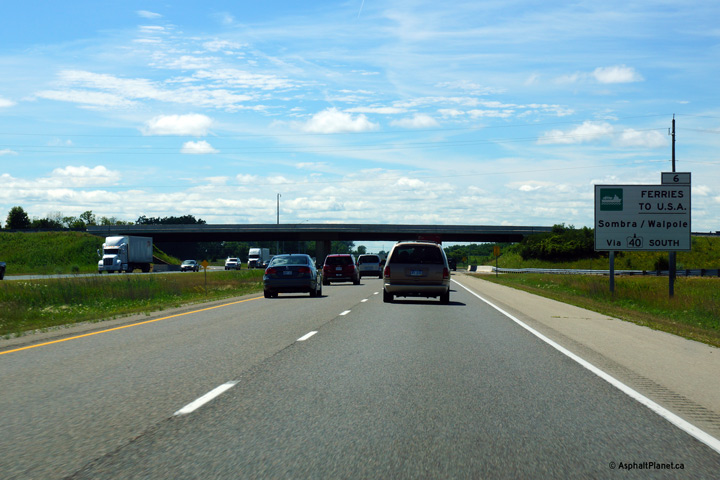
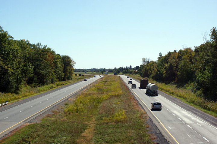
City of Sarnia
County of Lambton |
Signage directing US bound travelers of both the Sombra and Wapole Island
car ferries across the St. Clair River. Both car ferries operate year
round and provide a scenic alternate to the Bluewater Bridge.
Photo taken: July 24th, 2013. |
 (720x480) (720x480)
(1440x960)
(2400x1600) |
| City of Sarnia County of
Lambton |
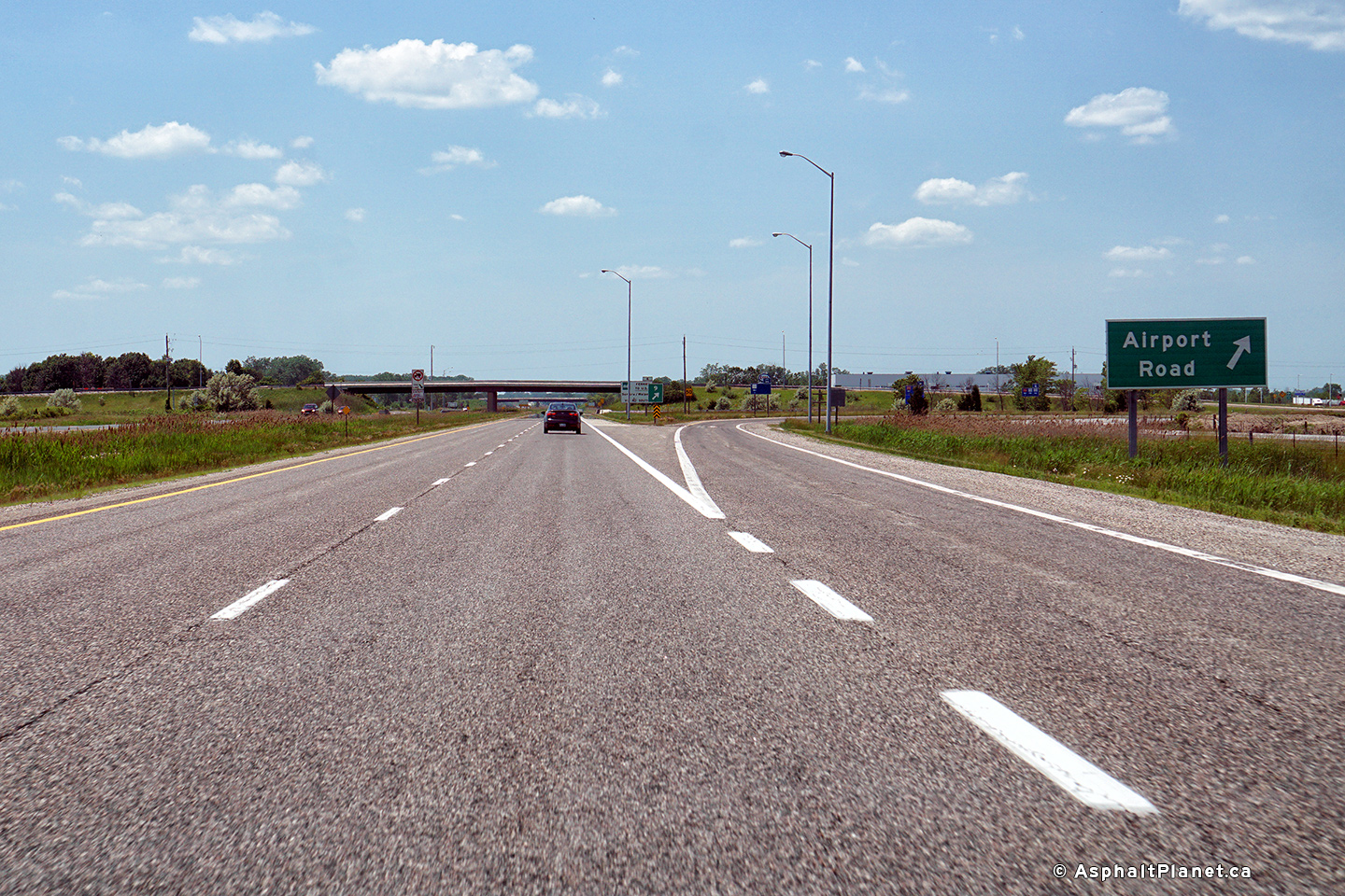
View looking westerly at the off-ramp to Airport Road.
Photo taken: June 10th, 2017. |
 (720x480) (720x480)
(1440x960)
(2400x1600) |
| City of Sarnia County of
Lambton |
Westbound advanced signage for the Airport Road interchange.
Photo taken: June 10th, 2017. |
 (720x480) (720x480)
(1440x960)
(2400x1600) |
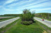
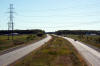
| City of Sarnia County of
Lambton |
This view looks westerly from the Waterworks Road overpass. The treed
highway median considerably limits the view from this overpass.
Photo taken: May 17th, 2009. |
(720x480)
(1440x960)
(2400x1600) |
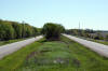
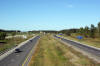
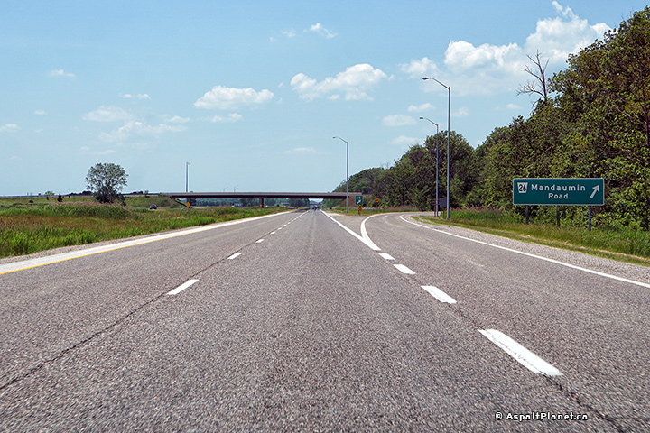
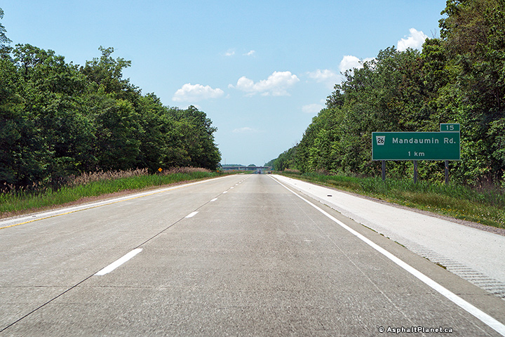
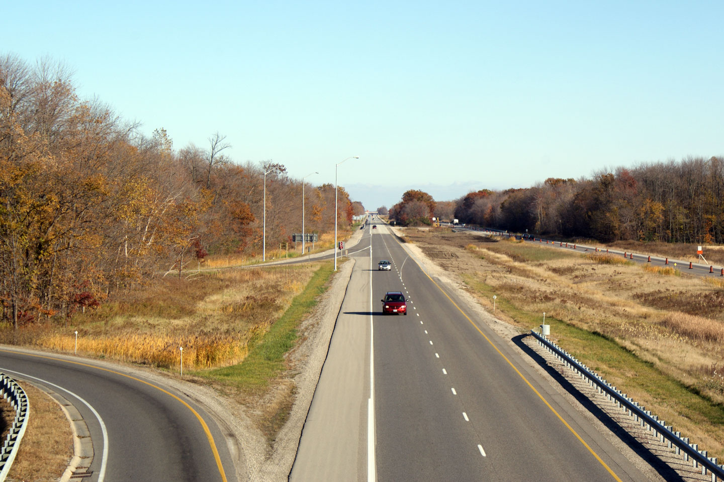
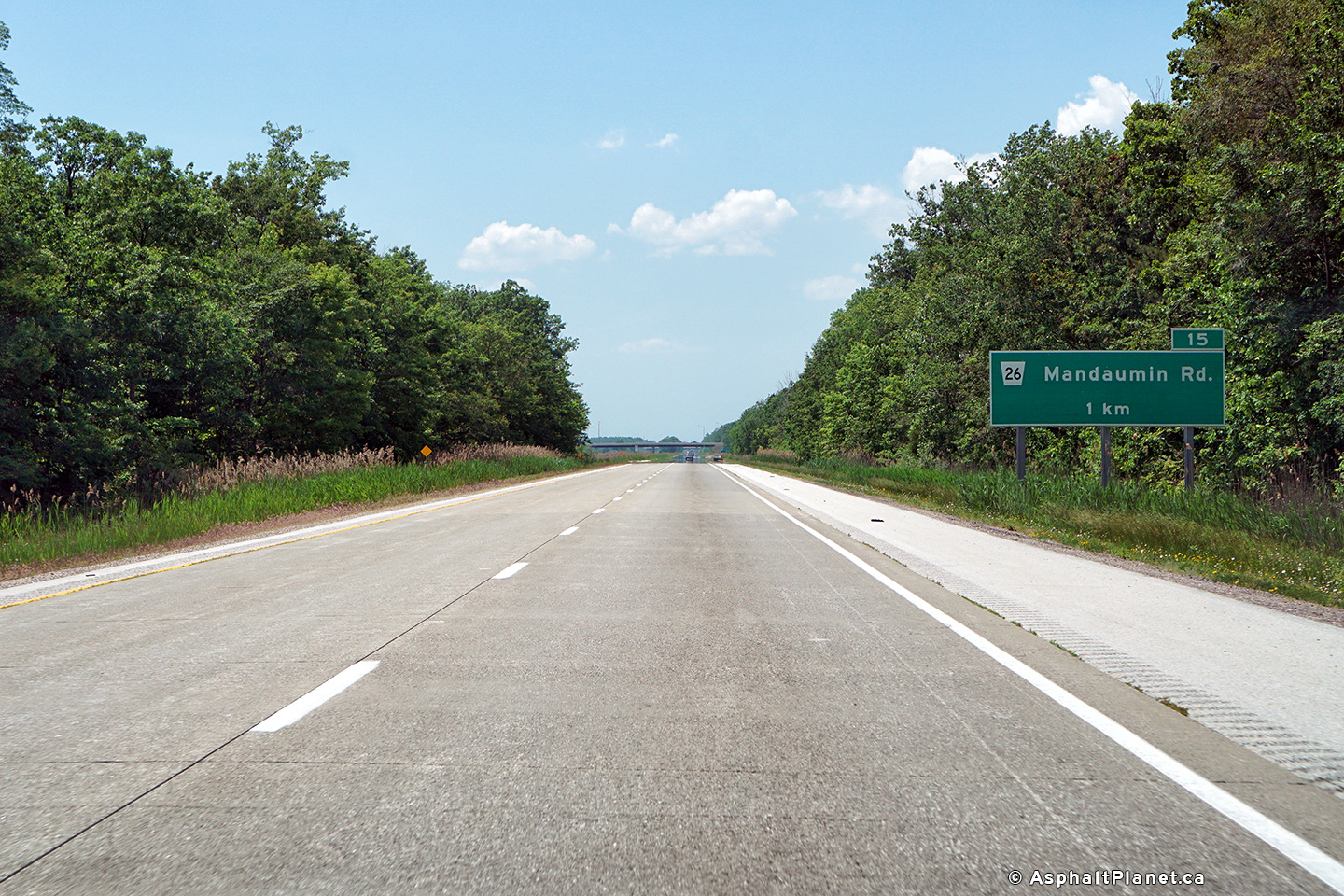
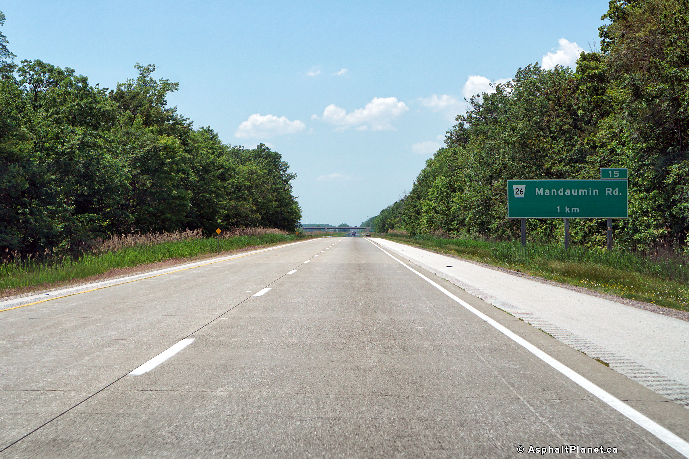
| City of Sarnia County of
Lambton |
Easterly view from the Waterworks Road interchange towards Mandaumin Road.
Photo taken: May 17th, 2009. |
(720x480)
(1440x960)
(2400x1600) |
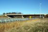
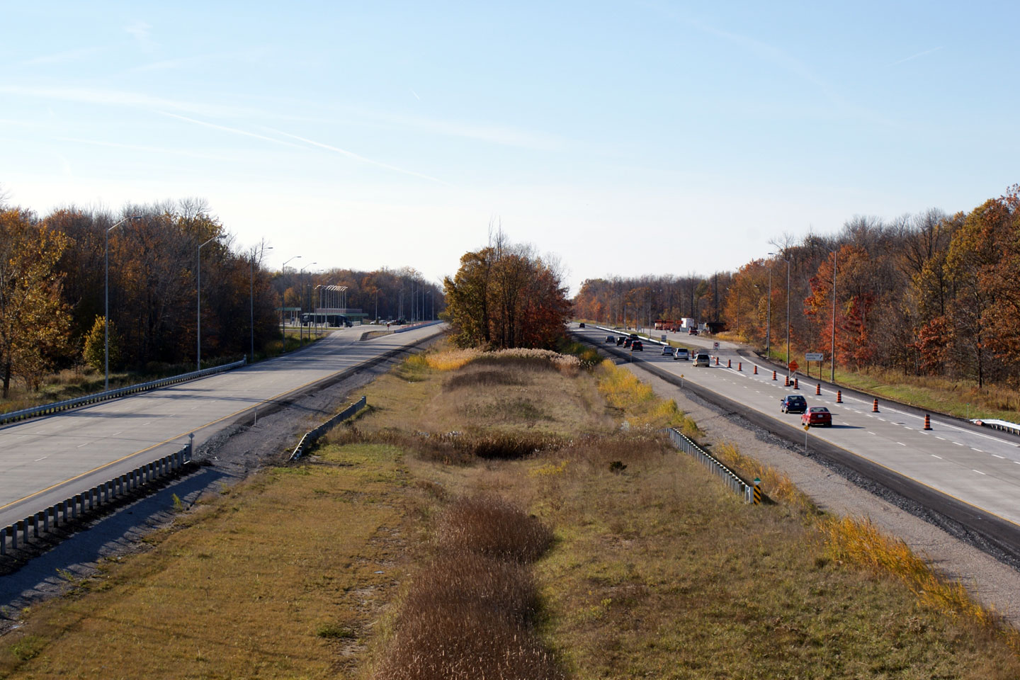
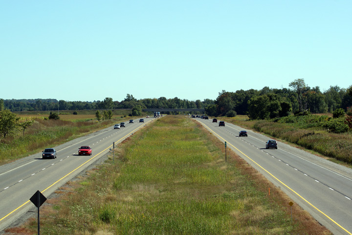
| City of Sarnia County of
Lambton |
The
Mandaumin Road overpass has been treated with a coloured waterproofing agent
and looks quite attractive. Many concrete structures in neighbouring
Michigan are tinted with a similar product.
Photo taken: November 1st, 2008. |
(720x480)
(1440x960) |
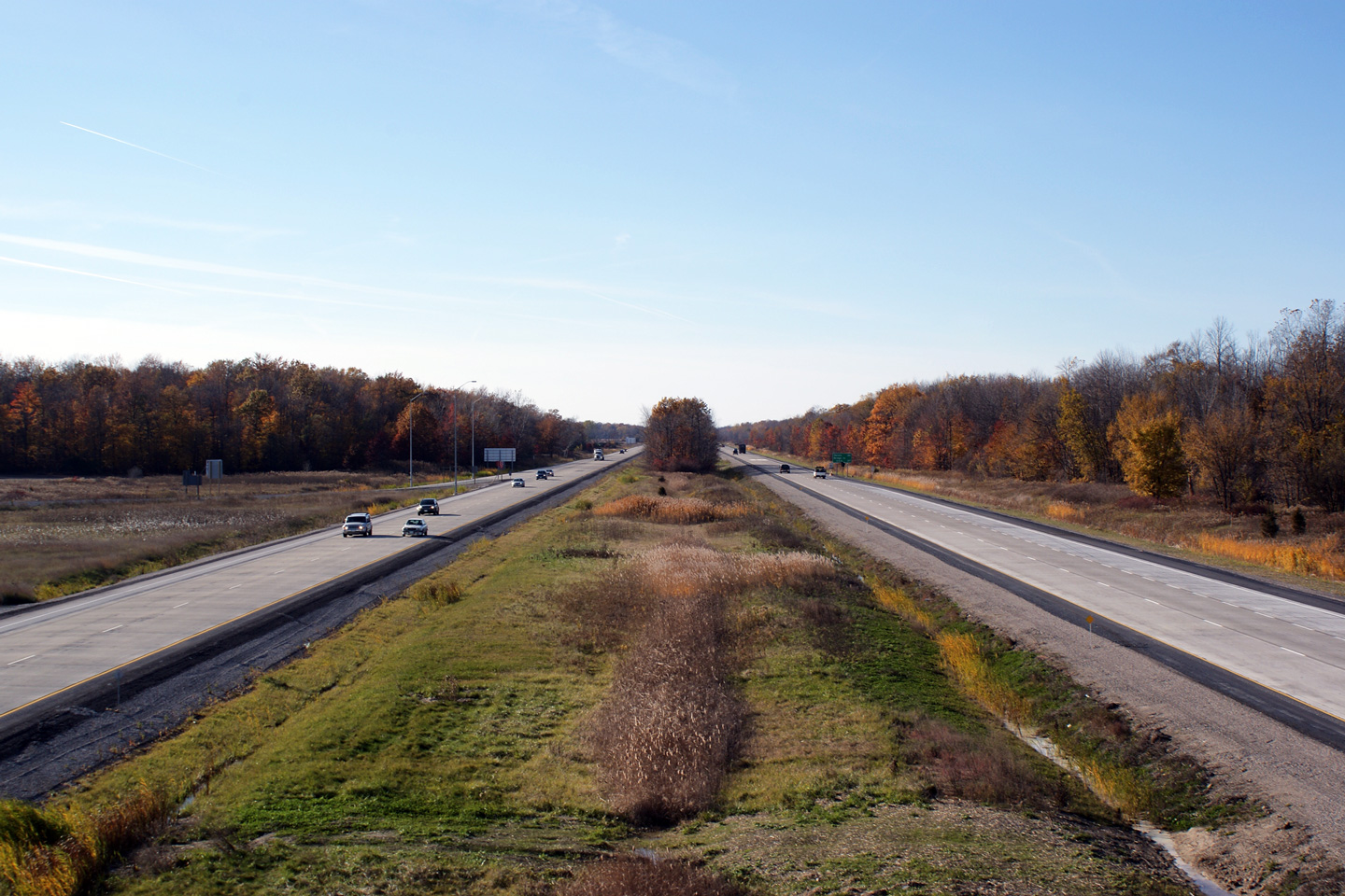
| City of Sarnia County of
Lambton |
Westerly
view from the Mandaumin Road overpass. At the time the photo was taken
the eastbound carriageway is
restricted to a single lane as part of the final stages of concrete
resurfacing.
Photo taken: November 1st, 2008. |
(720x480)
(1440x960) |
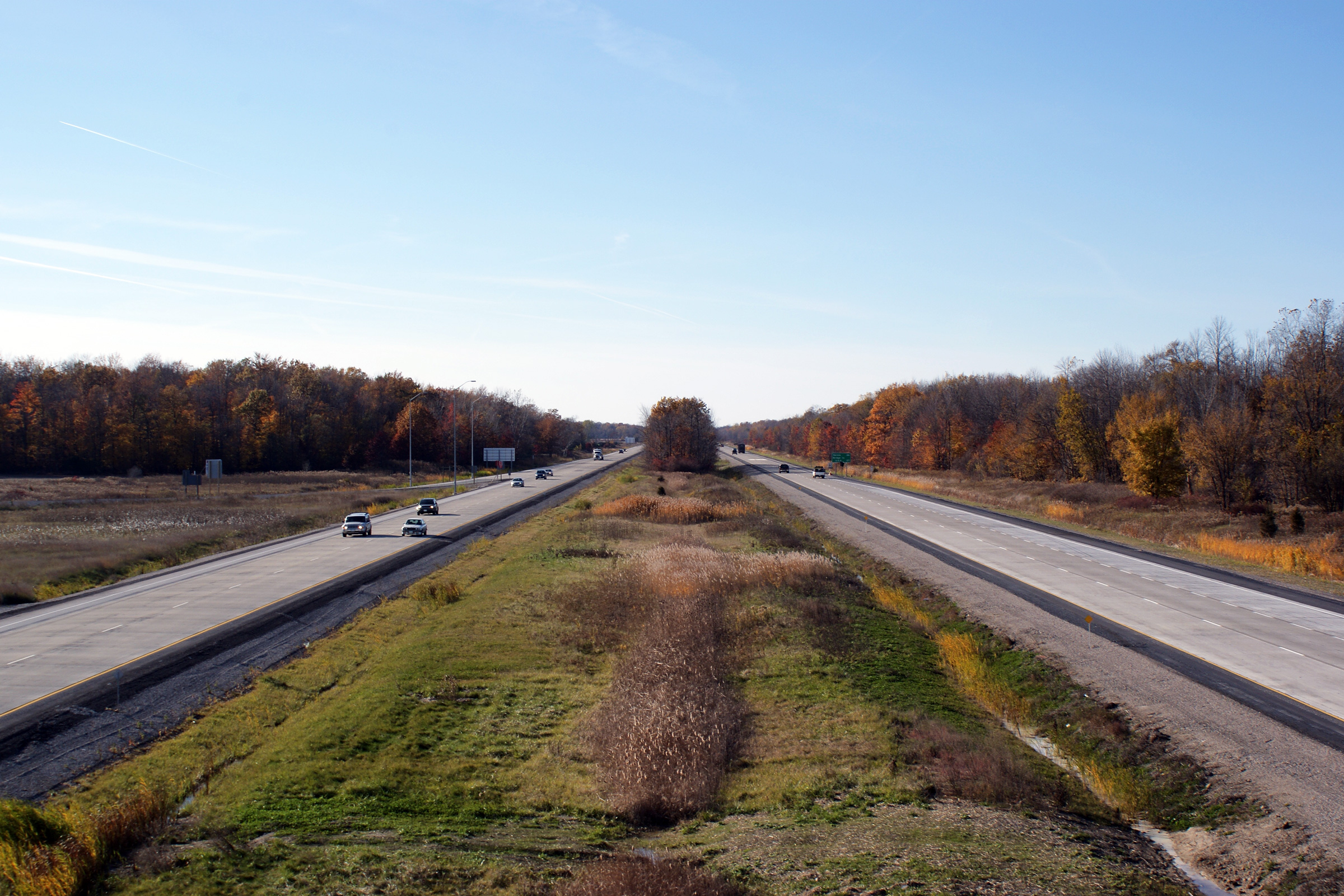
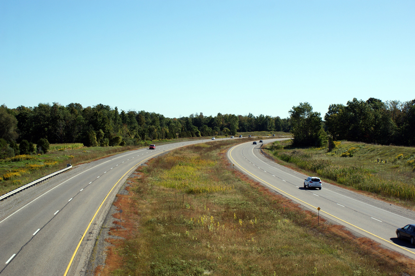
| Township of Plympton- Wyoming
County of Lambton |
Easterly
view of the 402 from the Mandaumin Road overpass. The western limits
of the concrete surface is visible in the distance.
Photo taken: November 1st, 2008. |
(720x480)
(1440x960) |
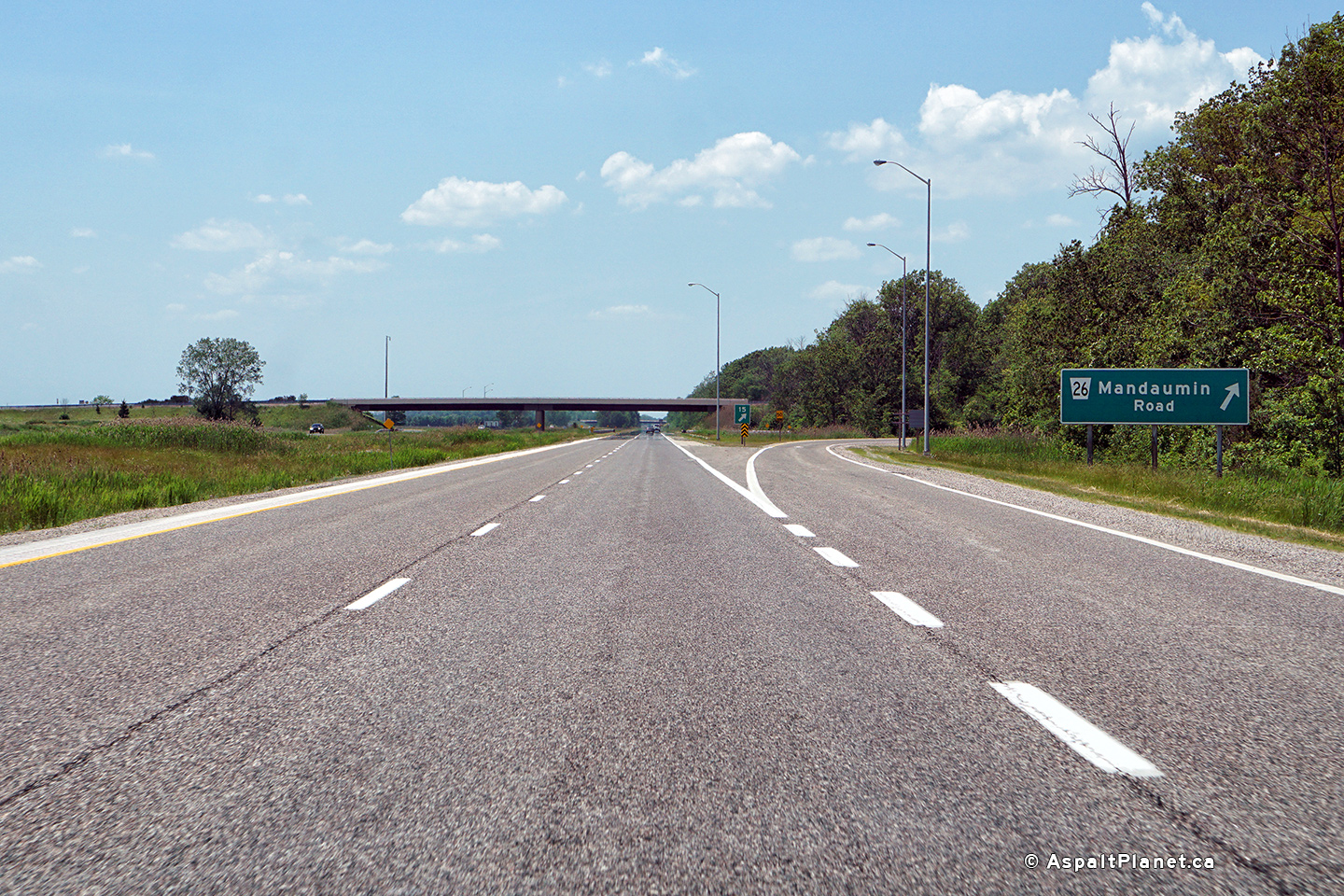
| Township of Plympton- Wyoming
County of Lambton |
Westerly view at the off-ramp to Mandaumin Road.
Photo taken: June 10th, 2017. |
 |
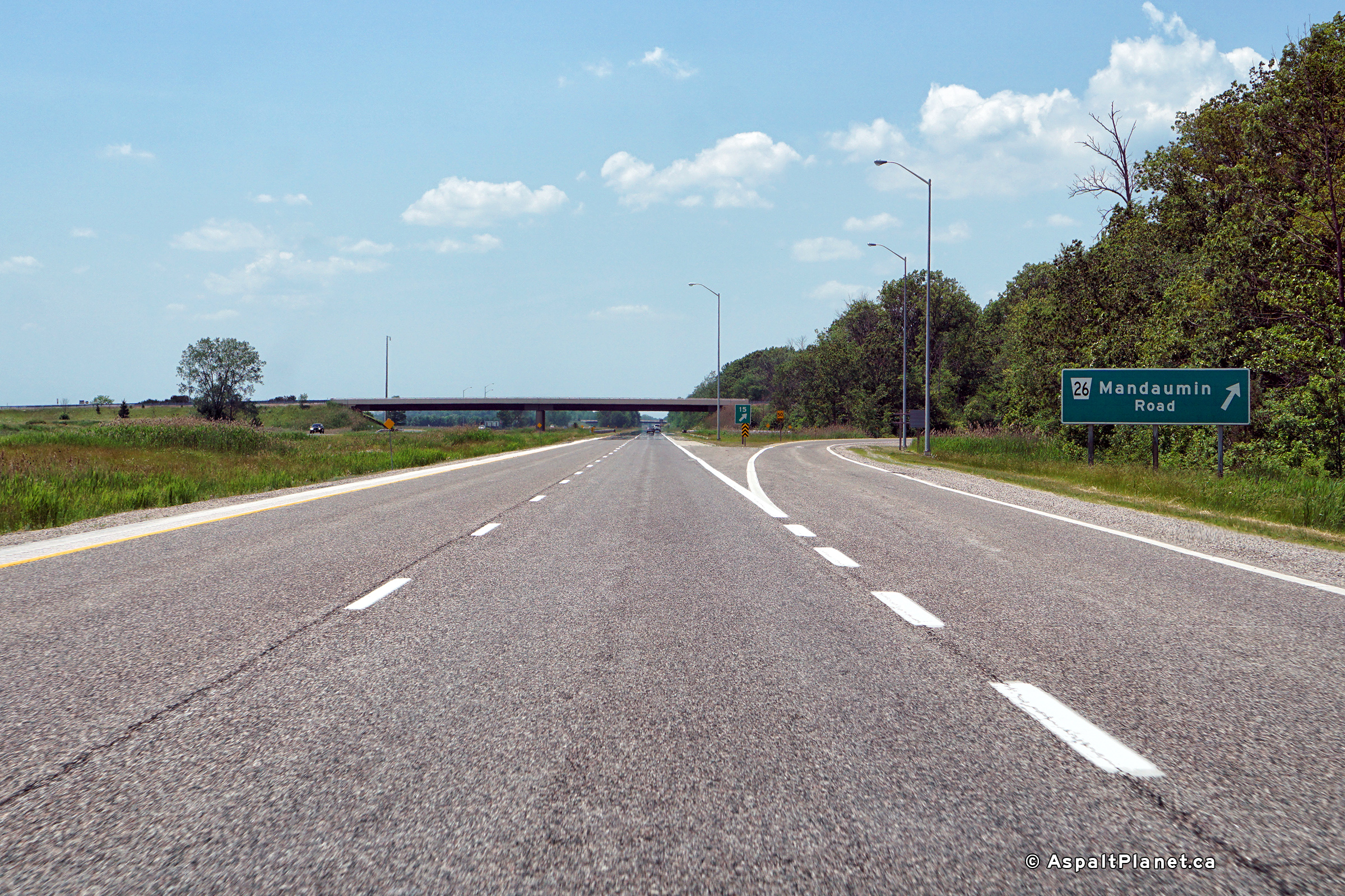
| Township of Plympton- Wyoming
County of Lambton |
Westbound advanced signage for the Mandaumin Road interchange.
Photo taken: June 10th, 2017. |
 (720x480) (720x480)
(1440x960)
(2400x1600) |
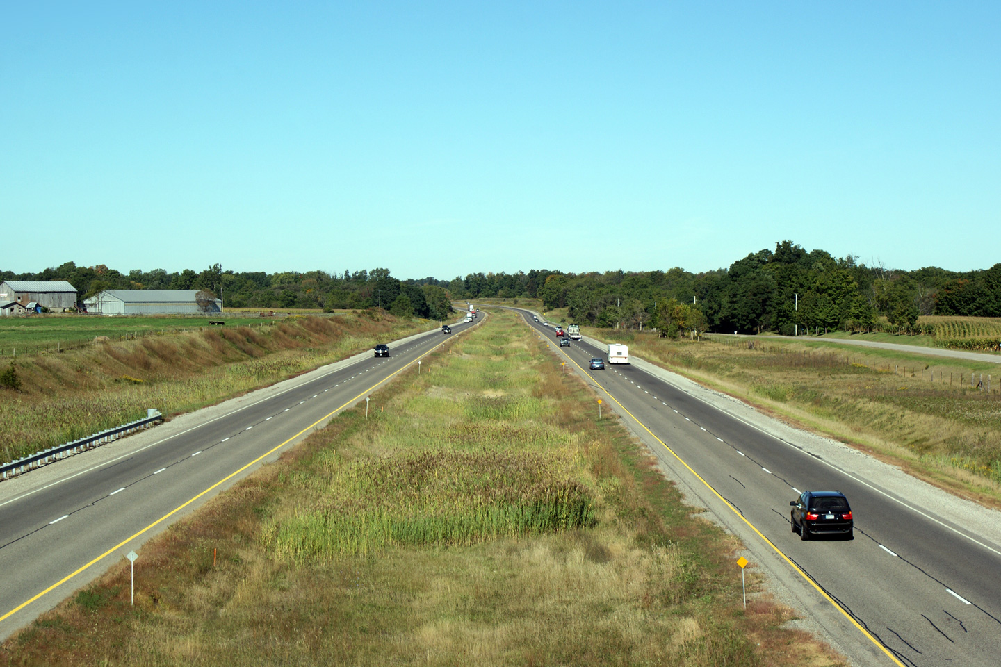
| Township of Plympton- Wyoming
County of Lambton |
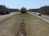
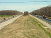
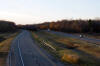
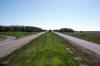
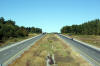
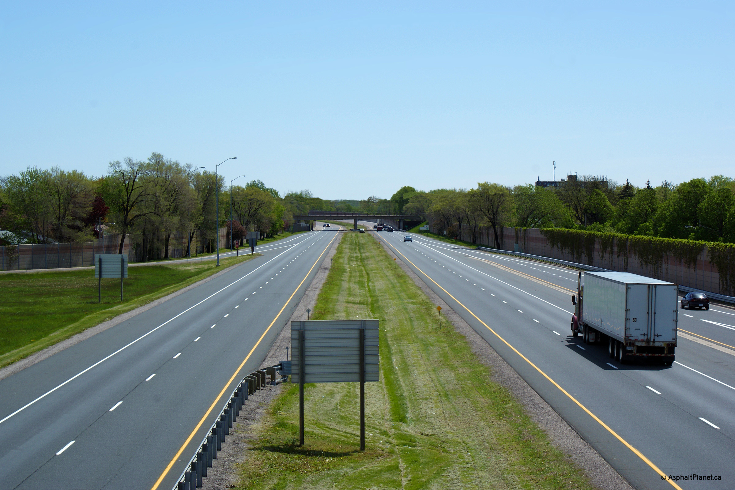
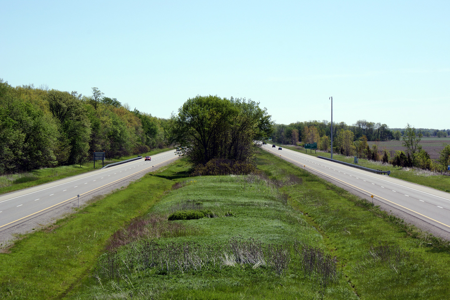
Highway 402 looking west from the Camlashie Road overpass, east of Sarnia.
Camlashie Road is located roughly at kilometre marker 21. The roadside
pullouts shown in this photo are Truck inspection stations. These
Inspection stations are the only ones located along Highway 402.
Upper photo taken: April 13th, 2005.
Lower photo taken: November 1st, 2008. |

(720x480)
(1440x960) |
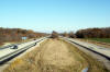
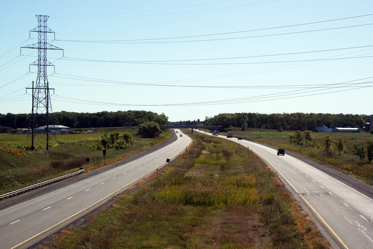
| Township of Plympton- Wyoming
County of Lambton |
Highway 402 looking east from the Camlashie
Road overpass. These photos provide an interesting
comparison highlighting the different highway standards from the 1970s when
Highway 402 was constructed to the reconstruction work that was completed in
2008. The MTO has widened freeway lane widths considerably in that
time frame.
Upper photo taken: April 13th, 2005.
Lower photo taken: November 1st, 2008. |
(720x480)
(1440x960)
(2400x1600) |
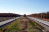
| Township of Plympton- Wyoming
County of Lambton |
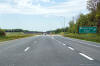
View looking westerly from Highway 21-South.
Photo taken: November 1st, 2008. |
(720x480)
(1440x960)
(2400x1600) |
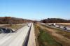
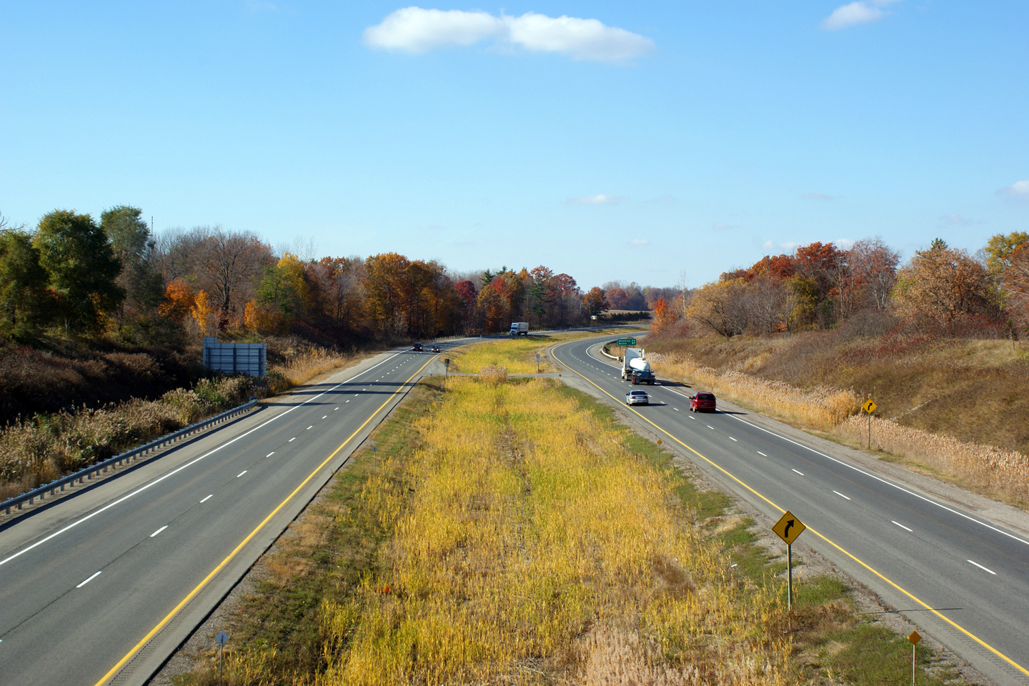
| Township of Plympton- Wyoming
County of Lambton |
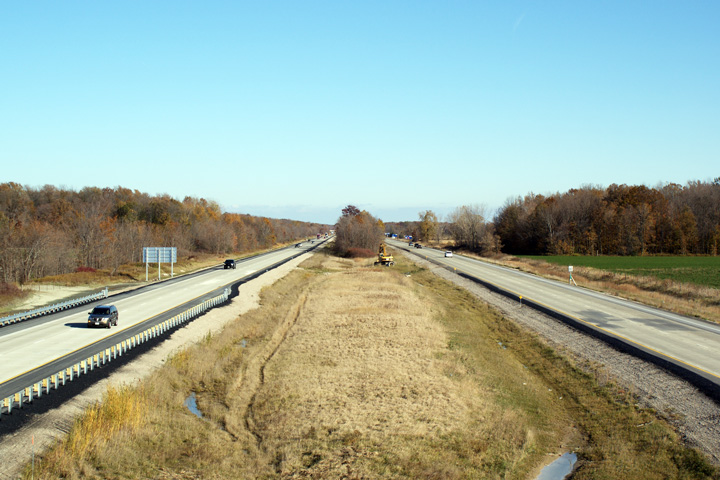
Easterly view from the Highway 21-South overpass. The 402 was
reconstructed in the vicinity of this interchange during the 2007 and 2008
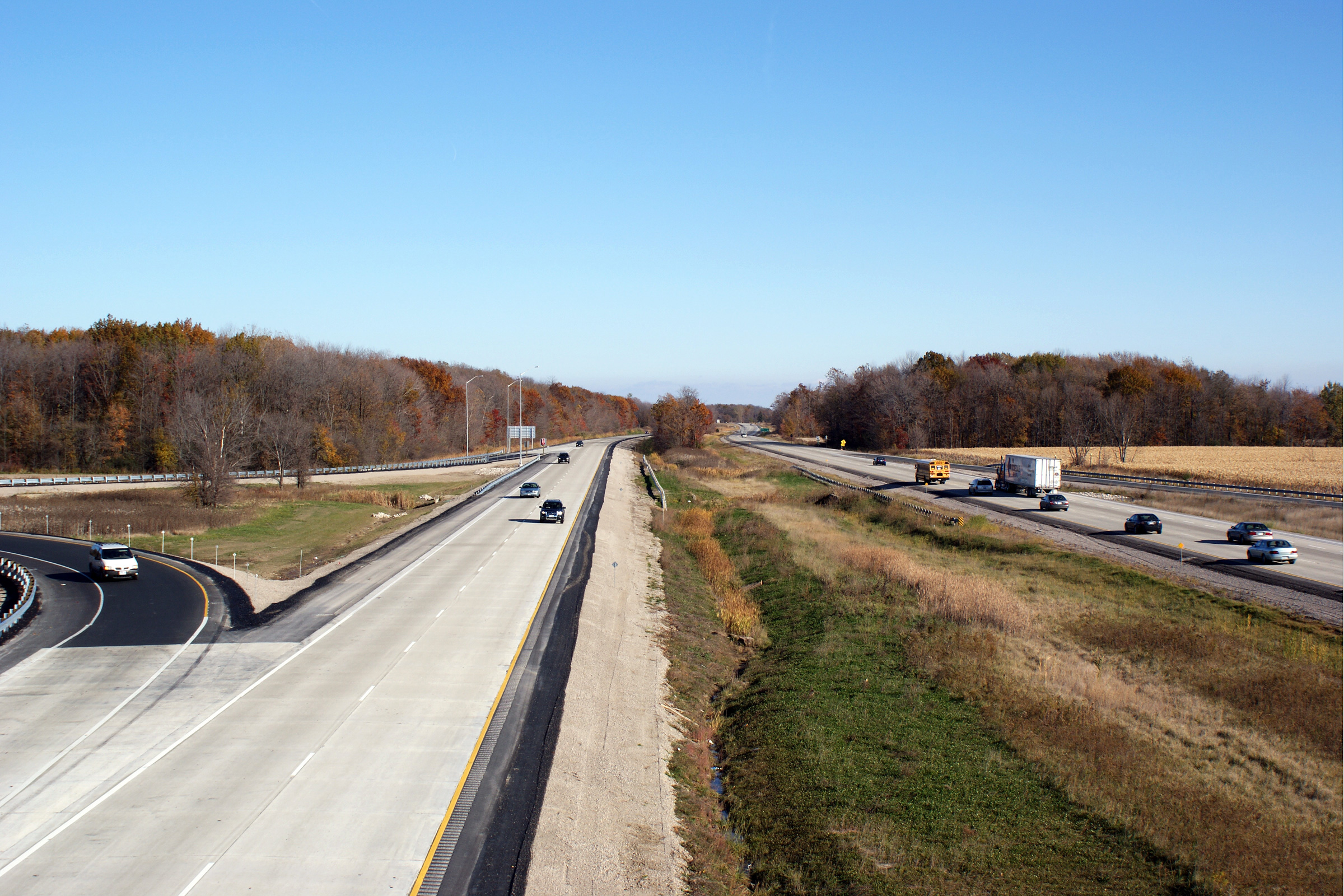
construction seasons. Oil prices reached record highs during 2007 and 2008,
accordingly several highways reconstructed during that
timeframe were surfaced with concrete pavement.
Photo taken: November 1st, 2008. |
(720x480)
(1440x960)
(2400x1600) |
| Township of Plympton- Wyoming
County of Lambton |
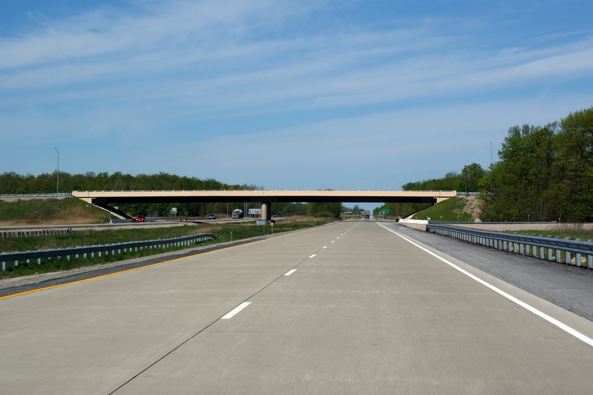
View looking westerly through the Highway 21-South overpass. The
Highway 21-South overpass was rehabilitated during the 2008 construction
season.
Photo taken: May 17th, 2009. |
 (720x480) (720x480)
(1440x960)
(2400x1600) |
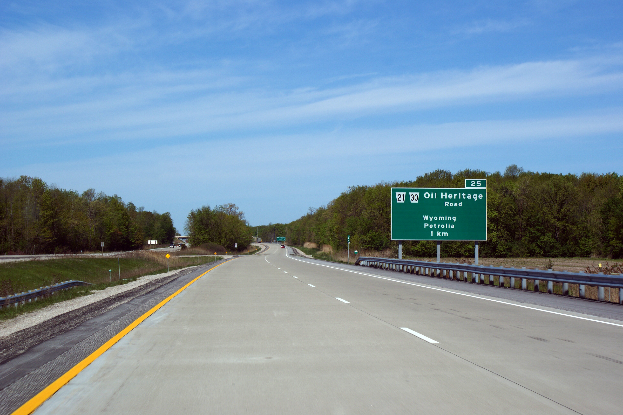
| Township of Plympton- Wyoming
County of Lambton |
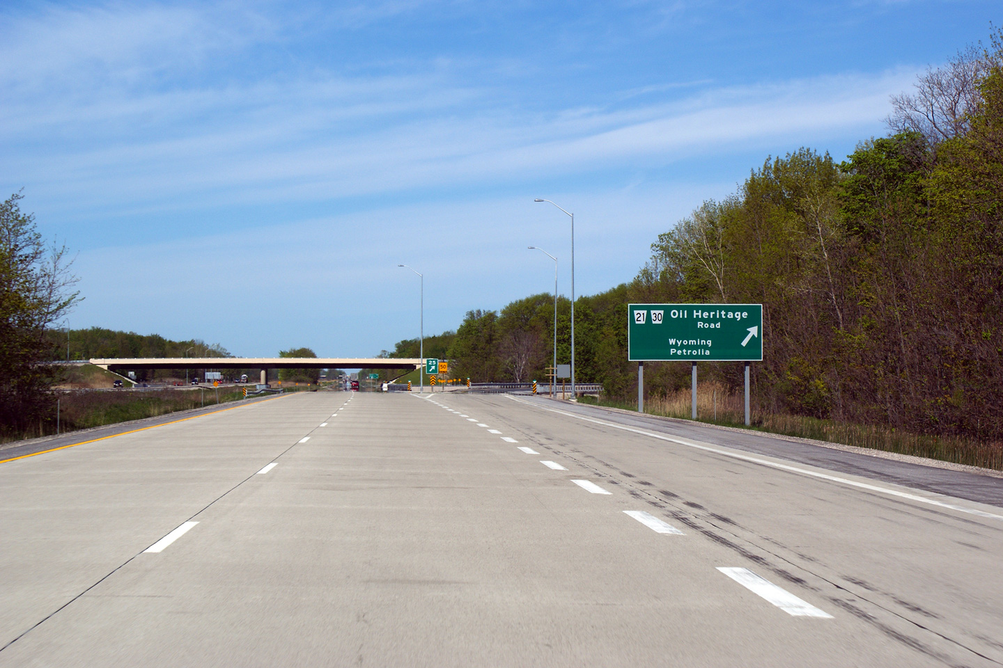
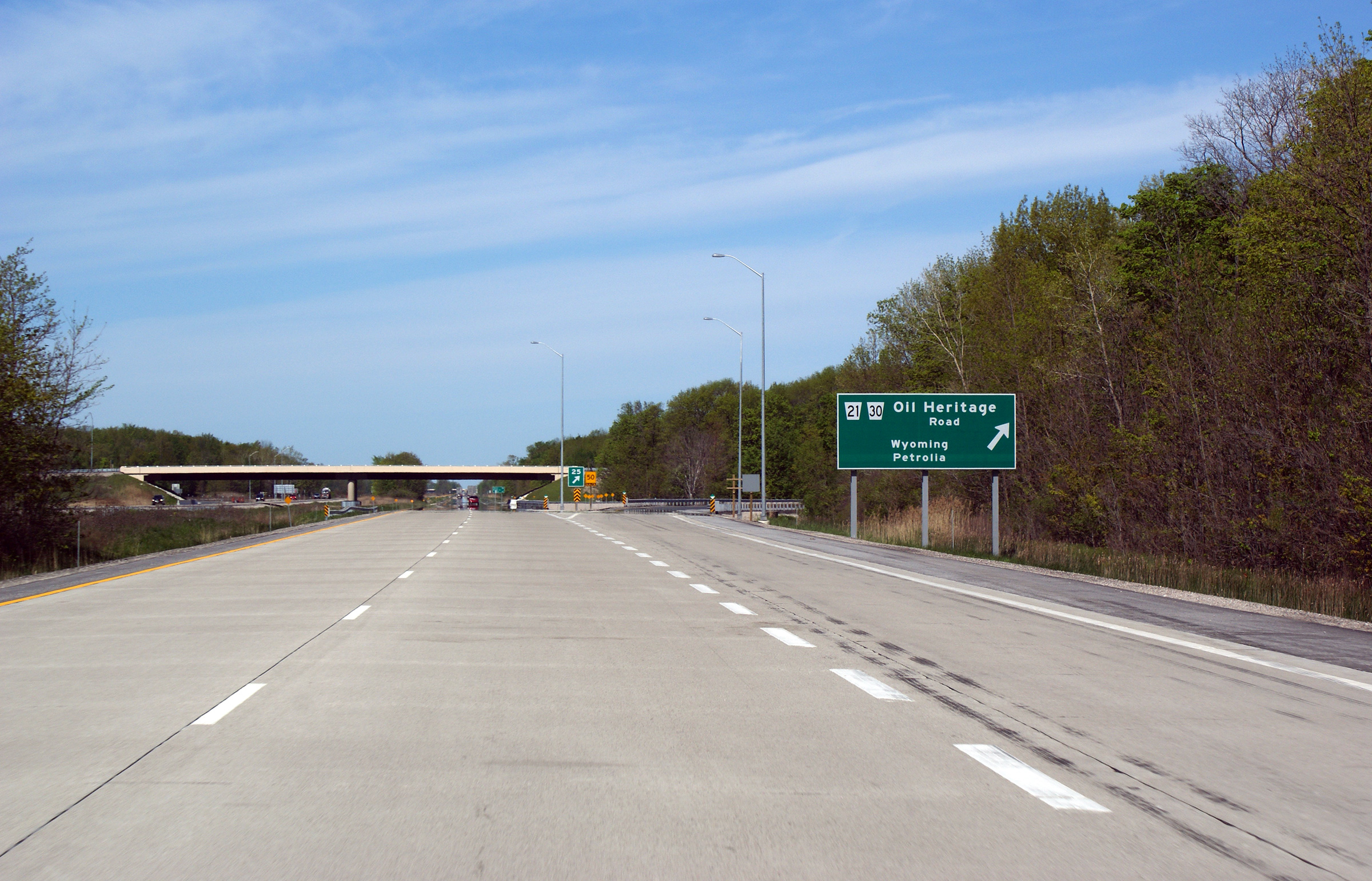
Westbound signage for the off-ramp to Oil Heritage Road (Highway 21-South).
Photo taken: May 17th, 2009. |
 (720x480) (720x480)
(1440x960)
(2400x1600) |
| Township of Plympton- Wyoming
County of Lambton |
This view looks westerly approaching the Highway 21-South interchange.
Photo taken: May 17th, 2009. |
 (720x480) (720x480)
(1440x960)
(2400x1600) |
| Township of Plympton- Wyoming
County of Lambton |
View looking easterly through the Uttoxeter Road overpass. As of the
writing of this in the Summer of 2013, the Uttoxeter Road overpass is one of
the few structures between Sarnia and Strathroy to retain its double rail
barrier.
Photo taken: July 13th, 2013. |
 (720x480) (720x480)
(1440x960)
(2400x1600) |
| Township of Plympton- Wyoming
County of Lambton |
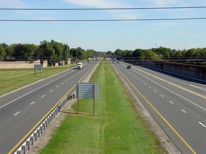
Highway 402 looking east from the Uttoxeter Road overpass. At the time
this photo was taken, Highway 402 was being extensively rehabilitated
throughout the area. This was part of a
multiyear project that saw Highway 402 upgraded near
Highway 21 (North). This construction
project wrapped up mid fall 2005.
Photo taken: April 13th, 2005. |
 |
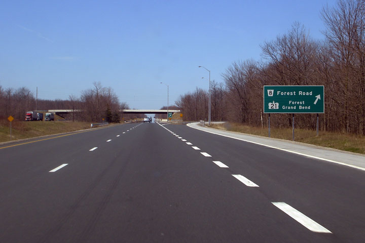
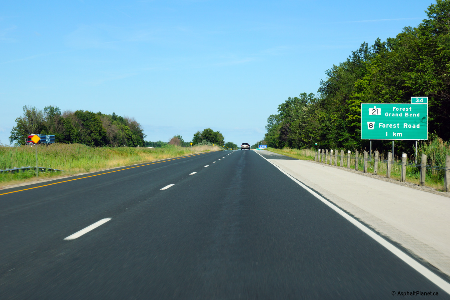
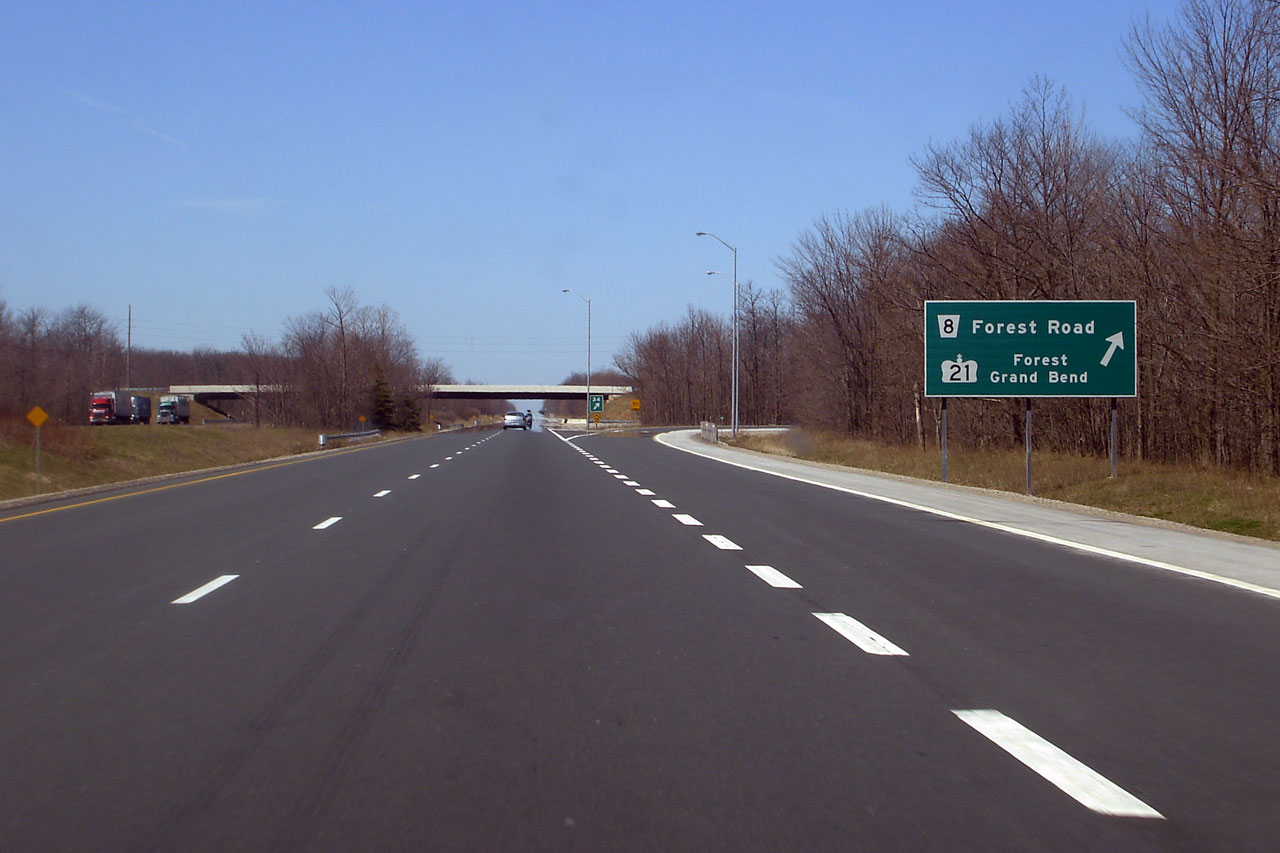
| Township of Plympton- Wyoming
County of Lambton |
Advanced signage for the Highway 21-North interchange.
Photo taken: July 24th, 2013. |
 (720x480) (720x480)
(1440x960)
(2400x1600) |
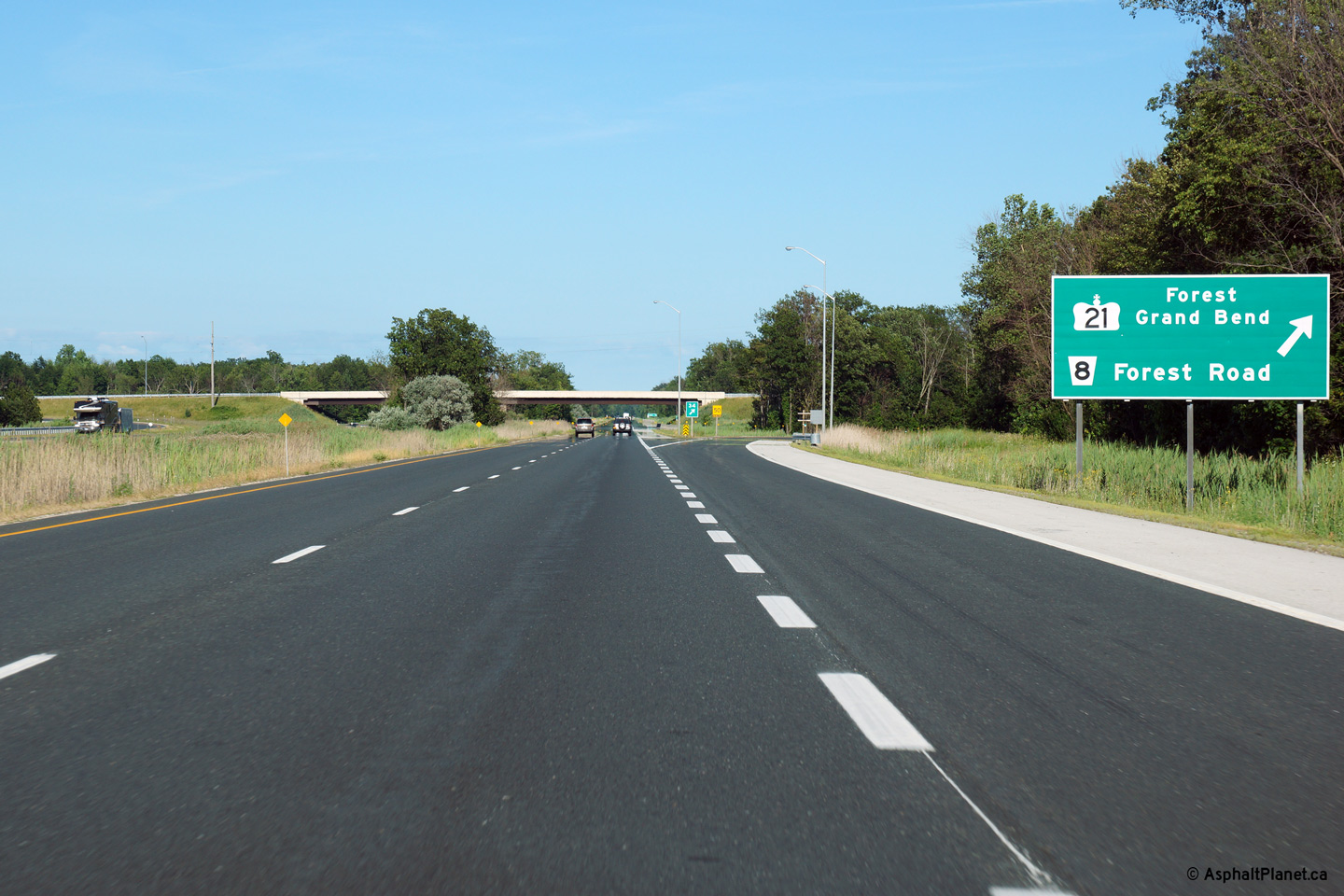
| Township of Plympton- Wyoming
County of Lambton |
Signage at the eastbound exit.
Photo taken: July 24th, 2013. |
 (720x480) (720x480)
(1440x960)
(2400x1600) |
|
Highway 21 commences its trek
northerly to Owen Sound at Highway 402.
Click here for Highway 21 images. |
| Township of Warwick
County of Lambton |
View
looking easterly from Highway 21-North. Outside the Highway 402
corridor, the Lambton County landscape is dotted with far fewer trees then
appear in and alongside the expressway.
Photo taken: November 1st, 2008. |

(720x480)
(1440x960) |
| Township of Warwick
County of Lambton |
Exit signage for Highway 21 North. Photo taken: April
20th, 2007. |
 (720x480) (720x480)
(1440x960) |
| Township of Warwick
County of Lambton |
New green signage along a very recently reconstructed portion of Highway 402
in advance of the Highway 21 north interchange. Photo taken: April
20th, 2007. |
 |
| Township of Warwick
County of Lambton |
View looking easterly through the recently rehabilitated Highway 7 (Lambton
Road 22) overpass.
Photo taken: July 24th, 2013. |
 (720x480) (720x480)
(1440x960)
(2400x1600) |
| Township of Warwick
County of Lambton |
Westerly
view of Highway 402 from the Highway 7
overpass. There are a handful of other instances where two highways (or in
this case a highway and a former highway) cross but do not intersect. There
is no interchange between Highway 7 and 402 in Lambton County.
Photo taken: November 1st, 2008. |
(720x480)
(1440x960) |
| Township of Warwick
County of Lambton |
Easterly
view of the 402 from Highway 7.
Photo taken: November 1st, 2008. |
(720x480)
(1440x960) |
| Township of Warwick
County of Lambton |
Westerly view towards the forested median of Highway 402 from the First
School Road overpass.
Photo taken: July 24th, 2013. |
(720x480)
(1440x960)
(2400x1600) |
| Township of Warwick
County of Lambton |
Easterly view from the First School Road overpass.
Photo taken: July 24th, 2013. |

(720x480)
(1440x960)
(2400x1600) |
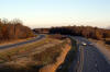
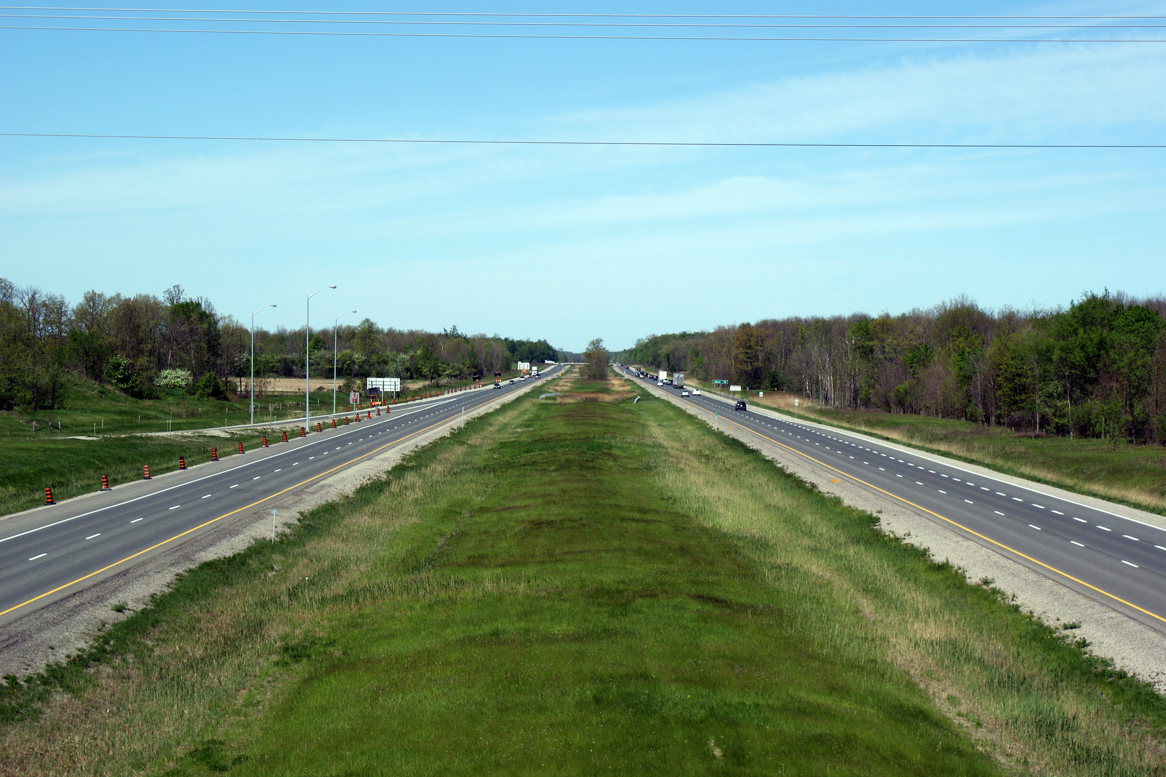
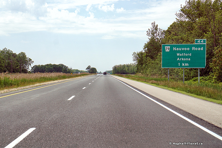
Township of Warwick
County of Lambton |
Westerly view along Highway 402 from the Highway 79 overpass. The
traffic barrels that have been placed along the eastbound carriageway were
placed in advance of a construction contract which saw the rehabilitation of
the Highway 79 overpass during the 2009 construction season.
Photo taken: May 17th, 2009. |
(720x480)
(1440x960)
(2400x1600) |
|
Highway 81
meets the 402 just north of Strathroy.
Click here for Highway 79 images. |
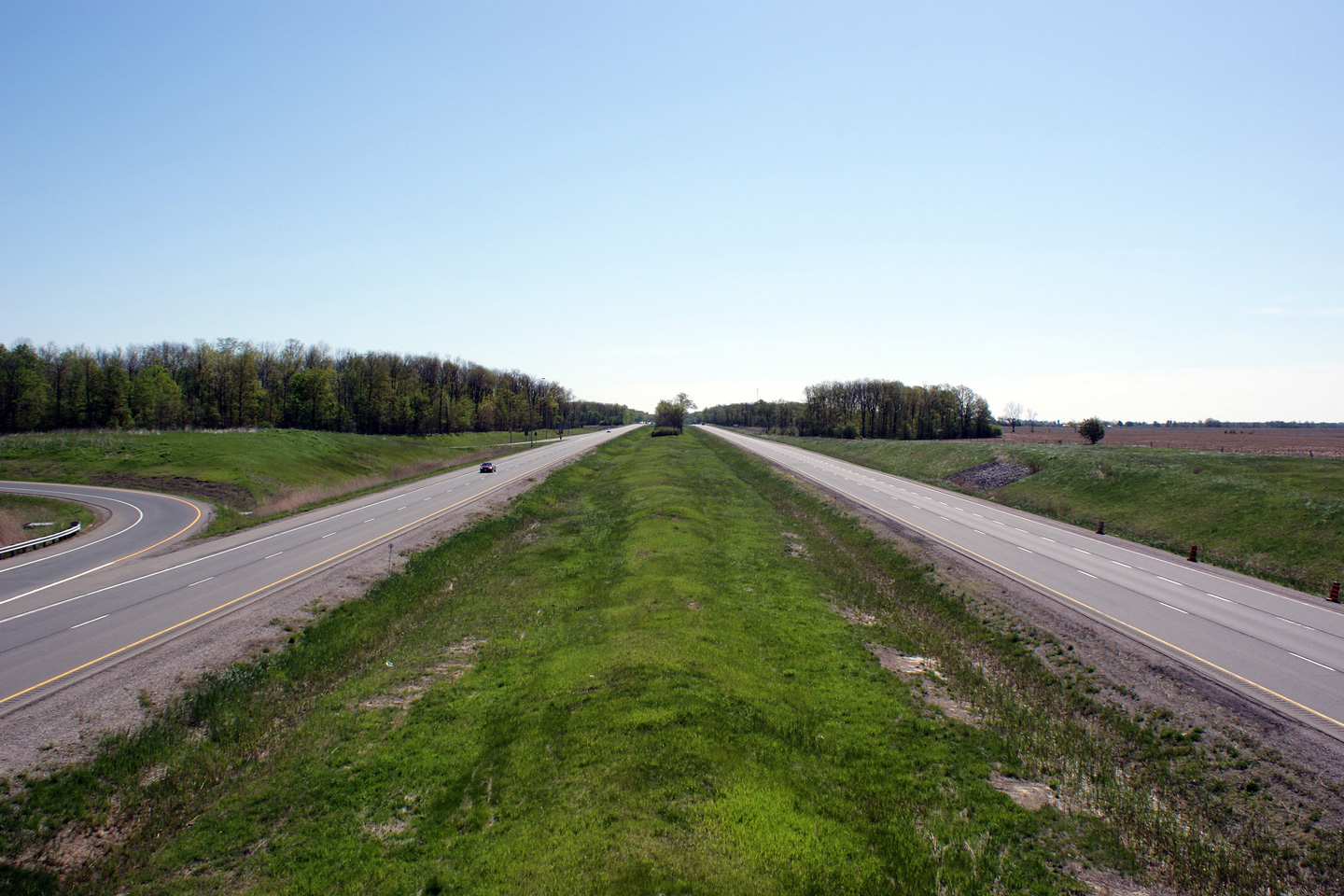
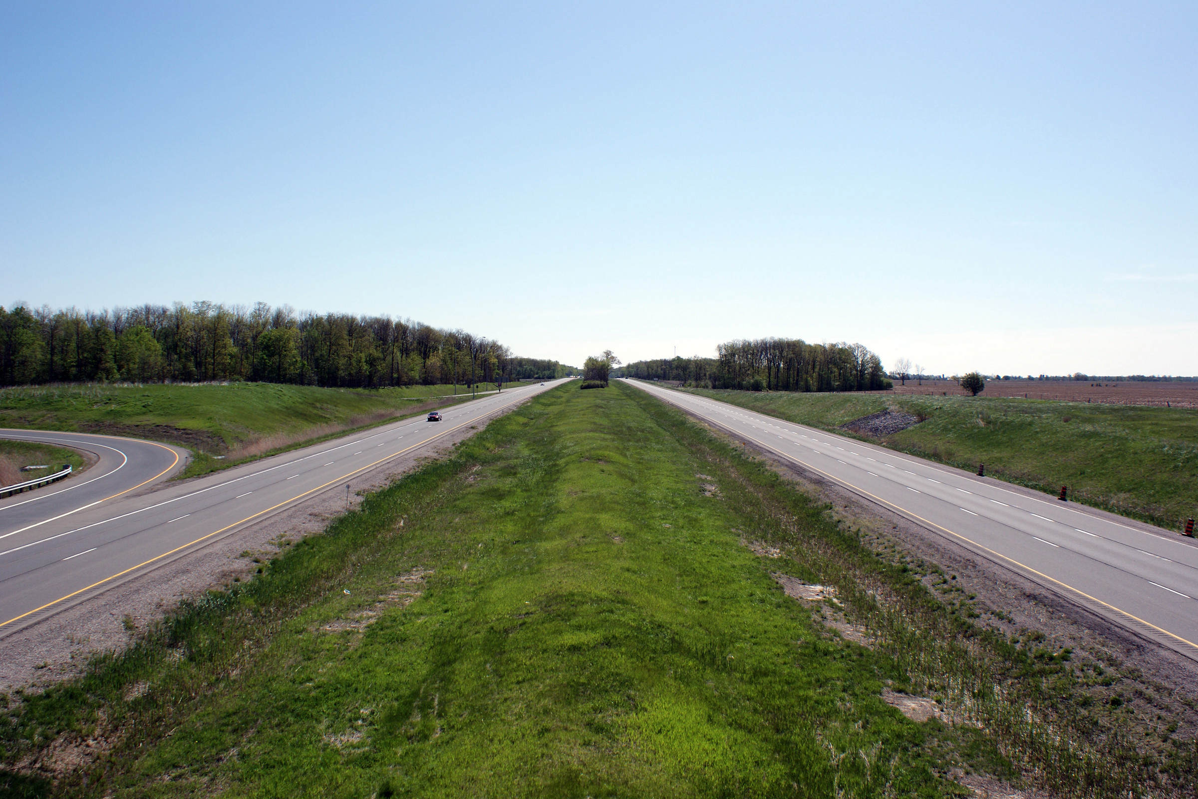
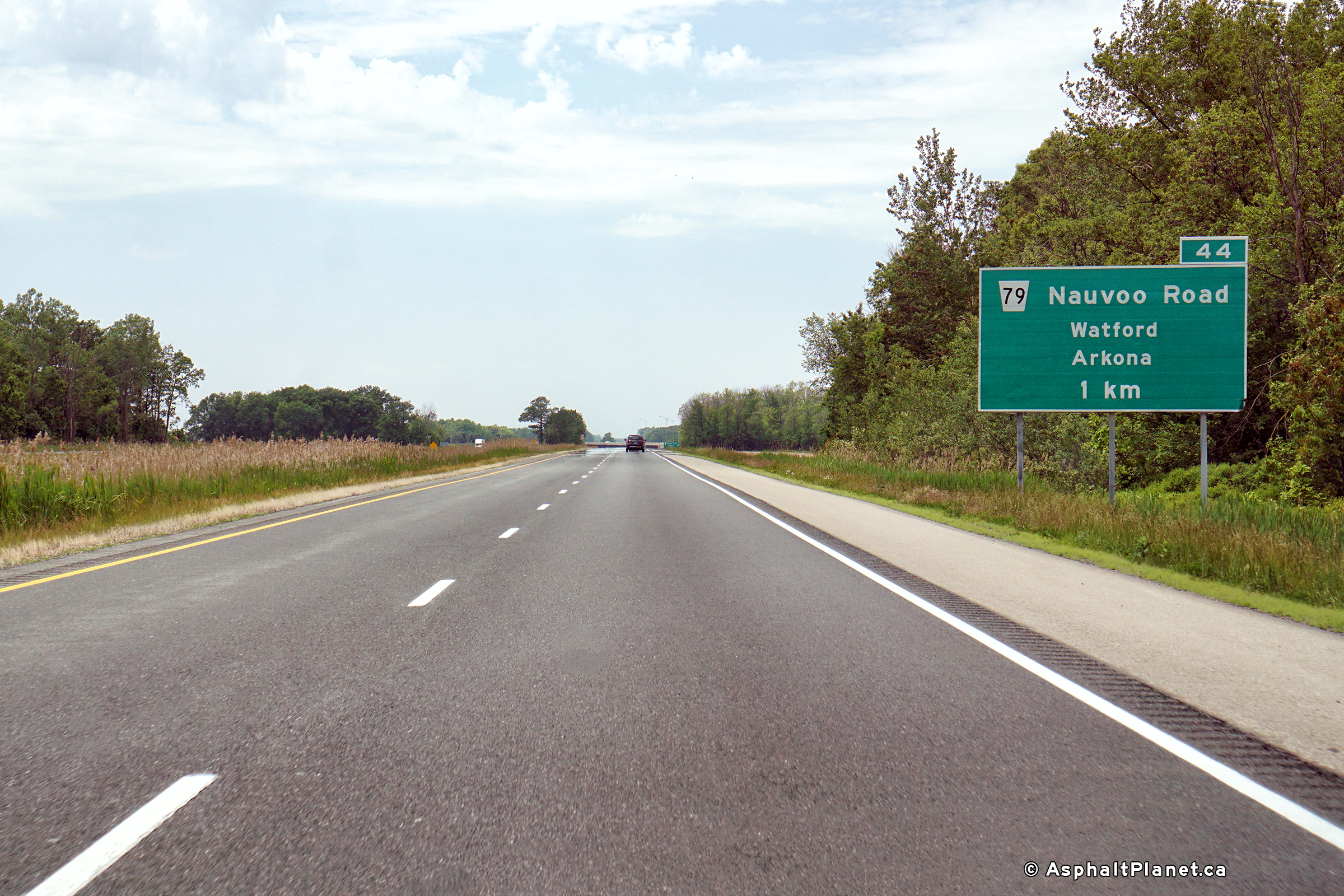
Township of Warwick
County of Lambton |
Easterly view along Highway 402 from the Highway 79 overpass.
Photo taken: May 17th, 2009. |
(720x480)
(1440x960)
(2400x1600) |
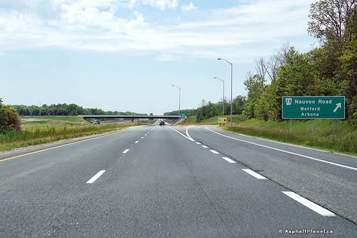
| Township of Warwick
County of Lambton |
Signage and exit for Lambton Road 79. There is no evidence anywhere along
the length of the former Highway 79 that
indicates it as a former provincial
highway. Photo taken: June 10th, 2017. |
 (720x480) (720x480)
(1440x960)
(2400x1600) |
| Township of Warwick
County of Lambton |
Advanced signage for Lambton Road 79. Photo taken: June 10th, 2017. |
 (720x480) (720x480)
(1440x960)
(2400x1600) |
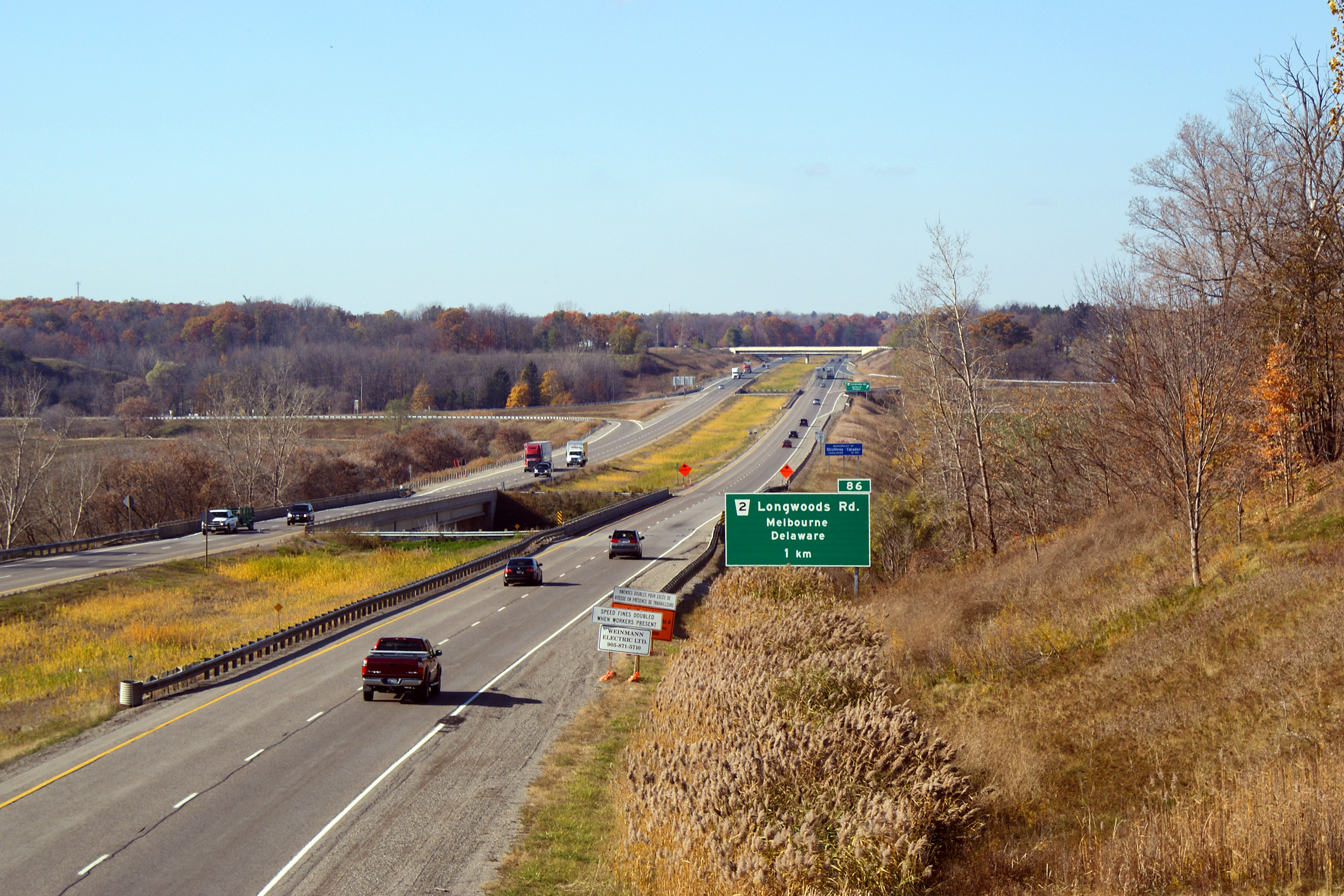
| Township of Warwick
County of Lambton |
A view looking from road level looking east along the freeway towards the
Lambton/Middlesex County Line.
Photo taken: November 1st, 2008. |

(720x480)
(1440x960)
(2400x1600) |
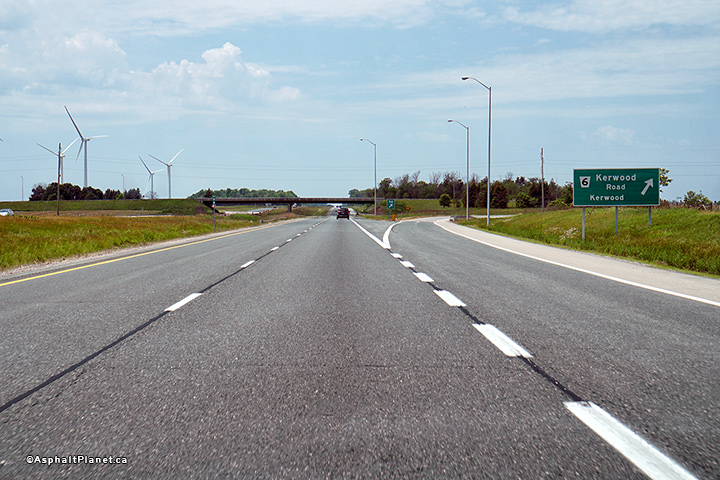
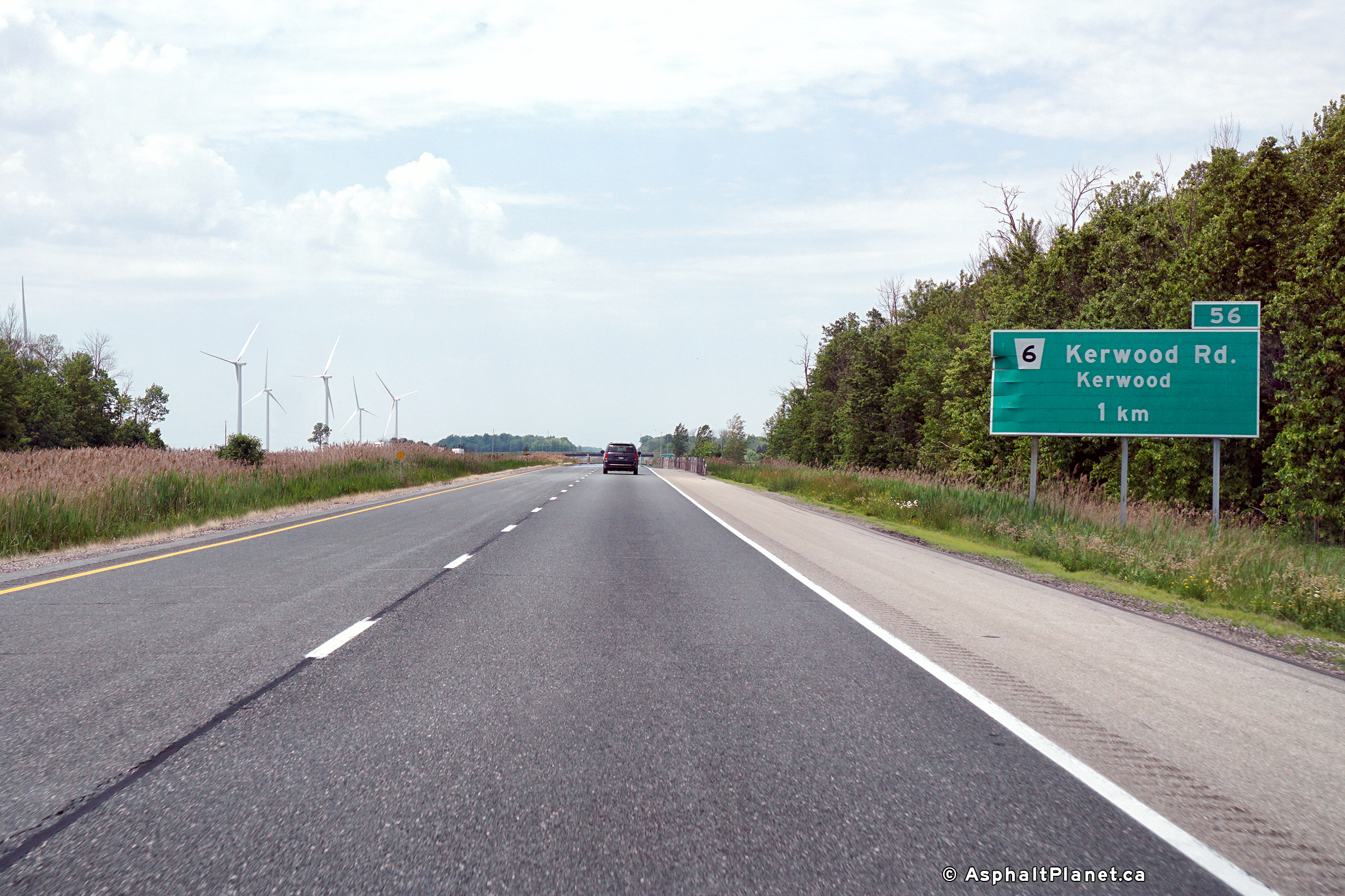
Township of
Adelaide-Metcalfe
County of Middlesex |
Signage at the westbound off-ramp to Kerwood Road.
Photo taken: June 10th, 2017. |
 (720x480) (720x480)
(1440x960)
(2400x1600) |
Township of
Adelaide-Metcalfe
County of Middlesex |
Westbound advanced signage for the Kerwood Road interchange.
Photo taken: June 10th, 2017. |
 (720x480) (720x480)
(1440x960)
(2400x1600) |
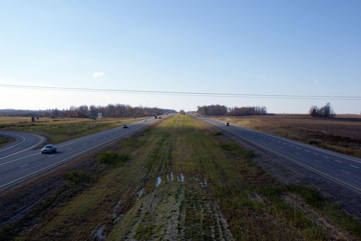
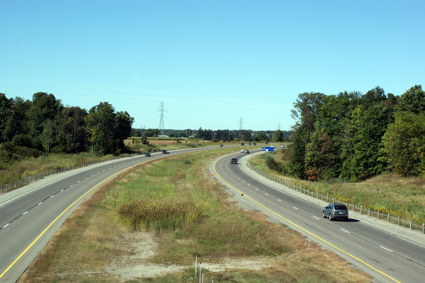
Township of
Adelaide-Metcalfe
County of Middlesex |
View looking westerly from the
Highway 81 overpass.
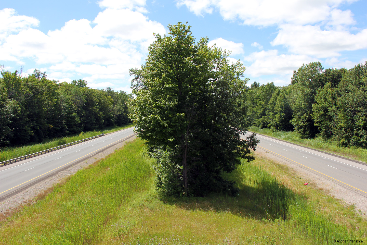
Note just how wide the median of the highway is between Sarnia and Strathroy.
Photo taken: November 1st, 2008. |
(720x480)
(1440x960) |
|
Highway 81
meets the 402 just north of Strathroy.
Click here for Highway 81 images. |
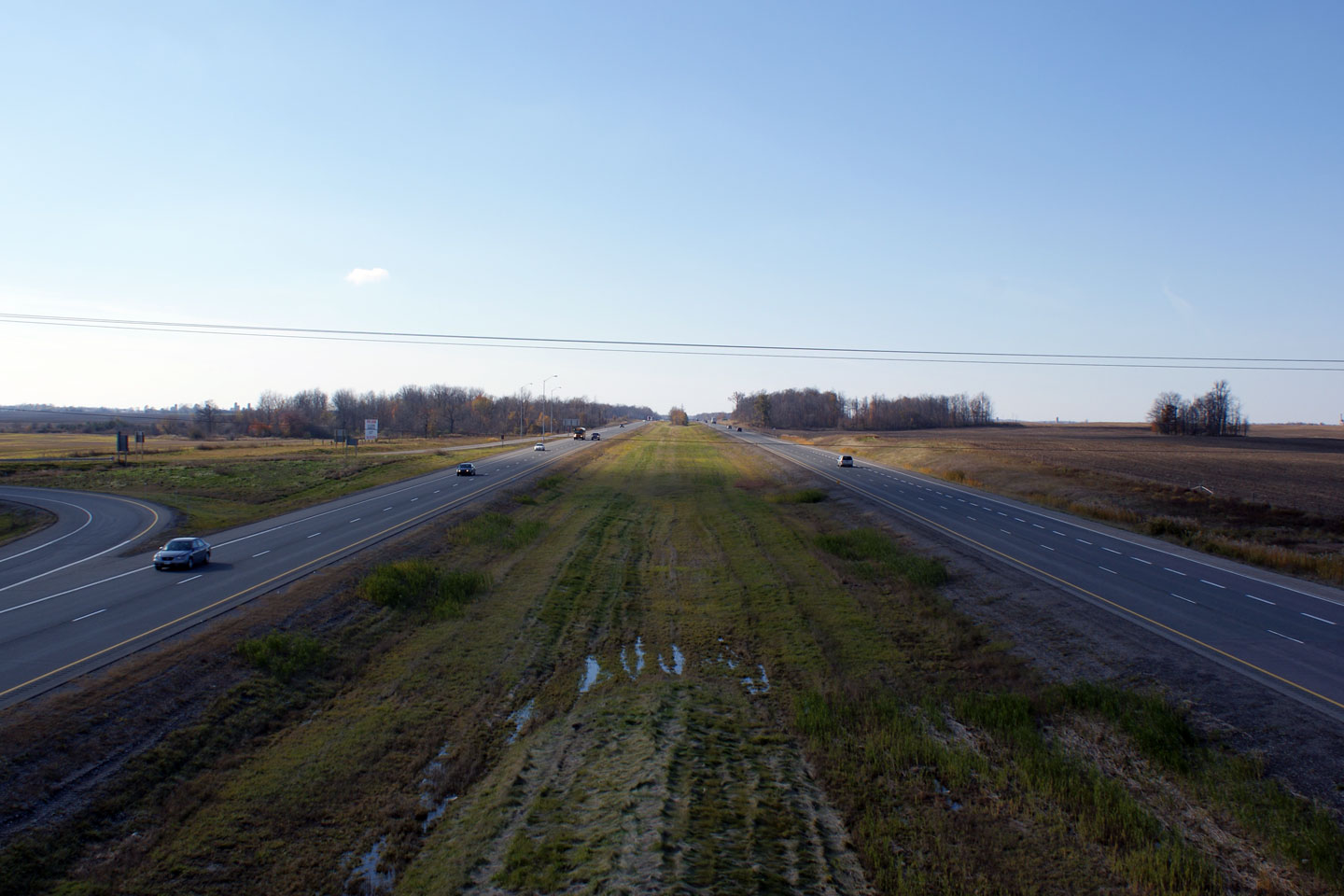
| Township of Strathroy- Caradoc
County of Middlesex |
Easterly of the 402 from the Highway 81 overpass.
Photo taken: November 1st, 2008. |

(720x480)
(1440x960) |
| Township of Strathroy- Caradoc
County of Middlesex |
Looking west along Highway 402 from the Glengyle Drive overpass near
Strathroy. This picture showcases the Middlesex Road 39 interchange.
Interestingly, Highway 22 once ran along
what is now Middlesex Road 39 heading to Highway 79 via Strathroy and
Watford instead of the more present more direct route to the north of
today's Highway 402.
Photo taken: September 27th, 2005. |
 |
| Township of Strathroy- Caradoc
County of Middlesex |
Looking east along Highway 402 from the Glengyle Drive overpass.
Glengyle Drive is located roughly at kilometre marker 70. Photo taken:
September 27th, 2005. |
 |
| Township of Strathroy- Caradoc
County of Middlesex |
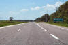
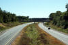
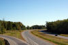
Looking west along Highway 402 from the Scotchmere Drive overpass.
Highway 402 has many of these broad sweeping curves east of Strathroy en
route to London. Photo taken: September 27th, 2005. |
 |
| Township of Strathroy- Caradoc
County of Middlesex |
Looking east along Highway 402 from the Scotchmere Drive overpass.
Scotchmere Drive is located roughly at kilometre marker 73. Photo taken:
September 27th, 2005. |
 |
| Township of Strathroy- Caradoc
County of Middlesex |
View looking west along Highway 402 from the Olde Drive overpass. Just
beyond the pictured curve, Highway 402 crosses over the CN rail line that
leads from London to Sarnia. Photo taken: September 27th, 2005. |

(720x480)
(1440x960)
(2400x1600) |
| Township of Strathroy- Caradoc
County of Middlesex |
View looking east along Highway 402 from the Olde Drive Overpass. Olde
Drive is located approximately at kilometre marker 76. Photo taken:
September 27th, 2005. |

(720x480)
(1440x960)
(2400x1600) |
| Township of Strathroy- Caradoc
County of Middlesex |
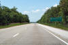
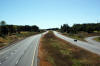
Looking west along Highway 402 from the Oriole Drive overpass. Oriole
Drive is located roughly at kilometre marker 80. Photo taken: September 19th, 2009. |
(720x480)
(1440x960)
(2400x1600) |
| Township of Strathroy- Caradoc
County of Middlesex |
Looking east from Oriole Drive. In the distance, both the CN rail line
to Windsor and the Glendon Drive interchange are visible. Photo taken: September 19th, 2009. |
(720x480)
(1440x960)
(2400x1600) |
| Township of Strathroy- Caradoc
County of Middlesex |
Highway 402 looking west from the Glendon Drive overpass. Glendon
Drive meets Highway 402 approximately at kilometre marker 82. Photo taken: September 19th, 2009. |

(720x480)
(1440x960)
(2400x1600) |
| Township of Strathroy- Caradoc
County of Middlesex |
Looking east from the Glendon Drive overpass along Highway 402.
Glendon Drive meets Highway 402 at a 4-ramp parclo b2 interchange. Photo taken: September 19th, 2009. |
(720x480)
(1440x960)
(2400x1600) |
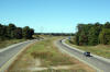
| Township of Strathroy- Caradoc
County of Middlesex |
Westerly
view of Highway 402 from Highway 81.
Photo taken: November 1st, 2008. |

(720x480)
(1440x960)
(2400x1600) |
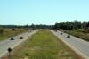
| Township of Strathroy- Caradoc
County of Middlesex |
Highway 402 looking east from the Highway 81
overpass near Deleware. This overpass is located roughly at kilometre
marker 85. This picture showcases the Highway 2 interchange, and the
402's long crossing of the wide Thames River Valley.
Photo taken: September 19th, 2009. |
(720x480)
(1440x960)
(2400x1600) |
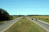
| Township of Strathroy- Caradoc
County of Middlesex |
View looking west from Miller Road towards the Highway 2
interchange.
Photo taken: November 1st, 2008. |

(720x480)
(1440x960)
(2400x1600) |
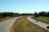
| Township of Strathroy- Caradoc
County of Middlesex |
Easterly view of Highway 402 from the Miller Road
interchange.
Photo taken: November 1st, 2008. |

(720x480)
(1440x960)
(2400x1600) |
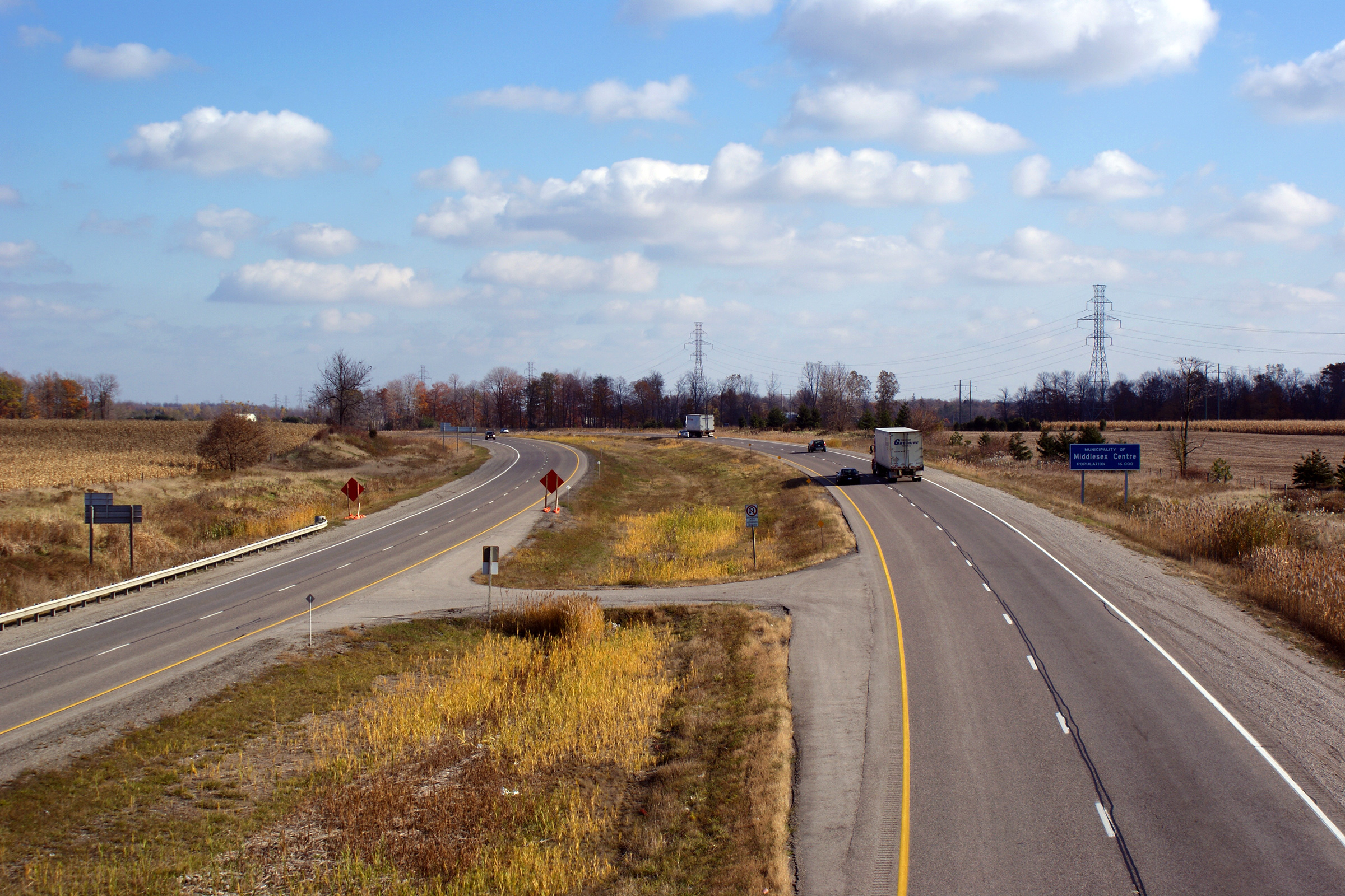
Municipality of Middlesex
Centre
County of Middlesex |
This view looks west from the Springer Road overpass
Photo taken: September 19th, 2009. |
(720x480)
(1440x960)
(2400x1600) |
Municipality of Middlesex
Centre
County of Middlesex |
Easterly view from the Springer Road overpass. The Springer Drive
overpass is found at approximately kilometre marker 88.
Photo taken: September 19th, 2009. |
(720x480)
(1440x960)
(2400x1600) |
Municipality of Middlesex
Centre
County of Middlesex |
Westerly view from the Carriage Road overpass, towards Springer Road.
Photo taken: September 19th, 2009. |
(720x480)
(1440x960)
(2400x1600) |
Municipality of Middlesex
Centre
County of Middlesex |
Easterly view from Carriage Road. Carriage Road is found approximately
at kilometre marker 89.
Photo taken: September 19th, 2009. |
(720x480)
(1440x960)
(2400x1600) |
Municipality of Middlesex
Centre
County of Middlesex |
Westerly view from Sharon Drive. It was a near perfect day on the day
that I took these photos.
Photo taken: September 19th, 2009. |
(720x480)
(1440x960)
(2400x1600) |
Municipality of Middlesex
Centre
County of Middlesex |
Easterly view from the Sharon Drive overpass into the September sun.
Photo taken: September 19th, 2009. |
(720x480)
(1440x960)
(2400x1600) |
Municipality of Middlesex
Centre
County of Middlesex |
This view looks westerly from the Woodhull Road overpass towards Sharon Drive.
Photo taken: September 19th, 2009. |
(720x480)
(1440x960)
(2400x1600) |
Municipality of Middlesex
Centre
County of Middlesex |
This view looks easterly from the Woodhull Road overpass towards Highway
401.
Photo taken: September 19th, 2009. |

(720x480)
(1440x960)
(2400x1600) |
Municipality of Middlesex
Centre
County of Middlesex |
Westerly view as the freeway enters the municipality of Middlesex Centre
from the Westdel Bourne overpass.
Photo taken: September 19th, 2009. |
(720x480)
(1440x960)
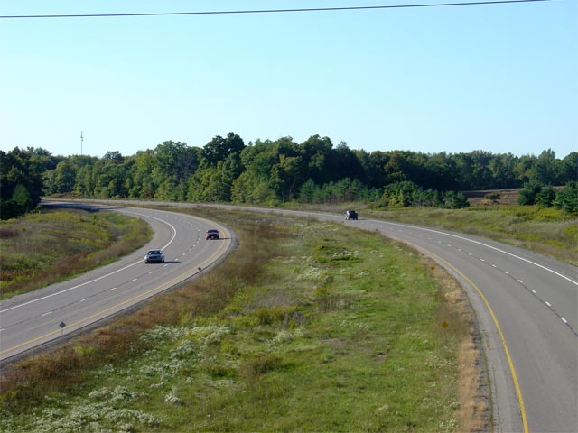
(2400x1600) |
| City of London |
Highway 402 looking east from the Westdel Bourne overpass near London.
Westdel Bourne marks the western boundary of the City of London.
Highway 402 has two interchanges in London before its terminus at Highway
401. Heading eastbound on Highway 402, traffic bound for Downtown
London is directed to follow Highway 402 until the 401, and then exit
Highway 401 at Wellington Road.
Photo taken: September 19th, 2009. |
(720x480)
(1440x960)
(2400x1600) |
| City of London |
Eastbound advanced signage for the Highway 4 interchange in southwest
London.
Photo taken: July 24th, 2013. |
 (720x480) (720x480)
(1440x960)
(2400x1600) |
| City of London |
Turn-off signage for Highway 4.
Photo taken: July 24th, 2013. |
(720x480)
(1440x960)
(2400x1600) |
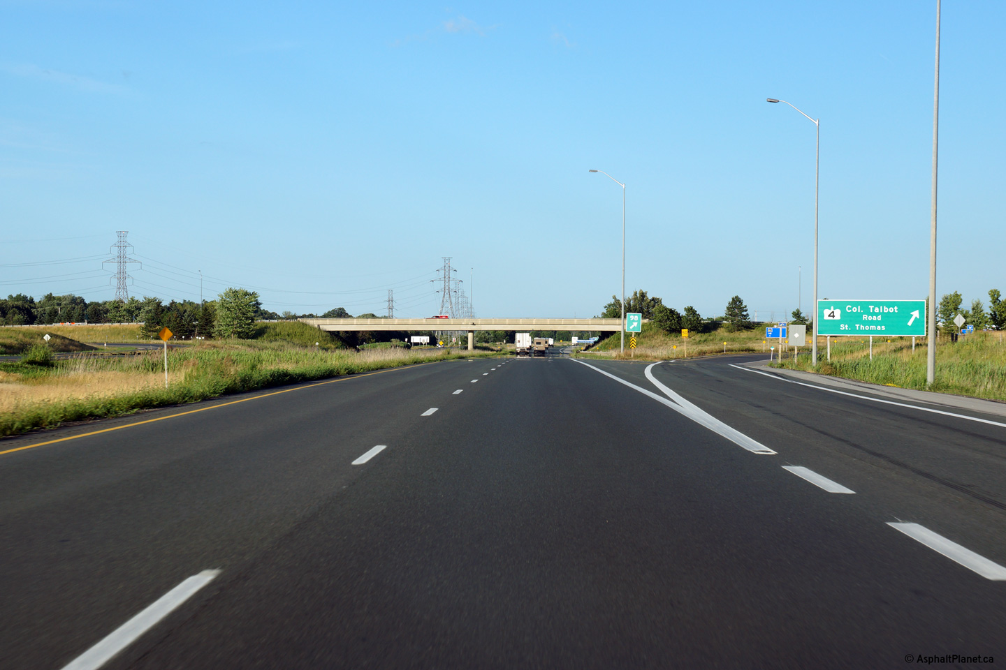
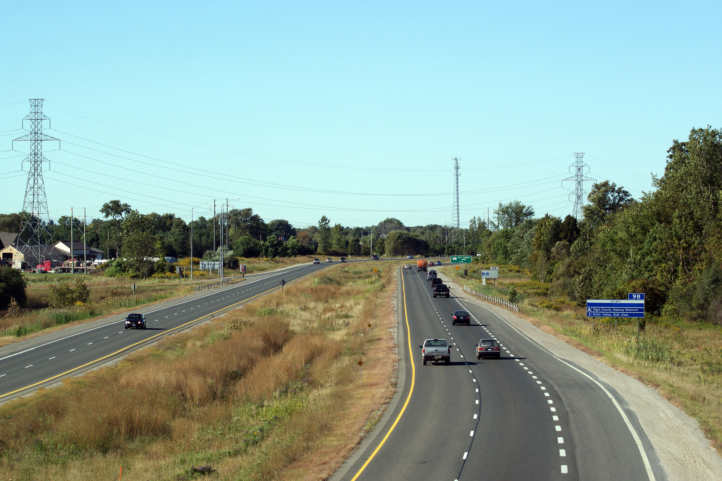
| City of London |
View looking westerly from Colonel Talbot Road overpass along Highway 402.
Photo taken: September 19th, 2009. |

(720x480)
(1440x960)
(2400x1600) |
|
Highway 4 leads from St Thomas,
through London to Clinton.
Click here for Highway 4 images. |
| City of London |
View looking easterly from the Highway 4 overpass. Highway 4 was an unlikely temporary western terminus of the freeway; the
final section of Highway 402 opened between Highway 2 and Highway 4 in 1982,
about two years after the section of Highway 402 between Highway 4 and the
401 opened to traffic.
Photo taken: September 19th, 2009. |
(720x480)
(1440x960)
(2400x1600) |
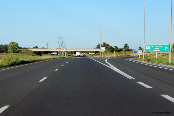
| City of London |
View looking west at the exit to Highway 4 from Highway 402 west. Photo
taken: April 20th, 2007. |

(720x480)
(1440x960) |
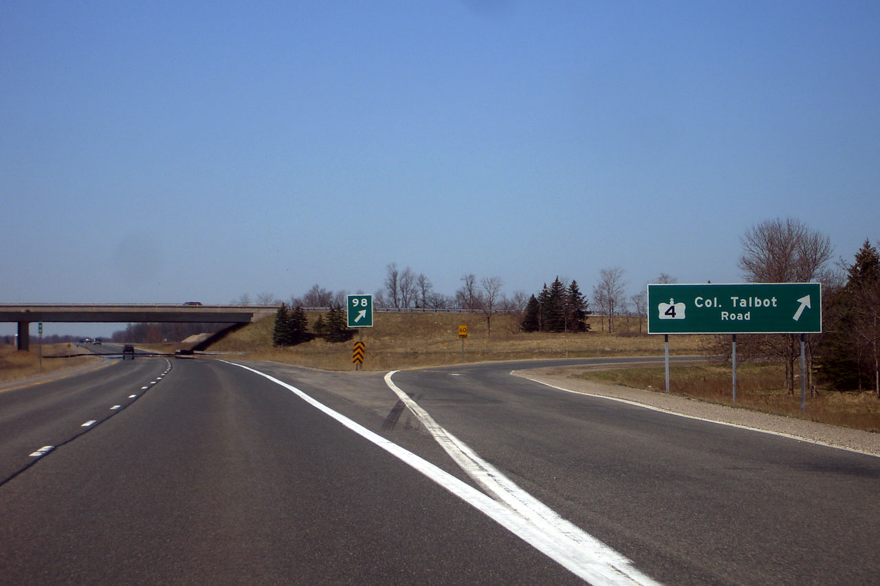
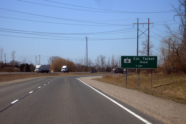
| City of London |
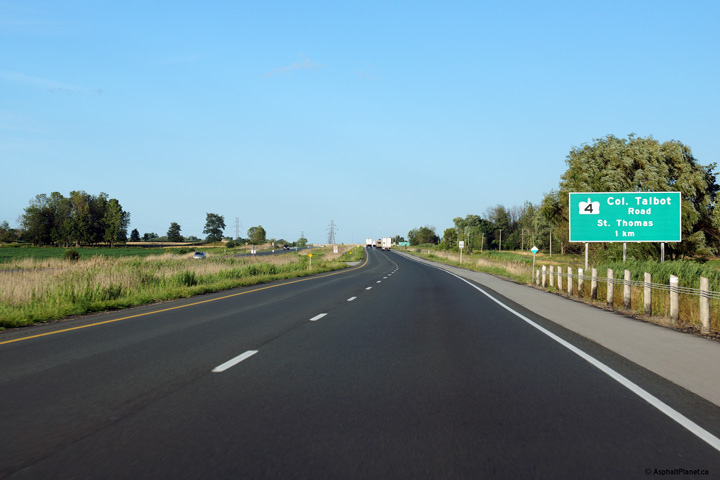
Advanced signage for Highway 4. The highway is known as Colonel Talbot
Road between Lambeth and London's South City Limits. Photo taken: April
20th, 2007. |
 |
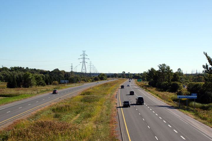
| City of London |
Highway 402 shares its alignment through the south of London with a high
voltage power line. There are several instances across Ontario where a
major highway shares a corridor with a high voltage power line.
Considerable sections of both of Ontario's Highway 403 and 407 were also
built in a high-voltage utility corridor.
Photo taken: September 19th, 2009. |

(720x480)
(1440x960)
(2400x1600) |
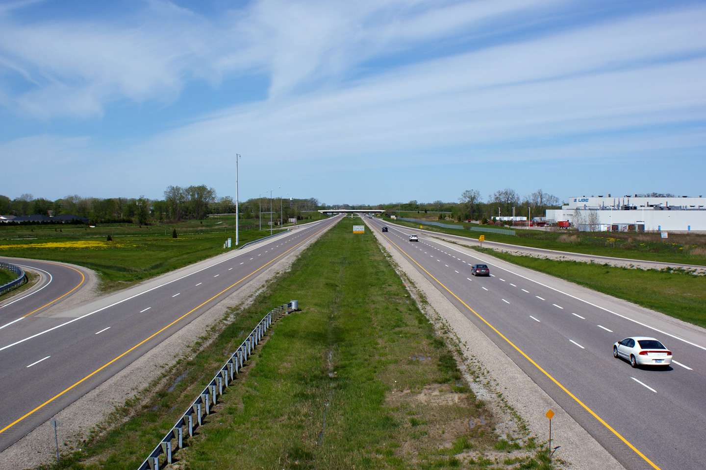
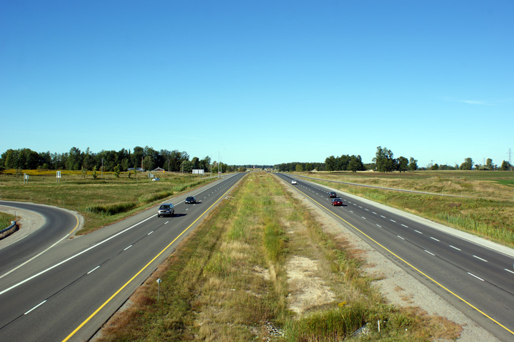
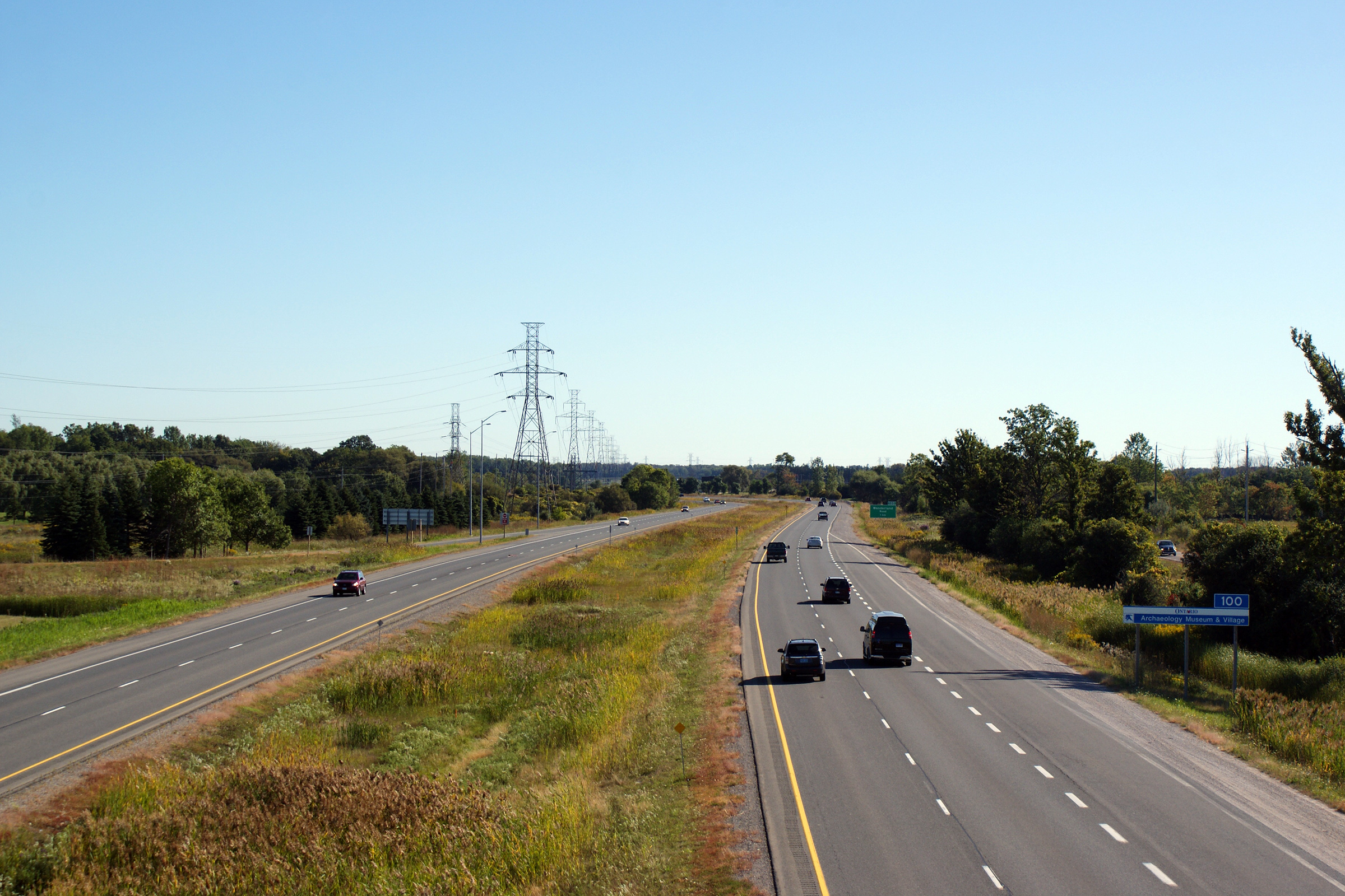
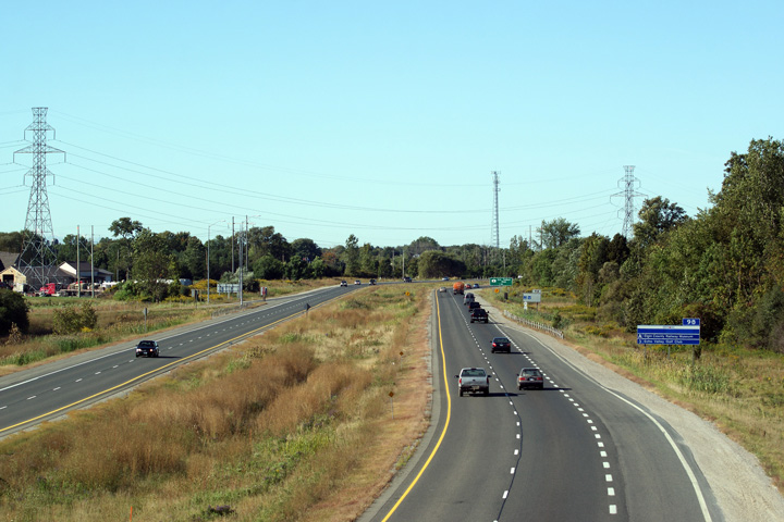
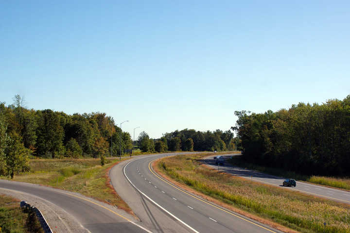
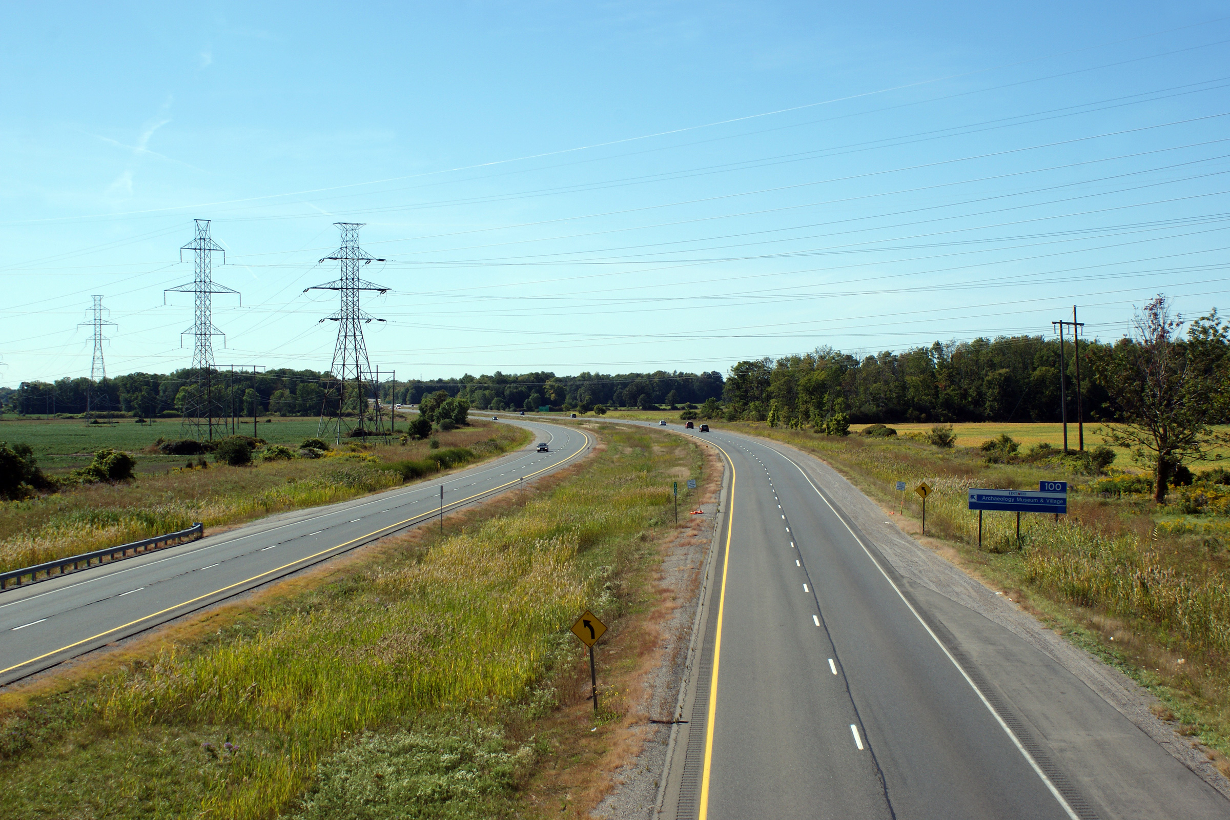
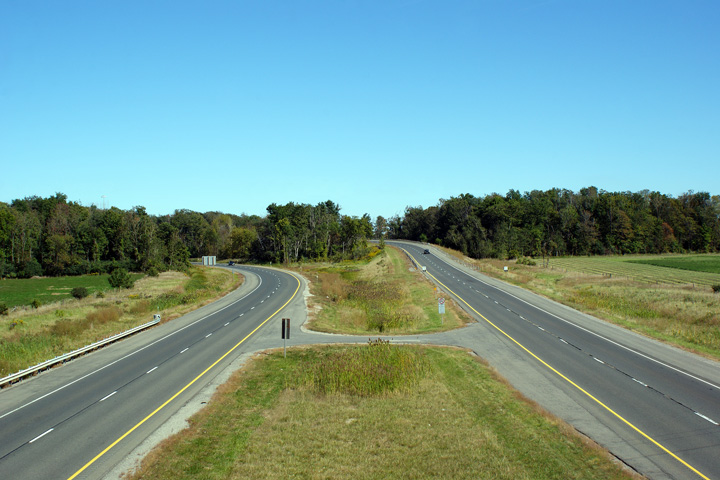
| City of London |
Highway 402 looking west from the Wonderland Road overpass in London.
Wonderland Road is located at kilometre marker 100. When the 402 was
first constructed, there was no interchange at Wonderland Road. The
ramps were added in 1998 -- the overpass was pre-existing.
Photo taken: September 19th, 2009. |
(720x480)
(1440x960)
(2400x1600) |
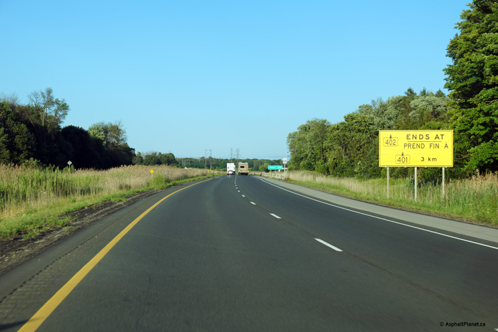
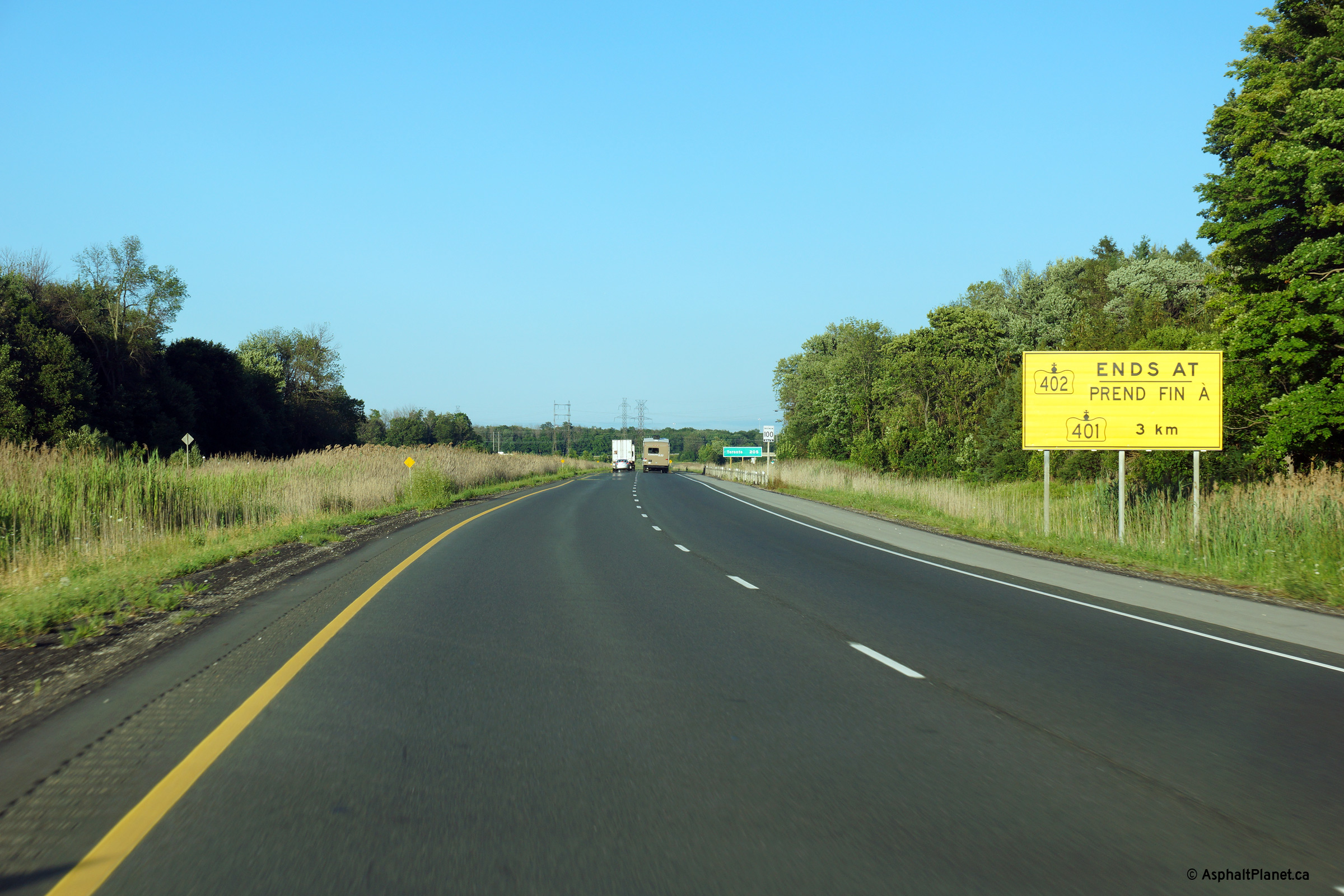
| City of London |
Sign advising eastbound motorists that their journey along Highway 402 will
soon be coming to an end, as the 402 ends at Highway 401 several kilometres
east of the Wonderland Road interchange.
Photo taken: July 24th, 2013. |
 (720x480) (720x480)
(1440x960)
(2400x1600) |
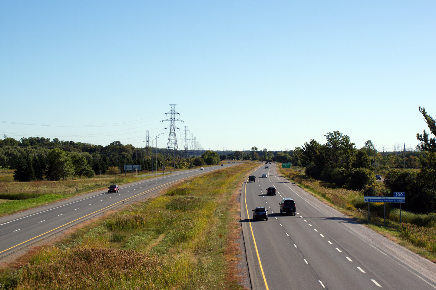
| City of London |
Westerly view from the White Oak Road overpass. White Oak Road was one
of the first bridges I ever took a centre-line photo from. I first
started centre-lining way back in February of 2004 while still attending UWO
in London. I have since reshot Highway 402 from this overpass several
times.
Photo taken: September 19th, 2009. |
(720x480)
(1440x960)
(2400x1600) |
| City of London |
View looking easterly from the White Oak Road overpass. Highway 402
ends at a partial interchange with the 401 just beyond the tree-line in the
photo.
Photo taken: September 19th, 2009. |
(720x480)
(1440x960)
(2400x1600) |
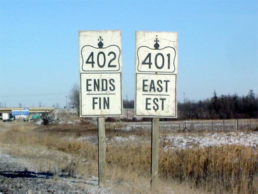
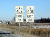
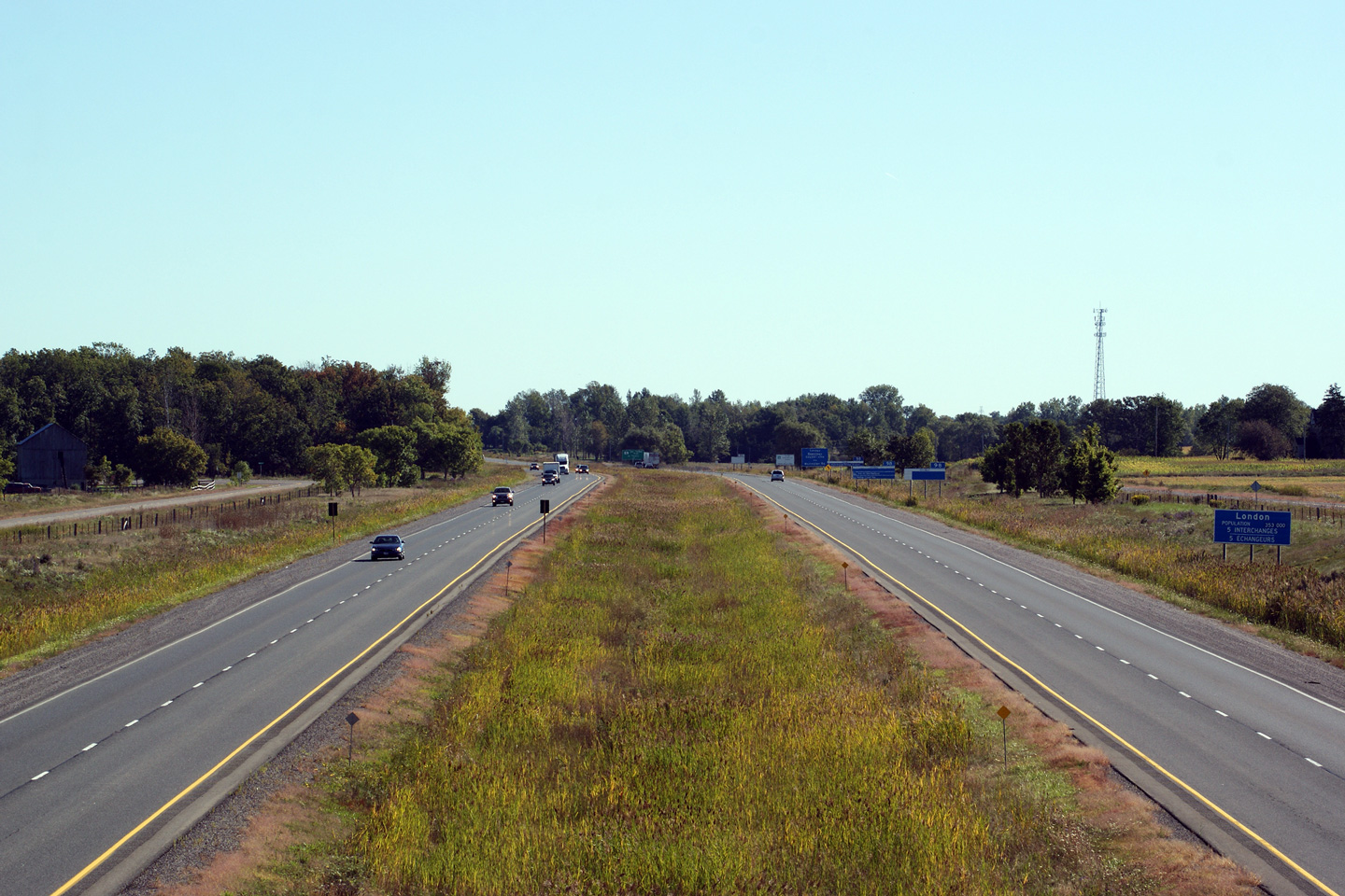
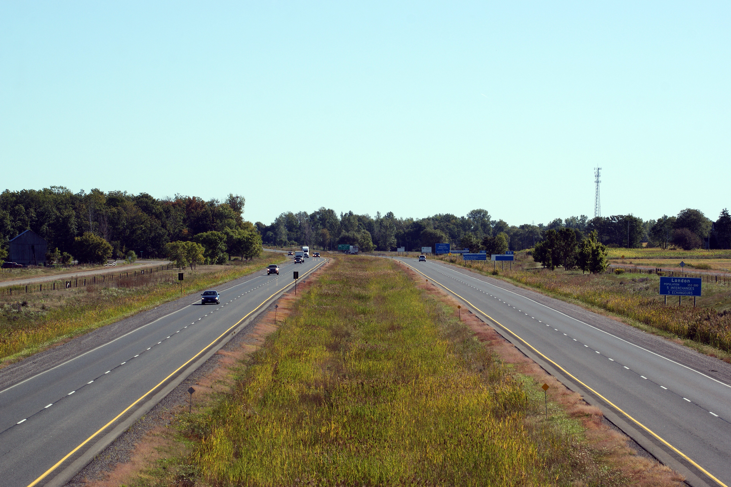
| City of London |
Ends assembly denoting the eastern terminus of Highway 402 at
Highway 401 in
London. Highway 402 simply defaults onto the eastbound
401. Picture size: 40kb. |
 |
|
Highway 402 ends at a partial
interchange with Highway 401 in London.
Click here for Highway 401 images. |
 (720x480)
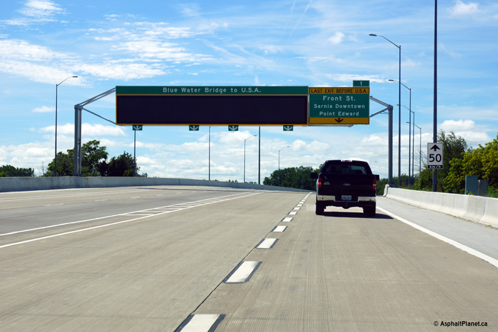 (720x480)
 (720x480)
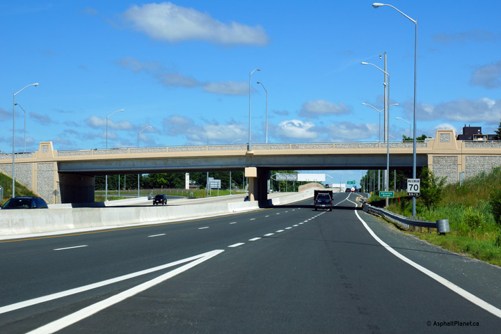 (720x480)


 (720x480)
 (720x480)
 (720x480)
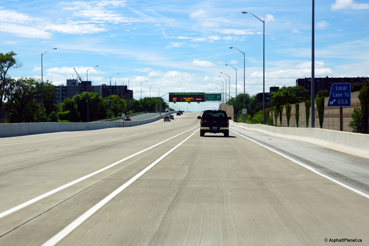 (720x480)
 (720x480)
 (720x480)


 (720x480)
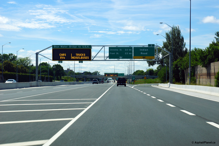 (720x480)
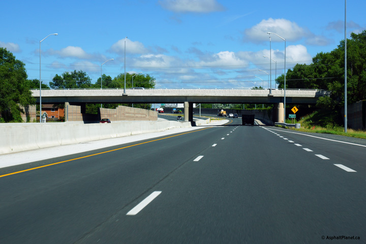 (720x480)

 (720x480)
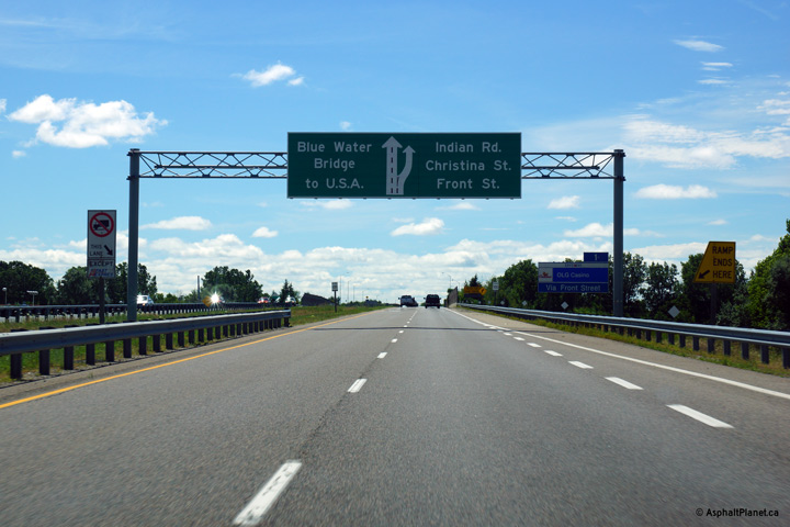 (720x480)
 (720x480)
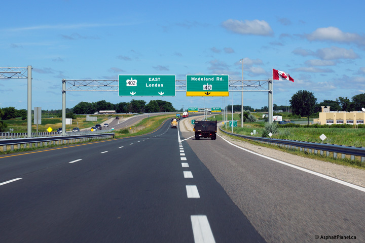 (720x480)
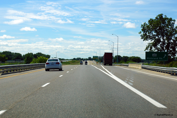 (720x480)
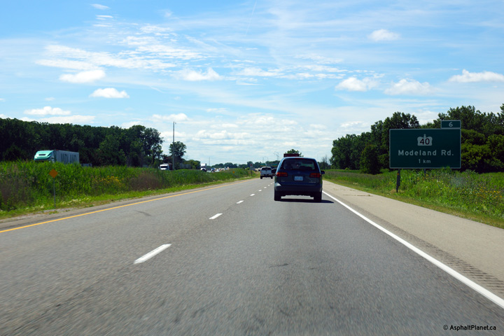 (720x480)


 (720x480)
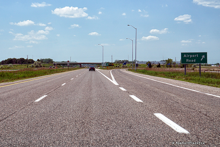 (720x480)
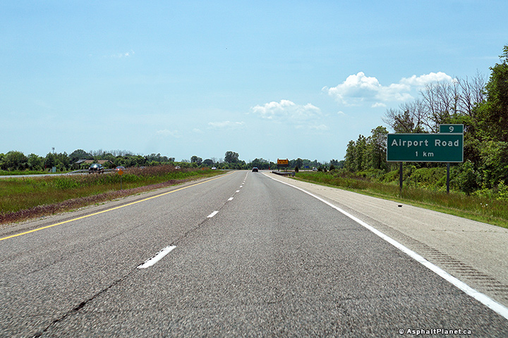 (720x480)


 (720x480)
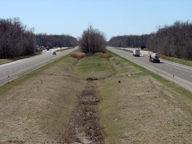


 (720x480)
 (720x480)
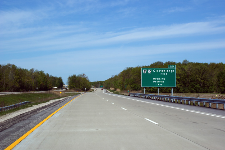 (720x480)
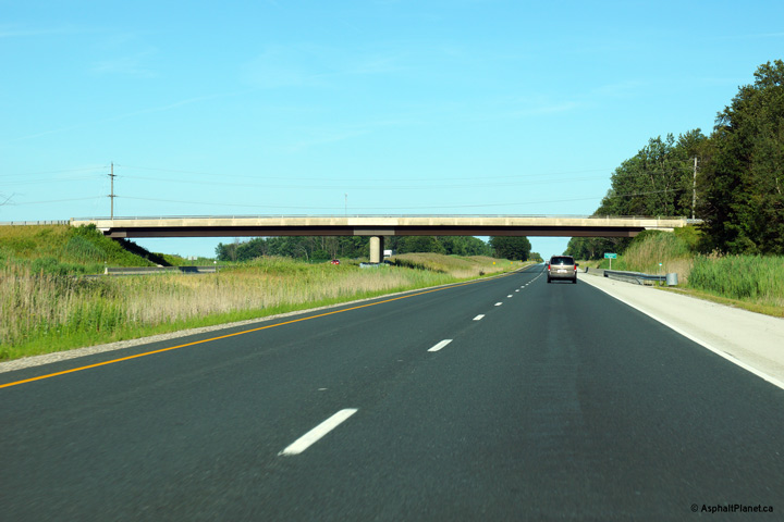 (720x480)
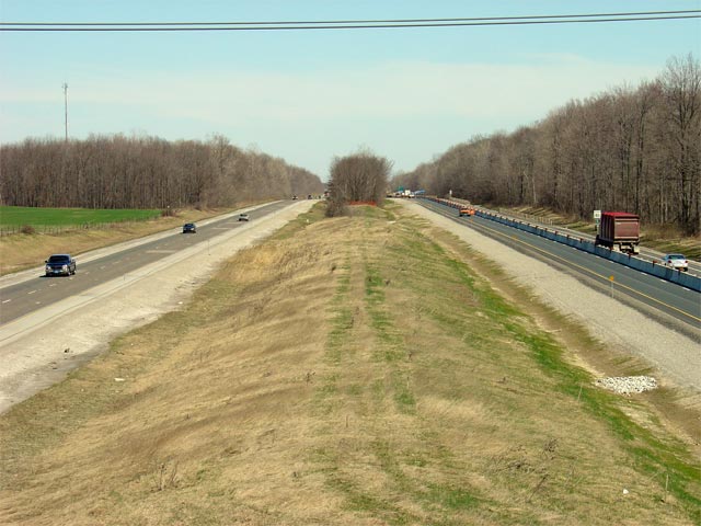
 (720x480)
 (720x480)
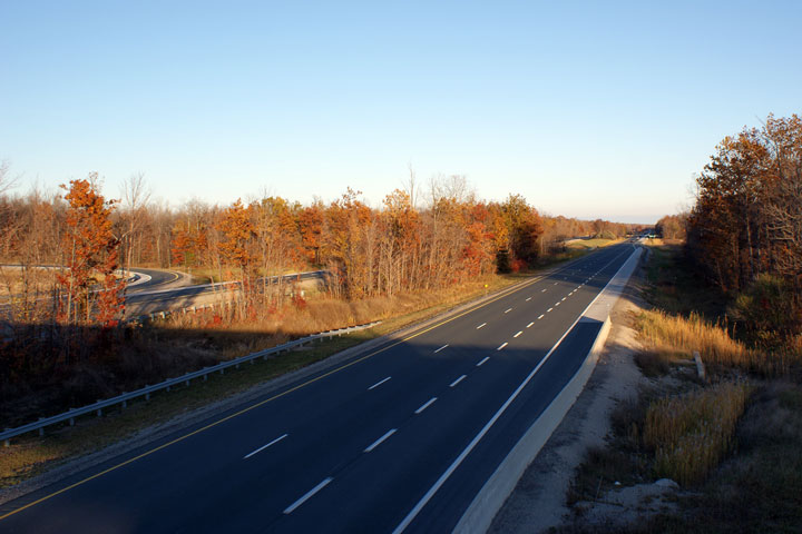

 (720x480)


 (720x480)
 (720x480)

 (720x480)
 (720x480)


 (720x480)

 (720x480)
