|
Proper Municipality Name |
Photo Description |
Photo |
|
Photos taken
from driver's perspective appear offset from centre-line Photos: |
North-
bound |
South-
bound |
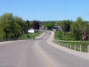
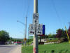
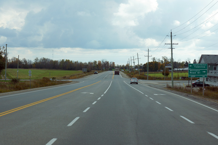
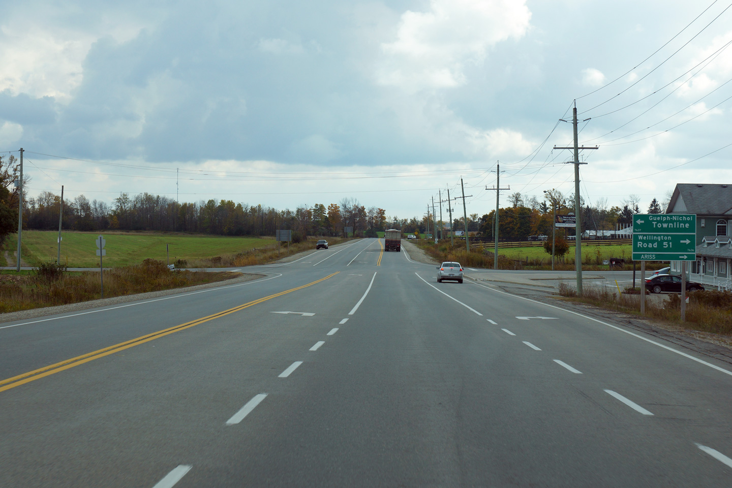
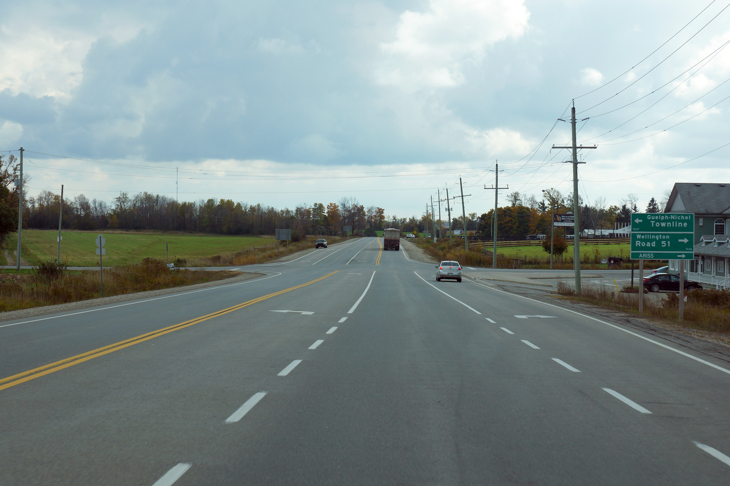
Township of Guelph - Eramosa
County of Wellington |
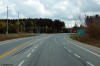
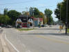
Southbound signage at the Wellington Road 51 intersection.
Photo taken: October 16th, 2014. |
(720x480)
(1440x960)
(2400x1600) |
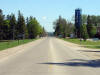
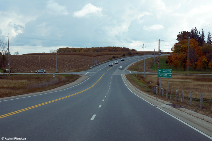
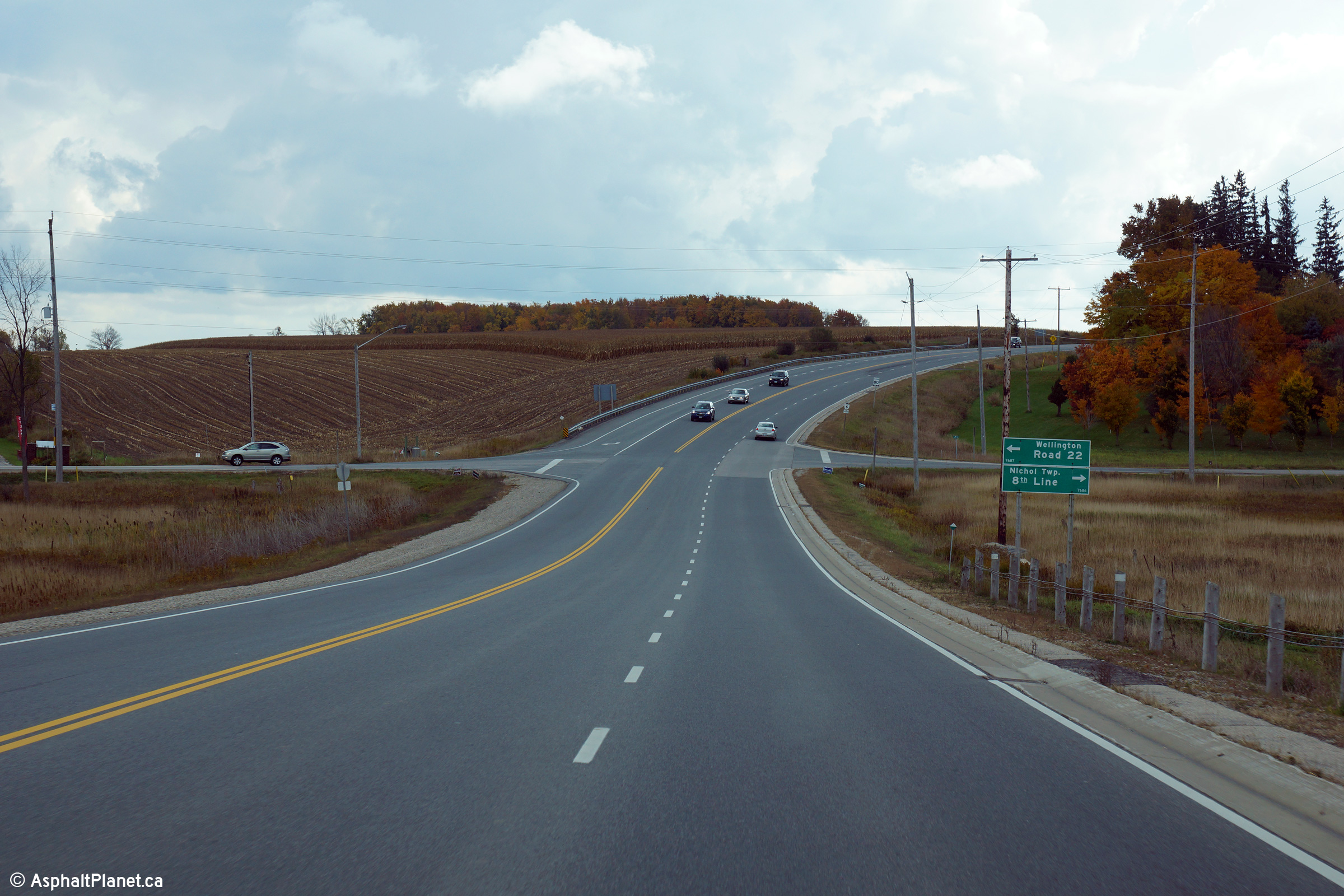
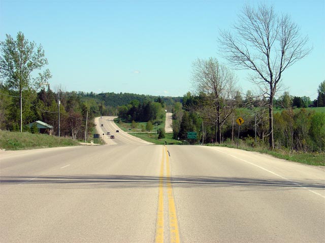
Township of Centre Wellington
County of Wellington |
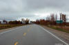
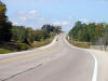
Southerly view along Highway 6 approaching the Wellington Road 22
intersection. Note that there is neither a right or left turn lane
separating turning traffic from through traffic.
Photo taken: October 16th, 2014. |
(720x480)
(1440x960)
(2400x1600) |
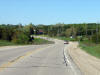
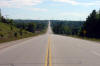
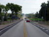
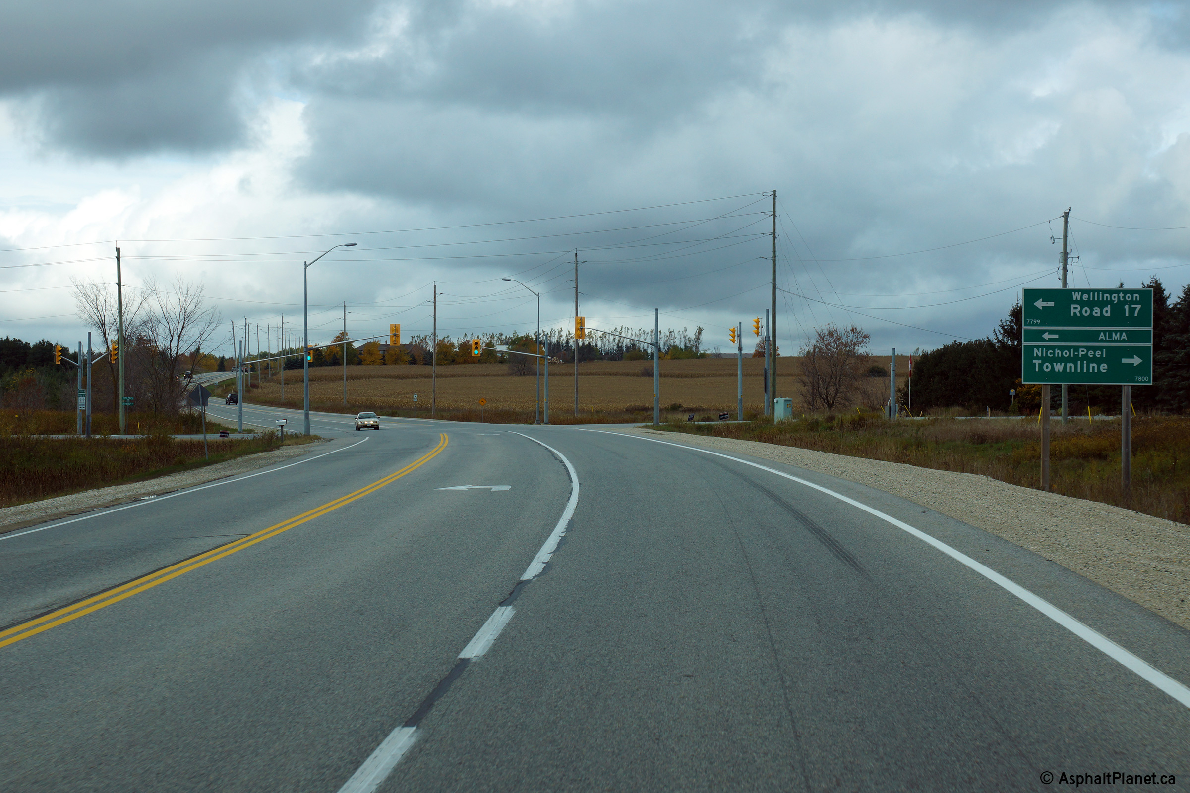
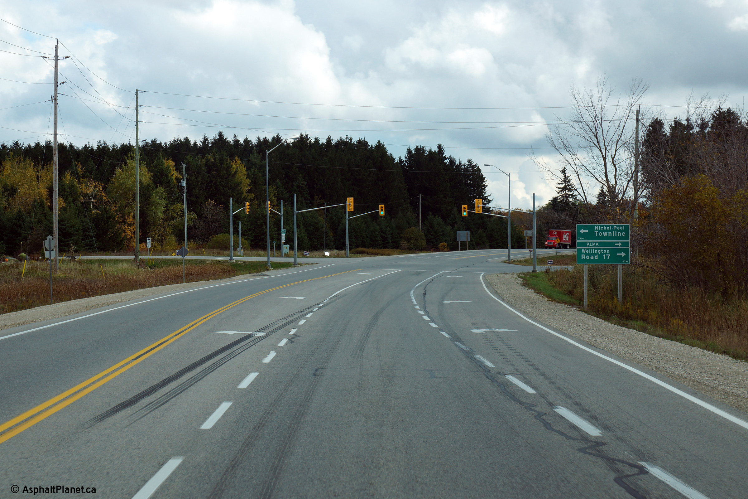
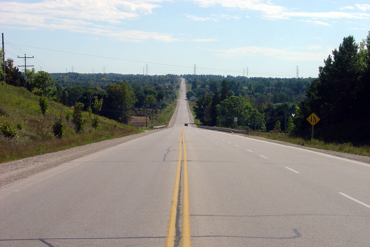
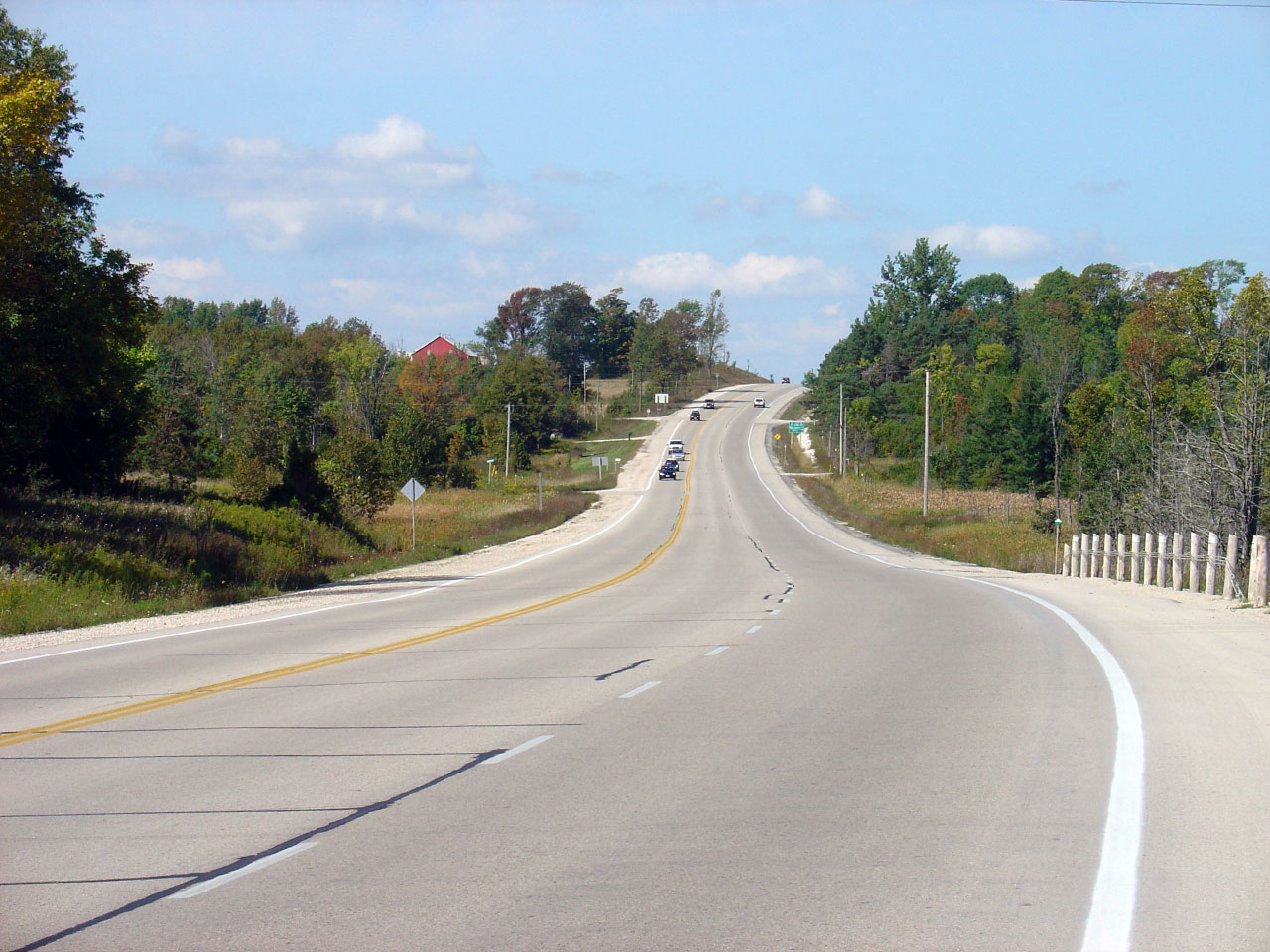
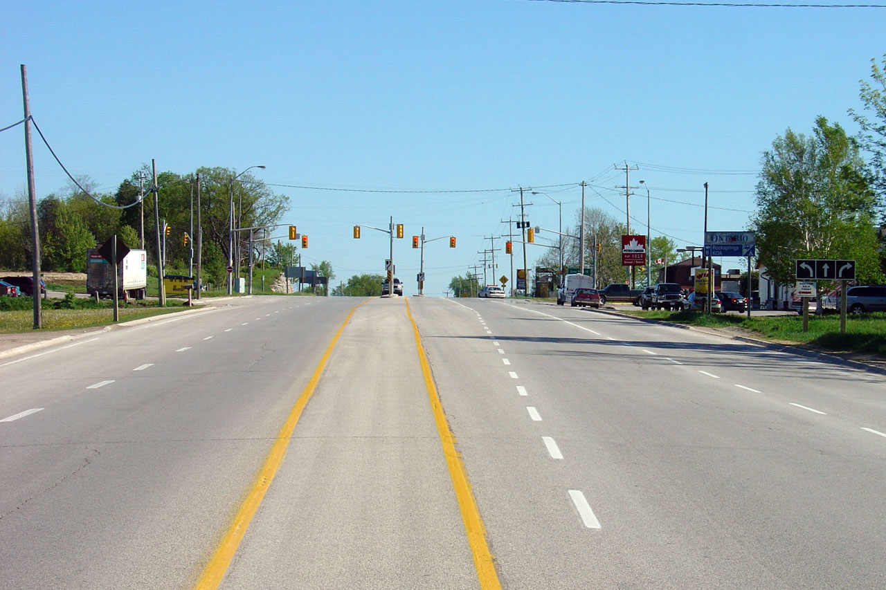
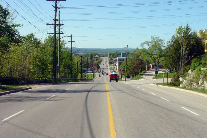
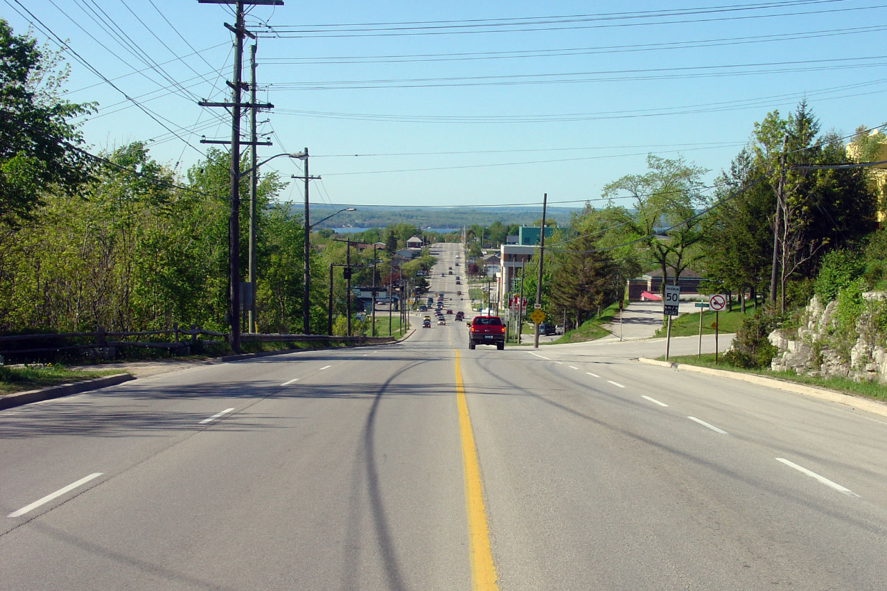
Township of Centre Wellington
County of Wellington |
Northerly view approaching the signalized intersection with Wellington Road
17. Traffic signals were added to this intersection during a 2008
reconstruction project.
Photo taken: October 16th, 2014. |
(720x480)
(1440x960)
(2400x1600) |
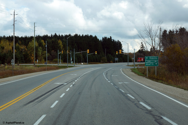
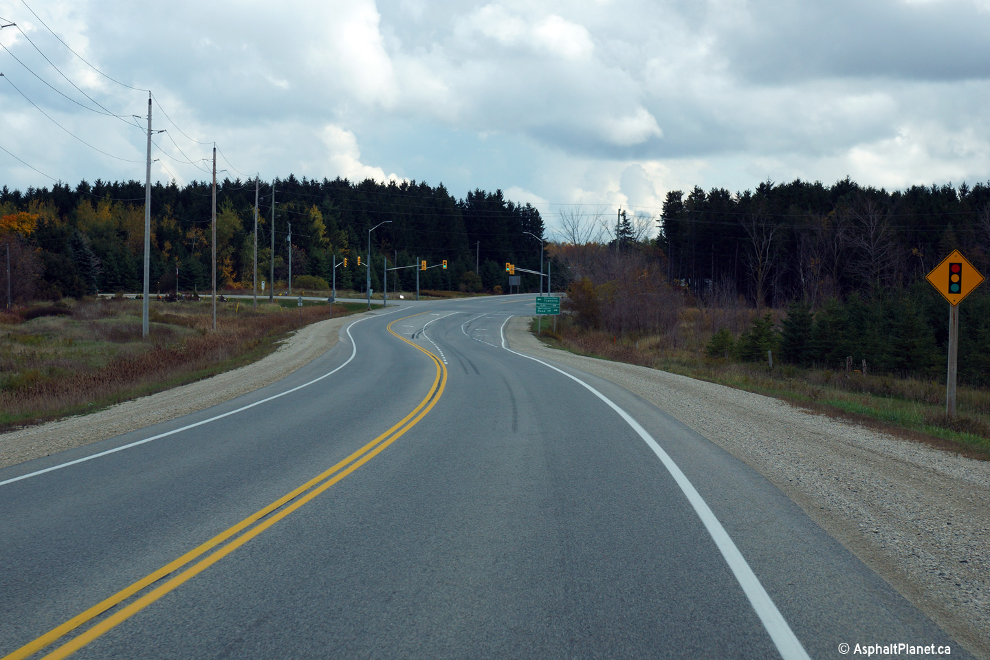
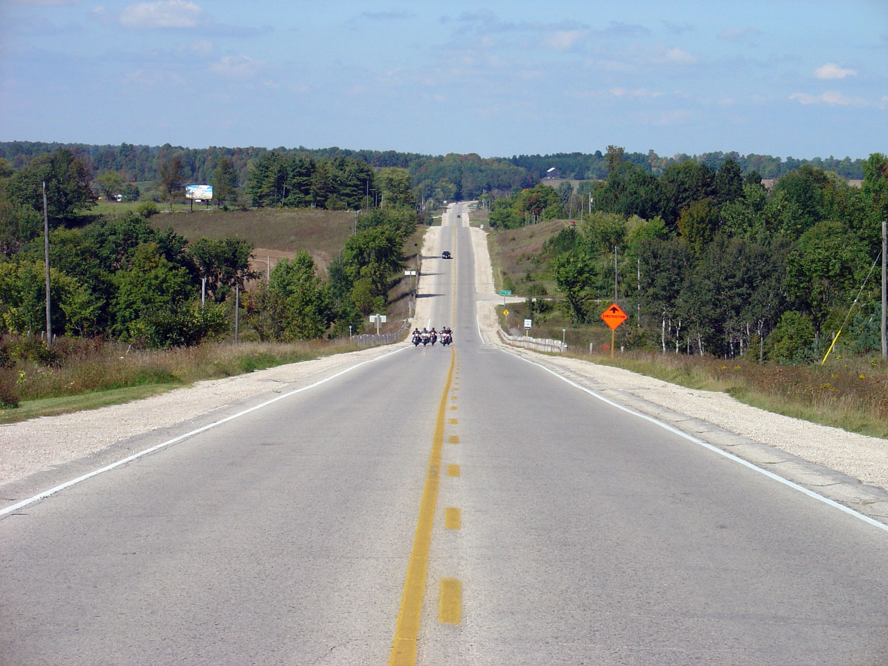
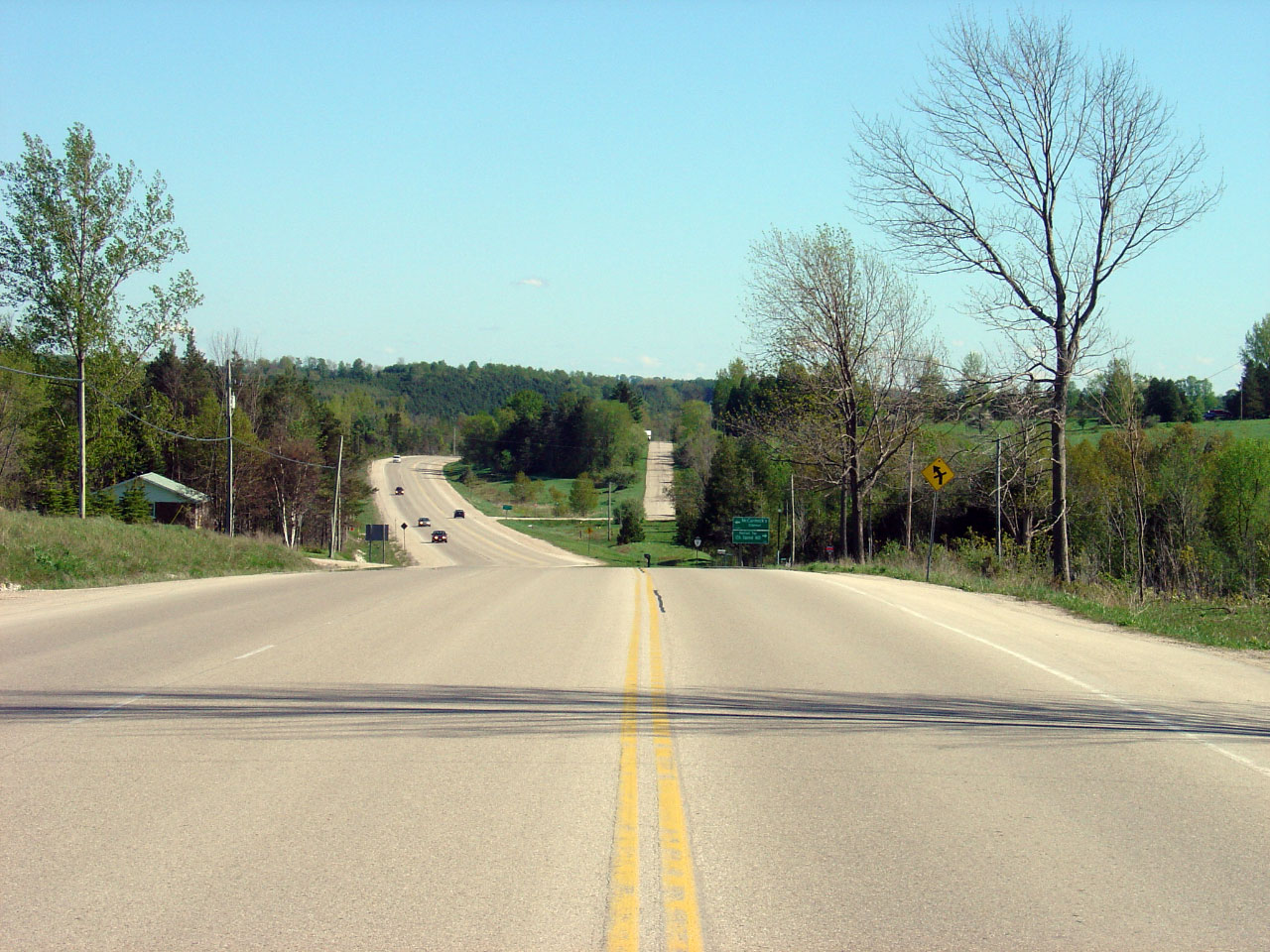
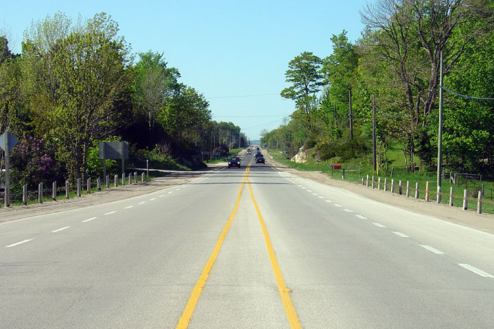
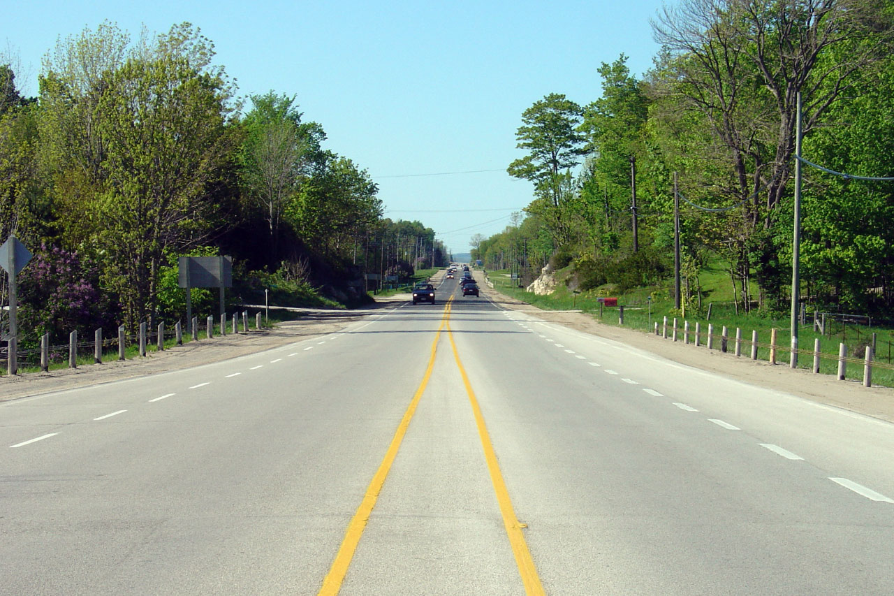
Township of Mapleton
County of Wellington |
Two southerly views looking towards the Wellington Road 17 intersection.
Photos taken: October 16th, 2014. |
(720x480)
(1440x960)
(2400x1600)

(720x480)
(1440x960)
(2400x1600) |
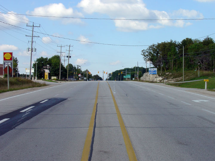
| Township of Wellington North
County of Wellington |
Looking south across Smokey Creek into Kenilworth along Highway 6.
This portion of Highway 6 is tentatively scheduled to be rehabilitated
during the 2008-2009 construction season. Photo
taken: September 18th, 2005. Low-res: 85kb. High-res: 260kb. |
Low-res
High-res |
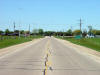
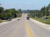
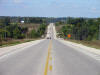
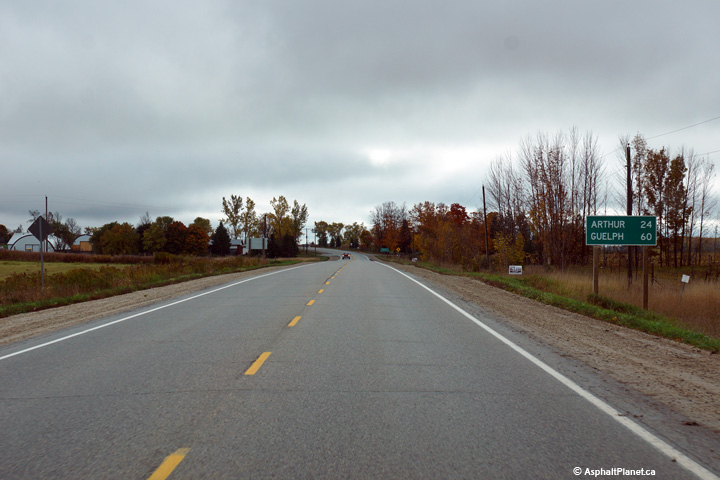
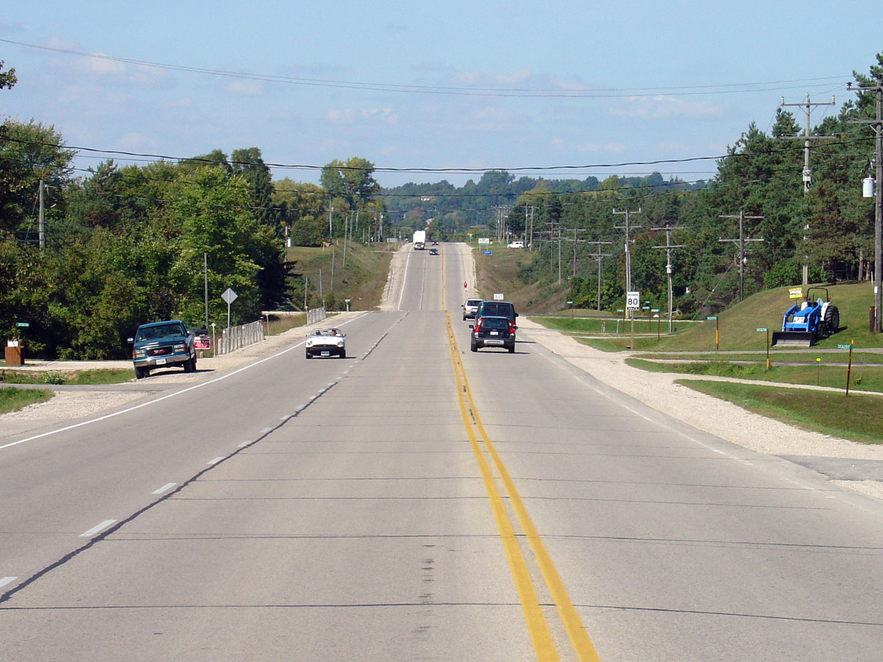
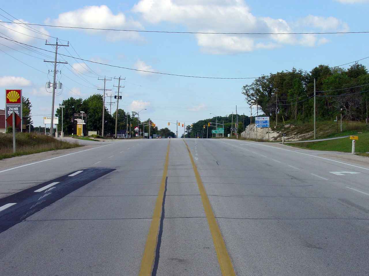
| Township of Wellington North
County of Wellington |
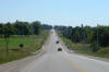
Distance signage south of Mount Forest on Highway 6.
Photo taken: October 16th, 2014. |
 (720x480) (720x480)
(1440x960)
(2400x1600) |
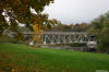
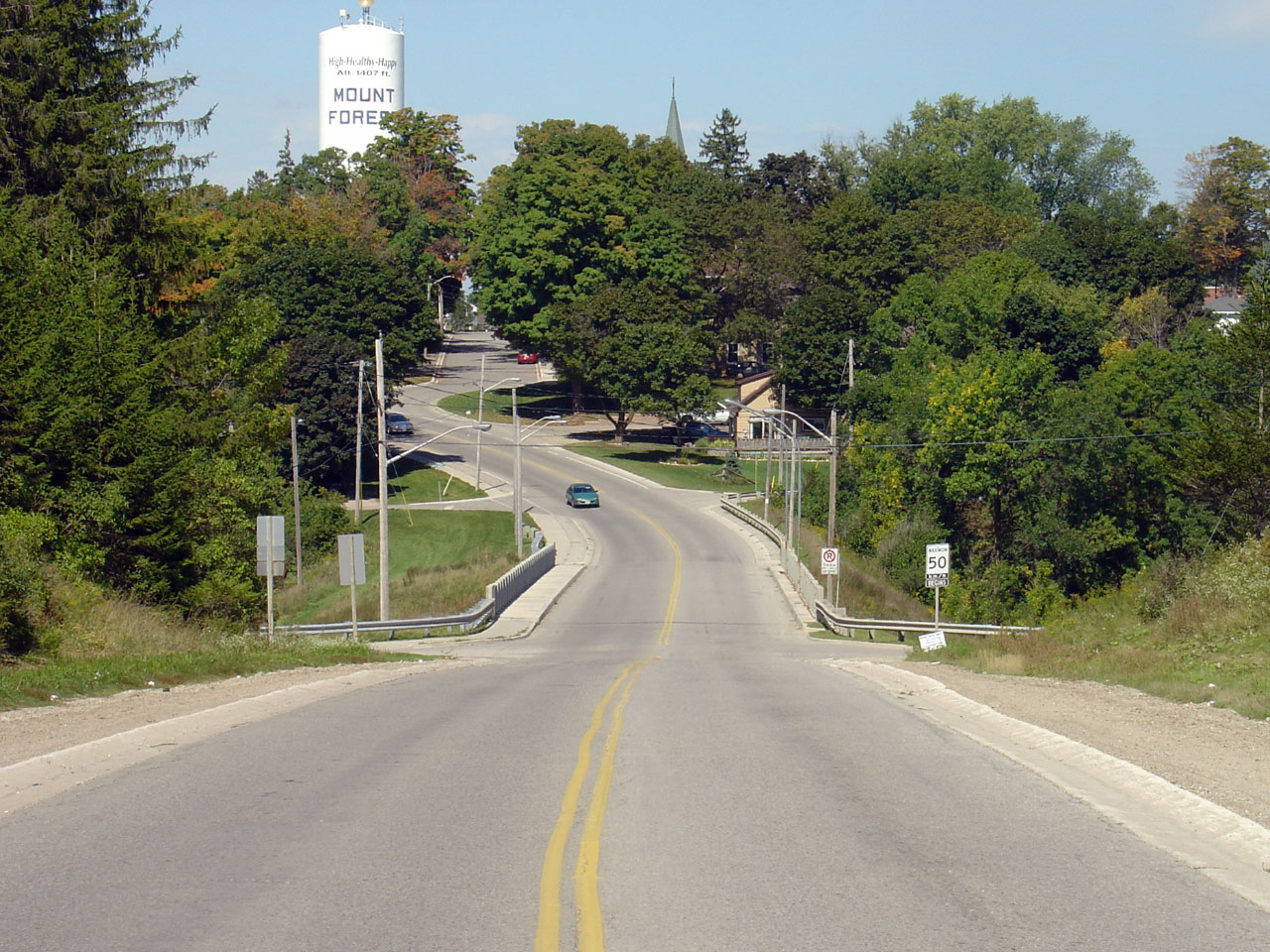
| Township of Wellington North
County of Wellington |
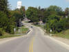
View looking northerly into Mount Forest across the South Saugeen River.
Highway 6 crosses the South Saugeen River on an intricate deck truss bridge
--
Visit
TheKingsHighway.ca for more information. Photo
taken: September 18th, 2005. Low-res: 95kb. High-res: 355kb. |
Low-res
High-res |
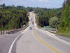
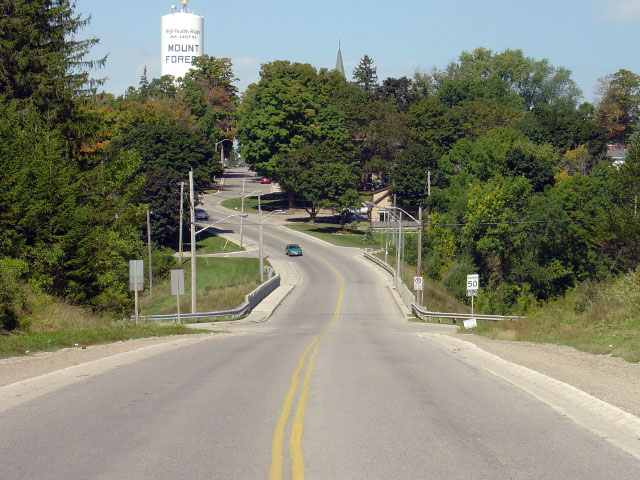
| Township of Wellington North
County of Wellington |
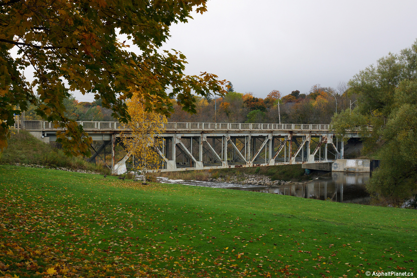
View looking northwesterly through the South Saugeen River truss bridge at
the southern end of Mount Forest.
Photo taken: October 16th, 2014. |
(720x480)
(1440x960)
(2400x1600) |
|
In Mount Forest, Highway 6 crosses
Highway 89 -- which is a long east-west highway spanning mid-western
Ontario.
Click here for Highway 89 images. |
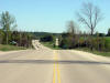
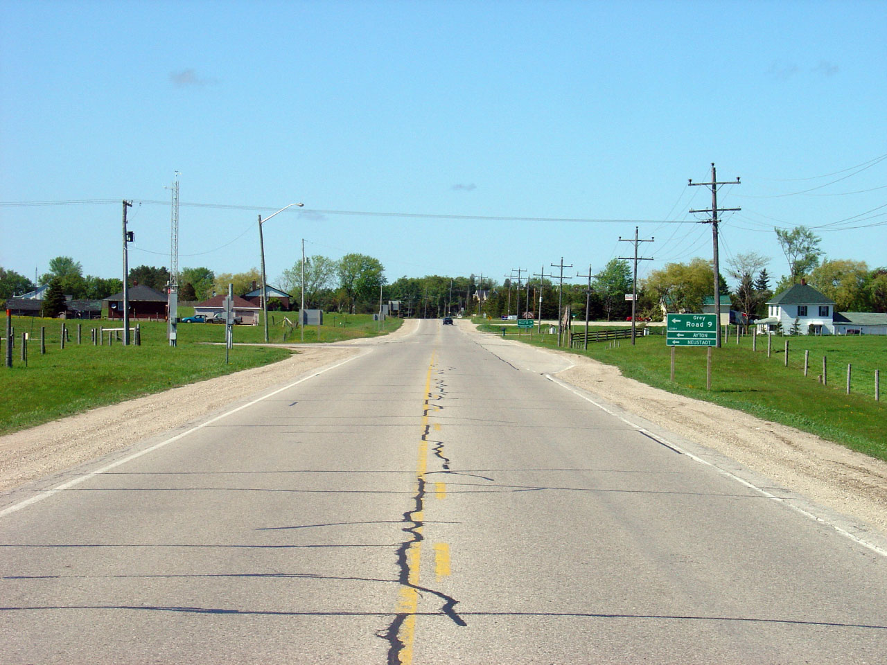
| West Grey - Southgate Boundary
County of Grey |
View looking north towards the southern Grey Road 9
junction. Photo taken: May 20th, 2006. Low-res: 80kb.
High-res: 265kb. |
Low-res
High-res |
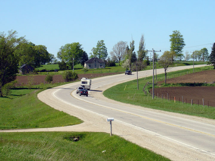
| West Grey - Southgate Boundary
County of Grey |
Highway 6 crosses the Beatty Saugeen River on a gentle curve just north of
Mount Forest. Photo taken: May 20th, 2006. Low-res: 95kb.
High-res: 280kb. |
Low-res
High-res |
| West Grey - Southgate Boundary
County of Grey |
This view looks south from a very short abandoned Highway 6 alignment
towards the Grey Road 9 West intersection. Photo
taken: September 18th, 2005. Low-res: 115kb. High-res: 335kb. |
Low-res
High-res |
| West Grey - Southgate Boundary
County of Grey |
Opposing view from the same hill as above. Photo
taken: September 18th, 2005. Low-res: 95kb. High-res: 295kb. |
Low-res
High-res |
| West Grey - Southgate Boundary
County of Grey |
The abrupt curve north of Southgate Road 22 features
steep super elevation. Photo taken: May 20th, 2006. Low-res:
100kb. High-res: 315kb. |
Low-res
High-res |
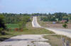
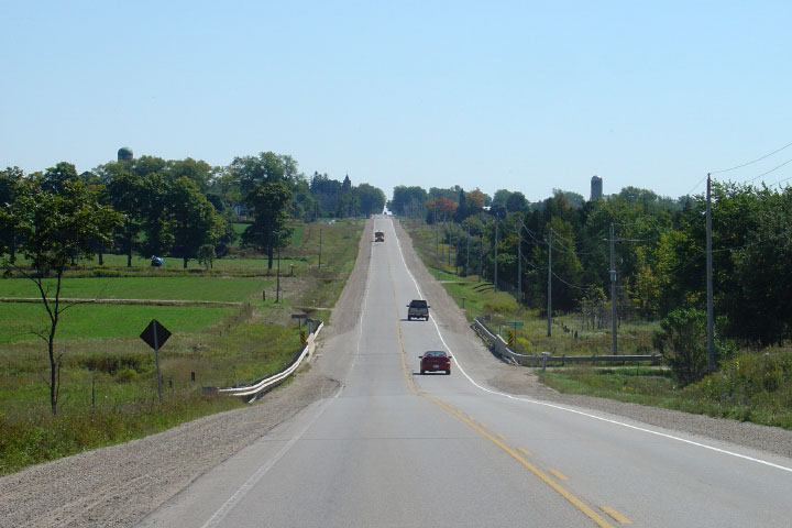
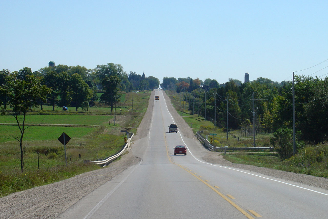
| Township of West Grey County of
Grey |
View looking south from south of Durham into Varney. The hills get
larger as travelers speed north along Highway 6. Photo
taken: September 18th, 2005. Low-res: 65kb. High-res: 200kb. |
Low-res
High-res |
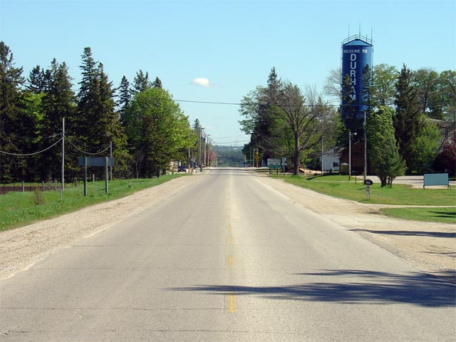
| Township of West Grey County of
Grey |
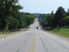
View looking north along Highway 6 from south of Durham. It is a long
decent into Durham from the top of this hill. Photo
taken: September 18th, 2005. Low-res: 70kb. High-res: 270kb. |
Low-res
High-res |
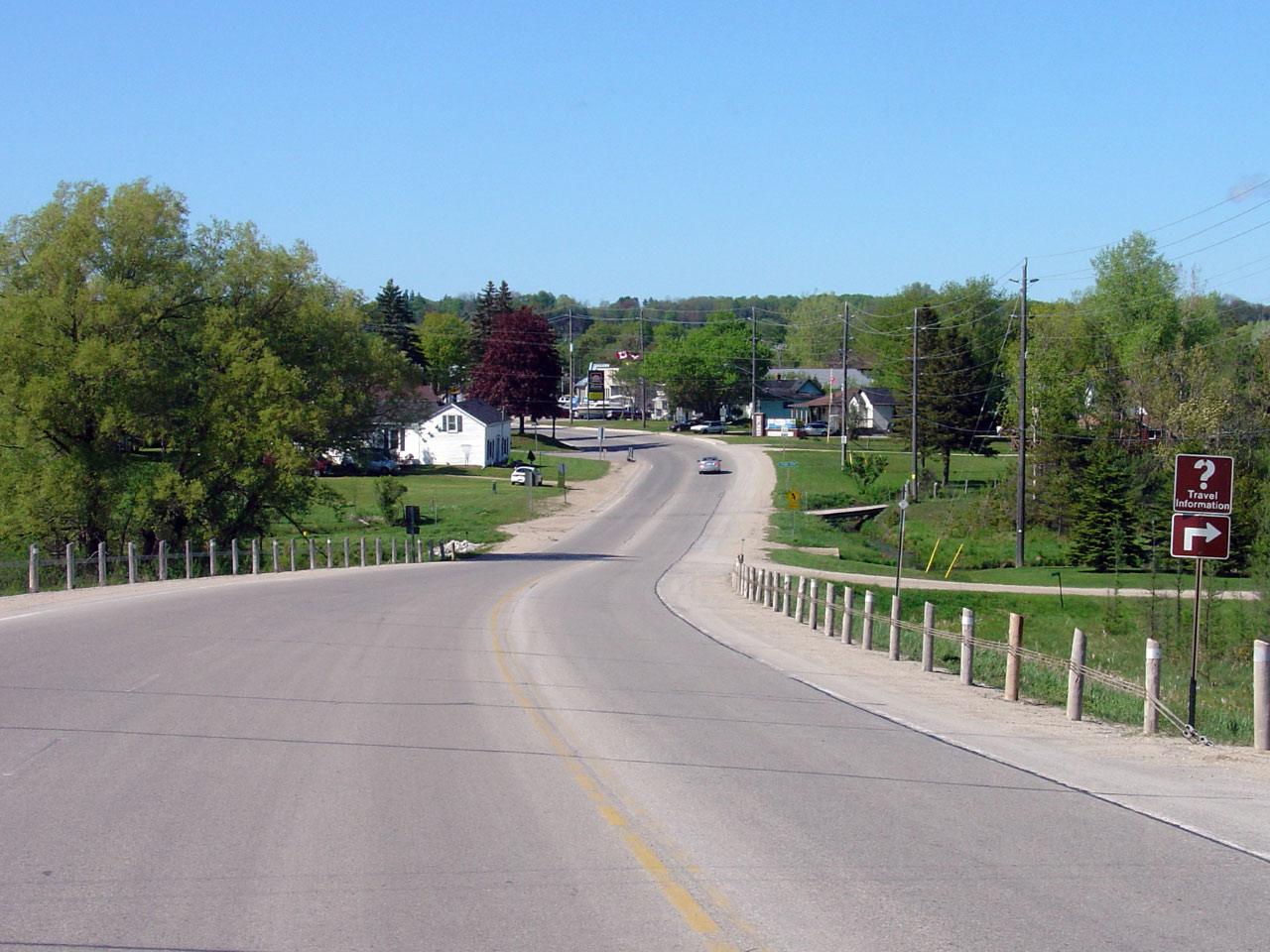
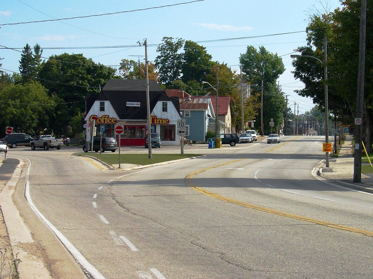
| Township of West Grey County of
Grey |
View looking north into Durham. Photo
taken: September 18th, 2005. Low-res: 85kb. High-res: 260kb. |
Low-res
High-res |
|
Highway 6 meets Highway 4 in
Durham.
Click here for Highway 4 images. |
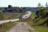
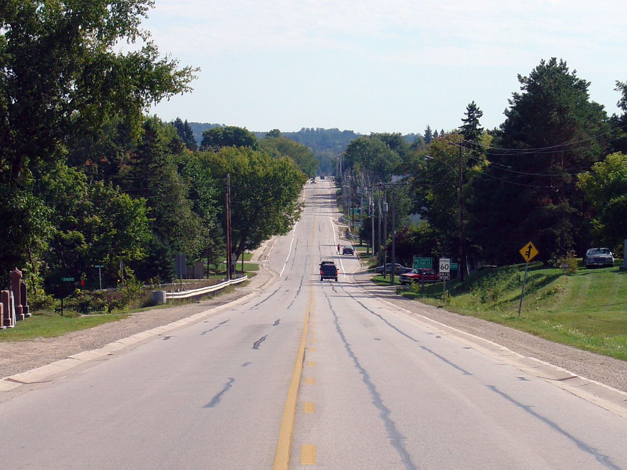
| Township of West Grey County of
Grey |
Looking south towards the northern start of the Durham Connecting Link.
Highway 6 is municipally maintained through the urban length of Durham
starting roughly where the curb starts in the photo. Photo taken: May
20th, 2006. Low-res: 65kb. |
 |
| Township of West Grey County of
Grey |
Looking northerly along Highway 6 from just north of Durham. Photo
taken: September 18th, 2005. Low-res: 55kb. High-res: 300kb. |
Low-res
High-res |
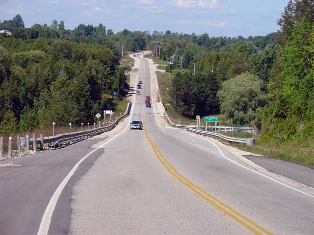
| Township of West Grey County of
Grey |
Looking north as Highway 6 crosses the Rocky Saugeen River. Photo taken:
September 18th, 2005. Low-res: 65kb. High-res: 355kb. |
Low-res
High-res |
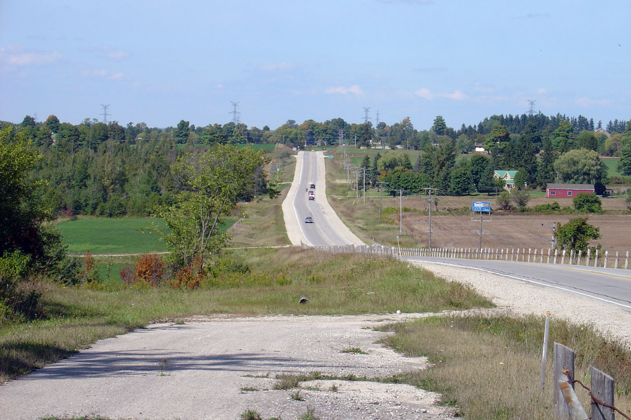
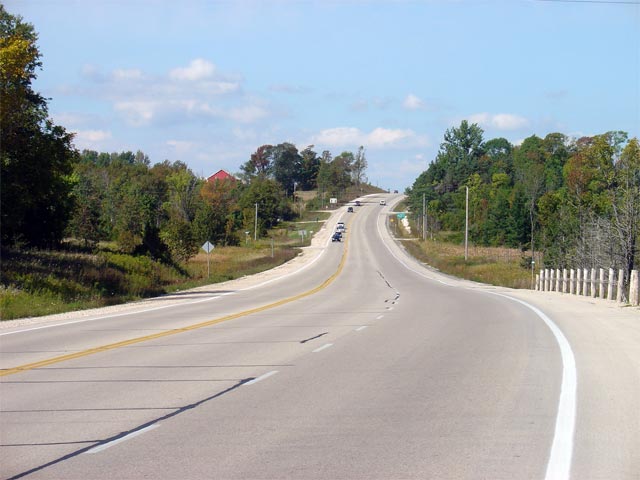
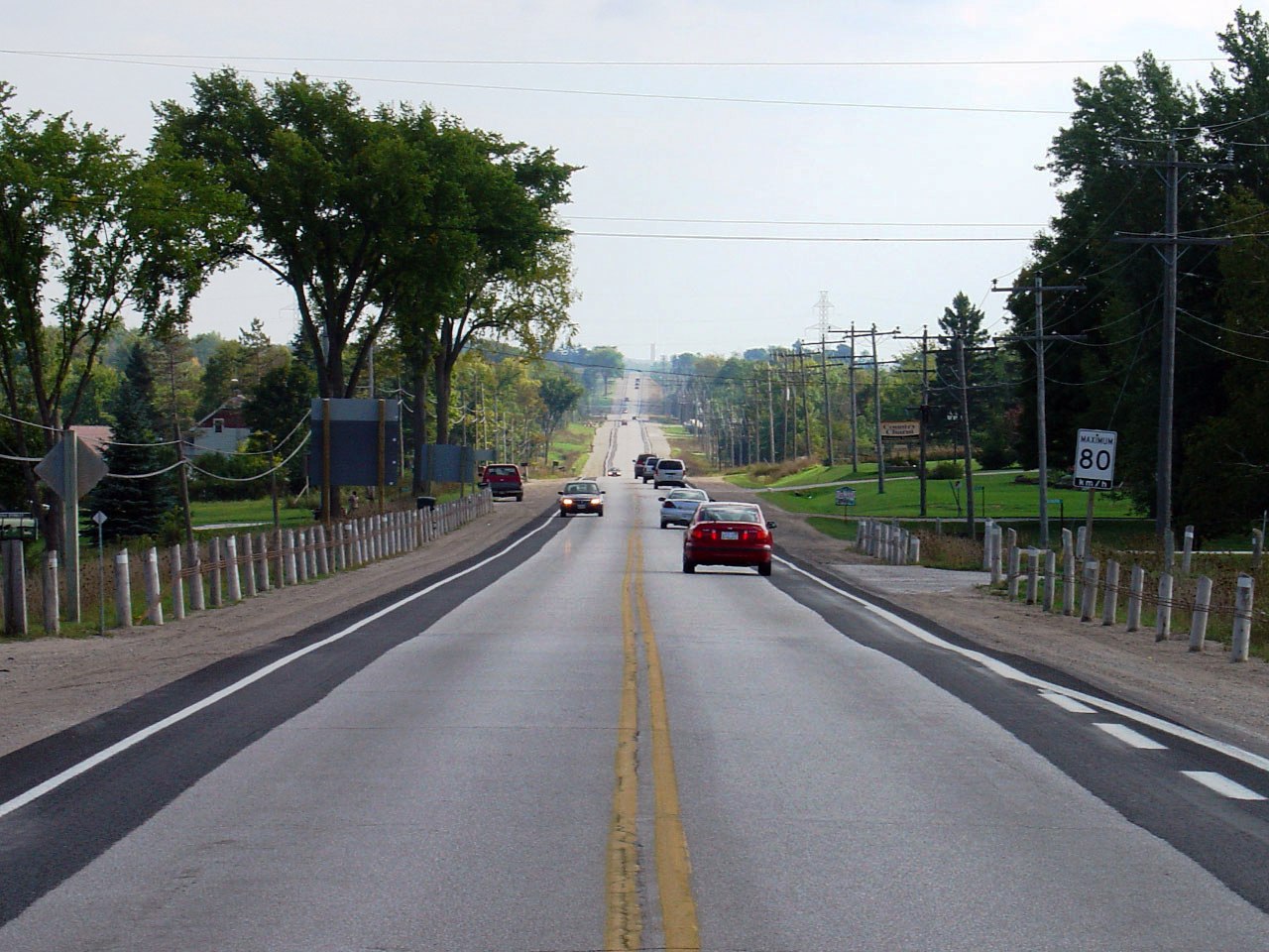
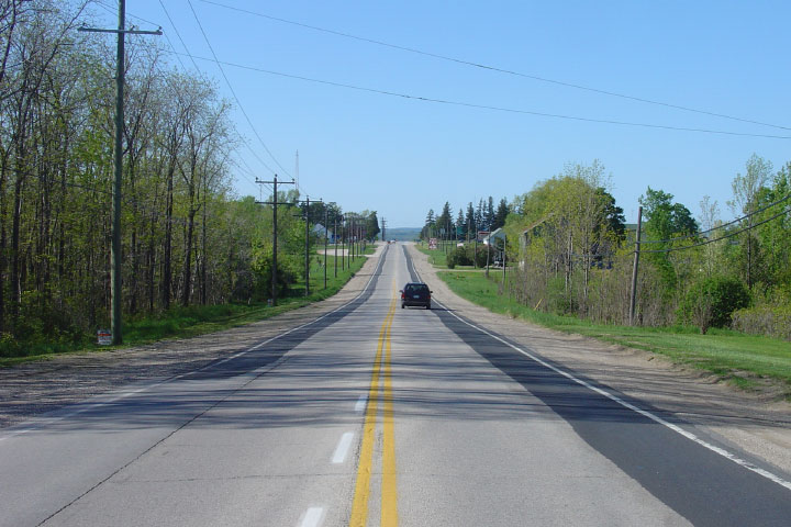
| Township of West Grey County of
Grey |
Looking north along Highway 6 from about 1km north of the Rocky Saugeen
River. As is evident from the photo, a northbound climbing lane
extends for roughly 1.5km ending beyond the crest of the Photo hill. Photo taken: September 18th, 2005.
Low-res: 50kb. High-res: 255kb. |
Low-res
High-res |
| Township of West Grey County of
Grey |
This Photo looks south offering a different perspective of a similar scene
as the above photo. Notice the abandoned Highway 6 alignment.
Highway 6 was extensively realigned in the vicinity of the Rocky Saugeen
River to improve the route's vertical grade.
Photo taken: May 20th, 2006. Low-res: 55kb. High-res: 315kb. |
Low-res
High-res |
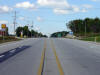
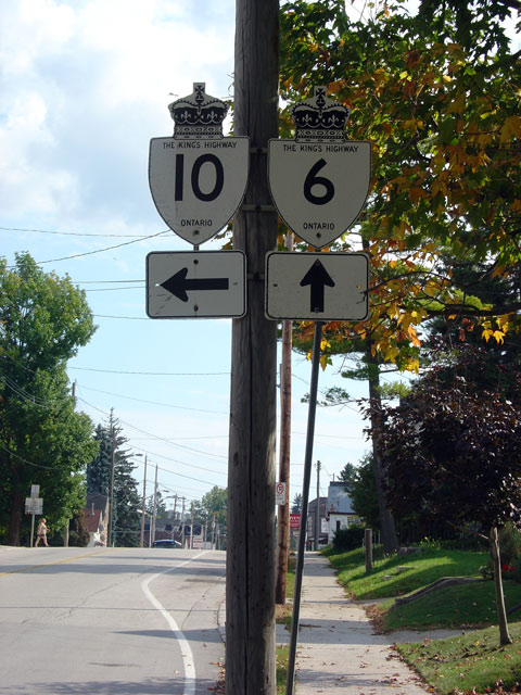
| Township of Chatsworth County
of Grey |
Looking south through the small community of Williamsford.
Williamsford is located about 10km south of Chatsworth. Photo taken:
September 18th, 2005. Low-res: 55kb. High-res: 285kb. |
Low-res
High-res |
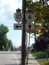
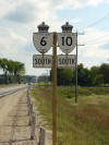
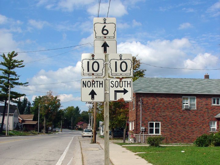
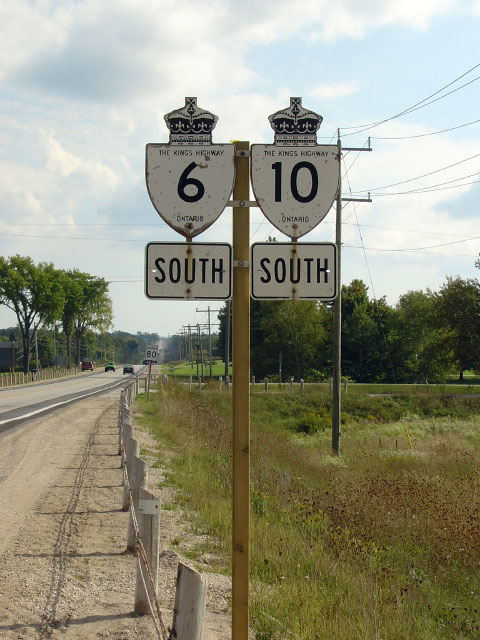
| Township of Chatsworth County
of Grey |
Junction assembly denoting the northbound Highway 6/10
junction in Chatsworth. Photo taken: September 18th, 2005. Low-res: 45kb. |
 |
|
Highway 10 continues south of
Highway 6 at Chatsworth to Mississauga.
Click here for Highway 10 images. |
| Township of Chatsworth County
of Grey |
Southbound junction signage for the Highway 6/10 split.
Photo taken: September 18th, 2005. Low-res:
95kb. |
 |
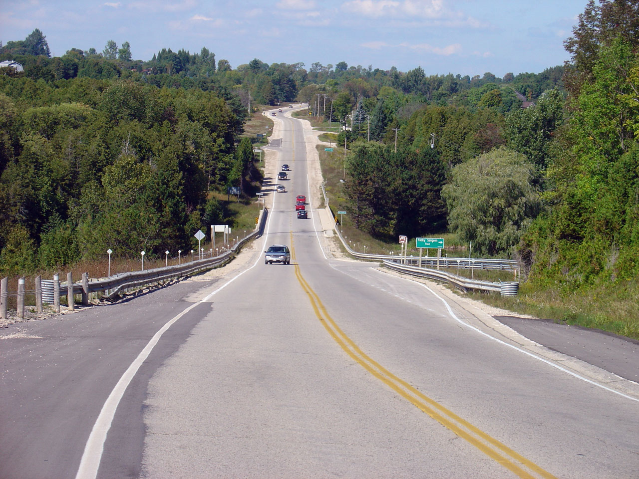
| Township of Chatsworth County
of Grey |
Looking southerly into Chatsworth at the southern
intersection of Highway's 6 and 10. Photo taken:
September 18th, 2005. Low-res: 105kb. High-res: 315kb. |
Low-res
High-res |
| Georgian Bluffs - Meaford
Boundary County of Grey |
View looking south from the Grey Road 18 intersection. Photo taken:
September 18th, 2005. Low-res: 95kb. High-res: 265kb. |
Low-res
High-res |
| Georgian Bluffs - Meaford
Boundary County of Grey |
Southbound assembly for Highway 6/10. This multiplex is one of the
provinces oldest codesignations. Photo taken: September 18th, 2005.
Low-res: 85kb. |
 |
| Georgian Bluffs - Meaford
Boundary County of Grey |
View looking northerly towards the Grey Road 18 intersection. Photo taken:
September 18th, 2005. Low-res: 80kb. High-res: 245kb. |
Low-res
High-res |
| Georgian Bluffs - Meaford
Boundary County of Grey |
Signage directing traffic bound north to Highway 6 north of Owen Sound onto
Grey Road 18. In the author's opinion, Grey Road 18 should be assumed
as Highway 6, with the current route through Downtown Owen Sound being
redesignated to Highway 6B. Photo
taken: February 26th, 2004. Low-res: 90kb. |
 |
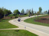
| Georgian Bluffs - Meaford
Boundary County of Grey |
Looking south towards the Grey County Road 18
intersection. Large channalized intersections such as this are quite
common on busy Ontario highways. Photo taken: May 20th, 2006.
Low-res: 75kb. High-res: 230kb. |

Low-res
High-res |
| Georgian Bluffs - Meaford
Boundary County of Grey |
Northerly view from the Grey County Road 18 intersection. Photo taken: May 20th, 2006.
Low-res: 100kb. High-res: 315kb. |

Low-res
High-res |
| Georgian Bluffs - Meaford
Boundary County of Grey |
Looking northerly about 1km south of Owen Sound's South Limits. Photo taken: May 20th, 2006.
Low-res: 85kb. High-res: 260kb. |

Low-res
High-res |
| City of Owen Sound |
View looking northerly into Owen Sound along Highway 6/10. Owen Sound
is a surprisingly busy community. Photo taken: May 20th, 2006.
Low-res: 95kb. High-res: 295kb. |

Low-res
High-res |
| City of Owen Sound |
Advanced signage for the Highway 21/26 junction. Photo taken: May 20th, 2006.
Low-res: 85kb. |
 |
| City of Owen Sound |
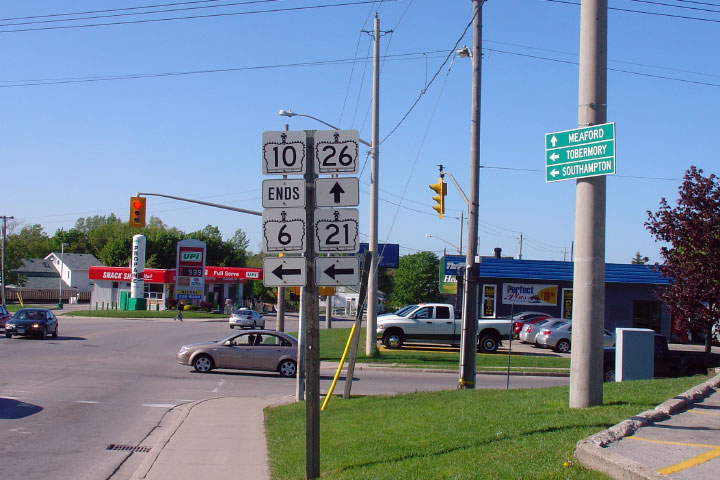
Highway 10 ends at the Highway 21/26 junction. This is the only
intersection in the province where 4-highways meet. Photo taken: May 20th, 2006.
Low-res: 90kb. |
 |
|
Highway 26 continues east of
Highway 6 from Owen Sound to Barrie.
Click here for Highway 26 images. |


 (720x480)
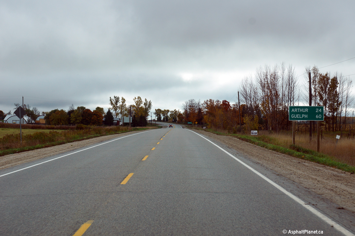


