|
Proper Municipality Name |
Photo Description |
Photo |
|
Photos taken
from driver's perspective appear offset from centre-line Photos: |
North-
bound |
South-
bound |
|
South of Highway 6 at Springmount,
Highway 21 follows the shore of Lake Huron southerly to Highway 402 east of
Sarnia.
Click here for Highway 21-South images. |
| Township of Georgian Bluffs
County of Grey |
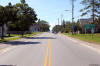
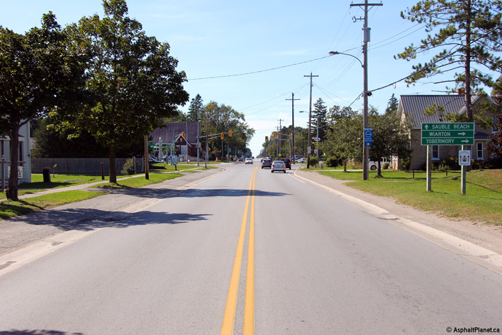
View looking northerly approaching the County Road 10
intersection through Hepworth. Photo taken: September 12th, 2012. |
(720x480)
(1440x960)
(2400x1600) |
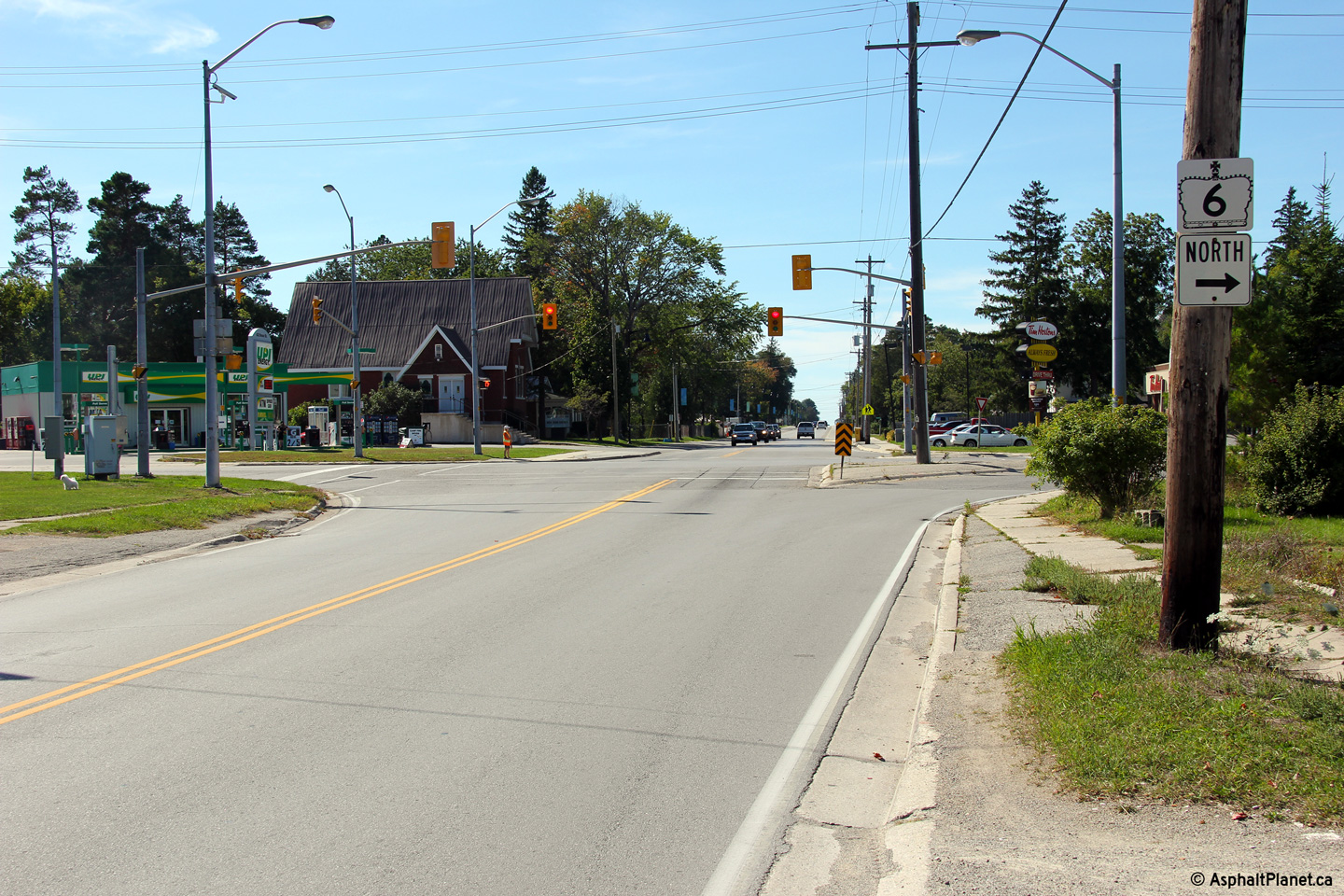
| Township of Georgian Bluffs
County of Grey |
A right turn is required to continue following Highway 6 North at this
intersection. Photo taken: September 12th, 2012. |

(720x480)
(1440x960)
(2400x1600)
|
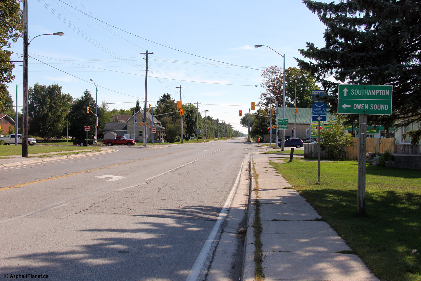
Georgian Bluffs / South Bruce
Peninsula Boundary
Grey / Bruce Boundary |
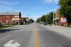
Southerly view at the Grey Road 10 intersection in Hepworth. Prior to
1998, Highway 6 continued straight through this intersection following
modern day County Road 10. Modern day Highway 6 was known as Highway
70. Photo taken: September 12th, 2012. |

(720x480)
(1440x960)
(2400x1600) |
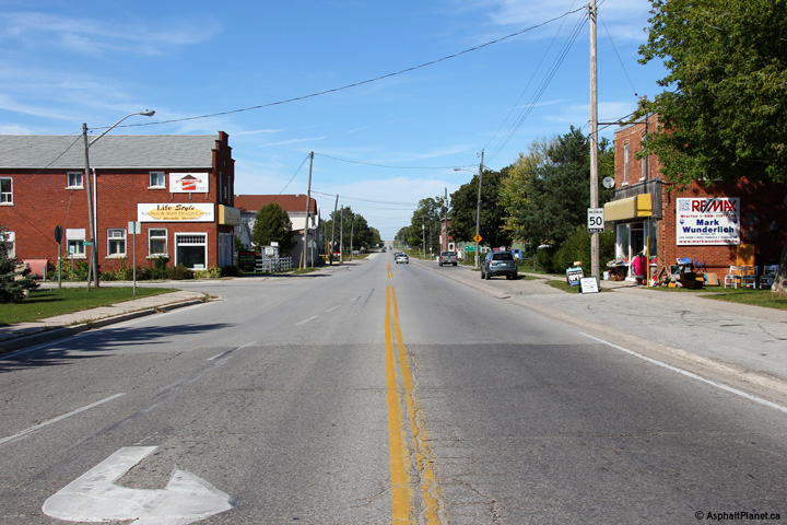
Georgian Bluffs / South Bruce
Peninsula Boundary
Grey / Bruce Boundary |
Northerly view towards Wiarton from the County Road 10 intersection. Photo taken:
September 12th, 2012. |
(720x480)
(1440x960)
(2400x1600) |
Municipality of Northern Bruce
Peninsula
County of Bruce |
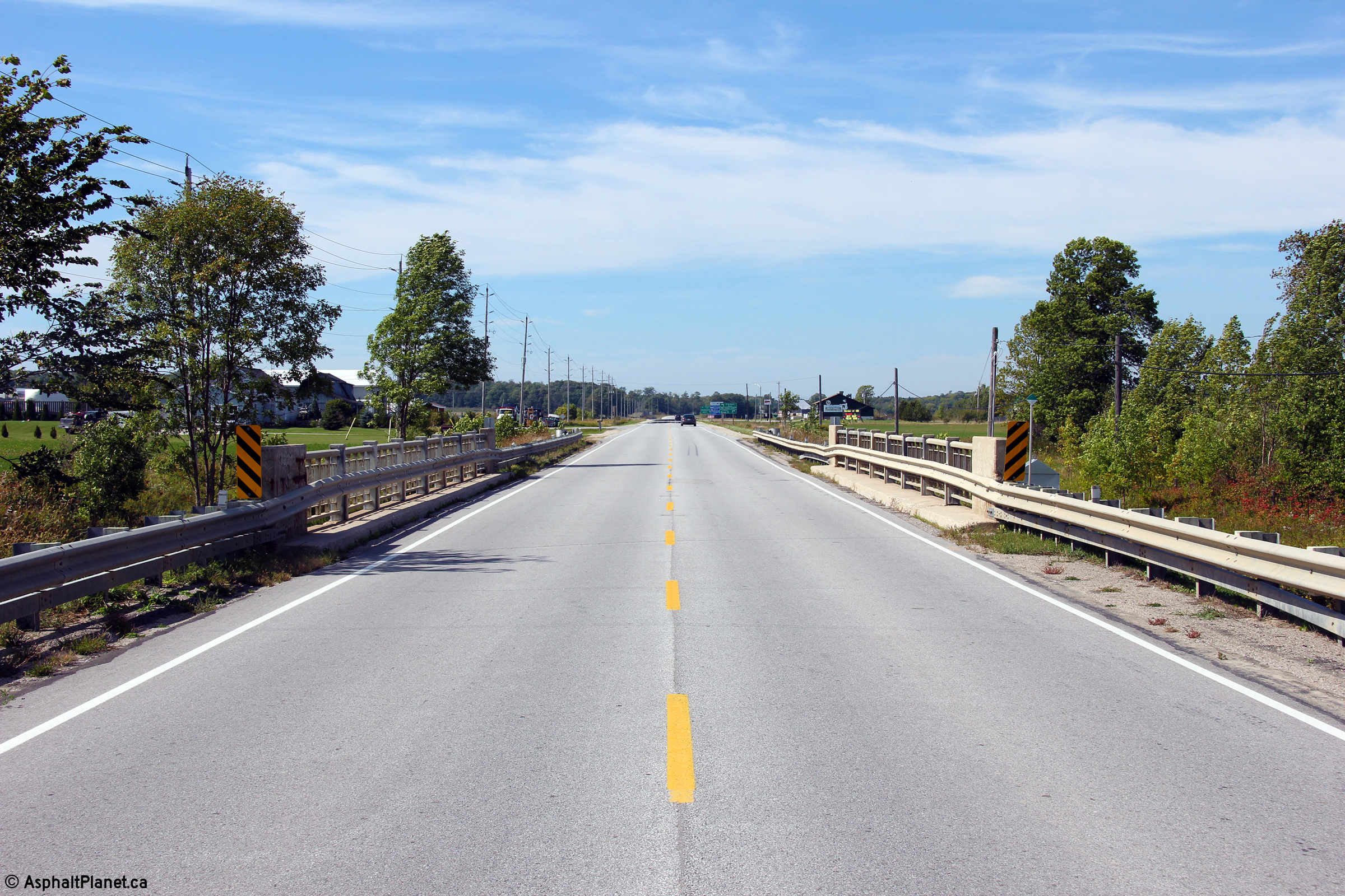
Northerly view at the Stokes Creek Bridge, north of
Wiarton. Photo taken: September 12th, 2012. |

(720x480)
(1440x960)
(2400x1600) |
Municipality of Northern Bruce
Peninsula
County of Bruce |
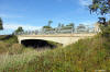
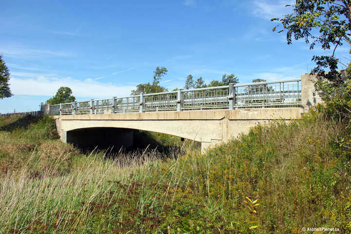
View of the western side of the Stokes Creek Bridge. The concrete
rigid frame bridge bears its original steel railings.. Photo taken:
September 12th, 2012. |
(720x480)
(1440x960)
(2400x1600) |
Municipality of Northern Bruce
Peninsula
County of Bruce |
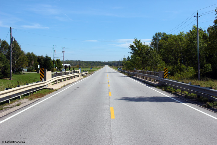
Southerly view across the Stokes Creek Bridge. Photo taken: September
12th, 2012. |

(720x480)
(1440x960)
(2400x1600) |
Municipality of Northern Bruce
Peninsula
County of Bruce |
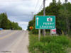
Green signage for the Chi-Cheemaun Ferry between Bruce
Peninsula and Manitoulin Island in Tobermorry. Photo taken: July
1st, 2005. |
 (720x480) (720x480)
(1440x960) |
|
Click here
for Manitoulin Island Images |


 (720x480)