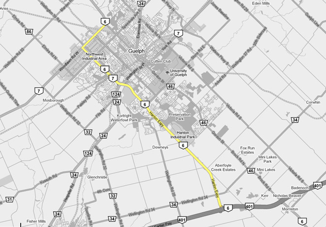
AsphaltPlanet.ca >
OntHighways > Highway 6 >
Images > Page 2B
King's Highway 6 - Images
<- Page 2A Page 2B - Guelph Page 2C ->
Photos shown in this table are arranged from South to North:
| Proper Municipality Name | Photo Description | Photo | ||
|
Photos taken from driver's perspective appear offset from centre-line Photos: |
North- bound |
South- bound |
||
| Highway follows Highway 401 for a short distance south of Guelph between this interchange and Morriston. Click here for Highway 401-West images. | ||||
| Township of Puslinch County of Wellington |
View looking northerly at the start of the Hanlon Expressway from the
Highway 401 interchange. Click here for an additional view from this
vantage point taken in June, 2006. Photo taken: July 10th, 2010 |
 (720x480) (1440x960) (2400x1600) |
||
| Township of Puslinch County of Wellington |
Overhead guide signage for the Highway 401 interchange at the southern end
of the Hanlon Expressway. Although Highway 6 runs the long distance from
Port Dover to Espanola, the highway really exists in several distinct
segments, with seemingly little through traffic.
Click here for an alternative photo of
this sign, taken in June, 2006. Photos taken: July 2nd, 2015. |
 (720x480) (720x480)(1440x960) (2400x1600) |
||
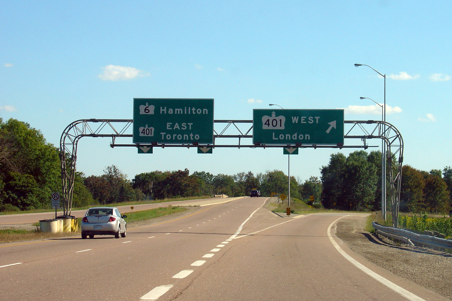
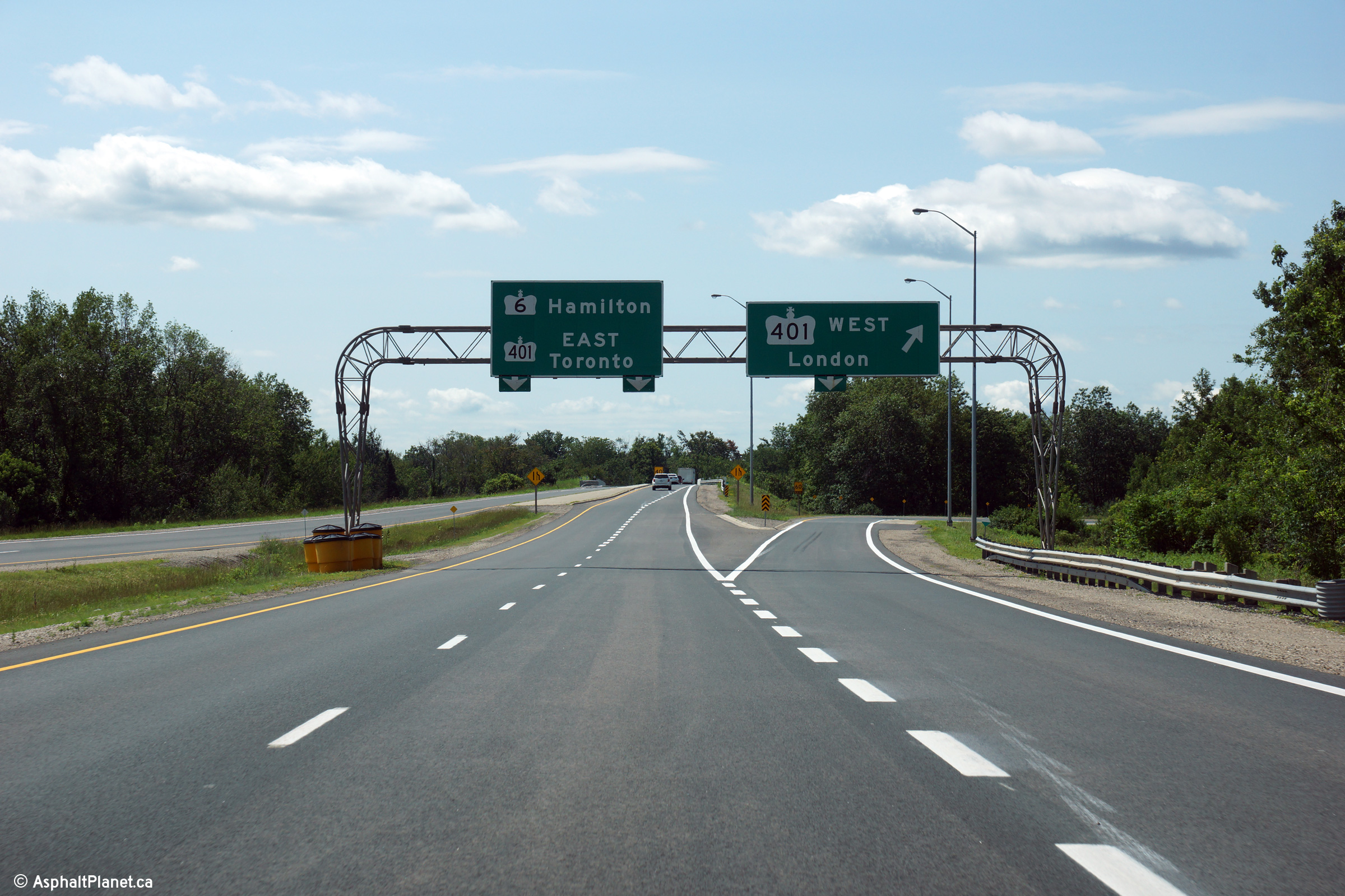
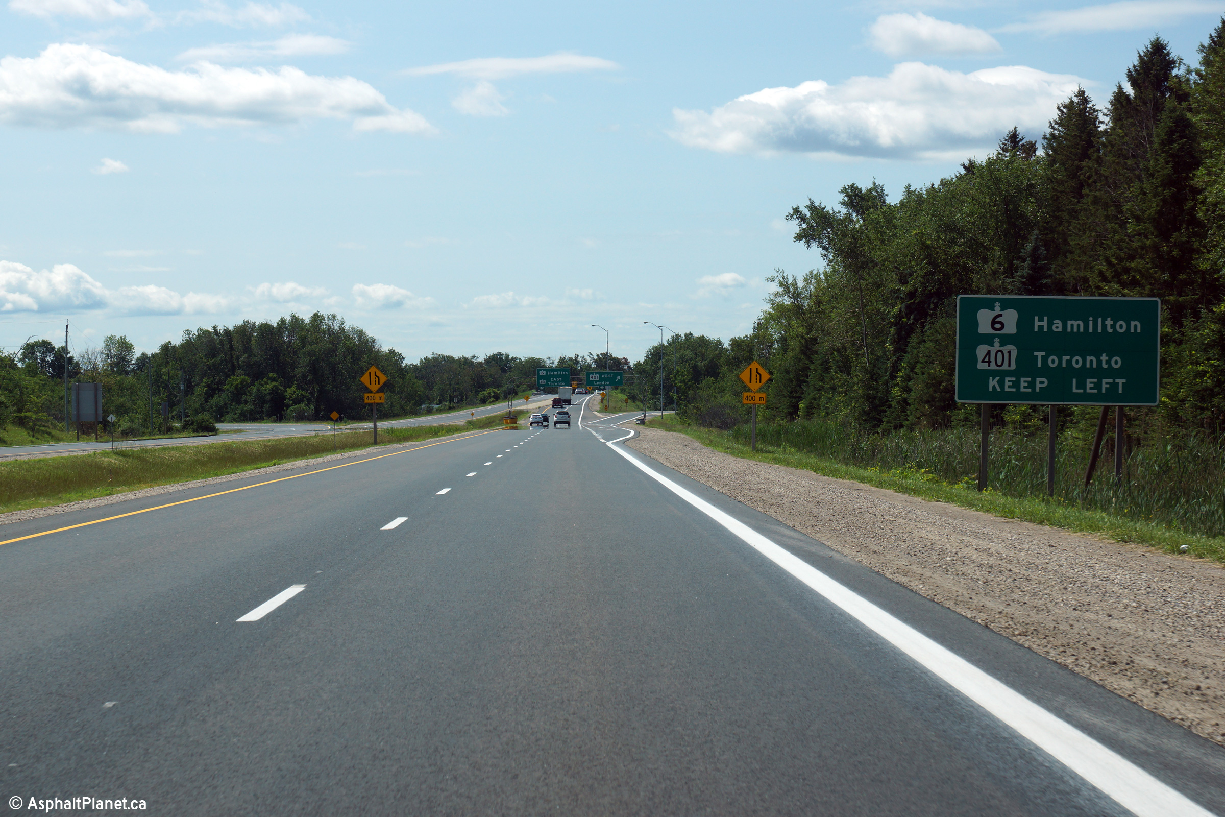
| Township of Puslinch County of Wellington |
Advanced signage for the Toronto-bound Highway 401 interchange. As
this is written, this is the only "Keep Left" signage to exist on a
provincial highway in Ontario. Click
here for an alternative photo of this sign, taken in June, 2006. Photos taken: July 2nd, 2015. |
 (720x480) (720x480)(1440x960) (2400x1600) |
||
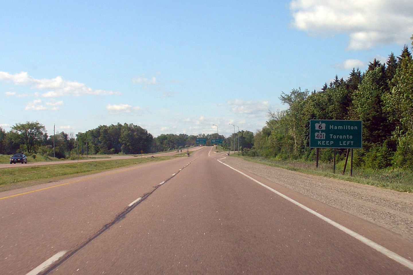
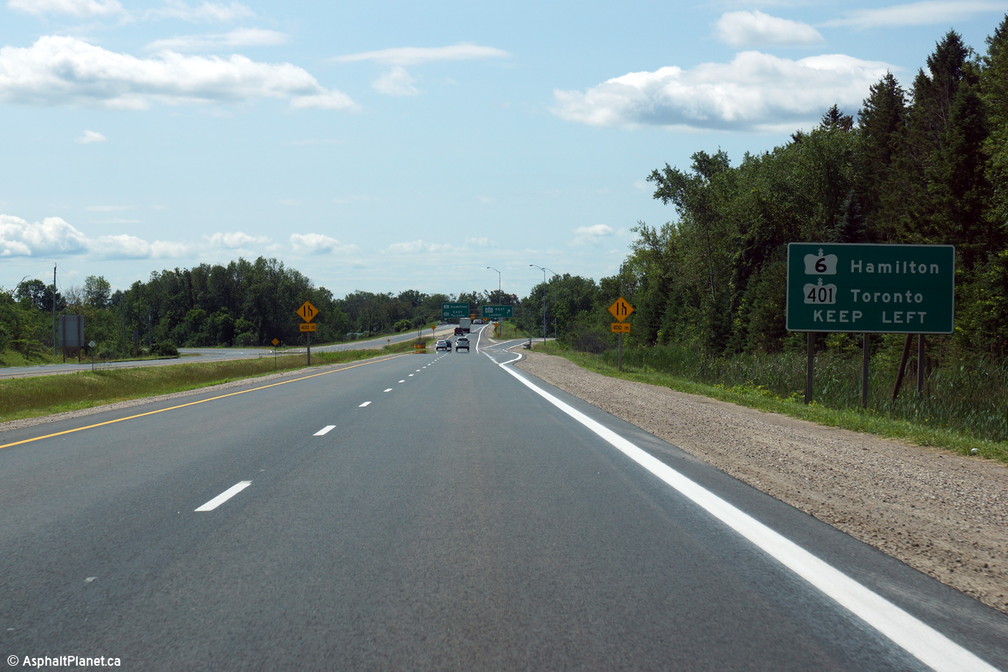
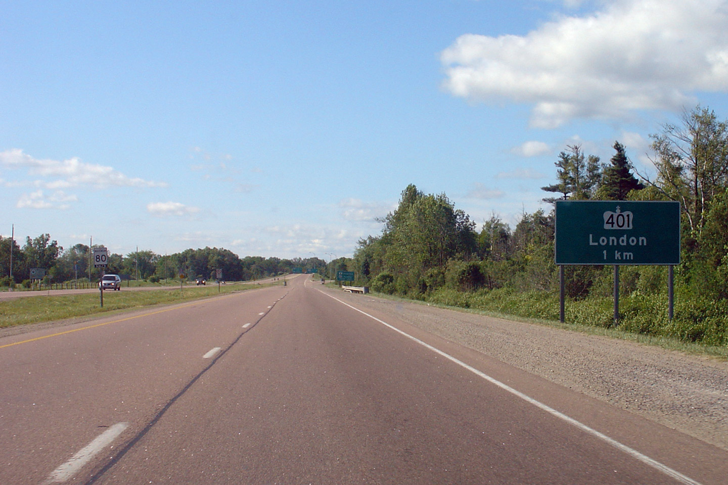
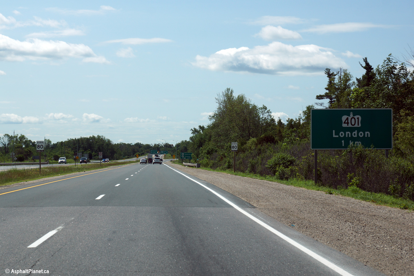
| Township of Puslinch County of Wellington |
The advanced sign for Highway 401 only references London.
Click here for an alternative photo of
this sign, taken in June, 2006. Photos taken: July 2nd, 2015. |
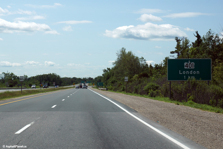 (720x480) (720x480)(1440x960) (2400x1600) |
||
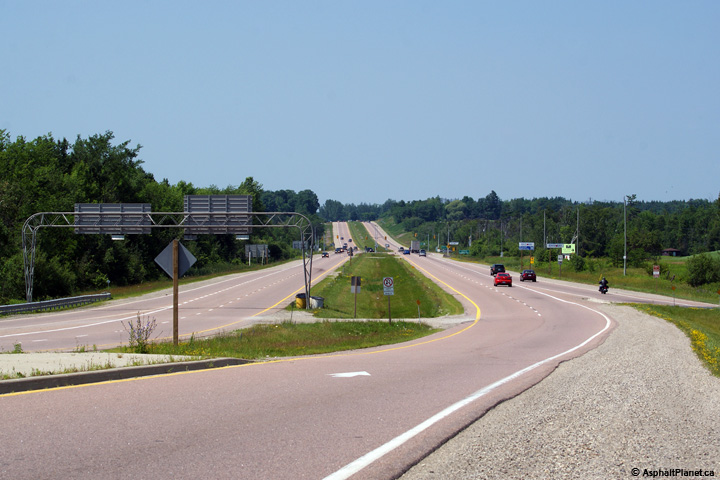
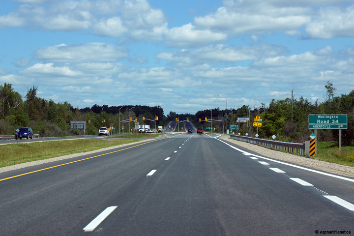
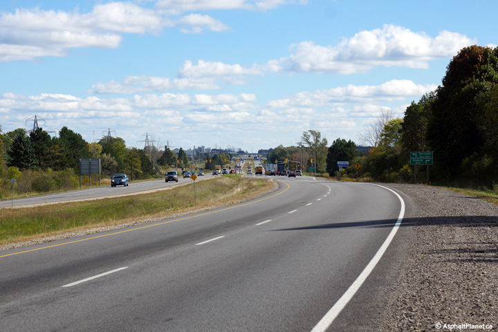
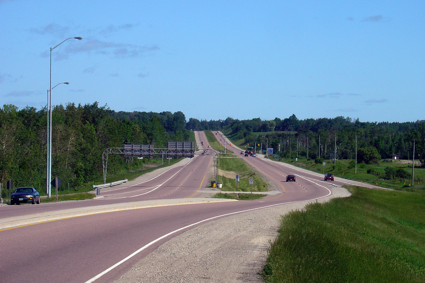
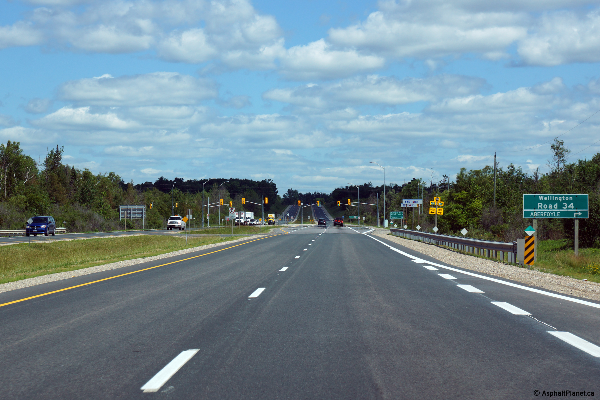
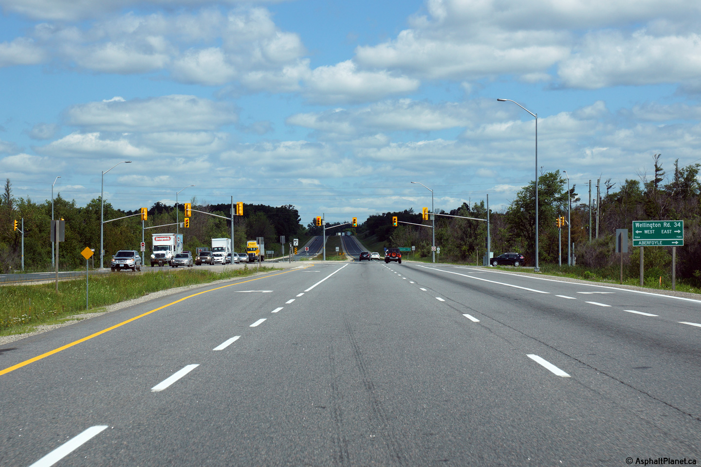
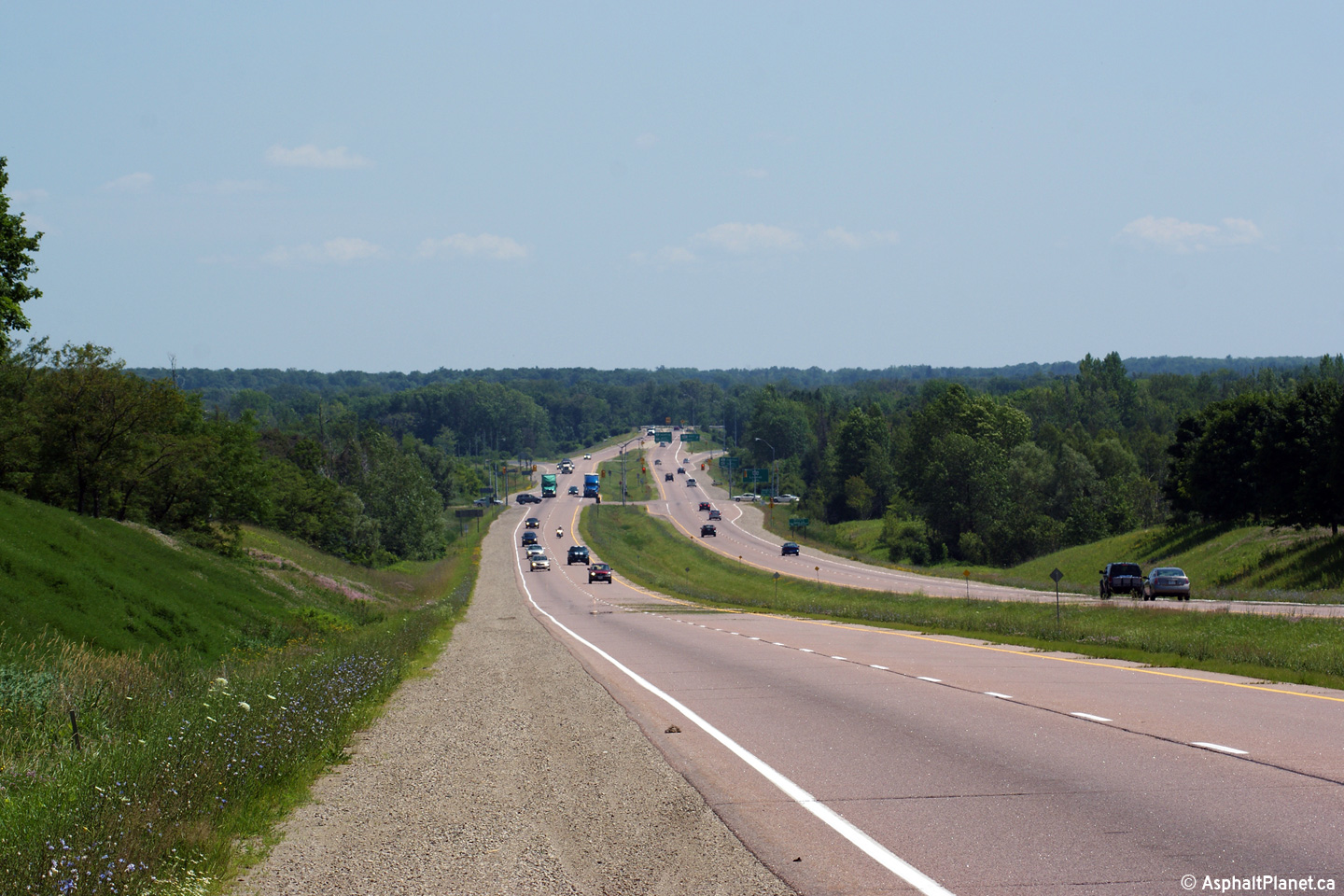
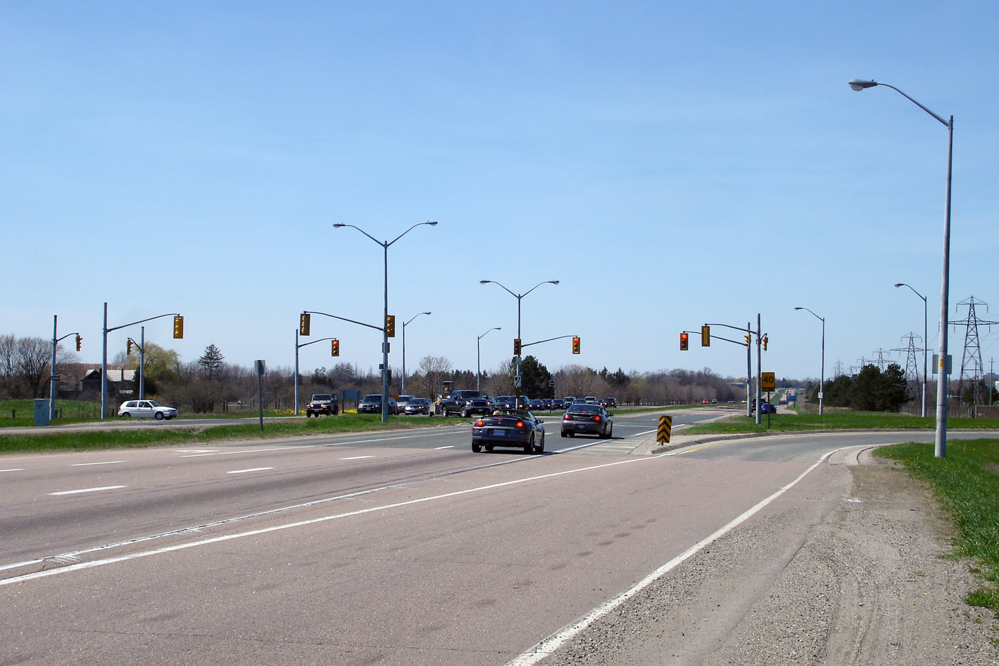
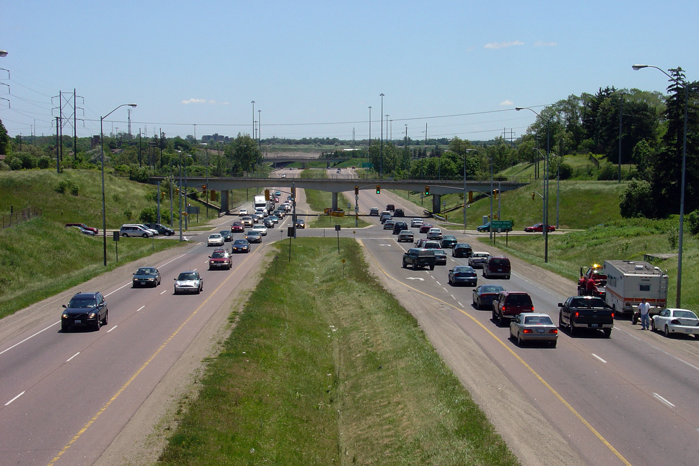
| Township of Puslinch County of Wellington |
Two views looking northerly approaching the Wellington Road 34 intersection.
Now that the Laird Road interchange has been completed to the north, the
signalized intersection at Wellington Road 34 is the only traffic signal for
nearly 10km on Highway 6. Photos taken: July 2nd, 2015. |
 (720x480) (1440x960) (2400x1600) 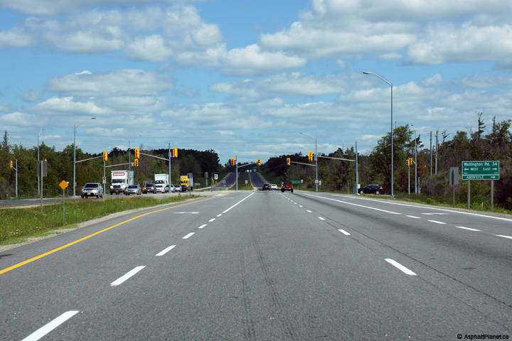 (720x480) (1440x960) (2400x1600) |
||
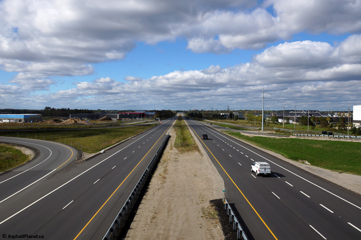
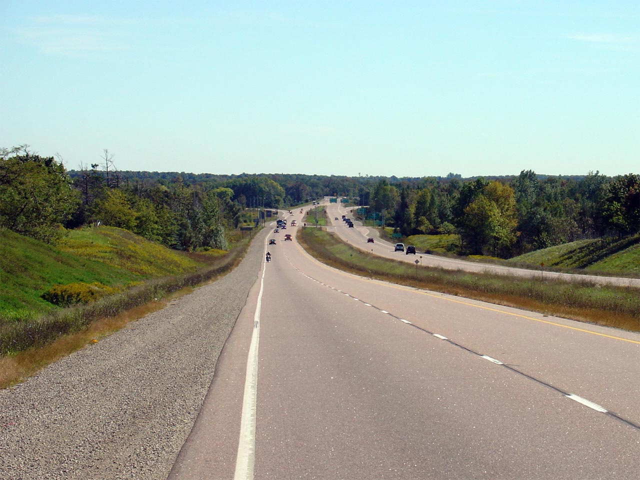
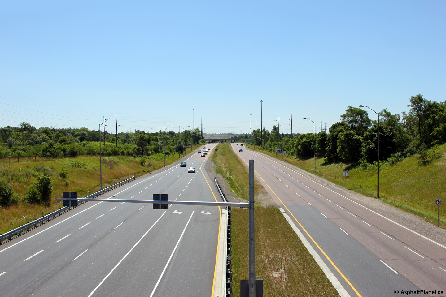
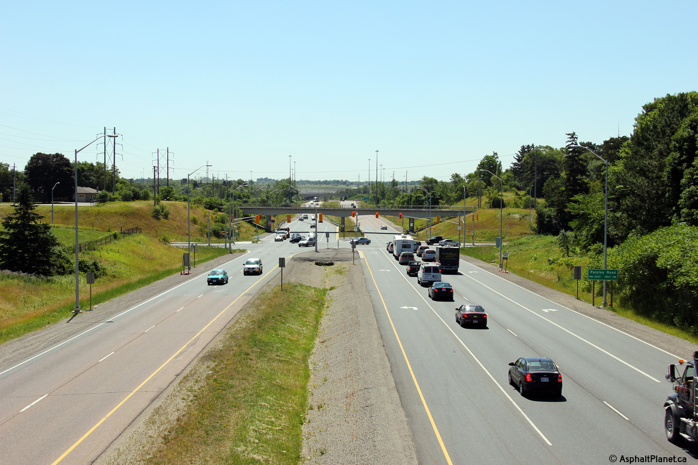
| Township of Puslinch County of Wellington |
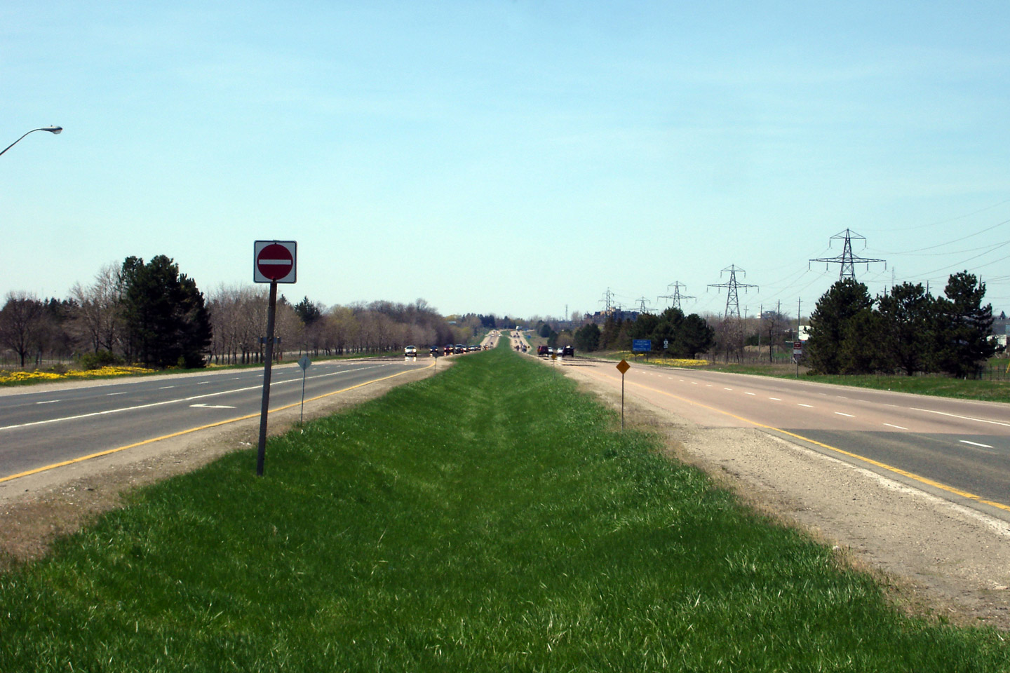
View looking southerly along Highway 6 towards the Wellington Road 34
intersection and the Highway 401 interchange. The divided expressway
that Highway 6 is routed along in Guelph is known locally as the Hanlon
Parkway. Click here for an additional view from this
vantage point taken in September, 2005. Photo taken: July 10th, 2010. |
 (720x480) (1440x960) (2400x1600) |
||
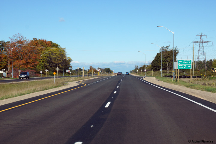
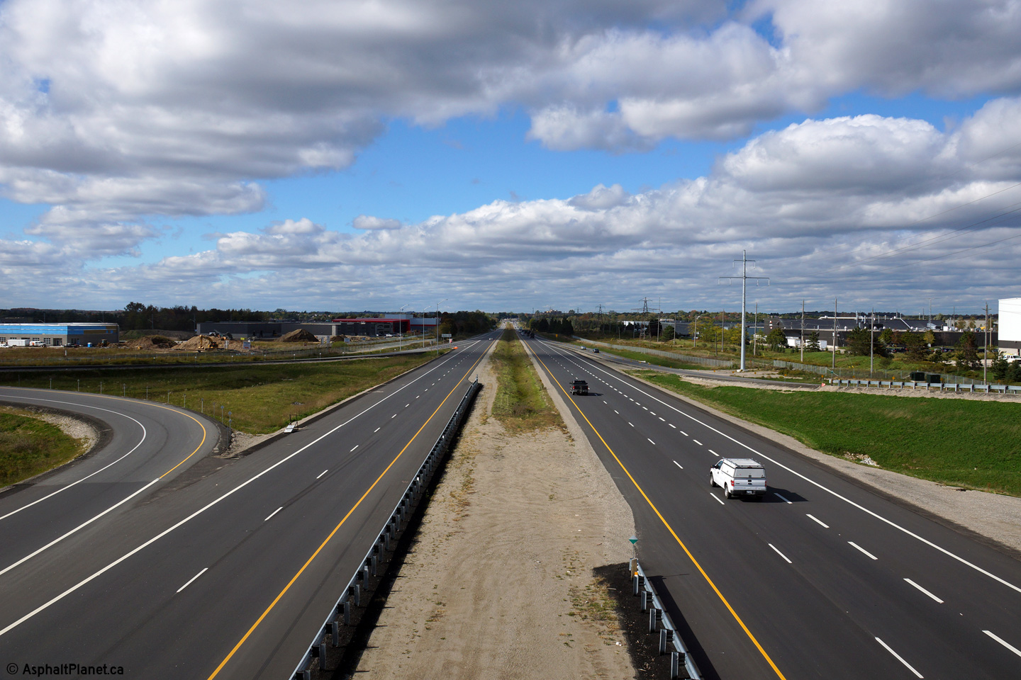
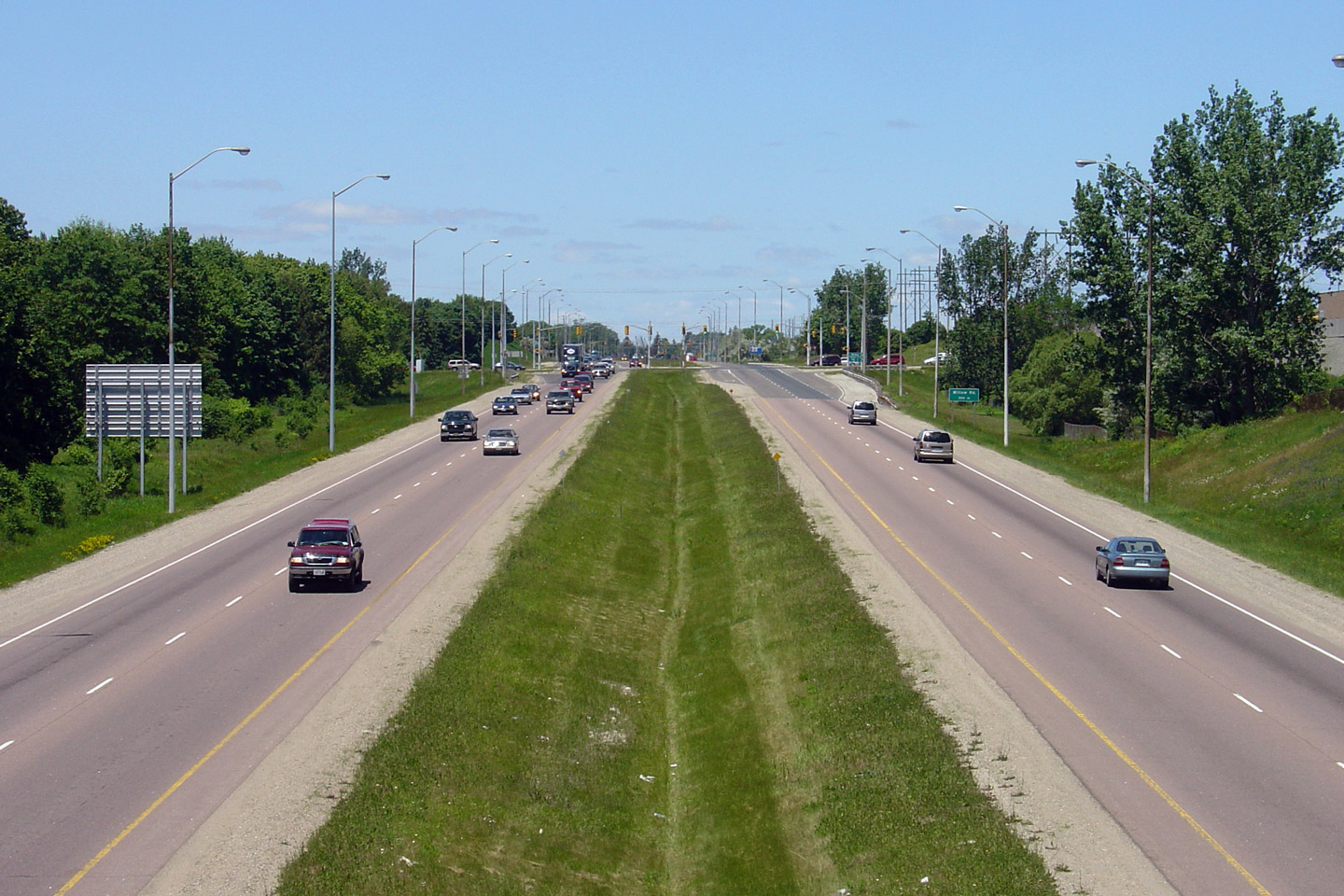
| Township of Puslinch County of Wellington |
Northerly view at the Maltby Road intersection. Maltby Road is located
about halfway between Wellington Road 34 and Laird Road, and is the only
unsignalized intersection along the Hanlon Expressway. Photo taken: October 9th, 2014. |
 (720x480) (1440x960) (2400x1600) |
||
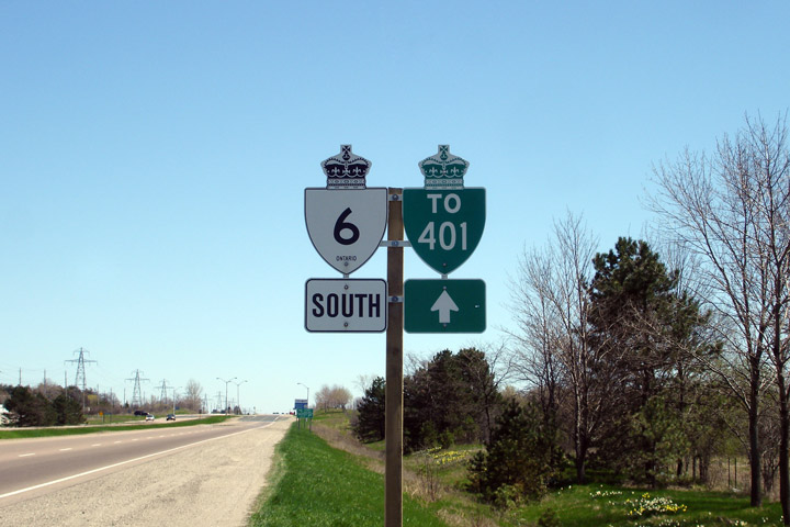
| City of Guelph |
Southbound Reassurance marker for Highway 6 complete with Highway 401
trailblazer. Photo taken: May 6th, 2007. |
 |
||
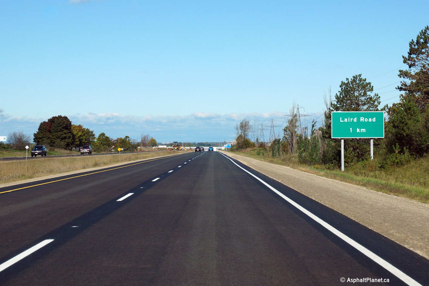
| City of Guelph |
Northbound advanced signage for the Laird Road interchange. Photo taken: October 9th, 2014. |
 (720x480) (720x480)(1440x960) (2400x1600) |
||
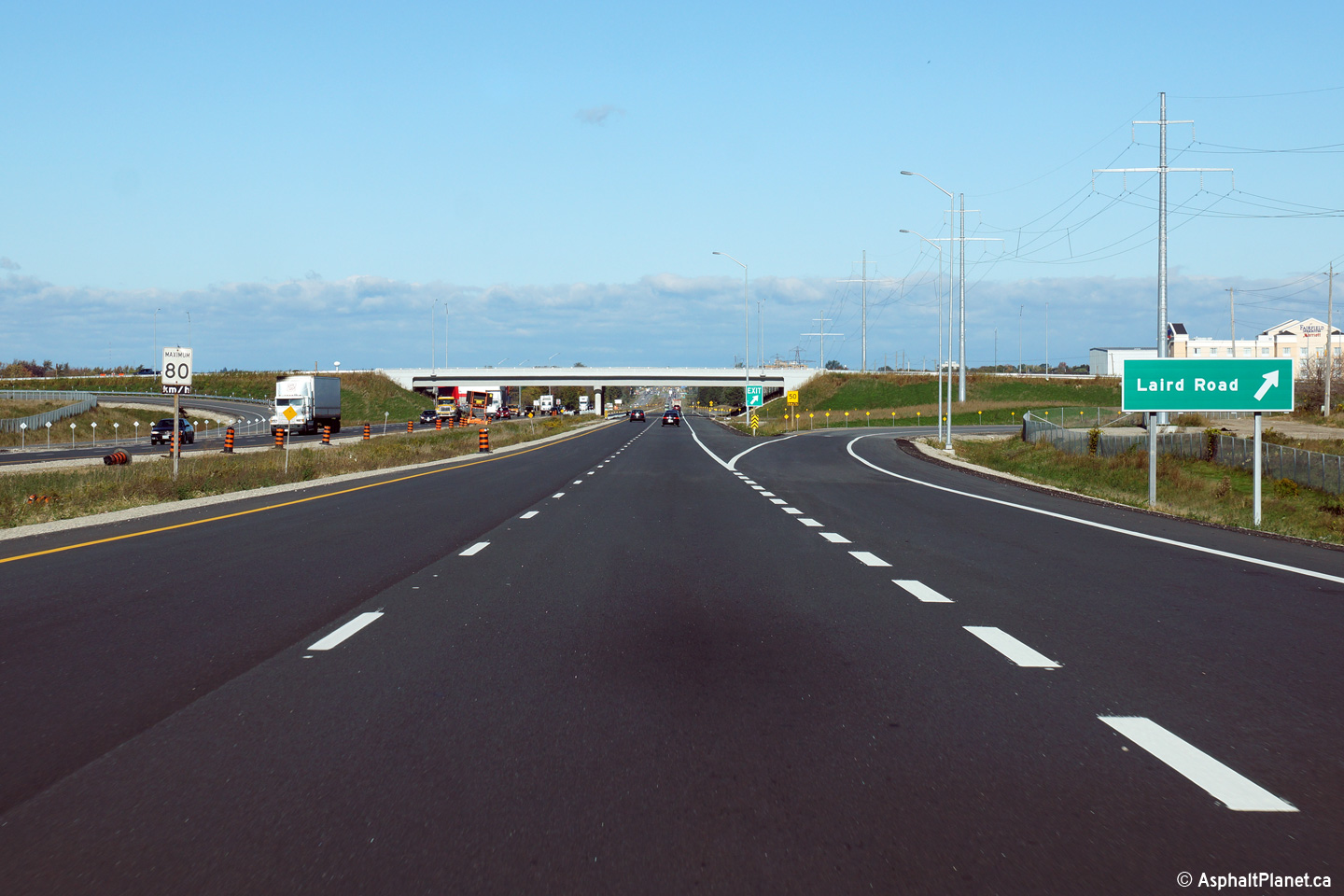
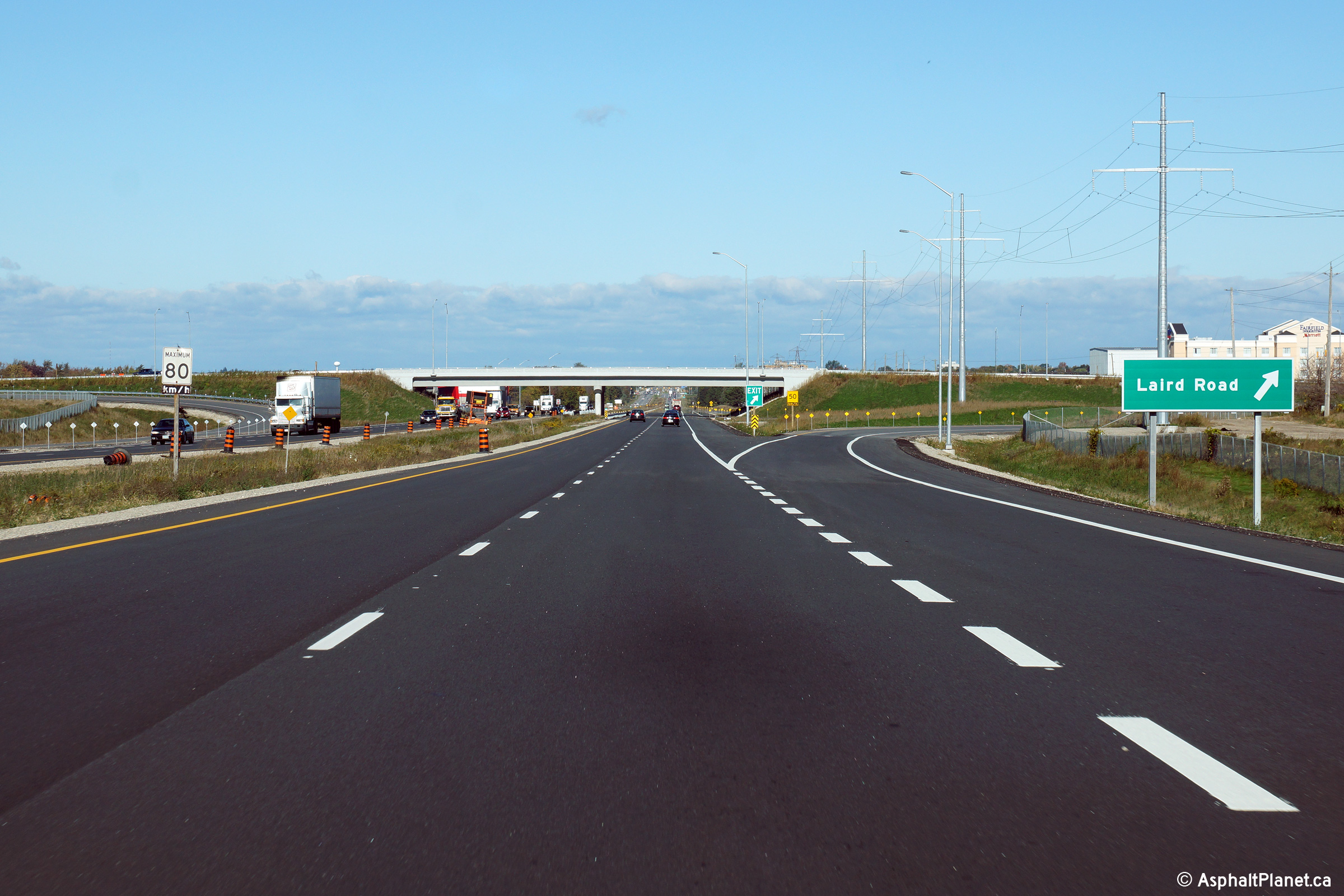
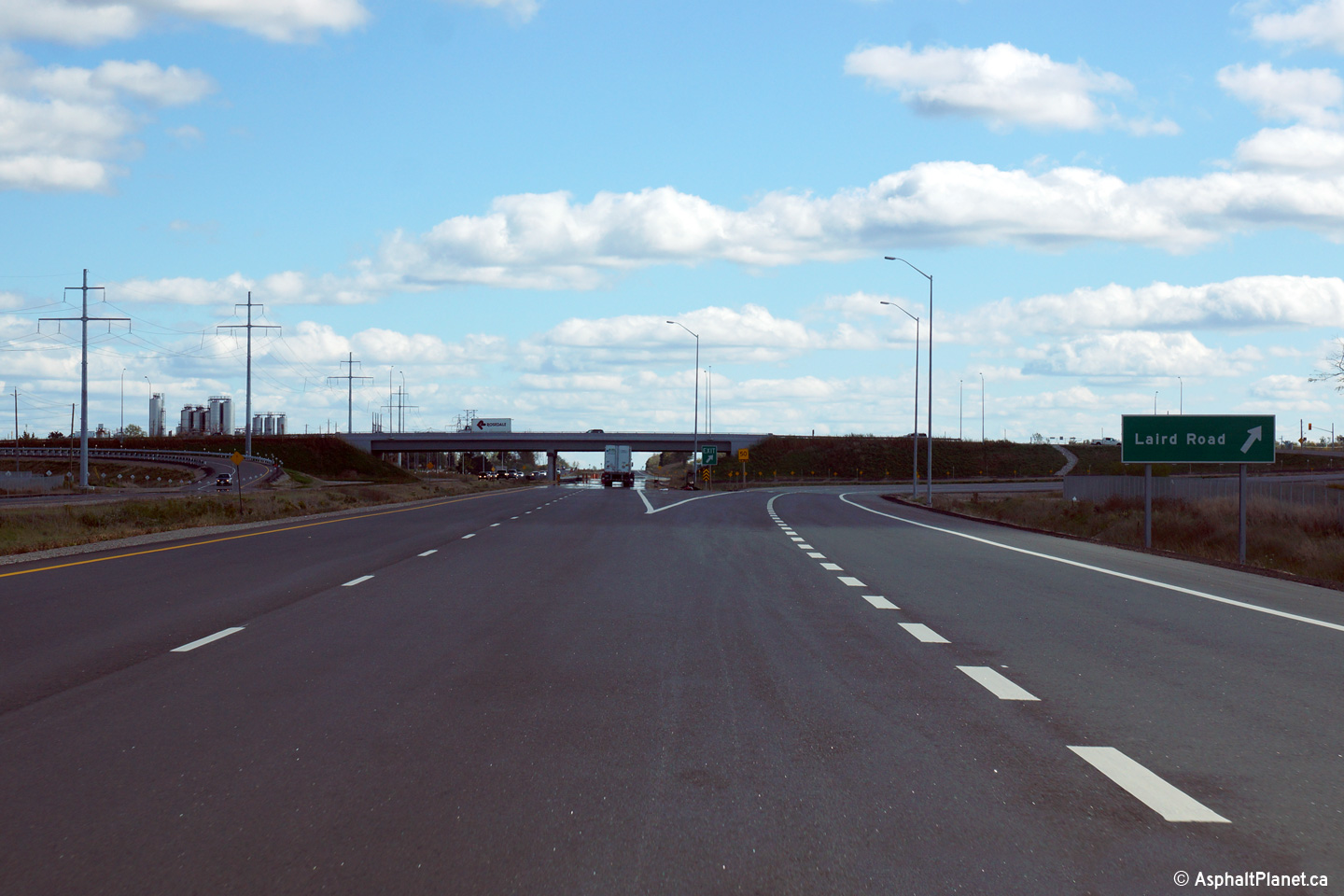
| City of Guelph |
View at the northbound off-ramp to Laird Road. Photo taken: October 9th, 2014. |
 (720x480) (720x480)(1440x960) (2400x1600) |
||
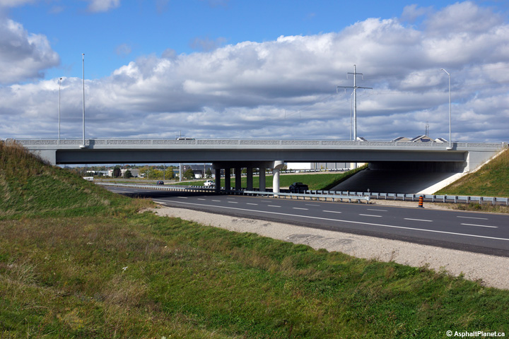
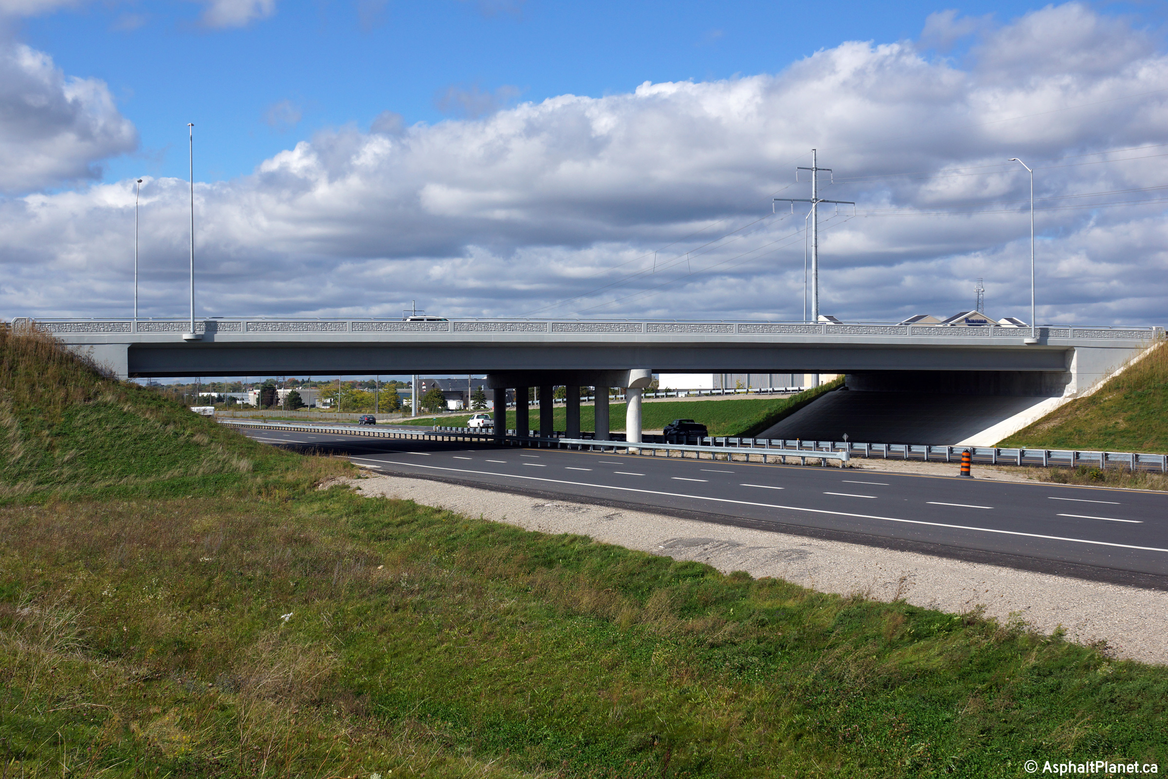
| City of Guelph |
Two northerly views towards the Laird Road. The upper photo shows the
former Laird Road intersection, taken before construction started to replace
the intersection with an interchange, while the lower photo shows the grade
separation that now carries Laird Road overtop of Highway 6. The Laird
Road interchange was completed late in 2013. Click
here for additional photos taken
during the initial construction of the Laird Road interchange. Upper photo taken: May 6th, 2007. Lower photo taken: October 9th, 2014. |
 (720x480) (1440x960) (2400x1600) |
||
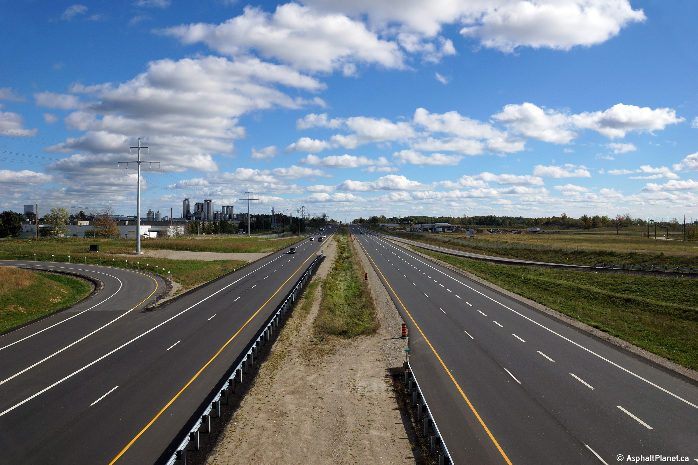
| City of Guelph |
Southerly view along the Hanlon Expressway from Laird Road.
Southwestern Guelph is home to many large industrial buildings, most notably
Sleeman Brewery. The Clair Road intersection, shown in the upper photo
was permanently closed to traffic once construction had been completed on
the Laird Road interchange. Upper photo taken: May 6th, 2007. Lower photo taken: October 9th, 2014. |
 (720x480) (1440x960) (2400x1600) |
||
| City of Guelph |
Northerly view from Laird Road towards Kortright Road. Upper photo taken: May 6th, 2007. Lower photo taken: October 9th, 2014. |
 (720x480) (1440x960) (2400x1600) |
||
| City of Guelph |
Signage at the southbound off-ramp to Laird Road. Unlike the
northbound off-ramp, this off-ramp has two lanes. Photo taken: October 9th, 2014. |
 (720x480) (720x480)(1440x960) (2400x1600) |
||
| City of Guelph |
Southbound advanced signage for the Laird Road interchange. Photo taken: October 9th, 2014. |
 (720x480) (720x480)(1440x960) (2400x1600) |
||
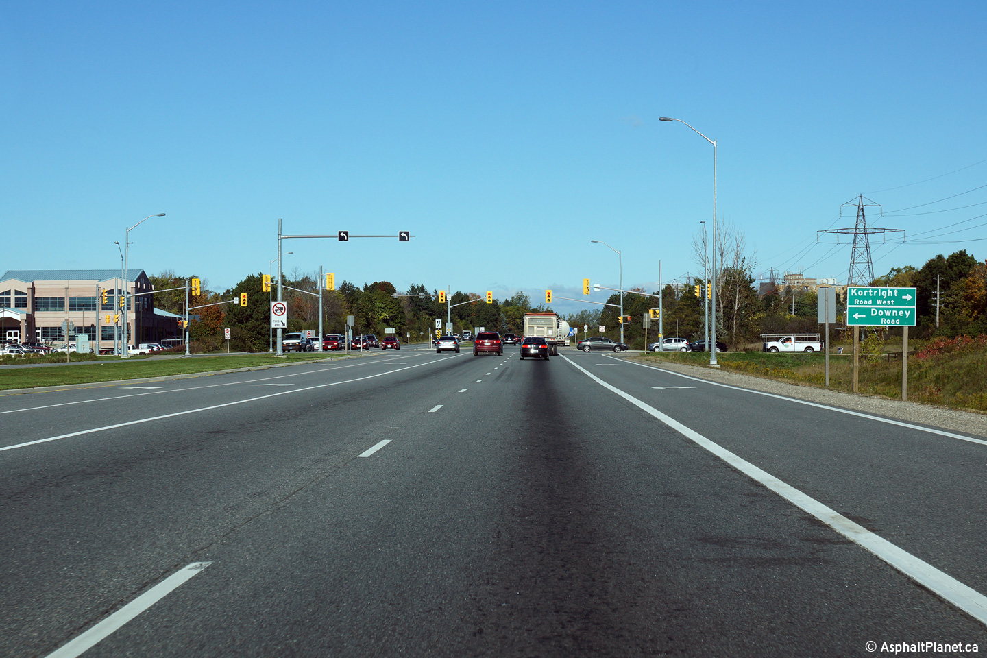
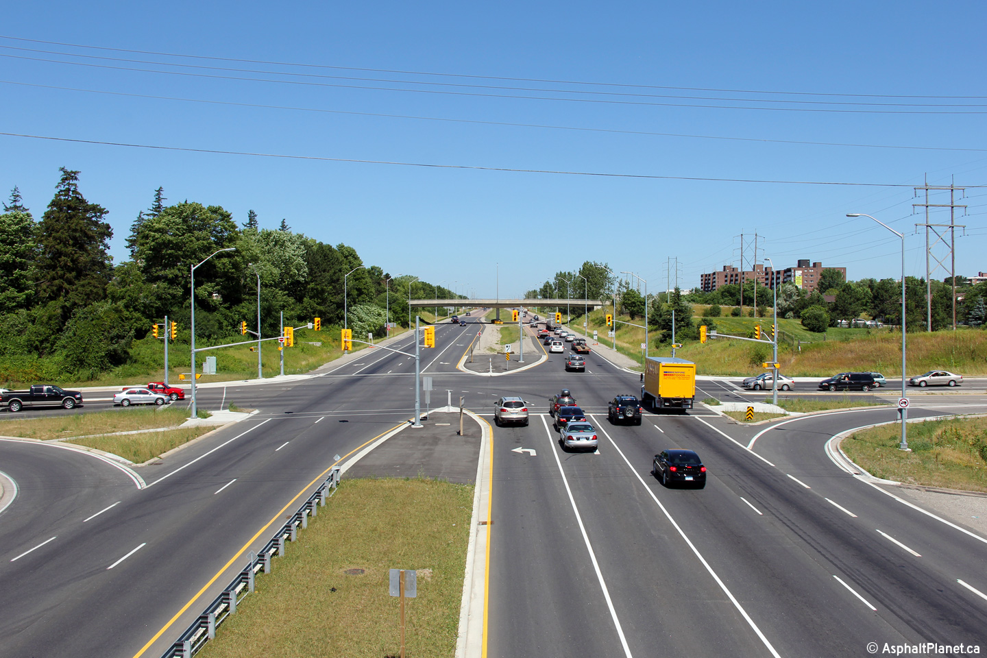
| City of Guelph |
This view looks northerly approaching the Kortright Road intersection.
Intersection improvements including the double left turn lanes at Kortright
Road were constructed as part of a multiyear reconstruction project that
took place in 2009/10. Photo taken: October 9th, 2014. |
 (720x480) (1440x960) (2400x1600) |
||
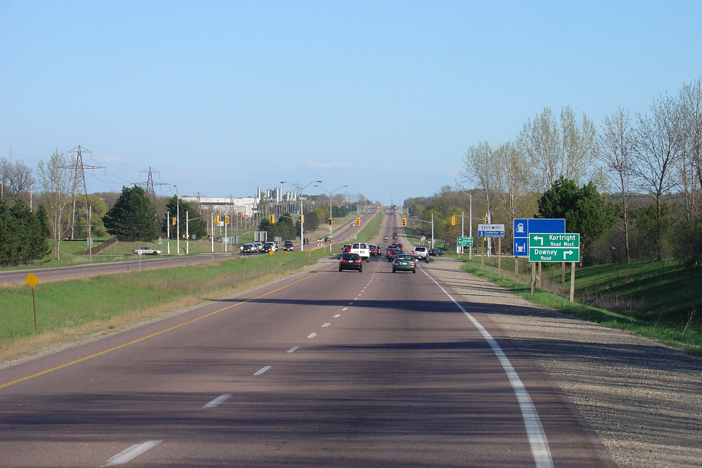
| City of Guelph |
Southerly view towards the Kortright Road intersection. Upper photo taken: May 6th, 2006. Lower photo taken: October 9th, 2014. |
 (720x480) (1440x960) (2400x1600) |
||
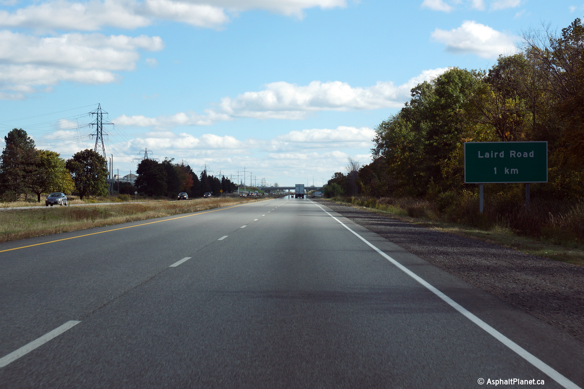
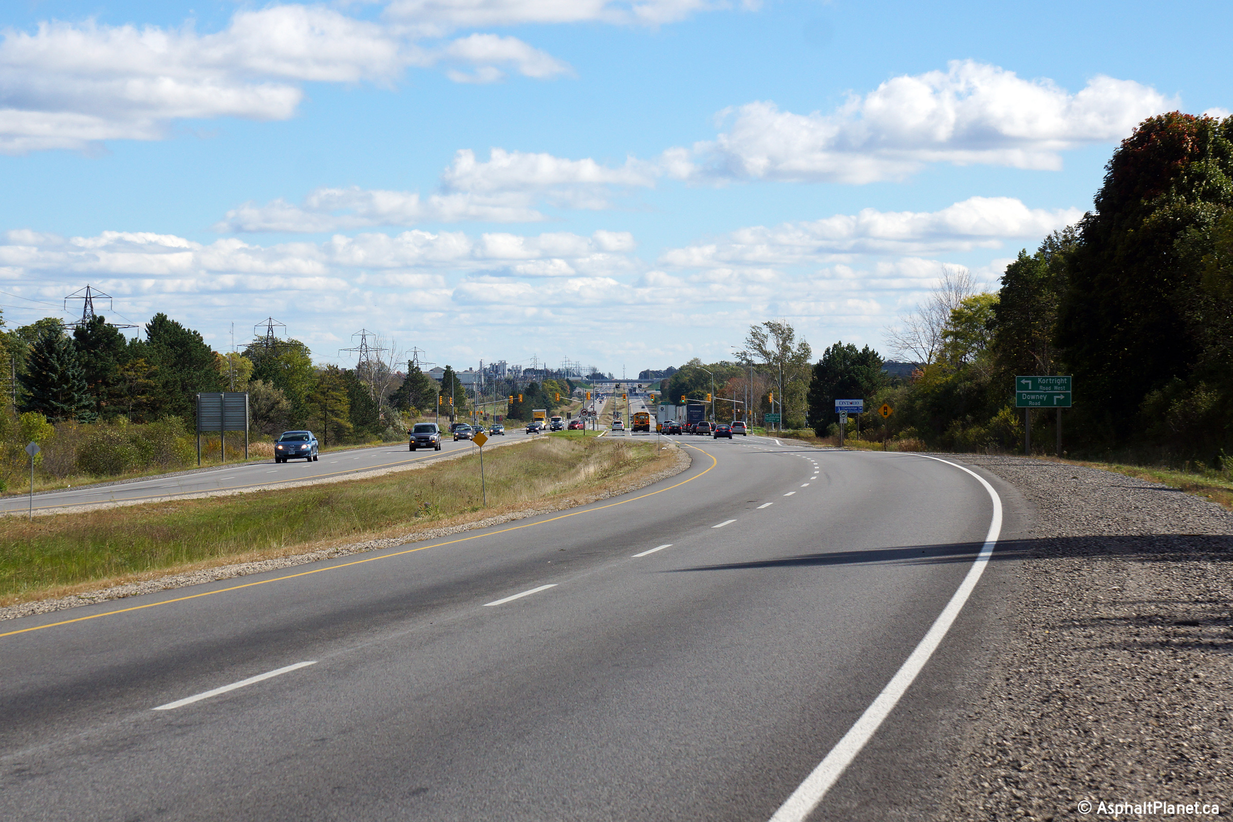
| City of Guelph |
Northerly view approaching the Stone Road intersection. Photo taken: October 9th, 2014. |
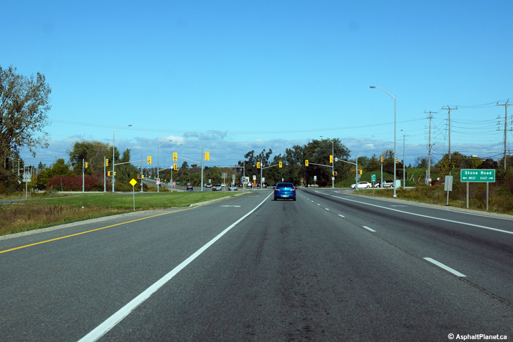 (720x480) (1440x960) (2400x1600) |
||
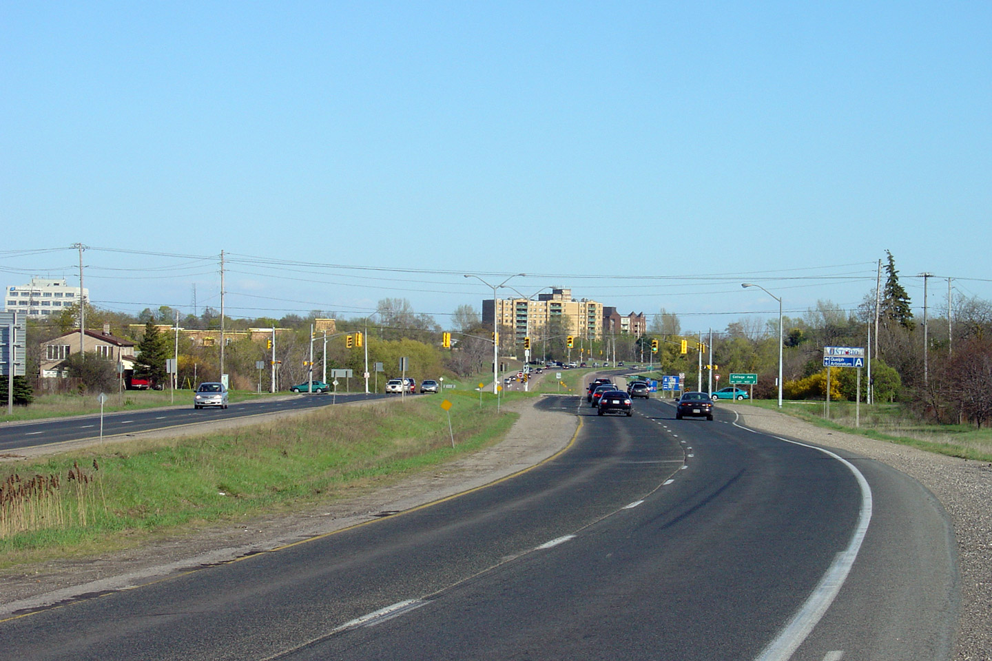
| City of Guelph |
Southerly view towards the College Road intersection. Guelph is much
like Thunder Bay, where the City's principal highway is primarily an at-grade
controlled access expressway. In 2009, the City of Guelph is only
slightly larger than Thunder Bay. Upper photo taken: May 6th, 2006. Lower photo taken: October 9th, 2014. |
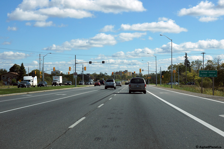 (720x480) (1440x960) (2400x1600) |
||
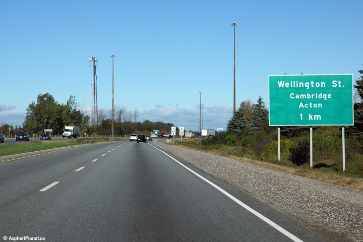
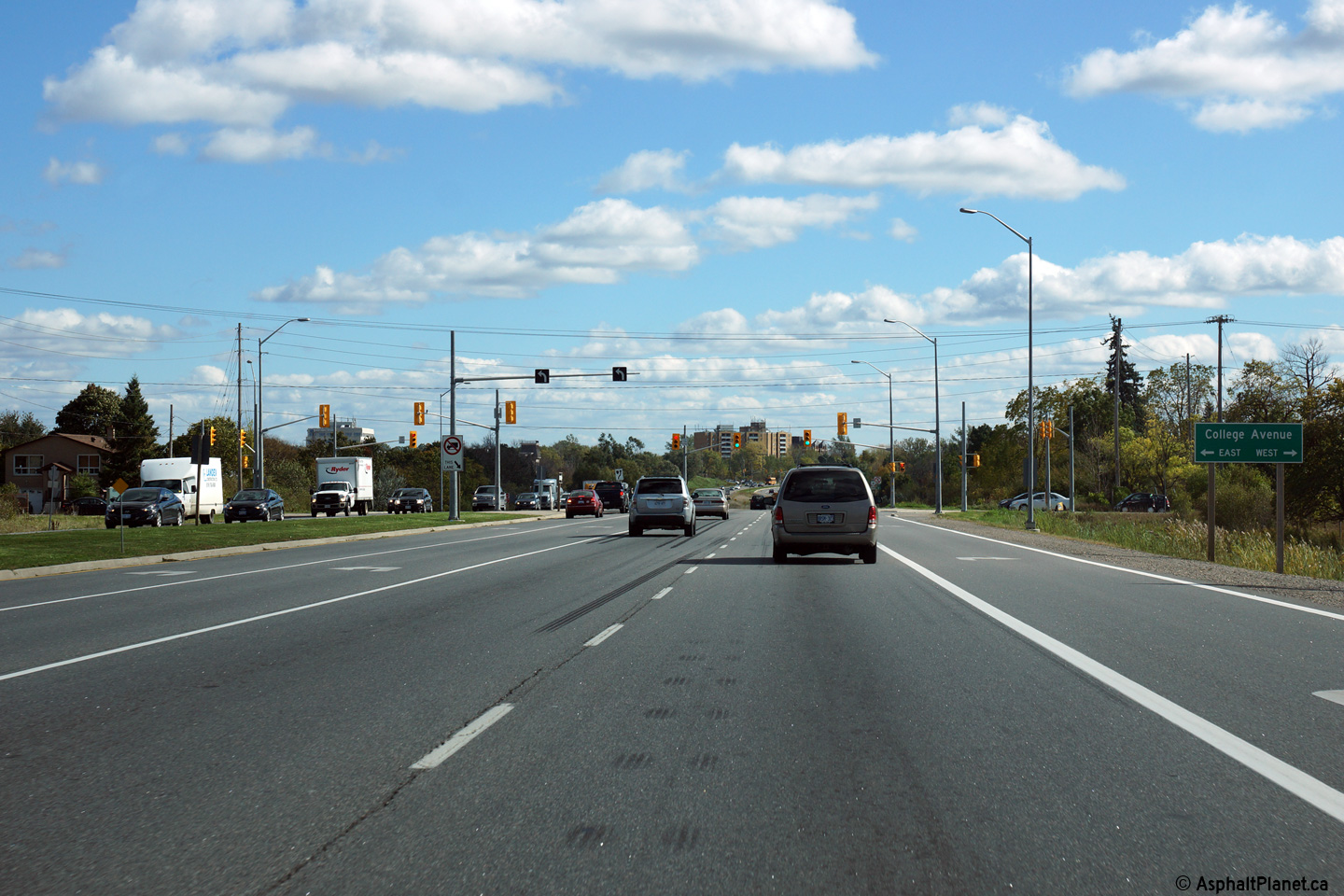
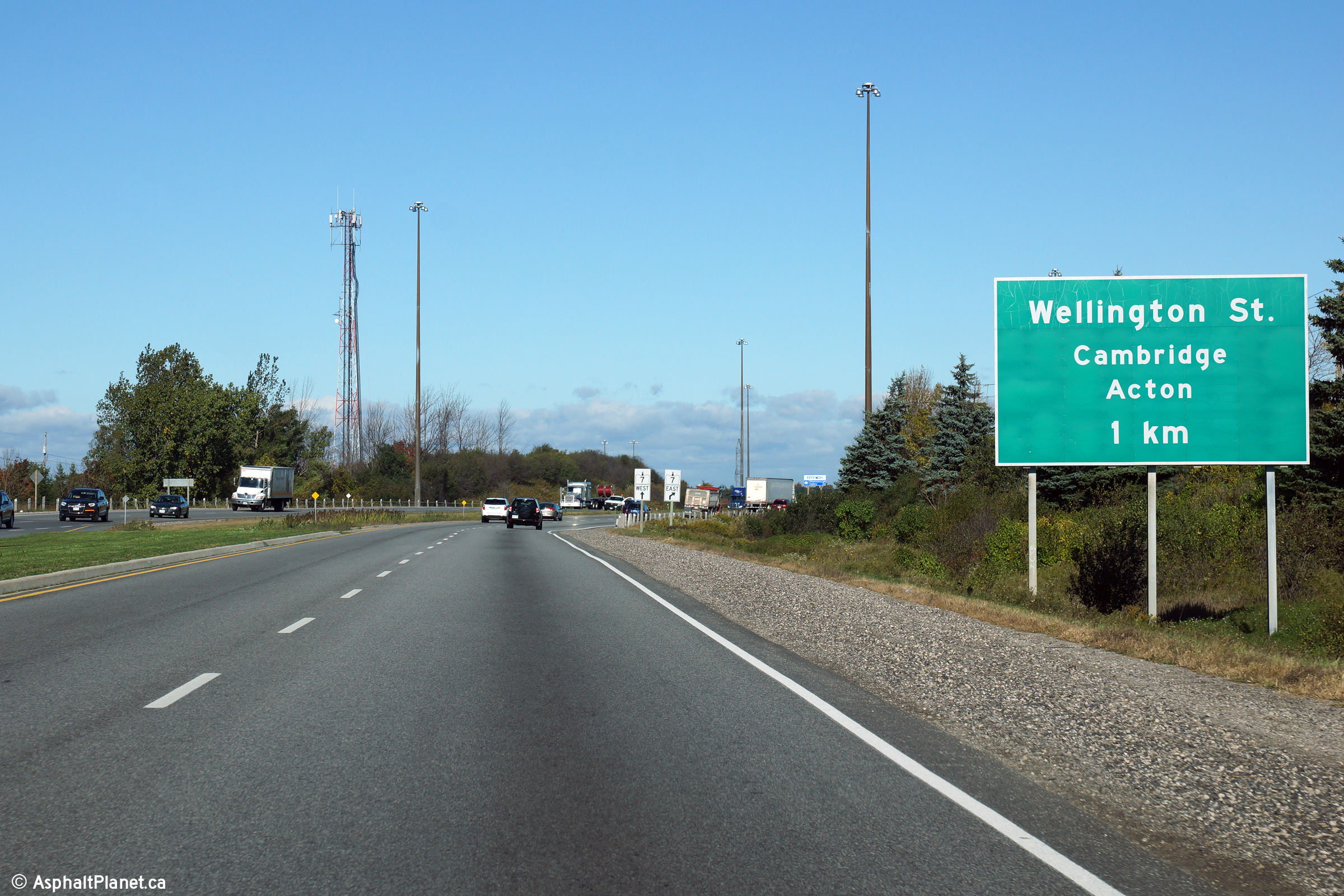
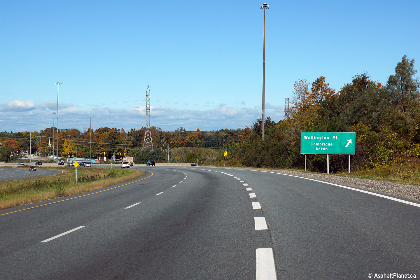
| City of Guelph |
Northbound advanced signage for Wellington Street. It is interesting
that this signage includes Cambridge and Acton as control cities, but fails
to mention that Wellington is the principal route into Downtown from the
Expressway. Photo taken: October 9th, 2014. |
 (720x480) (720x480)(1440x960) (2400x1600) |
||
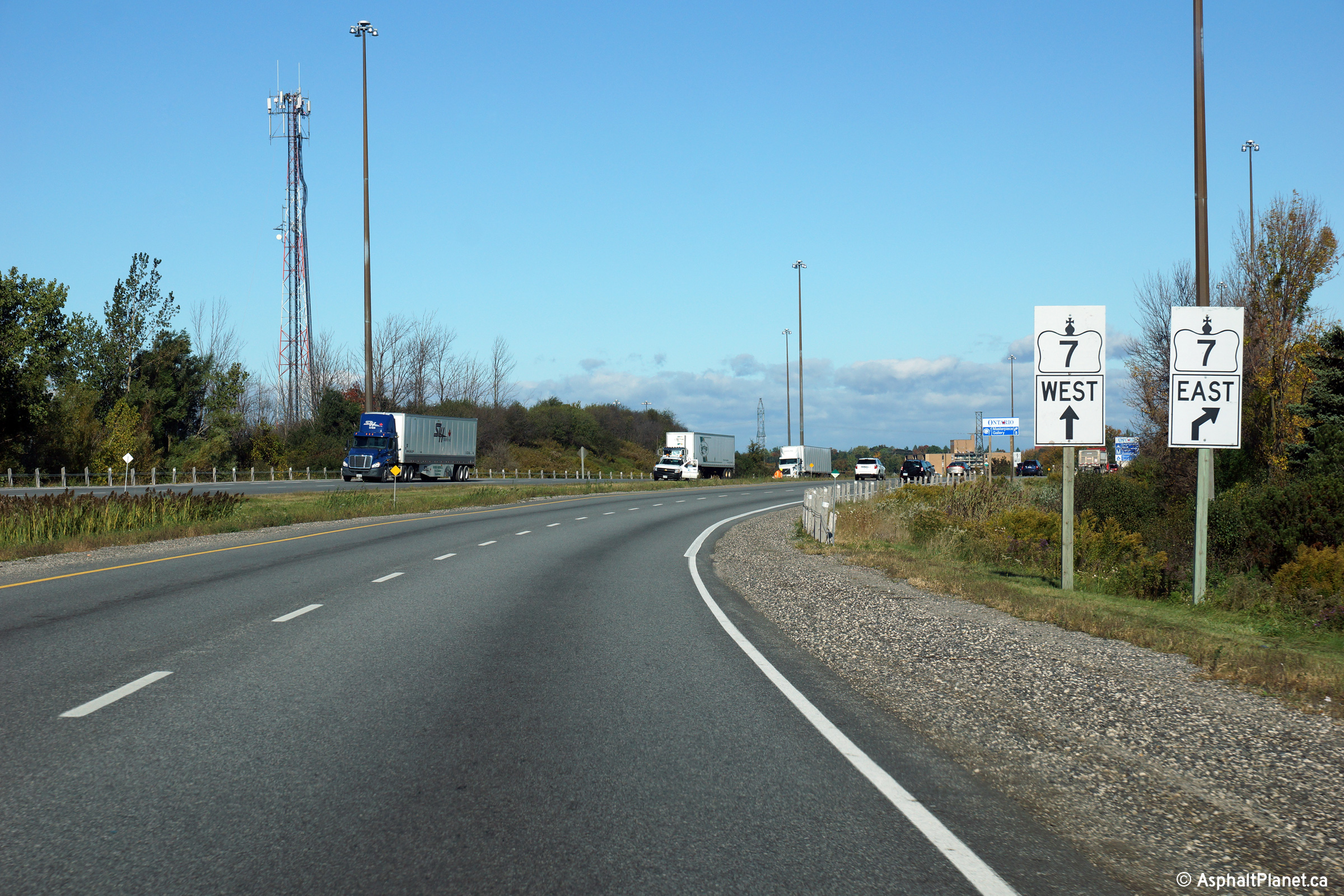
| City of Guelph |
The Green signage for Wellington Street fails to identify the route as
Highway 7-East. A decision was made instead to sign Highway 7 with
oversized squares. According to
Cameron Bevers
the Victoria Street exit from the Parkway in Kitchener was signed quite
similarly until the early 2000s. Photo taken: October 9th, 2014. |
 (720x480) (720x480)(1440x960) (2400x1600) |
||
| City of Guelph |
Final northbound signage for Wellington Street. Although they don't
appear in the photo, there is a second set of oversized markers direction
Highway 7 traffic at this exit as well. Photo taken: October 9th, 2014. |
 (720x480) (720x480)(1440x960) (2400x1600) |
||
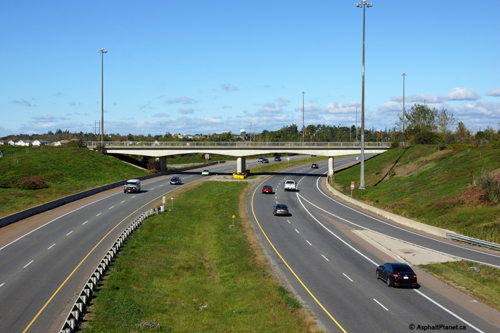
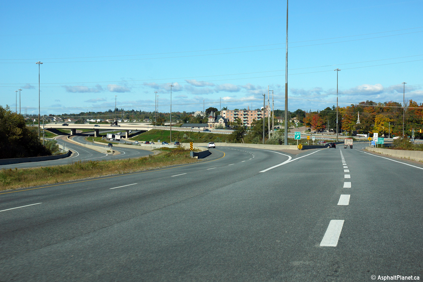
| City of Guelph |
Motorists on Highway 6 must navigate a reversing curve as the highway passes
overtop of the Speed River beyond the off-ramp to Wellington Street. Photo taken: October 9th, 2014. |
 (720x480) (720x480)(1440x960) (2400x1600) |
||
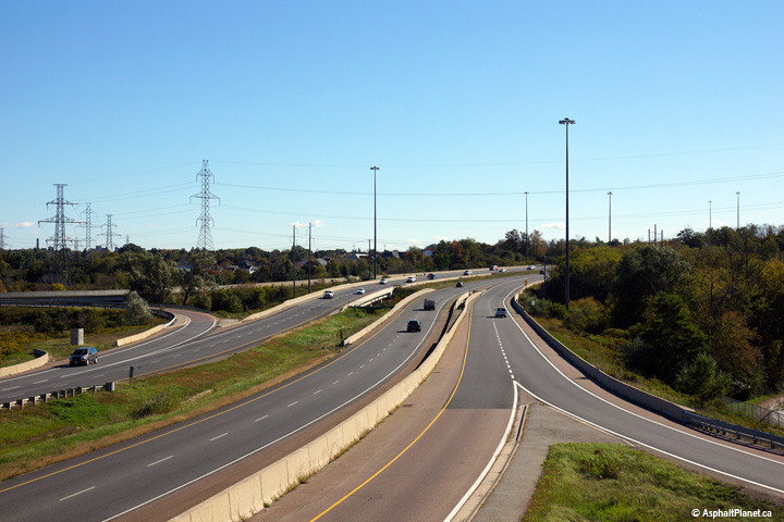
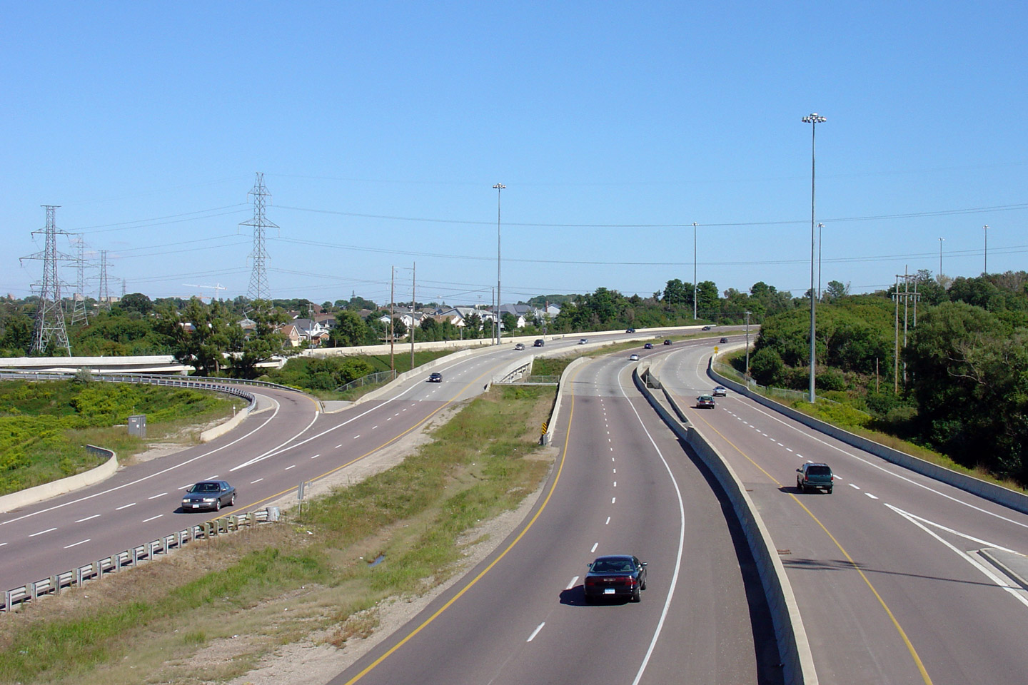
| City of Guelph |
This view looks southerly from Wellington Street to Highway 6 as it passes
overtop of the Speed River. The Wellington Street interchange that was
completed in 2000 was built straddling the Speed River. Click
here for an additional view from this
vantage point taken in September, 2005. Photo taken: October 9th, 2014. |
 (720x480) (1440x960) (2400x1600) |
||
| Guelph's Wellington Street is Highway 7-East, and was Highway 24. Click here for Highway 7-East images. and here for Highway 24 images. | ||||
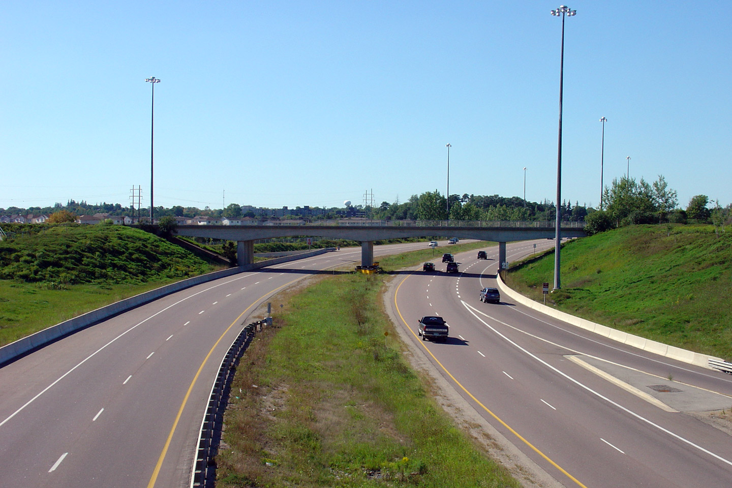
| City of Guelph |
View looking northerly from the Wellington Street overpass in Guelph. Click
here for an additional view from this
vantage point taken in September, 2005. Photo taken: October 9th, 2014. |
 (720x480) (1440x960) (2400x1600) |
||
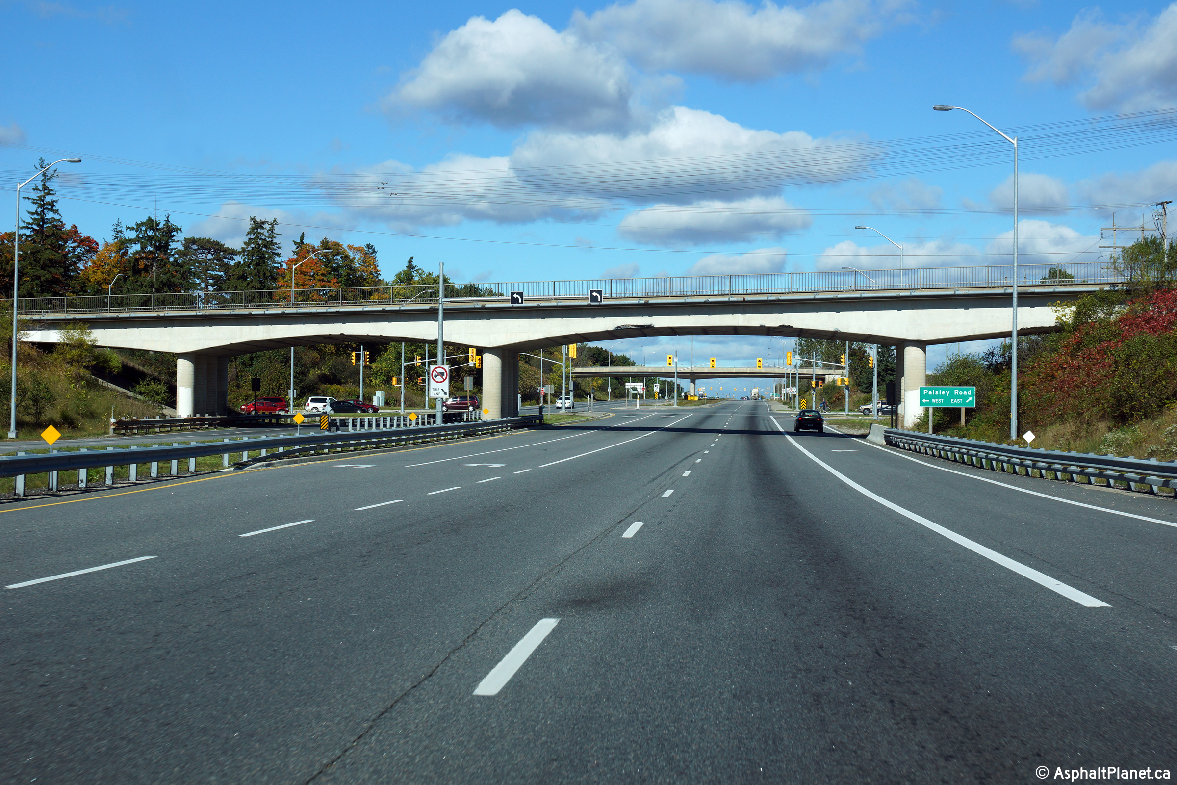
| City of Guelph |
View looking northerly approaching the Paisley Road intersection through the
GEXR (Goderich and Exeter Railway) overpass. Photo taken: October 9th, 2014. |
 (720x480) (1440x960) (2400x1600) |
||
| City of Guelph |
View looking southerly from the GEXR overpass located immediately to the
north of the Paisley Road intersection. Upper photo taken: June 10th, 2006. Lower photo taken: July 15th, 2011. |
 (720x480) (1440x960) (2400x1600) |
||
| City of Guelph |
Looking northerly at the Paisley Road intersection Upper photo taken: June 10th, 2006. Lower photo taken: July 15th, 2011. |
 (720x480) (1440x960) (2400x1600) |
||
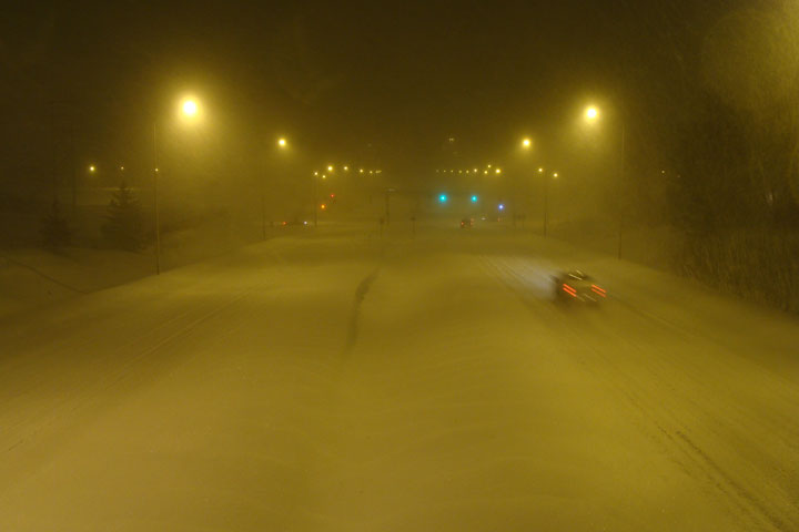
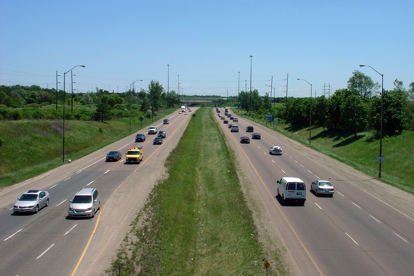
| City of Guelph |
Two views looking southerly from the Westwood Road overpass in Guelph.
The comparison of a pleasant summer day versus a miserable wintery night
emphasizes the different driving environments that Northerner's must endure
from season to season. Upper photo taken: June 10th, 2006. Middle photo taken: March 8th, 2008. Lower photo taken: July 15th, 2011. |
 (720x480) (1440x960) (2400x1600) |
||
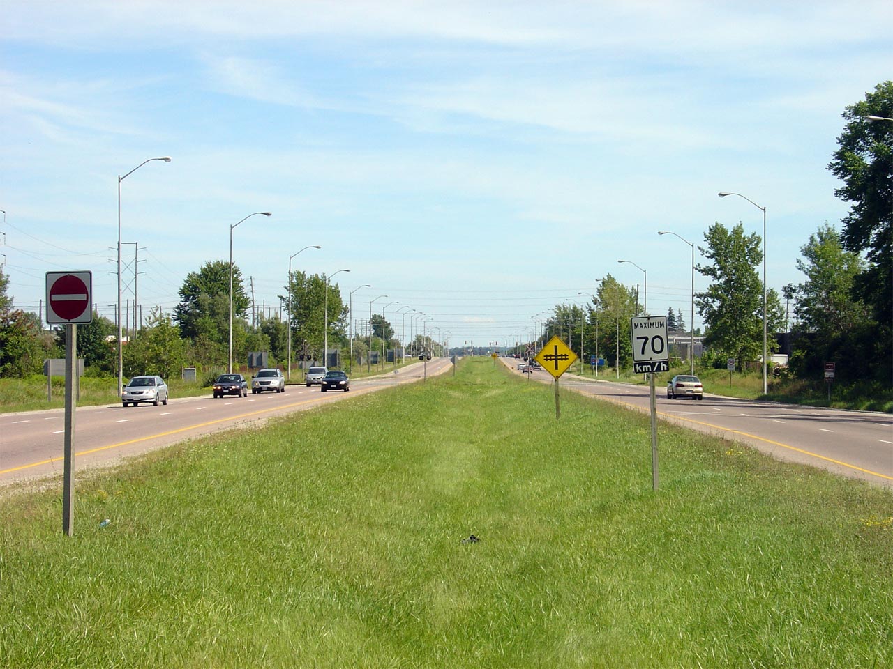
| City of Guelph |
Northerly view from Westwood Road. Westwood Road is a local collector
road, and was the only grade separation to be constructed when the Hanlon
Expressway was opened in the early 1970s. Photo taken: June 10th, 2006. |
 (720x480) (1440x960) |
||
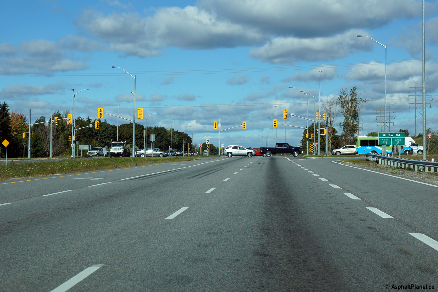
| City of Guelph |
Northerly view approaching the Willow Road intersection. Photo taken: October 9th, 2014. |
 (720x480) (1440x960) (2400x1600) |
||
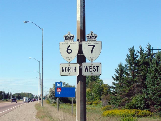
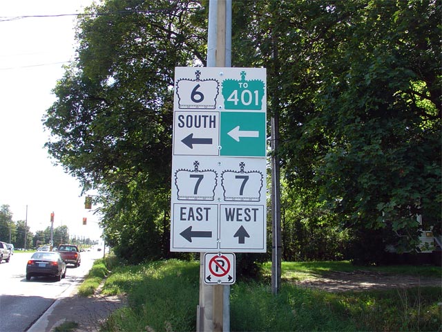
| City of Guelph |
Old school signage along the Hanlon for Highways 6 and 7. This sign
was updated was replaced with a new school assembly during a 2006 resigning
contract. Photo taken: September 24th, 2005. |
 |
||
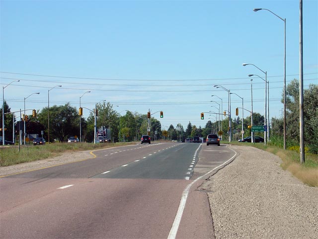
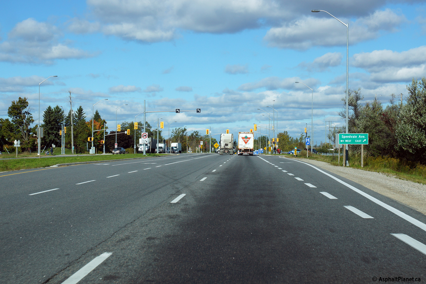
| City of Guelph |
The southern approach to the Speedvale Ave intersection along the Hanlon
Parkway. Upper photo taken: September 24th, 2005. Lower photo taken: October 9th, 2014. |
 (720x480) (1440x960) (2400x1600) |
||
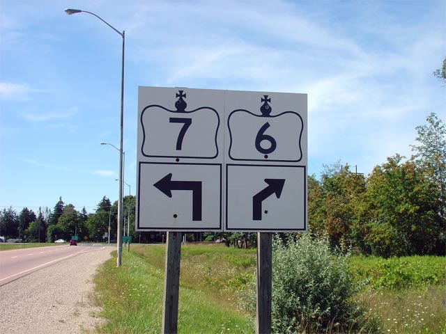
| City of Guelph |
Oversized junction signs at the north end of the Hanlon. At this
junction Highway 7 leads west towards Kitchener, while Highway 6 continues
east, before turning north once again towards Fergus. Photo taken: August 13th, 2006. |
 |
||
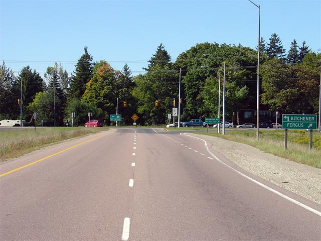
| City of Guelph |
View looking northerly towards the Woodlawn Road intersection at the north
end of the Hanlon Parkway. The new Highway 7 freeway between Kitchener
and Guelph will tie into the Hanlon at this location. Photo taken: September 24th, 2005. |
 (720x480) (1440x960) |
||
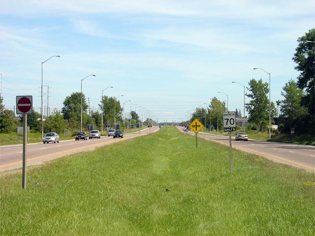
| City of Guelph |
Looking south along Highway 6/7 from the Woodlawn Road intersection.
Notice the divided highway crosses two railway spurs at-grade. These
little used railways service several industrial buildings. Photo taken: August 13th, 2006. |
 (720x480) (1440x960) |
||
| Highway 7-West: Highway 7 continues west of Guelph to Kitchener and eventually to Elginfield. Click here for Highway 7 images. | ||||
| City of Guelph |
Signage along Woodlawn Road at the north end of the Hanlon Parkway for the
northern Highway 6/7 junction. Traffic bound south along Highway 6 or
east along Highway 7 must turn left to follow the Hanlon, while traffic
destined to Kitchener continues straight ahead along Woodlawn Road. Photo taken: August 13th, 2006. |
 |
||
<- Page 2A Images Highway 6 Images Index Page 2C Images ->
<- Highway 5 Images Back to Highway 6 Highway 7 Images ->
Copyright (c) 2004-2016, AsphaltPlanet.ca AsphaltPlanet@asphaltplanet.ca


