King's Highway 7 - Images
<- Page 1D Page 2A - Guelph to Brampton Page 2B->
Photos shown in this table are arranged from North to South:
| Proper Municipality Name | Photo Description |
Photo |
|
|
Pictures taken from driver's perspective appear offset from centre-line pictures: |
South- Bound |
North- bound |
|
| Continued from New Hamburg to Guelph Images | |||
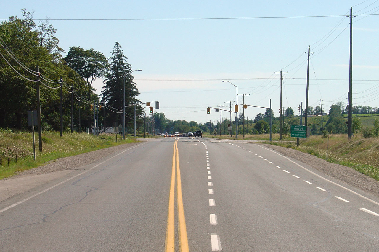
| Township of Guelph - Eramosa County of Wellington |
View looking westerly towards the Wellington
Road 29 intersection. Photo taken: August 13th, 2006. |
 |
|
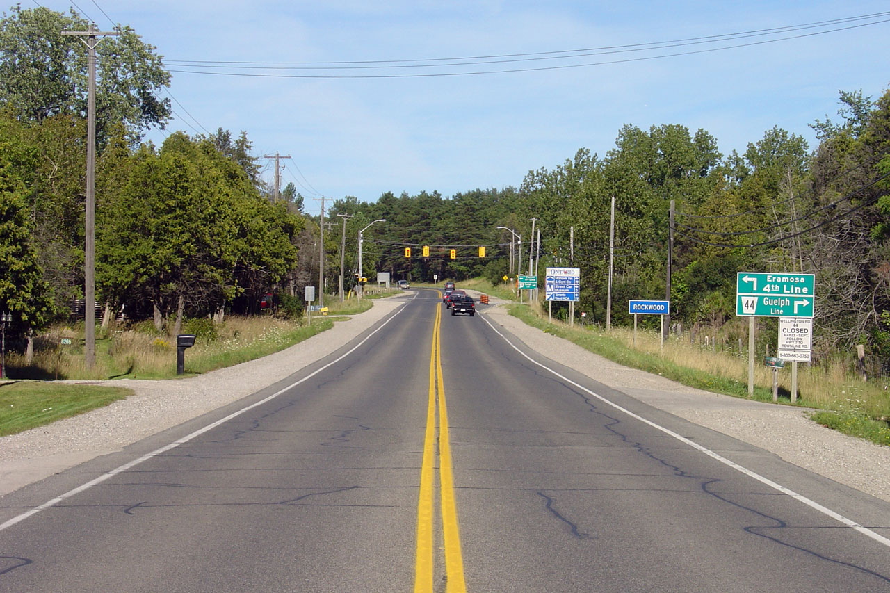
| Township of Guelph - Eramosa County of Wellington |
The traffic signals for Wellington Road 44 are mounted on temporary signal
wires. Photo taken: August 13th, 2006. |
 |
|
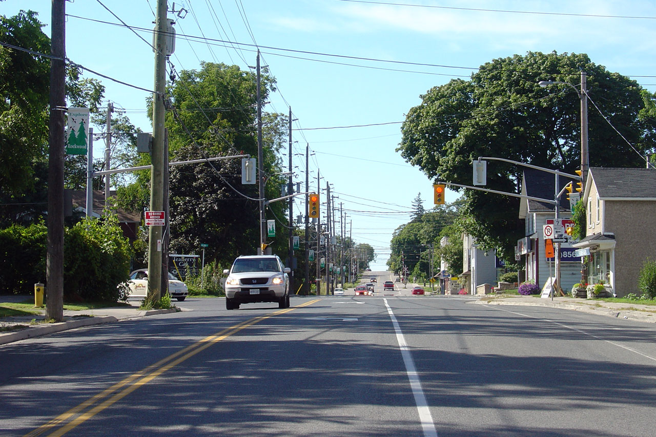
| Township of Guelph - Eramosa County of Wellington |
View looking east from the Guelph Street intersection in Rockwood. Photo taken: August 13th, 2006. |
 |
|
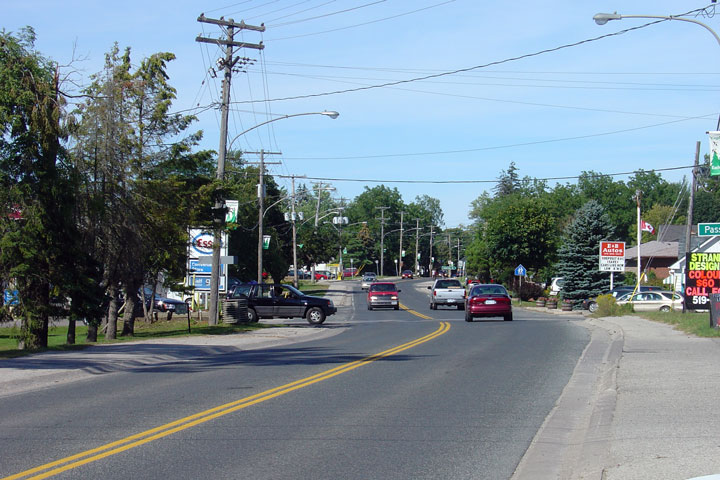
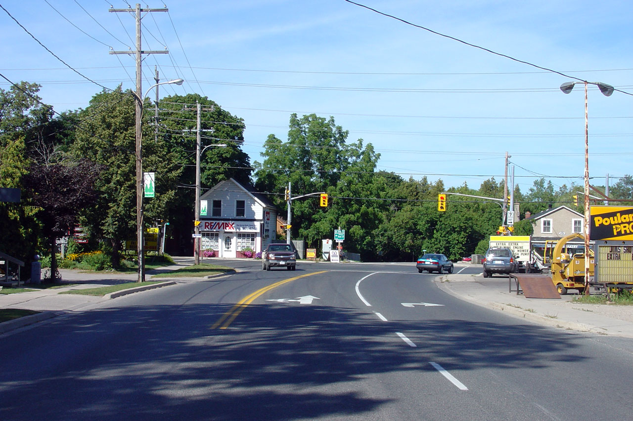
| Township of Guelph - Eramosa County of Wellington |
Another easterly view of Highway 7 through Rockwood. Highway 7 turns
to the right at the traffic signals pictured. Photo taken: August 13th, 2006. |
 |
|
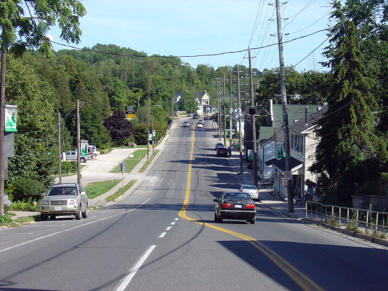
| Township of Guelph - Eramosa County of Wellington |
The main intersection in Rockwood. Highway 7 turns left at this
intersection. Straight ahead, Highway 24 is a short distance north of
Rockwood. Photo taken: August 13th, 2006. |
 |
|
| Town of Halton Hills Regional Municipality of Halton |
View looking easterly from the Wellington Road
27 intersection. Photo taken: August 13th, 2006. |
 |
|
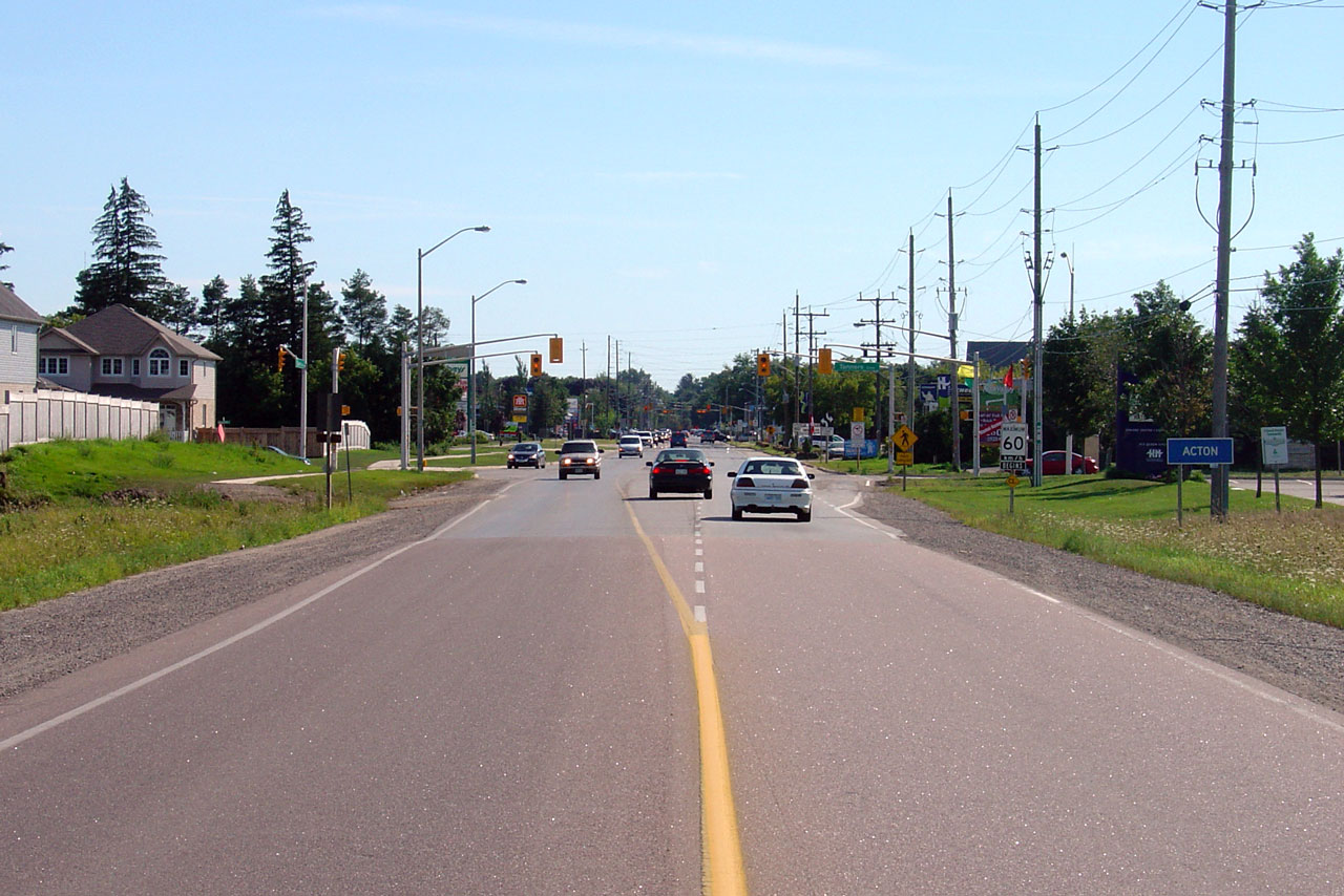
| Town of Halton Hills Regional Municipality of Halton |
View looking westerly towards Acton. Photo taken: August 13th, 2006. |
 |
|
| Town of Halton Hills Regional Municipality of Halton |
View looking east towards the Trafalgar Road
north intersection along Highway 7. Photo taken: August 13th, 2006. |
 |
|
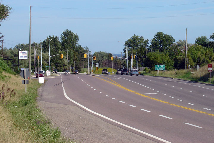
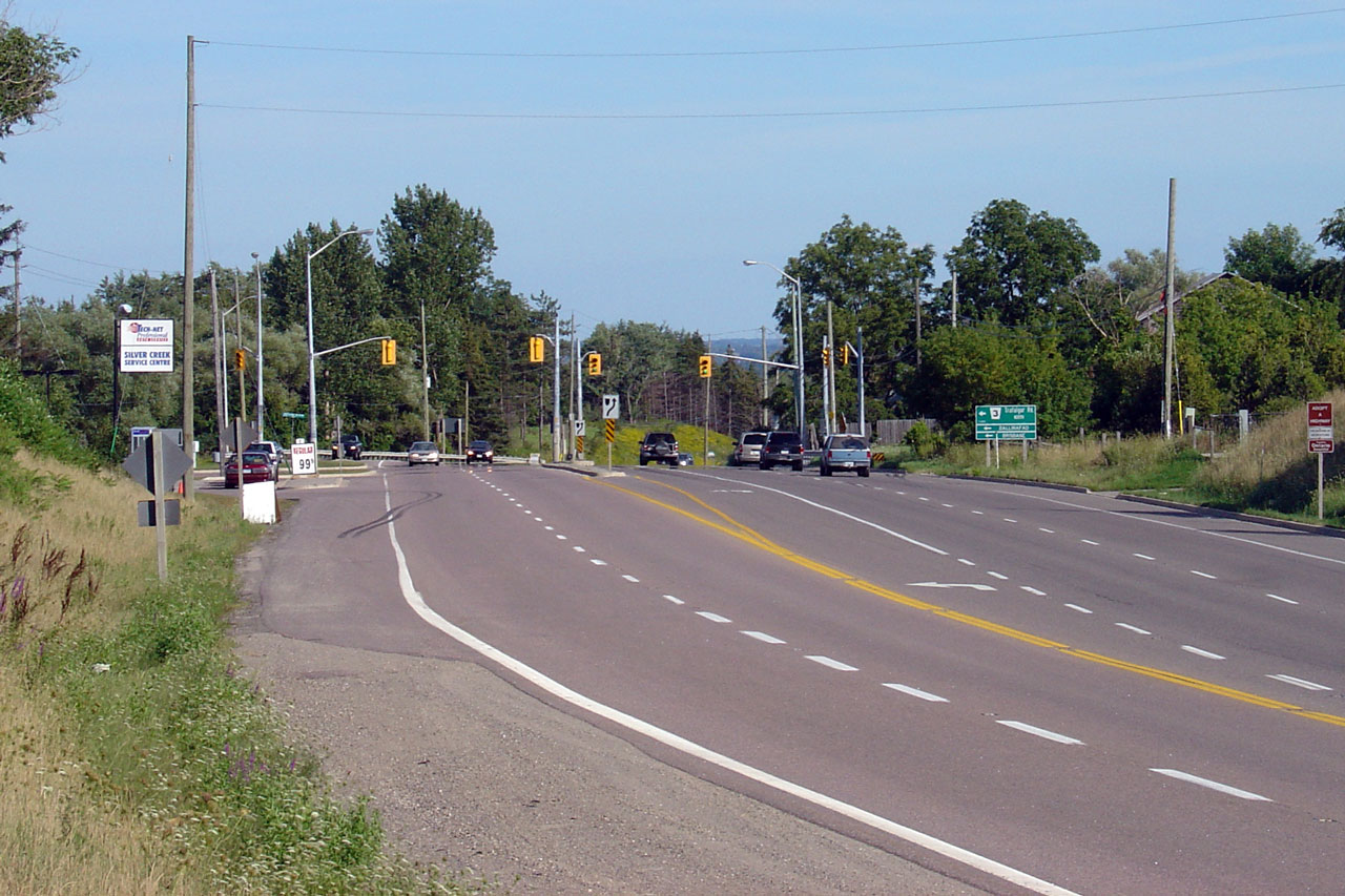
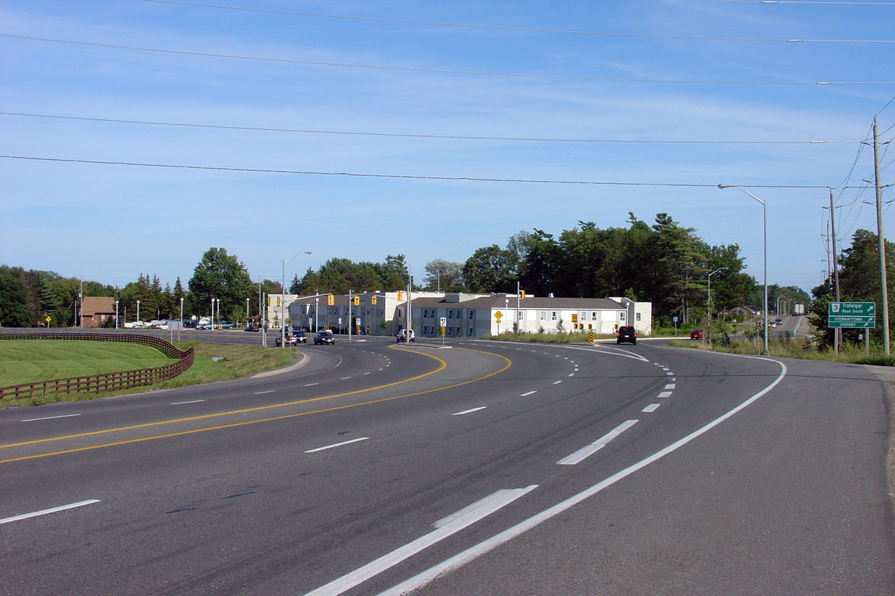
| Town of Halton Hills Regional Municipality of Halton |
Highway 7 is an impressive 4.5 lane cross-section between the Trafalgar Road
junctions. Photo taken: August 13th, 2006. |
 |
|
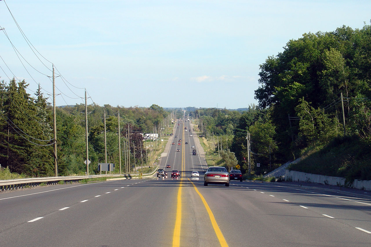
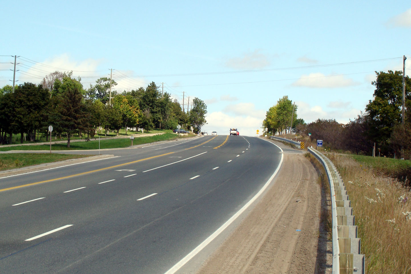
| Town of Halton Hills Regional Municipality of Halton |
Looking east towards Trafalgar Road-South.
Trafalgar Road is an excellent facility for its entire length. Photo taken: August 13th, 2006. |
 |
|
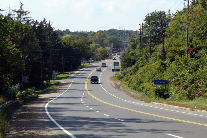
| City of
Brampton Regional Municipality of Peel |
View looking westerly through
Norval. Since downloading, Norval is the eastern terminus of the
eastern segment of Highway 7. (Ten years later, downloading is still
confusing!) Photo taken: September 2008. |
 |
|
| City of
Brampton Regional Municipality of Peel |
Easterly view from Norval
towards Brampton. The Credit River Valley is surprisingly steep. Photo taken: September 2008. |
 |
|
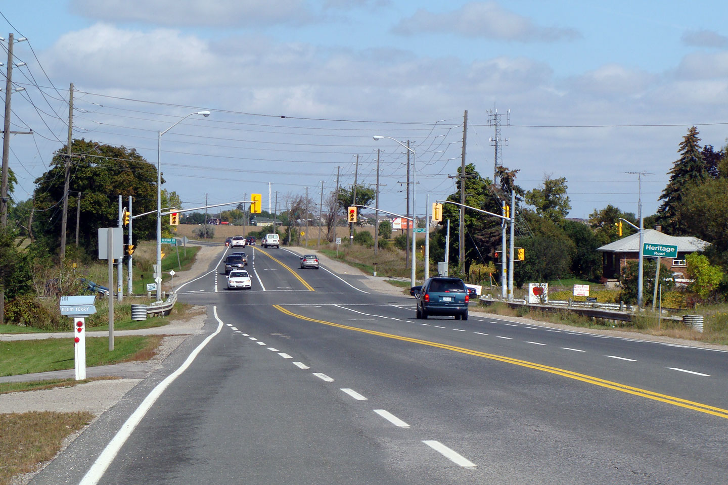
| City of
Brampton Regional Municipality of Peel |
Easterly view towards
Heritage Drive. This is one of the last MTO designed intersections in
Brampton. Photo taken: September 2008. |
 |
|
| Continues on Brampton to Vaughan Images | |||
<-
Page 1D Images
Highway
7 Images Index
Page
2B Images ->
Back to Highway 7 - Page 2
<- Highway 6 Images Images Index Highway 7A Images ->
Copyright (c) 2004-2009, AsphaltPlanet.ca webmaster@onthighways.com