|
Proper Municipality Name |
Photo Description |
Photo |
|
Pictures taken
from driver's perspective appear offset from centre-line pictures: |
East-
Bound |
West-
Bound |
|
Stratford to Kitchener Images available
here |
|
In Kitchener, Highway 7 follows the Conestoga
Parkway. North of Highway 7, the Highway 85 designation is applied to
the freeway.
Click here for Highway 85 images. |
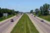
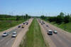
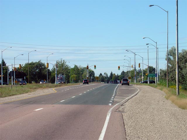
| City of Guelph |
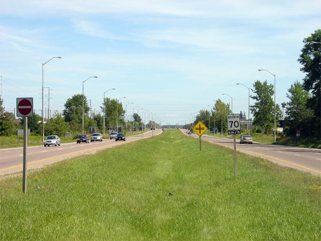
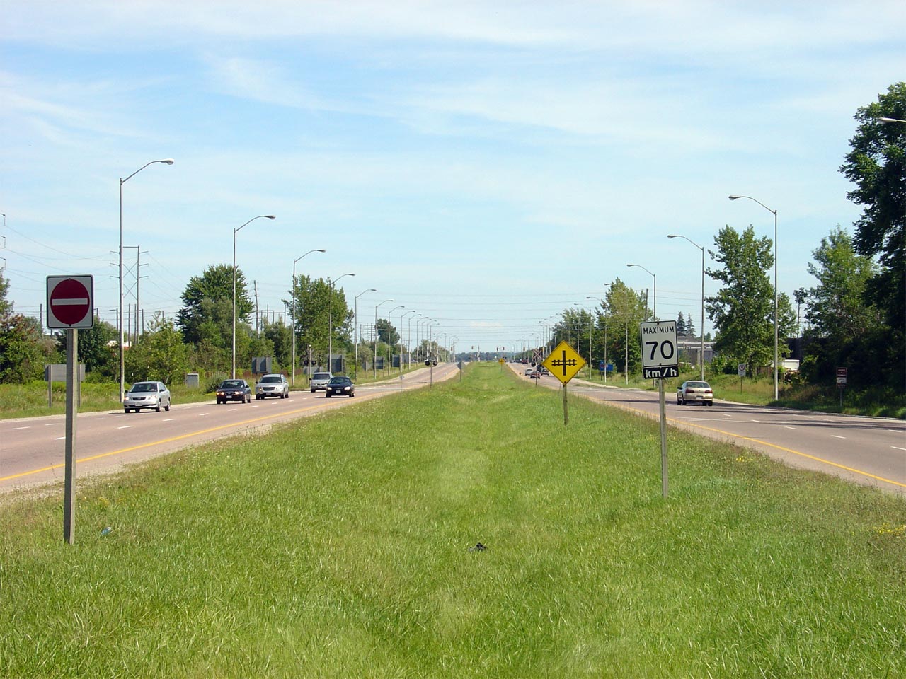
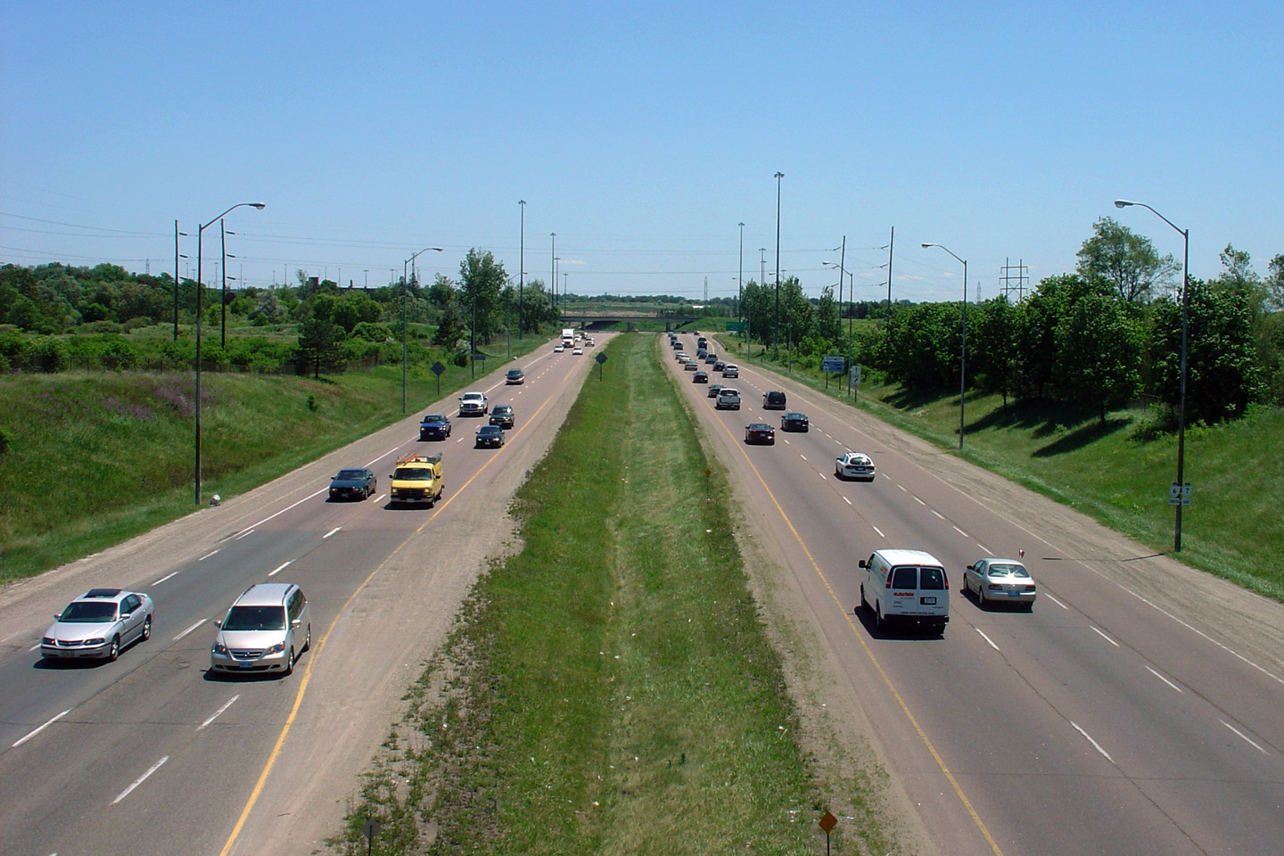
Looking south along Highway 6/7 from the Woodlawn Road intersection.
Notice the divided highway crosses two railway spurs at-grade. These
little used railways service several industrial buildings. Photo taken:
August 13th, 2006. |
Low-res
High-res |
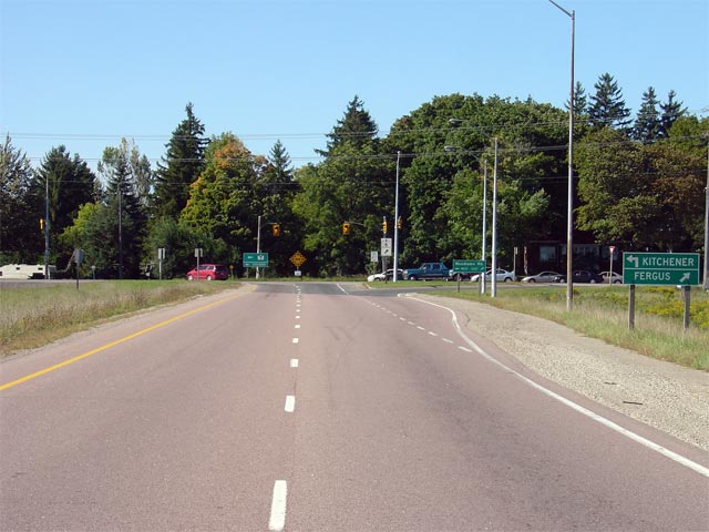
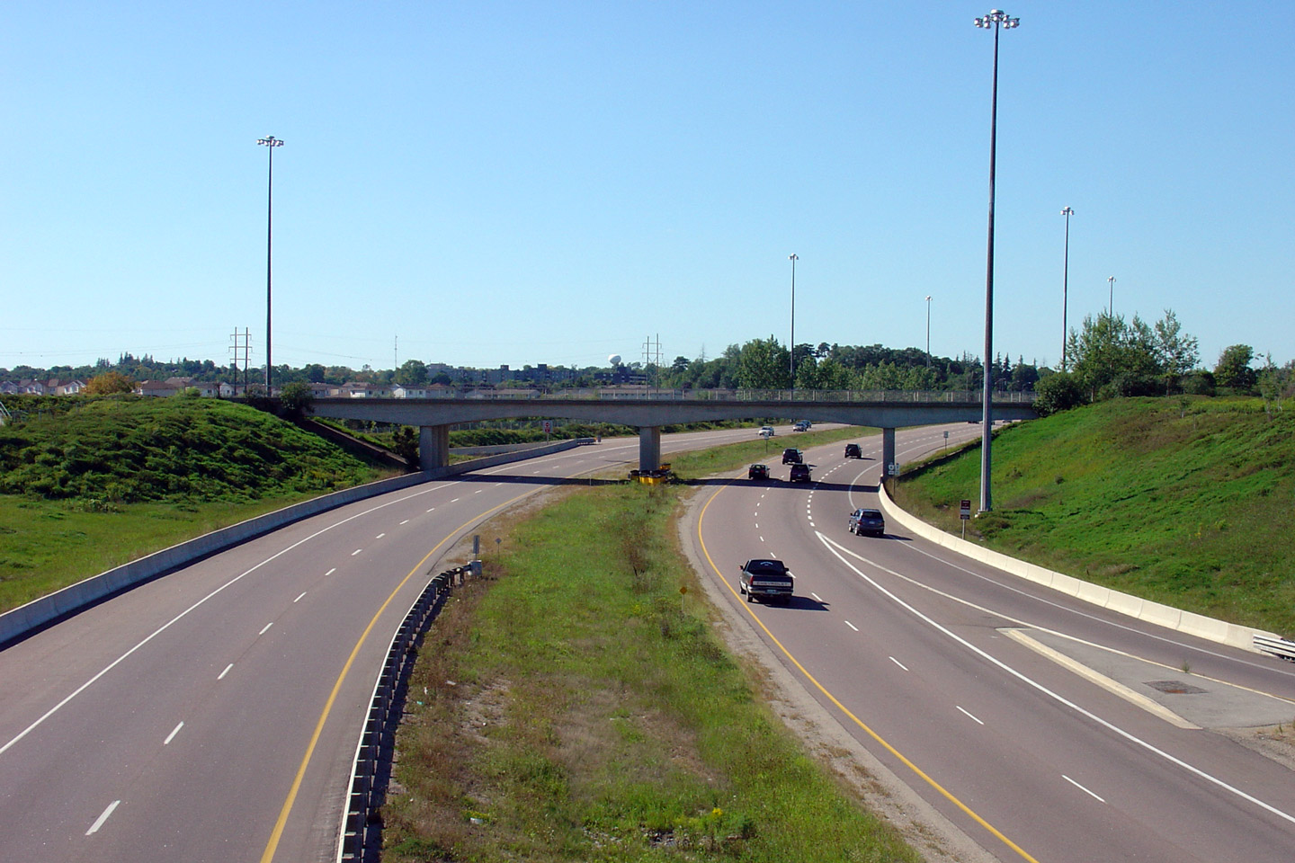
| City of Guelph |
View looking northerly towards the Woodlawn Road intersection at the north
end of the Hanlon Parkway. The new Highway 7 freeway between Kitchener
and Guelph will tie into the Hanlon at this location. Photo taken:
September 24th, 2005. |
Low-res
High-res |
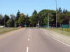
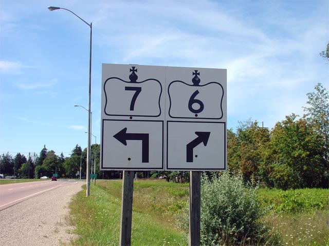
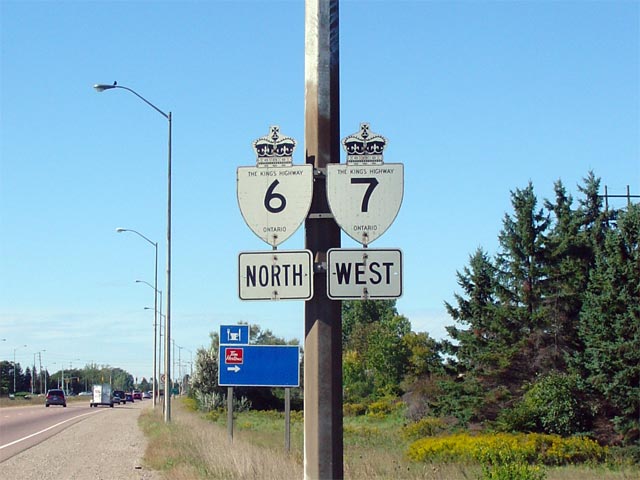
| City of Guelph |
Oversized junction signs at the north end of the Hanlon. At this
junction Highway 7 leads west towards Kitchener, while Highway 6 continues
east, before turning north once again towards Fergus. Photo taken: August
13th, 2006. |
 |
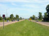
| City of Guelph |
The southern approach to the Speedvale Ave intersection along the Hanlon
Parkway. Photo taken: September 24th, 2005. |
Low-res
High-res |
| City of Guelph |
Old school signage along the Hanlon for Highways 6 and 7. This sign
was updated was replaced with a new school assembly during a 2006 resigning
contract. Photo taken: September 24th, 2005. |
 |
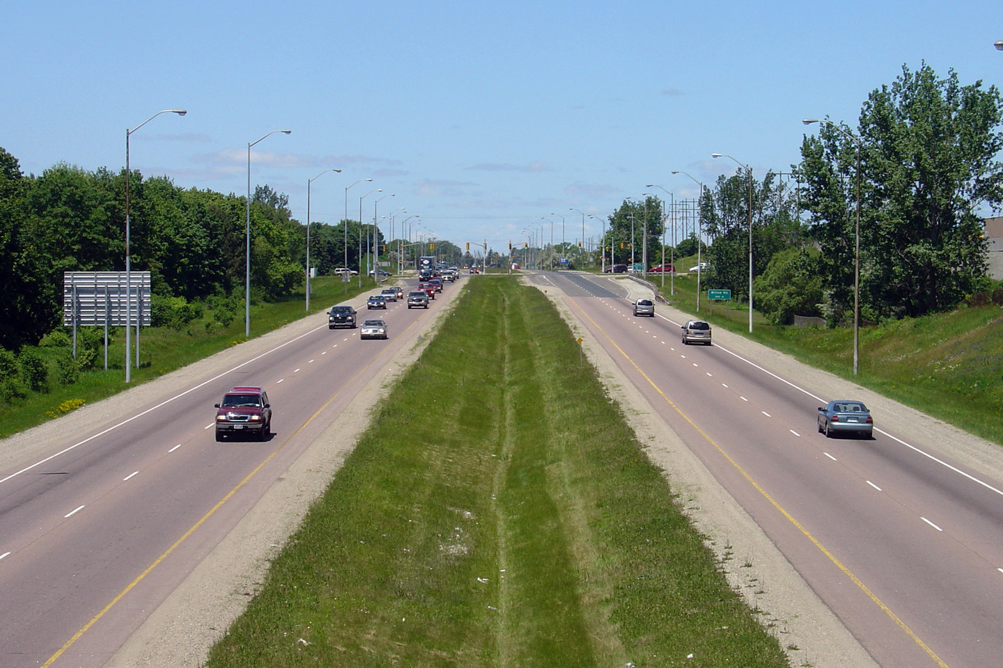
| City of Guelph |
Northerly view from Westwood Road. Westwood Road is a local collector
road, and was the only grade separation to be constructed when the Hanlon
Expressway was opened in the early 1970s.
Photo taken: June 10th, 2006. |
Low-res
High-res |
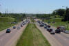
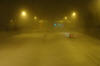
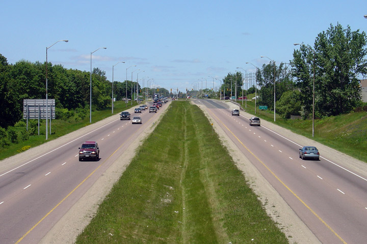
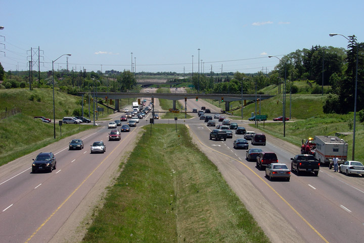
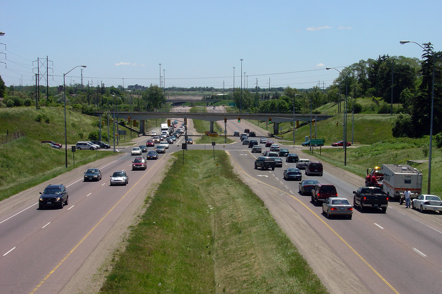
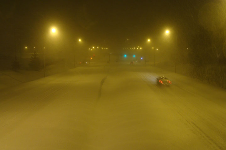
| City of Guelph |
Two views looking southerly from the Westwood Road overpass in Guelph.
The comparison of a pleasant summer day versus a miserable wintery night
emphasizes the different driving environments that Northerner's must endure
from season to season.
Upper photo taken: June 10th, 2006.
Lower photo taken: March 8th, 2008. |
Low-res
High-res
Low-res
High-res |
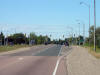
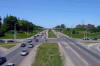
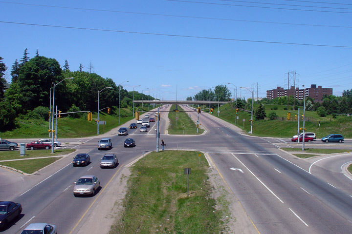
| City of Guelph |
Looking northerly at the Paisley Road intersection
Photo taken: June 10th, 2006. |
Low-res
High-res |
| City of Guelph |
View looking southerly from the GEXR (Goderich and Exeter Railway) overpass located immediately to the
north of the Paisley Road intersection.
Photo taken: June 10th, 2006. |
Low-res
High-res |
| City of Guelph |
View looking northerly from the Wellington Street overpass in Guelph.
Wellington Street crosses the Hanlon Expressway immediately south of the
pictured CN Railway.
Photo taken: September 9th, 2005. |

Low-res
High-res |
|
Both Highway 6 and 24 continue south of Highway 7
on their respective alignments. Click
here
for Highway 6-South images and
here for Highway 24-South images. |
|
Guelph to Vaughan Images available
here |

