|
Proper Municipality Name |
Photo Description |
Photo |
|
Photos taken
from driver's perspective appear offset from centre-line Photos: |
North-
Bound |
South-
Bound |
|
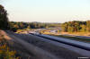
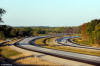
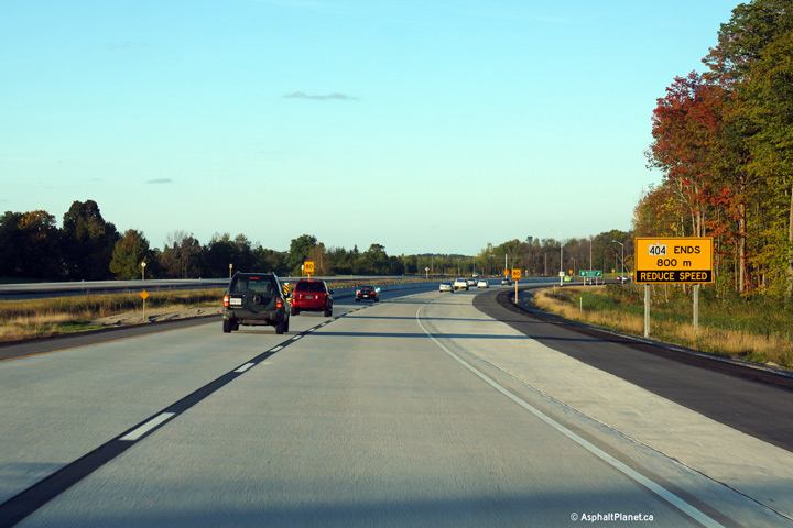
Highway 404 ends at the Highway 401
and Don Valley Parkway interchange.
Click here for Highway 401 images
and here for Don Valley Parkway images |
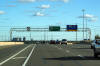
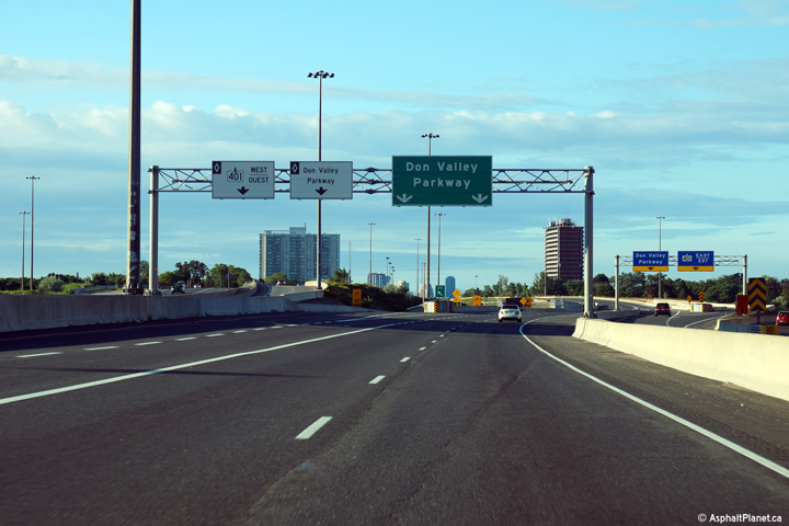
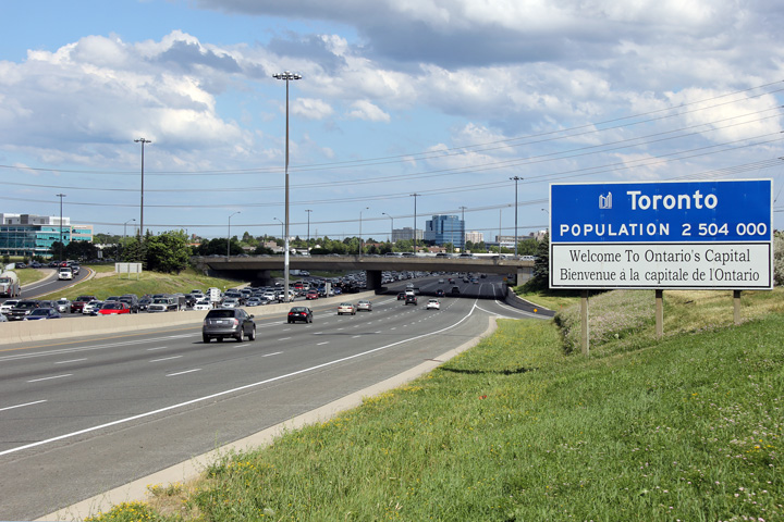
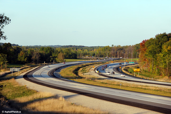
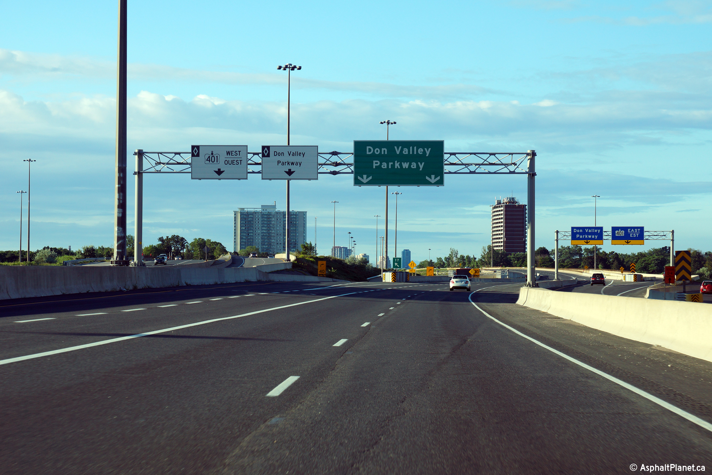
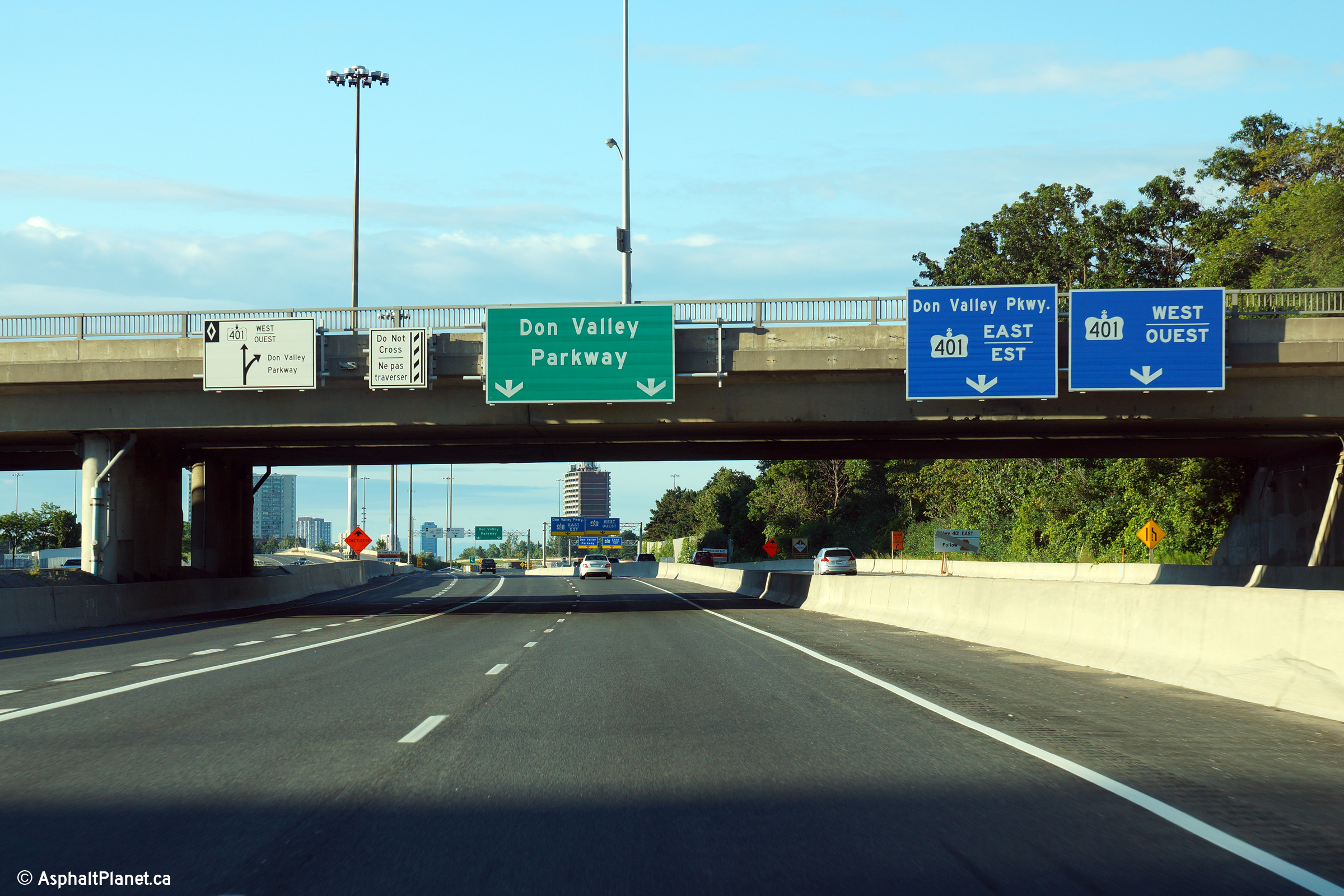
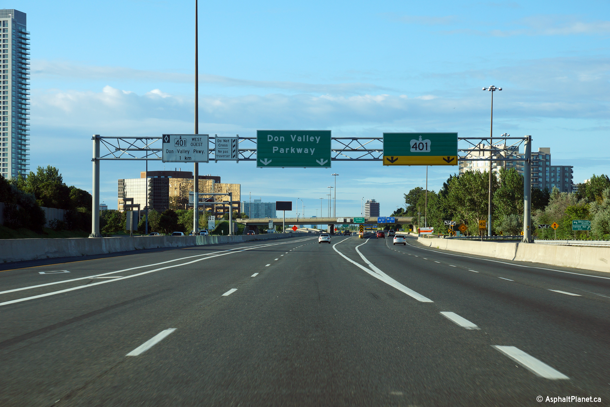
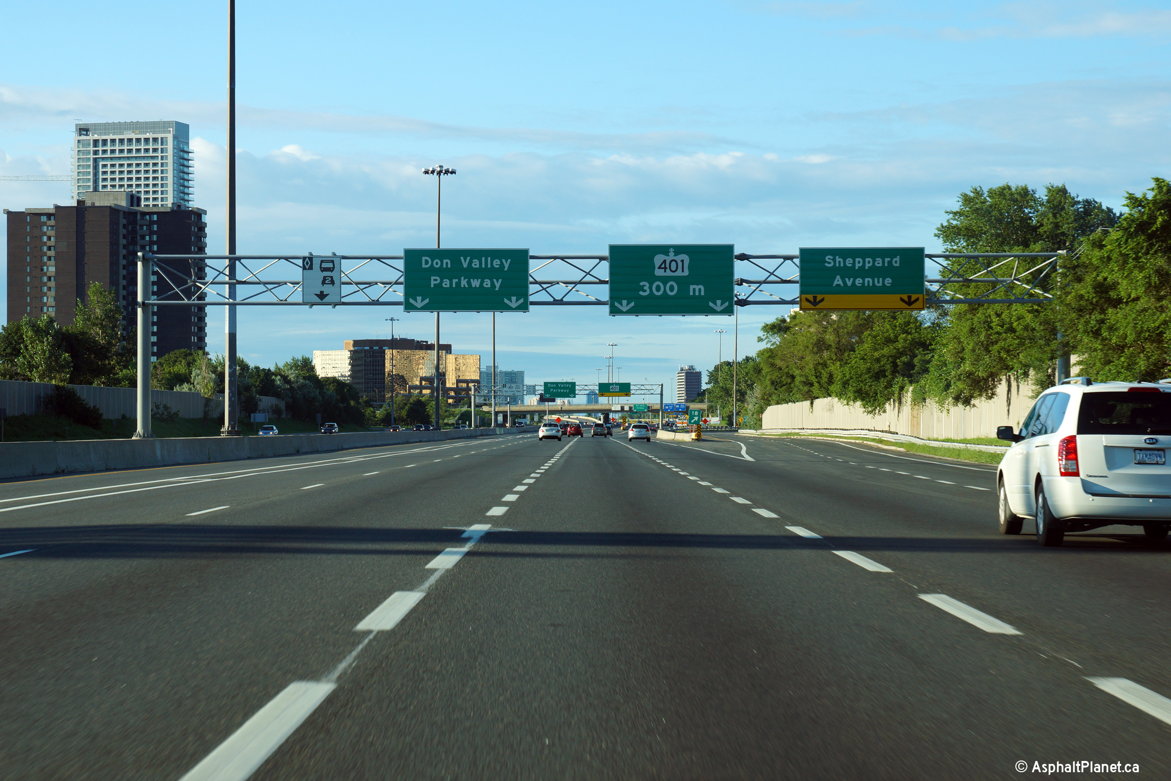
| City of Toronto |
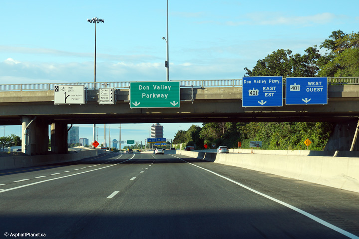
Signage at the southbound end of Highway 404 at the transition to Toronto's
Don Valley Parkway. Technically speaking the 404 extends about 200m
south of the Highway 401 interchange. Photo taken: August 4th, 2013. |
 (720x480) (720x480)
(1440x960)
(2400x1600) |
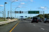
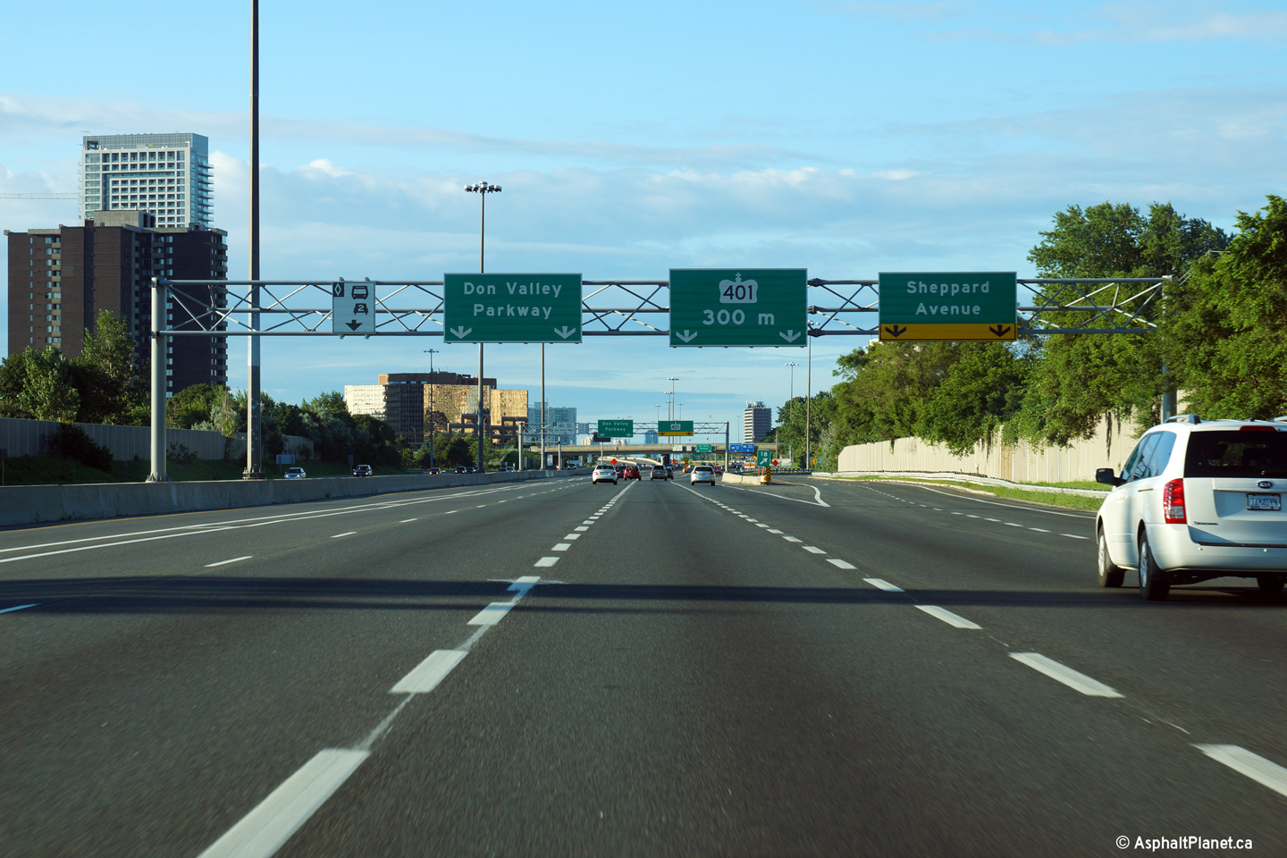
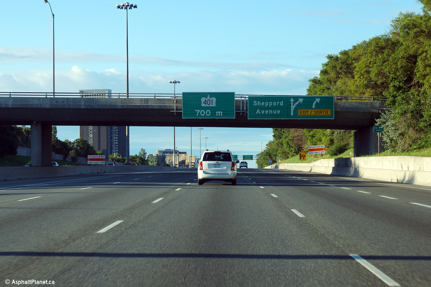
| City of Toronto |
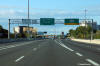
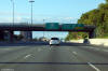
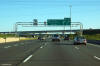
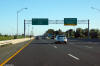
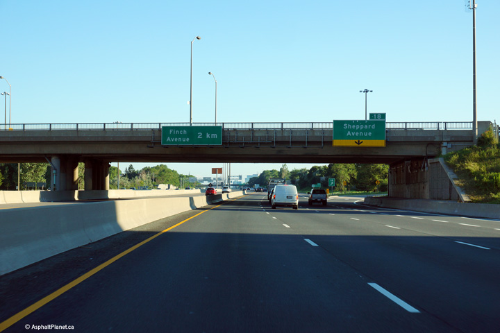
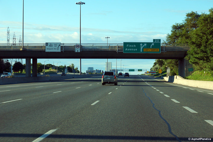
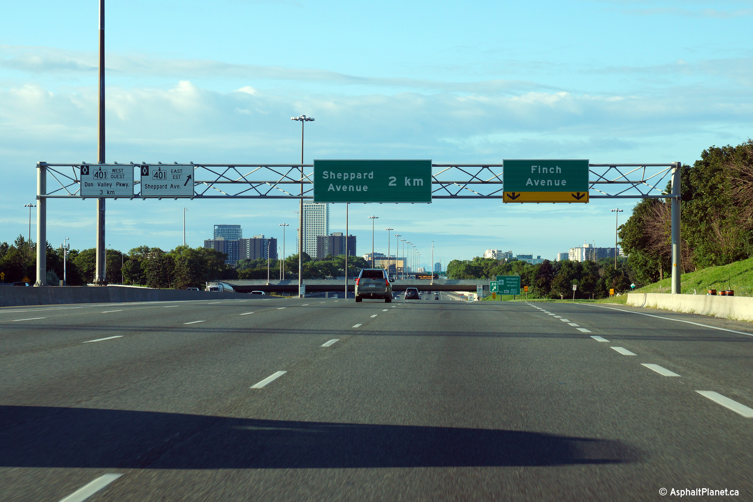
Northbound signage for the off-ramp to Sheppard Avenue. The northbound
off-ramp to Sheppard Avenue leaves the highway shortly after the ramp from
the westbound lanes of the 401 have joined the northbound carriageway.
Photo taken: August 3rd, 2013. |
 (720x480) (720x480)
(1440x960)
(2400x1600) |
| City of Toronto |
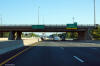
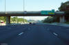
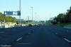
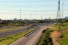
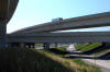
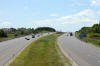
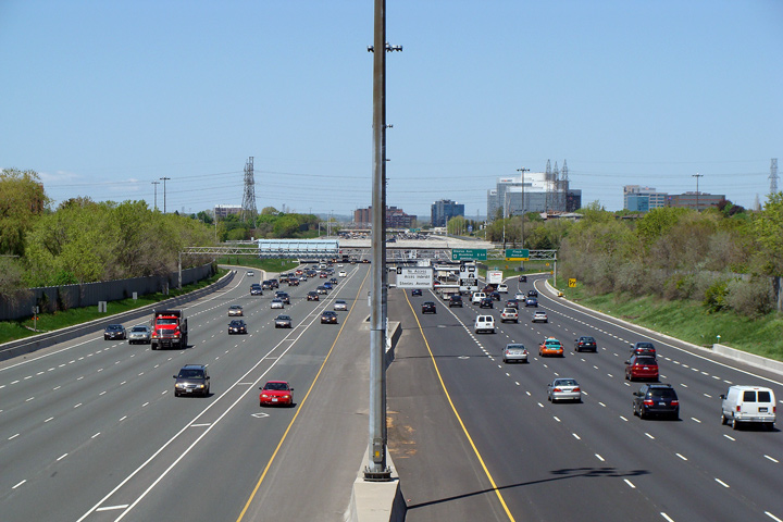
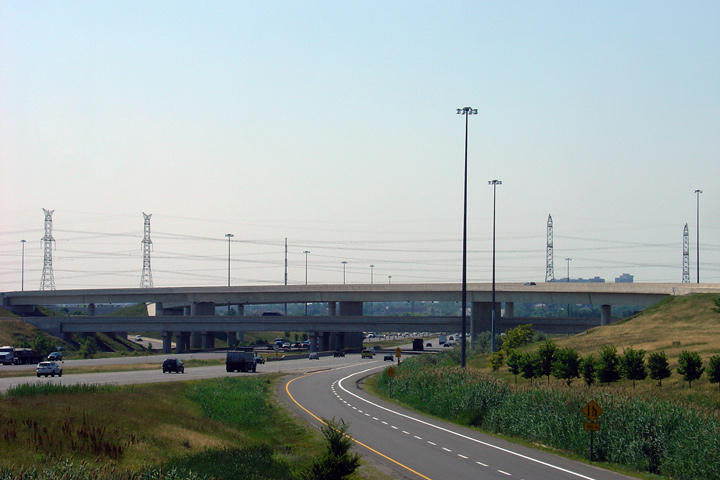
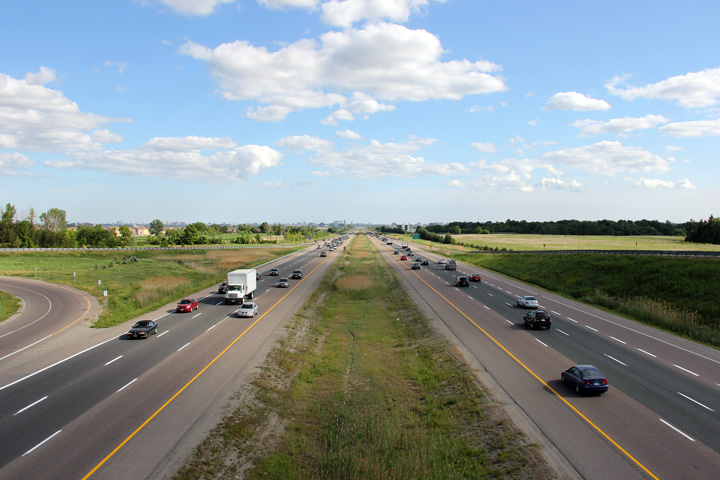
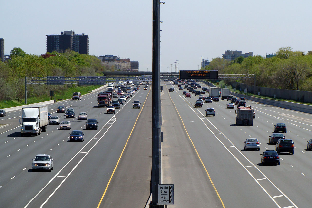
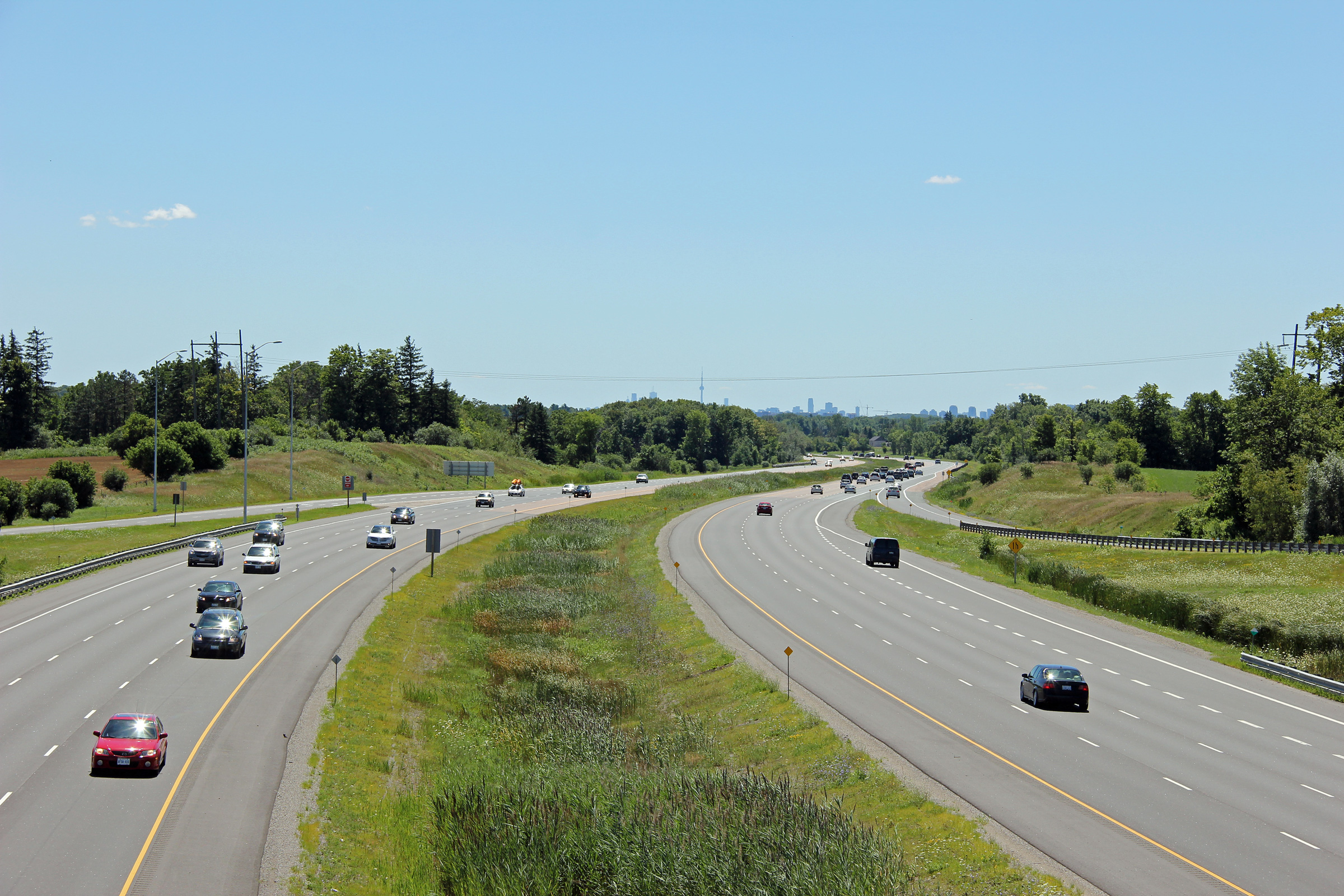
View looking southerly towards the Highway 401 overpass from Sheppard
Avenue. A short collector-distributor (C-D) lane was constructed in the vicinity of Sheppard Avenue
between 2002 and 2007. Separating through and local movements in this
fashion improves traffic flow. Click
here for this same view taken in
April, 2004.
Photo taken: May 15th, 2008. |
(720x480)
(1440x960) |
| City of Toronto |
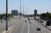
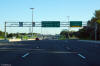
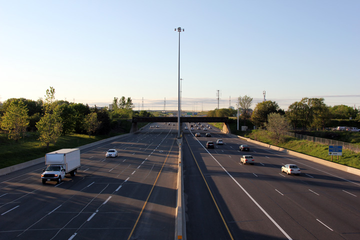
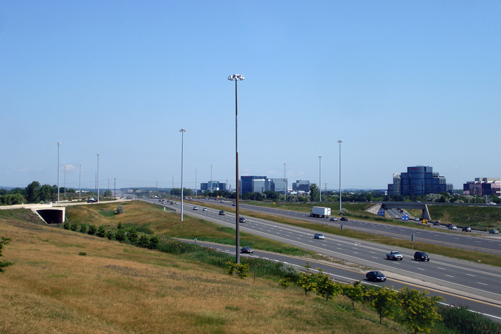
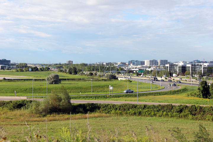
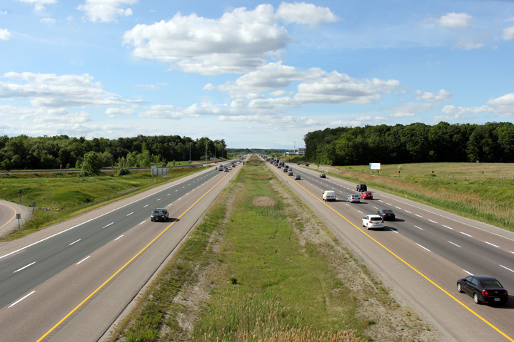
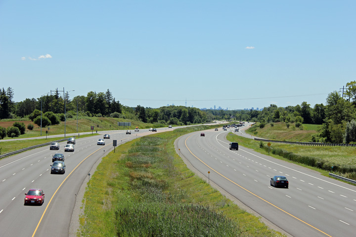
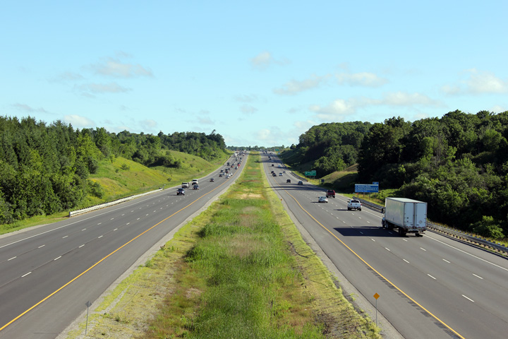
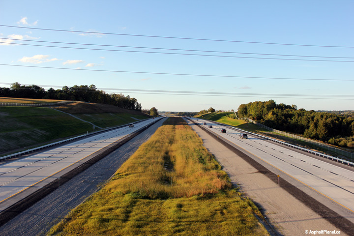
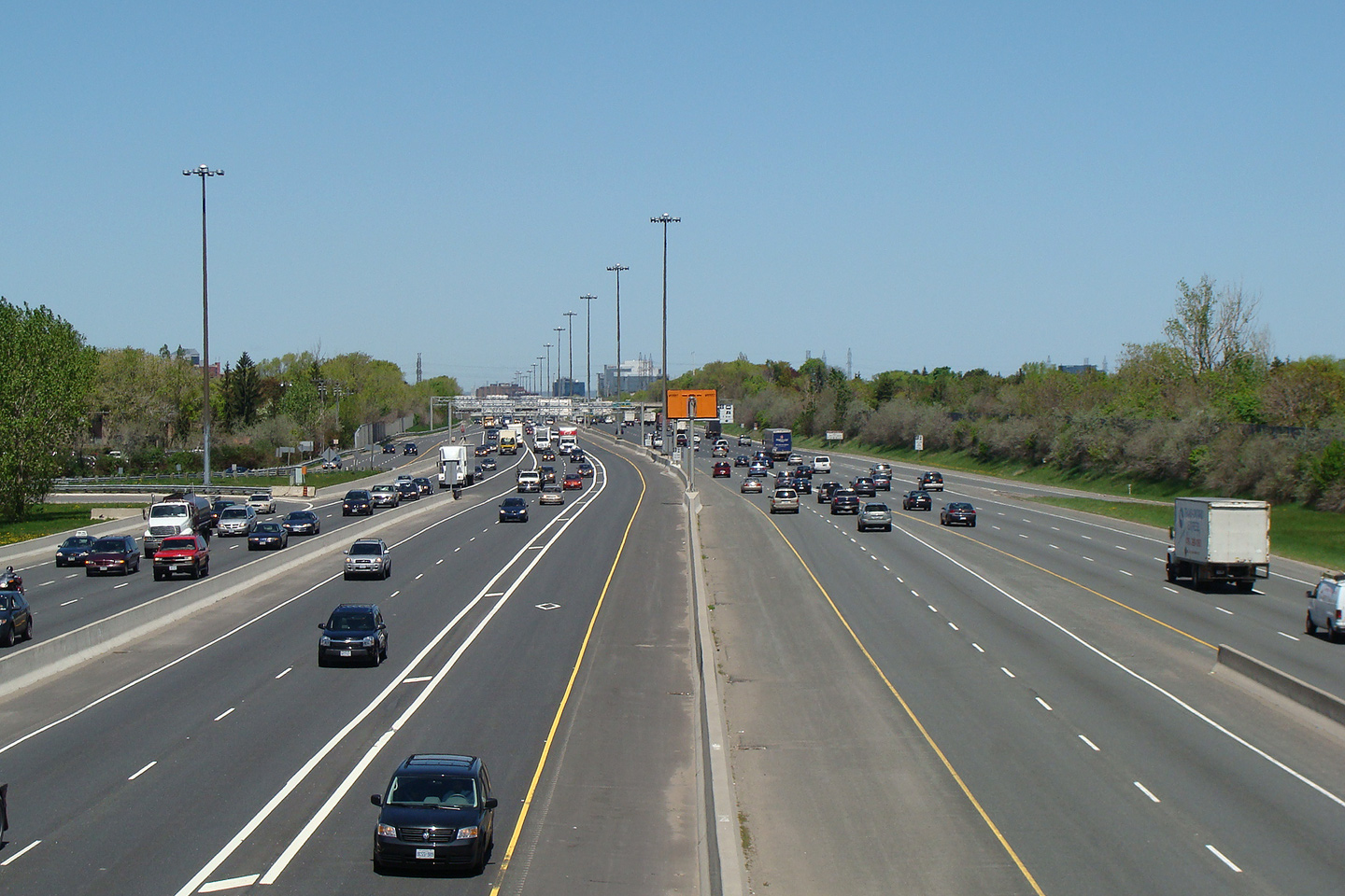
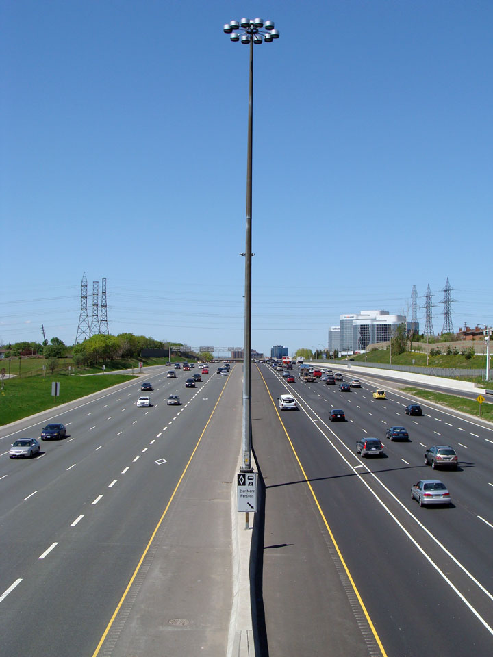
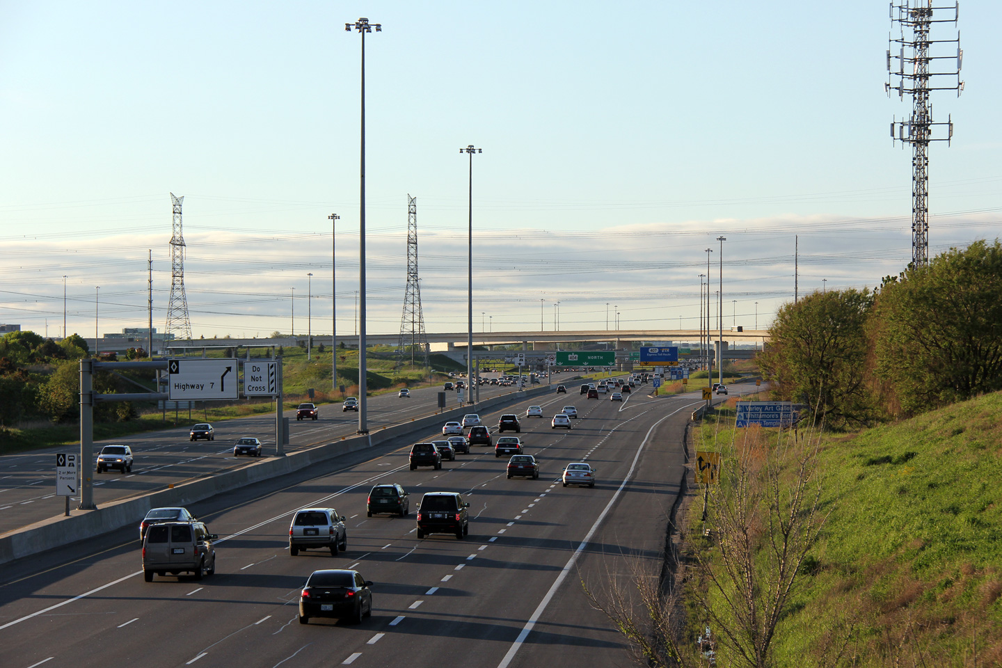
Northerly view of Highway 404 from Sheppard Avenue. Through Toronto,
Highway 404 has an four general purpose lanes and a single HOV lane in each
direction. Photo taken: May 15th,
2008. |
(720x480)
(1440x960) |
| City of Toronto |
Overhead signs mounted to the Sheppard Avenue overpass. Blue signage
has been used to differentiate the short collector lanes that run through
the Sheppard Avenue interchange. Photo taken: August 4th, 2013. |
 (720x480) (720x480)
(1440x960)
(2400x1600) |
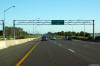
| City of Toronto |
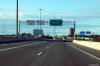
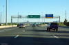
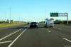
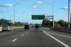
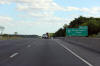
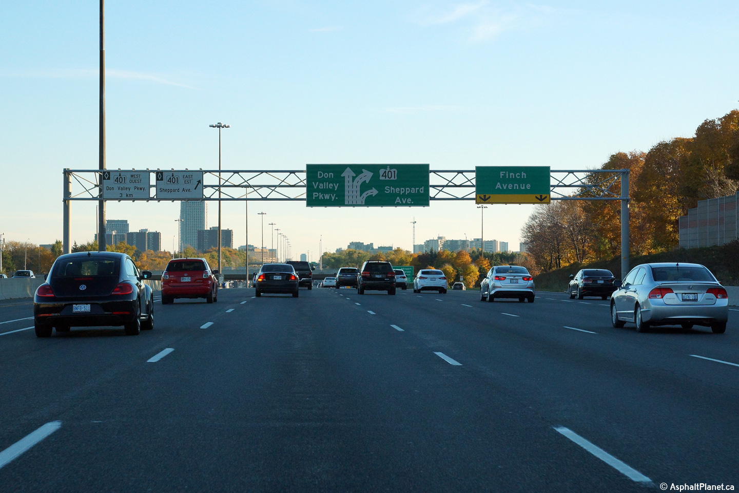
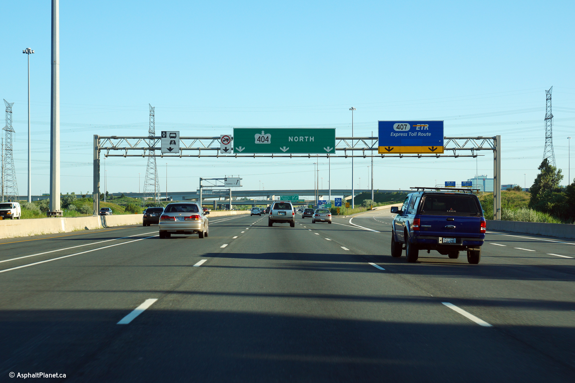
Overhead signage for the ramp to Highway 401. Highway 401 is the
southernmost interchange along Highway 404. Photo taken: August 4th, 2013. |
 (720x480) (720x480)
(1440x960)
(2400x1600) |
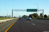
| City of Toronto |
Overhead signage, this time for the southbound off-ramp to Sheppard Avenue.
The Sheppard Avenue interchange is located extremely close to the large
Highway 401 interchange. Modern highway designers in Ontario tend not to locate
interchanges in such close proximity to each other on newer highways, as
tight interchange spacing is often a major cause of traffic congestion.
Photo taken: August 4th, 2013. |
|
| City of Toronto |
The northbound advanced signage for the Finch Avenue overpass is affixed the
parapet of the Van Horne overpass.
Photo taken: August 3rd, 2013. |
 (720x480) (720x480)
(1440x960)
(2400x1600) |
| City of Toronto |
Looking south from Van Horne Avenue. Photo taken: May 15th, 2008. |
(720x480)
(1440x960) |
| City of Toronto |
The northbound HOV lane begins about halfway between the Van Horne and Finch
Avenue overpasses. Photo taken: May 15th, 2008. |
(720x480)
(1440x960) |
| City of Toronto |
Overhead signs affixed to the Van Horne Avenue overpass. Photo taken:
August 4th, 2013. |
 (720x480) (720x480)
(1440x960)
(2400x1600) |
| City of Toronto |
Overhead guide signage marking the northbound start of the HOV lane south of
Finch Avenue. The northbound HOV lane along the 404 opened July 23rd,
2007, about 8 months after the southbound HOV lane started carrying traffic.
Photo taken: August 3rd, 2013. |
 (720x480) (720x480)
(1440x960)
(2400x1600) |
| City of Toronto |
Northbound signage at the ramp to Finch Avenue.
Photo taken: August 3rd, 2013. |
 (720x480) (720x480)
(1440x960)
(2400x1600) |
| City of Toronto |
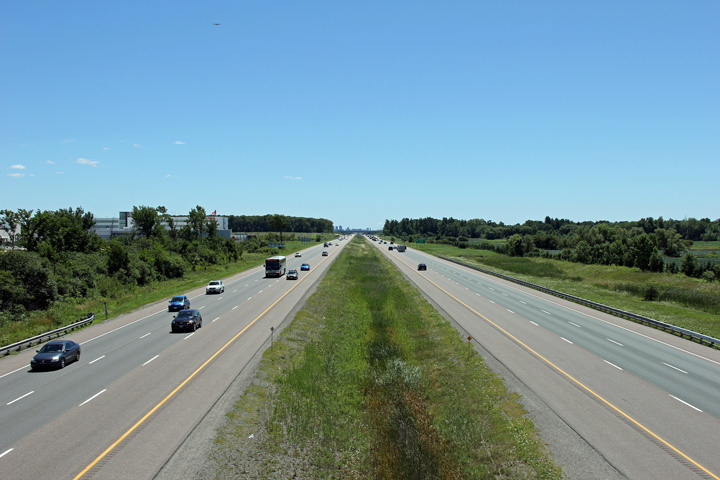
Southbound view from the Finch Avenue overpass. Photo taken: May 15th, 2008. |
(720x480)
(1440x960) |
| City of Toronto |
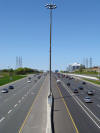
View looking northerly from the Finch Avenue overpass. Notice the shielding
surrounding each of the high mast luminaries -- shielding is intended to reduce light
pollution, keeping light centred over MTO's right of way. Photo taken: May 15th, 2008. |
(720x480)
(1440x960) |
| City of Toronto |
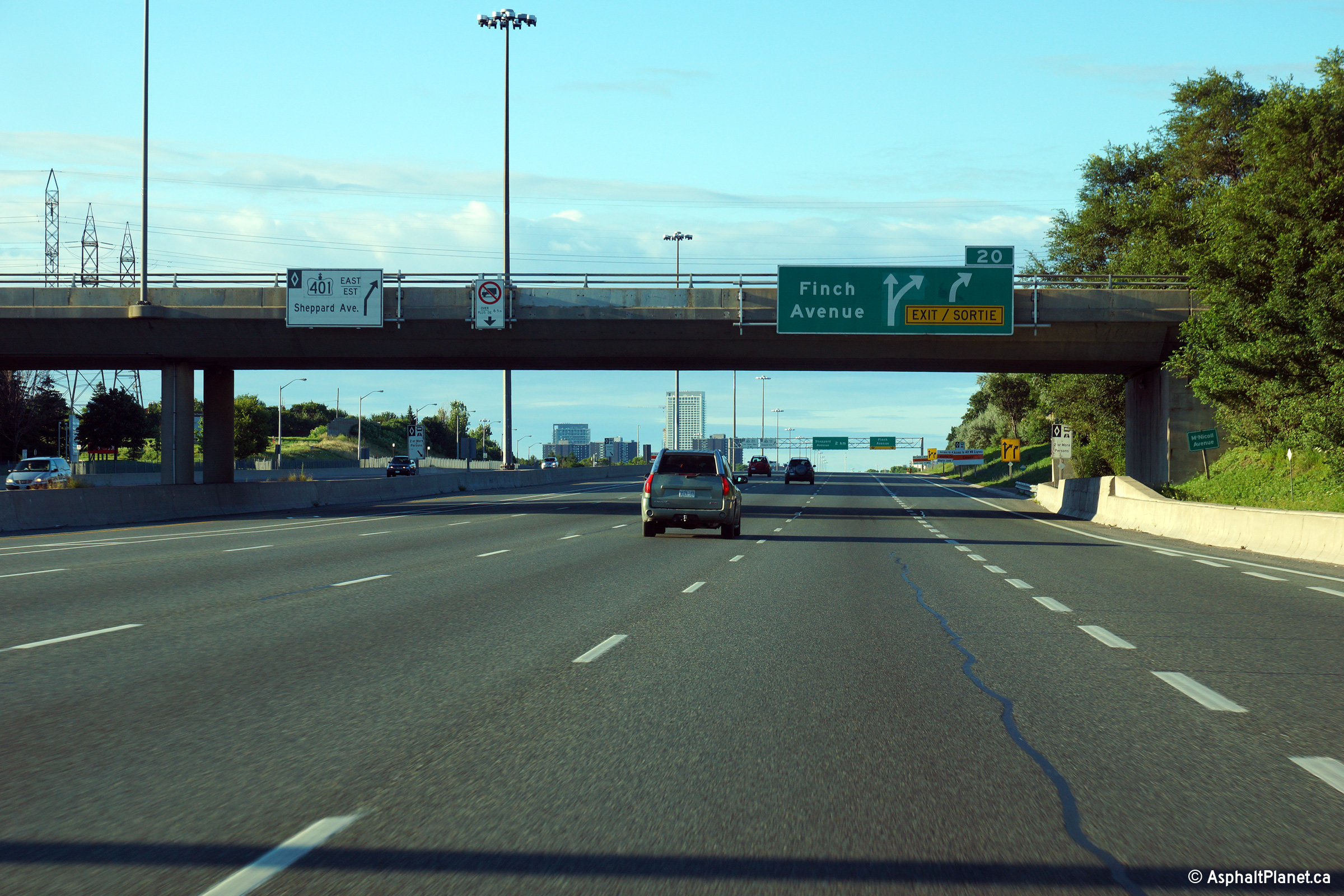
Southbound signage at the off-ramp to Finch Avenue. Notice that HOV
traffic destined for Highway 401 east must exit the HOV lane here to use the
mainline ramp to the 401. There is a direct ramp linking the
southbound 404 to Highway 401 west. The diagram replaced the former
pre-existing signage late in the spring of 2015.
Upper photo taken: August 4th, 2013.
Lower photo taken: November 2nd, 2015. |
|
| City of Toronto |
Northbound advanced signage for the Woodbine Avenue interchange.
Photo taken: August 3rd, 2013. |
 (720x480) (720x480)
(1440x960)
(2400x1600) |
| City of Toronto |
View looking south from McNichol Avenue. Photo taken: May 15th, 2008. |

(720x480)
(1440x960) |
| City of Toronto |
Notherly views from McNichol towards the Steeles/Woodbine Avenue interchange.
In Toronto, Highway 404 is constructed overtop of Woodbine Avenue's former
alignment. Upper photo taken: May 15th, 2008. Lower photo taken: June
26th, 2012. |
(720x480)
(1440x960)

(720x480)
(1440x960)
(2400x1600) |
| City of Toronto |
Overhead signage this time affixed to the McNichol Avenue overpass. Photo
taken: August 4th, 2013. |
 (720x480) (720x480)
(1440x960)
(2400x1600) |
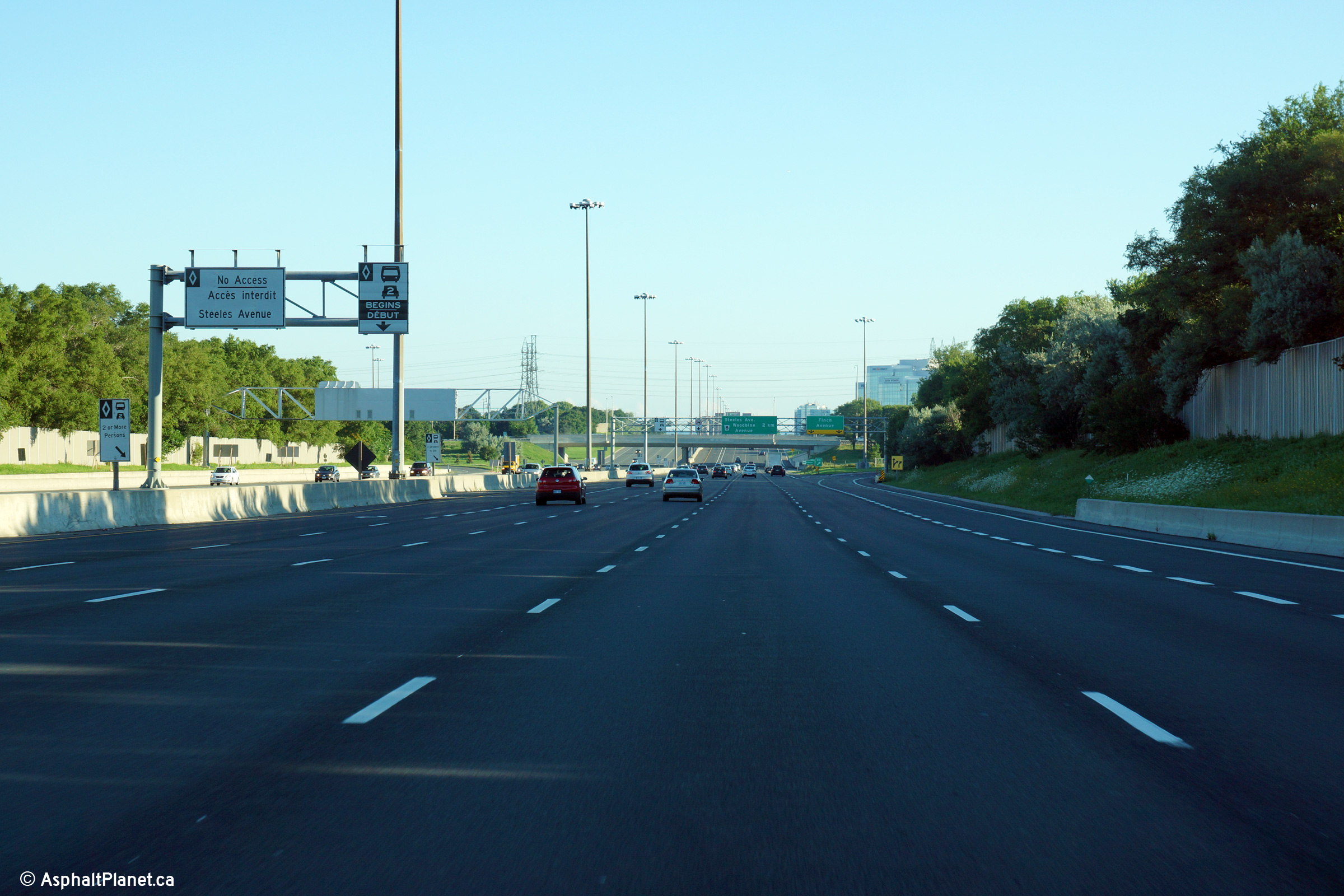
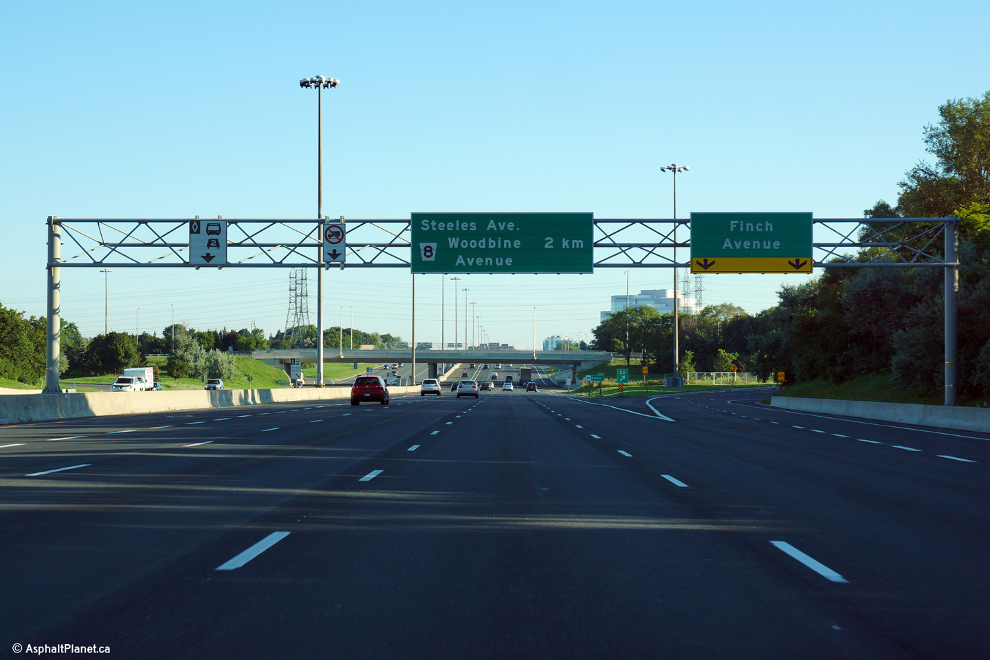
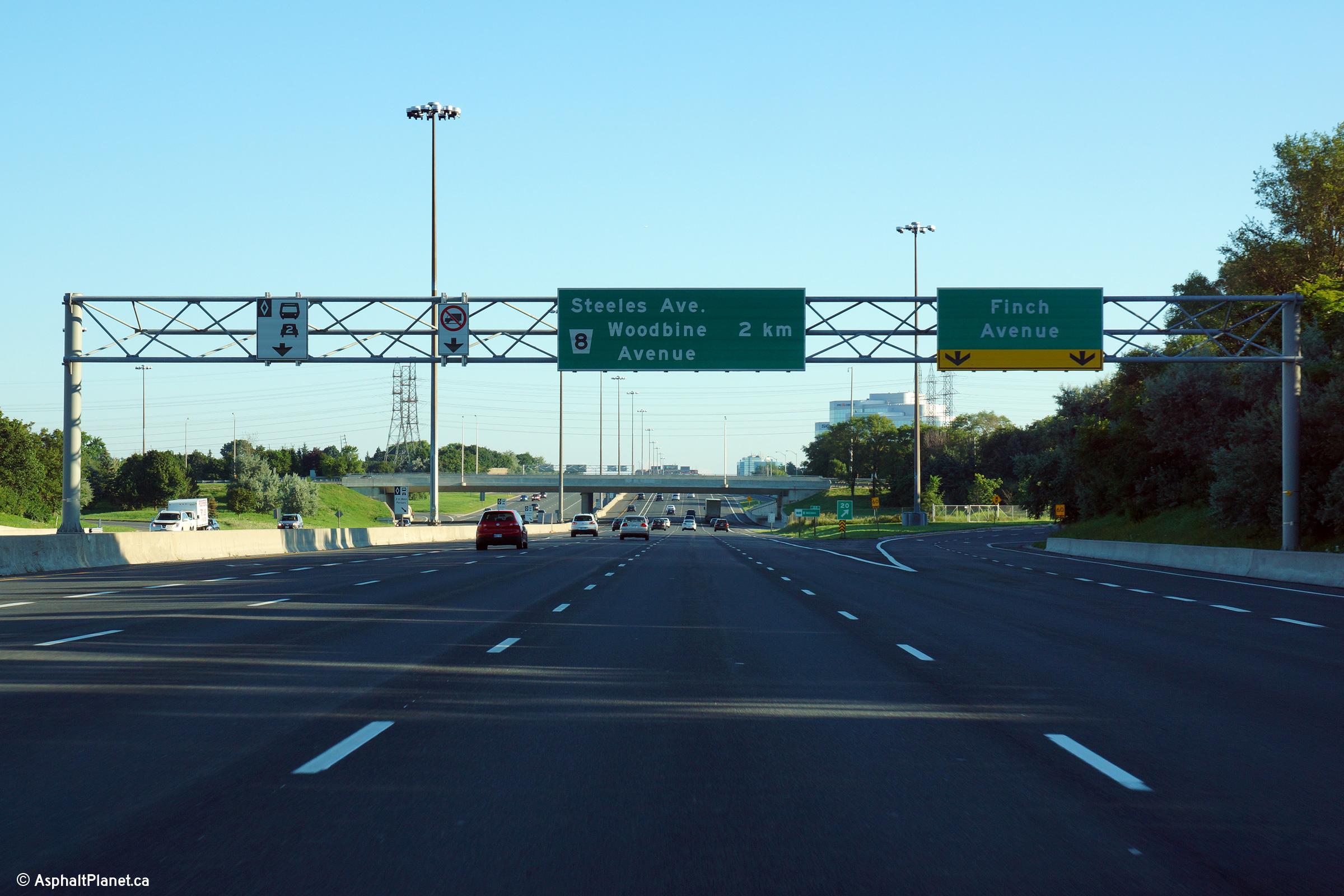
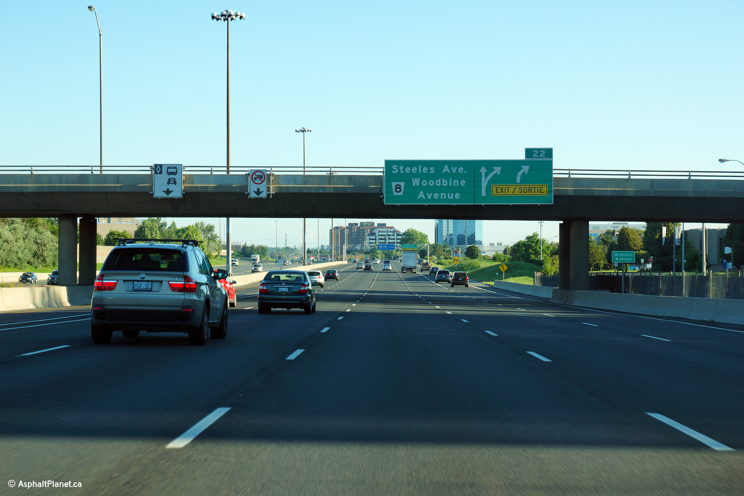
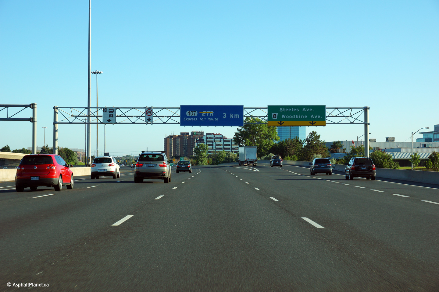
| City of Toronto |
Northbound overhead signage for the Steeles Avenue interchange with advanced
signage for the Highway 407 interchange. Woodbine Avenue was one of
the first county roads to be paved northerly from Toronto when York County
was still predominantly rural countryside.
Photo taken: August 3rd, 2013 |
 (720x480) (720x480)
(1440x960)
(2400x1600) |
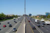
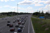
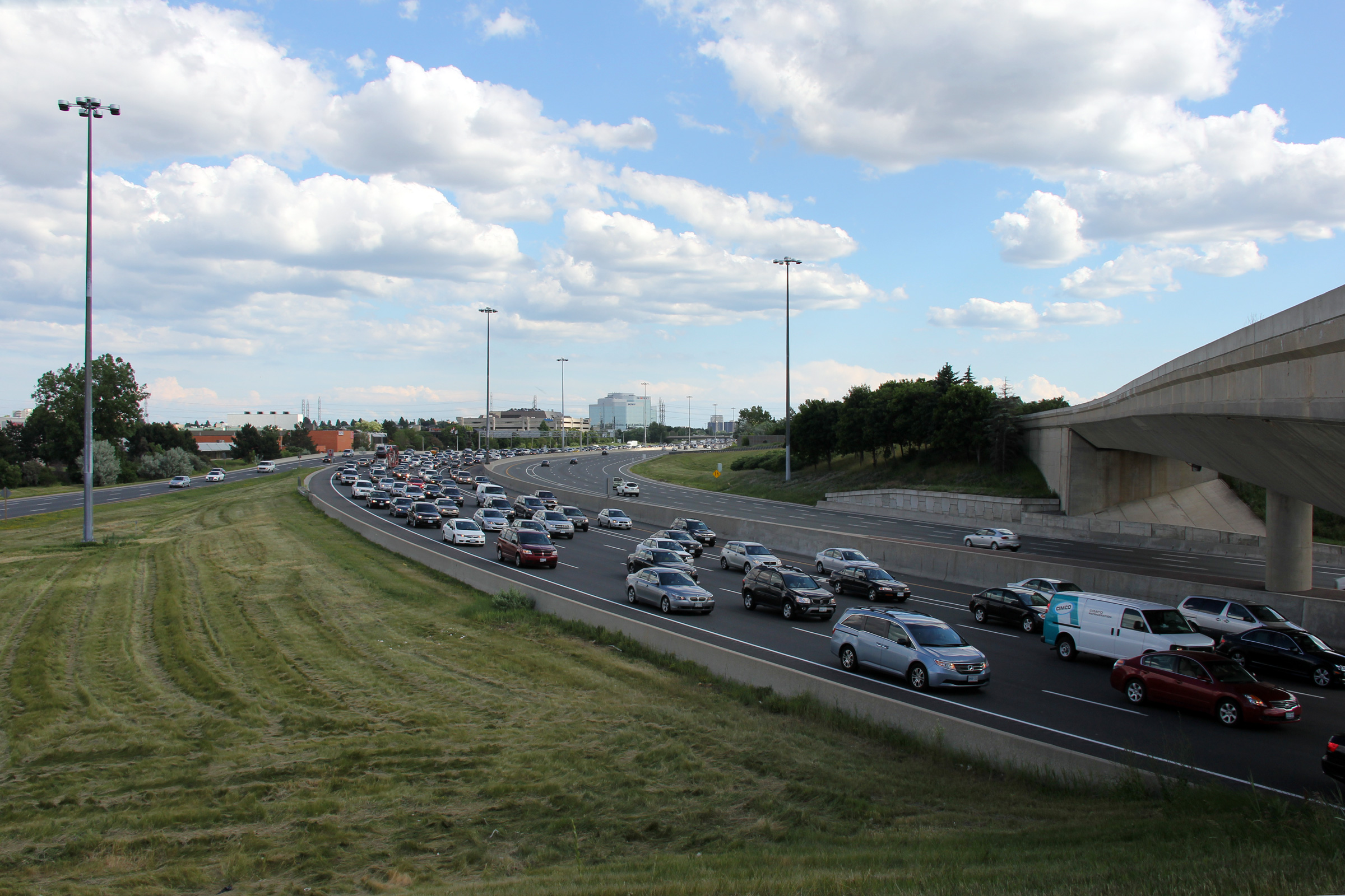
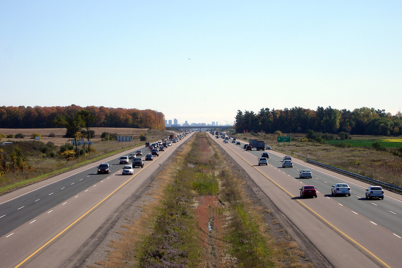
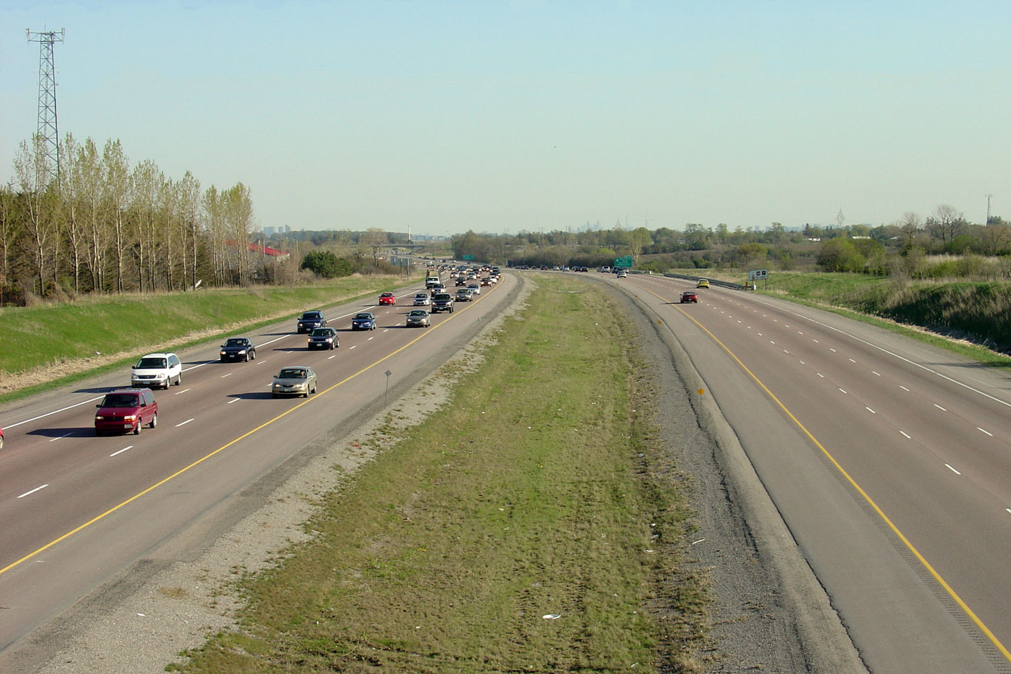
| City of Toronto |
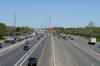
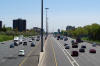
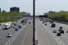
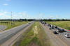
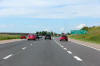
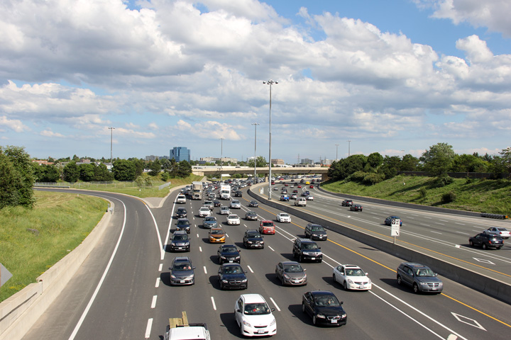
Southerly view from the flyover that carries southbound Woodbine Avenue
traffic to the southbound 404. This photo was taken at the height of a
Friday afternoon rush hour. The directional bias of rush hour traffic
in suburban Toronto
is well illustrated by this photo.
Photo taken: June 22nd, 2012. |
(720x480)
(1440x960)
(2400x1600) |
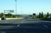
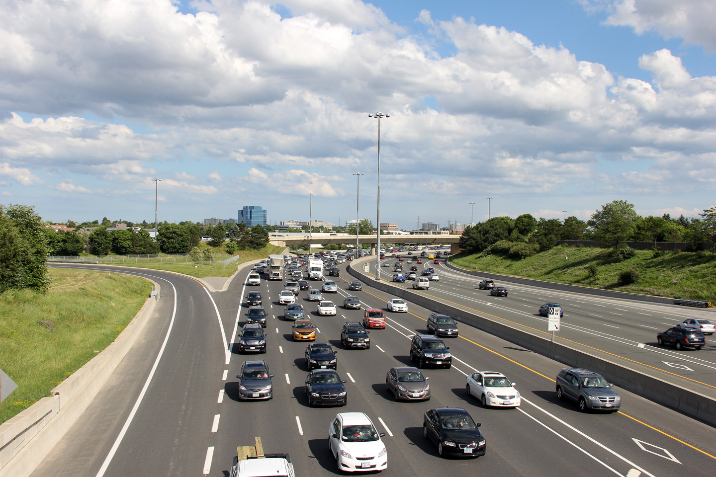
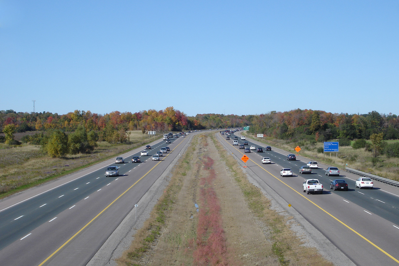
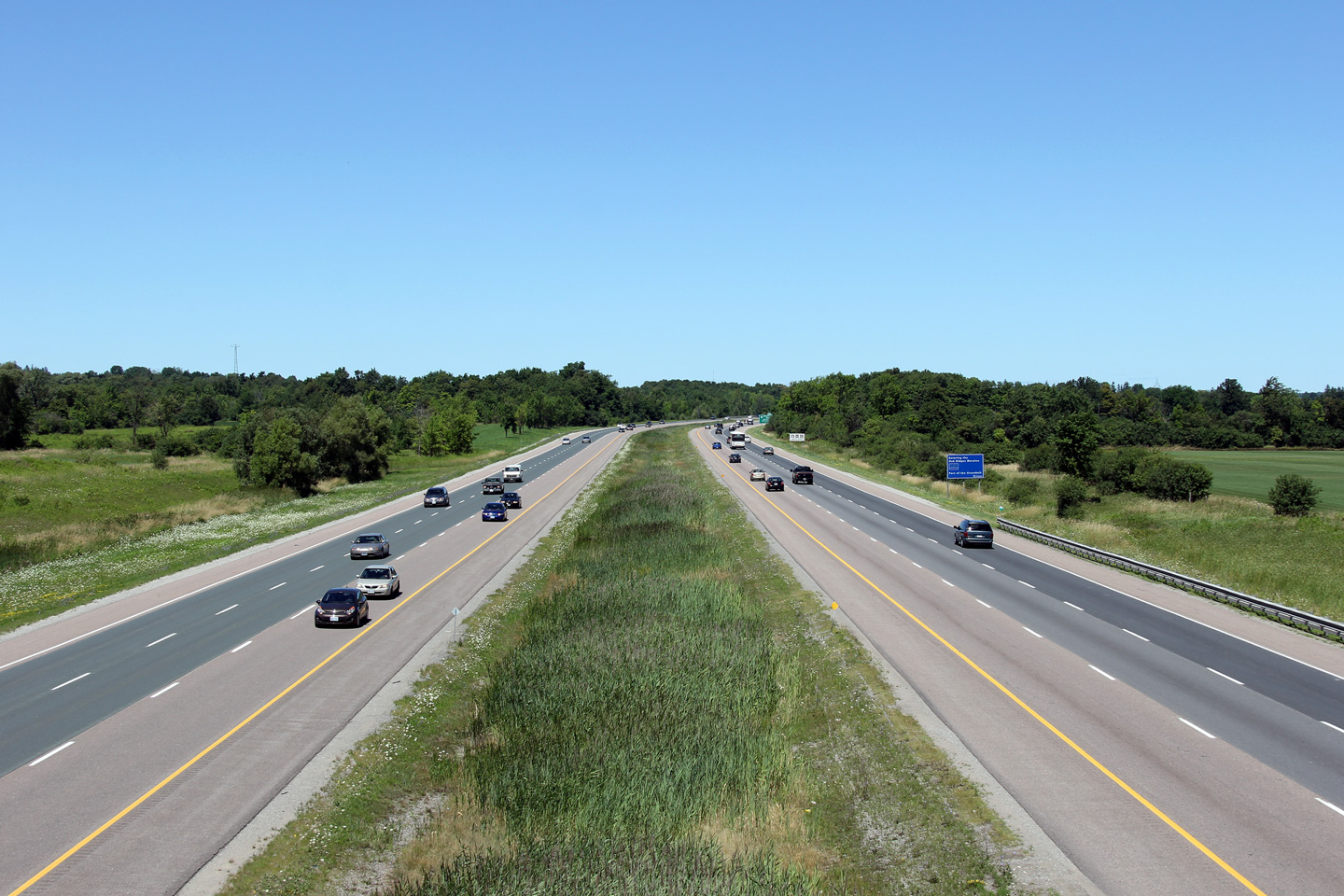
| City of Toronto |
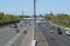
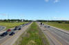
View looking southerly from from the Steeles Avenue overpass into the City
of Toronto. Note the ramp that links Woodbine Avenue-South directly to
Highway 404. The 404 is in effect a by-pass of Woodbine Avenue.
When the current (commentary written in 2012) freeway extension opens to Ravenshoe Road, Highway 404 will tie back into Woodbine Avenue directly.
Photo taken: June 22nd, 2012. |

(720x480)
(1440x960)
(2400x1600) |
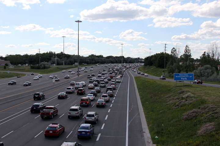
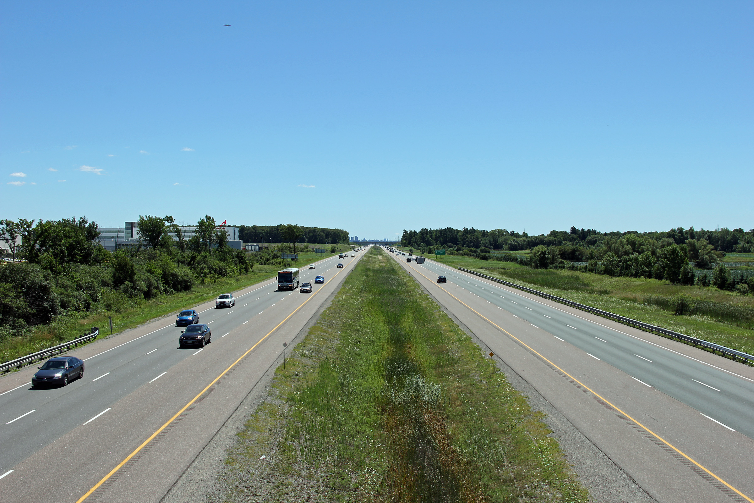
City of Markham
Regional Municipality of York |
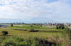
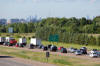
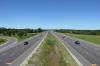
This view looks northerly into York Region and the City of Markham from the Steeles Avenue overpass.
Photo taken: June 22nd, 2012. |
(720x480)
(1440x960)
(2400x1600) |
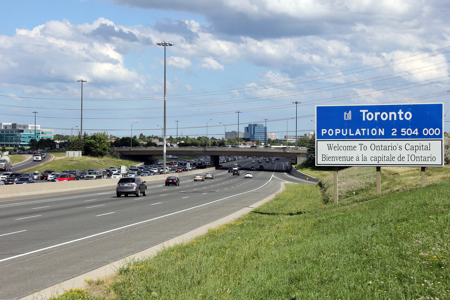
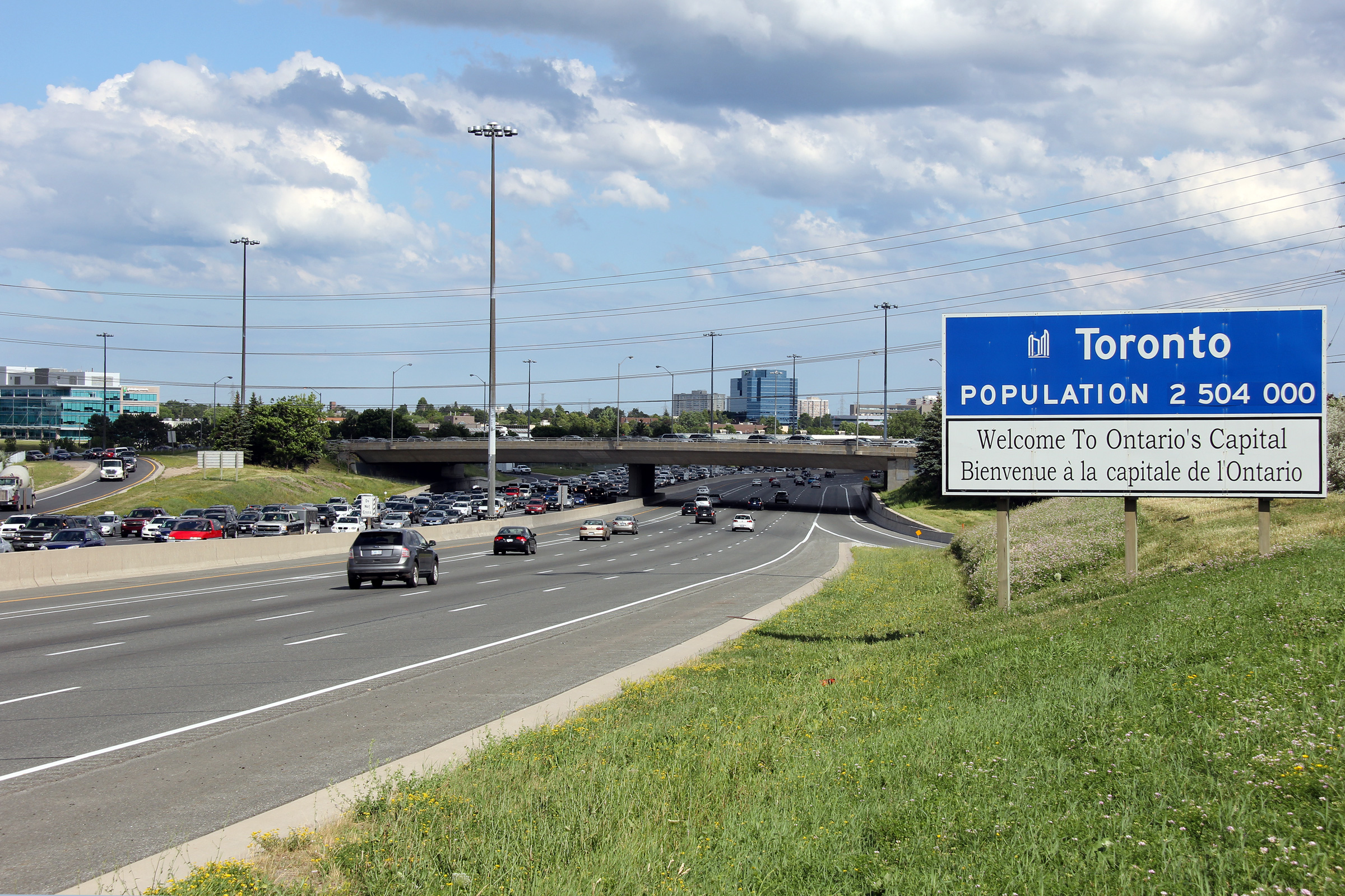
City of Markham
Regional Municipality of York |
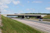
City limits signage for the City of Toronto situated in advance of the Steeles Avenue overpass.
Photo taken: June 22nd, 2012. |

(720x480)
(1440x960)
(2400x1600) |
City of Markham
Regional Municipality of York |
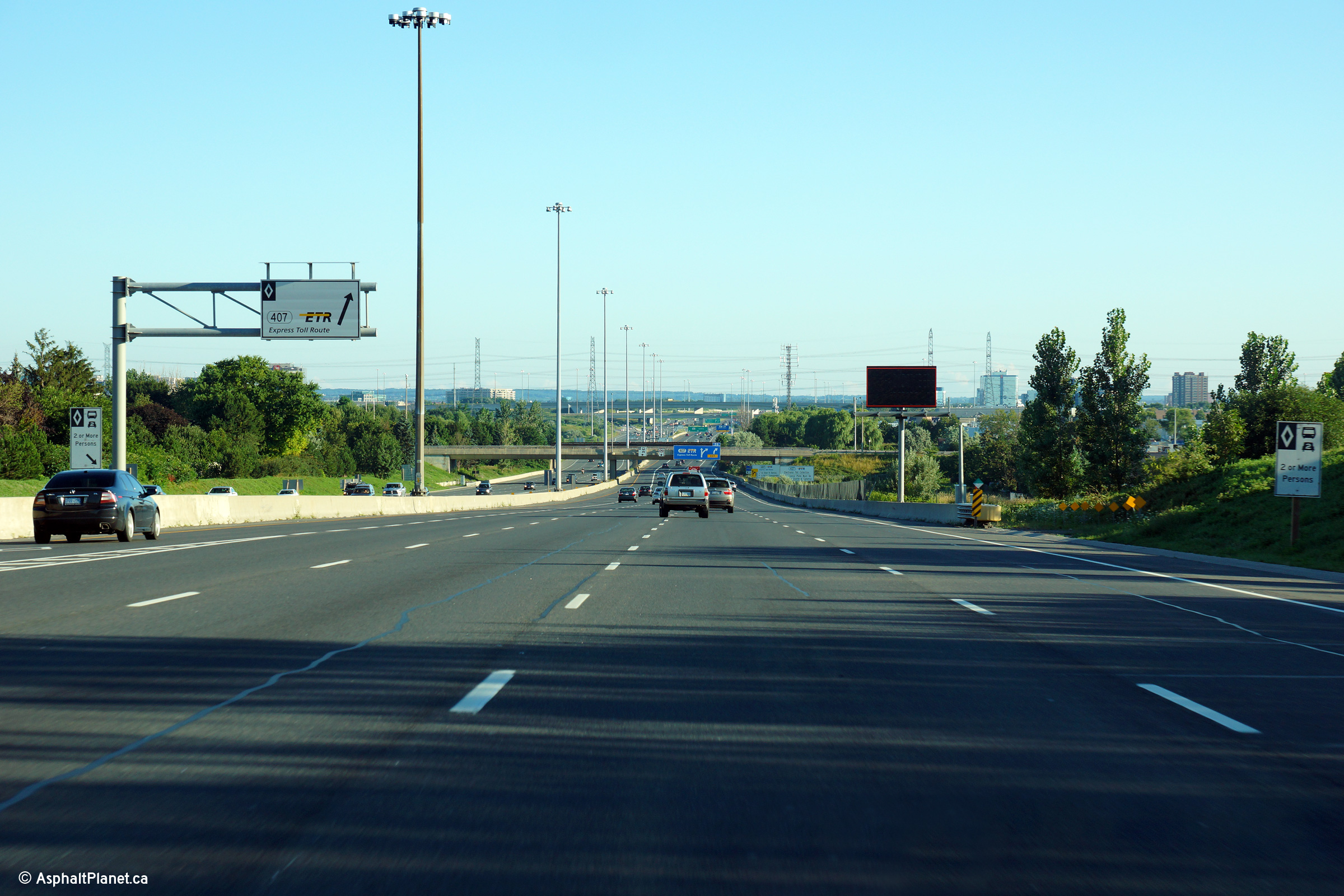
HOV lane signage for the Highway 407 interchange along the Northbound 404.
Photo taken: August 3rd, 2013. |
 (720x480) (720x480)
(1440x960)
(2400x1600) |
City of Markham
Regional Municipality of York |
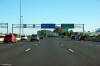
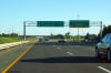
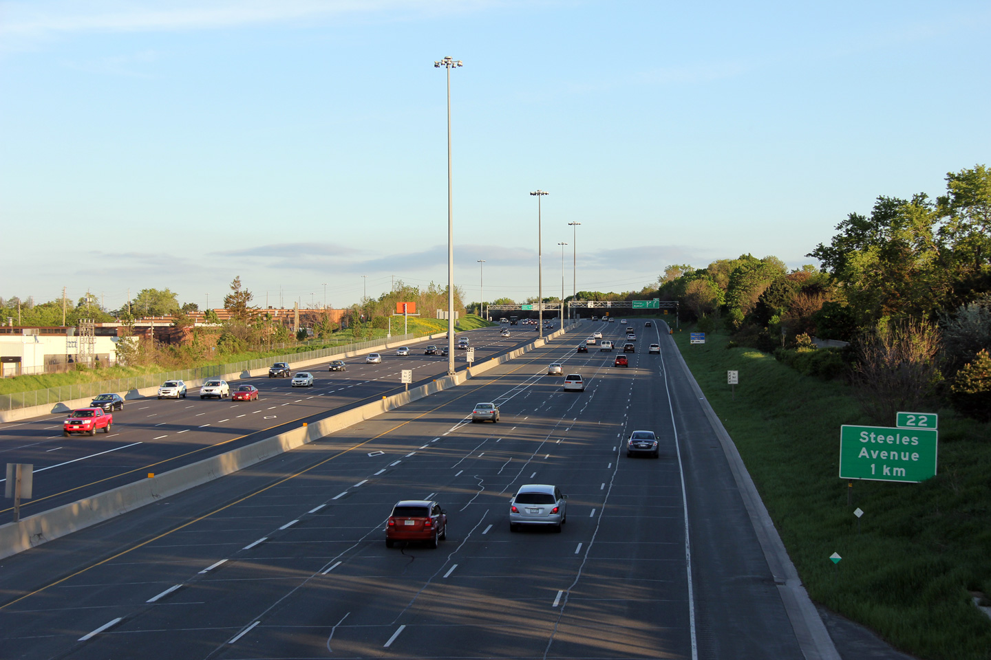
Advanced signage for the ramp to Highway 407 from Highway 404. The
right-most northbound lane exits the 404 for Highway 407.
Photo taken: August 3rd, 2013. |
 (720x480) (720x480)
(1440x960)
(2400x1600) |
| City of Markham Regional
Municipality of York |
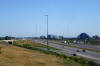
View looking south from the John Street overpass in Markham. Note
the ground mounted sign for Steeles Avenue -- very few ground mounted signs exist
south of Highway 7 near Toronto.
Photo taken: May 24th, 2011.
|

(720x480)
(1440x960)
(2400x1600) |
| City of Markham Regional
Municipality of York |
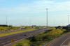
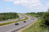
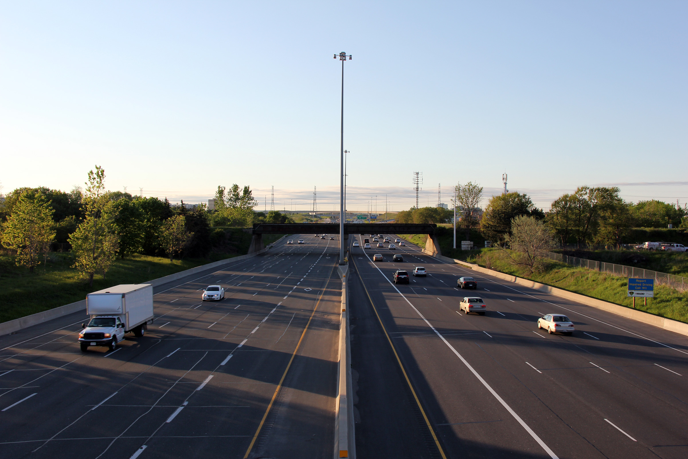
View looking northerly along Highway 404 towards the CN Railway overpass.
This railway overhead was completed several years ahead of the rest of
Highway 404, and as such has a much narrower span width than newer Highway
404 overpasses.
Photo taken: May 24th, 2011. |
(720x480)
(1440x960)
(2400x1600) |
| City of Markham Regional
Municipality of York |
View looking northerly from the CNR overpass towards the large Highway
407
interchange. Notice that the stripped buffer zone that delineates the
HOV lane narrows to a single solid
painted line as the highway passes under the rail overhead. Click
here for this same view taken
in July, 2007.
Photo taken: May 24th, 2011. |
(720x480)
(1440x960)
(2400x1600) |
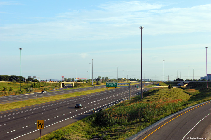
City of Markham
Regional Municipality of York |
Pull-through signage at the Highway 407 interchange. Note the lack of
a control city along the 404 -- this is atypical. Generally outside of the
city
of Toronto all freeway pull-through signage includes both a cardinal
direction and a control city.
Photo taken: August 3rd, 2013. |
 (720x480) (720x480)
(1440x960)
(2400x1600) |
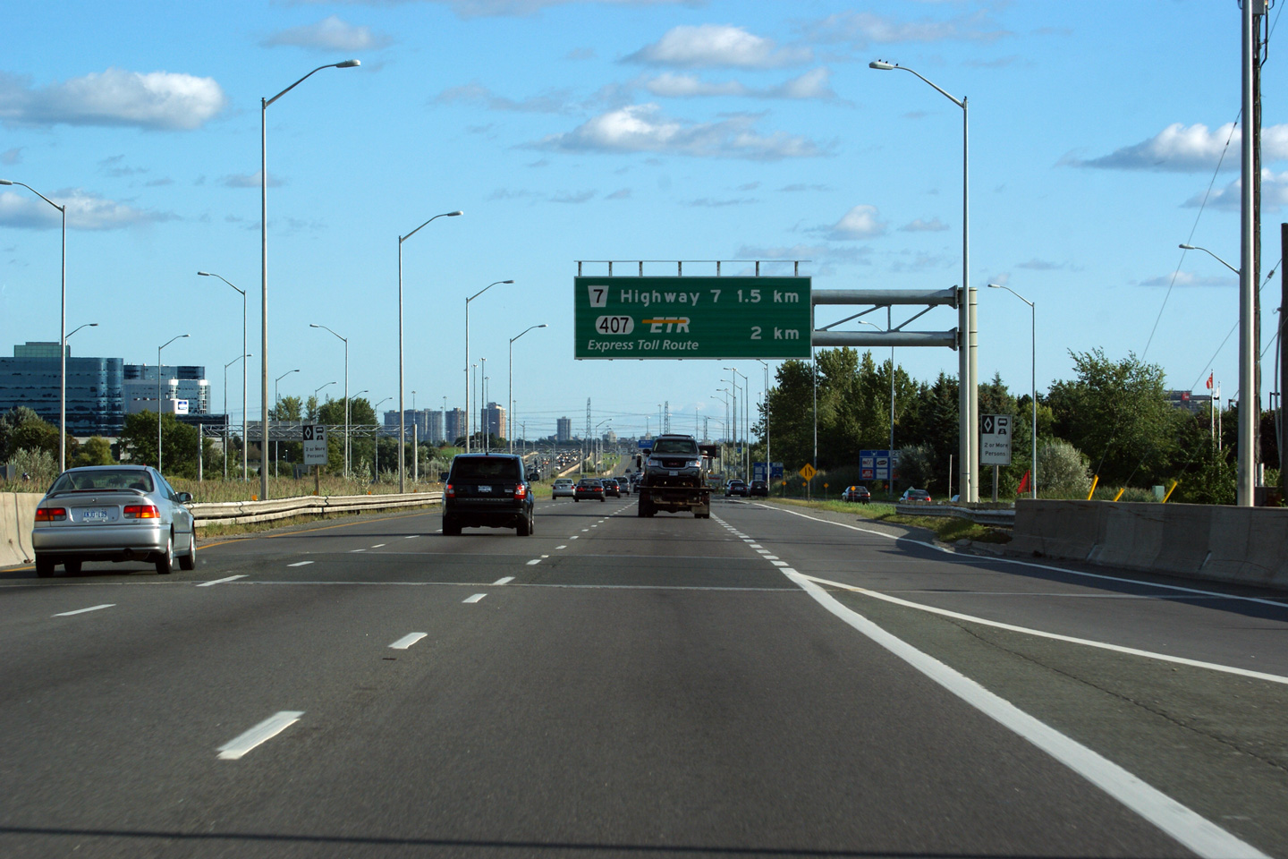
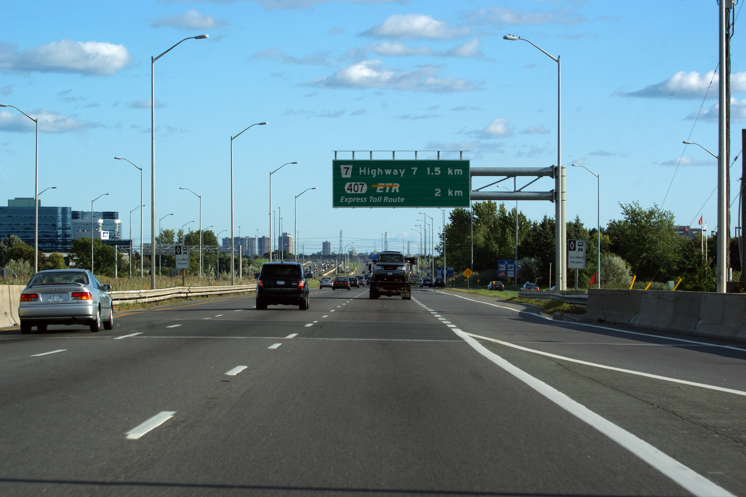
City of Markham
Regional Municipality of York |
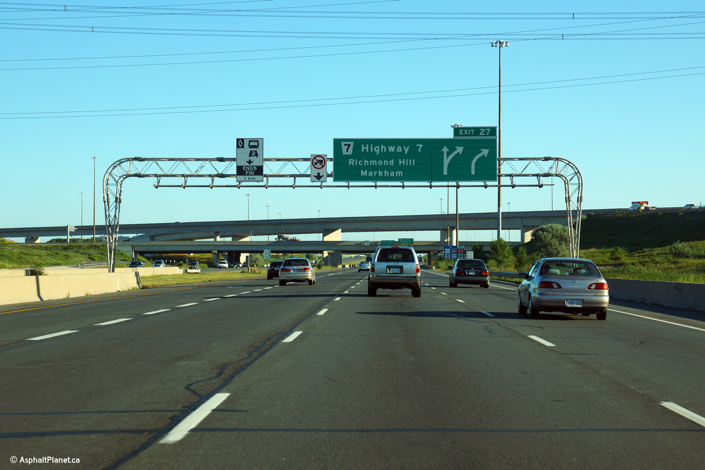
Advanced signage for the Highway 7 interchange.
This signage was replaced early in 2015 with this
signage, taken in March, 2015.
Photo taken: August 3rd, 2013. |
 (720x480) (720x480)
(1440x960)
(2400x1600)
|
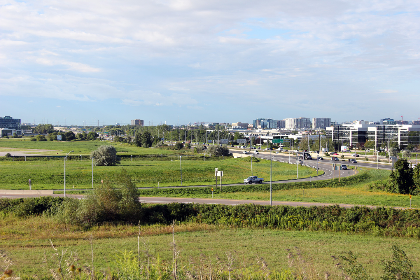
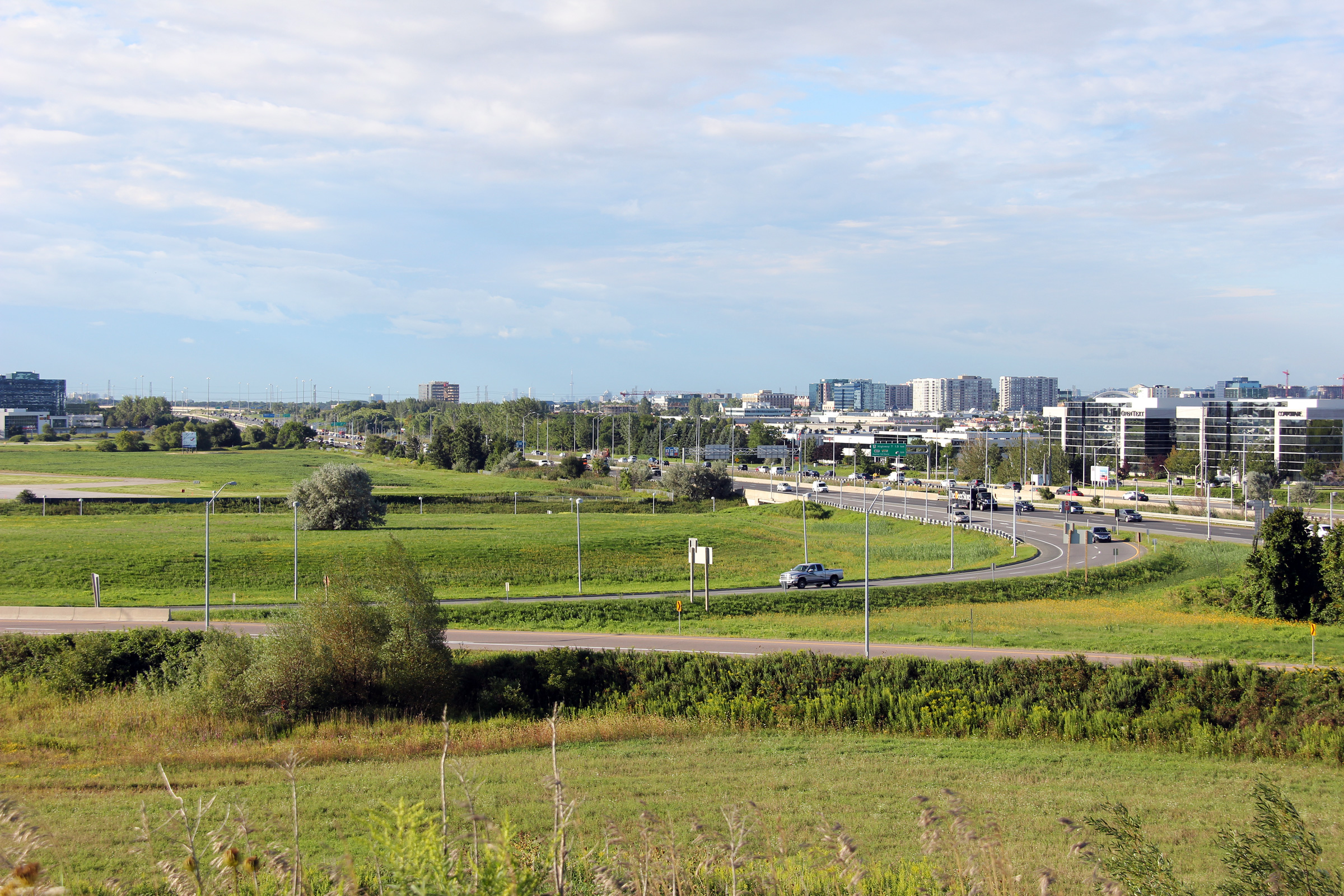
City of Markham
Regional Municipality of York |
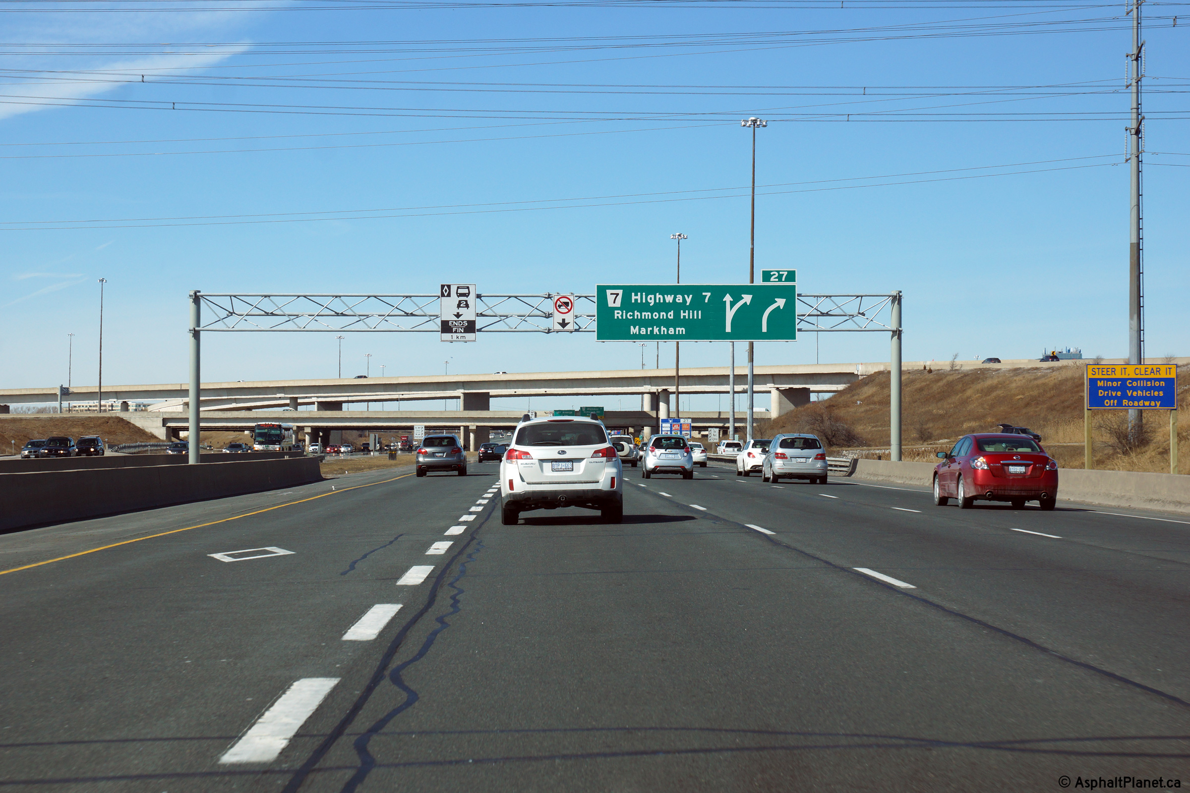
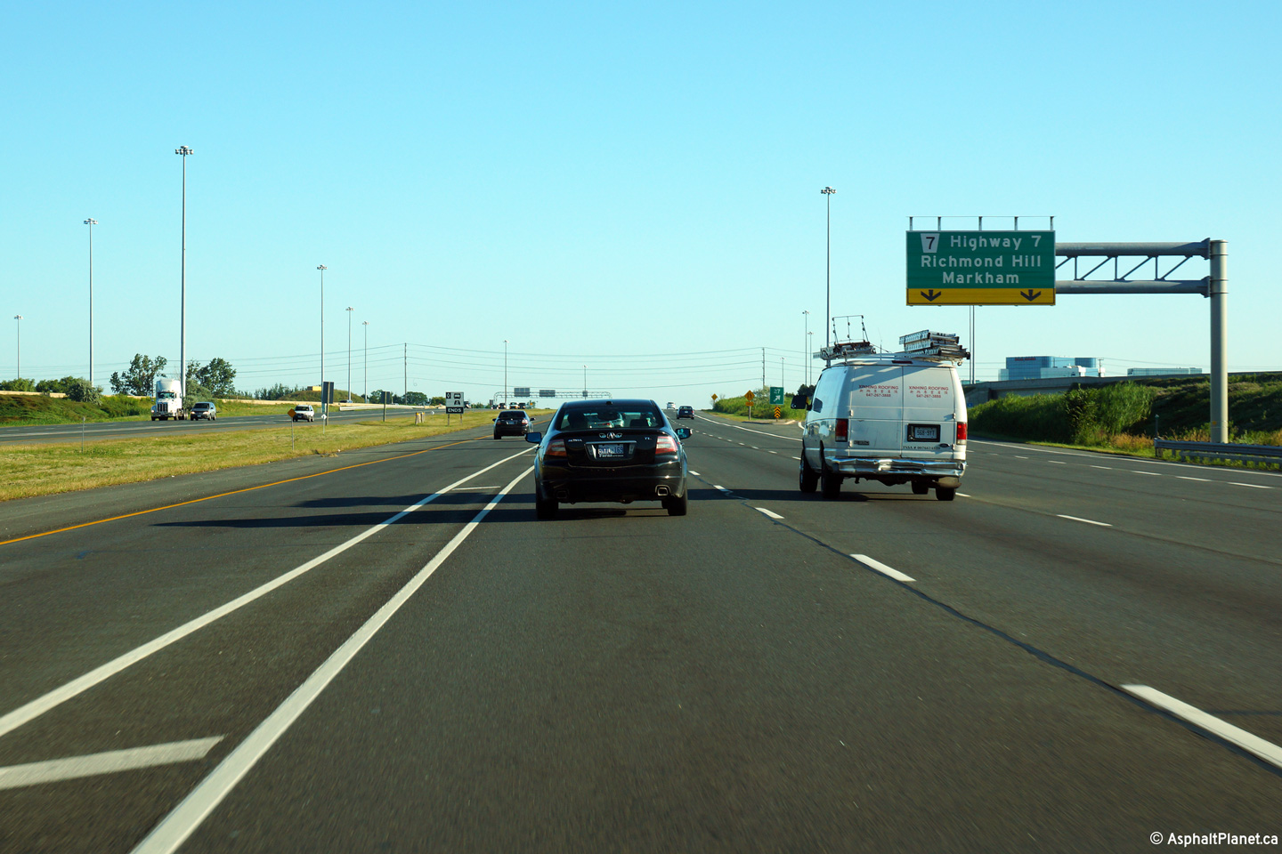
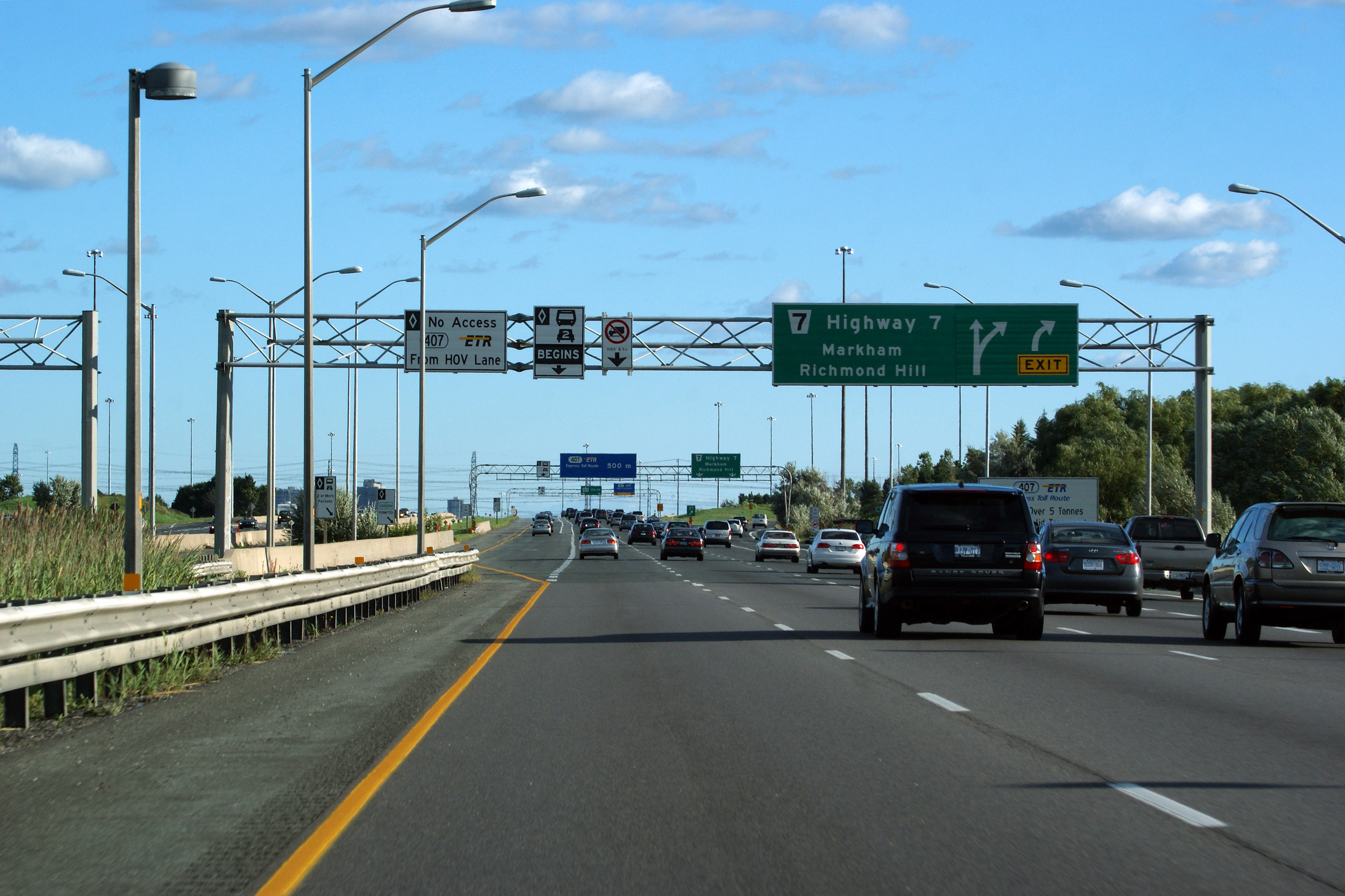
View looking northerly at the exit to Highway 7 along Highway 404 north.
Photo taken: August 3rd, 2013. |
 (720x480) (720x480)
(1440x960)
(2400x1600) |
| City of Markham Regional
Municipality of York |
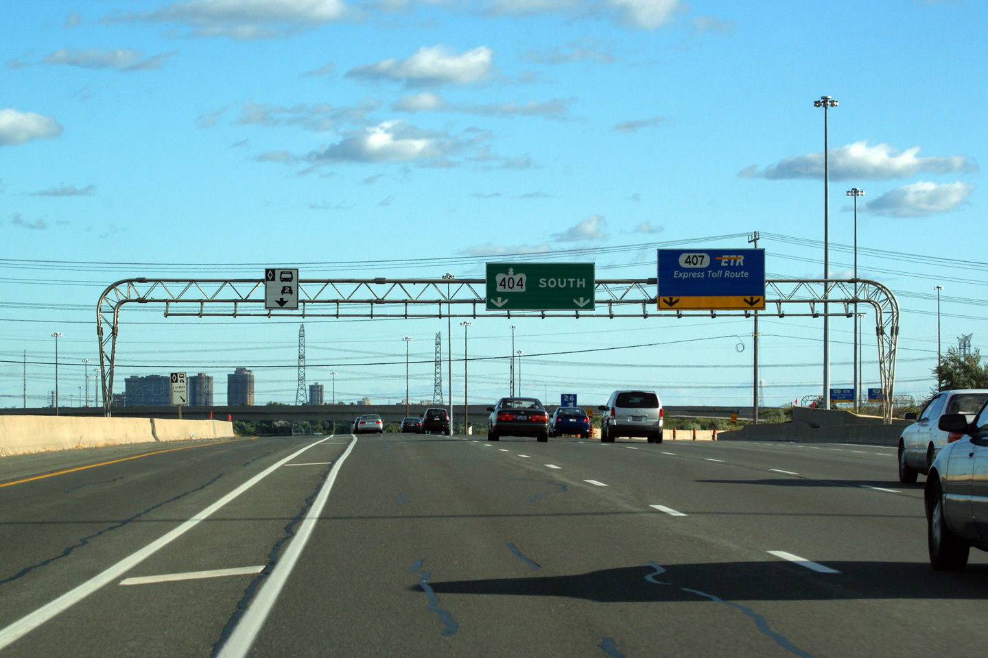
View looking southerly through the Highway
407 interchange along Highway 404. The 404/407 interchange is a
three level interchange with high-speed flyovers moving traffic from north
to west and from south to east.
Photo taken: August 3rd, 2013. |
(720x480)
(1440x960)
(2400x1600) |
|
Highway 407 runs across the top
of Toronto from Burlington to Pickering. Click
here for Highway
407-West images and
here for Highway 407-East images. |
| City of Markham Regional
Municipality of York |
An additional partial overhead sign was placed at the diverge of the
off-ramp to Highway 7 from the northbound 404 during the Summer of 2011.
Photo taken: August 3rd, 2013. |
 (720x480) (720x480)
(1440x960)
(2400x1600) |
| City of Markham Regional
Municipality of York |
View looking southerly through the Highway
407 interchange along Highway 404. The 404/407 interchange is a
three level interchange with high-speed flyovers moving traffic from north
to west and from south to east.
Photo taken: July 23rd, 2007. |
(720x480)
(1440x960) |
City of Markham
Regional Municipality of York |
Northerly view towards the braided ramps that separate the Highway 404 and
Highway 7 ramps. Interchanges built as part of the construction of Highway 407 often
feature braided ramps to separate closely spaced ramps. This is one of
the most notable design improvements Highway 407 over older highways such as
the 401.
Upper photo taken: July 8th, 2012.
Lower photo taken: July 23rd, 2007. |
(720x480)
(1440x960)
(2400x1600)
(720x480)
(1440x960) |
City of Markham
Regional Municipality of York |
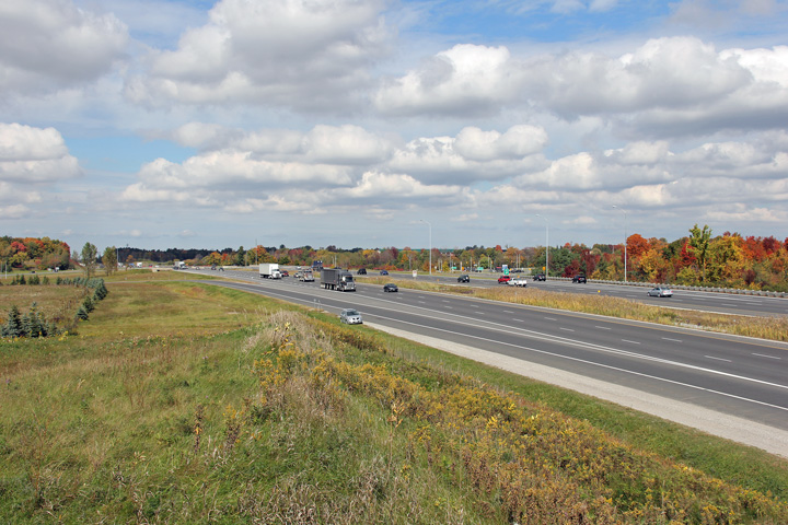
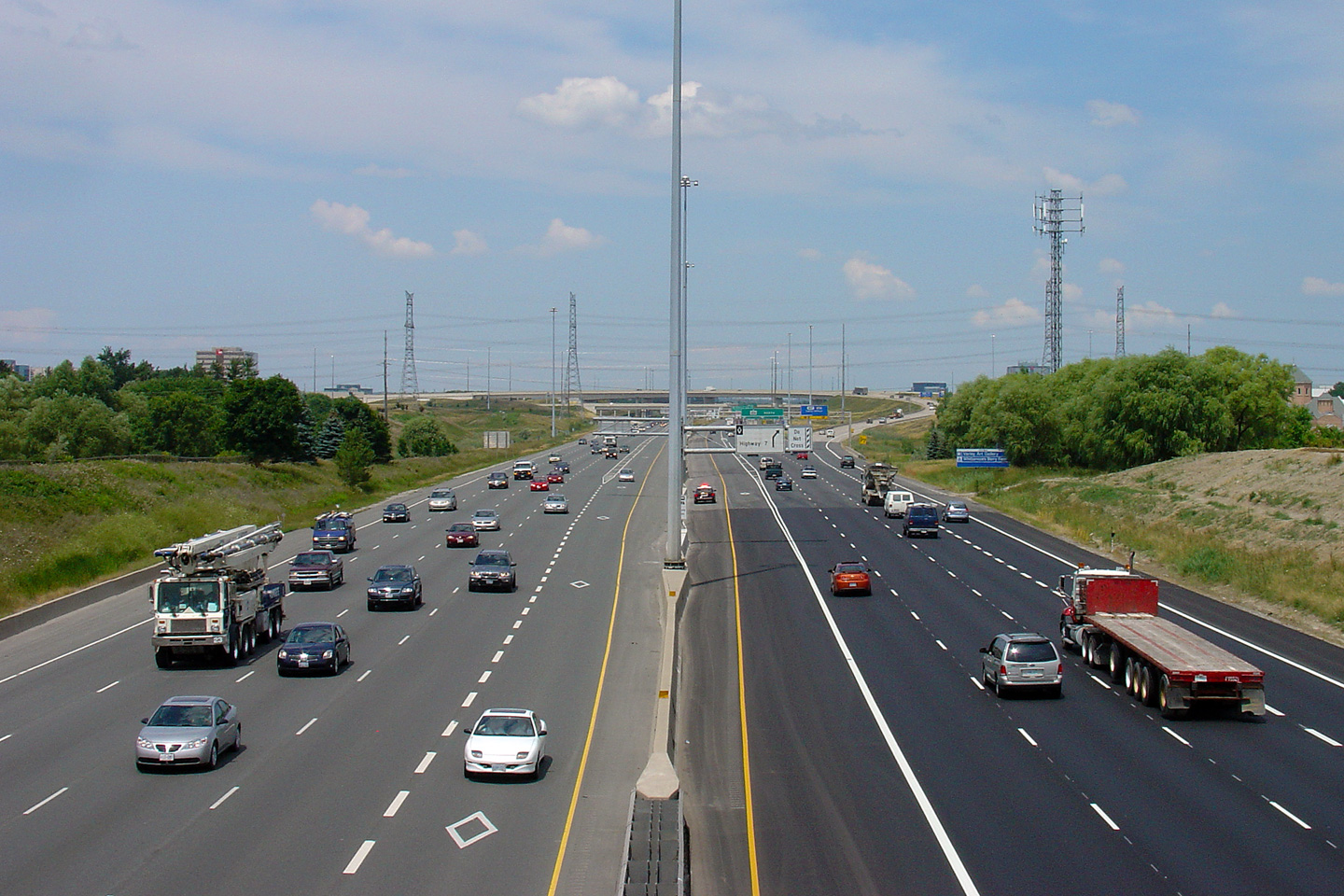
Southerly view as the ramps from Highway 7 join Highway 404 South.
Almost as much traffic enters Highway 404 from Highway 7 as does from
Highway 407.
Photo taken: July 23rd, 2007. |
(720x480)
(1440x960) |
| City of Markham Regional
Municipality of York |
Signage at the southbound ramps to Highway 407
ETR. The Highway 404 pull through sign has yet to be updated
despite
the fact that the highway was first widened to 6-lanes back in 1998.
Photo taken: August 28th, 2011. |
 (720x480) (720x480)
(1440x960)
(2400x1600) |
|
Highway 7 leads from Sarnia to
Ottawa and through the Centre of York Region's Southern Cities.
Click here for Highway 7 images. |
| Markham - Richmond Hill Boundary
Regional Municipality of York |
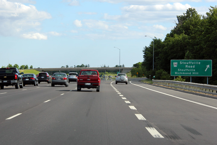
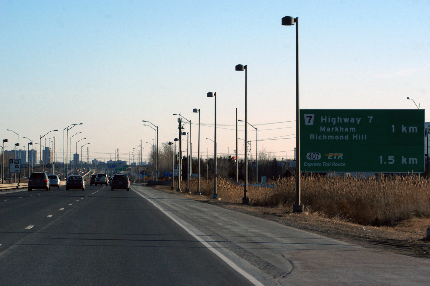
Signage at the southbound off-ramp to Highway 7.
Notice on the advanced signage for the 407 that the distance to the exit is
shown rather than advanced arrows.
In recent years, the MTO has avoided using curved advanced arrows on
gantries also displaying 'pull-through' exit signage. This signage was
replaced early in 2015 with this
signage, taken in November, 2015
Photo taken: August 28th, 2011. |
 (720x480) (720x480)
(1440x960)
(2400x1600) |
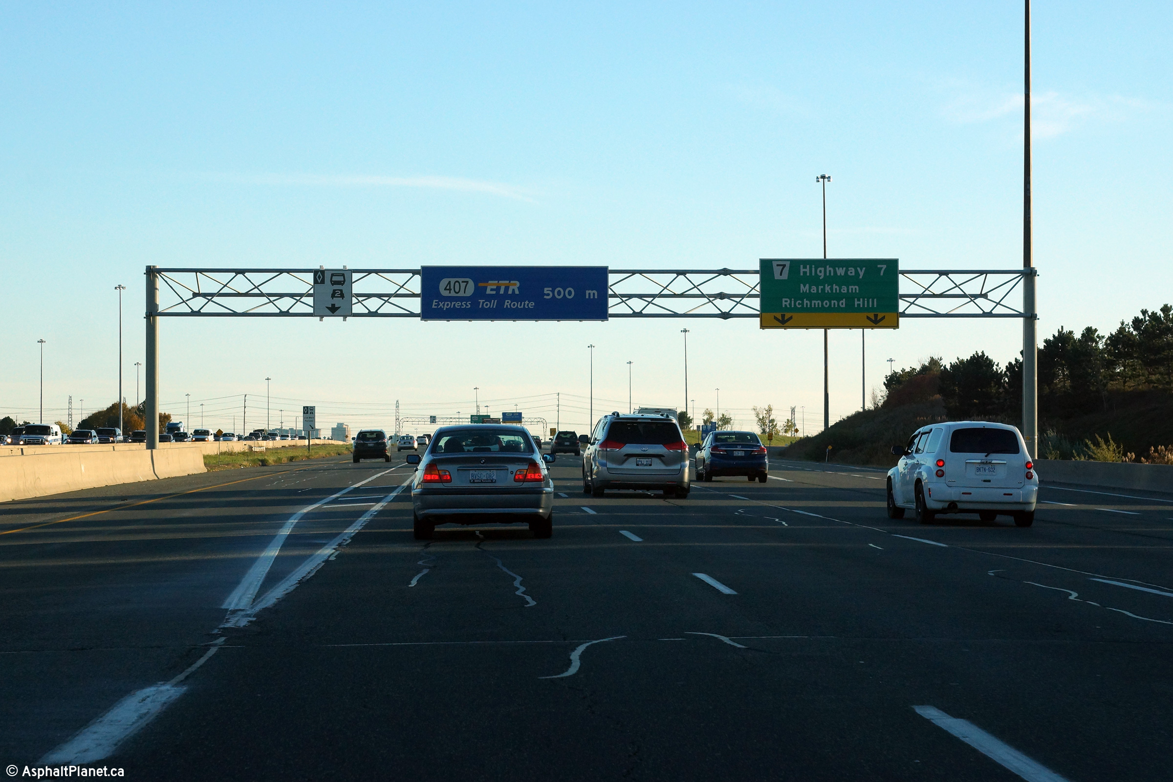
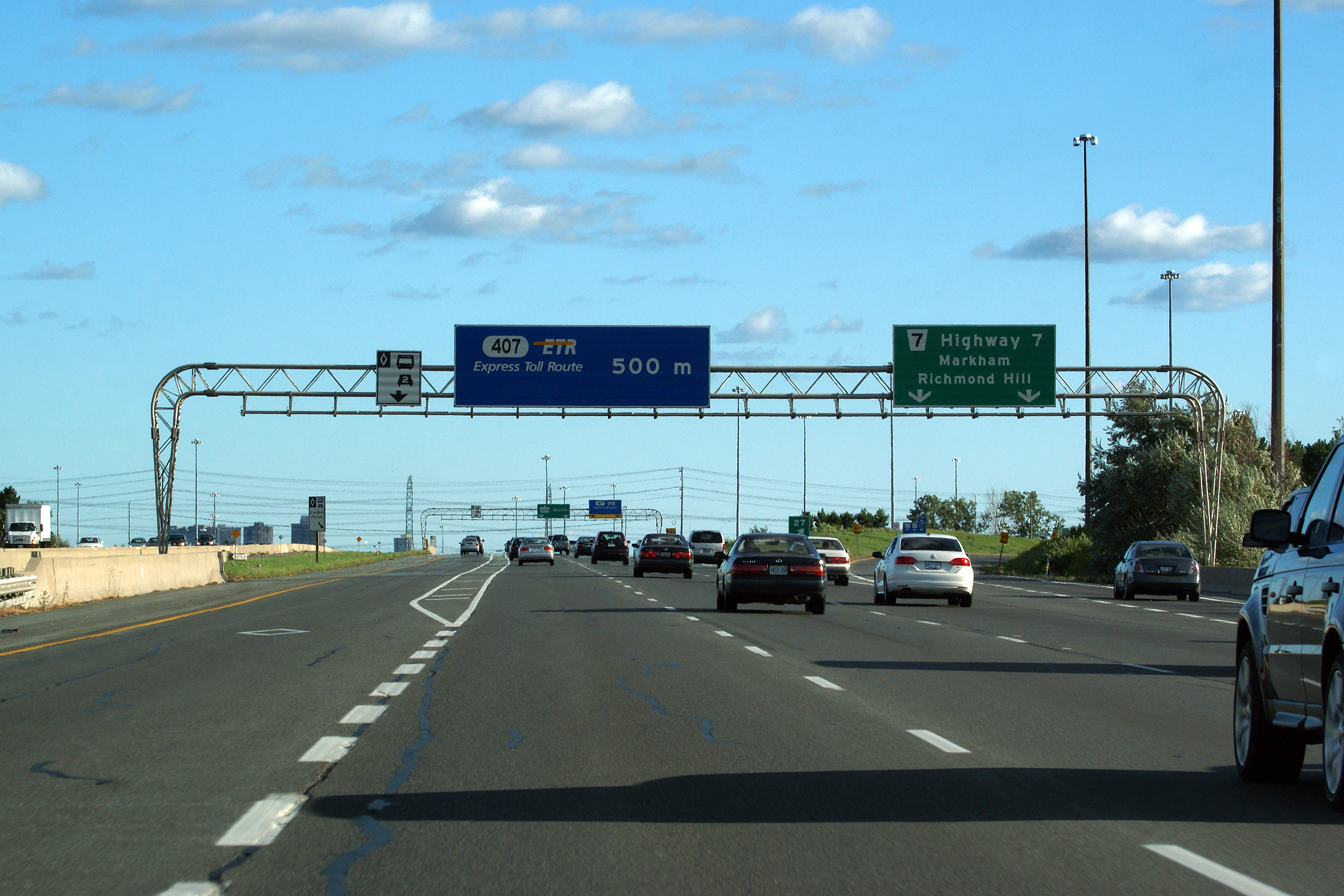
| Markham - Richmond Hill Boundary
Regional Municipality of York |
Overhead advanced sign for the Highway 7 interchange, and for the the start
of the southbound HOV lane on Highway 404. Notice the signage indicating
that Highway 407 is not accessible from the HOV lane.
Photo taken: August 28th, 2011. |
 (720x480) (720x480)
(1440x960)
(2400x1600) |
| Markham - Richmond Hill Boundary
Regional Municipality of York |
Overhead guide signage 1km in advance of the 16th Avenue interchange.
This sign would seem more fitting on a newer style partial gantry.
Photo taken: August 3rd, 2013. |
 (720x480) (720x480)
(1440x960)
(2400x1600) |
| Markham - Richmond Hill Boundary
Regional Municipality of York |
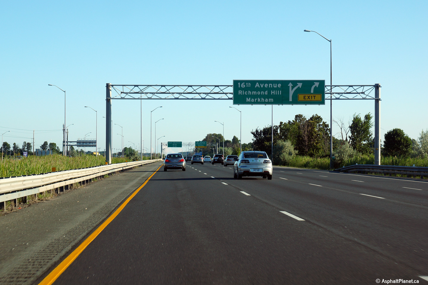
Northbound advanced signage for the Sixteen Avenue overpass. The right
most lane of the freeway exits at the 16th Avenue interchange.
Photo taken: August 3rd, 2013. |
 (720x480) (720x480)
(1440x960)
(2400x1600) |
| Markham - Richmond Hill Boundary
Regional Municipality of York |
Exit signage at the 16th Avenue exit. Notice that no regional road
numbers are indicated on this signage. 16th Avenue is York Regional
Road 73, and Major Mackenzie Drive is York Regional Road 25.
Photo taken: August 3rd, 2013. |
 (720x480) (720x480)
(1440x960)
(2400x1600) |
| Markham - Richmond Hill Boundary
Regional Municipality of York |
Overhead interchange sequence signage southbound at the 16th Avenue interchange.
This sign was erected in 2011 replacing an
older ground mounted sign that was hidden behind the light standards
that line the highway.
Photo taken: August 28th, 2011. |
 (720x480) (720x480)
(1440x960)
(2400x1600) |
| Markham - Richmond Hill Boundary
Regional Municipality of York |
Two views looking southerly towards the 16th Avenue interchange with Highway
404 and Buttonville Airport. Buttonville is a small general aviation
airport that is slated to close as soon as the end of 2013. Once
closed it will be redeveloped as a mixed use high density site. Various
improvements to both the local road network and Highway 404 are planned as
part of this project. The city of Markham website has an interesting
PowerPoint presentation detailing some of the proposed improvements that can
be viewed
here.
Photos taken: August 17th, 2012. |
(720x480)
(1440x960)
(2400x1600)

(720x480)
(1440x960)
(2400x1600) |
| Markham - Richmond Hill Boundary
Regional Municipality of York |
This view looks northerly overtop of the Rouge River bridge. Take notice
just how narrow the highway is as it crosses overtop of the Rouge River
bridge. The Rouge River bridge is a pile driven bridge, a design that is
difficult to widen. Accordingly it was not widened when the 404
was widened to six lanes in 2001. This bridge is considered
"throw-a-way" infrastructure, and new spans will be constructed prior to
future highway widening.
Photo taken: August 3rd, 2013. |
 (720x480) (720x480)
(1440x960)
(2400x1600) |
| Markham - Richmond Hill Boundary
Regional Municipality of York |
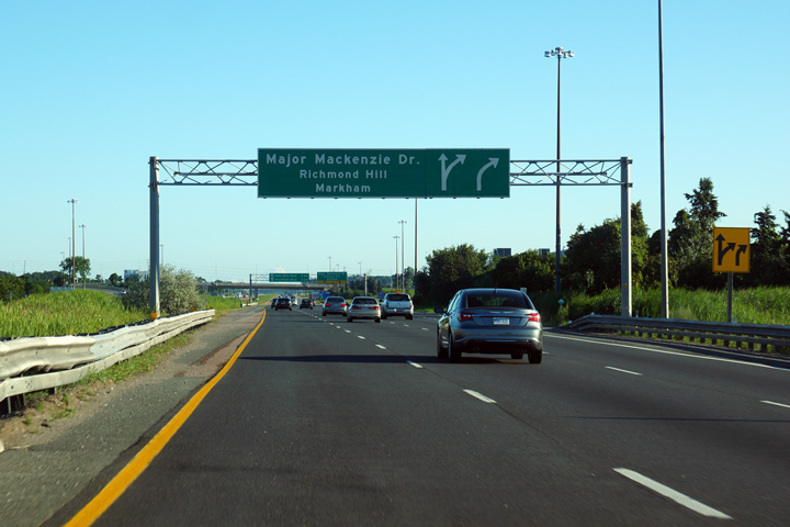
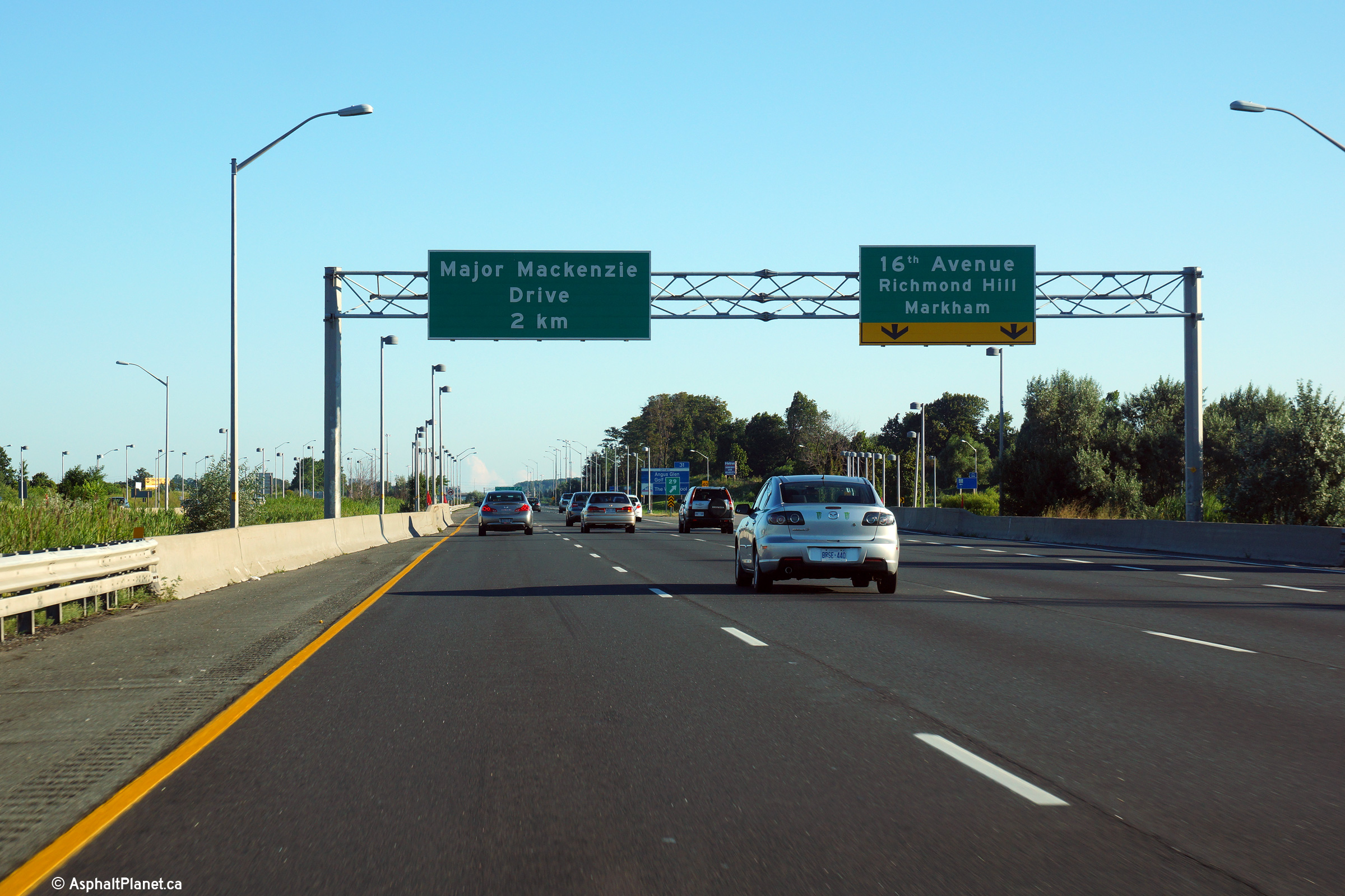
Regional Road designations begin to make their appearance on overhead
signage again at the Major Mackenzie Drive interchange. Notice how the
next two interchanges are shown on the pull-through signage -- this is
becoming more and more the standard practice in the suburban GTA --
traditionally, only the next exit was shown.
Photo taken: August 3rd, 2013. |
 (720x480) (720x480)
(1440x960)
(2400x1600) |
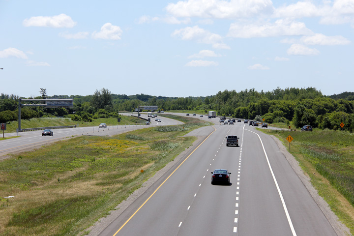
| Markham - Richmond Hill Boundary
Regional Municipality of York |
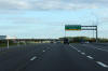
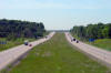
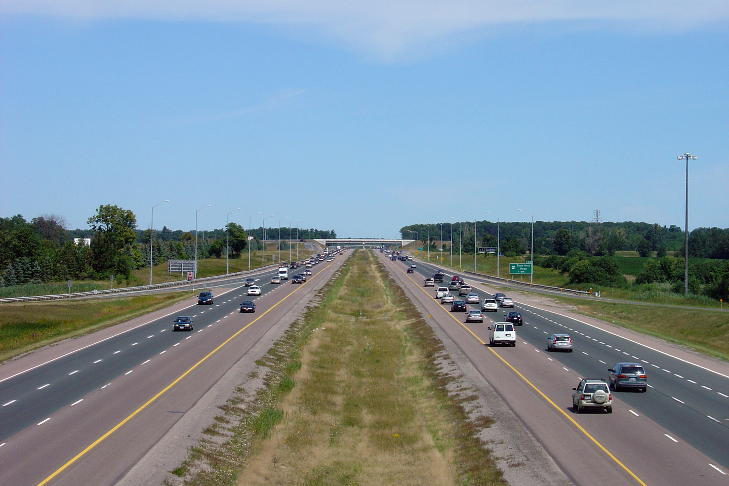
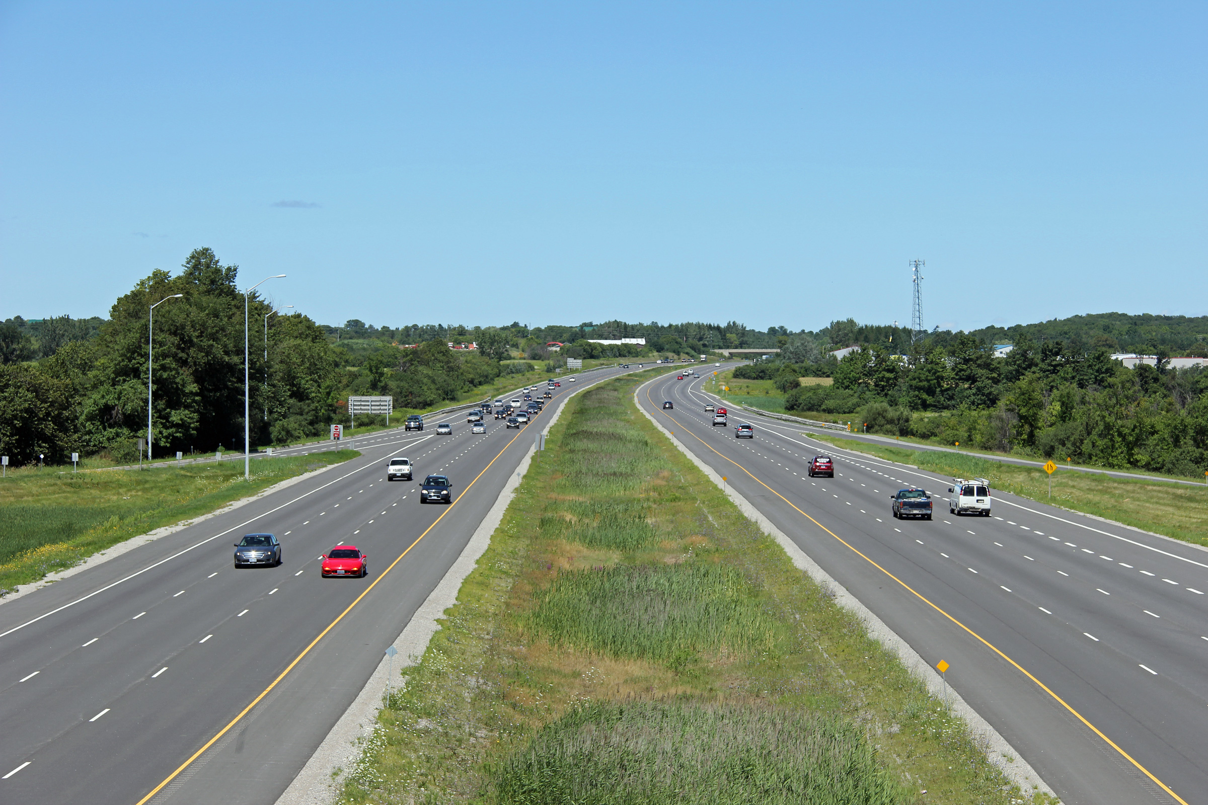
This view looks southerly along Highway 404 from the Major Mackenzie Drive
overpass.
Photo taken: June 25th, 2012. |
(720x480)
(1440x960)
(2400x1600) |
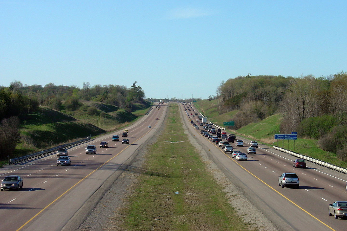
| Markham - Richmond Hill Boundary
Regional Municipality of York |
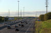
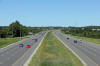
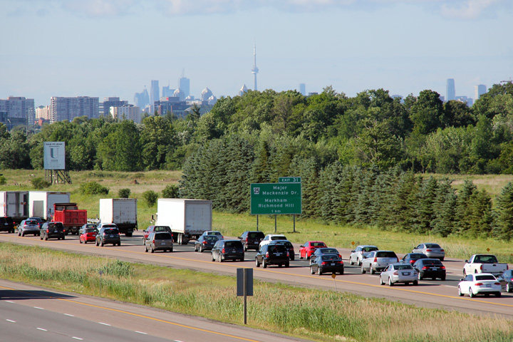
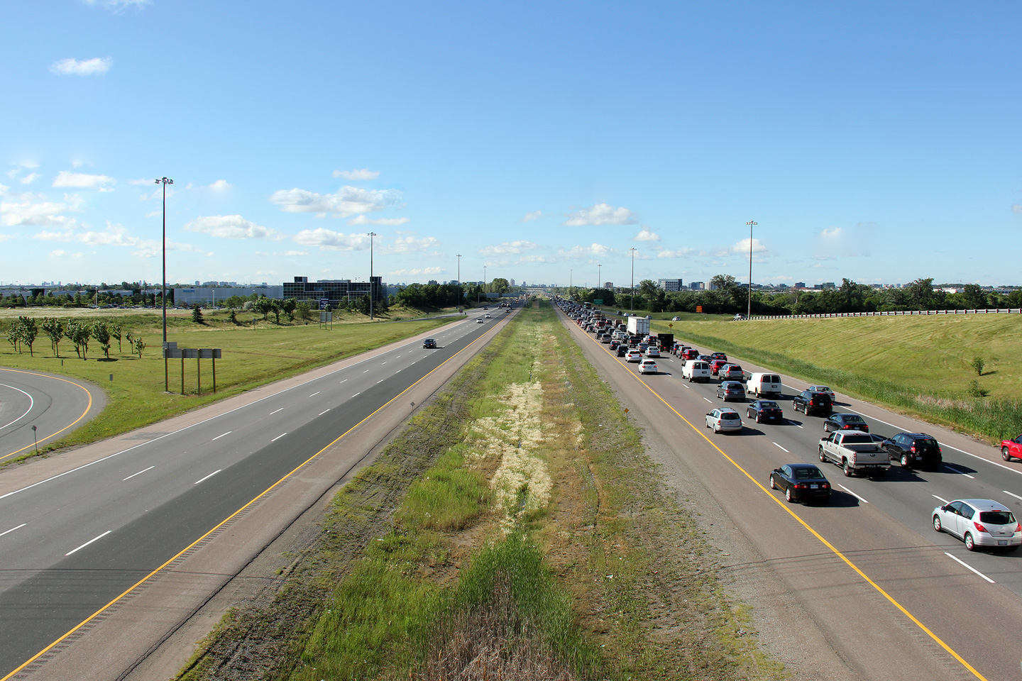
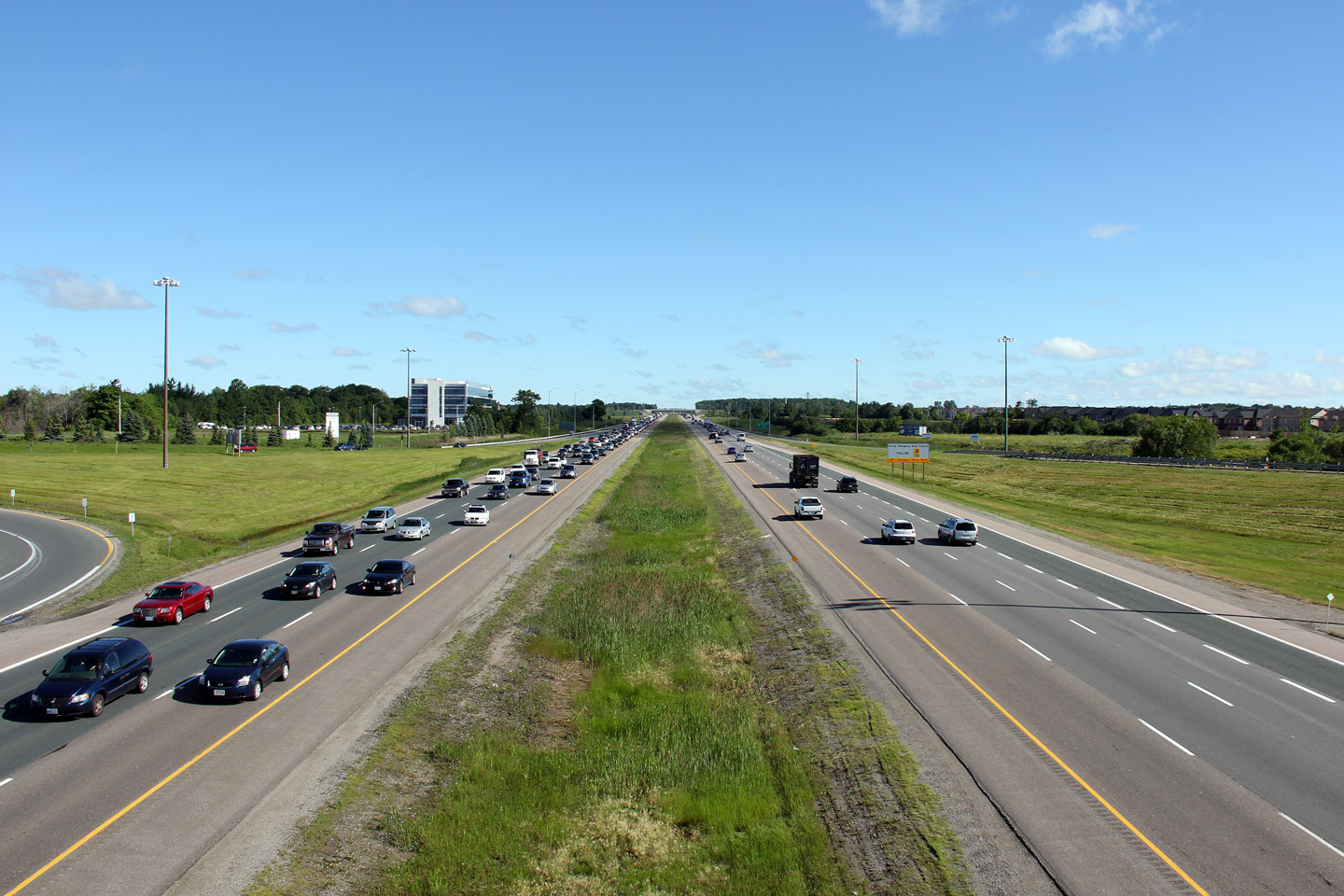
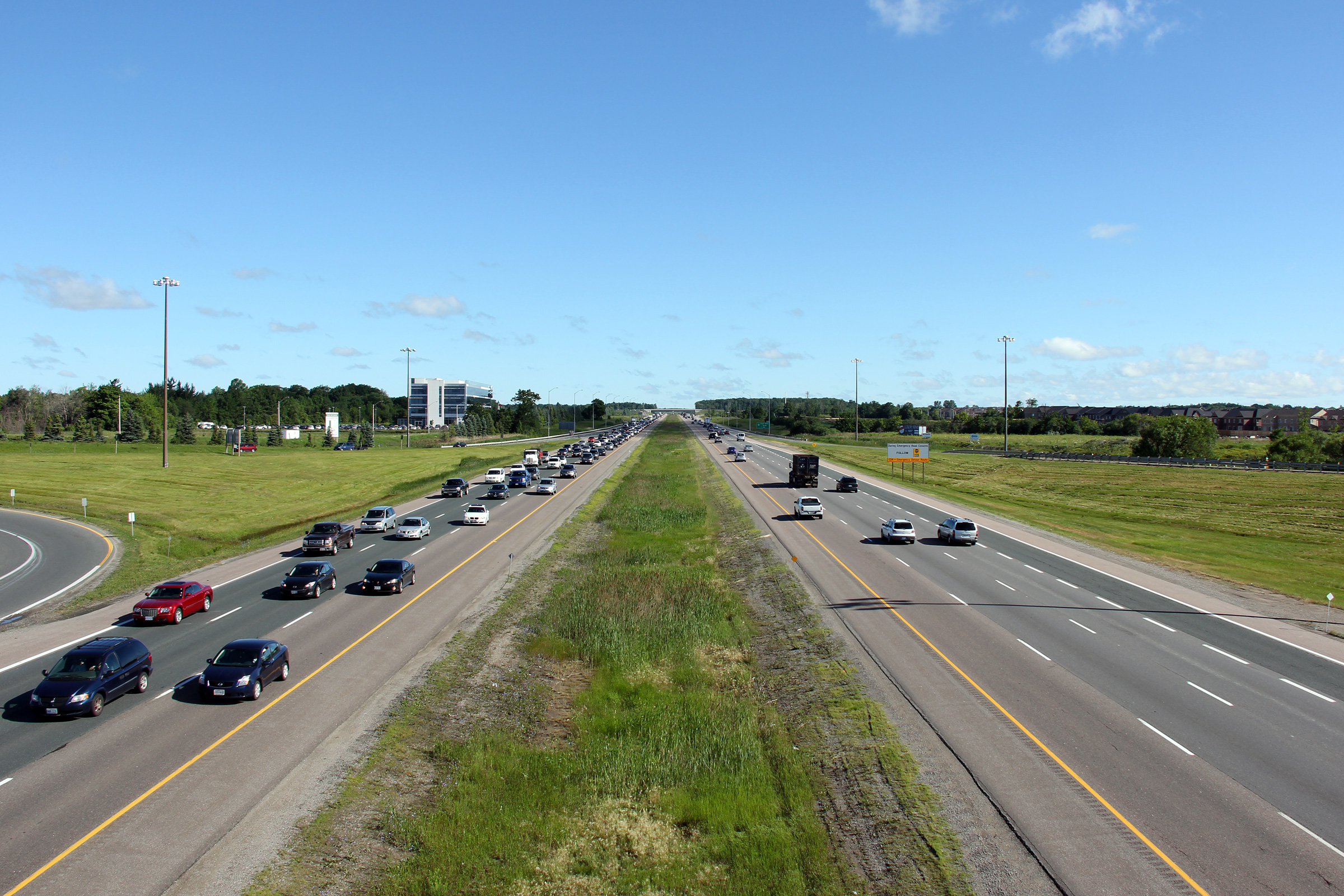
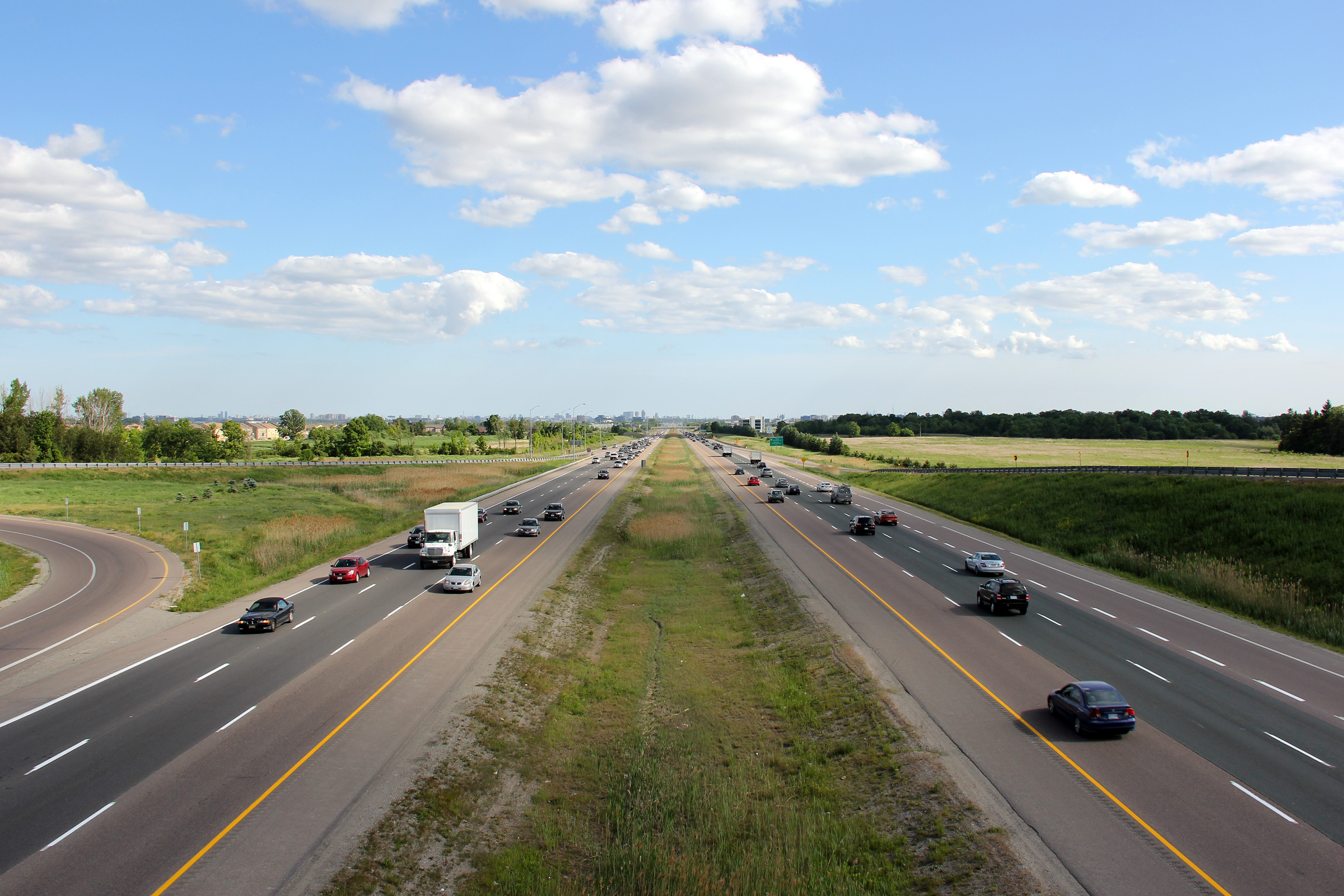
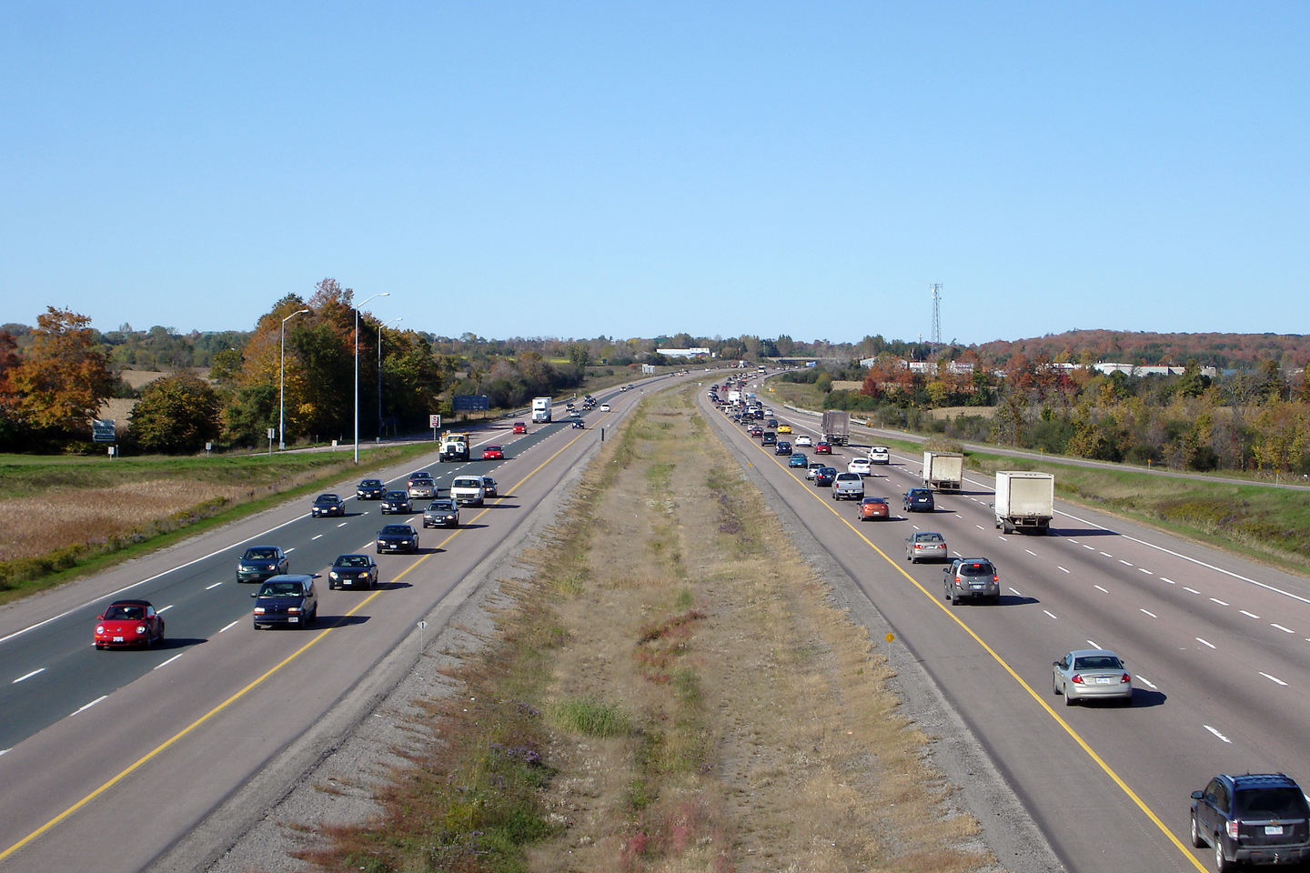
Two northerly views along Highway 404 from the Major Mackenzie Drive
overpass. Note the heavily congested southbound lanes of the freeway.
Traffic routinely backs up along the southbound 404 during the morning rush
hour. Click here for this
same view taken in August, 2006 (note the absence of development surrounding
the corridor).
Photos taken: June 25th, 2012. |
(720x480)
(1440x960)
(2400x1600)

(720x480)
(1440x960)
(2400x1600) |
| Markham - Richmond Hill Boundary
Regional Municipality of York |
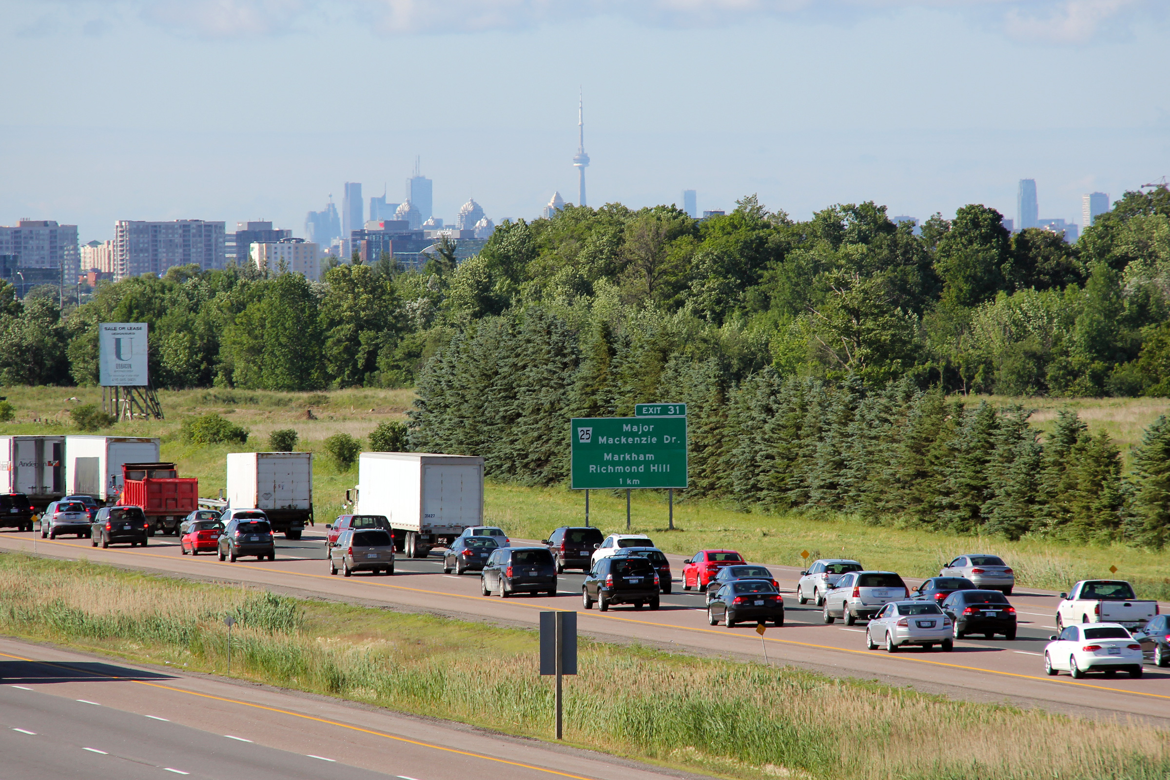
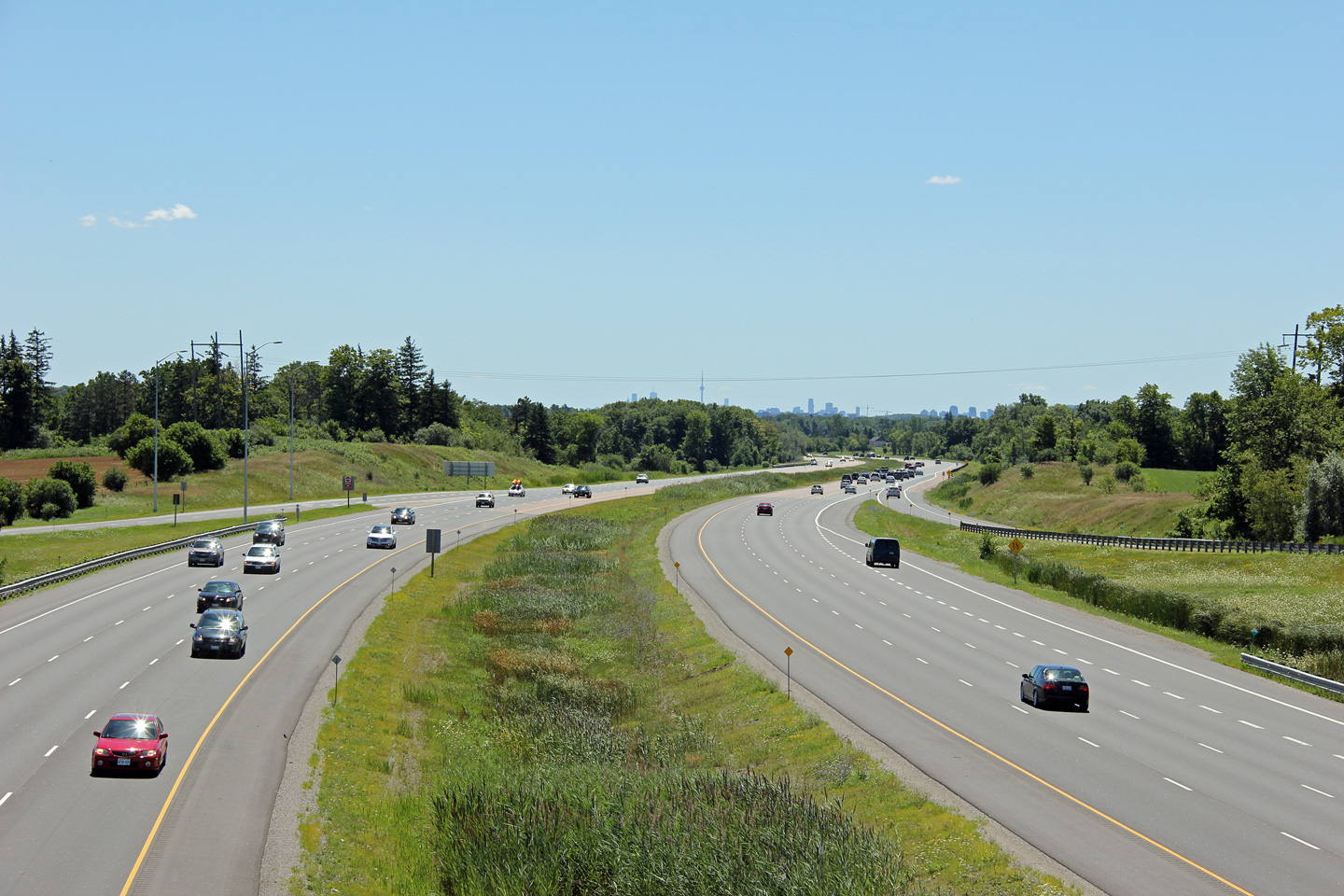
Southbound advanced signage for the exit to Major Mackenzie Drive in front
of some of the more predominant buildings of the Toronto skyline.
Photo taken: June 25th, 2012. |
 (720x480) (720x480)
(1440x960)
(2400x1600) |
| Markham - Richmond Hill Boundary
Regional Municipality of York |
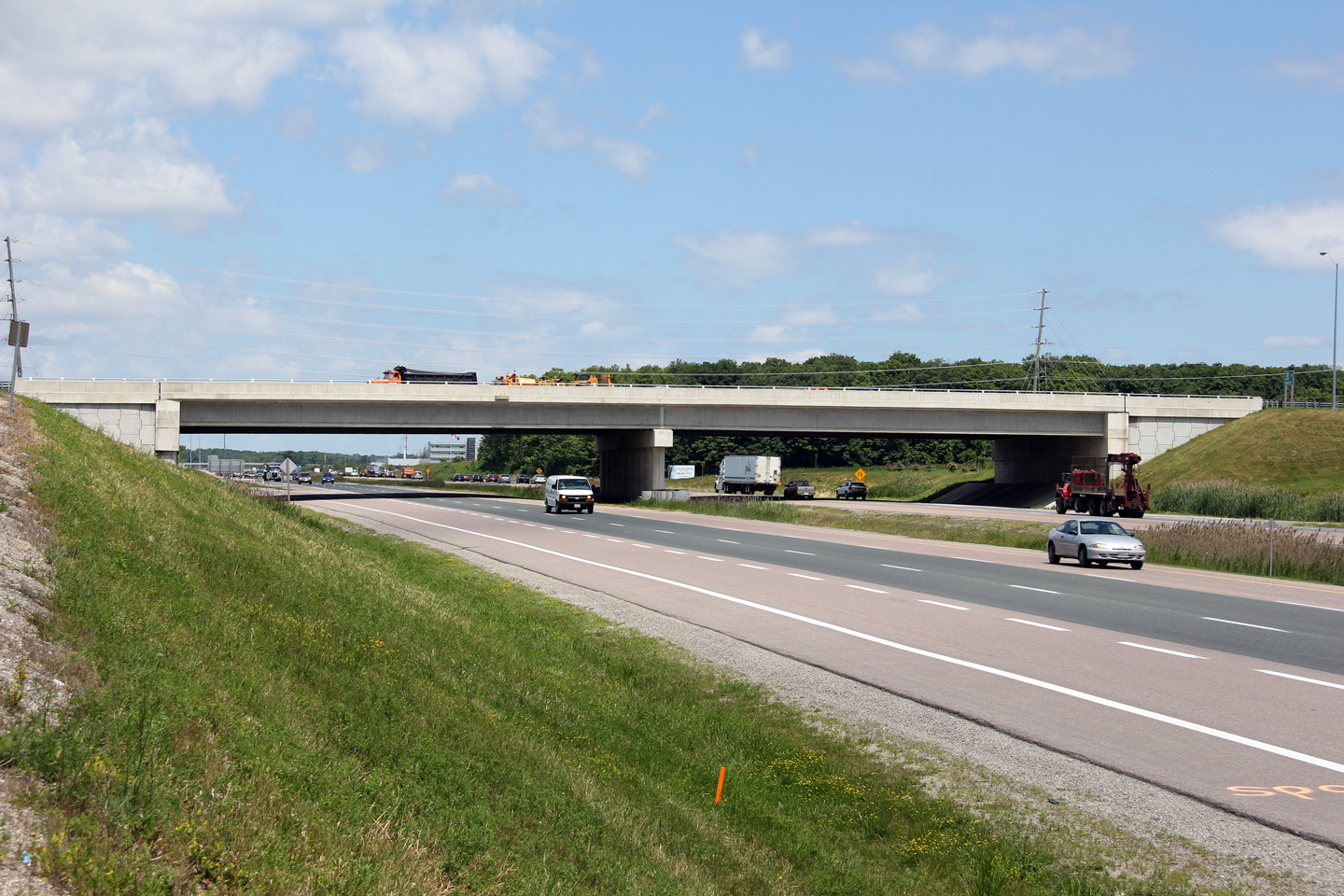
The southern side of the Elgin Mills Road overpass. In order to build the
Elgin Mills Road interchange, the original two-lane 1970's era pre-stressed
structure was replaced with this six lane concrete beam bridge.
Photo taken: June 26th, 2012. |
(720x480)
(1440x960)
(2400x1600) |
| Markham - Richmond Hill Boundary
Regional Municipality of York |
View looking southerly from the Elgin Mills Road overpass. It is
rather striking how much York Region has grown in the past 25 years.
The lands surrounding the Elgin Mills Road interchange are almost
exclusively developed now.
Photo taken: May 31st, 2012. |
(720x480)
(1440x960)
(2400x1600)
|
| Markham - Richmond Hill Boundary
Regional Municipality of York |
Northerly view from Elgin Mills Road. The Elgin Mills Road
intersection opened to traffic in 2005. The interchange was designed
and constructed with financial contributions from the Region of York.
Photo taken: May 31st, 2012. |
(720x480)
(1440x960)
(2400x1600) |
| Markham - Richmond Hill Boundary
Regional Municipality of York |
Southerly view from the Nineteenth Avenue overpass. Nineteenth Avenue is only
the second major concession road north of the 401 to not have an interchange.
Click here for this same view taken in
October 2006.
Photo taken: October 6th, 2006. |
(720x480)
(1440x960)
(2400x1600) |
| Markham - Richmond Hill Boundary
Regional Municipality of York |
View looking northerly from the Nineteenth Avenue overpass. Note the
greenbelt signage in the right hand side of the photo. Perhaps
surprisingly I am a big supporter of Ontario's greenbelt legislation --
while I certainly am in favour of continued economic and social growth
within the GTA, continued urban sprawl cannot be allowed to envelop all of
the prime farm land that surrounds the GTA. Click
here for this same view taken in
October 2006.
Photo taken: August 6th, 2012. |
(720x480)
(1440x960)
(2400x1600) |
Richmond Hill - Whitchurch-Stouffville
Boundary
Regional Municipality of York |
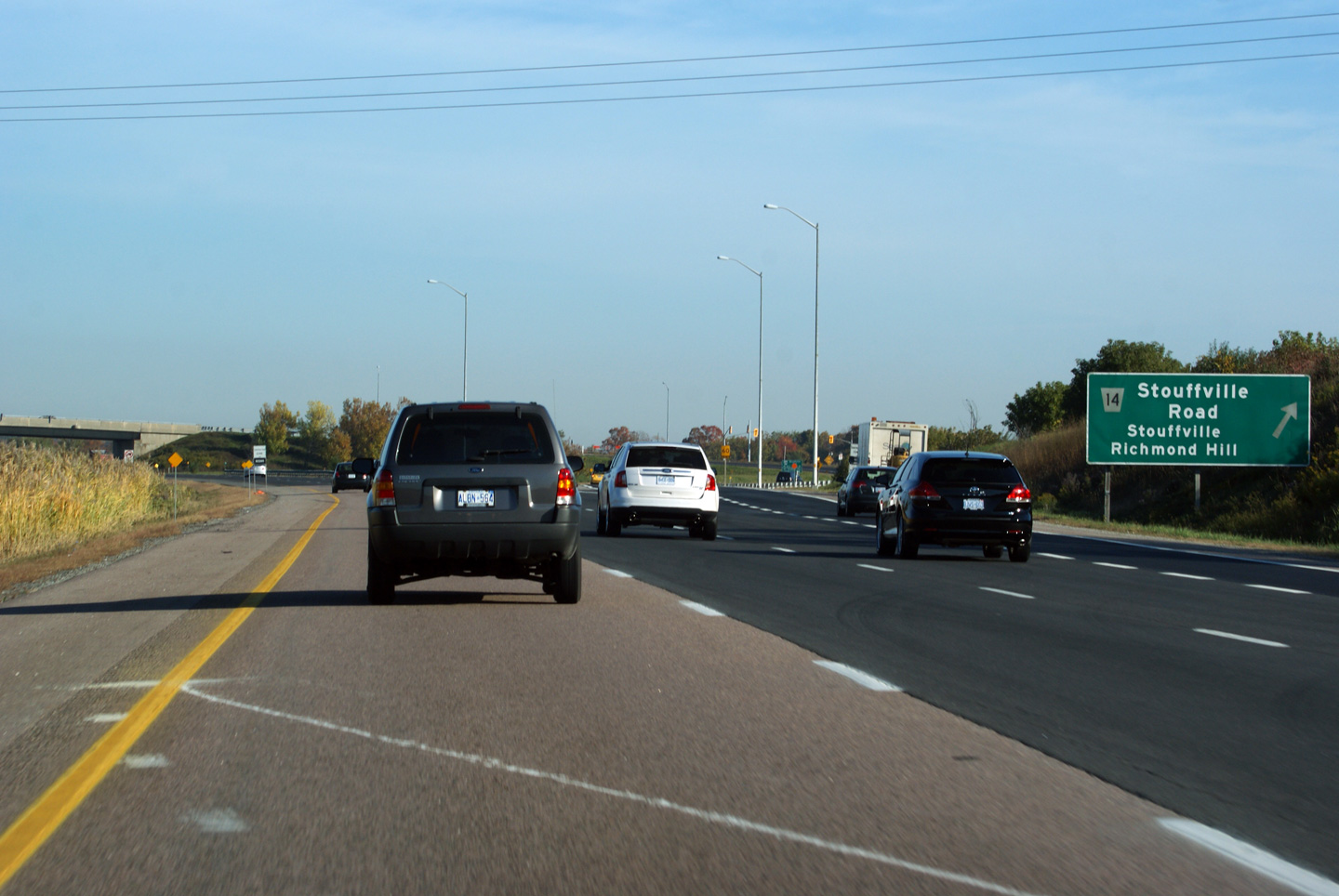
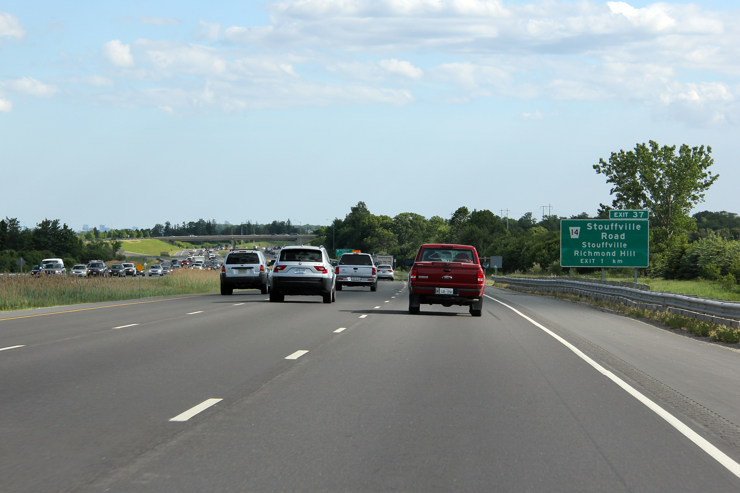
Northbound advanced signage for the Stouffville Road interchange.
Photo taken: July 8th, 2012. |
 (720x480) (720x480)
(1440x960)
(2400x1600) |
Richmond Hill - Whitchurch-Stouffville
Boundary
Regional Municipality of York |
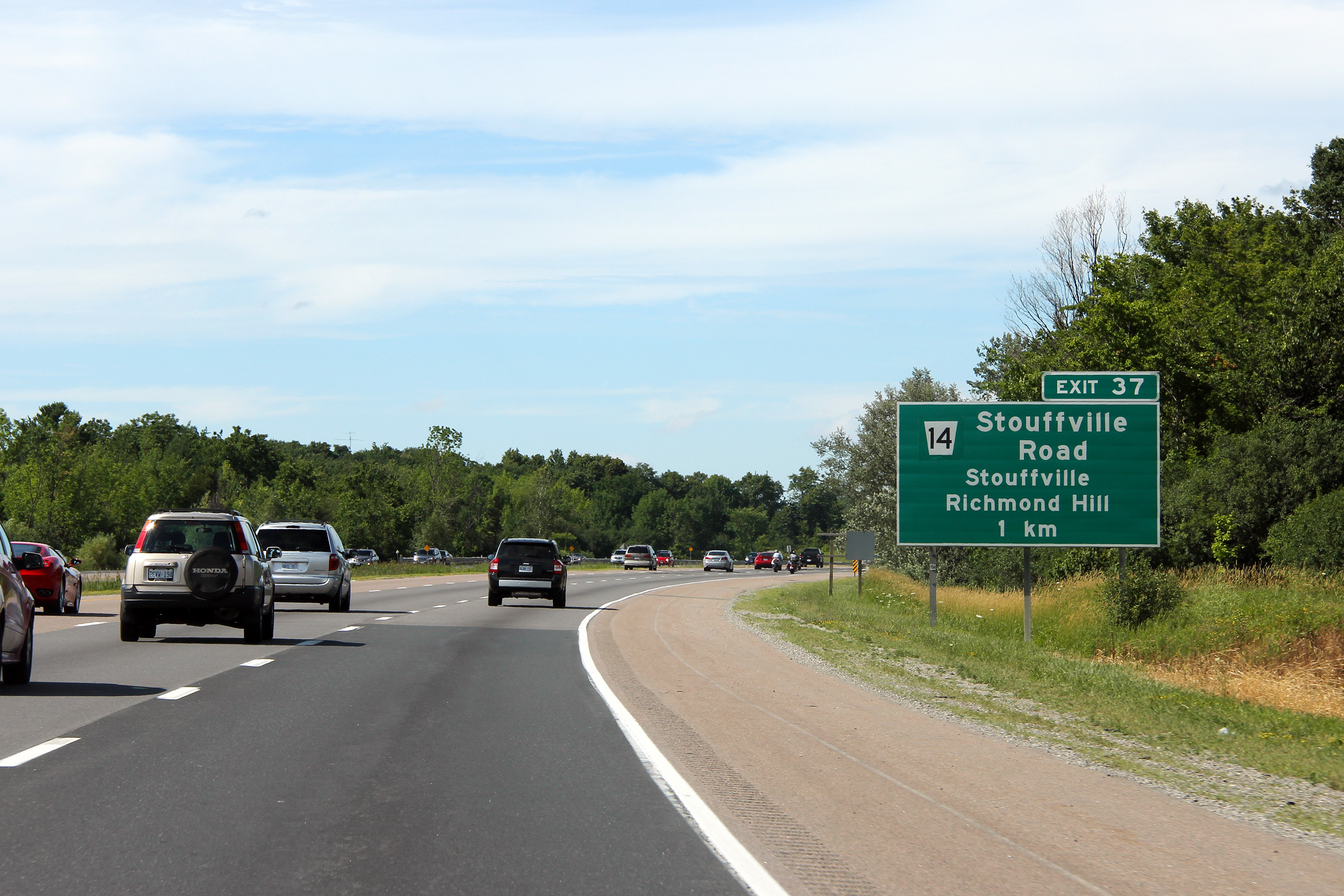
Signage at the exit to Stouffville Road. This signage was replaced
late in 2011 to what is pictured. Click
here for an earlier incarnation
of the signage taken in October of 2011.
Photo taken: July 8th, 2012. |
 (720x480) (720x480)
(1440x960)
(2400x1600) |
Richmond Hill - Whitchurch-Stouffville
Boundary
Regional Municipality of York |
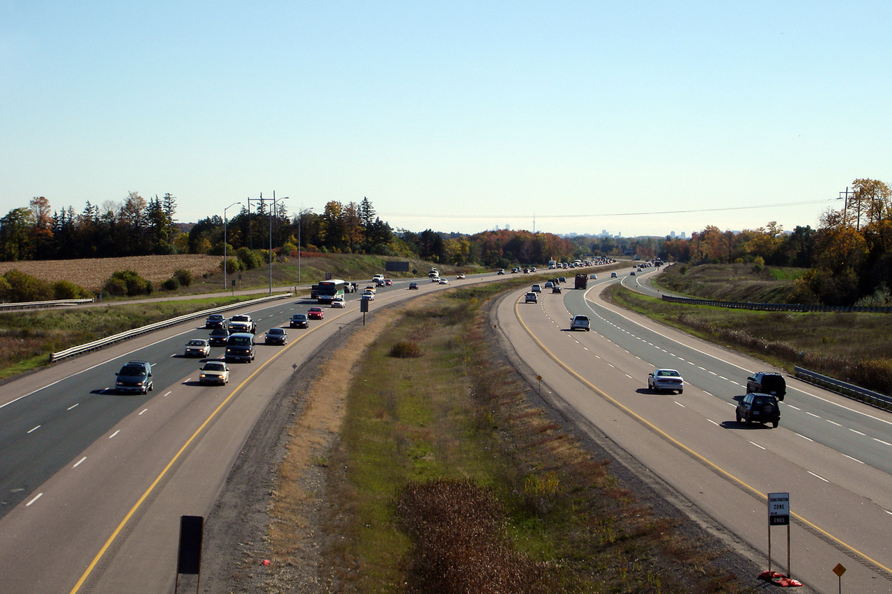
Southerly views along Highway 404 from the Stouffville Road overpass.
Click here for this same view taken in
October 2006.
Photo taken: August 6th, 2012. |
(720x480)
(1440x960)
(2400x1600)

(720x480)
(1440x960)
(2400x1600) |
Richmond Hill -
Whitchurch-Stouffville Boundary
Regional Municipality of York |
Two views taken from the Stouffville Road overpass looking north.
Click here for this same view taken in
October 2006.
Photo taken: August 6th, 2012. |
(720x480)
(1440x960)
(2400x1600)
(720x480)
(1440x960)
(2400x1600) |
Richmond Hill -
Whitchurch-Stouffville Boundary
Regional Municipality of York |
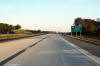
Southerly view approaching the Stouffville Road interchange.
Photo taken: May 31st, 2012. |
 (720x480) (720x480)
(1440x960)
(2400x1600) |
Richmond Hill -
Whitchurch-Stouffville Boundary
Regional Municipality of York |
Southbound signage in advance of the Stouffville Road interchange. The
use of the word "exit" is no longer used on signage in Ontario.
Photo taken: May 31st, 2012. |
 (720x480) (720x480)
(1440x960)
(2400x1600) |
Richmond Hill -
Whitchurch-Stouffville Boundary
Regional Municipality of York |
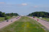
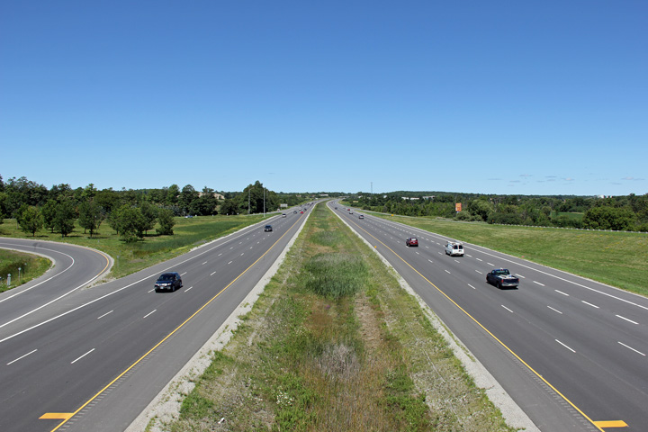
Southerly view from the Bethesda Sideroad overpass. The Toronto
skyline is pretty clearly visible in the distance from this vantage point some
40km away. Click here for this
same view taken in May 2005.
Photo taken: June 25th, 2012. |
(720x480)
(1440x960)
(2400x1600) |
Richmond Hill -
Whitchurch-Stouffville Boundary
Regional Municipality of York |
View looking northerly from the Bethesda Sideroad overpass. Note just
how much earth was required to be moved to carve Highway 404 through the Oak
Ridges Moraine. The Oak Ridges Moraine is a tall ridge that runs from
the Niagara Escarpment to the Trent River outside of Trenton. Click
here for this same view taken in May
2005.
Photo taken: June 25th, 2012. |
(720x480)
(1440x960)
(2400x1600) |
Richmond Hill -
Whitchurch-Stouffville Boundary
Regional Municipality of York |
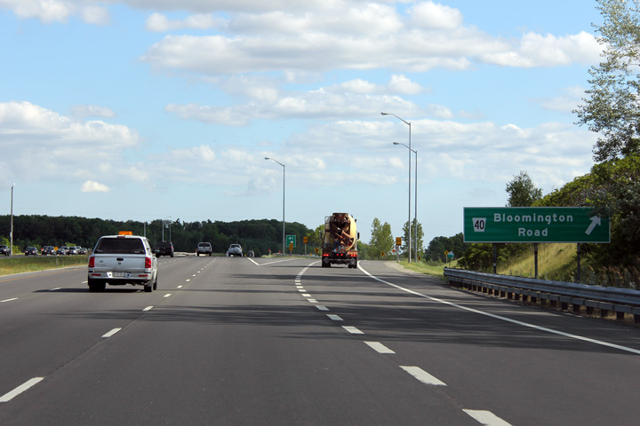
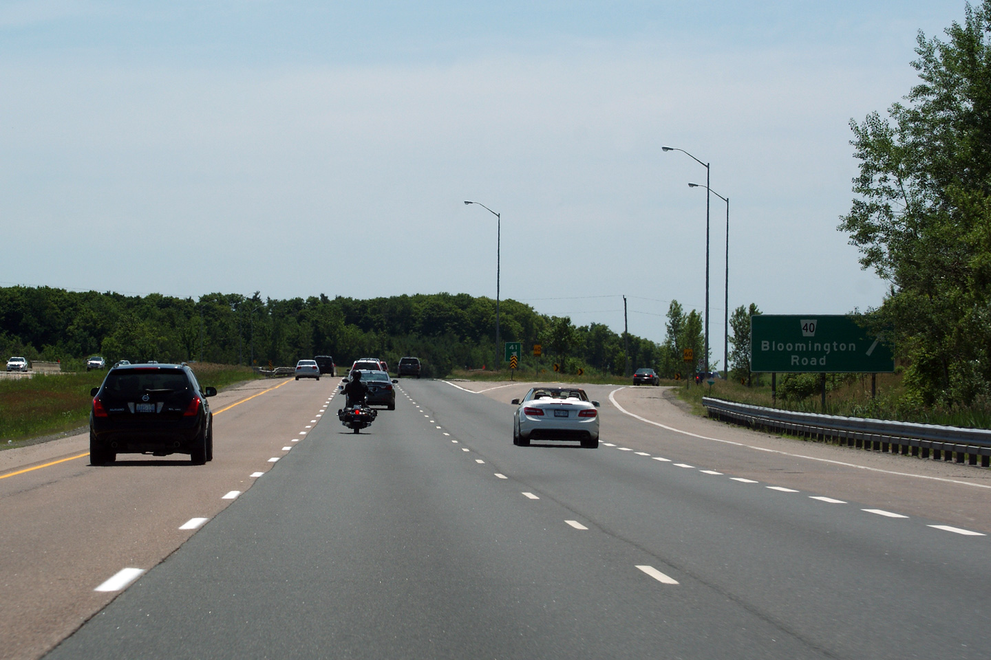
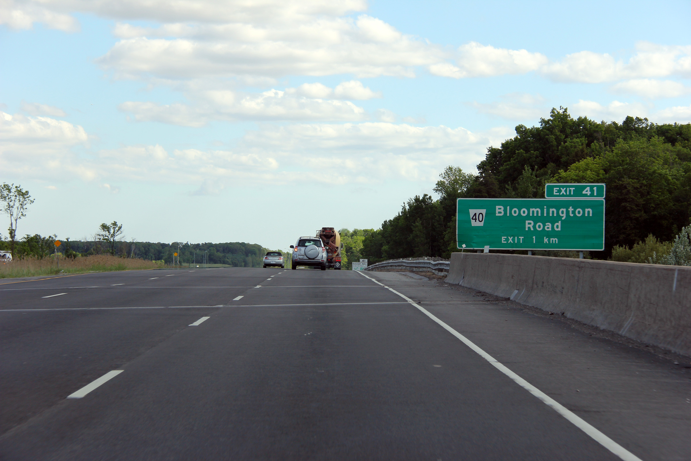
Northbound advanced signage approaching the Bloomington Road interchange.
Photo taken: July 8th, 2012. |
 (720x480) (720x480)
(1440x960)
(2400x1600) |
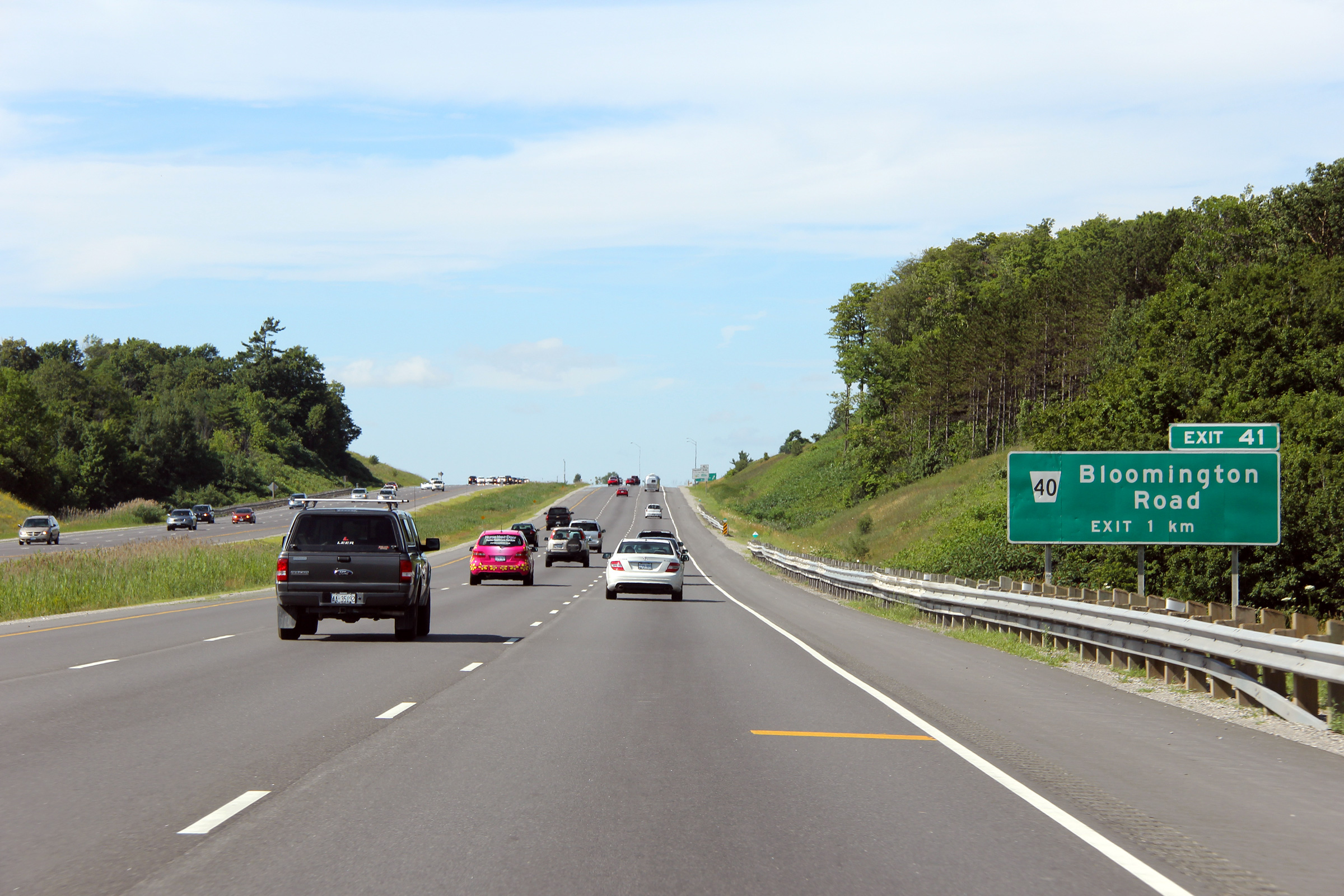
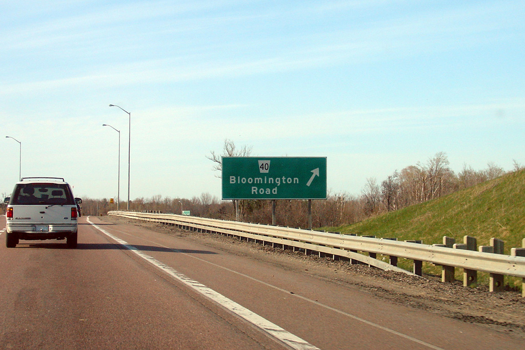
Richmond Hill -
Whitchurch-Stouffville Boundary
Regional Municipality of York |
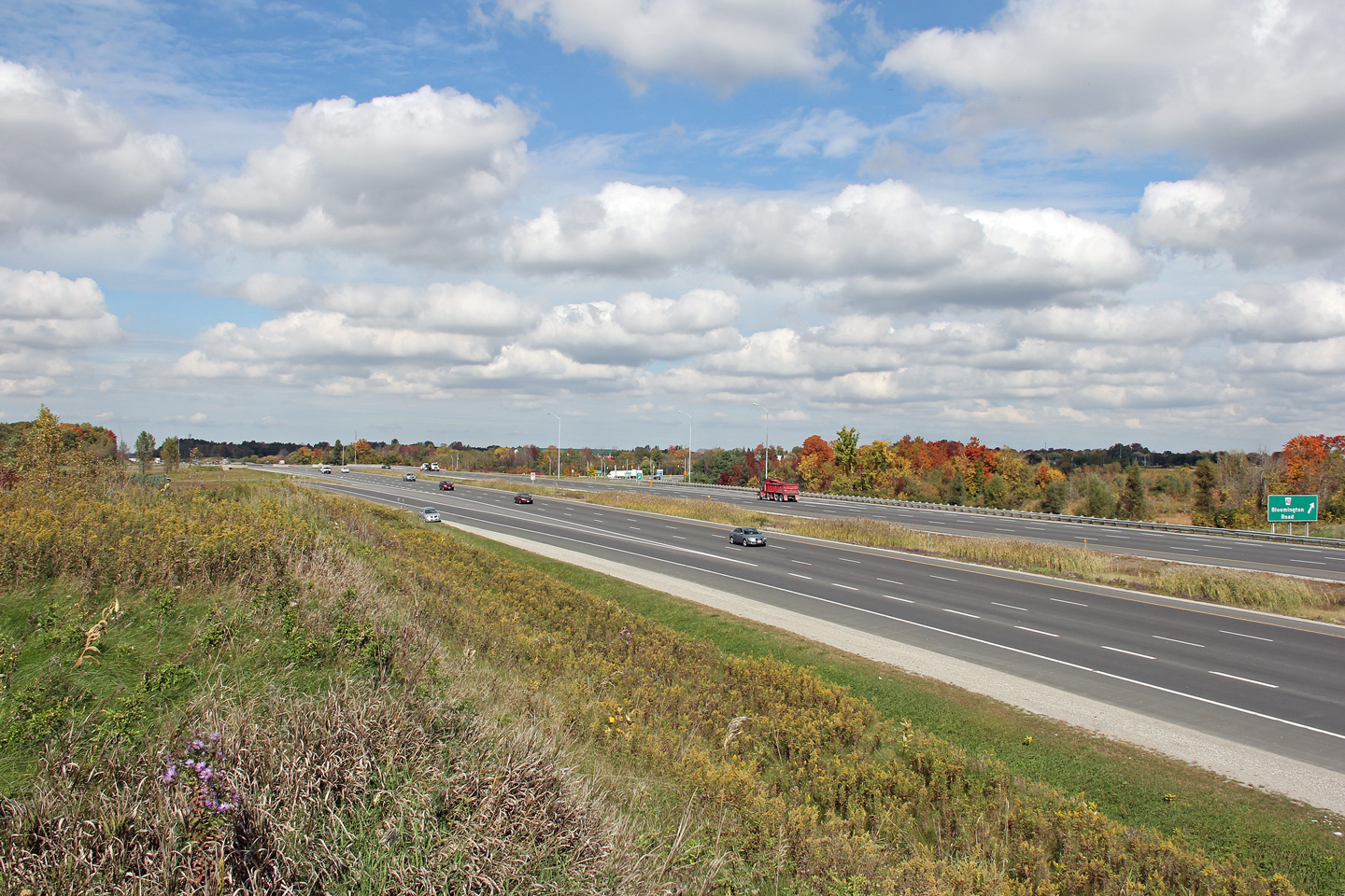
Signage at the off-ramp to Bloomington Road. Click here
for an older version of the Bloomington Road exit signage taken in April of
2006.
Photo taken: July 8th, 2012. |
 (720x480) (720x480)
(1440x960)
(2400x1600) |
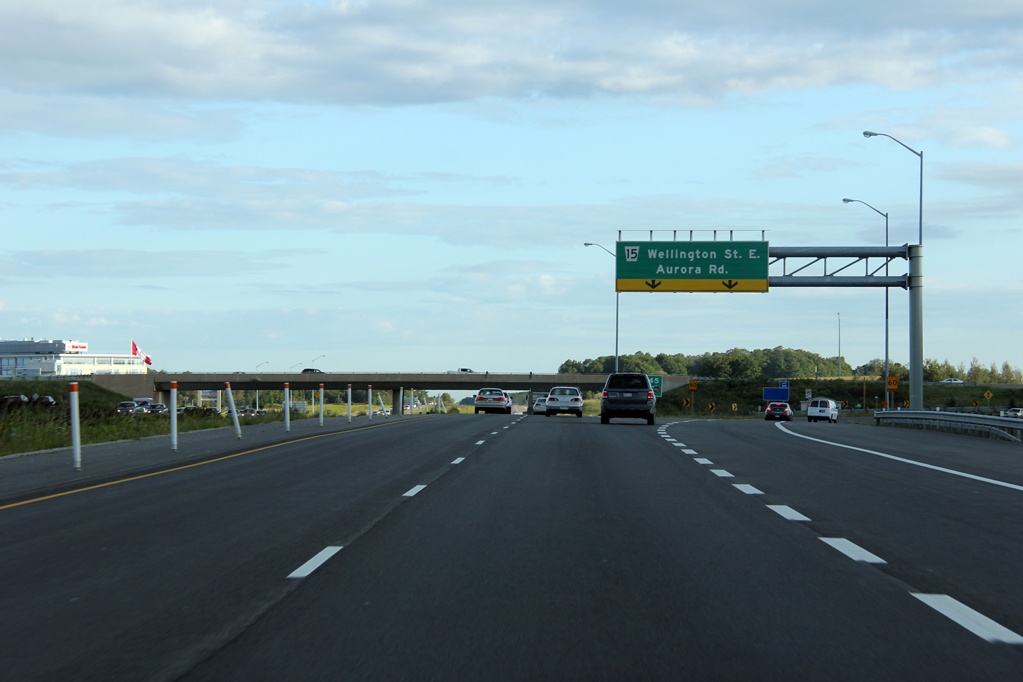
| Aurora - Whitchurch Stouffville
Boundary Regional Municipality of York |
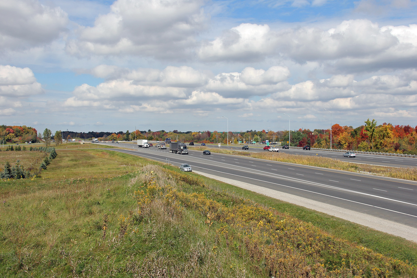
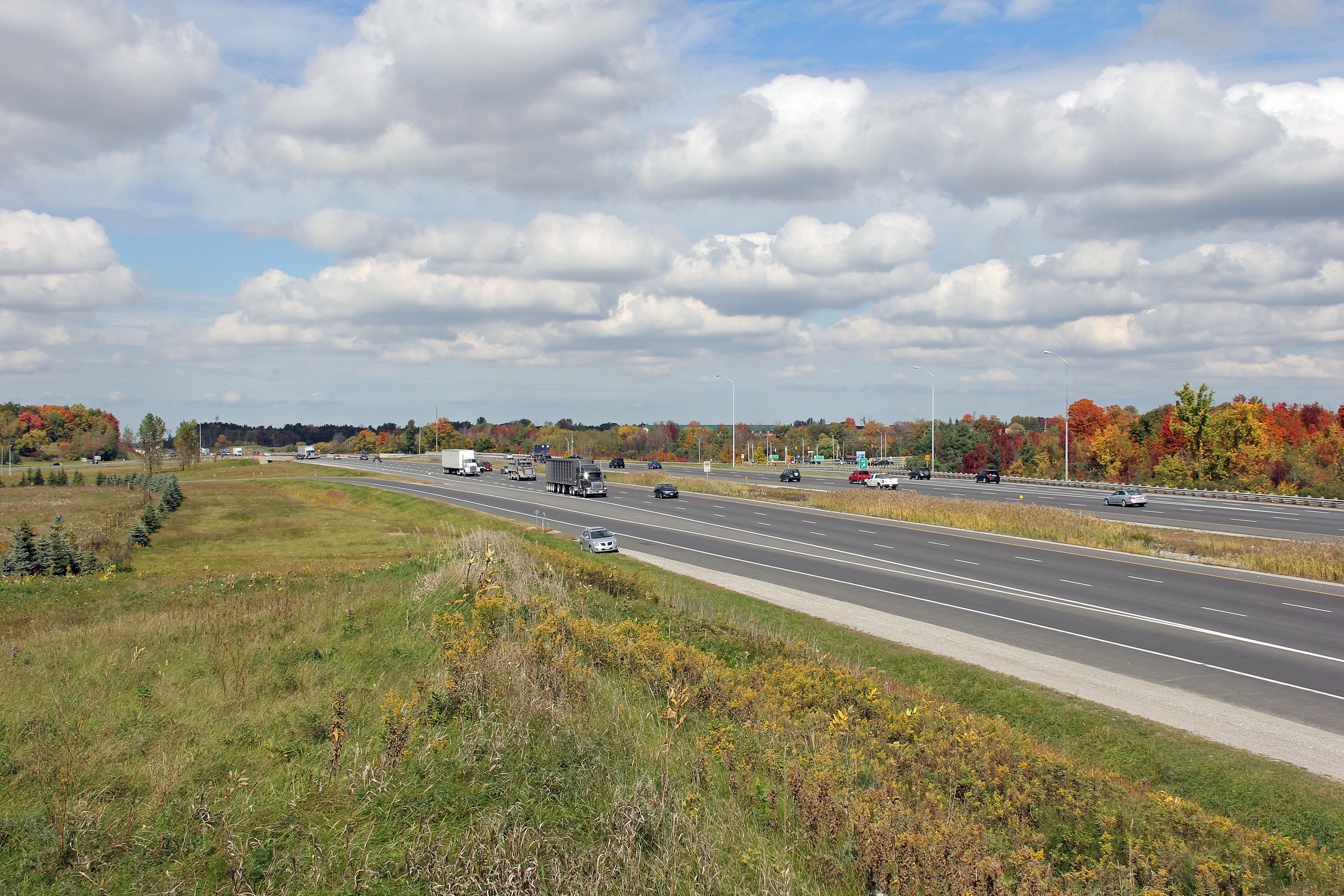
Two views looking northerly along Highway 404 at the Bloomington Road
interchange. Bloomington Road passes underneath of Highway 404.
Photos taken: October 2nd, 2012. |
(720x480)
(1440x960)
(2400x1600)
(720x480)
(1440x960)
(2400x1600) |
| Aurora - Whitchurch Stouffville Boundary Regional Municipality of York |
Southbound signage at the Bloomington Road off-ramp. This sign was
erected late in 2011 replacing a much older sign that was likely original to
the highway. Click here to
see the sign that was replaced (taken June, 2011).
Photo taken: May 31st, 2012. |
 (720x480) (720x480)
(1440x960)
(2400x1600) |
| Aurora - Whitchurch Stouffville Boundary Regional Municipality of York |
The southbound advanced signage for the Bloomington Road interchange sits
just after the CN Railway overhead.
Photo taken: May 31st, 2012. |
 (720x480) (720x480)
(1440x960)
(2400x1600) |
| Aurora - Whitchurch Stouffville
Boundary Regional Municipality of York |
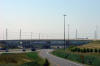
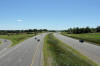
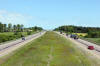
View looking southerly from the Vandorf Sideroad overpass.
Photo taken: June 26th, 2012. |
(720x480)
(1440x960)
(2400x1600) |
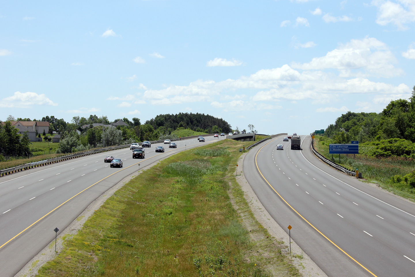
| Aurora - Whitchurch Stouffville
Boundary Regional Municipality of York |
Looking north along Highway 404 from the Vandorf Sideroad overpass.
Vandorf Sideroad is located roughly at kilometre marker 43. Photo taken:
June 26th, 2012. |
(720x480)
(1440x960)
(2400x1600) |
|
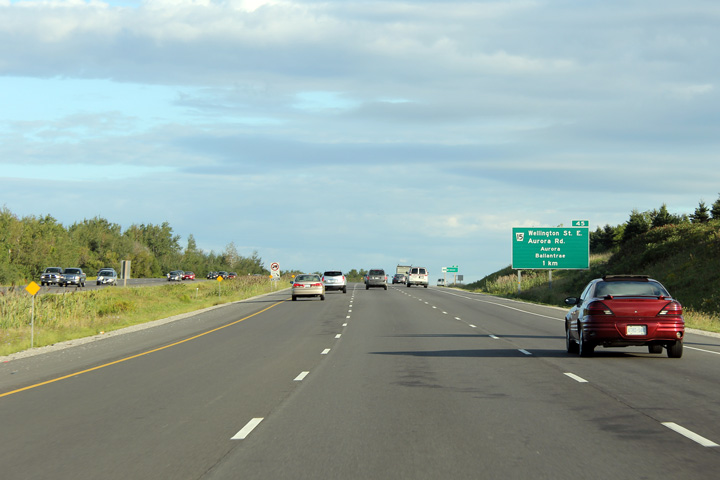
Aurora - Whitchurch Stouffville Boundary Regional Municipality of York |
Advanced signage for the Aurora Road interchange.
Photo taken:
August 21st, 2012. |
 (720x480) (720x480)
(1440x960)
(2400x1600) |
|
Aurora - Whitchurch Stouffville Boundary Regional Municipality of York |
This newly erected advanced sign for the Aurora Road interchange was placed
to draw attention to the fact that the right most freeway lane exits at
Aurora Road.
Photo taken: August 21st, 2012. |
 (720x480) (720x480)
(1440x960)
(2400x1600) |
|
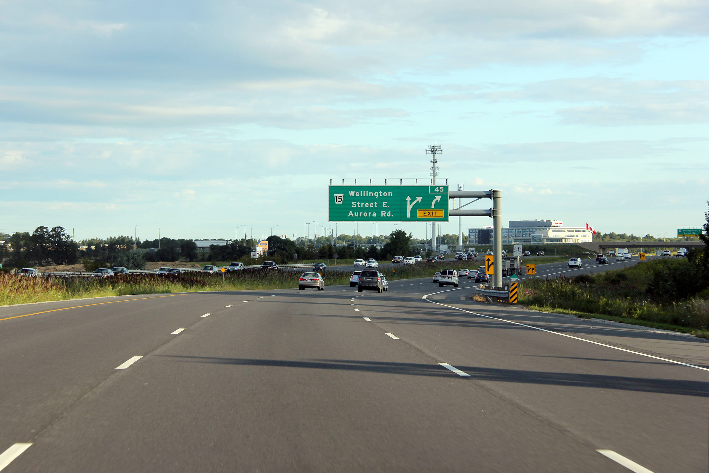
Aurora - Whitchurch Stouffville Boundary Regional Municipality of York |
Partial overhead sign for the Aurora Road off-ramp.
Photo taken: August 21st, 2012. |
 (720x480) (720x480)
(1440x960)
(2400x1600) |
|
Aurora - Whitchurch Stouffville Boundary Regional Municipality of York |
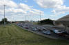
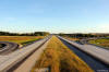
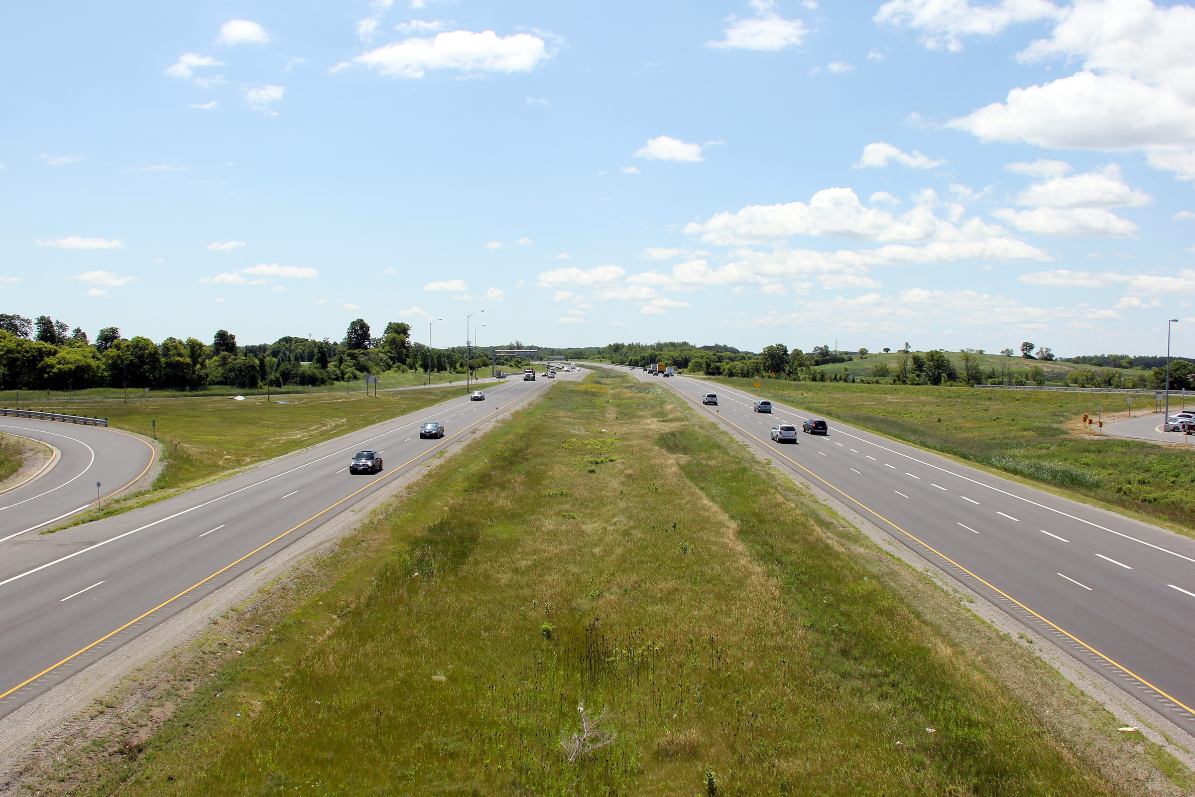
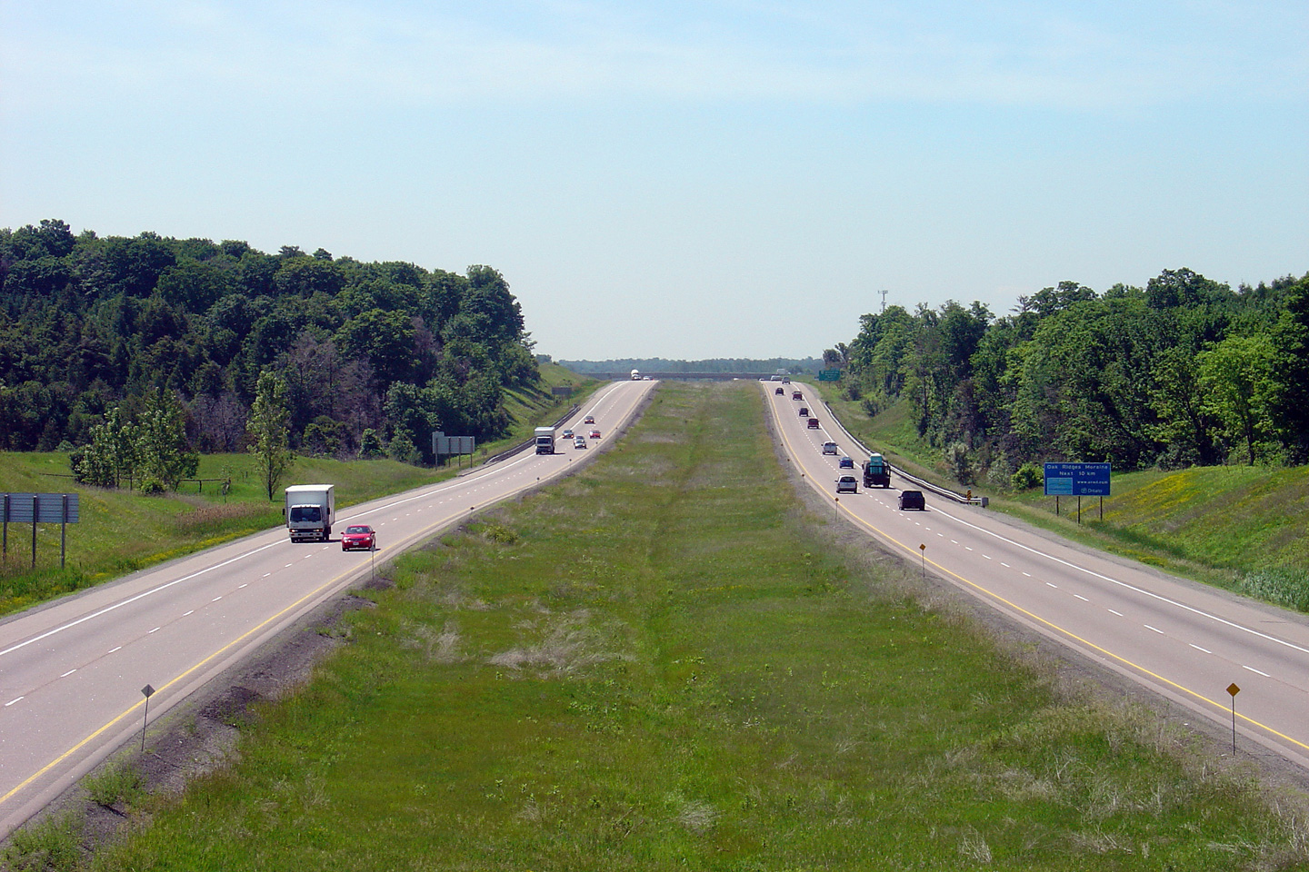
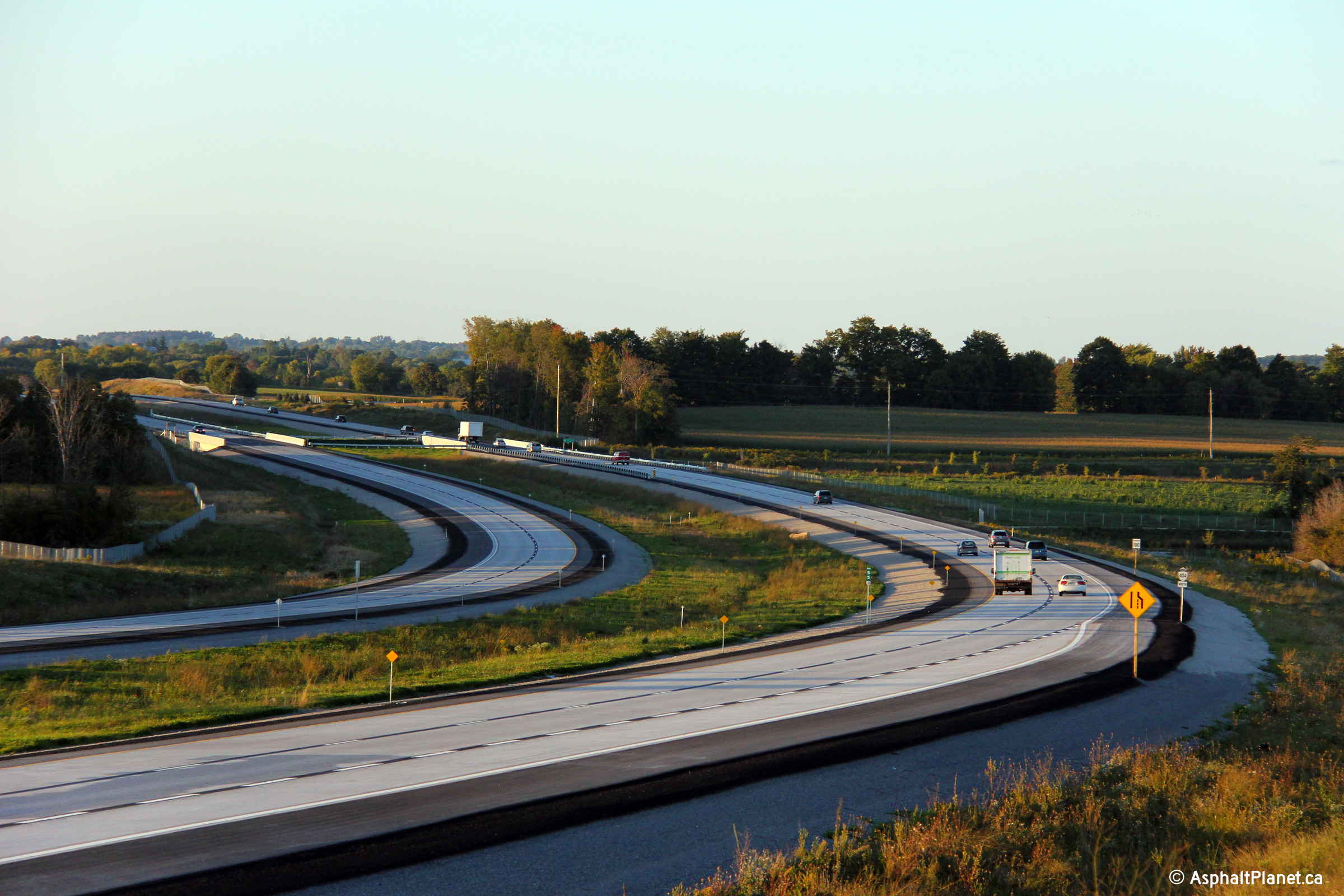
These photos showcase Highway 404 looking south from the Aurora Road
overpass. Notice that just south of the Aurora Road overpass, Highway 404
transitions from a six lane to a four lane freeway. Highway 404 is a 4-lane
freeway north of Aurora Road to its northern terminus at Green Lane.
Photos taken: June 26th, 2012. |
(720x480)
(1440x960)
(2400x1600)
(720x480)
(1440x960)
(2400x1600) |
|
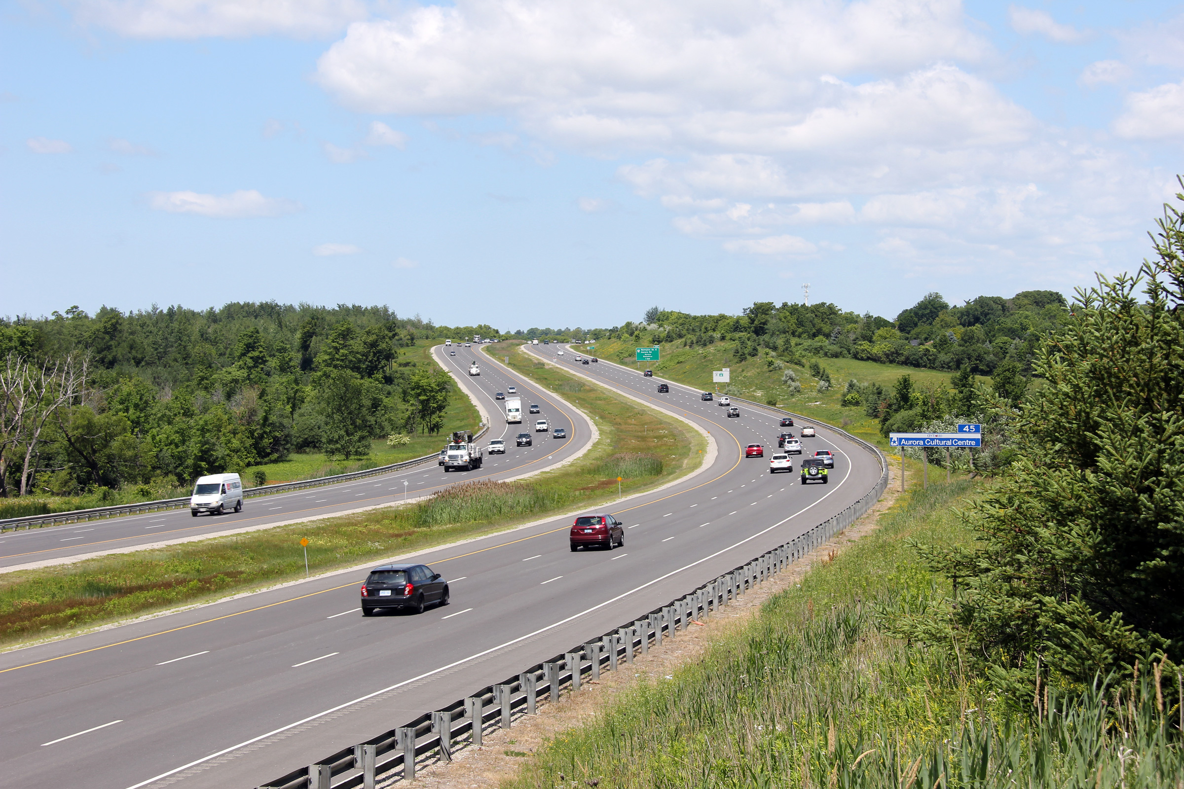
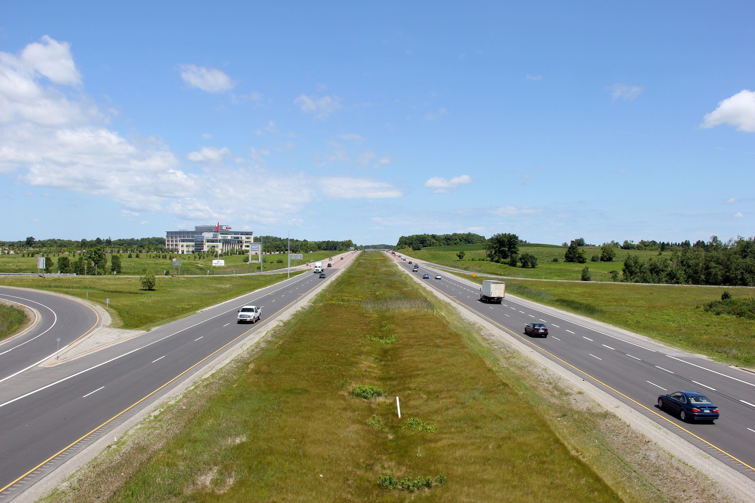
Aurora - Whitchurch Stouffville Boundary Regional Municipality of York |
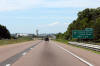
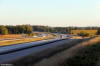
View looking northerly along Highway 404 from the Aurora Road overpass.
Aurora Road is located roughly at kilometre marker 45. Photo taken: June
26th, 2012. |
(720x480)
(1440x960)
(2400x1600) |
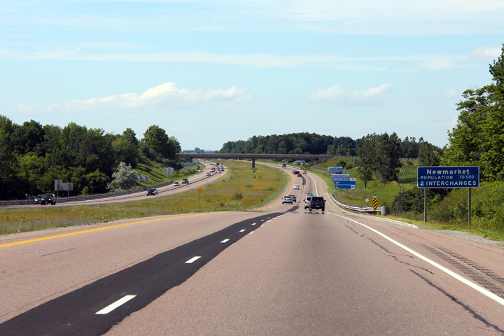
|
Aurora - Whitchurch Stouffville Boundary Regional Municipality of York |
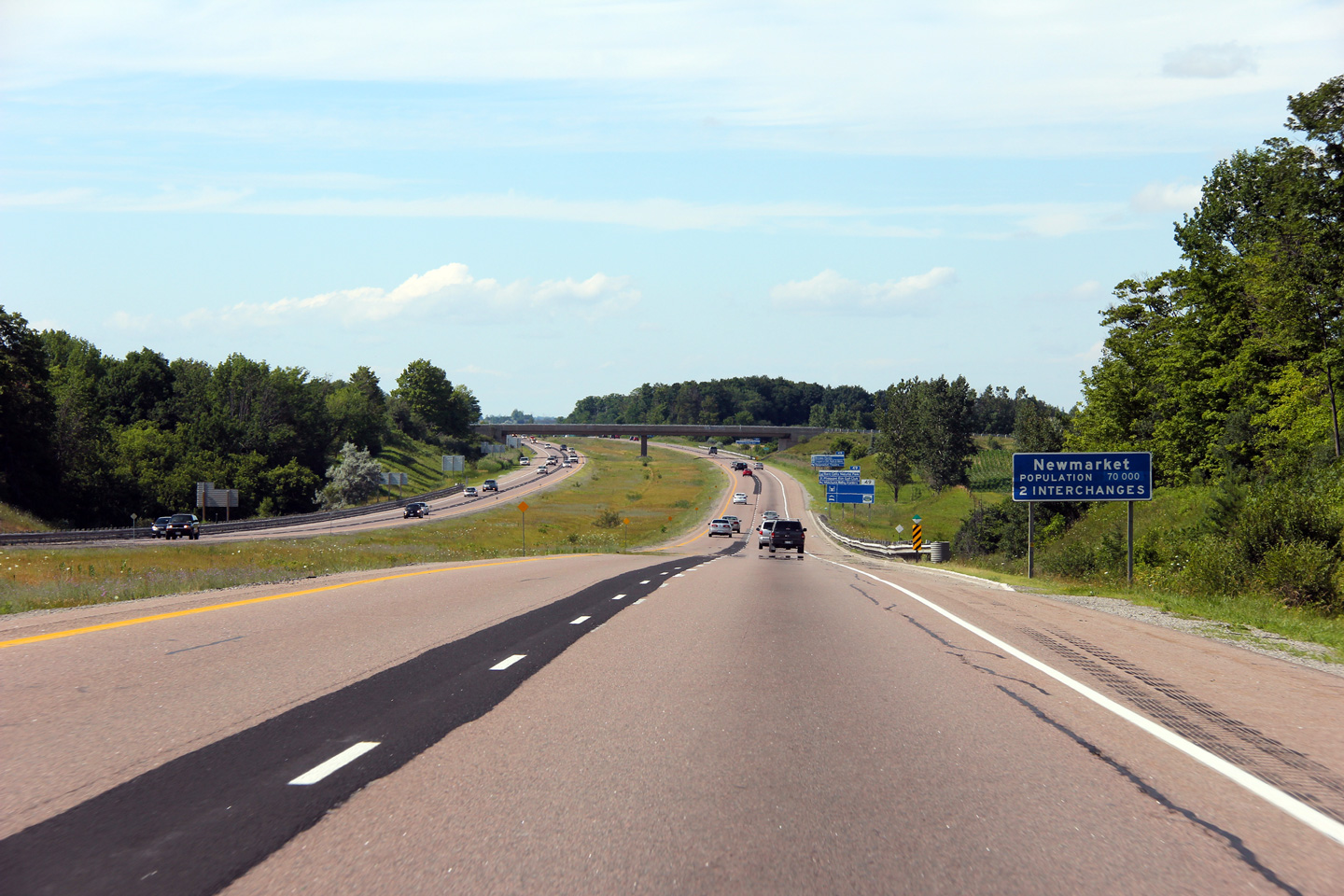
Blue signage welcoming traffic into Newmarket. Newmarket is the
northbound control city for most of Highway 404's length.
Photo taken: July 8th, 2012. |
 (720x480) (720x480)
(1440x960)
(2400x1600) |
|
Aurora - Whitchurch Stouffville Boundary Regional Municipality of York |
Highway 404 looking south from the St. John's Sideroad overpass near Aurora.
St. John's Sideroad is located roughly at kilometre marker 47. In the
upper (2005) photo, notice
the large blue 'Oak Ridges Moraine' sign located to the right of the
southbound lanes. This sign was replaced by a sign for Ontario's
Greenbelt subsequent to the passing of the Greenbelt Act in 2005.
This change is reflected in the 2012 photo.
Upper photo taken: June 20th, 2005.
Lower photo taken: June 26th, 2012. |
(720x480)
(1440x960)

(720x480)
(1440x960)
(2400x1600) |
|
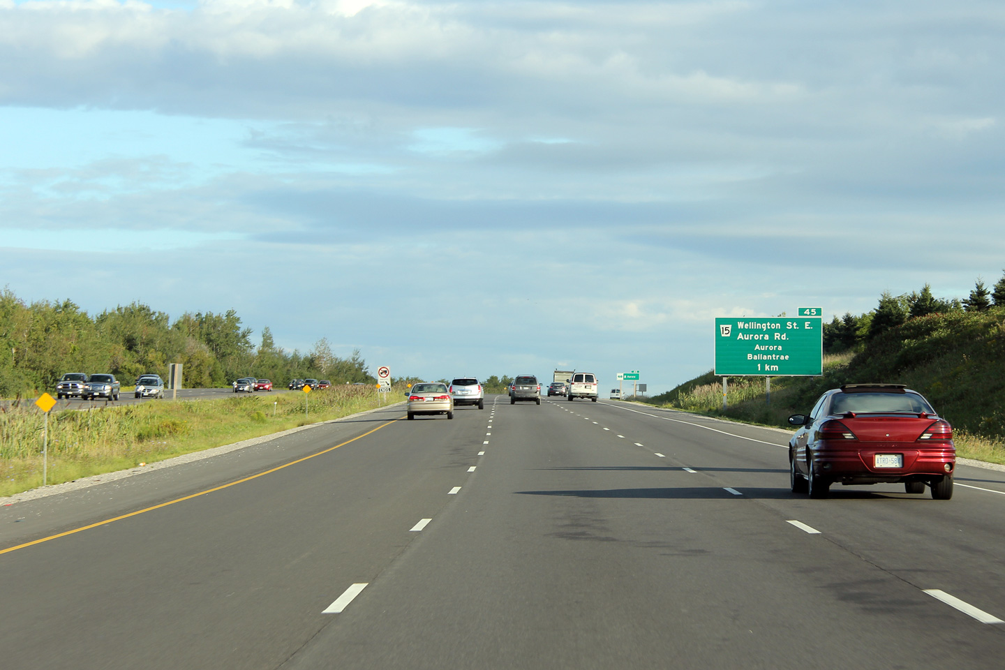
Aurora - Whitchurch Stouffville Boundary Regional Municipality of York |
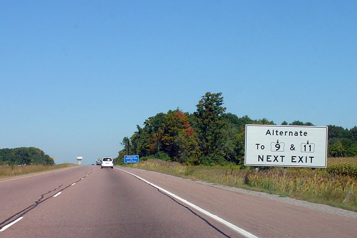
View looking northerly along Highway 404 from the St. John's Sideroad
overpass. York Region's Transportation Master Plan has identified a
need for an interchange at St John's Sideroad and Highway 404 in the future;
however no firm commitments or construction timelines have been established
for this project. Notice the sign directing traffic to Highways 9 and
11 (featured again below) in the upper photo.
Upper photo taken: June 20th, 2005.
Lower photo taken: June 26th, 2012. |
(720x480)
(1440x960)
(720x480)
(1440x960)
(2400x1600) |
|
Newmarket - Whitchurch Stouffville Boundary Regional Municipality of York |
White signage directing traffic to Highway's 9 and 11. This sign was
removed several years ago.
Photo taken: September 9th, 2005. |
|
|
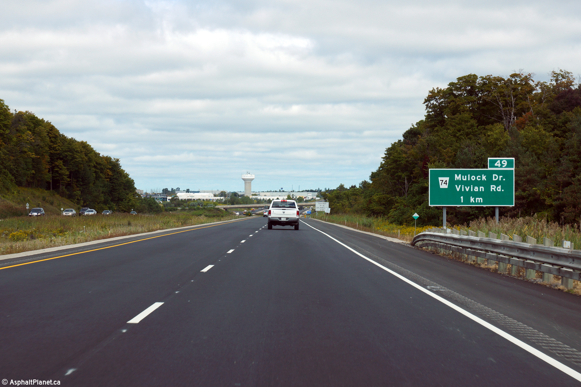
Newmarket - Whitchurch Stouffville Boundary Regional Municipality of York |
Northbound advanced signage for the Mulock Road interchange. This signage
was replaced in 2014 with this
signage, taken in September, 2014.
Photo taken: July 8th, 2012. |
 (720x480) (720x480)
(1440x960)
(2400x1600) |
|
Newmarket - Whitchurch Stouffville Boundary Regional Municipality of York |
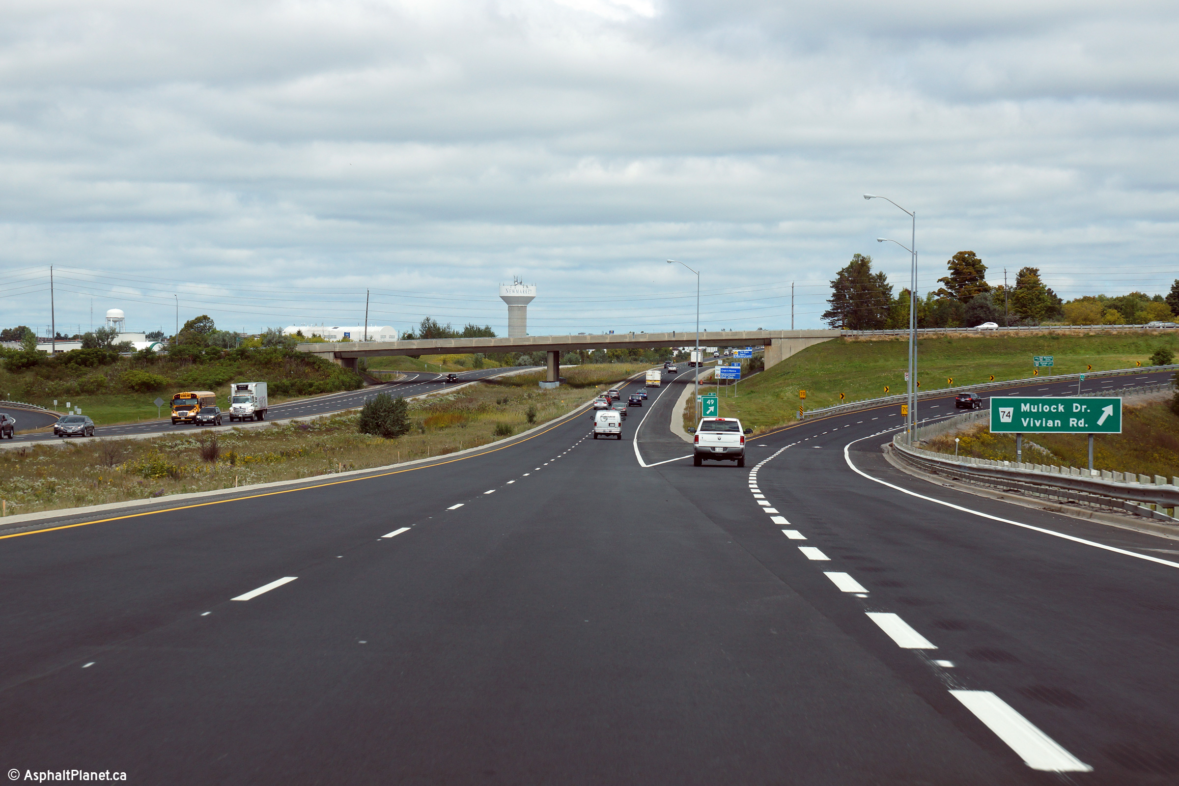
View looking northerly approaching the Mulock Road interchange. This
signage was replaced in 2014 with this
signage, taken in September, 2014.
Photo taken: July 8th, 2012. |
 (720x480) (720x480)
(1440x960)
(2400x1600) |
|
Newmarket - Whitchurch Stouffville Boundary Regional Municipality of York |
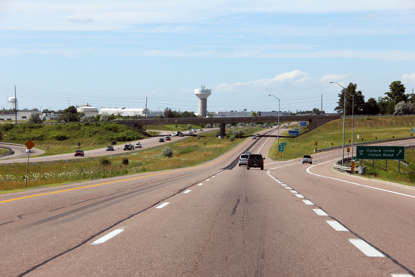
Highway 404 looking south from the Mulock Road overpass in southern
Newmarket. Currently, the Mulock Road interchange is only a partial interchange
serving traffic bound to and from Toronto. After Highway 404 is
extended northerly, the MTO plans to construct additional ramps to
at this interchange to service traffic coming to and from East Gwillimbury.
Photo taken: June 20th, 2005. |
(720x480)
(1440x960)
(2400x1600) |
|
Newmarket - Whitchurch Stouffville Boundary Regional Municipality of York |
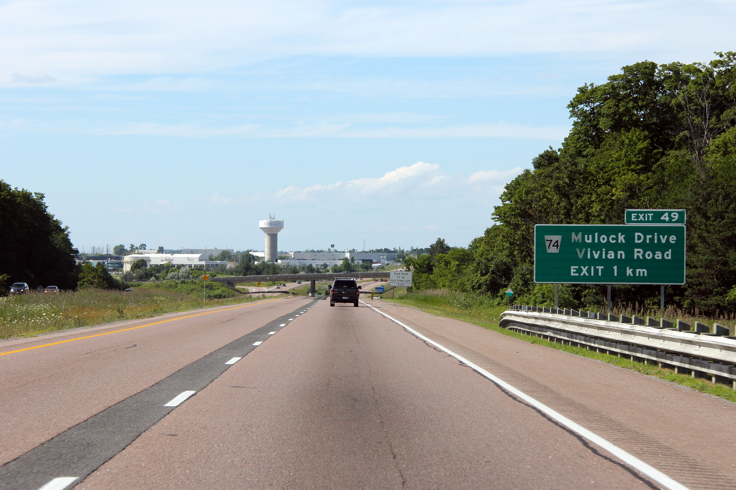
View looking northerly from the Mulock Road overpass. Mulock Road is
located roughly at kilometre marker 49. Photo taken: June 20th, 2005. |
(720x480)
(1440x960)
(2400x1600)
(720x480)
(1440x960)
(2400x1600) |
|
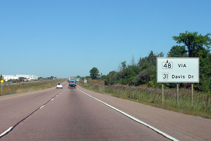
Newmarket - Whitchurch Stouffville Boundary Regional Municipality of York |
White guide signage directing traffic bound for Highway 48 to utilize Davis
Drive. Green Lane is not an improved road east of Woodbine Avenue,
while Davis Drive is in good condition all the way into Durham Region.
Photo taken: September 9th, 2005. |
 (720x480) (720x480)
(1440x960) |
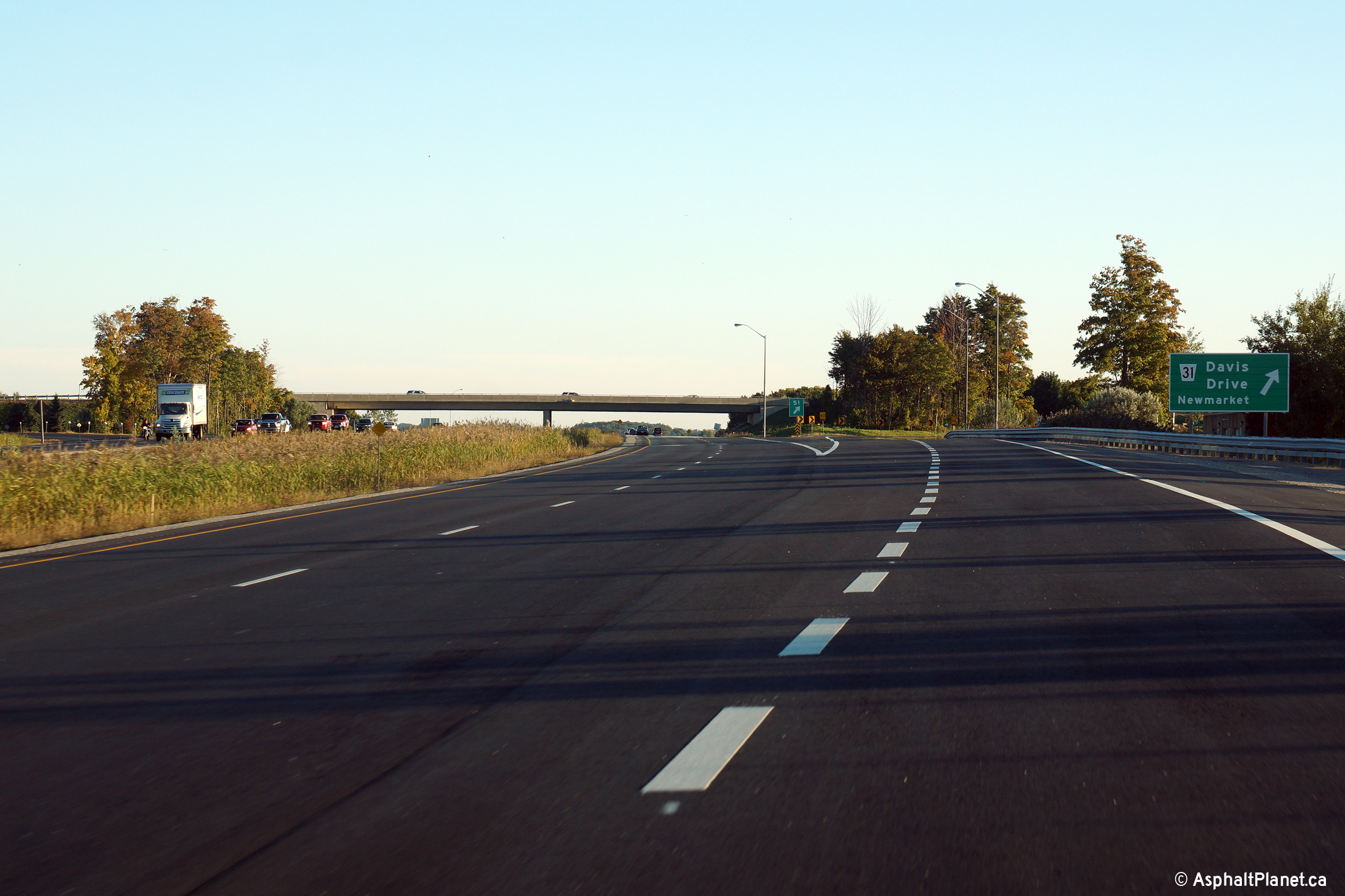
|
Newmarket - Whitchurch Stouffville Boundary Regional Municipality of York |
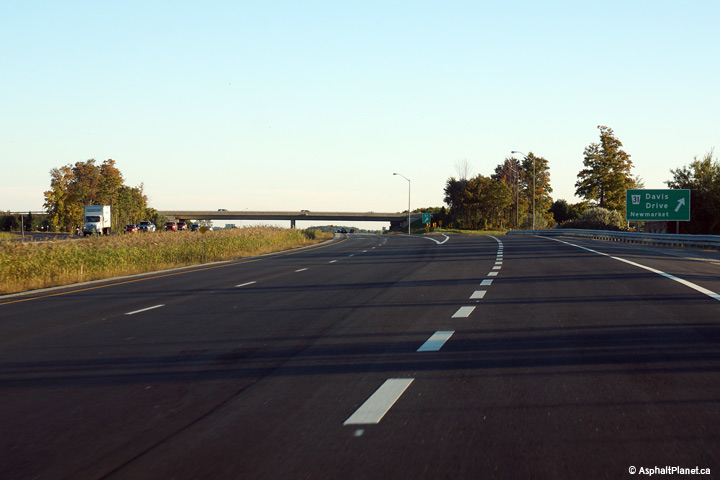
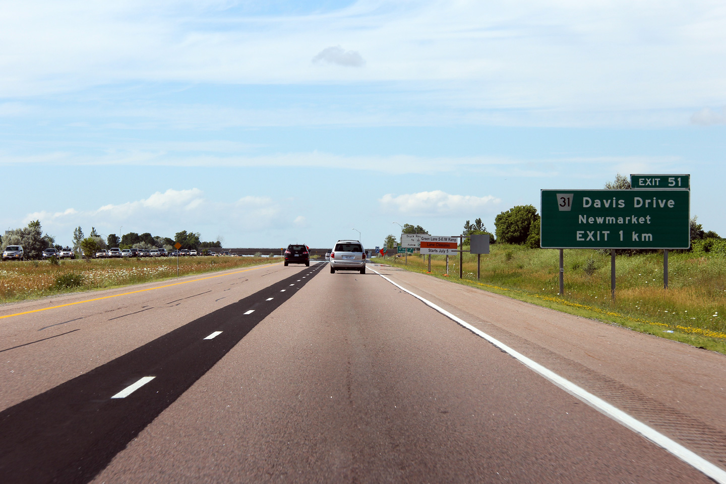
Advanced signage for the ramp to Davis Drive. Davis Drive is
Newmarket's main street. This signage was
replaced in 2014 with this
signage, taken in September, 2014.
Photo taken: July 8th, 2012. |
 (720x480) (720x480)
(1440x960)
(2400x1600) |
|
Newmarket - Whitchurch Stouffville Boundary Regional Municipality of York |
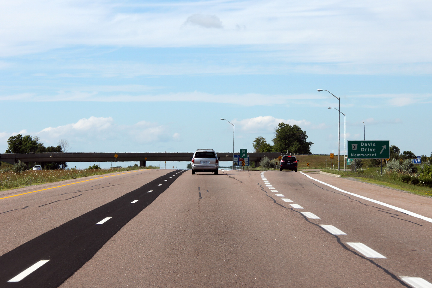
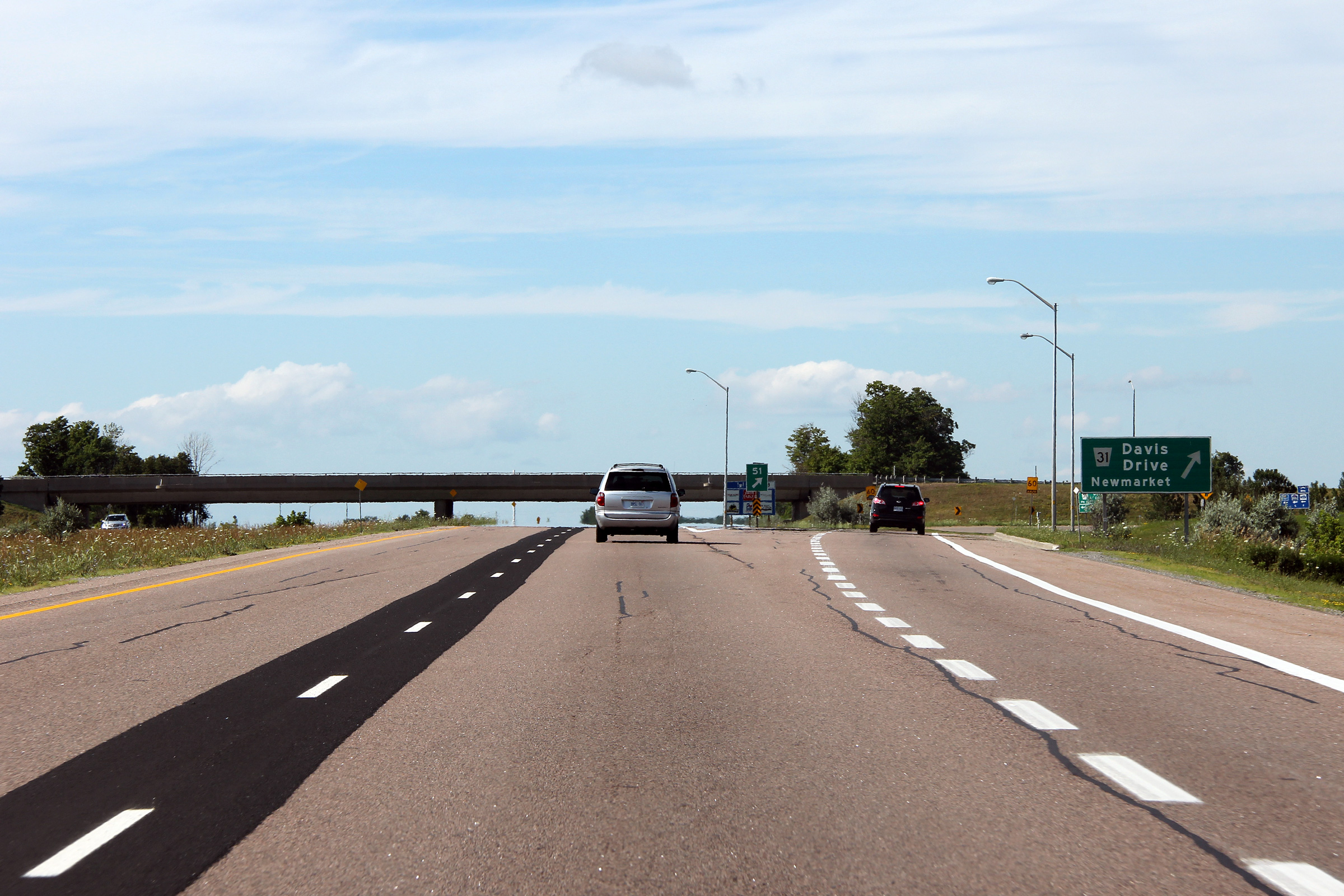
Northbound view at the exit to Davis Drive. On close inspection of this
photo, the remnants of the line striping that directed all northbound
traffic off of Highway 404 at this exit is faintly visible. This signage
was replaced in 2014 with this
signage, taken in September, 2014.
Photo taken: July 8th, 2012. |
 (720x480) (720x480)
(1440x960)
(2400x1600) |
|
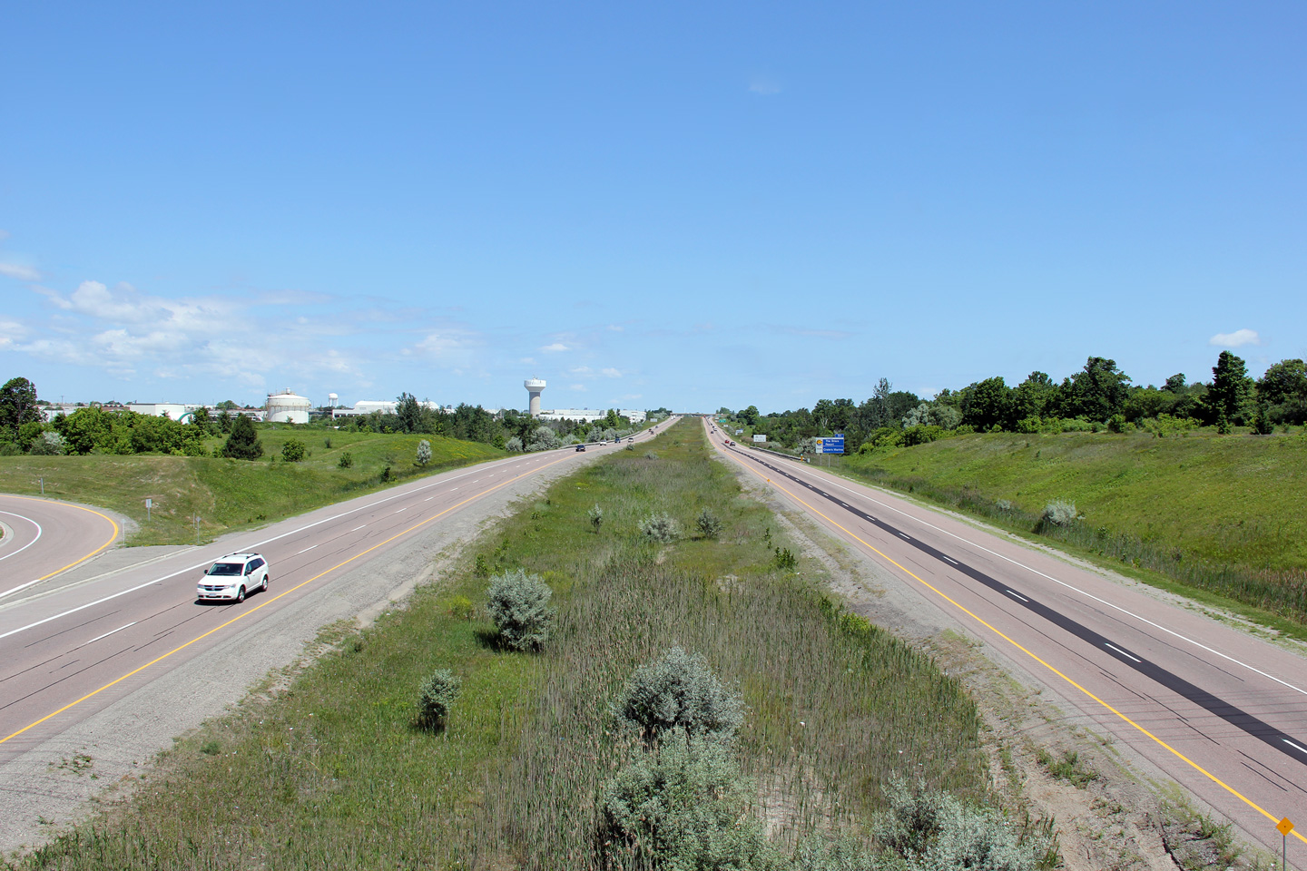
Newmarket - Whitchurch Stouffville Boundary Regional Municipality of York |
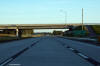
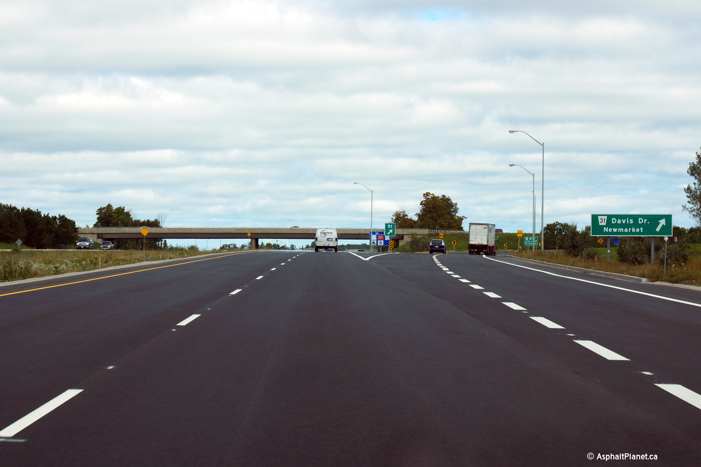
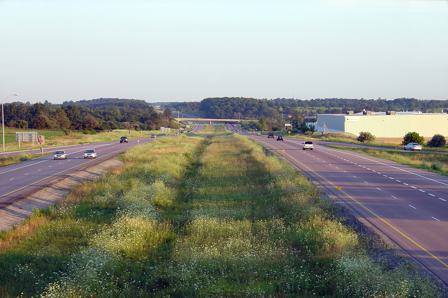
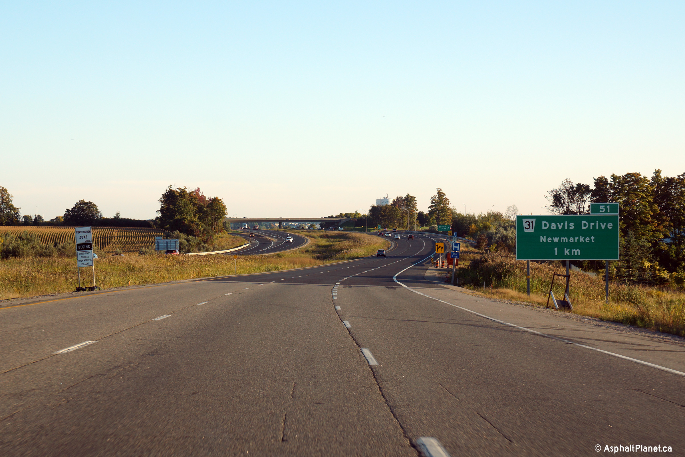
View looking southerly along Highway 404 from the Davis Drive overpass.
Highway 404 ended at the Davis Drive interchange between 1989 and 2002.
Davis Drive is located at kilometre marker 51. Click
here for an earlier version of
this photo, taken August, 2004.
Photo taken September 24th, 2014. |
(720x480)
(1440x960)
(2400x1600) |
|
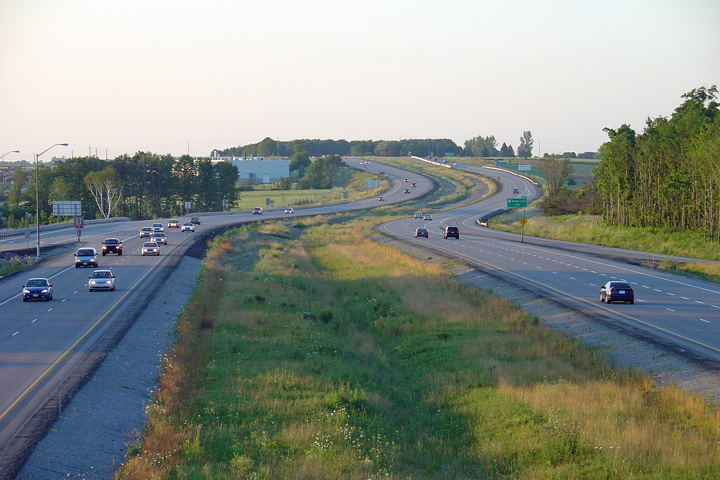
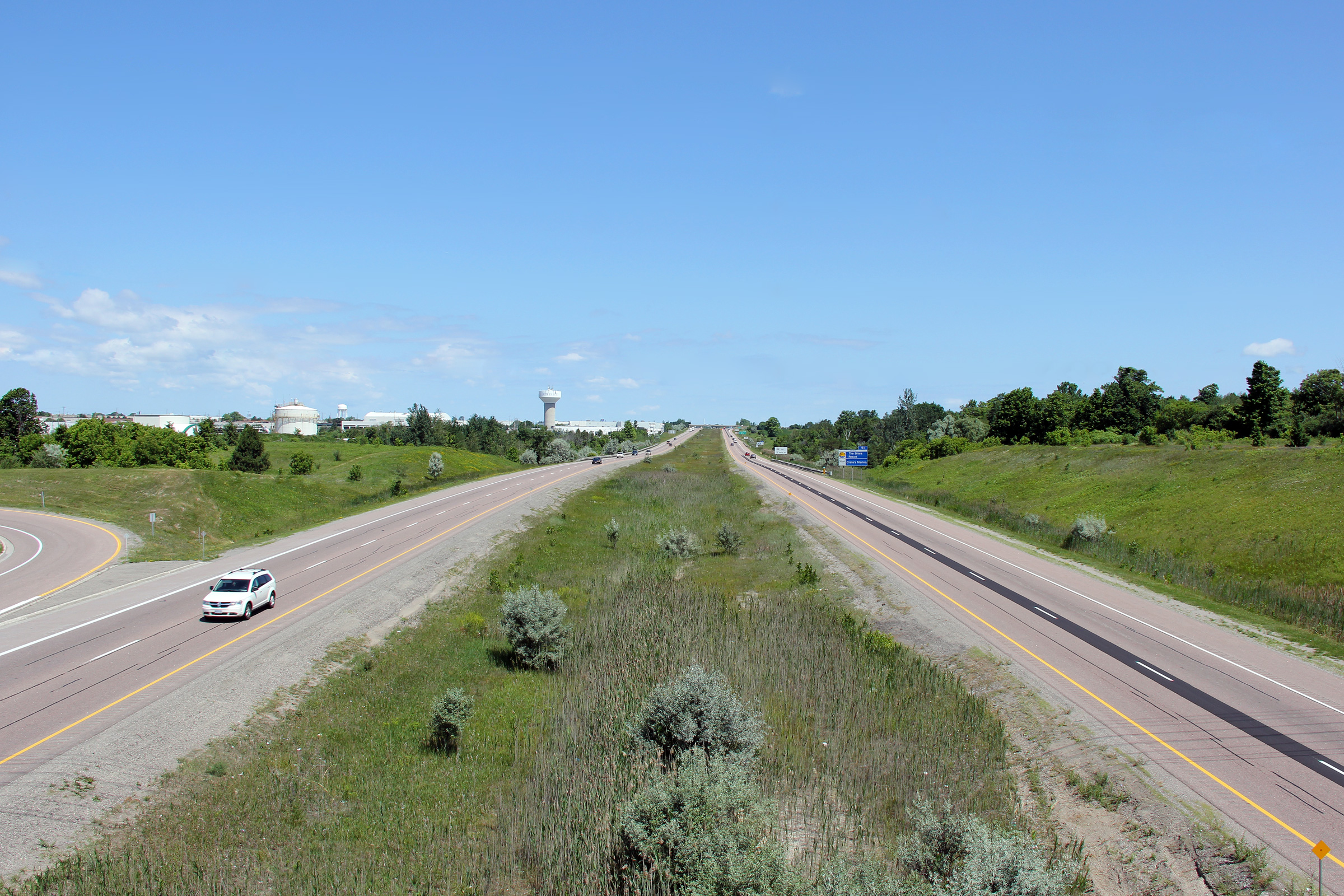
Newmarket - Whitchurch Stouffville Boundary Regional Municipality of York |
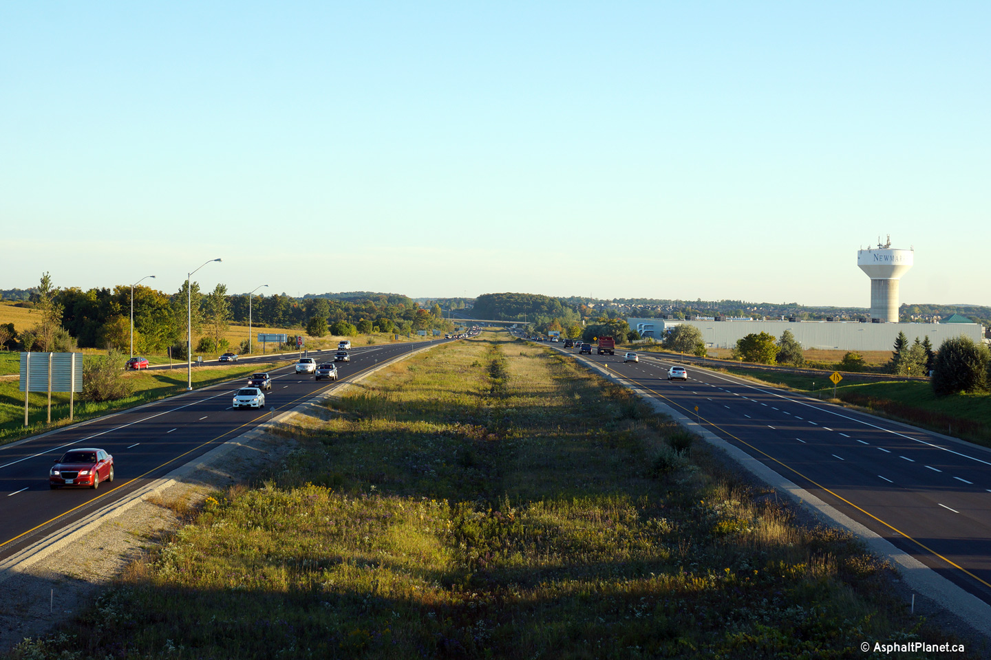
Two views looking northerly along Highway 404 from the Davis Drive interchange.
The 404 was extended north of Davis Drive to Green Lane in 2002, and was
subsequently extended northerly again to Woodbine Avenue in 2014.
Upper photo taken: August 1st, 2004.
Lower photo taken: September 24th, 2014. |
(720x480)
(1440x960)
(2400x1600) |
Newmarket - Whitchurch Stouffville Boundary
Regional Municipality of York |
Southbound signage at the off-ramp to Davis Drive.
Photo taken: September 24th, 2014. |
 (720x480) (720x480)
(1440x960)
(2400x1600) |
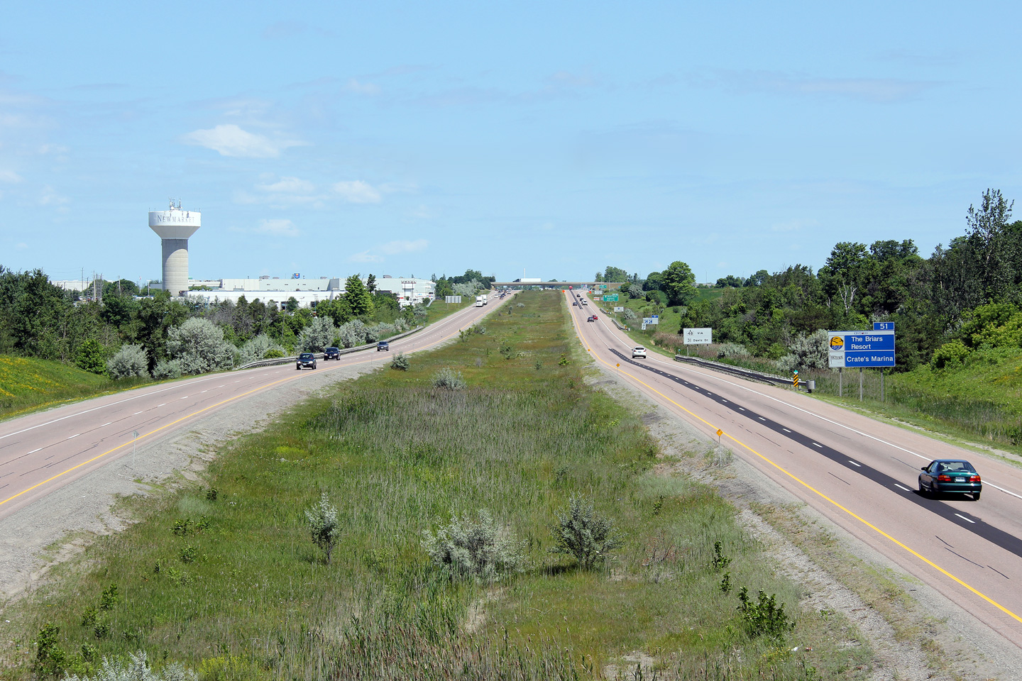
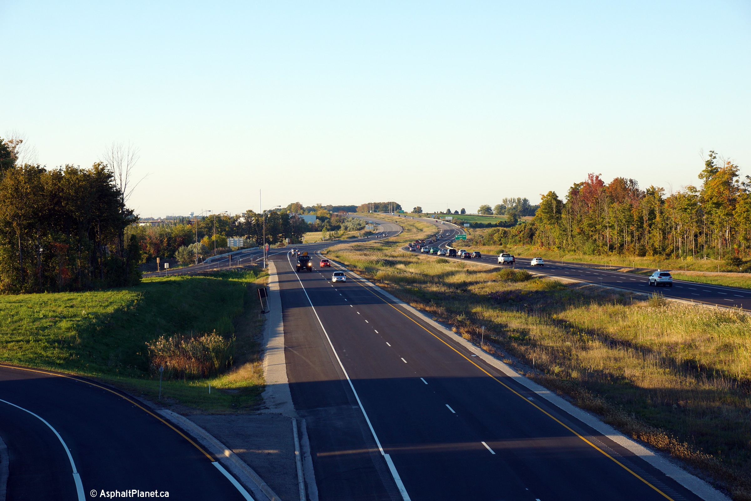
Newmarket - Whitchurch Stouffville Boundary
Regional Municipality of York |
Southbound advanced signage for the ramp to Davis Drive in Newmarket.
The pictured construction signage refers to a project that had just about
completed when this photo was taken to resurface the 404 between Aurora and
Newmarket.
Photo taken: September 24th, 2014. |
 (720x480) (720x480)
(1440x960)
(2400x1600) |
Newmarket - Whitchurch Stouffville Boundary
Regional Municipality of York |
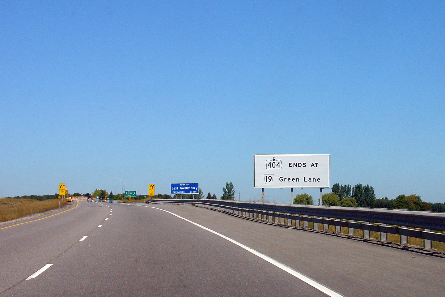
Northbound signage dating back to when the 404 terminated at the Green Lane
interchange. As of September 17th, 2014, Highway 404 was extended an
additional 12km north from Green Lane to Woodbine Avenue, just south of
Ravenshoe Road.
Photos taken: September 9th, 2005. |
|
Newmarket - Whitchurch Stouffville Boundary
Regional Municipality of York |
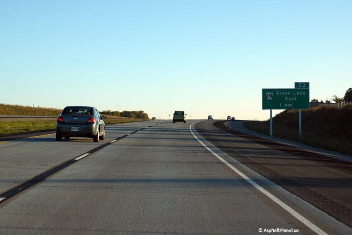
Northbound advanced signage for the ramp to Green Lane.
Photo taken September 18th, 2014. |
 (720x480) (720x480)
(1440x960)
(2400x1600)
|
Town of East Gwillimbury
Regional Municipality of York |
Northbound view at the off-ramp to Green Lane.
Photo taken: September 18th, 2014. |
 (720x480) (720x480)
(1440x960)
(2400x1600) |
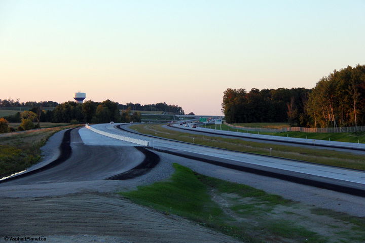
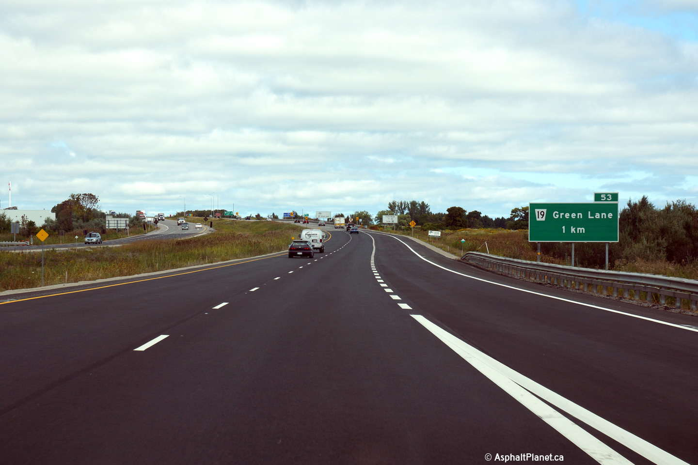
Town of East Gwillimbury
Regional Municipality or York |
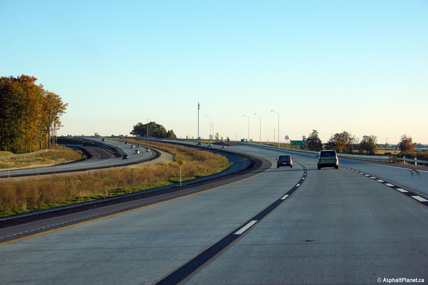
Southerly view approaching the Green Lane interchange along Highway 404.
Photo taken: September 24th, 2014. |
 (720x480) (720x480)
(1440x960)
(2400x1600) |
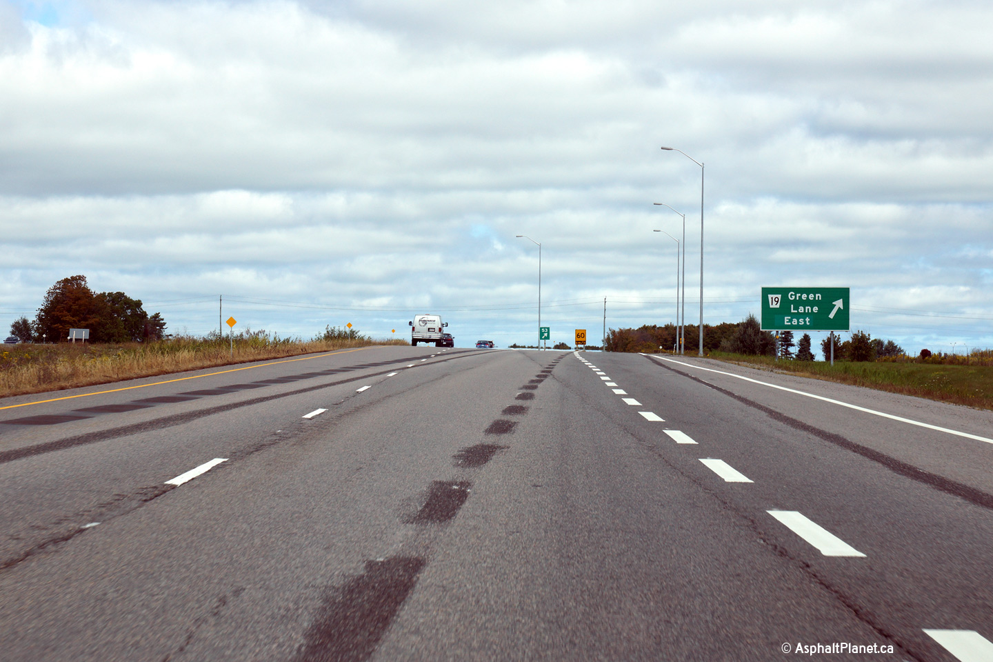
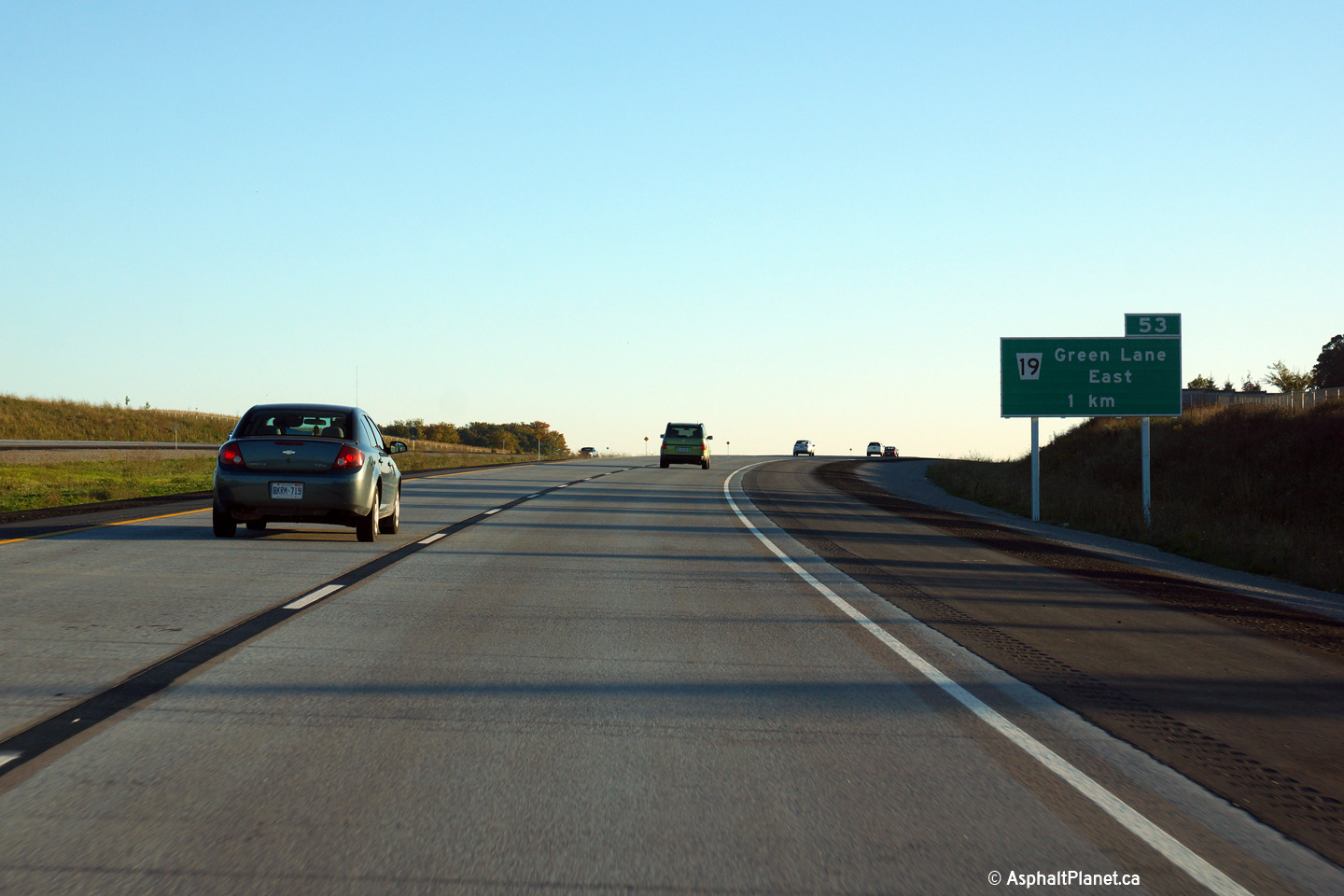
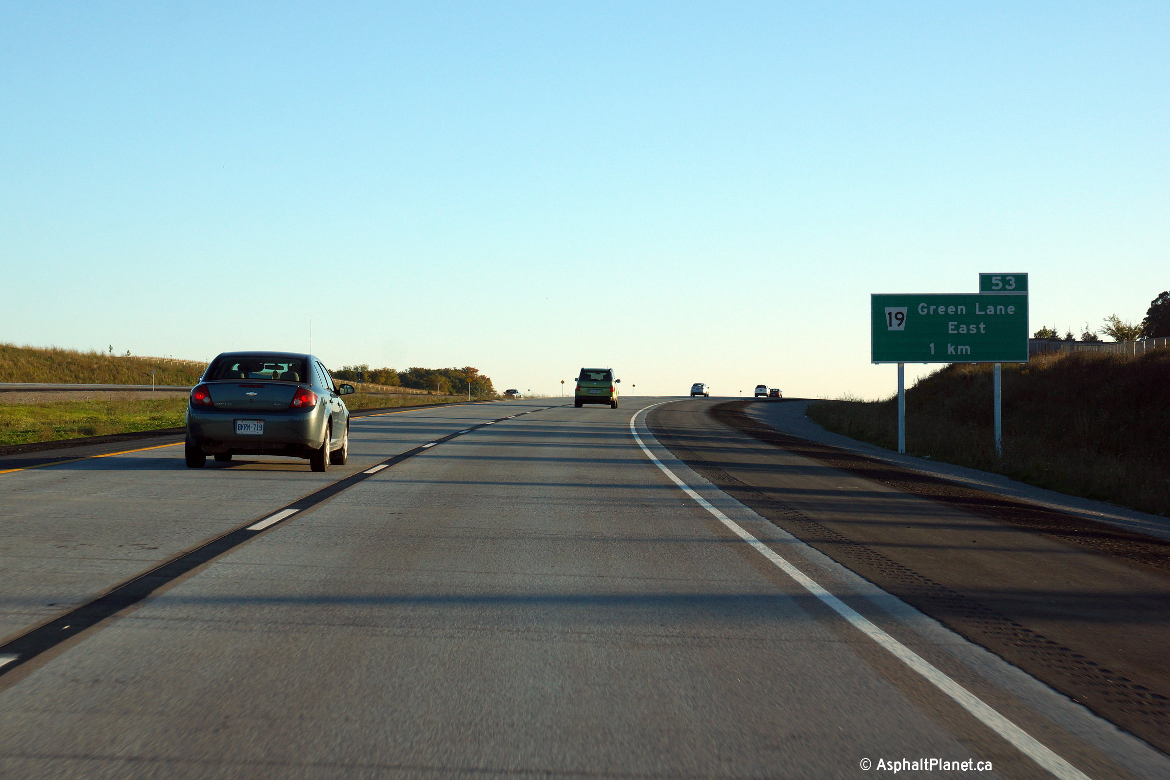
Town of East Gwillimbury
Regional Municipality or York |
Southbound advanced signage for the Green Lane interchange.
Photo taken: September 24th, 2014. |
 (720x480) (720x480)
(1440x960)
(2400x1600)
|
Town of East Gwillimbury
Regional Municipality or York |
This view looks northerly along Highway 404 nearing the Mount Albert Road
underpass.
Photo taken: September 18th, 2014. |

(720x480)
(1440x960)
(2400x1600) |
Town of East Gwillimbury
Regional Municipality or York |
View looking northerly approaching the Doane Road overpass. As is
evident in the photo, stub ramps including speed change lanes along the
highway were constructed in advance of the proposed Doane Road interchange.
Photo taken: September 18th, 2014. |
(720x480)
(1440x960)
(2400x1600) |
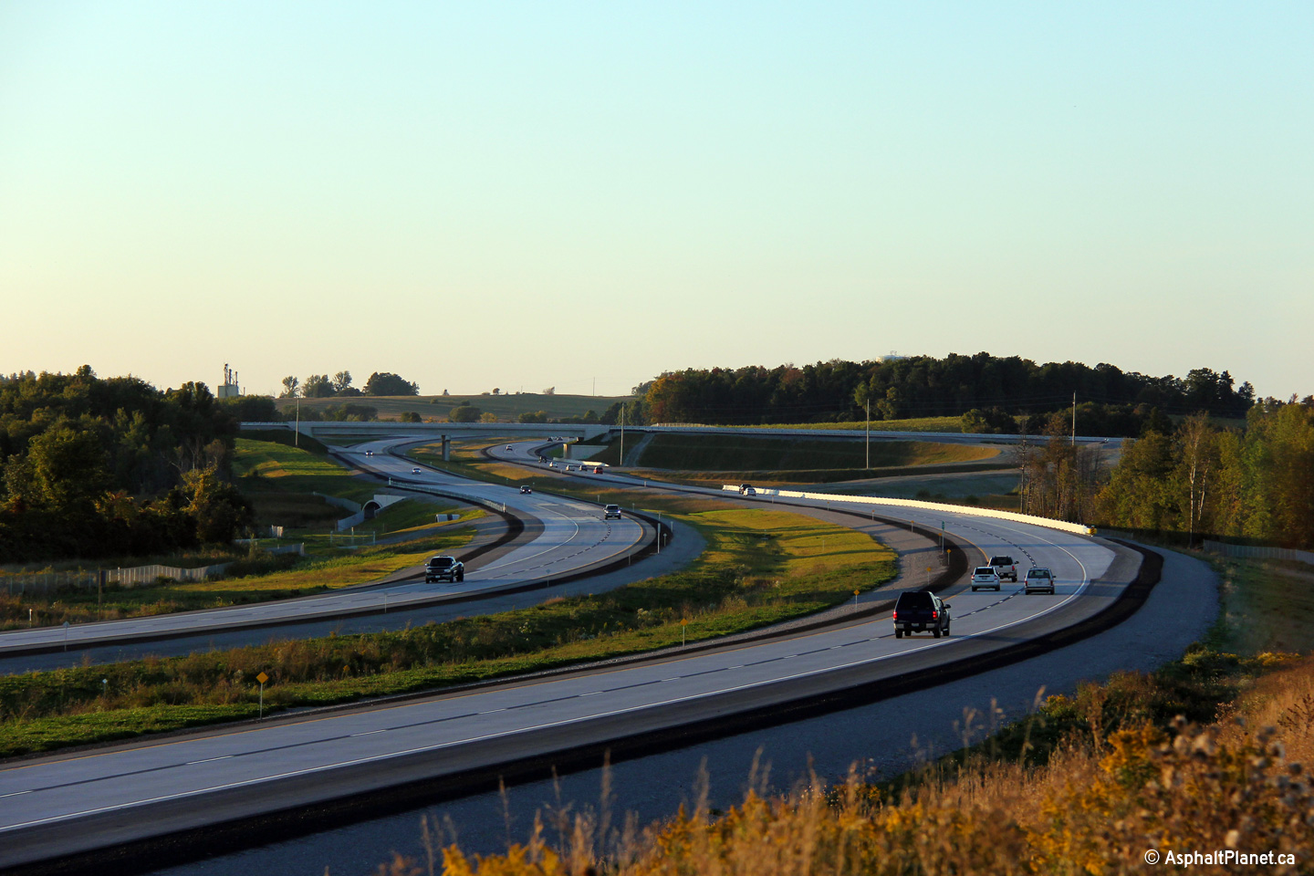
Town of East Gwillimbury
Regional Municipality or York |
Two views looking southerly from the Doane Road interchange along Highway 404.
Photos taken: September 18th, 2014. |
(720x480)
(1440x960)
(2400x1600)
(720x480)
(1440x960)
(2400x1600) |
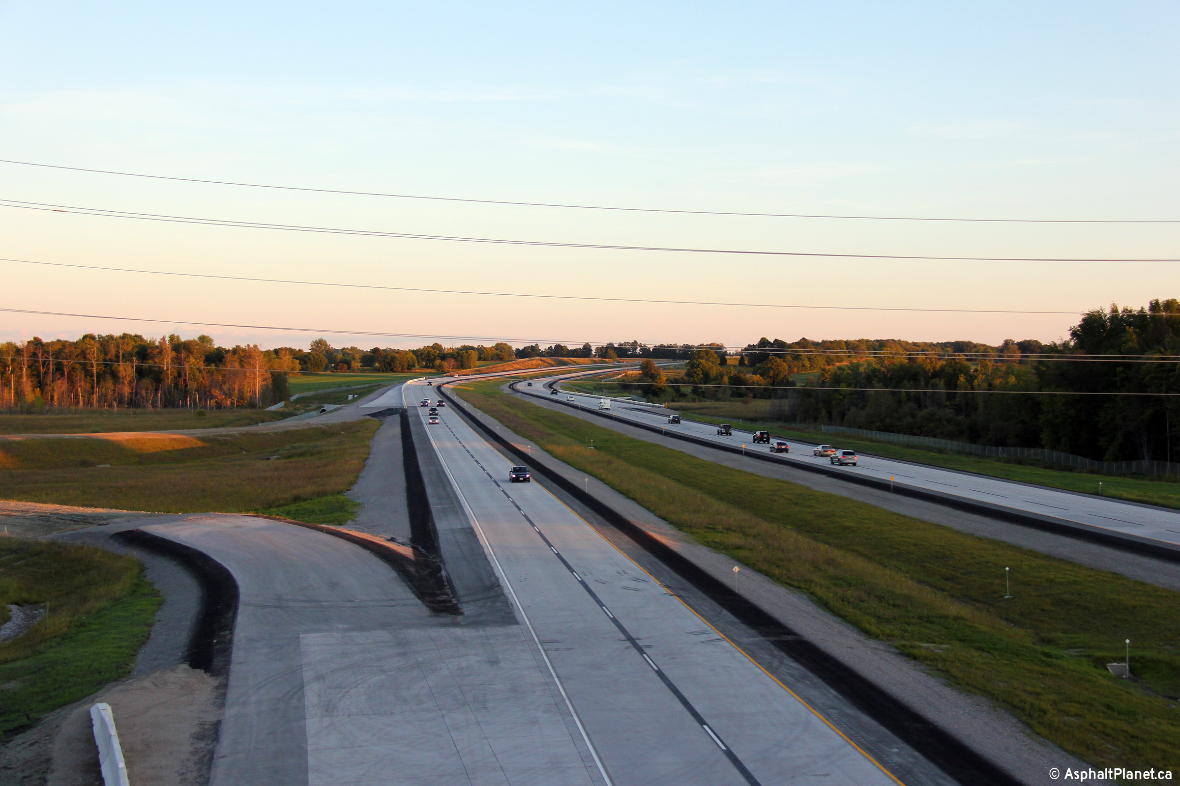
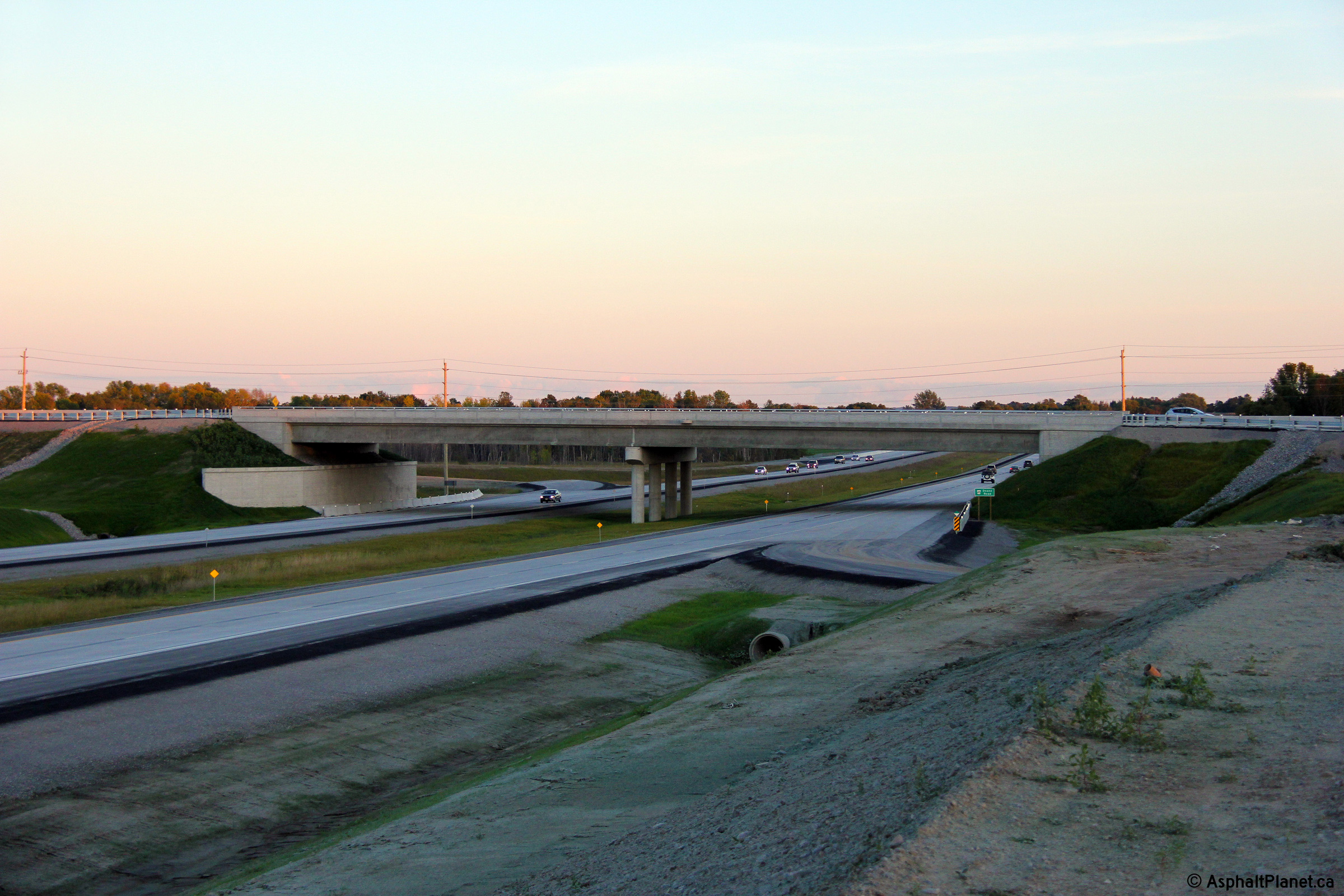
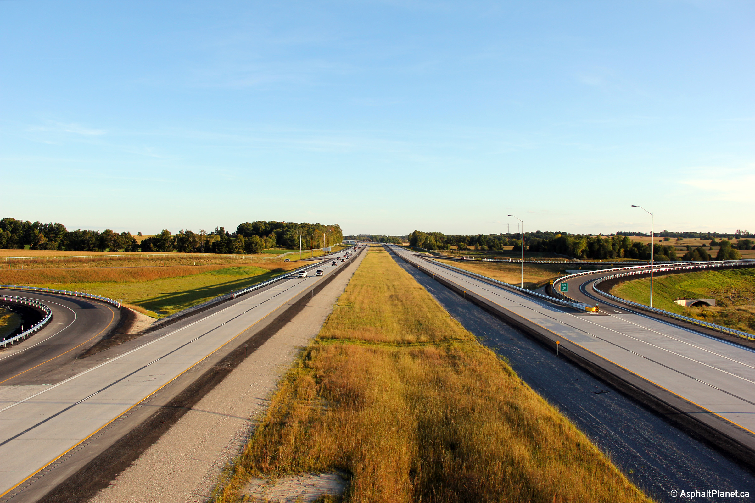
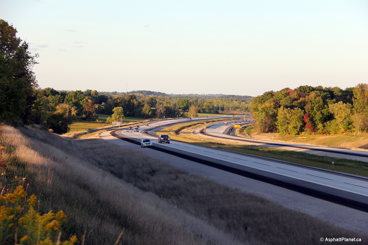
Town of East Gwillimbury
Regional Municipality or York |
This view looks northerly towards the Queensville Sideroad interchange from
the Doane Road overpass.
Photo taken: September 18th, 2014. |
(720x480)
(1440x960)
(2400x1600) |
Town of East Gwillimbury
Regional Municipality or York |
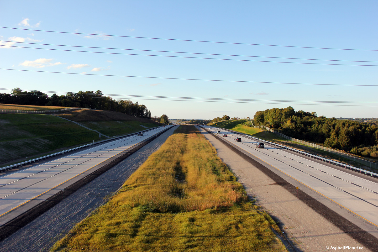
Southerly view towards the Doane Road overpass.
Photo taken: September 18th, 2014. |

(720x480)
(1440x960)
(2400x1600) |
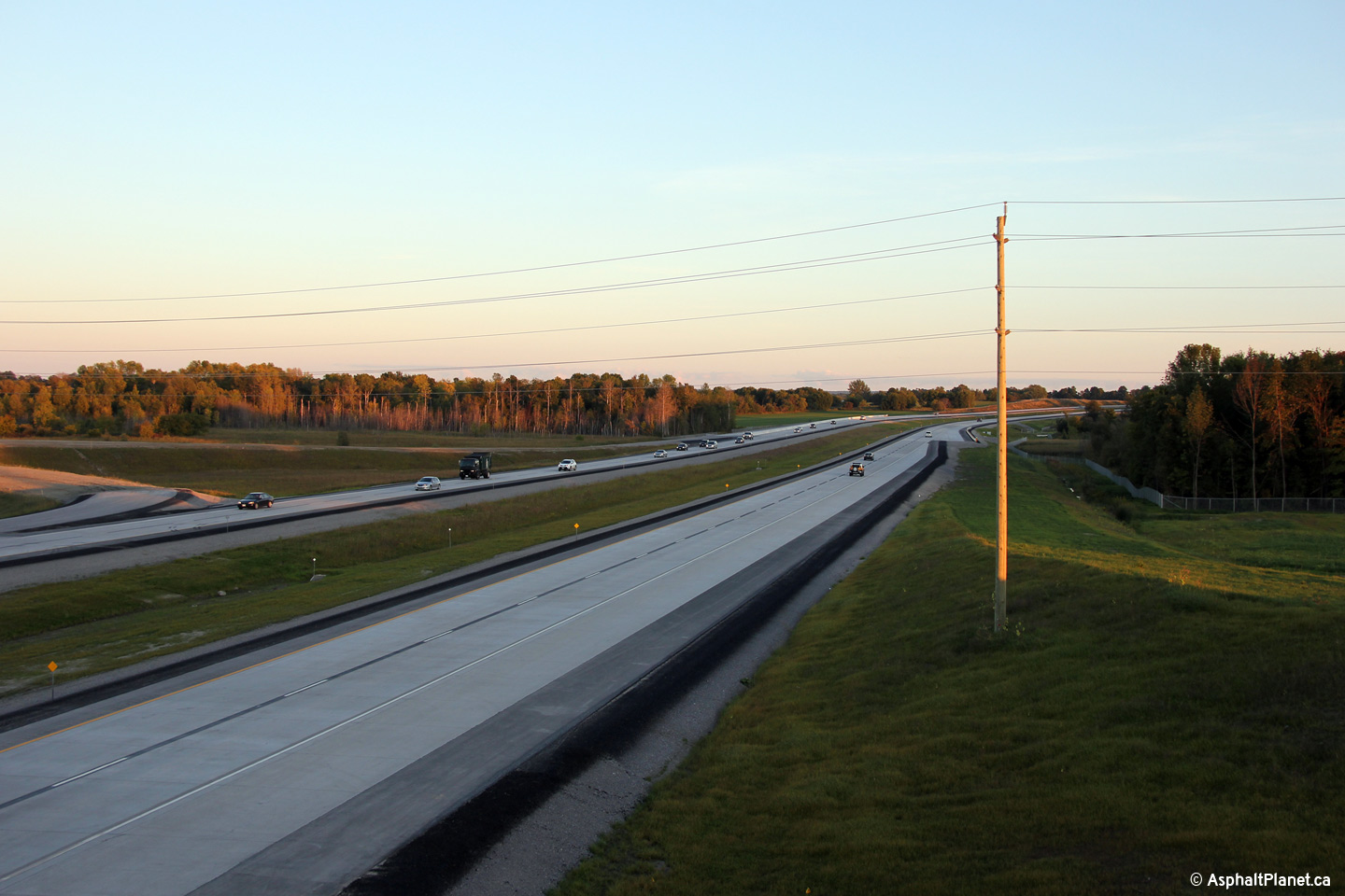
Town of East Gwillimbury
Regional Municipality or York |
Northerly view towards the Queensville Sideroad from a fill stockpile just
north of the Doane Road overpass. The ramp stub that will one day link
the southbound 404 to Doane Road is plainly visible in this photo.
Photo taken: September 18th, 2014. |
(720x480)
(1440x960)
(2400x1600) |
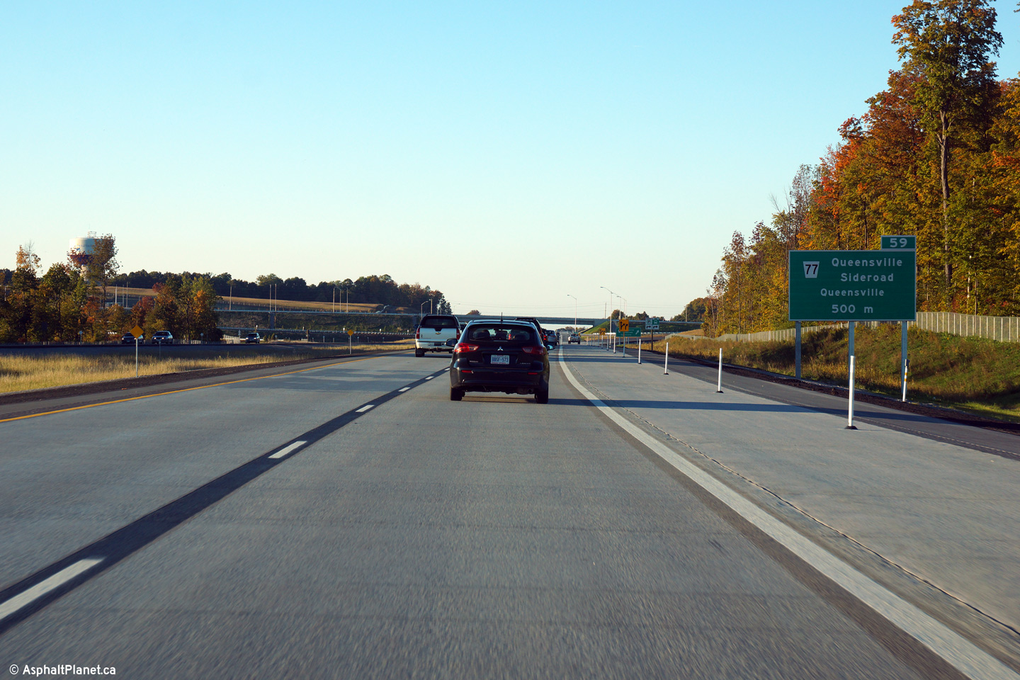
Town of East Gwillimbury
Regional Municipality or York |
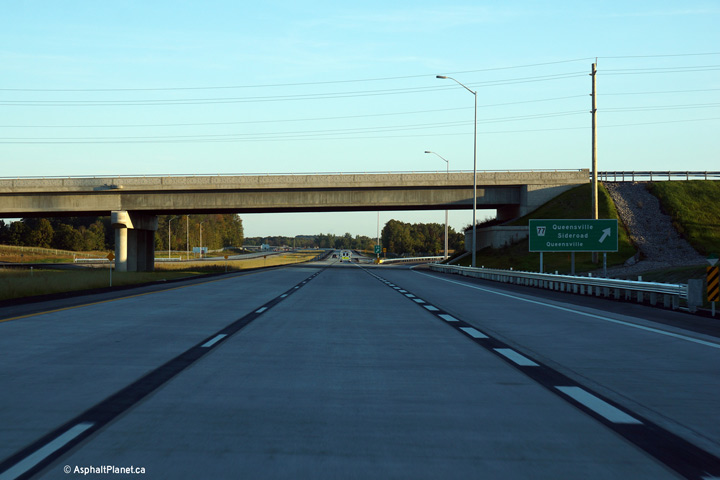
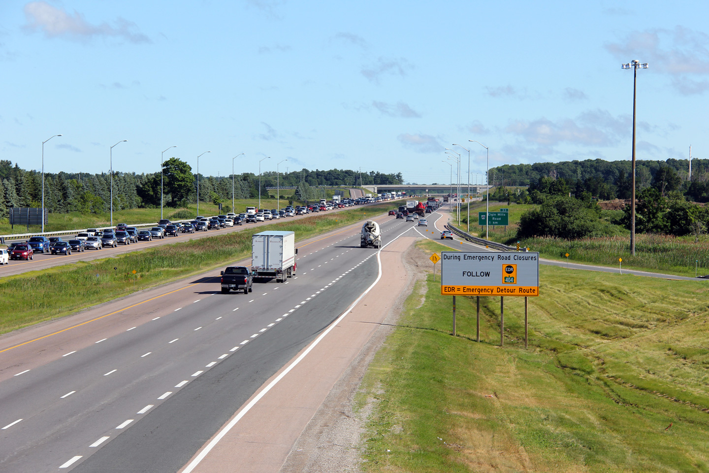
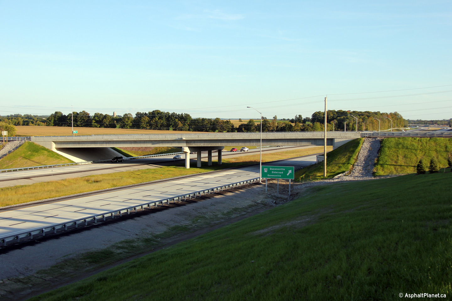
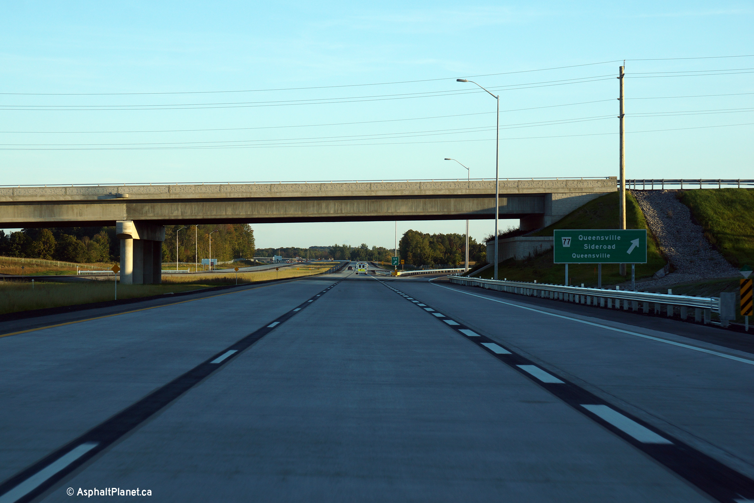
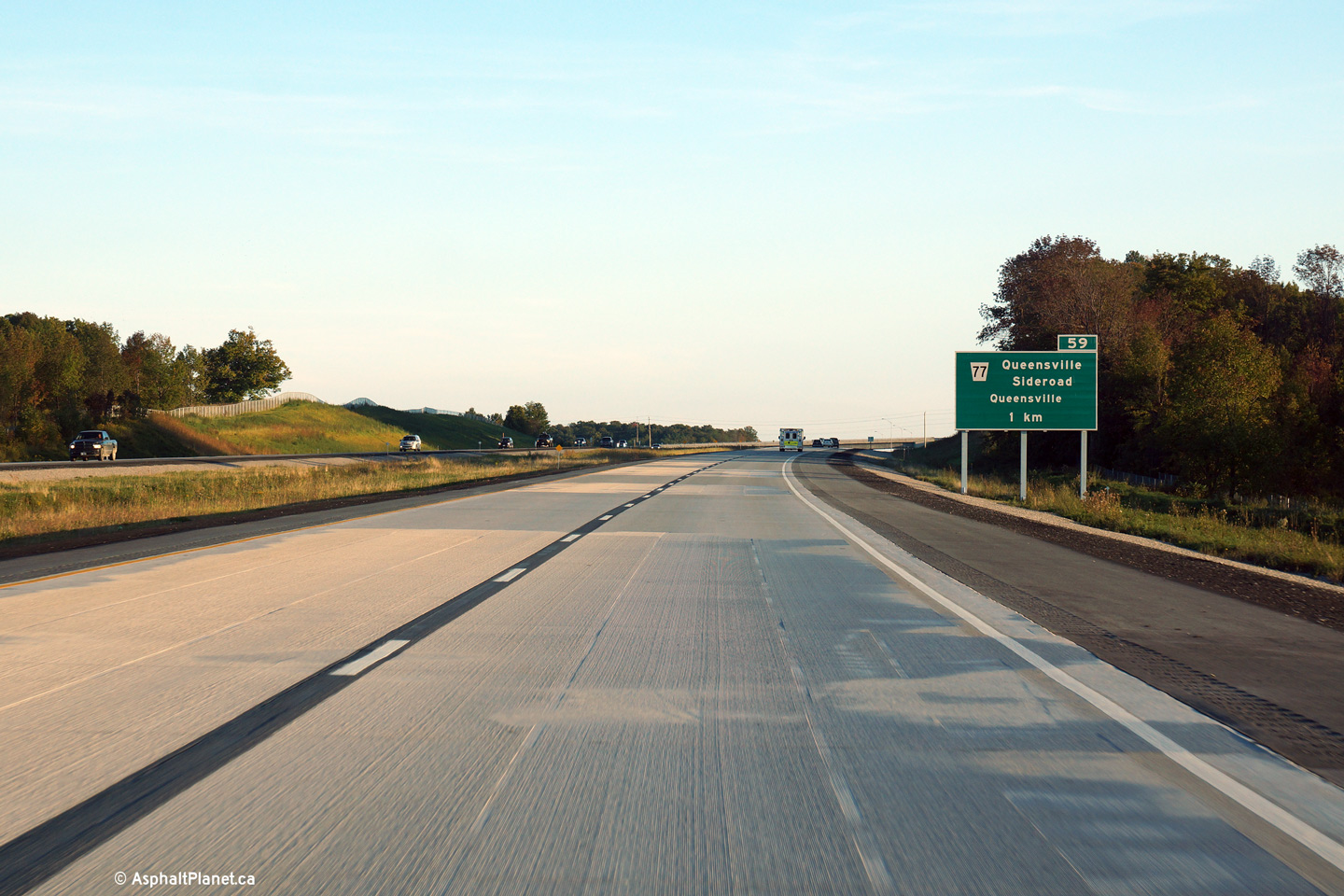
Due to the close proximity to the future Doane Road interchange, the
advanced signage for the Queensville Sideroad interchange is situated only
500m upstream of off-ramp.
Photo taken: September 24th, 2014. |
 (720x480) (720x480)
(1440x960)
(2400x1600) |
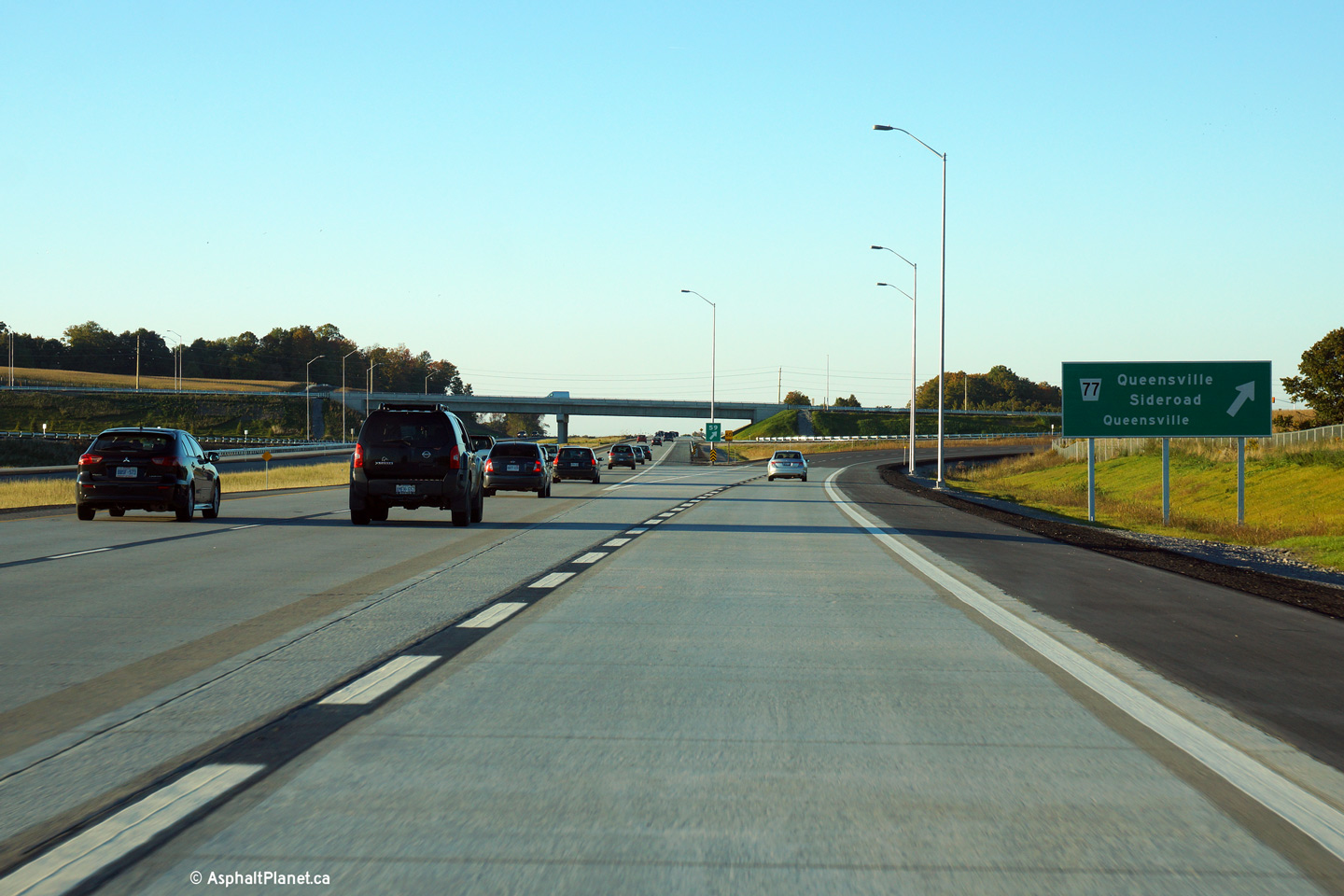
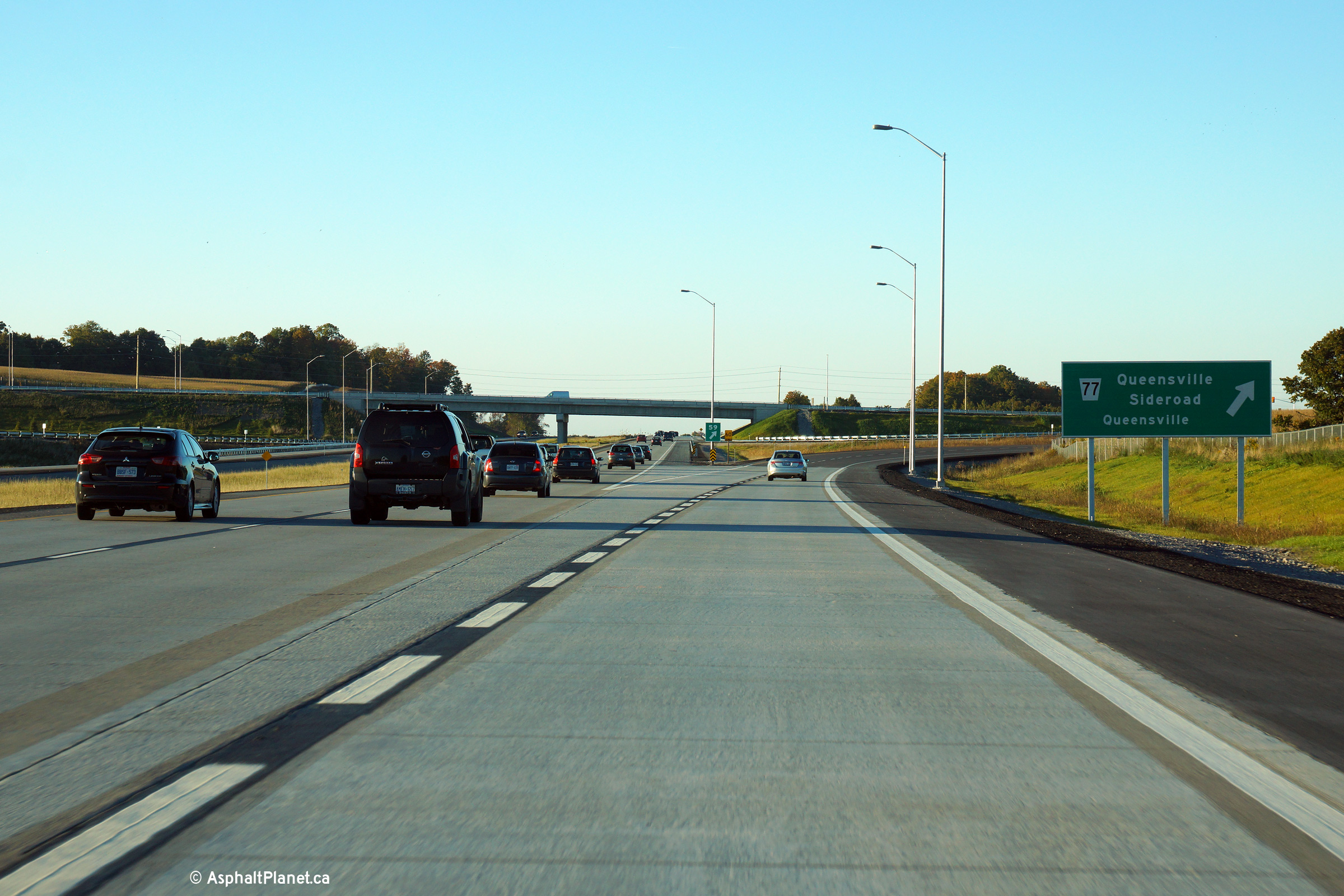
Town of East Gwillimbury
Regional Municipality or York |
Exit signage for the northbound off-ramp to the Queensville Sideroad.
Photo taken: September 24th, 2014. |
 (720x480) (720x480)
(1440x960)
(2400x1600) |
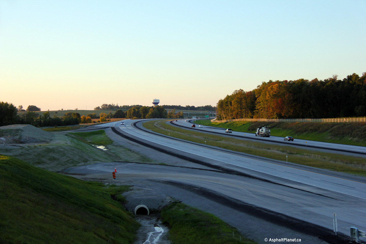
Town of East Gwillimbury
Regional Municipality or York |
This view looks southerly from the Queensville Sideroad overpass.
Photo taken: September 18th, 2014. |
(720x480)
(1440x960)
(2400x1600) |
Town of East Gwillimbury
Regional Municipality or York |
Northerly view along Highway 404 from the Queensville Sideroad overpass.
Photo taken: September 18th, 2014. |

(720x480)
(1440x960)
(2400x1600) |
Town of East Gwillimbury
Regional Municipality or York |
This view looks southerly towards the Queensville Sideroad interchange.
Photo taken: September 18th, 2014. |

(720x480)
(1440x960)
(2400x1600) |
Town of East Gwillimbury
Regional Municipality or York |
Signage at the southbound off-ramp the Queensville Sideroad interchange.
Photo taken: September 18th, 2014. |
 (720x480) (720x480)
(1440x960)
(2400x1600) |
Town of East Gwillimbury
Regional Municipality or York |
As there is no interchange immediately adjacent to the north of the
Queensville Sideroad interchange, the advanced signage is located at the
more typical 1km interval.
Photo taken: September 18th, 2014. |
 (720x480) (720x480)
(1440x960)
(2400x1600) |
Town of East Gwillimbury
Regional Municipality or York |
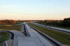
Advanced signage denoting the upcoming interchange with Woodbine Avenue.
Highway 404 terminates at Woodbine Avenue, just south of the Ravenshoe Road
intersection.
Photo taken: September 18th, 2014. |
 (720x480) (720x480)
(1440x960)
(2400x1600) |
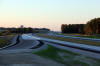
Town of East Gwillimbury
Regional Municipality or York |
Southerly view along Highway 404 as the highway passes overtop of the Boag
Road underpass.
Photo taken: September 18th, 2014. |
(720x480)
(1440x960)
(2400x1600) |
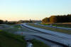
Town of East Gwillimbury
Regional Municipality or York |
Two views looking northerly along Highway 404 from just north of the Boag
Road underpass towards the northern terminus of Highway 404 at Woodbine
Avenue.
Photos taken: September 18th, 2014. |
(720x480)
(1440x960)
(2400x1600)
(720x480)
(1440x960)
(2400x1600) |
Town of East Gwillimbury
Regional Municipality of York |
Signage denoting the upcoming northern terminus of Highway 404 at Woodbine
Avenue.
Photo taken: September 18th, 2014. |
 (720x480) (720x480)
(1440x960)
(2400x1600) |
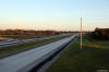
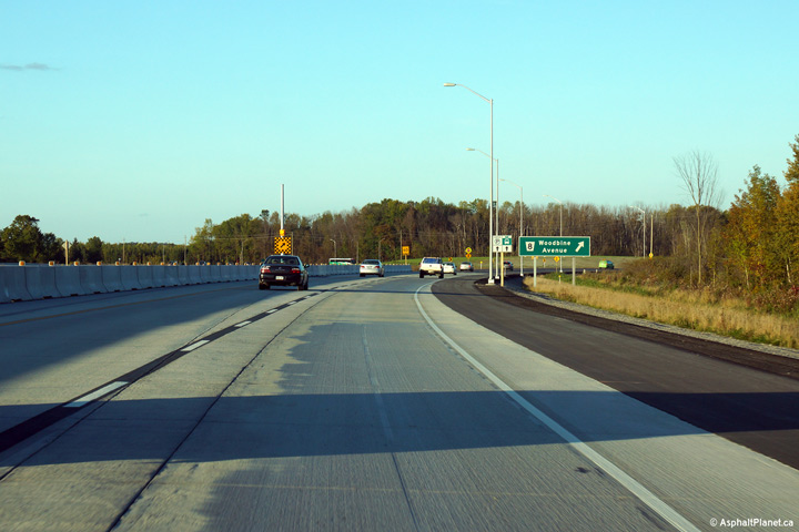
Town of East Gwillimbury
Regional Municipality of York |
All traffic is diverted off the mainline of Highway 404 at the exit to
Woodbine Avenue.
Photo taken: September 18th, 2014. |
 (720x480) (720x480)
(1440x960)
(2400x1600) |
|
For detailed photos of the construction that saw
Highway 404 extended from Green Lane to Woodbine Avenue during the early
2010s, click here.
|
 (720x480)

 (720x480)
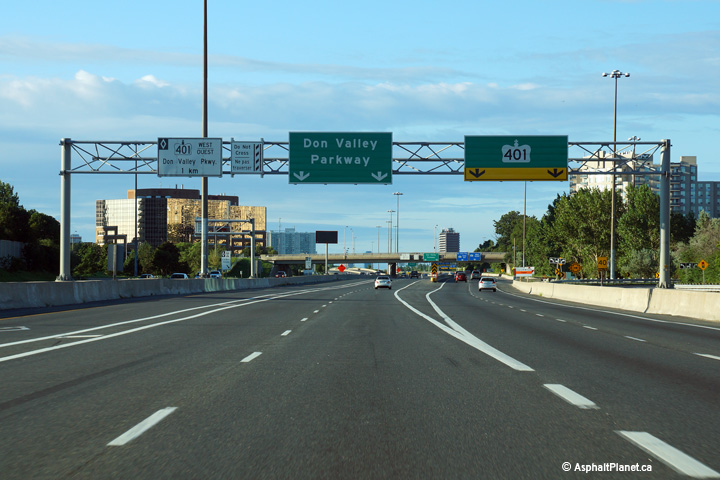
 (720x480)
 (720x480)
 (720x480)
 (720x480)
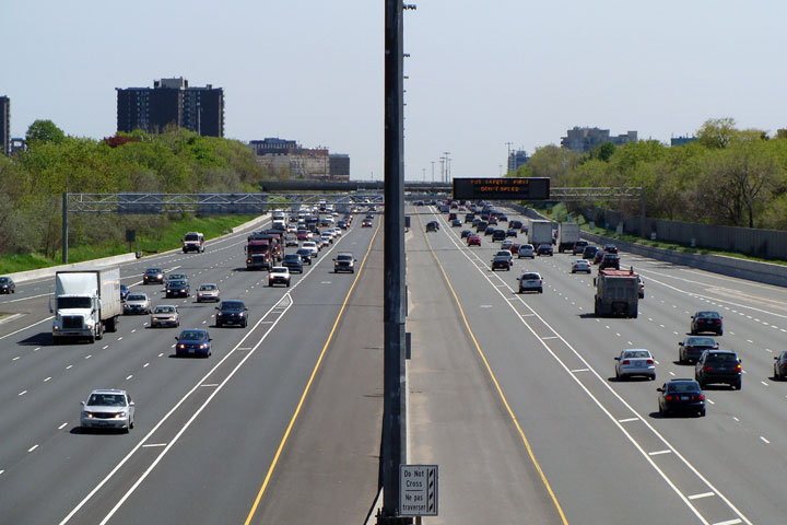


 (720x480)
 (720x480)
 (720x480)
 (720x480)
 (720x480)

 (720x480)
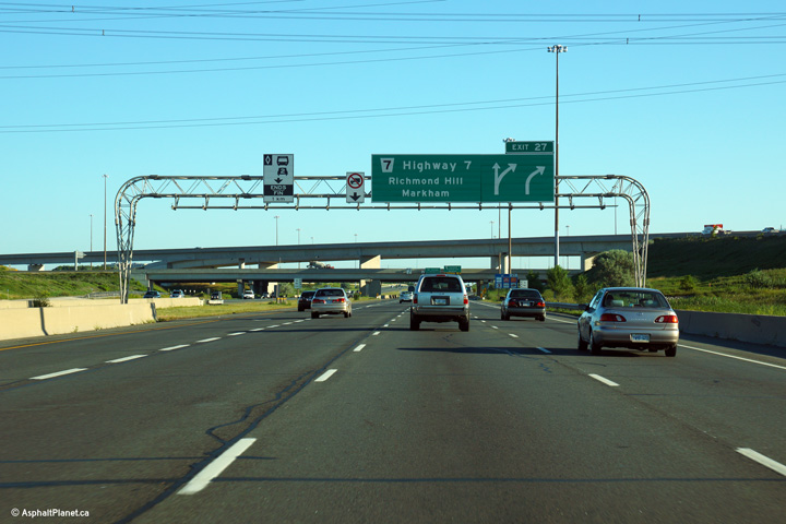 (720x480)
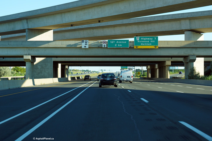 (720x480)
 (720x480)
 (720x480)
 (720x480)
 (720x480)
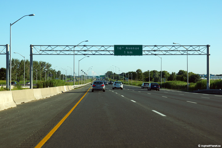 (720x480)
 (720x480)
 (720x480)
 (720x480)
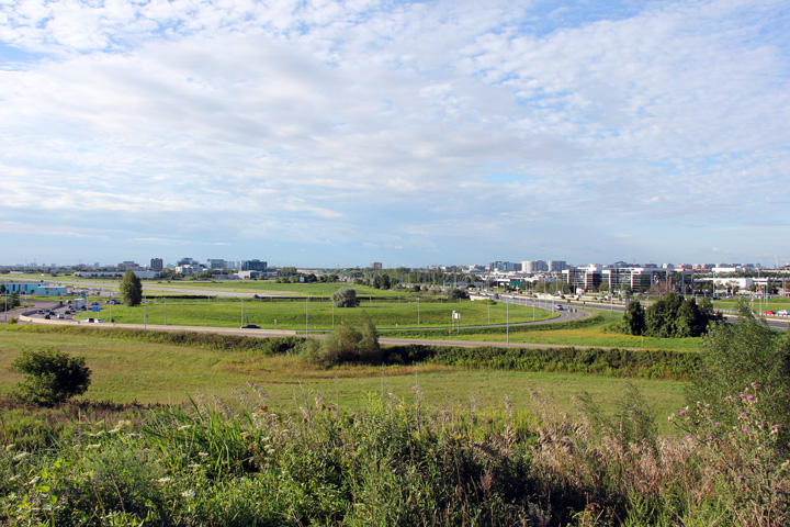
 (720x480)
 (720x480)


 (720x480)

 (720x480)
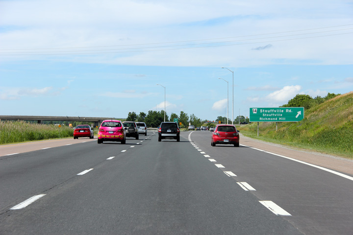 (720x480)

 (720x480)
 (720x480)
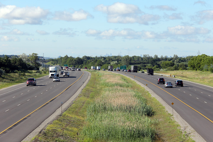
 (720x480)
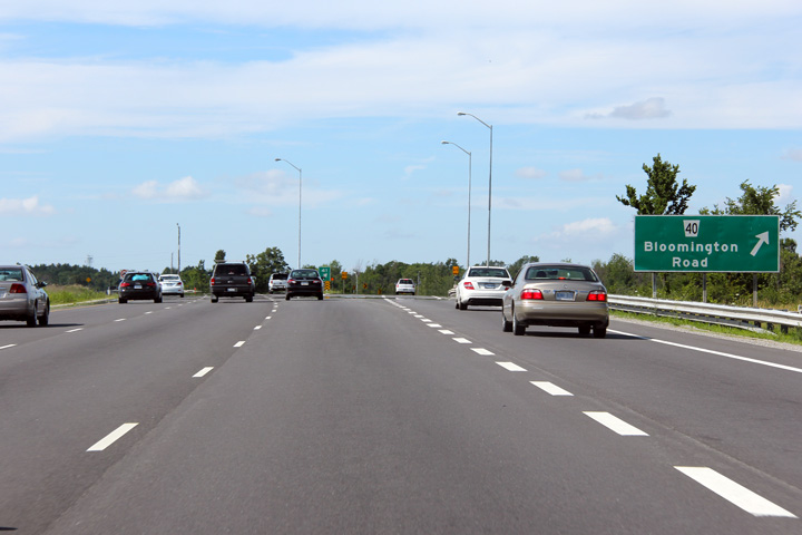 (720x480)
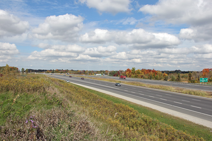
 (720x480)
 (720x480)

 (720x480)
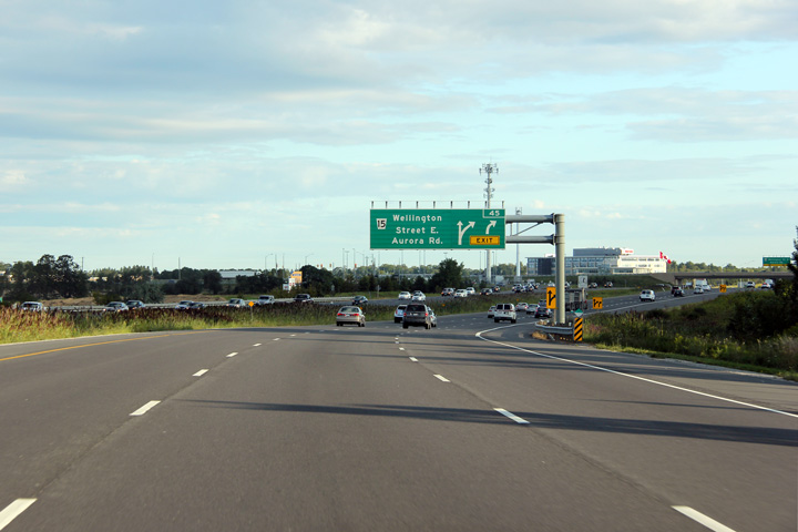 (720x480)
 (720x480)

 (720x480)
 (720x480)
 (720x480)
 (720x480)


 (720x480)
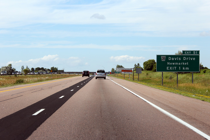 (720x480)
 (720x480)

 (720x480)
 (720x480)
 (720x480)
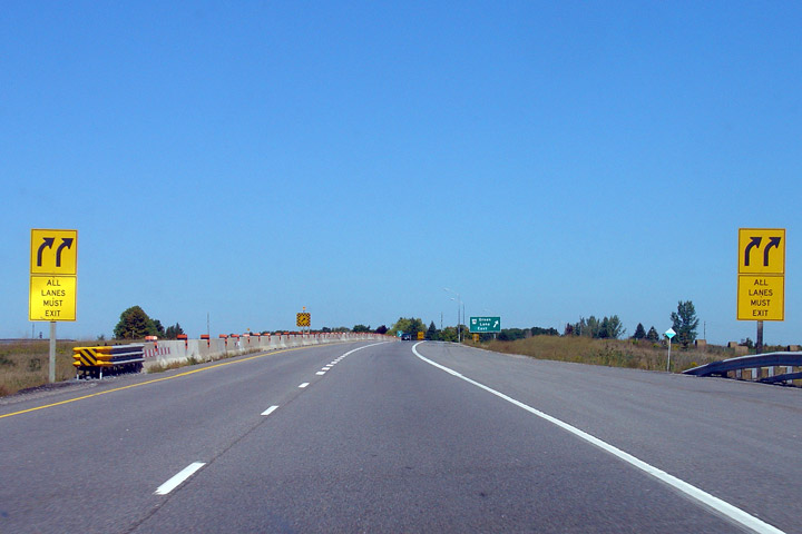 (720x480)
 (720x480)


 (720x480)
 (720x480)

 (720x480)
 (720x480)
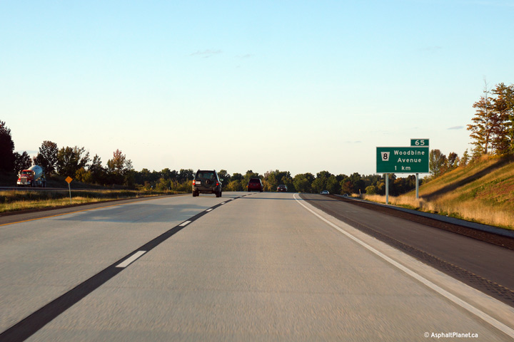 (720x480)
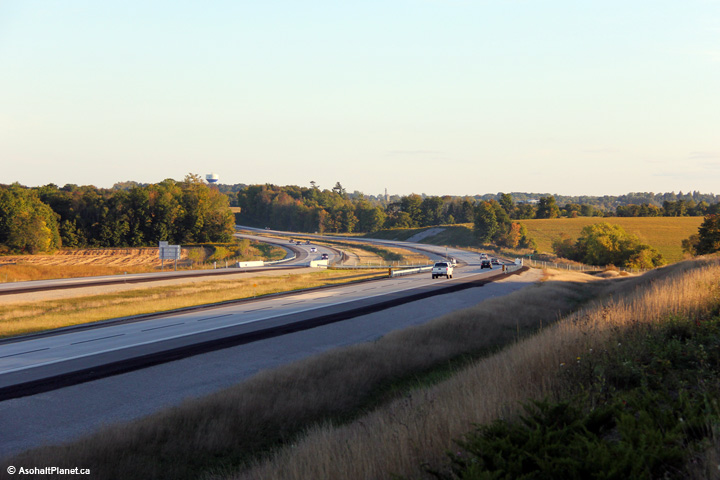

 (720x480)
 (720x480)