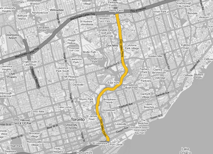
Don Valley Parkway Images
Photos shown in this table are arranged from South to North:
|
Proper Municipality Name |
Photo Description |
Photo |
|
|
Pictures taken from driver's perspective appear offset from centre-line pictures: |
North- |
South- |
|
|
The Don Valley Parkway ends at the Gardiner and Lake Shore Boulevard interchanges (The former Highway 2). Click here for Highway 2 images. |
|||
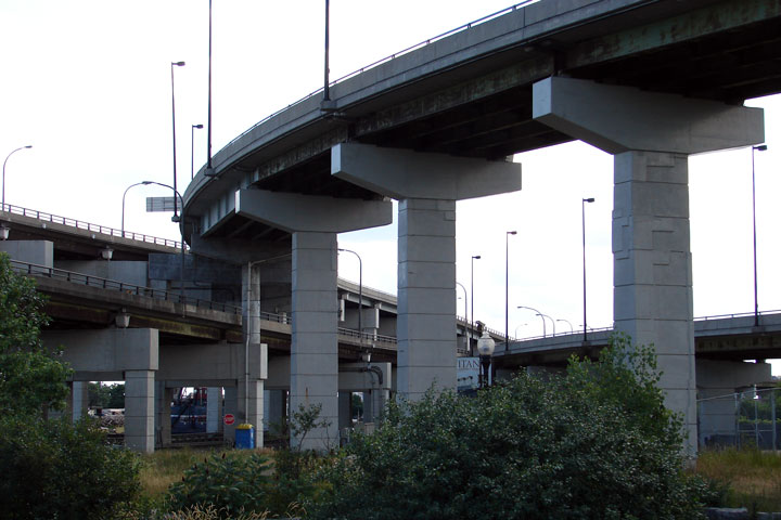
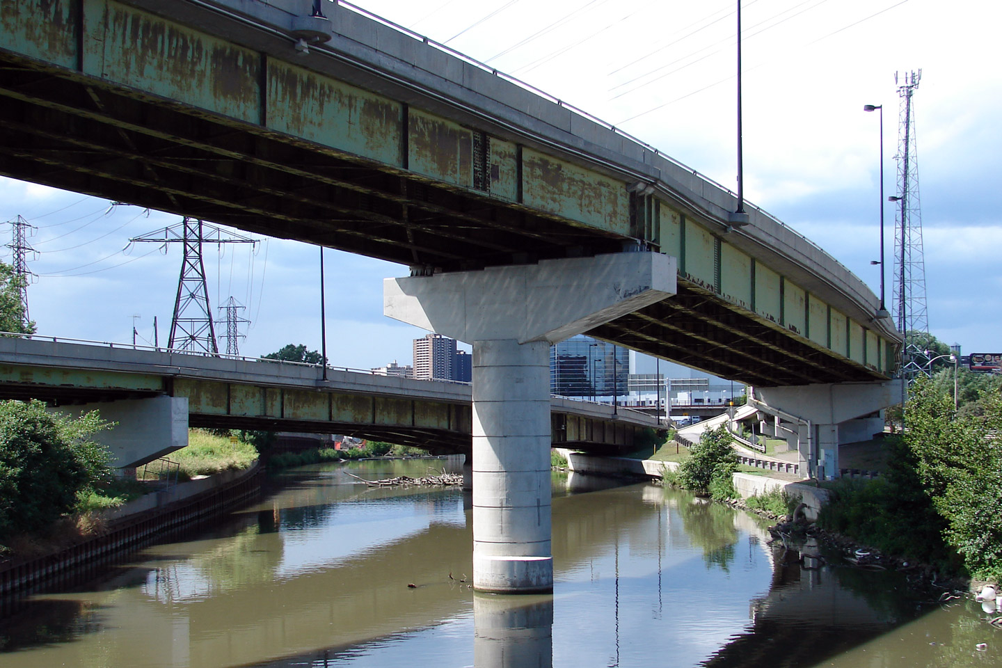
| City of Toronto | Neat view from ground level at
the towering DVP/Gardiner flyover. Photographer: Josh Anderchek. |
 |
|
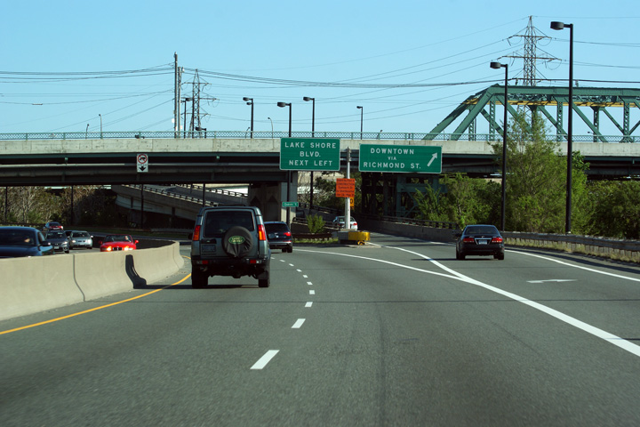
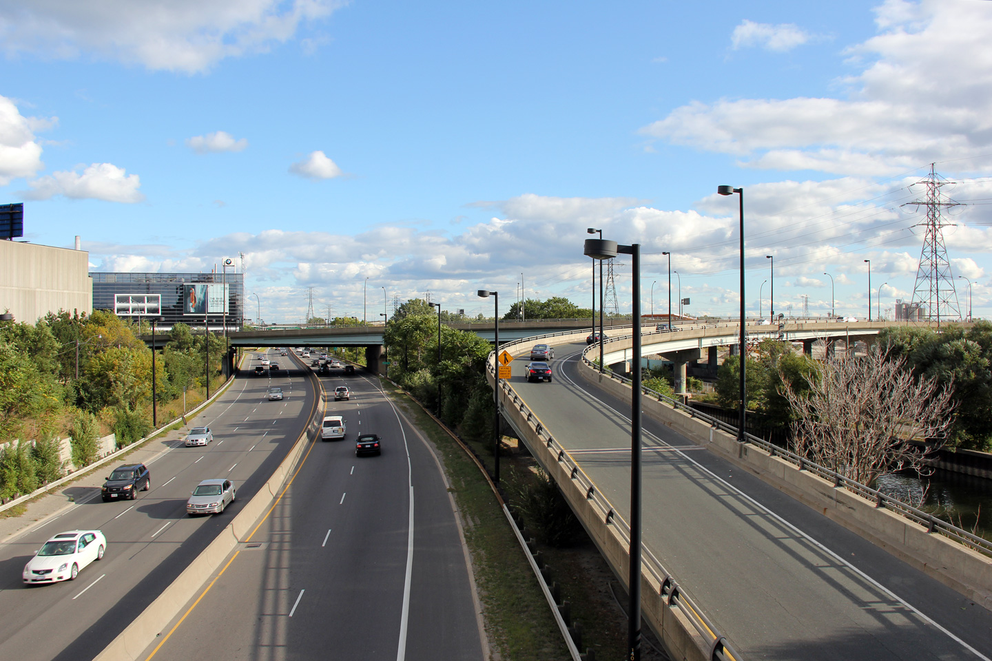
| City of Toronto |
View looking northerly from the Lake Shore Blvd bridge over the Don River towards
the start of the Don Valley Parkway. The ugly steel structure matches
the ugly Donlands of Toronto. Photographer: Josh Anderchek. |
 |
|
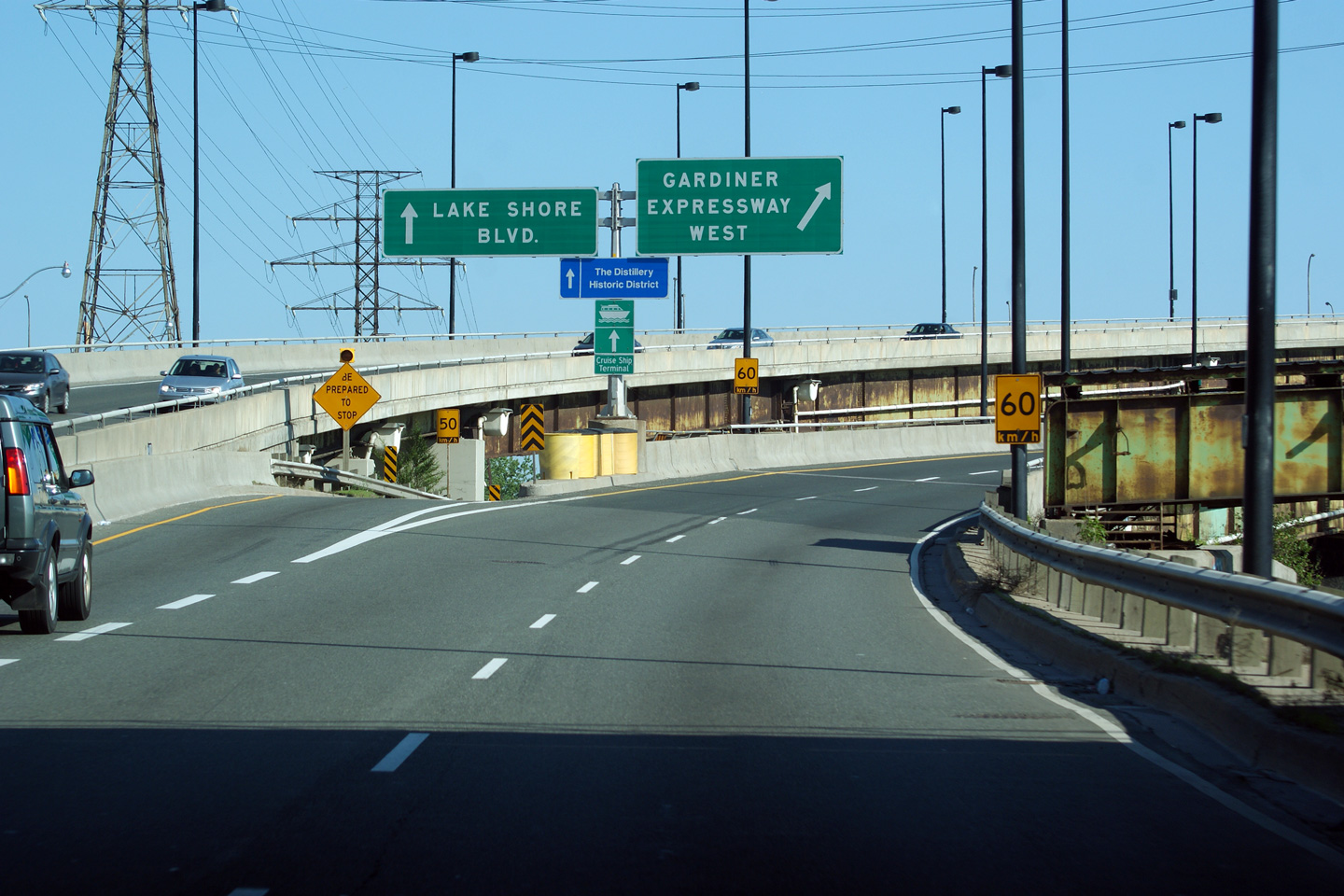
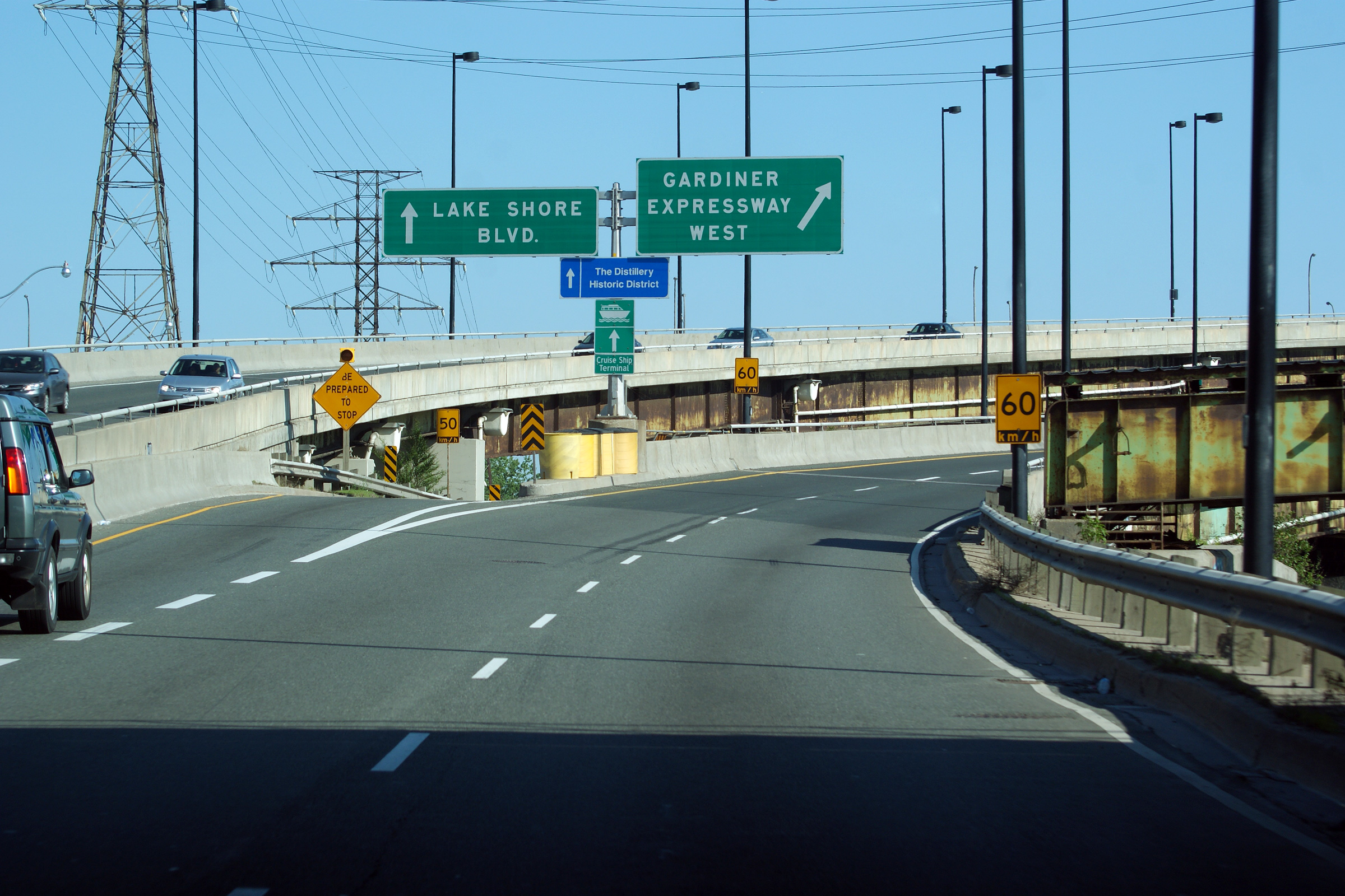
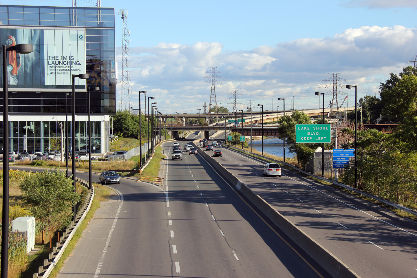
| City of Toronto |
Southbound signage at the end of the Don Valley Parkway at the ramps to
Lakeshore Boulevard and the Gardiner Expressway. Photo taken: June 6th, 2011. |
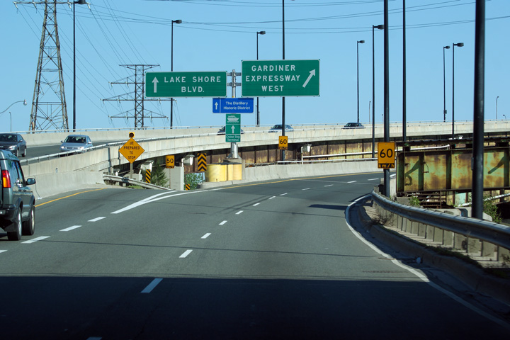 (1440x960) (2400x1600 |
|
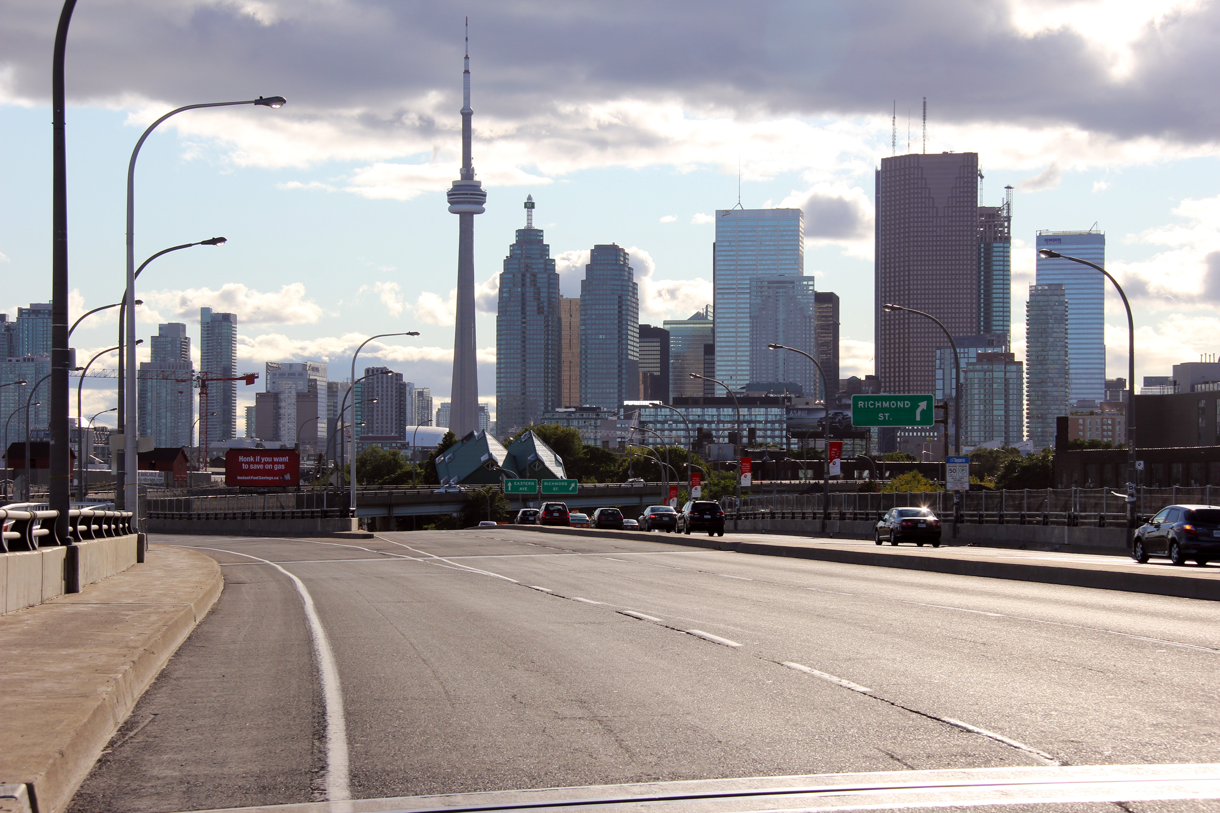
| City of Toronto |
Southerly view from the Eastern Avenue overpass towards the southern
terminus of the Don Valley Parkway. Photo taken: September 15th, 2011. |
 |
|
| City of Toronto |
View looking westerly along Eastern Avenue towards the Toronto skyline. Photo taken: September 15th, 2011. |
 |
|
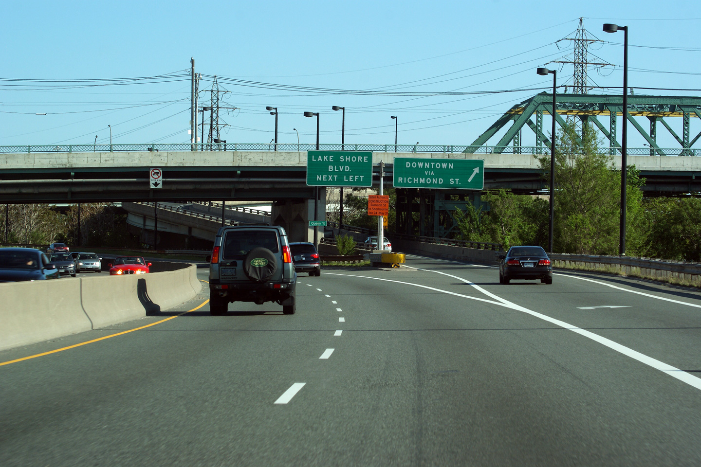
| City of Toronto |
Southerly view from Queen Street. The elevated ramp along the right
hand side of the photo carries traffic from the Don Valley Parkway
southbound to Richmond Street. Photo taken: September 15th, 2011. |
 |
|
| City of Toronto |
Southbound exit signage at the ramp to Richmond Street from the Don Valley
Parkway. Beyond the Richmond Street interchange, the DVP has a four
lane (two per direction) cross-section. Photo taken: June 6th, 2011. |
 (1440x960) (2400x1600) |
|
| City of Toronto |
View looking southerly from the Prince Edward Viaduct towards the Don Valley
Parkway Photo taken: June 6th, 2011. |
 |
|
| City of Toronto |
Northerly view from the Prince Edward Viaduct. Photo taken: June 6th, 2011. |
 |
|
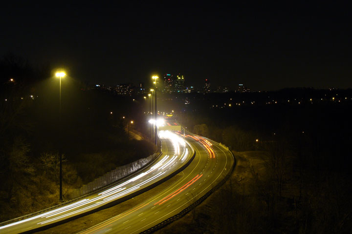
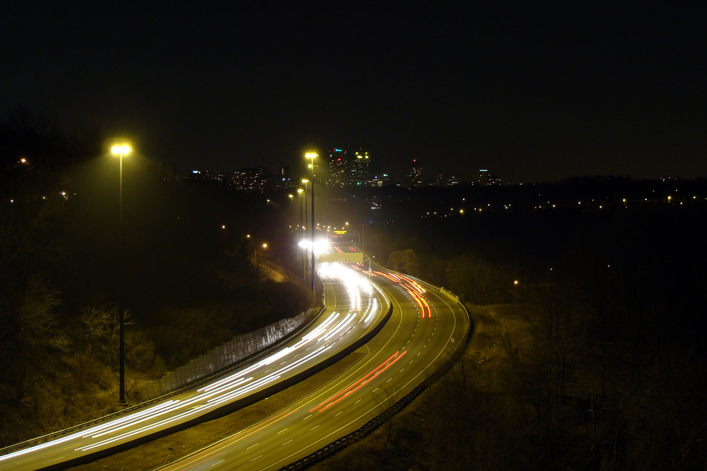
| City of Toronto |
Southerly view at night from the Leaside Bridge, high atop the Don Valley.
The Leaside Bridge was constructed in 1927, long before an expressway was
considered for the Don River Valley. The Don River was a formidable
obstacle to urban sprawl in the early days of York. Photo taken: March 14th, 2009. |
 |
|
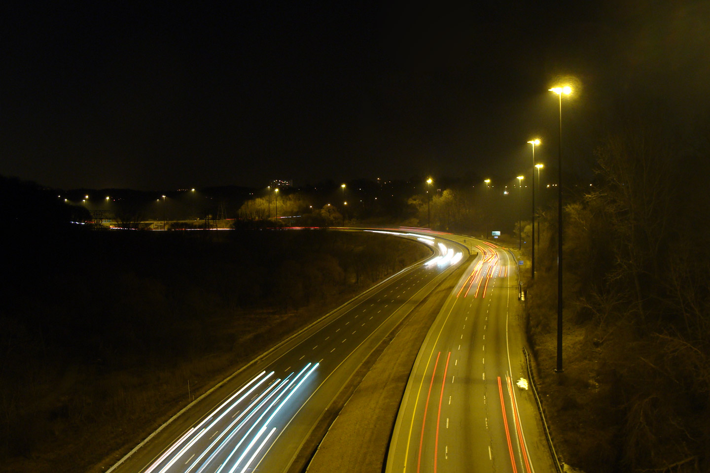
|
City of Toronto |
View looking northerly towards the Don Mills Road interchange along the Don Valley Parkway. Photo taken: March 14th, 2009. |
|
|
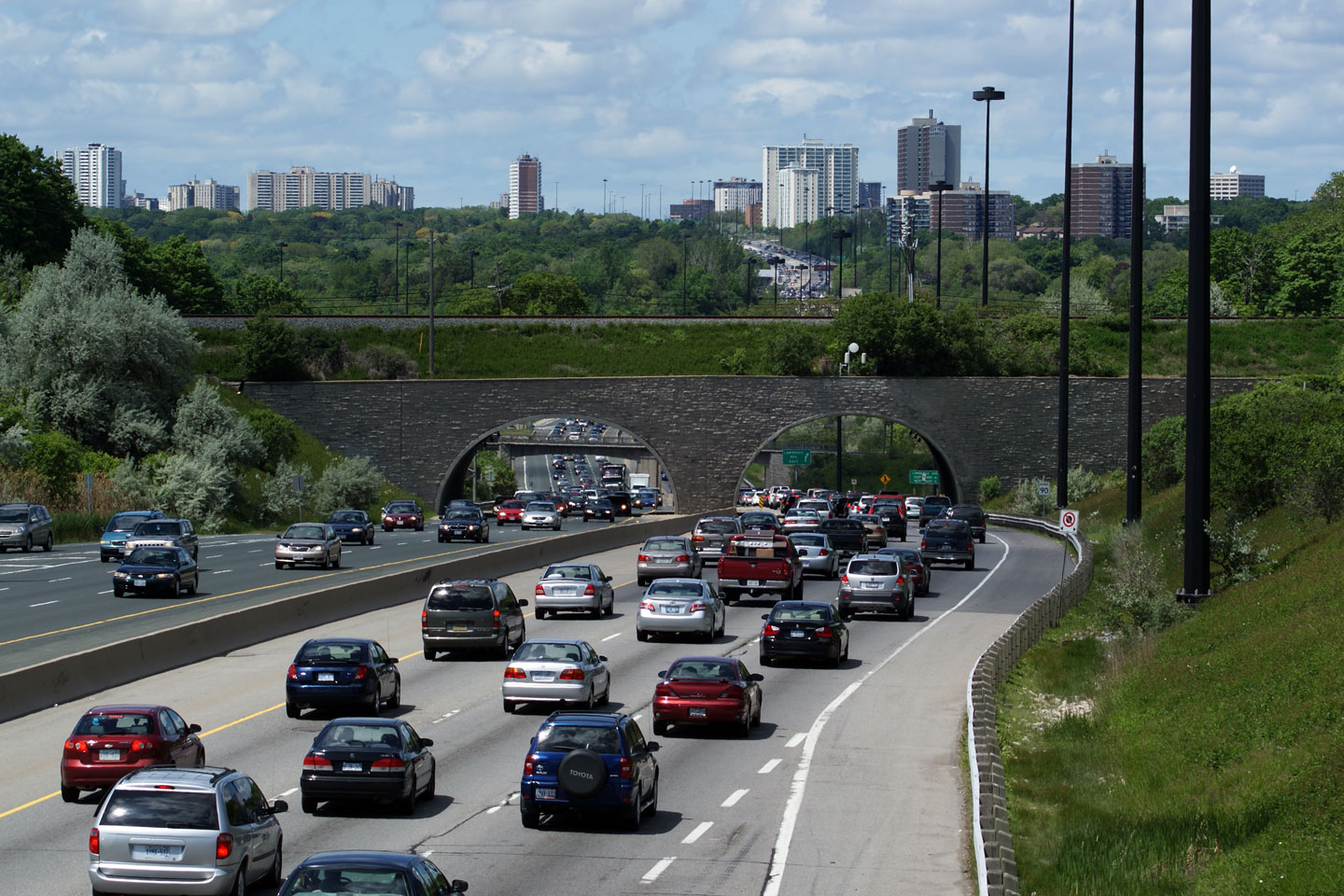
| City of Toronto |
View looking southerly from the Spanbridge Road overpass overtop the Don
Valley Parkway. South of Spanbridge, the freeway earns its name by
hugging the east side of the deep ravine that has been cut by the Don River
in the years since Southern Ontario was covered by a massive glacier. Photo taken: May 29th, 2009. |
 |
|
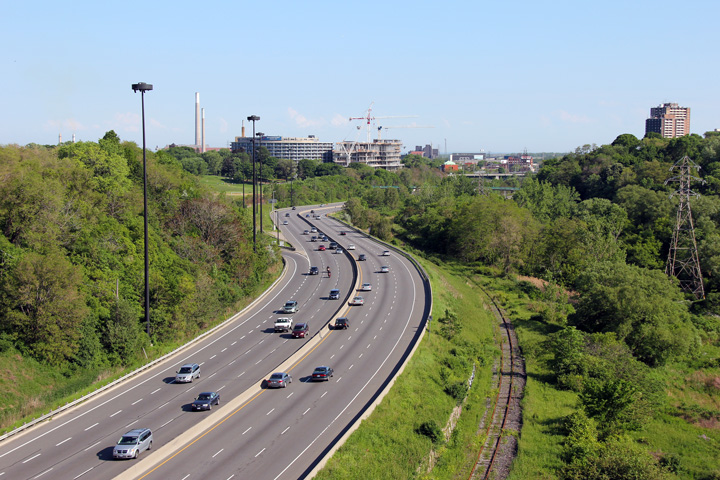
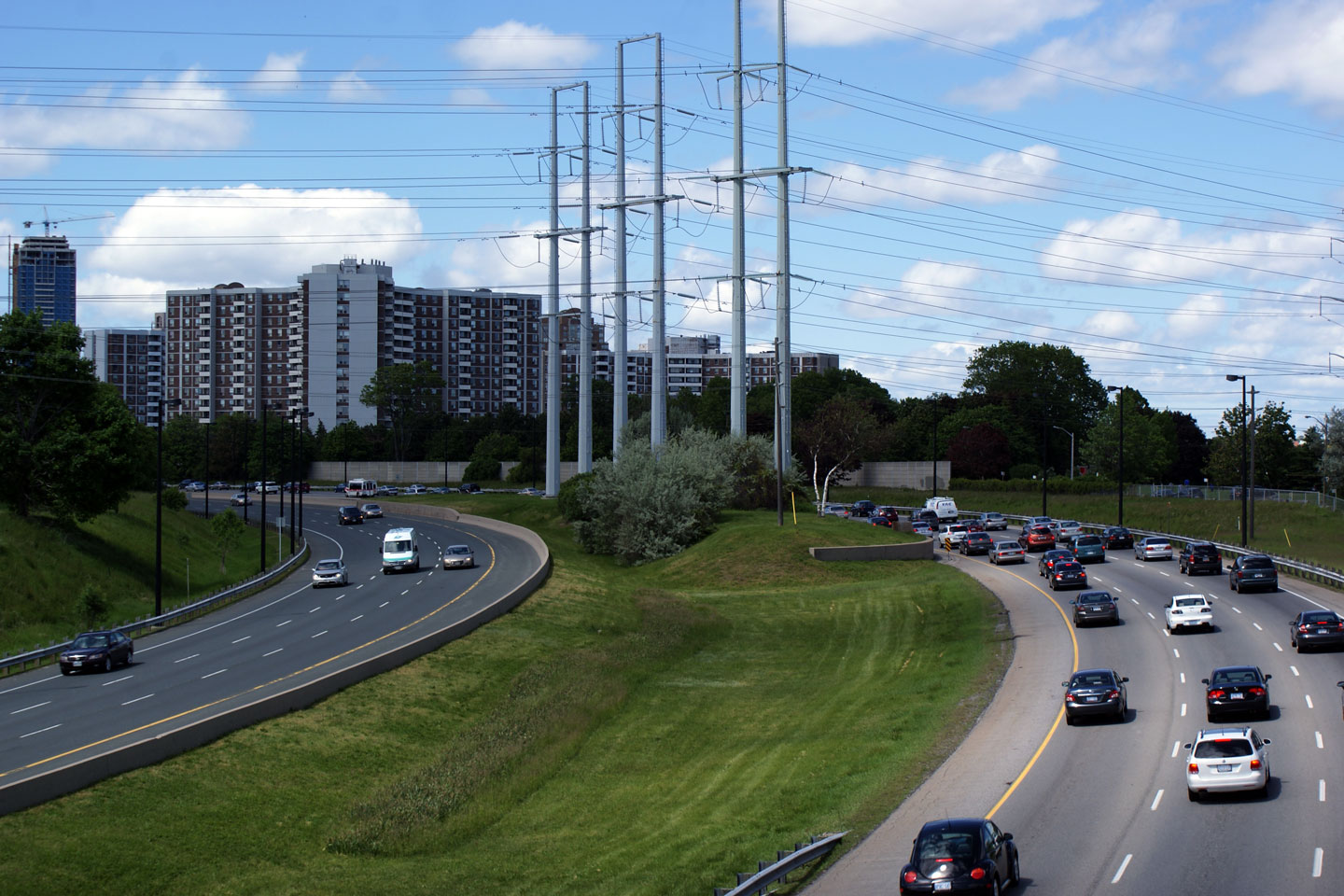
| City of Toronto |
Looking northerly from Spanbridge Road. The freeway carriageways split due to the high-voltage power lines. Over the years there have been several proposals to build and expressway alongside the hydro lines between the DVP and the 401. Obviously, none of these proposals has ever seriously gotten of the ground. Photo taken: May 29th, 2009. |
 |
|
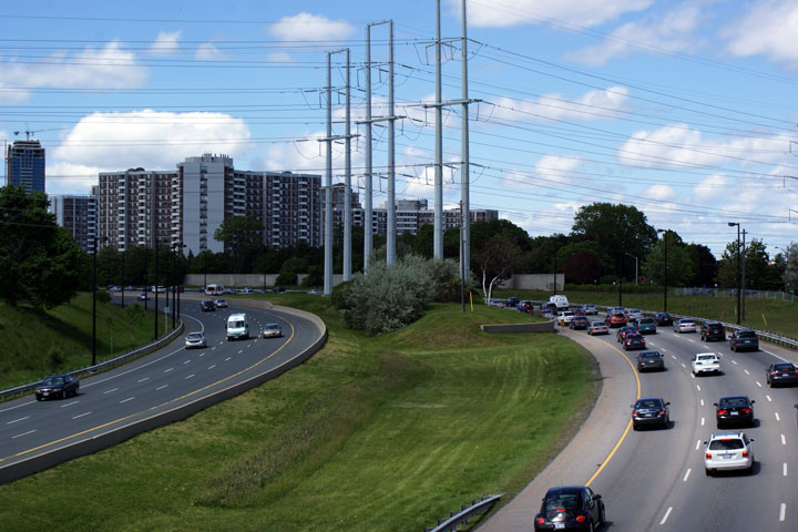
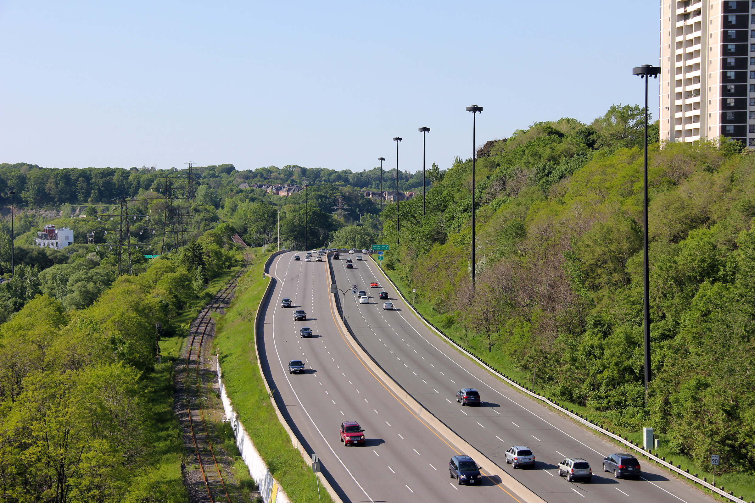
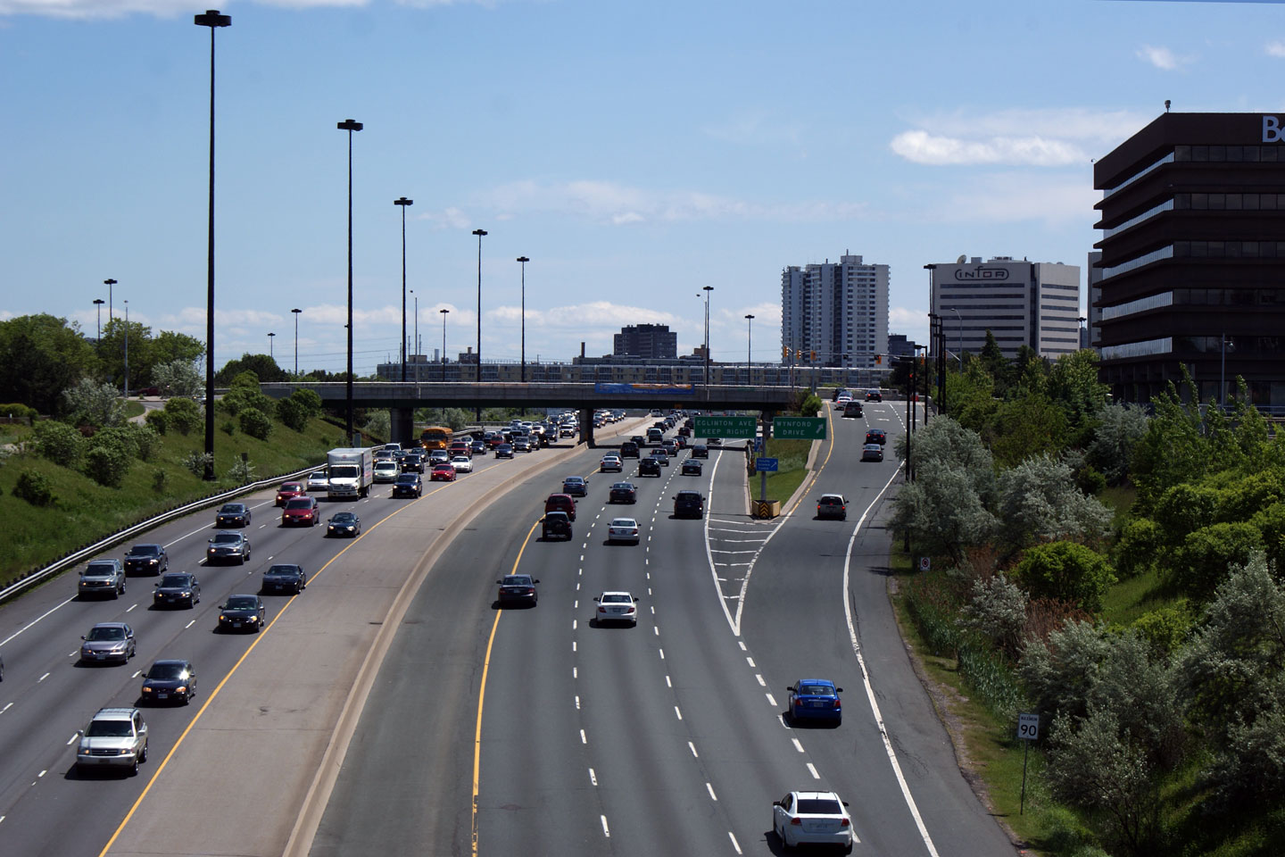
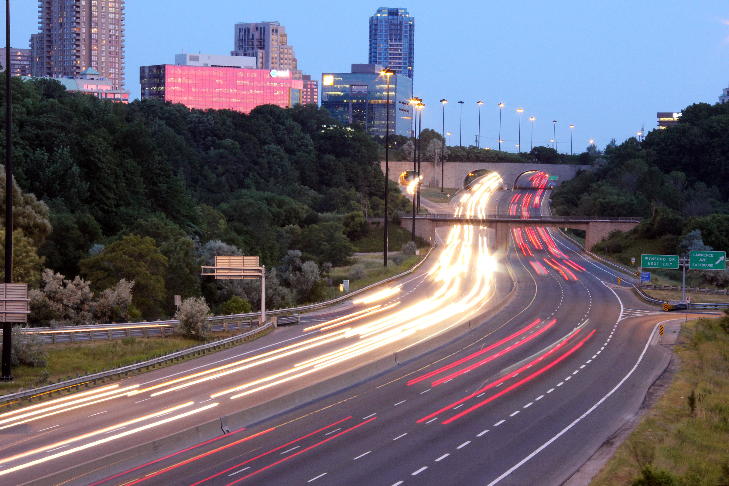
| City of Toronto |
Southbound view of the Eglinton Avenue interchange from Wynford Drive. The area surrounding Eglinton Avenue and the Don Valley Parkway has been the site of considerable corporate development over the years. This node would be further intensified should Toronto's Transit City Plan be implemented. Photo taken: May 29th, 2009. |
 |
|
| City of Toronto |
Northerly view from Wynford Drive through the North Toronto CP Line. This railway overpass is the closest thing to a tunnel within the City of Toronto limits.
Photo taken: May 29th, 2009. |
 |
|
| City of Toronto |
Southerly view from the North Toronto (Havelock Subdivision) CP Rail overpass.
Photo taken: May 29th, 2009. |
 |
|
| City of Toronto |
Two views northerly from the CPR overpass. Lawrence Avenue meets The Parkway at an elongated cloverleaf interchange. This is one of the few full cloverleaf interchanges left in Ontario, and the only one remaining The Greater Toronto Area. Dare I say it, but I don't think it will ever be replaced with a conventional partial cloverleaf interchange.
Photos taken: May 29th, 2009. |
 |
|
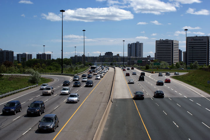
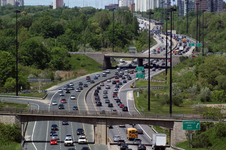
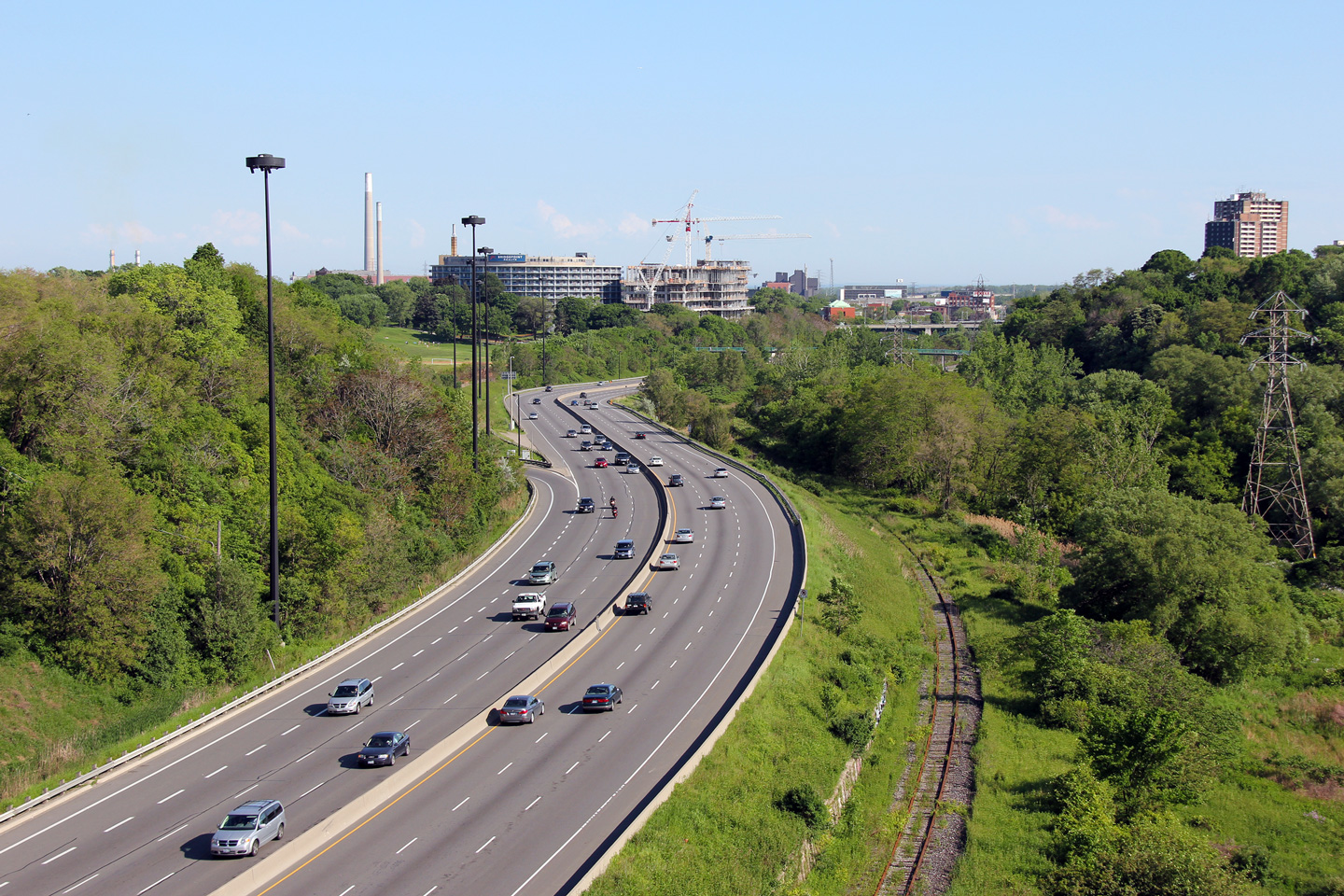
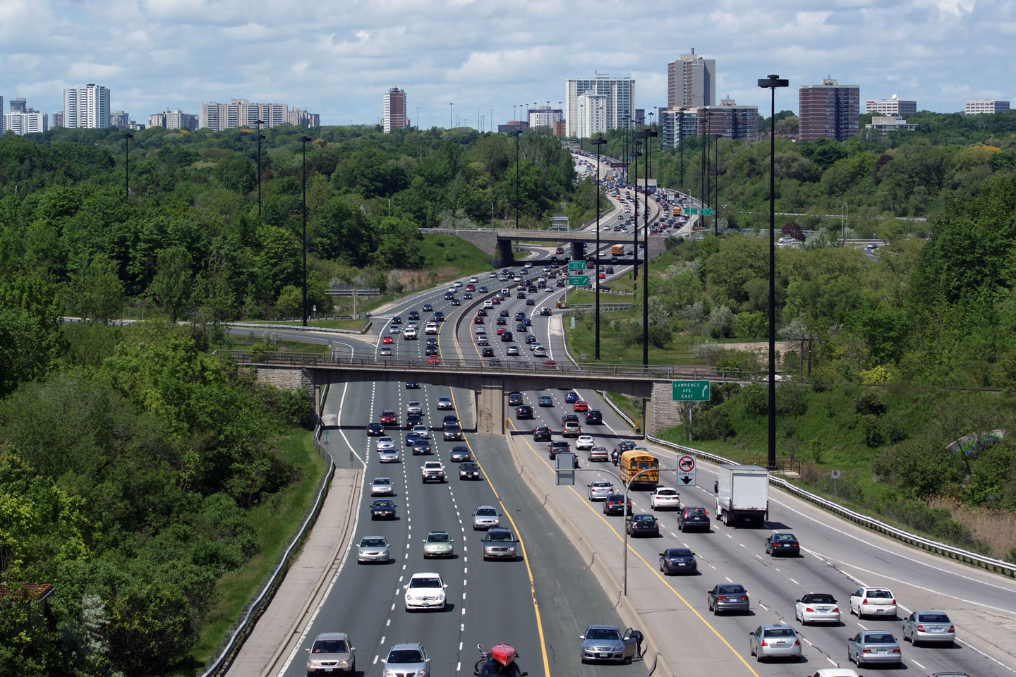
| City of Toronto |
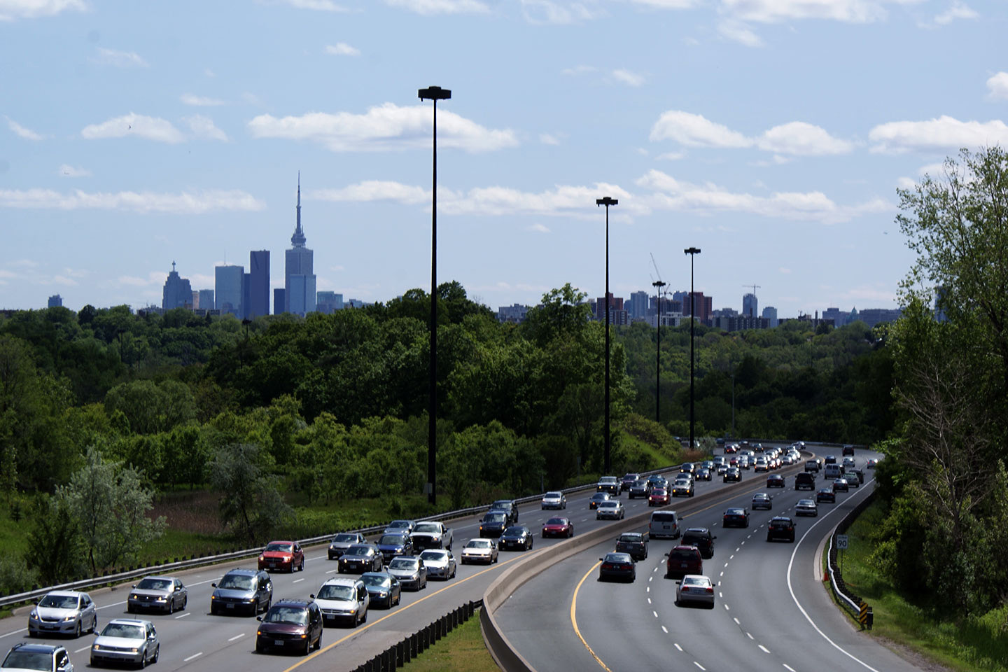
View looking southerly from the Lawrence Avenue overpass. There is a
small collection of high-rises along the Don Valley Parkway in the vicinity
of Eglinton Avenue. Photo taken: July 12th, 2011. |
 |
|
| The DVP ends at the 401 -- at Ontario's busiest interchange -- the freeway continues northerly as Highway 404. Click here for Highway 401 images and here for Highway 404 images | |||
<- Allen Road Images Images Index
Copyright (c) 2004-2012, Scott Steeves (Webmaster) scott@asphaltplanet.ca
