King's Highway 404 - Images
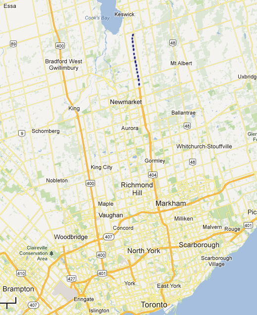
Hwy 404 Extension - Green Lane to Ravenshoe Road
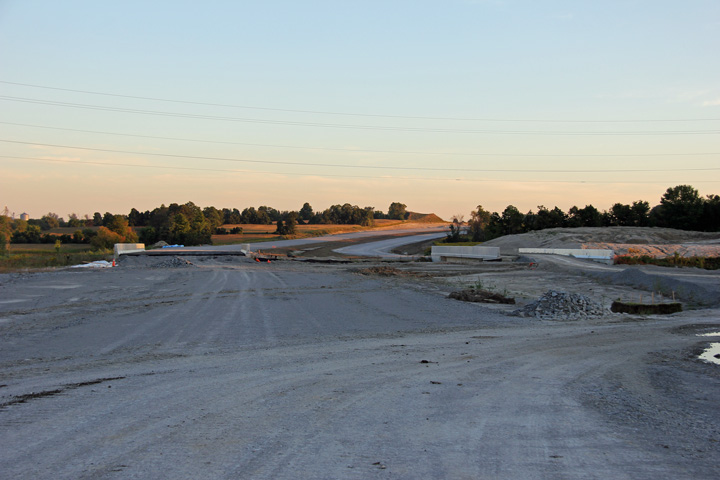
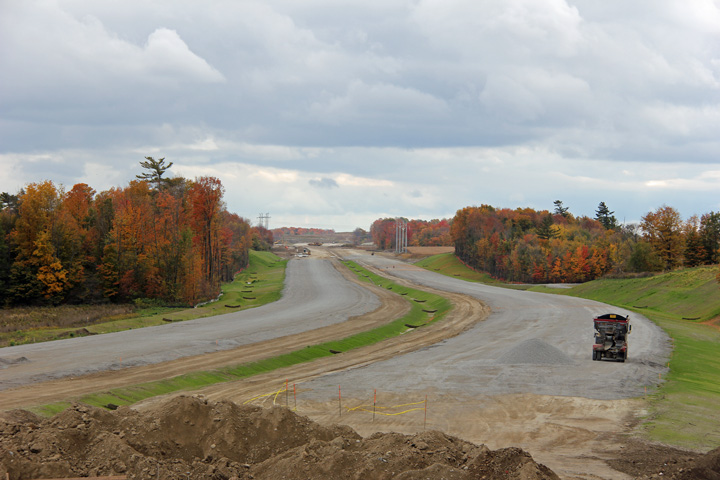
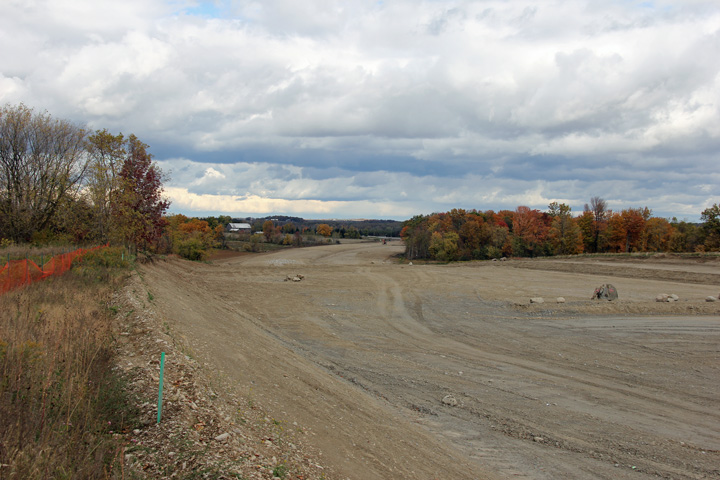
The Ministry of Transportation is extending Hwy 404 from its current terminus at Green Lane just northeast of Newmarket to Woodbine Avenue at Ravenshoe Road in the Town of East Gwillimbury. Advanced structures at Green Lane and Mount Albert Road were constructed in 2008 and 2010 respectfully. Major grading started in 2010 for the remainder of the extension. Construction was originally scheduled to be completed at the end of 2012, but due to on site problems, won't be completed until 2014.
Photos taken during construction:
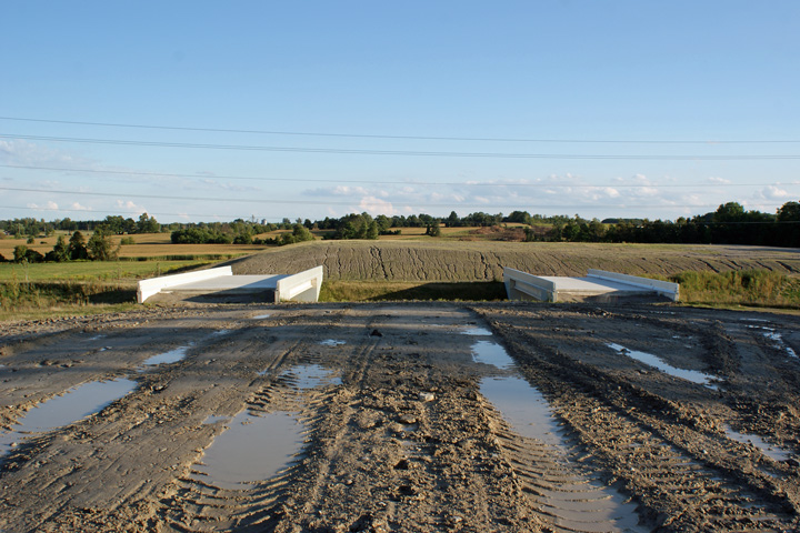
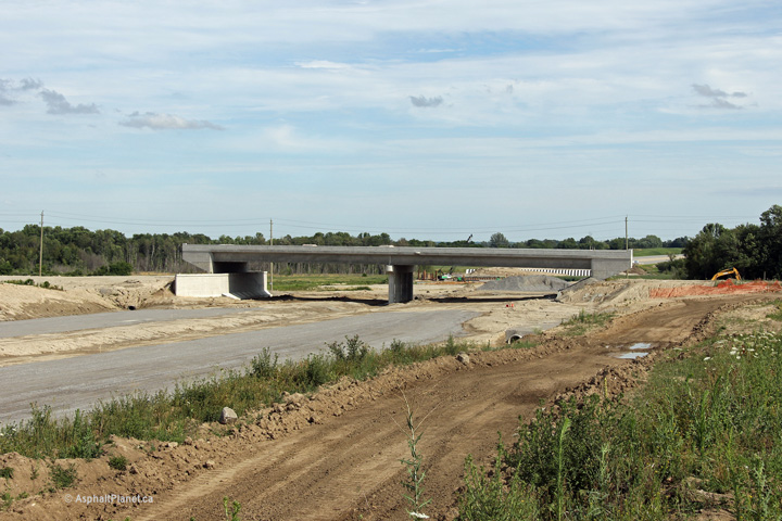
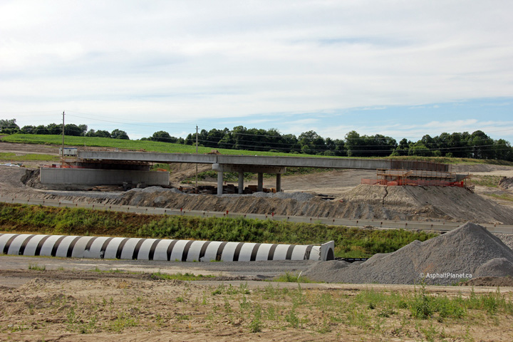
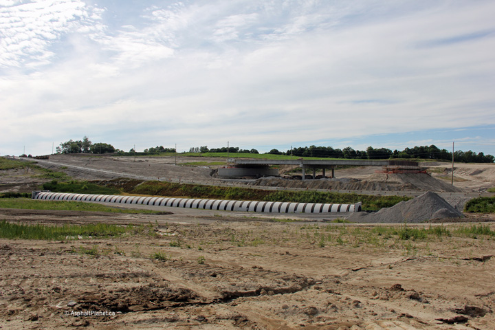
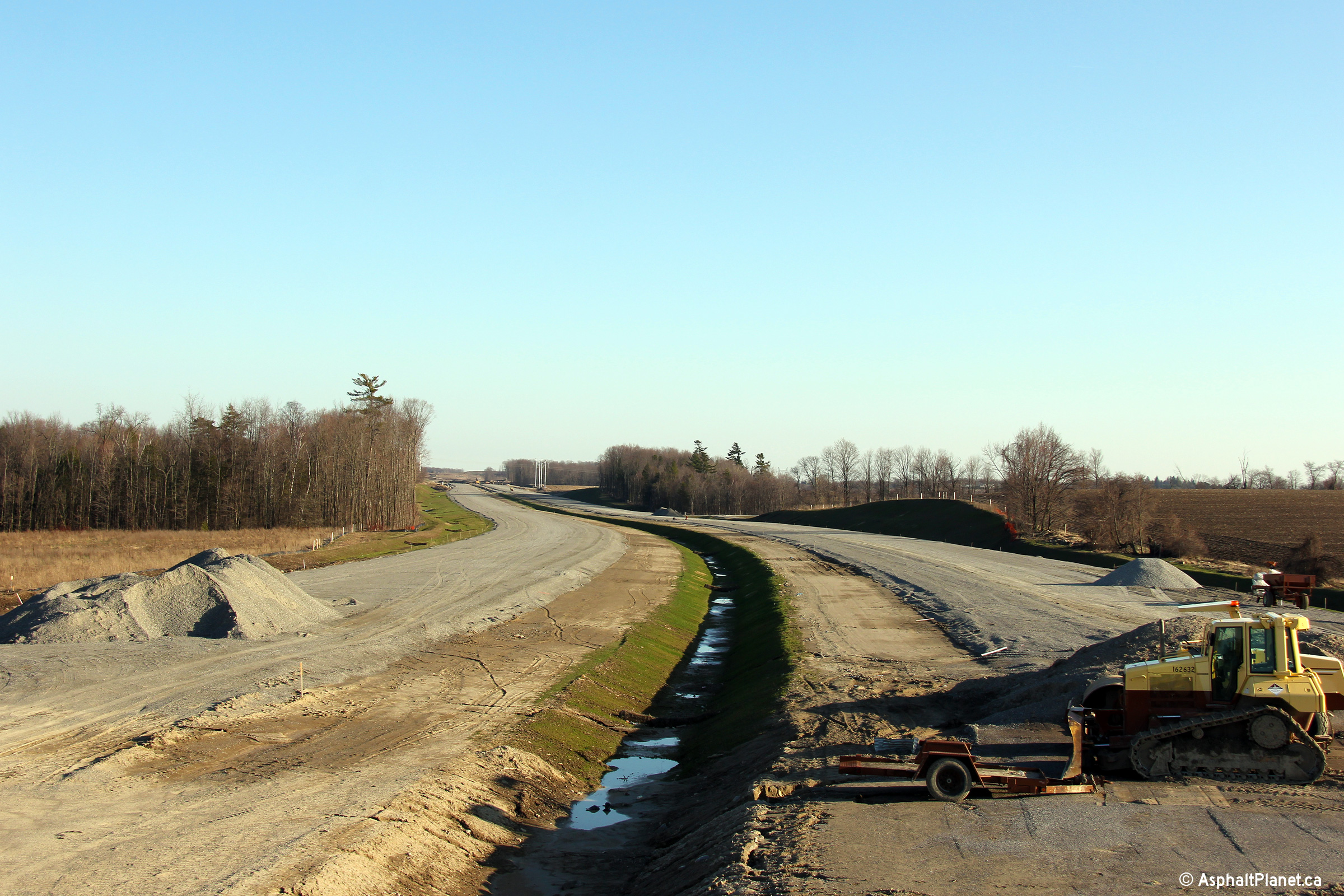
| Photos taken: September 3rd, 2010 | |||
 |
 |
||
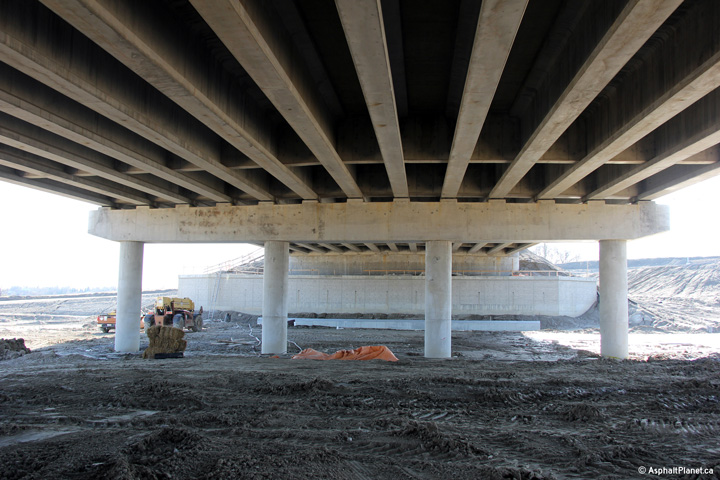
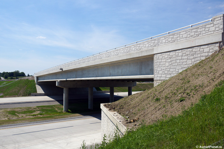
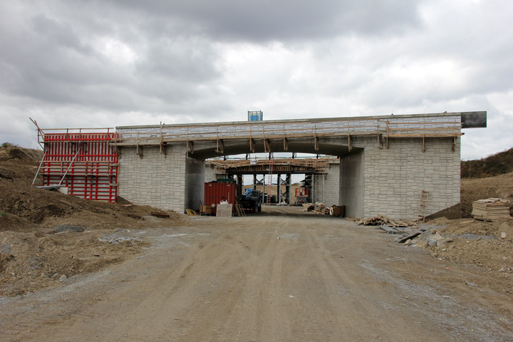
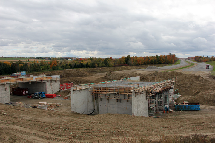
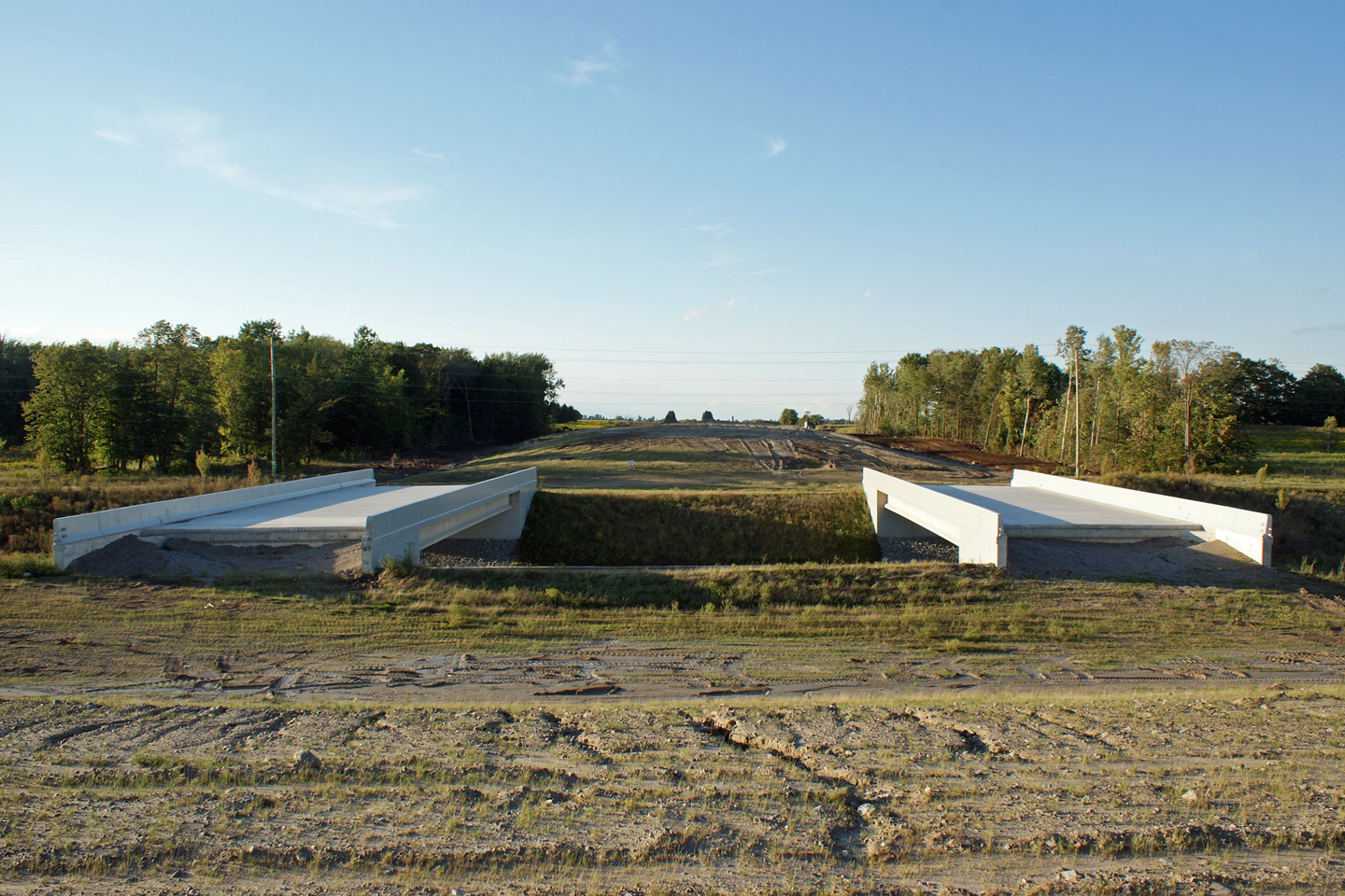
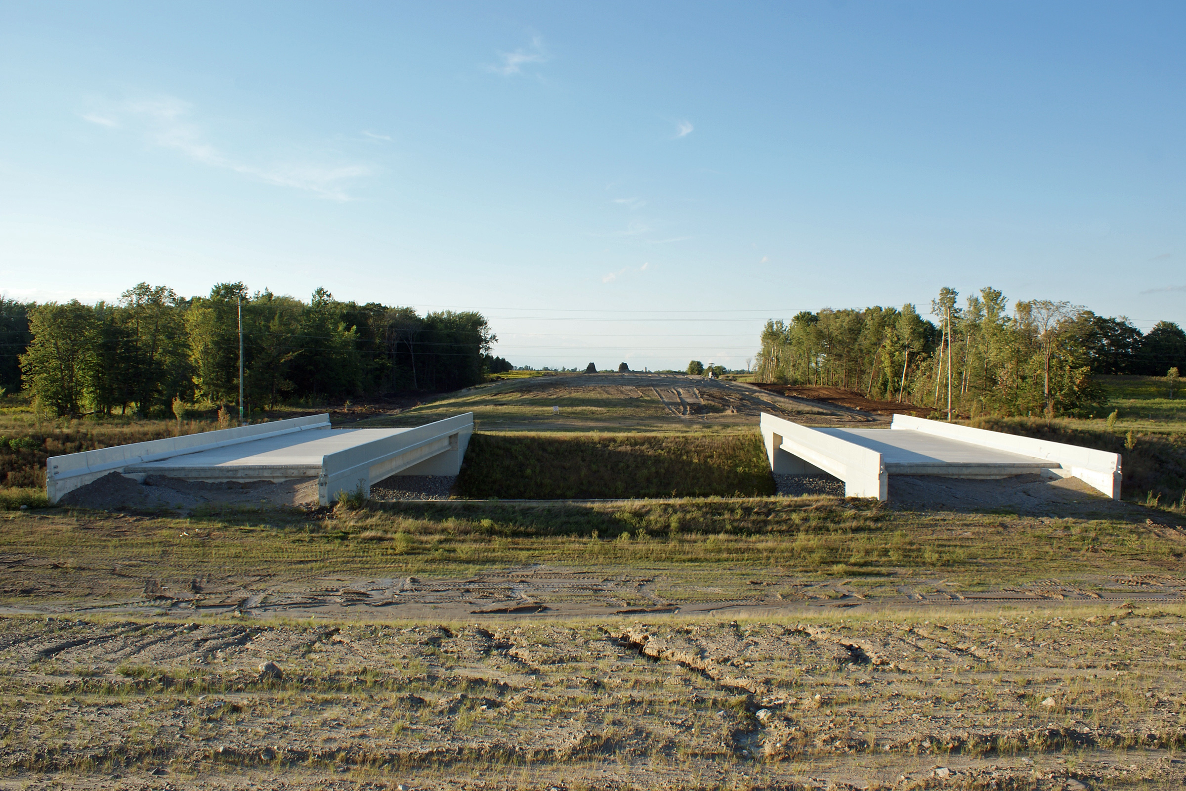
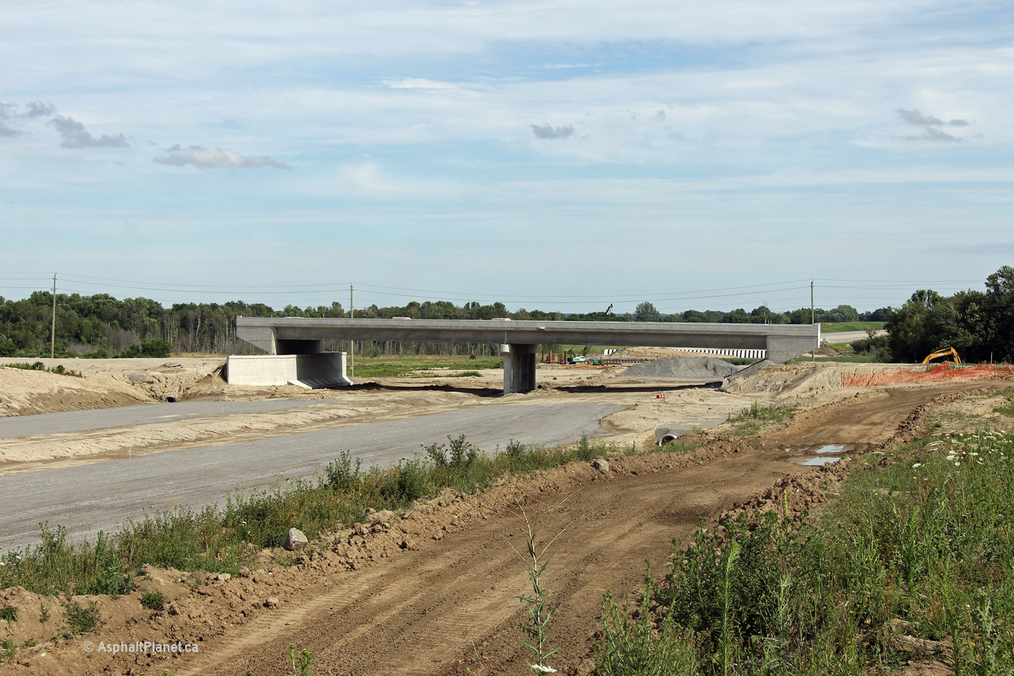
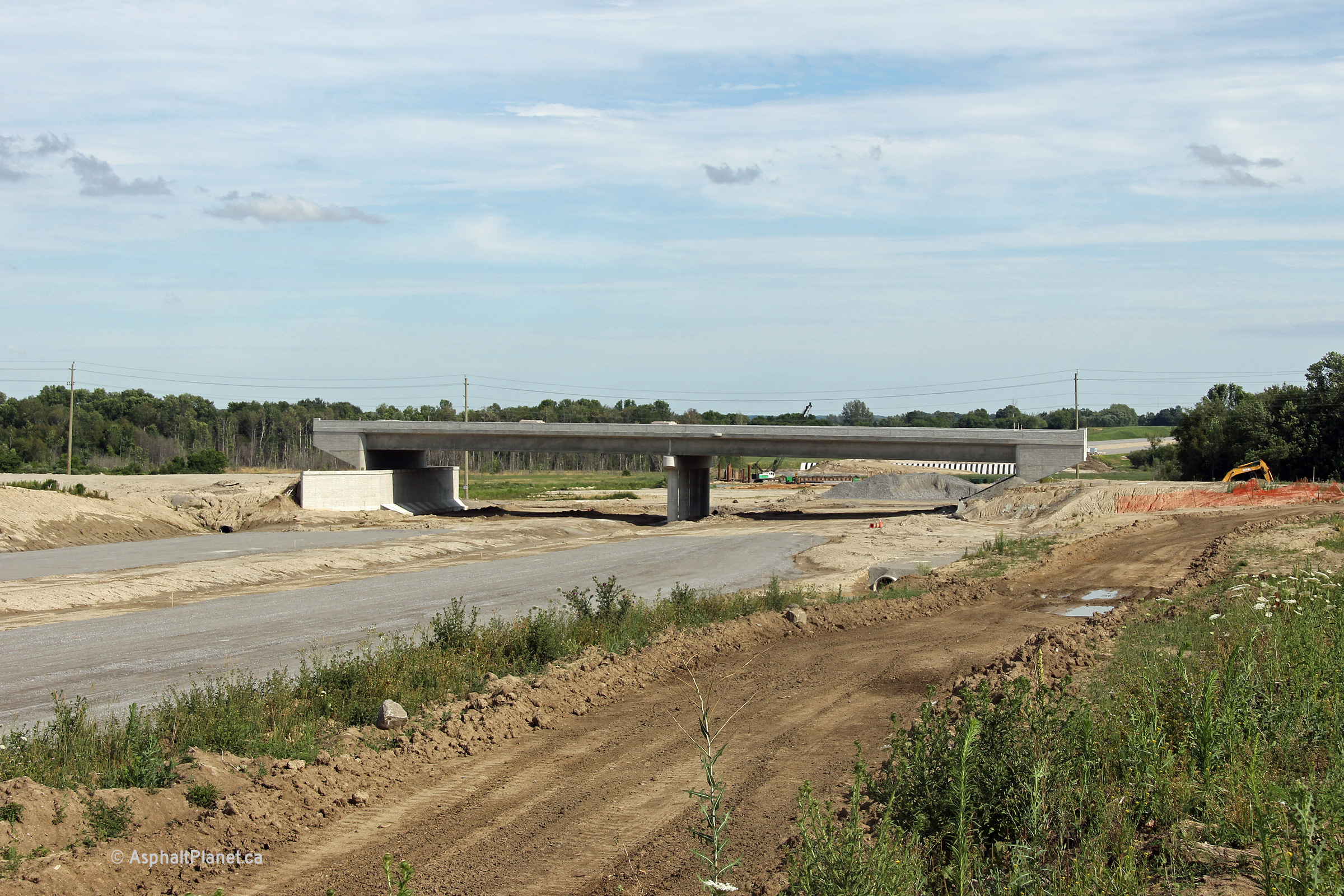
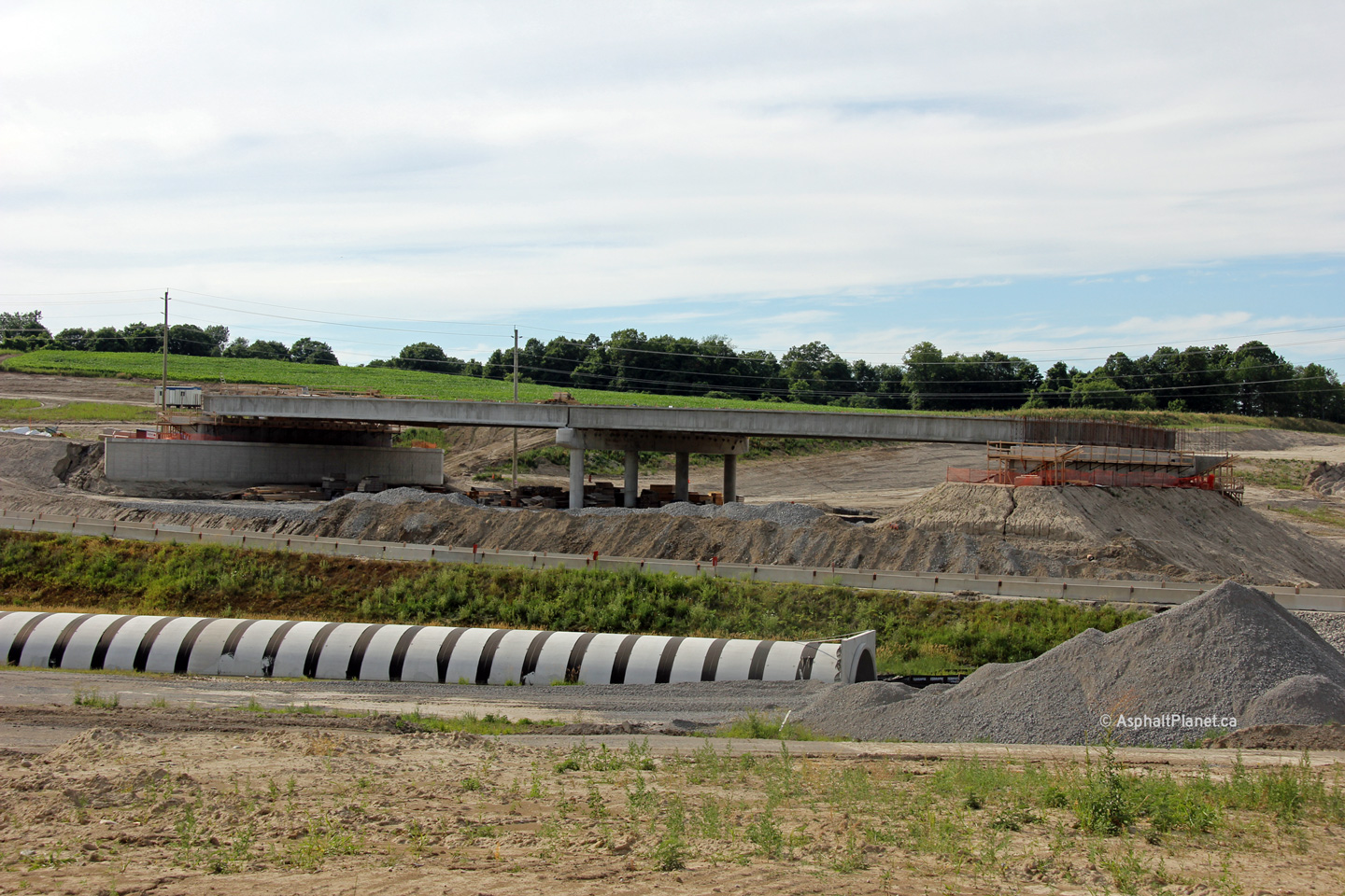
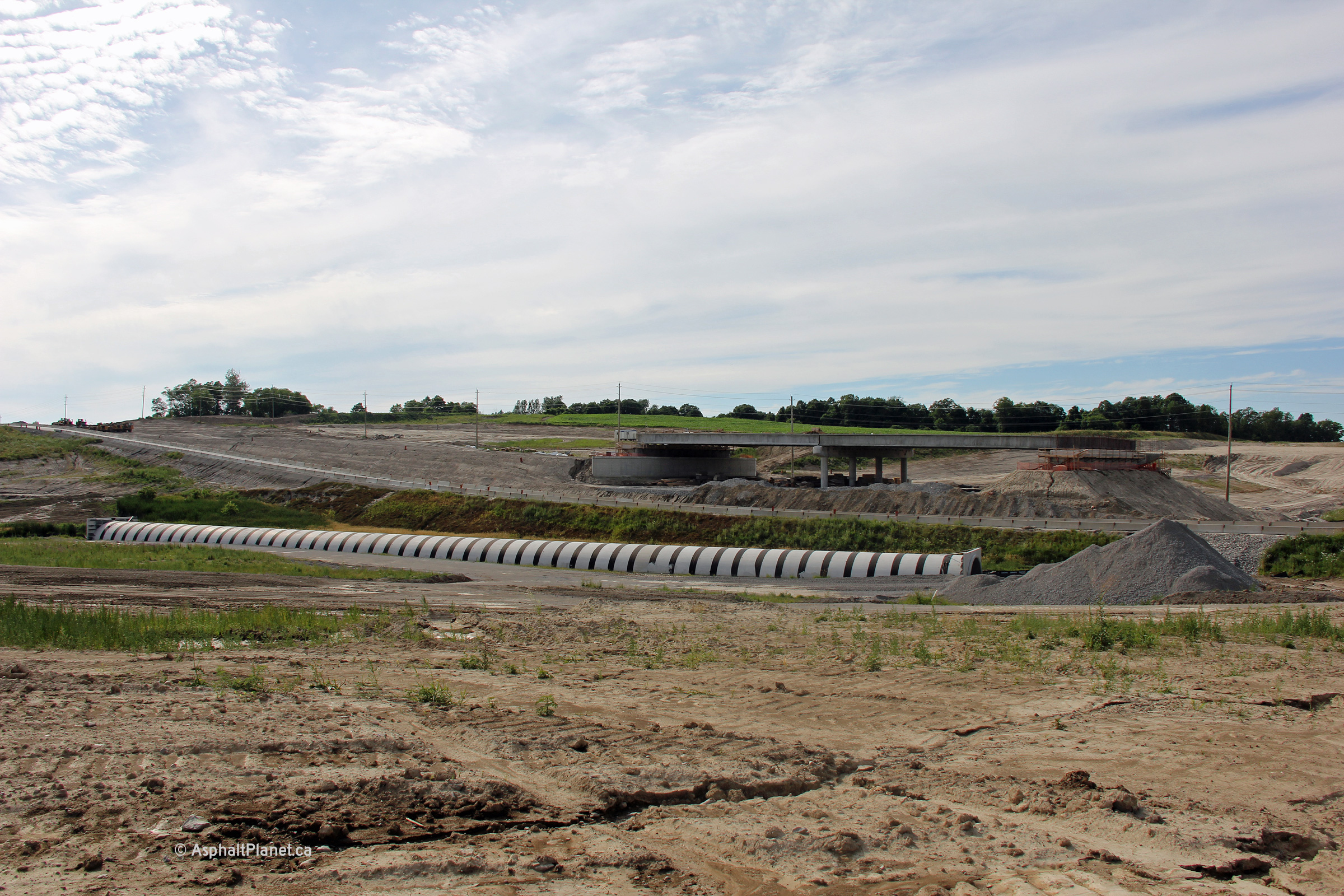
| Northbound view at the twin Mount Albert Road structures. | Southerly view over the Mount Albert Road structures. | ||
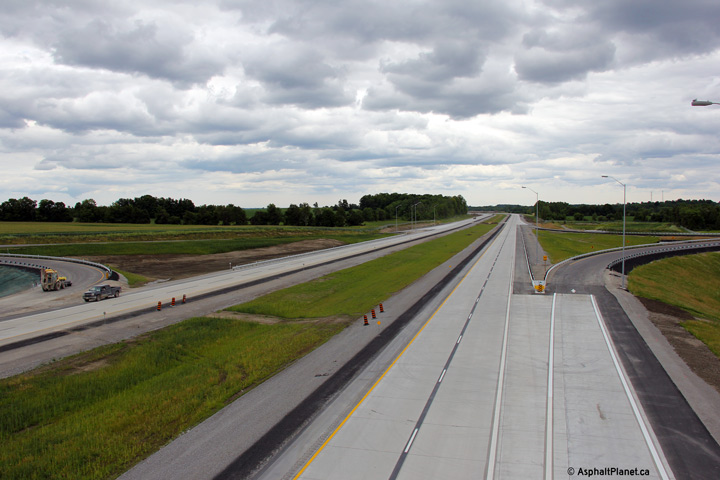
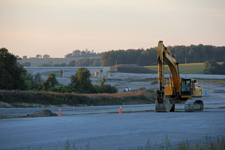
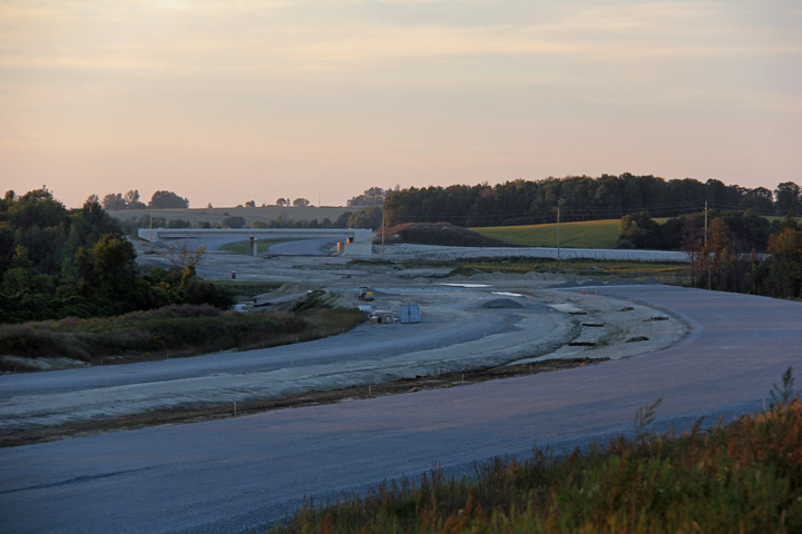
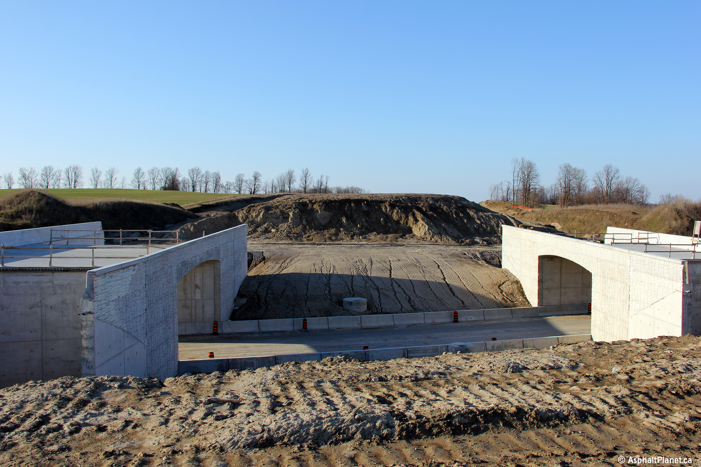
| Photos taken: October 10th, 2012 | |||
 (720x480) (1440x960) (2400x1600) |
 (720x480) (1440x960) (2400x1600) |
 (720x480) (1440x960) (2400x1600) |
|
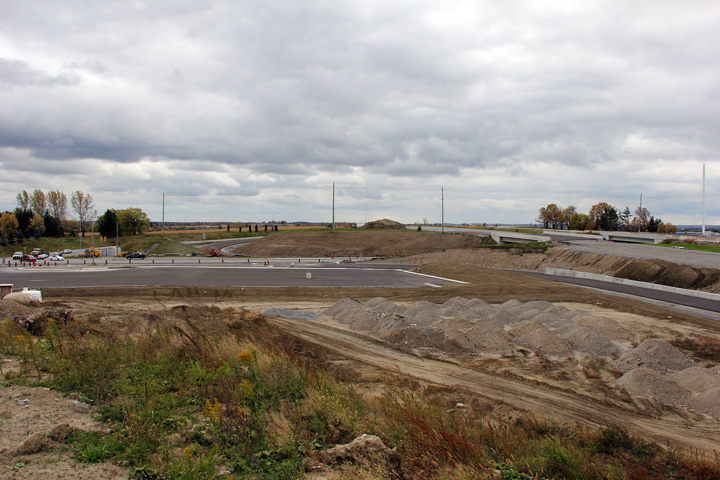
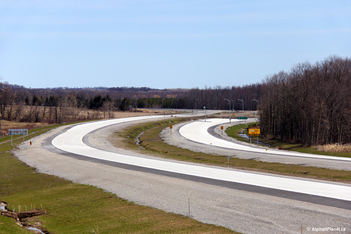
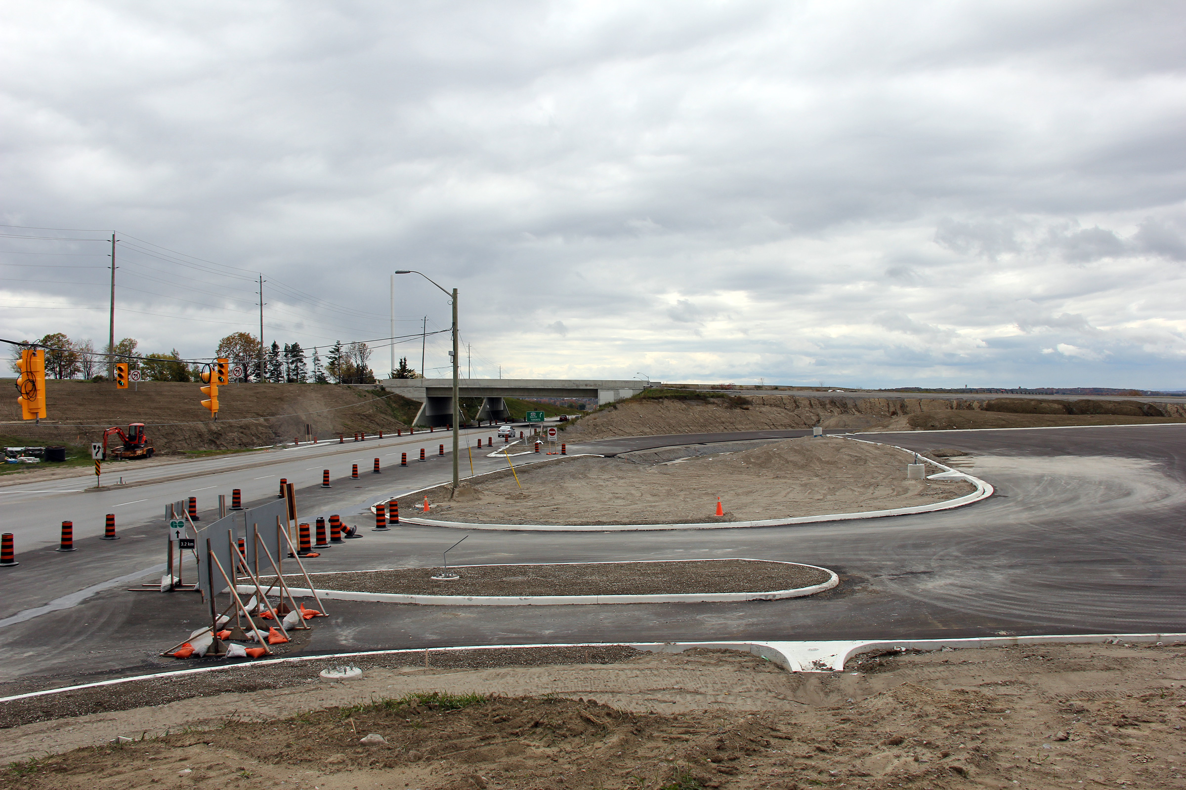
| Southerly view at the Green Lane interchange. When Highway 404 was extended to Green Lane in 2002 the northbound carriageway was constructed a short distance north of the off-ramp to Green Lane for future extension. | Similar photo to the previous with a more focused perspective. | Northerly view at the Green Lane road interchange, showing the nearly completed loop ramp that will carry traffic from Green Lane East to Highway 404 North. | A similar photo to the left showing a centralized perspective. |
 (720x480) (1440x960) (2400x1600) |
 (720x480) (1440x960) (2400x1600) |
 (720x480) (1440x960) (2400x1600) |
 (720x480) (1440x960) (2400x1600) |
| View looking southwesterly at the northbound ramp terminal from Highway 404 to the Green Lane interchange. | View of the Green Lane interchange and new carpool lot. Construction of the carpool lot appears to be almost complete. | View looking northerly towards the Green Lane interchange and carpool lot. | Looking north along the future ramp from westbound Green Lane to Highway 404 North. All of the ramps at this interchange were surfaced as of October, 2012. |
 (720x480) (1440x960) (2400x1600) |
 |
 |
|
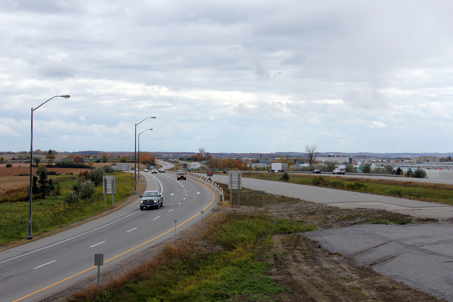
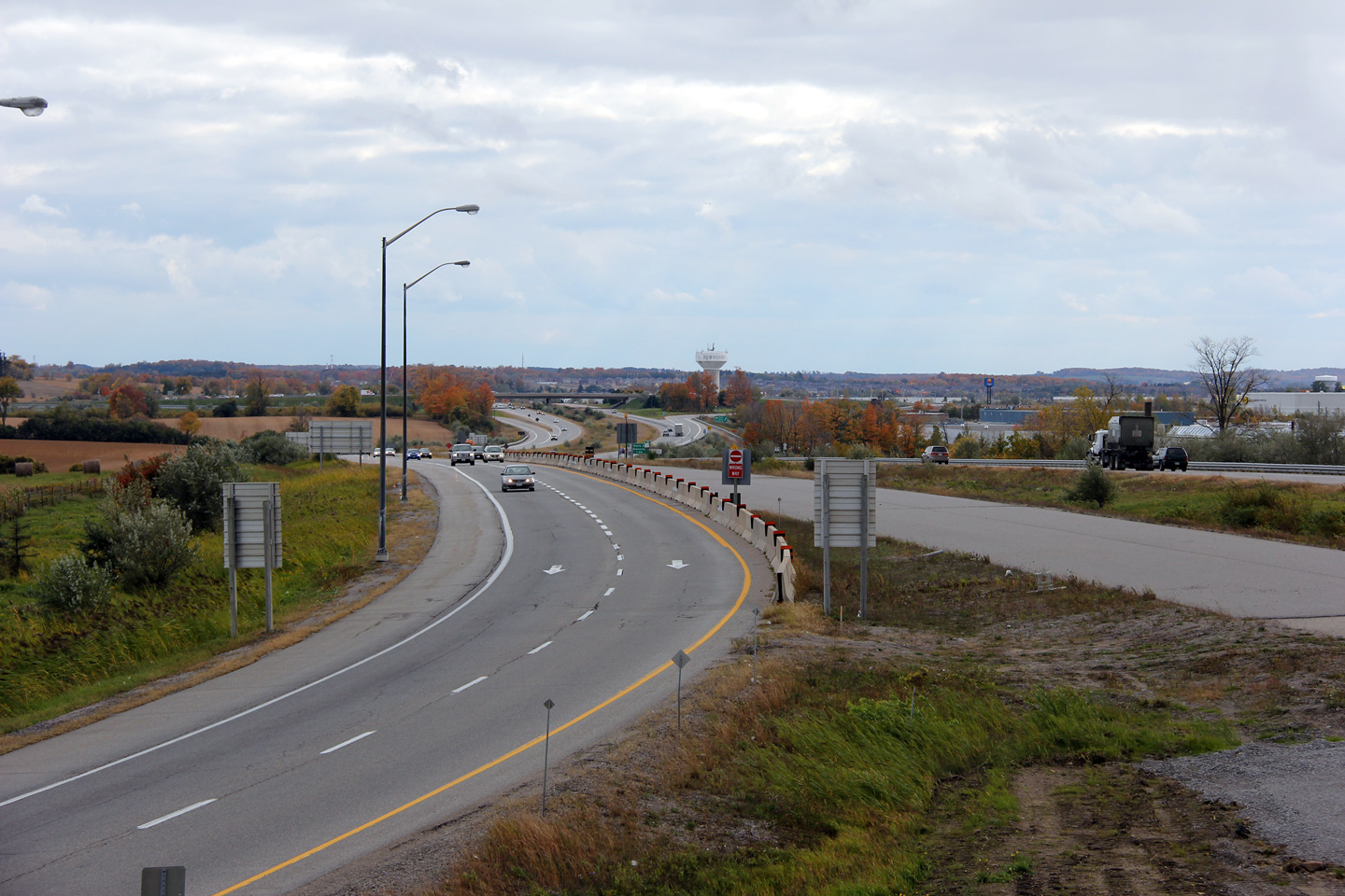
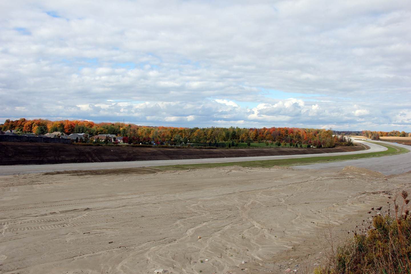
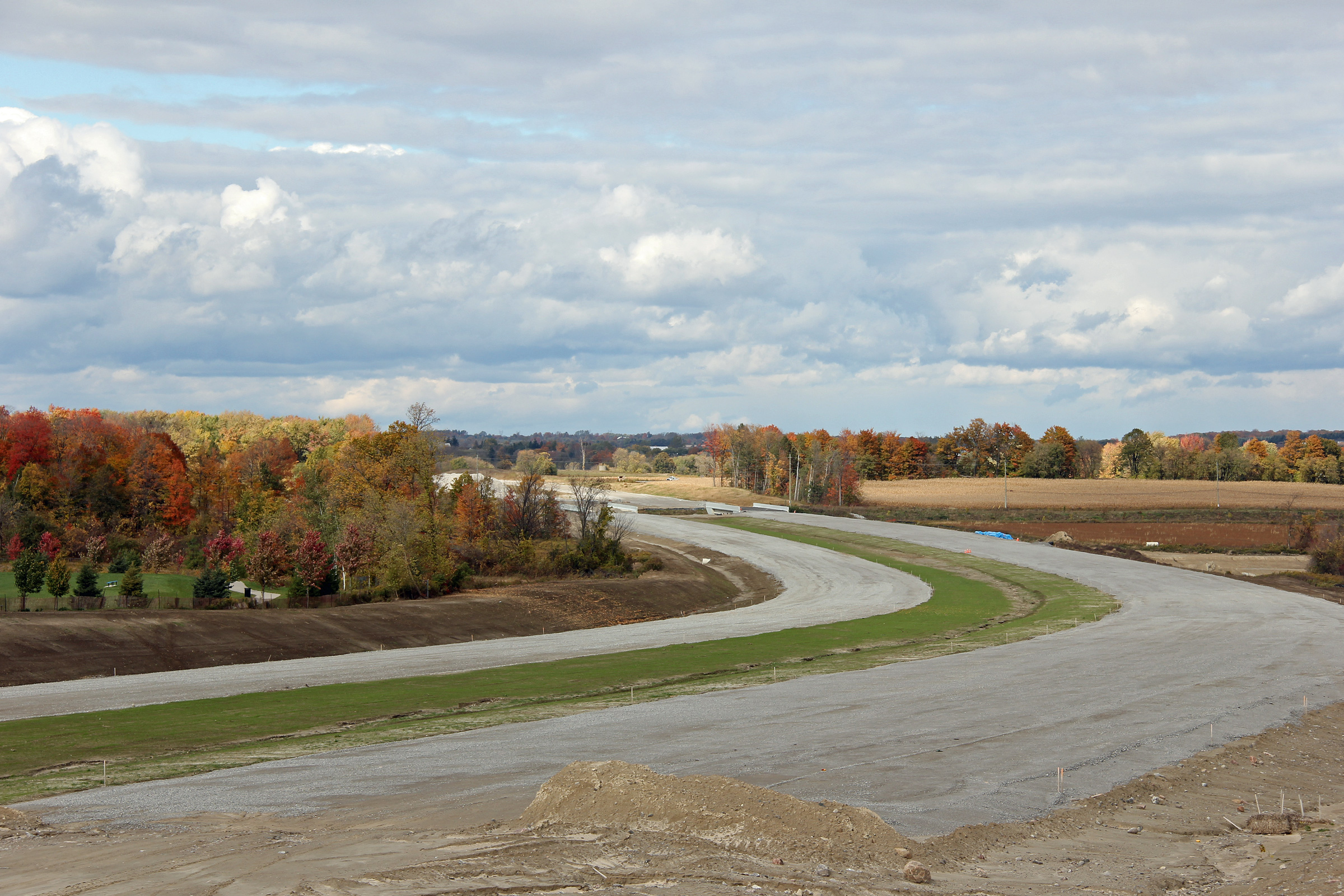
| Southerly view approaching the Green Lane Interchange. | Similar view as the previous photo. | Highway 404 runs in close proximity to several new homes in Sharon between Green Lane and Mount Albert Road. | From the same vantage point as the previous photo, this time focusing towards the Mount Albert Road underpasses. |
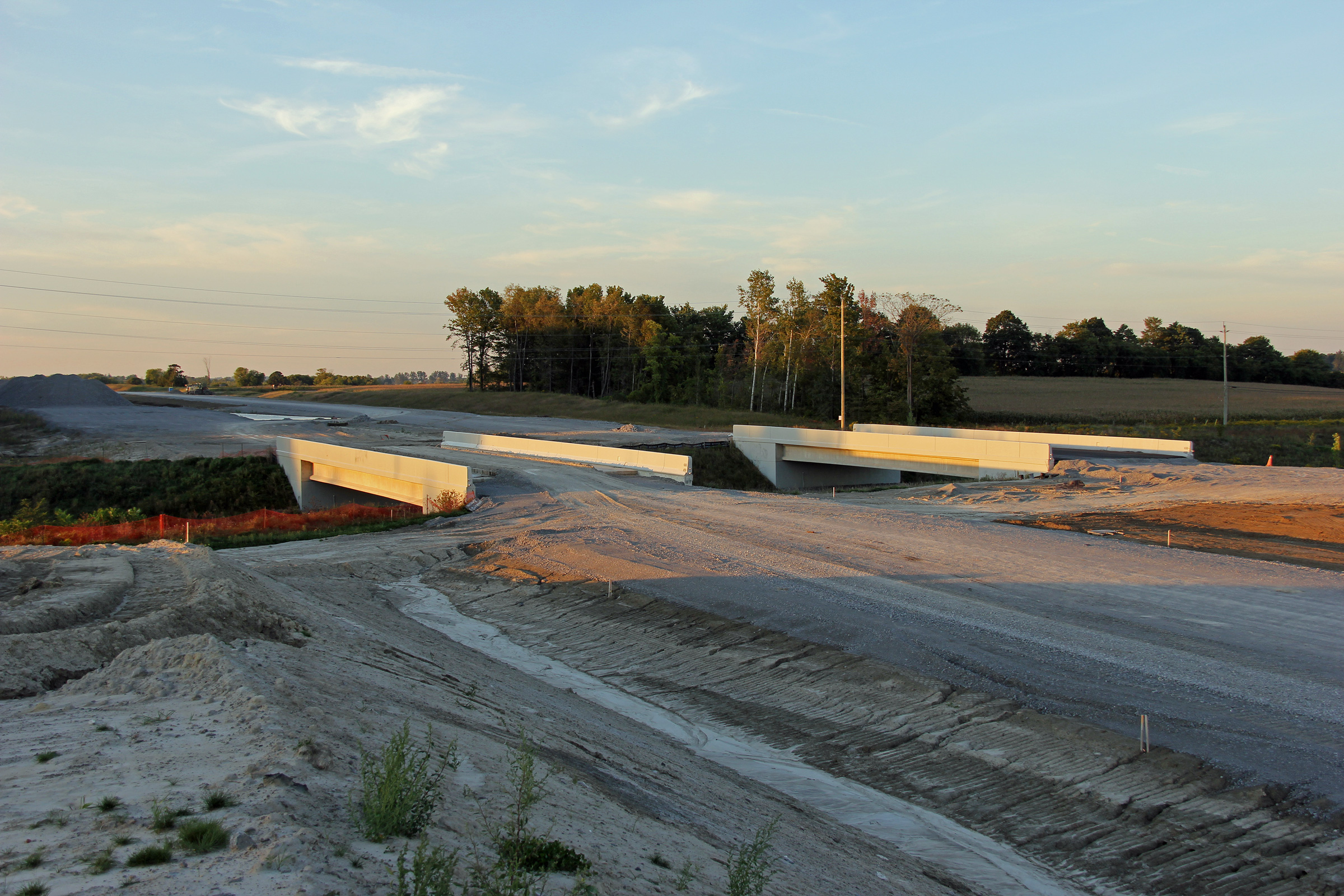
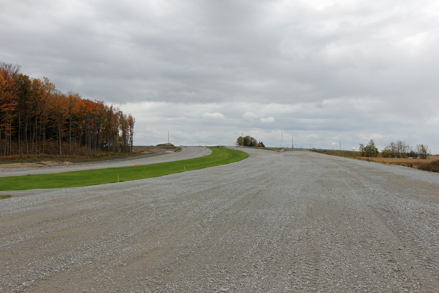
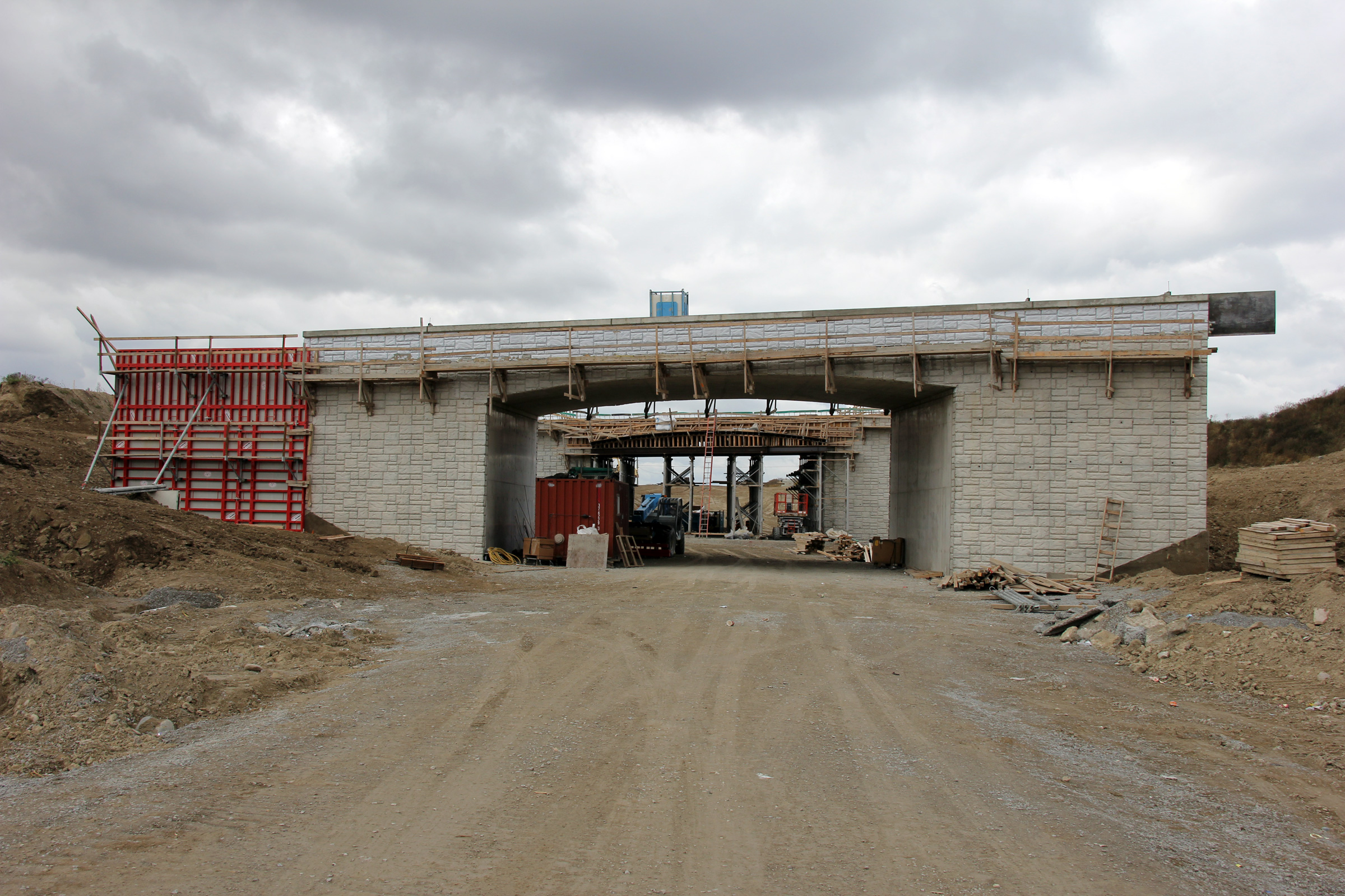
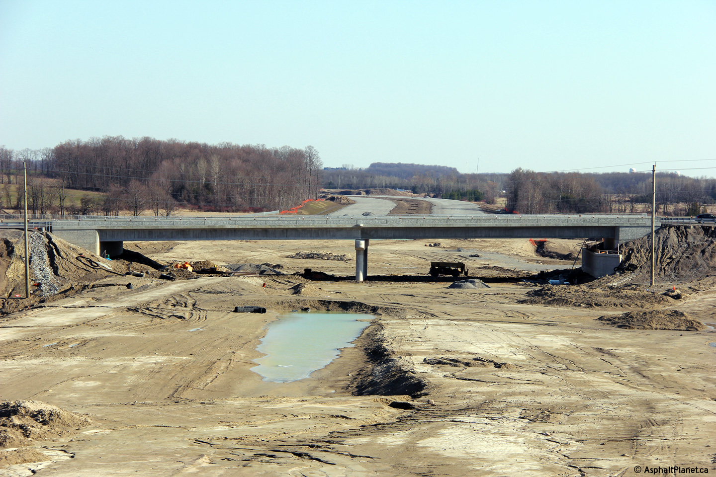
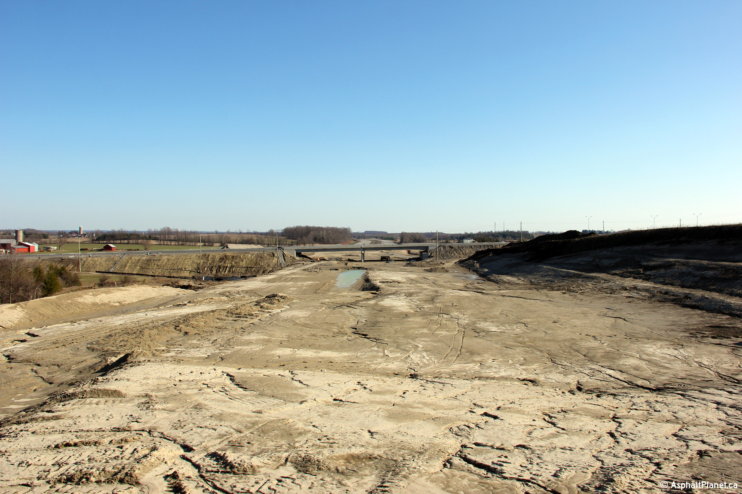
| View looking westerly through the Boag Road underpass. | The Boag Road underpass again, this time looking easterly. Construction was more advanced on the northbound structure than the southbound one. | Looking southerly from North of the Boag Road underpass. | A more focused perspective on the future lanes of Highway 404 from Boag Road. |
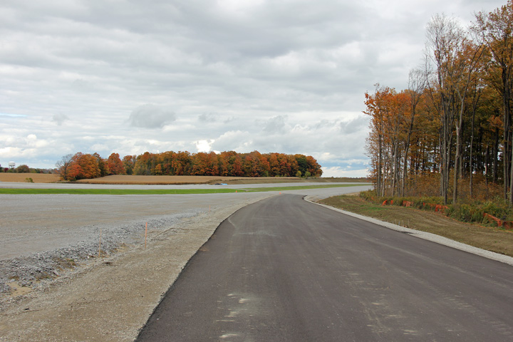
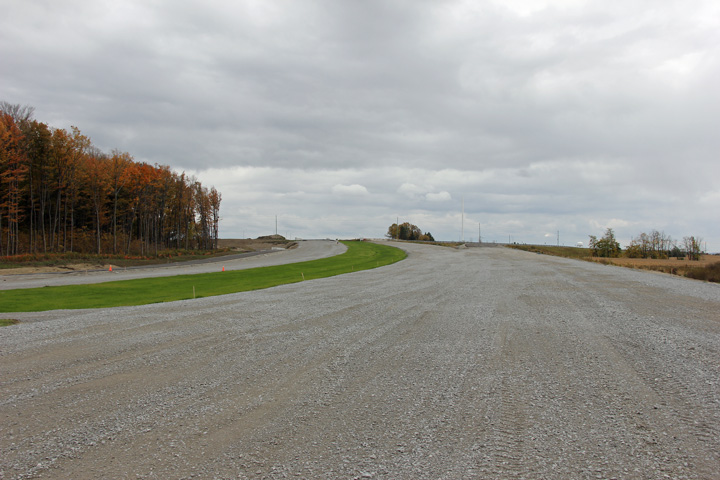
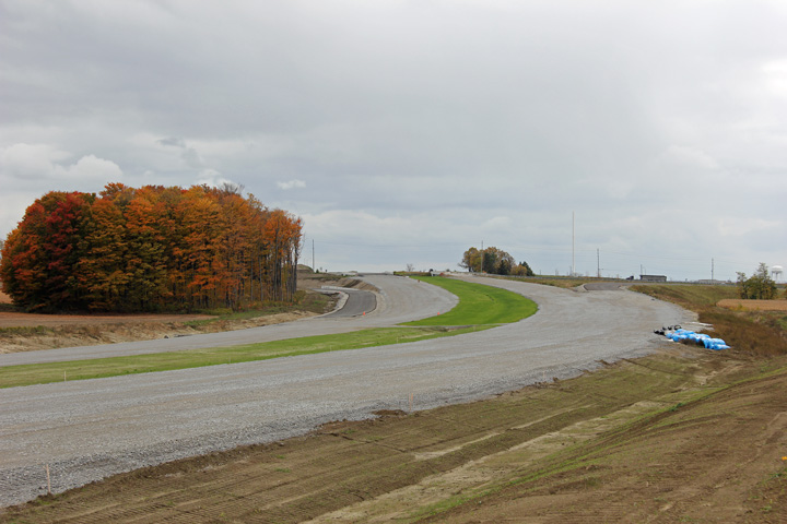
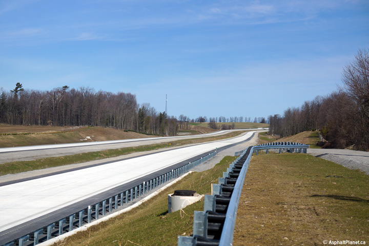
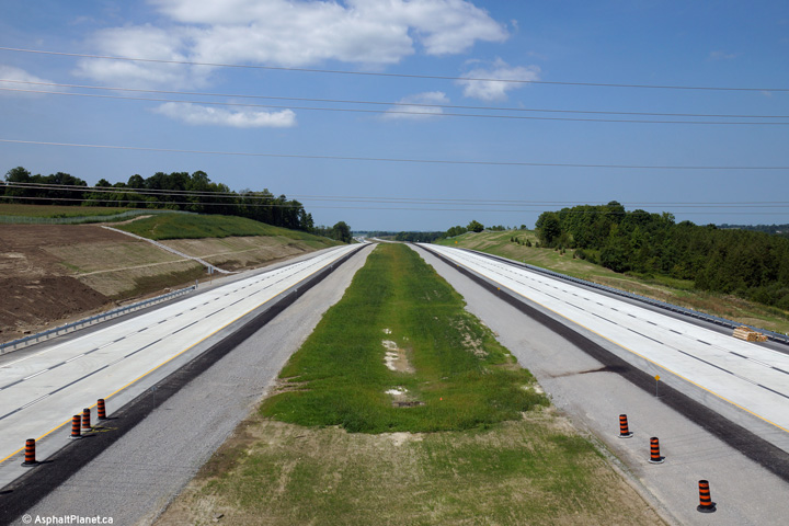
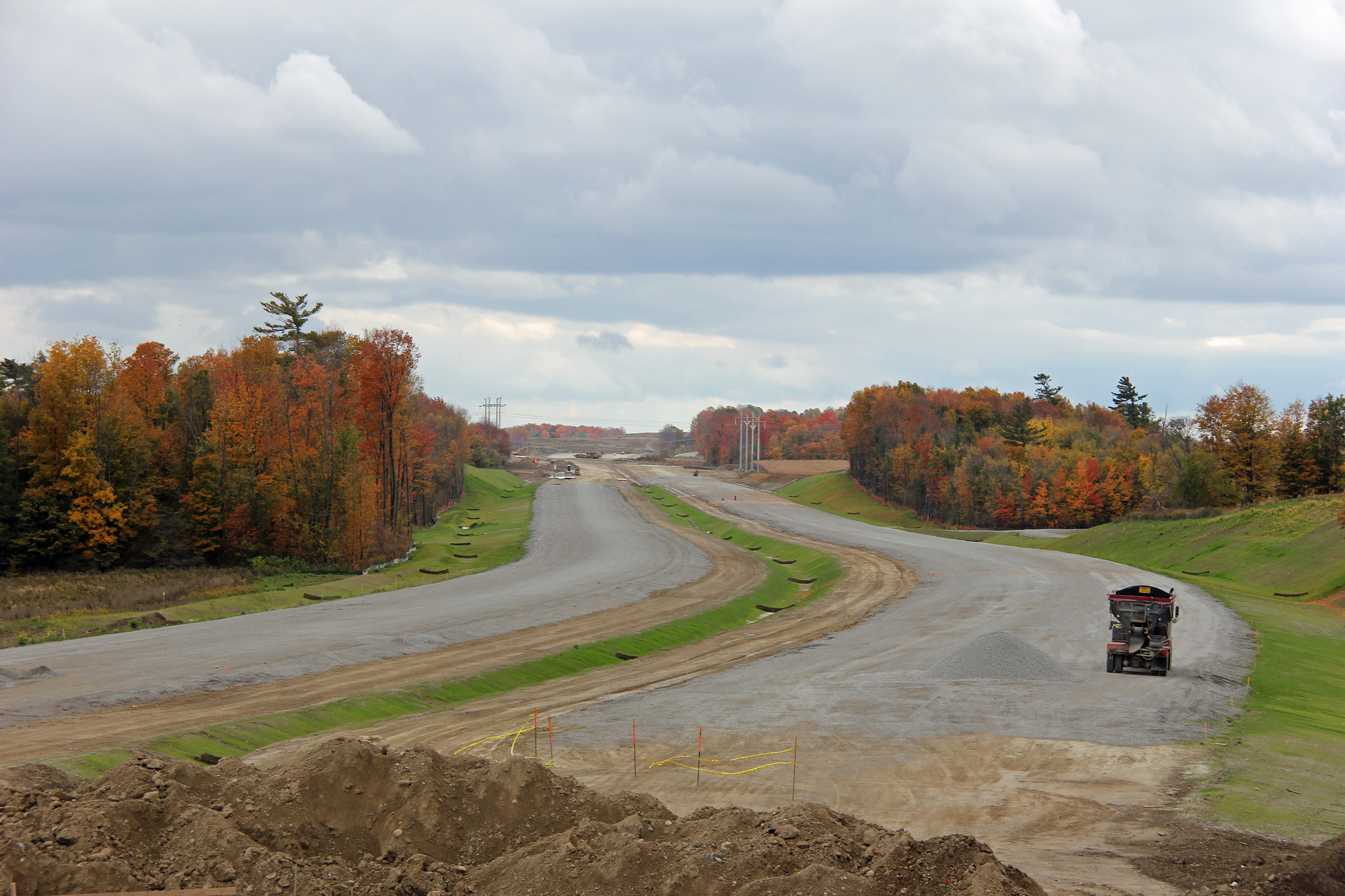
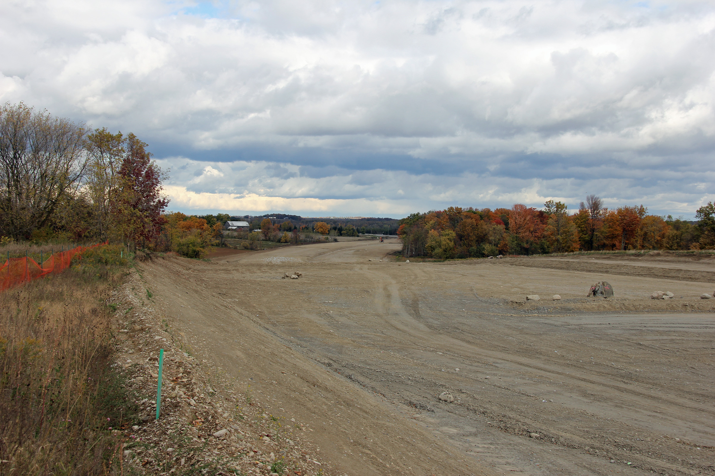
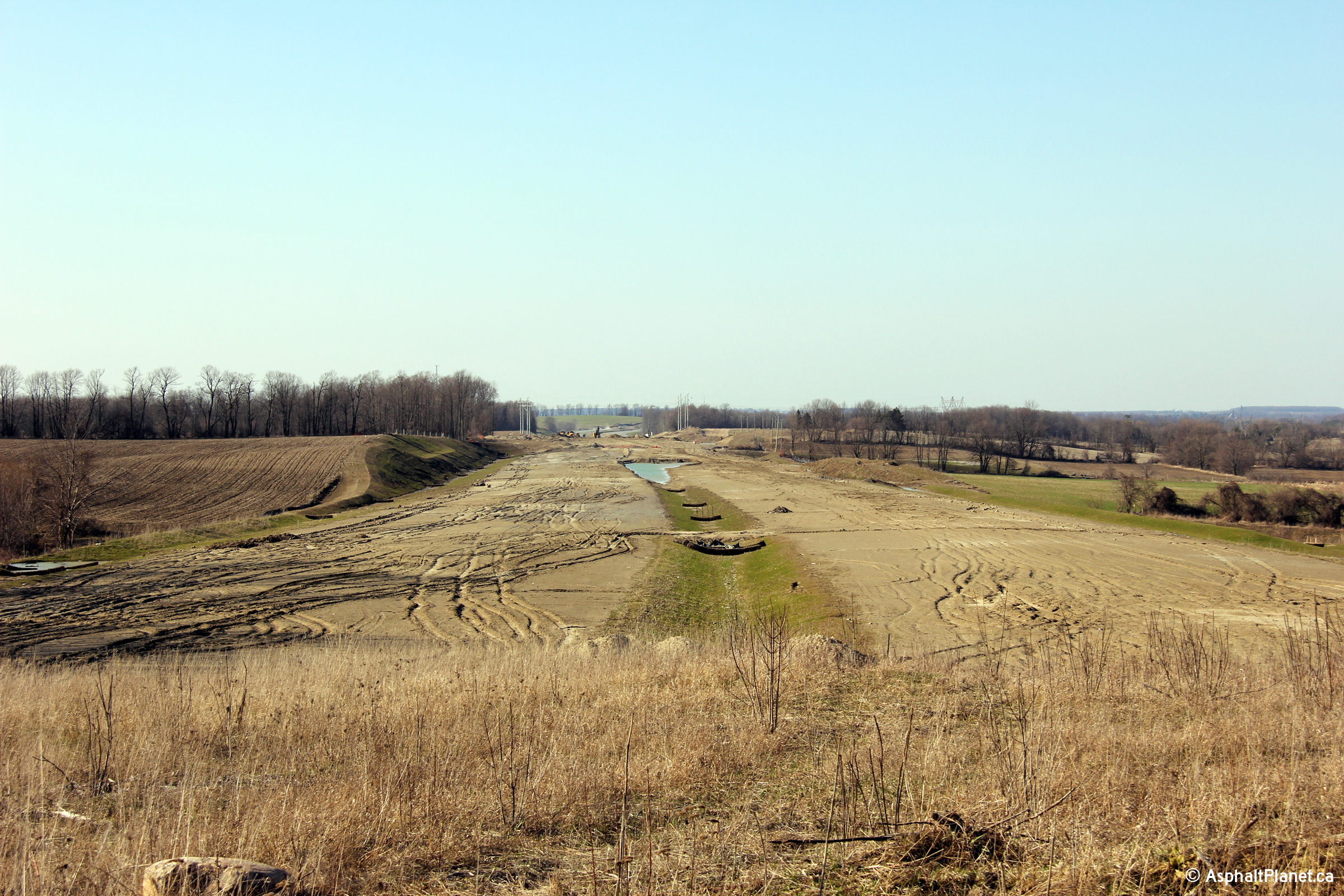
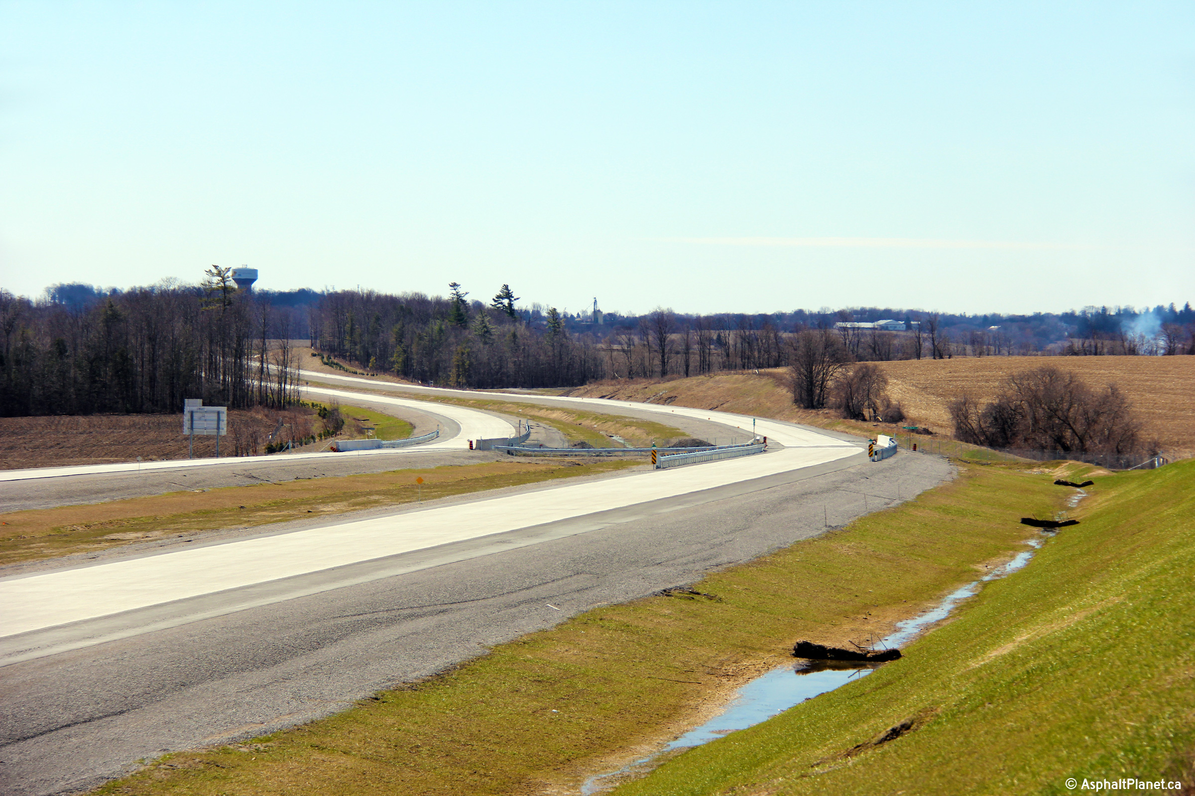
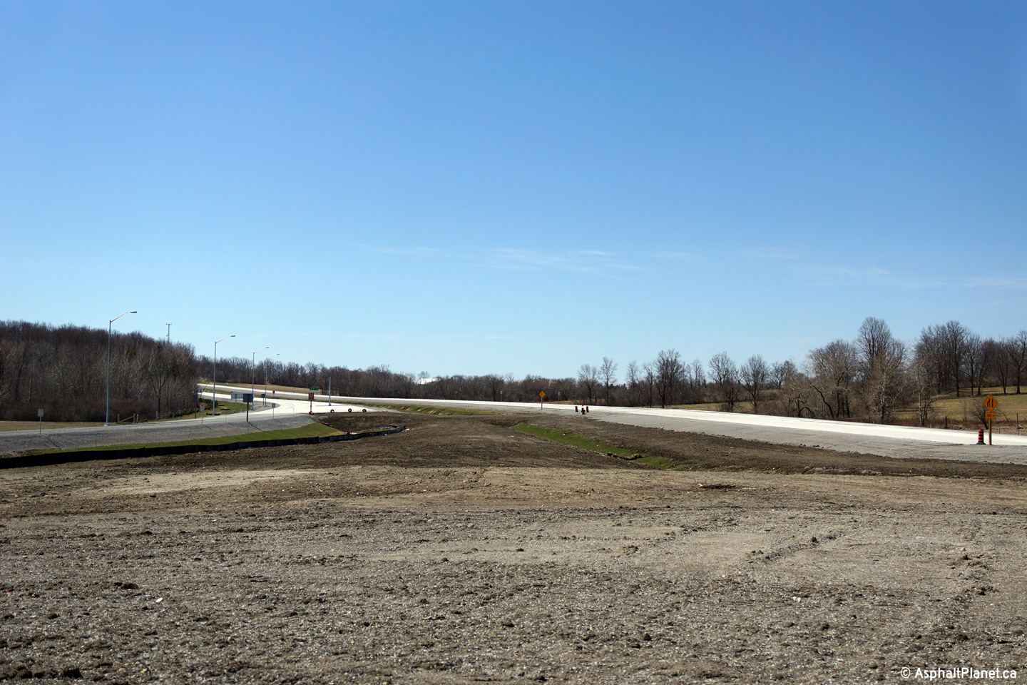
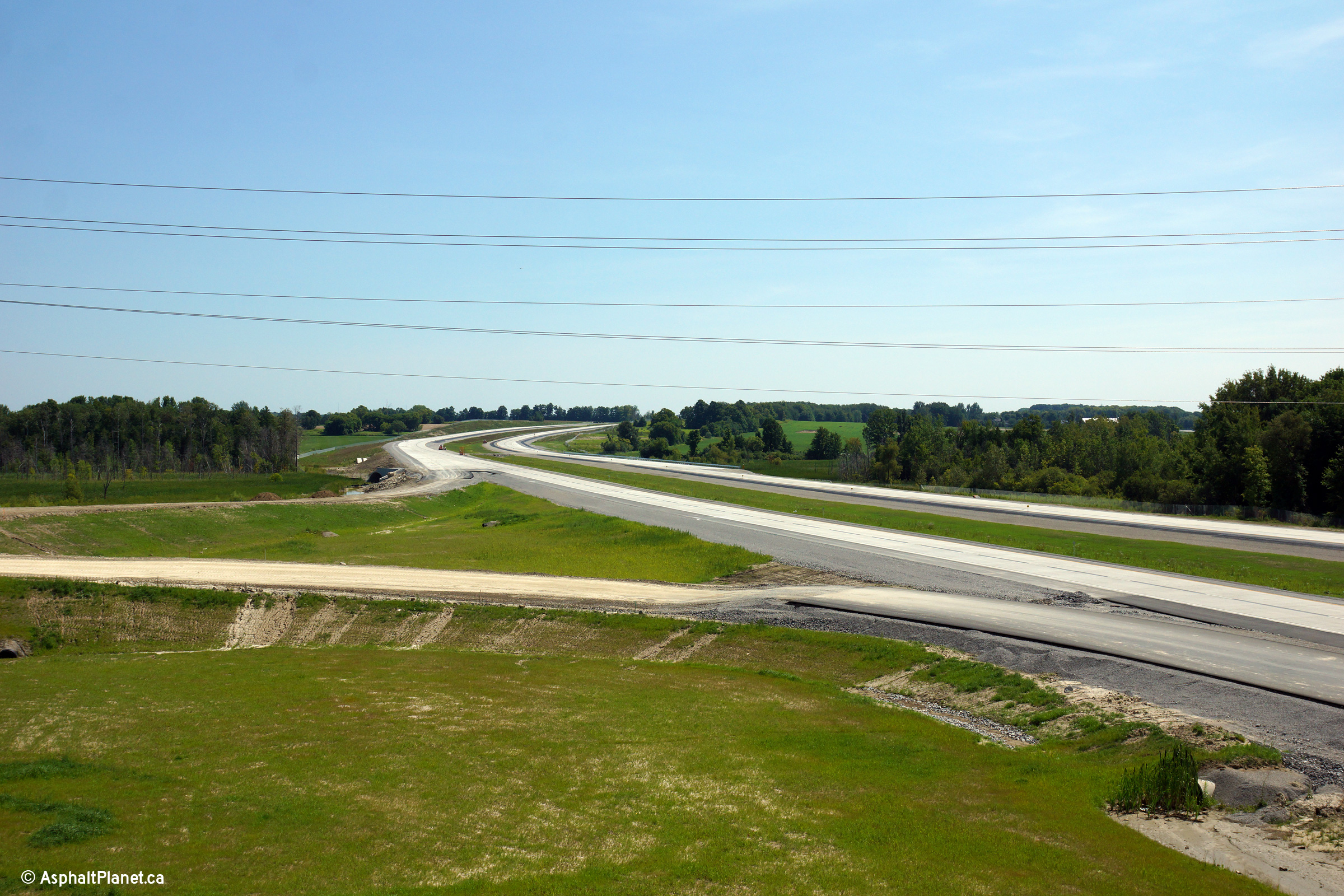
| This view looks southwesterly towards the Boag Road underpass. The northbound structure is in the forefront of the photo. | Southerly view from approximately 500m north of the Boag Road underpass. | A more focused view from the same vantage point as the previous photo. Grading is not as far advanced to the north of Boag Road as it is to the south. | Reverse view from north of Boag Road. Scantly visible in this photo, is Woodbine Avenue, and the north end of the current highway extension. |
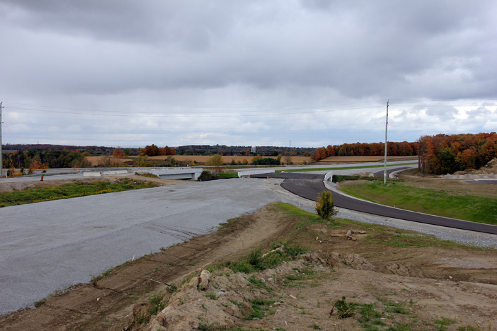
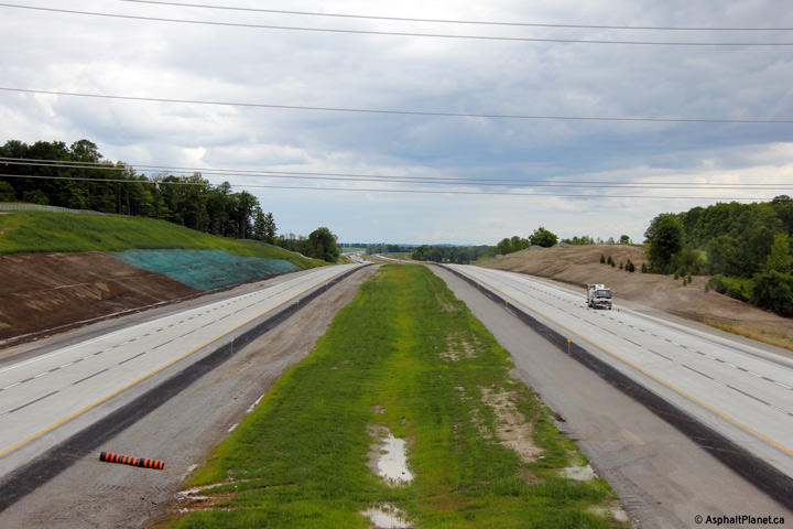
| Photos taken: April 22nd, 2013 | |||
 (720x480) (1440x960) (2400x1600) |
 (720x480) (1440x960) (2400x1600) |
 (720x480) (1440x960) (2400x1600) |
 (720x480) (1440x960) (2400x1600) |
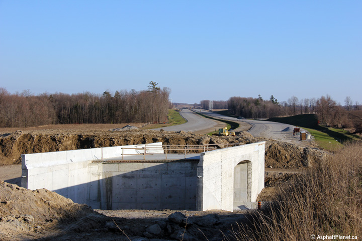
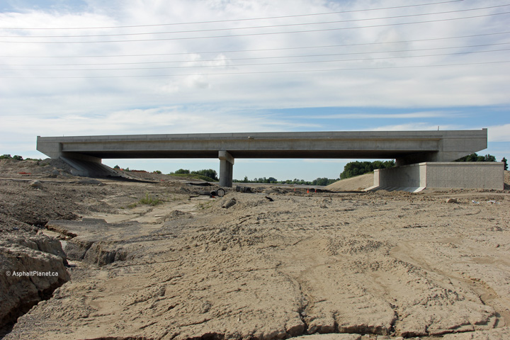
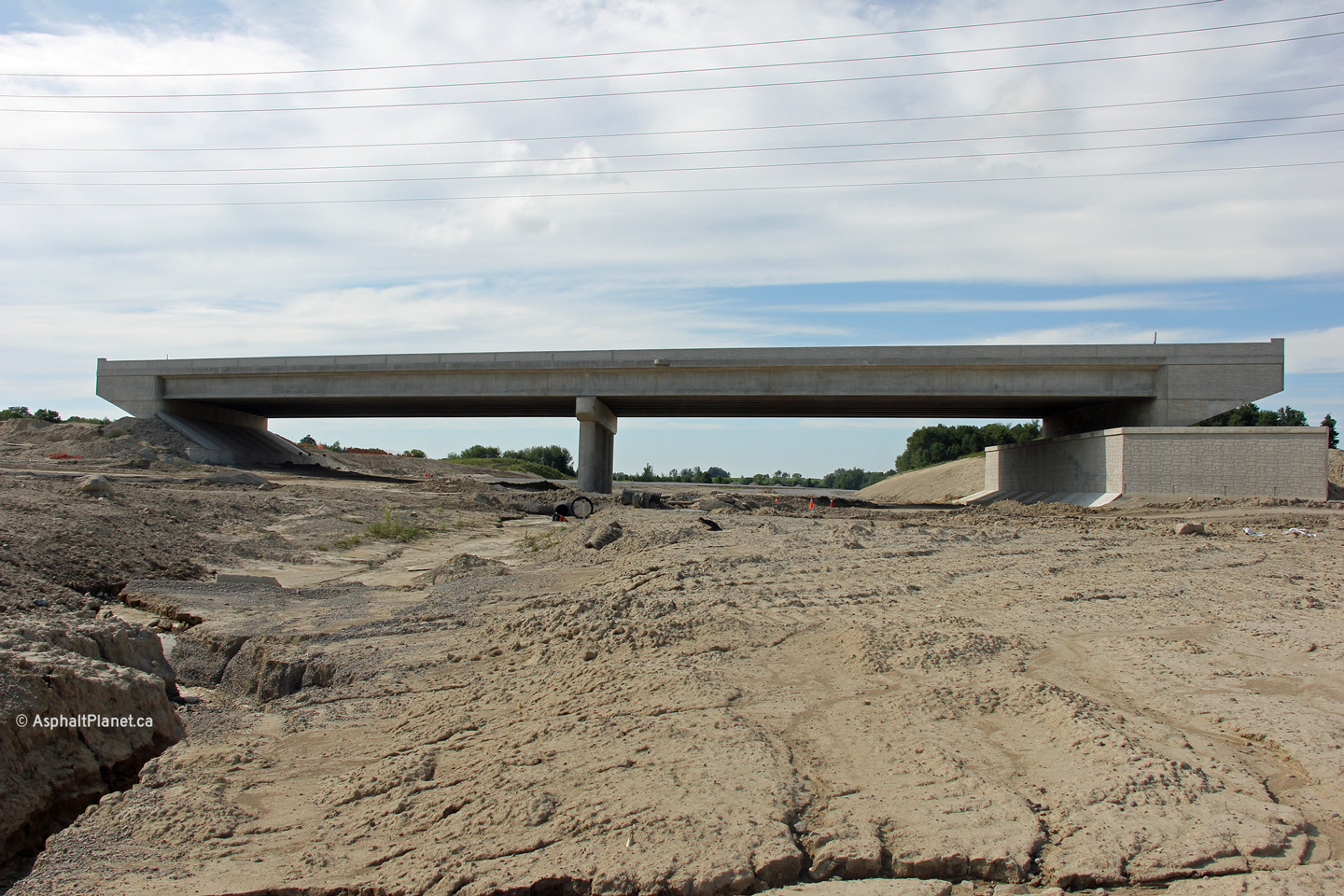
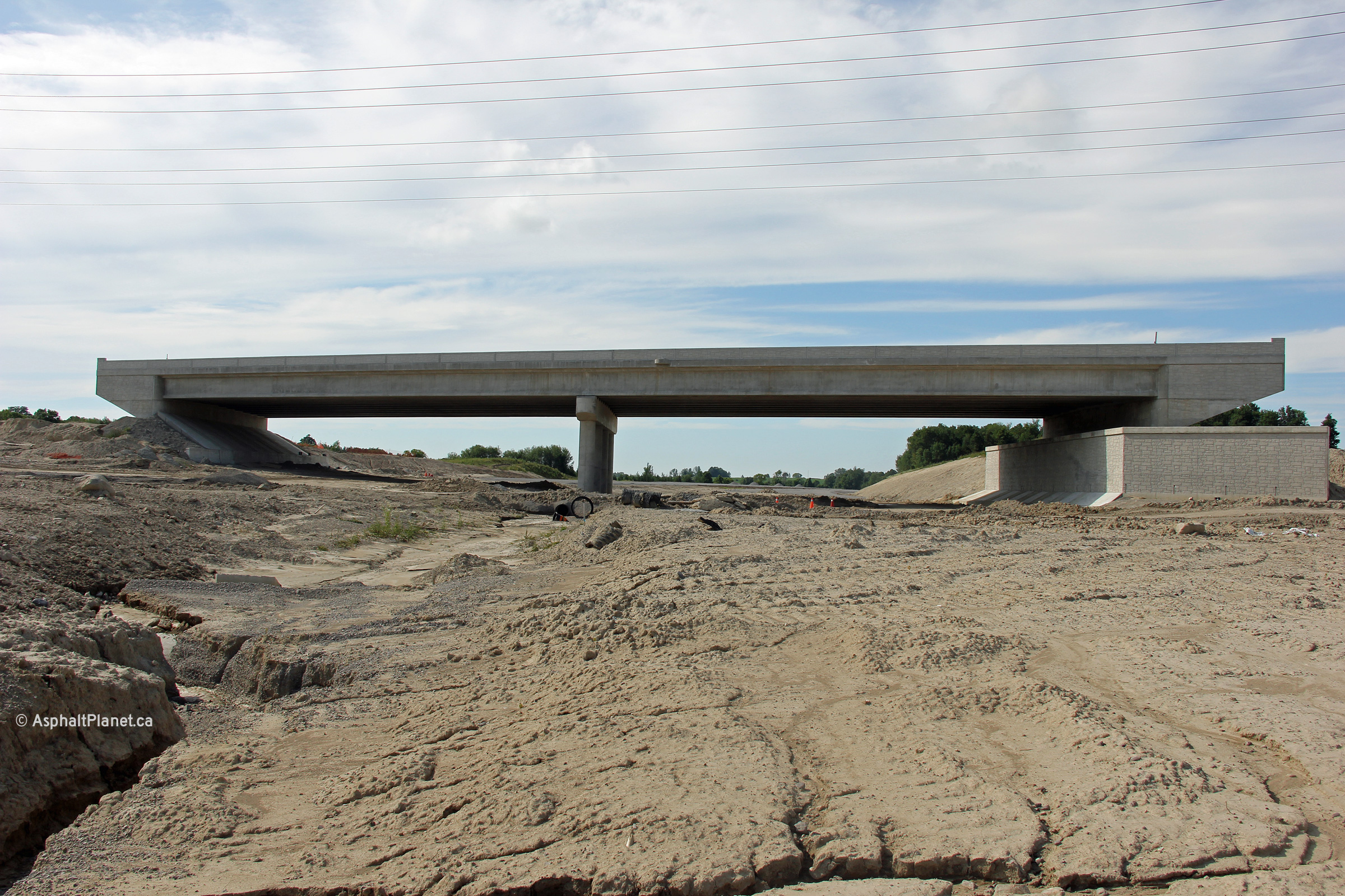
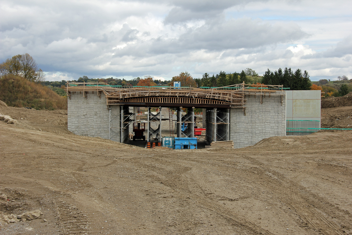
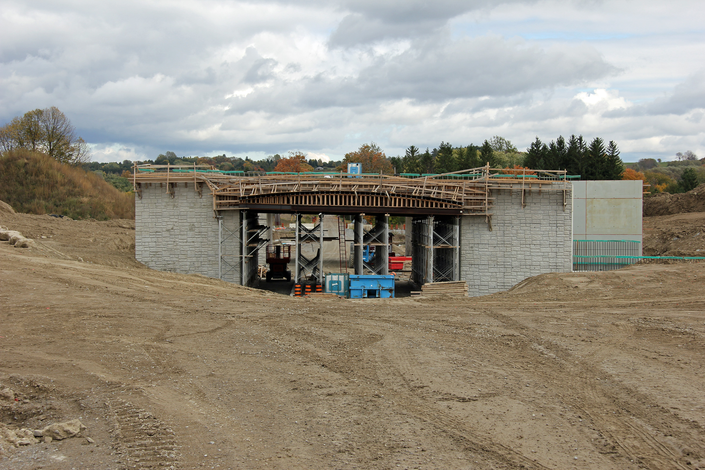
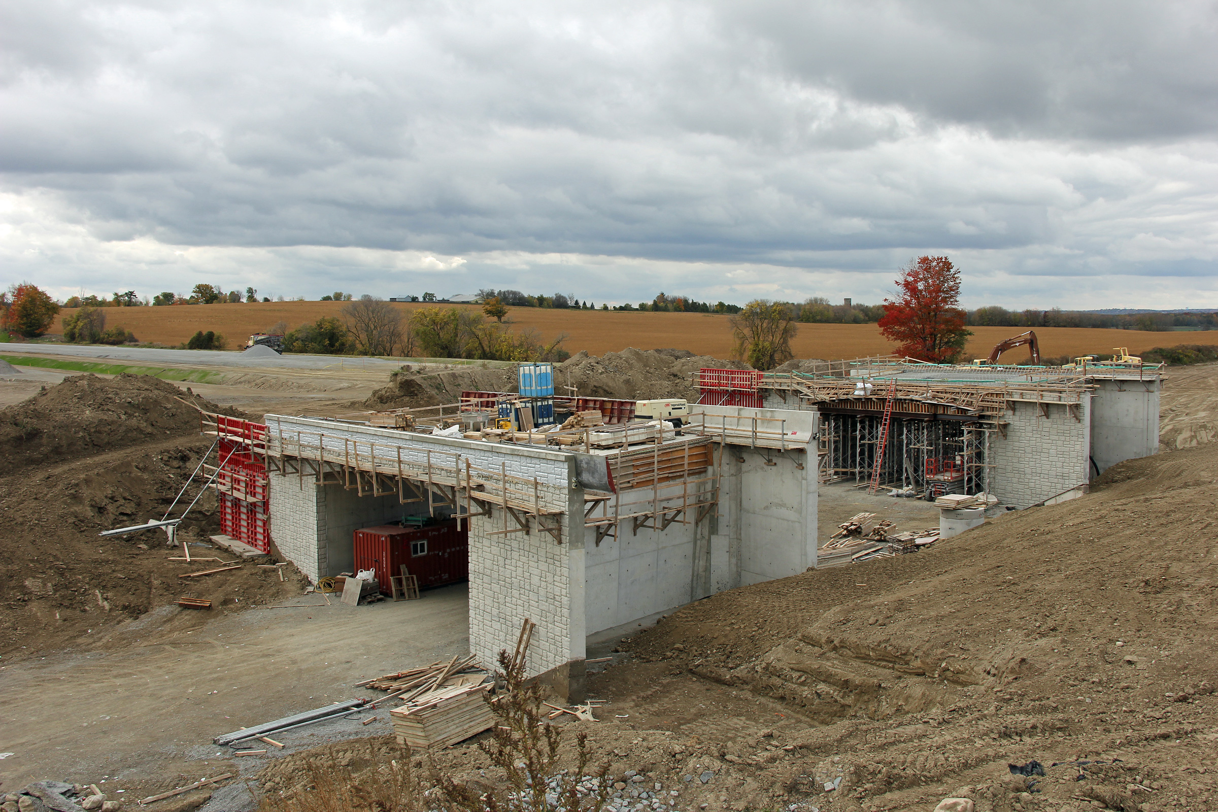
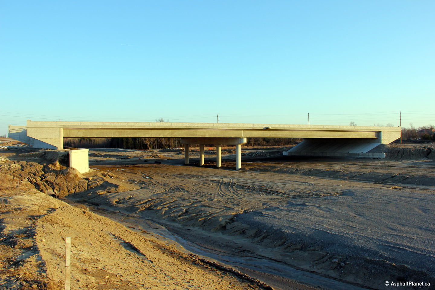
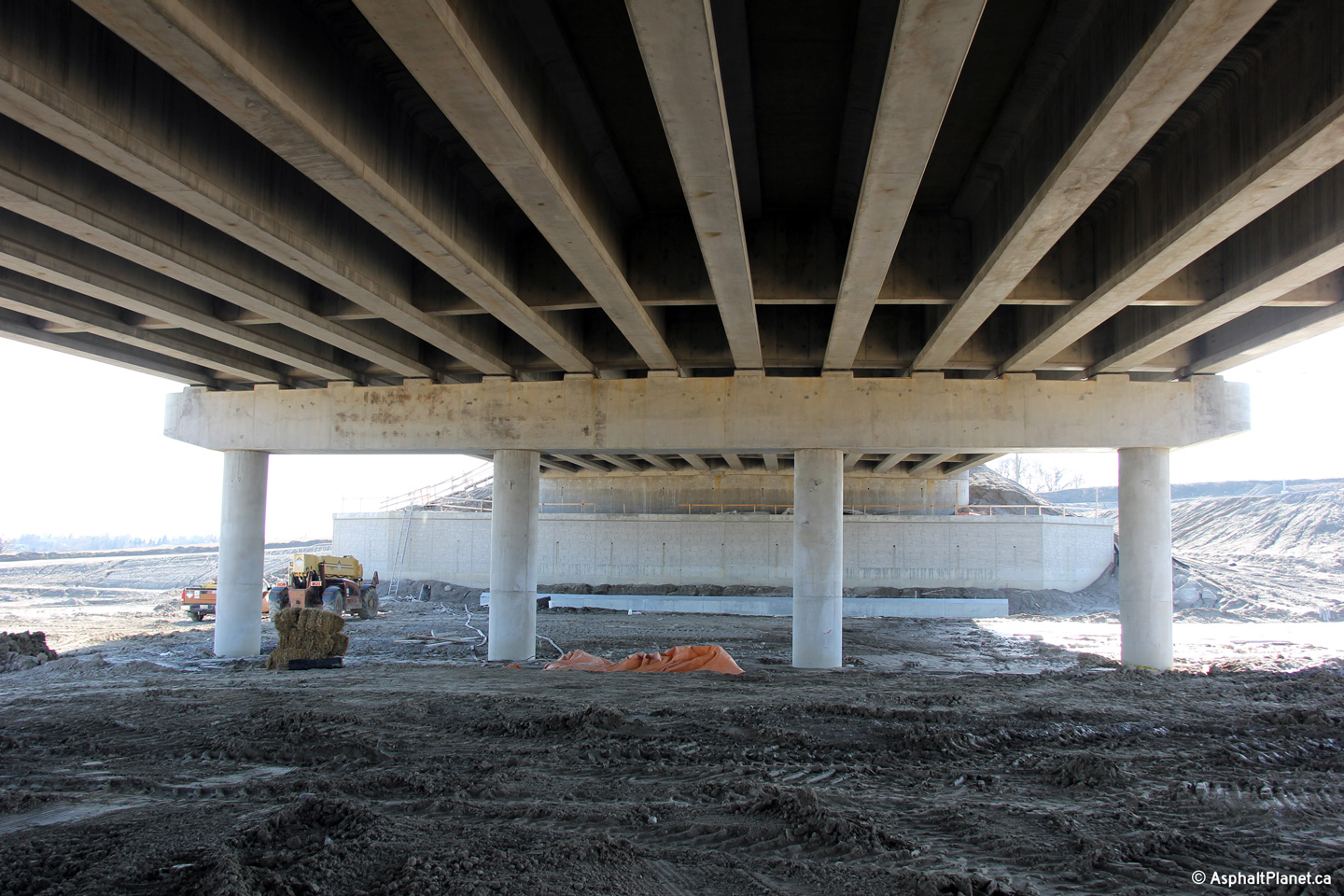
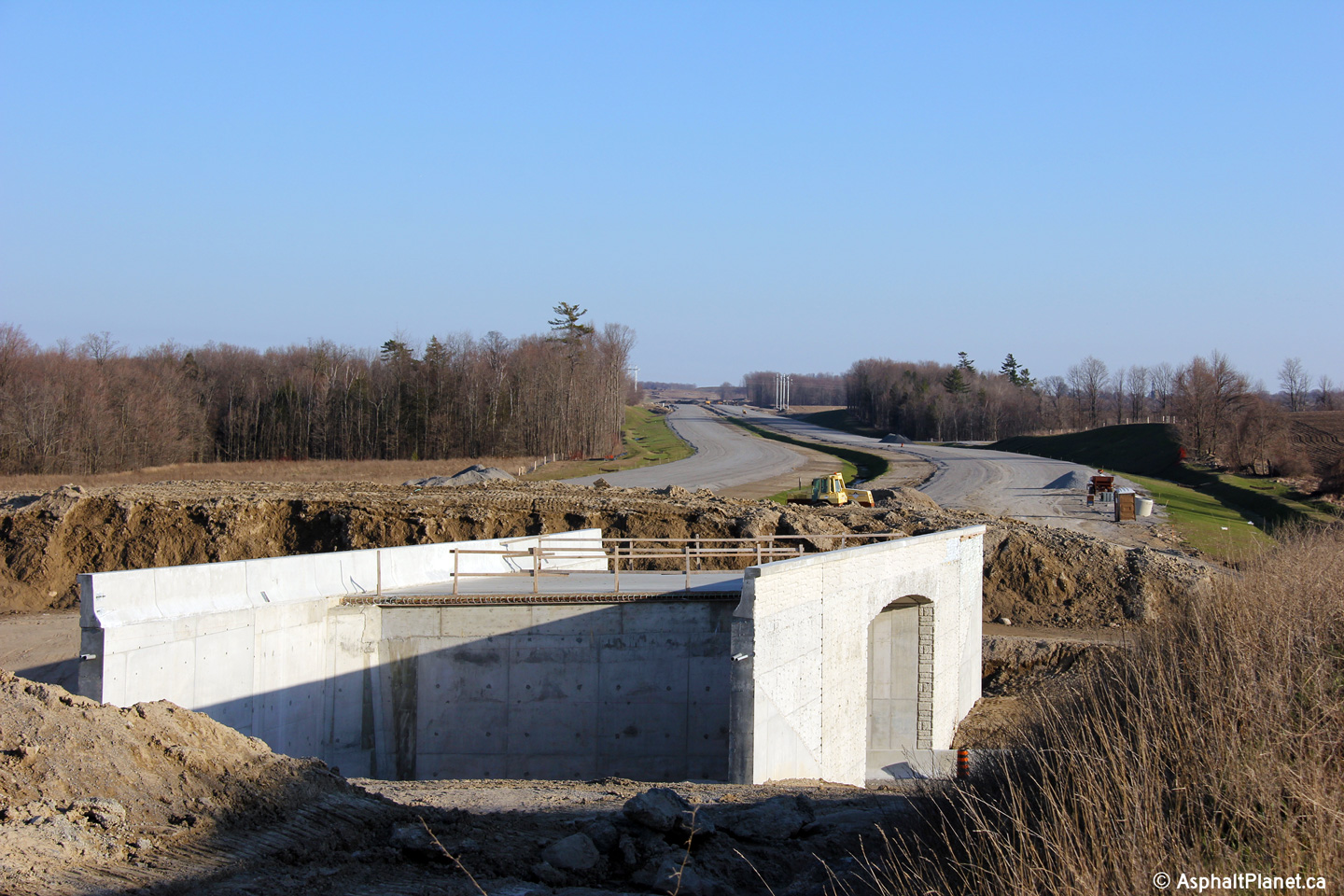
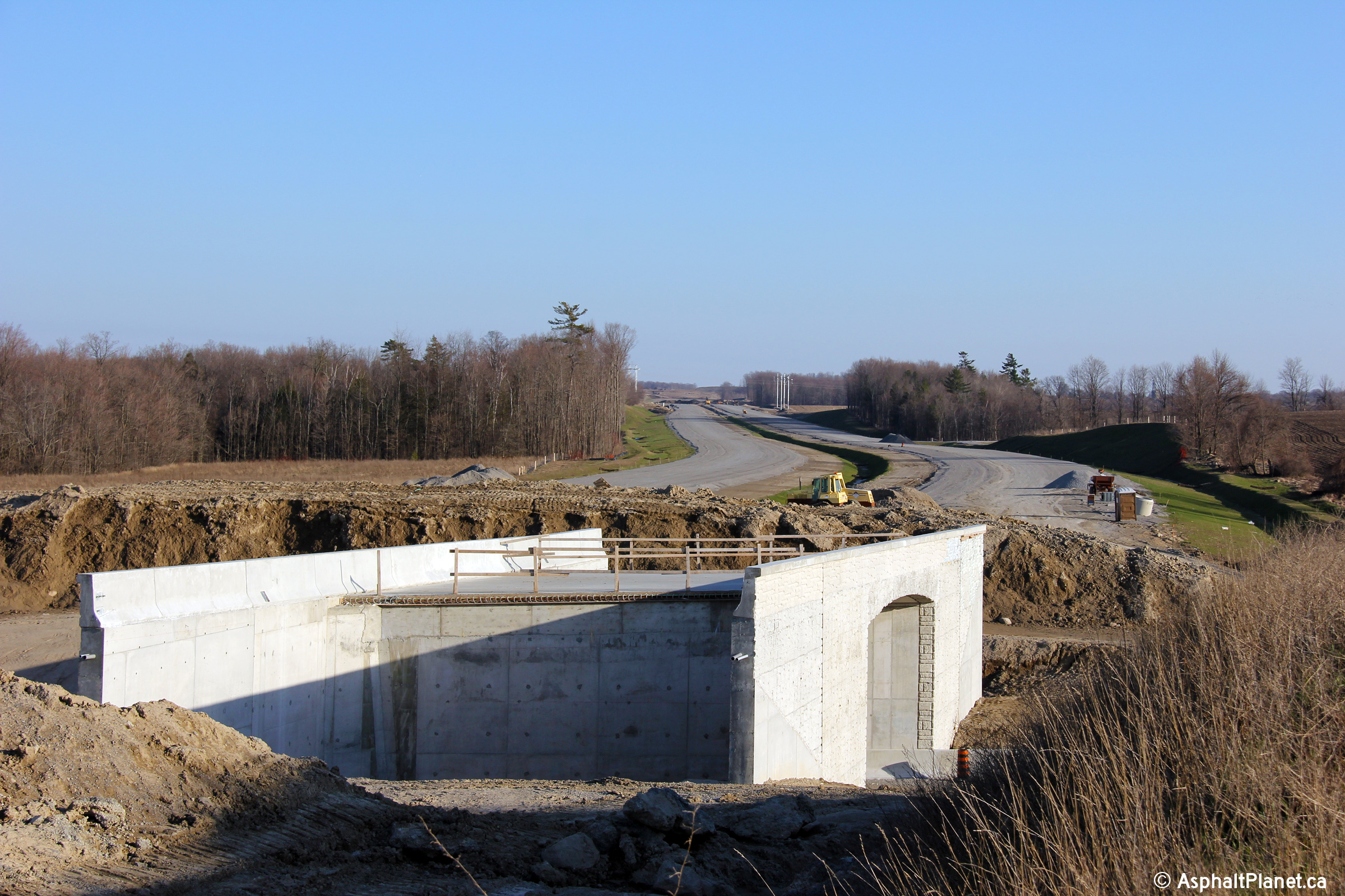
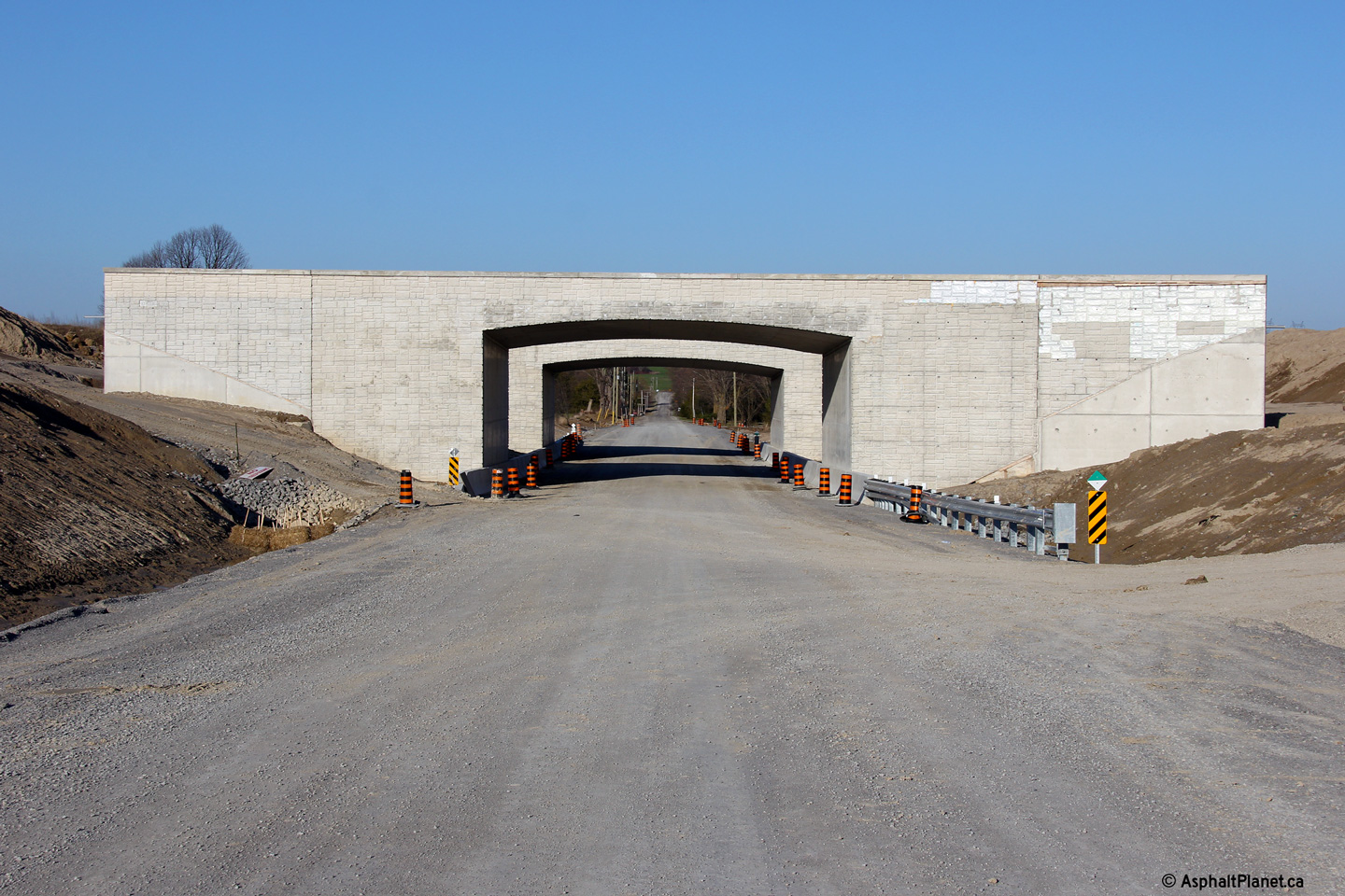
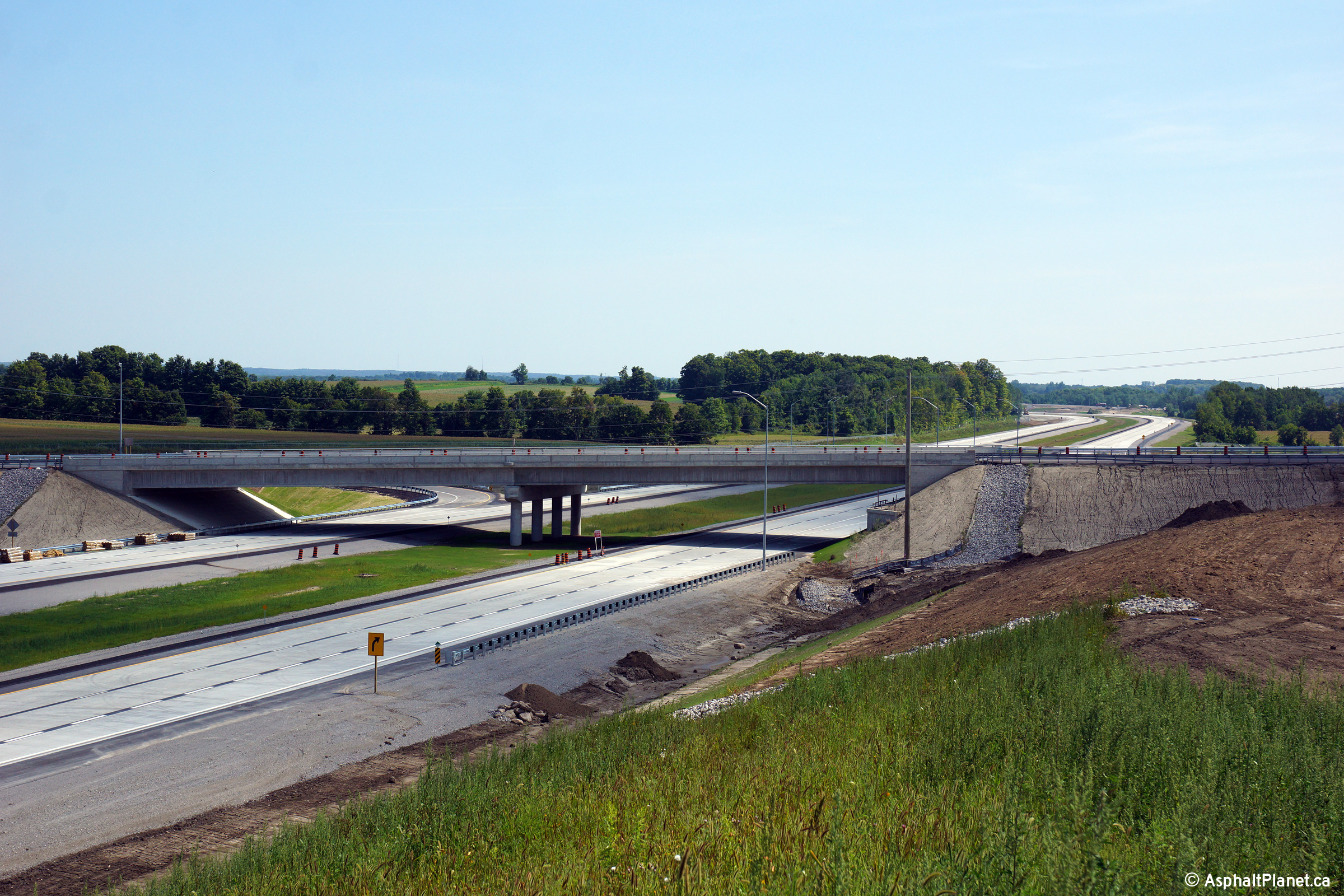
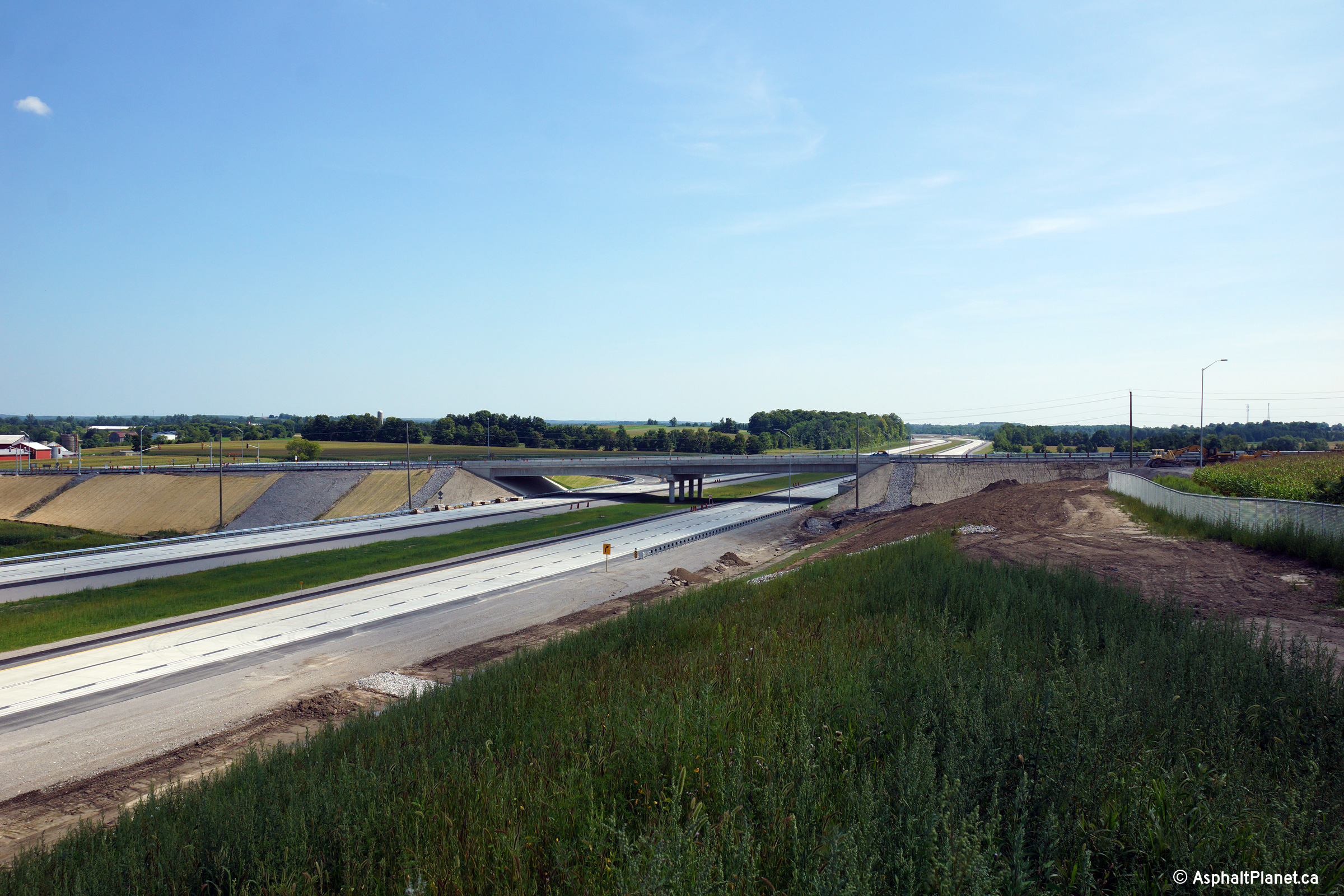
| Southerly view towards the newly constructed culvert just south of the Doane Road overpass. | View looking southerly towards the Doane Road overpass. | View beneath the completed Queensville Sideroad overpass. | Southerly view of the Queensville overpass. |
 (720x480) (1440x960) (2400x1600) |
 (720x480) (1440x960) (2400x1600) |
 (720x480) (1440x960) (2400x1600) |
 (720x480) (1440x960) (2400x1600) |
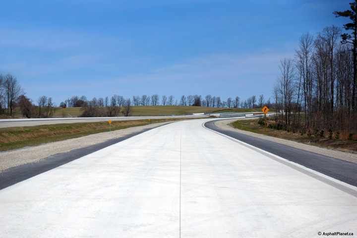
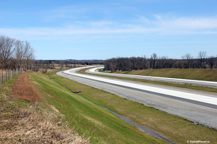
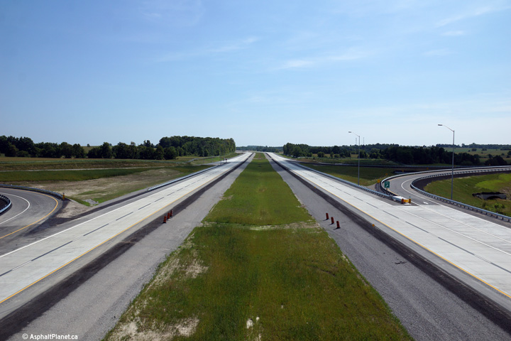
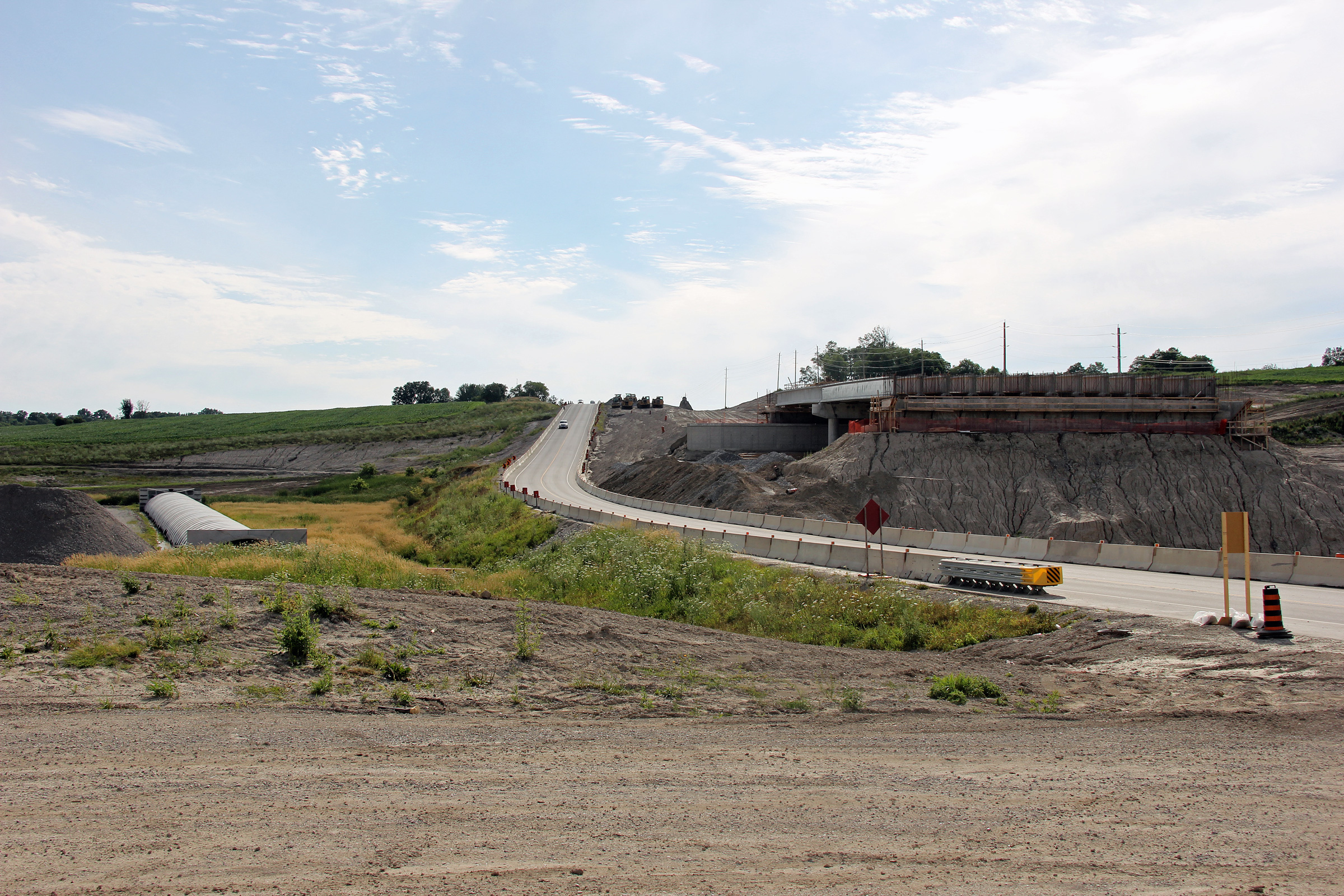
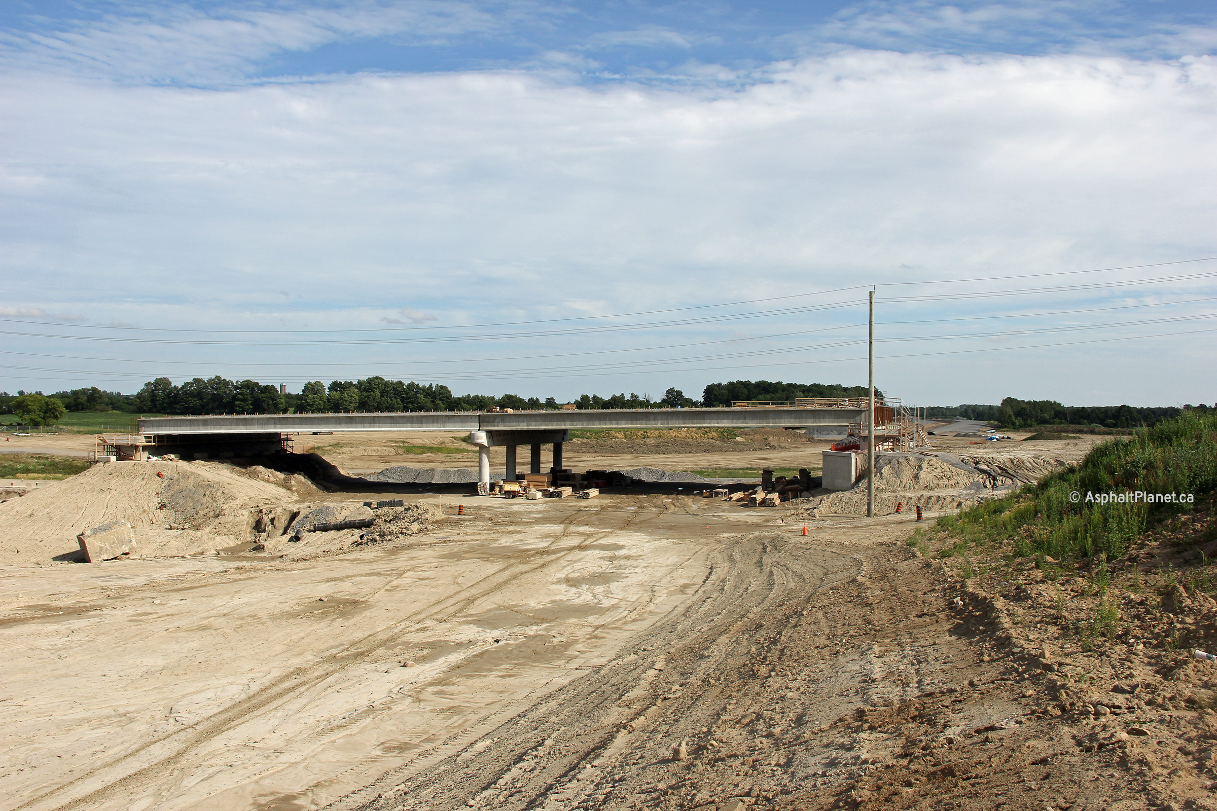
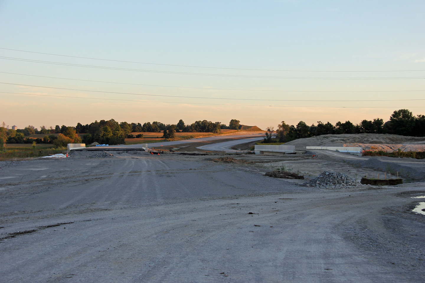
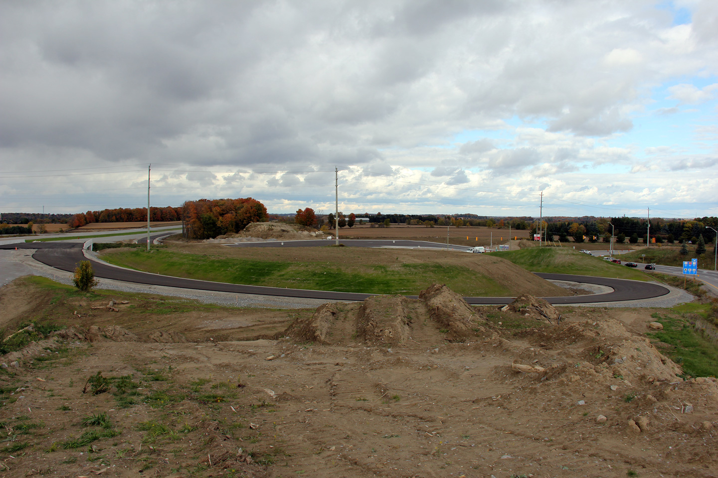
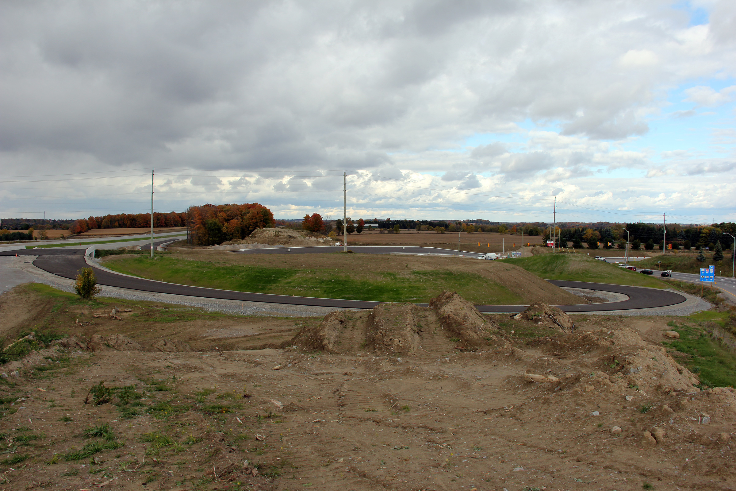
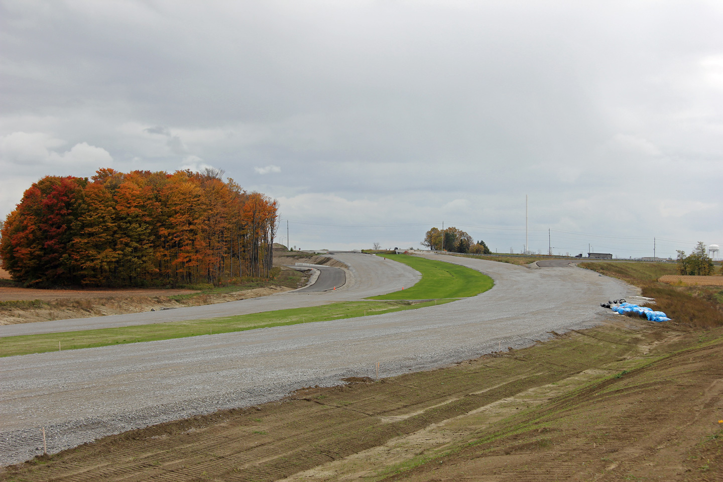
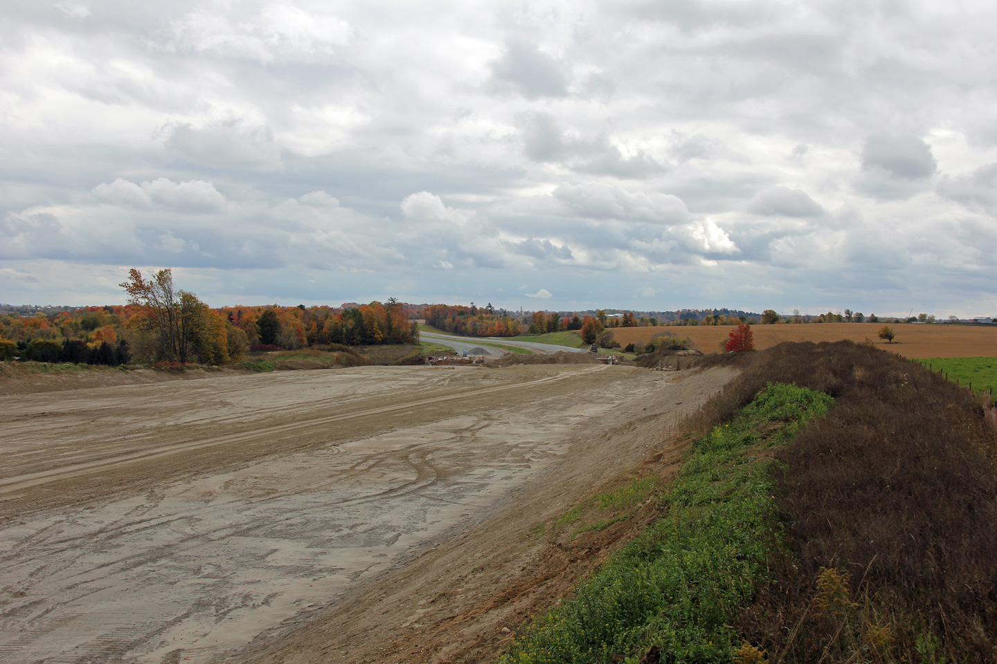
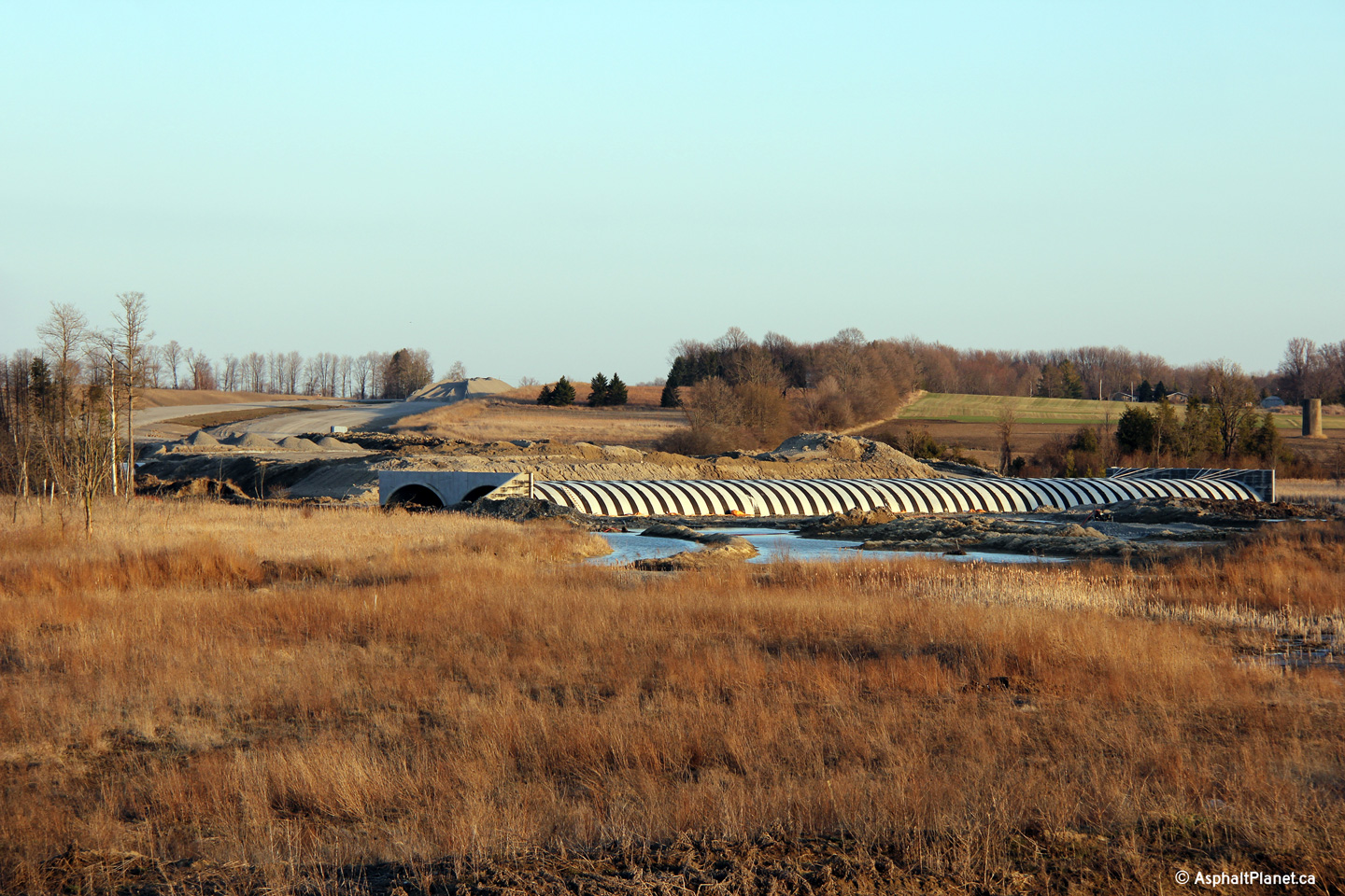
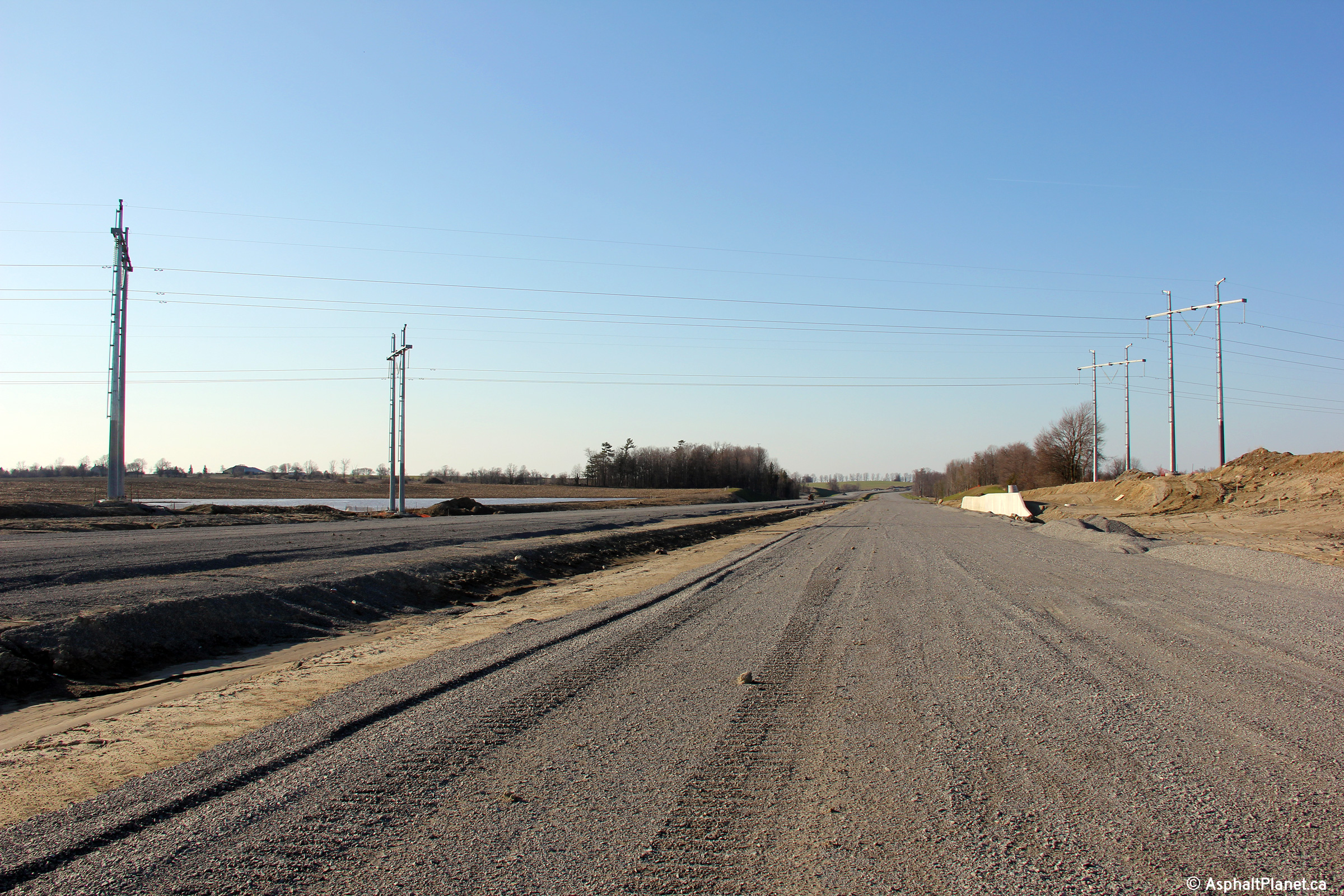
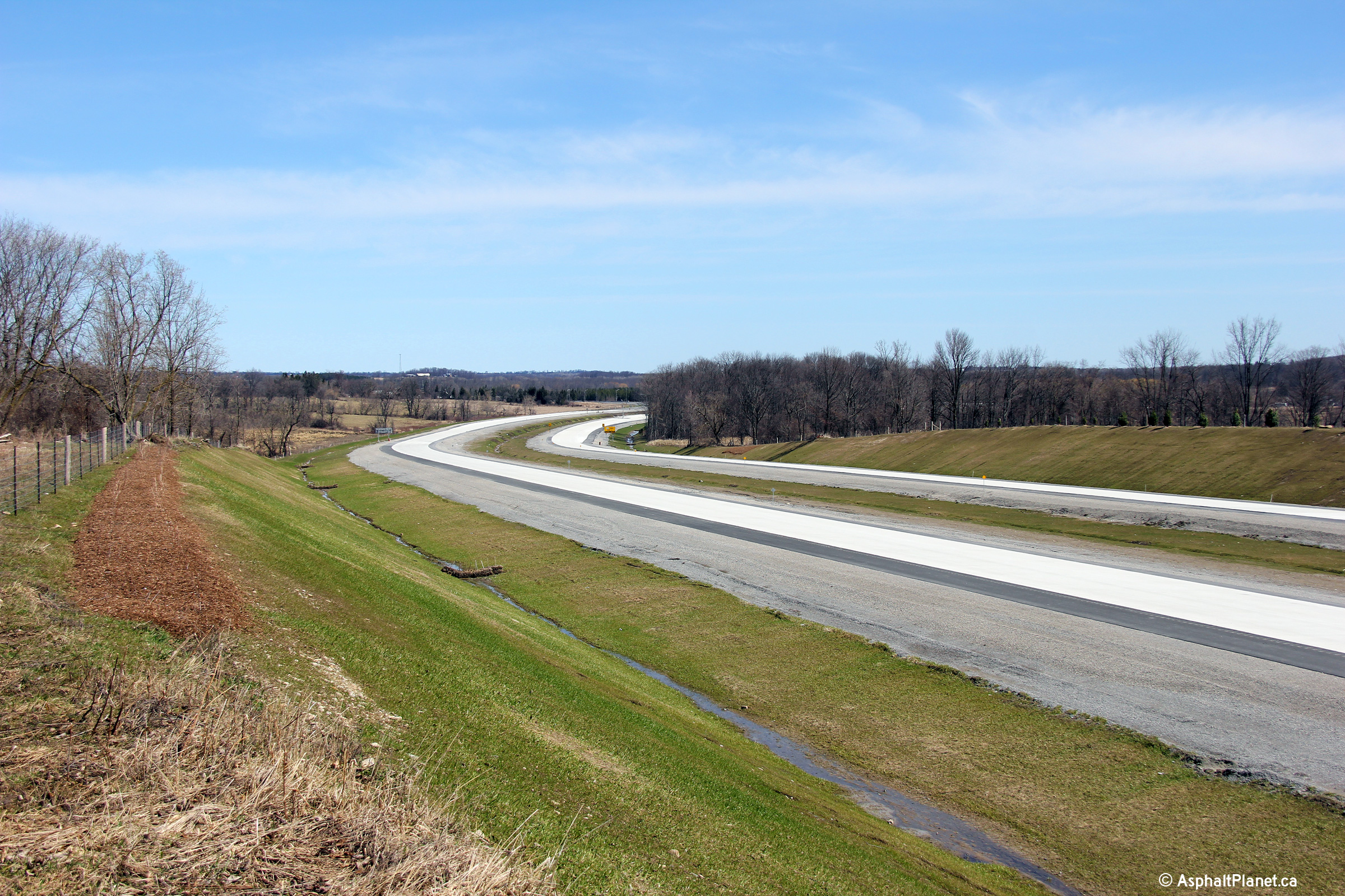
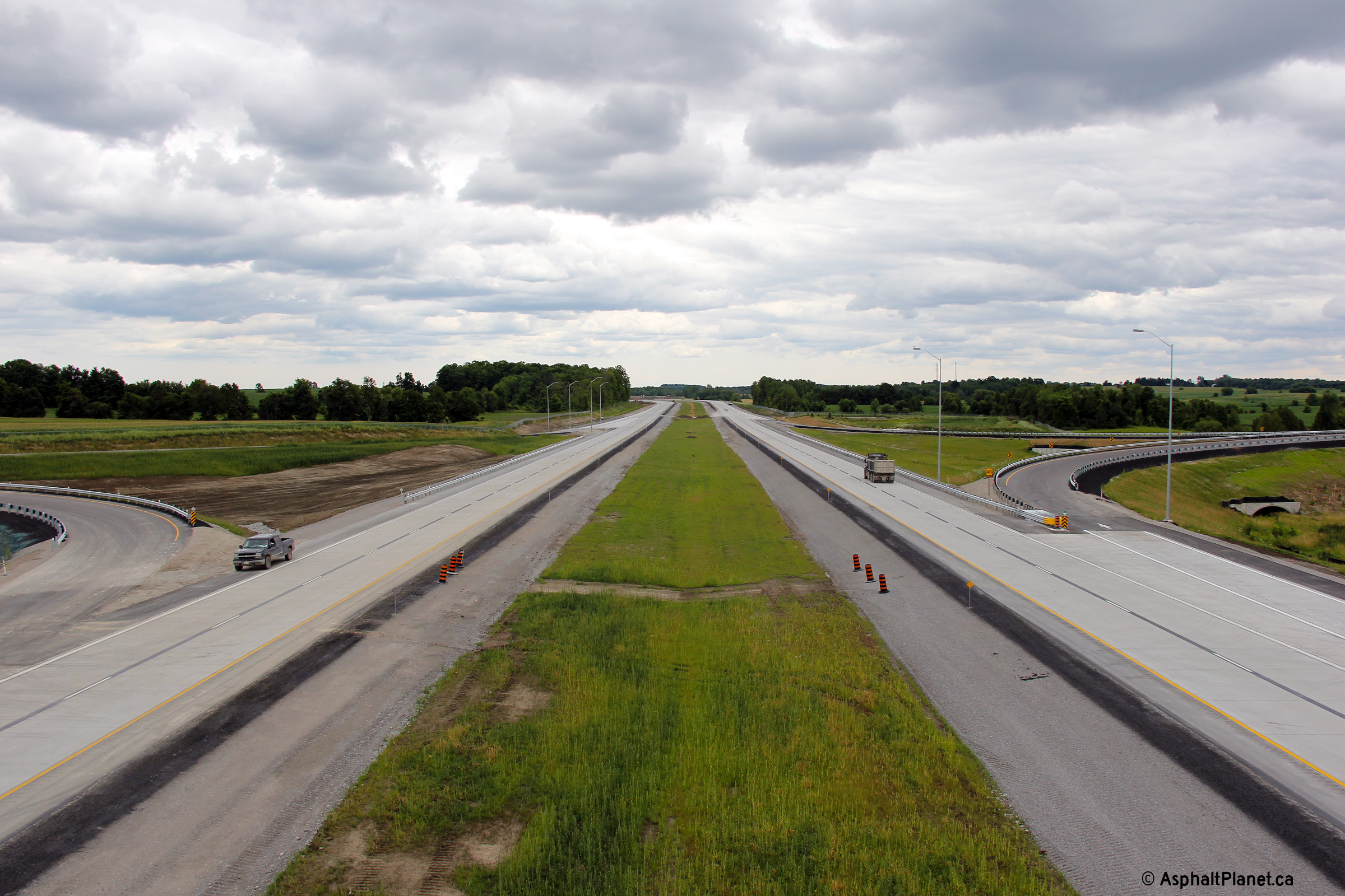
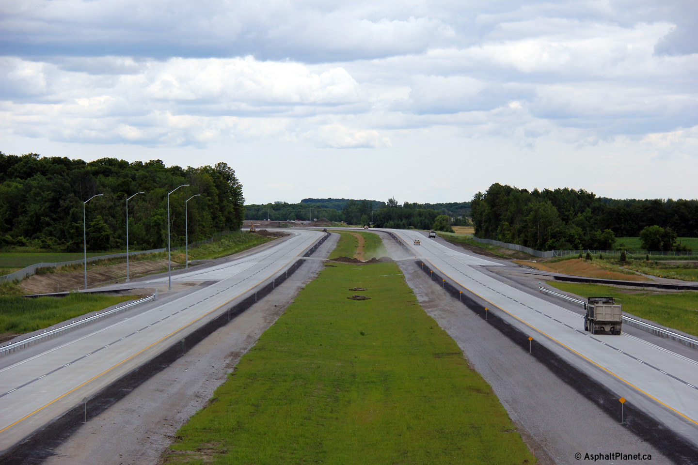
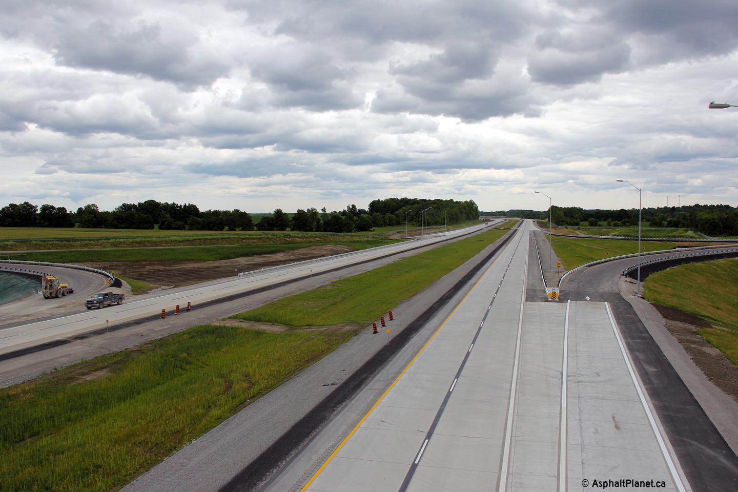
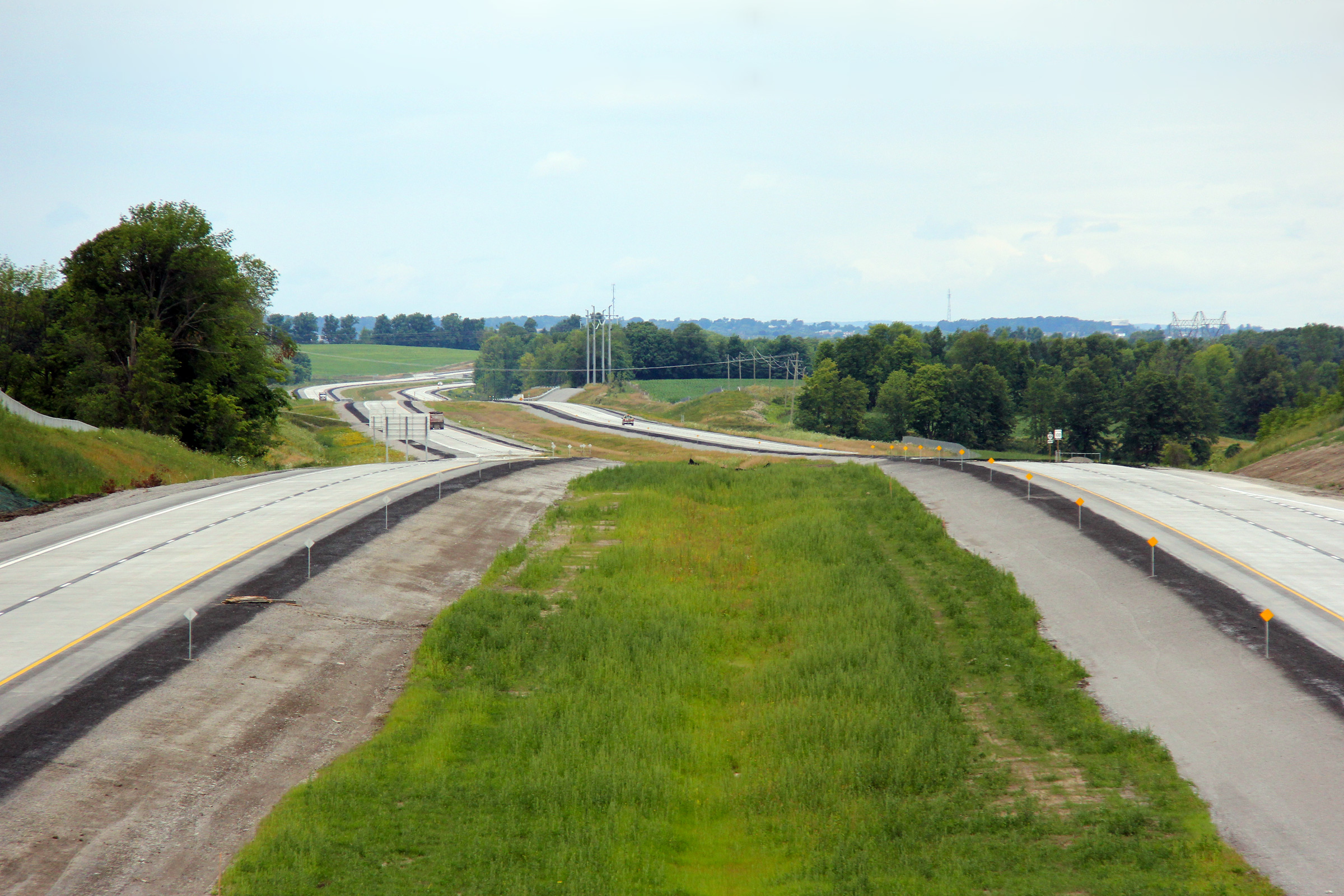
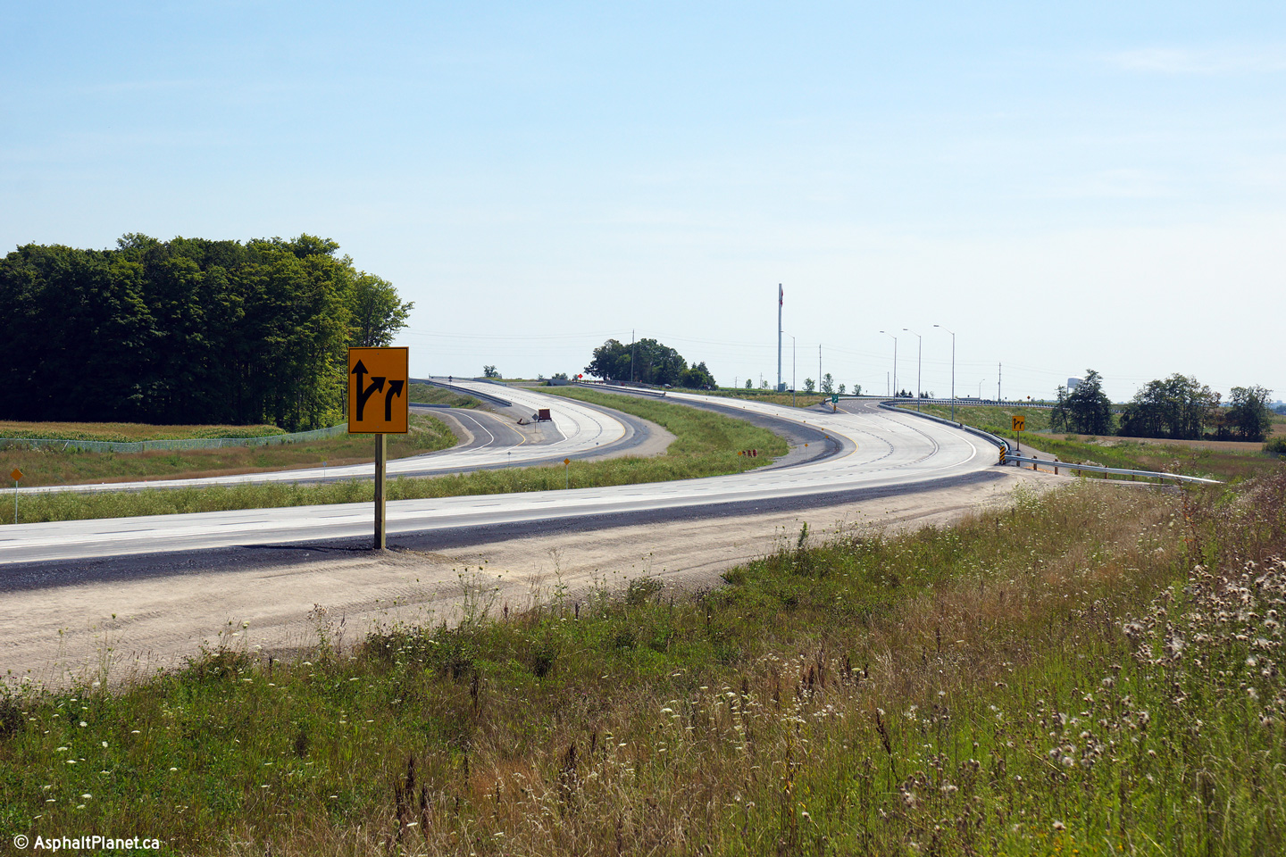
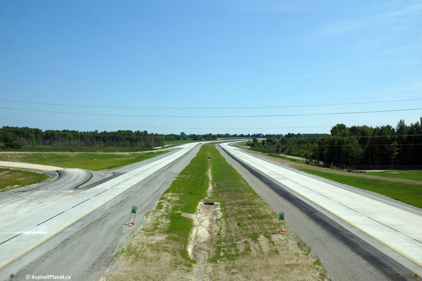
| A broader view of the Queensville overpass from the same vantage point as above. | Northerly view from north of the Queensville overpass. This picture shows the dividing line between the northern and southern construction contracts. | North of the former alignment of Holborn Road, Highway 404 passes beneath a hydro corridor. | Southerly view from just south of the Boag Road underpass. |
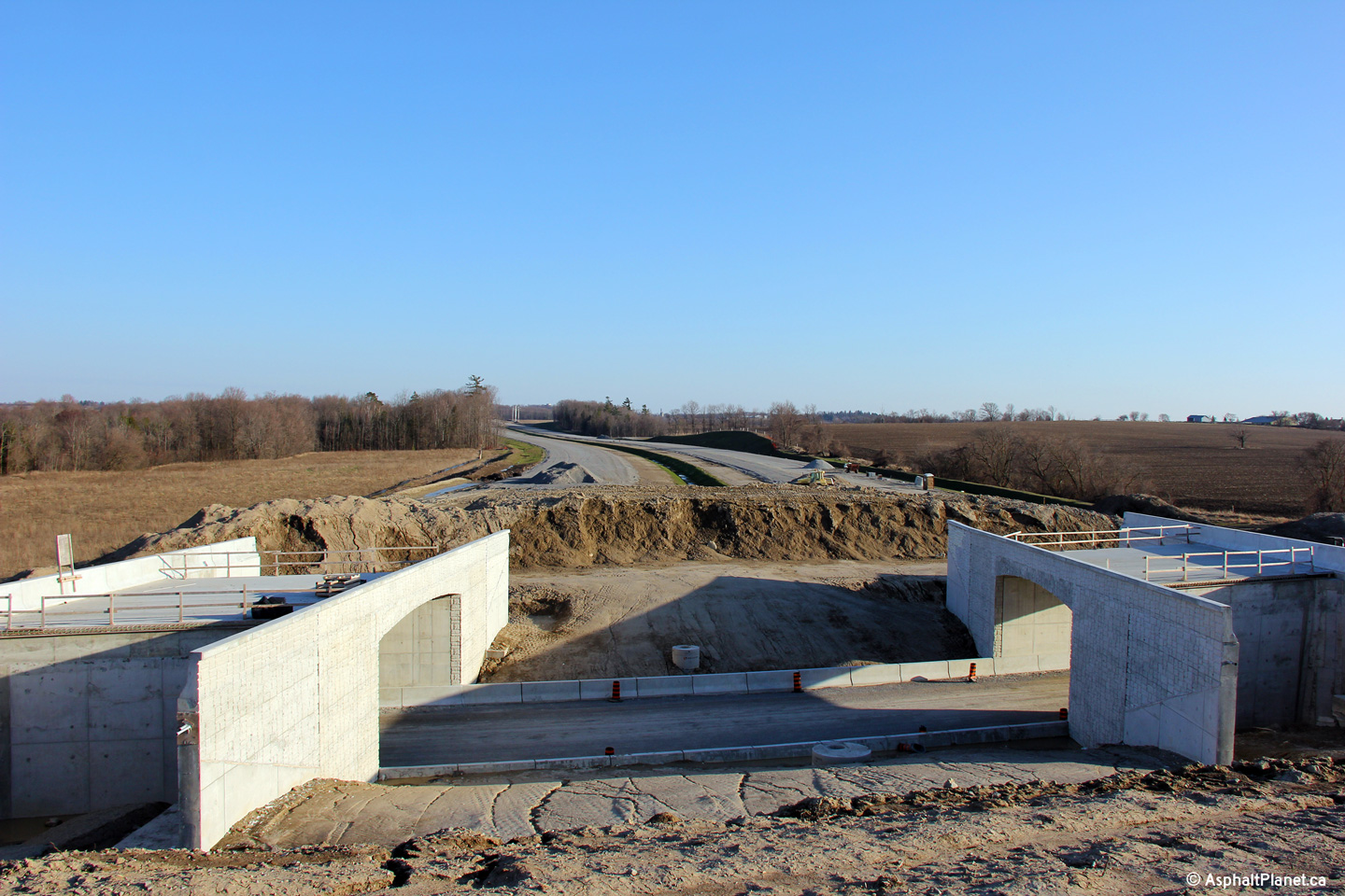
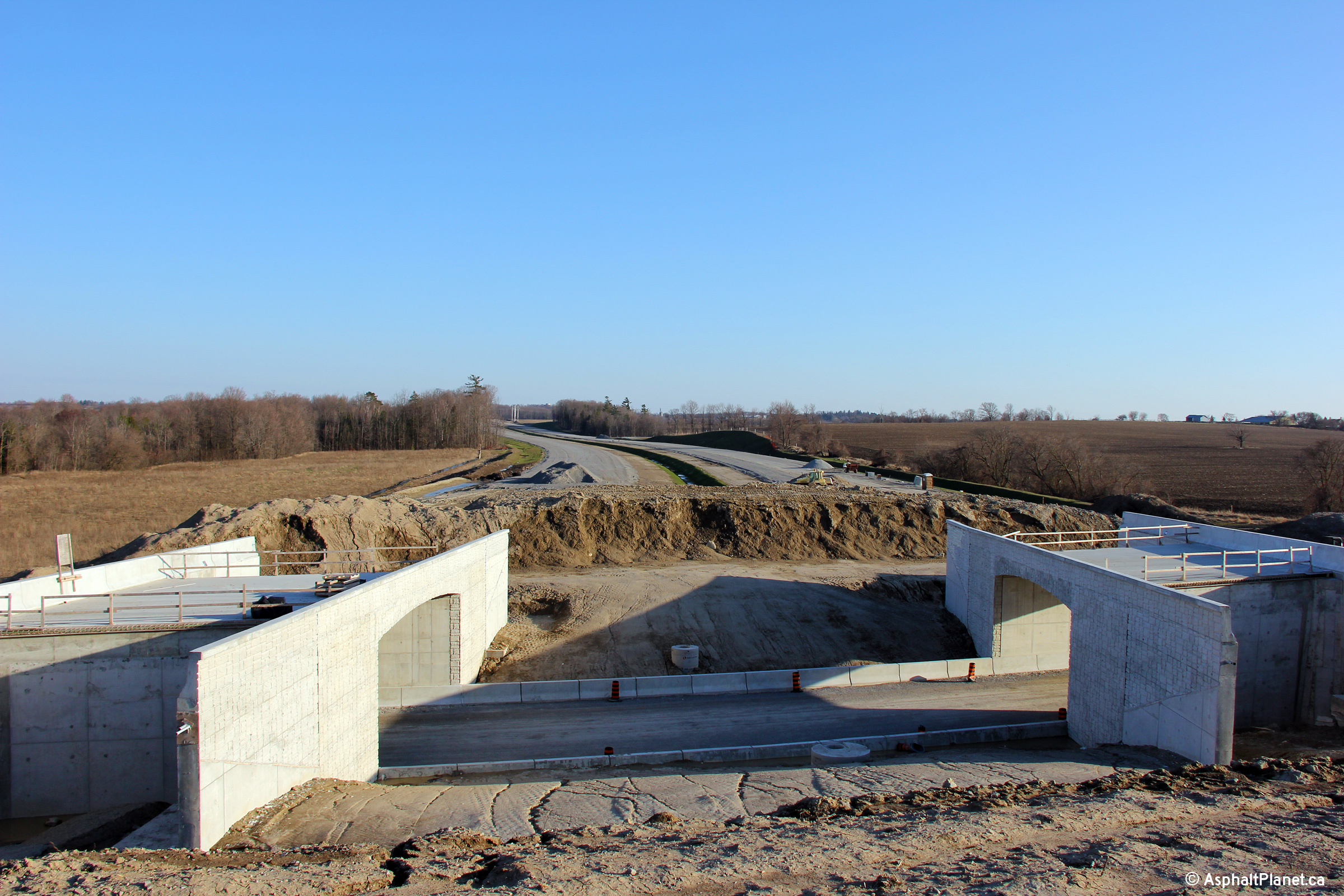
 (720x480) (1440x960) (2400x1600) |
 (720x480) (1440x960) (2400x1600) |
 (720x480) (1440x960) (2400x1600) |
 (720x480) (1440x960) (2400x1600) |
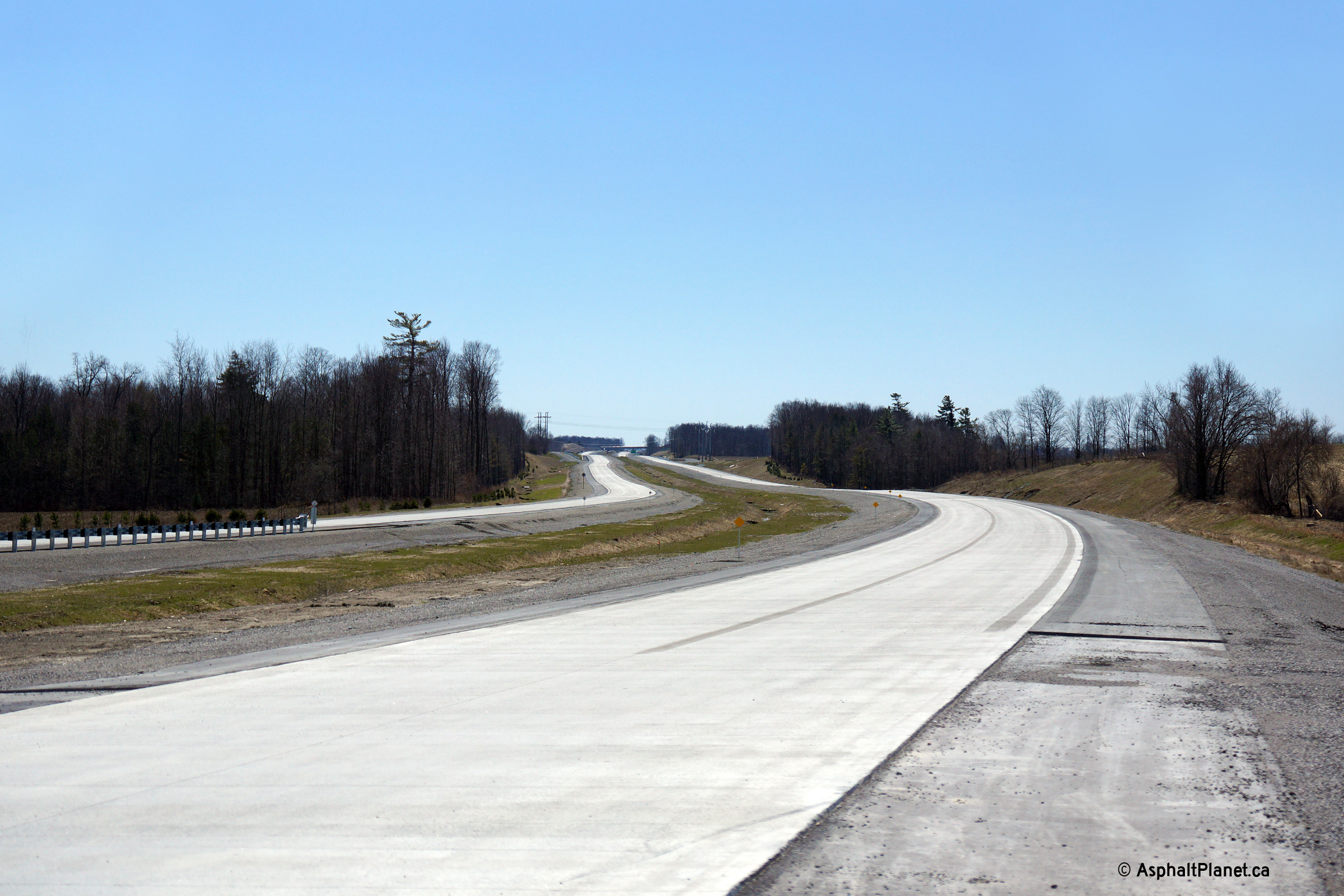
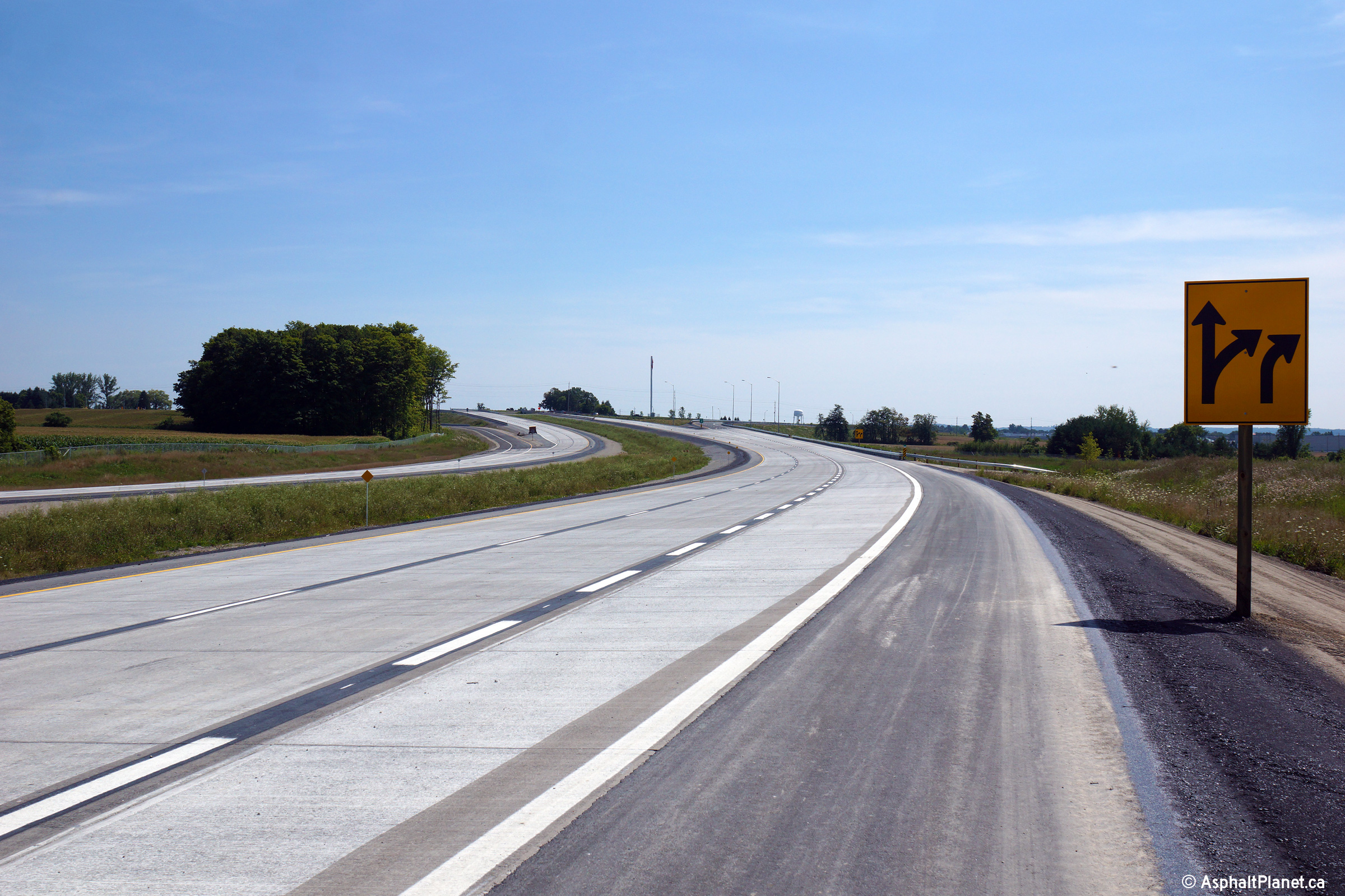
| Northerly view towards the twin Boag Road underpasses. | Southerly view towards the twin Boag Road underpasses. | Zoomed in view of the southbound Boag Road underpass looking southerly. | This view looks easterly along Boag Road through the twin Highway 404 grade separations. |
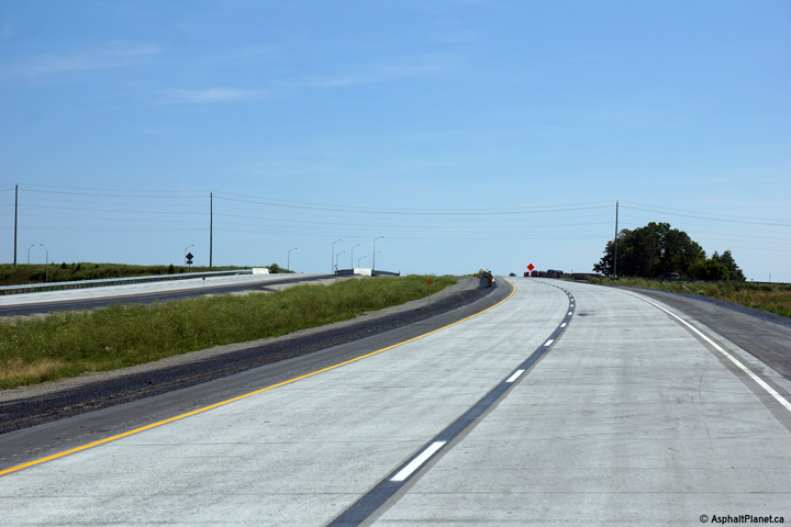
| Photos taken: April 24th, 2014 | |||
 (720x480) (1440x960) (2400x1600) |
 (720x480) (1440x960) (2400x1600) |
 (720x480) (1440x960) (2400x1600) |
 (720x480) (1440x960) (2400x1600) |
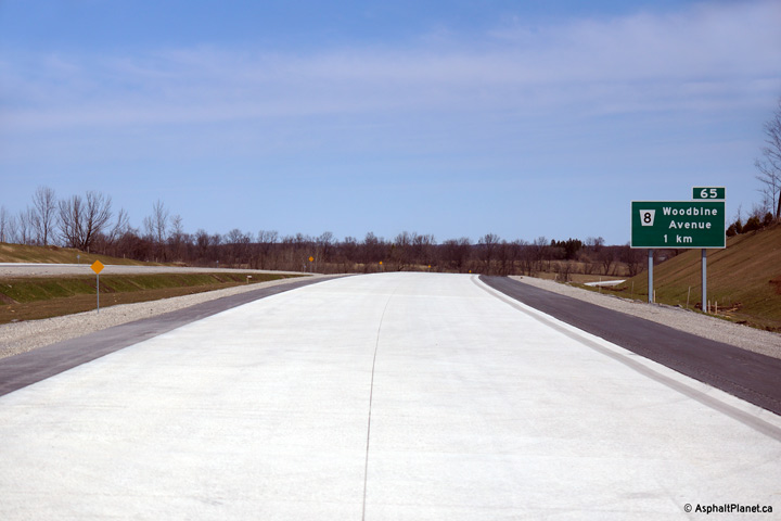
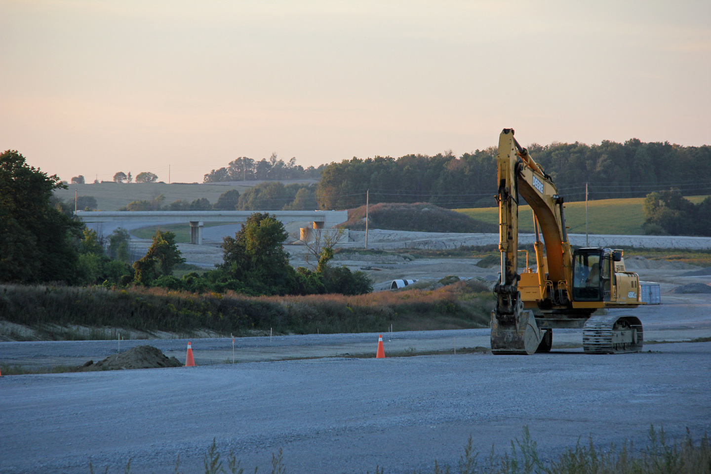
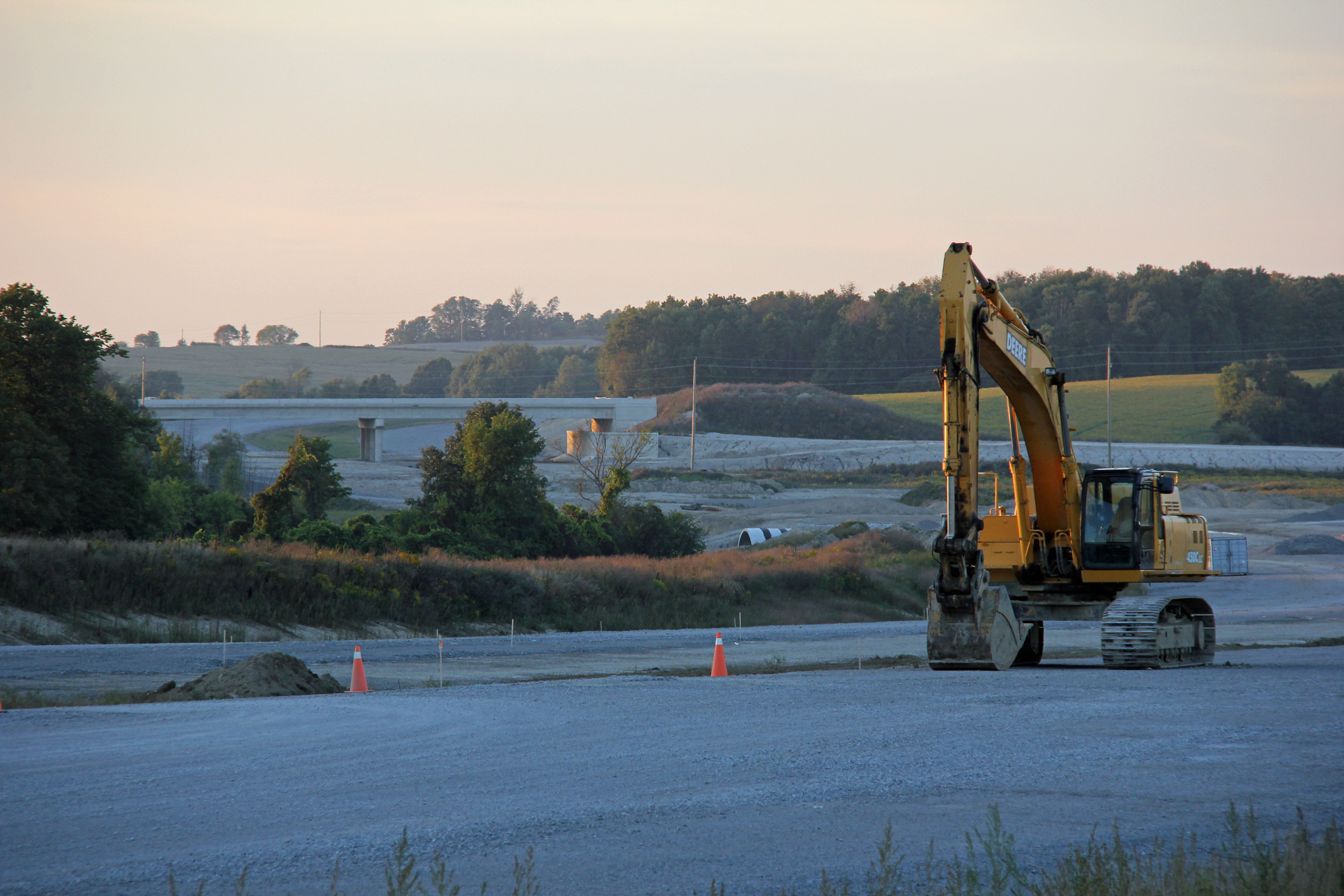
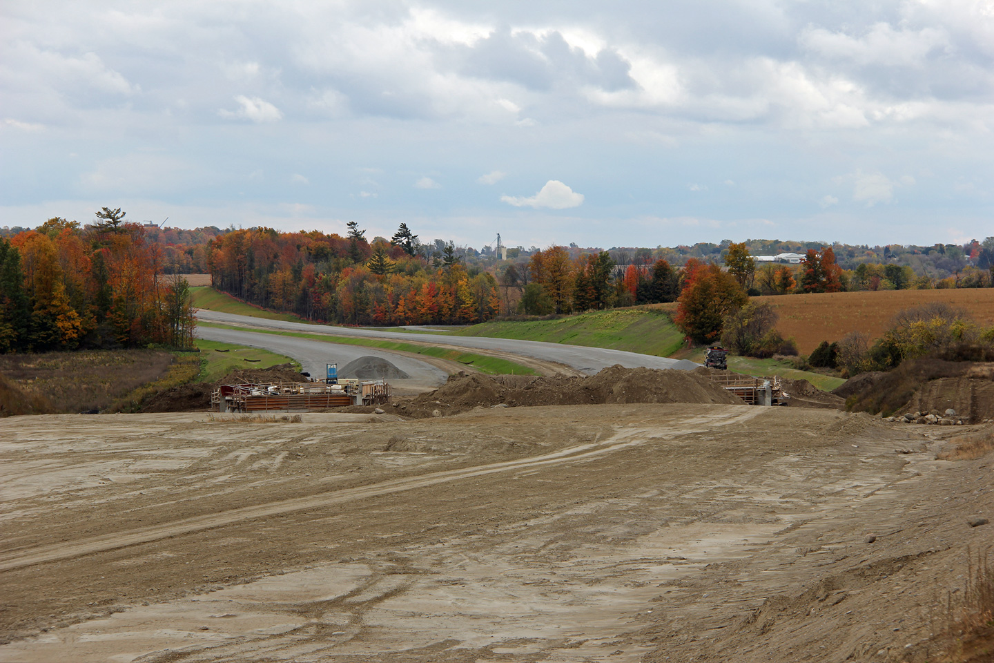
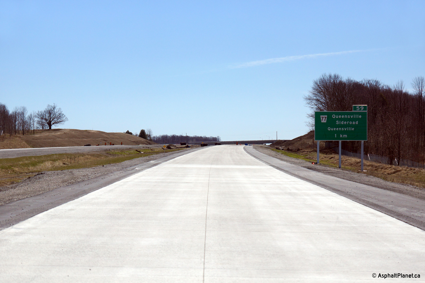
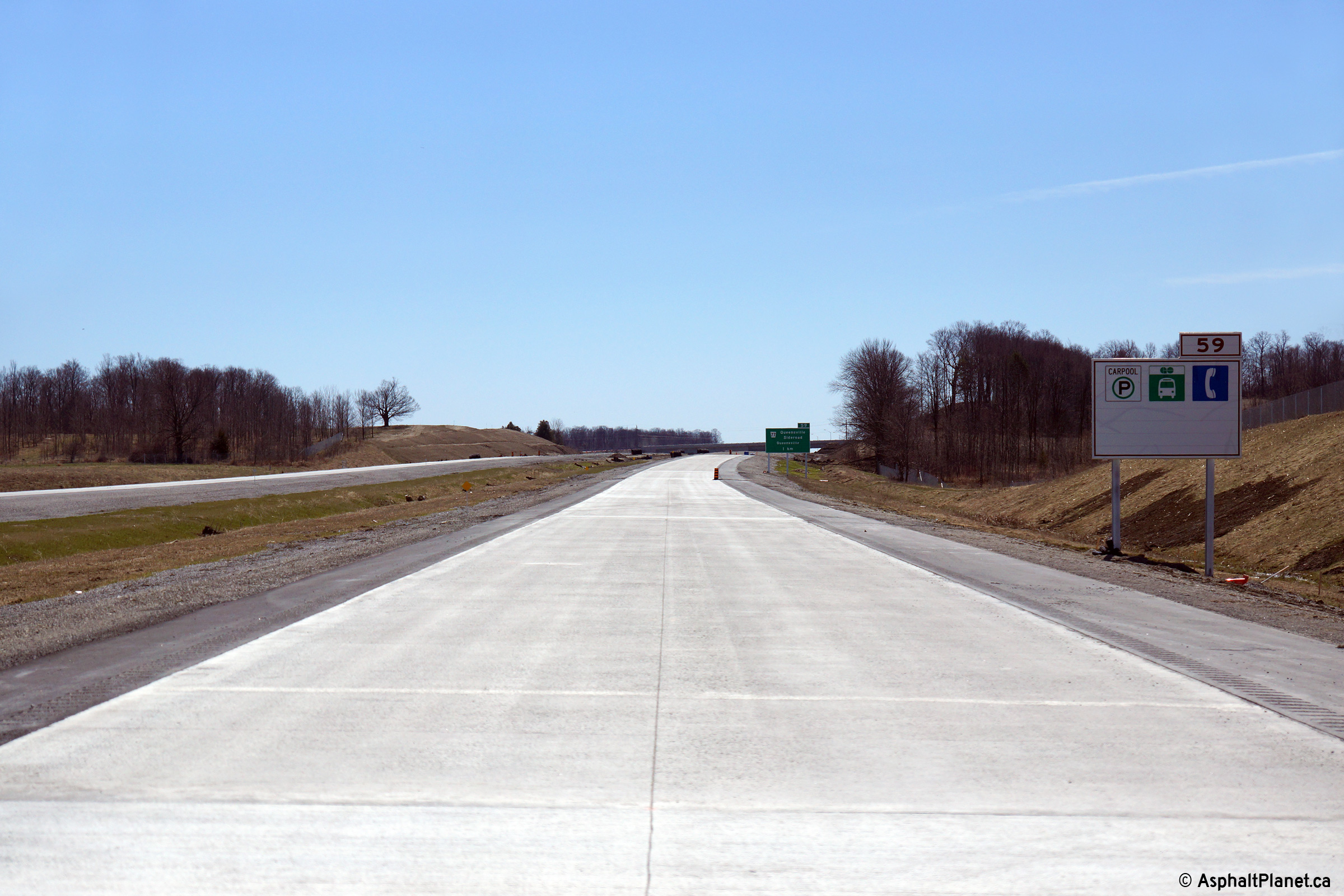
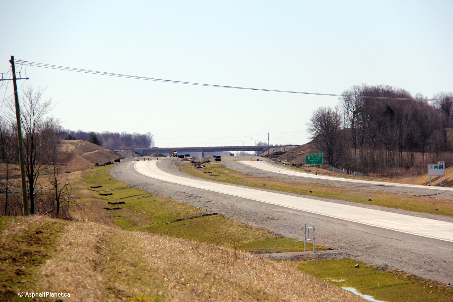
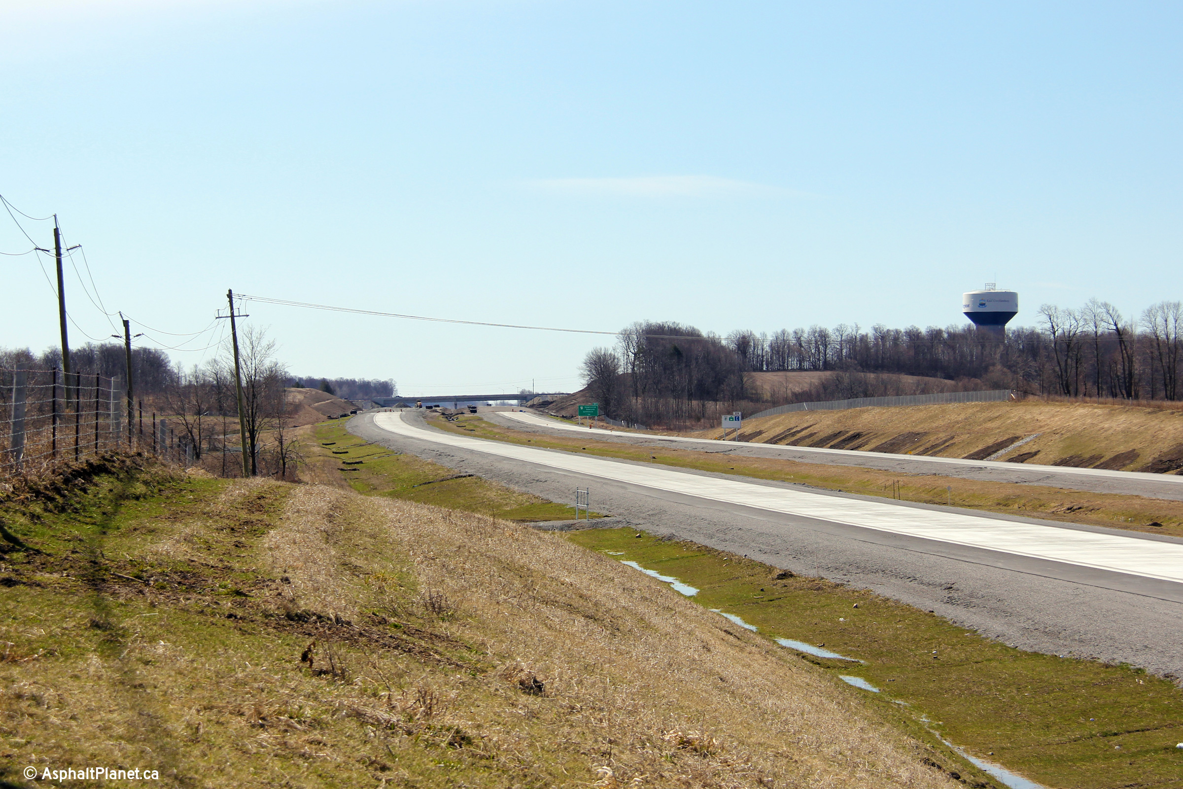
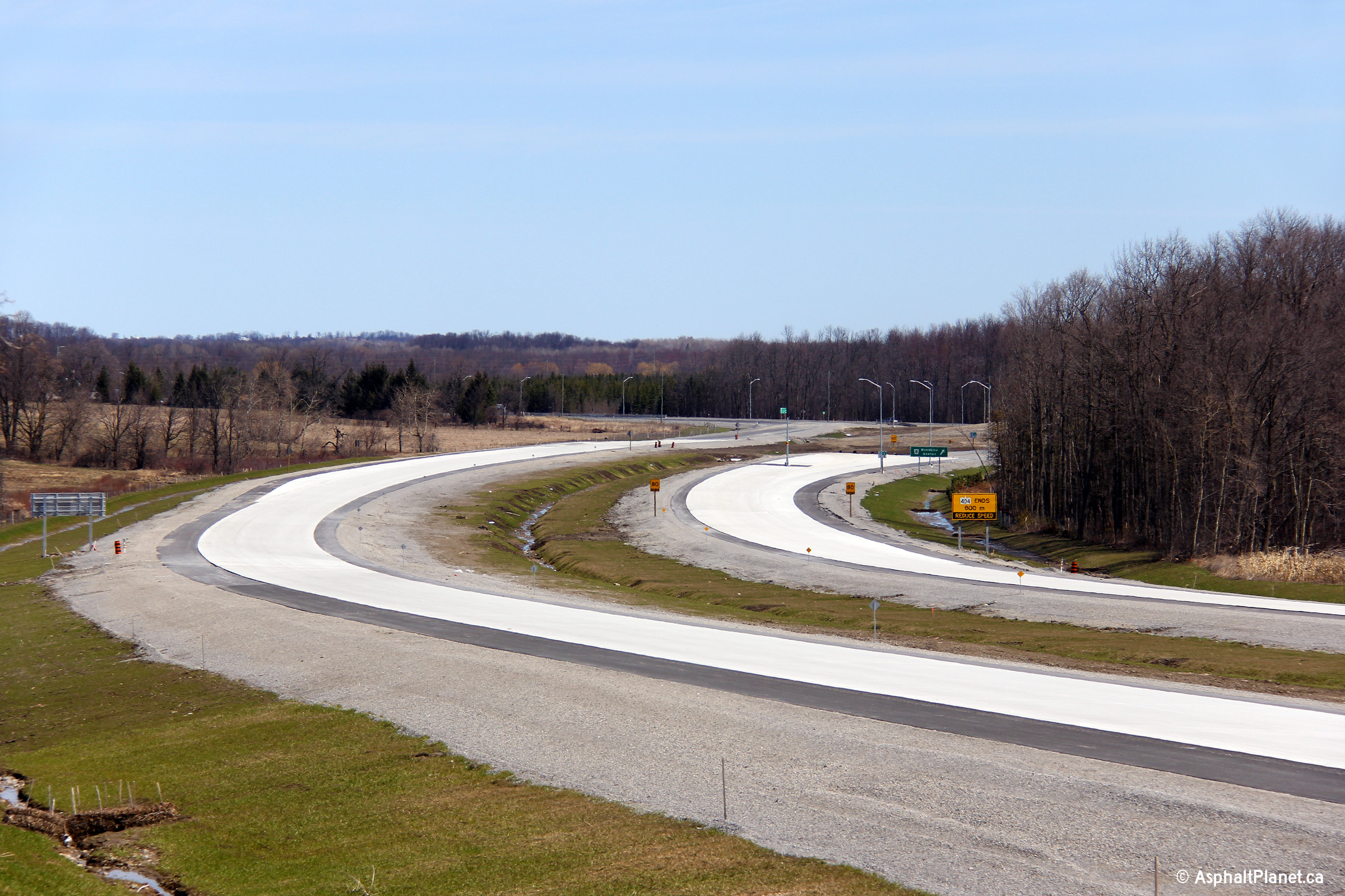
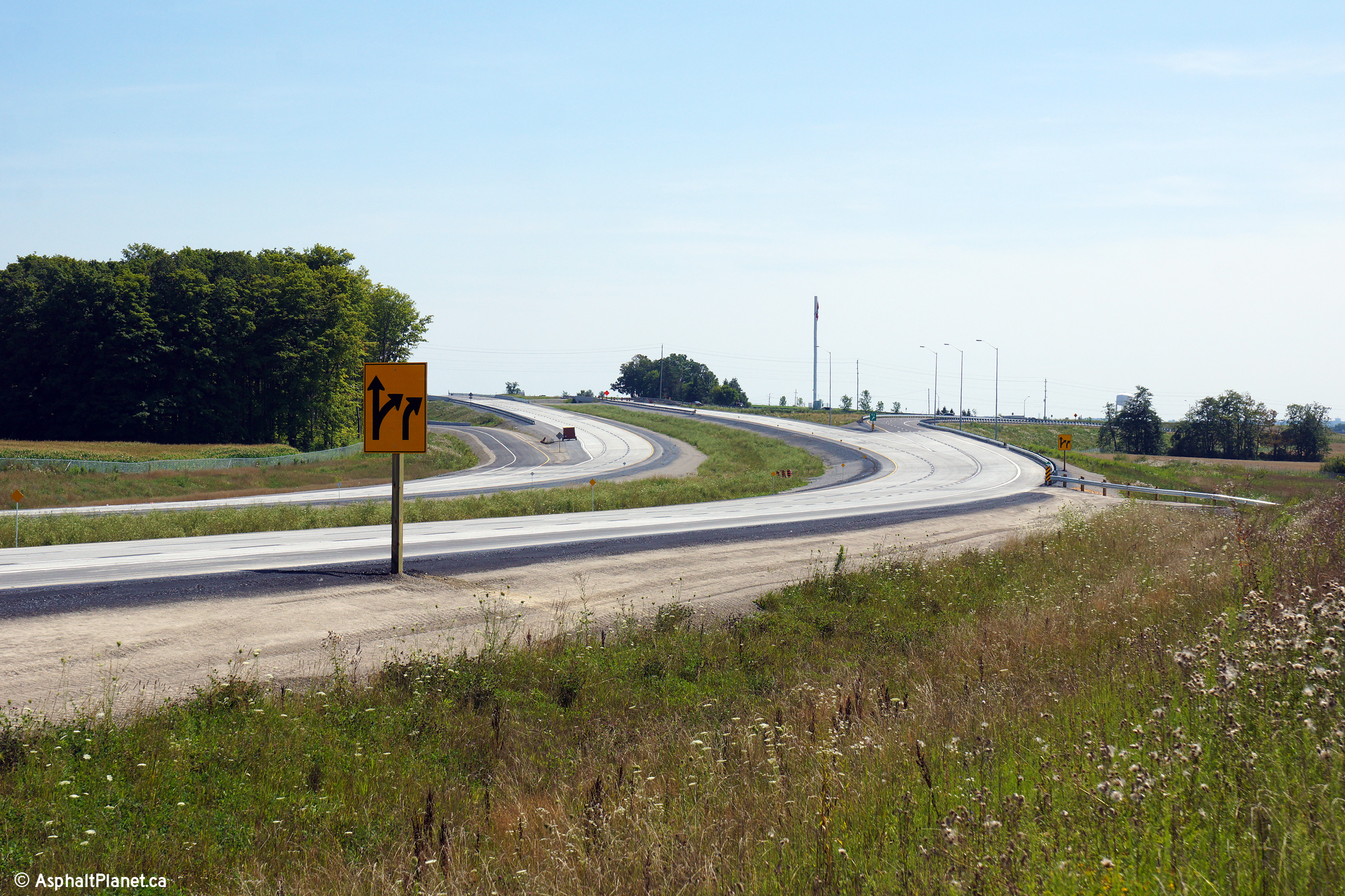
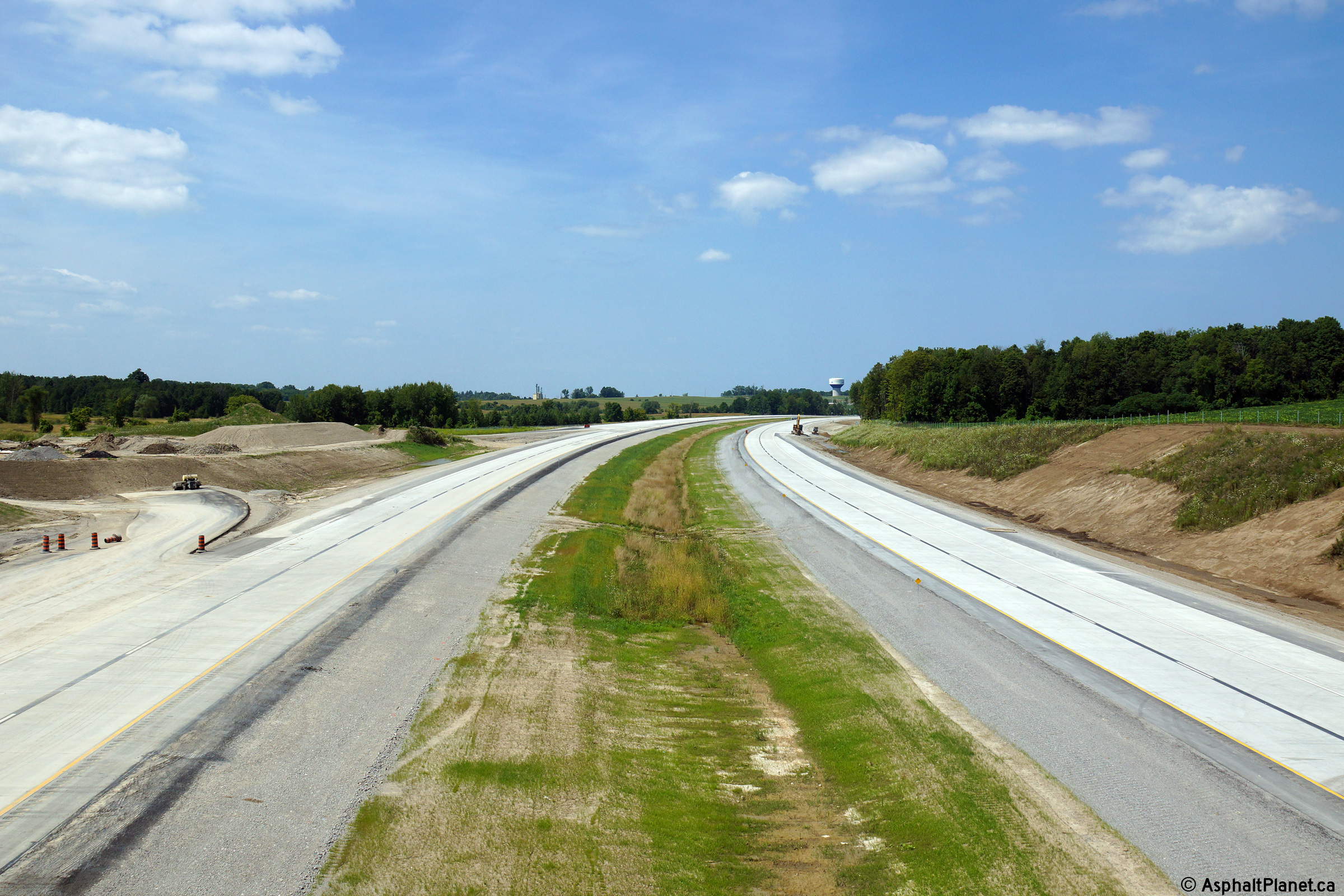
| Southbound advanced signage for the Queensville Sideroad interchange. | Signage advising southbound motorists of some of the services available at the Queensville Sideroad interchange. | Southerly view from just south of Holborn Road. The extension of Highway 404 was divided into two contracts. Work on the northern contract was further advanced then on the southern contract. | Broader view from the previous vantage point. |
 (720x480) (1440x960) (2400x1600) |
 (720x480) (1440x960) (2400x1600) |
 (720x480) (1440x960) (2400x1600) |
 (720x480) (1440x960) (2400x1600) |
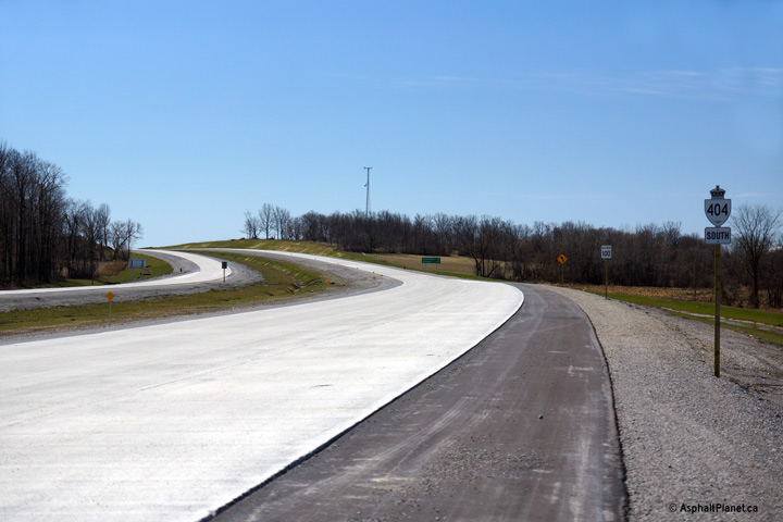
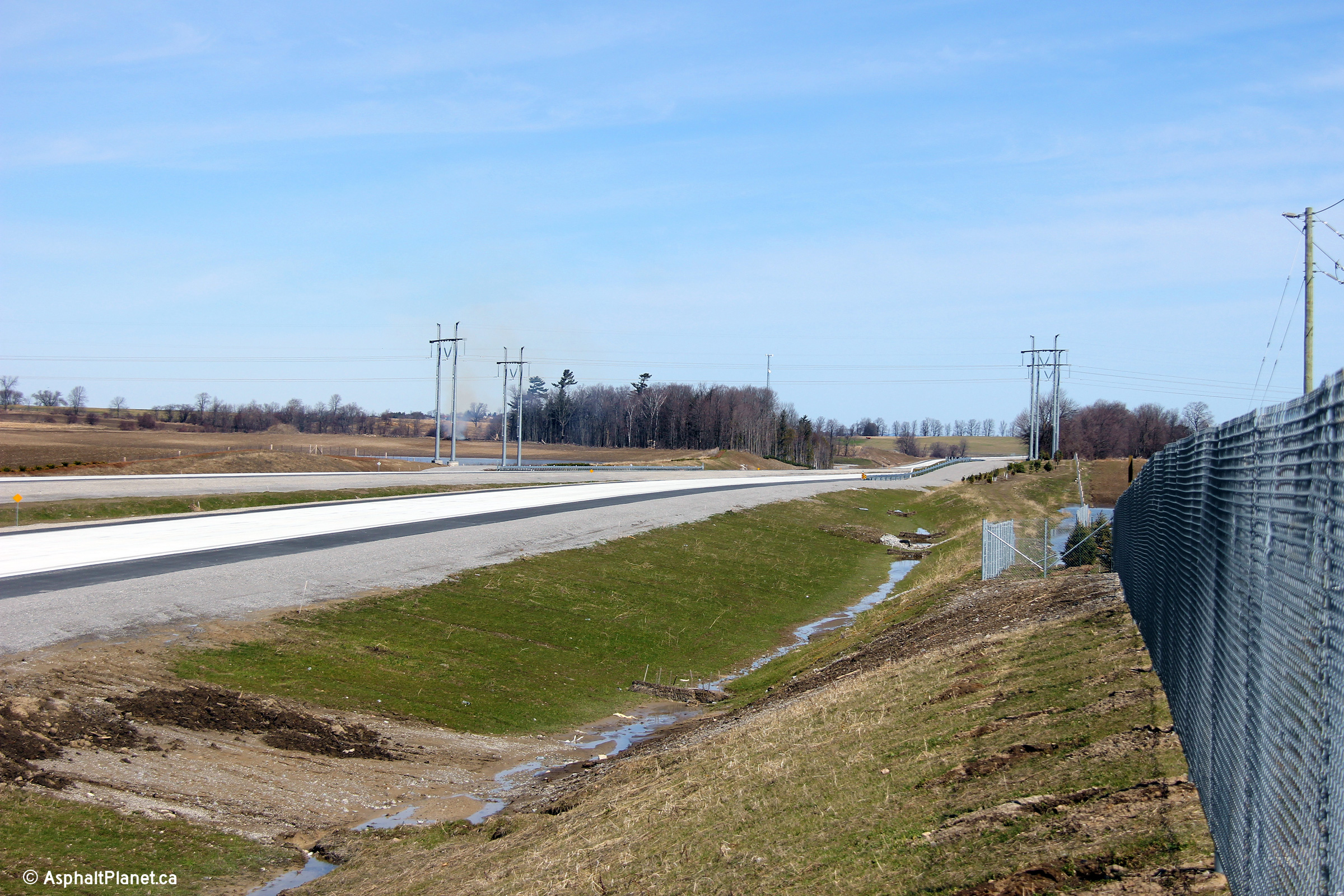
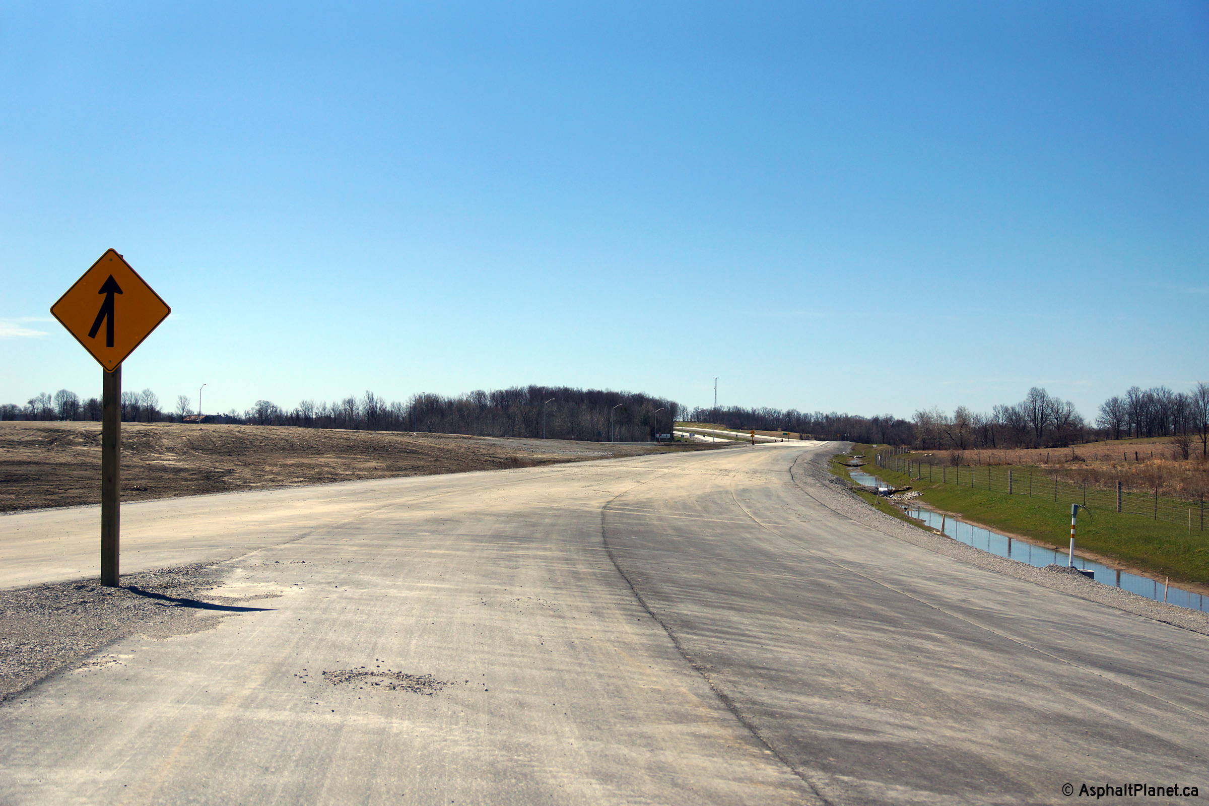
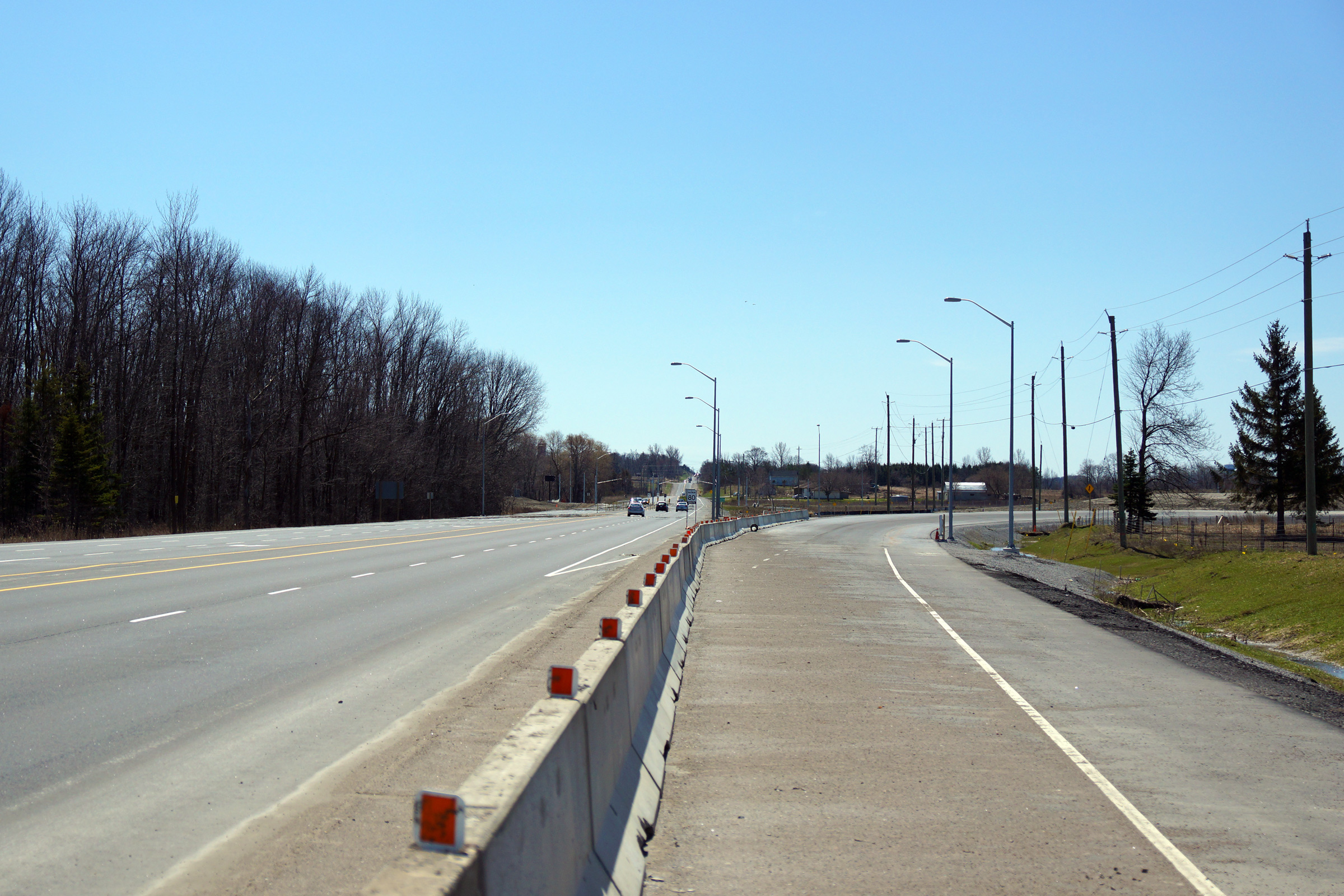
| Northerly view along Highway 404 from Holborn Road. Holburn Road was truncated on either side of Highway 404 when the extension was constructed. | Northerly view at a utility access about halfway between Holborn and Boag Roads. | Northerly view as Highway 404 begins to curve to the east towards Woodbine Avenue, south of Bag Road. | Southerly view from road level, just south of Boag Road. |
 (720x480) (1440x960) (2400x1600) |
 (720x480) (1440x960) (2400x1600) |
 (720x480) (1440x960) (2400x1600) |
 (720x480) (1440x960) (2400x1600) |
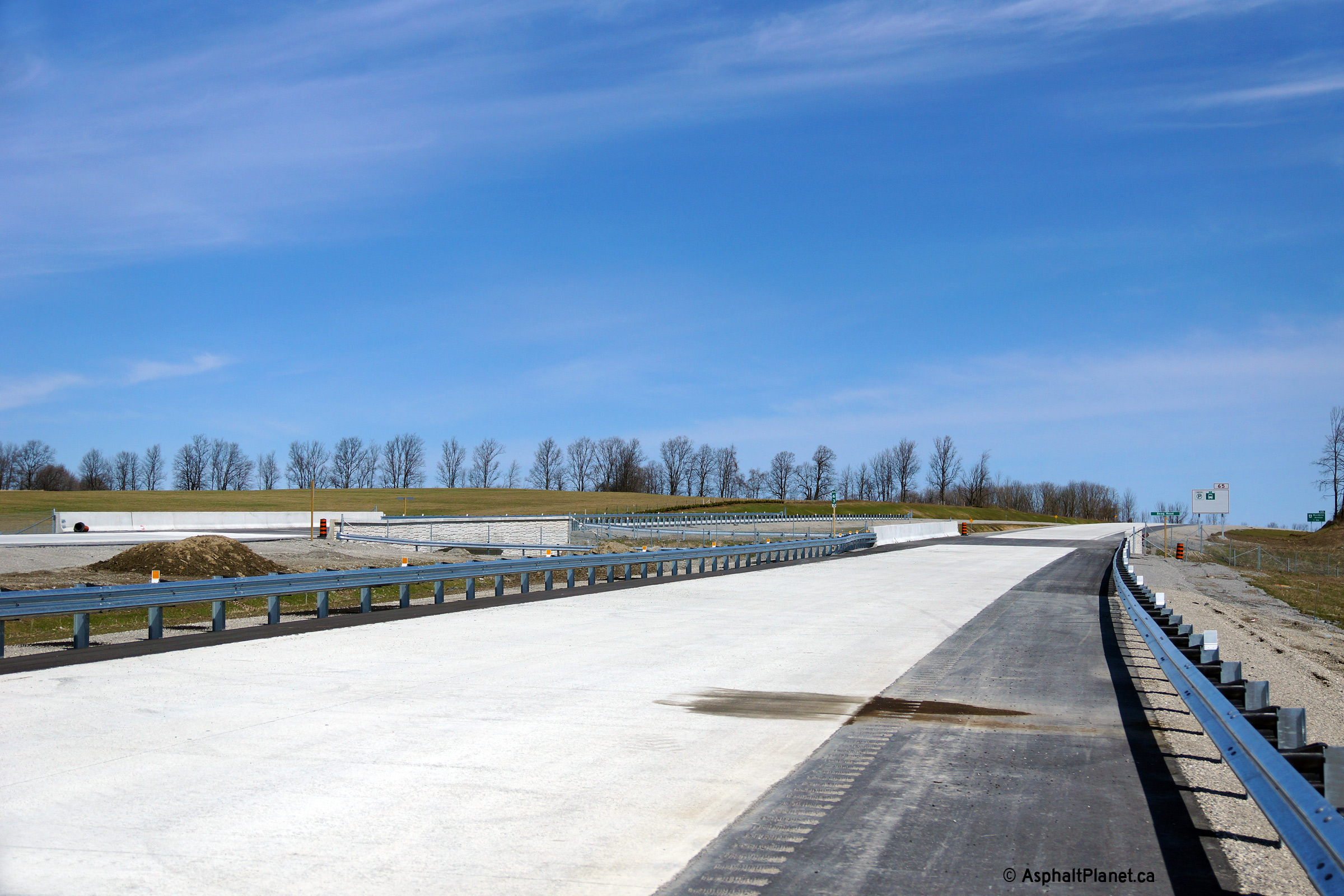
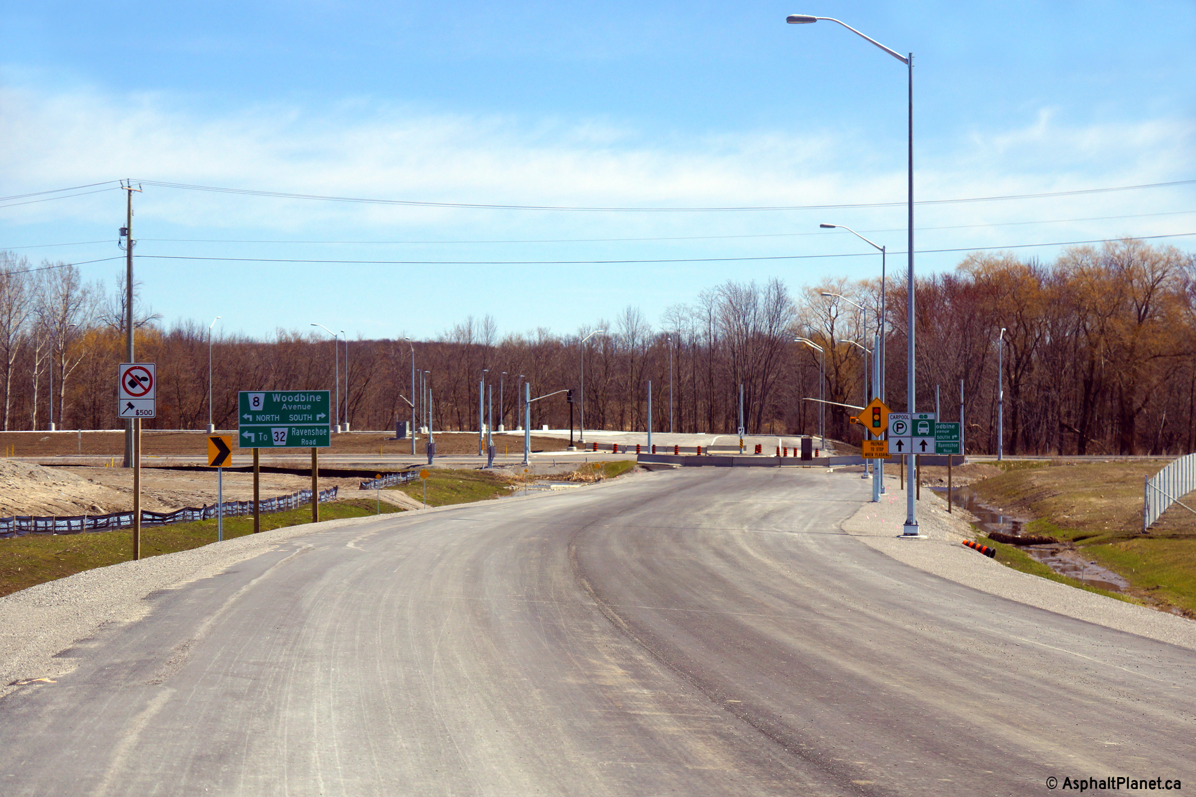
| Wide perspective of both northbound and southbound Boag Road underpasses from road level. | View looking northerly at the northbound Boag Road underpass. | Advanced signage for the northern junction with Woodbine Avenue. | Southerly view towards the Boag Road underpass. |
 (720x480) (1440x960) (2400x1600) |
 (720x480) (1440x960) (2400x1600) |
 (720x480) (1440x960) (2400x1600) |
 (720x480) (1440x960) (2400x1600) |
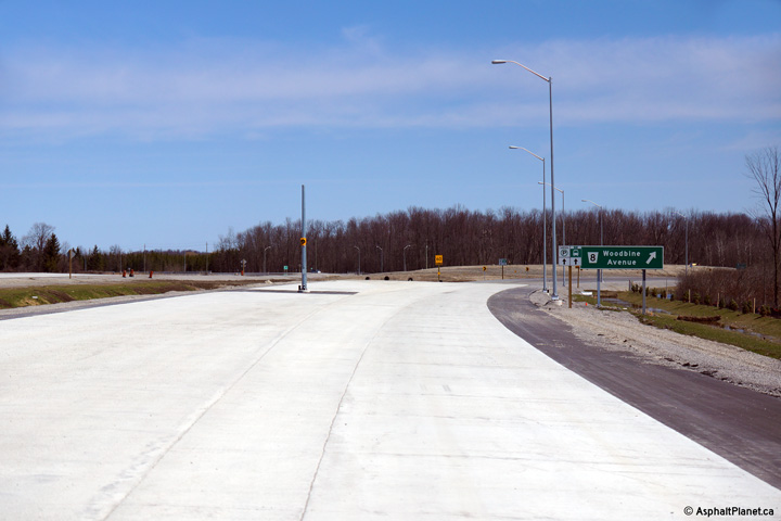
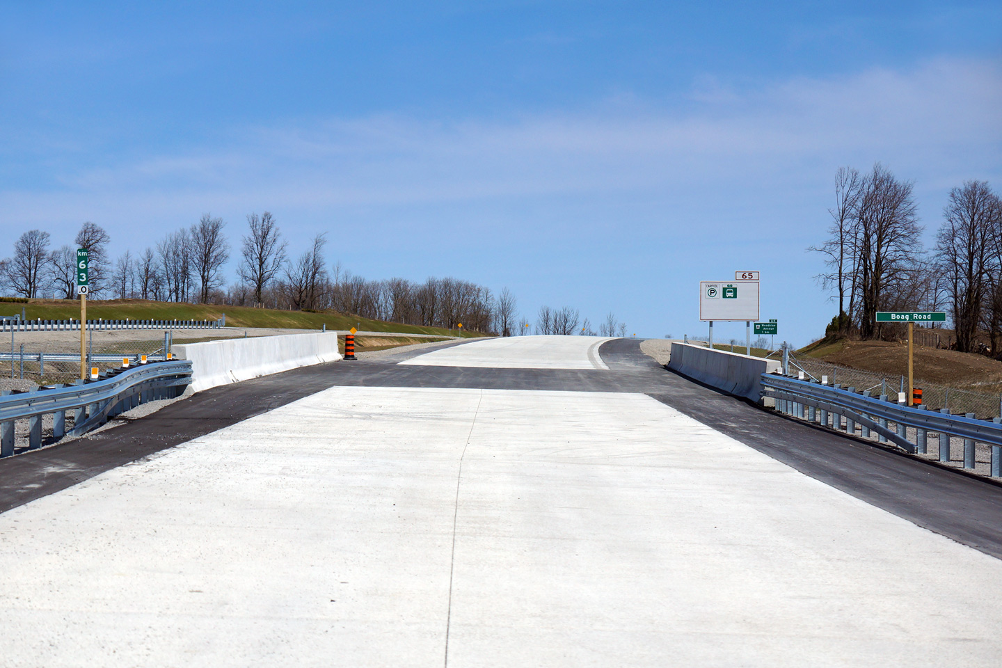
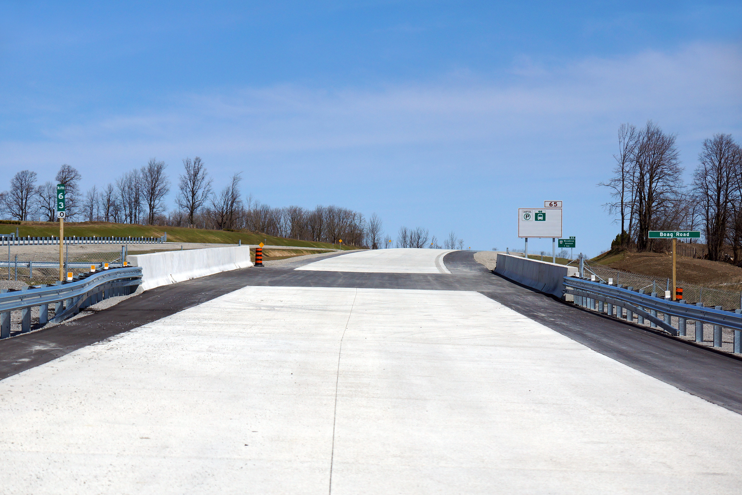
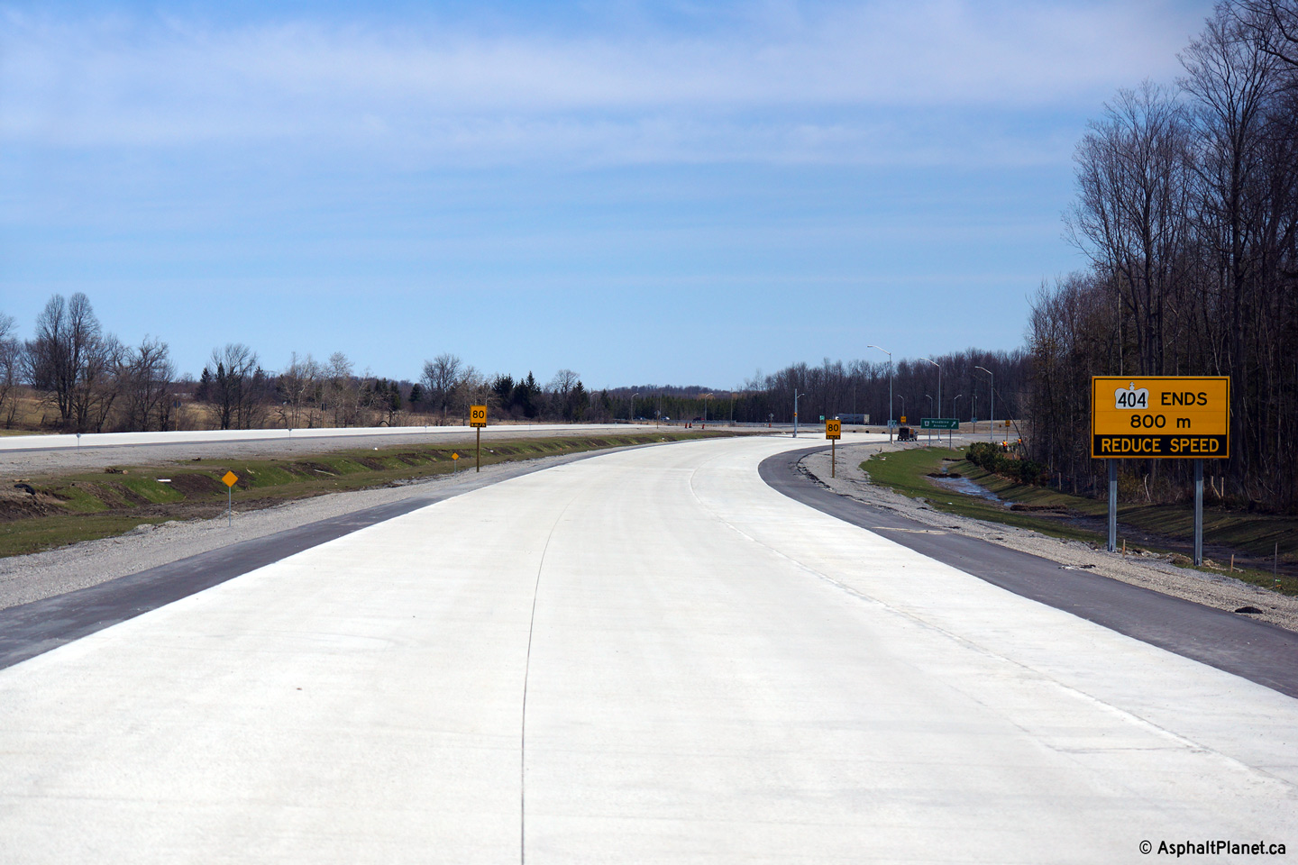
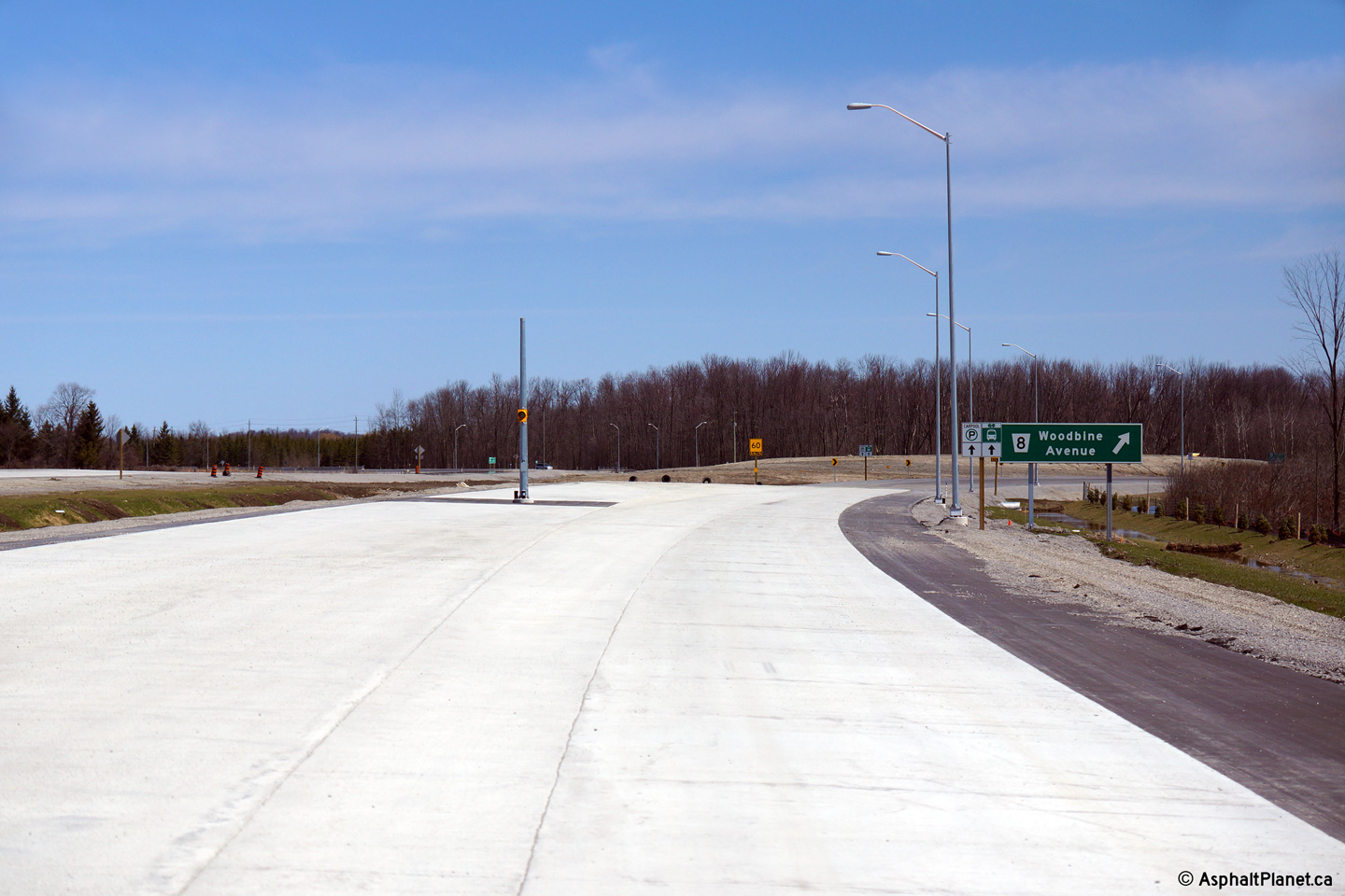
| View looking northerly from North of the Boag Road underpass towards the Woodbine Avenue intersection. | Zoomed in view towards the Woodbine Avenue intersection from the same location as the previous photo. | Signage advising future motorists of the impending terminus of Highway 404 at Woodbine Avenue. | View at the future northbound off-ramp to Woodbine Avenue. |
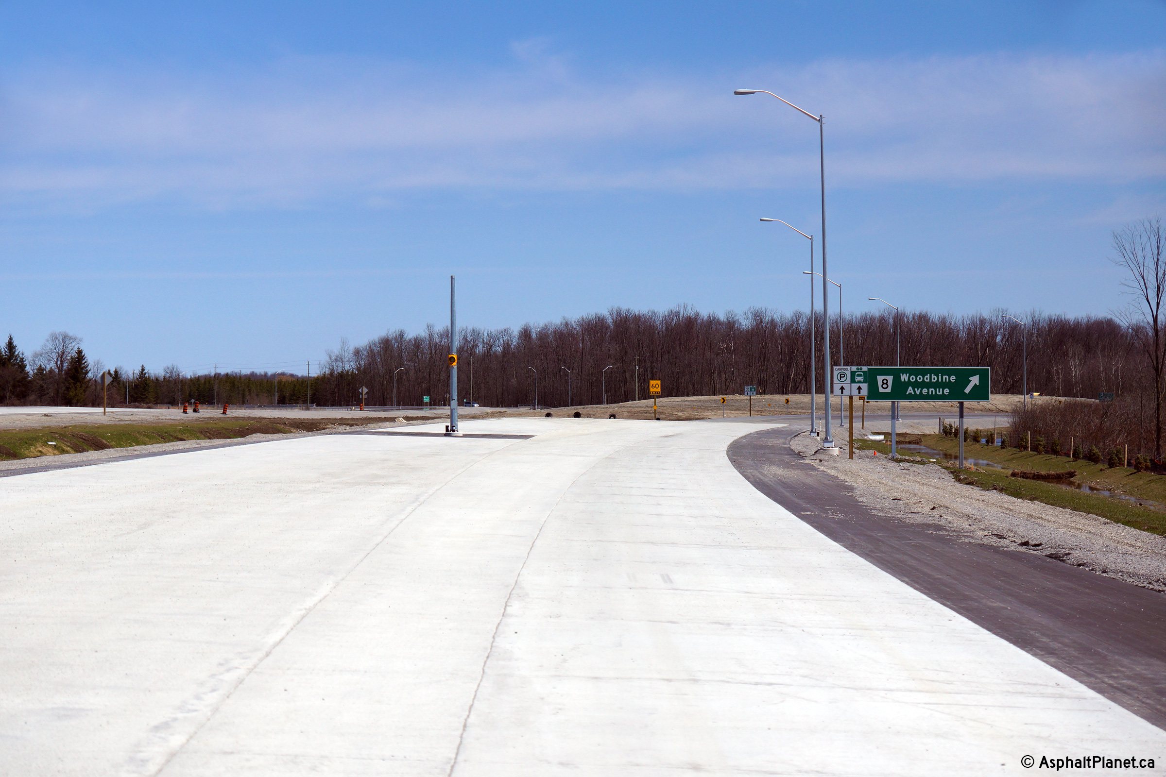
 (720x480) (1440x960) (2400x1600) |
 (720x480) (1440x960) (2400x1600) |
 (720x480) (1440x960) (2400x1600) |
 (720x480) (1440x960) (2400x1600) |
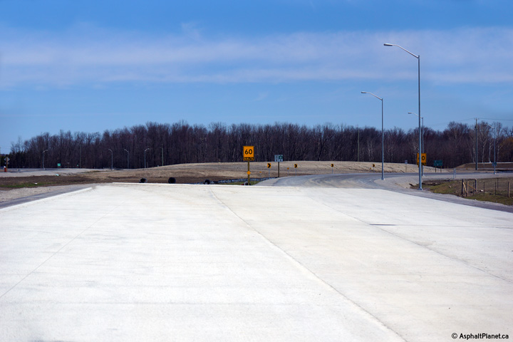
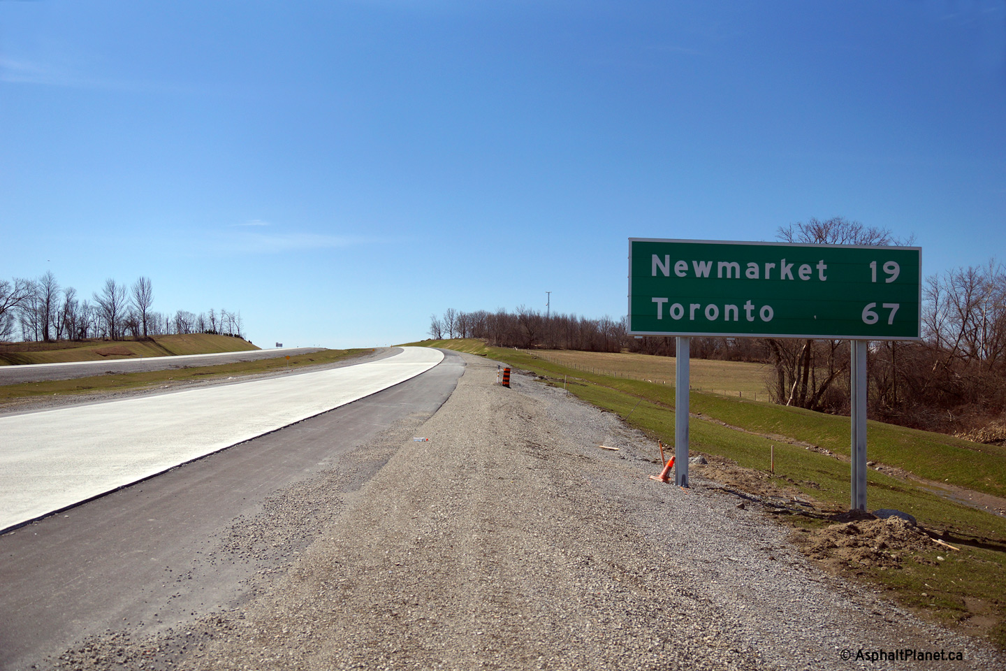
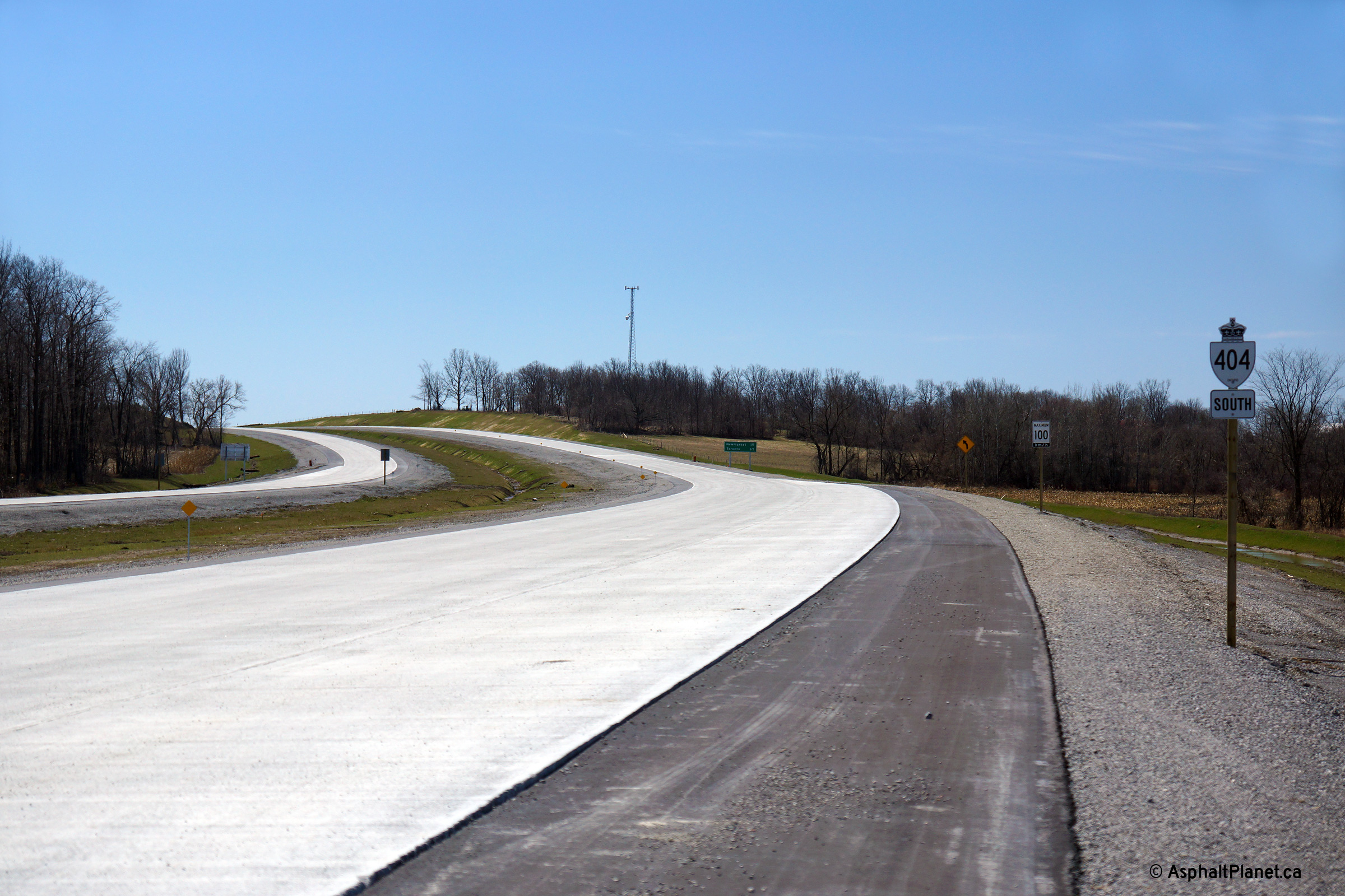
| Southbound distance signage along Highway 404. This is the only distance sign on the entire length of Highway 404. | Construction on the northern contract is so advanced that even the route markers have been erected along the new highway. | Southerly view from Woodbine Avenue towards the northern terminus of the divided highway. | View as the ramps from both directions of Woodbine Avenue converge to form the southbound lanes of the freeway. |
 (720x480) (1440x960) (2400x1600) |
 (720x480) (1440x960) (2400x1600) |
 (720x480) (1440x960) (2400x1600) |
 (720x480) (1440x960) (2400x1600) |
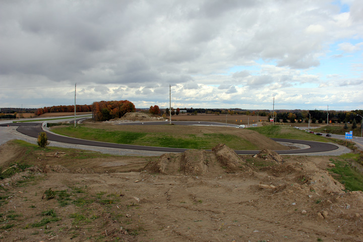
| Northerly view at the Woodbine Avenue off-ramp. A stub for an as of now conceptual future highway extension has been constructed. | Northbound view approaching the traffic signals with Woodbine Avenue. A carpool lot has been constructed opposite the ramp terminal. | Northerly view along Woodbine Avenue approaching the Ravenshoe Road intersection. | Southerly view along Woodbine Avenue at the two-lane off-ramp to Highway 404 South. |
| Photos taken: July 29th, 2014 | |||
 (720x480) (1440x960) (2400x1600) |
 (720x480) (1440x960) (2400x1600) |
 (720x480) (1440x960) (2400x1600) |
 (720x480) (1440x960) (2400x1600) |
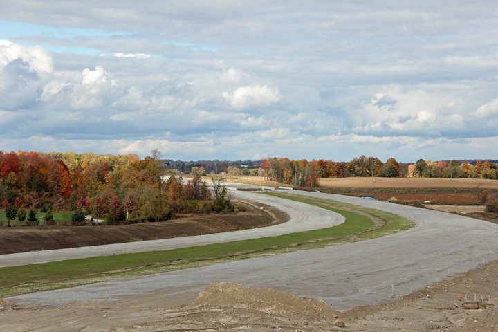
| Centralized southerly view of Highway 404 from the Queensville Sideroad overpass. | Zoomed in perspective looking southerly from the Queensville Sideroad overpass. | An additional southerly view overtop of the southbound lanes from the Queensville Sideroad overpass. | Northerly view from the Queensville Sideroad overpass. |
 (720x480) (1440x960) (2400x1600) |
 (720x480) (1440x960) |
||
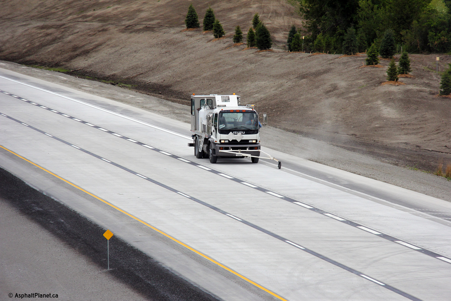
| Zoomed in view looking northerly from the Queensville Sideroad overpass. | Line painting ongoing on Highway 404 in the vicinity of the Queensville Sideroad overpass. | ||
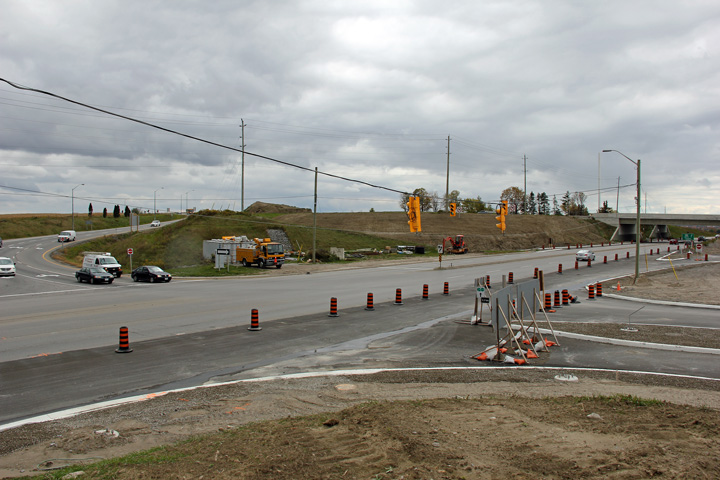
| Photos taken: August 10th, 2014 | |||
 (720x480) (1440x960) (2400x1600) |
 (720x480) (1440x960) (2400x1600) |
 (720x480) (1440x960) (2400x1600) |
 (720x480) (1440x960) (2400x1600) |
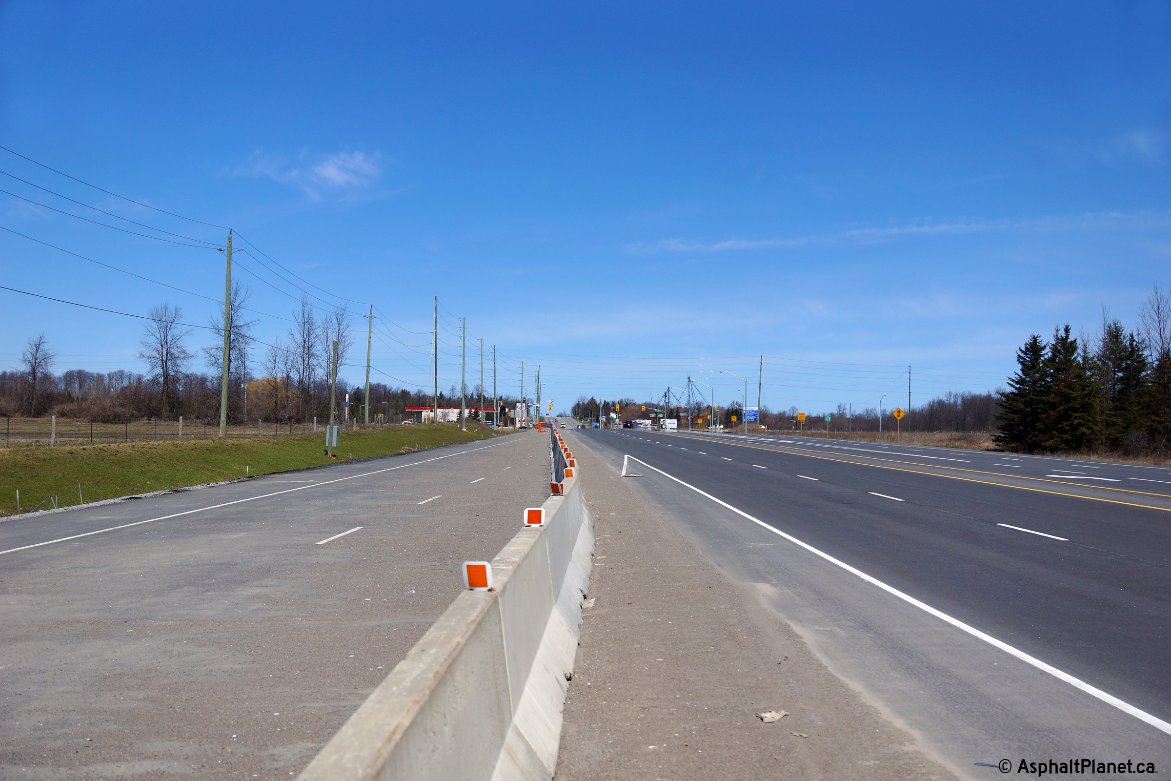
| Southerly view approaching the Green Lane underpasses. | Northerly view along the future southbound lanes at the Green Lane interchange. | The southbound off-ramp to Green Lane will have two exiting lanes. | Southerly view at the Green Lane interchange. The turn-off sign had yet to be erected when this photo was taken. |
 (720x480) (1440x960) (2400x1600) |
 (720x480) (1440x960) (2400x1600) |
 (720x480) (1440x960) (2400x1600) |
 (720x480) (1440x960) (2400x1600) |
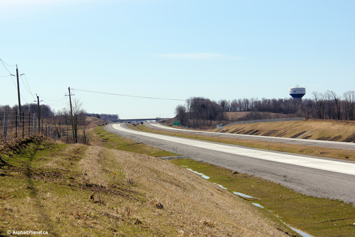
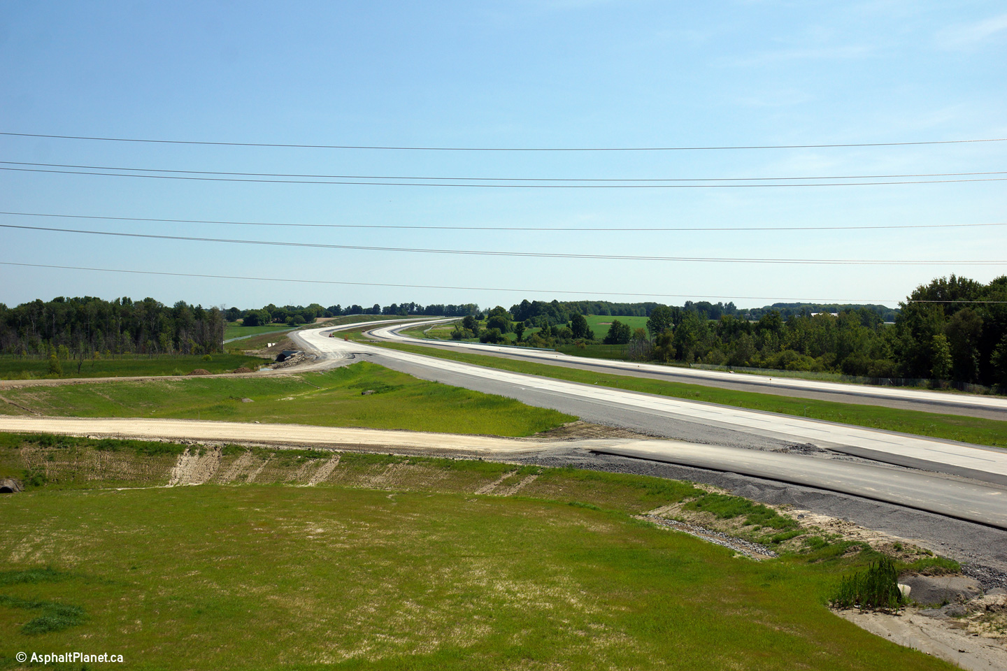
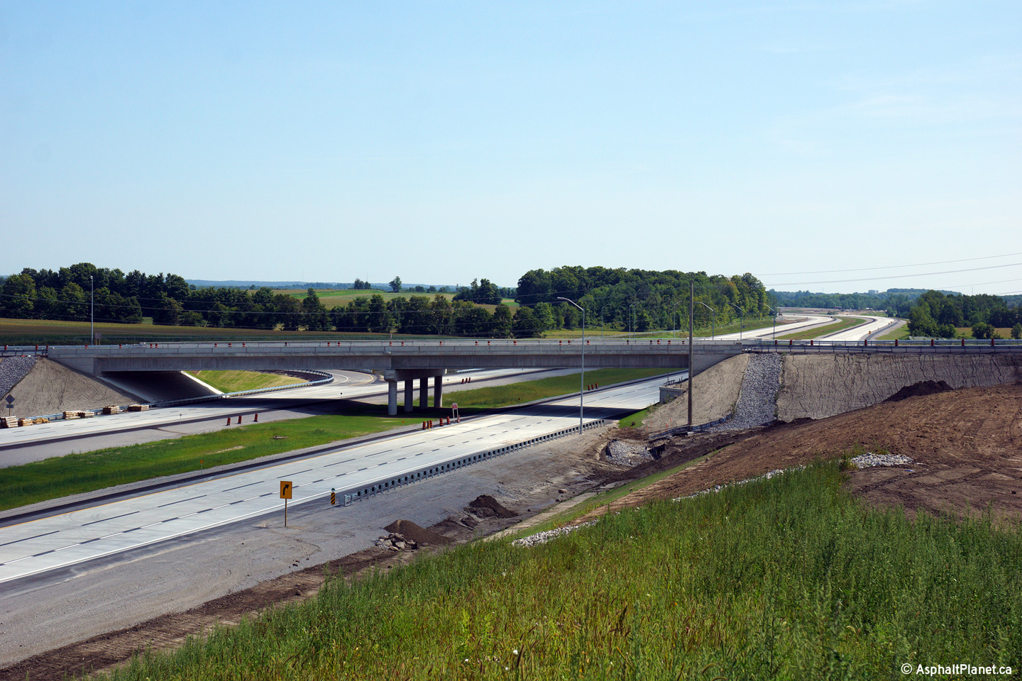
| Southern side of the Doane Road overpass. | Southerly view from Doane Road. Advanced grading works were completed for the Doane Road interchange, though the interchange will not be completed for several years. | Southerly view from the Doane Road overpass. | Northerly view from the Doane Road overpass. |
 (720x480) (1440x960) (2400x1600) |
 (720x480) (1440x960) (2400x1600) |
 (720x480) (1440x960) (2400x1600) |
 (720x480) (1440x960) (2400x1600) |
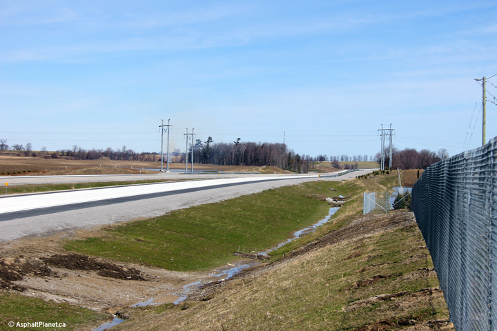
| Southerly view from the Queensville Sideroad overpass. | Northerly view from the Queensville Sideroad overpass. | Looking southerly towards the Queensville Sideroad overpass. | Broader view of the previous photo. |
Copyright (c) 2004-2014, AsphaltPlanet.ca AsphaltPlanet@asphaltplanet.ca


