AsphaltPlanet.ca > OntHighways >
Highway 403 > Images
> Page 2
King's Highway 403 - Images
<- Page 1 Page 2 - Brantford to Hamilton Page 3->
Photos shown in this table are arranged from West to East:
| Proper Municipality Name | Photo Description | Photo | |
|
Pictures taken from driver's perspective appear offset from centre-line pictures: |
East- bound |
West- bound |
|
| Continued from Woodstock to Brantford Images | |||
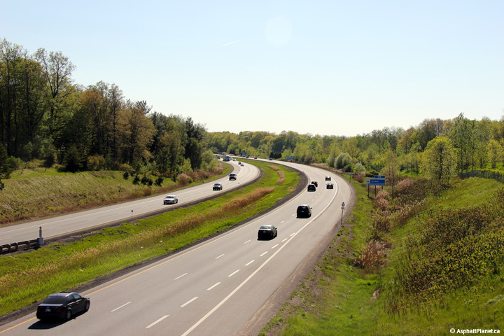
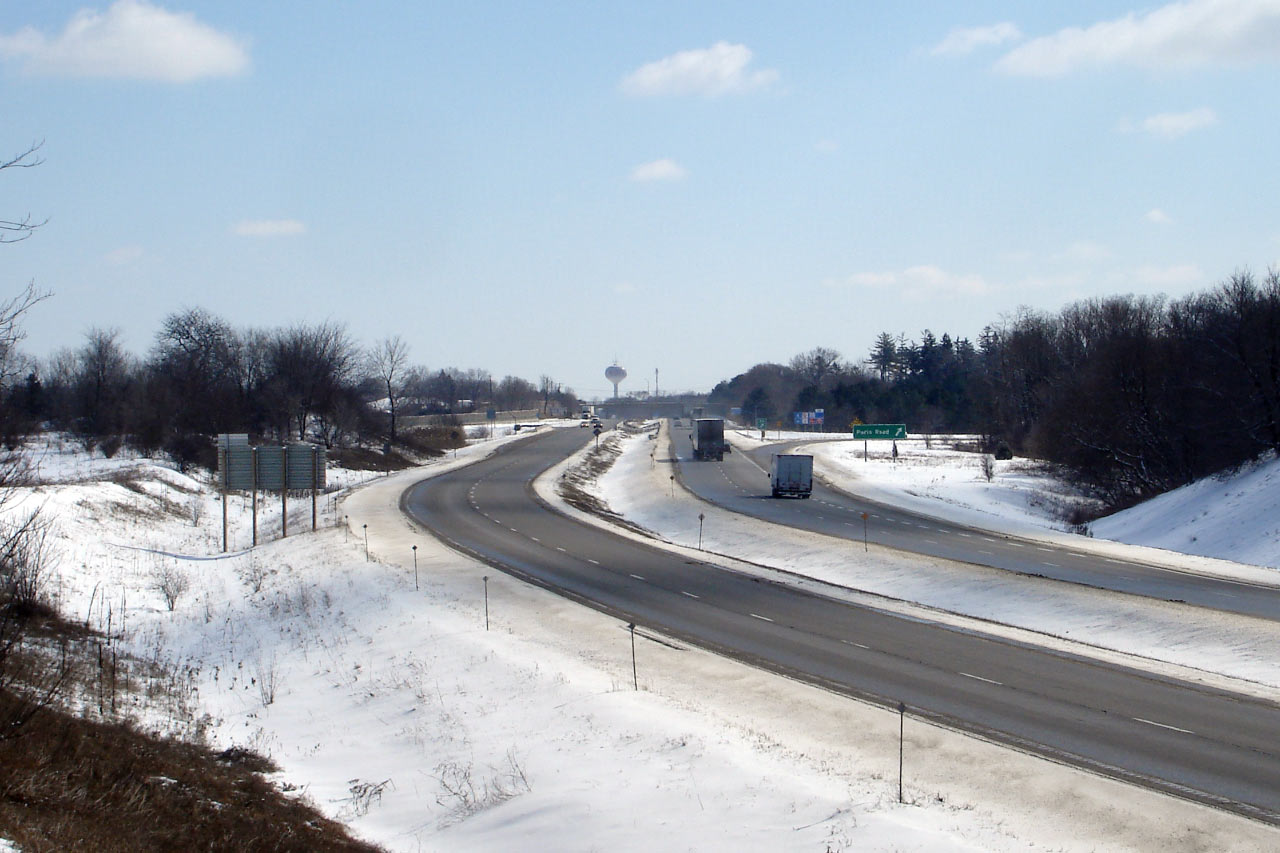
| City of Brant County |
Wintery view looking east towards the Paris Road interchange in Brantford
from the CN mainline crossing. Photo taken: March 9th, 2007. Low-res: 55kb. High-res: 155kb. |
 |
|
| City of Brant County |
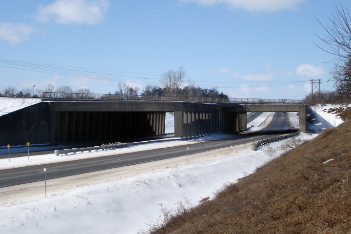
The CN bridge is of a unique design. This view looks west. Photo taken: March 9th, 2007. Low-res: 60kb. High-res: 175kb. |
 |
|
| Paris Road is part of the former Highway 2, and is a b-line between Brantford and Paris at this interchange. Click here for Highway 2 images. | |||
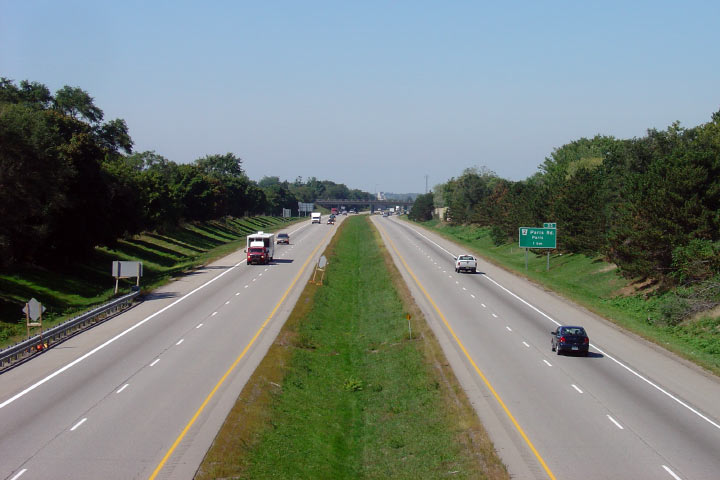
| City of Brantford |
Looking west towards the Paris Road (Highway 2) interchange from Ewing
Drive. Picture taken: September 14th, 2007. Low-res: 60kb. High-res: 170kb. |
 |
|
| City of Brantford |
Looking east from Ewing Drive in Brantford. Picture taken: September 14th, 2007. Low-res: 55kb. High-res: 170kb. |
 |
|
| City of Brantford |
Westerly view from the Toll Gate Road overpass. Picture taken: September 14th, 2007. Low-res: 60kb. High-res: 170kb. |
 |
|
| City of Brantford |
Looking east towards the King George Road interchange from Toll Gate Road. Picture taken: September 14th, 2007. Low-res: 60kb. High-res: 180kb. |
 |
|
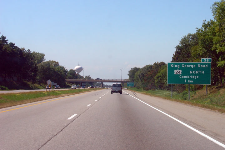
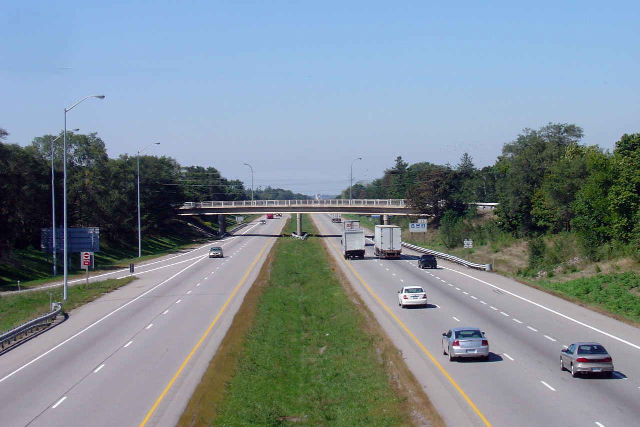
| City of Brantford |
View looking west from King George Road. King George Road is the main
artery into Historic Downtown Brantford from the north; it also carries the
Highway 24 designation. Picture taken: September 14th, 2007. Low-res: 60kb. High-res: 175kb. |
 |
|
| North of Highway 403, Highway 24 continues to Cambridge and beyond. Click here for Highway 24 images. | |||
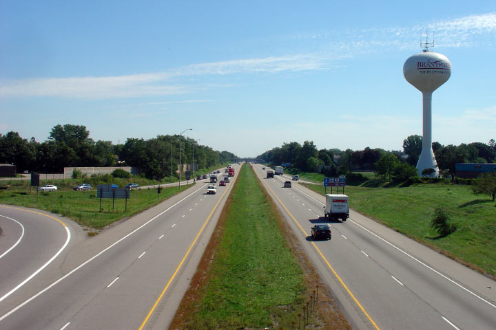
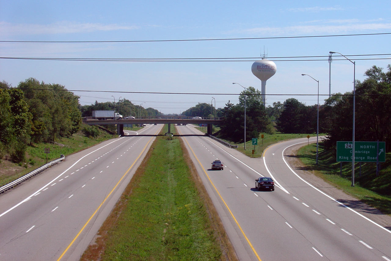
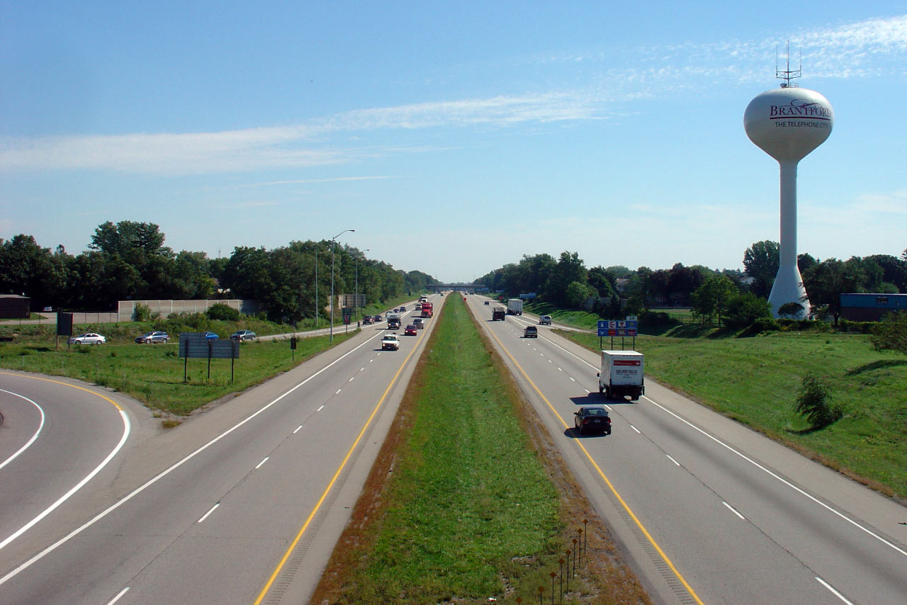
| City of Brantford |
Looking east from King George Road. Brantford's water tower proclaims
the community as the "Telephone City" commemorating the home of the famous
Alexander Graham Bell. Picture taken: September 14th, 2007. Low-res: 60kb. High-res: 175kb. |
 |
|
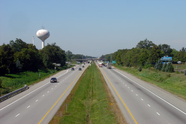
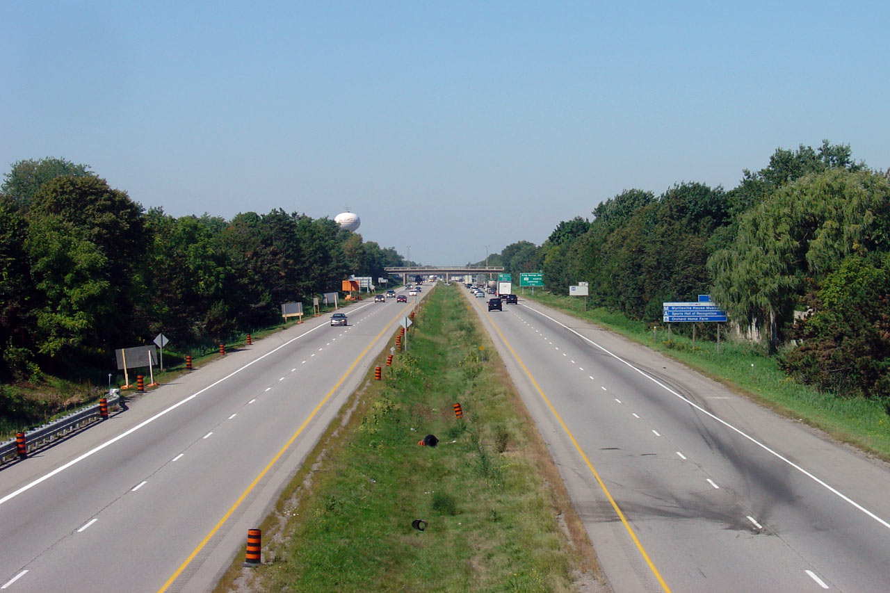
| City of Brantford |
View looking west from Brantford's North Park Street overpass. Picture taken: September 14th, 2007. Low-res: 55kb. High-res: 165kb. |
 |
|
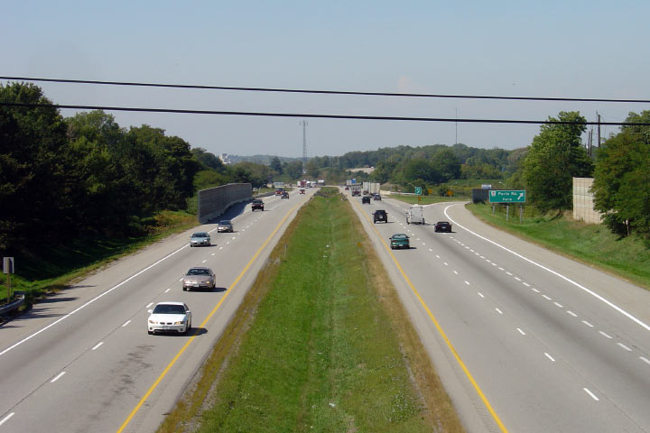
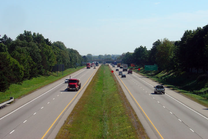
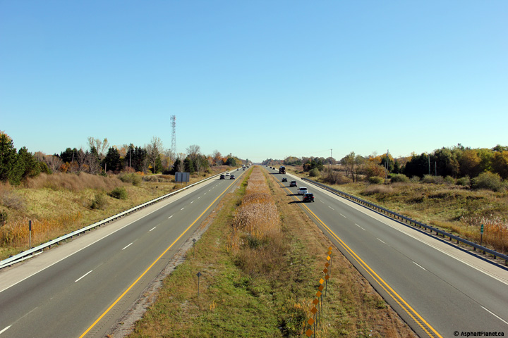
| City of Brantford |
Easterly view. There isn't much to the grass median separating
opposing carriageways through the City. Picture taken: September 14th, 2007. Low-res: 60kb. High-res: 180kb. |
 |
|
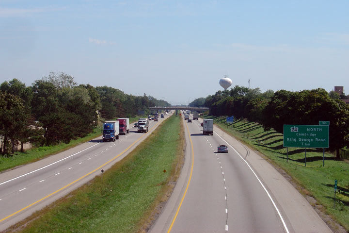
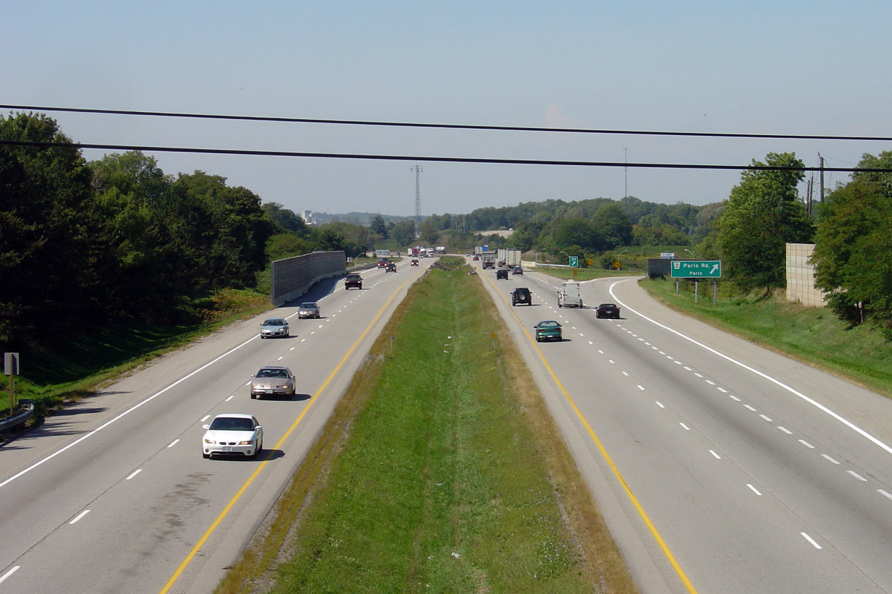
| City of Brantford |
Advanced signage for the Highway 24 north interchange. Highway 24
piggybacks along Highway 403 between this interchange and Rest Acres Road,
south of Paris. Picture taken: September 14th, 2007. Low-res: 50kb. |
 |
|
| City of Brantford |
View looking west from Brantford's West Street. Picture taken: September 14th, 2007. Low-res: 65kb. High-res: 190kb. |
 |
|
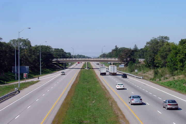
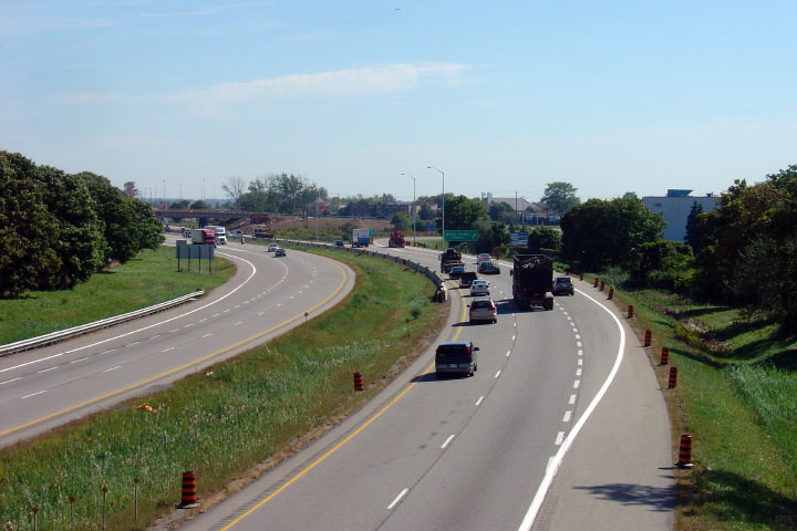
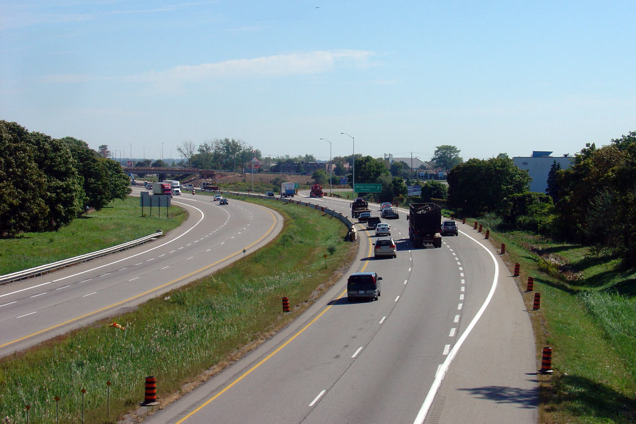
| City of Brantford |
Easterly view. When this photo was taken, there was construction
activity at the Wayne Gretzky Parkway overpass -- a new structure was placed
beside the existing overpass for a trail facility. Picture taken: September 14th, 2007. Low-res: 65kb. High-res: 195kb. |
 |
|
| City of Brantford |
During the summer of 2008, a pedestrian facility was added immediately west
of the existing Wayne Gretzky Drive overpass in Brantford. Previously,
pedestrian traffic was not accommodated along Wayne Gretzky Drive at Highway
403. This view looks westerly along Highway 403 from the newly
constructed pedestrian overpass. Photo taken: October 17th, 2008. |
 |
|
| City of Brantford |
This view looks easterly from the Wayne Gretzky Pedestrian overpass towards
Highway 403. As is evident from the photo, the classic 1960s era
railings have yet to be replaced on the Wayne Gretzky overpass. Photo taken: October 17th, 2008. |
 |
|
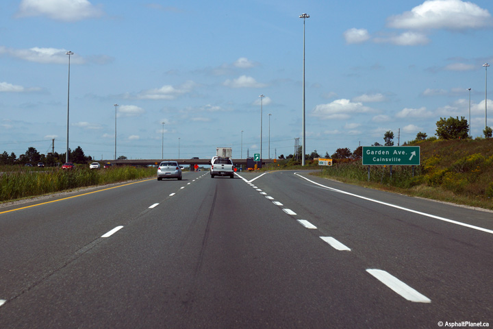
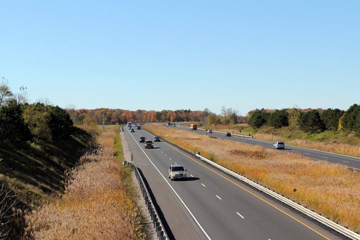
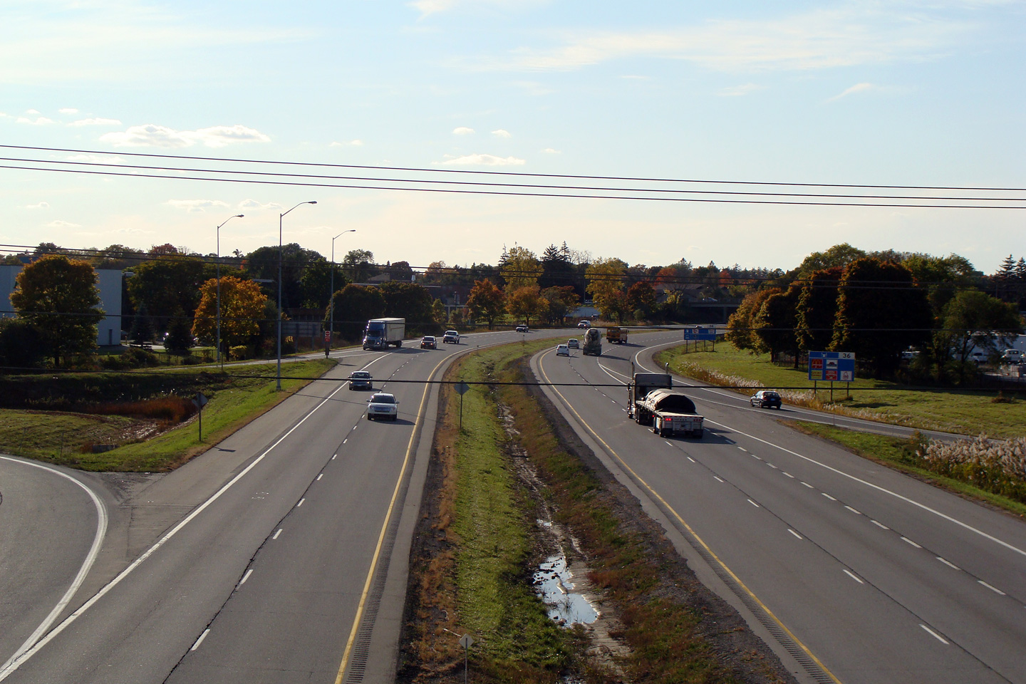
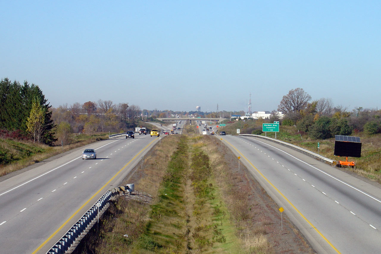
| City of Brantford |
View looking west from Garden Avenue, at the eastern end of Brantford.
Before 1997 Garden Avenue carried the Highway 403 designation south of this
interchange to Highway 2, 53 and 54. Take notice of the elongated
pavement striping that has been applied to the eastbound lanes. A test
splatter application has been applied directly adjacent to a more
conventional line marking technique. To summarize from the road talk
article listed above, splatter paints offer increased visibility and
durability due to the markings uneven, three dimensional texture.
Conventional waterborne paint has also been added to both the interior and
external
rumble strips to test reflectivity of paint on a textured surface. Photo taken: October 16th, 2010. |
(720x480) (1440x960) (2400x1600)
|
|
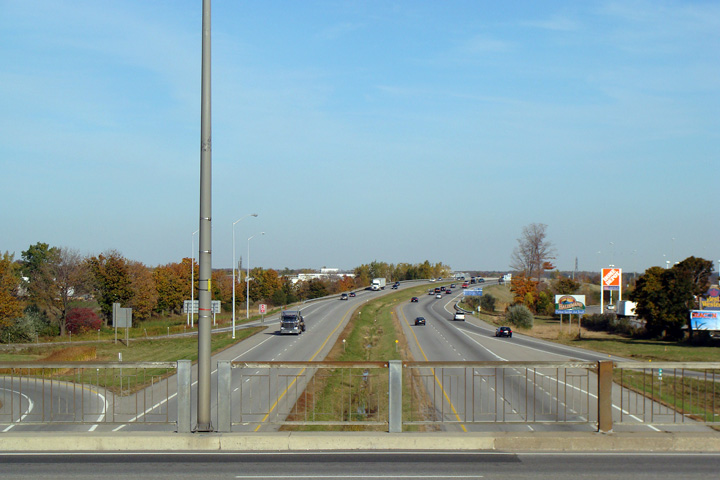
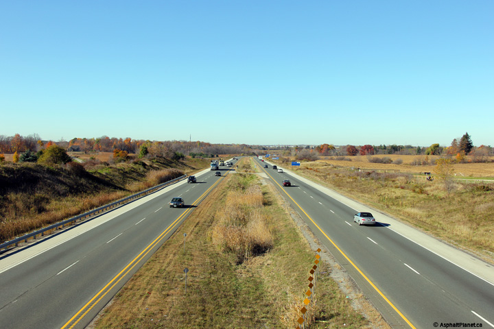
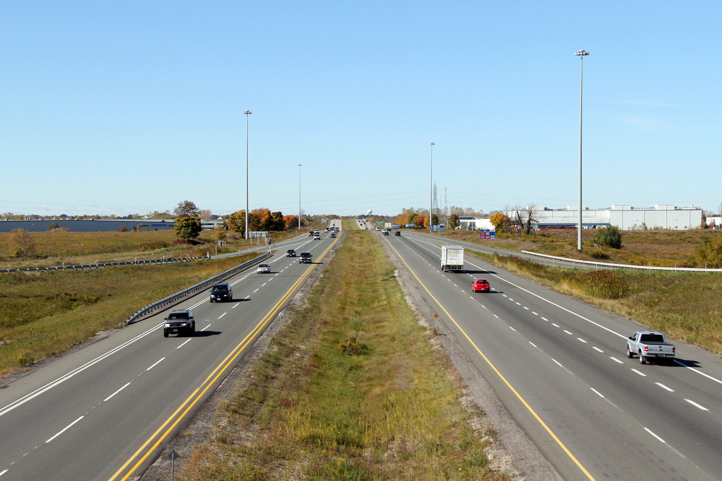
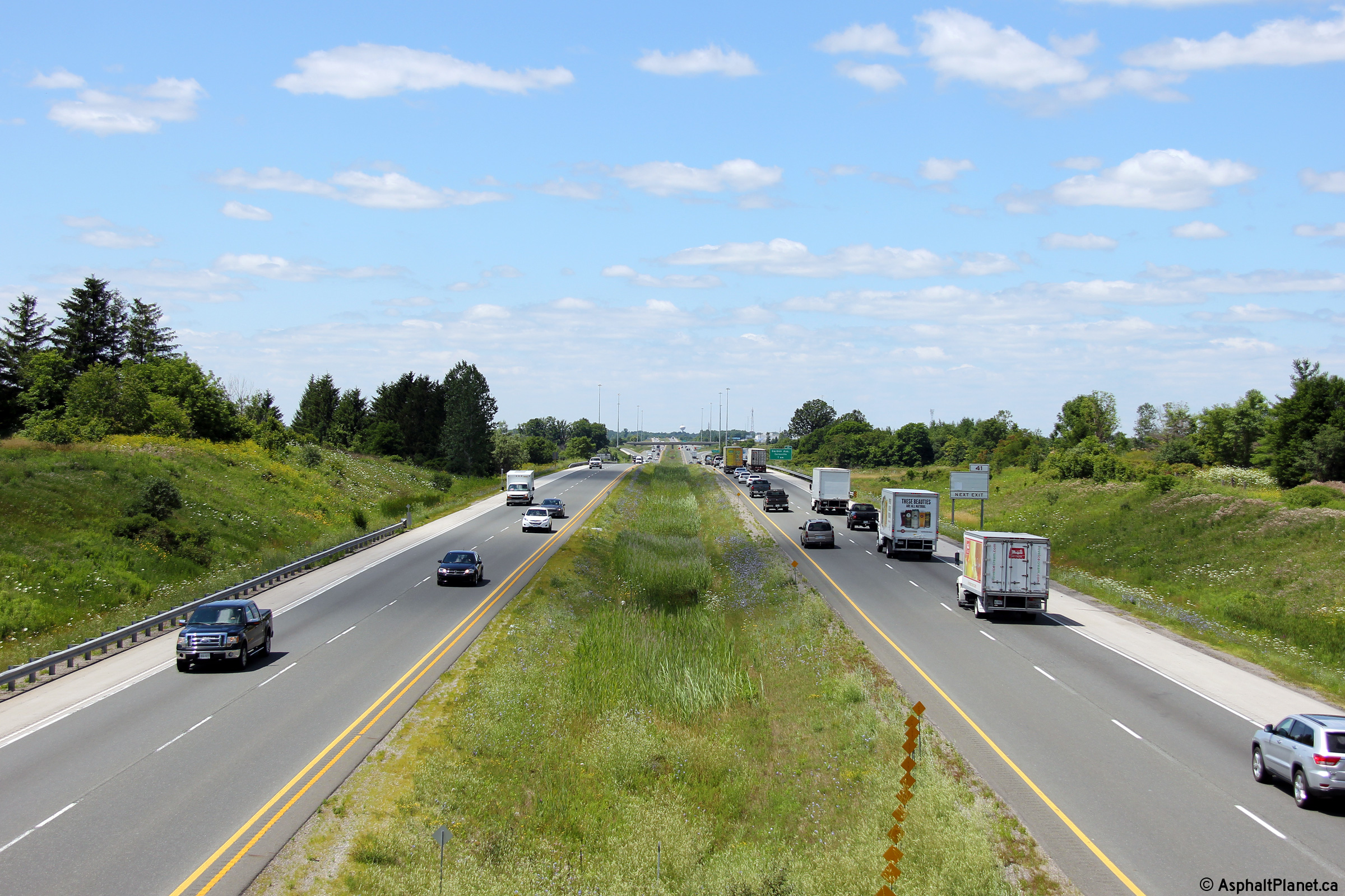
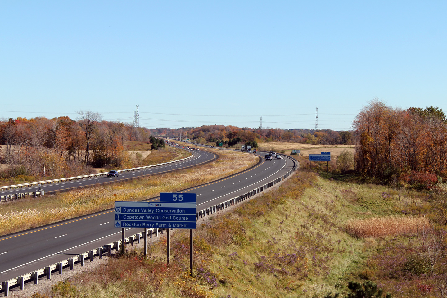
| City of Brant County |
Looking east along the newest stretch of Highway 403. Photo taken: October 16th, 2010. |
|
|
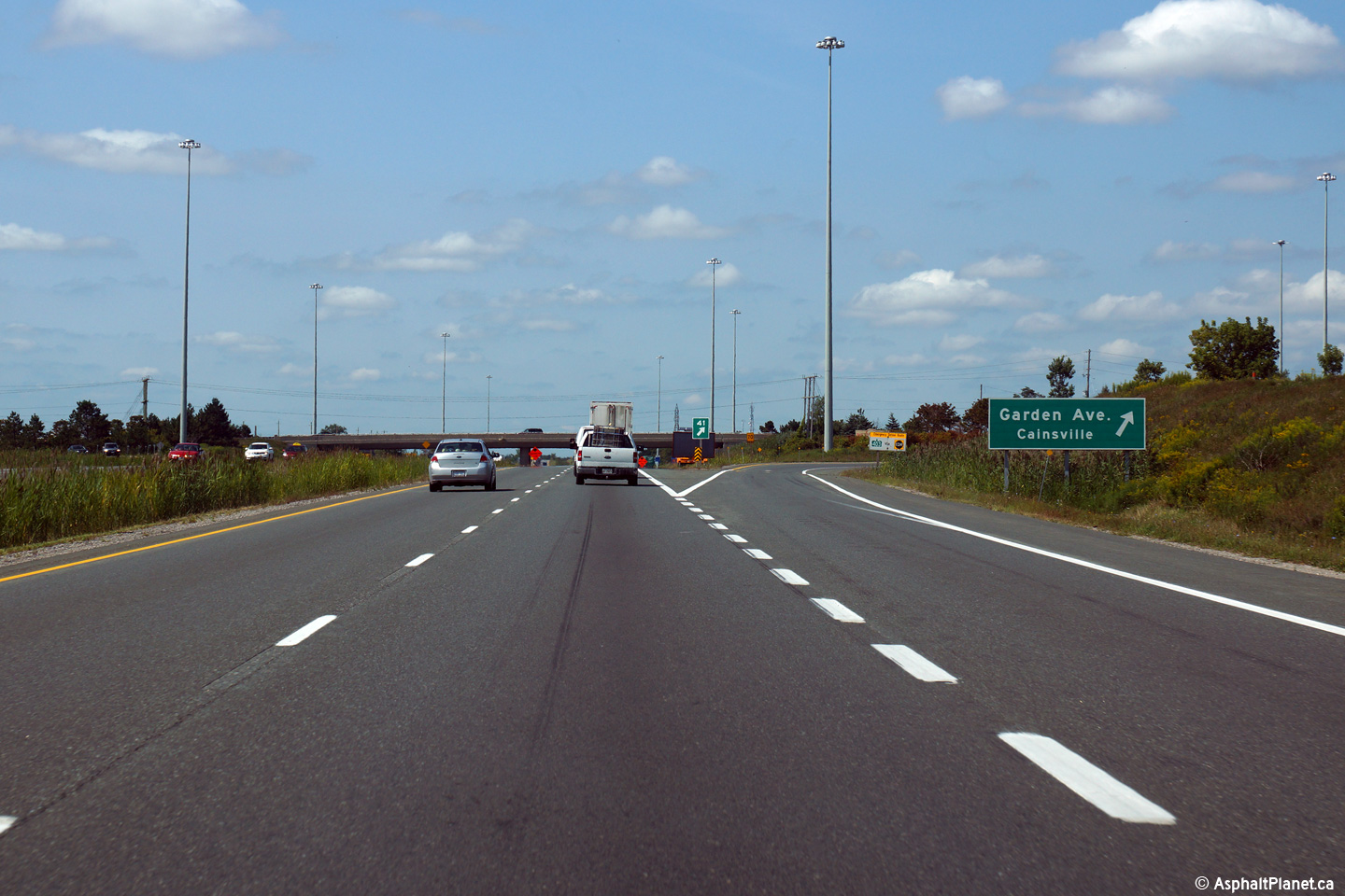
| City of Brant County |
Westbound signage at the off-ramp to Garden Avenue. Photo taken: August 31st, 2015. |
 (720x480) (720x480)(1440x960) (2400x1600) |
|
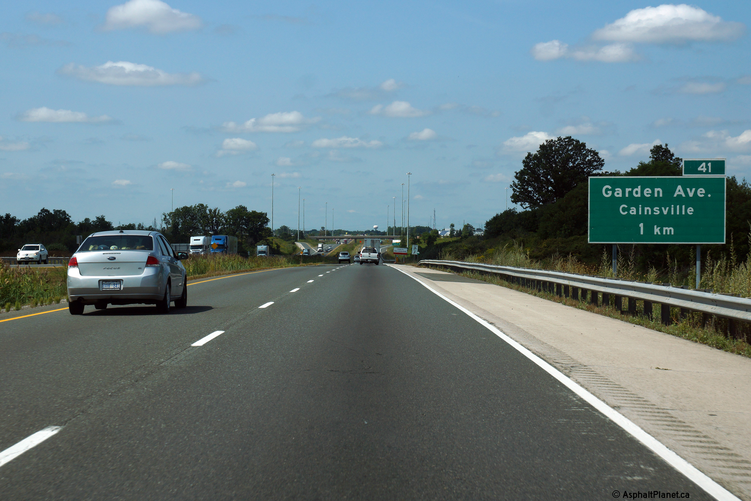
| City of Brant County |
Advanced signage for the Garden Avenue interchange. Photo taken: August 31st, 2015. |
 (720x480) (720x480)(1440x960) (2400x1600) |
|
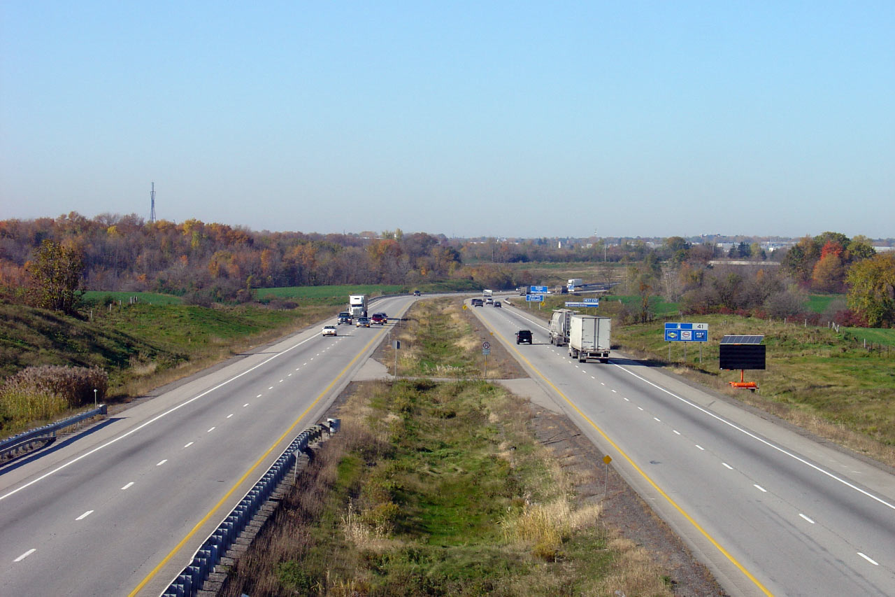
| City of Brant County |
Looking west from Johnson Road. Click
here for this same view taken
in October, 2005. Photo taken: July 14th, 2014. |
 (720x480) (1440x960) (2400x1600) |
|
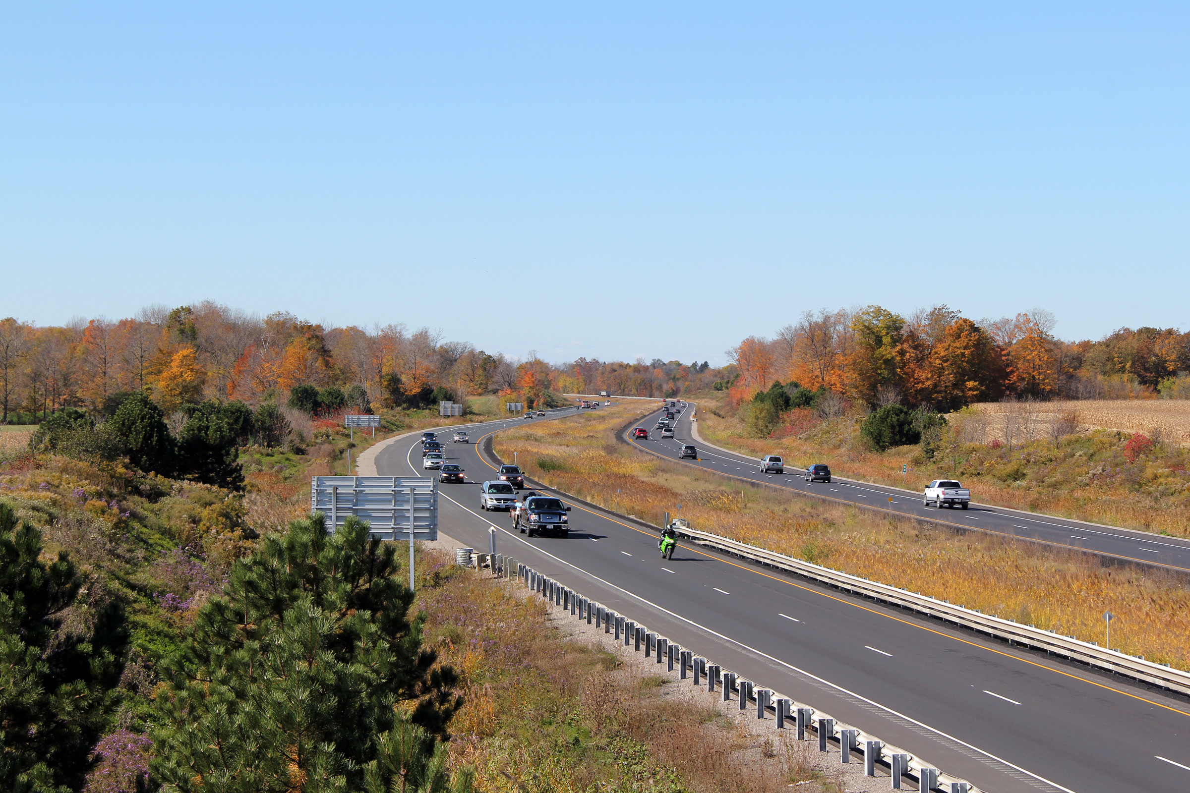
| City of Brant County |
Easterly view of Highway 403 crossing a small creek from the Johnson Road
overpass. Click
here for this same view taken
in October, 2005. Photo taken: July 14th, 2014. |
 (720x480) (1440x960) (2400x1600) |
|
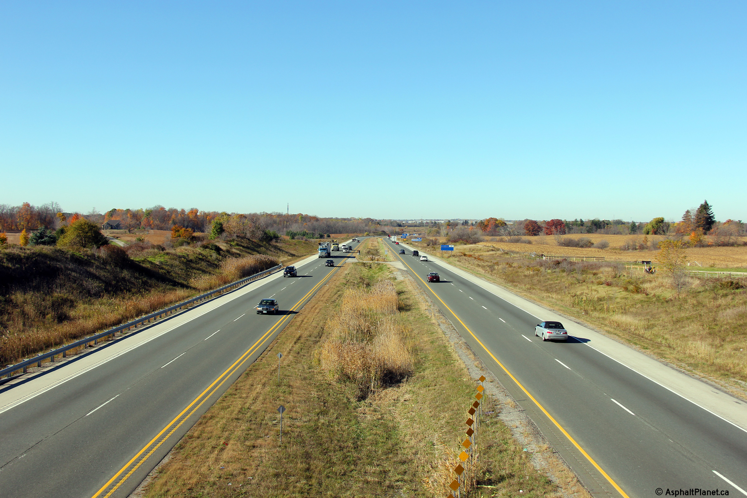
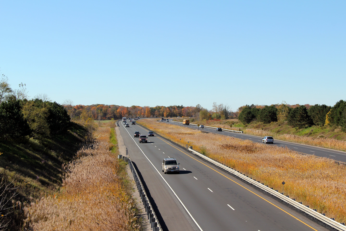
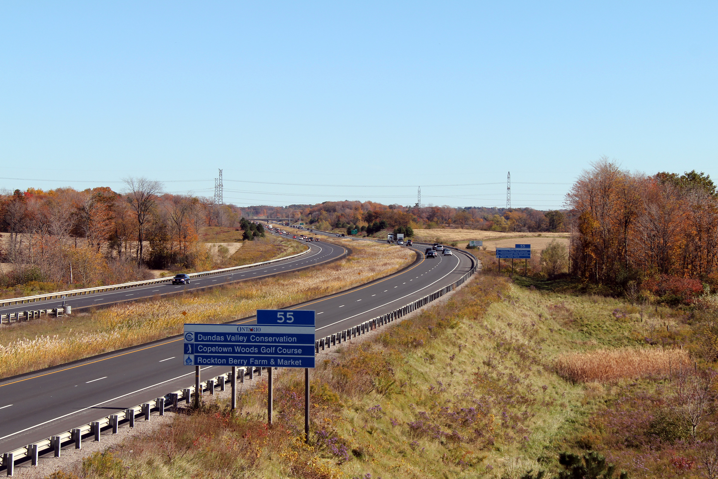
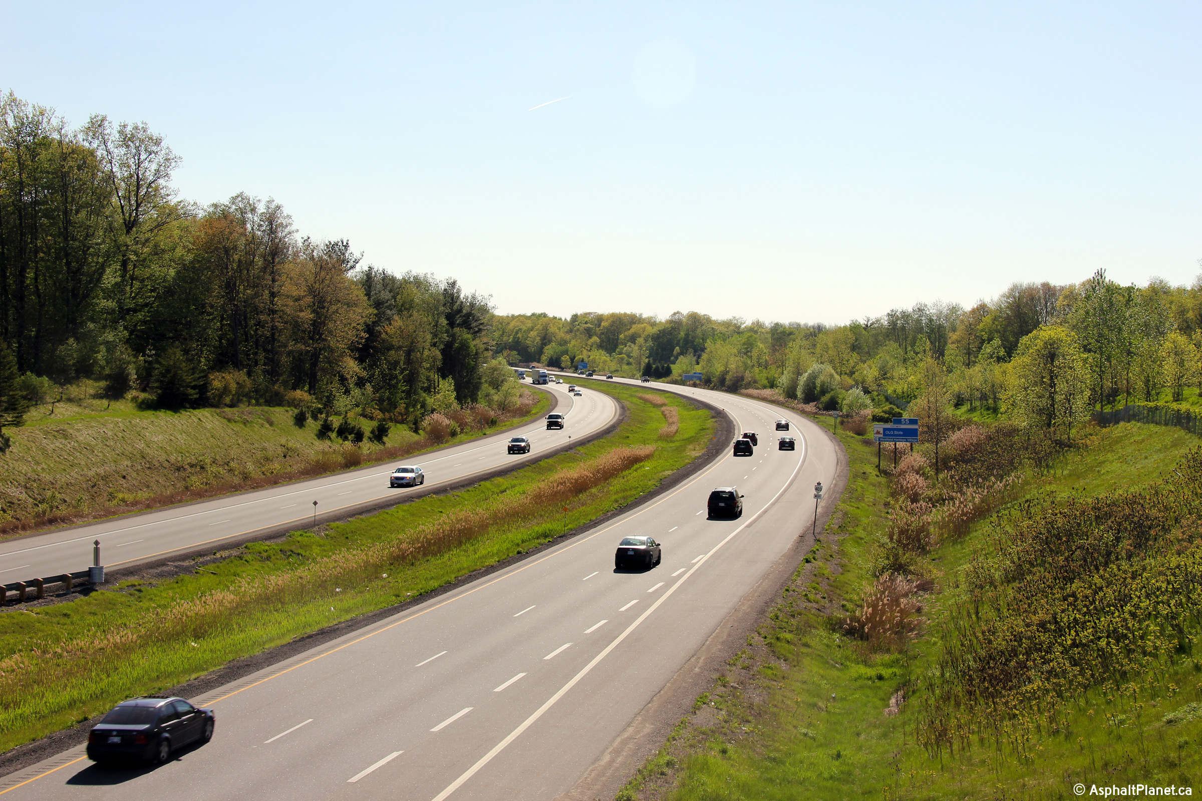
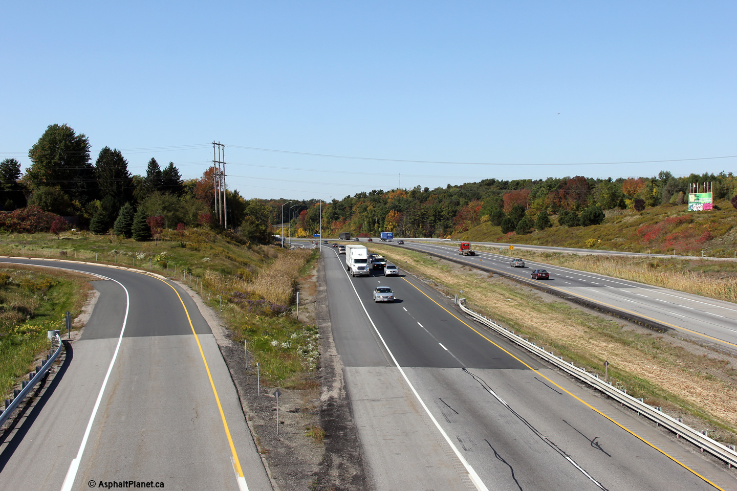
| City of Brant County |
This view looks west from Jerseyville Road. Click
here for this same view taken
in October, 2005. Photo taken: October 23rd, 2014. |
 (720x480) (1440x960) (2400x1600) |
|
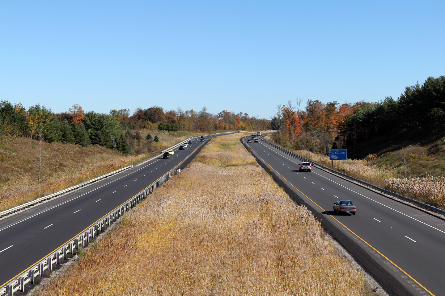
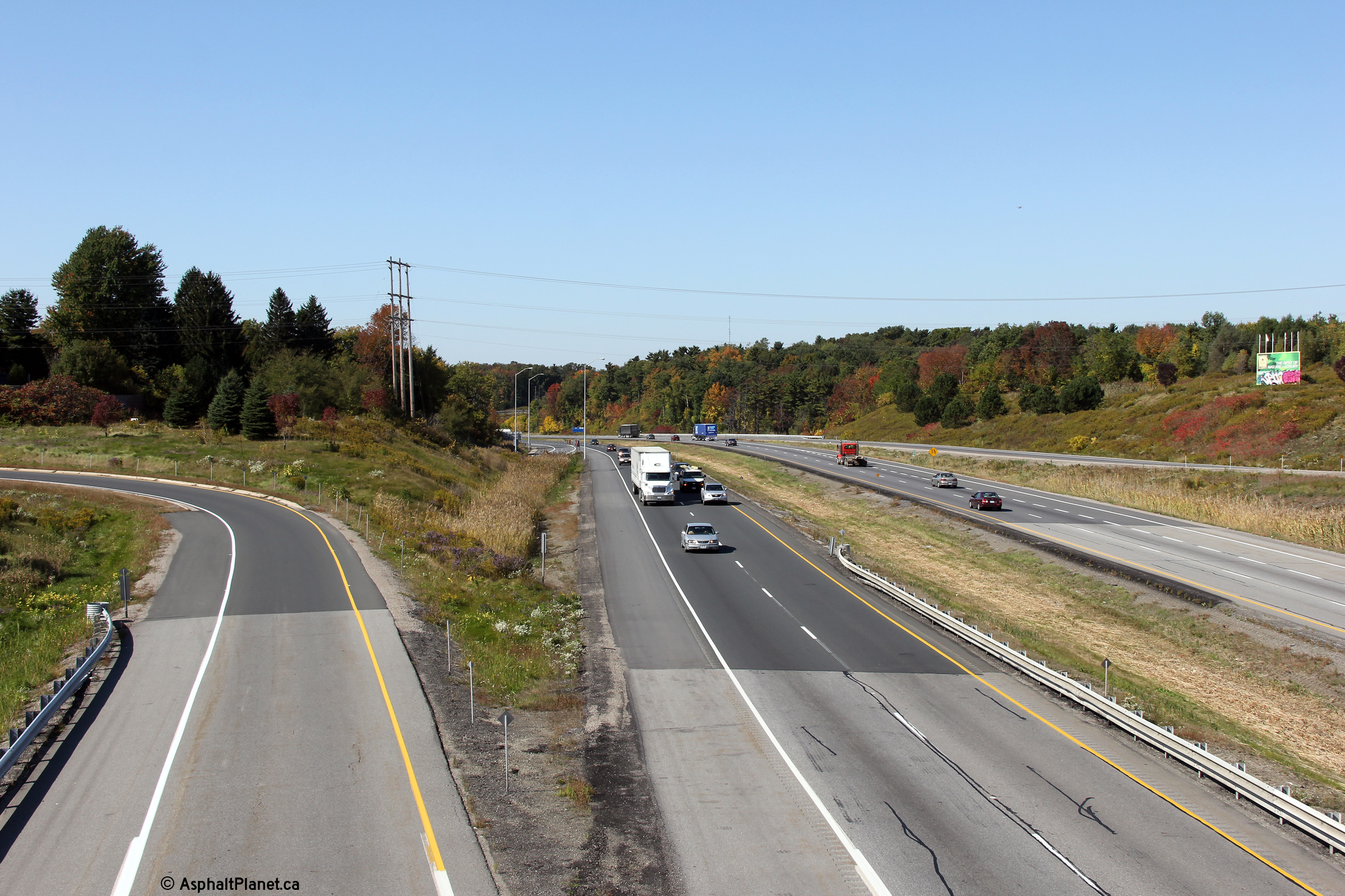
| City of Brant County |
View looking east from Jerseyville Road. Click
here for this same view taken
in October, 2005. Photo taken: October 23rd, 2014. |
 (720x480) (1440x960) (2400x1600) |
|
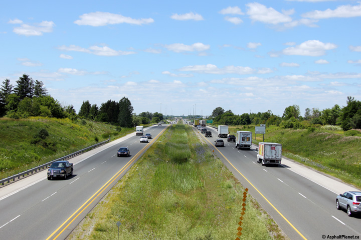
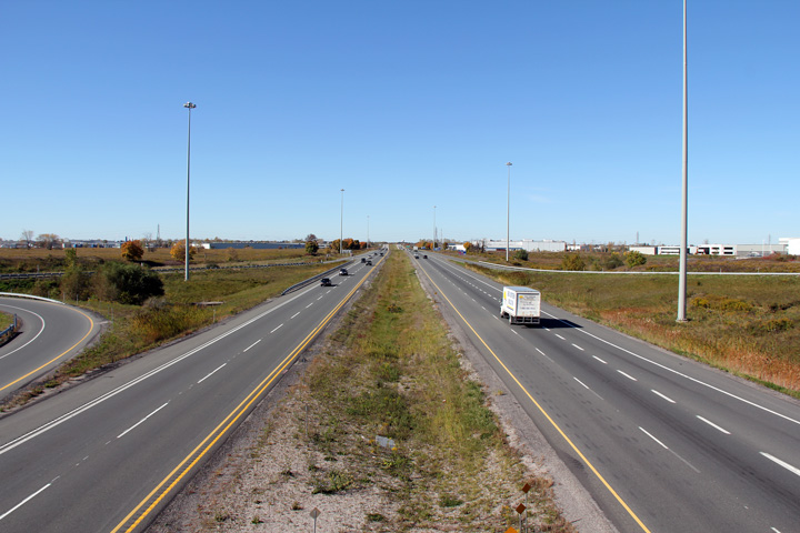
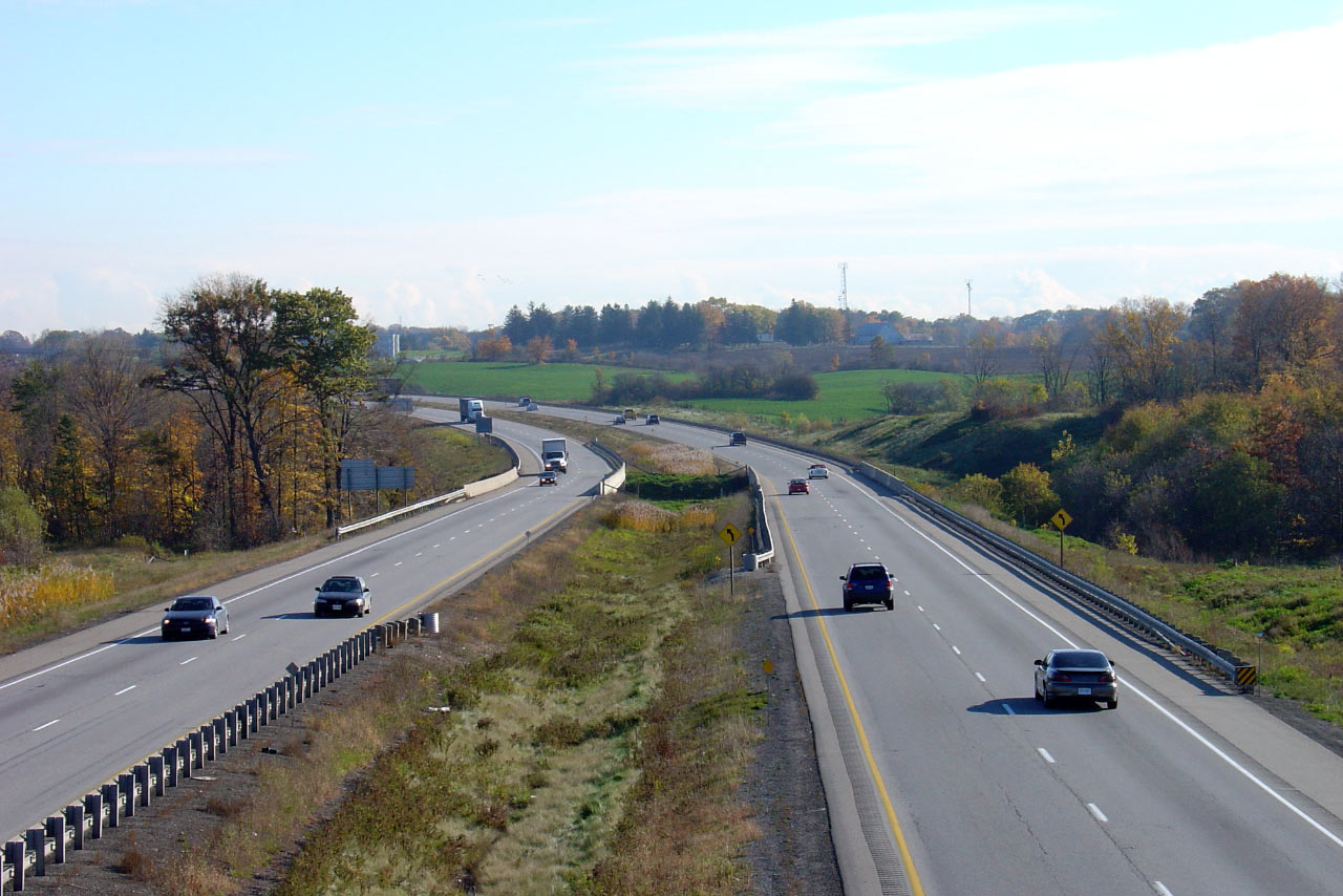
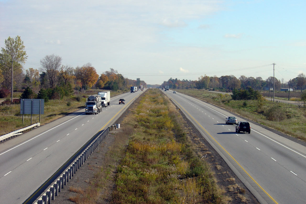
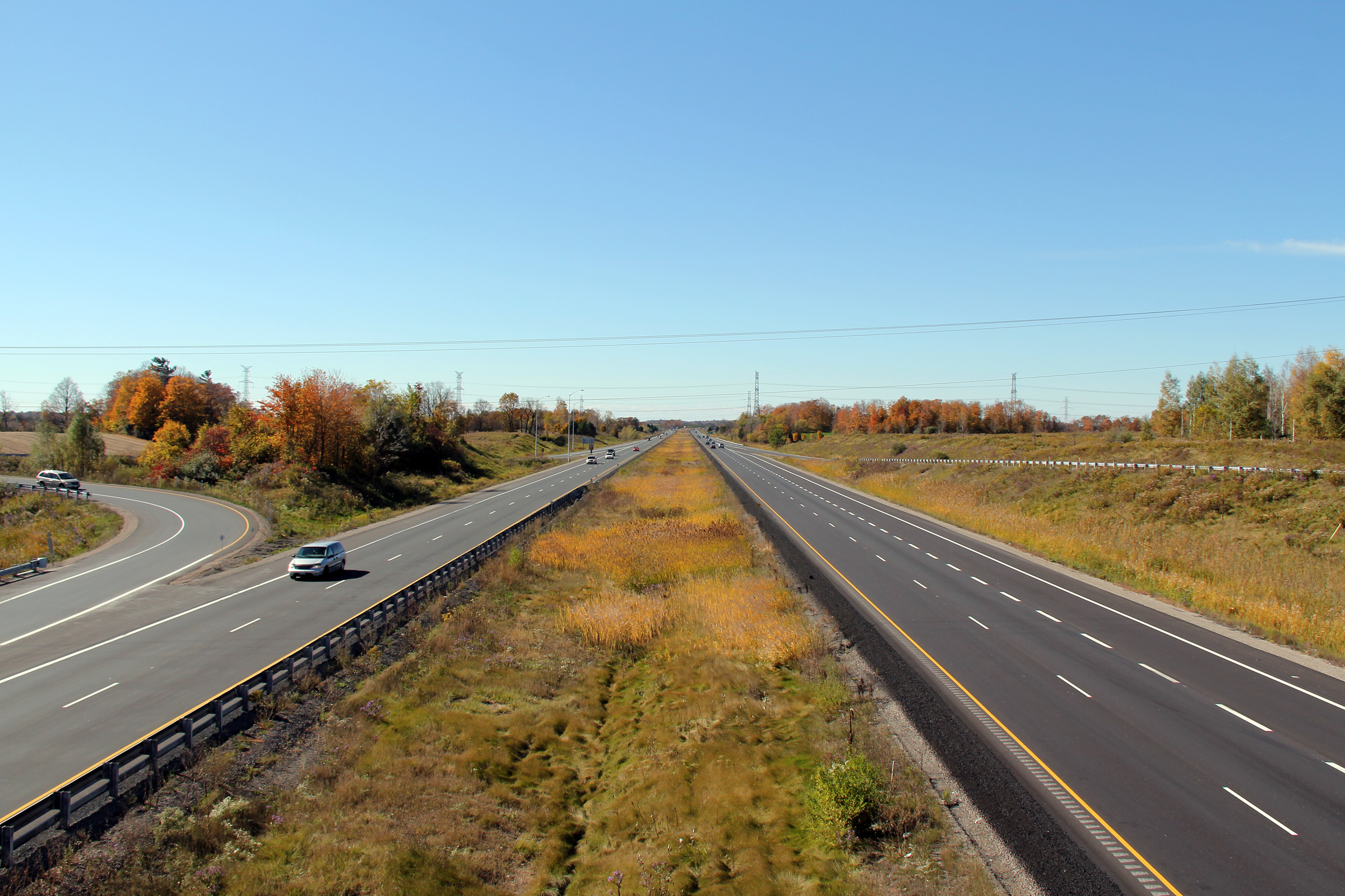
| City of Hamilton |
This view looks west from Sunny Ridge Road in the west end of the 'New' City
of Hamilton. Photo taken: October 16th, 2010. |
|
|
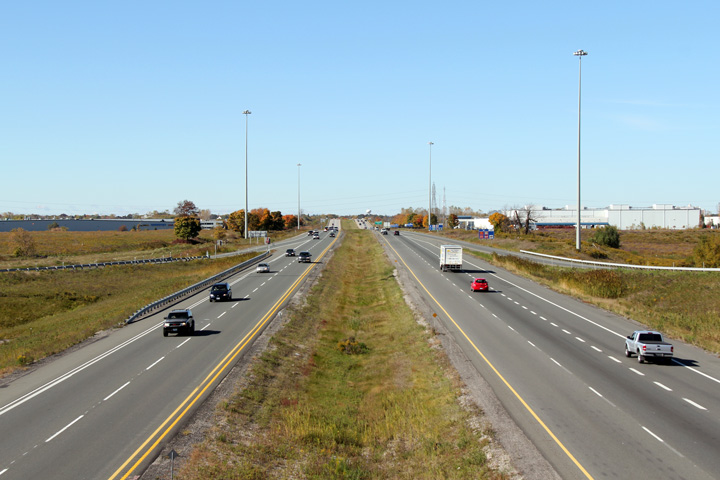
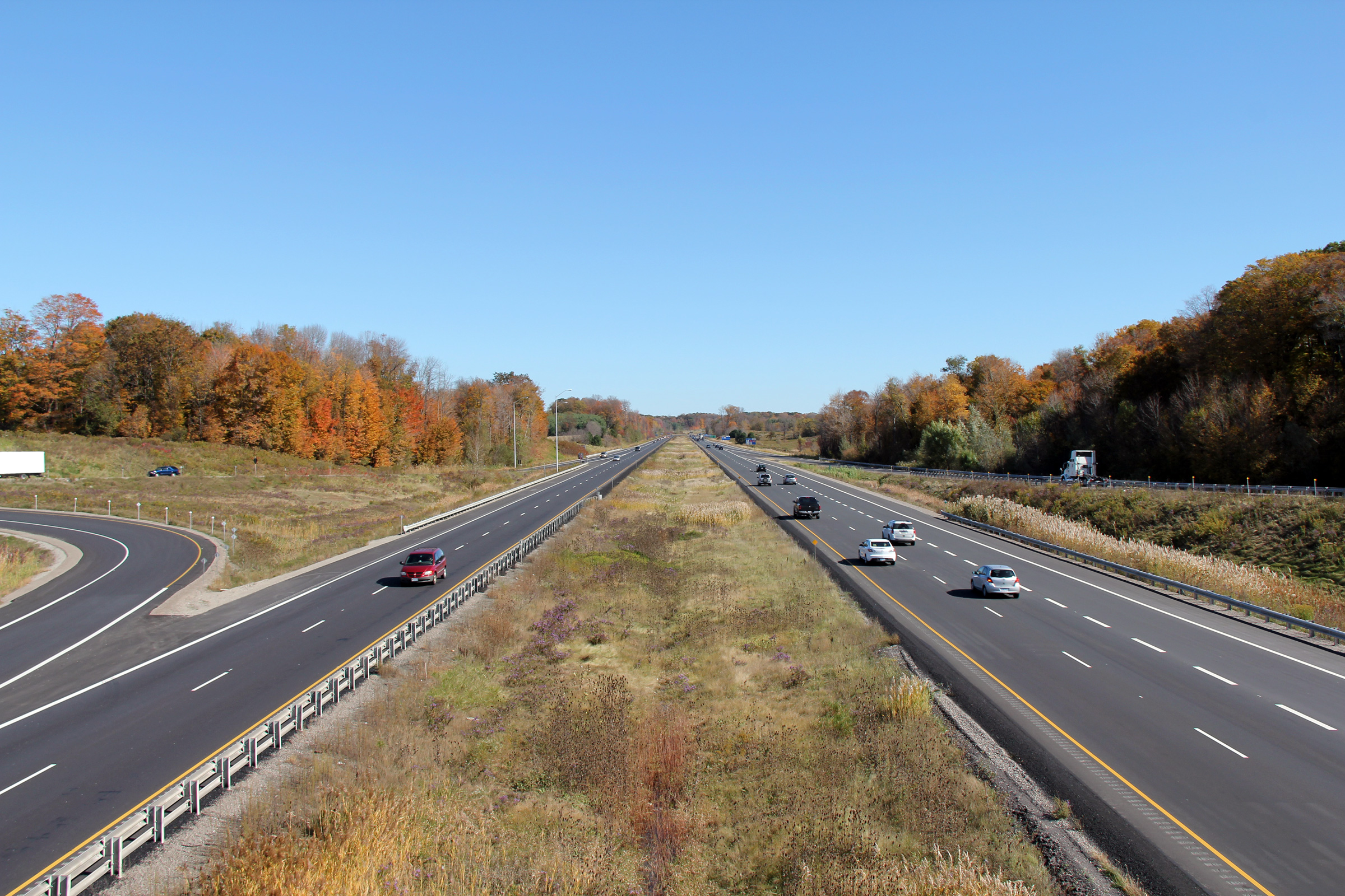
| City of Hamilton |
Opposing view from Sunny Ridge Road. Photo taken: October 16th, 2010. |
|
|
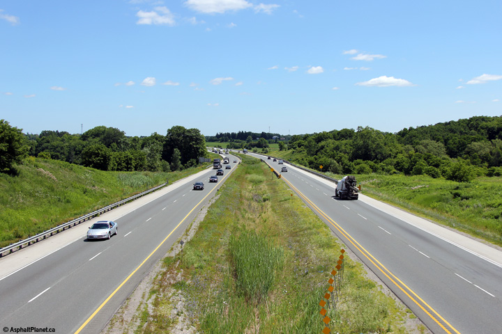
| City of Hamilton |
West from Alberton Road. Photo taken: October 16th, 2010. |
 |
|
| City of Hamilton |
East from Alberton Road. Photo taken: October 16th, 2010. |
|
|
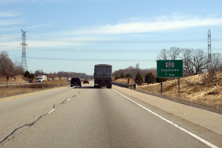
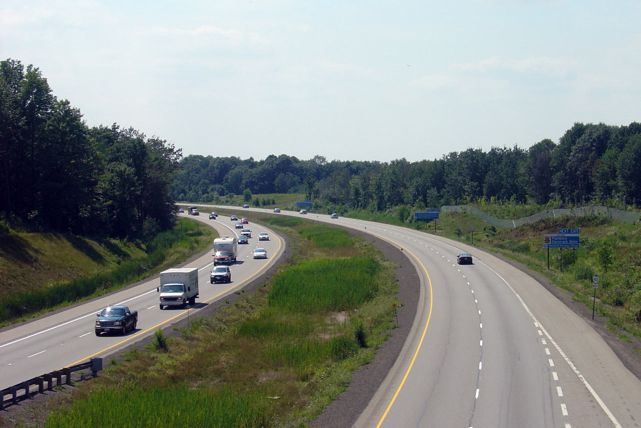
| City of Hamilton |
Advanced signage for the now defunct Highway 52.
These series of signs were updated showing it as County Road 52 in the
Spring of 2007. Photo taken: March 27th, 2006. |
 |
|
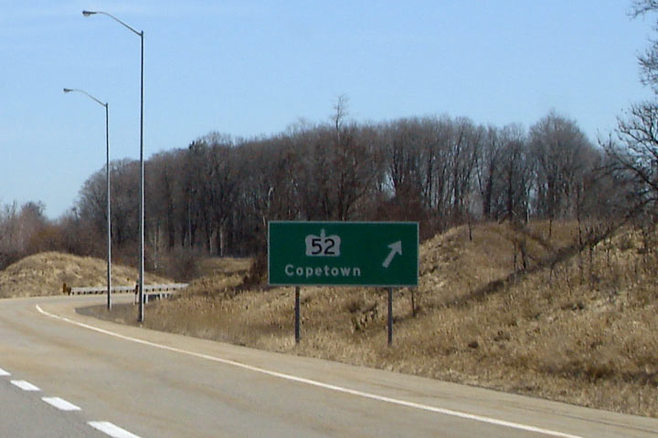
| City of Hamilton |
Signage at the ramp. Photo taken: March 27th, 2006. |
 |
|
| City of Hamilton |
View looking westerly along the 403 from the Highway 52 overpass. Photo taken: October 16th, 2010. |
|
|
| Now downloaded, Highway 52 formerly ran the distance north from Highway 2/53 to Highway 5 and 8 at Peters Corners. Click here for Highway 52 images. | |||
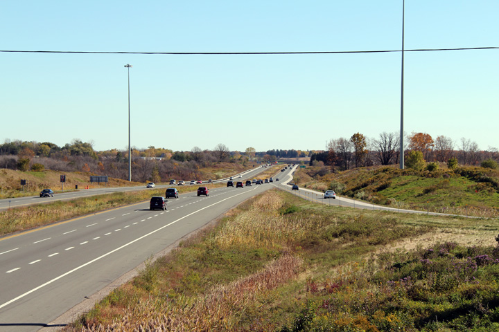
| City of Hamilton |
Easterly view from Highway 52. This is the only interchange on the
Brantford to Ancaster stretch of highway that was completed in 1997. Photo taken: October 16th, 2010. |
|
|
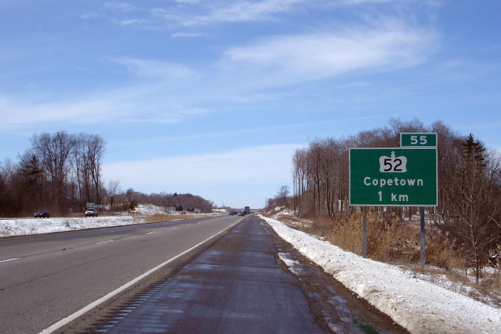
| City of Hamilton |
Westbound advanced signage for Highway 52. Photo taken: March 17th, 2007. |
 |
|
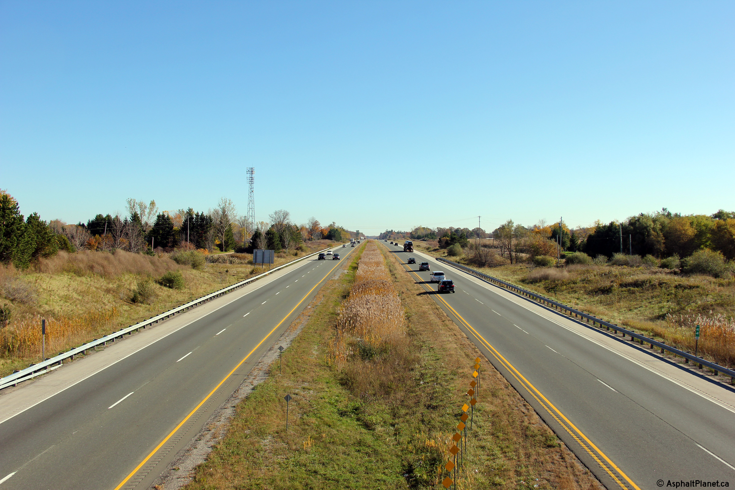
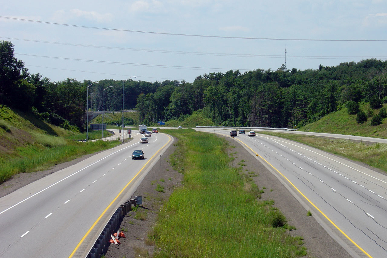
| City of Hamilton |
Looking west from Shaver Road. Click here for this same view taken
in October, 2005. Photo taken: May 16th, 2013. |
 (720x480) (1440x960) (2400x1600) |
|
| City of Hamilton |
The view from Shaver Road, this time looking east. Click
here for this same view taken
in October, 2005. Photo taken: May 16th, 2013. |
 (720x480) (1440x960) (2400x1600) |
|
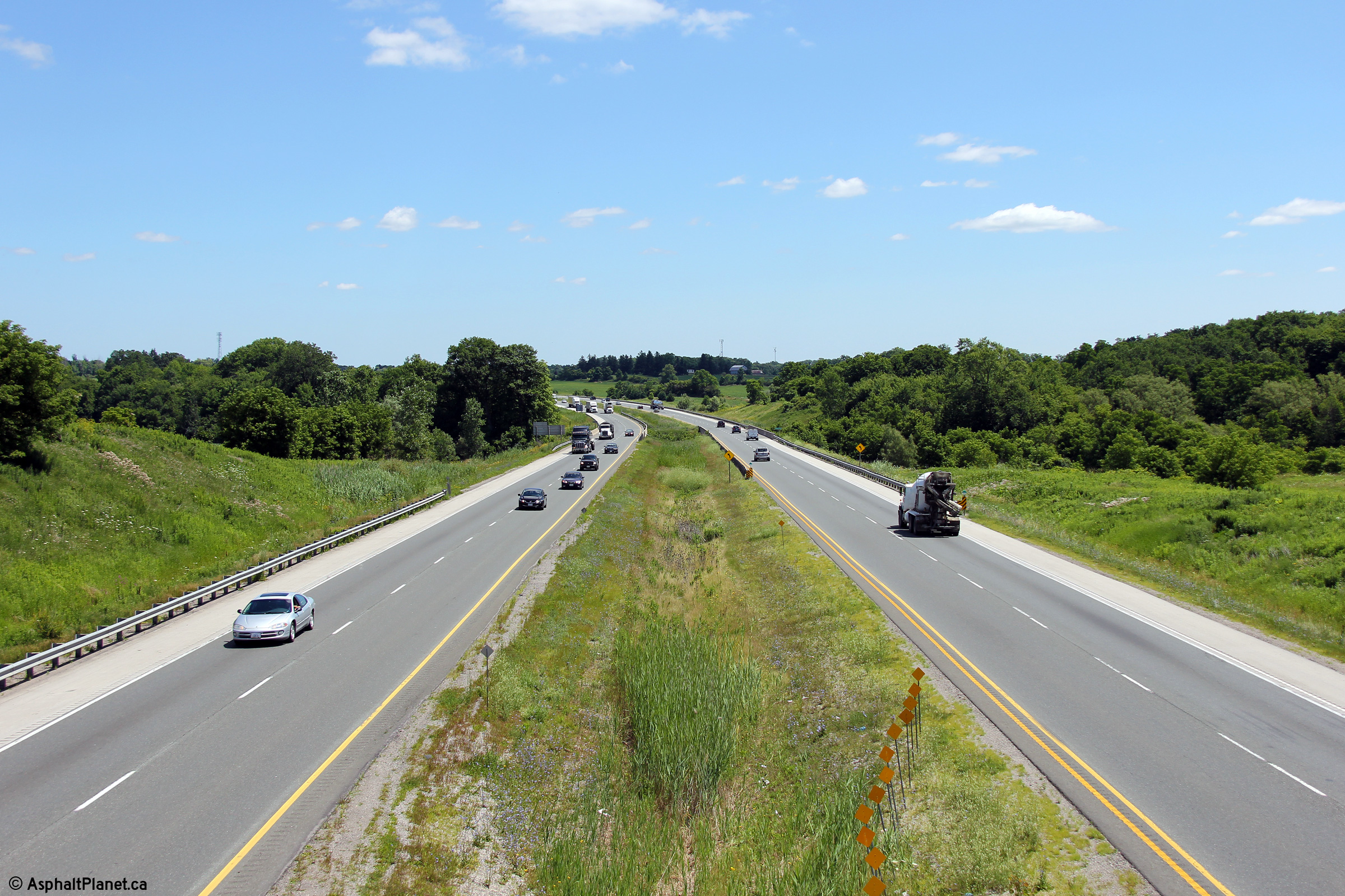
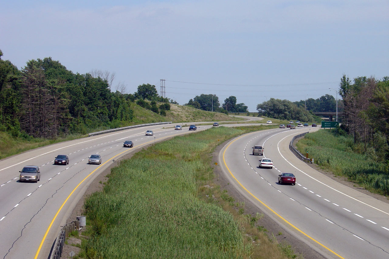
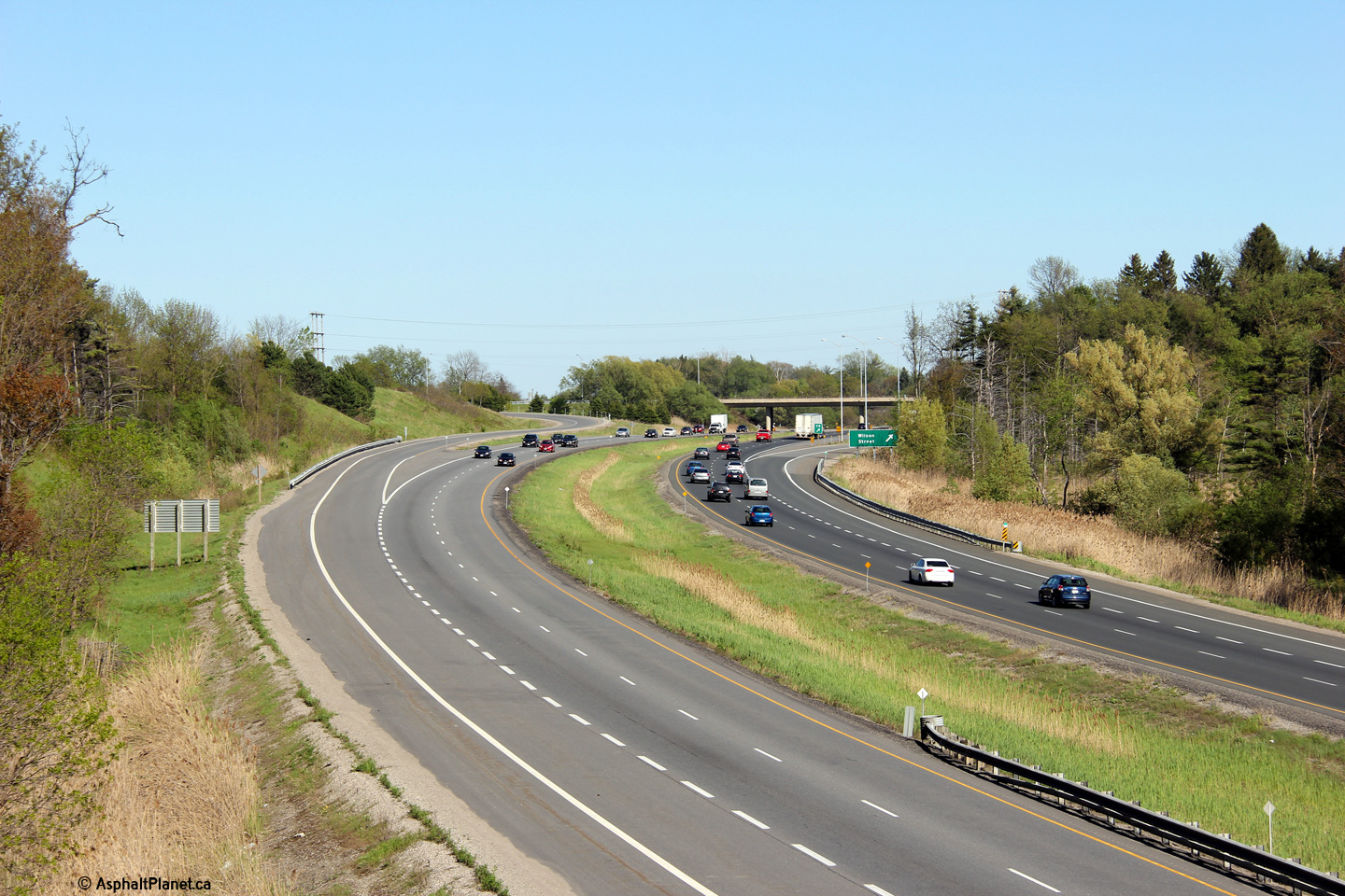
| City of Hamilton |
View looking west from Wilson Street in Ancaster. Click
here for this same view taken
in October, 2005. Photo taken: October 7th, 2011. |
 (720x480) (1440x960) (2400x1600) |
|
| Wilson Street is the new name of Highway 2 through Ancaster. Click here for Highway 2 images. | |||
| Click here for Hamilton to Burlington Images | |||
<- Page 1 Images Highway 403 Images Index Page 3 Images ->
<- Highway 402 Images Back to Highway 403 Highway 404 Images ->
Copyright (c) 2004-2015, Scott Steeves (Webmaster) scott@asphaltplanet.ca


