|
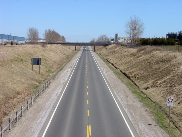
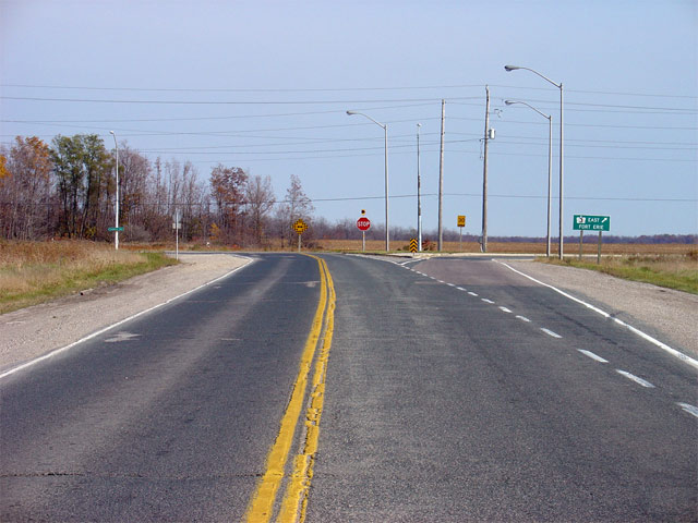
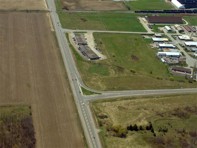
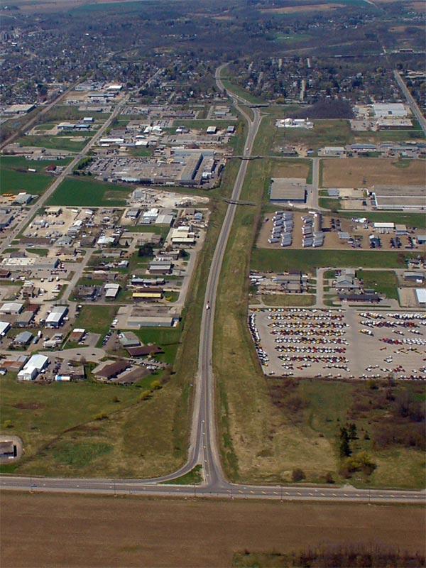
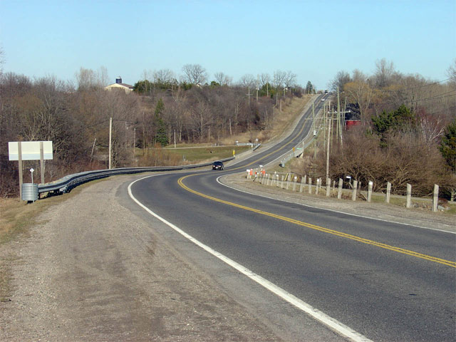
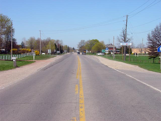
Proper Municipality Name |
Photo Description |
Photo |
|
Pictures taken
from driver's perspective appear offset from centre-line pictures: |
East-
Bound |
West-
Bound |
|
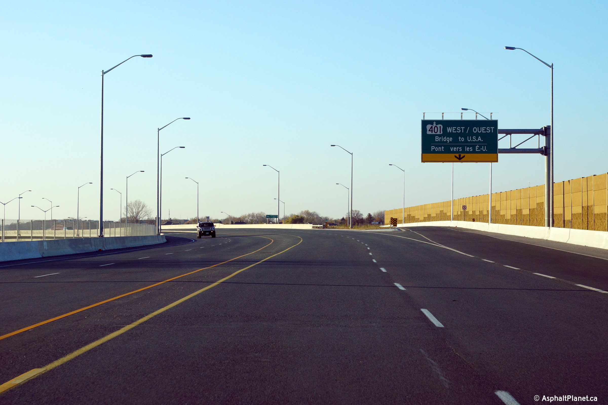
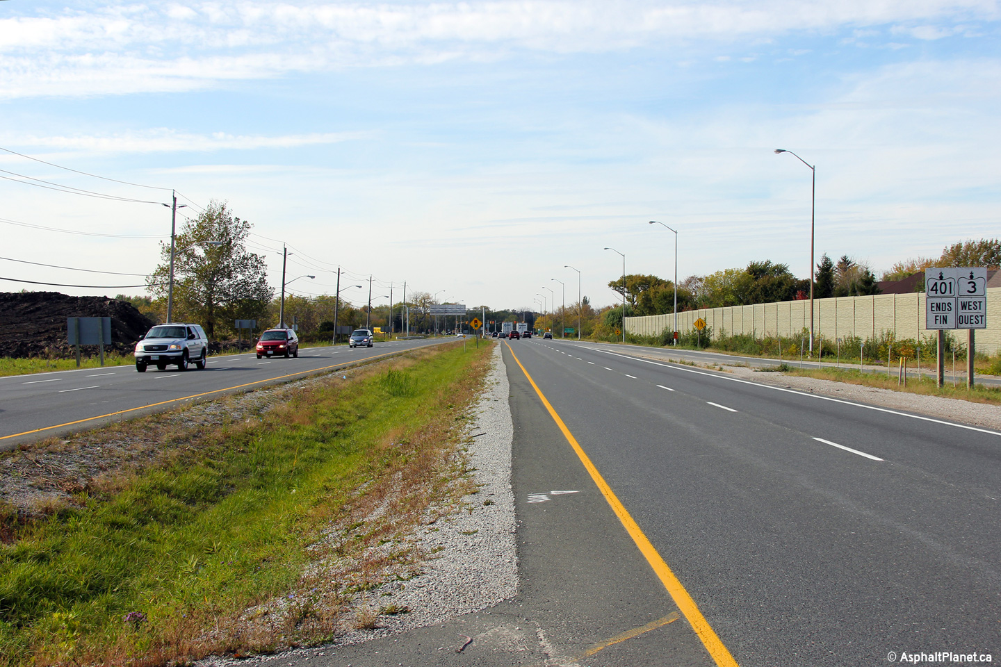
Highway 3 ends at the Ambassador Bridge.
Across the border the highway connects to several interstates. Click
here for I-75 images, and here for
I-96
images. |
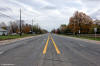
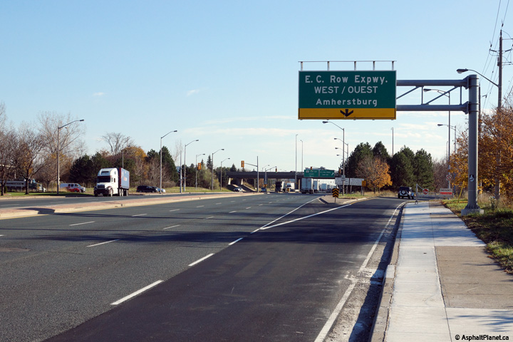
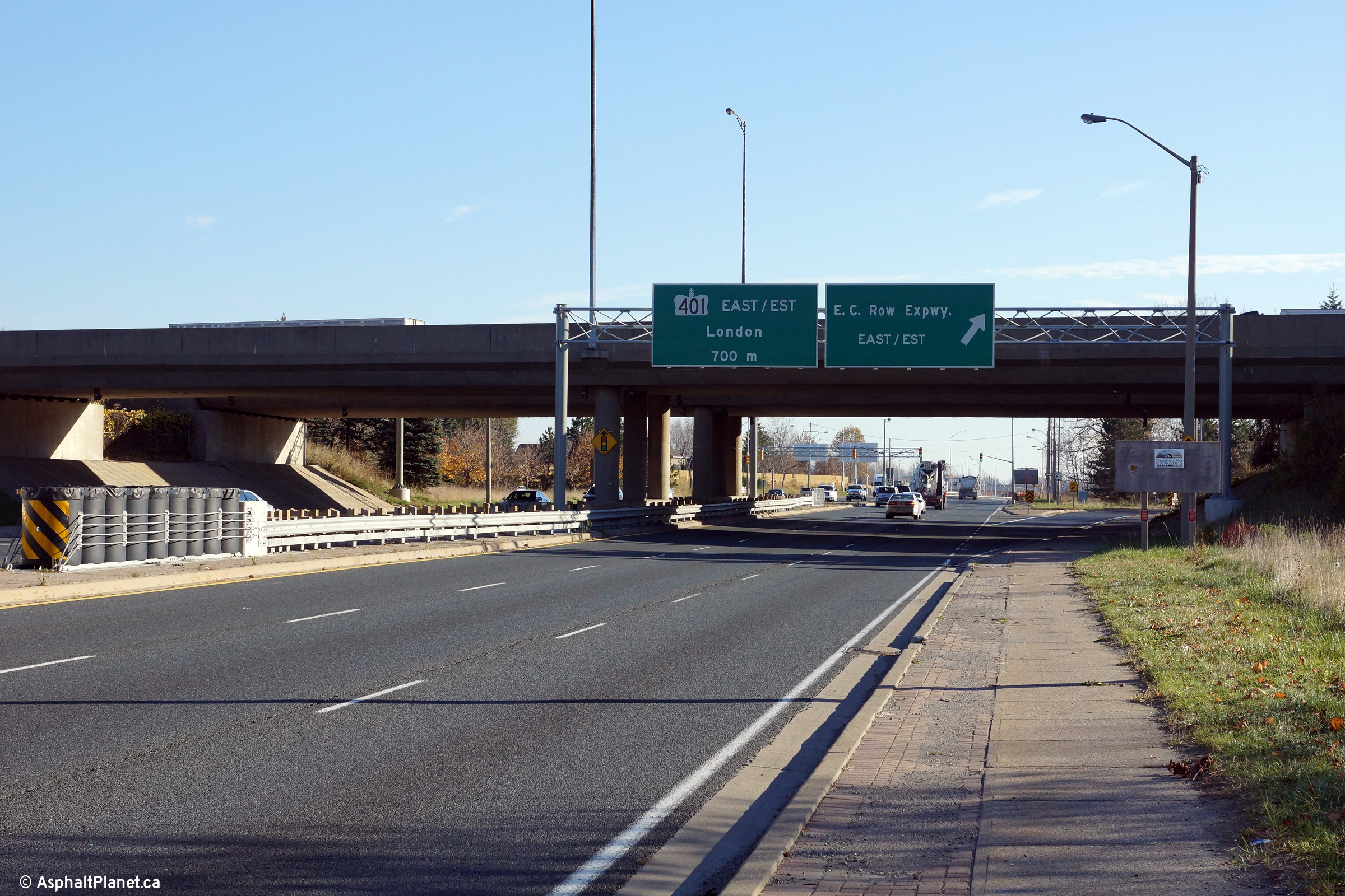
| City of
Windsor |
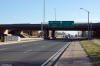
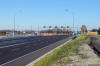
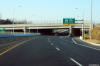
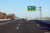
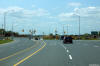
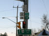
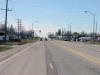
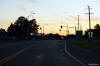
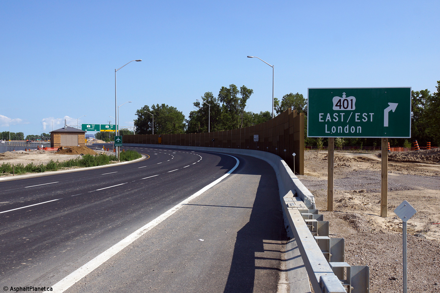
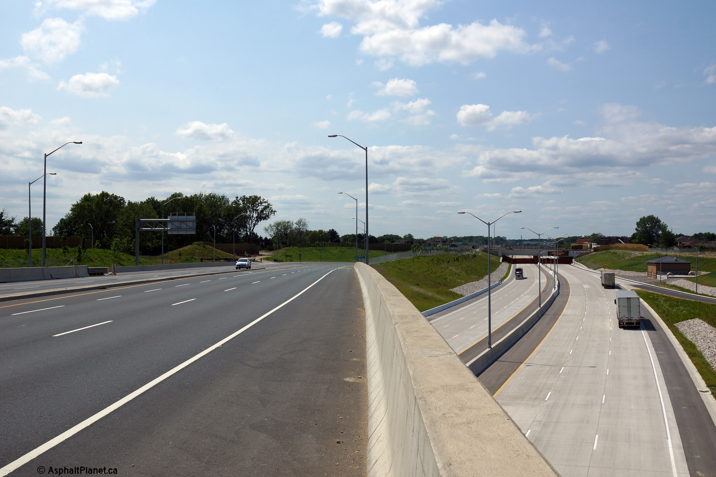
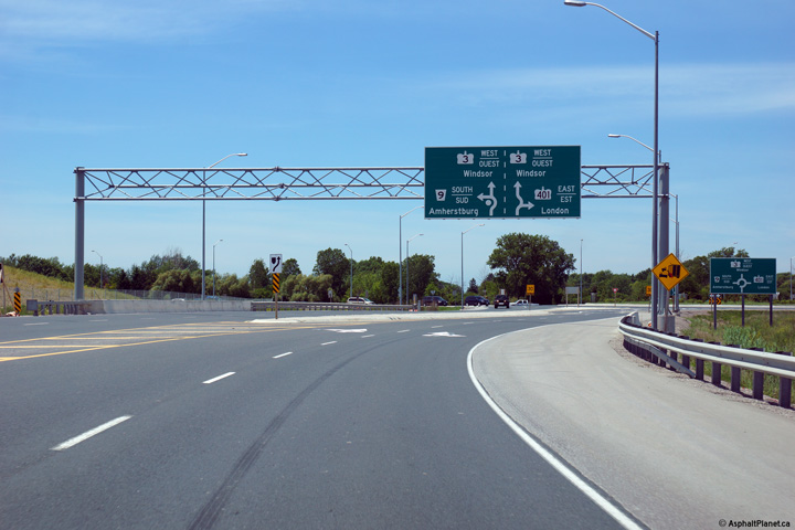
Eastbound signage for the ramp to the westbound E. C. Row Expressway.
Highway 3 intersects the E. C. Row Expressway at a parclo A4 interchange.
Photo taken: November 9th, 2015. |
 (720x480) (720x480)
(1440x960)
(2400x1600) |
| City of
Windsor |
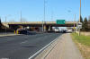
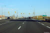
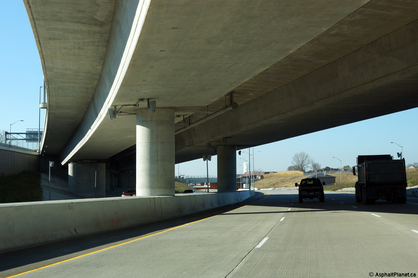
Overhead signage at the E. C. Row Expressway grade separation. The
loop ramp to the eastbound E. C. Row Expressway departs from Highway 3
immediately beyond the grade separation.
Photo taken: November 9th, 2015. |
 (720x480) (720x480)
(1440x960)
(2400x1600) |
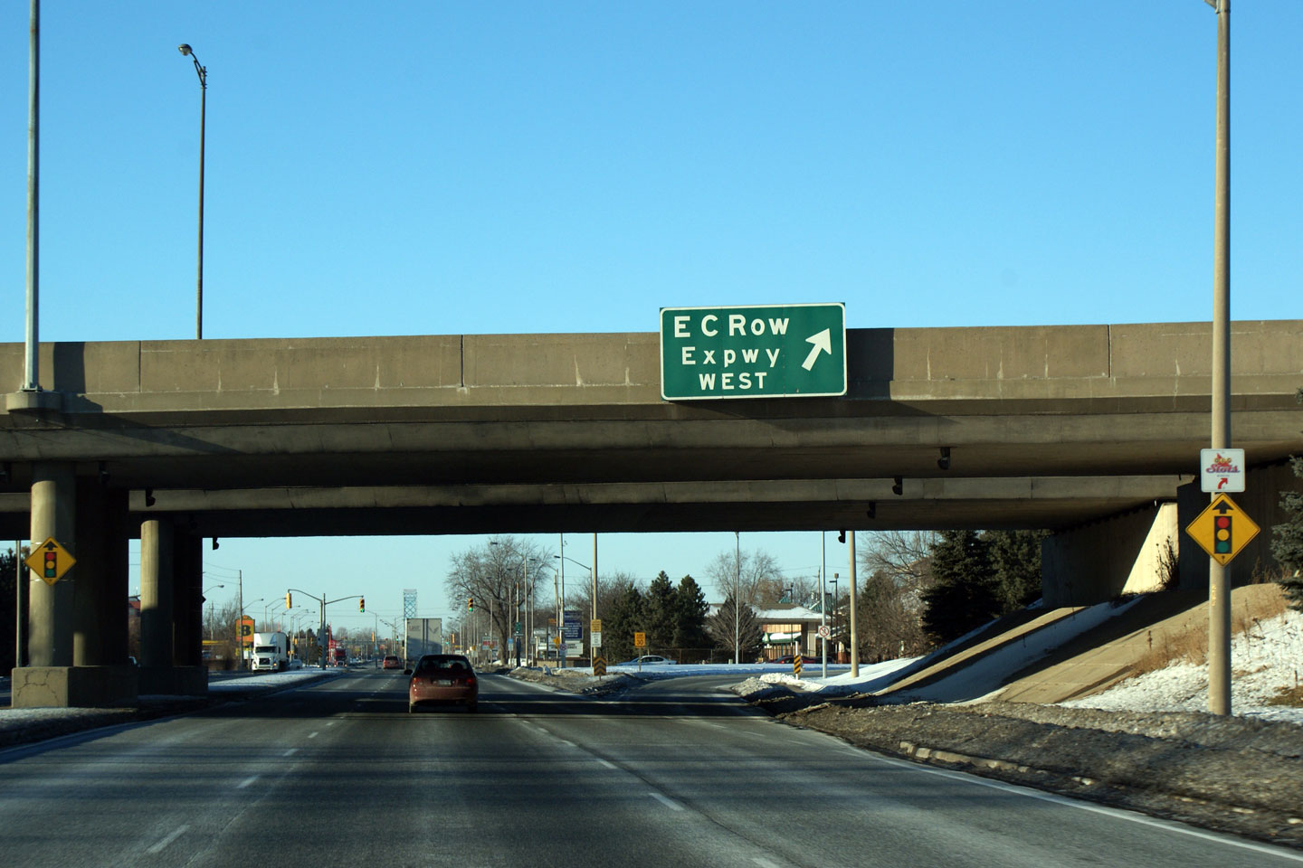
| City of
Windsor |
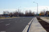
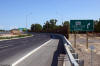
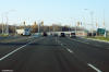
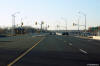
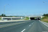
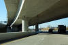
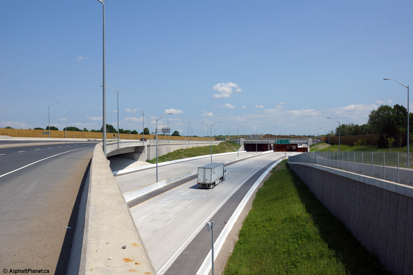
View looking westerly along Highway 3 (Huron Church Road)
as Highway 3 passes beneath the E. C. Row Expressway. The signage
directing traffic to the E. C. Row Expressway was greatly improved as part
of the Herb Gray Parkway work.
Upper photo taken: January 24th 2009.
Lower photo taken: November 9th, 2015. |
 (720x480) (720x480)
(1440x960)
(2400x1600) |
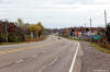
| City of
Winsor |
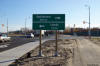
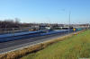
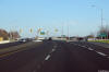
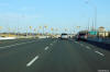
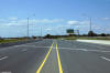
Westerly view approaching the E. C. Row Expressway.
Photo taken: November 9th, 2015. |
 (720x480) (720x480)
(1440x960)
(2400x1600) |
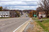
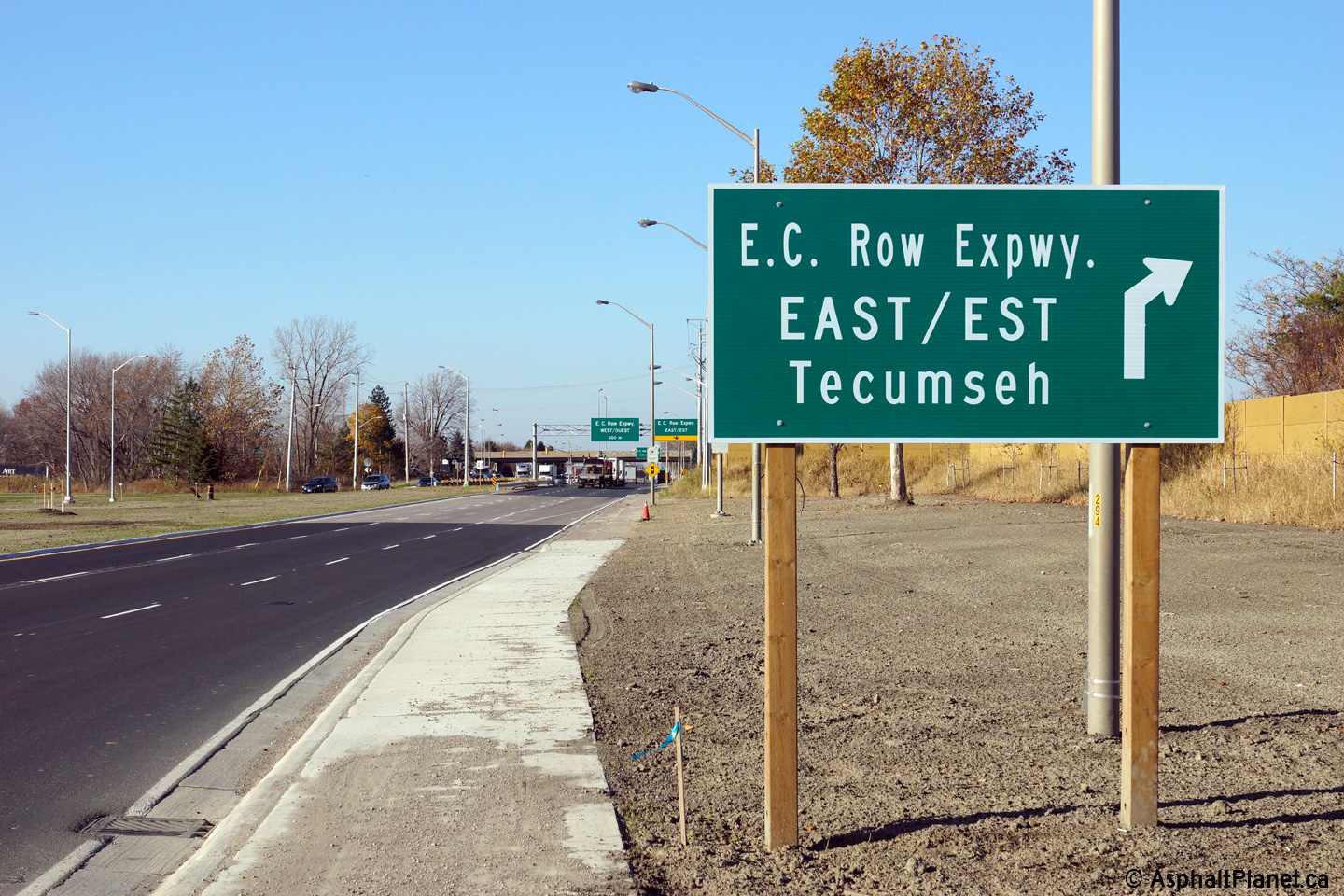
| City of
Winsor |
Westbound advanced signage for the ramp to the E. C. Row Expressway east.
Photo taken: November 9th, 2015. |
 (720x480) (720x480)
(1440x960) |
| City of
Winsor |
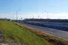
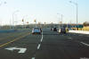
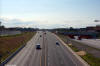
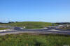
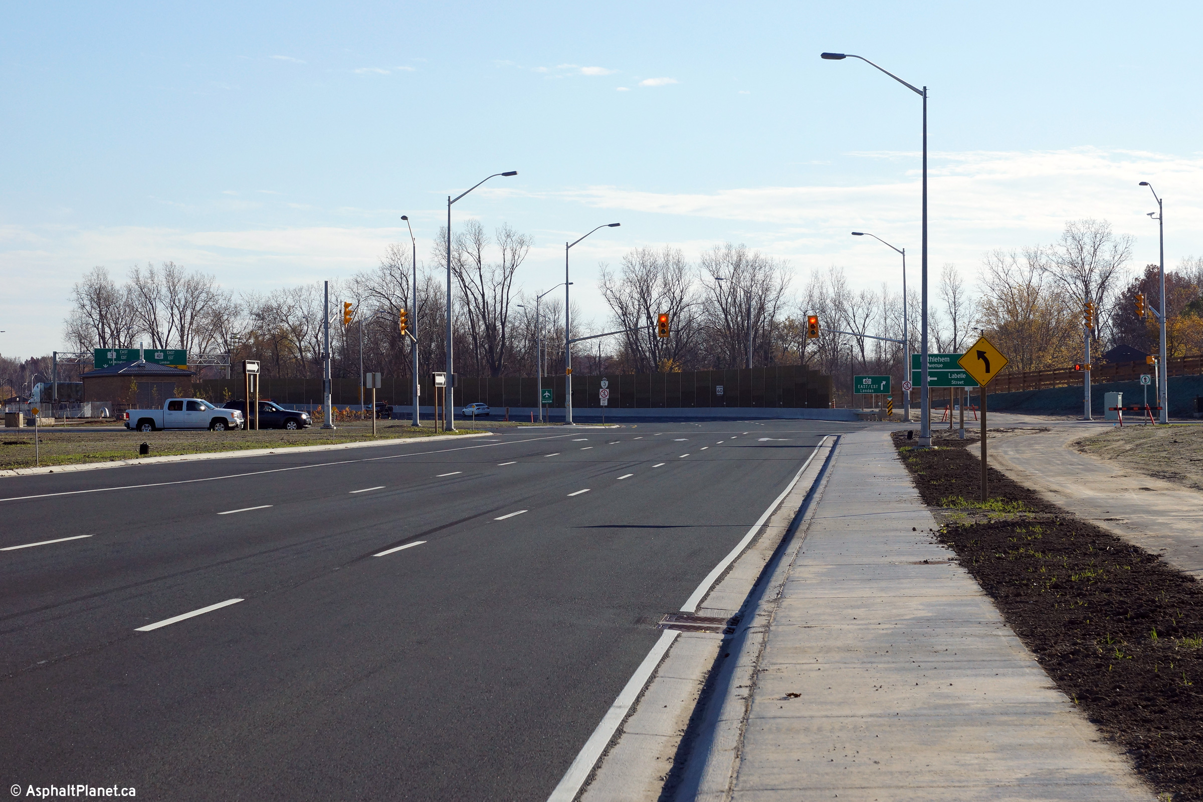
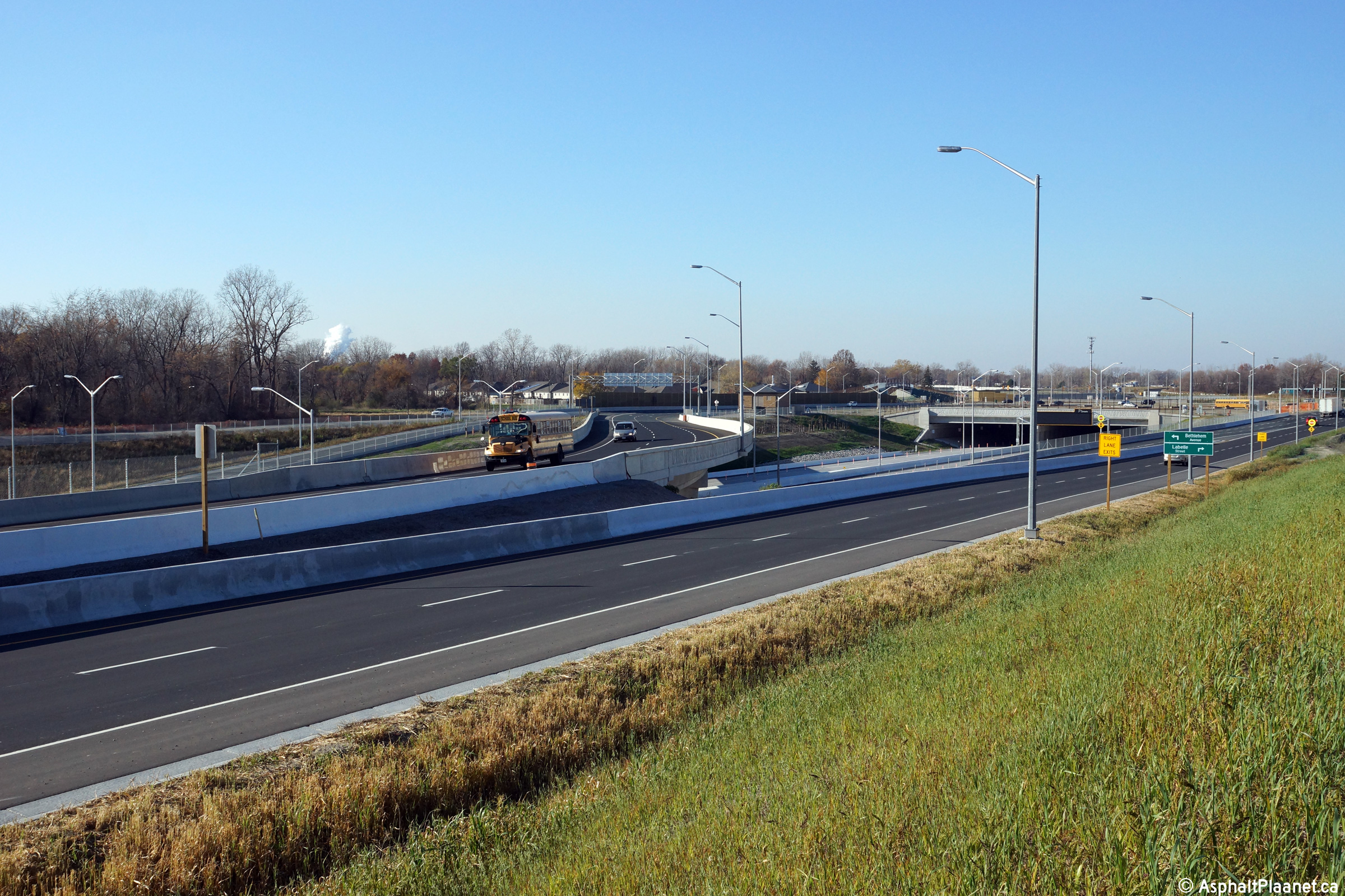
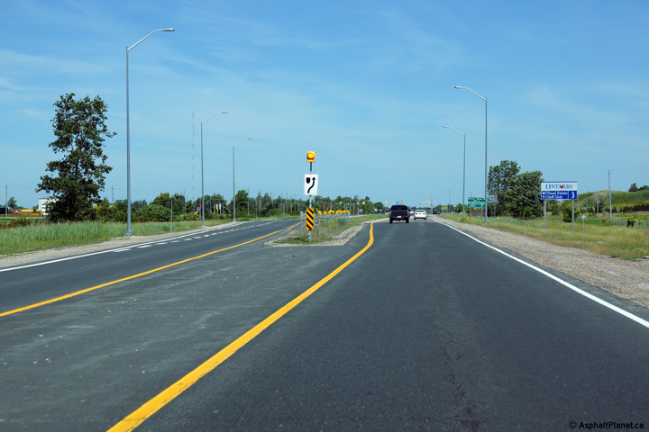
Easterly view approaching the Labelle Street and Bethlehem Avenue
intersection. The eastbound and westbound lanes of Highway 3 are
separated by a wide median through this intersection. This is the
eastern-most signalized intersection eastbound motorists encounter from the
Ambassador Bridge before traffic can access Highway 401.
Photo taken: November 9th, 2015. |
 (720x480) (720x480)
(1440x960)
(2400x1600) |
| City of
Windsor |
Ground mounted signage for Labelle Street and Bethlehem Avenue.
Because this intersection is situated overtop of the Labelle Tunnel, the
sign posts are actually mechanically mounted to the tunnel's roof.
Photo taken: November 9th, 2015. |
 (720x480) (720x480)
(1440x960) |
| City of
Windsor |
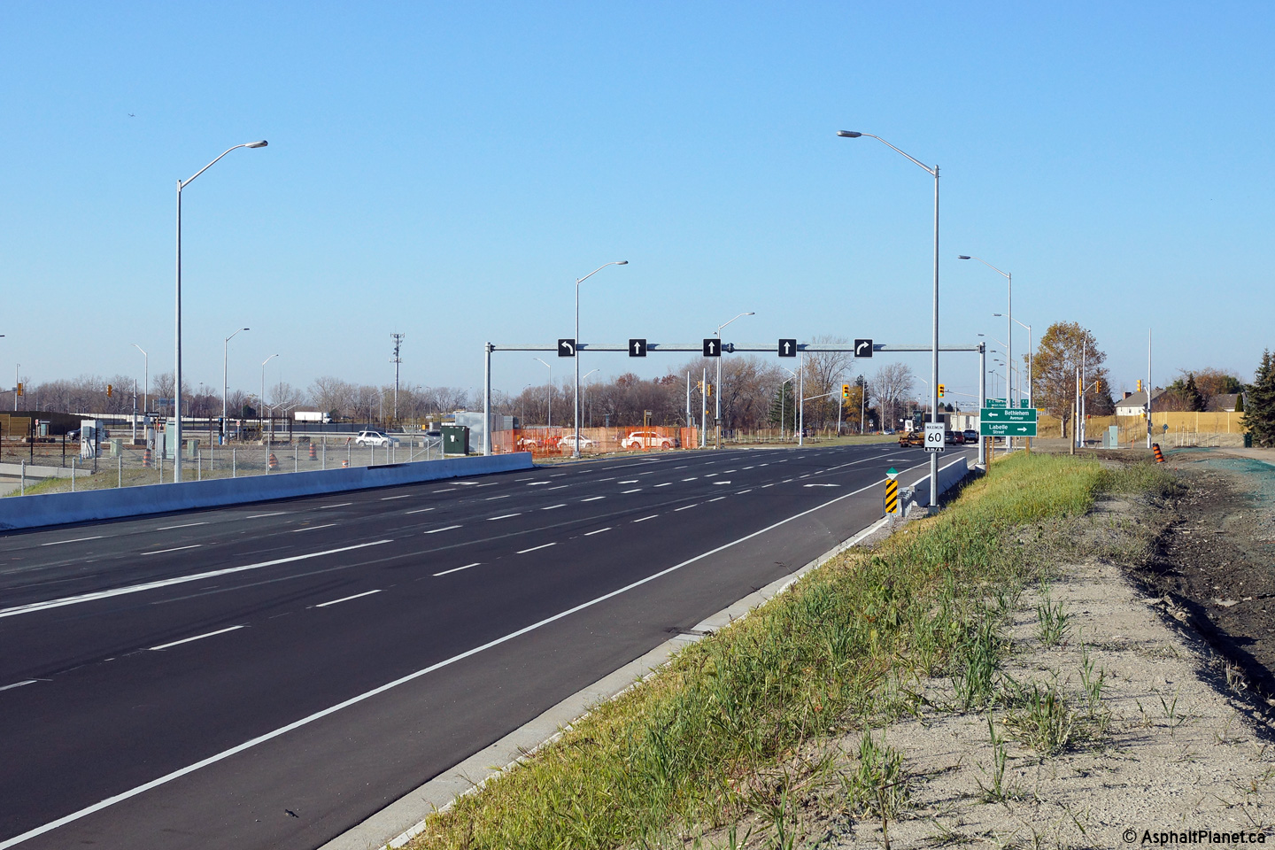
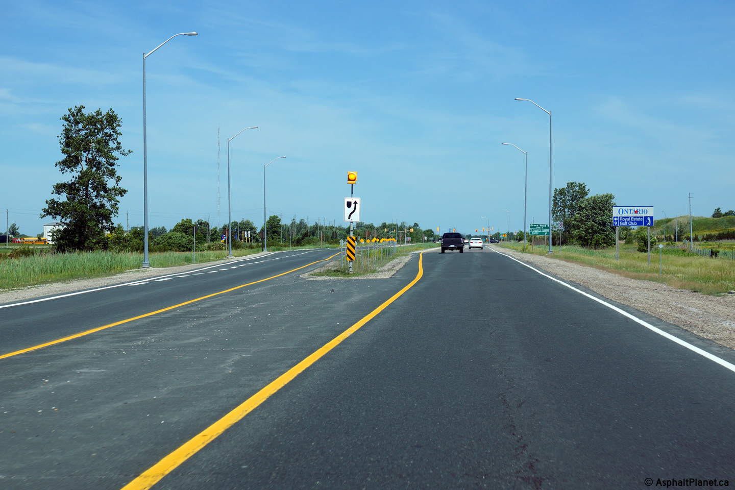
View looking westerly approaching the Labelle Street and Bethlehem Avenue
intersection. This is the first signalized intersection that westbound
motorists from Highway 401 encounter en route to the Ambassador Bridge to
USA.
Photo taken: November 9th, 2015. |
 (720x480) (720x480)
(1440x960)
(2400x1600) |
| City of
Windsor |
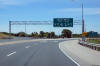
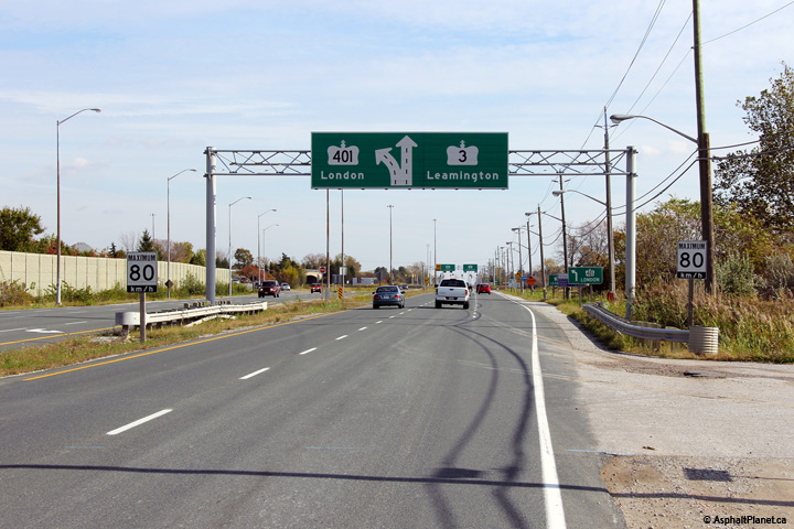
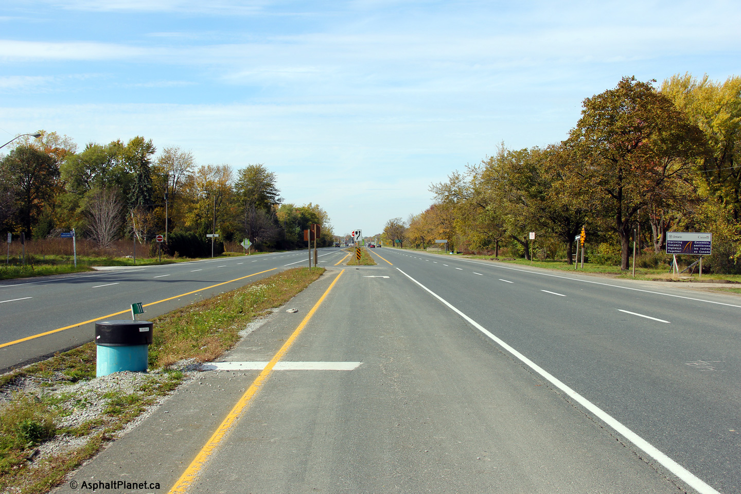
Eastbound advanced signage for the ramp from Highway 3 to Highway 401.
Photo taken: November 9th, 2015. |
 (720x480) (720x480)
(1440x960)
(2400x1600) |
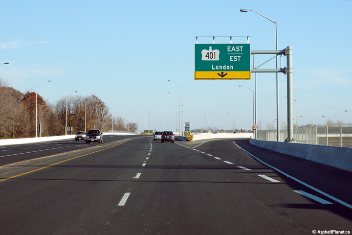
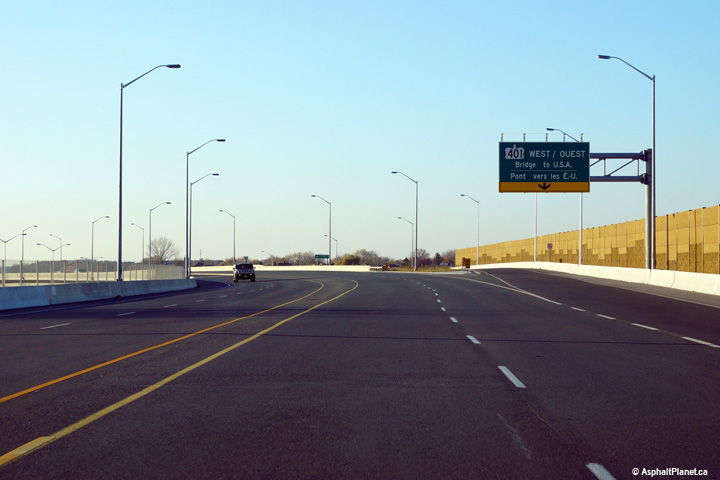
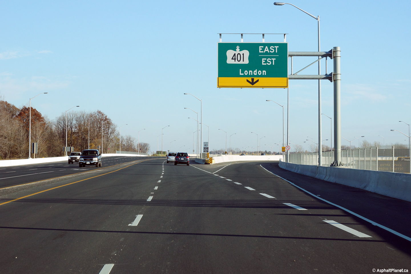
| City of
Windsor |
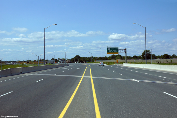
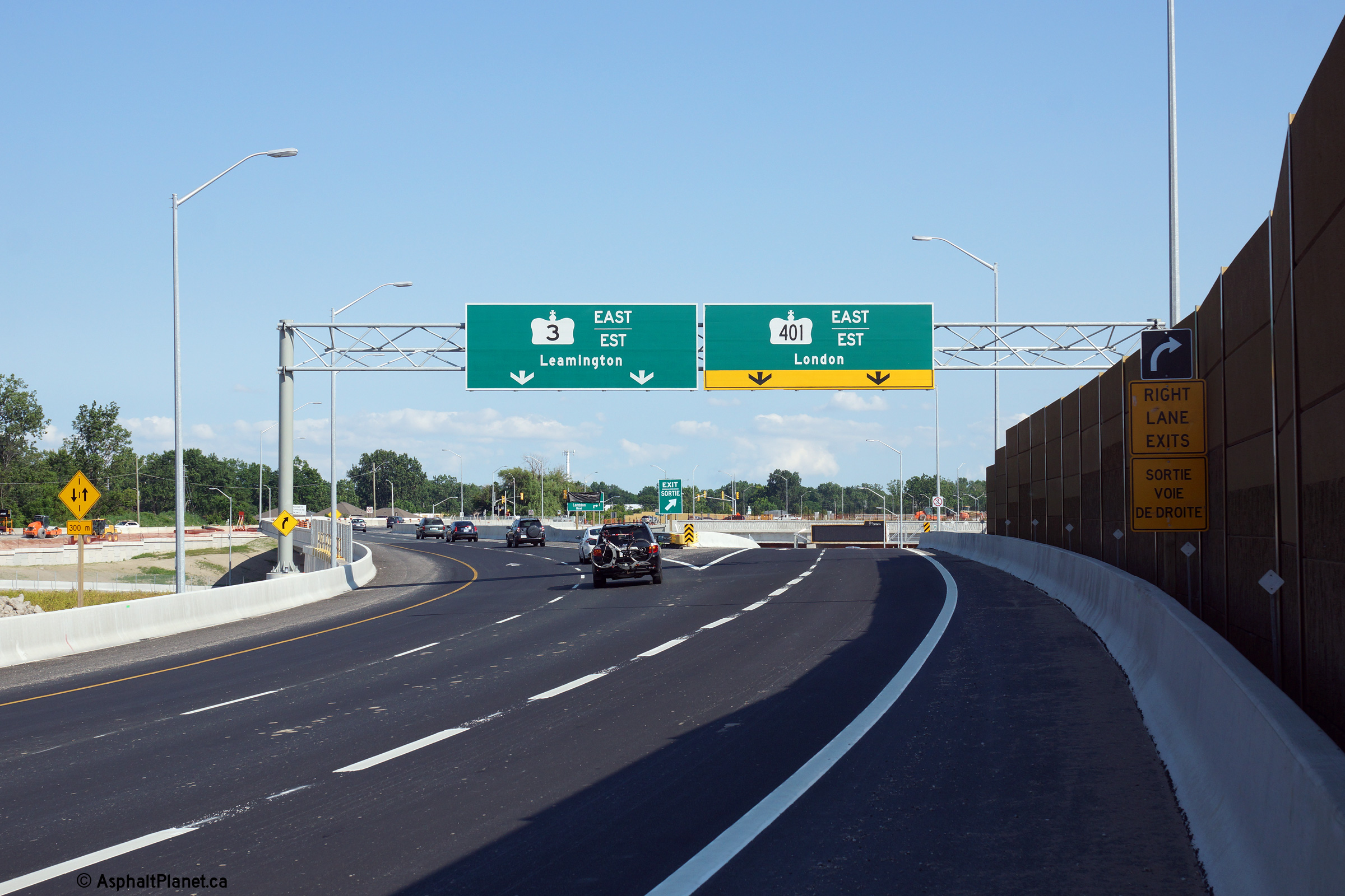
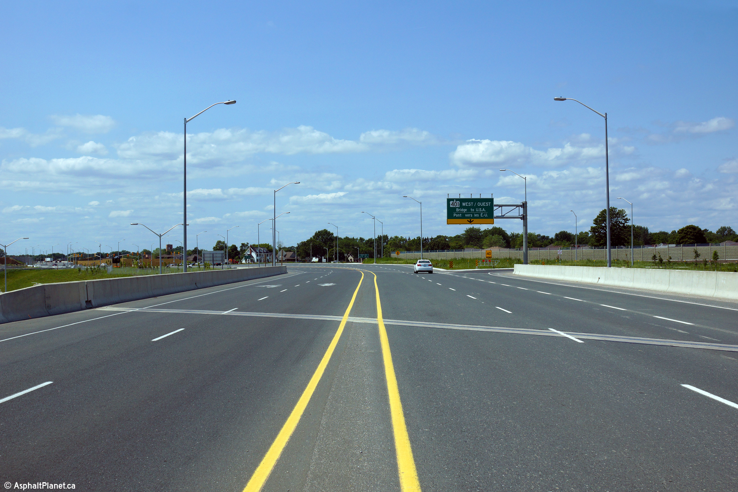
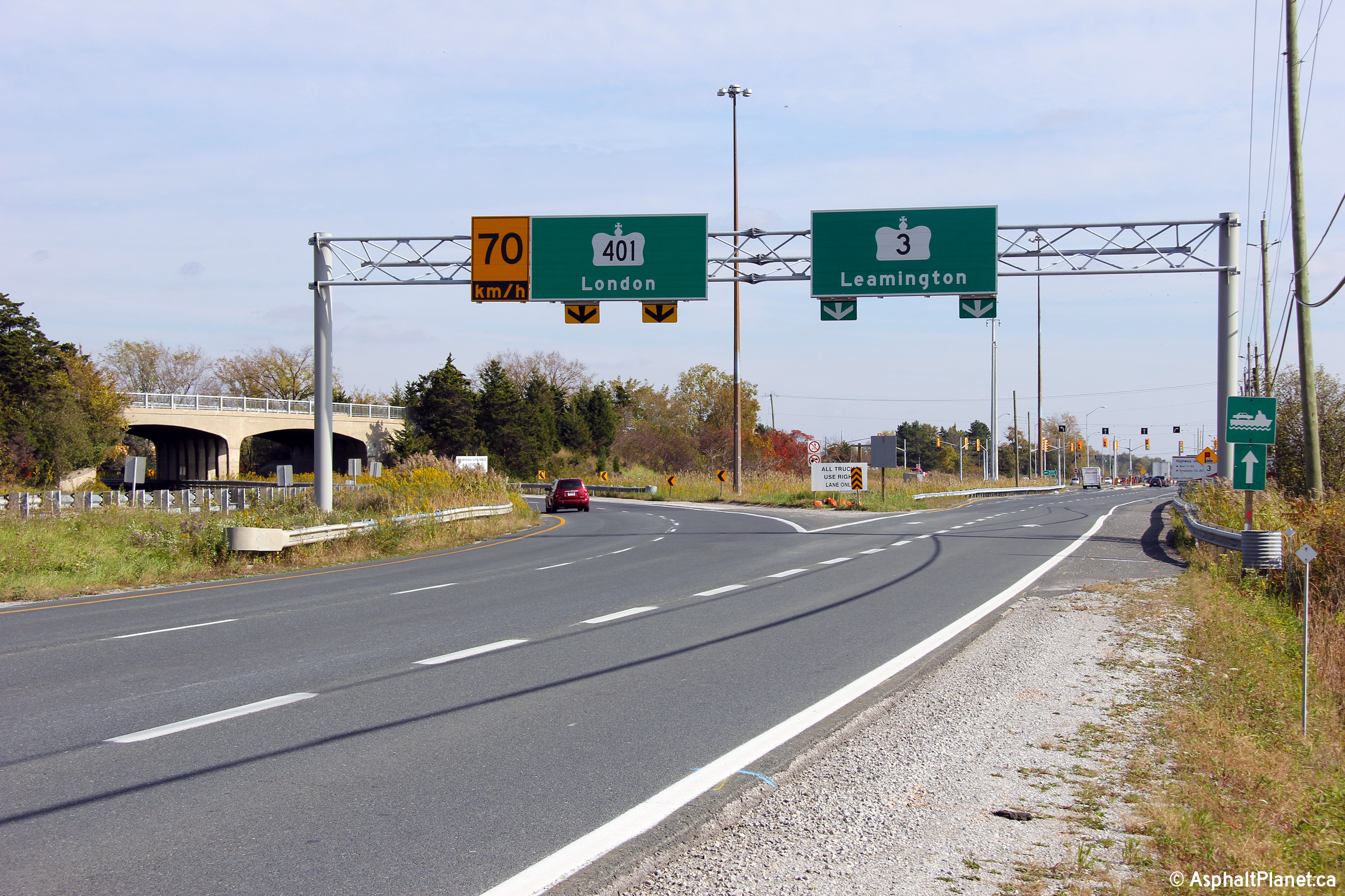
Overhead signage at the off-ramp from Highway 3 to Highway 401 east.
This ramp marked the western terminus of Highway 401 for several months in
2015 before Highway 401 was extended to the Ojibway Parkway at the end of
November, 2015.
Photo taken: November 9th, 2015. |
 (720x480) (720x480)
(1440x960)
(2400x1600) |
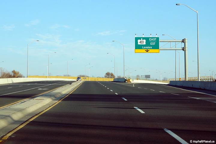
|
Highway 401 interchanges with
Highway 3 for the first time just east of the E. C. Row Expressway
interchange.
Click here for Highway 401 images. |
| City of
Windsor |
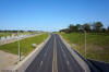
View looking westerly along Highway 3 from immediately east of the Grand
Marais Road intersection. The eastbound and westbound carriageways
split immediately east of the Grand Marais Road intersection.
Photo taken: November 9th, 2015. |
(720x480)
(1440x960)
(2400x1600) |
| City of
Windsor |
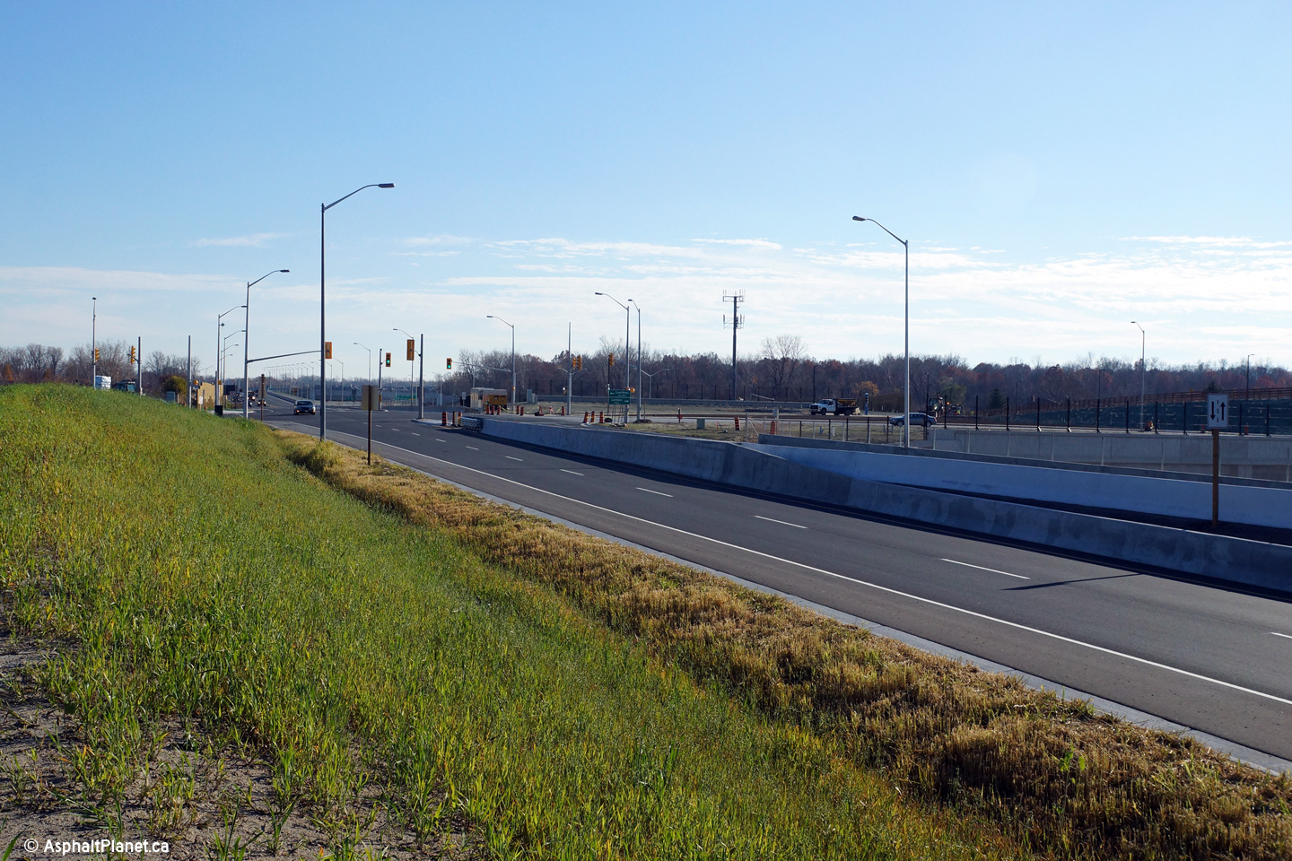
View looking easterly towards the Grand Marais Road intersection along
Highway 3.
Photo taken: November 9th, 2015. |
(720x480)
(1440x960)
(2400x1600) |
| City of
Windsor |
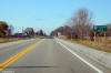
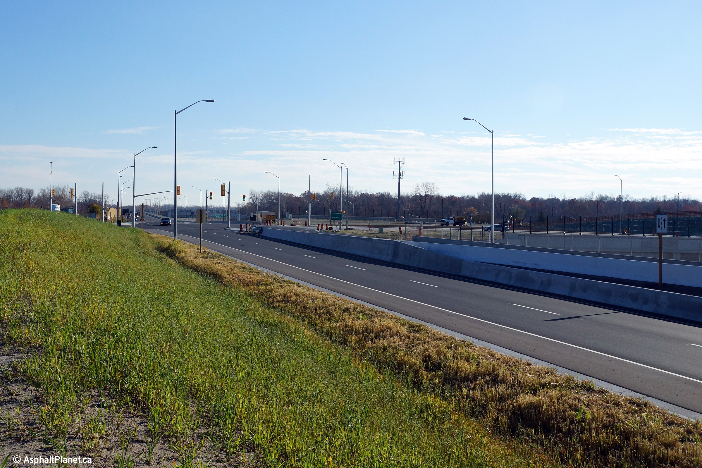
View looking easterly at the Pulford Road intersection.
Photo taken: November 9th, 2015. |

(720x480)
(1440x960)
(2400x1600) |
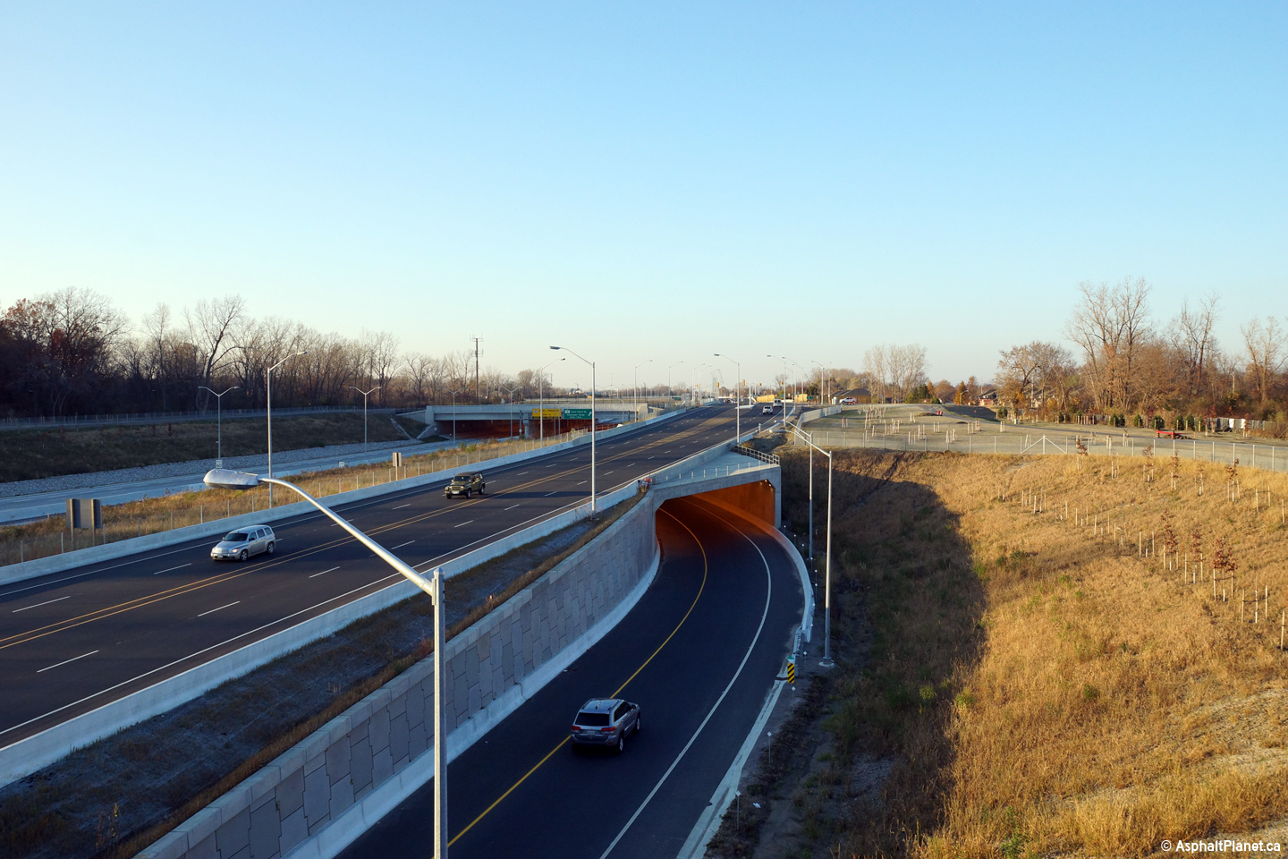
| City of
Windsor |
View looking westerly towards the Pulford Road intersection from the top of
the Oakwood Tunnel.
Photo taken: November 9th, 2015. |

(720x480)
(1440x960)
(2400x1600) |
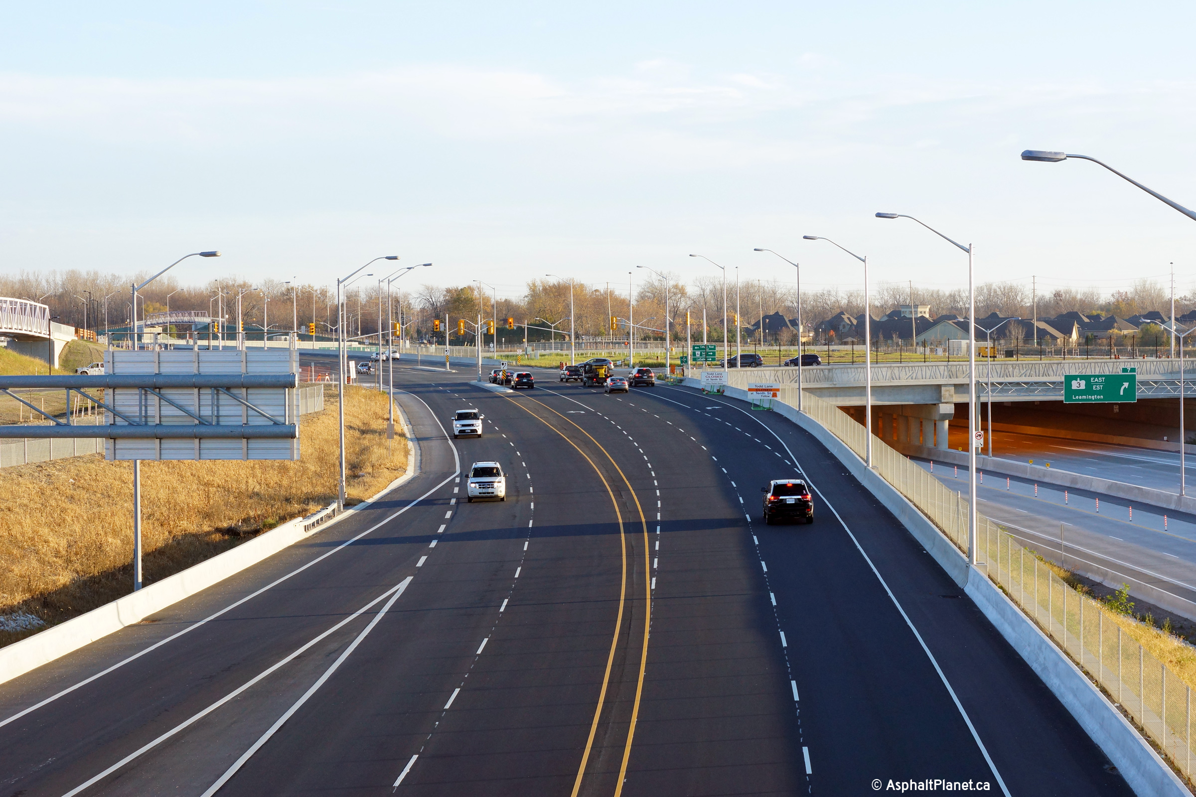
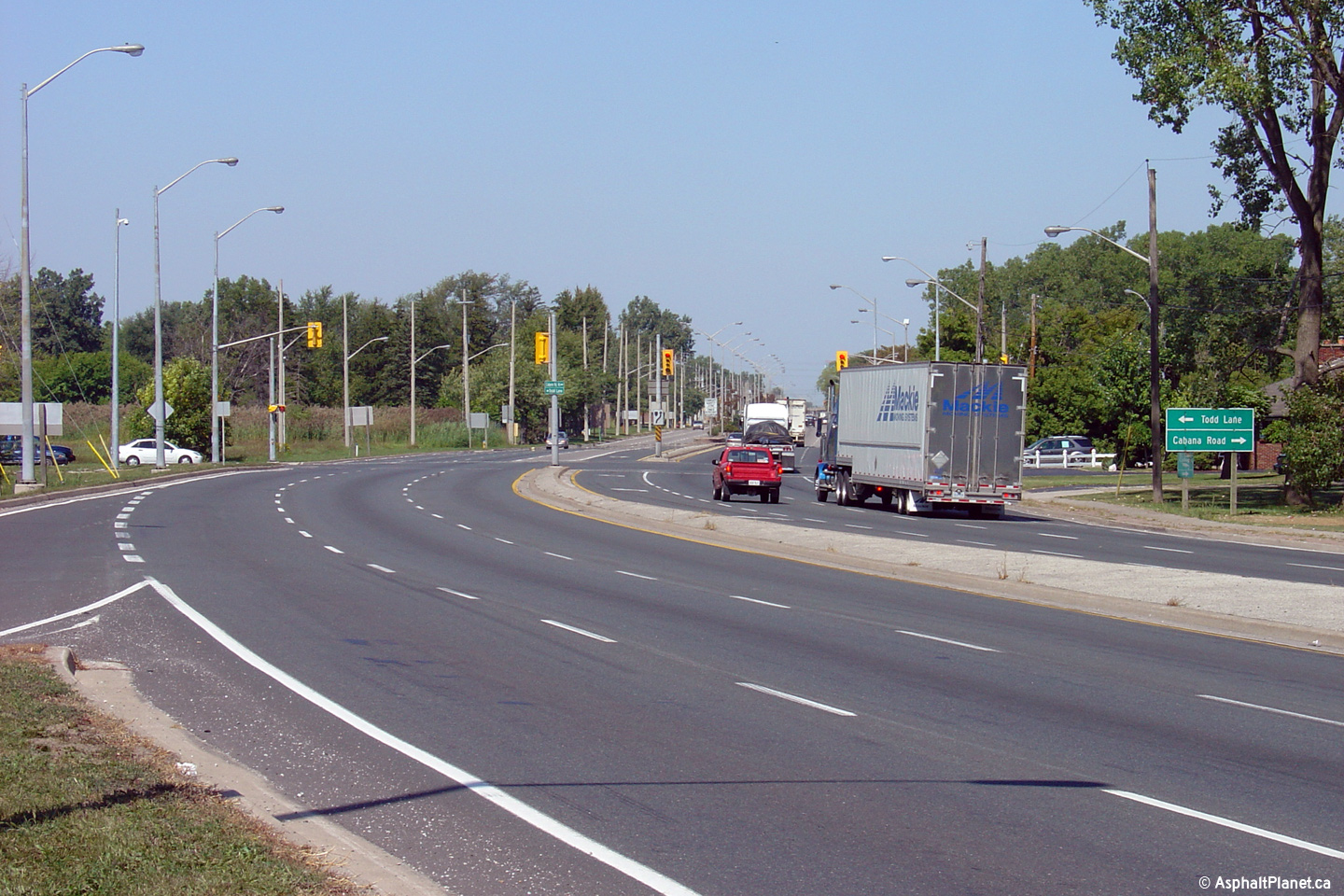
| City of
Windsor |
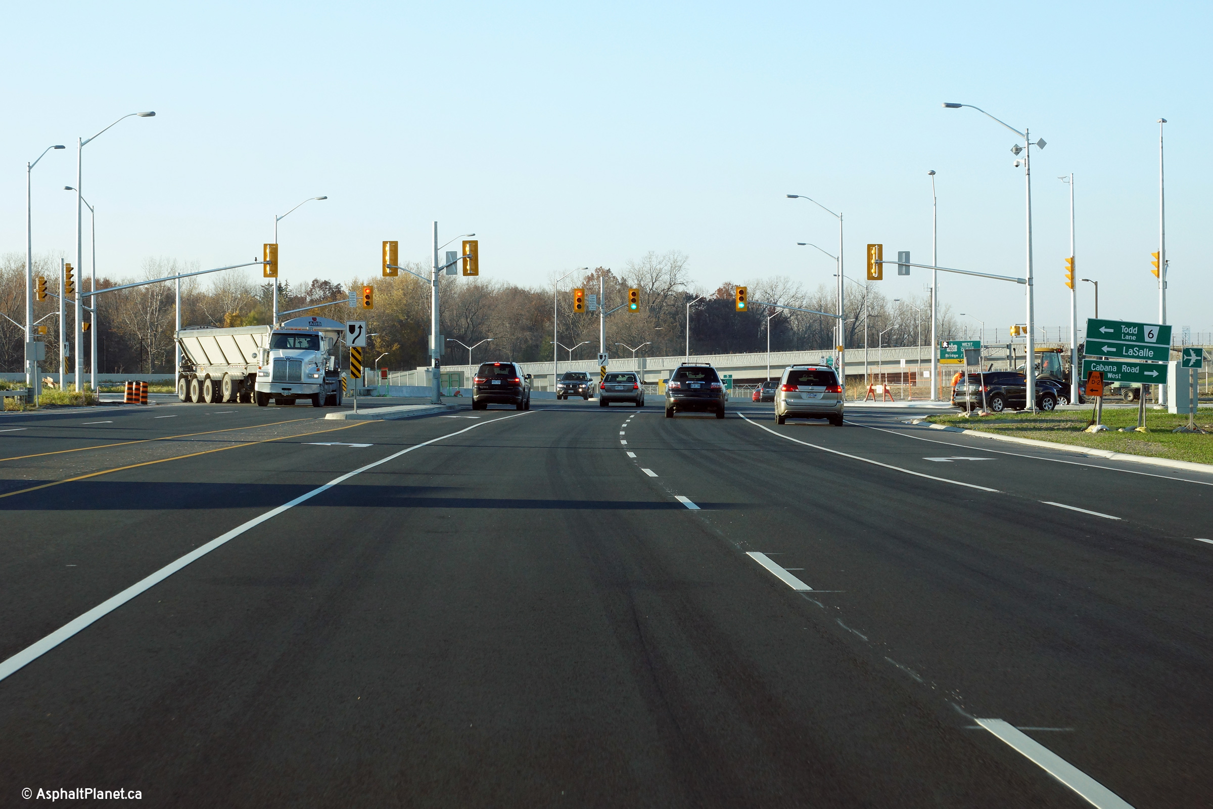
Easterly view towards the Todd Lane / Cabana Road intersection from the
Oakwood Tunnel.
Photo taken: November 9th, 2015. |

(720x480)
(1440x960)
(2400x1600) |
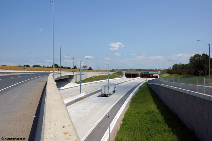
| City of
Windsor |
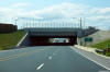
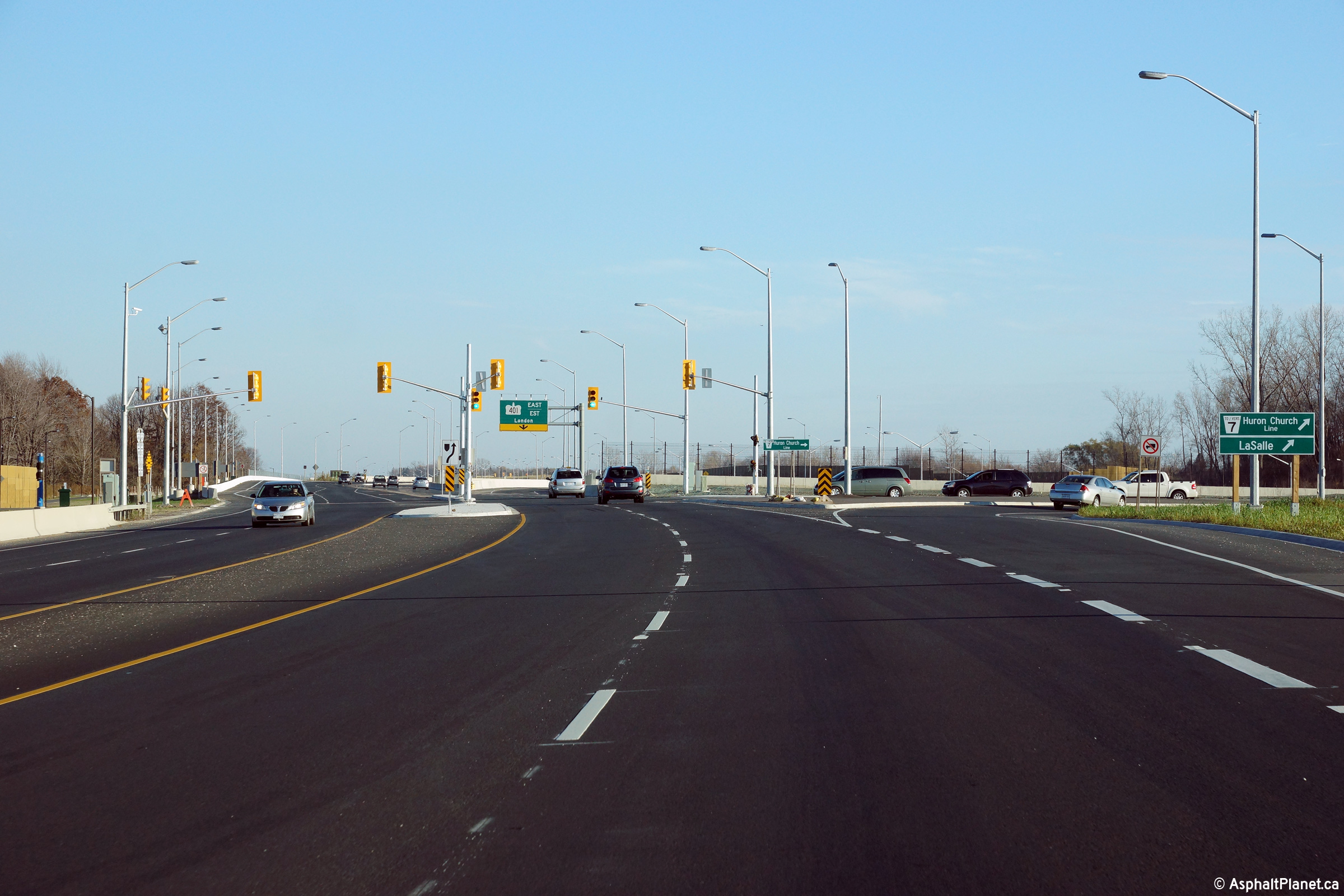
Just west of the Todd Lane / Cabana Road intersection stands this westbound
off-ramp to Highway 401. This ramp passes beneath both the Oakwood
Tunnel, and then Highway 3 itself before it joins with Highway 401.
Photo taken: November 9th, 2015. |
(720x480)
(1440x960)
(2400x1600) |
| Windsor - LaSalle Boundary
County of Essex |
Highway 3 looking west towards the Todd Lane and Cabana Road intersection.
Upper photo taken: November 10th, 2005.
Lower photo taken: November 9th, 2015. |
(720x480)
(1440x960)
(2400x1600)
|
| Windsor - LaSalle Boundary
County of Essex |
Highway 3 looking east towards the Huron Church Line intersection.
Upper photo taken: September 10th, 2005.
Lower photo taken: November 9th, 2015. |
(720x480)
(1440x960)
(2400x1600)
|
| Windsor - LaSalle Boundary
County of Essex |
Views looking westerly approaching the Huron Church Line intersection.
Upper photo taken: September 10th, 2005.
Lower photo taken: November 9th, 2015. |
(720x480)
(1440x960)
(2400x1600) |
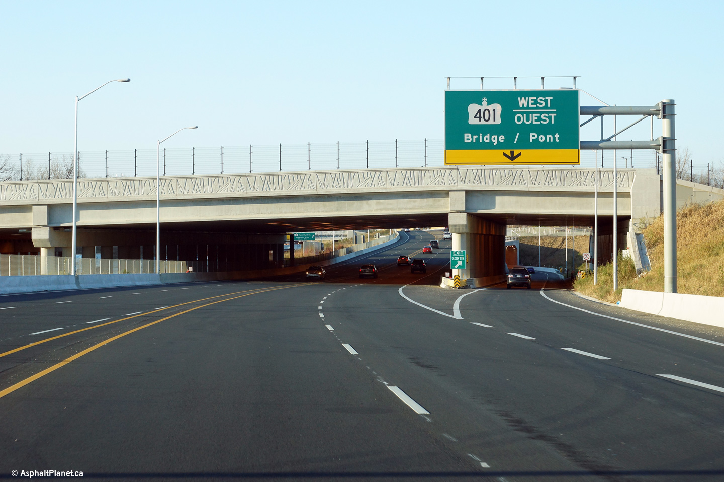
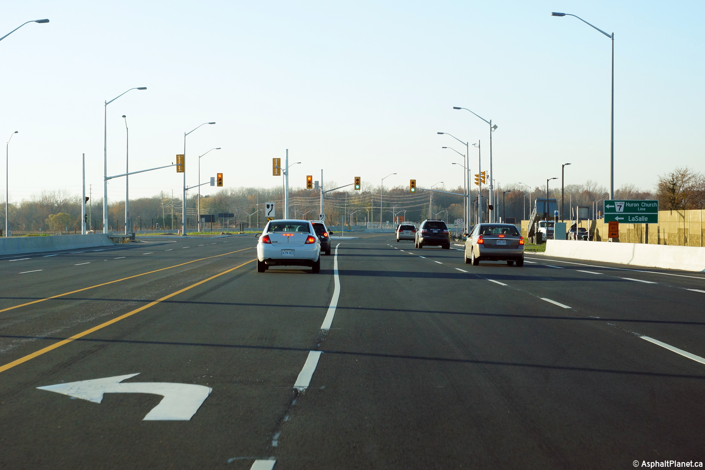
| Windsor - LaSalle Boundary
County of Essex |
Easterly view at the eastbound ramp to Highway 401 east, located just east
of the Huron Church Line intersection.
Photo taken: November 9th, 2015. |
 (720x480) (720x480)
(1440x960)
(2400x1600) |
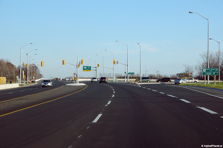
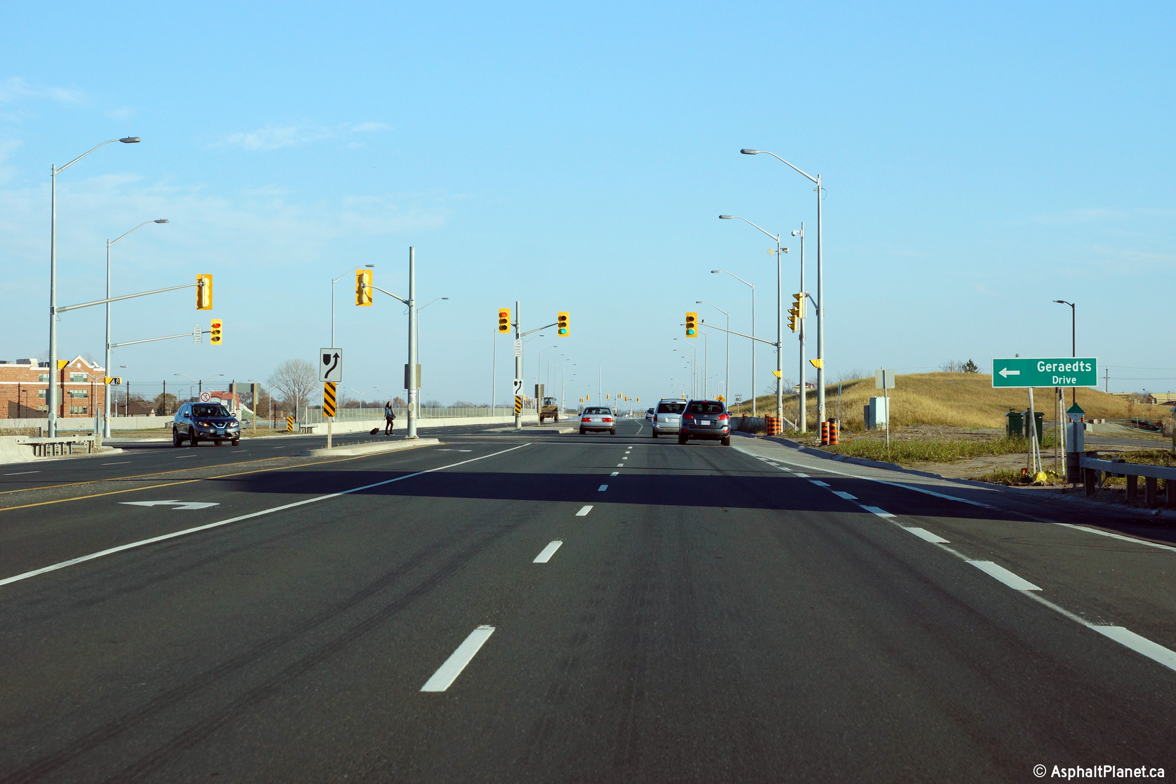
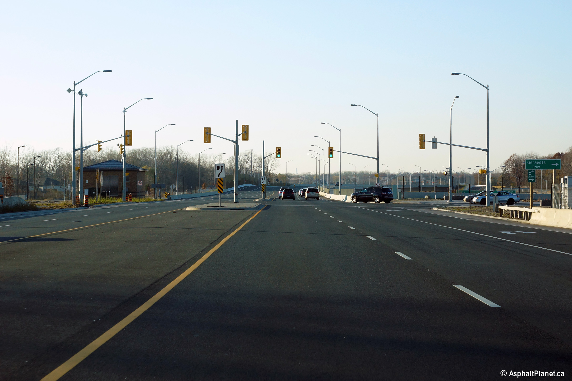
| Windsor - LaSalle Boundary
County of Essex |
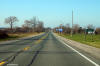
Easterly view at the Garaedts Road intersection.
Photo taken: November 9th, 2015. |
(720x480)
(1440x960)
(2400x1600) |
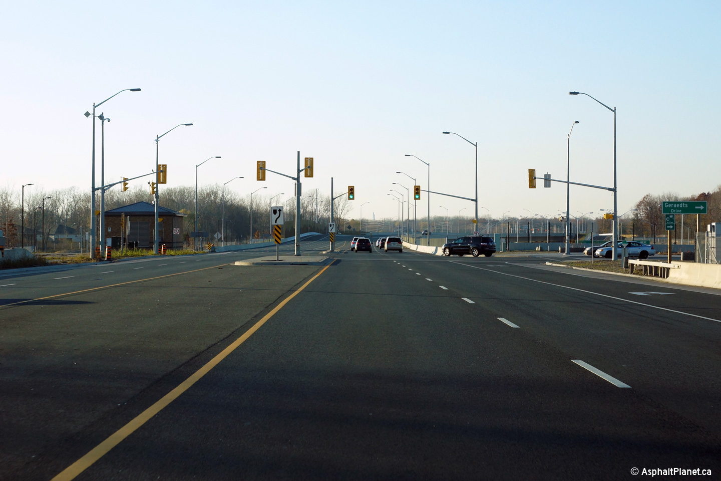
| Windsor - LaSalle Boundary
County of Essex |
View looking westerly along Highway 3 at the Geraedts Road intersection.
Photo taken: November 9th, 2015. |
(720x480)
(1440x960)
(2400x1600) |
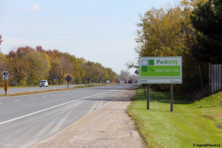
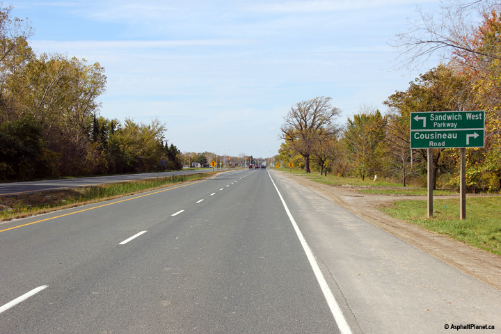
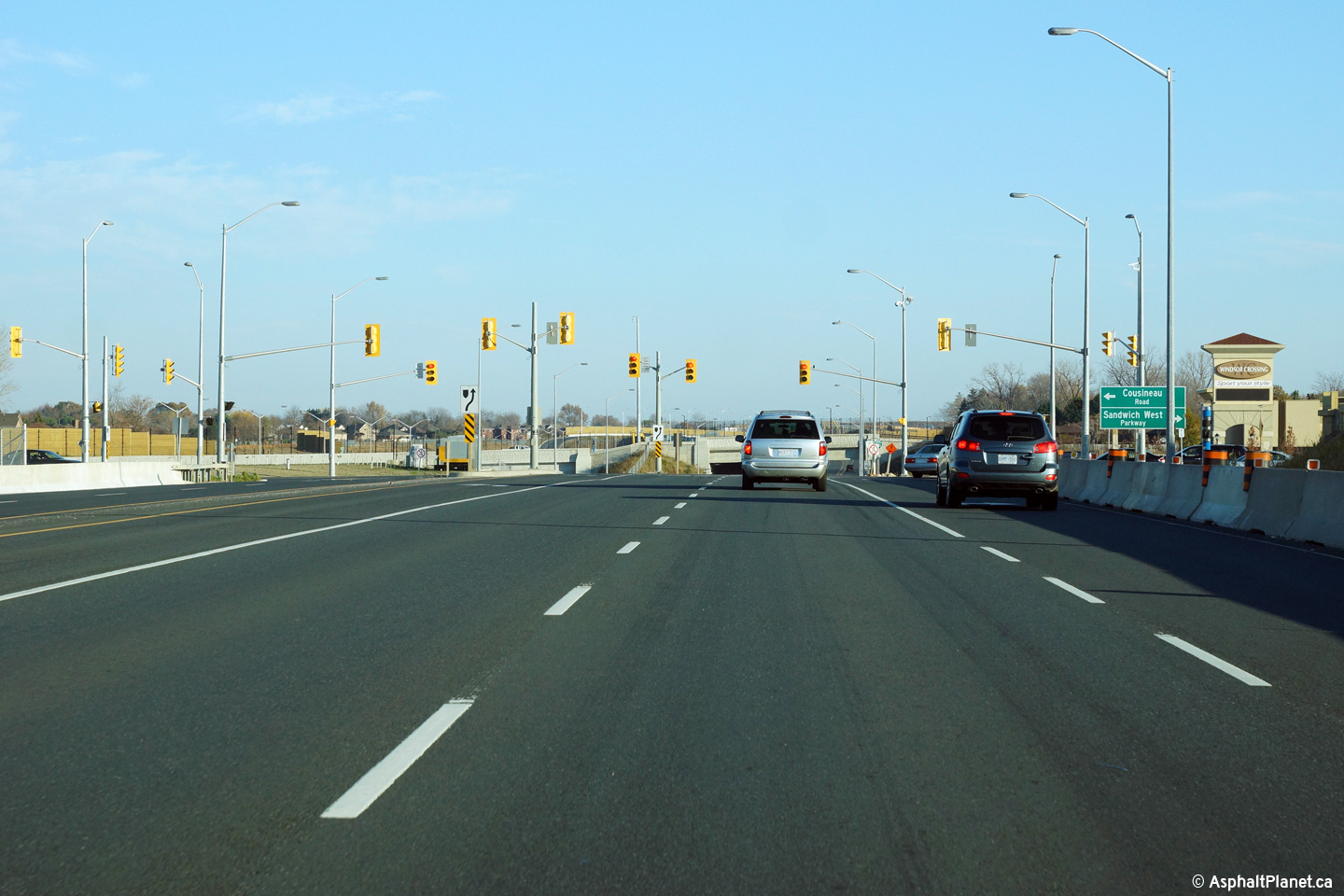
| Windsor - LaSalle Boundary
County of Essex |
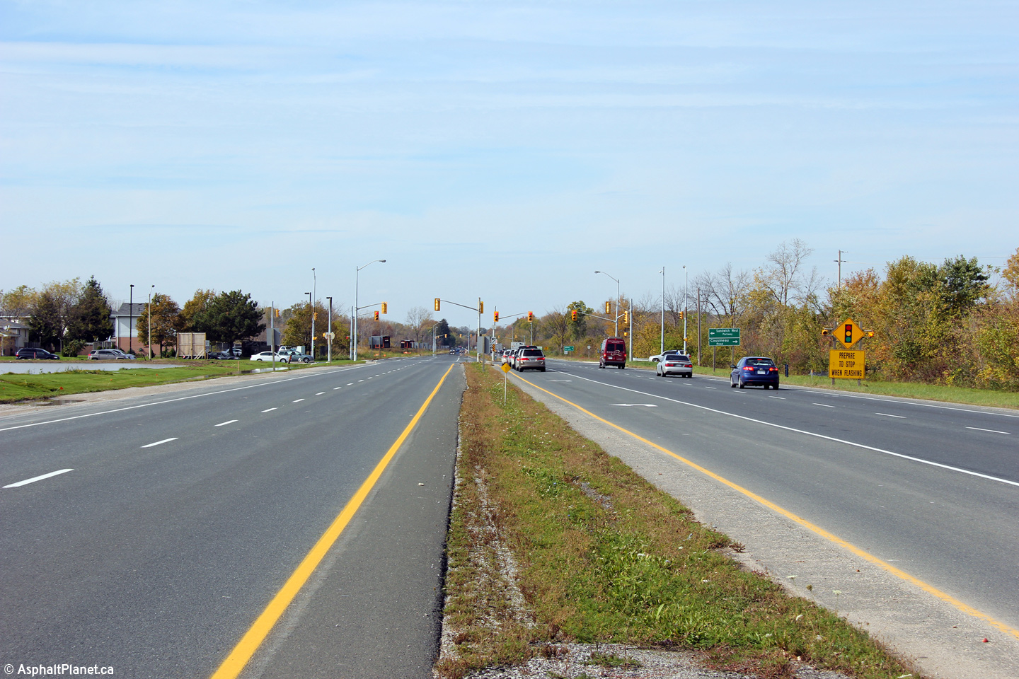
View looking easterly at the Sandwich West Parkway intersection.
Photo taken: November 9th, 2015. |
(720x480)
(1440x960)
(2400x1600) |
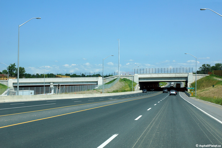
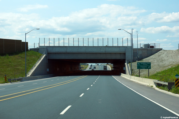
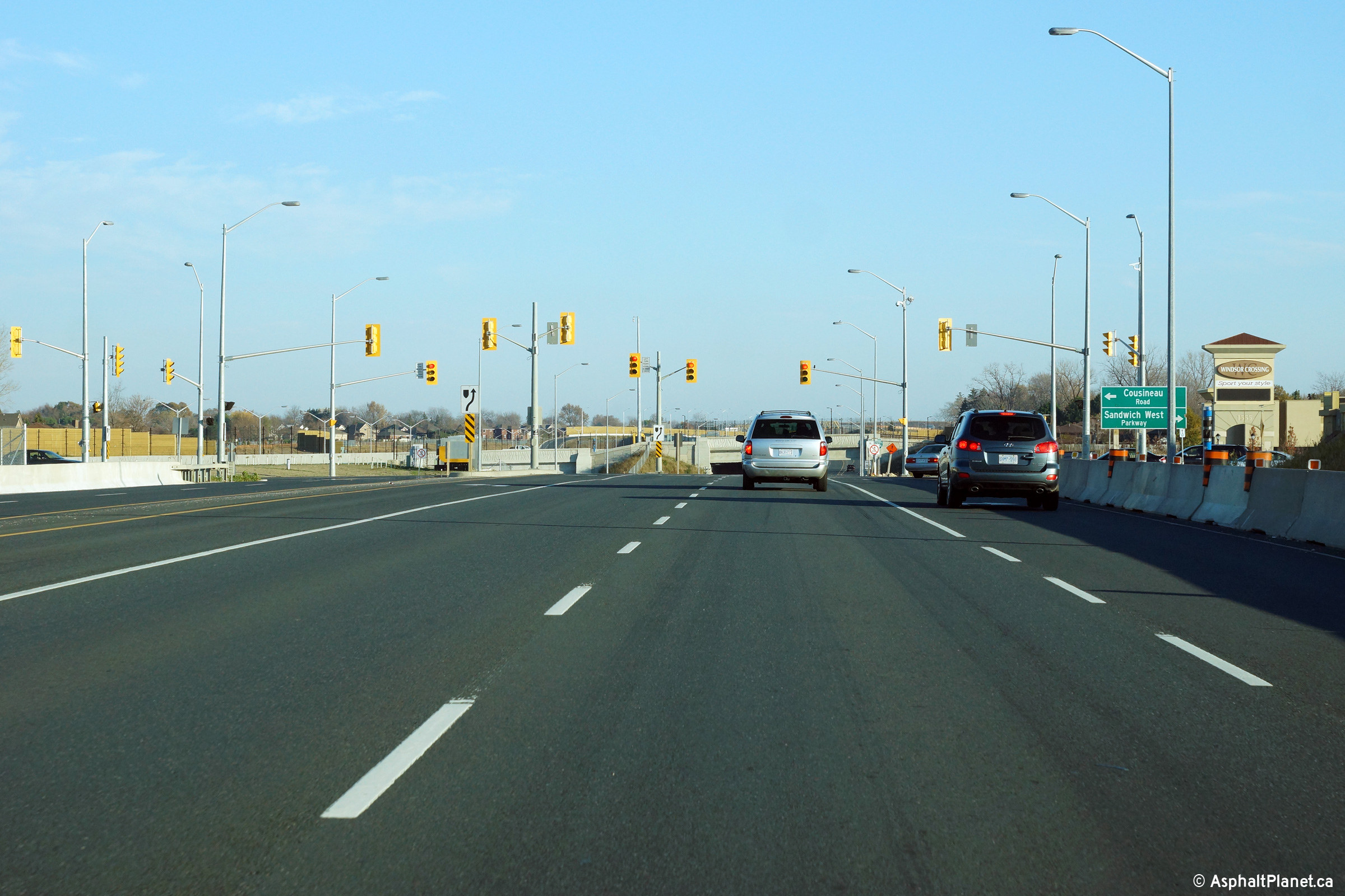
| Windsor - LaSalle Boundary
County of Essex |
Two views looking easterly from the Sandwich West Parkway intersection.
In the post-construction (lower photos), Highway 3 can been seen on approach
to the Hearthwood Tunnel.
Upper photo taken: October 22nd, 2011.
Lower photos taken: July 2nd, 2015. |

(720x480)
(1440x960)
(2400x1600)
(720x480)
(1440x960)
(2400x1600) |
| Windsor - LaSalle Boundary
County of Essex |
Two views looking westerly towards the Sandwich West Parkway intersection.
Upper photo taken: October 22nd, 2011.
Lower photo taken: July 2nd, 2015. |
(720x480)
(1440x960)
(2400x1600) |
| Windsor - LaSalle Boundary
County of Essex |
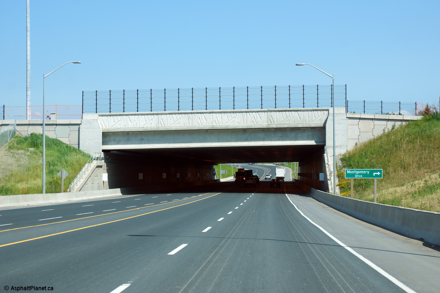
Easterly view from the Hearthwood Tunnel along Highway 3 towards the
Montgomery Road intersection.
Photo taken: July 2nd, 2015. |
(720x480)
(1440x960)
(2400x1600) |
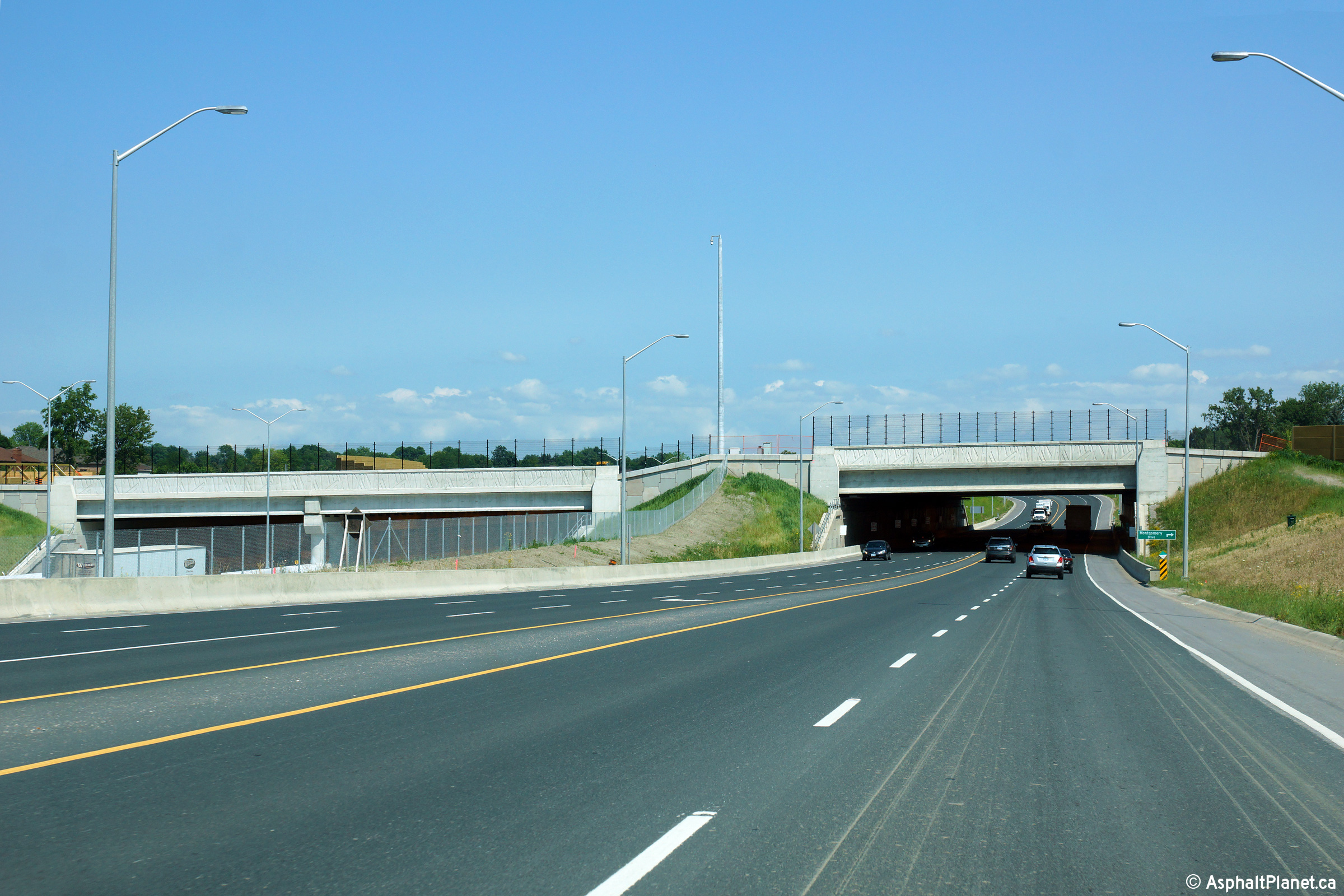
| Windsor - LaSalle Boundary
County of Essex |
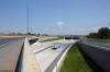
Two views looking westerly approaching the Sandwich West Parkway
intersection west of Montgomery Road. Highway 3 was diverted to a new
southerly alignment during the construction of Highway 401 through Windsor,
which included running the highway beneath the pictured tunnel.
Upper photo taken: October 22nd, 2011.
Lower photo taken: July 2nd, 2015. |
(720x480)
(1440x960)
(2400x1600)
|
| Windsor - LaSalle Boundary
County of Essex |
Two views looking westerly from the Montgomery Road intersection along
Highway 3.
Upper photo taken: October 22nd, 2011.
Lower photo taken: July 2nd, 2015. |

(720x480)
(1440x960)
(2400x1600) |
| Windsor - LaSalle Boundary
County of Essex |
This ramp to the eastbound lanes of Highway 401 stands immediately east of
the intersection with Montgomery Road.
Photo taken: November 9th, 2015. |
 (720x480) (720x480)
(1440x960)
(2400x1600) |
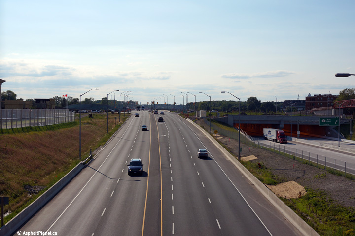
| Windsor - LaSalle Boundary
County of Essex |
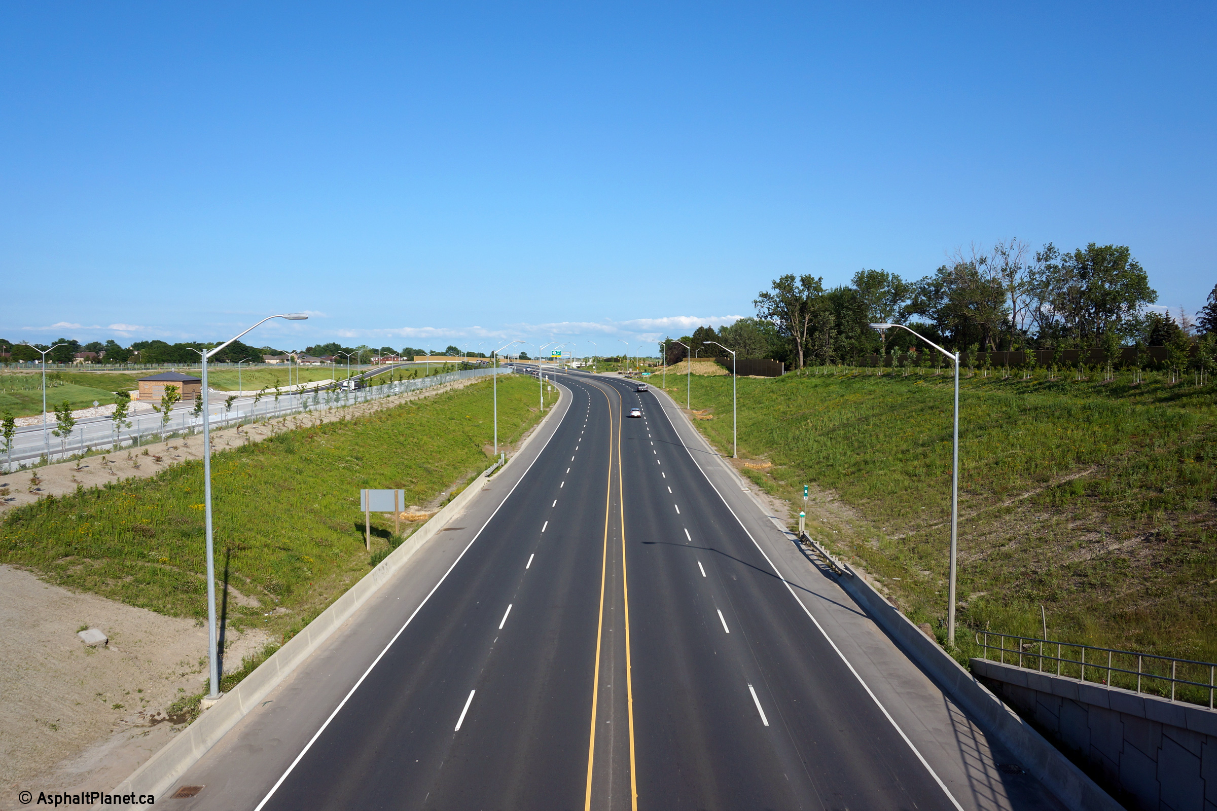
View looking westerly along Highway 3 and Highway 401 from the Highway 3
overpass near Montgomery Road.
Photo taken: July 2nd, 2015. |

(720x480)
(1440x960)
(2400x1600) |
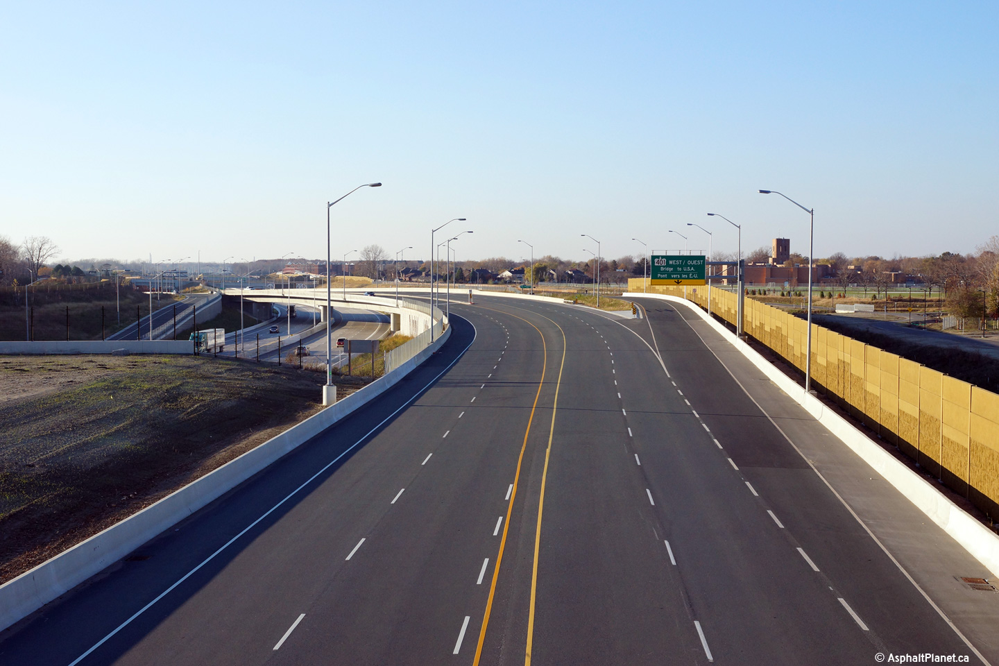
| Windsor - LaSalle Boundary
County of Essex |
Westerly view from Highway 401 at the structures that carry Highway 3
overtop of the freeway.
Photo taken: November 9th, 2015. |
(720x480)
(1440x960)
(2400x1600) |
| Windsor - LaSalle Boundary
County of Essex |
View looking easterly from the Highway 401 overpass at Montgomery Road.
Photo taken: July 2nd, 2015. |
(720x480)
(1440x960)
(2400x1600) |
| Windsor - LaSalle Boundary
County of Essex |
View looking westerly as the ramp to Highway 401 West departs from the
westbound lanes of Highway 3.
Photo taken: November 9th, 2015. |
 (720x480) (720x480)
(1440x960)
(2400x1600) |
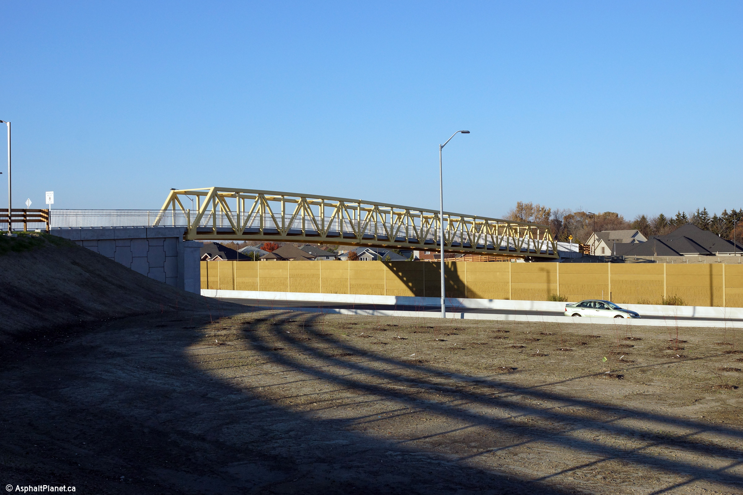
| Windsor - LaSalle Boundary
County of Essex |
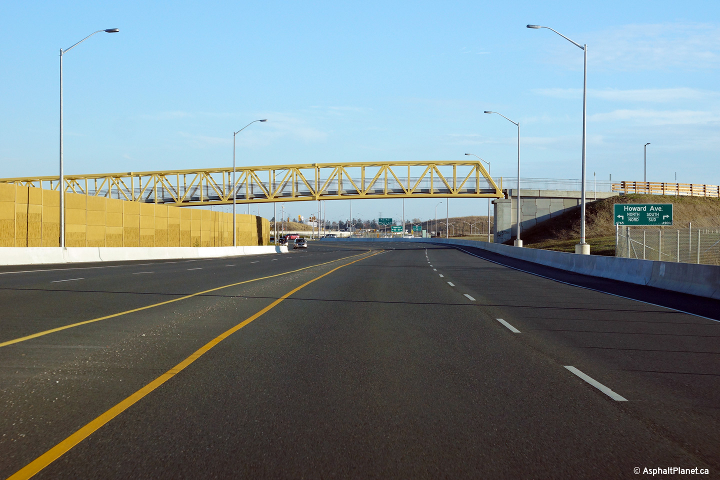
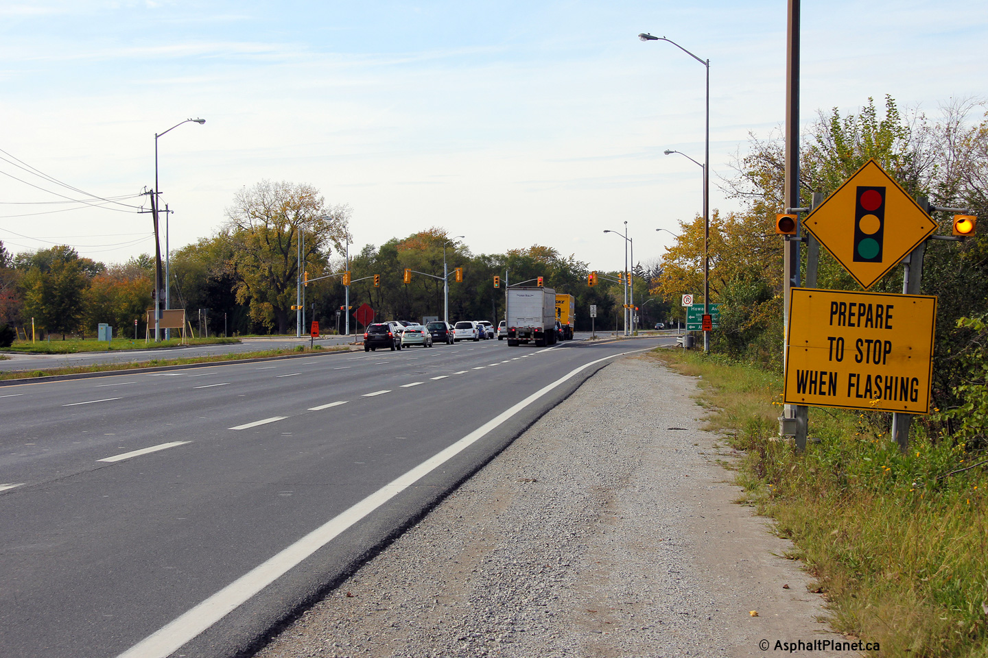
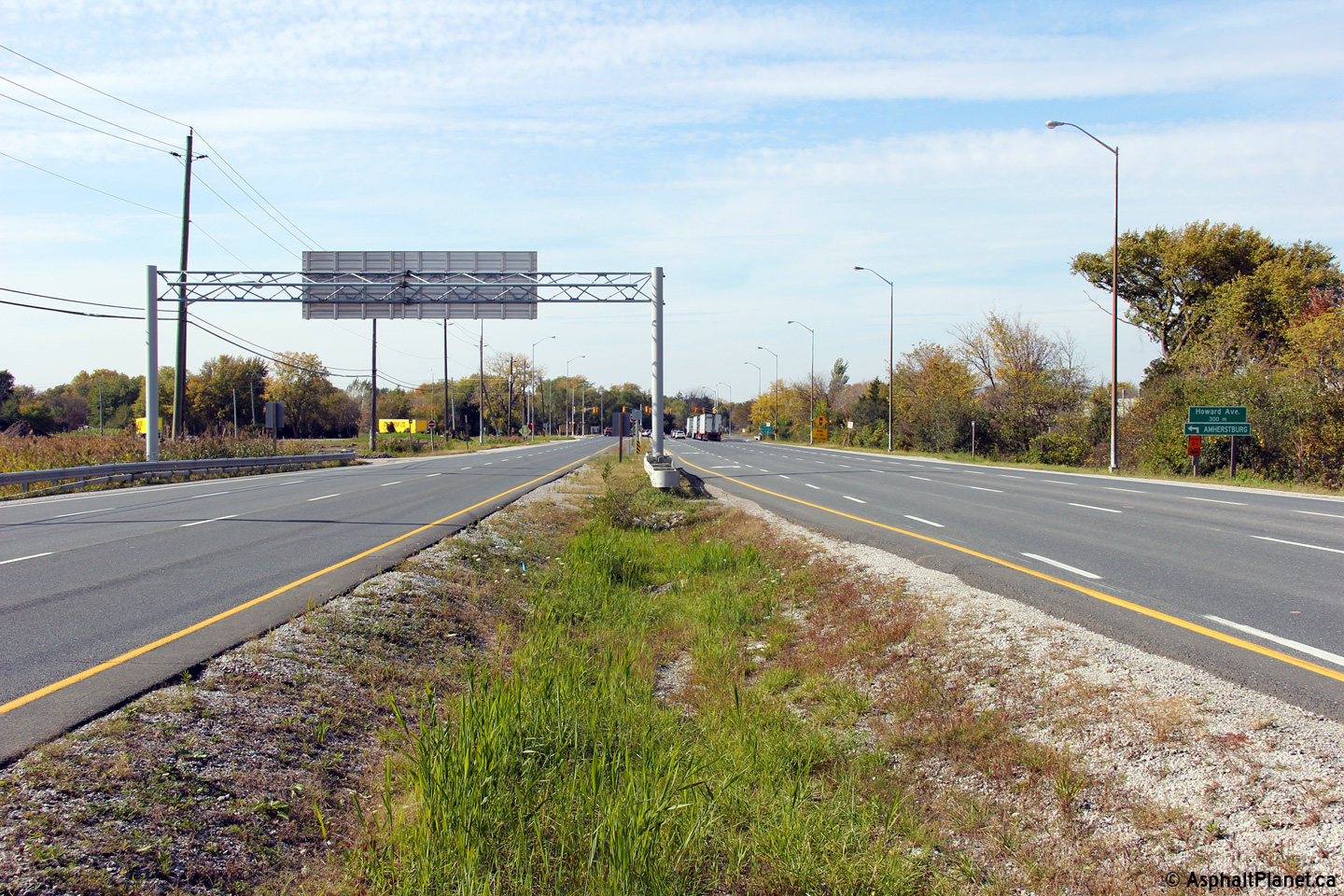
View looking easterly along Highway 3 approaching the Howard Avenue
pedestrian bridge.
Photo taken: November 9th, 2015. |
(720x480)
(1440x960)
(2400x1600) |
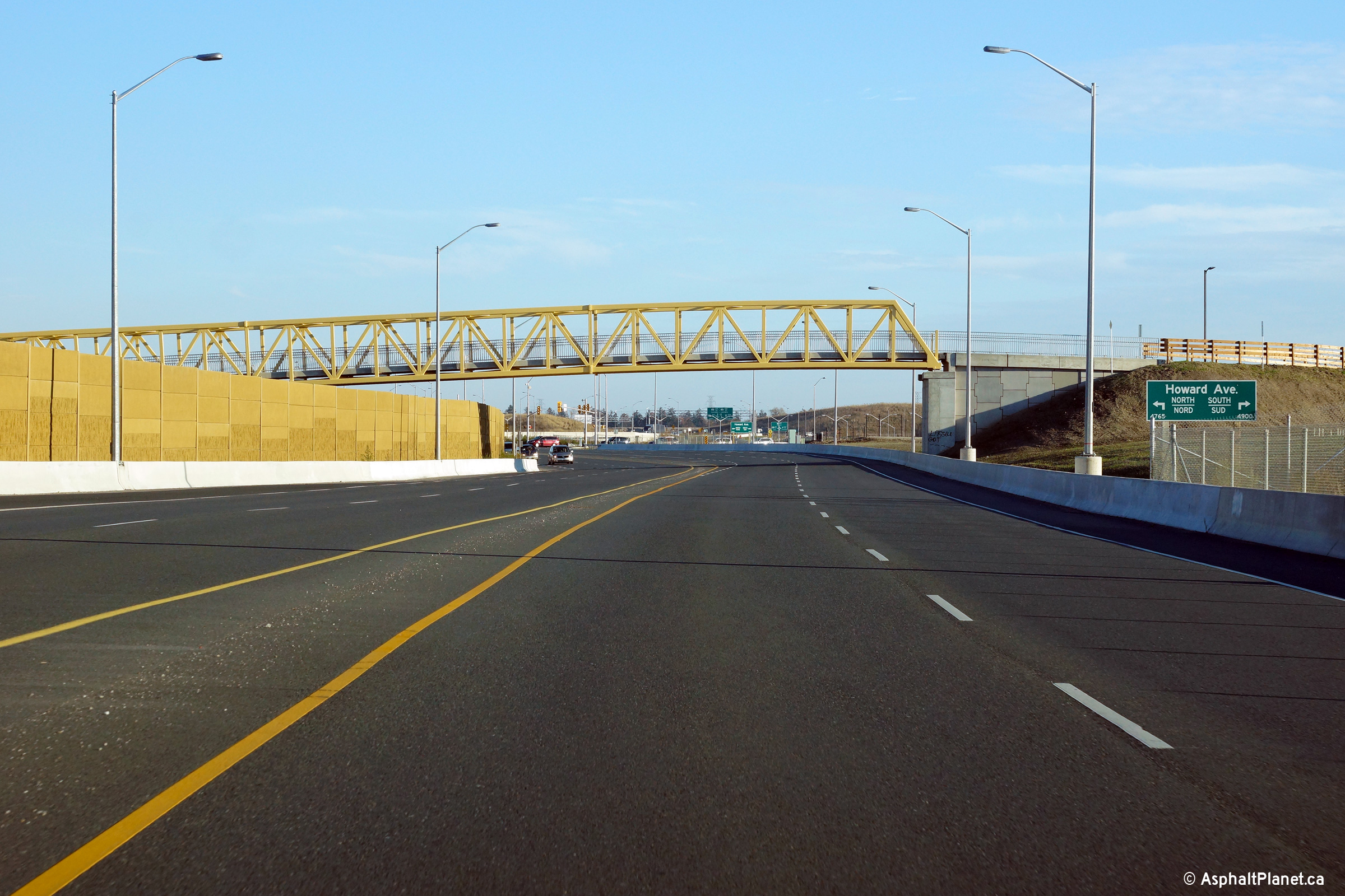
| Windsor - LaSalle Boundary
County of Essex |
View looking westerly along Highway 3 from the Howard Avenue pedestrian
bridge.
Photo taken: November 9th, 2015. |
(720x480)
(1440x960)
(2400x1600) |
| Windsor - LaSalle Boundary
County of Essex |
View looking easterly towards the Howard Avenue intersection from the Howard
Avenue pedestrian bridge.
Photo taken: November 9th, 2015. |
(720x480)
(1440x960)
(2400x1600) |
| Windsor - LaSalle Boundary
County of Essex |
View looking westerly towards the Howard Avenue pedestrian bridge.
Photo taken: November 9th, 2015. |
(720x480)
(1440x960)
(2400x1600) |
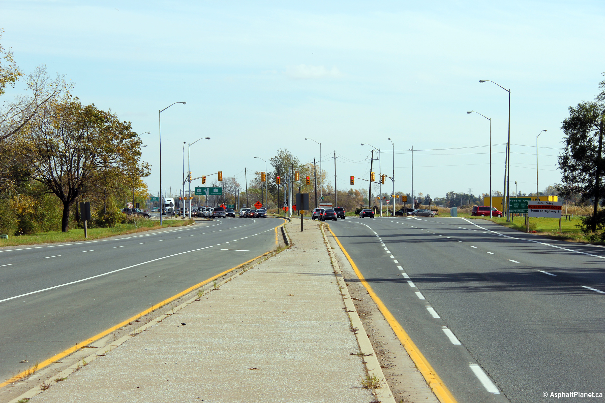
| Windsor - LaSalle Boundary
County of Essex |
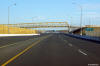
A series of views looking easterly approaching the Howard Avenue
intersection. These photos show both the configuration of the
intersection before Highway 401 was extended through Windsor and afterwards
as well.
Upper photo taken: October 22nd, 2011.
Lower photo taken: November 9th, 2015. |
(720x480)
(1440x960)
(2400x1600)
|
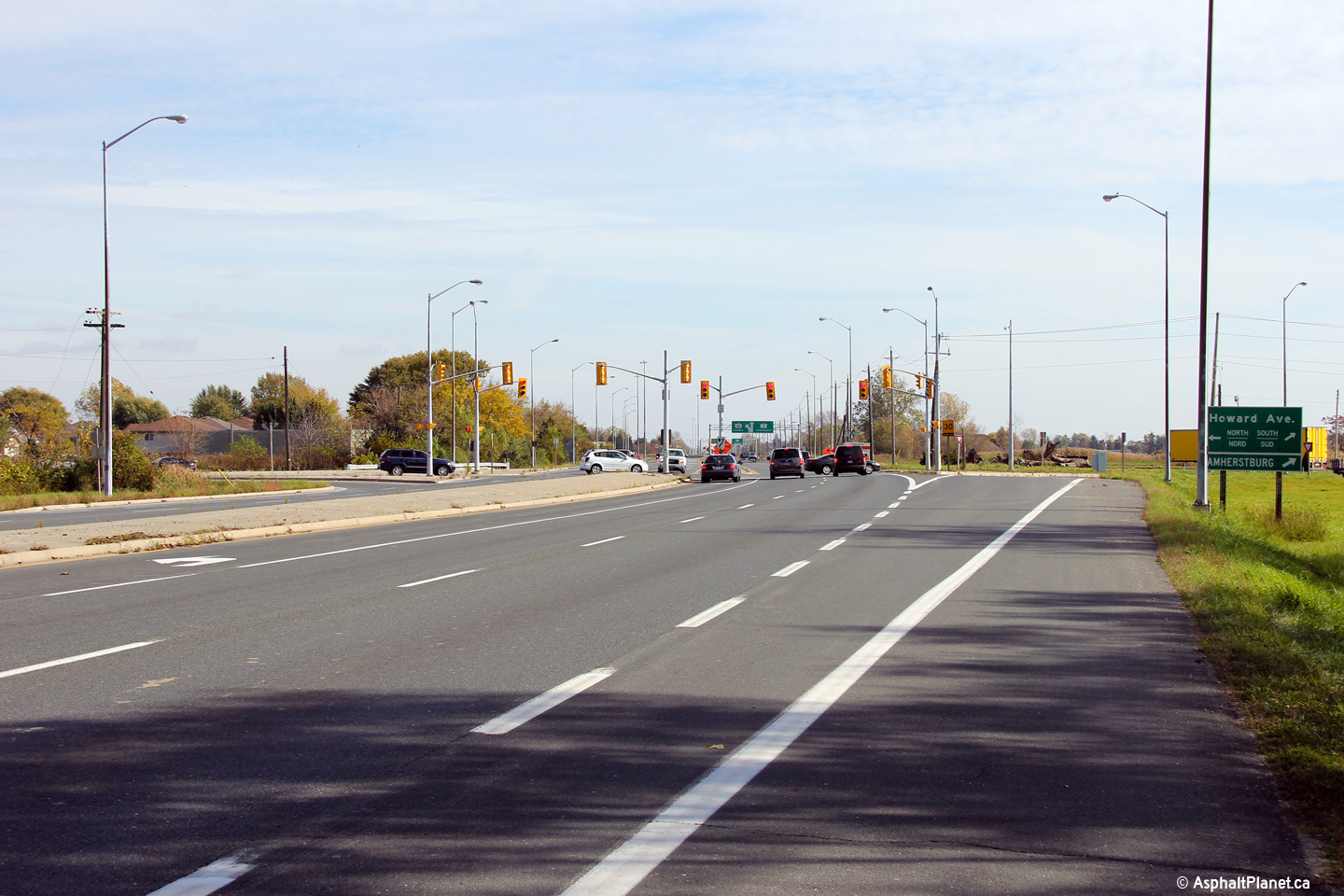
| Windsor - Tecumseh Boundary
County of Essex |
A series of views looking westerly at the Howard Avenue intersection.
Highway 3 was realigned to a new northern alignment through the Howard
Avenue interchange during the construction of Highway 401 through Windsor.
Upper photo taken: October 22nd, 2011.
Lower photo taken: November 9th, 2015. |
(720x480)
(1440x960)
(2400x1600) |
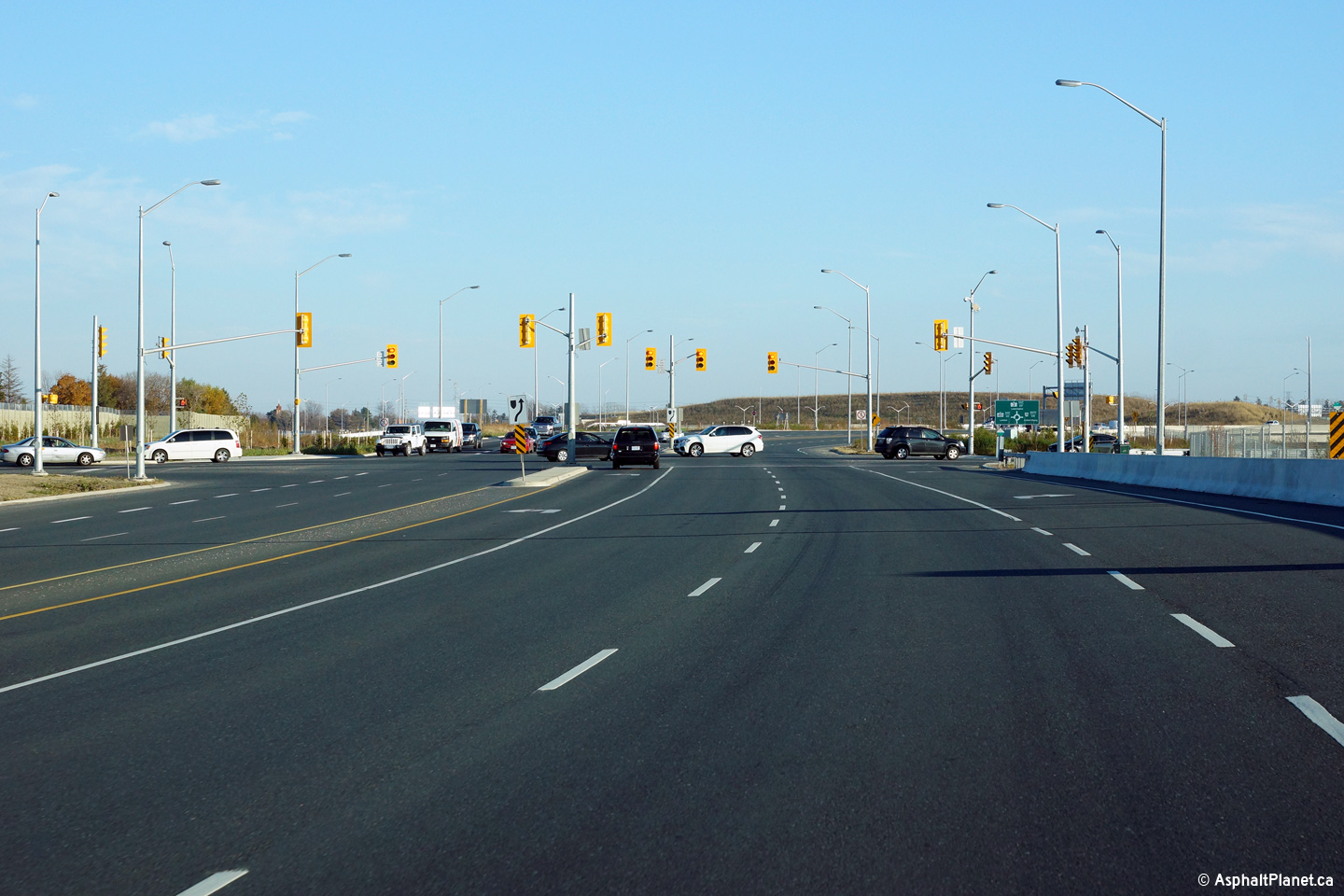
| Windsor - Tecumseh Boundary
County of Essex |
A series of views looking westerly from between the Highway 3 interchange
and Howard Avenue. The cross-section of Highway 3 has changed quite
dramatically in the vicinity of the eastern-most Highway 401 interchange.
Upper photo taken: October 22nd, 2011.
Lower photo taken: November 9th, 2015. |
(720x480)
(1440x960)
(2400x1600) |
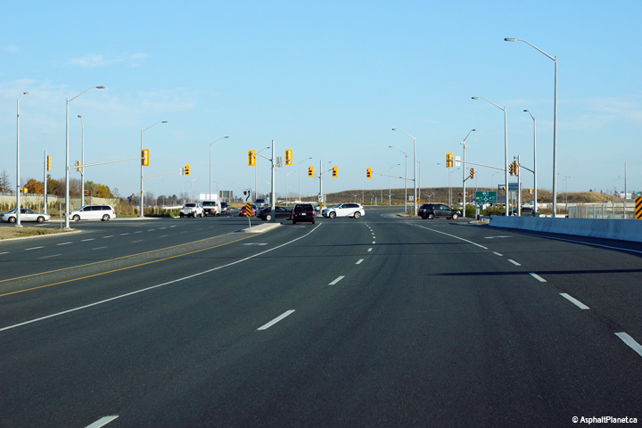
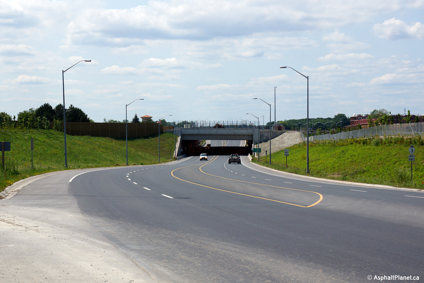
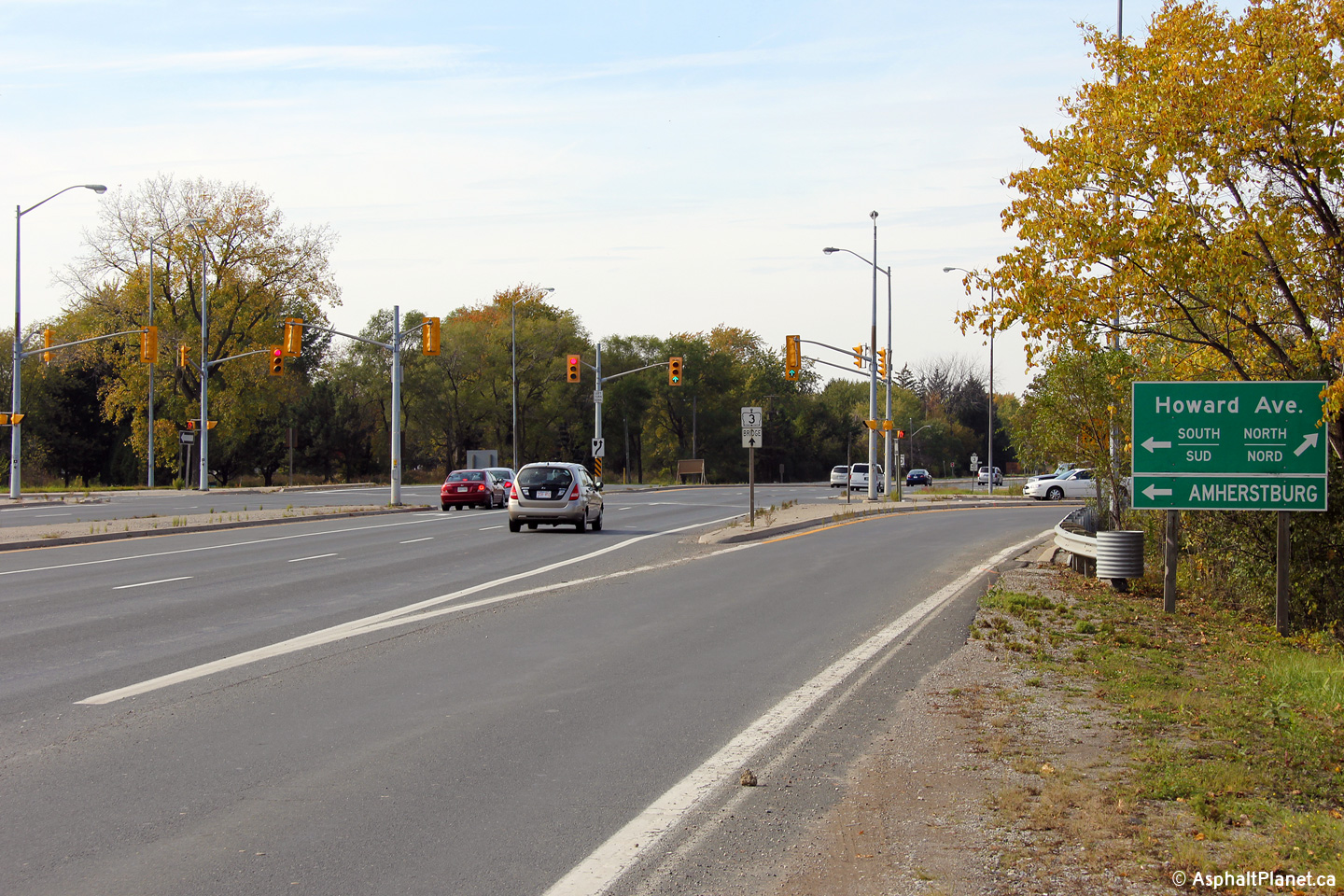
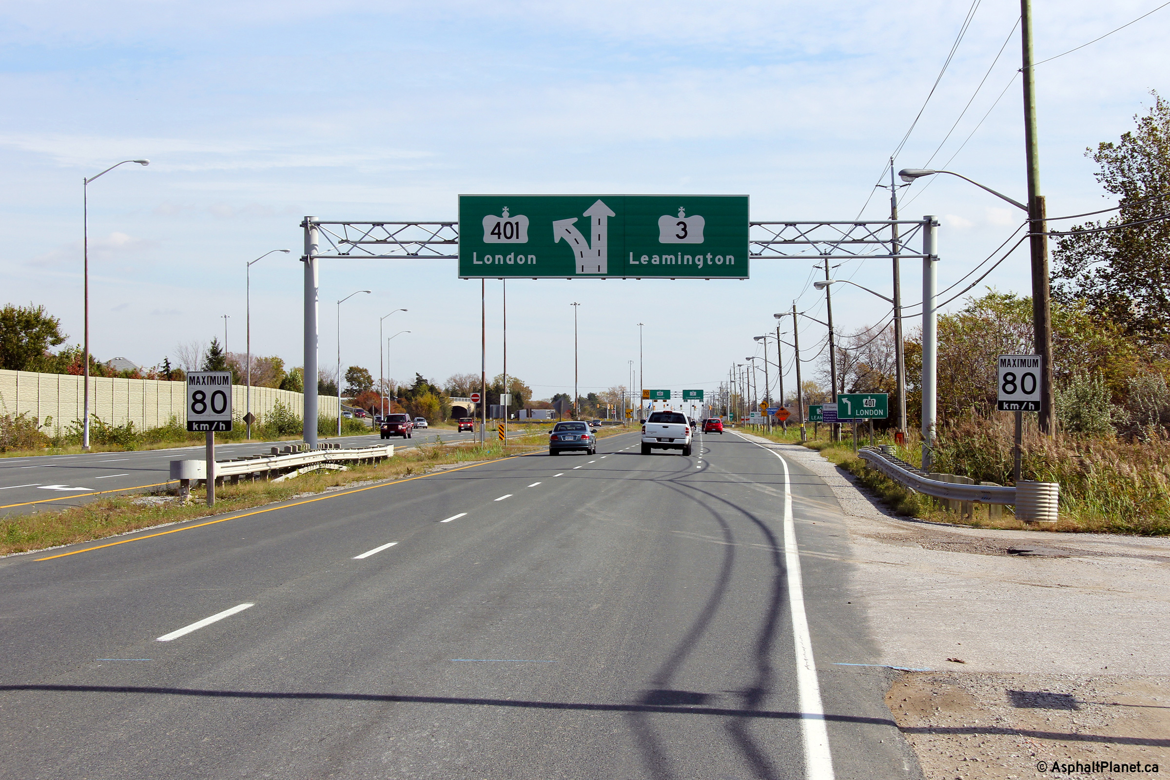
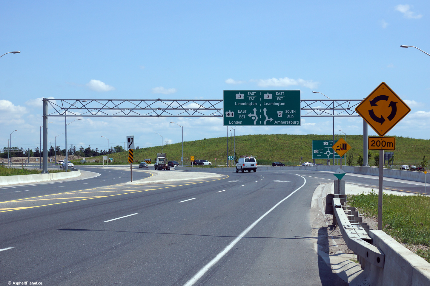
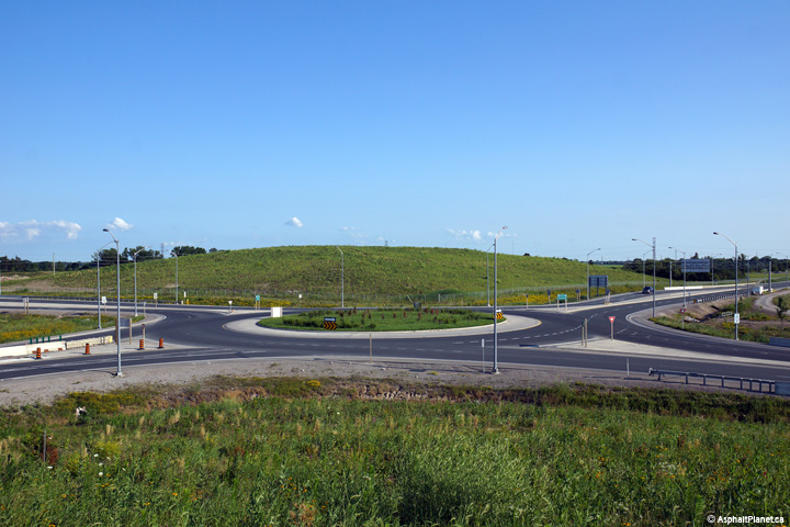
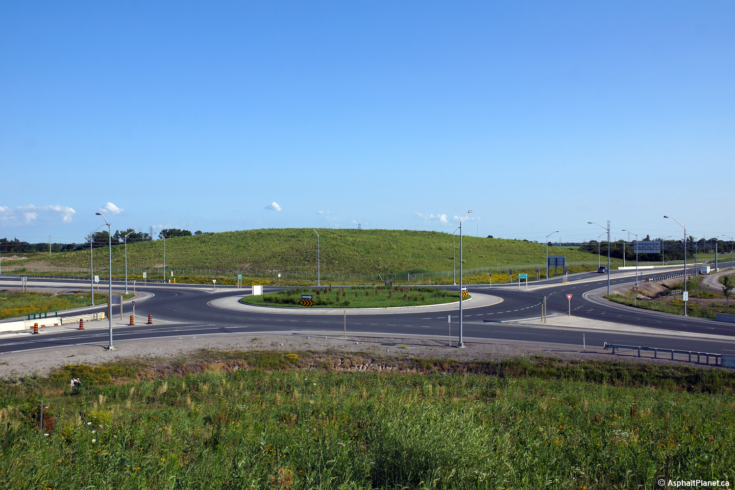
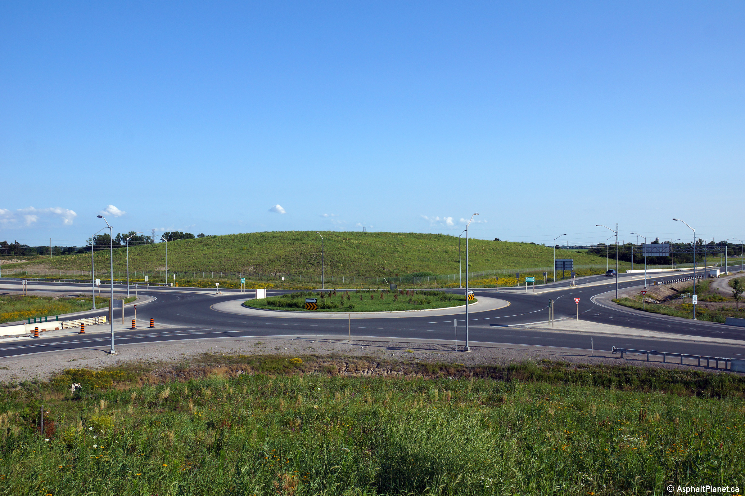
| Windsor - Tecumseh Boundary
County of Essex |
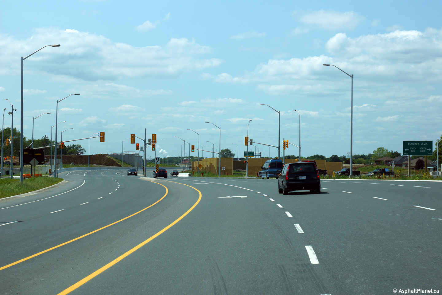
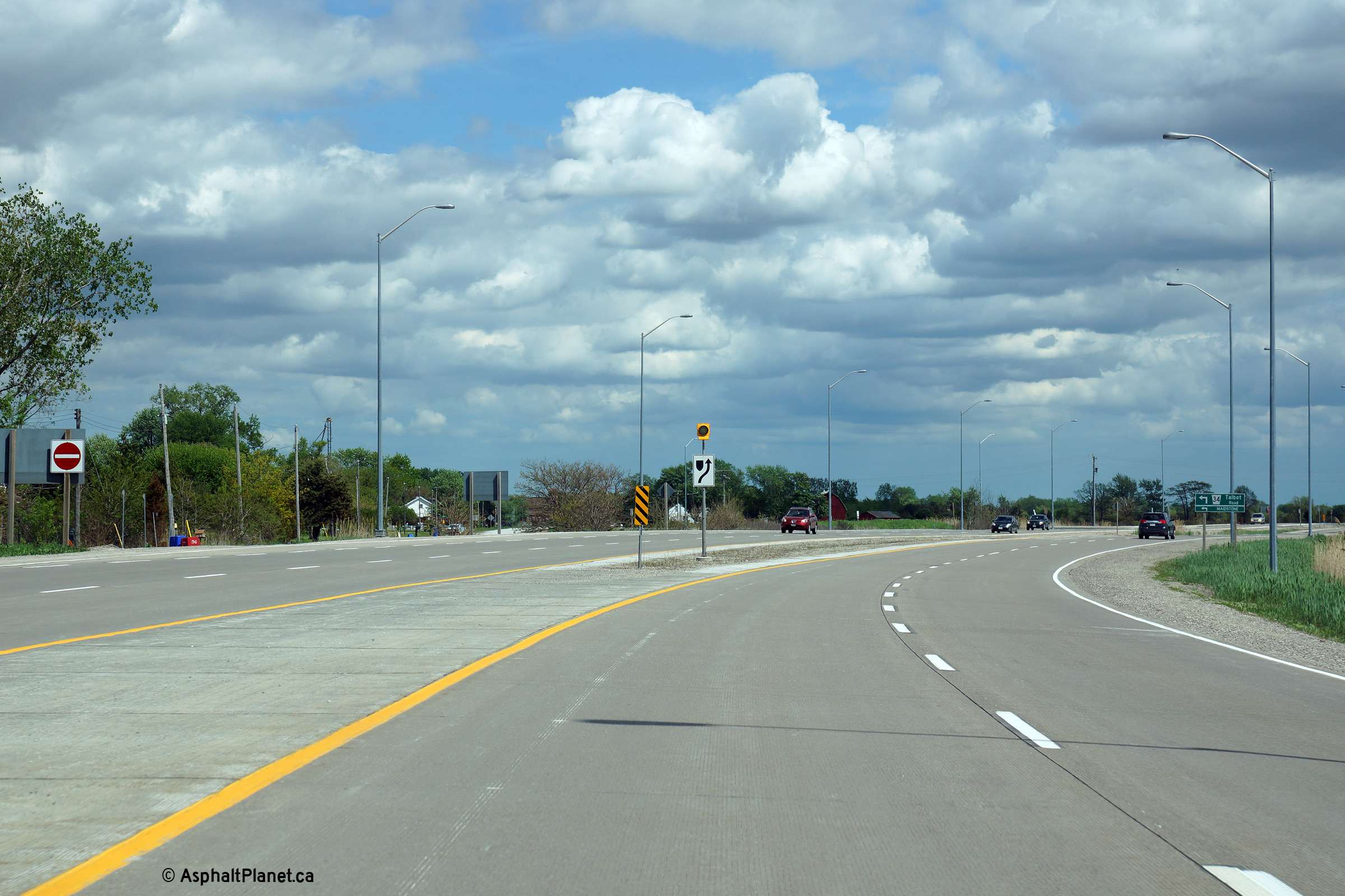
Signage on approach to the eastern-most Highway 401 interchange. After
Highway 401 was extended westerly through Windsor, the interchange between
Highways 3 and Highway 401 was reconfigured with a roundabout.
Upper photos taken: October 22nd, 2011.
Lower photo taken: November 9th, 2015. |
|
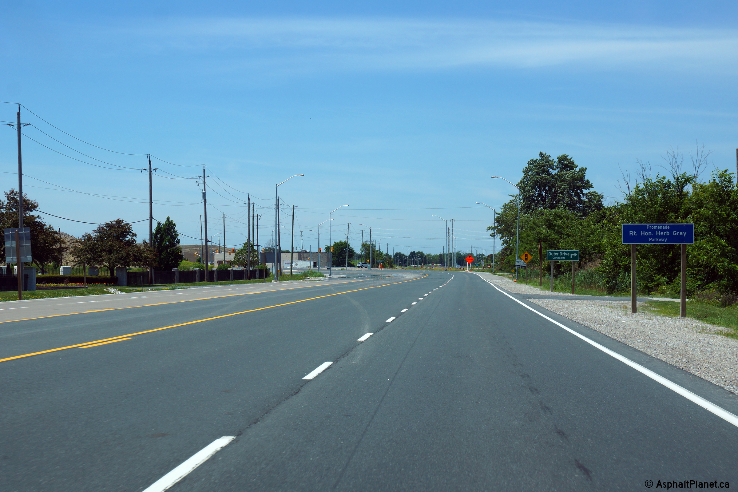
| Town of Tecumseh County of
Essex |
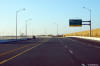
View looking westerly at the start of the Outer Drive diversion.
Highway 3 was diverted on a new southern alignment in the vicinity of Outer
Drive in order to facilitate the construction of an extension to Highway 401
beyond its former western terminus at Highway 3.
Photo taken: June 15th, 2014. |
(720x480)
(1440x960)
(2400x1600) |
|
East of Howard Road, Highway 401
continues on its own alignment bound easterly for London and Toronto.
Click here for Highway 401 images. |
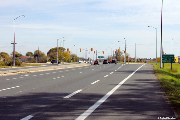
| Town of Tecumseh County of
Essex |
Westerly view approaching the Howard Road roundabout.
Photo taken: June 15th, 2014. |
 (720x480) (720x480)
(1440x960)
(2400x1600) |
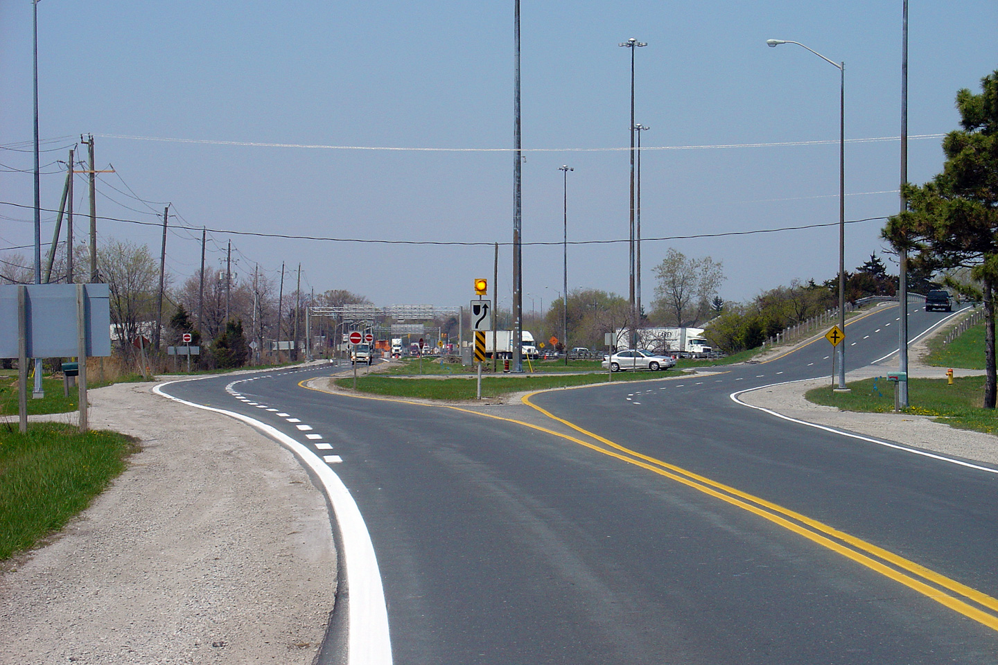
| Town of Tecumseh County of
Essex |
Two views looking westerly along Highway 3 approaching the Outer Drive
intersection. During the time between when the upper and lower photos
were taken, Highway 3 was realigned to a new southern alignment in the
vicinity of Outer Drive.
Upper photo taken: May 5th, 2005.
Lower photo taken: June 15th, 2014. |
(720x480)
(1440x960)
(2400x1600) |
| Town of Tecumseh County of
Essex |
View looking westerly at the start of the Outer Drive diversion.
Highway 3 was diverted on a new southern alignment in the vicinity of Outer
Drive in order to facilitate the construction of an extension to Highway 401
beyond its former western terminus at Highway 3.
Photo taken: June 15th, 2014. |
(720x480)
(1440x960)
(2400x1600) |
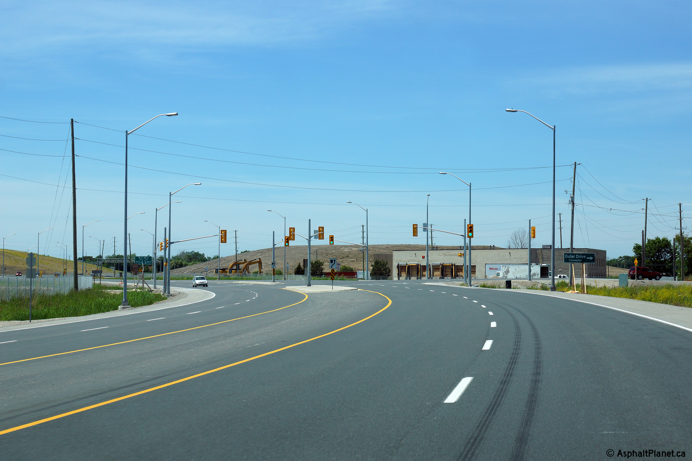
| Town of Tecumseh County of
Essex |
This view looks easterly from just east of the Outer Drive Connector
intersection.
Photo taken: May 22nd, 2014. |
(720x480)
(1440x960)
(2400x1600) |
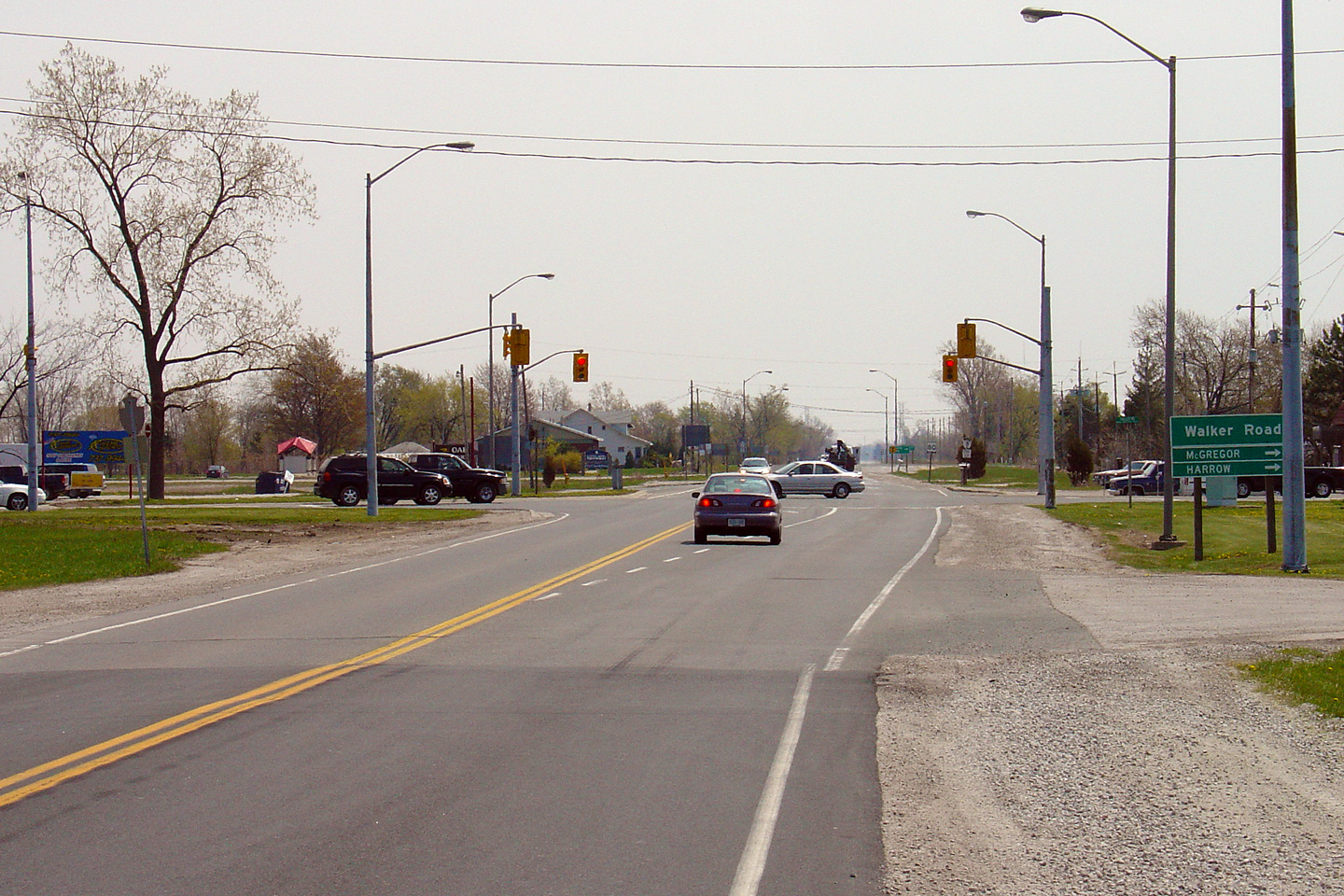
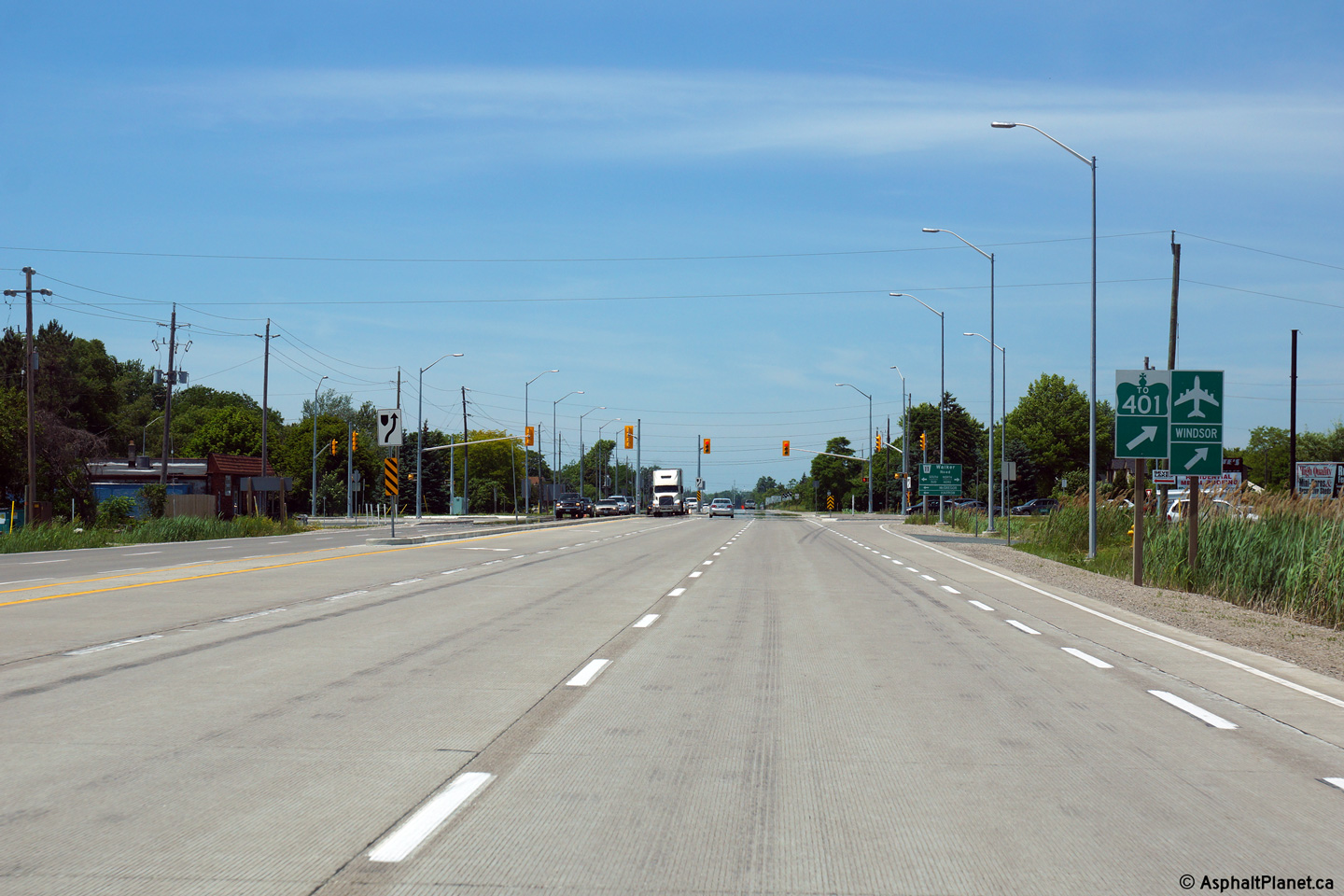
| Town of Tecumseh County of
Essex |
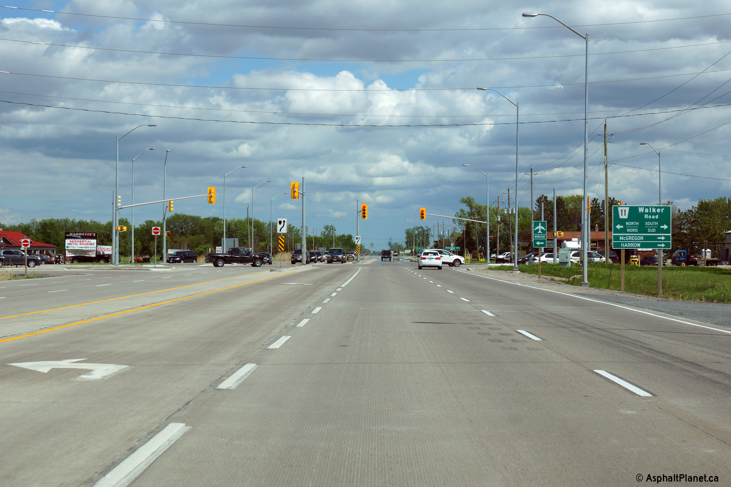
Two views looking easterly towards the Walker Road intersection. The
Walker Road intersection was considerably improved during the construction
that saw Highway 3 widened to four lanes between Windsor and Essex.
Upper photo taken: May 5th, 2005.
Lower photo taken: May 22nd, 2014. |
(720x480)
(1440x960)
(2400x1600) |
| Town of Tecumseh County of
Essex |
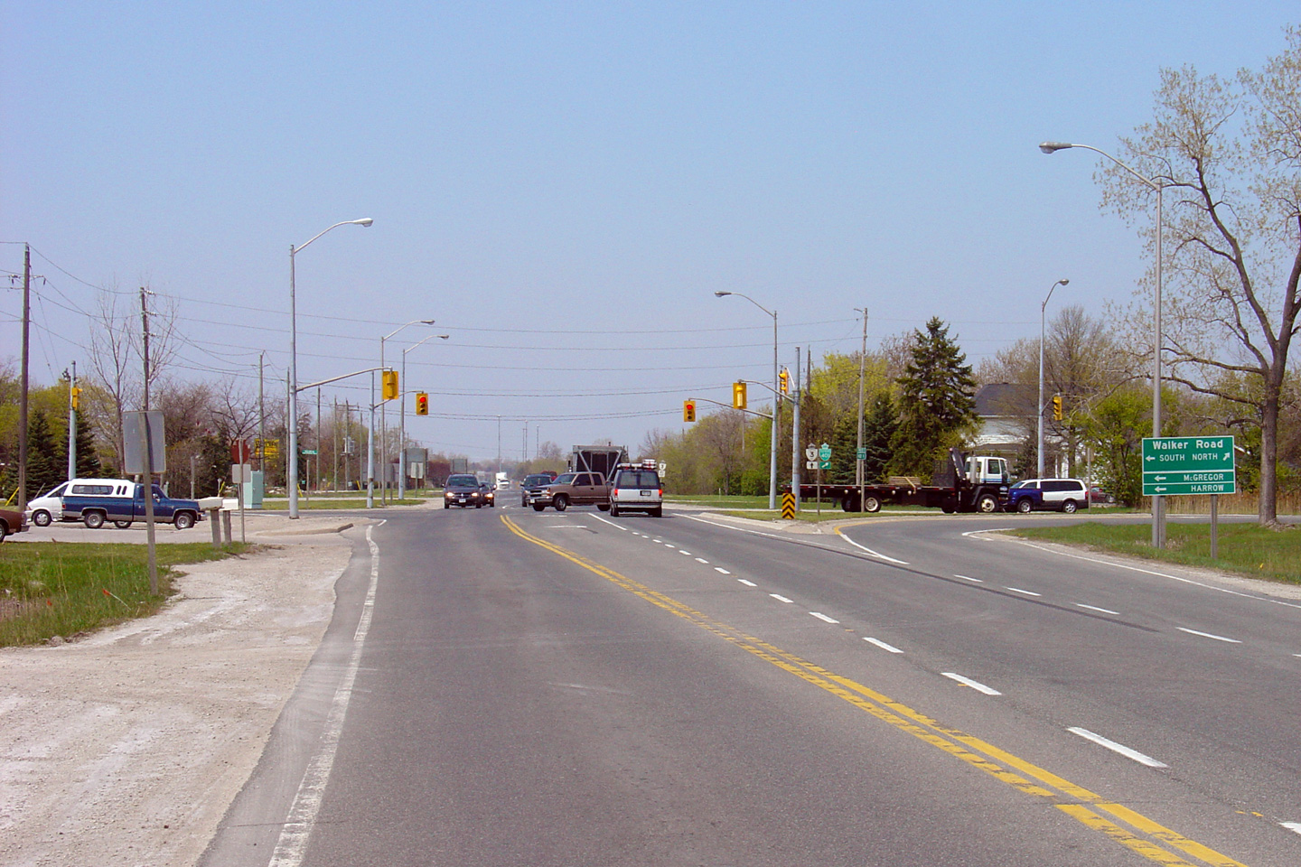
Highway 3 looking west towards the Walker Road intersection. This is
the reverse angle of the previous picture. Upper photo taken: May 5th,
2005. Lower photo taken: June 15th, 2014. |

(720x480)
(1440x960)
(2400x1600) |
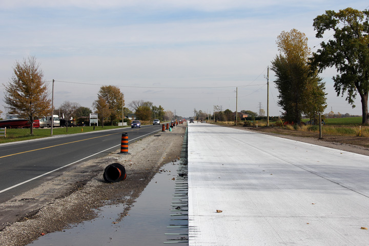
| Town of Tecumseh County of
Essex |
This view looks easterly along Highway 3 taken about 500m east of the Walker
Road intersection. As is evident from the photo, construction was
underway to widen this portion of Highway 3 to four lanes when this photo
was taken. Before Highway 3 was widened to four lanes, the two lane
highway was positioned within the northern portion of the highway
right-of-way. When the highway was finally widened, work could
progress to the south of the existing lanes with little interruption to
existing traffic.
Photo taken: October 22nd, 2011. |
|
| Town of Tecumseh County of
Essex |
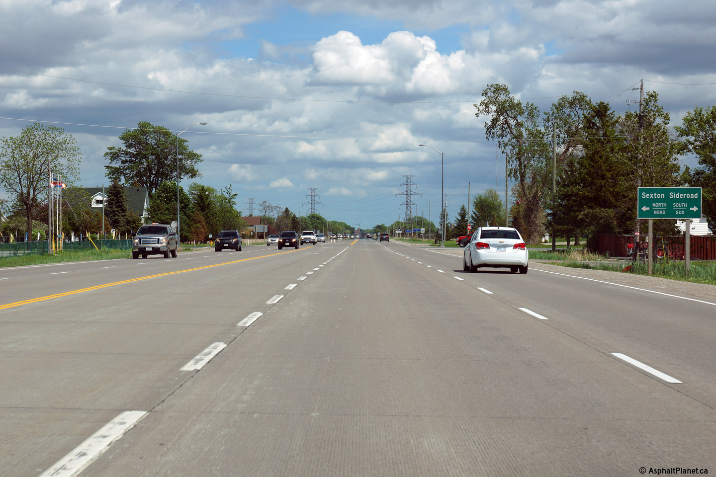
Easterly view approaching the Sexton Road intersection.
Photo taken: May 22nd, 2014. |
(720x480)
(1440x960)
(2400x1600) |
| Town of Tecumseh County of
Essex |
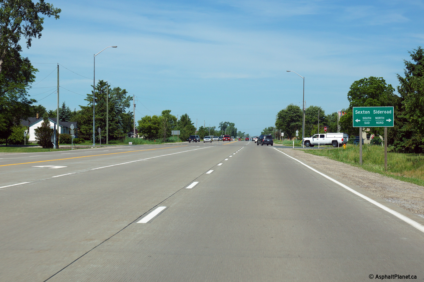
This view looks westerly at the Sexton Road intersection.
Photo taken: June 15th, 2014. |
(720x480)
(1440x960)
(2400x1600) |
| Town of Tecumseh County of
Essex |
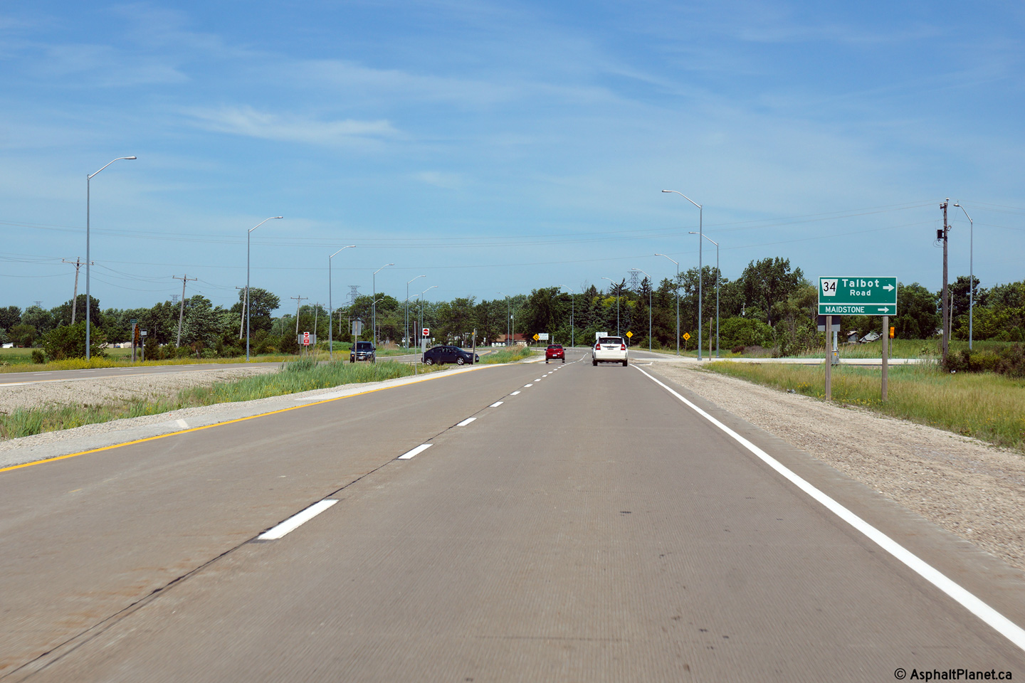
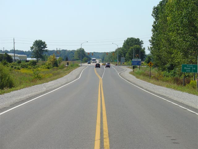
Easterly view at the start of the divided highway at the beginning of the
Maidstone By-pass, just west of the Essex Road 34 intersection.
Photo taken: May 22nd, 2014. |

(720x480)
(1440x960)
(2400x1600) |
| Town of Tecumseh County of
Essex |
Highway 3 looking west from the western Essex Road 34 junction. The
photo contrast shows Highway 3 as both a two lane and four lane highway.
Work to four lane Highway 3 between Windsor and Essex was completed in 2012.
Upper photo taken: December 5th, 2004.
Lower photo taken: June 15th, 2014. |

(720x480)
(1440x960)
(2400x1600) |
| Town of Tecumseh County of
Essex |
Two views looking easterly approaching the Essex Road 34 intersection.
Before Highway 3 was widened to four lanes between Windsor and Essex, the
pictured (in the upper photo) short four lane segment of Highway 3 existed
through the Essex Road 34 intersection. When Highway 3 was widened to
four lanes from Windsor to Essex, this four lane segment was incorporated
into the upgraded highway. Essex Road 34 is the historic alignment of
Highway 3 that existed before the by-pass alignment between Maidstone and
Ruthaven was constructed during the 1970s and 1980s.
Upper photo taken: December 5th, 2004.
Lower photo taken: May 22nd, 2014. |
(720x480)
(1440x960)
(2400x1600) |
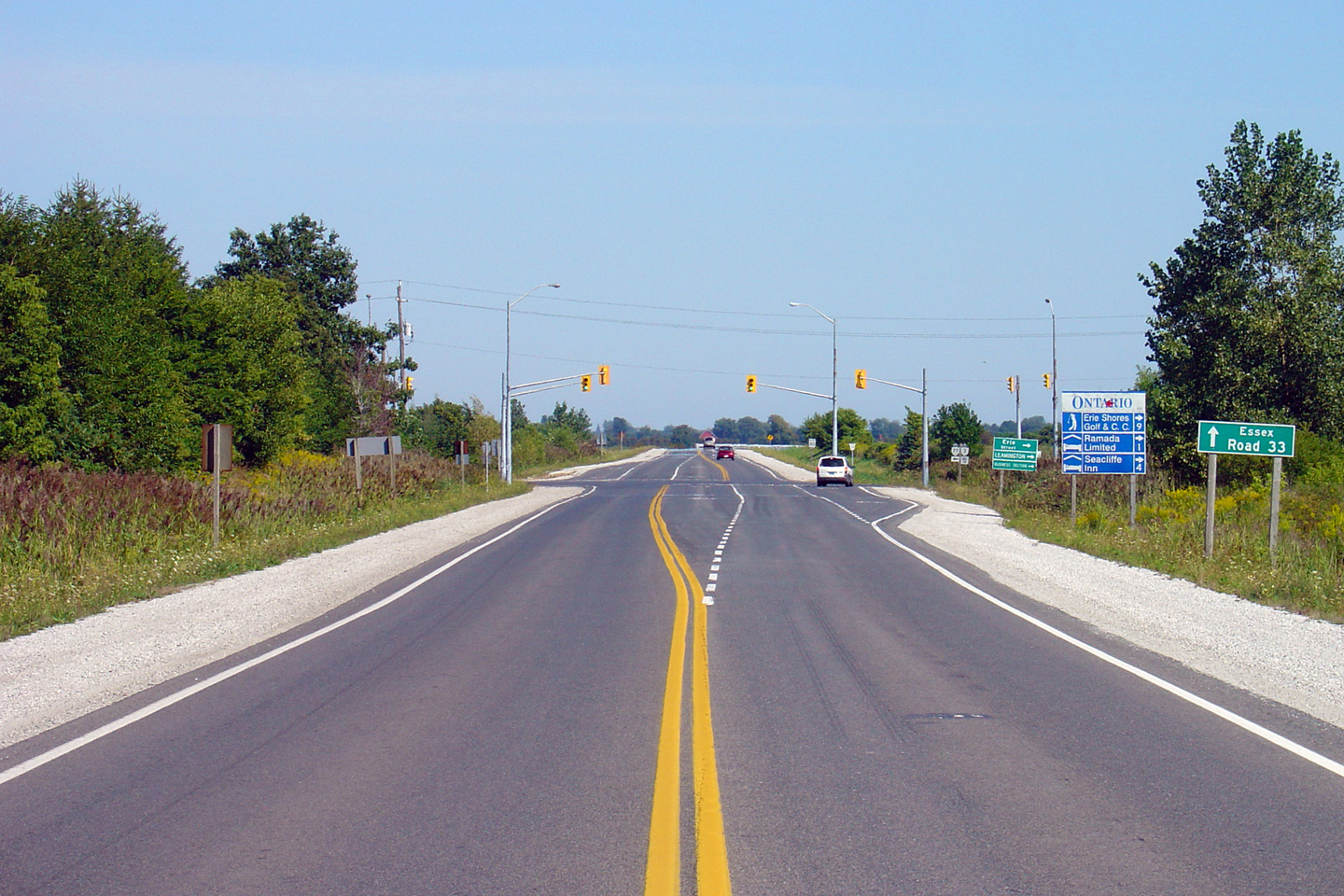
| Town of Tecumseh County of
Essex |
Westerly view approaching Essex Road 34 intersection.
Photo taken: June 15th, 2014. |

(720x480)
(1440x960)
(2400x1600)
|
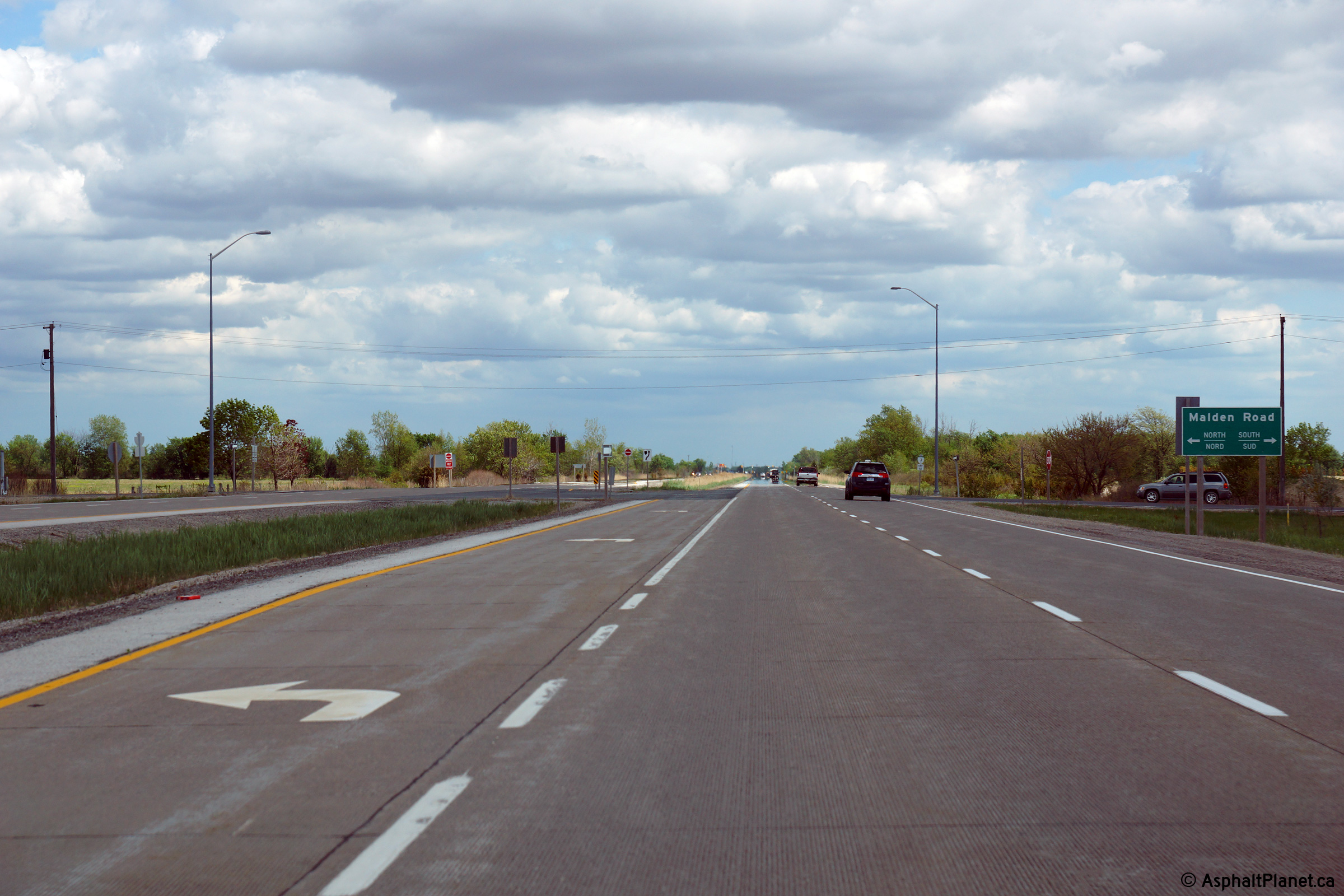
| Town of Tecumseh County of
Essex |
This view looks easterly approaching the Malden Road intersection.
Photo taken: May 22nd, 2014. |
(720x480)
(1440x960)
(2400x1600) |
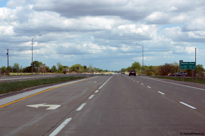
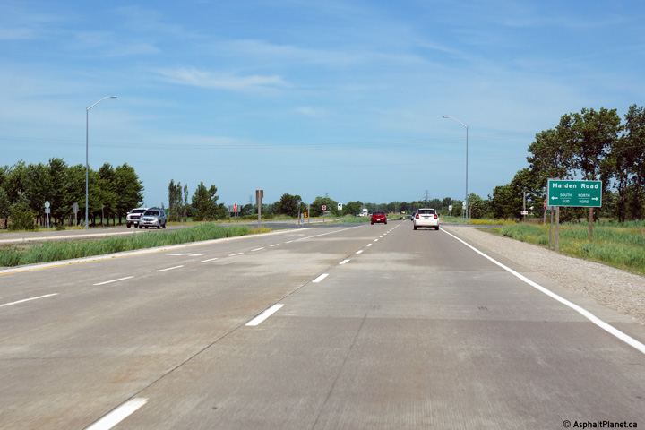
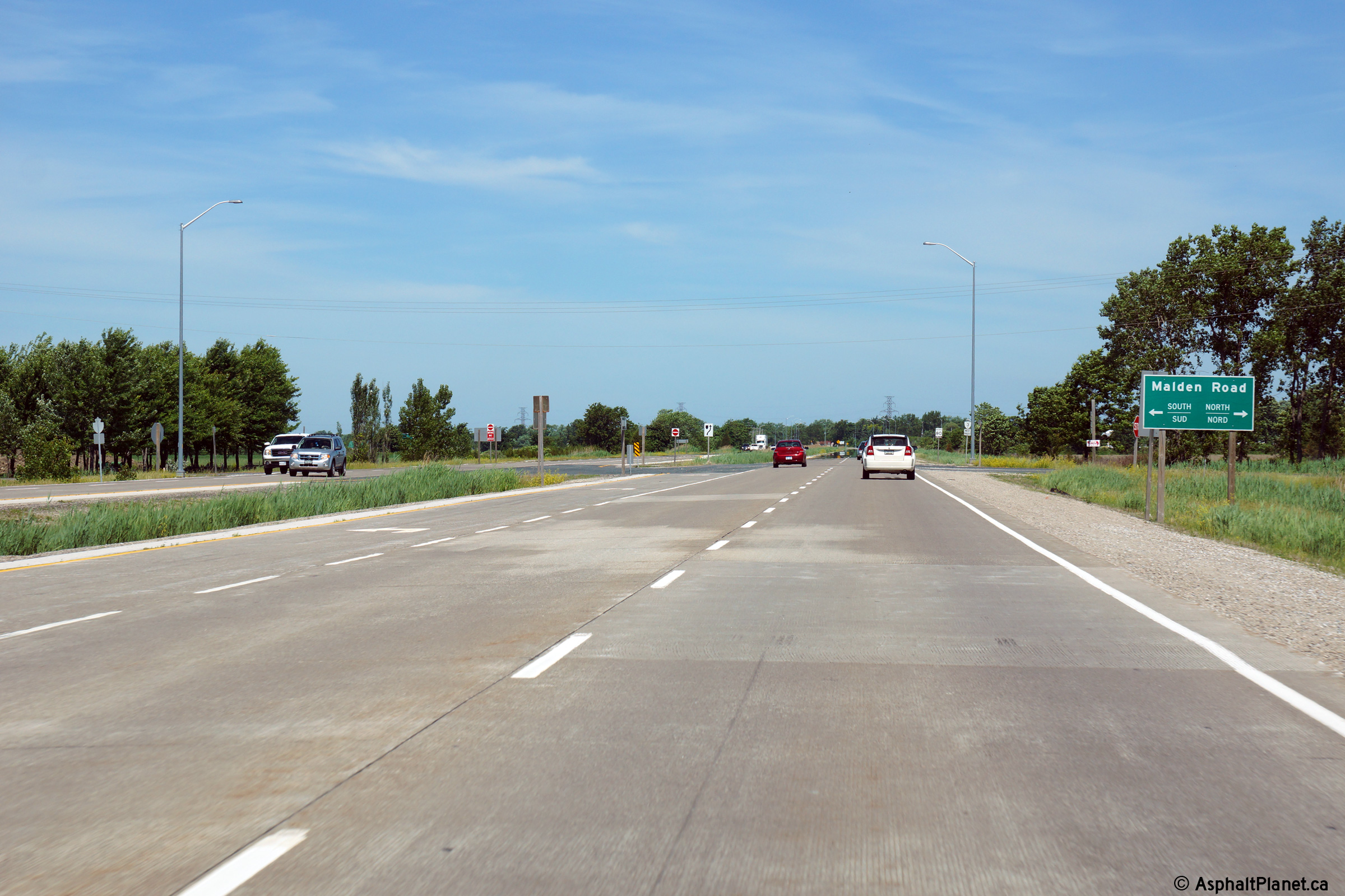
| Town of Tecumseh County of
Essex |
Westerly view approaching Malden Road.
Photo taken: June 15th, 2014. |

(720x480)
(1440x960)
(2400x1600)
|
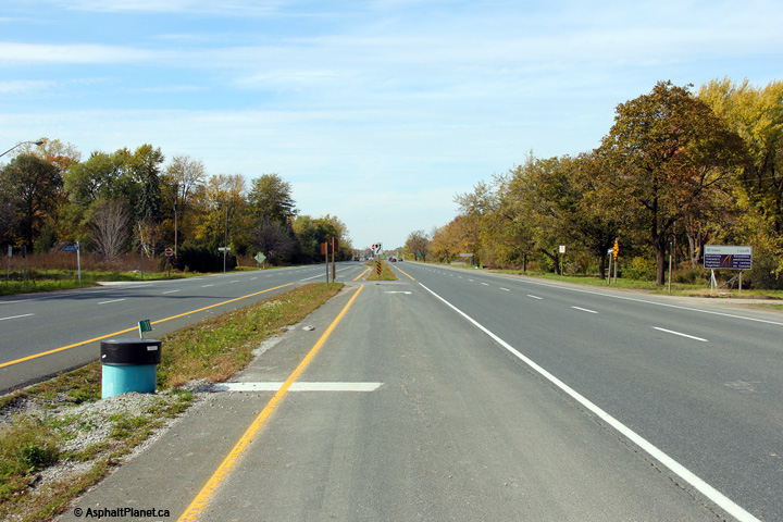
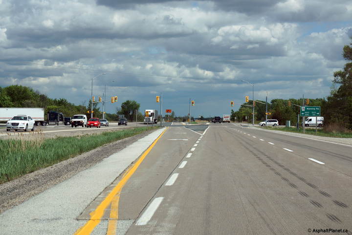
| Town of Tecumseh County of
Essex |
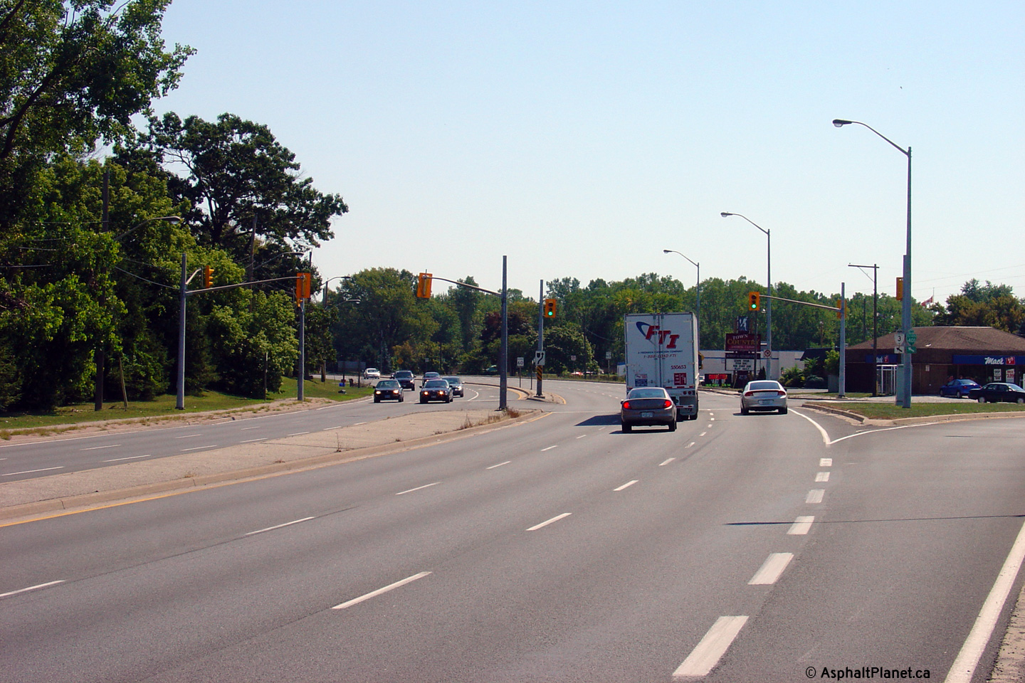
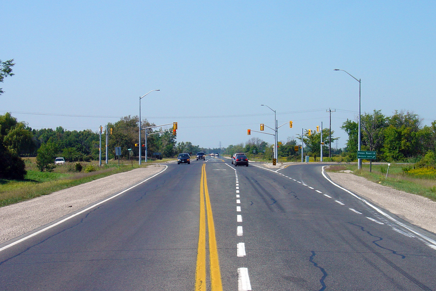
Easterly view approaching the Manning Road intersection.
Unlike the signalized intersections along the divided portions of both
Highway 6 in Guelph, and Highway 40 south of Sarnia, left turning movements
at traffic signals are not protected along Highway 3.
Upper photo taken: September 10th, 2005.
Lower photo taken: May 22nd, 2014. |

(720x480)
(1440x960)
(2400x1600)
|
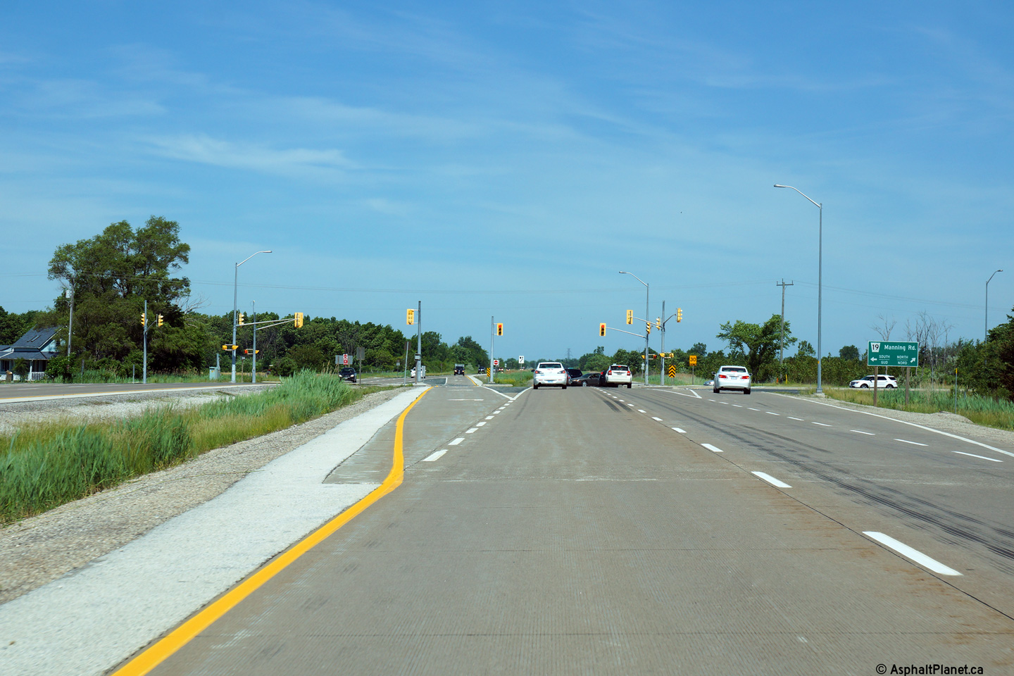
| Town of Lakeshore County of
Essex |
View looking west towards Manning Road. Manning
Road is a very busy road south of Windsor, -- numerous Federal press
releases have called for its four-laning. Should the MTO once again
start maintaining regional highways, Manning Road would be an excellent
candidate.
Upper photo taken: September 10th, 2005.
Lower photo taken: June 15th, 2014. |

(720x480)
(1440x960)
(2400x1600) |
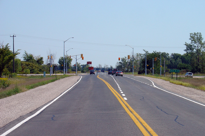
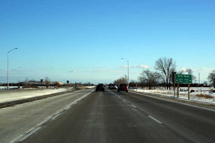
| Town of Lakeshore County of
Essex |
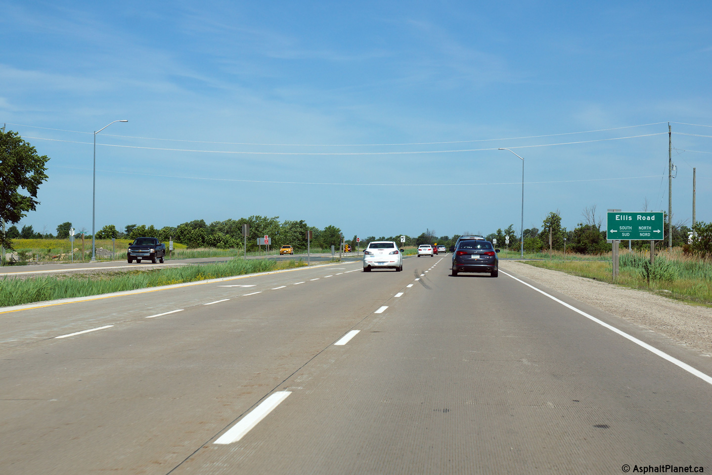
Easterly view towards the Ellis Road intersection.
Photo taken: January 2009. |

(720x480)
(1440x960) |
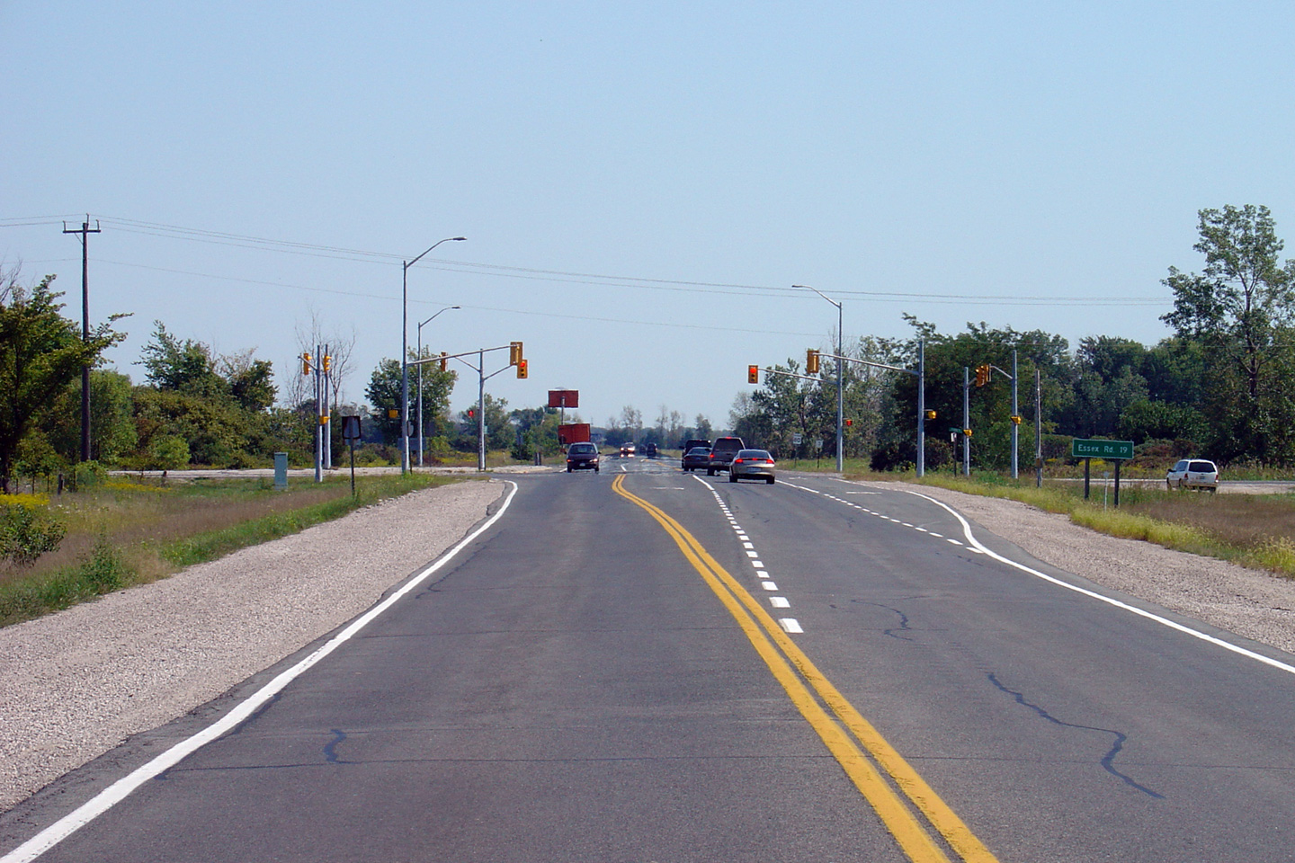
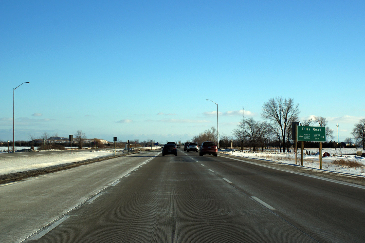
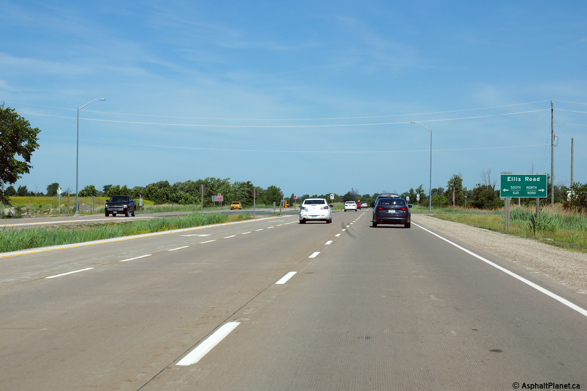
| Town of Lakeshore County of
Essex |
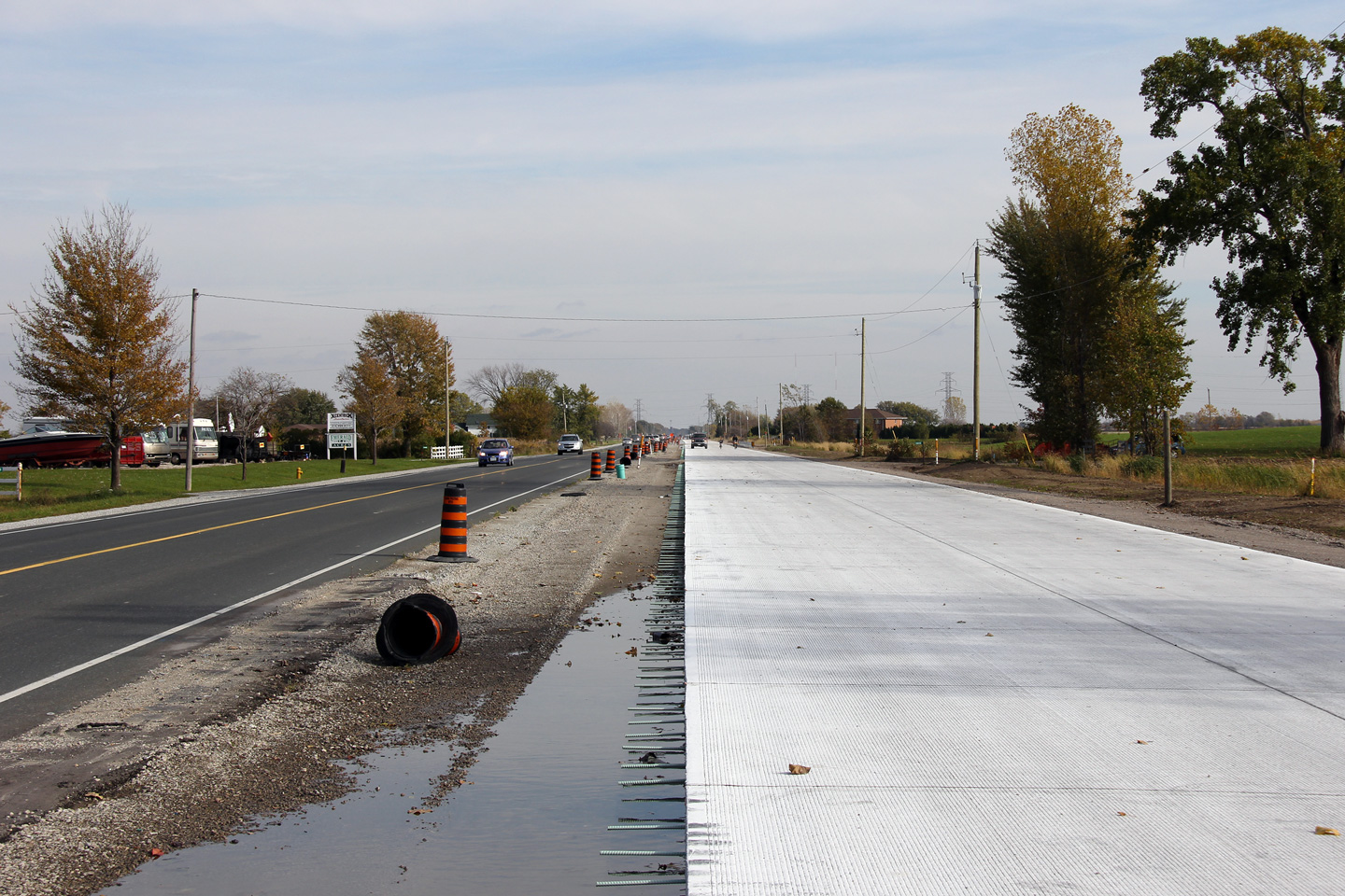
Westerly view of the Ellis Road intersection.
Longitudinal grooves etched into the roadway are known as whisper grooves,
and significantly reduce the whistle typically associated with concrete
highways.
Photo taken: June 15th, 2014. |
(720x480)
(1440x960)
(2400x1600) |
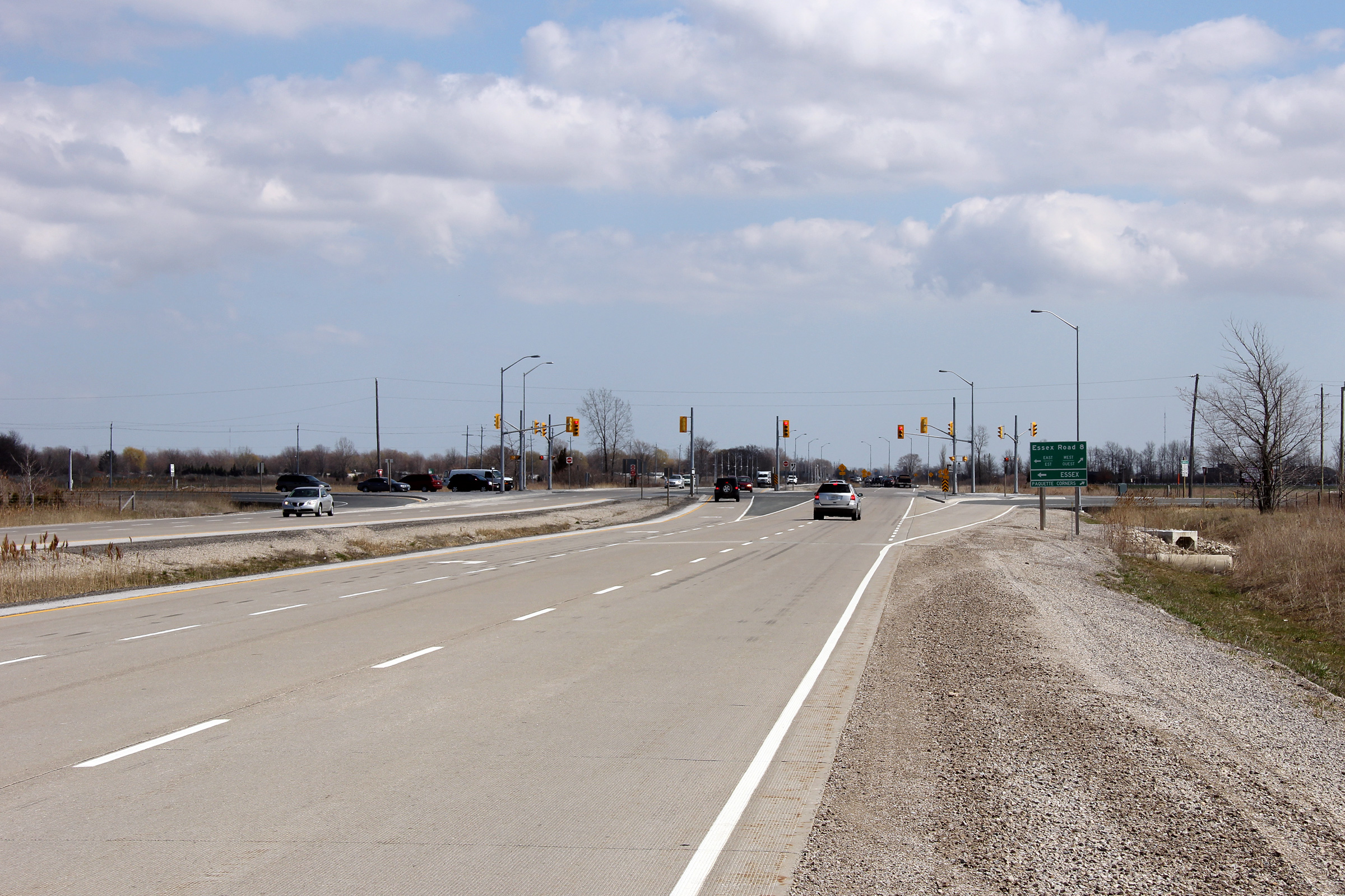
| Town of Lakeshore County of
Essex |
View looking east towards Essex Road 8. Essex Road
8 is the principal entry from Highway 3 into the Town of Essex.
Upper photo taken: September 10th, 2005.
Lower photo taken: April 21st, 2011. |
(720x480)
(1440x960)
(2400x1600) |
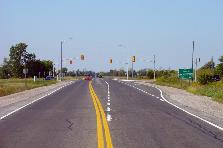
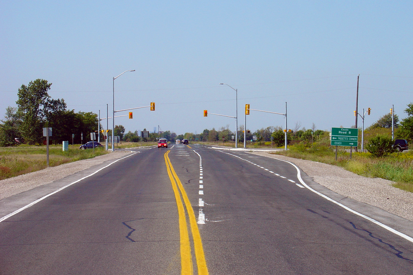
| Town of Essex County of Essex |
Two views of Highway 3 as it approaches the Essex Road 8
intersection. Winter set in before crews could fully finish permanent
traffic signals on the new highway.
The contrast between the four-lane highway and its former two lane
incarnation is stark.
Upper photo taken: September 10th, 2005.
Lower photo taken: June 15th, 2014. |
(720x480)
(1440x960)
(2400x1600) |
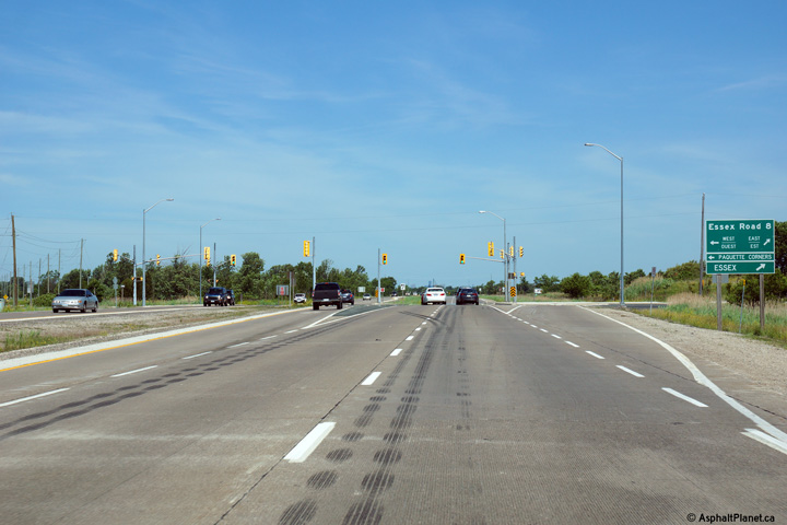
| Town of Essex County of Essex |
Westerly at the temporary beginning of the divided
highway just east of Essex Road 8.
Photo taken: June 15th, 2014. |

(720x480)
(1440x960)
(2400x1600) |
| Town of Kingsville County of
Essex |
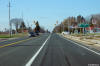
Easterly view at the Gracie Road intersection.
Photo taken: September 10th, 2005. |
(720x480)
(1440x960) |
| Town of Kingsville County of
Essex |
Looking east along Highway 3 towards the eastern Essex Road 34 junction.
Before 1999, the Highway 3 by-pass ended at this junction, and all through
traffic was required to turn right towards Ruthven and Leamington.
Picture taken: September 10th, 2005. Size: 40kb. |

(720x480)
(1440x960) |
| Town of Kingsville County of
Essex |
Looking west towards the Essex Road 34 junction located just to the north of
Ruthven. This junction is located roughly 6km west of the
Highway 77 junction. Picture taken:
September 10th, 2005. Size: 50kb. |
 |
| Town of Kingsville County of
Essex |
Looking east along Highway 3 towards the signalized intersection with Essex
Road 31. The Essex Road 31 junction is located roughly 4km west of
Highway 77. Picture taken: September 10th,
2005. Size: 45kb. |
 |
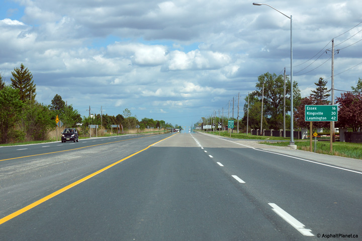
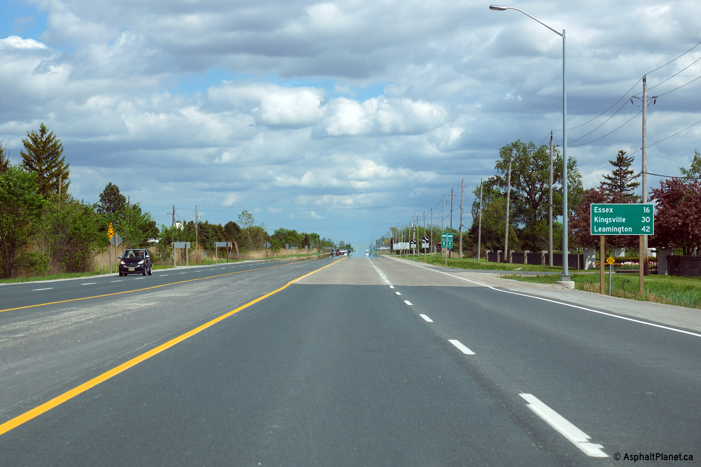
| Municipality of Leamington
County of Essex |
Looking west towards the Essex Road 31 intersection along Highway 3.
Picture taken: September 10th, 2005. Size: 50kb. |
 |
| Municipality of Leamington
County of Essex |
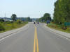
Looking east along Highway 3 towards the Highway
77 junction. The western segment of Highway 3 ends at this
junction, only to resume once again at the Highway 4 junction just outside
of St. Thomas. The Highway 77 junction
is located roughly 39km east of the Highway 401
interchange in Windsor.
Picture taken: September 10th, 2005. Size: 45kb. |

(720x480)
(1440x960) |
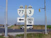
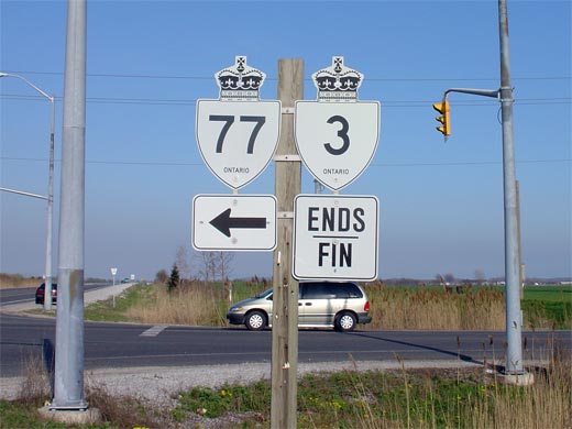
| Municipality of Leamington
County of Essex |
Junction assembly denoting the eastern end of Highway 3's western terminus
at Highway 77. Straight ahead is Essex
Road 33, which although was constructed by the MTO as part of the Leamington
By-pass was never designated as part of Highway 3.
Picture size: 35kb. |
 |
|
Highway 77 carries traffic between Leamington and
Highway 401. Click here for Highway 77 images. |
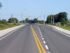
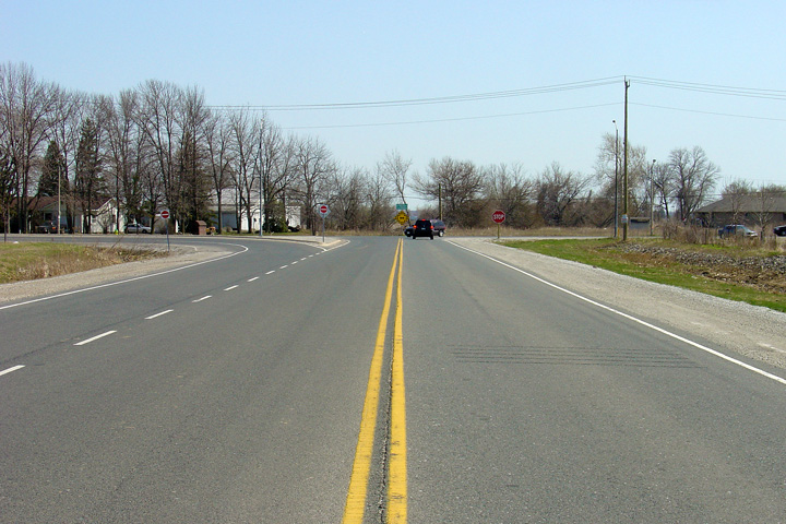
| Municipality of Leamington
County of Essex |
This view looks easterly approaching the Essex Road 34 junction.
Before Highway 3 was transferred to the county, Highway 3 turned left at
this junction.
Photo taken: April 16th, 2005. |
(720x480)
(1440x960) |
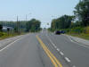
| Municipality of Leamington
County of Essex |
View looking westerly at the eastern start of the Leamington By-pass.
This road was constructed by the MTO, and opened to traffic in 1999.
As soon as it was opened to traffic, jurisdiction of this roadway was
transferred to the County of Essex.
Photo taken: April 16th, 2005. |
(720x480)
(1440x960) |
| Municipality of Leamington
County of Essex |
This view looks westerly towards Leamington at the beginning of the
Leamington by-pass. Westbound traffic must follow what has become
Essex Road 33 to follow the former alignment of Highway 3.
Photo taken: April 16th, 2005. |

(720x480)
(1440x960) |
| Township of Southwold County of
Elgin |
Highway 3 was downloaded between Highway 77 at Leamington and
Highway 4 at Talbotville. This junction assembly marks the western terminus of the
central segment of Highway 3. Click here
for Highway 4 Images.
Picture size: 70kb. |
 |
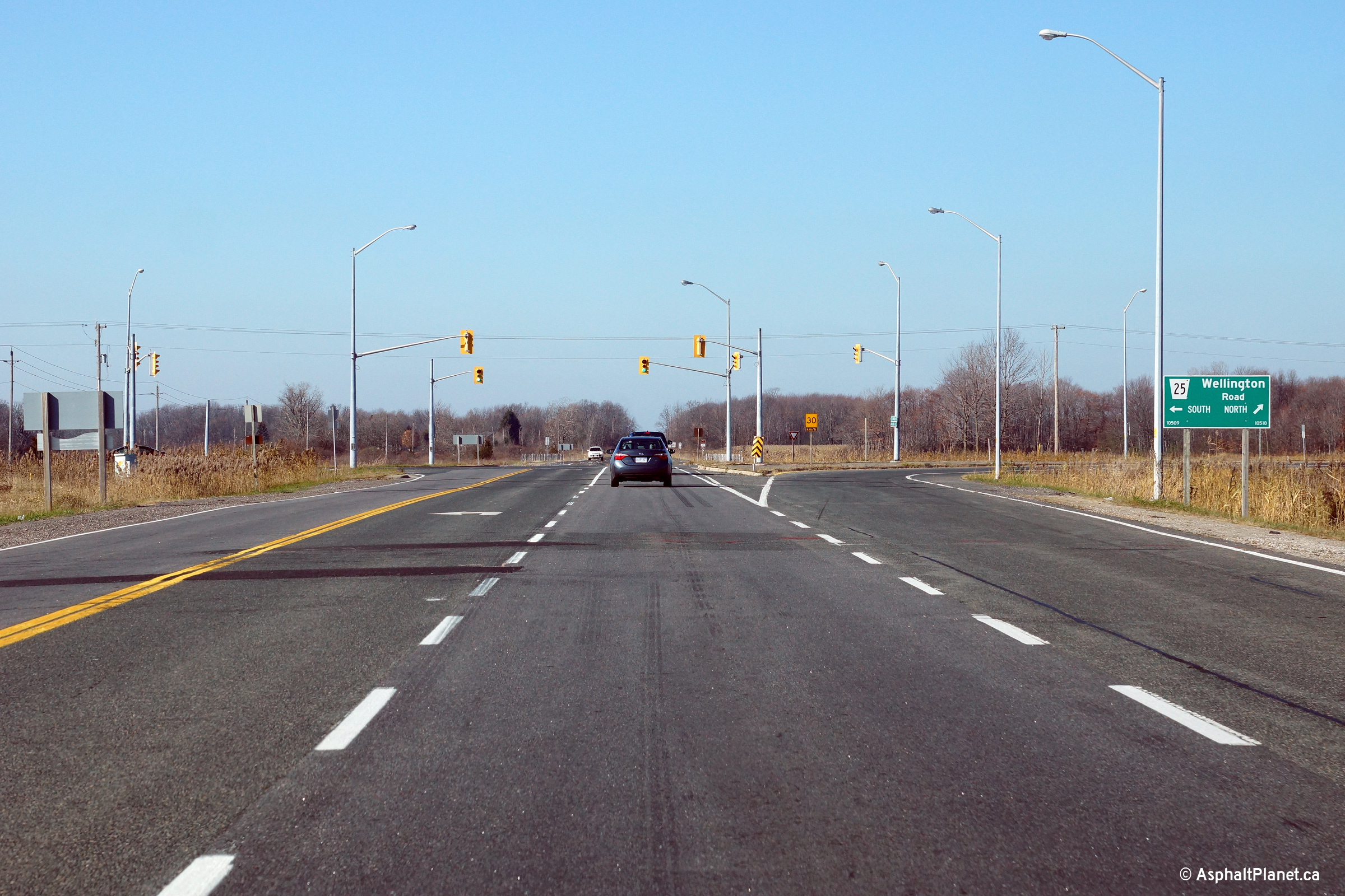
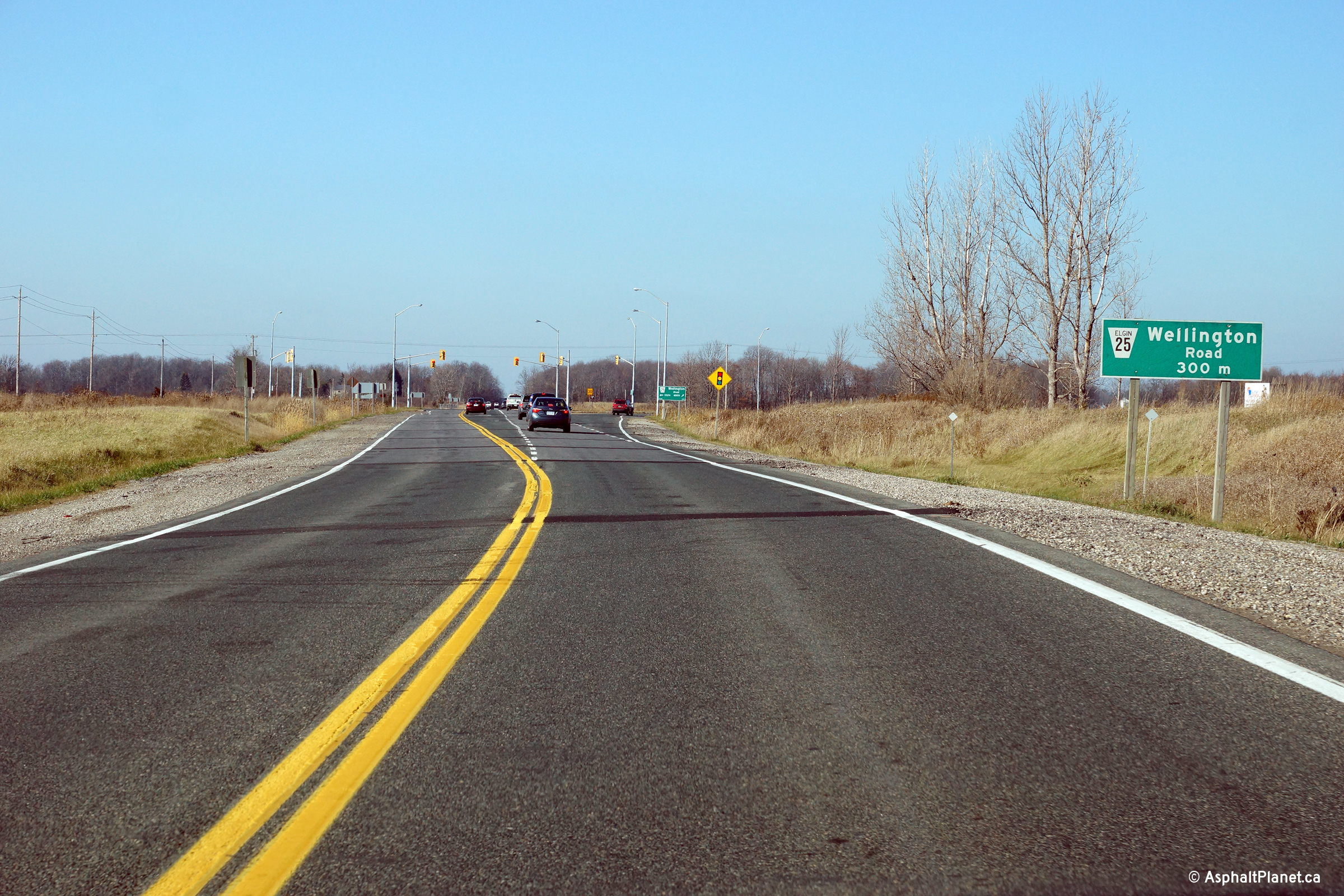
Township of Central Elgin
County of Elgin |
Two views looking westerly approaching the Wellington Road intersection just
west of St. Thomas.
Photos taken: November 9th, 2015. |
(720x480)
(1440x960)
(2400x1600)
(720x480)
(1440x960)
(2400x1600) |
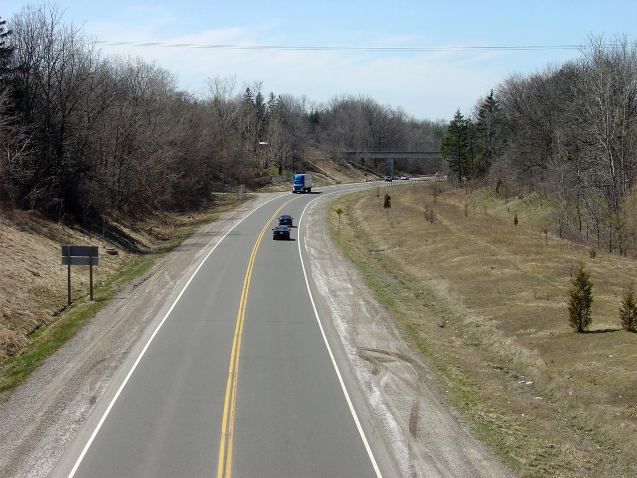
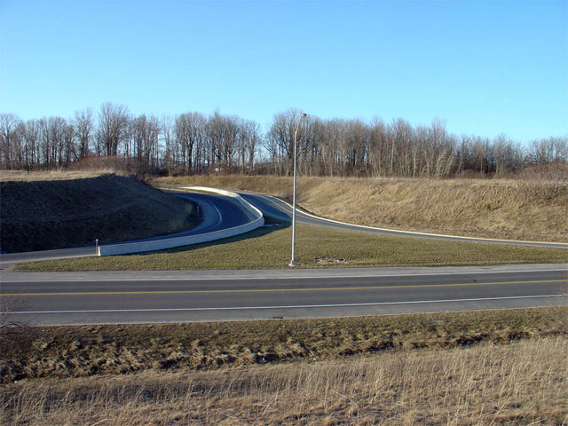
| City of St. Thomas |
View looking westerly from the Balaclava Road overpass. Note the
graded westbound carriageway along the right side of the photo. The
St. Thomas Expressway was designed to eventually be twined and operate as a
full freeway.
Picture taken: April 11th, 2005. |

(720x480)
(1440x960) |
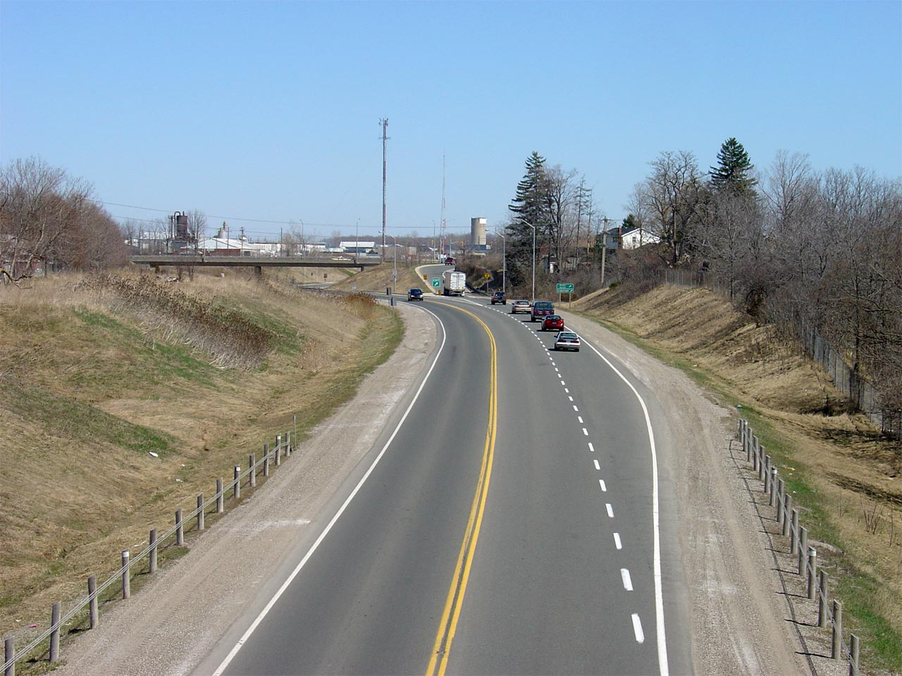
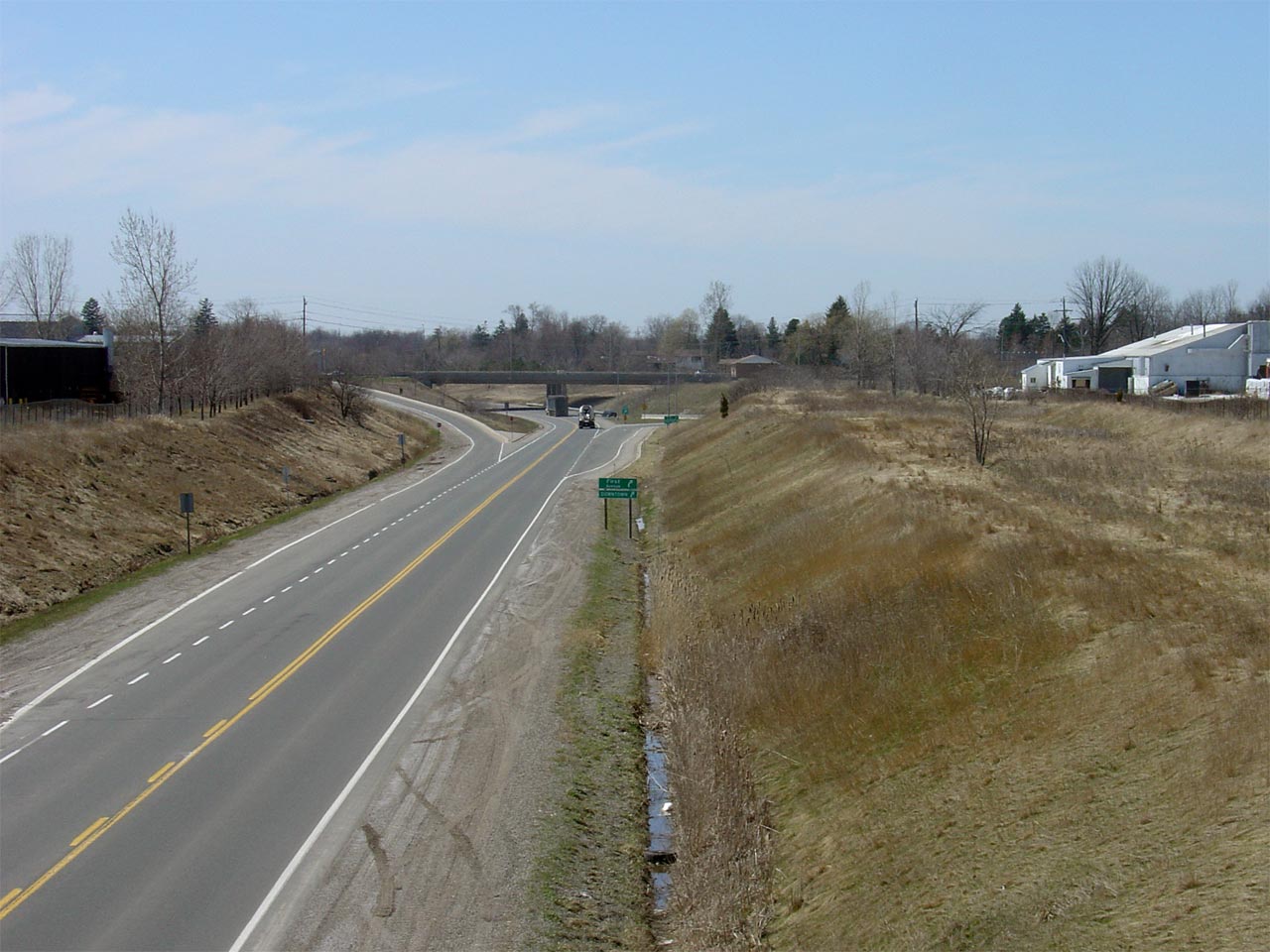
| City of St. Thomas |
Highway 3 looking east from the Balaclava Road overpass in St. Thomas.
The interchange that can be seen in this picture is that of Highway 3 and
First Street. The First Street interchange has a diamond configuration
on the south side, and a parclo A2 configuration on the north side. It
is quite rare in Ontario to see an interchange built on a two-lane highway.
Picture taken: April 11th, 2005. |
(720x480)
(1440x960) |
|
City of St. Thomas |
Highway 3 looking east from the First Street overpass in St. Thomas.
Traffic volumes on the St. Thomas Expressway drop sharply east of the First
Street interchange. This is presumably due to the rather inefficient
jog that one must follow at the eastern end of the St. Thomas Expressway.
Picture taken: April 4th, 2005. Size: 60kb. |
 |
|
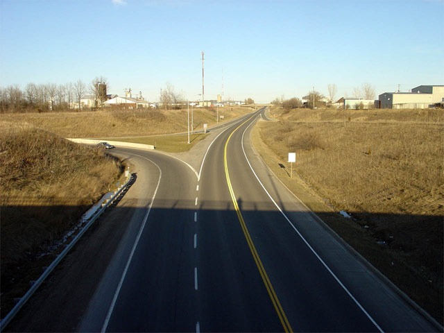
City of St. Thomas |
A closer look at the ramps located in the northeastern quadrant of the First
Street interchange along the St. Thomas Expressway. Notice that both
ramps are elongated so that when the St. Thomas Expressway is eventually
twinned, there will be only minimal disruption to this interchange.
Picture taken: April 4th, 2005. Size: 90kb. |
 |
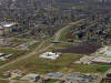
|
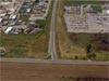
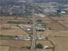
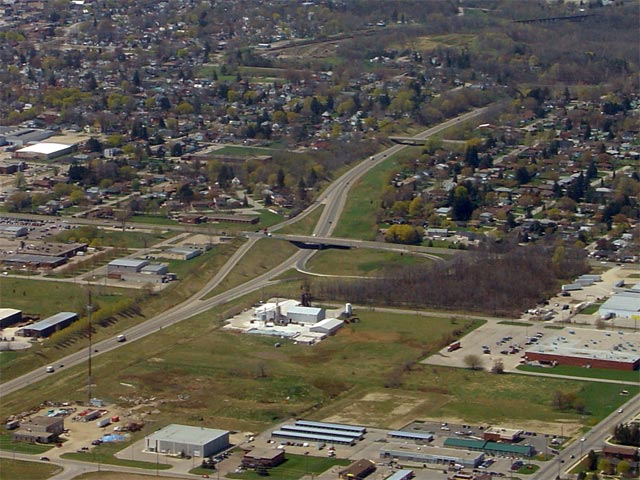
City of St. Thomas |
Aerial view of the First Street interchange on the St. Thomas Expressway.
This shot compliments the previous image, in showing how the ramps on the
north side of the expressway have been elongated to support a future
northern carriageway.
Picture taken: April 28th, 2006. Size: 80kb. |
 |
|
City of St. Thomas |
View looking west from the Burwell Road overpass in St. Thomas. Picture
taken: April 11th, 2005. (720x480): 45kb. (1440x960): 170kb. |

(720x480)
(1440x960) |
|
City of St. Thomas |
Looking east towards the Centennial Street intersection from Burwell Road in
St. Thomas. Picture taken: April 11th, 2005. (720x480): 50kb.
(1440x960): 200kb. |
(720x480)
(1440x960) |
|
City of St. Thomas |
Highway 3 looking east towards the eastern end of the St. Thomas Expressway.
At this junction, travelers must turn right to continue eastbound on Highway
3. In the 1970s, a new Highway 3 was conceptually planned to continue
straight ahead at this junction.
No firm route was ever established for this proposed realignment, and any actual construction is
likely more then a decade or two away.
Picture taken: October 28th, 2004. Size: 70kb. |
 |
|
St. Thomas - Central Elgin Boundary County of Elgin |
View of the same intersection as the previous picture. This picture is
looking southerly, with Centennial Street on the vertical axis. Picture
taken: April 28th, 2006. Size: 60kb. |
 |
|
St. Thomas - Central Elgin Boundary County of Elgin |
View of the entire St. Thomas Expressway looking west. Notice the ROW
(right of way) that has been established on the west side of the Centennial
Street intersection for an interchange. An interchange
would likely be constructed at Centennial Street, should the St. Thomas
Expressway ever be extended easterly.
Picture taken: April 28th, 2006. Size: 115kb. |
 |
|
St. Thomas - Central Elgin Boundary County of Elgin |
Highway 3 looking westbound (north) at the junction of the St. Thomas
Expressway. Through traffic must turn left at this junction to stay on
Highway 3. This intersection marks the eastern beginning of the St.
Thomas Expressway. Straight ahead at this junction leads traffic onto
Centennial Avenue, which is a major arterial in St. Thomas.
Picture taken: April 4th, 2005. Size: 50kb. |
 |
|
St. Thomas - Central Elgin Boundary County of Elgin |
Highway 3 looking eastbound (south) towards the Talbot Street intersection.
Traffic heading from the St. Thomas Expressway must turn left at this
junction to stay on Highway 3. Interestingly Talbot Street was a
7000-series highway from this junction westerly to
Highway 4 before being
decommissioned in 1998.
Picture taken: April 4th, 2005. Size: 50kb. |
 |
|
Municipality of Central Elgin County of Elgin |
Highway 3 looking west towards the Talbot Street intersection. At this
intersection, traffic wishing to stay westbound on Highway 3, must utilize
the ramp to the right. This leads traffic north along Centennial Ave,
towards the St. Thomas Expressway. Talbot Street is ahead, and is the
former routing of Highway 3 that was in service before the St. Thomas
Expressway was constructed.
Picture taken: April 11th, 2005. Size: 45kb. |
 |
|
Municipality of Central Elgin County of Elgin |
Looking towards St. Thomas along Highway 3. About 3/4 the way up the
picture, the Centennial Street intersection is visible. Highway 3
follows Centennial Street northerly from Talbot Street for roughly a
kilometre before traffic must again turn to access the St. Thomas
Expressway.
Picture taken: April 28th, 2005. Size: 70kb. |
 |
|
Municipality of Central Elgin County of Elgin |
Looking easterly towards the New Sarum By-pass along Highway 3. The
New Sarum Bypass was completed in 1961 to improve flow through New Sarum and
to bypass two dangerous curves at the east end of New Sarum. The
original Highway 3 alignment still serves local New Sarum traffic today.
Picture taken: April 28th, 2006. Size: 75kb. |
 |
|
Municipality of Central Elgin County of Elgin |
Highway 3 looking west towards St. Thomas at the junction of New Sarum Line
intersection. As part of the ongoing reconstruction project,
this intersection was reconfigured. New Sarum Line was relocated to meet Highway 3 at a 90 degree angle, and the channel from WB
Highway 3 to New Sarum Line was replaced with a standard right turn
taper.
Picture taken: April 4th, 2005. Size: 50kb. |
 |
Municipality of Central ElginCounty of Elgin |
Highway 3 looking east from New Sarum Line towards Aylmer. New Sarum
is located about 5 kilometres east of St. Thomas. In the Summer of
2005, this deep valley was re-graded as part of a major project to
upgrade Highway 3 between St. Thomas and Aylmer.
Picture taken: April 4th, 2005. Size: 80kb. |
 |
|
Municipality of Central Elgin County of Elgin |
Looking east towards Aylmer above Highway 3. Notice the horseshoe
shaped road located about 2/3 the way up the photo. This short road is
actually an abandoned alignment of Highway 3, that was by-passed to
eliminate the sharp corners.
Picture taken: April 28th, 2006. Size: 70kb. |
|
|
Township of Malahide County of Elgin |
Looking westerly towards Aylmer from just west of Hacienda Line. For
roughly a kilometre immediately east of the Aylmer town limits, Highway 3
has an urban 4-lane section, the end of which is visible in this photo.
Picture taken: April 28th, 2006. Size: 50kb. |
 |
|
Township of Malahide County of Elgin |
Looking easterly through Summers Corners towards the junction of Springfield
Road. Picture taken: April 28th, 2006. Size: 55kb. |
 |
|
Township of Malahide County of Elgin |
Looking west through Summers Corners. Summers Corners has a variable
speed limit that changes from 80km/h to 60km/h depending on the time of day
because of a school located along Highway 3 in Summers Corners.
Picture taken: April 28th, 2006. Size: 45kb. |
 |
|
Town of Tillsonburg County of Oxford |
Highway 3 looking east from along the Tillsonburg By-pass from just east of
John Pound Road. John Pound Road is the original alignment of Highway
3 through Tillsonburg. The Tillsonburg bypass is a very high standard
road, and was designed with enough right-of-way to be twinned and become a
divided expressway.
Picture taken: October 28th, 2004. Size: 70kb. |
 |
|
Town of Tillsonburg County of Oxford |
Easterly view from just east of John Pound Road as Highway 3 passes over the
high level Otter Creek Viaduct.
Photo taken: July 24th, 2013.
|
(720x480)
(1440x960)
(2400x1600) |
|
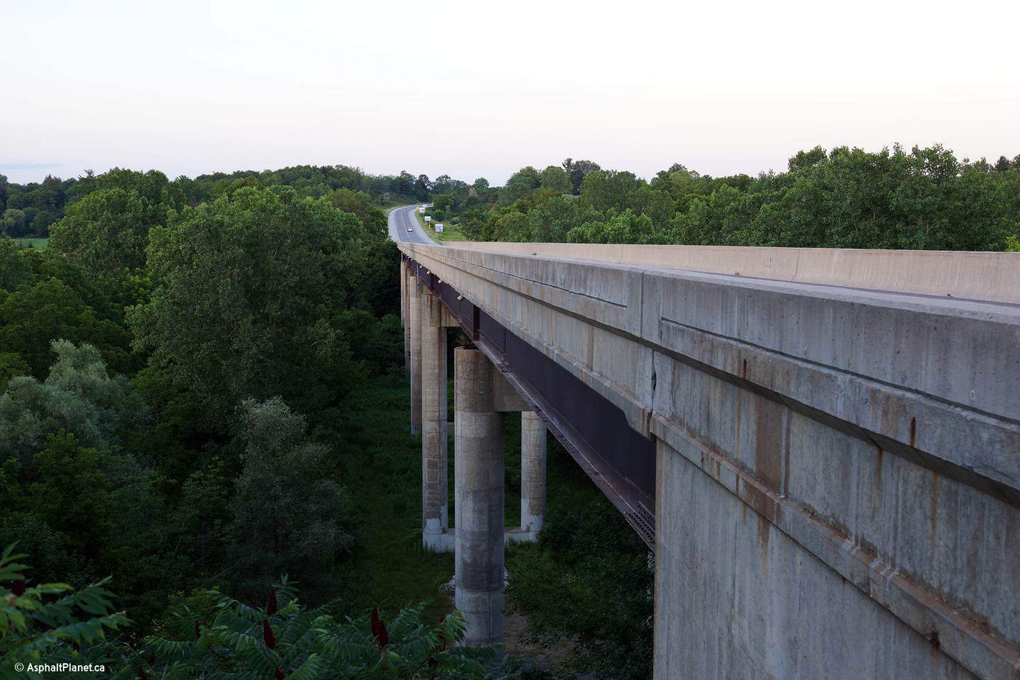
Town of Tillsonburg County of Oxford |
The Otter Creek Viaduct spans a small creek that occupies a fairly deep
valley. Before the Otter Creek Viaduct was completed, Highway 3 followed
John Pound Road along a winding and steep alignment along the valley floor.
Photo taken: July 24th, 2013. |
(720x480)
(1440x960)
(2400x1600) |
|
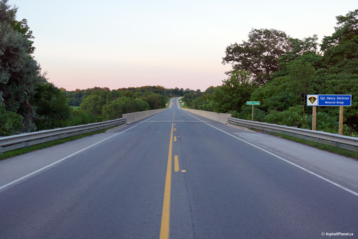
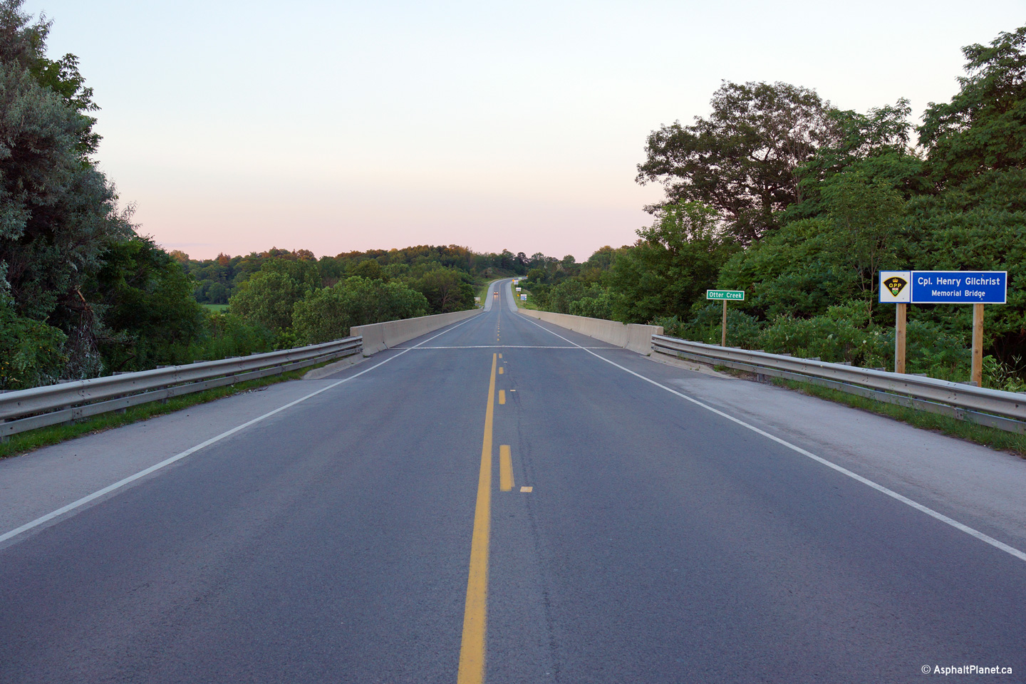
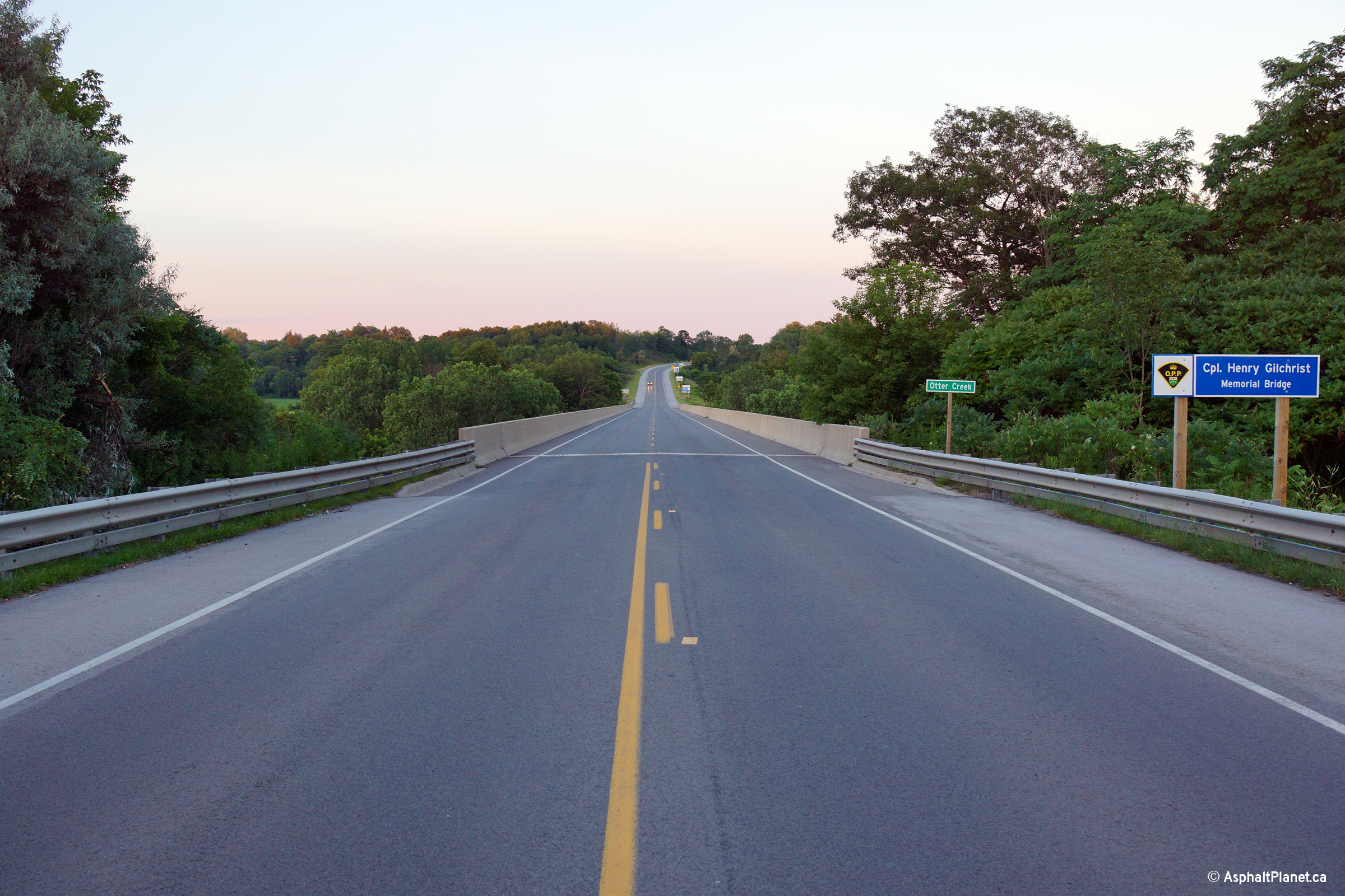
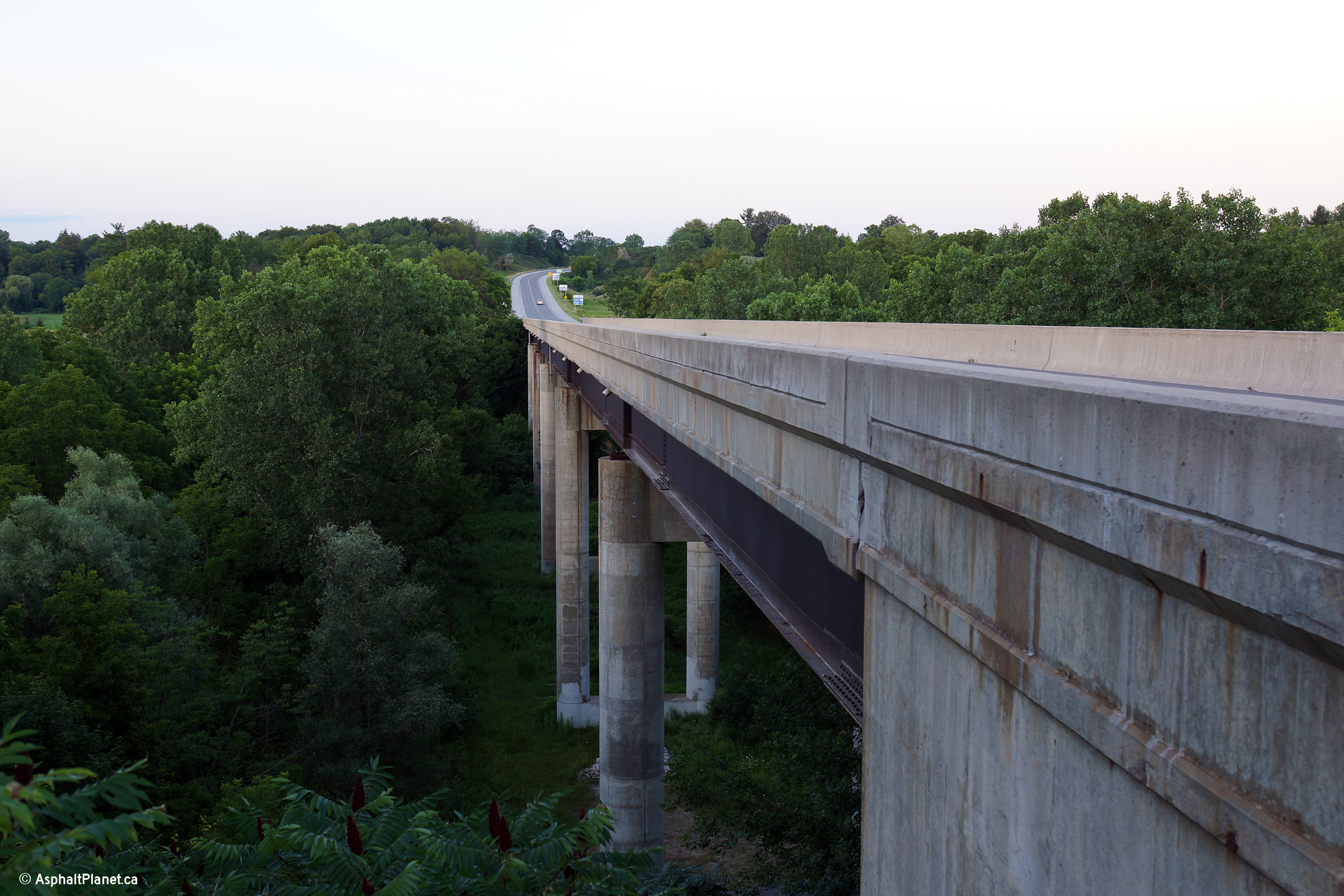
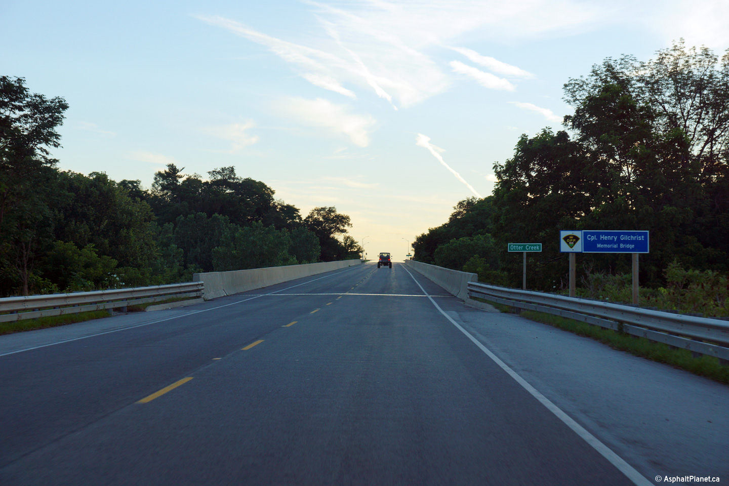
Town of Tillsonburg County of Oxford |
View looking westerly across the Otter Creek Viaduct. This structure
has been designated for Corporal Henry Gilchrist, who was killed in a
traffic accident along Highway 3 between Aylmer and Tillsonburg in 1954.
Photo taken: July 24th, 2013. |
(720x480)
(1440x960)
(2400x1600) |
|
Town of Tillsonburg County of Oxford |
View looking westerly along Highway 3 as the highway passes through the
Otter Creek Valley that is located just west of the Highway 19 roundabout.
Photos taken: November 4th, 2016. |

(720x480)
(1440x960)
(2400x1600)

(720x480)
(1440x960)
(2400x1600) |
|
|
|
|
|
Town of Tillsonburg County of Oxford |
View looking easterly approaching the Highway 19 junction.
Photo taken: July 24th, 2013. |
(720x480)
(1440x960)
(2400x1600) |
|
Highway 19 extends northerly from Highway 3 at
Tillsonburg bound for Highway 401.
Click here for Highway
19 images. |
|
Town of Tillsonburg County of Oxford |
View looking westerly along Highway 3 approaching the Highway 19 roundabout
south of Tilsonburg.
Photo taken: November 4th, 2016. |

(720x480)
(1440x960)
(2400x1600) |
|
|
|
|
|
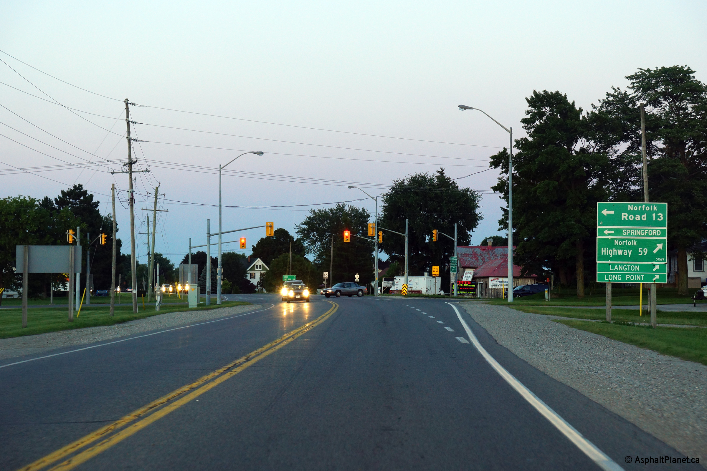
City of Norfolk County |
View looking easterly towards the southern leg of the former Highway 59
towards Long Point. Before the highway was decommissioned, Highway 59
continued concurrent along Highway 3 from this junction easterly to just
west of Delhi, before Highway 59 continued north for Woodstock.
Photo taken: July 24th, 2013. |
(720x480)
(1440x960)
(2400x1600) |
|
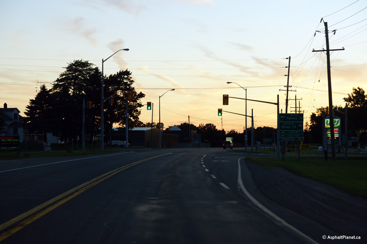
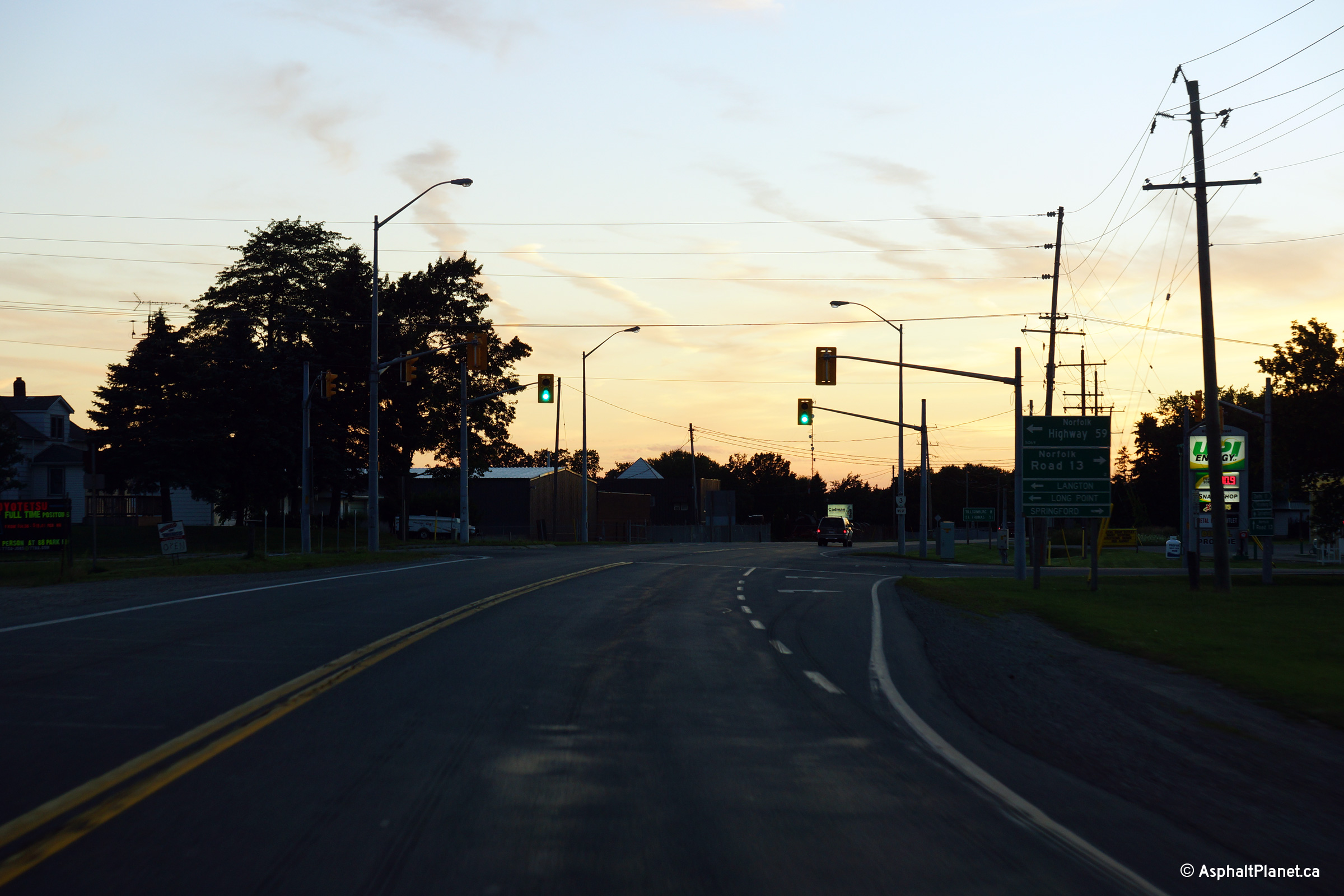
City of Norfolk County |
Westerly view approaching the southern Highway 59 junction.
Photo taken: July 24th, 2013. |
(720x480)
(1440x960)
(2400x1600) |
|
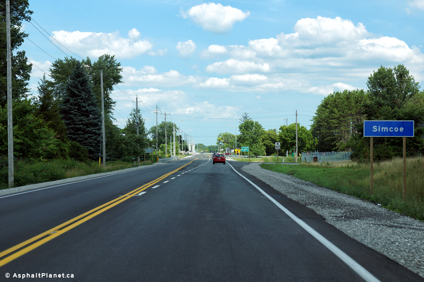
City of Norfolk County |
View looking easterly as Highway 3 enters the town of Simcoe.
Photo taken: July 25th, 2014. |

(720x480)
(1440x960)
(2400x1600) |
|
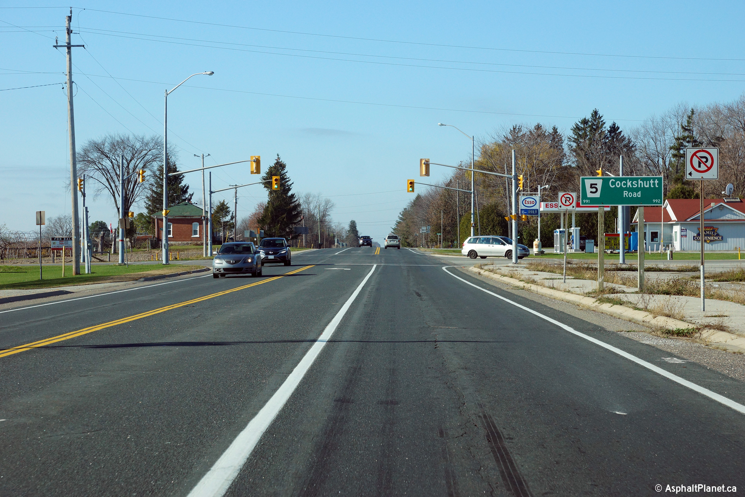
City of Norfolk County |
Two views looking westerly approaching the Cockshutt Road intersection
located to the east of Simcoe.
Photos taken: November 9th, 2015. |
(720x480)
(1440x960)
(2400x1600)
(720x480)
(1440x960)
(2400x1600) |
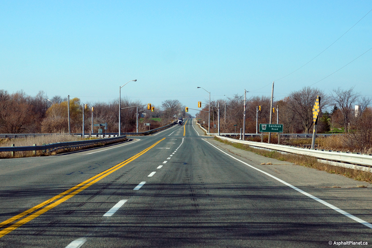
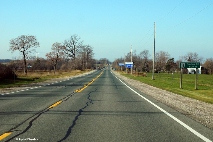
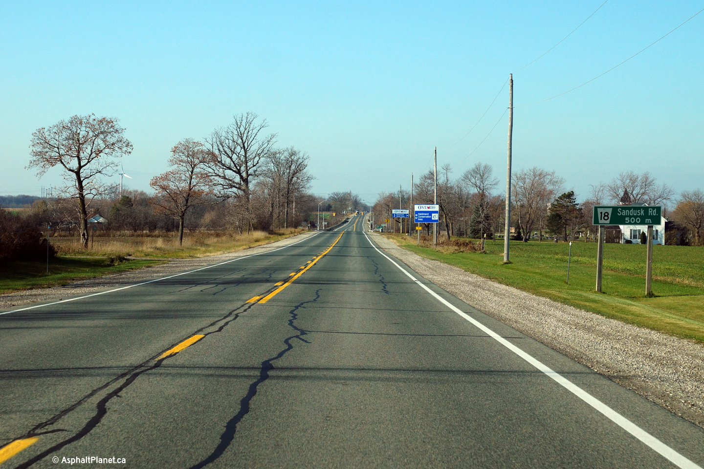
|
City of Norfolk County |
Two views looking westerly approaching the Sandusk Road intersection.
Photos taken: November 9th, 2015. |

(720x480)
(1440x960)
(2400x1600)
(720x480)
(1440x960)
(2400x1600) |
|
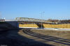
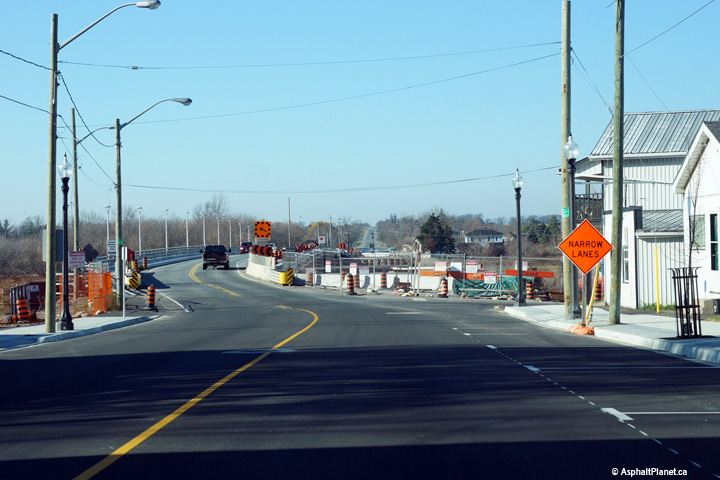
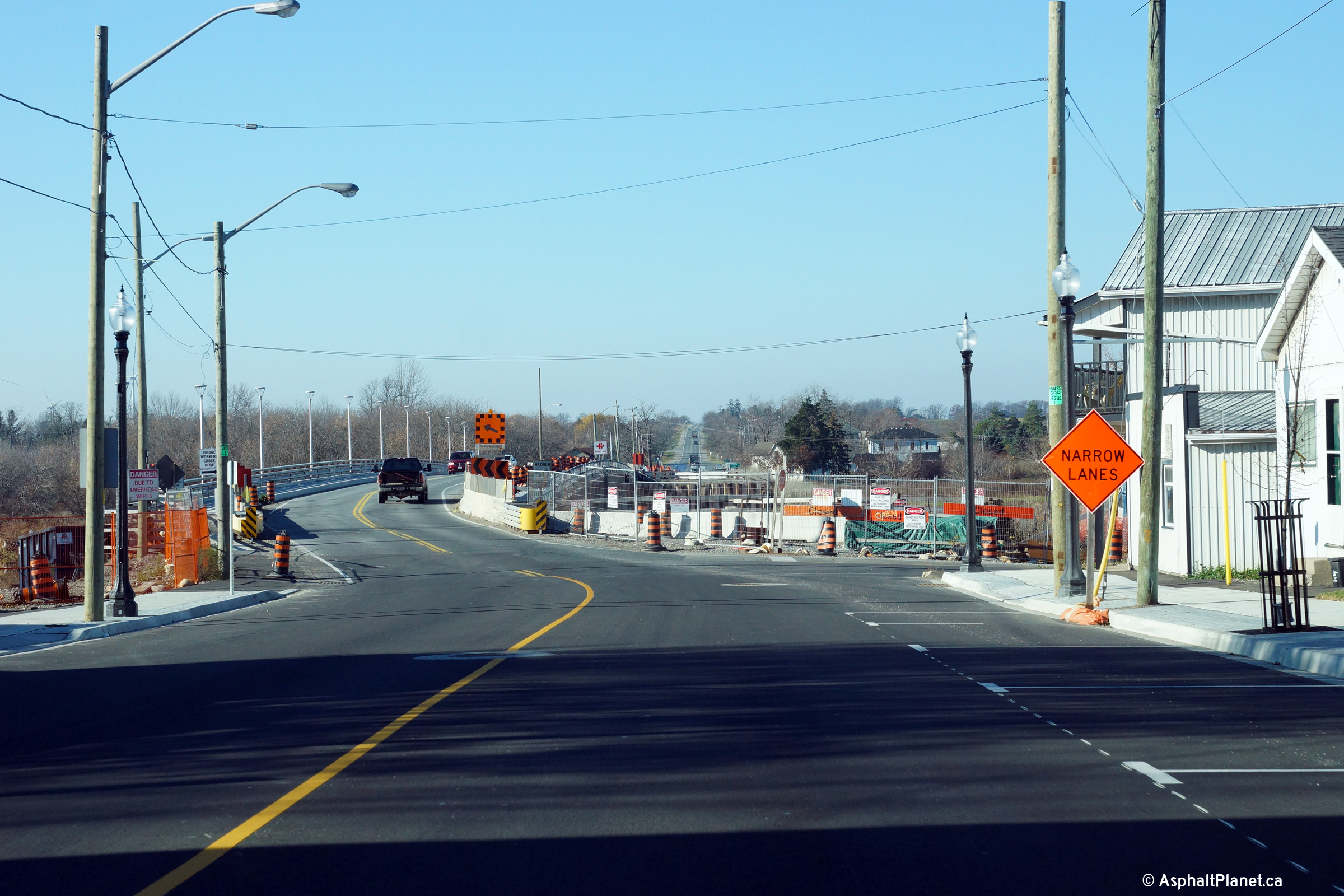
City of Haldimand County |
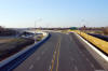
Westerly view approaching the Grand River Bridge in Cayuga.
Photo taken: November 9th, 2015. |

(720x480)
(1440x960)
(2400x1600) |
|
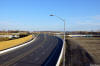
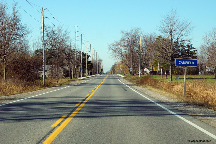
City of Haldimand County |
View looking westerly approaching the small community of Canfield.
Photo taken: November 9th, 2015. |
(720x480)
(1440x960)
(2400x1600) |
|
City of Haldimand County |
Looking east towards the junction with Smithville Road (Haldimand-Norfolk
Road 14) along Highway 3 at Canborough. This picture focuses on the
long on-ramp serving westbound traffic from Niagara Road 14.
Picture taken: May 8th, 2005. Size: 40kb. |
 |
|
City of Haldimand County |
This picture is of the same intersection as the previous image. This
image highlights the right-hand ramp that eastbound travelers must follow to
continue towards Dunnville along Highway 3. Picture taken: May 8th, 2005.
Size: 55kb. |
 |
|
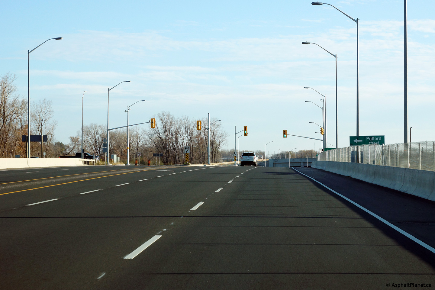
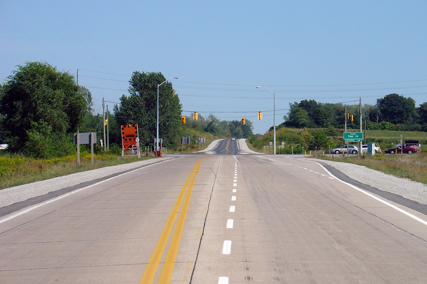
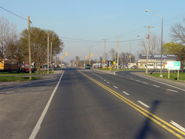
Township of Wainfleet Regional Municipality of Niagara |
Looking east towards the junction of Niagara Roads 23 and 24 at Chambers
Corners. At this junction, traffic continuing easterly along Highway 3
must follow the ramp to the right. Straight ahead is Forks Road
(Niagara Road 23), which serves as a useful shortcut for travelers destined
to Highway 58
North.
Picture taken: May 8th, 2005. Size: 50kb. |
 |
|
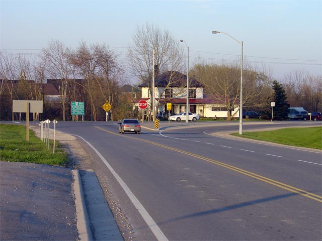
Township of Wainfleet Regional Municipality of Niagara |
Looking west along Highway 3 at Chambers Corners. Chambers Corners is
located roughly 18km west of Port Colborne. At this junction, through
Highway 3 traffic must turn left, to continue westerly towards Dunnville.
Picture taken: May 8th, 2005. Size: 55kb. |
 |
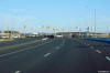
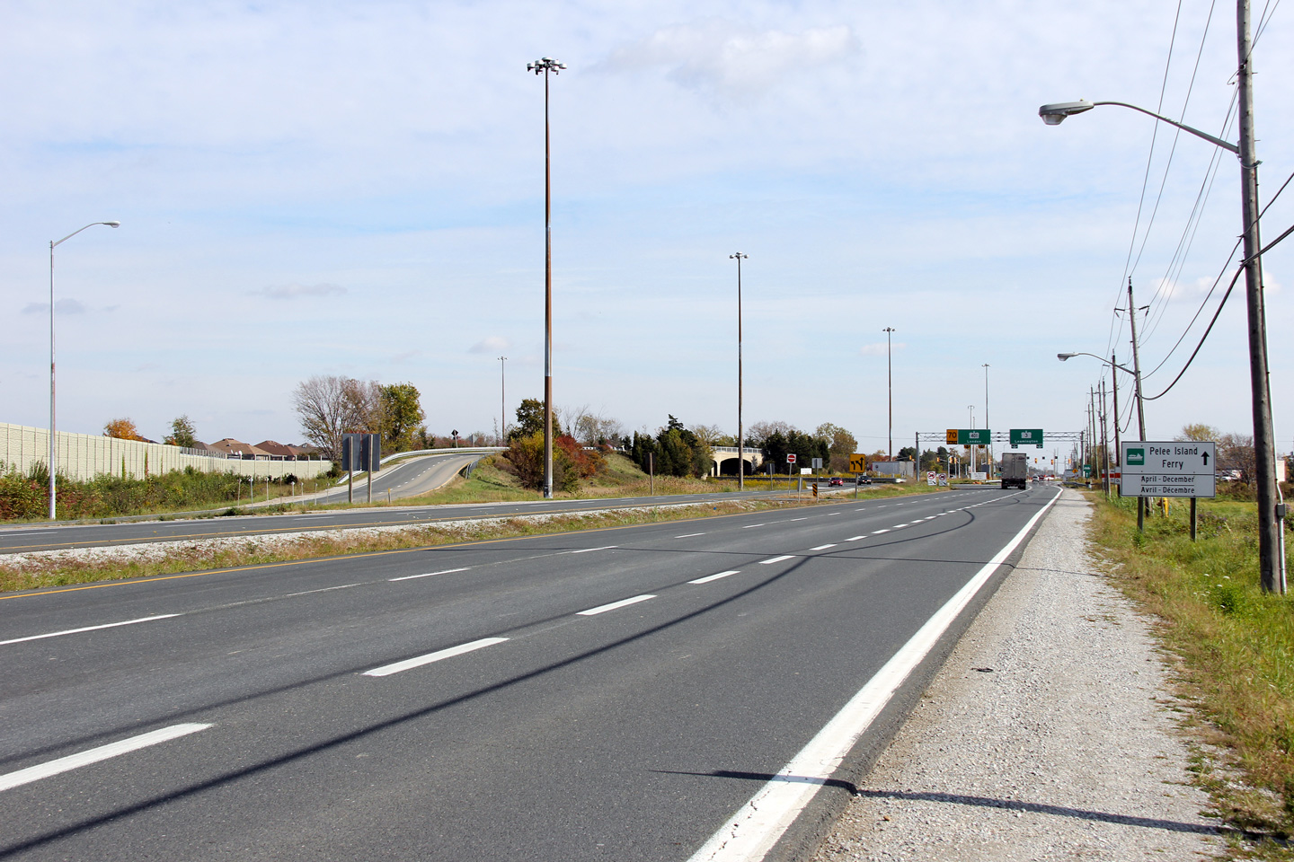
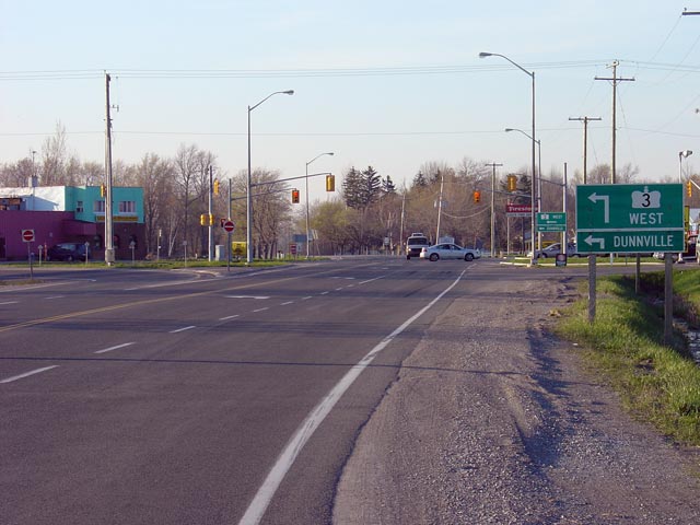
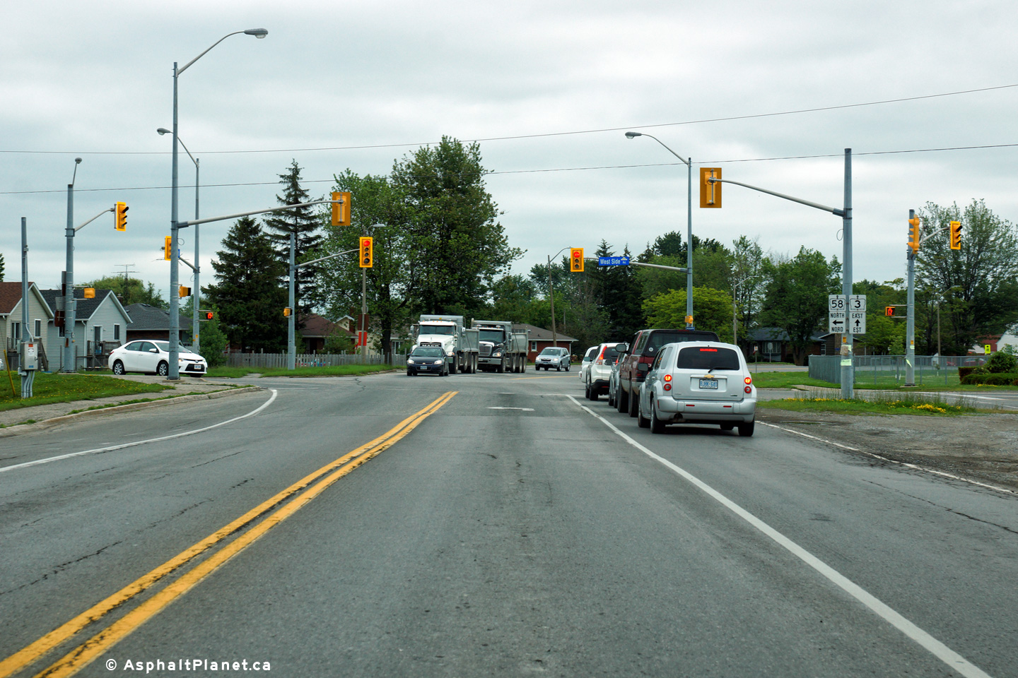
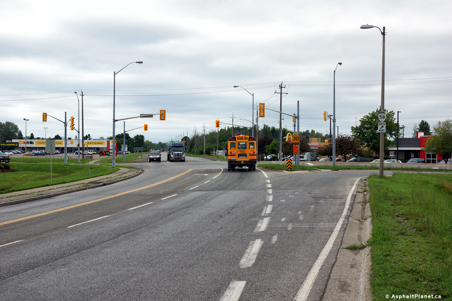
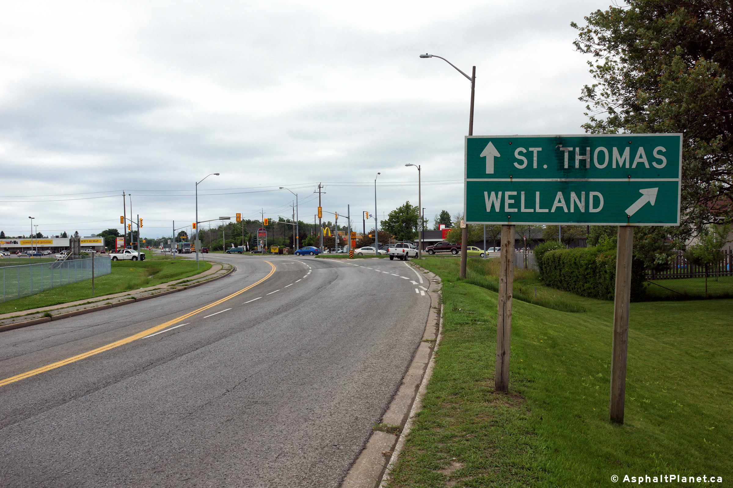
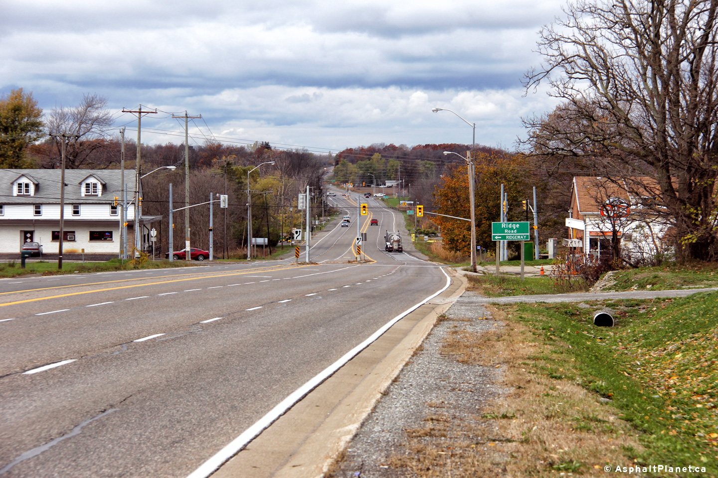
City of Port Colborne
Regional Municipality of Niagara |
View looking easterly along Highway 3 approaching the Highway 58
intersection at the western edge of Port Colbrone.
Photo taken: June 19th, 2015. |
(720x480)
(1440x960)
(2400x1600) |
|
Highway 58 extends northerly
from Highway 3 to Thorold via a fairly convoluted routing.
Click here for Highway
58 images. |
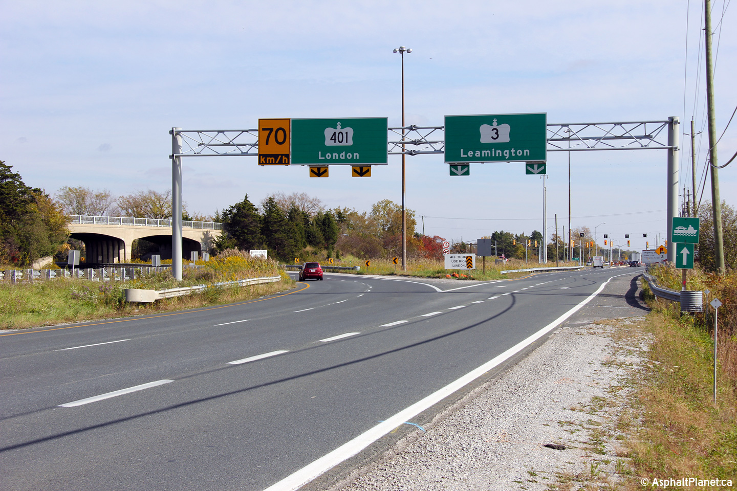
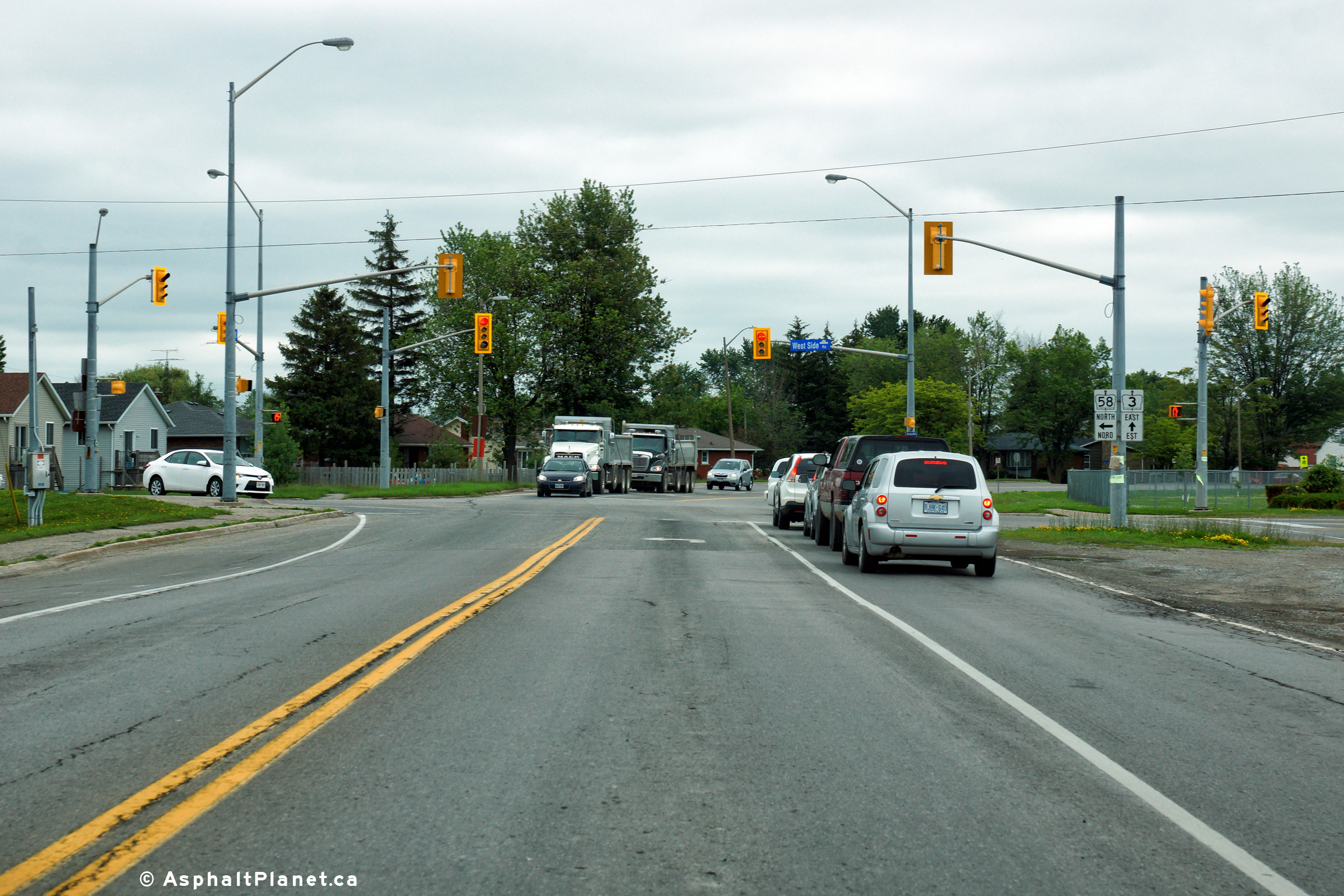
City of Port Colborne
Regional Municipality of Niagara |
Two views looking westerly along Highway 3 at the Highway 58 intersection.
Photos taken: June 19th, 2015. |
(720x480)
(1440x960)
(2400x1600)

(720x480)
(1440x960)
(2400x1600) |
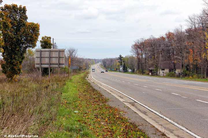
City of Port Colborne
Regional Municipality of Niagara |
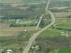
View looking westerly from just west of Killaly Road in Gasline.
Photo taken: October 31st, 2012. |
(720x480)
(1440x960)
(2400x1600) |
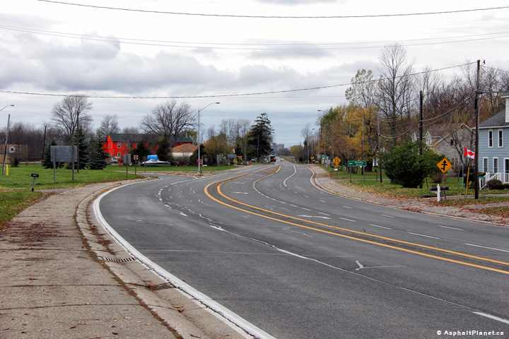
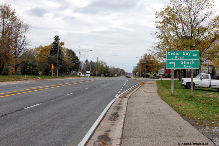
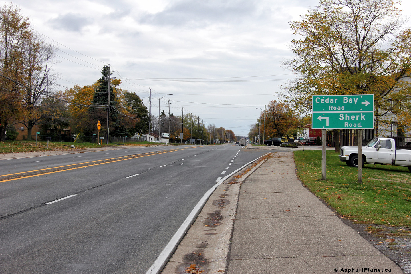
City of Port Colborne
Regional Municipality of Niagara |
Easterly view approaching the Killaly Road intersection in Gasline.
These photos were taken only days after Superstorm Sandy ravaged the east
coast.
Photo taken: October 31st, 2012. |
(720x480)
(1440x960)
(2400x1600) |
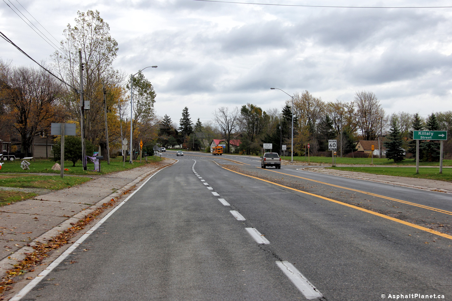
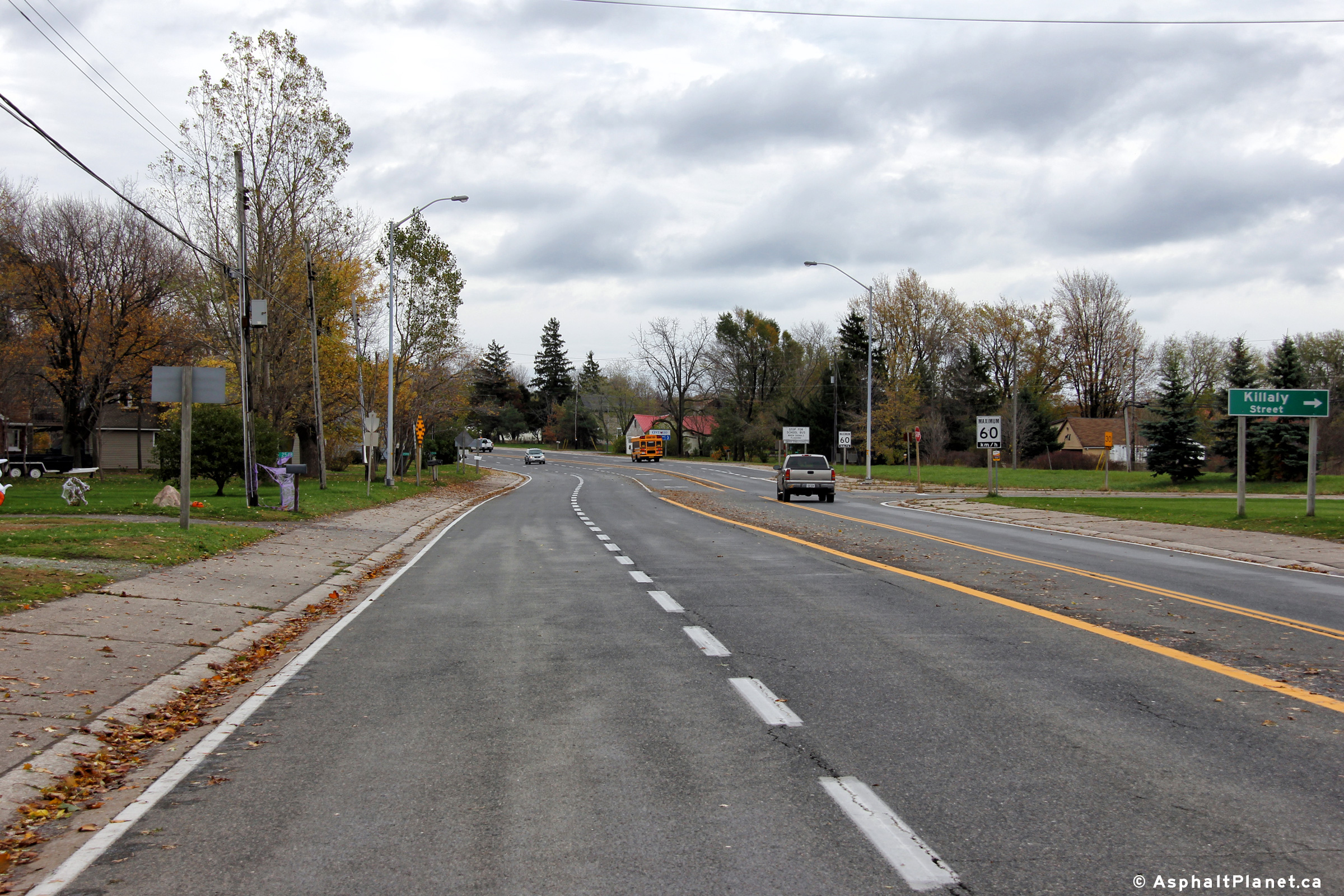
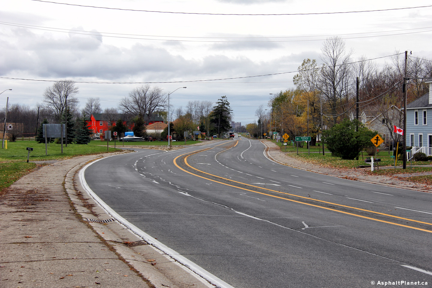
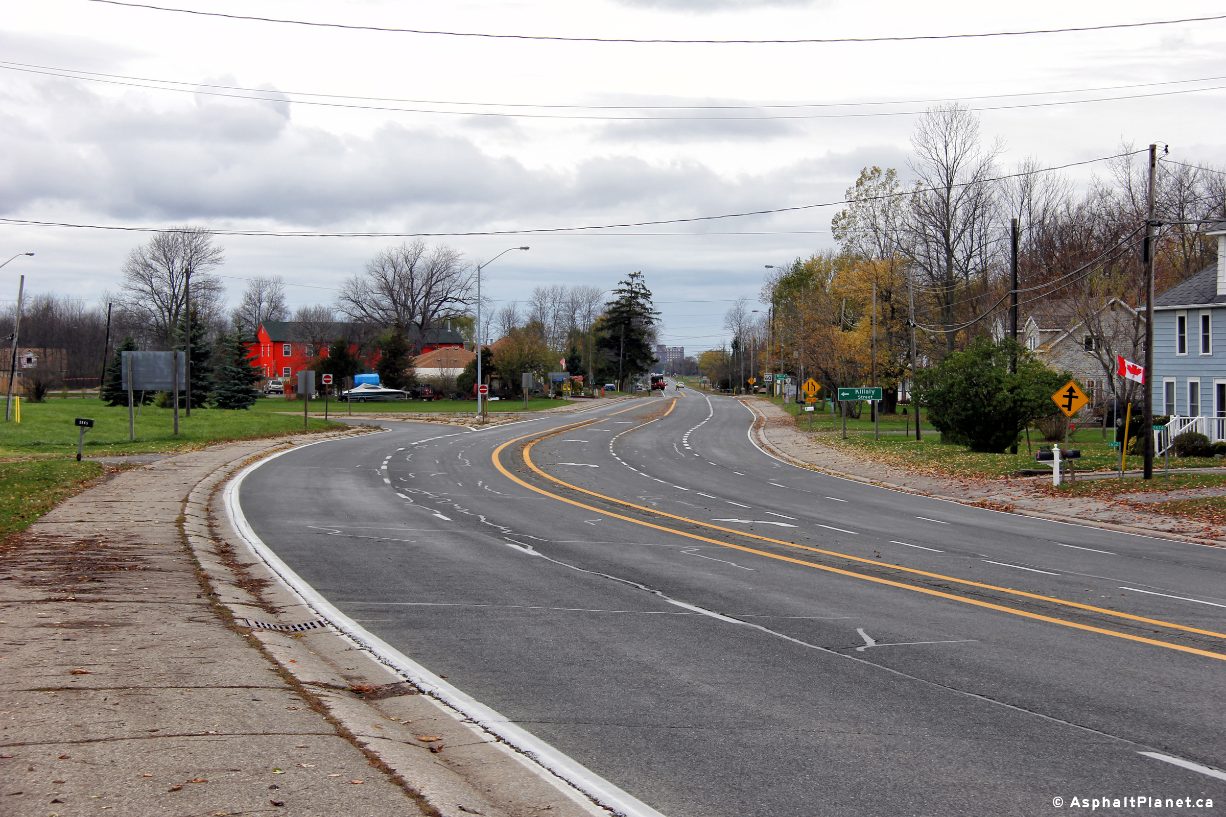
City of Port Colborne
Regional Municipality of Niagara |
View looking westerly at the Killaly Road intersection towards Port Colborne
in Gasline. Beyond this intersection, Highway 3 narrows from four to
two lanes.
Photo taken: October 31st, 2012. |
(720x480)
(1440x960)
(2400x1600) |
City of Port Colborne
Regional Municipality of Niagara |
Easterly view just east of the Killaly Road intersection at the Cedar Shore
Road intersection.
Photo taken: October 31st, 2012. |
(720x480)
(1440x960)
(2400x1600) |
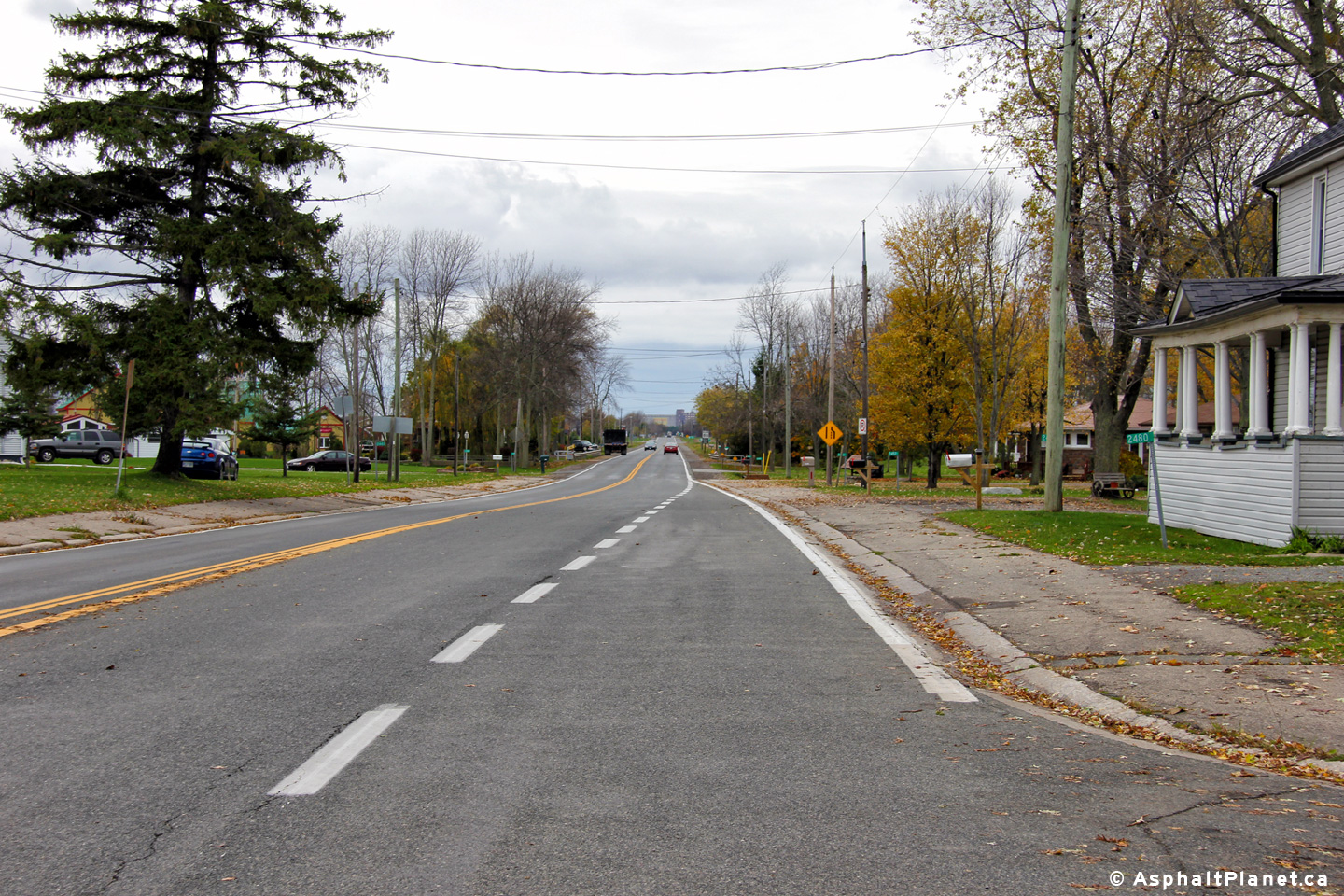
City of Port Colborne
Regional Municipality of Niagara |
View looking easterly at the Sherk Road intersection.
Photo taken: October 31st, 2012. |
(720x480)
(1440x960)
(2400x1600) |
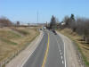
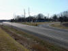
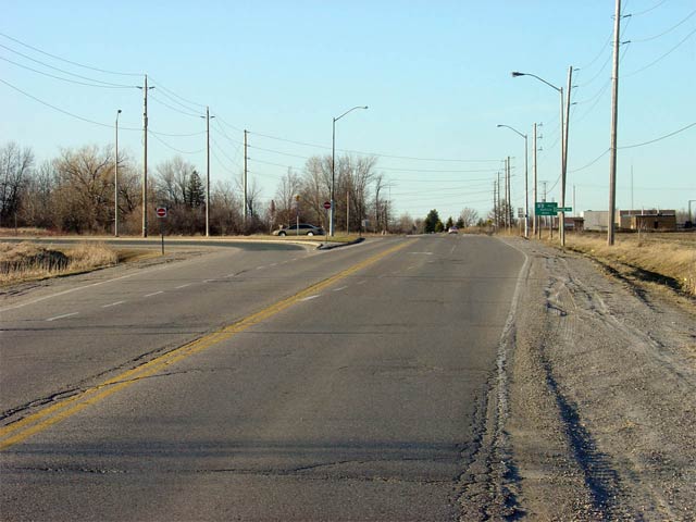
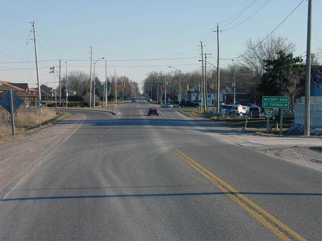
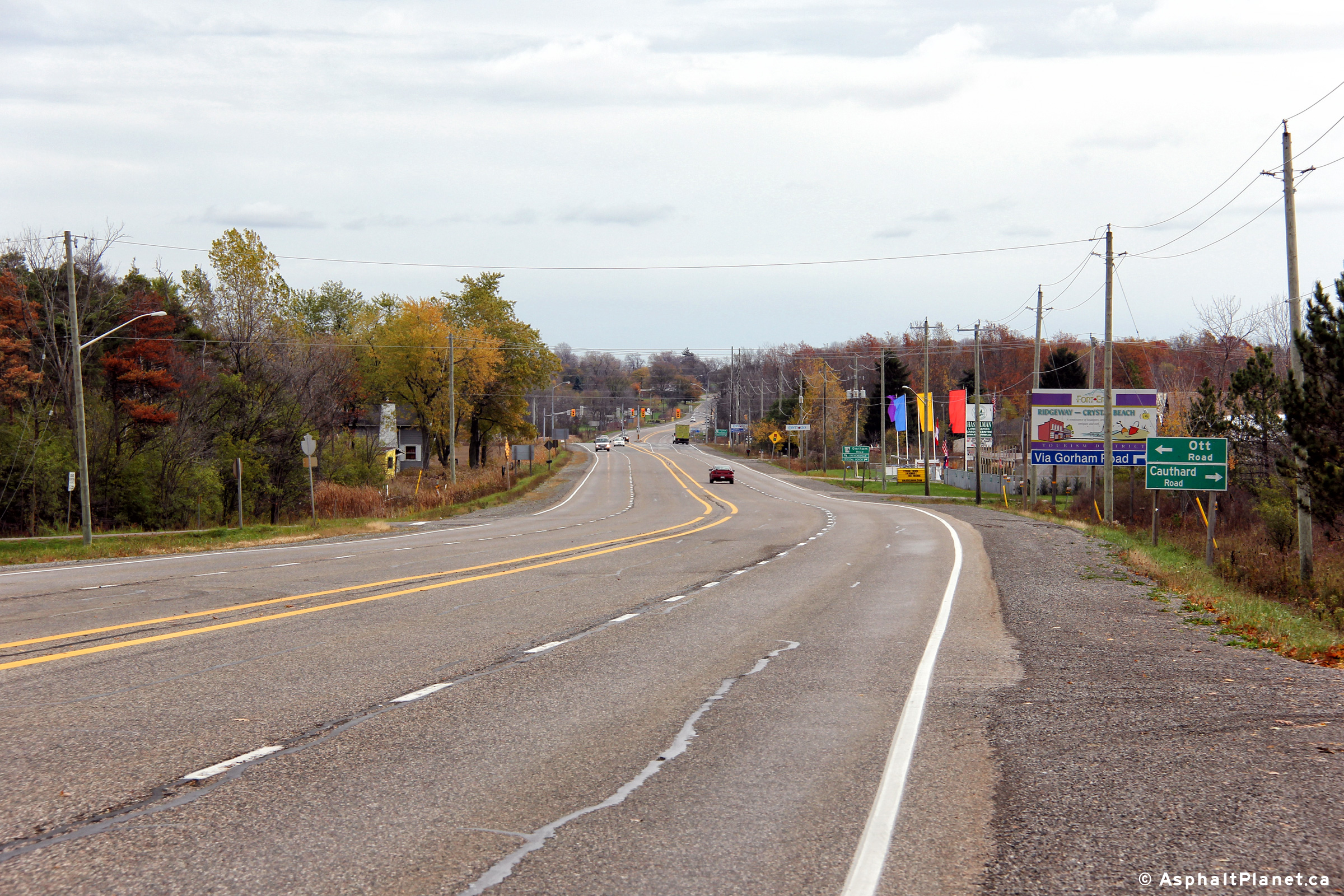
Town of Fort Erie
Regional Municipality of Niagara |
View looking easterly approaching the Ott Road intersection.
Photo taken: October 31st, 2012. |
(720x480)
(1440x960)
(2400x1600) |
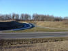
Town of Fort Erie
Regional Municipality of Niagara |
View looking westerly towards the Ridge Road intersection along Highway 3.
Photo taken: October 31st, 2012. |
(720x480)
(1440x960)
(2400x1600) |
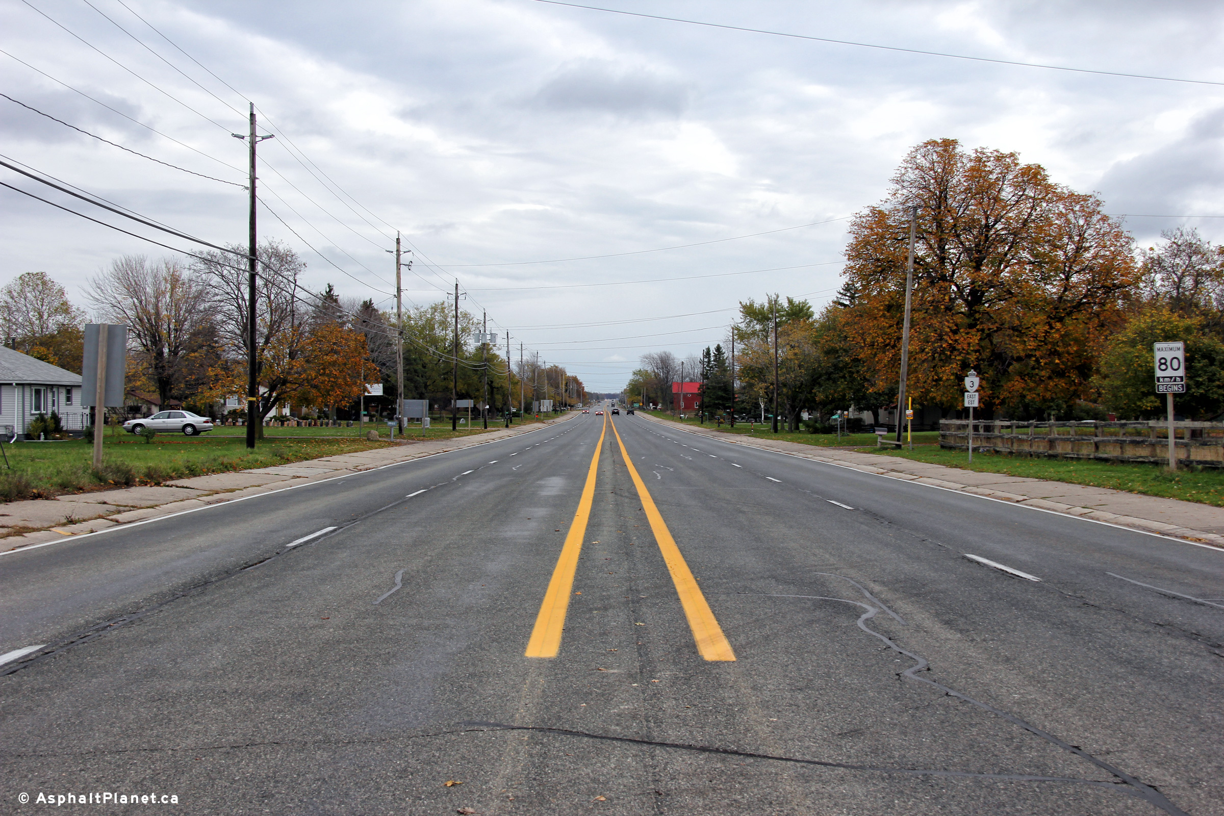
Town of Fort Erie
Regional Municipality of Niagara |
View looking easterly along Highway 3 from just east of the Ridge Road
intersection. The Buffalo, NY, skyline can be seen poking out just
over the stand of trees to the south of the highway.
Photo taken: October 31st, 2012. |

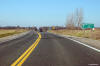
(720x480)
(1440x960)
(2400x1600) |
 (720x480)
 (720x480)
 (720x480)
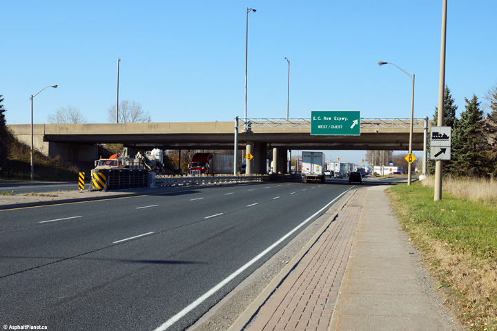 (720x480)
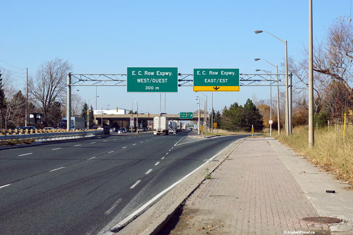 (720x480)
 (720x480)
 (720x480)
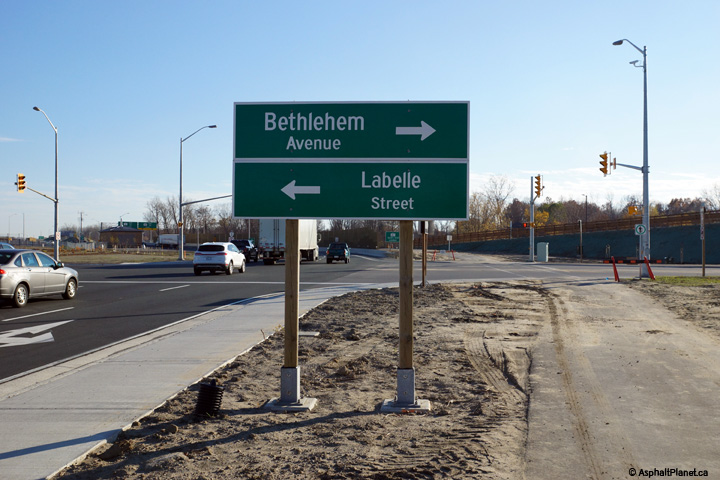 (720x480)
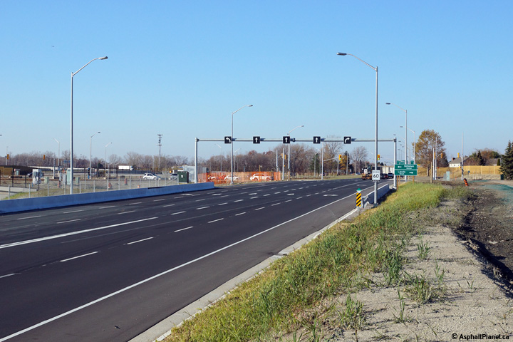 (720x480)
 (720x480)
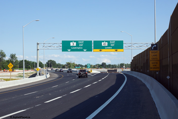 (720x480)
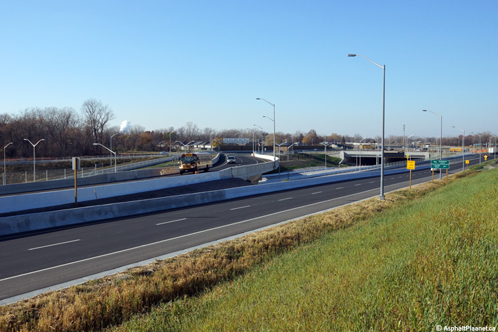


 (720x480)
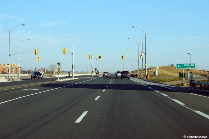


 (720x480)

 (720x480)
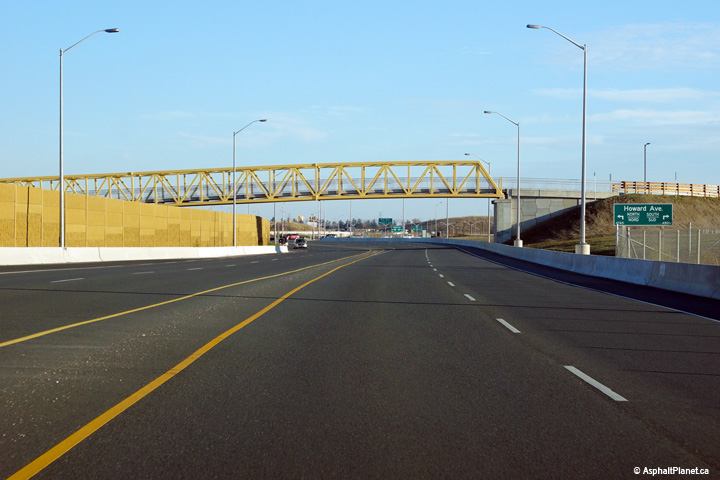


 (720x480)
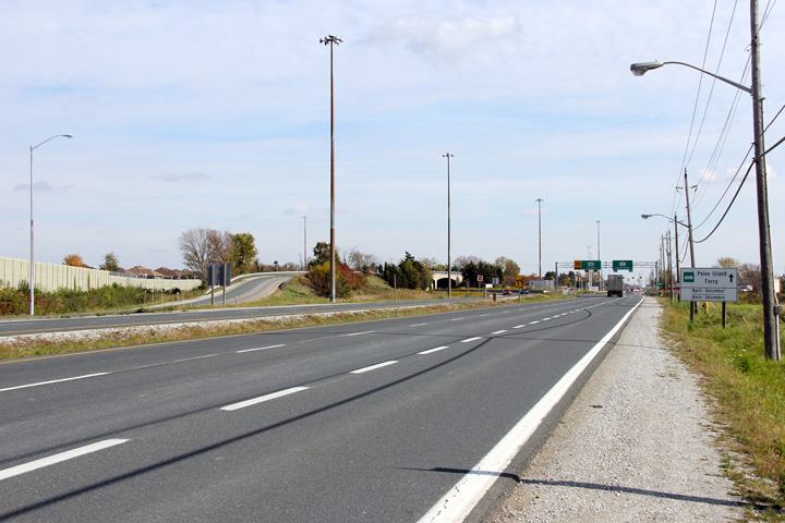 (720x480)
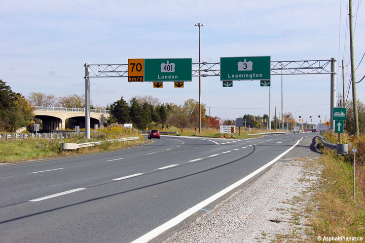 (720x480)
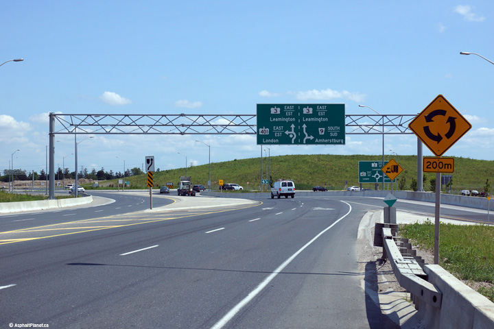
 (720x480)


