|
Proper Municipality Name
|
Photo Description |
Photo
|
|
Pictures taken
from driver's perspective appear offset from centre-line pictures: |
East-
Bound |
West-
Bound |
|
Across the river via the Detroit-Windsor Tunnel,
traffic will find convenient access to Interstate Highway 375.
Click here for I-375
images. |
| City of
Windsor |
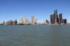
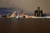
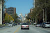
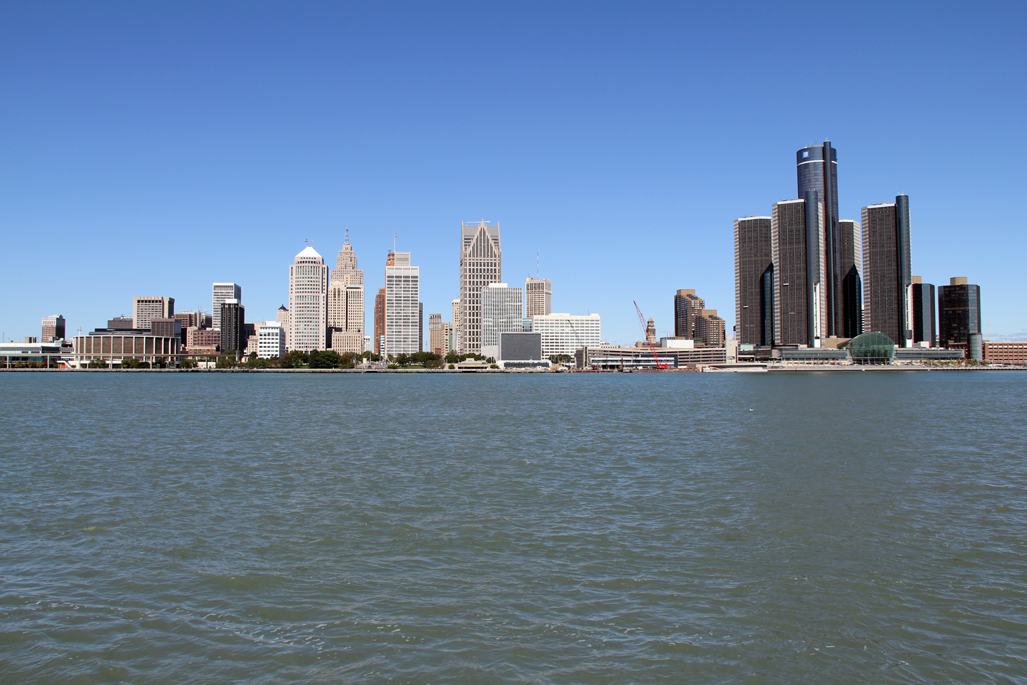
Two views looking northerly across the Detroit River into
Downtown Detroit. As anyone who has visited Downtown Detroit will attest,
Detroit looks better the further away from it you get. Despite this,
Downtown Detroit has been seeing somewhat of a rejuvenation in the past
decade, as several new large scale Casinos have been built downtown,
complete with new restaurants and night clubs adjacent. Further, new sports
venues have been constructed Downtown for both the MLB Tigers, and NFL
Lions. Joe Louis Arena which houses the NHL Red Wings is also downtown.
Rejuvenation aside, Detroit has a considerable uninhabited dead zone
between Downtown and the affluent suburbs. An area that is best avoided, particularly
at night.
Photos taken: October 1st, 2010. |
(720x480)
(1440x960)
(2400x1600)
(720x480)
(1440x960)
(2400x1600) |
| City of
Windsor |
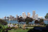
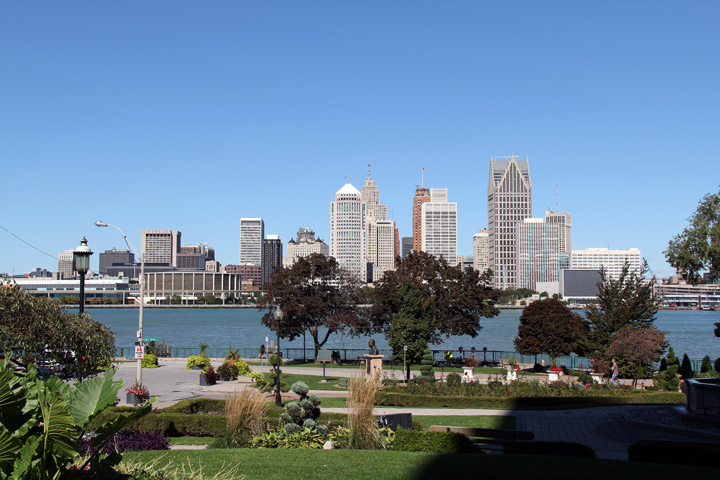
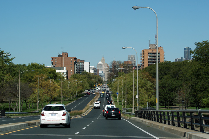
This view looks northerly into Downtown Detroit from Windsor's Riverside
Park. Windsor has created a ribbon of parkland that runs adjacent to
the Detroit River through the City. This parkland provides some of the
best views of Downtown Detroit.
Photo taken: October 1st, 2010. |
(720x480)
(1440x960)
(2400x1600) |
| City of
Windsor |
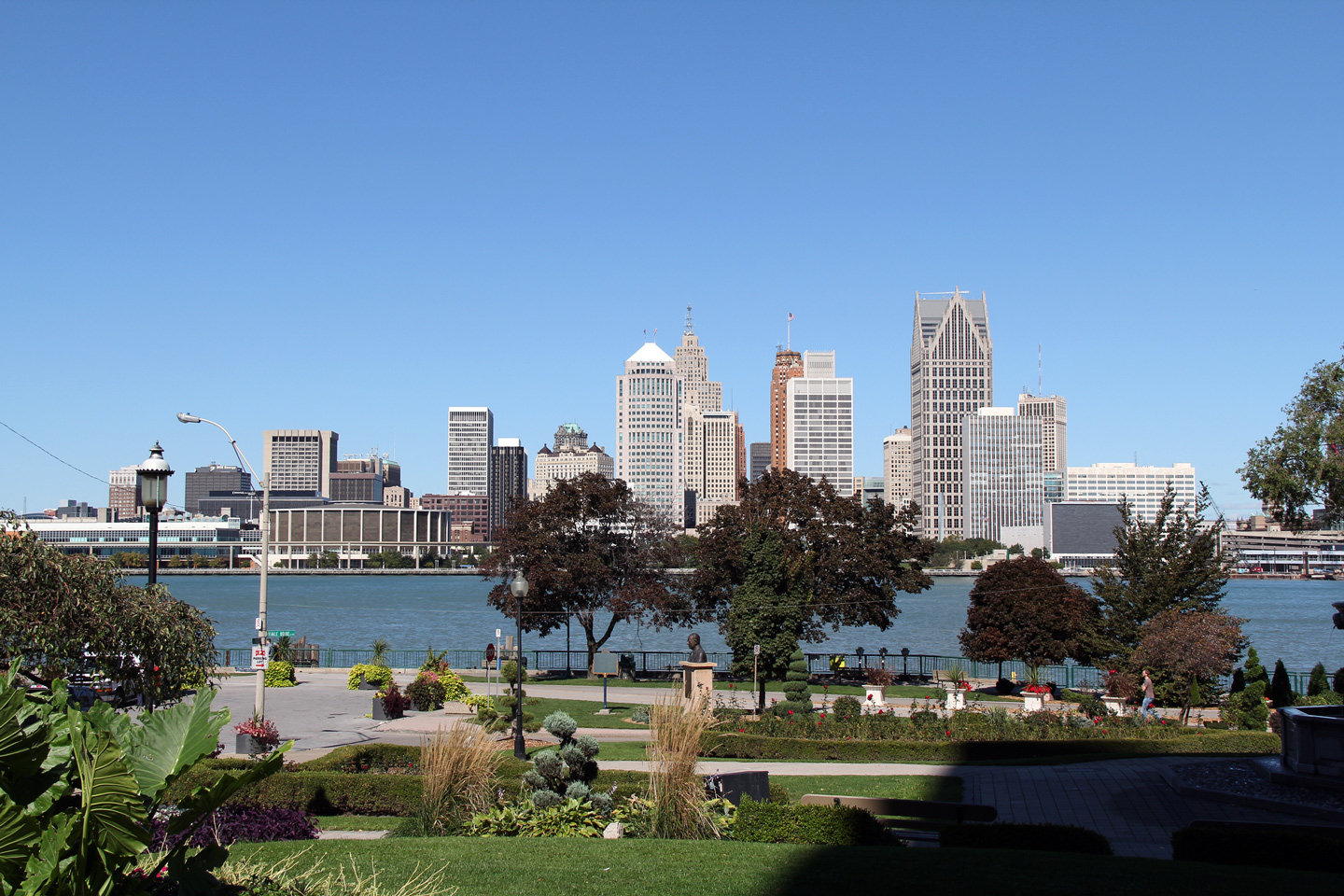
This view looks northerly towards the former terminus of Highway 3 at
Riverside Drive. The entrance to the Detroit-Windsor Tunnel is
found a block east of Ouellette Avenue at Goyeau Street. Because of
less efficient highway access to the Detroit-Windsor Tunnel, from the
author's experience, the Tunnel is less congested, and serves more local
traffic compared to the neighbouring Ambassador Bridge.
Photo taken: October 1st, 2010. |
(720x480)
(1440x960)
(2400x1600) |
| City of
Windsor |
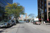
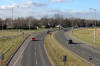
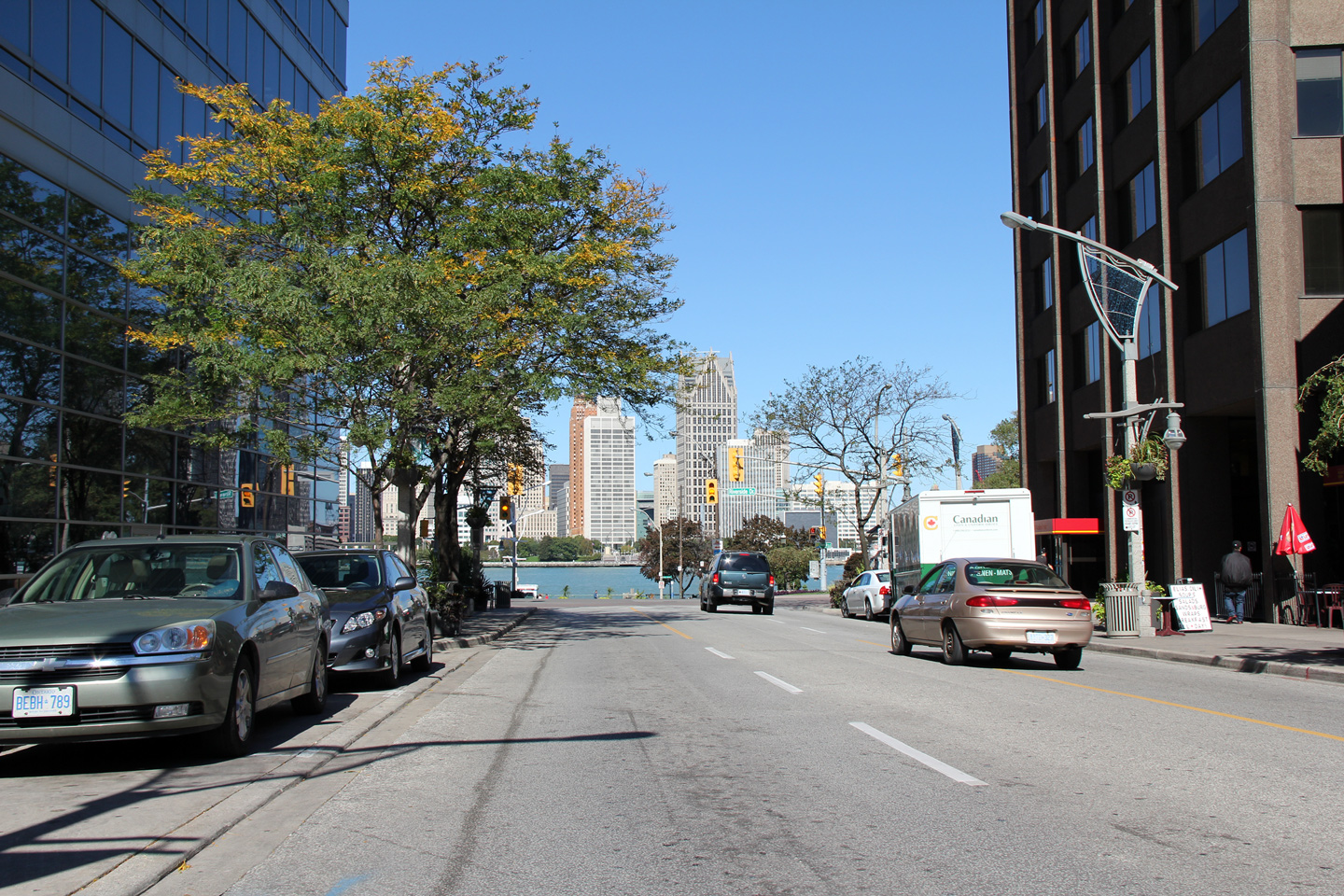
Heading northerly towards the Detroit-Windsor Tunnel along what was Highway
3B. For a small city, Windsor actually has an impressive array of
relatively tall buildings. Canadian cities are typically more dense
and compact then there American counterparts.
Photo taken: October 1st, 2010. |
(720x480)
(1440x960)
(2400x1600) |
| City of
Windsor |
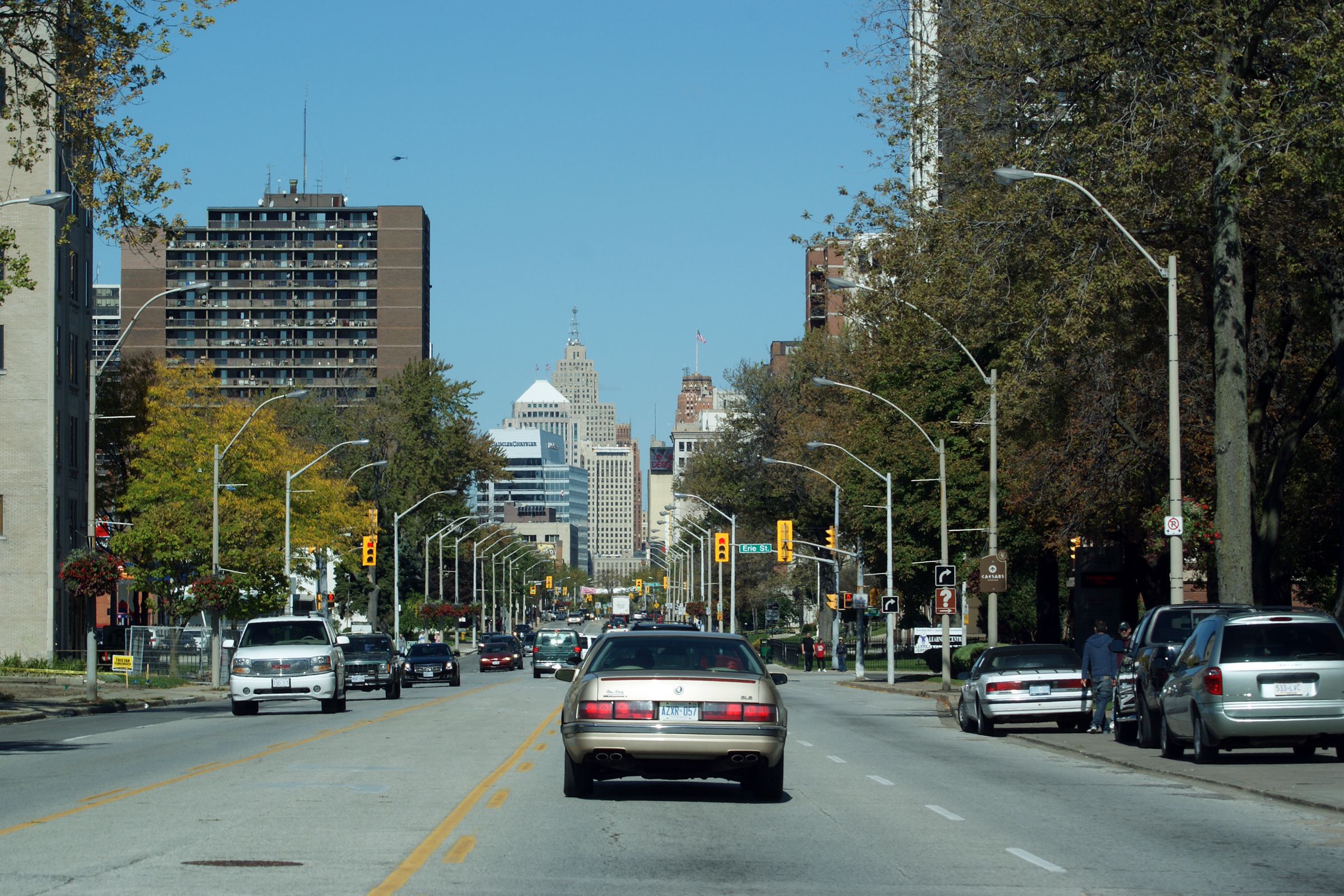
This view looks northwesterly along Ouellette Street from the top of the CP
Rail overpass. From this vantage point it is impossible to tell that
the most predominant buildings dotting the skyline are in fact in another
country.
Photo taken: October 1st, 2010. |

(720x480)
(1440x960)
(2400x1600) |
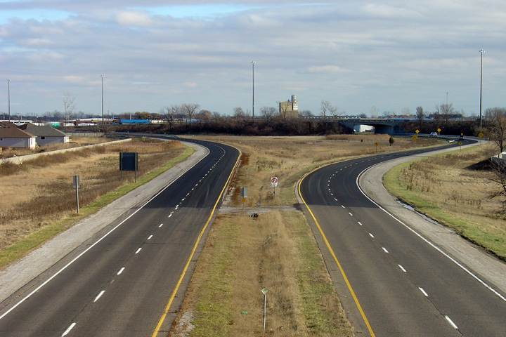
| City of Windsor |
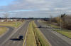
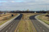
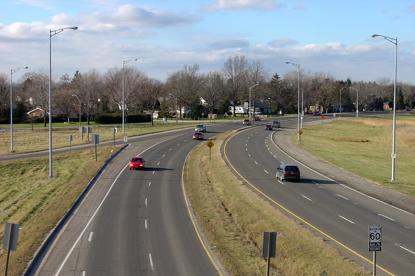
Westerly view as the freeway ends becoming Dougall Parkway in Windsor.
In addition to the end of the divided highway, this is also a historic
Highway 401 terminus. Highway 401's Tunnel Route was a 2.89km long
freeway stub that was designated as Highway 401, linking Dougall Avenue to
Highway 401's mainline. Interestingly, the extension of Highway 3B
opened at the same time as the extension to Highway 3. Previously, the
401 had terminated at Provincial Road.
Photo taken: December 5th, 2004. |
(720x480)
(1440x960) |
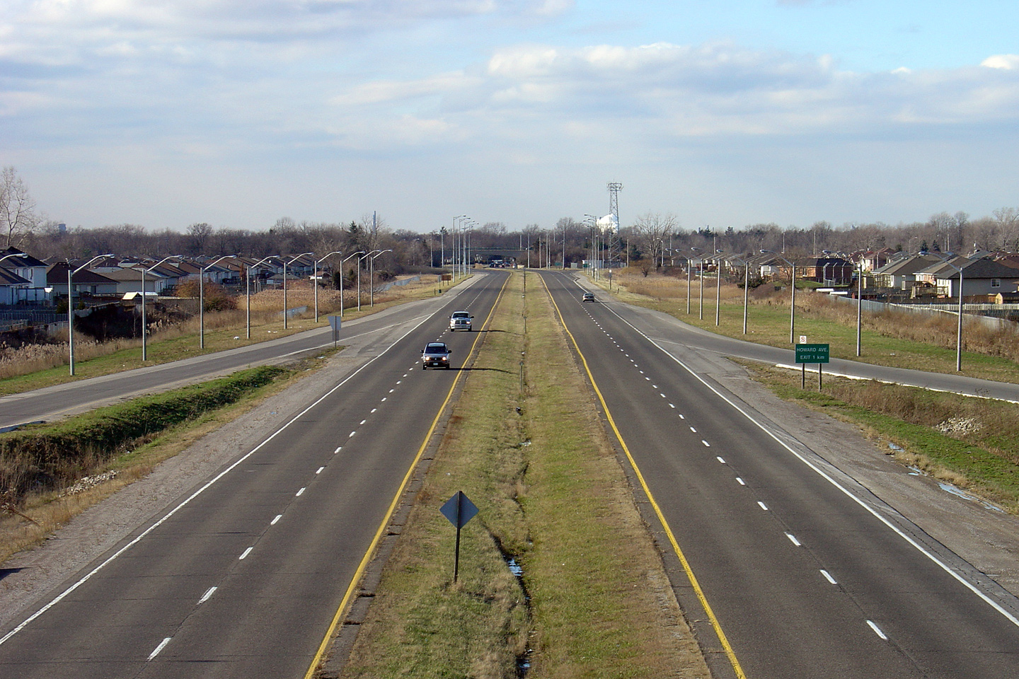
| City of Windsor |
Southerly view of the advanced signage for Highway 401 East from Howard
Avenue.
Photo taken: December 5th, 2004. |
 |
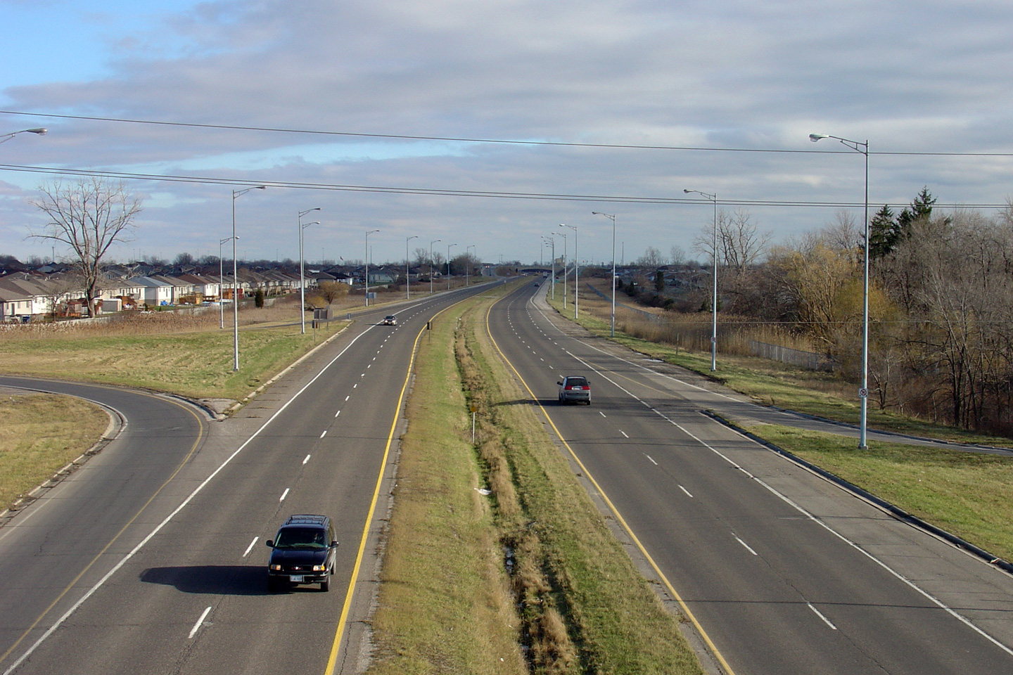
| City of Windsor |
Easterly view along Highway 3B from the Howard Avenue overpass.
Virtually all sections of four lane freeway built in the mid 1950's looked
just as this highway does. It wasn't until the early 1960's that
highway engineers started constructing rural freeways with wide grassed
medians.
Photo taken: December 5th, 2004. |
(720x480)
(1440x960) |
| City of
Windsor |
This view looks west from the 6th Concession Road overpass towards Downtown
Windsor on what has become (since the highway was downloaded) Dougall
Parkway. What was Highway 401, and is now the Dougall Parkway was
transferred to the City of Windsor in 1998, from just east of this
interchange to Highway 401's former alternate terminus at Howard Avenue.
The partial diamond ramps at Dougall Parkway were added in 1999 by the City
of Windsor.
Photo taken: December 5th, 2004. |

(720x480)
(1440x960) |
| City of Windsor |
Easterly view of the Dougall Parkway from the 6th Concession Road overpass
towards an obsolete Highway 401 interchange. During 2008 and 2009 the
pictured interchange was fully reconstructed replacing the Dougall Parkway's
left entrance onto Highway 401 with a right side entrance.
Photo taken: December 5th, 2004. |
(720x480)
(1440x960) |
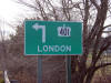
|
Highway 401 extends easterly
from the Highway 3B interchange.
Click here for Highway 401 images. |


