Pictures taken from driver's perspective appear offset from centre-line pictures:
Bound
Bound
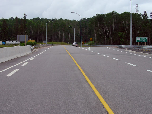
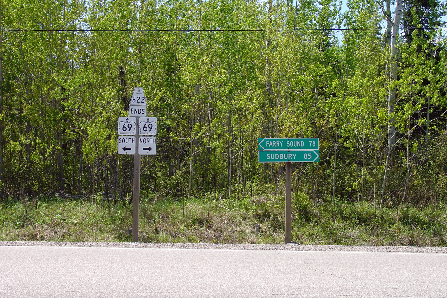
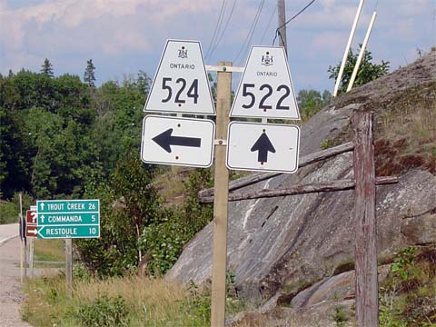
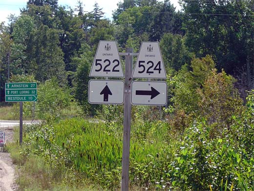
This picture shows the junction assembly for the western terminus of Highway 522 at Highway 69.
Picture taken May 29th, 2004.
 (720x480)
(1440x960)
Picture taken May 29th, 2004.

(720x480) (1440x960)
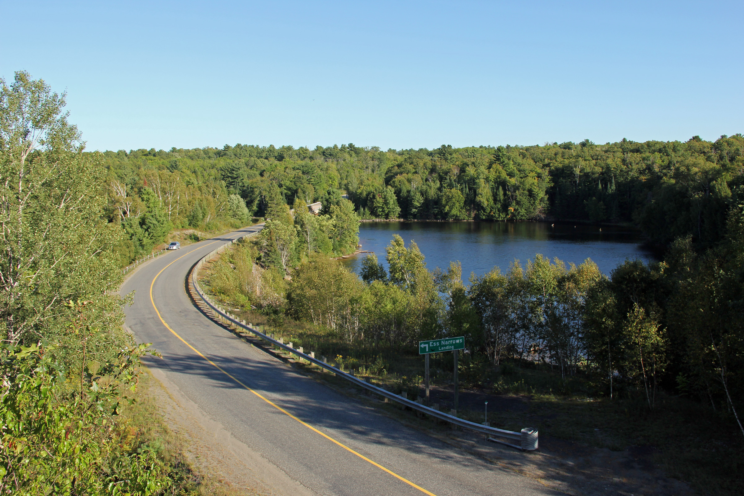
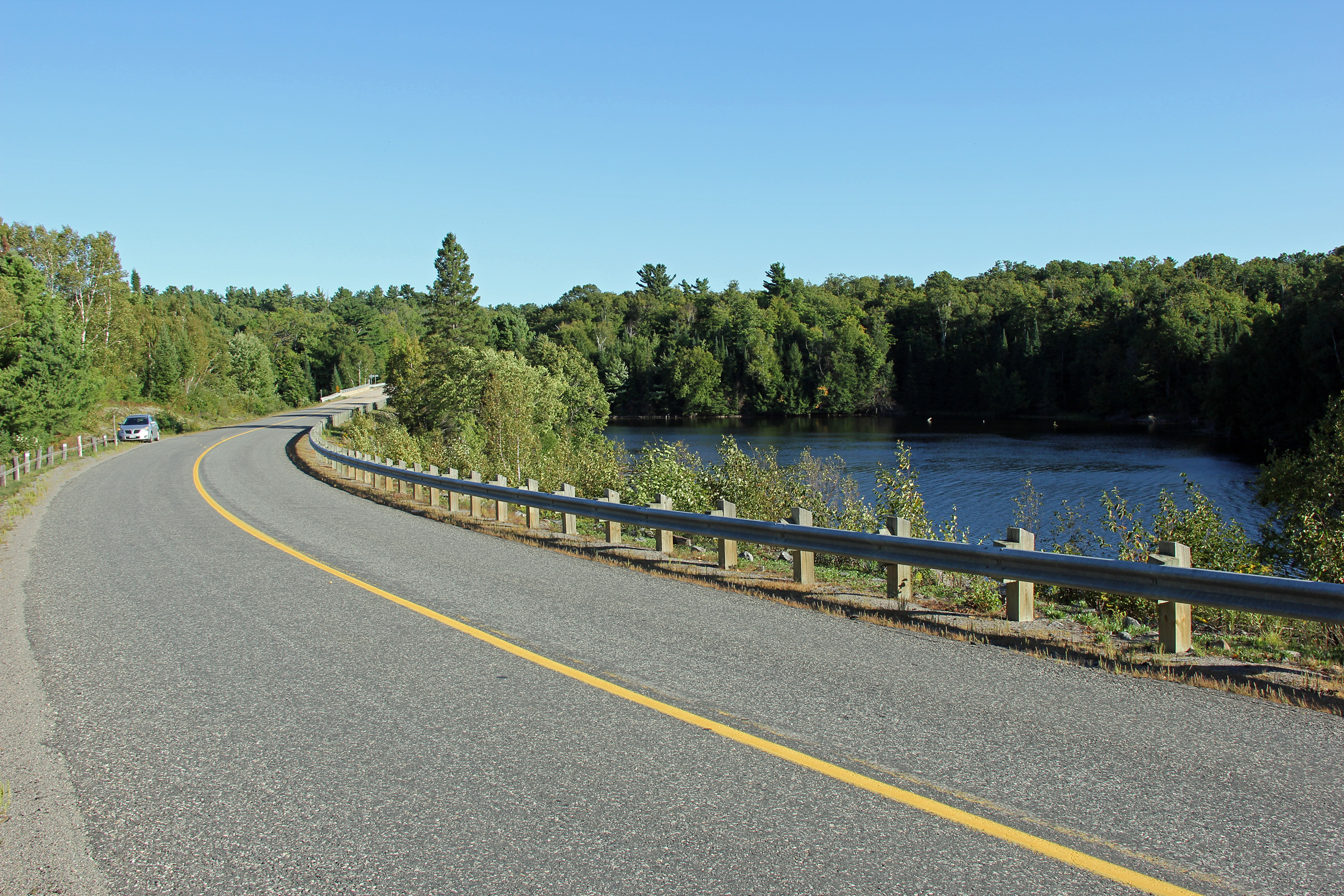
Photo taken: August 29th, 2012.

(720x480) (1440x960) (2400x1600)

(720x480) (1440x960) (2400x1600)
Photo taken: August 29th, 2012.
 (720x480)
(1440x960)
Photo taken: August 29th, 2012.
(720x480) (1440x960) (2400x1600)
Picture taken: August 14th, 2005. Size: 70kb.
Picture taken: August 14th, 2005. Size: 50kb.
Picture size: 40kb.
Picture size: 65kb.
Picture taken: August 14th, 2005. Size: 65kb.
District of Parry Sound
Picture taken: August 14th, 2005. Size: 80kb.
District of Parry Sound
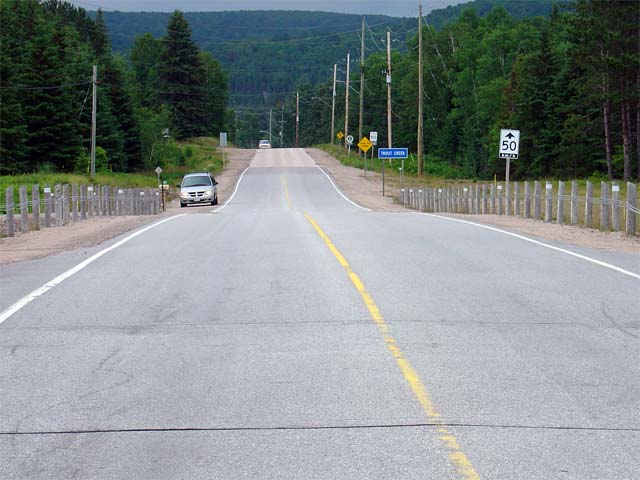
This picture is taken looking east from the Highway 522 overpass at Highway 11 just west of the community of Trout Creek. This bridge opened in 2003 concurrently with the new Trout Creek bypass (Highway 11). An interchange was not constructed at this overpass forcing traffic wishing to connect with Highway 11 to use either Highway 522B or Highway 522 South.
Picture taken July 14th, 2004. Size: 45kb
(Community of Trout Creek)
District of Parry Sound
Picture taken: August 14th, 2005. Size: 55kb.
(Community of Trout Creek)
District of Parry Sound
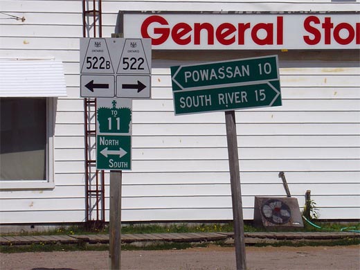
This picture highlights the junction assembly looking east on Highway 522 at the Highway 522B junction. Both directions of Highway 11 are accessible from both Highway 522 and Highway 522B.
Picture size: 45kb.
(Community of Trout Creek)
District of Parry Sound
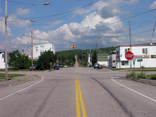
Looking north along Highway 522 through Trout Creek. Before the Trout Creek Bypass opened to the west of Trout Creek in 2003, this portion of Highway 522 was part of Highway 11. Highway 522 turns off the former Highway 11 alignment in Trout Creek, and the newly designated Highway 522B continues northerly to rejoin Highway 11 north of Trout Creek
Picture taken: August 14th, 2005. Size: 50kb
District of Parry Sound
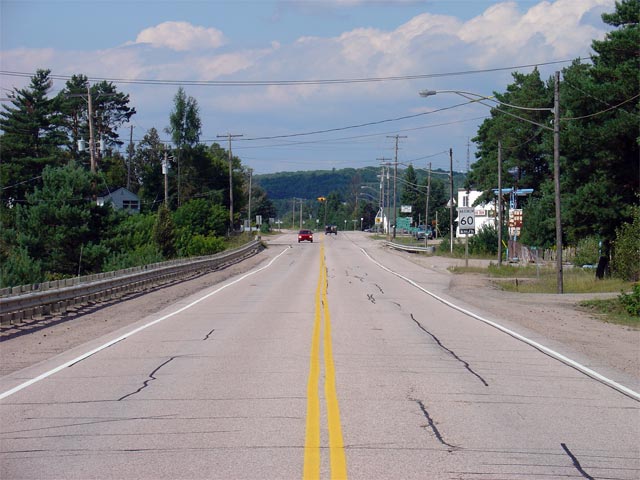
This picture shows the eastern terminus of Highway 522 at the Highway 11 interchange just south of the Trout Creek Bypass. (Highway 522 ends roughly where the grey minivan is parked in the picture).
Picture taken July 14th, 2004. Size: 30kb