|
Proper Municipality Name |
Photo Description |
Photo |
|
Pictures taken
from driver's perspective appear offset from centre-line pictures: |
North-
bound |
South-
bound |
|
Continued from
Huntsville to Burk's Falls
Images. |
|
Highway 520 follows the
Magnetawan River Valley north-westerly from Highway 11 towards Highway 124.
Click here for Highway
520 images. |
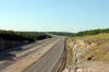
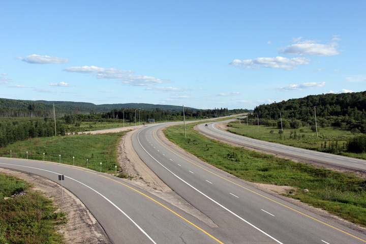
Township of Armour
District of Parry Sound |
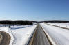
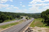
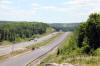
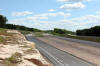
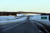
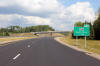
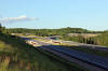
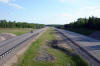
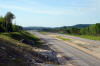
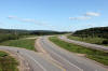
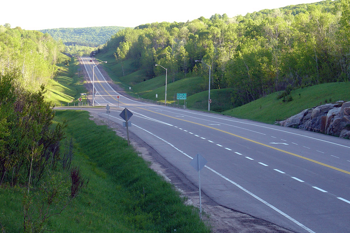
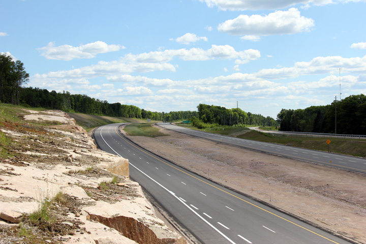
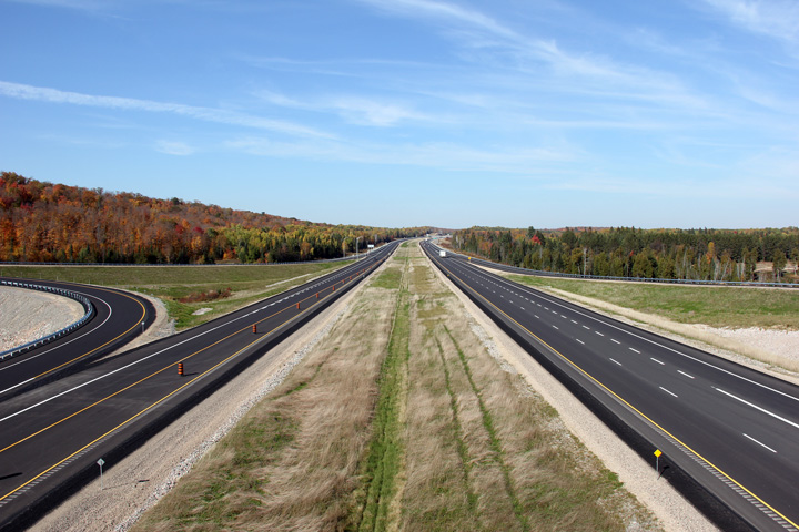
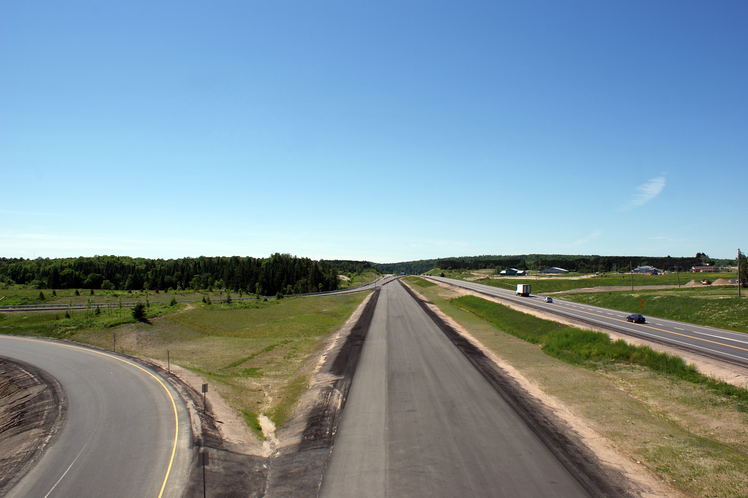
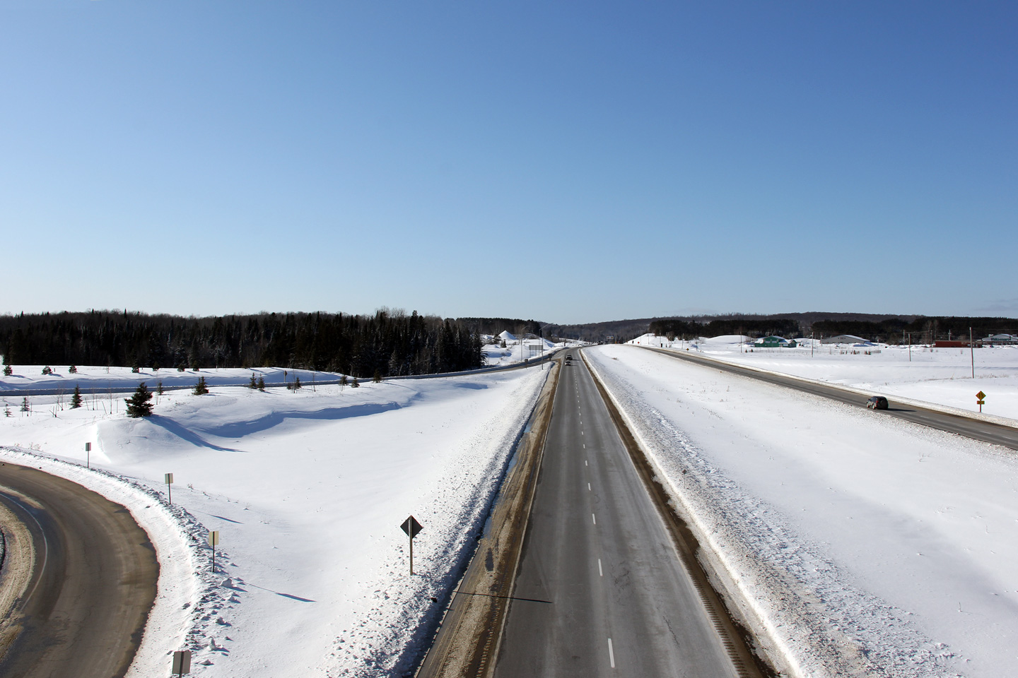
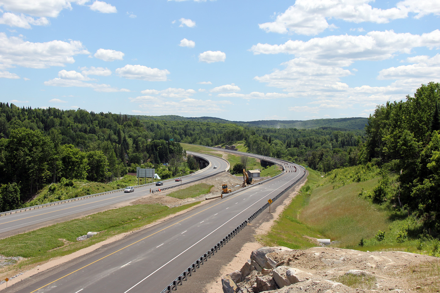
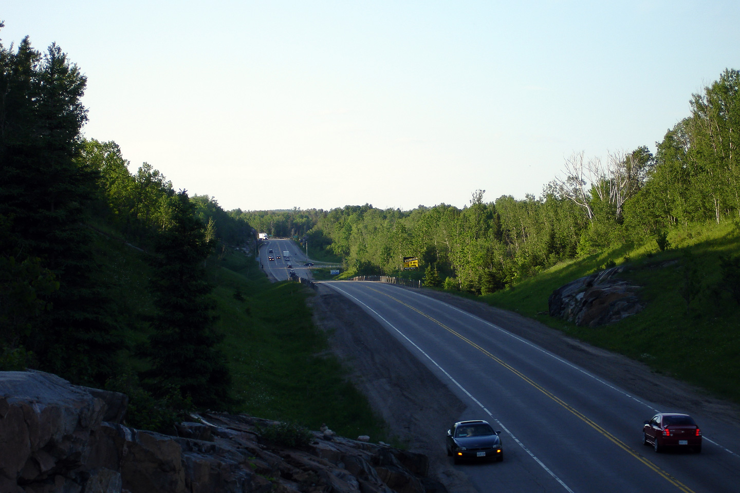
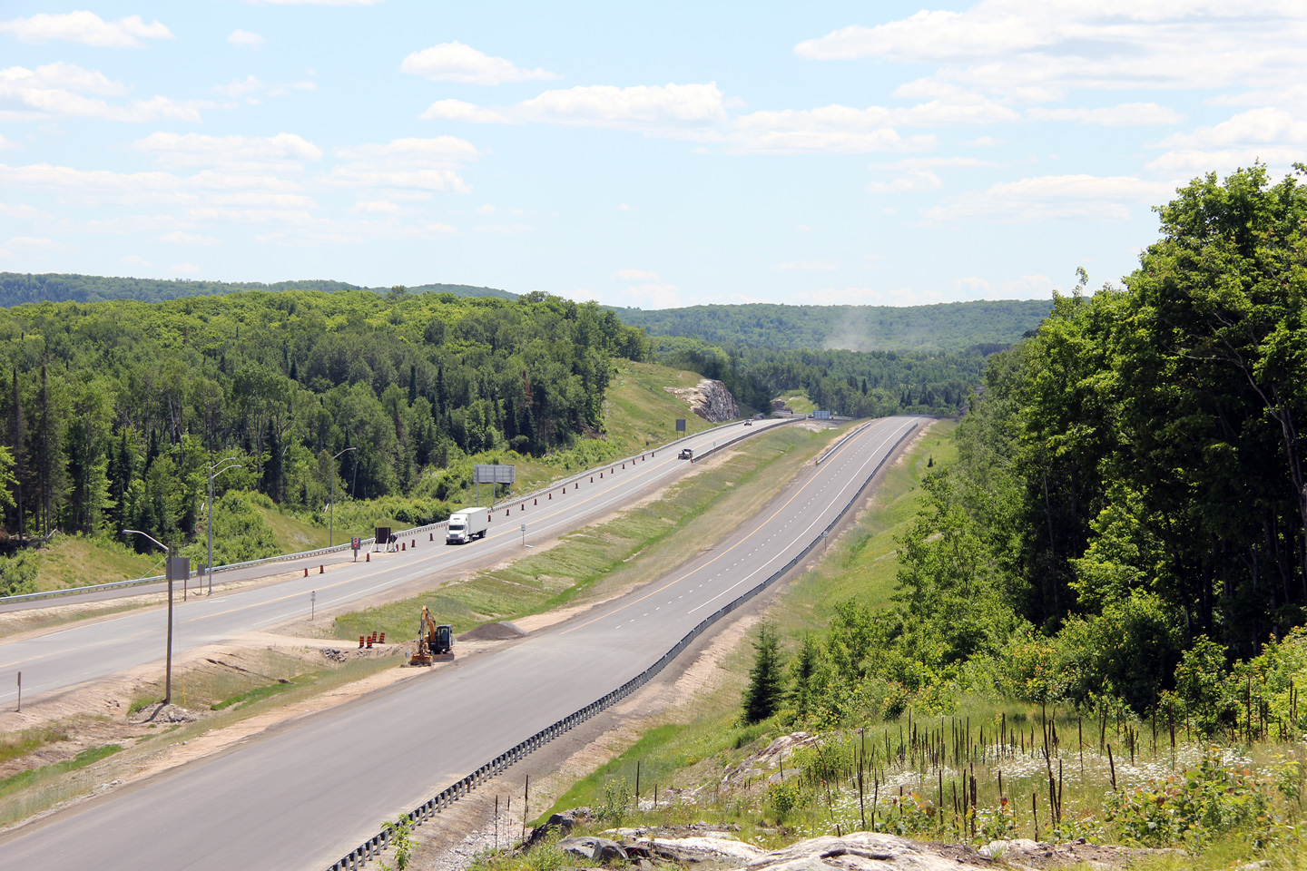
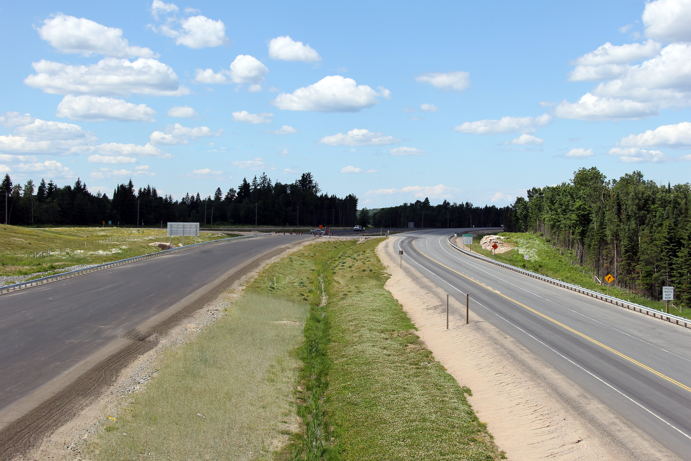
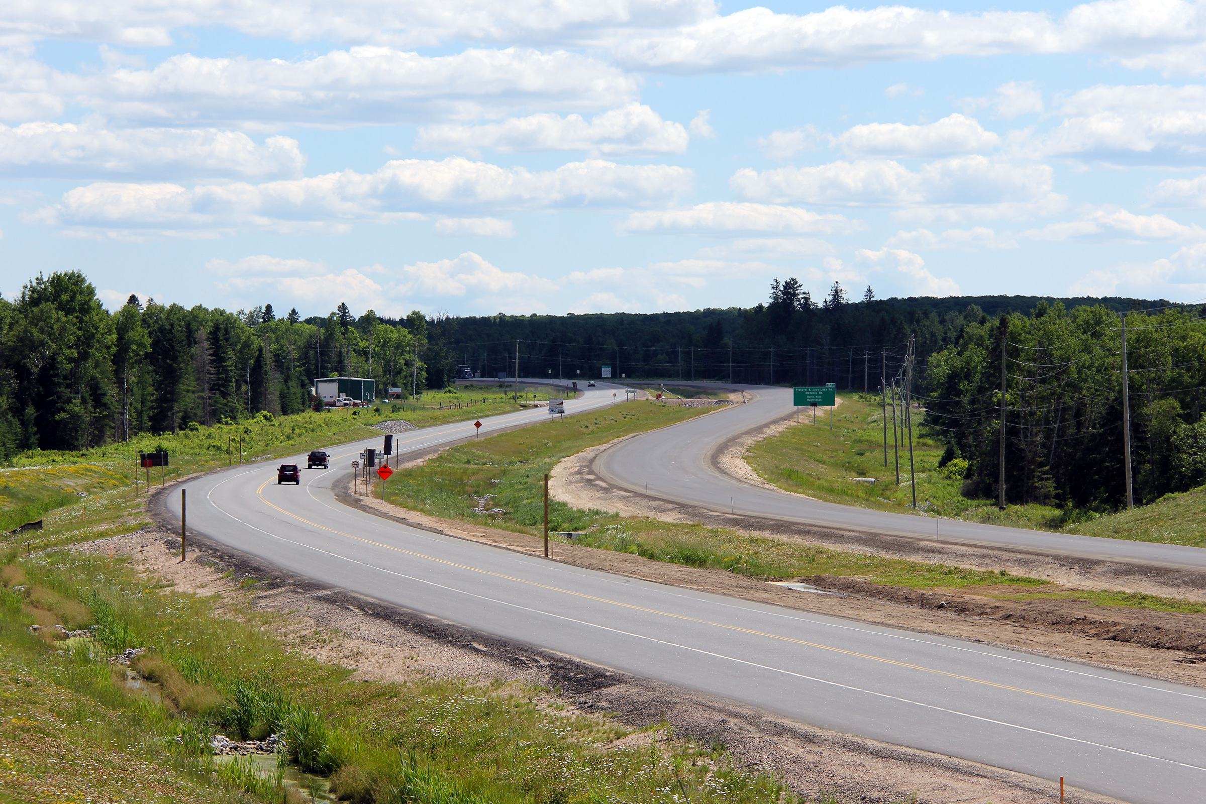
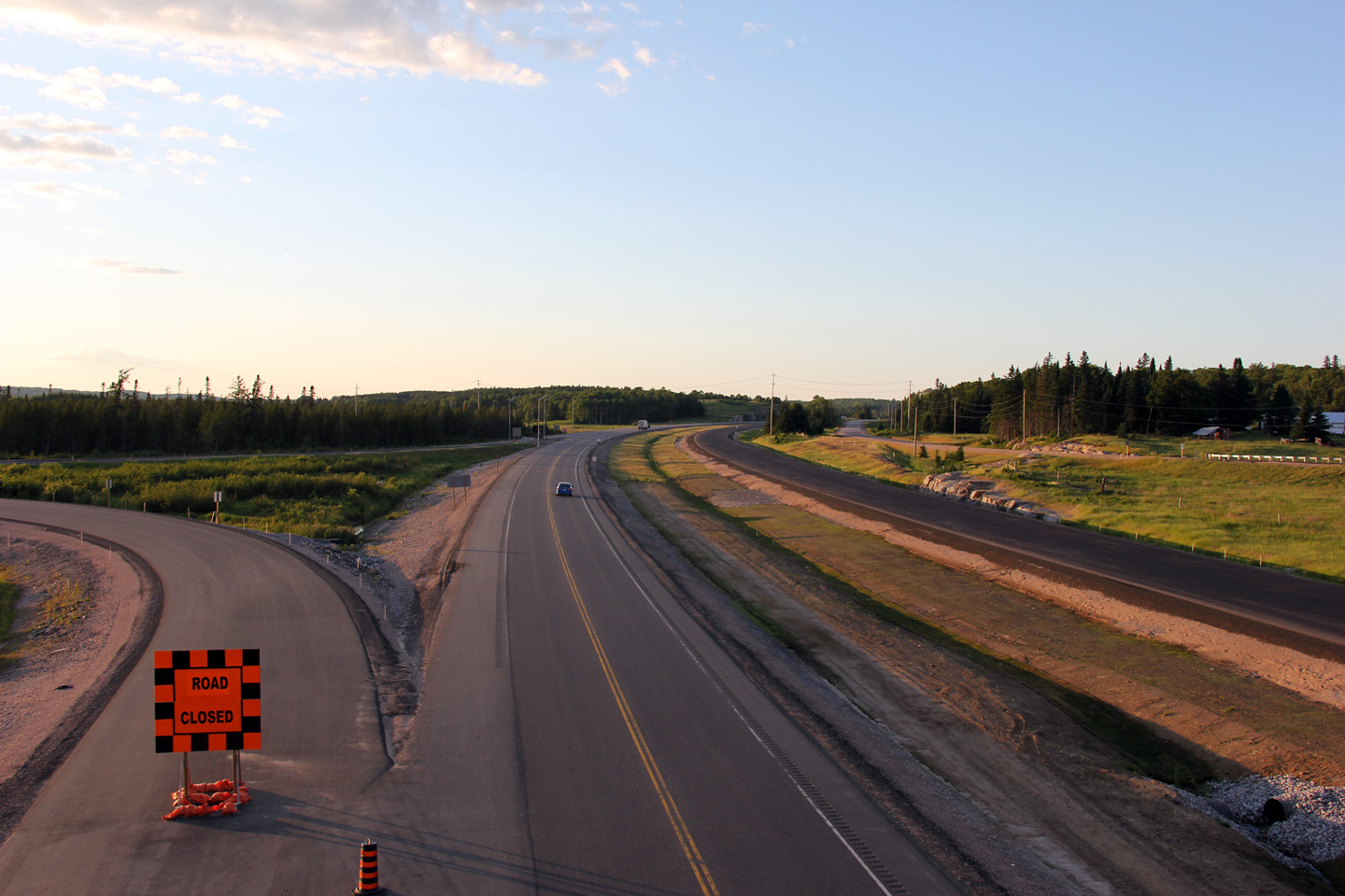
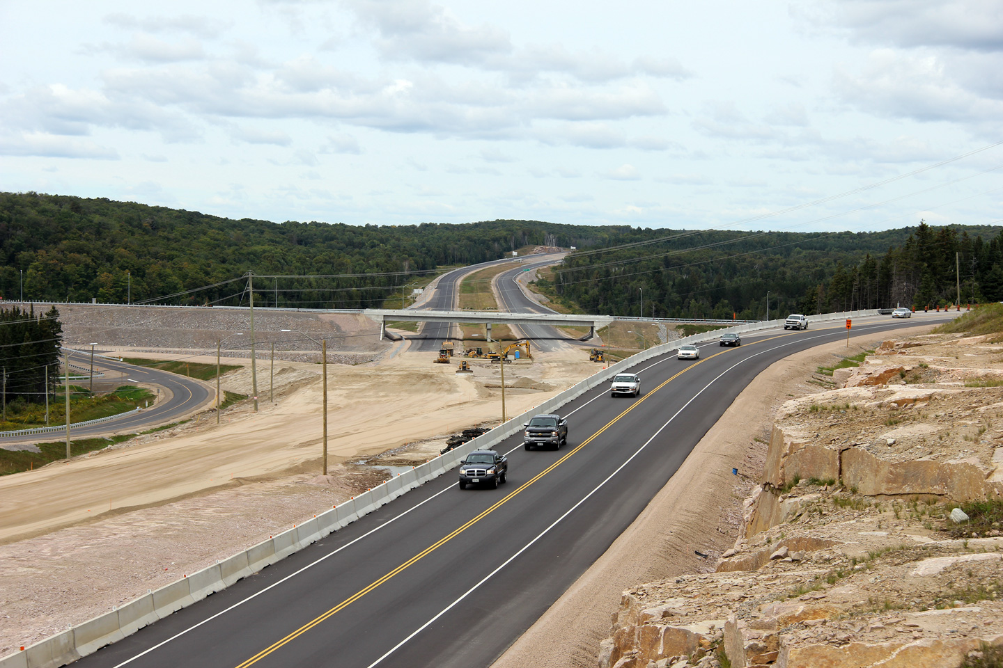
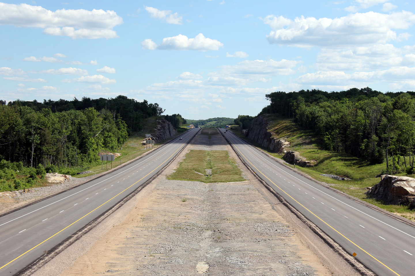
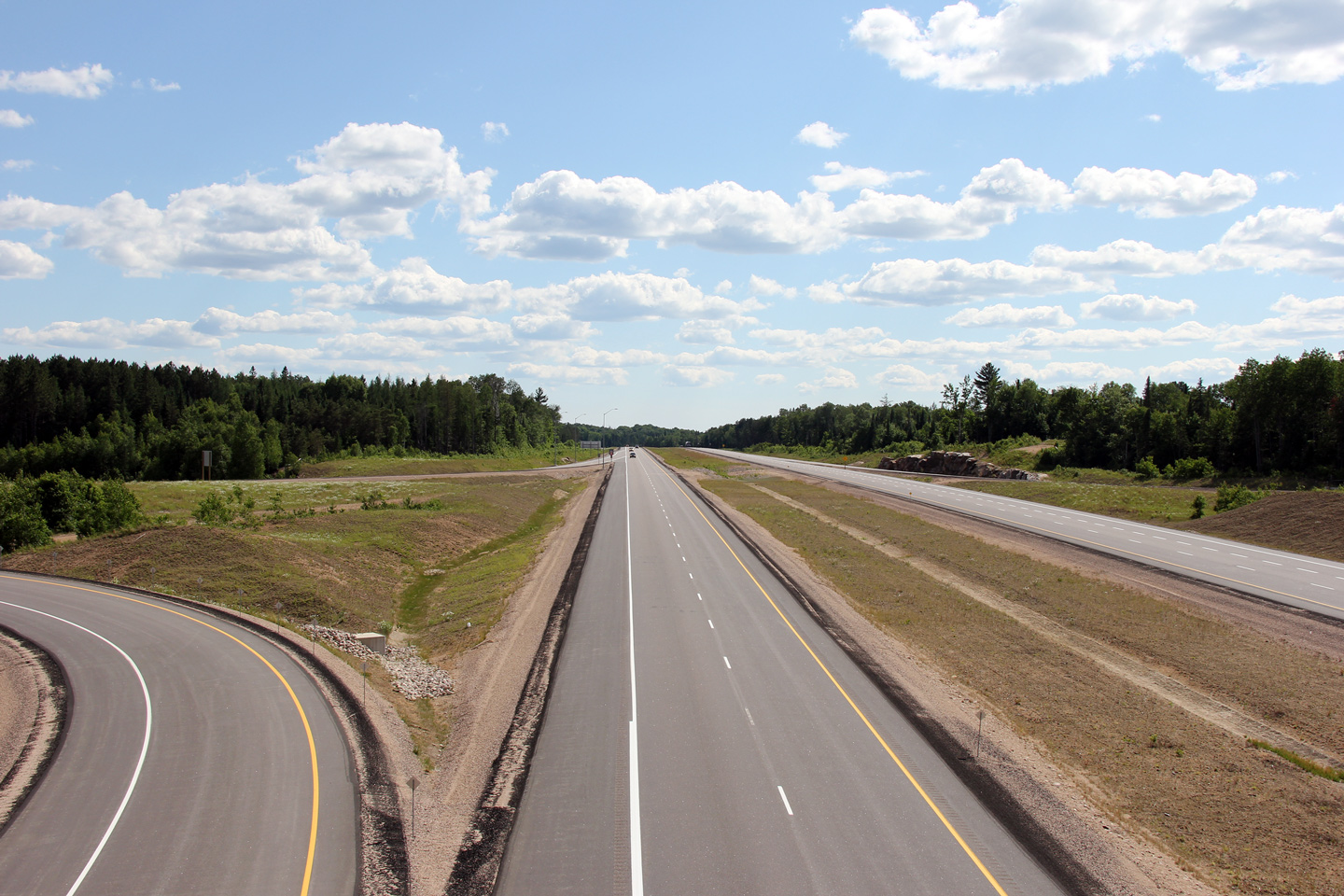
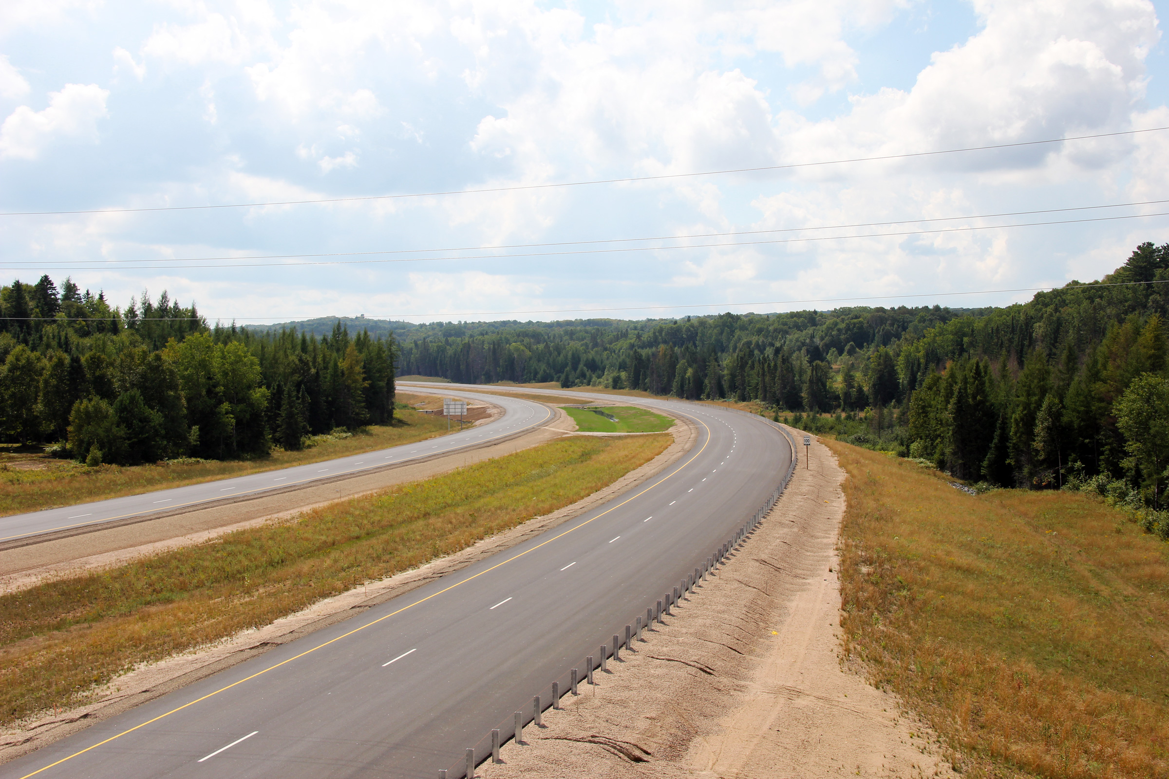
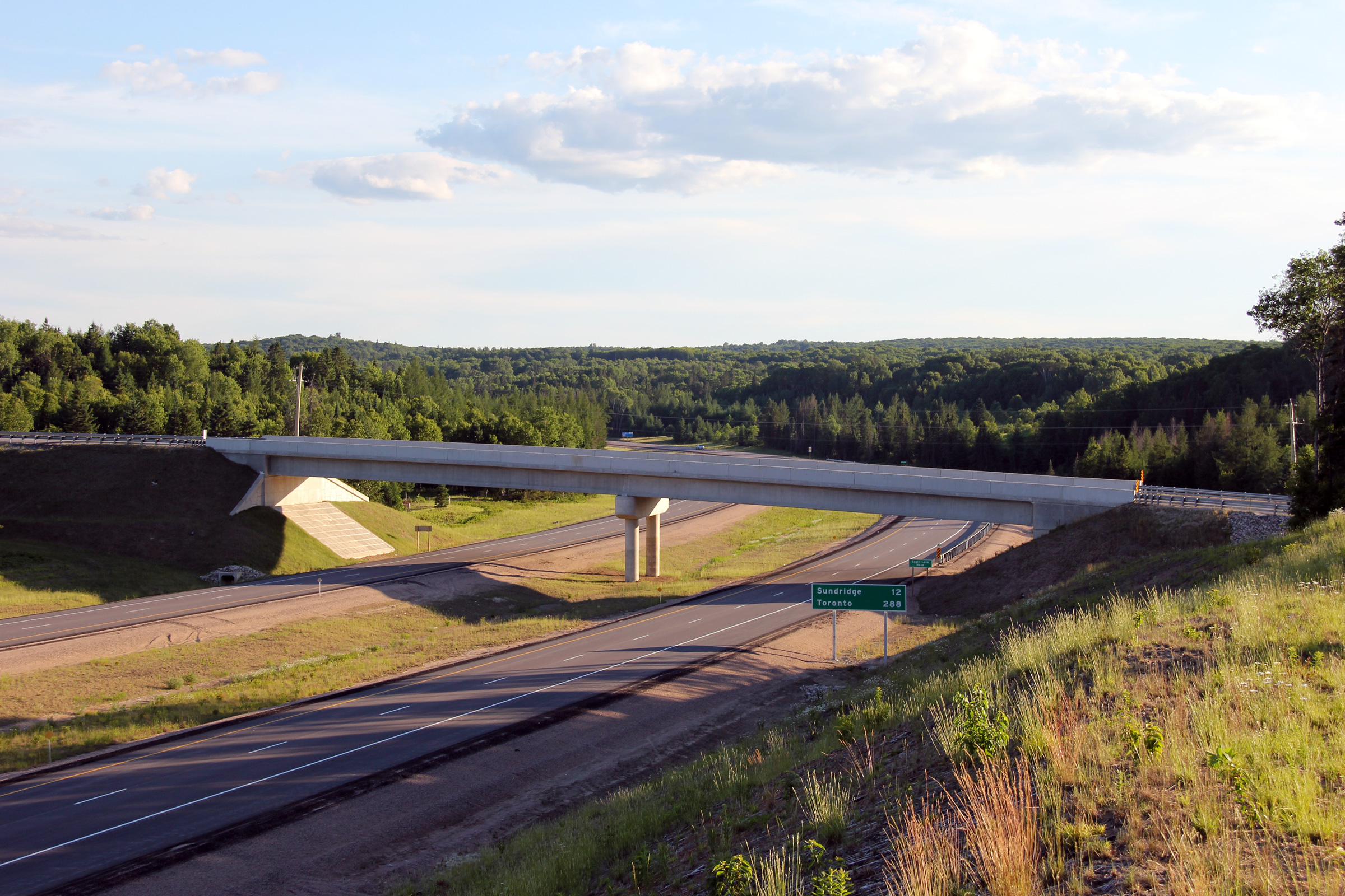
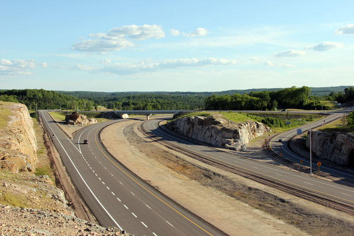
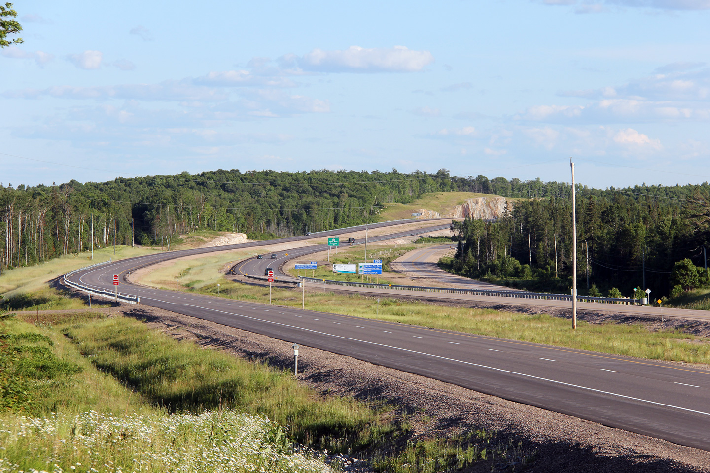
A series of views looking northerly along Highway 11 from the
Highway 520 overpass south of
Burk's Falls. The Highway 520 interchange was opened to traffic for two
years in advance of the completion of the four lane highway. The four
lane highway was completed in 2010 to a point just north of the Highway 520
interchange. The four lane highway will be extended to south of
Sundridge by the fall of 2012, completing Highway 11 as a four lane highway
between the Highway 400 interchange north of Barrie to North Bay.
Two upper photos taken: June 27th, 2009.
Lower photo taken: June 23rd, 2012. |
(720x480)
(1440x960)
(2400x1600) |
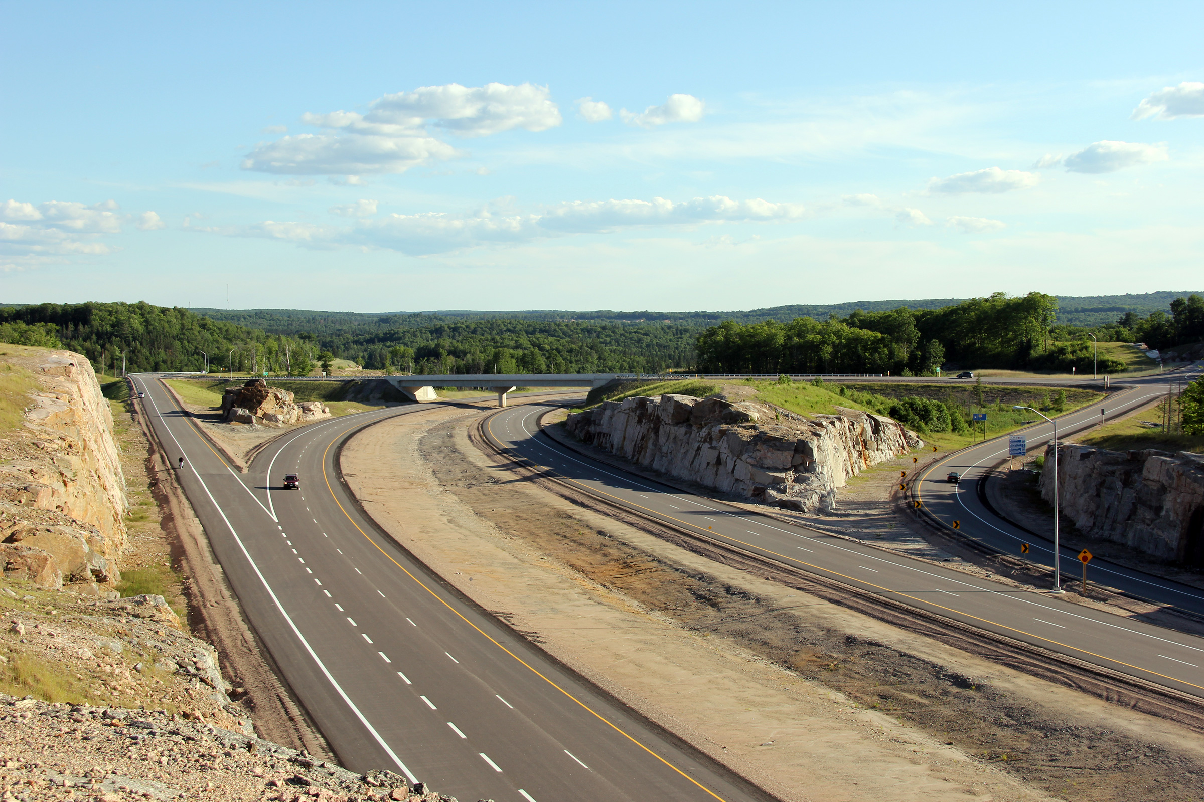
Township of Armour
District of Parry Sound |
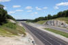
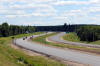
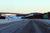
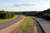
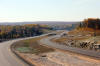
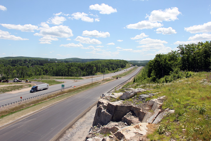
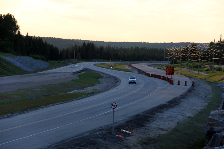
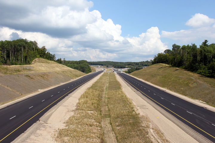
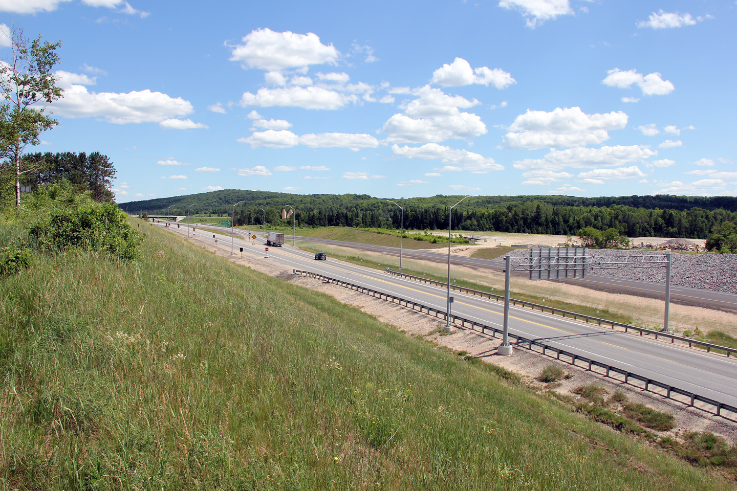
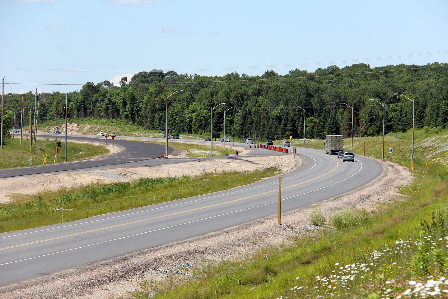
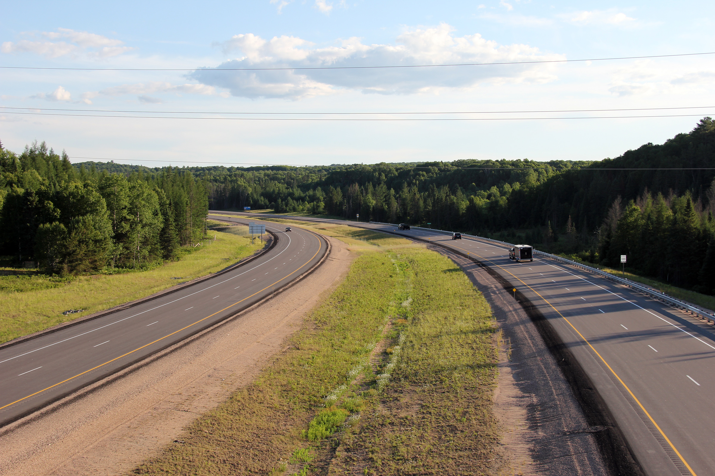
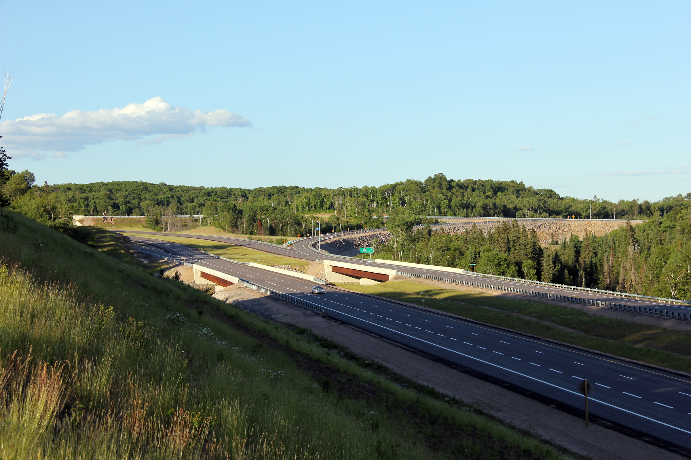
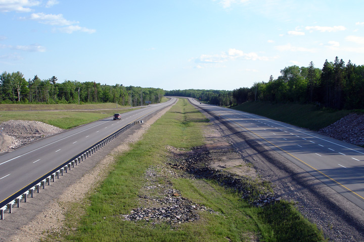
This view looks southerly from about 500m north of the Highway 520
interchange. The four lane highway ended at this location between 2010
and 2011. Shortly after this photo was taken (prior to the end of June
2012), southbound traffic was moved onto the completed southbound travel
lanes, and work began to remove this transfer.
Photo taken: June 23rd, 2012. |
|
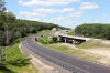
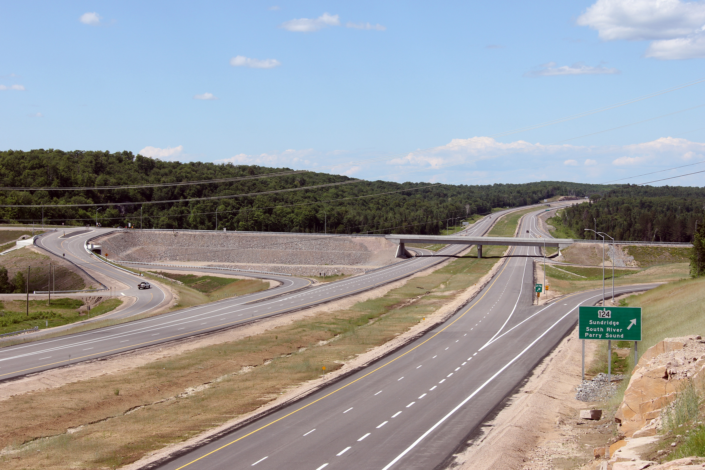
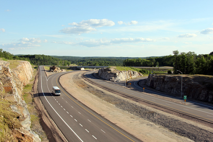
Township of Armour
District of Parry Sound |
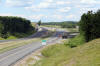
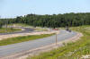
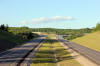
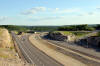
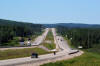
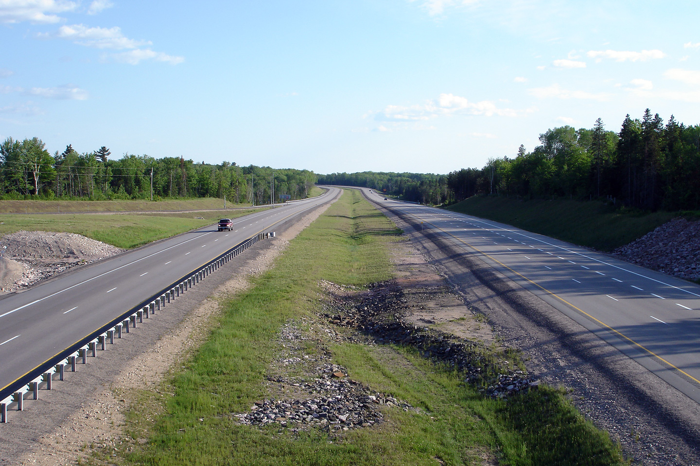
View looking southerly along Highway 11 approaching the Highway 520
interchange.
Photo taken: June 23rd, 2012. |

(720x480)
(1440x960)
(2400x1600) |
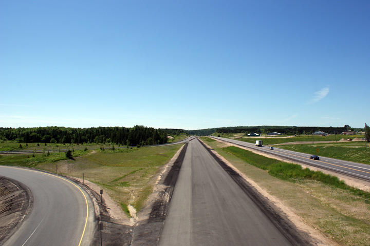
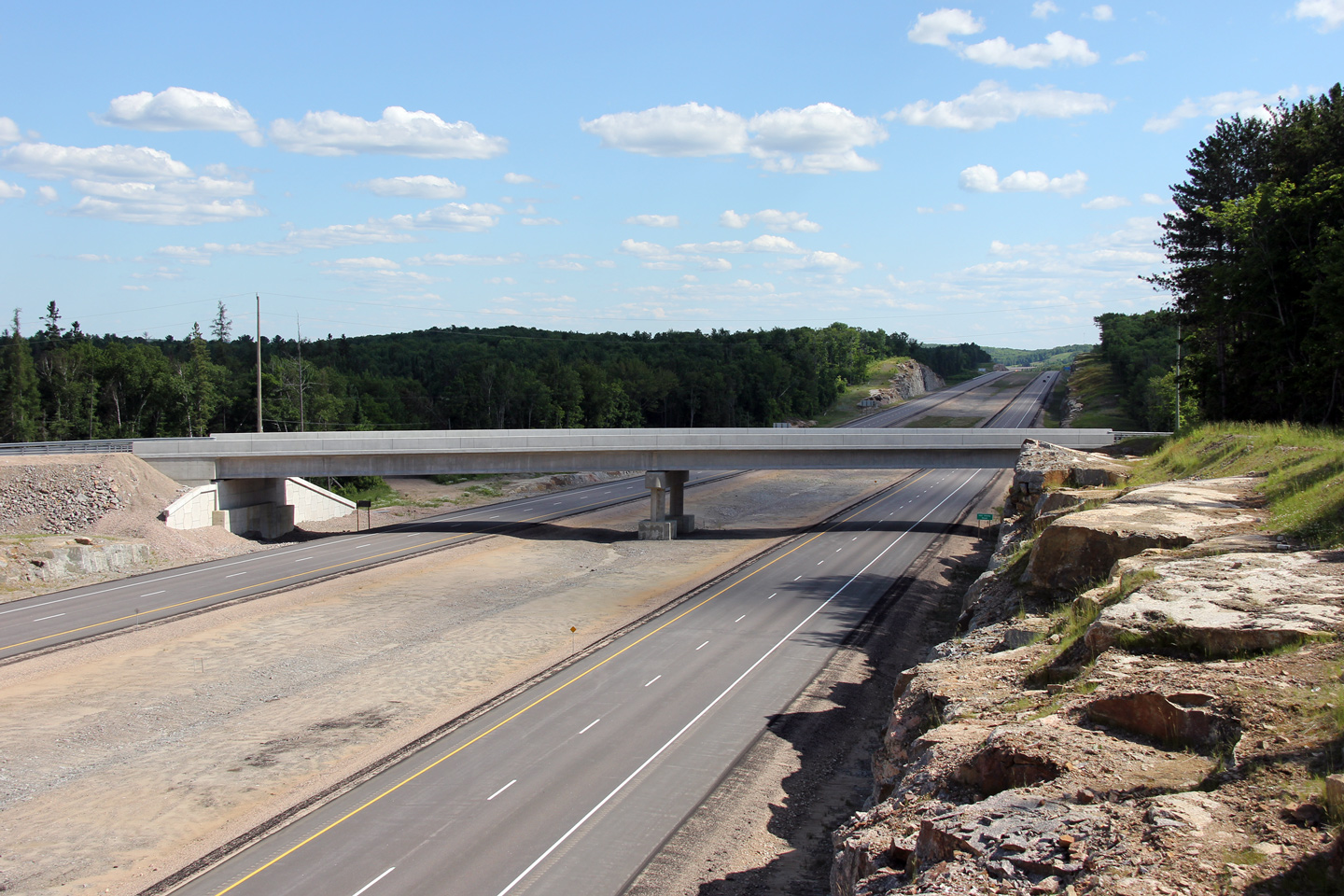
Township of Armour
District of Parry Sound |
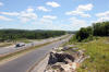
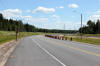
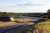
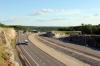
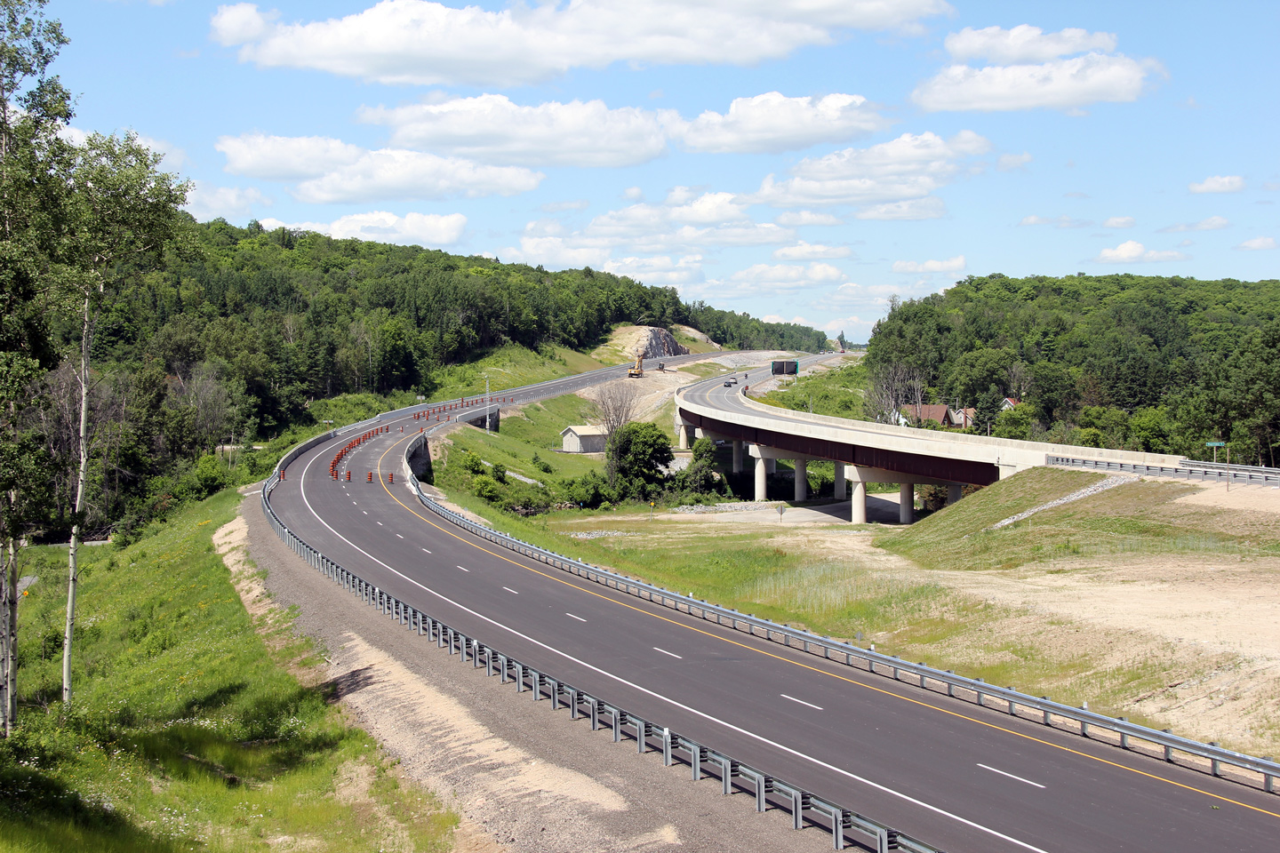
Northerly view approaching the Magnetawan River bridge along the Burk's
Falls By-pass. The single structure that carries the northbound lanes
over both the Magnetawan River and Highway 520 is one of the most impressive
structures along Highway 11 between Toronto and North Bay.
Photo taken: June 23rd, 2012. |
(720x480)
(1440x960)
(2400x1600) |
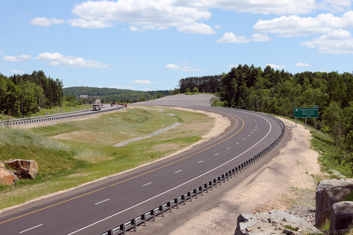
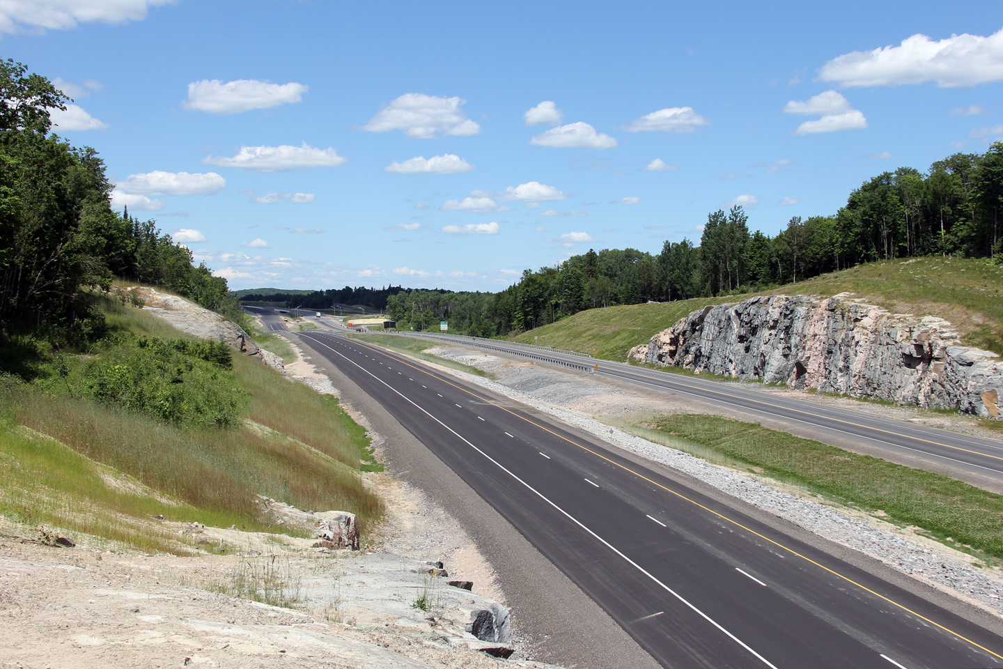
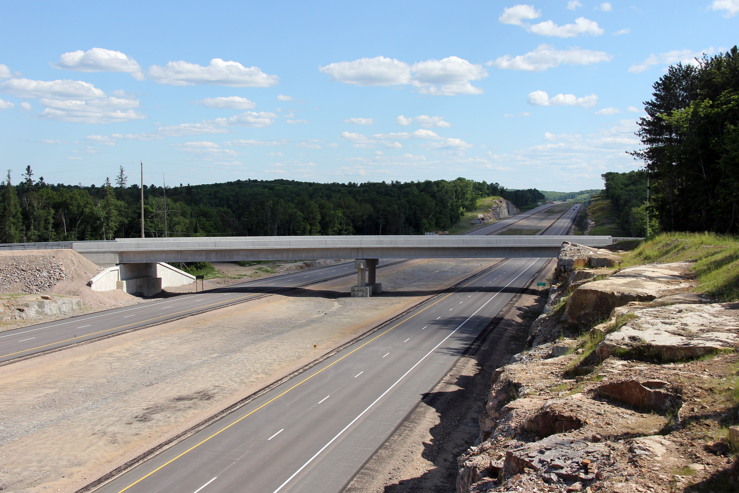
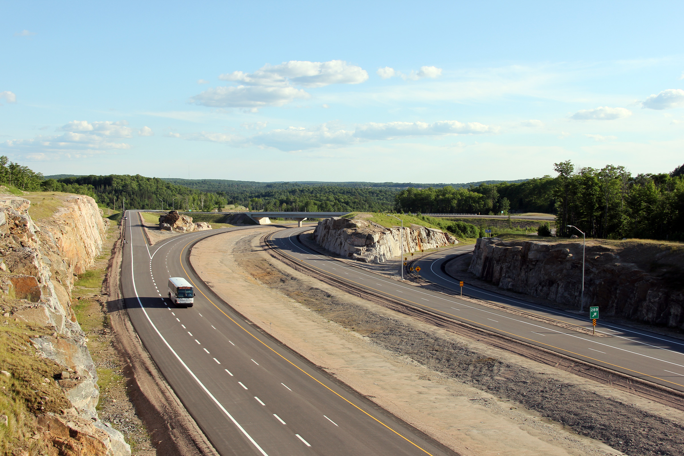
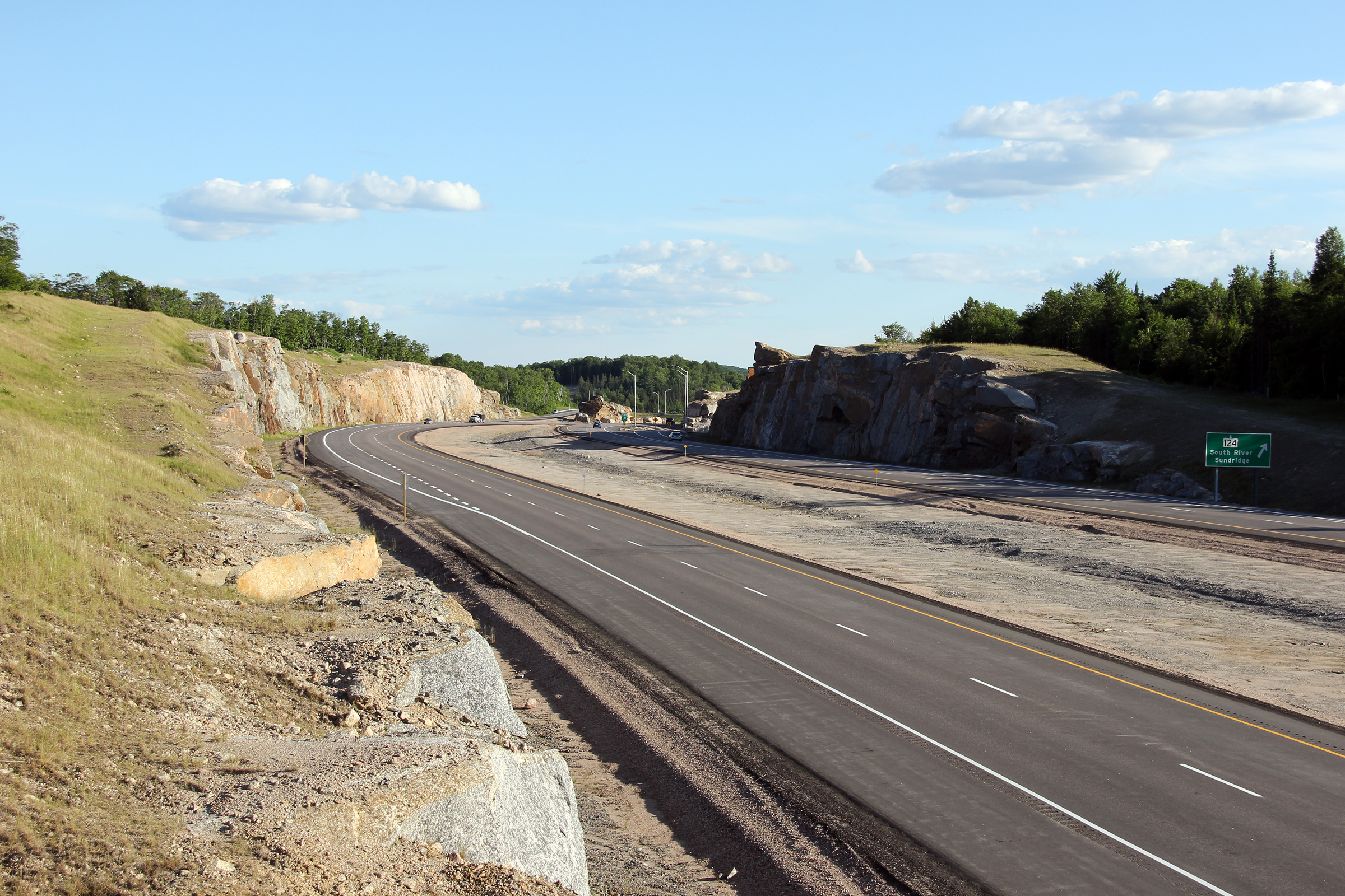
Township of Armour
District of Parry Sound |
This photo comparison offers a similar vantage point to the preceding photo.
The southbound structure over Highway 520 (on the left side of the photo)
was extensively rehabilitated following the completion of the neighbouring
northbound structure during the four-laning of the Burk's Falls By-pass.
Upper photo taken: October 11th, 2011.
Lower photo taken: June 23rd, 2012. |
(720x480)
(1440x960)
(2400x1600) |
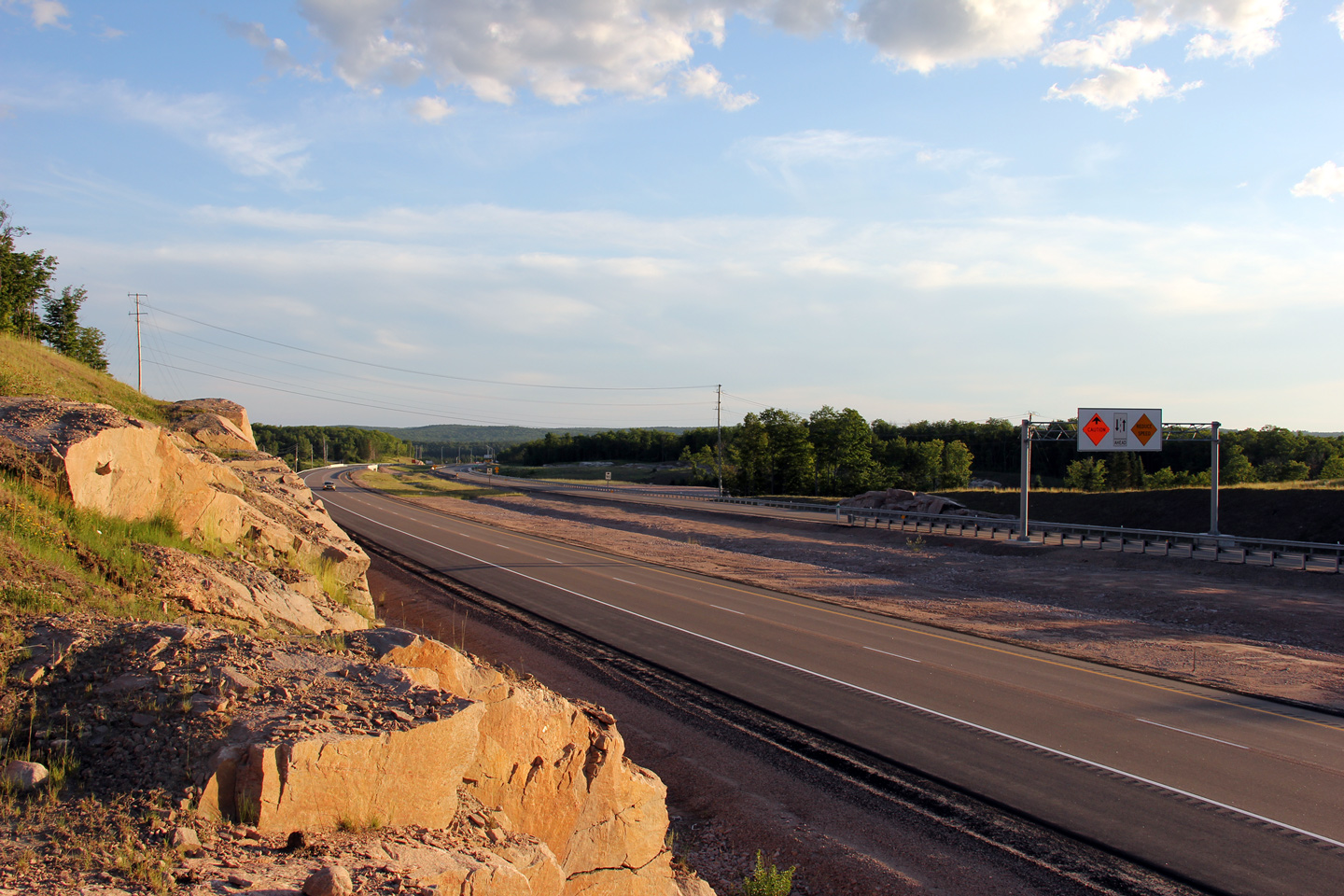
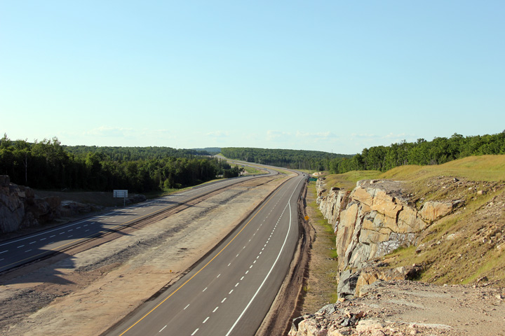
Township of Armour
District of Parry Sound |
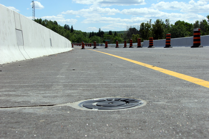
A FAST (Fixed Anti-icing Spray Technology) system has been installed on both
Highway 11 structures over Highway 520 and the Magnetawan River in
order to mitigate slippery driving conditions in the winter time that may be
present on either of the curved structures.
Photo taken: June 23rd, 2012. |
 (720x480) (720x480)
(1440x960) |
Township of Armour
District of Parry Sound |
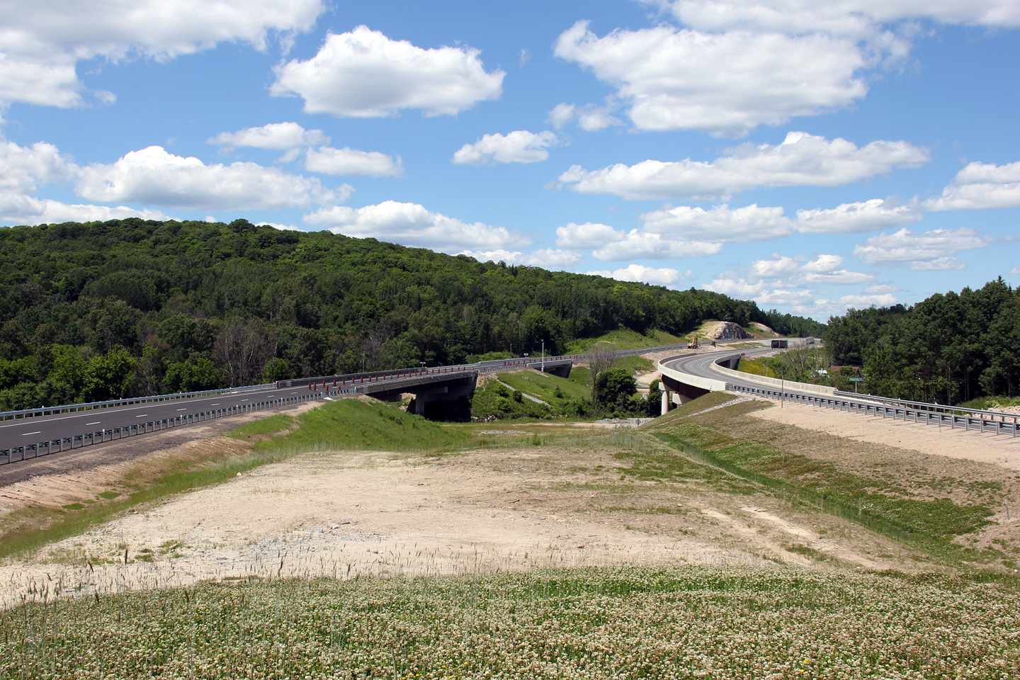
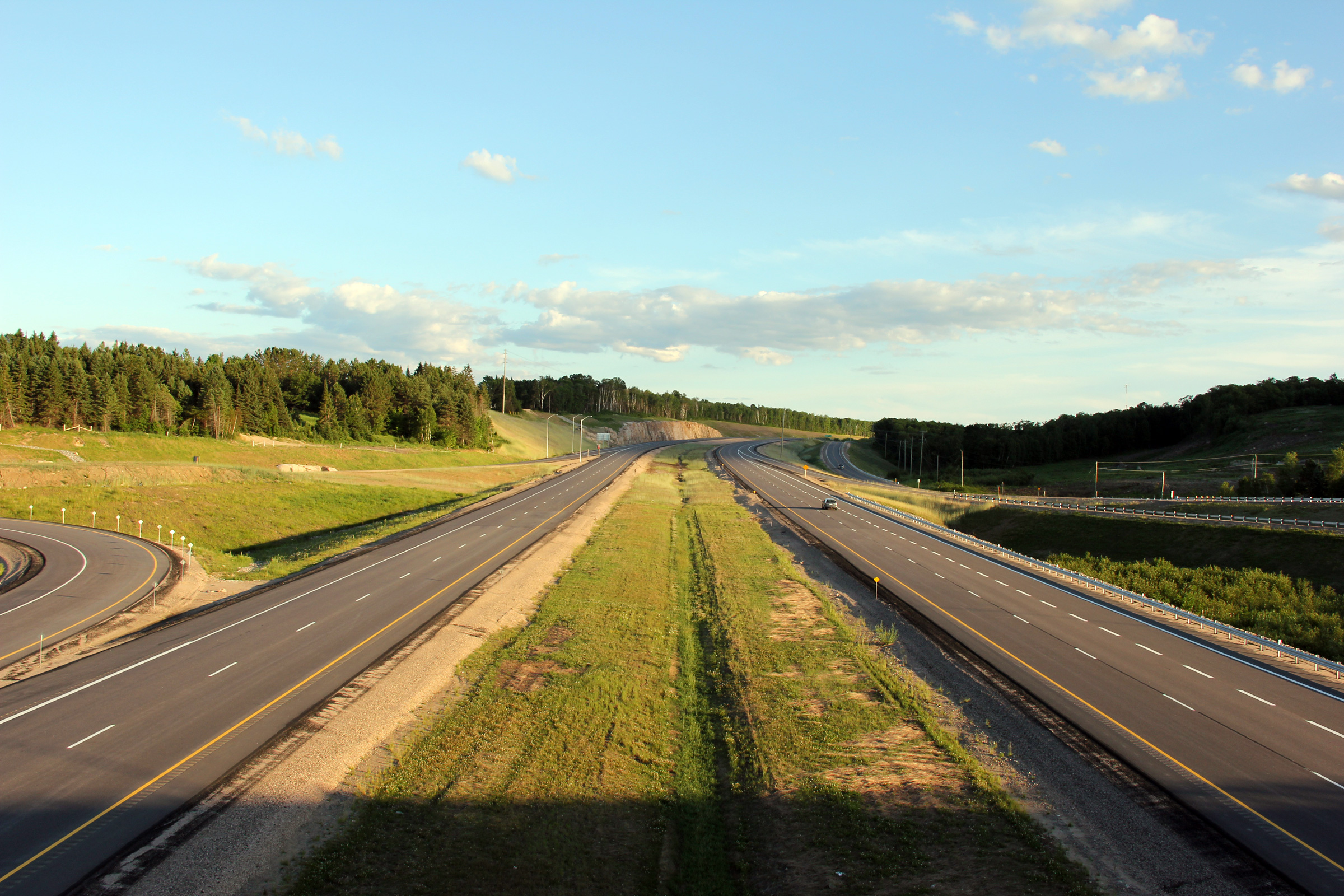
Two views looking southerly as Highway 11 crosses overtop of both Highway
520 and the Magnetawan River. Shortly after the lower photo was taken,
the southbound lanes of Highway 11 were opened to traffic.
Upper photo taken: June 4th, 2006.
Lower photo taken: June 23rd, 2012. |
(720x480)
(1440x960)
(2400x1600) |
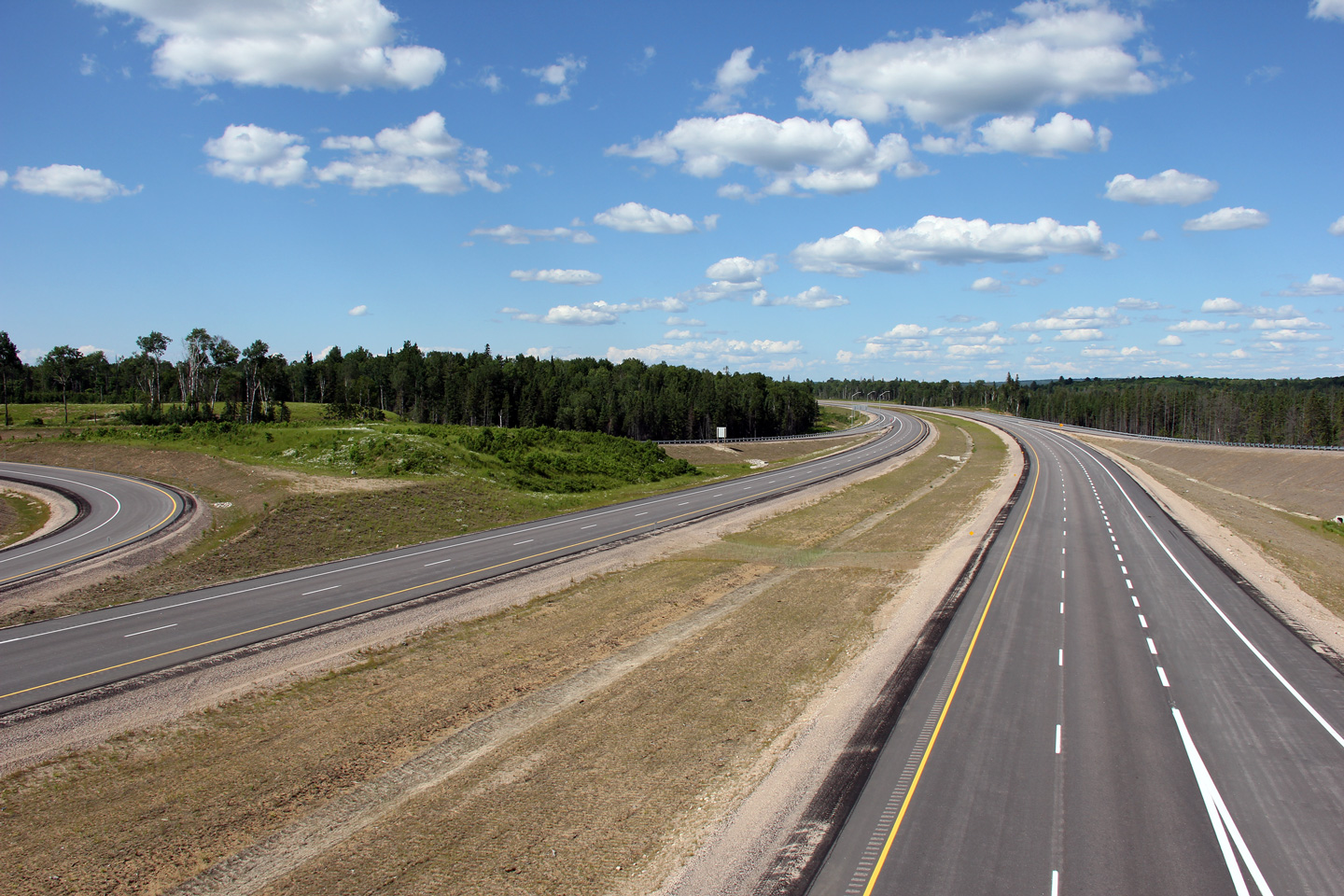
Township of Armour
District of Parry Sound |
Northerly view along the Burk's Falls by-pass. The originally
carriageway of Highway 11 is now the southbound lanes of the divided
highway.
Upper photo taken: June 4th, 2006.
Lower photo taken: June 23rd, 2012. |
(720x480)
(1440x960)
(2400x1600) |
Township of Armour
District of Parry Sound |
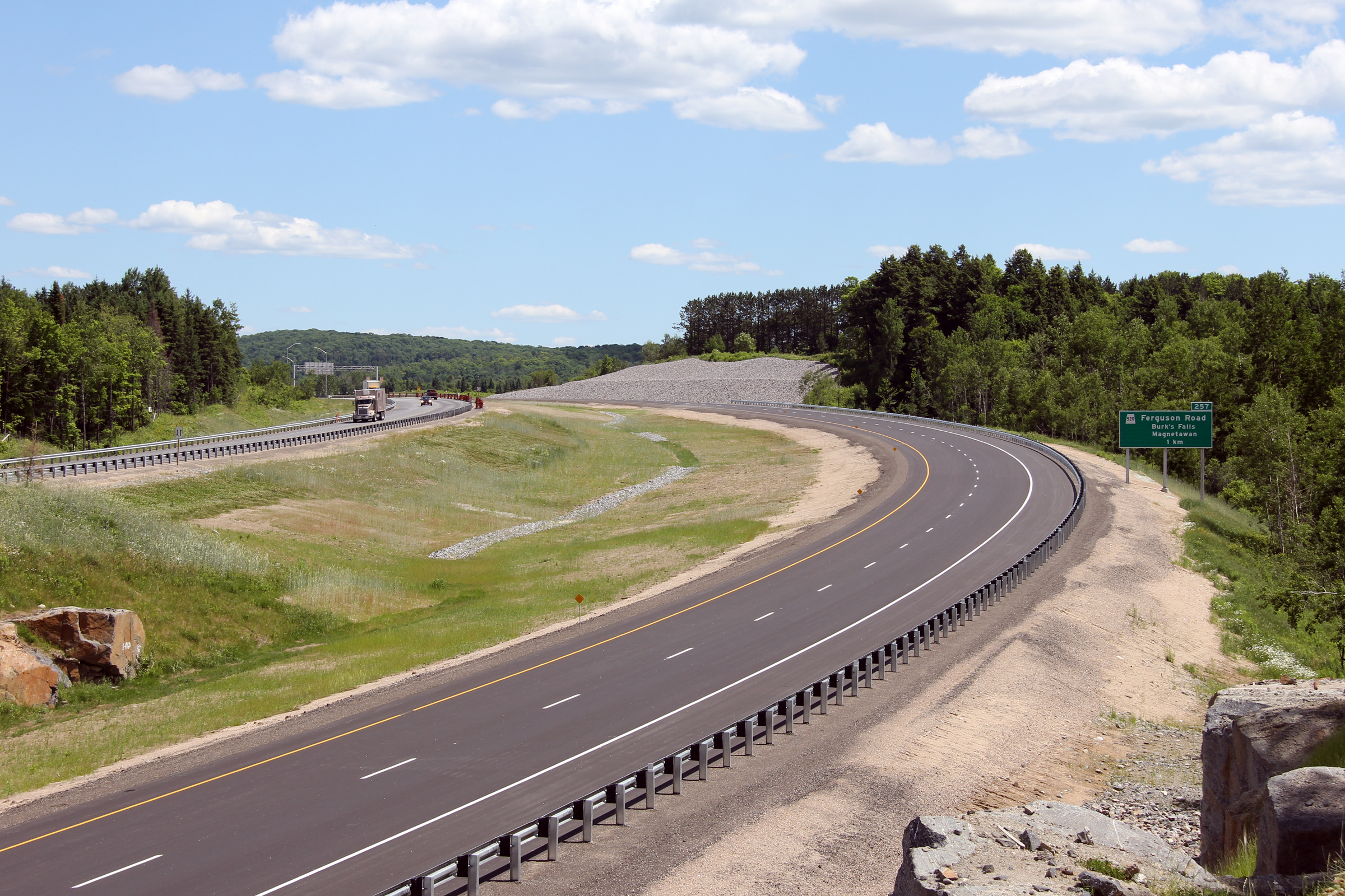
Northerly view approaching the future Ontario Street interchange. This
interchange is set to open late in the summer of 2012.
Photo taken: June 23rd, 2012. |
(720x480)
(1440x960)
(2400x1600) |
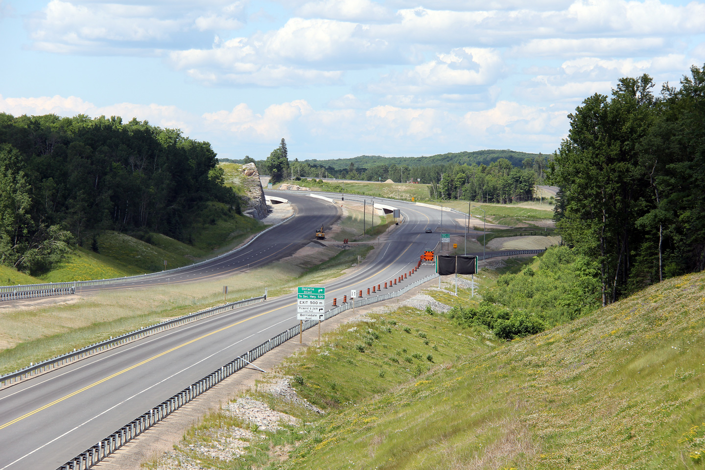
Township of Armour
District of Parry Sound |
A series of views looking southerly towards the former Ontario Street
at-grade intersection. The rock cut that I stood on for the 2004 photo
was obliterated during the highway twinning; the 2012 photos were taken from
a rock cut on the opposite side of the road from the 2004 photo.
Shortly after the 2012 photos were taken, the Ontario Street at-grade intersection
was permanently closed; replaced by an interchange located immediately to
the north of the former intersection.
Upper photo taken: May 29th, 2004.
Lower two photos taken: June 23rd, 2012. |
(720x480)
(1440x960)
(2400x1600)
(720x480)
(1440x960)
(2400x1600) |
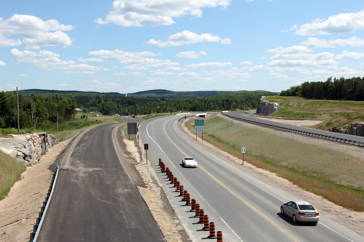
Township of Armour
District of Parry Sound |
Southerly view from the Pickerel & Jack Lake Road overpass towards the
temporary Ontario Street at-grade intersection.
Upper photo taken: October 11th, 2011.
Lower photo taken: June 23rd, 2012. |

(720x480)
(1440x960)
(2400x1600) |
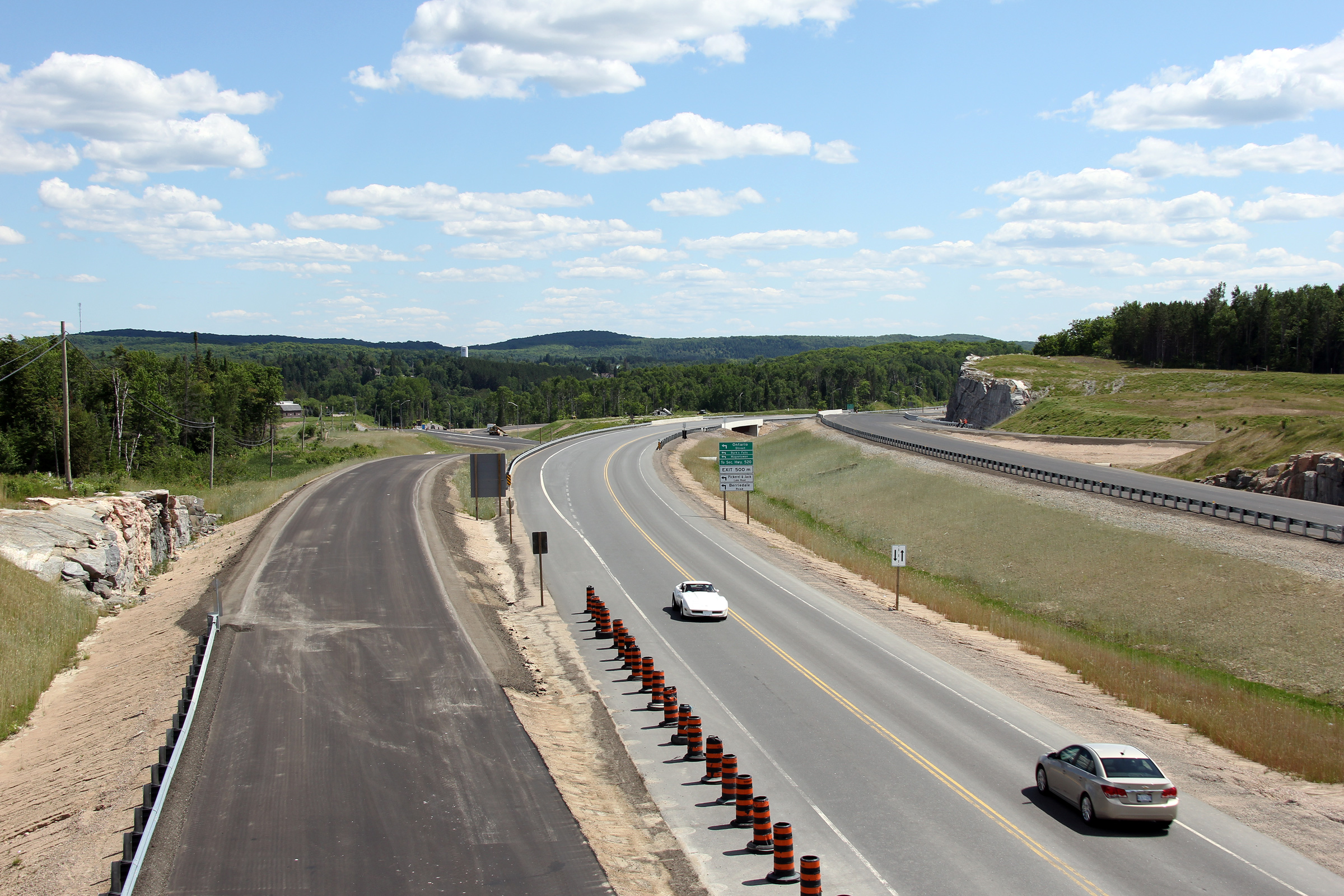
Township of Armour
District of Parry Sound |
Northerly view from the Pickerel & Jack Lake Road overpass.
Upper photo taken: October 11th, 2011.
Lower photo taken: June 23rd, 2012. |

(720x480)
(1440x960)
(2400x1600) |
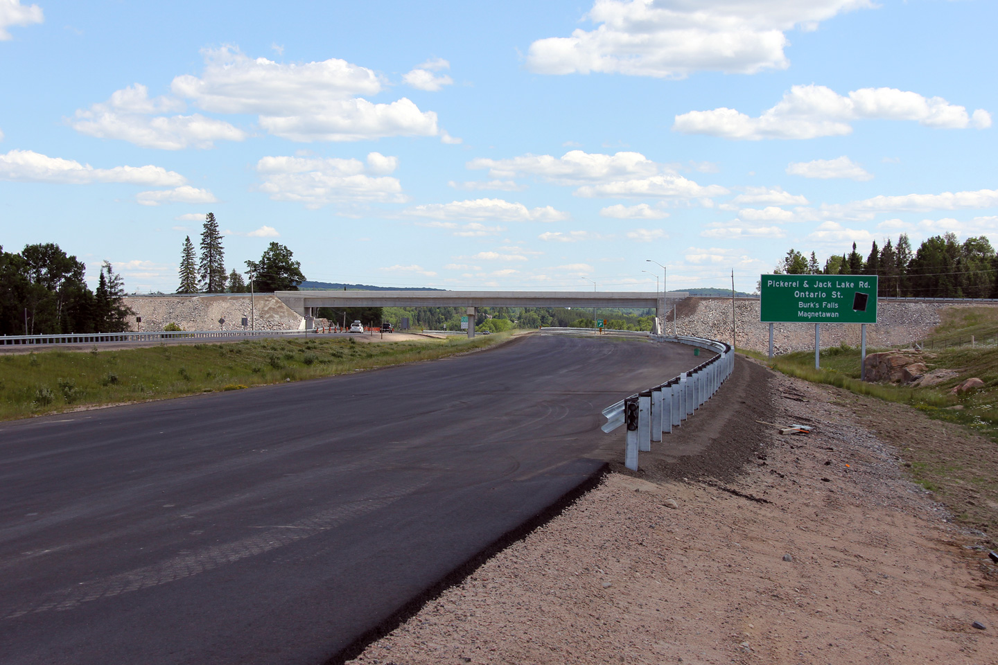
Township of Armour
District of Parry Sound |
View of the signage for the Pickerel & Jack Lake Road and Ontario Street
interchange. The arrow delineating the exit had been covered when this
photo was taken, as the southbound lanes of the new freeway had yet to open
to traffic.
Photo taken: June 23rd, 2012. |
 (720x480) (720x480)
(1440x960)
(2400x1600) |
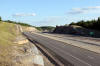
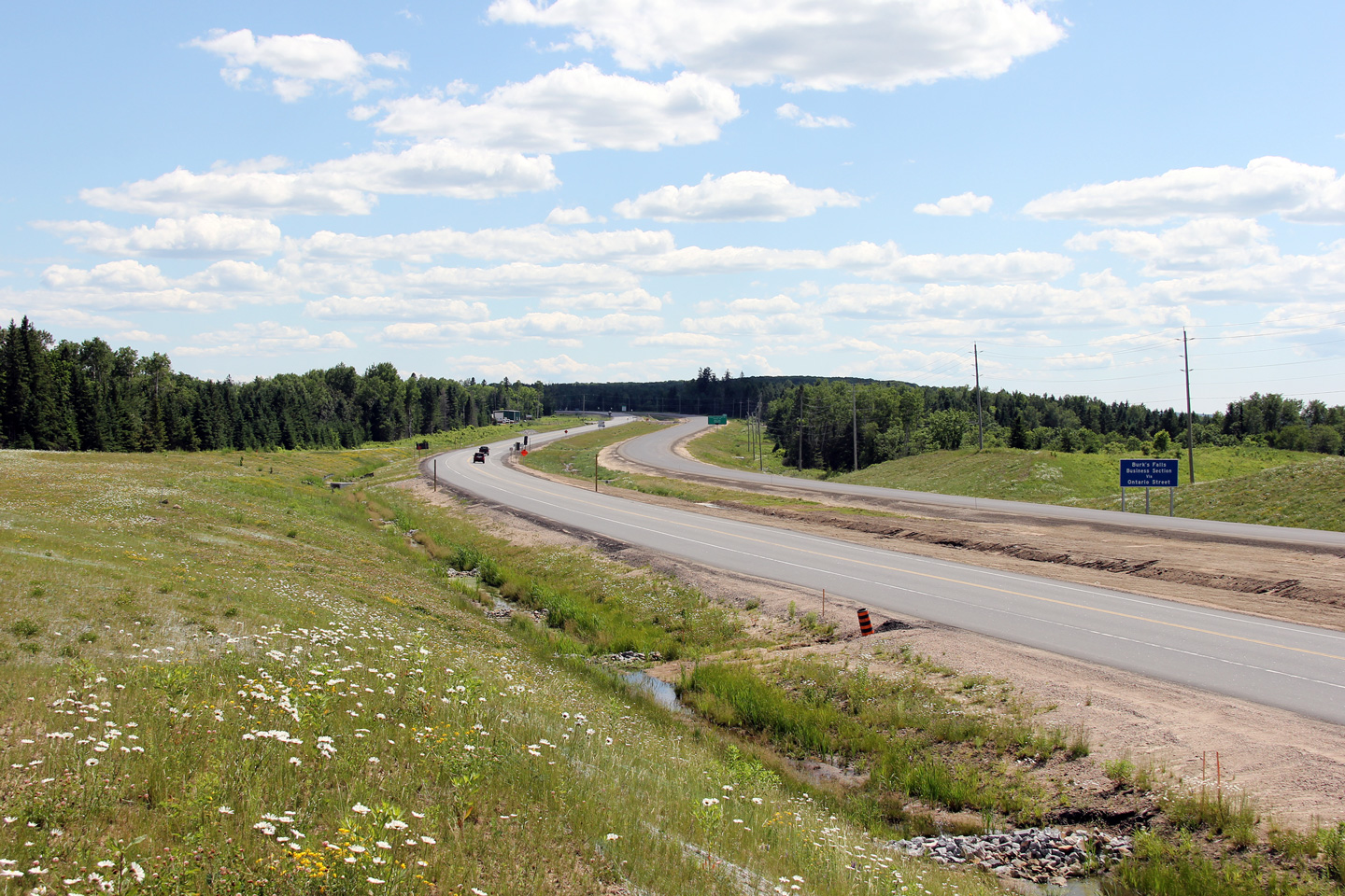
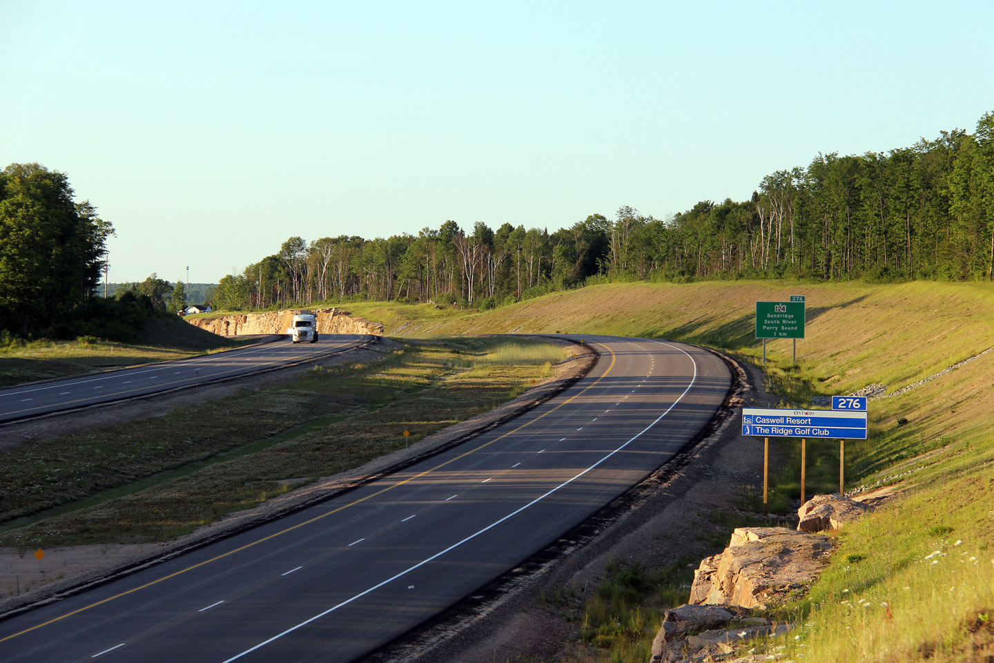
Township of Armour
District of Parry Sound |
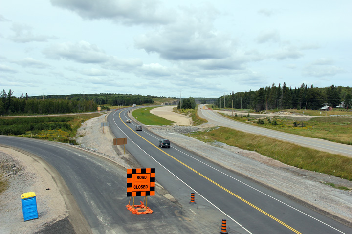
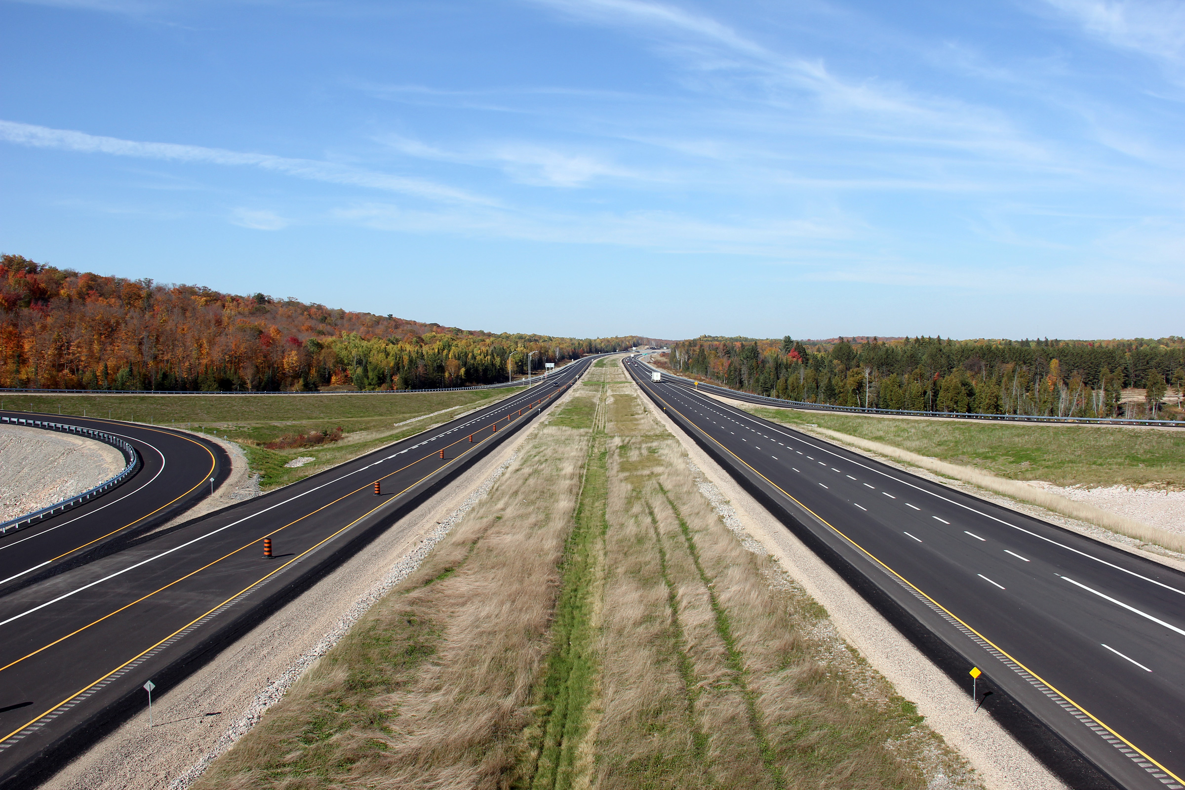
Two views looking southerly towards Burk's Falls from about 2 km north of
the Ontario Street interchange.
Photos taken: June 23rd, 2012. |

(720x480)
(1440x960)
(2400x1600)
(720x480)
(1440x960)
(2400x1600) |
Township of Armour
District of Parry Sound |
Opposing view from the previous vantage point. Less than a week after
this photo was taken, from this median transfer southerly, the southbound lanes were
permanently opened to traffic.
Photo taken: June 23rd, 2012. |
(720x480)
(1440x960)
(2400x1600) |
Township of Armour
District of Parry Sound |
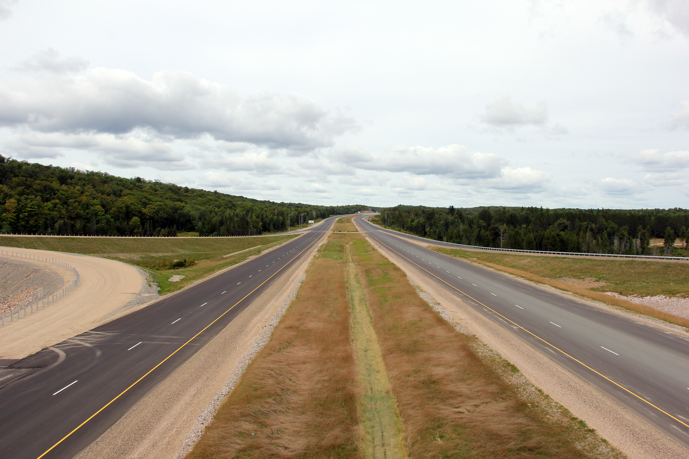
Southerly view at the median transfer north of Burk's Falls. Southbound
traffic was diverted onto the completed southbound lanes of the highway
during the final week of June, 2012.
Photo taken: June 23rd, 2012. |
(720x480)
(1440x960)
(2400x1600) |
| Township of Strong District of
Parry Sound |
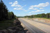
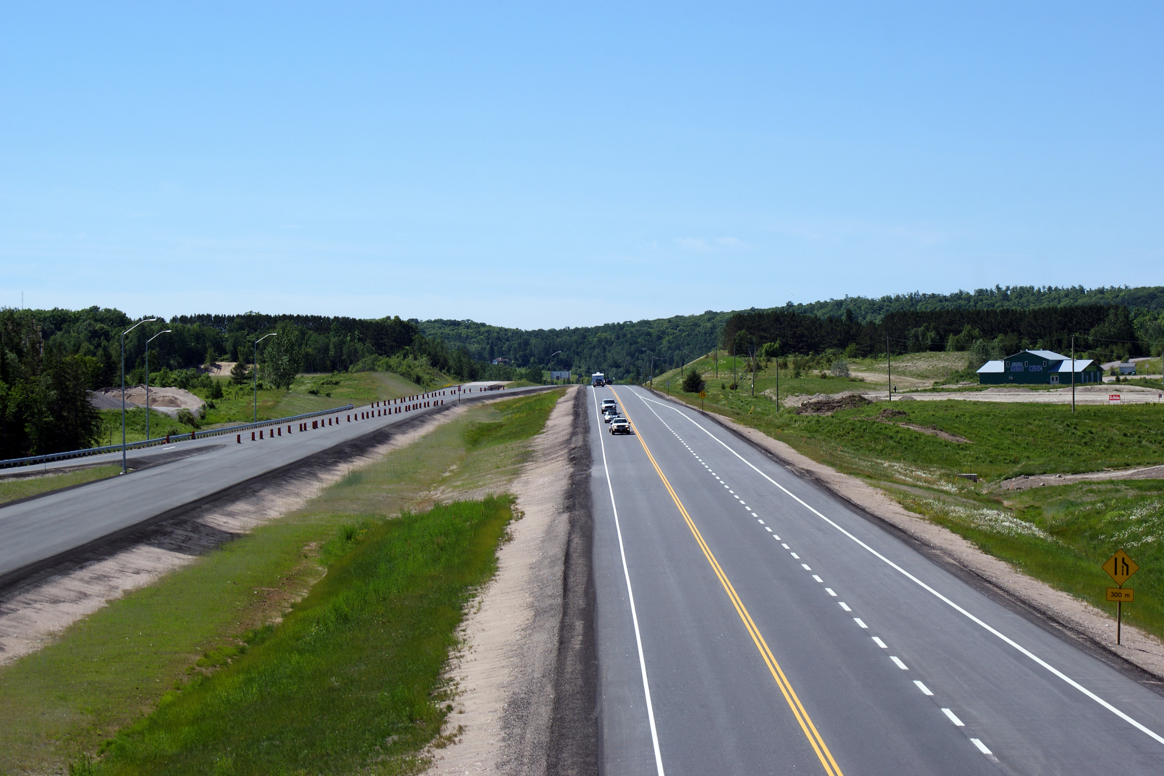
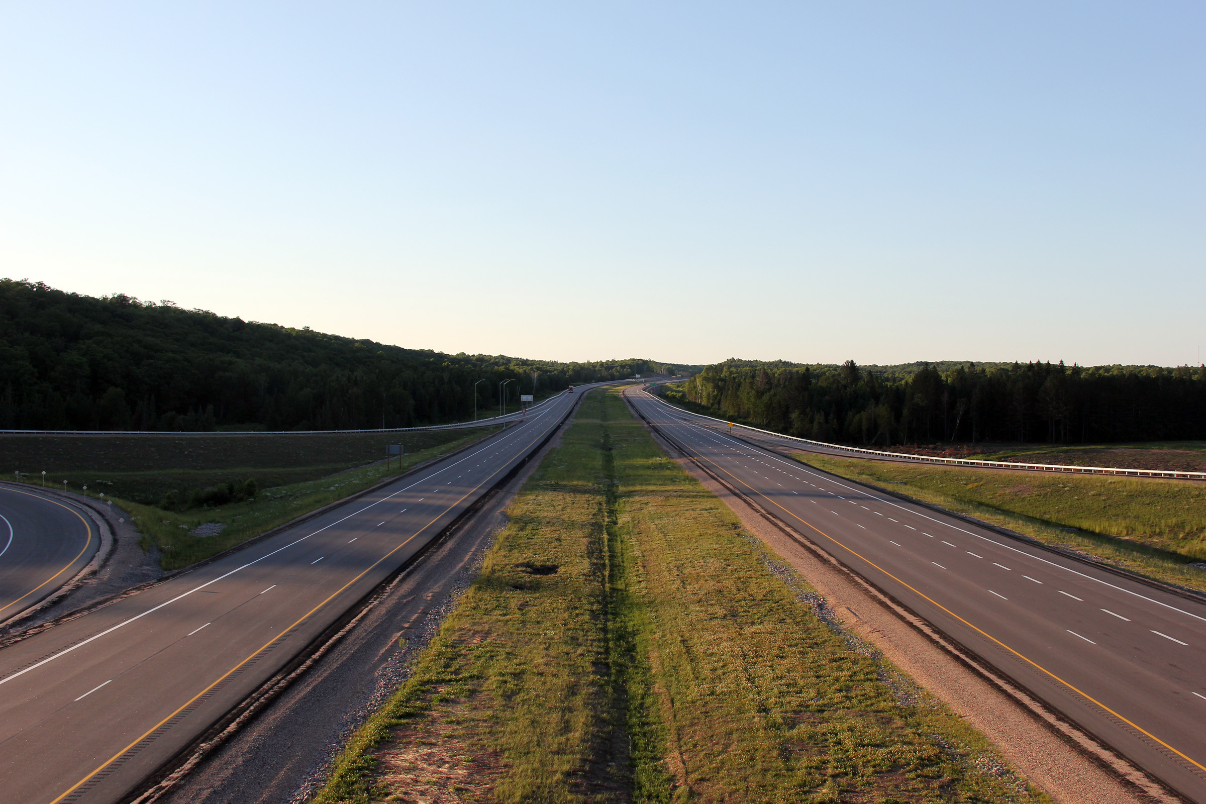
Northerly view along Highway 11. Between Stirling Falls and Black
Creek Road, the two lane alignment of Highway 11 shifts from the future
northbound carriageway to the future southbound lanes.
Photo taken: June 23rd, 2012. |

(720x480)
(1440x960)
(2400x1600) |
|
Township of Strong District of
Parry Sound |
Two views looking northerly from the Black Creek/Robins Road overpass.
The new four lane highway by-passes a section of the former Highway 11 for
about 1km north of this overpass. The former alignment has been
incorporated into an extension of Valleyview Drive.
Upper photo taken: August 28th, 2012.
Lower photo taken: June 23rd, 2012. |

(720x480)
(1440x960)
(2400x1600) |
|
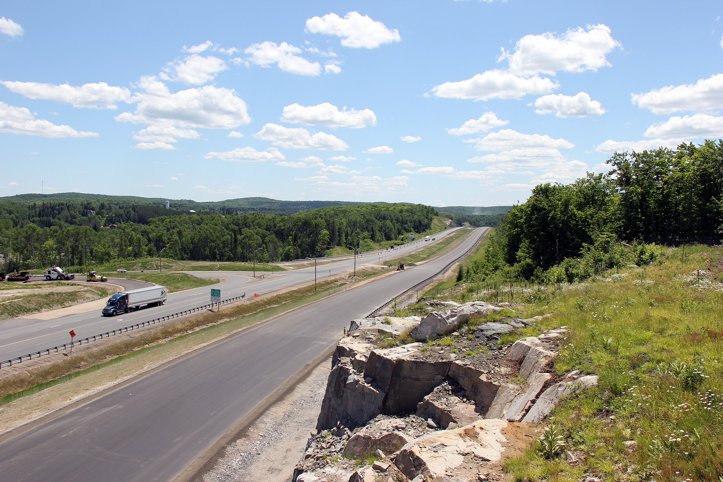
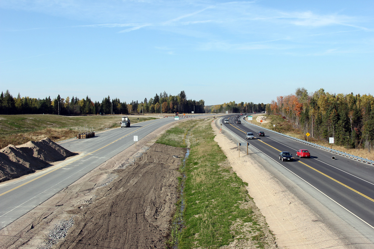
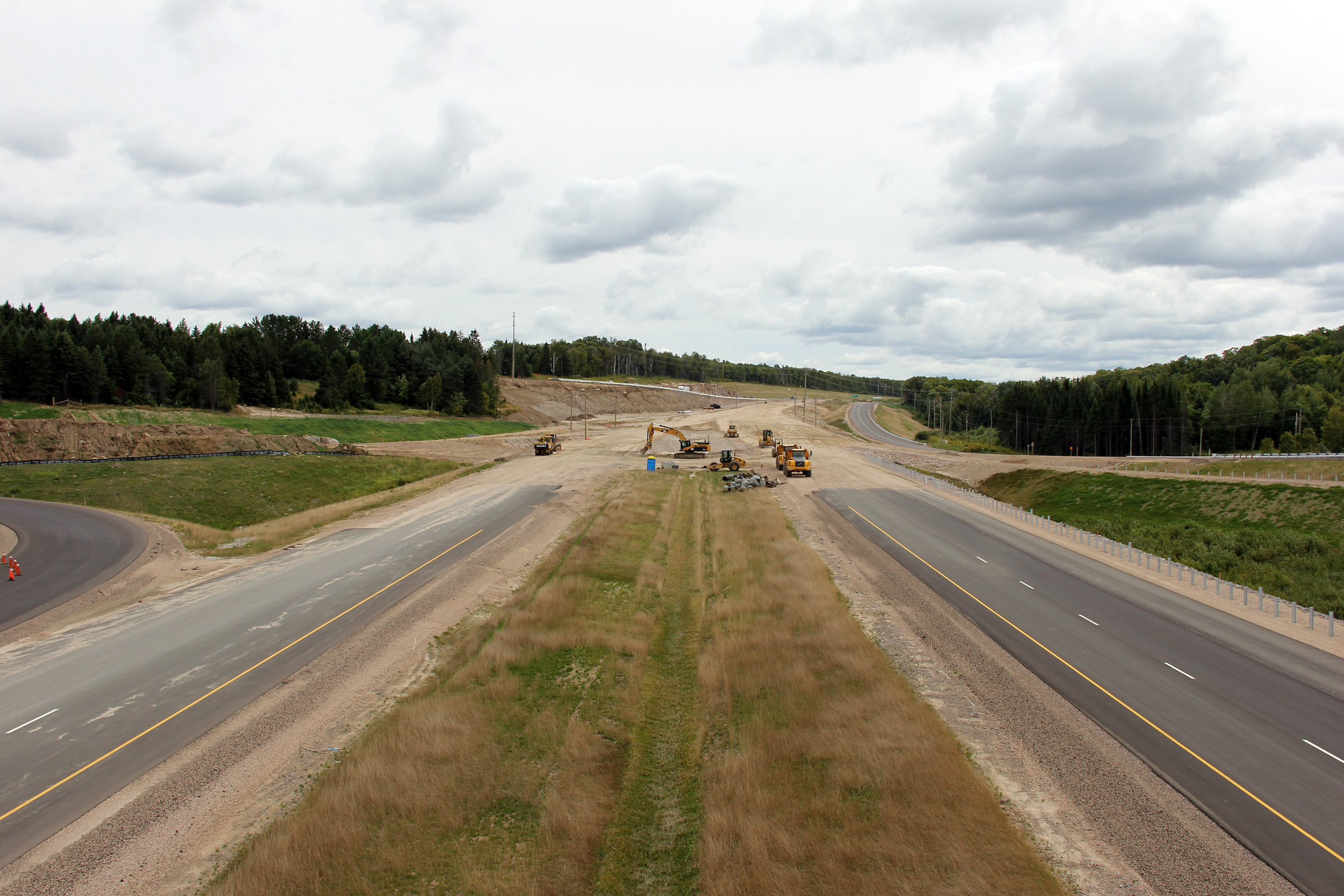
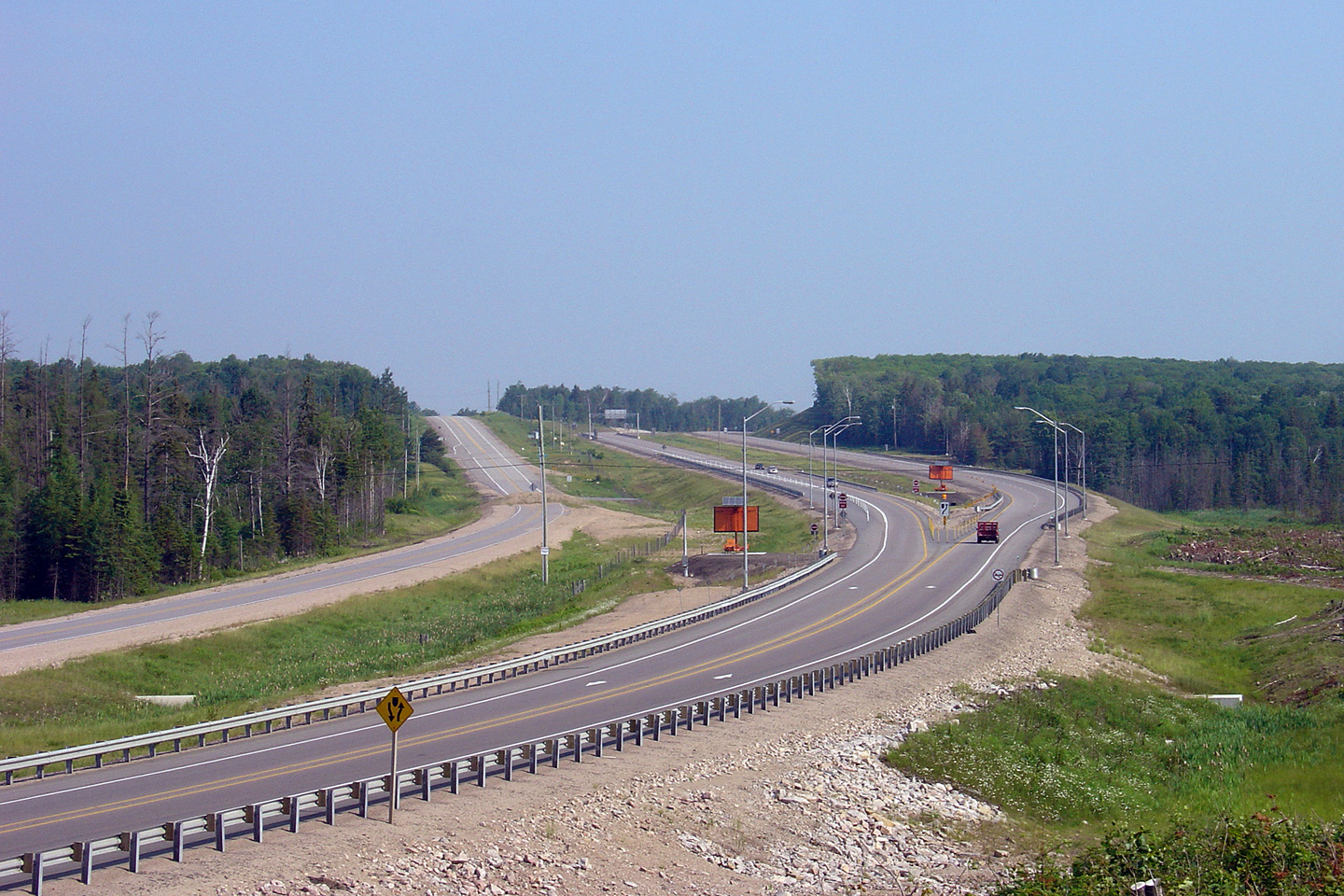
Township of Strong District of
Parry Sound |
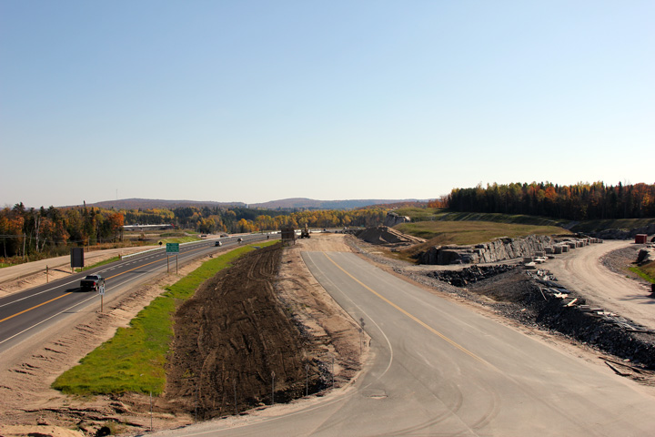
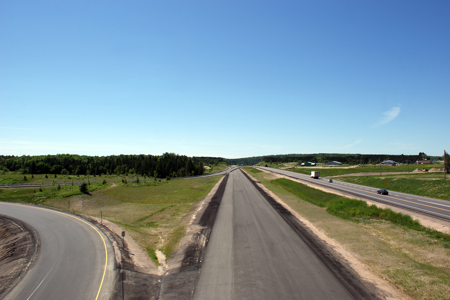
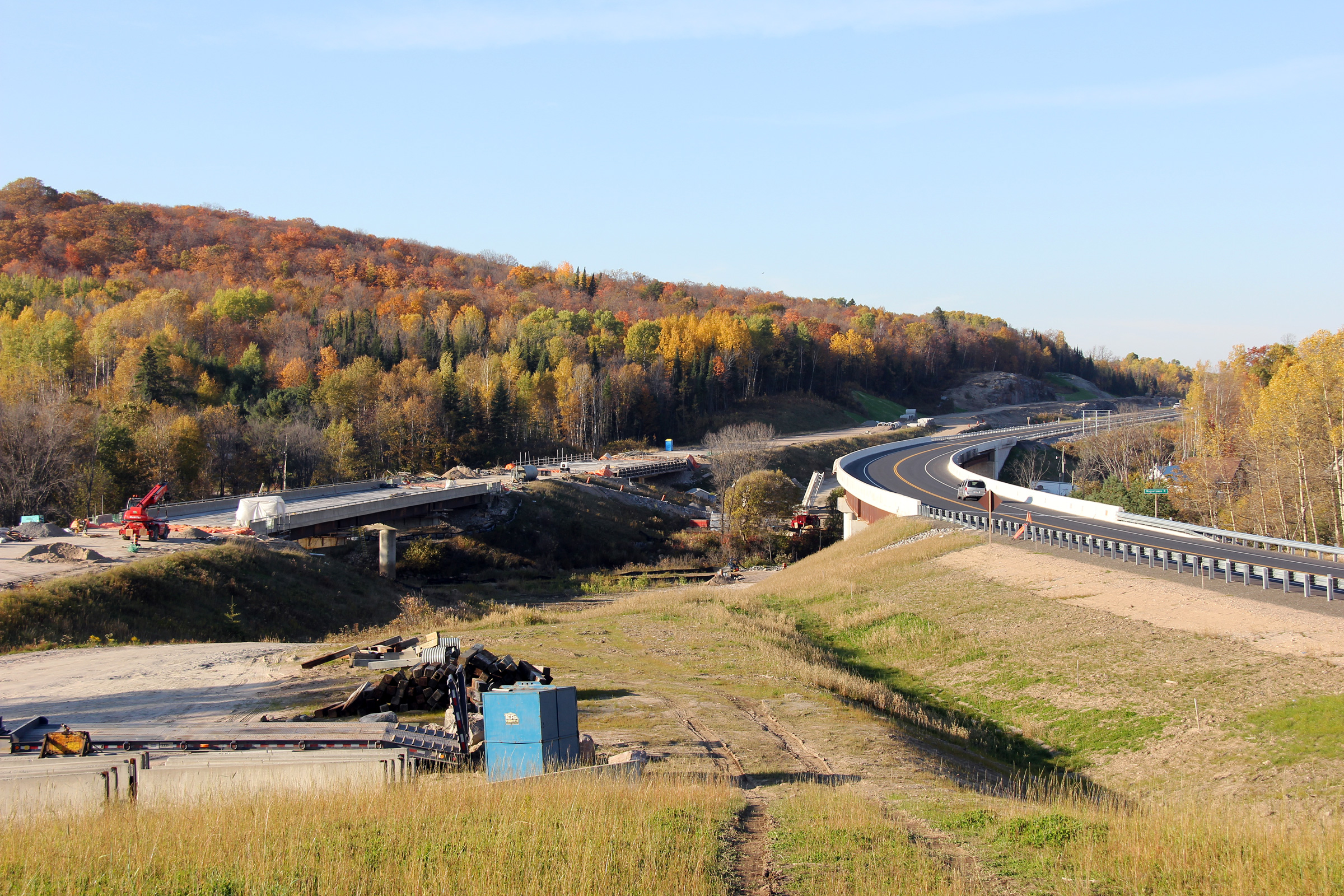
Between the fall of 2011 and the fall of 2012, Highway 11 transitioned from
a two lane road to a four lane freeway at this location. This location
is located approximately 2km south of the southern
Highway 124 interchange.
Photo taken: June 23rd, 2012. |

(720x480)
(1440x960)
(2400x1600) |
|
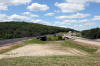
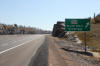
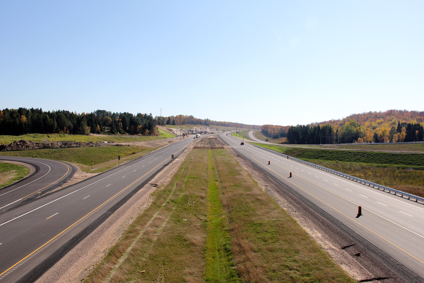
Township of Strong District of
Parry Sound |
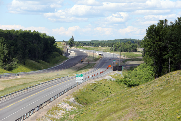
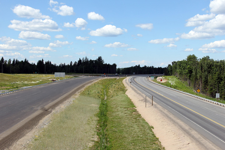
Broad view of the temporary end of the four lane highway south of the
southern Highway 124 interchange.
Photo taken: June 23rd, 2012. |

(720x480)
(1440x960)
(2400x1600) |
|
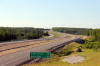
Township of Strong District of
Parry Sound |
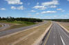
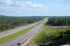
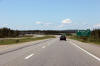
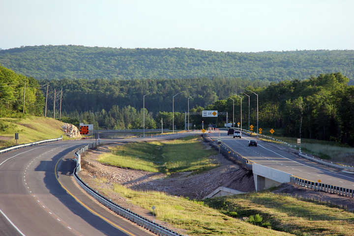
Northerly view along the four-lane alignment of Highway 11 approaching the
southern Highway 124 interchange.
Photo taken: June 23rd, 2012. |

(720x480)
(1440x960)
(2400x1600) |
|
Township of Strong District of
Parry Sound |
Two views looking southerly along Highway 11 from just south of the southern
Highway 124 interchange. The lower photo shows the severed former
alignment of Highway 11 where it is discontinuous at the new freeway.
The section of roadway in the foreground of the photo has been incorporated
into an extension of Sunny Ridge Road, while the segment in the background
was incorporated into a southerly extension of the Muskoka Road.
Photos taken: June 23rd, 2012. |
(720x480)
(1440x960)
(2400x1600)
(720x480)
(1440x960)
(2400x1600) |
|
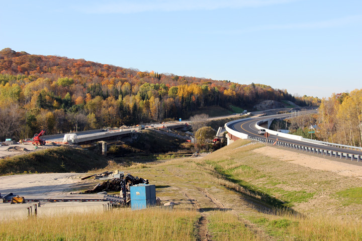
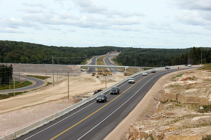
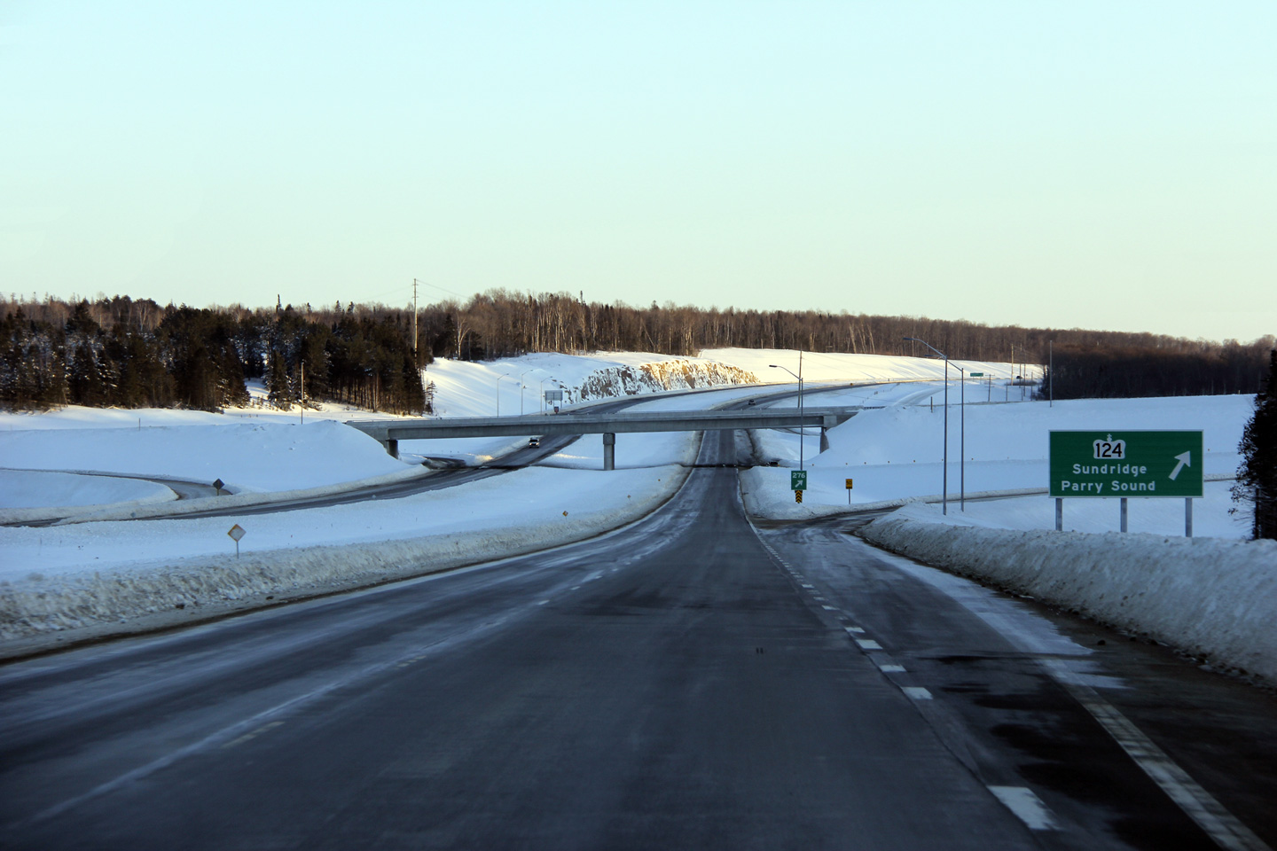
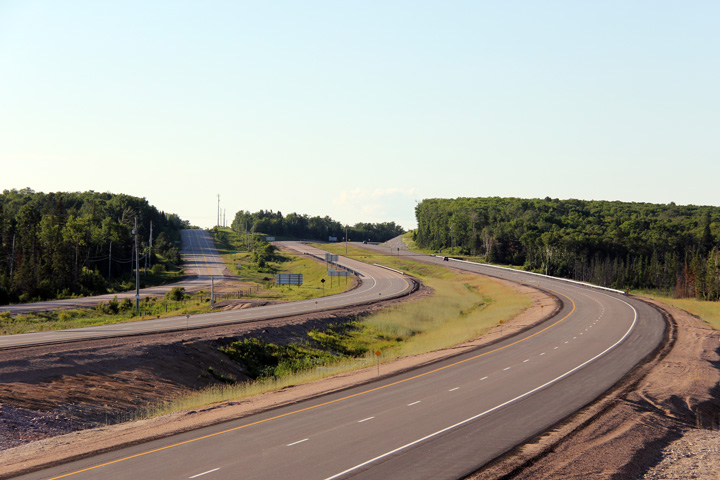
Township of Strong District of
Parry Sound |
Three views looking northerly approaching the southern Highway 124
interchange. The upper photo shows the unopened, but nearly completed four-lane
alignment, lying dormant behind the traffic choked historic alignment that
lead highway traffic straight through both Sundridge and South River. The middle photo shows the Highway 124
interchange for the brief period in time where the freeway collapsed to a
two lane highway immediately south of the interchange while the former
alignment was removed. The lower photo shows the completed four
lane highway with the former alignment into Sundridge completely
obliterated.
Upper photo taken: August 28th, 2011.
Middle photo taken: October 11th, 2011
Lower photo taken: June 23rd, 2012. |
(720x480)
(1440x960)
(2400x1600) |
|
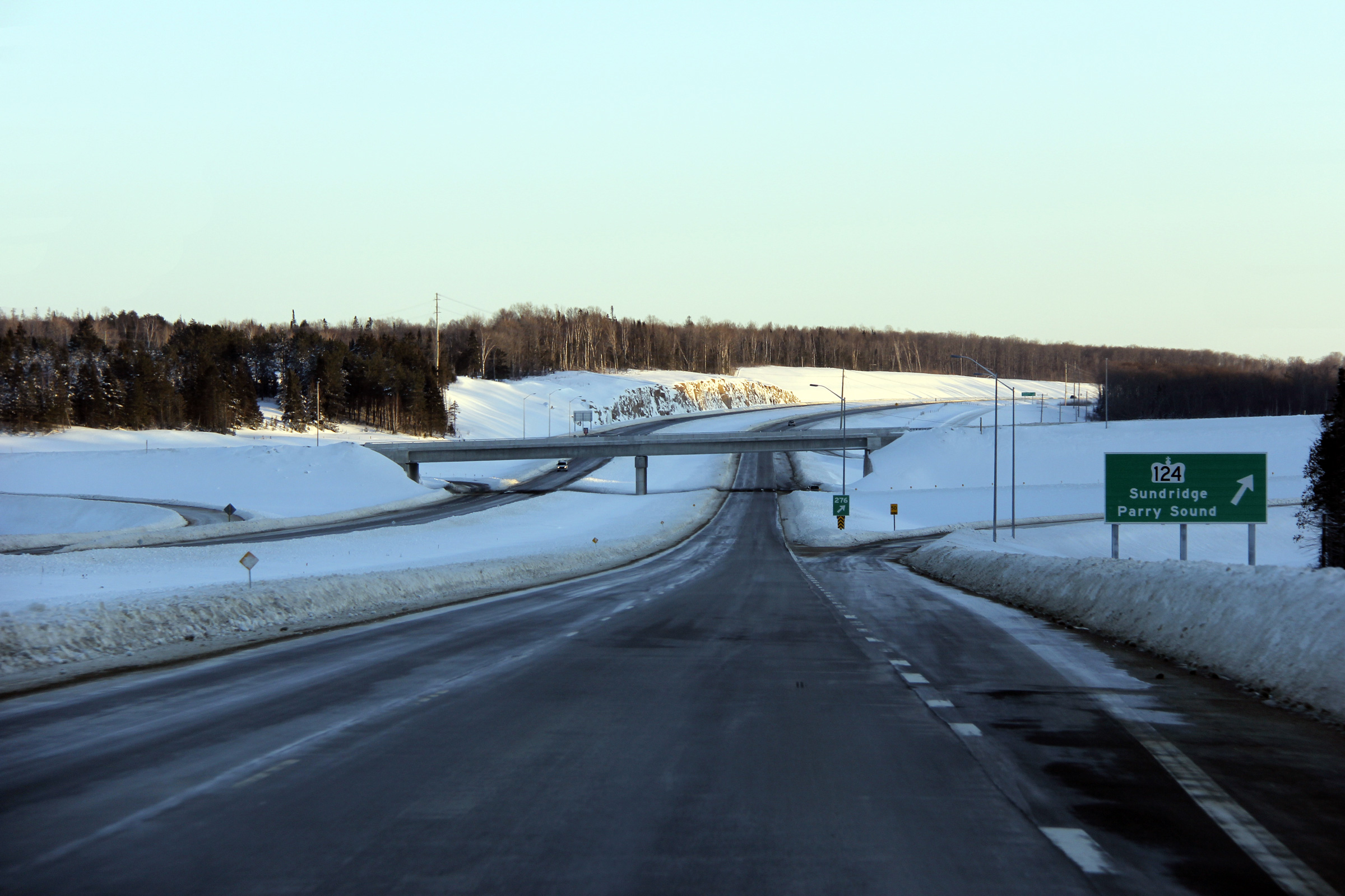
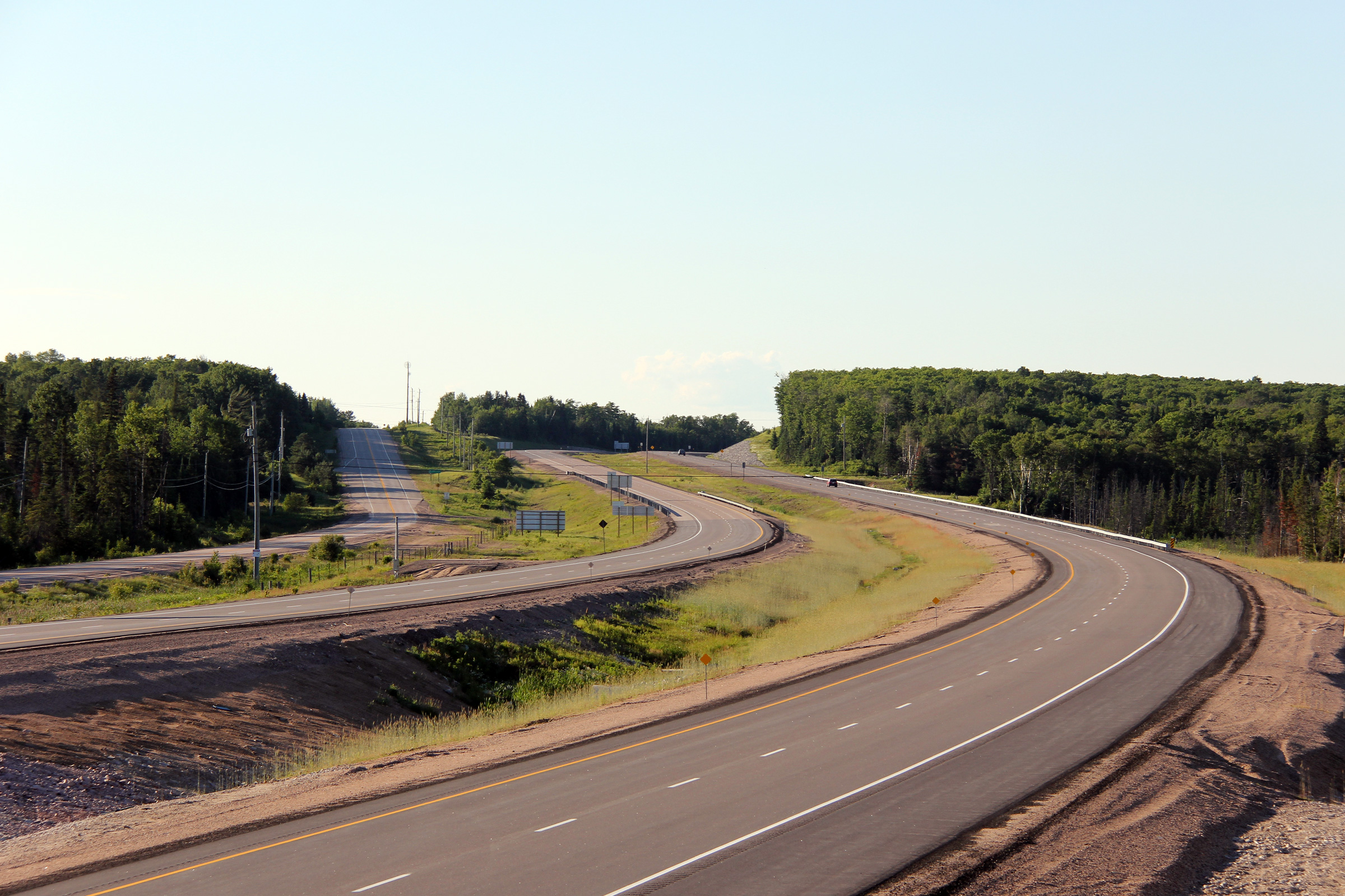
Township of Strong District of
Parry Sound |
A series of three views looking southerly from the Highway 124 overpass.
The upper and central photo highlight how traffic was staged from the former
Highway 11 alignment that lead through both Sundridge and South River
(today's Highway 124), while the lower photo shows the completed highway
after all lanes had been opened.
Upper photo taken: August 28th, 2011.
Middle photo taken: October 11th, 2011
Lower photo taken: June 23rd, 2012. |
(720x480)
(1440x960)
(2400x1600) |
|
Highway 124 leads travelers west of Sundridge to
Parry Sound.
Click here for Highway 124 images. |
|
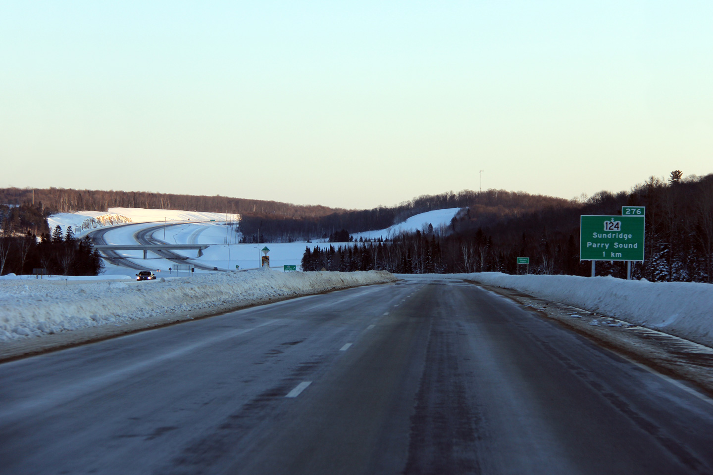
Township of Strong District of
Parry Sound |
A series of three views looking southerly from the
Highway 124 overpass.
Upper photo taken: August 28th, 2011.
Middle photo taken: October 11th, 2011
Lower photo taken: June 23rd, 2012. |

(720x480)
(1440x960)
(2400x1600) |
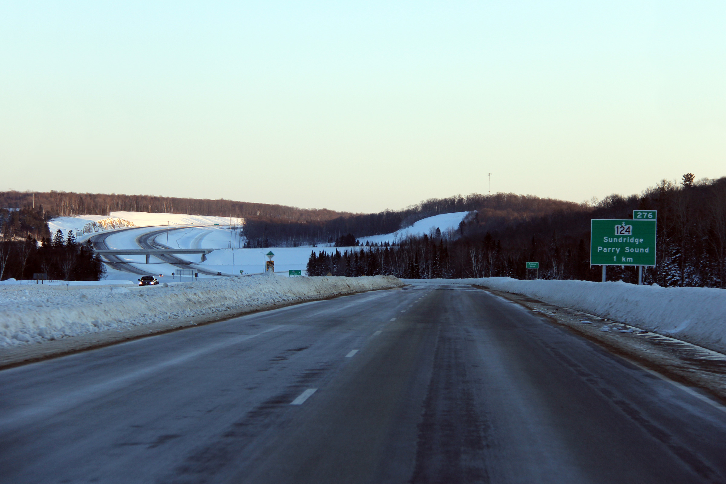
|
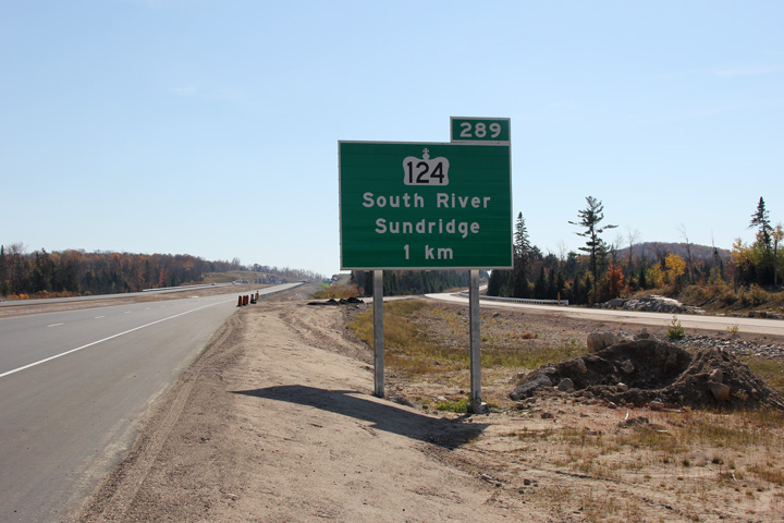
Township of Strong District of
Parry Sound |
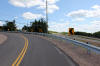
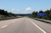
Southerly view approaching the southern Highway 124 interchange.
Photo taken: March 5th, 2012. |
 (720x480) (720x480)
(1440x960)
(2400x1600) |
|
Township of Strong District of
Parry Sound |
Southbound advanced signage for the southern Highway 124 interchange.
Photo taken: March 5th, 2012. |
 (720x480) (720x480)
(1440x960)
(2400x1600) |
|
Township of Strong District of
Parry Sound |
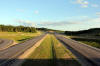
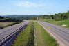
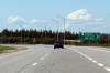
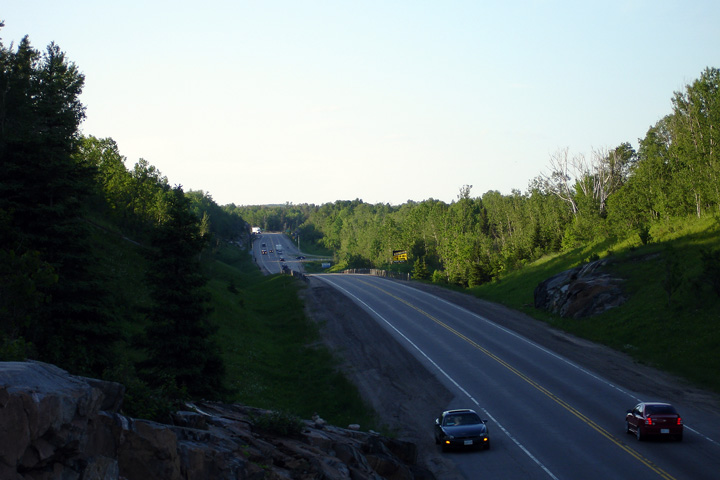
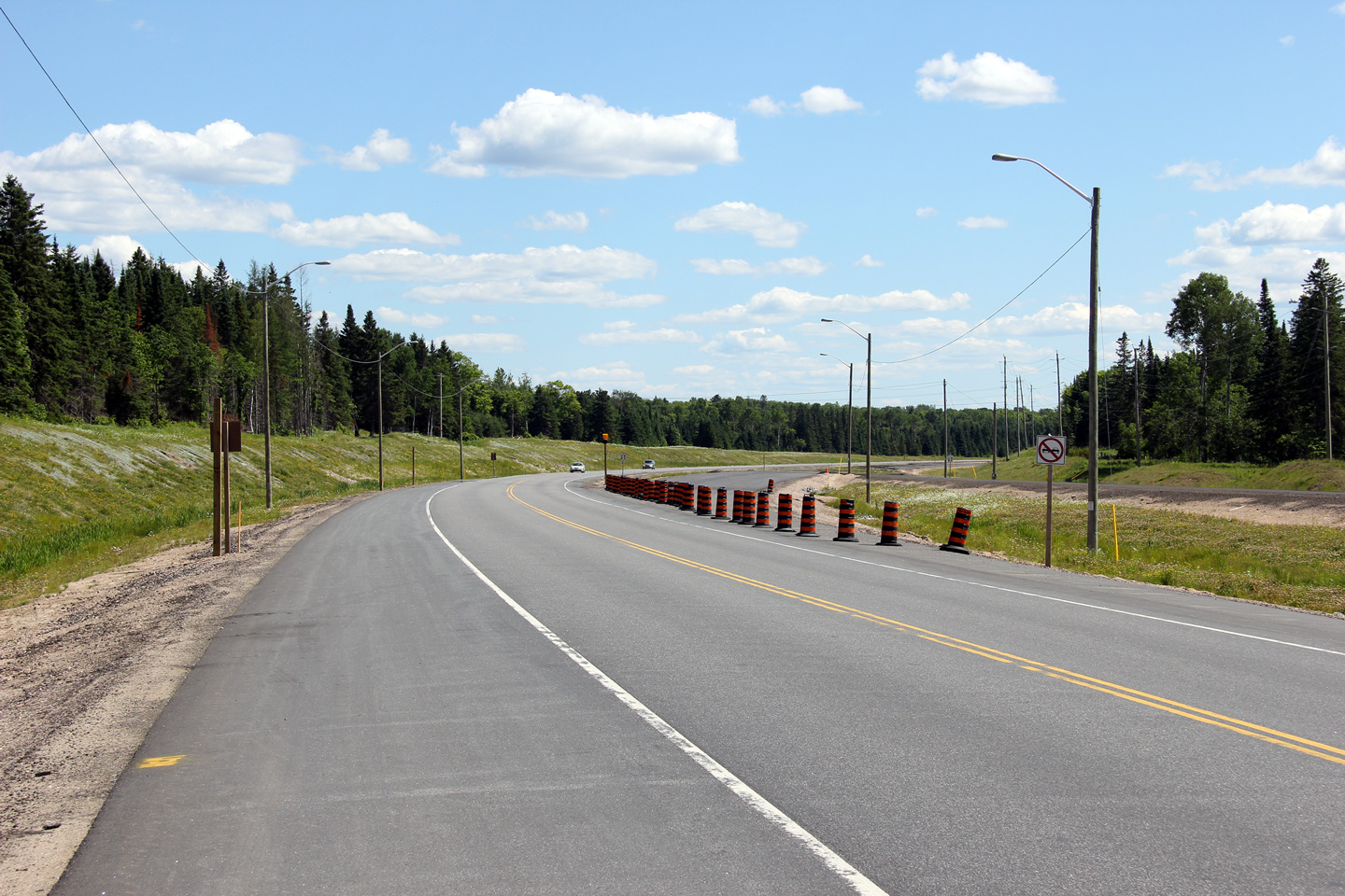
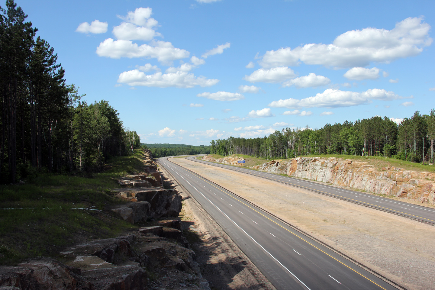
This view looks southerly from the Hill Valley Road overpass along Highway
11.
Photo taken: June 23rd, 2012. |

(720x480)
(1440x960)
(2400x1600) |
|
Township of Strong District of
Parry Sound |
Southerly view from a large rock cut towards the Hill Valley Road overpass.
Notice the lack of protection surrounding the central bridge pier.
This is atypical of most new freeway construction in Ontario.
Photo taken: June 23rd, 2012. |

(720x480)
(1440x960)
(2400x1600) |
|
Township of Strong District of
Parry Sound |
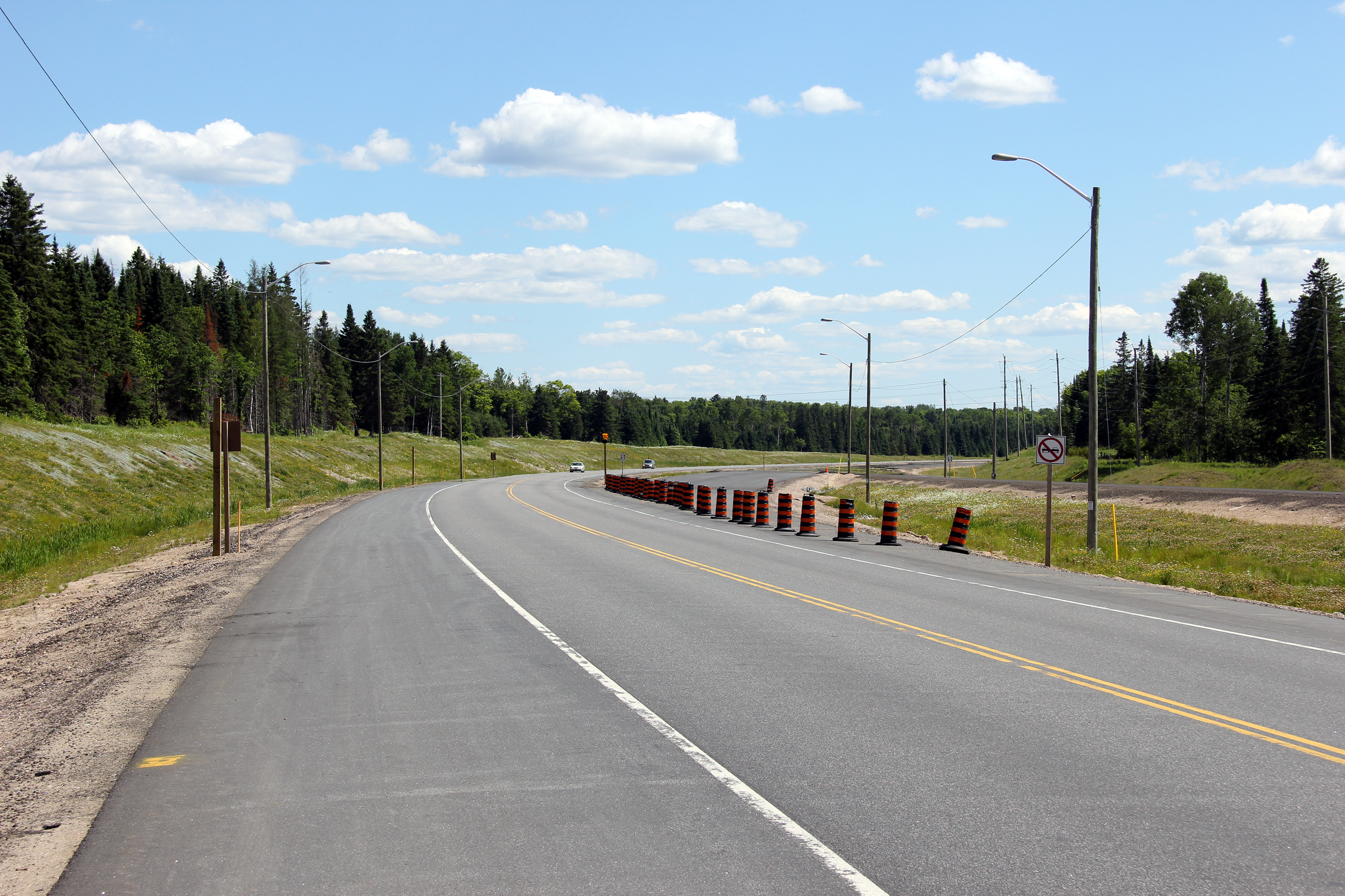
Northerly view along Highway 11 from immediately north of the Hill Valley
Road overpass.
Photo taken: June 23rd, 2012. |
(720x480)
(1440x960)
(2400x1600) |
|
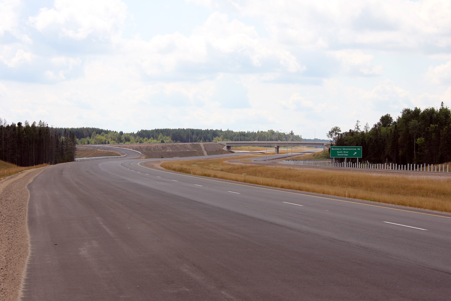
Township of Strong District of
Parry Sound |
Southerly view along Highway 11 from the Boundary / Mountainview Road
overpass.
Photo taken: June 23rd, 2012. |

(720x480)
(1440x960)
(2400x1600) |
|
Township of Machar District of
Parry Sound |
Northerly view from the Boundary / Mountainview Road overpass.
Photo taken: June 23rd, 2012. |
(720x480)
(1440x960)
(2400x1600) |
|
Township of Machar District of
Parry Sound |
This view looks southerly approaching the Boundary / Mountainview Road
interchange; it was taken about a month before the highway was opened to
traffic.
Photo taken: August 27th, 2011. |
|
Village of South River
District of Parry Sound |
Northbound view along the unopened alignment of Highway 11 along the South
River By-pass. Photo taken: August 27th, 2011. |
 (720x480) (720x480)
(1440x960)
(2400x1600) |
Village of South River
District of Parry Sound |
Southerly views along the new Highway 11 alignment from the Eagle Lake Road
overpass.
Photo taken: August 27th, 2011. |
(720x480)
(1440x960)
(2400x1600) |
Village of South River
District of Parry Sound |
Two views looking northerly from the Eagle Lake Road overpass towards the
future northern Highway 124 interchange. The new freeway crosses the
South River adjacent to the future Highway 124 interchange. The South
River drains Bernard Lake northerly into Lake Nipissing.
Upper photos taken: August 27th, 2011.
Lower photo taken: June 23rd, 2012. |
(720x480)
(1440x960)
(2400x1600) |
Village of South River
District of Parry Sound |
Southerly view towards the overpass that carries Eagle Lake Road overtop of
Highway 11.
Photo taken: June 23rd, 2012. |
(720x480)
(1440x960)
(2400x1600) |
Village of South River
District of Parry Sound |
Northerly view approaching the northern Highway 124 interchange. Note
the amount of fill that needed to be placed in order to construct the
off-ramp to Highway 124 from the northbound lanes of Highway 11.
Photo taken: June 23rd, 2012. |
(720x480)
(1440x960)
(2400x1600) |
Village of South River
District of Parry Sound |
Southerly view from the future Highway 124 overpass towards the future
four-lane alignment of Highway 11. In the upper photo, the former, now
abandoned, alignment of Highway 11 slices through the new four-lane highway.
The existing lanes of highway 11 were diverted onto the new Highway 124
structure (from
where this photo was taken) in order for the four-lane highway to be
completed.
Upper photo taken: August 27th, 2011.
Lower photo taken: October 11th, 2012. |
(720x480)
(1440x960)
(2400x1600) |
|
Highway 124 leads travelers west of Sundridge to
Parry Sound.
Click here for Highway 124 images. |
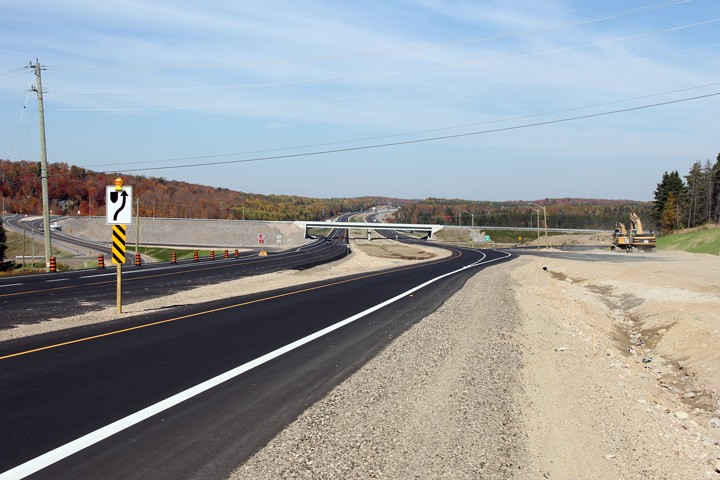
Village of South River
District of Parry Sound |
Two views along Highway 11-New from the north Highway 124 overpass.
Highway 11 progresses through a simply massive rock cut between this
overpass and the section of freeway that opened in 2004.
Upper photo taken: August 27th, 2011.
Lower photo taken: October 11th, 2012. |

(720x480)
(1440x960)
(2400x1600) |
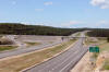
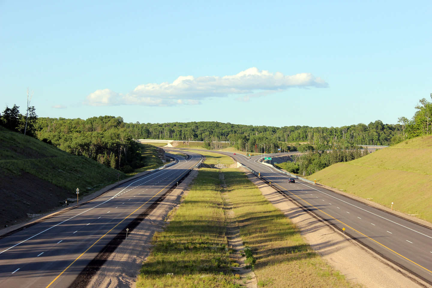
| Township of Machar District of
Parry Sound |
Two views looking southerly towards the Highway 124 interchange.
Simply constructing the ramps that link Highway 11 and Highway 124 was an
incredible accomplishment.
Photos taken: June 23rd, 2012. |
(720x480)
(1440x960)
(2400x1600)
(720x480)
(1440x960)
(2400x1600) |
| Township of Machar District of
Parry Sound |
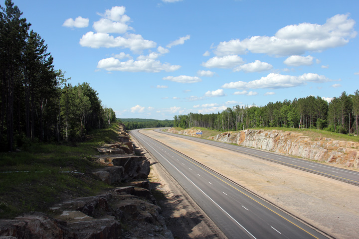
View looking northerly as the divided highway passes through a large rock
cut.
Photo taken: June 23rd, 2012. |
(720x480)
(1440x960)
(2400x1600) |
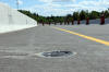
| Township of Machar District of
Parry Sound |
Close-up of the southbound turn-off signage for the ramp to Highway 124
north of South River.
Photo taken: October 11th, 2012. |
 (720x480) (720x480)
(1440x960) |
| Township of Machar District of
Parry Sound |
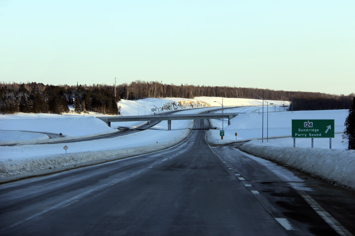
This view looks southerly approaching the northern Highway 124 interchange.
Photo taken: June 23rd, 2012. |
(720x480)
(1440x960)
(2400x1600) |
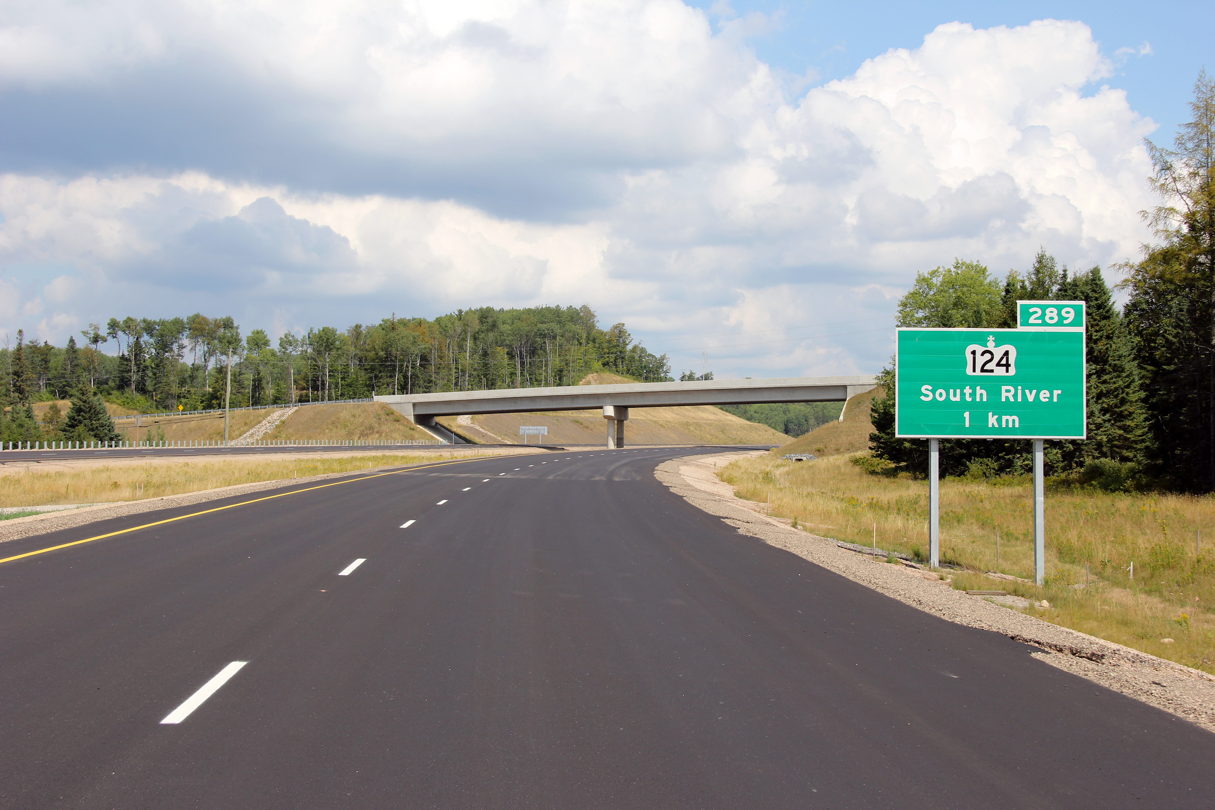
District of Parry Sound
(Geographical Township of Laurier) |
Distance signage north of the northern Highway 124 interchange.
Photo taken: June 23rd, 2012. |
(720x480)
(1440x960)
(2400x1600) |
District of Parry Sound
(Geographical Township of Laurier) |
Two views looking northerly from about 1km north of today's Highway 124
interchange. Between 2004 and 2011, the divided highway portion of
Highway 11 that stretched southerly from North Bay ended here as reflected
in the upper photo. The lower photo shows the highway after the
Sundridge and South River by-pass had opened to traffic.
Upper photo taken: June 18th, 2006.
Lower photo taken: June 23rd, 2012. |

(720x480)
(1440x960)
(2400x1600) |
District of Parry Sound
(Geographical Township of Laurier) |
Southbound advanced signage for the northern Highway 124 interchange.
Notice that the abandoned transfer that linked the new freeway to the former
alignment immediately behind the signage had yet to be obliterated.
Photo taken: October 11th, 2012. |
 (720x480) (720x480)
(1440x960) |
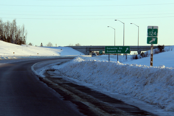
District of Parry Sound
(Geographical Township of Laurier) |
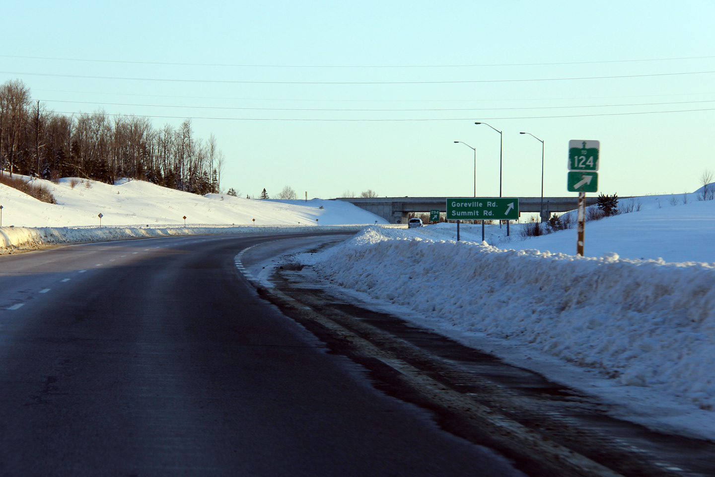
View looking southerly towards South River from a roadside hill between the
Highway 124 and Summit Road. Highway 11 was constructed on a new
alignment Sundridge to north of the Summit Road intersection. The old
alignment of Highway 11 is now designated as Highway 124 and in this photo,
is visible to the right of the current divided highway.
Photo taken: June 23rd, 2102. |

(720x480)
(1440x960)
(2400x1600) |
District of Parry Sound
(Geographical Township of Laurier) |
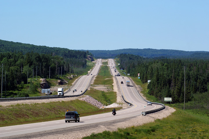
Looking south along Highway 11 from the Summit Drive overpass just north of
South River. This stretch of the Highway 11 divided highway opened to
traffic early in the fall
of 2004. Photo taken: June 4th, 2006. |
(720x480)
(1440x960) |
District of Parry Sound
(Geographical Township of Laurier) |
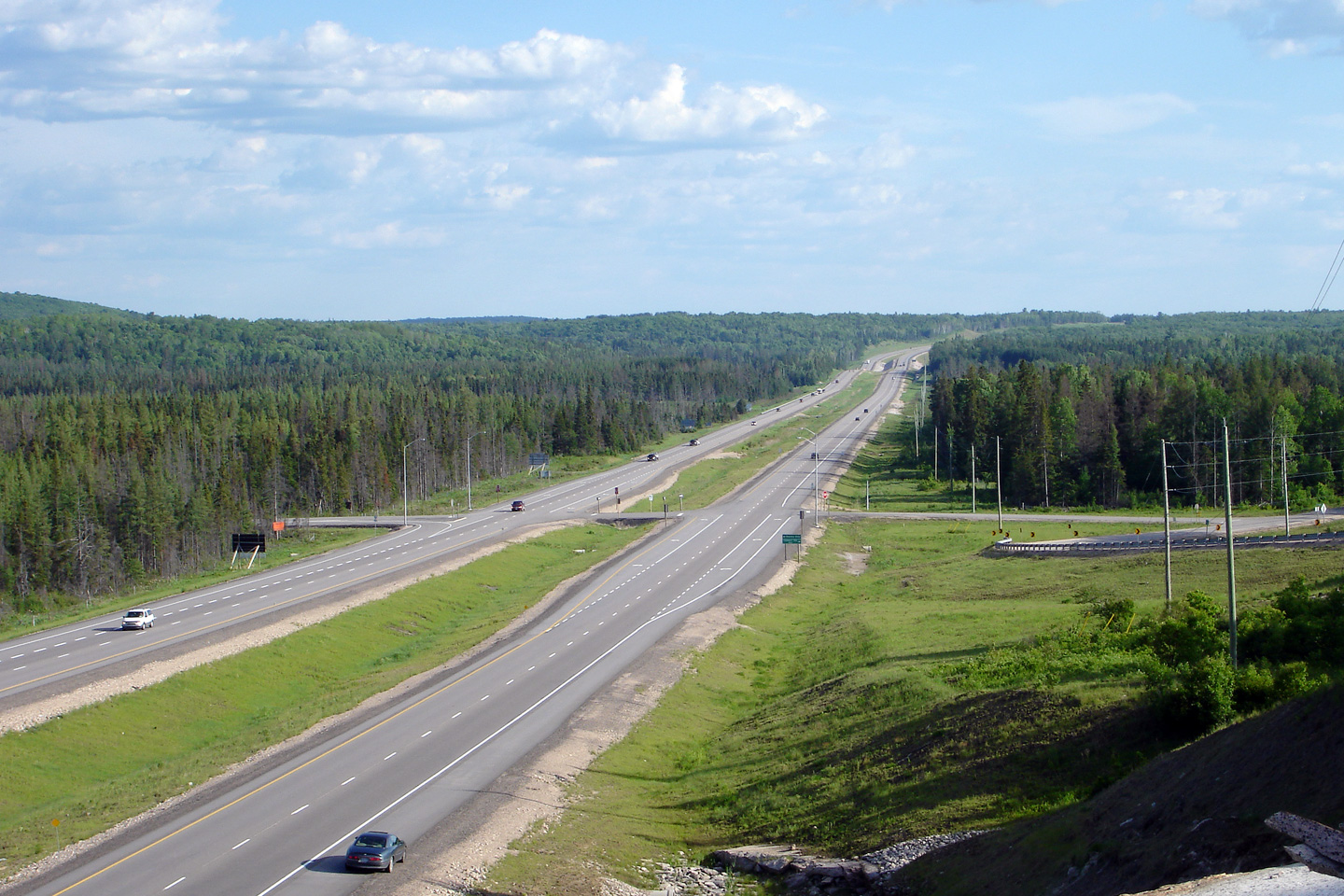
Looking north along Highway 11 from the Summit Drive overpass. Just
around this pictured bend, the divided highway rejoins the original highway
alignment. From that point northerly, the southbound carriageway
follows the original alignment of Highway 11.
Photo taken: June 4th, 2006. |
(720x480)
(1440x960) |
District of Parry Sound
(Geographical Township of Laurier) |
Trailblazers advise southbound traffic that Highway 124 is also accessible
from the Summit Drive interchange.
Photo taken: March 5th, 2012. |

(720x480)
(1440x960) |
District of Parry Sound
(Geographical Township of Laurier) |
This view looks northerly from just north of the Summit Drive intersection
to the long straight-a-way where Highway 11 intersects Lindsay`s Hill Road.
Photo taken: June 27th, 2009. |
(720x480)
(1440x960)
(2400x1600) |
District of Parry Sound
(Geographical Township of Laurier) |
Looking southerly along Highway 11 towards the Lindsay's Hill Road
intersection. This is the only at-grade intersection along Highway 11
between South River and Trout Creek. Photo taken: June 4th, 2006. |
(720x480)
(1440x960) |
District of Parry Sound
(Geographical Township of Laurier) |
This view of Highway 11 looks northerly towards Trout Creek from the same
vantage point as the previous photo. Photo taken: June 4th, 2006. |
(720x480)
(1440x960) |
District of Parry Sound
(Geographical Township of Laurier) |
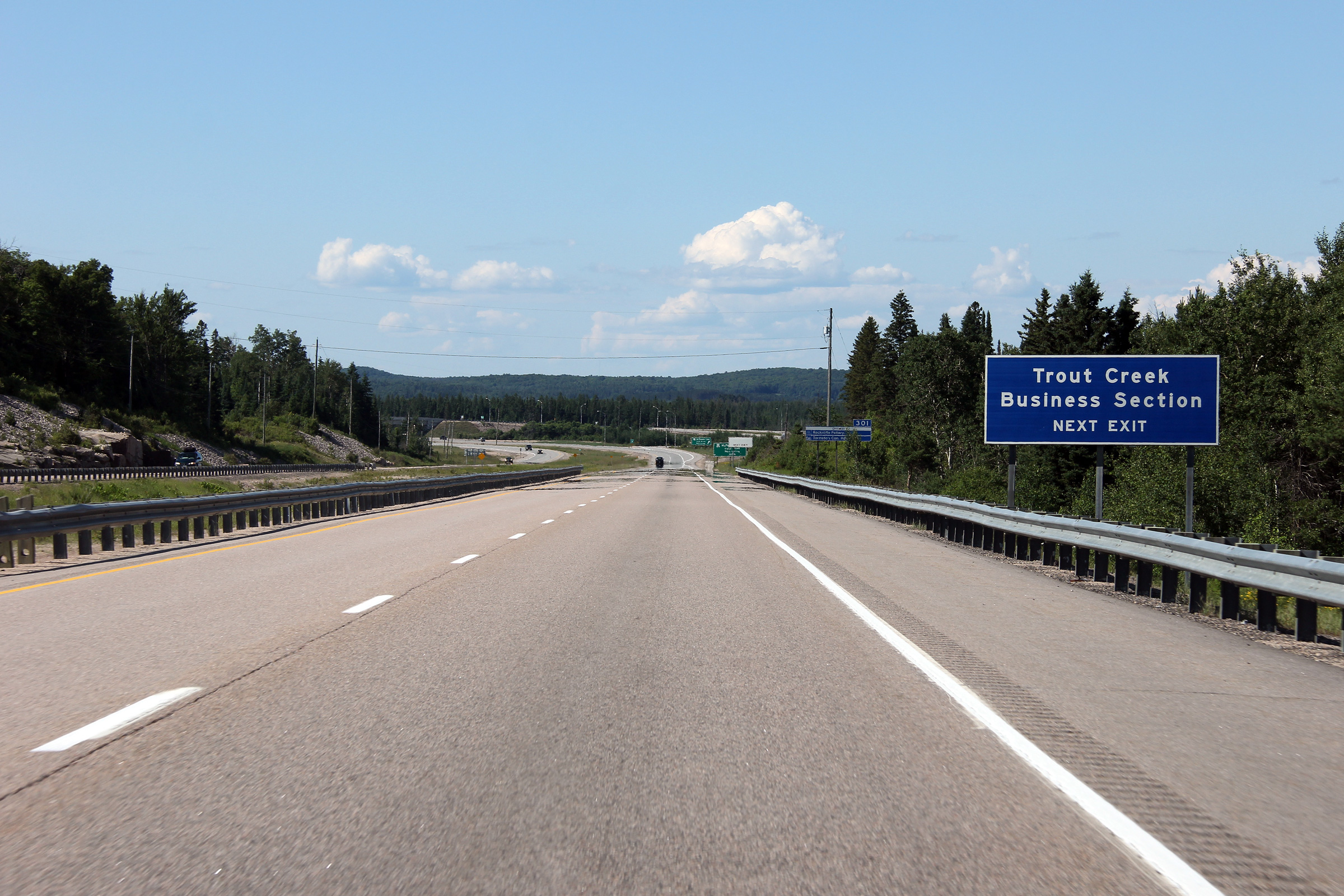
Signage directing traffic to the business areas of towns now by-passed by
the Highway 11 freeway (such as this sign for Trout Creek) was erected in
2011.
Photo taken: June 23rd, 2012. |
 (720x480) (720x480)
(1440x960)
(2400x1600) |
District of Parry Sound
(Geographical Township of Laurier) |
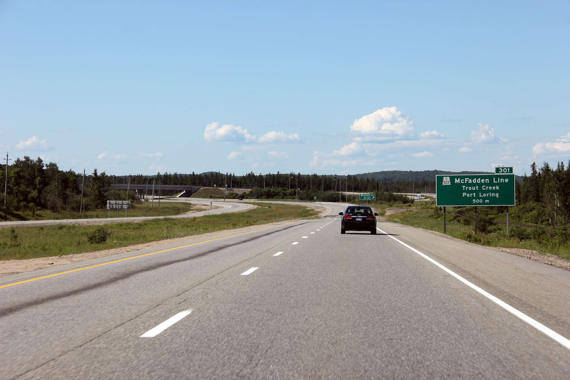
Advanced signage for Highway 522 along Highway 11 north. The advanced
signage for Highway 522 is located only 500m upstream of the exit ramp.
Photo taken: June 23rd, 2012. |
 (720x480) (720x480)
(1440x960)
(2400x1600) |
District of Parry Sound
(Geographical Township of Laurier) |
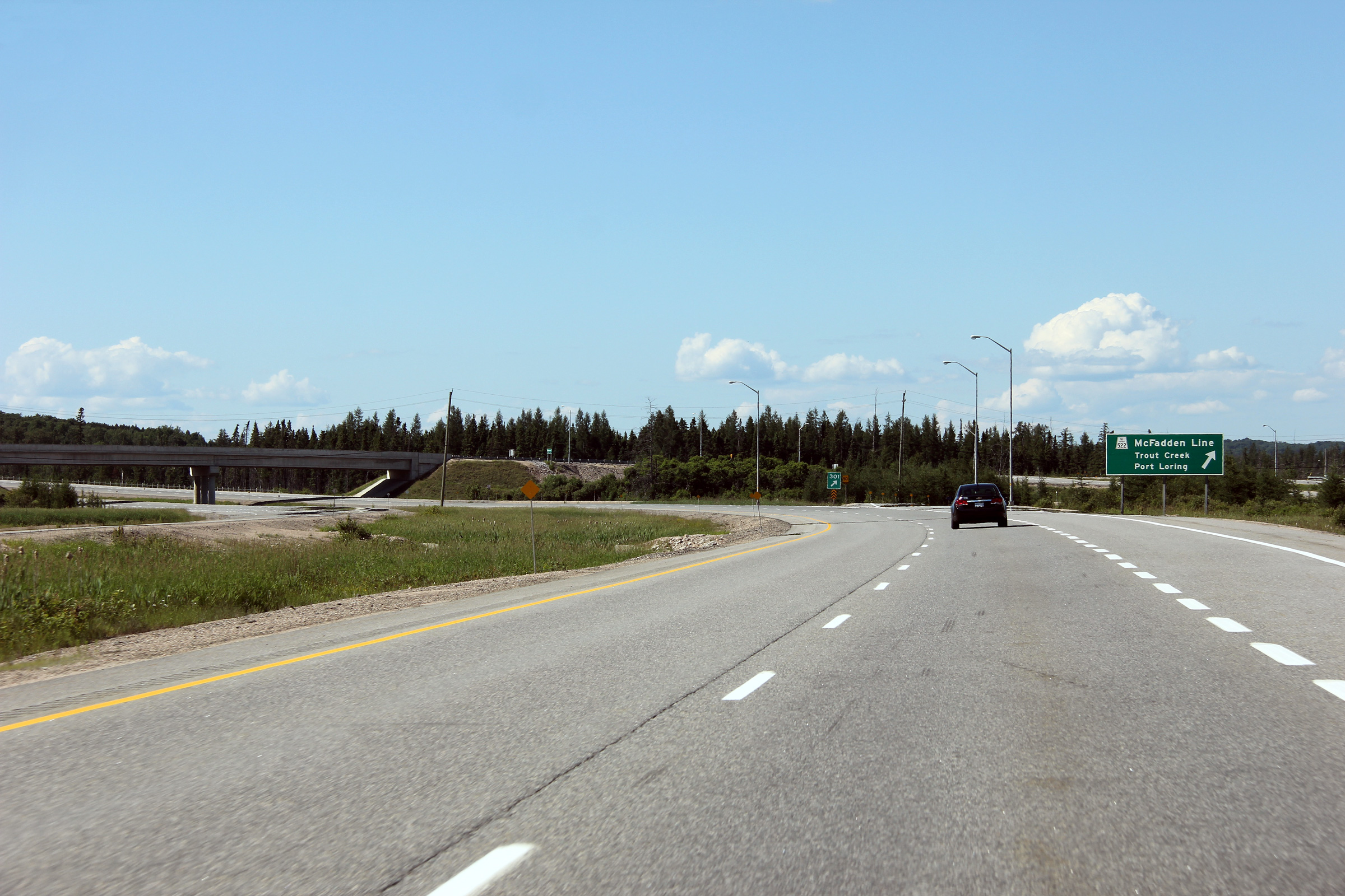
Northbound signage at the ramp to Highway 522.
Photo taken: June 23rd, 2012. |
 (720x480) (720x480)
(1440x960)
(2400x1600) |
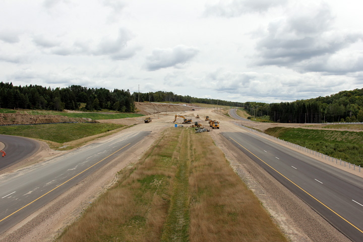
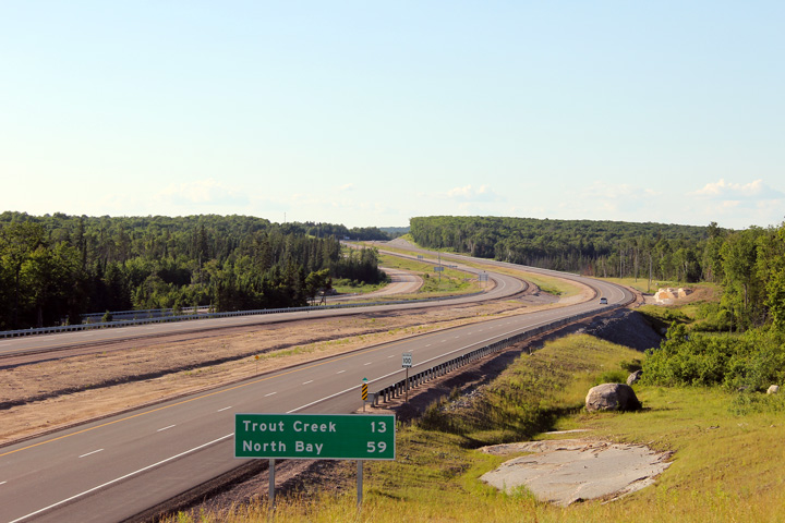
| Municipality of Powassan
District of Parry Sound |
Looking south from the southern
Highway 522 overpass. The Trout Creek
Bypass ends at this curve. Before October 2004, the divided highway
ended at the southern end of the Trout Creek Bypass. In September, 2004, Highway 11 was extended as a
divided at-grade highway south from Trout Creek to just north of South
River. Click here to jump to the view looking
north from the Highway 522 overpass.
Photo taken: June 23rd, 2012. |
(720x480)
(1440x960)
(2400x1600) |
|
Highway 522 is Trout Creek's main
street, then leads westerly bound for Commanda and Highway 69.
Click here for Highway 522 images. |
|
Continue north on Highway 11 via
Trout Creek to
North Bay images |


 (720x480)
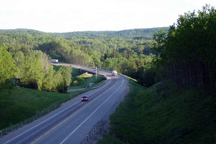


 (720x480)
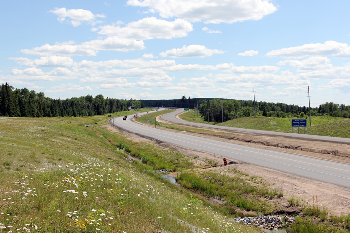


 (720x480)
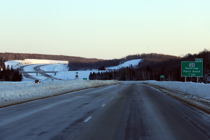 (720x480)


 (720x480)
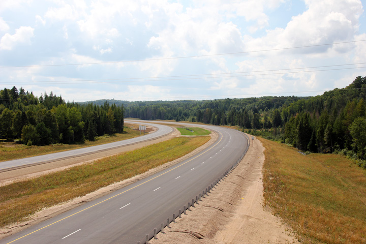


 (720x480)


 (720x480)
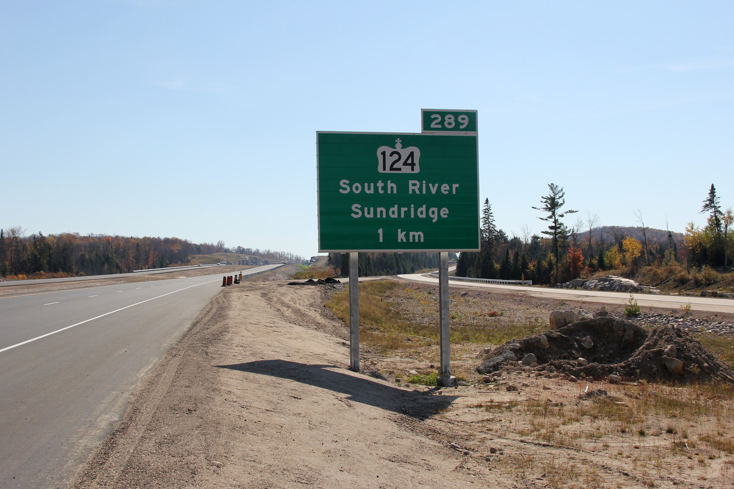


 (720x480)
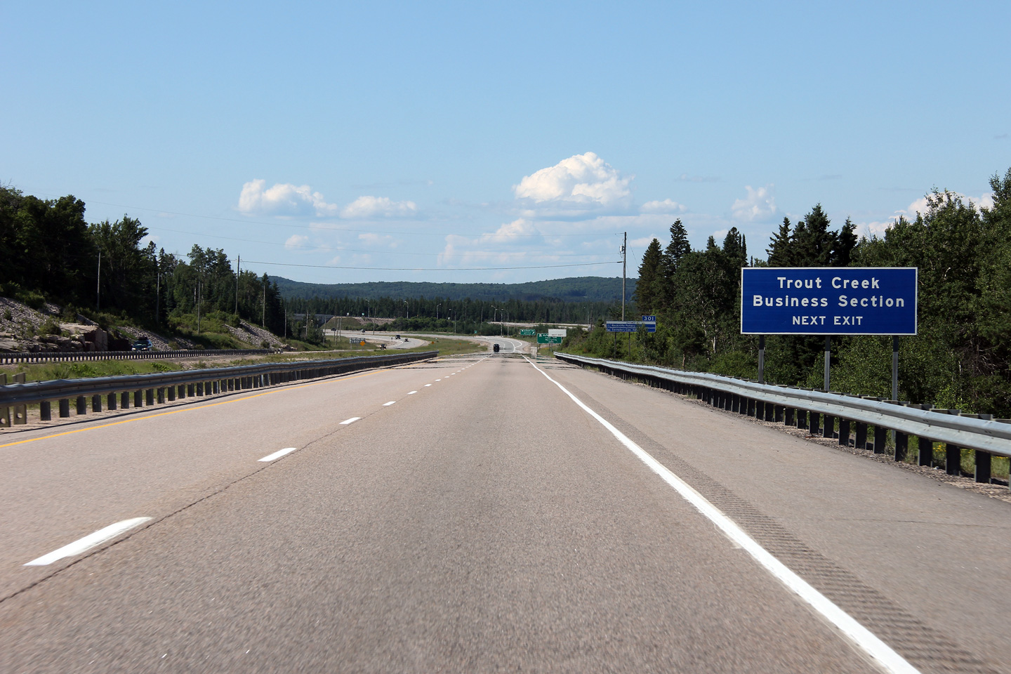
 (720x480)
 (720x480)
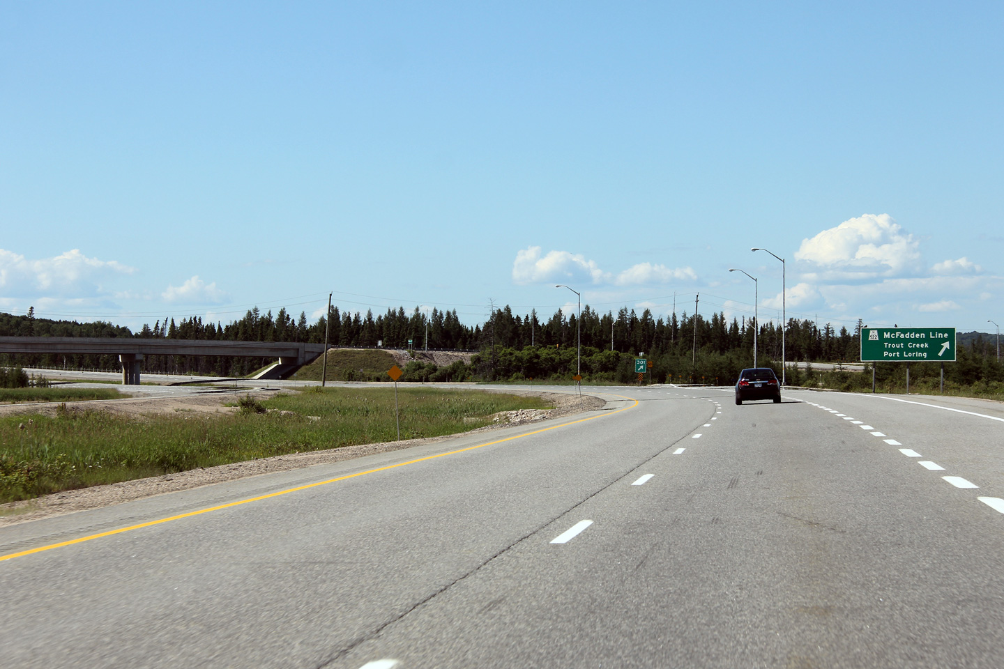