|
Proper Municipality Name |
Photo Description |
Photo |
|
Pictures taken
from driver's perspective appear offset from centre-line pictures: |
East-
Bound |
West-
Bound |
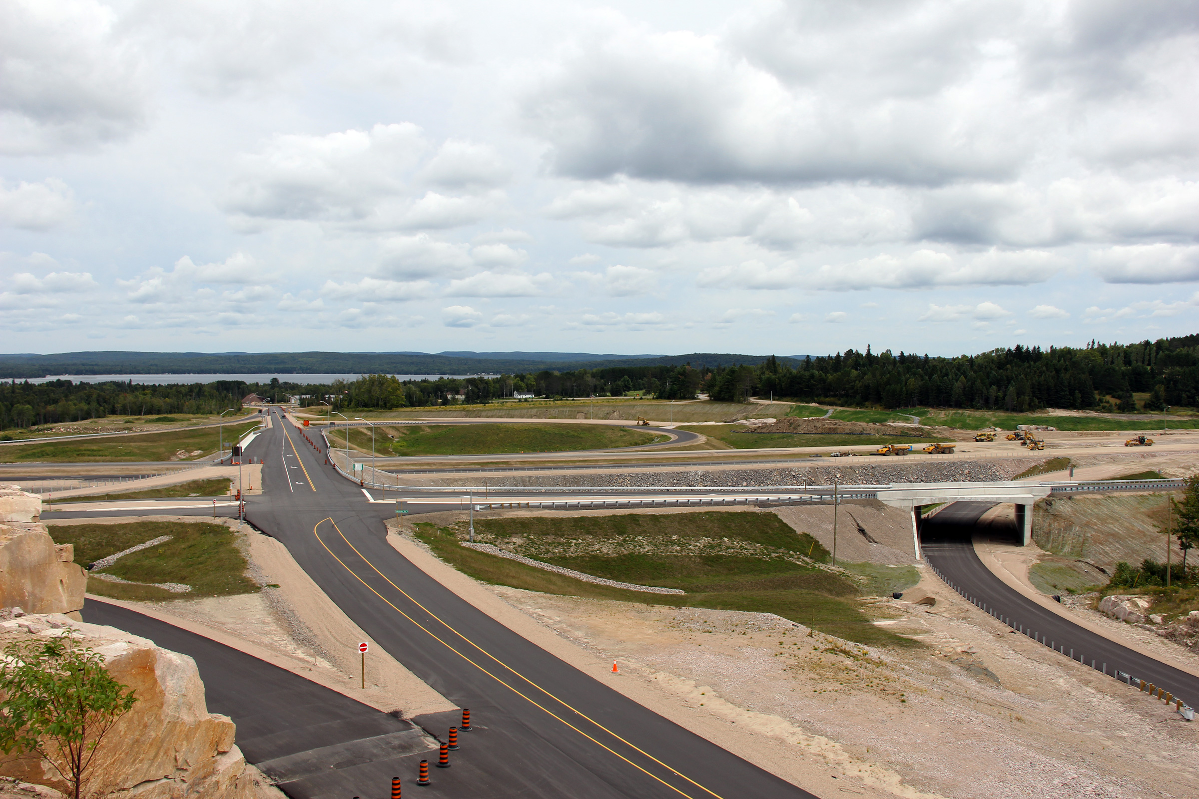
| Township of Strong District of
Parry Sound |
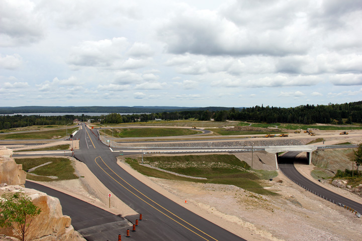
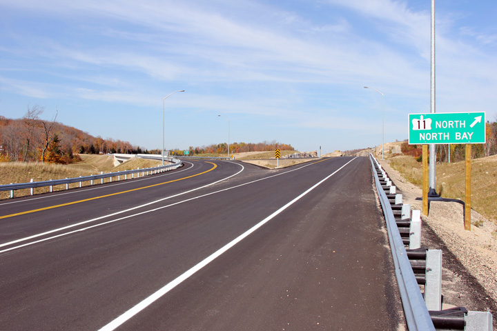
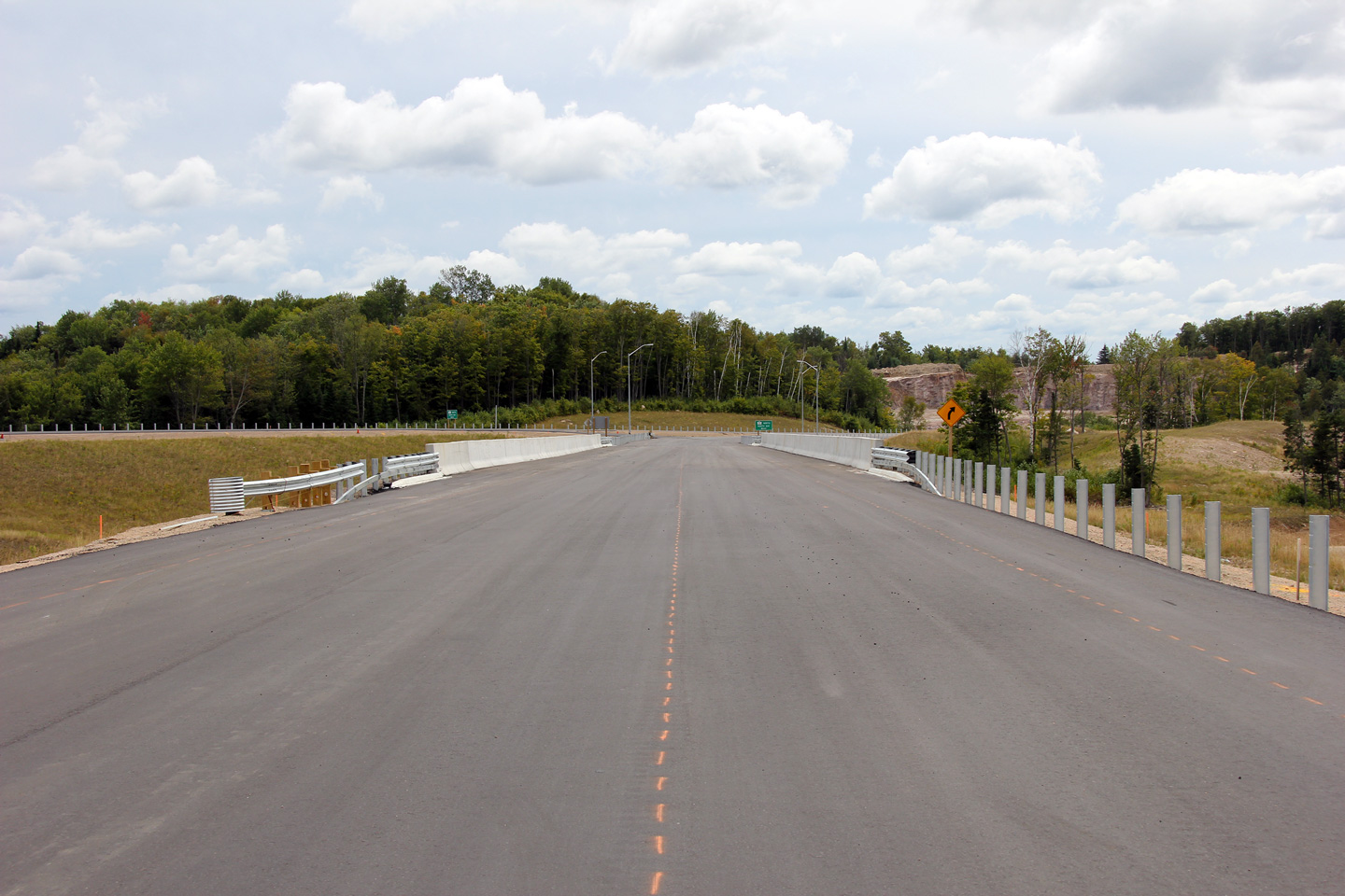
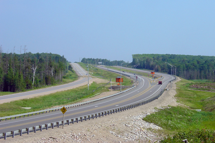
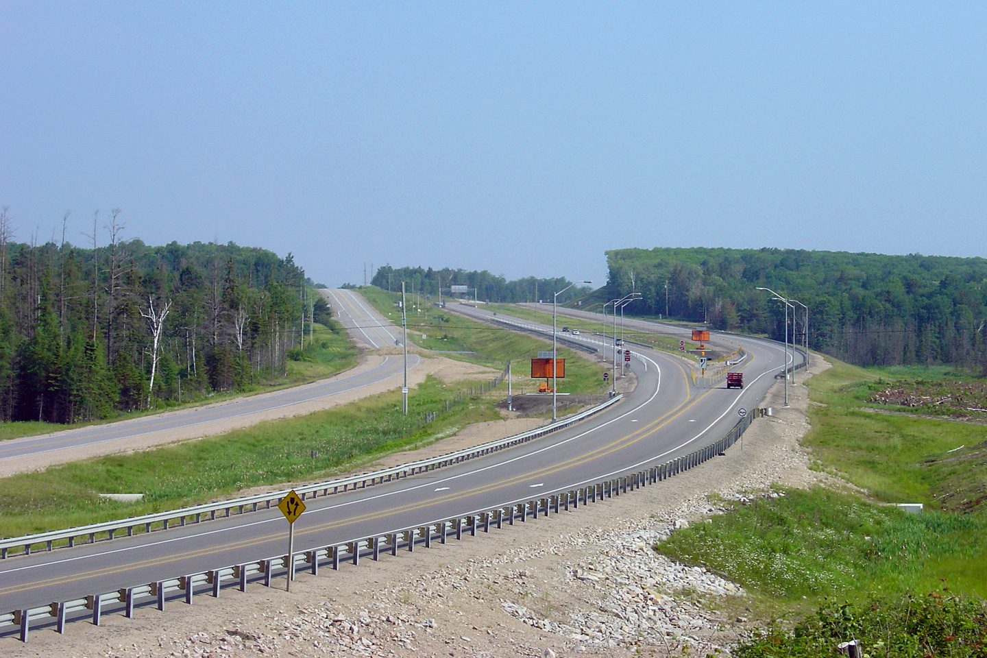
View looking easterly towards the unfinished Highway 11 partial cloverleaf
interchange. This interchange has since been completed and opened to
traffic. Picture taken: August 28th, 2011. |
|
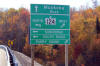
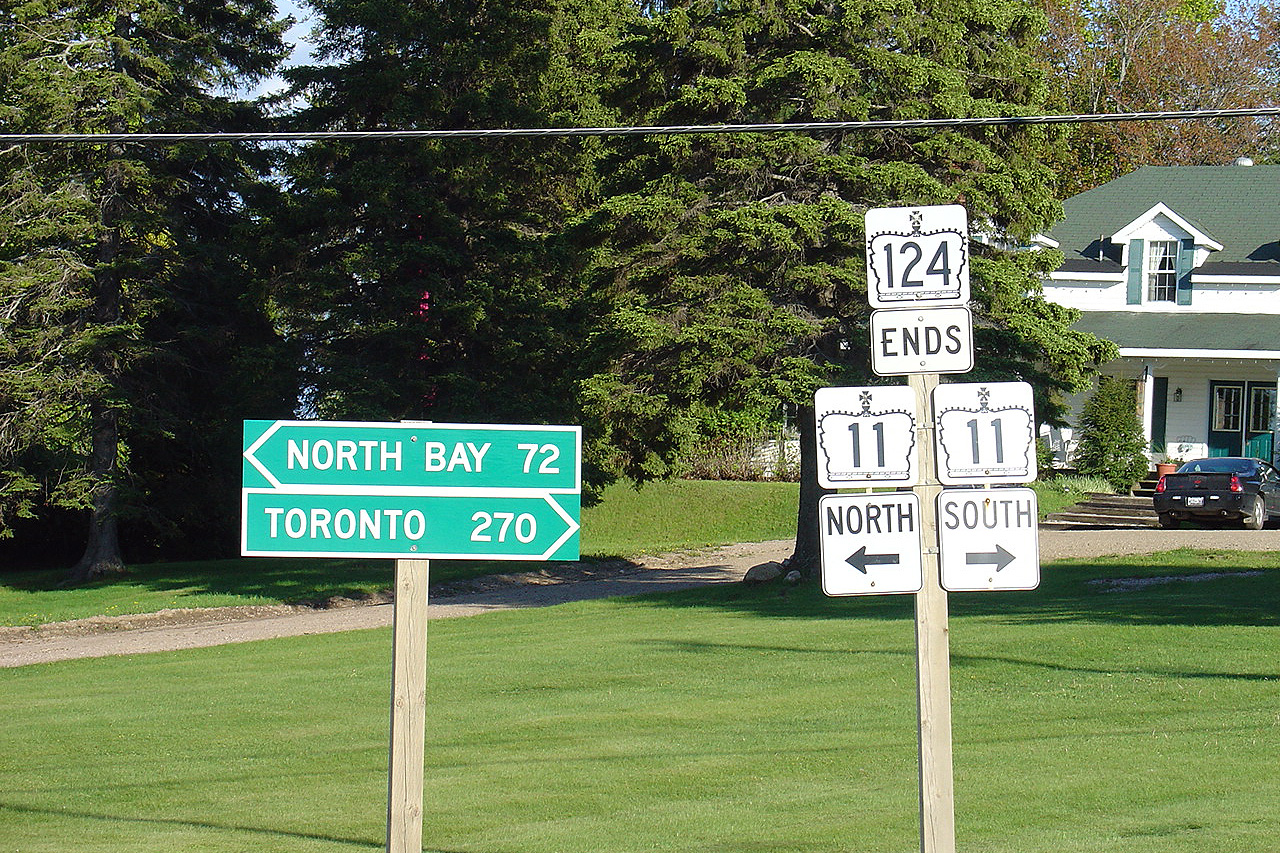
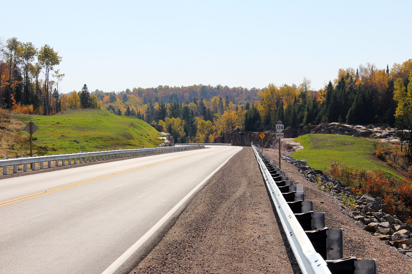
| Township of Strong District of
Parry Sound |
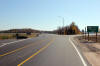
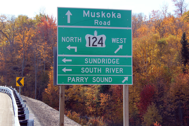
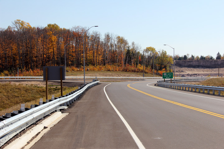
Southbound green signage along the off-ramp to Highway 124 South from
Highway 11. Highway 124 changes direction at the southern Highway 11
interchange. Highway 124 is signed as an east-west route between Parry
Sound and Sundridge, and as a north-south highway from Sundridge northerly.
Photo taken: October 8th, 2011. |
(720x480)
(1440x960) |
|
Highway 11 by-passes South River
and Sundridge to the west.
Click here for Highway 11 images. |
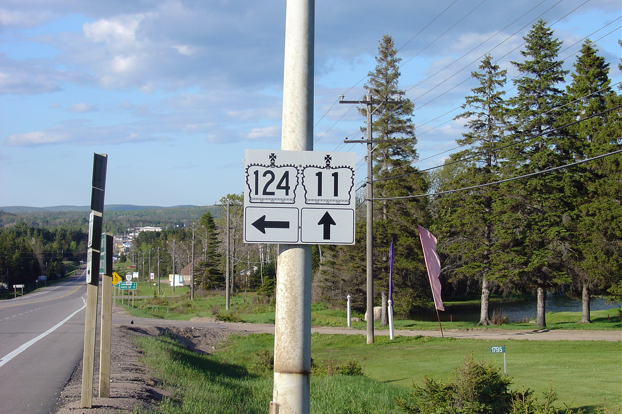
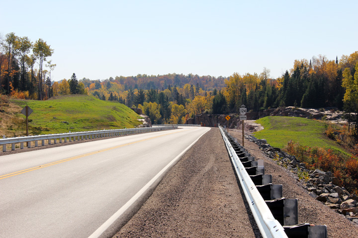
| Township of Strong District of
Parry Sound |
Looking easterly towards Sundridge along Highway 124 from mid-span of the Highway 11 overpass.
Photo taken: October 8th, 2011. |

(720x480)
(1440x960)
(2400x1600) |
| Township of Strong District of
Parry Sound |
View of the now obsolete (and now removed) Highway 124 ends signage at the
former eastern terminus south of Sundridge. This signage was rendered
obsolete when Highway 124 was extended through Sundridge and South River
along Highway 11's former routing following the completion of the new
Highway 11 freeway in 2011.
Photo taken: May 29th, 2004. |
(720x480)
(1280x853) |
| Township of Strong District of
Parry Sound |
This is the former northbound junction assembly at the former at-grade
intersection between Highways 11 and 124 south of Sundridge.
Photo taken: May 29th, 2004. |
(720x480)
(1280x853) |
| Township of Strong District of
Parry Sound |
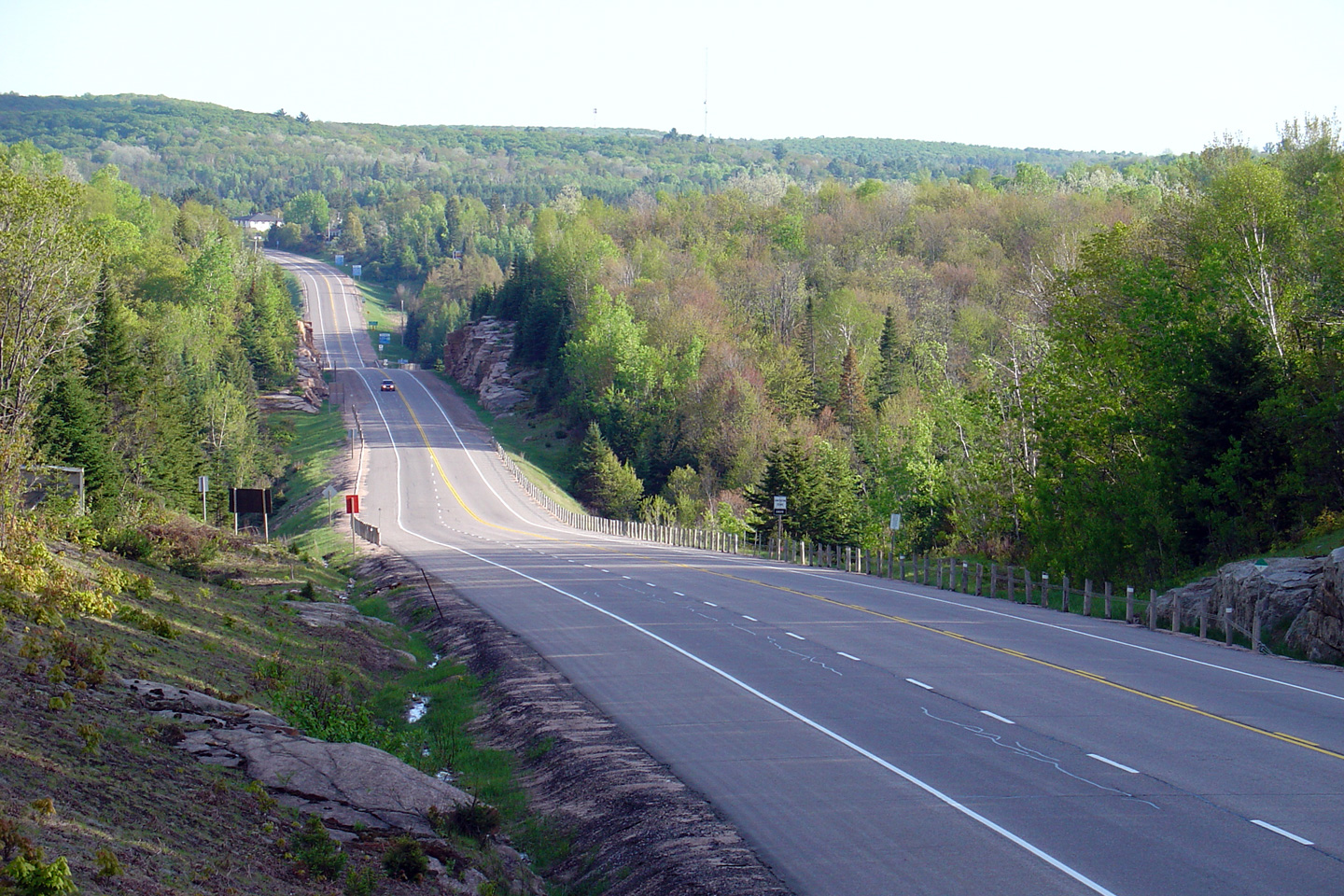
This view looks northerly from the Highway 124 junction along Highway 11
into Sundridge taken before any construction had begun to realign Highway 11
onto a new freeway by-pass around both Sundridge and South River.
Photo taken: May 29th, 2004. |
|
|
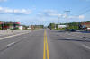
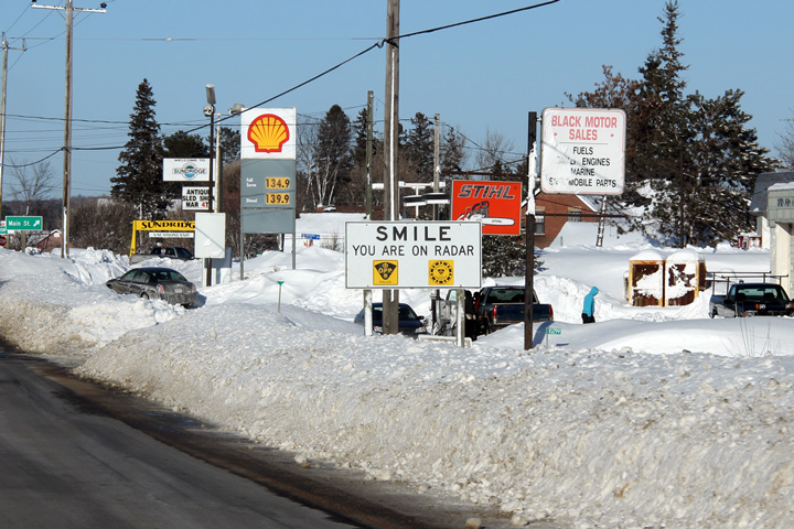
| Township of Strong District of
Parry Sound |
For decades Sundridge was the largest town that Highway 11 passed through
between Huntsville and North Bay. These unique signs reminds
motorists to heed the speed limit through the village.
Photo taken: March 5th, 2012. |
 (720x480) (720x480)
(1440x960) |
| Township of Strong District of
Parry Sound |
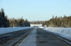
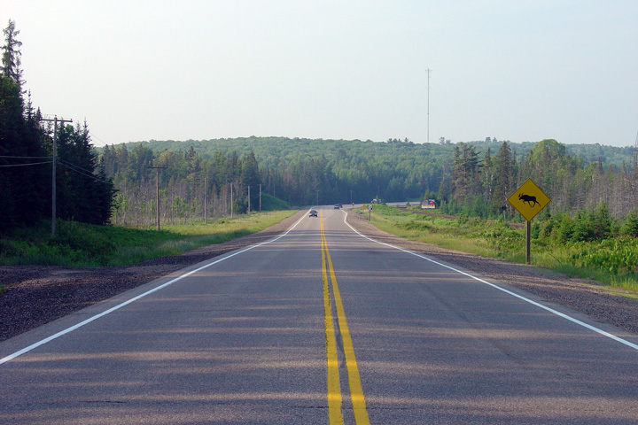
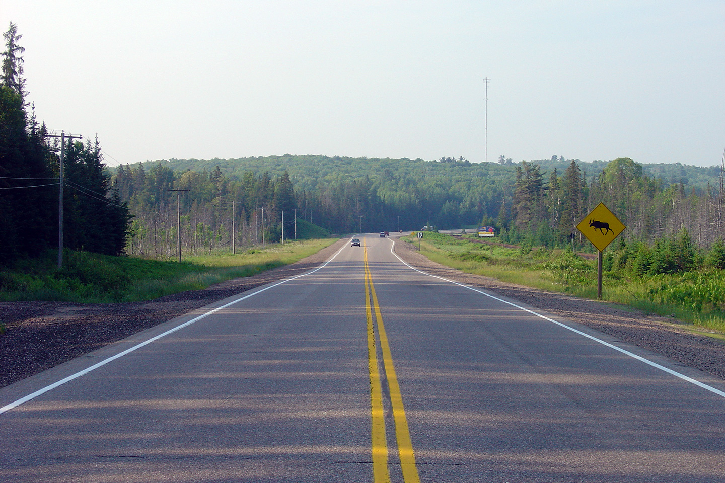
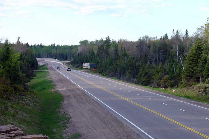
View looking north towards the start of the northbound passing lane between
Sundridge and South River. Photo taken: June 17th, 2006. |

(720x480)
(1440x960) |
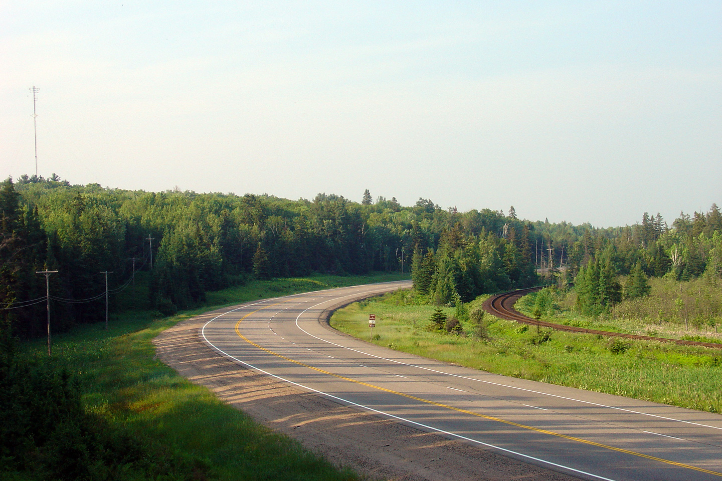
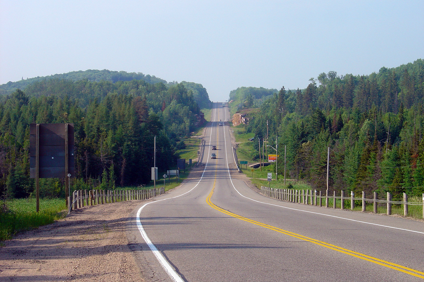
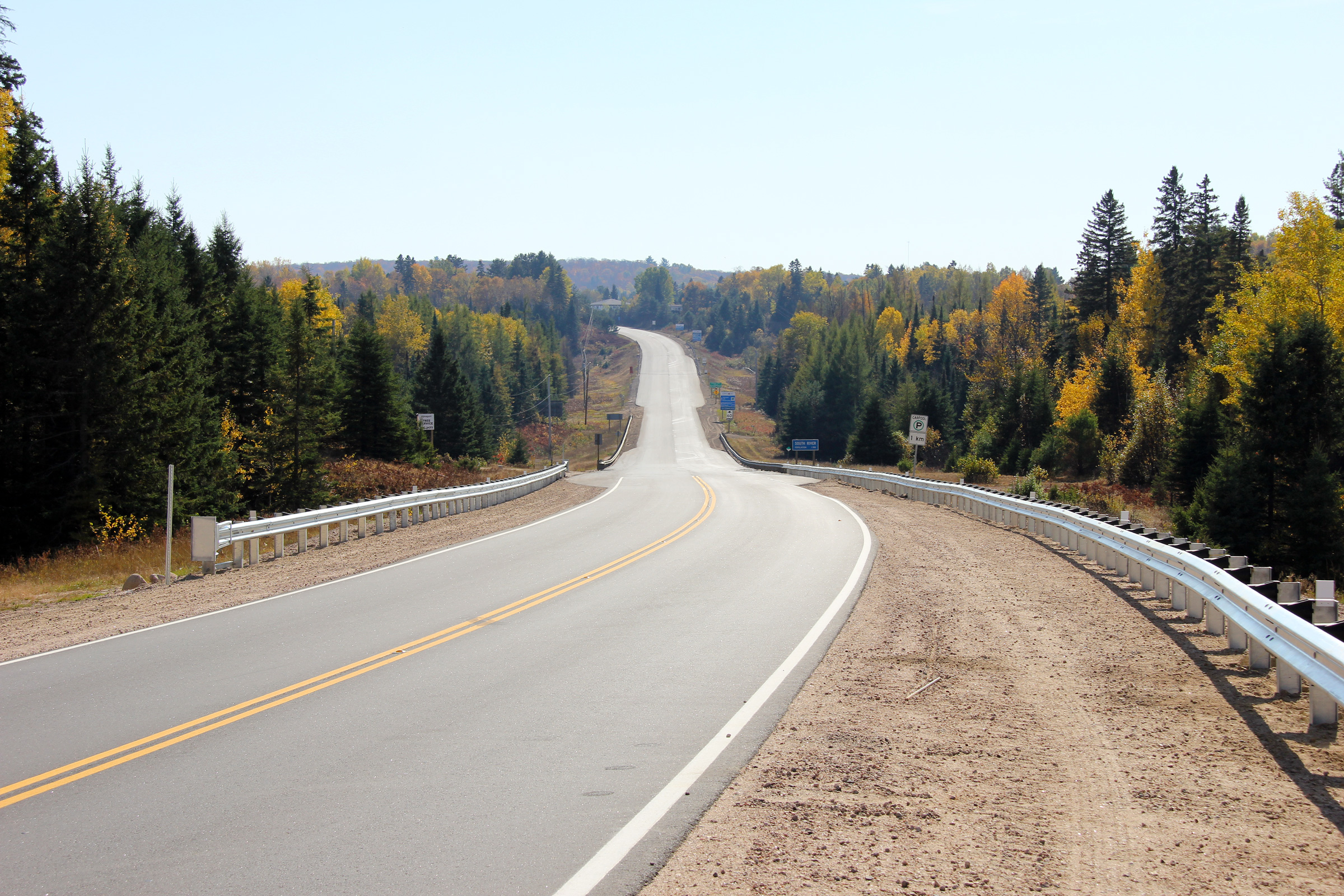
| Township of Strong District of
Parry Sound |
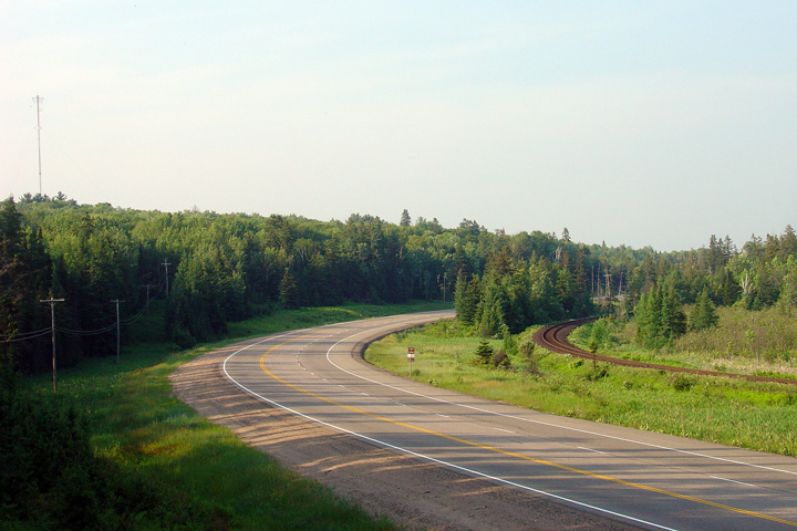
A right-hand curve looking north along Highway 124. The CN Railway
parallels Highway 124 closely between South River and Sundridge.
Photo taken: June 17th, 2006. |
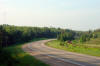
(720x480)
(1440x960) |
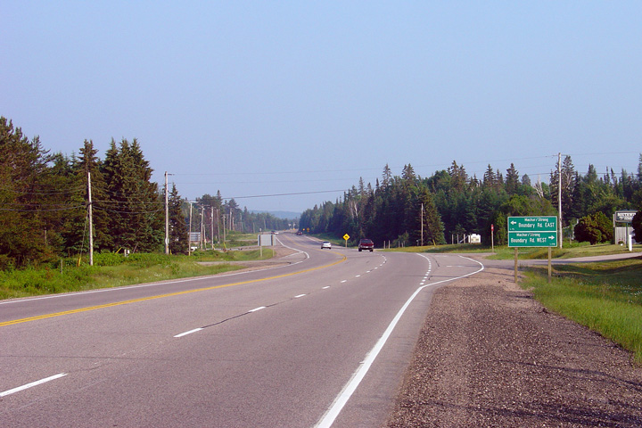
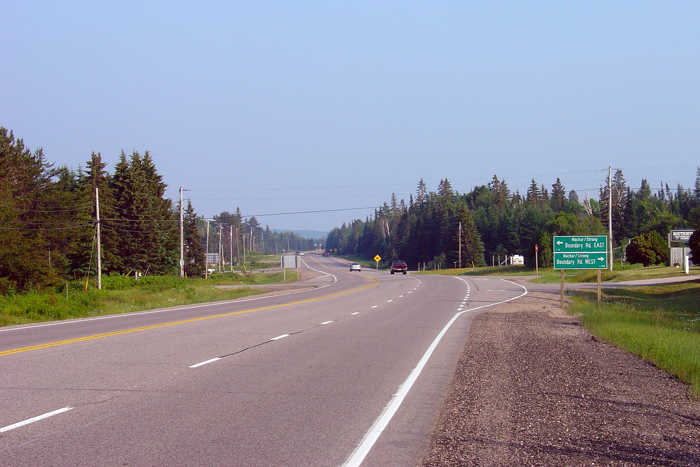
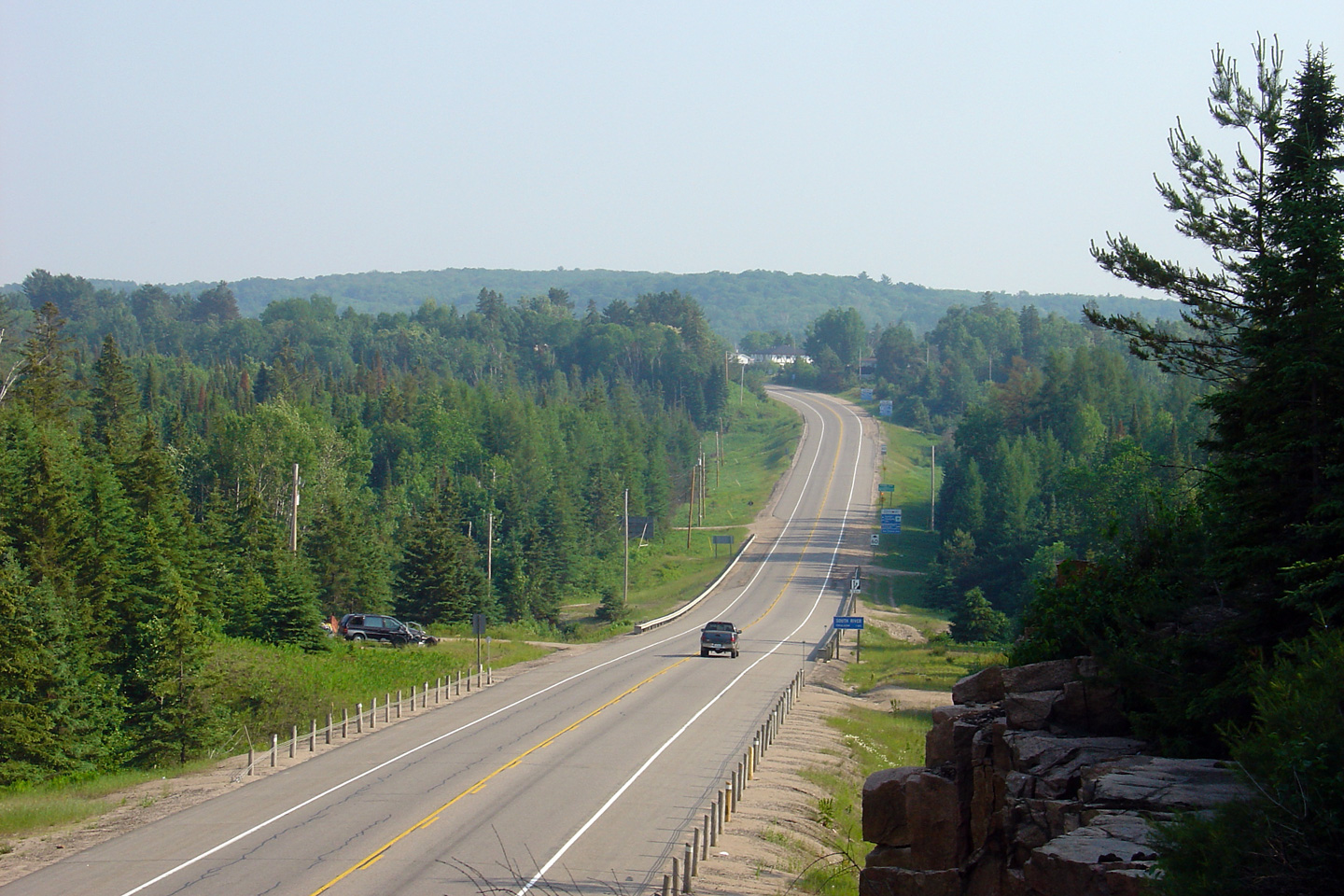
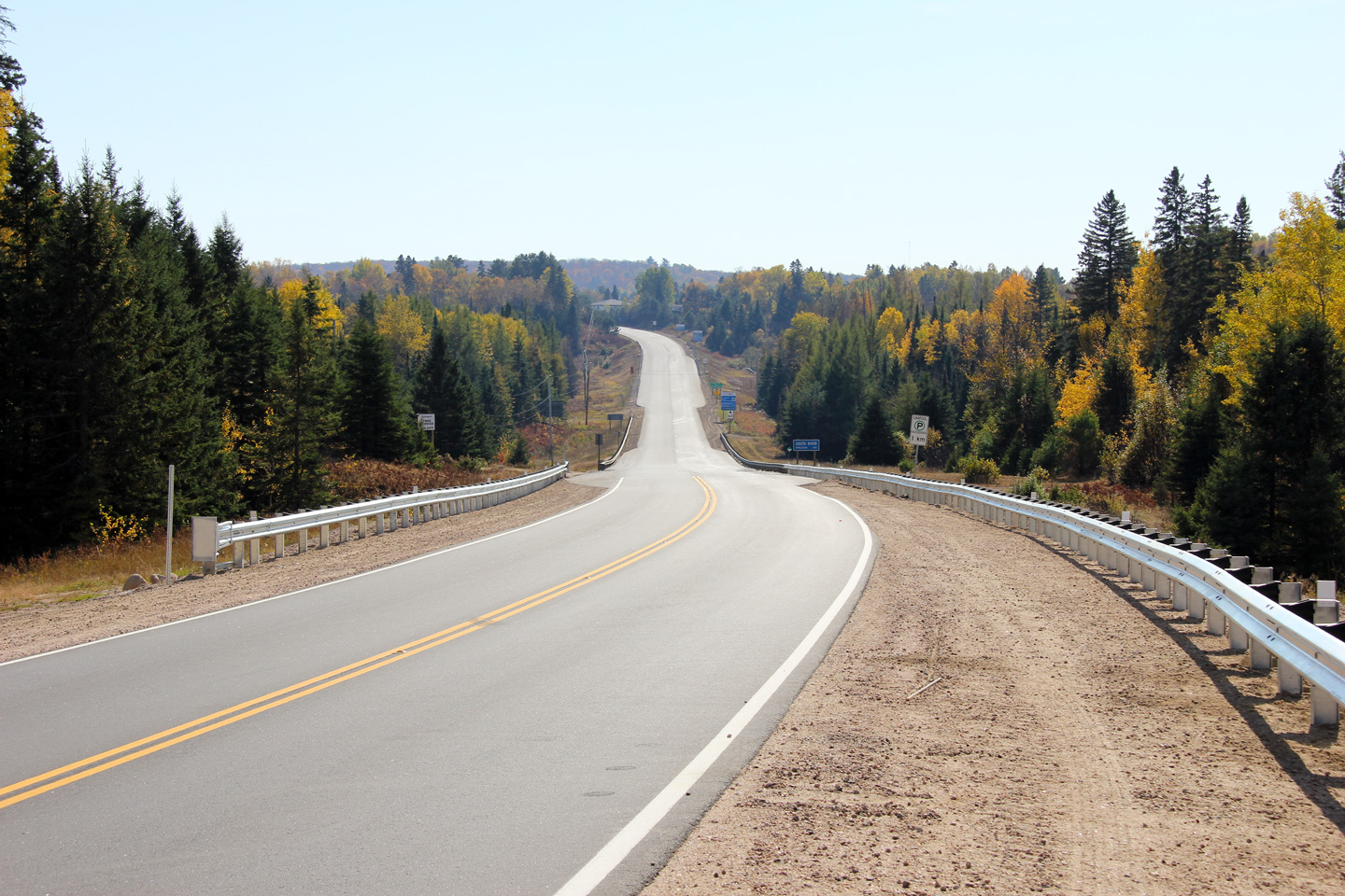
| Township of Machar District of
Parry Sound |
View looking southerly along Highway 124 towards Sundridge at the
Strong/Machar Boundary Road. There is one southbound passing lane
between South River and Sundridge. Photo taken: June 17th, 2006. |

(720x480)
(1440x960) |
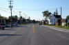
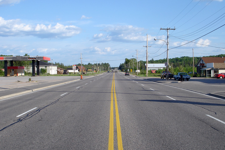
| Township of Machar District of
Parry Sound |
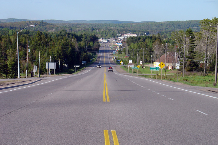
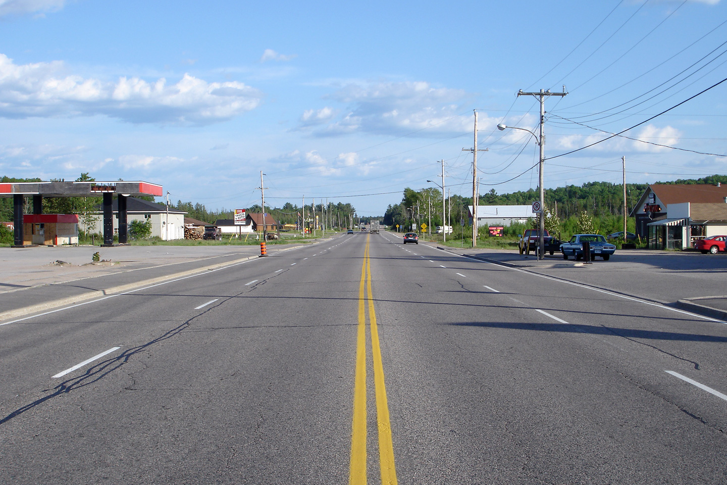
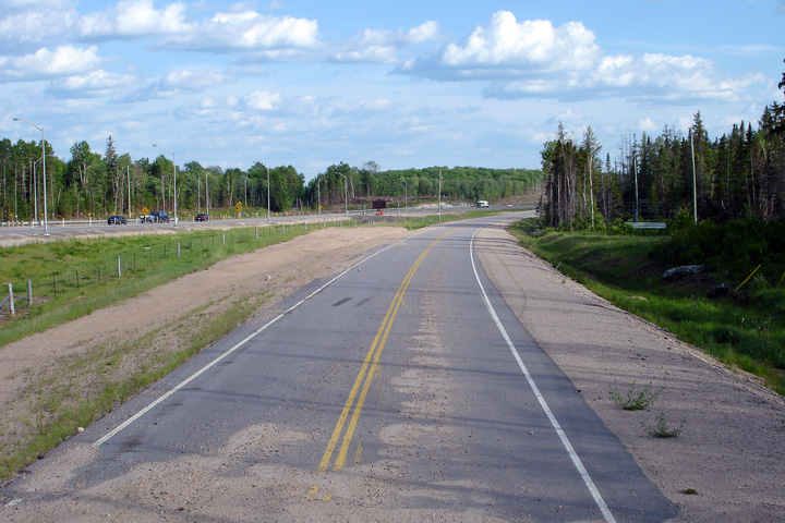
Looking south through South River towards the end of the urban 4-lane
segment of highway.
Highway 124 has a 4-lane cross-section through South
River's urbanized area. This photo was taken, five years prior to the opening of the
new Highway 11 freeway to the west of South River. Take note of the
abandoned fuel station on the eastern side of today's Highway 124 -- this
fuel station was obviously abandoned long before the small community was
by-passed.
Photo taken: June 4th, 2006. |
(720x480)
(1440x960) |
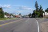
| Township of Machar District of
Parry Sound |
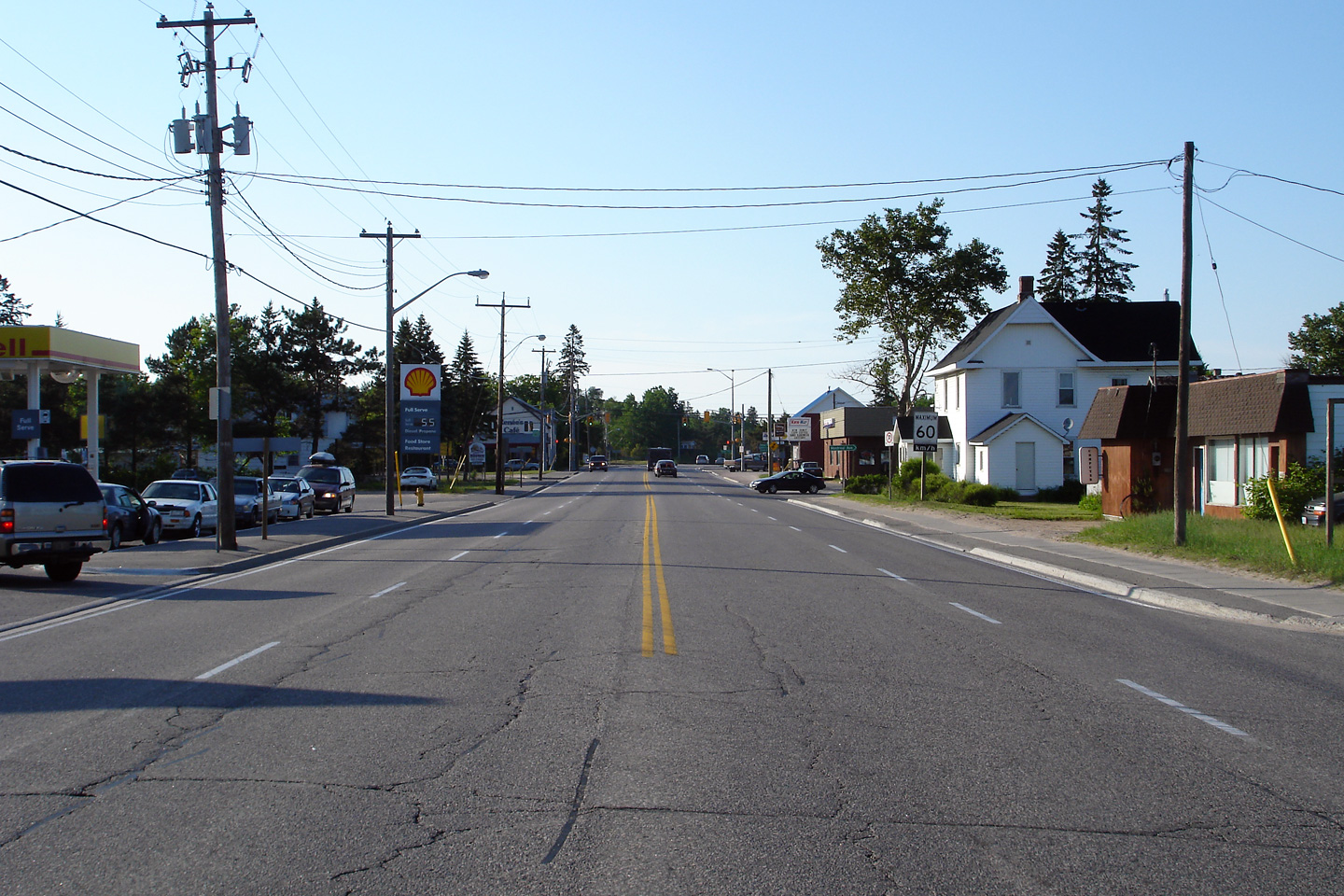
Looking north towards the signalized intersection at Ottawa Avenue in South
River. Before the completion of the Highway 11 freeway, this
intersection was one of three signalized intersections along
Highway 11 between Barrie and North Bay. Photo taken: June 4th, 2006. |
(720x480)
(1440x960) |
| Township of Machar District of
Parry Sound |
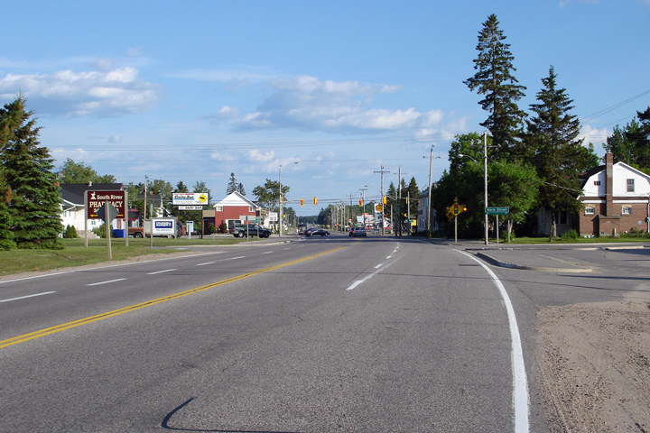
Looking south through South River towards the Ottawa Avenue signalized
intersection. Photo taken: June 4th, 2006. |
(720x480)
(1440x960) |
| Township of Machar District of
Parry Sound |
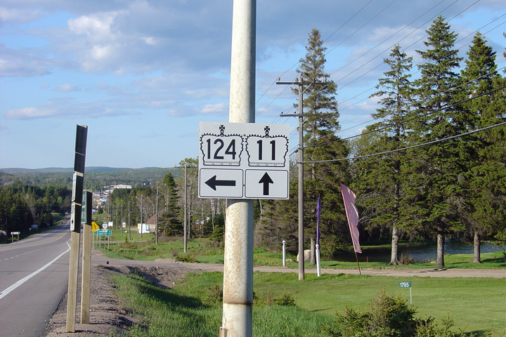
Signage in the southbound direction advising passing motorists that Highway
11 was redesignated as Highway 124 during the summer of 2011.
Photo taken: October 8th, 2011. |
 (720x480) (720x480)
(1440x960) |
| Township of Machar District of
Parry Sound |
Two views looking northerly as the highway (first Highway 11 and now
Highway 124) climbs the long grade out of South River. A considerable
portion of Highway 124 was realigned along this grade to make way for the
Highway 11 interchange that opened at the top of the hill in September of
2011. Upper photo taken: June 17th, 2006.
Lower photo taken: October 8th, 2011. |
(720x480)
(1440x960)
(2400x1600) |
| Township of Machar District of
Parry Sound |
Two views looking southerly into South River.
Upper photo taken: June 17th, 2006.
Lower photo taken: October 8th 2011. |

(720x480)
(1440x960)
(2400x1600) |
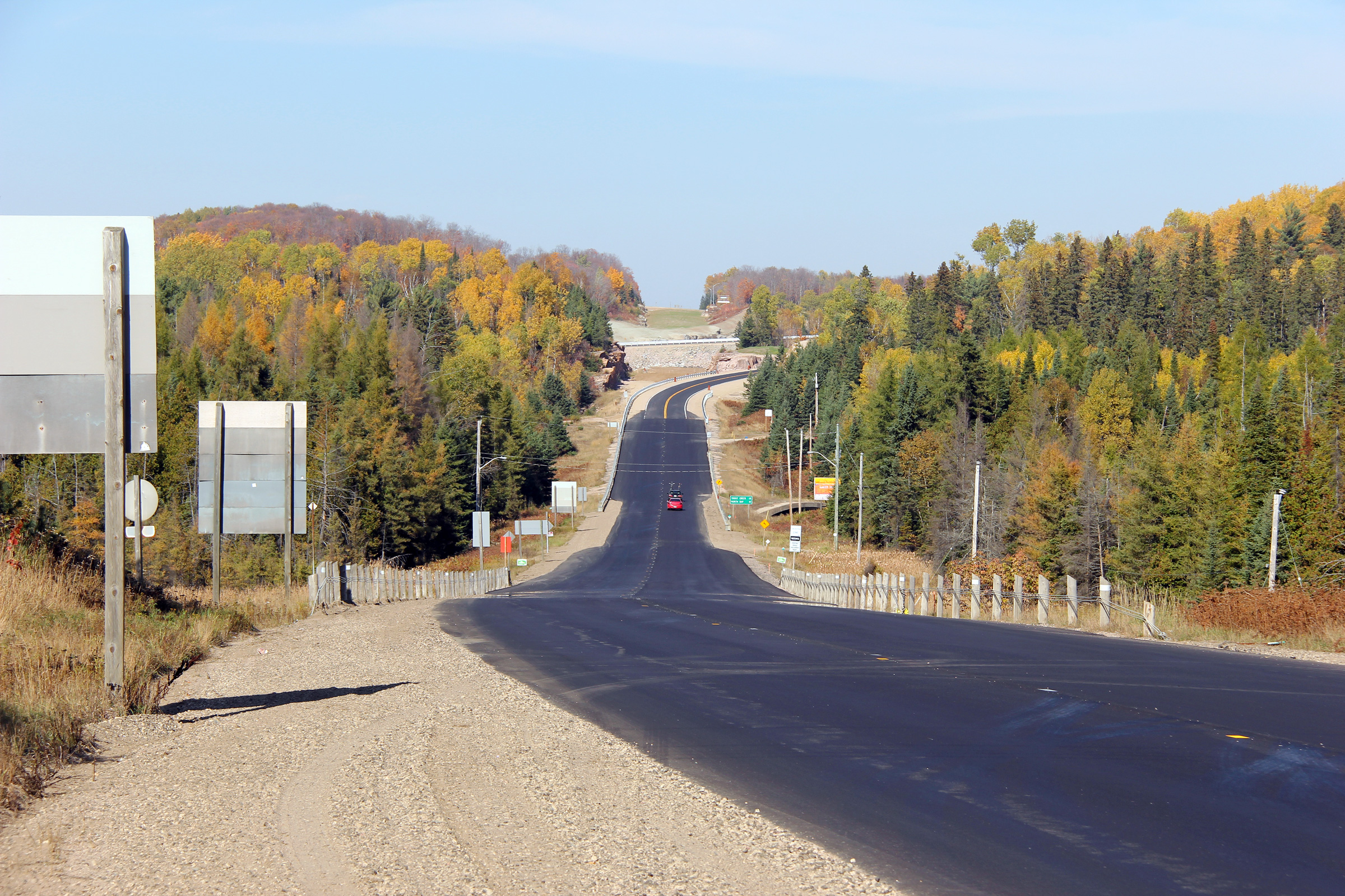
| Township of Machar District of
Parry Sound |
Two views looking northerly from about halfway up the large hill leading out
of South River. The upper photo was taken in 2006 and shows the
cleared right of way for the diversion that now carries Highway 124 to the
Highway 11 interchange; the lower photo shows the completed diversion
with the pavement and granulars removed from the former alignment of Highway
11.
Upper photo taken: June 17th, 2006.
Lower photo taken: October 8th, 2011. |
(720x480)
(1440x960)
(2400x1600) |
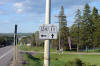
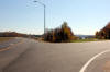
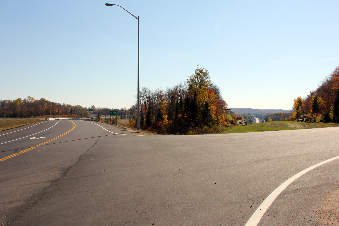
| Township of Machar District of
Parry Sound |
Southbound reassurance marker along Highway 124 located just south of the
northern Highway 11 interchange.
Photo taken: October 8th, 2011. |
(720x480)
(1440x960)
(2400x1600) |
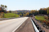
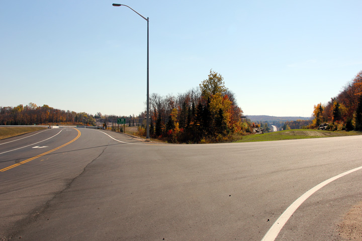
| Township of Machar District of
Parry Sound |
View looking northerly along Highway 124 approaching the northbound on-ramp
to Highway 11.
Photo taken: October 8th, 2011. |

(720x480)
(1440x960)
(2400x1600) |
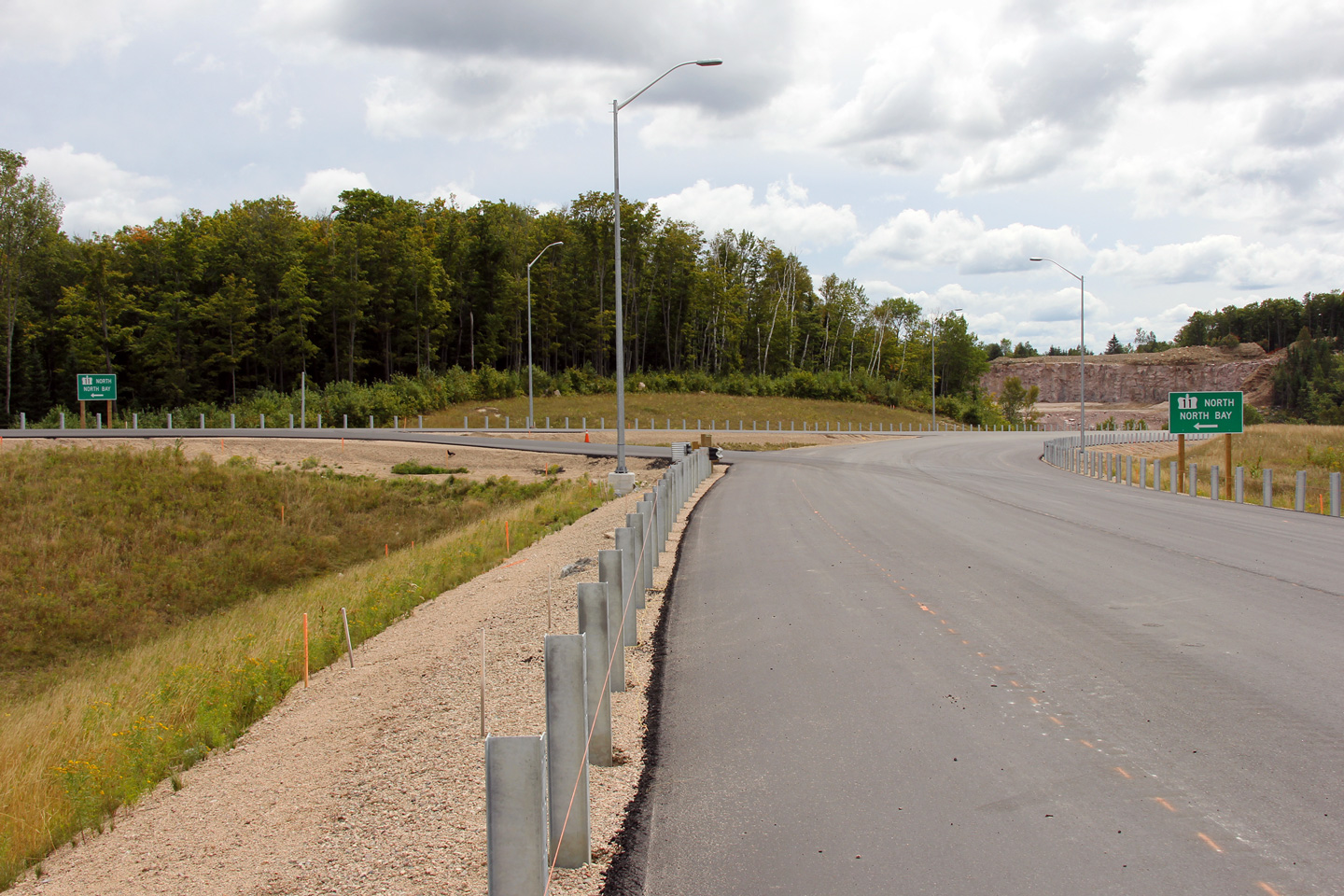
| Township of Machar District of
Parry Sound |
Two views, one taken during construction, the other taken shortly after the
new highway opened, showing the ramp from Highway 124 South to Highway 11
North. Motorists wishing to execute this maneuver must turn left from
Highway 124 South onto a slip road and then turn left once again onto the
ramp. This unusual ramp configuration was constructed due to the
topography that surrounds the northern Highway 11/124 interchange. A
similar interchange configuration was constructed nearly a decade earlier in
the early 2000s at
the Rankin Lake Road interchange along Highway 400.
Upper photo taken: August 28th, 2011.
Lower photo taken: October 8th, 2011. |
(720x480)
(1440x960)
(2400x1600) |
|
Highway 11 is the principle
route between Toronto and North Bay. Click here for Highway 11 images. |
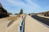
| Township of Machar District of
Parry Sound |
This August 2011 view shows the structure that carries Highway 124
overtop of Highway 11 just prior to the completion of the freeway.
Photo taken: August 28th, 2011. |
|
| Township of Machar District of
Parry Sound |
Two views looking southerly down the large hill that carries the highway
into South River. Because the new alignment of Highway 124 winds
around the Highway
11 interchange, the new alignment makes a far less dramatic descent into South River compared to
the former alignment of Highway 11.
Upper photo taken: May 29th, 2004.
Lower photo taken: October 8th, 2011. |
(720x480)
(1440x960)
(2400x1600) |
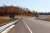
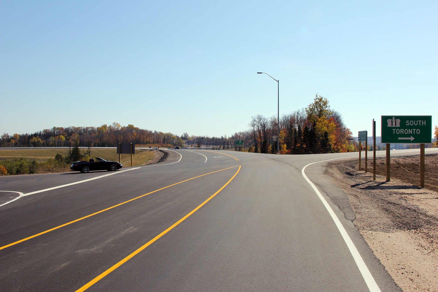
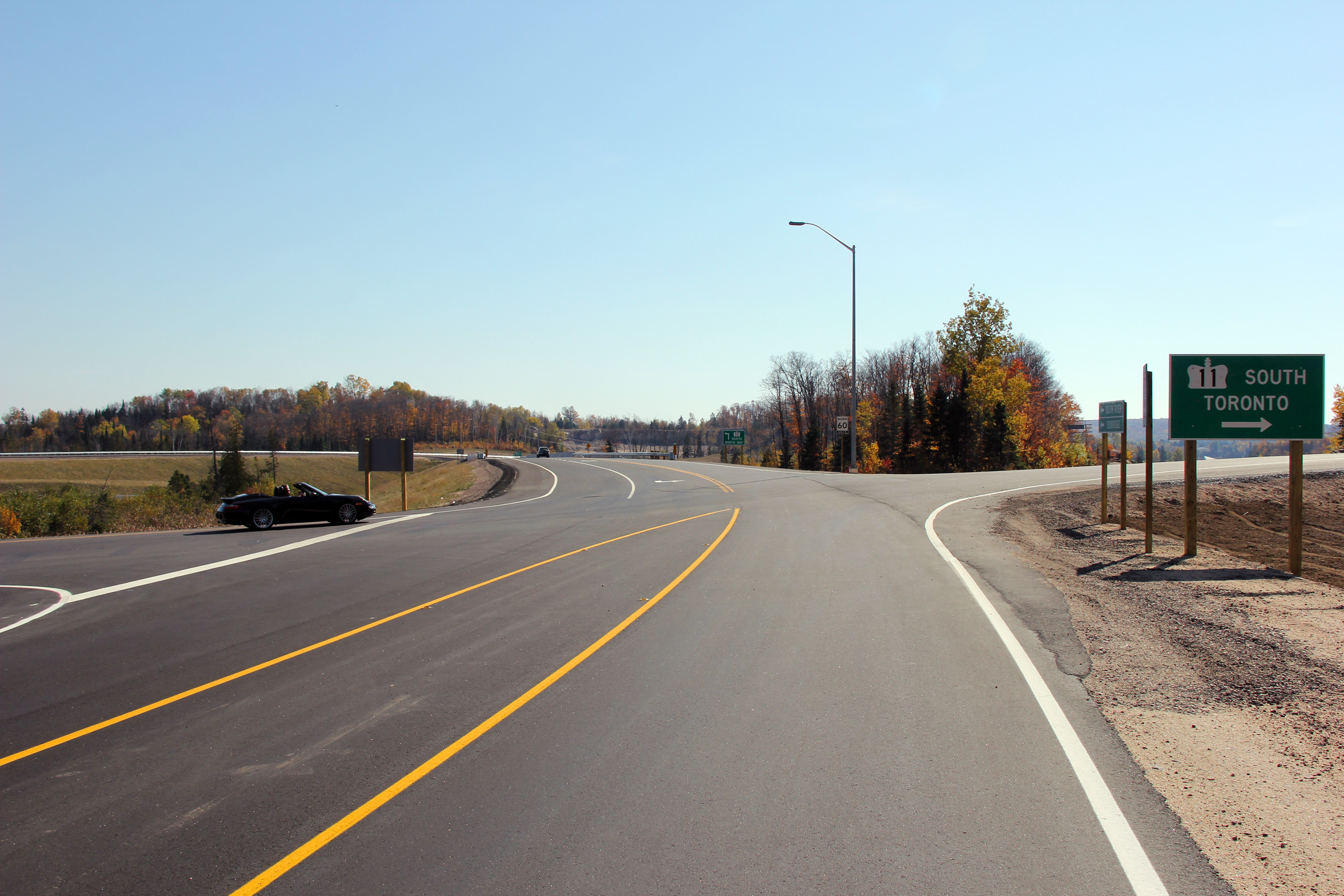
| Township of Machar District of
Parry Sound |
Southerly view along Highway 124 at the north ramp terminal of the northern
Highway 11 interchange.
Photo taken: October 8th, 2011. |
(720x480)
(1440x960)
(2400x1600) |
| Township of Machar District of
Parry Sound |
Two views looking northerly from north of the northern Highway 11
interchange. The northbound passing lane that is pictured in the upper
(2004) photo was removed during the construction of the Highway 11 freeway
around South River and Sundridge. With the completion of the new
freeway, traffic volumes are much lower along the former alignment of Highway
11 that remains (today's Highway 124) and no longer warrant a dedicated passing lane.
Upper photo taken: May 29th, 2004.
Lower photo taken:
March 5th, 2012. |
(720x480)
(1440x960)
(2400x1600) |
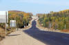
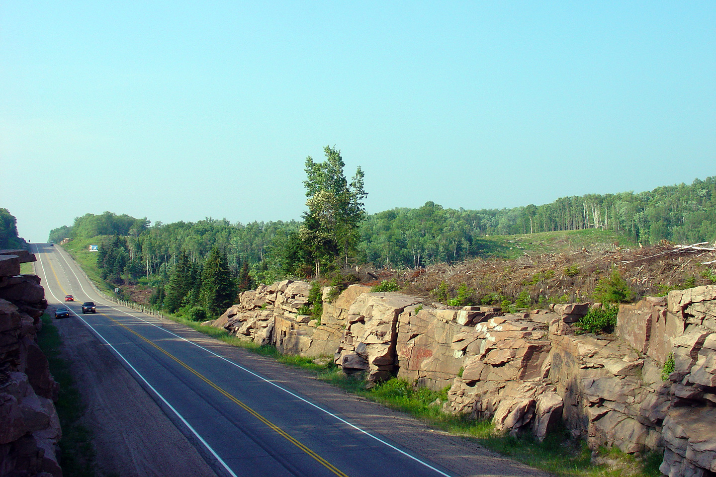
| Township of Machar District of
Parry Sound |
View looking northerly in 2006 at the temporary end of the divided highway
11. This configuration existed as shown between 2004 and 2011.
An up to date 2012 view of this location will be added in the future.
Photo taken: June 18th, 2006. |
|
| Township of Machar District of
Parry Sound |
This curve diversion was constructed in 2003 and carried Highway 11 traffic
during both 2003 and 2004. When the Highway 11 freeway was extended southerly
from Trout Creek in 2004, this curve was closed to traffic as the new
freeway alignment of Highway 11 tied into the existing road just to the
south of this curve. In the September, 2011, this curve was reopened to
traffic as part of Highway 124.
Photo taken: June 4th, 2006. |
|
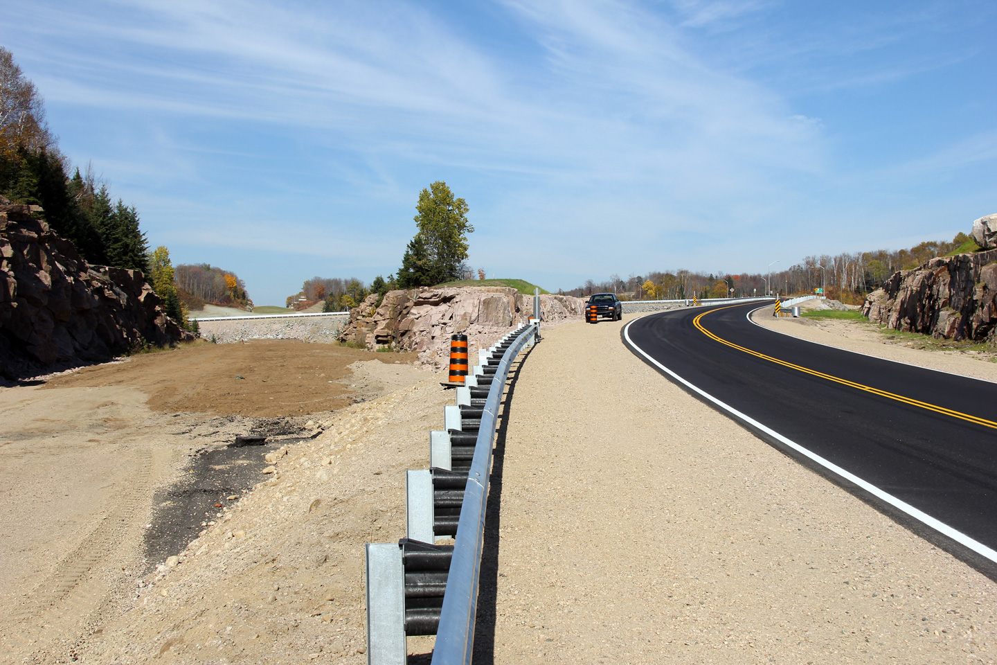
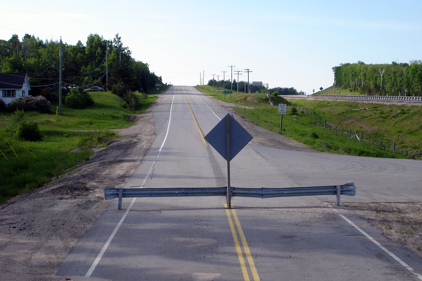
| Township of Machar District of
Parry Sound |
From 2004 to 2011, Highway 124 was barricaded just south of Chrest Drive.
As was noted in the commentary above, this photo was also taken during the time when the Highway
11 freeway tied into the existing alignment of Highway 11 just south of Chrest Drive.
Photo taken: June 4th, 2006.
|
|
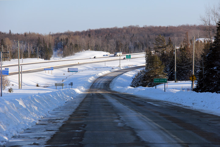
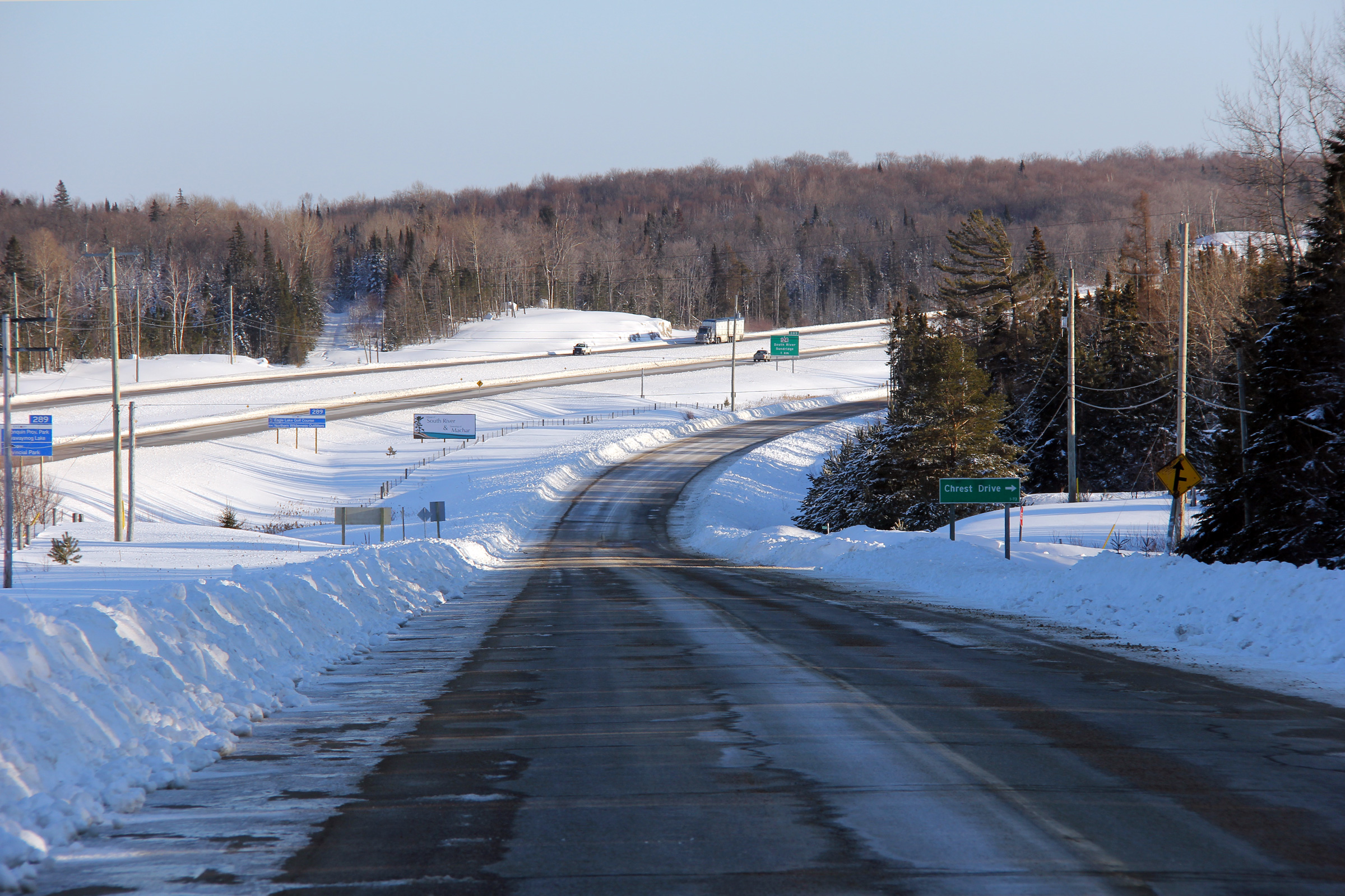
| Township of Machar District of
Parry Sound |
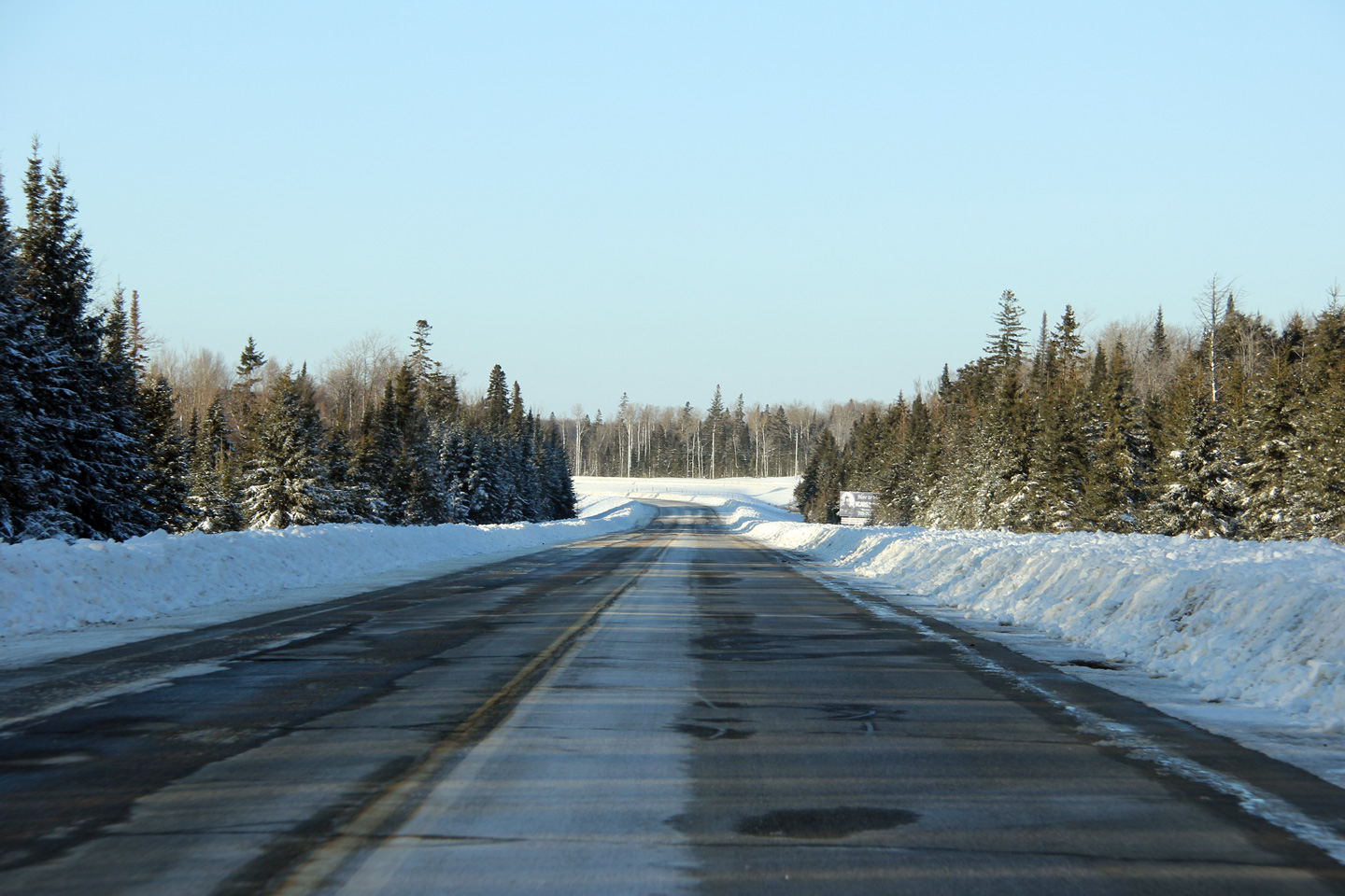
This wintertime view looks southerly along Highway 124 nearing the Chrest
Drive intersection north of South River. This view provides an
interesting snap shot of the history of Highway 11. The original
Department of Northern Development Northern Trunk Road that became Highway
11 in 1937 is visible as a narrow clearing through the trees to the east of
the divided highway. The first alignment of Highway 11 was bypassed by
today's Highway 124 in 1948; this semgent carried the Highway 11
designation until 2004. Finally the pictured divided highway opened in two
distinct
stages in 2004 and 2011 respectively.
Photo taken: March 5th, 2012. |

(720x480)
(1440x960)
(2400x1600) |
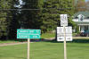
| Township of Machar District of
Parry Sound |
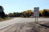
Sign explaining that the Highway 124 designation was extended along the
former alignment of Highway 11 as far north as Summit Drive north of South
River.
Photo taken: October 8th, 2011. |
 (720x480) (720x480)
(1440x960) |

 (720x480)
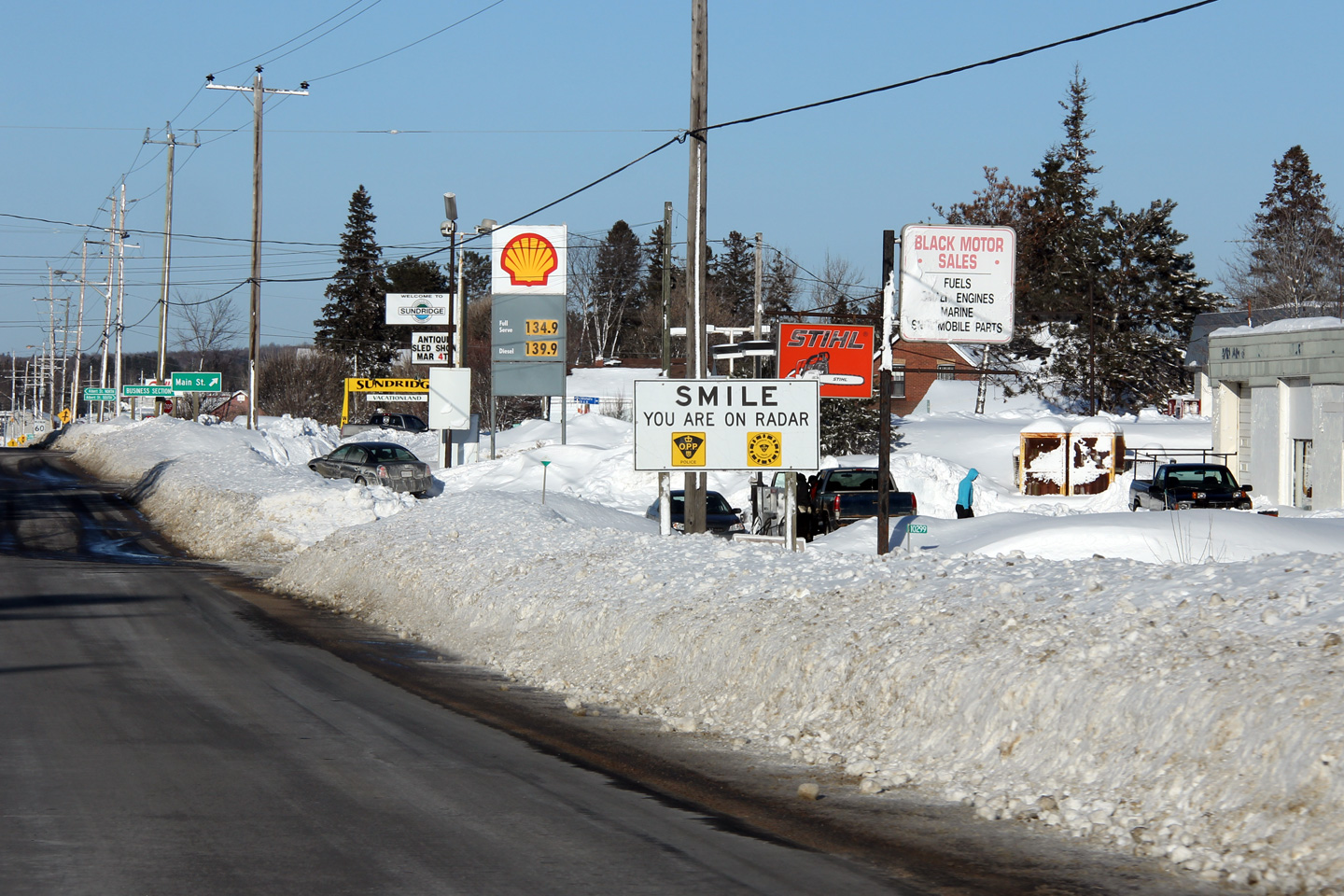

 (720x480)
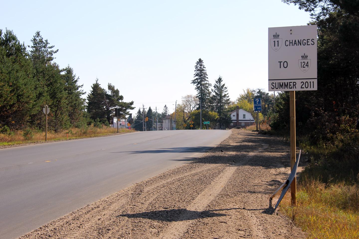


 (720x480)
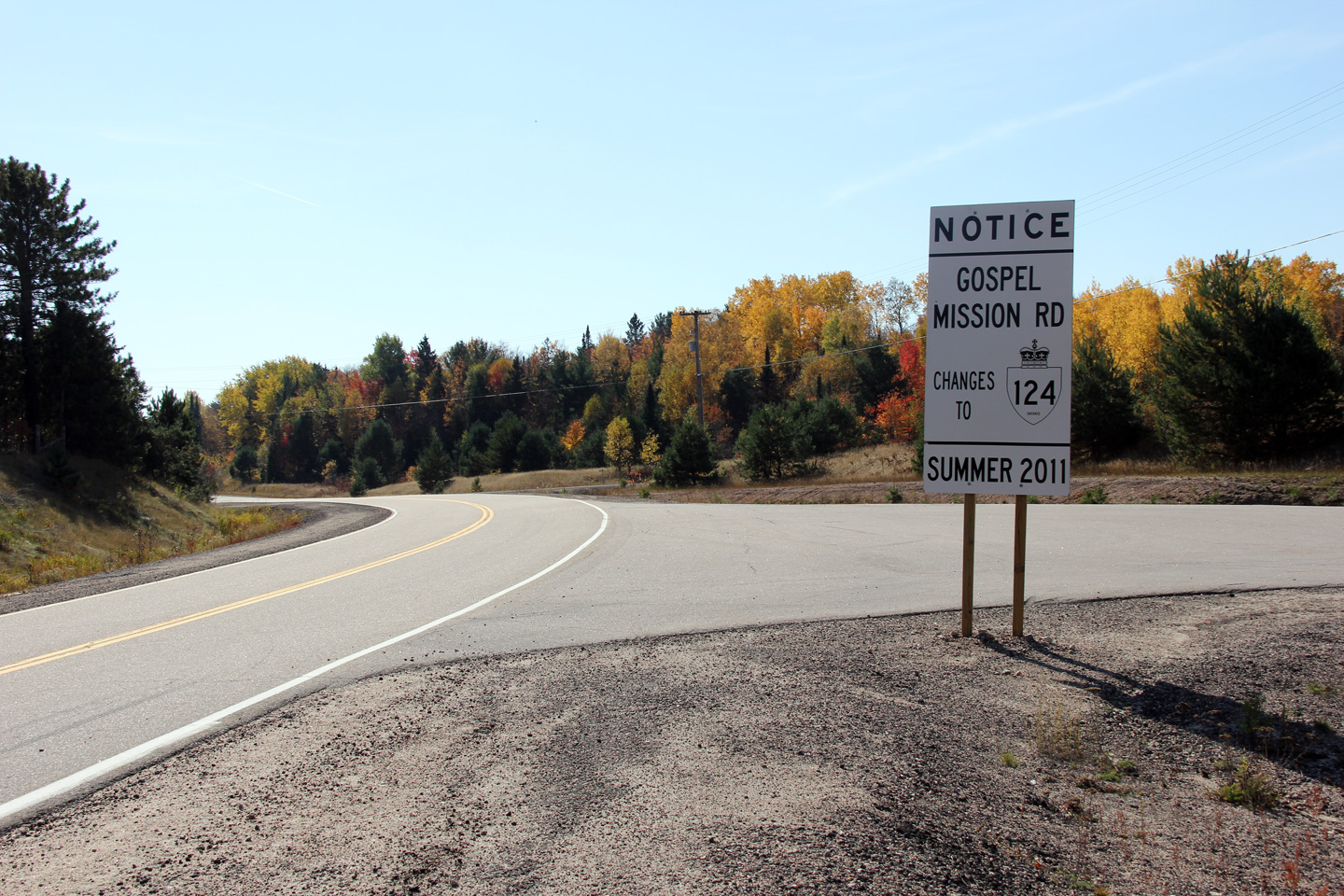