AsphaltPlanet.ca > OntHighways > Highway 8 > Images > Page 1
King's Highway 8 - Images
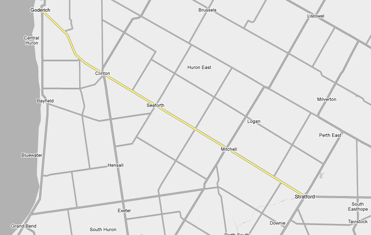
Page 1 - Goderich to Stratford Page 2 ->
Photos shown in this table are arranged from West to East:
| Proper Municipality Name | Photo Description | Photo | |
|
Pictures taken from driver's perspective appear offset from centre-line pictures: |
East- Bound |
West- Bound |
|
| Highway 8 ends at the Highway 21 intersection just southeast of Downtown Goderich. Click here for Highway 21 images. | |||
|
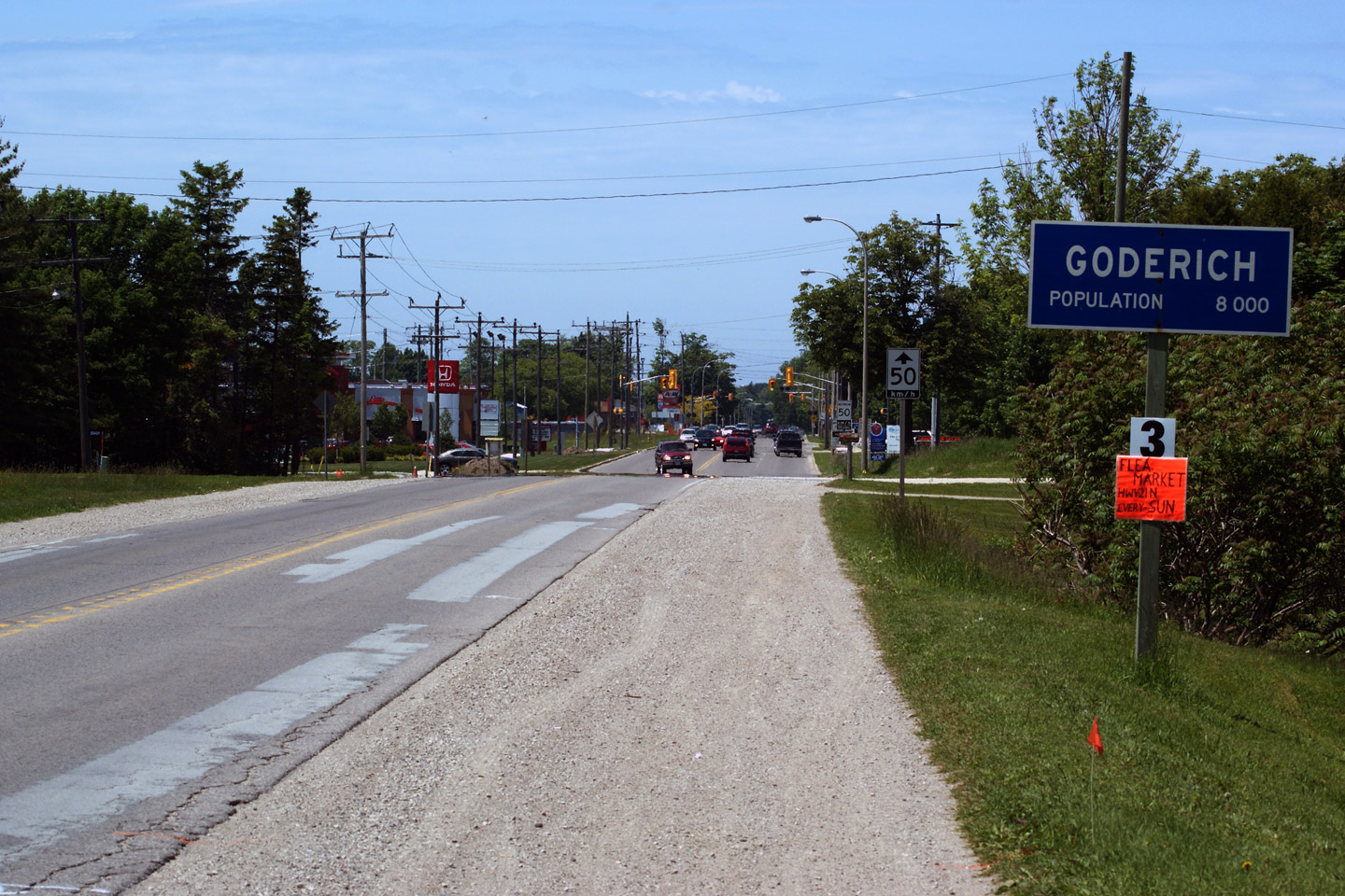
Town of Goderich County of Huron |
View looking westerly at the
western terminus of Highway 8 at the Highway 21 intersection in Goderich. Photo taken: June 14th, 2009. |
|
|
|
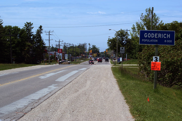
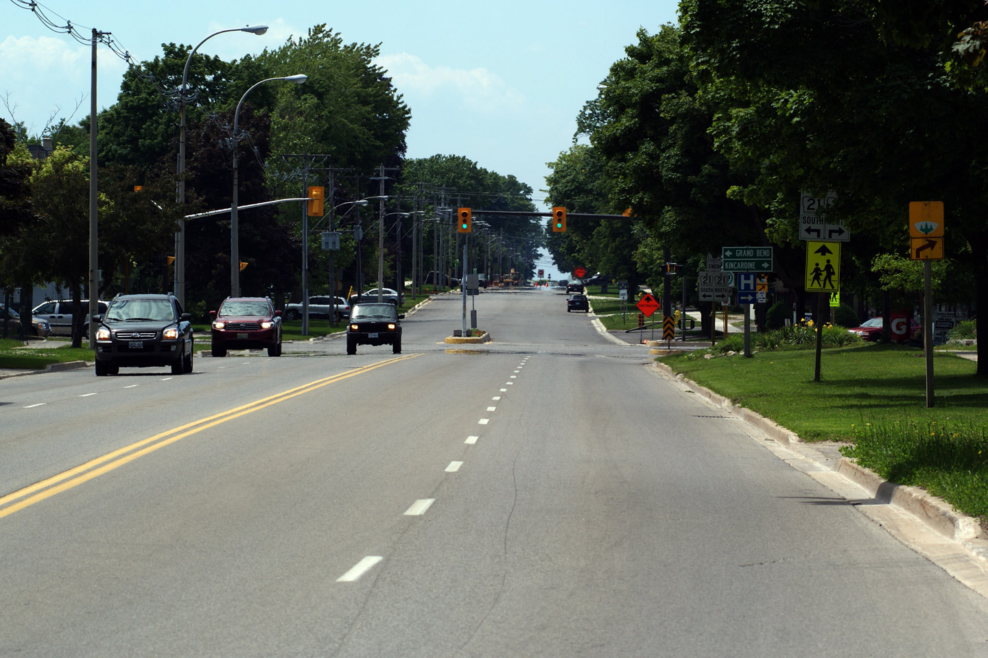
Town of Goderich County of Huron |
View looking easterly at Highway
8 as it leaves Downtown Goderich. Photo taken: June 14th, 2009. |
|
|
|
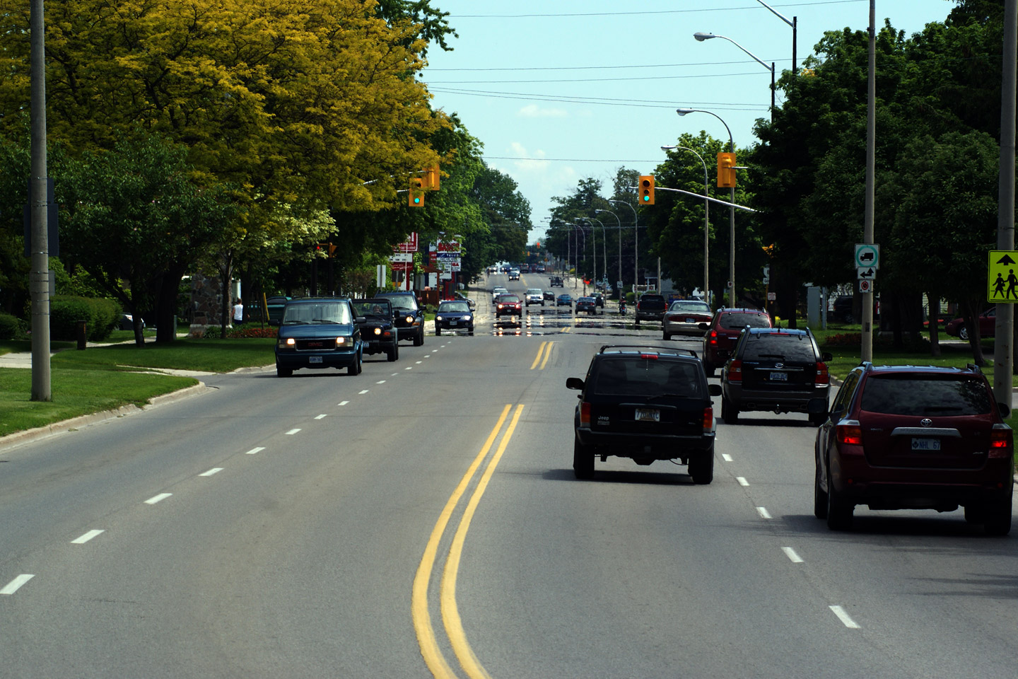
Town of Goderich County of Huron |
Westerly view as Highway 8 widens
to an urban cross-section for the small community of Goderich. Photo taken: June 14th, 2009. |
|
|
|
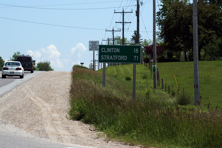
Municipality of Central Huron County of Huron |
First eastbound distance sign
along Highway 8 east of Goderich. I find it hard to believe that at
the height of Highway 8's length the highway stretched between Goderich and
Niagara Falls. Considering today's travel patterns, such a continuous
route number seems odd. Photo taken: June 14th, 2009. |
|
|
|
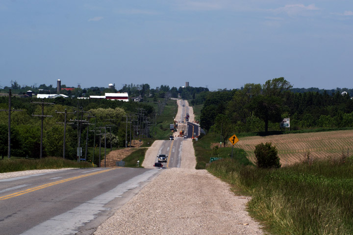
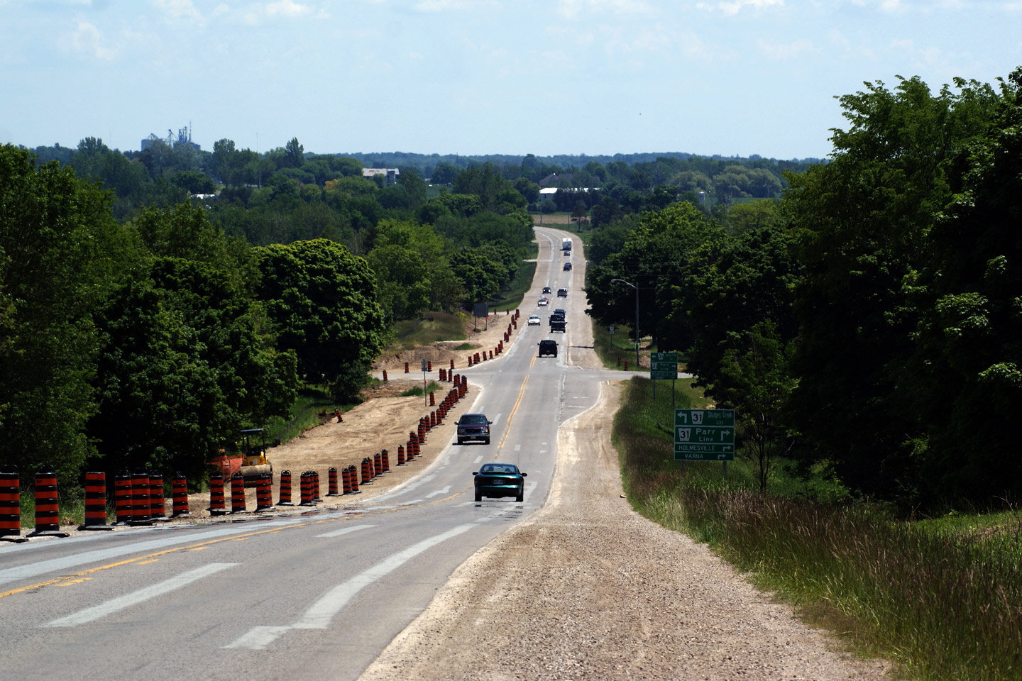
Municipality of Central Huron County of Huron |
Looking westerly along Highway 8
from Kitchigami Line Road. A culvert is being replaced in the
distance. This photo was taken in the Summer of 2009, at a time when
Highway 8 is being upgraded and resurfaced. Photo taken: June 14th, 2009. |
|
|
|
Municipality of Central Huron County of Huron |
View looking westerly towards the
Parr Line intersection along Highway 8. I am not sure what the work
being carried out on the northern shoulder is for. Perhaps it is to
facilitate another culvert replacement. Photo taken: June 14th, 2009. |
|
|
|
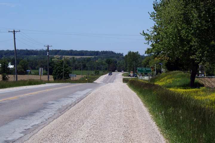
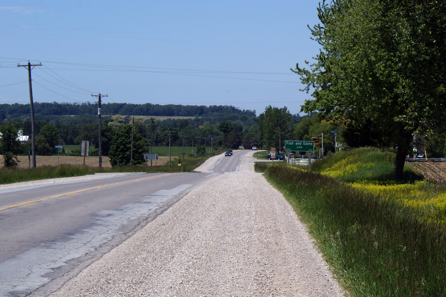
Municipality of Central Huron County of Huron |
View looking westerly along
Highway 8 near Fish and Game Line. Fish and Game Line is not a road
name you would expect to encounter "South of Steeles". Photo taken: June 14th, 2009. |
|
|
|
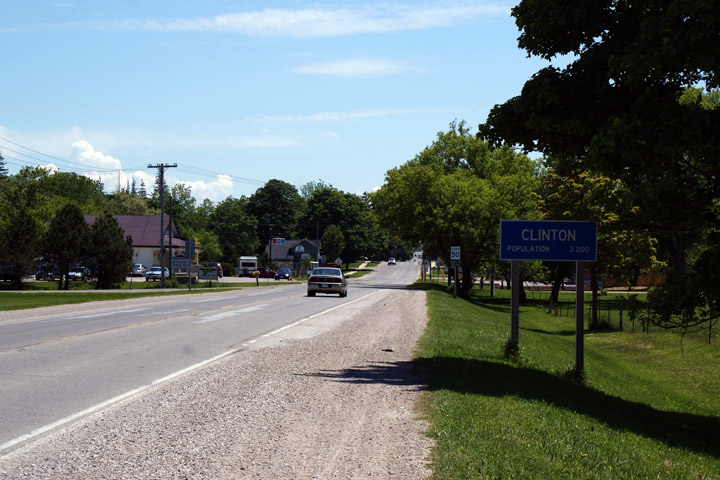
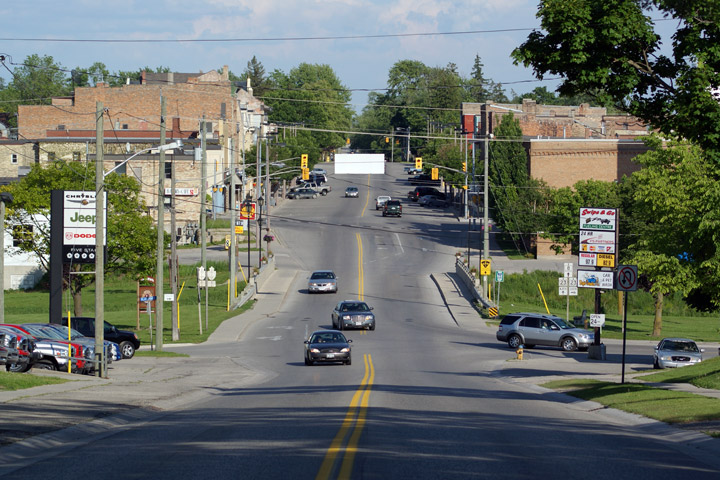
Municipality of Central Huron County of Huron |
View looking easterly into
Clinton. Clinton is no longer its own Town, being absorbed into the
surrounding township during Mike Harris' tenure as Ontario's premier.
As such, it is surprising the population of Clinton is still listed on its
sign. Photo taken: June 14th, 2009. |
|
|
|
Municipality of Central Huron County of Huron |
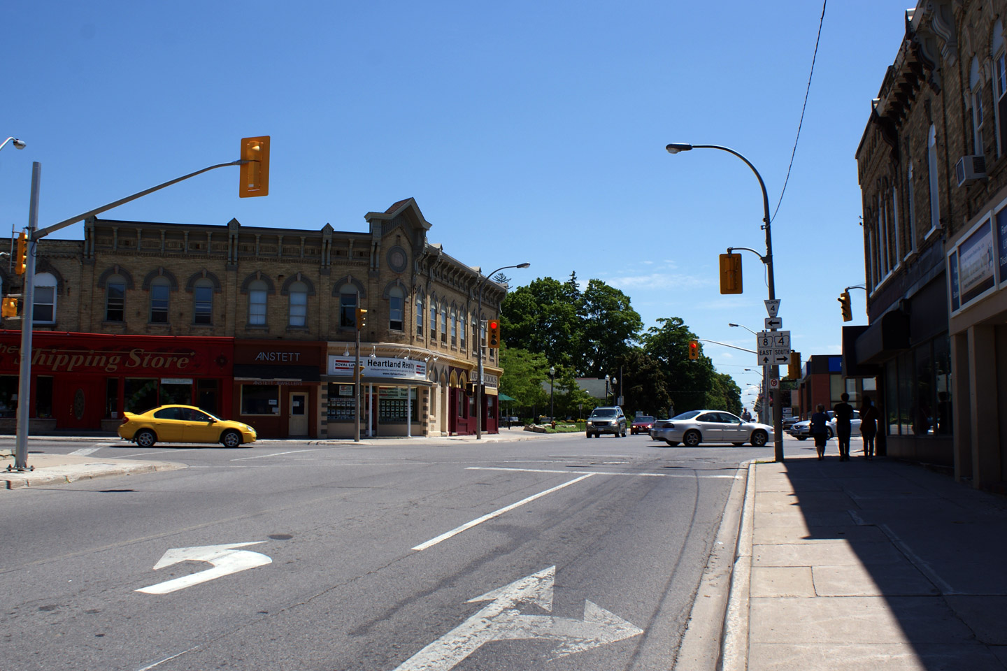
View looking easterly towards the
Highway 4 junction in Downtown Clinton. A few years ago, this
intersection was resigned to give precedence to the King's Highway's.
I don't like how it is signed. Photo taken: June 14th, 2009. |
|
|
| Highway 8 meets Highway 4 at the four corners of Clinton. Highway 4 runs southern into London. Click here for Highway 4 images. | |||
|
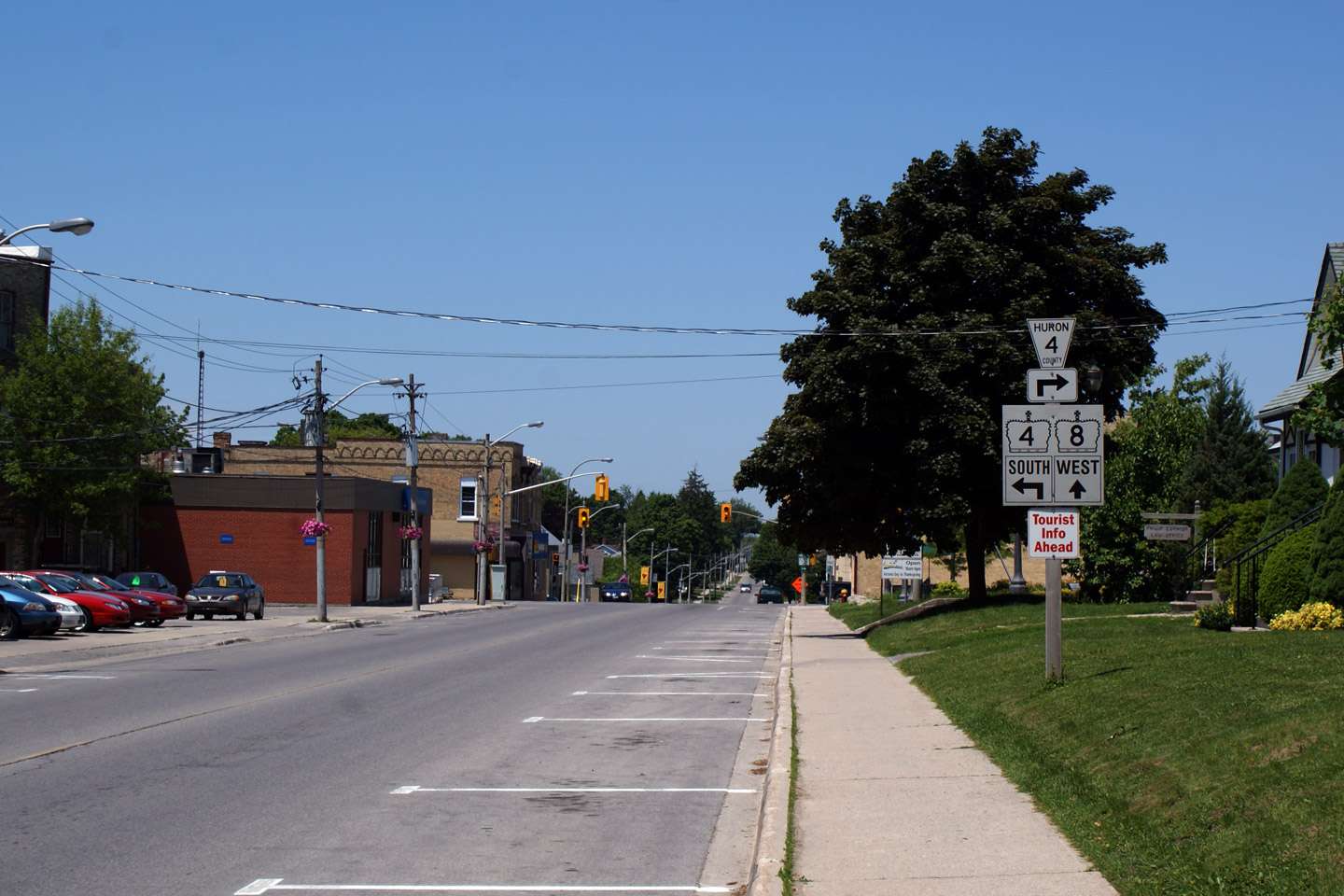
Municipality of Central Huron County of Huron |
Westerly view towards the Highway
4 intersection. Before 1998, Highway 4 continued north and easterly
from this junction all the way to Singhamton on Highway 24. Photo taken: June 14th, 2009. |
|
|
|
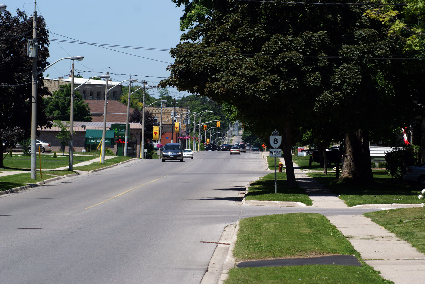
Municipality of Central Huron County of Huron |
Westerly view of the mature trees
in Clinton. Photo taken: June 14th, 2009. |
|
|
|
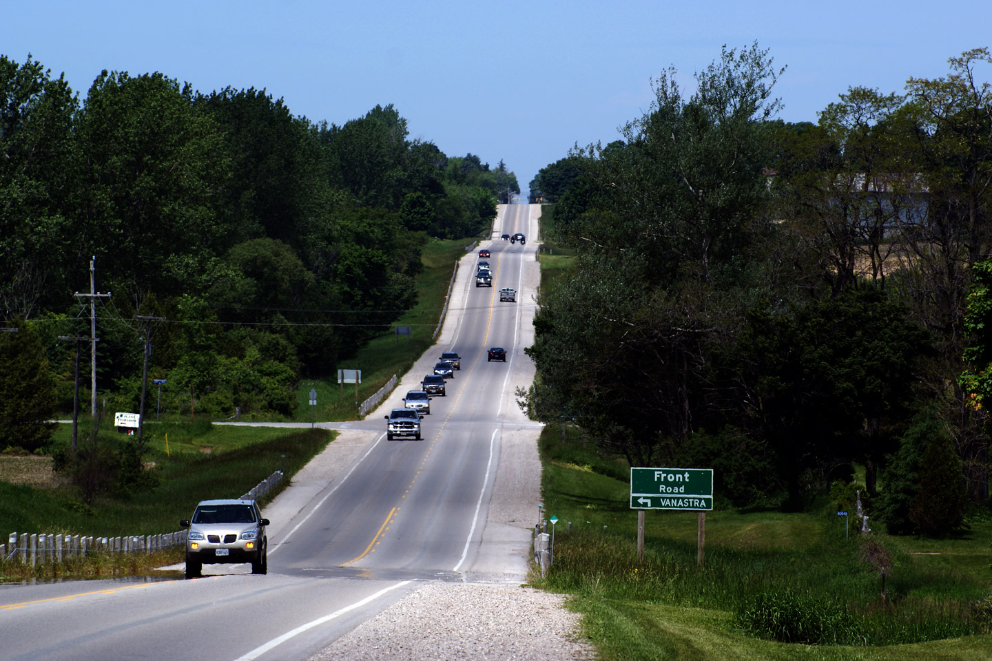
Municipality of Central Huron County of Huron |
View looking westerly towards the
Front Road intersection. Vanastra is a small satellite community
adjacent to Clinton. Photo taken: June 14th, 2009. |
|
|
|
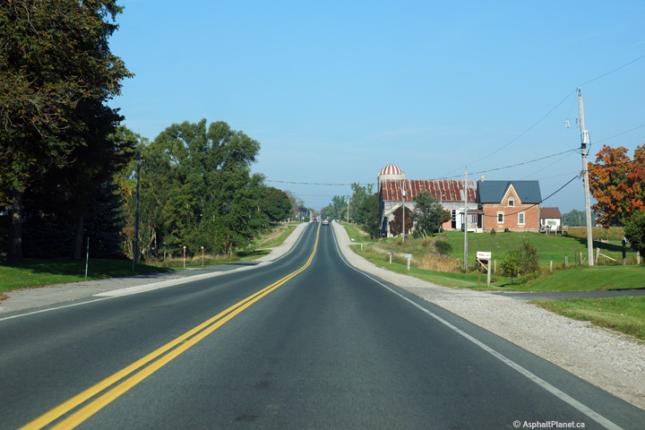
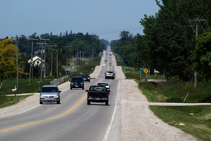
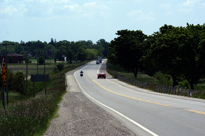
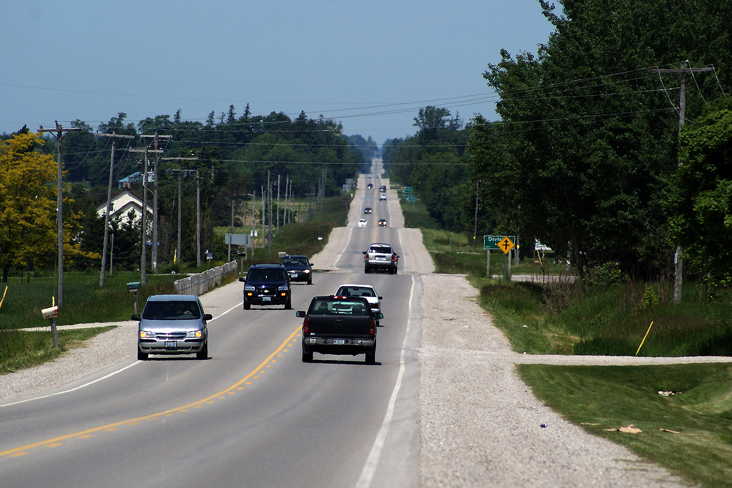
Municipality of Central Huron County of Huron |
View looking westerly along
Highway 8 from about 2km west of Seaforth. You can see for miles in
this photo -- unfortunately it is a hazy couple of miles. Photo taken: June 14th, 2009. |
|
|
|
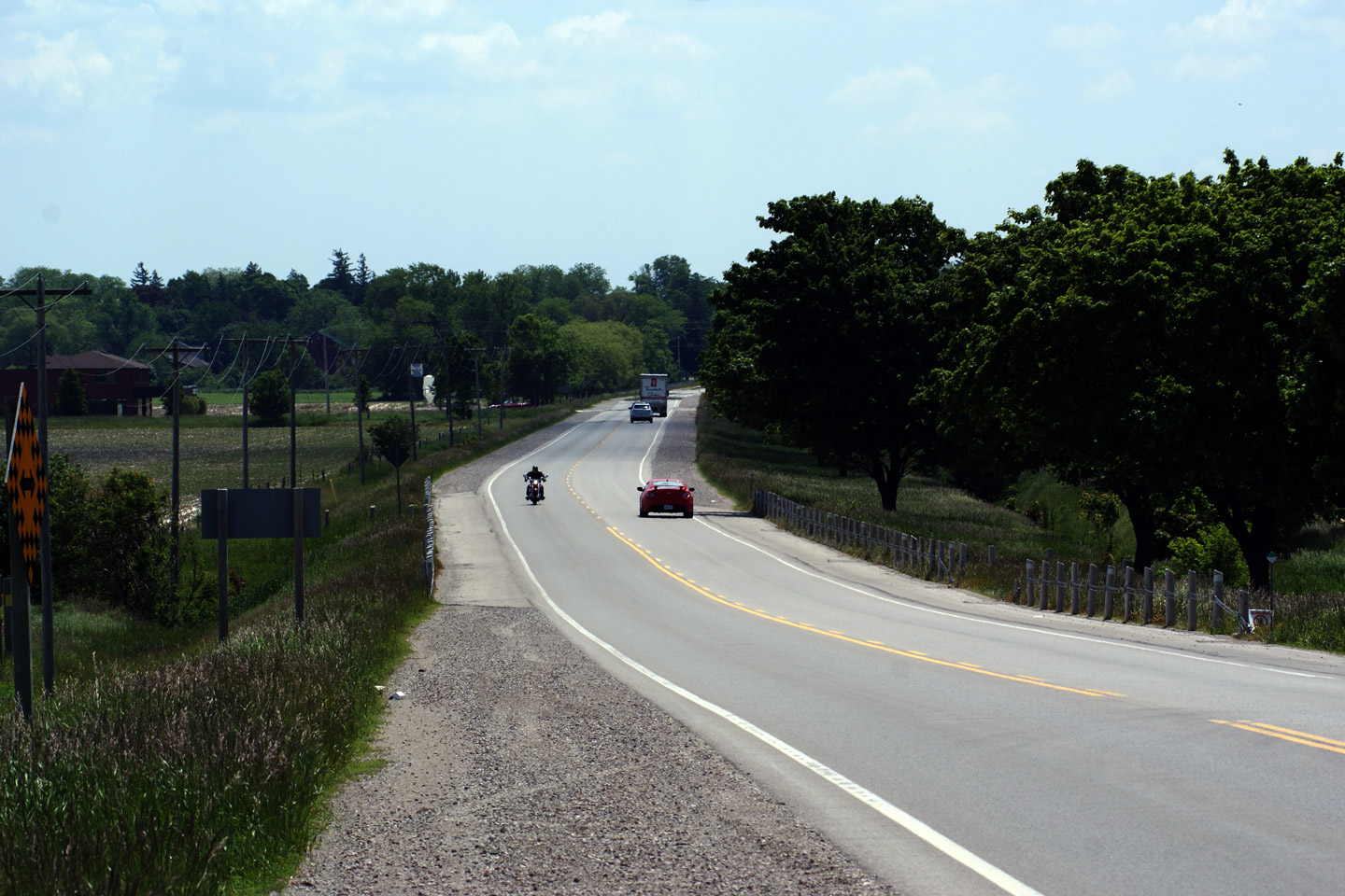
Municipality of Huron East County of Huron |
View looking easterly into
Seaforth from just west of Seaforth. Photo taken: June 14th, 2009. |
|
|
|
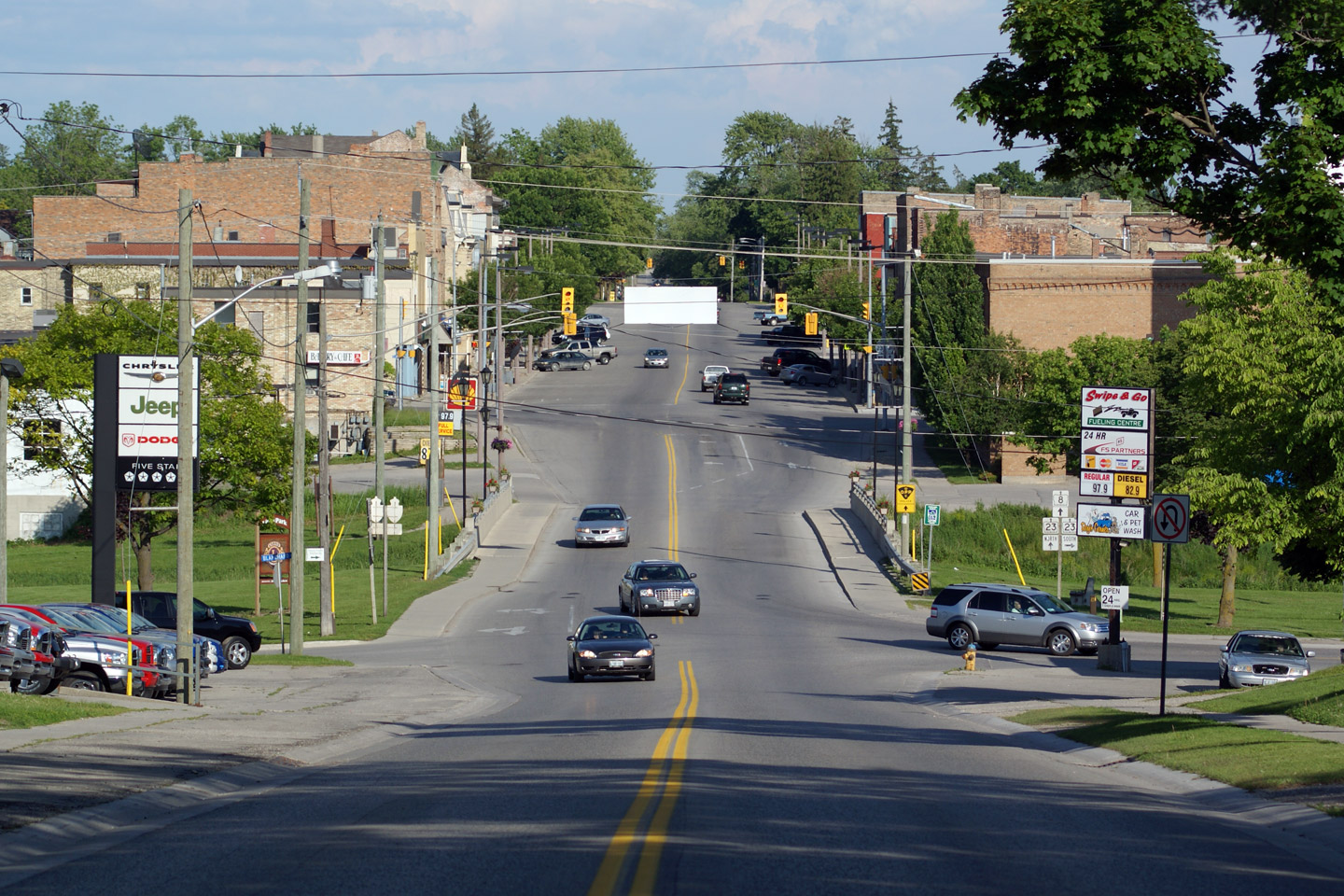
Municipality of West Perth County of Perth |
View looking easterly at Highway
8 through Goderich. Highway 23 runs concurrent with Highway 8 overtop
of the North Thames River. Photo taken: June 14th, 2009. |
|
|
| Highway 8 meets Highway 23 in Downtown Mitchel. Highway 23 runs from Elginfield to Harriston. Click here for Highway 23 images. | |||
|
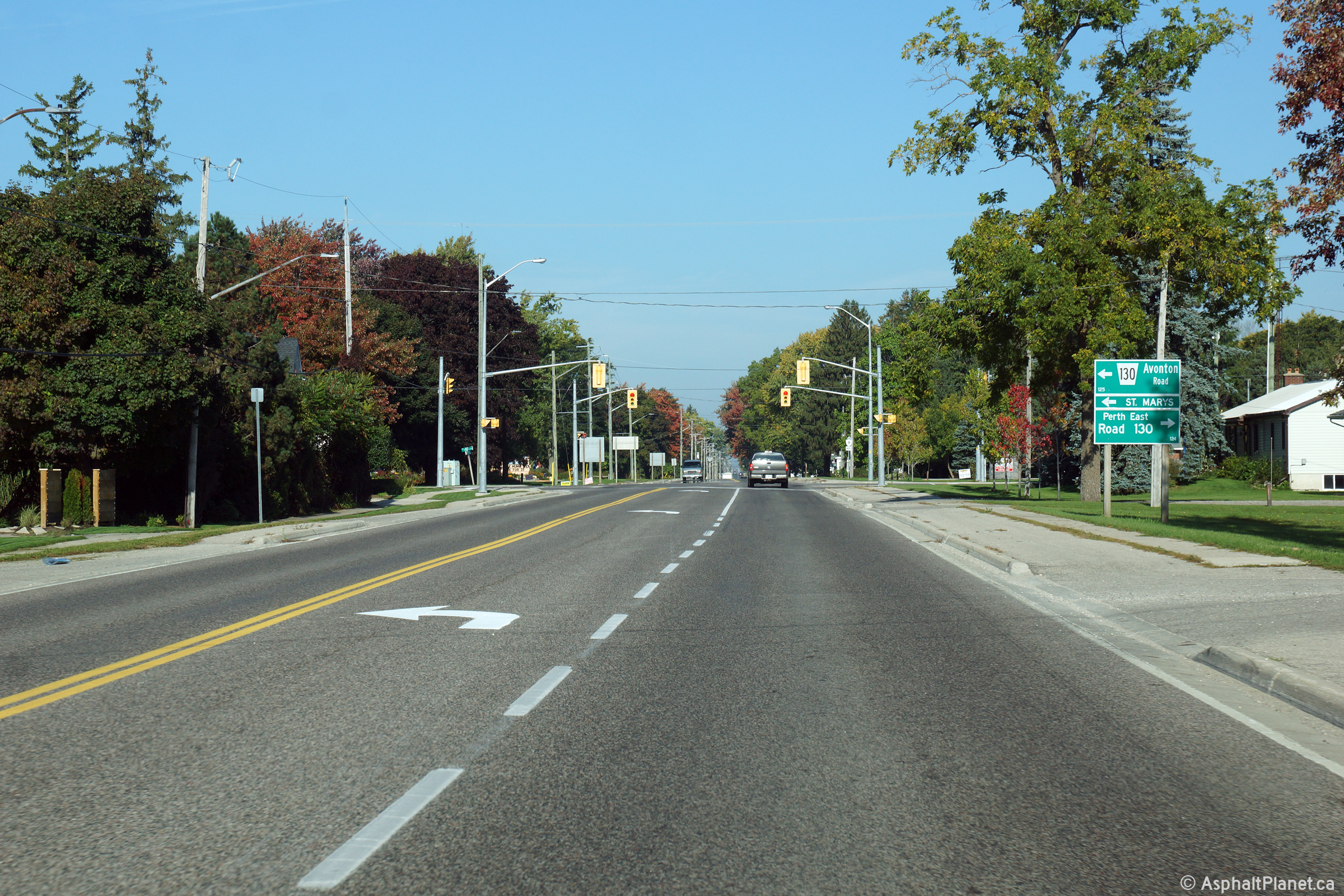
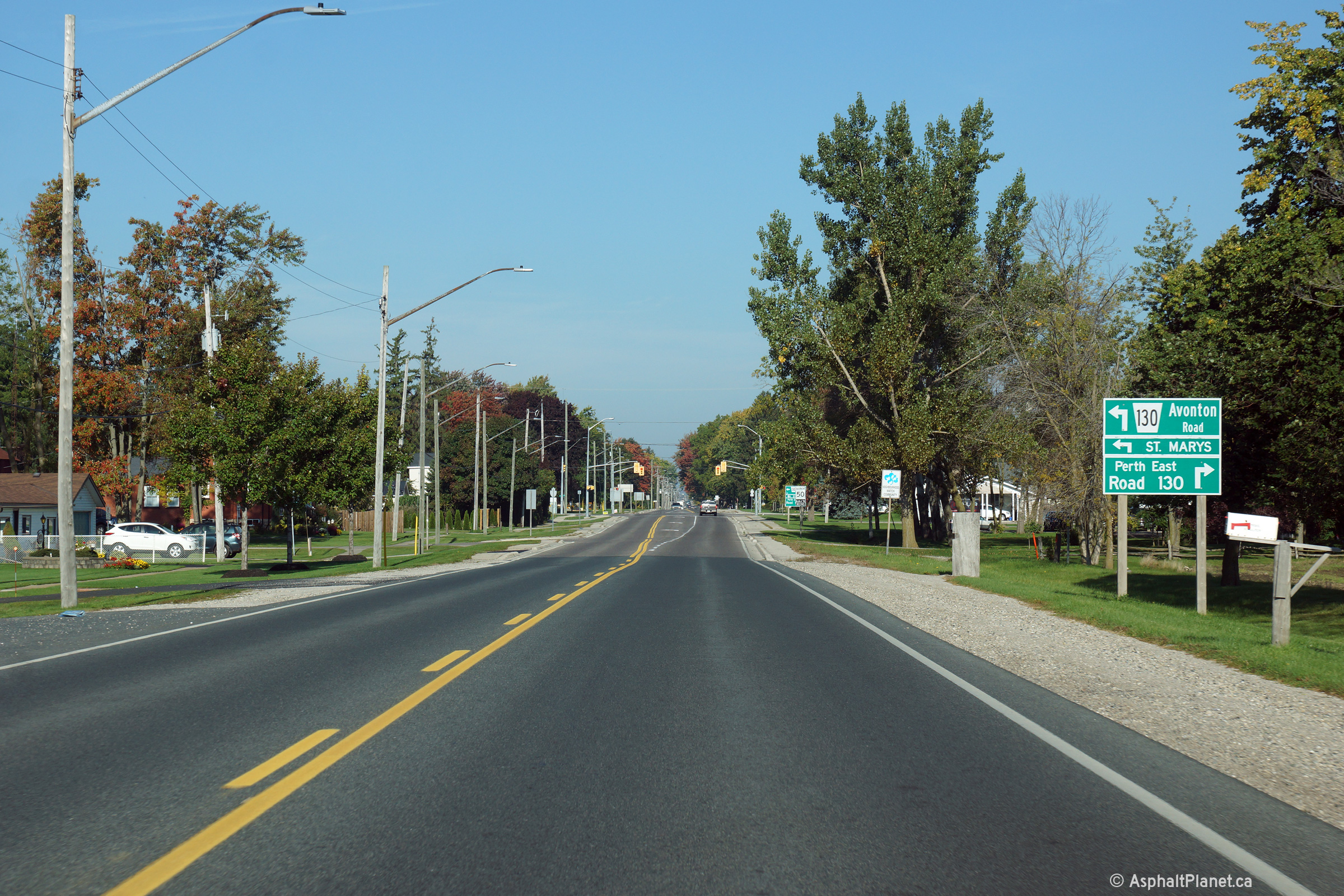
Perth South / Perth East Boundary County of Perth |
Two views looking westerly
approaching the Perth Road 130 intersection in Seabringville. Photos taken: September 25th, 2014. |
 (720x480) (1440x960) (2400x1600)  (720x480) (1440x960) (2400x1600) |
|
|
Perth South / Perth East Boundary County of Perth |
Rural view looking westerly along
Highway 8 between Stratford and Seabringville. Photo taken: September 25th, 2014. |
 (720x480) (1440x960) (2400x1600) |
|
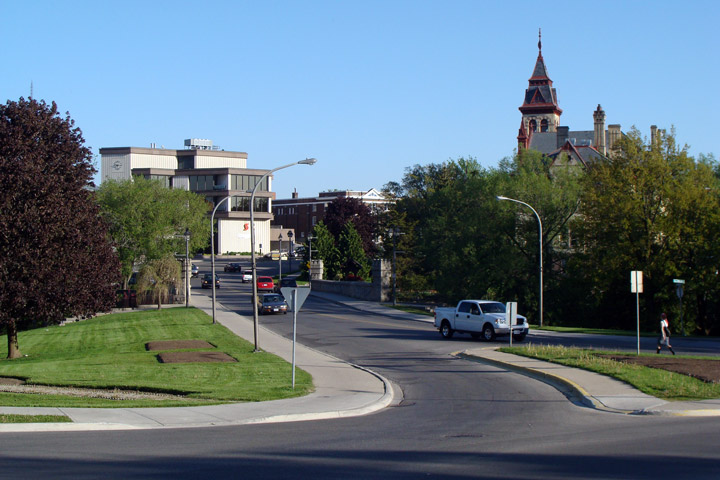
| City of Stratford | View looking easterly along
Highway 8 as it passes overtop of the Avon River. Photo taken: May 21st, 2009 |
|
|
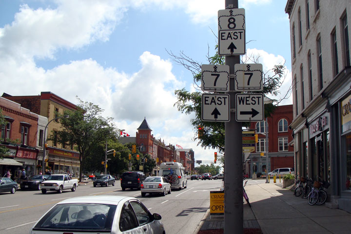
| City of Stratford |
Eastbound
junction assembly for Highway 7 in Stratford. Photo taken: August 2008. |
|
|
| West of Stratford, Highway 7 leads to St. Mary's, Elginfield and eventually, Sarnia. Click here for Highway 7-West images. | |||
Highway 8 Images Index Page 2 Images ->
<- Highway 7B (Carleton Place) Images Back to Highway 8 Highway 9 Images ->
Copyright (c) 2004-2015, Scott Steeves (Webmaster) AsphaltPlanet@asphaltplanet.ca


