|
Proper Municipality Name |
Photo Description |
Photo |
|
Photos taken
from driver's perspective appear offset from centre-line Photos: |
North-
Bound |
South-
Bound |
|
Highway 7 leads across Southern
Ontario from Sarnia to Ottawa.
Click
here for Highway 7 images. |
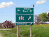
| Middlesex Centre - Lucan Biddulph
Boundary County of Middlesex |
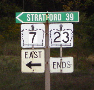
The Highway 23 Ends junction assembly is located
at the far side of the intersection of Highways 7 and 23. Highway 7
continues west of Highway 23 as well, but WB Highway 7 traffic has already
departed SB Highway 23 via a ramp. I think the MTO would be wise to
erect an advanced sign denoting the end of Highway 23 that would be visible
by all traffic using Highway 23. |
 |
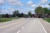
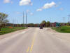
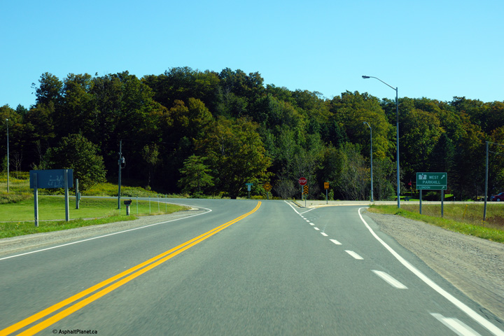
| Township of Lucan Biddulph
County of Middlesex |
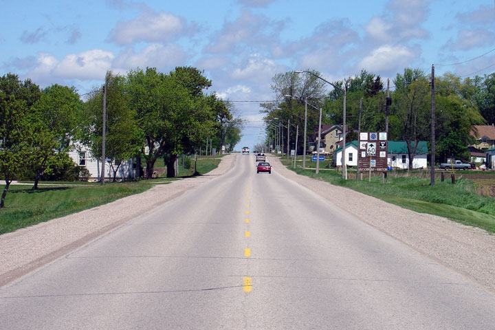
View looking southerly towards the southern
terminus of Highway 23 at Highway 7.
Photo taken: September 17th, 2013. |
(720x480)
(1440x960)
(2400x1600) |
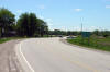
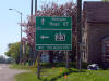
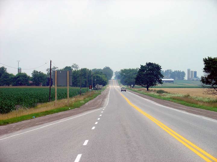
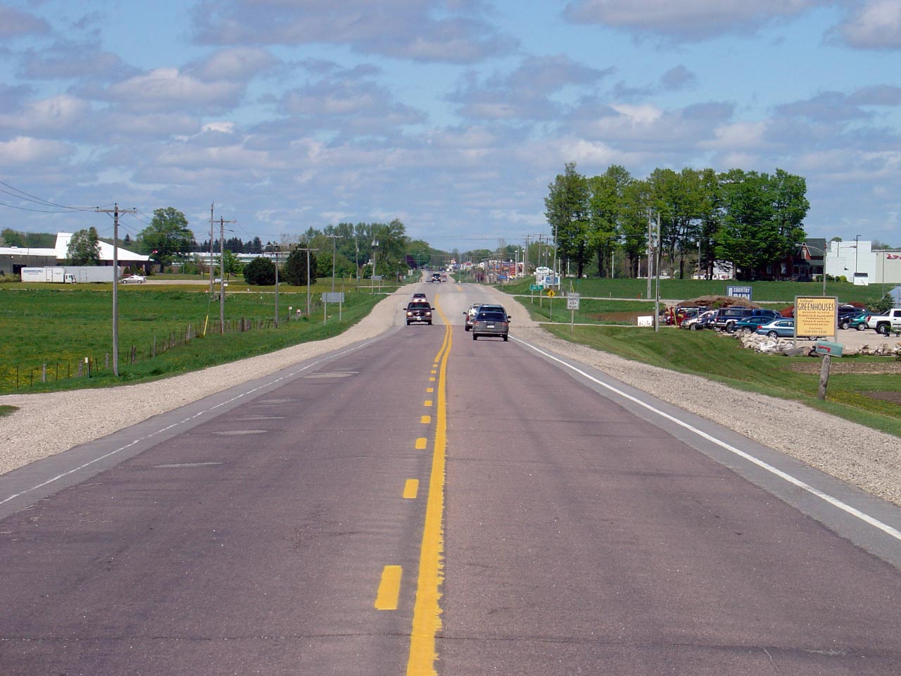
| Township of Lucan Biddulph
County of Middlesex |
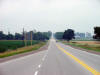
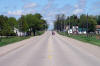
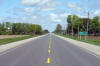
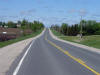
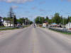
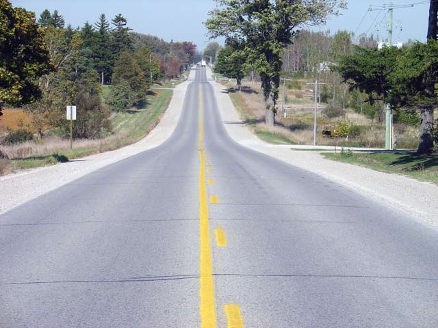
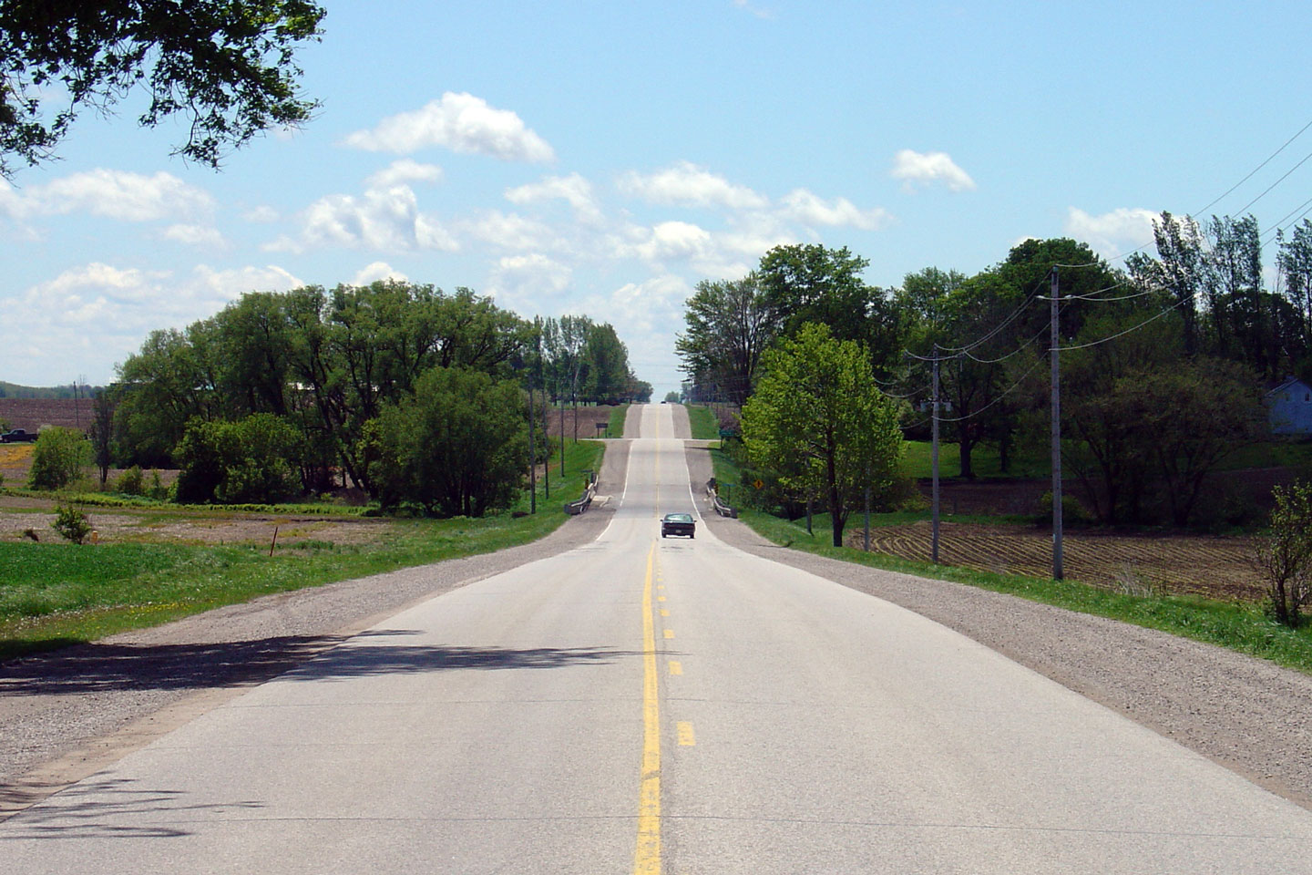
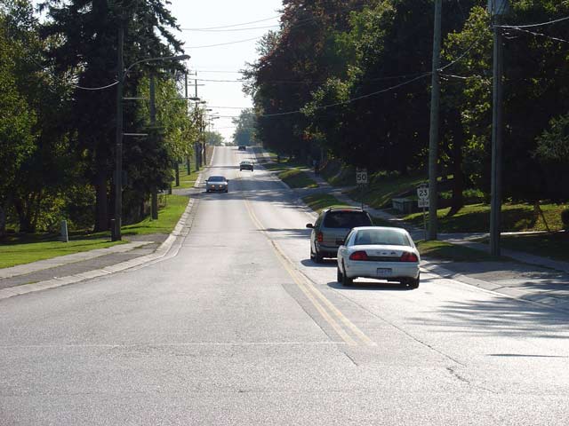
Highway 23 looking north from its southern
terminus at Highway 7 just east of Elginfield. This is a fairly
typical view of Highway 23, showing the rather bland terrain that is
Southwestern Ontario. Photo taken: July 31st, 2004 |
 |
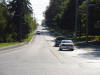
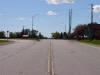
| Township of Lucan Biddulph
County of Middlesex |
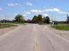
View looking southerly approaching the
Observatory Drive intersection about 2km north of the Highway 7
intersection.
Photo taken: September 17th, 2013. |
(720x480)
(1440x960)
(2400x1600) |
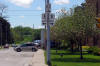
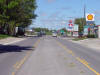
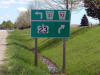
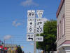
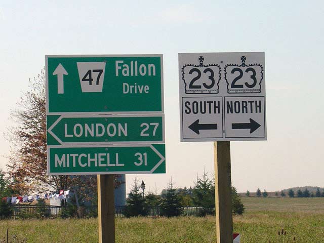
| South Huron - West Perth Boundary
Huron - Perth Boundary |
This signs were just days old when this Photo
was taken, and who among us can resist the allure of brand new signage?
The junction assembly is of the newest style where the assembly is simply
stamped onto one unified piece of wood.
Photo taken: October 6th, 2004. |
 |
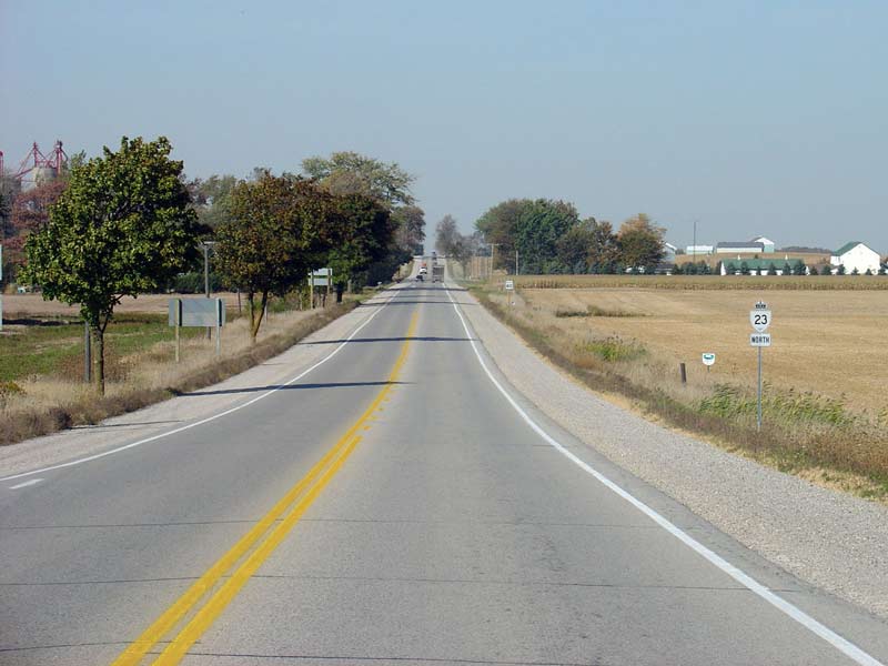
| South Huron - West Perth Boundary
Huron - Perth Boundary |
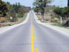
Highway 23 looking north from Fallon Drive
(Middlesex Road 47). Photo taken: October 6th, 2004 |
 |
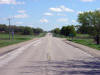
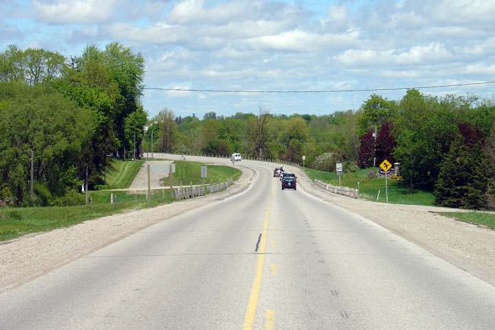
| South Huron - West Perth Boundary
Huron - Perth Boundary |
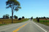
View
looking northerly as the Highway approaches Woodham. Highway 23 passes
through several small communities like this en route to Harriston.
Photo taken: May 20th, 2006. |
Low-res
High-res |
| South Huron - West Perth Boundary
Huron - Perth Boundary |
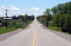
Highway 23 looking north from the small
community of Woodham. Much of Highway 23 is built to this 1980s
standard. The highway has a nice feel for most of its length.
Photo taken: October 6th, 2004 |
 |
| South Huron - West Perth Boundary
Huron - Perth Boundary |
View
looking south between Kirkton and Woodham across the South Fish Creek
bridge.
Photo taken: May 20th, 2006. |
Low-res
High-res |
| South Huron - West Perth Boundary
Huron - Perth Boundary |
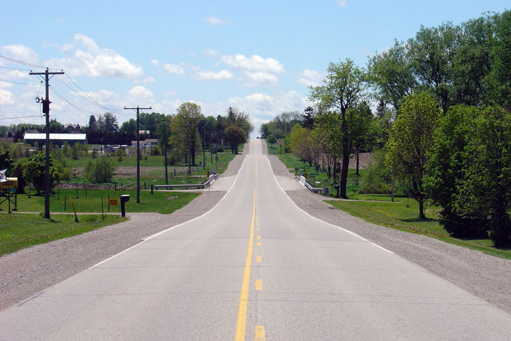
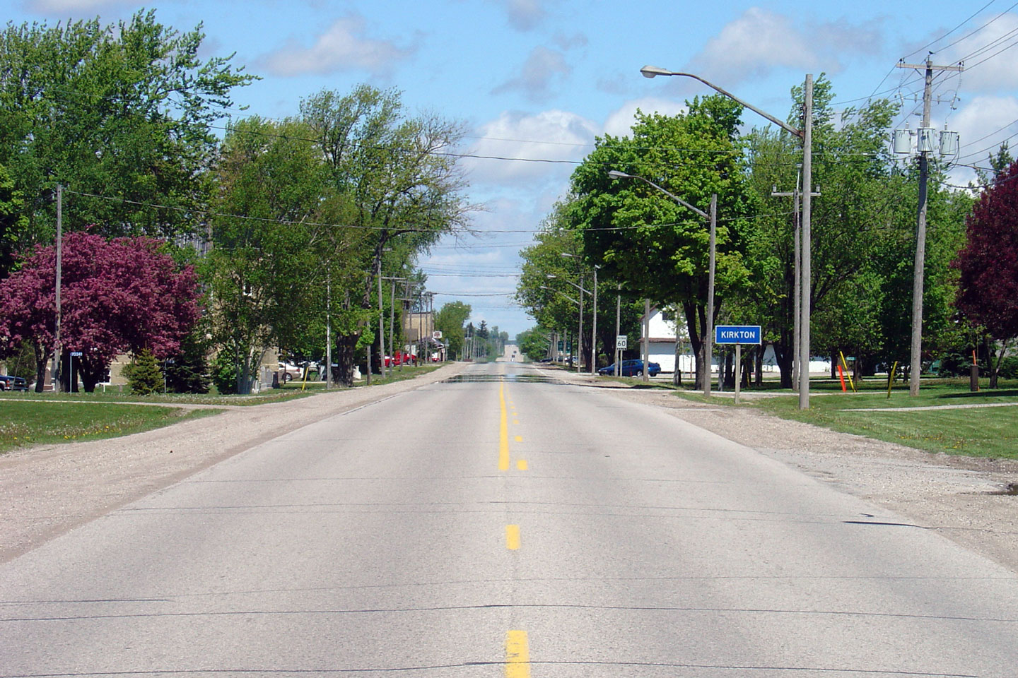
Opposite
view looking north into Kirkton.
Photo taken: May 20th, 2006. |

Low-res
High-res |
| South Huron - West Perth Boundary
Huron - Perth Boundary |
This
view looks back southerly across the North Fish Creek bridge towards Kirkton.
Photo taken: May 20th, 2006. |
Low-res
High-res |
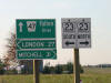
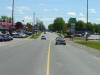
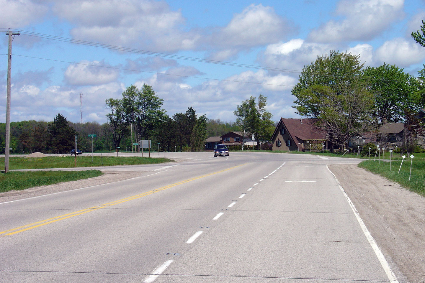
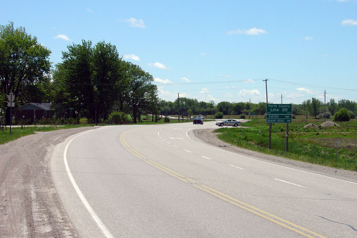
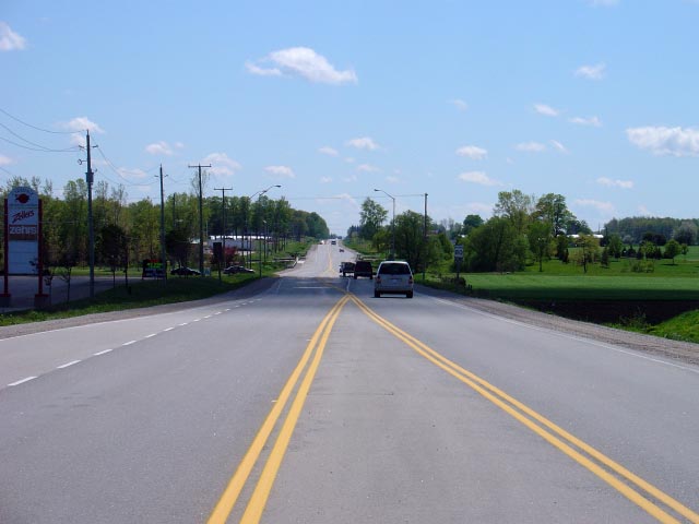
| Municipality of West Perth
County of Perth |
View looking north
approaching Perth Road 20. Once upon a time, west of Highway 23, Perth
Road 20 was part of the Provincial Highway No. 83.
Photo taken: May 20th, 2006. |
Low-res
High-res |
|
Perth Line 20 was at one time the
King`s Highway 83. Click here for Highway 83 images. |
| Municipality of West Perth
County of Perth |
View looking south towards
Perth Road 20.
Photo taken: May 20th, 2006. |
Low-res
High-res |
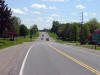
| Municipality of West Perth
County of Perth |
Northerly view towards the
former town limits of Mitchell. During Mike Harris' tenure as
Ontario's Premier, Mitchell was amalgamated with the surrounding township to
become West Perth.
Photo taken: May 20th, 2006. |

Low-res
High-res |
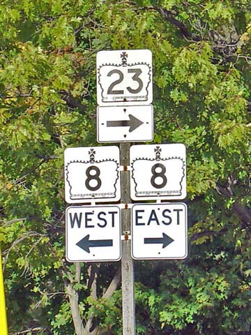
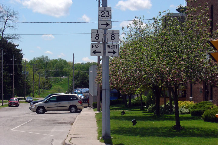
| Municipality of West Perth
County of Perth |
Highway 23 looking south from the west junction
of Highway 8 in Mitchell. This section of Highway 8 is a connecting
link that is maintained by the community of Mitchell. It does look
like Mitchell was handed this section of Highway 23 fairly recently though.
Photo taken: October 6th, 2004 |
 |
| Municipality of West Perth
County of Perth |
The junction assembly for Highway 23 at Highway
8 (West). Click here for Highway 8 Images.
Photo size: 50kb. |
 |
| Municipality of West Perth
County of Perth |
Southerly junction assembly
at the easterly Highway 8 junction. This junction is signalized.
Photo taken: May 20th, 2006. |
 |
| Municipality of West Perth
County of Perth |
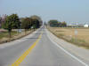
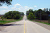
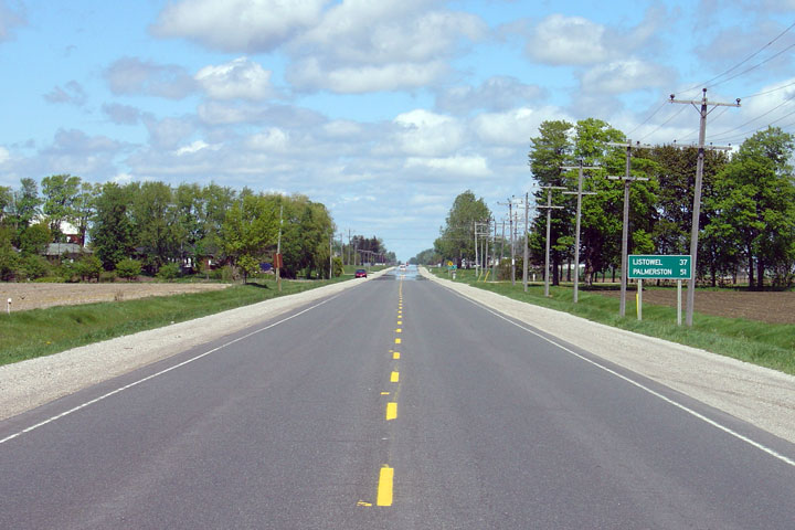
View looking north from
Mitchell. Highway 23 looks remarkably similar from Mitchell northerly
to Listowel and Palmerston.
Photo taken: May 20th, 2006. |
Low-res
High-res |
| Town of North Perth County of
Perth |
View looking northerly along the approx to
Listowel from about 1km south of the Highway 86 junction. Photo
taken: May 20th, 2006. Low-res: 50kb. High-res: 180kb. |

Low-res
High-res |
| Town of North Perth County of
Perth |
Looking south from the Kincaid Street
intersection in Listowel. Photo
taken: May 20th, 2006. Low-res: 35kb. High-res: 135kb. |

Low-res
High-res |
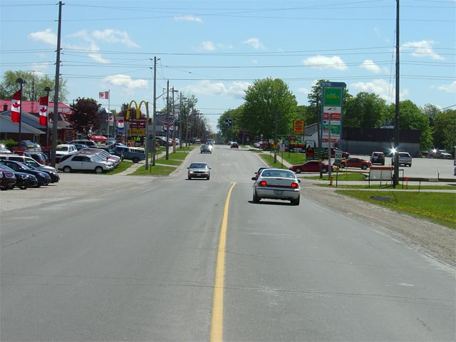
| Town of North Perth County of
Perth |
View looking northerly from the Kincaid Street
intersection along Highway 23. Several new commercial developments
have sprung up along Highway 23 in this area of Listowel. Photo
taken: May 20th, 2006. Low-res: 55kb. High-res: 205kb. |

Low-res
High-res |
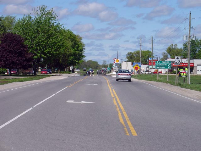
| Town of North Perth County of
Perth |
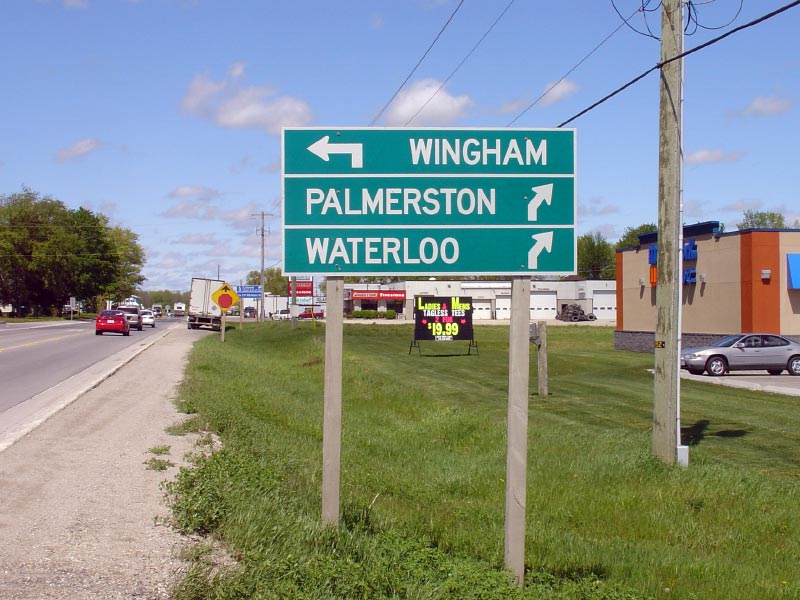
Green directional signage approaching the
Highway 86 junction. Photo
taken: May 20th, 2006. Low-res: 100kb. |
 |
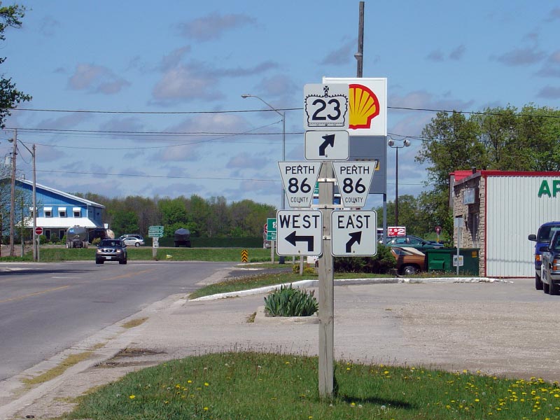
| Town of North Perth County of
Perth |
Junction assembly for the western Highway 86
junction. Before 1998, what is signed as Perth County Road 86 was part
of the King's Highway network as Highway 86. In the webmaster's
opinion it seems rather obscene that Listowel would not be connected to
Waterloo via a consistently numbered provincial highway.
Photo
taken: May 20th, 2006. Low-res: 95kb. |
 |
| Town of North Perth County of
Perth |
One last northerly view along Highway 23
approaching the Highway 86 junction. Traffic bound northerly along
Highway 23 must turn right continuing into Downtown Listowel. Photo
taken: May 20th, 2006. Low-res: 55kb. High-res: 210kb. |
Low-res
High-res |
|
Before being downloaded in 1998,
Highway 86 lead between Amberly at Highway 21 to Waterloo.
Click here
for Highway 86 images. |
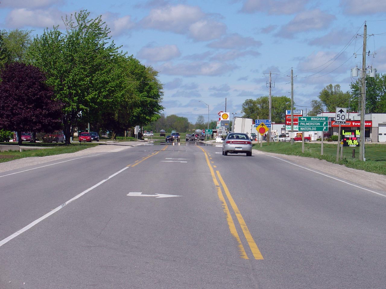
| Town of North Perth County of
Perth |
Looking southerly along Highway 23 towards
Listowel. This Photo highlights the northern start of Listowel's
connecting link agreement for Highway 23. Photo taken: May 20th, 2006.
Size: 50kb. |
 |
| Town of North Perth County of
Perth |
Looking south through Gowanstown towards the
Perth Line 88 junction. Gowanstown is located roughly 5km north of
downtown Listowel. Photo taken: May 20th, 2006. Size: 55kb. |
 |
| Town of North Perth County of
Perth |
Looking northerly from just north of Gowanstown
along Highway 23. Photo taken: May 20th, 2006. Size: 50kb. |
 |
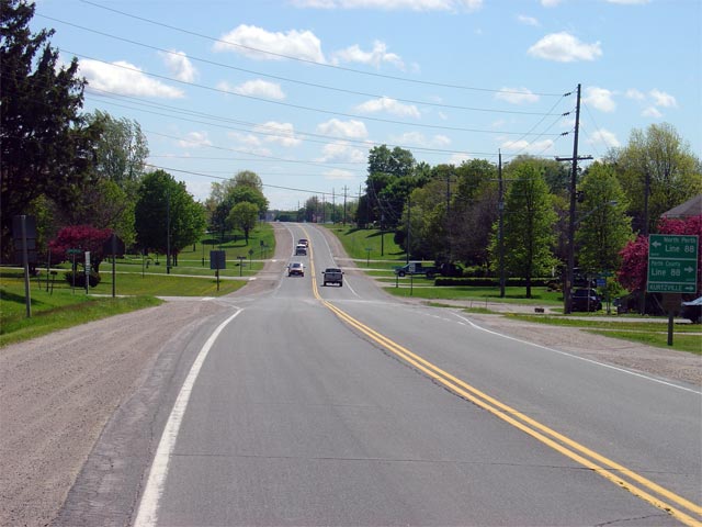
| North Perth - Minto Boundary
Perth - Wellington Boundary |
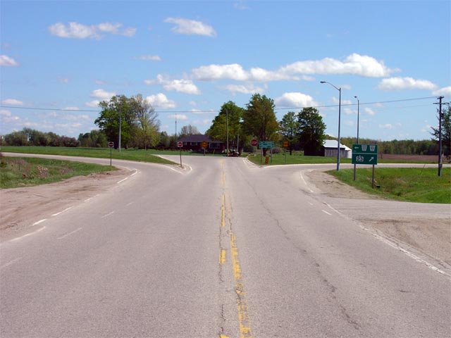
Looking northerly on Highway 23 towards the
Perth Road 93/Wellington Road 123 junction. Click here for images of
Highway 23's former alignment between this junction and Highway 9 at Teviotdale. (Coming Soon!).
Photo taken: May 20th, 2006. Size: 45kb. |
 |
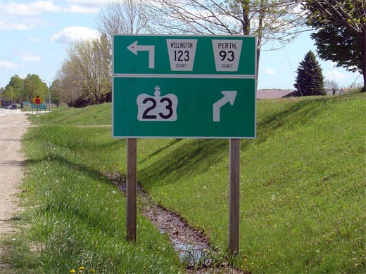
| North Perth - Minto Boundary
Perth - Wellington Boundary |
Green sign denoting the left-hand turn that is
required to follow Highway 23 at the Perth Road 93/Wellington Road 123
intersection. Before 1998, Highway 23 continued straight through this
intersection meeting Highway 9 at Teviotdale
instead of at Harriston. At that time,
Highway
89 started at this
junction, leading travelers along what is now Highway 23 to Harriston.
Photo size: 60kb. |
 |
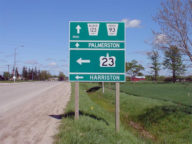
| Town of Minto County of
Wellington |
Looking south along Highway 23 towards the Perth
Road 93/Wellington Road 123 junction. Before this portion of highway
was re-designated as Highway 23 in 2004, this junction marked the southern
(western) terminus of Highway
89.
Photo taken: May 20th, 2006. Size: 50kb. |
 |
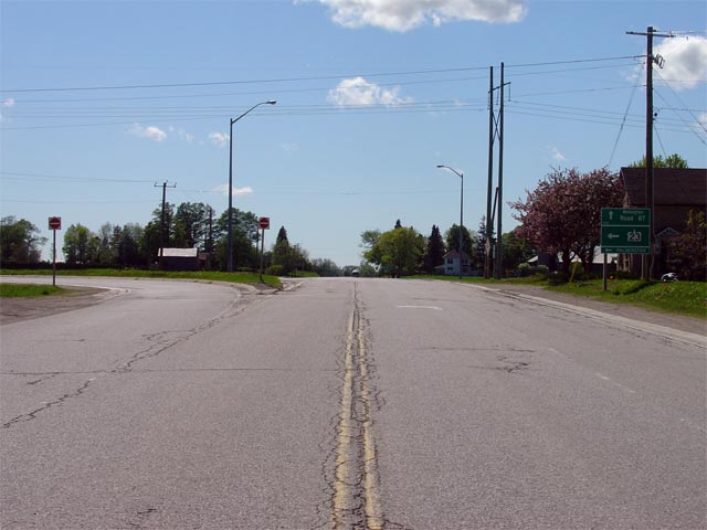
| Town of Minto County of
Wellington |
Signage located along Highway 23 southbound
approaching the Perth Road 93/Wellington Road 123 intersection. Perth
Road 93/Wellington Road 123 is a former alignment of Highway 23 that was
decommissioned in 1998. Click here for images of this former Highway
23 alignment. (Coming Soon!)
Photo size: 60kb. |
 |
| Town of Minto County of
Wellington |
Looking southerly along Highway 23 from just
north of the Minto 5th Line junction. Minto's 5th Line is located
roughly halfway between Palmerston and Harriston along Highway 23. Photo
taken: May 20th, 2006. Size: 65kb. |
 |
| Town of Minto County of
Wellington |
Looking southerly along Highway 23 from about
1km south of the Highway 87 junction.
Photo taken: May 20th, 2006. Size: 55kb. |
 |
| Town of Minto County of
Wellington |
Looking northerly along Highway 23 to the
Highway 87 junction. At this junction,
northbound Highway 23 traffic must follow the ramp to the right towards
Harriston. Photo taken: May 20th, 2006. Size: 50kb. |
 |
| Town of Minto County of
Wellington |
Green signs at for northbound traffic at the
Highway 87 junction. Before
Highway 87 was downloaded in 1998, it
extended in both directions from this intersection as it was co-designated
with Highway 89 into Downtown Harriston.
Photo size: 45kb. |
 |
|
Highway 87 was a short connector
Highway linking Harrison to Highway 86 at Bluevale. Click here for
Highway 87 Images. |
| Town of Minto County of
Wellington |
Signage denoting the
Highway 87 intersection for southbound travelers. As noted by the
signage, southbound Highway 23 traffic must turn left at this intersection
towards Palmerston. Highway 87 continues straight ahead. Photo
taken: May 20th, 2006. |
 |
| Town of Minto County of
Wellington |
Looking southerly (which is in this case, almost
due west) along Highway 23 towards the Highway
87 junction. Highway
87 leads travelers west of Highway 23 to Highway 86 at Bluevale. Photo taken: May 20th, 2006. Size: 45kb. |
 |
| Town of Minto County of
Wellington |
Looking northerly along Highway 23 from just
east of the Highway 87 junction towards Harriston.
Photo taken:
May 20th, 2006. Size: 50kb. |
 |
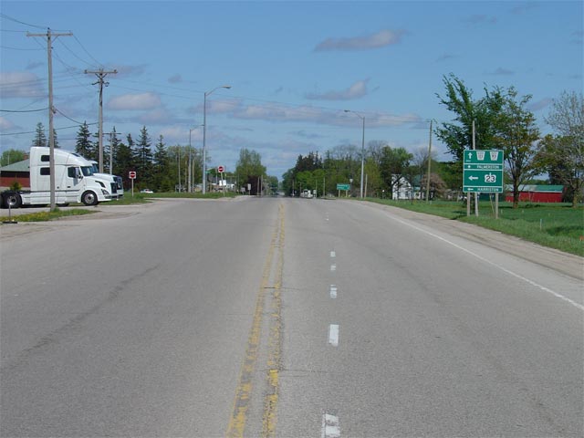
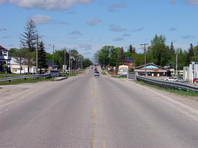
| Town of Minto County of
Wellington |
Looking north along Highway 23 towards
Harriston. The northern 600m of Highway 23 is maintained locally by
the town of Harriston as part of a connecting link agreement. Local
maintenance begins just to the north of the structure over the
Maitland River.
Photo taken: May 20th, 2006. Size: 50kb. |
 |
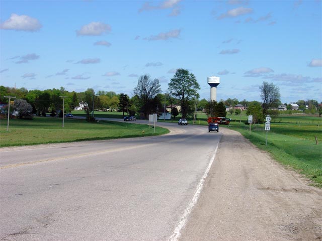
| Town of Minto County of
Wellington |
Advanced junction assembly in Harriston for the
northern Highway 23 terminus at Highways 9 and
89. Photo size: 60kb. |
 |
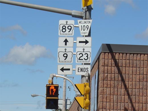
| Town of Minto County of
Wellington |
Junction assembly for the Highway
9/89 junction
at the northern terminus of Highway 23. Photo size: 35kb. |
 |


