|
Proper Municipality Name |
Photo Description |
Photo |
|
Photos taken
from driver's perspective appear offset from centre-line Photos: |
East-
bound |
West-
bound |
|
Photos continue westward on the
Sault Ste Marie to North Bay section |
|
South of North Bay, Highway 11
leads to Toronto, primarily as a divided highway.
Click here for Highway 11 images. |
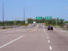
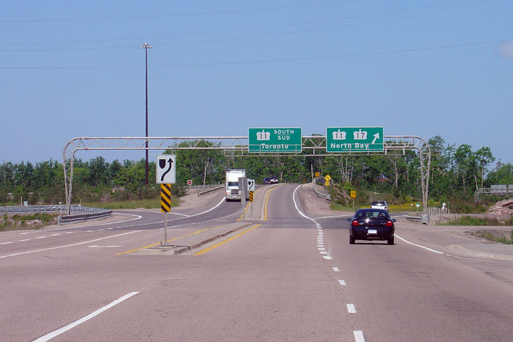
| City of North Bay |
A close-up view of the Highway 11
interchange along Highway 17. North
Bay bound traffic must keep to the right following the directional ramp onto
the North Bay by-pass. The left lane leads vehicles to Highway 11
southbound.
Photo taken: June 4th, 2006. |
Low
Res
High Res |
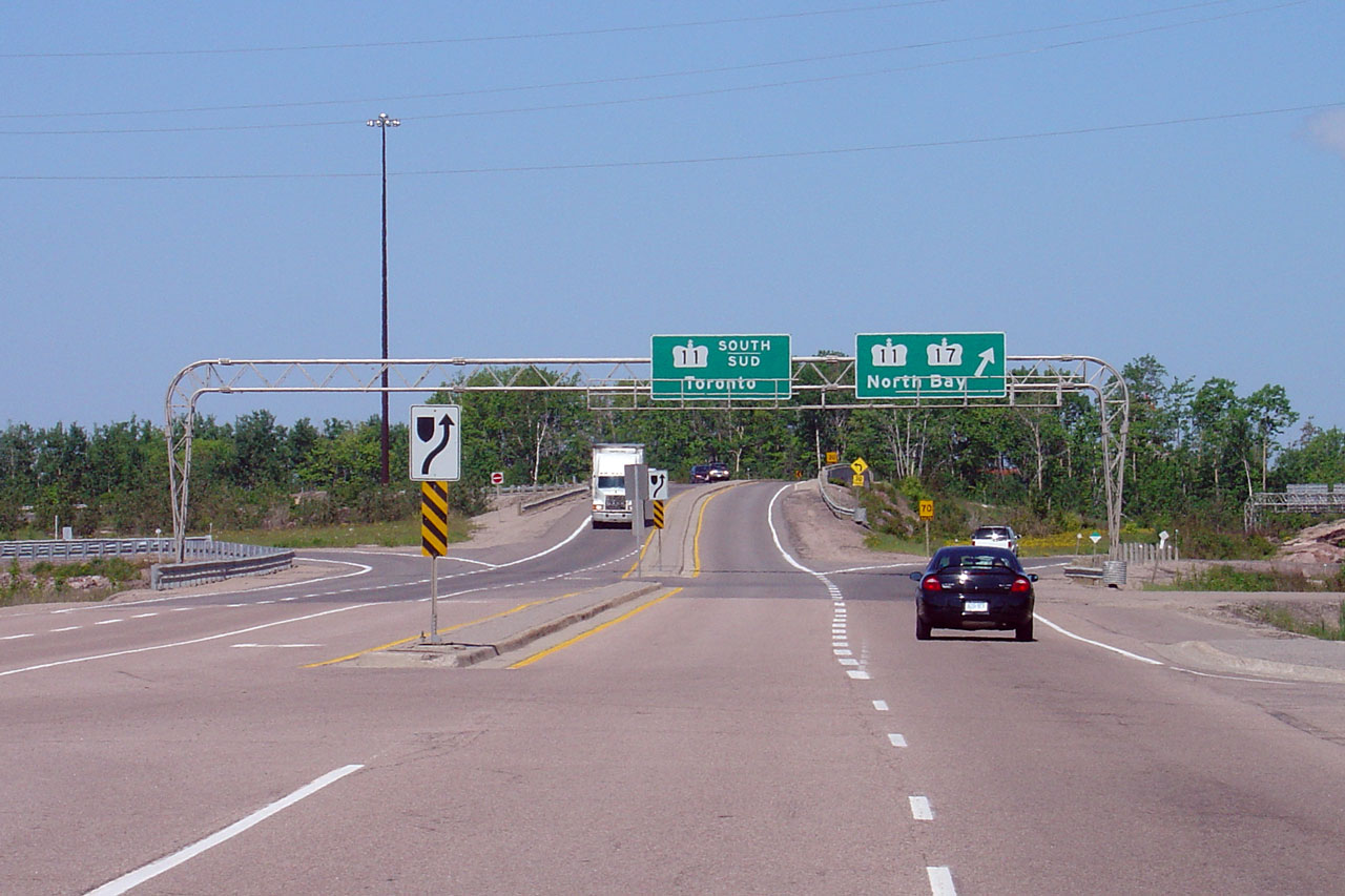
| City of North Bay |
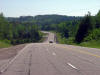
Looking west towards the Highway 11 interchange on the south end of the
North Bay Bypass. Photo taken: May 29th, 2004. |
 |
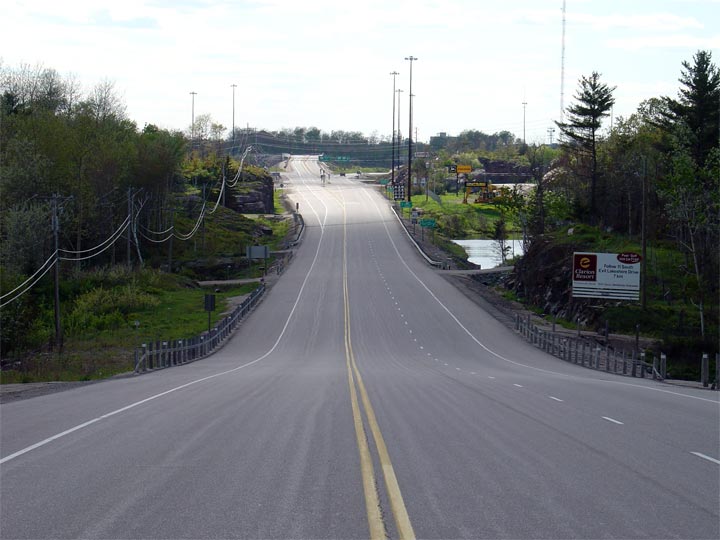
| City of North Bay |
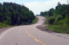
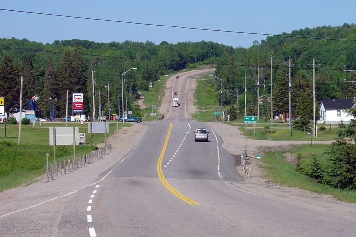
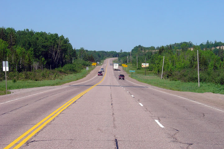
View looking westerly along Highway 17 from just west of the Bayview Road
intersection in North Bay. Bayview Road is located roughly 4km east of
the Highway 11 interchange. Between Highway 11
and Highway 94, Highway 17 is very well
built as it has been recently reconstructed.
Photo taken: June 4th, 2006. |
Low-res
High-res |
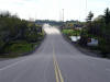
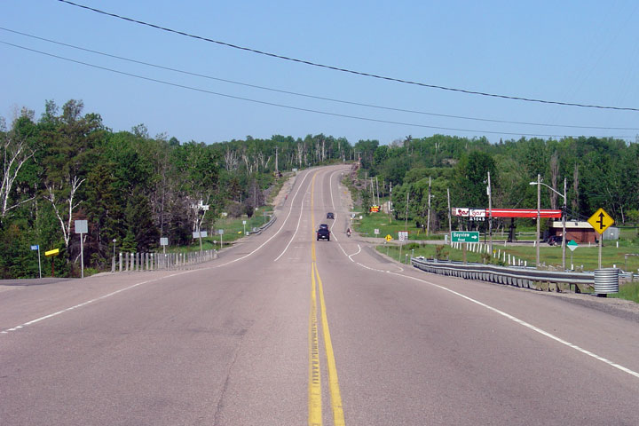
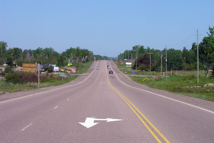
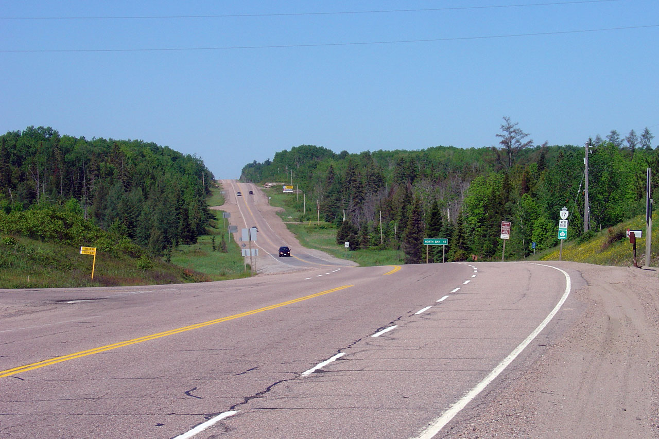
| Township of East Ferris
District of Nipissing |
View looking west from just east of North Bay's eastern City Limits.
Photo taken: June 4th, 2006. |
Low-res
High-res |
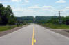
| Township of Bonfield District
of Nipissing |
Straightaway view looking west from west of Highway 531.
Photo taken: June 4th, 2006. |

Low-res
High-res |
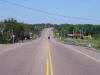
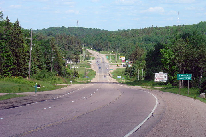
| Township of Bonfield District
of Nipissing |
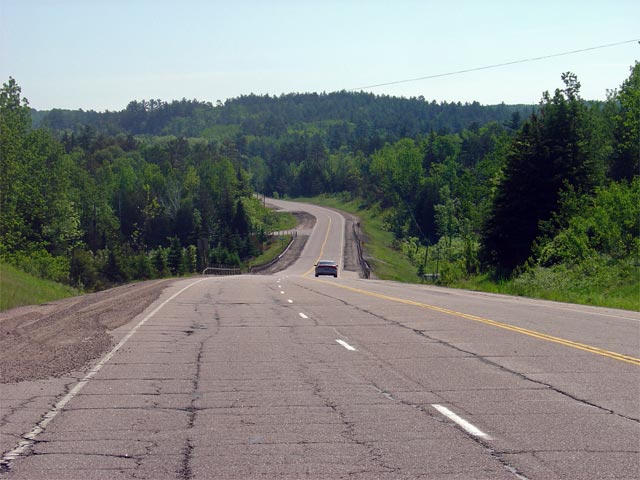
View looking down the long hill towards the Highway 531 junction.
Photo taken: June 4th, 2006. |

Low-res
High-res |
|
Highway 531 leads southerly from
Highway 17 to Bonfield.
Click here for Highway 531 images. |
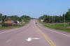
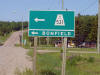
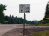
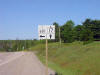
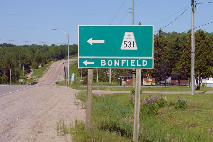
| Township of Bonfield District
of Nipissing |
Signage denoting the
Highway 531
junction for westbound vehicles.
Highway 531
is a short Secondary Highway that leads travelers south of Highway 17 to
Bonfield.
Photo taken: June 4th, 2006. |
 |
| Township of Bonfield District
of Nipissing |
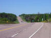
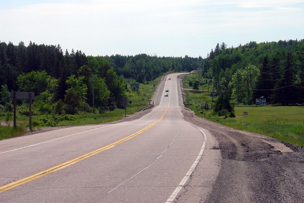
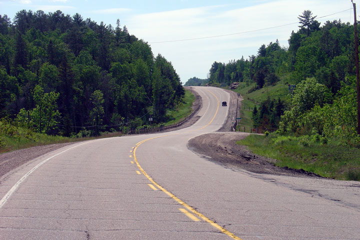
View looking westerly along Highway 17 towards the
Highway 531
junction. During the 2006 and 2007 construction seasons, Highway 17
will be reconstructed from this junction easterly 26.4km to 8.5km east of
the
Highway 630
junction.
Photo taken: June 4th, 2006. |
Low-res
High-res |
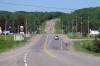
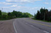
| Township of Bonfield District
of Nipissing |
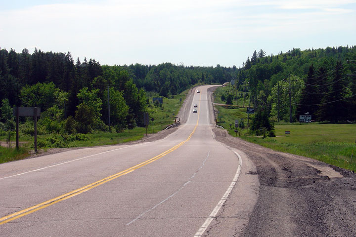
Westerly view from west of Rutherglen.
Photo taken: June 4th, 2006. |

Low-res
High-res |
| Township of Bonfield District
of Nipissing |
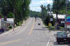
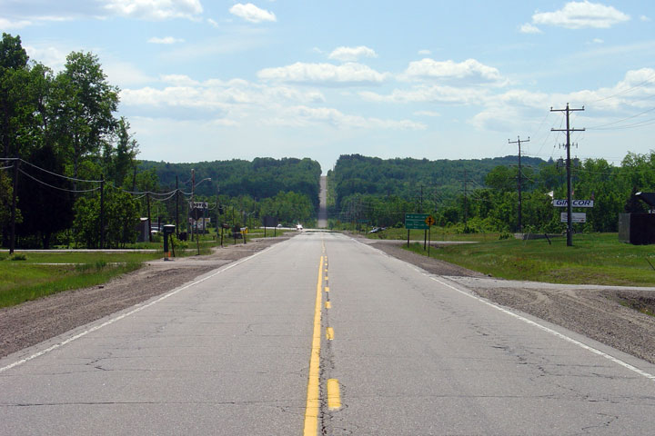
Easterly view of Rutherglen. Rutherglen is the only town along Highway
17 between North Bay and Mattawa.
Photo taken: June 4th, 2006. |
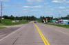
Low-res
High-res |
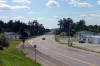
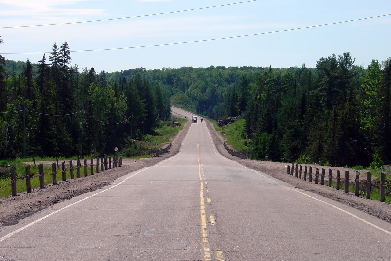
| Township of Calvin District of
Nipissing |
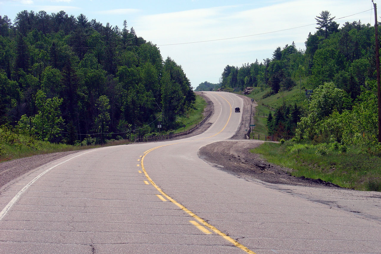
Looking westerly along Highway 17 from roughly 2km west of the Pimisi Bay
Picnic area. Photo taken: June 4th, 2006. |
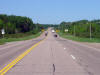
Low-res
High-res |
| Township of Calvin District of
Nipissing |
Looking east towards Mattawa along Highway 17 from just west of the Pimisi
Bay Picnic area. The Pisimi Bay Picnic area is located roughly 5km
east of Rutherglen. Photo taken: June 4th, 2006. |
 |
| Township of Calvin District of
Nipissing |
Reverse view from the Pimisi Bay picnic area.
Photo taken: June 4th, 2006. |
Low-res
High-res |
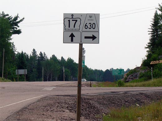
| Township of Calvin District of
Nipissing |
Junction assembly for the Highway 17/630
junction.
Highway 630 is a long and
desolate secondary highway that serves the tiny community of Kiosk in
Algonquin Park.
Photo taken: June 4th, 2005. |
 |
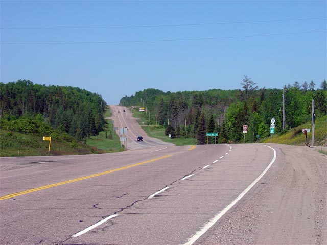
| Township of Calvin District of
Nipissing |
Looking west along Highway 17 approaching the
Highway 630
junction. Highway 630 is located roughly 41km east of North Bay.
Photo taken: June 4th, 2006. |
Low-res
High-res |
|
Highway 630 leads southerly from
Highway 17 to Kiosk.
Click here for Highway 630 images. |
| Township of Calvin District of
Nipissing |
The westbound signage for
Highway 630.
Photo taken: June 4th, 2006. |
 |
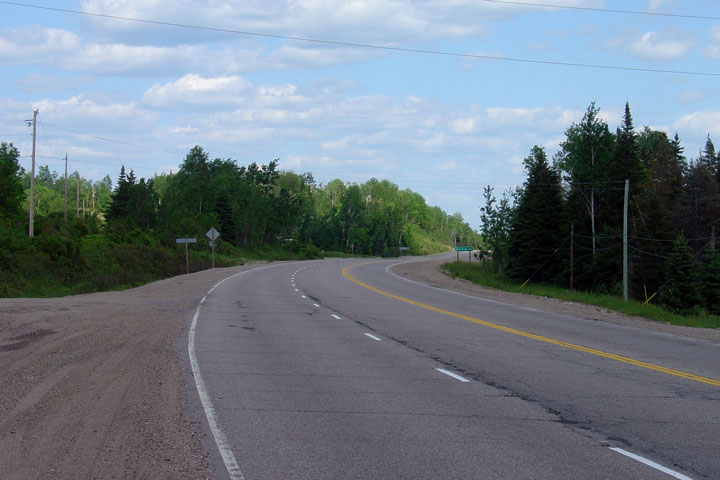
| Township of Calvin District of
Nipissing |
Easterly view from the western Old Highway 17 Road junction.
Photo taken: June 4th, 2006. |
Low-res
High-res |
| Township of Calvin District of
Nipissing |
View looking westerly towards Old Highway 17 Road west of Mattawa.
Photo taken: June 4th, 2006. |
Low-res
High-res |
| Town of Mattawan District of
Nipissing |
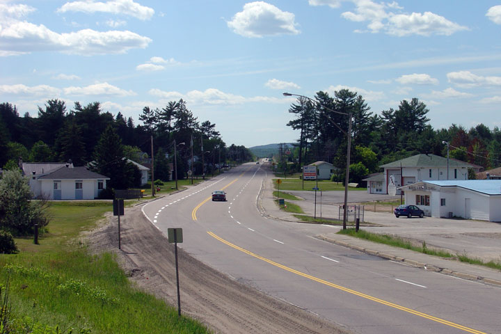
View looking west from the western end of Mattawa. There is an odd mix
of passing lanes through Mattawa.
Photo taken: June 4th, 2006. |
Low-res
High-res |
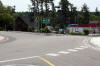
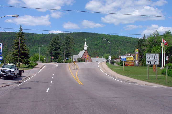
| Town of Mattawan District of
Nipissing |
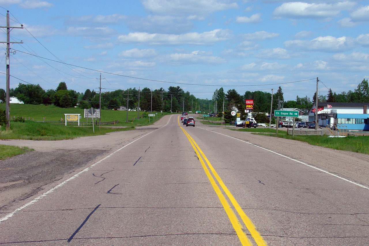
Westerly view from the Highway 533 junction in Mattawa.
Photo taken: June 4th, 2006. |
Low-res
High-res |
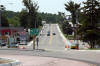
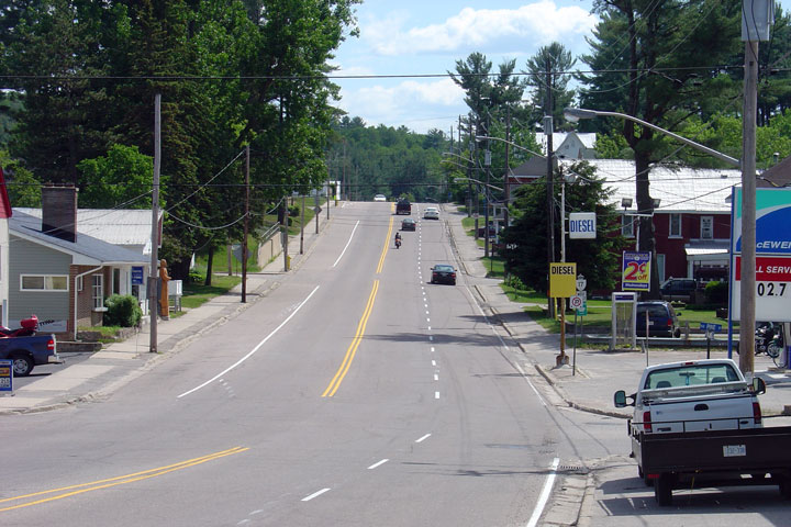
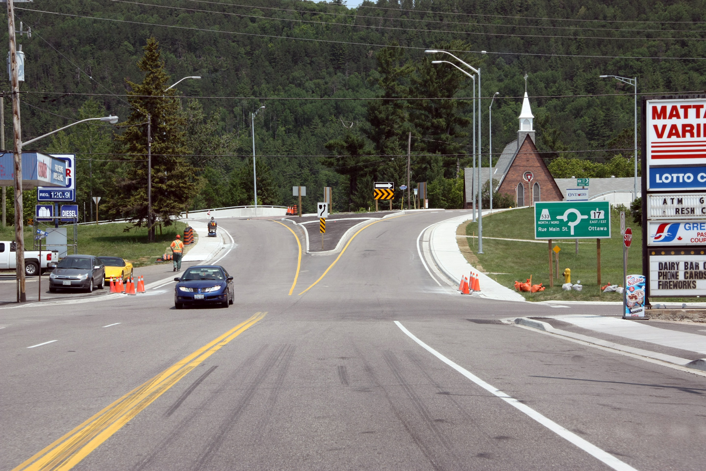
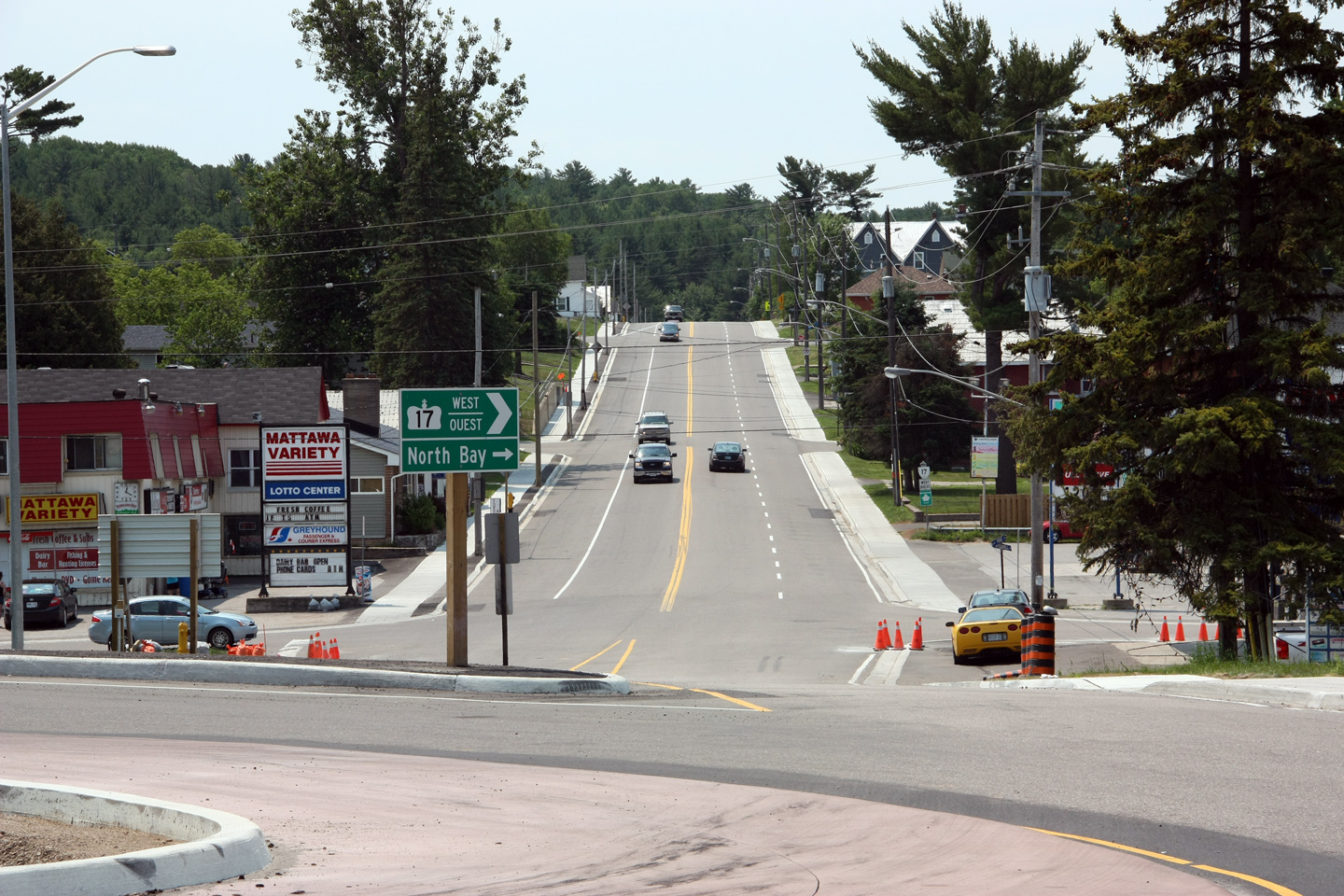
| Town of Mattawa District of
Nipissing |
Looking east through the town of Mattawa towards the
Highway 533 junction. Contrast
the upper photo which shows the intersection as an unsignalized
tee-intersection with the roundabout that was constructed in 2011.
Upper photo taken: July 4th, 2005.
Lower photo photographer: Josh Anderchek. Taken: June 28th, 2012. |

(720x480)
(1440x960)
(2400x1600) |
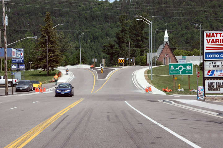
| Town of Mattawa District of
Nipissing |
View looking easterly towards the Mattawa Roundabout along Highway 17.
The roundabout is situated overtop of a structure which carries a railway
line underneath of the intersection.
Photographer: Josh Anderchek. Taken: June 28th, 2012. |
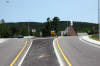
(720x480)
(1440x960)
(2400x1600) |
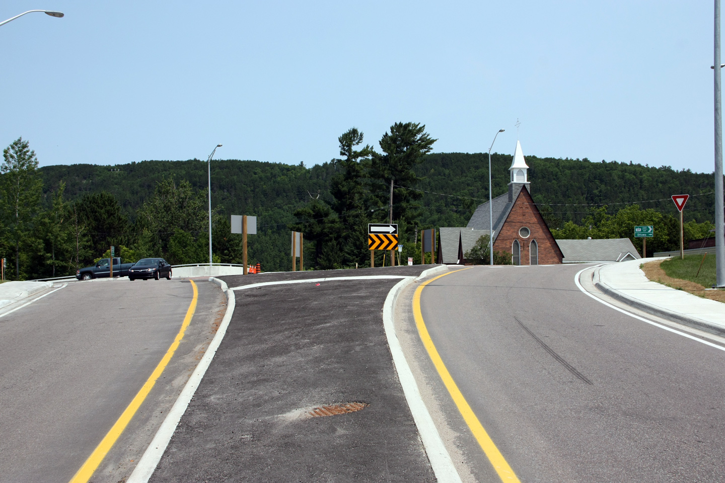
| Town of Mattawa District of
Nipissing |
Directional signage from the circular roadway of the roundabout for Highway
17 towards North Bay.
Photographer: Josh Anderchek. Taken: June 28th, 2012. |
 (720x480) (720x480)
(1440x960) |
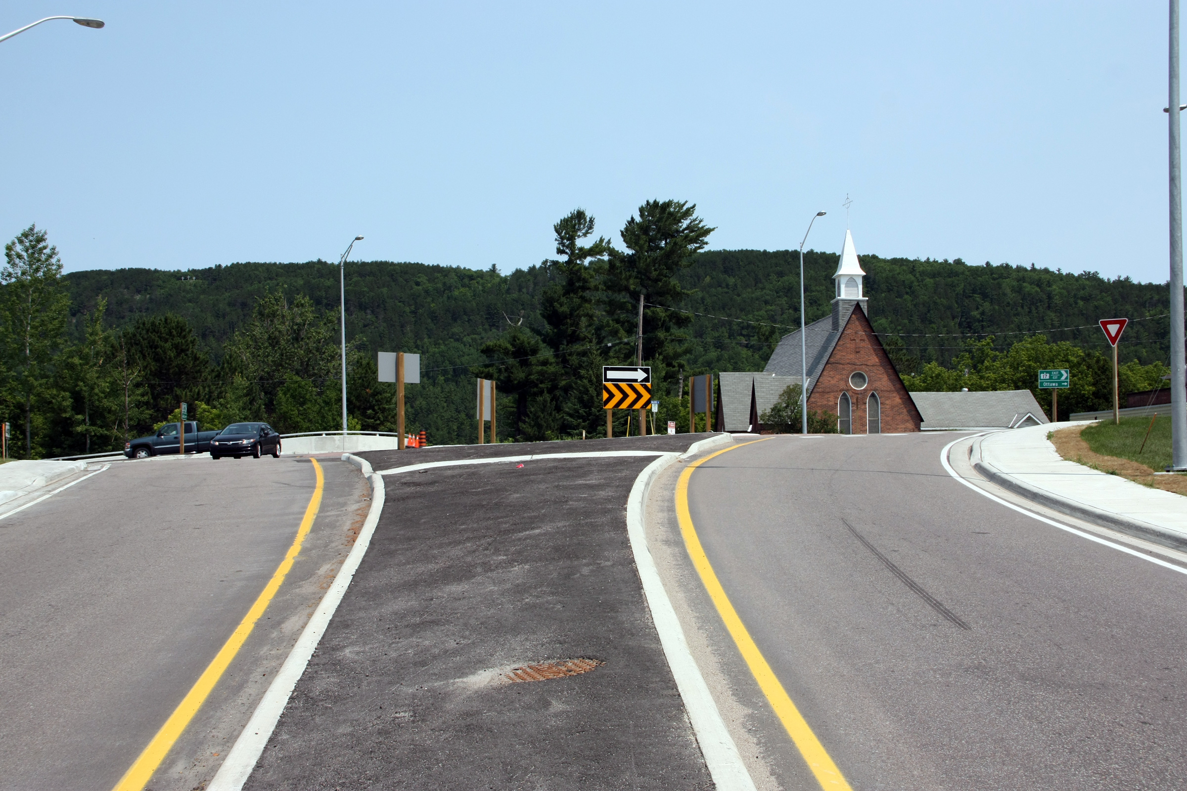
| Town of Mattawa District of
Nipissing |
This view looking from Mattawa roundabout towards North Bay along Highway
17.
Photographer: Josh Anderchek. Taken: June 28th, 2012. |
(720x480)
(1440x960)
(2400x1600) |
|
Highway 533 leads northwest of
Mattawa following the Ottawa River to Highway 63.
Click here for Highway 533 images. |
|
Click here to continue easterly
Highway 17-Page 4B Images |


 (720x480)
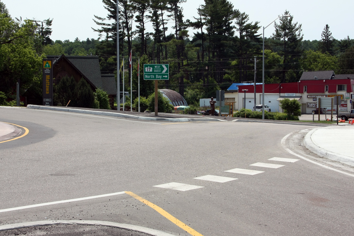
