|
Proper Municipality Name |
Photo Description |
Photo |
|
Pictures taken
from driver's perspective appear offset from centre-line pictures: |
North-
bound |
South-
bound |
|
Continued from
Orillia to Gravenhurst
Images. |
|
North of Highway 11 Highway 169
progresses through Gravenhurst to Highway 69.
Click here for Highway 169 images. |
| Town of Gravenhurst District
Municipality of Muskoka |
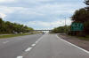
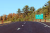
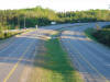
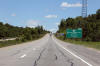
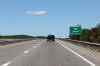
Southerly view at the exit ramp to Highway 169-North. There is not a
corresponding on-ramp from Highway 169-South to Highway 11-North at this
location.
Photo taken: March 5th, 2012. |
 (720x480) (720x480)
(1440x960)
(2400x1600) |
| Town of Gravenhurst District
Municipality of Muskoka |
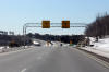
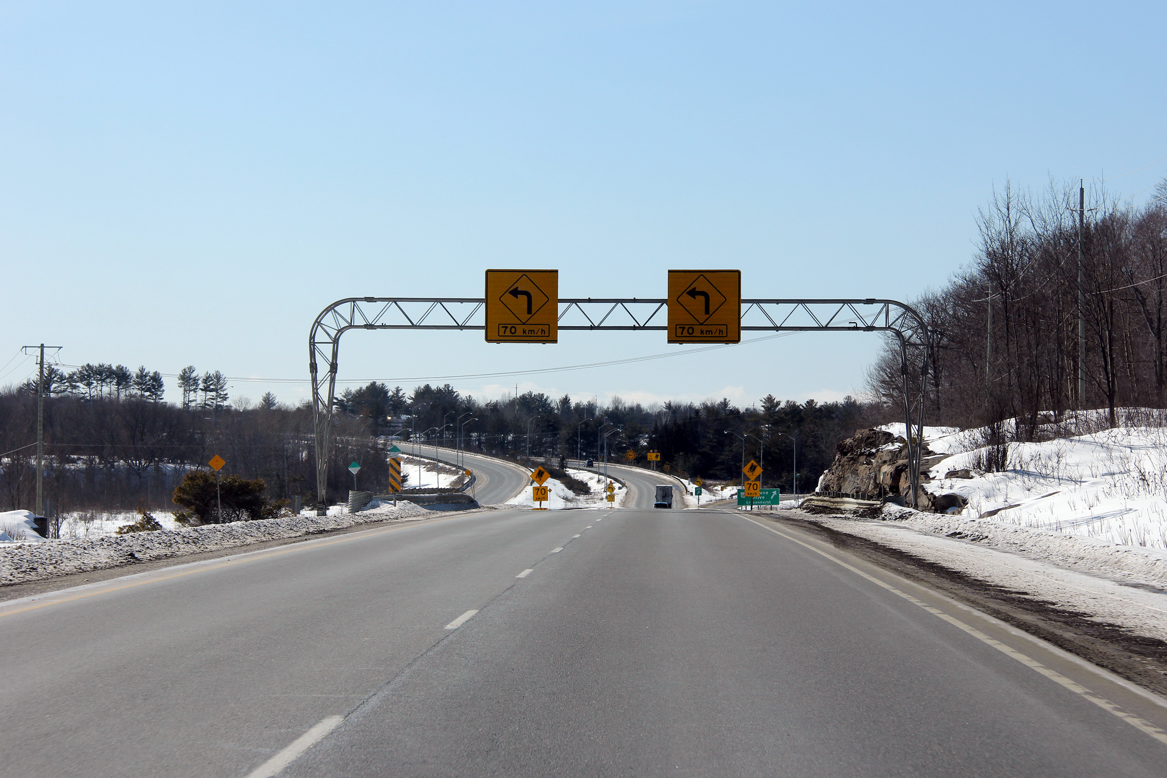
Overhead signage warning drivers of the sharp curve ahead at the Highway 169
interchange.
Photo taken: March 5th, 2012. |
 (720x480) (720x480)
(1440x960)
(2400x1600) |
| Town of Gravenhurst District
Municipality of Muskoka |
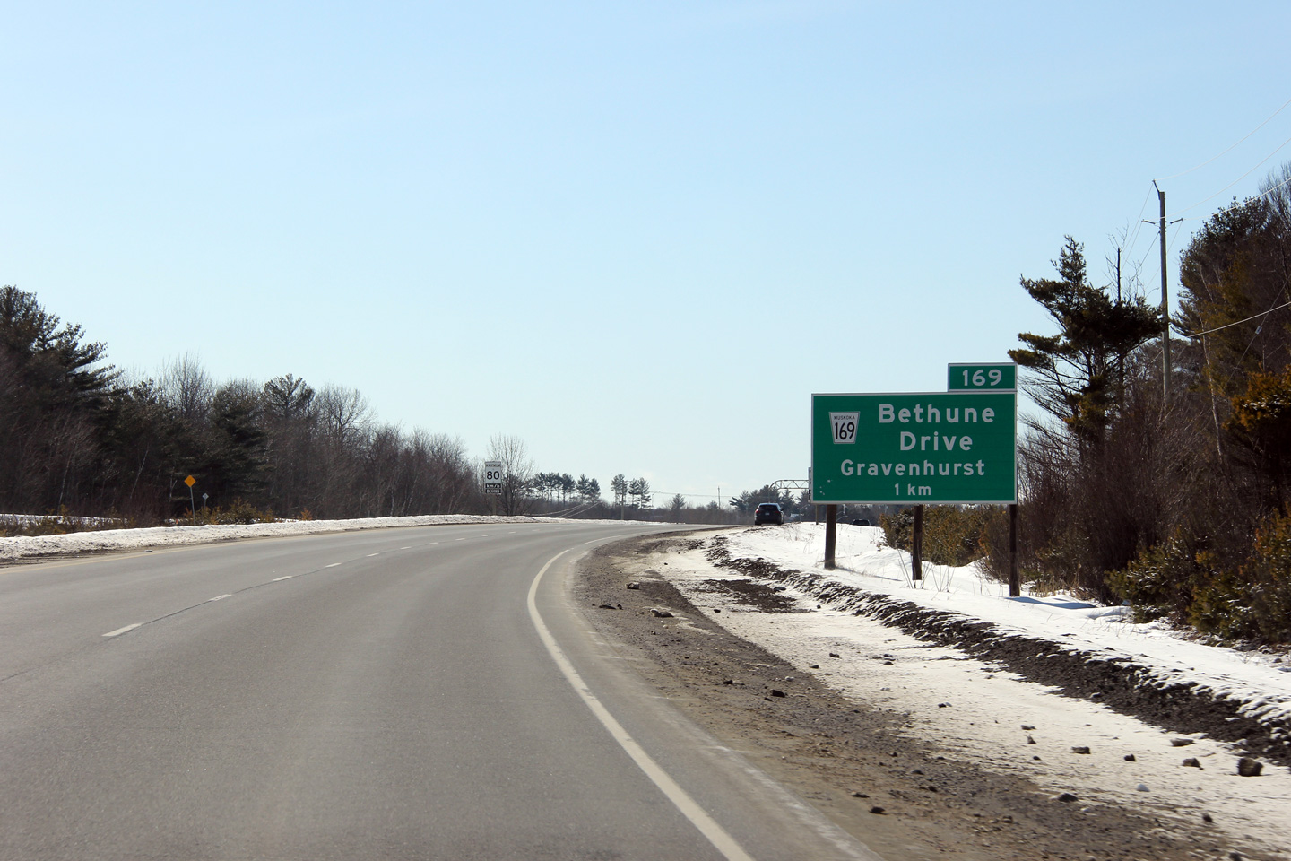
Southern advanced sign for the ramp to Highway 169-North.
Photo taken: March 5th, 2012. |
 (720x480) (720x480)
(1440x960)
(2400x1600) |
| Town of Gravenhurst District
Municipality of Muskoka |
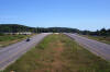
Northerly view approaching the Pinedale Road / Hewitt Street intersection.
Photo taken: June 5th, 2012. |
(720x480)
(1440x960)
(2400x1600) |
| Town of Gravenhurst District
Municipality of Muskoka |
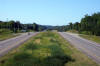
Southerly view towards the Highway 169 interchange at the Pinedale Road /
Hewitt Street intersection
Photo taken: June 5th, 2012. |

(720x480)
(1440x960)
(2400x1600) |
| Town of Gravenhurst District
Municipality of Muskoka |
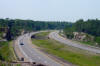
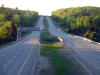
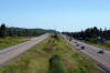
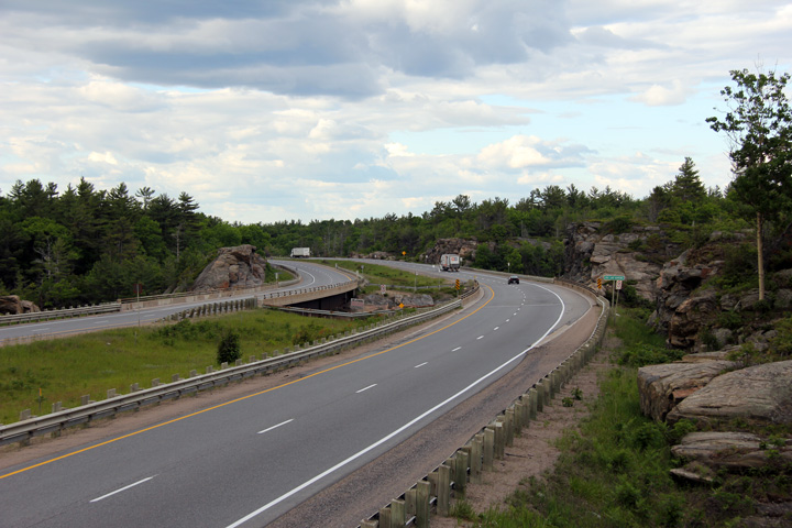
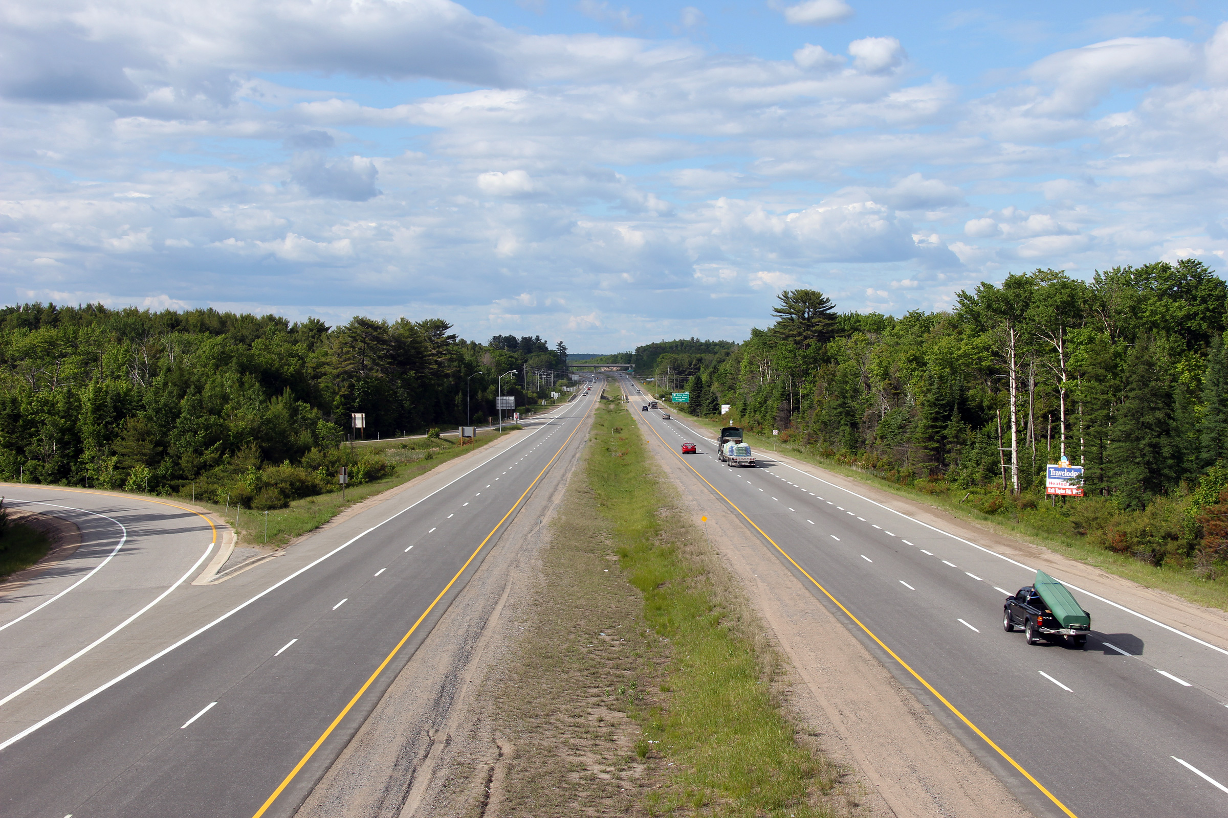
Northerly view as Highway 11 passes over Gull Lake Narrows. A
multi-year rehabilitation project was commenced in 2012 for the complete
rehabilitation of the Gull Lake Narrows structures. Work is scheduled
to be completed by the end of 2014.
Photo taken: June 5th, 2012. |
(720x480)
(1440x960)
(2400x1600) |
| Town of Gravenhurst District
Municipality of Muskoka |
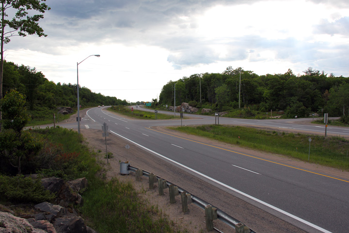
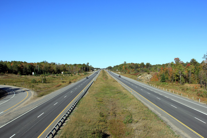
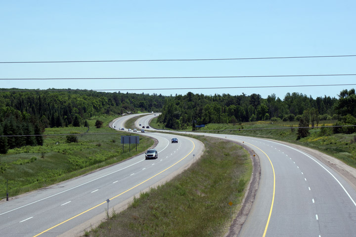
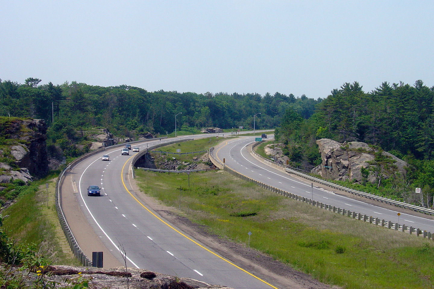
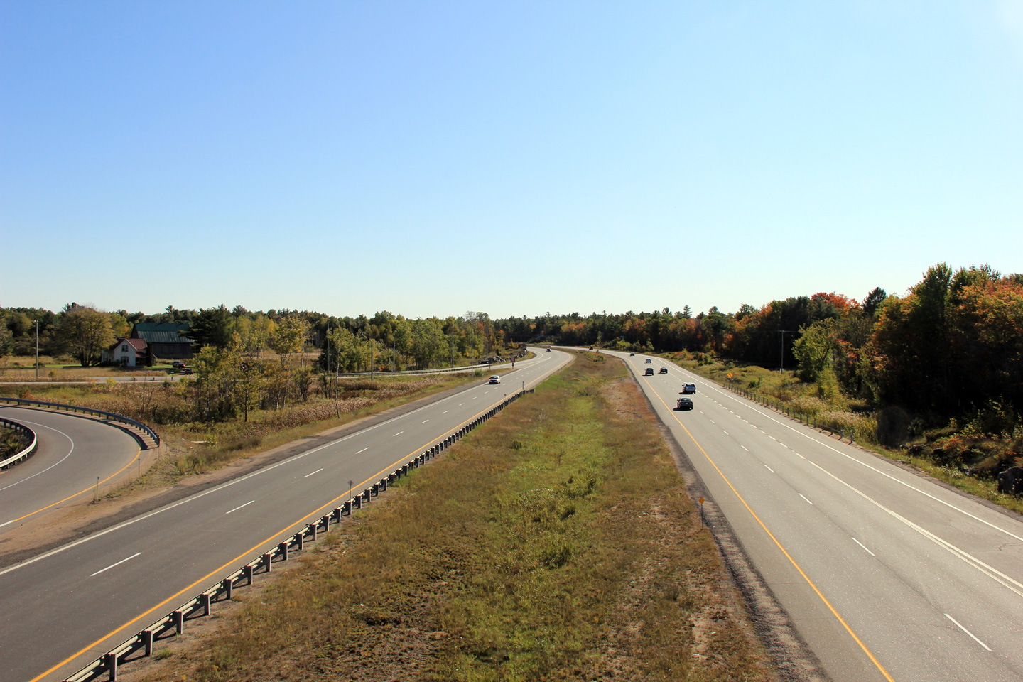
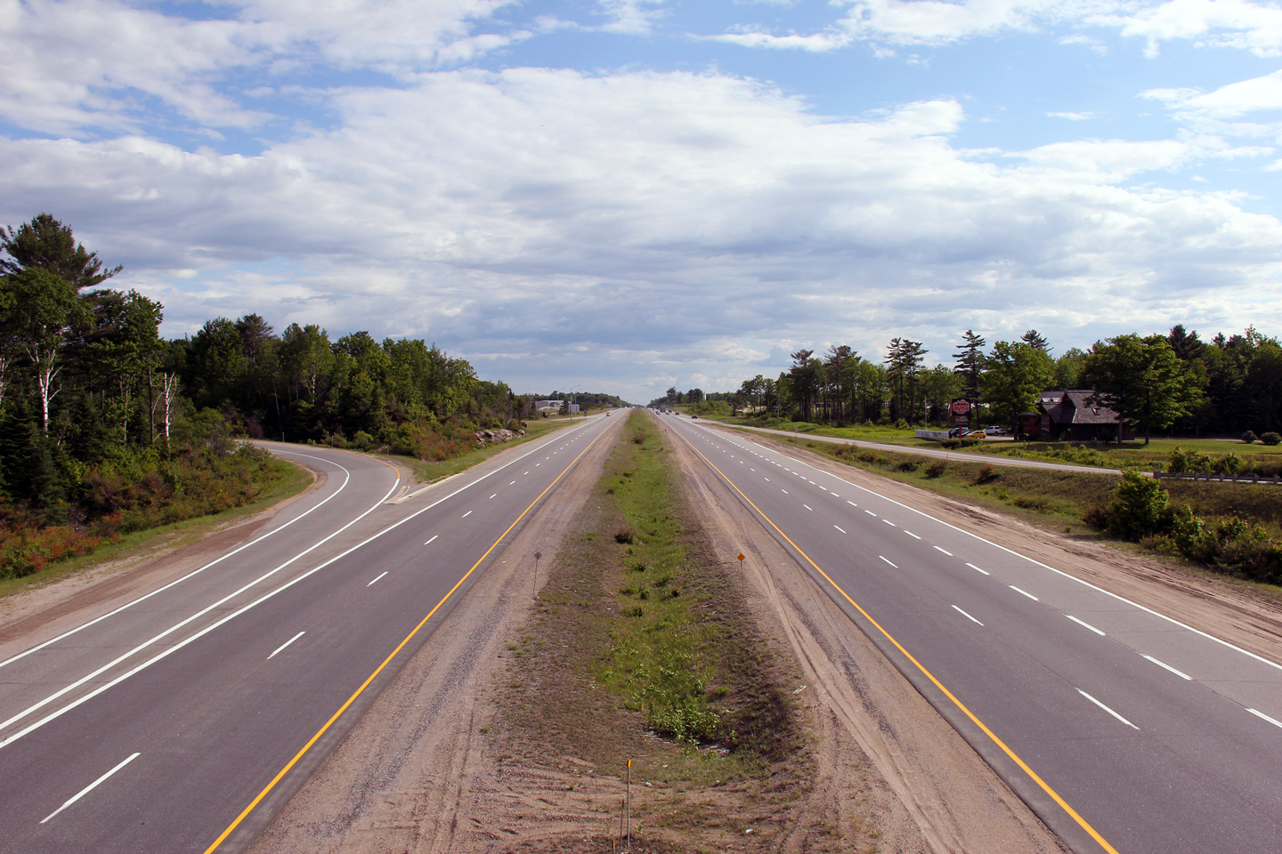
View looking southerly along Highway 11 as it rounds the curve as Highway 11
crosses the Gull Lake Narrows on the Gravenhurst By-pass. Note the
at-grade intersection south of the lake crossing. This is the only
at-grade intersection along Highway 11 south of Bracebridge.
Picture taken: June 17th, 2006. |
Low-res
High-res |
| Town of Gravenhurst District
Municipality of Muskoka |
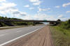
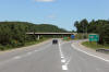
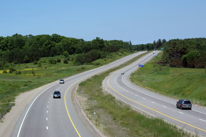
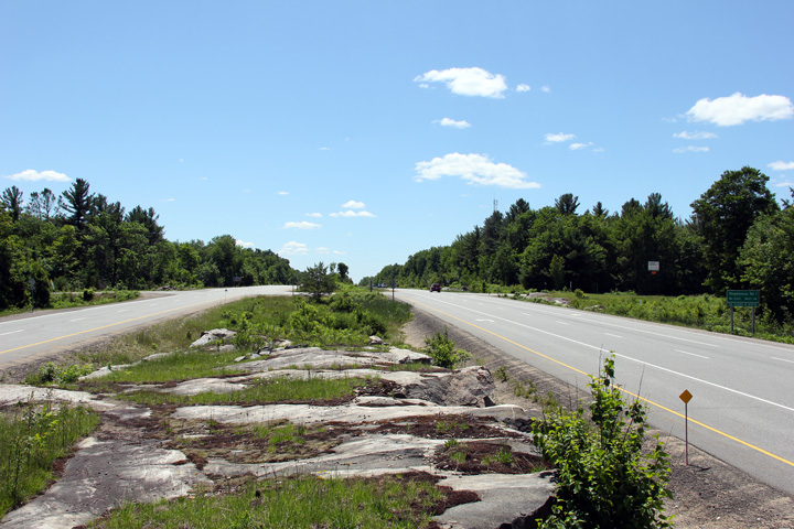
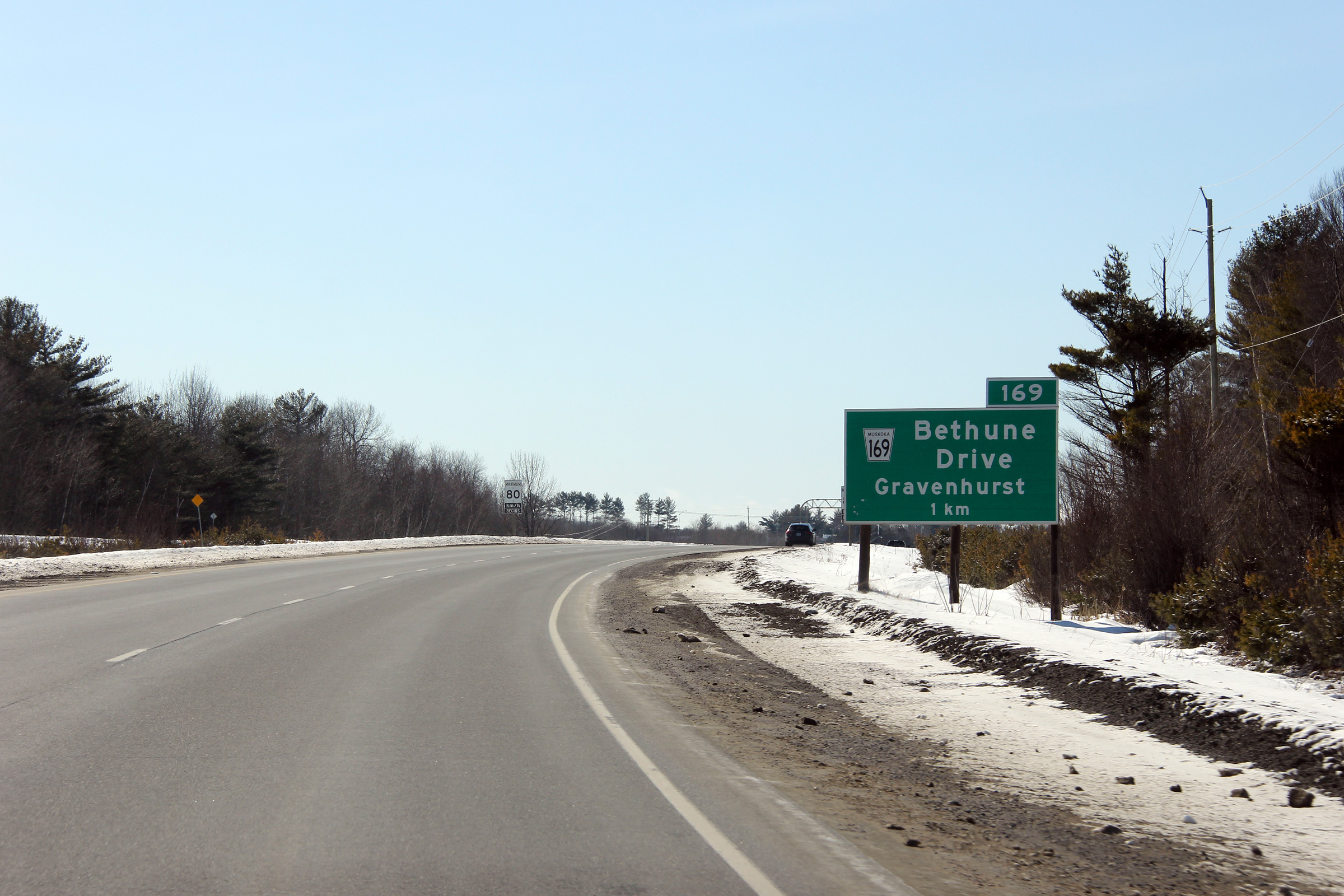
Southerly view along Highway 11 from the Bethune Drive / Doe Lake Road
overpass.
Photo taken: October 1st, 2011. |

(720x480)
(1440x960)
(2400x1600) |
| Town of Gravenhurst District
Municipality of Muskoka |
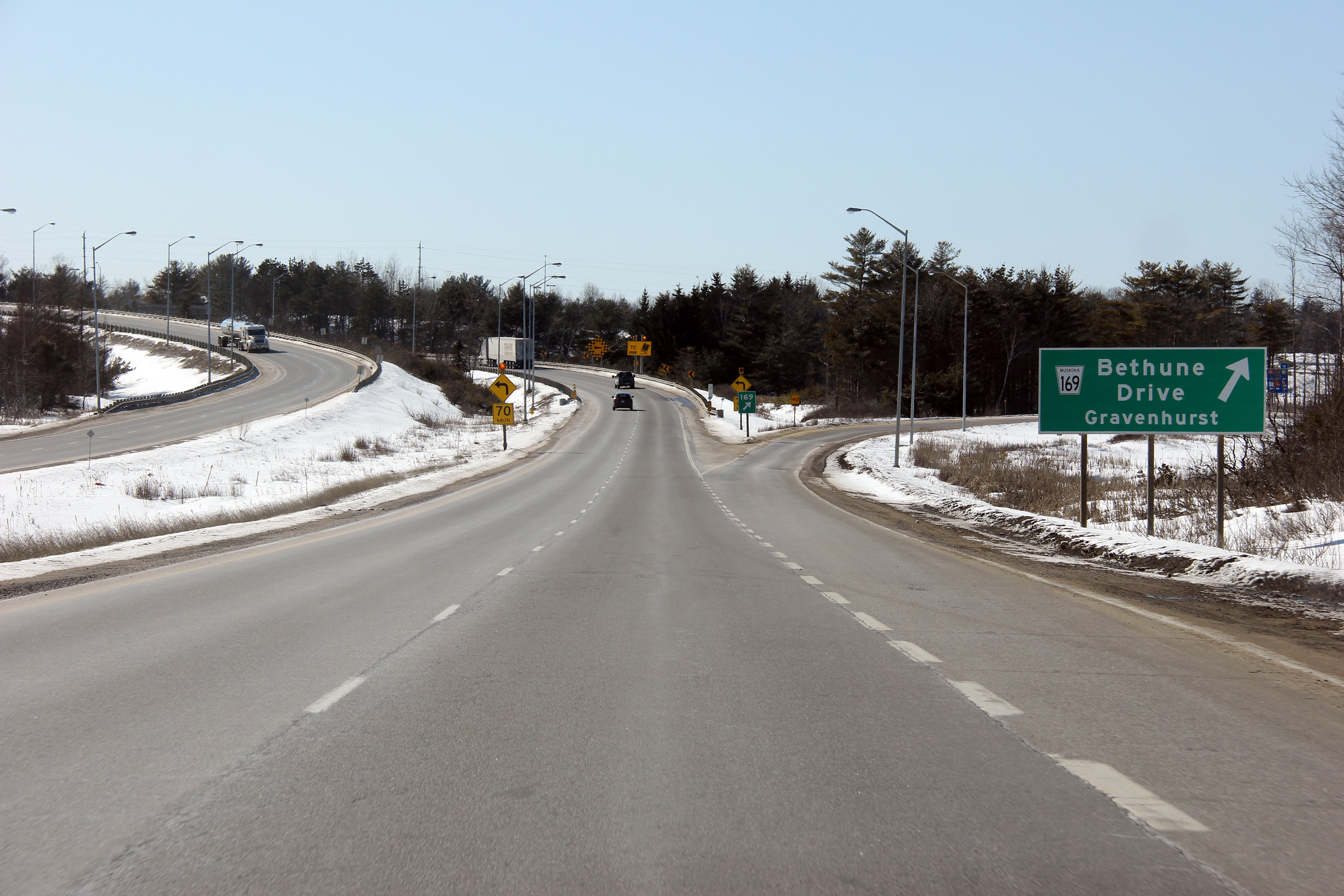
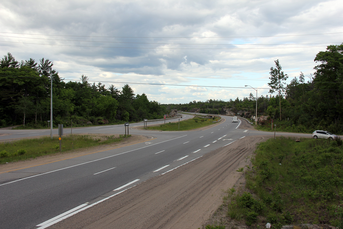
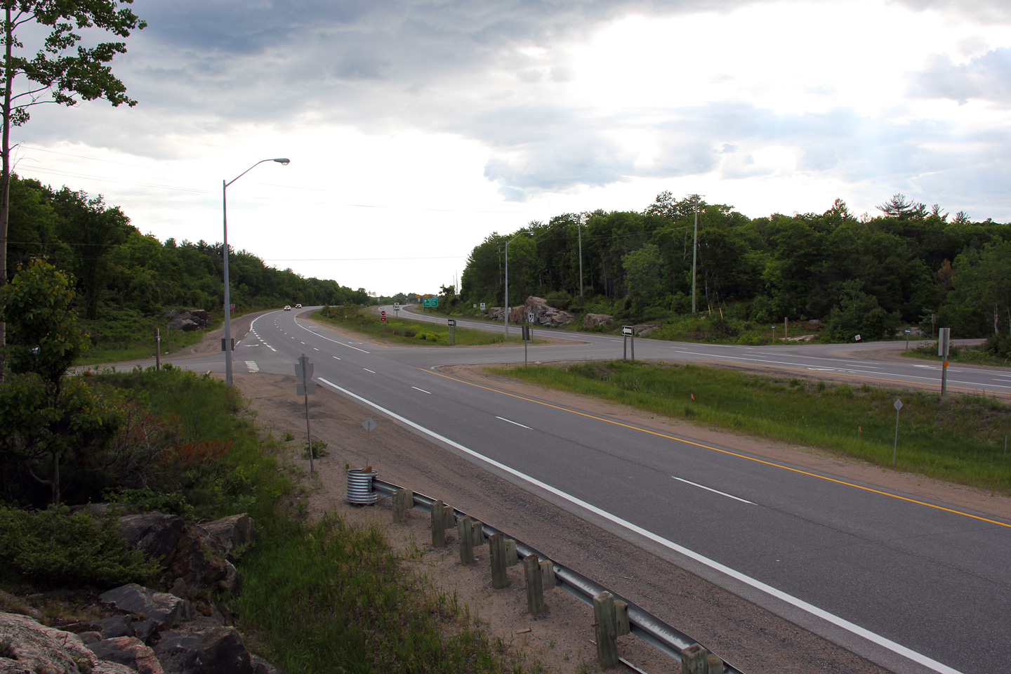
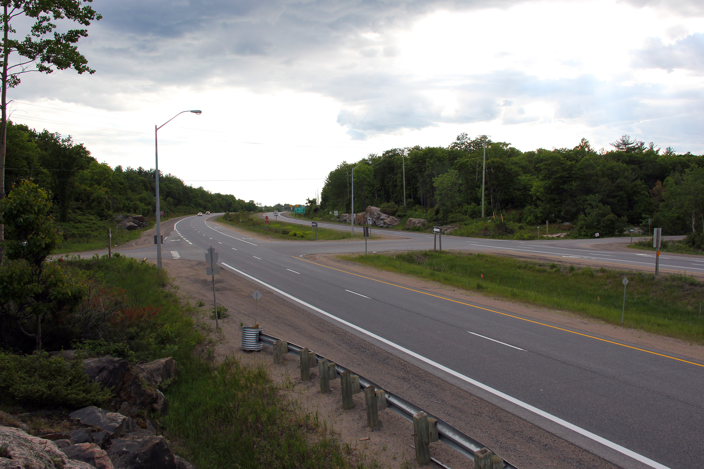
View looking northerly from the Bethune Drive / Doe Lake Road overpass.
Prior to the early 2000s, Bethune Drive (itself a former alignment of
Highway 11) met current Highway 11 at a semi directional "Y" interchange
while Doe Lake Road (the eastern continuation of Bethune Drive) intersected
with Highway 11 at-grade immediately to the south of the flyover
structure. In the early 2000's the partial "Y" interchange was
consolidated with the Doe Lake Road intersection to eliminate the grade
level crossing.
Photo taken: October 1st, 2011. |
(720x480)
(1440x960)
(2400x1600) |
| Town of Gravenhurst District
Municipality of Muskoka |
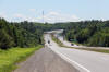
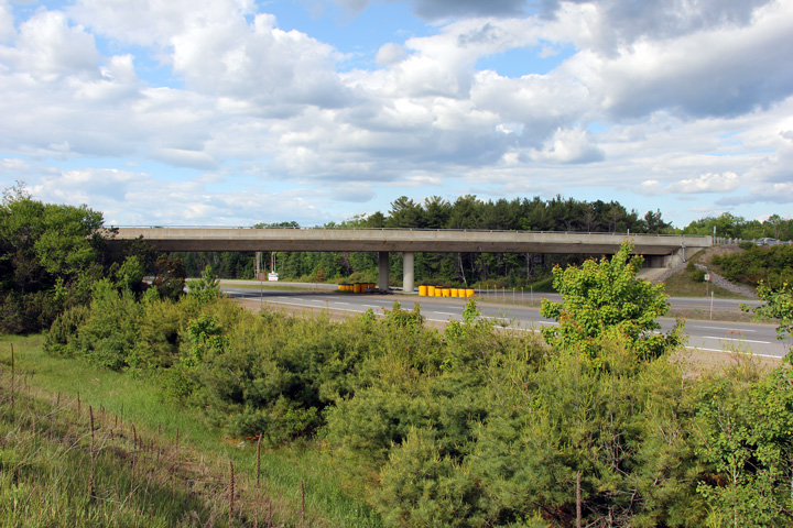
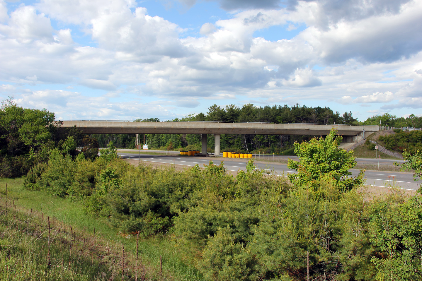
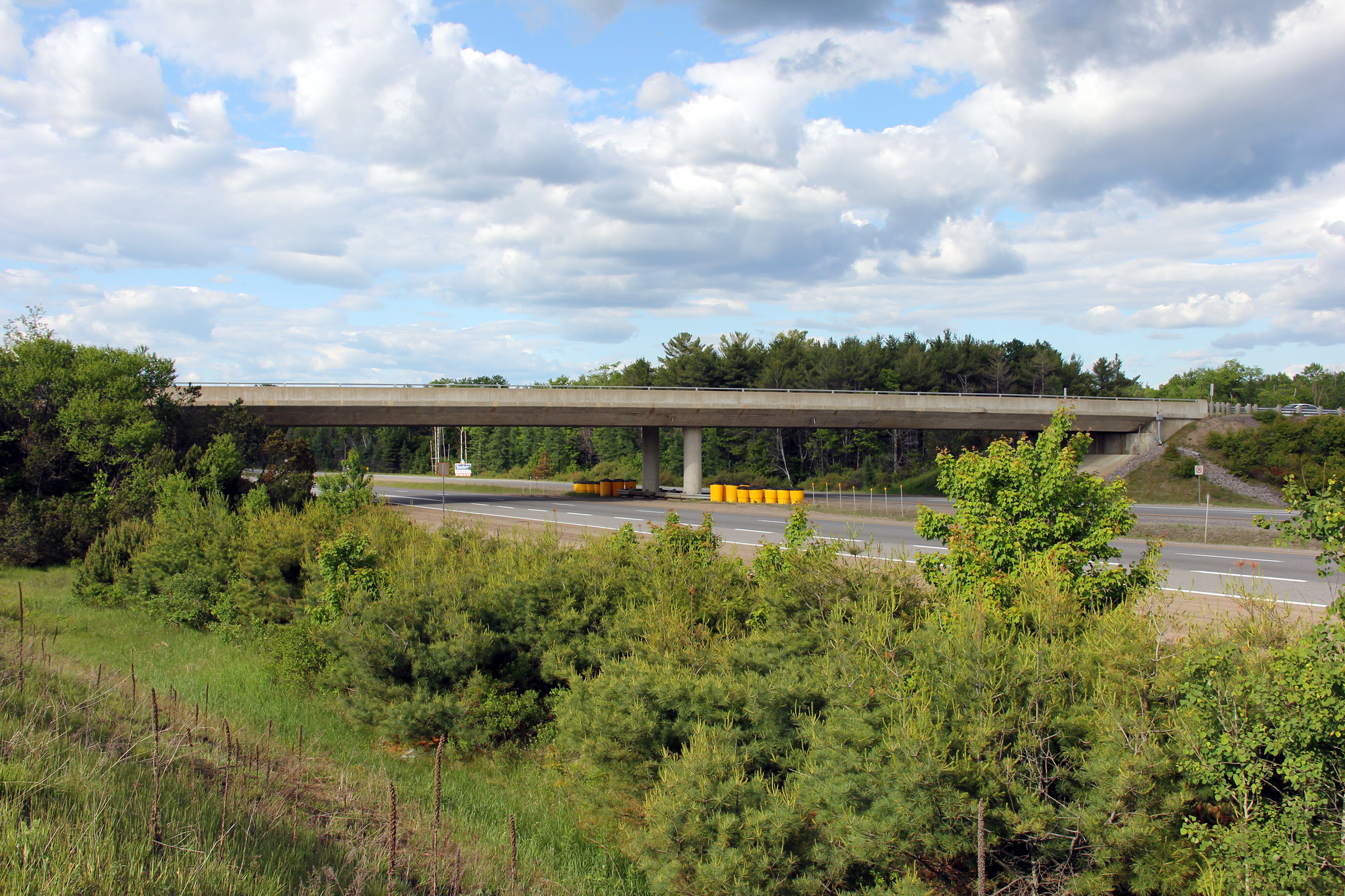
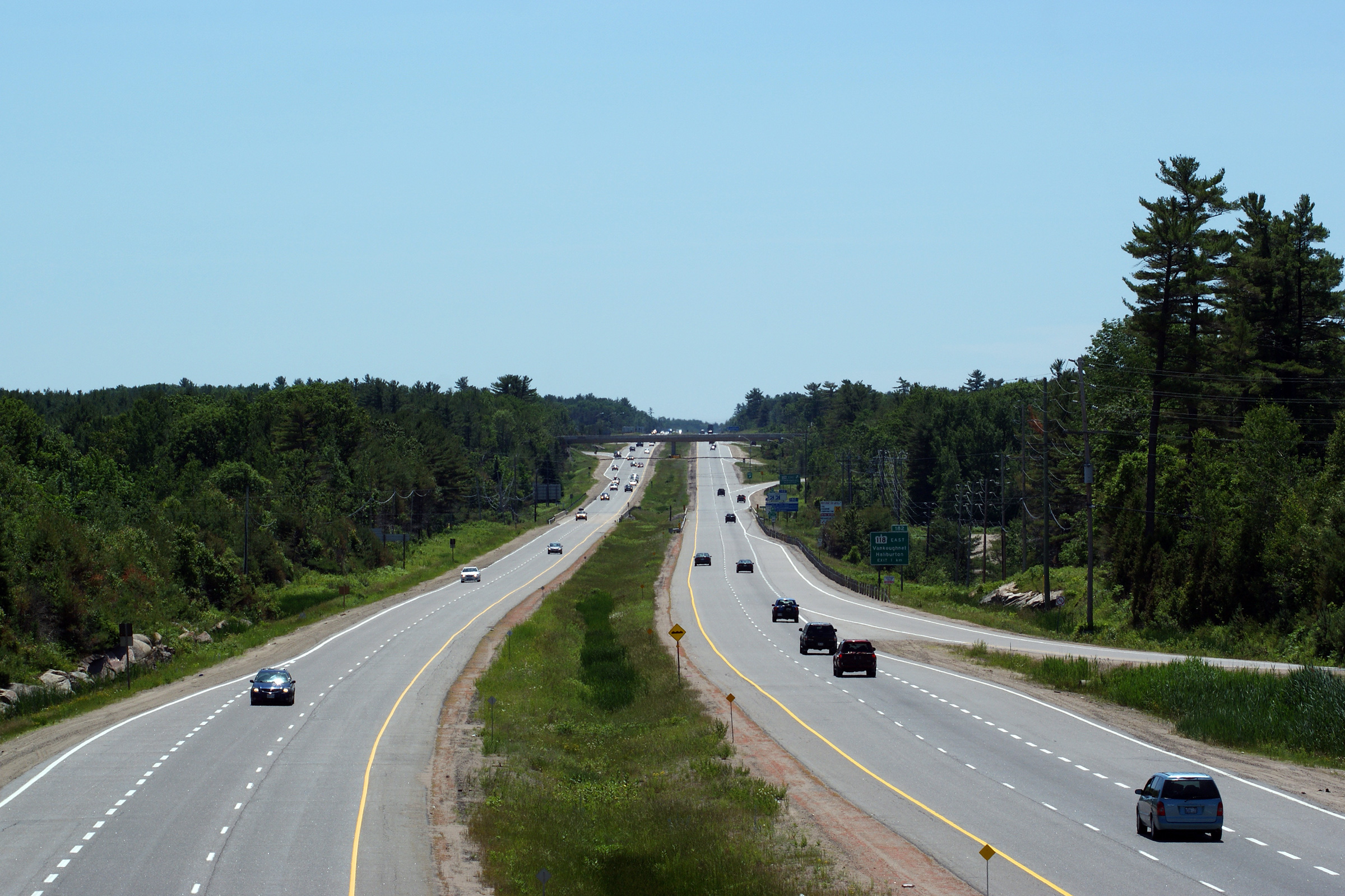
Northerly view at the Highway 118 overpass. Many freeway structures
built during the 1970s and 1980s utilize this cast in place concrete box
girder design.
Photo taken: June 5th, 2012. |
(720x480)
(1440x960)
(2400x1600) |
| Town of Gravenhurst District
Municipality of Muskoka |
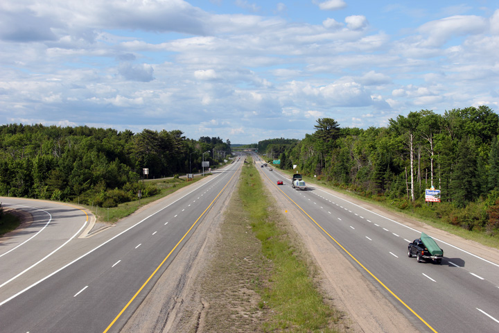
View looking southerly along Highway 11 from the
Highway 118 overpass in Bracebridge.
Picture taken: June 5th, 2012. |
(720x480)
(1440x960)
(2400x1600) |
|
At present Highway 118 leads only
east of Highway 11, however before downloading, it extended westerly as well.
Click here for Highway 118 images. |
| Town of Bracebridge District
Municipality of Muskoka |
This view looks north along Highway 11 from the Highway 118 overpass.
Highway 118 meets Highway 11 at a 5-ramp parclo A3 interchange. Picture
taken: June 5th, 2012. |

(720x480)
(1440x960)
(2400x1600) |
| Town of Bracebridge District
Municipality of Muskoka |
Southbound off-ramp to Highway 118.
Photo taken: June 5th, 2012. |
 (720x480) (720x480)
(1440x960)
(2400x1600) |
| Town of Bracebridge District
Municipality of Muskoka |
Southbound advanced signage for the Highway 118 interchange. The
previous incarnation of this signage (pictured here in
July, 2006) only referenced Highway 118 East, as traffic bound for
Highway 118 West had been directed off of the freeway north of this location at the Taylor
road interchange.
Photo taken: June 5th, 2012. |
 (720x480) (720x480)
(1440x960)
(2400x1600) |
| Town of Bracebridge District
Municipality of Muskoka |
This photo looks southerly from the Cedar Lane overpass. Cedar Lane
meets Highway 11 in the vicinity of kilometre marker 184. Picture taken:
June 27th, 2009. |
(720x480)
(1440x960)
(2400x1600) |
| Town of Bracebridge District
Municipality of Muskoka |
View looking northerly from the Cedar Lane overpass as Highway 11 continues
around Bracebridge on the Bracebridge By-pass. Picture taken: June 27th,
2009. |
(720x480)
(1440x960)
(2400x1600) |
| Town of Bracebridge District
Municipality of Muskoka |
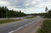
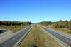
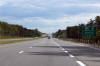
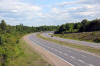
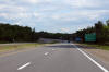
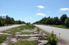
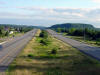
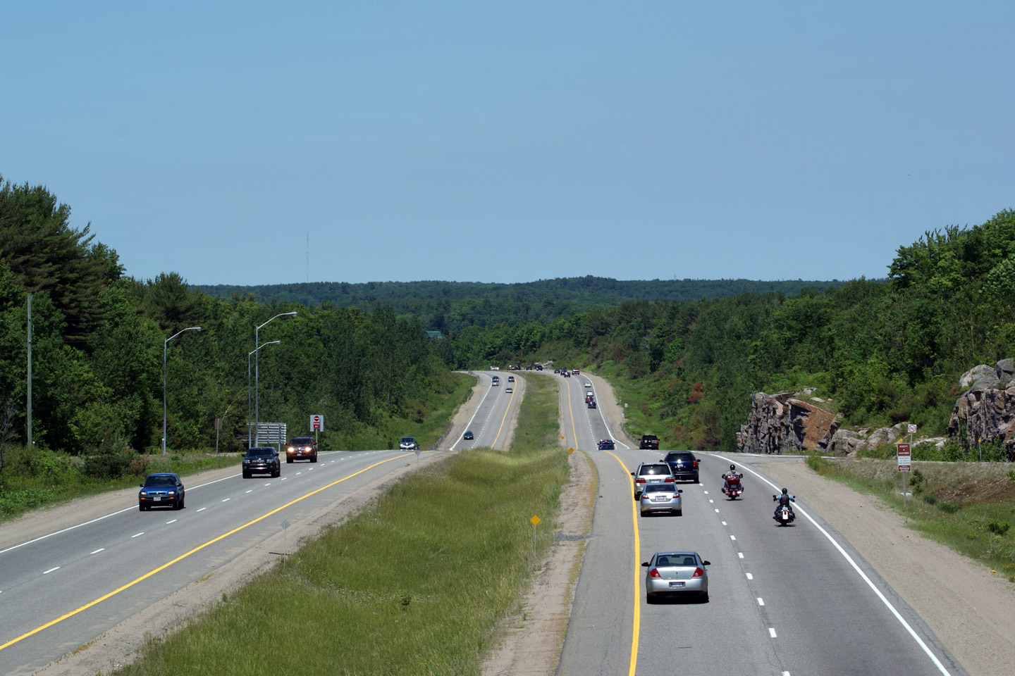
Southerly view from the Fraserburg Road overpass.
Photo taken: June 27th, 2009. |

(720x480)
(1440x960)
(2400x1600) |
| Town of Bracebridge District
Municipality of Muskoka |
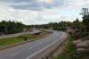
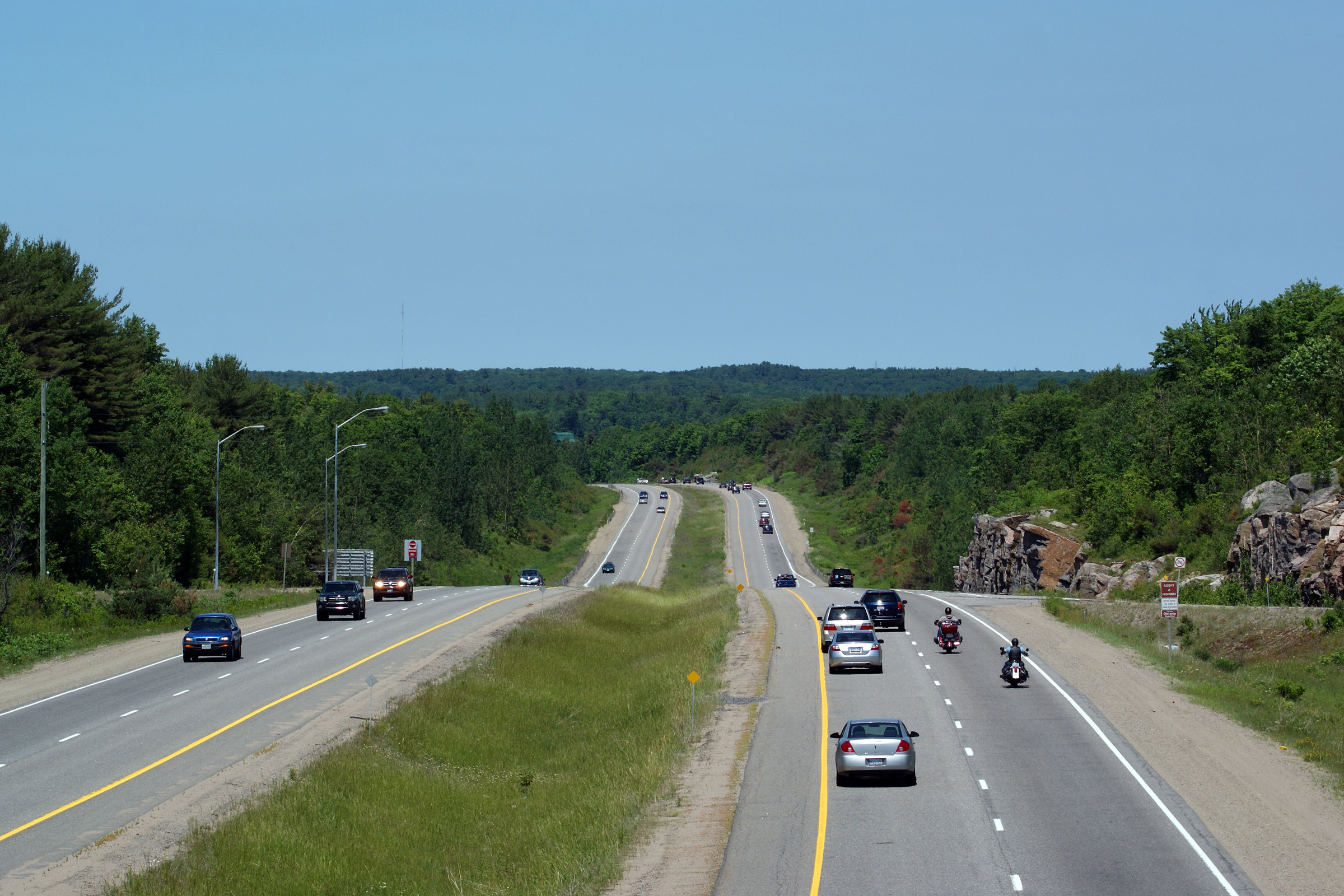
Northerly view form the Fraserburg Road overpass.
Photo taken: June 27th, 2009.
|

(720x480)
(1440x960)
(2400x1600) |
| Town of Bracebridge District
Municipality of Muskoka |
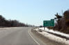
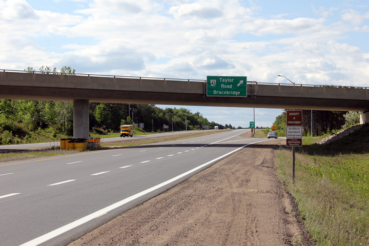
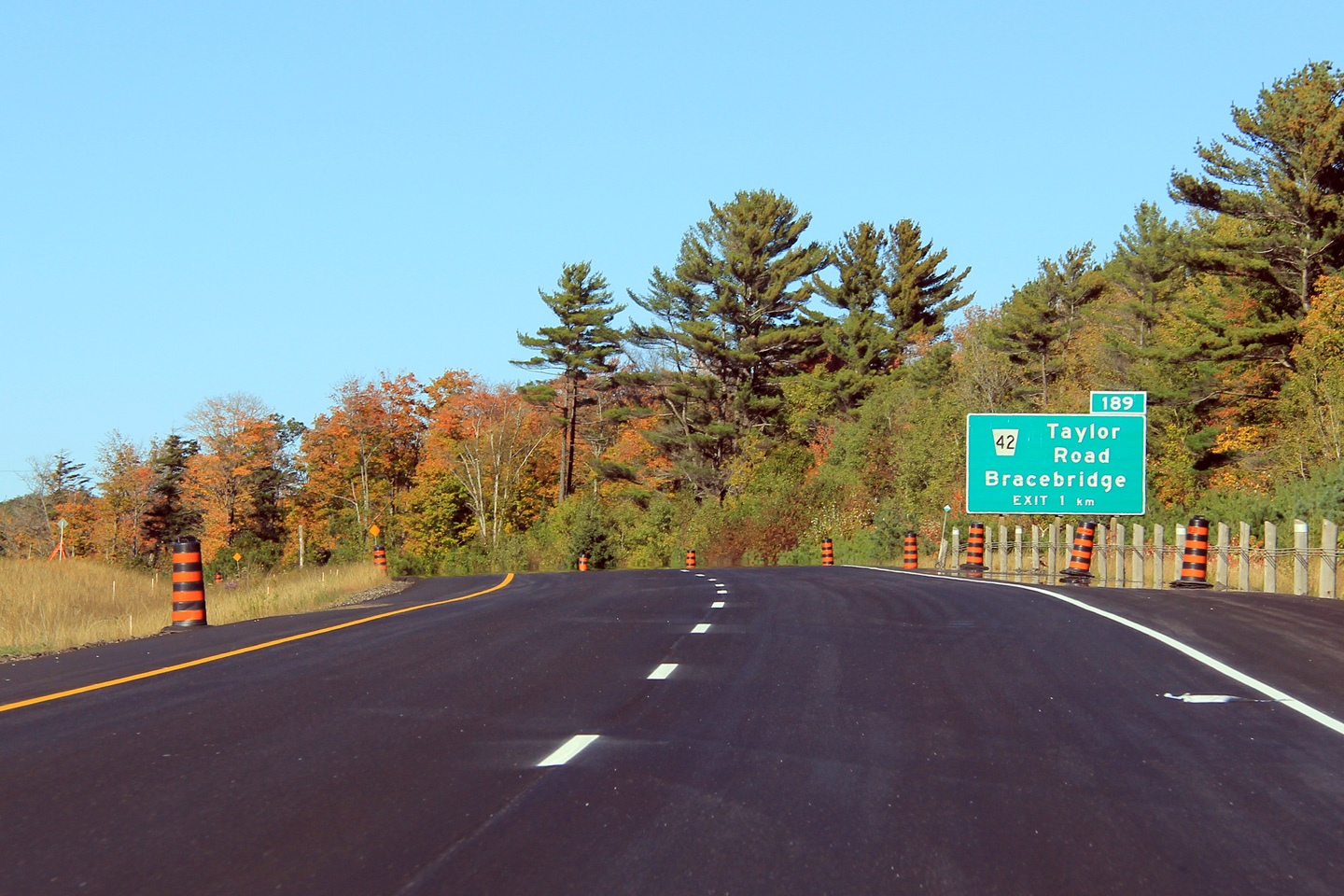
Advanced signage for the Taylor Road interchange. This sign was
replaced shortly after this photograph was taken.
Photo taken: October 1st, 2011. |
 (720x480) (720x480)
(1440x960)
(2400x1600) |
| Town of Bracebridge District
Municipality of Muskoka |
Northbound view approaching the Taylor Road overpass.
Photo taken: June 5th, 2012. |
(720x480)
(1440x960)
(2400x1600) |
| Town of Bracebridge District
Municipality of Muskoka |
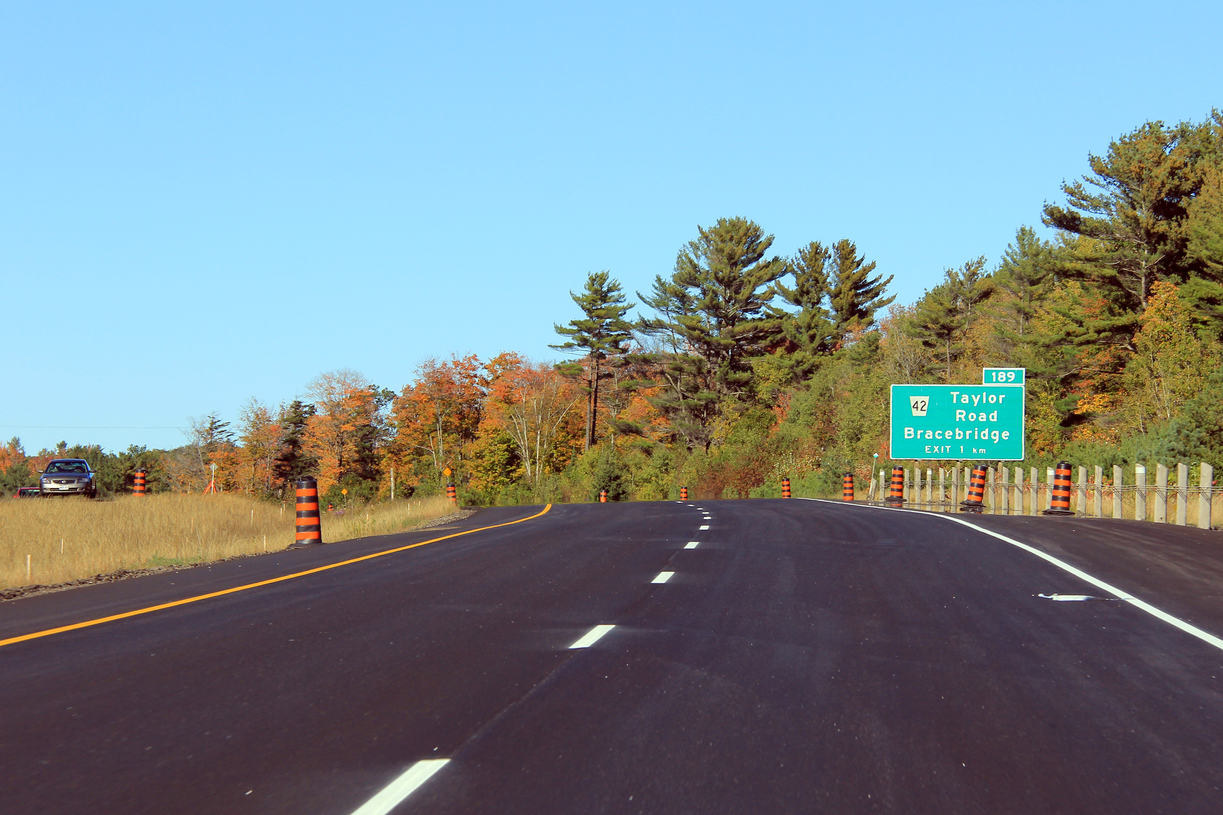
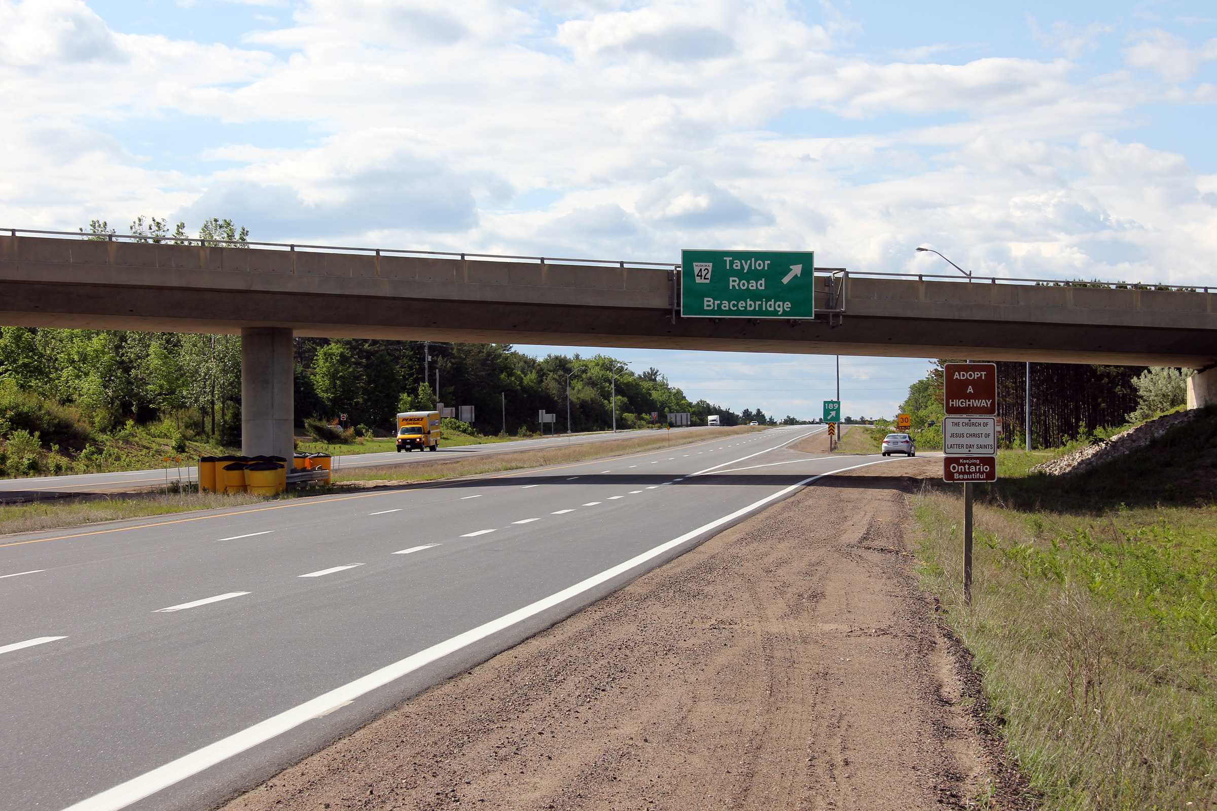
Overhead guide signage for the off-ramp from Highway 11 North to Taylor
Road.
Photo taken: June 5th, 2012. |
 (720x480) (720x480)
(1440x960)
(2400x1600) |
| Town of Bracebridge District
Municipality of Muskoka |
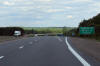
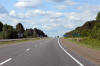
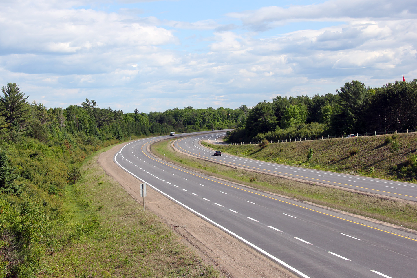
Southerly view from the Taylor Road overpass.
Photo taken: June 5th, 2012. |
(720x480)
(1440x960)
(2400x1600) |
| Town of Bracebridge District
Municipality of Muskoka |
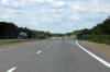
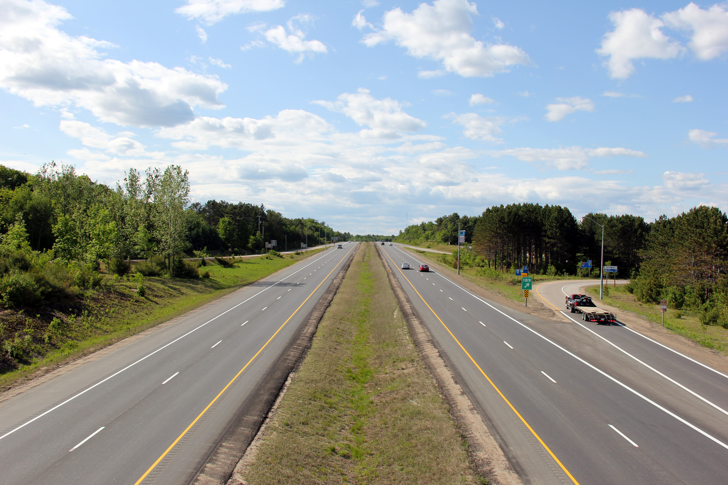
Northerly view from the Taylor Road overpass. Highway 11 had been
resurfaced in the fall of 2011 shortly before this photo was taken.
Photo taken: June 5th, 2012. |

(720x480)
(1440x960)
(2400x1600) |
| Town of Bracebridge District
Municipality of Muskoka |
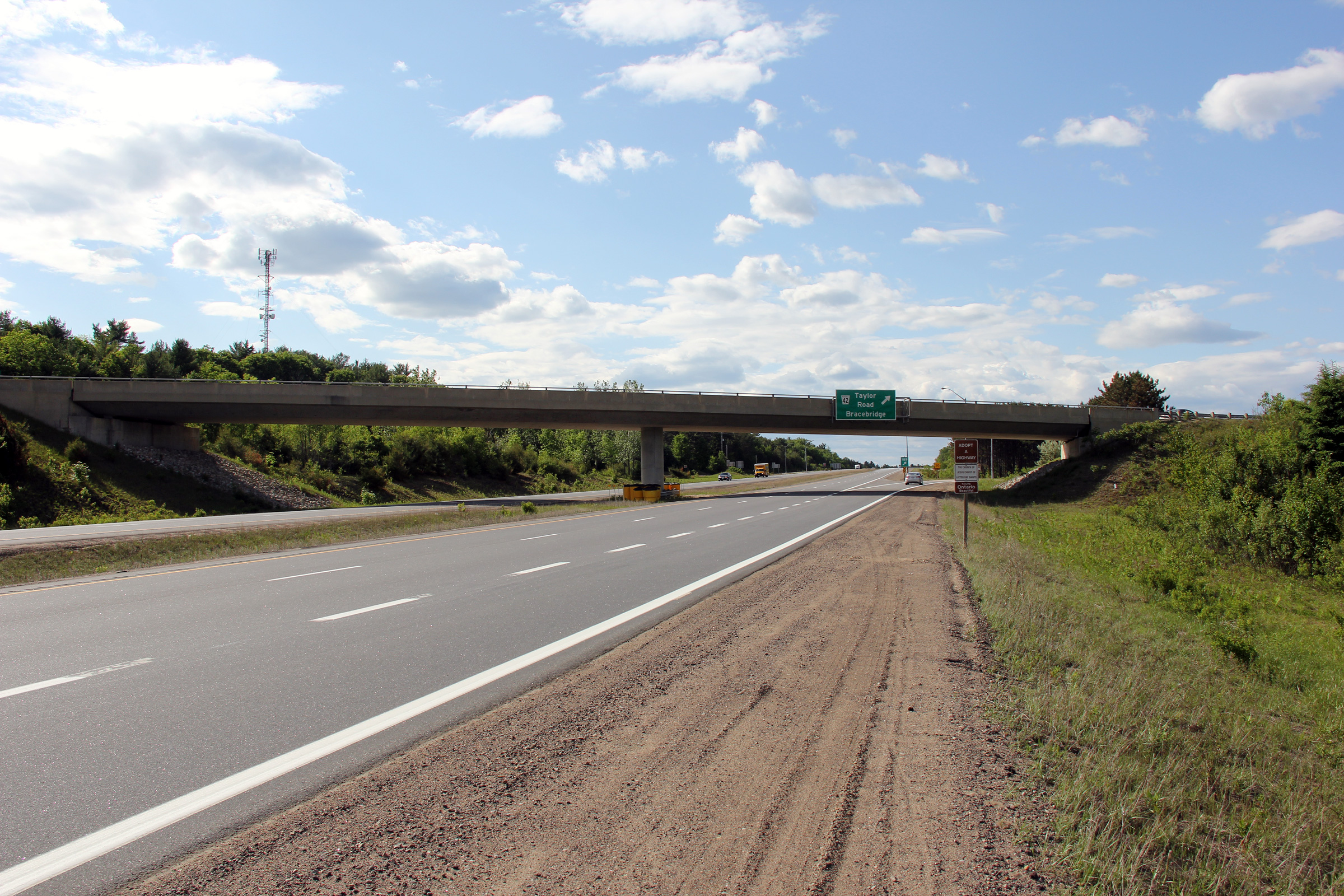
Southbound signage for the Taylor Road interchange. Highway 118 West
is signed from Taylor Road as Highway 118 runs north-south for several
kilometres through Bracebridge following the former alignment of Highway 11.
Photo taken: June 5th, 2012. |
 (720x480) (720x480)
(1440x960)
(2400x1600) |
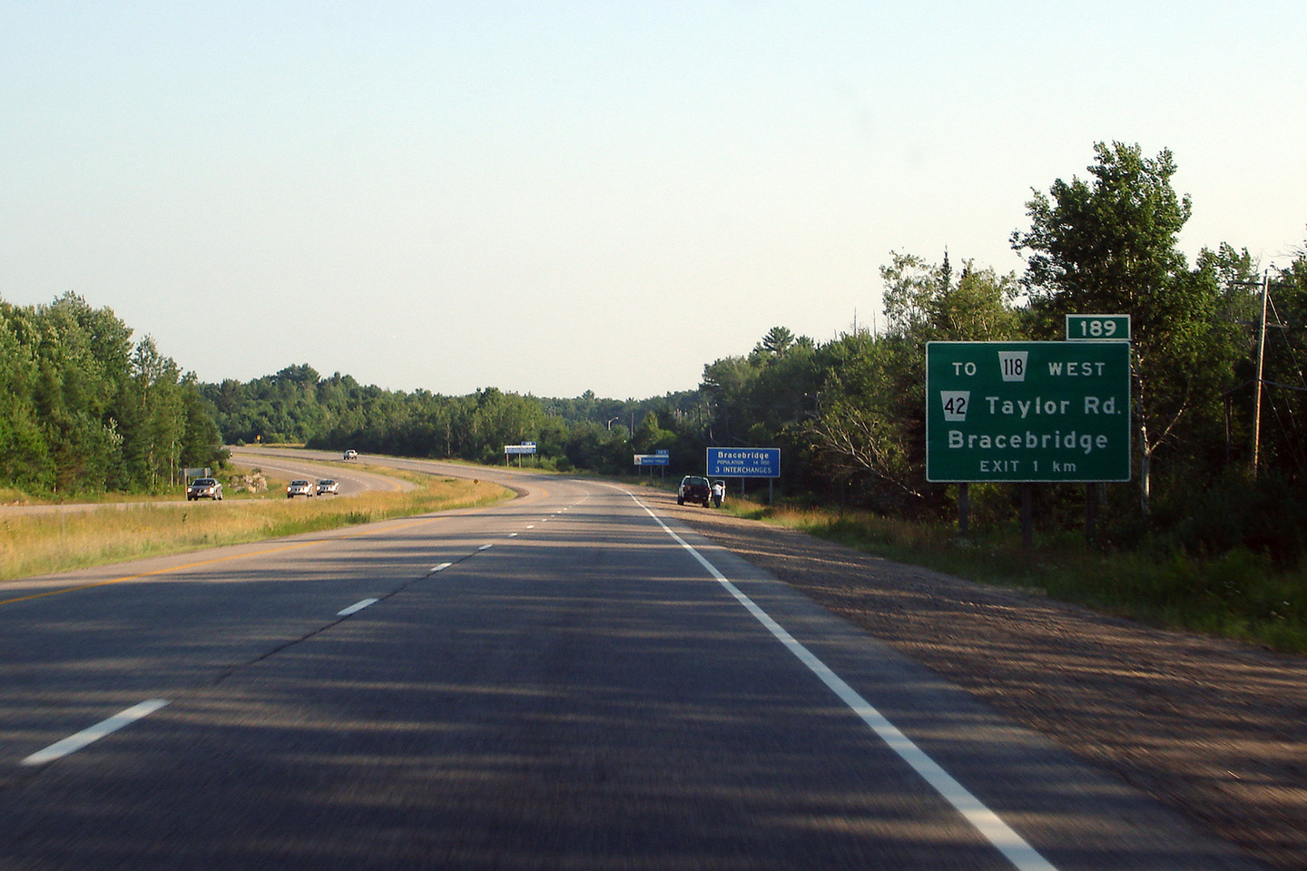
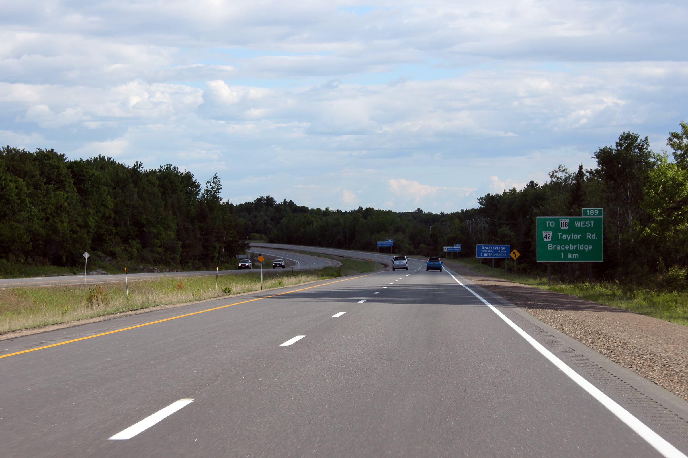
| Town of Bracebridge District
Municipality of Muskoka |
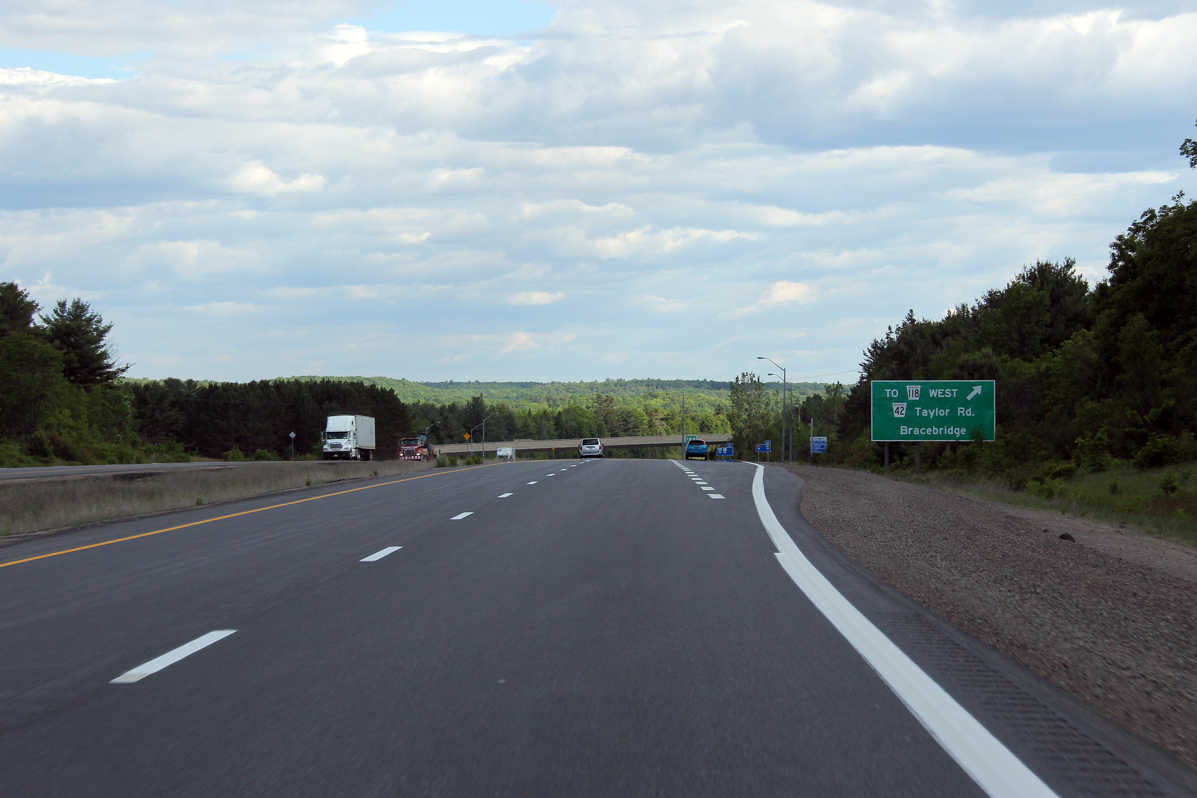
Southbound advanced signage for the exit to Taylor Road. Click
here to see the sign at that
stood at this location prior to the summer of 2012 (taken July 13, 2006).
Photo taken: June 5th, 2012. |
 (720x480) (720x480)
(1440x960)
(2400x1600) |
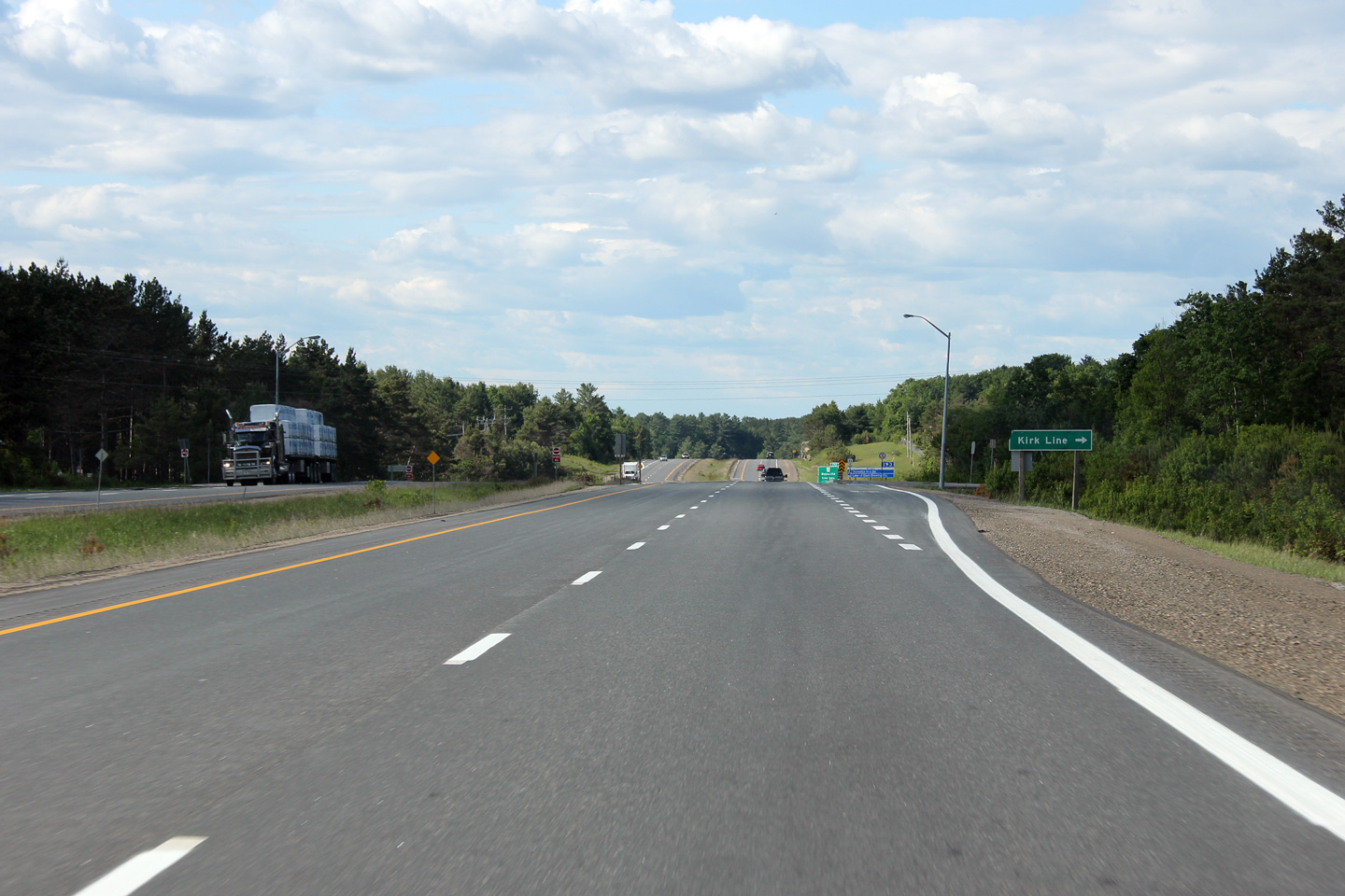
| Town of Bracebridge District
Municipality of Muskoka |
Advanced signage for the Kirk Line intersection.
Photo taken: June 5th, 2012. |
 (720x480) (720x480)
(1440x960)
(2400x1600) |
| Town of Bracebridge District
Municipality of Muskoka |
Northerly view at Kirk Line. While Highway 11 meets Kirk Line at an
at-grade crossing, there is no median cross-over at the intersection.
The western leg of Kirk Line is not directly accessible from the northbound
lanes of Highway 11.
Photo taken: June 5th, 2012. |
 (720x480) (720x480)
(1440x960)
(2400x1600) |
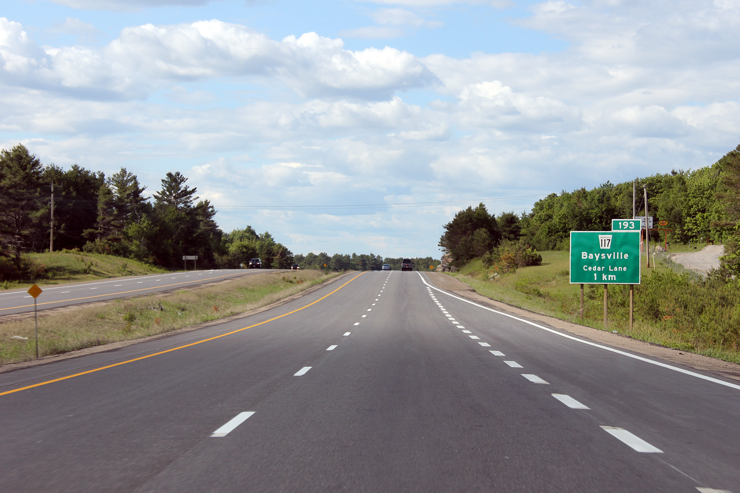
| Town of Bracebridge District
Municipality of Muskoka |
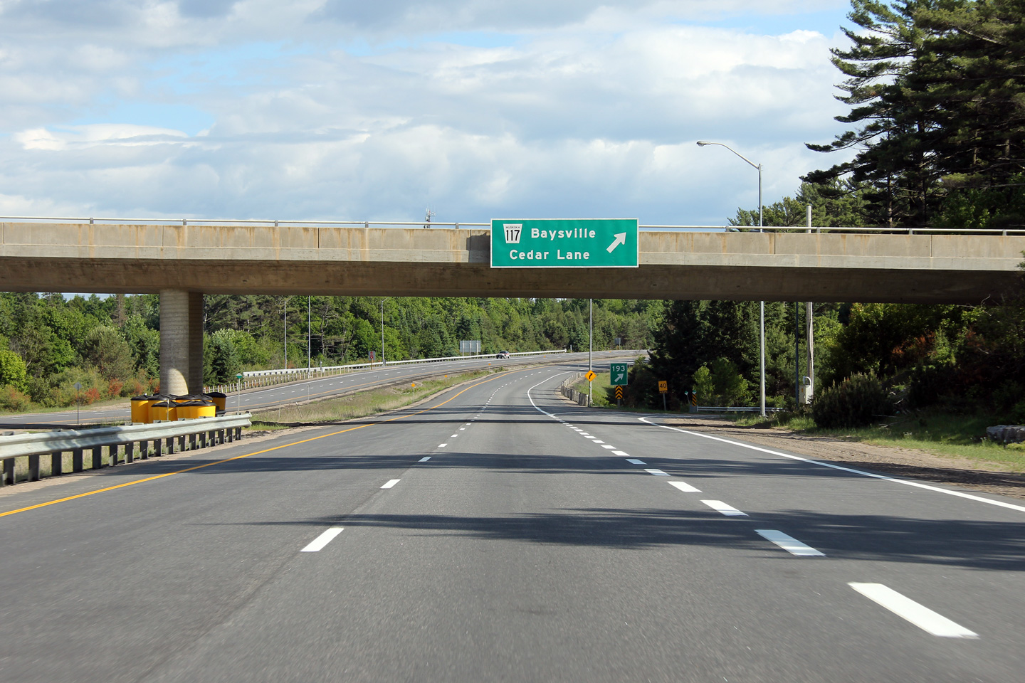
Advanced signage for the Highway 117 interchange. Highway 117 was
transferred to Muskoka District in 1997 and serves primarily as a cottage
access road for properties along the southern edge of Lake of Bays between
Bracebridge and Dorset.
Photo taken: June 5th, 2012. |
 (720x480) (720x480)
(1440x960)
(2400x1600) |
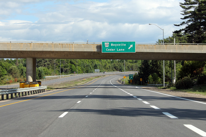
| Town of Bracebridge District
Municipality of Muskoka |
Northbound signage at the Highway 117 interchange.
Photo taken: June 5th, 2012. |
 (720x480) (720x480)
(1440x960)
(2400x1600) |
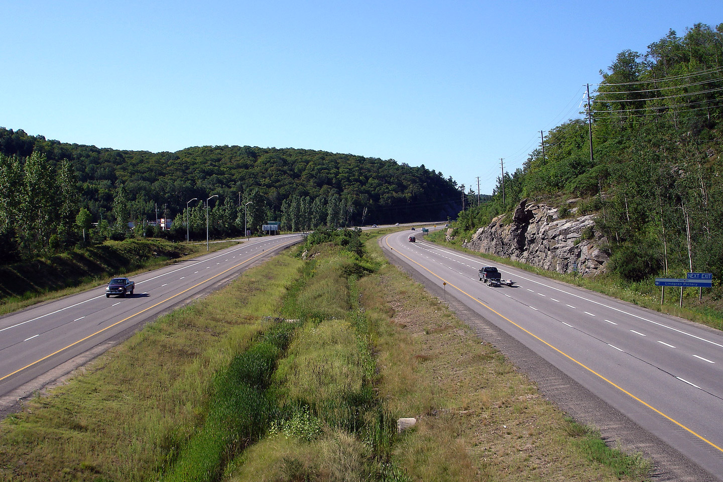
| Town of Bracebridge District
Municipality of Muskoka |
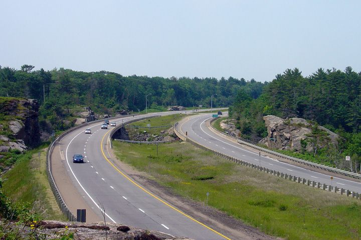
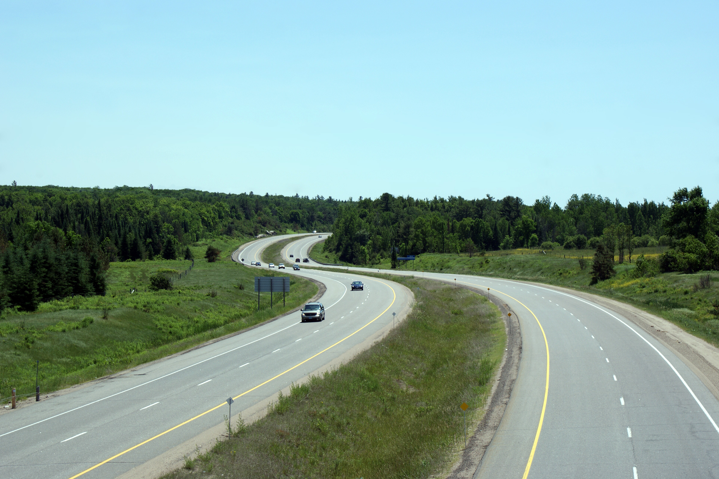
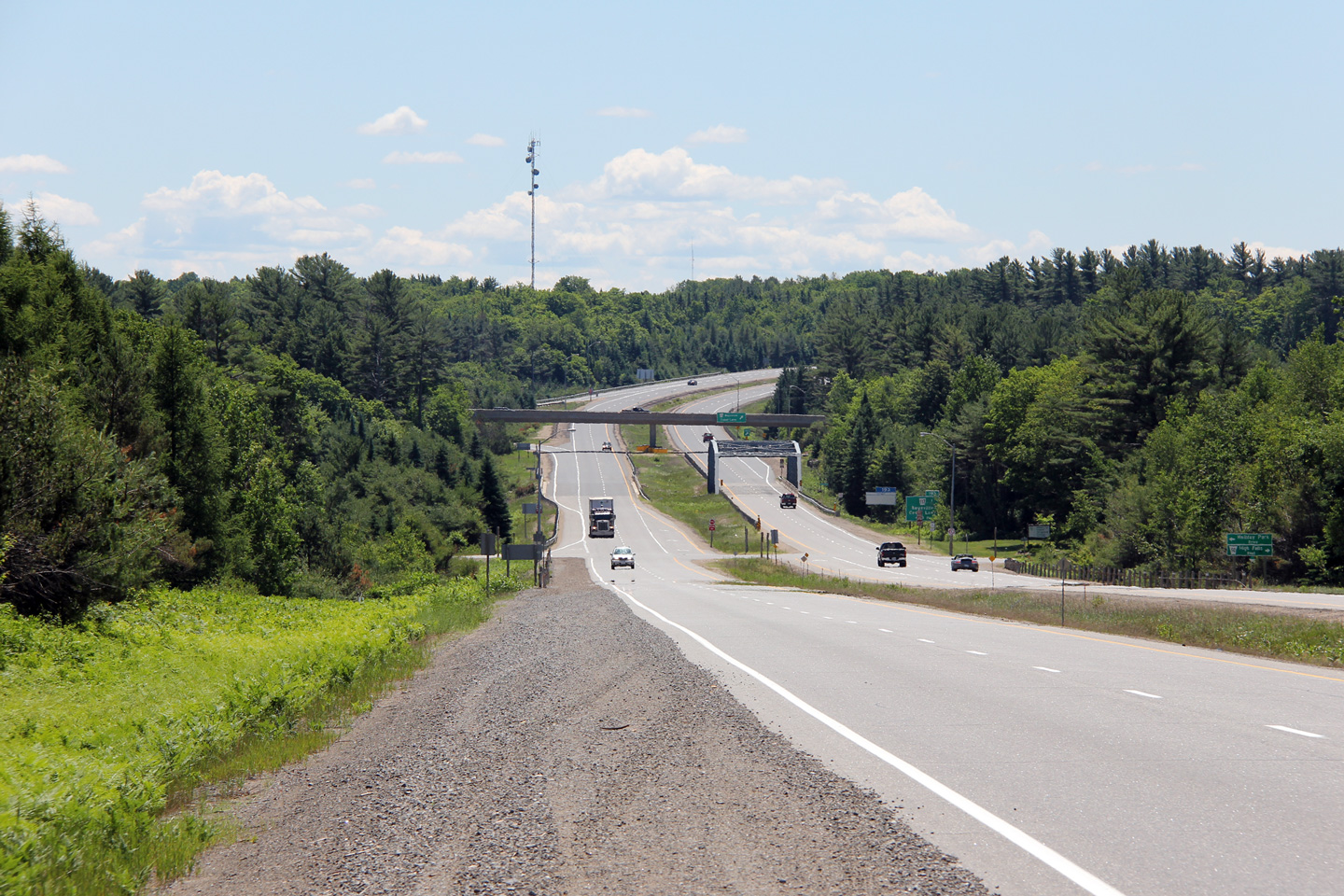
View looking southerly as Highway 11 rounds a gentle curve just south of the
Highway 117 overpass. Highway 117 is located roughly at kilometre
marker 193. Picture taken: May 29th, 2004. |
Low-res
High-res |
|
At present Highway 118 leads only
east of Highway 11, however before downloading, it extended westerly as well.
Click here for Highway 118 images. |
| Town of Bracebridge District
Municipality of Muskoka |
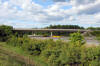
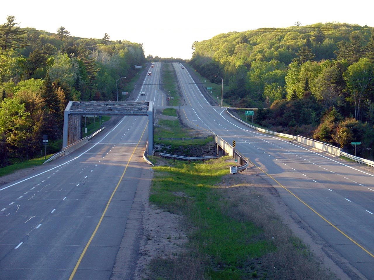
Highway 11 looking north from the Highway 117 overpass near Bracebridge.
Notice the
1950s vintage truss bridge that carries the southbound lanes over the
Muskoka River. Before
Highway 11 was twinned in the 1970s, this structure carried both directions of Highway 11
over the river.
Picture taken: May 29th, 2004. |
Low-res
High-res |
| Town of Bracebridge District
Municipality of Muskoka |
Overhead signage for the Highway 117 interchange along Highway 11 South.
Photo taken: June 5th, 2012. |
 (720x480) (720x480)
(1440x960)
(2400x1600) |
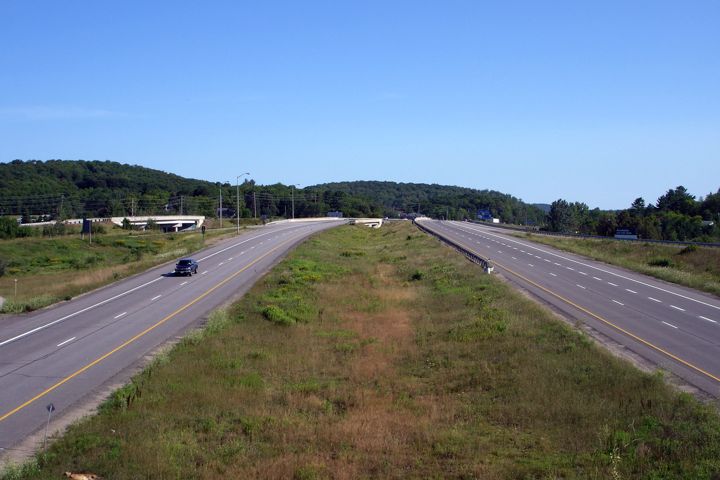
| Town of Bracebridge District
Municipality of Muskoka |
The southbound advanced sign for the Highway 117 interchange is located just
north of the Muskoka River truss bridge.
Photo taken: June 12th, 2012. |
 (720x480) (720x480)
(1440x960)
(2400x1600) |
| Town of Bracebridge District
Municipality of Muskoka |
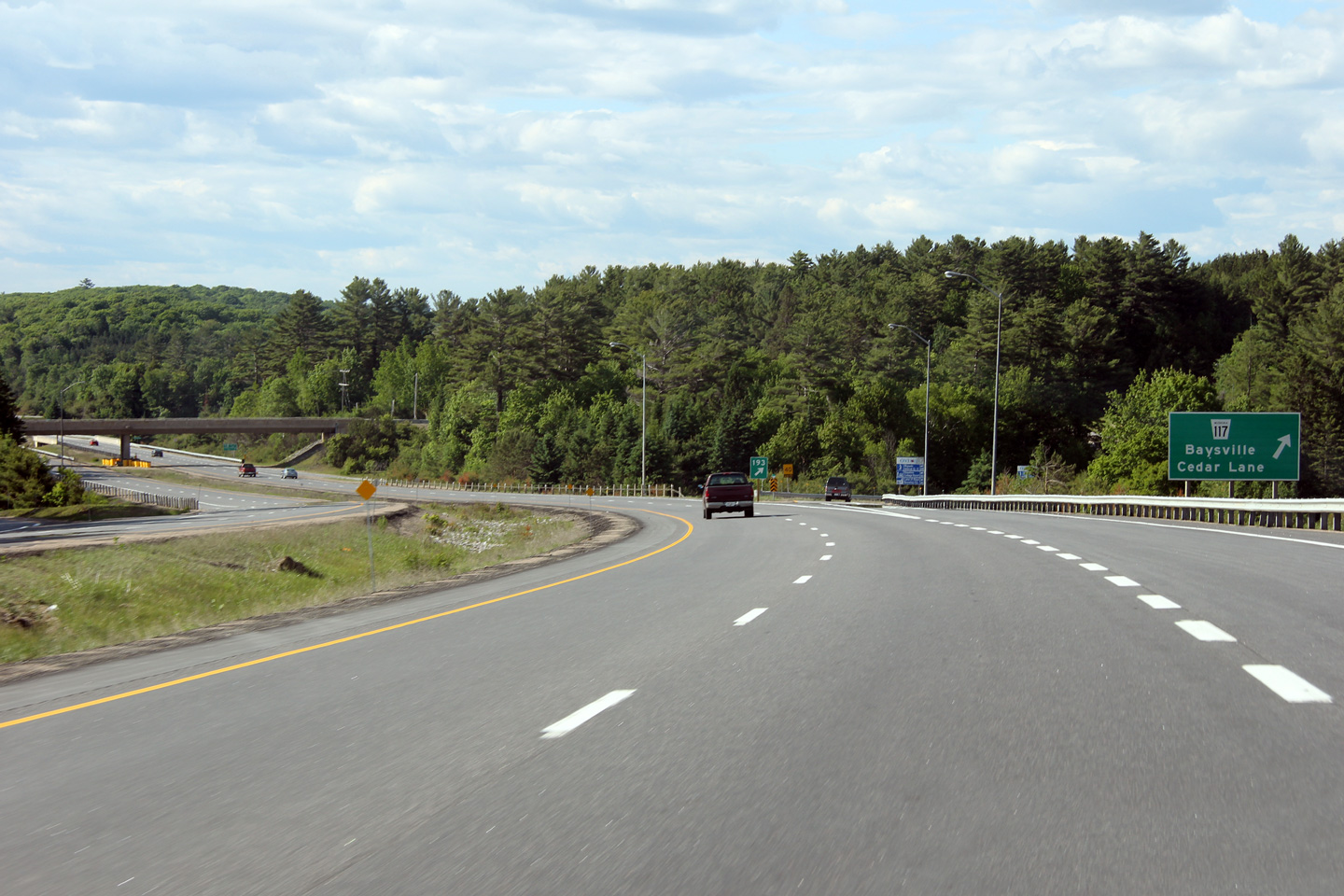
Southerly view along Highway 11 towards the Highway 117 interchange and the
Muskoka River.
Photo taken: June 23rd, 2012. |
(720x480)
(1440x960)
(2400x1600) |
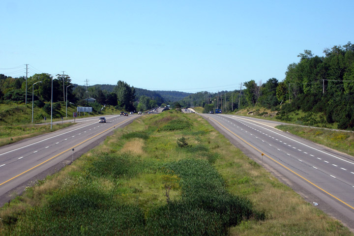
| Town of Huntsville District
Municipality of Muskoka |
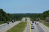
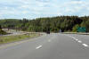
View looking south towards the at-grade intersection with Stephenson Road 1.
There are a series of at-grade intersections along Highway 11 from this
point northerly to Huntsville. Picture taken: June 23rd, 2012. |
(720x480)
(1440x960)
(2400x1600) |
| Town of Huntsville District
Municipality of Muskoka |
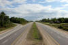
This view looks northerly along Highway 11 from just north of the Stephenson
Road 1 intersection. Note the slightly different vertical taken by the
opposing carriageways. This is the case because Highway 11 between
Huntsville and Gravenhurst was built first as a two-lane alignment and then
later twinned.
Picture taken: June 23rd, 2012. |

(720x480)
(1440x960)
(2400x1600) |
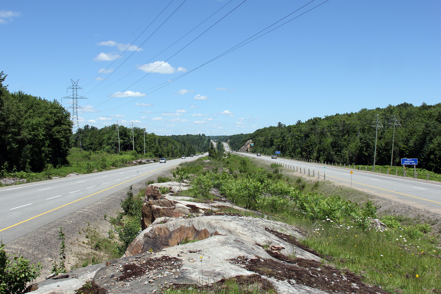
| Town of Huntsville District
Municipality of Muskoka |
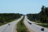
View looking northerly along Highway 11 as it nears the at-grade
intersection with South Mary Lake Road. This is the busiest grade level
crossing along Highway 11 between Barrie and North Bay.
Picture taken: June 23rd, 2012. |

(720x480)
(1440x960)
(2400x1600) |
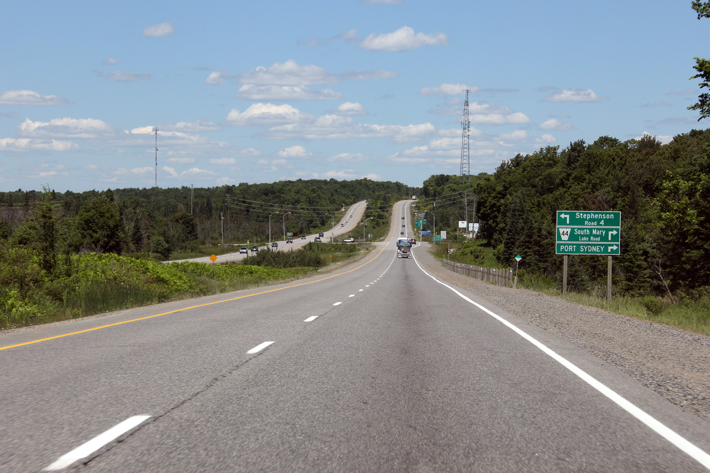
| Town of Huntsville District
Municipality of Muskoka |
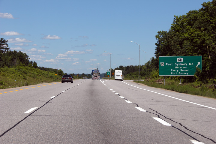
Advanced signage for the Highway 141 interchange. Interestingly (and
perhaps sensibly?), Highway 141 meets both Highway 11 and Highway 400 at
exit number 207.
Photo taken: June 27th, 2009. |
 (720x480) (720x480)
(1440x960)
(2400x1600) |
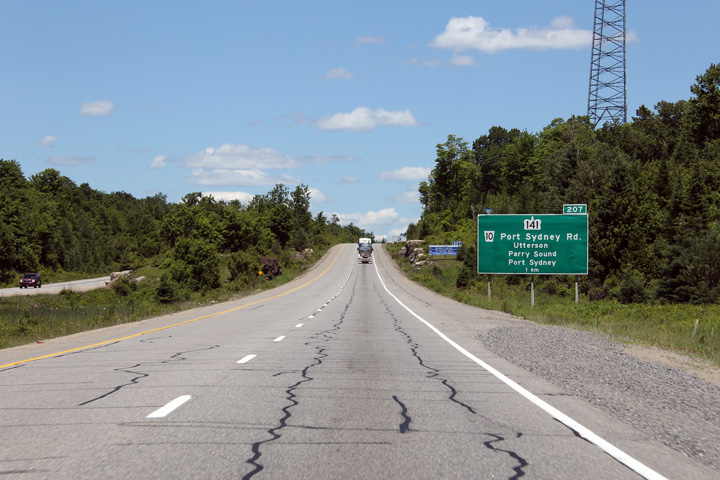
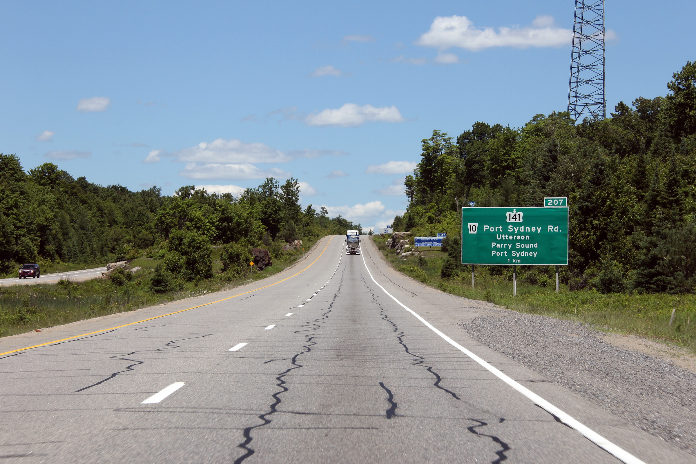
| Town of Huntsville District
Municipality of Muskoka |
Exit signage at Highway 141. The
Highway 141 interchange is currently (2013) the only grade separation and
interchange on Highway 11 between Bracebridge and Huntsville.
Photo taken: June 27th, 2009. |
 (720x480) (720x480)
(1440x960)
(2400x1600) |
|
Highway 141 is a local highway
extending from this interchange to Highway 400 at Parry Sound.
Click here for Highway 141 images. |
| Town of Huntsville District
Municipality of Muskoka |
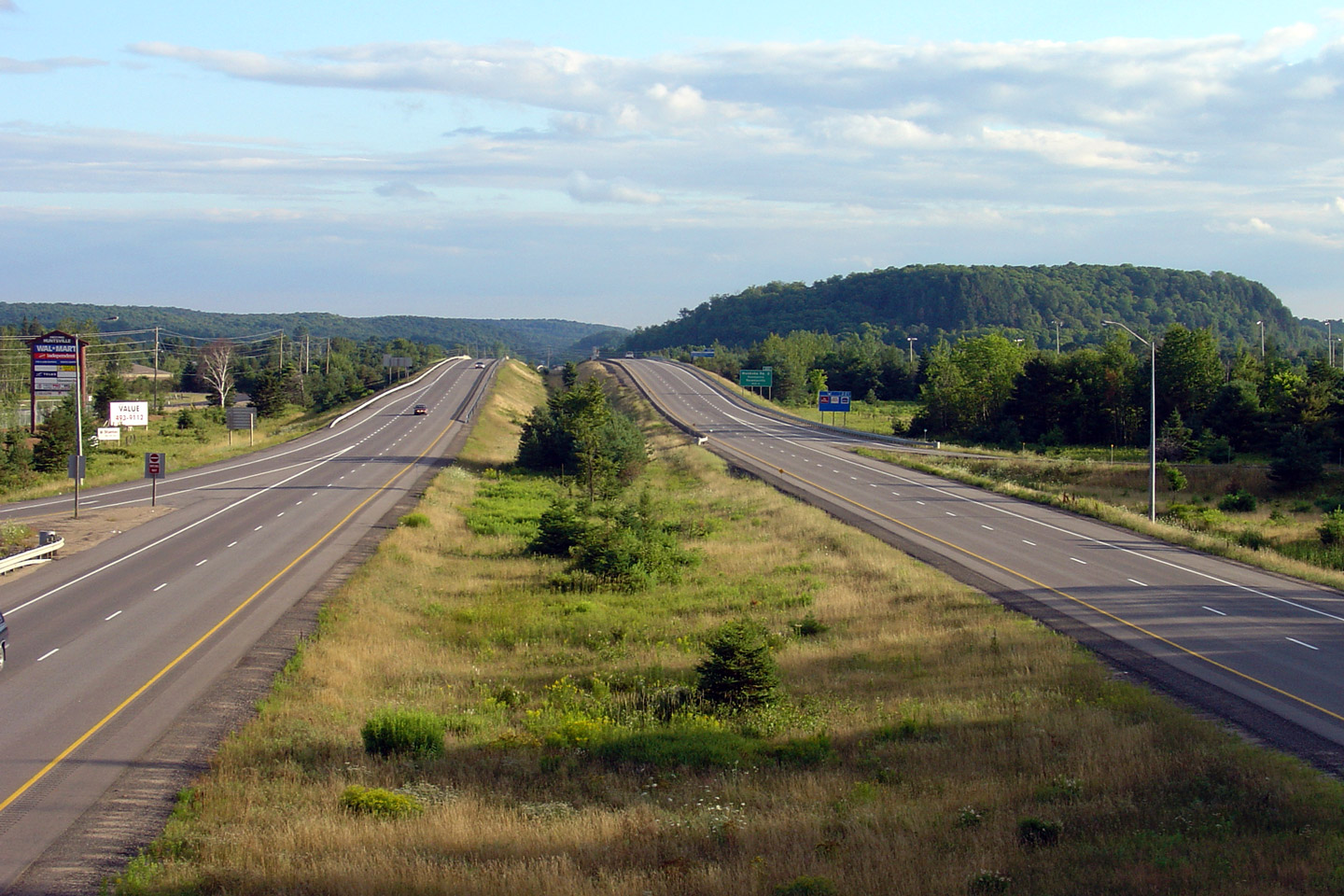
This view looks southerly from the Southern Muskoka Road 3 overpass in
Huntsville. Notice the rather expansive rock cut that greets Highway
11 travelers entering Huntsville.
Photo taken: August 6th, 2006. |

Low-res
High-res |
| Town of Huntsville District
Municipality of Muskoka |
Northerly view from Muskoka Road 3. In this photo, Highway 11 crosses over
the CN Railway line that parallels Highway 11 between Barrie and North Bay.
This rail-line is Canadian National's
Newmarket Subdivision.
Photo taken: August 6th, 2006. |
Low-res
High-res |
| Town of Huntsville District
Municipality of Muskoka |
View looking southerly from Muskoka District Road 2 towards the twin
Vernon's Narrows Bridges. The original 1950s Vernon's Narrow's
Huntsville By-pass bridge was replaced during the 2008/09 construction
season.
Photo taken: August 6th, 2006. |
Low-res
High-res |
| Town of Huntsville District
Municipality of Muskoka |
View looking northerly from District Road 2 towards the northern CNR
Structure.
Photo taken: August 6th, 2006. |
Low-res
High-res |
| Town of Huntsville District
Municipality of Muskoka |
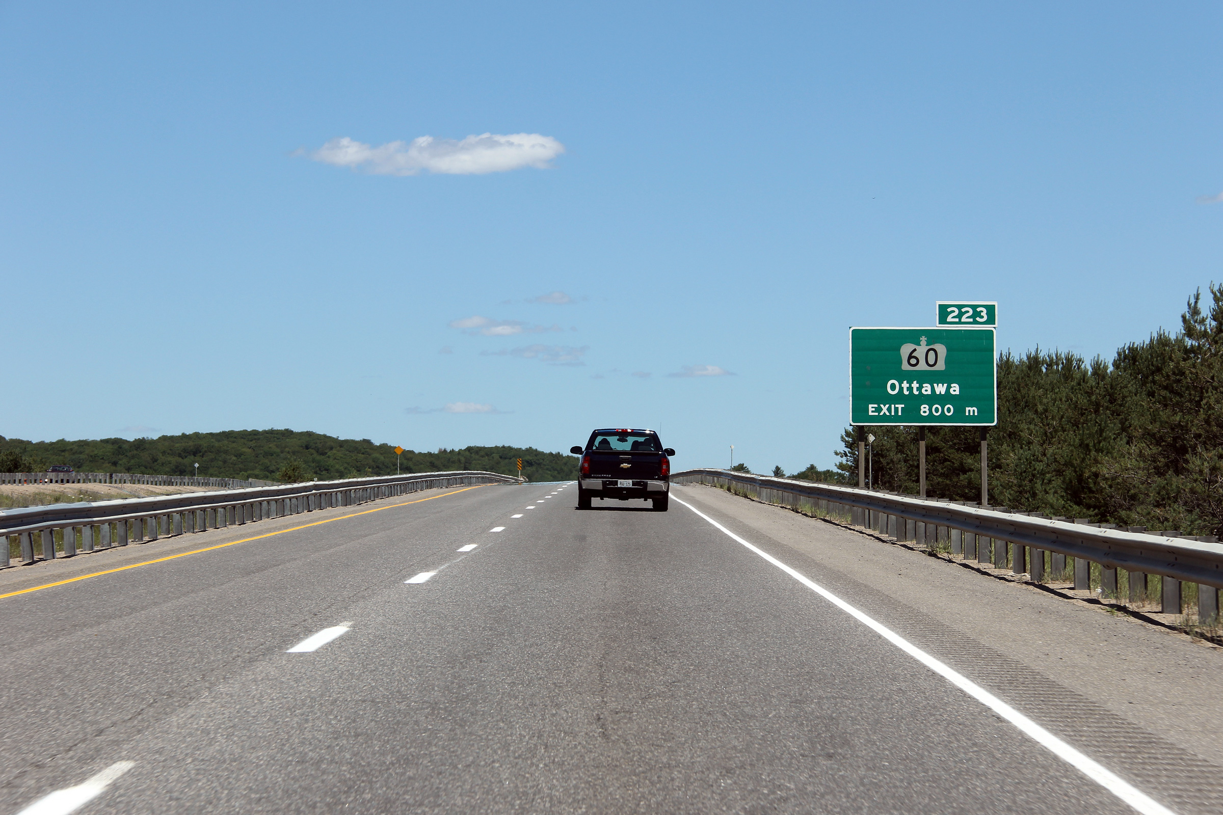
Advanced signage for the Highway 60 interchange in Huntsville.
Photo taken: June 23rd, 2012. |
 (720x480) (720x480)
(1440x960)
(2400x1600) |
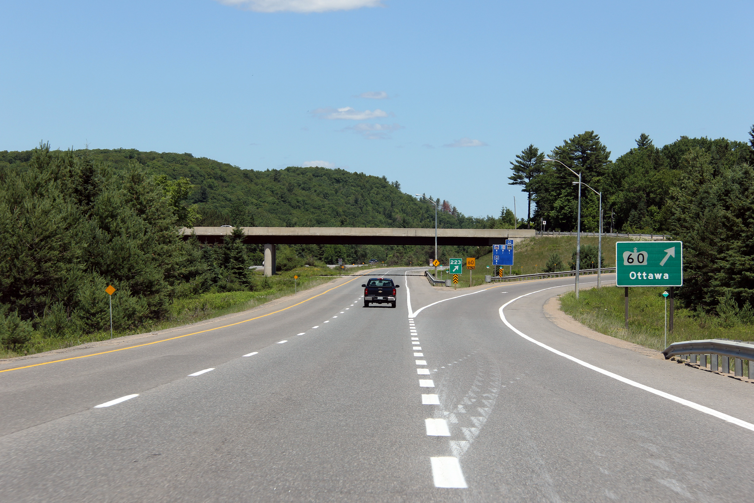
| Town of Huntsville District
Municipality of Muskoka |
Signage at the ramp to Highway 60 in Huntsville.
Photo taken: June 23rd, 2012. |
 (720x480) (720x480)
(1440x960)
(2400x1600) |
| Town of Huntsville District
Municipality of Muskoka |
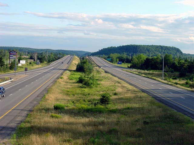
View looking southerly from the Highway 60 overpass. Huntsville is the
most northern of the substantial towns within the Highway 11 corridor until
North Bay.
Photo taken: August 7th, 2004. |
Low-res
High-res |
|
Highway 60 is a long east-west
highway that stretches from Huntsville to Renfrew in the Ottawa River
Valley.
Click here for Highway 60 images. |
|
Continue north on Highway 11 via
Huntsville to
Burk's Falls
Images |
 (720x480)
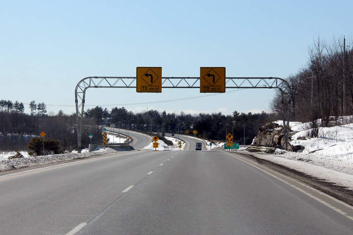 (720x480)
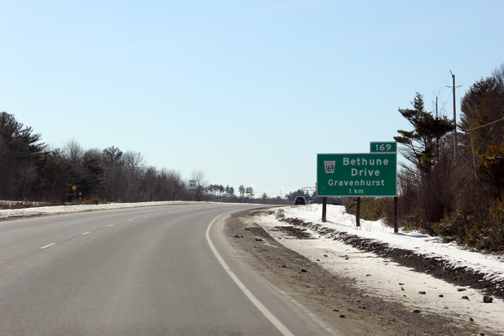 (720x480)


 (720x480)
 (720x480)

 (720x480)
 (720x480)

 (720x480)
 (720x480)
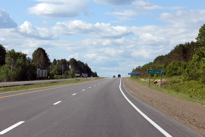 (720x480)
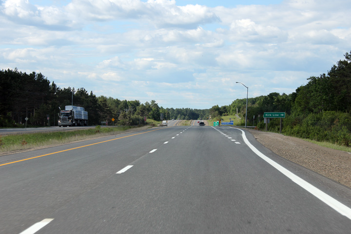 (720x480)
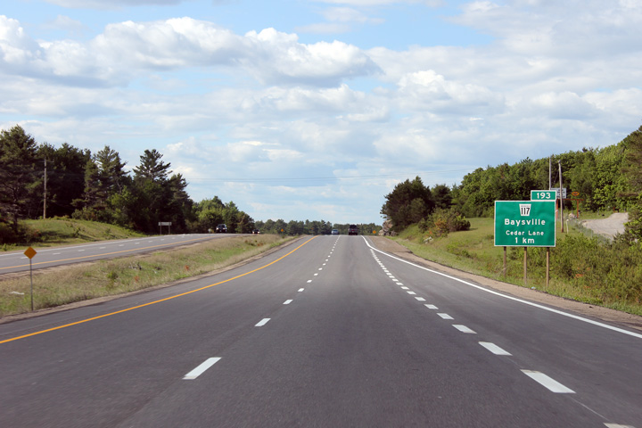 (720x480)
 (720x480)

 (720x480)
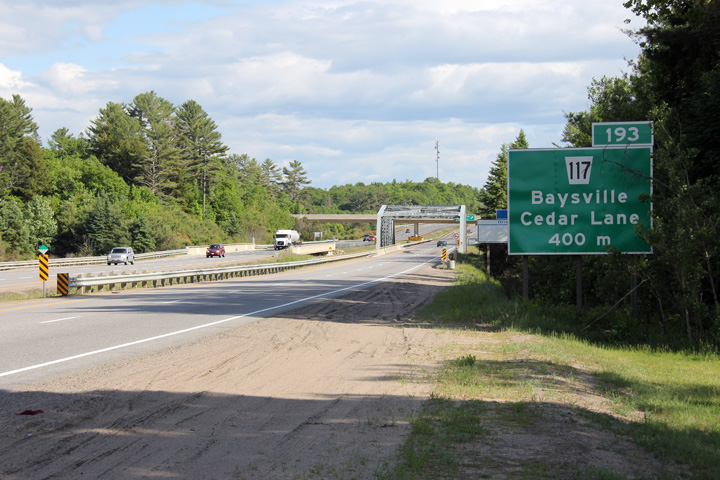 (720x480)


 (720x480)
 (720x480)


 (720x480)
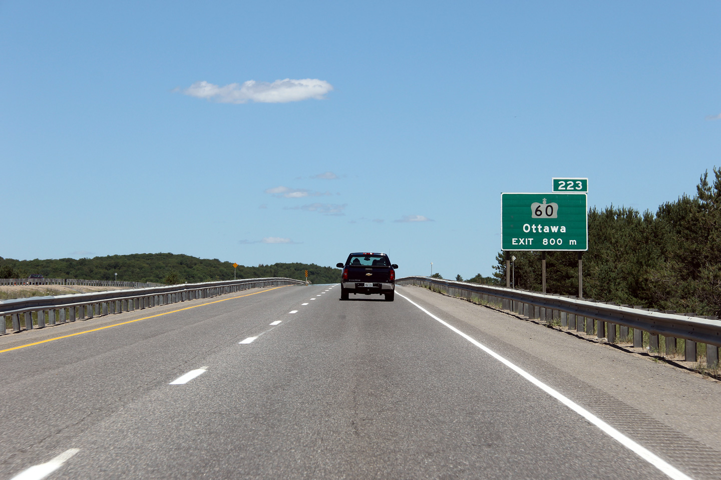
 (720x480)
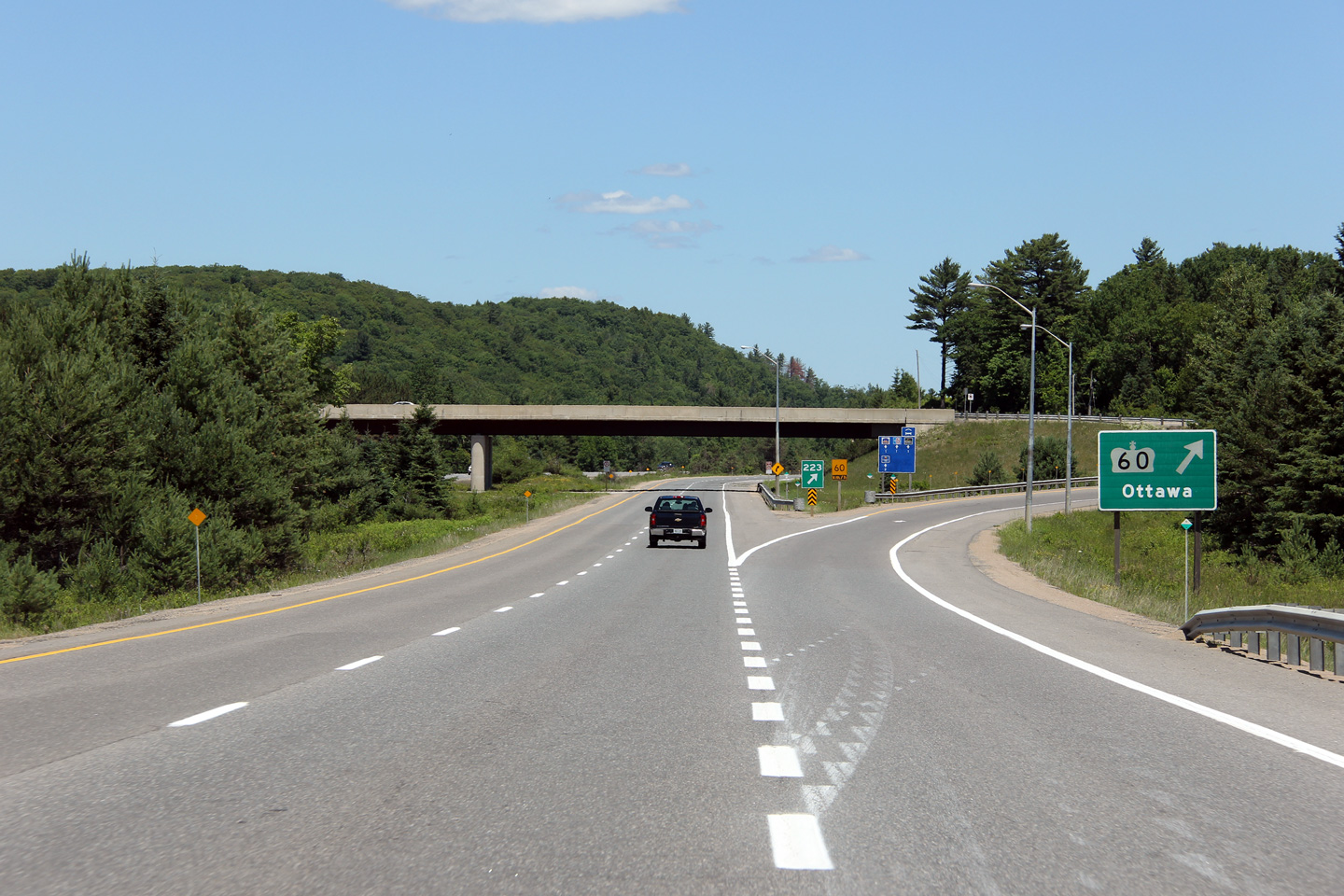