|
Proper Municipality Name |
Photo Description |
Photo |
|
Pictures taken
from driver's perspective appear offset from centre-line pictures: |
East-
Bound |
West-
Bound |
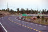
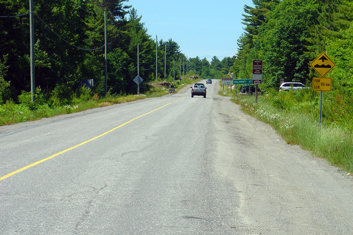
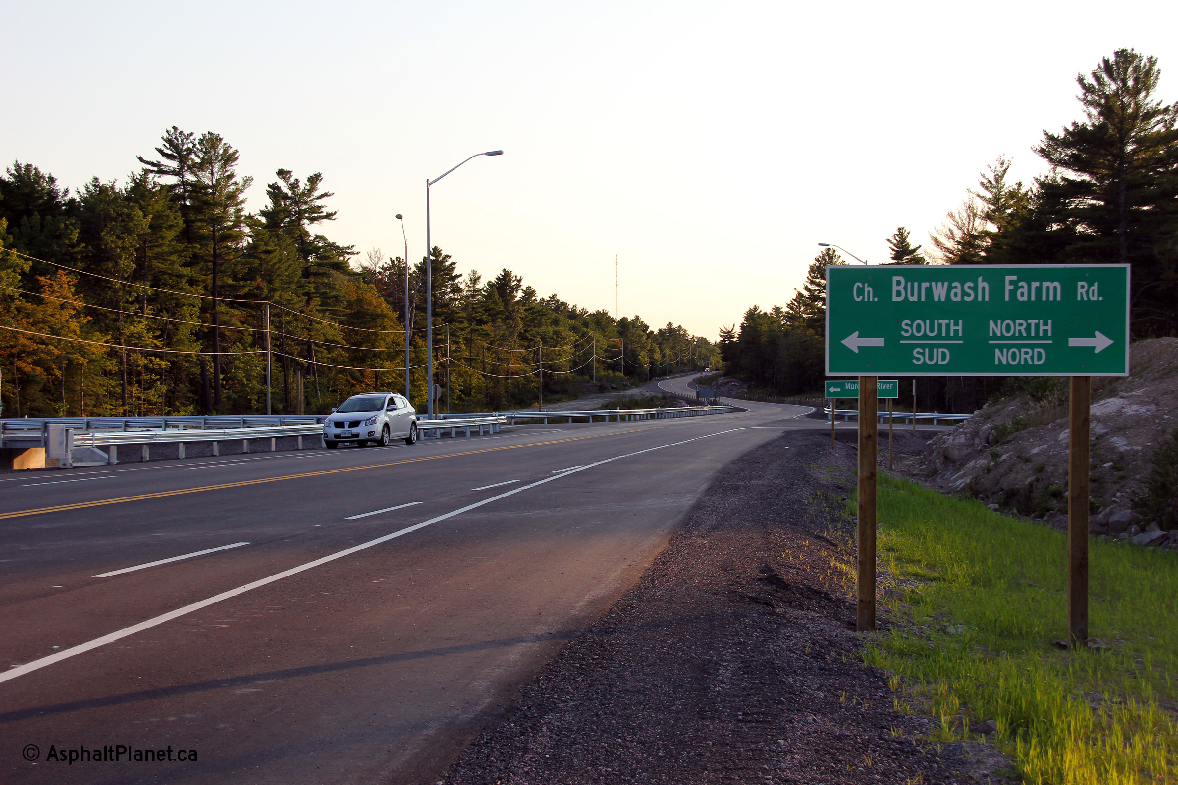
Township of Carling
District of Parry Sound |
Late evening view along Highway 637 approaching the Highway 69 interchange.
Note that the trailblazer directing traffic to Highway 69 has already been
stolen.
Photo taken: August 29th, 2012. |
(720x480)
(1440x960)
(2400x1600) |
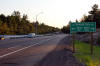
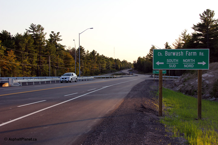
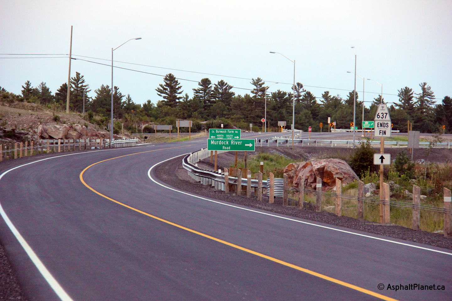
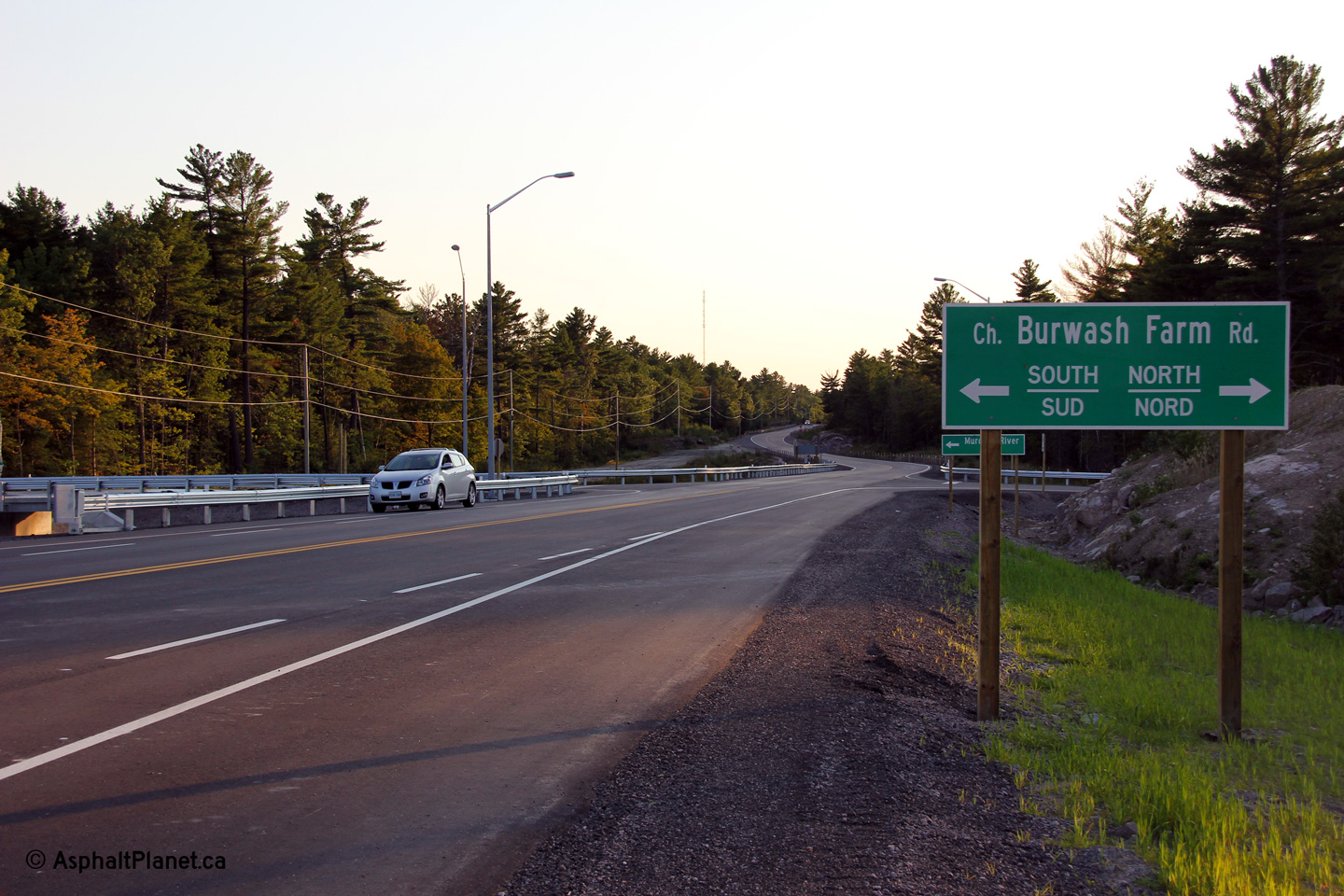
Township of Carling
District of Parry Sound |
Westerly view from just west of the Highway 69 interchange. The former
two lane alignment of Highway 69 is now known as Burwash Farm Road.
Photo taken: August 29th, 2012. |
(720x480)
(1440x960)
(2400x1600) |
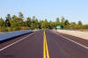
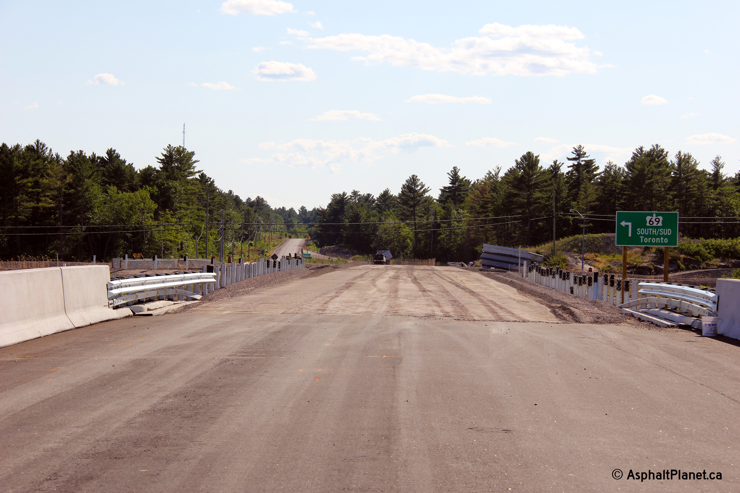
Township of Carling
District of Parry Sound |
View looking westerly along Highway 637 from the new Highway 69 overpass
during construction. For much of the 2012 construction season, while
the new Highway 637 interchange was being constructed, Highway 637 traffic
utilized Burwash Farm Road.
Photo taken: July 10th, 2012. |
|
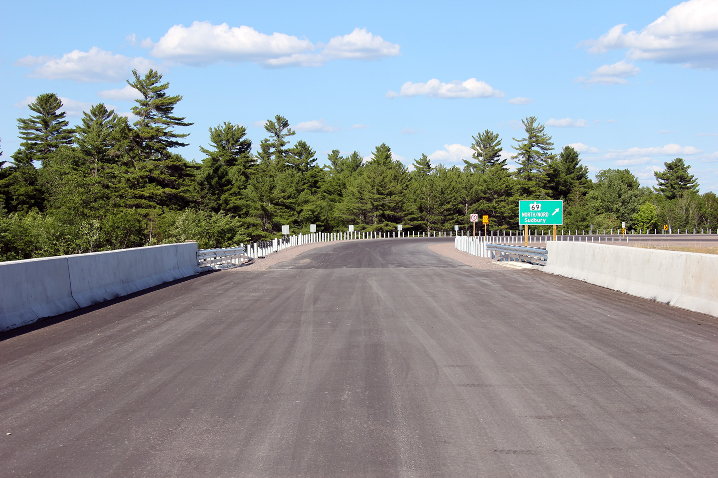
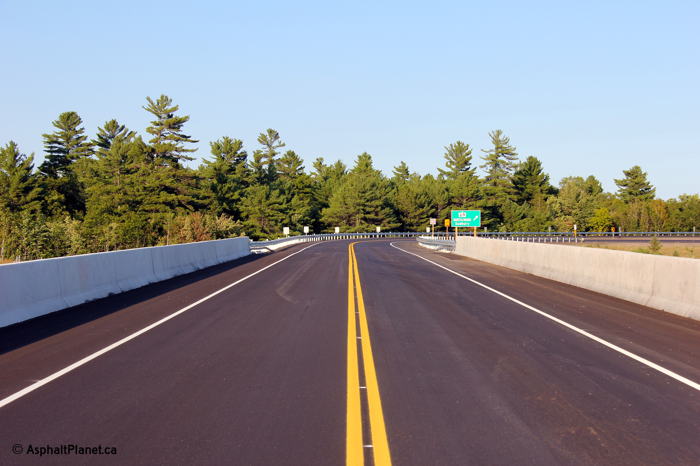
Township of Carling
District of Parry Sound |
Two views looking easterly along Highway 637 from centre-span of the new
Highway 69 overpass.
Upper photo taken: July 10th, 2012.
Lower photo taken: August 29th, 2012. |
(720x480)
(1440x960)
(2400x1600) |
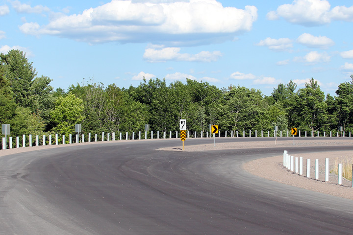
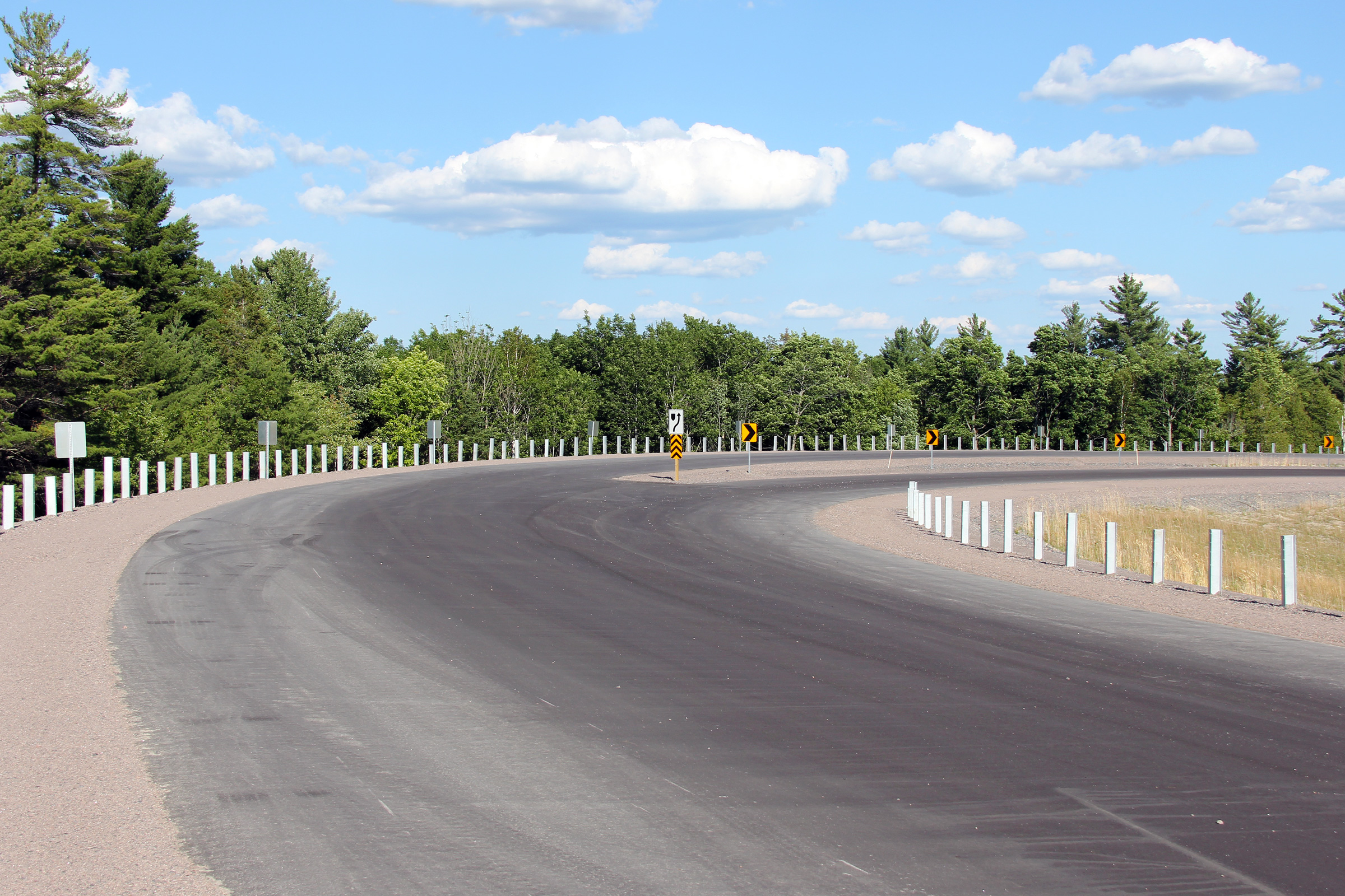
Township of Carling
District of Parry Sound |
Easterly view around the trumpet interchange between Highways 637 and 69.
Note that an incorrect hazard marker has been installed in the median of the
highway.
Photo taken: July 10th, 2012. |
|
|
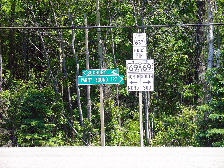
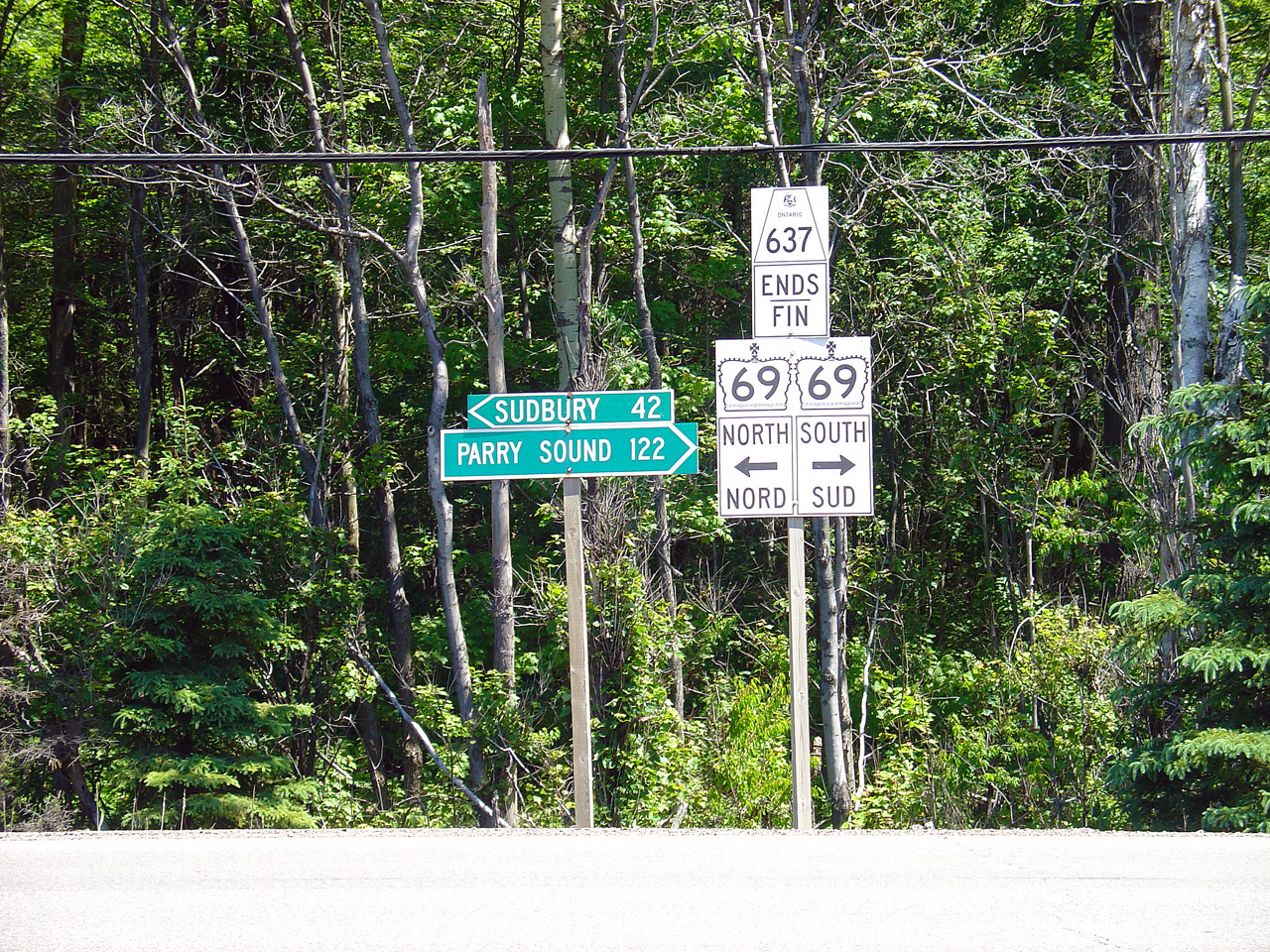
Highway 637 ends at Highway 69
south of Sudbury.
Click
here for Highway 69-South images and
here for Highway
69-North images. |


