|
Proper Municipality Name |
Photo Description |
Photo |
|
Pictures taken
from driver's perspective appear offset from centre-line pictures: |
East-
Bound |
West-
Bound |
|
Highway 600 ends at Highway 11 in
Rainy River.
Click here for Highway 11 images |
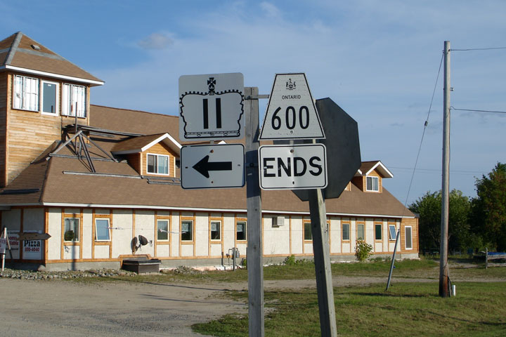
| Town of Rainy River District of
Rainy River |
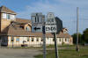
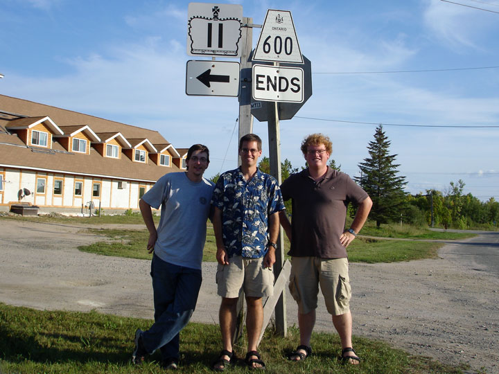
Two views of the western end of Highway 600. Highway 600 has the
distinction of sharing a common western terminus with Ontario's Highway 11.
The lower photo includes Myself, Cameron Bevers, and Josh Andercheck
standing in front of the ends sign. Rainy River was a substantial
stopping point during this summer journey, it was at this point that Cameron
finished driving all of Ontario's Provincial highways.
Photos taken: September 3rd, 2006 |
 |
| Town of Rainy River District of
Rainy River |
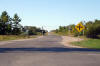
View looking easterly as Highway 600 begins its
trek away from Highway 11 and Rainy River. Photo taken: September 3rd,
2006 |
Low-res
High-res |
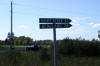
| Town of Rainy River District of
Rainy River |
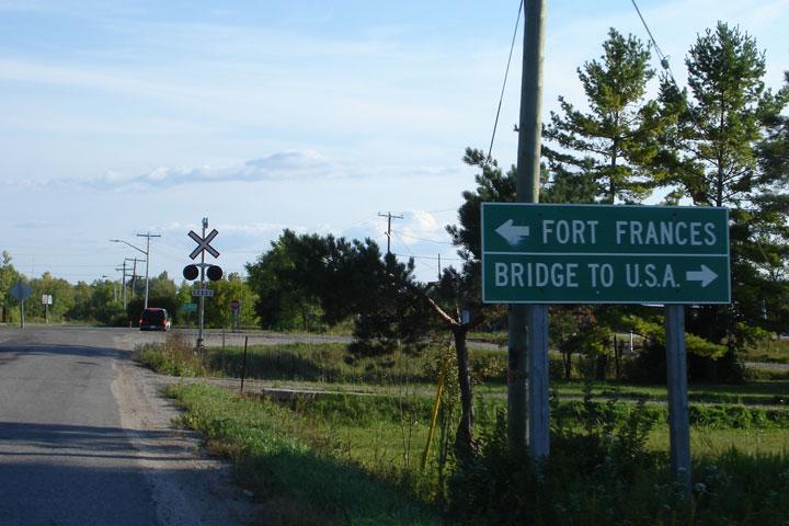
Green sign approaching Highway 11 and the western terminus of Highway 600.
Photo taken: September 3rd, 2006 |
 |
| Town of Rainy River District of
Rainy River |
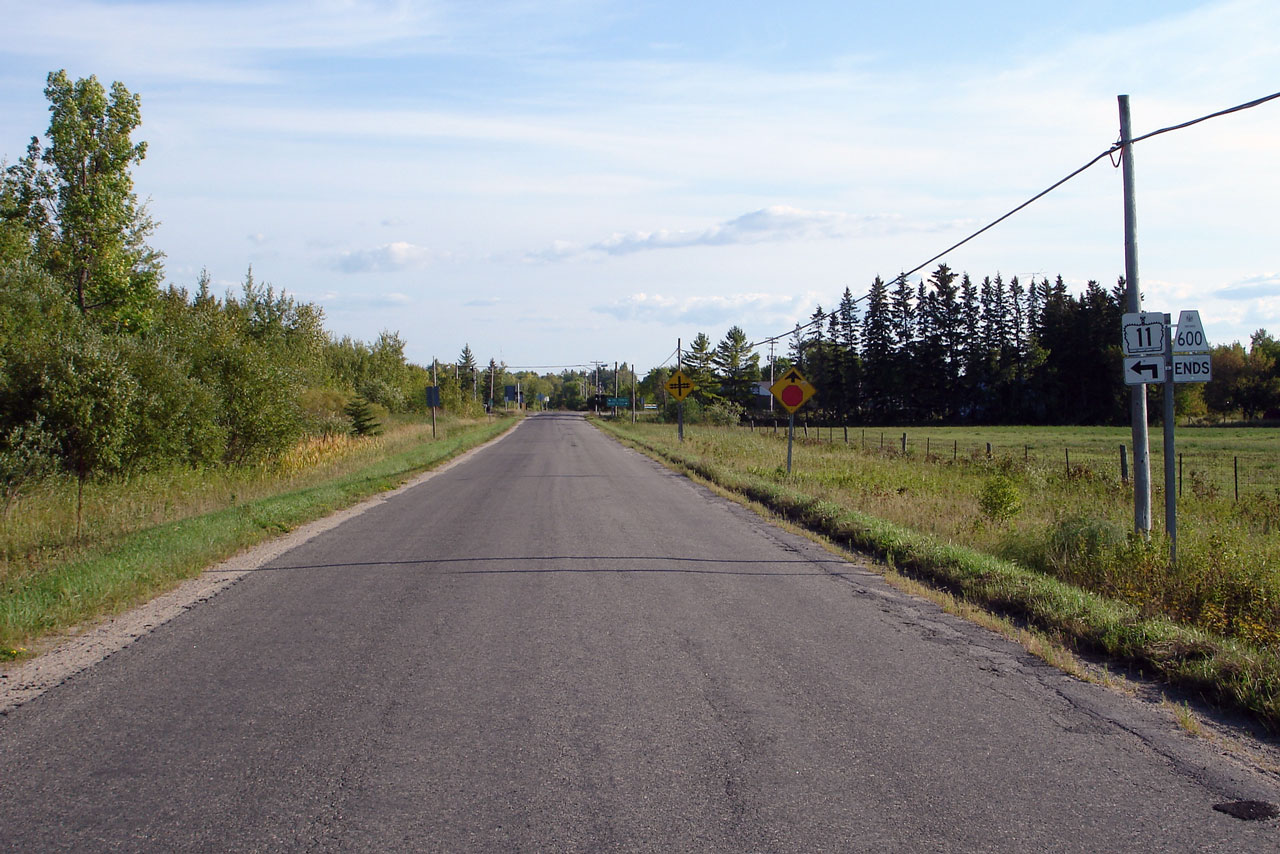
View looking west towards the western end of Highway 600. Photo taken:
September 3rd, 2006 |
Low-res
High-res |
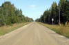
| Township of Dawson District of
Rainy River |
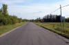
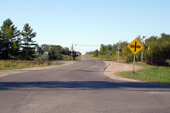
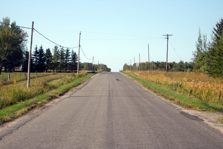
View looking east from just outside of Rainy River. Stupidly, the
western most 500m of Highway 600 is maintained by the Town of Rainy River
instead of by the MTO. Photo taken: September 3rd, 2006 |

Low-res
High-res |
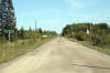
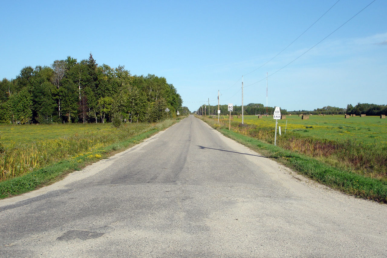
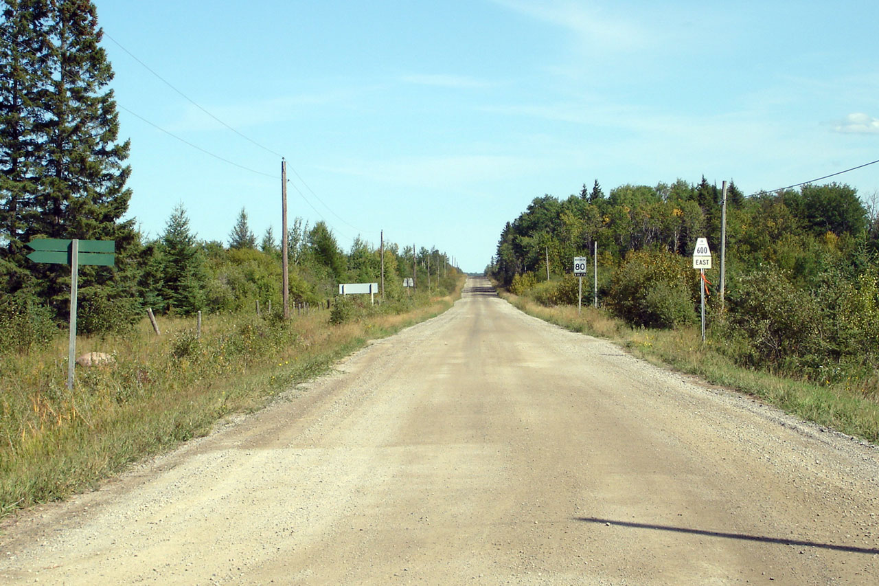
| District of Rainy River |
A lonely view looking east along Highway 600 from just east of River Road.
Photo taken: September 3rd, 2006 |

Low-res
High-res |
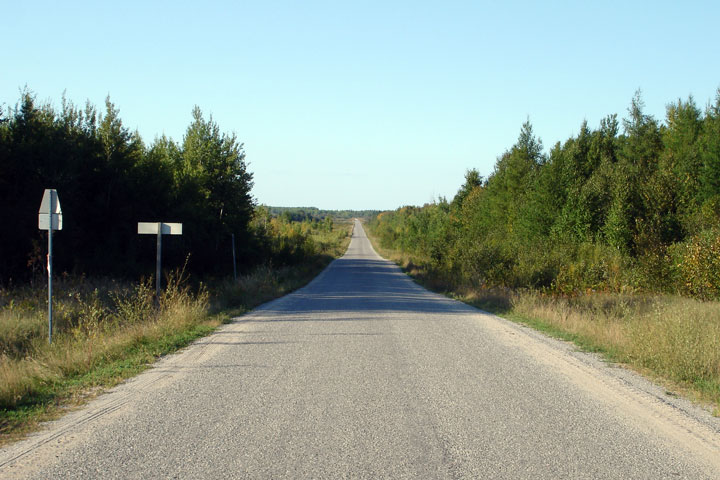
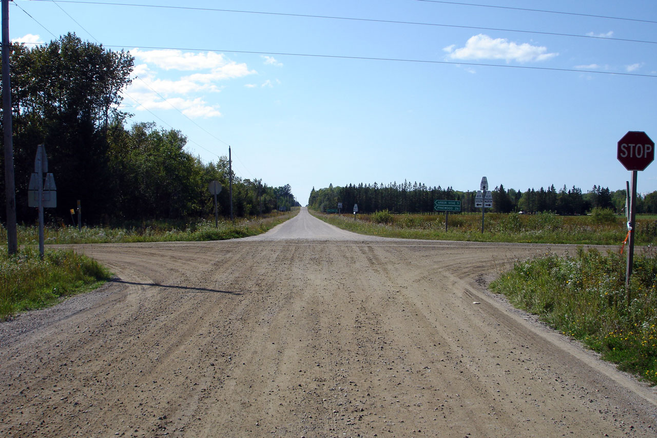
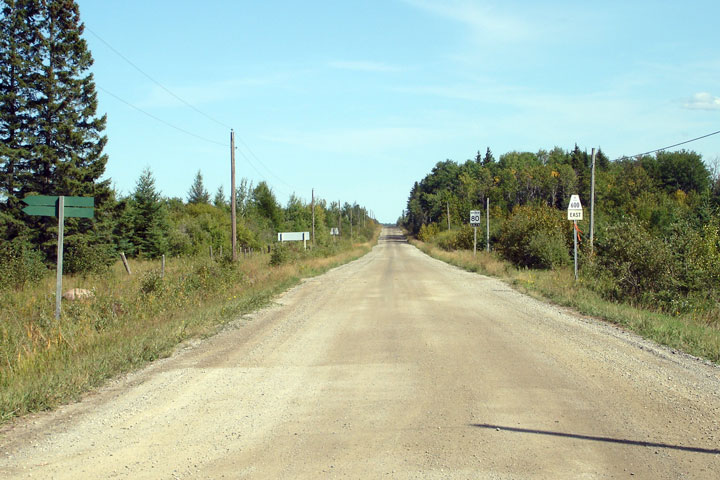
| Township of Lake of the Woods
District of Rainy River |
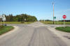
View looking east along Highway 600 approaching the Highway 621
intersection. Photo taken: September 3rd, 2006 |
Low-res
High-res |
|
Highway
621 is the longest of the north-south secondary
highway in Rainy River district.
Click here for Highway 621 images. |
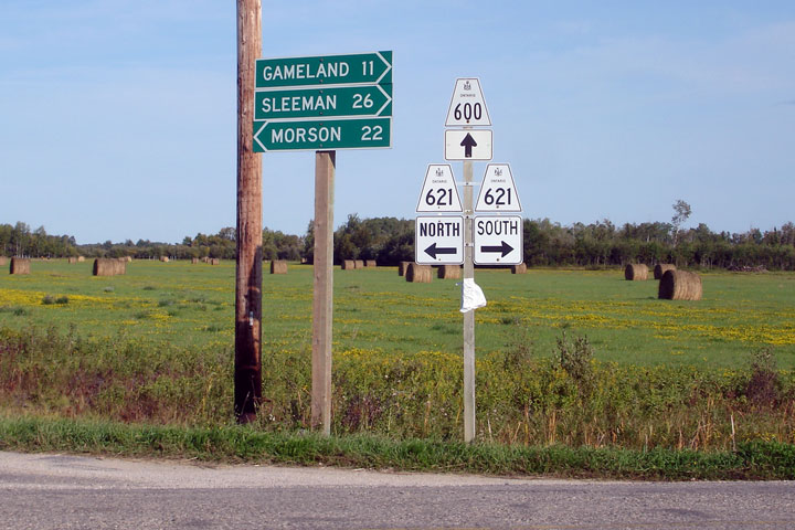
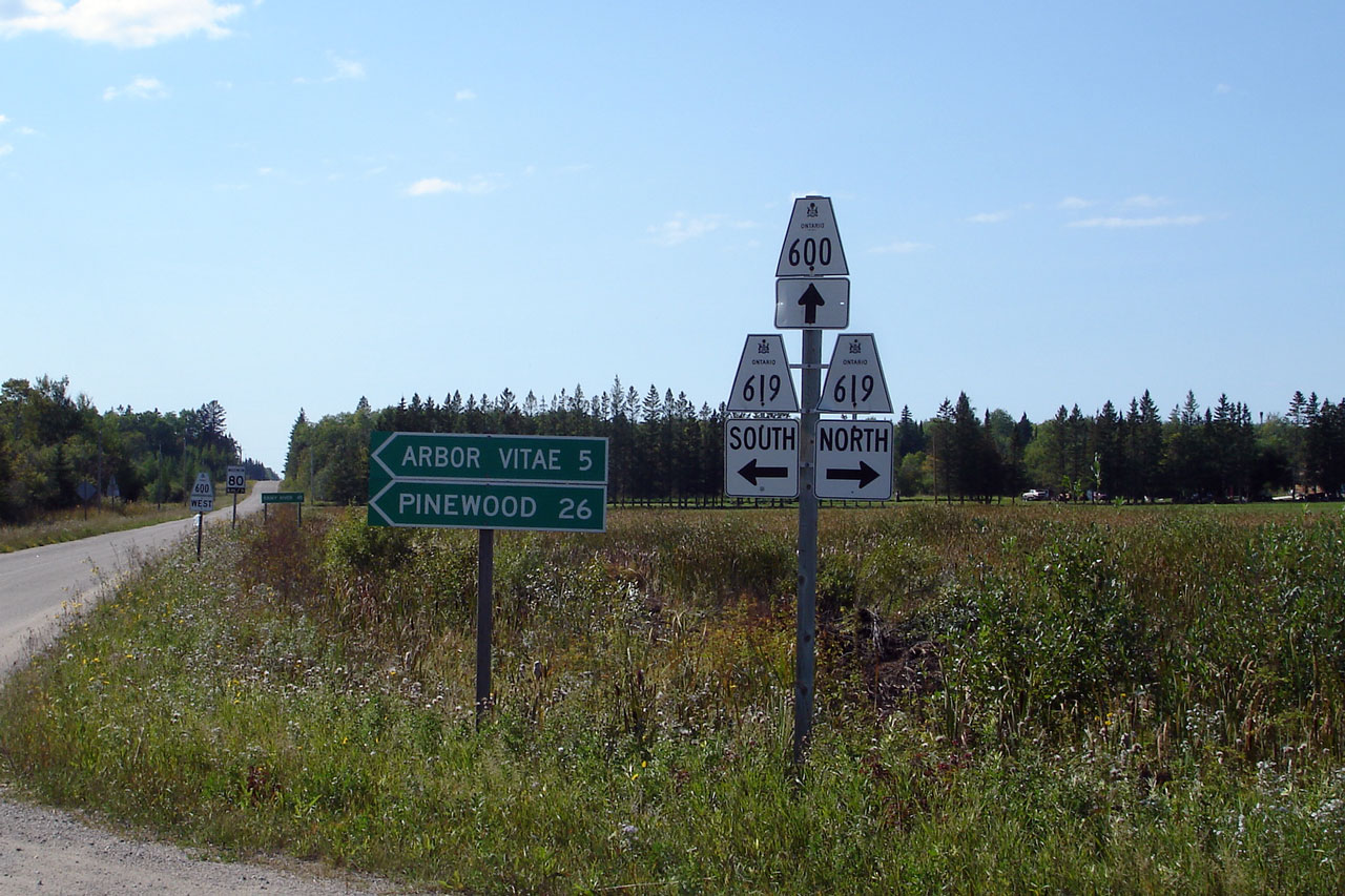
| Township of Lake of the Woods
District of Rainy River |
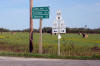
Signage denoting the Highway 621 junction from Highway 600. Photo taken:
September 3rd, 2006 |
 |
| Township of Lake of the Woods
District of Rainy River |
View looking east from the Highway 621 intersection. Photo taken:
September 3rd, 2006 |

Low-res
High-res |
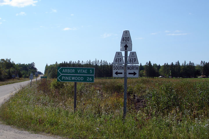
| Township of Lake of the Woods
District of Rainy River |
Westbound junction assembly and fingerboard signage at the Highway 619
intersection. Photo taken: September 3rd, 2006 |
Low
Res
High Res |
|
Highway
619 is an entirely gravel surfaced secondary route
running between Highway 11 and Highway 621.
Click here for Highway
619 images. |
| Township of Lake of the Woods
District of Rainy River |
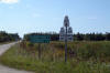
The paved road ends rather abruptly at Highway 619. This view looks
west. Photo taken: September 3rd, 2006 |
Low-res
High-res |
| Township of Lake of the Woods
District of Rainy River |
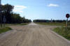
Highway 600 is a gravel highway highway between Highway 619 and Black Hawk.
Photo taken: September 3rd, 2006 |
Low-res
High-res |
|
Highway
617 continues south of Highway 600 into Stratton on
Highway 11.
Click here for Highway 617 images. |
| District of Rainy River |
Fingerboard signage at the Highway 617 junction. Highway 600 turns
northerly at Highway 617. Photo taken: September 3rd, 2006 |
 |
| District of Rainy River |
View looking easterly along Highway 600 from Highway 600. Photo taken:
September 3rd, 2006 |
Low-res
High-res |
| Township of Chapple District of
Rainy River |
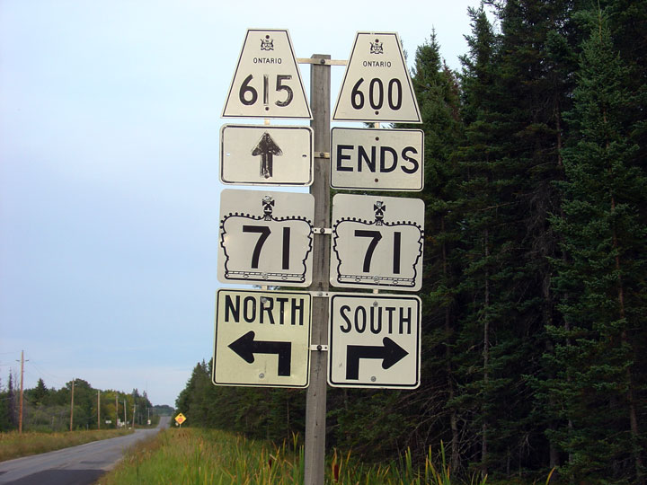
Advaced junction assembly that denotes the eastern end of Highway 600 at
Highway 71. Photo taken: September 2nd, 2006 |
 |
|
Highway
600 ends at Highways 71 and 615.
Click here for Highway 71 images and
here for Highway 615
images. |


