King's Highway 11 - Images
<- Page 5E Page 5F - Fort Frances to Rainy river
Photos shown in this table are arranged from EAST to WEST:
| Proper Municipality Name | Photo Description | Photo | |
|
Pictures taken from driver's perspective appear offset from centre-line pictures: |
East- bound |
West- bound |
|
| Continued from Atikokan to Fort Frances Images | |||
| Township of La Vallee District of Rainy River |
View looking east along Highway 11/17
from the Hodder Street (Highway
11B/17B) junction along the Thunder Bay Expressway. At Hodder Street,
the Thunder Bay expressway narrows from a 4-lanes to 2. Picture taken: September 2nd, 2006. |
 |
|
|
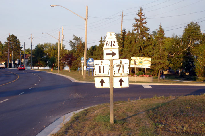
Township of La Vallee District of Rainy River |
Westerly view approaching the Highway 613 intersection. While this
seems like an important intersection, notice that there are no turn tapers
of any kind here. A far cry from what would be found on an 'important
intersection' in Southern Ontario. Picture taken: September 2nd, 2006. |
 |
|
|
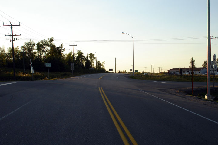
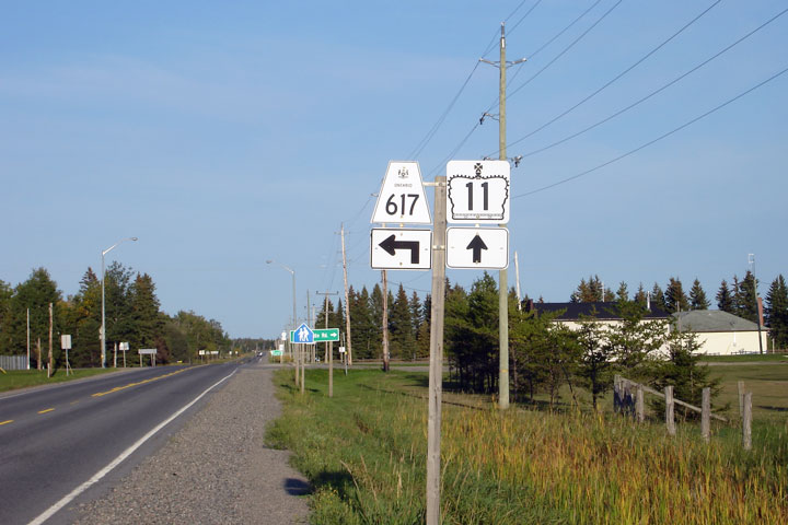
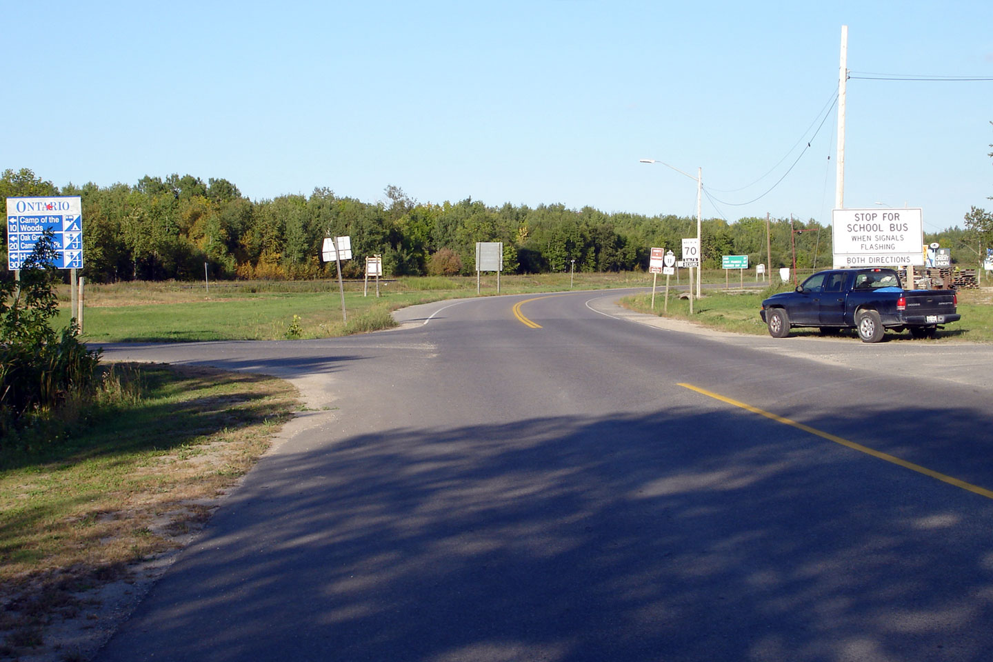
Township of Morley District of Rainy River |
Easterly view approaching the Highway 617 intersection. Picture taken: September 2nd, 2006. |
 |
|
|
Township of Morley District of Rainy River |
Easterly view looking Picture taken: September 2nd, 2006. |
 |
|
|
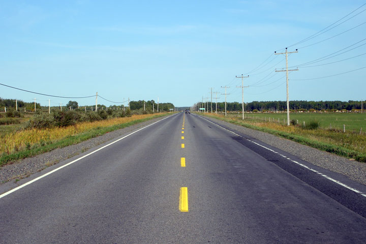
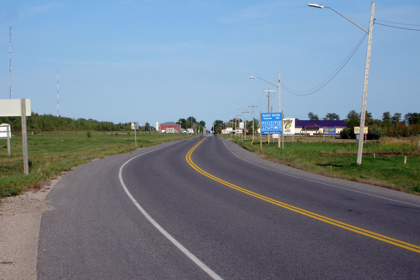
Township of Rainy River District of Thunder Bay |
Easterly view towards Rainy River. I took this photo, and even I have
a hard time believing this is the same province that I live in.
Ontario is BIG. Picture taken: September 2nd, 2006. |
 |
|
|
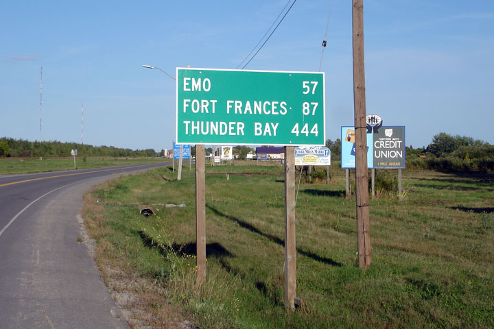
Township of Rainy River District of Thunder Bay |
Distance sign found eastbound just east of the Highway 600 junction.
Its a 4.5 hour drive from this junction just to Thunder Bay(!) From
there, its another 18hours to Toronto or Ottawa. Ontario is BIG. Picture taken: September 4th, 2006. Size: 40kb. |
 |
|
|
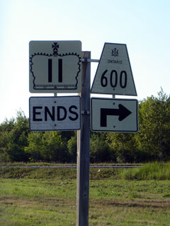
Township of Rainy River District of Thunder Bay |
This is a long, long way from Toronto. This is the end to Toronto's
Yonge Street. This sign is located some 1800km away from the Gardiner
Expressway in Toronto. Photo size: 35kb. |
 |
|
| Highway 600 continues north and east from Rainy River through the bush. Click here for Highway 600 images | |||
|
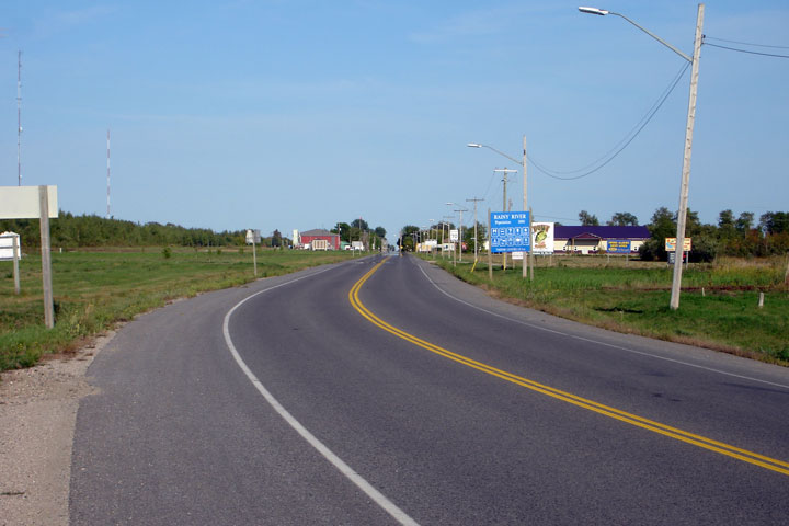
Township of Rainy River District of Thunder Bay |
Easterly view from the International Bridge between Rainy River and Baudette
Minnesota. This quiet rural stretch of highway is a world away from
the congested border crossings found in the south of the province. Picture taken: September 4th, 2006. Size: 40kb. |
 |
|
| Continue west on Highway 11 via Minnesota Highway 11 images (Coming Soon!). | |||
<-
Page 5E Images
Highway
11 Images Index
Back to Highway 11 - Page 5
<- Highway 10 Images Images Index Highway 11A Images ->
Copyright (c) 2004-2010, AsphaltPlanet.ca AsphaltPlanet@asphaltplanet.ca