|
Proper Municipality Name |
Photo Description |
Photo |
|
Pictures taken
from driver's perspective appear offset from centre-line pictures: |
North-
Bound |
South-
Bound |
| District of Rainy River |
Looking easterly on Highway
11/71 from the western Highway 71 junction. |
 |
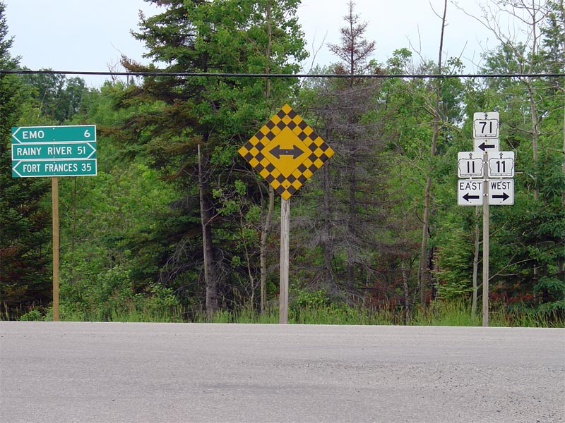
| District of Rainy River |
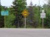
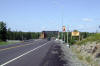
Signage denoting the western Highway 11/71
junction for southbound Highway 71 travelers. At this junction, Highway 71
switches cardinal directions, and southbound travelers continuing along
Highway 71 will now be heading eastbound.
Picture size: 140kb. |
 |
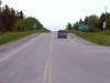
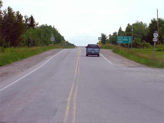
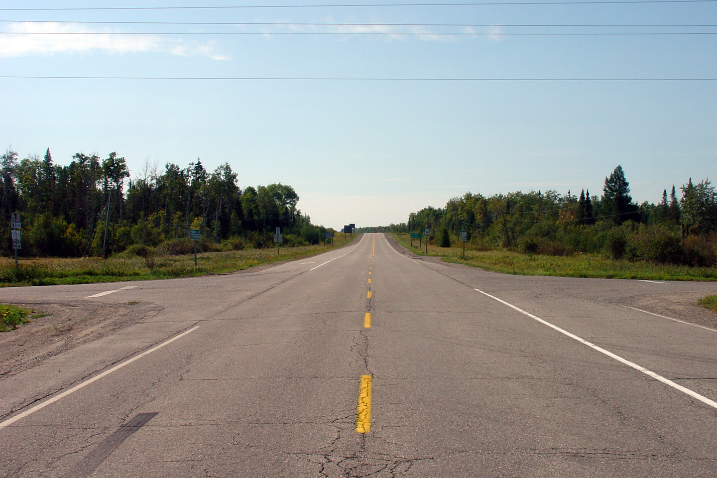
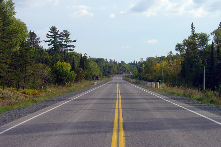
| District of Rainy River |
Looking north along Highway 71 from the
Highway 11 junction. Picture taken: July
3rd, 2004. Size: 40kb. |
 |
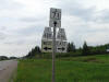
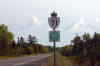
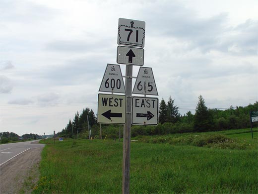
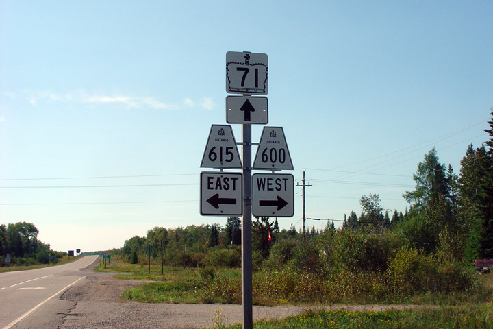
| District of Rainy River |
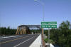
Junction assembly for northbound travelers
denoting the Highway 600 and Highway 615 junction.
Picture size: 30kb. |
 |
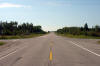
| District of Rainy River |
Looking south along Highway 71 from the Highway
600/615
junction. Picture taken: July 3rd, 2004. Size: 55kb. |
(720x480)
(1440x960) |
|
Highway 600 is a long secondary
that meanders through Western Rainy River District. Highway 615 is a
spur highway that leads to Off Lake.
Click here for Highway
600
images and here for Highway 615 images. |
| District of Rainy River |
Southbound junction assembly for the Highway 615/600
junction.
Photo taken: September 3rd, 2006. |

(720x480)
(1440x960) |
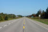
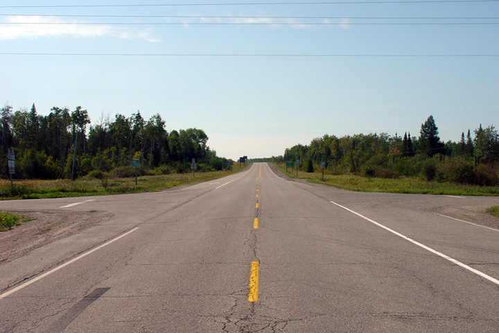
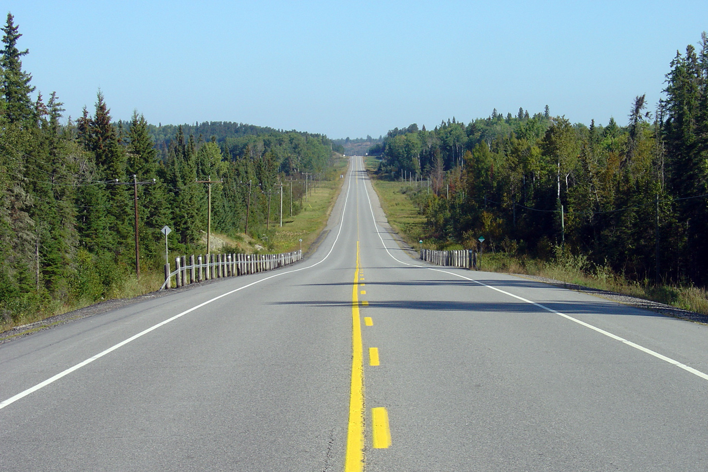
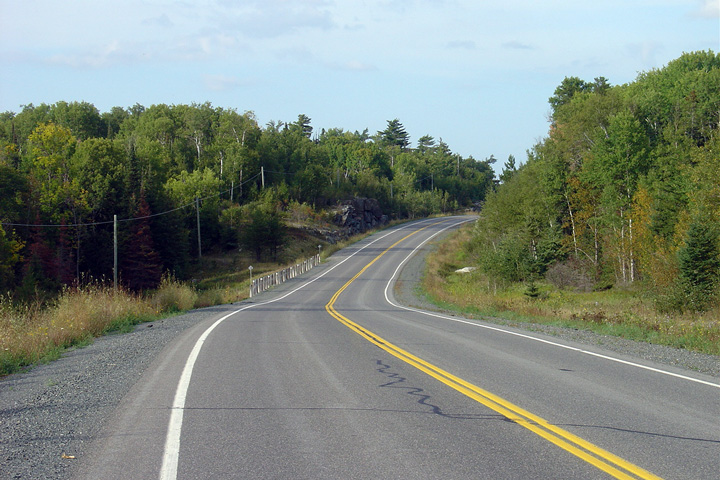
| District of Rainy River |
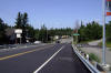
Looking north along Highway 71 from the Highway
600/615
junction. Highway 71 passes through relatively flat land for the first
part of its journey north of Highway 11.
Highway 71 doesn't enter the Canadian Shield until nearly Caliper Lake.
Photo taken: September 3rd, 2006. |
(720x480)
(1440x960) |
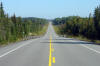
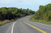
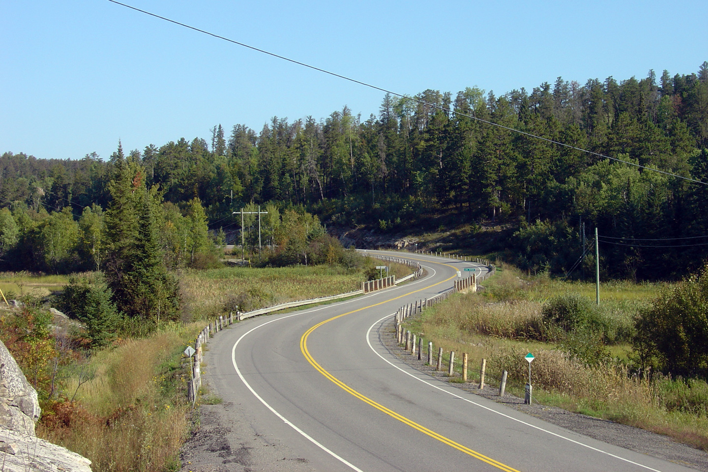
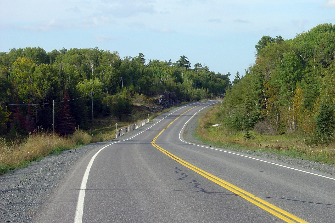
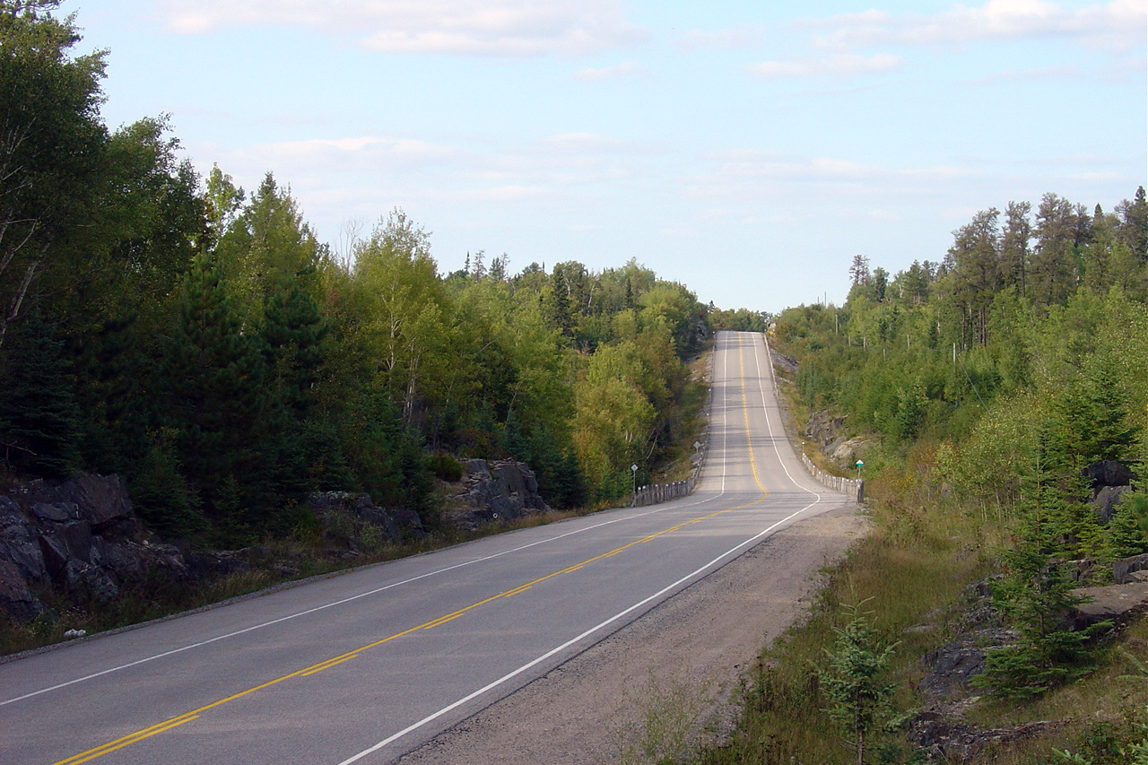
| District of Rainy River |
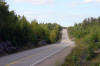
View looking northerly along a long straight
stretch of Highway 71 about 16km north of the Highway 600/615 junction.
Photo taken: September 3rd, 2006. |
(720x480)
(1440x960)
(2400x1600) |
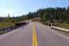
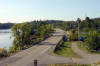
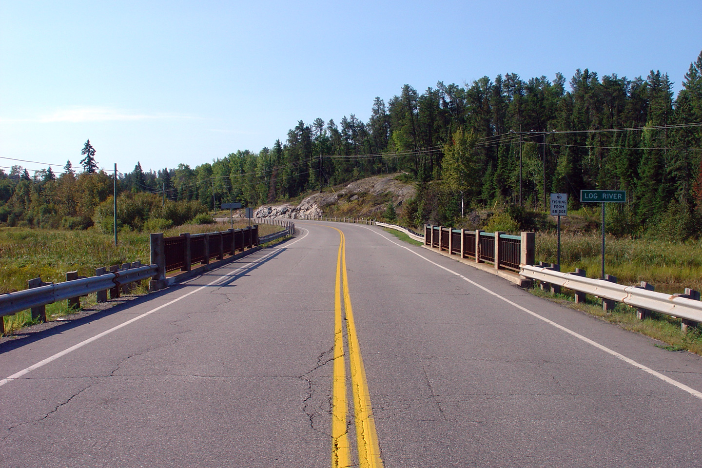
| District of Rainy River |
This view looks northerly as Highway 71 crosses
overtop of the Log River.
Photo taken: September 3rd, 2006. |
(720x480)
(1440x960) |
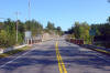
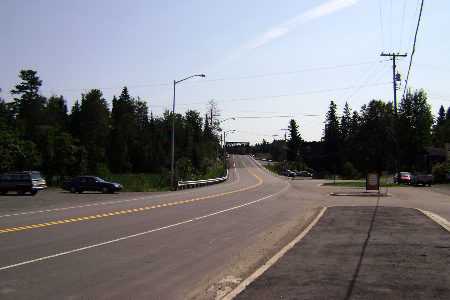
| District of Rainy River |
This view looks southerly across the Log River
bridge. The Log River bridge was constructed in 1939 and never saw a
major rehabilitation before it was finally replaced 70 years later in 2009.
Photo taken: September 3rd, 2006. |
(720x480)
(1440x960) |
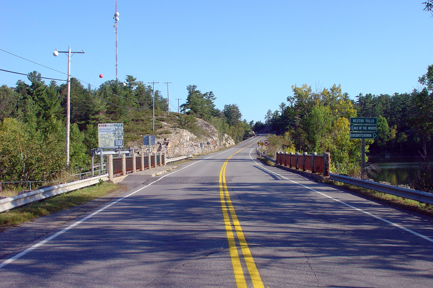
| Township of Nestor Falls Sioux Narrows
District of Kenora |
Looking north through the small community of
Nestor Falls. This structure was likewise replaced in 2009.
Photo taken: September 3rd, 2006. |
(720x480)
(1440x960) |
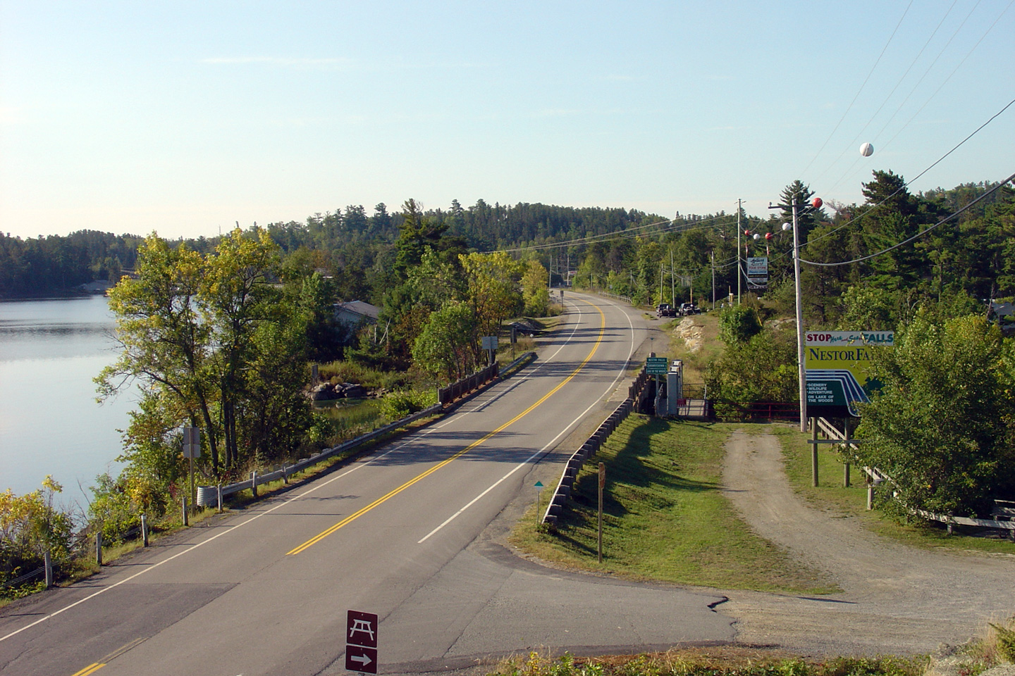
| Township of Nestor Falls Sioux Narrows
District of Kenora |
This view looks southerly as Highway 71 passes
overtop of the falls from which the small community that surrounds them
derives its namesake.
Photo taken: September 3rd, 2006. |
(720x480)
(1440x960)
(2400x1600) |
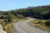
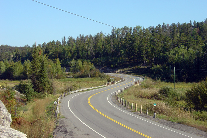
| Township of Nestor Falls Sioux Narrows
District of Kenora |
Southerly view of Highway 71 at kilometre marker
146.
Photo taken: September 2nd, 2006. |

(720x480)
(1440x960) |
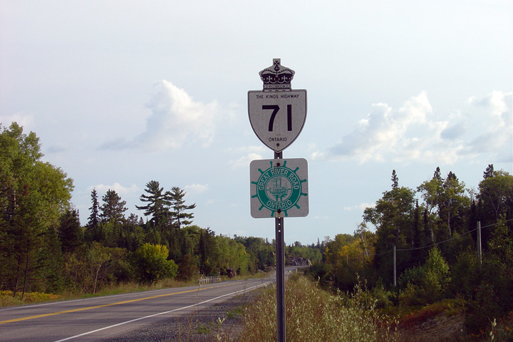
| Township of Nestor Falls Sioux Narrows
District of Kenora |
Southbound signage along Highway 71 for
Ontario's segment of 'The Great River Road.' In America, the Great River
Road is a tourist route that follows the shores of the Mississippi River.
Seeing as even the northern most of tributaries feeding the Mississippi
River are found at least a hundred kilomtres south of Ontario, this
designation
seems a little out of place.
Photo taken: September 2nd, 2006. |
(720x480)
(1440x960) |
| Township of Nestor Falls Sioux Narrows
District of Kenora |
Northerly view of Highway 71 at kilometre marker
146.
Photo taken: September 2nd, 2006. |
(720x480)
(1440x960) |
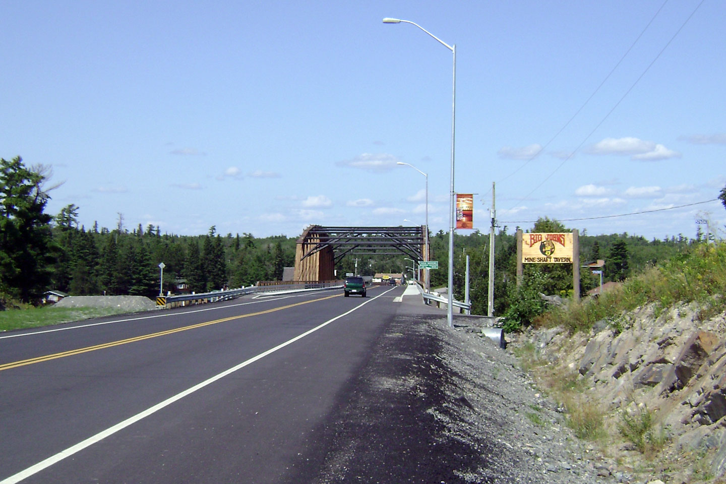
| Township of Nestor Falls Sioux Narrows
District of Kenora |
View
looking north towards the new and improved Sioux Narrows Bridge.
Photo courtesy: Curtis Walker. |
(720x480)
(1440x960) |
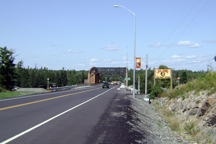
| Township of Nestor Falls Sioux Narrows
District of Kenora |
Sioux
Narrows on the Lake of the Woods.
Photo courtesy: Curtis Walker. |
(720x480)
(1440x960) |
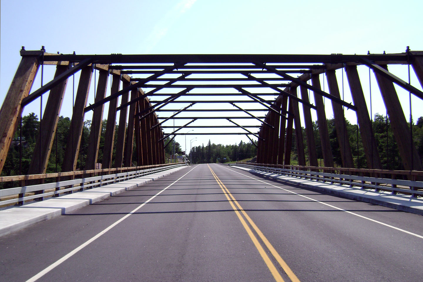
| Township of Nestor Falls Sioux Narrows
District of Kenora |
The
historic wooden truss Sioux Narrows bridge was replaced in 2006-2007 with a new
steel girder structure. Timbers were added to the top of the structure
to maintain the heritage of the historic timber structure.
Photo courtesy: Curtis Walker. |

(720x480)
(1440x960) |
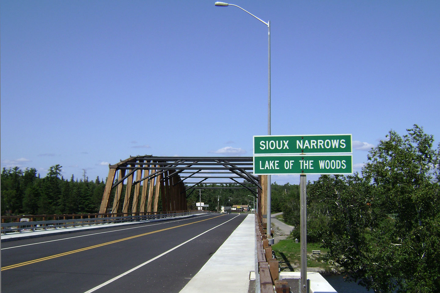
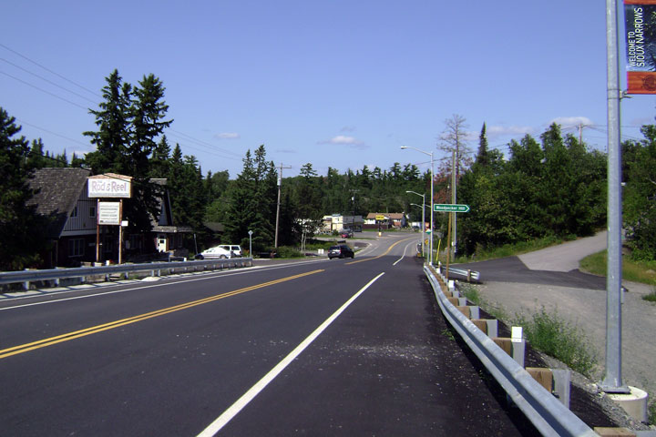
| Township of Nestor Falls Sioux Narrows
District of Kenora |
View
looking north through Sioux Narrows from the north abutment of the Sioux
Narrows Bridge.
Photo courtesy: Curtis Walker. |
(720x480)
(1440x960) |
| Township of Nestor Falls Sioux Narrows
District of Kenora |
View
looking south towards the new bridge.
Photo courtesy: Curtis Walker. |

(720x480)
(1440x960) |
| District of Kenora |
Northerly view of Highway 71 at kilometre marker
178.
Photo taken: September 2nd, 2006. |
(720x480)
(1440x960) |
|
Highway 17 is the Trans-Canada
Highway. Click here for Highway
17
images. |


