AsphaltPlanet.ca > OntHighways > Highway 69 > Images

King's Highway 69 - Images


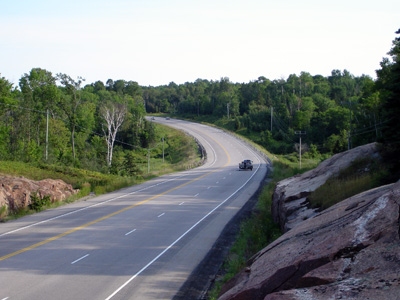
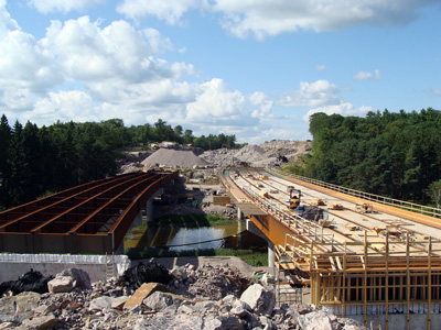
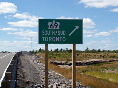
Virtual Tour of Highway 69:

Pages show both northbound and southbound photos arranged from South to North.  Pages include both centreline and sign photos.

Page 1 - MacTier to Horseshoe Lake

Page 2 - Horseshoe Lake to Highway 559

Page 3 - Highway 559 to Highway 522

Page 4 - Highway 522 to Highway 637

Page 5 - Highway 637 to Sudbury


Construction Focus Pages:

Pages highlighting construction projects along Highway 69


Twinning the Whata Gap


Nobel Road (Old Highway 69), and Nobel By-pass Construction photos


Estaire Road (Old Highway 69), and Highway 69-New Construction


Other Highway 69 Photos:

Sign Photos
Gallery of signs related to Highway 69

King's Highway 400 Images
See photos of the highway that is gradually replacing Highway 69

Photographic History of Highway 69
Page hosted at Thekingshighway.ca that offers a very detailed photographic history of Highway 69


<- Highway 67 Images          Back to Highway 69          Highway 70 Images ->

www.OntHighways.com - Home


Copyright (c) 2004-2011, Scott Steeves (Webmaster)  scott@asphaltplanet.ca