|
Proper Municipality Name |
Photo Description |
Photo |
|
Pictures taken
from driver's perspective appear offset from centre-line pictures: |
North-
Bound |
South-
Bound |
|
Highway 49 ends at the Highway 33
junction in Downtown Picton.
Click here for Highway 33 images. |
| Municipality of Prince Edward
County |
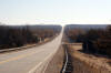
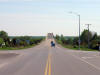
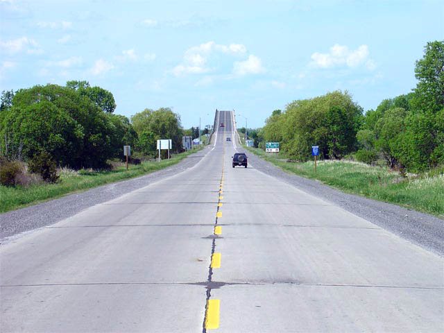
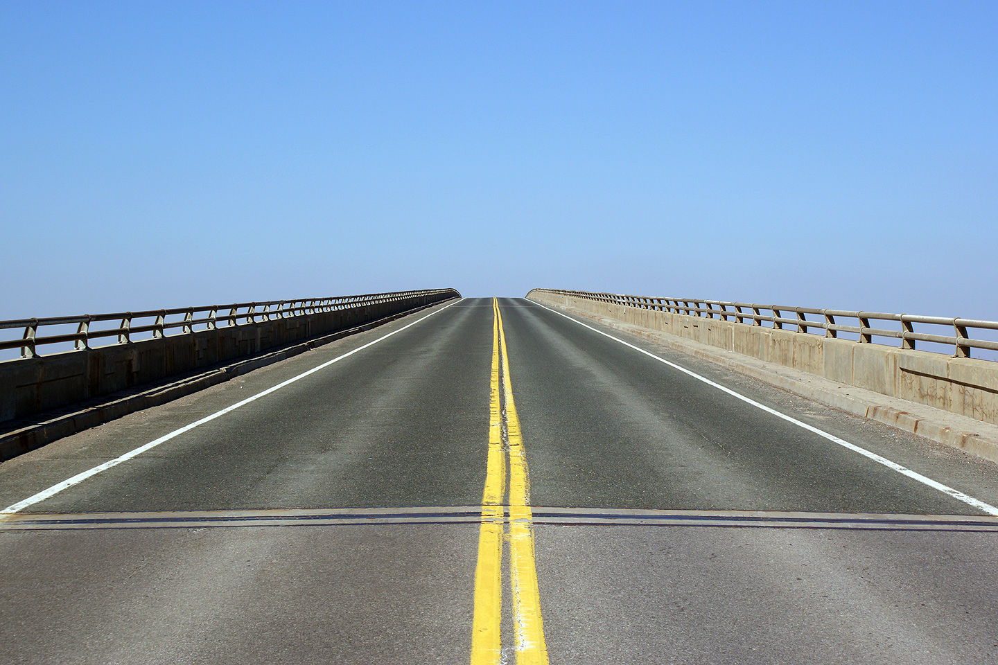
View
looking northerly along Highway 49 from just north of the former Picton Town
Limits. Highway 49 was surfaced in concrete in 1965, in conjunction
with the completion of the Quinte Skyway Bridge. Considering the
concrete is over 40 years old now, it is in amazing condition.
Photo taken: March 14th, 2009. |
Low-res
High-res |
| Municipality of Prince Edward
County |
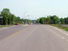
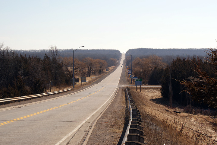
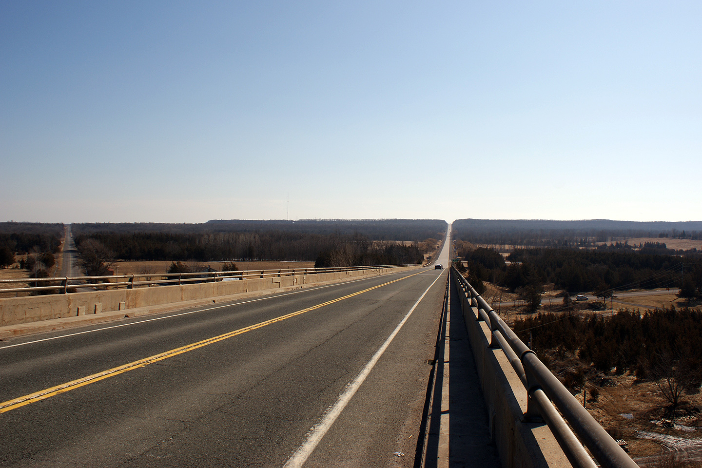
Looking north along Highway 49 towards the
Quinte Skyway in Prince Edward County. Interestingly, virtually the
entire length of Highway 49 through Prince Edward County is still paved with
1960s vintage concrete.
Photo taken: June 2nd, 2005. Size: 70kb. |
 |
| Municipality of Prince Edward
County |
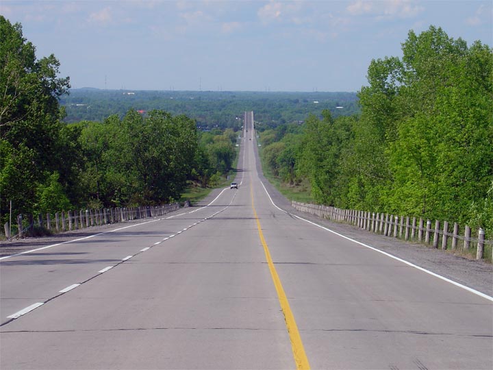
Looking south, up the same hill the previous picture is looking down,
towards Picton. Most of the northern portions of Prince Edward County
are situated high above the neighbouring Bay of Quinte atop this ridge.
Photo taken: June 2nd, 2005. Size: 55kb. |
 |
| Municipality of Prince Edward
County |
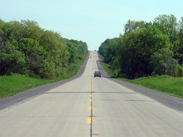
Looking north once again towards the Quinte
Skyway and the junction with Prince Edward Road 15. Interestingly,
Prince Edward Road 15 actually passes under Highway 49 through the Quinte
Skyway, necessitating a connector road be constructed to link Highway 49
with County Road 15.
Photo taken: June 2nd, 2005. Size: 45kb. |
 |
| Municipality of Prince Edward
County |
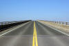
View
looking southerly from the south end of the Quinte Skyway Bridge into Prince
Edward County. Its a bit ironic that Ontario's Prince Edward County is
contained on an island.
Photo taken: March 14th, 2009. |
Low-res
High-res |
| Municipality of Prince Edward
County |
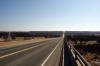
Northerly
view from the south end of the Quinte Skyway bridge. The Skyway bridge
was completed in 1965.
Photo taken: March 14th, 2009. |
Low-res
High-res |
| Municipality of Prince Edward
County |
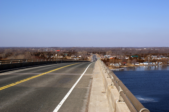
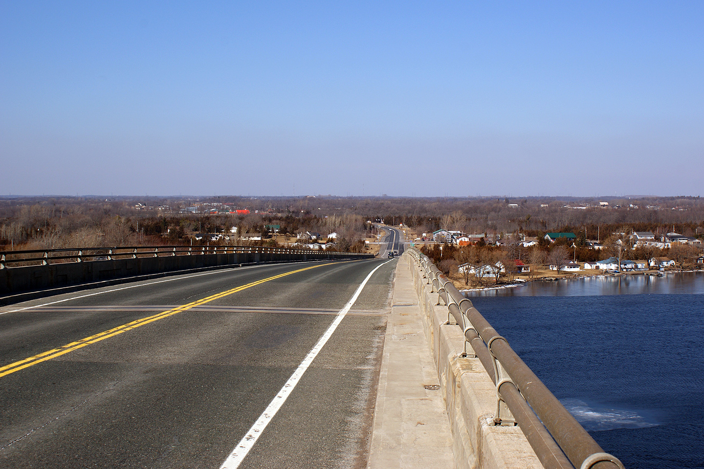
Southerly
view towards Prince Edward County from the top of the Skyway bridge.
Motorists are treated to quite a view from the top of this structure.
Photo taken: March 14th, 2009. |
Low-res
High-res |
| Tyendinaga IR 38 County of
Hastings |
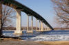
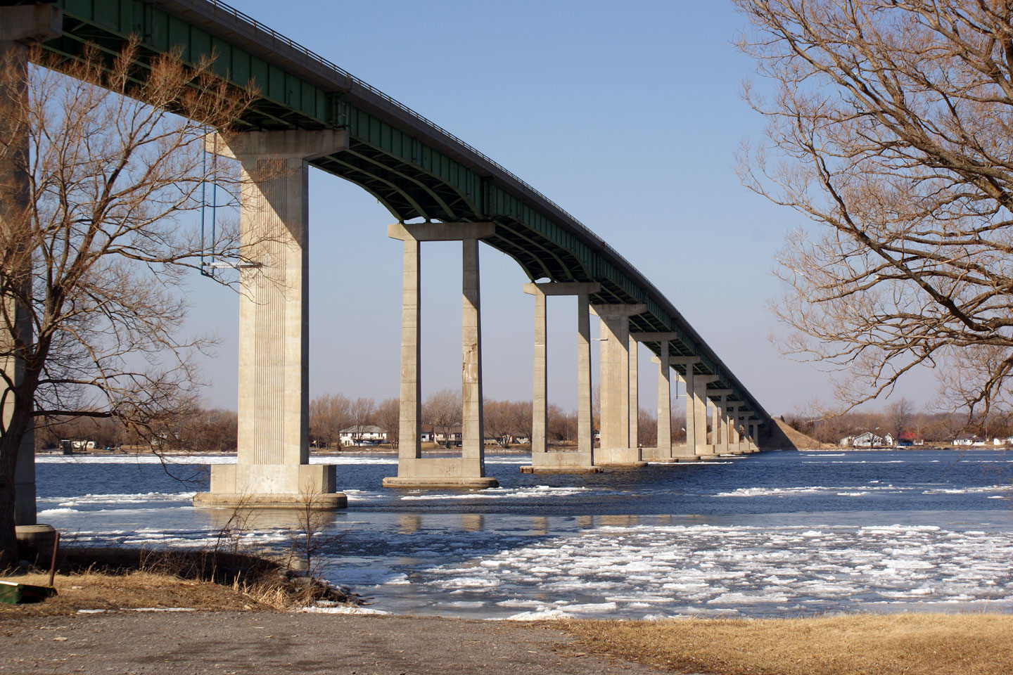
View
of the eastern side of the Skyway Bridge that connects Prince Edward County
to mainland Ontario. There are three fixed links between mainland
Ontario and Prince Edward County.
Photo taken: March 14th, 2009. |
Low-res
High-res |
| Tyendinaga IR 38 County of
Hastings |
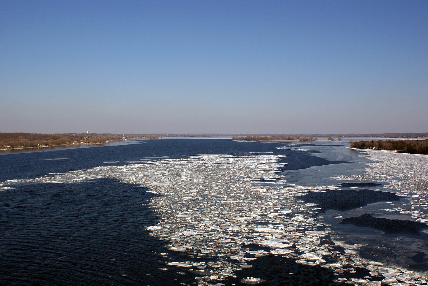
View
of the Bay of Quinte from the top of the Skyway Bridge. This part of
Ontario is beautiful.
Photo taken: March 14th, 2009. |

Low-res
High-res |
| Tyendinaga IR 38 County of
Hastings |
Northerly
view from the top of the Skyway bridge. Highway 49 meets both Highway
2 and Highway 401 a short distance to the north of this structure.
Photo taken: March 14th, 2009. |

Low-res
High-res |
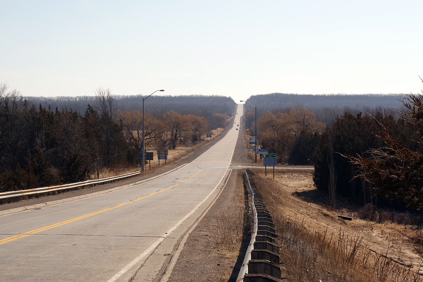
| Tyendinaga IR 38 County of
Hastings |
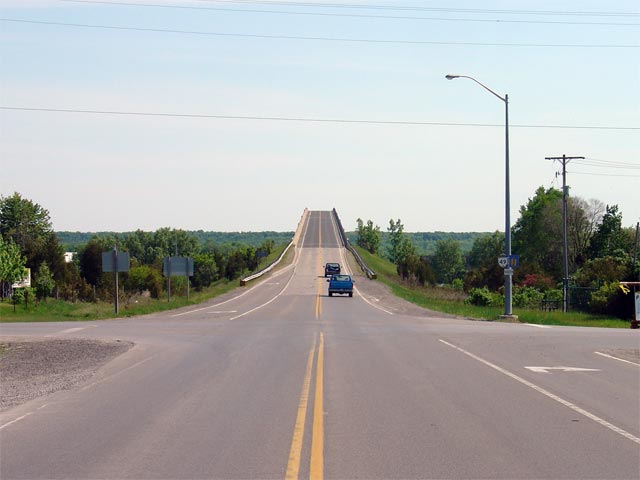
Looking south through the Bayshore Road
intersection towards the Quinte Skyway. The Quinte Skyway was
officially opened September 6th, 1967, replacing an old ferry service
between Cole Wharf and the mainland.
Picture taken: June 2nd, 2005. Size: 45kb. |
 |
| Tyendinaga IR 38 County of
Hastings |
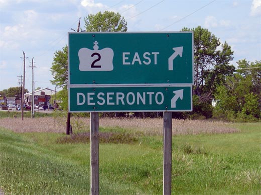
MGS for eastern Highway 2 junction along
northbound Highway 49.
Picture size: 45kb. |
 |
| Tyendinaga IR 38 County of
Hastings |
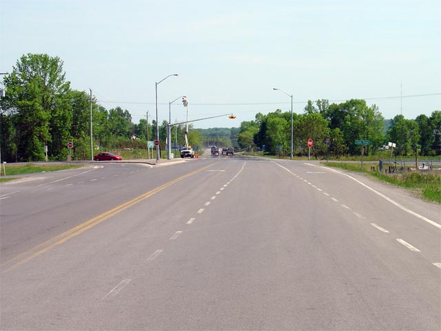
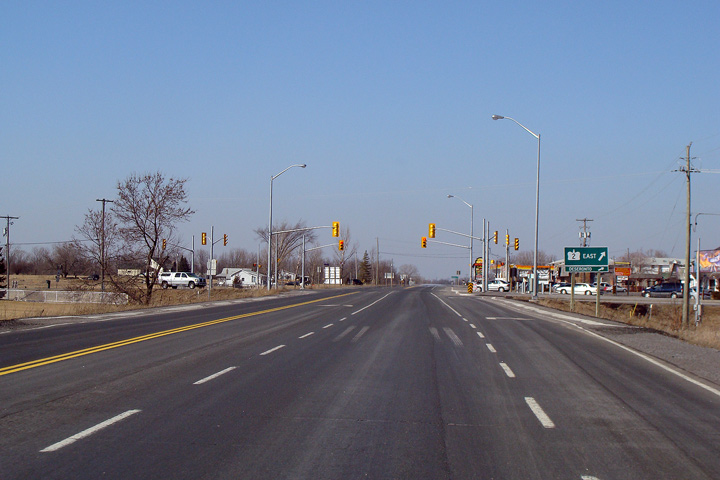
Northerly
view approaching the eastern Highway 2 intersection. Traffic signals
were installed at this junction in 2008. Amazingly, despite the
construction, the Highway 2 signs pointing to Deseronto were not removed!
Photo taken: March 14th, 2009. |

Low-res
High-res |
|
East of Highway 49,
Highway 2 runs through Deseronto towards Kingston.
Click here for Highway 2 images. |
| Tyendinaga IR 38 County of
Hastings |
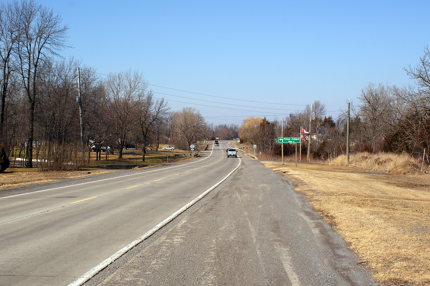
Looking south along Highway 49 towards the
southern Highway 2 junction.
Highway 2 is co-designated along Highway 49
from Marysville southerly to this junction for a distance of roughly 4.2km.
This photo was obviously taken before traffic signals were added to this
junction.
Photo taken: June 2nd, 2005. |
 |


