|
Proper Municipality Name |
Photo Description |
Photo |
|
Pictures taken
from driver's perspective appear offset from centre-line pictures: |
East-
bound |
West-
bound |
|
For photos west of Petawawa see:
Page 4C |
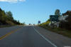
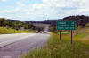
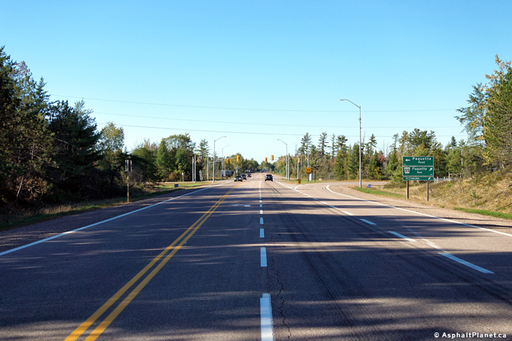
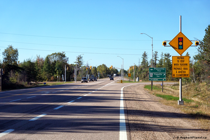
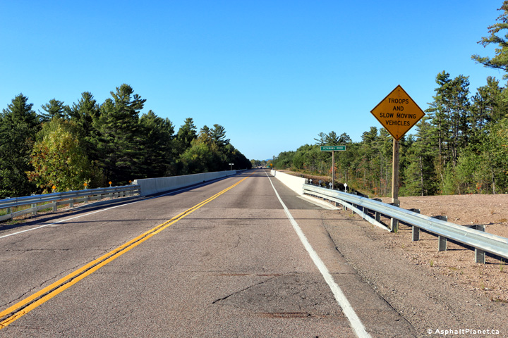
Town of Petawawa
County of Renfrew |
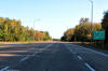
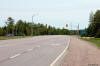
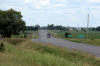
Two views looking westerly at the Paquette Road intersection at the western
end of the Petawawa By-pass.
Photos taken: September 27th, 2015. |

(720x480)
(1440x960)
(2400x1600)
(720x480)
(1440x960)
(2400x1600) |
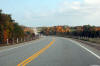
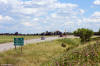
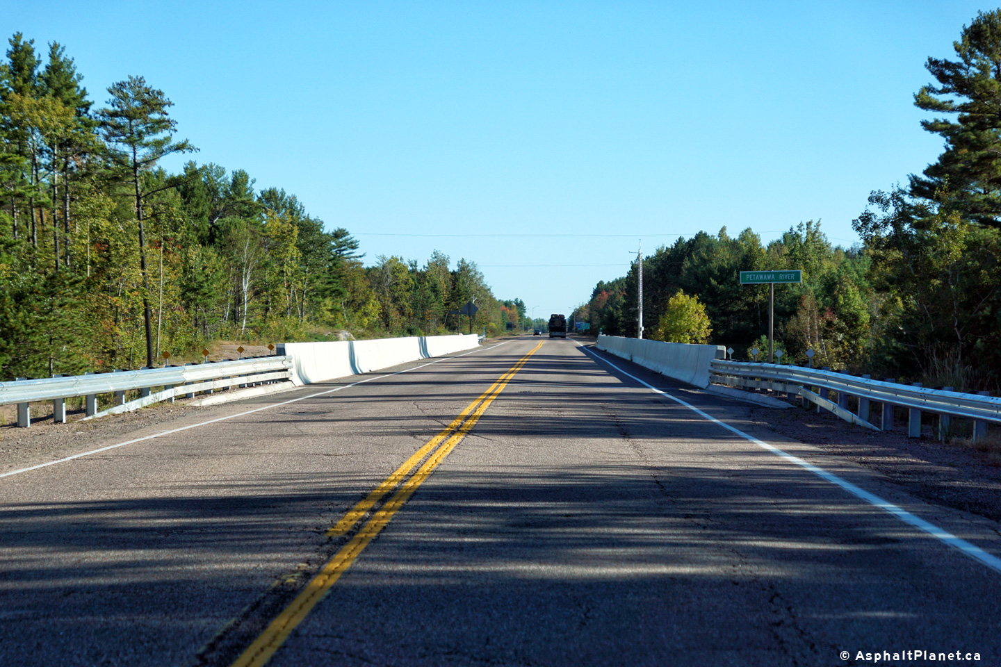
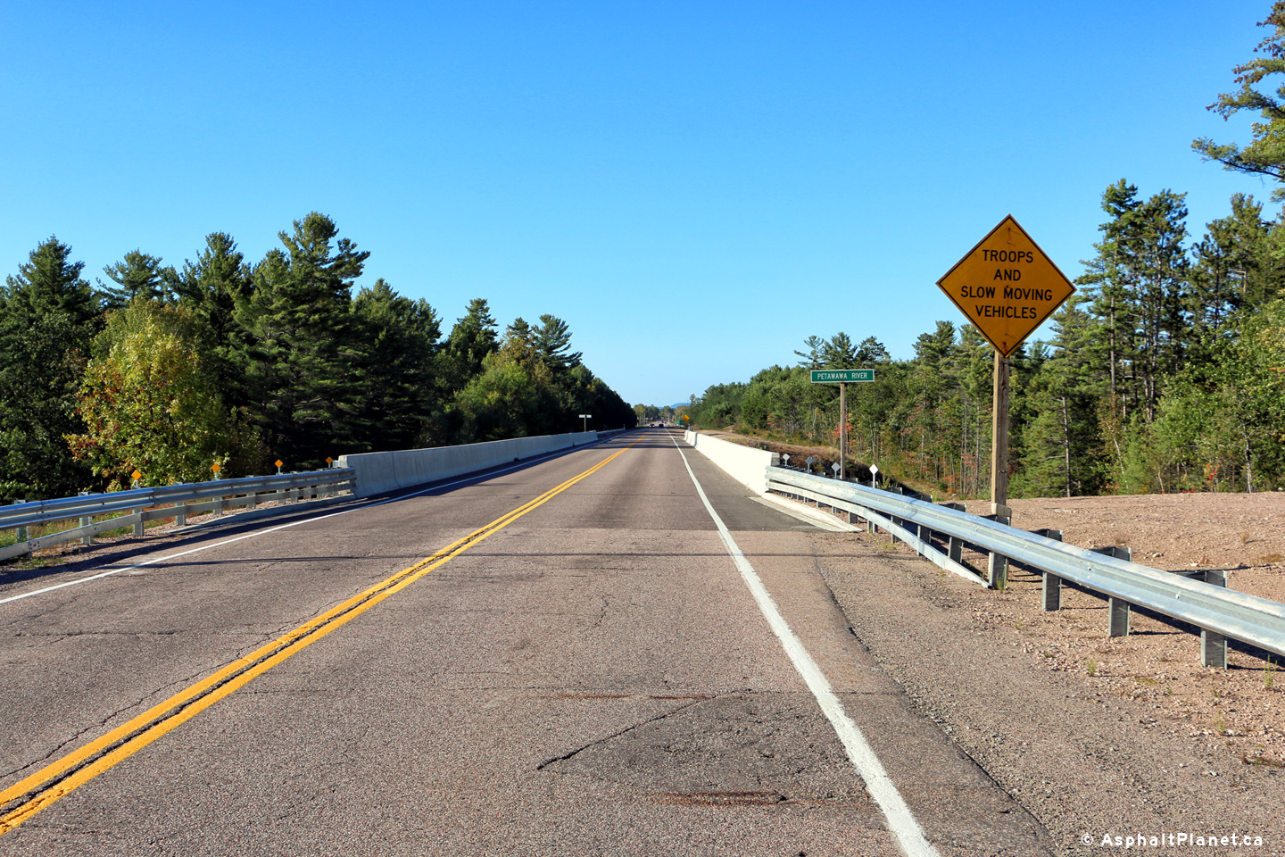
Town of Petawawa
County of Renfrew |
View looking easterly as Highway 17 crosses overtop of the Petawawa River
bridge.
Photo taken: September 27th, 2015. |
(720x480)
(1440x960)
(2400x1600) |
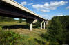
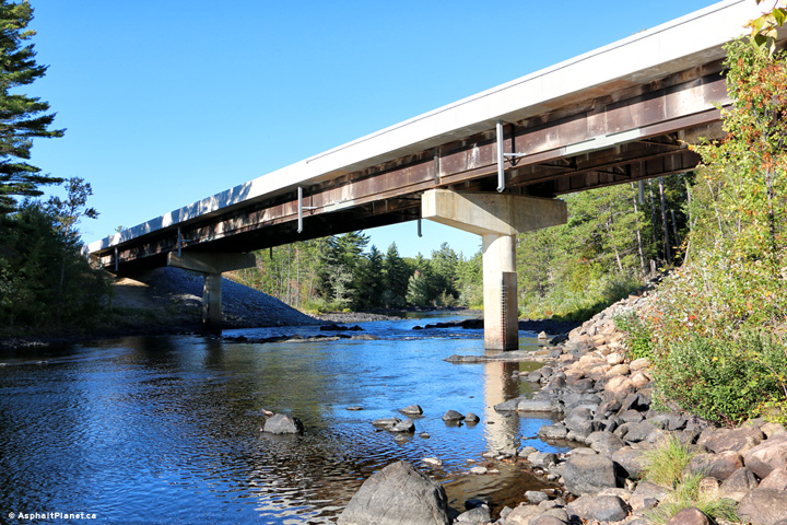
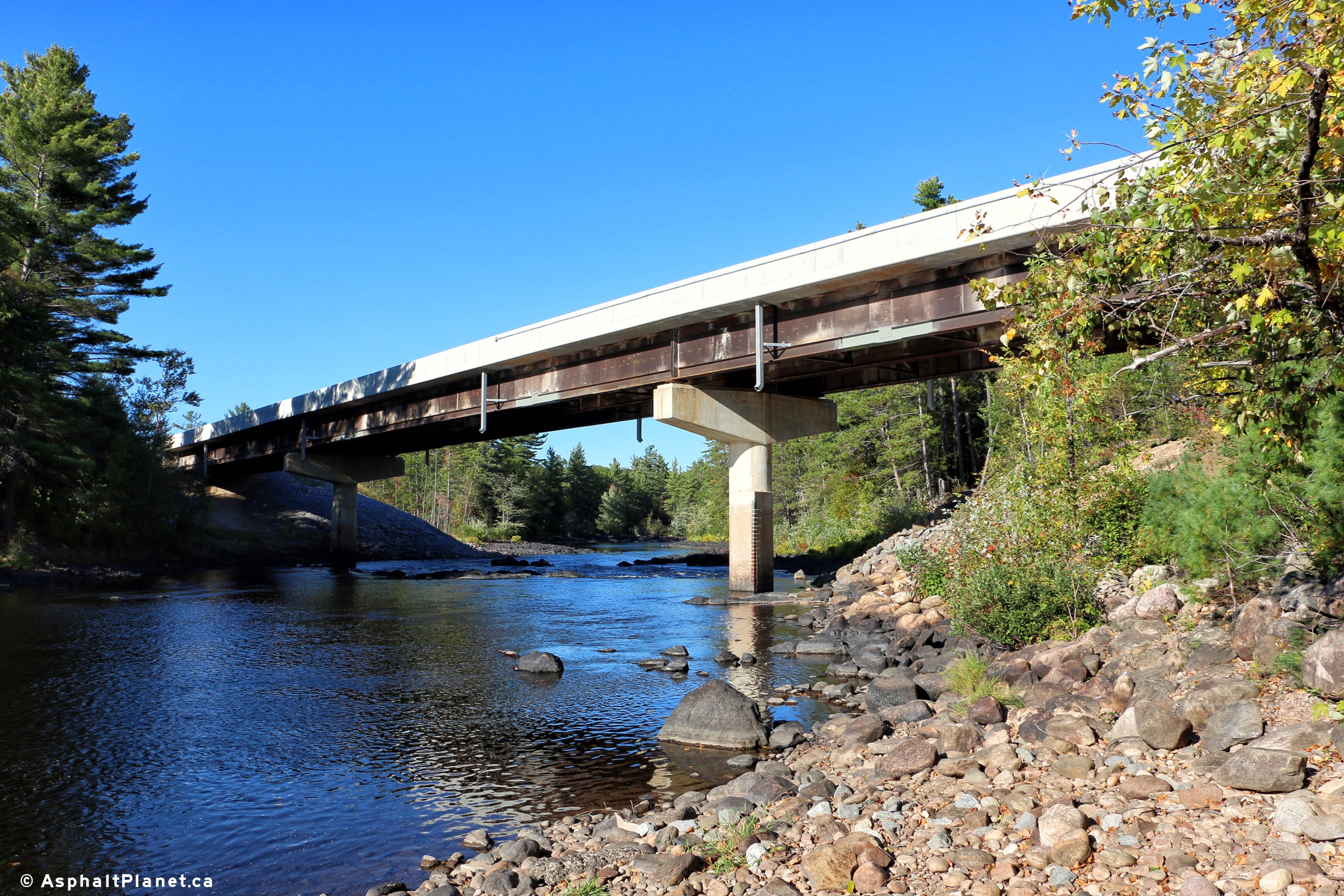
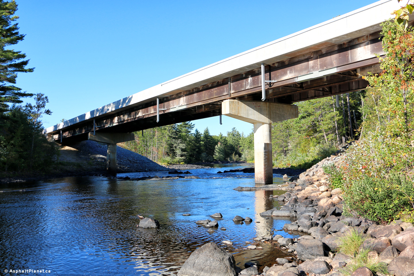
Town of Petawawa
County of Renfrew |
Two views looking northeasterly at the structure that carries Highway 17
overtop of the Petawawa River Bridge.
Photos taken: September 27th, 2015. |
(720x480)
(1440x960)
(2400x1600)

(720x480)
(1440x960)
(2400x1600) |
Town of Petawawa
County of Renfrew |
Easterly view as Highway 17 passes overtop of the Petawawa River bridge.
Photo taken: September 27th, 2015. |
(720x480)
(1440x960)
(2400x1600) |
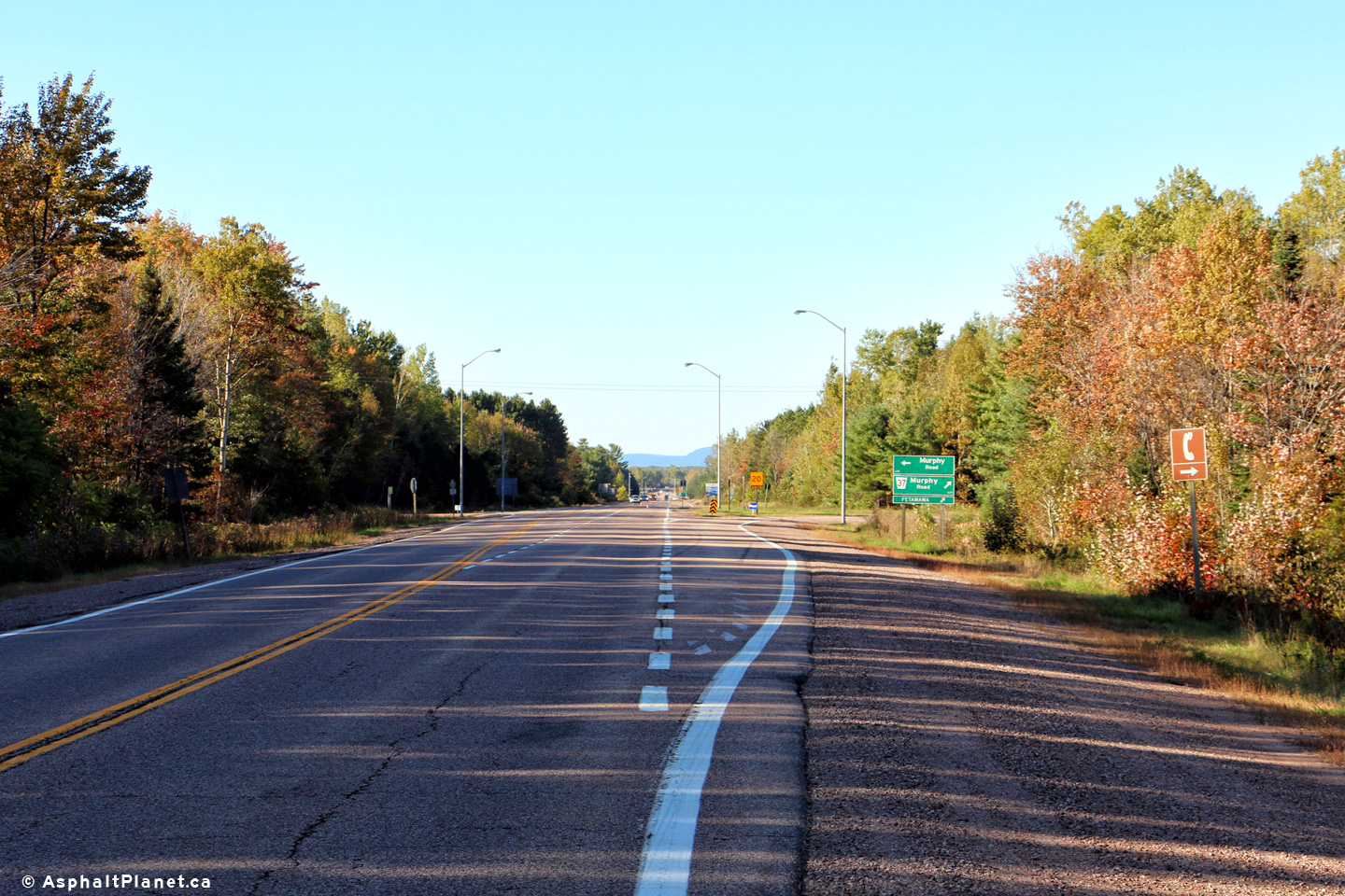
Town of Petawawa
County of Renfrew |
View looking easterly at the Murphy Road intersection.
Photo taken: September 27th, 2015. |
(720x480)
(1440x960)
(2400x1600) |
Town of Petawawa
County of Renfrew |
Two views looking westerly at the Murphy Road intersection.
Photos taken: September 27th, 2015. |

(720x480)
(1440x960)
(2400x1600)
(720x480)
(1440x960)
(2400x1600) |
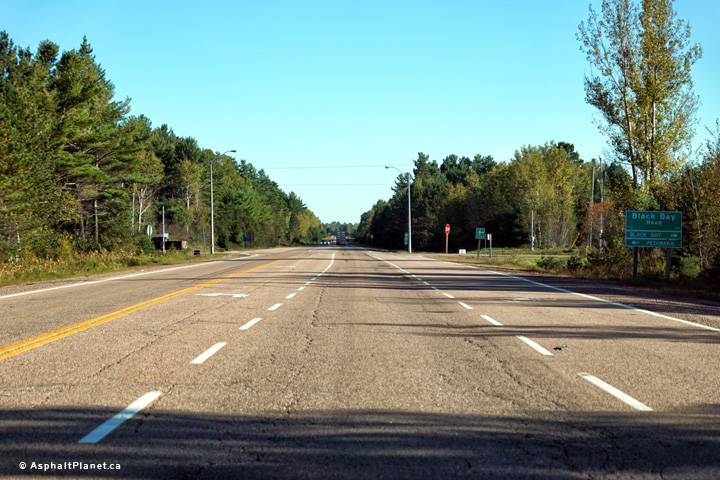
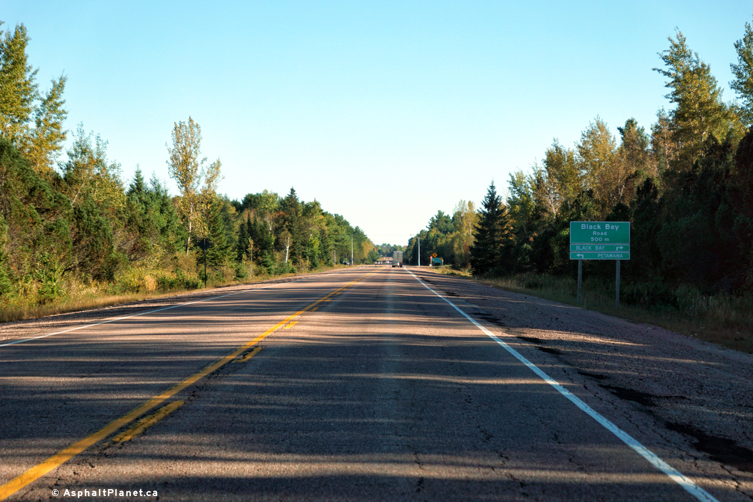
Town of Petawawa
County of Renfrew |
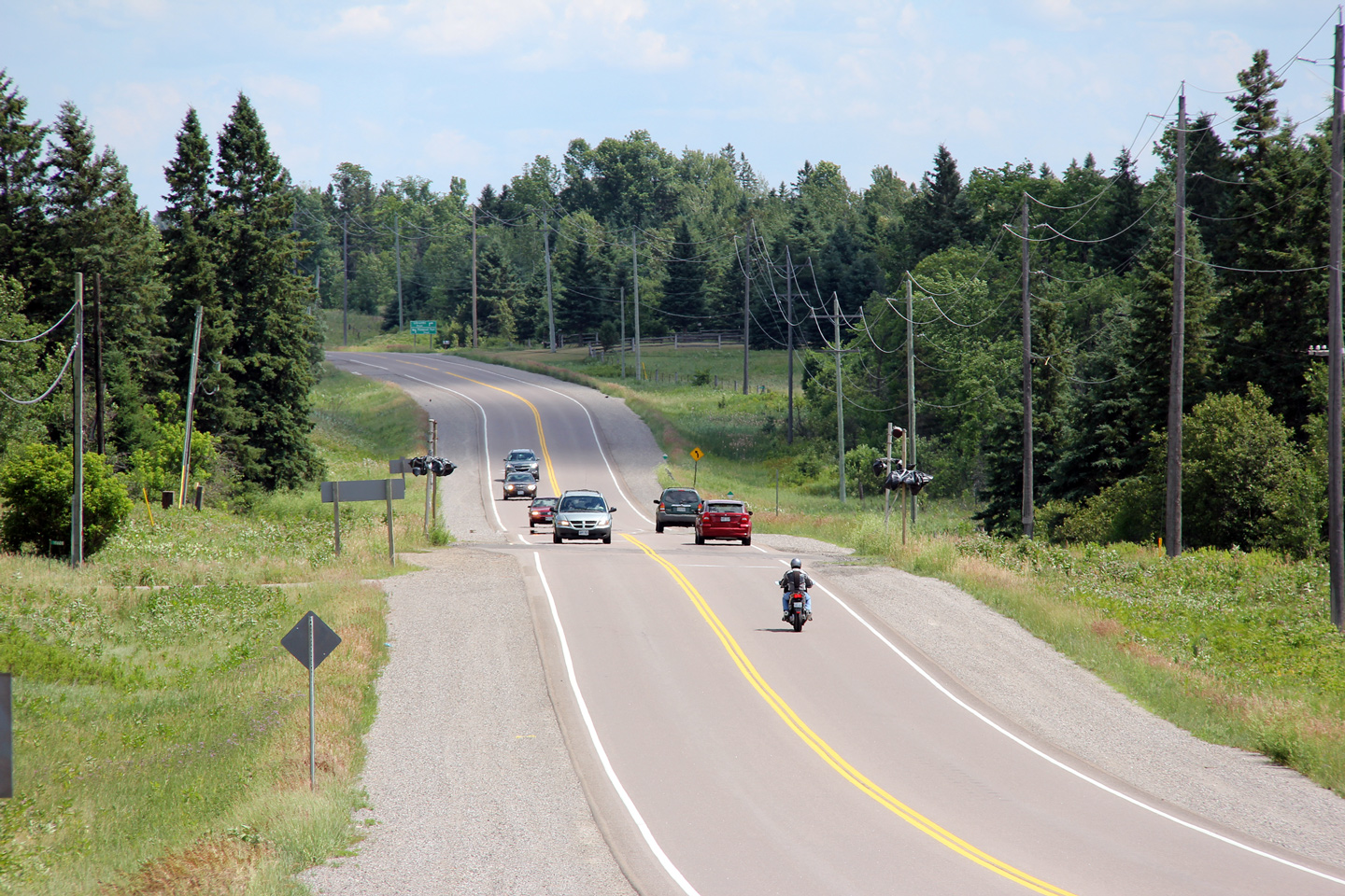
Two views looking easterly approaching the Black Bay Road intersection.
Photos taken: September 27th, 2015. |

(720x480)
(1440x960)
(2400x1600)

(720x480)
(1440x960)
(2400x1600) |
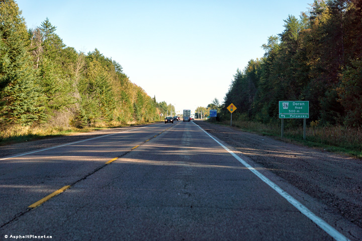
Town of Petawawa
County of Renfrew |
Two views looking easterly approaching the Doran Road intersection.
Photos taken: September 27th, 2015. |

(720x480)
(1440x960)
(2400x1600)
(720x480)
(1440x960)
(2400x1600) |
|
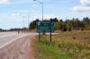
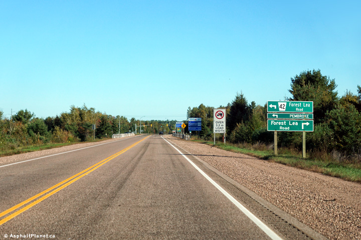
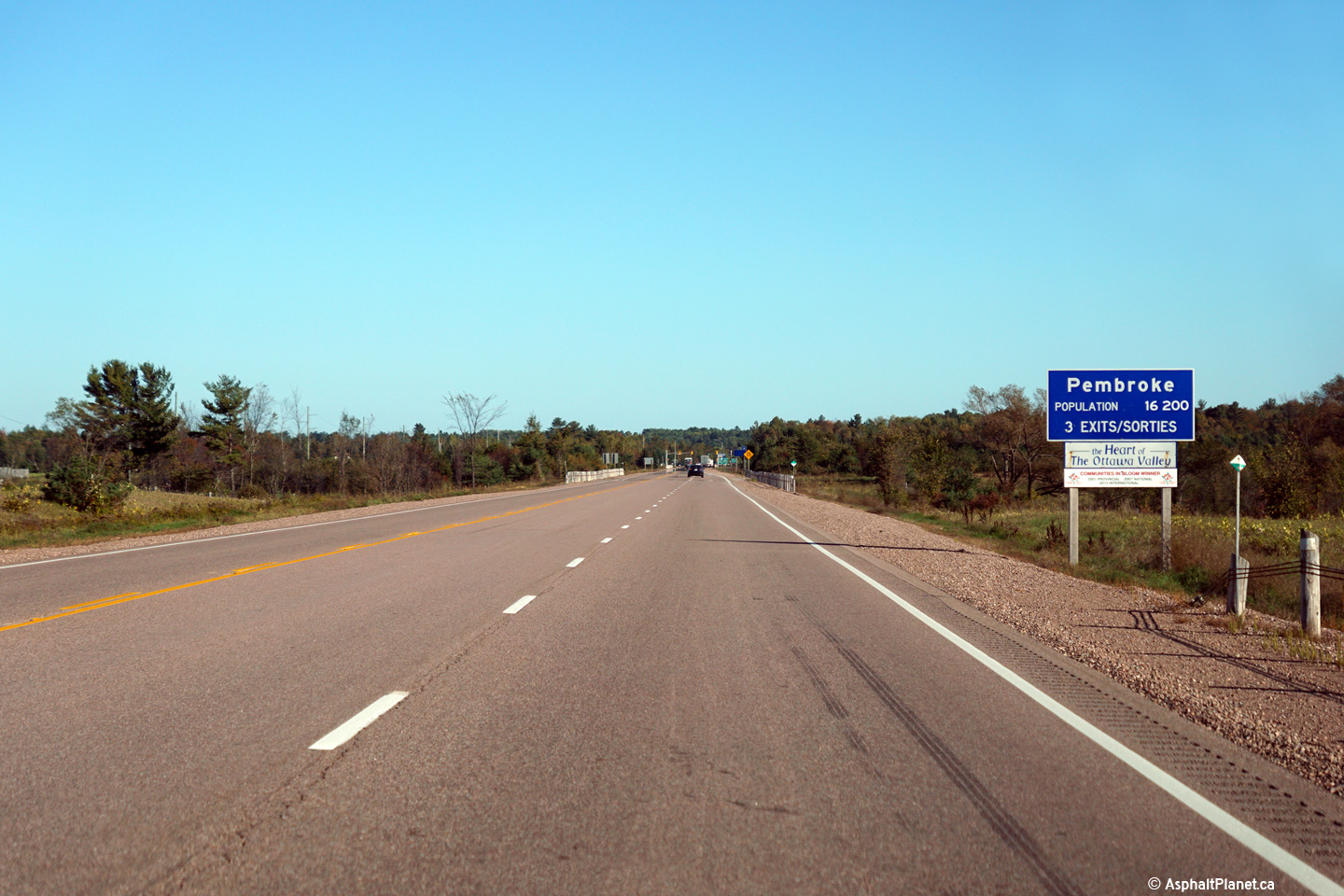
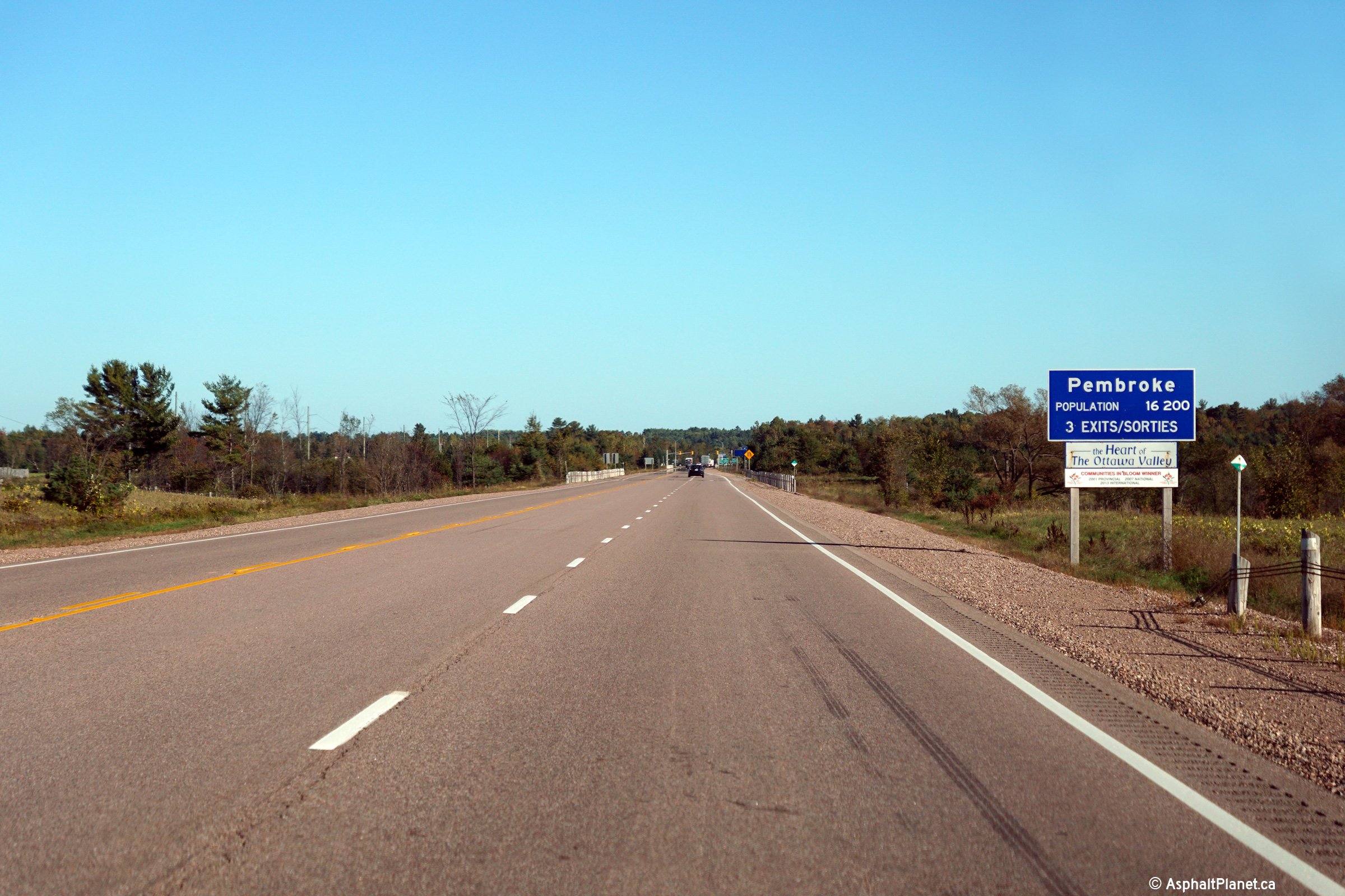
Township of Laurentian Valley County of Renfrew |
Signage for Pembroke located west of the Forest Lea Road intersection.
Photo taken: September 27th, 2015. |

(720x480)
(1440x960)
(2400x1600) |
|
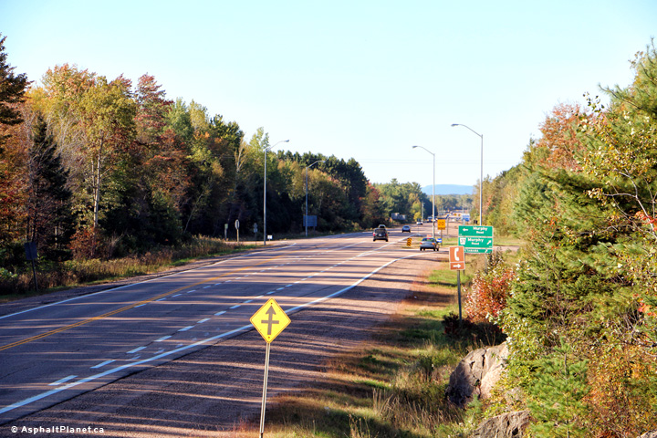
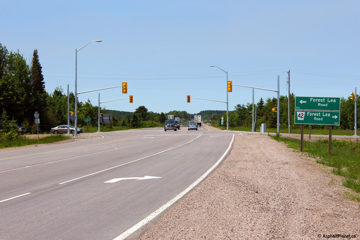
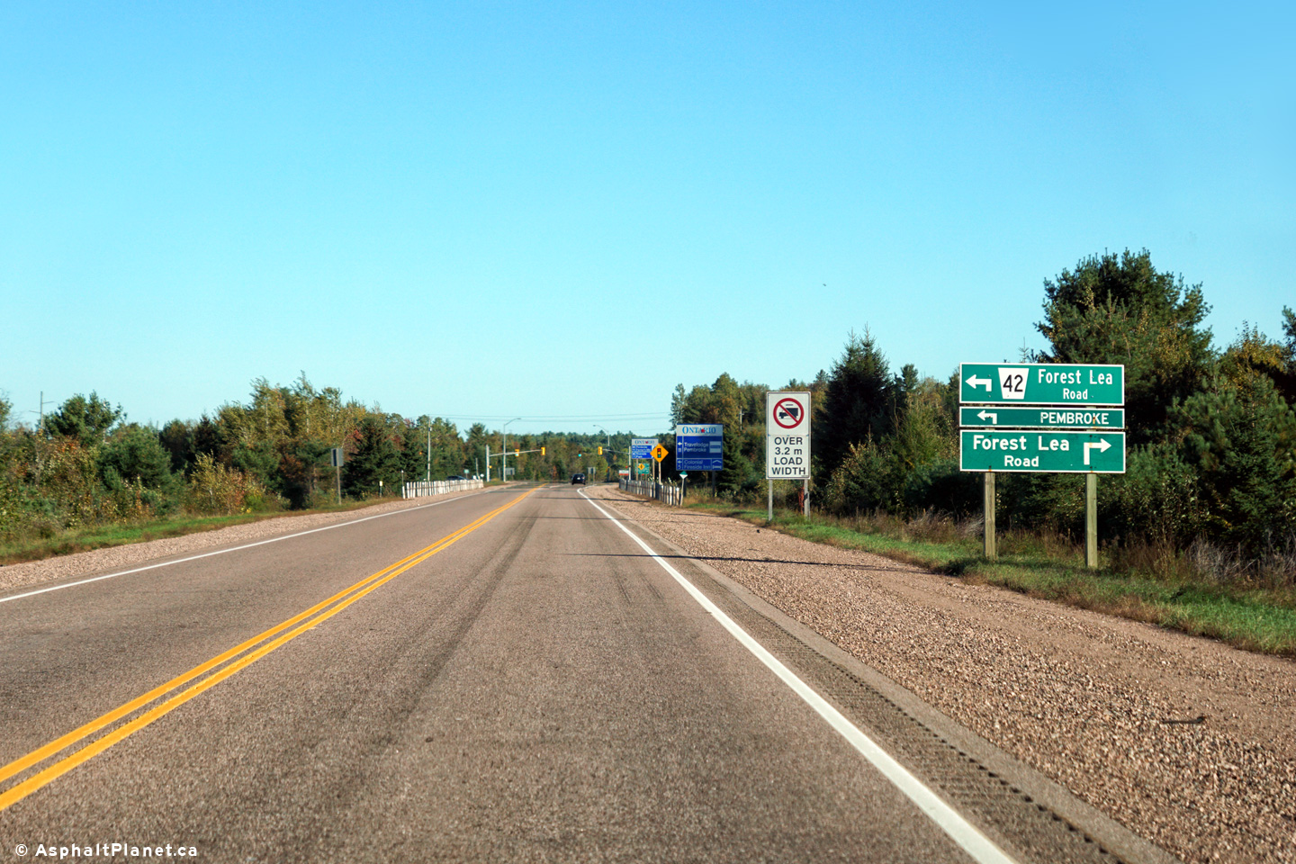
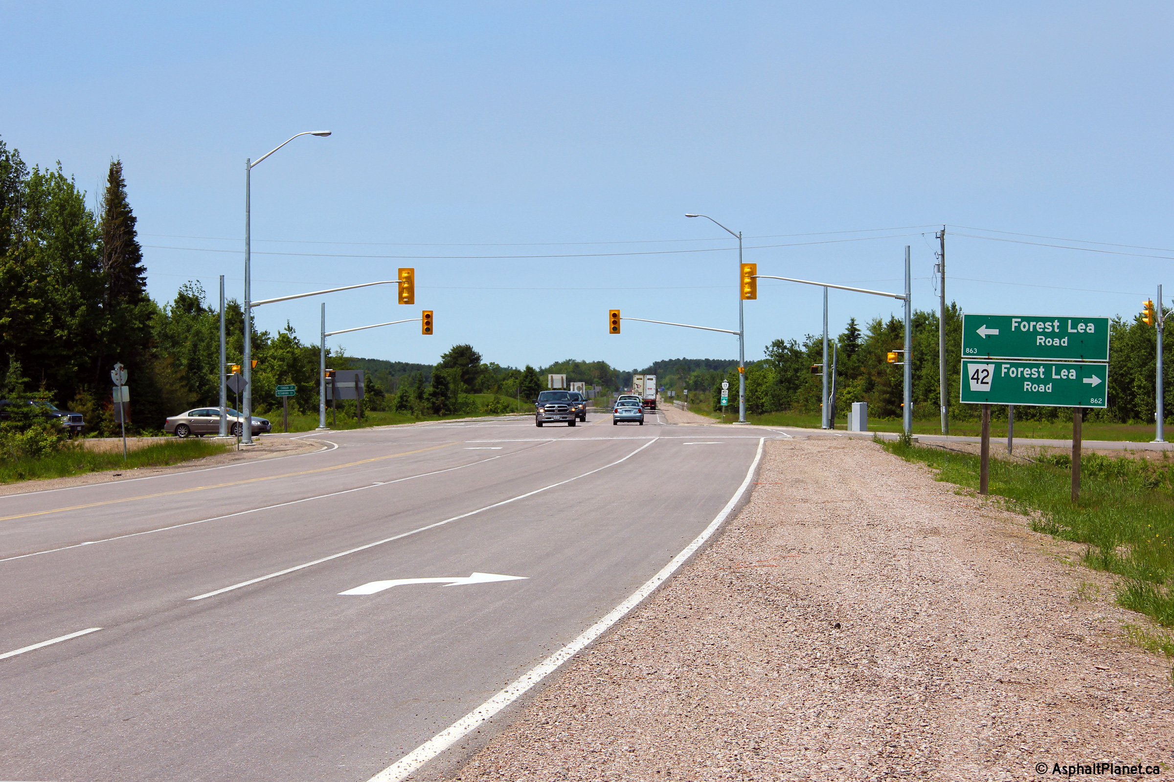
Township of Laurentian Valley County of Renfrew |
Easterly view at the Forest Lea Road intersection. Traffic signals
were added to this intersection during a construction project that took
place over the 2012 construction season.
Upper photo taken: September 27th, 2015.
Lower photo taken: June 14th, 2013.
|
(720x480)
(1440x960)
(2400x1600)
(720x480)
(1440x960)
(2400x1600) |
|
Township of Laurentian Valley County of Renfrew |
Westerly view at the Forest Lea Road intersection.
Photo taken: June 14th, 2013. |
(720x480)
(1440x960)
(2400x1600) |
|
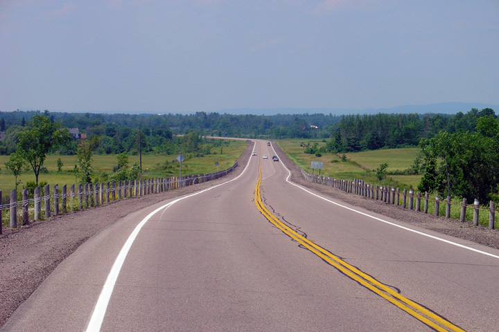
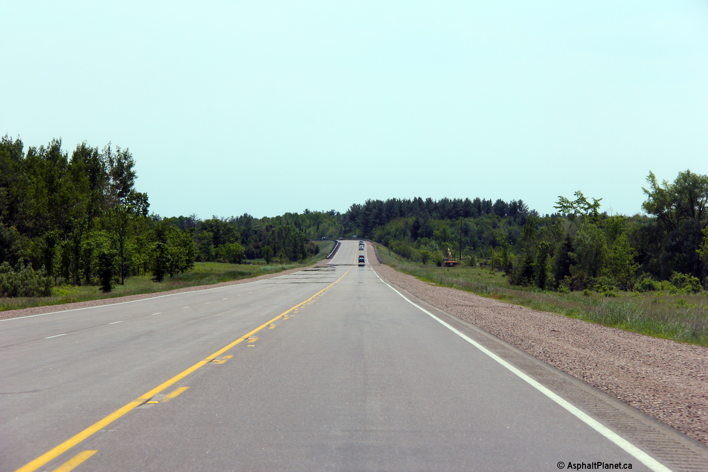
Township of Laurentian Valley County of Renfrew |
View looking easterly about half way between the Forest Lea Road and Round
Lake Road intersections. There is a long westbound passing lane
between the two intersections.
Click here for an additional
view from this vantage point taken in June, 2013.
Photo taken: June 14th, 2013. |

(720x480)
(1440x960)
(2400x1600) |
|
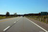
Township of Laurentian Valley County of Renfrew |
Looking west along the Pembroke Bypass from roughly 1km west of the Highway
62/148 junction. Note that the westbound passing lane has been
extended since this photo was taken.
Photo taken: July 4th, 2005. |
(720x480)
(1440x960) |
|
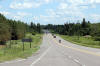
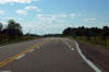
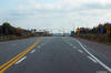
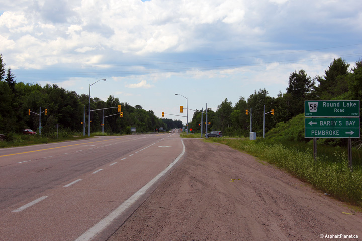
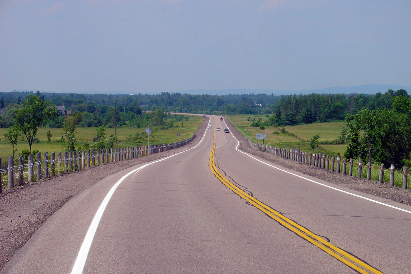
Township of Laurentian Valley County of Renfrew |
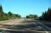
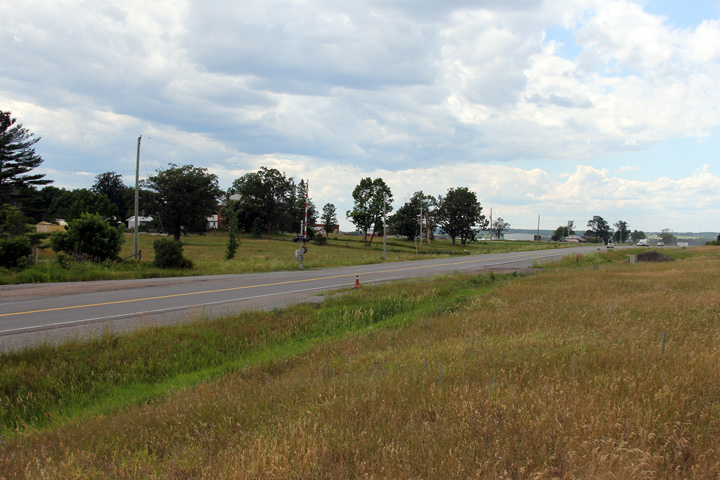
Easterly view approaching the Round Lake Road intersection. Round Lake
Road was formerly Highways 62 and 148.
Photo taken: June 30th, 2012. |
(720x480)
(1440x960)
(2400x1600) |
|
West of Highway 17, Round Lake
Road was part of Highway 62, while east of Highway 17, Round Lake Road was
part of Highway 148. Click
here for Highway 62 images,
and here for Highway
148 images |
|
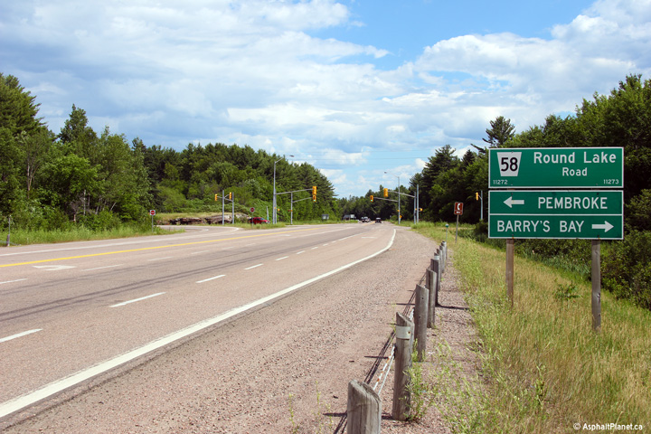
Township of Laurentian Valley County of Renfrew |
Westerly view at the Round Lake Road intersection.
Photo taken: June 30th, 2012. |
(720x480)
(1440x960)
(2400x1600) |
|
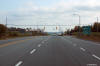
Township of Laurentian Valley County of Renfrew |
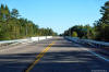
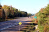
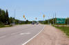
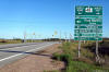
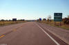
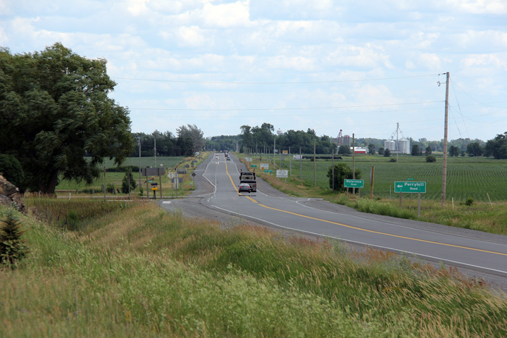
Eastbound view approaching the Highway 41 intersection along the Pembroke
By-pass.
Photo taken: September 27th, 2015. |

(720x480)
(1440x960)
(2400x1600) |
|
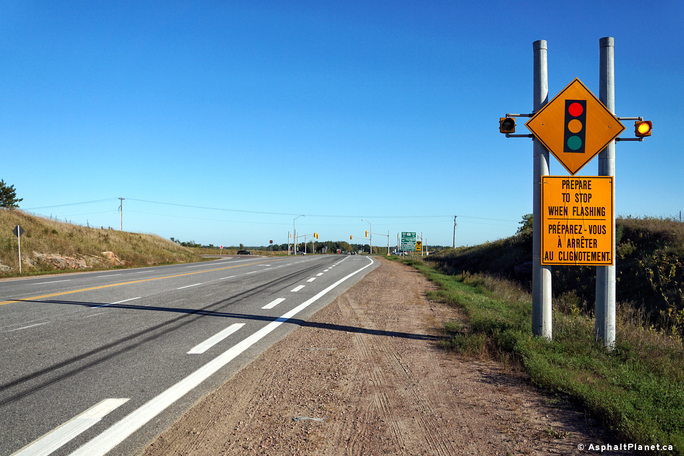
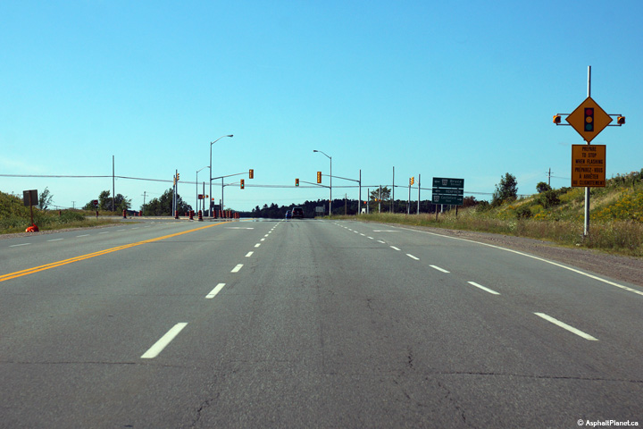
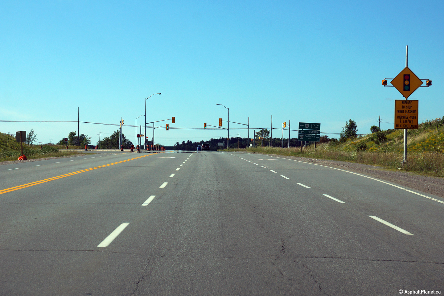
Township of Laurentian Valley County of Renfrew |
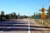
Flashing warning sign notifying motorists of the upcoming traffic signal at
the Highway 41 intersection. Flashing warning signals such as this are
relatively rare on provincial highways in Ontario, however there are several
similar signs along Highway 17.
Photo taken: September 27th, 2015. |

(720x480)
(1440x960)
(2400x1600) |
|
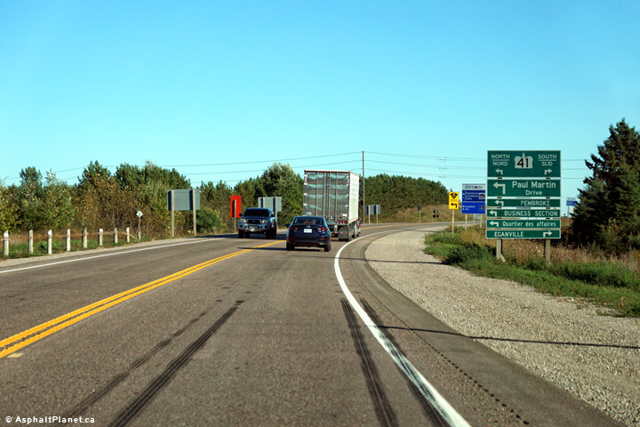
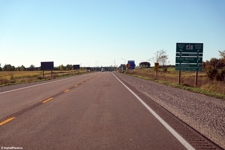
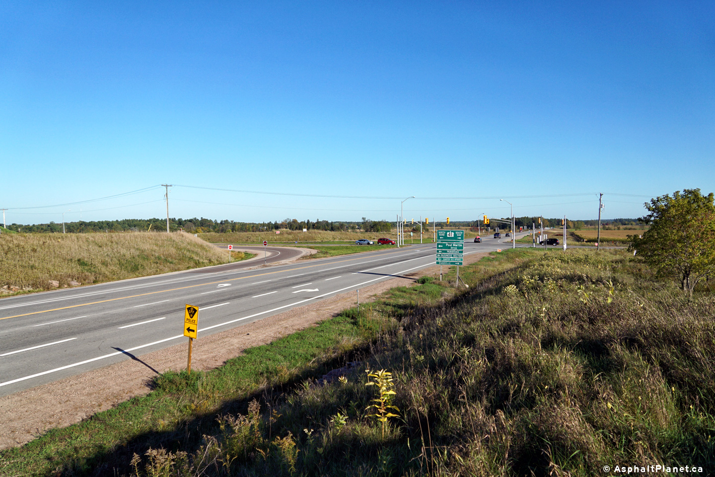
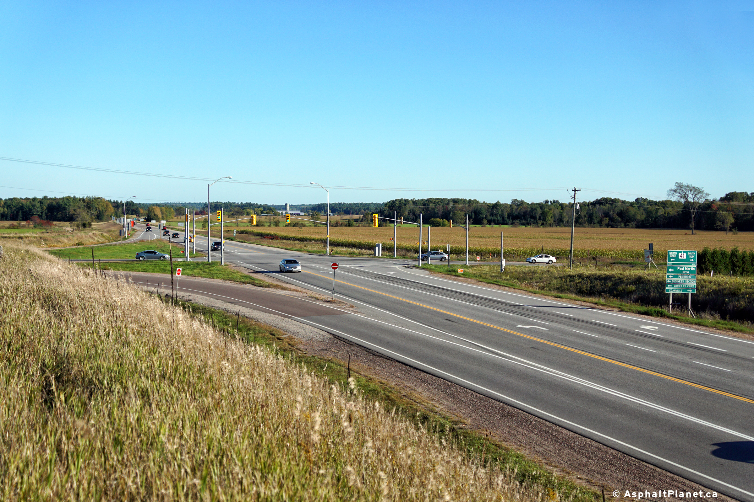
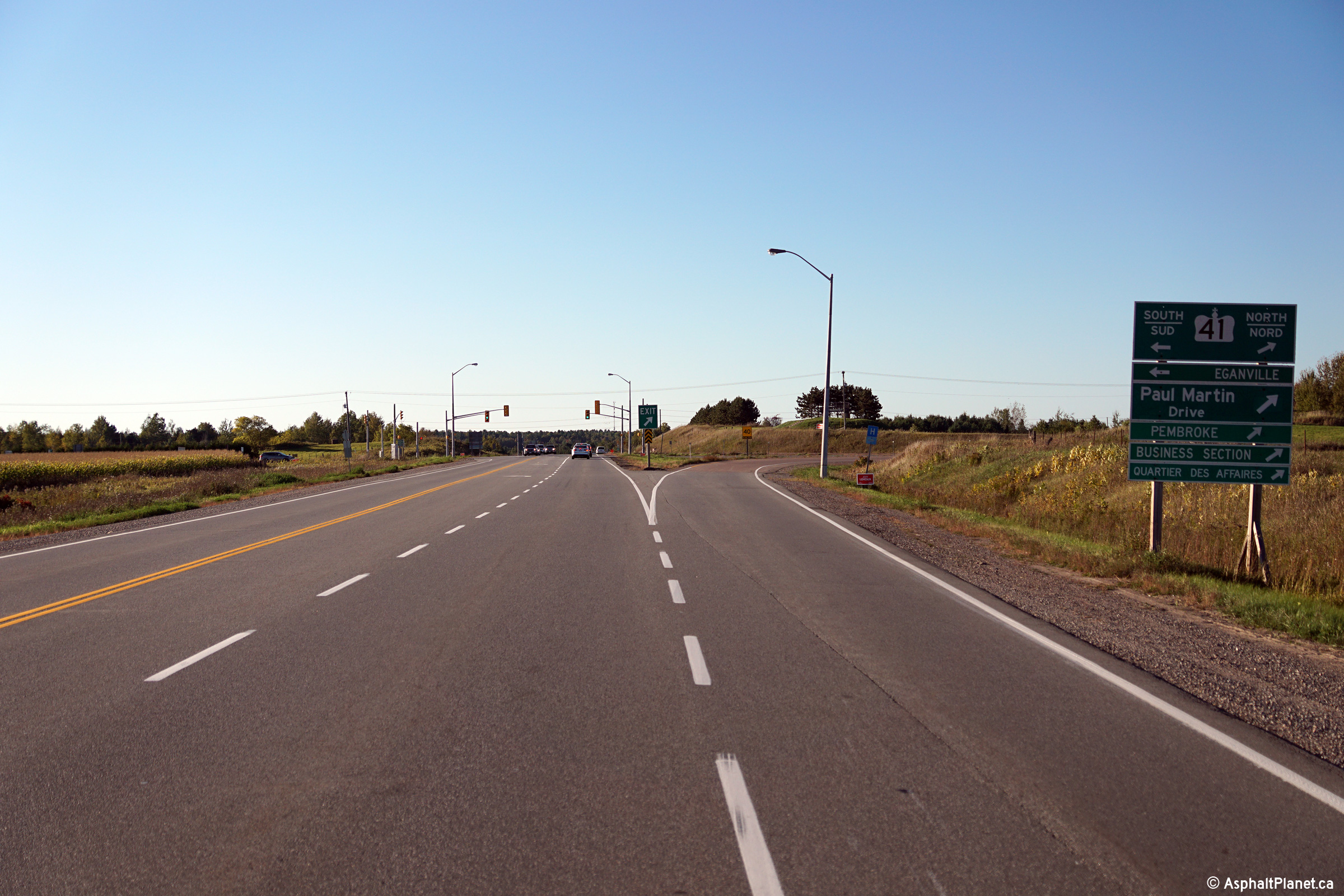
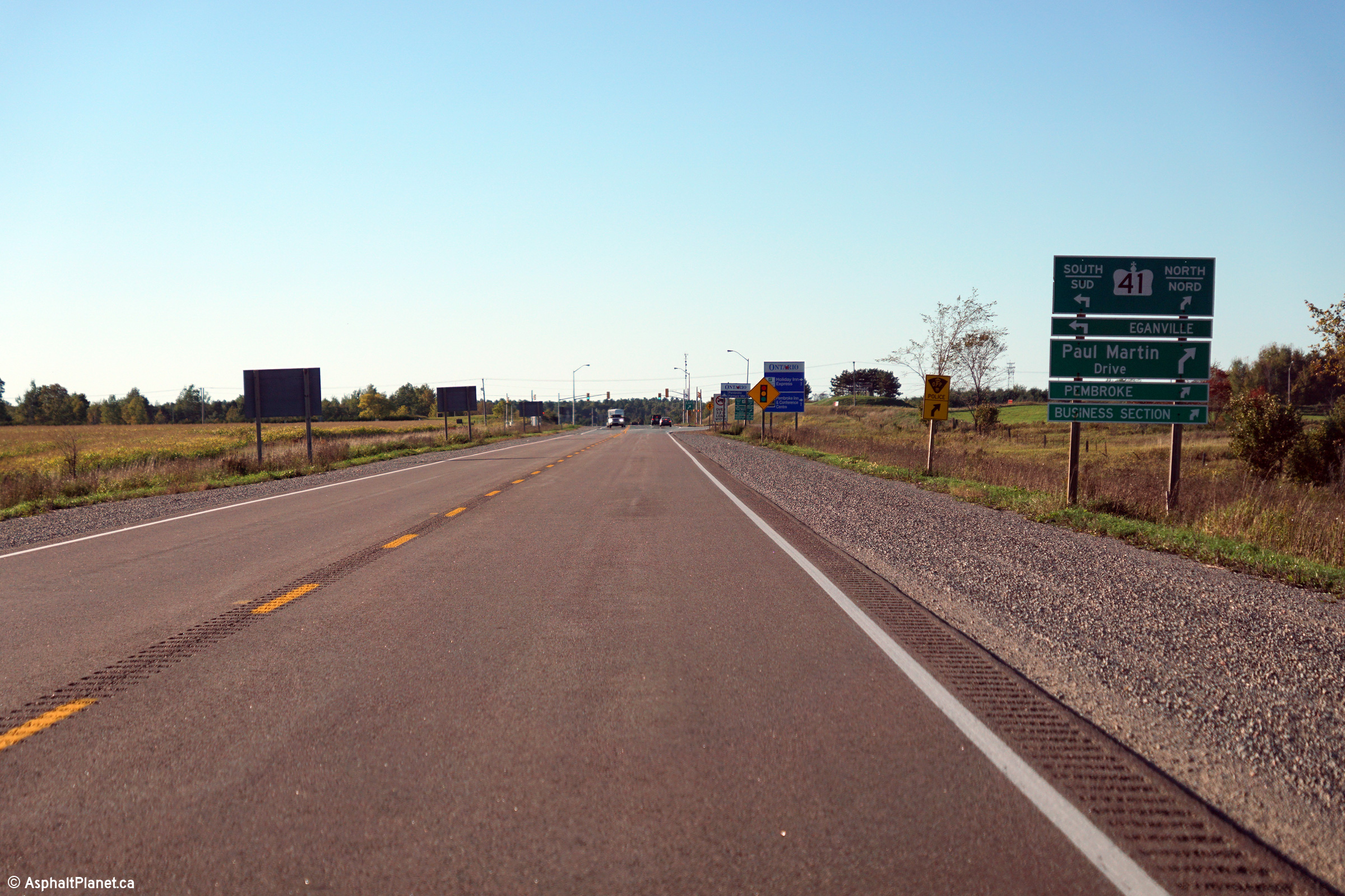
Township of Laurentian Valley County of Renfrew |
A series of three views approaching the Highway 41 intersection along
Highway 17.
Photos taken: September 27th, 2015. |
(720x480)
(1440x960)
(2400x1600)
(720x480)
(1440x960)
(2400x1600)
(720x480)
(1440x960)
(2400x1600) |
|
Highway 41 stretches south from
Pembroke, through the Opeongo Highlands towards Kaladar and Napanee.
Click here for Highway 41 images |
|
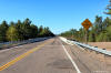
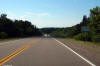
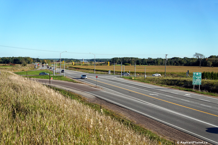
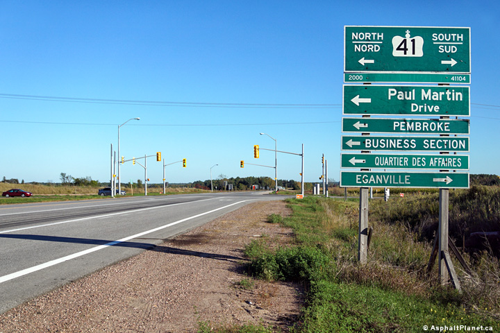
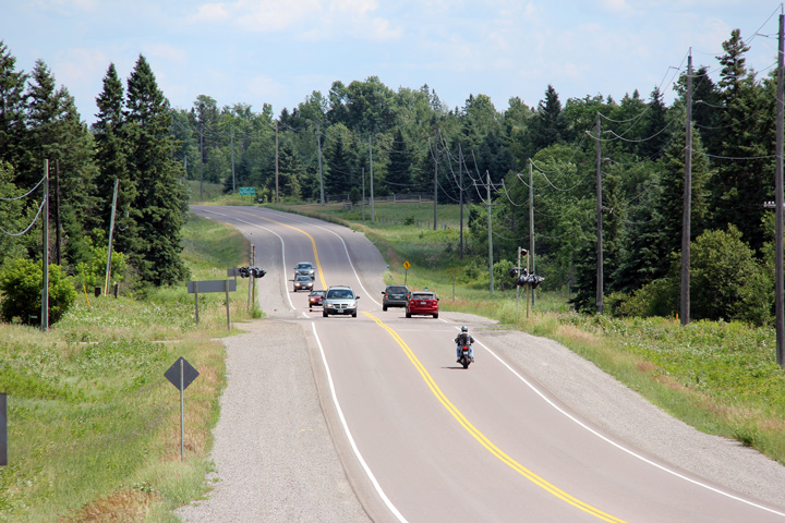
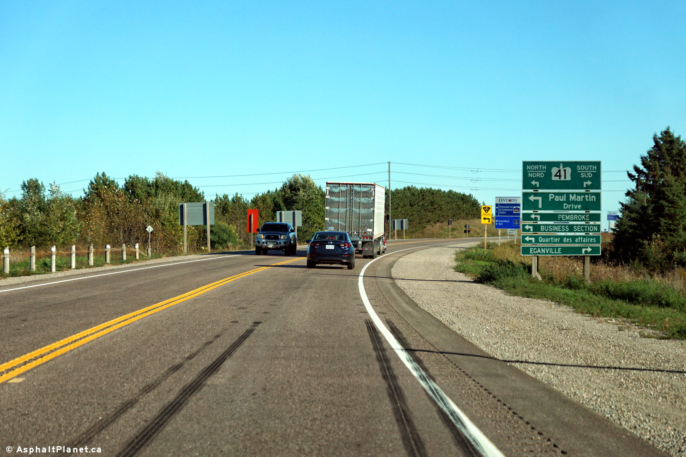
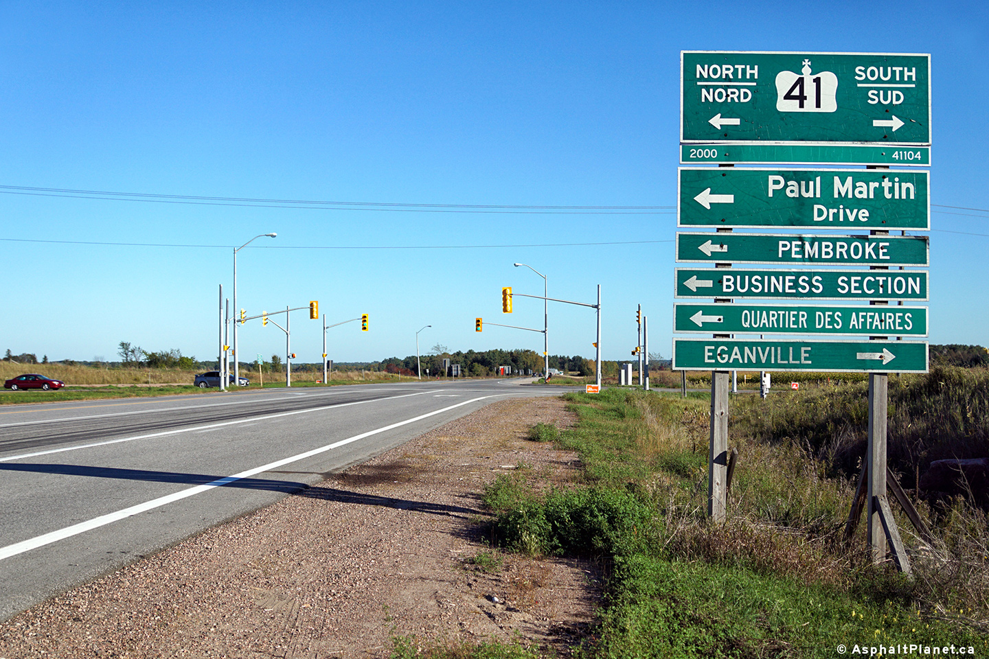
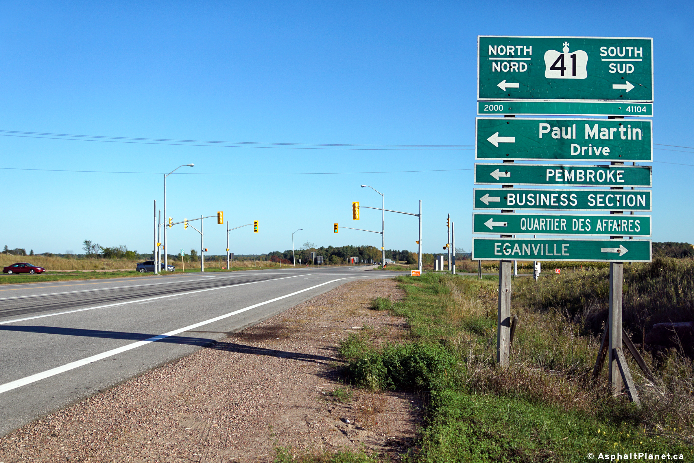
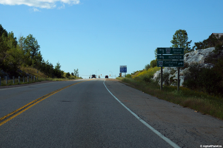
Township of Laurentian Valley County of Renfrew |
These views looks westerly approaching the Highway 41 intersection.
Photo taken: September 27th, 2015. |

(720x480)
(1440x960)
(2400x1600)
(720x480)
(1440x960)
(2400x1600) |
|
Township of Laurentian Valley County of Renfrew |
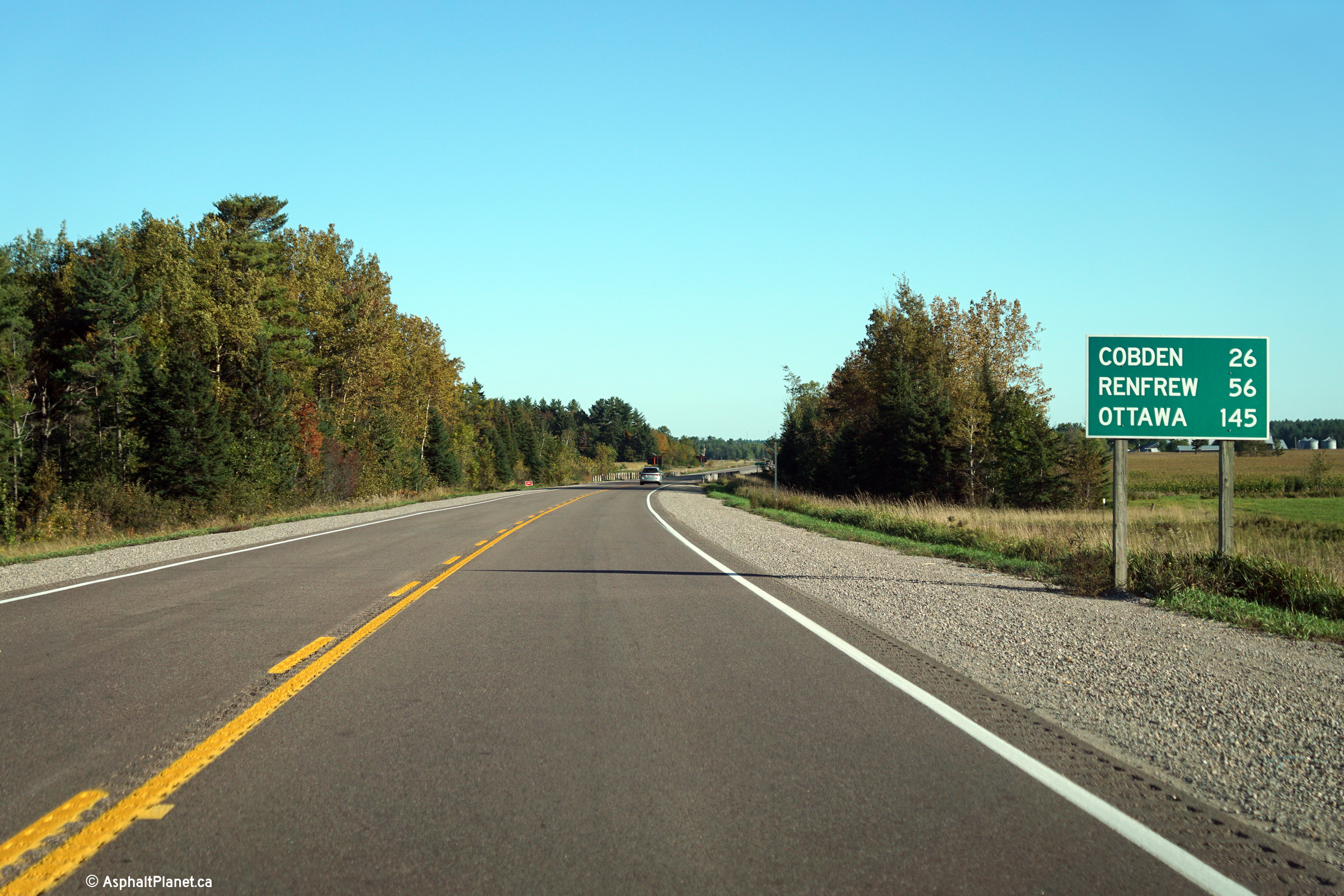
Easterly distance signage along Highway 17 east of the Highway 41 junction.
Photo taken: September 27th, 2015. |
(720x480)
(1440x960)
(2400x1600) |
|
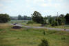
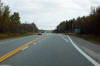
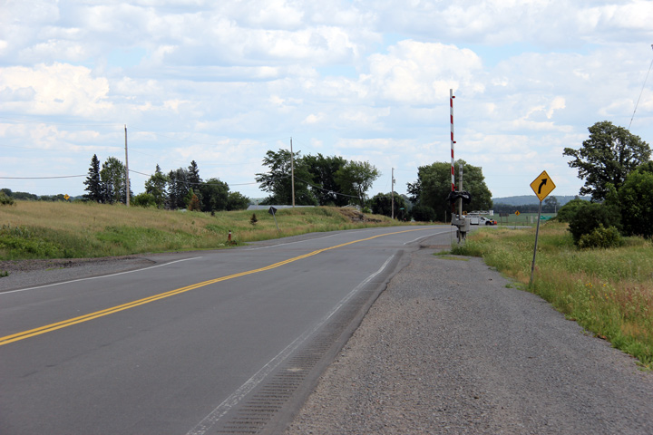
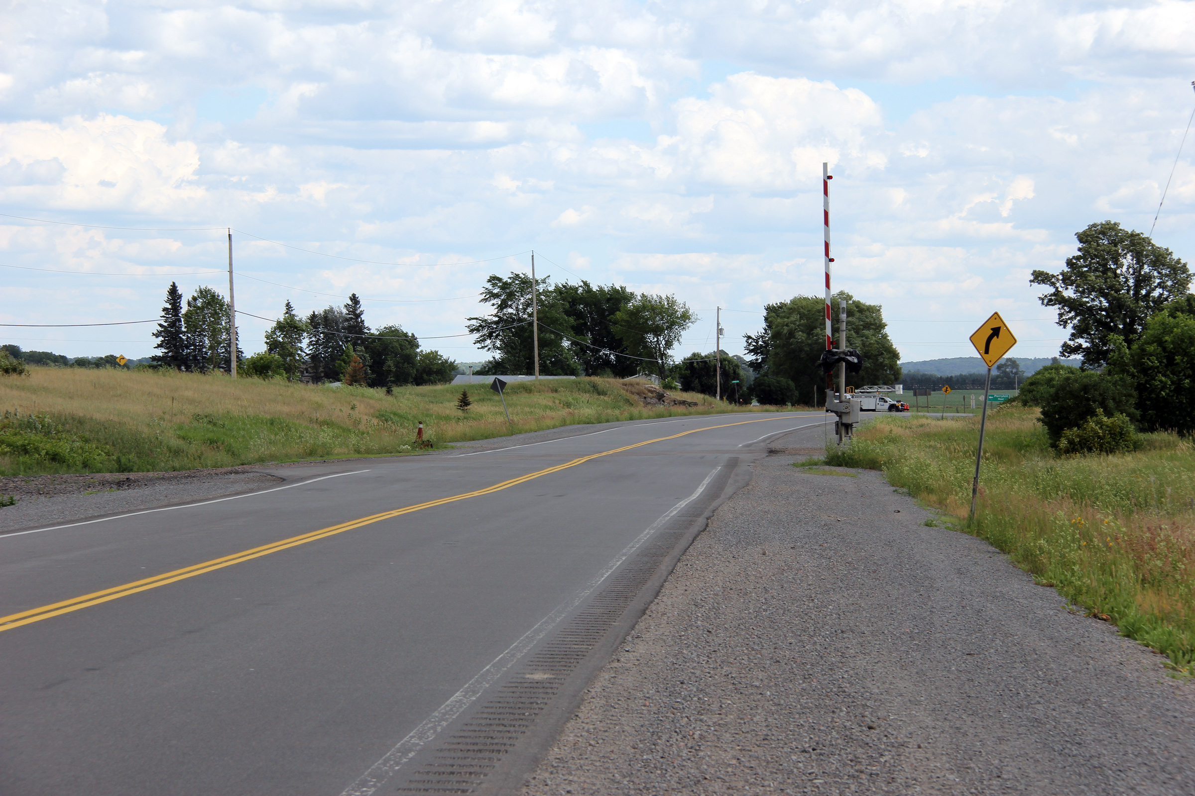
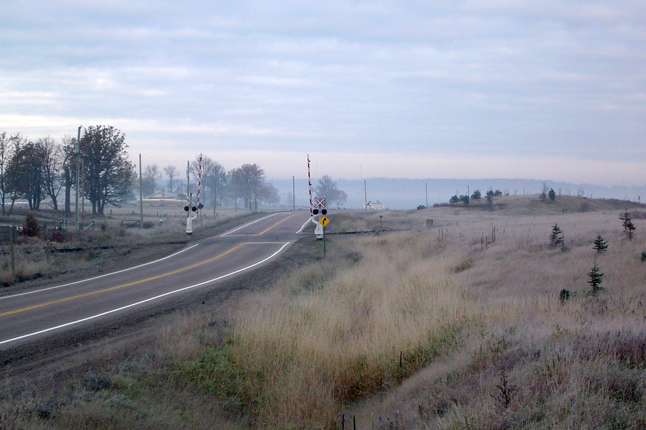
Township of Whitewater Region County or Renfrew |
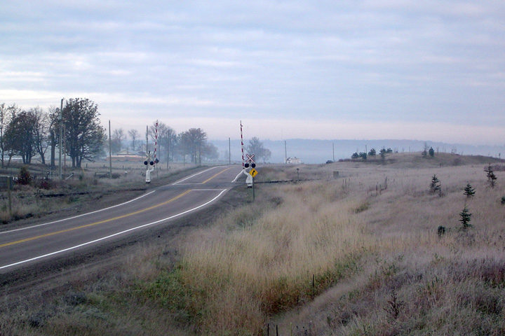
Two views looking easterly at the former Ottawa Valley Railway crossing at
Shields. The Ottawa Valley Railway was abandoned in 2011. At the
time that this photo was taken, the rails had been removed across the
highway and all that remained was a single crossing gate for eastbound
traffic.
Photos taken: June 30th, 2012. |

(720x480)
(1440x960)
(2400x1600)
(720x480)
(1440x960)
(2400x1600) |
|
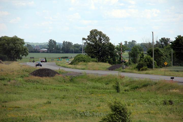
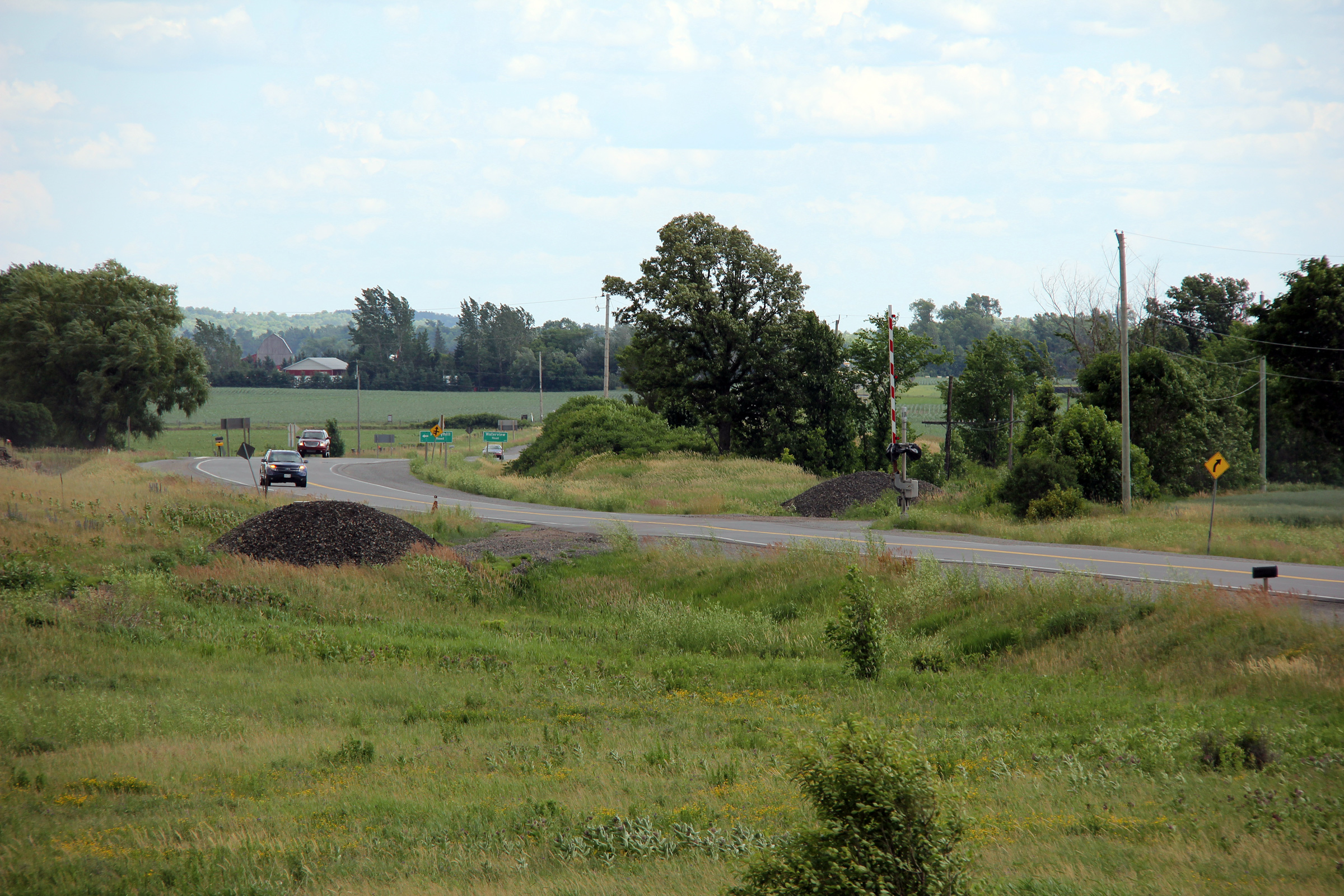
Township of Whitewater Region County or Renfrew |
Looking west along Highway 17 at Shields Crossing. Notice the elevated
grading to the right of the highway at the railway crossing. This grading
formerly held the abutments for the Cobden Overhead which spanned the Ottawa
Valley Railway. This overhead was removed due to its poor conditions.
A grade separation is no longer required at this location since the railway
was removed.
Upper photo taken: October 23rd, 2004.
Lower photo taken: June 30th, 2012. |
(720x480)
(1440x960)
(2400x1600) |
|
Township of Whitewater Region County or Renfrew |
Looking easterly along Highway 17 towards Cobden from Shields Crossing.
Photo taken: June 30th, 2012. |
(720x480)
(1440x960)
(2400x1600) |
|
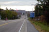
Township of Whitewater Region County of Renfrew |
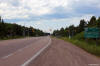
Looking east through the small community of Cobden along Highway 17.
Cobden is the only notable community not yet bypassed along the Trans-Canada
Highway between Chalk River and Ottawa. A new alignment has been
developed to bypass Cobden (bypassing roughly 30km of Highway 17), but is
likely decades away from construction.
Photo taken: October 23rd, 2004. |
(720x480)
(1280x853) |
|
Township of Whitewater Region County of Renfrew |
Two views looking easterly from the Acres Road intersection towards the
former Ottawa Valley Railway at-grade crossing. Crews began lifting
the tracks of the Ottawa Valley Railway between Mattawa and Renfrew during
the fall of 2011. When this photo was taken, all that remained at this
Highway 17 crossing was the former signal gates.
Photos taken: June 30th, 2012. |
(720x480)
(1440x960)
(2400x1600)
(720x480)
(1440x960)
(2400x1600) |
|
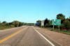
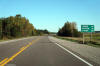
Township of Whitewater Region County of Renfrew |
Distance signage along Highway 17 west of the Highway 653 junction.
Photo taken: August |

(720x480)
(1440x960)
(2400x1600) |
|
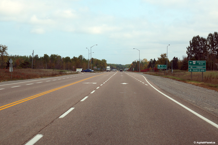
Township of Whitewater Region County of Renfrew |
This view looks easterly as Highway 17 approaches the Highway 653
intersection.
Photo taken: October 1st, 2014. |

(720x480)
(1440x960)
(2400x1600) |
|
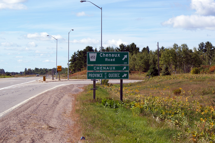
Highway 653 leads travelers
easterly from the Trans-Canada Highway into the Province of Quebec.
Click here for Highway 653 images |
|
Township of Whitewater Region County of Renfrew |
Green signage for Highway 653 along Highway 17 West.
Photo taken: September 12th, 2009. |
 (720x480) (720x480)
(1440x960) |
|
Township of Whitewater Region County of Renfrew |
This photo looks westerly approaching the Highway 653 junction. Click
here for an additional view of this
intersection taken in September, 2009.
Photo taken: August 13th, 2015. |
(720x480)
(1440x960)
(2400x1600) |
|
Township of Whitewater Region County of Renfrew |
Eastbound distance signage situated just east of the Highway 653
intersection.
Photo taken: October 1st, 2014. |

(720x480)
(1440x960)
(2400x1600) |
|
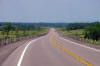
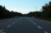
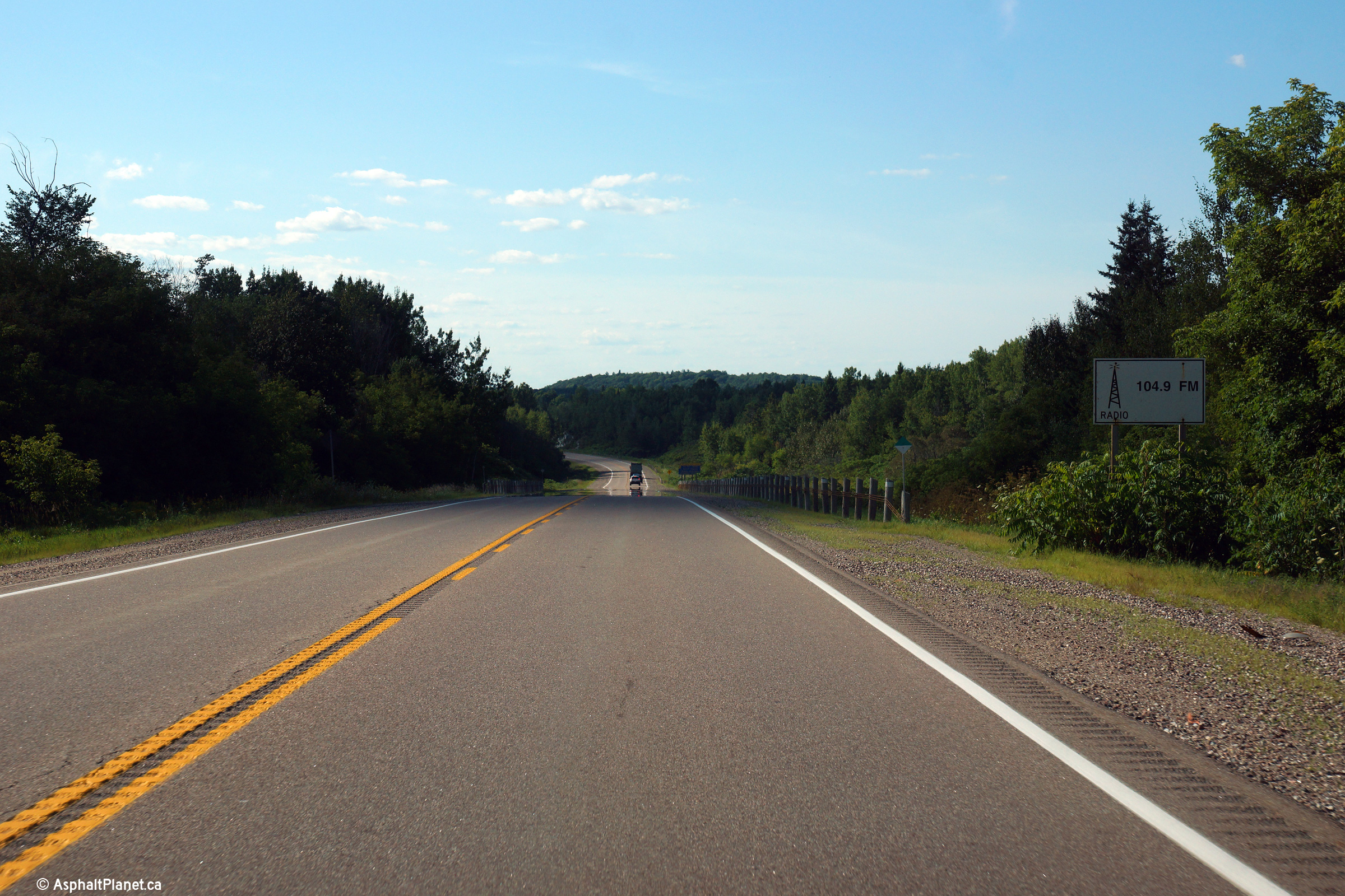
Township of Horton County of Renfrew |
This view looks westerly from just west of the Storyland Road intersection.
Radio station signs such as date back to the time when Communications fell
under the Ministry of Transportation's umbrella.
Photo taken: August 13th, 2015. |
(720x480)
(1440x960)
(2400x1600) |
|
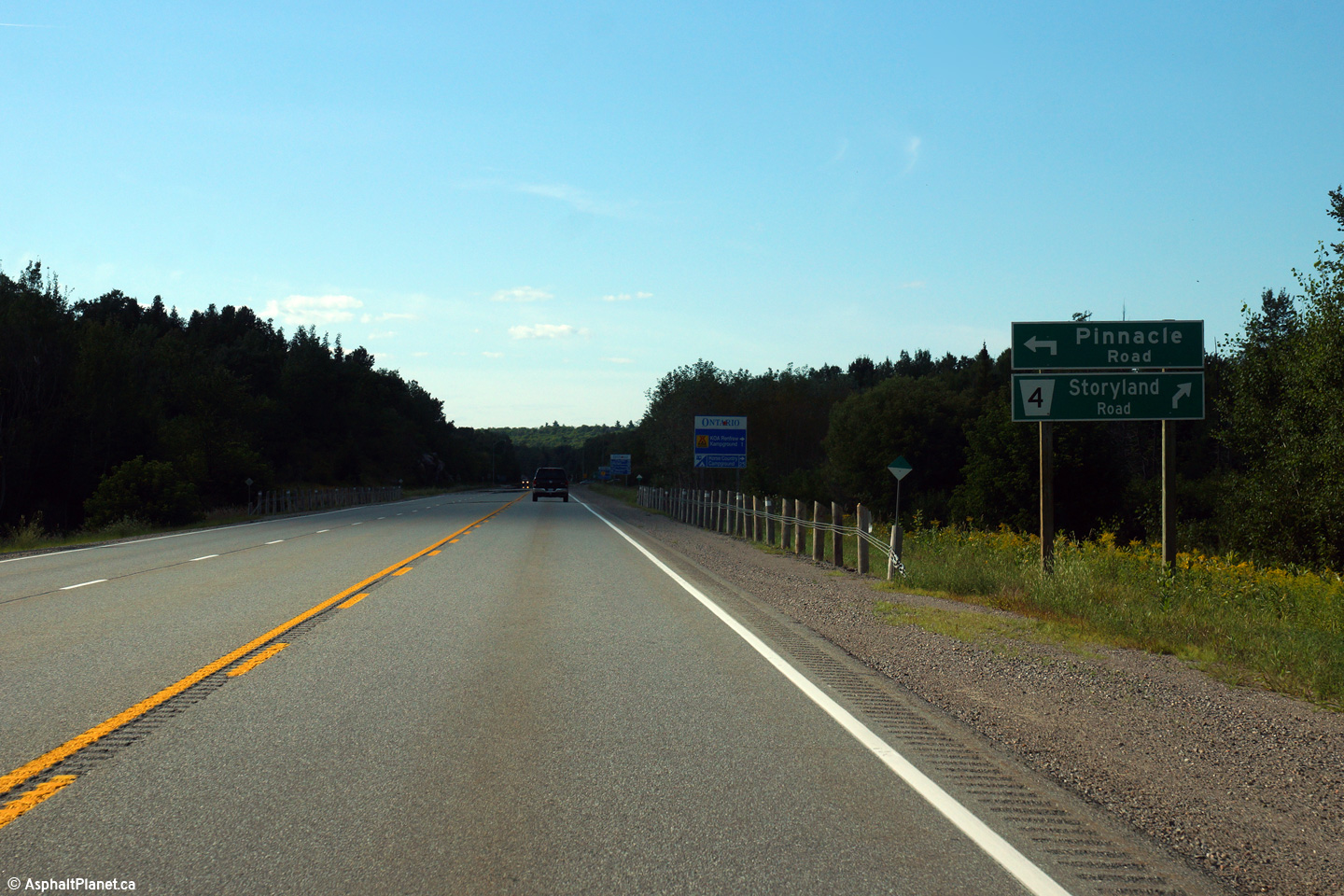
Township of Horton County of Renfrew |
This view looks easterly approaching the Storyland Road intersection.
Photo taken: October 1st, 2014. |
(720x480)
(1440x960)
(2400x1600) |
|
Township of Horton County of Renfrew |
Two westerly views approaching the Storyland Road intersection.
Photo taken: August 13th, 2015. |
(720x480)
(1440x960)
(2400x1600)

(720x480)
(1440x960)
(2400x1600) |
|
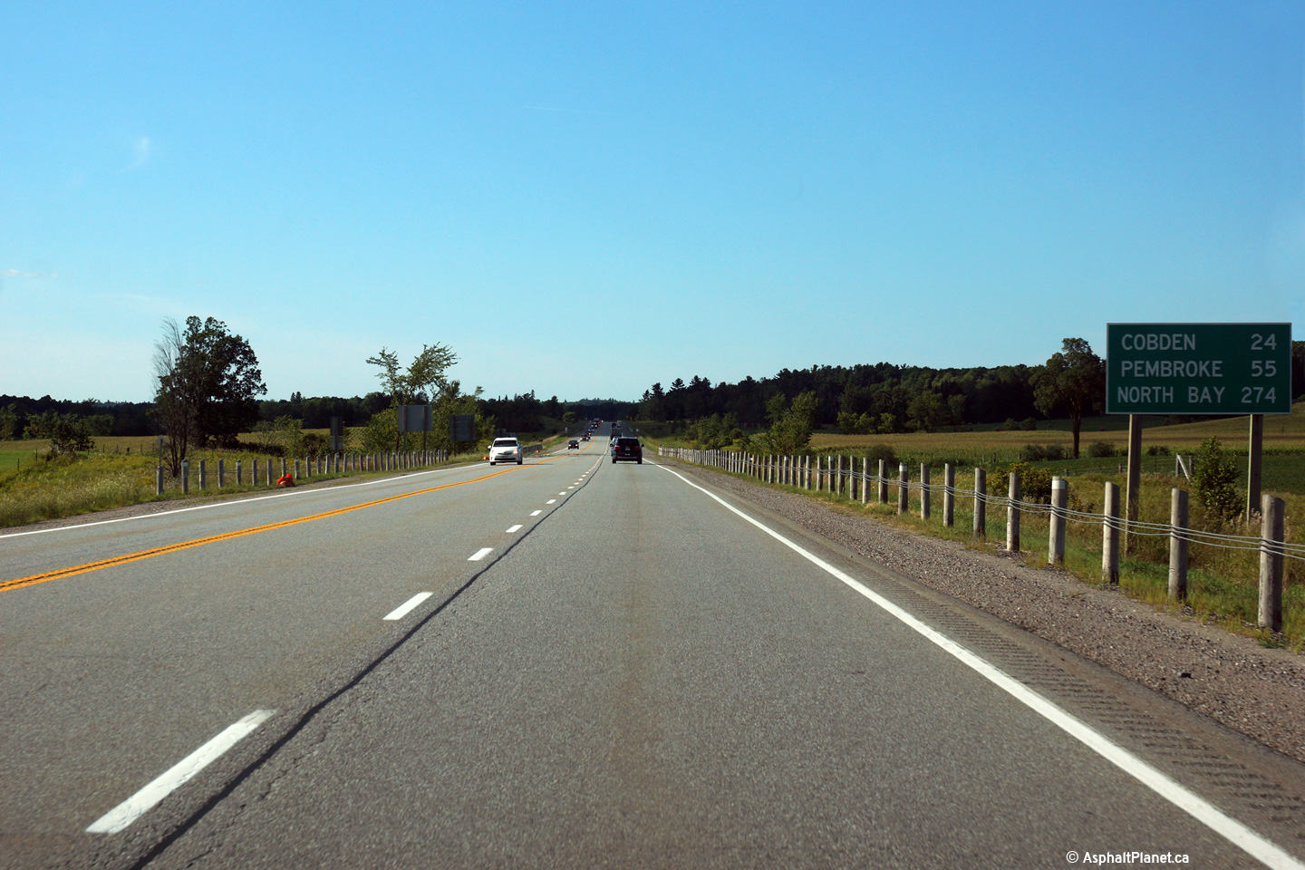
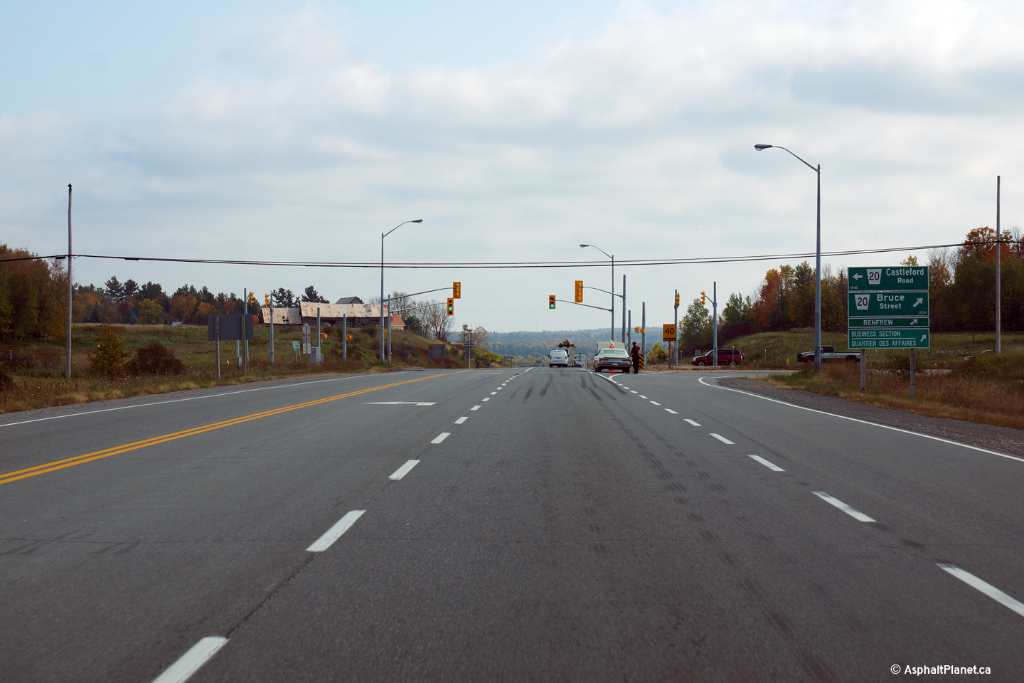
Township of Horton County of Renfrew |
This distance signage is situated just west of the Bruce Street intersection
west of Renfrew.
Photo taken: August 13th, 2015. |
(720x480)
(1440x960)
(2400x1600) |
|
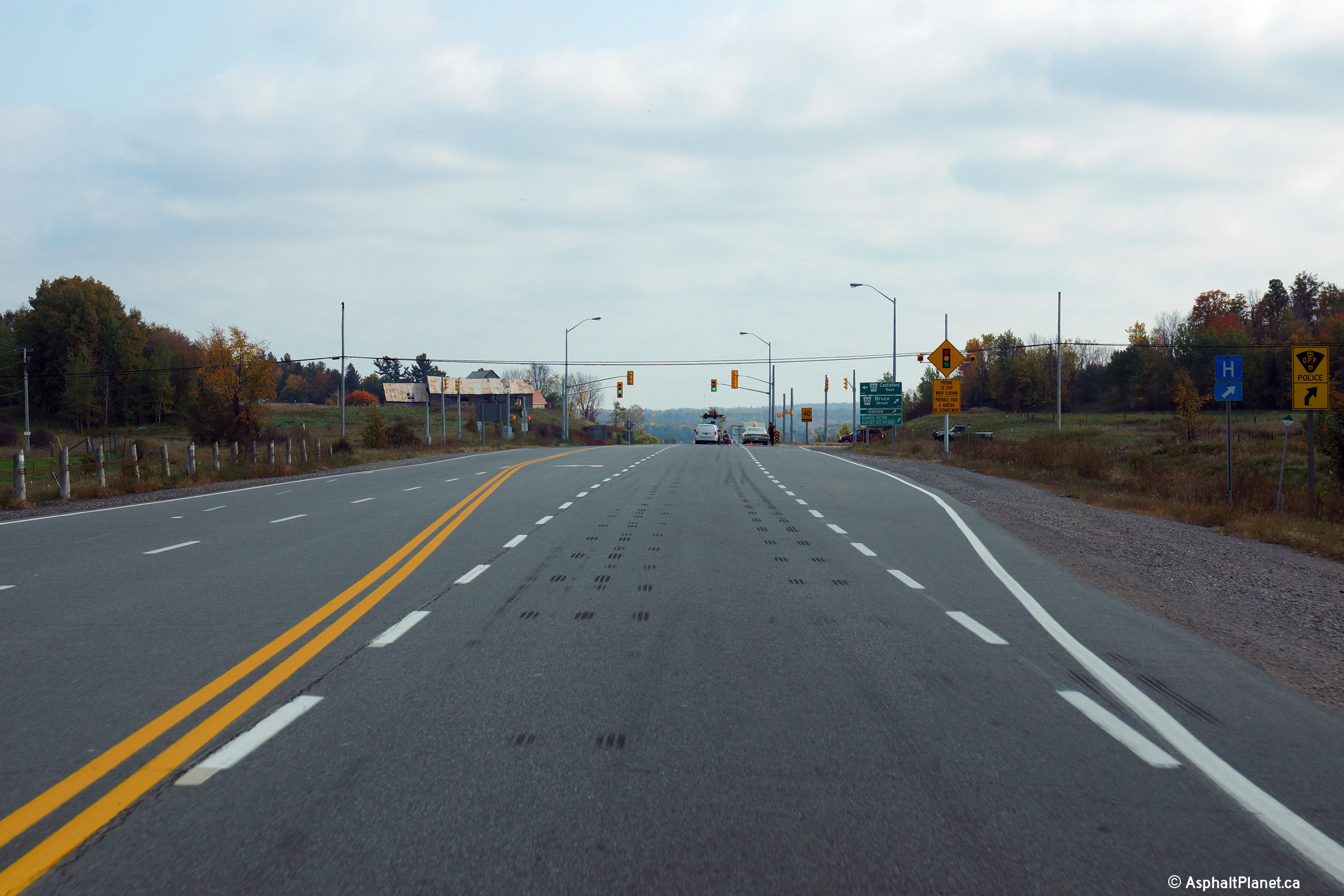
Township of Horton County of Renfrew |
Two eastbound views approaching the Bruce Street intersection.
Photo taken: August 13th, 2015. |
(720x480)
(1440x960)
(2400x1600)
(720x480)
(1440x960)
(2400x1600) |
|
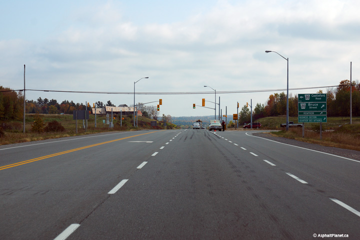
Township of Horton County of Renfrew |
View looking westerly approaching the Bruce Street intersection.
Photo taken: August 13th, 2015. |

(720x480)
(1440x960)
(2400x1600) |
|
Township of Horton County of Renfrew |
Westerly view approaching the Bruce Street intersection.
Photo taken: August 13th, 2015. |
(720x480)
(1440x960)
(2400x1600) |
|
Township of Horton County of Renfrew |
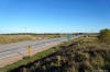
View looking easterly from just east of Bruce Street as Highway 17 descends
into the deep Bonnechere River Valley
Photo taken: October 1st, 2014. |
(720x480)
(1440x960)
(2400x1600) |
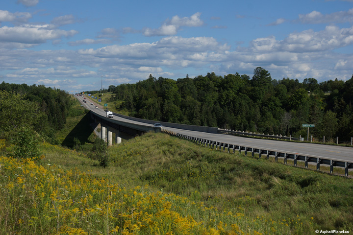
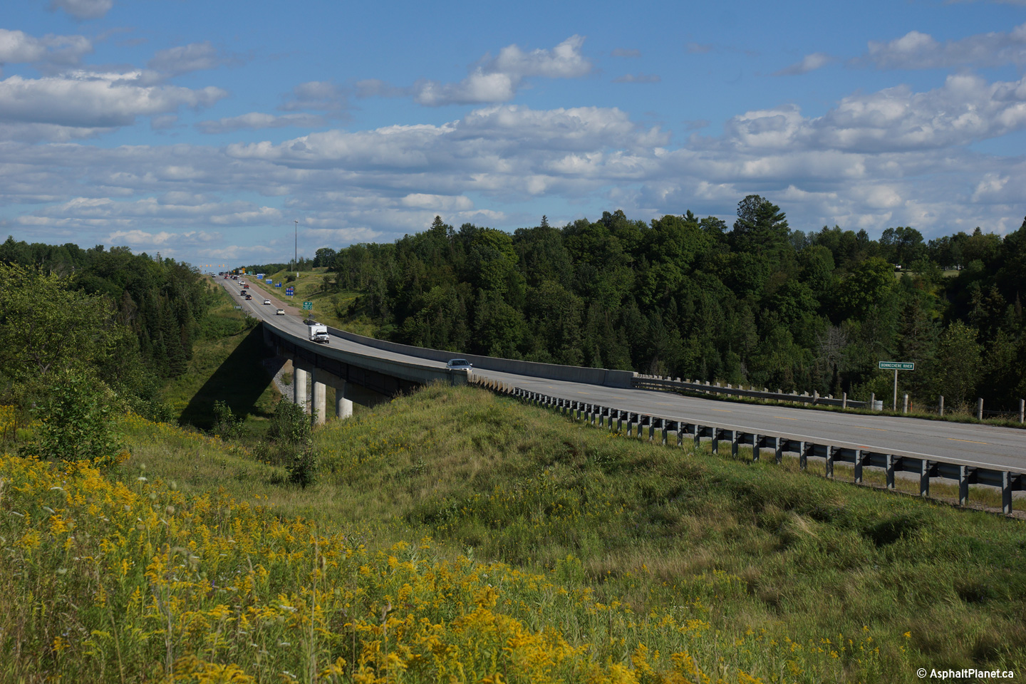
Horton / Renfrew Boundary
County of Renfrew |
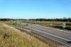
View looking easterly as Highway 17 passes overtop of the deep Bonnechere
River Valley.
Photo taken: August 13th, 2015. |

(720x480)
(1440x960)
(2400x1600) |
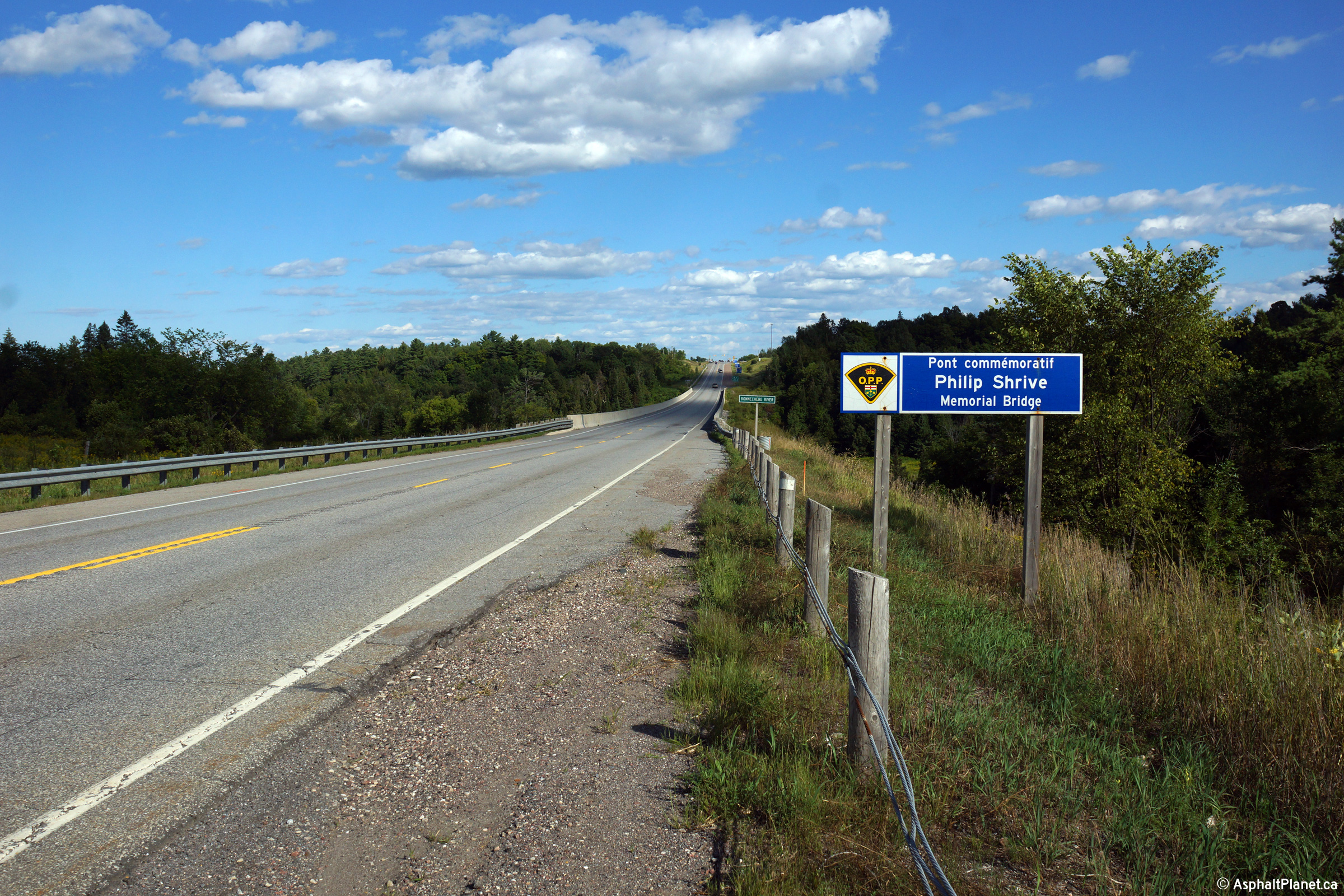
Horton / Renfrew Boundary
County of Renfrew |
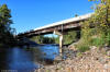
Deck view looking easterly along Highway 17 as it crosses the Bonnechere
River Bridge. The Bonnechere River Bridge has been dedicated for the
OPP Officer Philip Shrive.
Photo taken: August 13th, 2015. |

(720x480)
(1440x960)
(2400x1600) |
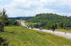
Horton / Renfrew Boundary
County of Renfrew |
View of the underside of the Bonnechere River Bridge. The Bonnechere
River is located in a surprisingly deep valley.
Photo taken: August 13th, 2015. |
(720x480)
(1440x960)
(2400x1600) |
Horton / Renfrew Boundary
County of Renfrew |
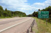
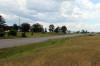
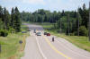
Two views looking westerly from just west of the Highway 60 intersection as
Highway 17 descends into the Bonnechere River Valley.
Photos taken: June 30th, 2012. |
(720x480)
(1440x960)
(2400x1600)
(720x480)
(1440x960)
(2400x1600) |
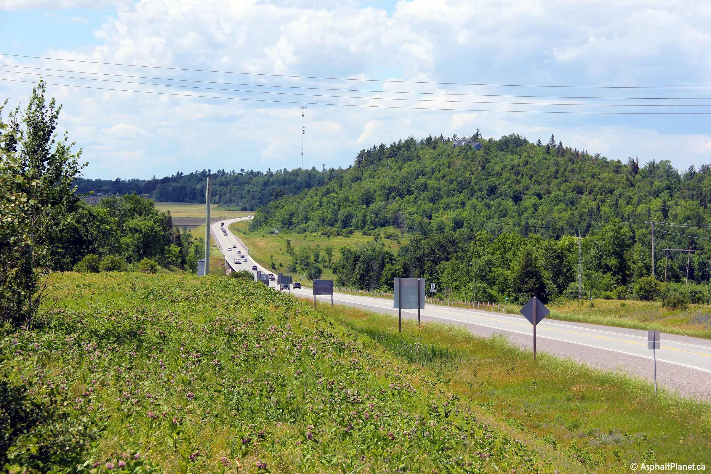
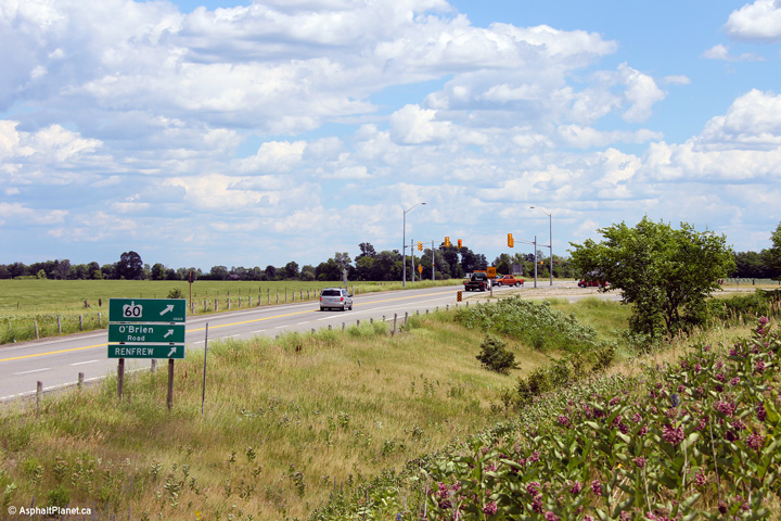
Horton / Renfrew Boundary
County of Renfrew |
Easterly view towards the Highway 60 intersection.
Photo taken: June 30th, 2012. |
(720x480)
(1440x960)
(2400x1600) |
|
Highway 60 leads westerly from the
Trans-Canada Highway into the Madawaska Highlands and eventually to Highway
11 at Huntsville.
Click here for Highway 60 images |
|
For photos east of Renfrew see:
Page 4E |


 (720x480)
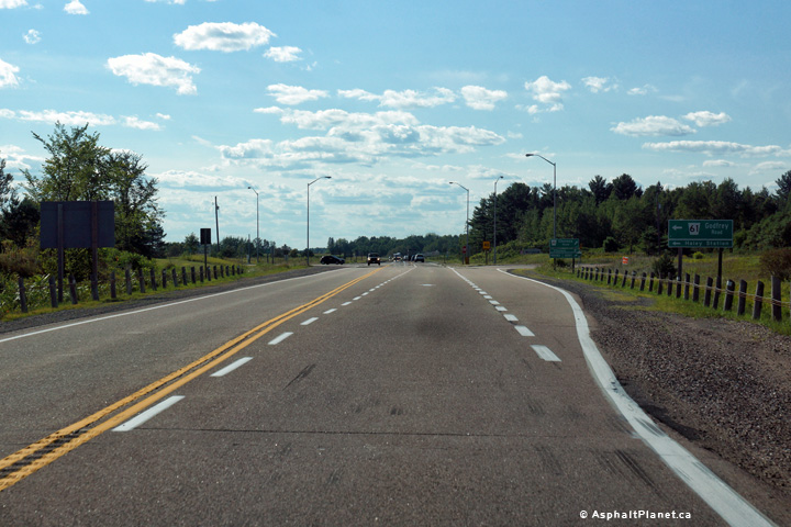


