|
Proper Municipality Name |
Photo Description |
Photo |
|
Pictures taken
from driver's perspective appear offset from centre-line pictures: |
East-
bound |
West-
bound |
|
Pictures continue westerly on
Page 4B |
|
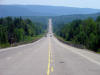
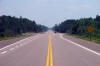
Township of Head, Clara and Maria County of Renfrew |
Looking west towards Mattawa from roughly 23km west of Rolphton. Picture
taken: July 4th, 2005. Size: 60kb. |
 |
|
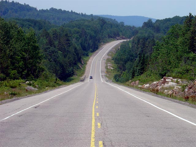
Township of Head, Clara and Maria County of Renfrew |
Looking east along Highway 17 through the Grants Creek Valley. As
evident from the photos, the upper Ottawa Valley is quite rugged, passing
through several of these large valleys between Mattawa and Rolphton.
Picture taken: July 4th, 2005. Size: 65kb. |
 |
|
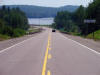
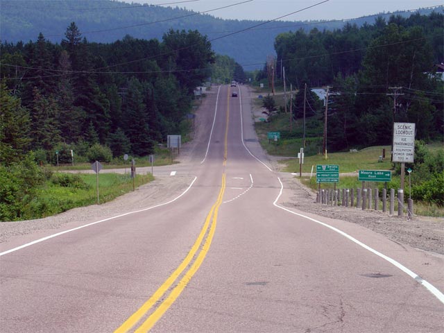
Township of Head, Clara and Maria County of Renfrew |
Looking west towards the main entrance to Driftwood Provincial Park.
Driftwood Provincial Park is located roughly 13km west of Rolphton.
Picture taken: July 4th, 2004. Size: 45kb. |
 |
|
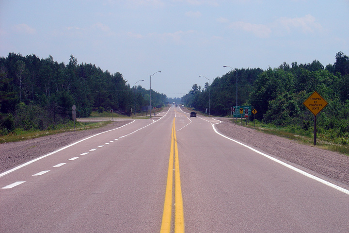
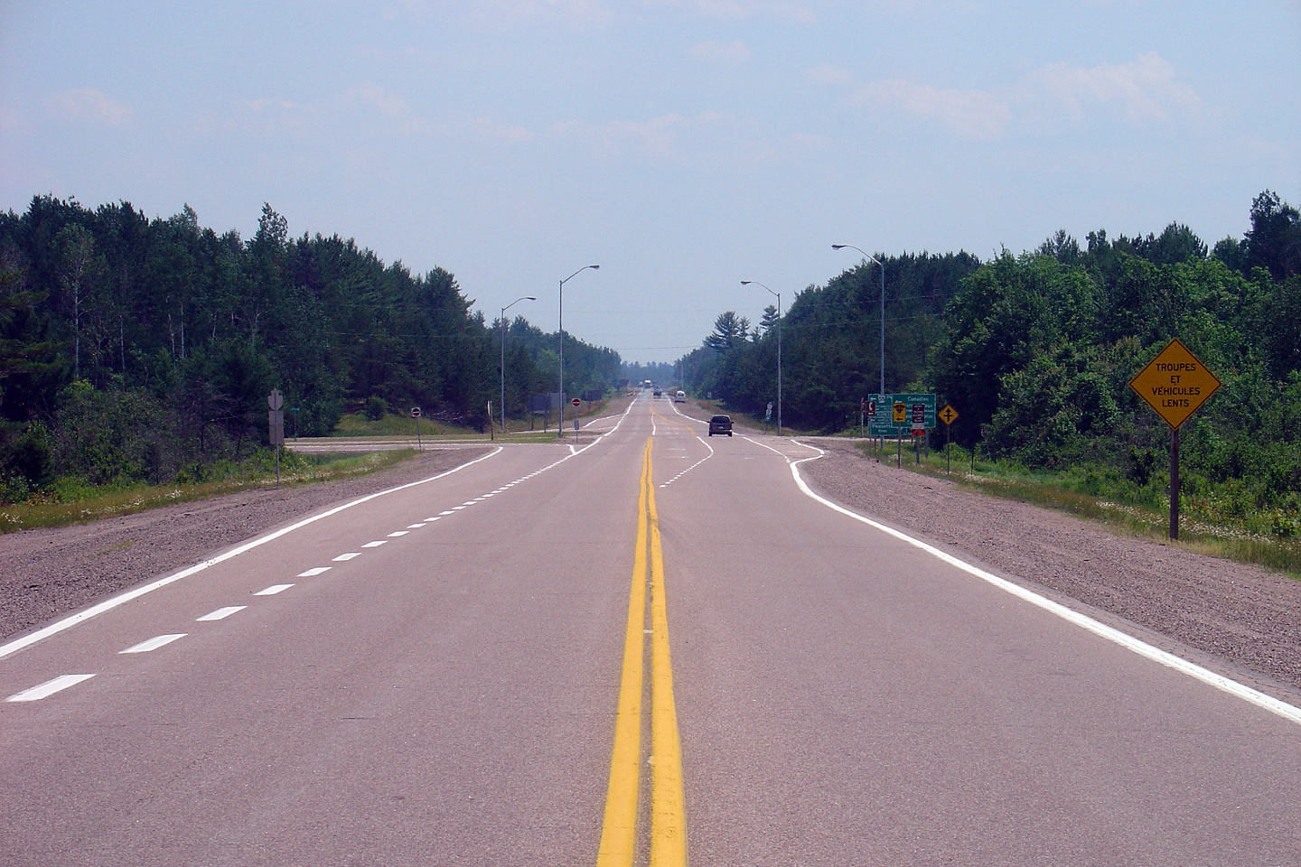
Township of Head, Clara and Maria County of Renfrew |
Looking east along Highway 17 towards Mackey. Mackey is located
roughly 10km west of the Highway 635 junction at Rolphton. Picture taken:
July 4th, 2005. Size: 55kb. |
 |
|
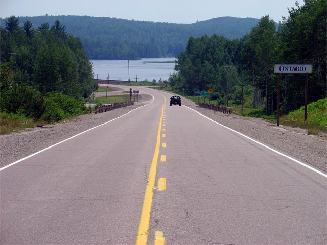
Town of Laurentian Hills County of Renfrew |
Looking east through Rolphton towards the junction with Highway 635 (now
Renfrew Road 635). Highway 635 is a short highway that runs northerly
from Highway 17 crossing into Quebec via the Swisha Bridge.
Picture taken: July 4th, 2005. Size: 60kb. |
 |
Town of Deep River
County of Renfrew |
This view looks easterly through Deep River at the Ridge Road intersection.
Photo taken: July 4th, 2005. |
(720x480)
(1440x960) |
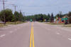
Town of Deep River
County of Renfrew |
Westerly view through Deep River at the Banting Drive intersection.
Photo taken: July 4th, 2005. |
(720x480)
(1440x960) |
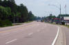
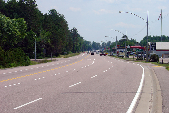
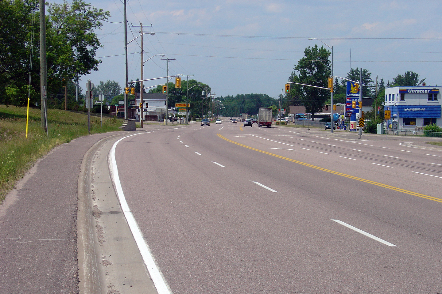
Town of Laurentian Hills
County of Renfrew |
View looking westerly from just west of the Plant Road intersection.
The urban 4-lane cross section narrows just west of the Plant Road
intersection.
Photo taken: July 4th, 2005. |
(720x480)
(1440x960) |
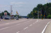
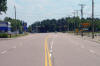
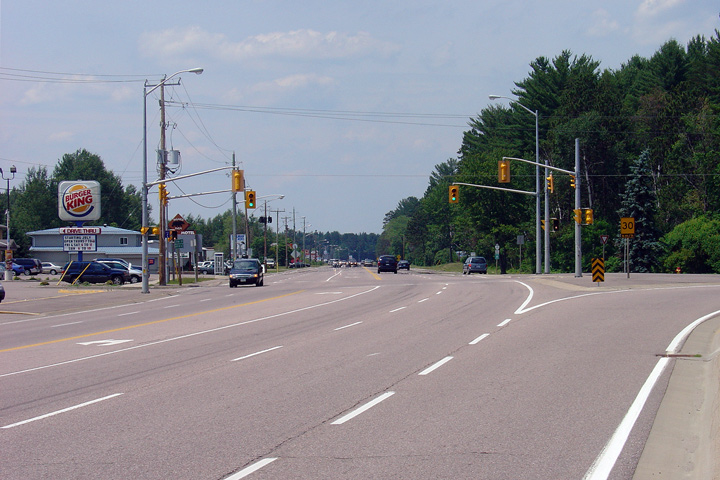
Town of Laurentian Hills
County of Renfrew |
Easterly view towards the Plant Road intersection in Chalk River. Plant
Road runs from Highway 17 to the AECL Plant on the Ottawa River. It was
under the watch of the scientists at AECL that Canada's first CANDU nuclear
reactor was born.
Photo taken: July 4th, 2005. |
(720x480)
(1440x960) |
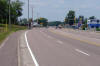
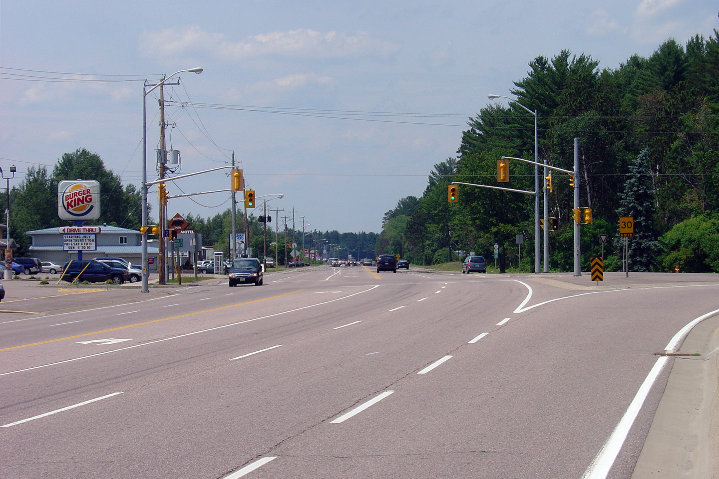
Town of Laurentian Hills
County of Renfrew |
Westerly view towards the Plant Road intersection.
Photo taken: July 4th, 2005. |
(720x480)
(1440x960) |
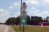
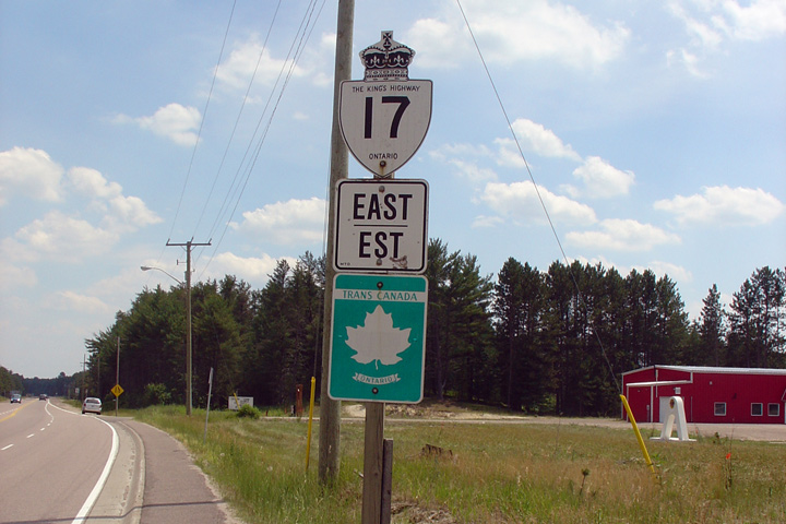
Town of Laurentian Hills
County of Renfrew |
Old style route marker along Highway 17 in Chalk River.
Photo taken: July 4th, 2005. |
 |
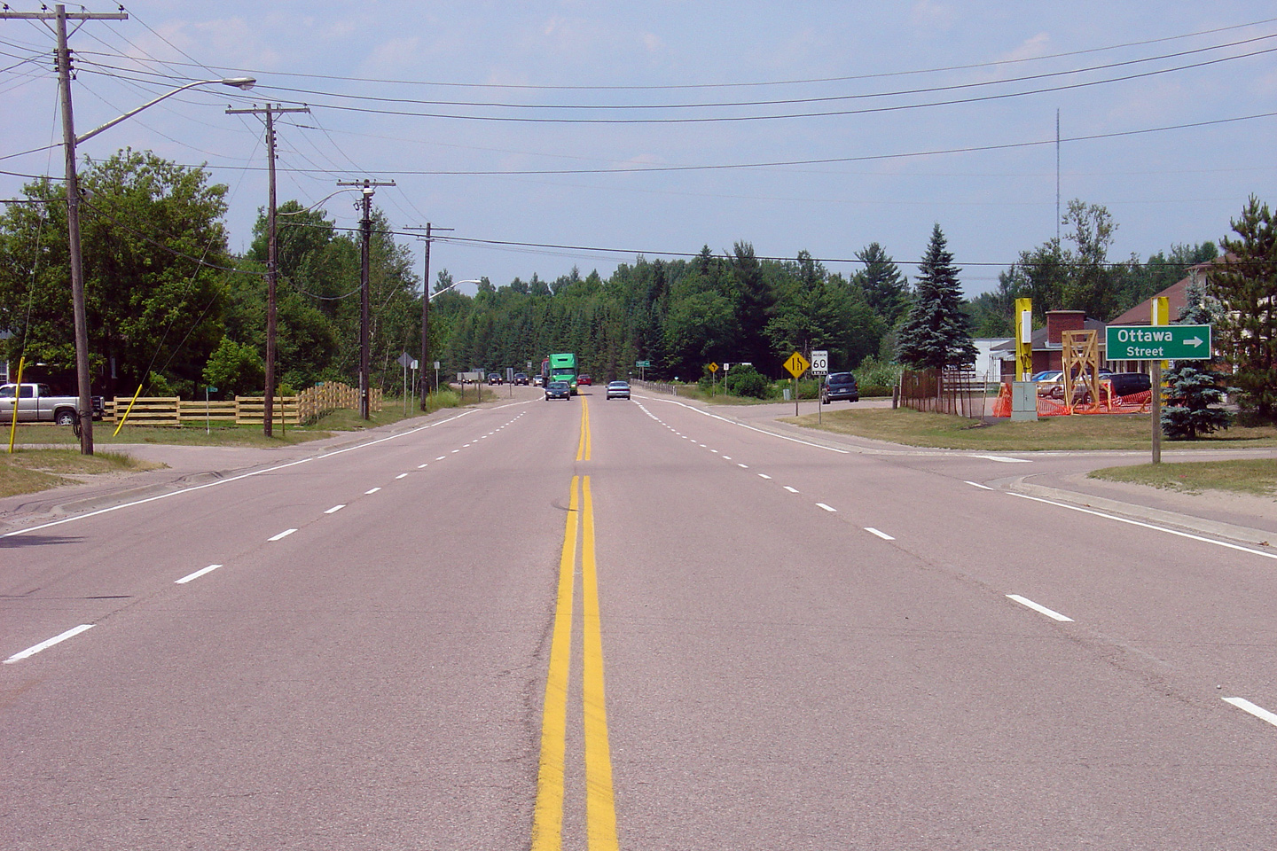
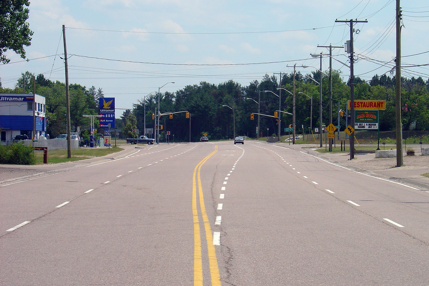
Town of Petawawa
County of Renfrew |
Easterly view at the Paquette Road intersection in Petawawa.
Photo taken: July 4th, 2005. |
(720x480)
(1440x960) |
|
Click here to continue easterly
along Highway 17 via
Page 4D |


