|
Proper Municipality Name |
Photo Description |
Photo |
|
Pictures taken
from driver's perspective appear offset from centre-line pictures: |
East-
bound |
West-
bound |
|
For photos west of Petawawa see:
Page 4D |
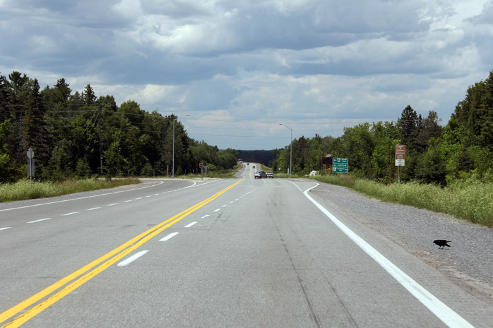
Horton / Renfrew Boundary
County of Renfrew |
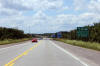
This view looks westerly towards the Highway 60 intersection along the
Renfrew By-pass of Highway 17.
Photo taken: June 30th, 2012. |

(720x480)
(1440x960)
(2400x1600) |
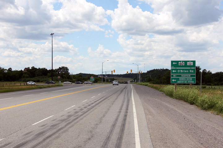
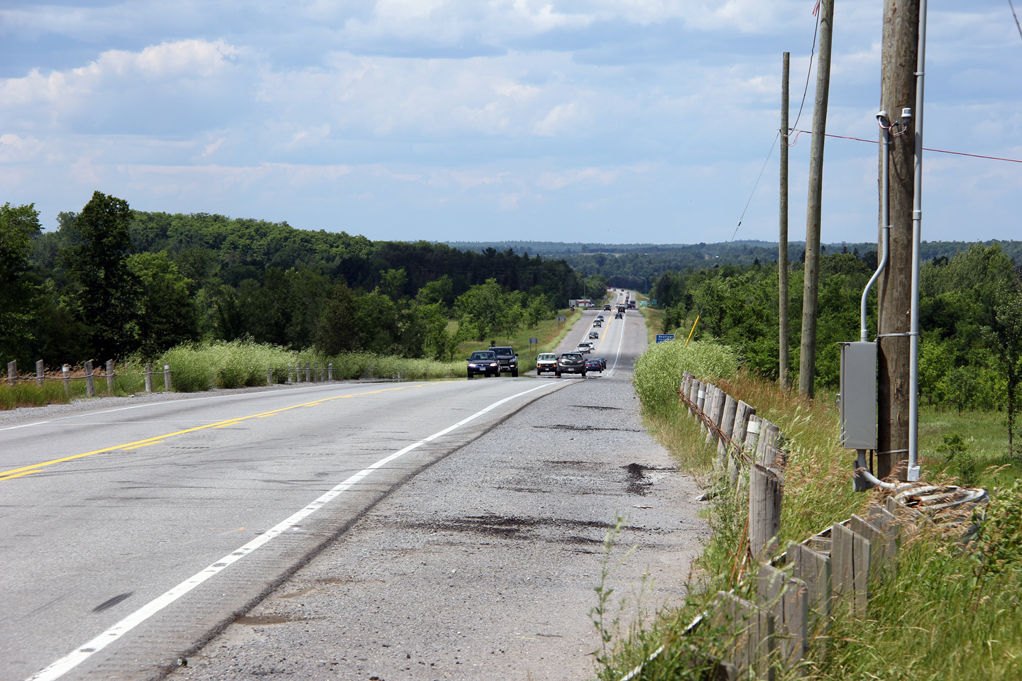
Horton / Renfrew Boundary
County of Renfrew |
Westbound view approaching the Highway 60 intersection.
Photo taken: June 30th, 2012. |
(720x480)
(1440x960)
(2400x1600) |
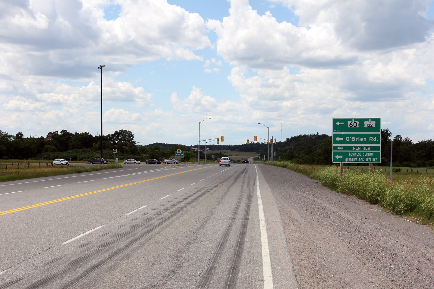
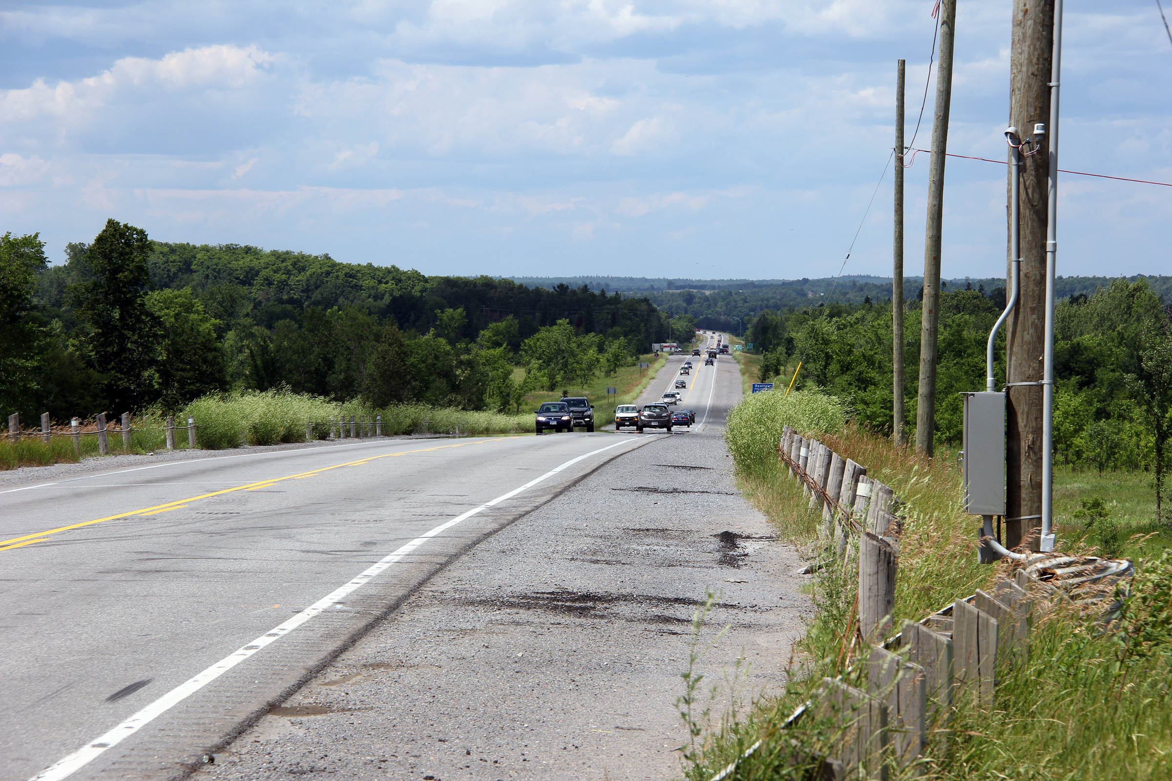
Township of Horton
County of Renfrew |
Highway 17 looking westerly approaching the Renfrew Road 6 intersection.
Photo taken: June 30th, 2012. |

(720x480)
(1440x960)
(2400x1600) |
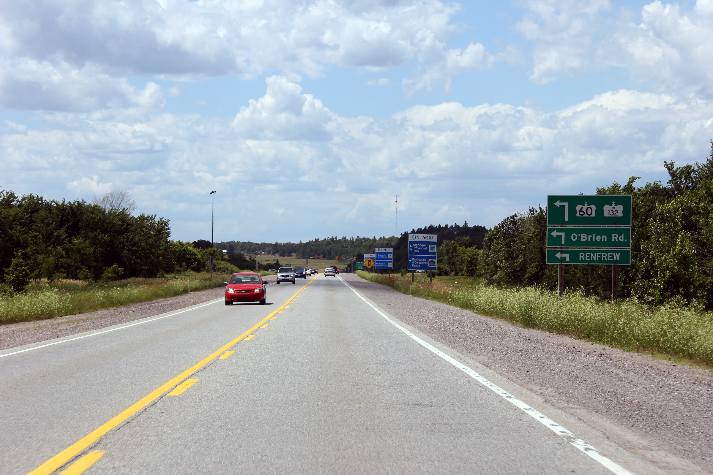
Township of Horton
County of Renfrew |
This view looks westerly from just west of a railway that formerly ran
westerly from Arnprior towards Algonquin Park.
Photo taken: June 30th, 2012. |

(720x480)
(1440x960)
(2400x1600) |
|
For photos east of Arnprior see:
Hwy 417
- Page 4E Images |

