|
Proper Municipality Name |
Photo Description |
Photo |
|
Pictures taken
from driver's perspective appear offset from centre-line pictures: |
South-
Bound |
North-
bound |
|
Continued from
Pass Lake to Nipigon
Images |
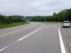
| Township of Nipigon District of
Thunder Bay |
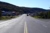
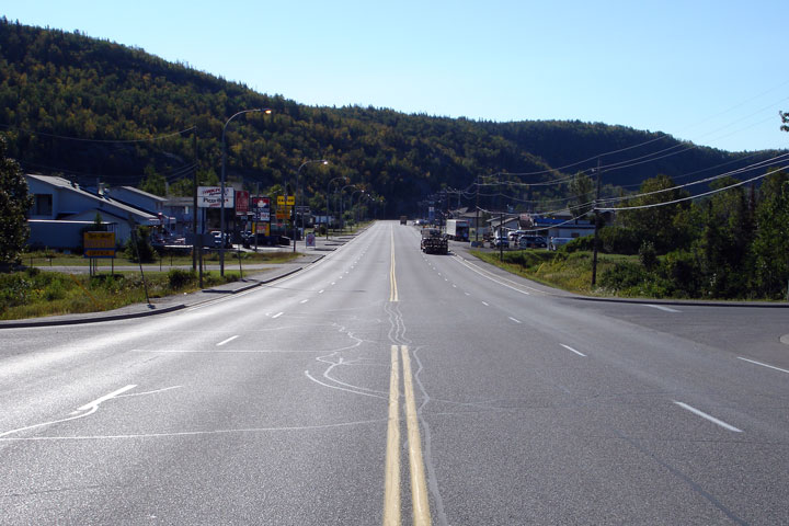
View of the Highway 11 junction looking west. At this junction,
Highway 17 is once again posted as an east-west highway instead of the
north-south route it is posted as between this junction and Sault Ste.
Marie. Photo taken: July 3rd, 2004. |
 |
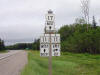
| Township of Nipigon District of
Thunder Bay |
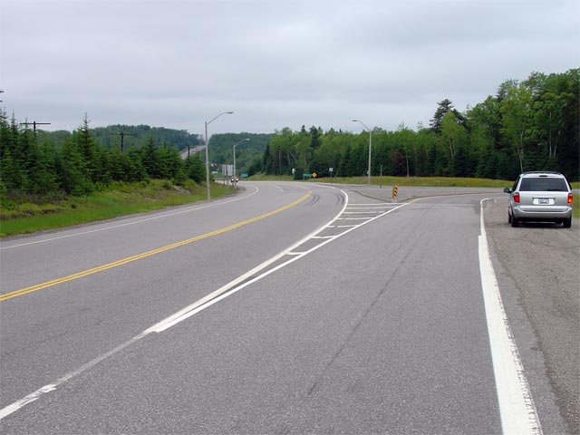
Junction assembly for the Nipigon junction of
Highway 11 and 17. Westerly from this junction, Highway
11 and 17 are
co-designated for 181km to Shabaqua Corners.
Click here for Highway 11
images. Photo taken: July 3rd, 2004. |
 |
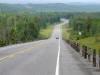
| District of Thunder Bay |
Looking north along Highway 17 approaching the
Highway 11 intersection at Nipigon. The Highway
11/17 intersection is
located in the large Nipigon River Valley. The highway climbs the west
side of the valley just out of view of the photo.
Photo taken: July 3rd, 2004. |
 |
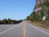
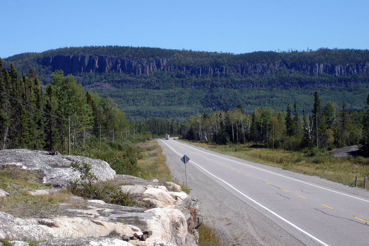
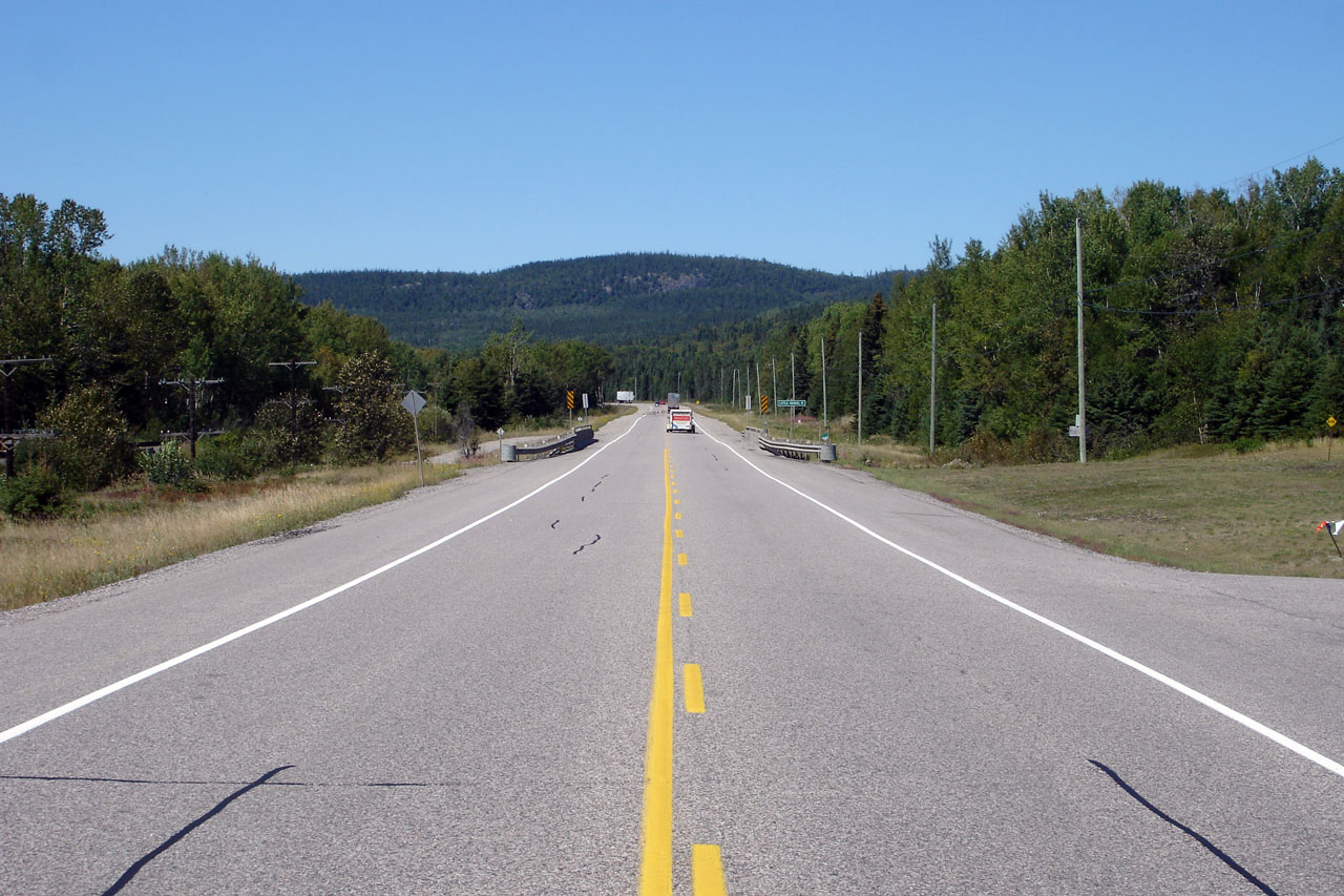
| District of Thunder Bay |
Kama mountain looms over a transport truck south
of Nipigon.
Photo taken: August 30th, 2006. |
Low-res
High-res |
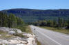
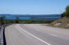
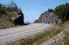
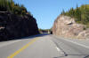
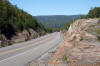
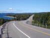
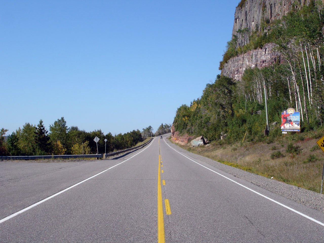
| District of Thunder Bay |
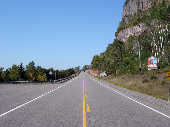
Highway 17 skirts alongside Kama Mountain for a
brief period before it is forced overtop the hill.
Photo taken: August 30th, 2006. |
Low-res
High-res |
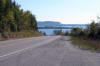
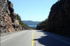
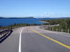
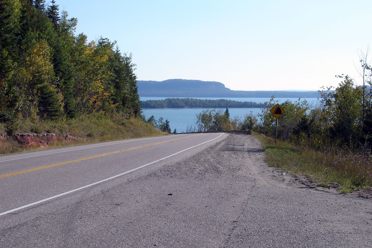
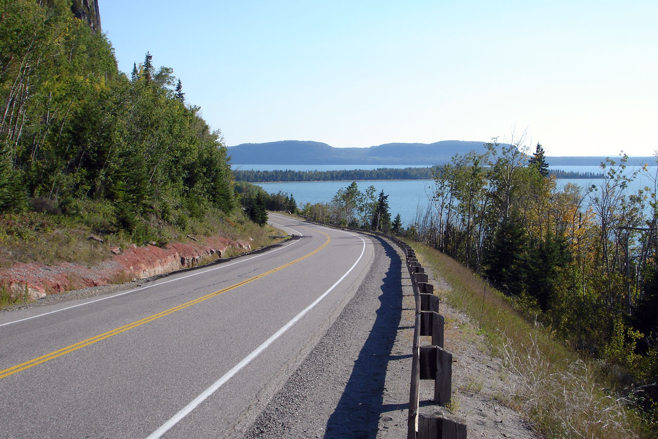
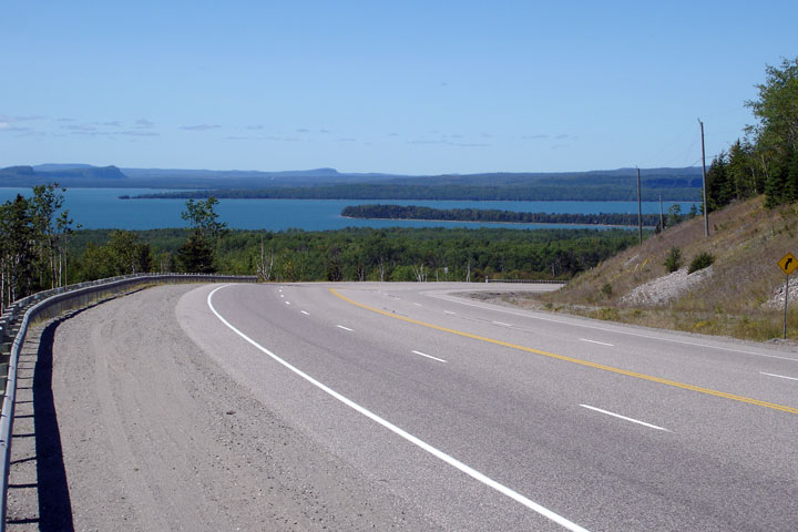
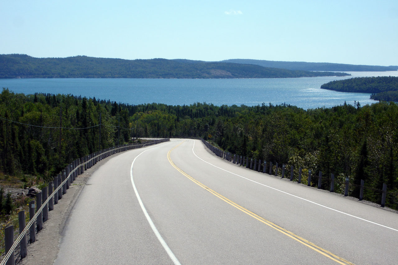
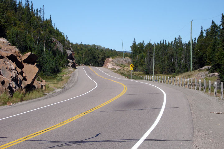
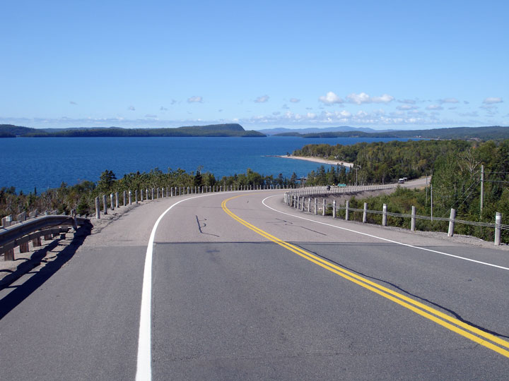
| District of Thunder Bay |
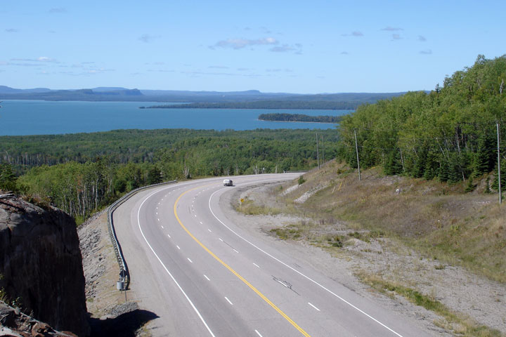
Highway 17 is situated on a shelf between Kama
Mountain and the Lake Superior Shoreline here.
Photos taken: August 30th, 2006. |
Low-res
High-res

Low-res
High-res |
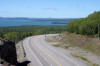
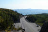
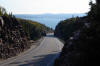
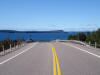
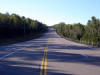
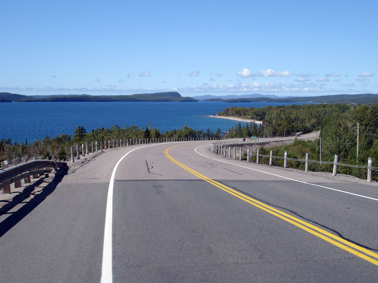
| District of Thunder Bay |
Two northbound views of the top of Kama
mountain. The top view from a roadside rock out cropping, while the
lower view is from road level.
Photos taken: August 30th, 2006. |
Low-res
High-res
Low-res
High-res |
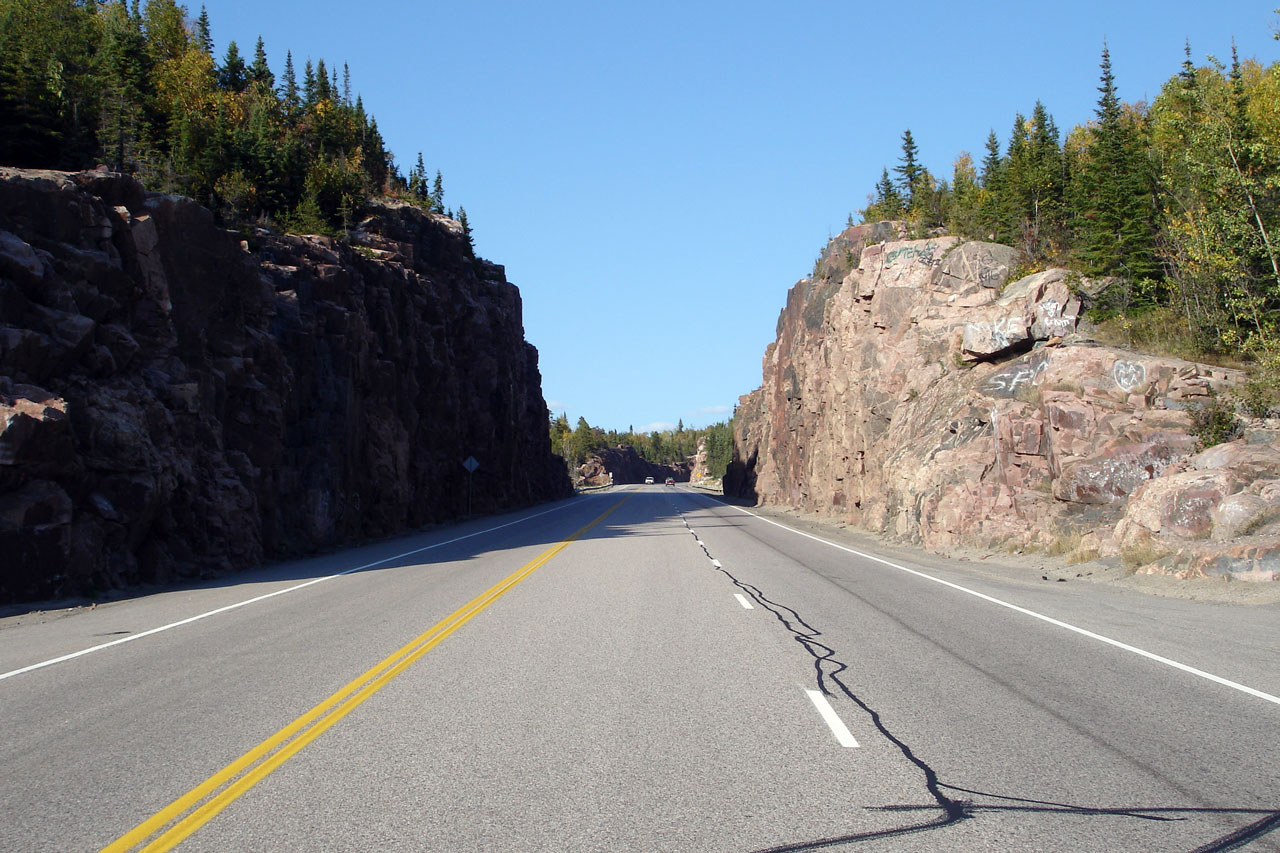
| District of Thunder Bay |
Another dual-shot of photos, this time looking
north as Highway 17 passes through the rather impressive rock cut atop Kama
Mountain.
Photos taken: August 30th, 2006. |
Low-res
High-res
Low-res
High-res |
| District of Thunder Bay |
Southbound view from the top of Kama Mountain.
Photo taken: August 30th, 2006. |
Low-res
High-res |
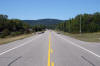
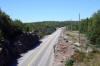
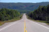
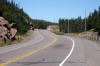
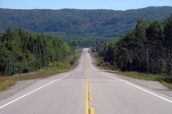
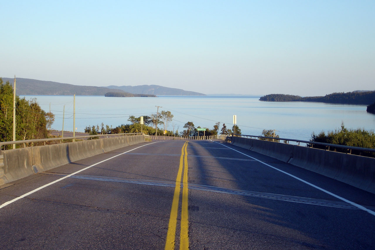
| District of Thunder Bay |
Looking northerly across a brief flat section of
Highway 17 between Kama Mountain and Cavers Hill.
Photo taken: August 30th, 2006. |
Low-res
High-res |
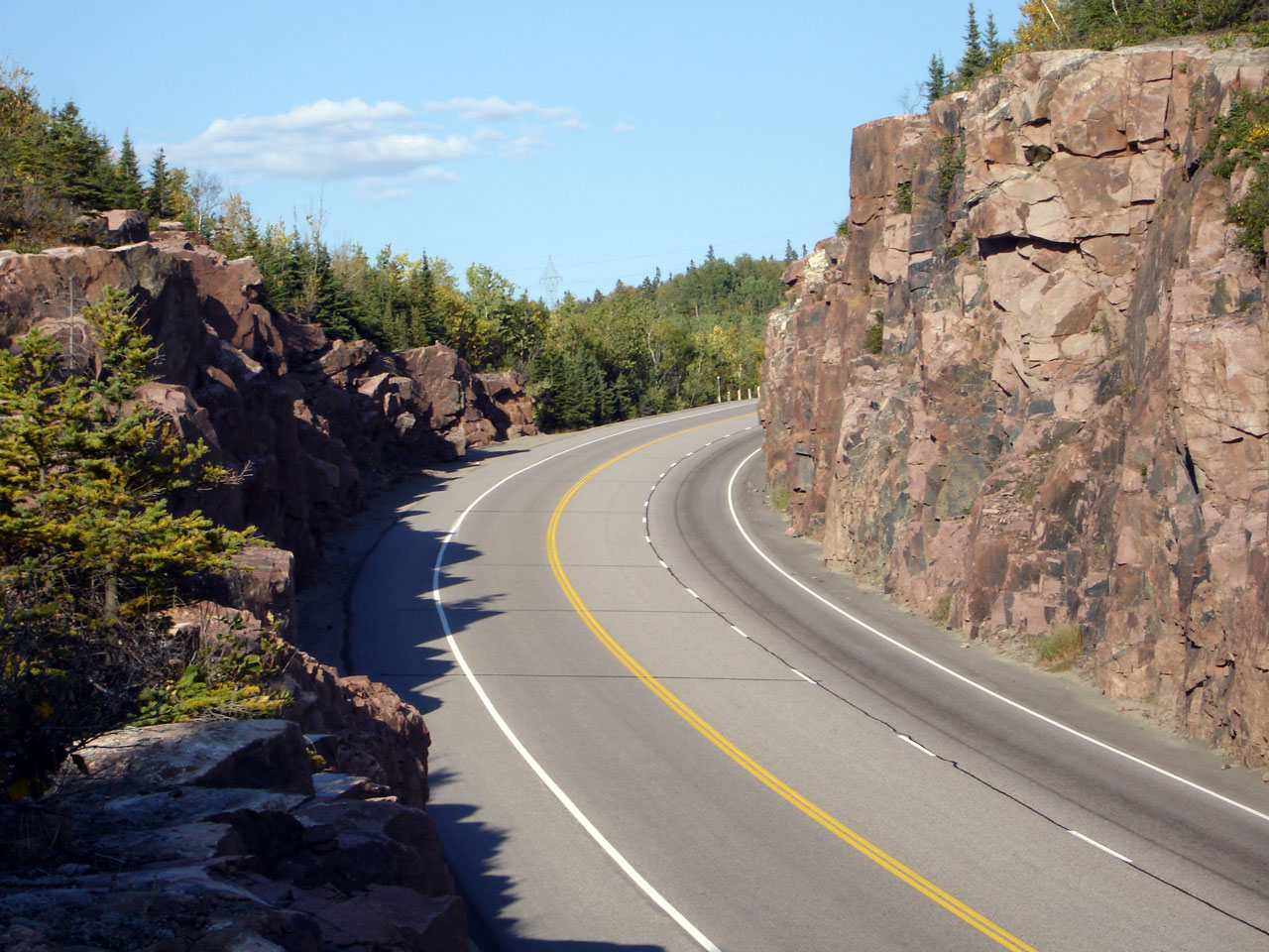
| District of Thunder Bay |
The rock work that was required to blast this
alignment of Highway 17 through Cavers Hill is northing short of astounding.
More detailed information and photos of Highway 17 as it passes overtop of
Cavers Hill can be found on the History of Ontario's King's Highway's
website.
Photo taken: September 4th, 2006. |
Low-res
High-res |
| District of Thunder Bay |
Two picnic areas have been constructed at the
northern end of the mammoth Cavers Hill rock cut.
Photo taken: September 4th, 2006. |
Low-res
High-res |
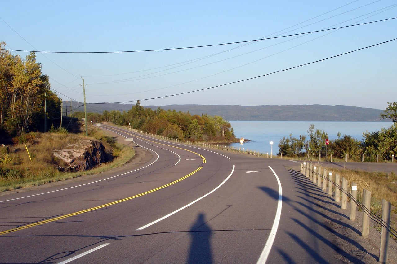
| District of Thunder Bay |
View northbound of Highway 17 as it descends the
northern side of Cavers Hill.
Photo taken: September 4th, 2006. |
Low-res
High-res |
| District of Thunder Bay |
The southbound passing lane up Cavers Hill was
squeezed in.
Photo taken: September 4th, 2006. |

Low-res
High-res |
| District of Thunder Bay |
There is a short flat section atop Cavers Hill.
Looking north.
Photo taken: August 30th, 2006. |
Low-res
High-res |
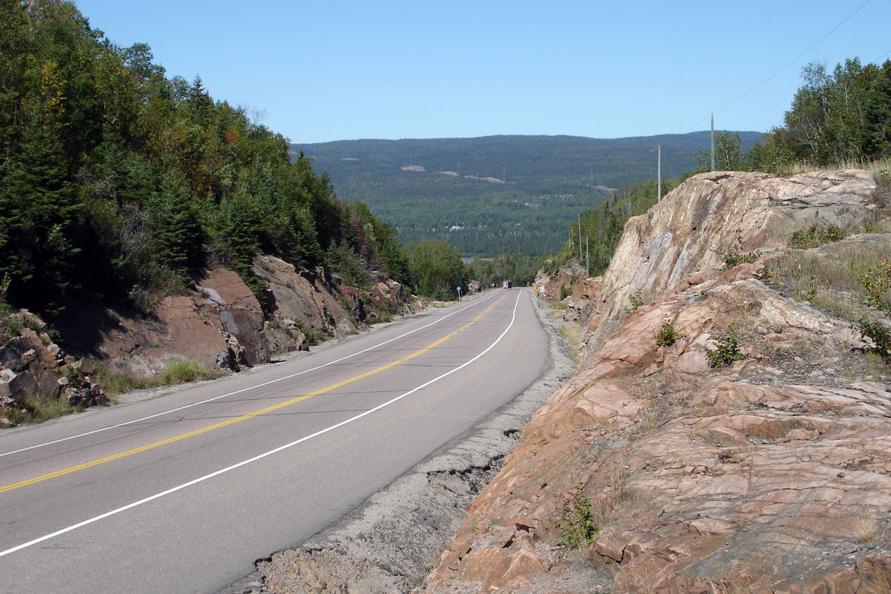
| District of Thunder Bay |
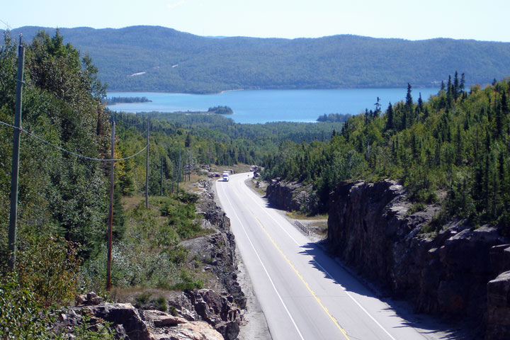
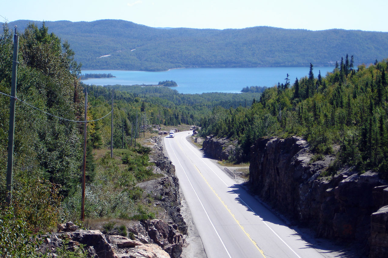
Two views of the southern climb down to Pays
Plat from the top of Cavers Hill. The upper photo is looking high from
a top a rock cut, while the lower photo shows just how much rock needed to
be removed to place the highway.
Photos taken: August 30th, 2006. |
Low-res
High-res
Low-res
High-res |
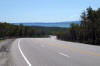
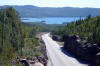
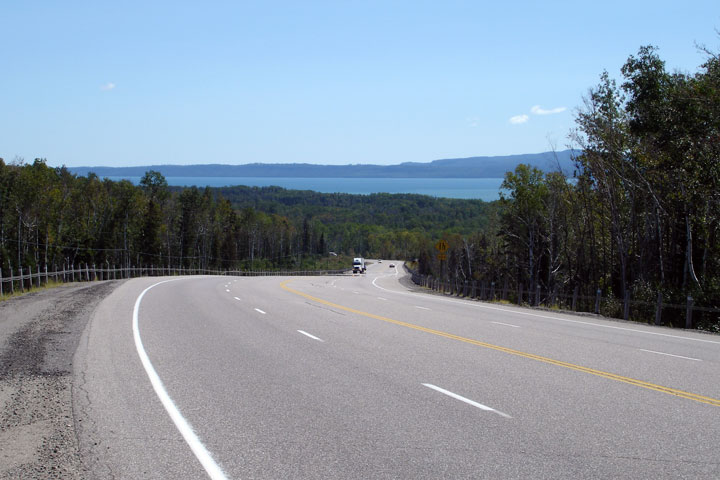
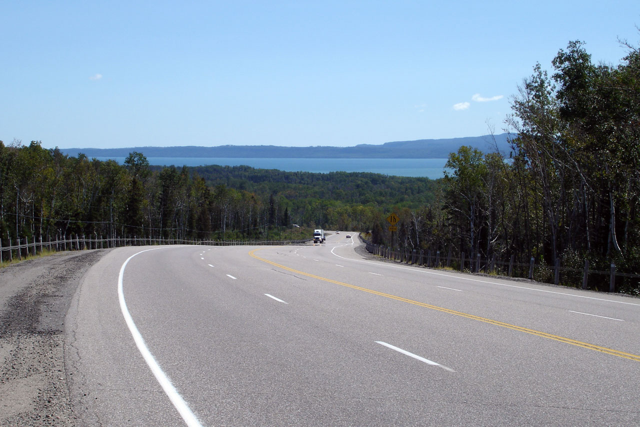
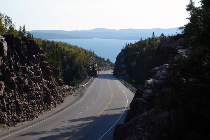
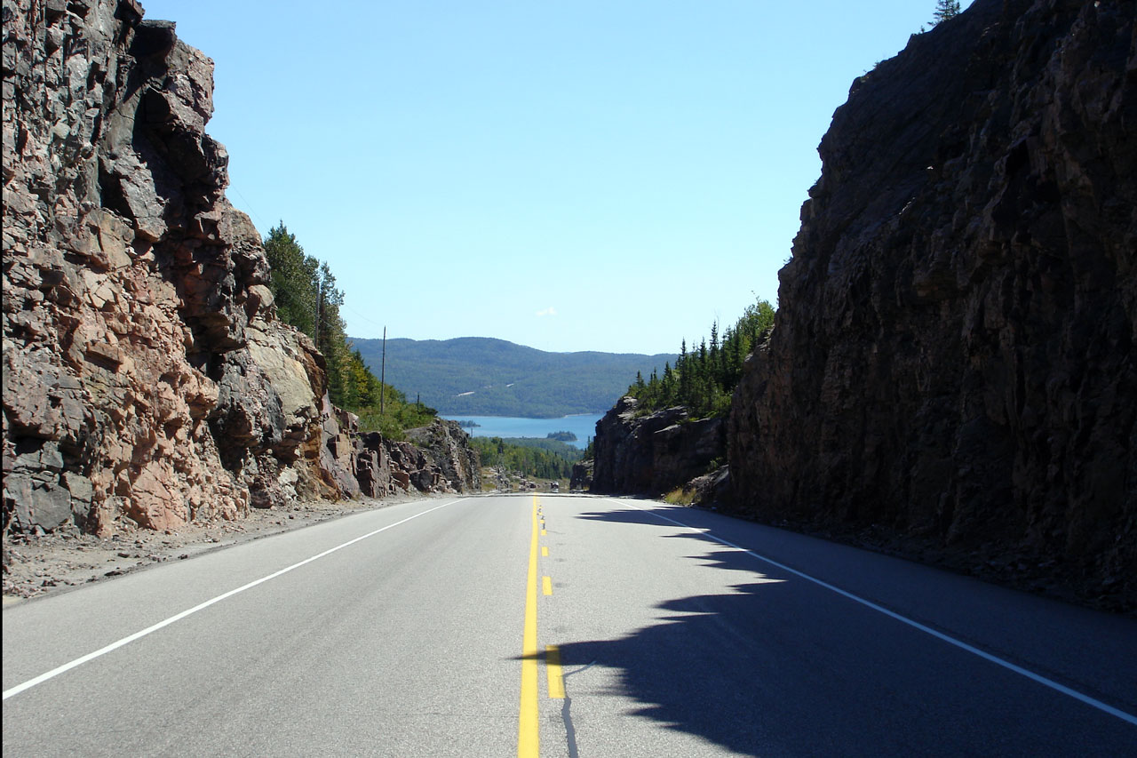
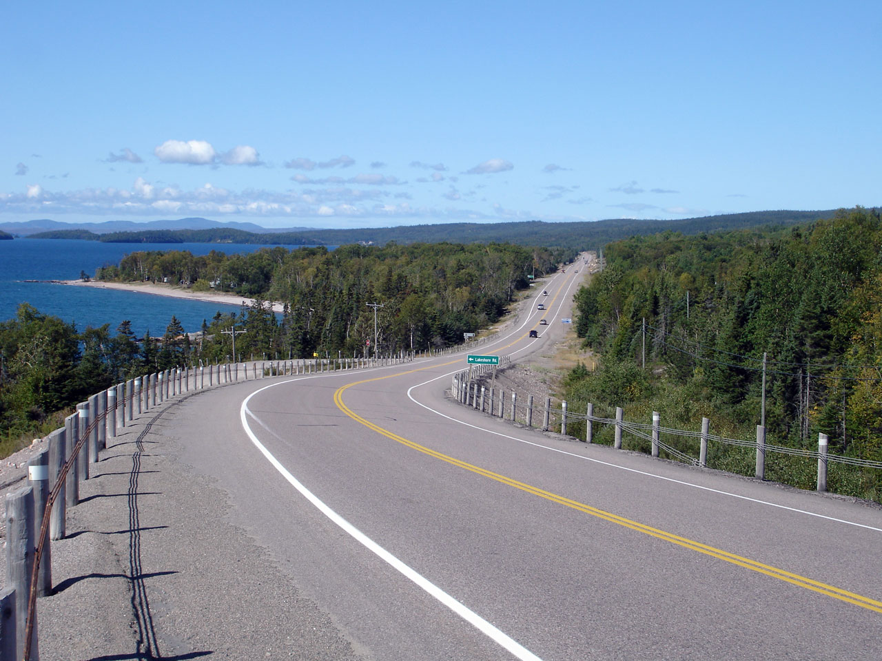
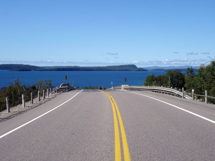
| District of Thunder Bay |
View of Lake Superior from midway down the
Southern side of Cavers Hill.
Photo taken: August 30th, 2006. |
Low-res
High-res |
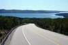
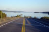
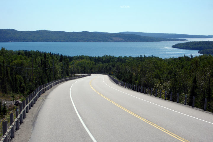
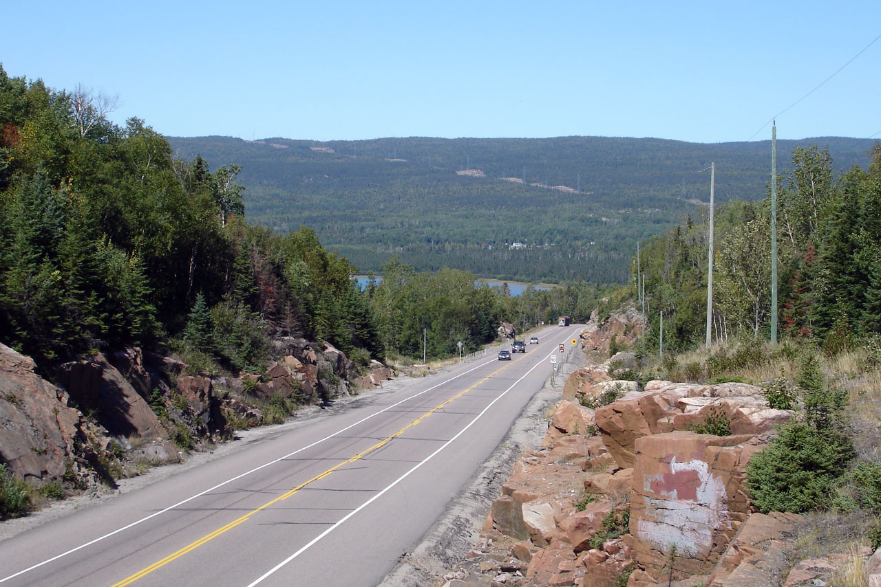
| District of Thunder Bay |
Pays Plat is situated on the narrow band of flat
land between Cavers and Nineteen Hills.
Photo taken: August 30th, 2006. |
Low-res
High-res |
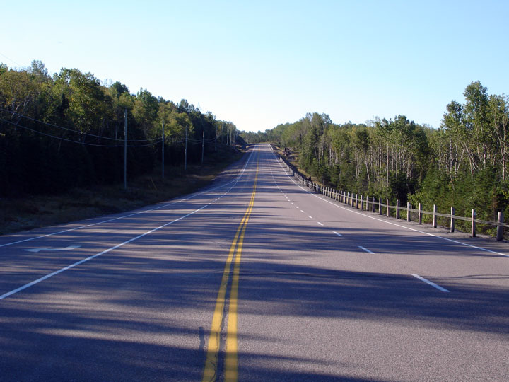
| District of Thunder Bay |
Two views of steep northern descent down
Nineteen Hill.
Photos taken: August 30th, 2006. |
Low-res
High-res

Low-res
High-res |
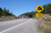
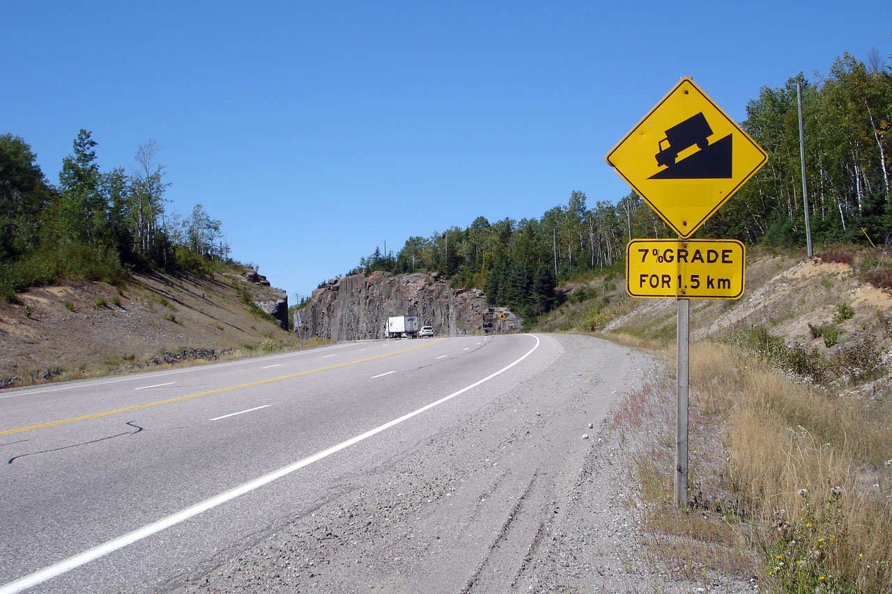
| District of Thunder Bay |
This photo was taken from atop Nineteen Hill.
Notice the steep grade signage warning northbound traffic of the long
descent into Pays Plat.
Photo taken: August 30th, 2006. |
Low-res
High-res |
| District of Thunder Bay |
Two views looking southerly as Highway 17 passes
overtop of the Rossport overhead, and meets the Southern Rossport Access
Road.
Photos taken: September 4th, 2006. |
Low-res
High-res
Low-res
High-res |
| District of Thunder Bay |
Three view of Highway 17 from the Selim Hill
Railway overhead. Selim Hill provides one of the best vistas of Lake
Superior along Highway 17.
Photos taken: August 30th, 2006. |
Low-res
High-res
Low-res
High-res
Low-res
High-res |
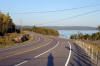
| District of Thunder Bay |
View looking southerly at a rather subdued section of Selim
Hill from the main Rainbow Falls Park entrance.
Photo taken: August 30th, 2006. |
Low-res
High-res |
| Township of Terrace Bay District of Thunder Bay |
View looking southerly as Highway 17 enters
Schreiber.
Photo taken: August 30th, 2006. |
Low-res
High-res |
|
Continues on
Schreiber to Marathon Images |


