|
Proper Municipality Name |
Photo Description |
Photo |
|
Pictures taken
from driver's perspective appear offset from centre-line pictures: |
East-
bound |
West-
bound |
|
Highway 11 pictures continue from
Page 3F |
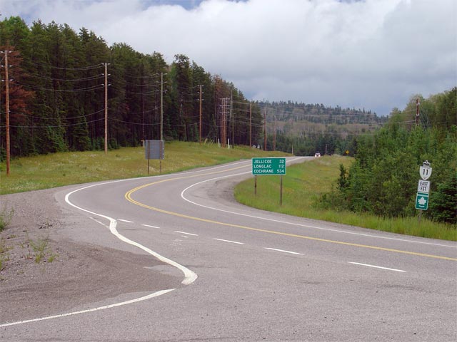
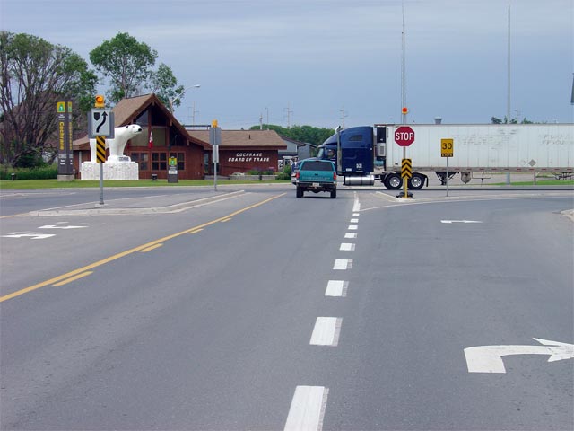
| Cochrane - Glackmeyer Boundary
District of Cochrane |
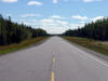
View looking east towards the Highway 579/652 junction. Highway 11
traffic must follow the ramp to the right to continue along Highway 11.
This junction also marks the point where Highway 11 switches cardinal
directions. South of Cochrane, Highway 11 is signed as a north-south
route.
Picture taken: July 14th, 2004. Size: 40kb. |
 |
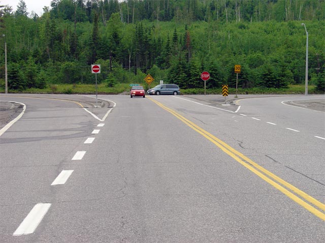
| Cochrane - Glackmeyer Boundary
District of Cochrane |
Green sign denoting the Highway 579/652 junction along Highway 11 in
Cochrane. Highway's 579 and 652 lead north through Downtown Cochrane and
continue further north, further into the wilderness of Northeastern Ontario. Click here for Highway 579 images and here for Highway 652
images. (Coming Soon!)
Picture size: 30kb. |
 |
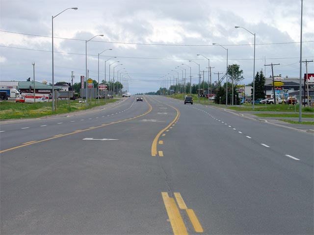
| Cochrane - Glackmeyer Boundary
District of Cochrane |
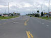
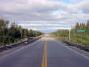
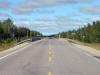
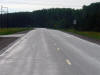
Looking east along Highway 11 from the Highway 579/652 junction. As is
evident from the photo, Highway 11 has an urban 5-lane cross-section for
just over a kilometre through the southern portion of Cochrane.
Picture taken: July 14th, 2004. Size: 40kb. |
 |
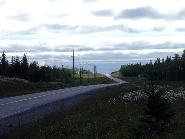
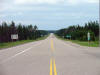
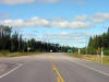
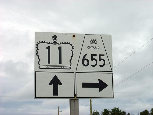
| District of Cochrane |
Looking east along Highway 11 from the
Highway 655
junction.
Highway 655 is located roughly 29km west of Cochrane. Picture taken:
July 14th, 2004. Size: 50kb. |
 |
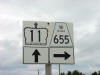
| District of Cochrane |
Junction assembly for eastbound travelers denoting the Highway 11/655
junction. Highway 655 leads south from Highway 11 heading for Timmins.
Click
here for Highway 655 images. Picture size: 20kb. |
 |
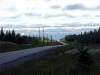
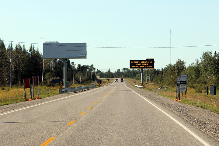
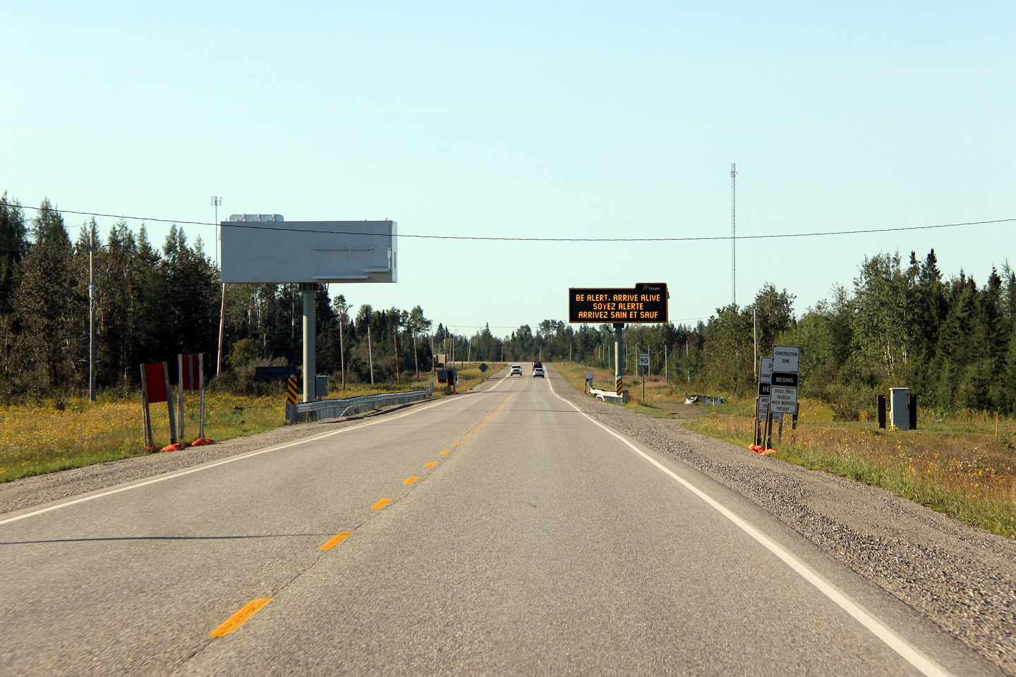
| |
These new partial overhead changeable message signs were erected during the
summer of 2011. These particular signs stand just west of the Highway
655 junction at Driftwood. For eastbound traffic along Highway 11,
Highway 655 is an important decision point, as points further south are
accessible either via Highway 11, or via Highway 655, 101 and 144 through
Timmins. |

(720x480)
(1440x960)
(2400x1600) |
| |
This view looks westerly through the Mattagami River bridge along Highway 11
at the western edge of Smooth Rock Falls. |

(720x480)
(1440x960) |
| |
View looking easterly through the Mattagami River bridge along Highway 11. |

(720x480)
(1440x960) |
| |
Signage welcoming eastbound traffic to the small community of Smooth Rock
Falls. |

(720x480)
(1440x960) |
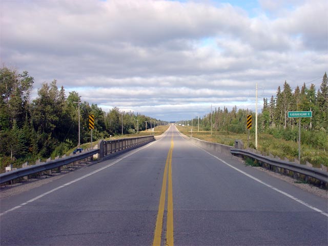
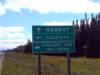
| District of Cochrane |
View looking easterly along Highway 11 towards Hearst from just east of the
Kabinakagami River bridge. The Kabinakagami River bridge is located
roughly 2km east of the Highway 663 junction. Picture taken: August 29th,
2006. Size: 40kb. |
 |
| District of Cochrane |
View looking easterly across the Kabinakagami River bridge. Notice the
oddly low railings located along the northern side of the Kabinakagami River
bridge. The Kabinakagami River bridge will be replaced with a new
structure in the coming years.
Picture taken: August 29th, 2006. Size: 45kb. |
 |
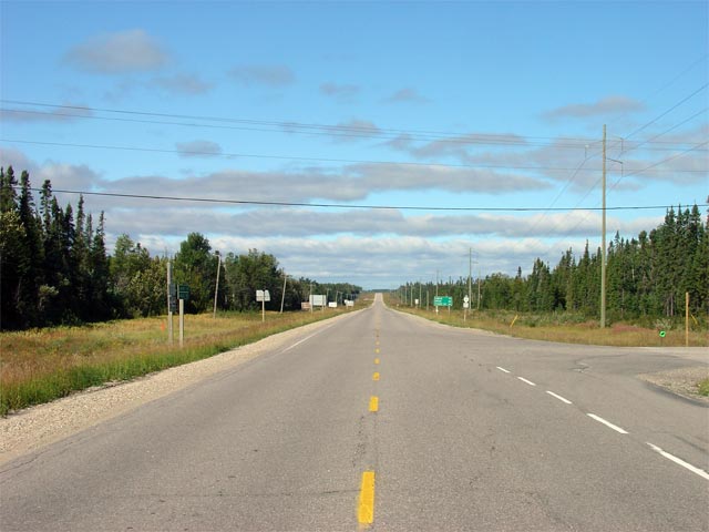
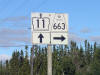
| District of Cochrane |
View looking easterly towards the
Highway 663
junction along Highway 11. Picture taken: August 29th, 2006. Size:
45kb. |
 |
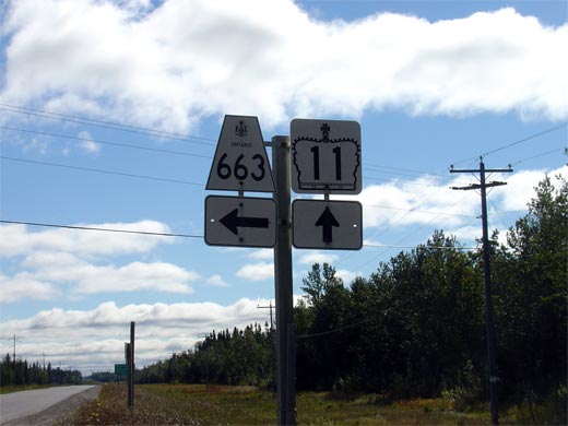
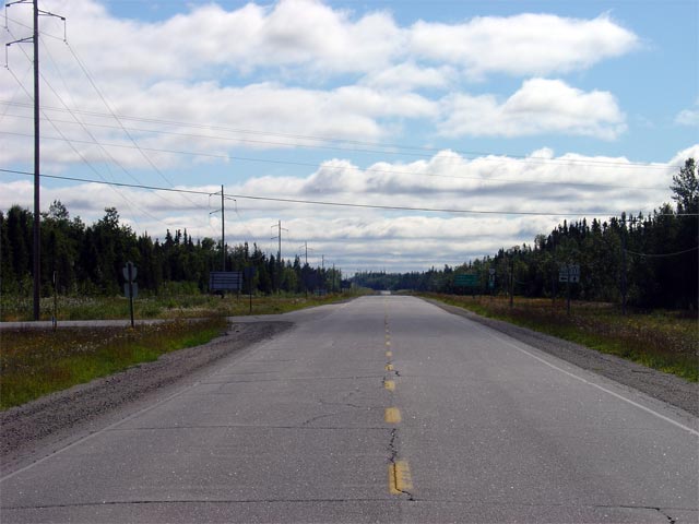
| District of Cochrane |
Signage approaching
Highway 663 junction along Highway 11 west.
Highway 663 departs to the right of Highway 11 westbound. Click here
for Highway 663 images. (Coming Soon!) Picture size: 45kb. |
 |
| District of Cochrane |
Junction assembly for vehicles traveling eastbound along
Highway 663.
Click here for Highway 663 images. (Coming Soon!) Picture size:
30kb. |
 |
| District of Cochrane |
View looking easterly along Highway 11 towards the
Highway 663
junction. Picture taken: August 29th, 2006. Size: 45kb. |
 |
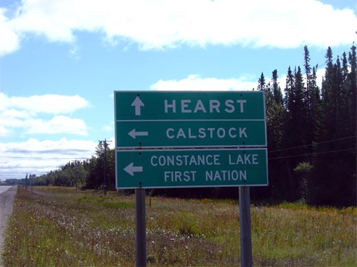
| District of Cochrane |
Green signage approaching the Highway 11 junction for vehicles approaching
the junction from the west. While Highway 663 only extends as far
north as Calstock, the road continues northerly through the Constance Lake
First Nation.
Picture size: 35kb. |
 |
| District of Cochrane |
Looking west along Highway 11 from just west of the Shekak River bridge.
There is a small picnic area on the north side of Highway 11 on the eastern
bank of the Shekak River. Picture taken: August 29th, 2006. Size:
45kb. |
 |
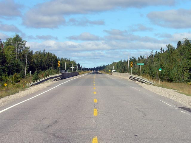
| District of Cochrane |
Looking easterly along Highway 11 across the Shekak River bridge.
Highway 11 crosses the Shekak River bridge about 5km east of the Highway
631 junction. Picture taken: August 29th, 2006. Size: 50kb. |
 |
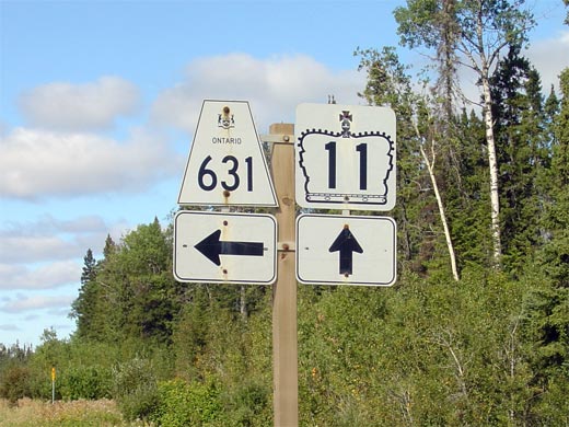
| District of Cochrane |
Signage denoting the Highway 631 junction for vehicles heading westbound
Highway 11. Click here for Highway 631 images (Coming Soon!) Picture
size: 55kb. |
 |
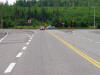
| District of Cochrane |
Looking westerly along Highway 11 towards the Highway 631 intersection.
Surprisingly there is no left-turn lane for traffic turning left off of
Highway 11 onto Highway 631. Picture taken: August 29th, 2006. Size:
45kb. |
 |
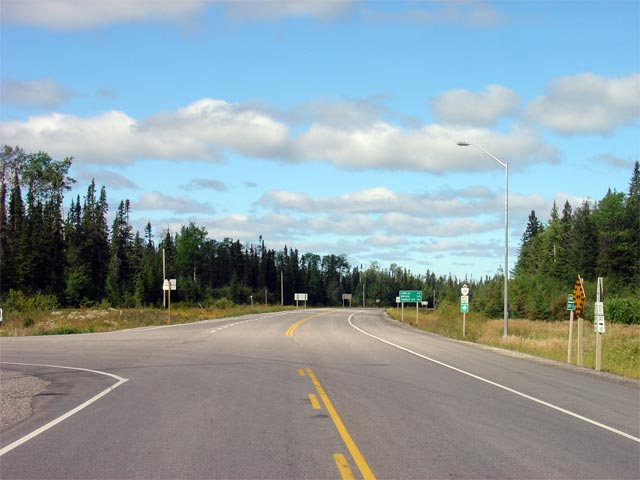
| District of Cochrane |
Looking easterly along Highway 11 towards the Highway 631 junction.
This junction is located roughly 340km east of Nipigon. Picture taken:
August 29th, 2006. Size: 40kb. |
 |
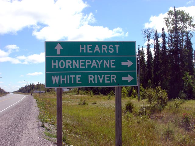
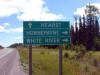
|
Highway 631 leads southerly from
Highway 11 through Hornepayne to Highway 17 at White River.
Click here for Highway
631
images. |
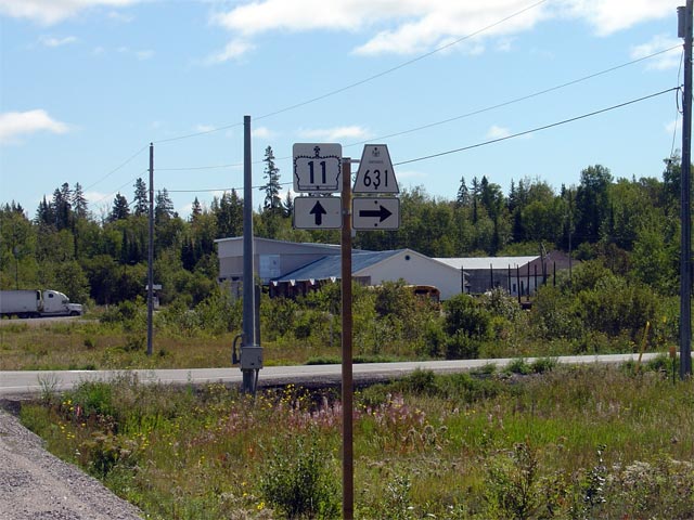
| District of Cochrane |
Signage along Highway 11 eastbound for the Highway 631 junction. Click
here for Highway 631 images. (Coming Soon!). Picture size: 70kb. |
 |
| District of Cochrane |
Eastbound green signage for the Highway 631 junction along. Highway
631 extends south from Highway 11 heading through Hornepayne to Highway 17
at White River. Highway 631 is one of the few highways that link
Highway 11 and 17 through Northern Ontario.
Picture size: 65kb. |
 |
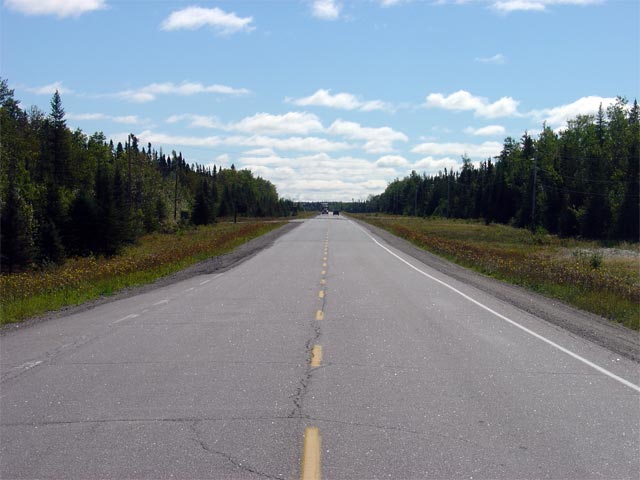
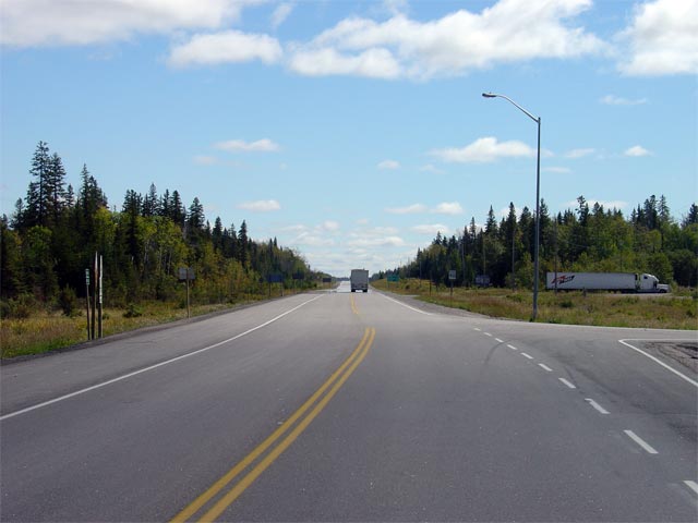
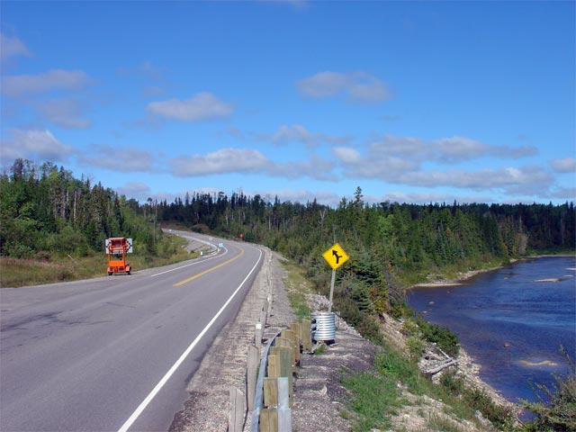
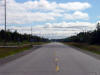
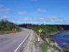
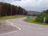
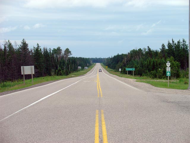
| District of Cochrane |
View looking westerly along Highway 11 from just west of the Nagagami River
bridge. Though the scenery is not particularly noteworthy on Highway
11 through much of Northern Ontario, the highway does cross several
significant rivers as the highway traverses the long distance between
Longlac and Cochrane.
Picture taken: August 29th, 2006. Size: 50kb. |
 |
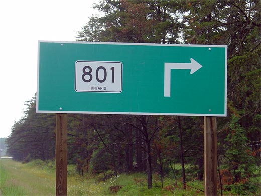
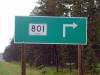
| Municipality of Greenstone
District of Thunder Bay |
Green sign denoting Tertiary Road 801 for westbound travelers.
Tertiary Road is gravel surfaced and is primarily used as a logging access
road. Beyond the northern terminus of Highway 801, Auden can be
reached, which is a small community on the CN railway. Click here for
Tertiary Road 801 images (Coming Soon!).
Picture size: 45kb. |
 |
| Municipality of Greenstone
District of Thunder Bay |
Looking east along Highway 11 from the Tertiary Road 801 junction. Picture
taken: July 14th, 2004. Size: 50kb. |
 |
| Municipality of Greenstone
District of Thunder Bay |
Looking west towards Nipigon from the Tertiary Road 801 junction. Picture
taken: July 14th, 2004. Size: 50kb. |
 |
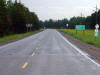
| Municipality of Greenstone
District of Thunder Bay |
Looking east towards Cochrane from the Highway 580 junction. Picture
taken: July 14th, 2004. Size: 55kb. |
 |
| District of Thunder Bay |
Looking westerly along Highway 11 towards the eastern
Highway 17 junction.
To continue westbound along Highway 11, traffic must follow the ramp to the
right towards Thunder Bay. Picture taken: July 14th, 2004. Size:
65kb. |
 |
| District of Thunder Bay |
Junction assembly for the eastern junction of the Highway 11/17
co-designation. Highway 11 and Highway 17 are co-designated for 181 km
through Thunder Bay between Nipigon and Shabaqua Corners. Click here
for Highway 17 images. (Coming Soon!) Picture size:
45kb. |
 |
|
Highway 11 Images continue westwards on Page 4 |


