AsphaltPlanet.ca > OntHighways >
Highway 11 > Images
> Page 3F
King's Highway 11 - Images
<- Page 3E Page 3F - Matheson to Cochrane Page 4A->
Photos shown in this table are arranged from South to North:
| Proper Municipality Name | Photo Description | Photo | ||
|
Photos taken from driver's perspective appear offset from centre-line Photos: |
North- Bound |
South- Bound |
||
| Highway 11 Photos continue from Page 3E | ||||
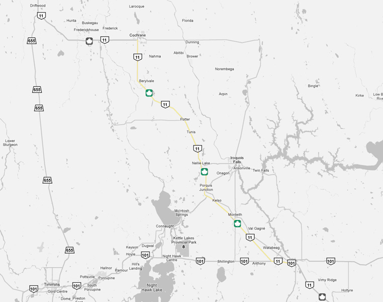
| Highway 101 is a long east-west highway traversing Northeastern Ontario from Wawa to the Quebec Border. Click here for Highway 101 images. | ||||
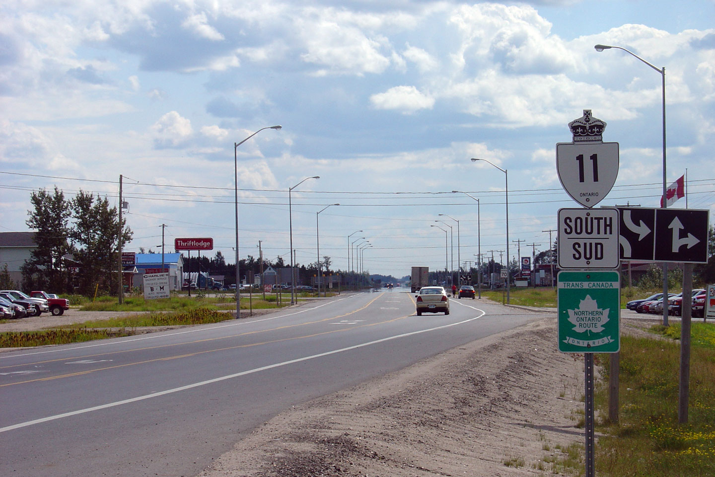
| Township of Black-River Matheson District of Timiskaming |
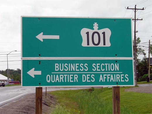
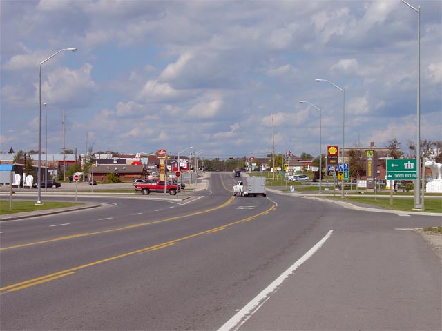
Green signage denoting the eastern Highway 101 junction in Matheson.
Highway 11 skirts by most of Matheson, meaning traffic bound for most of
Matheson must follow Highway 101 east of Highway 11 for a short distance. Photo taken: July 14th, 2004. Size: 30kb. |
 |
||
| Township of Black-River Matheson District of Timiskaming |
View looking west from the eastern Highway 101 junction at Matheson. Photo taken: July 14th, 2004. Size: 45kb. |
 |
||
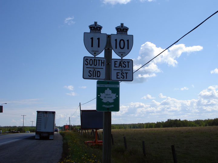
| Township of Black-River Matheson District of Timiskaming |
Signage denoting the Highway 11/101 co-designation for traffic heading north
and west out of Matheson. Highway 11 and 101 are co-designated for
roughly 6km. Photo size: 30kb. |
 |
||
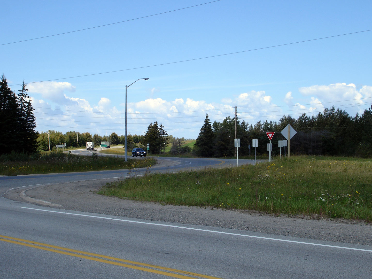
| Township of Black-River Matheson District of Timiskaming |
Butterfly gantry for Highway the western Highway 11/101 intersection. It
always surprised me that this junction favoured movements between Highway
101 rather than Highway 11, and as of August 2011, they no longer do.
This intersection has been realigned to favour Highway 11 Photo taken: August 28th, 2006. |
|
||
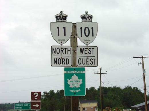
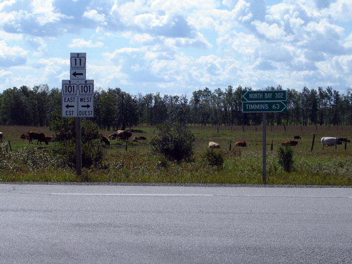
| Township of Black-River Matheson District of Timiskaming |
Shield assembly for Highway 11-South and Highway 101-East. Photo taken: August 28th, 2006. |
 |
||
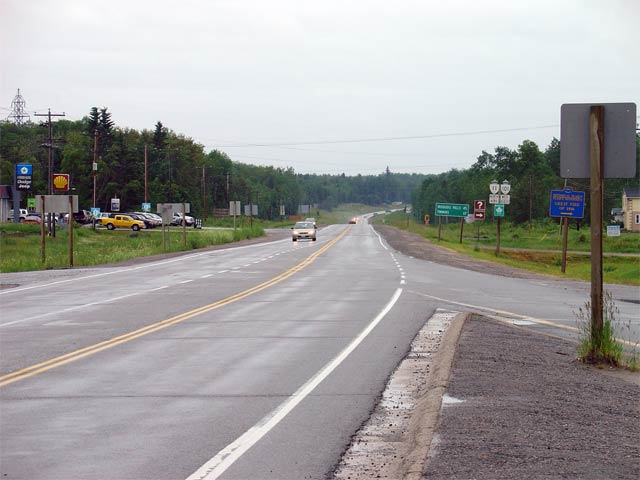
| Township of Black-River Matheson District of Timiskaming |
Highway 11 looking south at the western Highway 101 junction. A left turn at this intersection leads traffic easterly towards Matheson and North Bay. A right turn here leads traffic westwards along Highway 101 towards Timmins, and eventually, Wawa Photo size: 45kb. |
 |
||
| Highway 101 stretches across the northeastern part of Ontario, from Quebec to Highway 17 at Wawa. Click here for Highway 101-West images | ||||
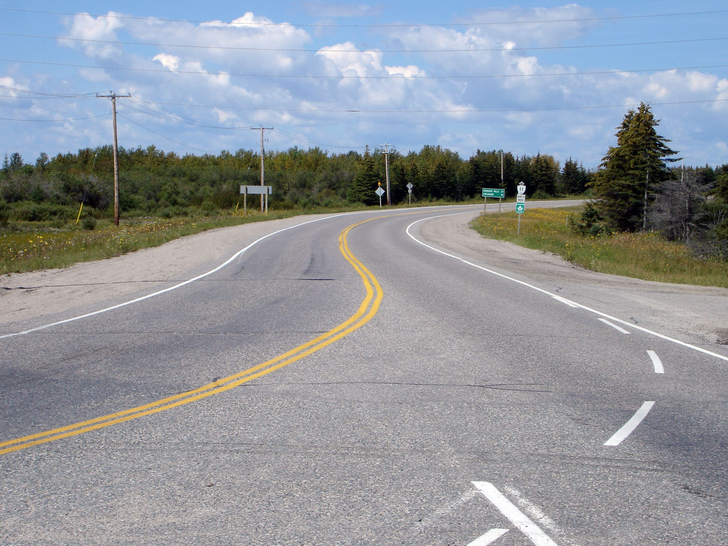
| Township of Black-River Matheson District of Timiskaming |
Historic view looking northerly along Highway 11 from the western Highway 101
junction. Formerly Southbound traffic must traverse a very sharp curve to
continue along Highway 11. Photo taken: August 28th, 2006. |
|
||
| Township of Black-River Matheson District of Timiskaming |
It would seem that Highway 11 once met Highway 101 at directional 'Y'
intersection, that was rather crudely converted to its current 'modern'
design. Photo taken: August 28th, 2006. |
 |
||
| Township of Black-River Matheson District of Timiskaming |
View looking northerly along Highway 11 towards Cochrane. Photo taken: August 28th, 2006. |
 |
||
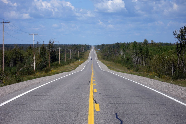
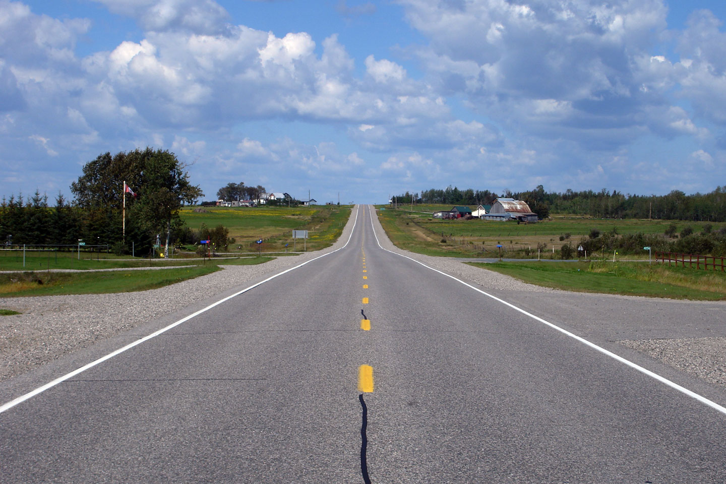
District of Timiskaming |
The first of two northerly views between Highway 11 and Highway 577. Photo taken: August 28th, 2006. |
 |
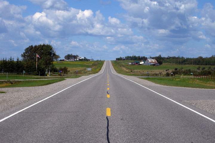
||
District of Timiskaming |
View looking northerly towards the Highway 577 junction. I was very
surprised to find farms this far north in Ontario. Apparently, aside
from the short growing season, soil is pretty good for farming in this area
of Ontario. Photo taken: August 28th, 2006. |
 |
||
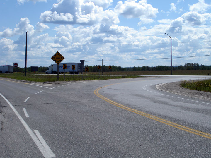
| Town of Iroquois Falls District of Cochrane |
Southerly view along Highway 11 towards the Highway 577 junction. Photo taken: August 26th, 2011. |
 |
||
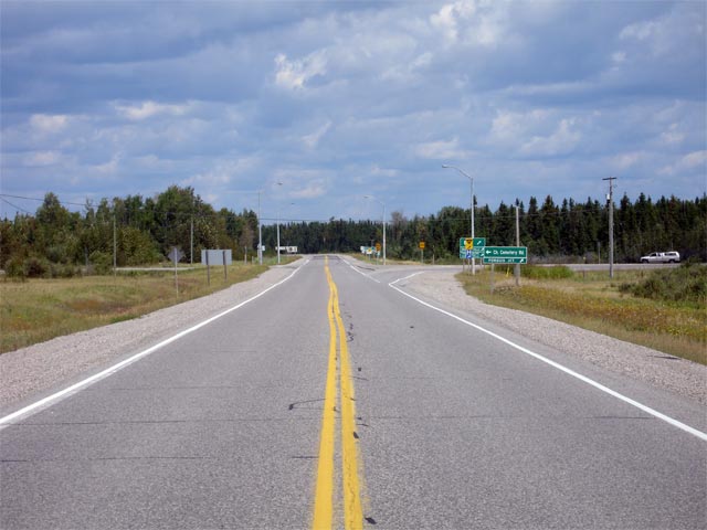
| Town of Iroquois Falls District of Cochrane |
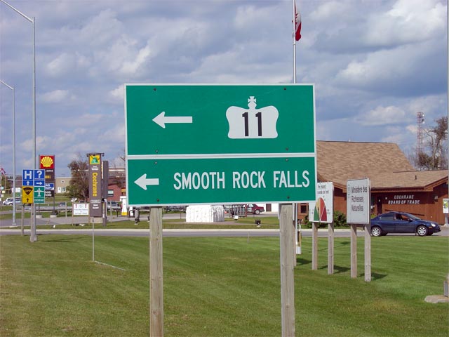
Green guide signage for Highway 67 along Highway 11 north. Photo taken: August 28th, 2006. |
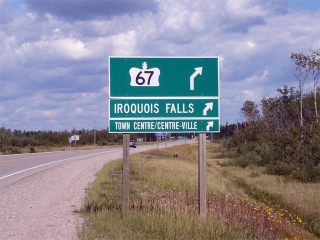 |
||
| Town of Iroquois Falls District of Cochrane |
A zoomed out view looking northbound at the Highway 67 intersection. Photo taken: August 28th, 2006. |
 |
||
| Highway 67 leads north from Highway 11 into Iroquois Falls. Click here for Highway 67 images. (Coming Soon!) | ||||
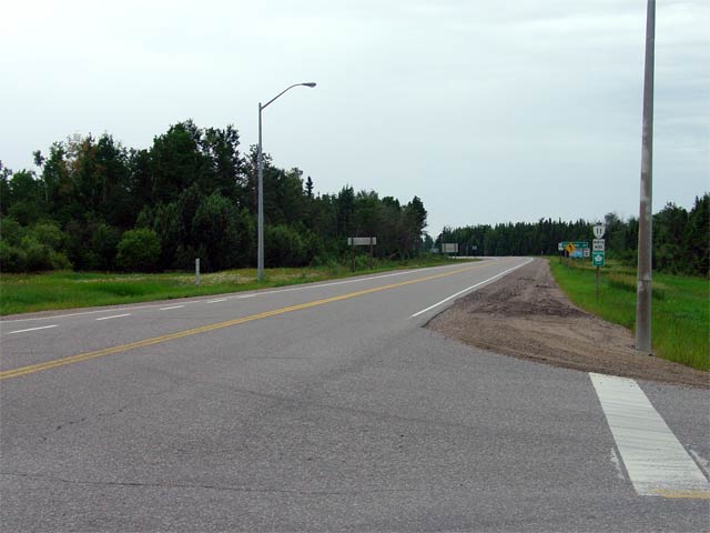
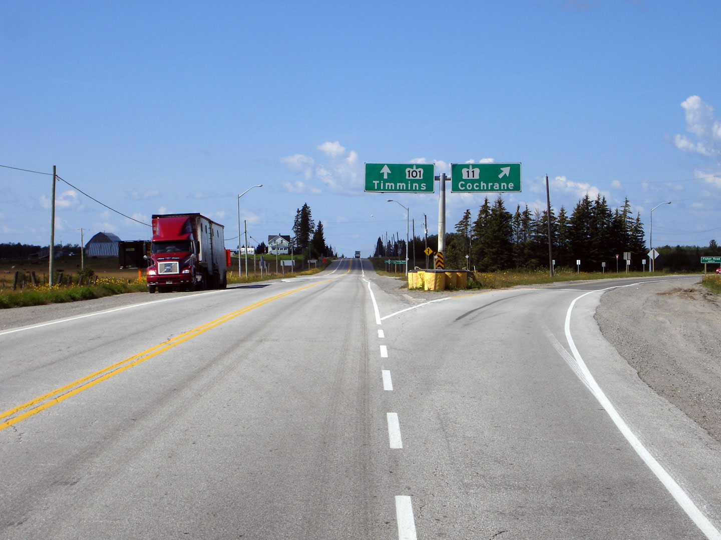
| Town of Iroquois Falls District of Cochrane |
View looking north along Highway 11 from the
Highway 67 junction. Photo taken: July 14th, 2004. |
 |
||
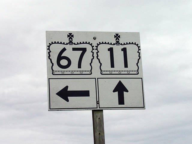
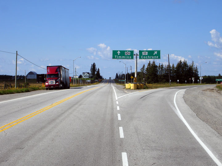
| Town of Iroquois Falls District of Cochrane |
Junction assembly for Highway 11 and Highway 67 (north junction). This Photo was taken looking southbound. A left turn here leads traffic towards Iroquois Falls.
Photo size: 25kb. |
 |
||
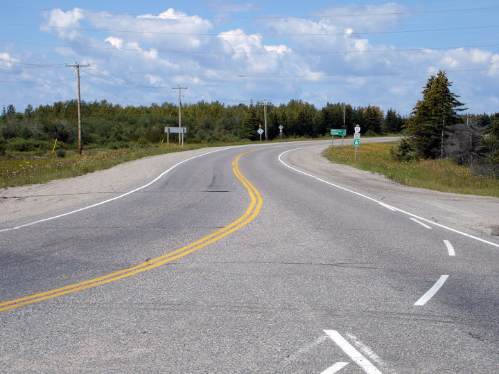
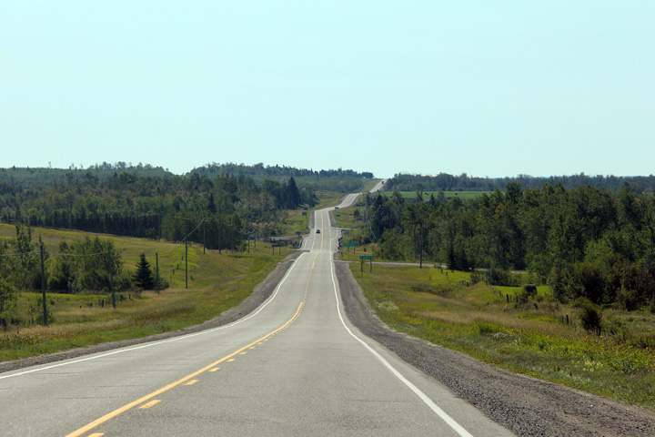
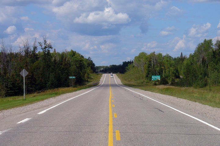
| Town of Iroquois Falls District of Cochrane |
View looking northerly about 15km south of Cochrane from the Long Lake
Picnic area. Photo taken: August 28th, 2006. |
 |
||
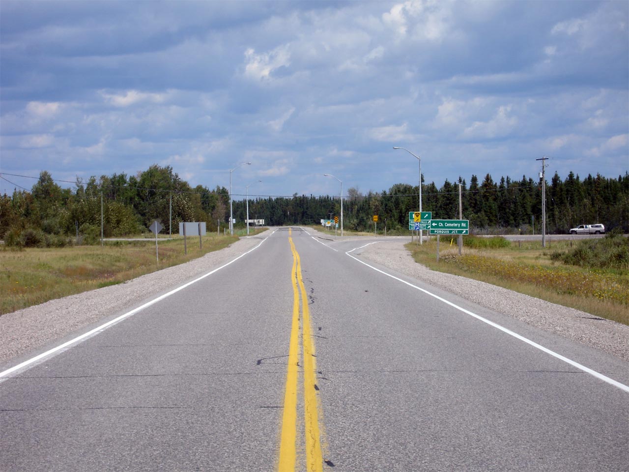
| Cochrane - Glackmeyer Boundary District of Cochrane |
View looking south along Highway 11 from the Highway 579/652 junction.
A few hundred metres south of this junction, Highway 11 narrows back to a
rural 2-lane cross-section. Highway 11 maintains this 2-lane
cross-section virtually the entire distance between Cochrane and North Bay. Photo taken: August 28th, 2006. |
 |
||
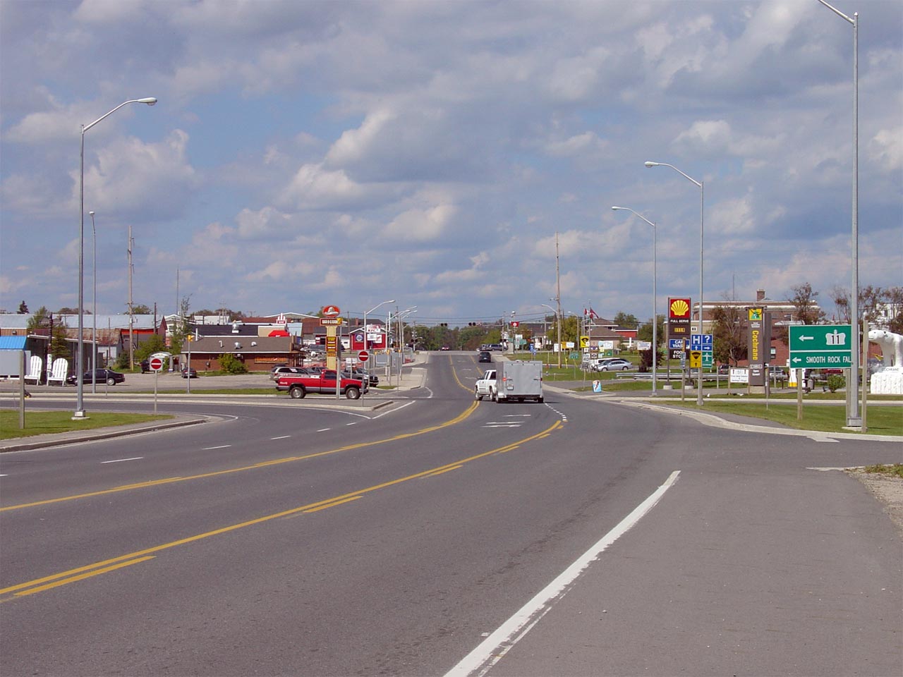
| Cochrane - Glackmeyer Boundary District of Cochrane |
Last true northbound view of Highway 11 as it enters Cochrane. At this
junction, Highway 11 turns westerly through what is often a predominantly
French part of Ontario. Photo taken: August 28th, 2006. |
 |
||
| Cochrane - Glackmeyer Boundary District of Cochrane |
Green junction signage denoting the turn from Highway 11 North to Highway 11
West. There is no signage directly advising motorists of the
directional change on Highway 11. Photo taken: August 28th, 2006. |
 |
||
| Highway 11 Images continue westwards on Page 4A | ||||
<- Page 3E Images Highway 11 Images Index Page 4A Images ->
<- Highway 10 Images Back to Highway 11 Highway 11A Images ->
Copyright (c) 2004-2011, AsphaltPlanet.ca AsphaltPlanet@asphaltplanet.ca
