|
Proper Municipality Name |
Photo Description |
Photo |
|
Pictures taken
from driver's perspective appear offset from centre-line pictures: |
North-
Bound |
South-
Bound |
| Township of Hornepayne District
of Algoma |
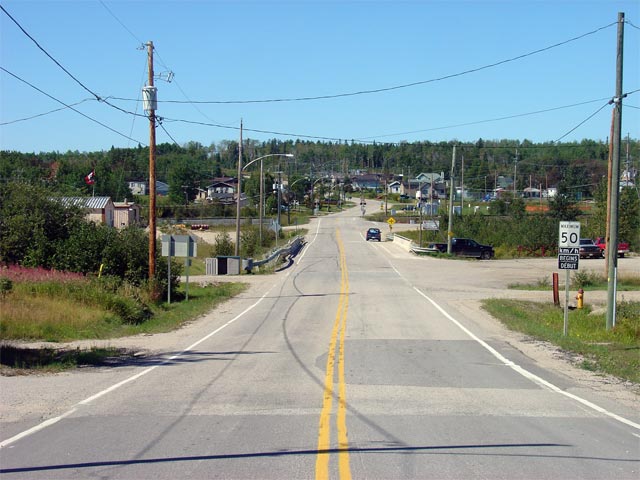
View looking southerly from the Becker Road
intersection through Hornepayne along Highway 631. Highway 631 misses
the 'Downtown' section of Hornepayne. Picture taken: August 29th, 2006.
Low-res: 60kb. High-res: 235kb. |
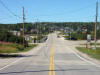
Low-res
High-res |
| Township of Hornepayne District
of Algoma |
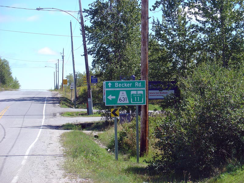
Northbound signage for the Becker Road
intersection and for the left turn required to continue along Highway 631.
Note the unusual treatment for the Highway 11
trailblazer on the green signage. Picture taken: August 29th, 2006.
Size: 160kb. |
 |
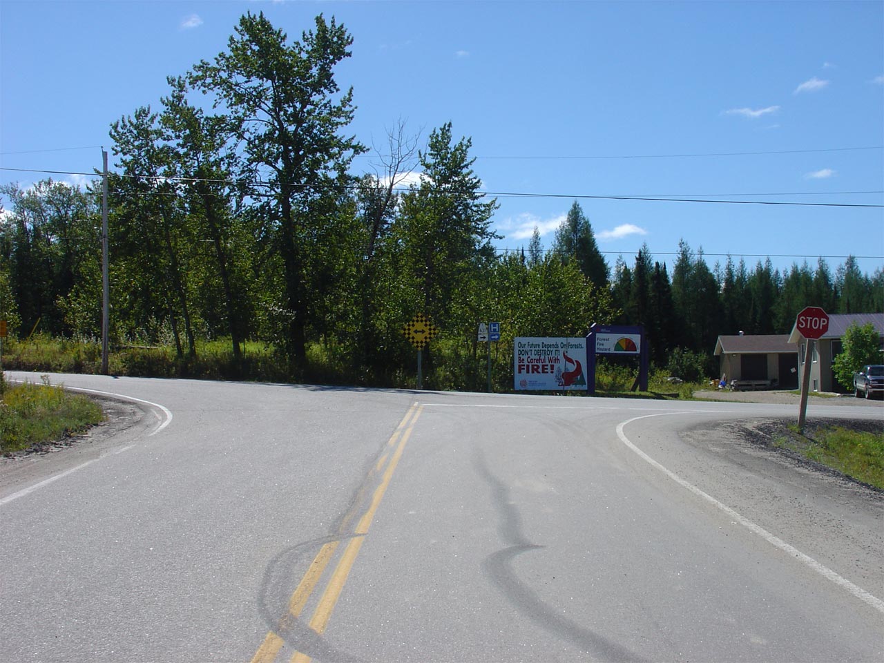
| Township of Hornepayne District
of Algoma |
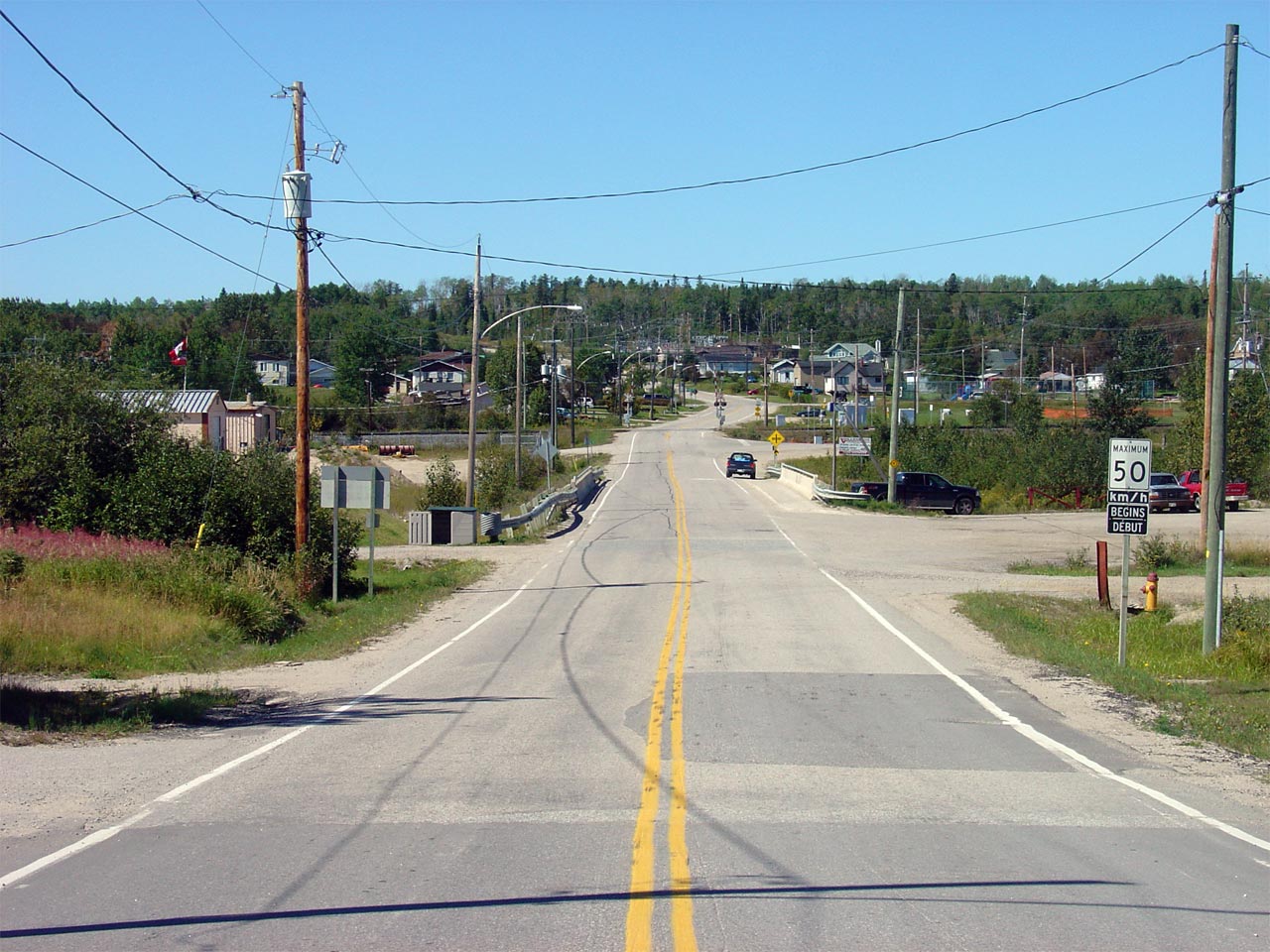
View looking southerly at the Becker Road
intersection. A Right turn is required at this intersection to
continue southerly along Highway 631. A large sawmill is located to
the left at this intersection. This explains why only part of
Hornepayne was by-passed.
Picture taken: August 29th, 2006. Low-res: 55kb. High-res:
220kb. |
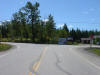
Low-res
High-res |
| Township of Hornepayne District
of Algoma |
View looking northerly along Highway 631 from
the Becker Road intersection. Picture taken: August 29th, 2006.
Low-res: 55kb. High-res: 215kb. |
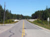
Low-res
High-res |
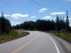
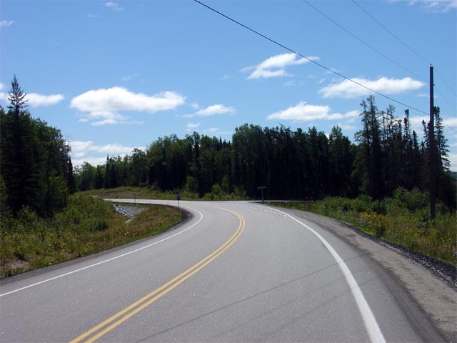
| Township of Hornepayne District
of Algoma |
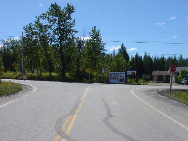
A long gradual left-hand curve greets motorists
at the start of the partial Hornepayne By-pass. Picture taken: August
29th, 2006. Low-res: 45kb. High-res: 170kb. |
Low-res
High-res |
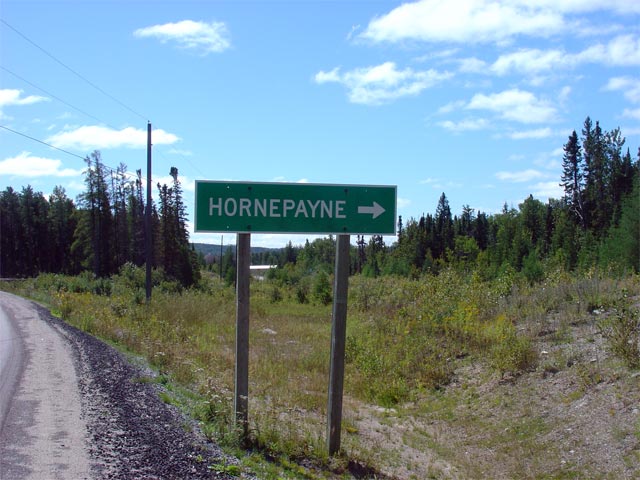
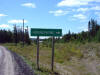
| Township of Hornepayne District
of Algoma |
Green sign directing traffic to Hornepayne.
This sign is for the Round House Road intersection. Highway 631
followed Round House Road into Hornepayne before the northern partial
by-pass was constructed. Picture taken: August 29th, 2006. Size:
65kb. |
 |
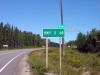
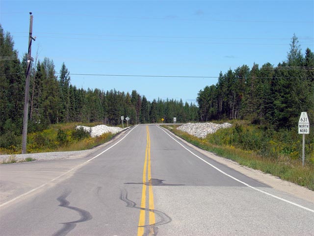
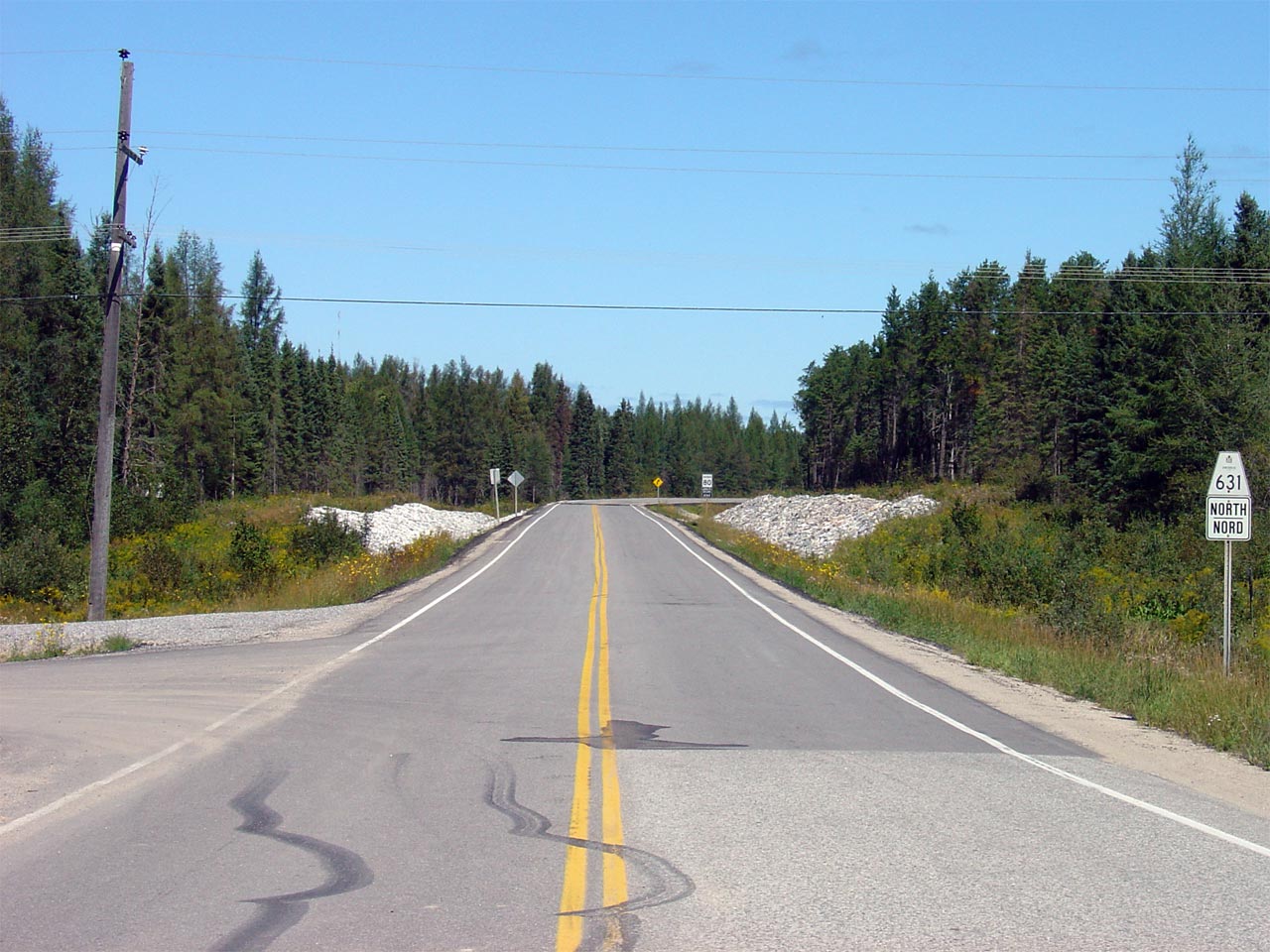
| Township of Hornepayne District
of Algoma |
Its a lonely 68km drive along Highway 631 to
Highway 11. Picture taken: August 29th,
2006. Size: 90kb. |
 |
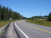
| Township of Hornepayne District
of Algoma |
View looking northerly along the recently
reconstructed Highway 631 from the Round House Road intersection. Picture
taken: August 29th, 2006. Size: 85kb. |
 |