|
Proper Municipality Name |
Photo Description |
Photo |
|
Photos taken
from driver's perspective appear offset from centre-line Photos: |
East-
bound |
West-
bound |
|
Images continued from the the west via
Page 4F Images. |
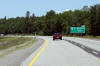
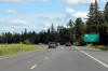
| City of Ottawa |
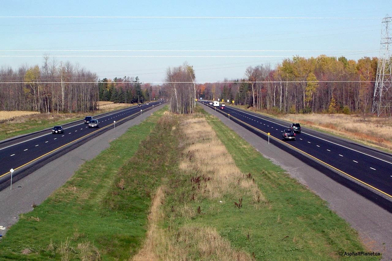
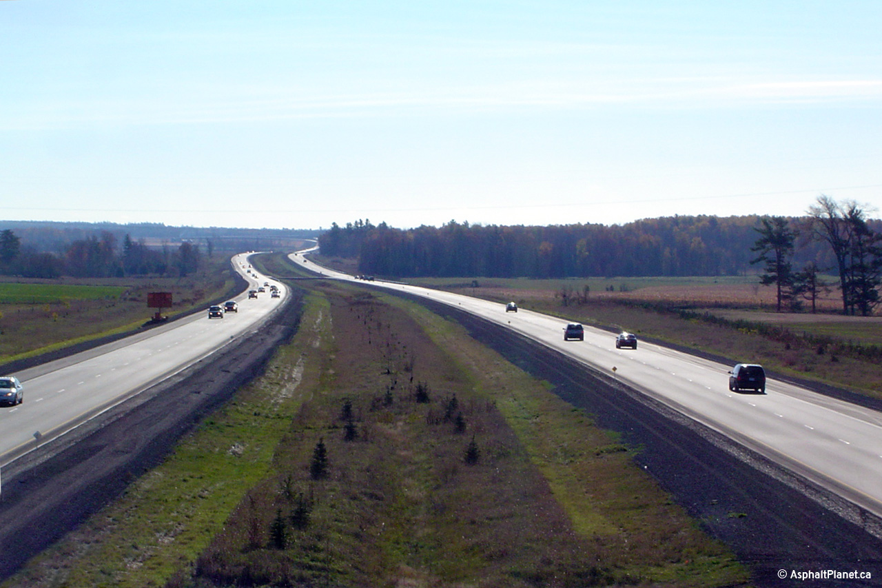
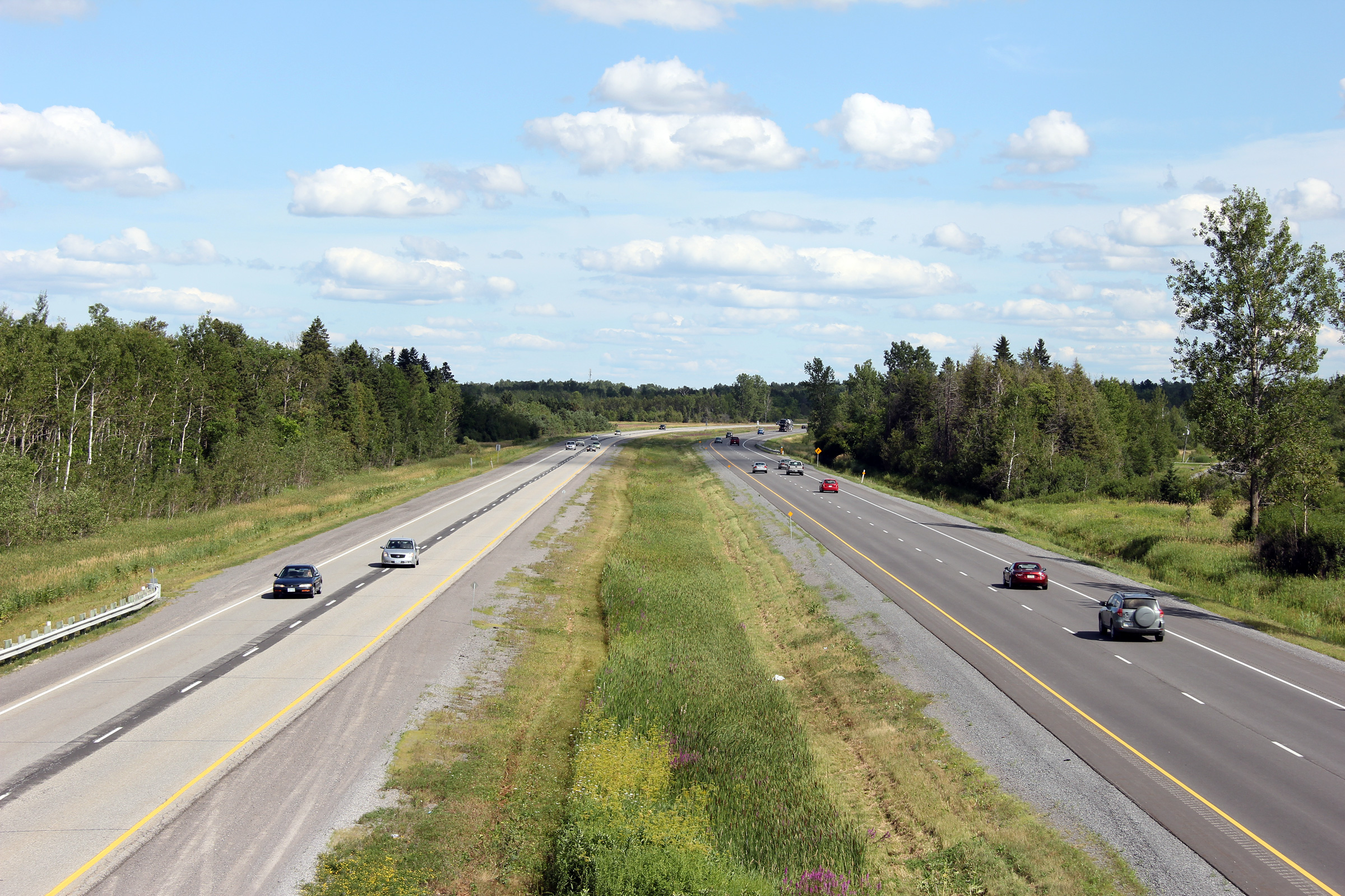
Highway 417 looking east from the
Ottawa Road 29 overpass. The upper photo was taken a few weeks after
Highway 417 was extended westerly to just west of this interchange at
Arnprior from Panmure Road. In the 2004 photo, the right-hand
westbound lane had been blocked off in order to ease the transition from a
four to two lane highway. The lower photo was taken after the highway
had been extended further west through Arnprior until just east of Campbell
Drive.
Upper photo taken: October 23rd, 2004.
Lower photo taken: June 19th,
2012. |
(720x480)
(1440x960)
(2400x1600) |
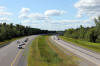
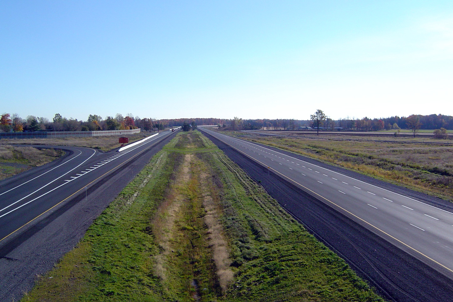
| City of Ottawa |
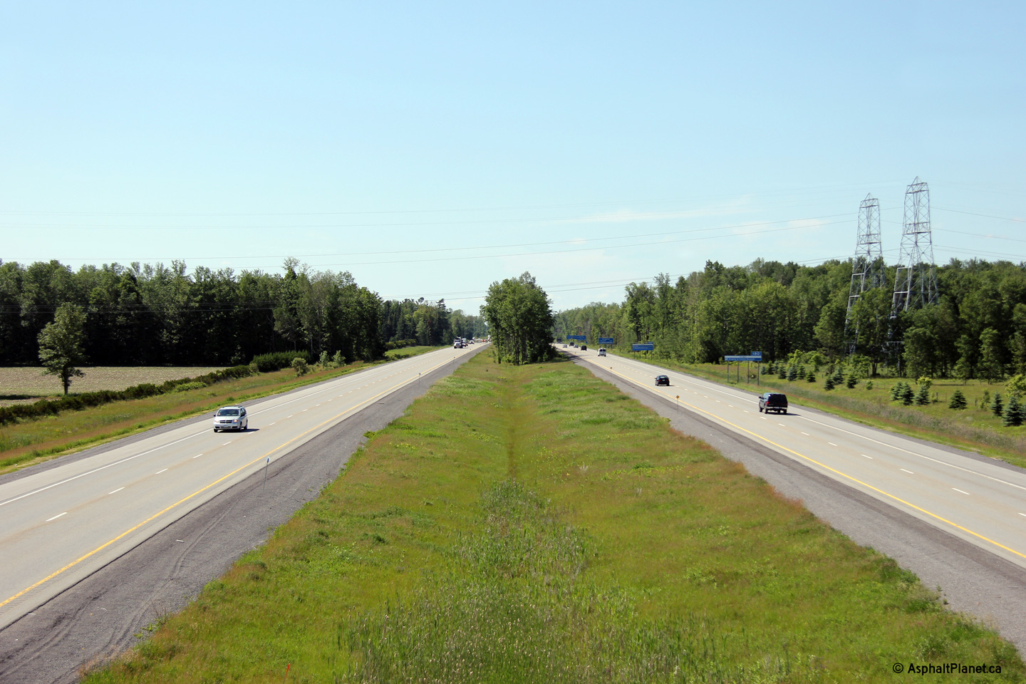
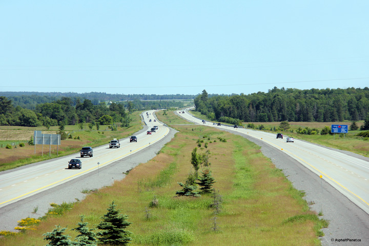
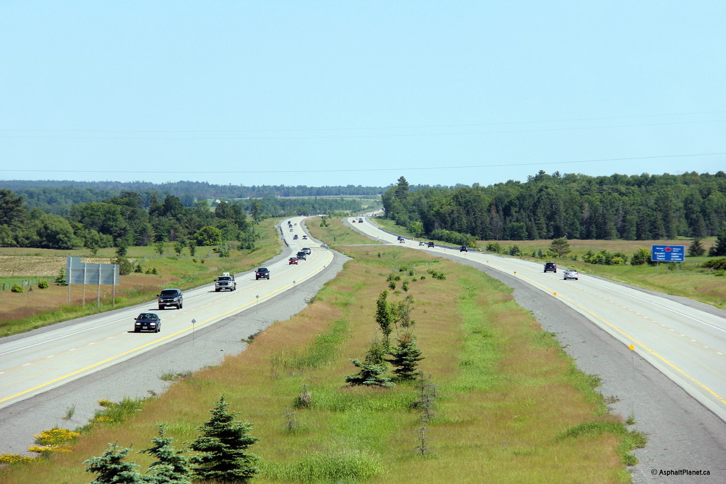
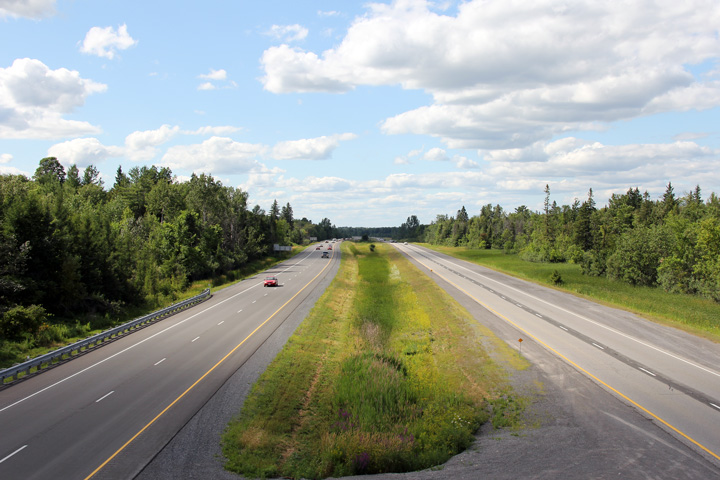
This view looks westerly at the Ottawa Road 29 interchange.
Photo taken: June 19th, 2013. |
 (720x480) (720x480)
(1440x960)
(2400x1600) |
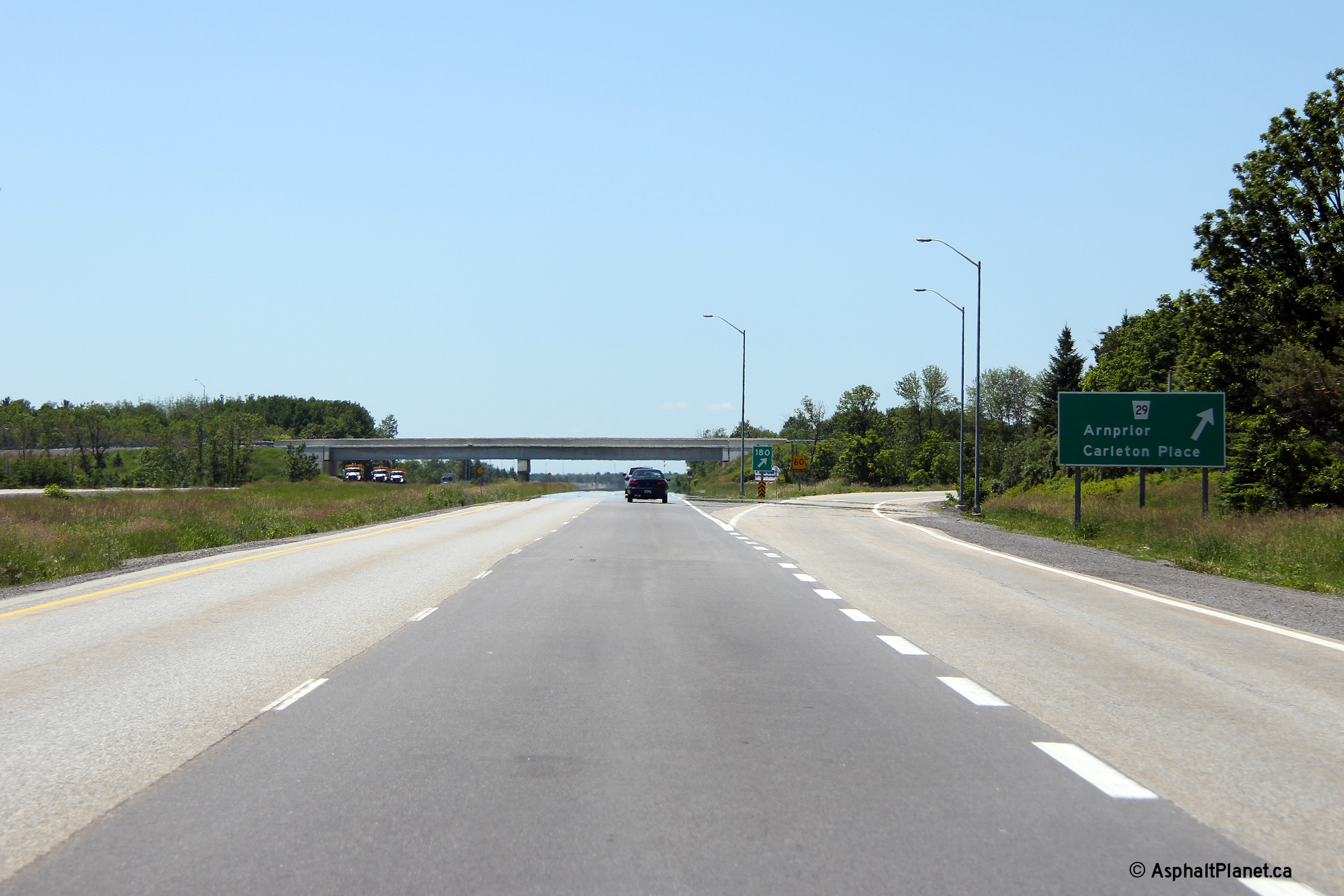
| City of Ottawa |
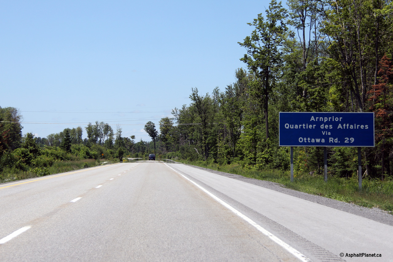
Westbound advanced signage for the exit to Ottawa Road 29.
Photo taken: June 19th, 2013. |
 (720x480) (720x480)
(1440x960)
(2400x1600) |
| City of Ottawa |
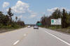
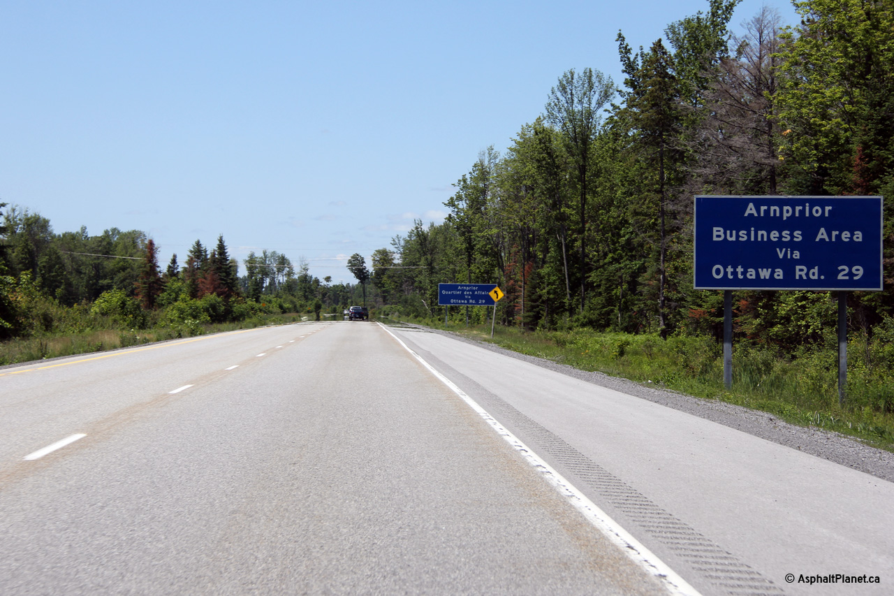
Signage welcoming westbound traffic to Arnprior. Subsequent signs
advise motorists to follow Ottawa Road 29 into Arnprior's Central Business
District and are posted in both
English and French.
Photo taken: June 19th, 2013. |
 (720x480) (720x480)
(1440x960)
(2400x1600) |
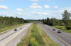
| City of Ottawa |
Highway 417 looking west from the
Galetta Road overpass in northeast Ottawa. Galetta Road is located
roughly at kilometre 176. Highway 417 features an intermittent treed
median from Galetta Sideroad, easterly to Ottawa Road 29. Click
here for this same view taken
in October, 2004, taken shortly after the highway had opened to traffic.
Photo taken: June 19th, 2013. |
(720x480)
(1440x960)
(2400x1600) |
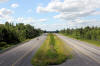
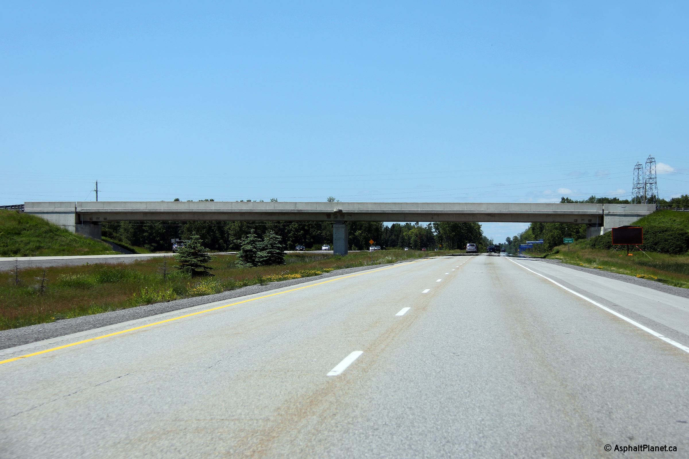
| City of Ottawa |
Looking east from the Galetta Sideroad along Highway 417. Galetta
Sideroad is located roughly at kilometre marker 176. Click
here for this same view taken
in October, 2004. Photo taken:
June 19th, 2013. |
(720x480)
(1440x960)
(2400x1600) |
| City of Ottawa |
Driving westerly through the Geletta Sideroad overpass. The Geletta
Sideroad overpass features an unusual, single, solid and rectangular central
pier that is (to my knowledge) not repeatedly elsewhere on any other Ontario
freeway.
Photo taken: June 19th, 2013. |
 (720x480) (720x480)
(1440x960)
(2400x1600) |
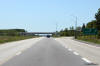
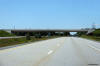
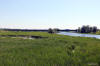
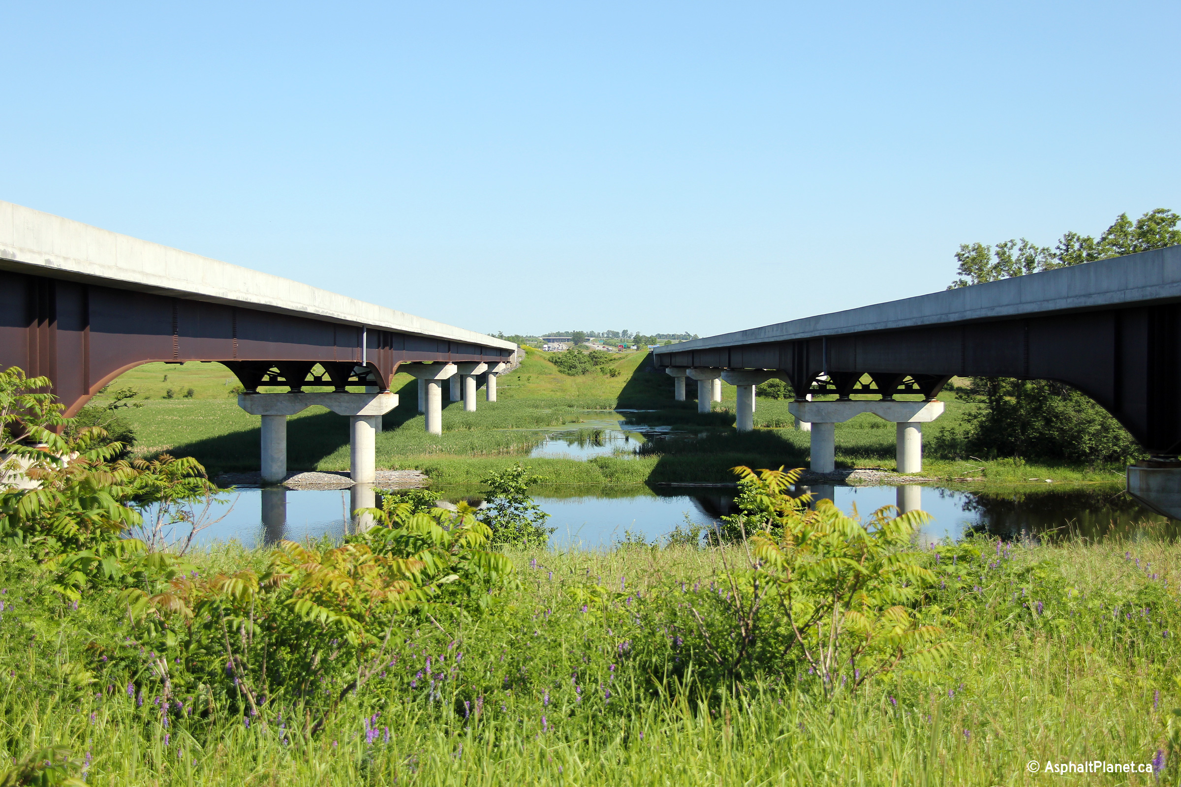
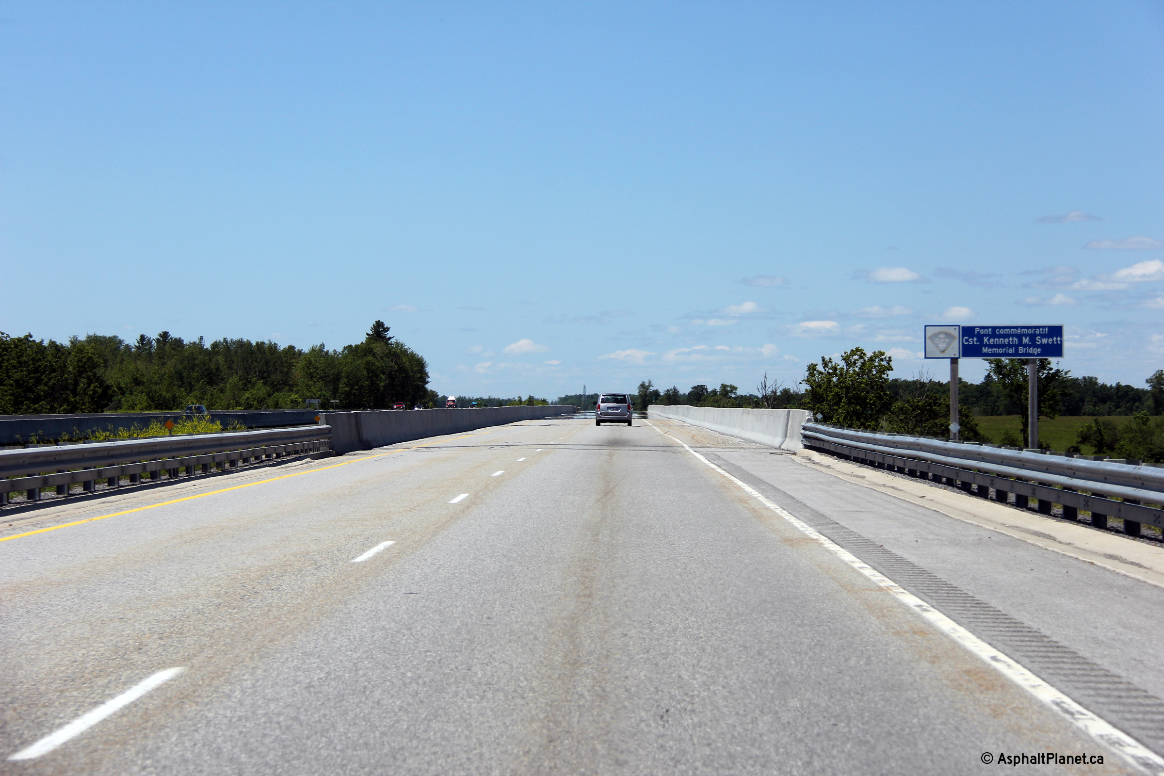
| City of Ottawa |
View looking easterly through the median of Highway 417 towards the twin
Mississippi River bridges. These structures carry the divided highway
not only overtop of the Mississippi River, but also over a large wetland
along the eastern river bank.
Photo taken: June 19th, 2013. |
(720x480)
(1440x960)
(2400x1600) |
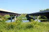
| City of Ottawa |
View looking westerly towards the twin highway bridges over the Mississippi
River bridges along Highway 417. Excluding the Skyway bridges along
the QEW in the Golden Horseshoe, the Mississippi River structures are among
the longest watercourse crossings on the 400-series of highways in
Ontario.
Photo taken: June 19th, 2013. |
(720x480)
(1440x960)
(2400x1600) |
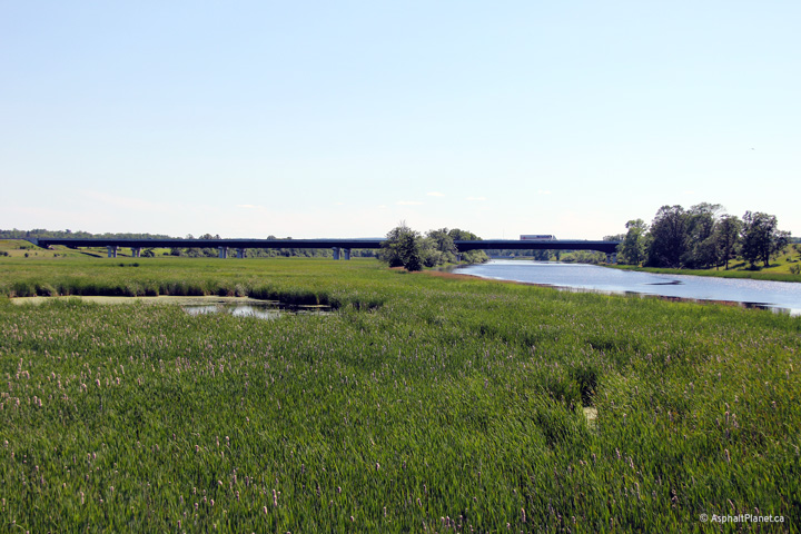
| City of Ottawa |
Deck view looking westerly across the westbound Mississippi River bridge.
Photo taken: June 19th, 2013. |
 (720x480) (720x480)
(1440x960)
(2400x1600) |
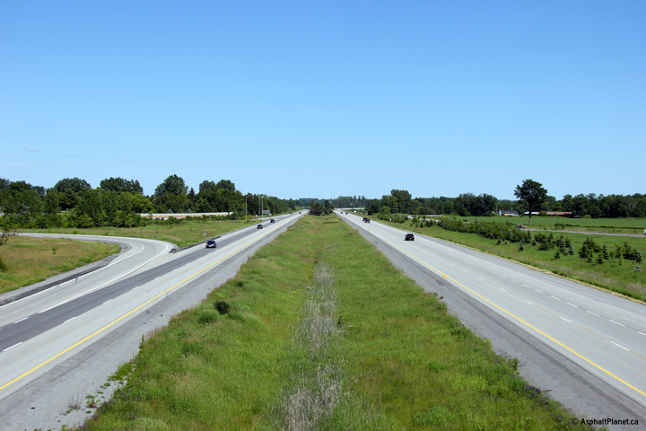
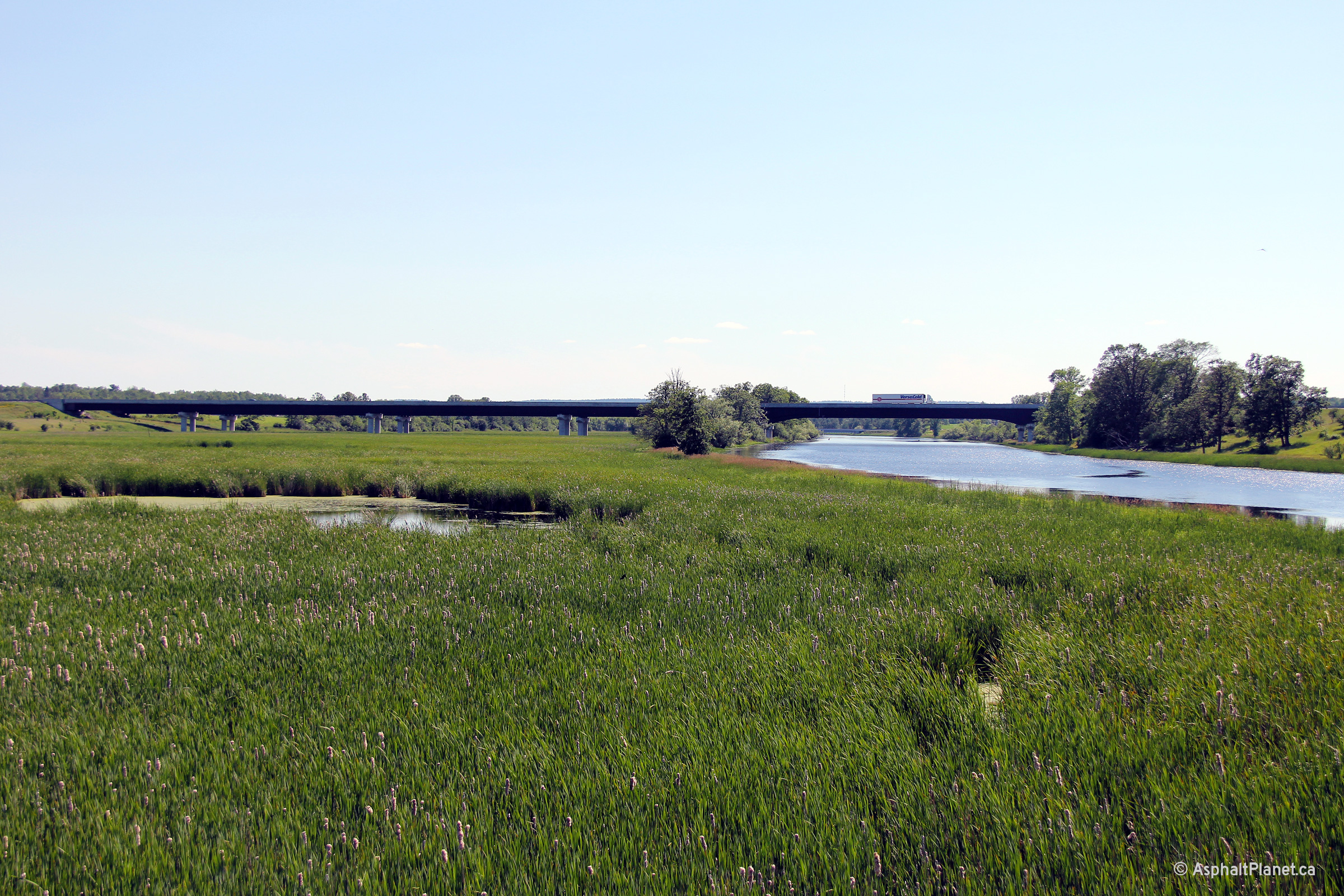
| City of Ottawa |
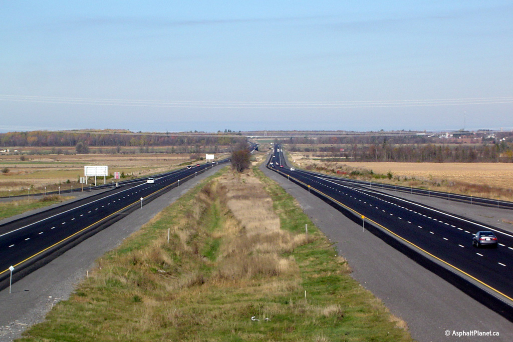
Looking west along Highway 417 from the Kinburn Sideroad. In the
distance of this photo, the twin Mississippi River bridges can be seen.
These structures were completed in 2002, (two years prior to Highway 417's
opening), and represented a major engineering achievement. The
structure is located atop a large wetland and floodplain, in an area with
notably poor soil quality. Click
here for this same view taken
in October, 2004.
Photo taken: June 30th, 2012. |

(720x480)
(1440x960)
(2400x1600) |
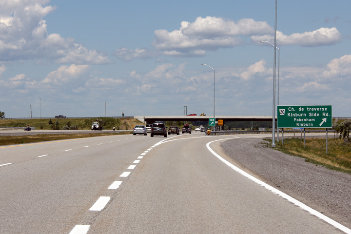
| City of Ottawa |
Looking east from the Kinburn Sideroad overpass. Kinburn Sideroad is
located roughly at kilometre marker 169. Photo taken: June 30th, 2012. |
(720x480)
(1440x960)
(2400x1600) |
| City of Ottawa |
The westbound off-ramp to Kinburn Sideroad.
Photo taken: June 30th, 2012. |
 (720x480) (720x480)
(1440x960)
(2400x1600) |
| City of Ottawa |
Westbound advanced signage for the Kinburn Sideroad interchange.
Photo taken: June 30th, 2012. |
 (720x480) (720x480)
(1440x960)
(2400x1600) |
| City of Ottawa |
There is a ferry across the Ottawa River accessible from the Kinburn
Sideroad interchange. There is only one fixed crossing over the Ottawa
River between Ottawa and Pembroke.
Photo taken: June 30th, 2012. |
 (720x480) (720x480)
(1440x960)
(2400x1600) |
| City of Ottawa |
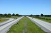
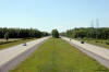
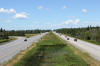
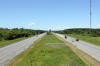
Highway 417 looking west from Panmure
Road in Ottawa. Panmure Road marks the beginning of the recently
completed (September 2004) Highway 417 extension to Arnprior. The
clearing of trees that can be seen in the centre of the image marks the old
Highway 17 alignment that was severed in favour of the new Highway 417 freeway.
Highway 417 was built on an entirely new alignment from Panmure Road to
Arnprior, unlike previous freeway extensions from Highway 7 to Panmure Road.
Photos taken:
June 30th, 2012. |
(720x480)
(1440x960)
(2400x1600)
(720x480)
(1440x960)
(2400x1600) |
| City of Ottawa |
Looking east towards Ottawa from the Panmure Drive overpass. Before
September 2004, Panmure Drive was the last interchange along Highway 417
before it narrowed from 4- to 2-lanes, becoming Highway 17.
Photo taken: June 30th, 2012. |
(720x480)
(1440x960)
(2400x1600) |
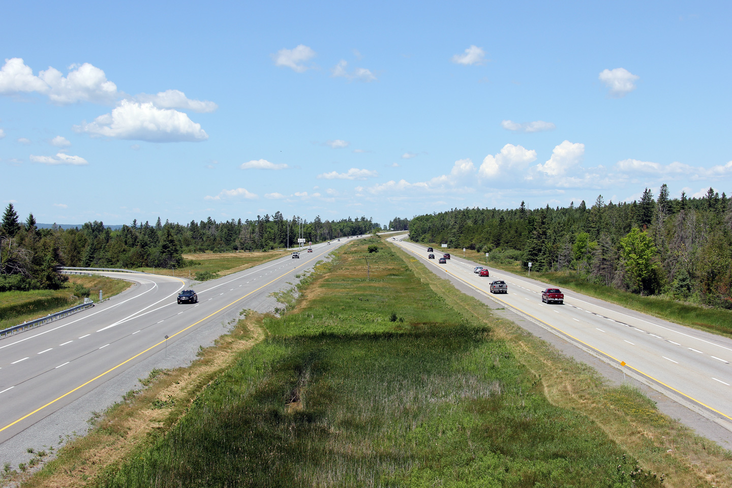
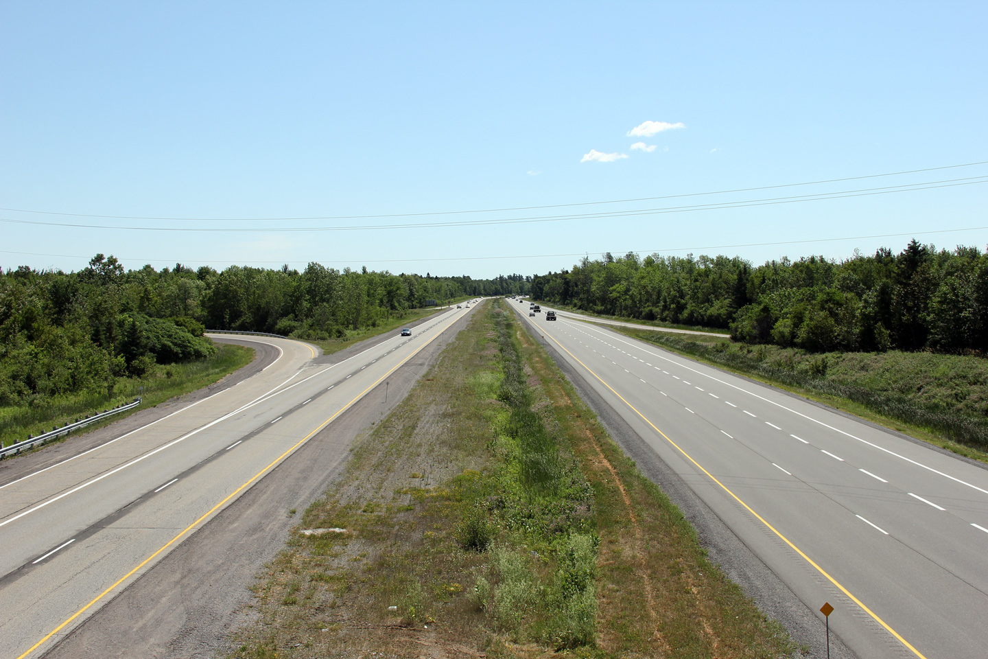
| City of Ottawa |
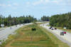
Looking west towards Arnprior from the Vaughan Sideroad overpass.
Vaughan Sideroad is located roughly at kilometre marker 159. Photo
taken: June 30th, 2012. |
(720x480)
(1440x960)
(2400x1600) |
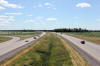
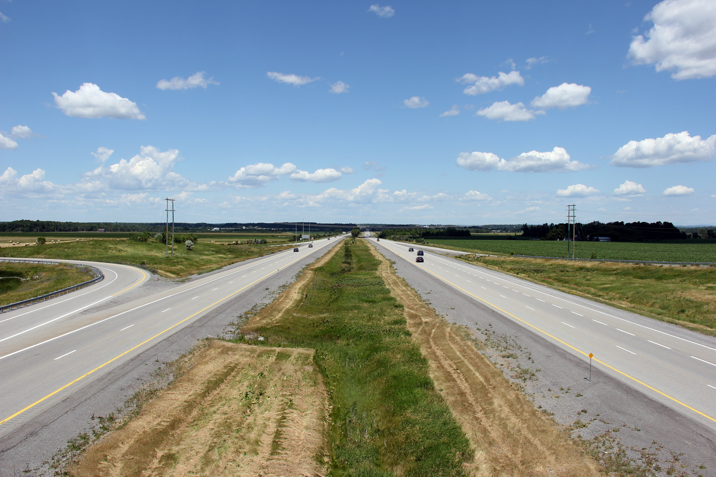
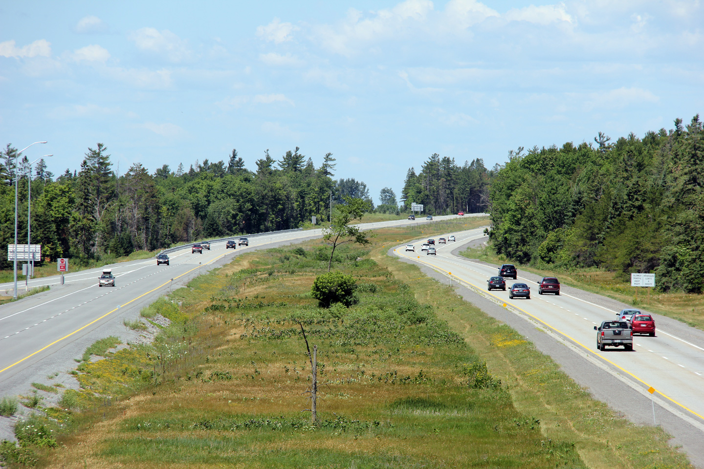
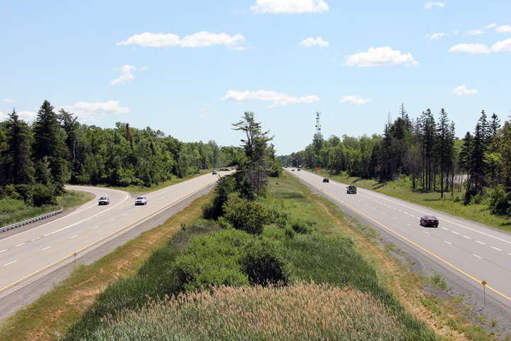
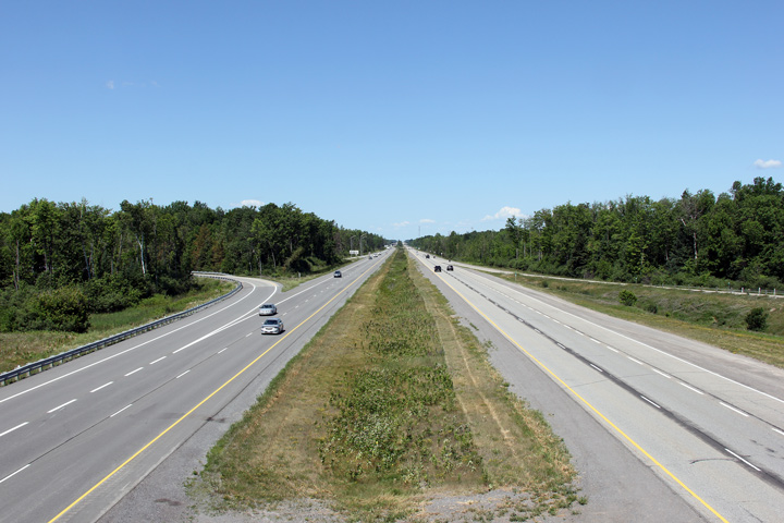
| City of Ottawa |
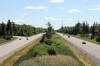
Looking east along Highway 417 from the Vaughan Sideroad overpass.
Notice the slight meander of the left (westbound) carriageway in the photo.
This carriageway was constructed in the mid 1960s and (quite surprisingly)
was not reconstructed when the highway was twinned in the late-1990s.
Photo taken: June 30th, 2012. |
(720x480)
(1440x960)
(2400x1600) |
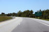
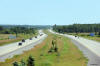
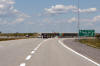
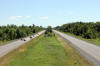
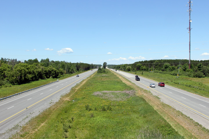
| City of Ottawa |
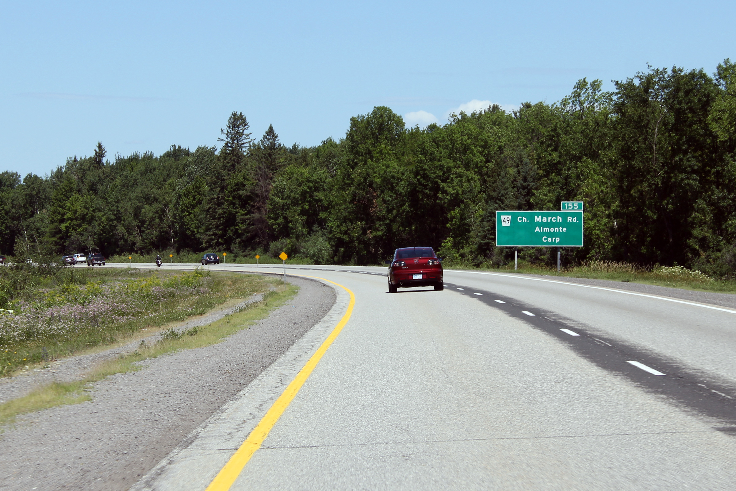
Looking west from the Highway 44 (now Ottawa Road 49) overpass near Carp.
Photo taken: June 30th, 2012. |
(720x480)
(1440x960)
(2400x1600) |
|
Ottawa Road 49 was Highway 44
until 1997, running between Almonte and Highway 417.
Click here
for Highway 44 images. |
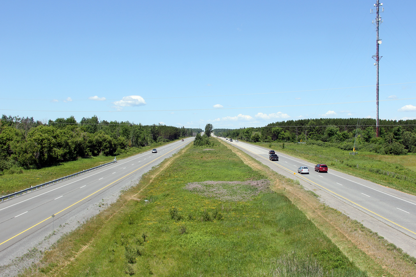
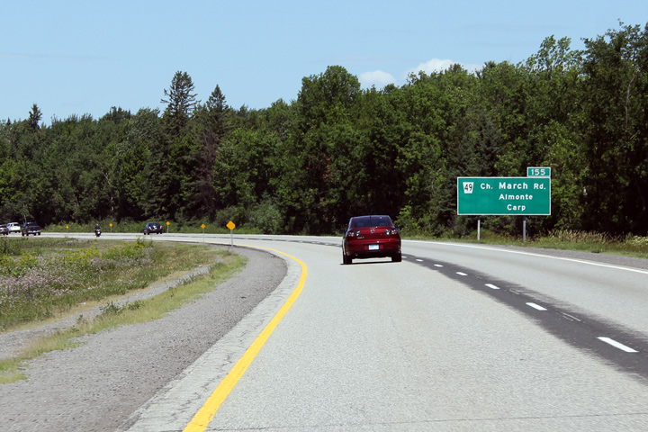
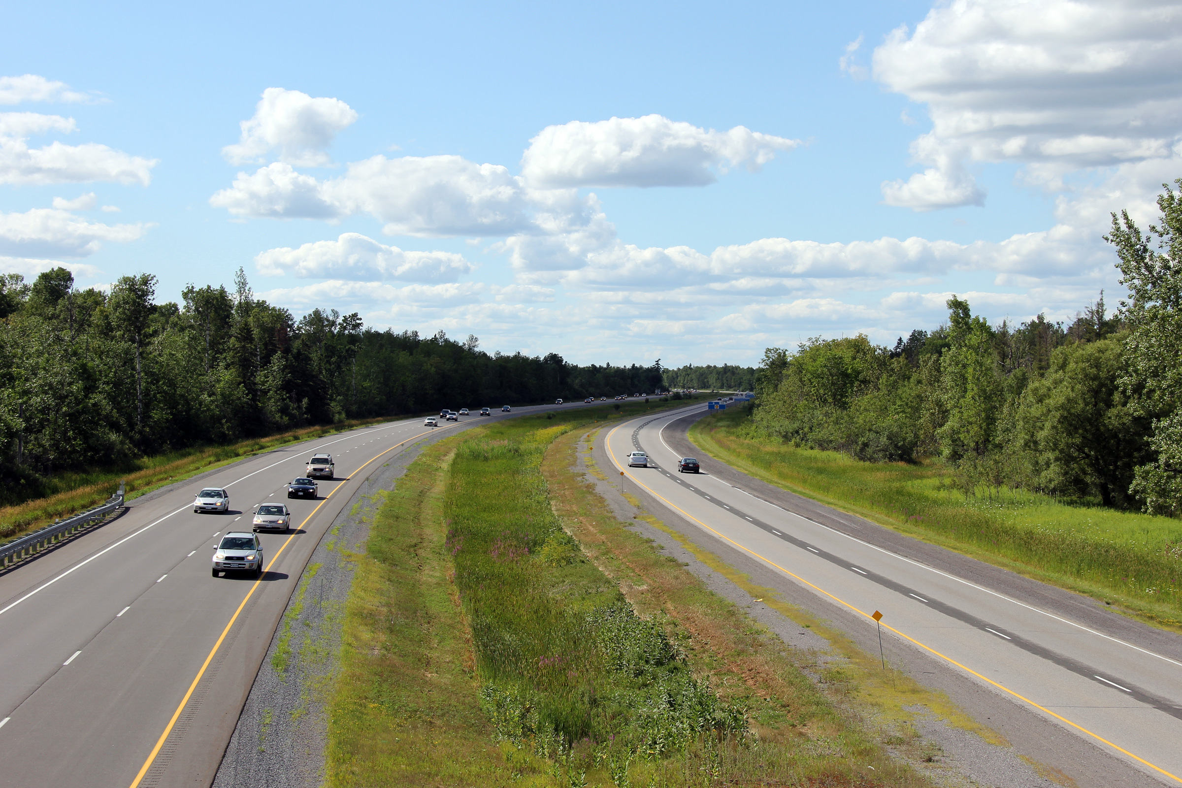
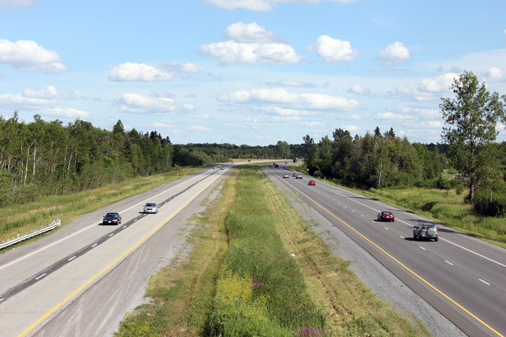
| City of Ottawa |
Looking east towards Ottawa from the Highway 44 overpass. The highway
44 overpass is located roughly at kilometre marker 155. Photo taken:
June 30th, 2012. |

(720x480)
(1440x960)
(2400x1600) |
| City of Ottawa |
Westbound signage at the off-ramp to the former Highway 44 (now Ottawa Road
49).
Photo taken: June 30th, 2012. |
 (720x480) (720x480)
(1440x960)
(2400x1600) |
| City of Ottawa |
Westbound advanced signage for the Highway 44 interchange.
Photo taken: June 30th, 2012. |
 (720x480) (720x480)
(1440x960)
(2400x1600) |
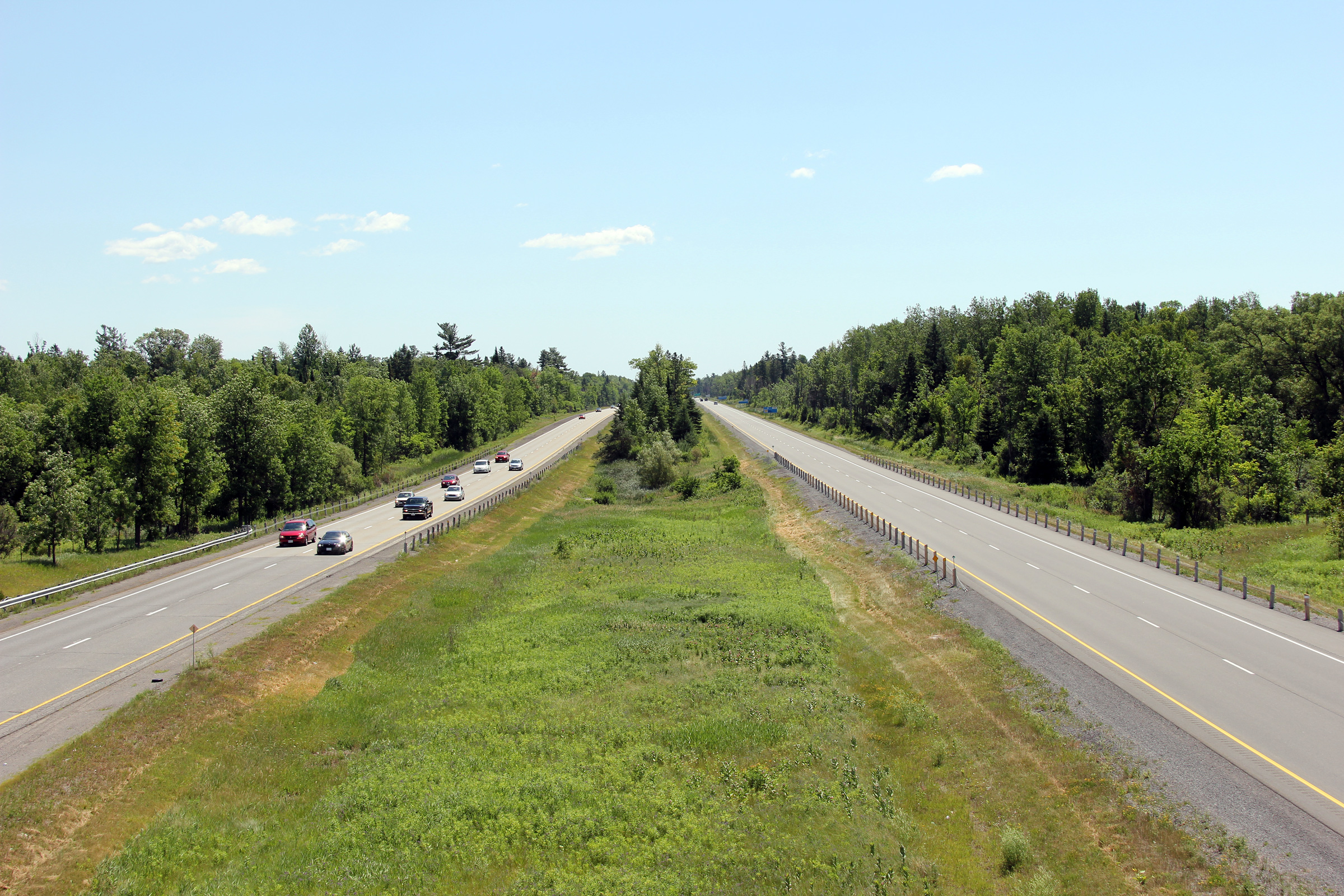
| City of Ottawa |
Looking west towards Arnprior from the McGee Sideroad overpass. McGee
Sideroad is located roughly at kilometre marker 151. Photo taken: July
24th, 2011 |
(720x480)
(1440x960)
(2400x1600) |
| City of Ottawa |
Looking towards Ottawa from the McGee Sideroad overpass. Photo taken: July
24th, 2011 |
(720x480)
(1440x960)
(2400x1600) |
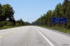
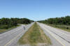
| City of Ottawa |
Looking westerly from the Richardson Sideroad overpass. Richardson
Sideroad is located roughly at kilometre marker 148. Photo taken: July
24th, 2011 |
(720x480)
(1440x960)
(2400x1600) |
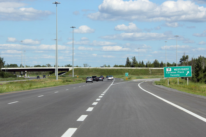
| City of Ottawa |
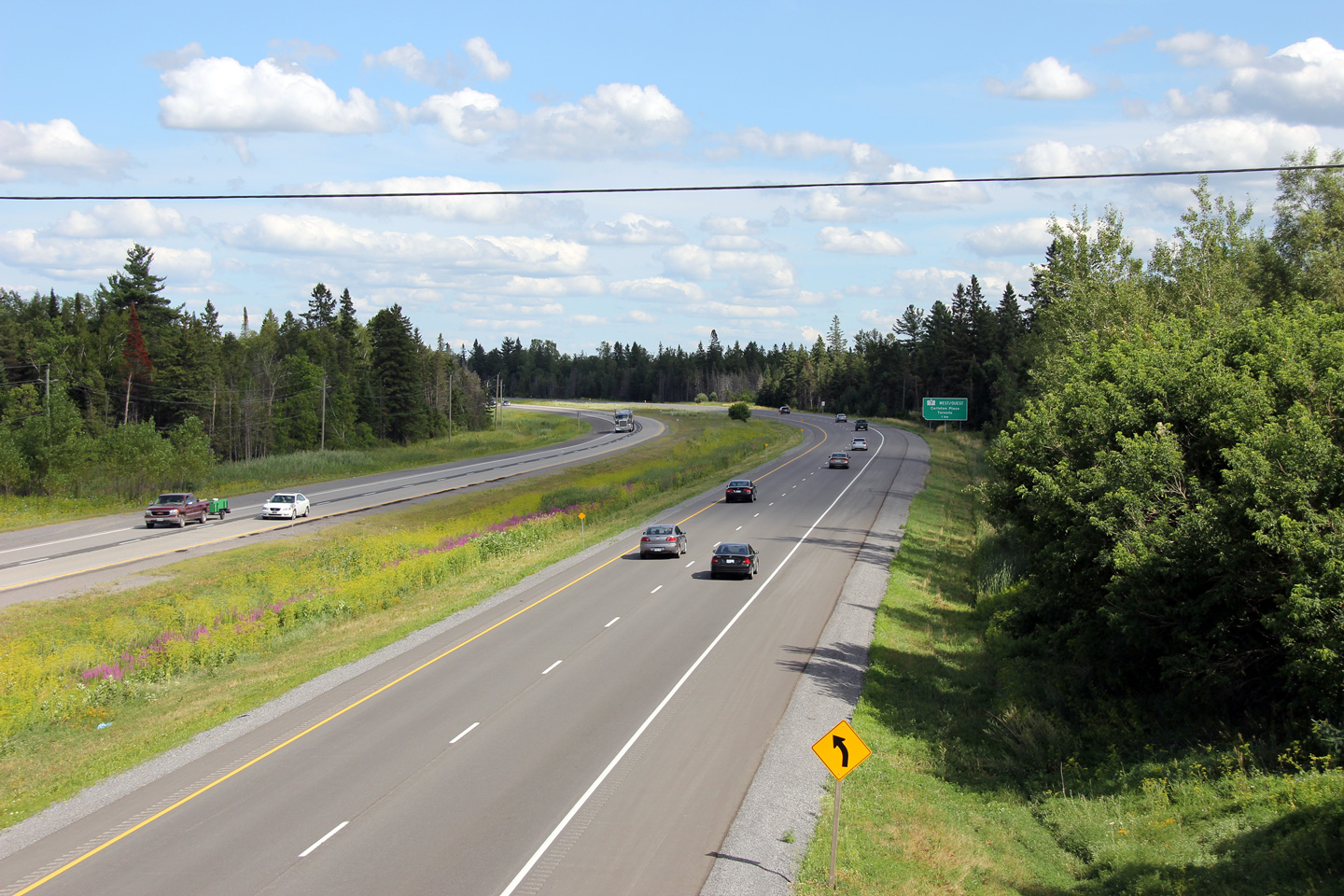
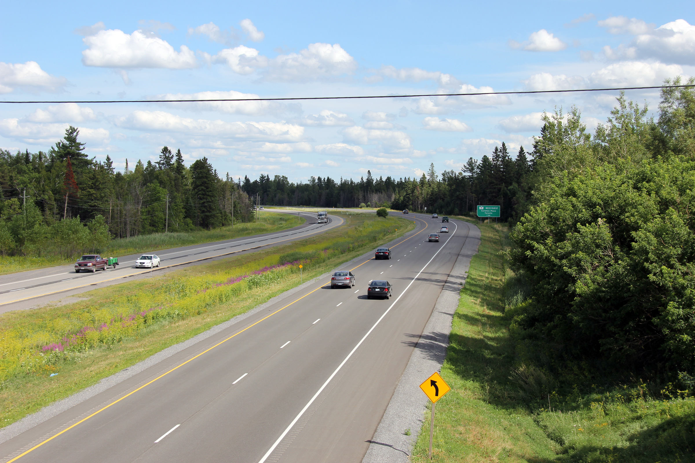
Looking east from the Richardson Sideroad overpass. Just beyond this
long sweeping curve is the Highway 7 interchange. East of the Highway
7 interchange, Highway 417 passes through Kanata, a large suburb of Ottawa.
Photo taken: July 24th, 2011 |

(720x480)
(1440x960)
(2400x1600) |
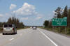
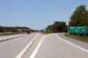
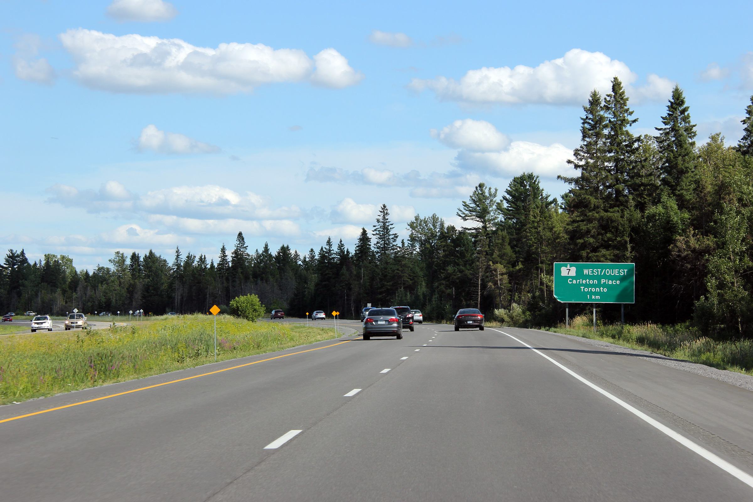
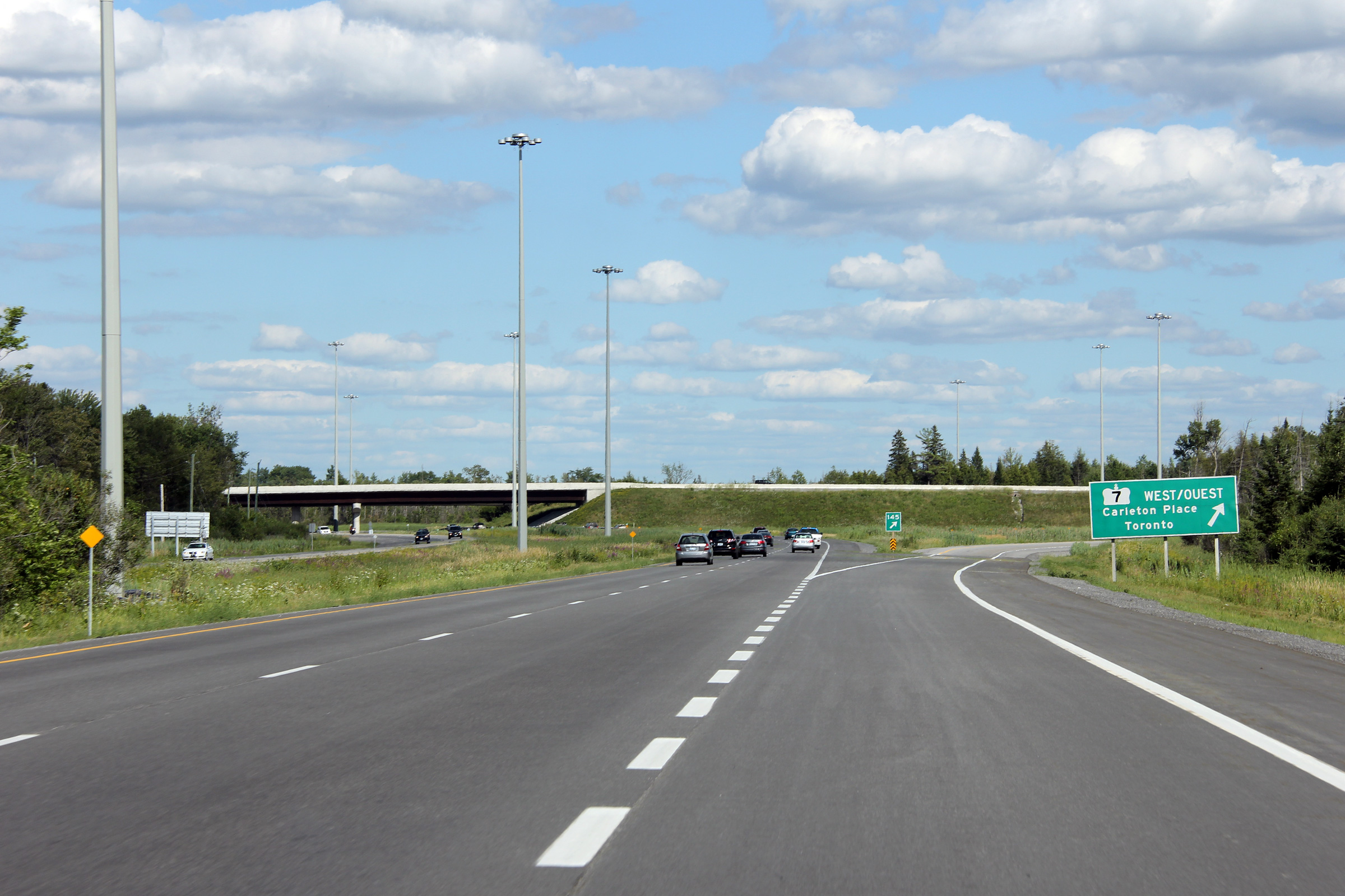
| City of Ottawa |
Easterly view approaching the ramp to Highway 7. It looks like a truck
has taken a bite out of this freeway sign.
Photo taken: July 24th, 2011. |
 (720x480) (720x480)
(1440x960)
(2400x1600) |
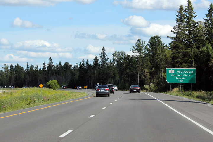
| City of Ottawa |
Eastbound view along Highway 417 approaching the ramp to Highway 7.
Photo taken: July 24th, 2011. |
 (720x480) (720x480)
(1440x960)
(2400x1600) |
|
Highway 7 begins
its trek easterly through Peterborough, north of Toronto, and eventually to
Sarnia at this interchange.
Click
here for Highway 7 images. |
|
Highway 417 images continue easterly through Kanata
via
Page 5A Images. |

 (720x480)
 (720x480)
 (720x480)

 (720x480)
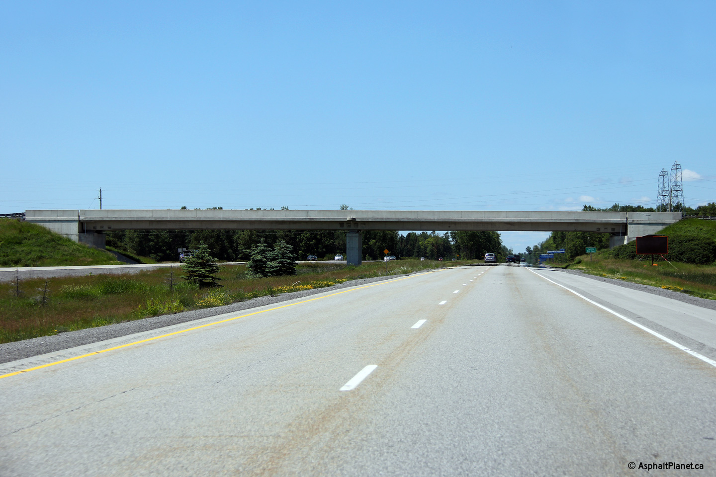

 (720x480)


 (720x480)
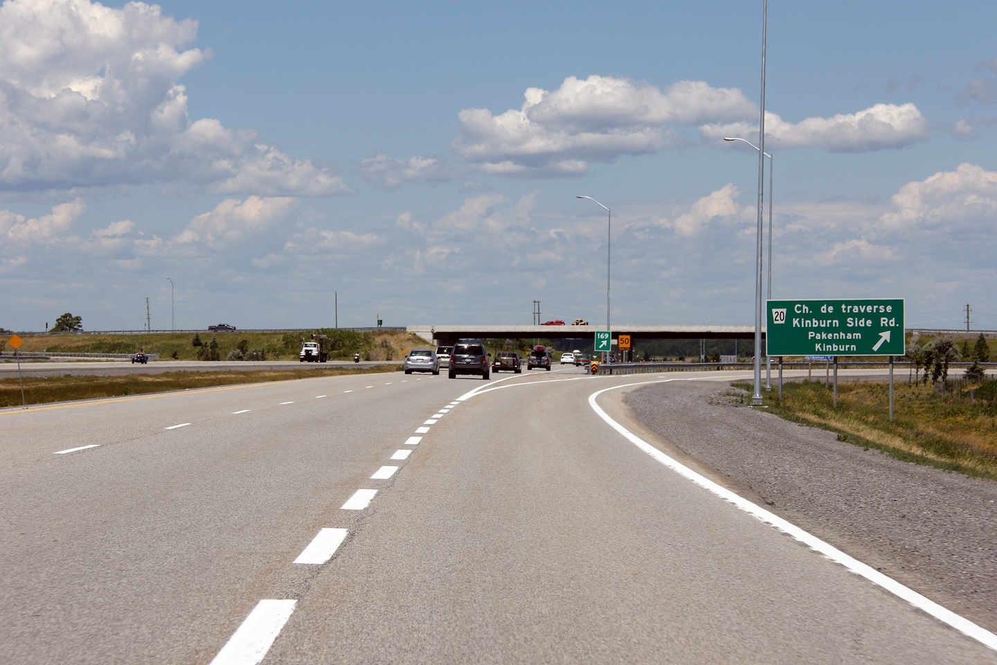
 (720x480)
 (720x480)
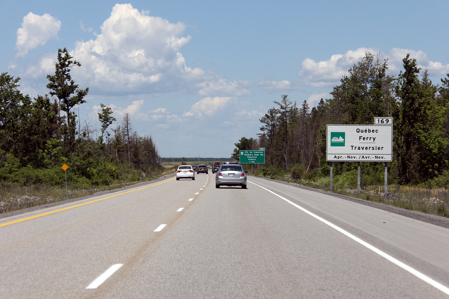


 (720x480)
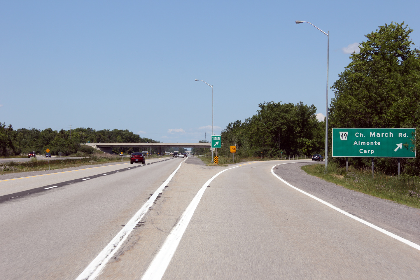
 (720x480)
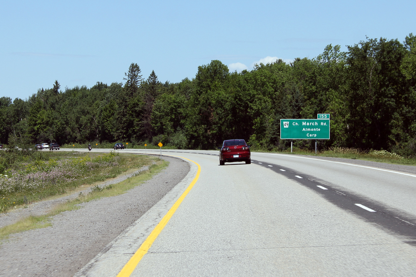


 (720x480)
 (720x480)
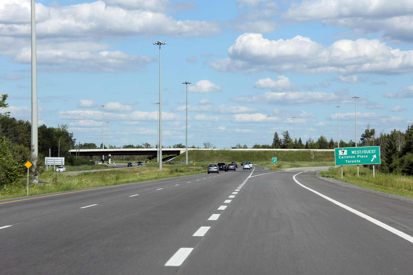