AsphaltPlanet.ca > OntHighways >
Highway 407 > Images
> Page 1
Highway 407 ETR - Images
Page 1 - Burlington to Brampton Page 2 - >
Photos shown in this table are arranged from West to East:
| Proper Municipality Name | Photo Description | Photo | |||
|
Pictures taken from driver's perspective appear offset from centre-line pictures: |
East- Bound |
West- Bound |
|||
|
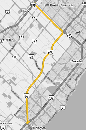
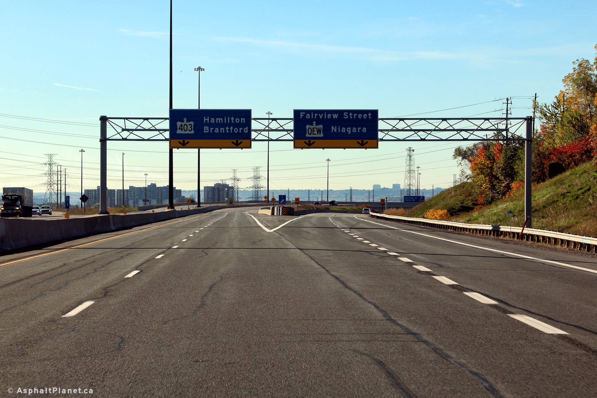
The 407 ends at the Freeman
interchange in Burlington. Traffic can head either Niagara bound on
the QEW, or Hamilton-bound on the 403 at this interchange. Click here for Highway 403 images, and here for QEW images. |
|||||
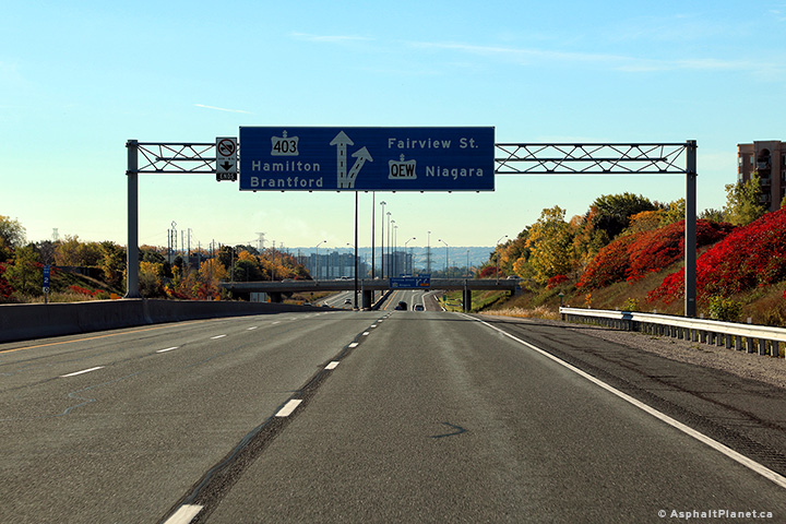
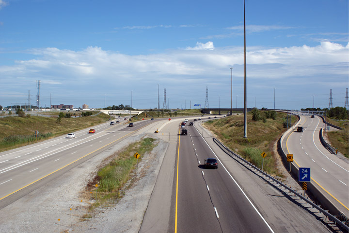
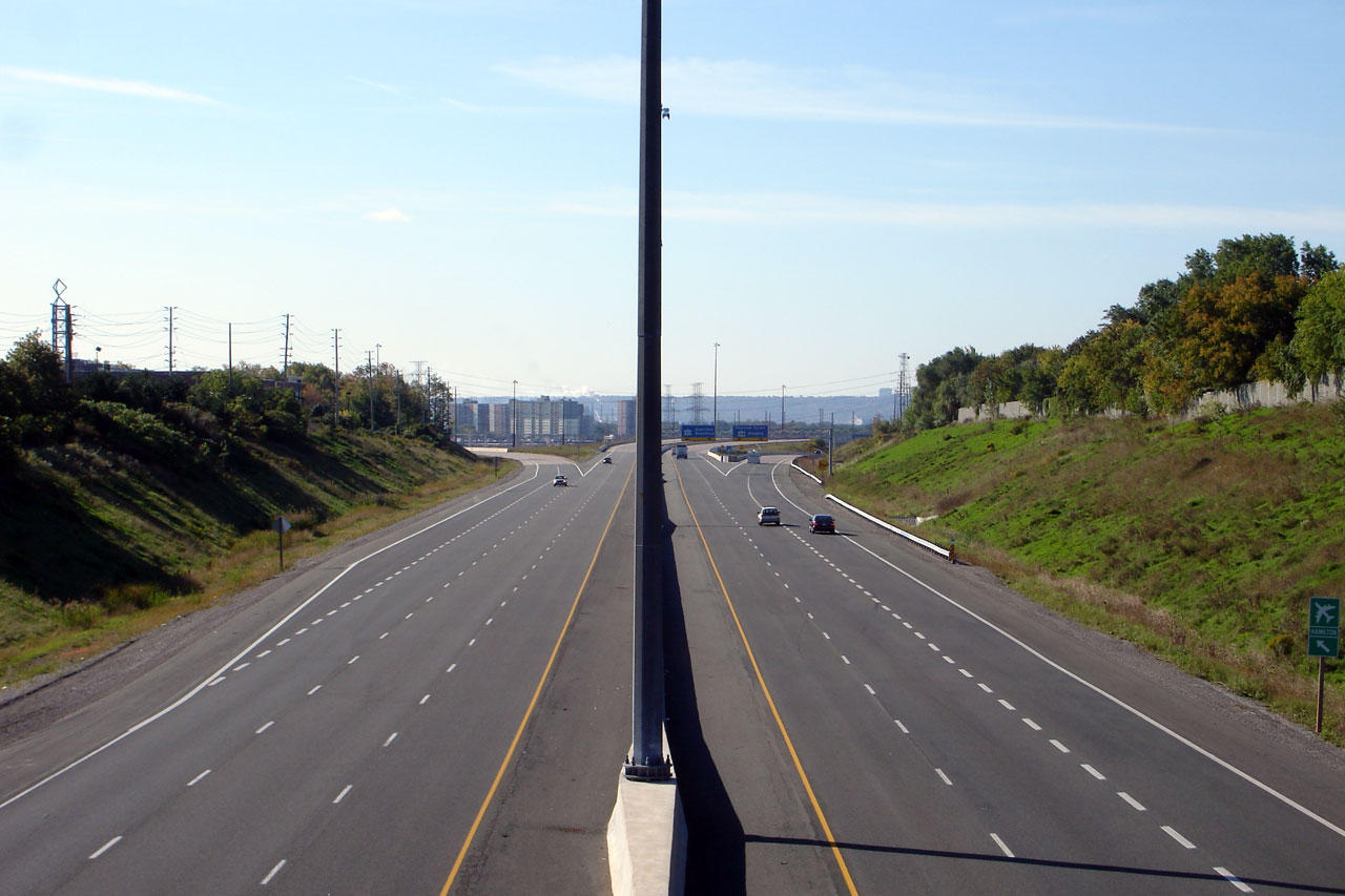
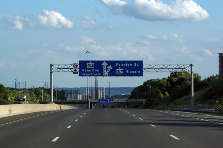
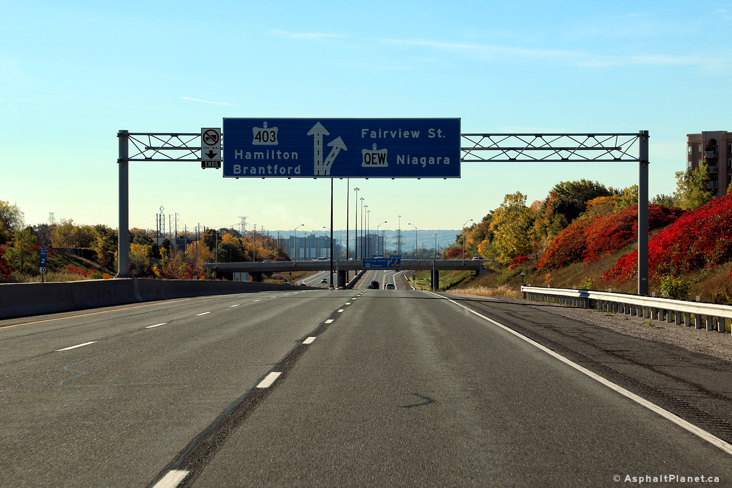
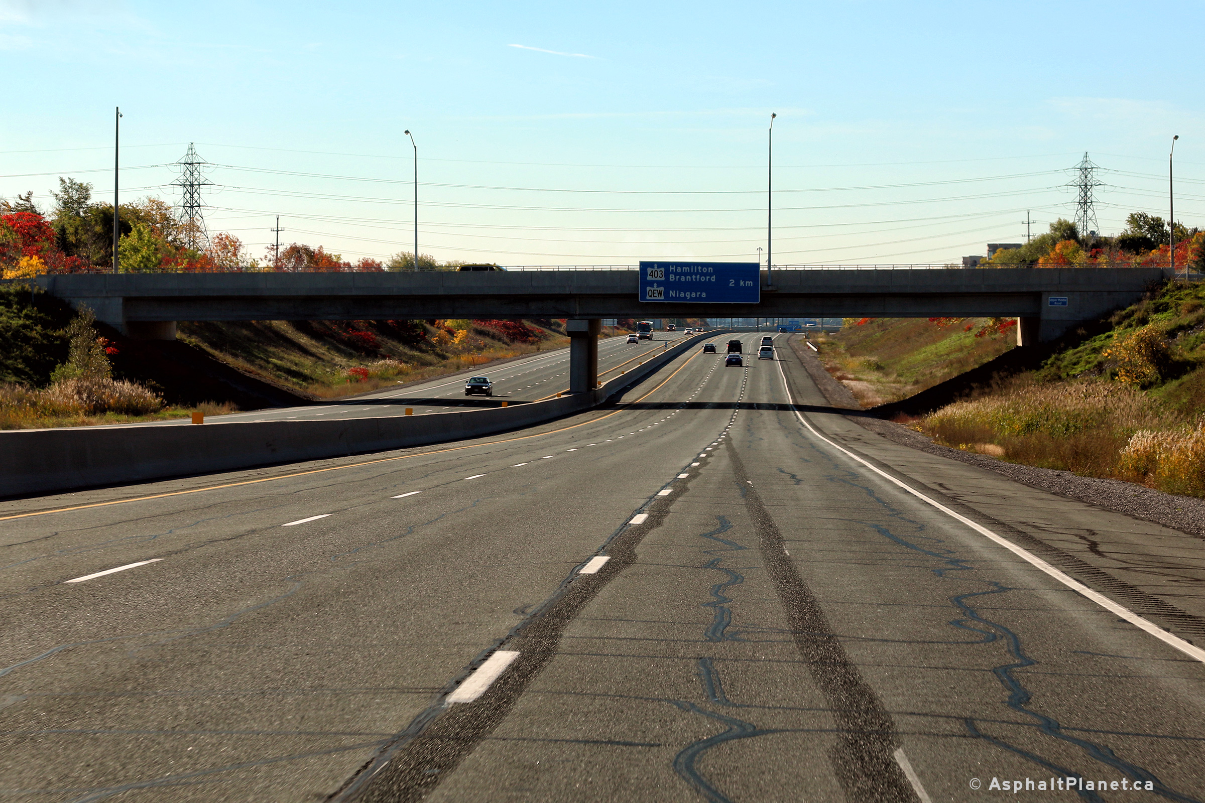
| City of Burlington Regional Municipality of Halton |
View looking westerly through the overhead guide signage directing traffic
onto the Niagara-bound QEW and Highway 403-West. Photo taken: October 19th, 2016. |
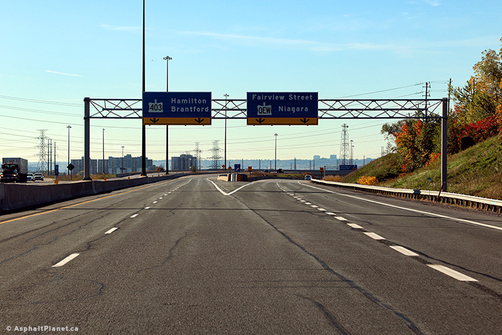 (720x480) (720x480)(1440x960) (2400x1600) |
|||
| City of Burlington Regional Municipality of Halton |
Two views looking west towards the western end of Highway 407 at the QEW/403
interchange from the Brant
Street overpass. Click here for an
additional view from this vantage point, taken
in September, 2006. Photo taken: May 16th, 2013. |
|
|||
| City of Burlington Regional Municipality of Halton |
Eastbound view from Brant Street. The Brant Street overpass was built long
before Highway 407 was pushed through Burlington and Oakville, in
anticipation of Highway 403. Click here for this same view taken
in September, 2006. Photo taken: May 16th, 2013 |
 (720x480) (1440x960) (2400x1600) |
|||
| City of Burlington Regional Municipality of Halton |
Overhead advanced signage situated in front of the Brant Street overpass. Photo taken: October 19th, 2016. |
 (720x480) (720x480)(1440x960) (2400x1600) |
|||
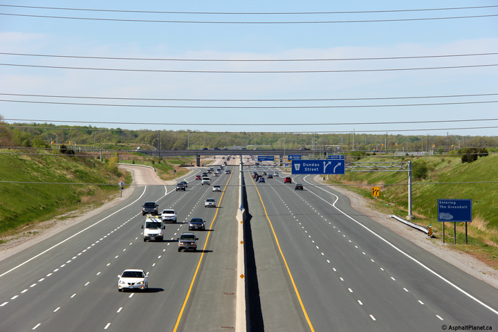
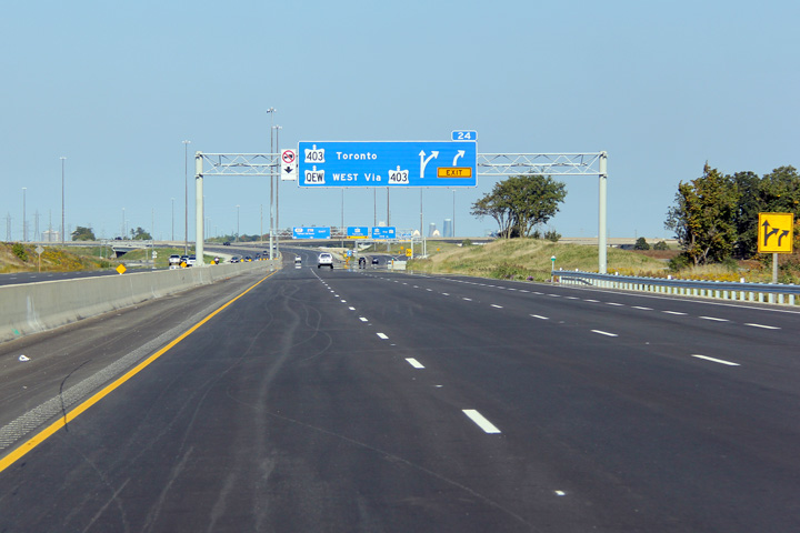
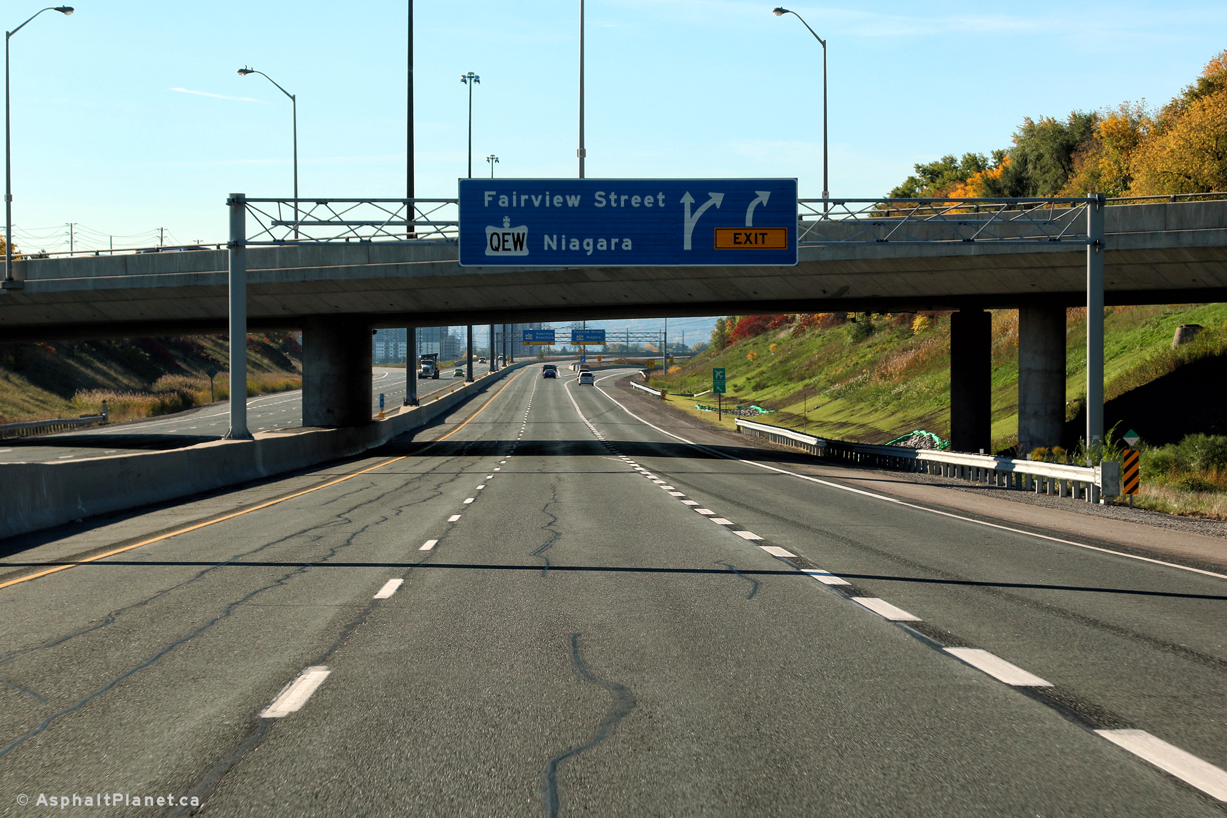
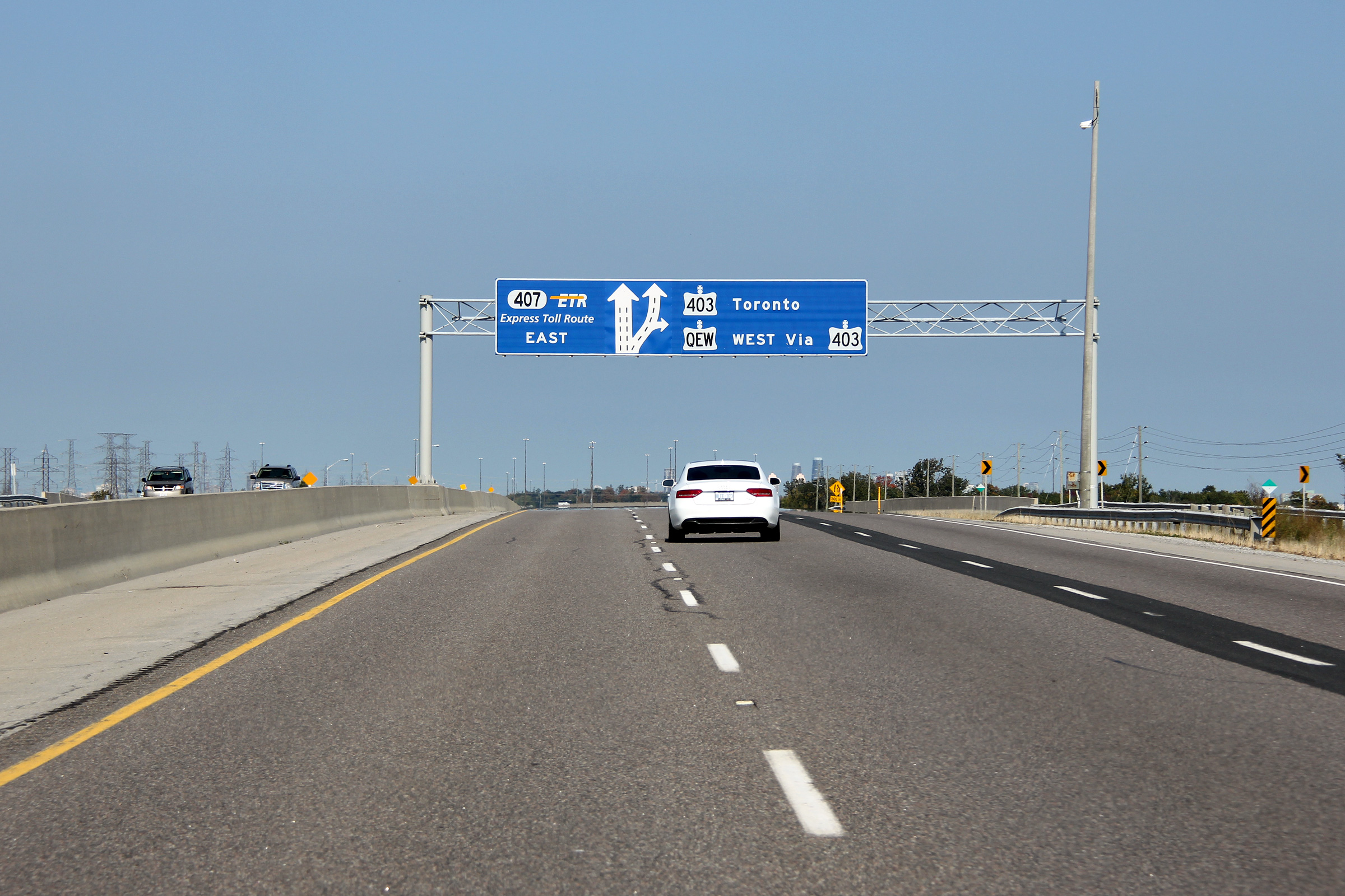
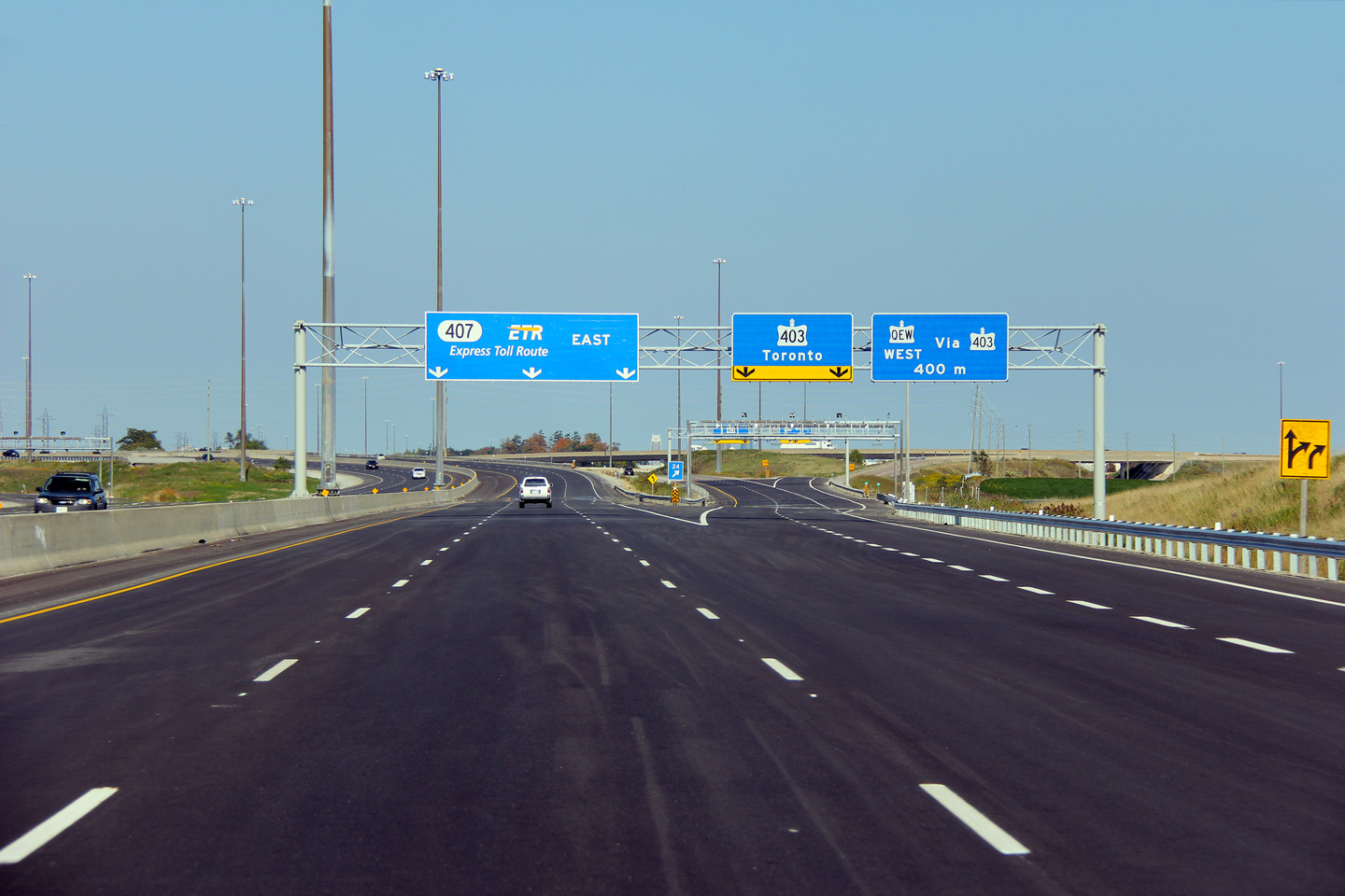
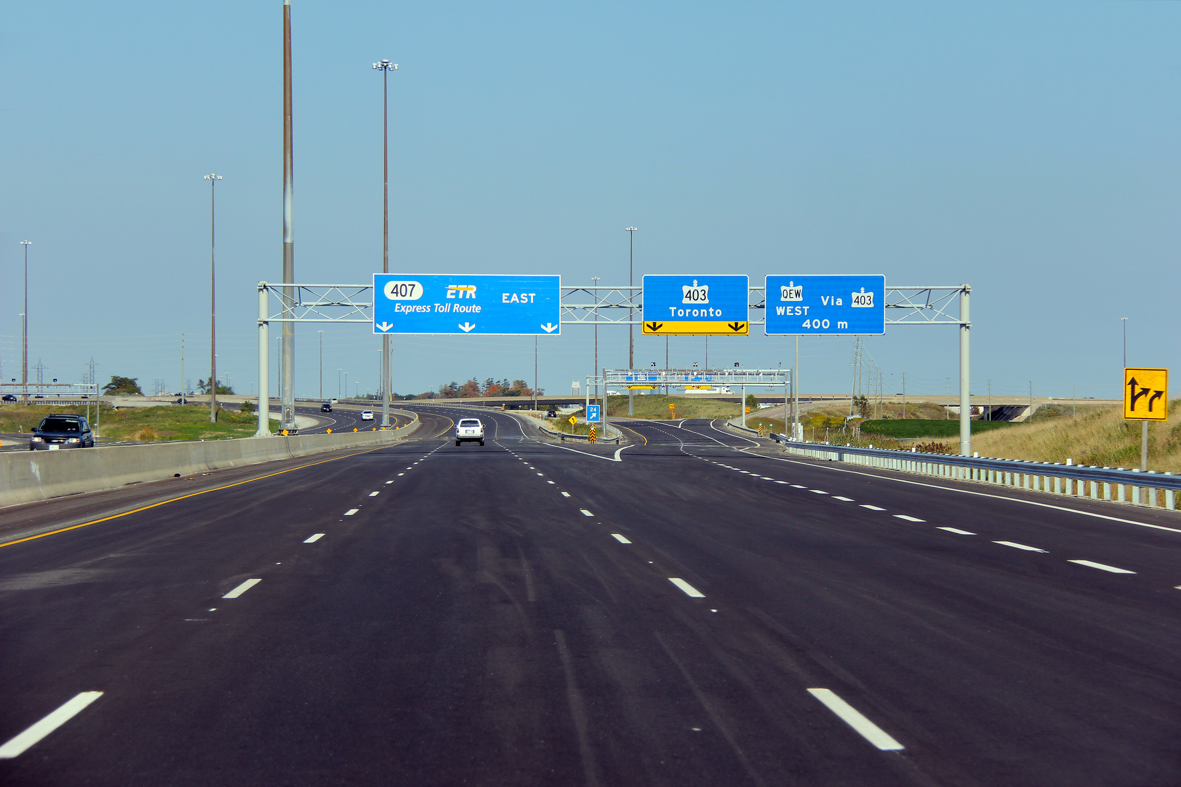
| City of Burlington Regional Municipality of Halton |
Diagram sign informing motorists of the various destinations available at the western end of Highway
407. Photo taken: October 19th, 2016. |
 (720x480) (720x480)(1440x960) (2400x1600) |
|||
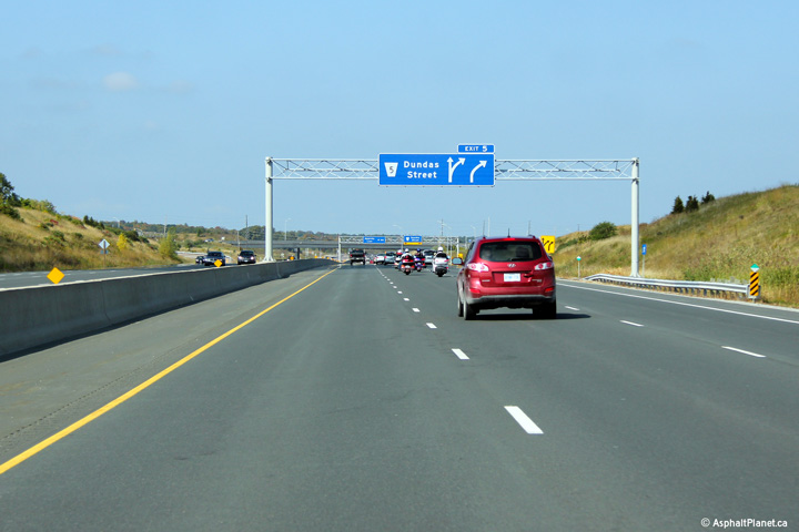
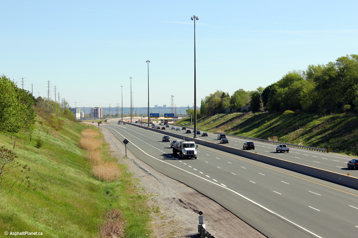
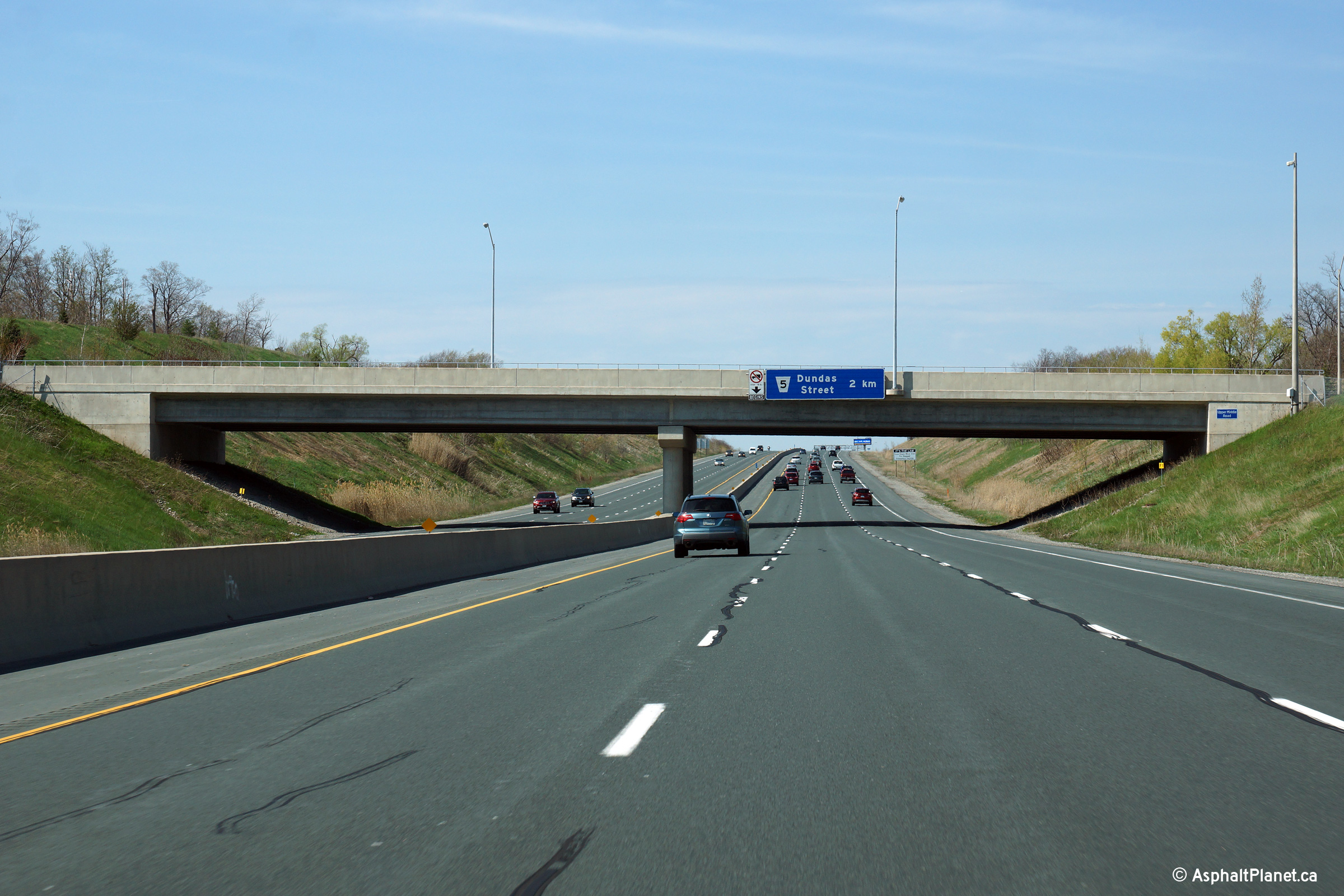
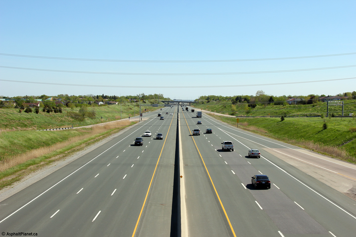
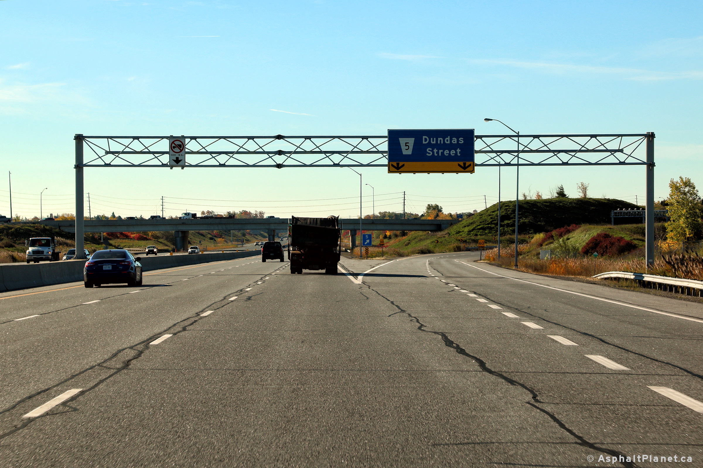
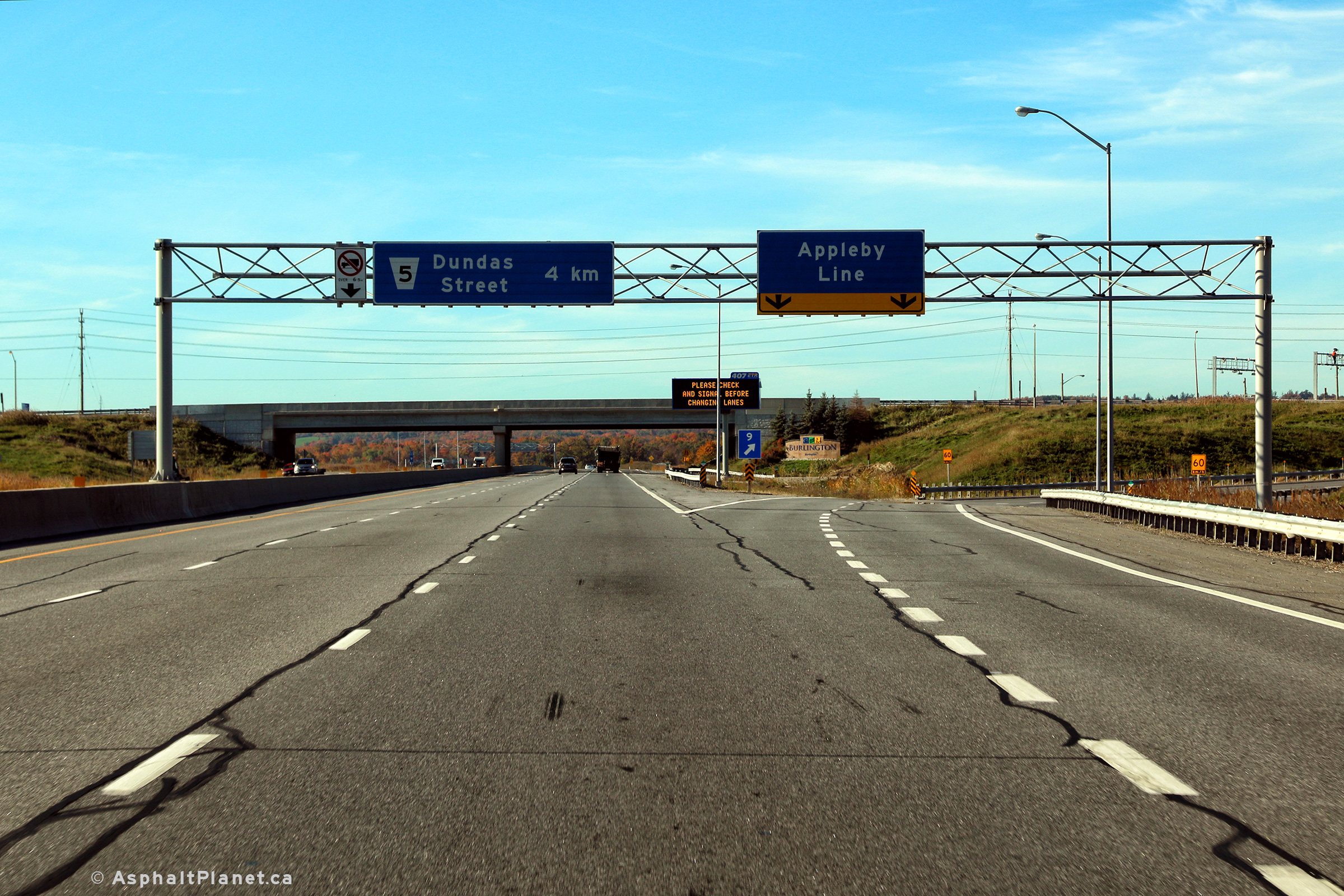
| City of Burlington Regional Municipality of Halton |
Bridge mounted advanced signage for Dundas Street. Photo taken: May 11th, 2014. |
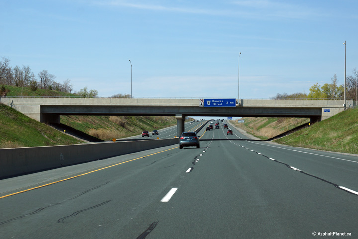 (720x480) (720x480)(1440x960) (2400x1600) |
|||
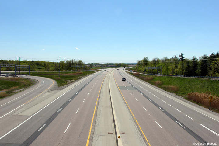
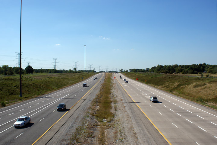
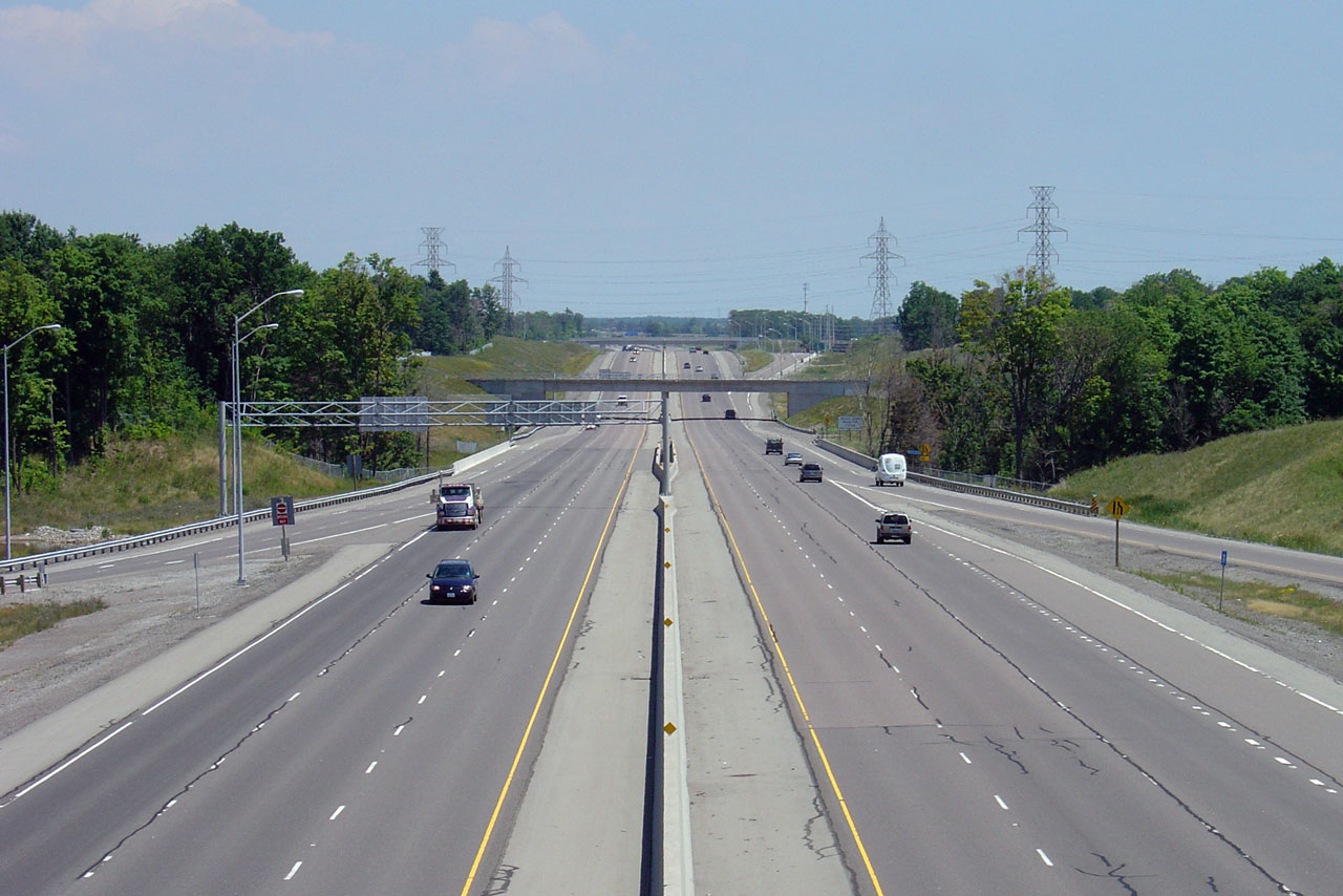
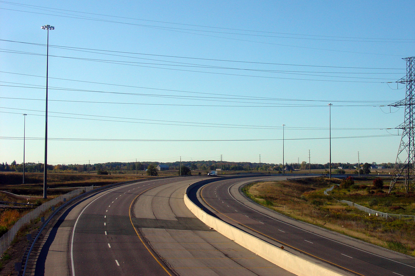
| City of Burlington Regional Municipality of Halton |
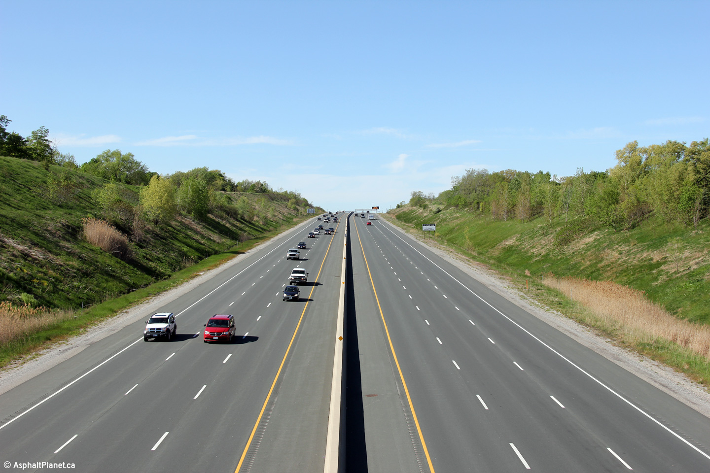
Looking towards Hamilton from the Upper Middle Road overpass. Click
here for this same view taken
in September, 2006. Photo taken: May 16th, 2013. |
||||
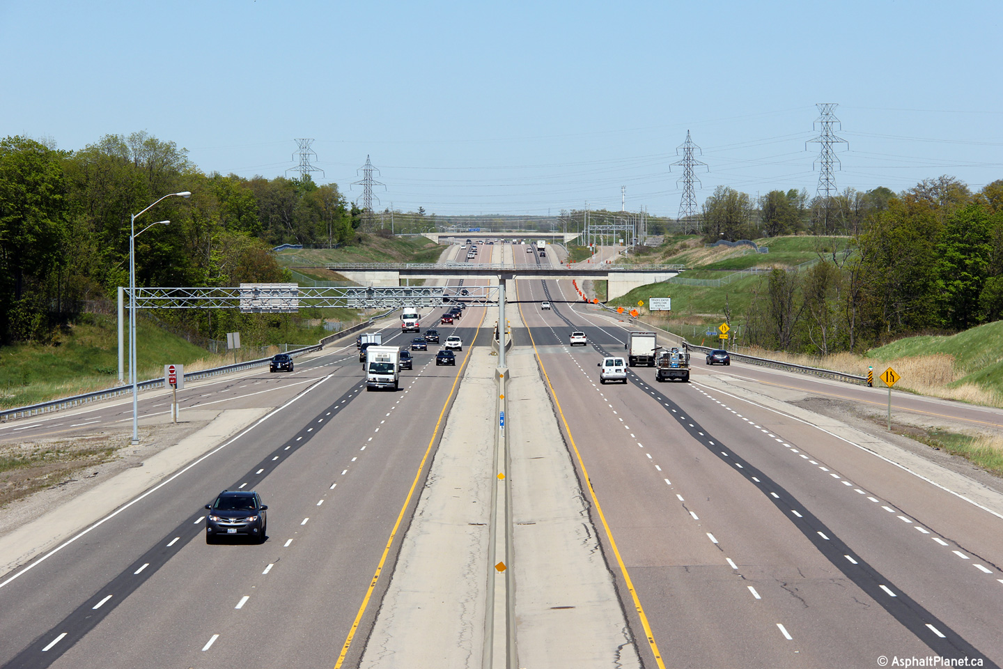
| City of Burlington Regional Municipality of Halton |
View looking east from the Upper Middle Road overpass. Click
here for this same view taken
in September, 2006. Photo taken: May 16th, 2013. |
||||
| City of Burlington Regional Municipality of Halton |
This bridge mounted sign is situated on the opposite side of the Upper
Middle Road overpass. Photo taken: October 19th, 2016. |
 (720x480) (720x480)(1440x960) (2400x1600) |
|||
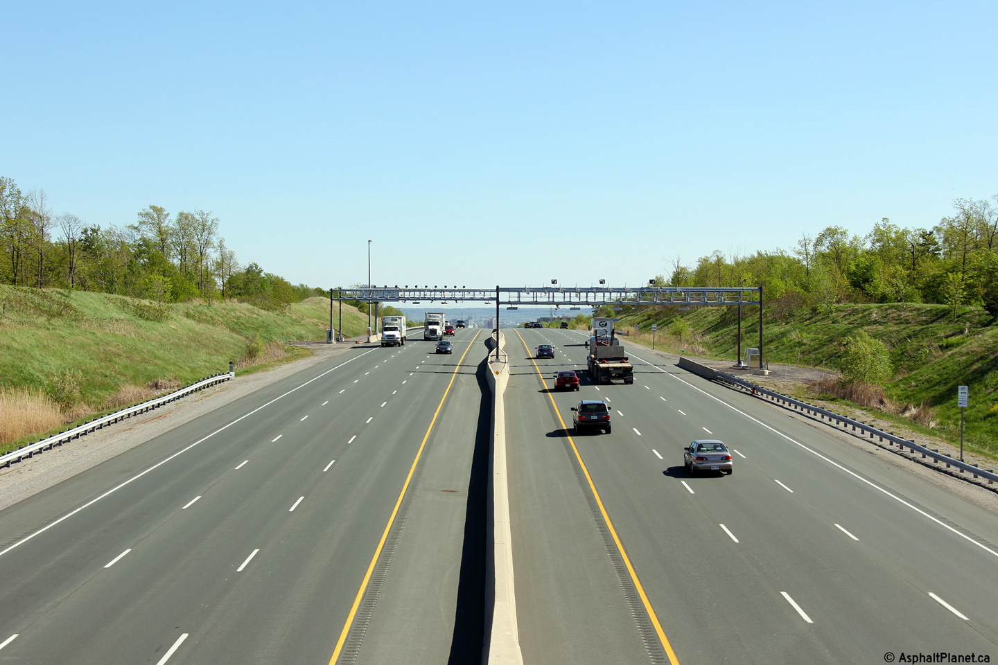
| City of Burlington Regional Municipality of Halton |
Permanent changeable message sign in advance of the start of tolling west of
the Guelph Line overpass. Photo taken: May 11th, 2014. |
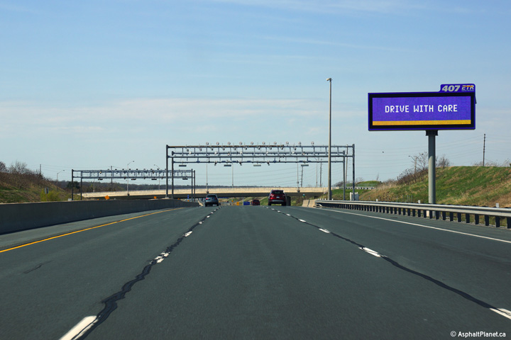 (720x480) (720x480)(1440x960) (2400x1600) |
|||
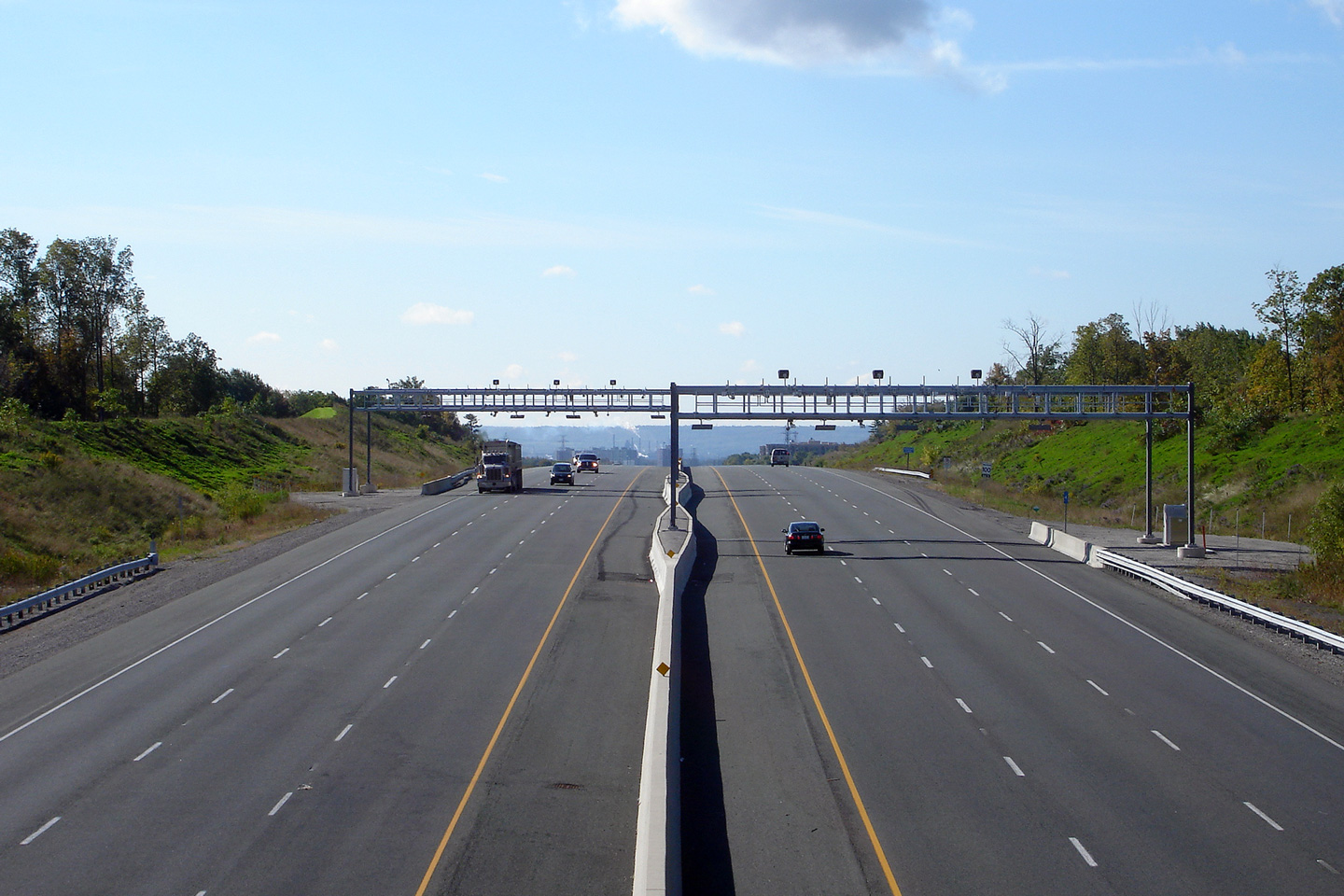
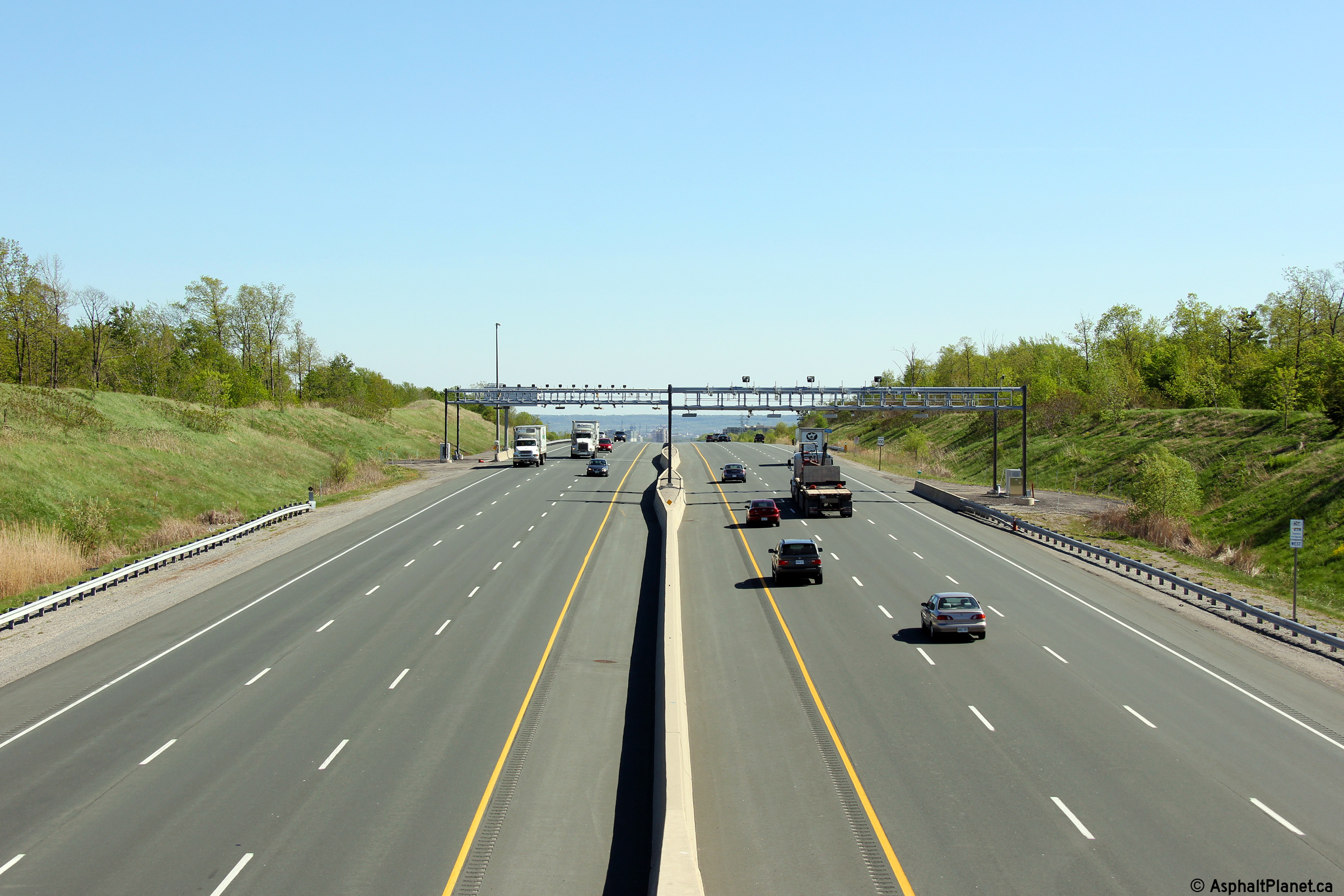
| City of Burlington Regional Municipality of Halton |
An interesting view of Highway 407's tolling system as seen from the Guelph
Line overpass. Click here for this same view taken
in September, 2006. Photo taken: May 16th, 2013. |
 (720x480) (1440x960) (2400x1600) |
|||
| City of Burlington Regional Municipality of Halton |
Looking east towards Dundas Street from Guelph Line. Click
here for this same view taken
in September, 2006. Photo taken: May 16th, 2013. |
 (720x480) (1440x960) (2400x1600) |
|||
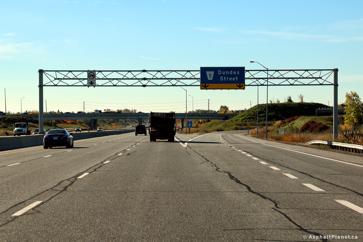
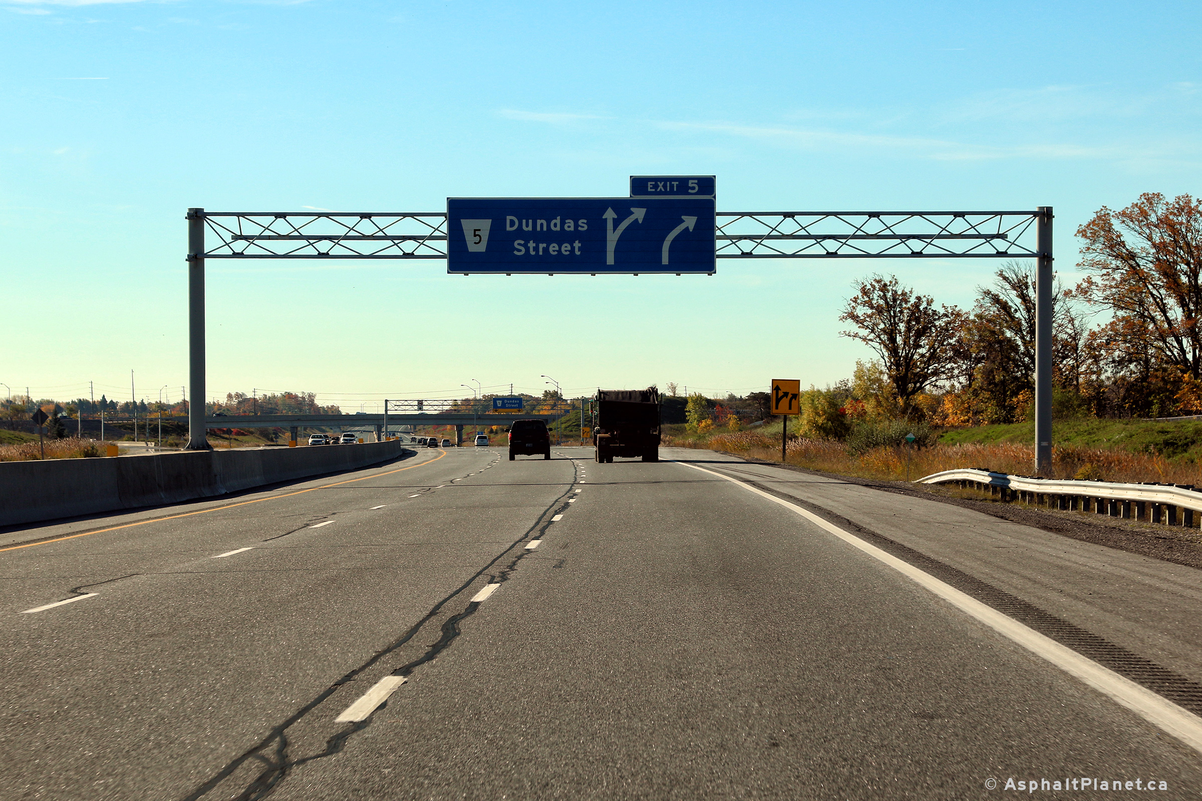
| City of Burlington Regional Municipality of Halton |
Overhead advanced sign for Dundas Street. Photo taken: September 25th, 2011. |
 (720x480) (720x480)(1440x960) (2400x1600) |
|||
| City of Burlington Regional Municipality of Halton |
Signage at the Dundas Street off-ramp. Photo taken: September 25th, 2011. |
||||
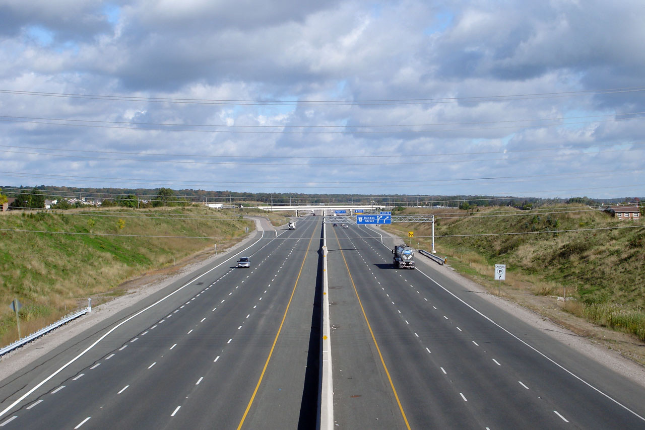
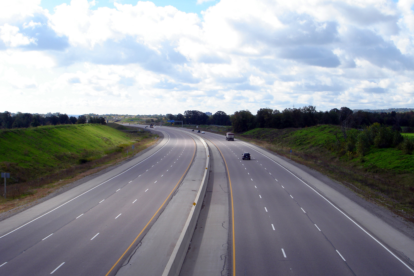
| City of Burlington Regional Municipality of Halton |
Westerly view from the Dundas Street overpass. Click here for this same view taken
in September, 2006. Picture taken: May 16th, 2013. |
 (720x480) (1440x960) (2400x1600) |
|||
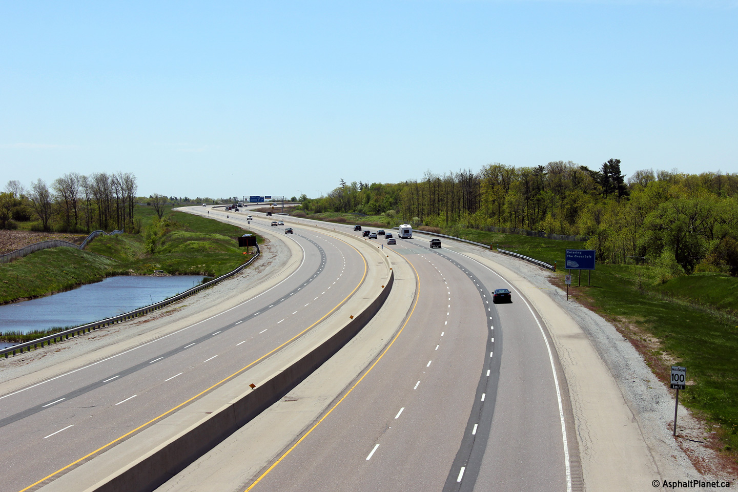
| Highway 5 crosses the 407 atop Northern Burlington. Click here for Highway 5 images. | |||||
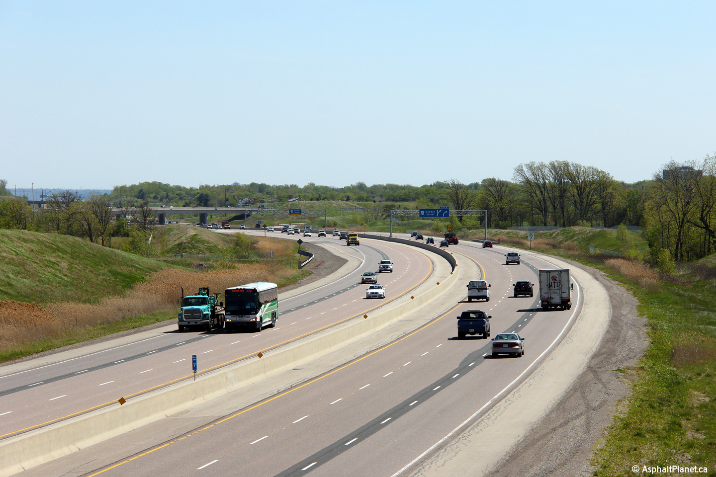
| City of Burlington Regional Municipality of Halton |
View looking east from Dundas Street. Click
here for this same view taken
in September, 2006. Picture taken: May 16th, 2013. |
 (720x480) (1440x960) (2400x1600) |
|||
| Town of Oakville Regional Municipality of Halton |
Westerly view at the off-ramp to Dundas Street. Photo taken: October 19th, 2016. |
 (720x480) (720x480)(1440x960) (2400x1600) |
|||
| Town of Oakville Regional Municipality of Halton |
Westbound advance signage for the Dundas Street interchange. Photo taken: October 19th, 2016. |
 (720x480) (720x480)(1440x960) (2400x1600) |
|||
| City of Burlington Regional Municipality of Halton |
Walkers Line crosses the 407 along a long gentle bend. This view looks west.
Click here for this same view taken
in September, 2006. Picture taken: May 16th, 2013. |
 (720x480) (1440x960) (2400x1600) |
|||
| City of Burlington Regional Municipality of Halton |
The eastern view from the Walkers Line overpass. Click
here for this same view taken in
September, 2006. Photo taken: May 16th, 2013. |
 (720x480) (1440x960) (2400x1600) |
|||
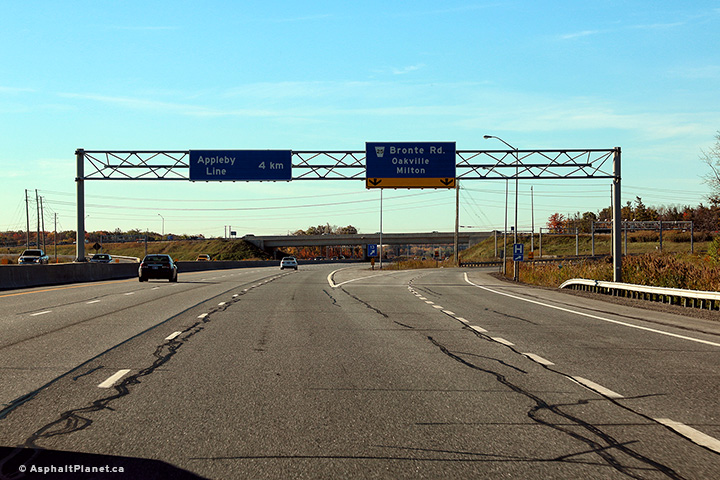
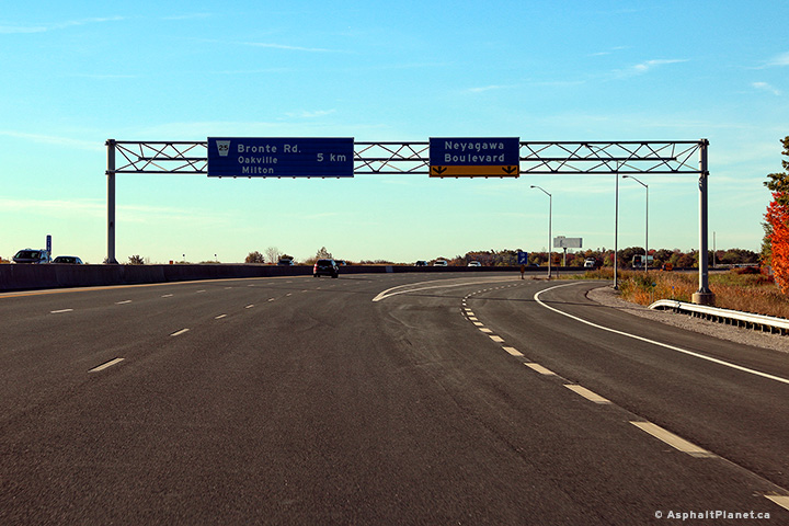
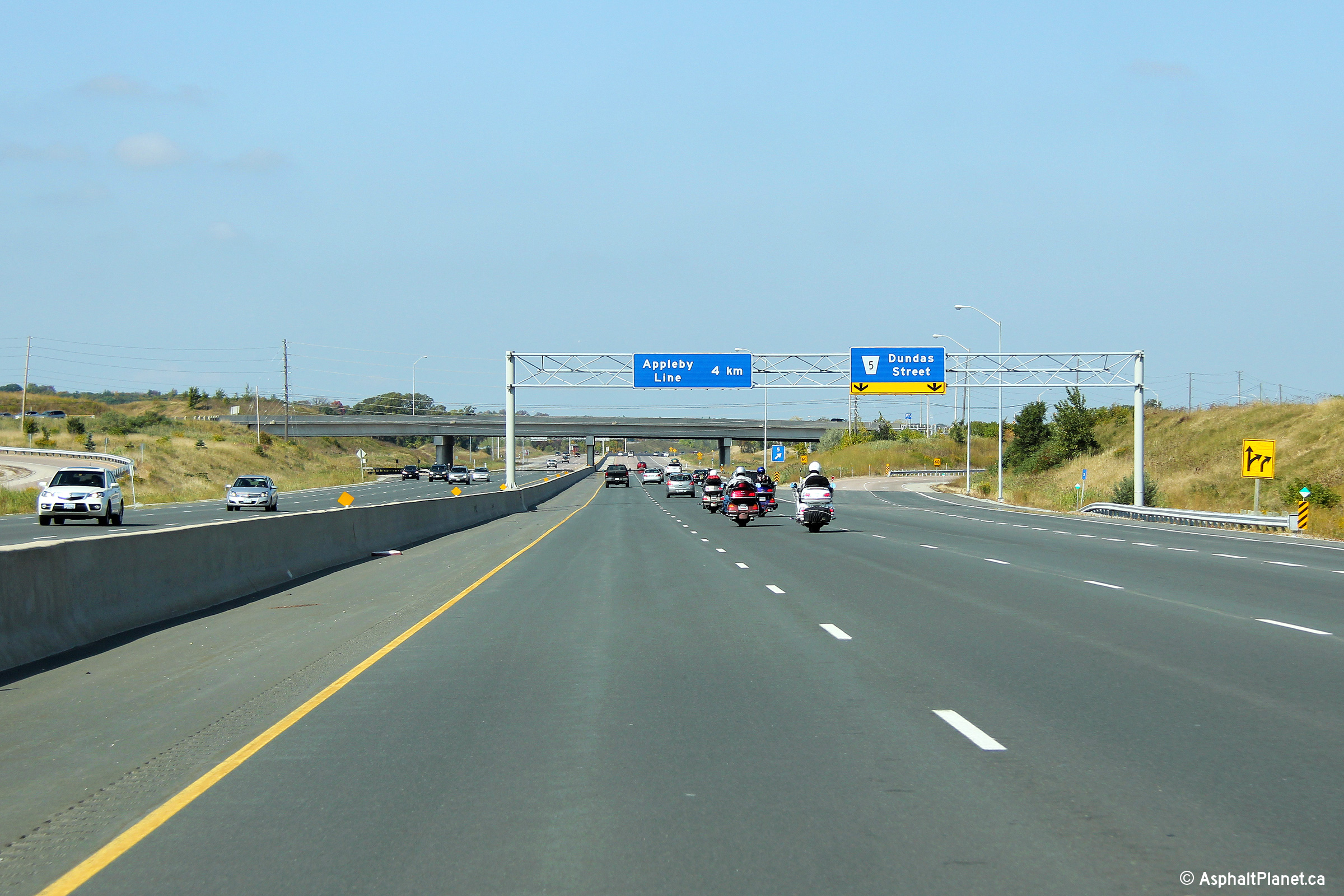
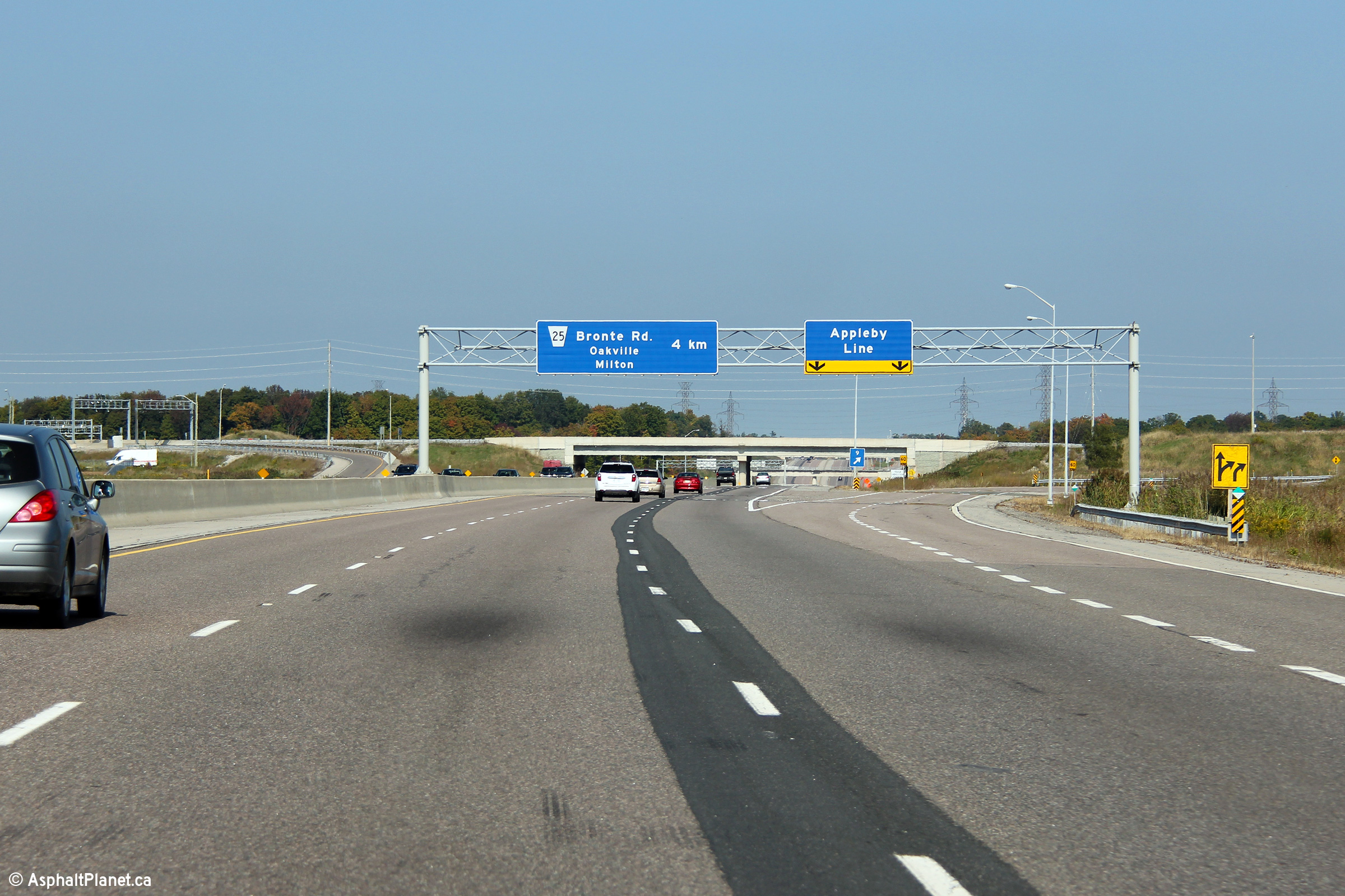
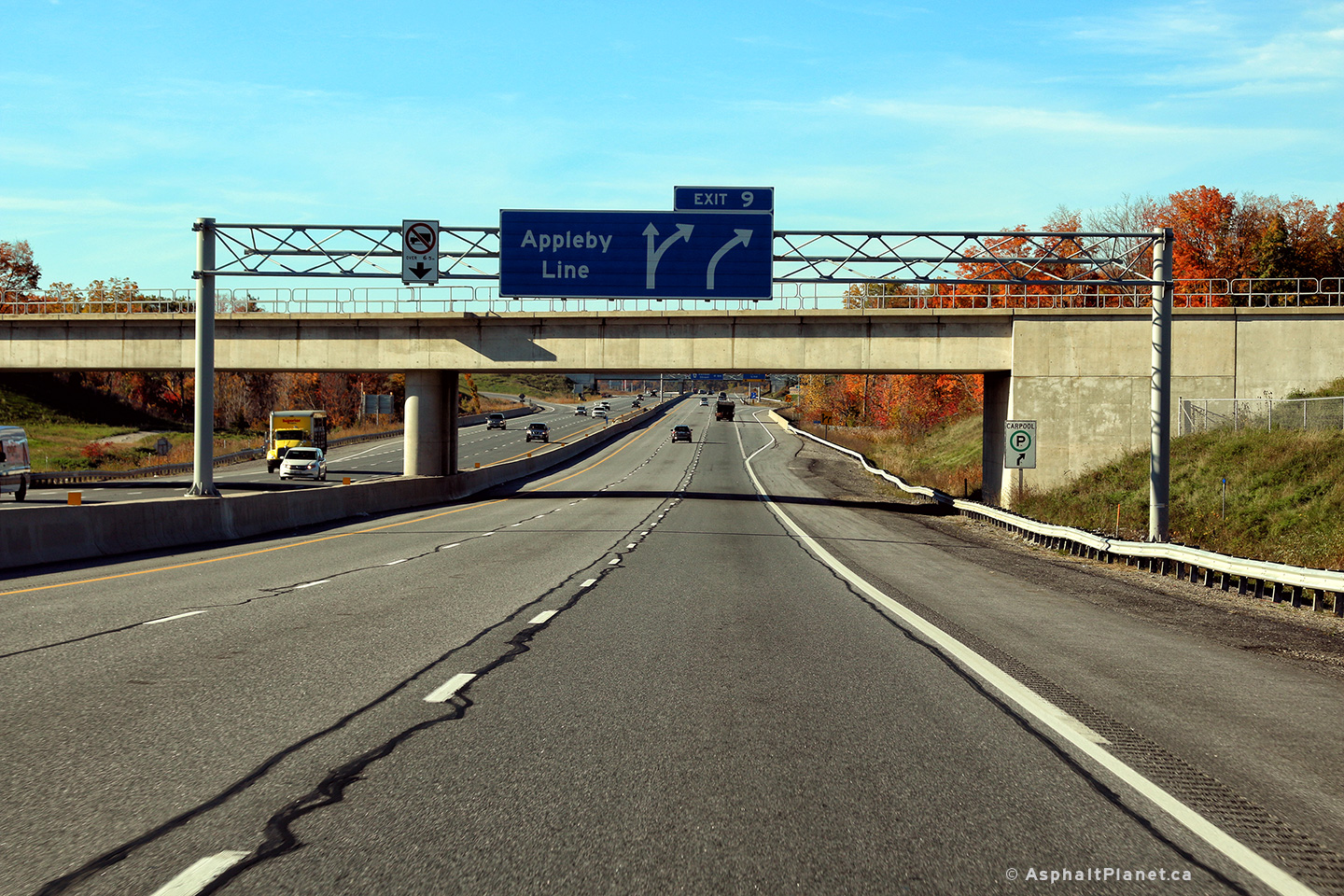
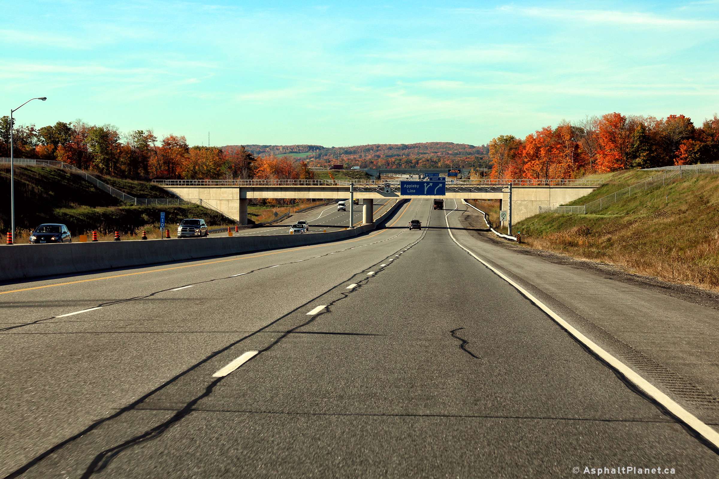
| City of Burlington Regional Municipality of Halton |
Advanced signage for the Appleby Line interchange. Photo taken: September 25th, 2011. |
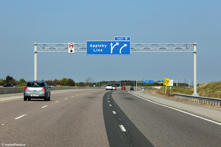 (720x480) (720x480)(1440x960) (2400x1600) |
|||
| City of Burlington Regional Municipality of Halton |
Eastbound signage at the off-ramp to Appleby Line. Photo taken: September 25th, 2011. |
 (720x480) (720x480)(1440x960) (2400x1600) |
|||
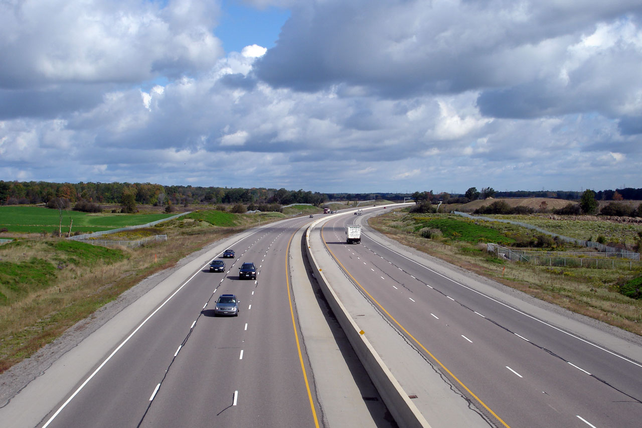
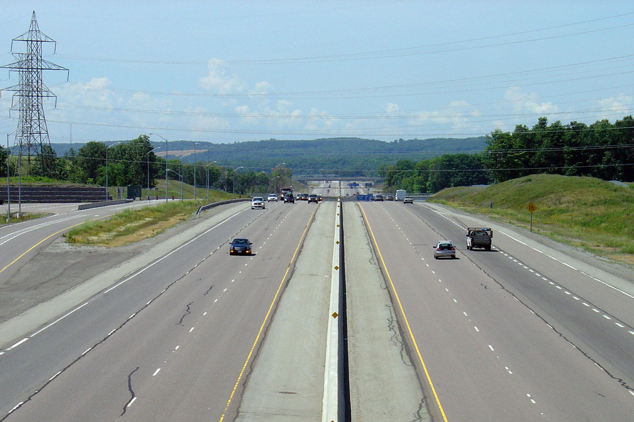
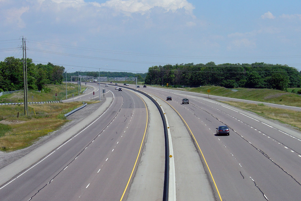
| City of Burlington Regional Municipality of Halton |
Westerly view from the Appleby Line overpass. Click
here for this same view taken
in July, 2005. Photo taken: May 16th, 2013. |
||||
| City of Burlington Regional Municipality of Halton |
Looking east from Appleby Line towards the Bronte Creek Valley. The
Bronte Creek Valley is much
more subdued at Highway 407 compared to the large and deep ravine found
along the QEW. Click here for this same view taken
in July, 2005. Photo taken: May 16th, 2013. |
||||
| Town of Oakville Regional Municipality of Halton |
Westerly view at the off-ramp to Appleby Line. Photo taken: October 19th, 2016. |
 (720x480) (720x480)(1440x960) (2400x1600) |
|||
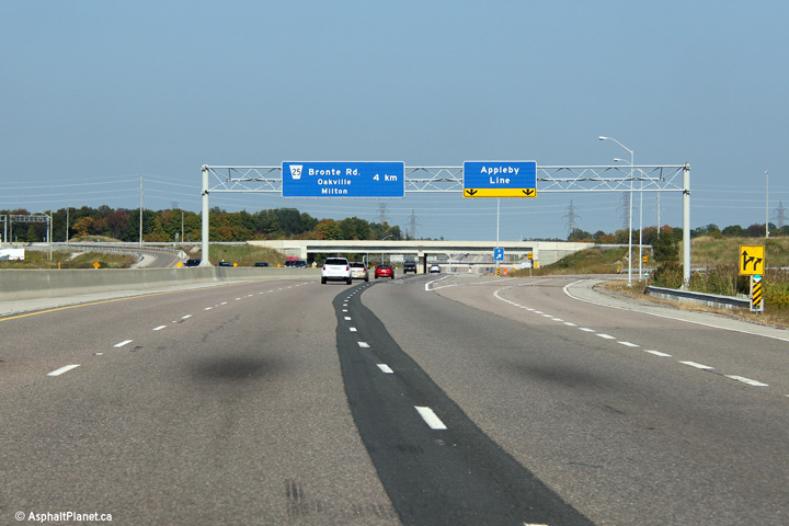
| Town of Oakville Regional Municipality of Halton |
Westbound advance signage for the Appleby Line interchange. Photos taken: October 19th, 2016. |
 (720x480) (720x480)(1440x960) (2400x1600)  (720x480) (720x480)(1440x960) (2400x1600) |
|||
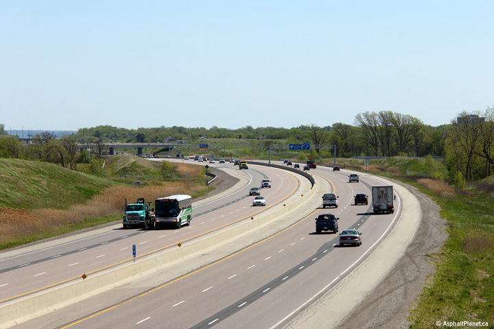
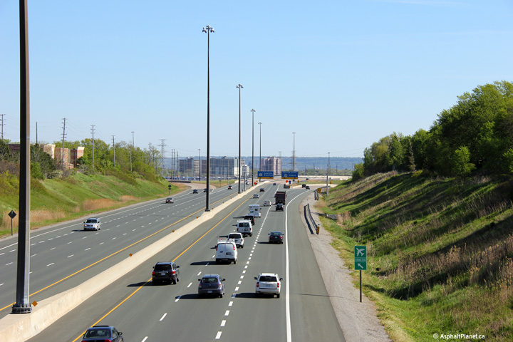
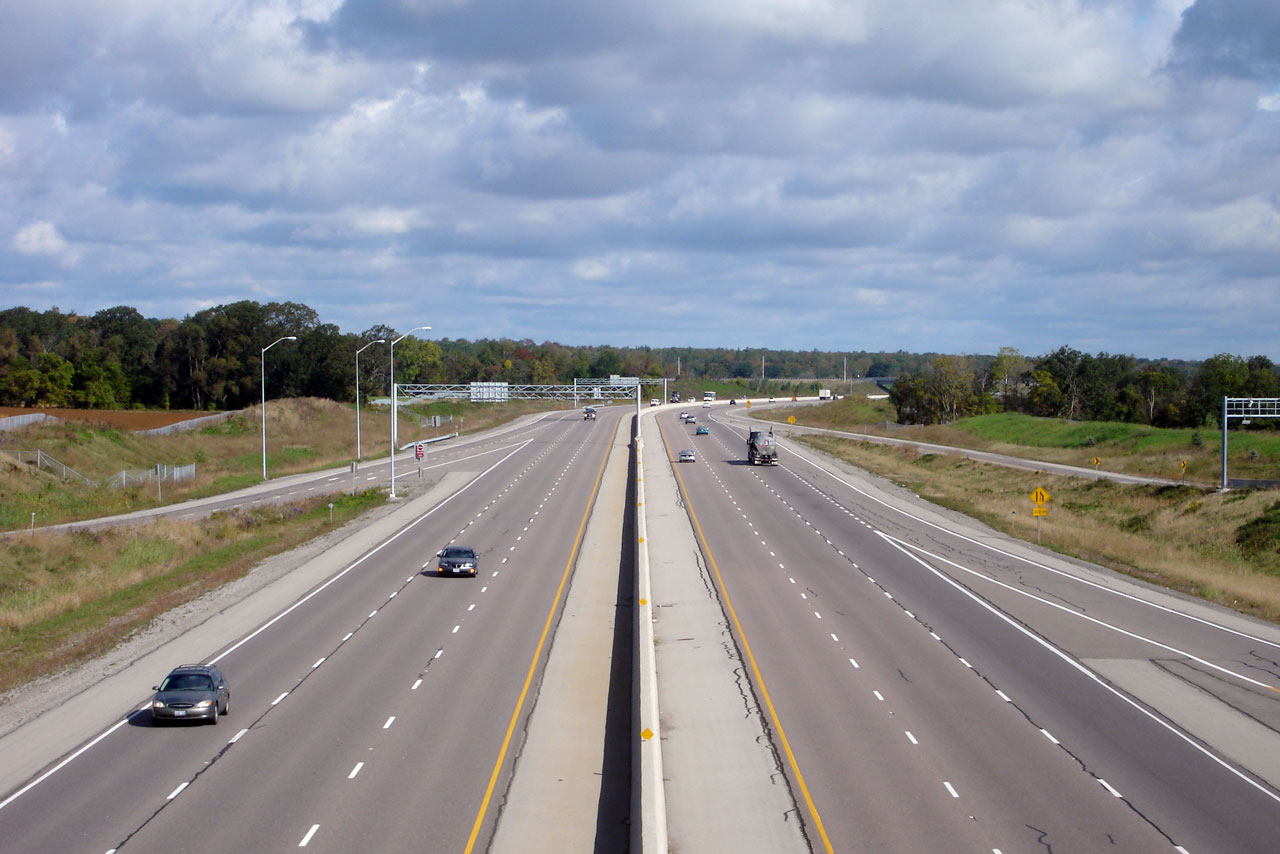
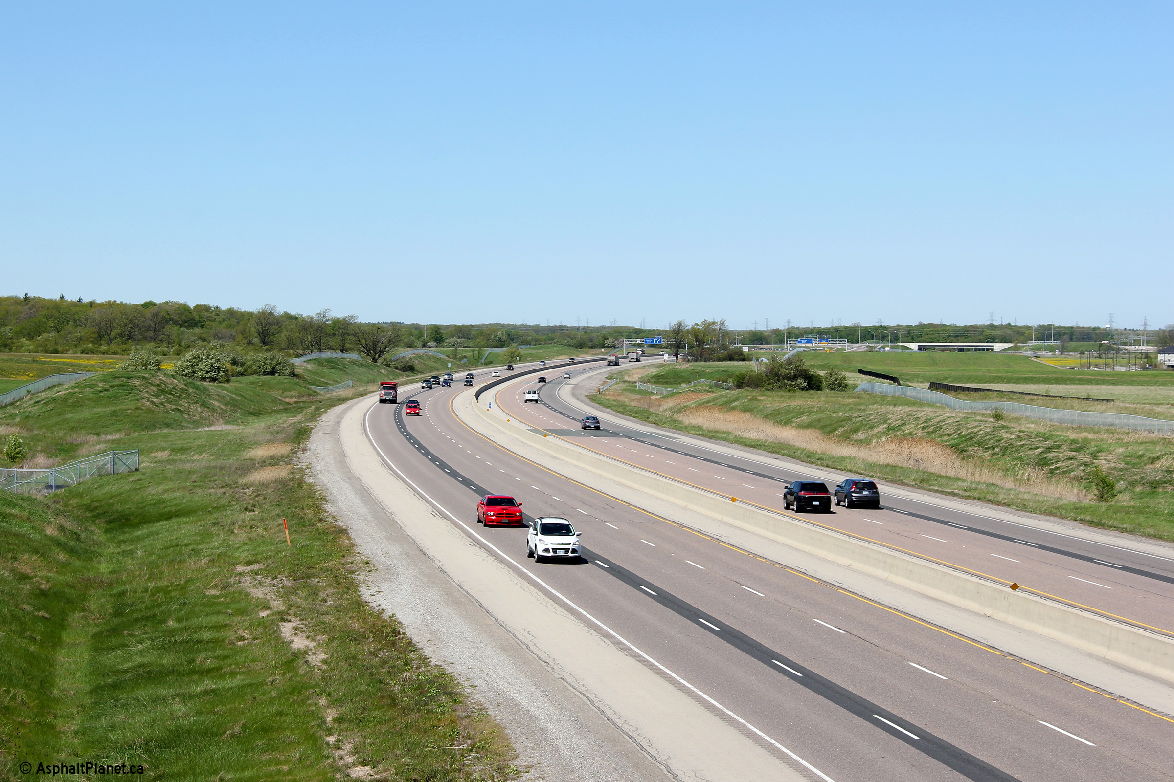
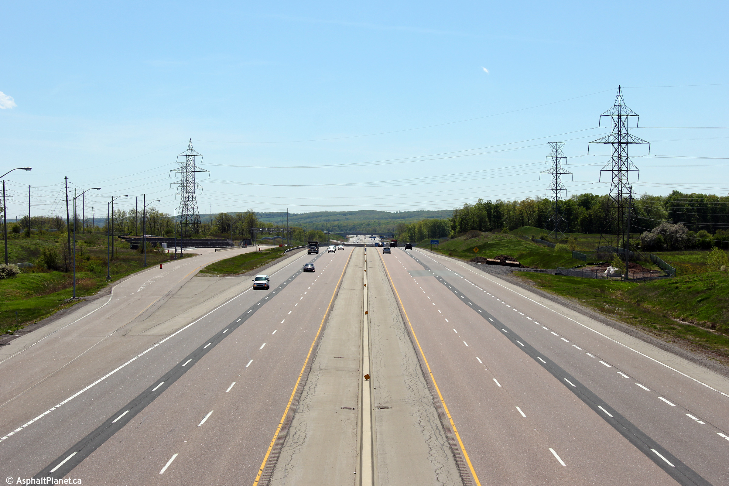
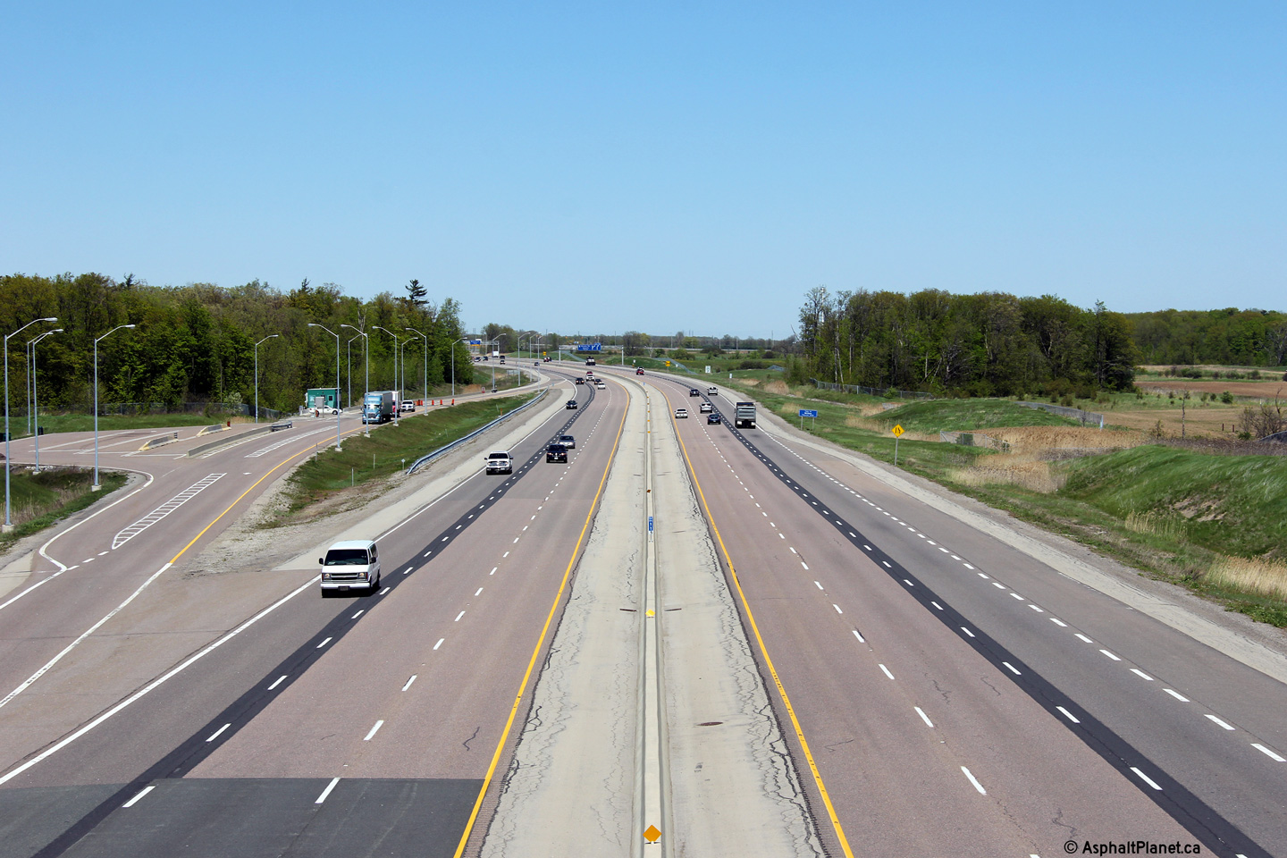
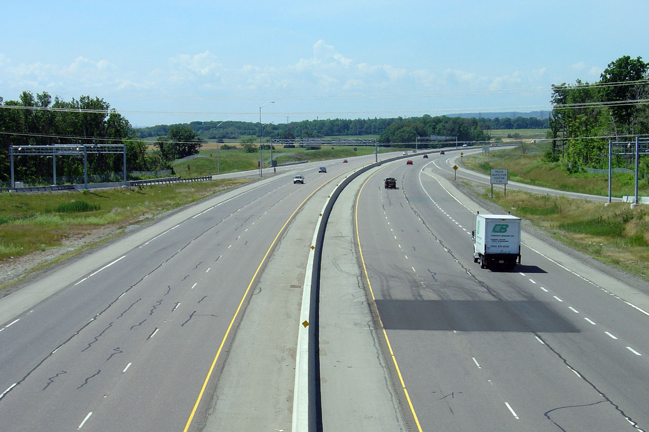
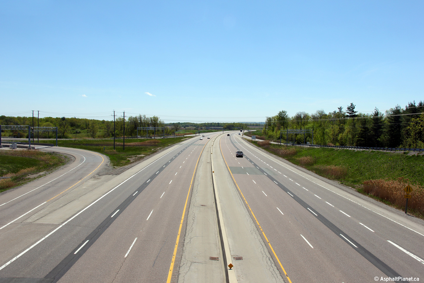
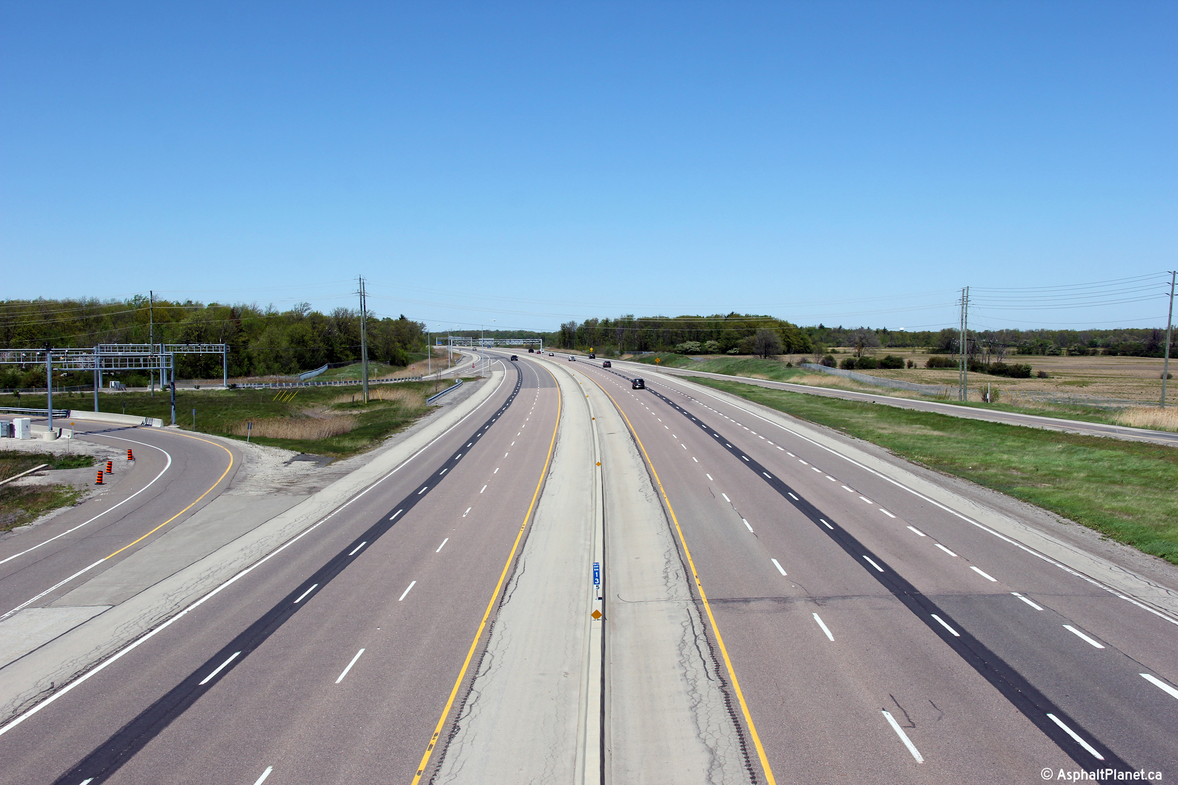
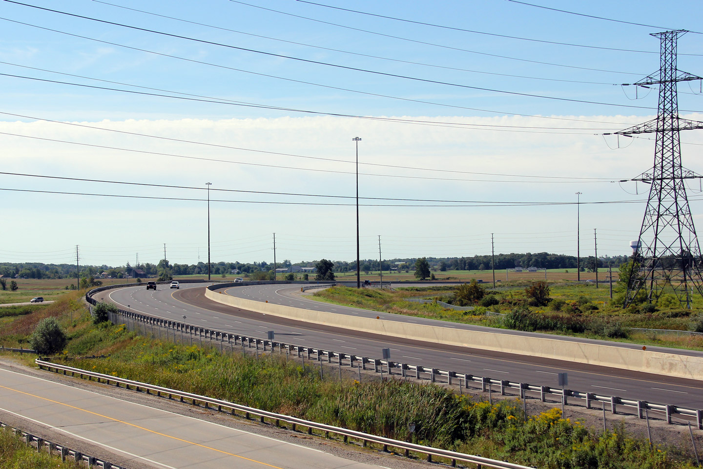
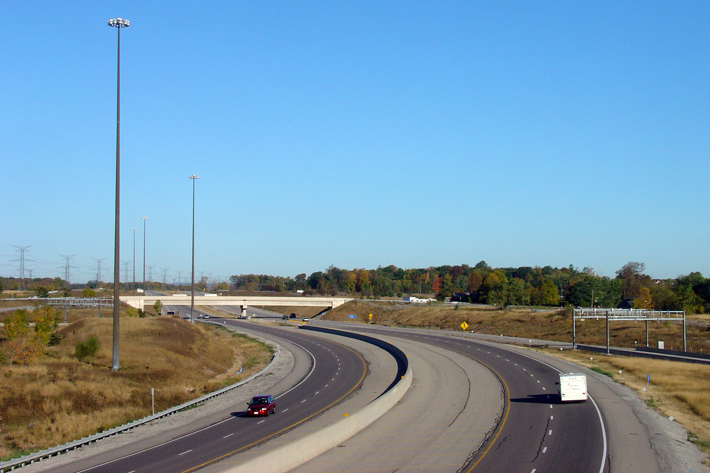
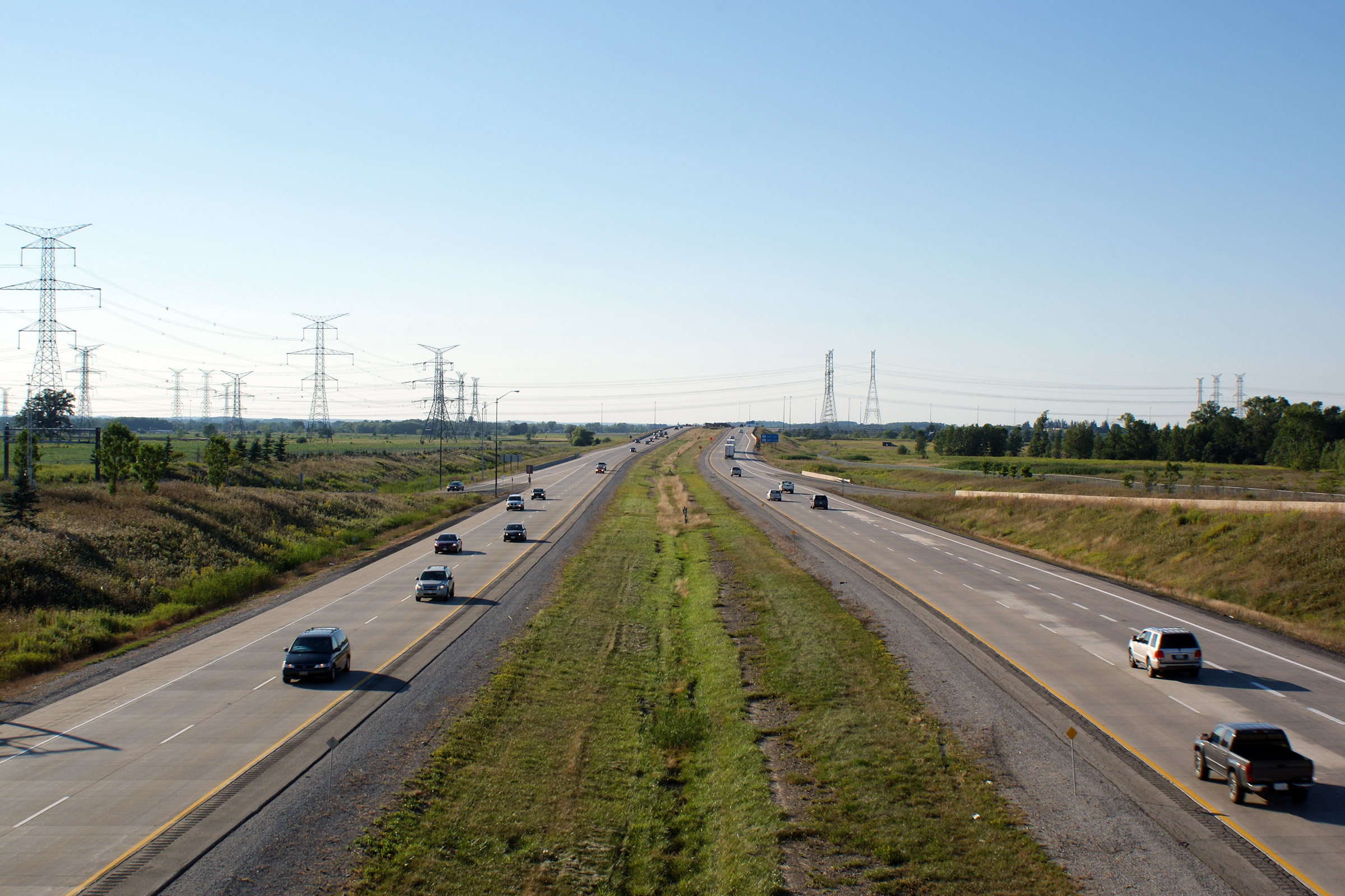
| City of Burlington Regional Municipality of Halton |
Tremaine Road is situated between two truck inspection stations. This
view looks west. Click here for this same view taken
in July, 2005. Photo taken: May 16th, 2013. |
 (720x480) (1440x960) (2400x1600) |
|||
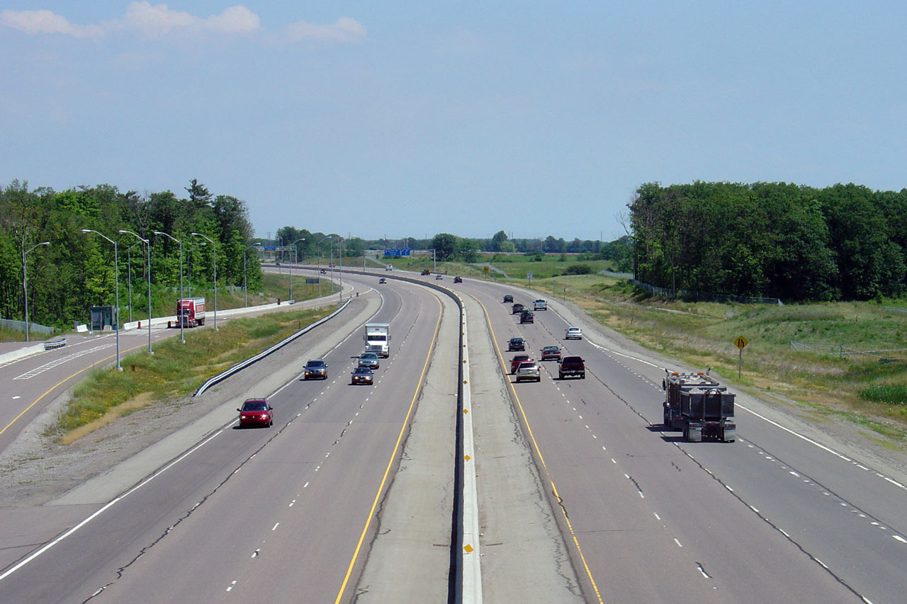
| Town of Oakville Regional Municipality of Halton |
Opposing view from Tremaine Road. These inspection stations have proven
to be popular spots for the OPP to enforce the speed limit on the highway.
Click here for this same view taken
in July, 2005. Photo taken: May 16th, 2013. |
 (720x480) (1440x960) (2400x1600) |
|||
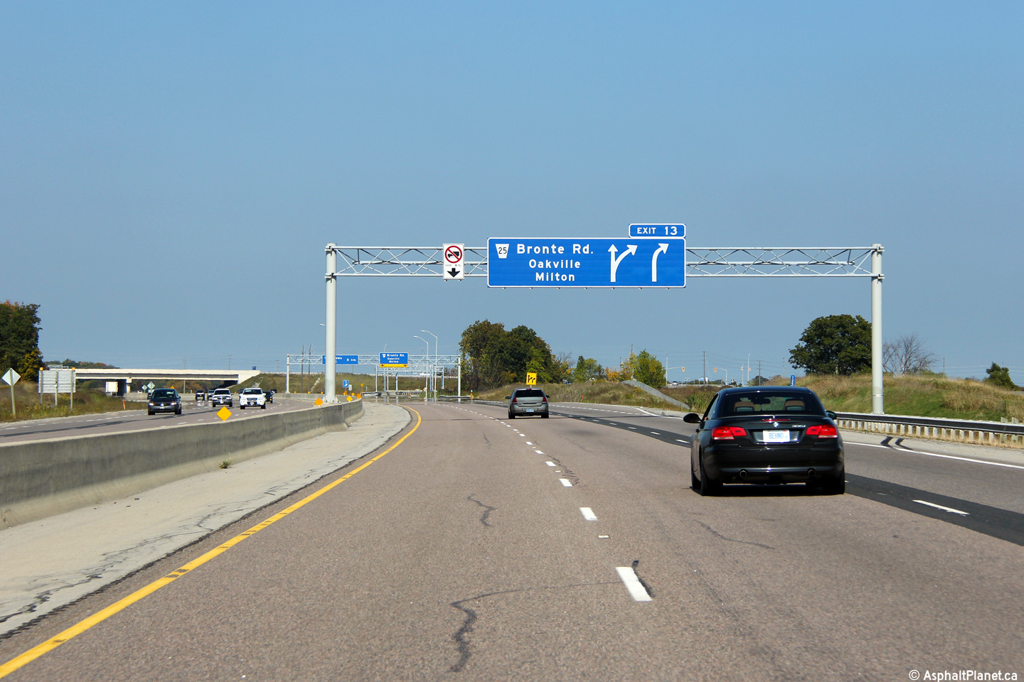
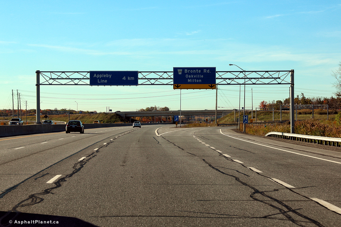
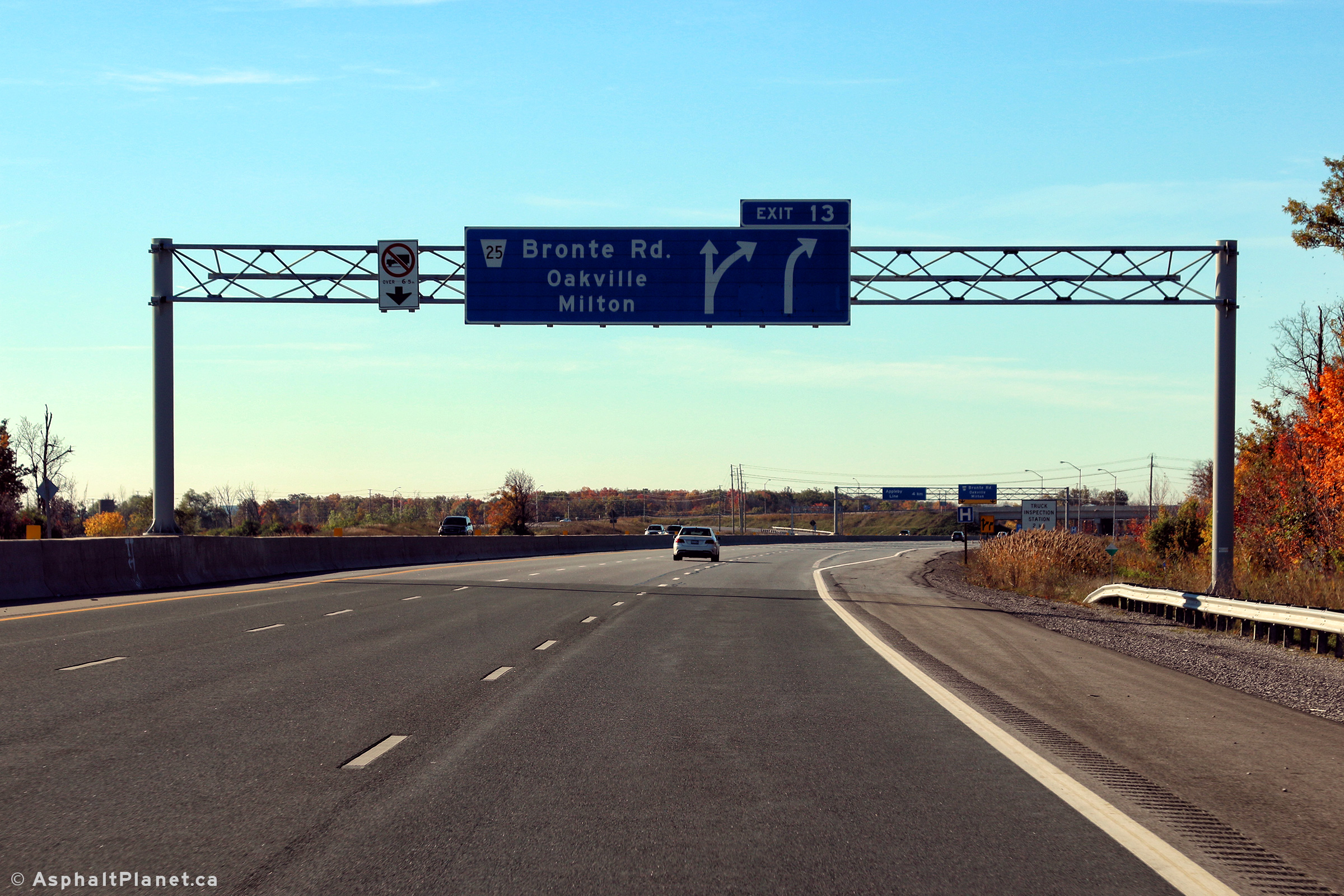
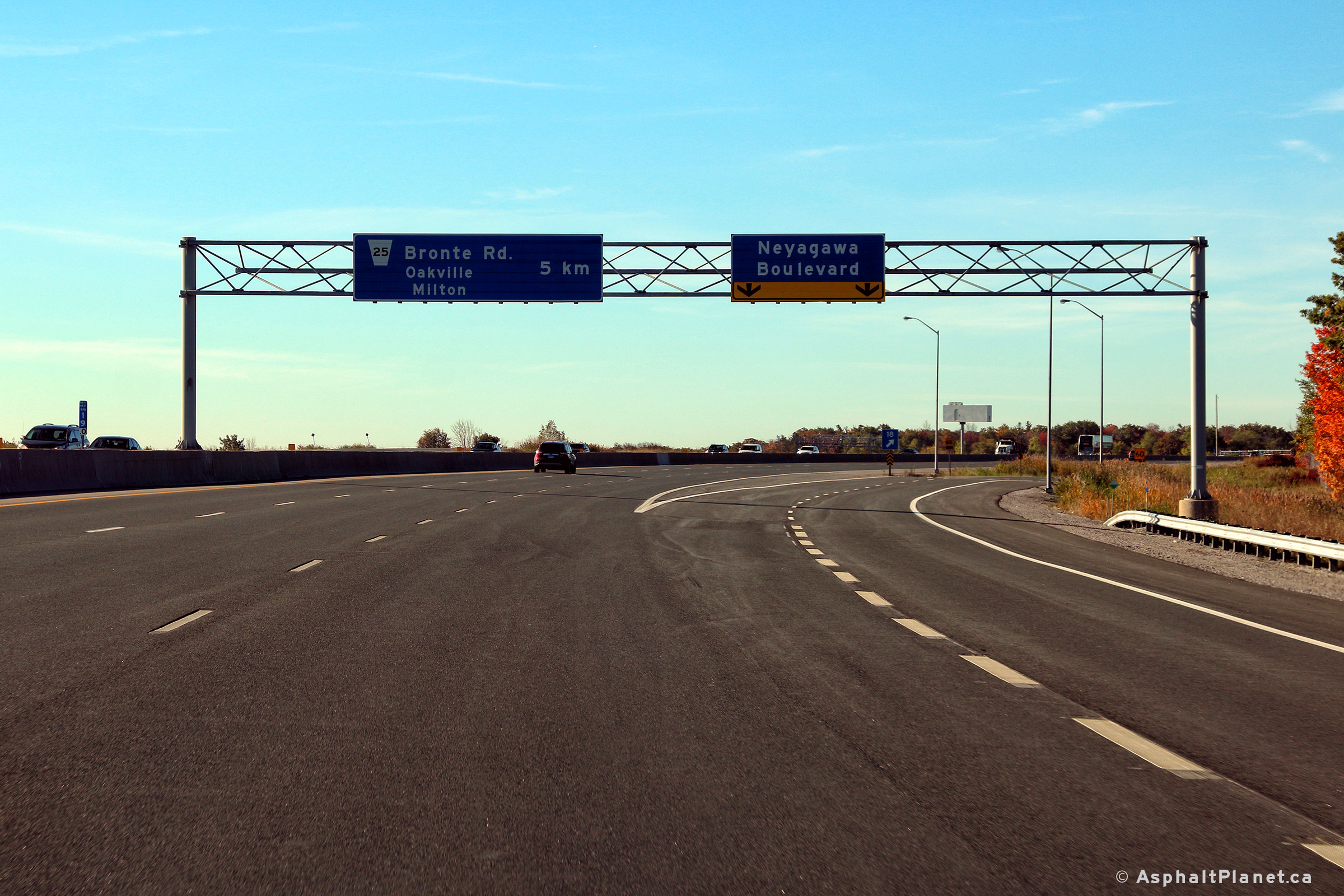
| Town of Oakville Regional Municipality of Halton |
Advanced overhead signage for Highway 25. Photo taken: September 25th, 2011. |
 (720x480) (720x480)(1440x960) (2400x1600) |
|||
| Town of Oakville Regional Municipality of Halton |
Signage situated at the Highway 25 ramp. Photo taken: September 25th, 2011. |
||||
| Town of Oakville Regional Municipality of Halton |
Westerly view from Highway 25. Click here for this same view taken
in July, 2005. Photo taken: May 16th, 2013. |
 (720x480) (1440x960) (2400x1600) |
|||
| Highway 25 crosses the 407 in Western Oakville, on its trek northerly to Milton. Click here for Highway 25 images. | |||||
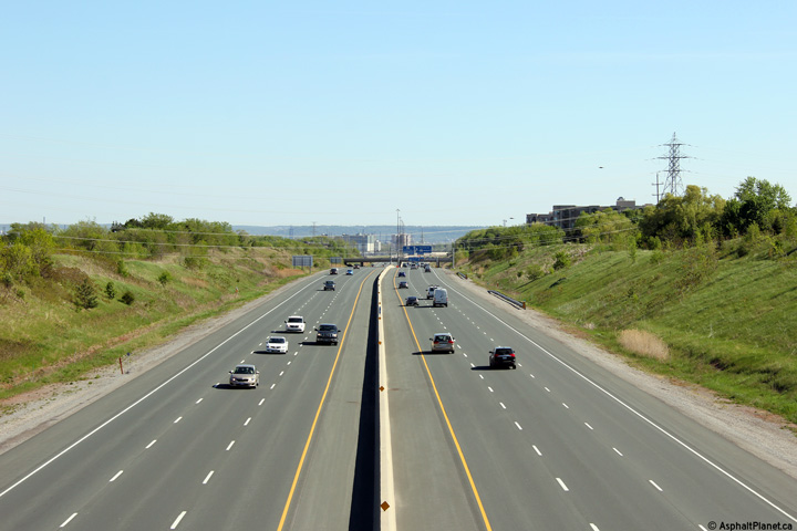
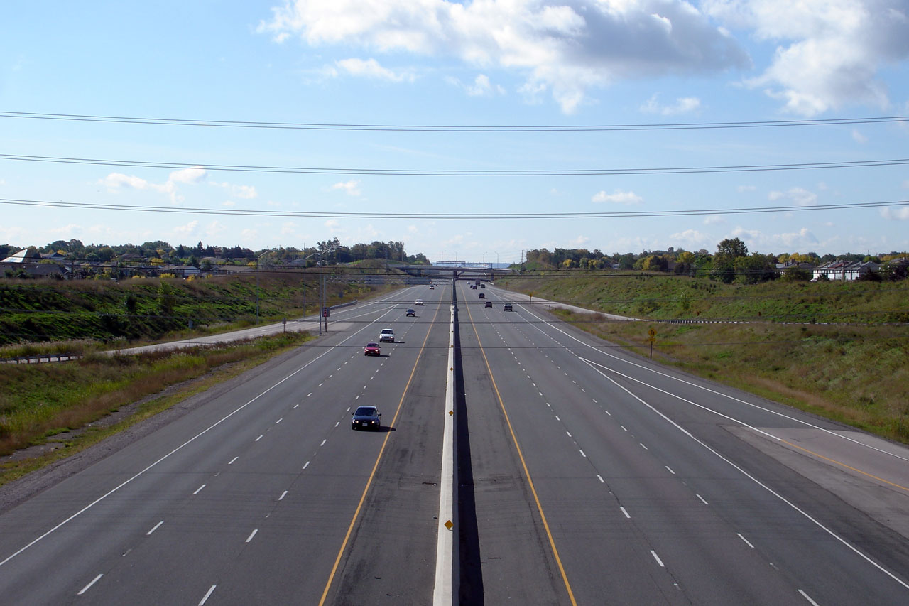
| Town of Oakville Regional Municipality of Halton |
Looking east from Highway 25. Click here for this same view taken
in July, 2005. Photo taken: May 16th, 2013. |
 (720x480) (1440x960) (2400x1600) |
|||
| Town of Oakville Regional Municipality of Halton |
Westerly view at the off-ramp to Highway 25. Photo taken: October 19th, 2016. |
 (720x480) (720x480)(1440x960) (2400x1600) |
|||
| Town of Oakville Regional Municipality of Halton |
Westbound advance signage for the Highway 25 interchange. Photo taken: October 19th, 2016. |
 (720x480) (720x480)(1440x960) (2400x1600) |
|||
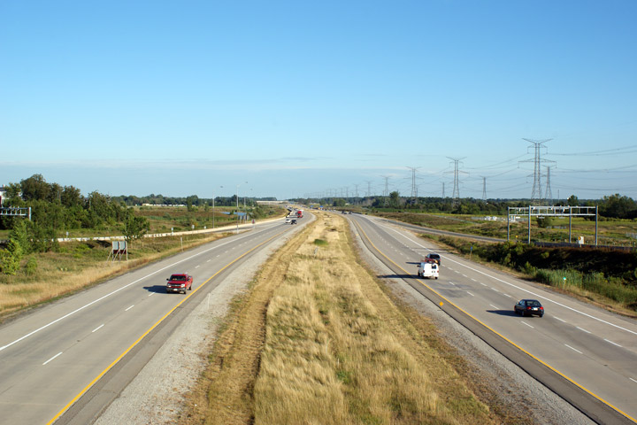
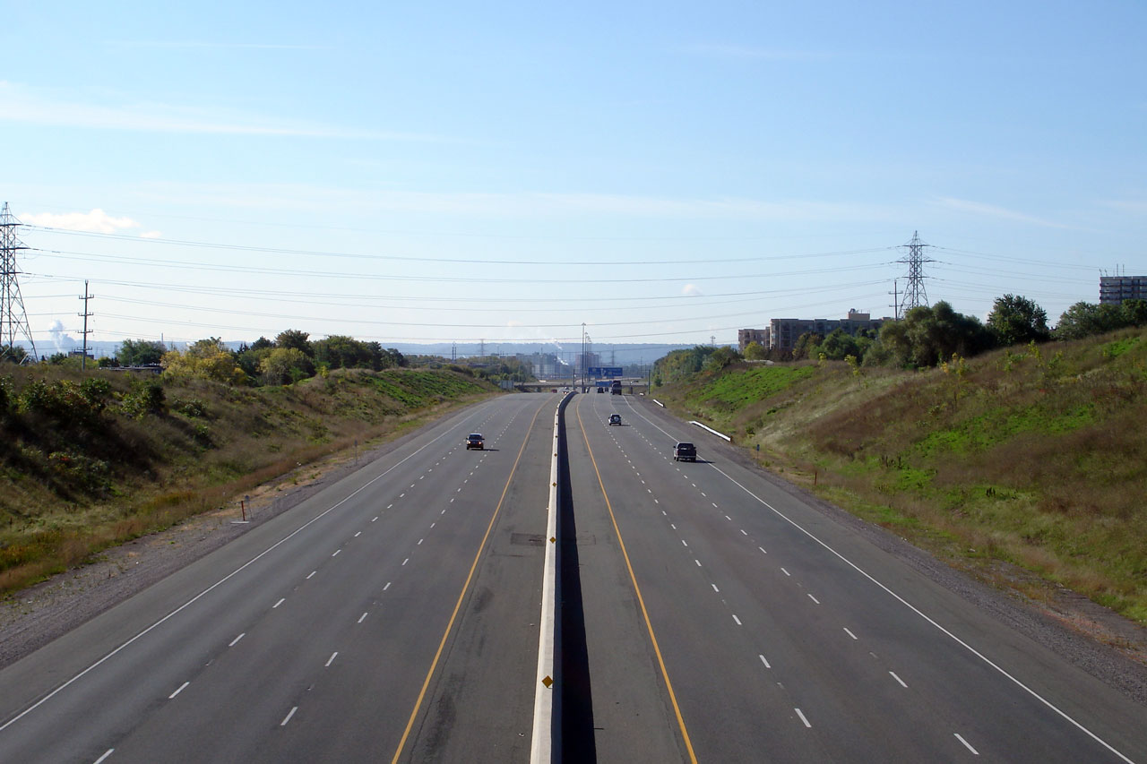
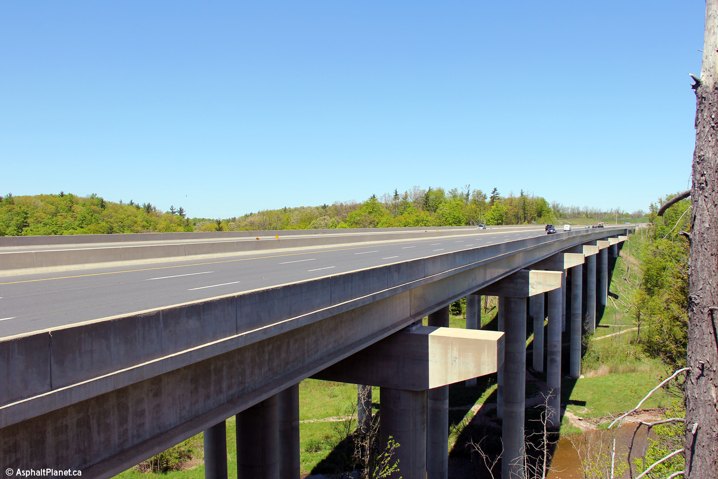
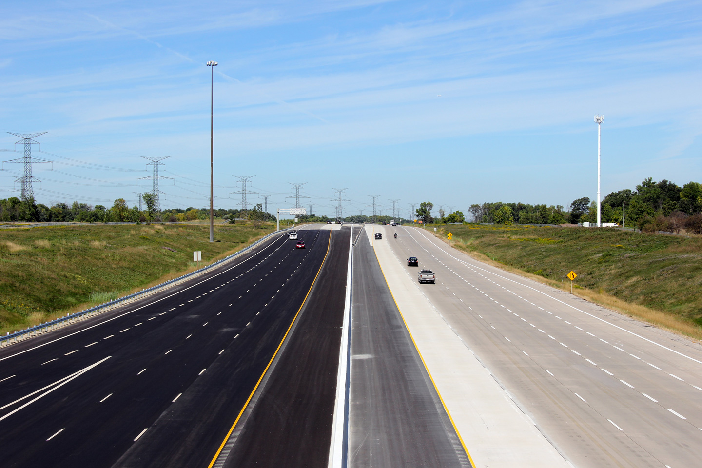
| Town of Oakville Regional Municipality of Halton |
Deck view looking easterly across the high level structure that carries
Highway 407 over the Twelve Mile Creek Valley. The piers and pier caps
have been constructed to facilitate a deck expansion to 8 lanes (four per
direction) when traffic volumes warrant. Photo taken: May 16th, 2011. |
 (720x480) (1440x960) (2400x1600) |
|||
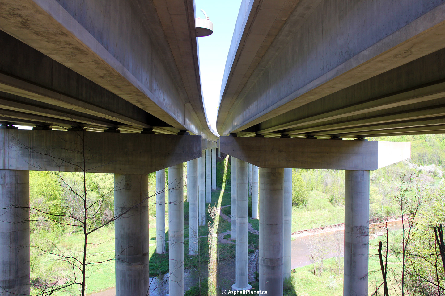
| Town of Oakville Regional Municipality of Halton |
This view looks beneath the deck of the twin high level structures that
carry both the east and westbound lanes over Twelve Mile Creek. As is
evident from the photo, Twelve Mile Creek is situated in a deceptively deep
ravine. Photo taken: May 16th, 2011. |
 (720x480) (1440x960) (2400x1600) |
|||
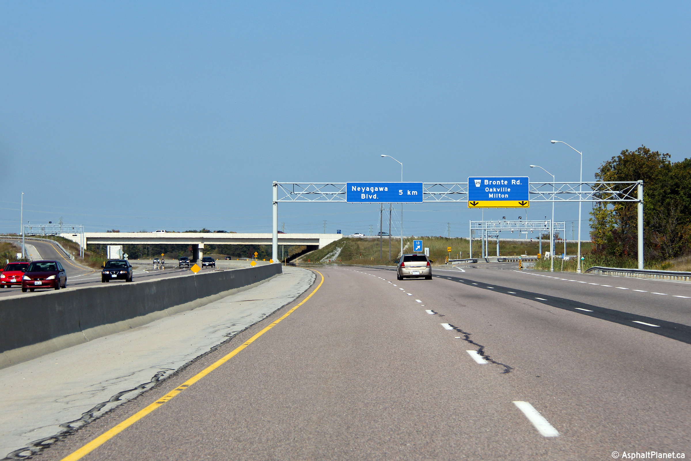
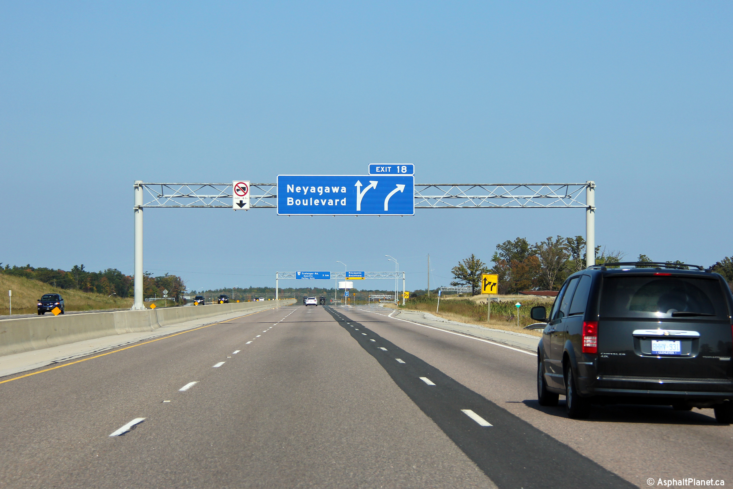
| Town of Oakville Regional Municipality of Halton |
Advanced signage for the Neyagawa Boulevard Interchange. In the
future, Neyagawa Boulevard will be extended northerly to link direction with
Milton's James Snow Parkway. Photo taken: September 25th, 2011. |
 (720x480) (720x480)(1440x960) (2400x1600) |
|||
| Town of Oakville Regional Municipality of Halton |
Eastbound signage at the off-ramp to Neyagawa Boulevard. Neyagawa Boulevard
passes beneath Highway 407. Photo taken: September 25th, 2011. |
 (720x480) (720x480)(1440x960) (2400x1600) |
|||
| Town of Oakville Regional Municipality of Halton |
View looking westerly at the off-ramp to Neyagawa Boulevard. Photo taken: October 19th, 2016. |
 (720x480) (720x480)(1440x960) (2400x1600) |
|||
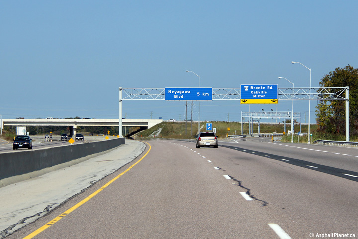
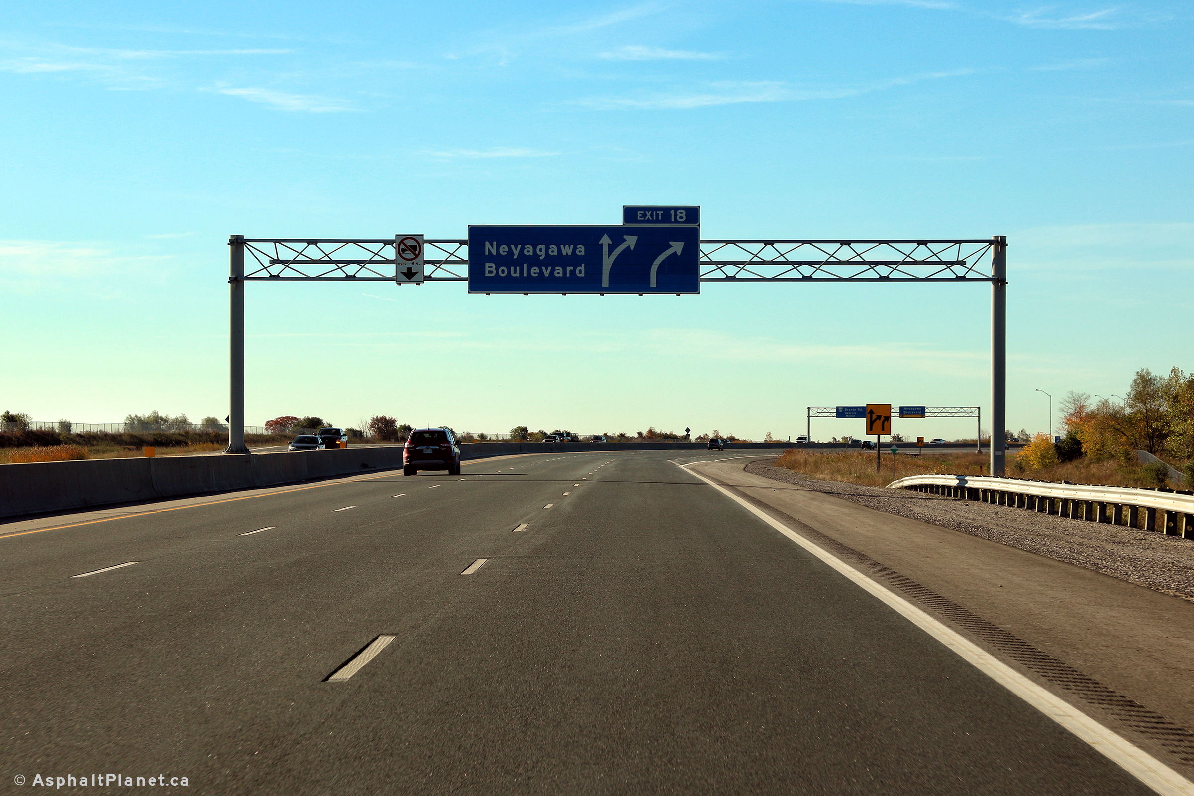
| Town of Oakville Regional Municipality of Halton |
Westbound advanced signage for the Neyagawa Boulevard interchange. Photo taken: October 19th, 2016. |
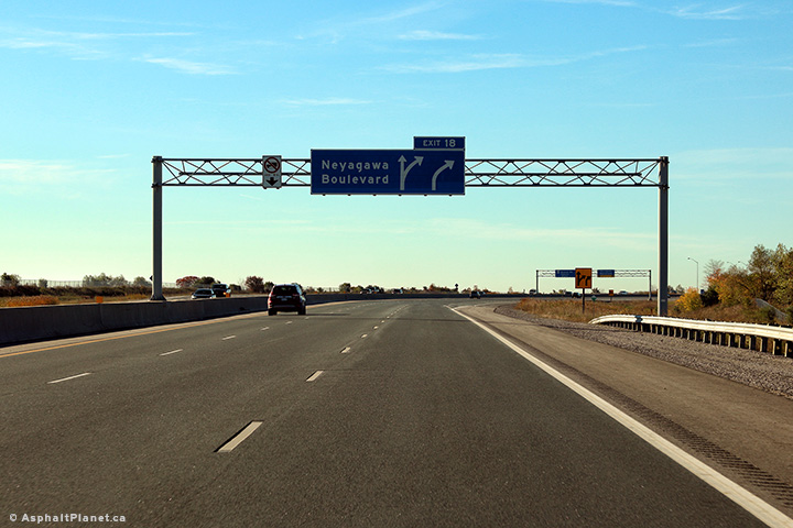 (720x480) (720x480)(1440x960) (2400x1600) |
|||
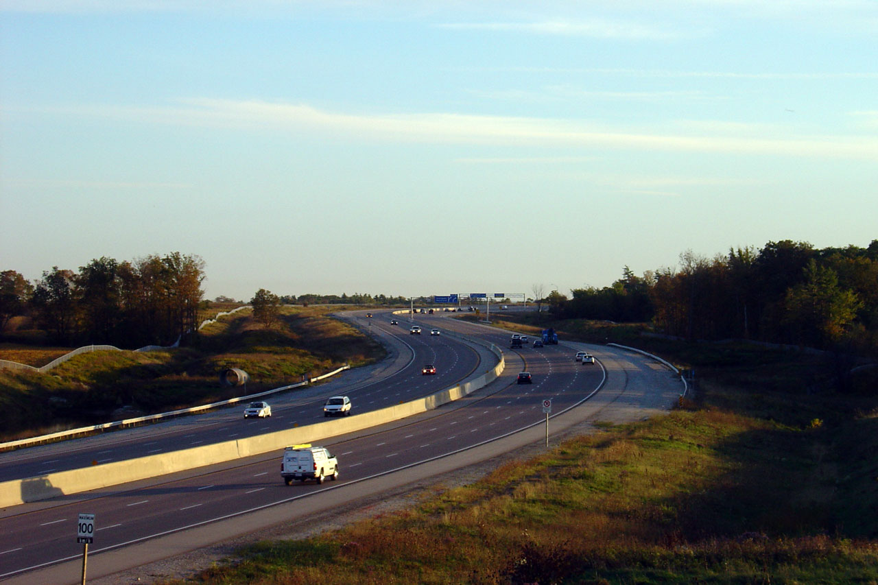
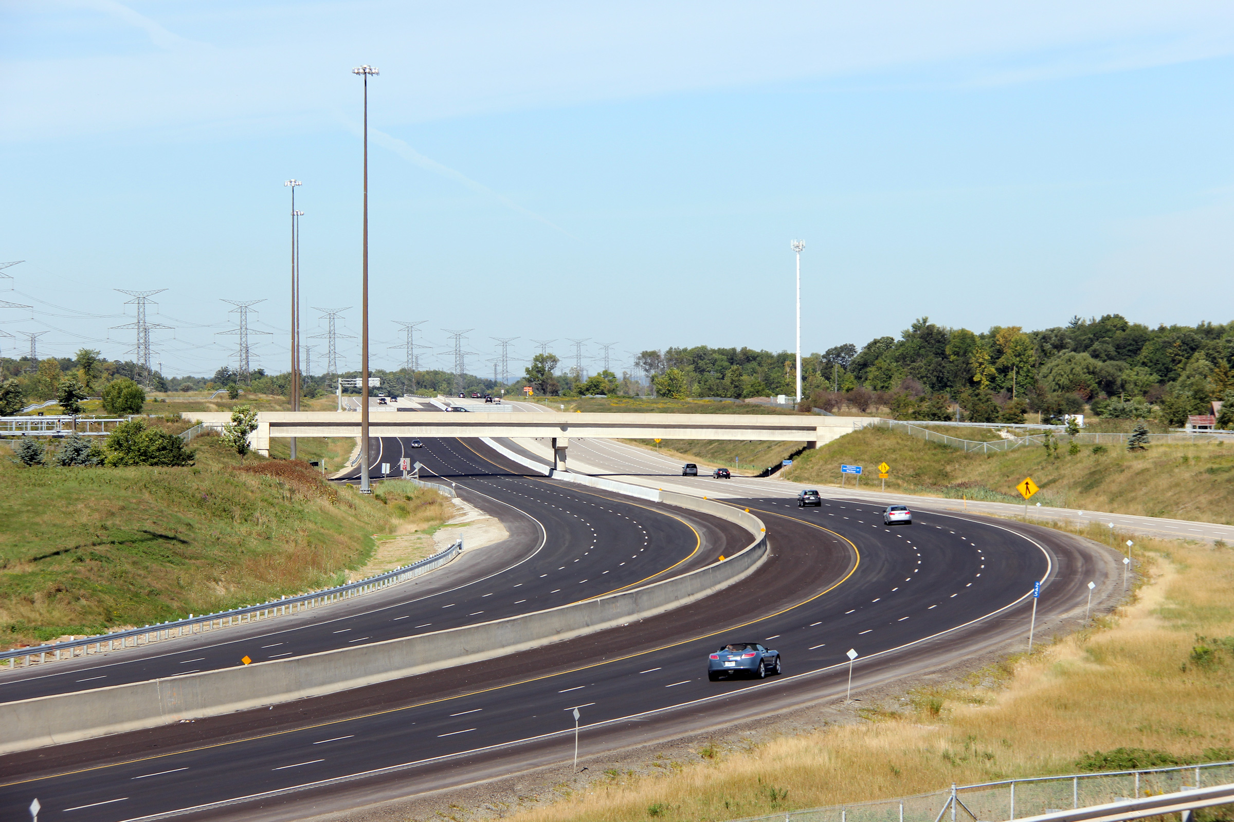
| Town of Oakville Regional Municipality of Halton |
A gentle reversing curve as seen looking westerly from the Sixth Line
overpass. Click here for this same view taken in
September, 2006. Picture taken: May 16th, 2013. |
 (720x480) (1440x960) (2400x1600) |
|||
| Town of Oakville Regional Municipality of Halton |
Looking east from Oakville's Sixth Line. Click
here for this same view taken in
September, 2006. Picture taken: May 16th, 2013. |
 (720x480) (1440x960) (2400x1600) |
|||
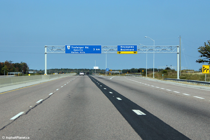
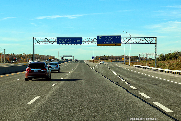
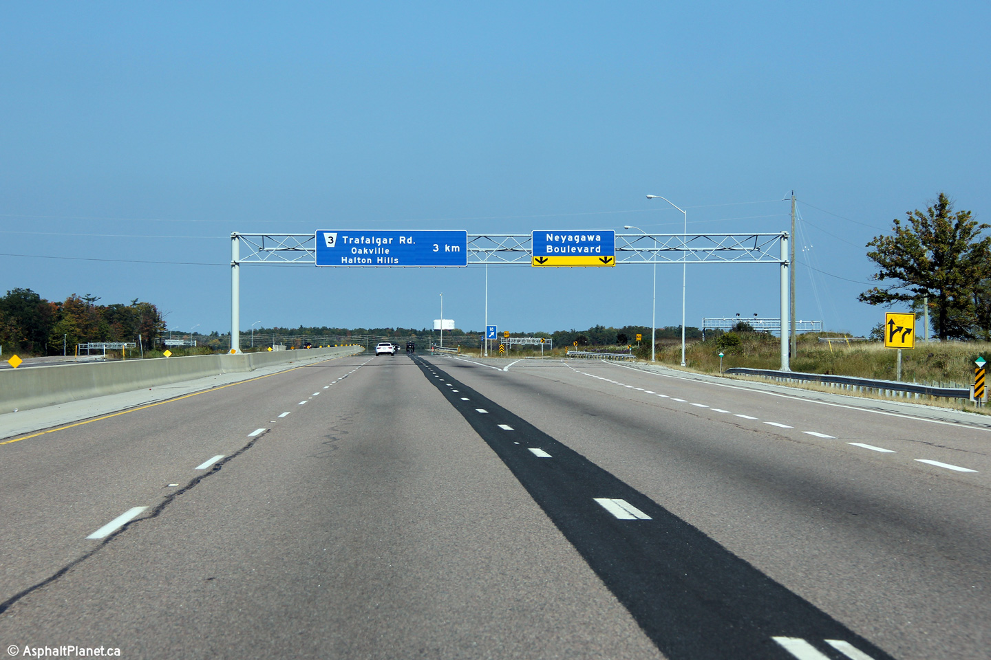
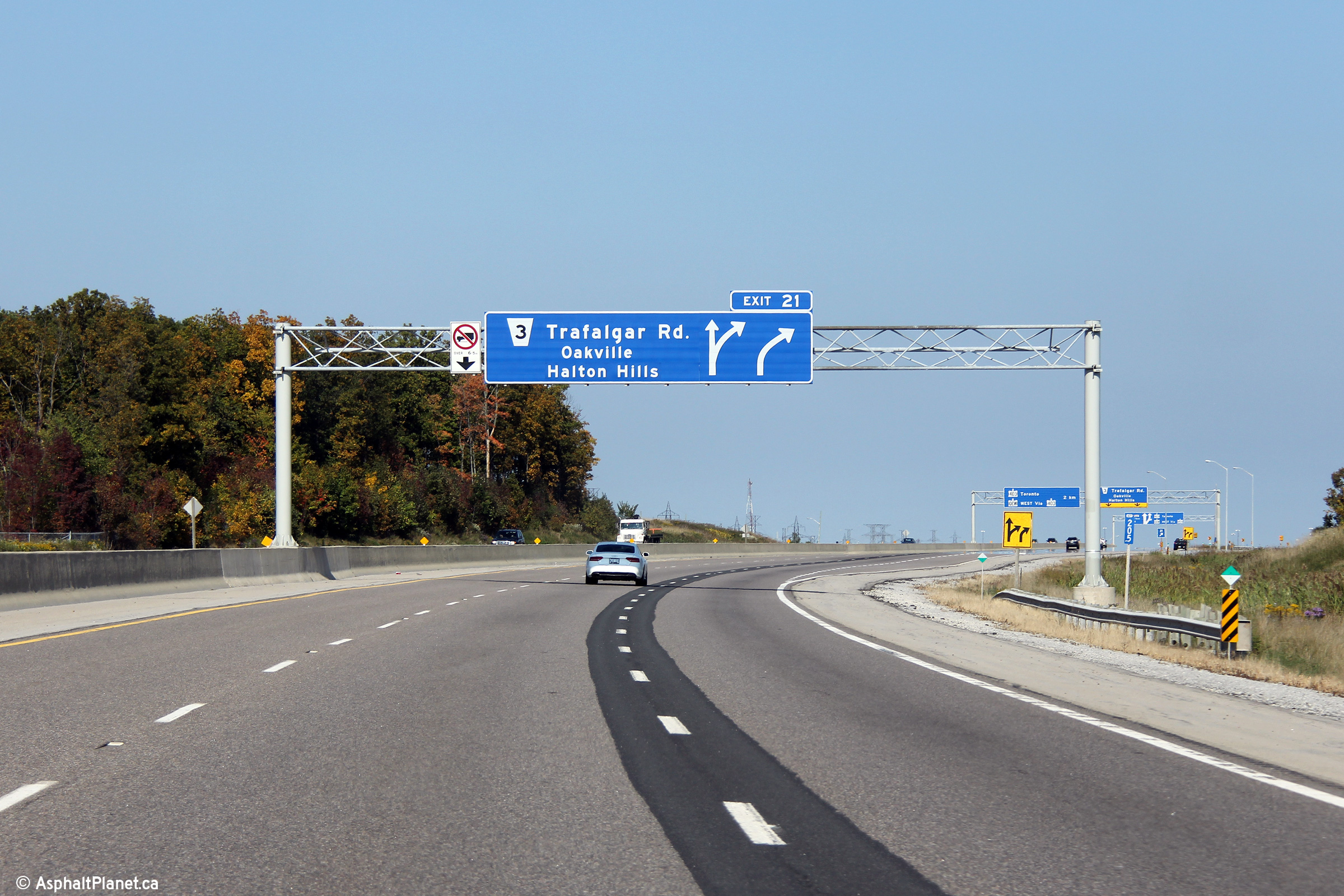
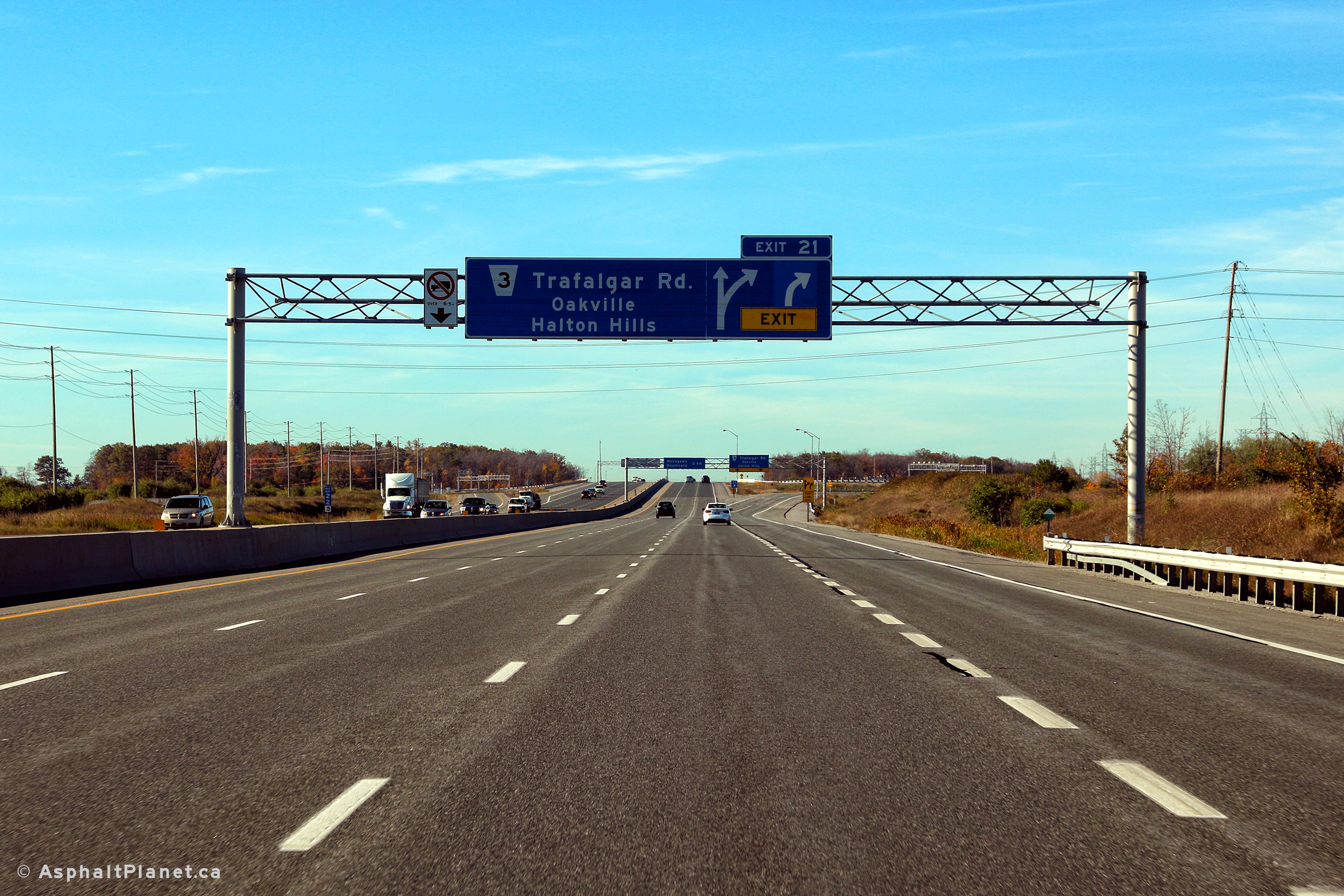
| Town of Oakville Regional Municipality of Halton |
Advanced signage for the eastbound off-ramp to Trafalgar Road. Photo taken: September 25th, 2011. |
 (720x480) (720x480)(1440x960) (2400x1600) |
|||
| Town of Oakville Regional Municipality of Halton |
Overhead signage for the Trafalgar Road overpass and advance signage for
Highway 403 Mississauga. Photo taken: September 25th, 2011. |
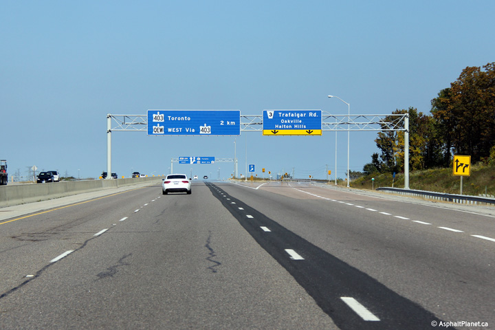 (720x480) (720x480)(1440x960) (2400x1600) |
|||
| Town of Oakville Regional Municipality of Halton |
One of few diagram signs along the 407. Photo taken: September 25th, 2011. |
 (720x480) (720x480)(1440x960) (2400x1600) |
|||
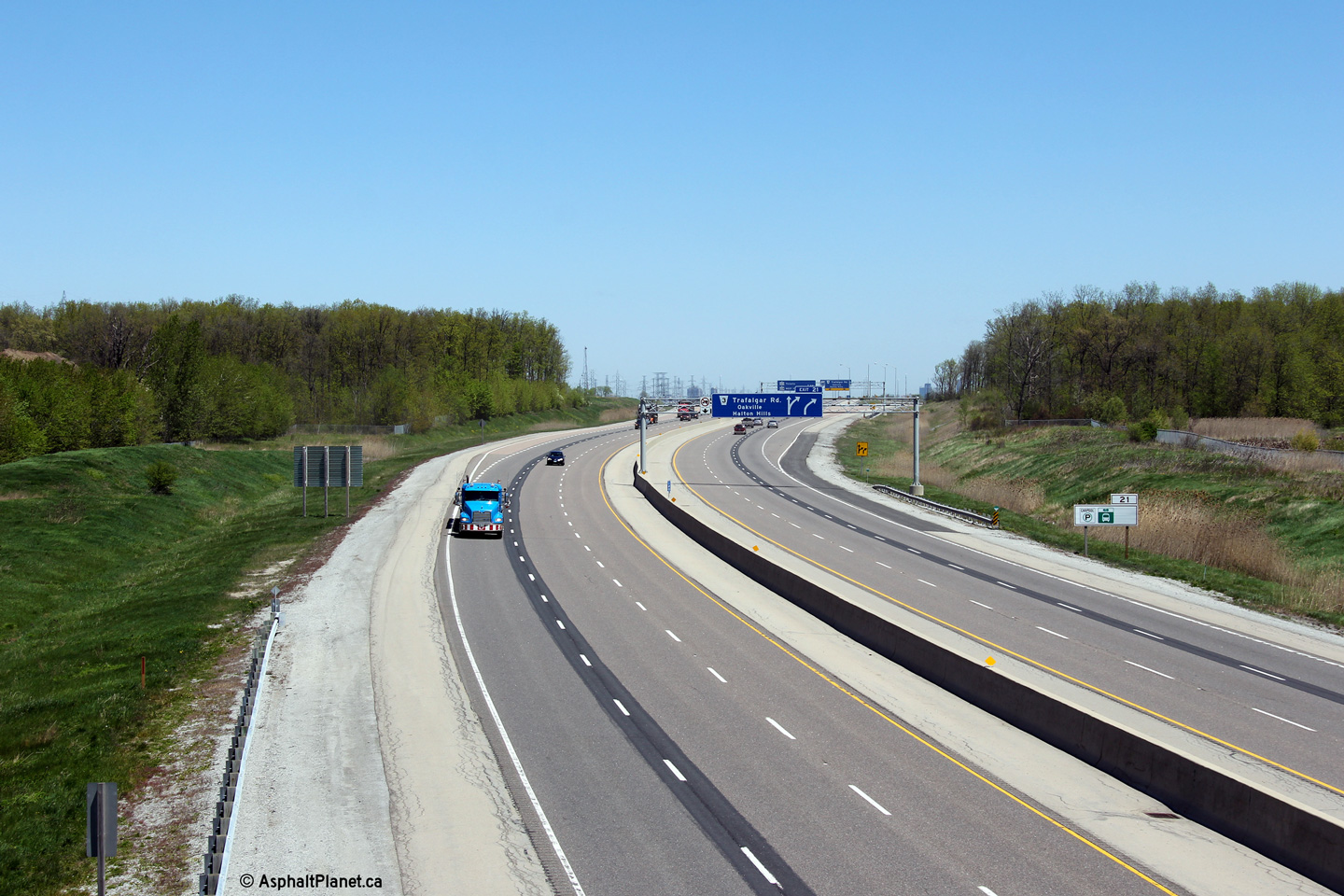
| Town of Oakville Regional Municipality of Halton |
View looking westerly at the off-ramp to Trafalgar Road. Trafalgar
Road passes beneath Highway 407. Photo taken: October 19th, 2016. |
 (720x480) (720x480)(1440x960) (2400x1600) |
|||
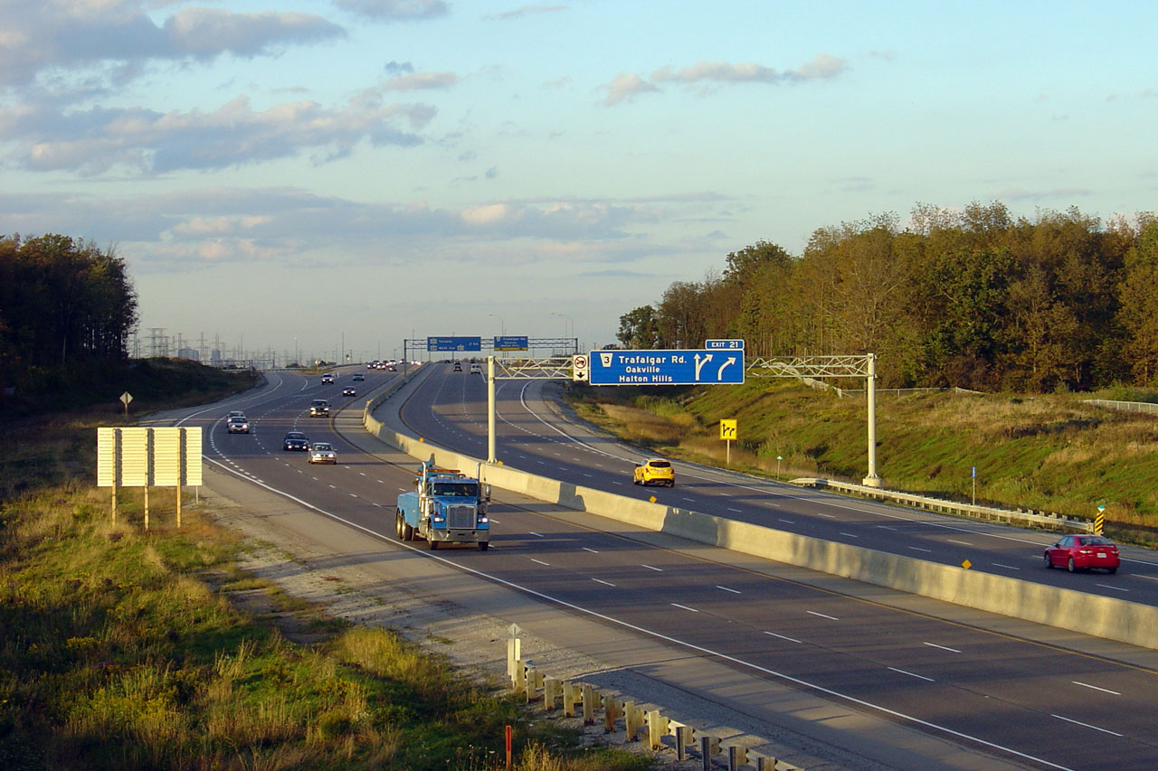
| Town of Oakville Regional Municipality of Halton |
Westbound advanced signage for the Trafalgar Road interchange. The
fourth westbound lane that entered Highway 407 from the Highway 403
interchange exits at Trafalgar Road. Photo taken: October 19th, 2016. |
 (720x480) (720x480)(1440x960) (2400x1600) |
|||
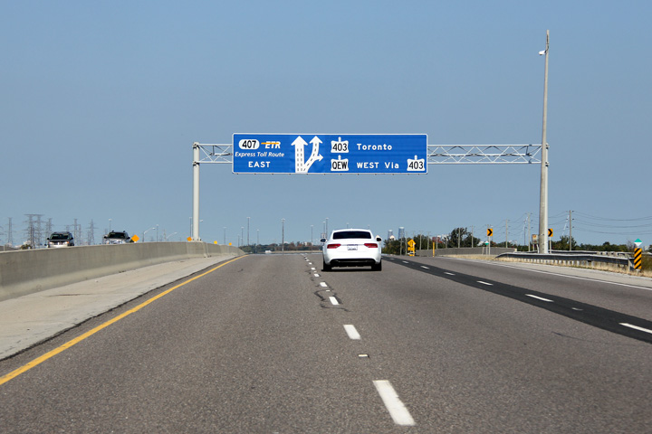
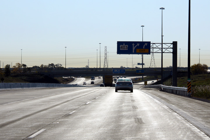
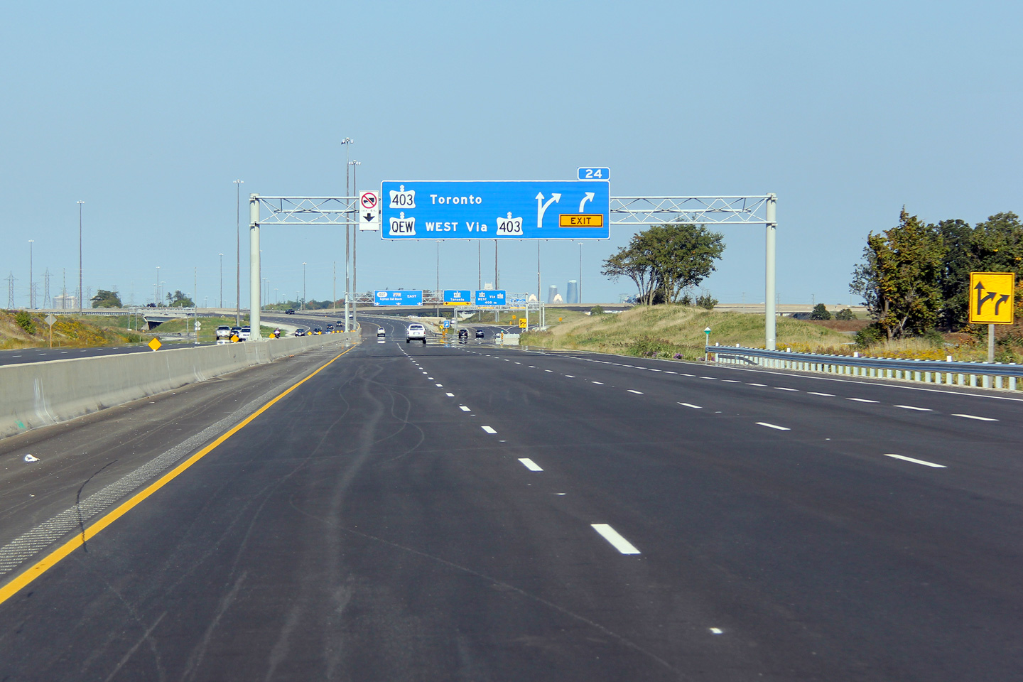
| Town of Oakville Regional Municipality of Halton |
Advanced arrow signage for the ramp to Highway 403 in Mississauga. Photo taken: September 25th, 2011. |
 (720x480) (720x480)(1440x960) (2400x1600) |
|||
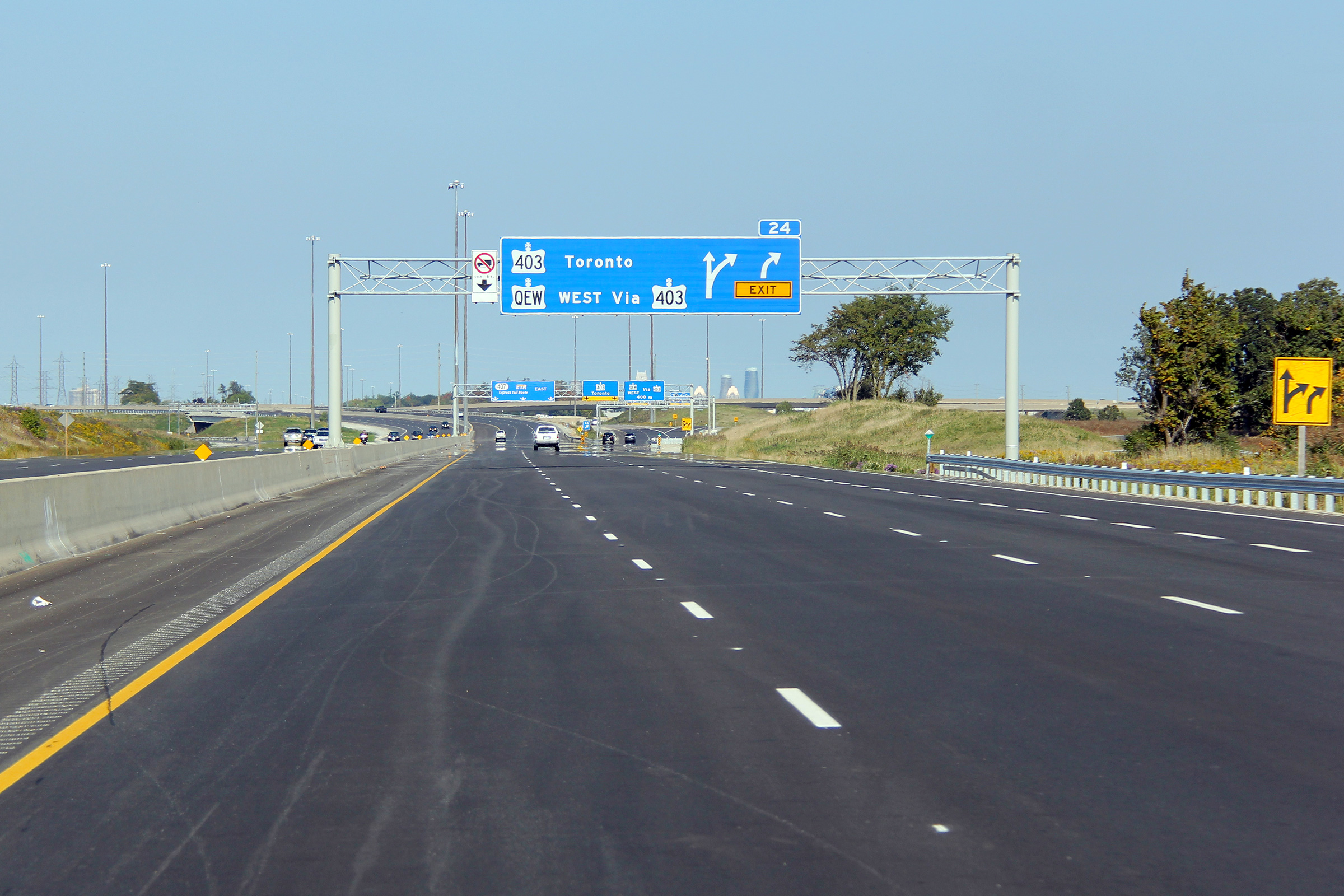
| Town of Oakville Regional Municipality of Halton |
Signage at the ramp to Highway 403 in Mississauga. Photo taken: September 25th, 2011. |
 (720x480) (720x480)(1440x960) (2400x1600) |
|||
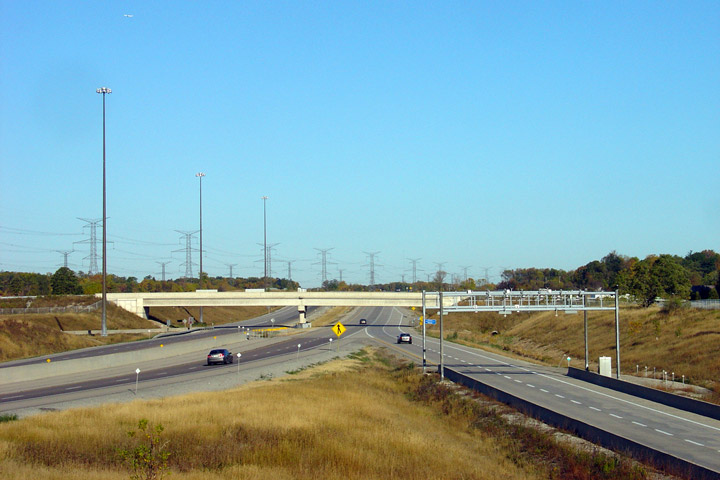
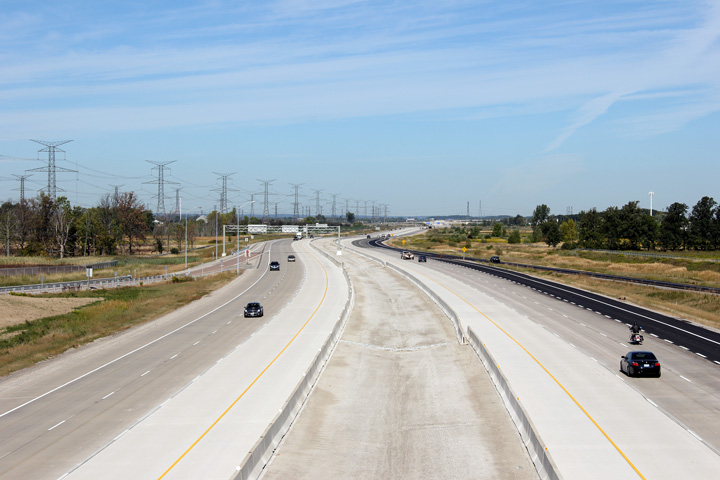
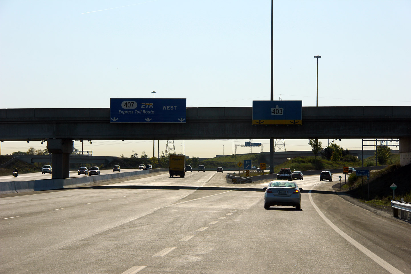
| Town of Oakville Regional Municipality of Halton |
Unique views of the 407 looking west from the ramp from Highway 407 west to
Highway 403. In 2011, Highway 407 was widened to six lanes between
this interchange and the Highway 401 interchange. Upper photo taken: September 23rd, 2007. Lower photo taken: September 9th, 2011. |
|
|||
| Highway 407 meets Highway 403 in Western Mississauga. Click here for Highway 403 images. | |||||
| Town of Oakville Regional Municipality of Halton |
Eastbound views from the same ramp. Upper photo taken: September 23rd, 2007. Lower photo taken: September 9th, 2011. |
 (720x480) (1440x960) (2400x1600) |
|||
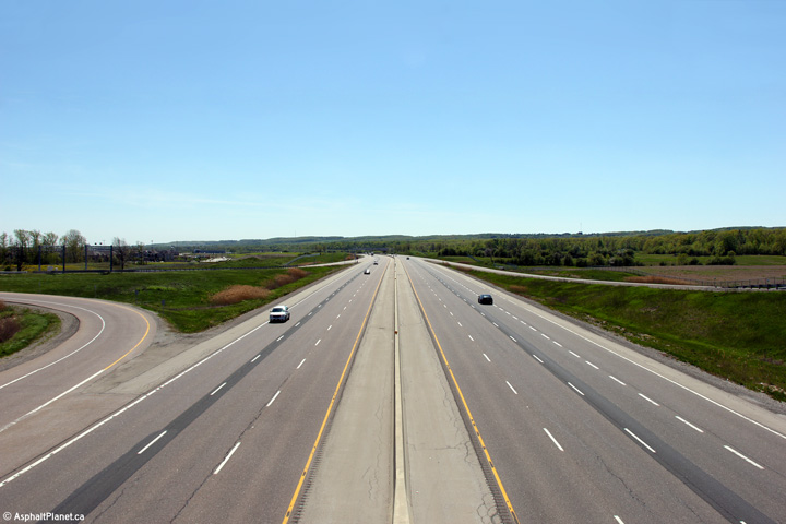
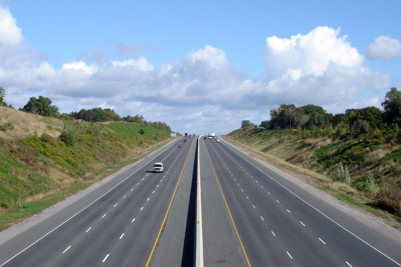
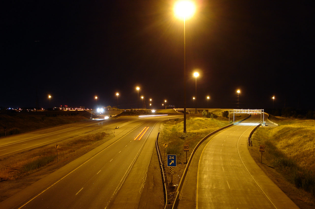
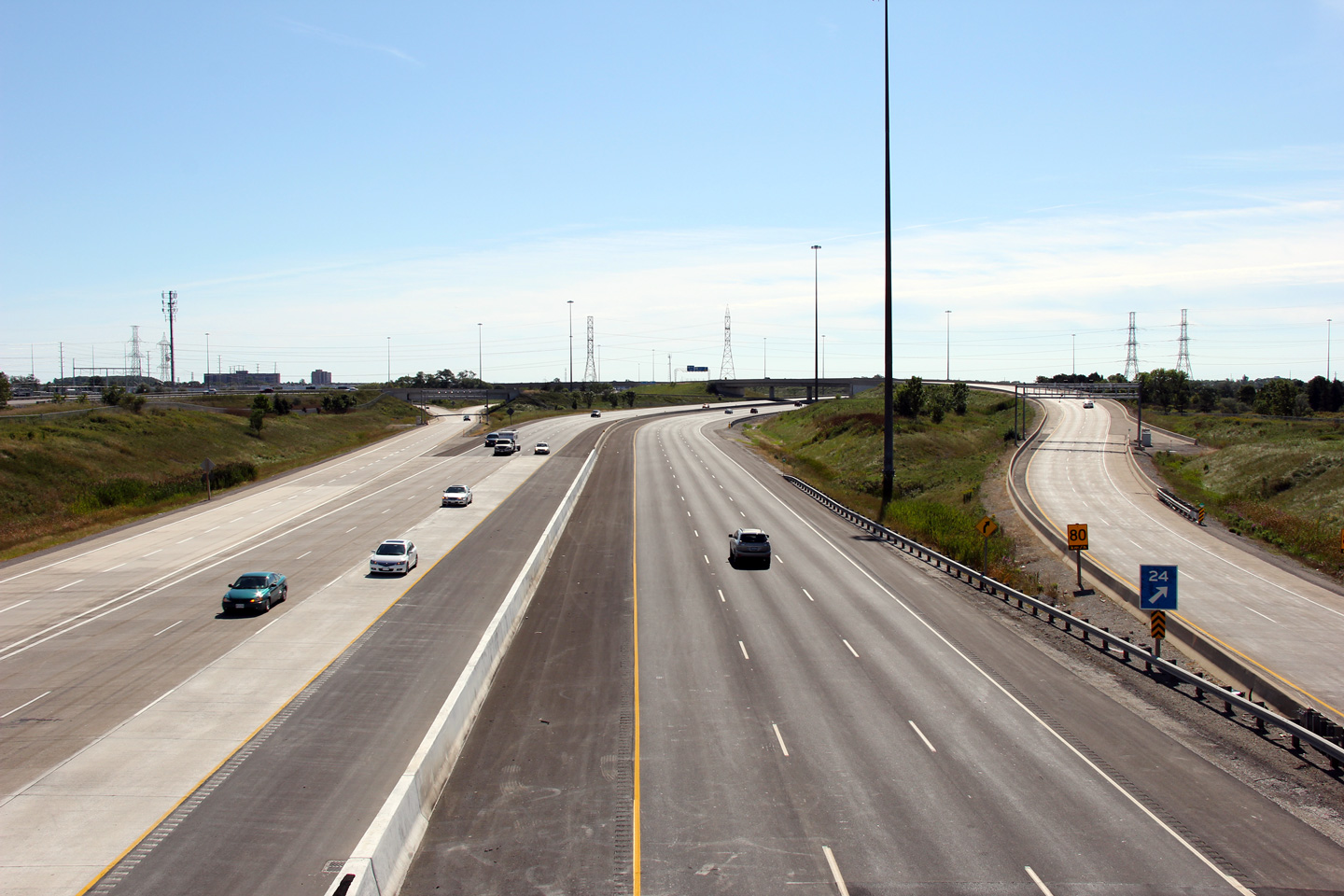
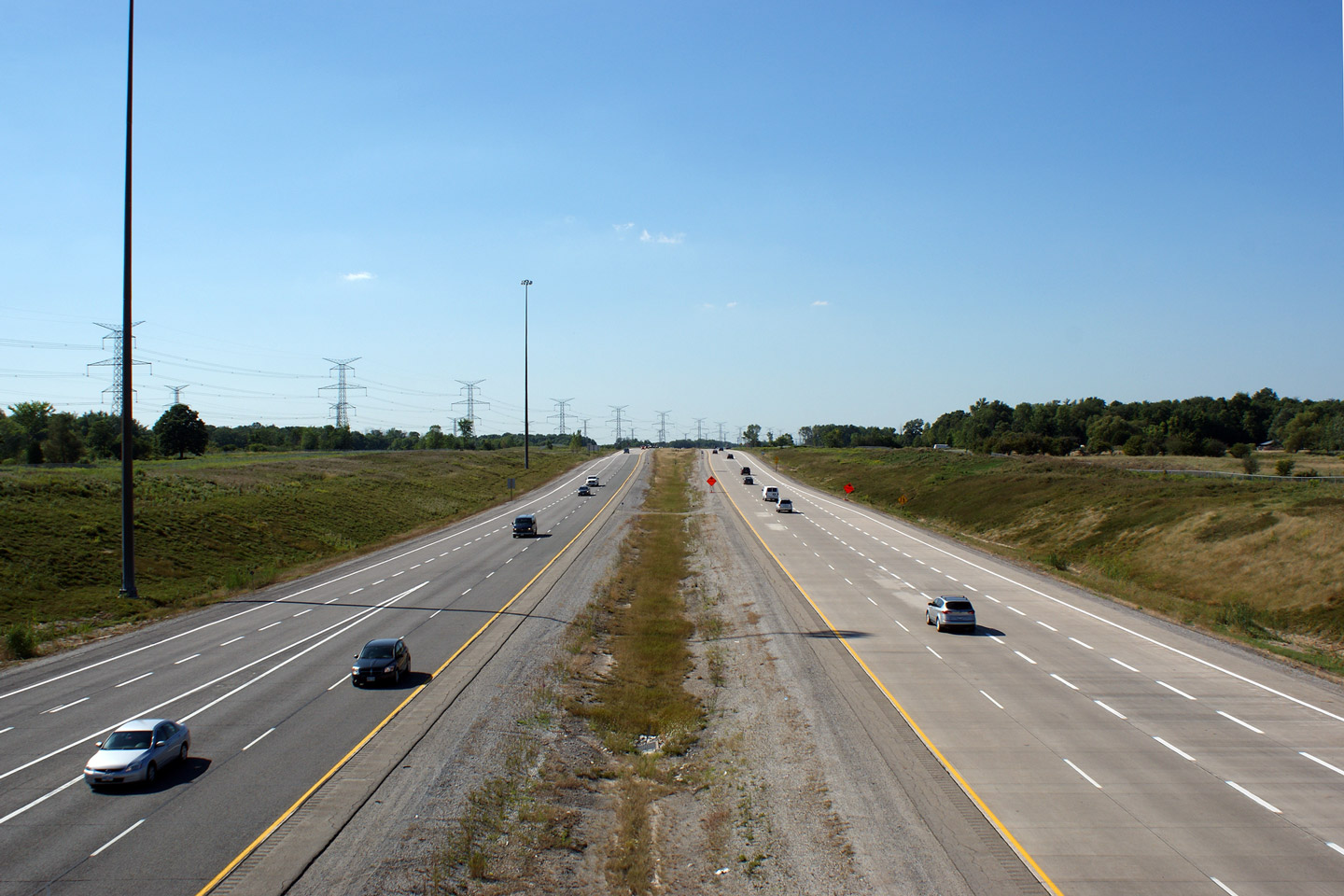
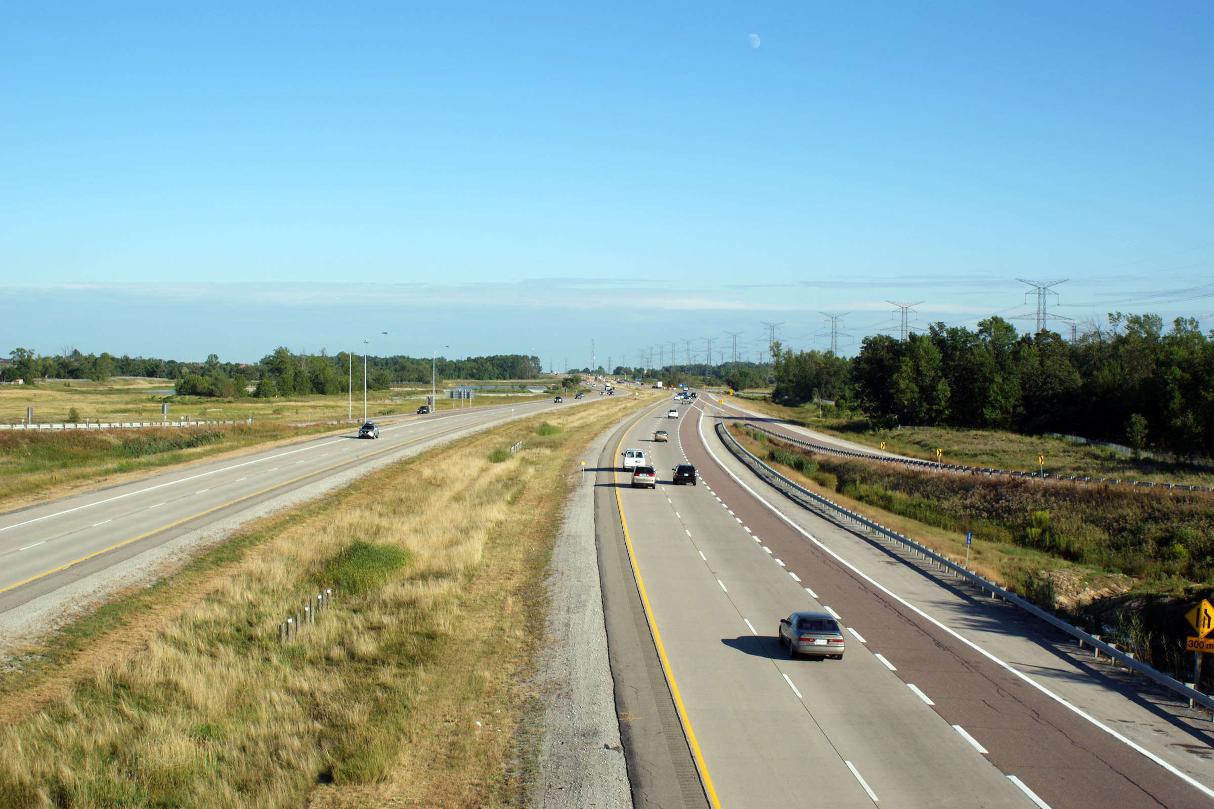
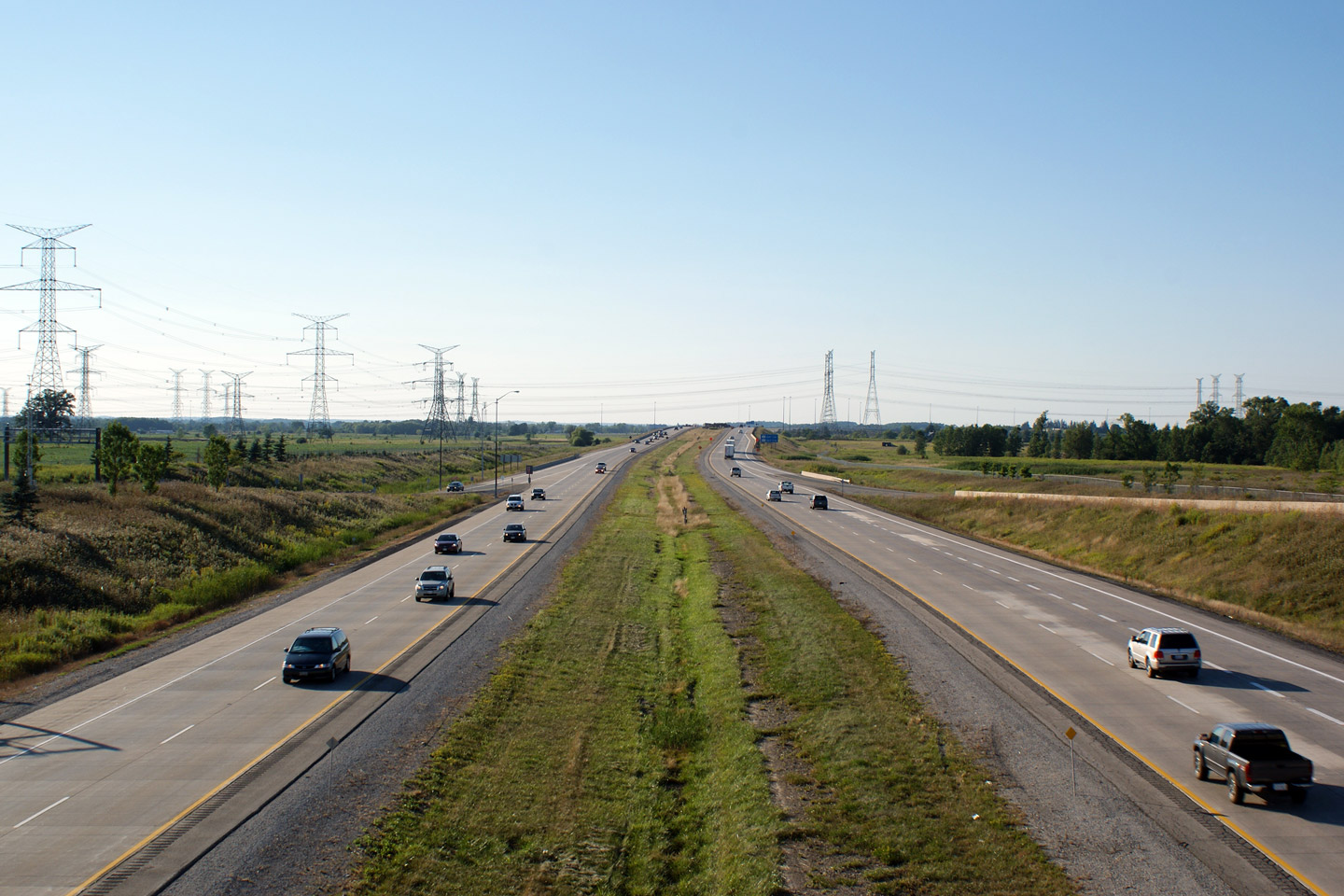
| Town of Milton Regional Municipality of Halton |
Easterly view from Ninth Line, taken before Highway 407 was widened to six
lanes. Photo taken: September 23rd, 2007. |
|
|||
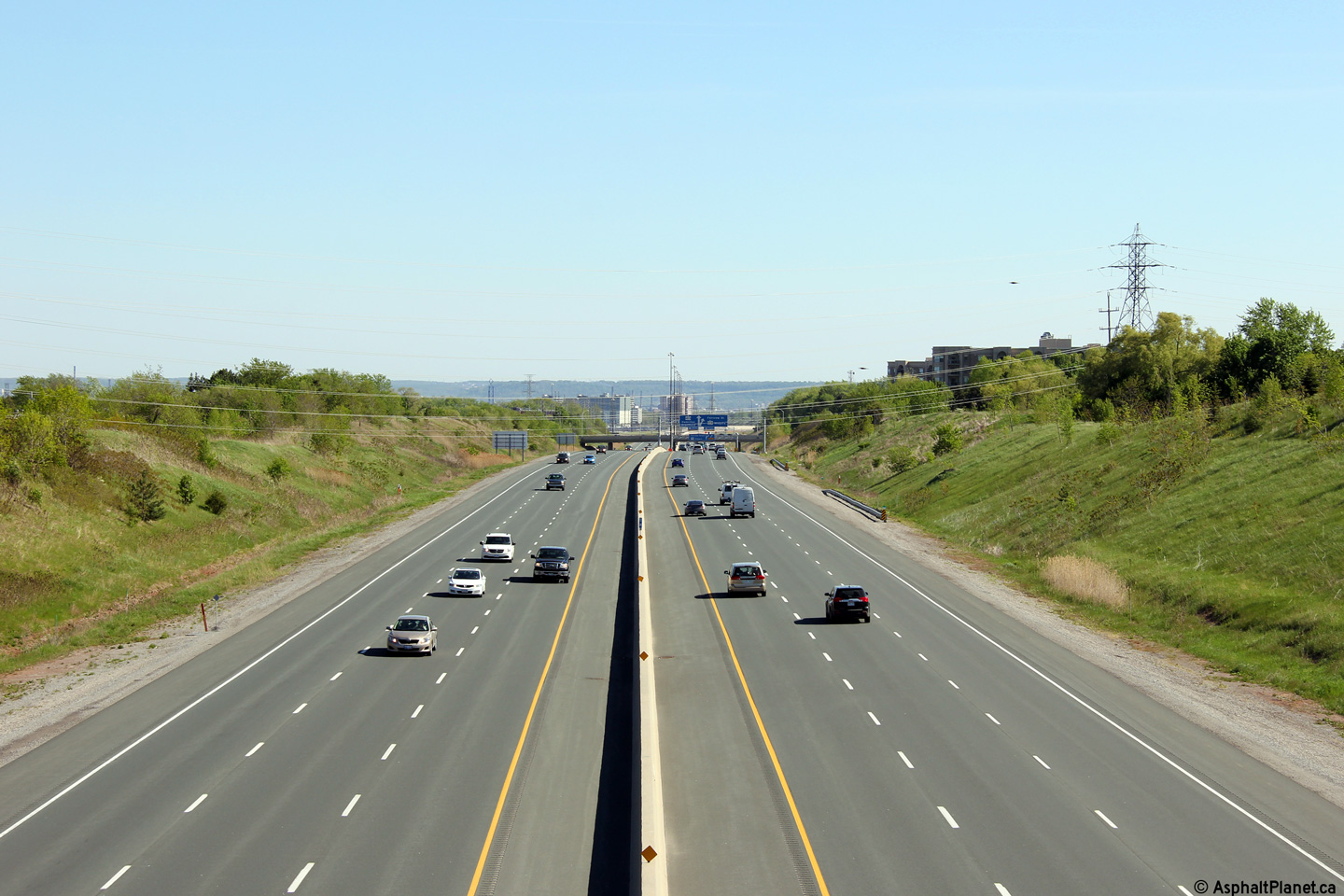
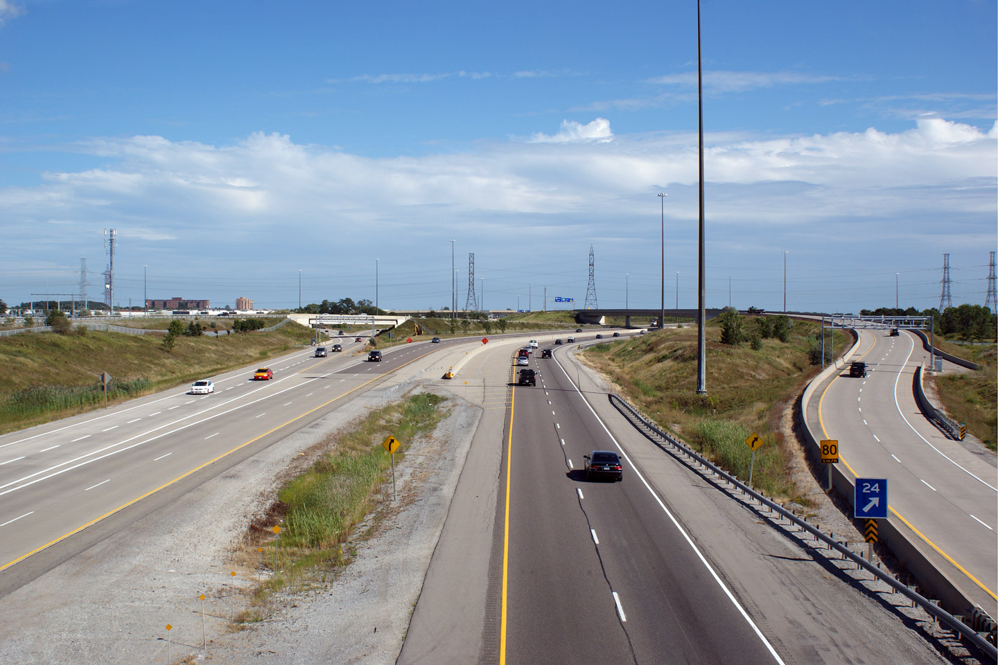
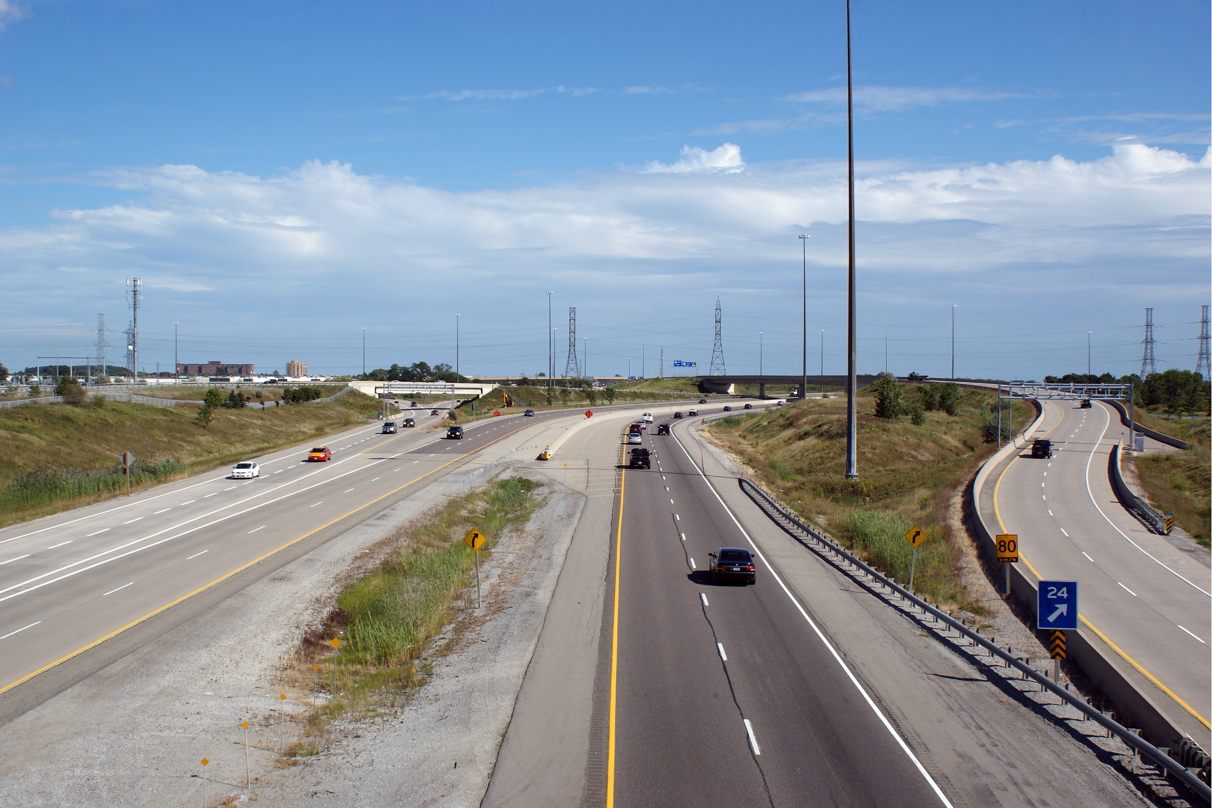
| Town of Milton Regional Municipality of Halton |
Both a day and night view looking west along Highway 407 from the Lower
Baseline Road overpass. Highway 407 meets Highway 403 at this
intersection, yet at this intersection the mainline of Highway 407 does not cross the
mainline of Highway 403. Upper photo taken: August 18th, 2010. Middle photo taken: July 20th, 2007. Lower Photo taken: September 9th, 2011. |
 (720x480) (1440x960) (2400x1600) |
|||
| Town of Milton Regional Municipality of Halton |
Signage affixed to the Lower Baseline Road overpass for the Highway 403
interchange. Photo taken: October 7th, 2011. |
 (720x480) (720x480)(1440x960) (2400x1600) |
|||
| Town of Milton Regional Municipality of Halton |
Two views looking easterly from the Lower Baseline Road overpass. Upper Photo taken: August 18th, 2010. Lower Photo taken: July 20th, 2007 |
 (720x480) (1440x960) (2400x1600) |
|||
| Town of Milton Regional Municipality of Halton |
Partial overhead advanced signage for the exit to Highway 403. Photo taken: October 7th, 2011. |
||||
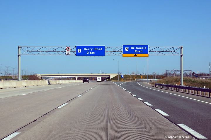
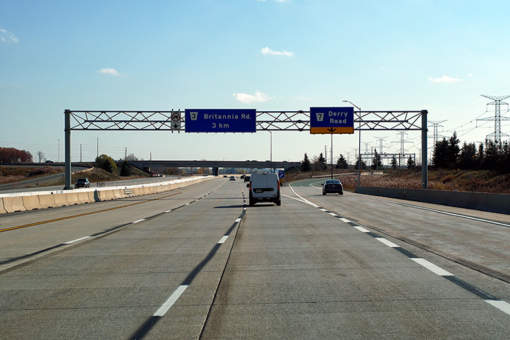
| Town of Milton Regional Municipality of Halton |
Eastbound advanced signage for the Britannia Road interchange.
Overhead signage was added to this portion of Highway 407 when it was
widened to six lanes during the 2011 construction season. Photo taken: May 11th, 2014. |
 (720x480) (720x480)(1440x960) (2400x1600) |
|||
| Town of Milton Regional Municipality of Halton |
Overhead signage at the off-ramp to Britannia Road. Photo taken: May 11th, 2014. |
 (720x480) (720x480)(1440x960) (2400x1600) |
|||
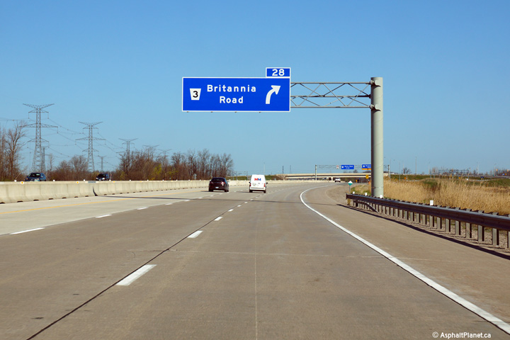
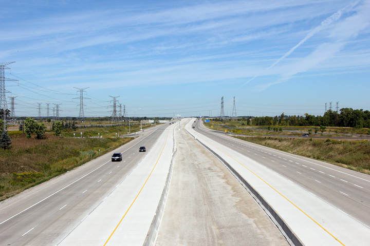
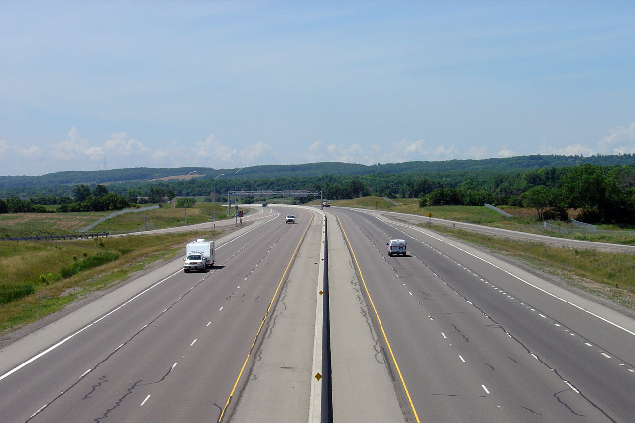
| Town of Milton Regional Municipality of Halton |
Looking westerly from the Britannia Road overpass. Upper photo taken: August 18th, 2010. Lower photo taken: September 9th, 2011. |
 (720x480) (1440x960) (2400x1600) |
|||
| Town of Milton Regional Municipality of Halton |
Easterly views from the Britannia Road overpass. Upper photo taken: August 18th, 2010. Lower photo taken: September 9th, 2011. |
|
|||
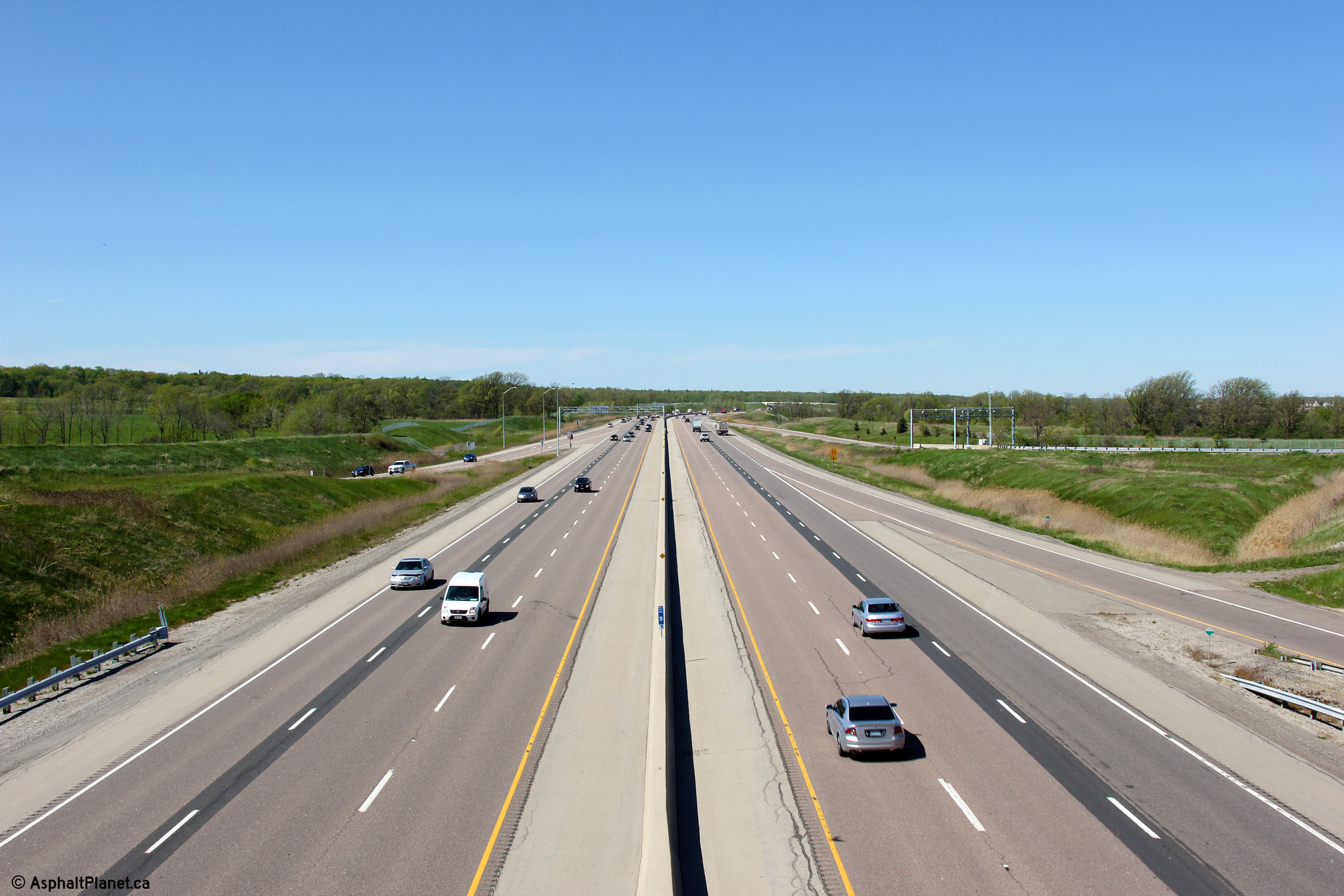
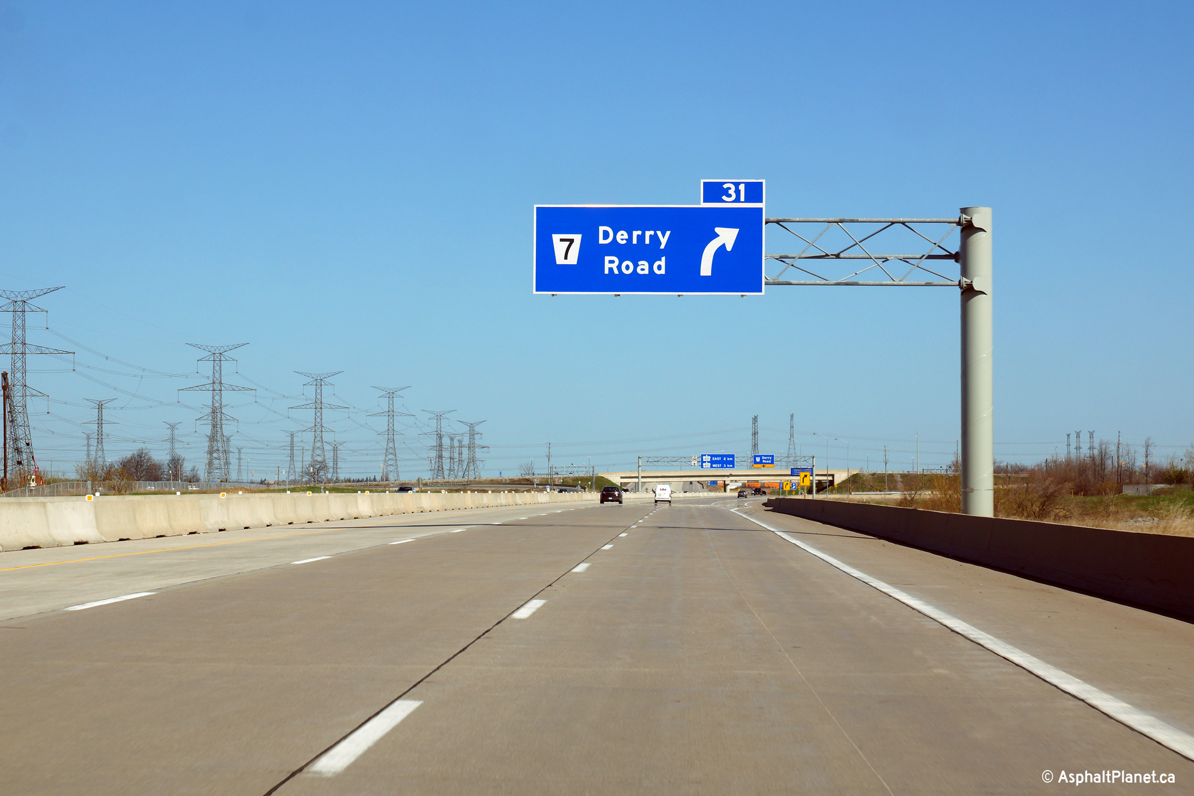
| Town of Milton Regional Municipality of Halton |
Advanced signage for the Derry Road interchange. Photo taken: May 11th, 2014. |
 (720x480) (720x480)(1440x960) (2400x1600) |
|||
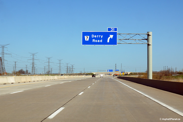
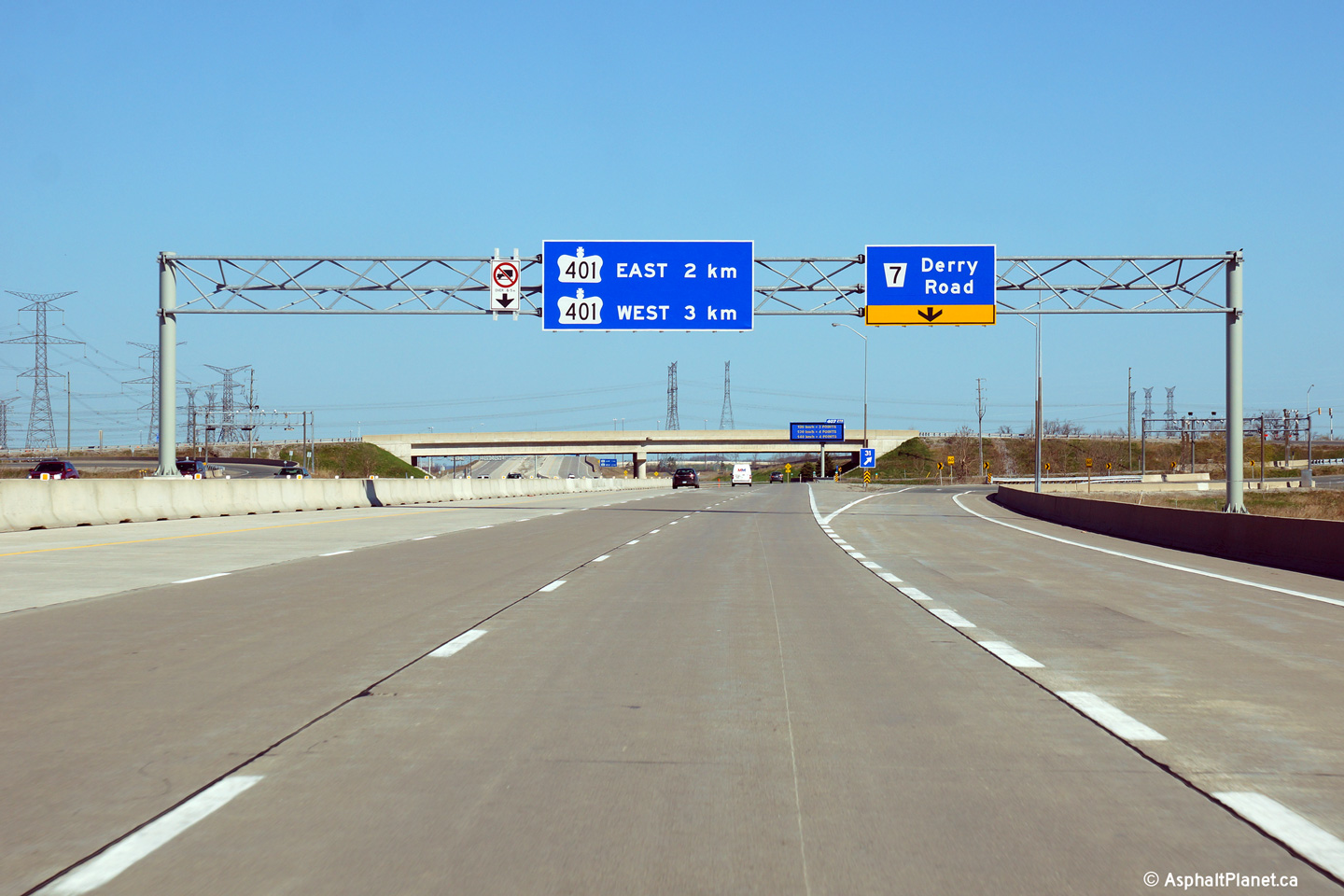
| Town of Milton Regional Municipality of Halton |
Overhead signage for Derry Road. Photo taken: May 11th, 2014. |
 (720x480) (720x480)(1440x960) (2400x1600) |
|||
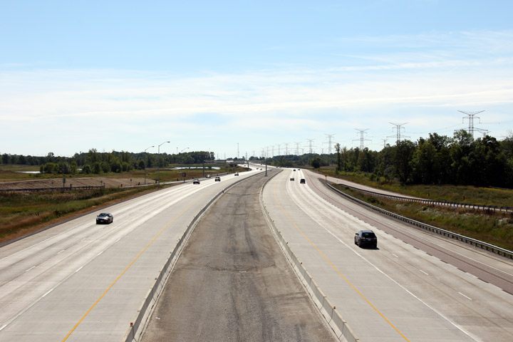
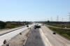
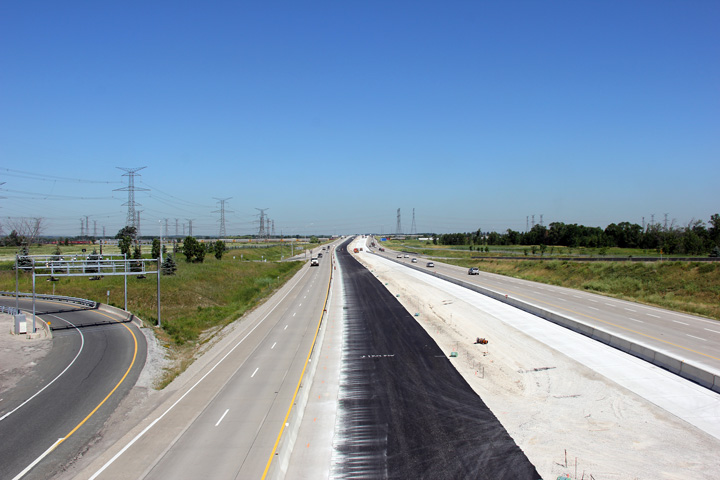
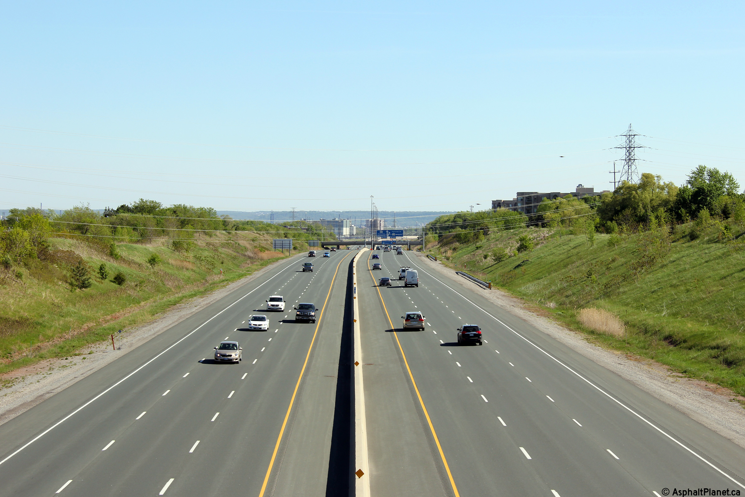
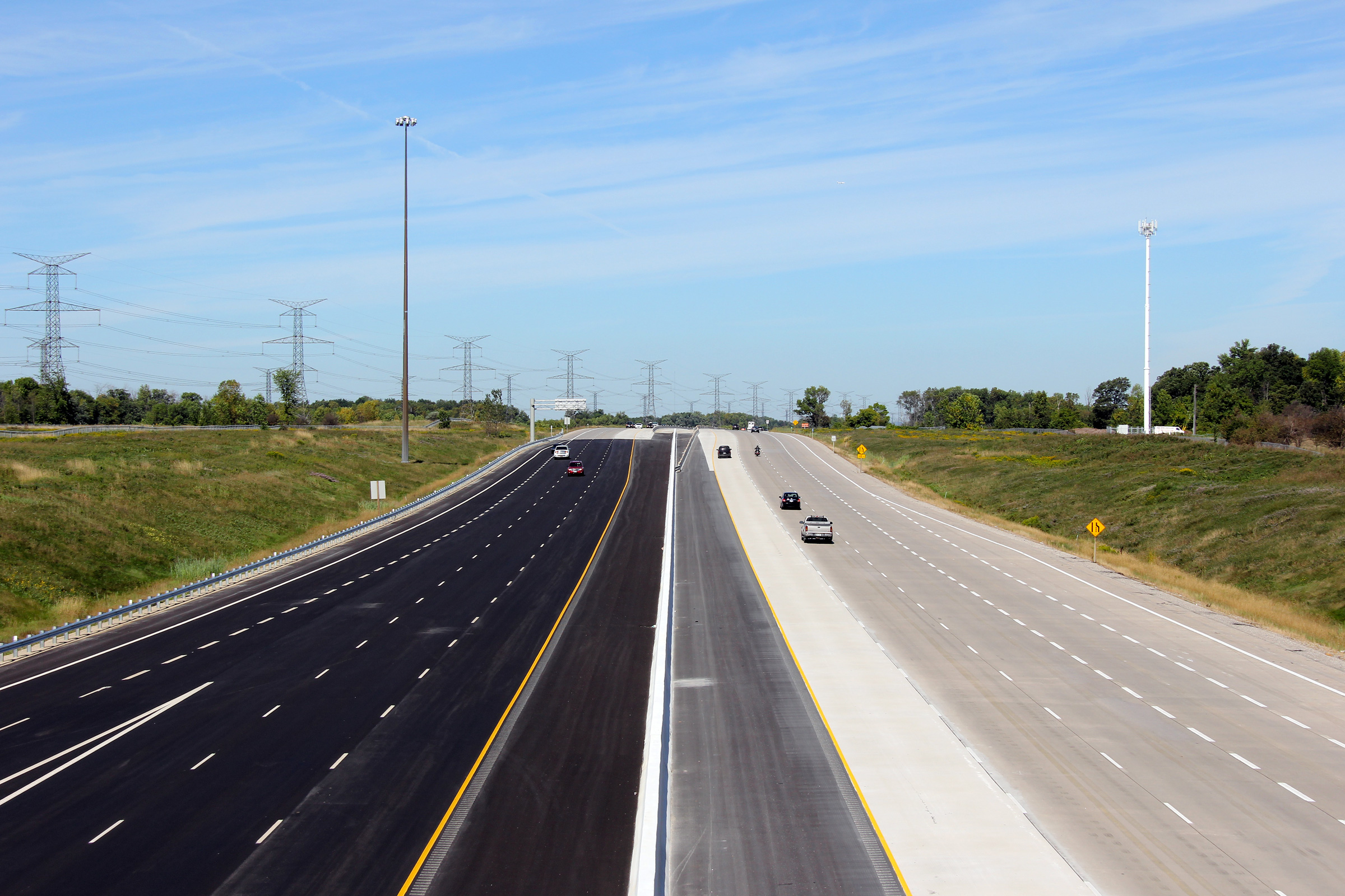
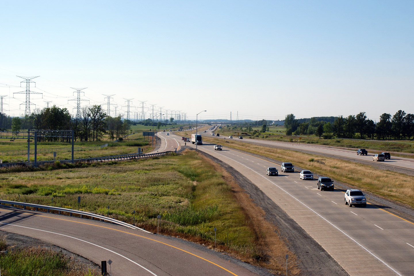
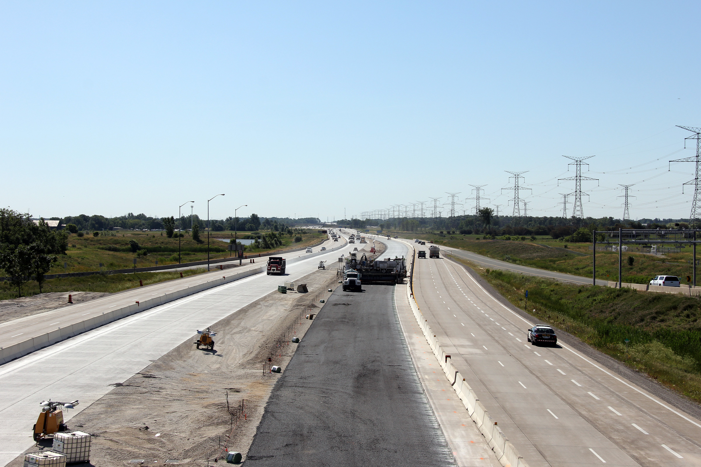
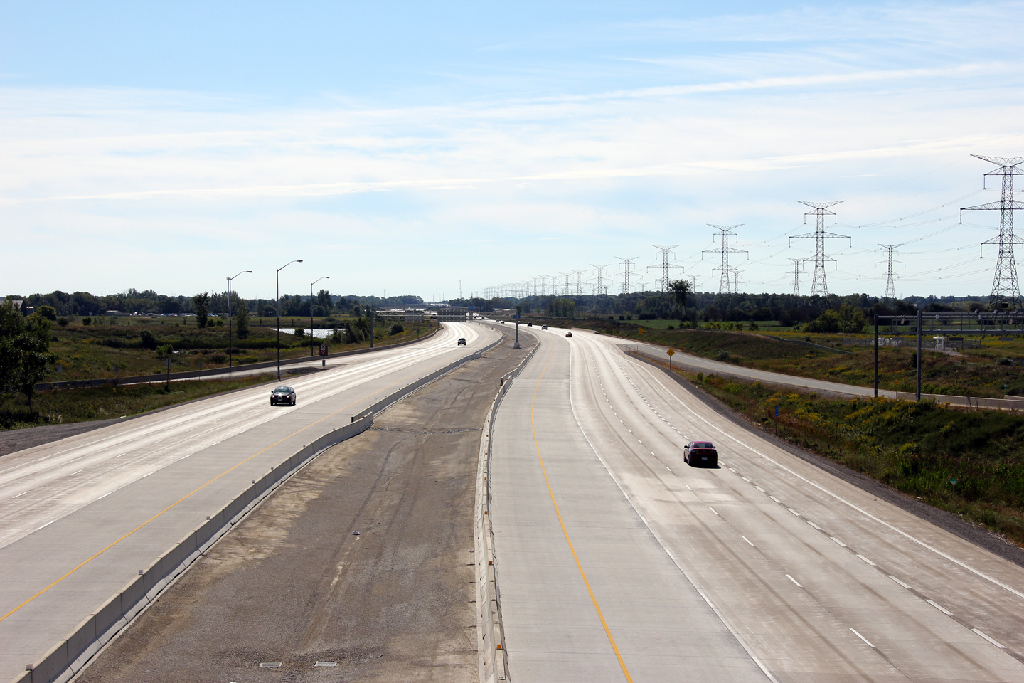
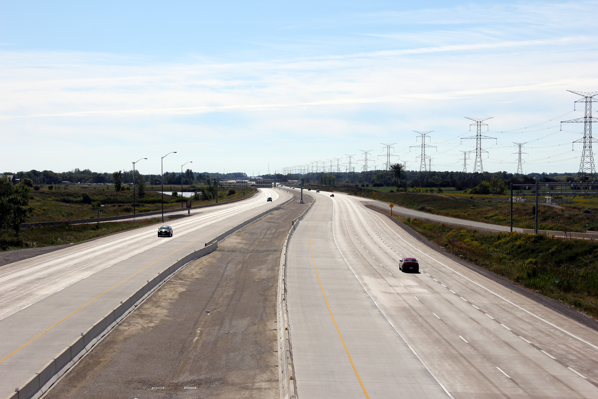
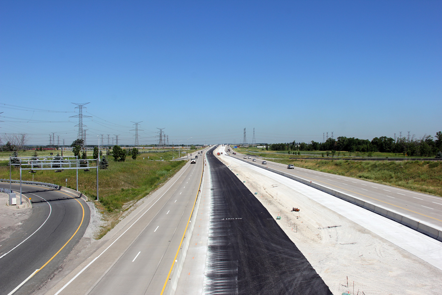
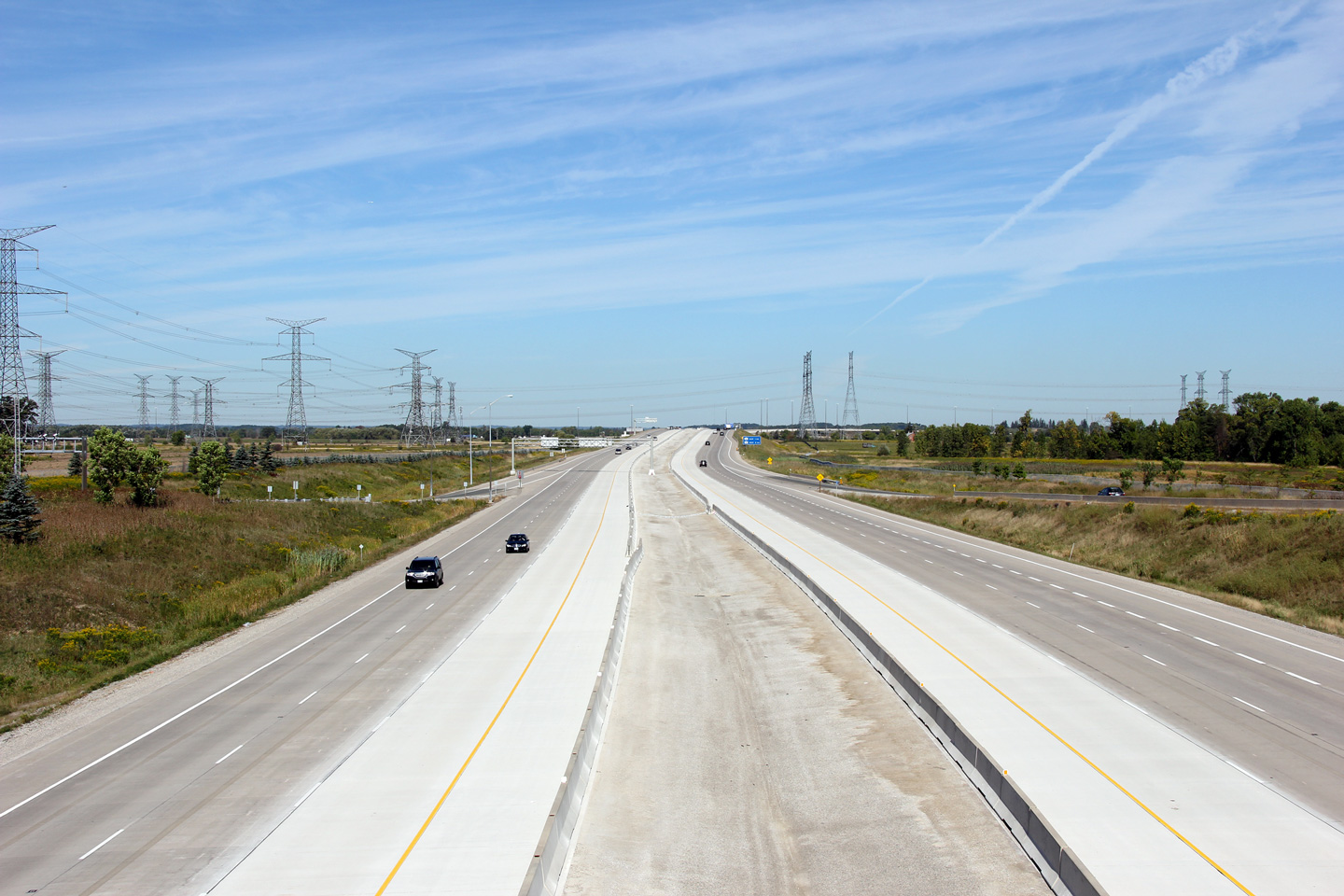
| Town of Milton Regional Municipality of Halton |
Three views looking westerly from the Derry Road overpass. The upper
photo shows the 'vintage' four lane configuration of Highway 407. This
is the configuration that the highway first opened with. The second
photo shows the highway widening ongoing, with the concrete paver in view.
The third and final photo shows the highway after the new lanes had been
open to traffic. Upper photo taken: August 18th, 2010. Middle photo taken: July 15th, 2011. Lower photo taken: September 9th, 2011. |
 (720x480) (1440x960) (2400x1600) |
|||
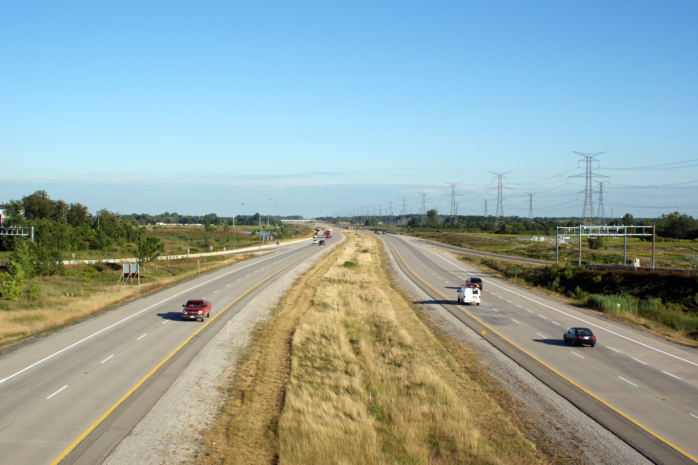
| Town of Milton Regional Municipality of Halton |
Eastbound views from the Derry Road overpass, towards the CPR overpass. Photo taken: August 18th, 2010. Middle photo taken: July 15th, 2010. Lower photo taken: September 9th, 2011. |
 (720x480) (1440x960) (2400x1600) |
|||
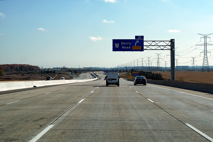
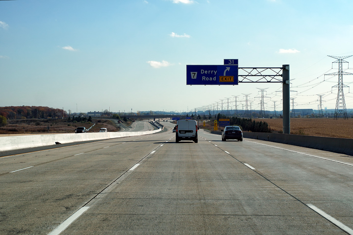
| Town of Milton Regional Municipality of Halton |
Westbound signage at the off-ramp to Derry Road. The fourth westbound
lane departs the 407 at Derry Road. Photo taken: October 28th, 2020. |
 (720x480) (720x480)(1440x960) (2400x1600) |
|||
| Town of Milton Regional Municipality of Halton |
Westbound advanced signage for the Derry Road interchange. Photo taken: October 28th, 2020. |
 (720x480) (720x480)(1440x960) (2400x1600) |
|||
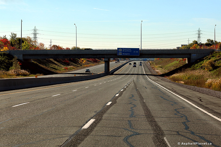
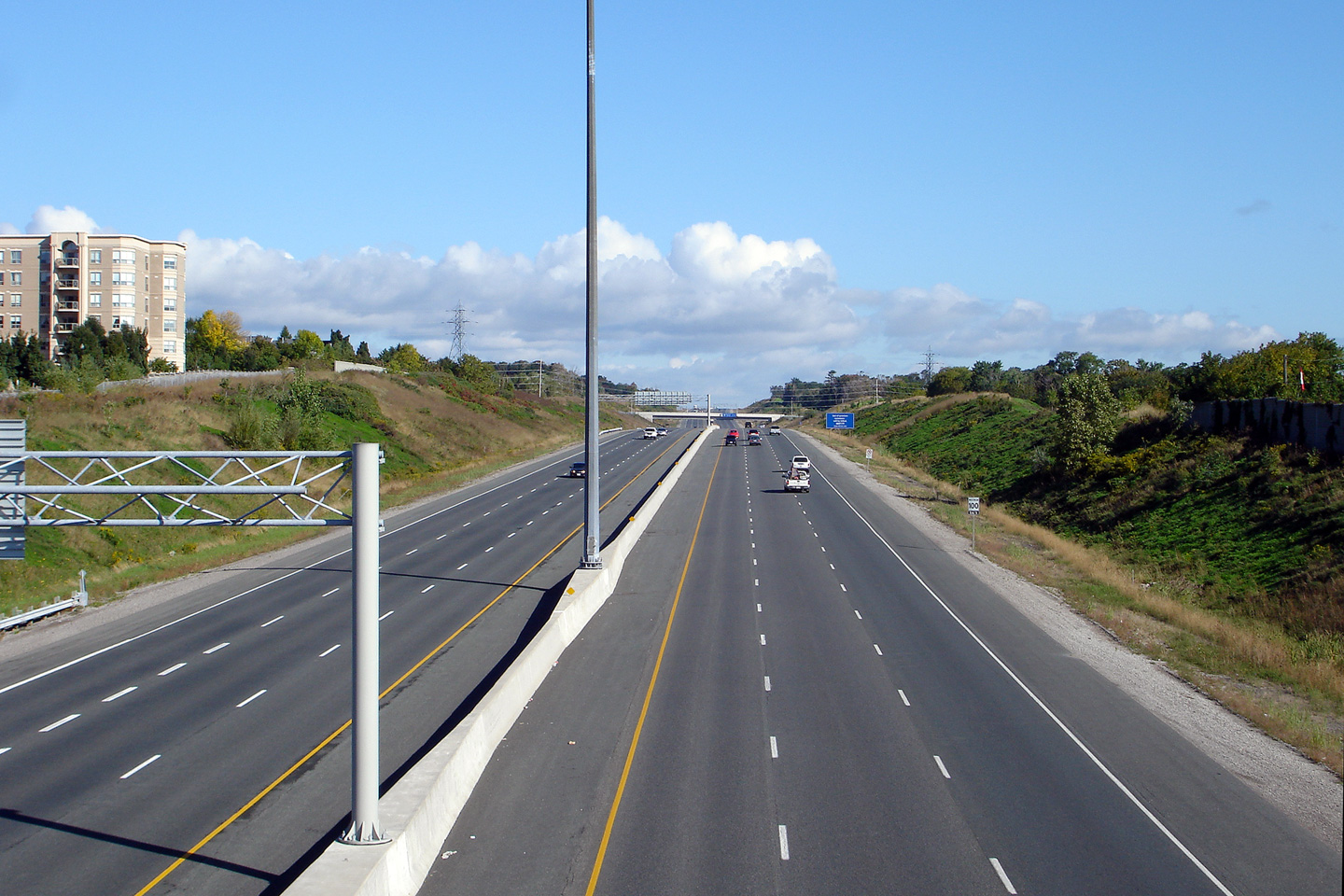
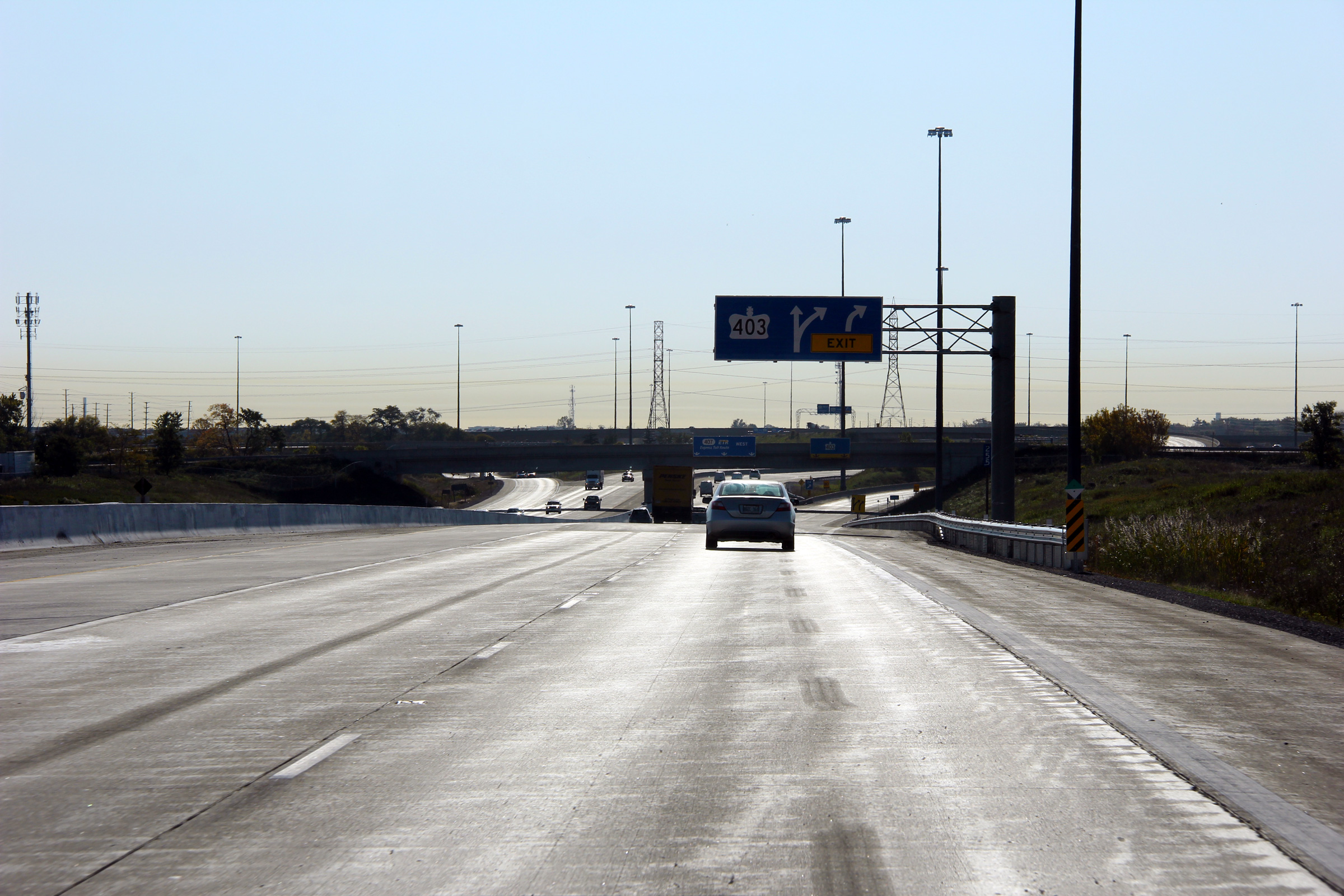
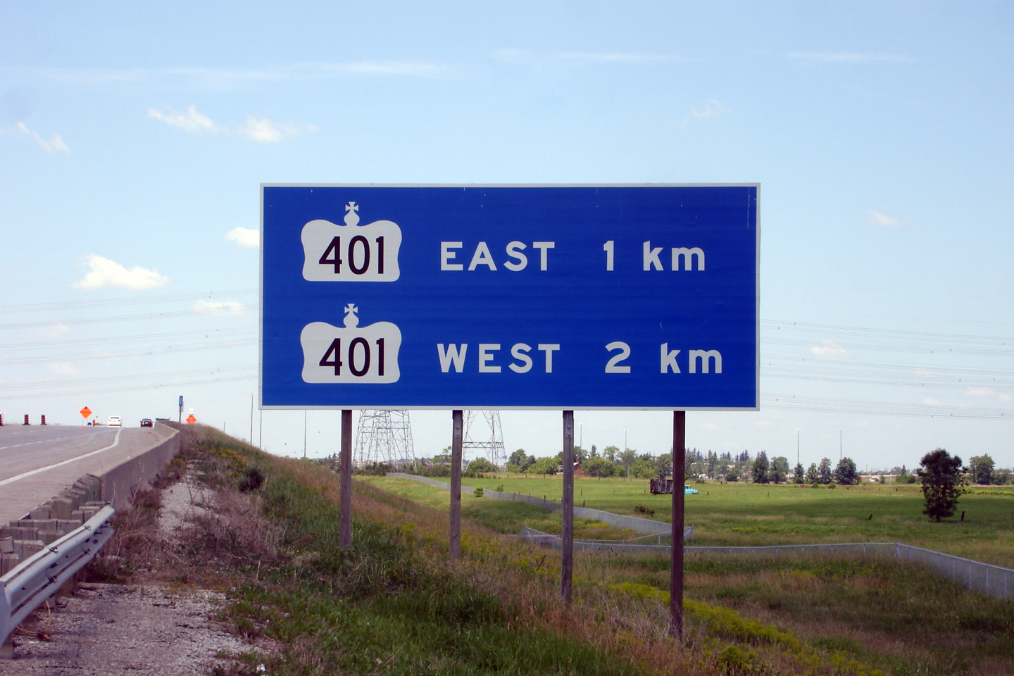
| Town of Milton Regional Municipality of Halton |
Advanced signage for the Highway 401 interchange. Photo taken: June 15th, 2007. |
 (720x480) (720x480)(1440x960) |
|||
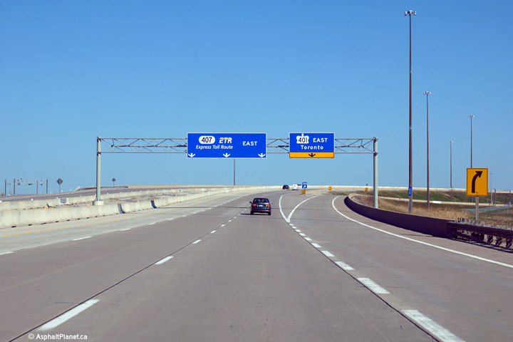
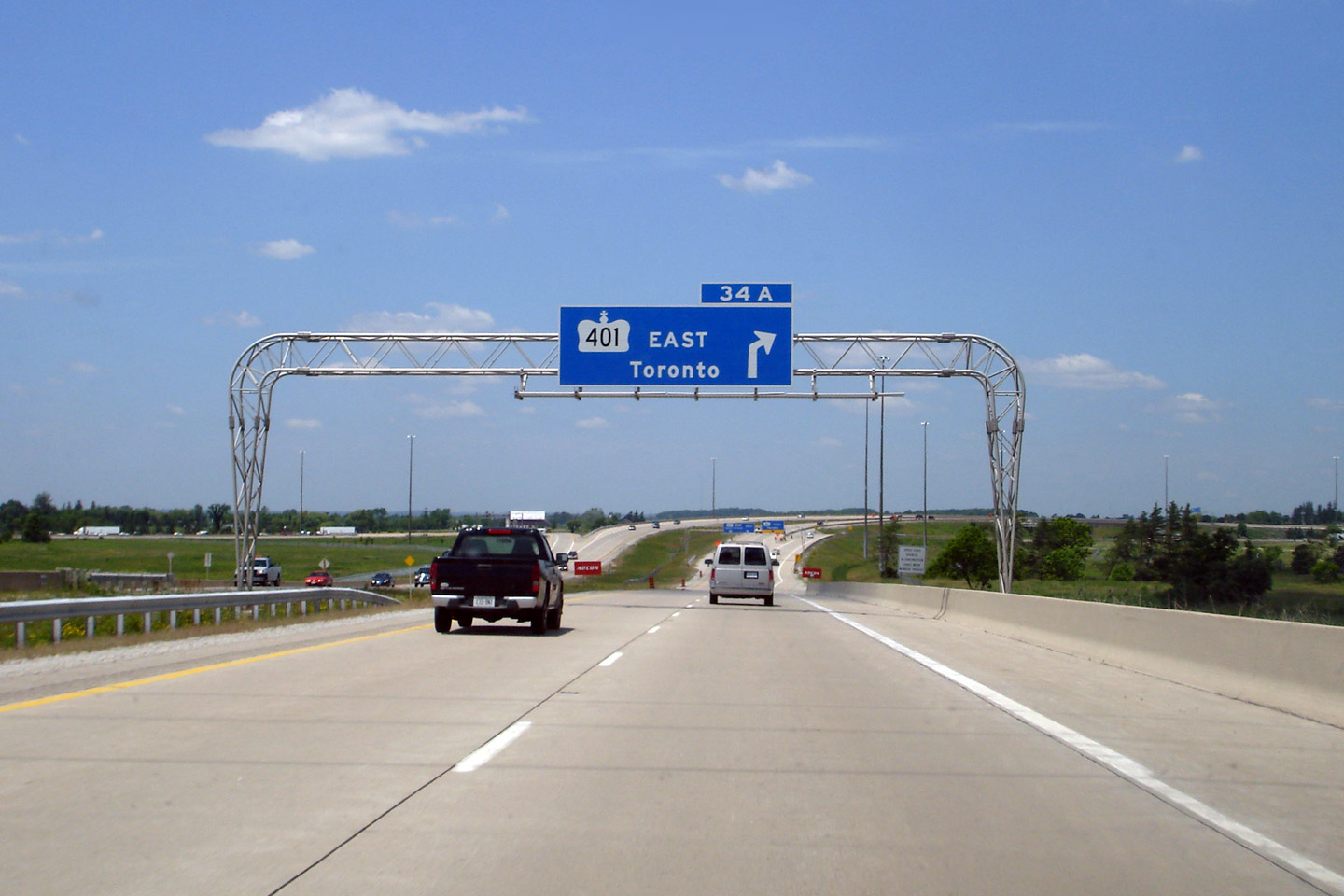
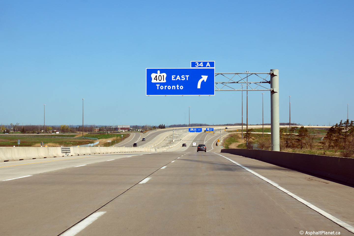
| Town of Milton Regional Municipality of Halton |
Overhead advanced signage for Highway 401 east. In the upper photo,
note that an older style angled arrow was used instead of the rounded
advanced arrow that is typical. The updated signage uses a standard
arrow. Upper photo taken: June 15th, 2007. Lower photo taken: May 11th, 2014. |
 (720x480) (720x480)(1440x960) (2400x1600) |
|||
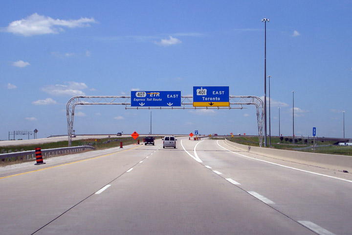
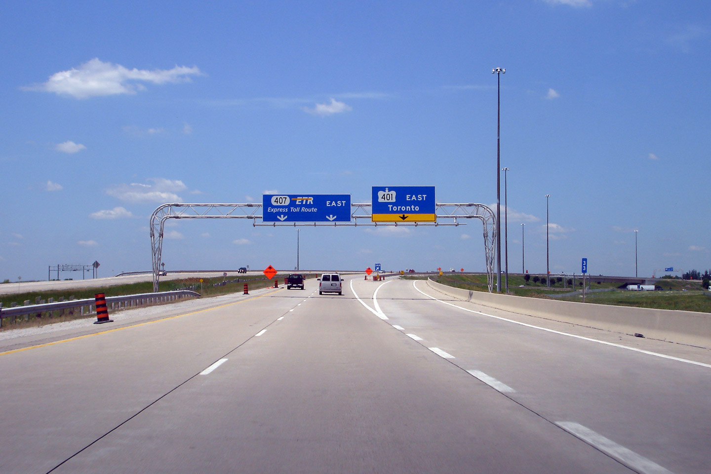
| Town of Milton Regional Municipality of Halton |
Overhead signage at the split to Highway 401 East. Upper photo taken: June 15th, 2007. Lower photo taken: May 11th, 2014. |
|
|||
| Highway 407 meets Highway 401 in Western Mississauga. Click here for Highway 401 images. | |||||
| Highway 407 images continue easterly on Page 2 | |||||
Highway 407 Images Index Page 2 Images ->
<- Highway 406 Images Back to Highway 407 Highway 409 Images ->
Copyright (c) 2004-2016, AsphaltPlanet.ca AsphaltPlanet@asphaltplanet.ca


 (720x480)


