AsphaltPlanet.ca > OntHighways >
Highway 401 > Images
> Page 3
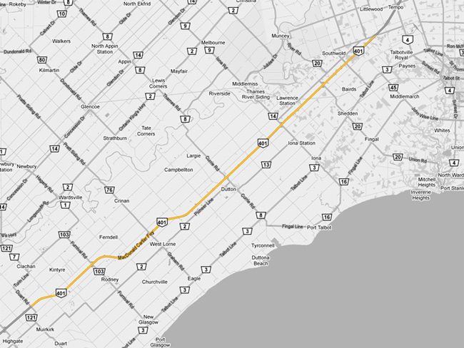
King's Highway 401 - Images
<- Page 2 Page 3 - Ridgetown to London Page 4->
Photos shown in this table are arranged from West to East:
| Proper Municipality Name | Photo Description | Photo | |
|
Pictures taken from driver's perspective appear offset from centre-line pictures: |
East- bound |
West- bound |
|
| Continued from Tilbury to Ridgetown Pictures | |||
| Highway 21 runs the very long distance from Highway 3 northerly to Owen Sound. Click here for Highway 21 images. | |||
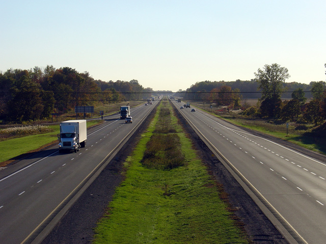
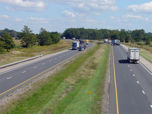
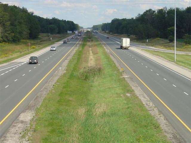
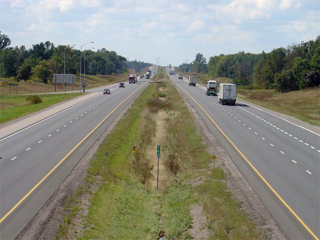
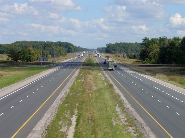
| Municipality of Chatham-Kent |
Looking east from the Highway 21 overpass.
Click here for Highway 21
Images. Click here to jump to
the view looking west from the Highway 21 overpass Picture taken: October 18th, 2005. Size: 50kb. |
 |
|
| Municipality of Chatham-Kent |
View looking west from the Kenesserie Road overpass just east of Highway 21.
Kenesserie Road is located approximately at kilometre marker 113. In
2006 work is underway to rehabilitate the Kenesserie Road overpass. Picture taken: October 18th, 2005. Size: 45kb. |
 |
|
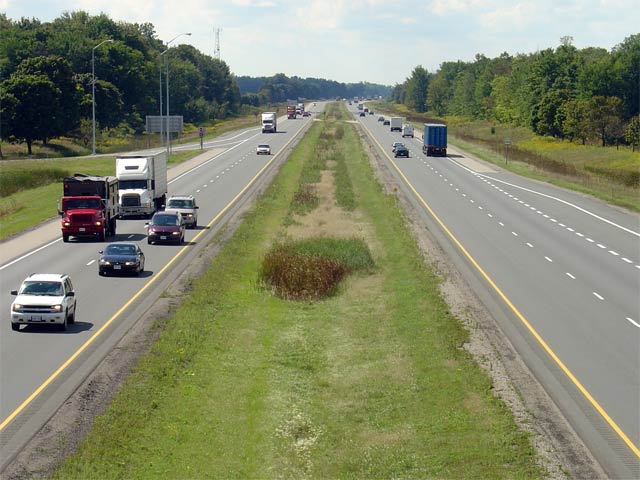
| Municipality of Chatham-Kent |
View looking east from the Kenesserie Road overpass. Notice the extra
wide left-hand shoulder that has been constructed on the westbound
carriageway in the vicinity of this overpass. It was constructed in
reaction to a serious accident that occurred in this area. Picture taken: October 18th, 2005. Size: 40kb. |
 |
|
| Municipality of Chatham-Kent |
View looking west from the Orford Road overpass in Chatham-Kent. Picture taken: October 18th, 2005. Size: 50kb. |
 |
|
| Municipality of Chatham-Kent |
Looking east along Highway 401 from the Orford Road overpass. Orford
Road is located at roughly kilometre marker 117. Picture taken: October 18th, 2005. Size: 50kb. |
 |
|
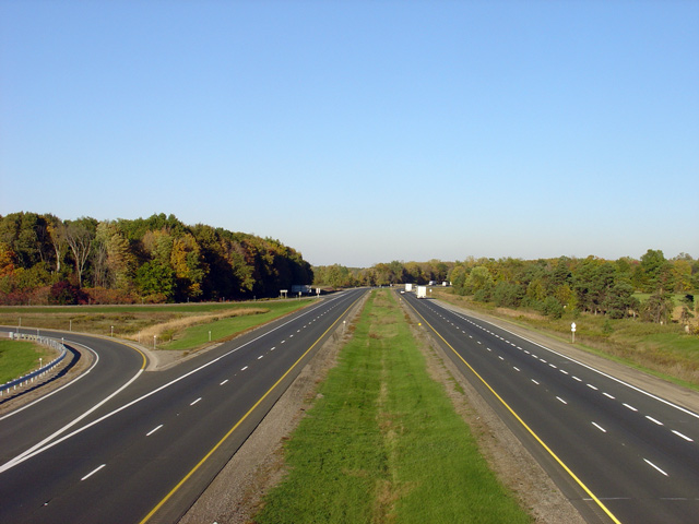
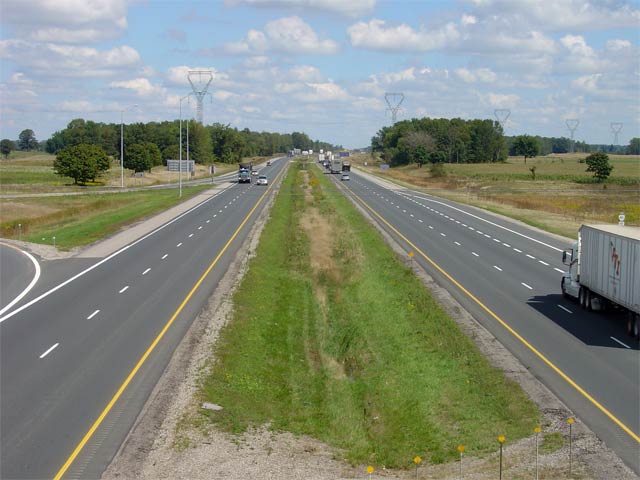
| Municipality of West Elgin County of Elgin |
View looking west from the Furnival Road overpass. Interestingly,
Furnival Road was originally designated as Elgin Road 3, but was
re-designated as Elgin Road 103 in 1998 allowing Elgin to designate its portion of
the former Highway 3 as County Road 3. Counties committed to
maintaining a former highway's number as was done in this case should be
commended. Picture taken: October 18th, 2005. Size: 40kb. |
 |
|
| Municipality of West Elgin County of Elgin |
View looking easterly from the Furnival Road overpass. Furnival Road
is located approximately at kilometre marker 129 and is the first
interchange for eastbound traffic in Elgin County. The Furnival Road
structure was completed in 1965. Picture taken: October 18th, 2005. Size: 40kb. |
 |
|
| Municipality of West Elgin County of Elgin |
View looking west from the Downie Road overpass in Elgin County.
Downie Road is located near kilometre marker 131. Picture taken: October 18th, 2005. Size: 45kb. |
 |
|
| Municipality of West Elgin County of Elgin |
View looking east from the Downie road overpass. There are several
long sweeping curves such as this one in western Elgin County as the highway
meanders through the centre of different concessions. Picture taken: October 18th, 2005. Size: 50kb. |
 |
|
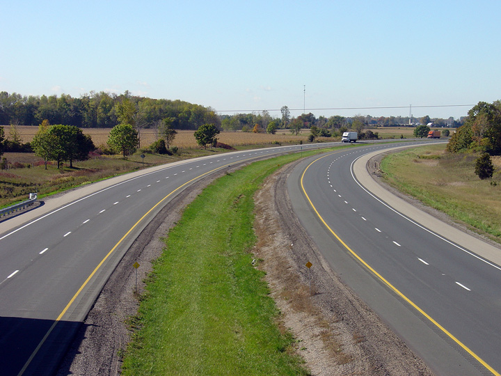
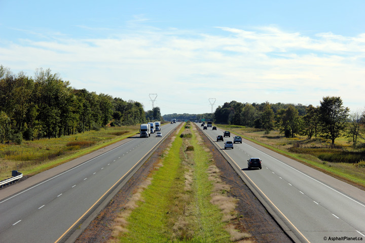
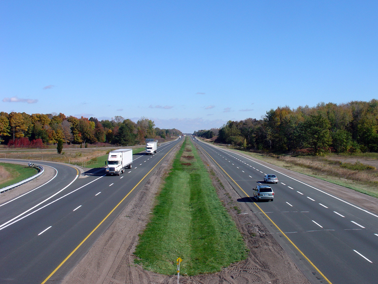
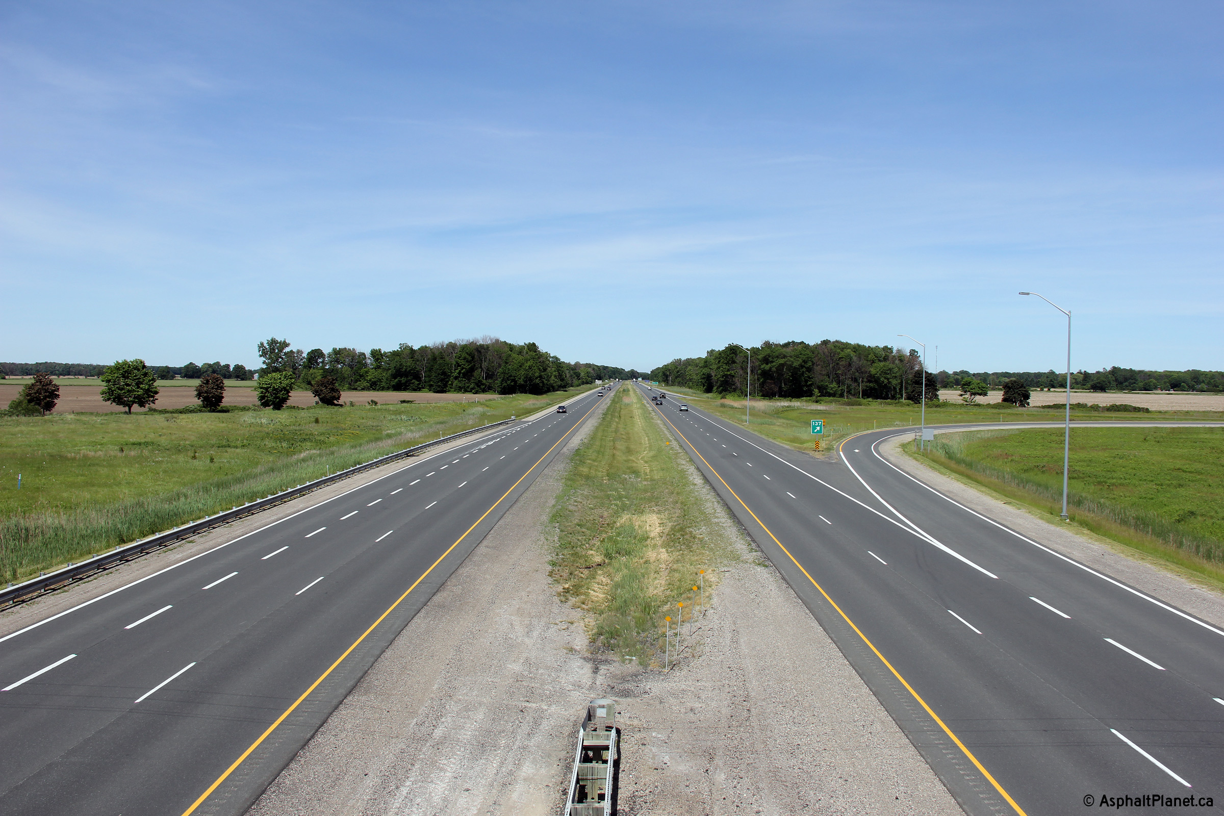
| Municipality of West Elgin County of Elgin |
Looking west into the sun from the Highway 76 (now Elgin Road 76) overpass near West Lorne.
Highway 76 is located at kilometre marker 137. Photo taken: June 15th, 2014. |
 (720x480) (1440x960) (2400x1600) |
|
| Municipality of West Elgin County of Elgin |
View looking easterly from the Highway 76 overpass. The Highway 76
interchange and structure was completed and opened to traffic in 1965.
The structure was recently rehabilitated in the Summer of 2004. Photo taken: June 15th, 2014. |
 (720x480) (1440x960) (2400x1600) |
|
| Municipality of West Elgin County of Elgin |
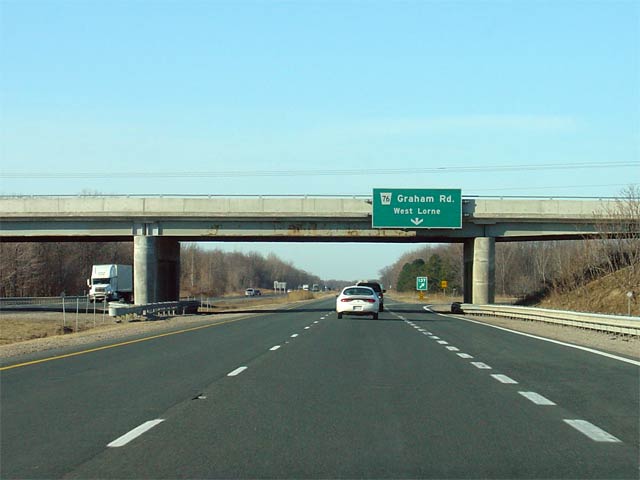
Overhead signage denoting the Highway 76 (now Elgin Road 76) exit from the
westbound 401. Highway 76 is a short highway that extends between
Highway's 2 and 3. The only major community located along the highway is West Lorne, which is of questionable provincial
significance. Click here for Highway 76 images (Coming Soon!). Picture taken: March 17th, 2005. Size: 35kb. |
 |
|
| Municipality of West Elgin County of Elgin |
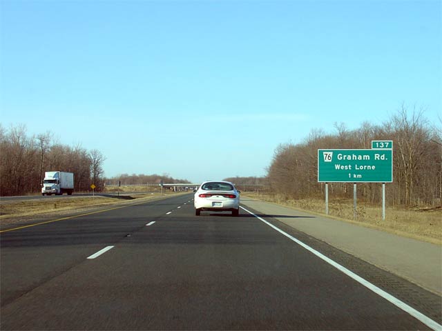
Signage approaching the former Highway 76 interchange along the westbound
401. Highway 76 was downloaded in 1997 and was one of the more logical
highways to be transferred to local jurisdiction. Picture taken: March 17th, 2005. Size: 30kb. |
 |
|
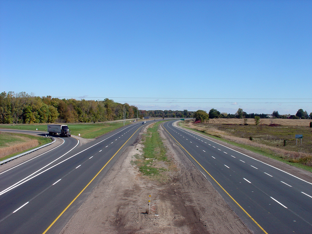
| Municipality of West Elgin County of Elgin |
View looking west towards Chatham from the Dunborough Road overpass. Picture taken: September 10th, 2004. Size: 55kb. |
 |
|
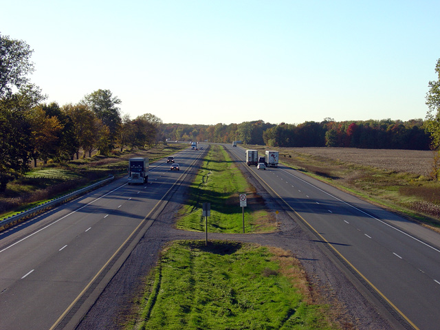
| Municipality of Dutton/Dunwich County of Elgin |
Looking easterly towards London along Highway 401 from the Dunborough Road
overpass. Dunborough Road is located in the vicinity of kilometre
marker 141. Picture taken: September 10th, 2004. Size: 50kb. |
 |
|
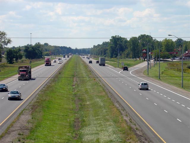
| Municipality of Dutton/Dunwich County of Elgin |
View looking west from the Coyne Road overpass towards the Dutton Service
Centres. The westbound Service Centre features a McDonalds and a Petro-Canada,
while the eastbound Service Centre offers travelers a Wendy's, Tim Horton's
and a Shell gas station. Picture taken: September 10th, 2004. Size: 50kb. |
 |
|
| Municipality of Dutton/Dunwich County of Elgin |
View looking easterly from the Coyne Road overpass. Coyne Road is
located near kilometre marker 145. Picture taken: September 10th, 2004. Size: 60kb. |
 |
|
| Municipality of Dutton/Dunwich County of Elgin |
View looking west from the Currie Road overpass. Currie Road is
located approximately at kilometre marker 149. Picture taken: September 10th, 2004. Size: 55kb. |
 |
|
| Municipality of Dutton/Dunwich County of Elgin |
Looking easterly from the Currie Road overpass. Unbeknownst to most
people, a portion of Currie Road was once Ontario's Highway 75.
Highway 75 extended from Highway 3 north to Dutton. The route was
decommissioned in the late 1950s, before the 401 was opened through
Elgin and Kent Counties in 1963. Picture taken: September 10th, 2004. Size:50kb. |
 |
|
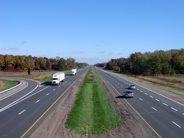
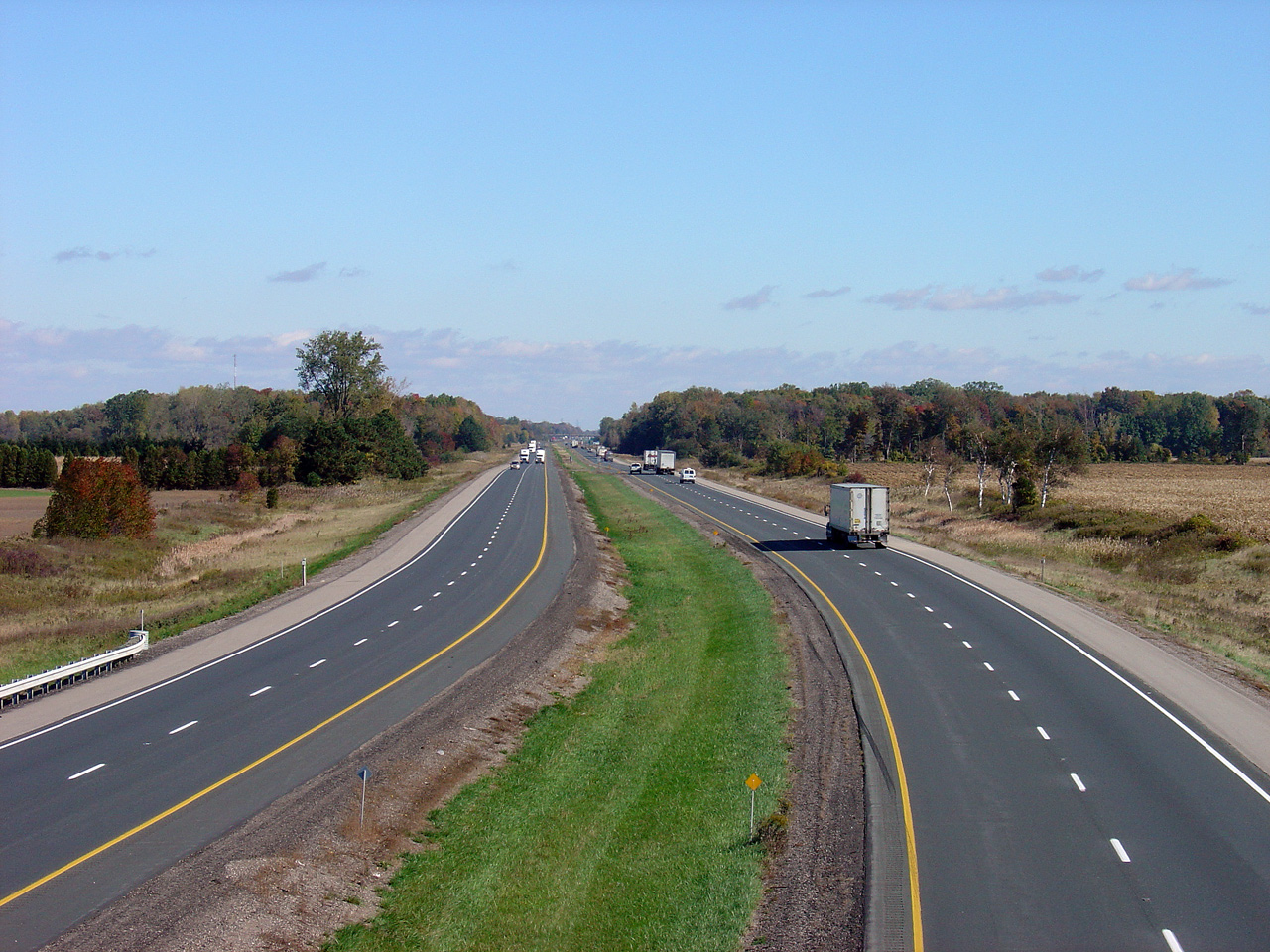
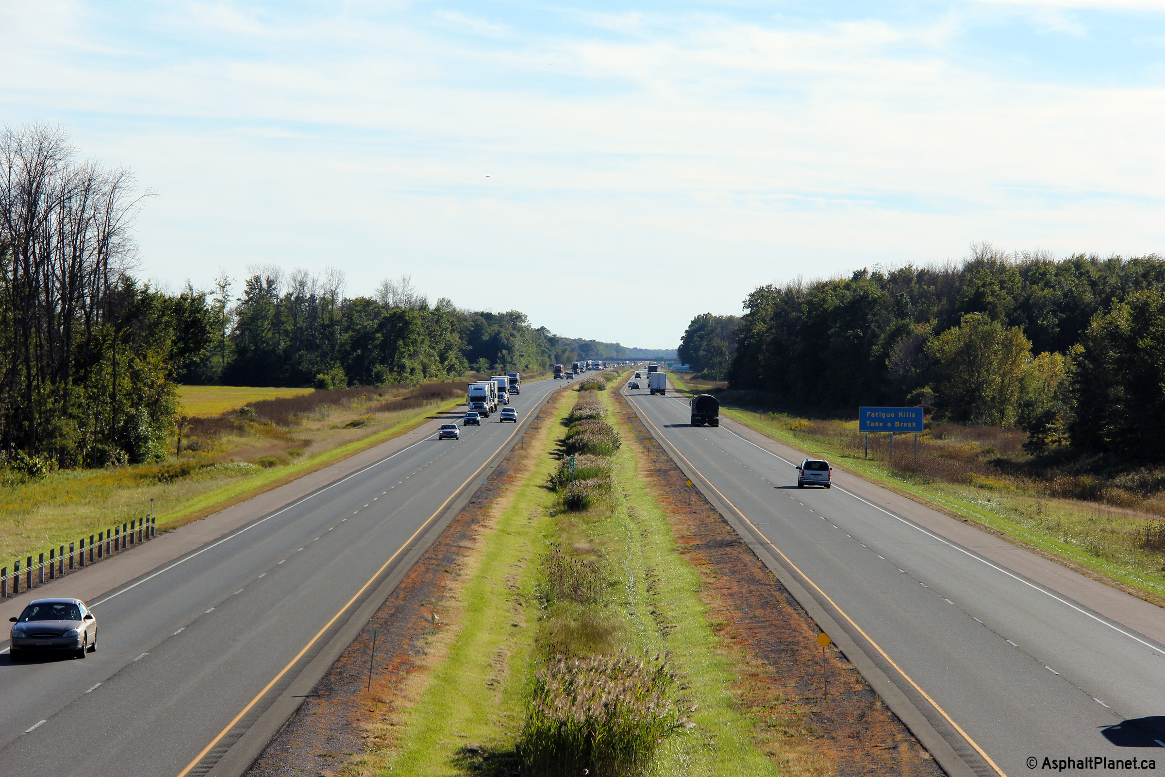
| Municipality of Dutton/Dunwich County of Elgin |
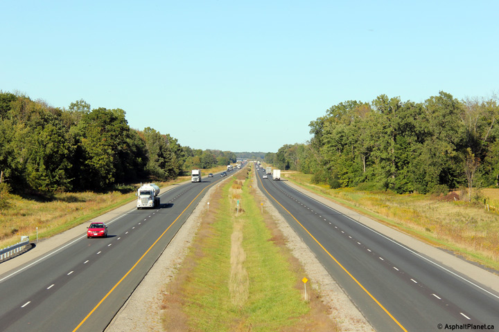
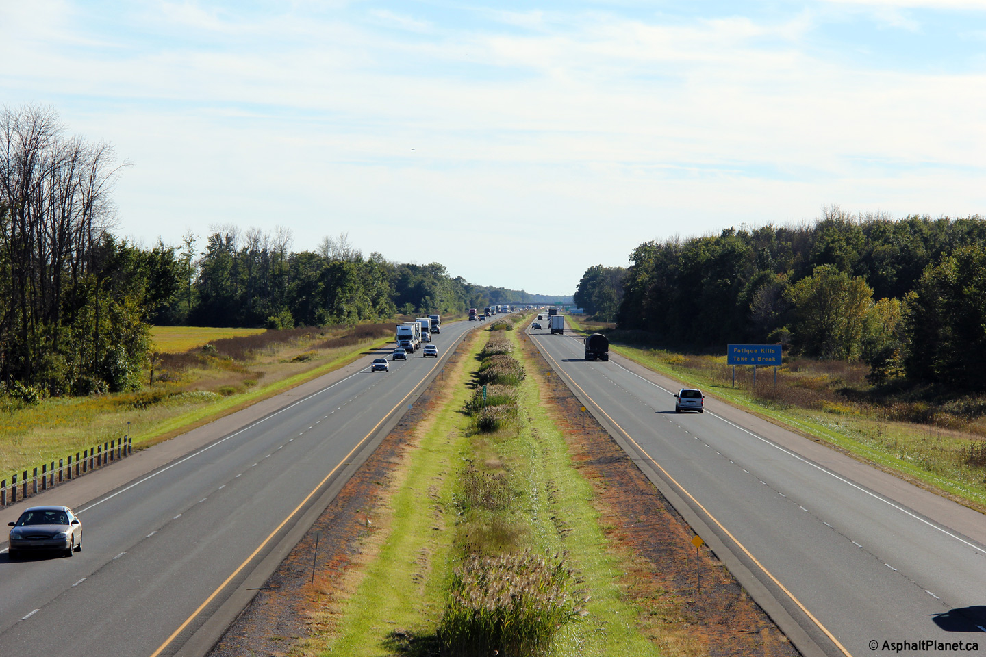
Looking west from the Willey Road overpass. Notice the 'Fatigue Kills,
Take a Break' sign in the distance of this photo. Signs such as this
were installed in the London to Windsor corridor after a very serious
fatal accident took place between Windsor and Tilbury in 1999. Since
then, similar signs have been added to several other notorious stretches of highway
across the province. Photo taken: September 17th, 2013. |
 (720x480) (1440x960) (2400x1600) |
|
| Municipality of Dutton/Dunwich County of Elgin |
Looking east from the Willey Road overpass. Willey Road is located at
roughly kilometre marker 153. Photo taken: September 17th, 2013. |
 (720x480) (1440x960) (2400x1600) |
|
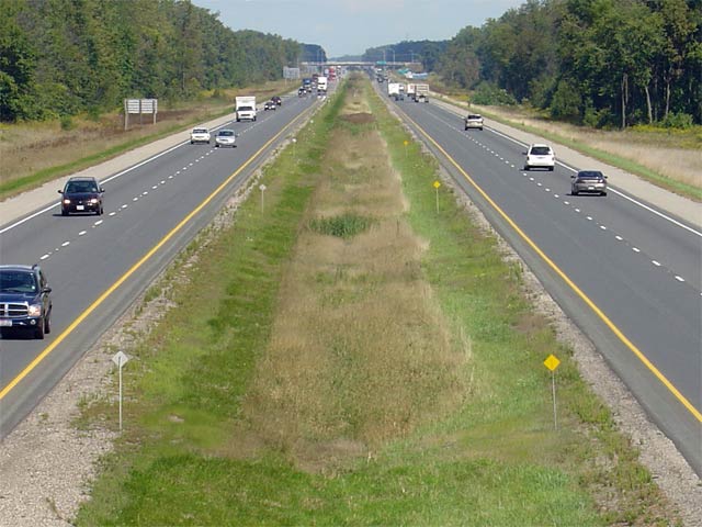
| Municipality of Dutton/Dunwich County of Elgin |
Looking westerly from the Iona Road overpass. Iona Road is located at
kilometre marker 157. Picture taken: September 10th, 2005. Size: 60kb. |
 |
|
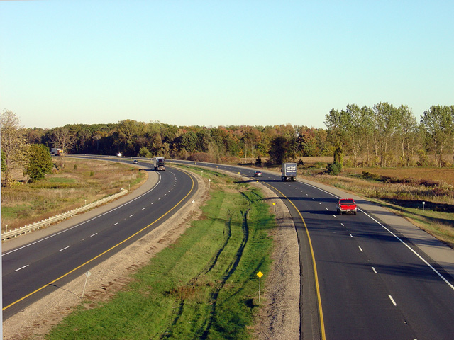
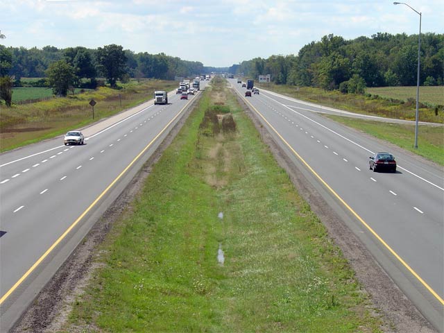
| Township of Southwold County of Elgin |
View looking east along Highway 401 from Iona Road. Picture taken: September 10th, 2005. Size: 50kb. |
 |
|
| Township of Southwold County of Elgin |
Looking west towards Chatham and Windsor from the Lawrence Road overpass in
Elgin County. Lawrence Road is located near kilometre marker 160. Photo taken: September 17th, 2013. |
 (720x480) (1440x960) (2400x1600) |
|
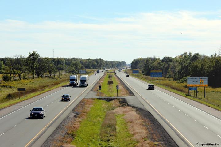
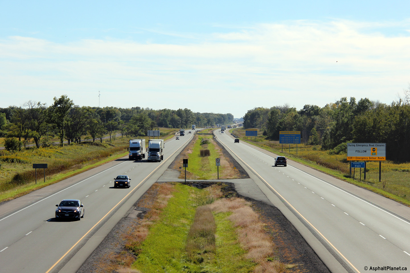
| Township of Southwold County of Elgin |
Looking easterly along Highway 401 from the Lawrence Road overpass. In
the distance of this photo, the Lawrence overhead is visible. These
parallel structures carry Highway 401 traffic over the CN Paynes
subdivision. The tracks were removed from CN's Paynes Subdivision
several years ago. Photo taken: September 17th, 2013. |
||
| Township of Southwold County of Elgin |
View looking west from the Union Road overpass. Picture taken: September 10th, 2004. Size: 50kb. |
 |
|
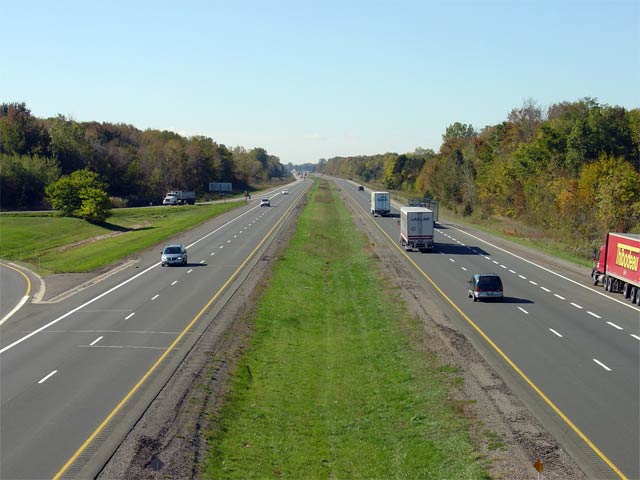
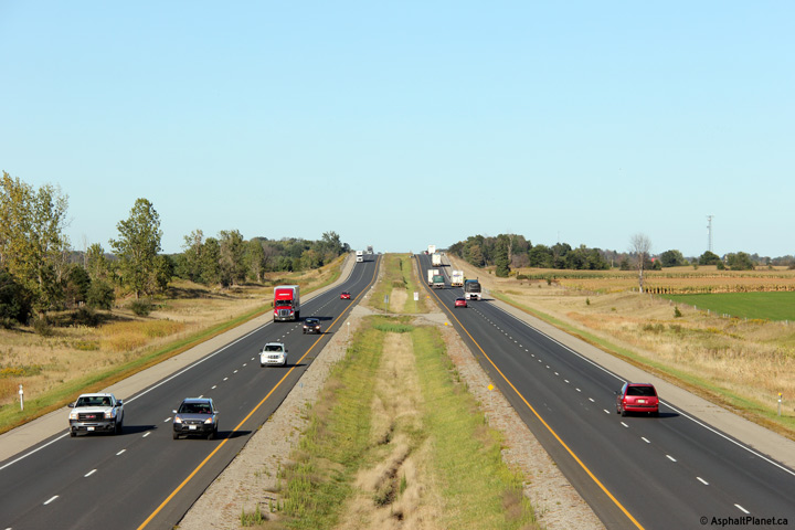
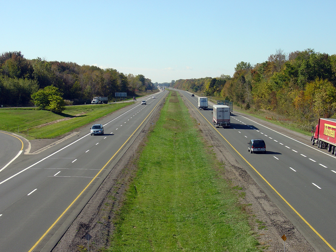
| Township of Southwold County of Elgin |
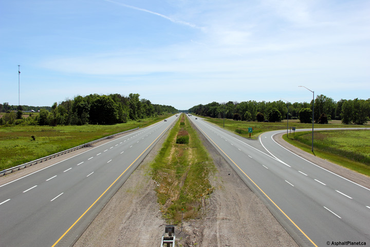
Highway 401 looking east from the Union Road
overpass. This is a very typical looking section of Highway 401 from
Chatham to London. Union Road is located at approximately kilometre
marker 164. Picture taken: September 10th, 2004. Size: 50kb |
|
|
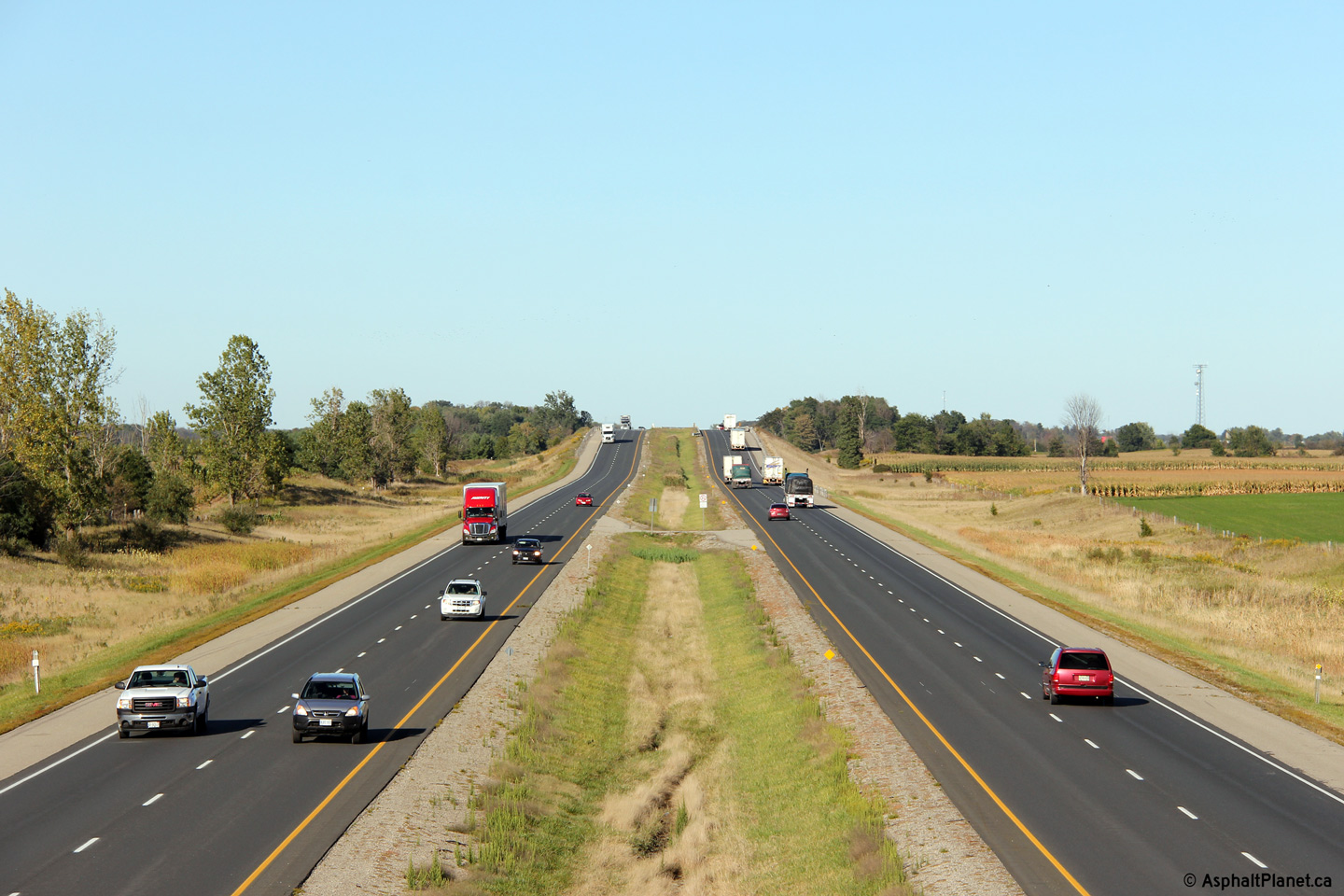
| Township of Southwold County of Elgin |
Looking west along Highway 401 from the Mill Road overpass. Mill Road
is located roughly at kilometre marker 169. Photo taken: September 17th, 2013. |
(720x480) (1440x960) (2400x1600) |
|
| Township of Southwold County of Elgin |
Looking easterly towards London from the Mill Road overpass. Mill Road
is designated as Elgin Road 119. Before Highway 19 was downloaded in
Elgin County, Mill Road was designated as Elgin Road 19. Photo taken: September 17th, 2013. |
 (720x480) (1440x960) (2400x1600) |
|
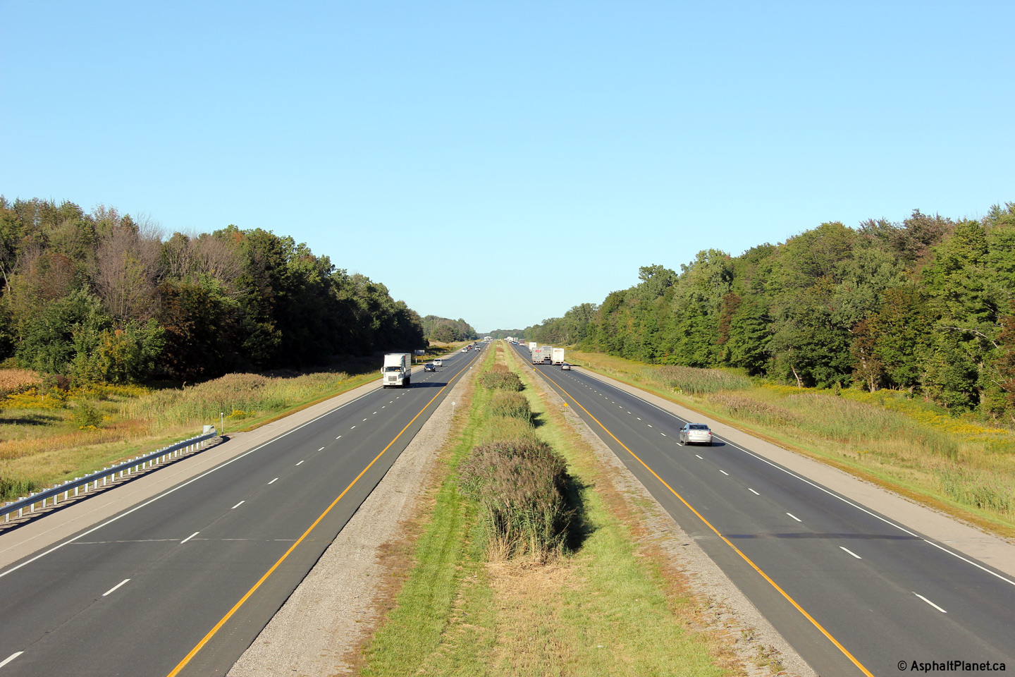
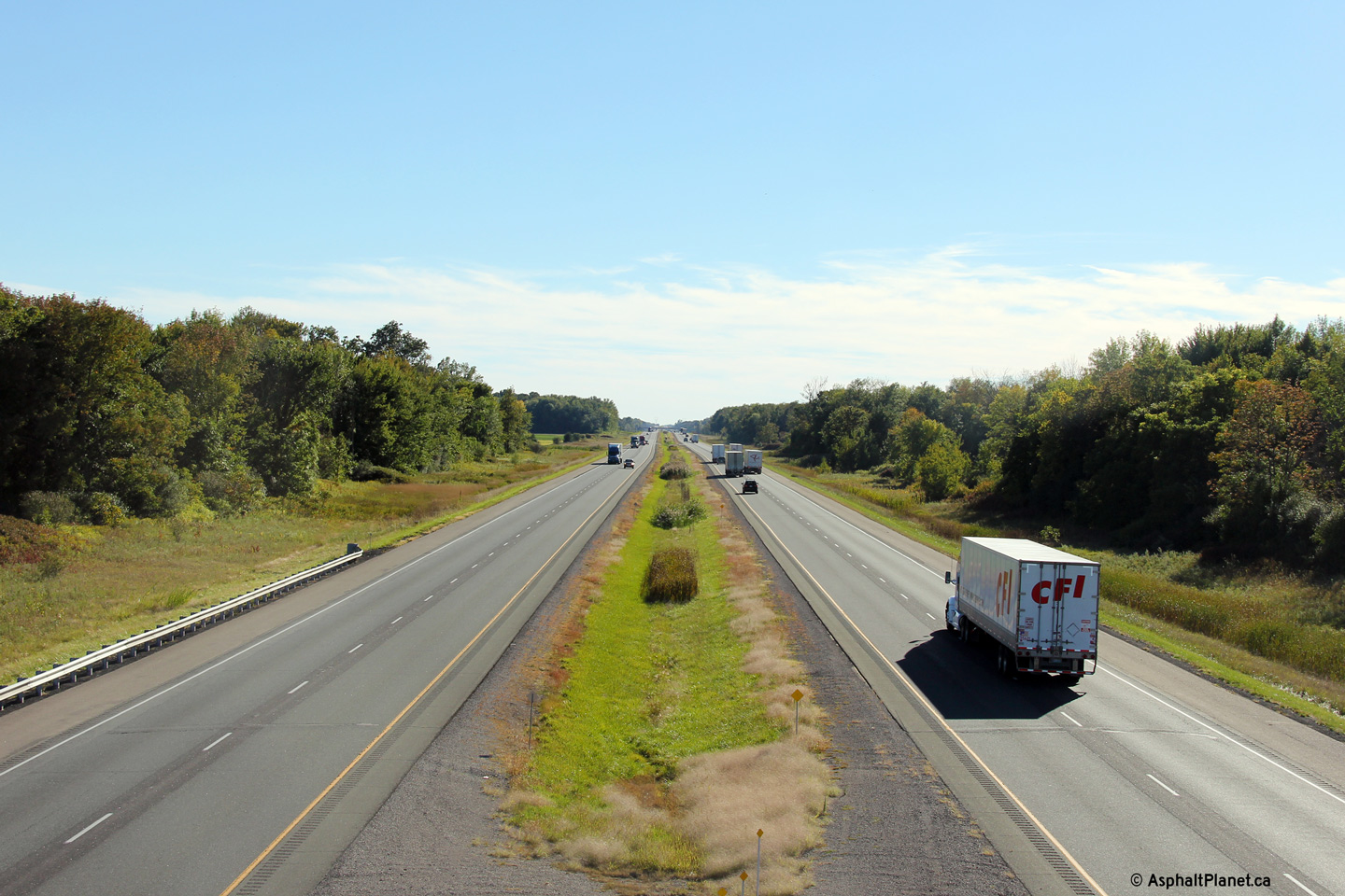
| Township of Southwold County of Elgin |
Highway 401 looking west from the Southminster Bourne overpass.
Southminster Bourne is located roughly at kilometre marker 174.
Click here to jump to the view looking west
from the Southminster Drive overpass. Photo taken: September 17th, 2013. |
 (720x480) (1440x960) (2400x1600) |
|
| Click here for London area Images | |||
<- Page 2 Images Highway 401 Images Index Page 4 Images ->
<- Highway 400 Images Back to Highway 401 Highway 402 Images ->
Copyright (c) 2004-2014, AsphaltPlanet.ca AsphaltPlanet@asphaltplanet.ca