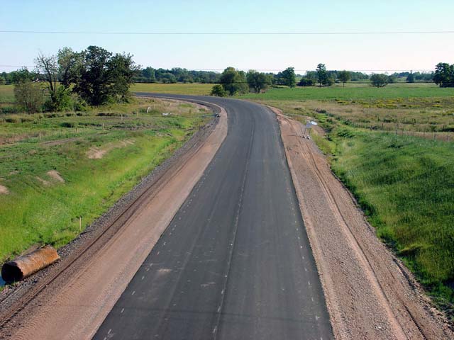
Highway 6-New looking south from the White Church Road overpass. The curve that is shown in this picture is where the highway will temporarily head east towards the current Highway 6. At the current Highway 6 there will be an at-grade, signalized intersection between 6, and 6-New. There is only about a 7 km gap between this Highway 6 and the Caledonia Bypass, filling in this gap will be a very simple procedure when further construction starts.
Picture taken: September 19th, 2004. Size: 50kb
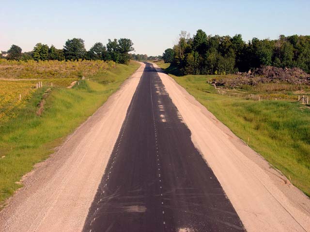
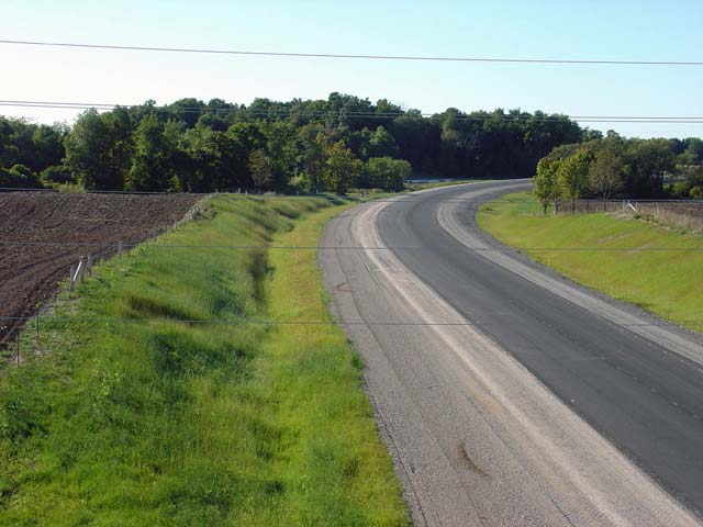
Highway 6-New looking north from the White Church Road overpass. The highway curve in this picture is far more gentle then the one in the previous picture, and reflects the high design standard of this new road.
Picture taken: September 19th, 2004. Size: 45kb
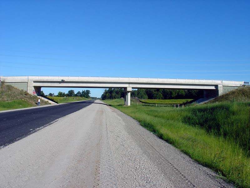
This picture shows Hamilton Road 52 looking east over Highway 6. This overpass was finished in 2004 just prior to the opening of the new Highway 6-bypass.
Picture taken: September 19th, 2004. Size: 30kb
Highway 6-New looking south (east) from the Glancaster Road overpass. In the distance is the new Hamilton Airport access road. The new road accessing the airport will unfortunately meet Highway 6 at an at-grade crossing. Unlike Book Road, the Airport Road access Road intersection with Highway 6 is not signalized.
Picture taken: September 19th, 2004. Size: 45kb
Another long gradual curve along Highway 6-new. This curve located just to the north (west) of the Glancaster Road overpass.
Picture taken: September 19th, 2004. Size: 45kb
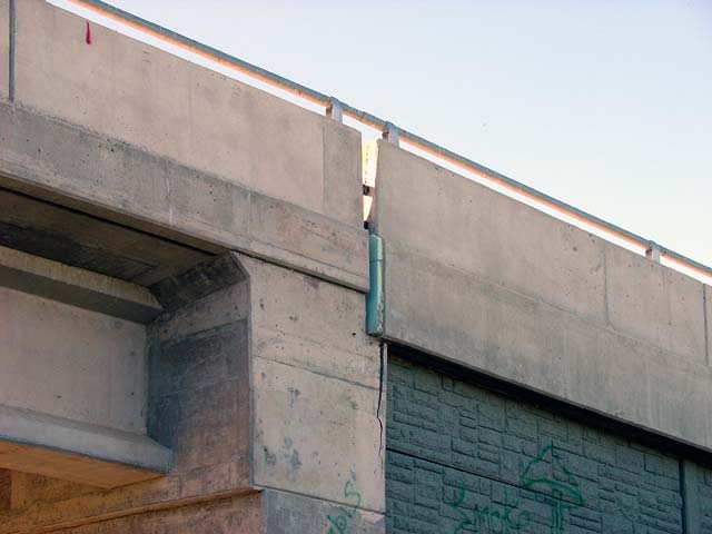
This picture shows a large crack that has formed in the northeast abutment in the Glancaster Road overpass along Highway 6-New. This shot is sickening to me, this overpass was completed in 2002, two years before Highway 6-New is scheduled to open. This bridge was very obviously a rush job, and shows the weakness in the MTO's compaction standards for bridge approaches.
Picture taken: September 19th, 2004. Size: 30kb
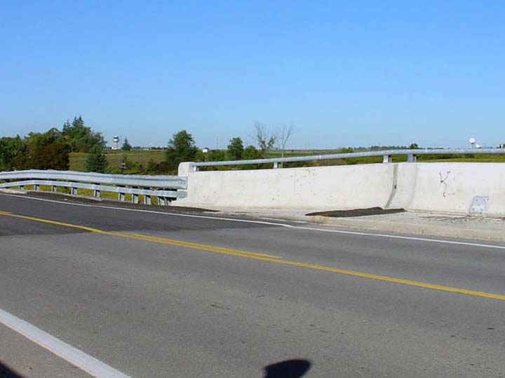
This picture shows the same sinking abutment as the previous picture. The end of the barrier for this bridge has sunken roughly 9 inches from where it should be. There has not appeared to be any repair work done for this situation as of yet (other then repaving the sunken section of road to smooth out the transition from bridge deck to approach, this is, however, merely a stopgap solution).
Picture taken: September 19th, 2004. Size: 30kb
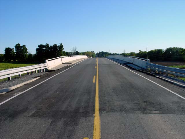
This picture shows Glancaster Road looking south over the Highway 6 overpass. Evident in this picture is how much the northern approach has sunk from the bridge deck. This photo also shows new pavement that has been overlain over the sunken section of road, which allows traffic to safely navigate the bridge. The southern approach has also sunk a fair amount, but the damage does not appear to be a severe.
Picture taken: September 19th, 2004. Size: 30kb
This picture is looking at the same bridge as the previous three pictures, this time from road-level. A close inspection of this overpass also shows the sinking approaches on both sides.. It was evident, however, that the hill slopes along the sides of the approaches were unstable, and these approaches will likely continue to sink, further damaging the bridge, unless immediate serious repairs are made.
Picture taken: September 19th, 2004. Size: 60kb
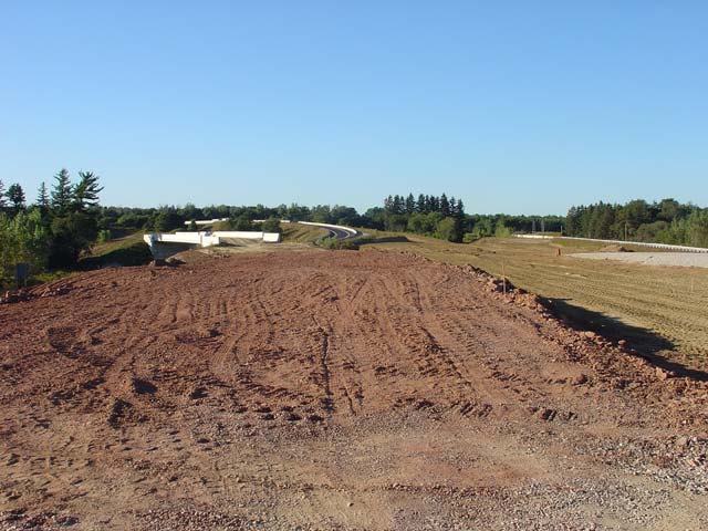
This picture shows Highway 6-New looking south from the Highway 53 overpass which is just south of Highway 403. This picture shows the same scene as the previous image, except from the reverse angle. When traffic volumes warrant, this section of highway will be upgraded into a 4-lane divided freeway.
Picture taken: September 19th, 2004. Size: 50kb
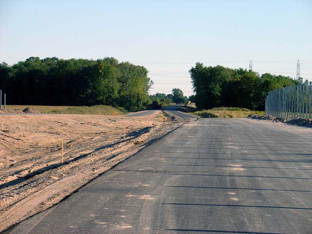
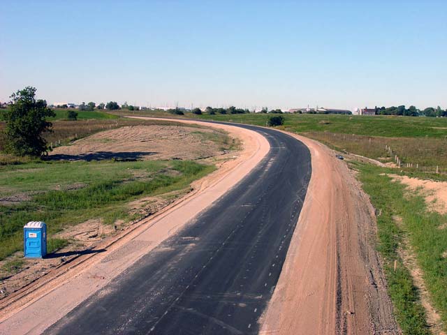
Highway 6-New looking at the half finished ramp grading from the Highway 53 overpass towards the future Highway 403 trumpet. This construction is apparently supposed to be finished by November of 2004. Compare this image with the finished scene taken in December (click here)
Picture taken: September 19th, 2004. Size: 55kb
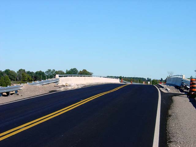
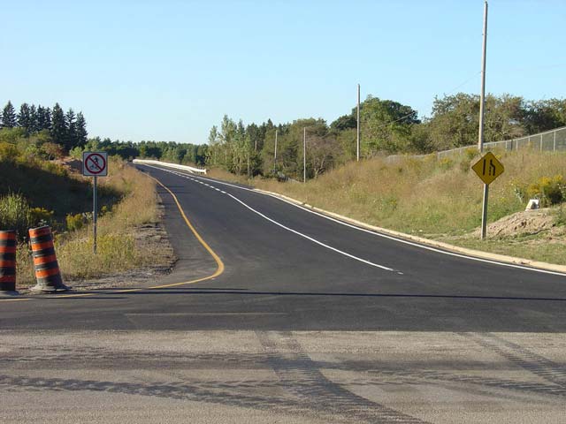
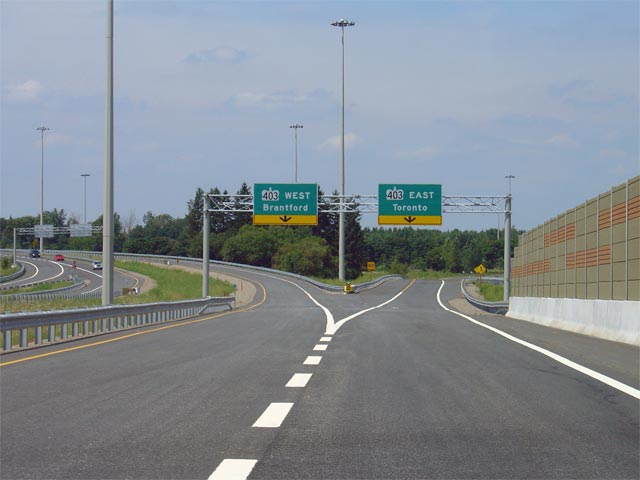
This picture shows the onramp to Highway 403 East (via Highway 6) from Garner Road (formerly Highway 53). These ramps were completed around 2001 the first stage in the larger Highway 6-realignment project.
Picture taken: September 19th, 2004. Size: 45kb
