King's Highway 17 - Images
<- Hwy 417 Page 5A - Ottawa to Rockland Page 5B->
Photos shown in this table are arranged from West to East:
|
Proper Municipality Name |
Photo Description |
Photo |
|
|
Pictures taken from driver's perspective appear offset from centre-line pictures: |
East- |
West- |
|
|
Pictures continue westward on Highway 417 - Ottawa Images Section |
|||
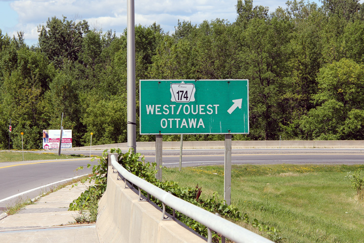
| City of Ottawa |
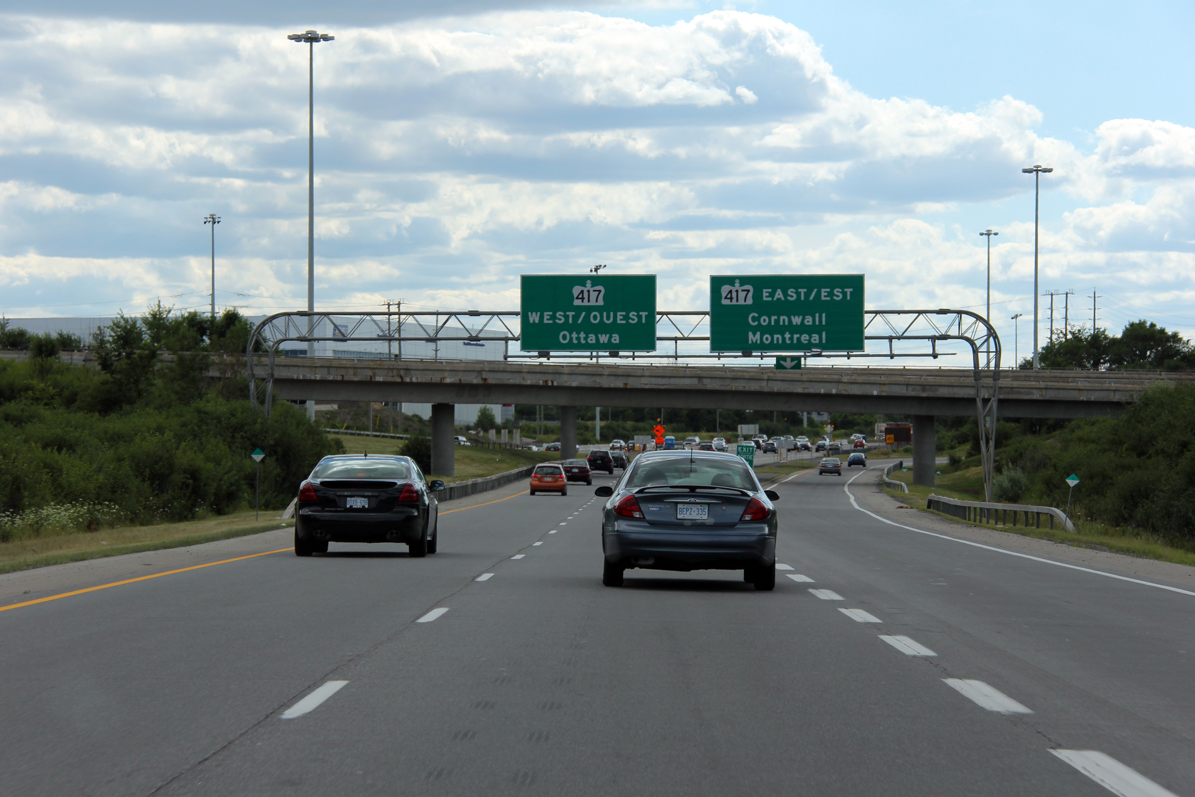
Westbound guide signage approaching the Highway 417 interchange. The
left two lanes default to Highway 417 West, while the right lane rounds a
long loop ramp towards Highway 417 East. Photo taken: July 24th, 2011. |
 (720x480) (720x480)(1440x960) (2400x1600) |
|
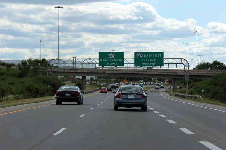
| City of Ottawa |
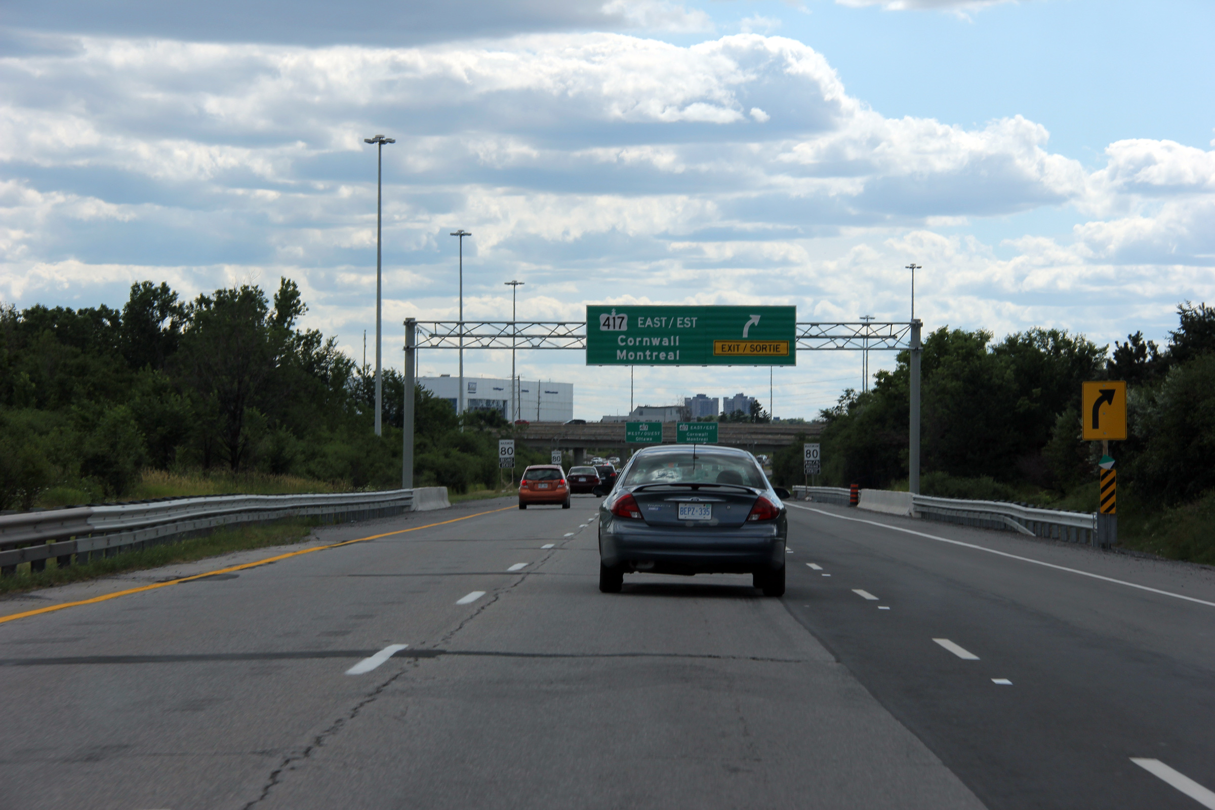
Advanced signage for the loop ramp to Highway 417 East. An extra lane was
added on approach to the Highway 417 interchange during the 2010
construction season. Photo taken: July 24th, 2011. |
 (720x480) (720x480)(1440x960) (2400x1600) |
|
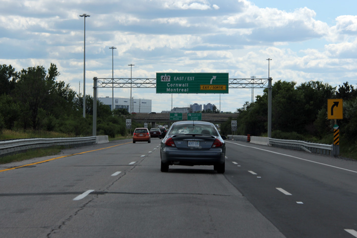
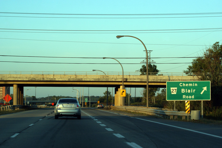
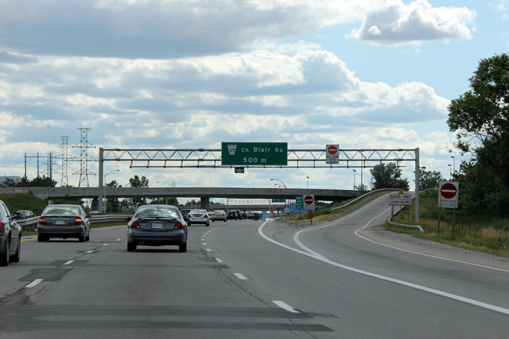
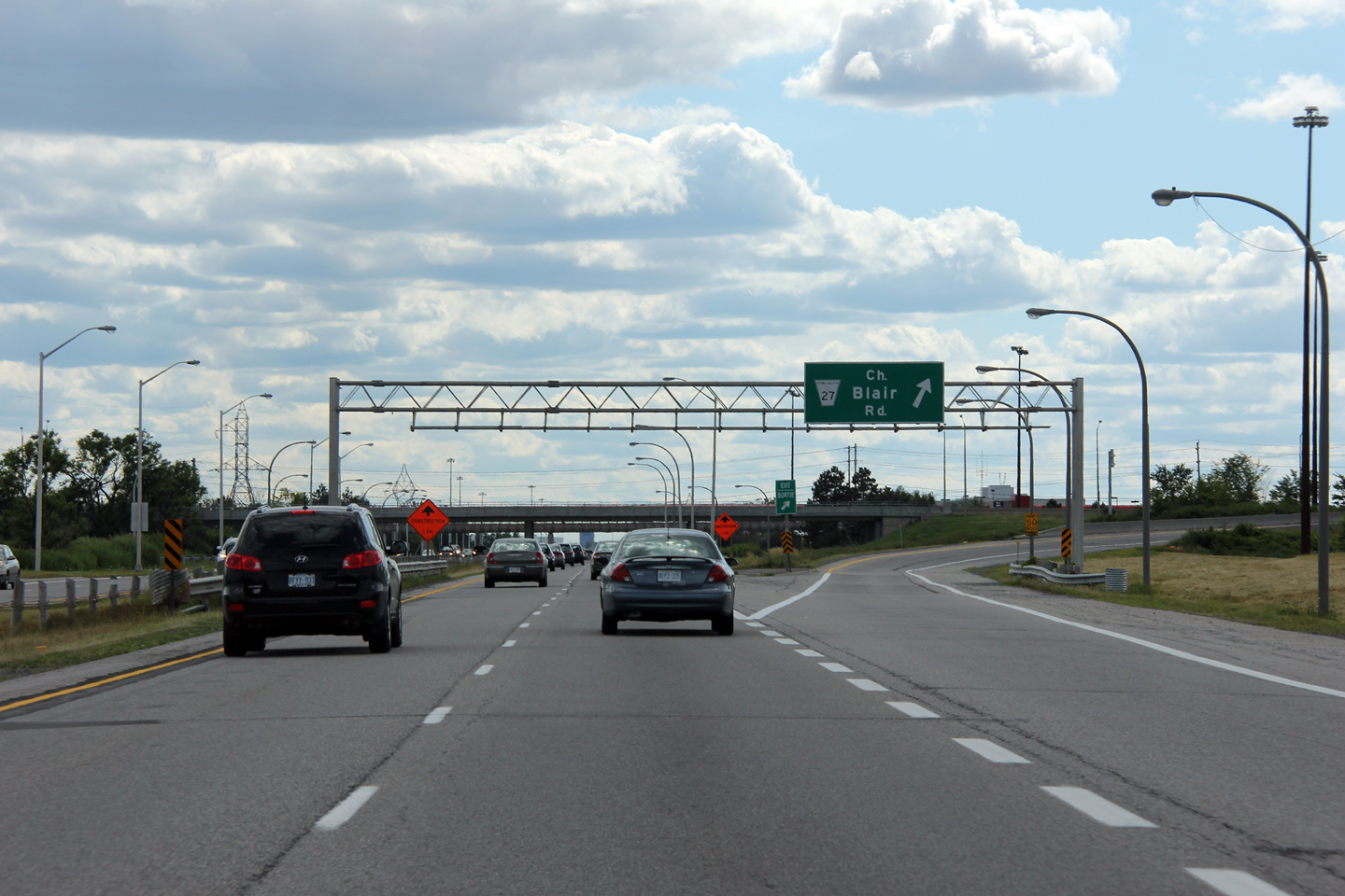
| City of Ottawa |
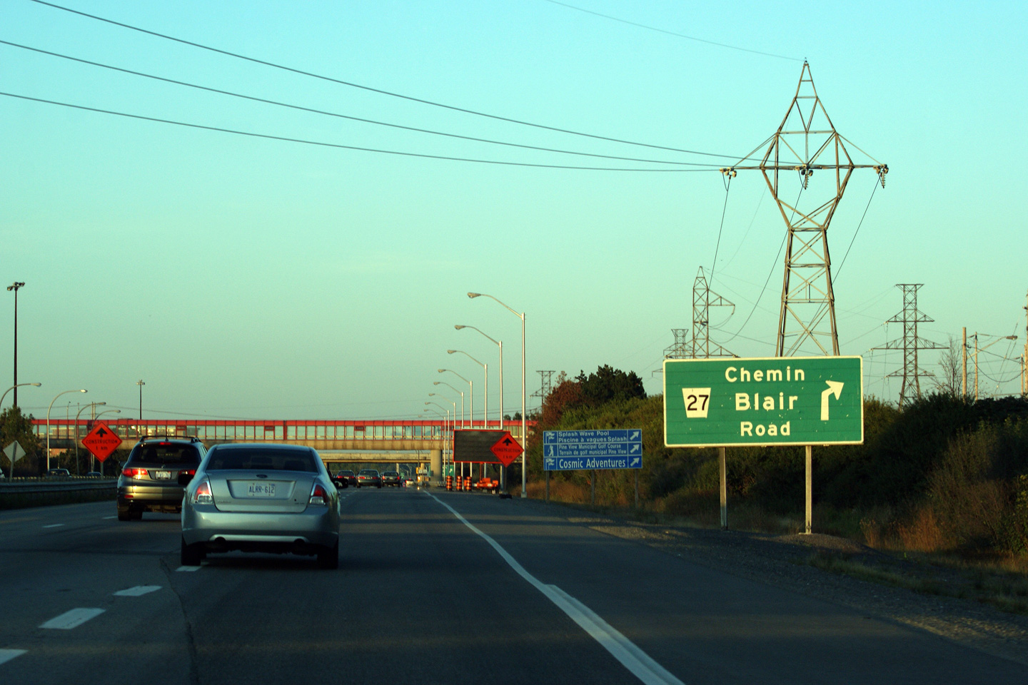
Eastbound advanced signage for Blair Road. Likely because Highway 17 was
downloaded, Highway 17's guide sign stock is quite old, predating
MTO's switch to rounded advanced arrows. Photo taken: September 12th, 2011. |
 (720x480) (720x480)(1440x960) |
|
|
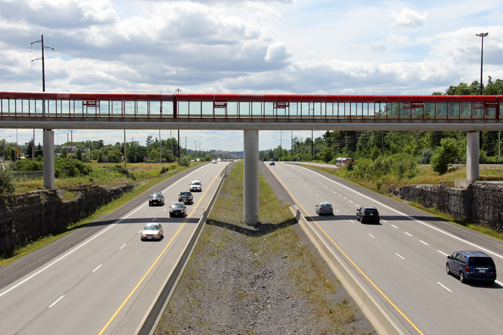
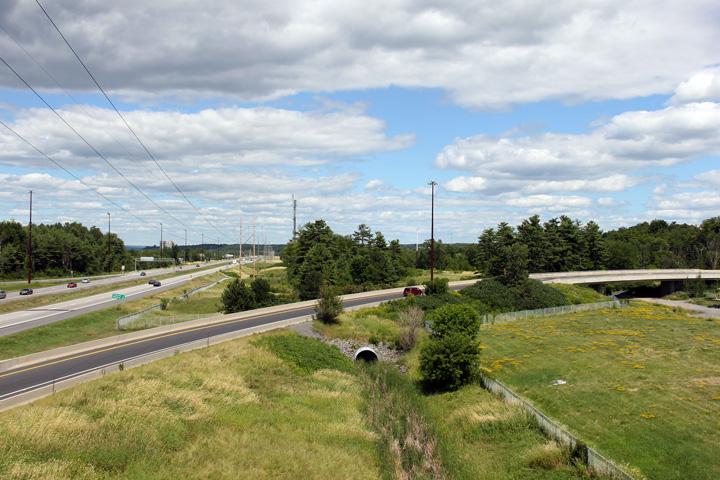
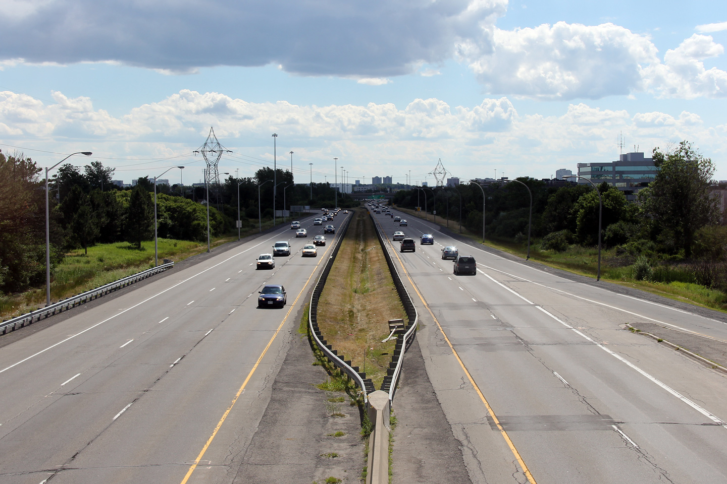
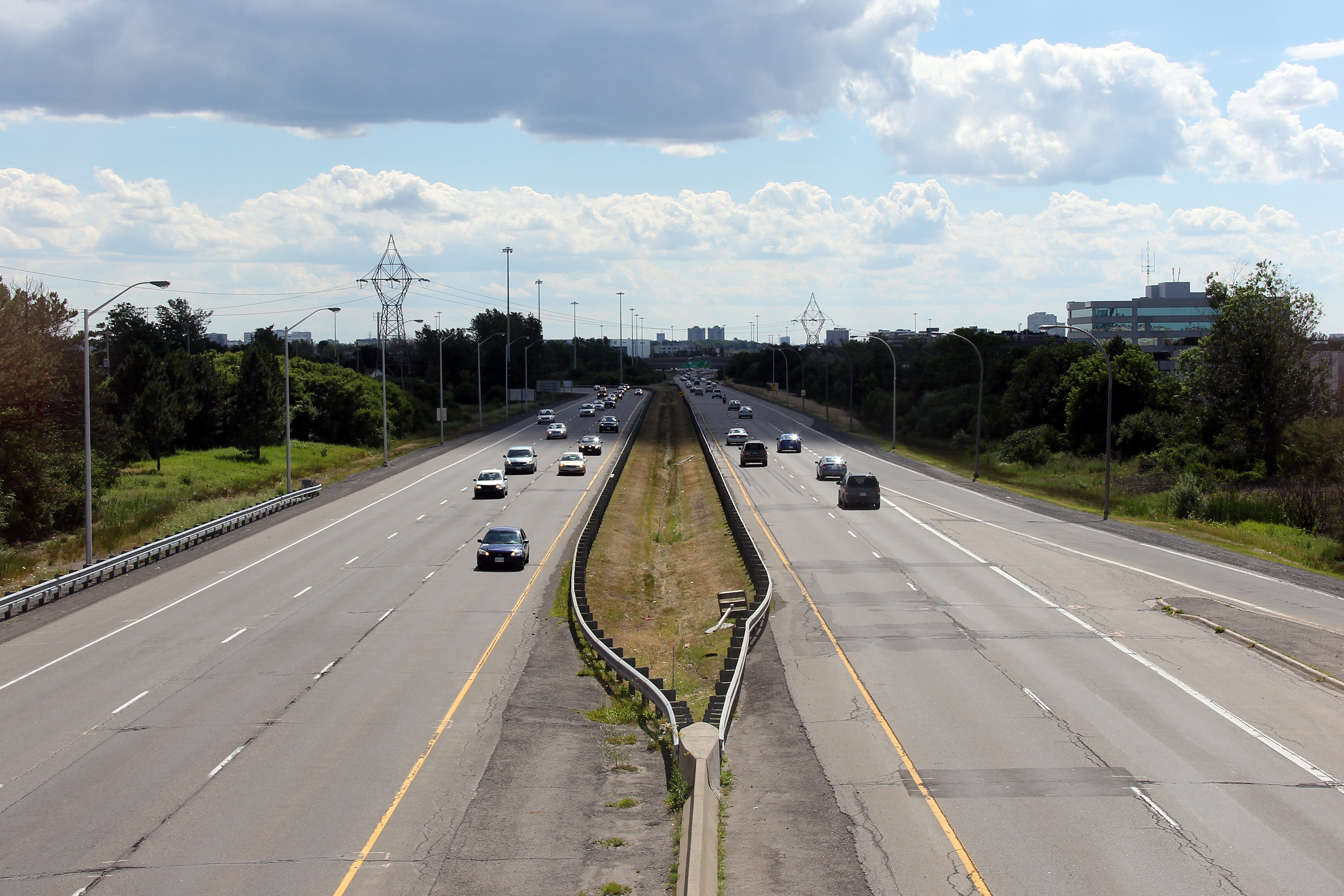
City of Ottawa |
View looking westerly from the OC Transpo
pedestrian overpass west of Blair Road towards the Highway 417 interchange. Photo taken: July 2nd, 2012. |
 |
|
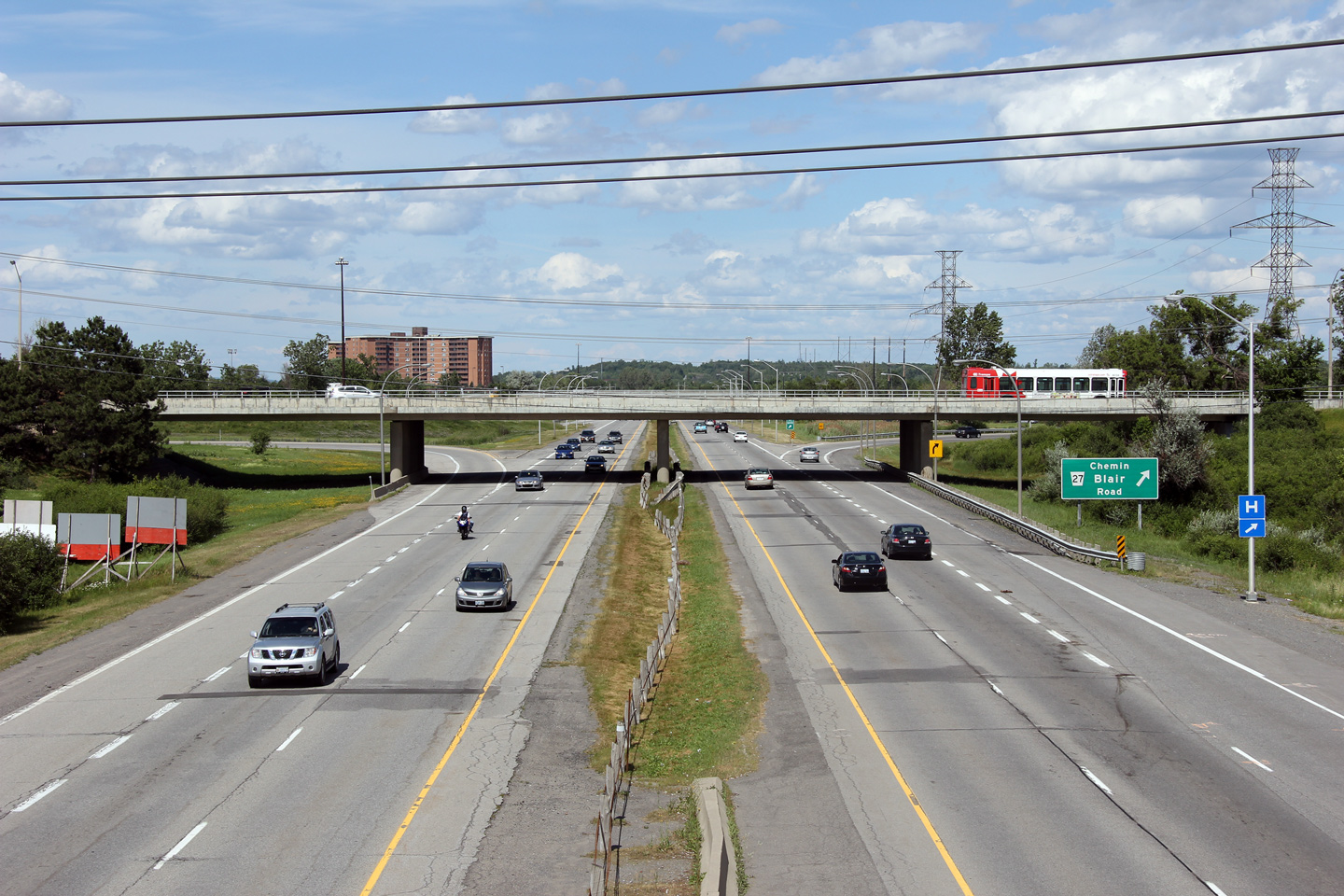
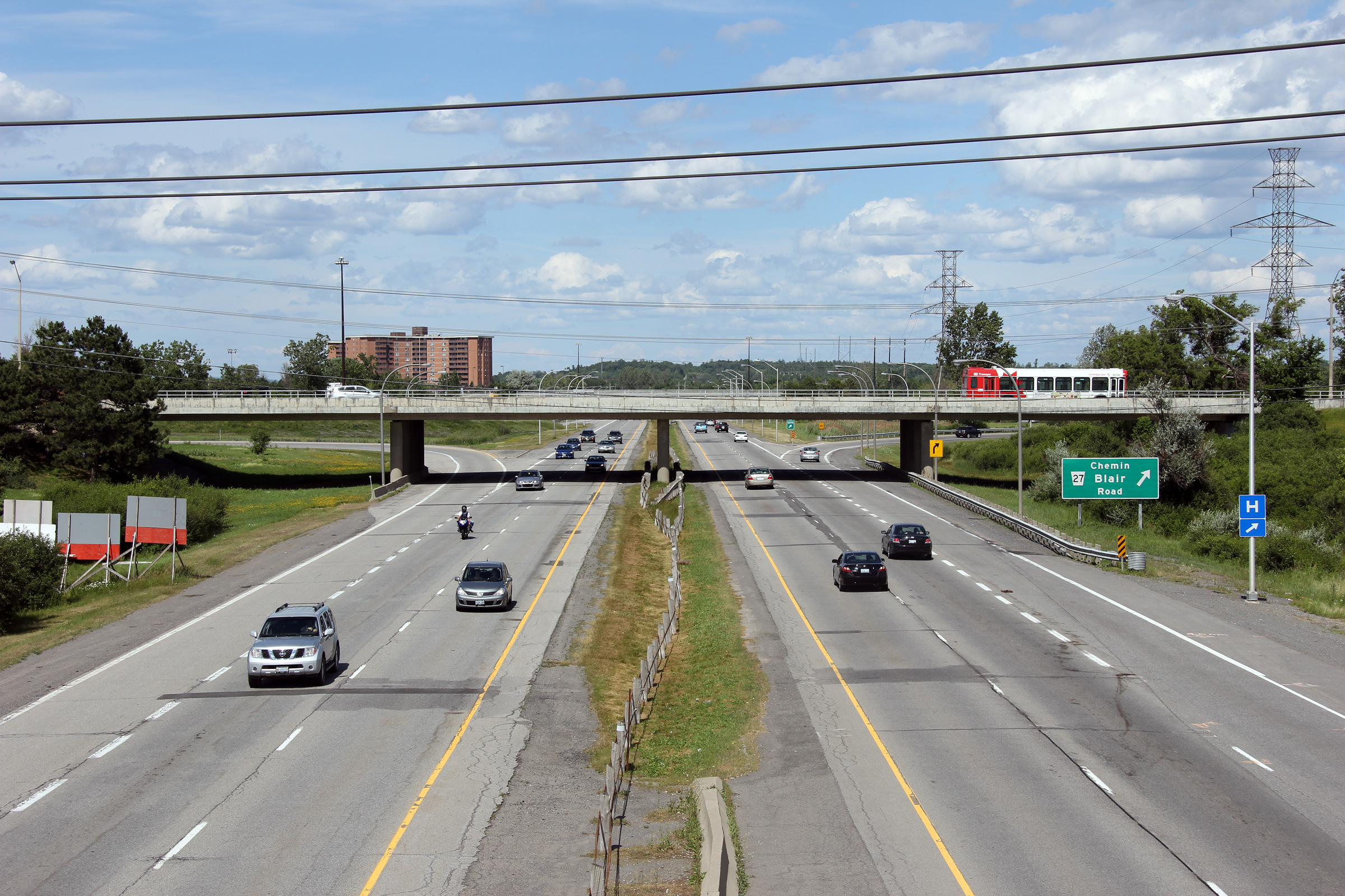
| City of Ottawa |
Easterly view towards the Blair Road interchange from the OC Transpo
pedestrian overpass. Photo taken: July 2nd, 2012. |
 |
|
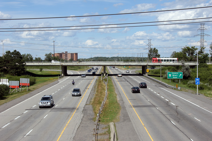
| City of Ottawa |
Easterly view at the eastbound ramp to Blair Road. Blair Road meets
Highway 17 at a five ramp parclo AB3. Photo taken: September 12th, 2011. |
 (720x480) (720x480)(1440x960) |
|
|
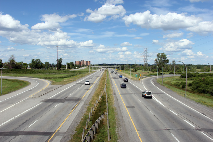
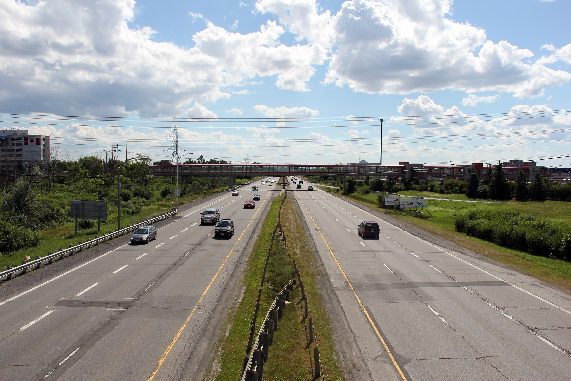
City of Ottawa |
Looking westerly towards Highway 417 from
Blair Road. Notice the old rounded street lighting. When the
Ottawa Queensway was first constructed in the 1960s, all illuminated
sections of the freeway were lit with this light design. Photo taken: July 2nd, 2012. |
 |
|
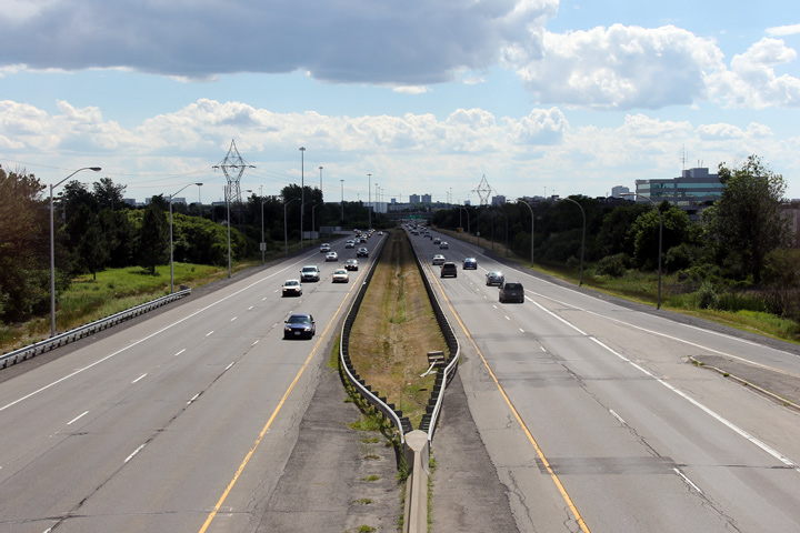
| City of Ottawa |
Looking easterly from the Blair Road overpass towards the eastbound OC
Transpo flyover. The narrow median coupled with cable median barrier
is very reminiscent of the QEW through Niagara Region during the 1970s and
80s. Photo taken: July 2nd, 2012. |
 |
|
| City of Ottawa |
Driving westerly along Highway 17 at the Blair Road interchange. The
auxiliary lane that joined Highway 17 West at the Montreal Road interchange
departs the freeway at the Blair Road off-ramp. Photo taken: July 24th, 2011. |
 (720x480) (720x480)(1440x960) (2400x1600) |
|
| City of Ottawa |
Westbound view approaching Blair Road as the OC Transpo transitway departs the
freeway. The transitway follows its own alignment by-passing Highway
17 and Highway 417 through much of Ottawa before rejoining Highway 417
in Kanata. Photo taken: July 24th, 2011. |
 (720x480) (720x480)(1440x960) (2400x1600) |
|
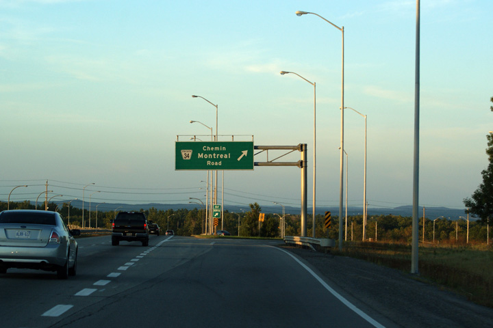
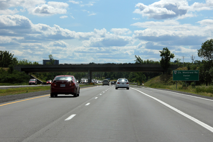
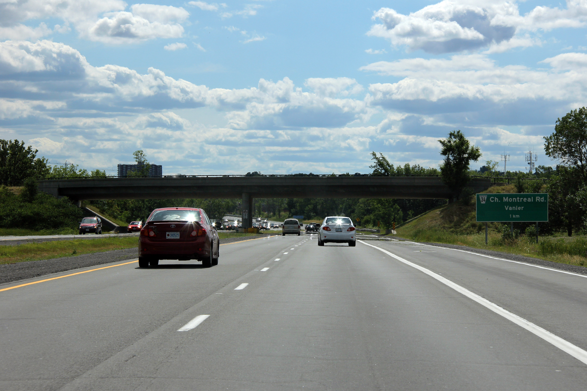
| City of Ottawa |
Eastbound guide signage at the Montreal Road interchange. The MTO used
an odd mix of the standard regional road 'flower pot' shield with Ottawa's
stylized shield when they signed Highway 17 through Eastern Carleton County. Photo taken: September 12th, 2009. |
 (720x480) (720x480)(1440x960) |
|
|
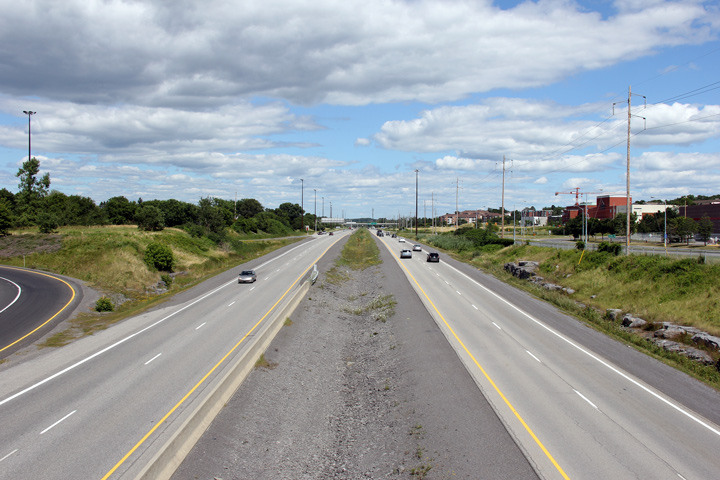
City of Ottawa |
Westerly view towards the Montreal Road
interchange from the Rockcliffe Parkway overpass. Photo taken: July 2nd, 2012. |
 |
|
| City of Ottawa |
Easterly view from the Rockcliffe Parkway overpass towards Orléans. Photo taken: July 2nd, 2012. |
 |
|
|
City of Ottawa |
Westbound advanced signage for the Montreal Road interchange as Highway 17 passes underneath of the Rockcliffe Parkway overpass.
Photo taken: July 24th, 2011. |
||
|
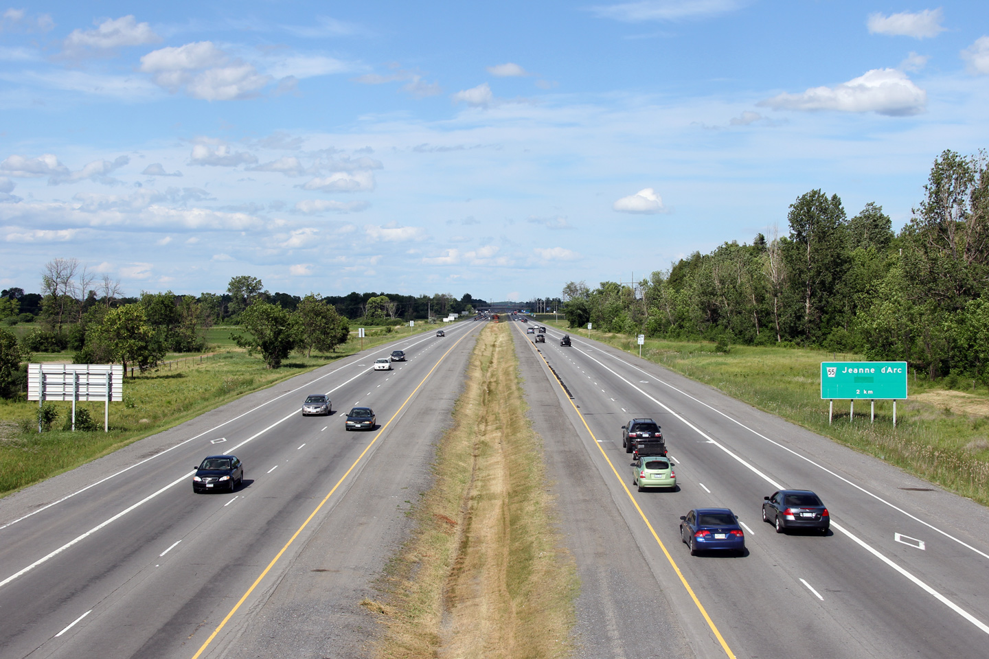
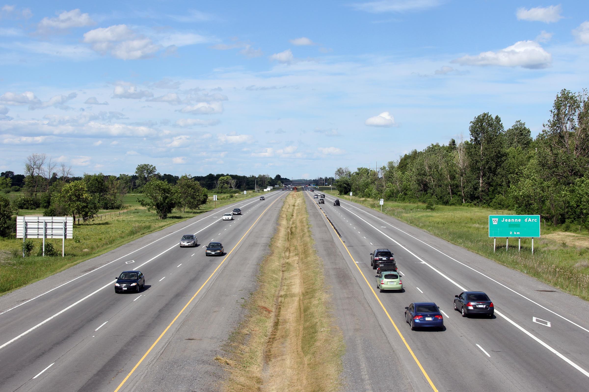
City of Ottawa |
This view looks west along Highway 17 from Orléans Boulevard towards the Boulevard Jean d'Arc interchange.
Picture taken: October 22nd, 2004. |
|
|
|
City of Ottawa |
Looking easterly along Highway 17 from Orléans Boulevard.
Photo taken: October 22nd, 2004. |
|
|
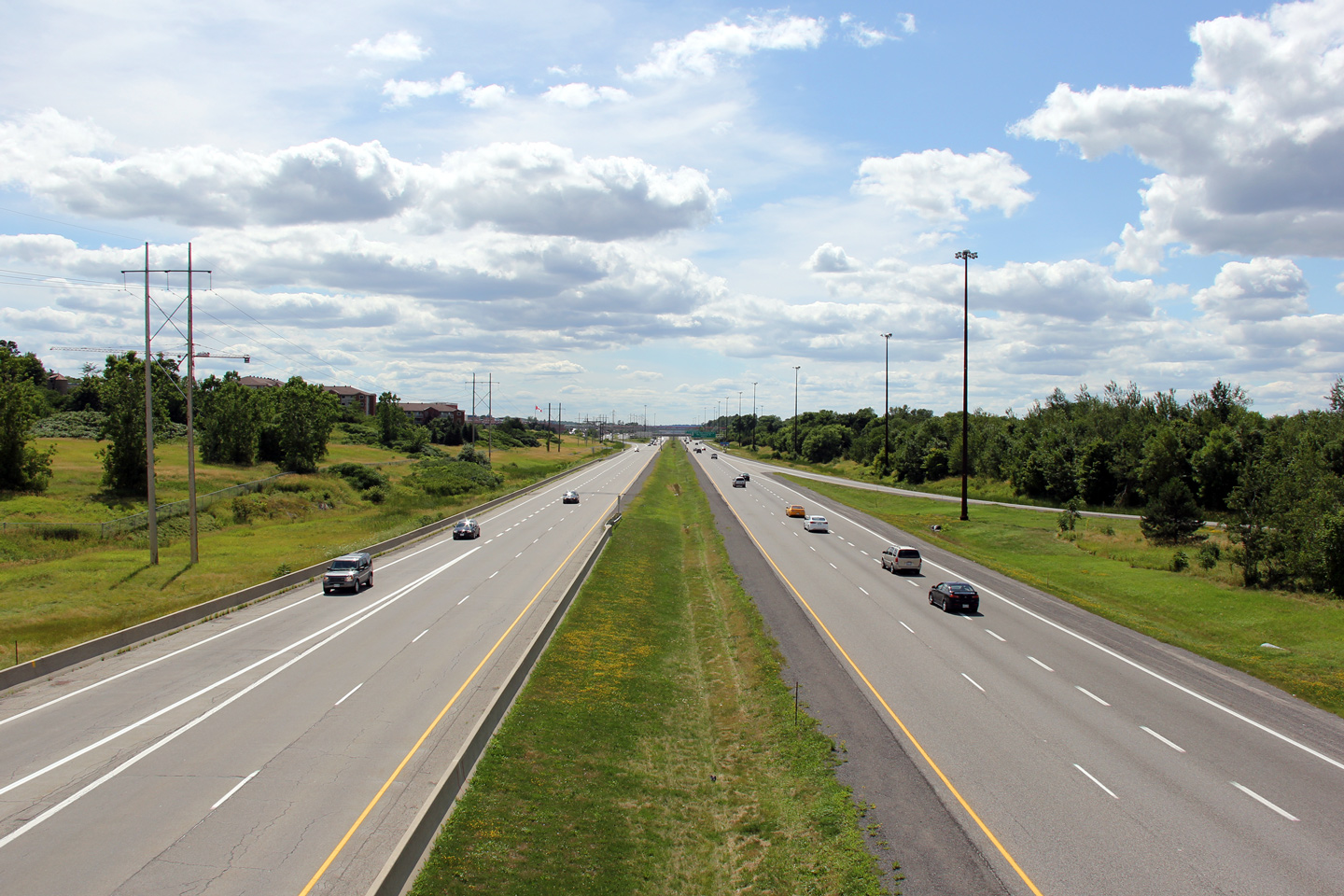
| City of Ottawa |
This view looks westerly along Highway 17 from the Champlain Street
overpass. The pedestrian overpass pictured in the photo links Place d'Orléans, a
large suburban shopping mall to both the eastbound and westbound OC Transpo stations
as well as a carpark
to the north of the freeway. Photo taken: July 24th, 2011. |
 |
|
| City of Ottawa |
Eastbound view along Highway 17 from the Champlain Street overpass. Photo taken: July 24th, 2011. |
 |
|
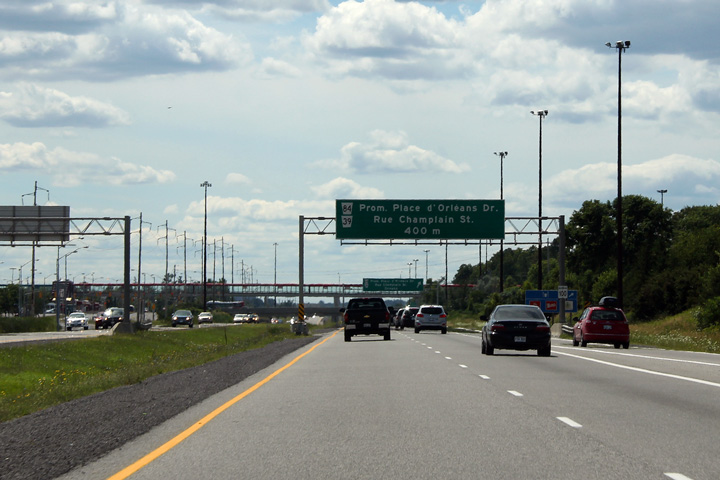
| City of Ottawa |
Overhead guide signage for the Champlain Street et al. interchange. In
terms of modern-day highway signage in Ontario, this exit signage is huge!
It would be difficult to convert this to a modern design. Photo taken: July 24th, 2011. |
 (720x480) (720x480)(1440x960) (2400x1600) |
|
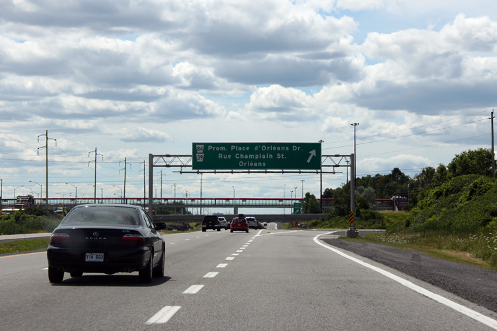
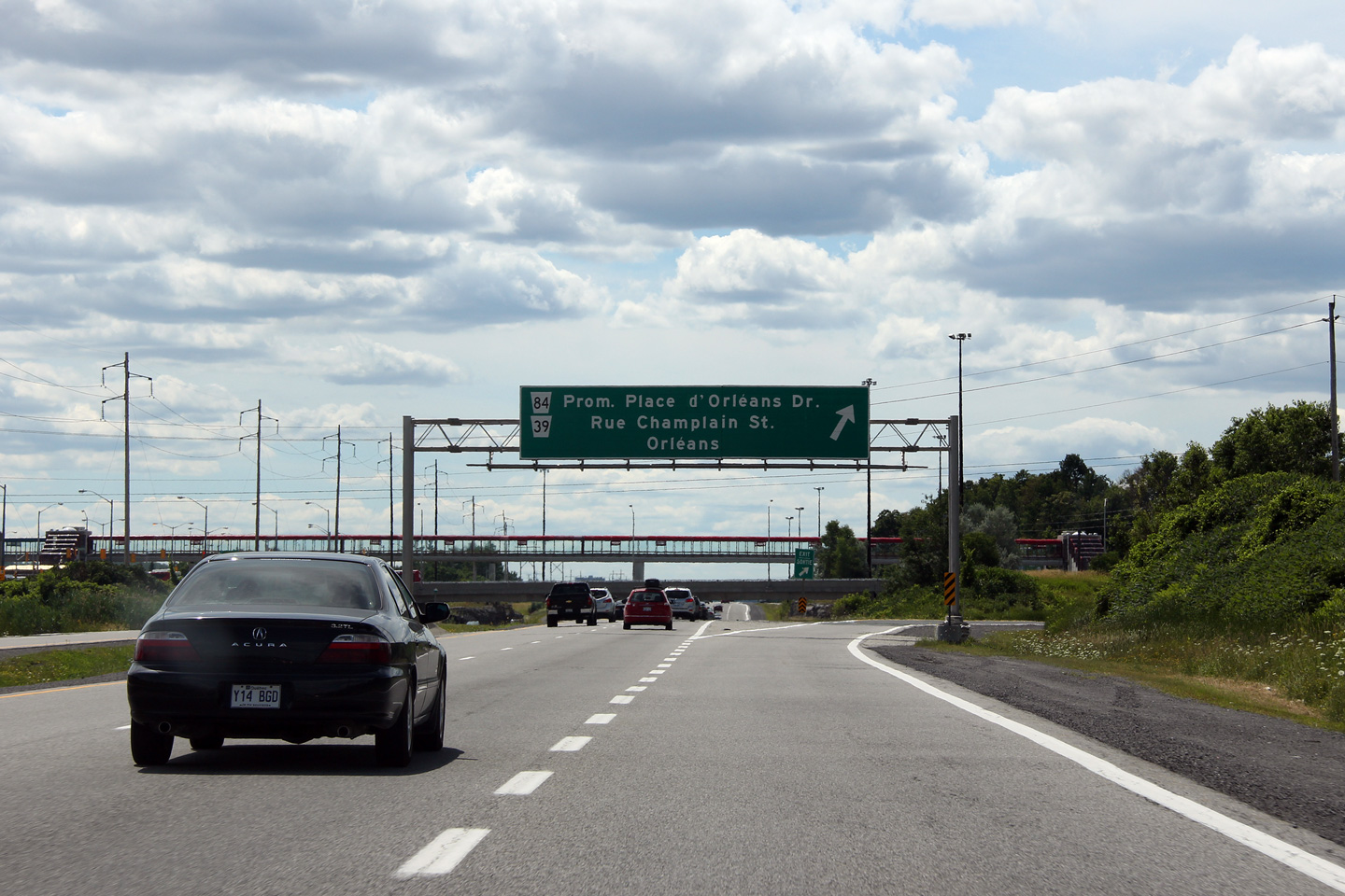
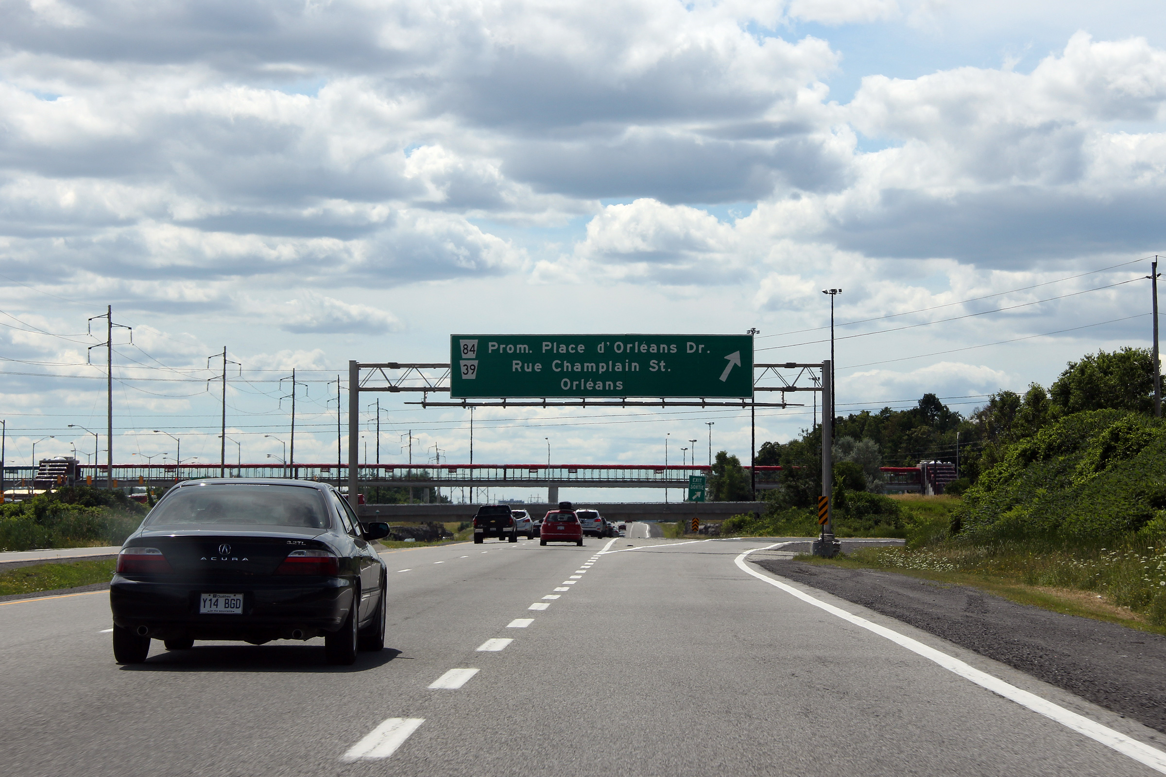
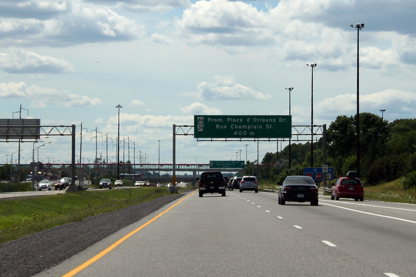
| City of Ottawa |
Advanced signage for the ramp to Champlain Street and
Place d'Orléans Drive. Photo taken: July 24th, 2011. |
 (720x480) (720x480)(1440x960) (2400x1600) |
|
| City of Ottawa |
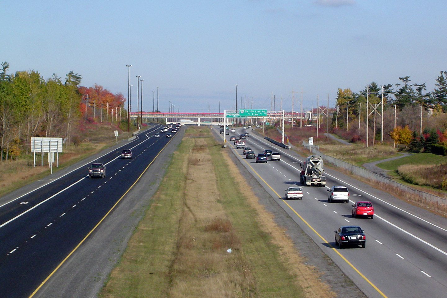
Westerly view from the Tenth Line overpass towards the Champlain Street
interchange. Photo taken: July 24th, 2011. |
 |
|
| City of Ottawa |
Guide signage northbound along Tenth Line for old Highway
17, now Ottawa road 174. This sign was obviously very hastily overlaid
by Ottawa staff after accepting the transferred Highway 17. Photo taken: July 24th, 2011. |
|
|
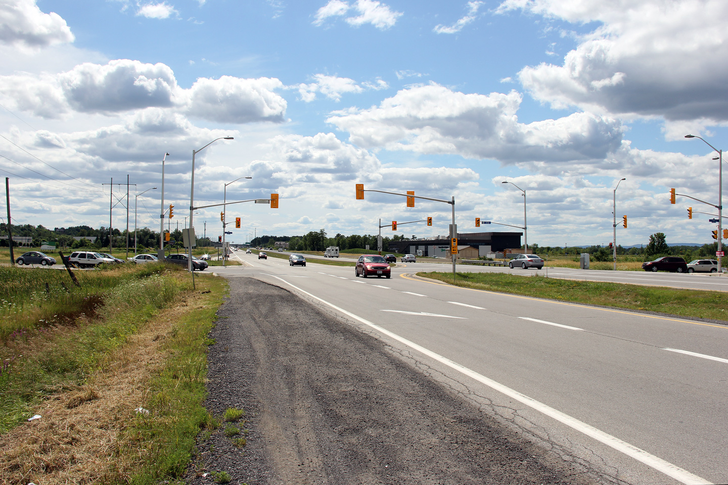
| City of Ottawa |
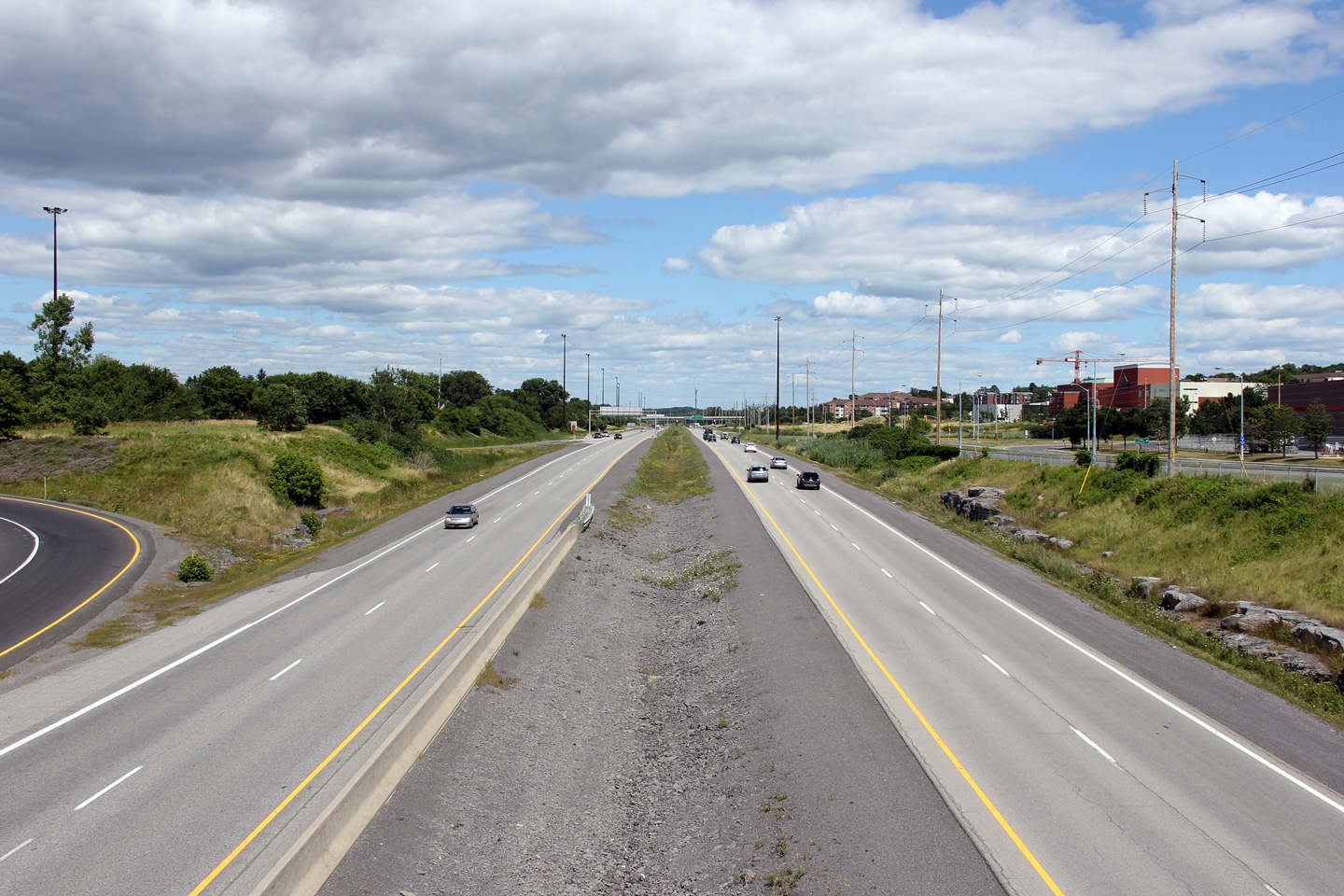
Two views looking easterly along Highway 17 from the Tenth Line Road
overpass. The eastbound off-ramp for Tenth Line has a fairly
substantial structure over seemingly nothing between the freeway and its
terminus at a set of traffic lights. Oddly, the eastbound on-ramp from
Tenth Line doesn't feature a simmilar structure. Photos taken: July 24th, 2011. |
 |
|
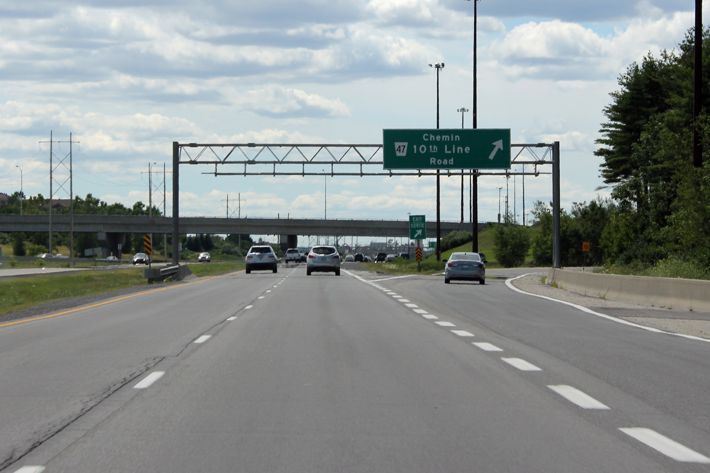
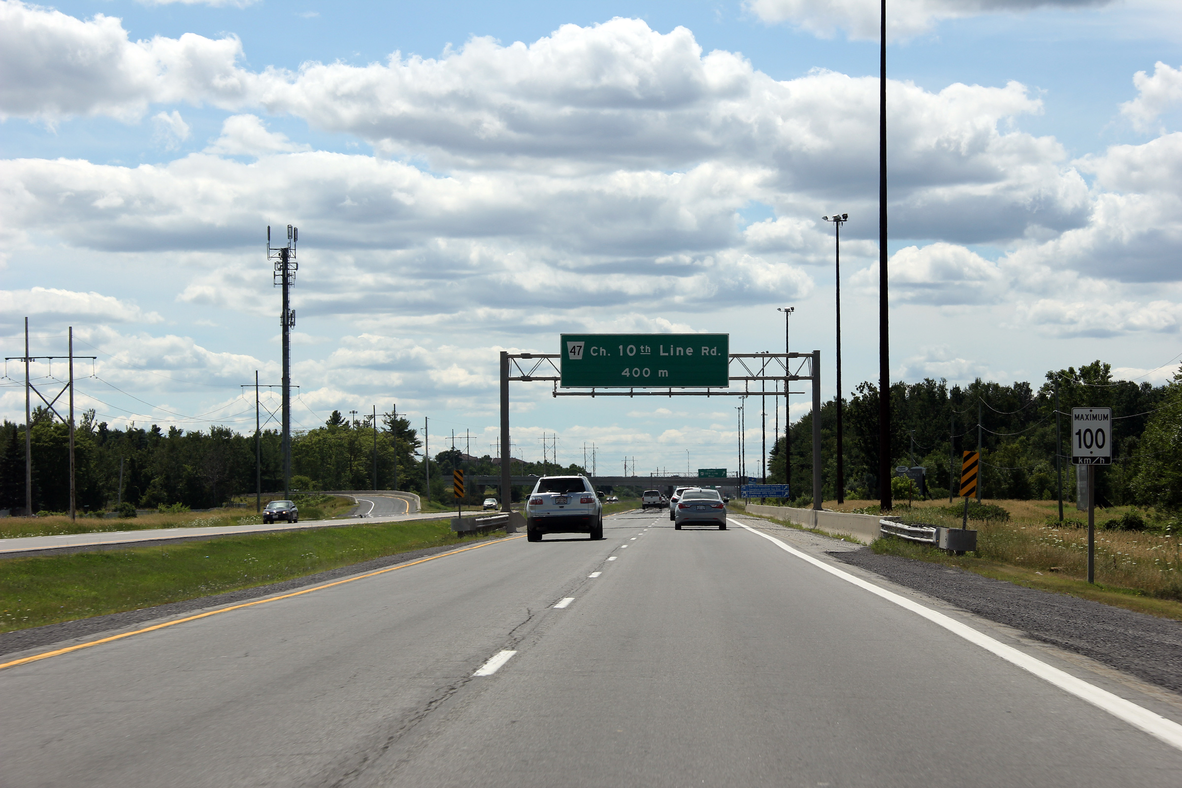
| City of Ottawa |
Westbound signage for the Tenth Line interchange along
Highway 17. Photo taken: July 24th, 2011. |
 (720x480) (720x480)(1440x960) |
|
| City of Ottawa |
Westbound advanced signage for the 10th Line interchange along Highway 17.
The 10th Line interchange was completed in 1994. Notice the similar
style of the signage and gantry to that of Hamilton's
Lincoln M. Alexander
Parkway, or "Linc". Unsurprisingly, the "Linc" was completed only a
few years after the Tenth Line interchange. Photo taken: July 24th, 2011. |
 (720x480) (720x480)(1440x960) (2400x1600) |
|
| City of Ottawa |
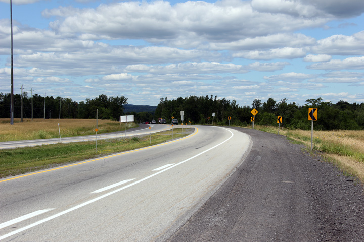
This view looks westerly towards the traffic signal at Trim Road. The
traffic signal design for a protected left turn at this intersection is not
MTO standard. Photo taken: July 24th, 2011. |
 |
|
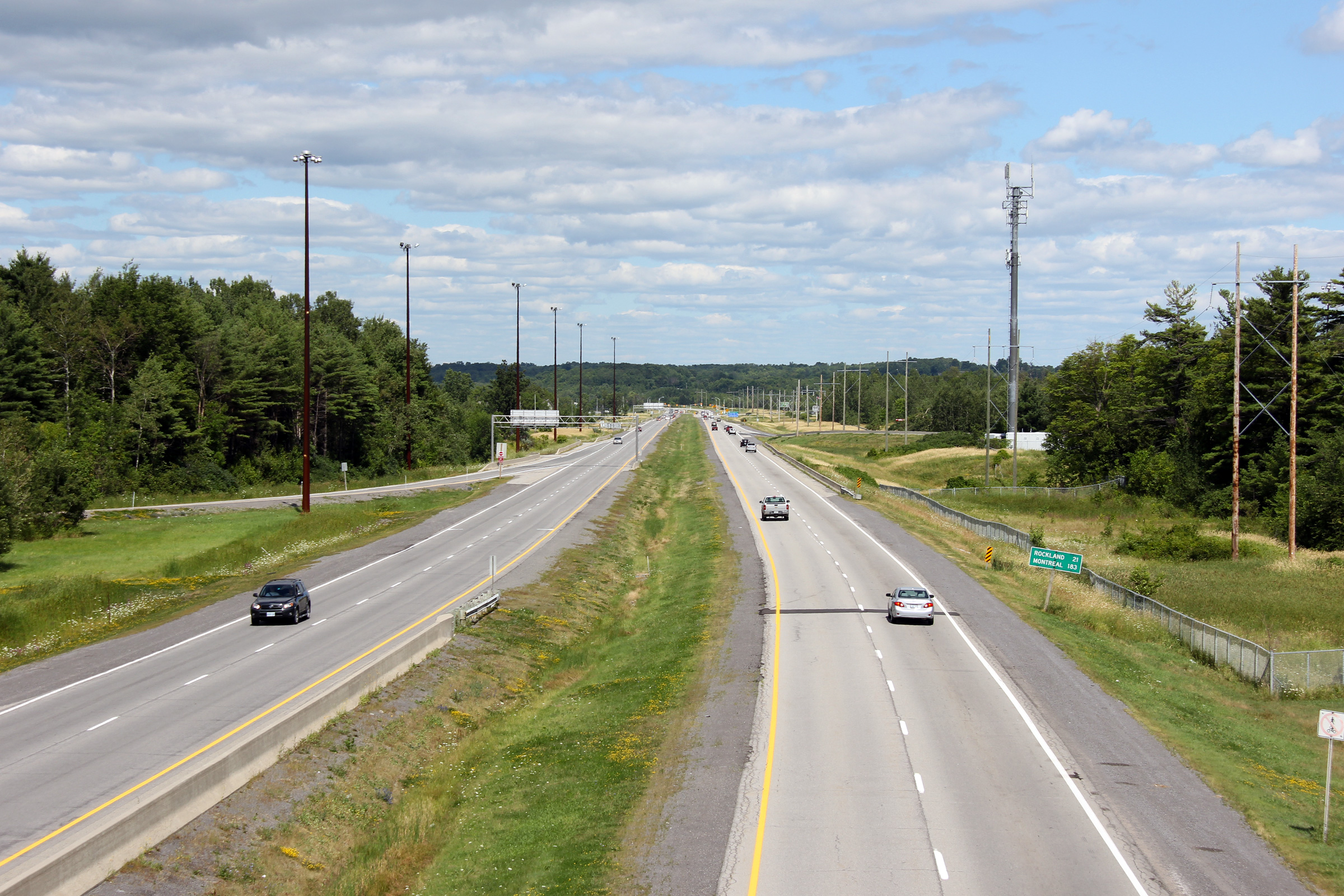
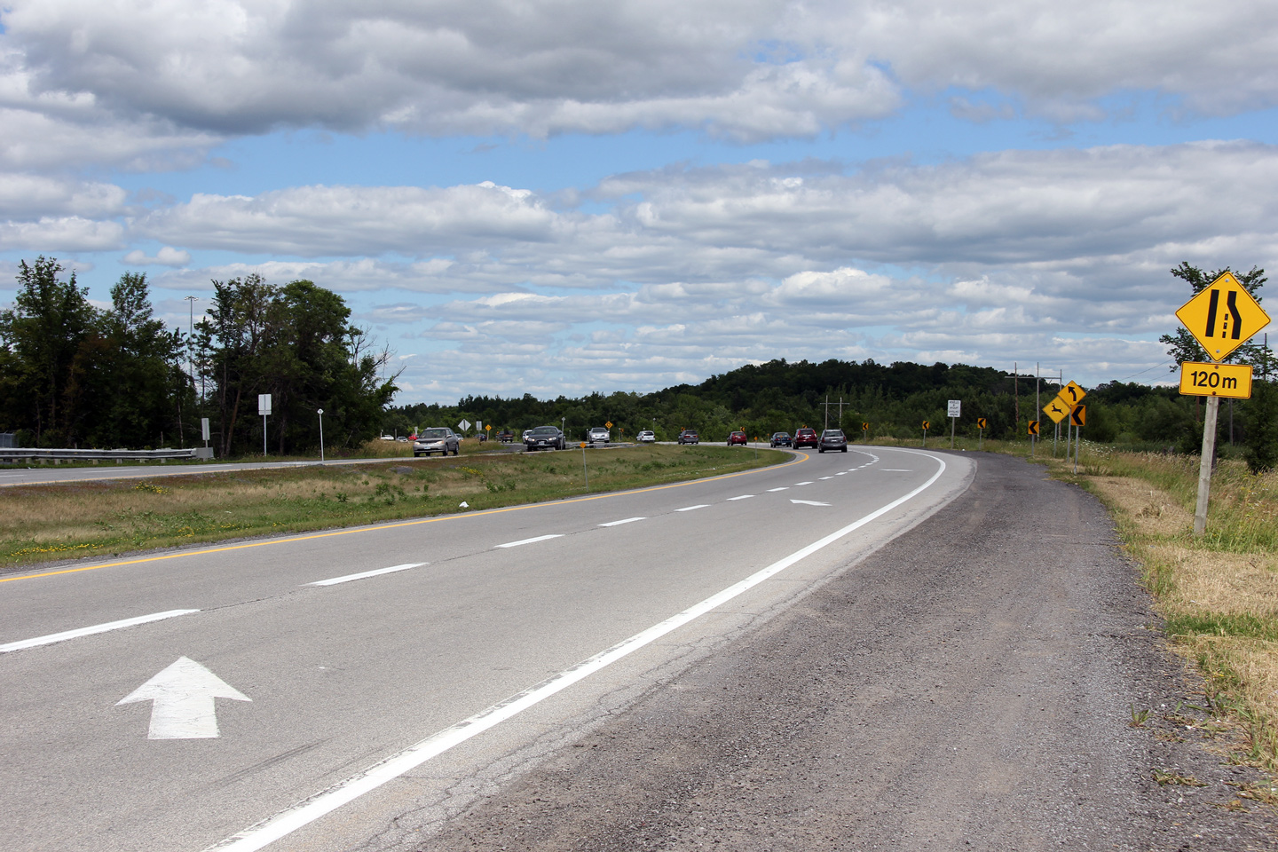
| City of Ottawa |
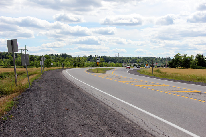
Easterly view along Old Highway 17 just east of the Trim Road
intersection. Photo taken: July 24th, 2011. |
 |
|
| City of Ottawa |
Easterly view at the end of the divided highway east of Trim Road. Photo taken: July 24th, 2011. |
 |
|
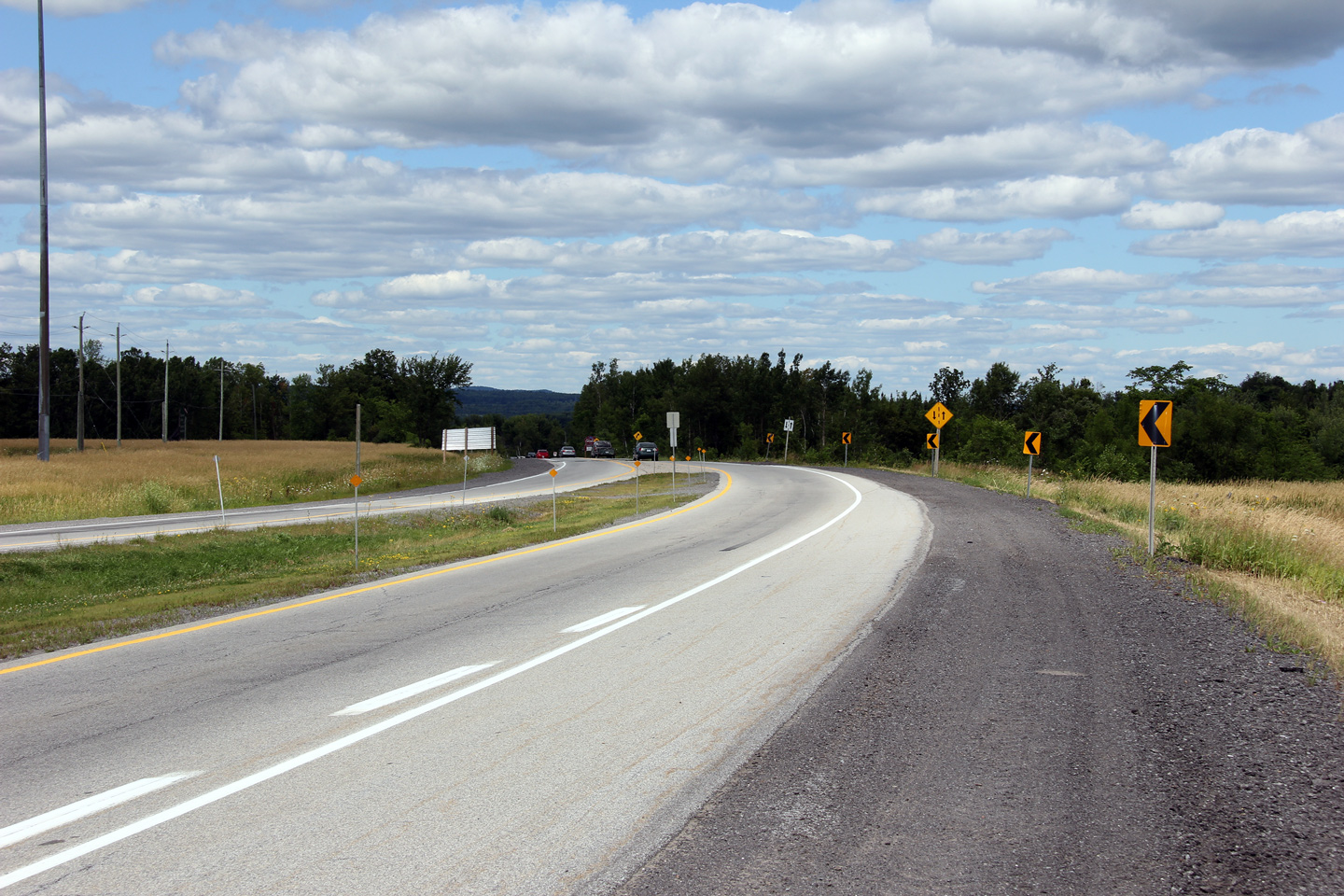
| City of Ottawa |
This view looks westerly along Old Highway 17 at the beginning of the
divided highway through Orléans. Beyond the
intersection at Trim Road, Highway 17 (via its successor Highway 417) is a
full freeway for nearly 85km westerly through to Arnprior (as of 2011). Photo taken: July 24th, 2011. |
 |
|
| City of Ottawa |
Easterly view as Highway 17 encroaches the Ottawa River (Rivière
des Outaouais) a few hundred metres east of Trim Road in Cumberland. Photo taken: July 24th, 2011. |
 |
|
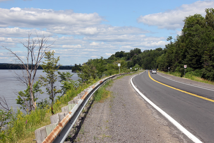
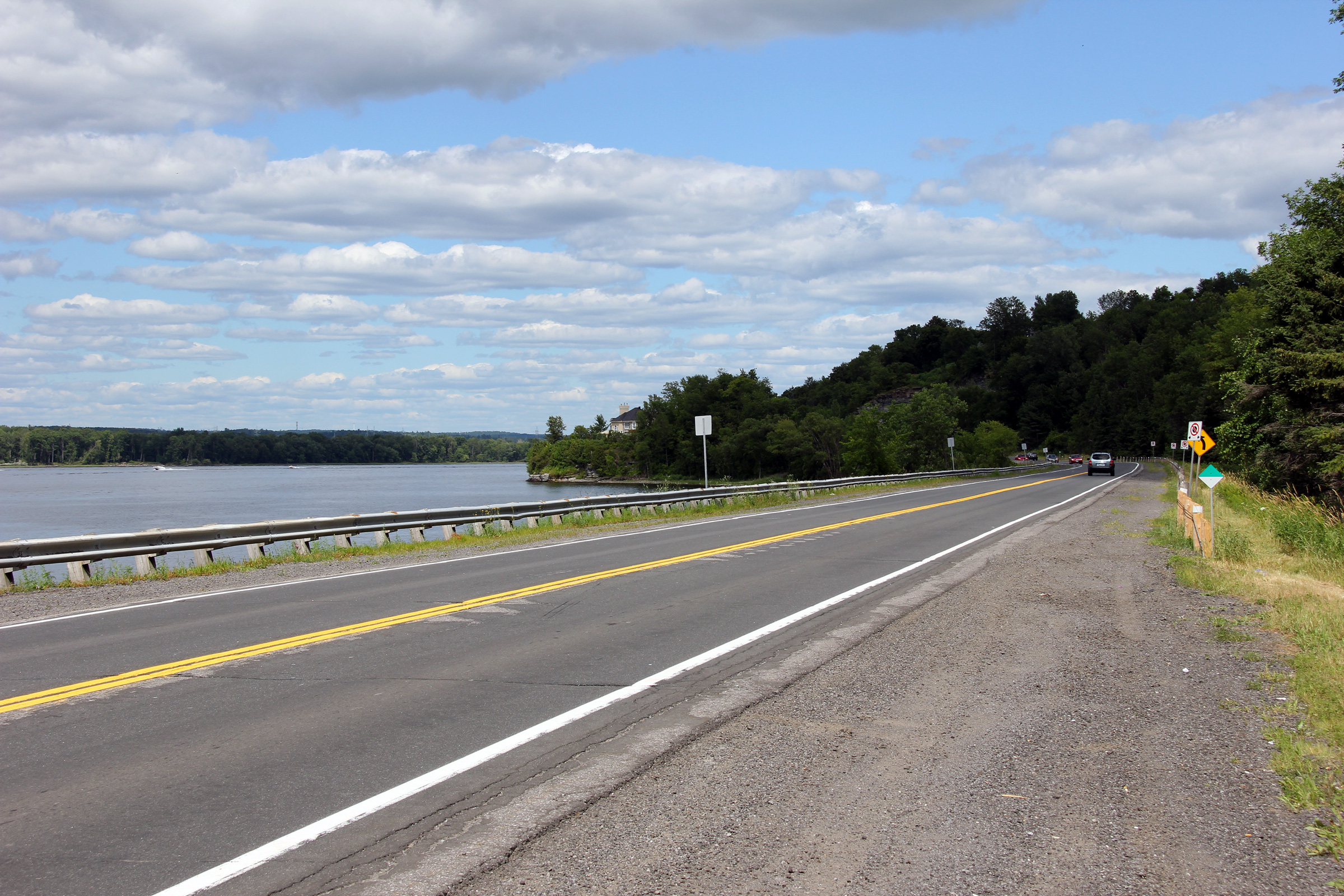
| City of Ottawa |
This view looks westerly along Highway 17 between Orléans
and Cumberland. The Ottawa River was an early colonization route for
settlers arriving to Canada. Photo taken: July 24th, 2011. |
 |
|
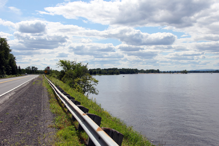
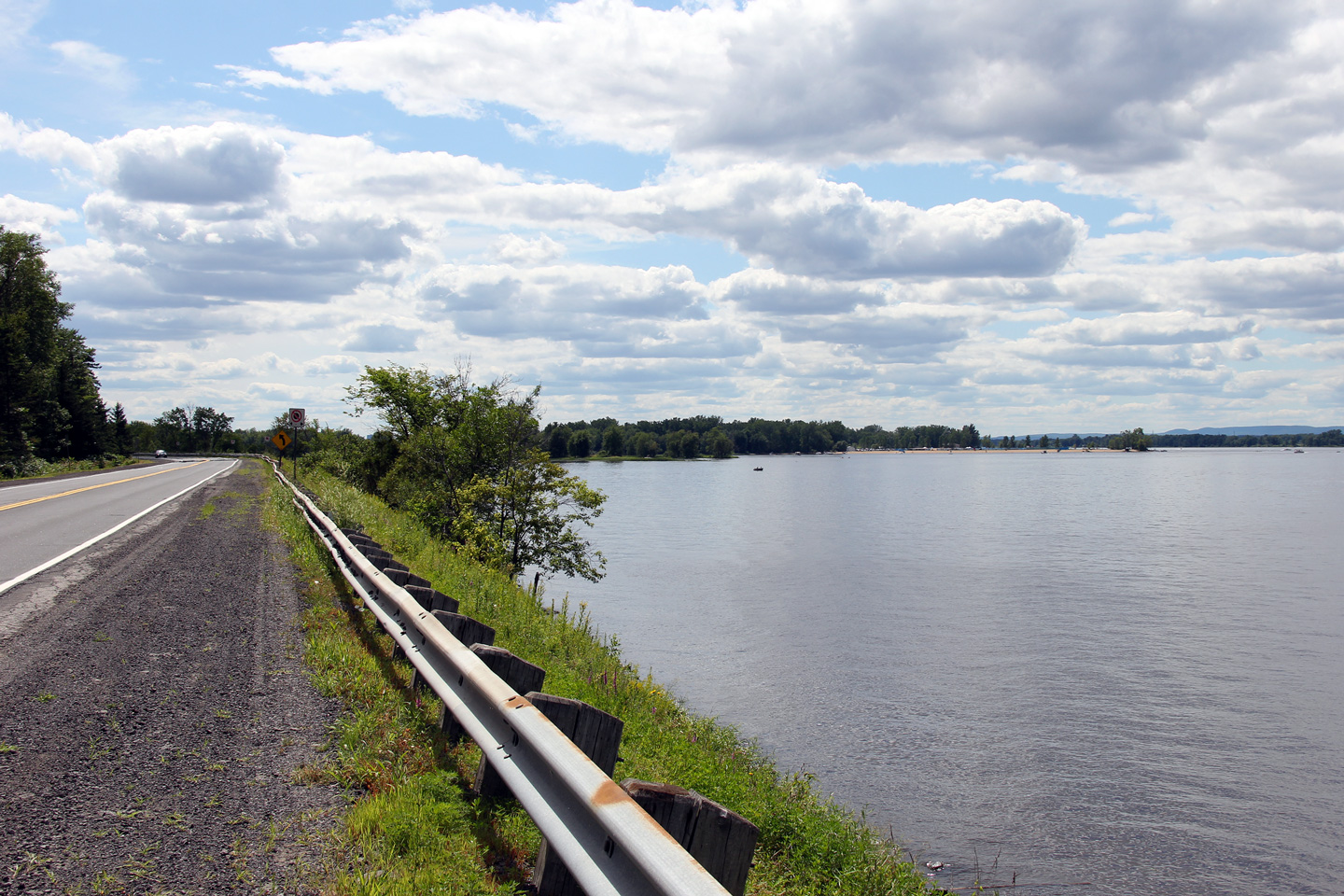
| City of Ottawa |
Easterly view as Highway 17 parallels the south shore of the Ottawa River as
the highway approaches Cumberland. Photo taken: July 24th, 2011. |
 |
|
| Click here to continue easterly via Highway 17 - Page 5B Images | |||
<- Hwy 417 Images Highway 17 Images Index Page 5B Images ->
<- Highway 16 Images Back to Highway 17 Highway 17A Images ->
Copyright (c) 2004-2012, Scott Steeves (Webmaster) scott@asphaltplanet.ca

