AsphaltPlanet.ca > OntHighways >
Highway 11 > Images
> Page 3C
King's Highway 11 - Images
<- Page 3B Page 3C - Temagami to New Liskeard Page 3D->
Photos shown in this table are arranged from South to North:
| Proper Municipality Name | Photo Description | Photo | |
|
Photos taken from driver's perspective appear offset from centre-line Photos: |
North- Bound |
South- Bound |
|
| Highway 11 Photos continue from Page 3D | |||
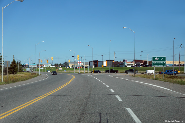
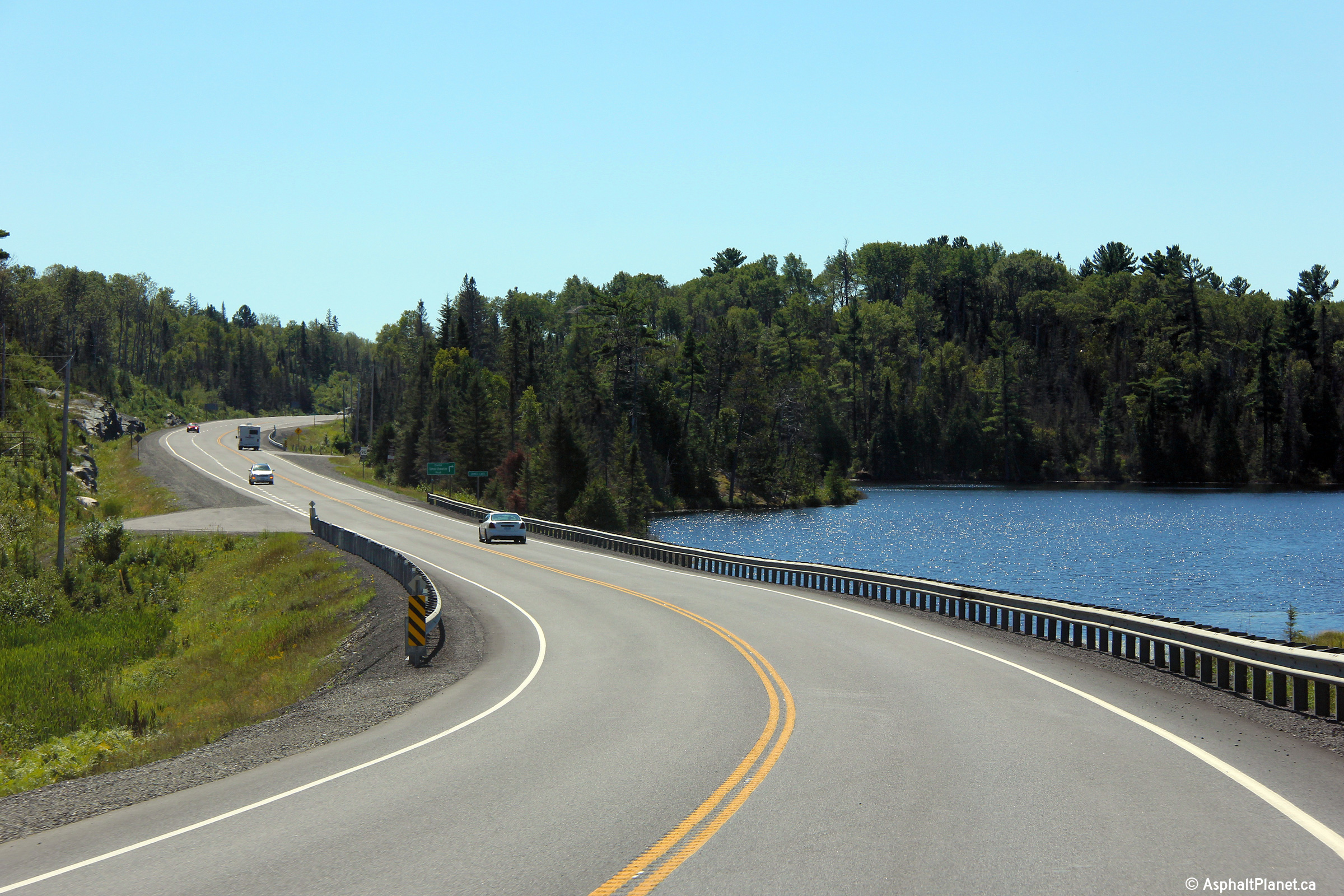
| District of Timiskaming |
Southerly view along Highway 11 as it rounds its way along the shoreline of
James Lake. Photo taken: August 26th, 2011. |
||
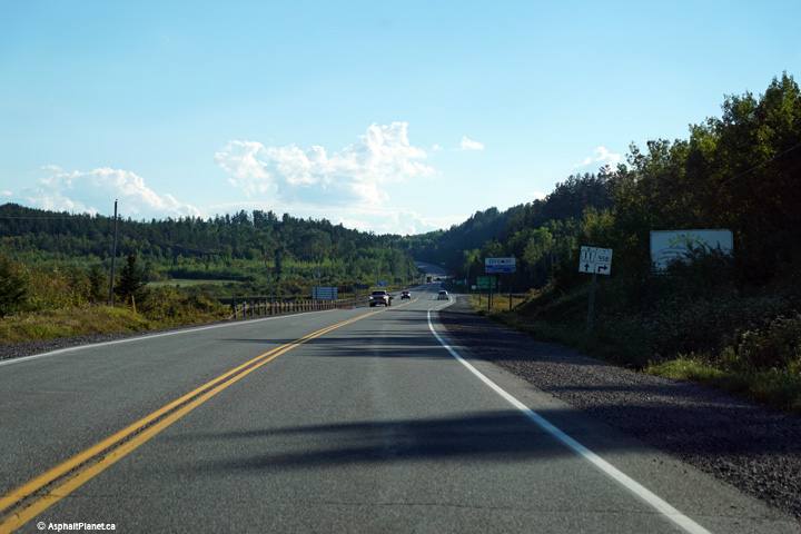
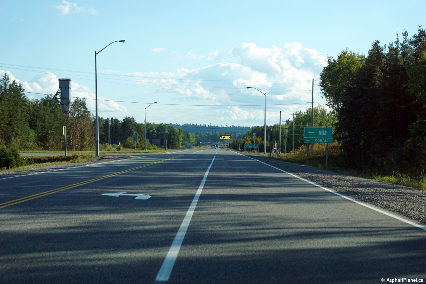
| District of Timiskaming |
Southerly view approaching the Highway 11B junction south of Cobalt. Photo taken: September 21st, 2015. |
||
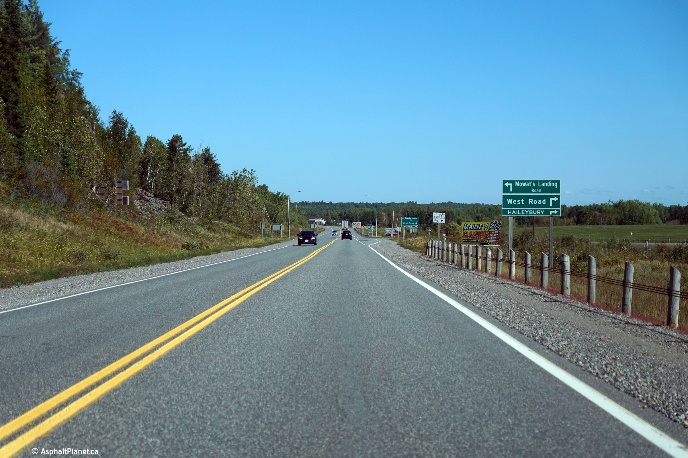
| City of Temiskaming Shores District of Timiskaming |
This view looks northerly approaching the Highway 558 intersection. Photo taken: September 21st, 2015. |
||
| City of Temiskaming Shores District of Timiskaming |
Southerly view approaching the Highway 558 intersection. Photo taken: September 21st, 2015. |
|
|
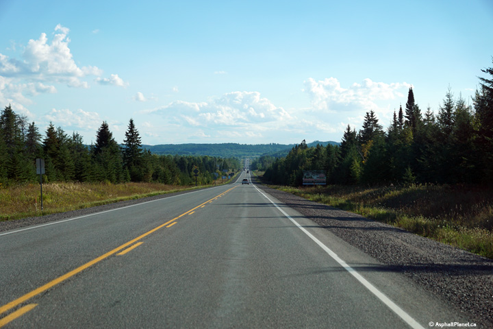
| City of Temiskaming Shores District of Timiskaming |
Southerly view along a long straight-a-way on the New Liskeard By-pass. Photo taken: September 21st, 2015. |
|
|
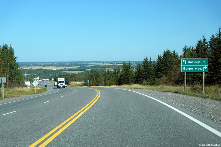
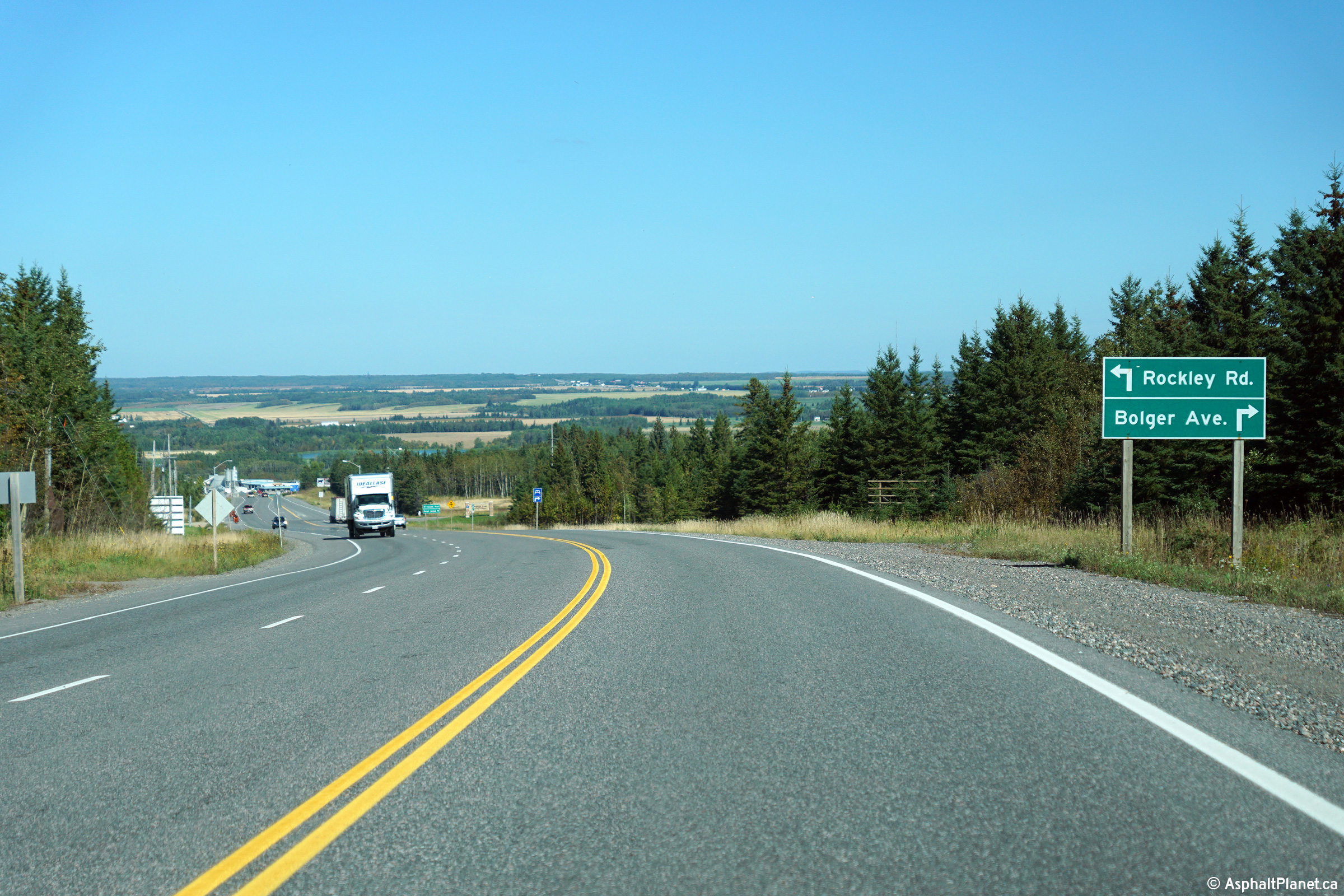
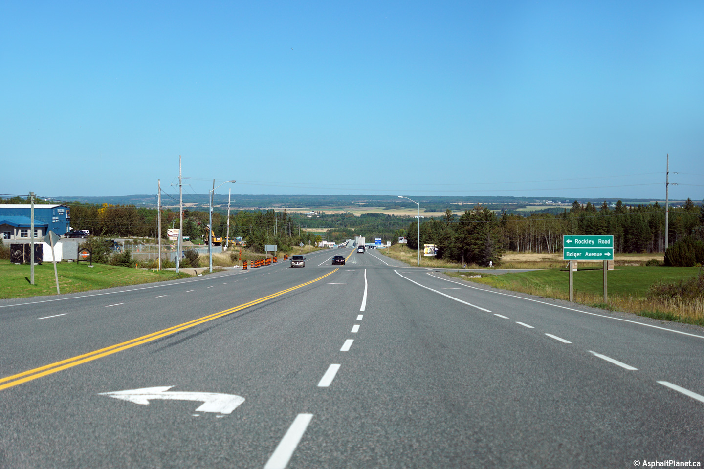
| City of Temiskaming Shores District of Timiskaming |
Two views looking northerly approaching the Rockley Road intersection.
Beyond Rockley Road, Highway 11 begins its long descent into the Clay Belt
and the Wabi River Valley.. Photo taken: September 21st, 2015. |
(720x480) (1440x960) (2400x1600)
|
|
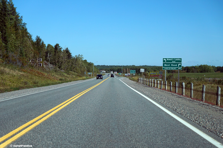
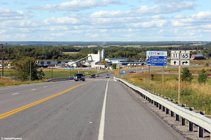
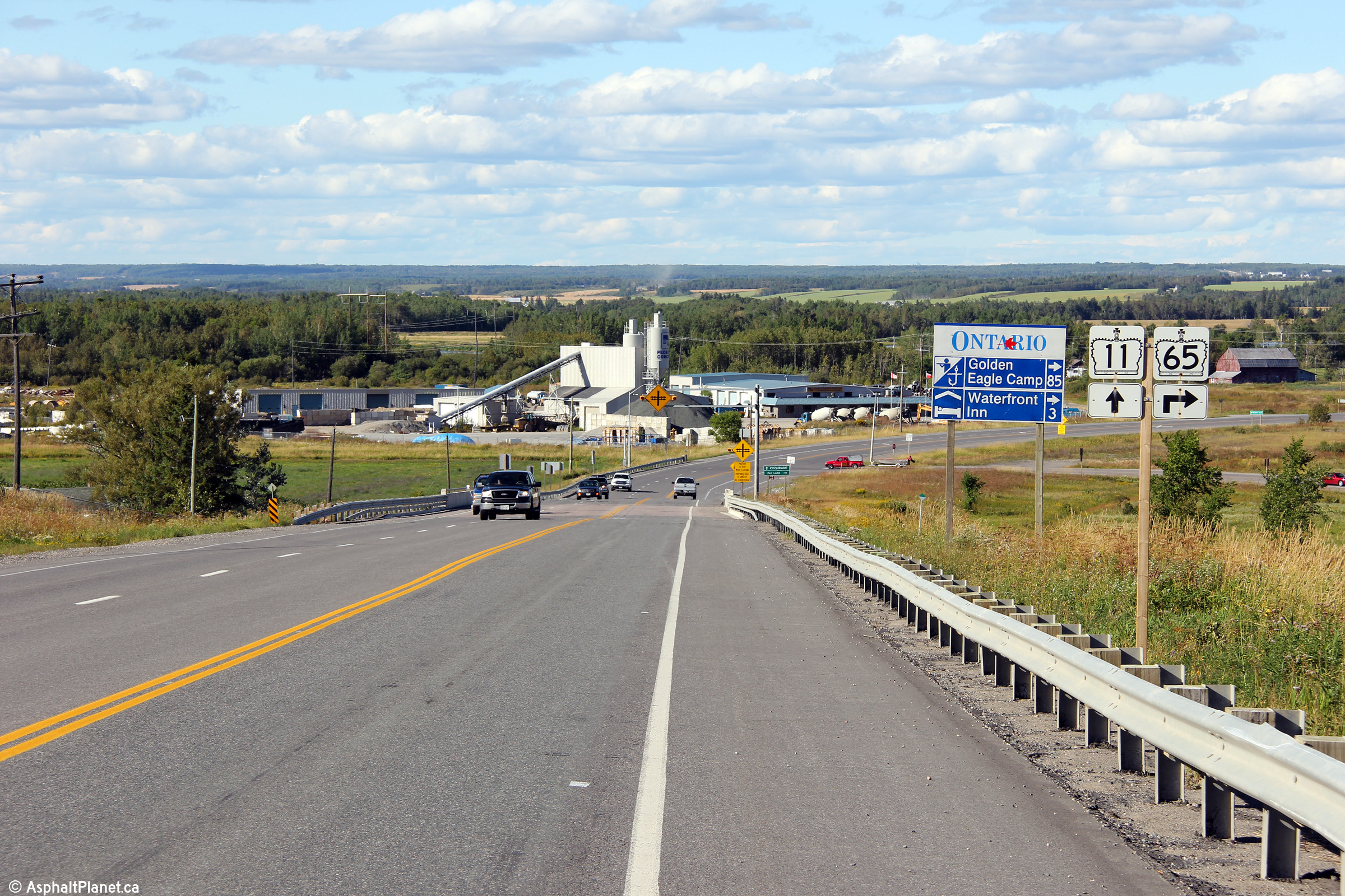
| Township of Armstrong District of Timiskaming |
View looking northerly approaching the Highway 65 intersection. The
signage at this intersection was never updated to reflect Highway 65's
current alignment that now follows the New Liskeard By-pass. Photo taken: August 27th, 2011. |
|
|
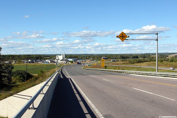
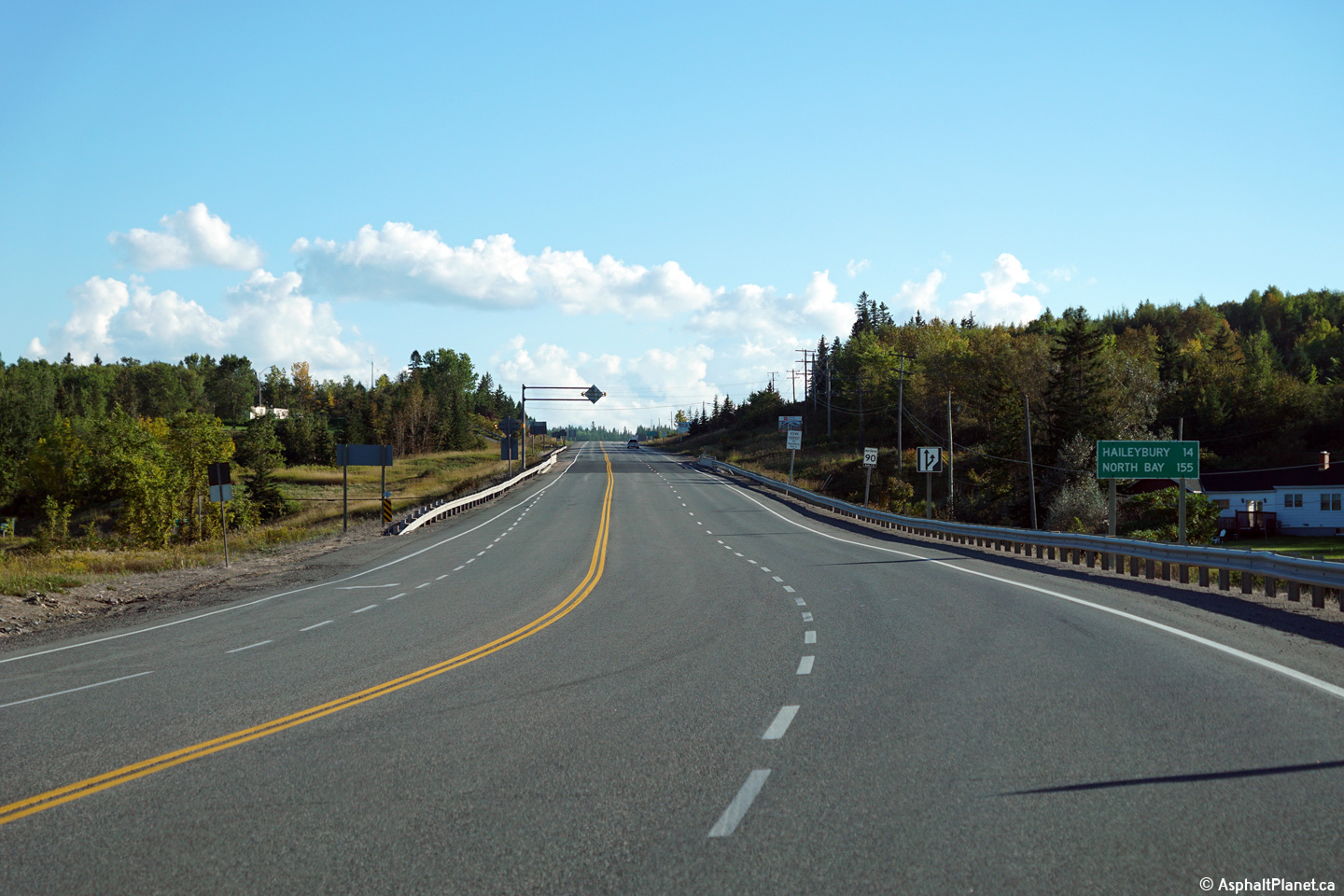
| City of Temiskaming Shores District of Timiskaming |
A level crossing with a rail-spur is located at the bottom of this long
grade on the New Liskeard By-pass. This overhead warning sign stands
at the southern abutment of the Highway 65 underpass. Photo taken: August 27th, 2011. |
|
|
| City of Temiskaming Shores District of Timiskaming |
Southerly view along Highway 11 as the highway climbs out of the clay belt
and the Wabi River valley. Photo taken: September 21st, 2015. |
|
|
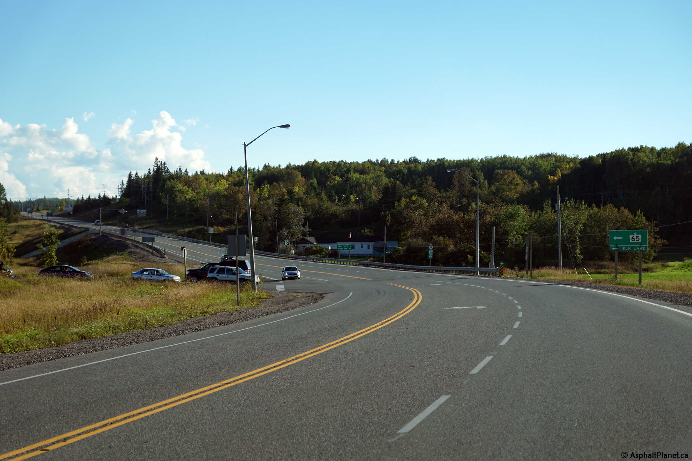
| City of Temiskaming Shores District of Timiskaming |
View looking northerly towards the western Highway 65 junction. Photo taken: August 27th, 2011, |
|
|
| West of Highway 11, Highway 65 leads motorists through the clay belt and following the Montreal River Valley to Highway 66 at Matachewan. Click here for Highway 65-West images | |||
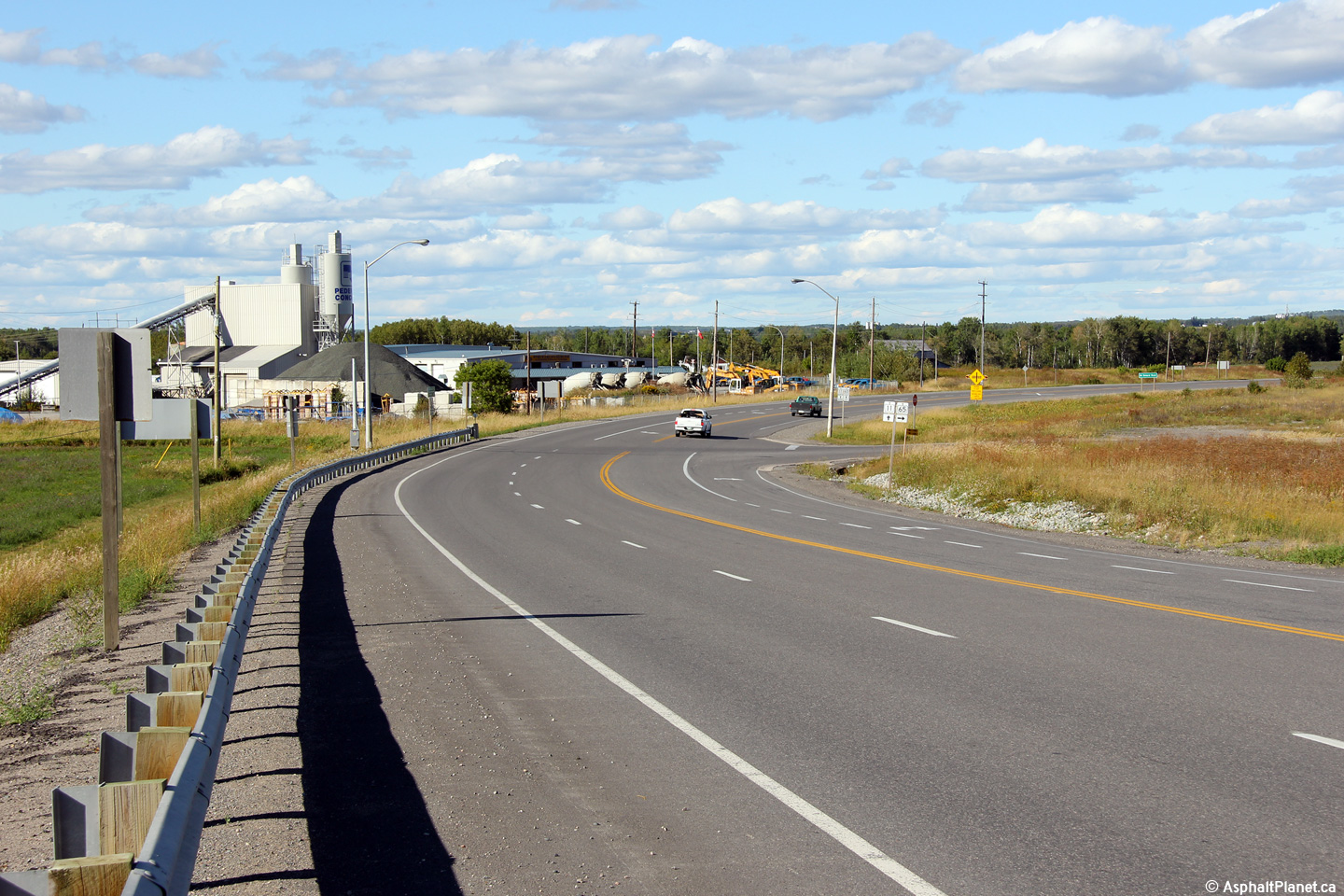
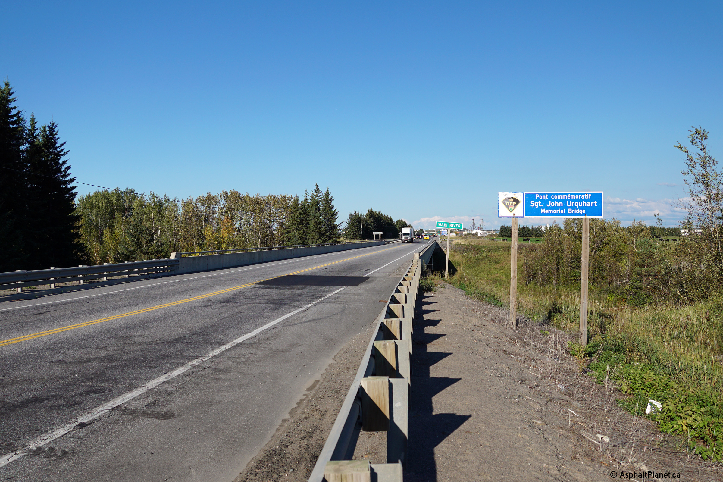
| City of Temiskaming Shores District of Timiskaming |
Southerly view approaching the . Photo taken: September 21st, 2015. |
|
|
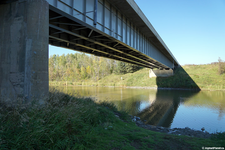
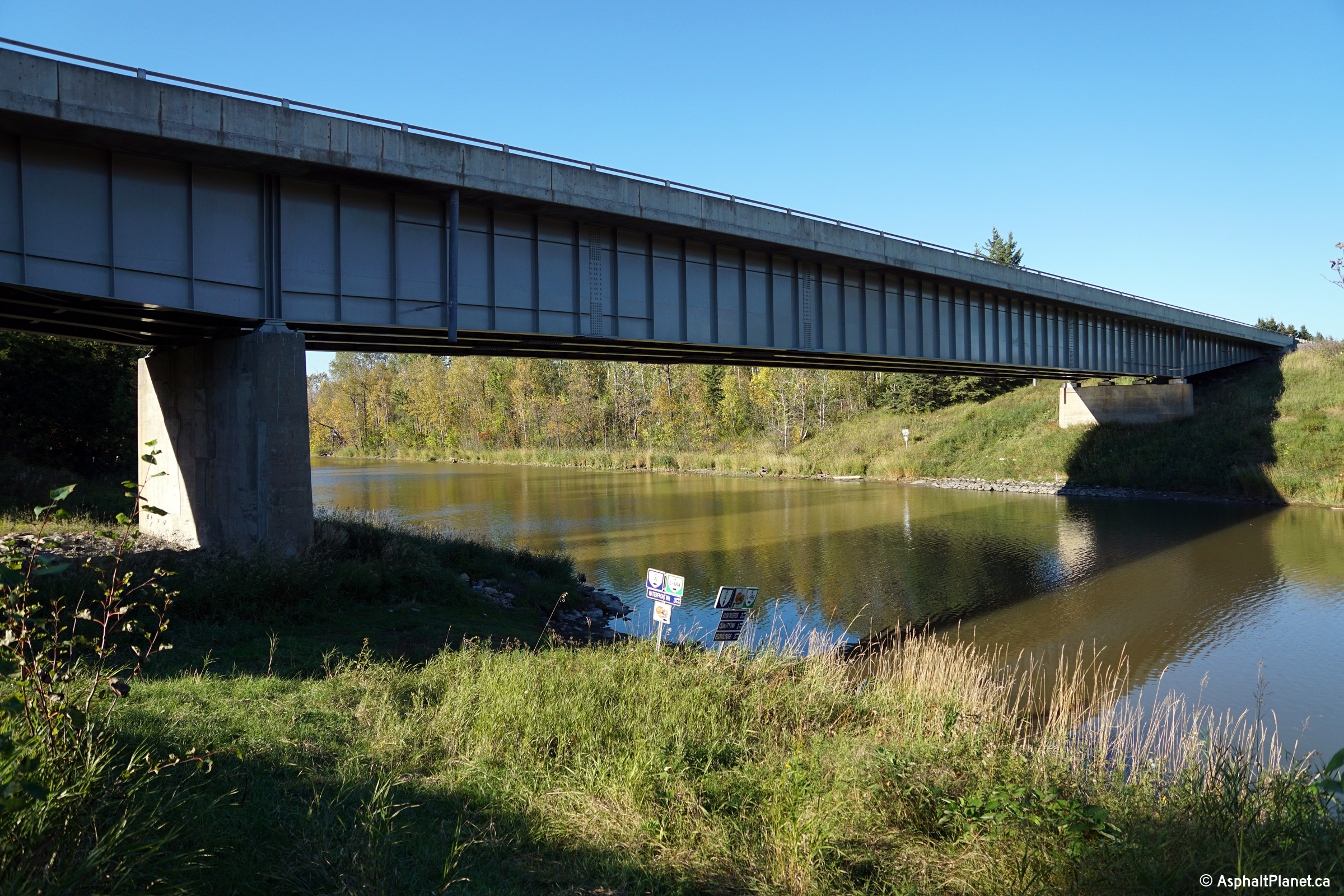
| City of Temiskaming Shores District of Timiskaming |
Deck view of the Wabi River bridge, looking northerly. The Wabi River
Bridge was rehabilitated only several years before this photo was taken. Photo taken: September 21st, 2015. |
 |
|
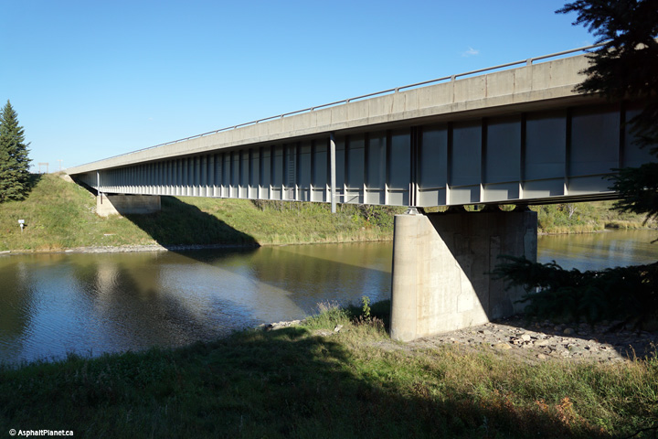
| City of Temiskaming Shores District of Timiskaming |
This view looking northeasterly towards the Wabi River Bridge. Photo taken: September 21st, 2015. |
||
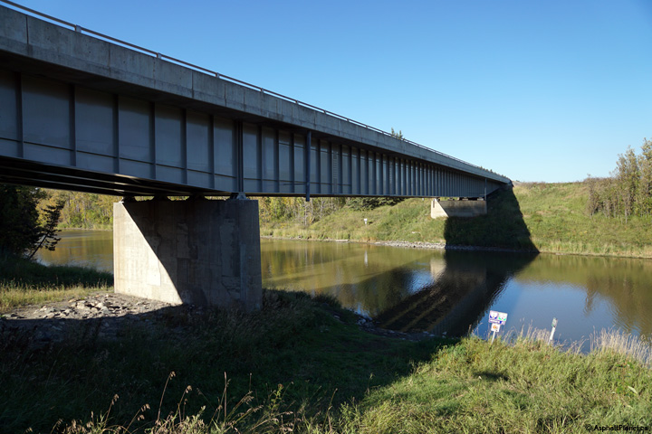
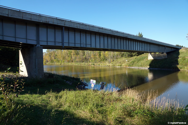
| City of Temiskaming Shores District of Timiskaming |
View looking northwesterly towards the Wabi River Bridge. Photos taken: September 21st, 2015. |
(720x480) (1440x960) (2400x1600)
|
|
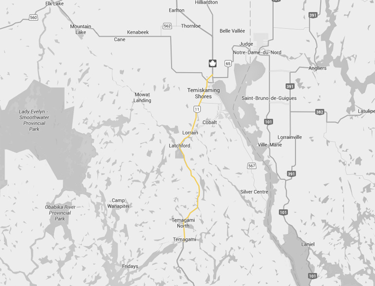
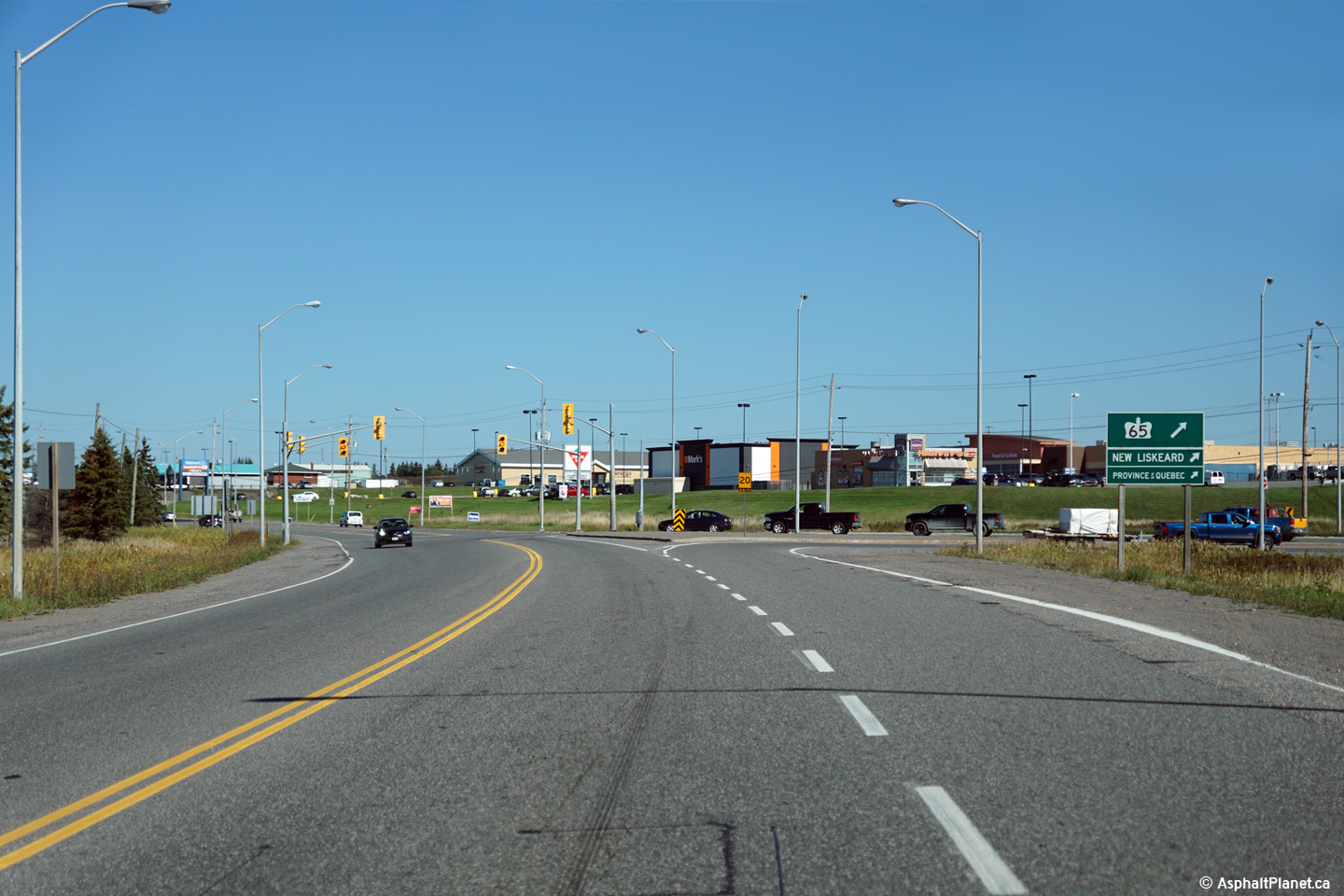
| City of Temiskaming Shores District of Timiskaming |
View looking northerly approaching the eastern junction with Highway 65 in
New Liskeard. Photo taken: September 21st, 2015. |
 (720x480) (1440x960) (2400x1600) |
|
| Highway 65 leads motorists east from New Liskeard into the province of Quebec. Click here for Highway 65-East images | |||
| Highway 11 Images continue northwards on Page 3D | |||
<- Page 3B Images Highway 11 Images Index Page 3D Images ->
<- Highway 10 Images Back to Highway 11 Highway 11A Images ->
Copyright (c) 2004-2016, AsphaltPlanet.ca AsphaltPlanet@asphaltplanet.ca


