|
Proper Municipality Name |
Photo Description |
Photo |
|
Pictures taken
from driver's perspective appear offset from centre-line pictures: |
North-
Bound |
South-
Bound |
|
Highway 11 pictures continue from
Page 3A |
|
Highway 64 runs southwest of Highway 11, through
Field, Sturgeon Falls, and eventually meets Highway 69.
Click here for Highway 64 images. |
| Town of Temagami District of
Nipissing |
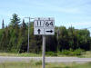
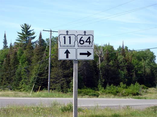
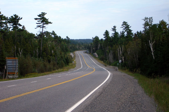
Junction assembly for the Highway 64
junction along southbound Highway 11.
Highway 64 leads travelers from Highway 11 southwesterly to the
communities of Field and Sturgeon Falls. Picture size: 40kb. |
 |
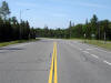
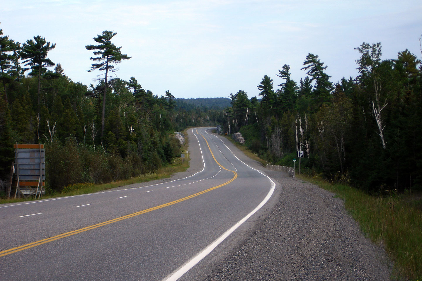
| Town of Temagami District of
Nipissing |
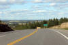
View looking south towards the Highway 64 junction on Highway 11. Picture
taken: July 1st, 2006. Size: 50kb. |
 |
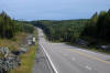
Town of Temagami
District of Nipissing |
View looking southerly towards the Milne Sherman Road. Milne Sherman
Road and its adjacent railway served a long abandoned mine, and a newly
opened sawmill. Mile Sherman Road is found to the north of the town of
Temagami.
Photo taken: August 26th, 2006. |
Low-res
High-res |
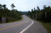
Town of Latchford
District of Timiskaming |
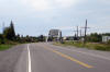
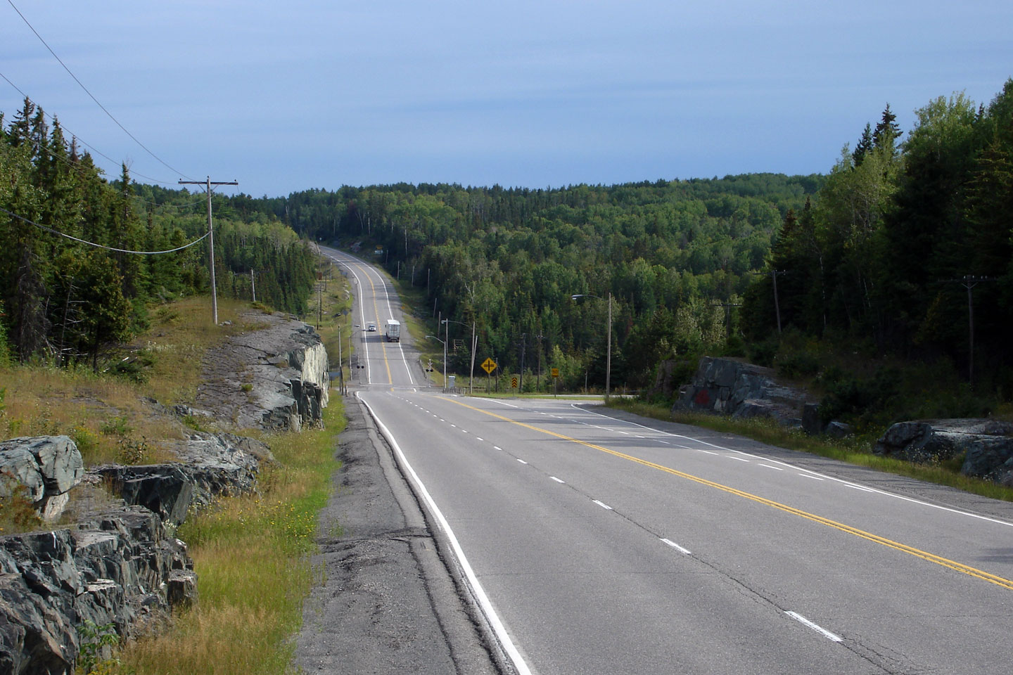
Southerly view approximately 10km south of Latchford on Highway 11.
Note how the centre lane reverses directions in this photo. This is an
unusual treatment on an Ontario Highway.
Photo taken: August 26th, 2006. |
Low-res
High-res |
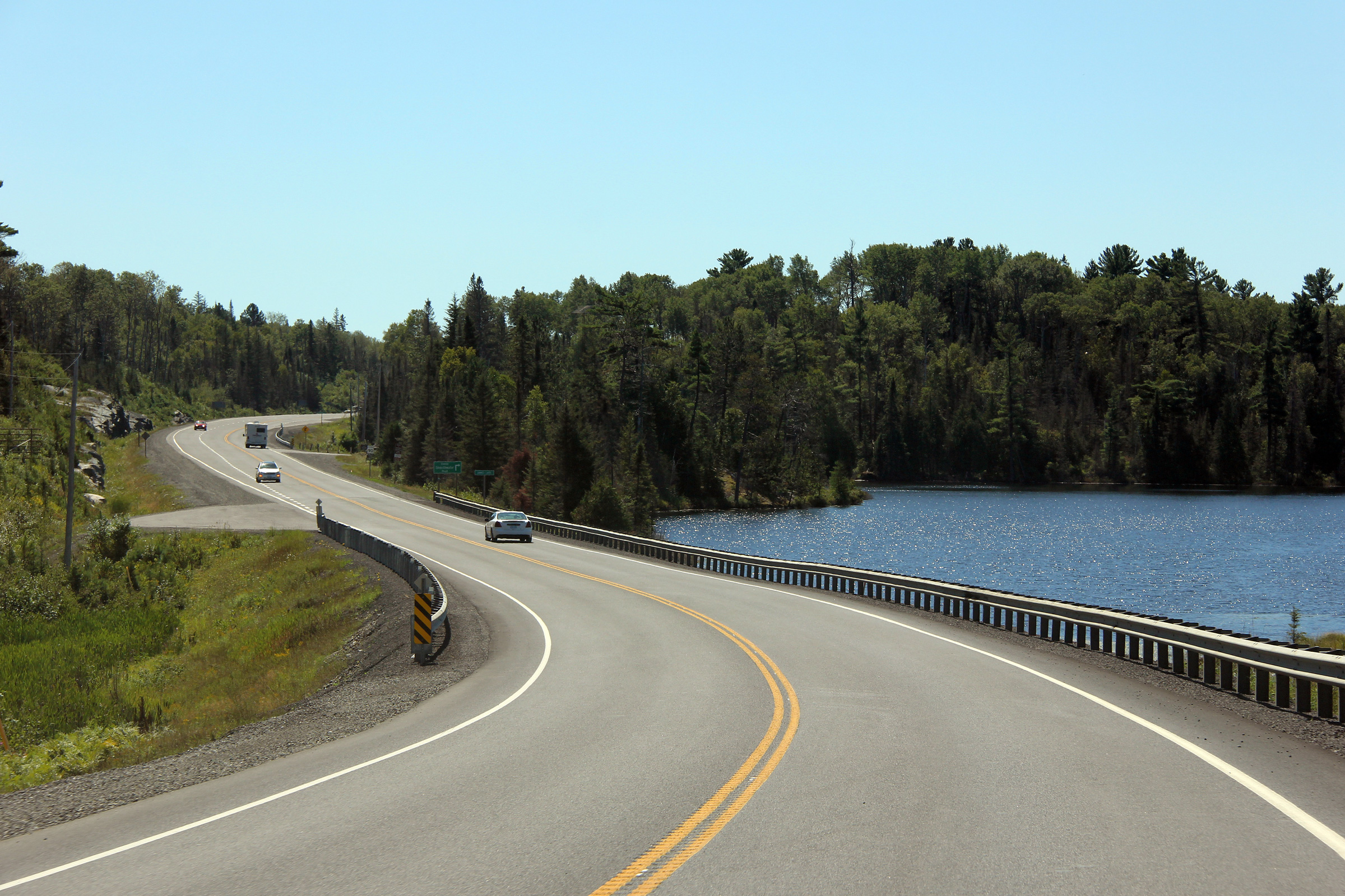
Town of Latchford
District of Timiskaming |
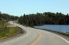
Southerly view south of Latchford as Highway 11 rounds a curve at James
Lake.
Photo taken: August 26th, 2011. |
(720x480)
(1440x960)
(2400x1600) |
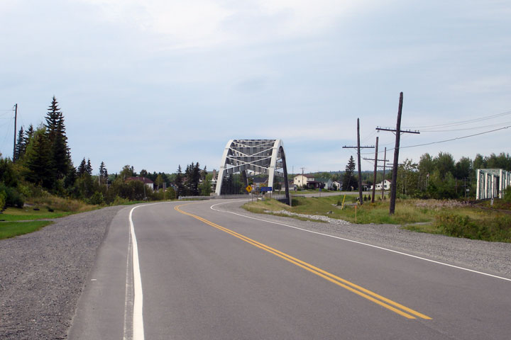
Town of Latchford
District of Timiskaming |
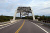
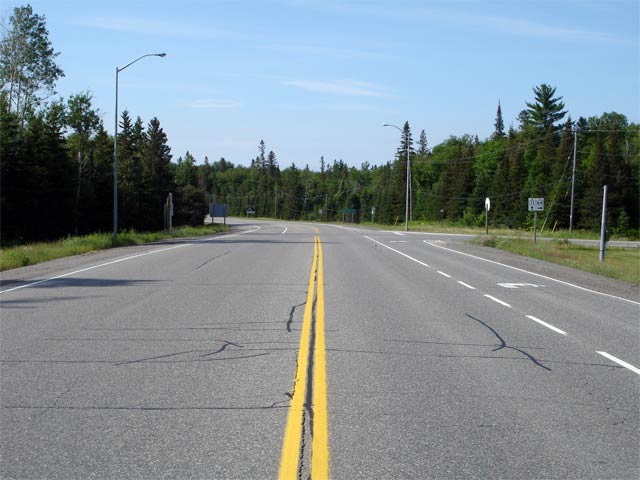
This view looks northerly approaching Latchford along Highway 11.
Photo taken: August 26th, 2006. |
Low-res
High-res |
Town of Latchford
District of Timiskaming |
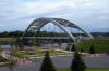
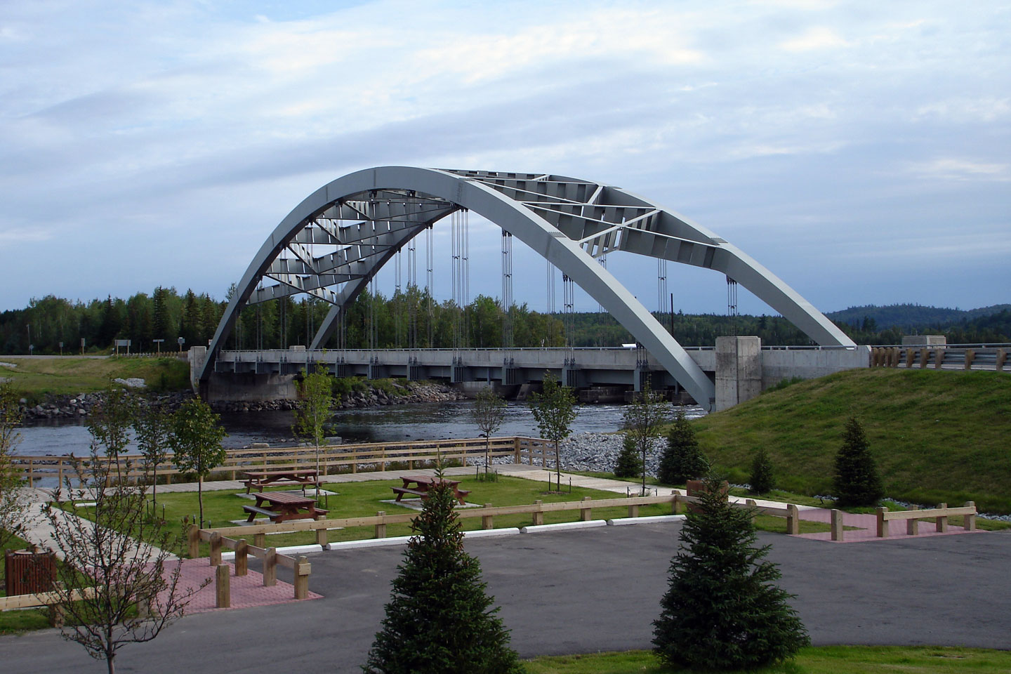
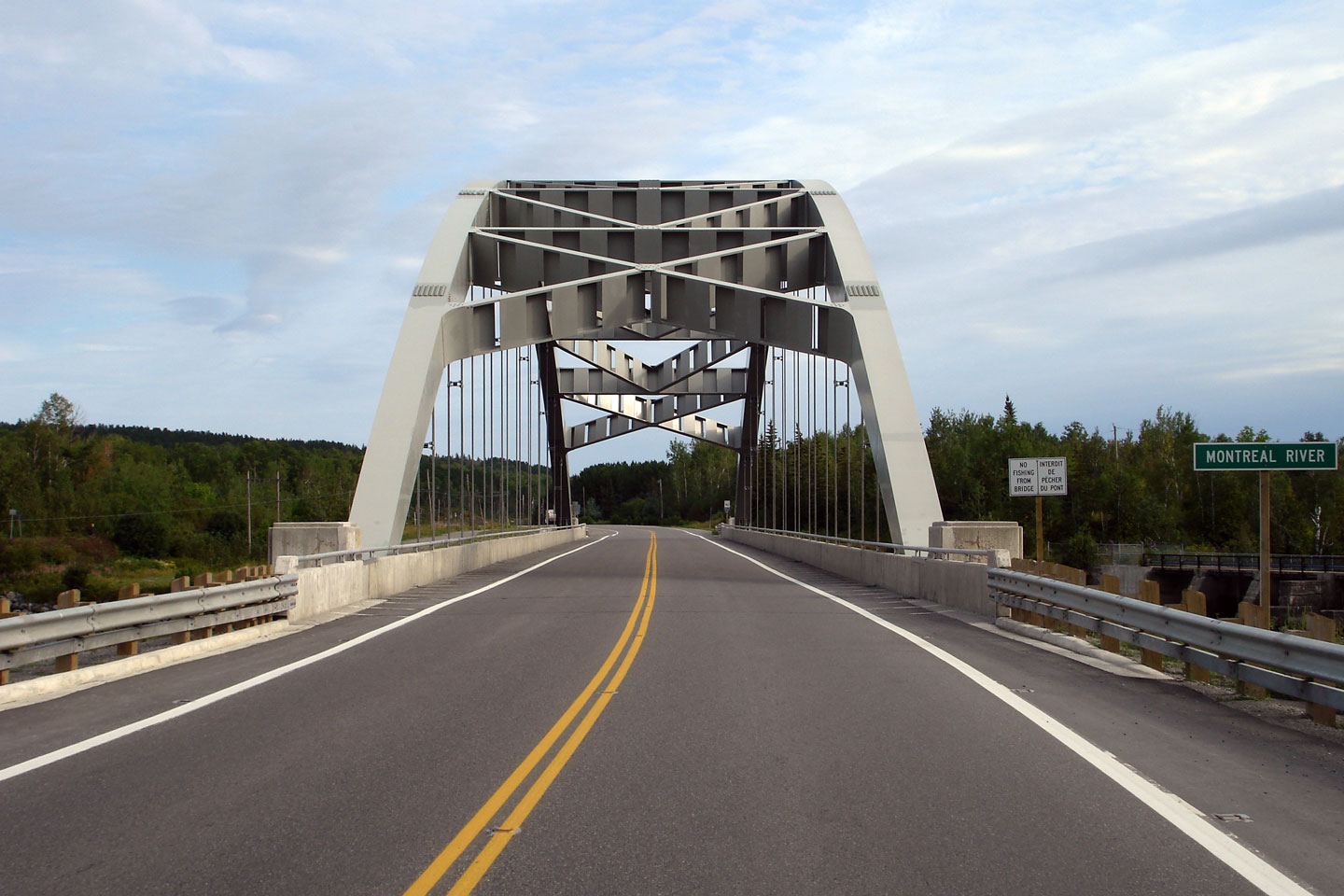
Eastern facade of the Sergeant Aubrey Cosens Memorial Bridge in Latchford.
When this photo was taken, this structure had been repaired from a partial
structural failure resulting in the full closure of Highway 11 for a
considerable period. For more information on the Latchford Bridge
Failure, please visit
thekingshighway.ca
Photo taken: August 26th, 2006. |
Low-res
High-res |
Town of Latchford
District of Timiskaming |
The Sergeant Aubrey Cosens Memorial Bridge crosses the Montreal River.
Incidentally, another Montreal River exists in Northern Ontario and
crosses Highway 17 about the same distance north of Sault Ste. Marie, as Latchford is north from North Bay. The rivers are unrelated.
Evidently, the early explorers of Northern Ontario were not very creative.
Photo taken: August 26th, 2006. |
Low-res
High-res |
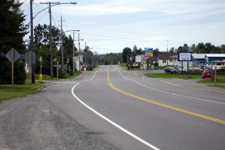
Town of Latchford
District of Timiskaming |
Northerly view along Highway 11 through the small community of Latchford.
Interestingly, the Town of Latchford, grew considerably in population during
the periods between the 2001 and 2006 census.
Photo taken: August 26th, 2006. |

Low-res
High-res |
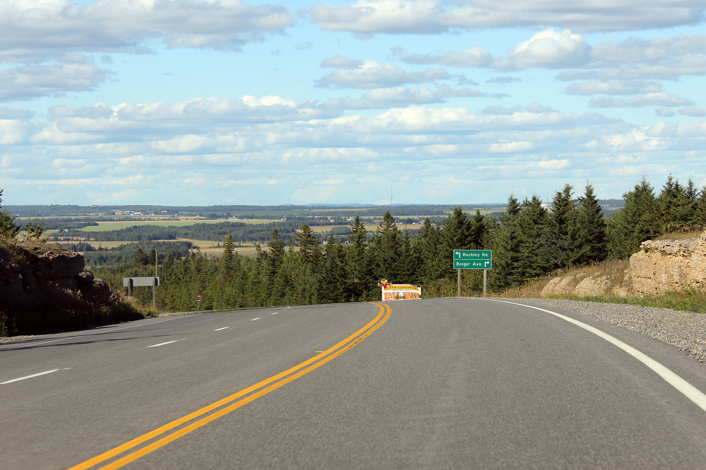
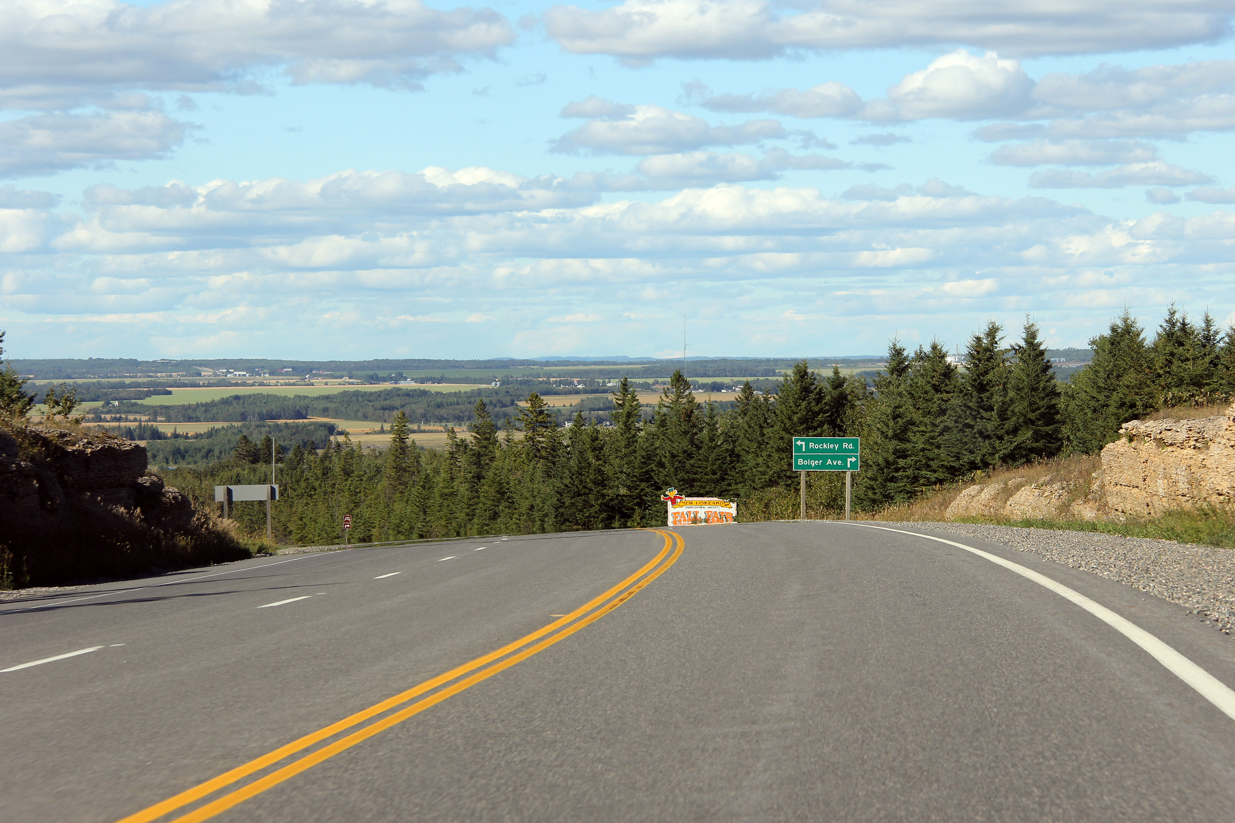
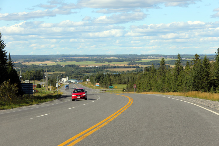
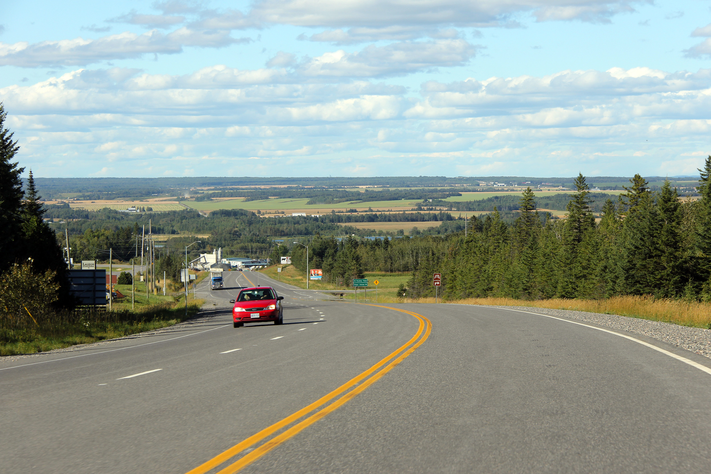
City of Temiskaming Shores
District of Timiskaming |
Two views looking northerly as Highway 11 begins its decent from its high
perch on the Canadian Shield northerly into the Lesser Clay Belt. The
Lesser Clay Belt is an area of fertile soil in northeastern Ontario where
there are various small scale agricultural operations.
Photos taken: August 27th, 2011. |
(720x480)
(1440x960)
(2400x1600)

(720x480)
(1440x960)
(2400x1600) |
|
Highway 11 Images continue westwards on
Page 3D |


