AsphaltPlanet.ca >
OntHighways > Highway 65 >
Images
King's Highway 65 - Images
Photos shown in this table are arranged from West to East:
| Proper Municipality Name | Photo Description | Photo | |
|
Pictures taken from driver's perspective appear offset from centre-line pictures: |
East- Bound |
West- Bound |
|
| Highway 66 leads easterly from Matachewan becoming part of the Trans-Canada Highway east of Highway 11 before becoming Highway 117 in Quebec. Click here for Highway 66 images. | |||
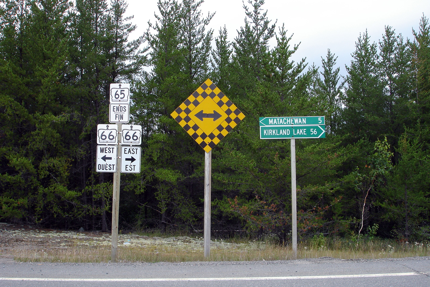
| Township of Matachewan District of Temiskaming |
Westbound ends assembly at the Highway 66 intersection. Photo taken: August 27th, 2006. |
 (720x480) (720x480)(1440x960) |
|
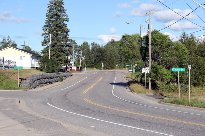
| Township of Matachewan District of Temiskaming |
Westerly view towards the western terminus of Highway 65 at Highway 66. Photo taken: August 27th, 2006. |
 (720x480) (1440x960) |
|
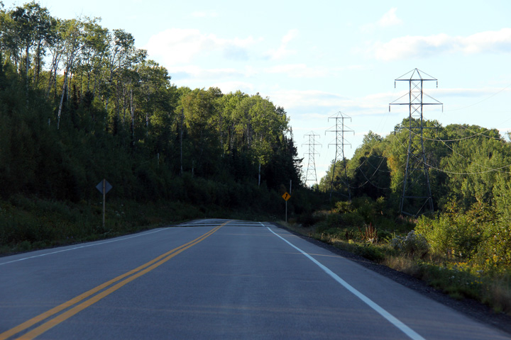
| District of Temiskaming |
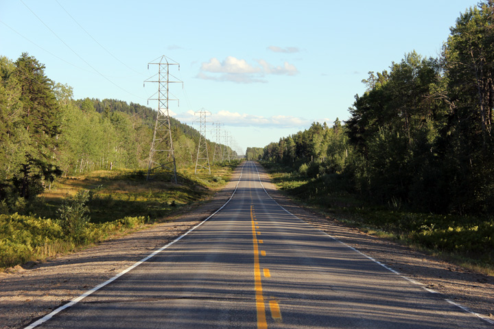
Easterly view of Highway 65 as it runs beside the high voltage power line. Photo taken: August 27th, 2011. |
 |
|
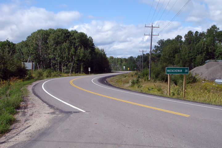
| District of Temiskaming |
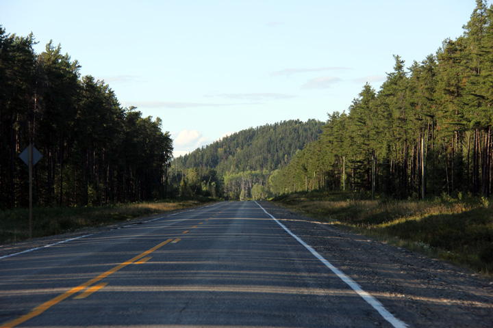
Highway 65's alignment meanders away from the high voltage power lines from
time to time, but generally the two run adjacent to each other for the
entire distance between Highway 66 and Elk Lake. Photo taken: August 27th, 2011. |
 |
|
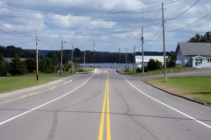
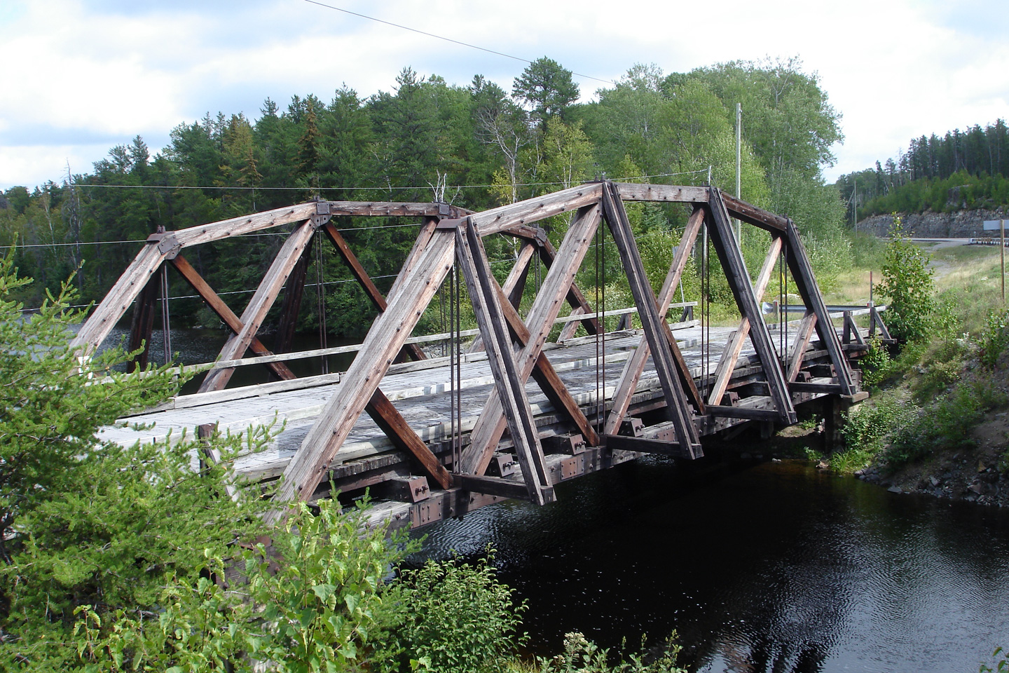
| District of Temiskaming |
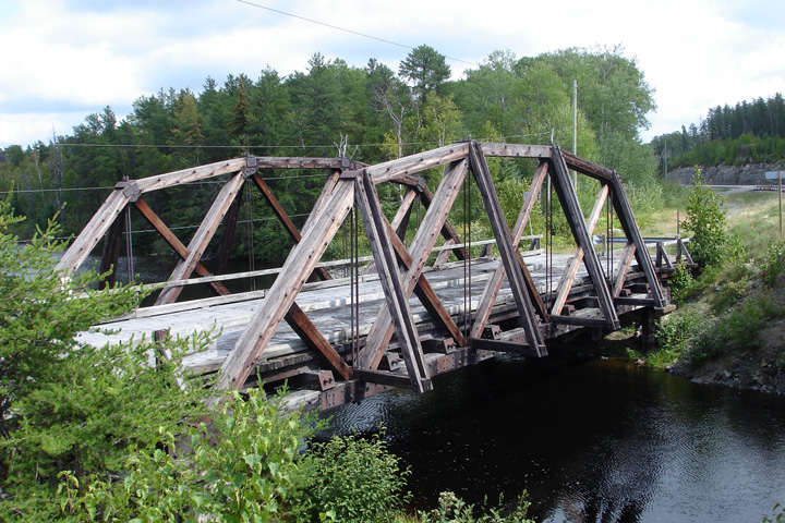
View of the former wooden truss bridge that carried Highway 65 over Sidney
Creek prior to 1993. Photo taken: August 27th, 2006. |
 (720x480) (1440x960) |
|
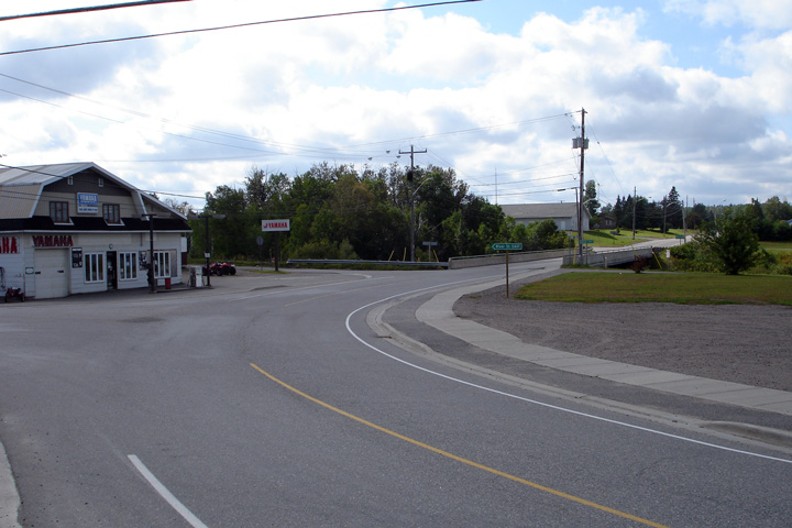
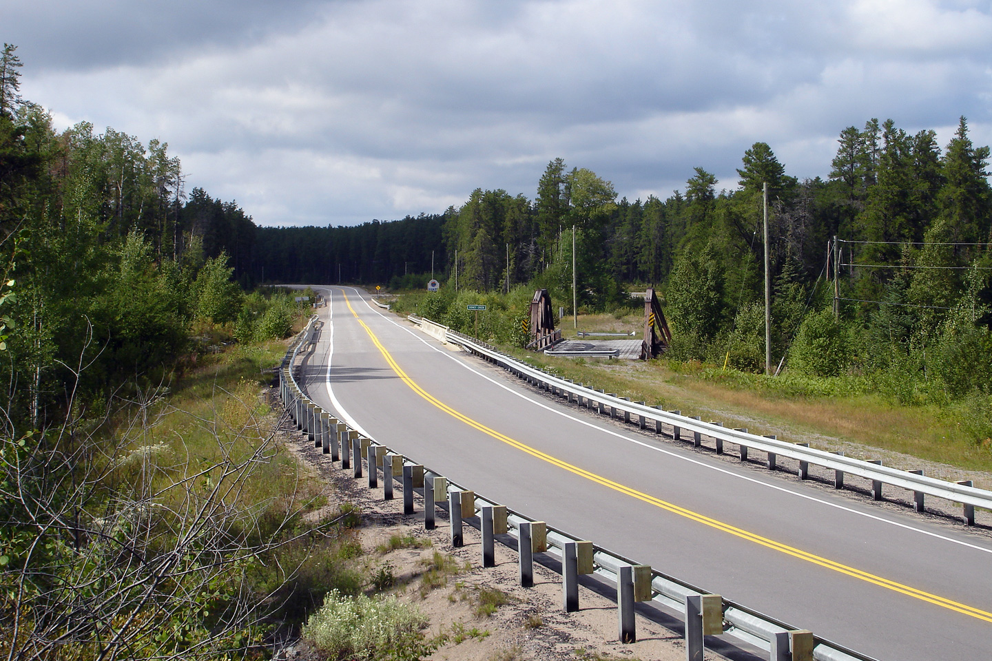
| District of Temiskaming |
View looking westerly towards the Sidney Creek bridge along Highway 65.
Note the wooden truss bridge that carried Highway 65 traffic prior to 1993
at right. Photo taken: August 27th, 2016. |
 (720x480) (1440x960) |
|
| District of Temiskaming |
Westerly view along Highway 65 as it winds between Highway 66 and Elk Lake. Photo taken: August 27th, 2011. |
 |
|
| Township of James District of Temiskaming |
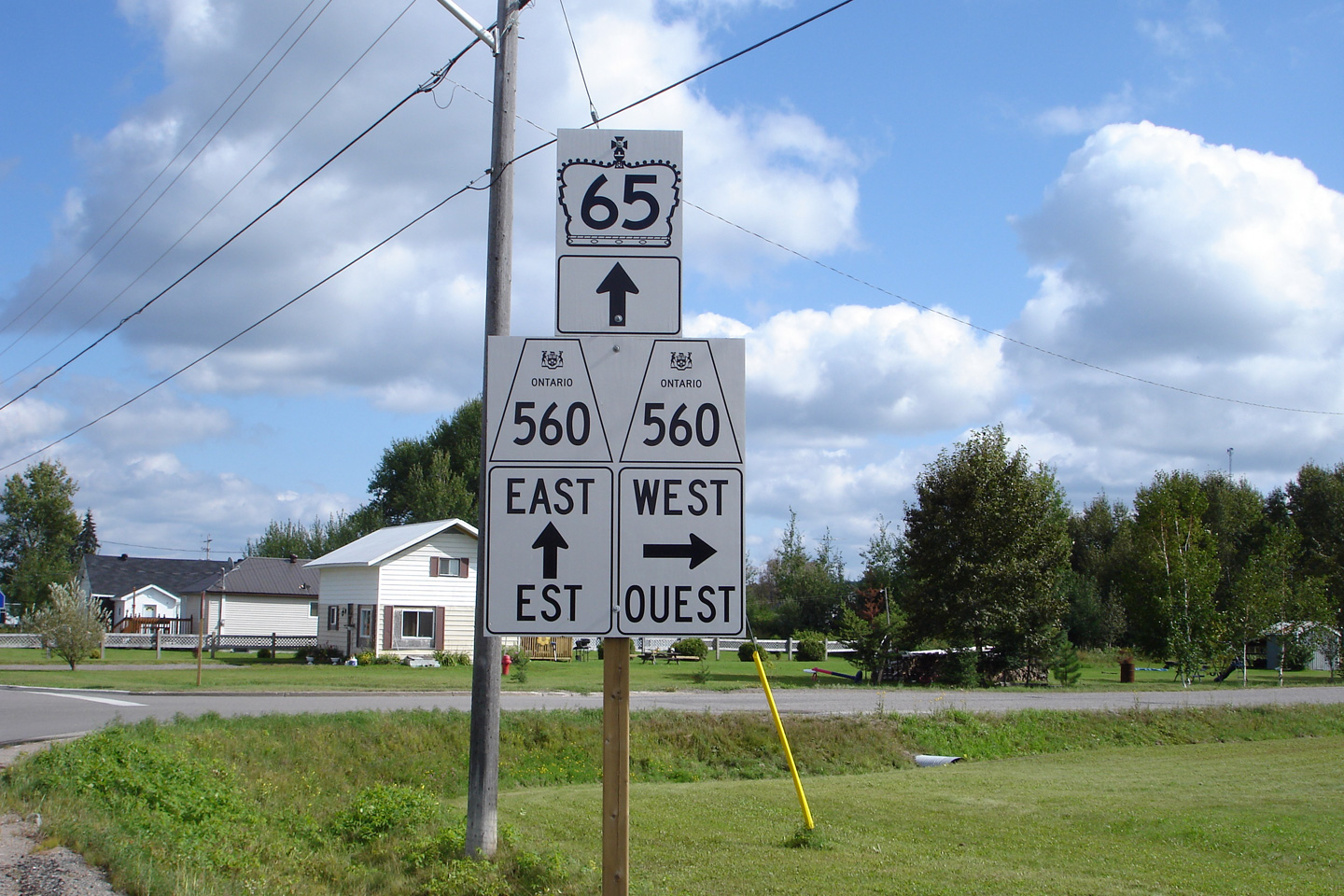
Eastbound junction assembly at the western Highway 560 junction. Photo taken: August 27th, 2006. |
 (720x480) (720x480)(1440x960) |
|
| Township of James District of Temiskaming |
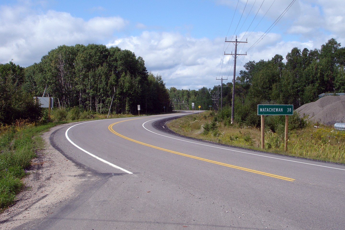
Westerly view, looking towards Matachewan from the western Highway 560
junction. Photo taken: August 27th, 2006. |
 (720x480) (1440x960) |
|
| Highway 560 is a long secondary that stretches from Highway 144 at the end of the Salton Industrial Road, to Highway 11 at Charleton. Click here for Highway 560-West images. | |||
| Township of James District of Temiskaming |
Westerly view along Highway 65 approaching the western Highway 560 junction. Photo taken: August 27th, 2006 |
(720x480) (1440x960) |
|
| Township of James District of Temiskaming |
Westbound advanced junction assembly for the Highway 560 intersection. Photo taken: August 27th, 2006. |
 (720x480) (720x480)(1440x960) |
|
| Township of James District of Temiskaming |
Easterly view along Highway 65/560 as the highway approaches the Makobe and
Montreal River crossings. Photo taken: August 27th, 2006. |
 (720x480) (1440x960) |
|
| Township of James District of Temiskaming |
Highway 65/560 crosses the Makobe River across a wooden trestle in Elk Lake. Photo taken: August 27th, 2006. |
 (720x480) (1440x960) |
|
| Township of James District of Temiskaming |
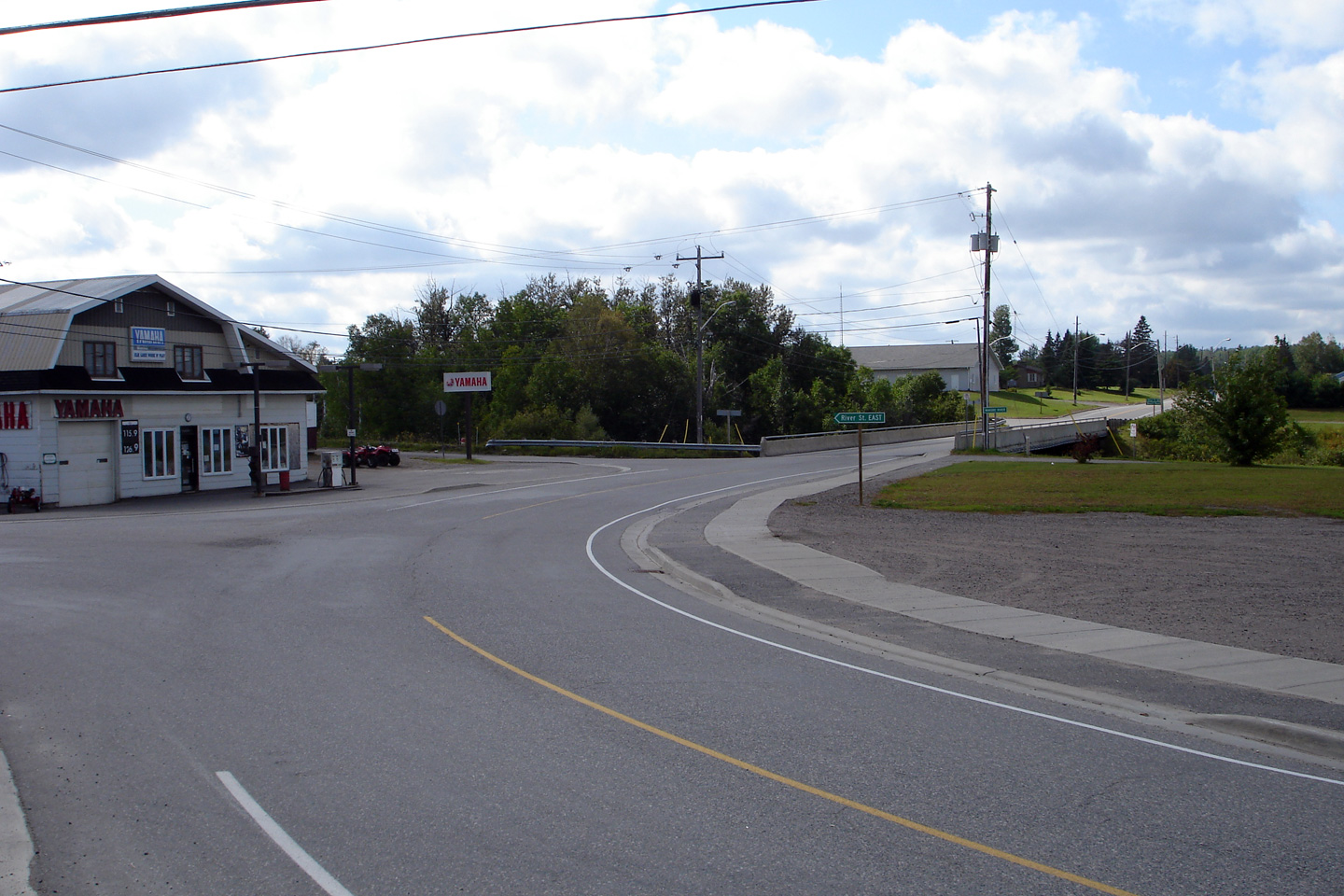
Westerly view from the foot of the Montreal River bridge towards the Makobe
River crossing. Photo taken: August 27th, 2006. |
 (720x480) (1440x960) |
|
| Township of James District of Temiskaming |
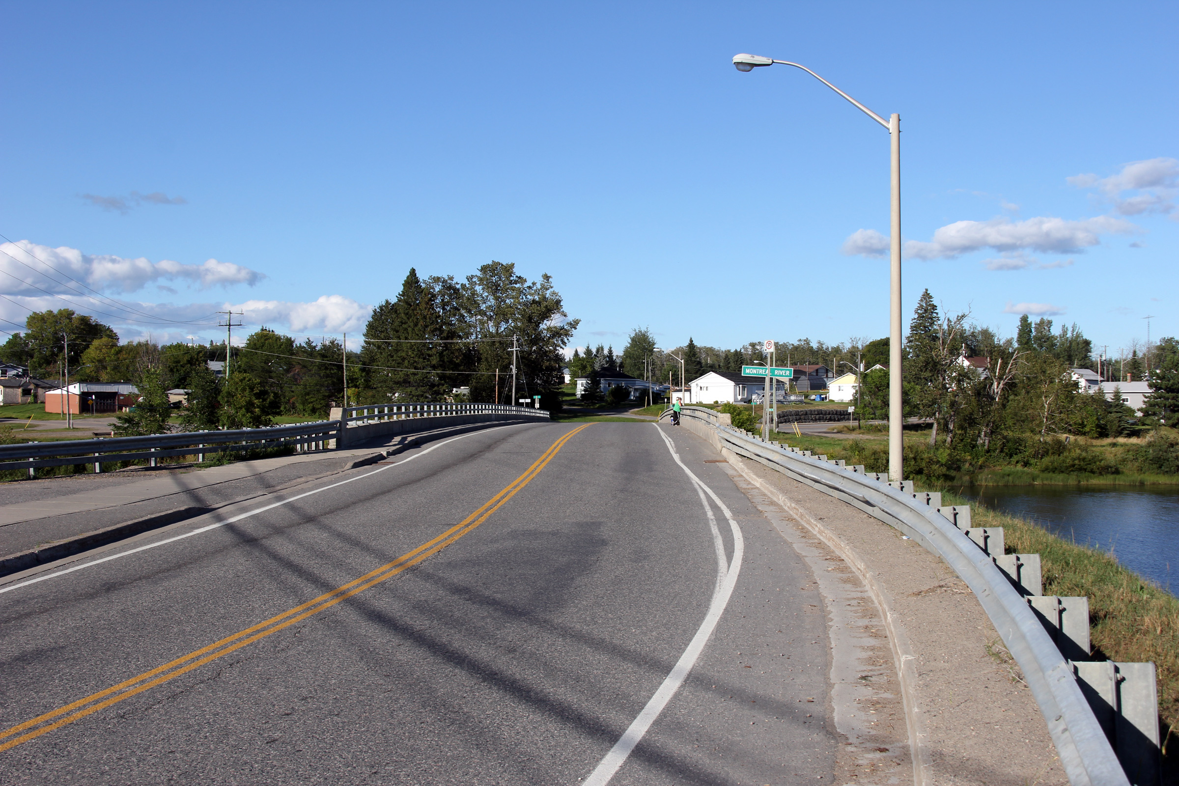
View looking easterly along Highway 65/560 as it crosses the Montreal River
in Elk Lake. Photo taken: August 27th, 2011. |
 |
|
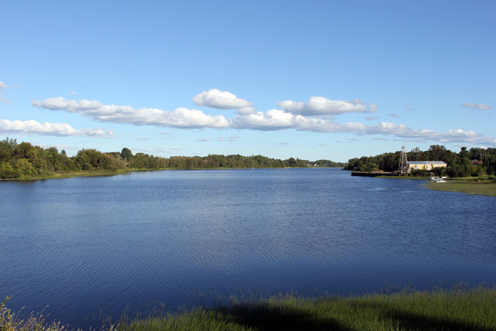
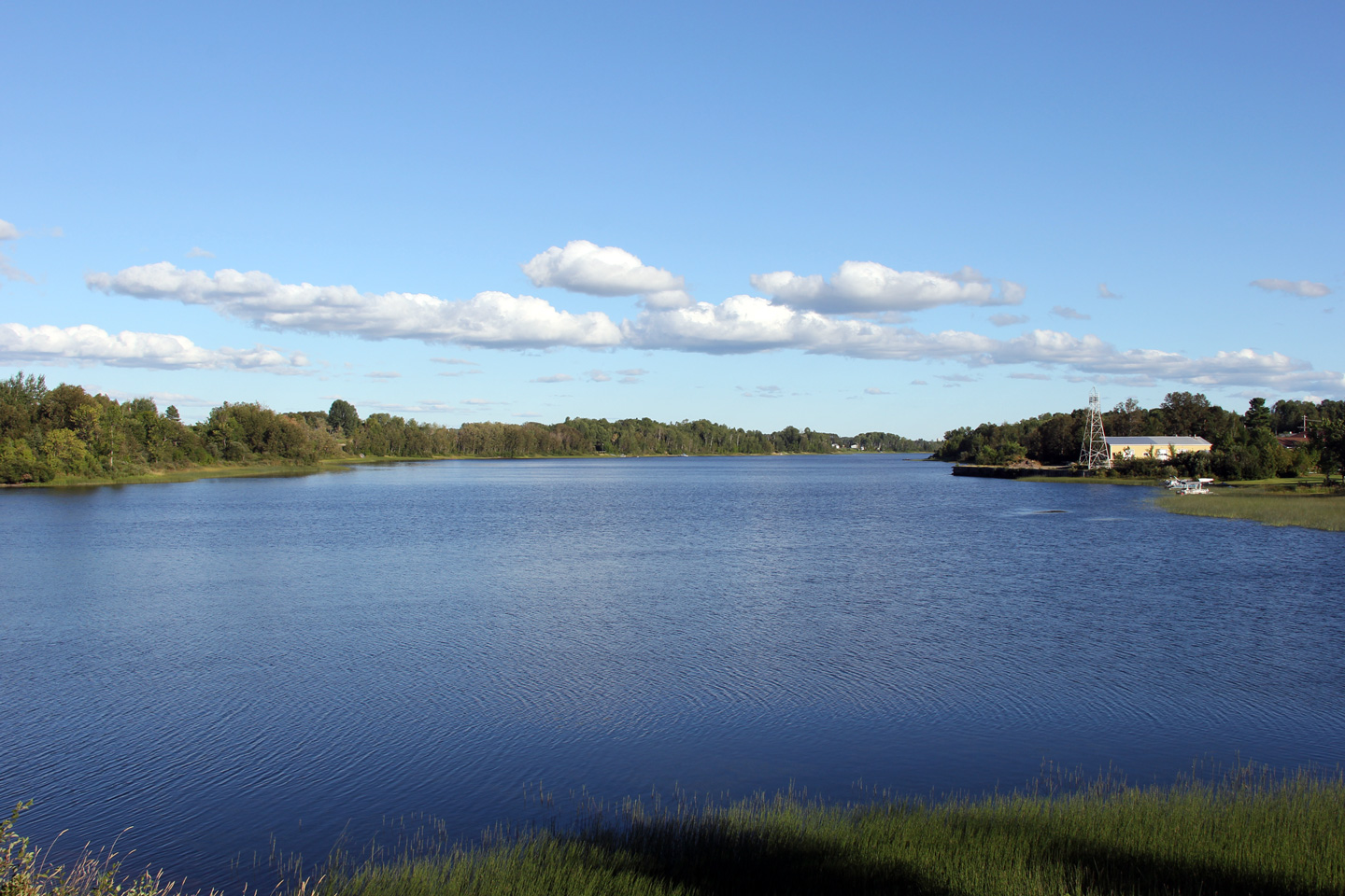
| Township of James District of Temiskaming |
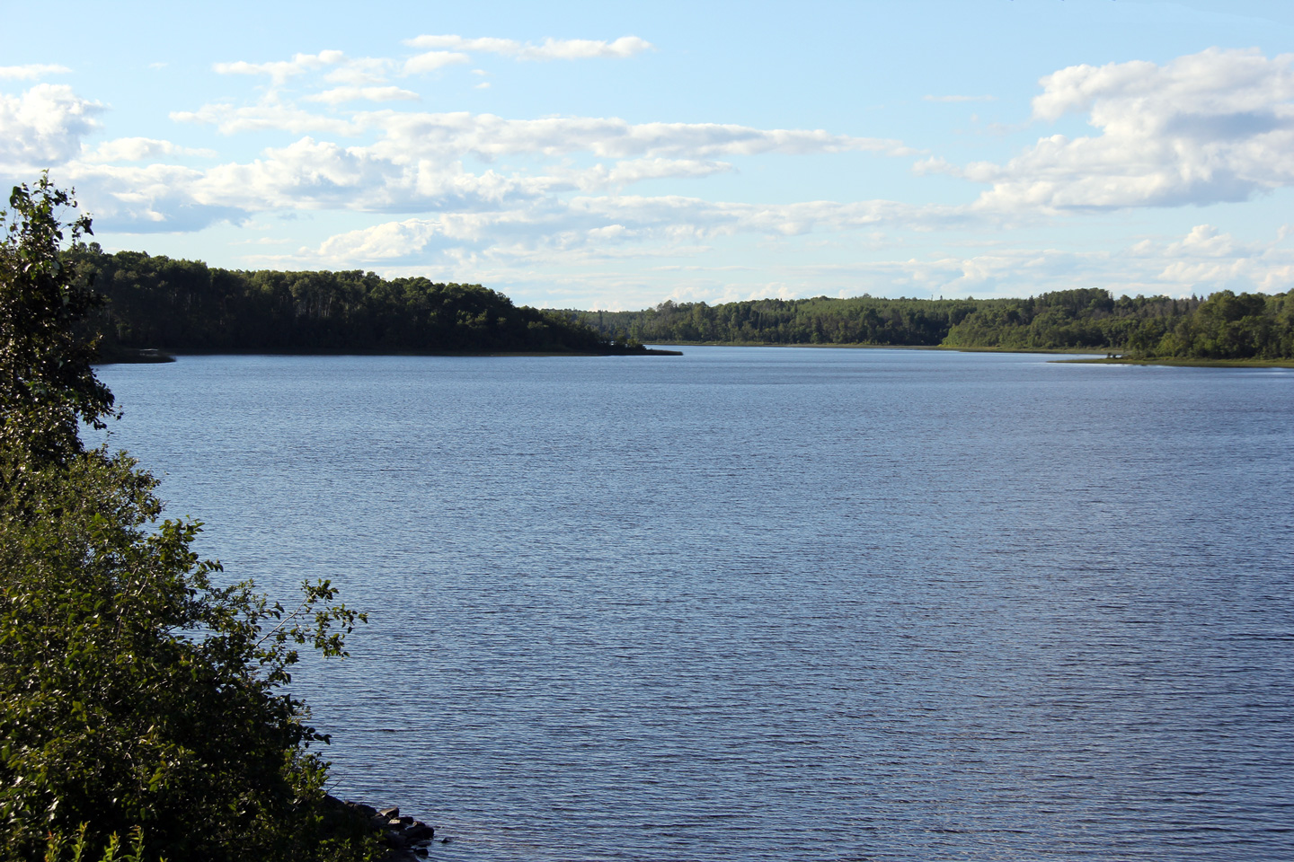
Upstream view of the Montreal River from Highway 65/560 in Elk Lake. Photo taken: August 27th, 2011. |
|
|
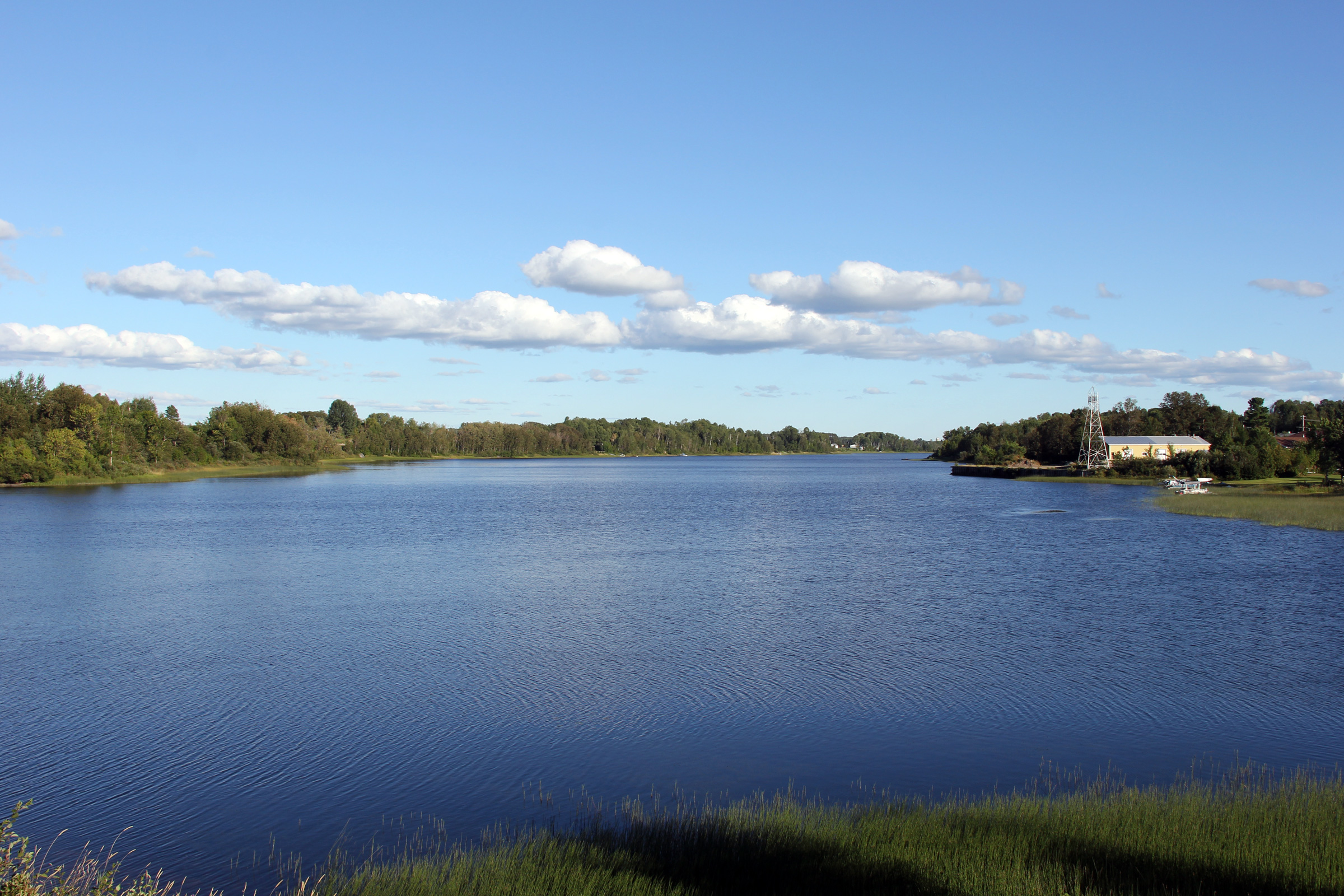
| Township of James District of Temiskaming |
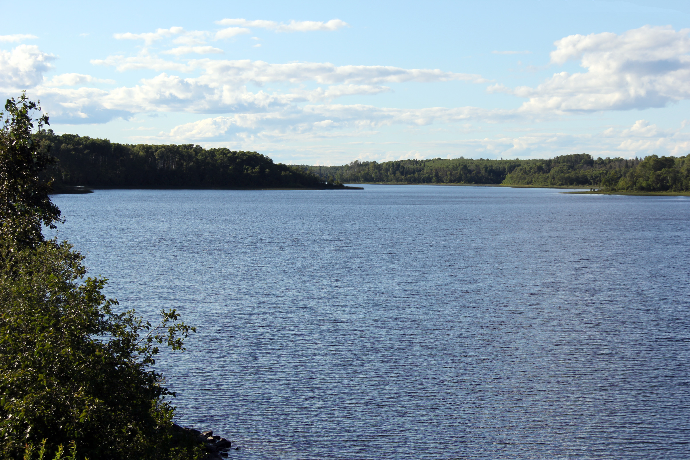
Downstream view of the Montreal River from Highway 65/560. Photo taken: August 27th, 2011. |
|
|
| Township of James District of Temiskaming |
View looking easterly from the Montreal River crossing towards the eastern
Highway 560 junction.. Photo taken: August 27th, 2011. |
|
|
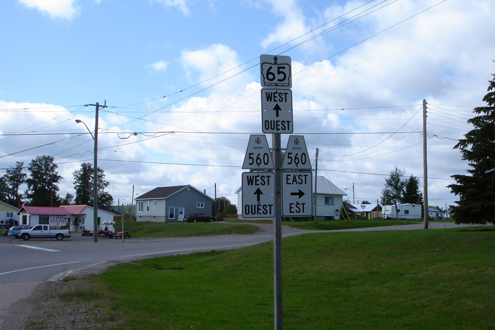
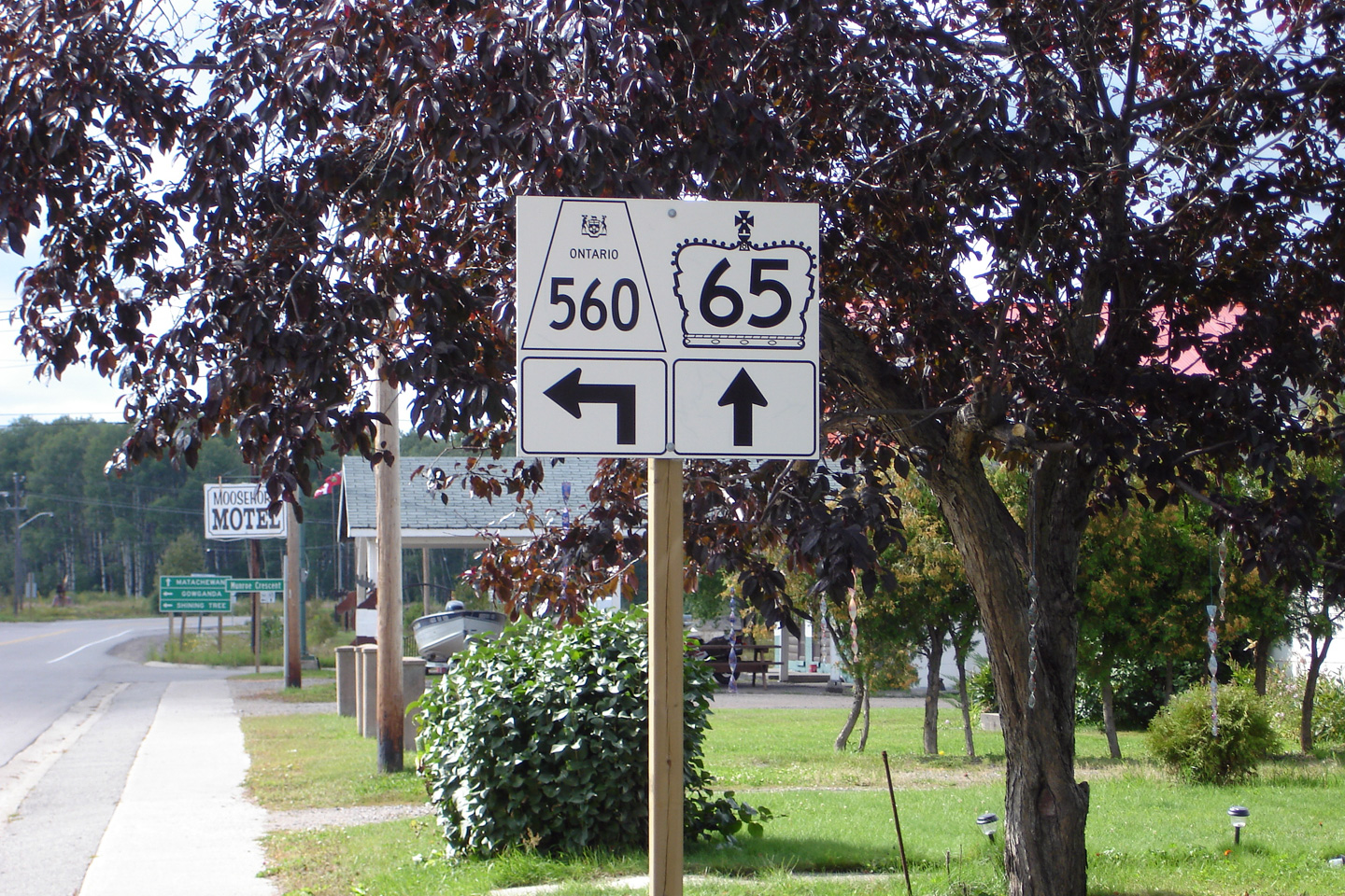
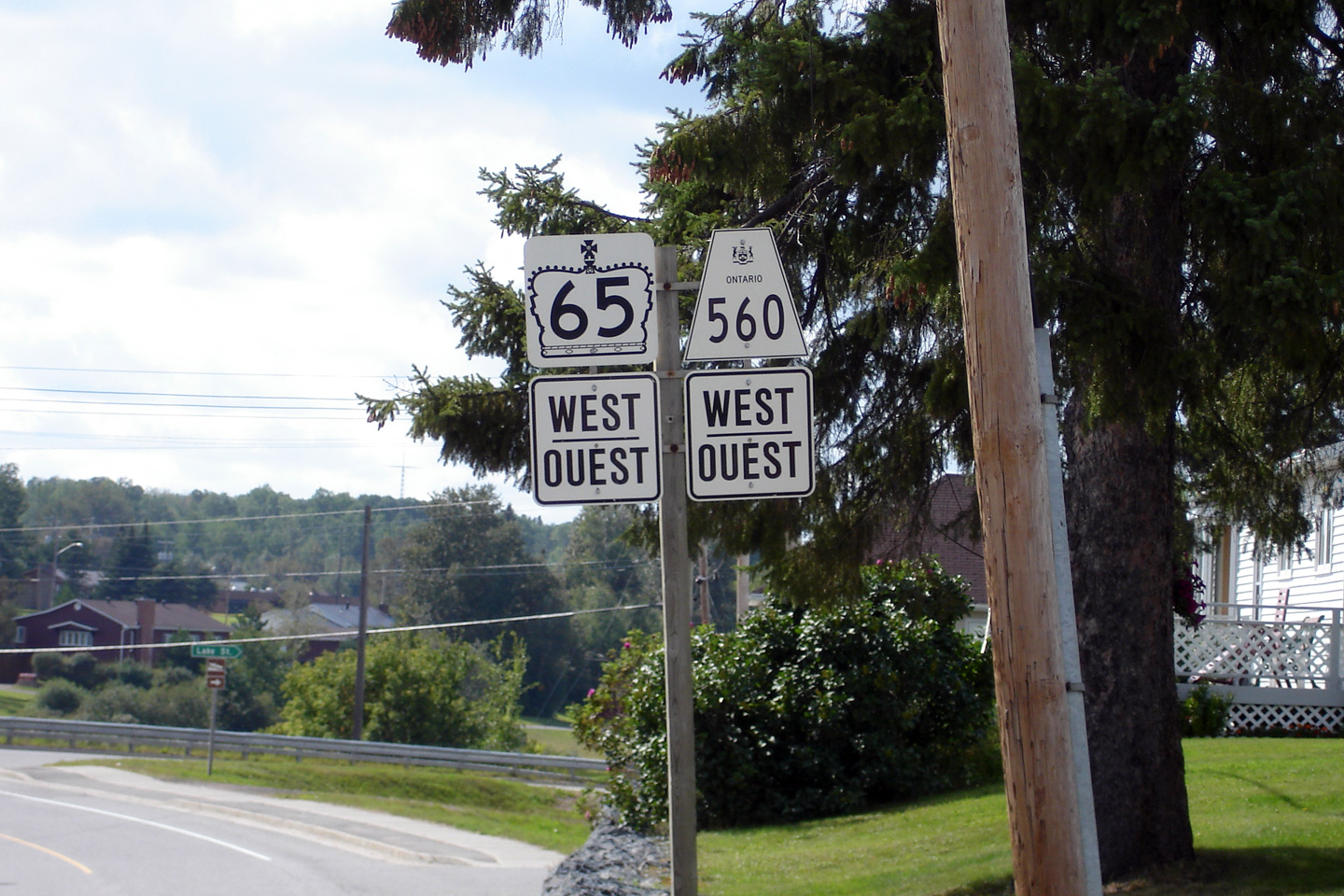
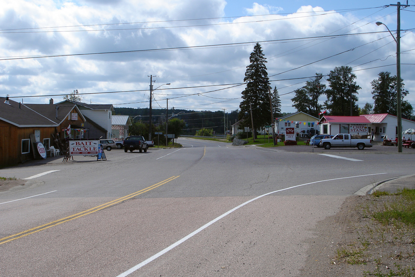
| Township of James District of Temiskaming |
Signage along Highway 65/560 through Elk Lake. Photo taken: August 27th, 2006. |
 (720x480) (720x480)(1440x960) |
|
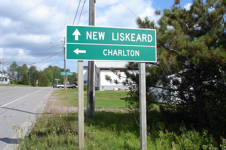
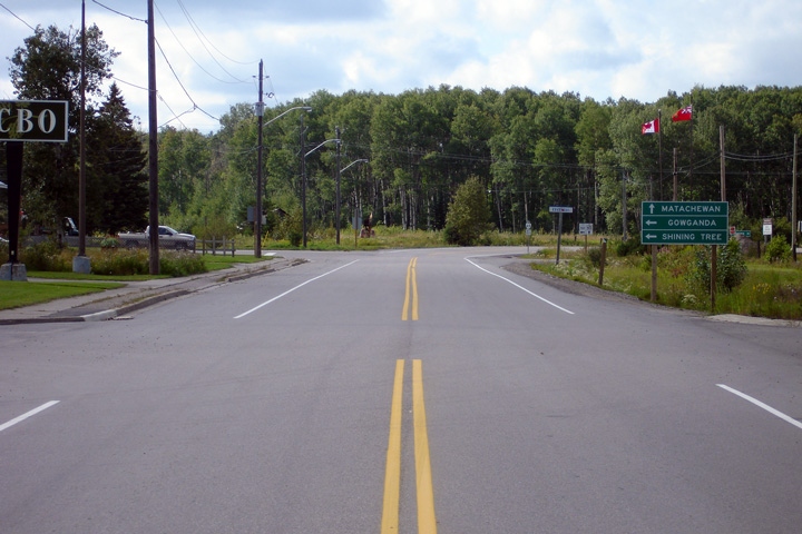
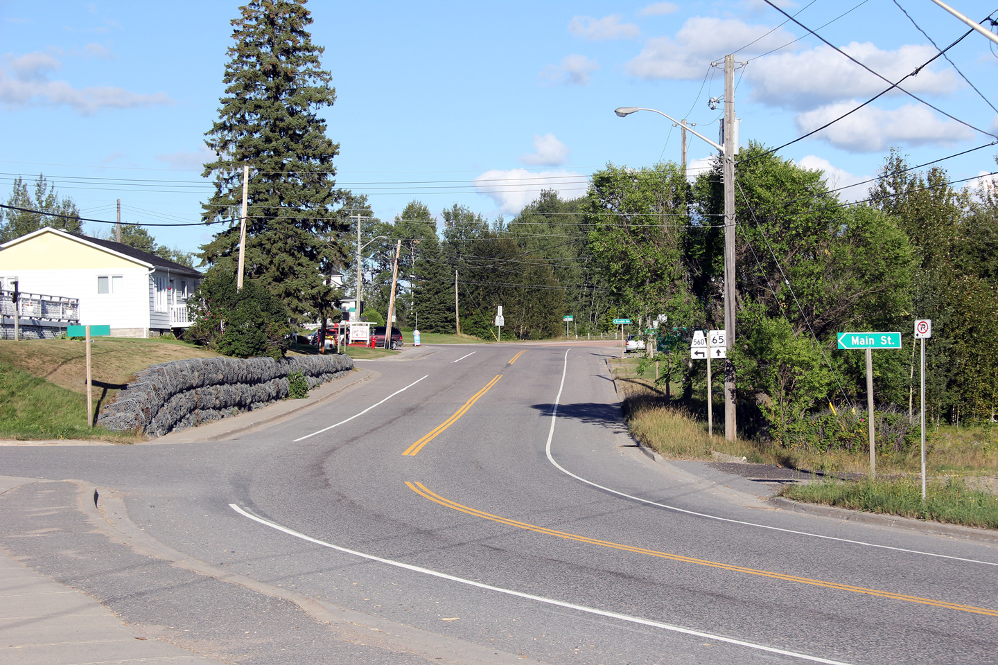
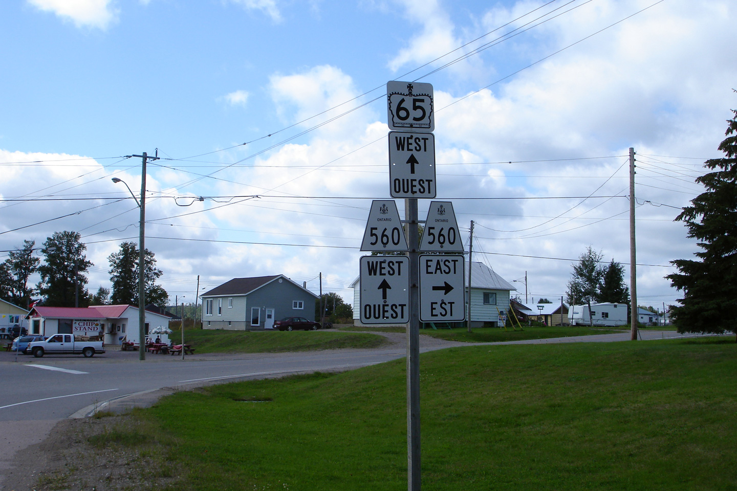
| Township of James District of Temiskaming |
Northbound guide signage at the eastern split between Highway 65 and 560. Photo taken: August 27th, 2006. |
 (720x480) (720x480)(1440x960) |
|
| Township of James District of Temiskaming |
Westerly view from the eastern Highway 560 junction. Photo taken: August 27th, 2006. |
 (720x480) (1440x960) |
|
| Township of James District of Temiskaming |
Westbound junction assembly for the eastern Highway 65 and 560 intersection. Photo taken: August 27th, 2006. |
 (720x480) (720x480)(1440x960) |
|
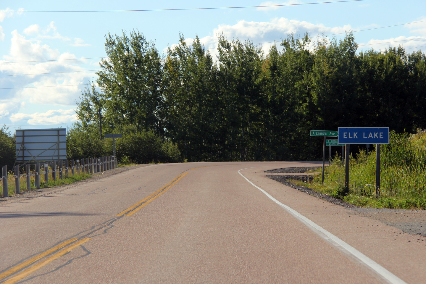
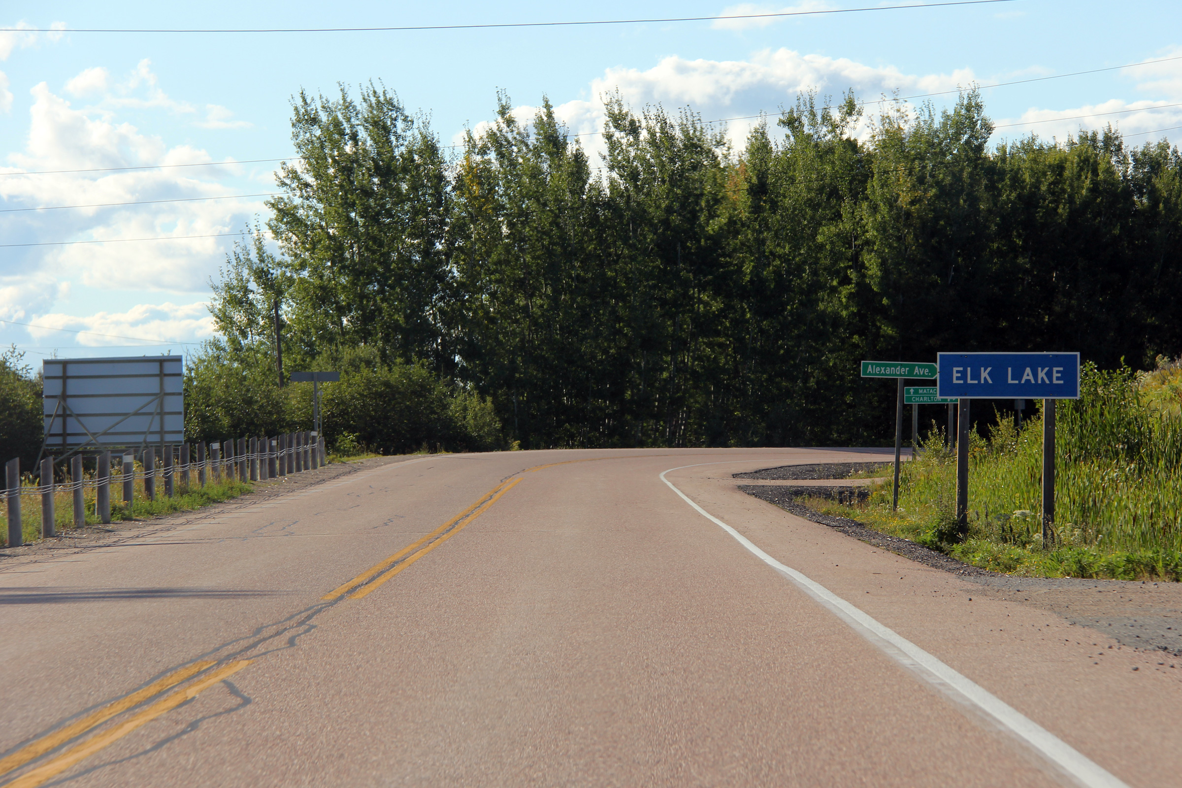
| Township of James District of Temiskaming |
Entering Elk Lake from the east. Photo taken: August 27th, 2011. |
 |
|
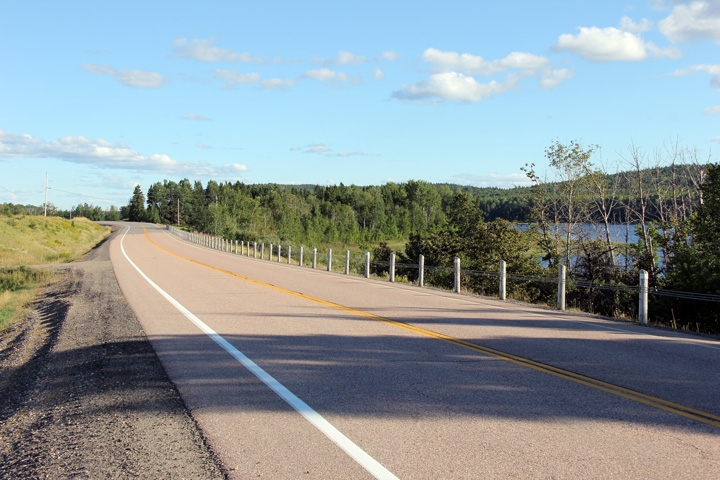
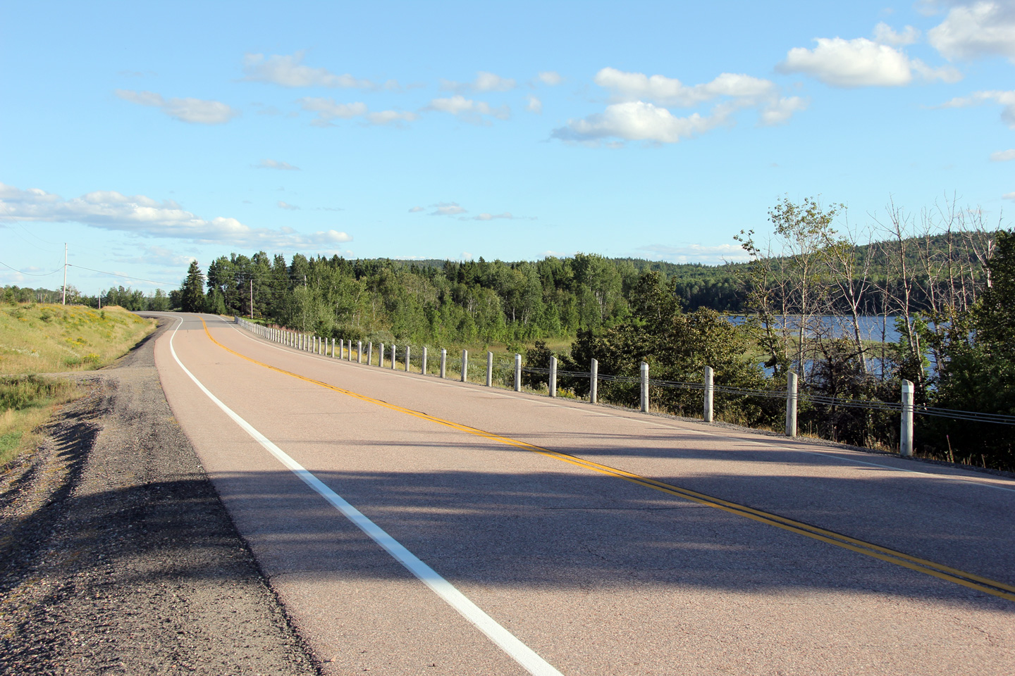
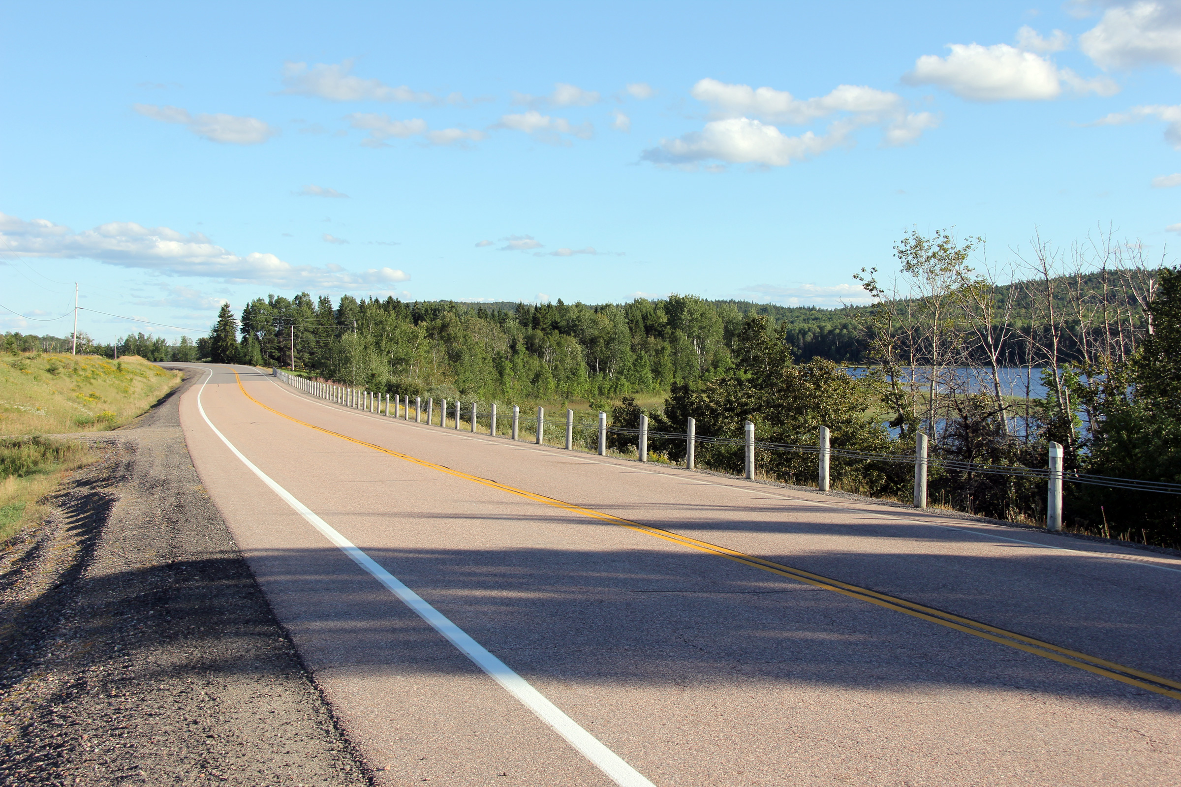
| District of Temiskaming |
Easterly view along Highway 65 as the highway runs beside the picturesque
Montreal River. Photo taken: August 27th, 2011. |
 |
|
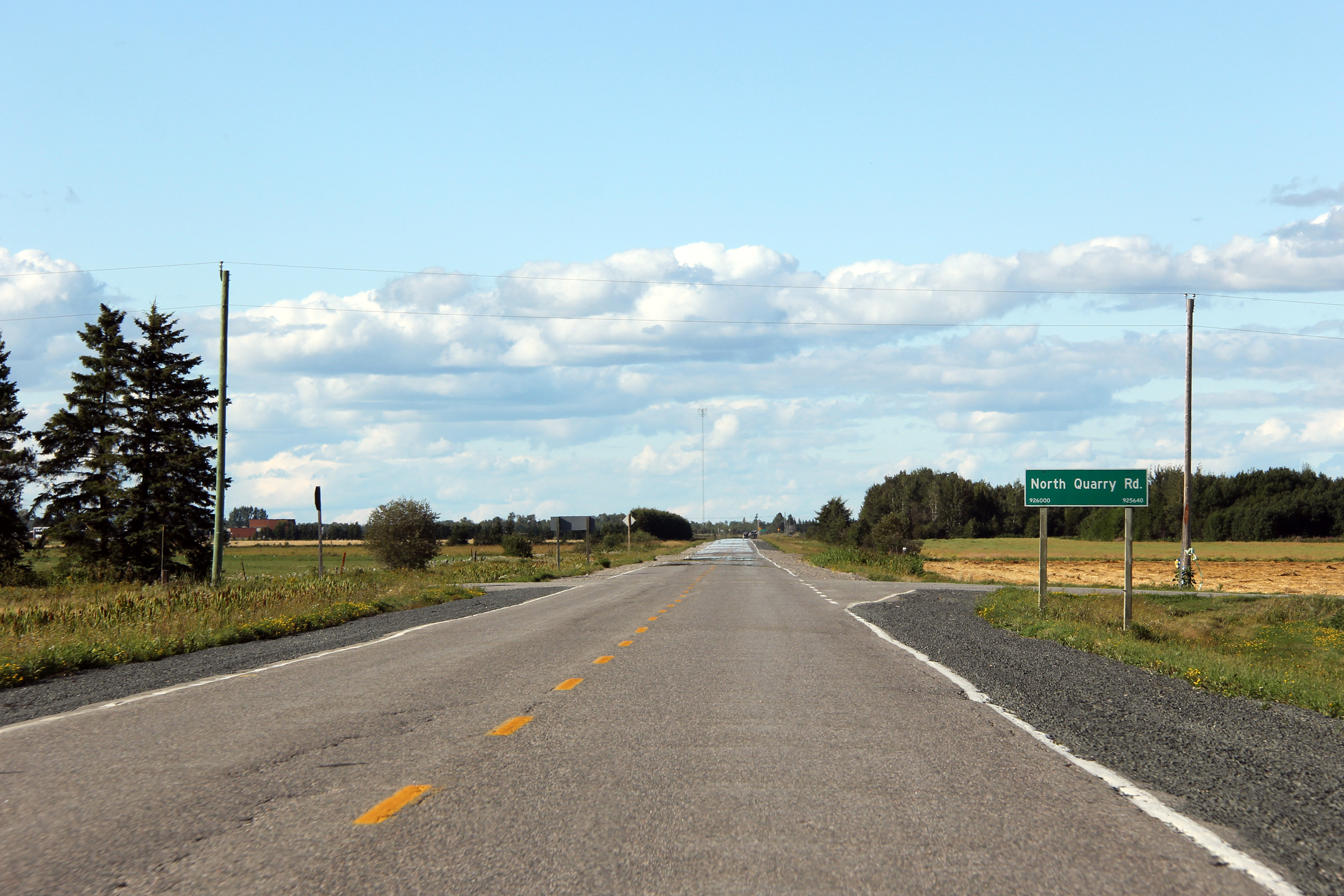
| Township of Kerns District of Temiskaming |
Westerly view along Highway 65 at North Quarry Road. Photo taken: August 27th, 2011. |
 |
|
| Township of Hudson District of Temiskaming |
Westerly view approaching the Morrow Road intersection. Photo taken: August 27th, 2011. |
 |
|
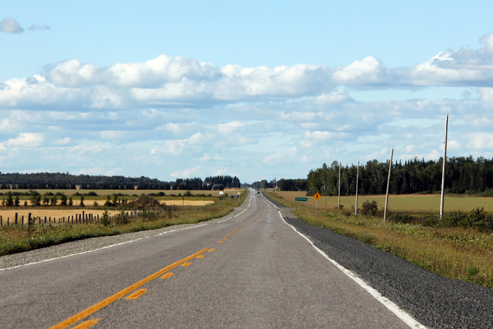
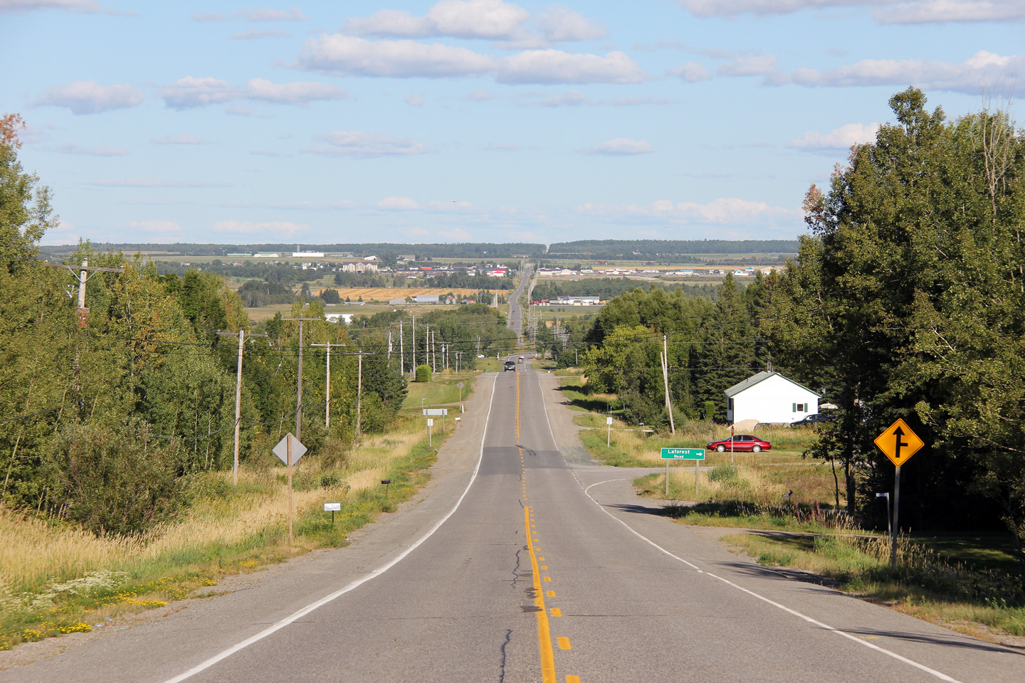
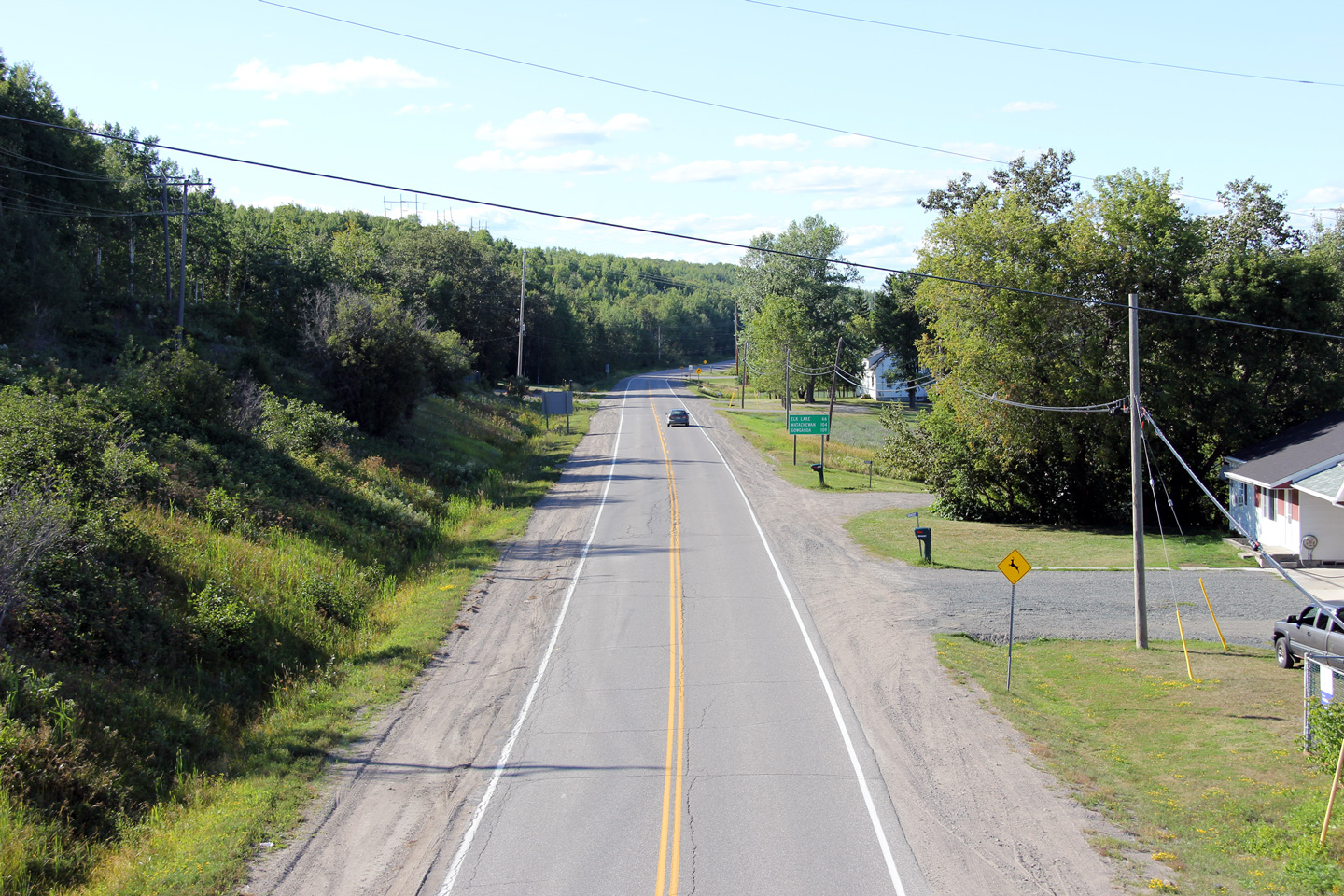
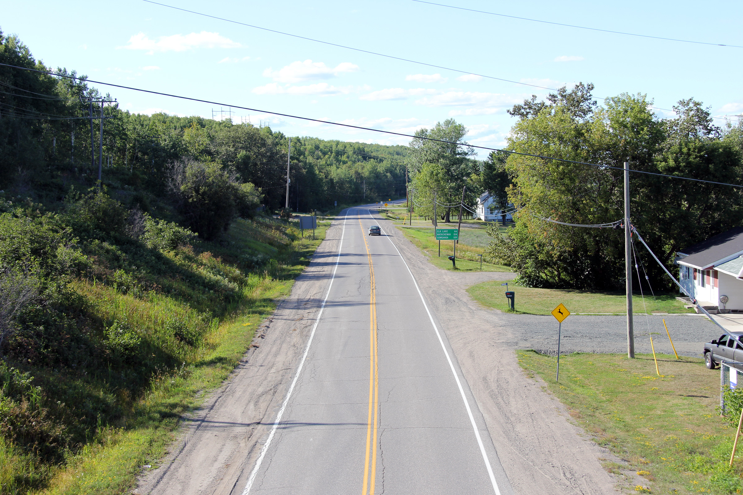
| City of Temiskaming Shores District of Temiskaming |
This view looks easterly towards New Liskeard from east of the Pipeline Road
intersection. Highway 65 curves to the south at the bottom of this
hill, the road shown continuing ahead is the Golf Course Road, an important
municipal road linking Highway 65 to the big box stores at Dymond. Photo taken: August 27th, 2011. |
 |
|
| City of Temiskaming Shores District of Temiskaming |
Westerly view as Highway 65 passes over the South Wabi Creek. Photo taken: August 27th, 2011. |
 |
|
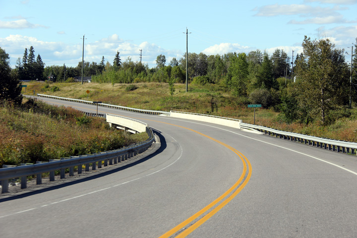
| City of Temiskaming Shores District of Temiskaming |
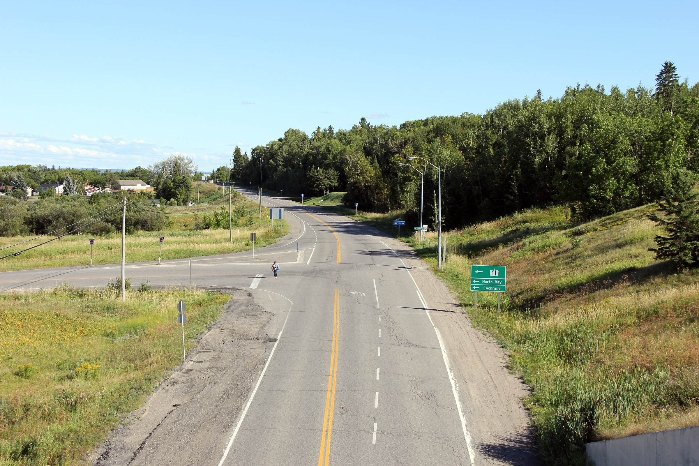
Easterly view approaching the Highway 11 overpass. Upon entering New
Liskeard, Highway 11 descends from the Temagami Highlands northerly into the
Clay Belt where New Liskeard is situated. Because of the substantial
descent into the Clay Belt region, it was impractical for Highway's 11 and
65 to meet at grade. Photo taken: August 27th, 2011. |
 |
|
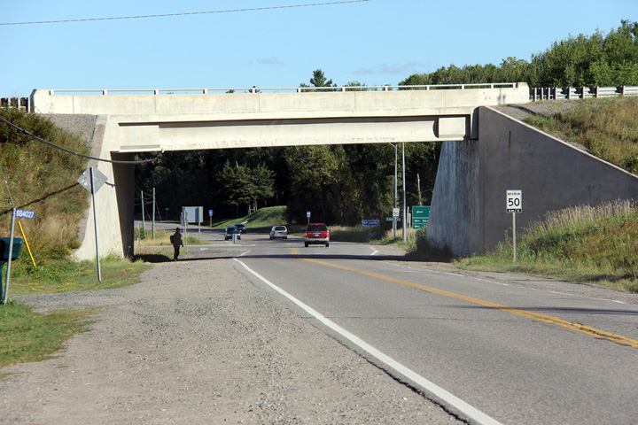
| City of Temiskaming Shores District of Temiskaming |
Westerly view along Highway 65 from the Highway 11 overpass. Photo taken: August 27th, 2011. |
 |
|
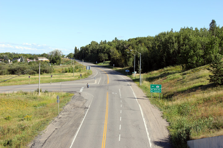
| City of Temiskaming Shores District of Temiskaming |
Easterly view along Highway 65 from the Highway 11 overpass. The
intersection pictured links Highway 11 to Highway 65. Picture taken: August 27th, 2011. |
 |
|
| Highway 11 is the Northern Ontario Route of the Trans-Canada Highway. Click here for Highway 11 images. | |||
<- Highway 64 Images
Back to
Highway 65
Highway 66 Images ->
Copyright (c) 2004-2012, Scott Steeves (Webmaster) scott@asphaltplanet.ca
