|
New York Route 17 |
| <- Page 5 |
|
Pictures are arranged in order from west to east. NY-17 East photos are
left-aligned in the last column, while NY-17 West photos are
right-aligned.
Center-line pictures are centered within the last column.
|
Location |
Description |
Photo |
||
|
East- |
West- |
|||
|
Route 17 continues west past East Branch into Binghamton and and Elmira. Click here for Page 5 images. |
||||
|
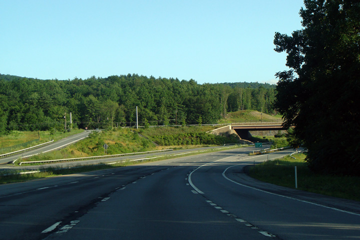
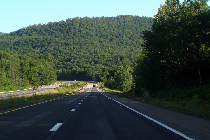
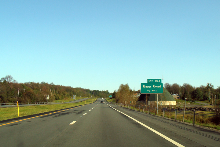
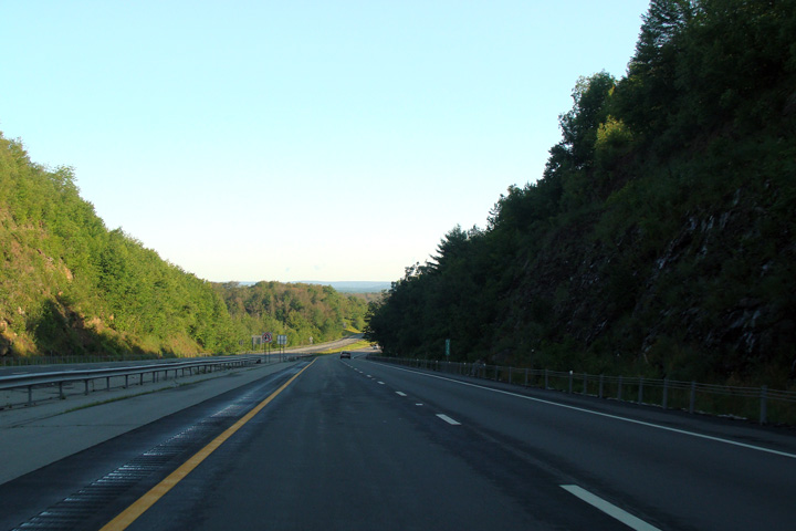
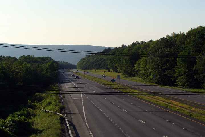
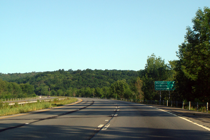
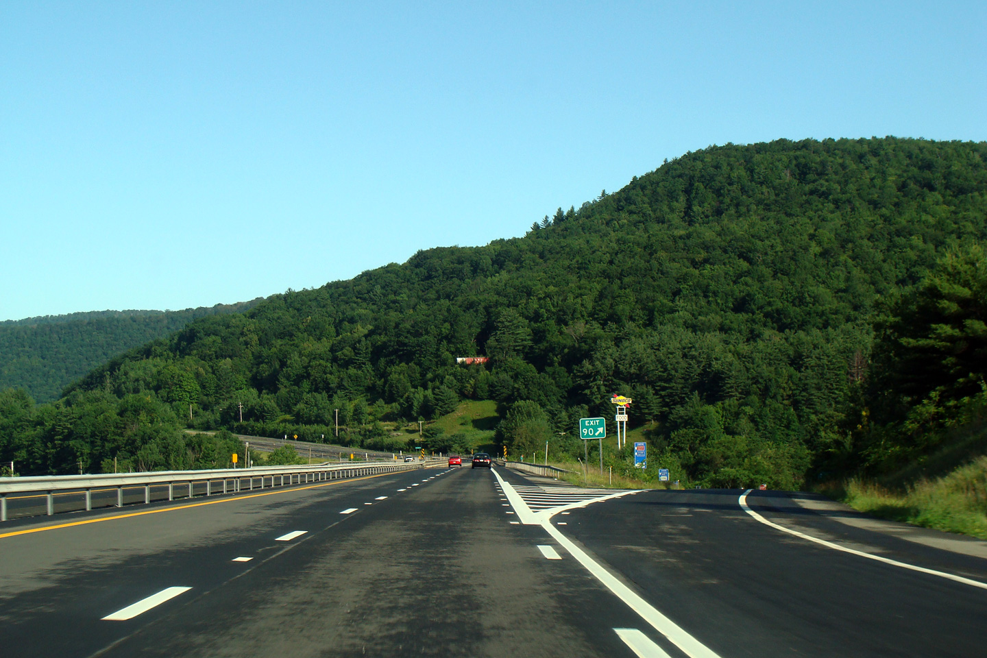
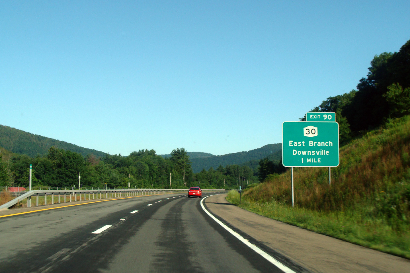
Delaware County |
|
|
||
|
Date: 7/12/2009 |
||||
|
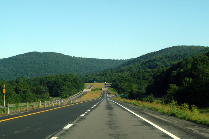
Delaware County |
|
|
||
|
Date: 7/12/2009 |
||||
|
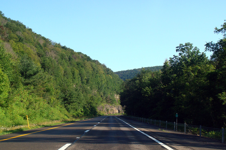
Delaware County |
|
|
||
|
Date: 7/12/2009 |
||||
|
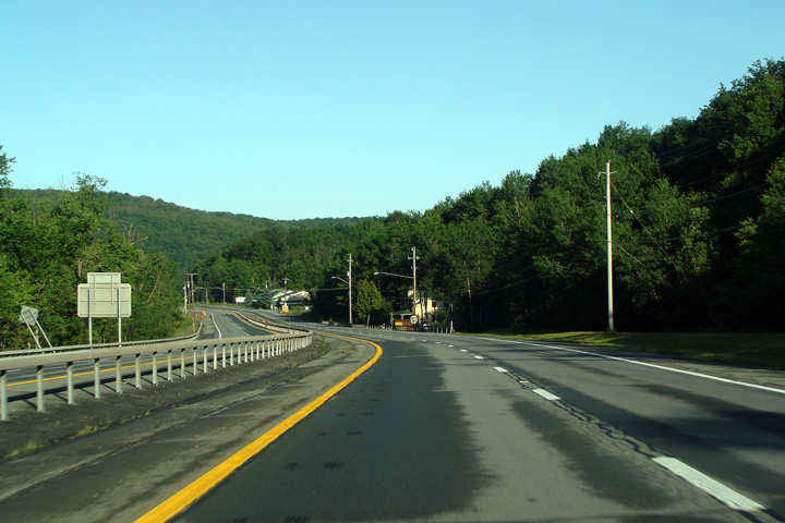
Delaware County |
|
|
||
|
Date: 7/12/2009 |
||||
|
Delaware County |
|
|
||
|
Date: 7/12/2009 |
||||
|
Delaware County |
|
|
||
|
Date: 7/12/2009 |
||||
|
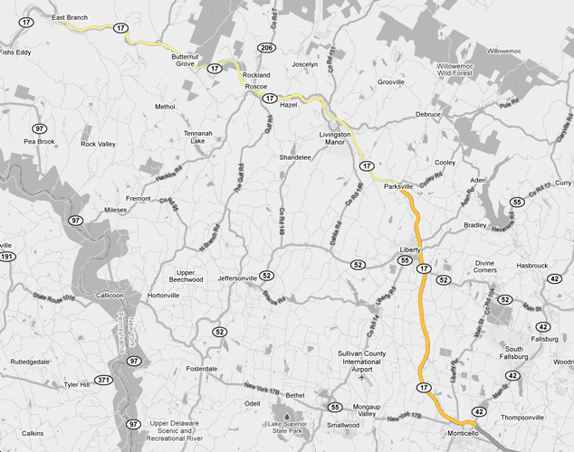
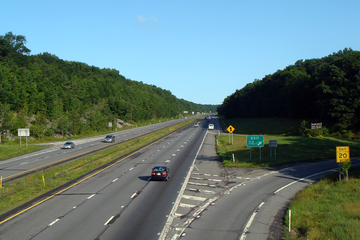
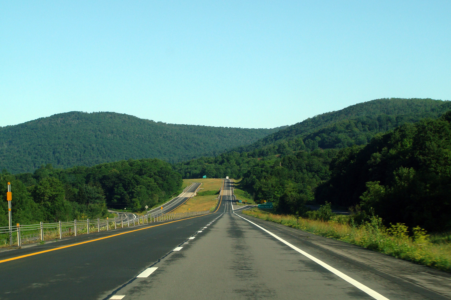
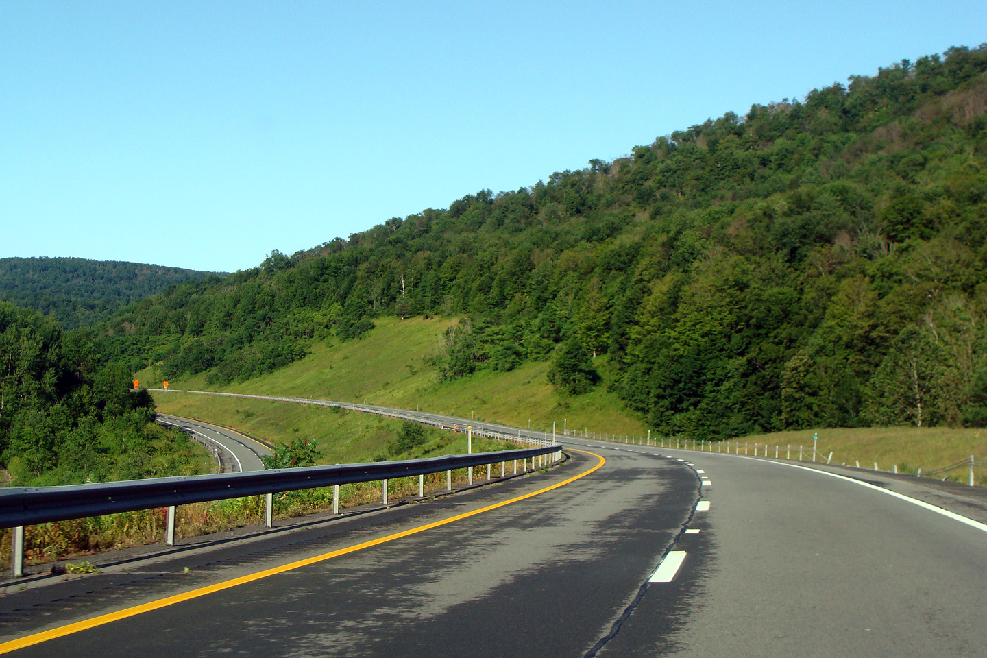
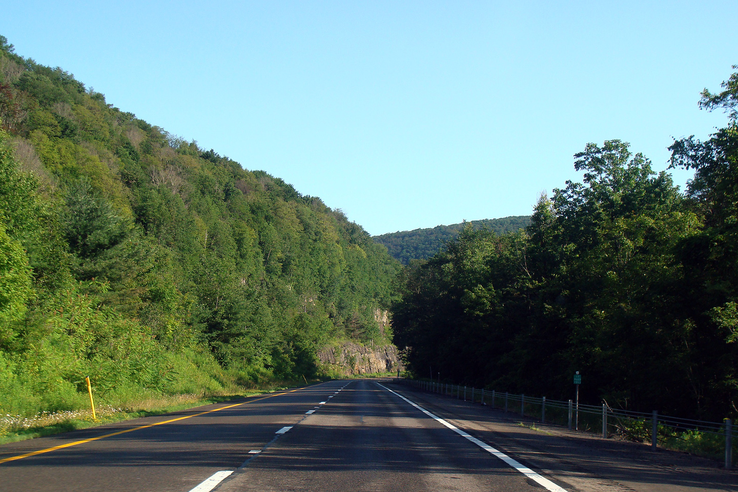
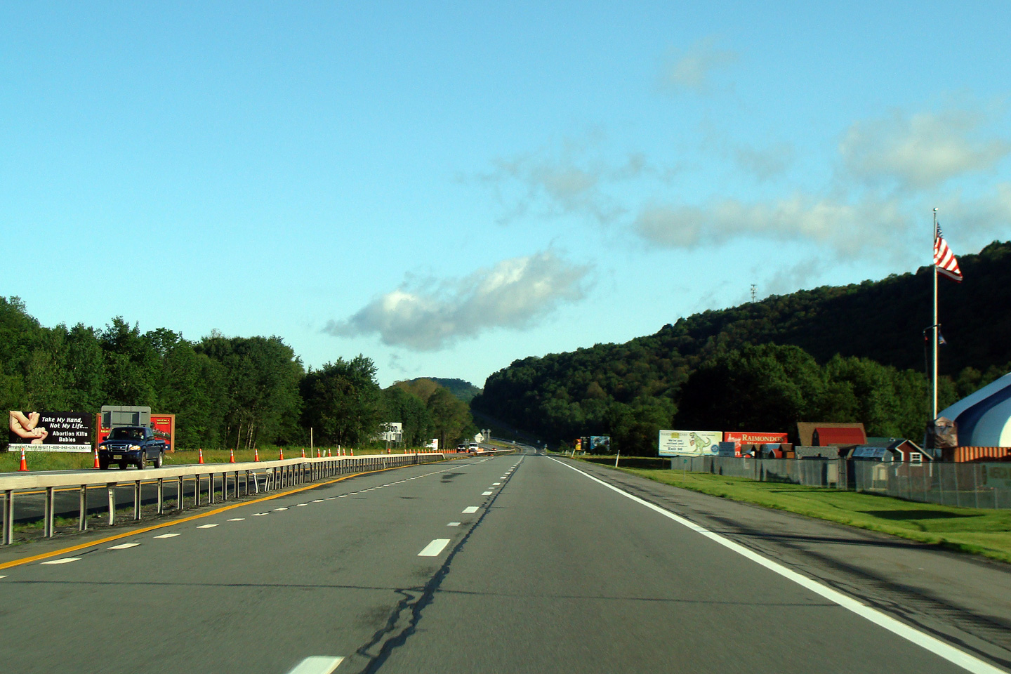
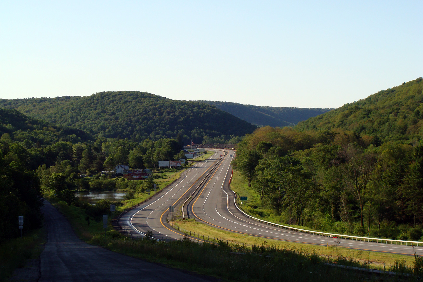
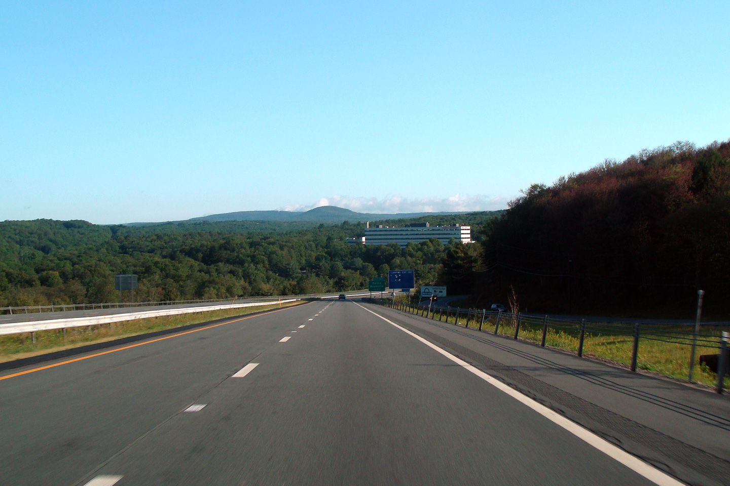
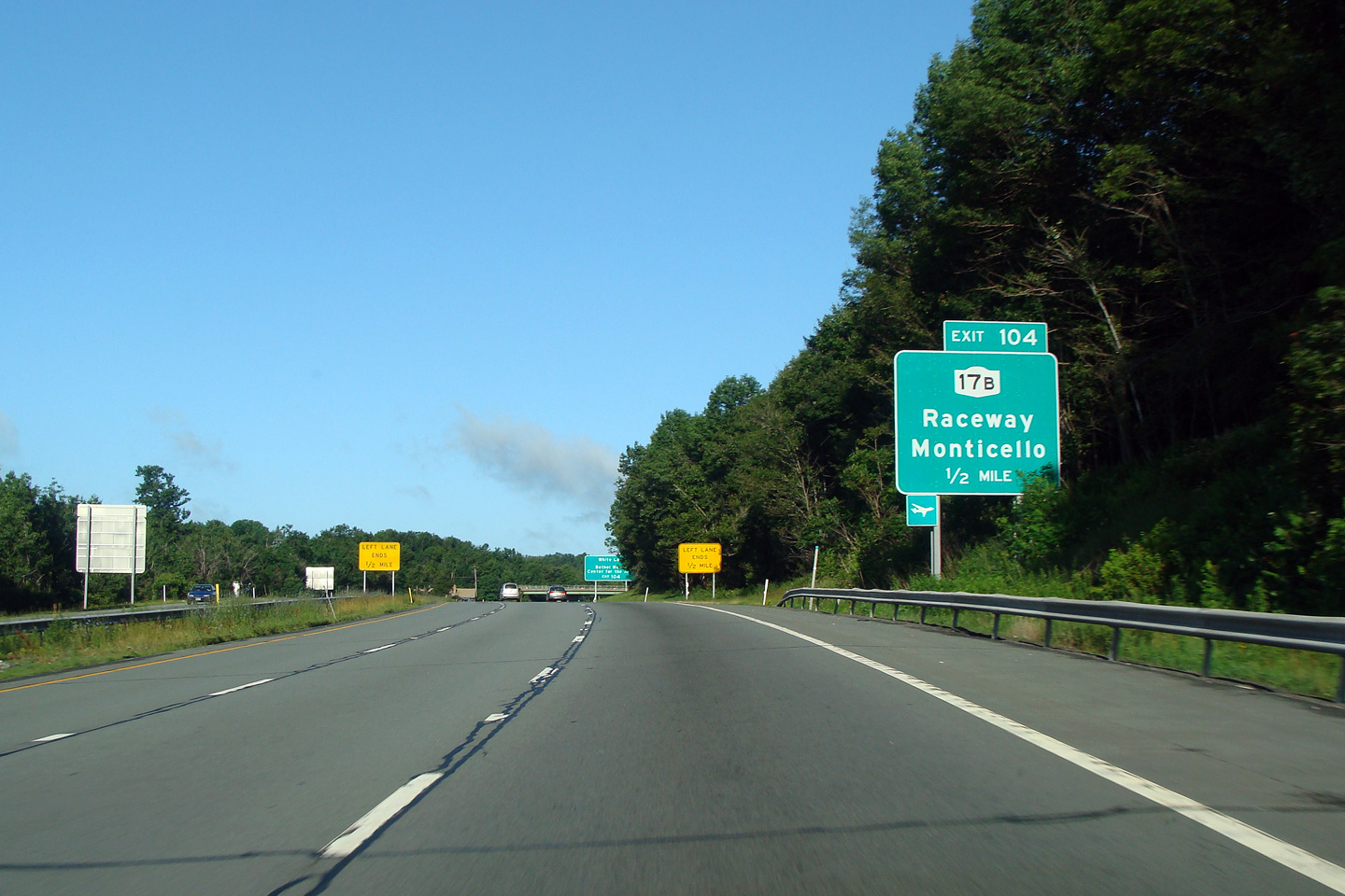
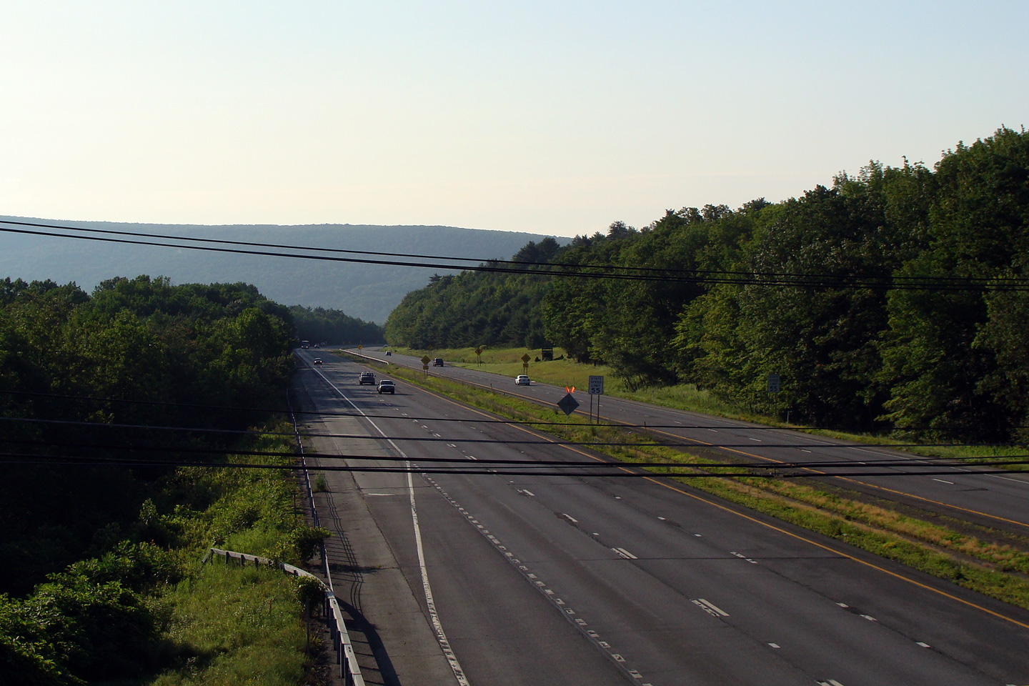
Sullivan County |
|
 |
||
|
Date: 7/12/2009 |
||||
|
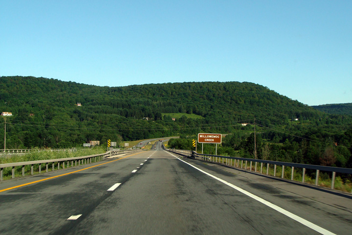
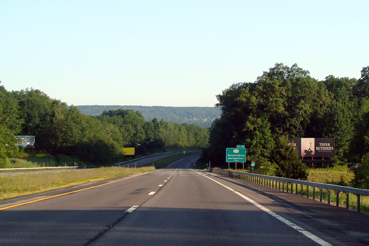
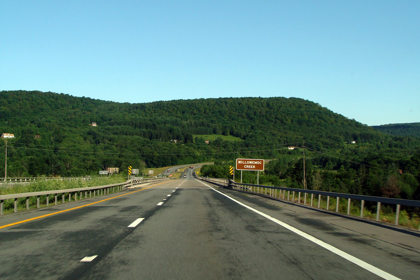
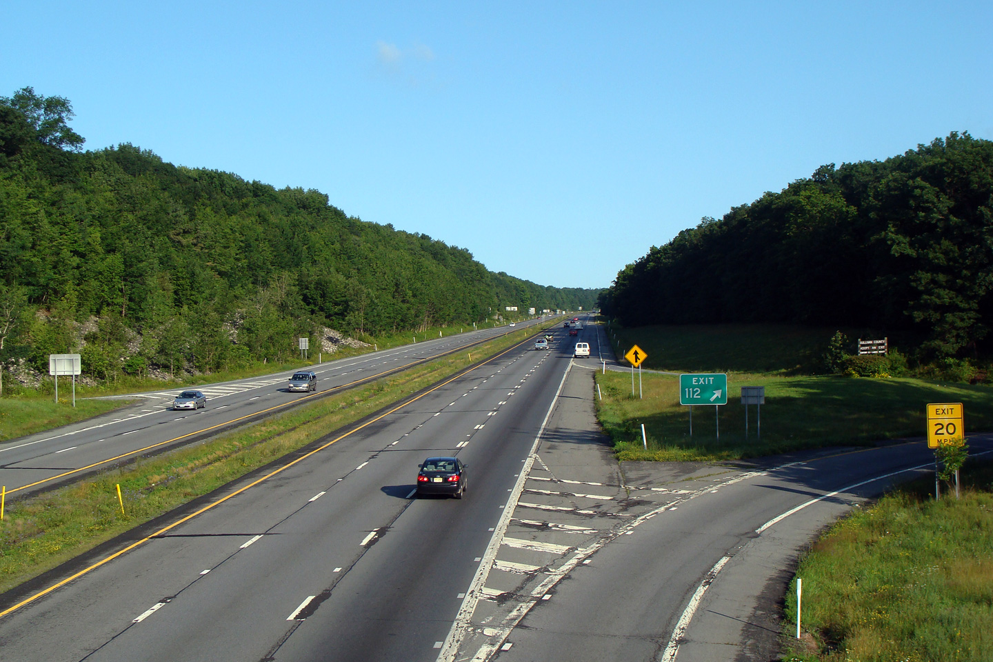
Sullivan County |
|
 |
||
|
Date: 7/12/2009 |
||||
|
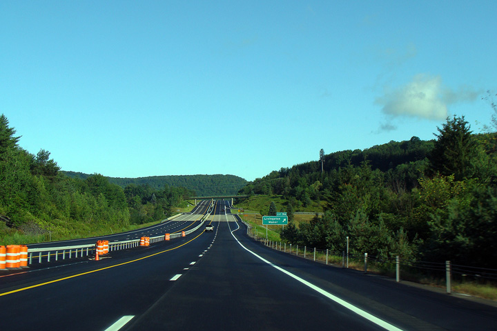
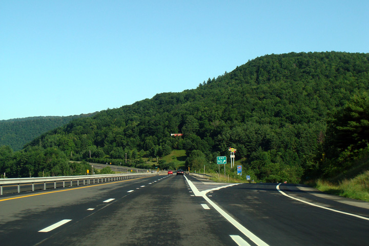
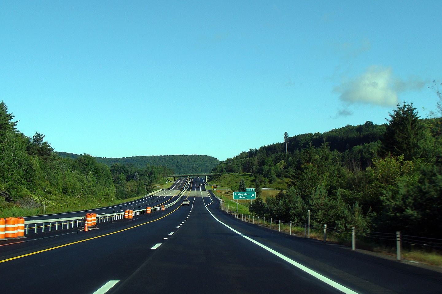
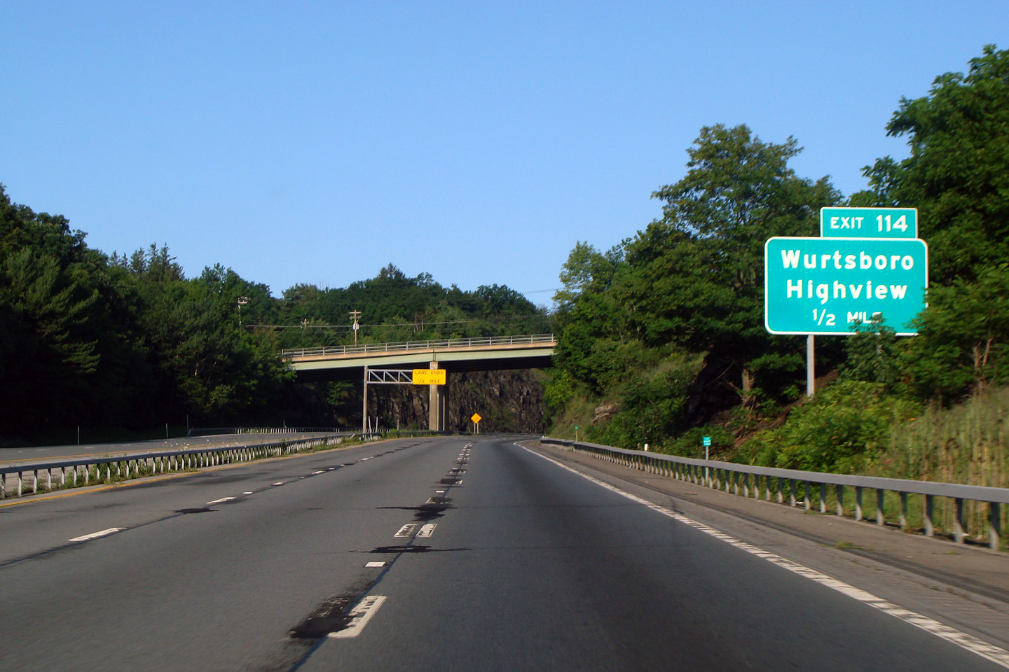
Sullivan County |
|
 |
||
|
Date: 7/12/2009 |
||||
|
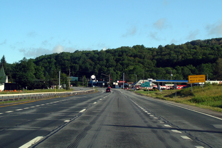
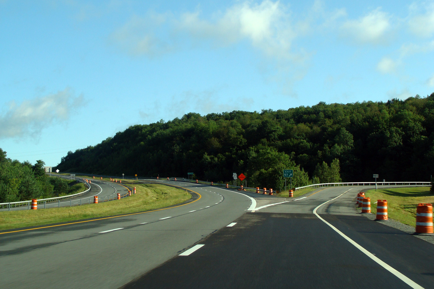
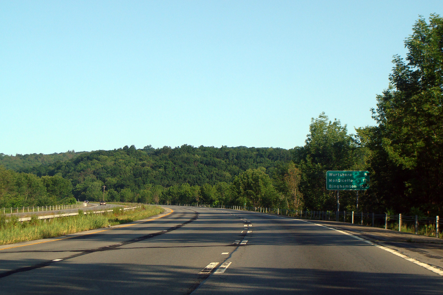
Sullivan County |
|
 |
||
|
Date: 7/12/2009 |
||||
|
Sullivan County |
|
|
||
|
Date: 7/12/2009 |
||||
|
Sullivan County |
|
|
||
|
Date: 7/12/2009 |
||||
|
Sullivan County |
|
 |
||
|
Date: 7/12/2009 |
||||
|
Sullivan County |
|
 |
||
|
Date: 7/12/2009 |
||||
|
Sullivan County |
|
|
||
|
Date: 7/12/2009 |
||||
|
Sullivan County |
|
|
||
|
Date: 7/12/2009 |
||||
|
Sullivan County |
|
|
||
|
Date: 7/12/2009 |
||||
|
Sullivan County |
|
 |
||
|
Date: 7/12/2009 |
||||
|
Sullivan County |
|
|
||
|
Date: 7/12/2009 |
||||
|
Sullivan County |
|
 |
||
|
Date: 7/12/2009 |
||||
|
Sullivan County |
|
 |
||
|
Date: 7/12/2009 |
||||
|
Sullivan County |
|
|
||
|
Date: 7/12/2009 |
||||
|
Sullivan County |
|
 |
||
|
Date: 7/12/2009 |
||||
| Interstate 84 runs between between Scranton PA, and the MassPike between Springfield and Boston. Click here for I-84 images. | ||||
<- Page 5 Back to Route 17 Index Page 7 ->
© 2007-10, CanHighways.com. All rights reserved. All pictures used on this site are the
property of the respective photographers, and are used by permission. No
picture may be used without the consent of the respective photographer.
Page Created: January 25, 2010.
Last Updated: January 25, 2010.


