|
Interstate 94
(Michigan) |
| <- Page 4 |
|
Page 6 -> |
Pictures are arranged in order from
west to east.
I-94 East photos are
left-aligned in the last column, while I-94 West photos are right-aligned.
Center-line pictures are centered within the last column.
|
Location |
Description |
Photo |
||
|
East- |
West- |
|||
|
Continue west along I-94. Click here for Ann Arbor to Detroit images. |
||||
|
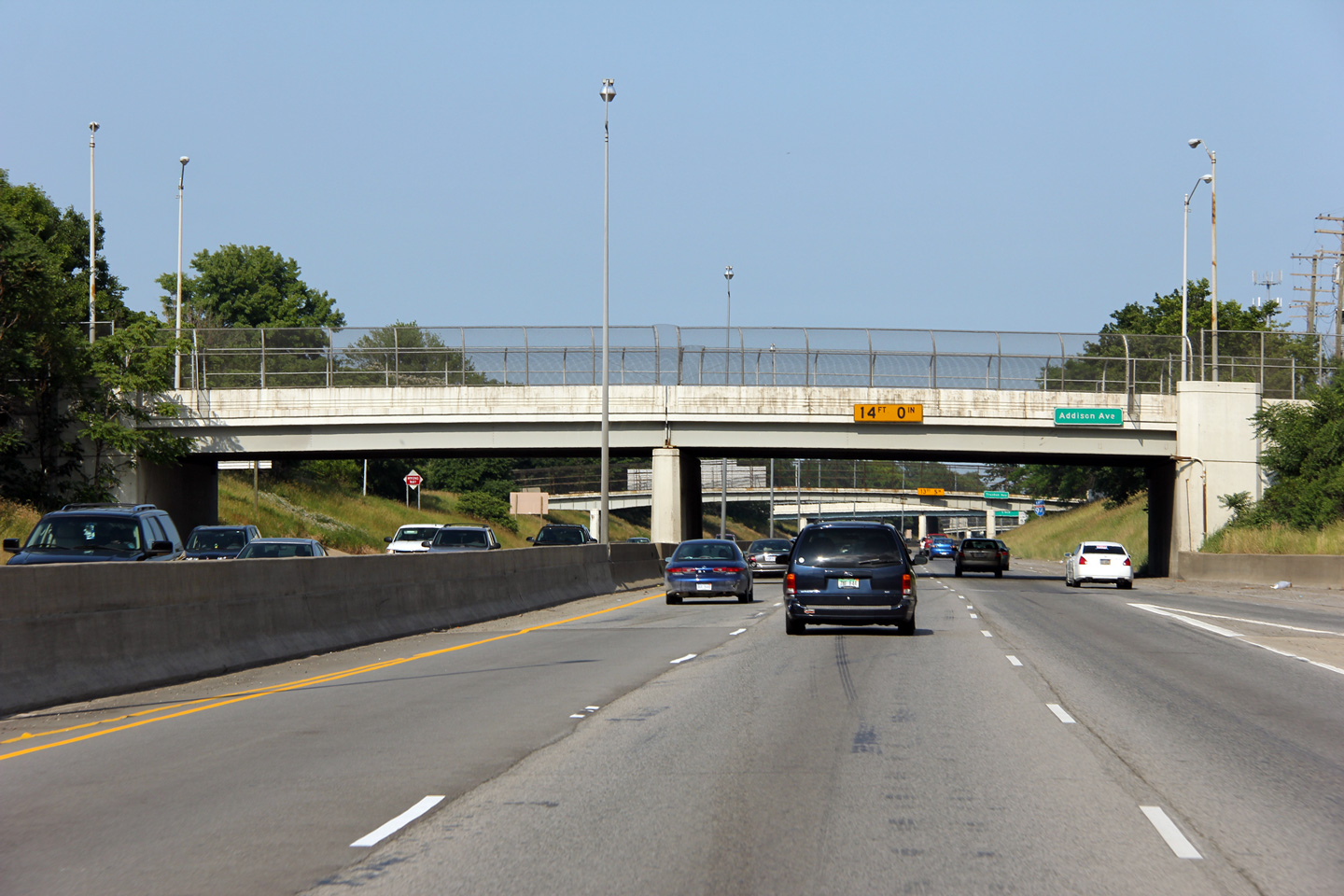
Wayne County |
Easterly view as Interstate 94 passes beneath the Addison Avenue overpass. |
 |
||
|
Date: 8/30/2009 |
High-res: (1440x960) (2400x1600) |
|||
|
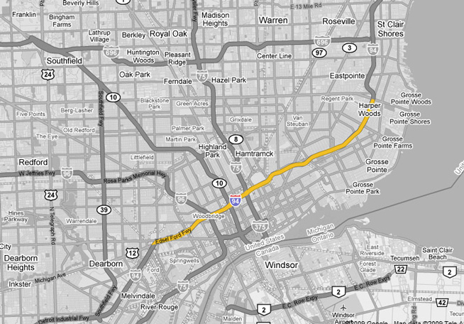
Wayne County |
Easterly view as I-94 passes beneath the Lonyo Avenue overpass in advance of the Livernois Avenue interchange. |
 |
||
|
Date: 8/30/2009 |
High-res: (1440x960) (2400x1600) |
|||
|
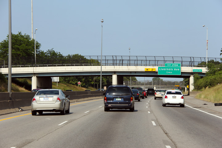
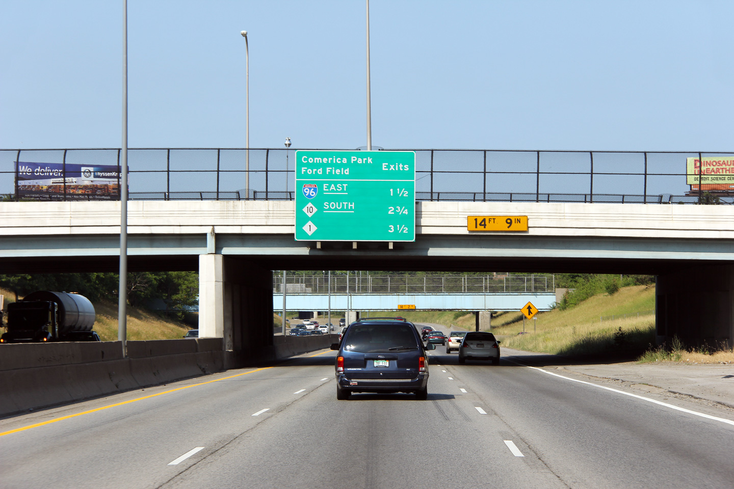
Wayne County |
Sequential exit signage listing the three exits that service Comerica Park and Ford Field affixed to the Livernois Avenue overpass. Both the Tigers of Baseball and the Lions of Football have built new venues in Downtown Detroit. The new investment has kicked some life into some otherwise forgotten areas of Downtown Detroit. |
 |
||
|
Date: 8/30/2009 |
High-res: (1440x960) (2400x1600) |
|||
|
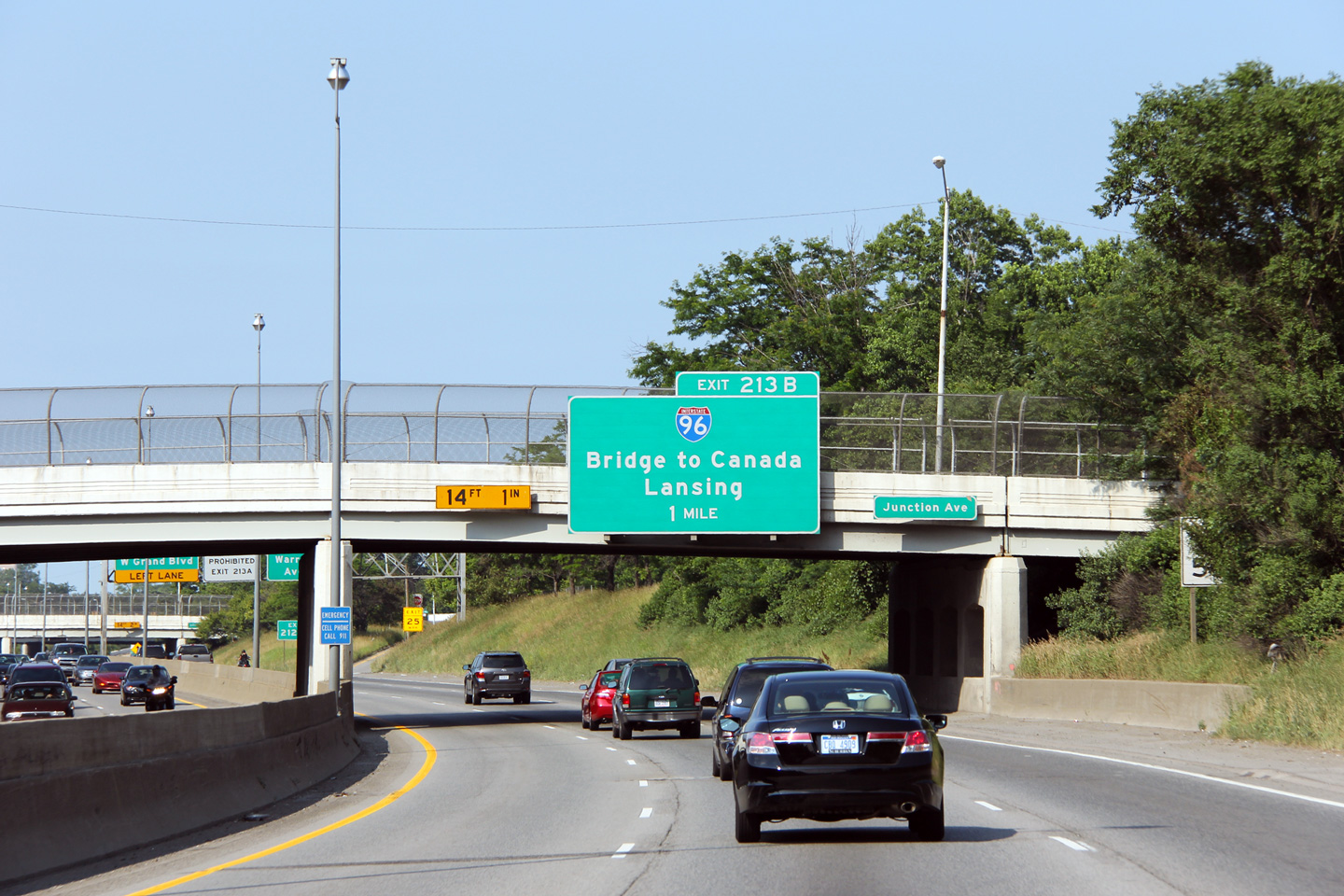
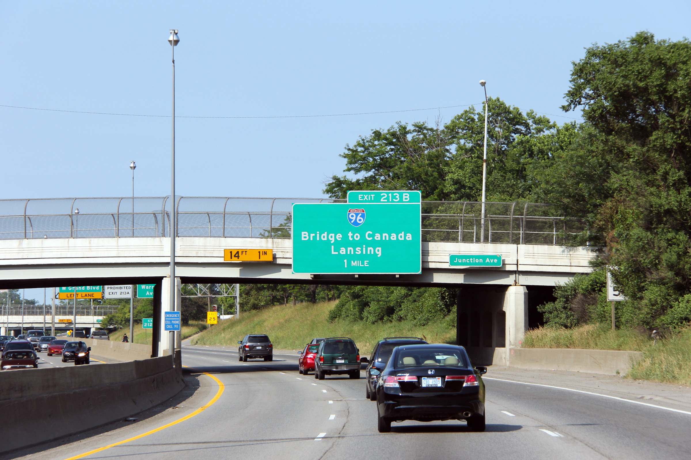
Wayne County |
1 mile advanced overhead signage for Interstate 96 affixed to the Junction Avenue overpass. Junction Avenue gets its name from a large (and now partially abandoned) railway junction that is located several miles southeast of the interstate. |
 |
||
|
Date: 8/30/2009 |
High-res: (1440x960) (2400x1600) |
|||
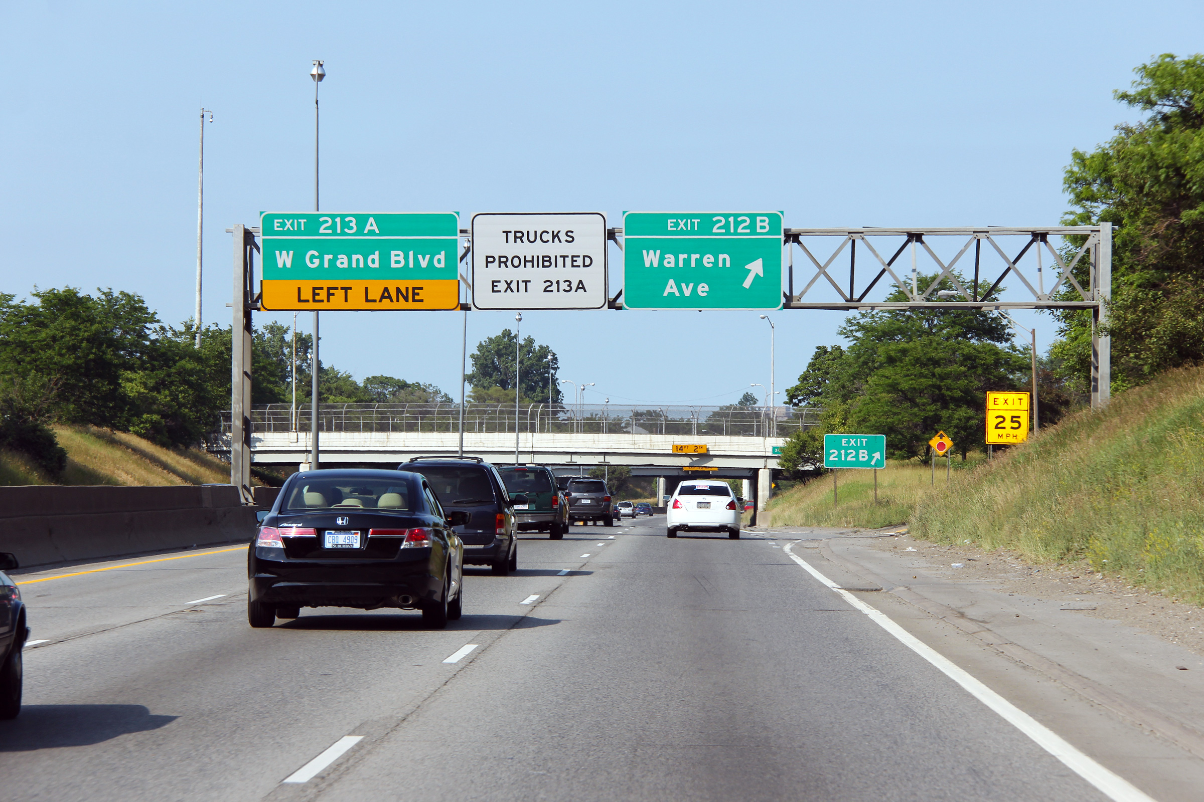
|
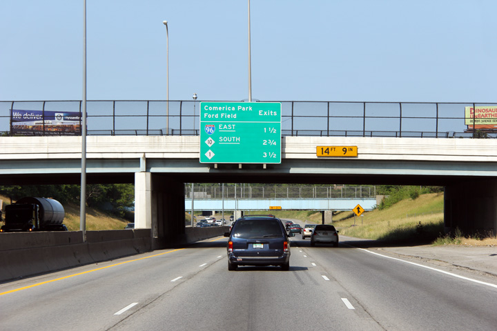
Wayne County |
Overhead signage at the ramp to Warren Avenue. |
 |
||
|
Date: 8/30/2009 |
High-res: (1440x960) (2400x1600) |
|||
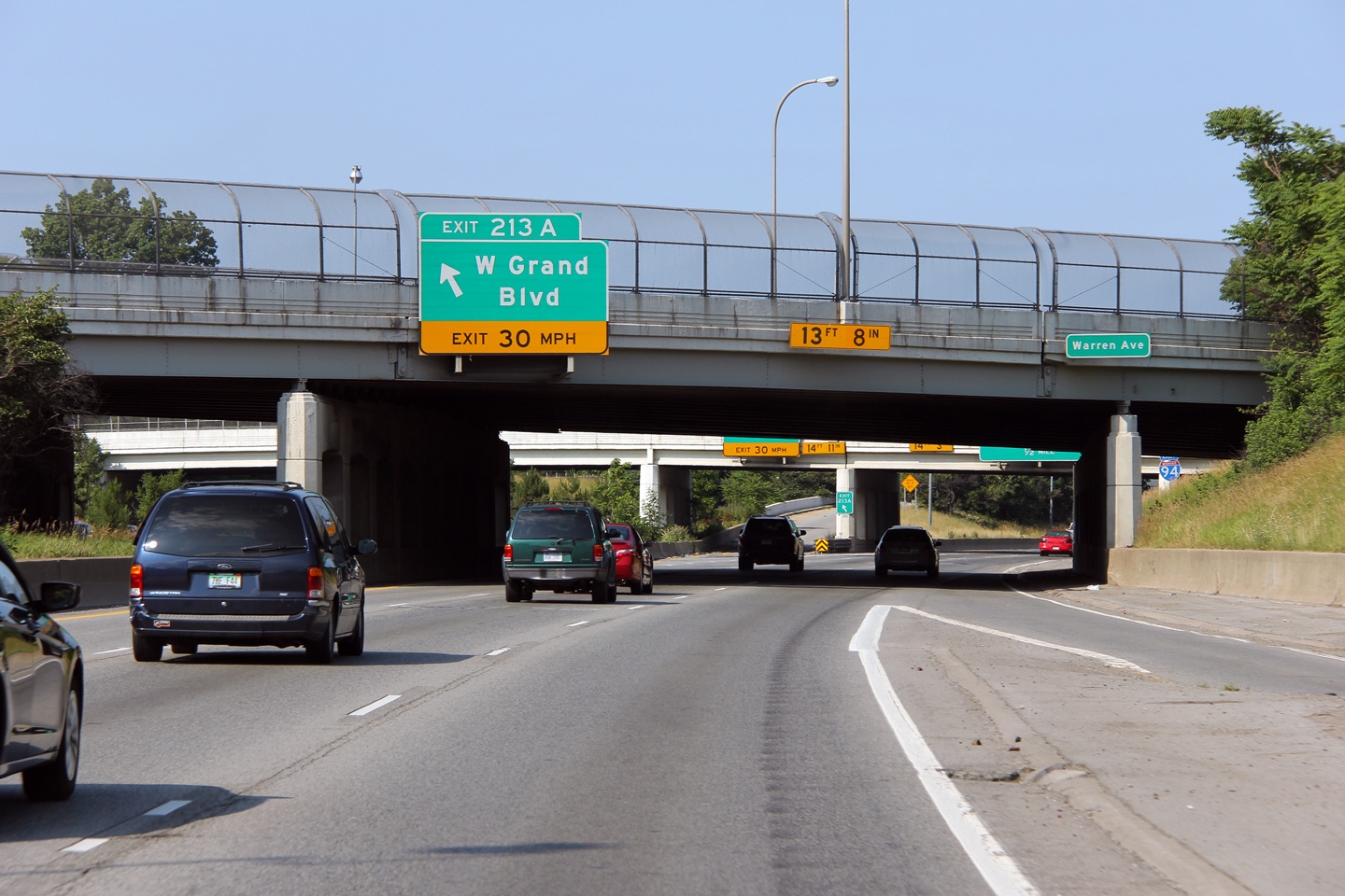
|
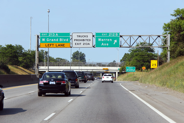
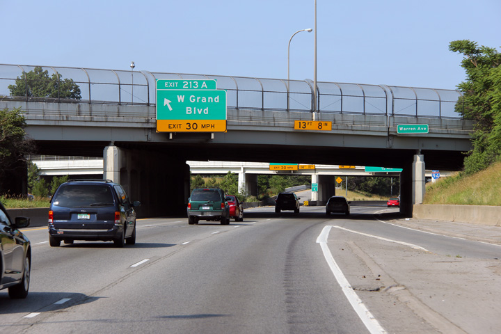
Wayne County |
The eastbound of-ramp to Grand Avenue departs from the left side of I-94 in order to minimize weaving conditions from the on-ramp from Warren Avenue that can be seen entering the freeway from the right. Interstate 94 was constructed very early in the freeway age, and its design shows. |
 |
||
|
Date: 8/30/2009 |
High-res: (1440x960) (2400x1600) |
|||
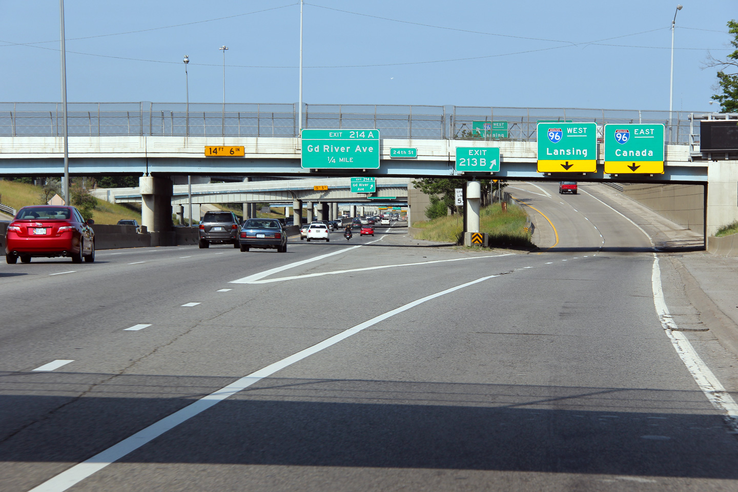
|
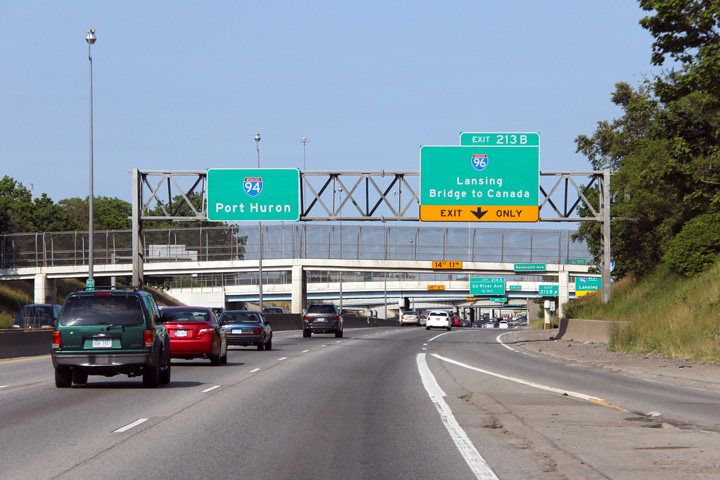
Wayne County |
Eastbound view as the on-ramp from Grand Avenue enters the I-94 freeway only to depart for I-96 only a few hundred feet to the east. This is an exceptionally short weave lane, particularly given the importance of the upcoming Interstate 96 interchange. |
 |
||
|
Date: 8/30/2009 |
High-res: (1440x960) (2400x1600) |
|||
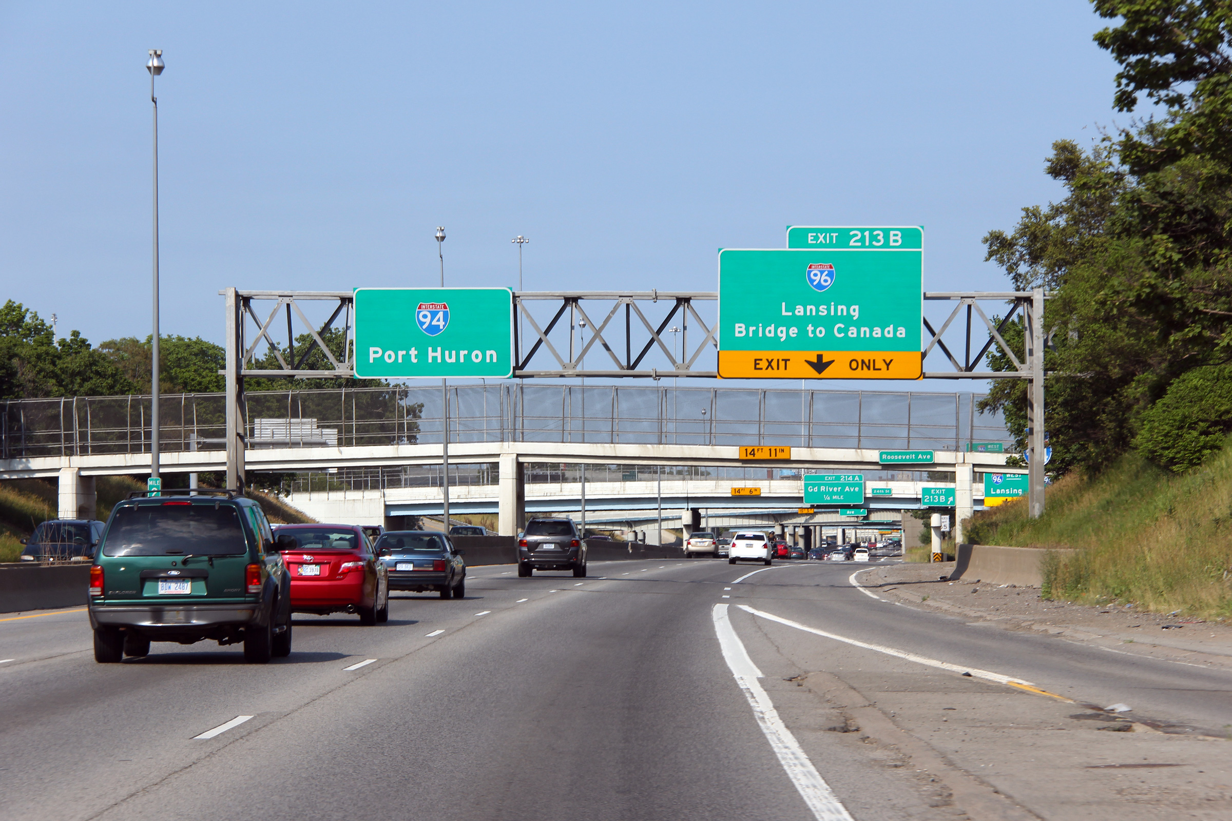
|
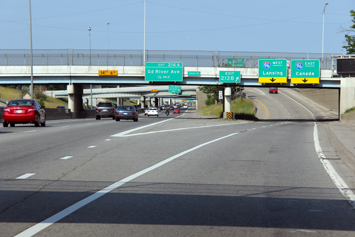
Wayne County |
Easterly view as the ramp to I-96 departs from I-94. I-96 meets I-94 at a very compact and irregular four-level stack interchange. |
 |
||
|
Date: 8/30/2009 |
High-res: (1440x960) (2400x1600) |
|||
|
I-96 leads travelers between Lake Michigan at Muskegon and Interstate 75 at the foot of the Ambassador Bridge. Click here for I-96 images. |
||||
|
Wayne County |
Overhead signage for the ramp to Allard Avenue, in advance of the 8 Mile Road exit. |
 |
||
|
Date: 10/01/2010 |
High-res: (1440x960) (2400x1600) |
|||
|
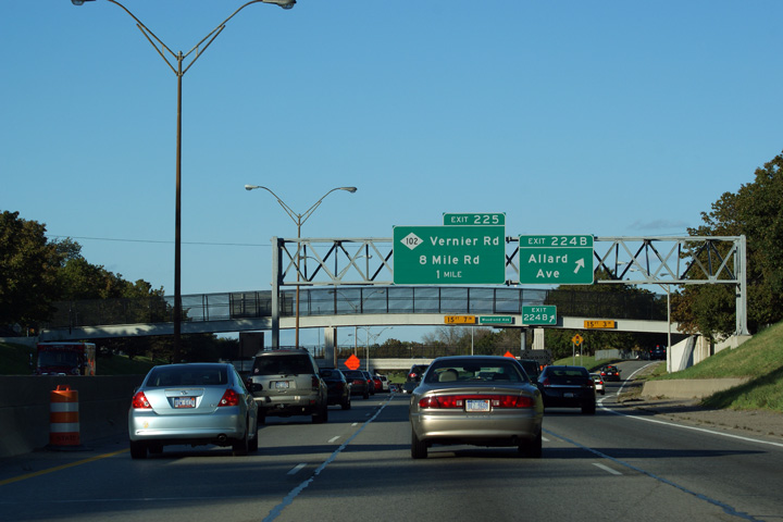
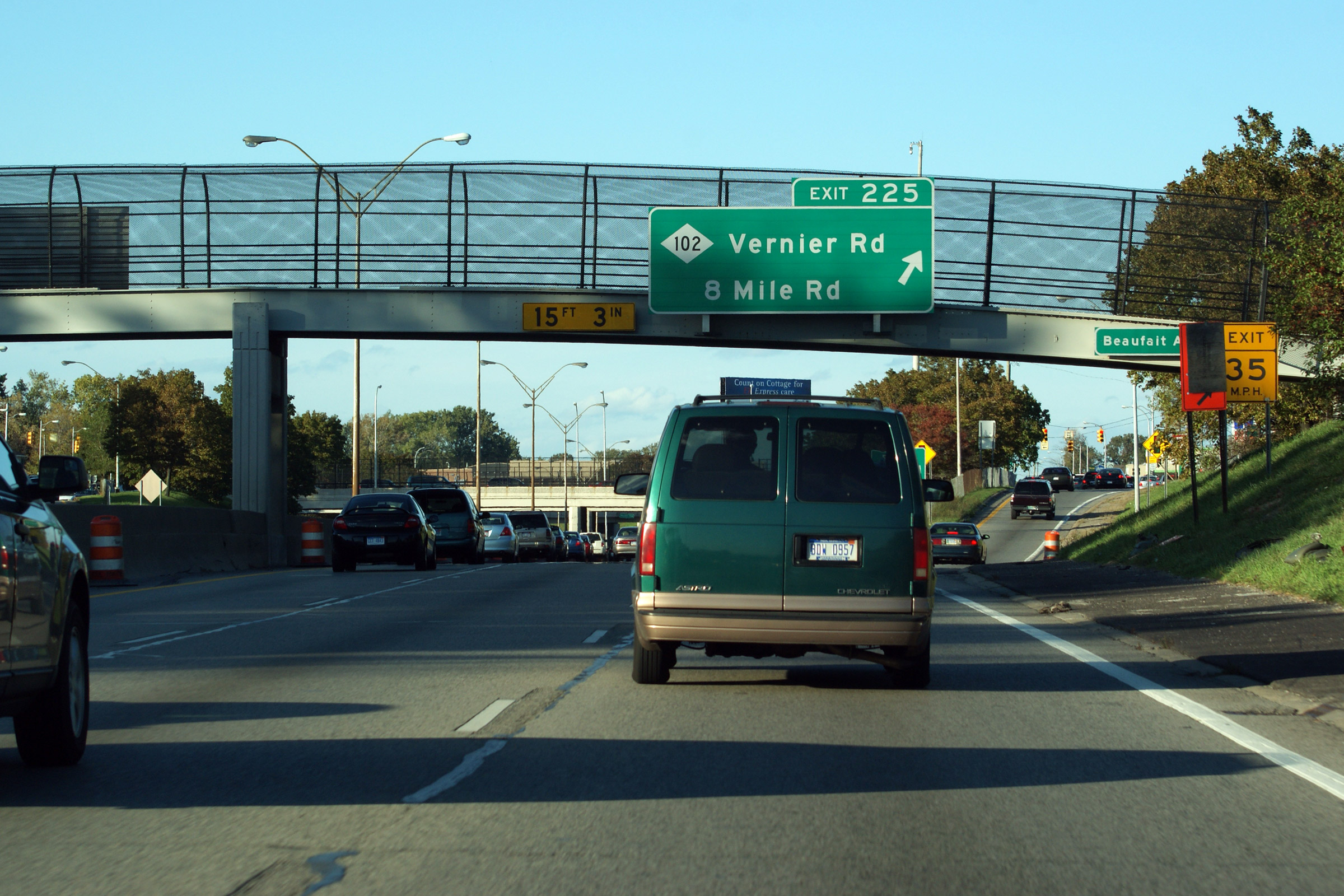
Wayne County |
Pedestrian bridge-mounted exit sign for M-102/Vernier Rd. and 8 Mile Rd. (Exit 225) on I-94 East. This interchange marks the Eastern Terminus of M-102. Except for its easternmost mile, where it follows Vernier Rd., M-102 follows both 8 Mile Rd. and the northern Wayne County Line. |
 |
||
|
Date: 10/01/2010 |
High-res: (1440x960) (2400x1600) |
|||
|
M-102 follows 8 Mile Road through Northern Detroit. Click here for M-102 images. |
||||
|
Continue east along I-94. Click here for Detroit to Ontario Border images. |
||||
<- Page 4 Back to I-94 Index Page 6 ->
Michigan Highways Index
AsphaltPlanet.ca - Home
© 2004-2012 Scott Steeves. AsphaltPlanet@asphaltplanet.ca
Page Created: June 7, 2007.
Last Updated: February 29, 2012.