AsphaltPlanet.ca > Quebec > Autoroute 410
|
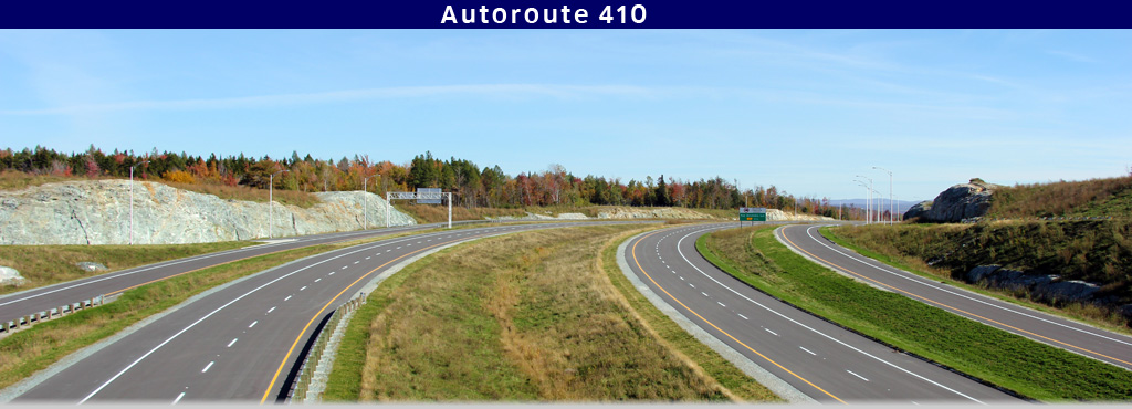
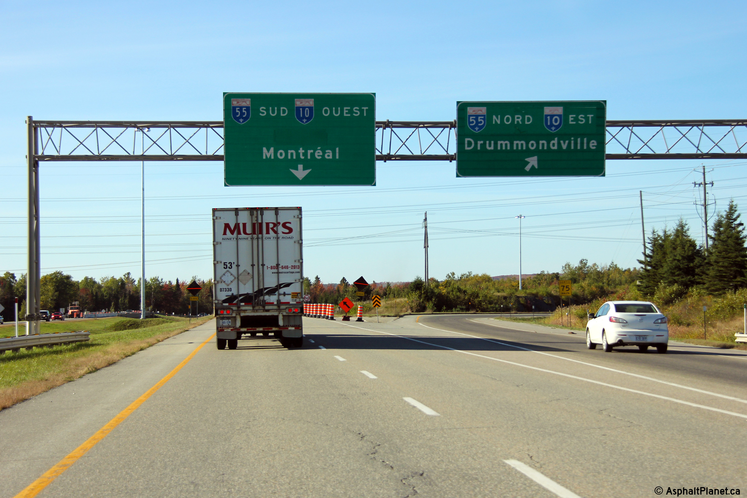
Western Terminus: A-10/55 interchange west of Sherbrooke. Eastern Terminus: Rue Belvédère south-east of Downtown Sherbrooke. Routing: A-410 is a short highway that runs southerly of Downtown Sherbrooke, easterly from a large trumpet interchange with A-10/55. As of November 21, 2014, A-410 ends at Rue Belvédère south-east of Downtown Sherbrooke. Construction is underway, and is expected to be completed in 2015 on an extension that will extend the autoroute further to the east to Route 108/143 south of Lennoxville. |
Pictures on this page are arranged in order from west to east. A-410 East photos are left-aligned in the last column, while A-410 west photos are right-aligned. Center-line pictures are centered within the last column.
|
Location |
Description |
Photo |
||
|
East- |
West- |
|||
|
From the western terminus of Autoroute 410, both A-10 and A-55 are accessible. Click here for A-10 images and here for A-55 images. |
||||
|
Sherbrooke |
Overhead signage at the Autoroute 10/55 interchange in western Sherbrooke. |
 |
||
|
Date: 10/03/2014 |
High-res: (1440x960) (2400x1600) | |||
|
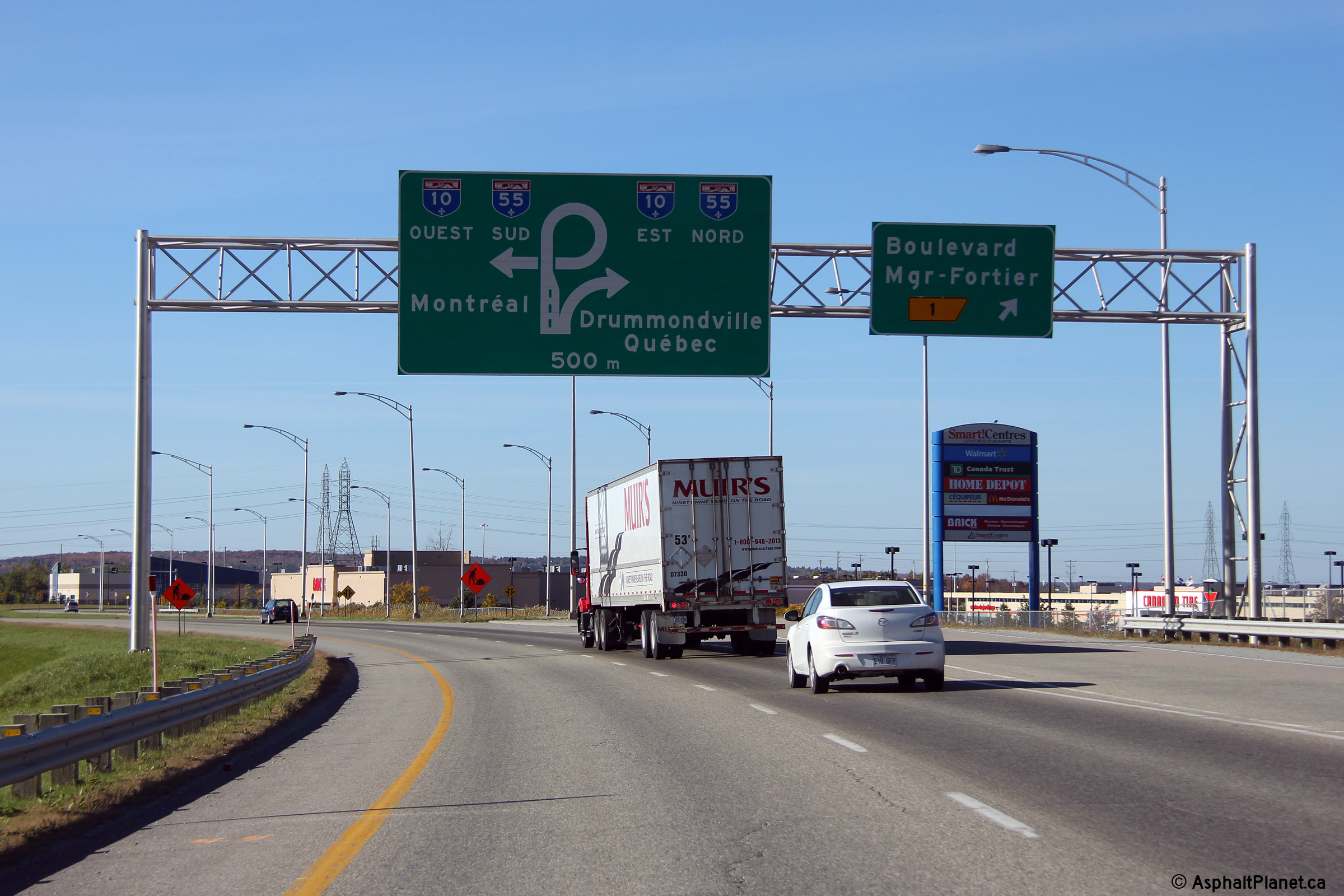
Sherbrooke |
Diagram signage approaching the Autoroute 10/55 interchange at the Boulevard Mgr-Fortier interchange. |
 |
||
|
Date: 10/03/2014 |
High-res: (1440x960) (2400x1600) | |||
|
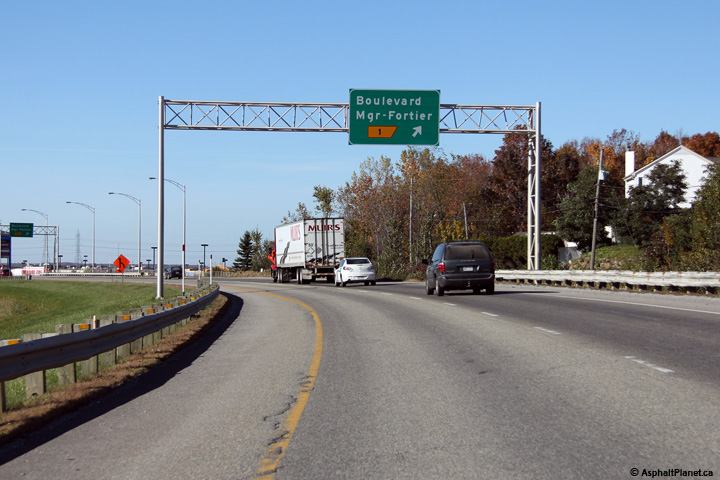
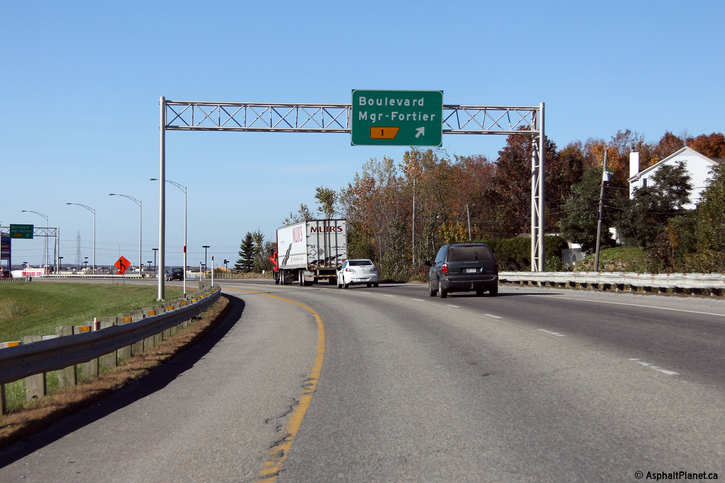
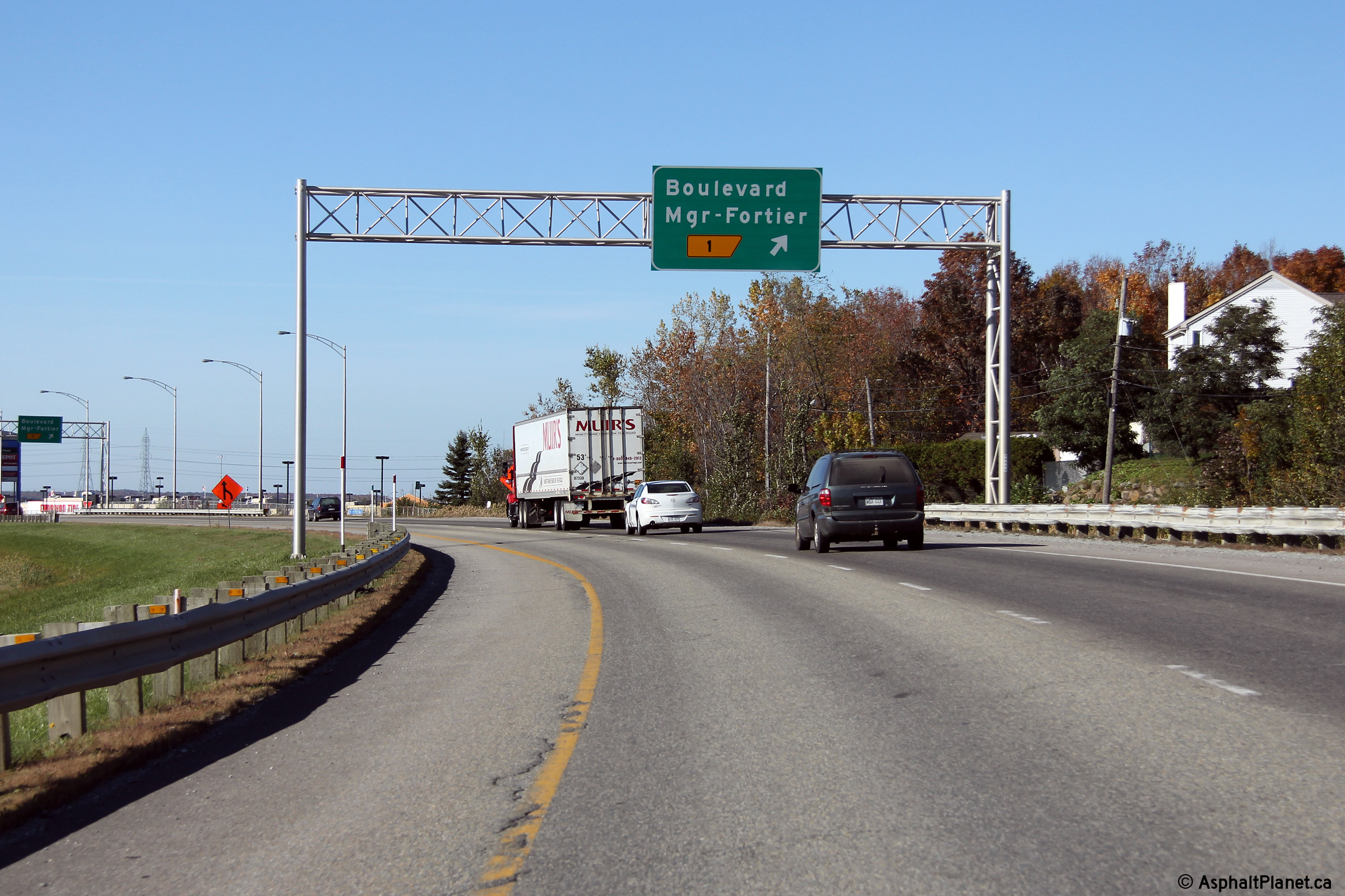
Sherbrooke |
Advanced signage for the Boulevard Mgr-Fortier interchange. |
 |
||
|
Date: 10/03/2014 |
High-res: (1440x960) (2400x1600) | |||
|
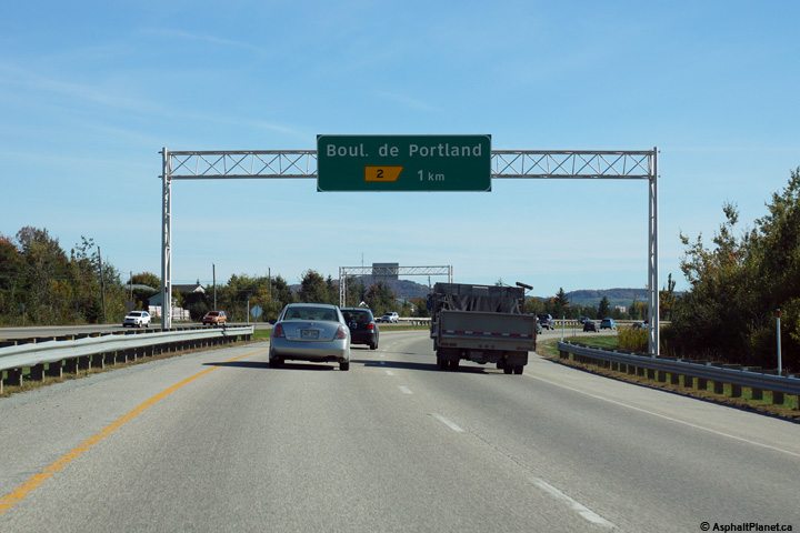
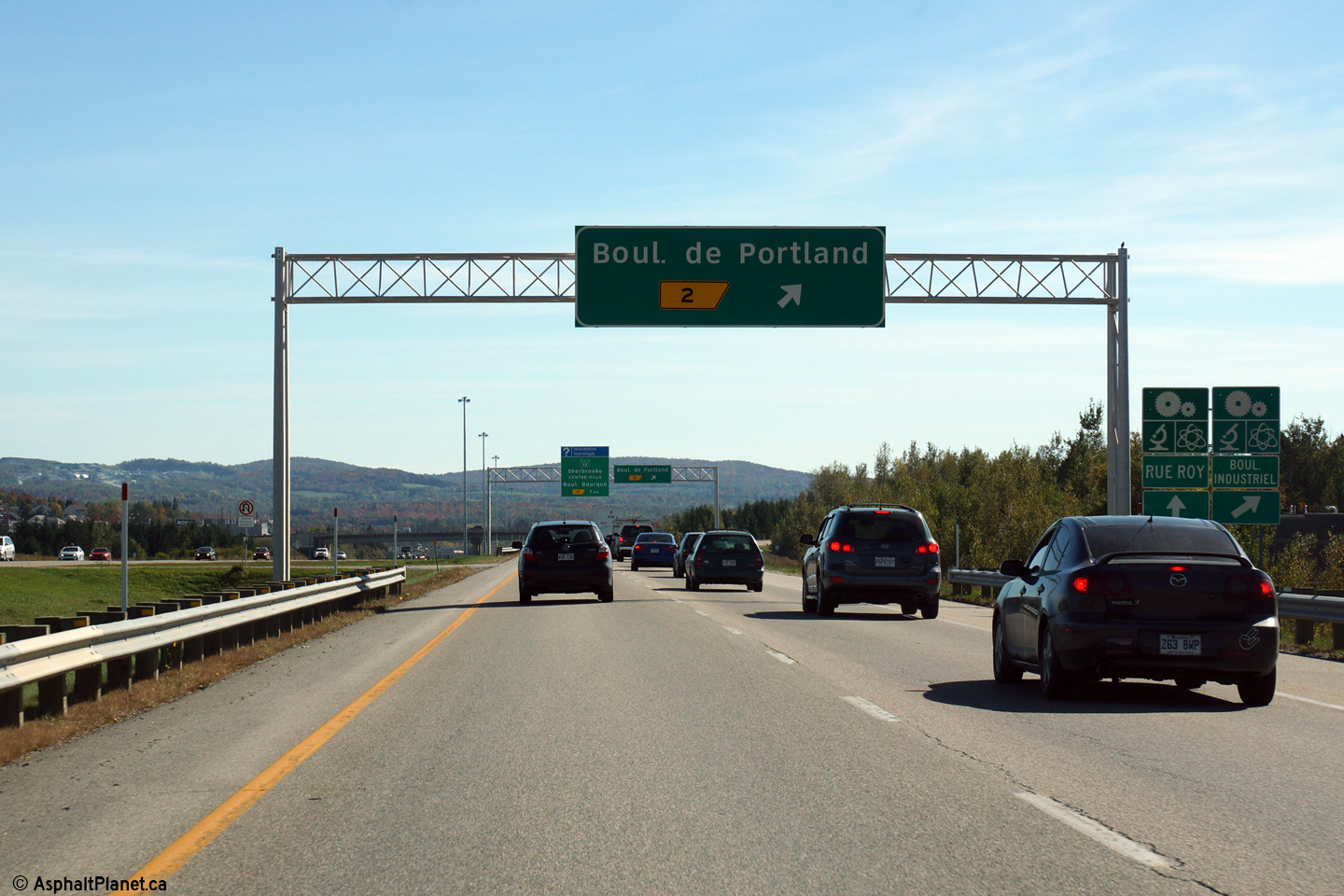
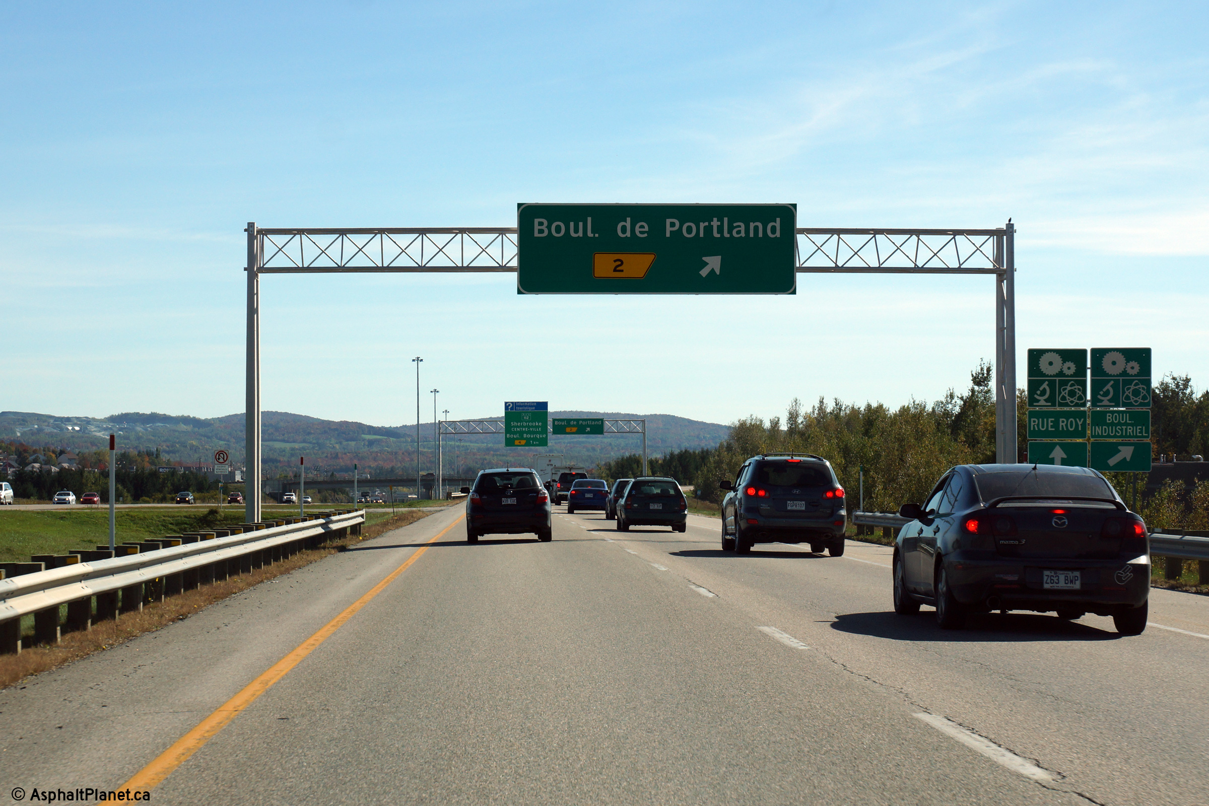
Sherbrooke |
Easterly view approaching the Boul de Portland interchange. |
 |
||
|
Date: 10/03/2014 |
High-res: (1440x960) (2400x1600) | |||
|
Sherbrooke |
Eastbound advanced signage for the Boul de Portland interchange. |
 |
||
|
Date: 10/03/2014 |
High-res: (1440x960) (2400x1600) | |||
|
Sherbrooke |
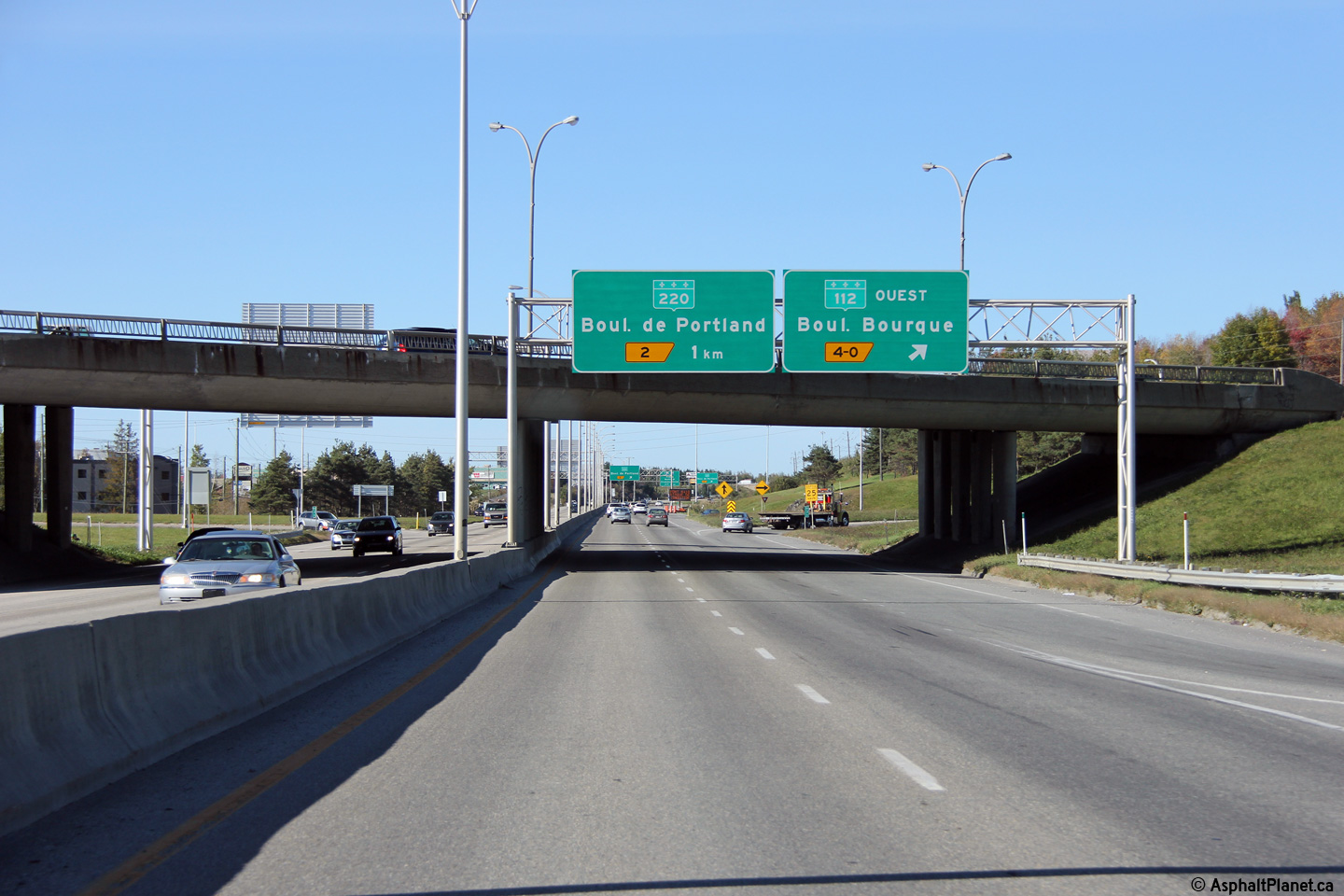
Signage at the eastbound off-ramp to Boul de Portland. |
 |
||
|
Date: 10/03/2014 |
High-res: (1440x960) (2400x1600) | |||
|
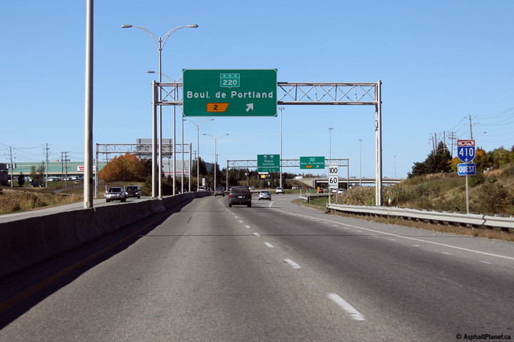
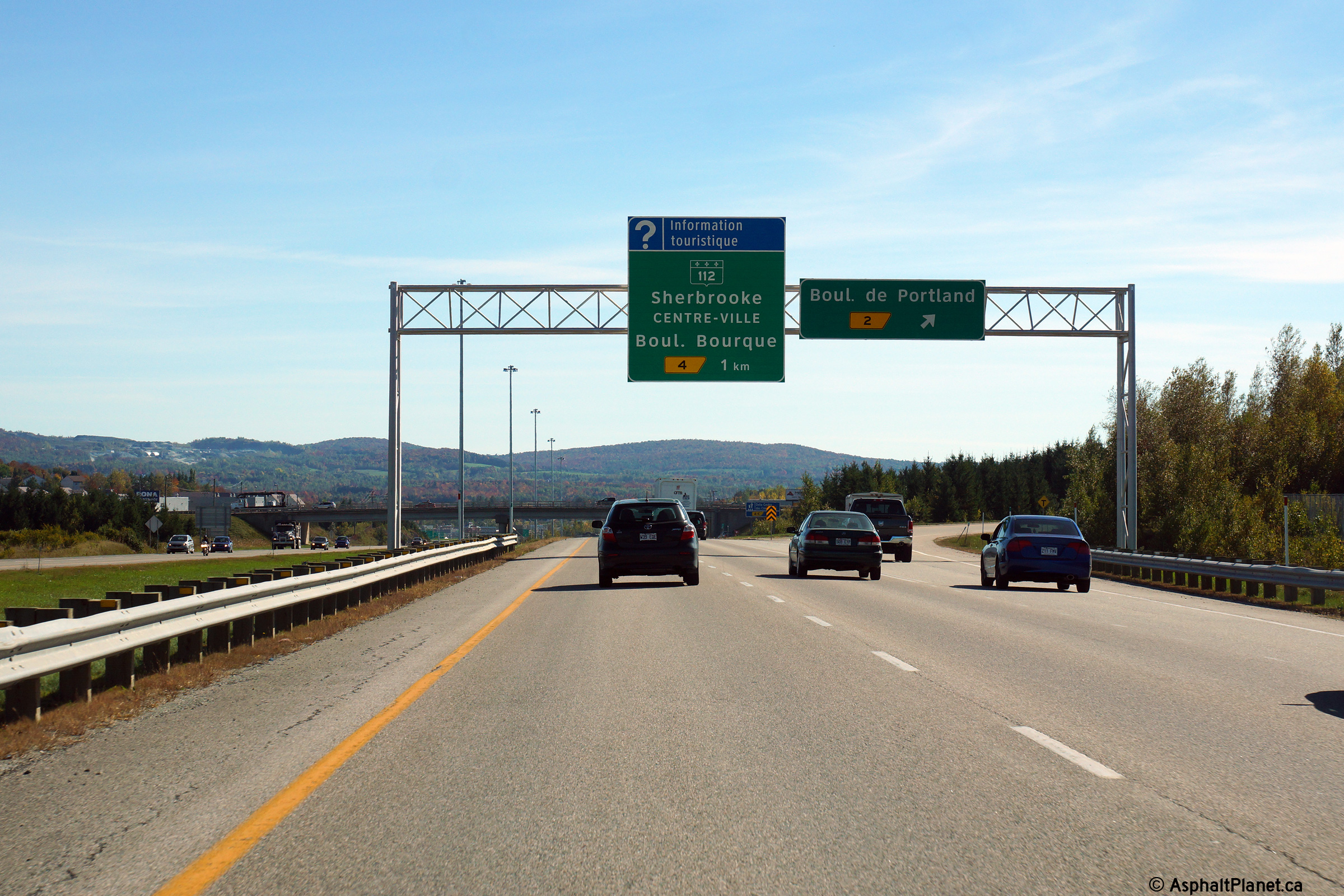
Sherbrooke |
The signage at the off-ramp to Route 220 is signed with an advanced sign for the upcoming Autoroute 10/55 interchange, and omits indicating that the Boulevard Mgr-Fortier is actually located in advance of the Autoroute 10/55 interchange. |
 |
||
|
Date: 10/03/2014 |
High-res: (1440x960) (2400x1600) | |||
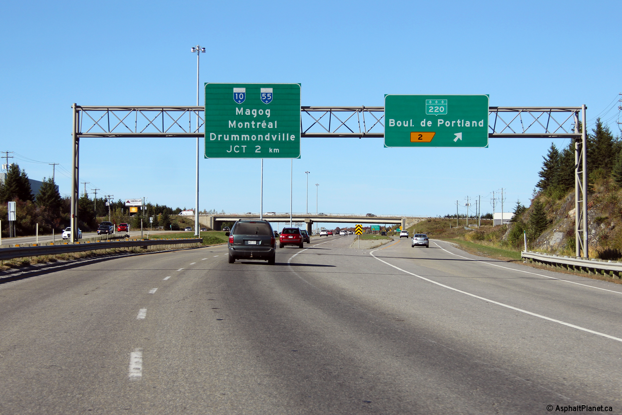
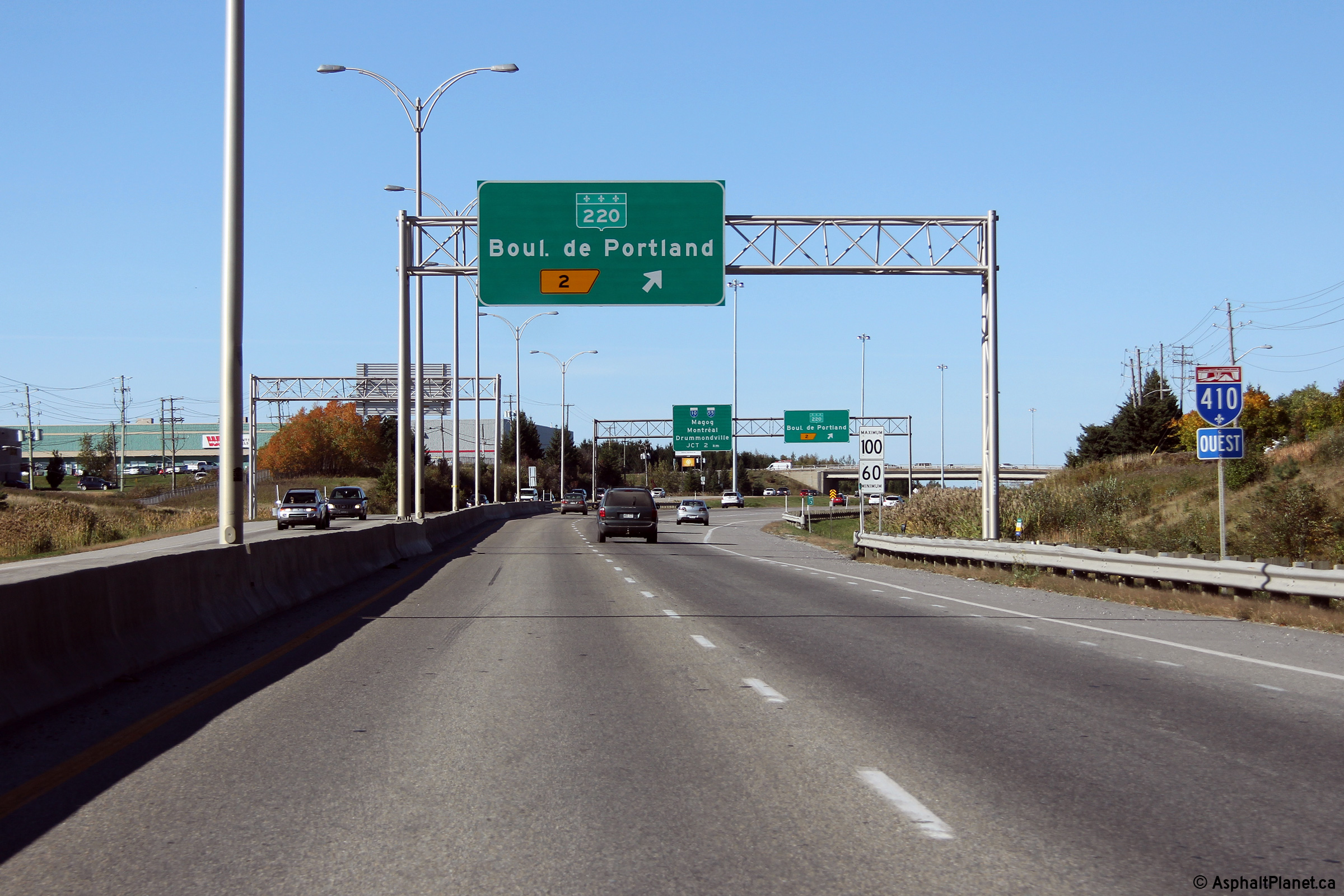
|
Sherbrooke |
Westbound advanced signage for the ramp to Route 220. |
 |
||
|
Date: 10/03/2014 |
High-res: (1440x960) (2400x1600) | |||
|
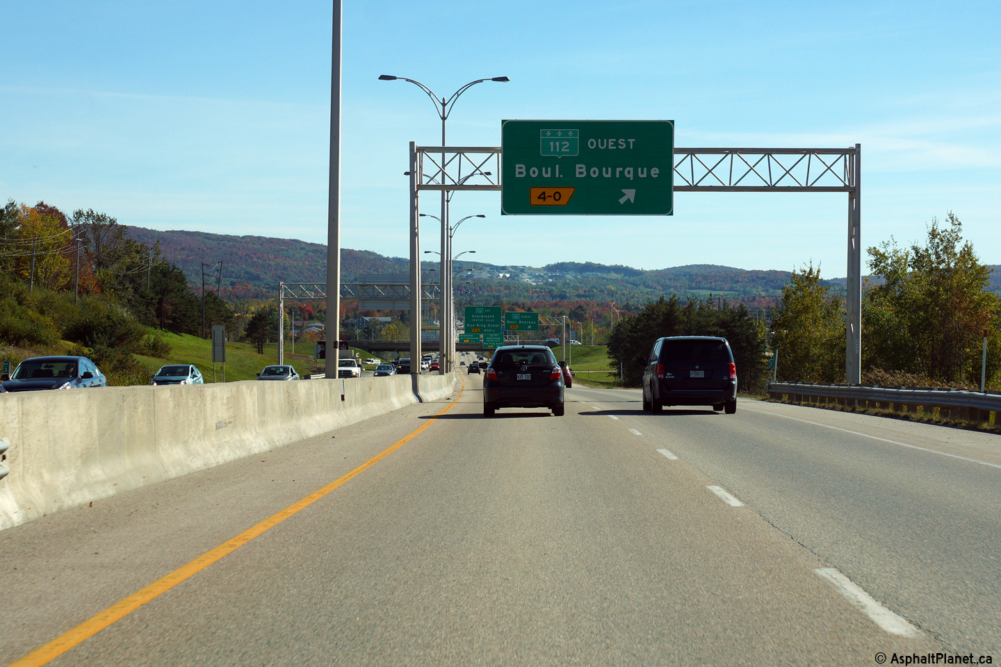
Sherbrooke |
Eastbound advanced signage for the ramp to Route 112 West. |
 |
||
|
Date: 10/03/2014 |
High-res: (1440x960) (2400x1600) | |||
|
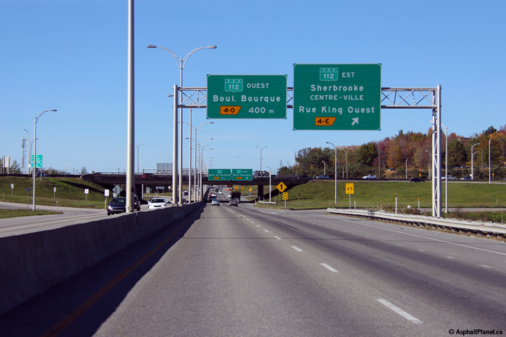
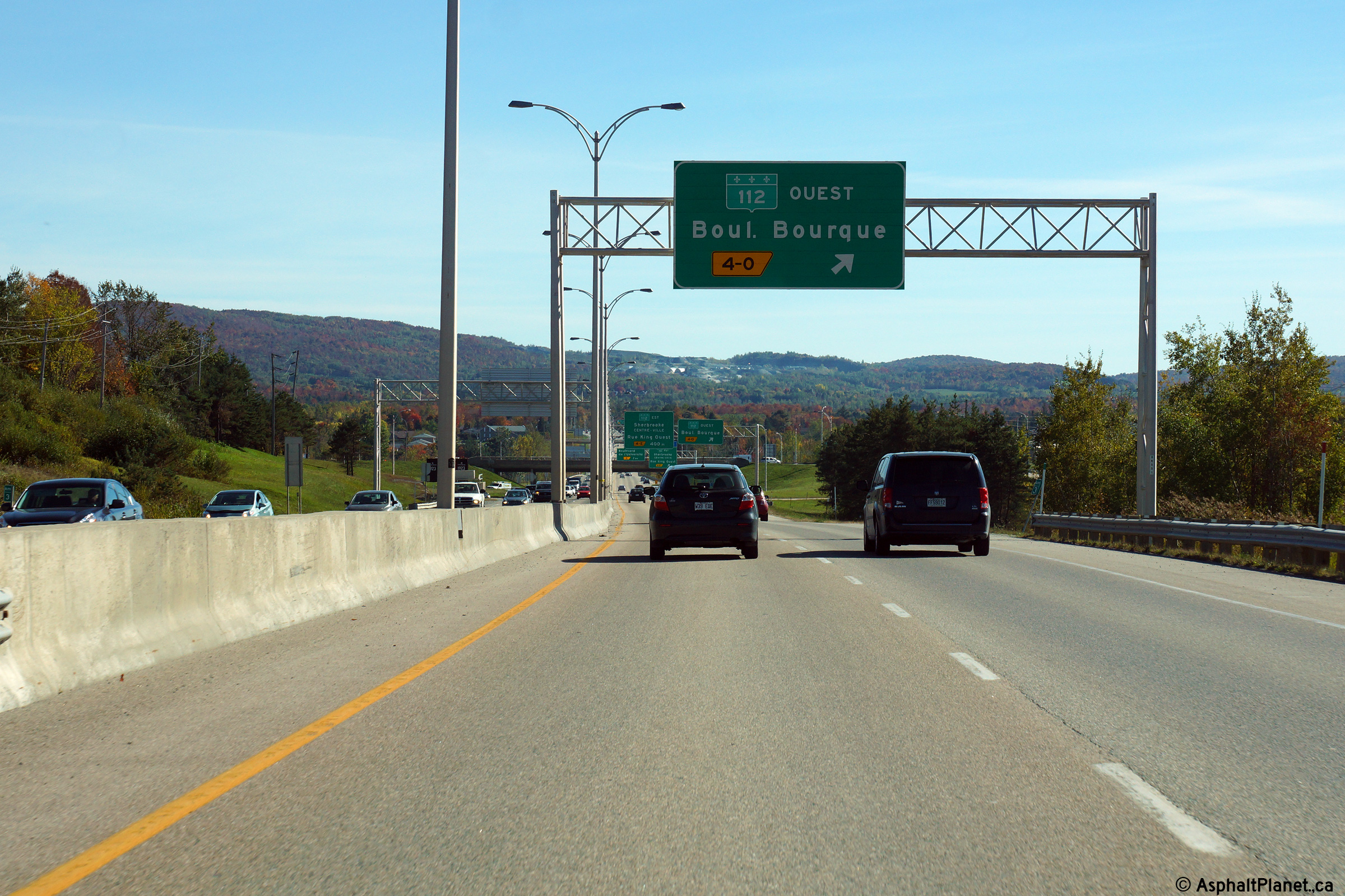
Sherbrooke |
Signage at the off-ramp to Route 112 West. Autoroute 410 intersects Route 112 at a full eight ramp cloverleaf interchange. |
 |
||
|
Date: 10/03/2014 |
High-res: (1440x960) (2400x1600) | |||
|
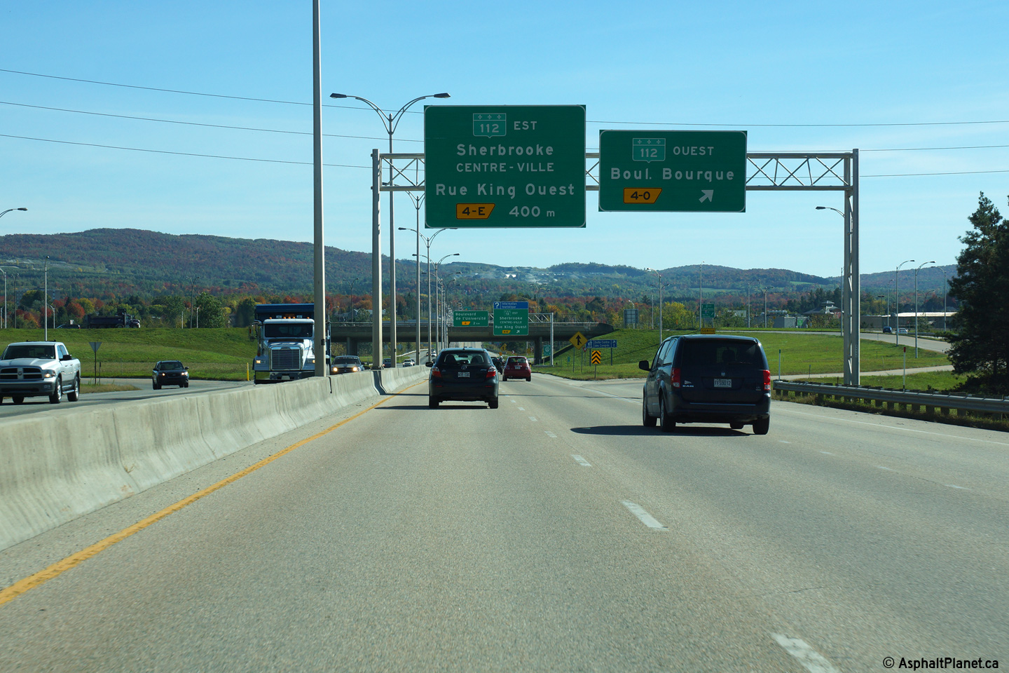
Sherbrooke |
Eastbound signage at the off-ramp to Route 112 East. |
 |
||
|
Date: 10/03/2014 |
High-res: (1440x960) (2400x1600) | |||
|
Sherbrooke |
Westbound signage at the off-ramp to Route 112 West. |
 |
||
|
Date: 10/03/2014 |
High-res: (1440x960) (2400x1600) | |||
|
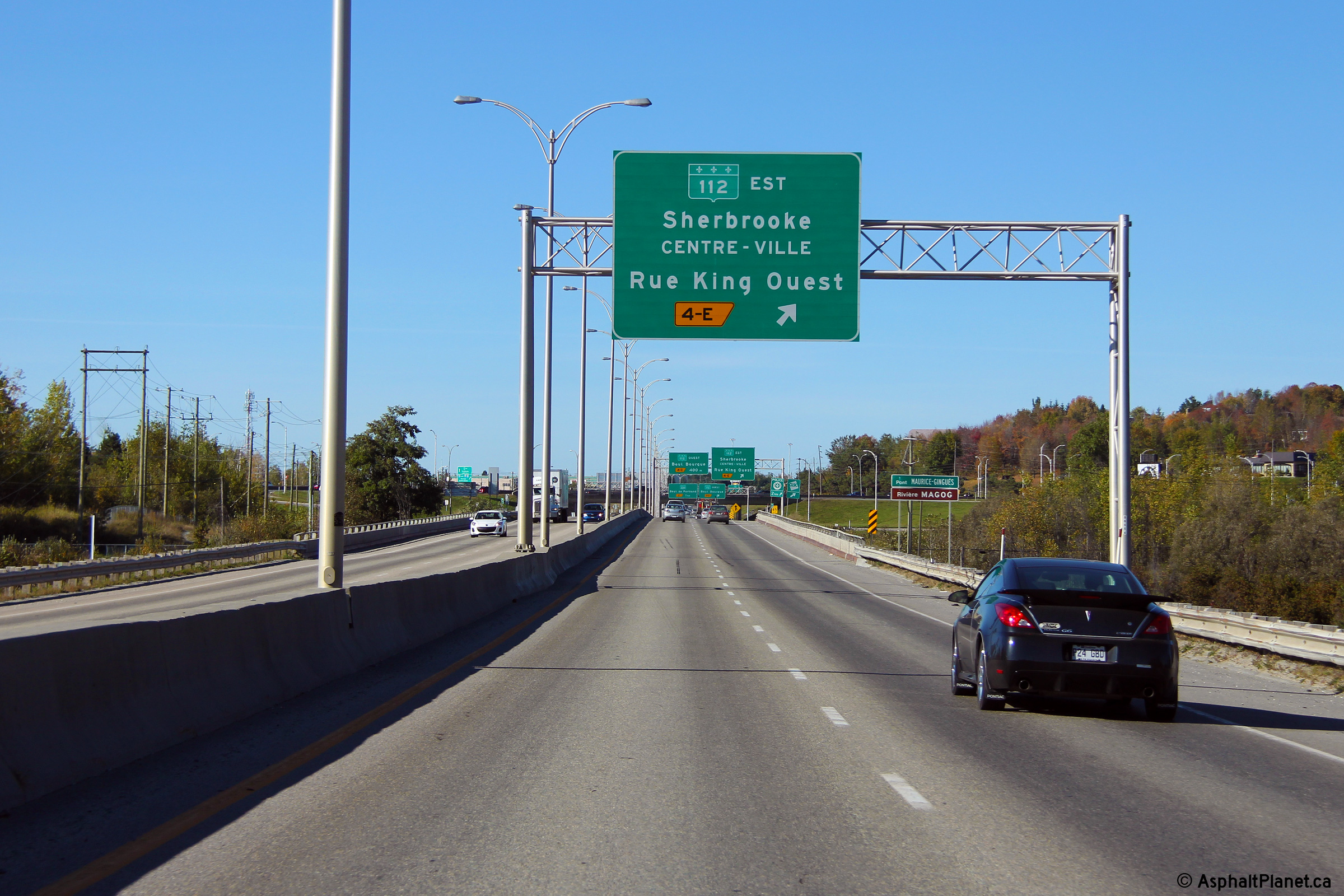
Sherbrooke |
Signage at the off-ramp to Route 112 East. Note that Route 112 East is known as Rue King. Several predominant streets within Sherbrooke have decidedly English names. |
 |
||
|
Date: 10/03/2014 |
High-res: (1440x960) (2400x1600) | |||
|
Sherbrooke |
The advanced signage for Route 112 East is situated immediately upstream of the Magog River bridge. |
 |
||
|
Date: 10/03/2014 |
High-res: (1440x960) (2400x1600) | |||
|
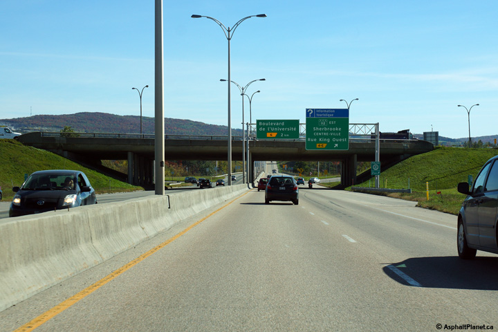
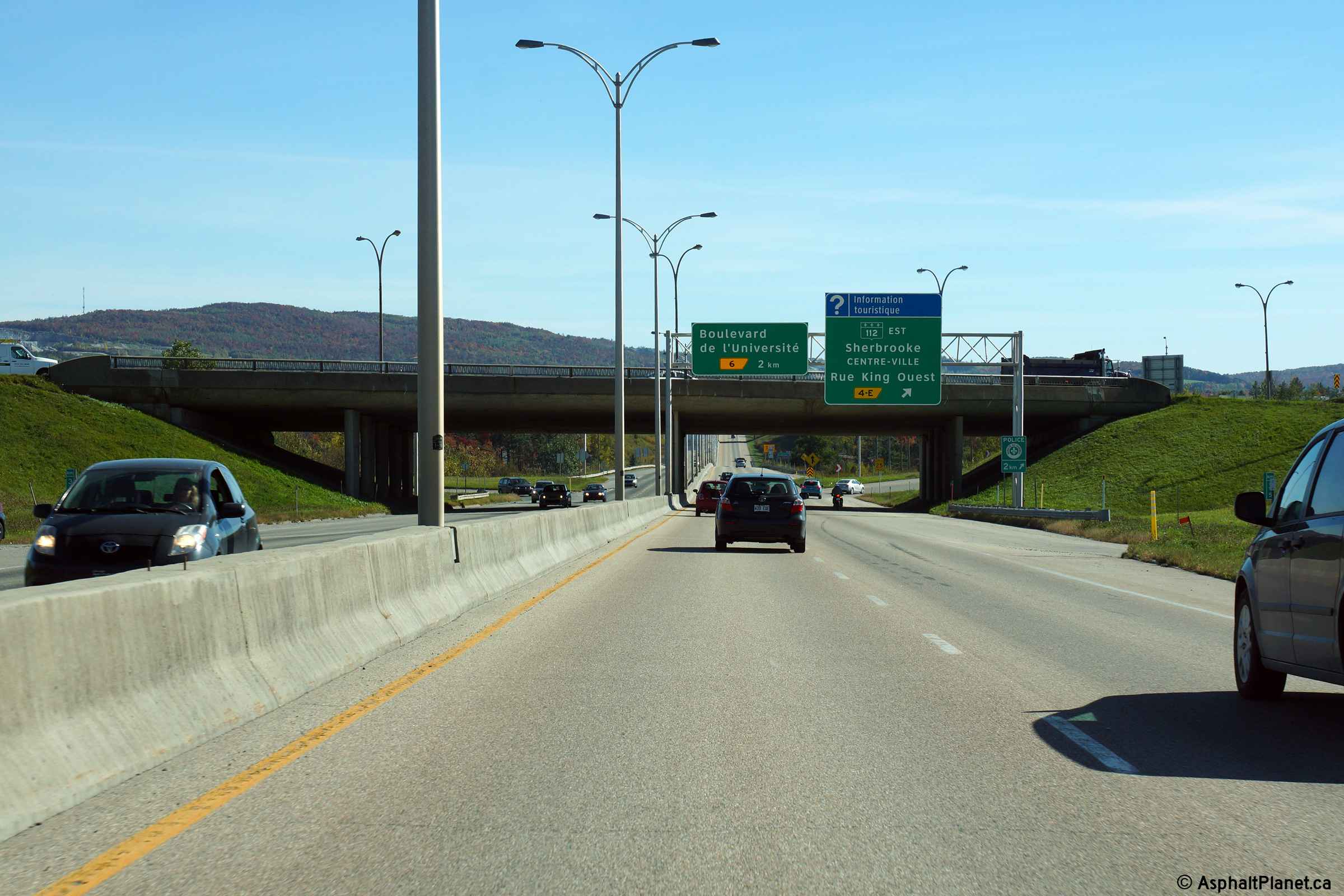
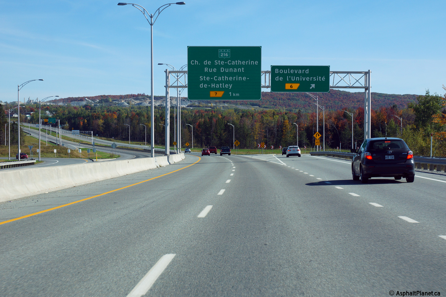
Sherbrooke |
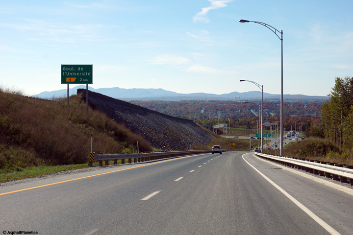
Advanced signage for the off-ramp to Boulevard de l'Université. |
 |
||
|
Date: 10/03/2014 |
High-res: (1440x960) (2400x1600) | |||
|
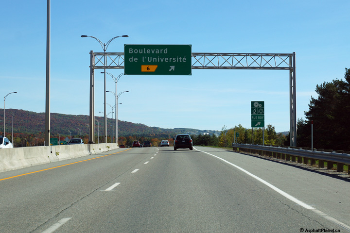
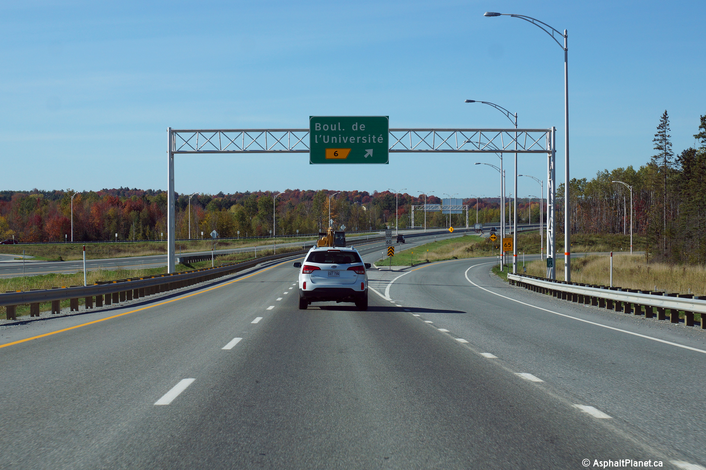
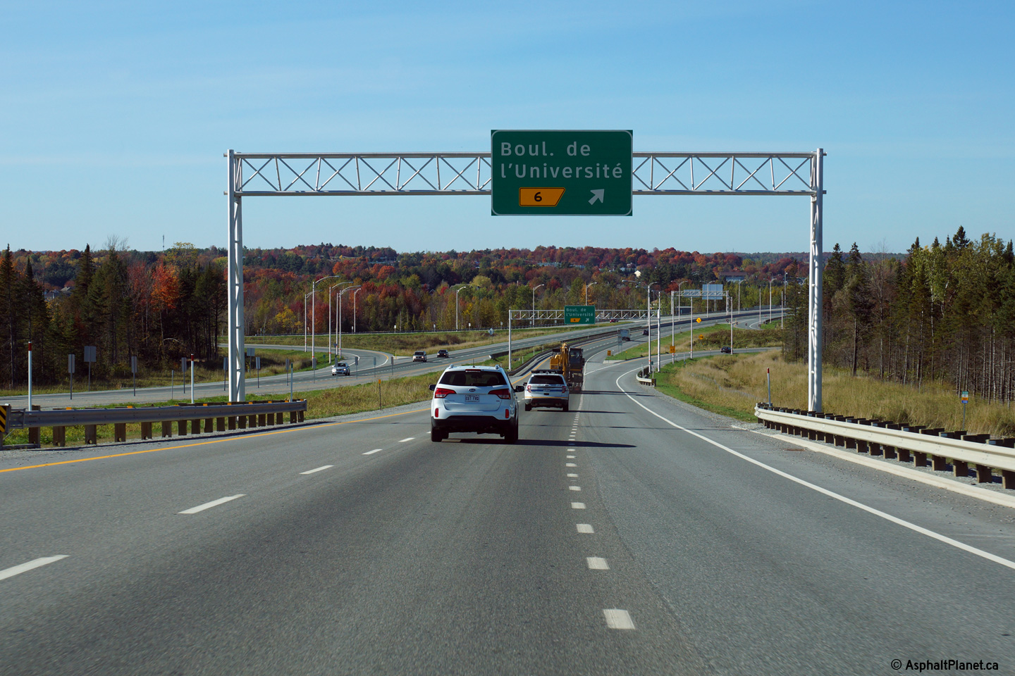
Sherbrooke |
Signage at the eastbound off-ramp to Boulevard de l'Université. Pavement scaring is visible on the mainline lanes from when Autoroute 410 terminated at this interchange. |
 |
||
|
Date: 10/03/2014 |
High-res: (1440x960) (2400x1600) | |||
|
Sherbrooke |
View as the westbound off-ramp to Boulevard de l'Université departs the freeway mainline. |
 |
||
|
Date: 10/03/2014 |
High-res: (1440x960) (2400x1600) | |||
|
Sherbrooke |
Westbound advanced signage for the off-ramp to Boulevard de l'Université. |
 |
||
|
Date: 10/03/2014 |
High-res: (1440x960) (2400x1600) | |||
|
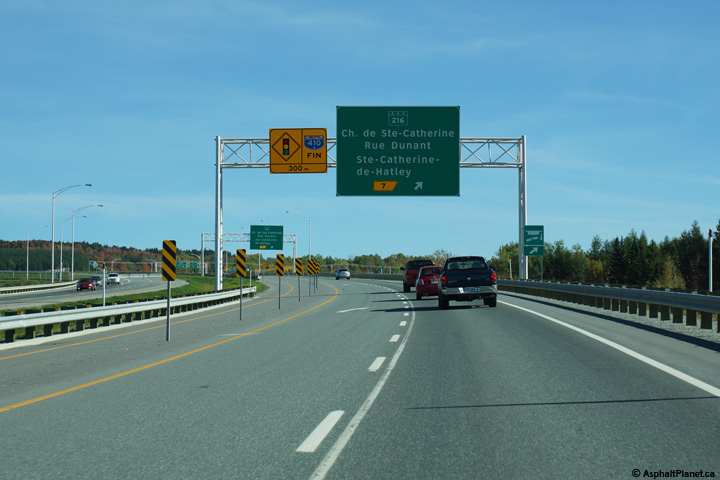
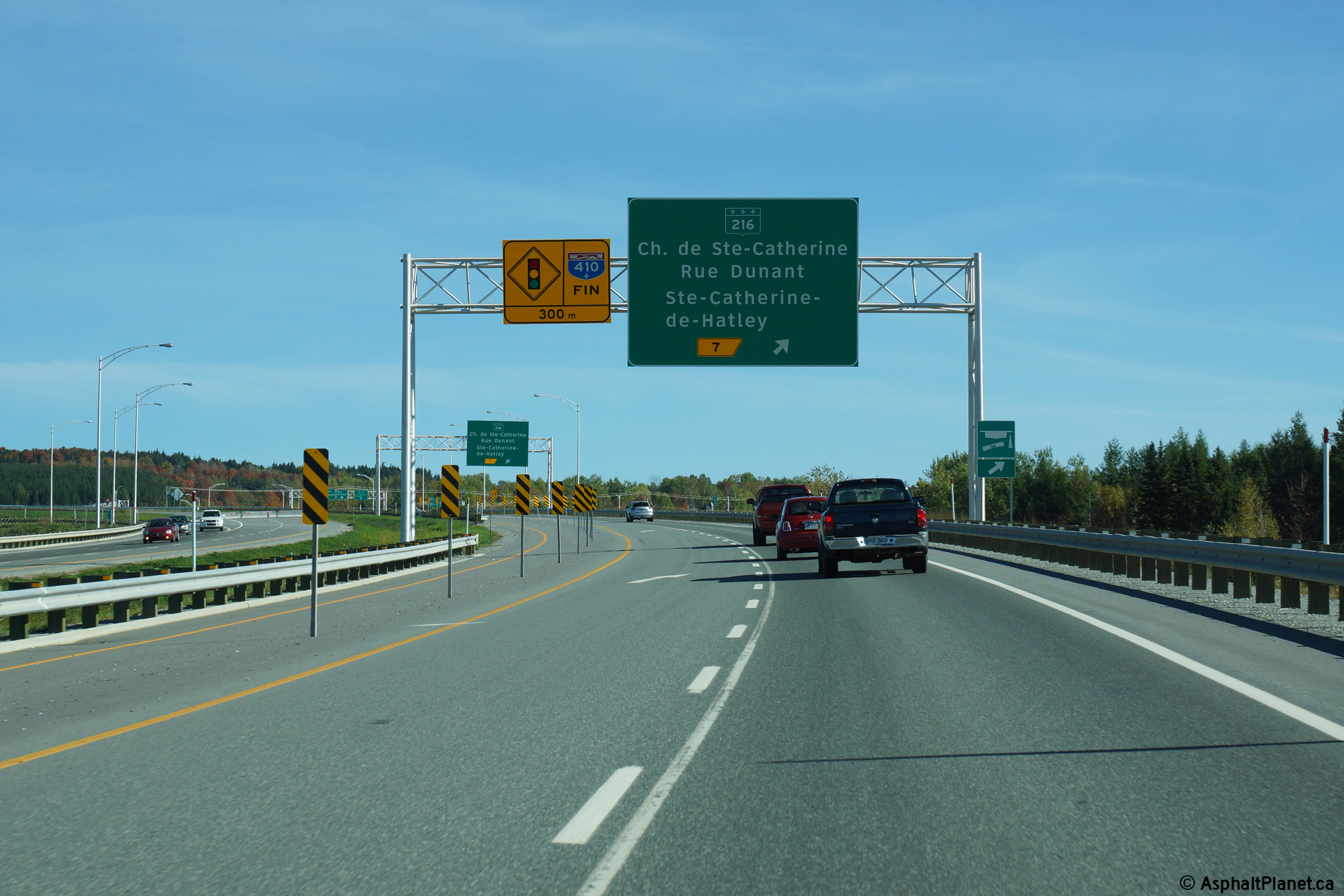
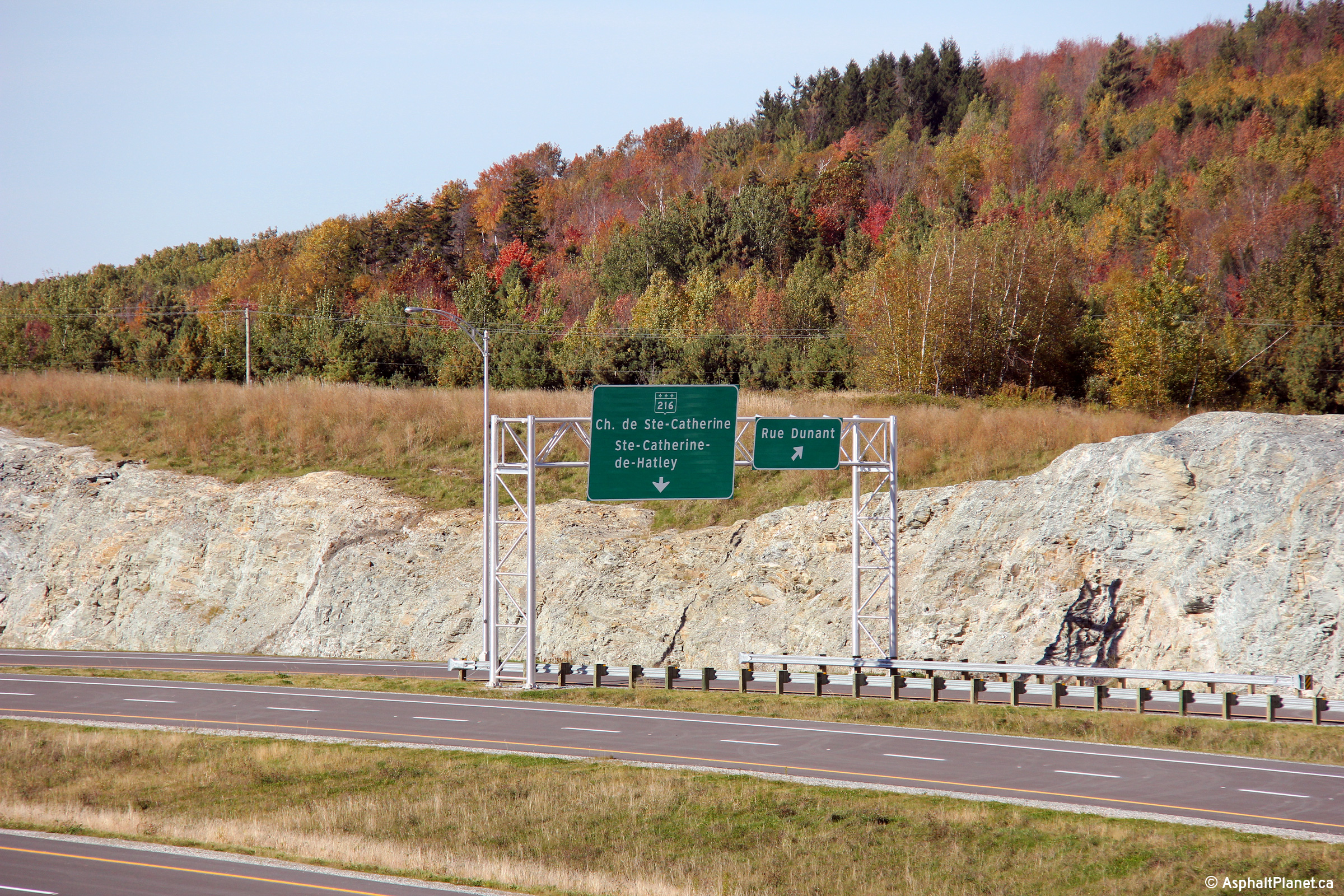
Sherbrooke |
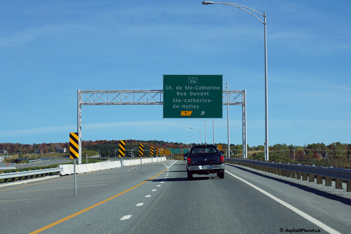
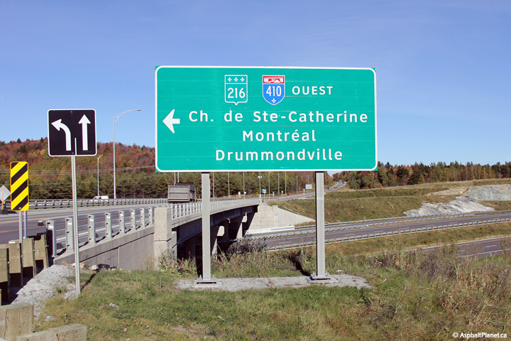
Advanced signage for the ramp to Route 216 and Rue Dunant. Until November 21, 2014, Autoroute 410 terminated at this interchange. |
 |
||
|
Date: 10/03/2014 |
High-res: (1440x960) (2400x1600) | |||
|
Sherbrooke |
Signage at the eastbound off-ramp to Route 216 and Rue Dunant. |
 |
||
|
Date: 10/03/2014 |
High-res: (1440x960) (2400x1600) | |||
|
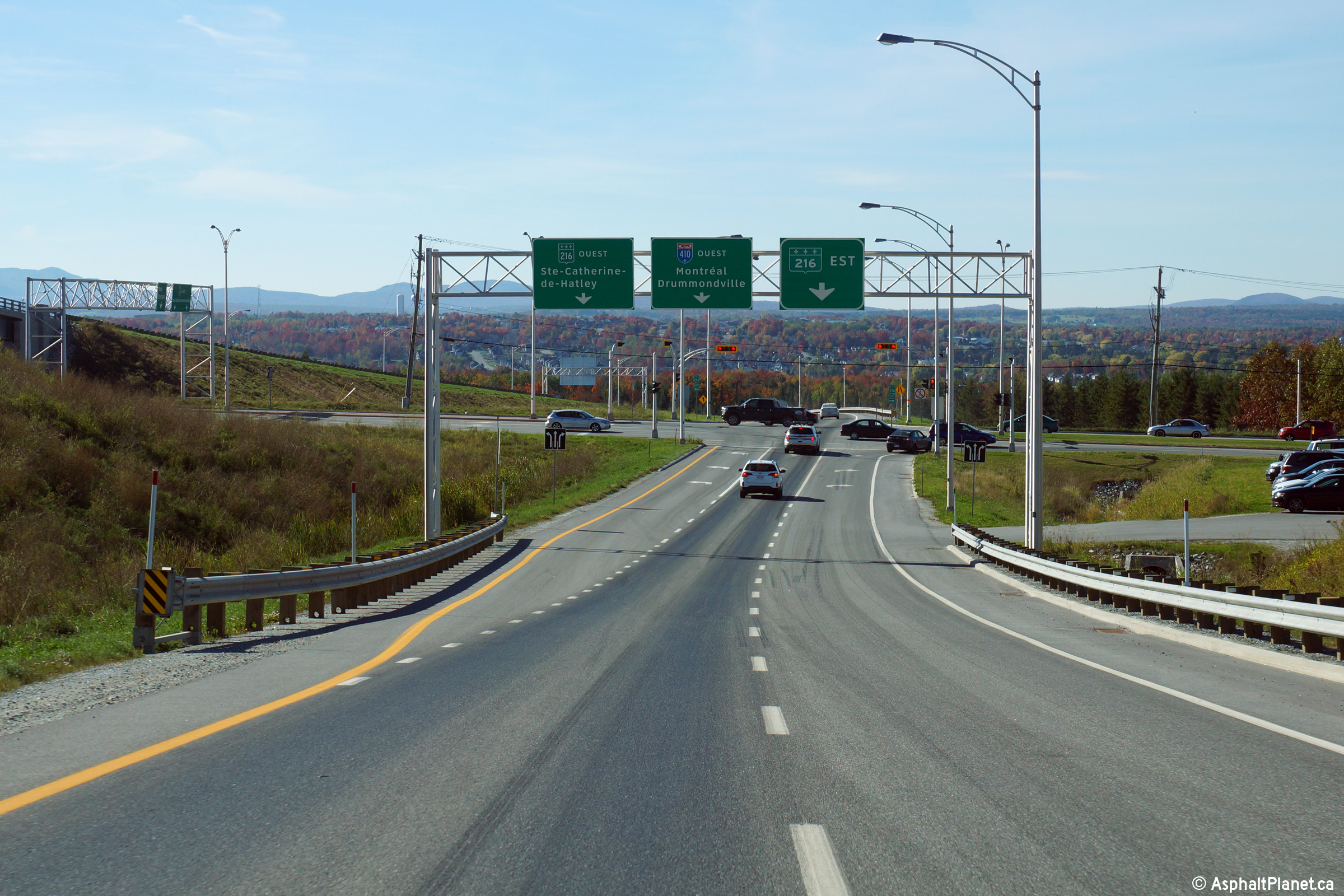
Sherbrooke |
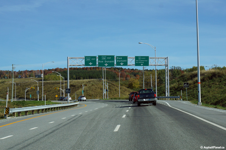
Overhead signage on the off-ramp approaching the traffic signals at the Route 216 interchange. Traffic continuing towards Rue Dunant must continue straight through the traffic signals to access Rue Dunant. |
 |
||
|
Date: 10/03/2014 |
High-res: (1440x960) (2400x1600) | |||
|
Sherbrooke |
Westerly view approaching the traffic signals with the Route 216 interchange from the exit ramp. |
 |
||
|
Date: 10/03/2014 |
High-res: (1440x960) (2400x1600) | |||
|
Sherbrooke |
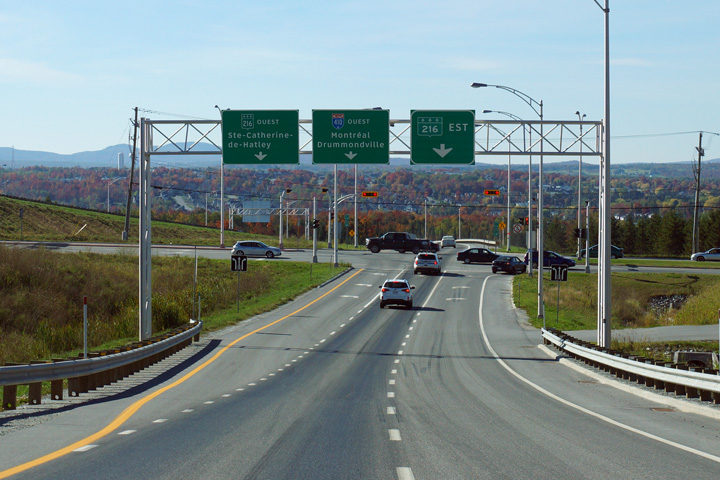
This view looks westerly along the ramp between the Rue Dunant and Route 216 interchanges. Traffic entering Autoroute 410 must pass through the traffic signals at the Route 216 interchange. |
 |
||
|
Date: 10/03/2014 |
High-res: (1440x960) (2400x1600) | |||
|
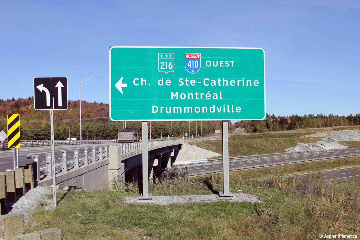
Sherbrooke |
Signage on Rue Dunant for Autoroute 410. |
 |
||
|
Date: 10/03/2014 |
High-res: (1440x960) | |||
|
Sherbrooke |
Westerly view of the then unopened lanes of Autoroute 410 from the Rue Dunant overpass. |
 |
||
|
Date: 10/03/2014 |
High-res: (1440x960) (2400x1600) | |||
|
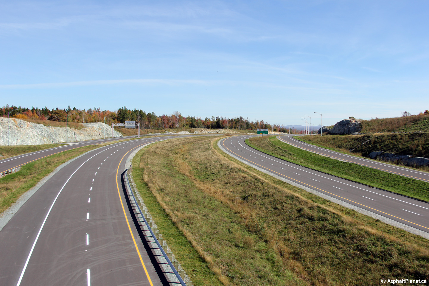
Sherbrooke |
Easterly view from the Rue Dunant overpass along the then unopened alignment of Autoroute 410. The sub-collector lanes between the Rue Dunant and Route 216 interchanges give this rural freeway an impressive looking cross-section. |
 |
||
|
Date: 10/03/2014 |
High-res: (1440x960) (2400x1600) | |||
|
Sherbrooke |
Westerly view towards the Rue Dunant grade separation. |
 |
||
|
Date: 10/03/2014 |
High-res: (1440x960) (2400x1600) | |||
|
Sherbrooke |
Westerly view towards the Rue Dunant intersection. |
 |
||
|
Date: 10/03/2014 |
High-res: (1440x960) (2400x1600) | |||
|
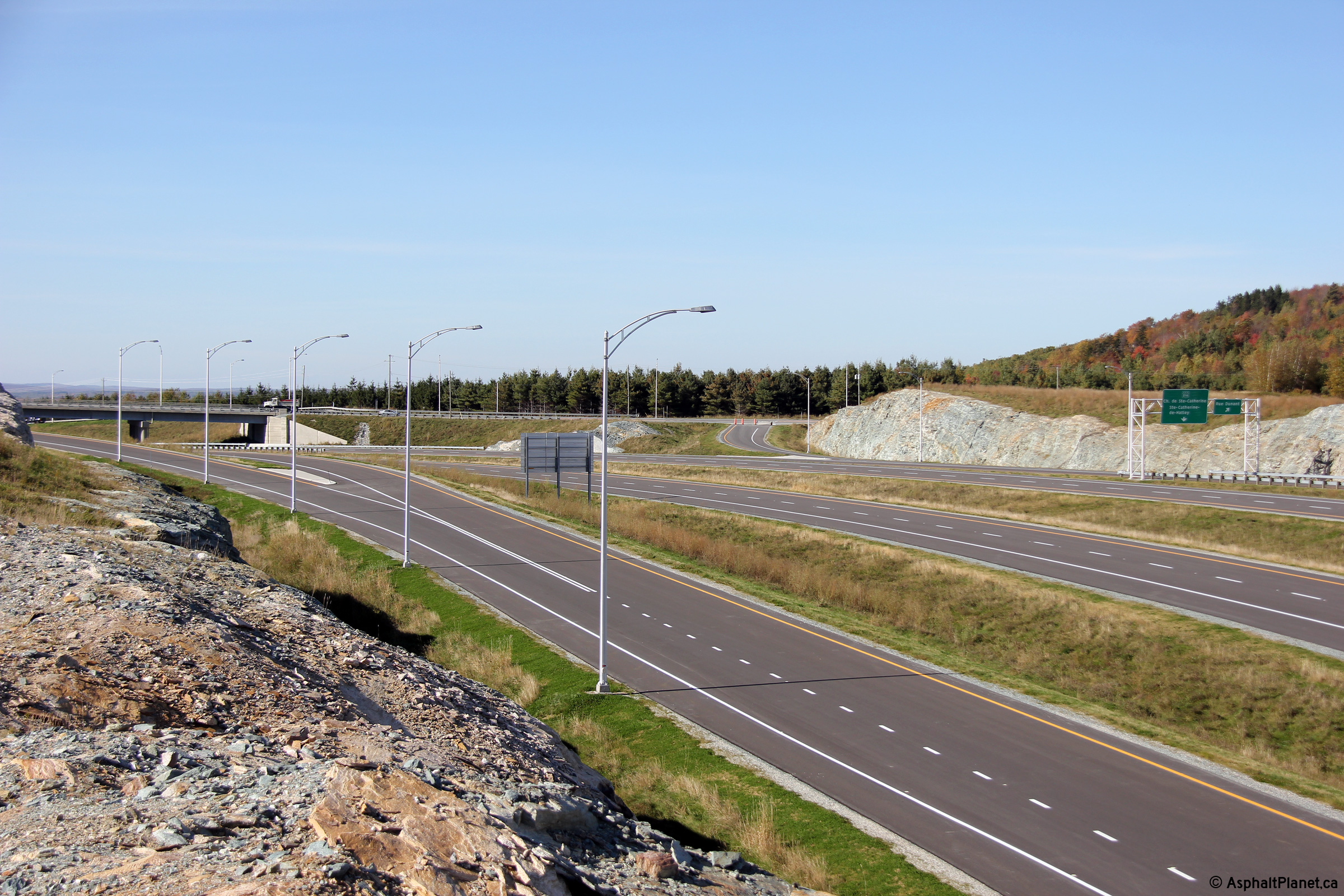
Sherbrooke |
Signage that stands over the collector lane as the lane diverges to form the ramps to both Route 216 and Rue Dunant. |
 |
||
|
Date: 10/03/2014 |
High-res: (1440x960) (2400x1600) | |||
|
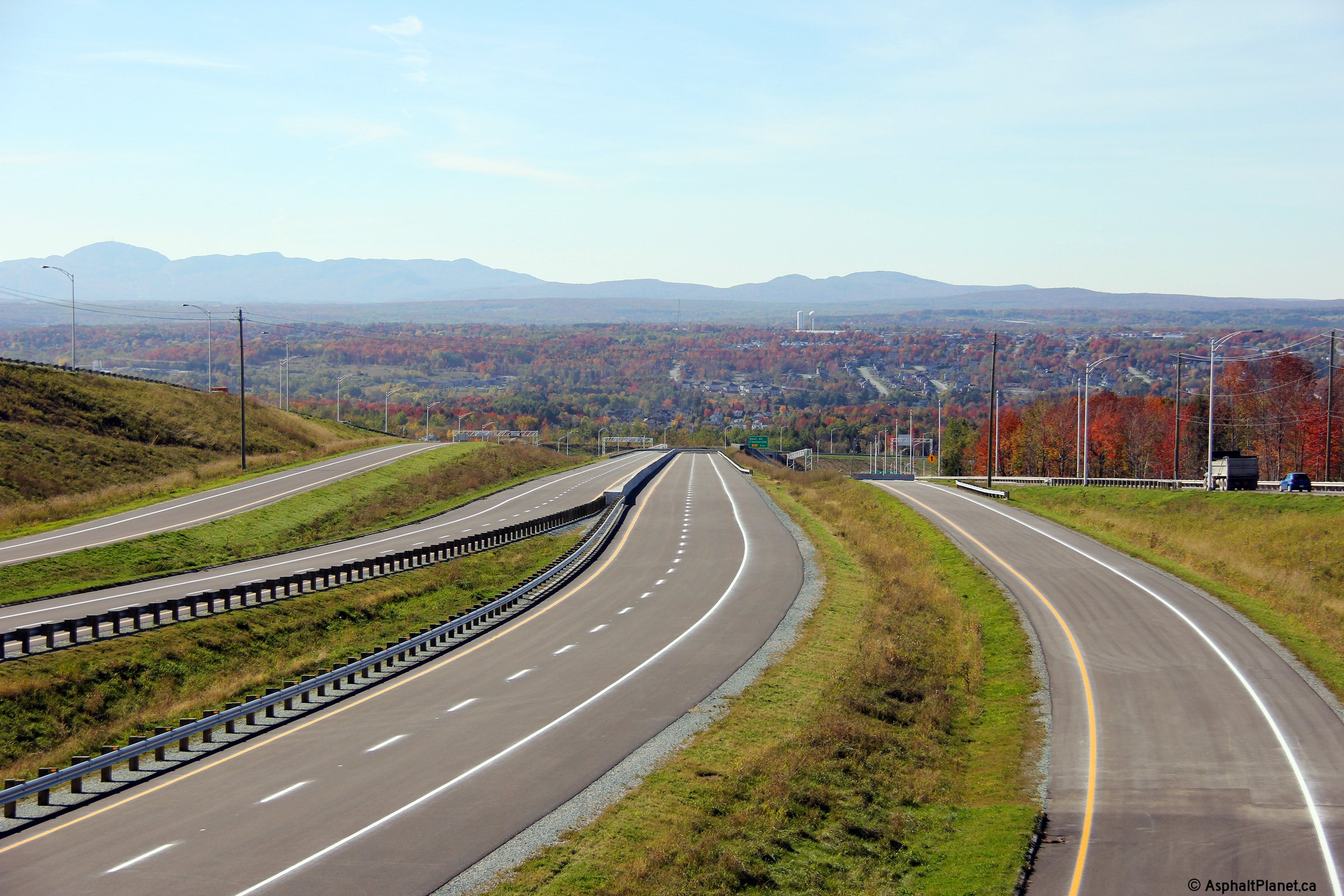
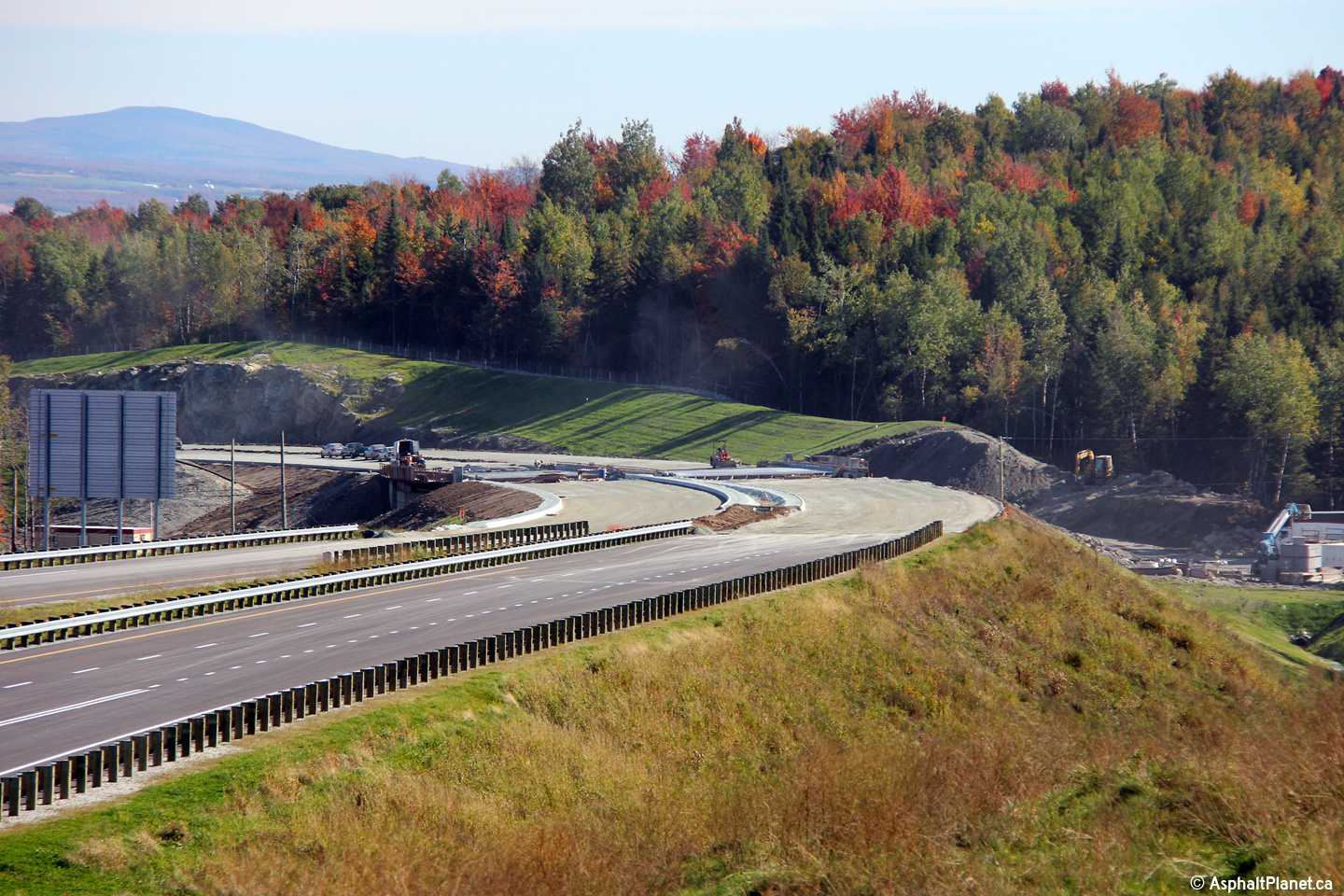
Sherbrooke |
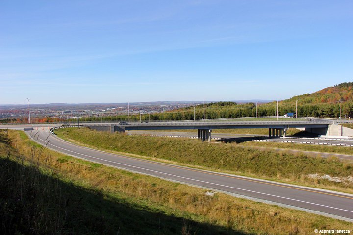
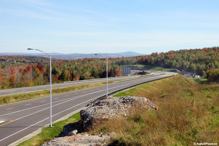
Two views looking easterly at the then uncompleted highway from a high rock outcrop east of Rue Dunant. When this photo was taken, the completed portion of highway ended rather abruptly at this point, with heavy construction ongoing to complete the highway as far as Rue Belvédère before the end of the 2014 construction season. |
 |
||
| High-res: (1440x960) (2400x1600) | ||||
 |
||||
|
Date: 10/03/2014 |
High-res: (1440x960) (2400x1600) | |||
<- A-73
PQ Highways
A-440 (Laval) ->
Asphaltplanet.ca
© 2010-14 AsphaltPlanet.ca.
AsphaltPlanet@asphaltplanet.ca
Page Created: November 21, 2014.
Last Updated: November 21, 2014.