|
Proper Municipality Name |
Photo Description |
Photo |
|
Pictures taken
from driver's perspective appear offset from centre-line pictures: |
East-
Bound |
West-
Bound |
Township of Carling
District of Parry Sound |
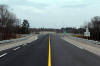
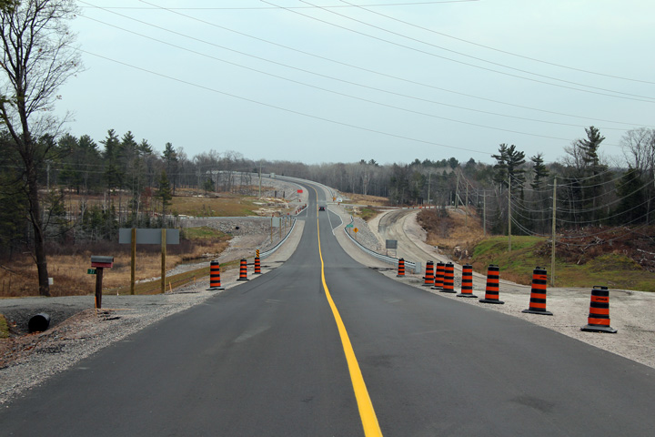
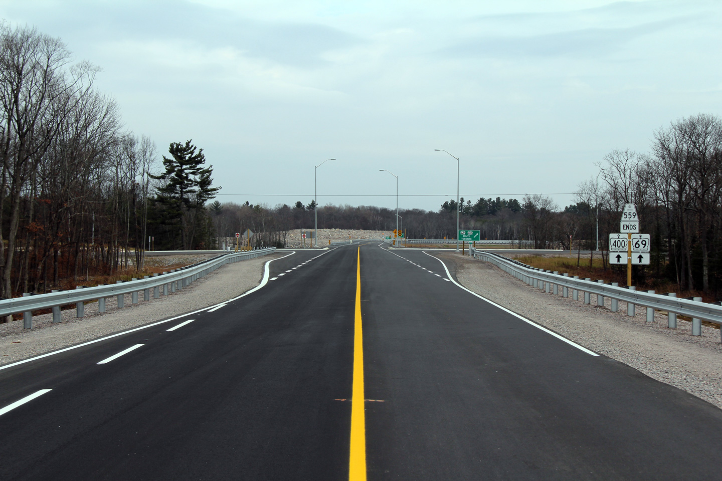
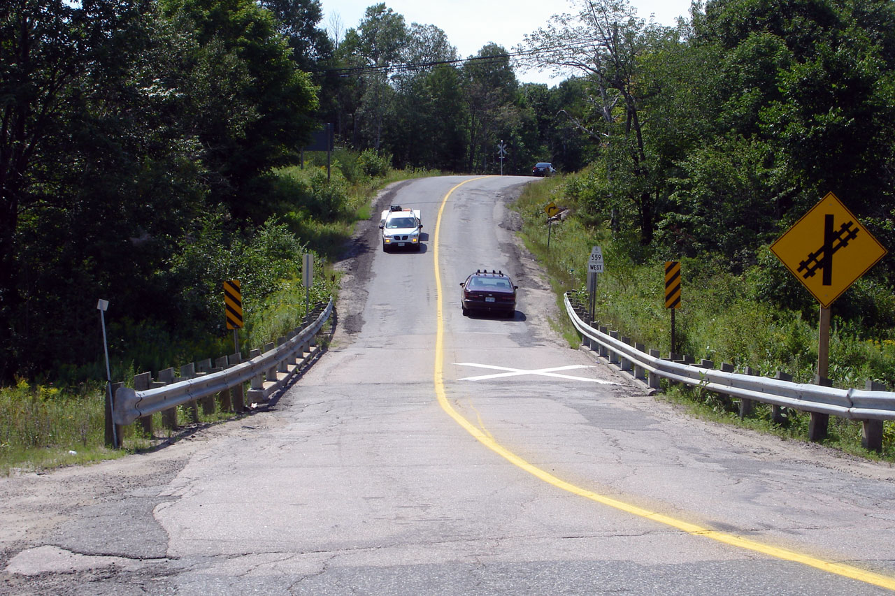
This view looks easterly along Highway 559 from the Carling Bay Road
intersection. Highway 559 was realigned in 2010 from the Carling Bay
Road intersection easterly to a new interchange with Highway 69/400.
This realignment took place as part of the completion of the Nobel By-pass
(Highway 69/400). The old alignment of Highway 559 can be seen veering
to the right in the photo to the right. Two photos of the former
alignment of Highway 559 appear at the bottom of this gallery. The new
Highway 559 is much improved over the former alignment.
Photo taken: November 13th, 2010. |

(720x480)
(1440x960)
(2400x1600) |
Township of Carling
District of Parry Sound |
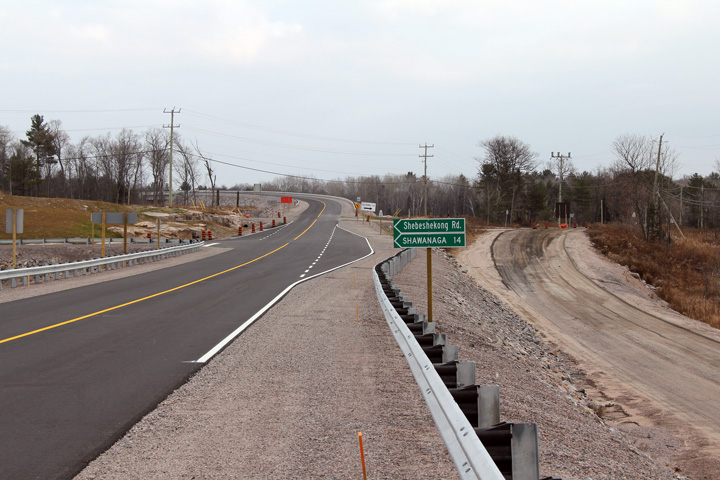
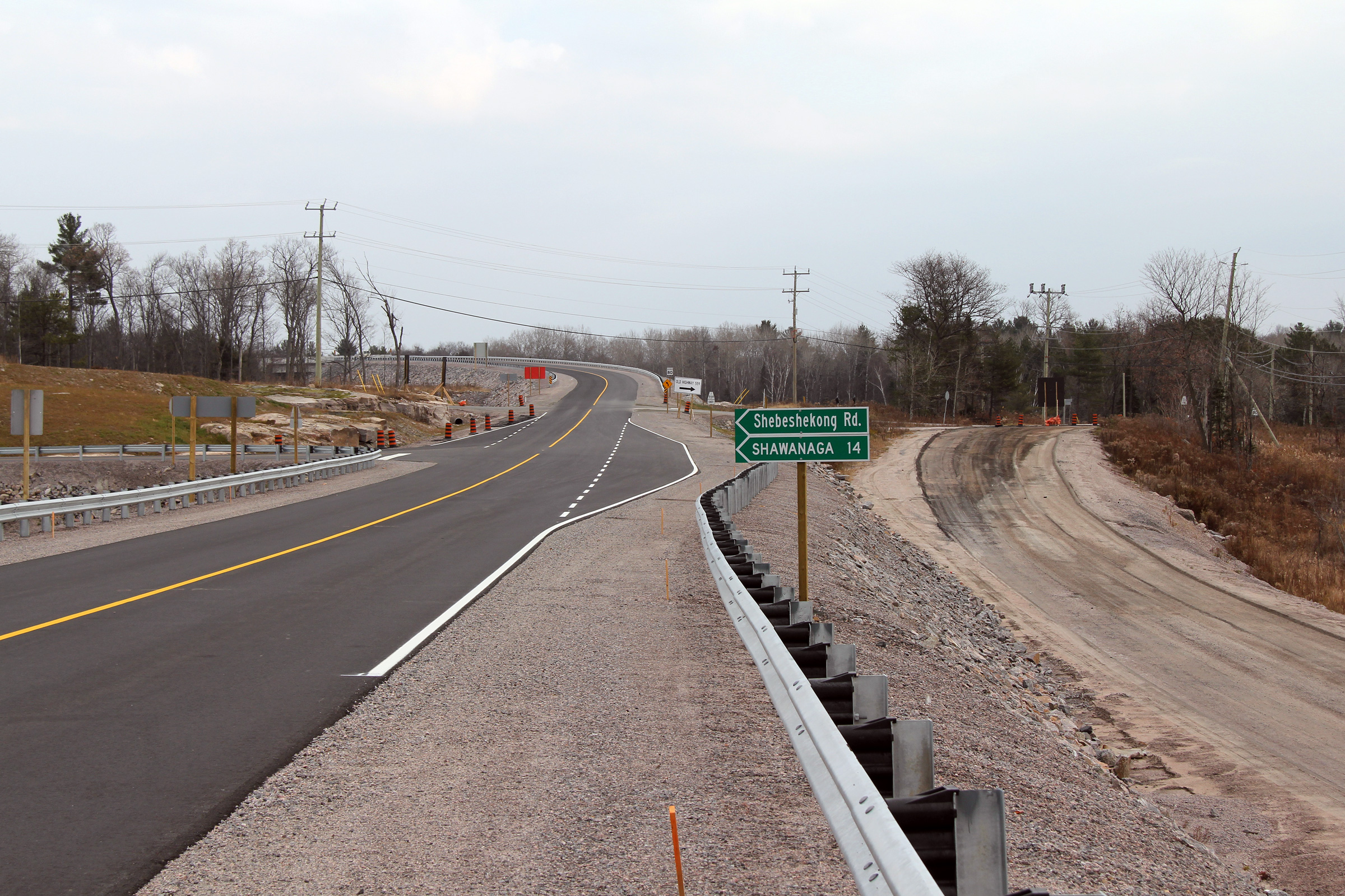
Easterly view as Highway 559 approaches the Shebeshekong Road intersection.
The Shebeshekong Road is a former alignment of Highway 69, and is still
maintained by the MTO. The Shebeshekong Road is designated as
Highway 7182.
Photo taken: November 13th, 2010. |
(720x480)
(1440x960)
(2400x1600) |
Township of Carling
District of Parry Sound |
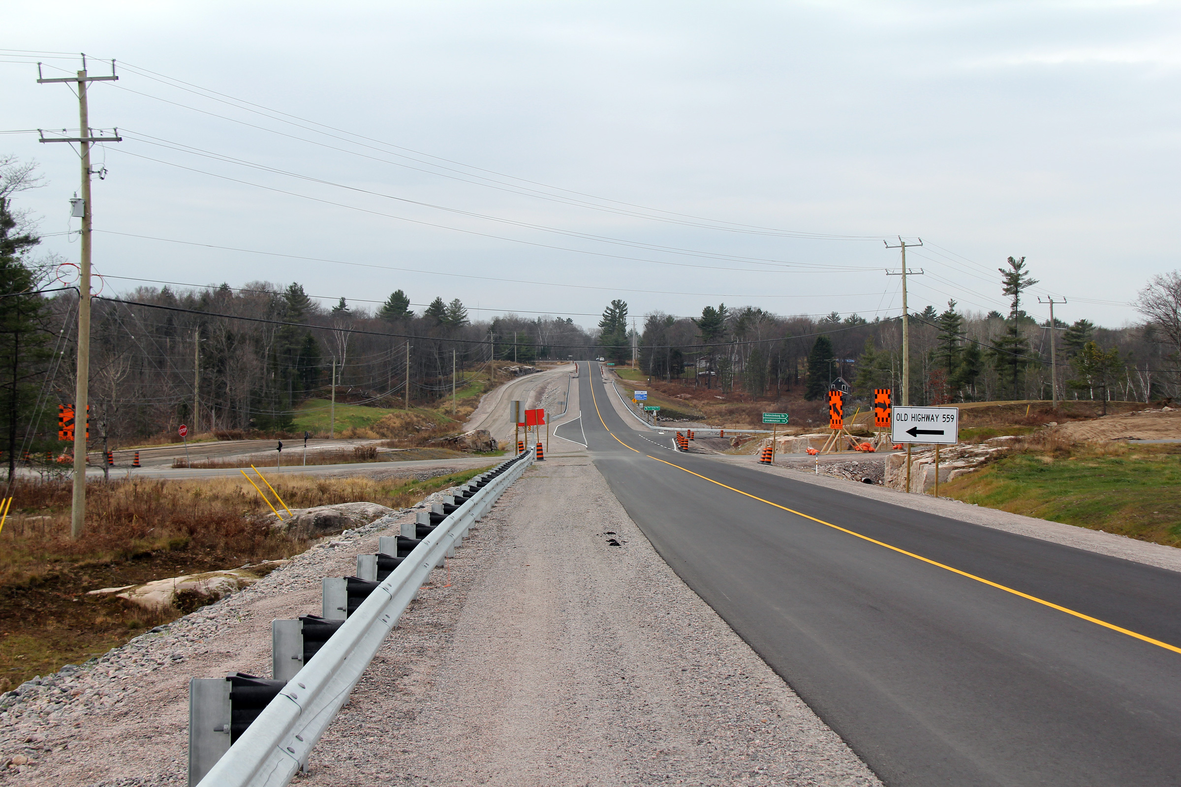
View looking westerly along Highway 559 from the CP Railway overpass towards
the Shebeshekong Road intersection. Obviously, construction activity
had not totally wrapped up when this photo was taken. Observe the
temporary alignment of the Shebeshekong Road that linked the 7000-series
highway to the former alignment of Highway 559. Surprisingly, the
temporary alignment of the Shebeshekong Road involved the construction of a
new rock cut.
Photo taken: November 13th, 2010. |

(720x480)
(1440x960)
(2400x1600) |
Township of Carling
District of Parry Sound |
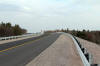
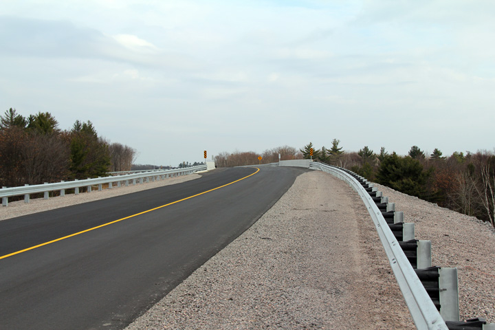
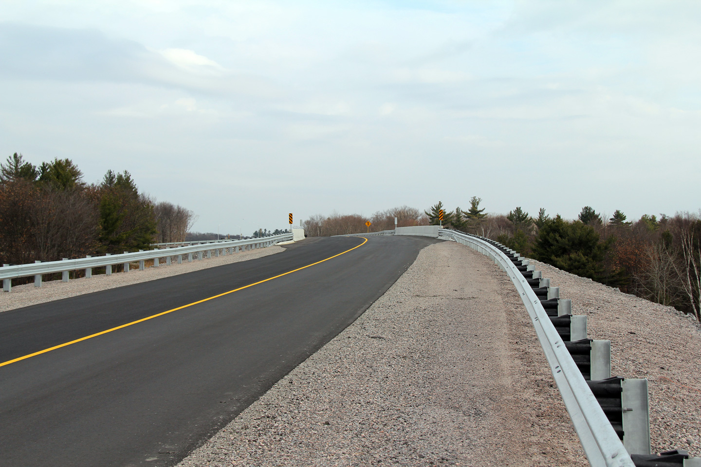
Easterly view as Highway 559 crosses the Canadian Pacific Railway on a brand
new railway overpass. Prior to the completion of the Highway 400
extension, Highway 559 crossed the busy CP Railway at a very low standard
level crossing. This CP Rail line is part of CP's MacTier Subdivision.
The MacTier Subdivision is CP's mainline between Toronto and Western Canada.
Photo taken: November 13th, 2010. |
(720x480)
(1440x960)
(2400x1600) |
Township of Carling
District of Parry Sound |
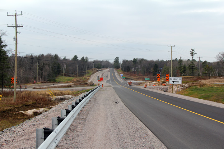
Easterly view from the CPR Overhead. The 'tee' intersection that is
shown jutting from Highway 559 to the right, is Nobel Road, which carries
traffic from Highway 559 along the old Highway 69 alignment through Nobel.
At the time this photo was taken, Nobel Road was closed to traffic for
construction.
Photo taken: November 13th, 2010. |
(720x480)
(1440x960)
(2400x1600) |
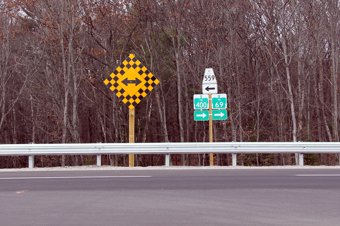
Township of Carling
District of Parry Sound |
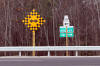
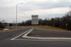
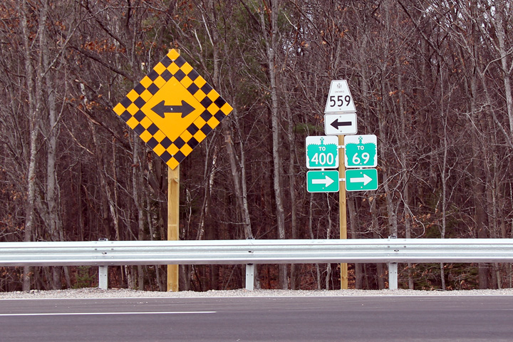
Junction assembly that greets travelers heading northbound Nobel Road at
Highway 559.
Photo taken: November 13th, 2010. |
(720x480)
(1440x960) |
Township of Carling
District of Parry Sound |
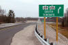
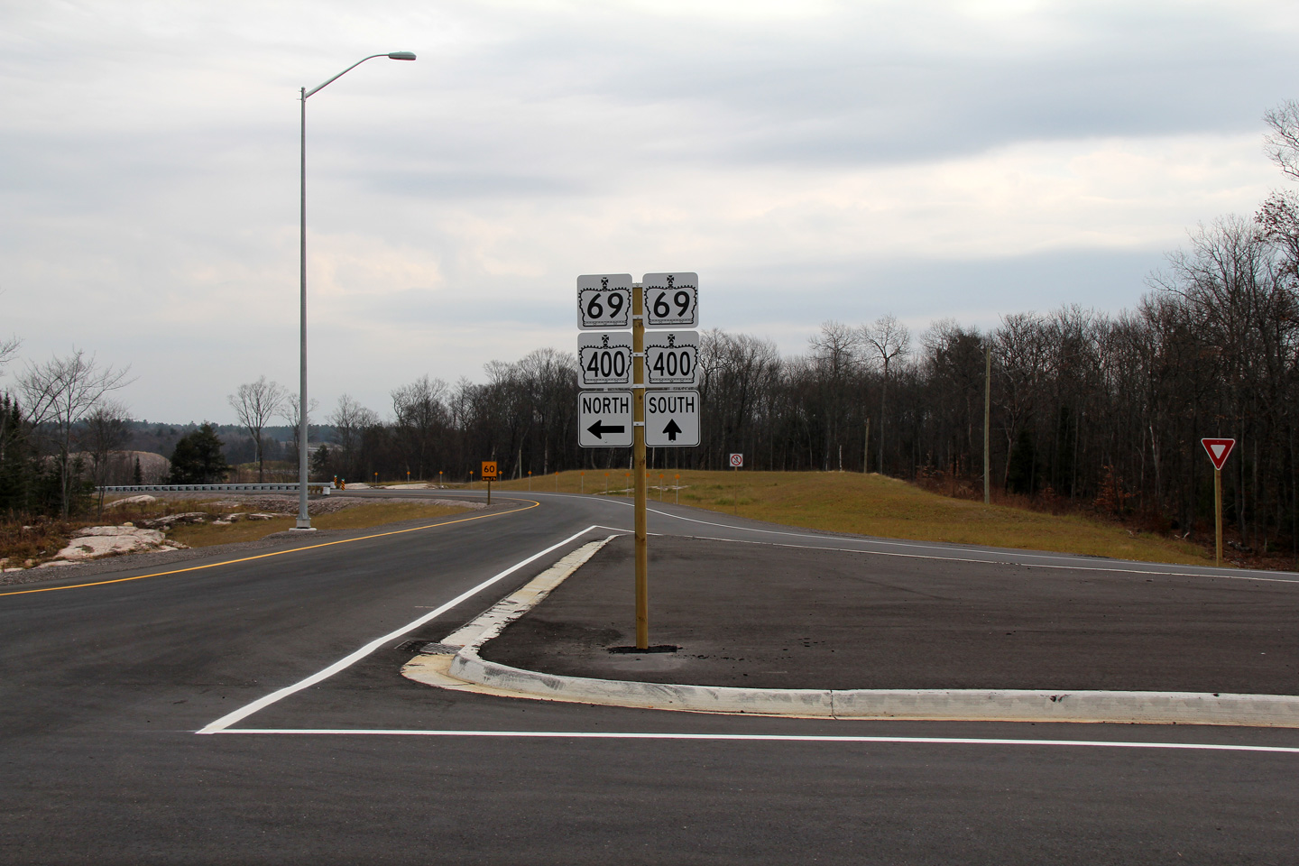
Eastbound signage for the ramp to Highway 69/400 South.
Photo taken: November 13th, 2010. |
 (720
x 540) (720
x 540)
(1440x960)
(2400x1600) |
Township of Carling
District of Parry Sound |
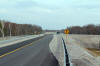
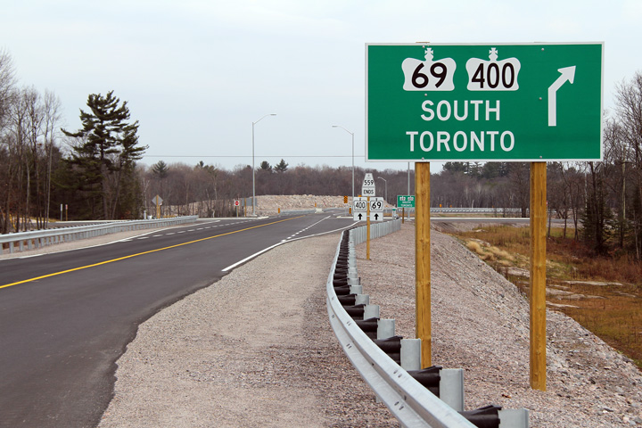
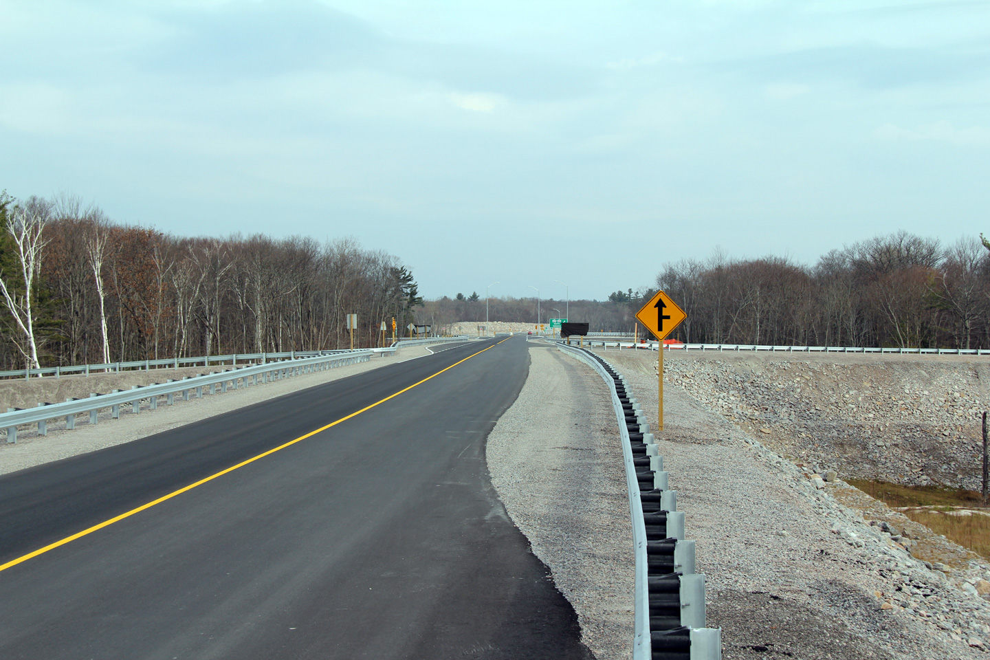
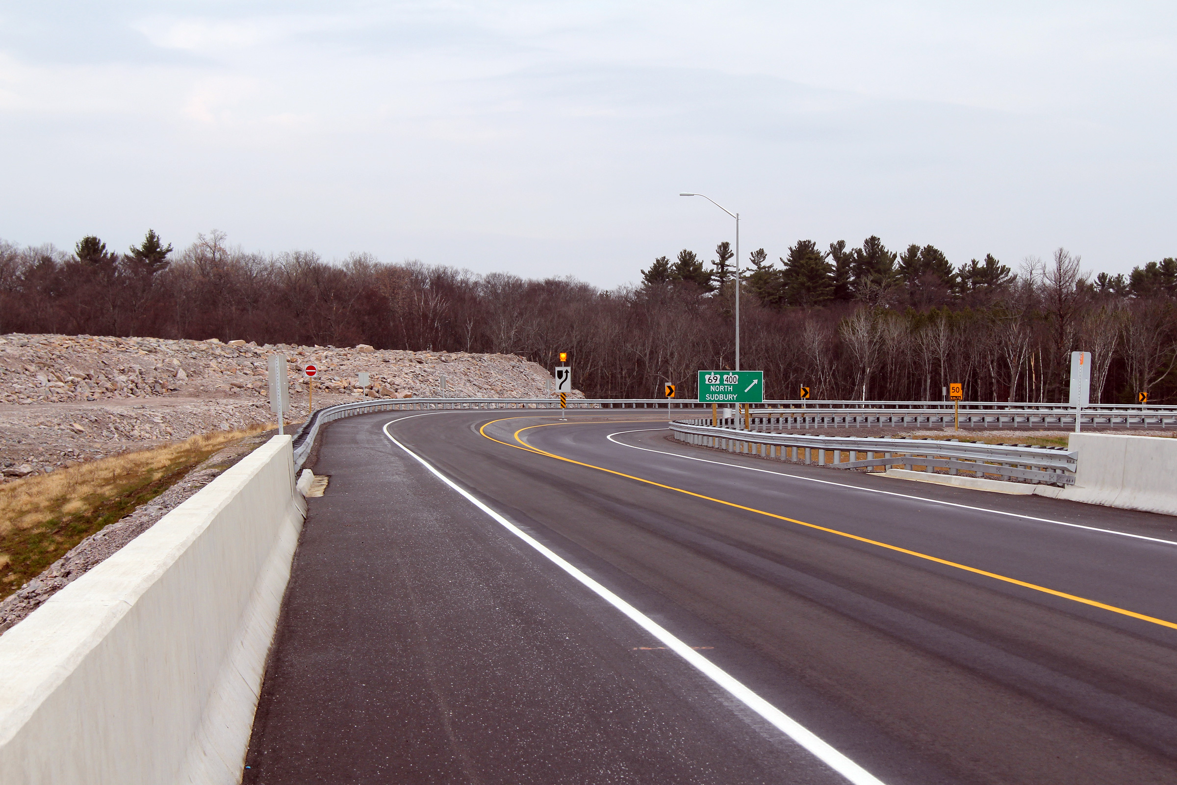
Eastbound view at the eastern end of Highway 559. Take notice of the
deviation of the centre-line of the highway just beyond the ramp terminals
from Highway 69/400 South. A deviation in the centre-line such as this
could lead drivers to believe that oncoming traffic will be heading directly
at them -- an illusion that would be significantly exaggerated at night.
I am not a highway engineer, however I cannot understand the benefits of
such a horizontal alignment design; particularly given the lack of
constraints surrounding the Highway 69/400 interchange.
Photo taken: November 13th, 2010. |
(720x480)
(1440x960)
(2400x1600) |
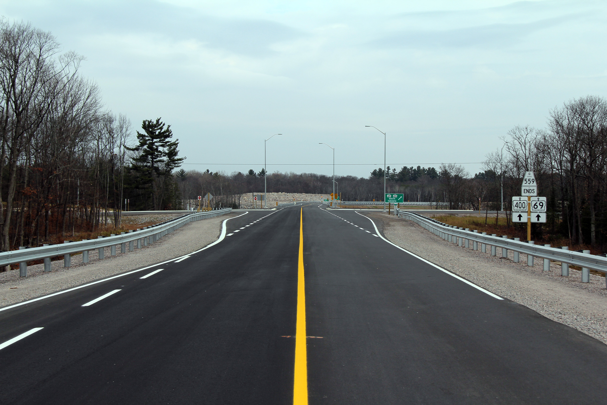
Township of Carling
District of Parry Sound |
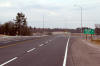
Another view looking easterly along Highway 559 as it nears the Highway
69/400 interchange.
Photo taken: November 13th, 2010. |
(720x480)
(1440x960)
(2400x1600) |
Township of Carling
District of Parry Sound |
This junction assembly greets drivers exiting from Highway 400 Southbound
onto Highway 559. Highway 559 meets Highway 69/400 at what is more or
less a trumpet interchange. Ramps, however, have been constructed to
allow vehicles to turn around along Highway 69/400, such as is visible in
this photo.
Photo taken: November 13th, 2010. |
(720x480)
(1440x960) |
Township of Carling
District of Parry Sound |
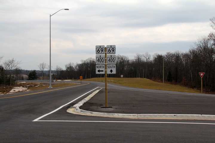
View looking easterly from the Highway 69/400 overpass towards the ramp to
Highway 69/400 north. The installation of the green directional signage
interesting and unique. Such signage can only serve as a reassurance
marker -- At this stage of the ramp, eastbound traffic has little choice but
to be bound for Highway 69/400 North.
Photo taken: November 13th, 2010. |

(720x480)
(1440x960)
(2400x1600) |
|
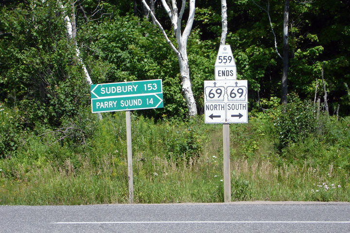
Highway 559 ends at Highway 69
north of Parry Sound.
Click here for Highway 69 images |

 (720
x 540)
(720
x 540)

