|
Proper Municipality Name |
Photo Description |
Photo |
|
Pictures taken
from driver's perspective appear offset from centre-line pictures: |
East-
Bound |
West-
Bound |
District of Parry Sound
(Geographical Township of Patterson) |
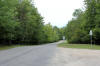
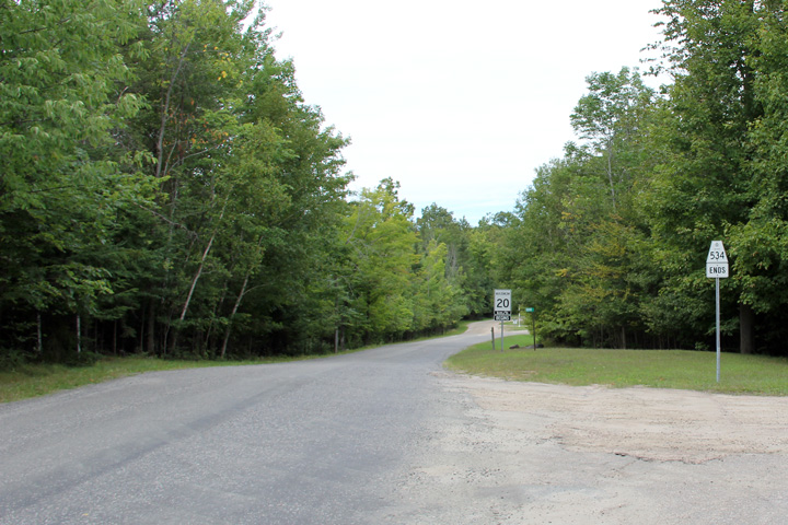
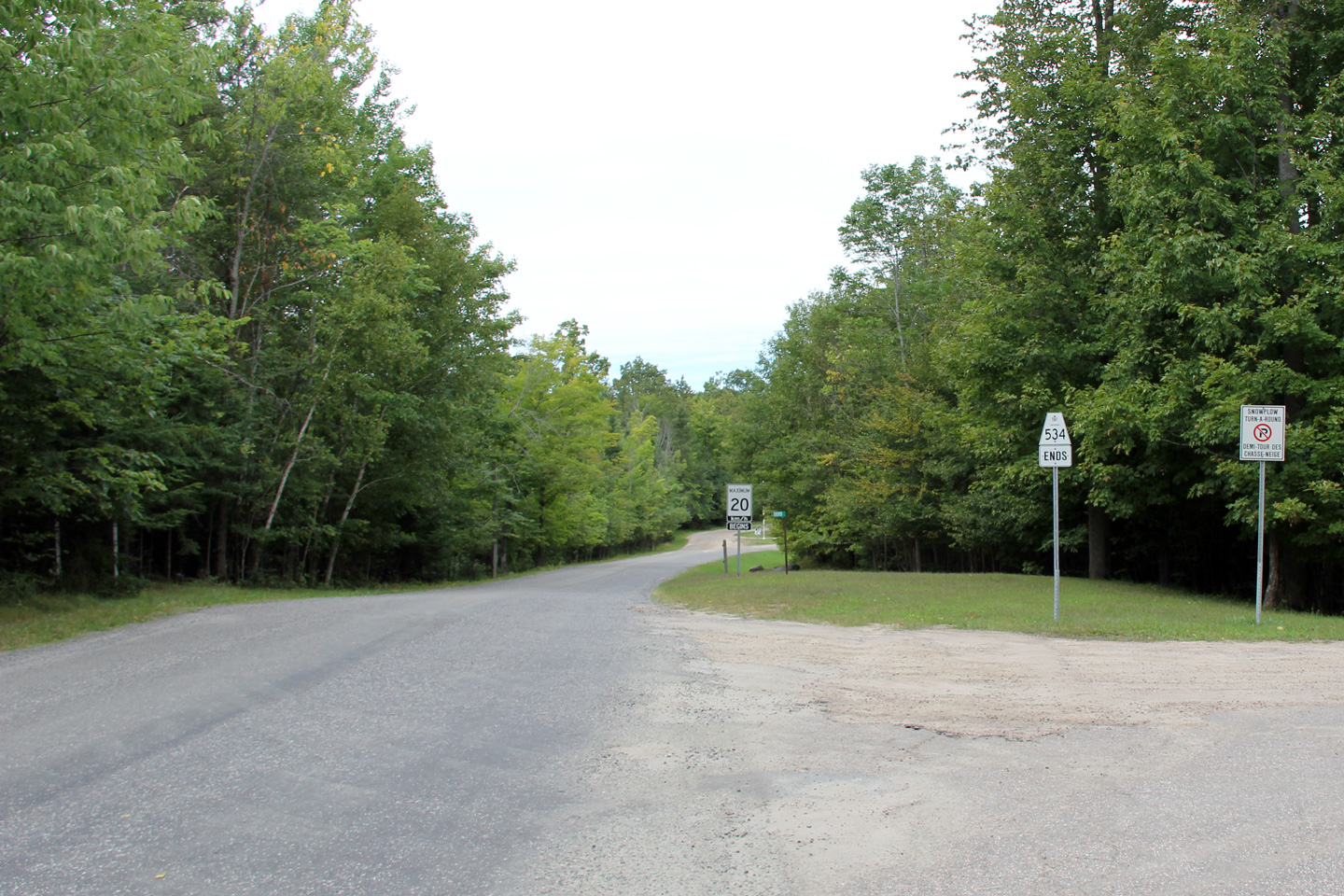
Signage at the southern terminus of Highway 537.
Photo taken: July 10th, 2012. |
(720x480)
(1440x960) |
District of Parry Sound
(Geographical Township of Patterson) |
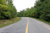
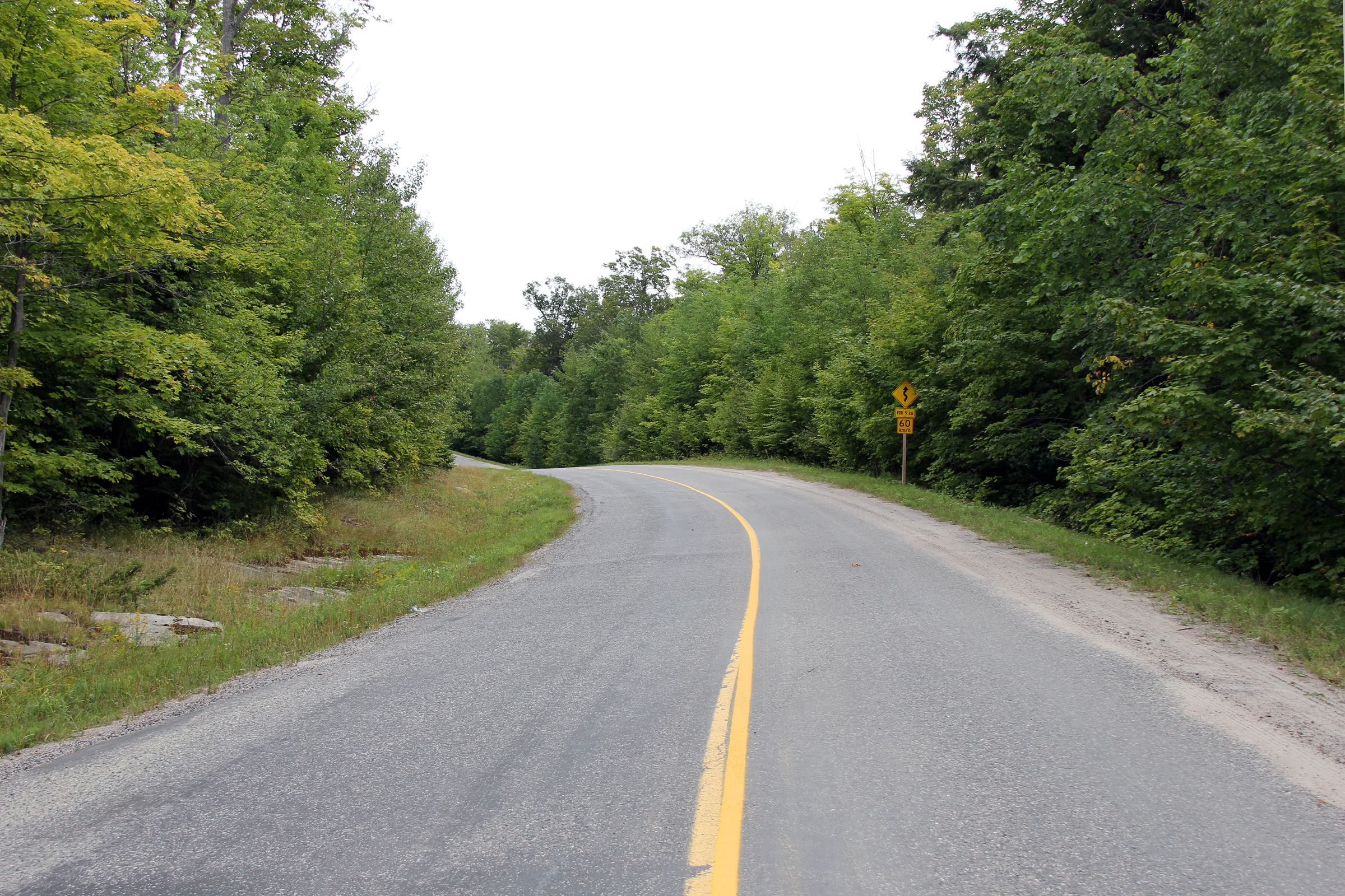
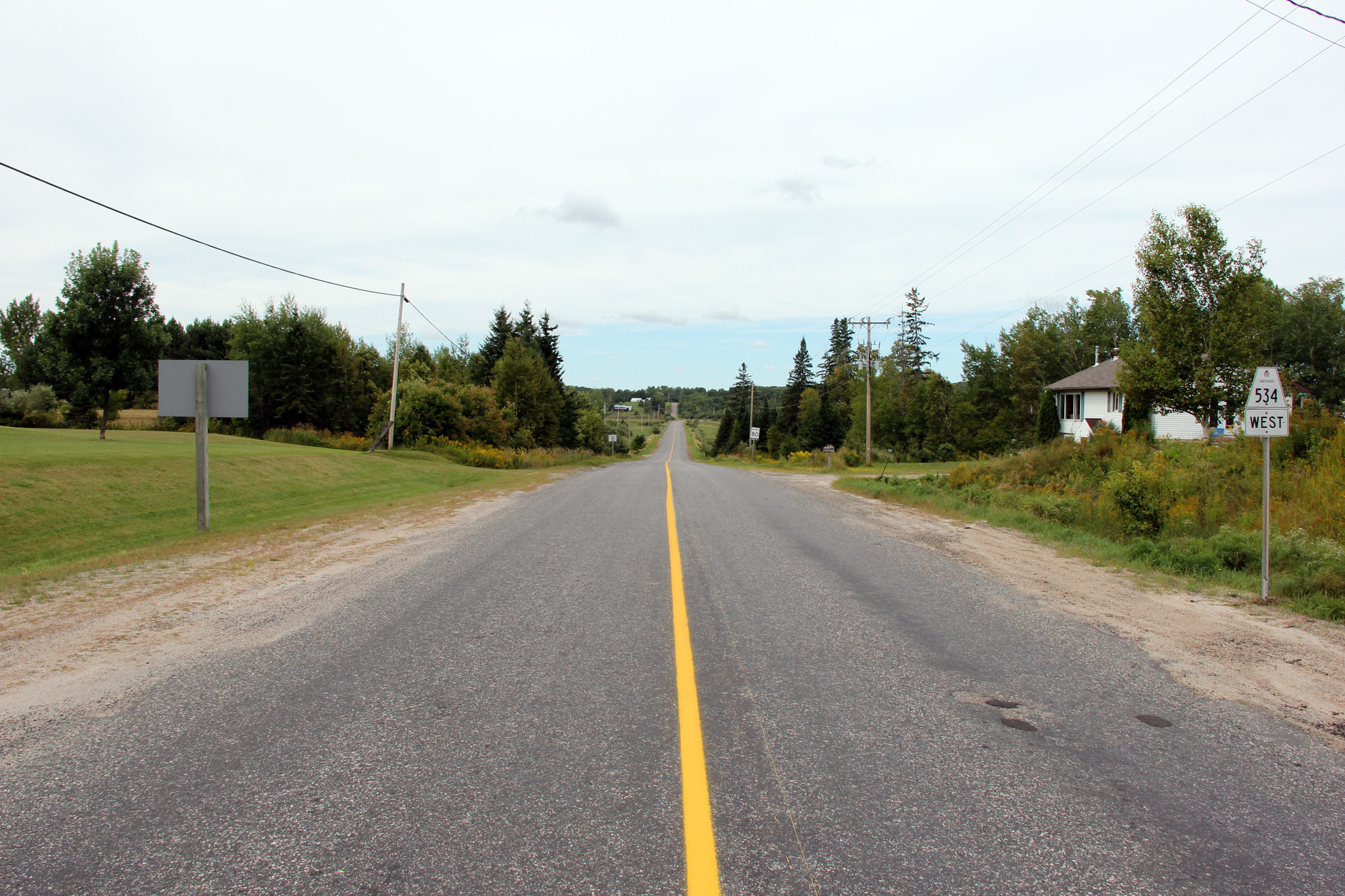
Easterly view at the start of Highway 534 from just east of Restoule
Provincial Park.
Photo taken: August 28th, 2011. |
(720x480)
(1440x960)
(2400x1600) |
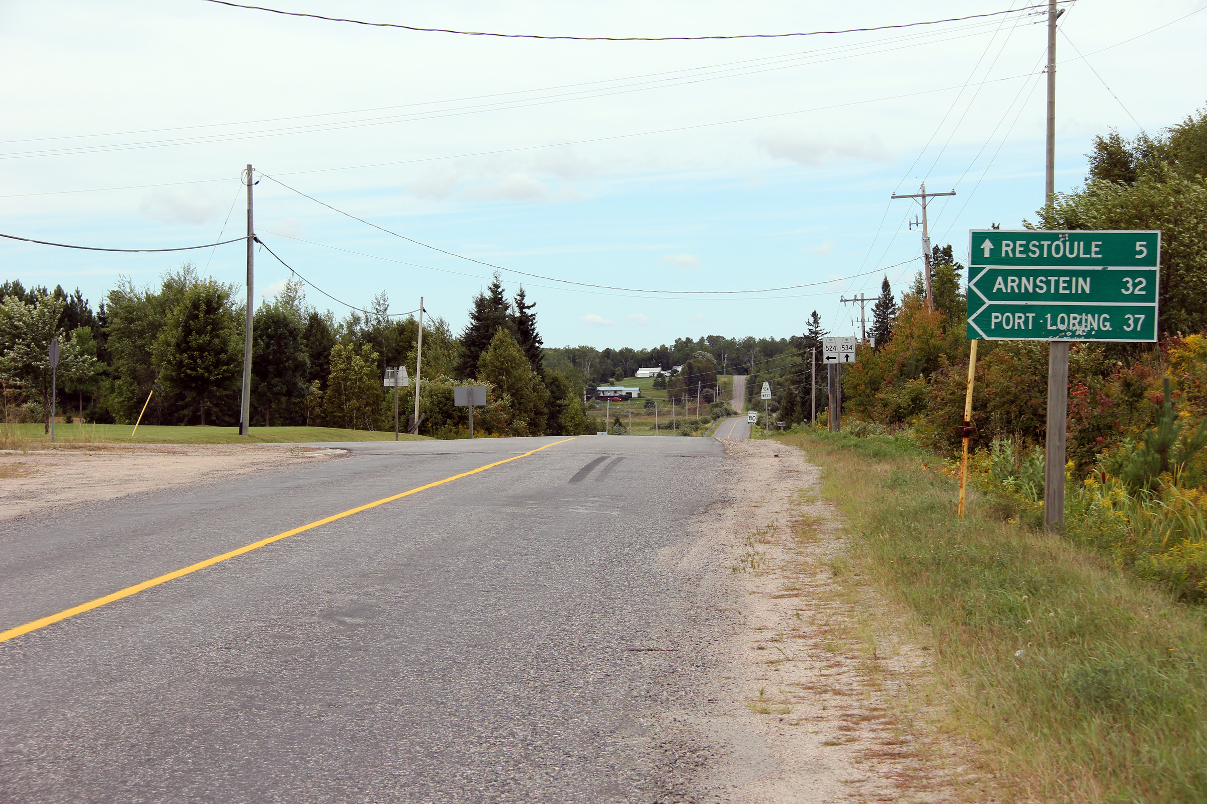
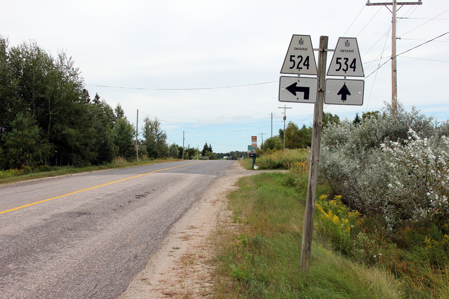
District of Parry Sound
(Geographical Township of Pringle) |
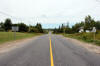
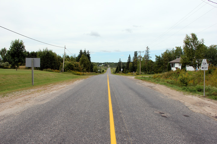
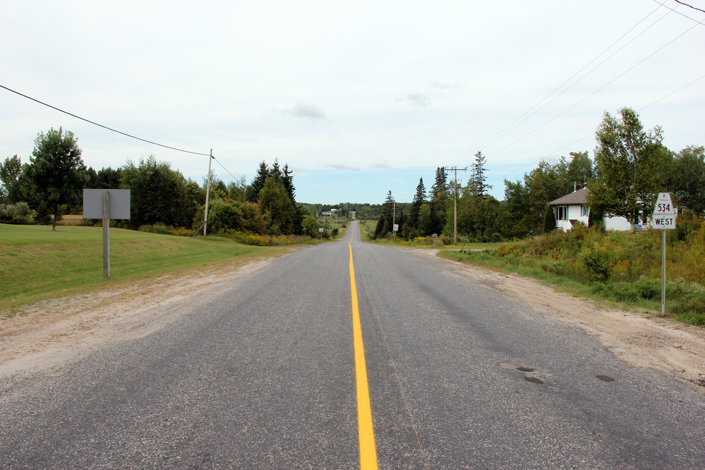
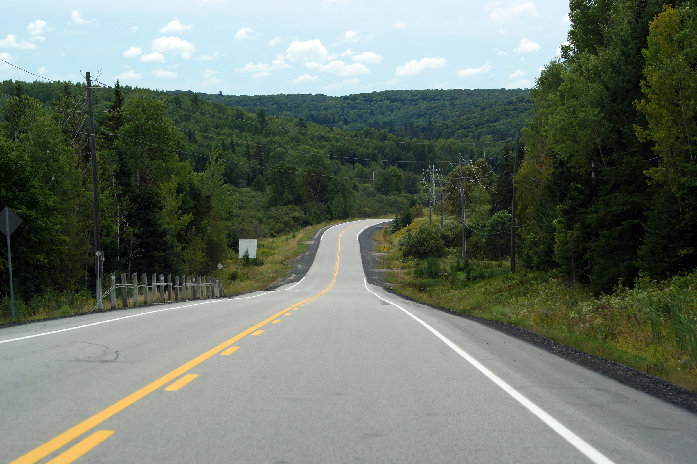
This view looks westerly towards Restoule from just west of the Highway 524
intersection.
Photo taken: July 10th, 2012. |
(720x480)
(1440x960)
(2400x1600) |
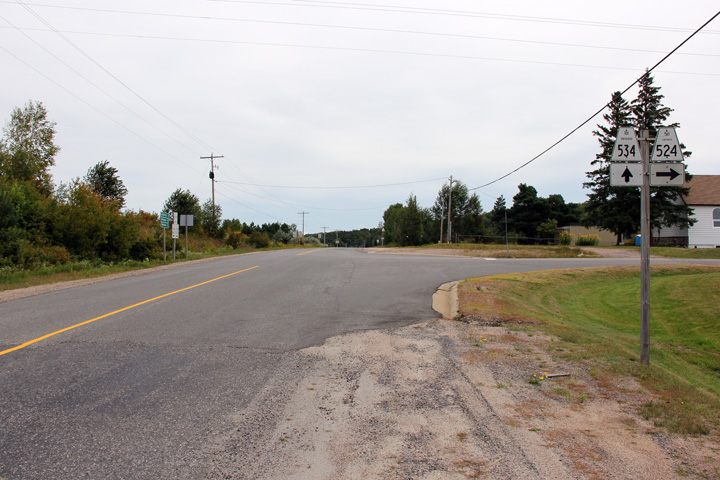
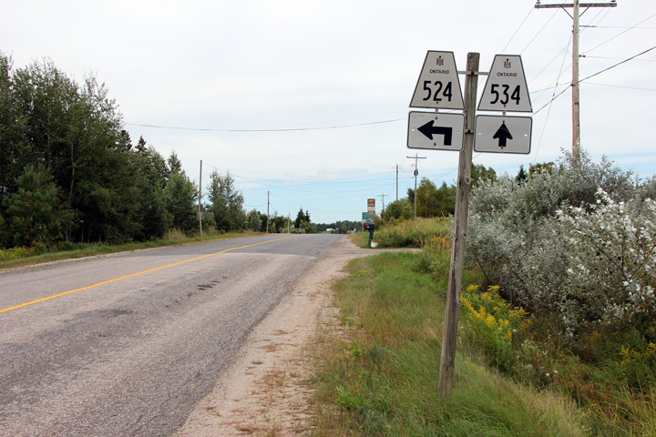
District of Parry Sound
(Geographical Township of Pringle) |
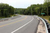
Easterly view at the Highway 524 intersection.
Photo taken: August 28th, 2012. |

(720x480)
(1440x960)
(2400x1600) |
|
Highway 524 carries traffic
between Highway 522 and Highway 534.
Click here for Highway 524
images. |
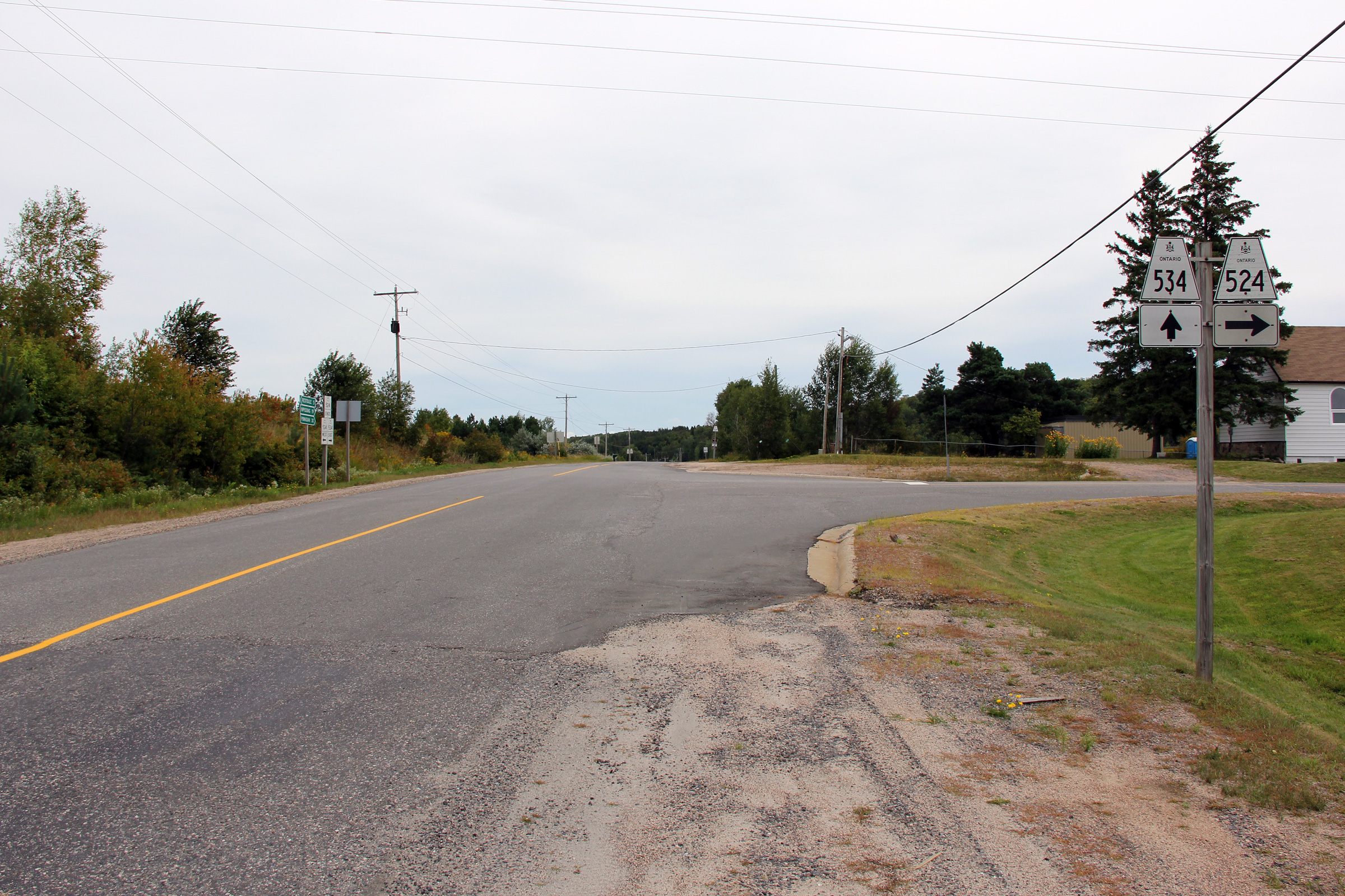
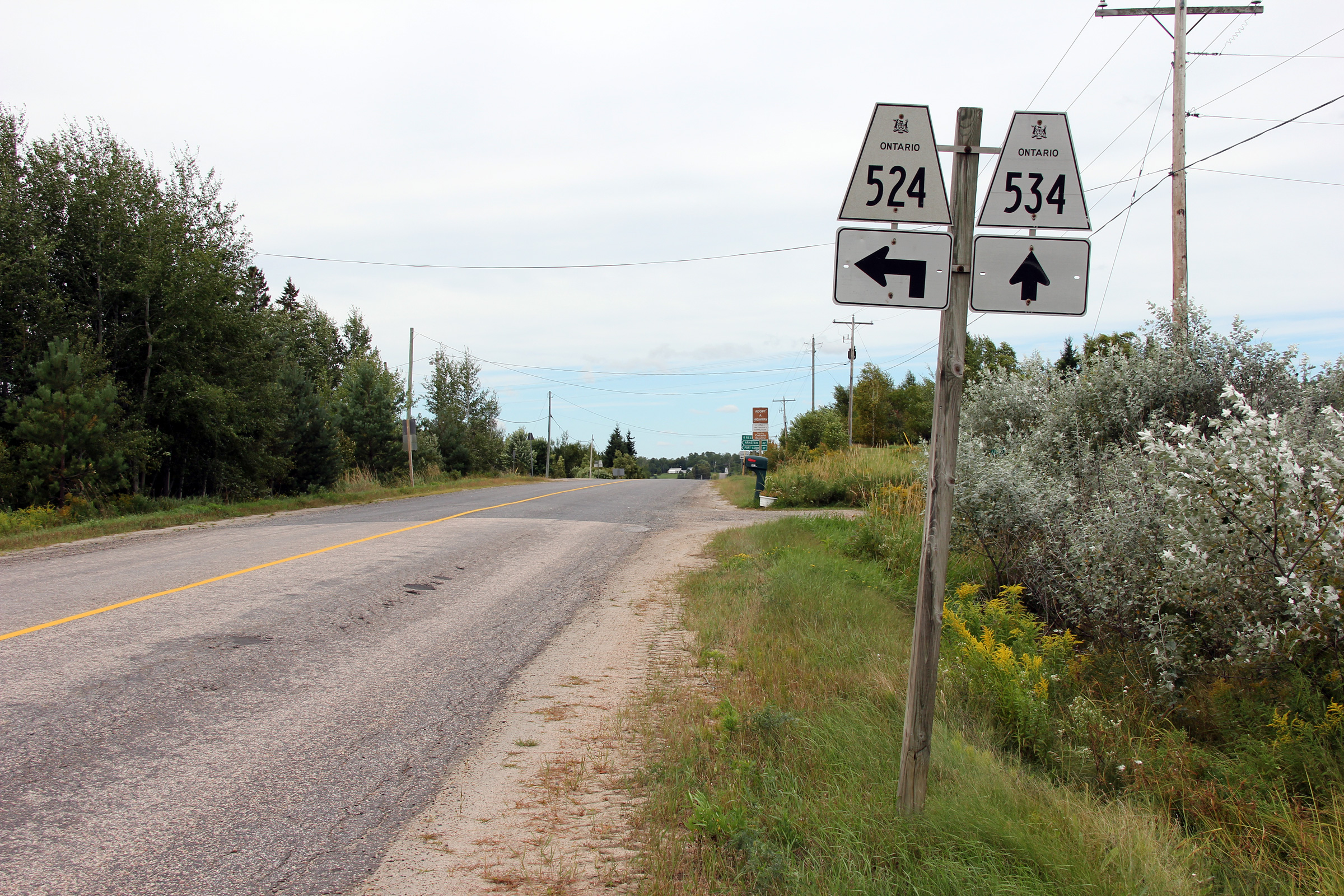
District of Parry Sound
(Geographical Township of Pringle) |
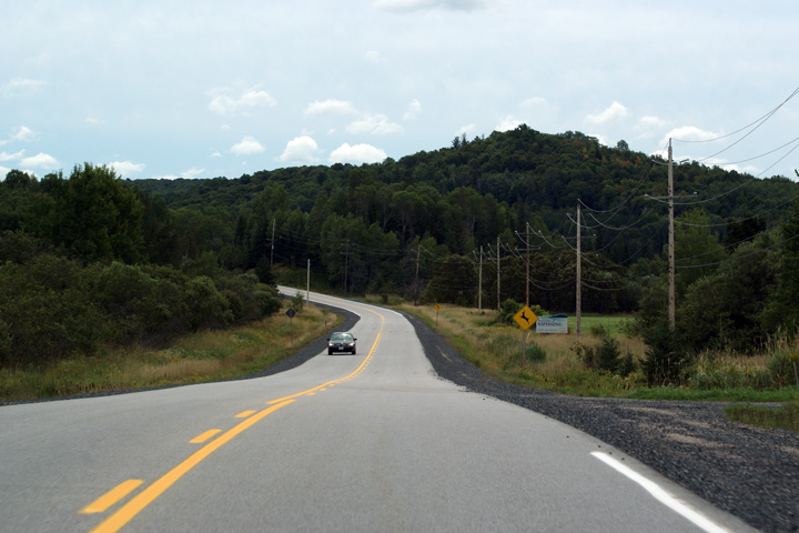
Westerly view at the Highway 524 intersection.
Photo taken: August 28th, 2011. |

(720x480)
(1440x960)
(2400x1600) |
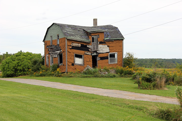
District of Parry Sound
(Geographical Township of Pringle) |
The old farmhouse at corner has seen better days.
Photo taken: August 28th, 2011. |

(720x480)
(1440x960) |
District of Parry Sound
(Geographical Township of Pringle) |
Advanced signage for the Highway 524 intersection.
Photo taken: August 28th, 2011. |

(720x480)
(1440x960)
(2400x1600) |
District of Parry Sound
(Geographical Township of Pringle) |
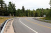
Easterly view along Highway 534 from east of the Highway 524 junction
Photo taken: August 28th, 2011. |

(720x480)
(1440x960)
(2400x1600) |
District of Parry Sound
(Geographical Township of Pringle) |
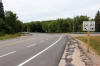
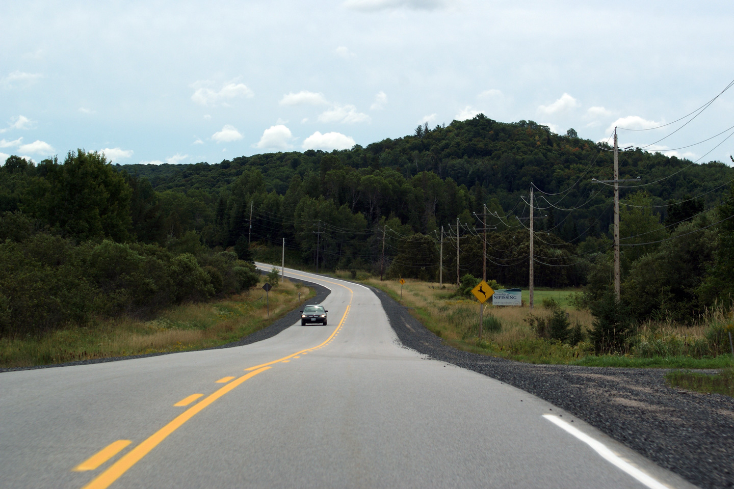
Another easterly view from east of Highway 524.
Photo taken: August 28th, 2011. |

(720x480)
(1440x960)
(2400x1600) |
Township of Nipissing
District of Parry Sound |
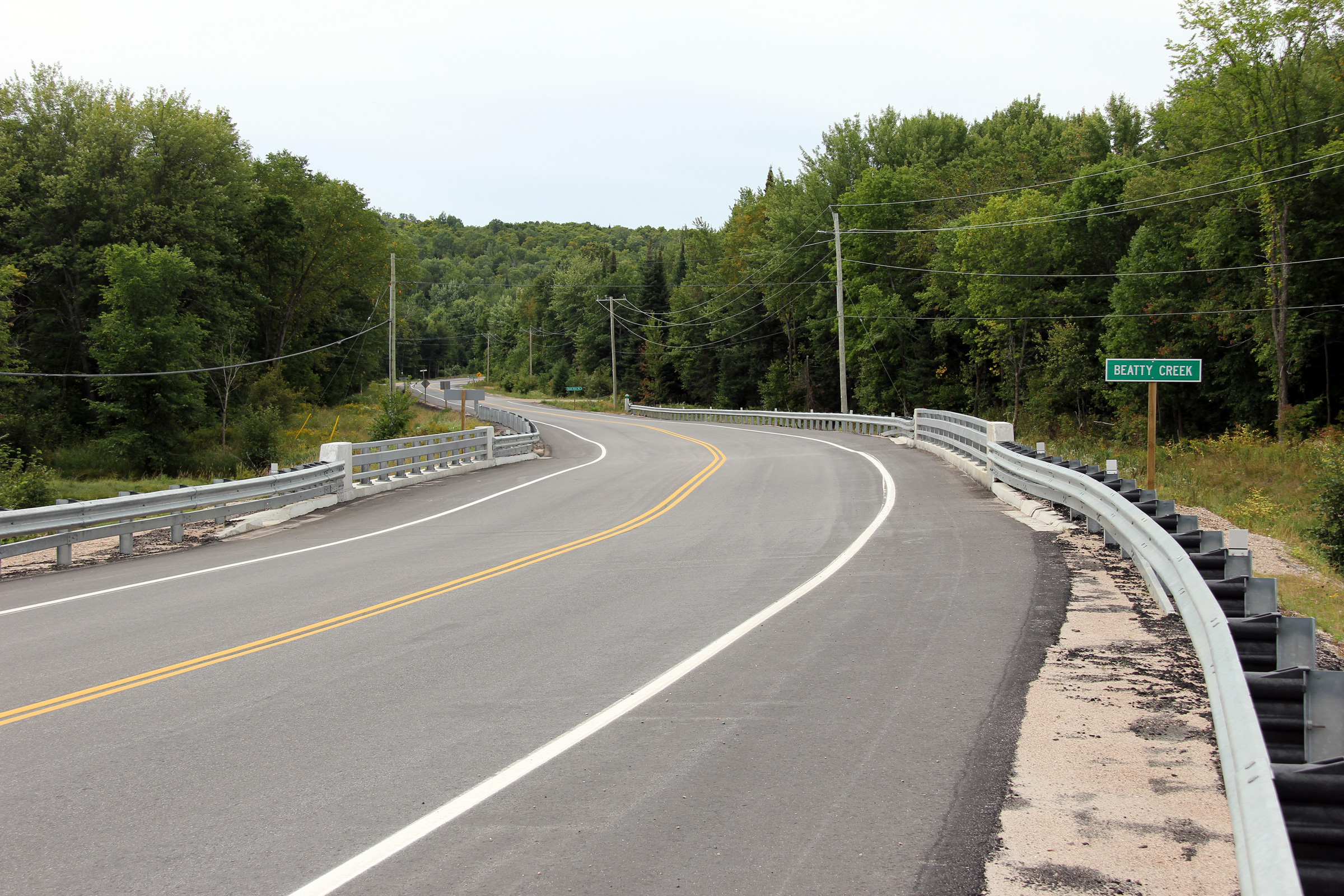
Highway 534 crosses overtop of Beatty Creek just west of the Highway 654
intersection.
Photo taken: August 28th, 2011. |
(720x480)
(1440x960)
(2400x1600) |
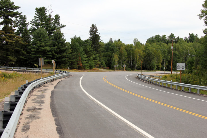
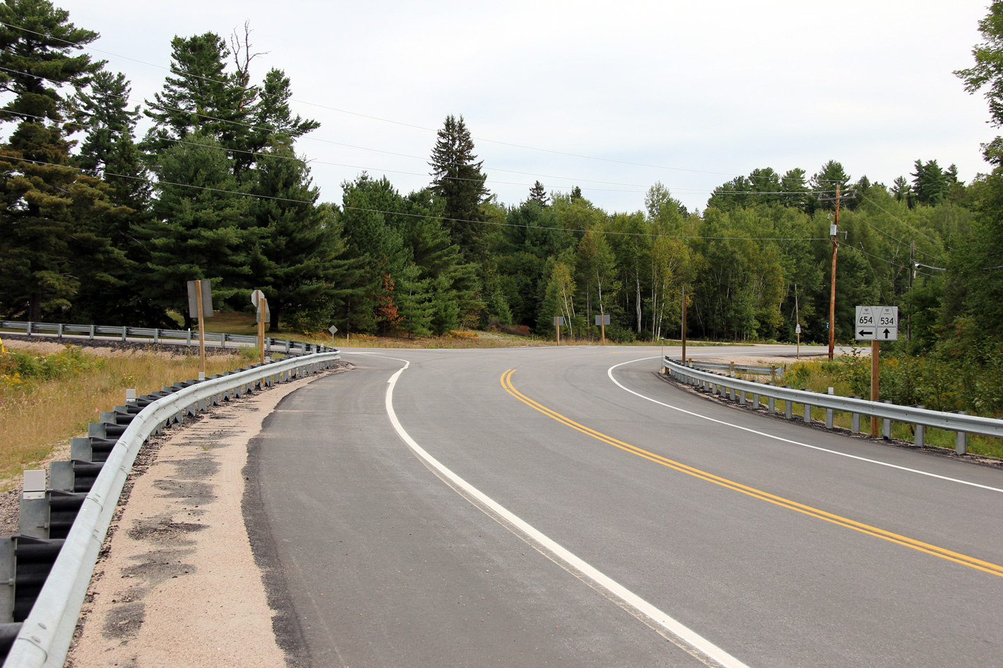
Township of Nipissing
District of Parry Sound |
Easterly view approaching the Highway 654 intersection from just east of the
Beatty Creek bridge.
Photo taken: August 28th, 2011. |
(720x480)
(1440x960)
(2400x1600) |
|
Highway 654 carries traffic
northeasterly towards Callander.
Click here for Highway 654
images. |
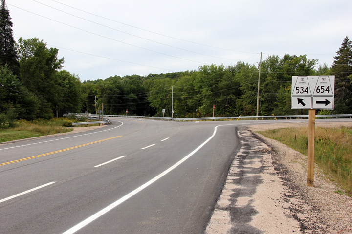
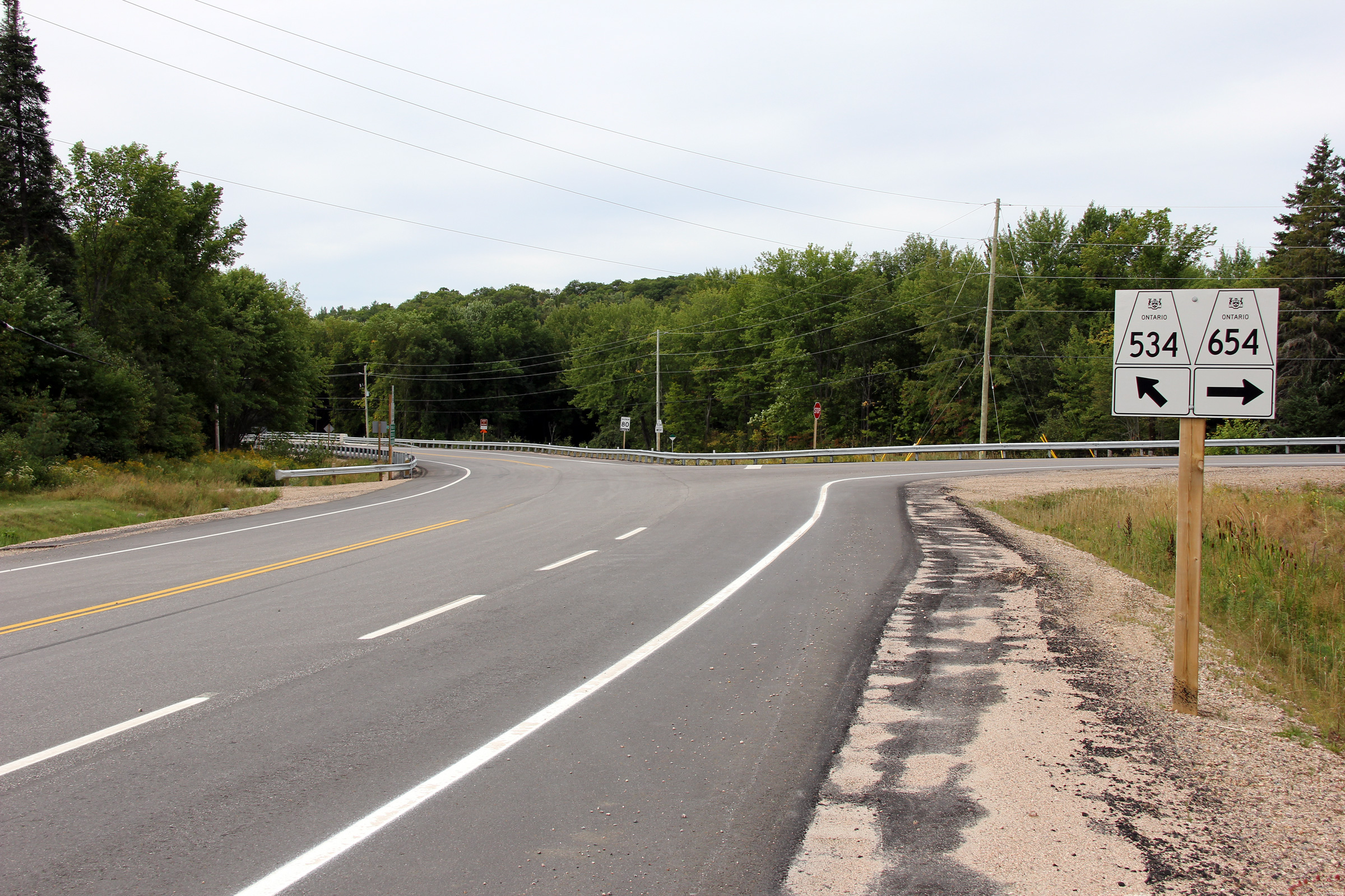
Township of Nipissing
District of Parry Sound |
View looking westerly at the Highway 654 intersection.
Photo taken: August 28th, 2011. |
(720x480)
(1440x960)
(2400x1600) |
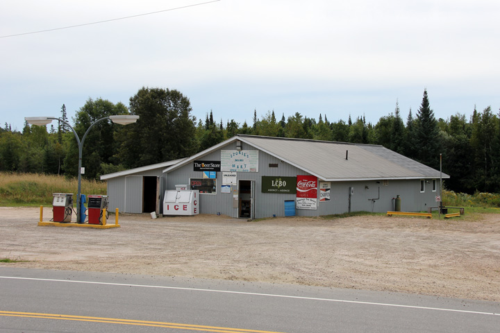
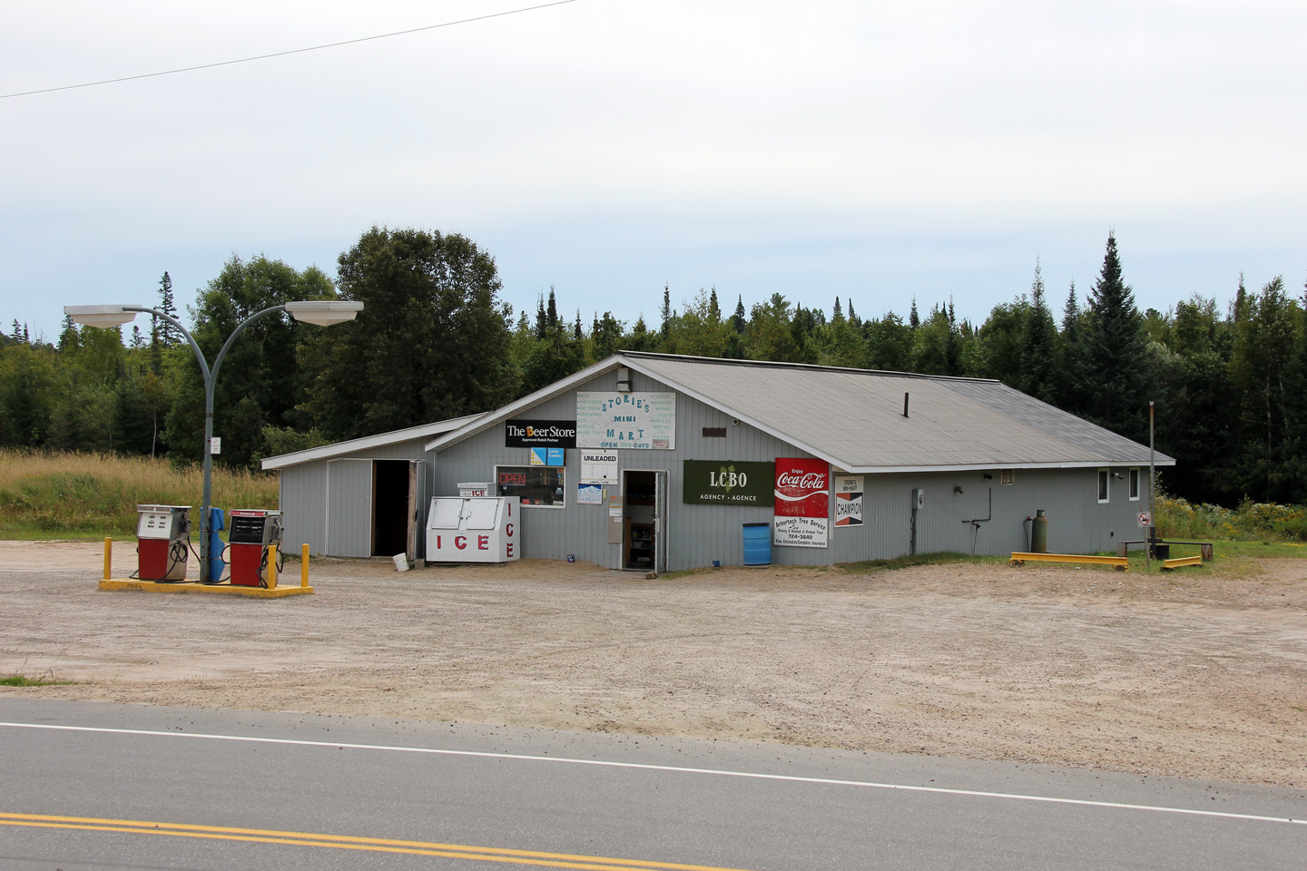
Township of Nipissing
District of Parry Sound |
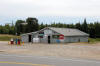
Outpost style general store just east of the Highway 534/654 junction.
Photo taken: August 28th, 2011. |
(720x480)
(1440x960) |
|
Highway 11 carries traffic
between Toronto and Rainy River.
Click
here for Highway 11 images. |


