AsphaltPlanet.ca > OntHighways >
Highway 417 >
Images
> Page 6B
King's Highway 417 - Images
<- Page 6A Page 6B - Casselman to Quebec Border PQ Route 40 ->
Photos shown in this table are arranged from West to East:
| Proper Municipality Name | Photo Description | Photo | |
|
Photos taken from driver's perspective appear offset from centre-line Photos: |
East- |
||
| Click here for Ottawa to Casselman Images. | |||
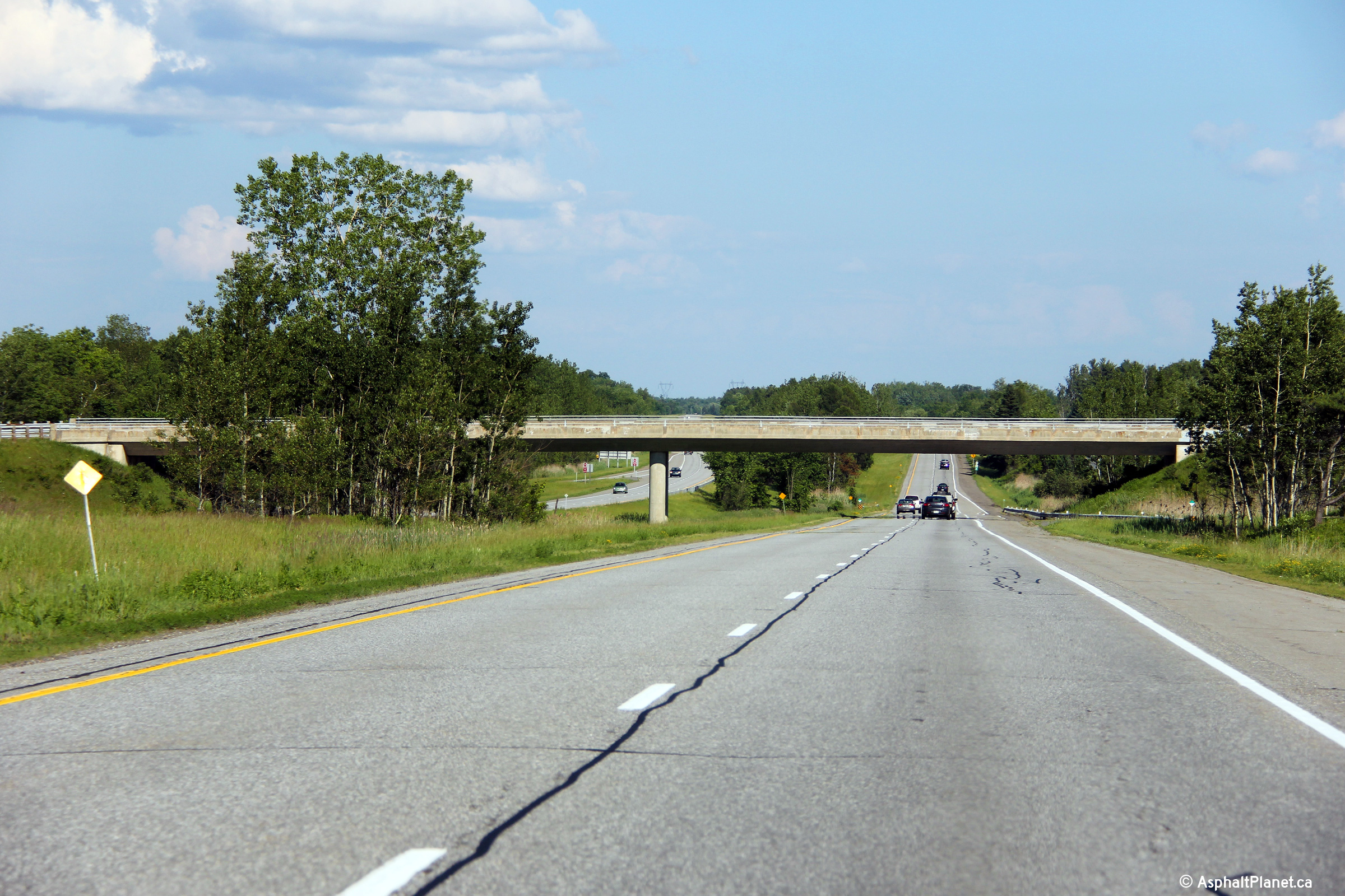
| Town of Casselman United Counties of Prescott and Russell |
Easterly from Principale Street it Casselman. Highway 417 climbs over the CN Railway overhead just east of Rue Principale.
Photo taken: May 24th, 2010. |
||
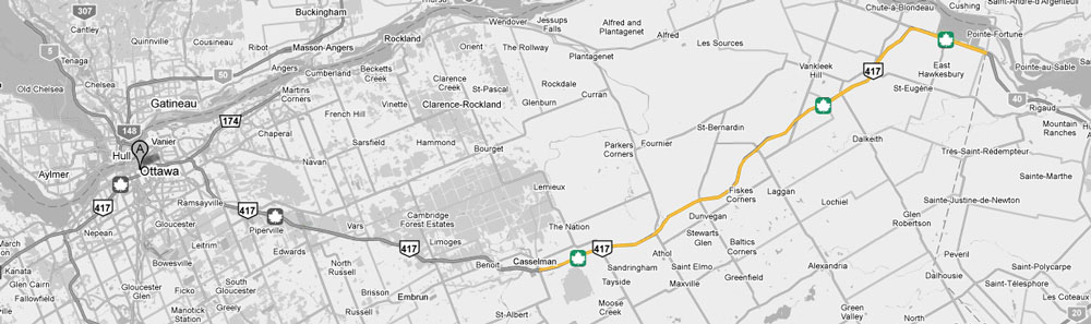
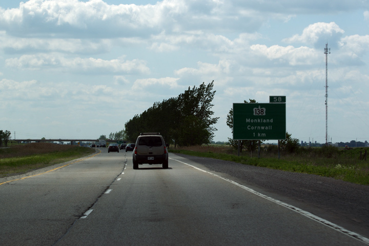
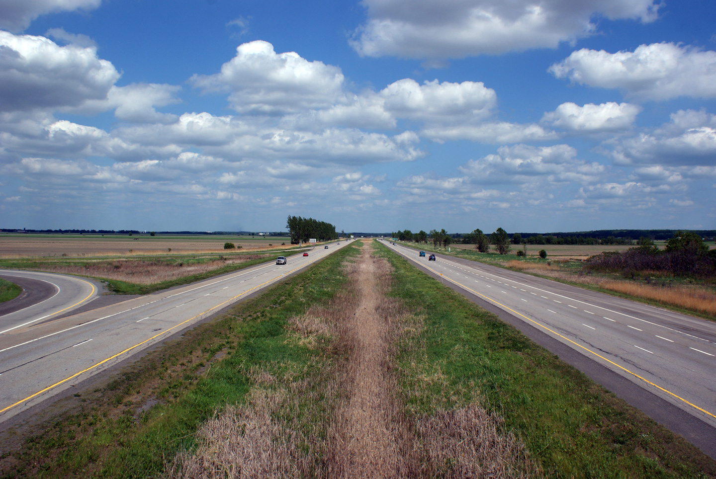
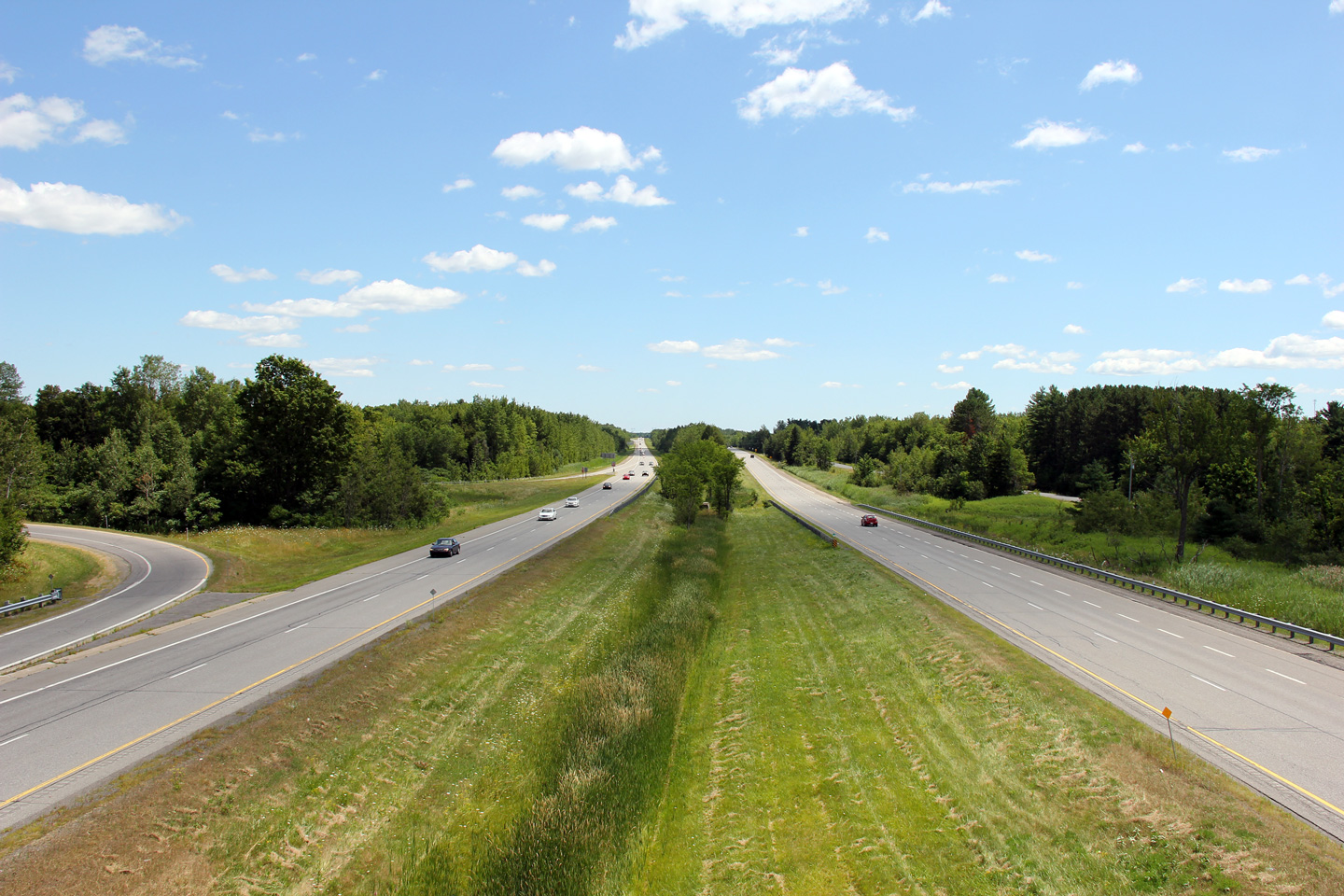
| Municipality of the Nation United Counties of Prescott and Russell |
Westerly view from Highway 138. As of writing this in 2010, Highway 417 is in pretty terrible condition for about 15km in the vicinity of the Highway 138 interchange.
Photo taken: May 24th, 2010. |
||
| Highway 138 leads south from Highway 417, heading for Cornwall via Monkland. Click here for Highway 138 images. | |||
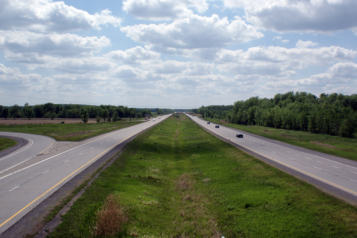
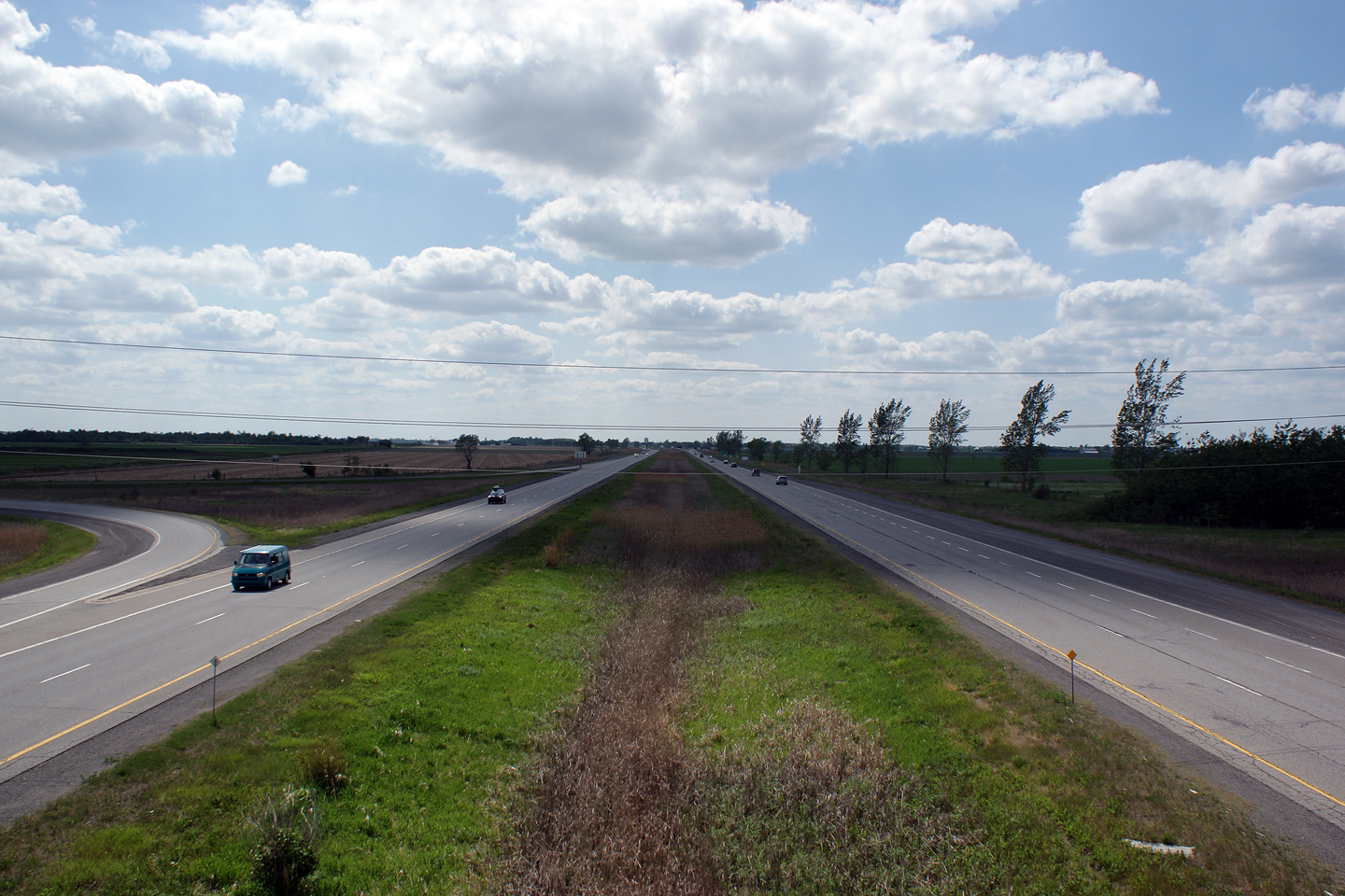
| Municipality of the Nation United Counties of Prescott and Russell |
This view looks easterly from the Highway 138 overpass. Photo taken: May 24th, 2010. |
||
| Municipality of the Nation United Counties of Prescott and Russell |
Westbound guide signage for the Highway 138 interchange. Photo taken: May 24th, 2010. |
 |
|
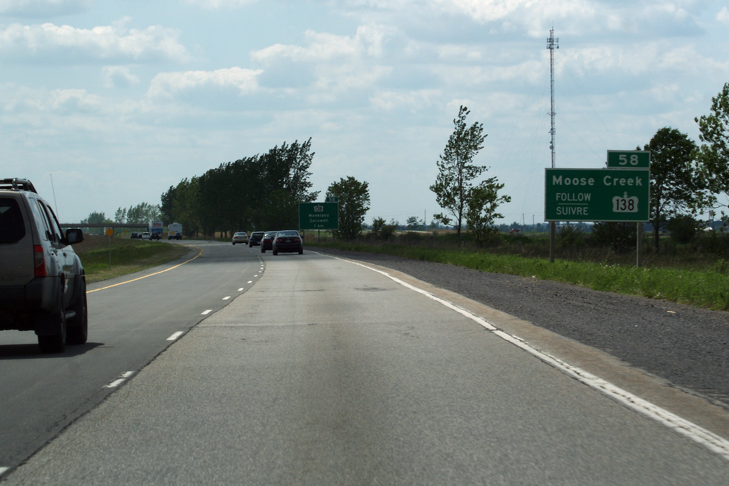
| Township of North Stormont United Counties of Stormont, Dundas and Glengarry |
Advanced signage for the Highway 138 interchange. Photo taken: May 24th, 2010. |
||
| Township of North Stormont United Counties of Stormont, Dundas and Glengarry |
Advanced signage for Moose Creek. Moose Creek is a small community
accessible via Prescott & Russell Road 8, the northern continuation of
Highway 138. Photo taken: May 24th, 2010. |
||
| Municipality of the Nation
/ North Stormont Boundary Prescott and Russell / Stormont, Dundas and Glengarry Boundary |
Easterly view from the Ste-Catherine Street overpass. Highway 417 sits atop
the Prescott and Russell / Stormont, Dundas and Glengarry Boundary for a
considerable length. Identifying proper road names from the freeway is
often a challenge due to the lack of coordination between P & R, and S, D &
G Counties. For example, Ste-Catherine Street is P & R County Road 9,
while it is S, D & G County Road 20. Further, it is known as Highland
Road in Glengarry. Photo taken: May 24th, 2010. |
||
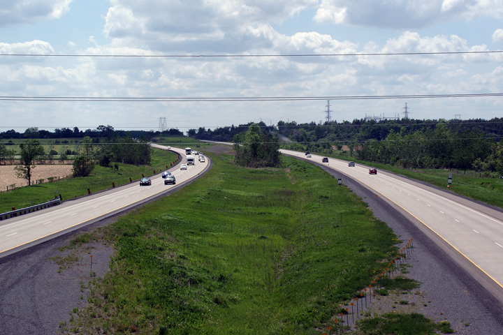
| Municipality of the Nation
/ North Stormont Boundary Prescott and Russell / Stormont, Dundas and Glengarry Boundary |
This view looks easterly from the Ste. Catherine Street overpass towards
Montreal. Photo taken: May 24th, 2010. |
 (720x480) (1440x960) |
|
| Township of North
Glengarry United Counties of Stormont, Dundas and Glengarry |
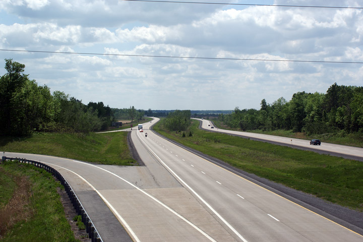
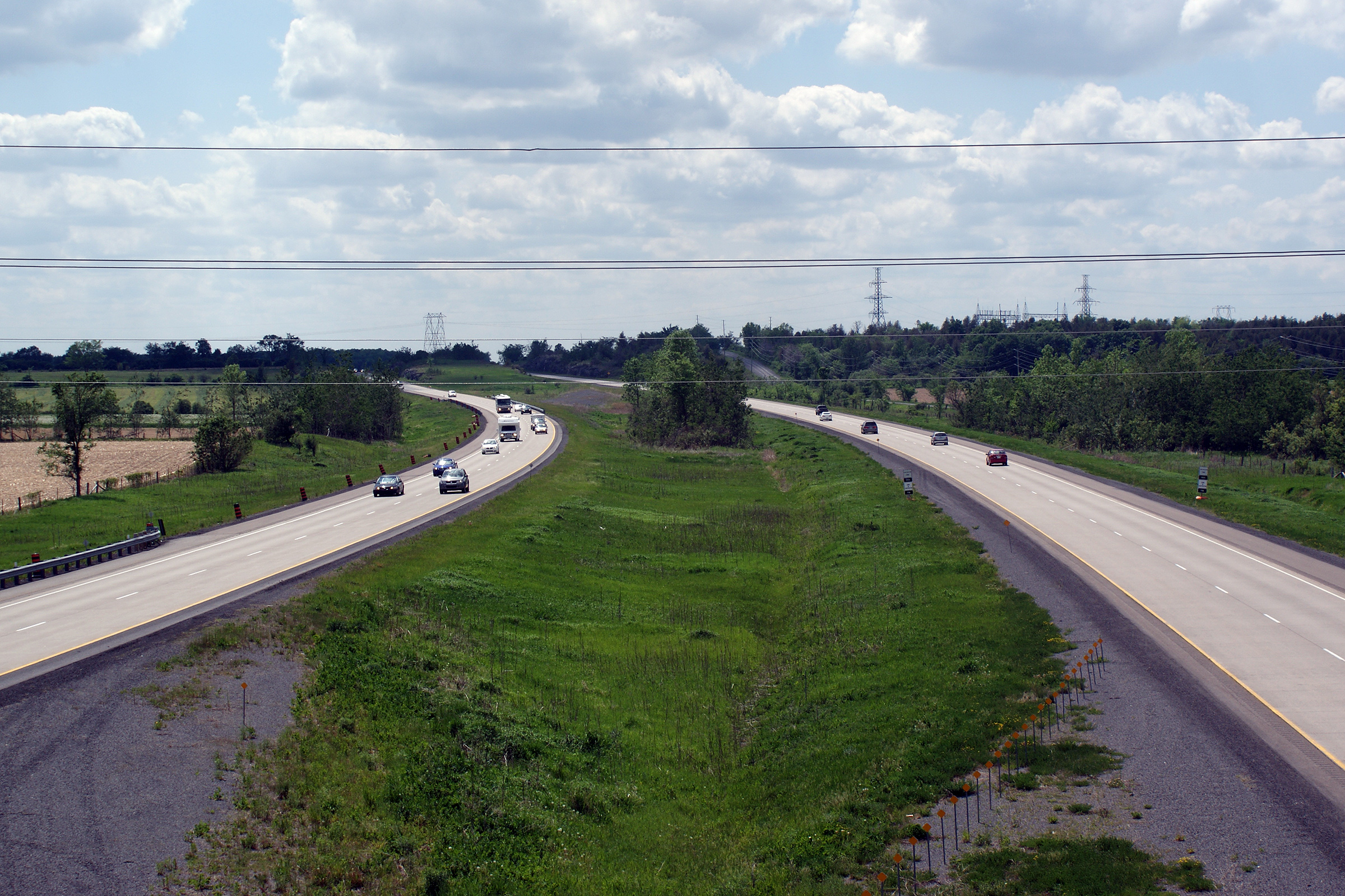
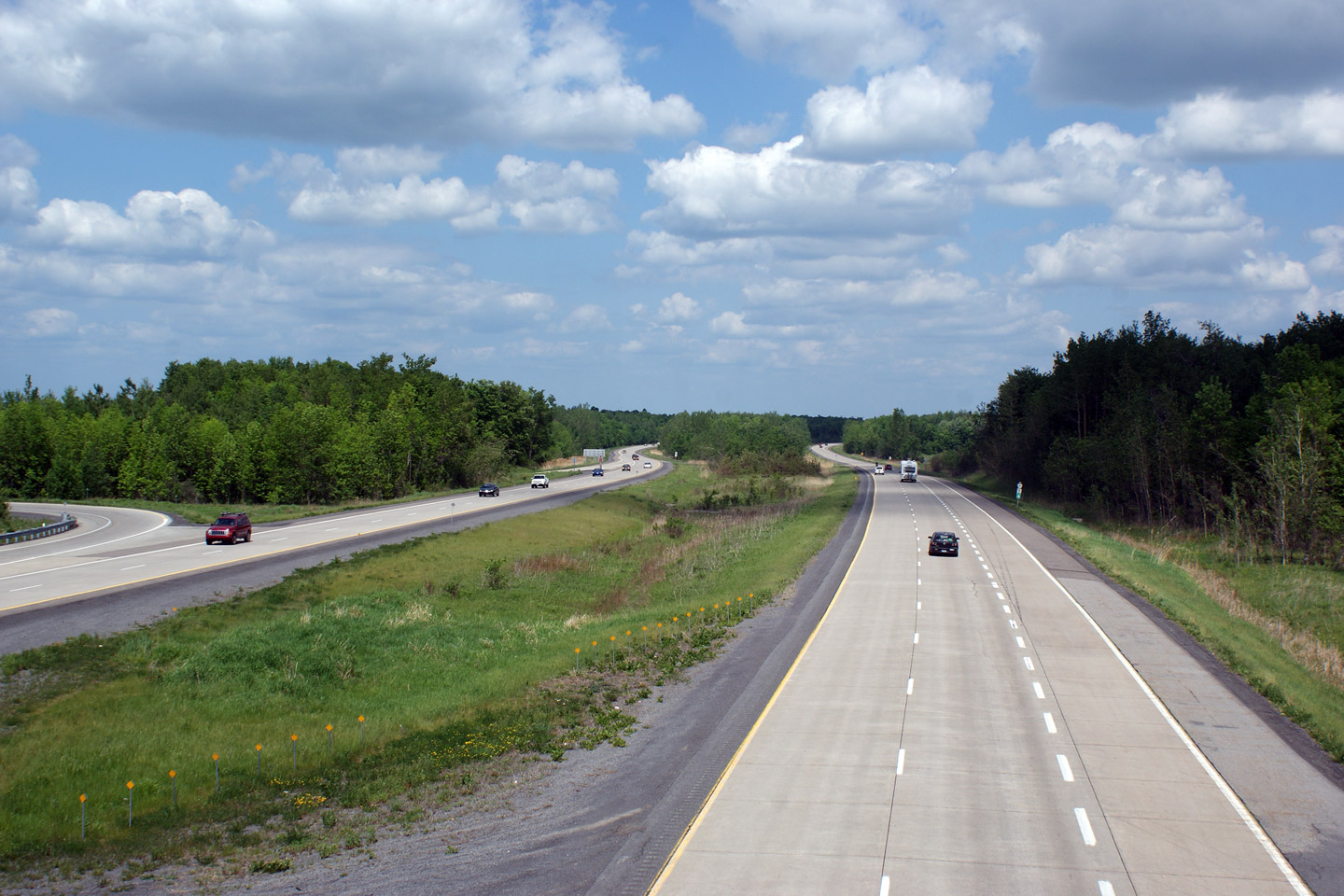
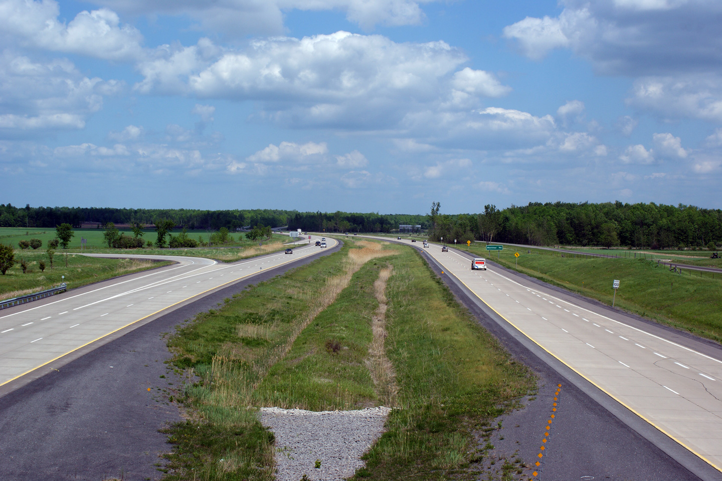
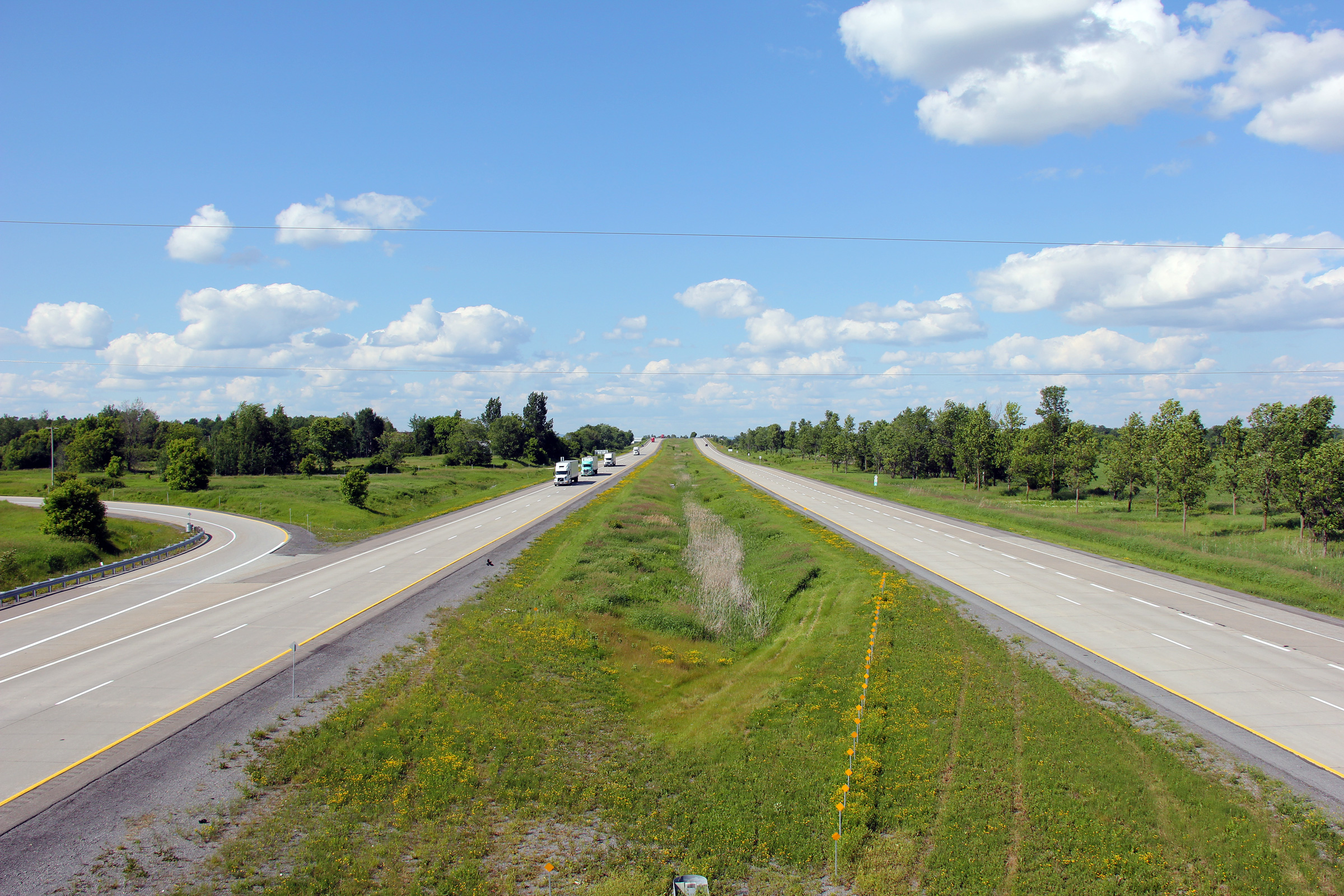
Westerly view from the Greenfield Road interchange. As is evident in
the photo, Highway 417 is surfaced in concrete from west of the Greenfield
Road interchange to east of Highway 34. The concrete was placed in
2004/2005 during somewhat of a renascence period of concrete highway
construction across Ontario. Photo taken: May 24th, 2010. |
||
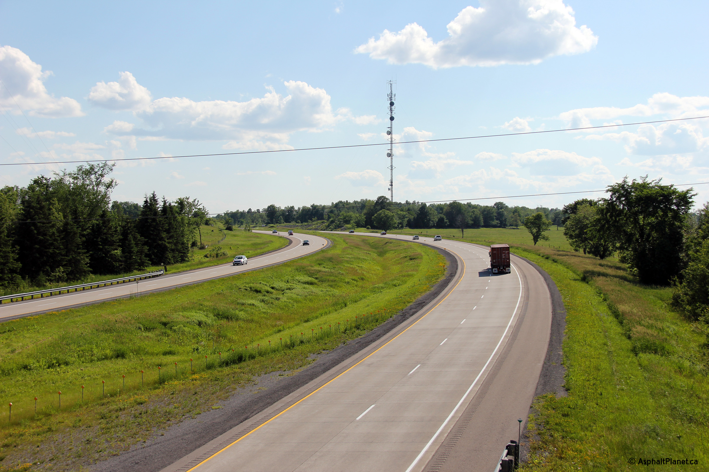
| Township of North
Glengarry United Counties of Stormont, Dundas and Glengarry |
Easterly view from Greenfield Road. The Greenfield Road overpass was
rehabilitated during the 2010 construction season, hence the construction
barrels along side the highway in the photo. Photo taken: May 24th, 2010. |
||
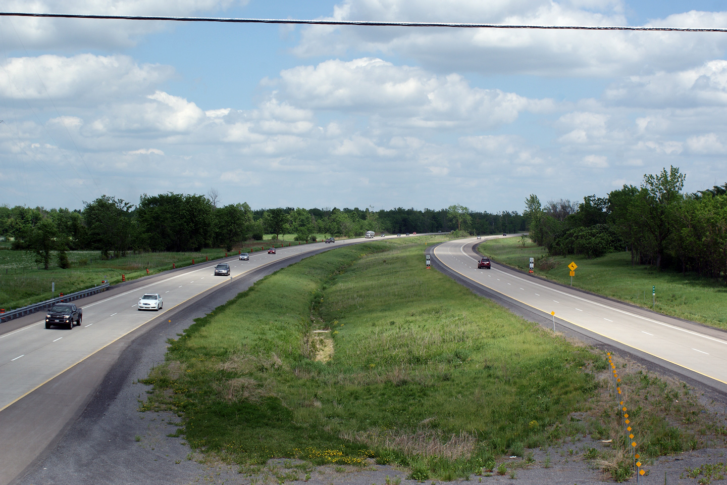
| Municipality of the Nation
/ North Glengarry Boundary Prescott and Russell / Stormont, Dundas and Glengarry Boundary |
This view looks westerly from the Syke Road overpass. Photo taken: May 24th, 2010. |
 (720x480) (1440x960) |
|
| Municipality of the Nation
/ North Glengarry Boundary Prescott and Russell / Stormont, Dundas and Glengarry Boundary |
Opposing view from the Syke Road overpass. Photo taken: May 24th, 2010. |
||
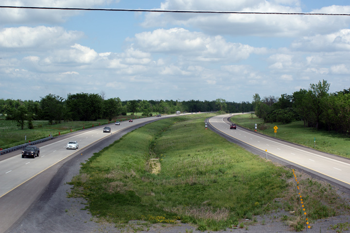
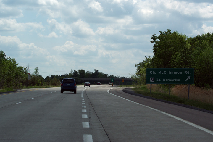
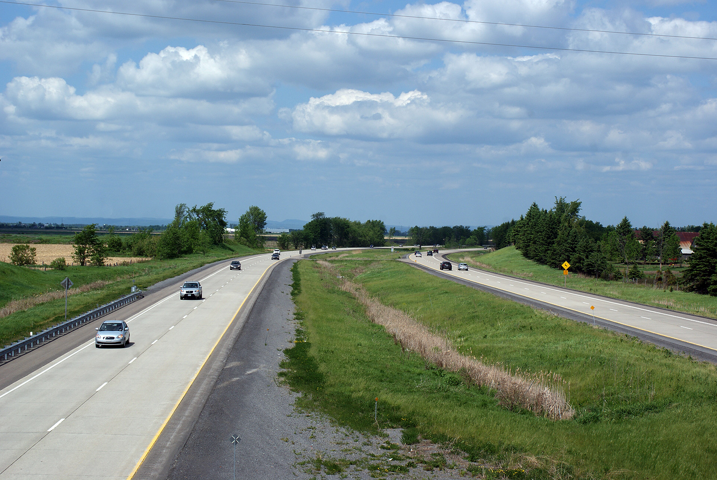
| Municipality of the Nation United Counties of Prescott and Russell |
This view looks westerly from the McCrimmon Road overpass. The 417
meets McCrimmon Road at a parclo A2 interchange. Photo taken: May 24th, 2010. |
||
| Champlain / North
Glengarry Boundary Prescott & Russell / Stormont, Dundas and Glengarry Boundary |
Easterly view from the McCrimmon Road overpass. Photo taken: May 24th, 2010. |
||
| Champlain / North
Glengarry Boundary Prescott & Russell / Stormont, Dundas and Glengarry Boundary |
Westbound signage for the McCrimmon Road interchange. Freeway signage
in the eastern part of the province differs slightly from the signage
appearing in other areas. Note that the county road number is shown
beside the control city rather than with the proper road name.
Presumably this is done to reduce the overall size of the sign, however
drivers wouldn't encounter a sign like this in other areas of the province. Photo taken: May 24th, 2010. |
||
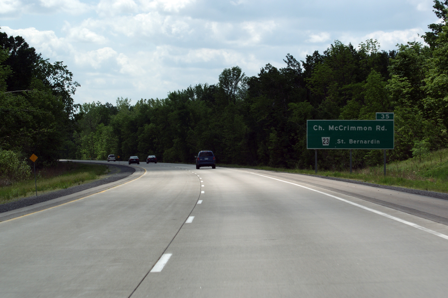
| Champlain / North
Glengarry Boundary Prescott & Russell / Stormont, Dundas and Glengarry Boundary |
Advanced signage for the McCrimmon Road interchange. Note that a
distance to the interchange is not indicated on this freeway sign.
This omission is fairly common along guide signs in the Ottawa area -- I
have no idea why the 1km (or whatever the distance may in fact be) would be
omitted from an advanced sign. Photo taken: May 24th, 2010. |
||
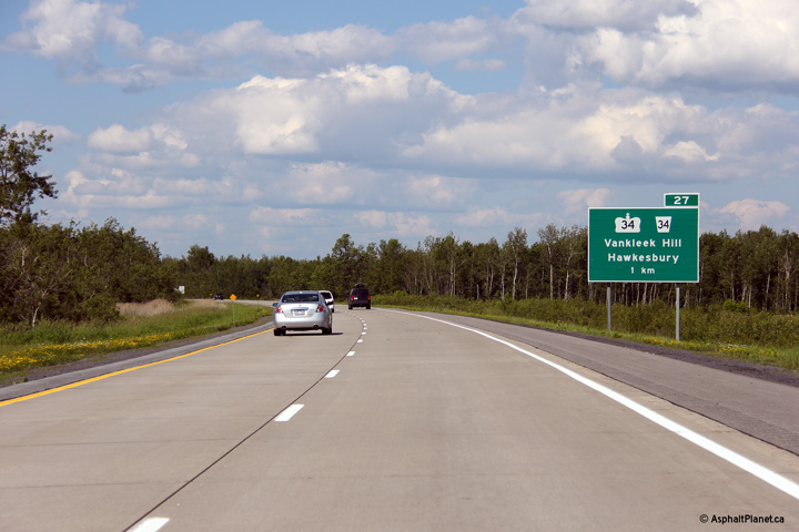
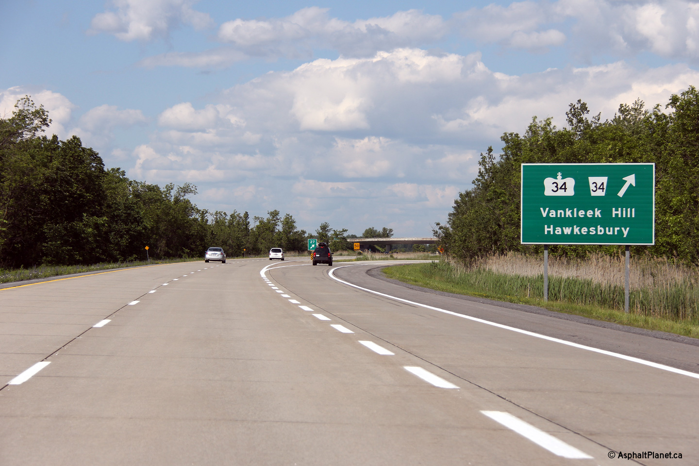
| Township of North
Glengarry United Counties of Stormont, Dundas and Glengarry |
Advanced signage for the Highway 34 interchange. Photo taken: June 18th, 2013. |
 (720x480) (720x480)
(1440x960) (2400x1600 |
|
| Township of North
Glengarry United Counties of Stormont, Dundas and Glengarry |
View at the eastbound off-ramp to Highway 34. Photo taken: June 18th, 2013. |
 (720x480) (720x480)
(1440x960) (2400x1600 |
|
| Township of North
Glengarry United Counties of Stormont, Dundas and Glengarry |
Eastbound view as Highway 417 passes underneath of the Highway 34 overpass. Photo taken: June 18th, 2013. |
 (720x480) (720x480)
(1440x960) (2400x1600 |
|
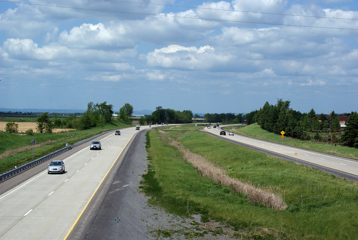
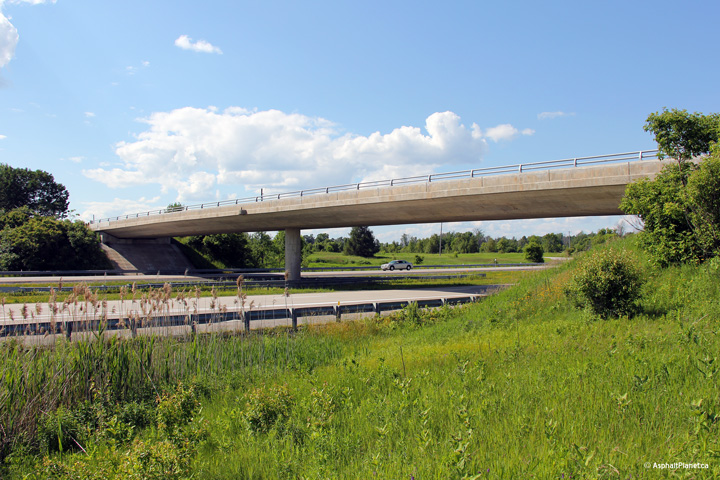
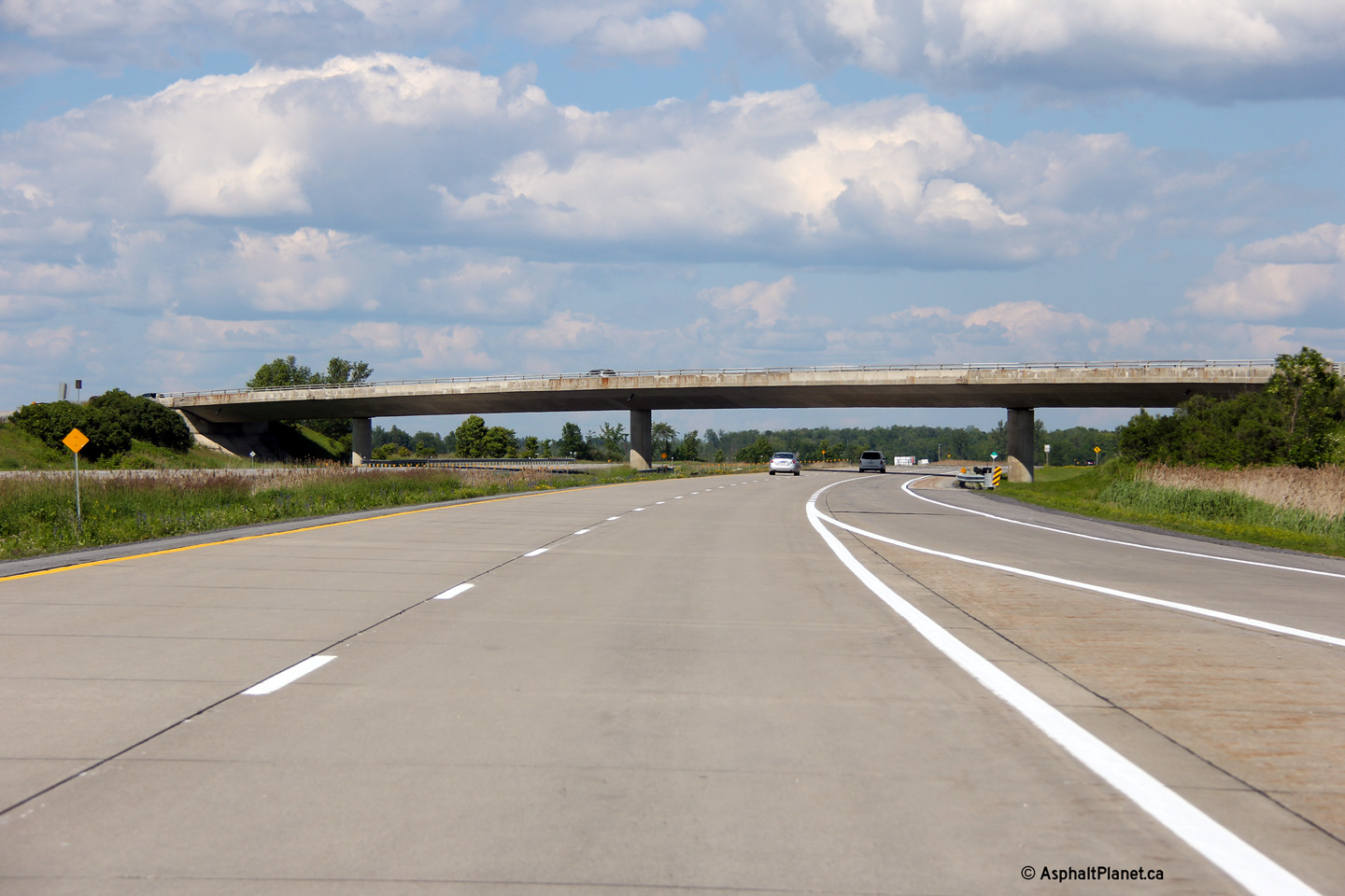
| Champlain / North
Glengarry Boundary Prescott & Russell / Stormont, Dundas and Glengarry Boundary |
This view looks westerly from the Highway 34 overpass. Photo taken: May 24th, 2010. |
 (720x480) (1440x960) (2400x1600) |
|
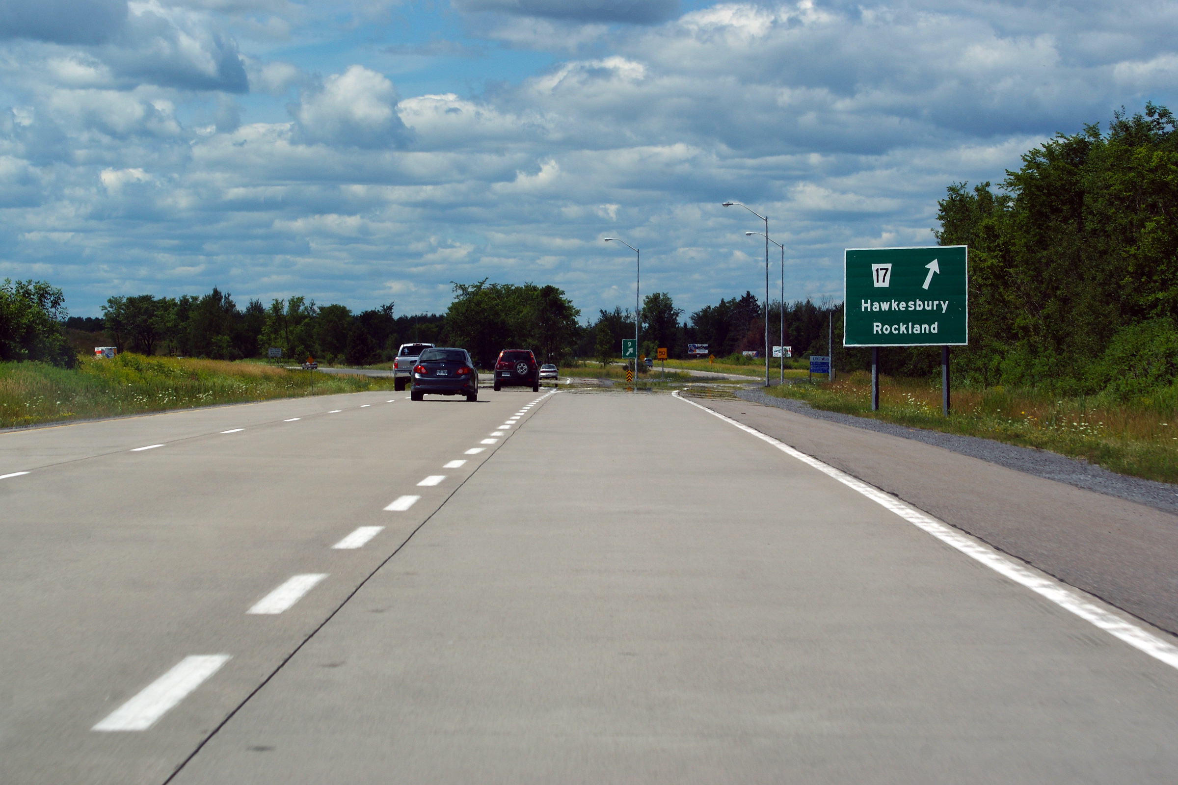
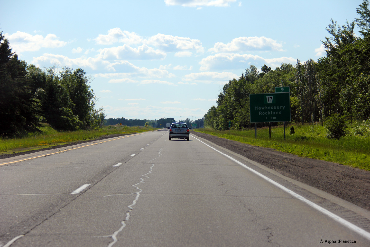
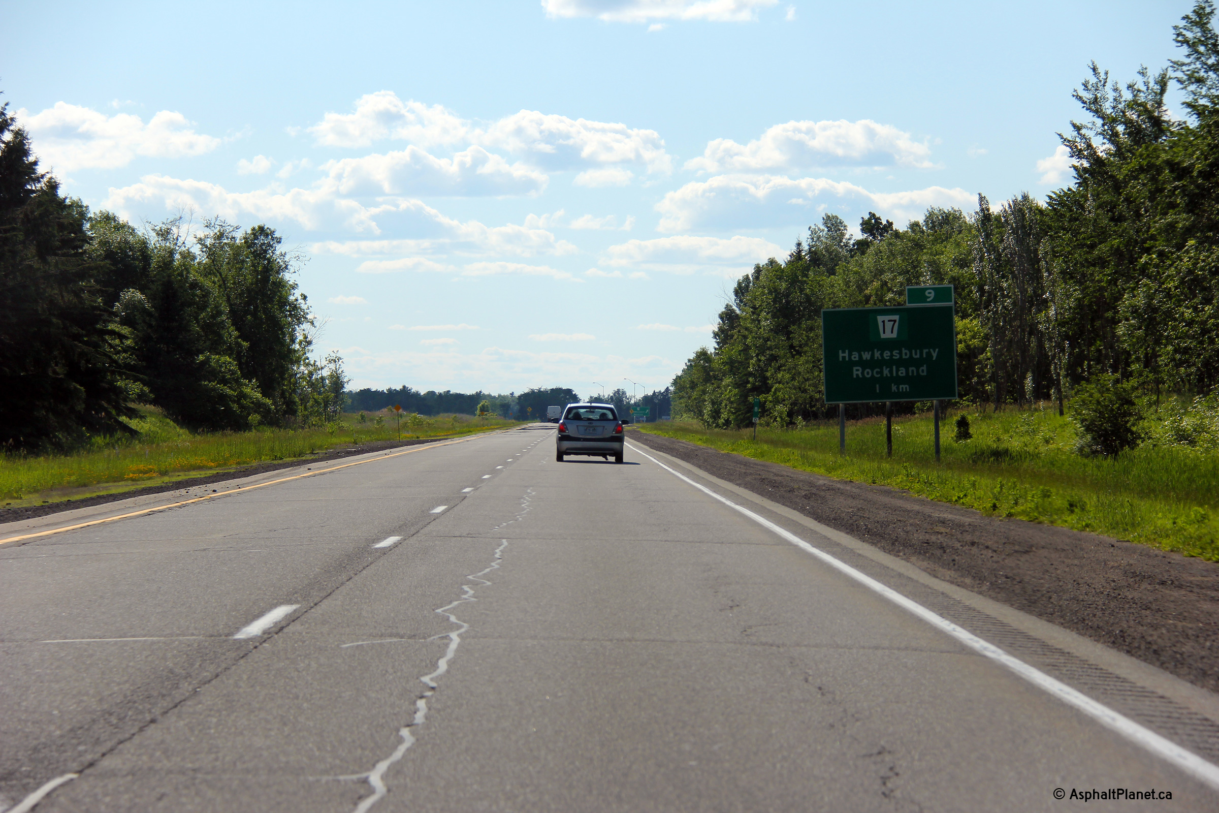
| Highway 34 begins northerly from Highway 417 leading to Hawkesbury through Vankleek Hill. Click here for Highway 34 images. | |||
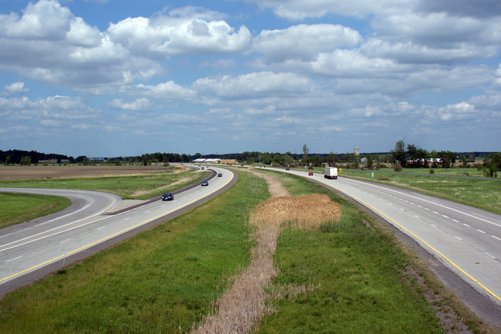
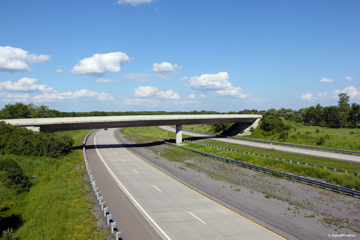
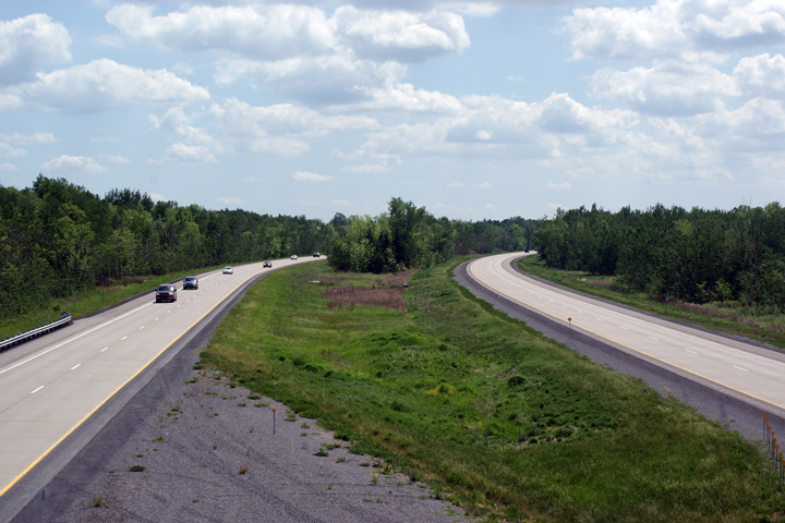
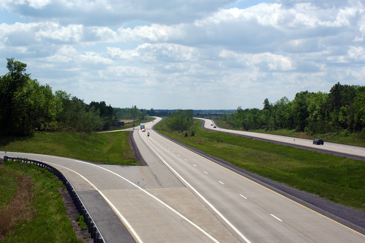
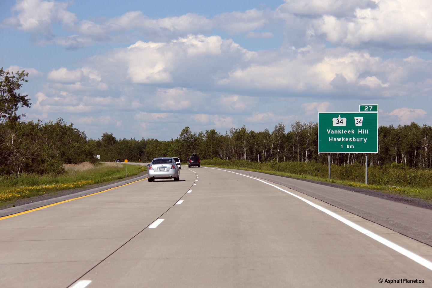
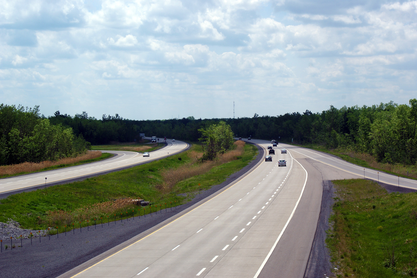
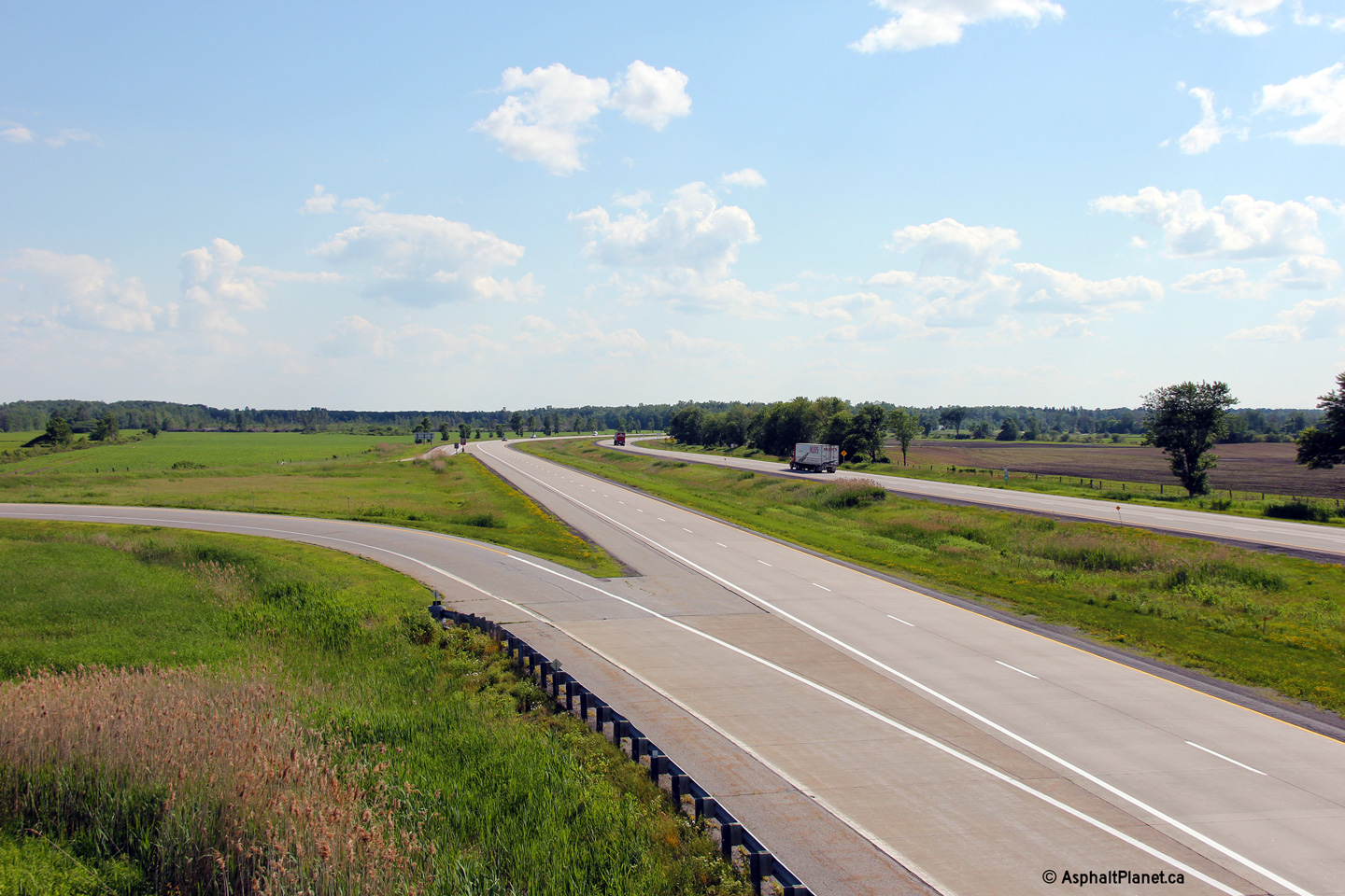
| Champlain / North
Glengarry Boundary Prescott & Russell / Stormont, Dundas and Glengarry Boundary |
Easterly view form the Highway 34 overpass. As the distance sign
visible in the photo indicates, it is still almost 100km from Highway 34
into Montreal. The drive down Highway 417 between Ottawa and Montreal
looks much shorter on paper than it is in real life. Photo taken: May 24th, 2010. |
 (720x480) (1440x960) (2400x1600) |
|
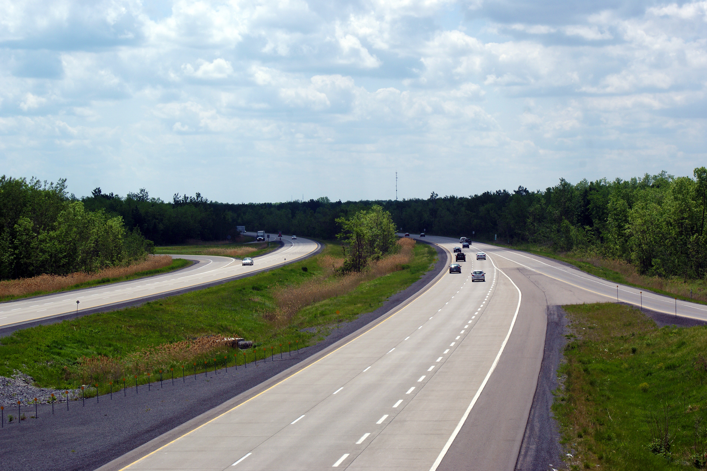
| Champlain / North
Glengarry Boundary Prescott & Russell / Stormont, Dundas and Glengarry Boundary |
View driving easterly through the Dalkeith Road overpass. Photo taken: June 18th, 2013. |
 (720x480) (720x480)
(1440x960) (2400x1600 |
|
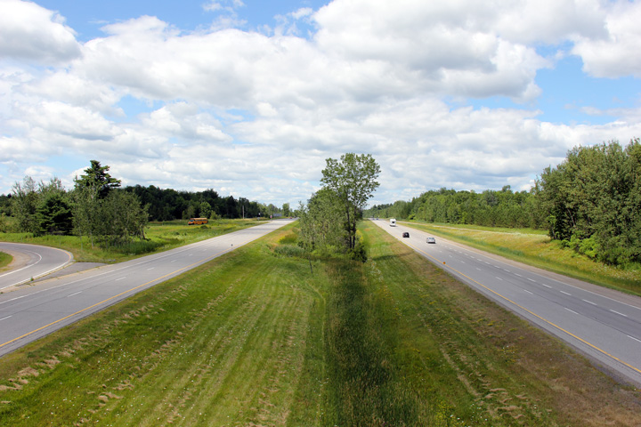
| Champlain / North
Glengarry Boundary Prescott & Russell / Stormont, Dundas and Glengarry Boundary |
This view looks west from the Dalkeith Road overpass Photo taken: May 24th, 2010. |
 (720x480) (1440x960) (2400x1600) |
|
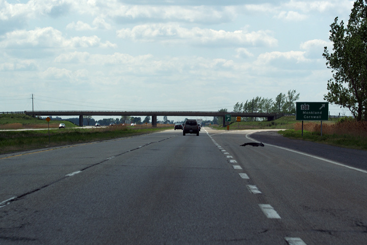
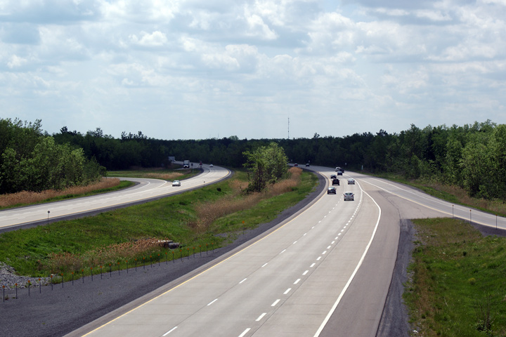
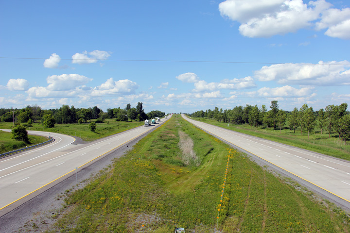
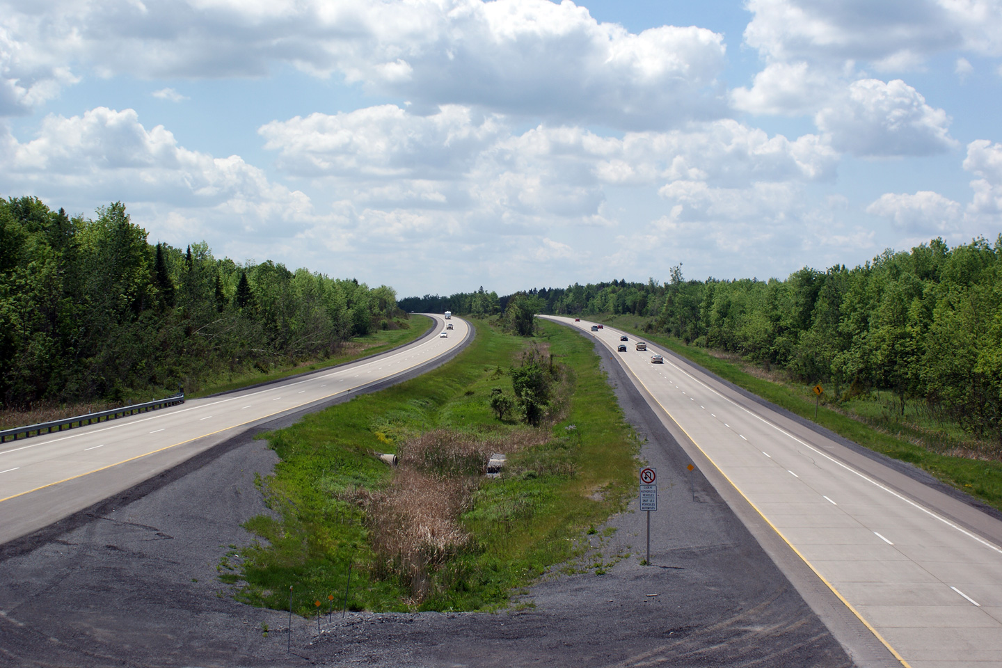
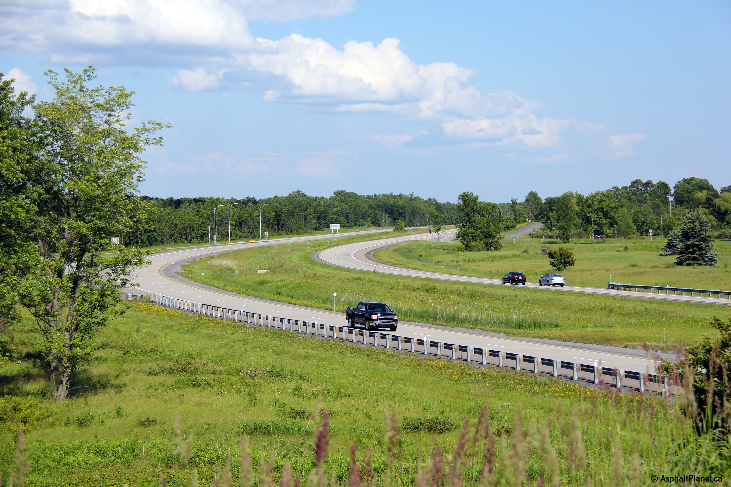
| Champlain / North
Glengarry Boundary Prescott & Russell / Stormont, Dundas and Glengarry Boundary |
Opposing view from the Dalkeith Road overpass. Notice the irregular
spacing of the expansion joints in the concrete pavement. The MTO
specifies random joint spacing in the in the slab. Slabs vary in
length's of 3.7, 4.5, 4.0, 4.3 meters; Random joint spacings have been
successfully used in plain undoweled pavements to minimize resonant vehicle
responses (information from
FHWA). Photo taken: May 24th, 2010. |
 (720x480) (1440x960) (2400x1600) |
|
| Township of East Hawksbury United Counties of Prescott and Russell |
Side view of the County Road 10 overpass. Despite retaining its original
double rail railings, the County Road 10 overpass had been
repaired not too long before this photo was taken. Photo taken: June 18th, 2013. |
 (720x480) (1440x960) (2400x1600) |
|
| Township of East Hawksbury United Counties of Prescott and Russell |
View looking westerly from the County Road 10 overpass. Photo taken: June 18th, 2013. |
 (720x480) (1440x960) (2400x1600) |
|
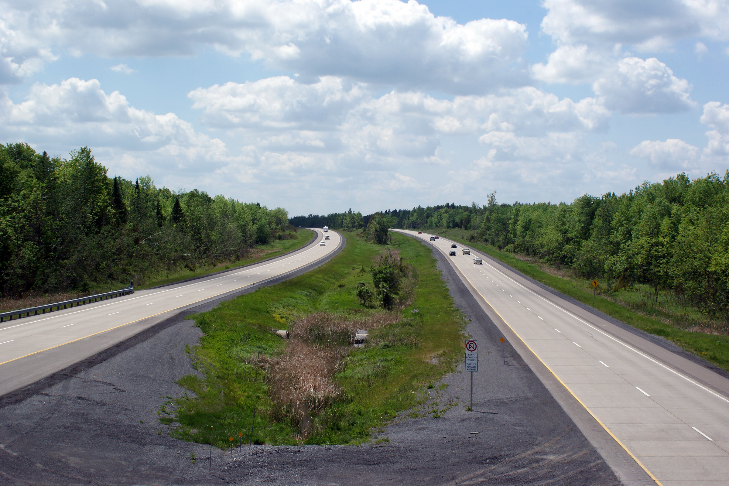
| Township of East Hawksbury United Counties of Prescott and Russell |
Easterly view from the County Road 10 overpass along Highway 417. The
concrete surfaced portion of Highway 417 is among the smoothest roads in the
province. Photo taken: June 18th, 2013. |
 (720x480) (1440x960) (2400x1600) |
|
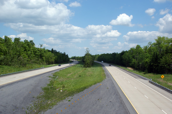
| Township of East Hawksbury United Counties of Prescott and Russell |
Westerly view from the Concession Road 1 overpass. Photo taken: June 18th, 2013. |
 (720x480) (1440x960) (2400x1600) |
|
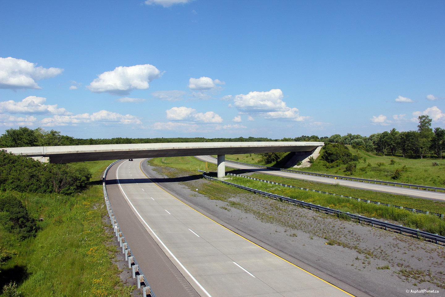
| Township of East Hawksbury United Counties of Prescott and Russell |
Easterly view from the Concession Road 1 overpass towards the fly-over ramp
that links Highway 17 to the eastbound lanes of Highway 417. Photo taken: June 18th, 2013. |
 (720x480) (1440x960) (2400x1600) |
|
| Prescott and Russell Road 17 is the former alignment of Highway 17 between Ottawa and Hawkesbury. Click here for Highway 17 images. | |||
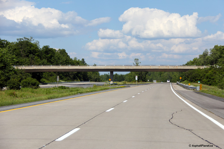
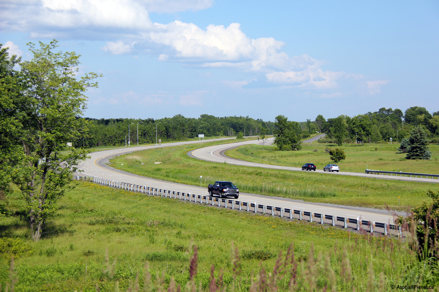
| Township of East Hawksbury United Counties of Prescott and Russell |
Easterly view from the Highway 17 fly-over ramp. The concrete portion
of Highway 417 ends just to the east of the Highway 17 interchange. Photo taken: June 18th, 2013. |
 (720x480) (1440x960) (2400x1600) |
|
| Township of East Hawksbury United Counties of Prescott and Russell |
Westerly view from the drivers seat at the off-ramp to Old Highway 17. Photo taken: July 24th, 2011. |
 (720x480) (720x480)
(1440x960) (2400x1600) |
|
| Township of East Hawksbury United Counties of Prescott and Russell |
Advanced signage at the ramp to Old Highway 17. Unlike the turn-off sign,
this sign dates from before Highway 17 was transferred to the county. The
former Highway 17 crown has been overlaid with a County Road 17 marker. Photo taken: June 18th, 2013. |
 (720x480) (720x480) (1440x960) (2400x1600) |
|
| Township of East Hawksbury UUnited Counties of Prescott and Russell |
View looking easterly as the 417 passes beneath the Prescott and Russell
Road 4 overpass. Photo taken: June 18th, 2013. |
 (720x480) (720x480)(1440x960) (2400x1600 |
|
| Township of East Hawksbury United Counties of Prescott and Russell |
Westerly view towards Ottawa from the Prescott and Russell Road 4 overpass. Photo taken: July 24h, 2011. |
 (720x480) (1440x960) (2400x1600) |
|
| Township of East Hawksbury United Counties of Prescott and Russell |
This view looks easterly towards the Québec border from the Prescott and
Russell Road 4 overpass. Photo taken: July 24th, 2011. |
 (720x480) (1440x960) (2400x1600) |
|
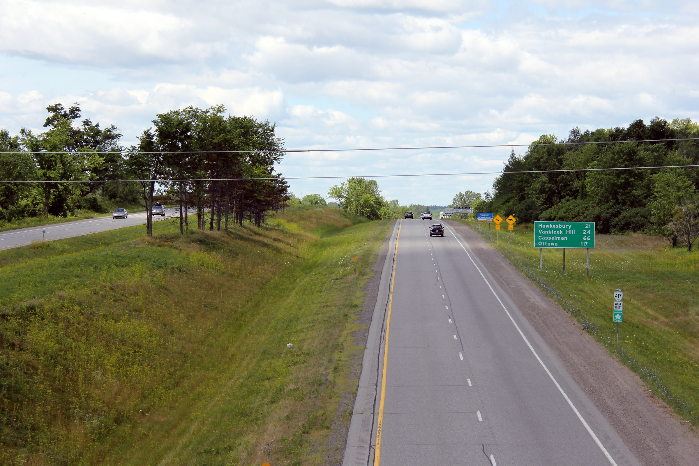
| Township of East Hawksbury United Counties of Prescott and Russell |
Advanced signage for the Quebec Highway 342 interchange. Photo taken: June 18th, 2013. |
 (720x480) (720x480)(1440x960) (2400x1600 |
|
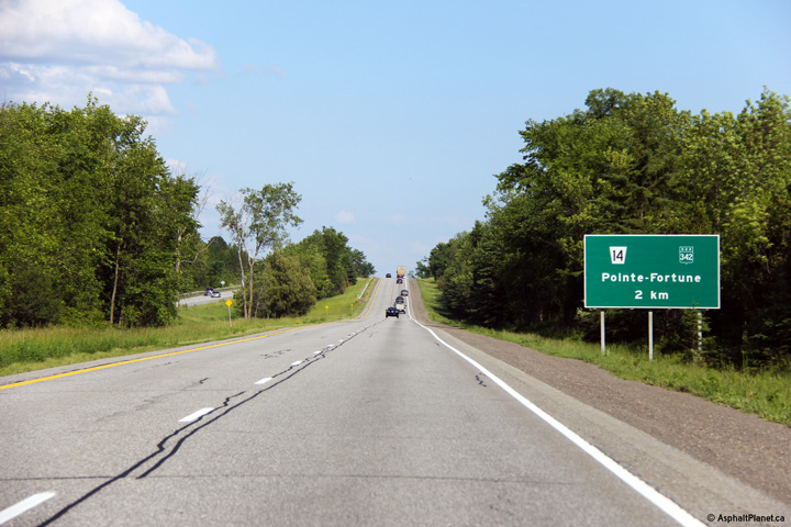
| Township of East Hawksbury United Counties of Prescott and Russell |
This view looks westerly from the Prescott and Russell Road 14 overpass.
The Prescott and Russell Road 14 overpass is situated immediately west of
the Québec border. The reassurance marker pictured in the photo is the
first westbound marker for Highway 417. Photo taken: July 24th, 2011. |
 (720x480) (1440x960) (2400x1600) |
|
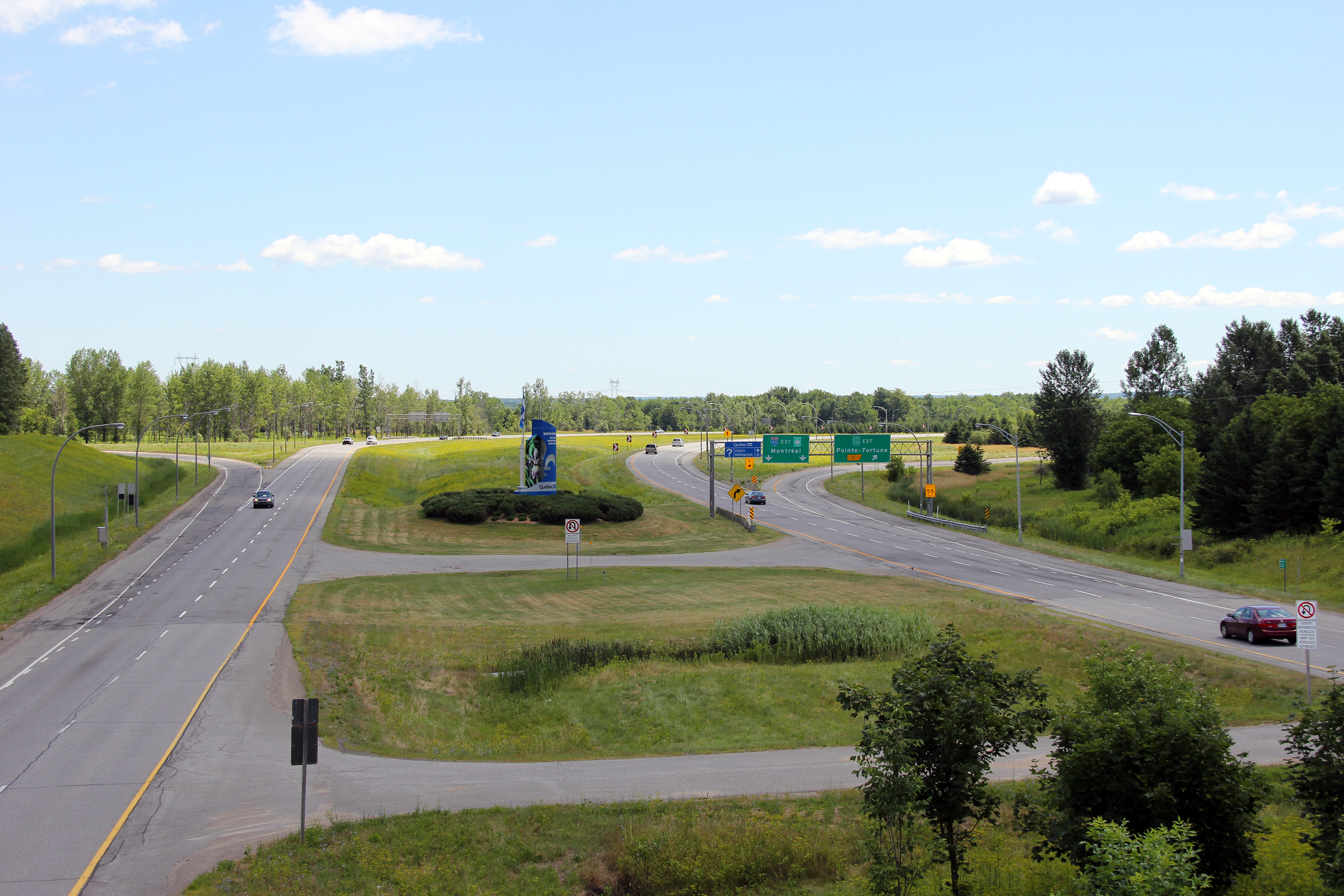
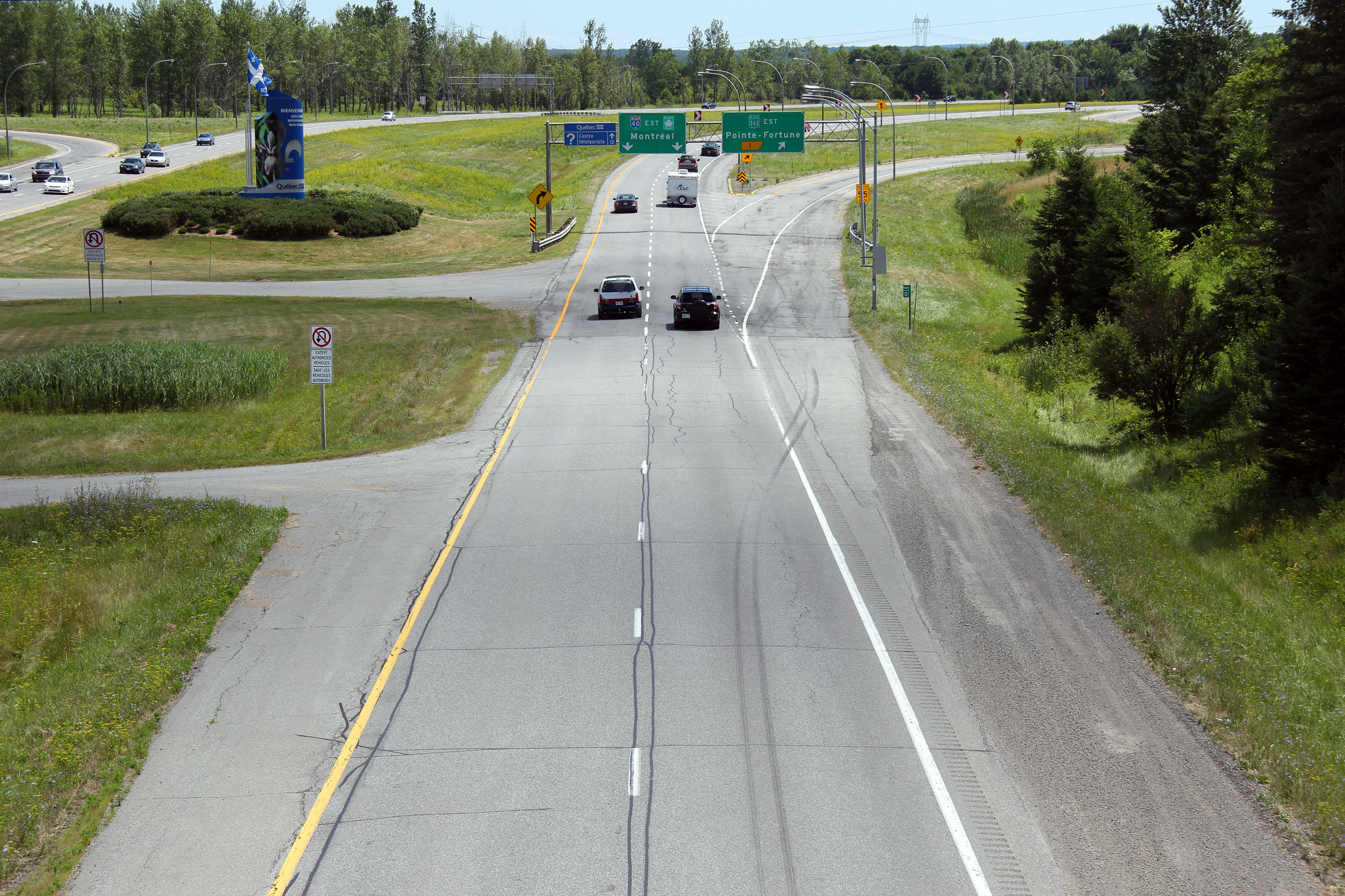
| Township of East Hawksbury United Counties of Prescott and Russell |
Two views looking easterly from the Prescott and Russell Road 14 overpass
towards the Québec border. The upper photo shows an overall shot of
the eastern terminus of Highway 417 as it enters Québec to become Autoroute
40. The lower photo shows in detail the transition between Ontario
highway design standards and those of Québec. Notice the different
colour and spacing of the line striping for example. An astute
observer will also notice that Autoroute 40 has narrower lanes than Highway
417. Since Autoroute 40 was construction, MTQ (the Quebec Ministry of
Transportation) has widened its freeway lane standard, however Autoroute 40
has yet to be retrofitted. Photos taken: July 24th, 2011. |
 (720x480) (1440x960) (2400x1600) 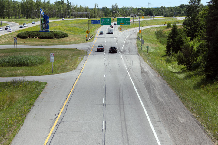 (720x480) (1440x960) (2400x1600) |
|
| The Trans-Canada Highway continues east in Quebec via Autoroute 40. | |||
<- Page 6A Images Highway 417 Images Index PQ Route 40 ->
<- Highway 416 Images Back to Highway 417 Highway 420 Images ->
Copyright (c) 2004-2014, AsphaltPlanet.ca AsphaltPlanet@asphaltplanet.ca


 (720x480)
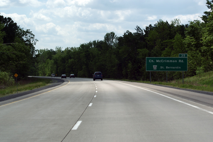